

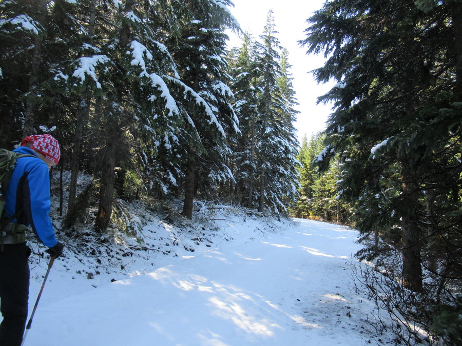
2019 Trips

 1
1
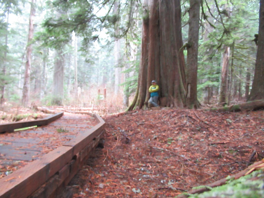
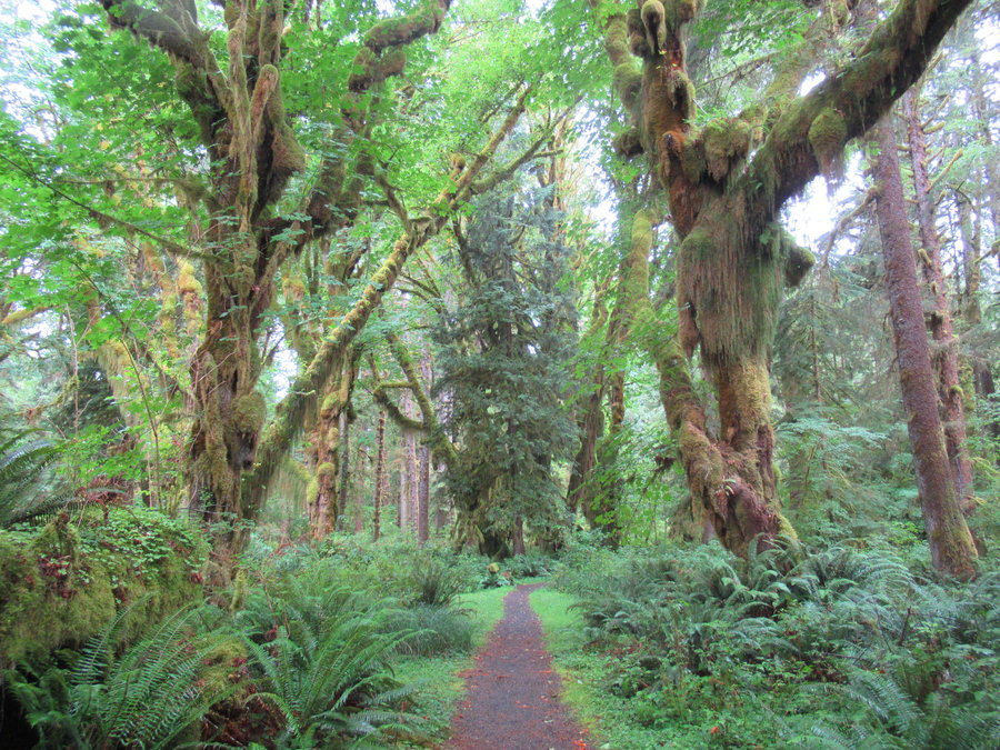
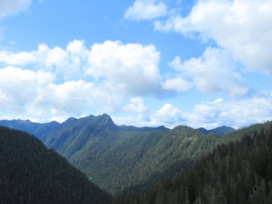
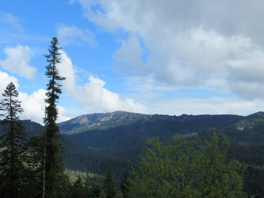
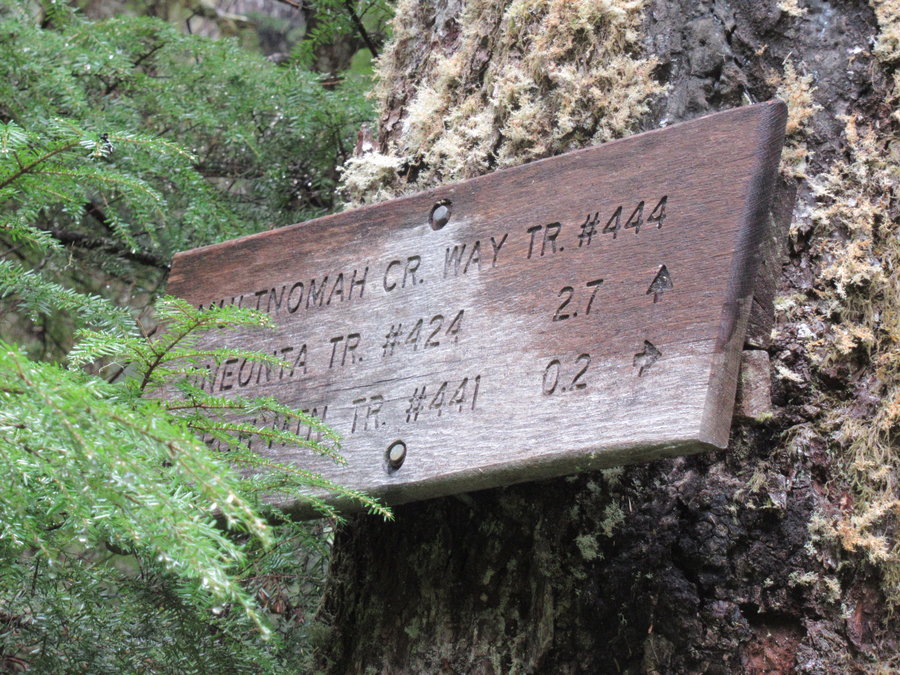
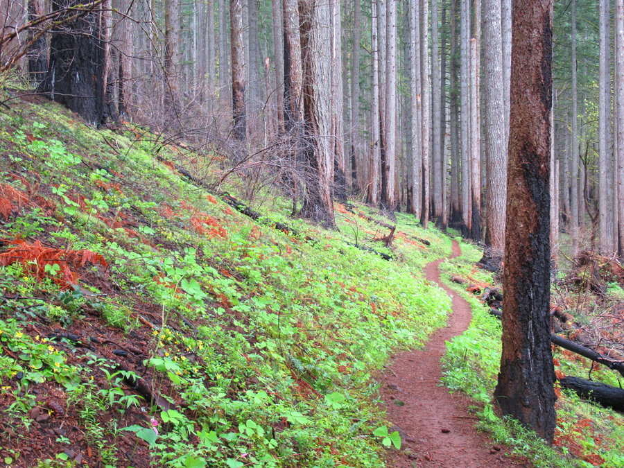
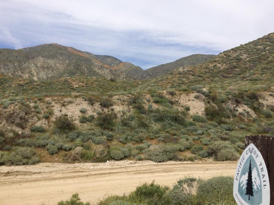
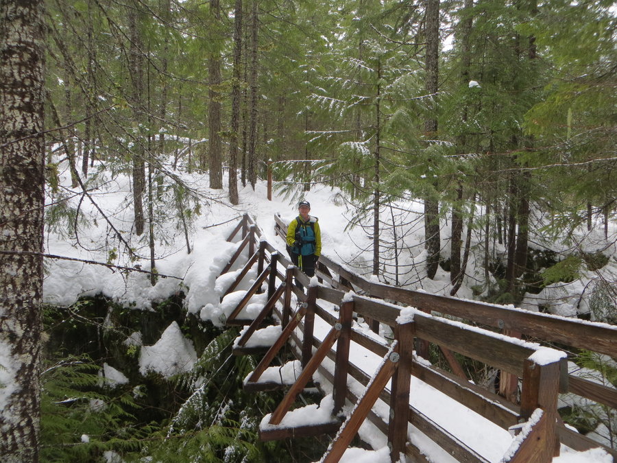
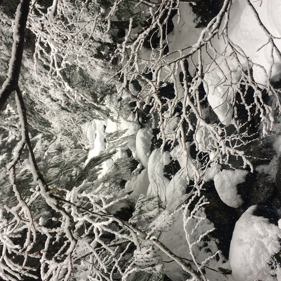
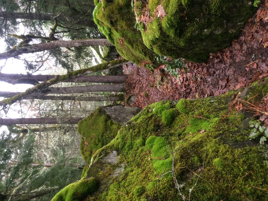
Wildwood: Zoo to Audobon
8 miles of hiking • 1000' elevation gain •
Wanted to try out the new bridge over Burnside. Moving slow, really struggling with my asthma these days. Took over an hour for bronchospasm to subside.

December 29, 2019
 1
1
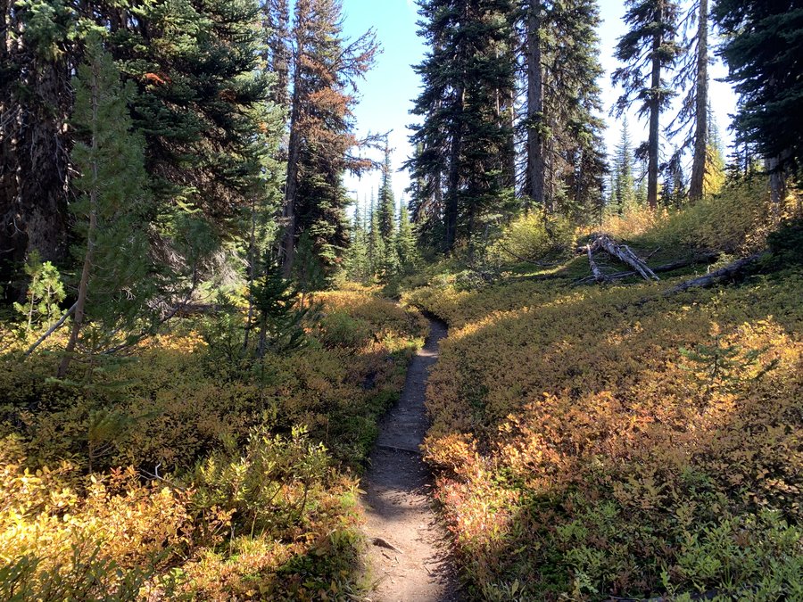
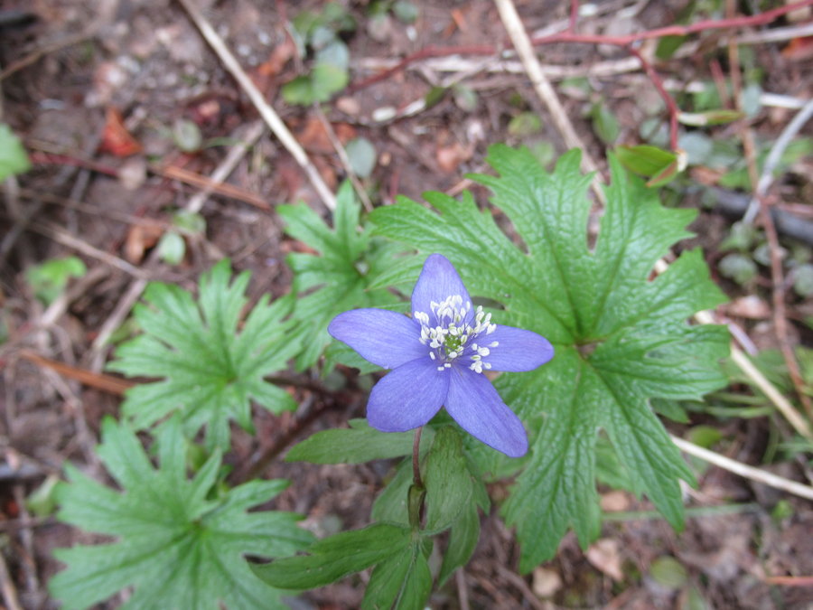
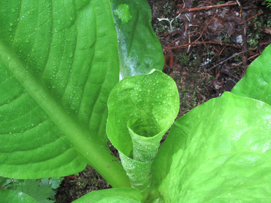
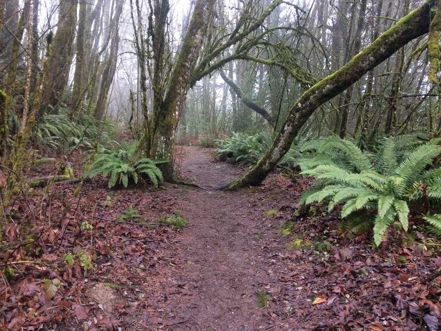
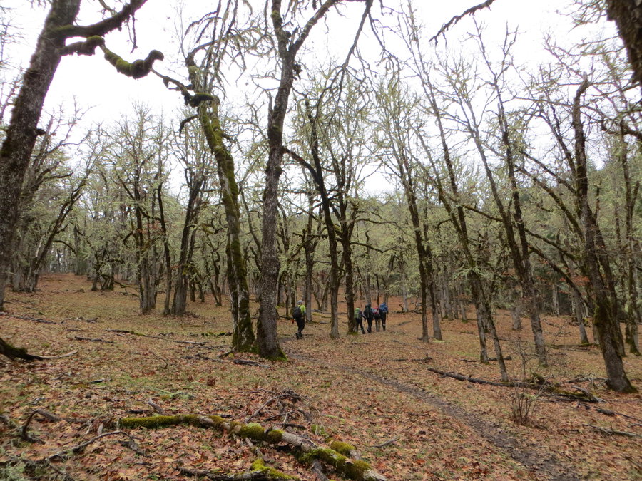
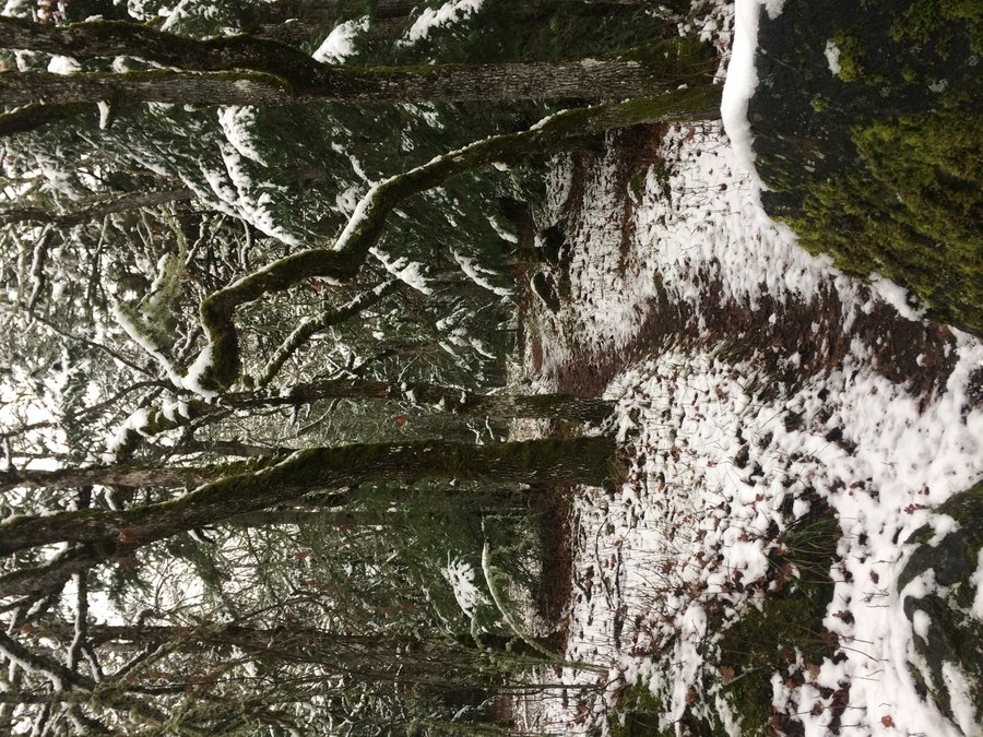
Alder/Wildwood loop
6 miles of hiking • 500' elevation gain •
I ate so many cookies yesterday........
December 24, 2019
 2
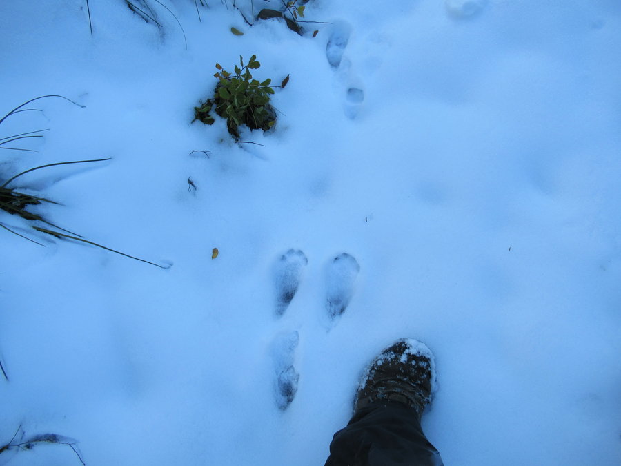
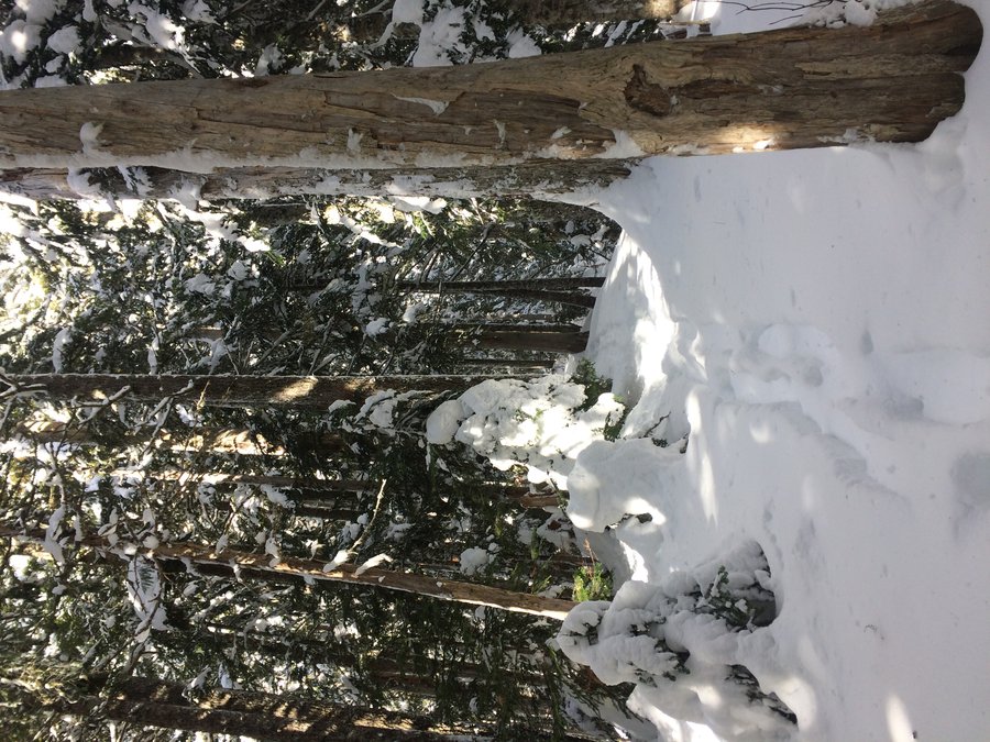
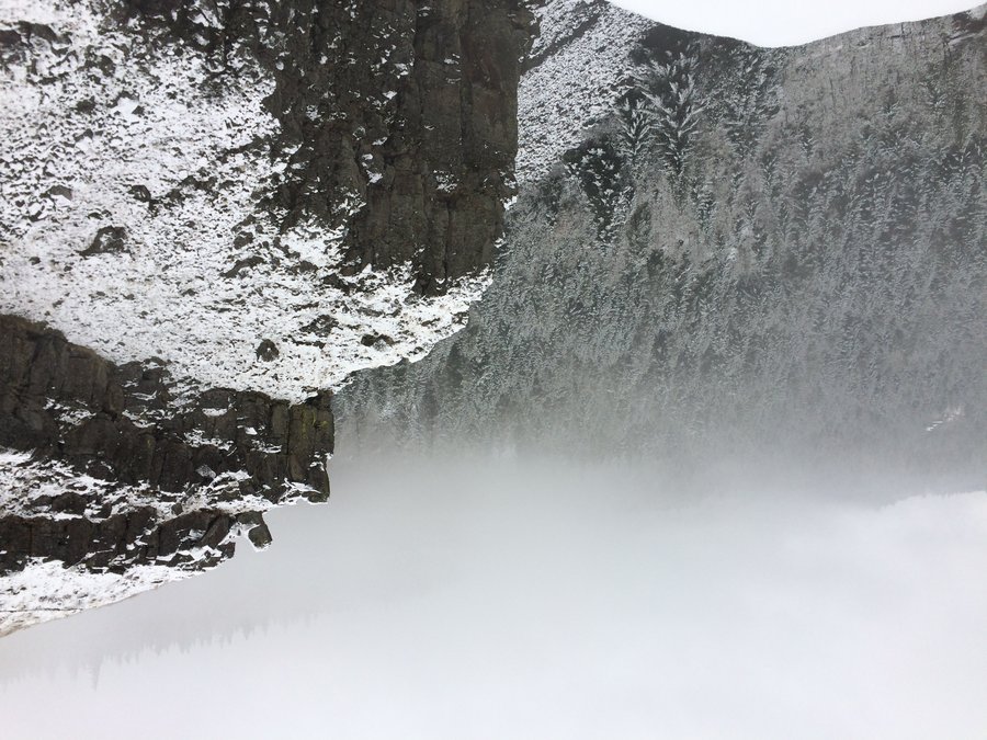
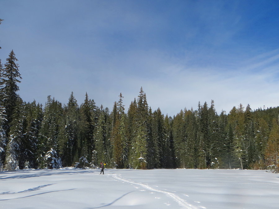
2
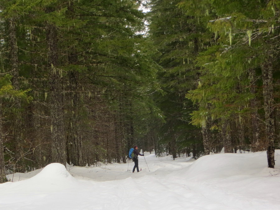
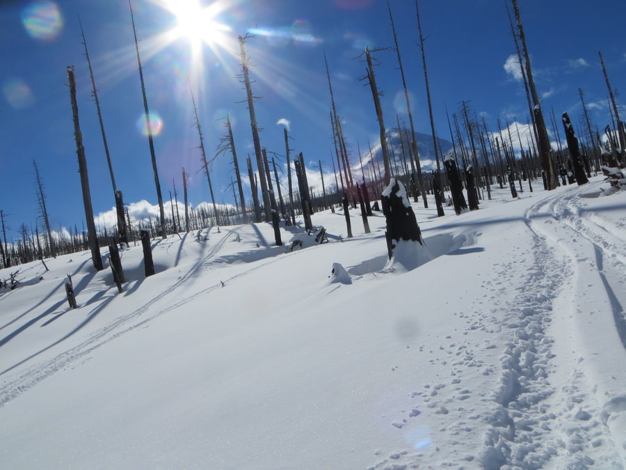
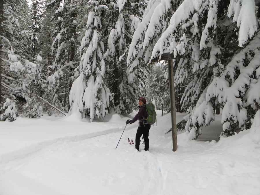
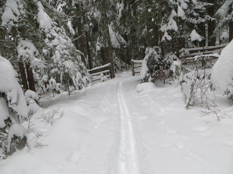
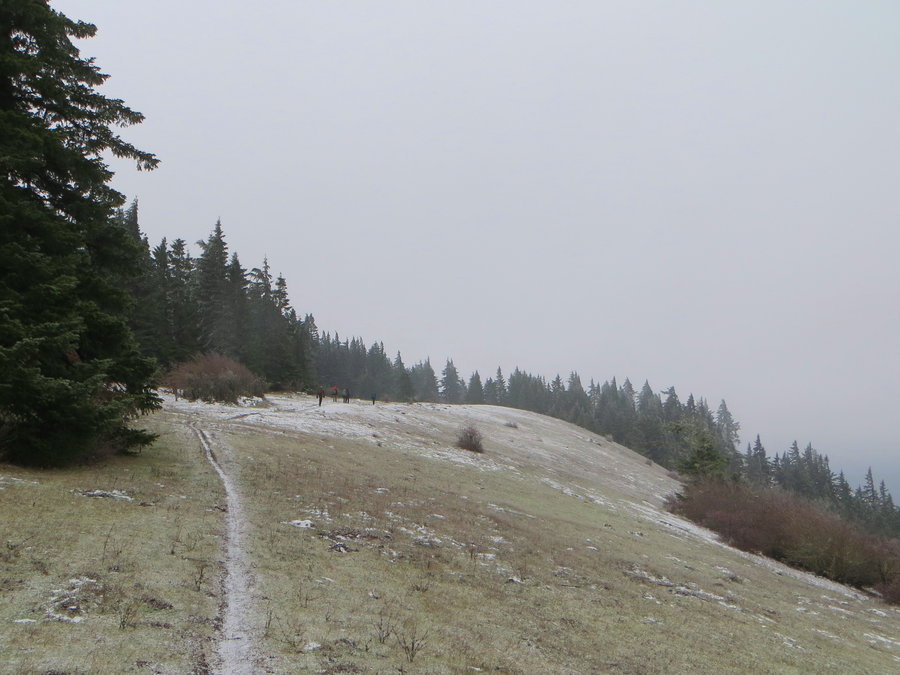
TT snowshoe
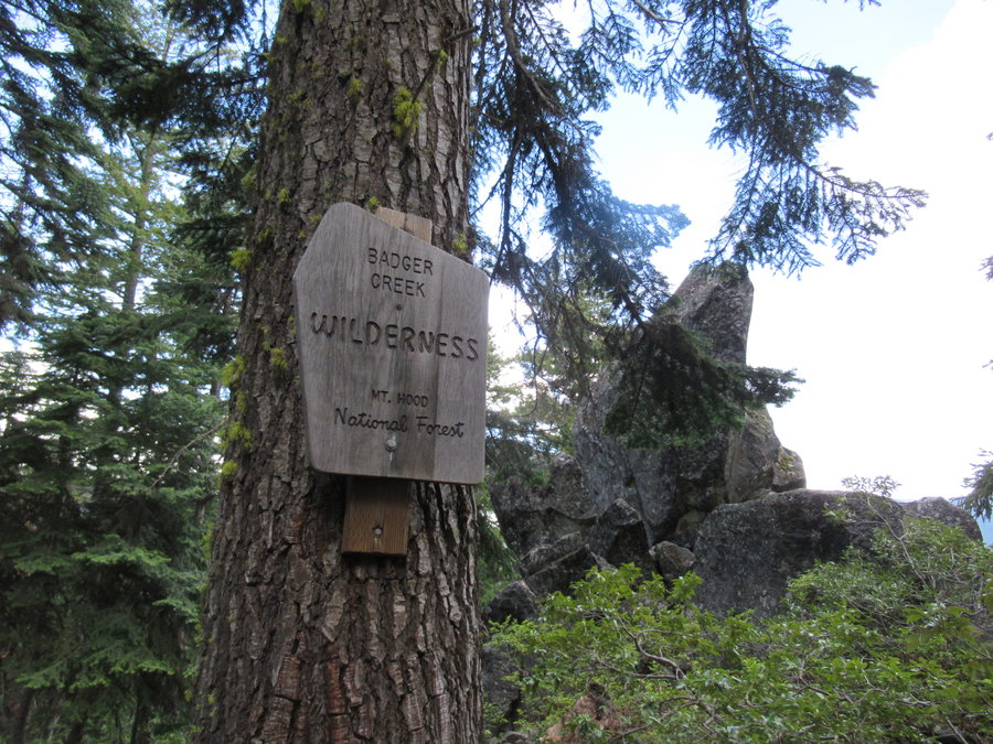
3 miles of hiking • 750' elevation gain •
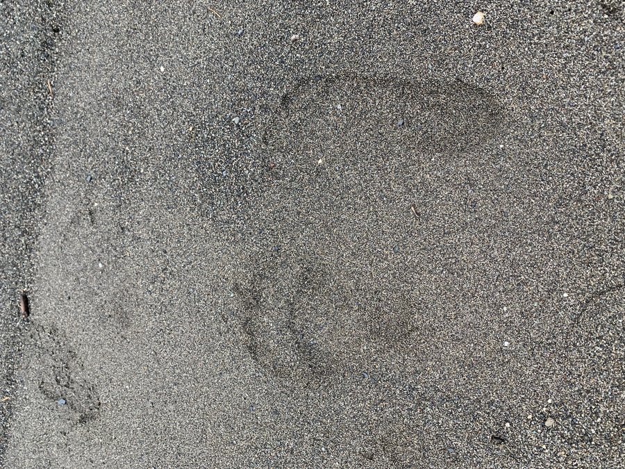
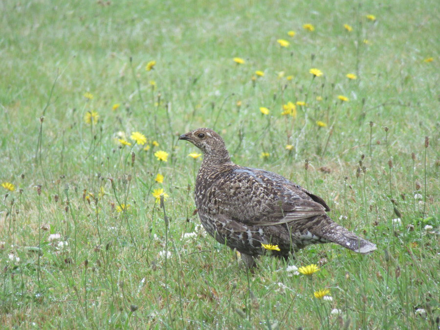
I'm helping with another wildlife cam. Today was maintenance day. Got some great shots of the elusive Sierra Nevada Red Fox, one of our target species. Will post pics soon. Fun to snowshoe again!
See video link attached!
December 17, 2019
 1
1
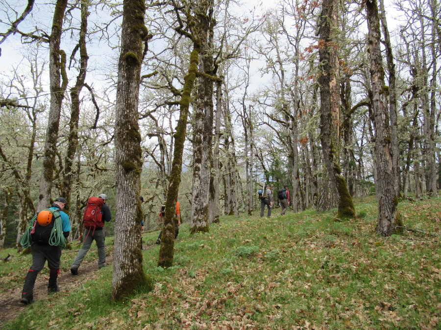
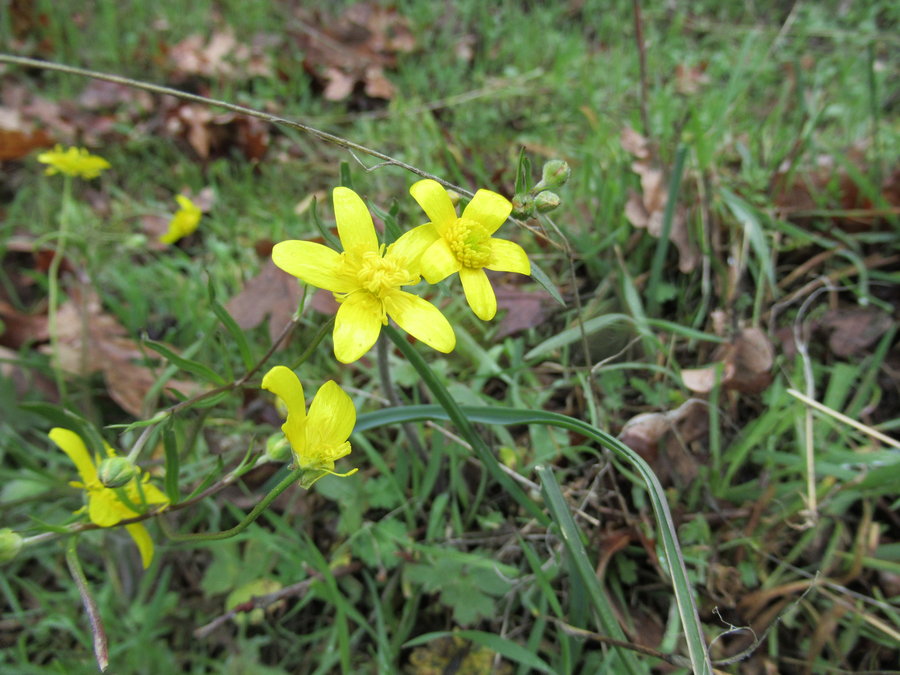
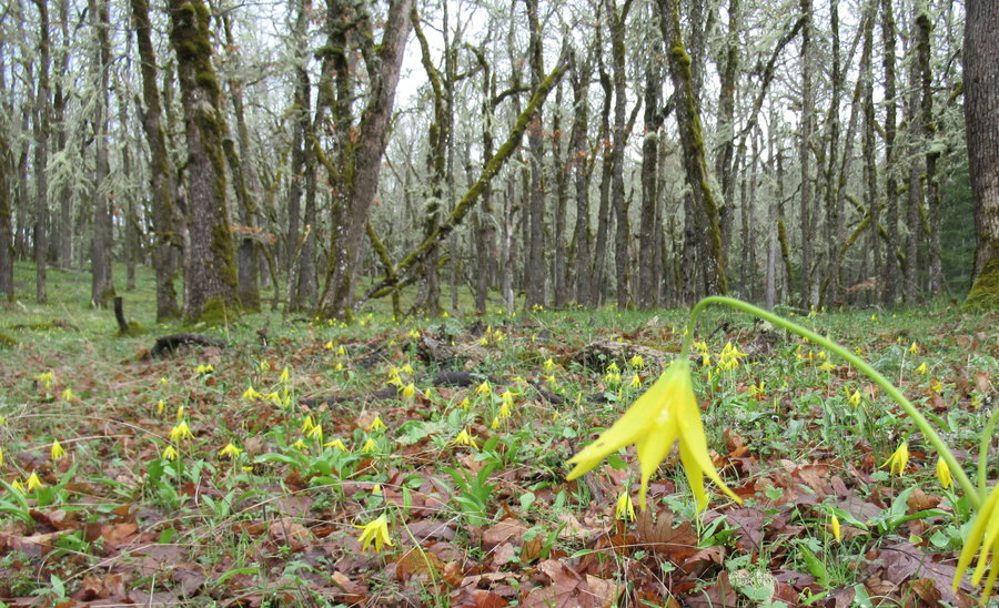
Mac Forest
8.5 miles of hiking • 1500' elevation gain •
My old stomping grounds. Did a loop with the section 36, Powder House and TNT trail.
December 14, 2019


 1
1
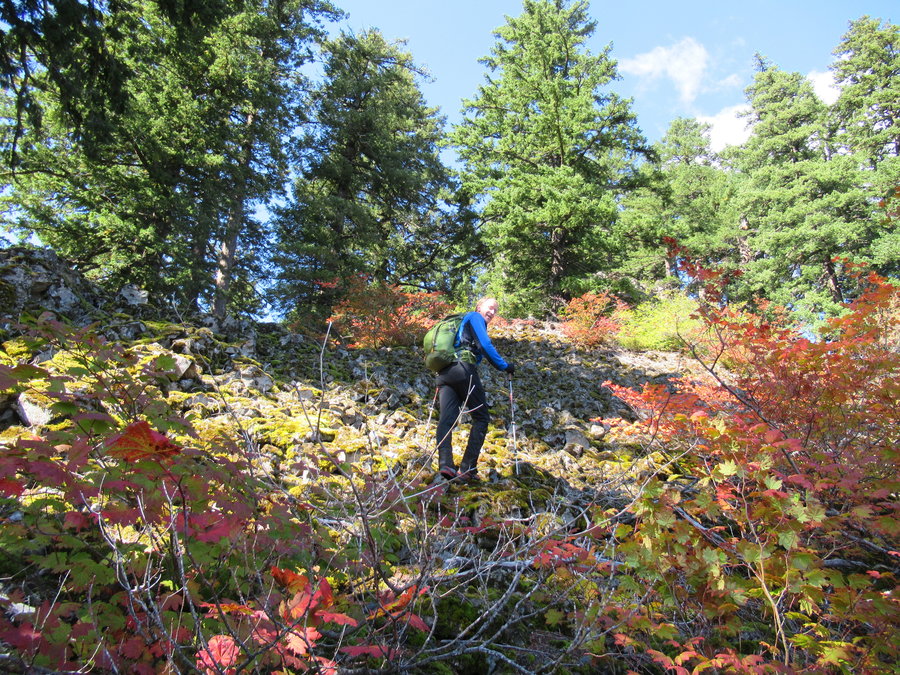
December 5, 2019
 2
2
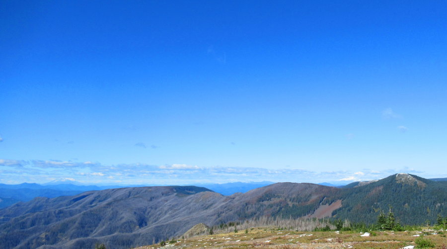
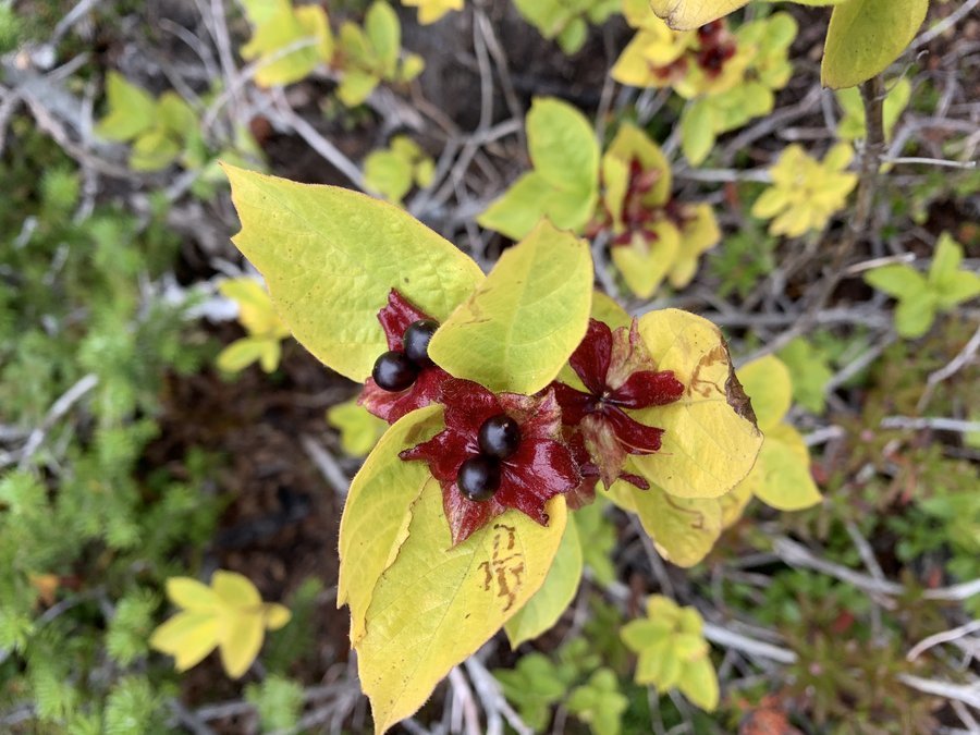
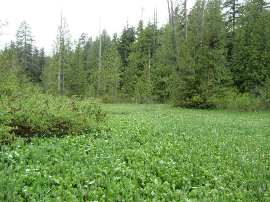
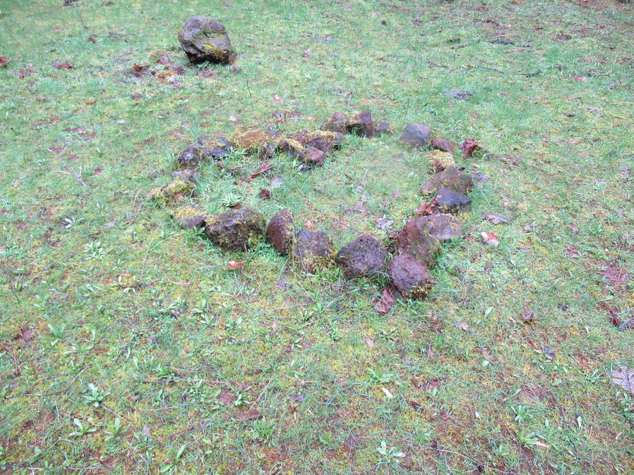
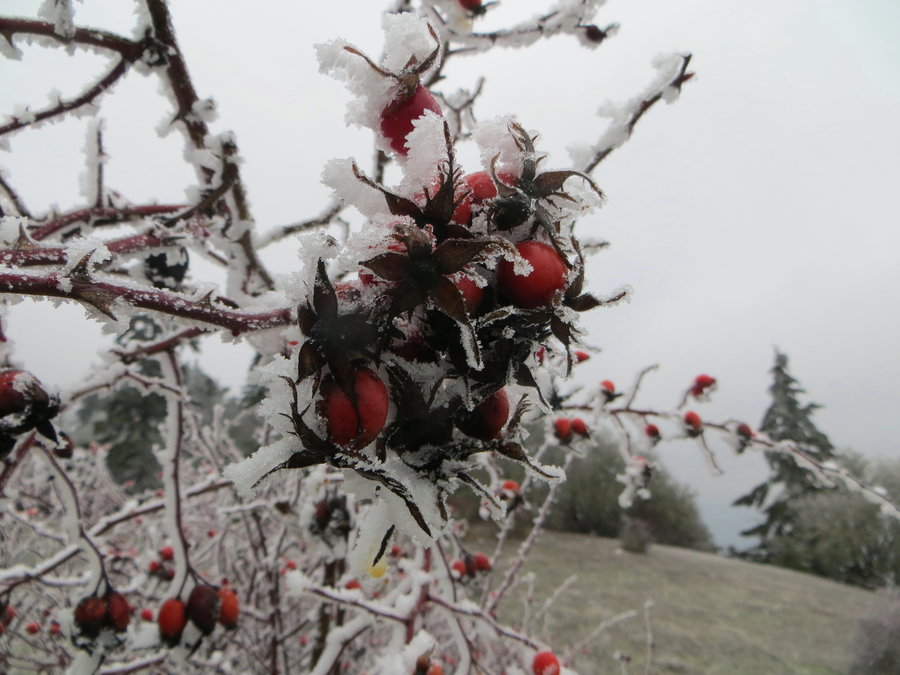
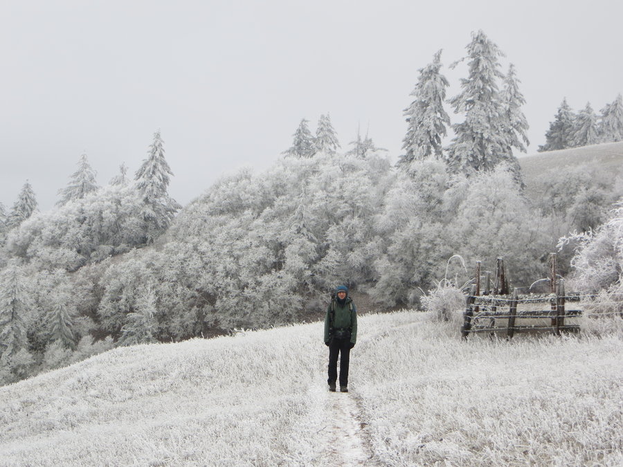
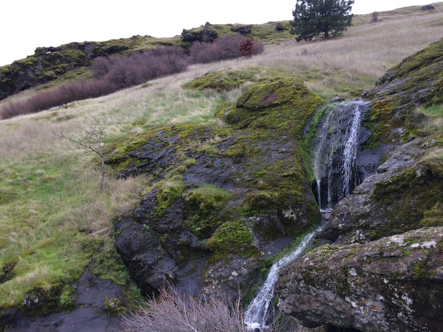
Crown Point Basin
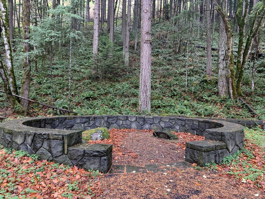
4 miles of hiking • 750' elevation gain •
Fambligations have been keeping me close to home.
Chilly day. Wandering amongst the relics. Postholing through thigh deep maple leaves and zigzagging through devils club stalks can be fun if you have no particular agenda.
December 2, 2019

 1
1
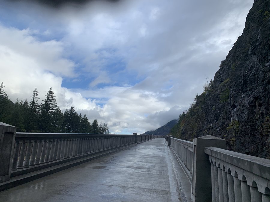
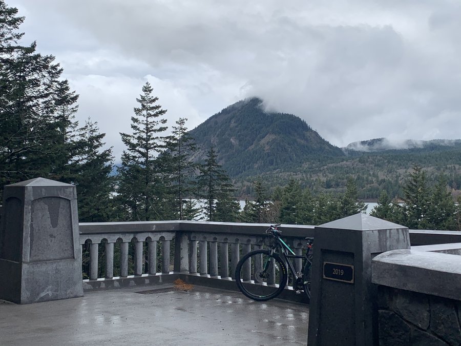
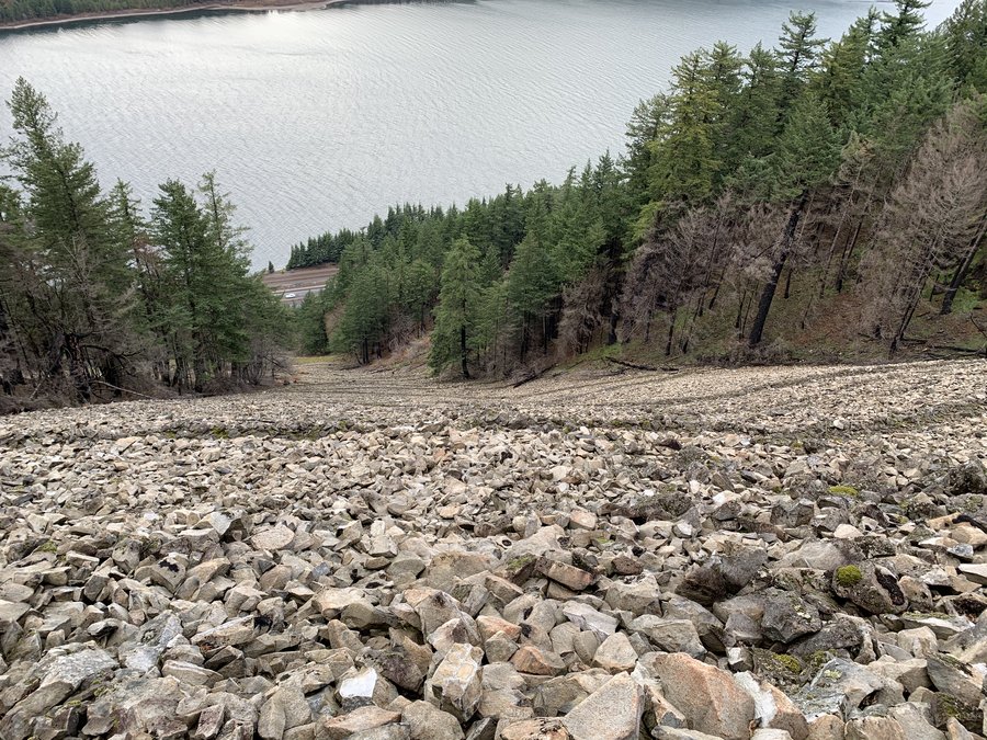
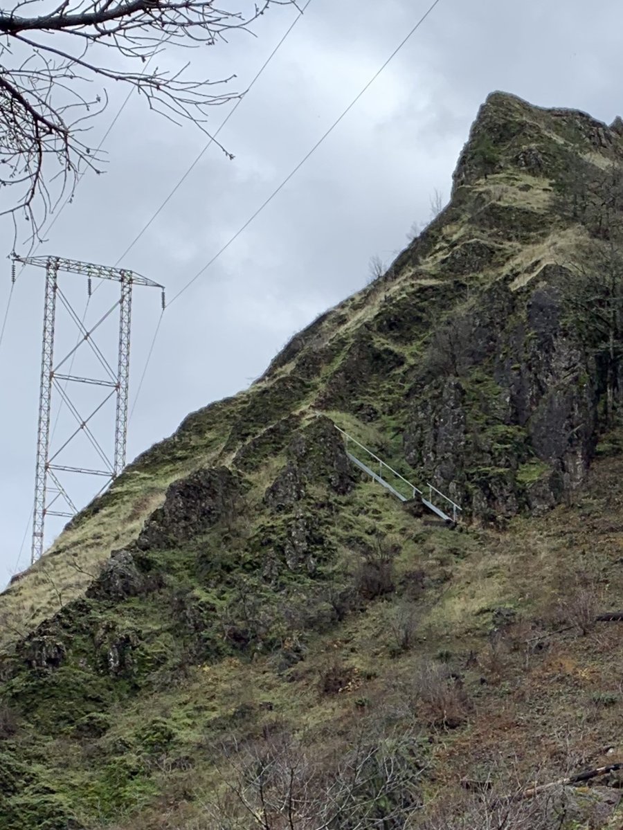
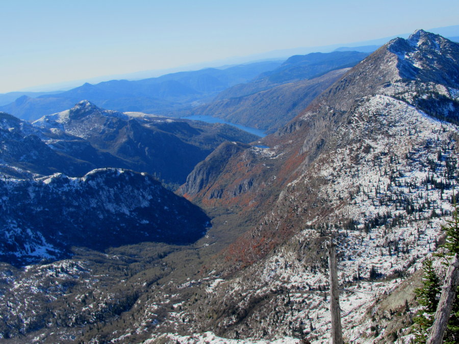
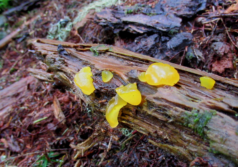
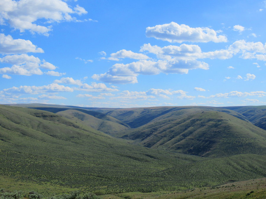
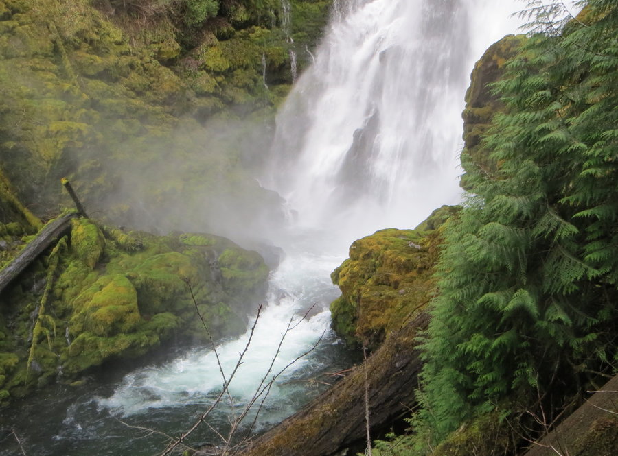
Shellrock n stuff
4 miles of hiking • 1000' elevation gain •
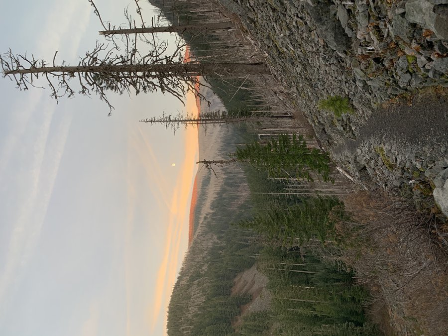
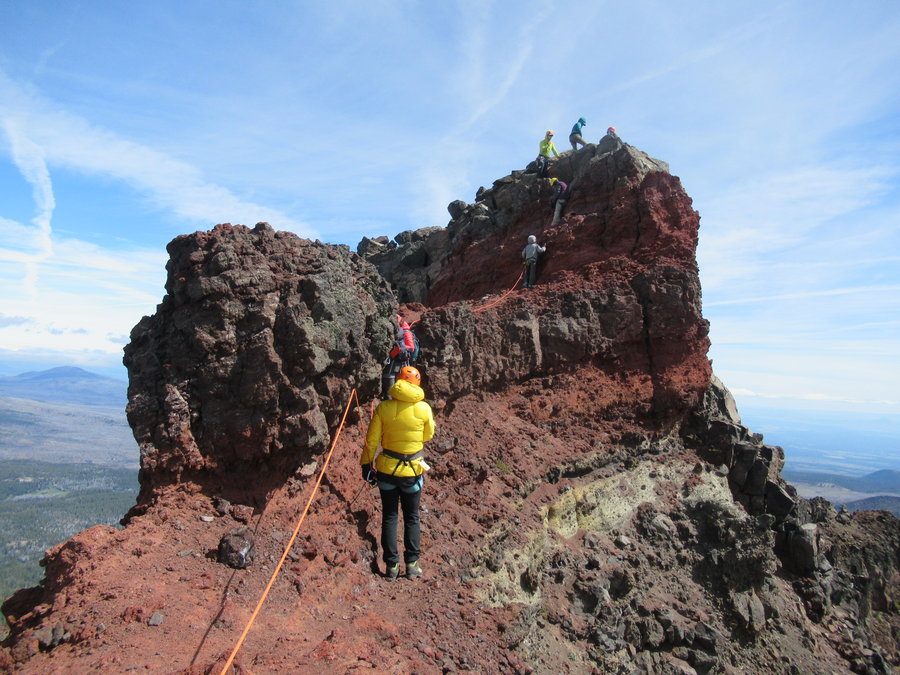
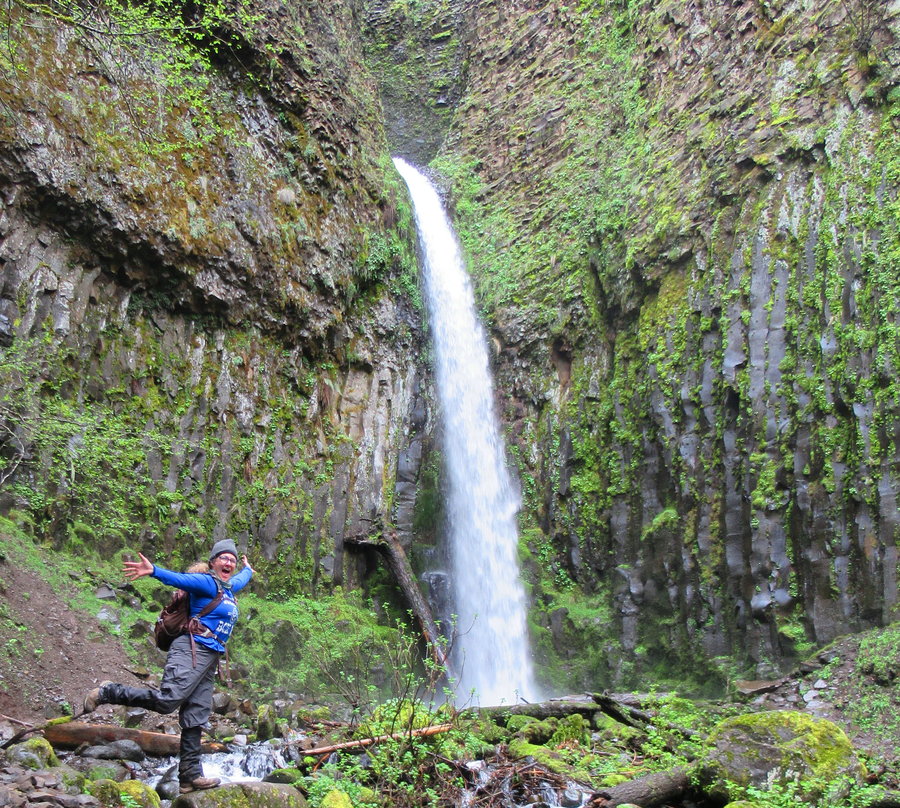
I brought my bike and rode the new section of the bikepath between Wyeth and Starvation Creek. It is a lovely addition to our gorge. Much of it is like the old highway with stonework walls, little alcoves plus artful placements of giant chunks of hexagonal basalt column. The viaducts are cool too. The only thing I don't care for is the roar of 84, so I wouldn't choose this as a destination on its own, but it sure opens up the loop possibilities!
There is a big brand new parking area right next to the Wyeth Campground-no pass needed.
I found the Shellrock Mountain trail behind the gambion wall just west of Summit Creek. The fire came through here, but didn't kill the big trees. The trail is a series of many switchbacks up through a giant scree field that includes part of the old 1860s wagon road. I saw a staircase used to maintain a power pole and took it to check out the viewpoint. found a cool section of via ferrata! Had to turn back at about 1200 feet d/t rain and the trail getting slick as the slope got steep.
November 19, 2019


 1
1
November 14, 2019

 1
1
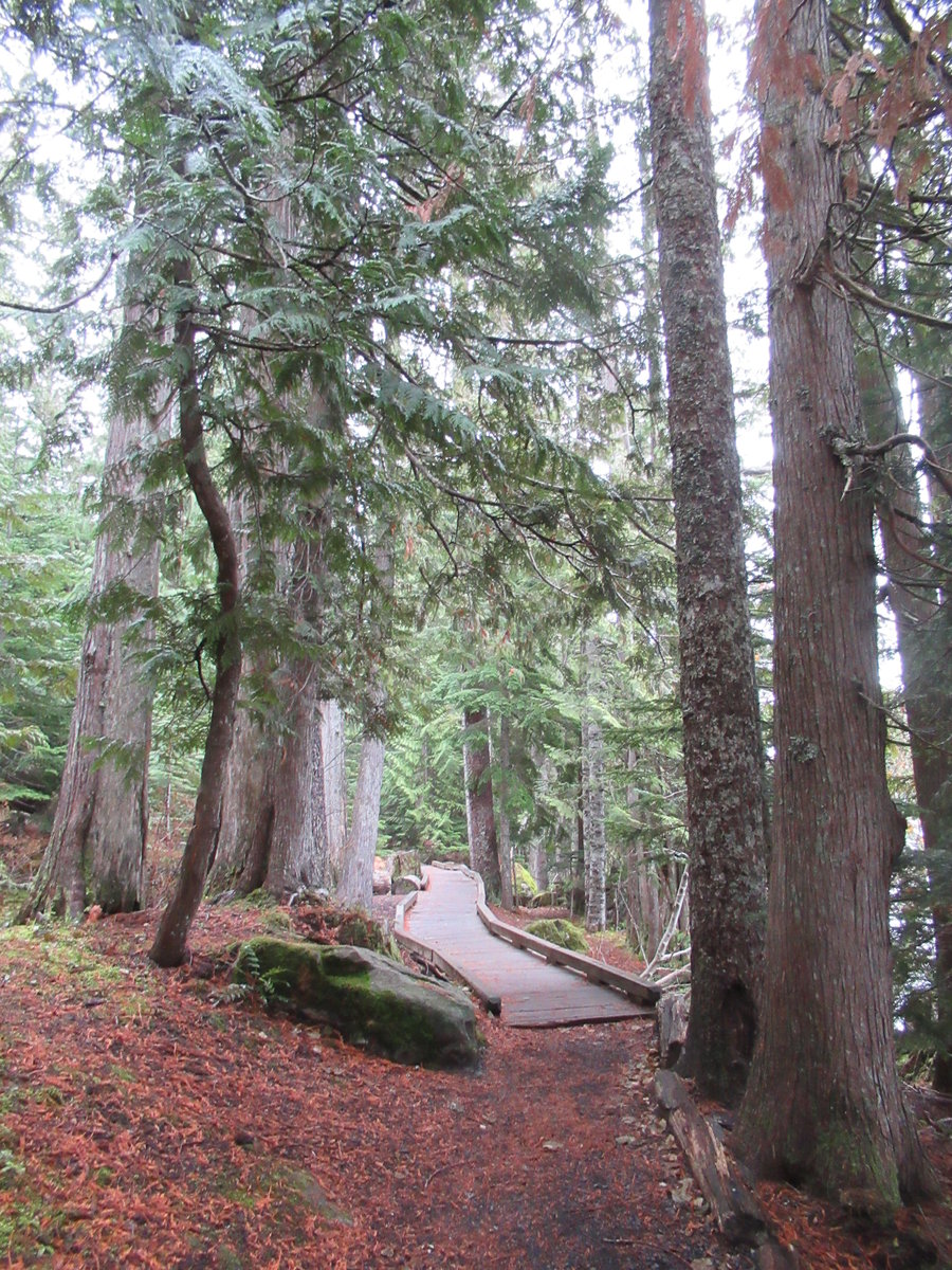
Wildwood Loop
6 miles of hiking • 500' elevation gain •
Misty day in the woods. A group of volunteers was actually raking the Wildwood!
November 12, 2019

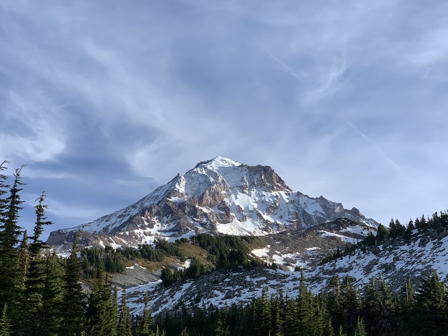
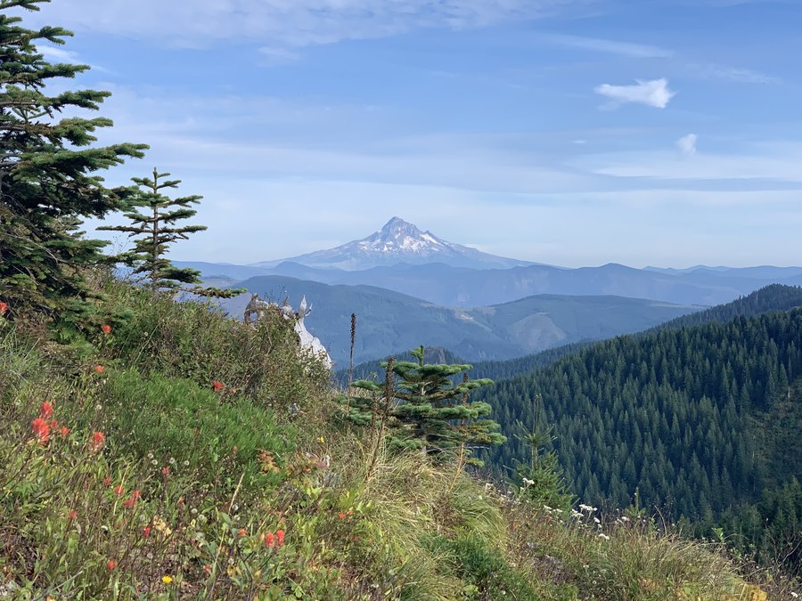
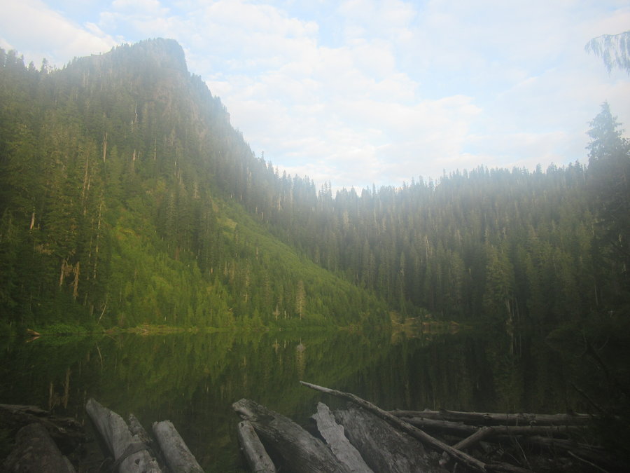
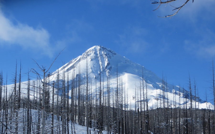
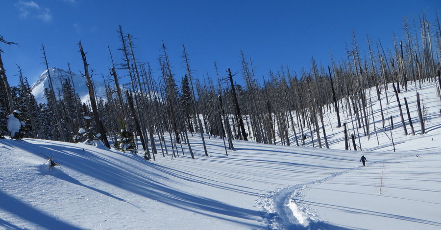
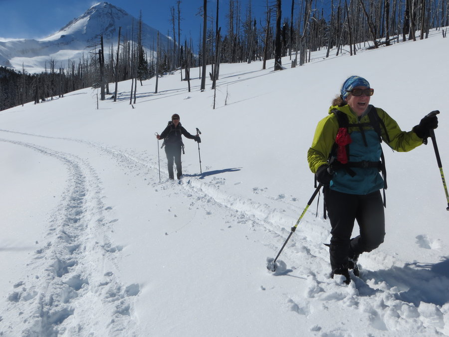
Wyeast Basin
11 miles of hiking • 3500' elevation gain •
Came up via Cathedral Ridge. Snow on the TT, but easy travel with microspikes. Gorgeous day, I was the only one out there.
November 6, 2019


 1
1
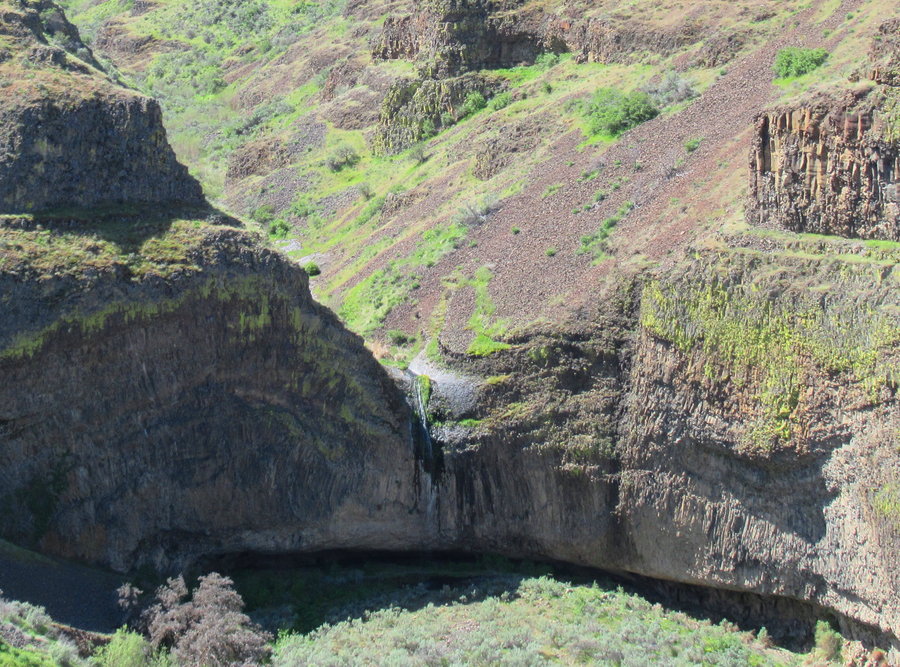
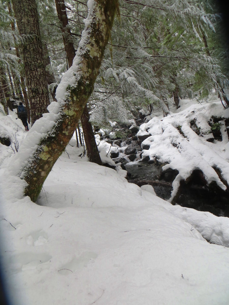
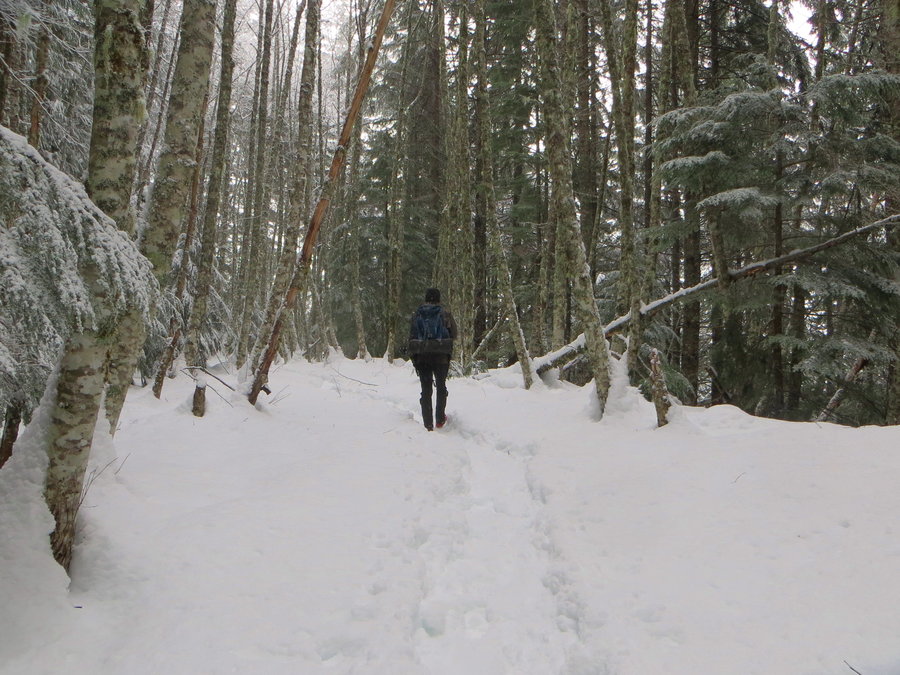
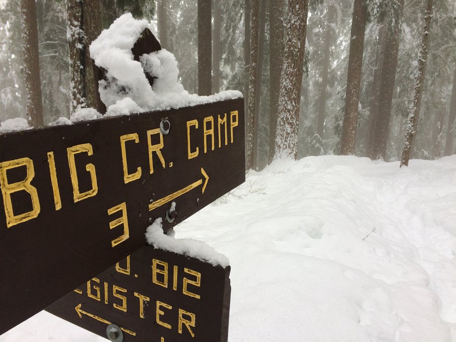
Palmer Mill
10 miles of hiking • 1500' elevation gain •
With that wind, I decided today was a day to stay in the woods. Fun wanderings. Heard the wind roaring above me up in the canopy, but I was warm and dry in the duff below. Traveled along the western edge of the gorge fire for a bit. Found out what happens to frozen chanterelles ( they turn to soggy mush).
Many of the old roads on the Bridal Veil Plateau have been ground up and covered in logs after being used as fire breaks and then "revegetated". However new trails are being made alongside them. much more navigable than last year. There is a half mile section of the Palmer Mill Road from the brown gate down to the quarry which has a well established tread for a ways, and then it's a fun rock hop/log walk in the braided streams of nascent Bridal Veil Creek-it was quite fun. The rest of the road is intact down to the Brower Road gate.
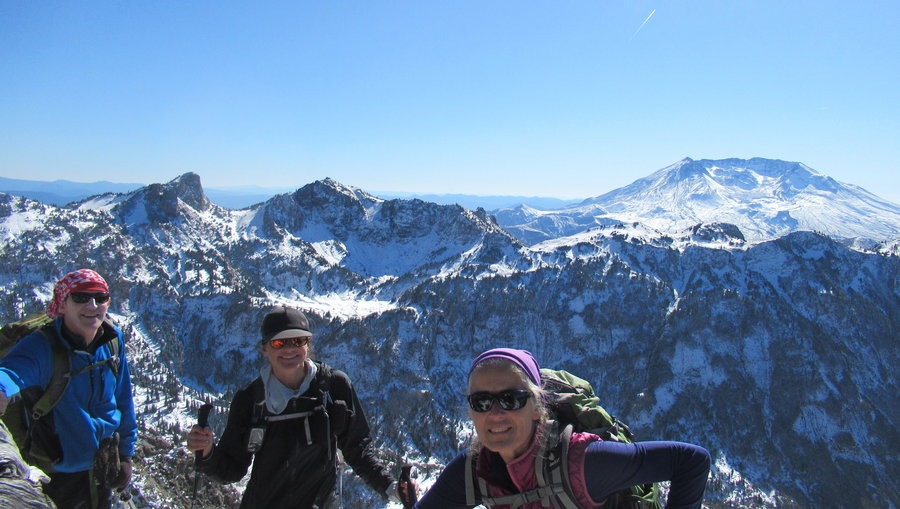
October 29, 2019
 2
2
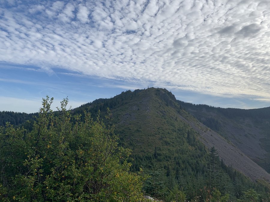
Whittier Traverse
14.5 miles of hiking • 4250' elevation gain •
Not supposed to do this in the snow. We're idiots. Broke trail from Boot Lake all the way over to Whittier. Some really sketchy sections on the traverse. Glorious day.
October 10, 2019


 1
1
Cedar Mountain Loop
8 miles of hiking • 2750' elevation gain •
Biked from Bass Lake to the old parking area near Aldrich Butte-avoided all those dull miles from the Bonneville TH. Went around Aldrich and up over Cedar to the PCT. The trails around Cedar mountain are overgrown, not used much these days because of the access issues. Only saw 4 people near the end on the PCT.
October 6, 2019
 1
1
Indian Mountain
12.5 miles of hiking • 3500' elevation gain •
Ridiculous bushwack from way down below. Beautiful day. We found an old trail. Walked out in the dark, but luckily made it to a road by dusk.
October 1, 2019

 1
1
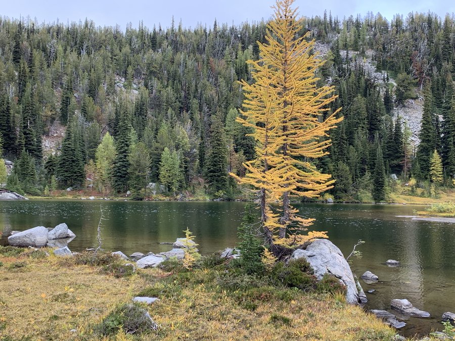
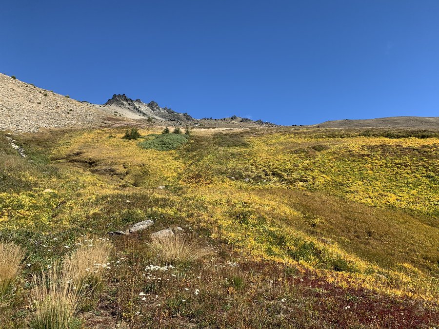
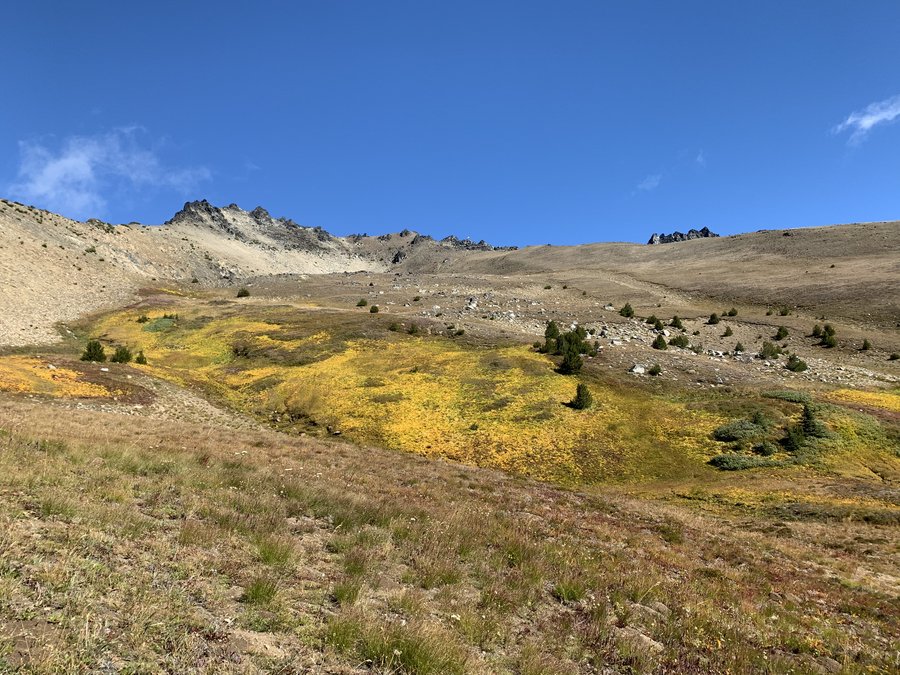
Cashmere West
16.5 miles of hiking • 6500' elevation gain • 1 night
Did this as a shuttle trip with two long-legged friends. We approached from the north via Doctor Creek and camped above Ruth Lake. The weather came in and we fretted all night in our tents with blustery winds and rain wondering about the possibility of continuing on.
Lucky us, we awoke to blue skies and decided to go for it despite the fierce wind gusts. After just 2 hours of climbing up a steep gully, we gained the summit of Cashmere Mountain West. Spectacular views all around, but it was very windy. The sudden roaring gusts made exposed scrambling with overnight packs a challenge to ones balance. We decided to save the summit of Cashmere Mountain proper for another trip. Descended down through beautiful golden meadows on the south face, heading down to Caroline Lakes, then exited via the 8 Mile trail. Larches are starting to turn in the ALW!
September 23 – September 24, 2019


 1
1
September 20, 2019
 1
1
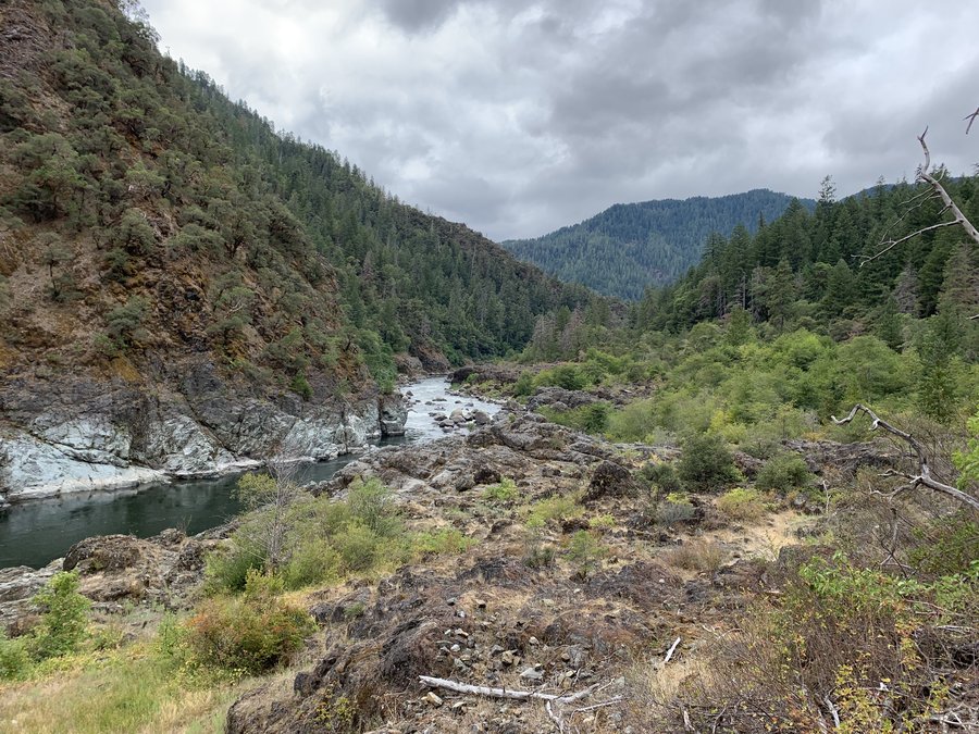
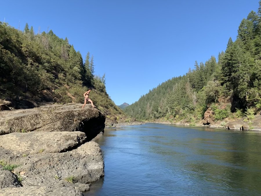
Rogue River
45 miles of hiking • 7000' elevation gain • 3 nights
This was plan B. We were planning to go to the Wallowas, but forecast was terrible. This was a lovely, mellow trip. Warm nights for camping and no navigation challenges, just a leisurely stroll upstream for four days!
September 6 – September 9, 2019


 1
1
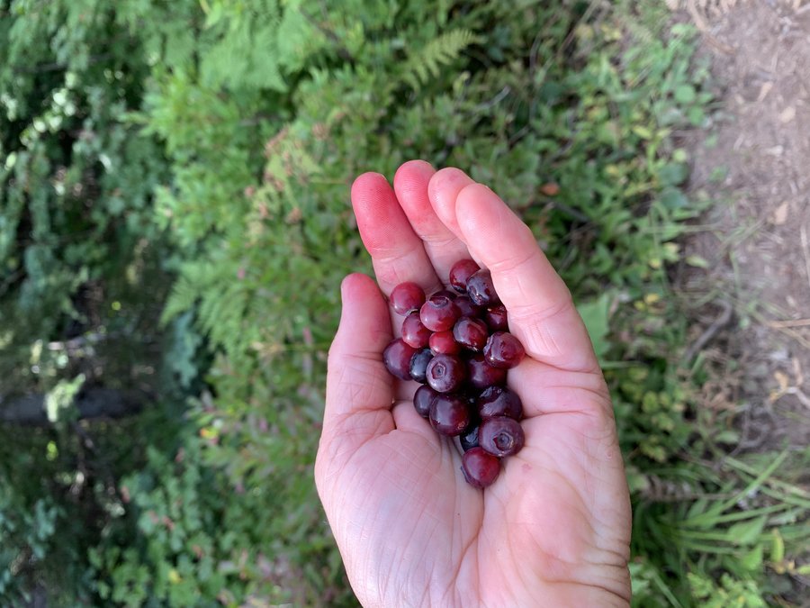
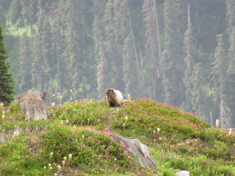
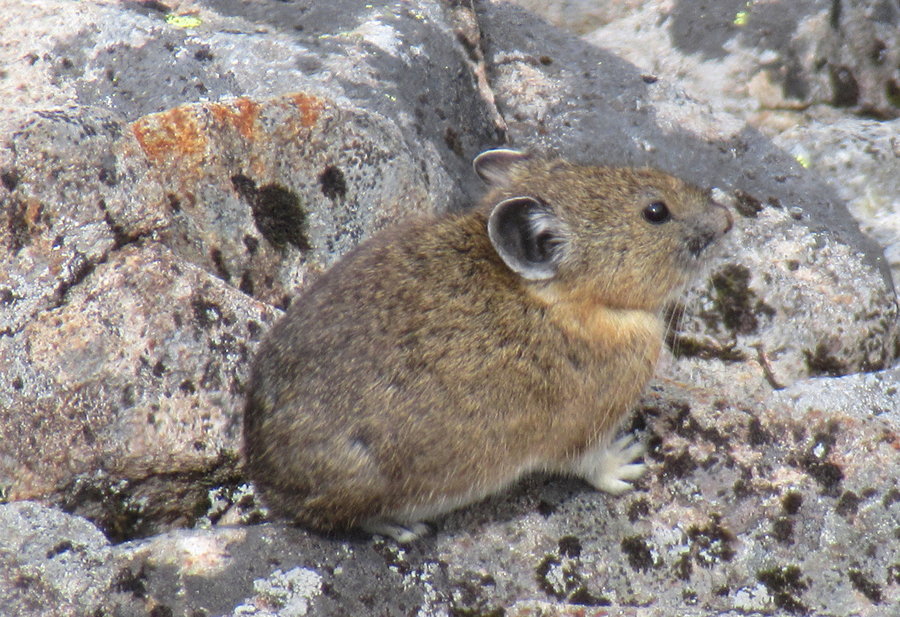
King Lake
14.5 miles of hiking • 4250' elevation gain • 2 nights
I was all packed up for a climb in the North Cascades, when the forecast turned (again!) and our trip was cancelled. The leader had proposed an alternative peak bagging type trip in the Chiwawa area, and all the pictures were so tantalizing, I decided to go. In the end, no one else was interested so this was another solo.
The Trinity parking lot was overflowing and I was imagining Buck Creek Pass littered with tents, no thanks! I prefer my wilderness with solitude, so what's a girl to do on Labor Day weekend? Head into the bush, that's what.
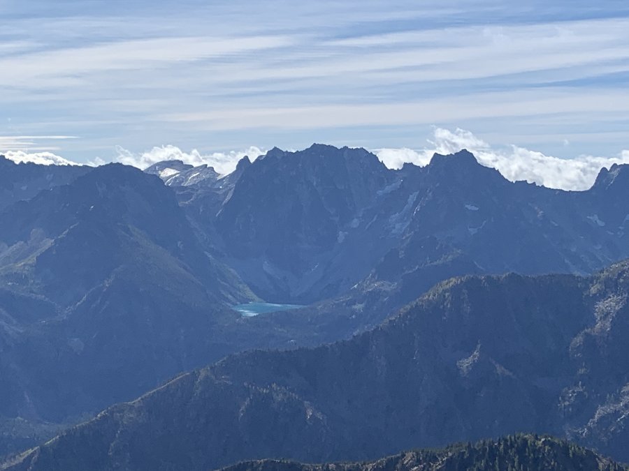
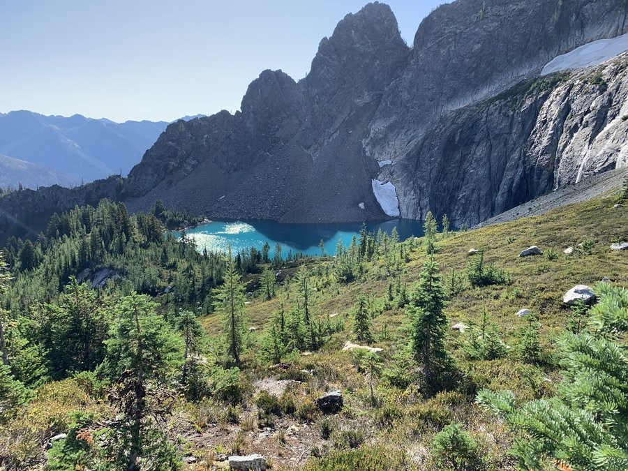
There was a geocache at King Lake( 3 finds in 12 years), and teh cache hider had given waypoints for a fisherman's trail, so I took off about 3 miles up on the Buck Creek trail. Crossed the creek then had to climb through 800 ft of a burn area-that sucked, but I did find the fishermans trail and the way improved as I ascended.
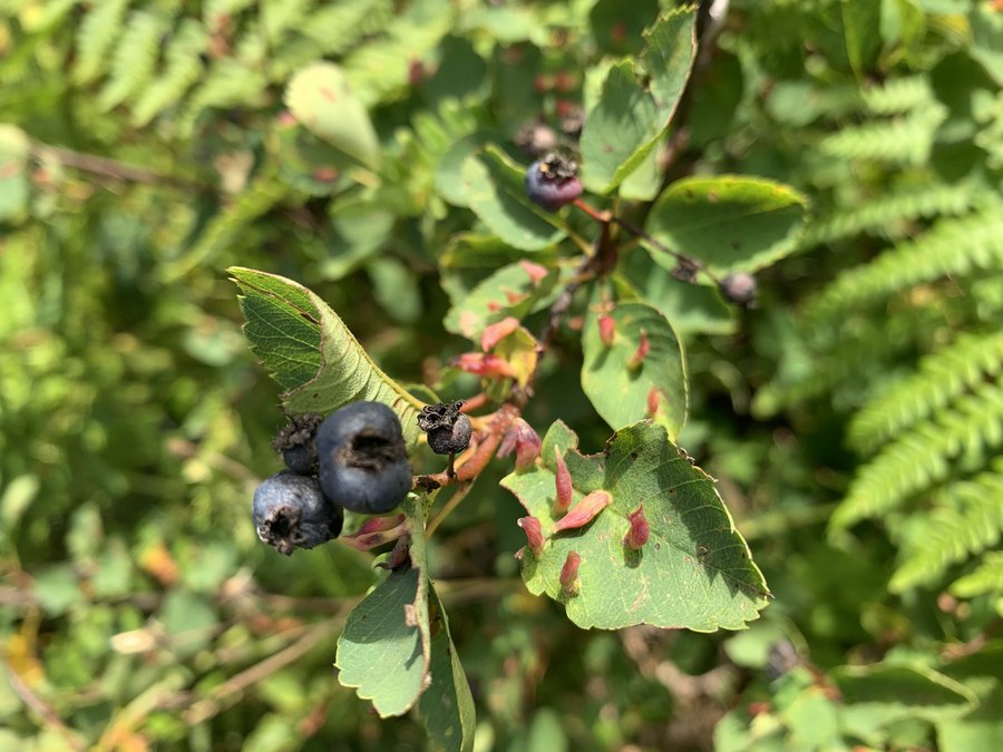
The lake was nothing short of spectacular, and just pristine, very little sign of human activity. I took a nap, but it was SO NOISY from the roaring waterfalls (melting off Buck Glacier) that feed the lake. I kept hearing music and voices. I decided to explore the plateau north of the lake and it was alpine heaven! Pikas, marmots and those tasty low blueberries everywhere. Spectacular views in every direction. Really one of the best tent sites ever.
August 30 – September 1, 2019


 1
1
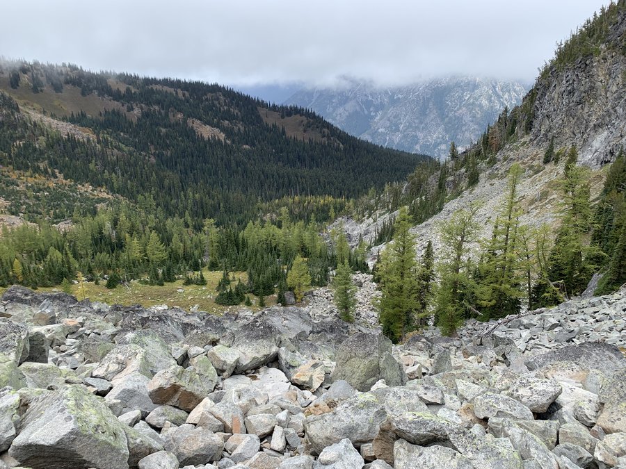
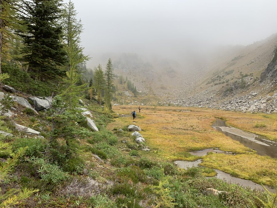
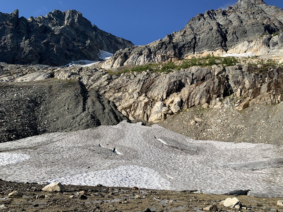
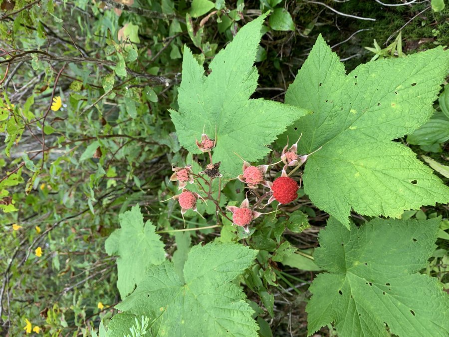
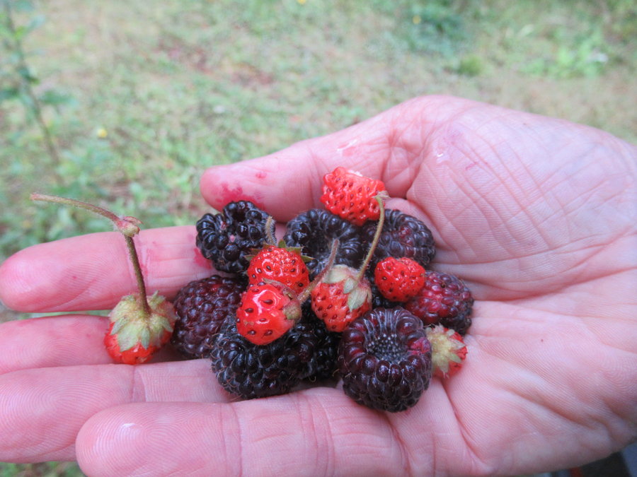
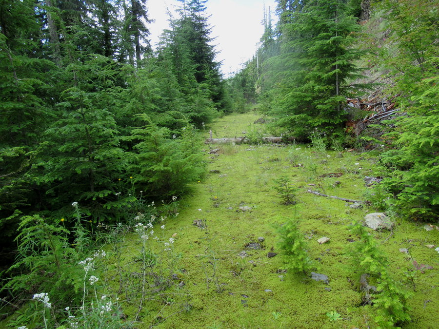
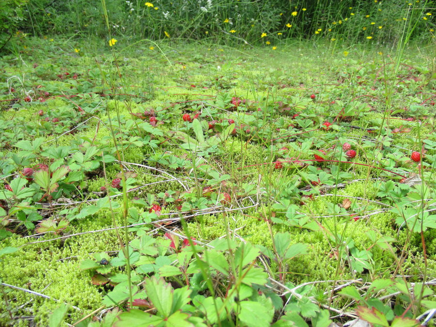
Copper Creek to Bluff Mountain
13 miles of hiking • 3000' elevation gain •
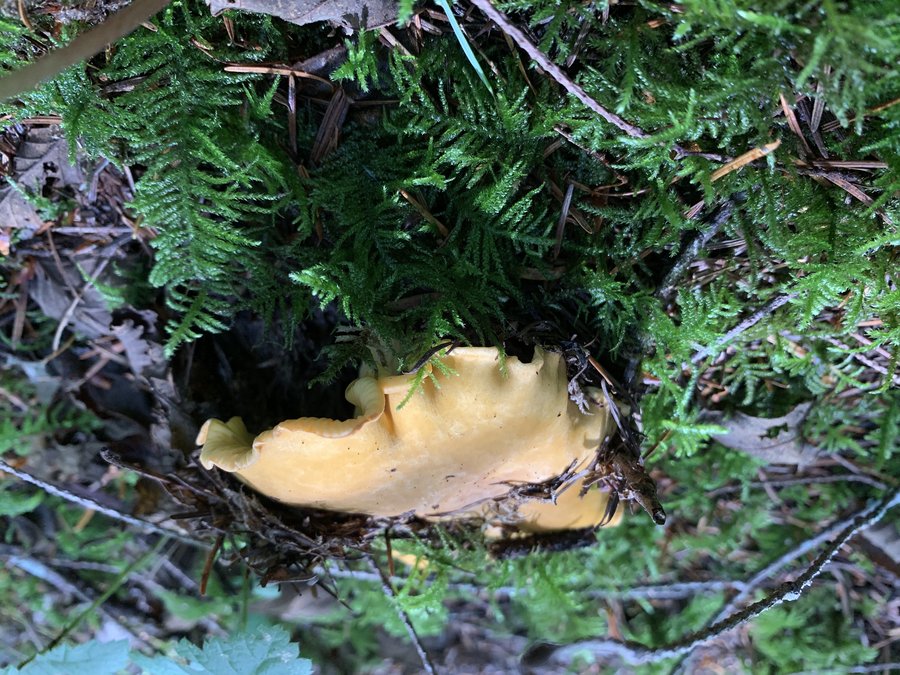
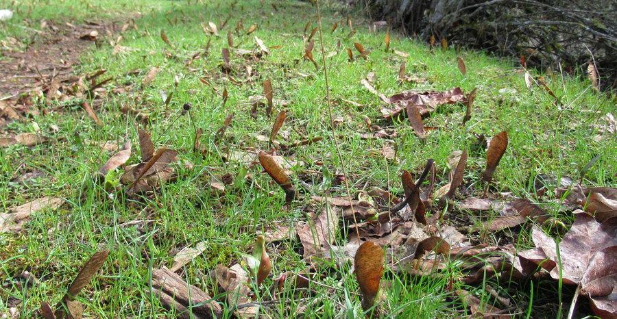
Started low and found some chanterelles. Once I got up to the Bluff mountain trail, I had the slowest mile ever: collected 4 quarts of huckleberries. Ate plenty too!
August 23, 2019


 1
1
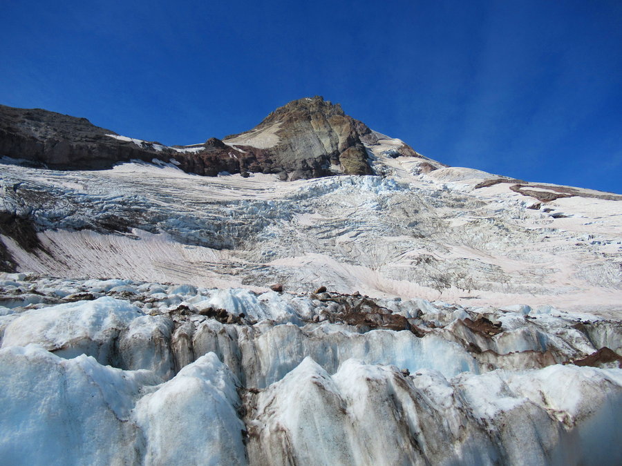
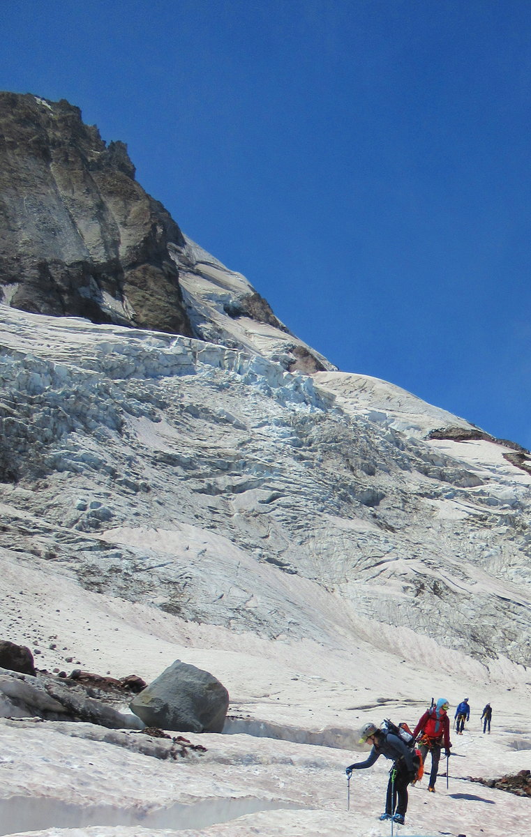
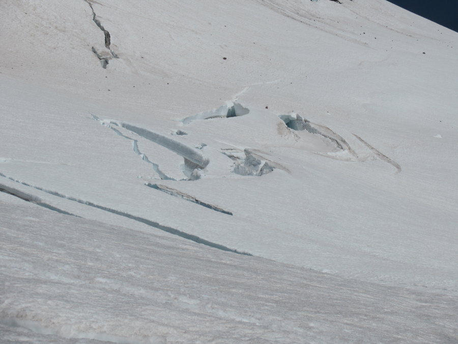
Eliot Glacier Exploration
7 miles of hiking • 3000' elevation gain •
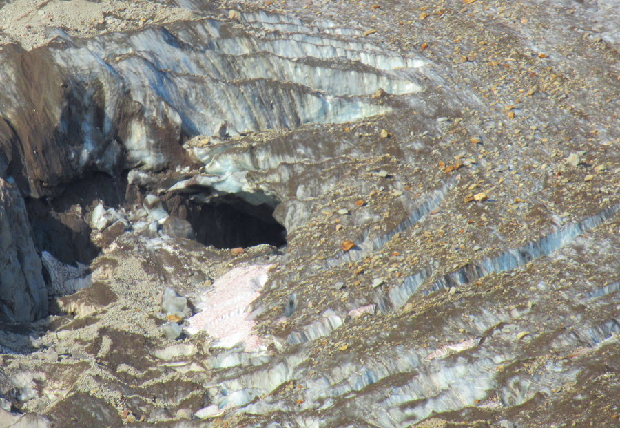
Went out on the glacier with rope team and wandered. Surreal. There is a cave, but we didnt get close. We found what looked like a piece of landing gear. We found later that last January there was a plane crash up here. SAR came up and found the guy and hauled out most of the plane parts, but missed this bit.
August 17, 2019


 1
1
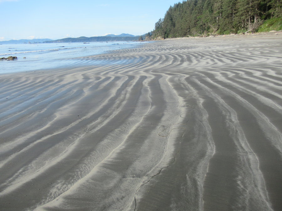
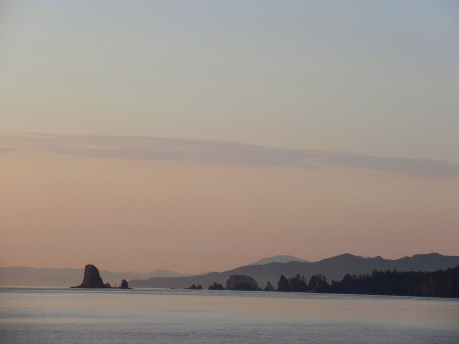
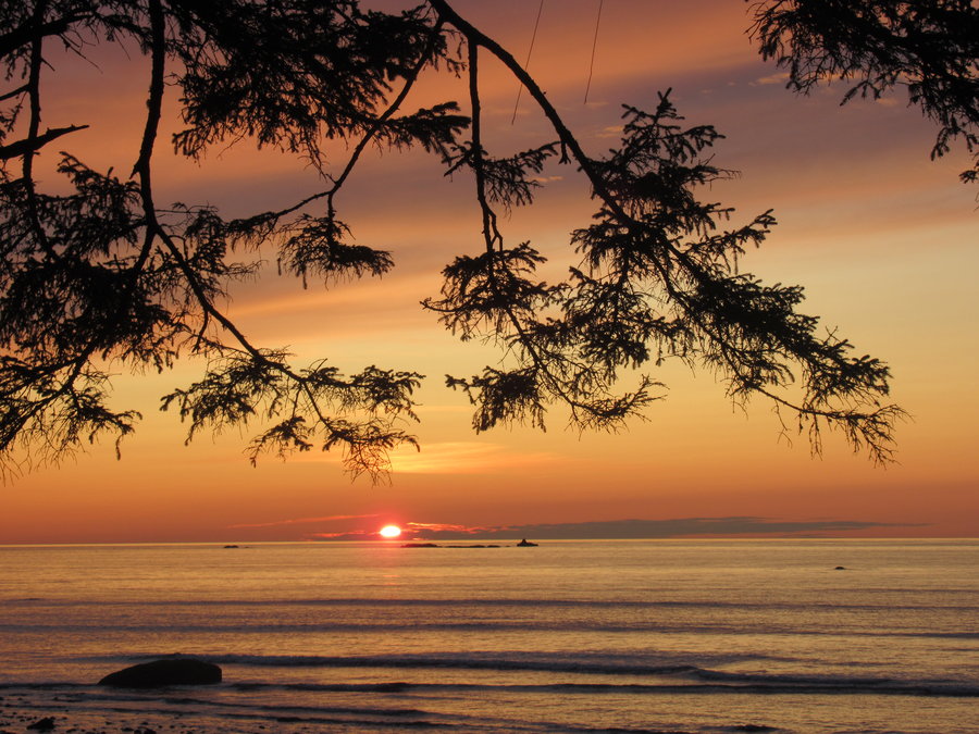
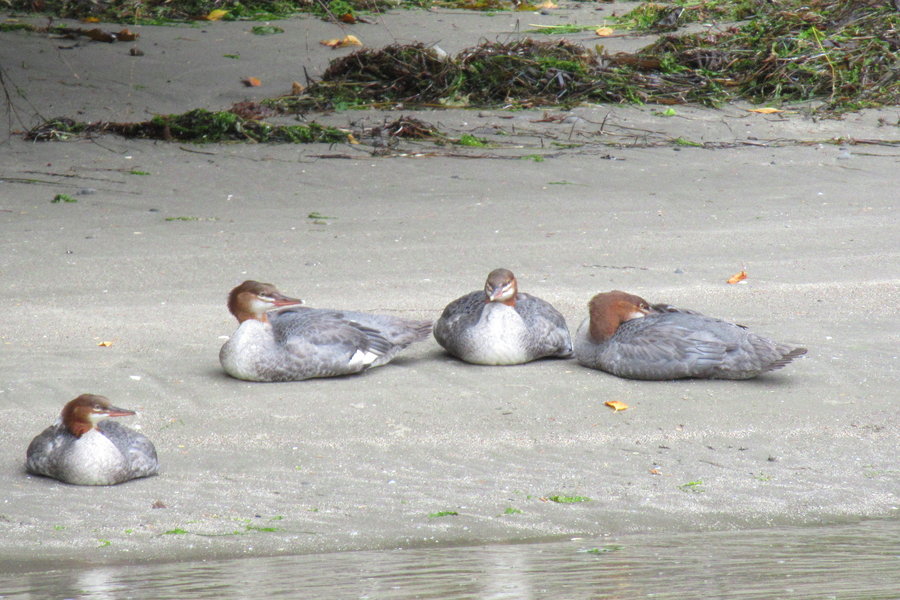
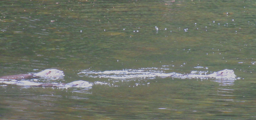
Ozette River and Beach
13.5 miles of hiking • 750' elevation gain • 2 nights
Spent a few days enjoying Mother Nature's beautiful sculptural works at her most glorious museum!
Sea lions, eagles, otters, kingfisher, mergansers and the distant spout of a whale. Hour long sunset, mesmerizing tidal flow, seastacks and waves.
August 13 – August 15, 2019


 3
3
Quinault Rainforest and Elk Lake Debacle
18 miles of hiking • 3500' elevation gain • 1 night
My Black Peak climb was cancelled, and I had 10 days off! What to do......
It looked like the earliest weather clearing was actually on the Olympic Peninsula, so I headed up there instead. Still had to wait out some rainshowers the first day, so I stayed at Lake Quinault for a night and explored around the lake on Sunday.
On Monday, I headed up the W Fork of the Humptulips past the Campbell Grove Campground, and took a nice trail up to a ridge. The trail ended at an old decommisioned road. I then walked/scrambled and bushwacked the 4 miles of the remaining intermittent bits of the old road westward to reach "Humpnoochee Pass" It was pretty exhausting with the big pack on, lots of slithering and putting my head down and just plowing through vegetation.
Finally found the trail (taken off map long ago) down to Elk Lake. There are treads of trail around the lake but the bushes are overgrown and it was difficult to find a place to put my tent. Got rained on overnight. Packed up wet tent and slogged out through the wet vegetation. Instead of returning via the nasty road, I just dive bombed 2000 ft straight down the slope back to the FS road. Then it was a brisk walk back up to my car at the TH.
Can't recommend that trip to anyone.....Hey Father Guido Sarducci have you been there?
August 11 – August 12, 2019


 3
3
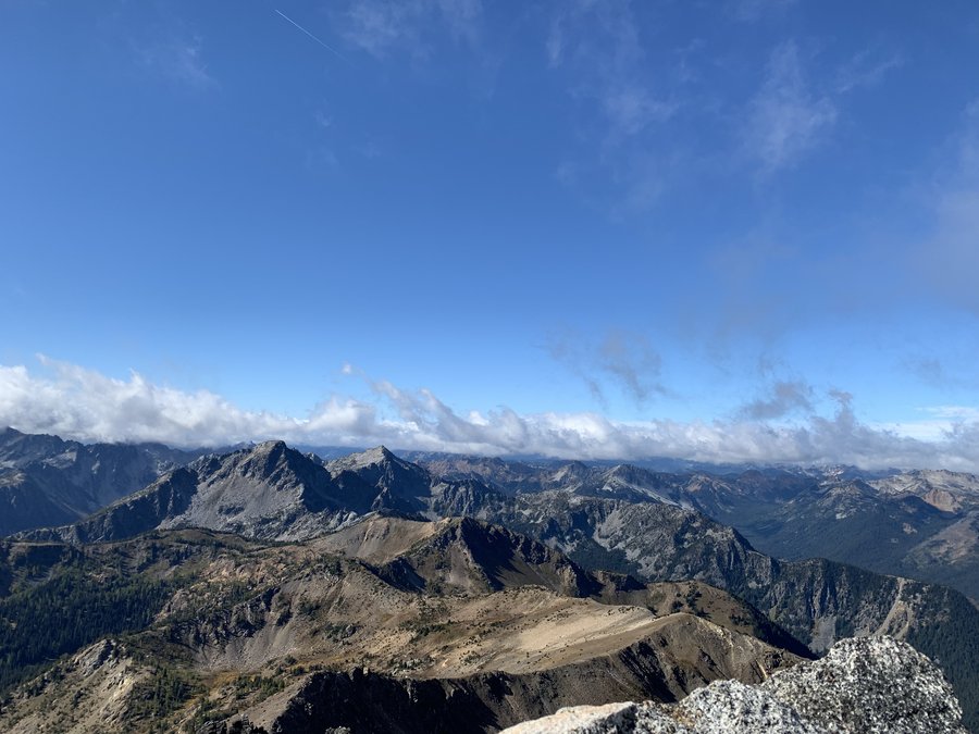
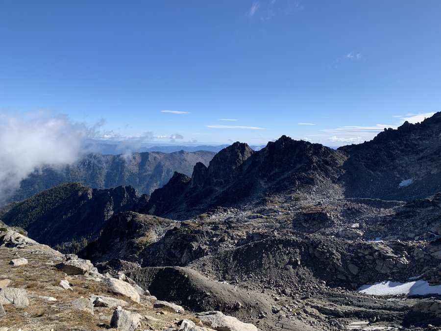
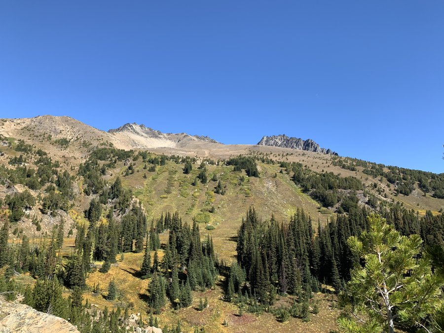
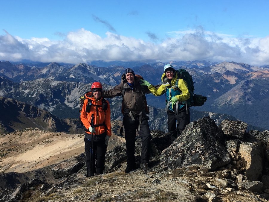
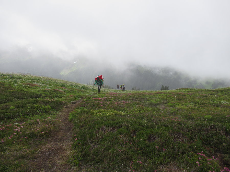
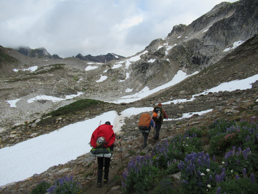
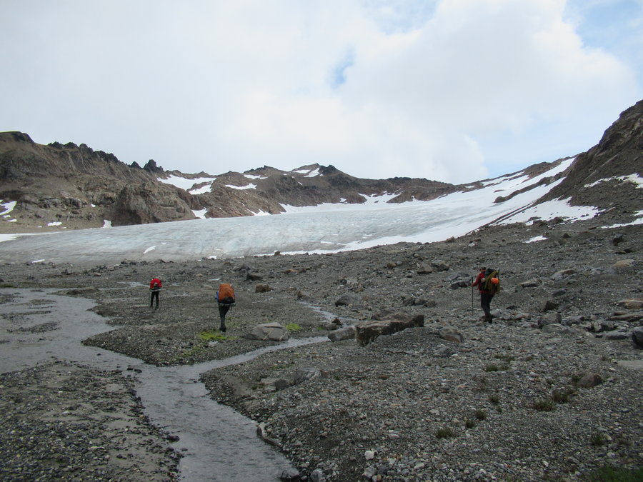
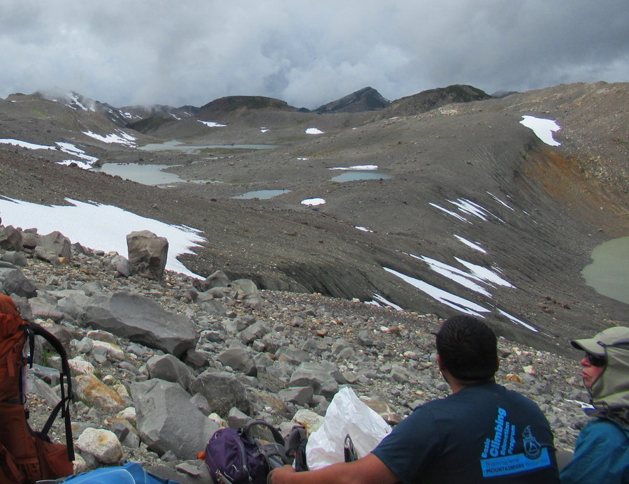
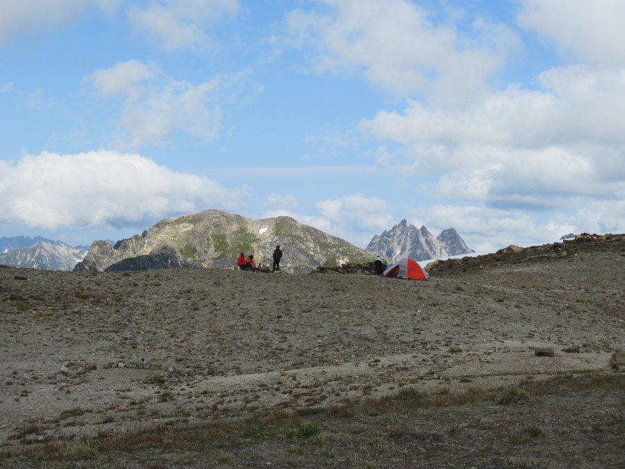
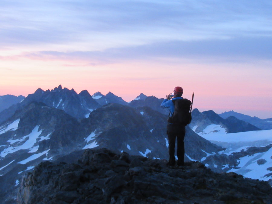
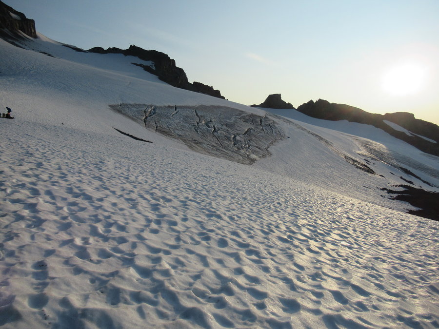
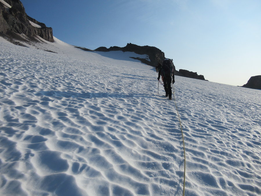
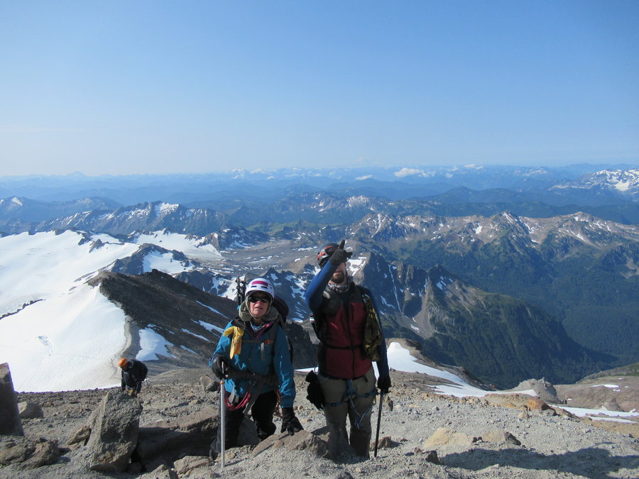
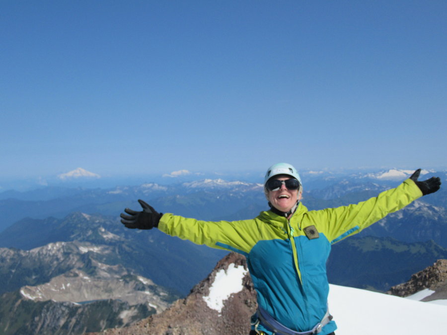
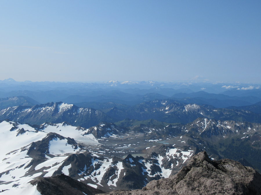
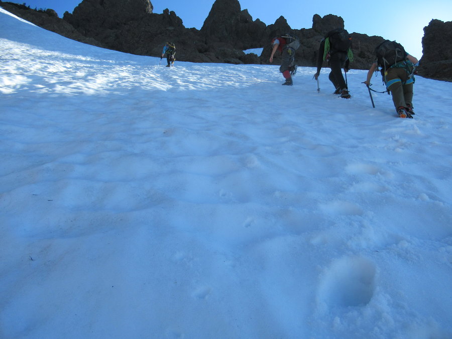
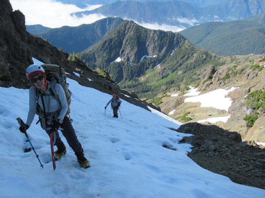
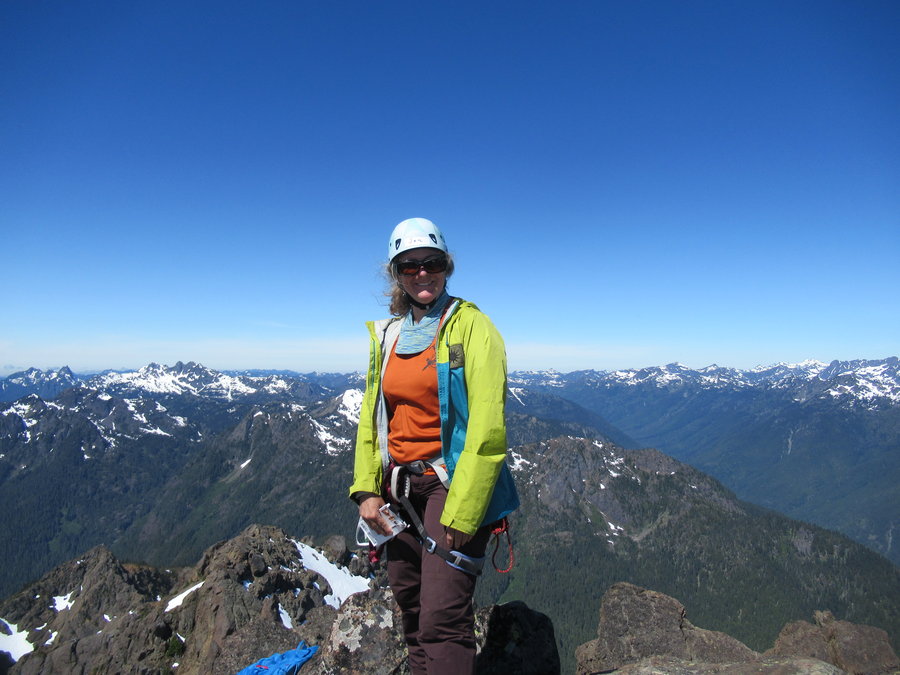
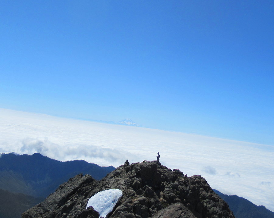
Glacier Peak
37.5 miles of hiking • 11750' elevation gain • 3 nights
Oh my, this area is so beautiful! White Pass covered in wildflowers and marmots. Whitechuck Basin otherworldly with green lakes and massive erratic boulders below a rapidly receding glacier. We had some weather challenges on the approach,but summit day was perfect!
August 1 – August 4, 2019


 1
1
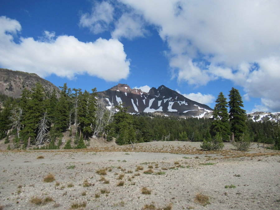
Broken Top
14.5 miles of hiking • 4000' elevation gain • 1 night
What a lovely climb! I did this with my son's outdoor club Post 58(although he wasnt on this climb). One of the assistants had to cancel, so I volunteered to fill in. Fun to adventure with a bunch of teenagers with climbing skills and enthusiasm for the great outdoors. Conditions perfect- masses of butterflies on top.
July 16 – July 17, 2019


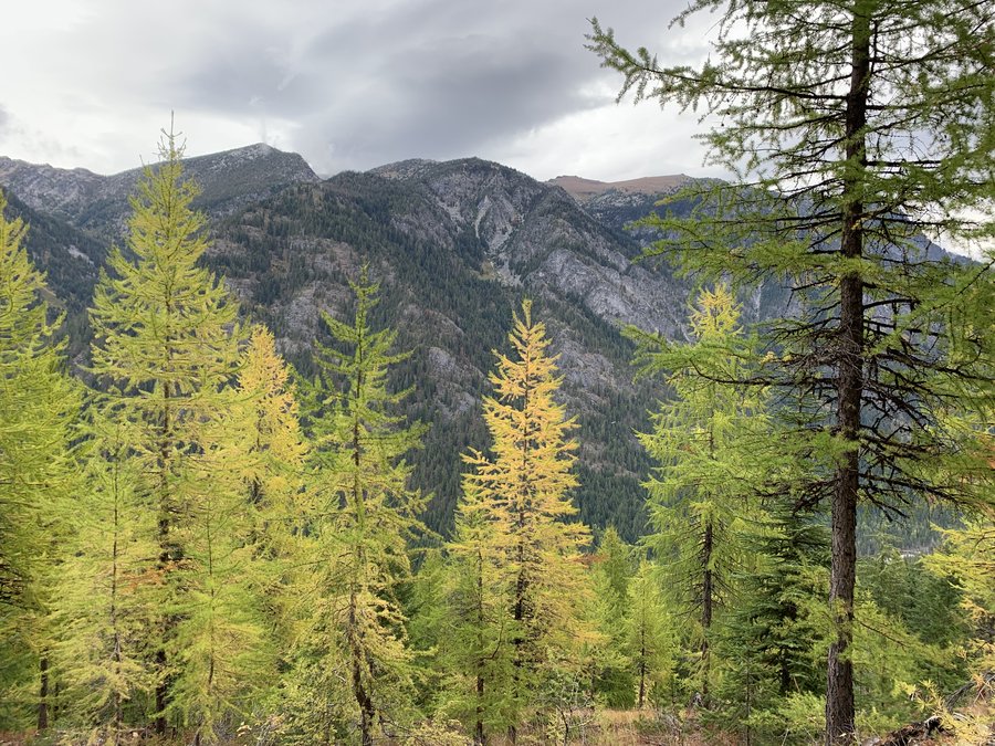
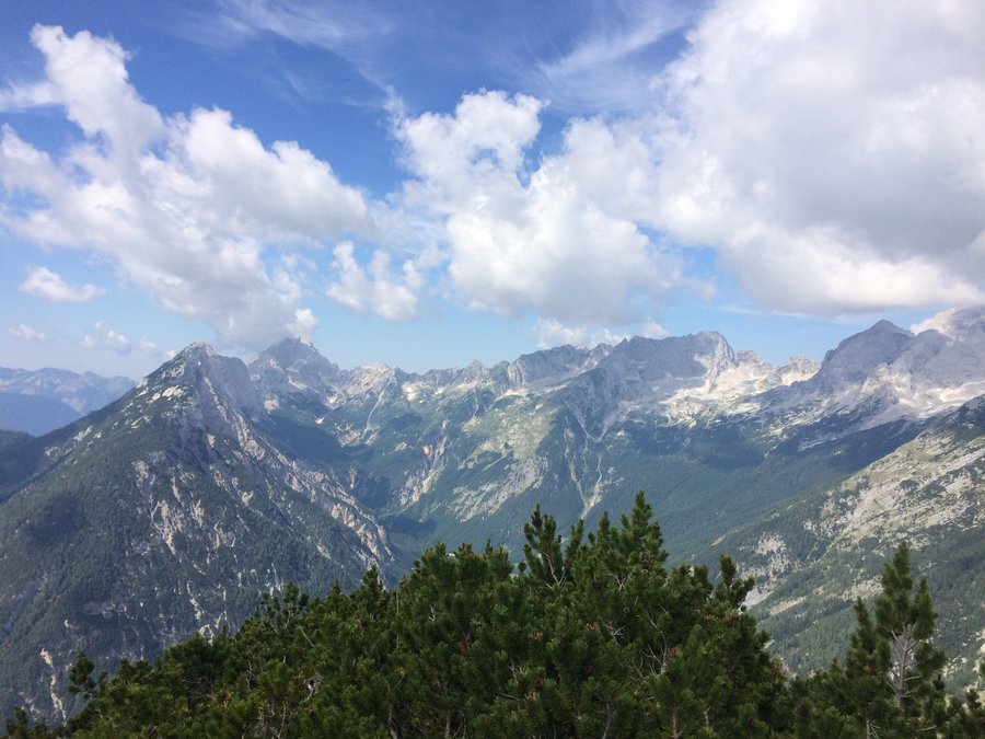
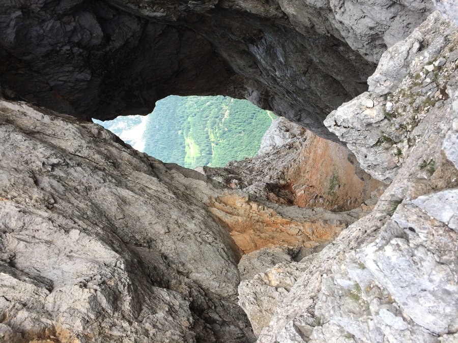
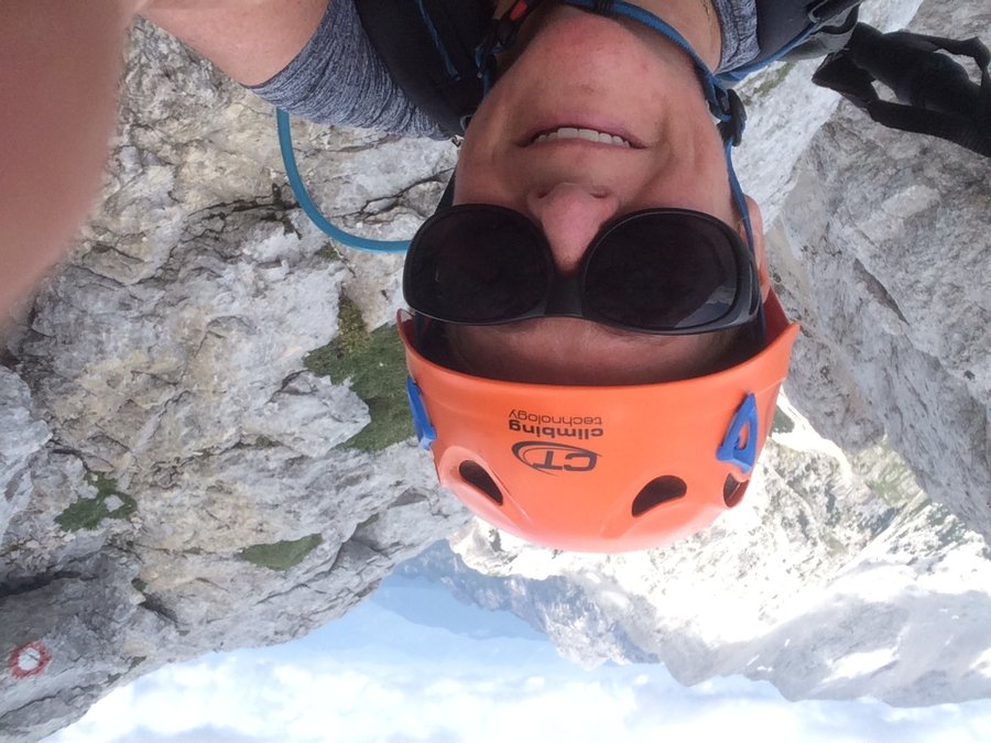
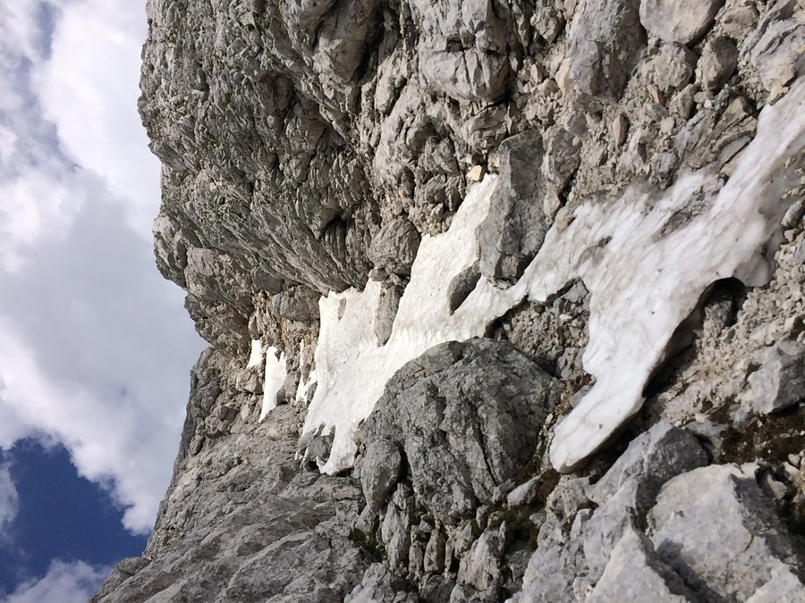
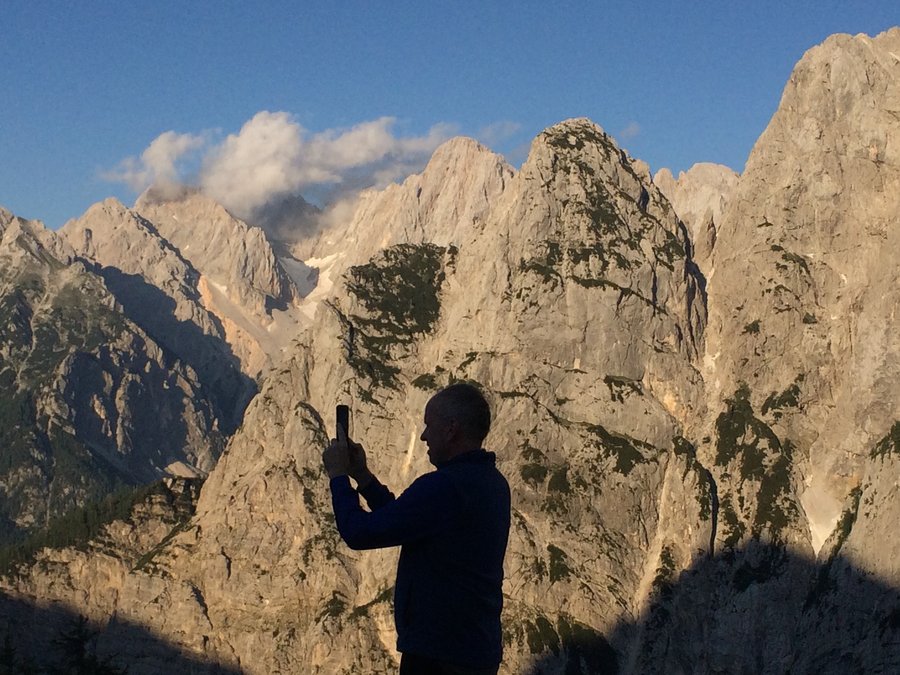
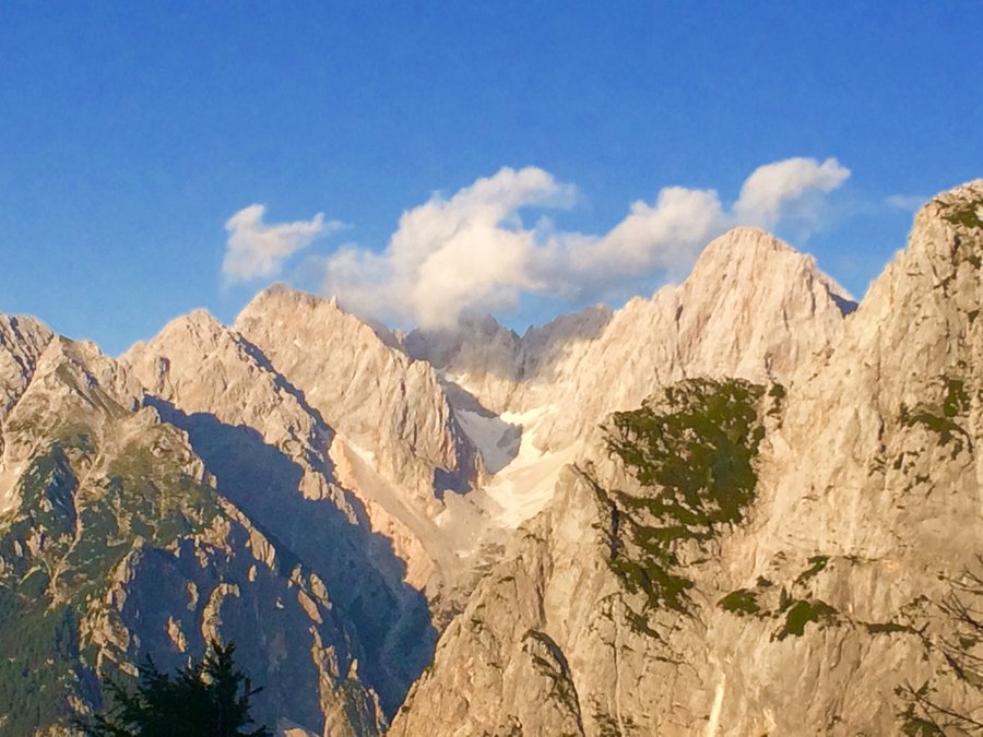
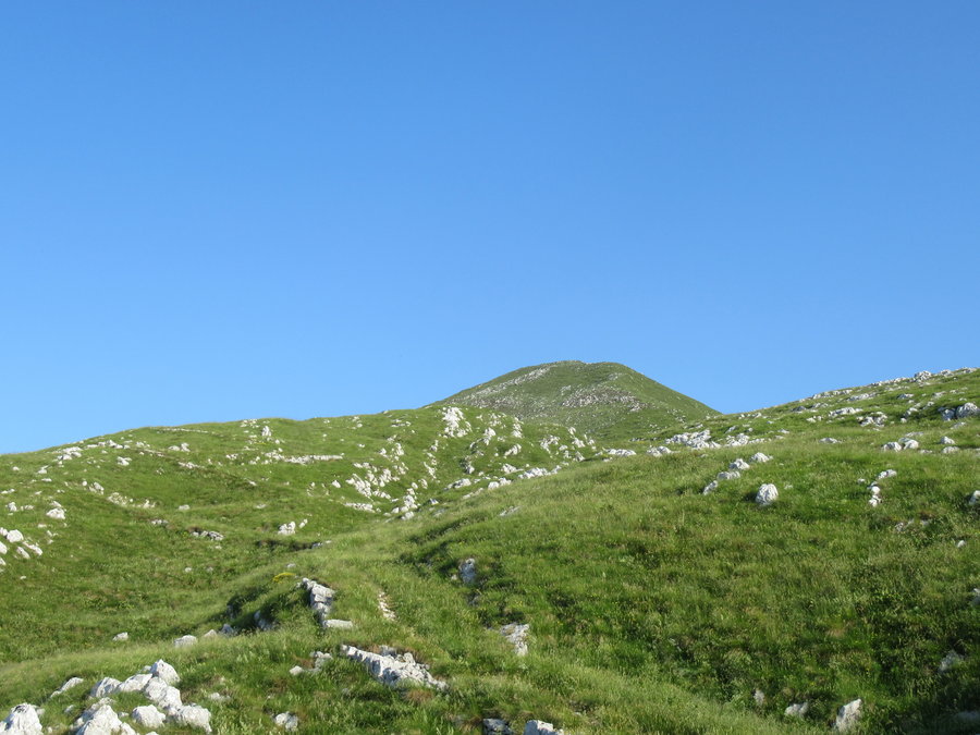
Prisank
7 miles of hiking • 3500' elevation gain •
In the Julian Alps of Slovenia. Fun and very challenging hike using the via ferrata. After hiking up to a massive hole in the mountain called the "Prisank window#1", there was a long airy scramble on the ridge to gain the summit. In spots where the exposure was frightening, they have pegs and cables to clip into. I did this as a loop and the downclimb through a massive snow gully was rather sketchy. Scenery fantastic.
July 5, 2019

 1
1
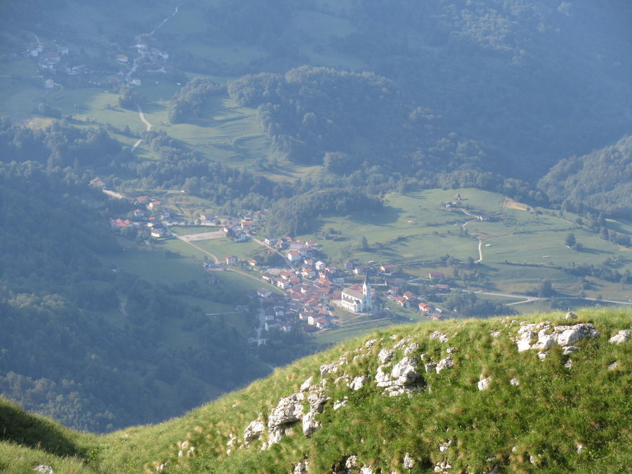
Vrsic Pass
6 miles of hiking • 1000' elevation gain •
On our way to the idyllic hut Postarski Dom, where we stayed for two nights. We hiked up an old road built by Russian POWs during WW1.
July 3, 2019

 1
1
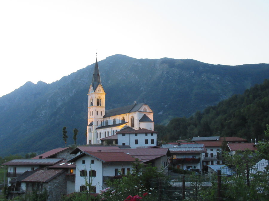
Tamar Dom fail
7 miles of hiking • 250' elevation gain •
This was supposed be the beginning of a hut to hut trip, starting in the resort town of Kranjska Gora, traveling though some villages then up Planina valley to Tamar Dom. An hour into our trip the thunderclouds appeared as we were walking through some farm fields. We took refuge in a chicken shack for some family bonding as the torrent raged. After it subsided we resumed our hike, but it was still raining steadily and we became too soggy to enjoy it. We found another shelter near the ski area, and my husband and son waited with my pack while I ran/walk back to town to get the car. Retreated to a hotel.
July 1, 2019
 1
1
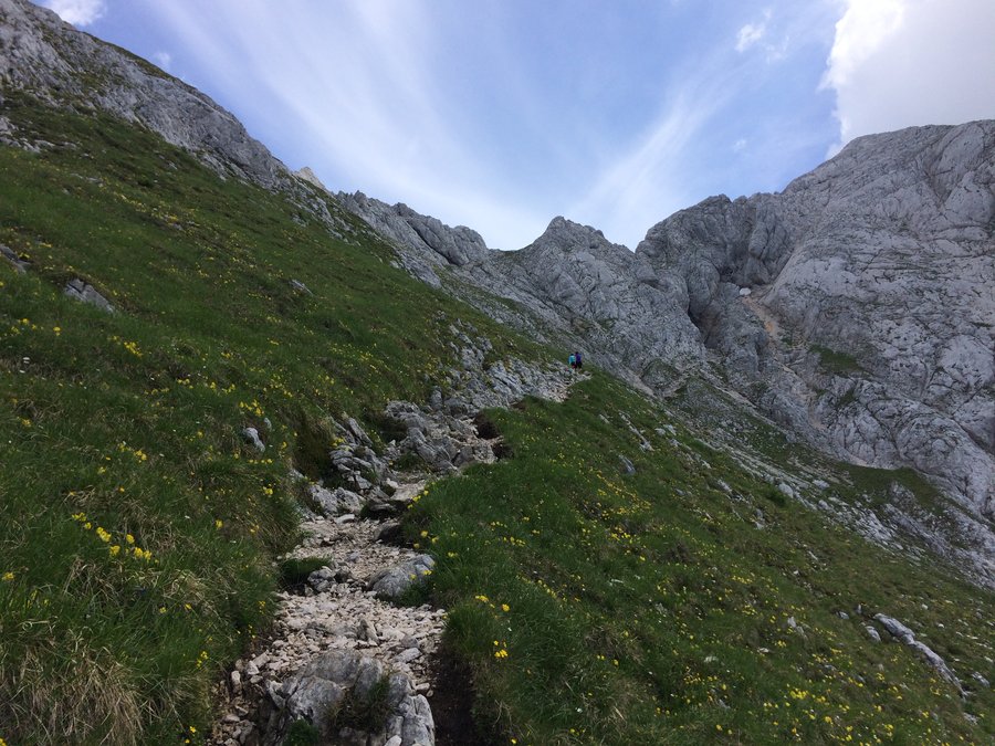
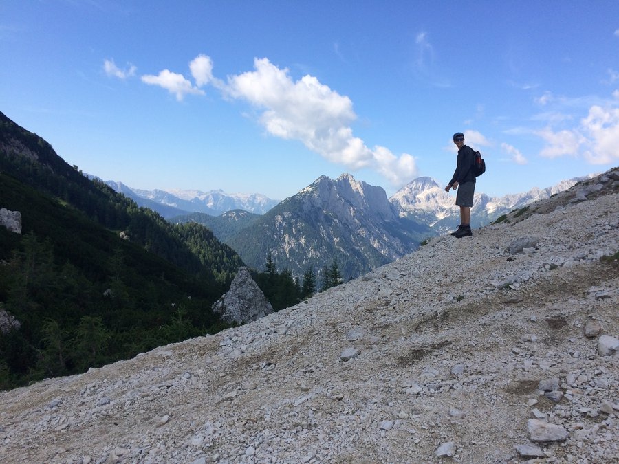
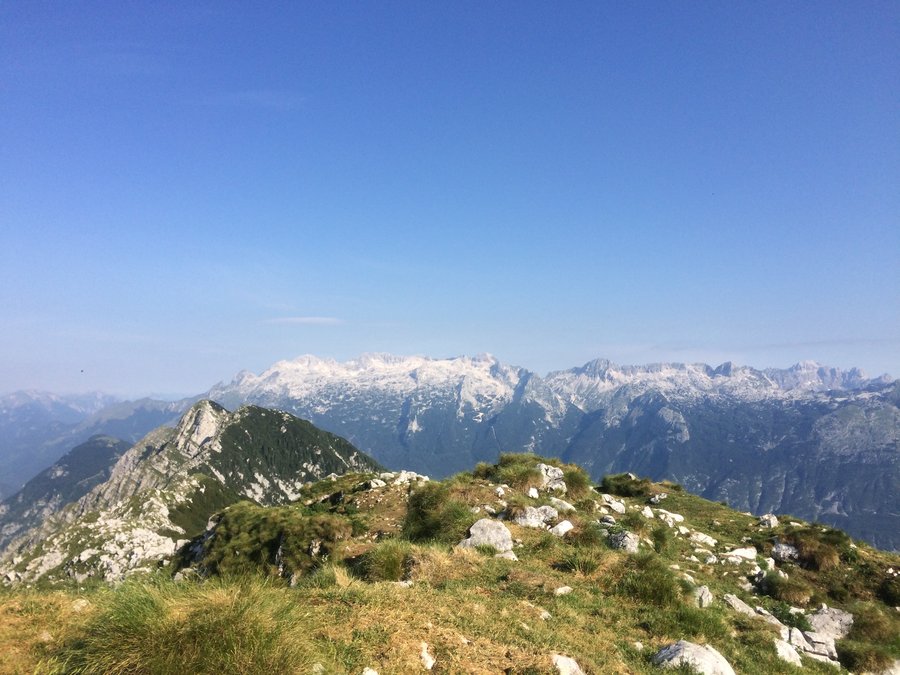
Krasji Vrh
7 miles of hiking • 3250' elevation gain •
First hike in the Julian Alps of Slovenia! We stayed in the idyllic town of Dresniza and this was the mountain above it.Started at 0500 and had solitude until I was almost back to the TH. Ruins of military bunkers from WW1 near the top.
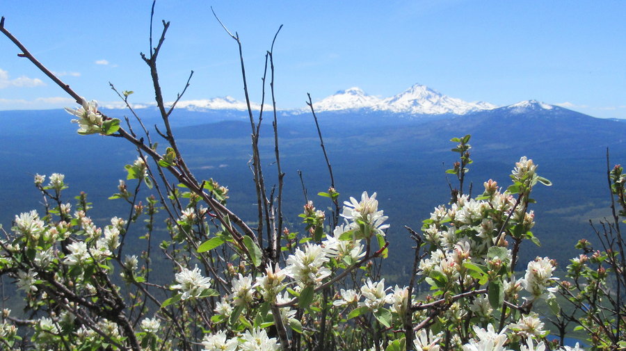
June 30, 2019

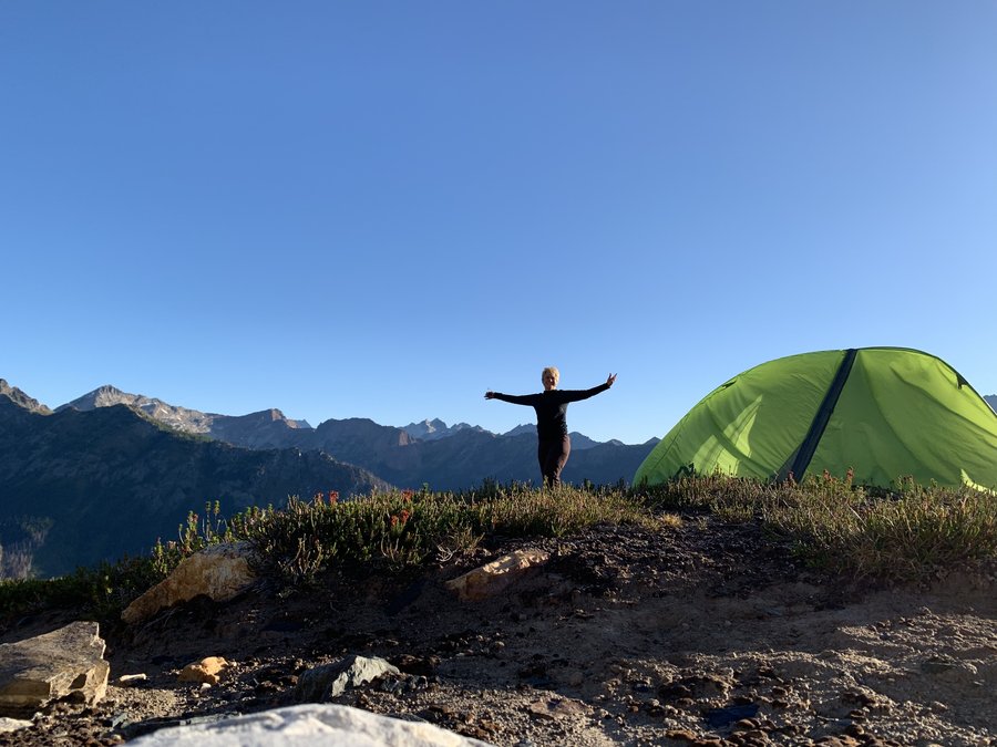
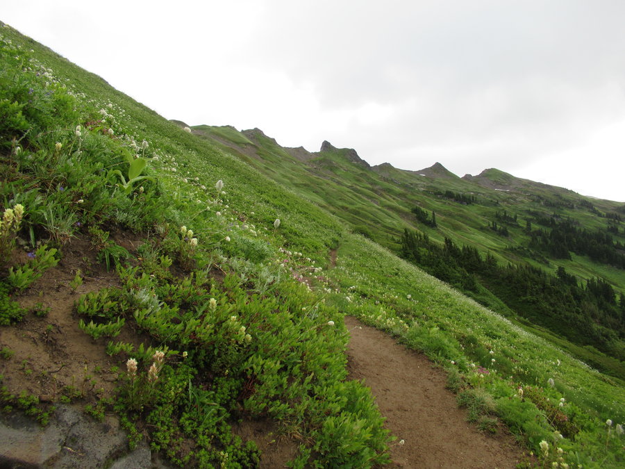
 4
4
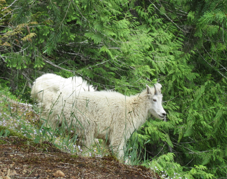
One of the Brothers
21.5 miles of hiking • 7250' elevation gain • 2 nights
This one was a doozy! Turned my ankle on the way to basecamp. It was wobbly the rest of the weekend, stressful, but it held up.
Really enjoyed my two nights in the tent. Beautiful forest, it never got cold, bugs minimal.
Fun climb, and....I saw a baby goat!
June 14 – June 16, 2019


Maple Loop
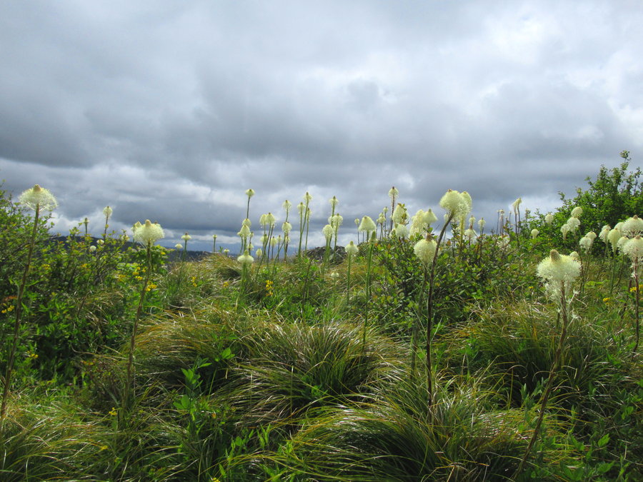
7 miles of hiking • 750' elevation gain •
Joyful, but the FP trails are almost at the concrete stage again.
June 10, 2019
 2
2
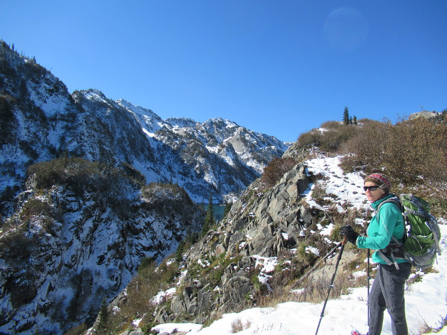
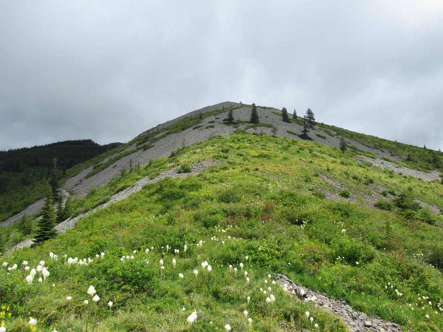
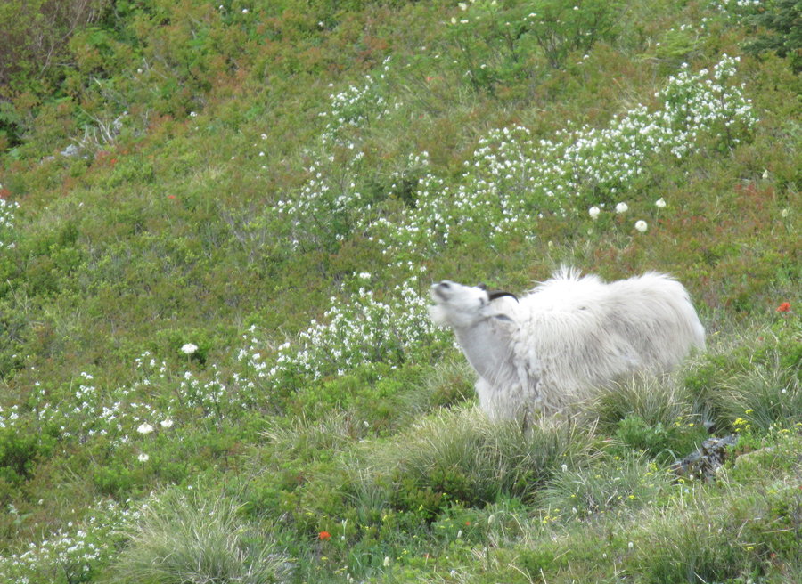
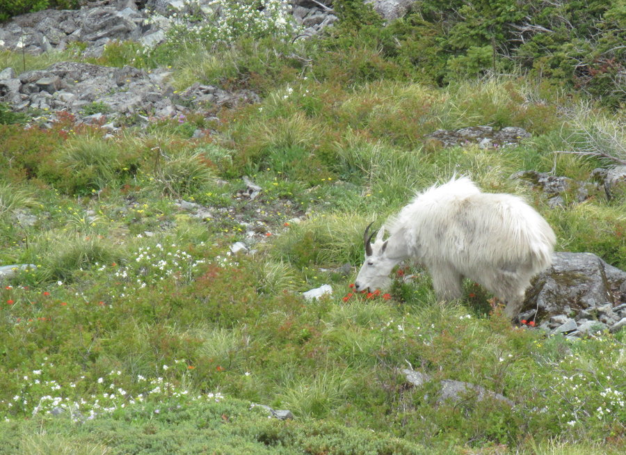
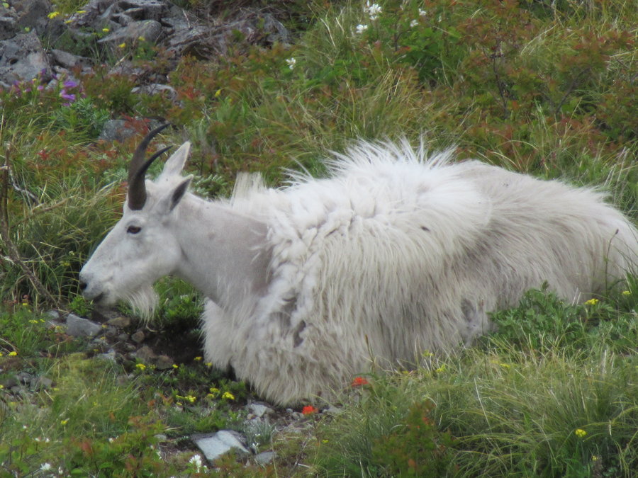
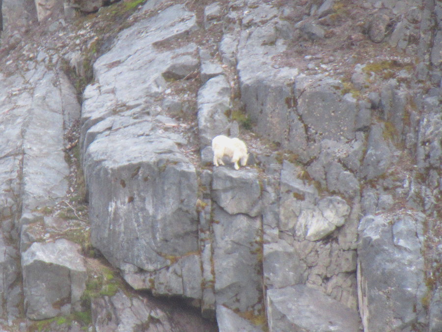
Silver Star via Indian Pts
7.5 miles of hiking • 2500' elevation gain •
You start a bit lower than Grouse Vista, but this old road is not as rocky as the GV trail. I scrambled up to the Vision Quest pits then cut over to the south summit of Silver Star. The goat was waiting for me at the top. She then moved a bit downhill and I observed her foraging as I ate my lunch. No-one else around for 45 minutes. When another pair of hikers finally showed up, they didn't notice the goat!
June 6, 2019


Black Butte
4.5 miles of hiking • 1500' elevation gain •
Friends visiting from east coast. I tried to convince them to camp in a tent, but instead we stayed at fancy vacation home at Black Butte Ranch. I took them up the local volcano. Did great despite the hangovers!
June 2, 2019


Pine Creek Loop
9.5 miles of hiking • 1750' elevation gain •
Trail finding skills challenged today. Wasnt expecting so much snow. Pretty persistent above 5000 ft. Did not see another human is six hours and it's Memorial Day.
May 27, 2019


Larch Mtn Crater
8 miles of hiking • 1500' elevation gain •
Just had half a day, it was raining and there was no-one around. Forest was intoxicating.
May 25, 2019


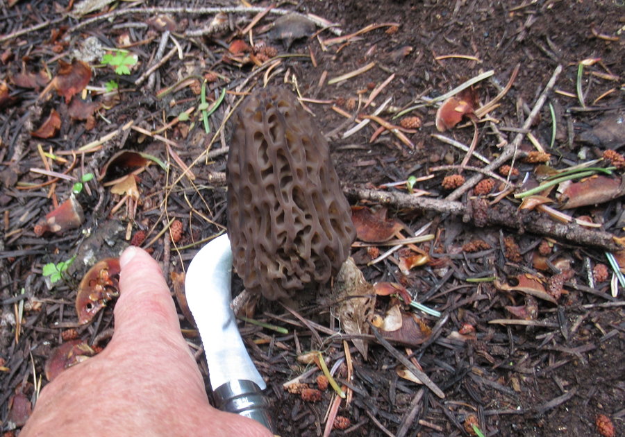
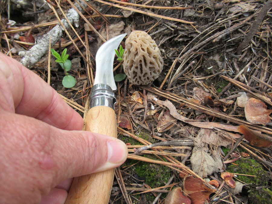
 1
1
8 Mile Creek
9 miles of hiking • 2000' elevation gain •
Did the loop starting from the campground plus a few other forays. Hoping for morel bounty, but just found a few.
May 21, 2019


 2
2
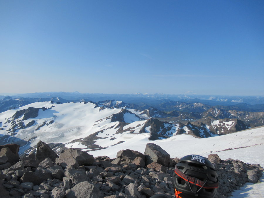
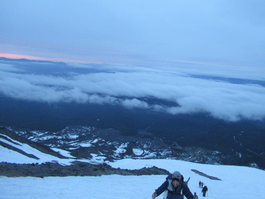
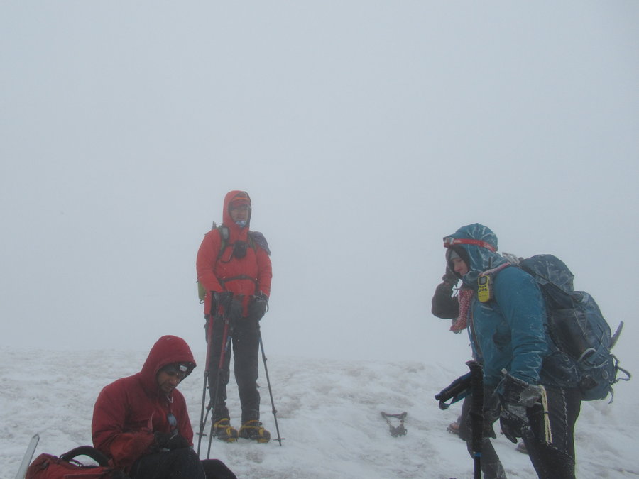
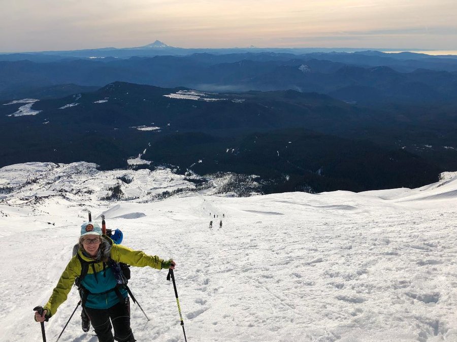
MSH whiteout
12 miles of hiking • 5750' elevation gain •
On a Mazama trip. Because of the soft snow reports, we decided to do a midnight start for firmer conditions.The sunrise was beautiful at 0500, then the weather turned and was miserable the rest of the trip. We persisted and summited in a whiteout. Going down we were facing into the wind and got pummeled by horizontal ice pellets. Type 2 fun!
May 14, 2019


 2
2
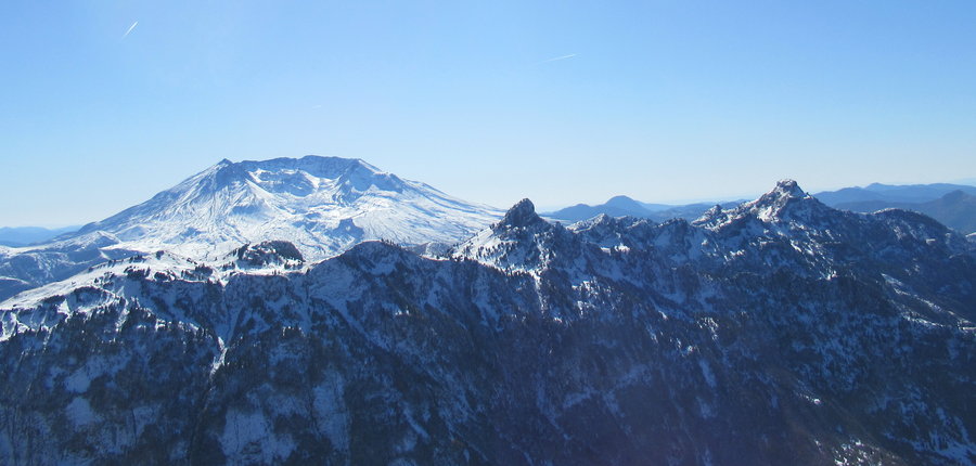
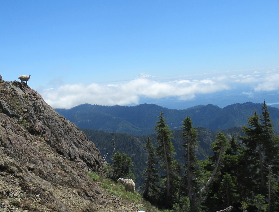
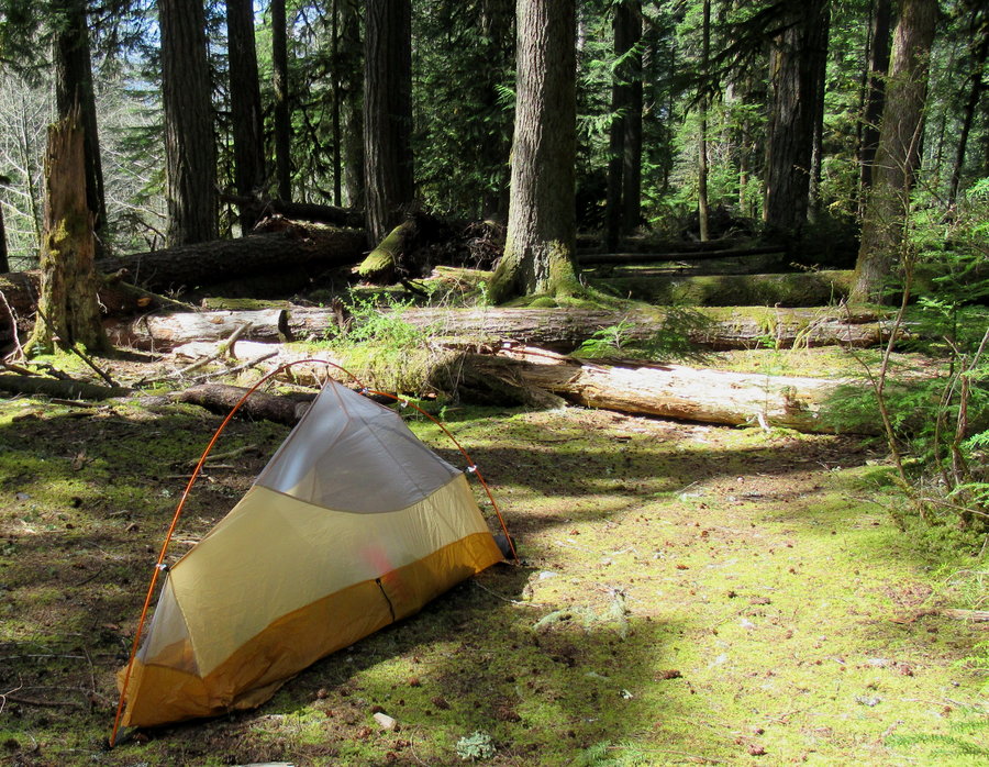
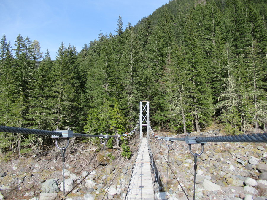
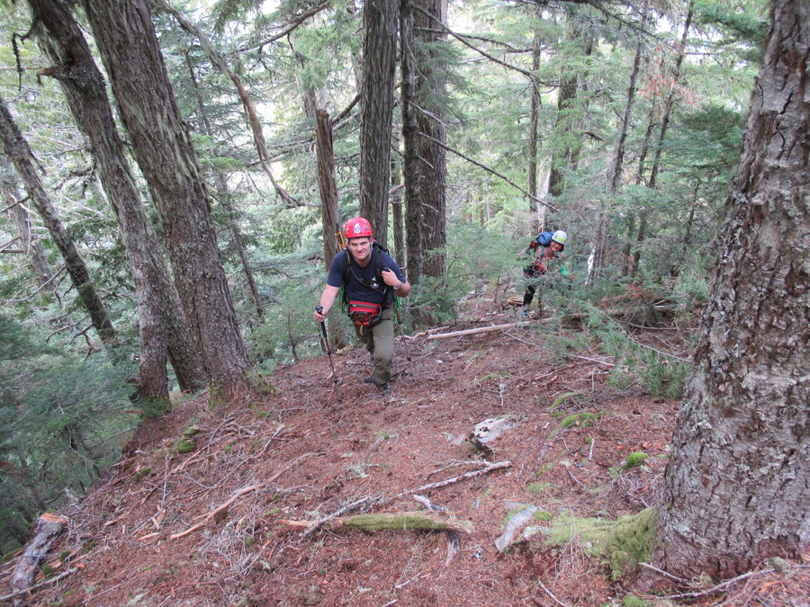
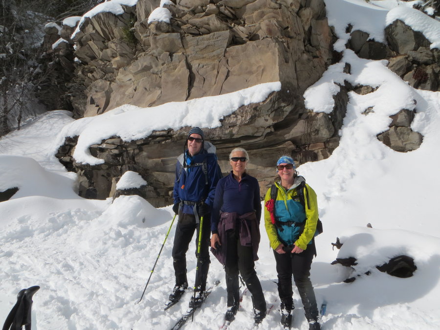
Carbon River Bike Hike and Climb
26 miles of hiking • 5500' elevation gain • 1 night
First time on this side of the mountain in over 20 years. I parked at the Carbon River gate and biked up to the Ipsut Campground. So lovely! set up my campsite and hiked up the Wonderland to see the Carbon Glacier, a really cool suspension bridge and some goats. 9 miles, 1500 ft eg.
The next morning, I zoomed down to the gate, put away my bike, changed out gear and met up with some Mazamas for a crazy climb/bushwack up to Gove Peak via Green Lake trail. 17 miles 4000 ft eg. Took us 13 hours, I'm pooped! First time I've used ice axe and helmet for bushwacking! They were helpful. The route finding and downhill part was fun, but I cant really recommend this climb unless you are doing the Rainier 100 peaks.
May 4 – May 5, 2019


 2
2
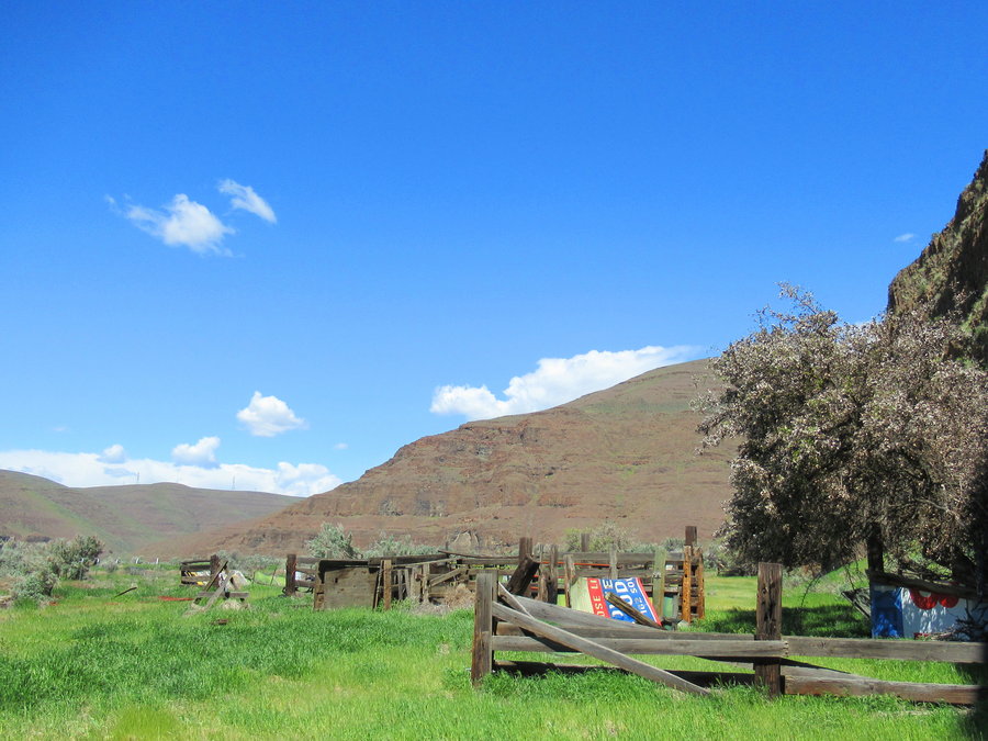
John Day Bikepack
5.5 miles of hiking • 1250' elevation gain • 1 night
Finally got to spend the night in a tent! Gorgeous day and night. Had fun scrambling in the hills. We found an old homestead and a waterfall.
April 30 – May 1, 2019


April 27, 2019

Crazy Hills
9 miles of hiking • 1250' elevation gain •
This was a hike/ski trip. Snow about done in this area.
April 25, 2019

 1
1
Cascade Locks Bike Shuttle
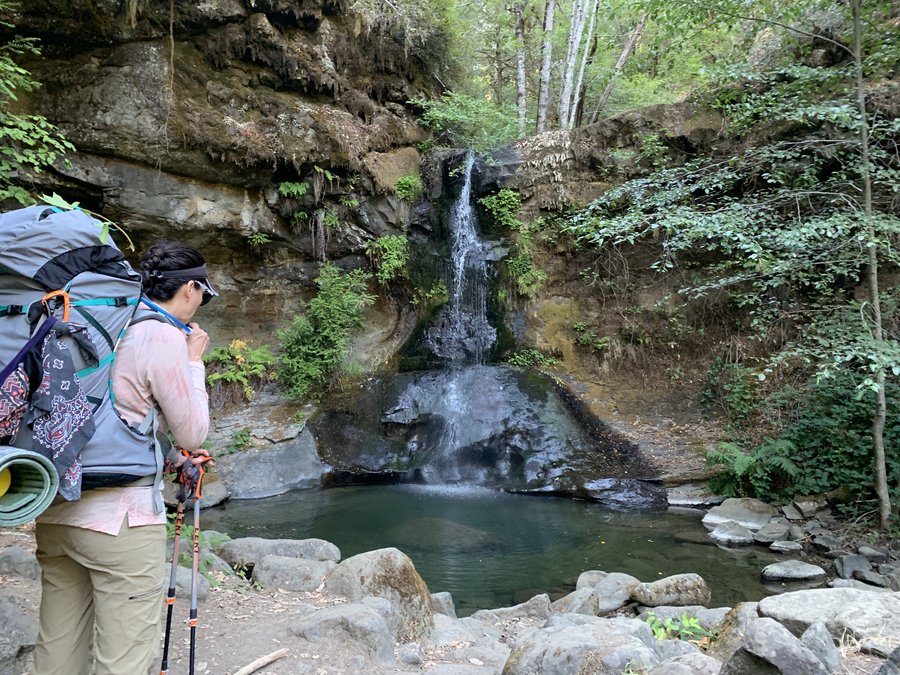
7 miles of hiking • 1500' elevation gain •
Got to do one of my favorite types of adventure-the bike shuttle! Hid my bike at Bridge of the Gods and drove to Herman Creek TH, hiked Herman Creek to PCT, stopping at Dry Creek Falls. On the bike back through town, I stopped at the Easyclimb mountain bike park and looped around on the easy trails, fun!
April 23, 2019

 1
1
Catherine Creek
7.5 miles of hiking • 2000' elevation gain •
Spent the day at Horsethief yesterday, so team was tired. We cut our plans in half, started at 0730,finished at 1030 and were back in PDX by noon!
April 20, 2019


 2
2
April 17, 2019


April 13, 2019


North Bonneville
9.5 miles of hiking • 1750' elevation gain •
Our goal was Aldrich Butte, but it was raining so hard, we got soaked and turned around at the Two Chiefs Trail.
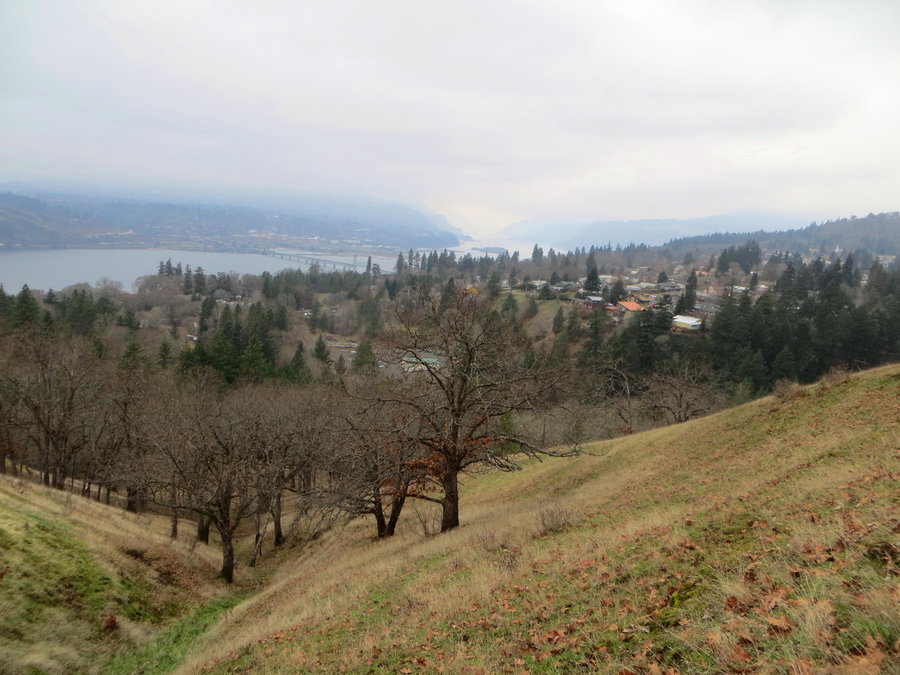
April 6, 2019

April 1, 2019

BCEP Snowskills weekend
6 miles of hiking • 1750' elevation gain •
We hiked up and down the climbers trail a few times, but for me there was a lot of standing around occasionally directing the students.
March 29, 2019
 1
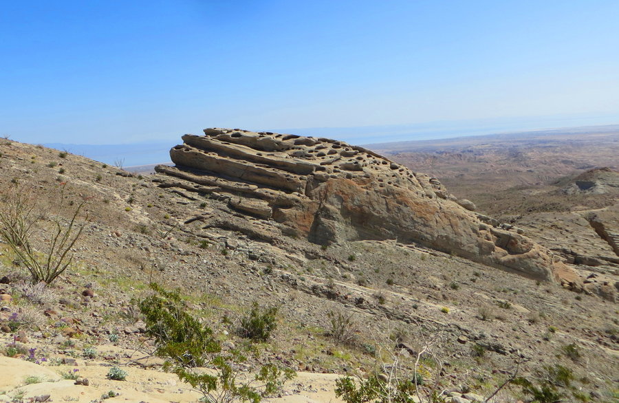
1
The Living Desert and the PCT
4 miles of hiking • 500' elevation gain •
Two more short hikes in the Palm Springs area.
March 27, 2019

 1
1
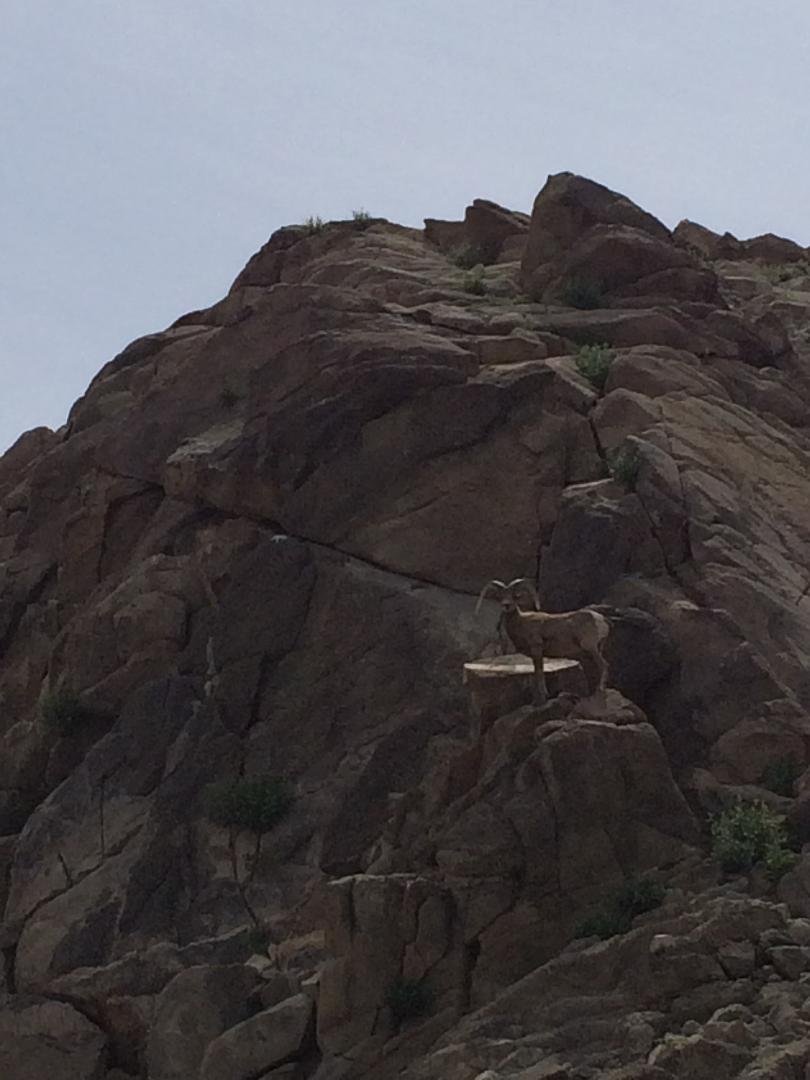
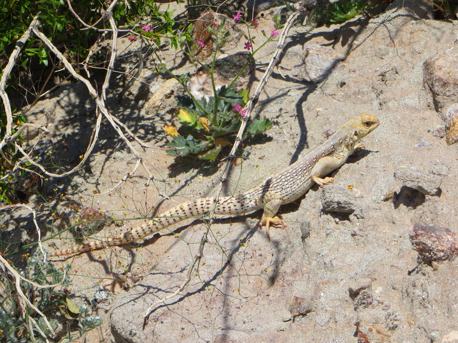
La Quinta Cove
5 miles of hiking • 1750' elevation gain •
We were staying in La Quinta for a few days, and the mountains just rose right out of the backyard! We did a sunset hike and the next morning I came back and scrambled up to the nearest high point at dawn. Loving all the flowers, butterflies, lizards and cool rocks.
March 26, 2019


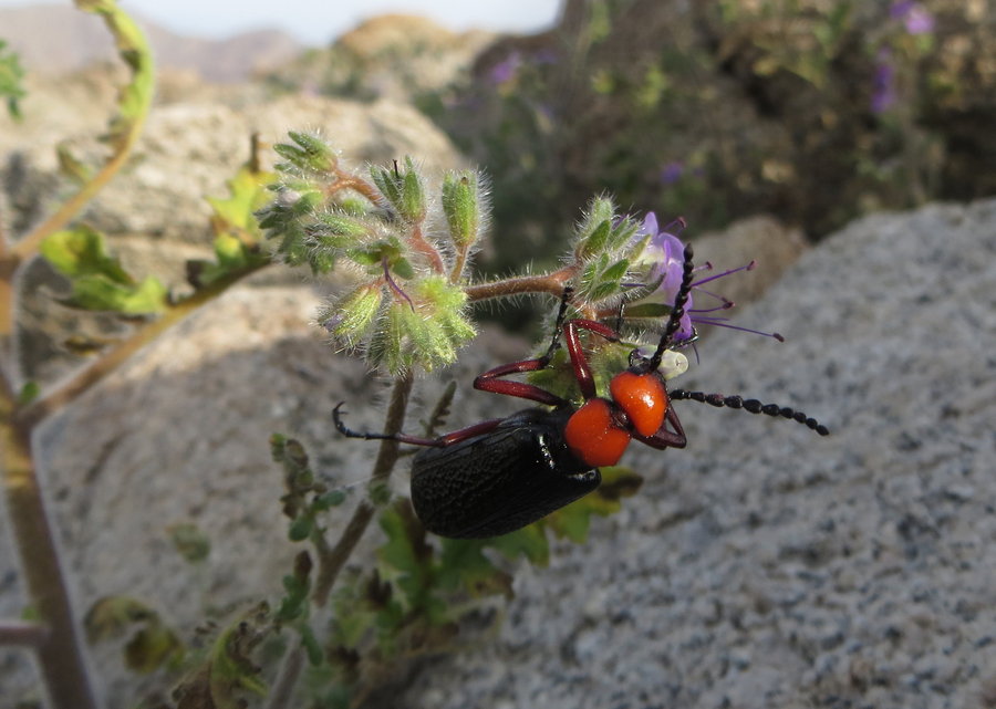 1
1
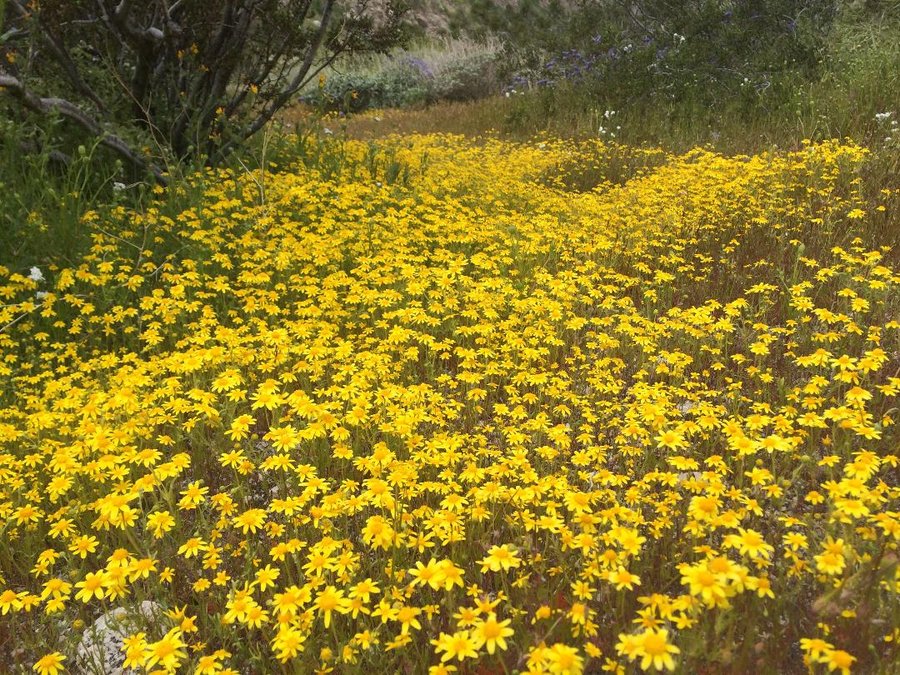
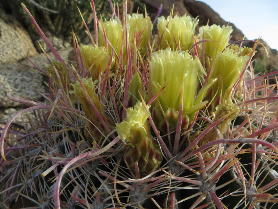
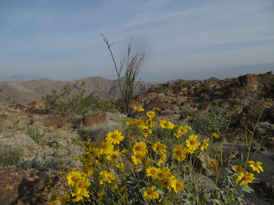
Calcite Mine-Anza Borrego State Park
5 miles of hiking • 1250' elevation gain •
Desert in bloom! Lovely rock formations and slot canyon fun.
March 25, 2019

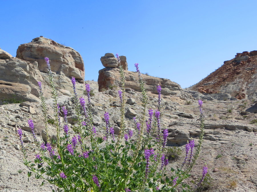
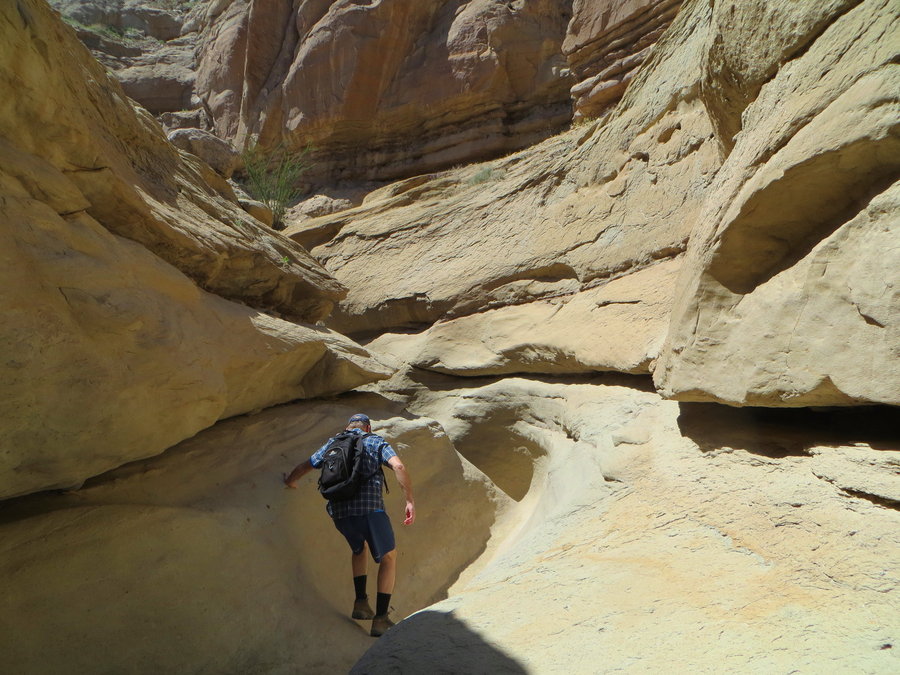
 1
1
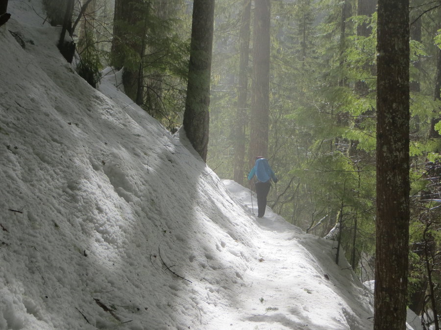
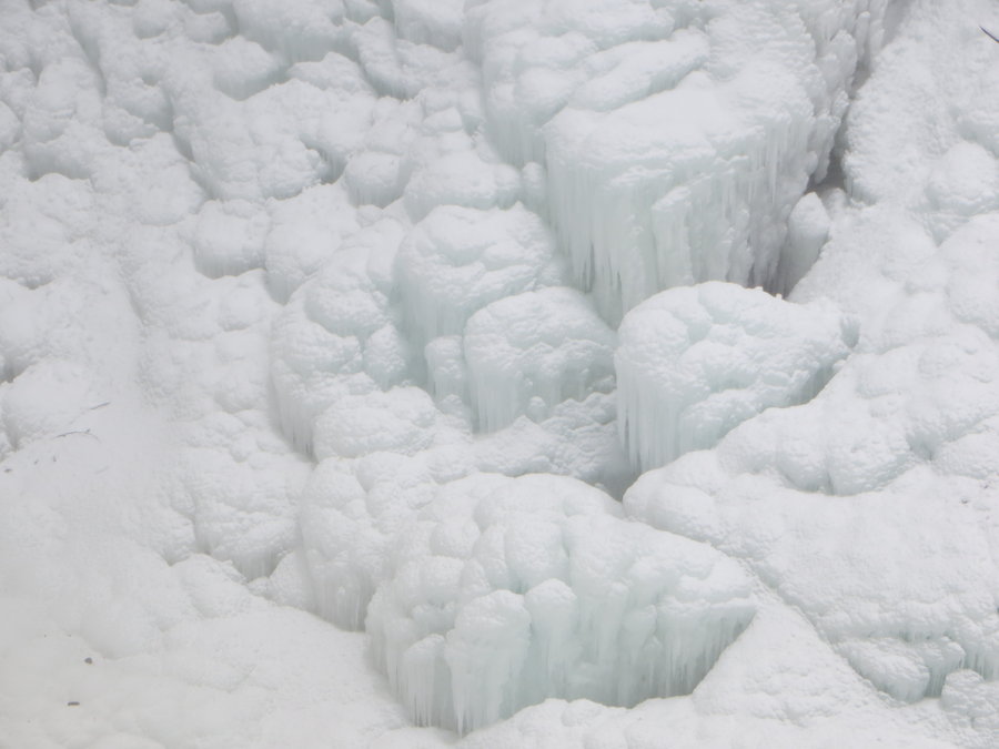
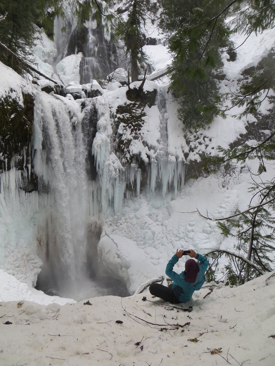
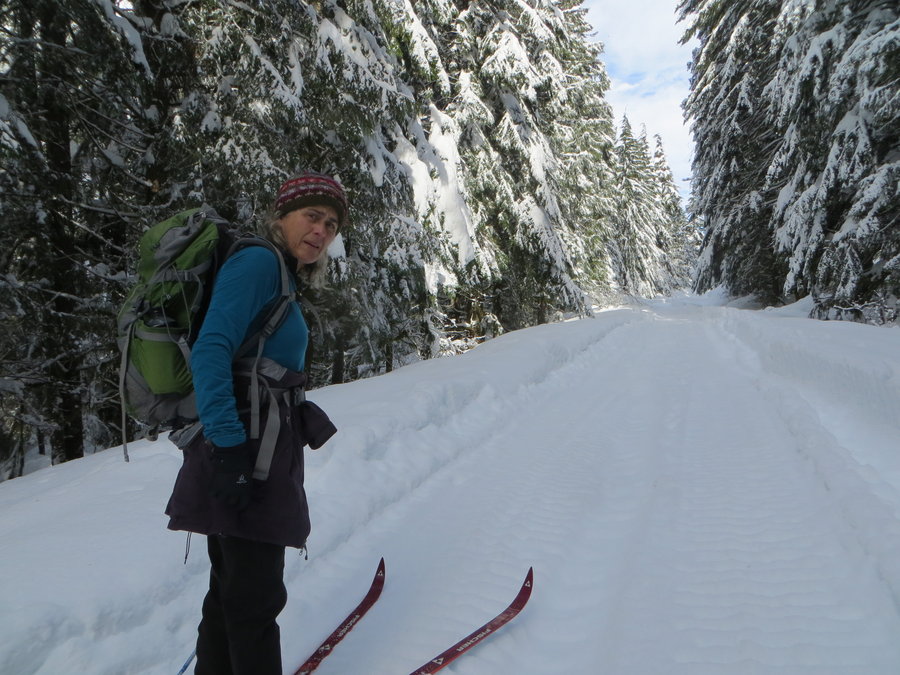
Falls Creek Falls
9.5 miles of hiking • 1000' elevation gain •
Have to start from the Wind River road. 2.5 mile ski up the access road to the TH. Over the weekend, snowshoes plowed a trough that is now well packed, so now you could hike it without snowshoes. At TH we stepped out of the sticks and hiked to the falls. Had microspikes on but they were not necessary.
March 12, 2019

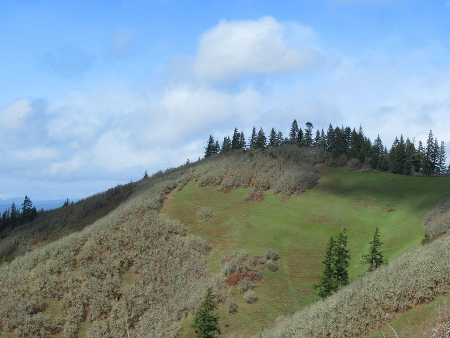
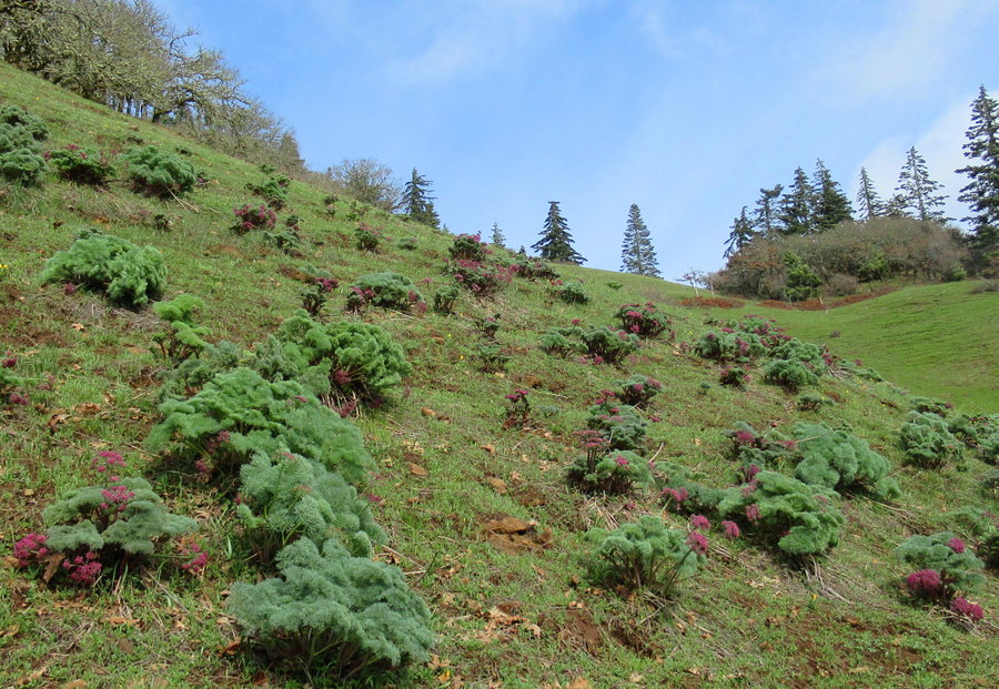
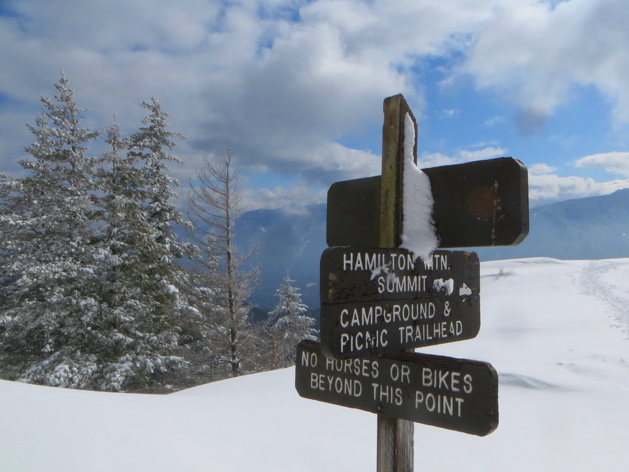
Hamilton
8 miles of hiking • 2250' elevation gain •
Today I did something I thought I'd never do Went hiking with a group of 22 We started early and were quite fast and efficient on stops, not agonizing at all!
March 9, 2019


 1
1
Springville Rd
5 miles of hiking • 1000' elevation gain •
First hike for BCEP-with all this snow, it's going to be tough finding appropriate hikes for climb school.
March 2, 2019

Larch Mtn Road
10 miles of hiking • 2250' elevation gain •
The road is plowed to about mp 7. Yahoos with big trucks have gone further, but at around mp 9, it was just snowcat tracks- some nice person groomed it yesterday for us, and there was a fresh inch or two of new snow on top of the groom. However that ended at about mp 10.5 (yes they went beyond the gate). We then had to break trail in some deep stuff, slow going. I had the stupid idea of turning off onto the spur road at the hairpin turn thinking it would be easier to take the Larch Mountain trail to the top. Assumed there would be plenty of tracks. It was harder and there weren't any tracks on the upper LM trail.
I had a fall coming back down the old road and flailing in the powder I felt something funny happening in my hip that frightened me. When we got back to the hairpin turn, my pal the workhorse wanted to head up to the summit via the road,but I was worried about the hip, and felt done so we headed down.
On the way down, we passed some testosterone laden humans who had driven up the unplowed portion of the road and gotten themselves stuck. They refused our offer of assistance. Hope they were able to get cell service and call their parents or someone with a winch.
February 26, 2019

 1
1
Mt Ellinore fail
12 miles of hiking • 3750' elevation gain •
Was supposed to be a bluebird day and it started out that way. We made fast time to the lower Ellinore TH in microspikes. Switched to snowshoes and slowed down a bit. At the point where the summer and winter route splits all tracks had disappeared, and the snow was deep and heavy. Difficult to manage the steep slopes in snowshoes. As we made our way up to the base of the chutes, the sky closed up, winter descended on us and it started to snow-lost all visibility. We were pooped and couldnt imagine how we were going to climb that chute- with crampons we'd post holing really deep.just two of us to break trail. With no chance of a view, we decided to call it. Rats.
February 21, 2019


 1
1
Big Creek loop plus
7.5 miles of hiking • 2000' elevation gain •
We were supposed to hike Mt Rose, but couldn't quite get to the TH. maybe we should have skiied the road to get there... Decided to try the Big Creek loop and spur to the low Mt Ellinor TH just to see if it was feasible to attempt a summit the next day. The trail was well packed and doable in spikes. Snowing at higher elevations. Lovely creek and well loved and maintained trail.
February 20, 2019

 1
1
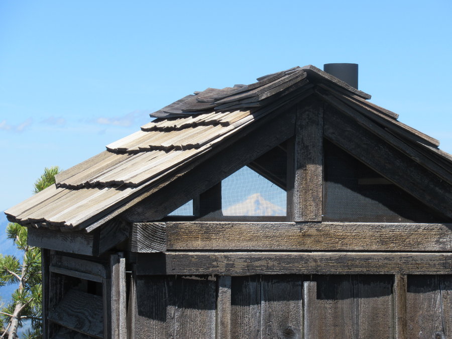
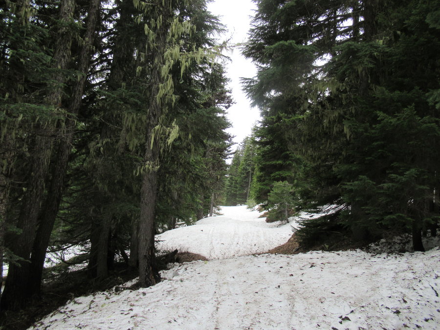
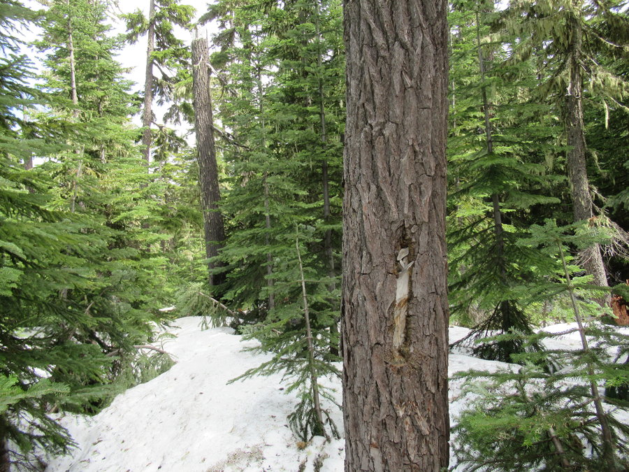
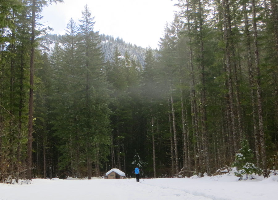
Tilly Jane to Cloud Cap
8.5 miles of hiking • 2000' elevation gain •
Worked on my skills in both directions on this tour. Very exhausting to go uphill on the TJ trail without skins, but snow was great so we dug in and trudged upwards. The downhill via the open burn and then wagon road was superb. Yay powder.
February 18, 2019


 1
1
February 16, 2019

Goat Marsh
8.5 miles of hiking • 1000' elevation gain •
Fun ski tour from the Kalama Horse Camp. Last 1/2 mile we had to break trail to get to the marsh, snow was heavy. Downhill was mighty fine! Just a few noise machines around today.
February 10, 2019

 2
2
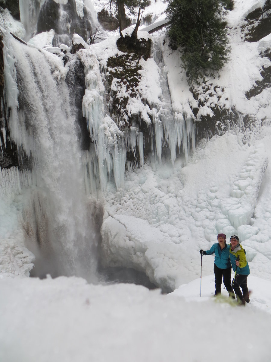
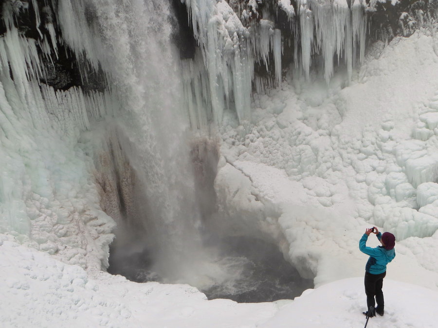
Rush Creek Falls
7 miles of hiking • 1000' elevation gain •
Crazy ski tour/bushwack adventure to roaring hidden waterfall.
January 31, 2019


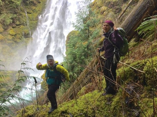
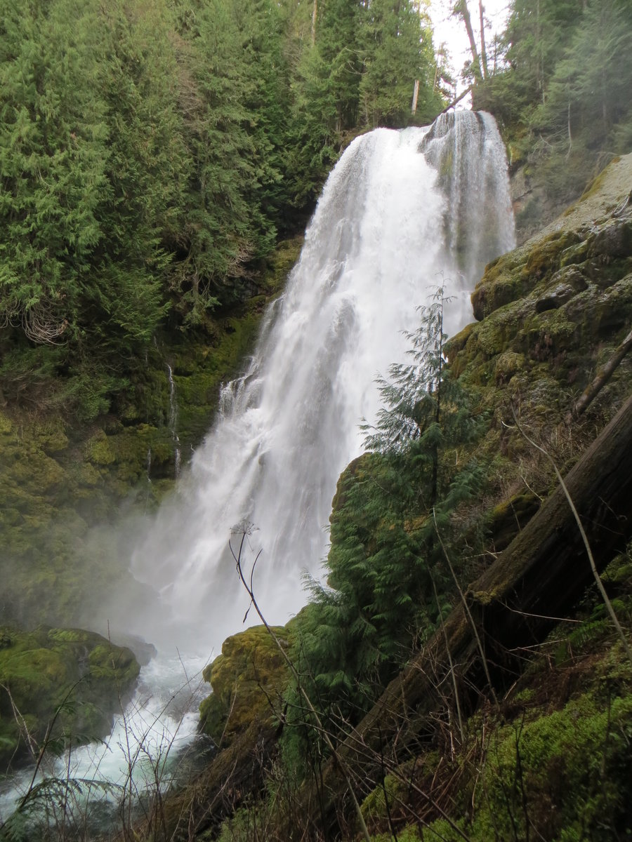
 1
1
Little Skookum Butte
7.5 miles of hiking • 1000' elevation gain •
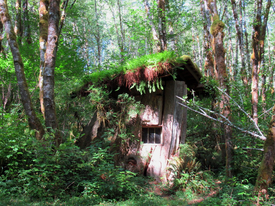
Ski schwackin ski tour in the Crazy Hills. We stayed overnight at the Government Mineral Springs cabin-very charming in a beautiful old growth forest. Would definitely go back there.
January 30, 2019


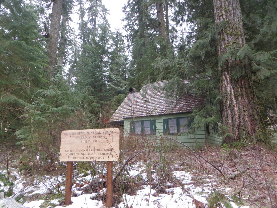
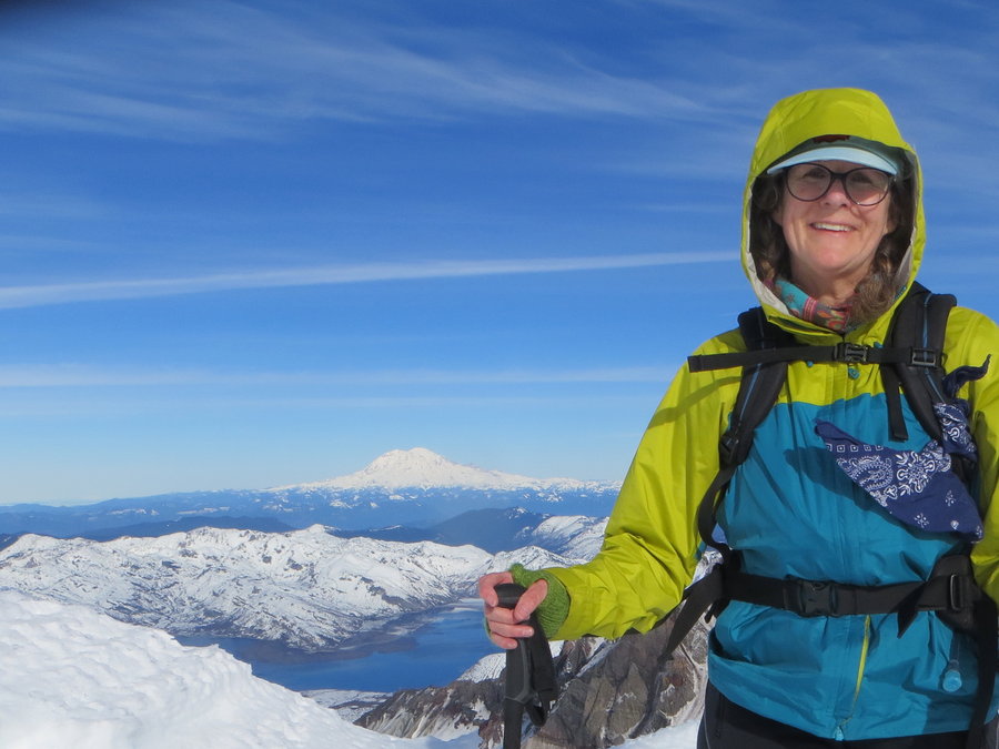
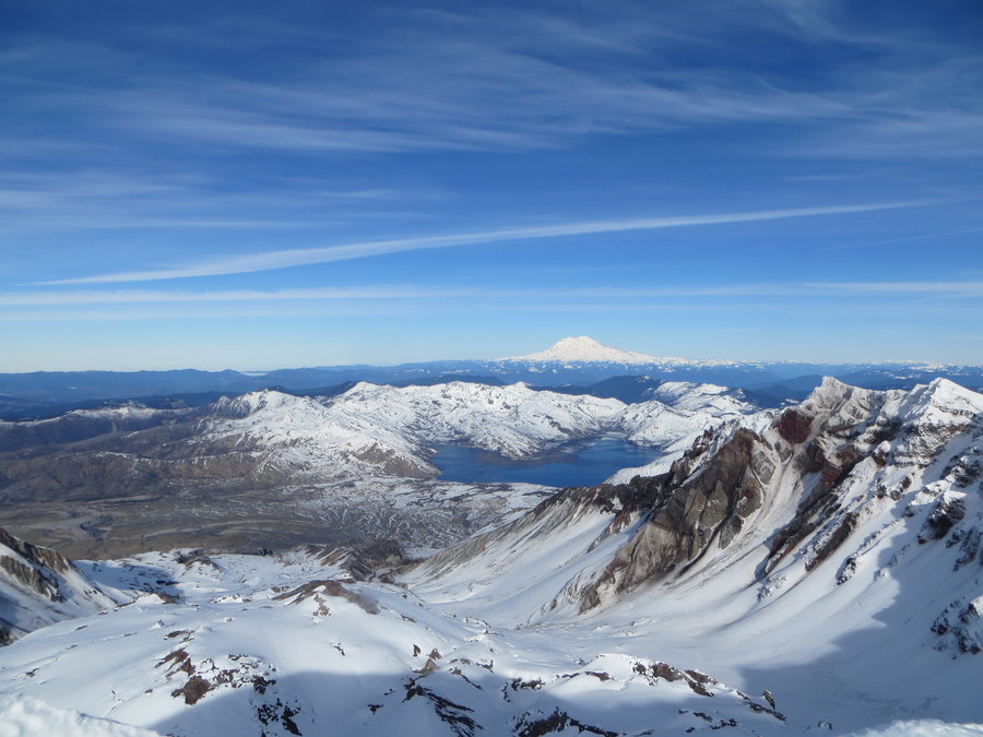
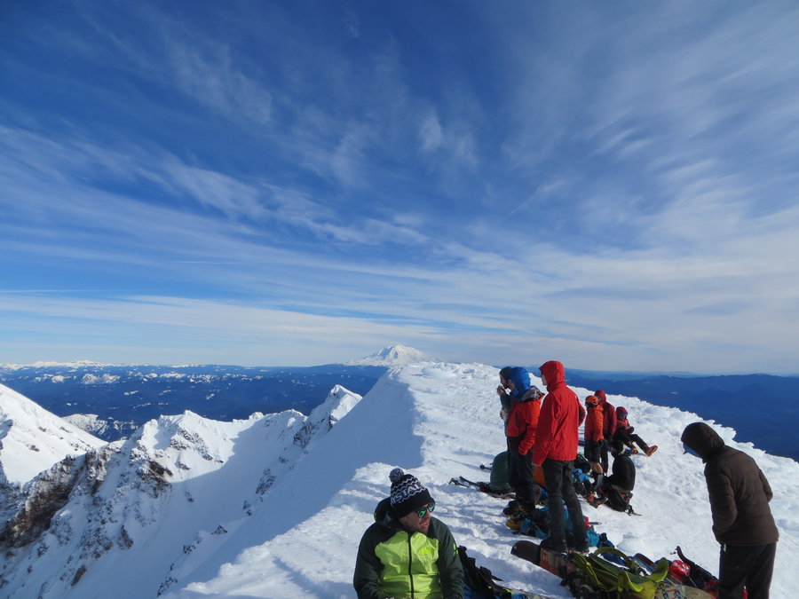
 4
4
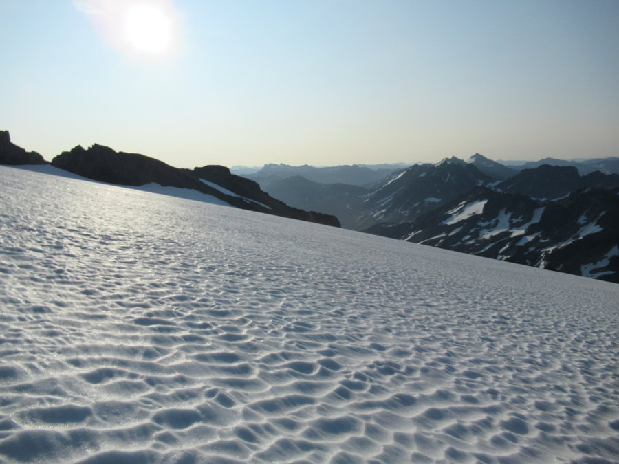
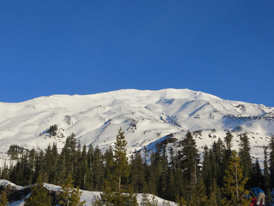
MSH
10.5 miles of hiking • 5750' elevation gain •
Conditions perfect, great glissading on the way down!
January 27, 2019


January 15, 2019


 1
1
Coyote Wall
6 miles of hiking • 2000' elevation gain •
Escaped the rain for a mystical hike up into the snow zone on top of the wall. Fresh tracks for hours!
January 8, 2019


 1
1
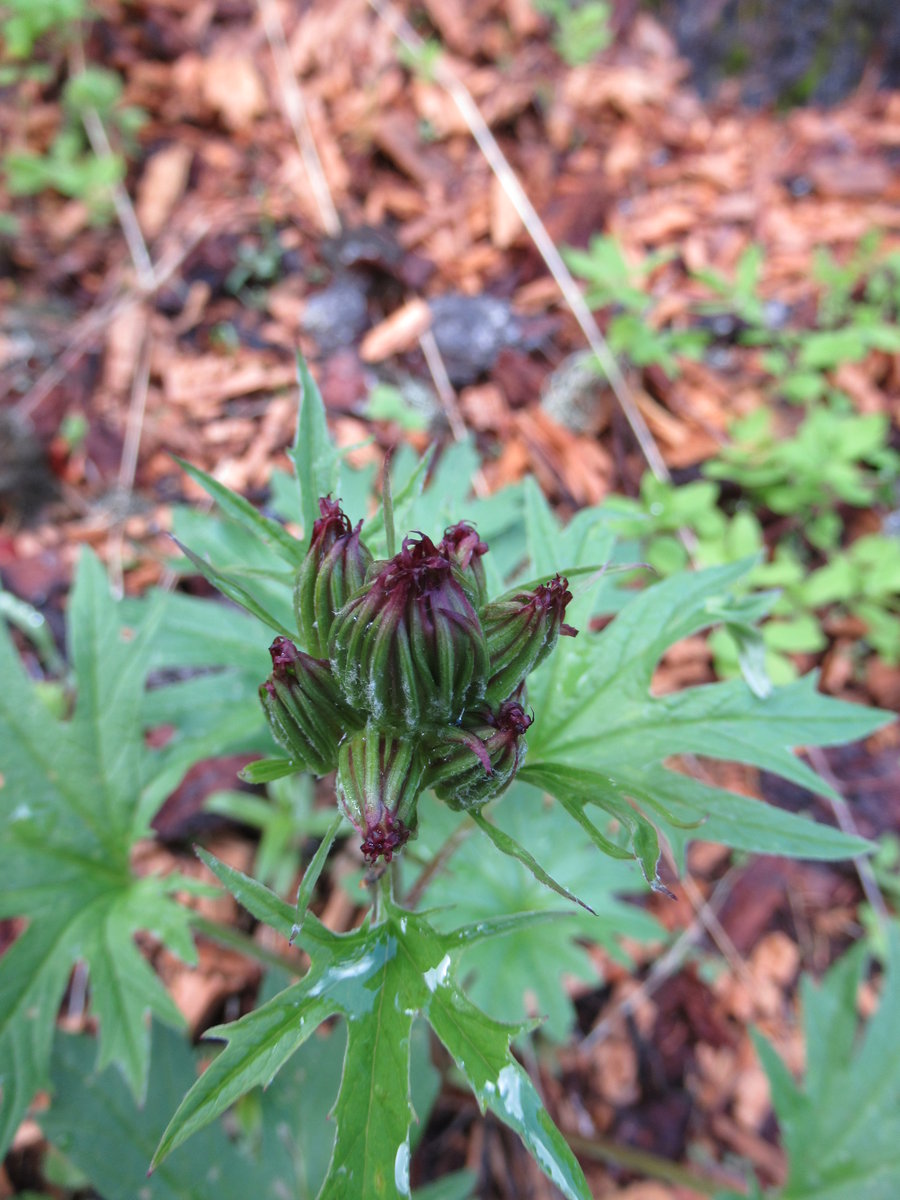
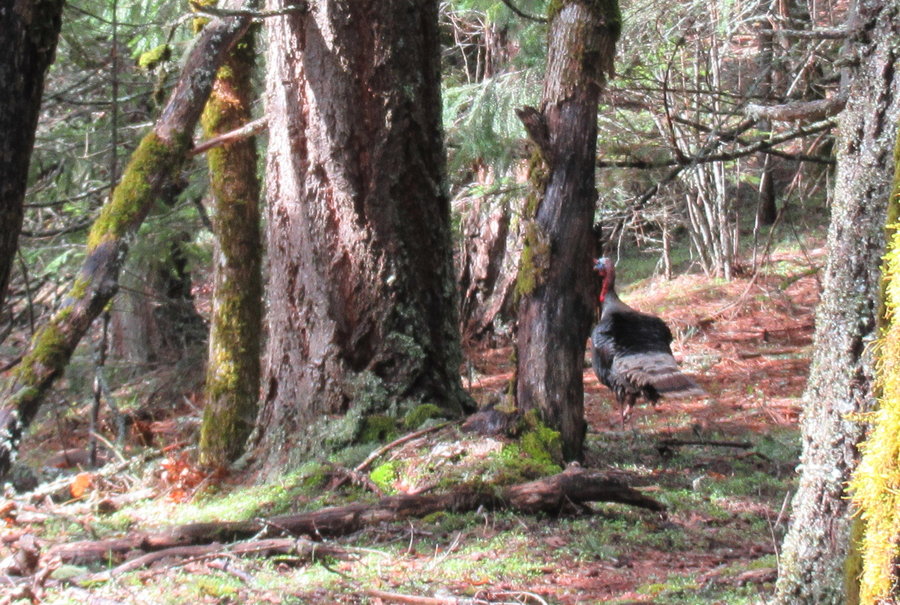
Yellow Jacket Critter Cam
6 miles of hiking • 1000' elevation gain •
Went up to check on the wildlife cam.Got a bobcat picture!
January 2, 2019


View trips from: 2011 2012 2013 2014 2015 2017 2016 2018 2020 2021 2022 2023 2024 2025 2026