

Popular & Recent Trips


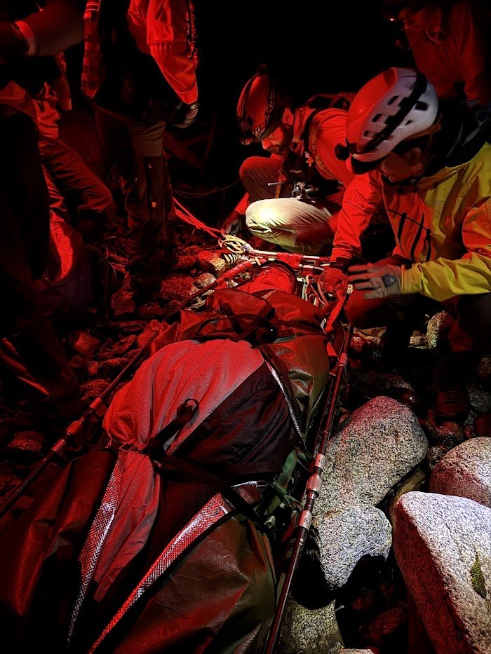
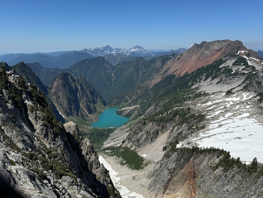
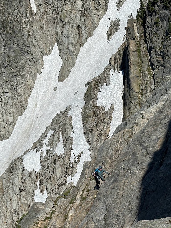
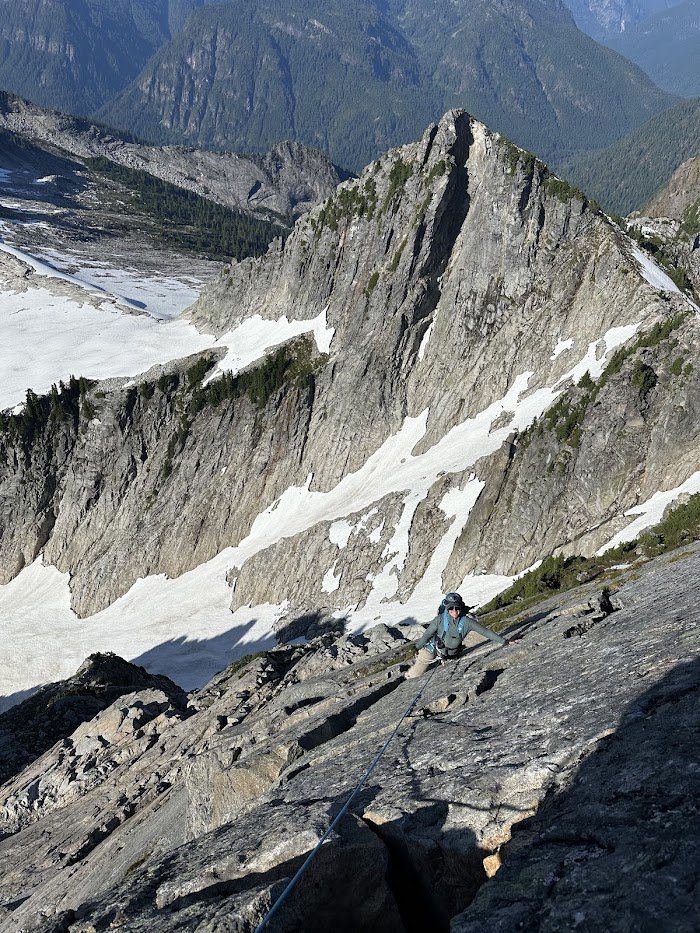
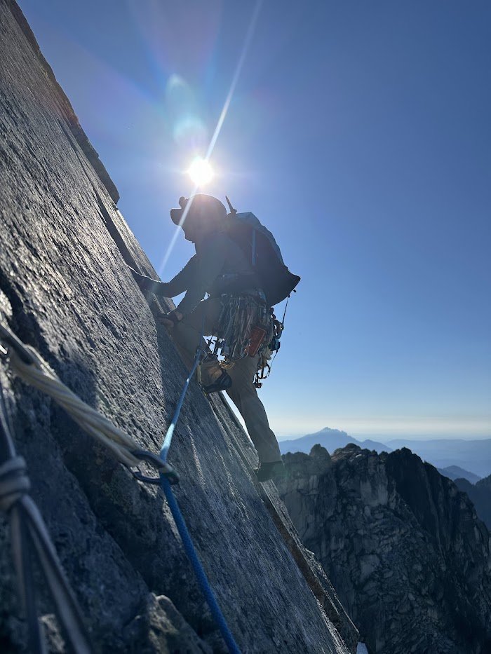
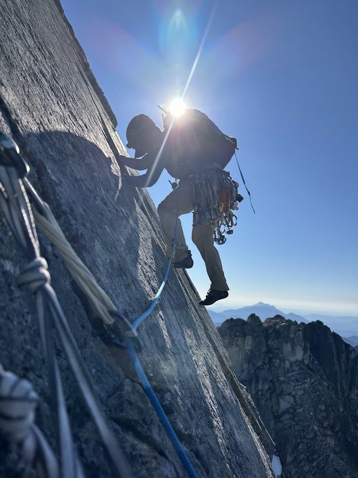
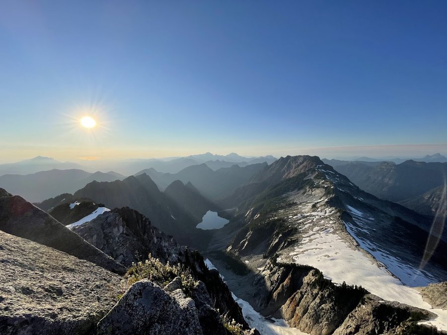
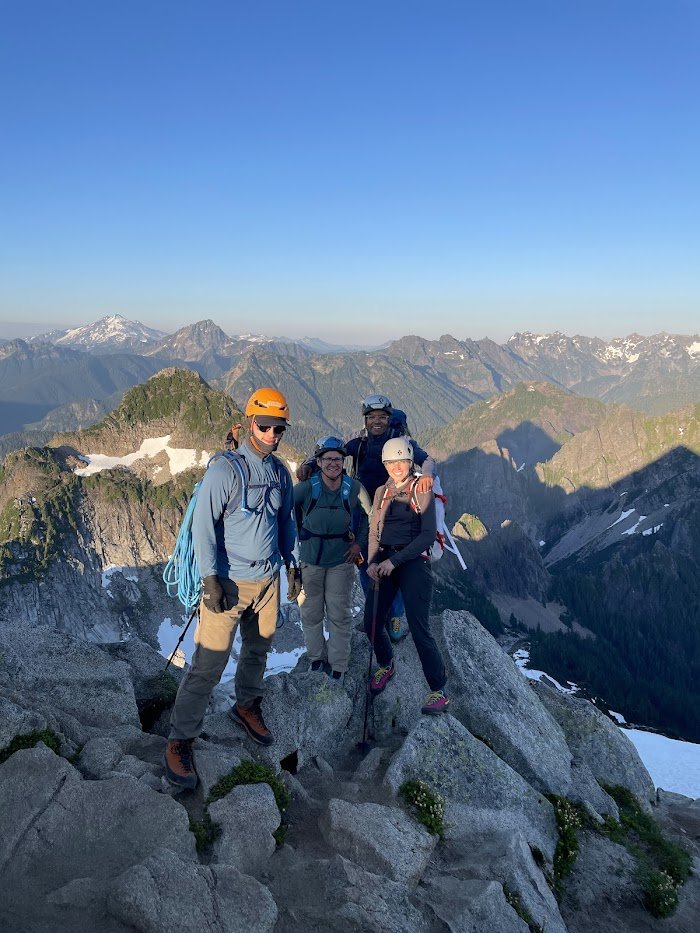
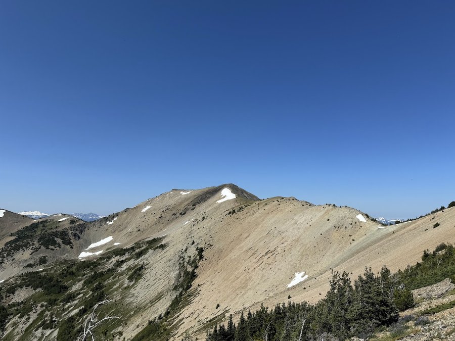
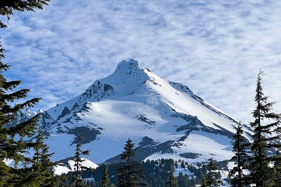
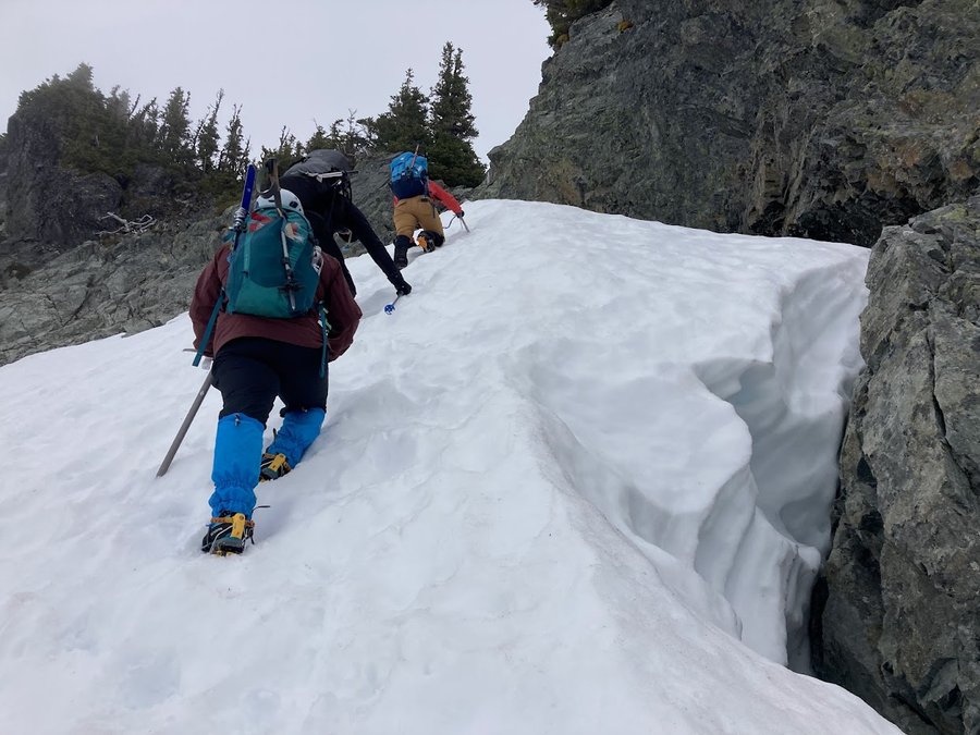
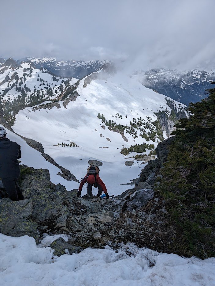
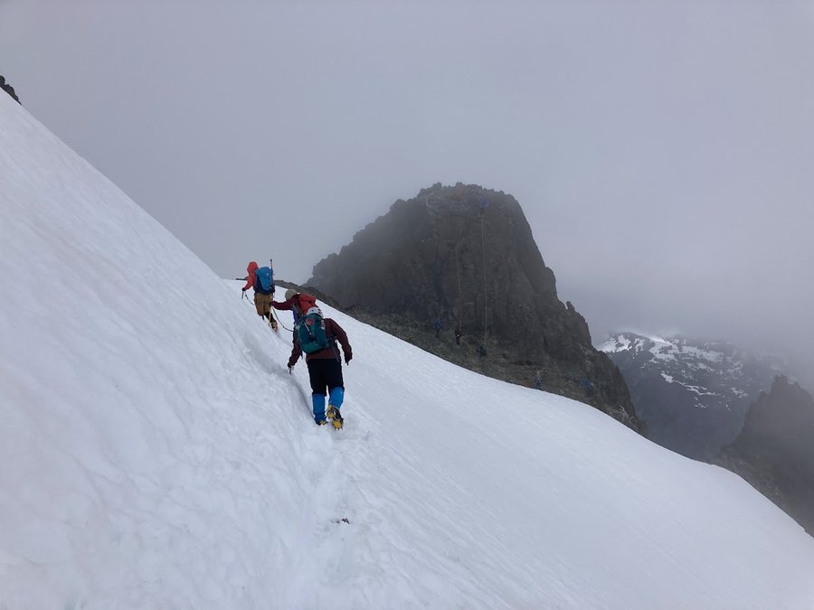
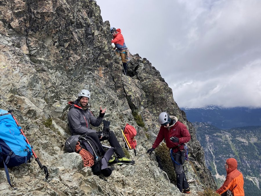
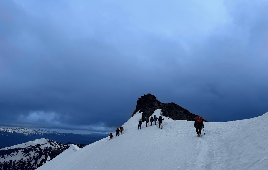
Sloan Attempt and Vesper Success
Backpacked Thursday, July 18th to Saturday, July 20th 2024
Started out with an attempt of Sloan Peak in the North Cascades. We were bushwacking in steep terrain when one of our climbers sustained an ankle injury and could not bear weight on…
 Read full report
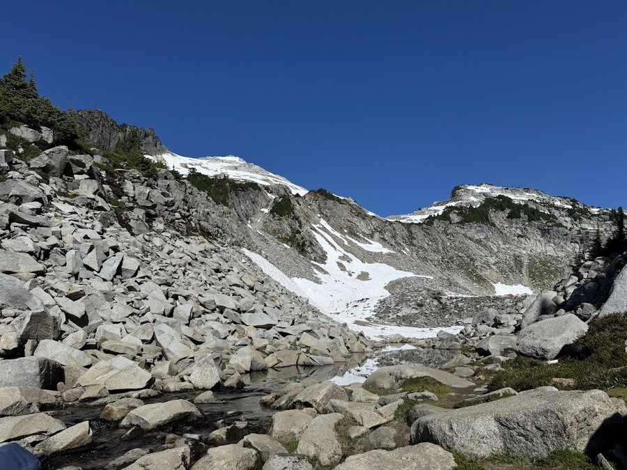

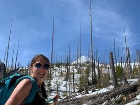
Backpacked Saturday, July 13th to Sunday, July 14th 2024
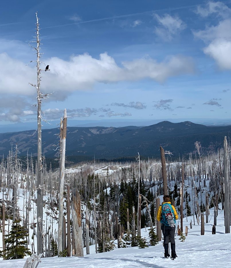
Another Milky Way shot at 2am and then up to Marmot Rock this morning. We ran into two PCT thru hikers. Dr. Acular and Cheetah sweat or something like that. Plus, our youngest so…
Climber's Trail up to another site the following morning
Backpacked Saturday, July 6th to Sunday, July 7th 2024
Beautiful night even though it was a tad windy. Got our first Milky Way shot of this year.…
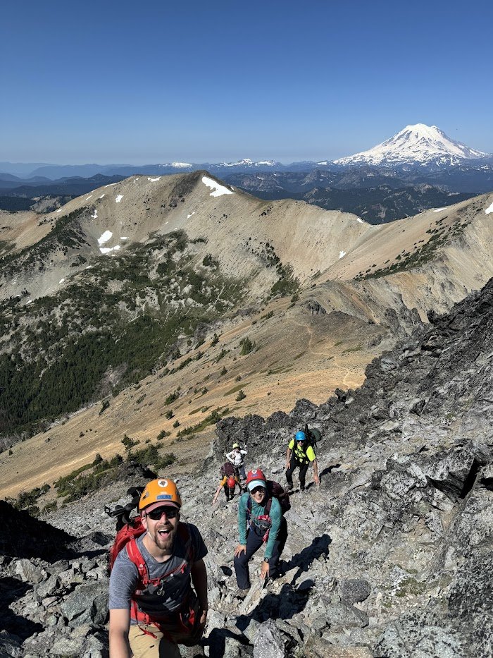
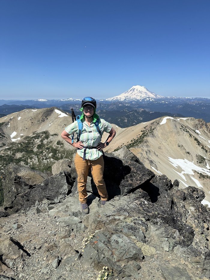
Backpacked Saturday, July 13th to Sunday, July 14th 2024
Highest point in the William O Douglas Wilderness.
We started early and got to the top at 11am.
Lovely ridgetop, flowers going strong. Bugs not too bad. Fun summit scramble.…
Hiked Saturday, July 6th, 2024
Early morning loop to beat the heat…
White River to Timberline and back via NOT Yellowjacket, rather something unmaintained.
Backpacked Saturday, June 22nd to Sunday, June 23rd 2024
Left White River in a sand storm and made it to our favorite spot on the PCT. This morning, we headed to Timberline Lodge to see if it the snow was passable and it was. On the ret…
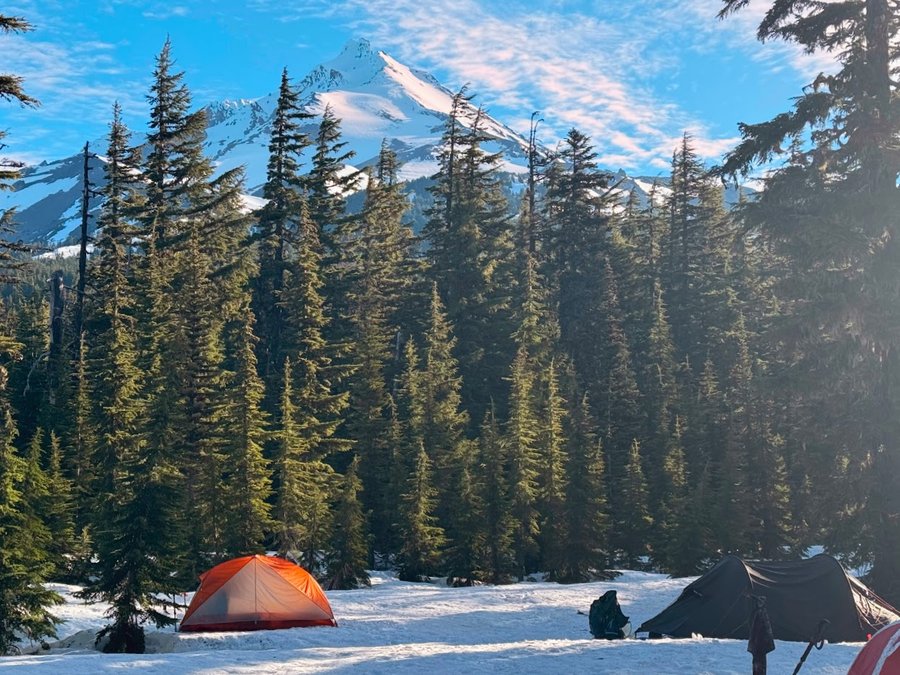
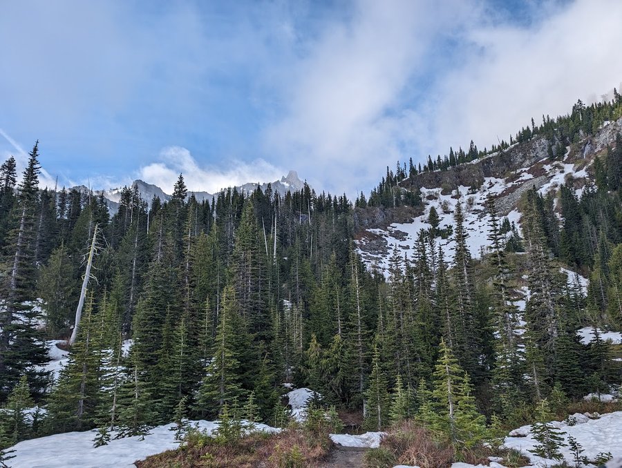
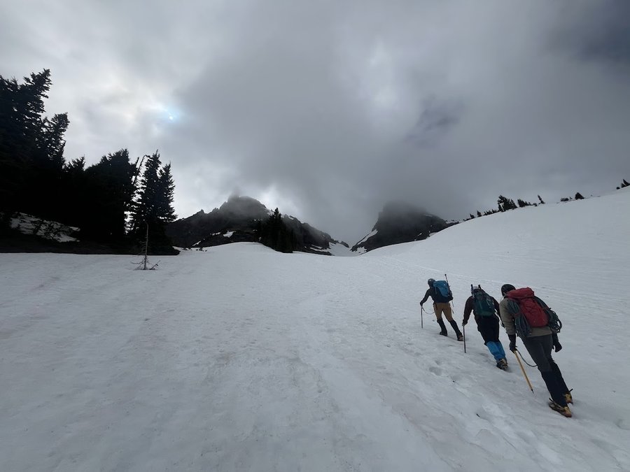
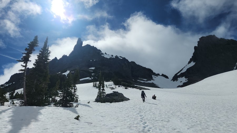
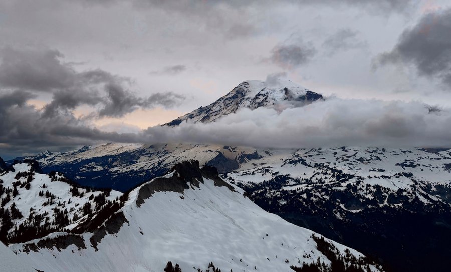
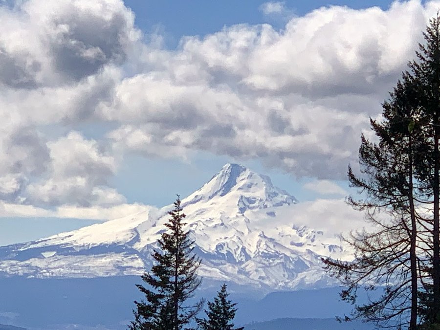
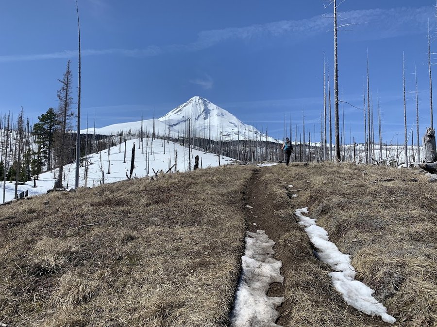
Backpacked Friday, June 21st to Saturday, June 22nd 2024
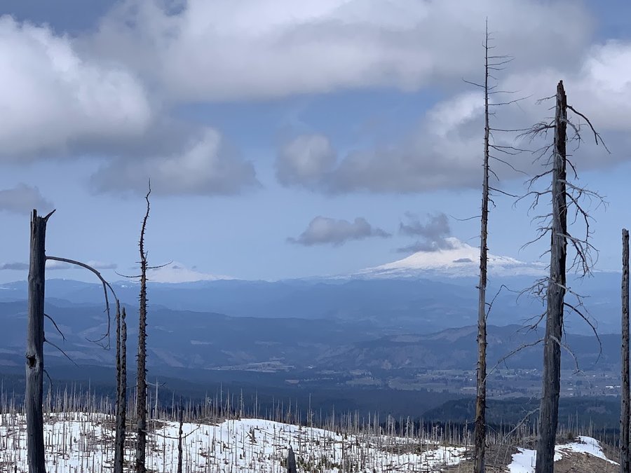
This was supposed to be a Mt Jefferson climb. We weren't sure of the summit conditions but had suspicions it would not be tenable. About four miles in, we were able to see the fina…
Wilson River Trail (Kings to Elk and back)
Hiked Sunday, April 14th, 2024
jGot my first tick in my life taking a nap on the moss. Found it Tuesday, got the head removed Thursday. Yuck! Now we have a tick remover tool.…
Forest Park Birch to Wildwood to Witches Castle and back
Hiked Sunday, June 16th, 2024
Father's Day hike with our daughter.…
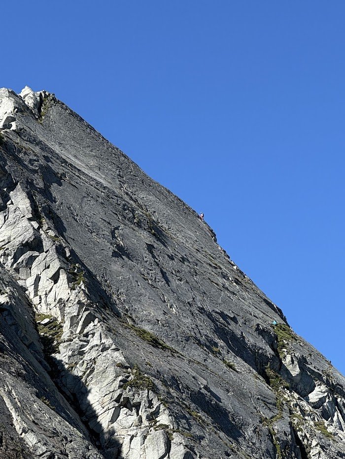
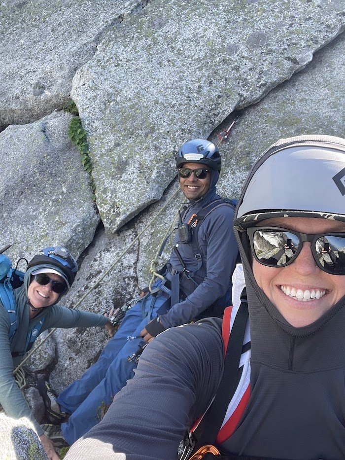
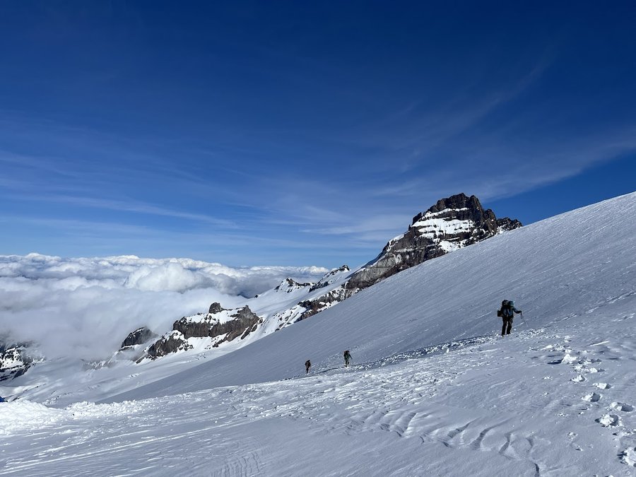
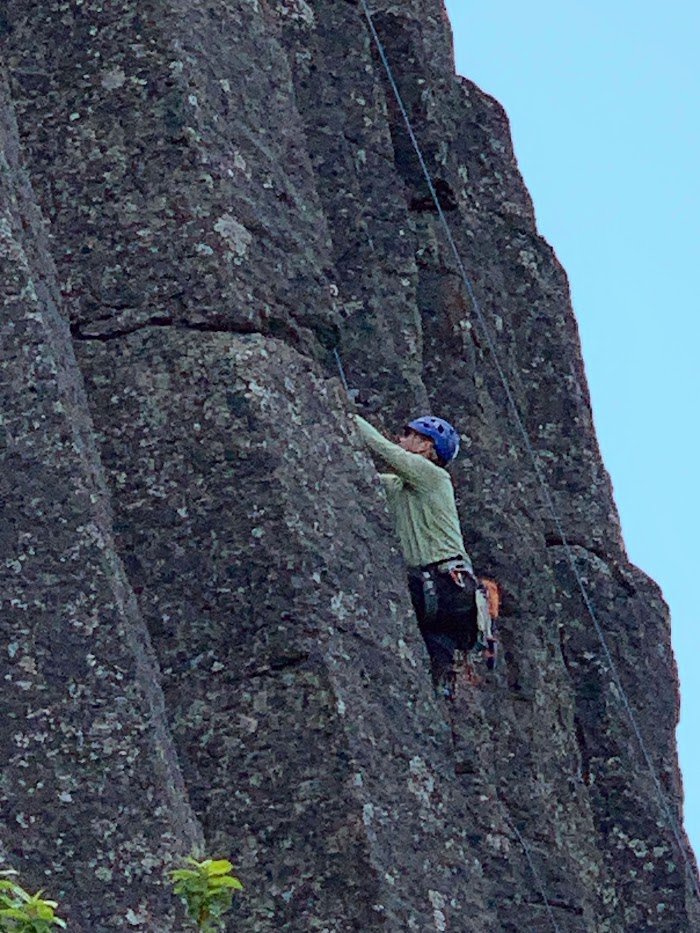
Hiked Friday, June 14th, 2024
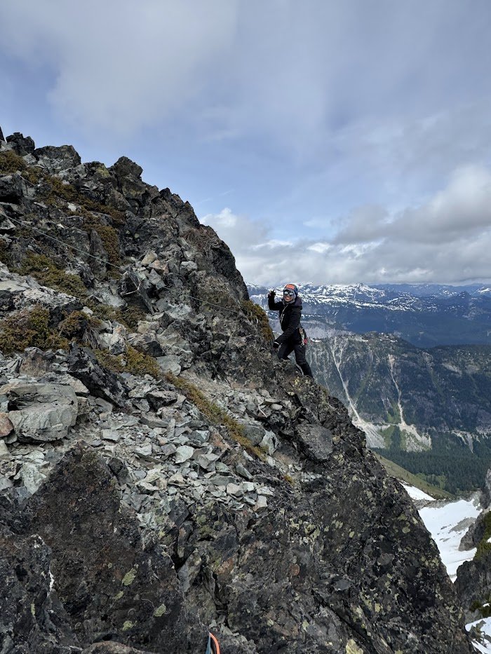
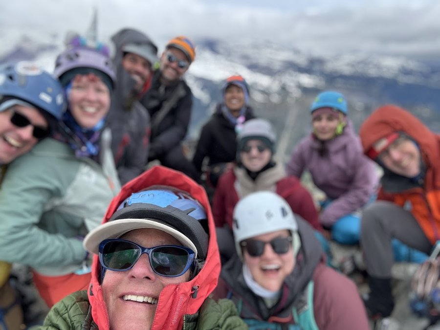
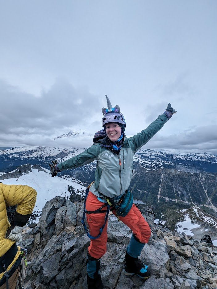
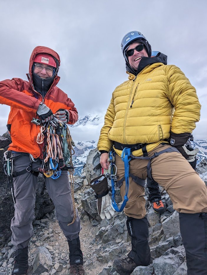
Took up a group of 10. First time leading on alpine rock in mountain boots! Luckily it was very easy climbing. The moat has opened up but is just a slightly spicy hop-over. Fun glis…
Lower Twin Lakes Reconnaissance Mission to find lost item
Backpacked Saturday, June 8th to Sunday, June 9th 2024
Trip to find missing tripod part with no luck. Did put out camper's fire in the morning by the lake. They were less than 5' away from the lake and couldn't be bothered to smother …
Backpacked Saturday, May 25th to Sunday, May 26th 2024
Quick overnight with our daughter and pups.…
Backpacked Saturday, May 11th to Sunday, May 12th 2024
Quick overnight with our daughter and the pups.…
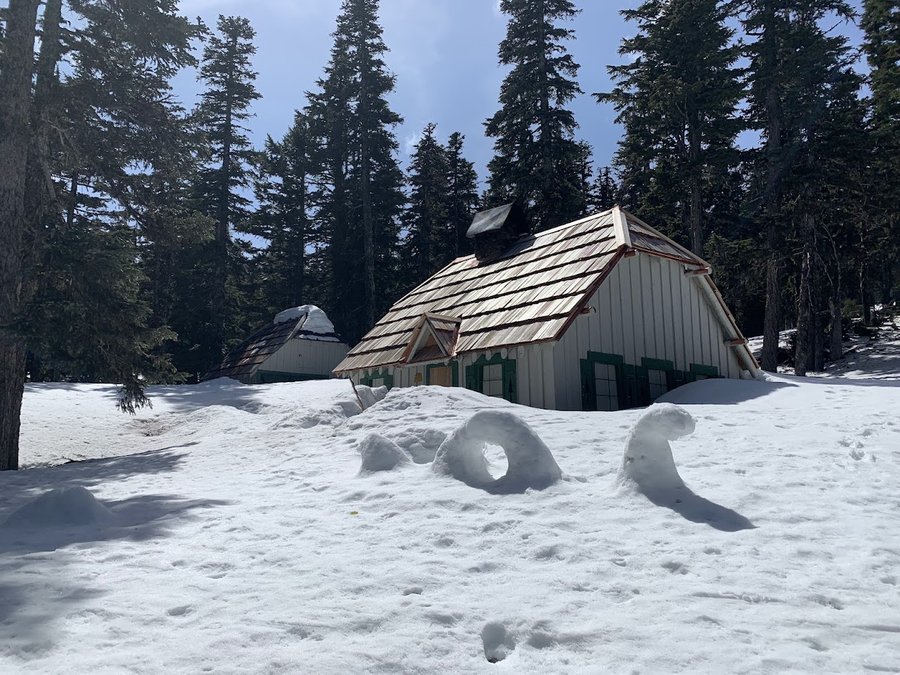
Backpacked Thursday, May 30th to Friday, May 31st 2024
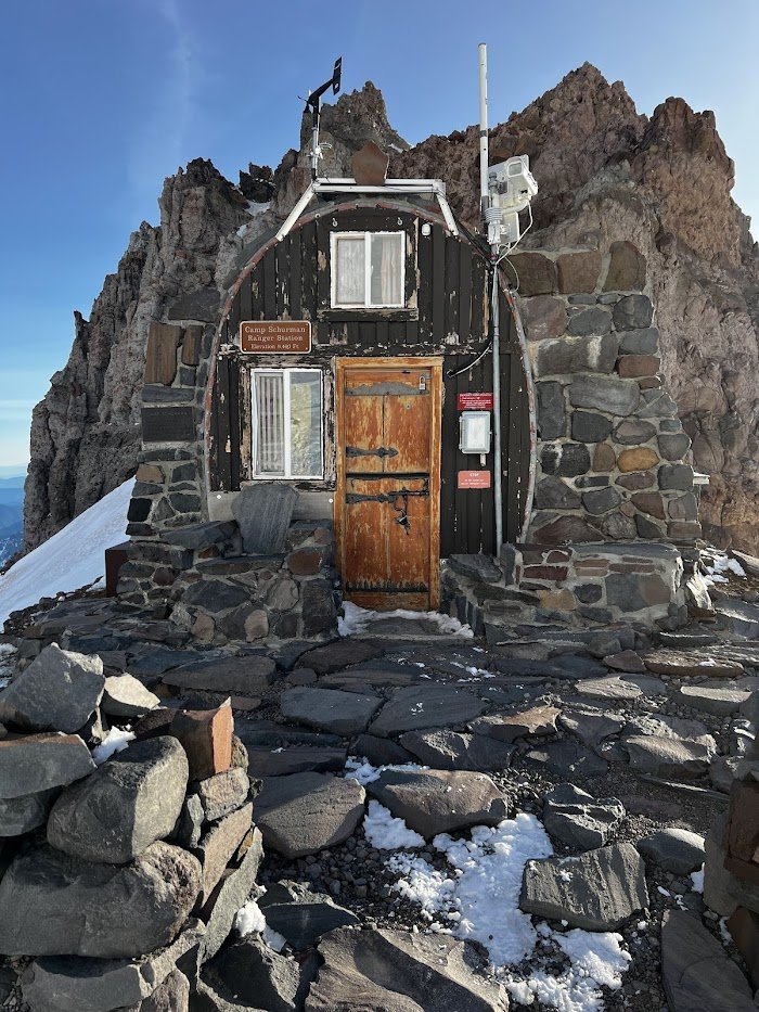
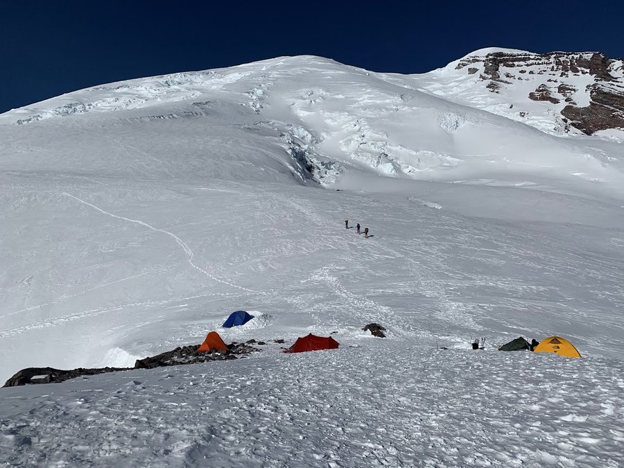
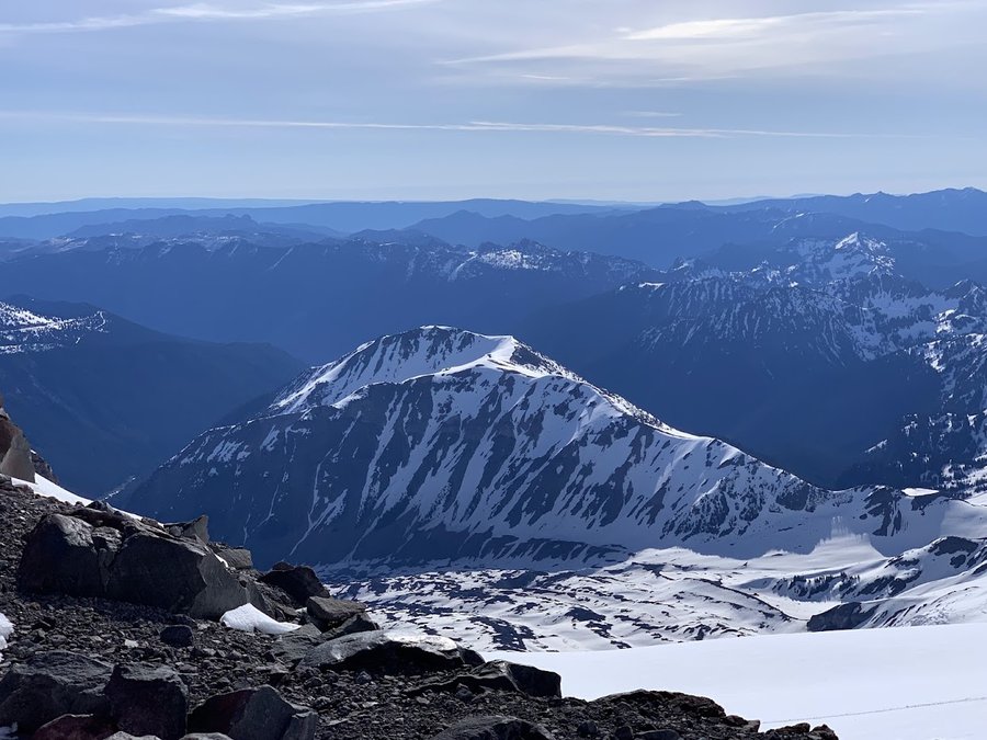
It took us all day to get up here. 10-12 inches of new snow, got soft in the afternoon. Breaking trail from Glacier Basin Camp all the way up the Interglacier, was quite exhausting.…
Backpacked Sunday, May 26th to Monday, May 27th 2024
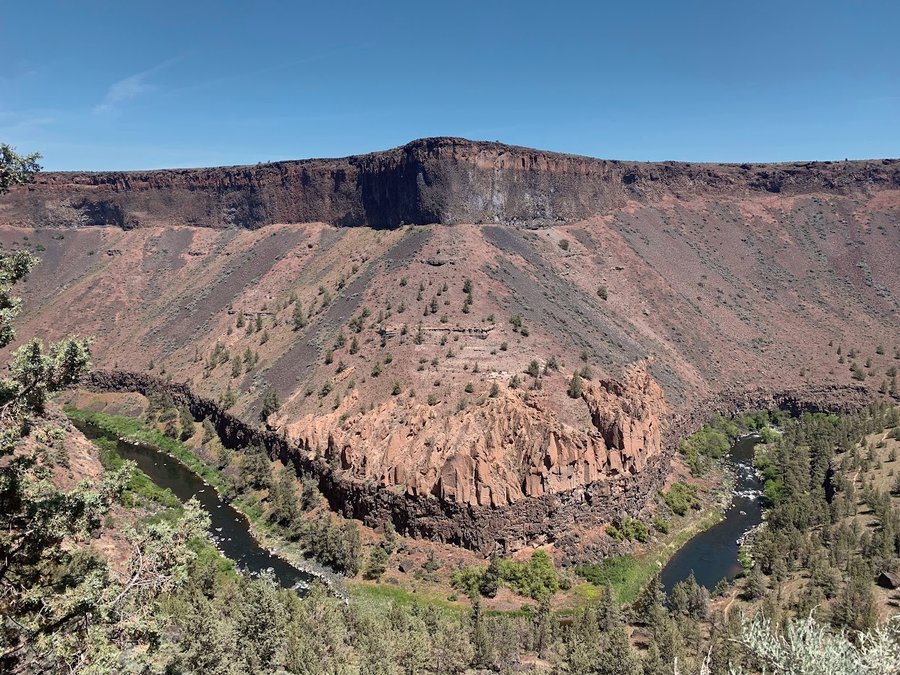
I was meeting friends in the evening at the Steelhead Falls campground, so I explored some trails at Crooked River Ranch and along the Deschutes. There are long trails along both ri…
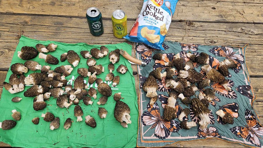
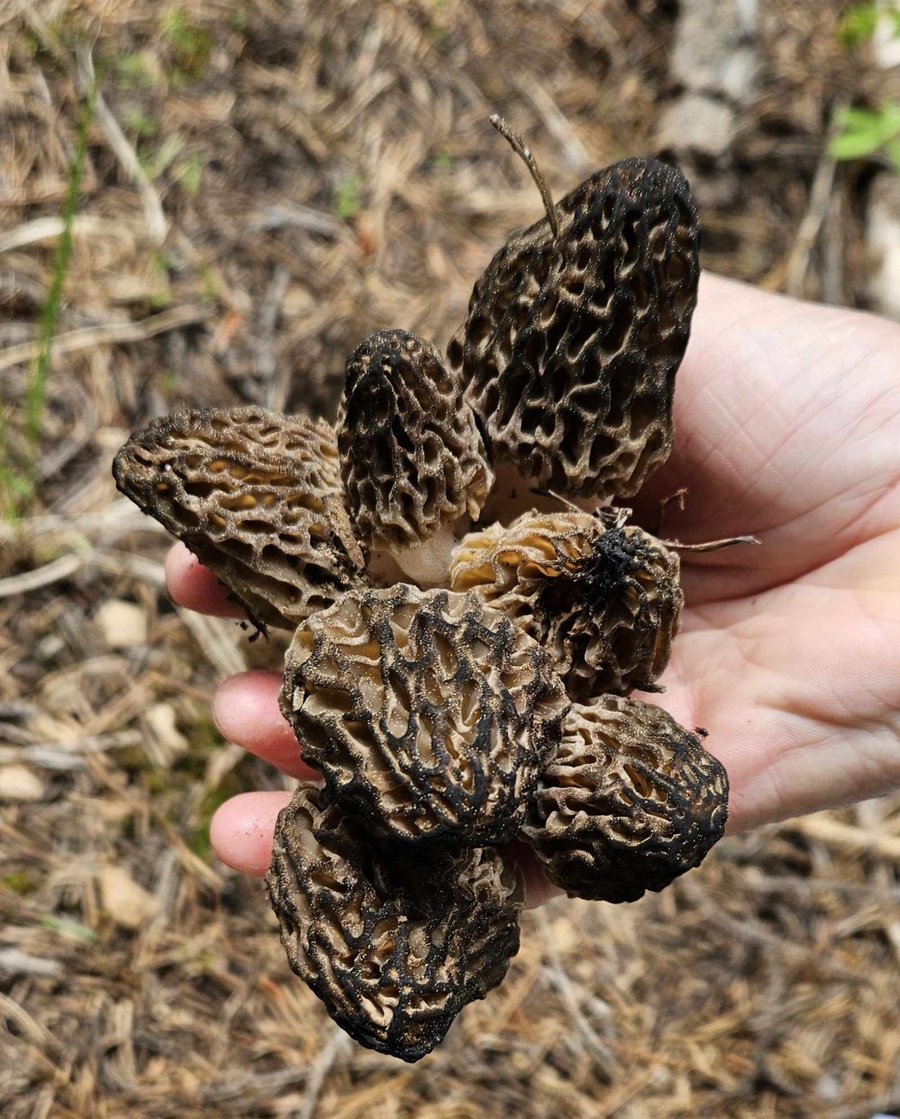
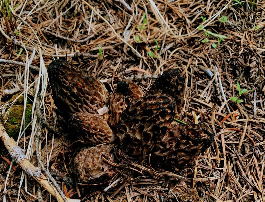
Hiked Friday, May 24th, 2024
I go out every year and usually find a few. This year, we hit the jackpot!…
Hiked Tuesday, May 21st, 2024
I decided not to turn off to hit the summit. Raining, windy, inside a cloud.…
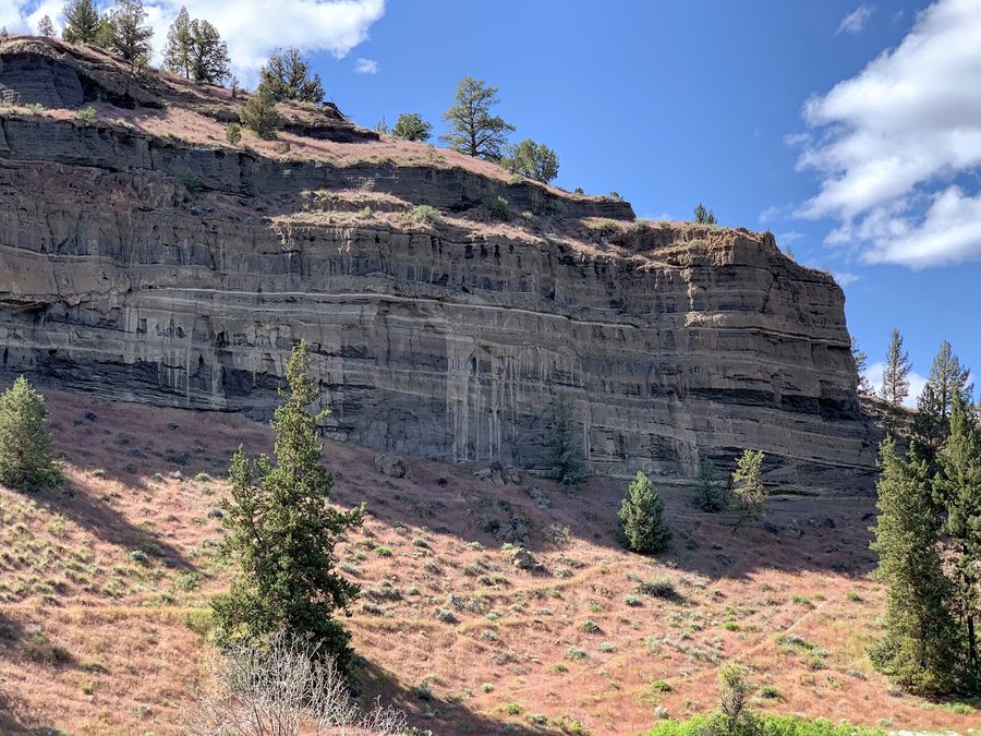
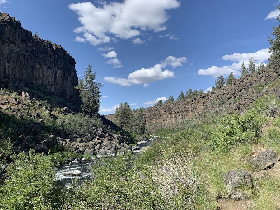
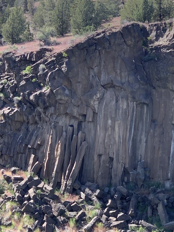
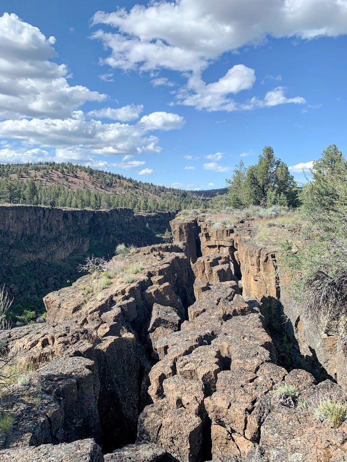
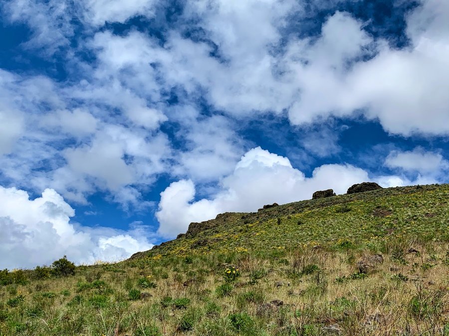
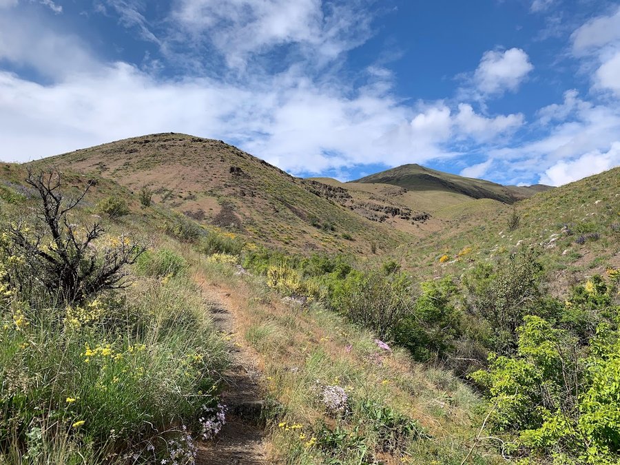
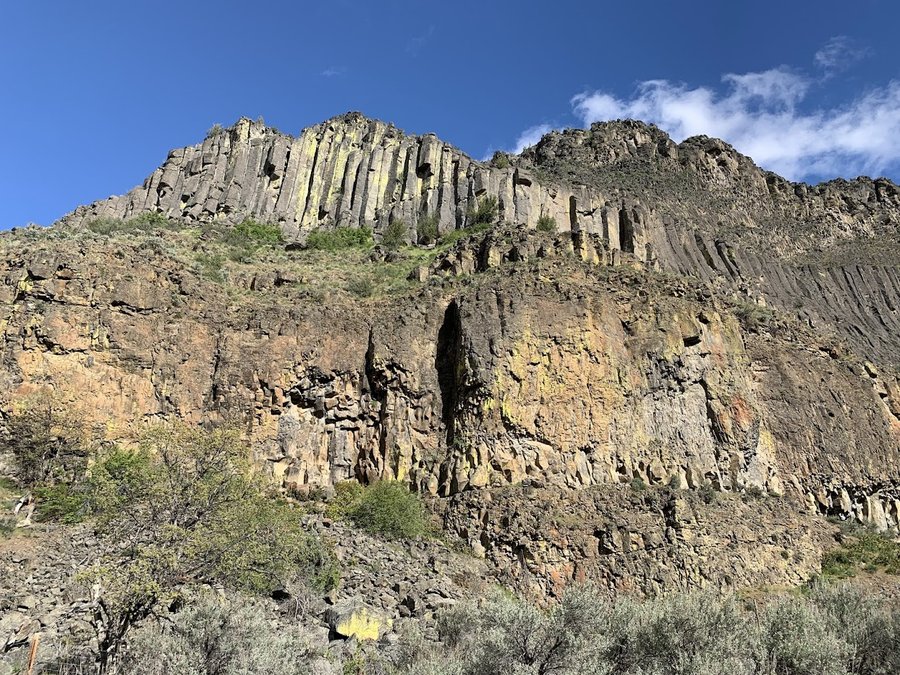
Hiked Friday, April 26th, 2024
Came up to climb nearby at Royal Columns. Had a nice evening hike before cragging. Beautiful canyon in bloom. …
Hiked Thursday, May 16th, 2024
Wandered around and found some obsidian…
Hiked Tuesday, May 14th, 2024
Nice loop hike enjoying the filled out understory. …
1
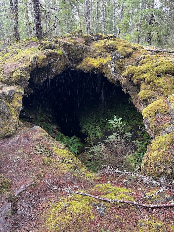
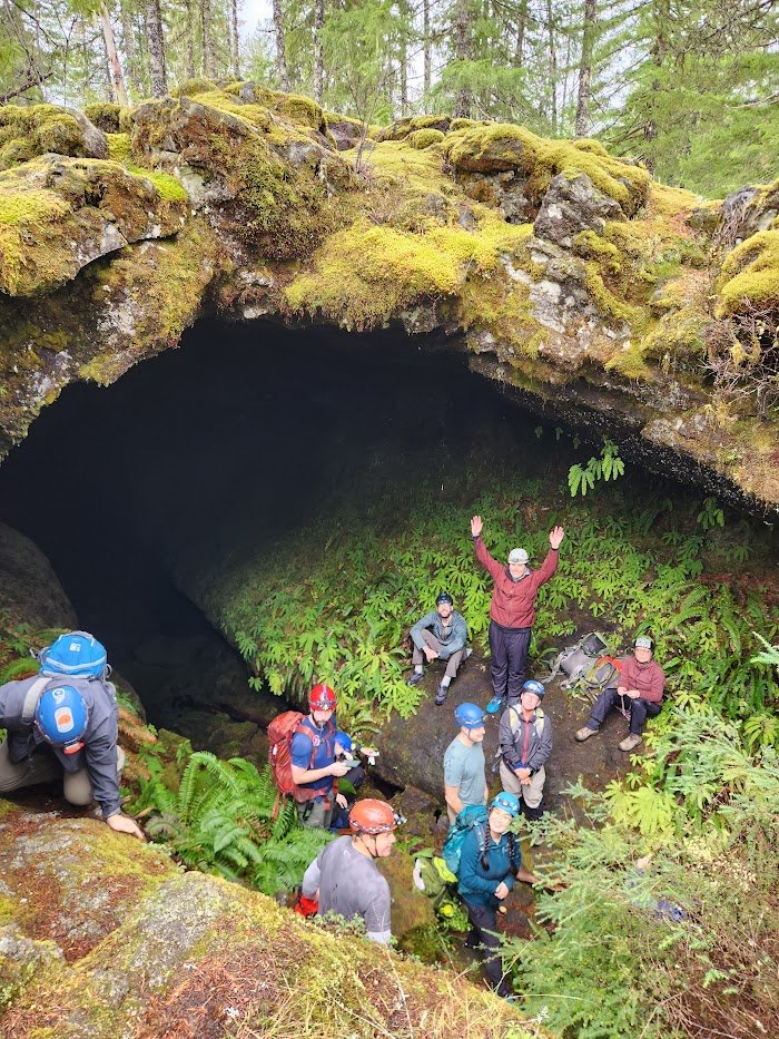
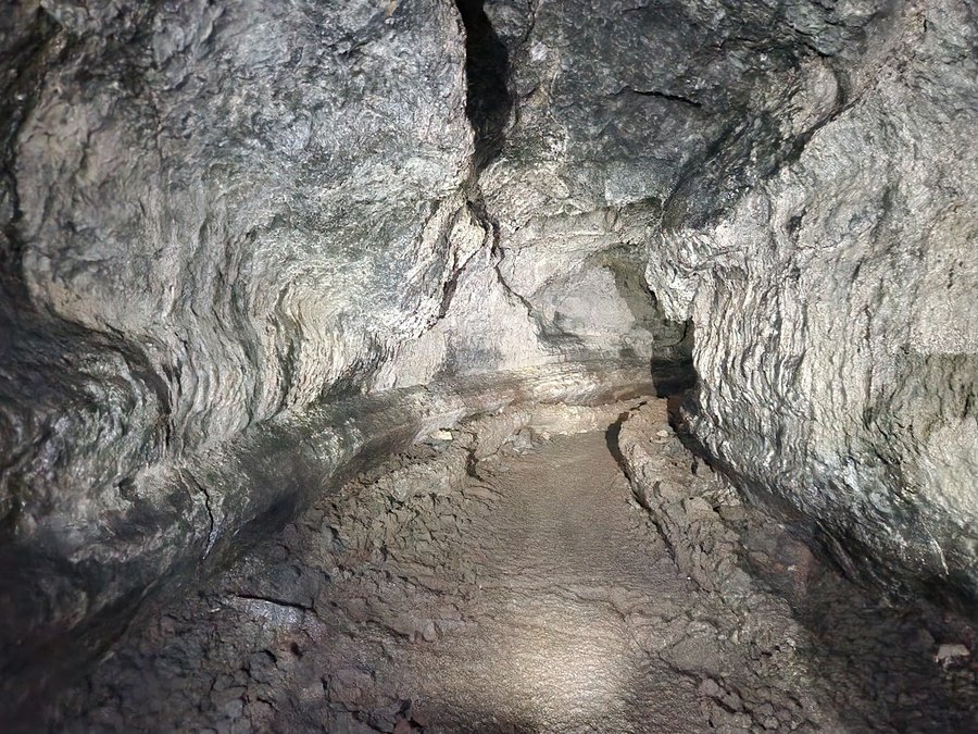
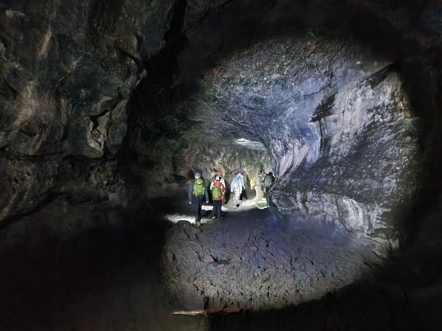
Hiked Saturday, November 4th, 2023
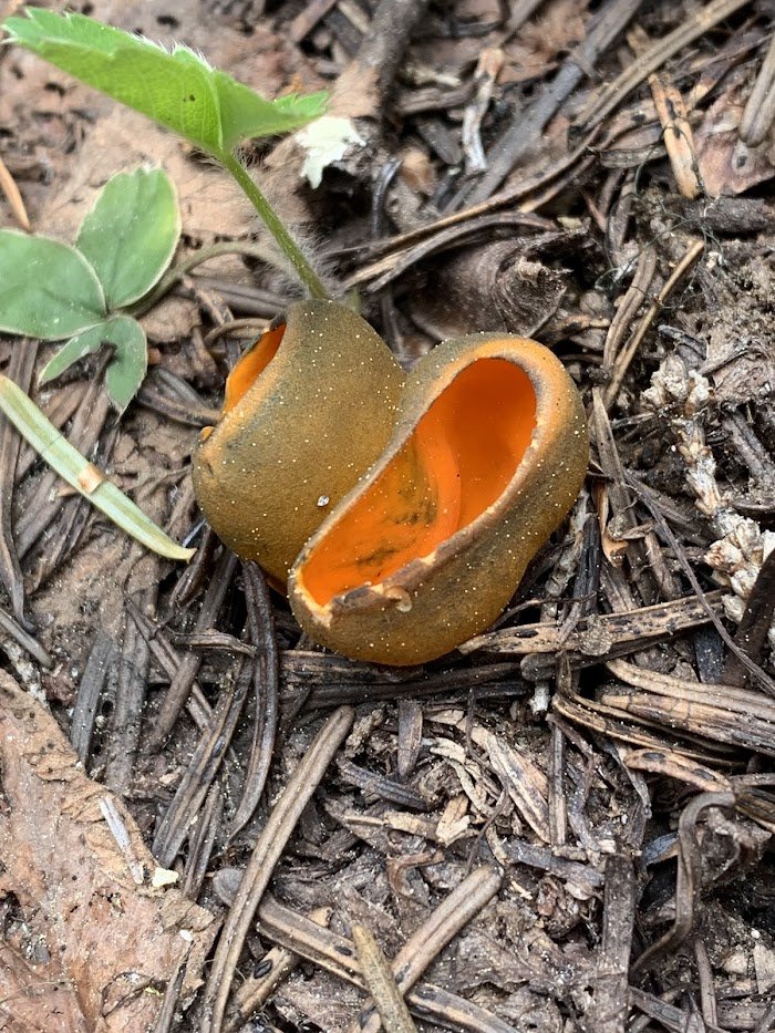
Fun trip to Ole's Cave, and collected mushrooms on the way out.…
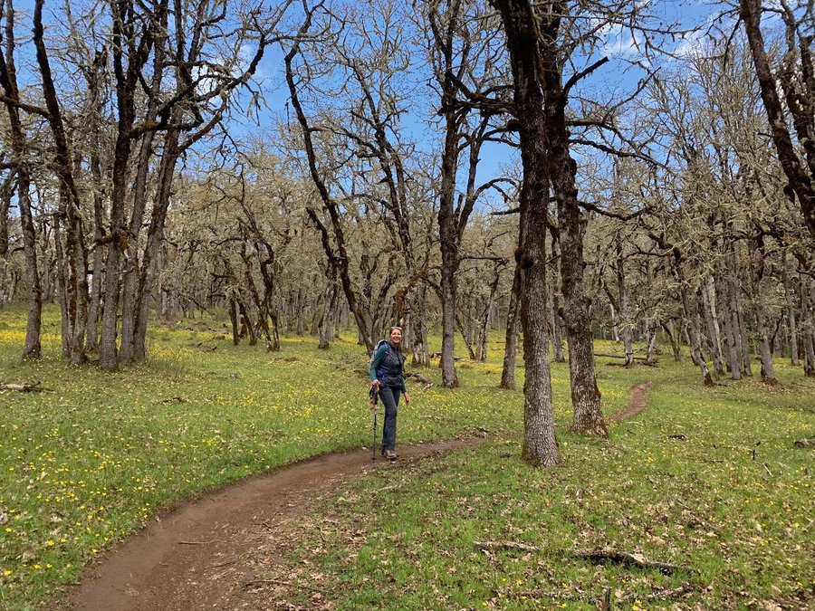
Hiked Tuesday, April 16th, 2024
Blustery day, flowers lovely…
Hiked Tuesday, January 23rd, 2024
Cascadia wild camera check…
Hiked Wednesday, April 10th, 2024
Spectacular Day! Came up to check on the wildlife camera. No critter shots, but we saw all the big volcanoes and some ravens and bluebirds…
 1
1
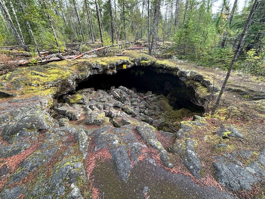
Hiked Wednesday, December 20th, 2023
The Elevator Shaft has not improved since my last visit 2 years ago. Brushy with PO at the bottom. Bushwack through burnt part of basin at top. Good times for my hearty crew who wer…
Most miles in 2024
| Name | Mileage |
|---|---|
 Jen Jen |
189.5 total miles |
| Father Guido Sarducci |
131.58 total miles |
| pizza pal |
124.5 total miles |
| Woodswalker |
119.9 total miles |
| runandsew |
62.0 total miles |
| Erica H. |
38.0 total miles |
| Sarah Johnson |
35.0 total miles |
| Rhonda |
32.0 total miles |
| Nathan Williams |
32.0 total miles |
| B-Dog |
13.5 total miles |
Most Uphill in 2024
| Name | Feet Gained |
|---|---|
| Father Guido Sarducci |
60,300' |
| Jen |
54,500' |
| Woodswalker |
24,000' |
| pizza pal |
14,000' |
| runandsew |
13,000' |
| Erica H. |
11,500' |
| B-Dog |
8,000' |
| Rhonda |
6,250' |
| Nathan Williams |
4,750' |
| Sarah Johnson |
3,000' |
Most Uphill Per Mile in 2024
| Name | Feet Gained per Mile |
|---|---|
| Father Guido Sarducci |
458' per mile |
| Jen |
288' per mile |
| runandsew |
210' per mile |
| Woodswalker |
200' per mile |
| pizza pal |
112' per mile |
* only displays users that have hiked over 50 miles
Most Nights in 2024
| Name | Nights |
|---|---|
| hazelmark760 |
18 |
| runandsew |
9 |
| Jen |
6 |
| pizza pal |
5 |
| Father Guido Sarducci |
4 |
| digidigi |
2 |
| Nathan Williams |
1 |
Newest Members
| Name | Joined |
|---|---|
| Jeremy Schroeder III |
about 1 month ago |
| Fannie Herman |
about 1 month ago |
| Roman |
4 months ago |
| NorthernSoul |
7 months ago |
| Leon Haley DDS |
8 months ago |