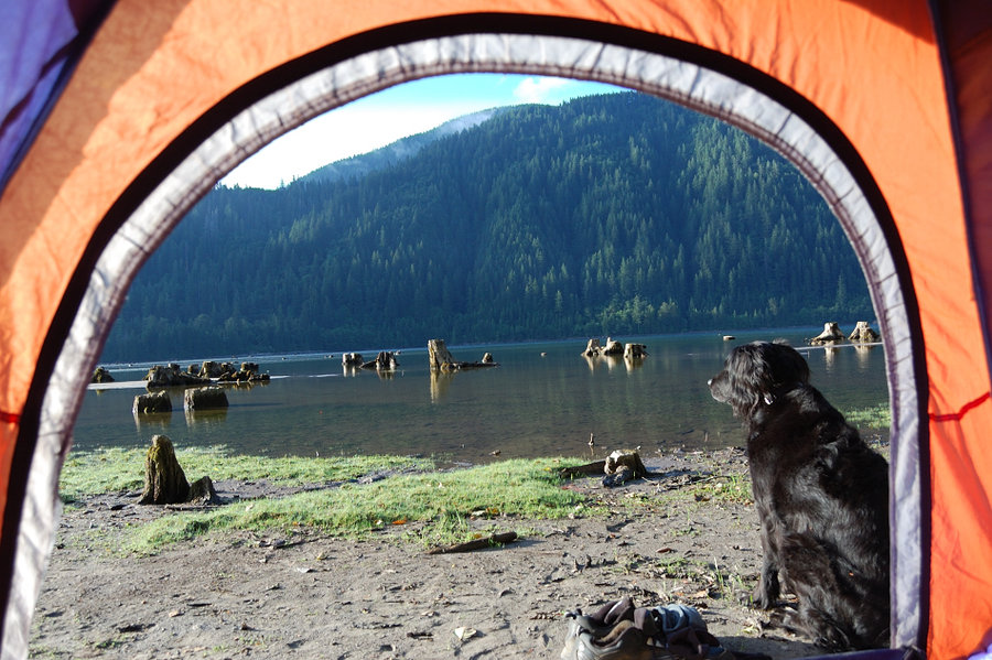
2014 Trips


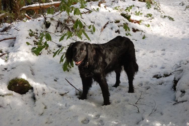
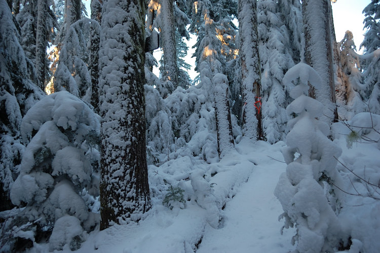
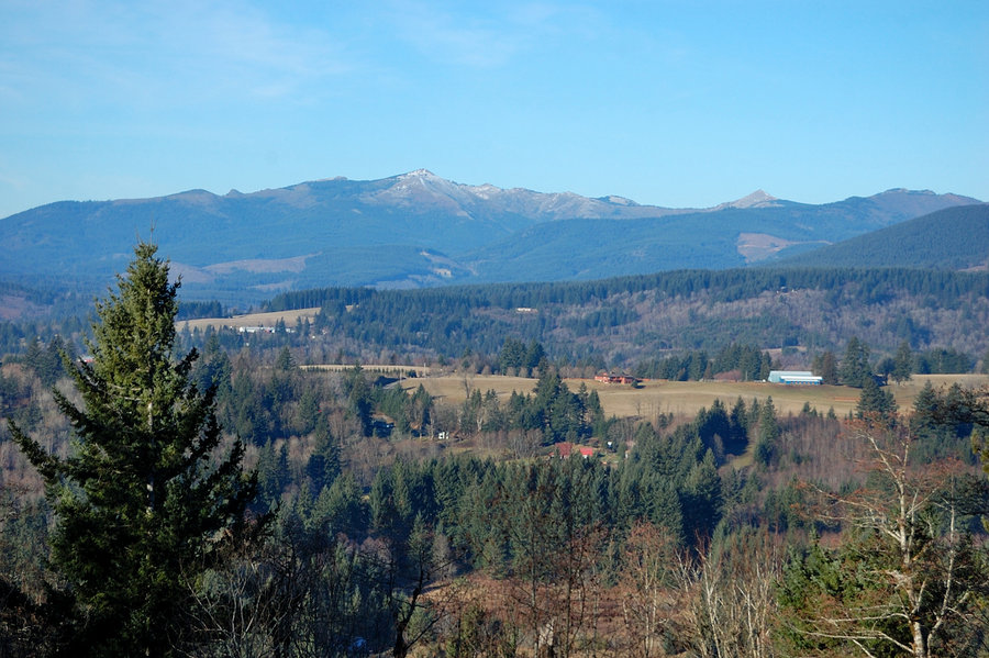
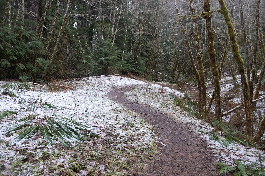
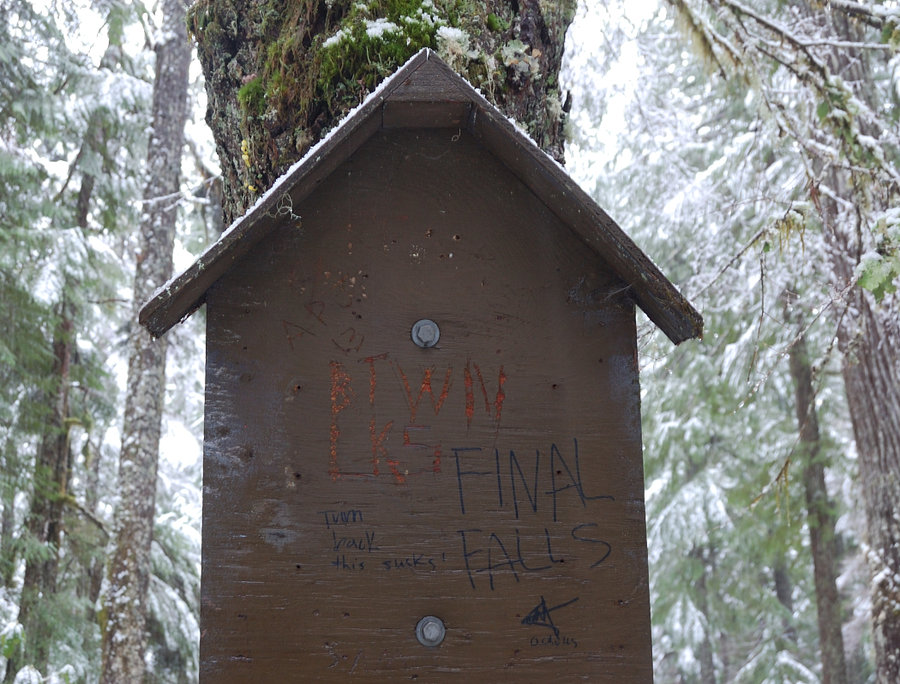
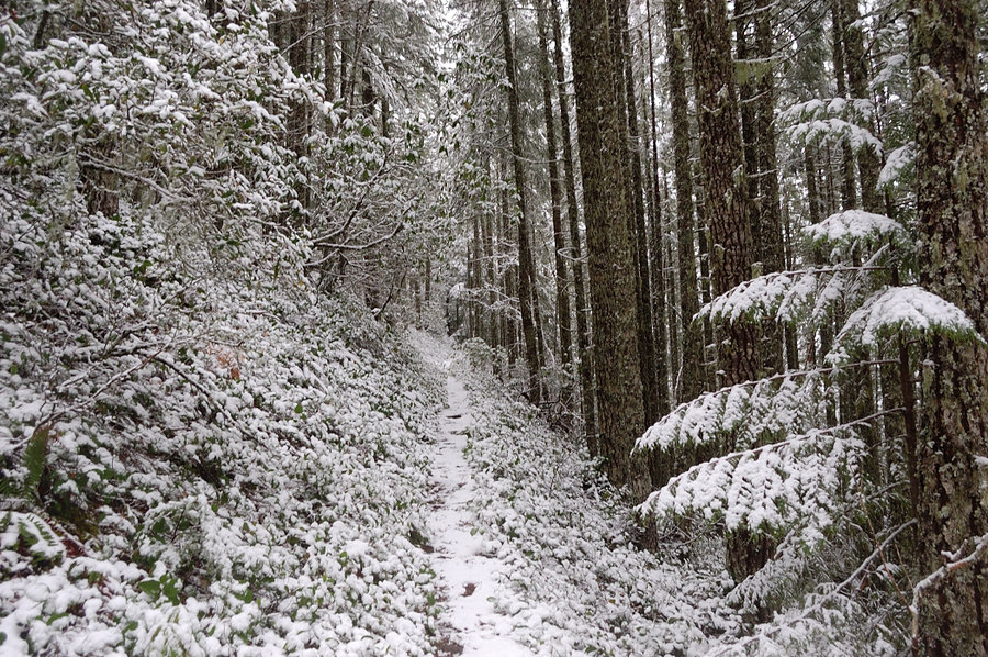
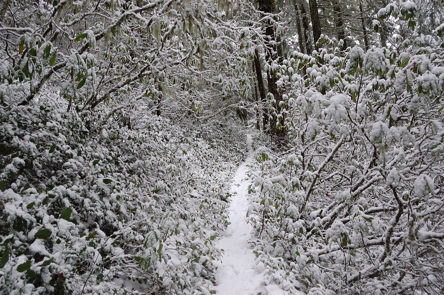
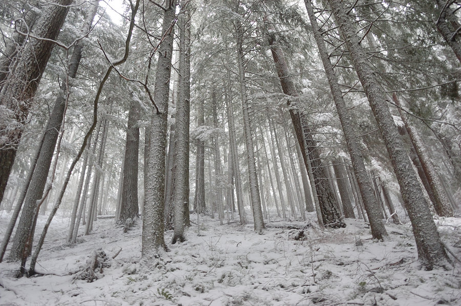
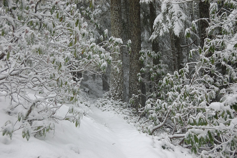
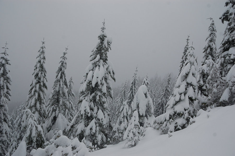
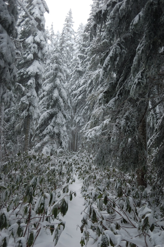
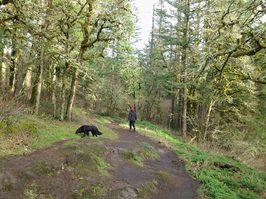
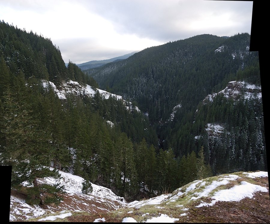
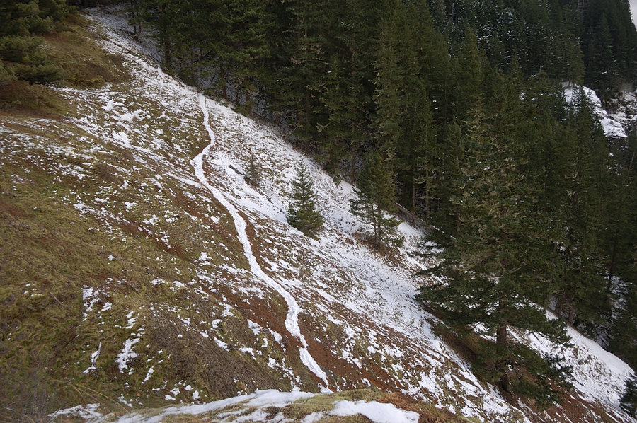
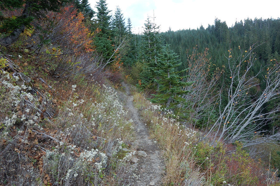
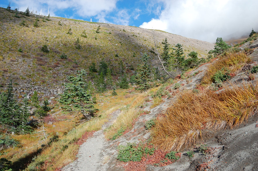
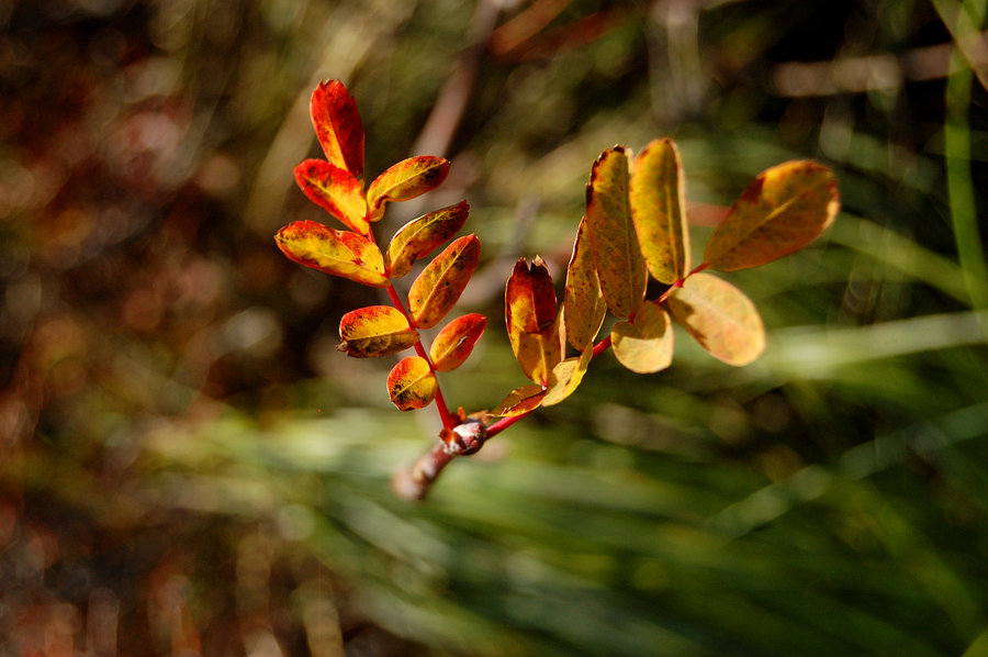
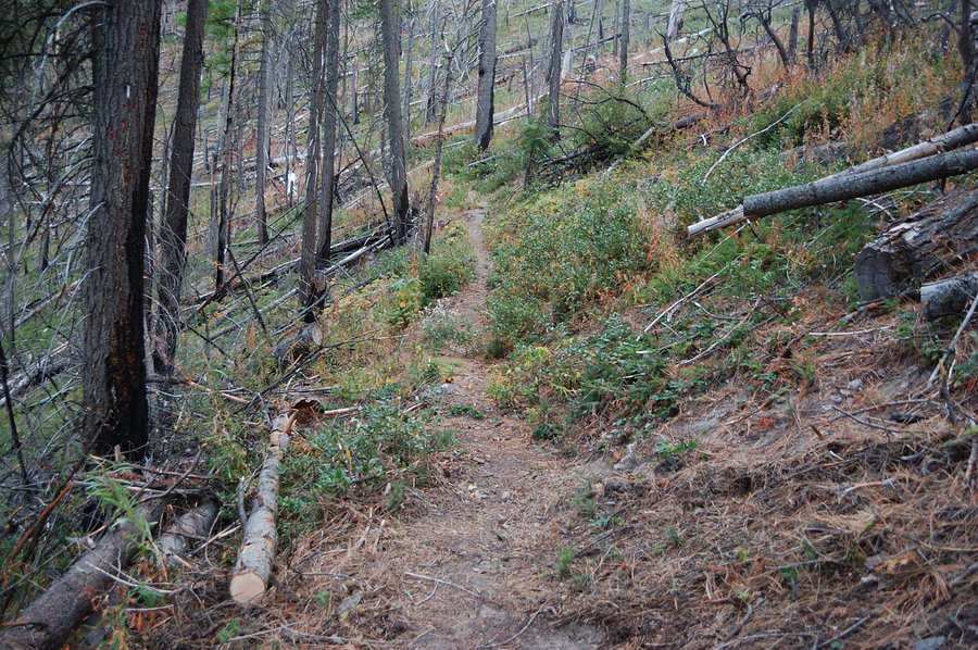
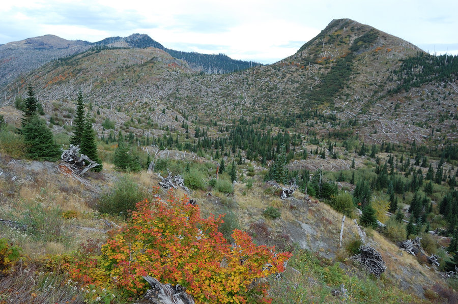
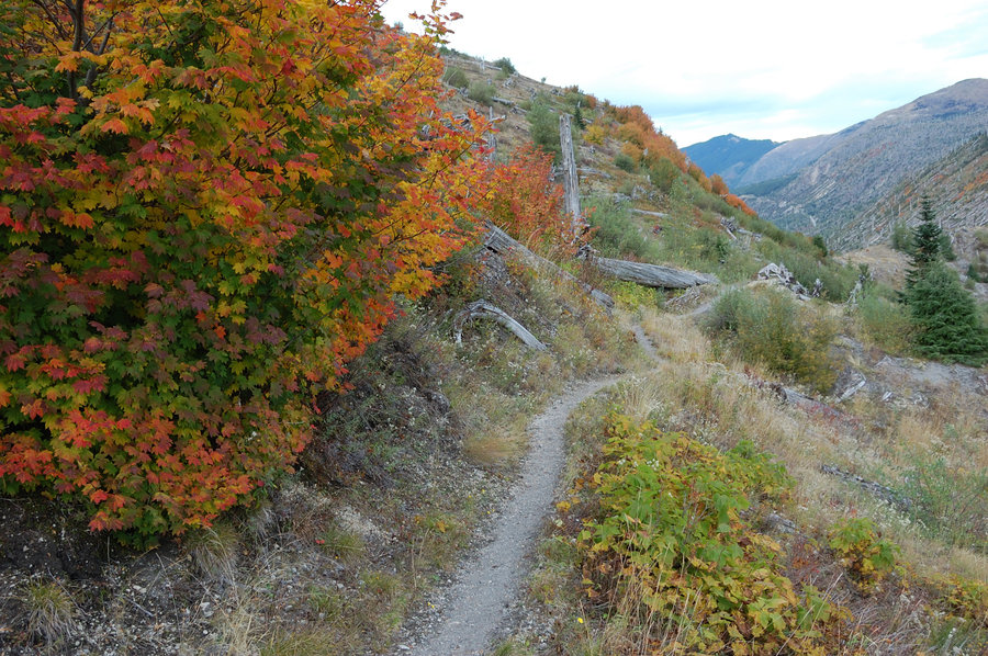
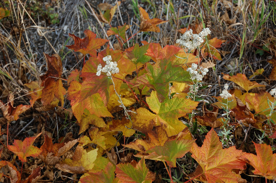
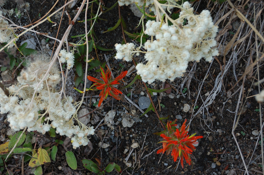
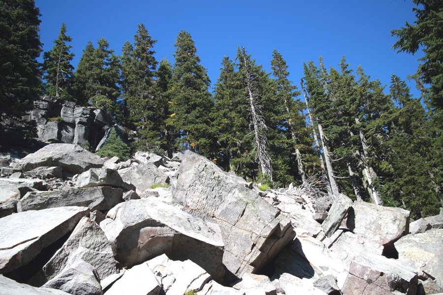
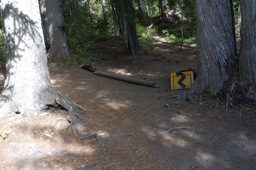
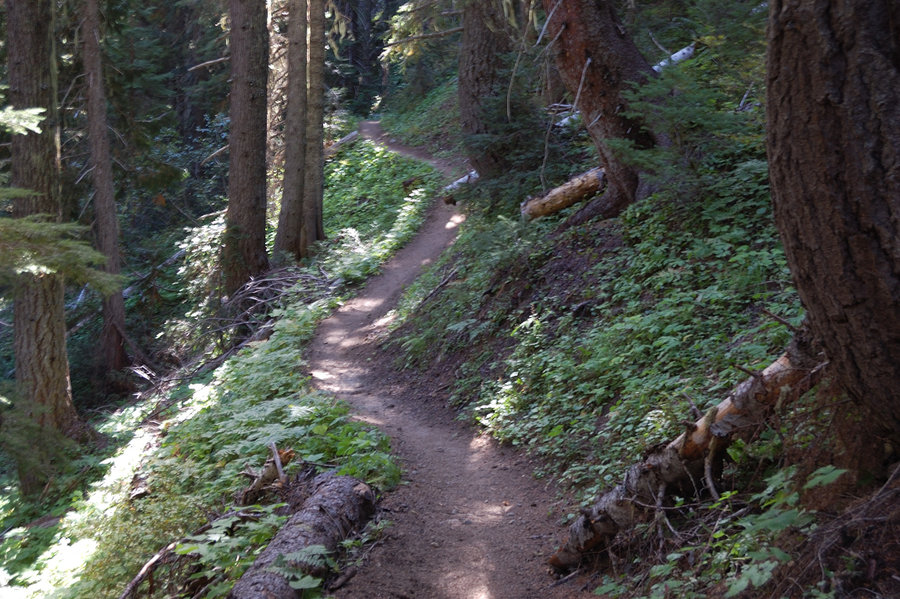
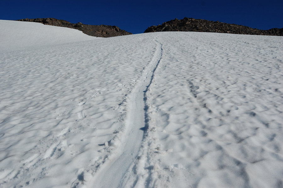
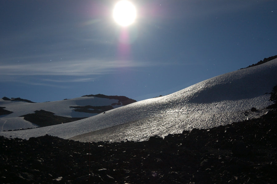
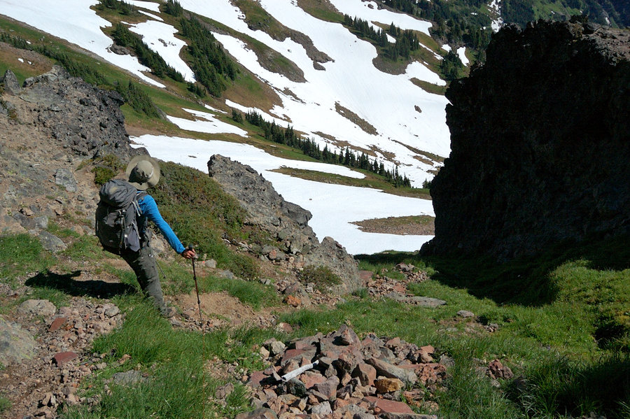
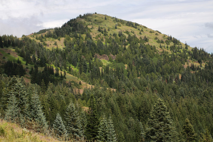
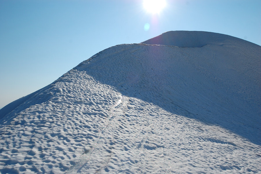
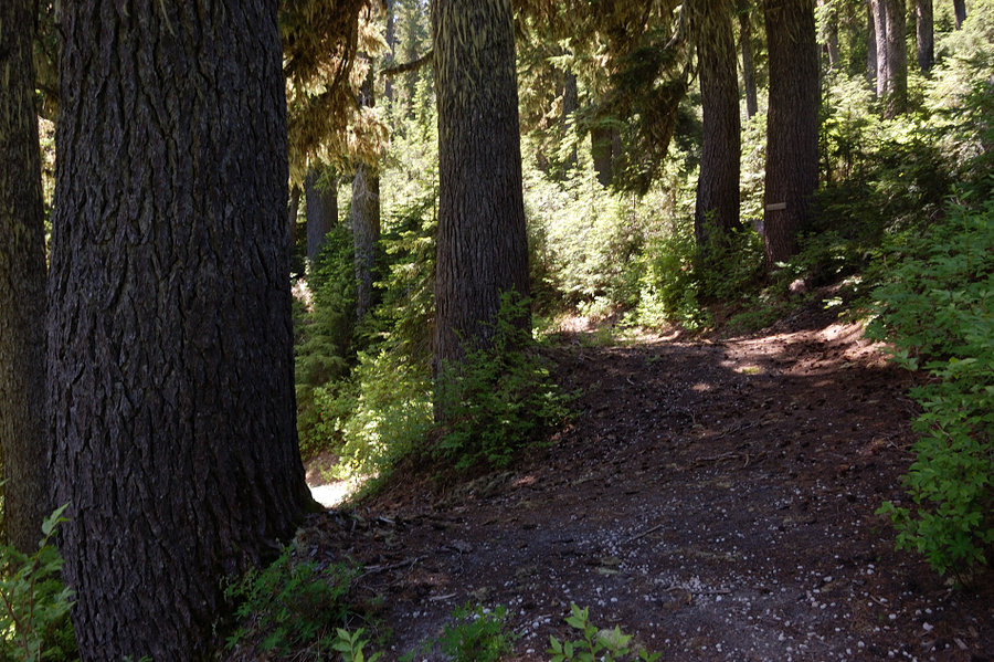
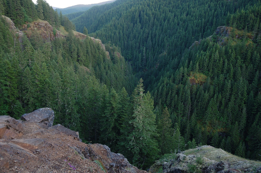
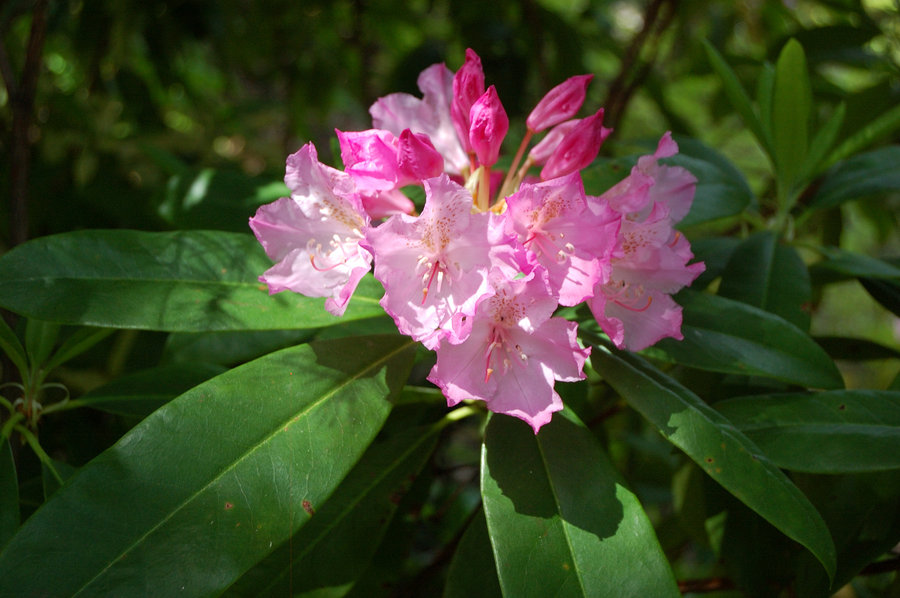
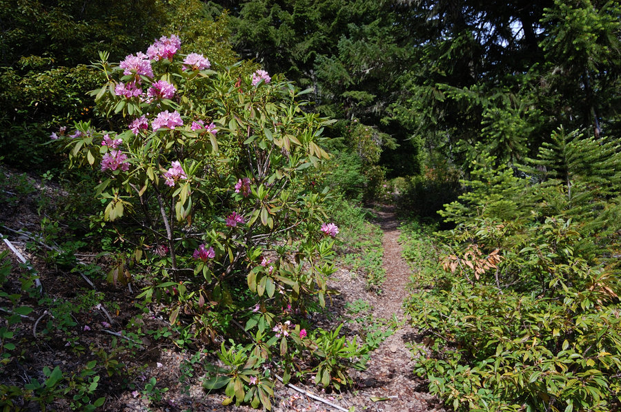
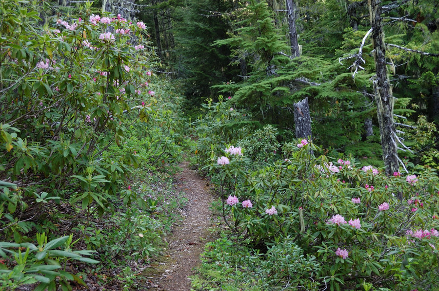
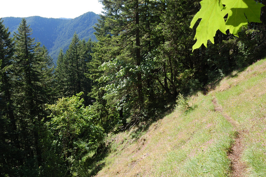
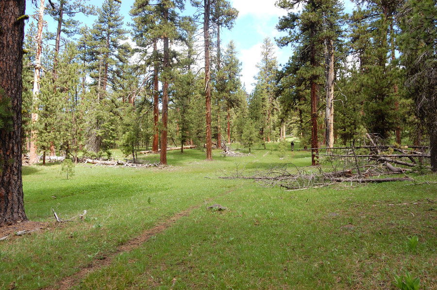
Salmon Butte (almost)
9.64 miles of hiking • 3000' elevation gain •
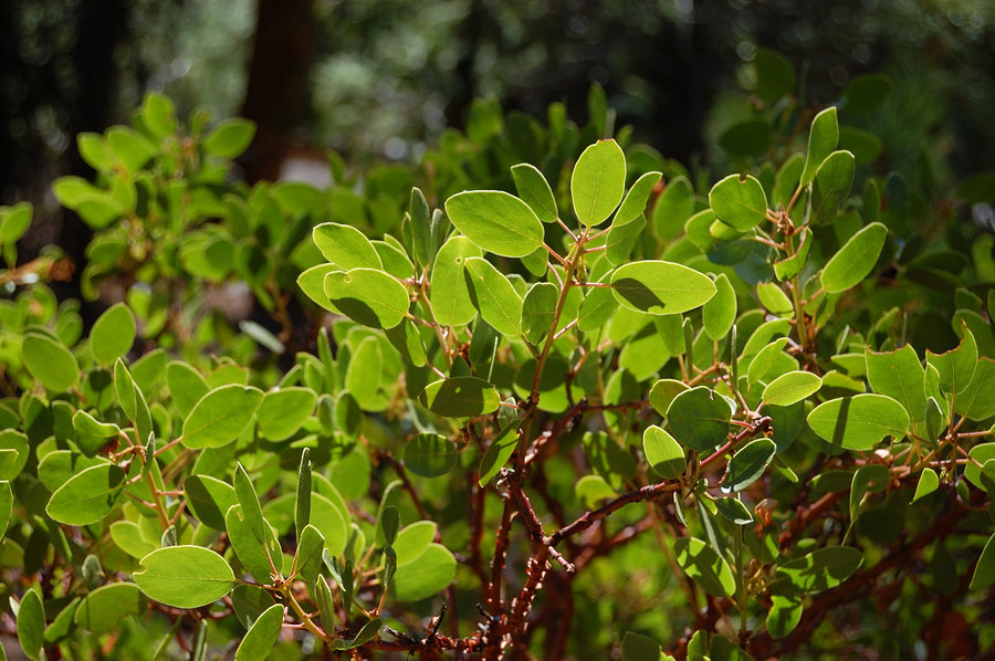
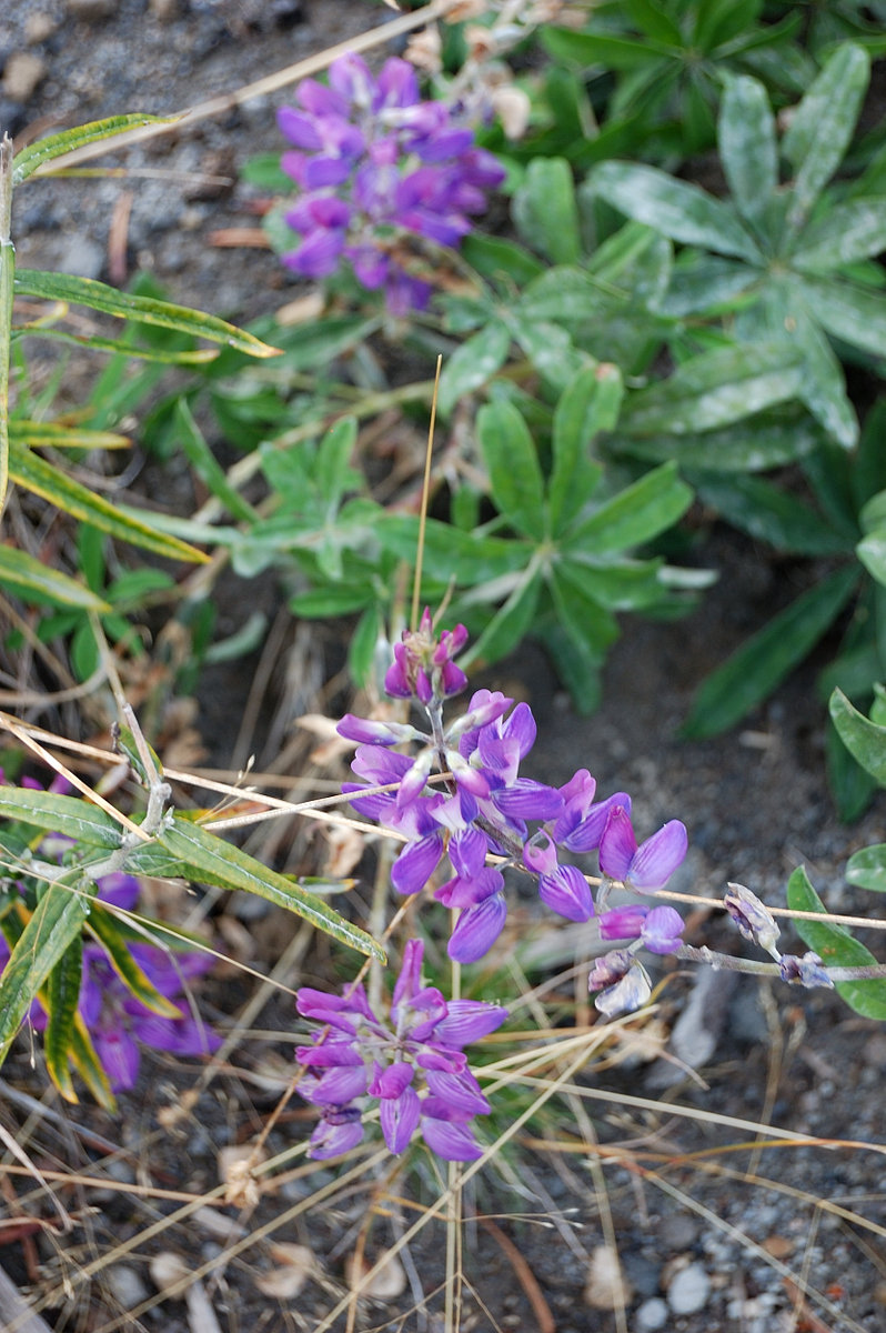
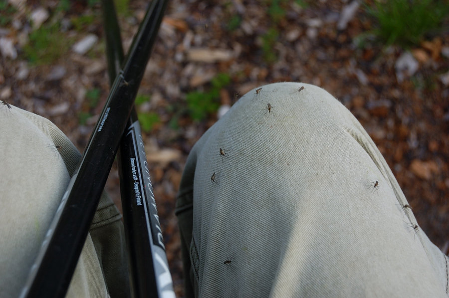
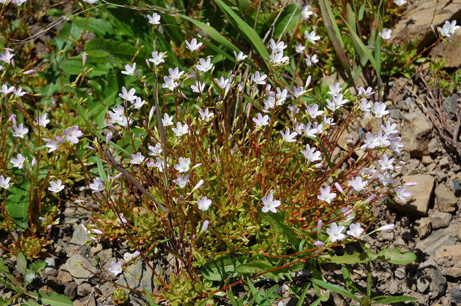
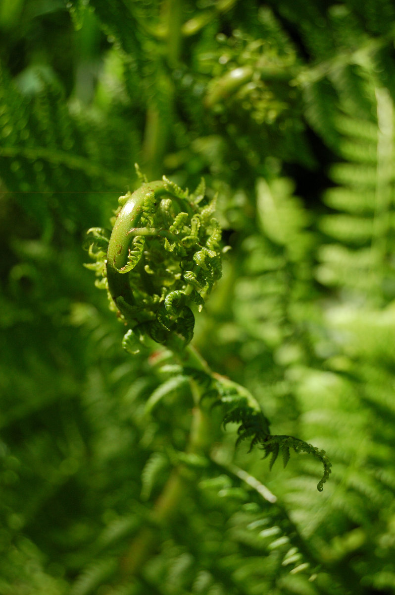
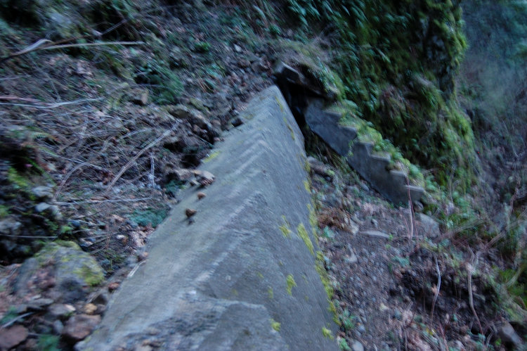
Came to within 1/3 mile from the summit, there was a bit too much snow for Pepper to continue. It still was a great hike, we mostly escaped the rain, and had winter wonderland with little snow to deal with (until ~4200'). This trail is very well graded, and while there's few views, the forest is very nice. There's a ton of rhododendrons, I need to come back in early summer.

December 28, 2014


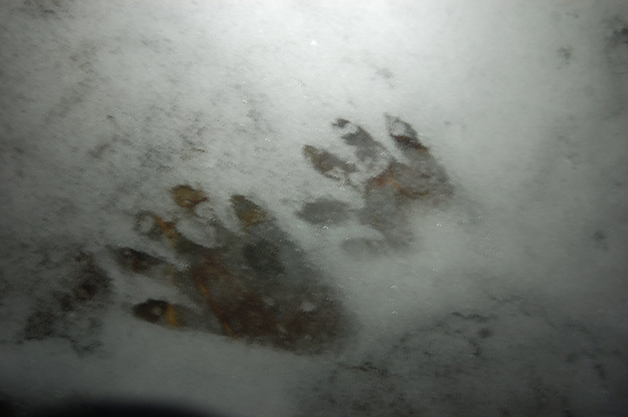
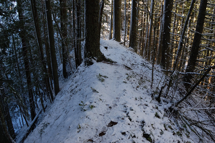
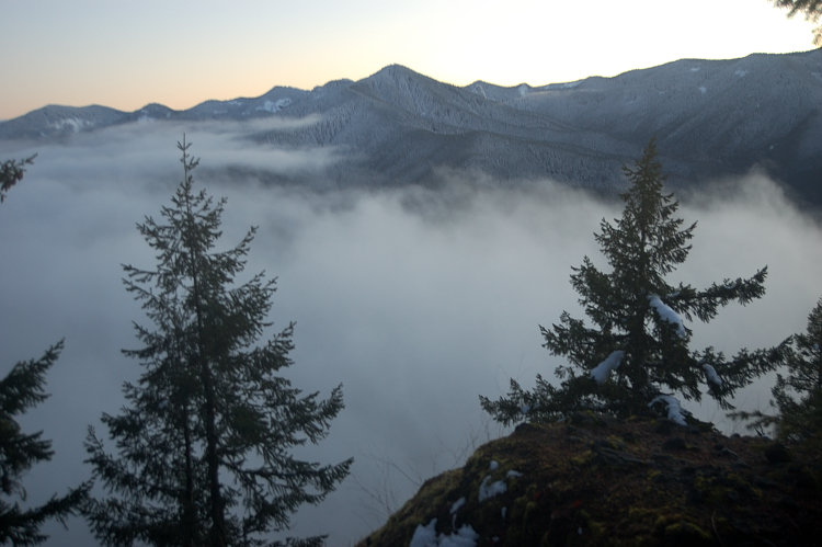
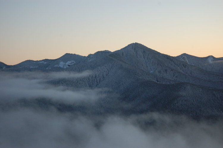
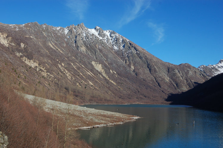
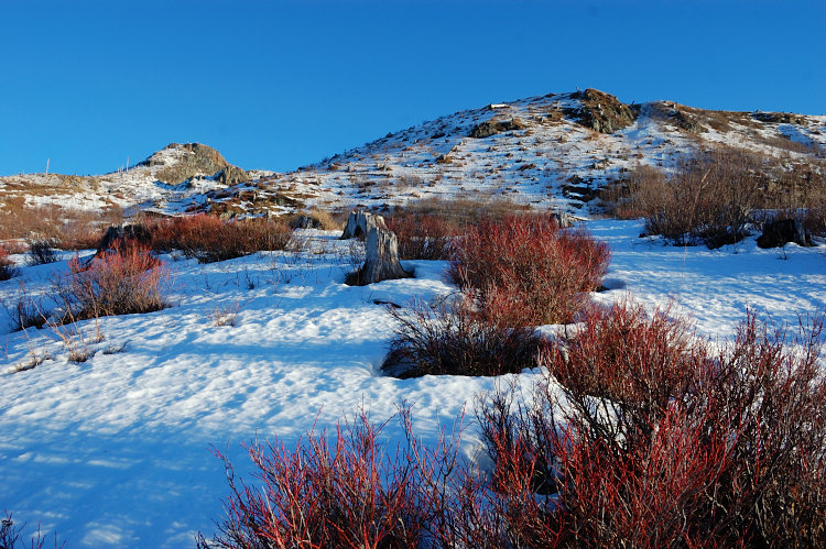
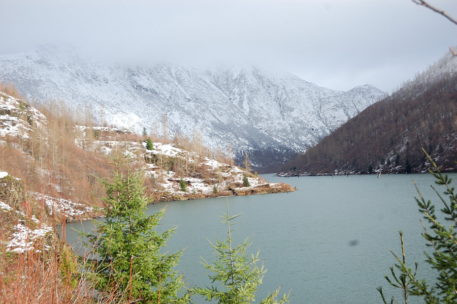
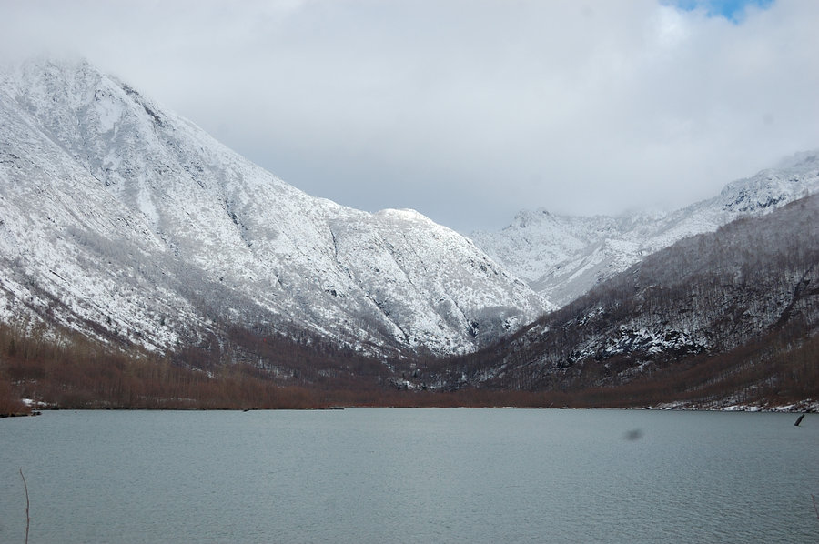
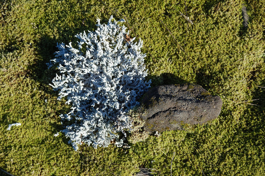
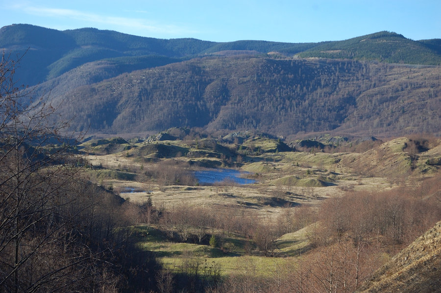
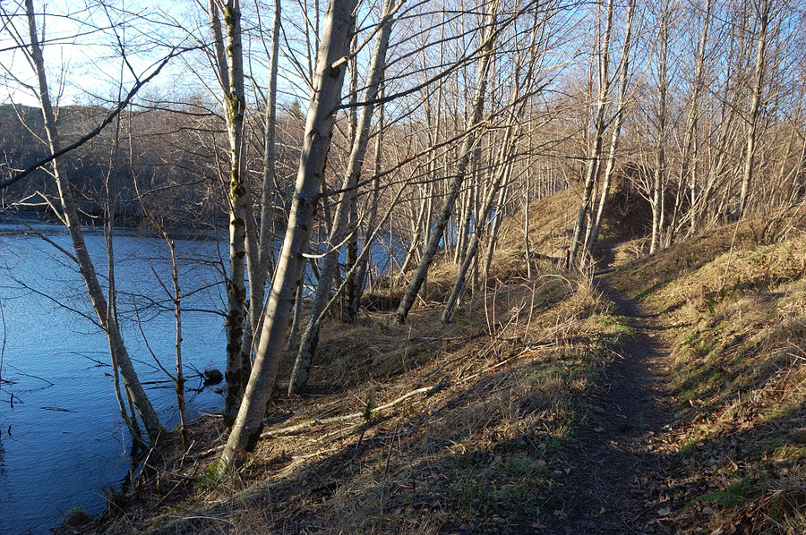
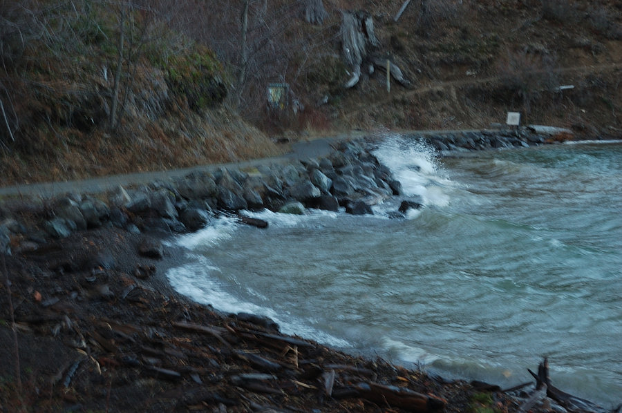
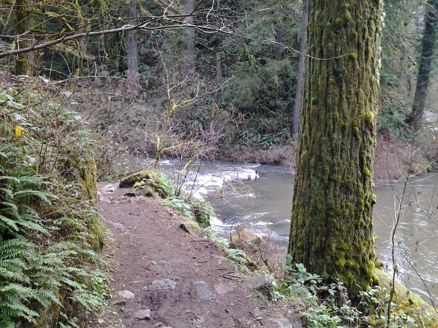
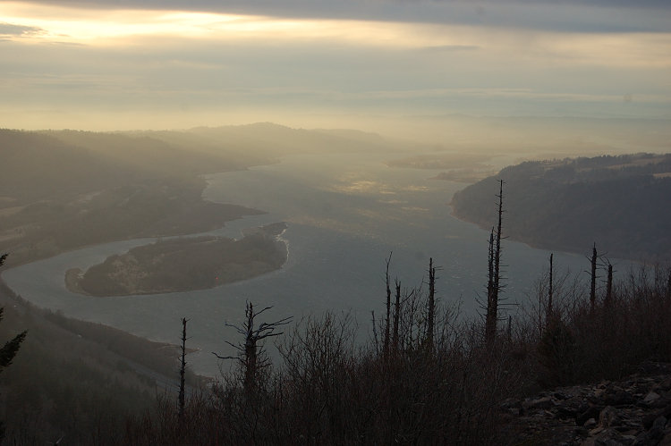
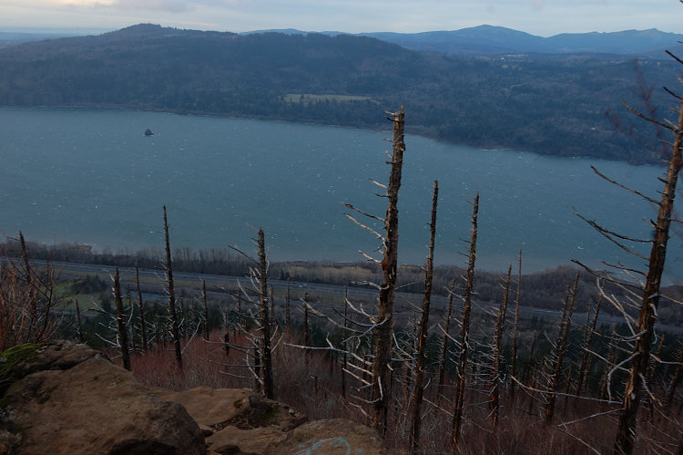
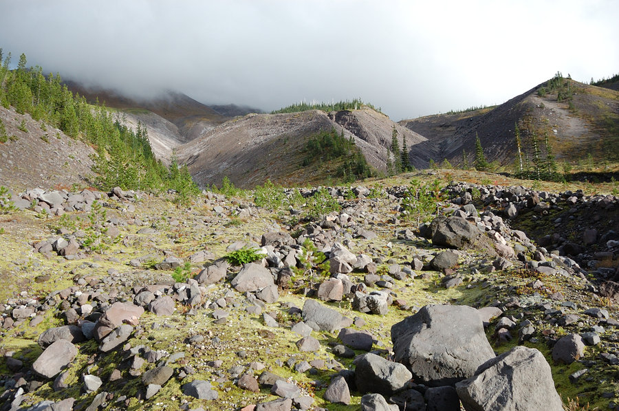
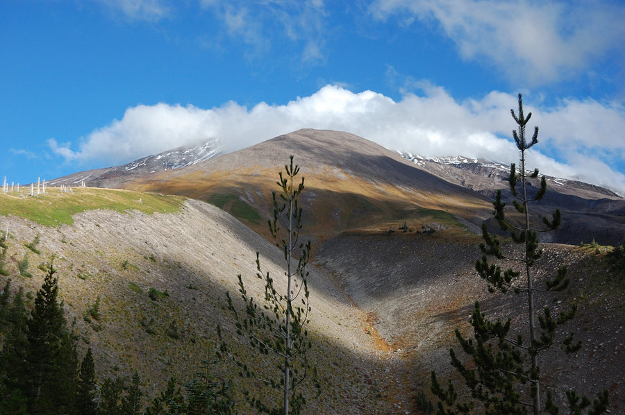
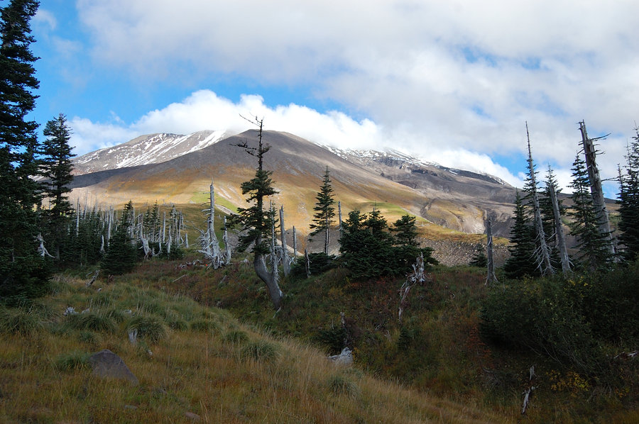
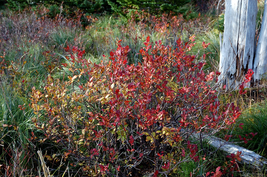
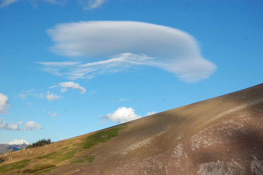
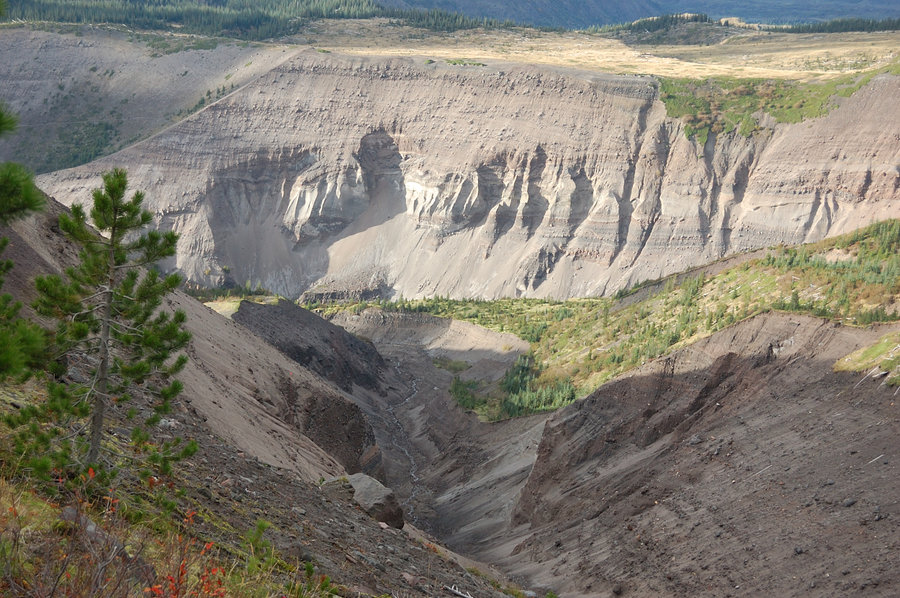
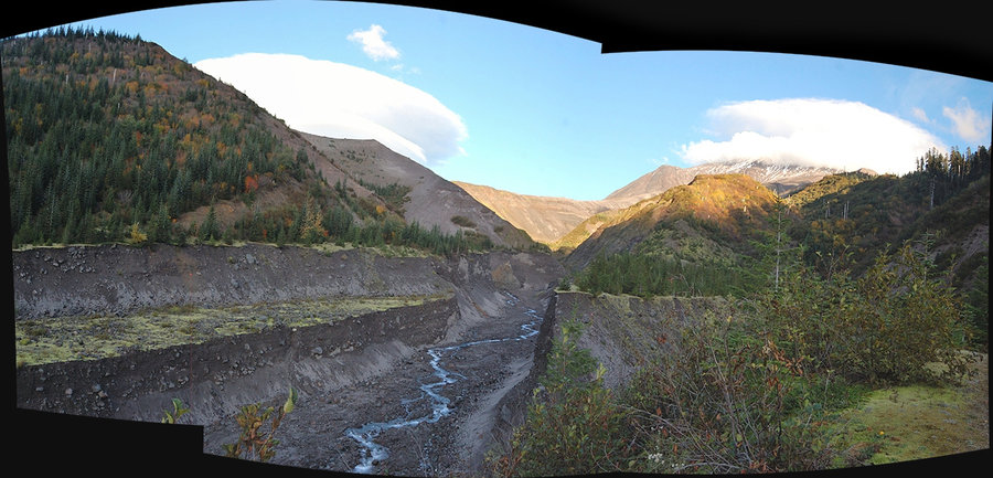
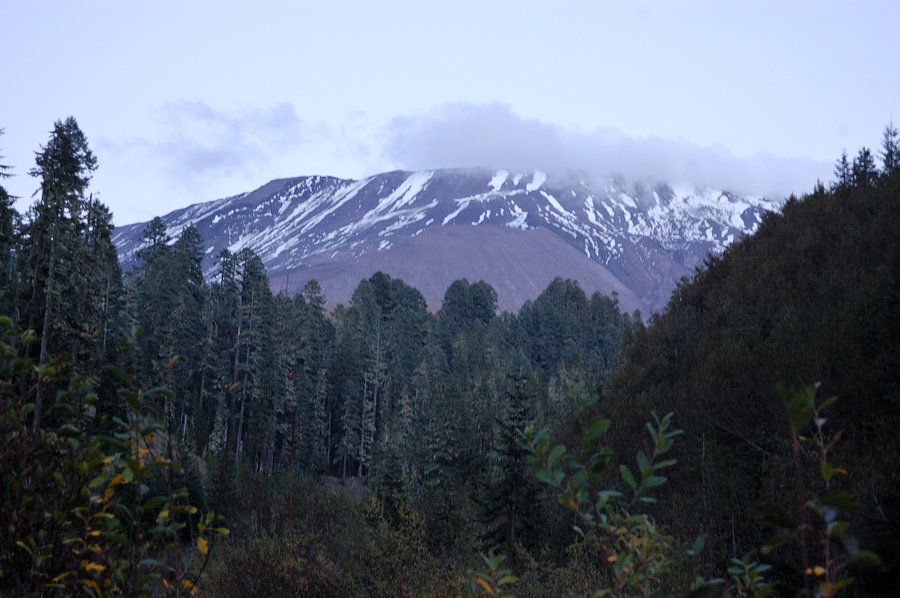
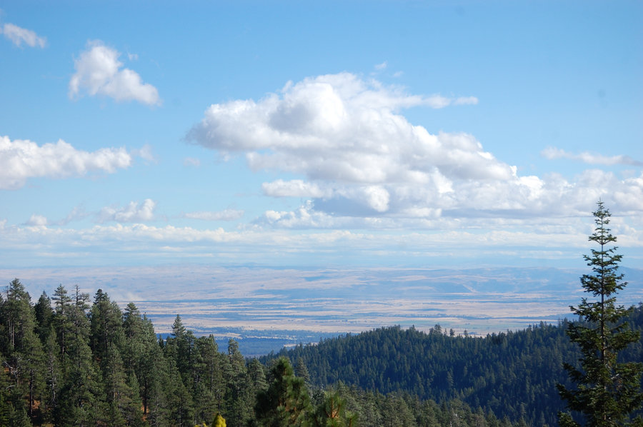
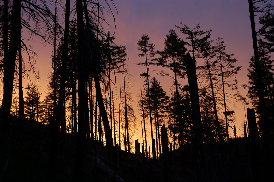
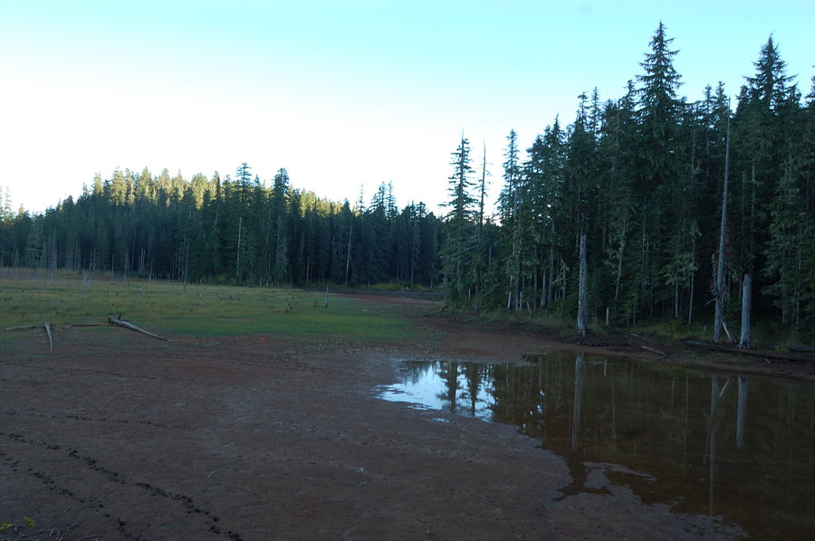
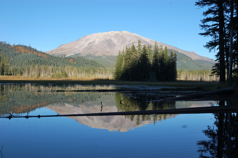
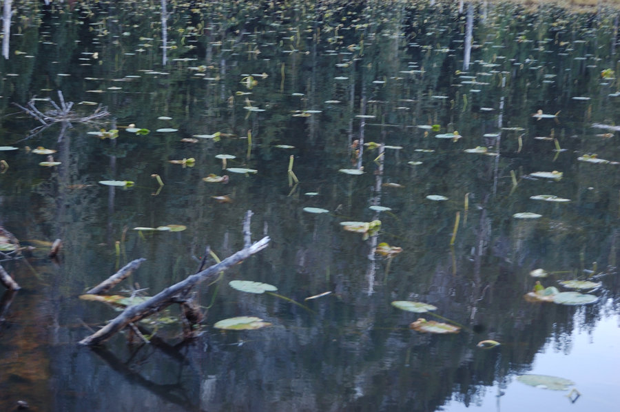
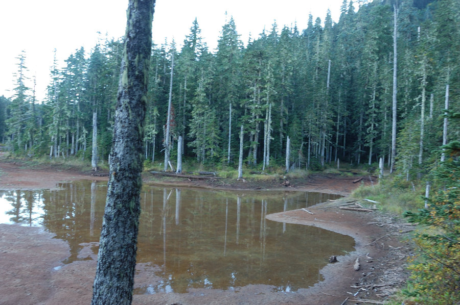
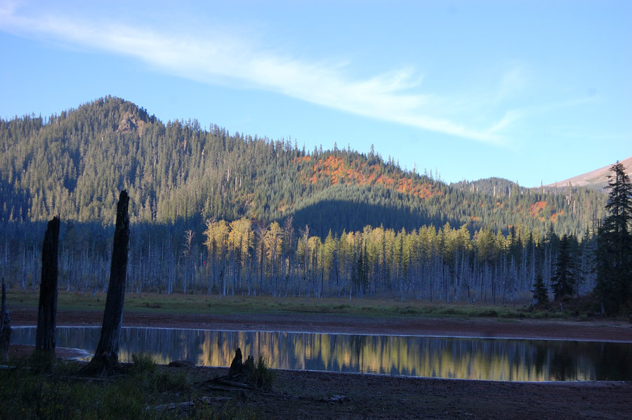
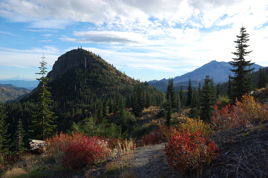
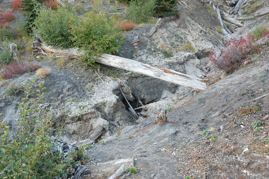
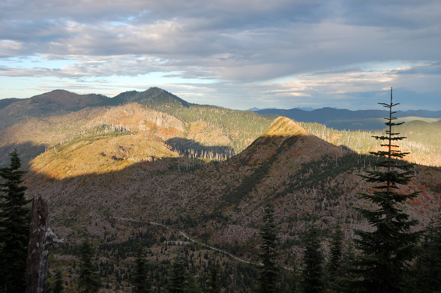
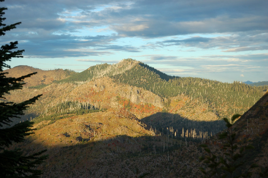
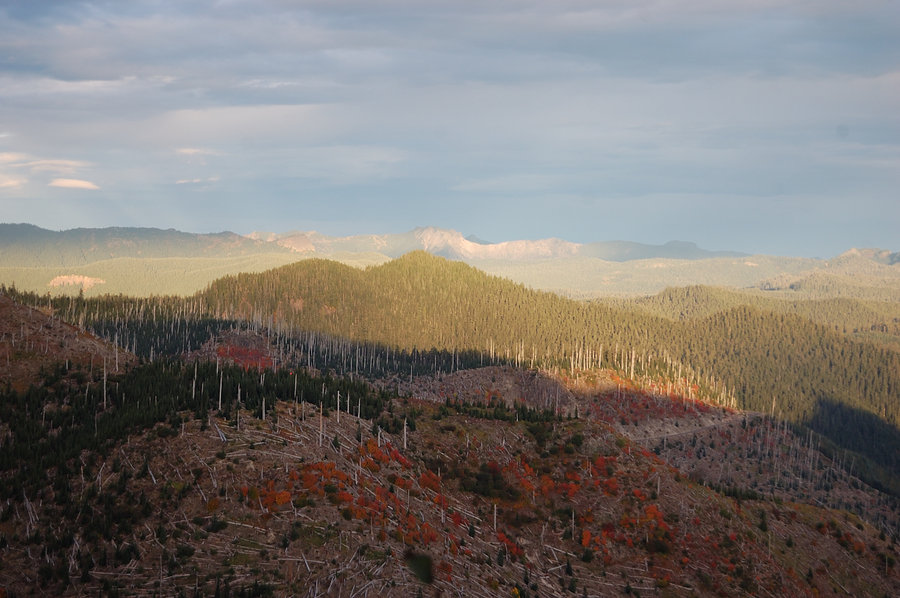
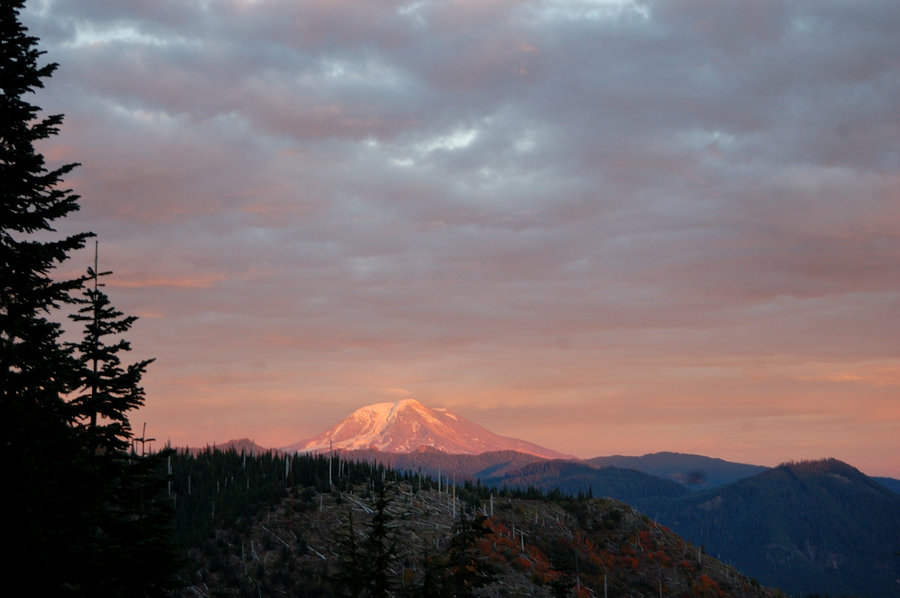
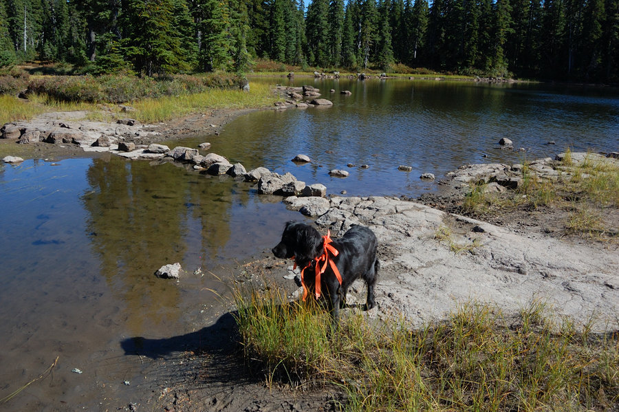
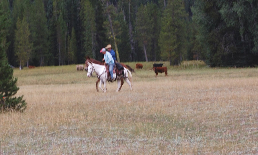
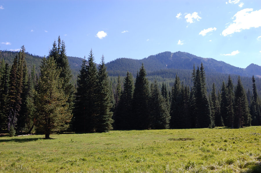
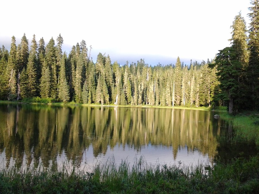
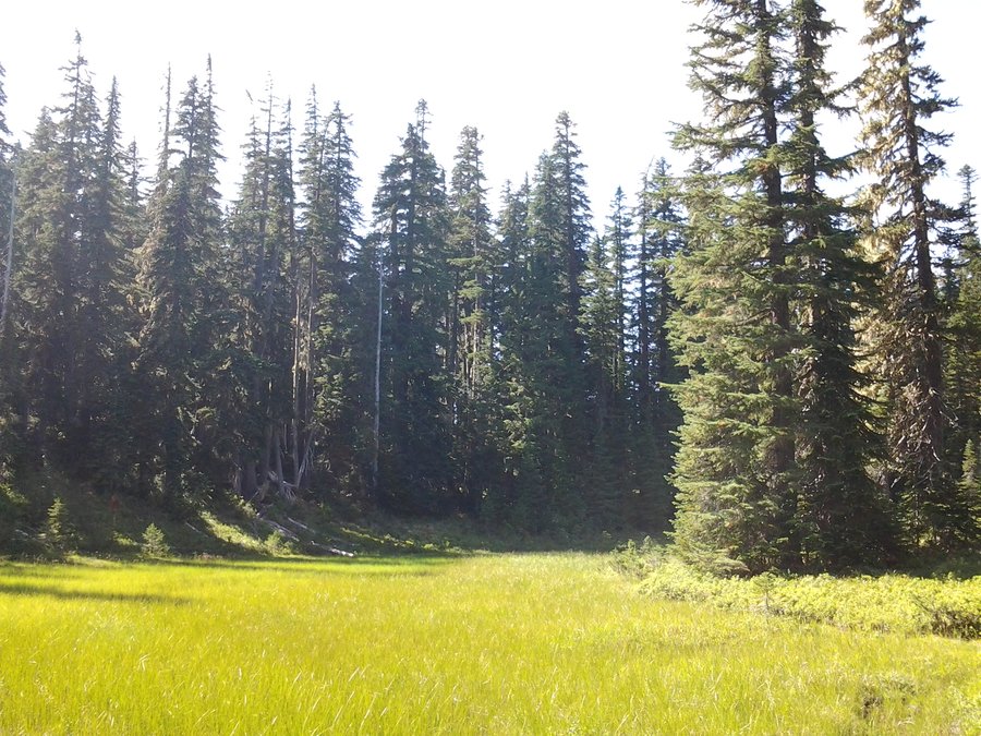
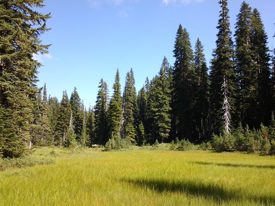
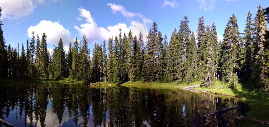
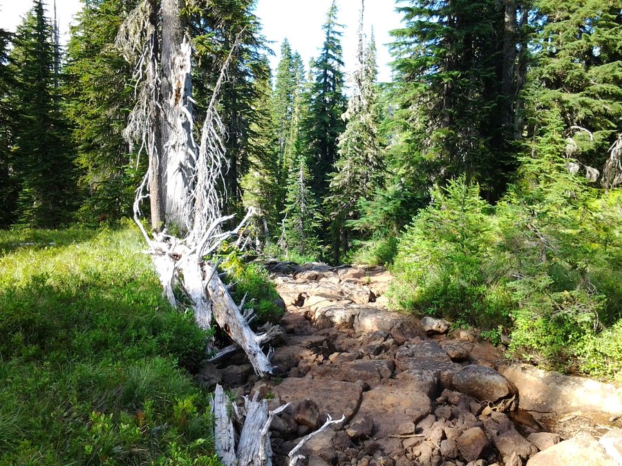
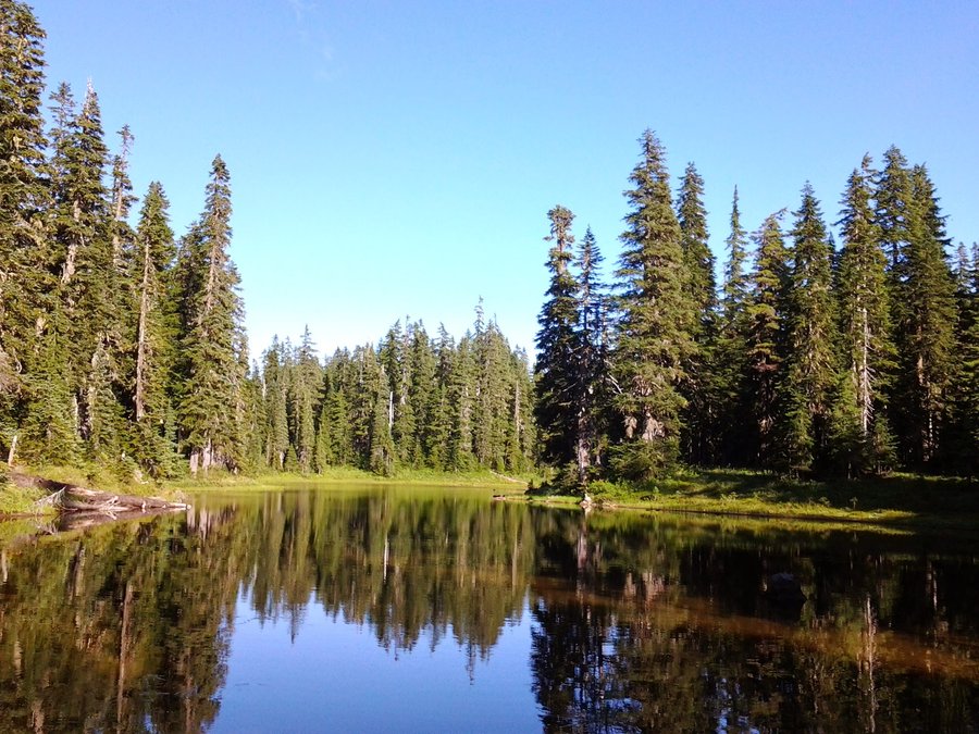
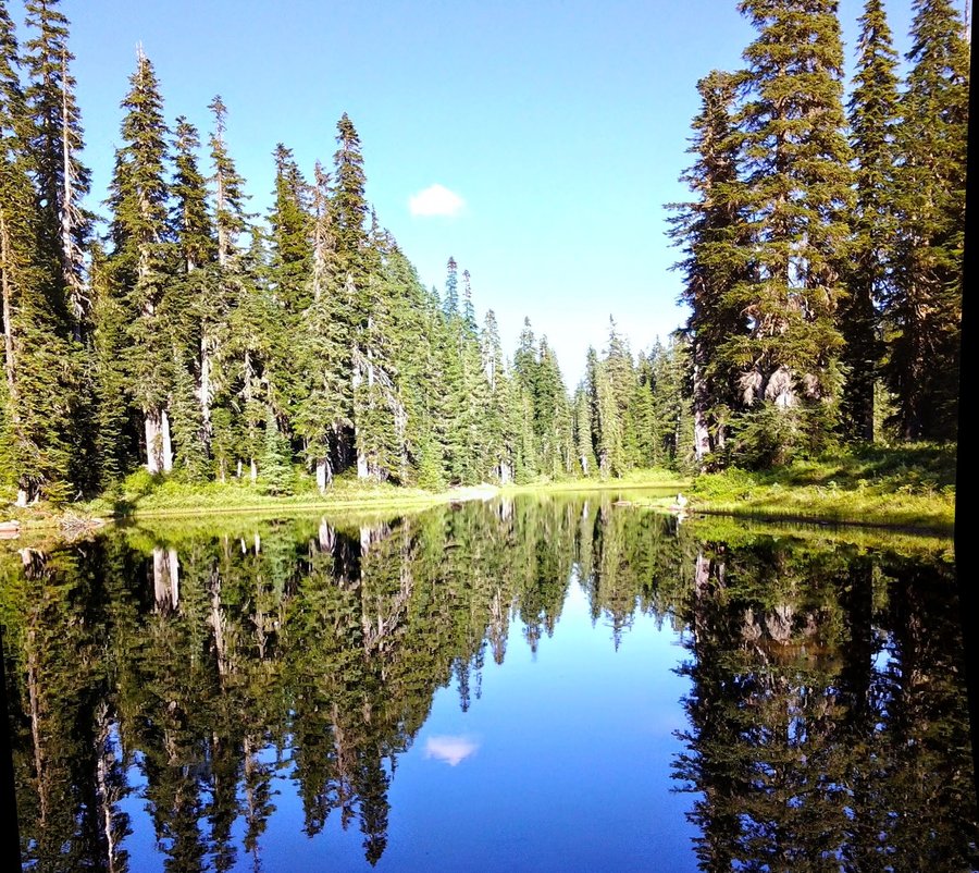
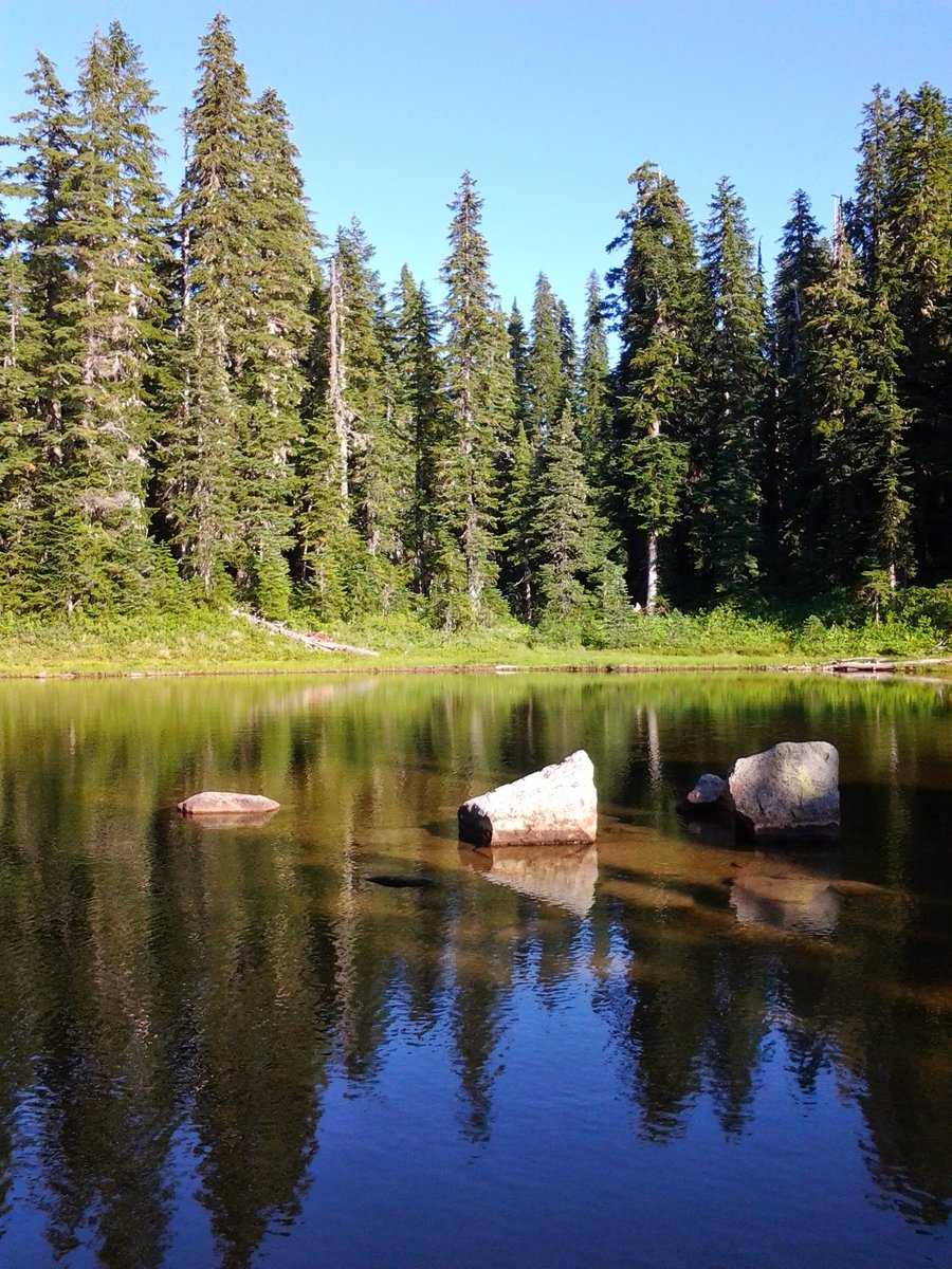
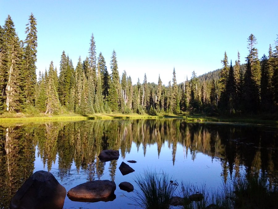
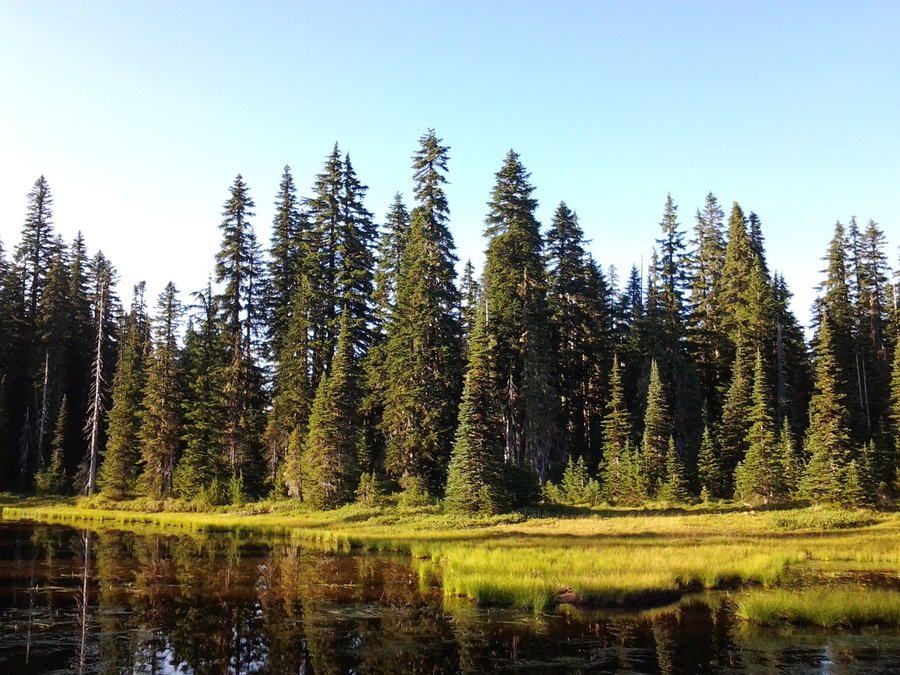
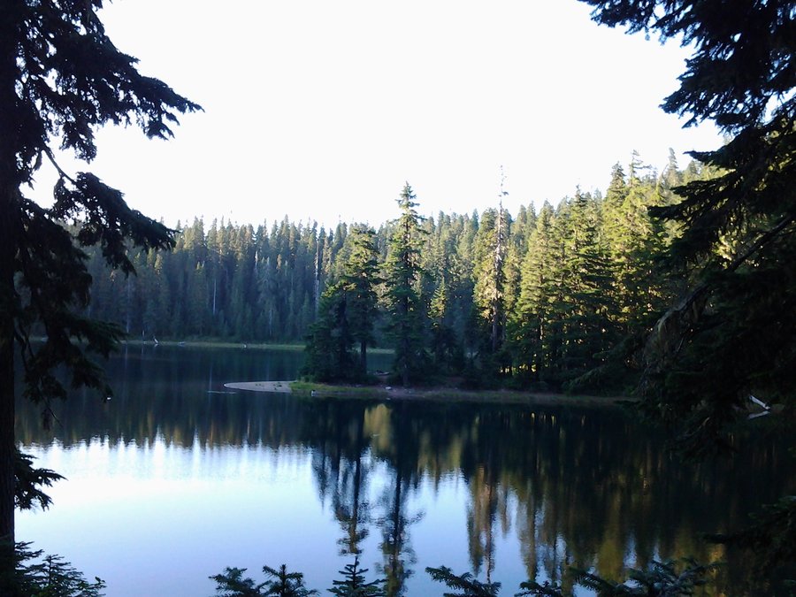
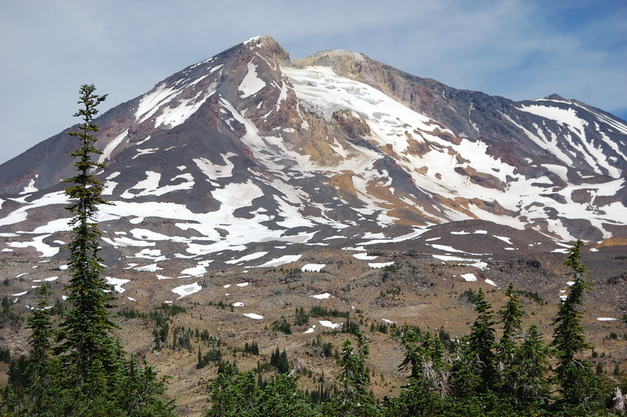
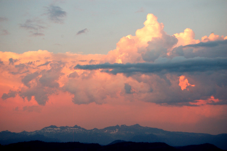
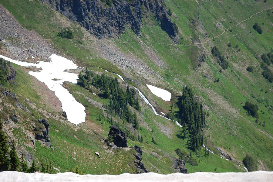
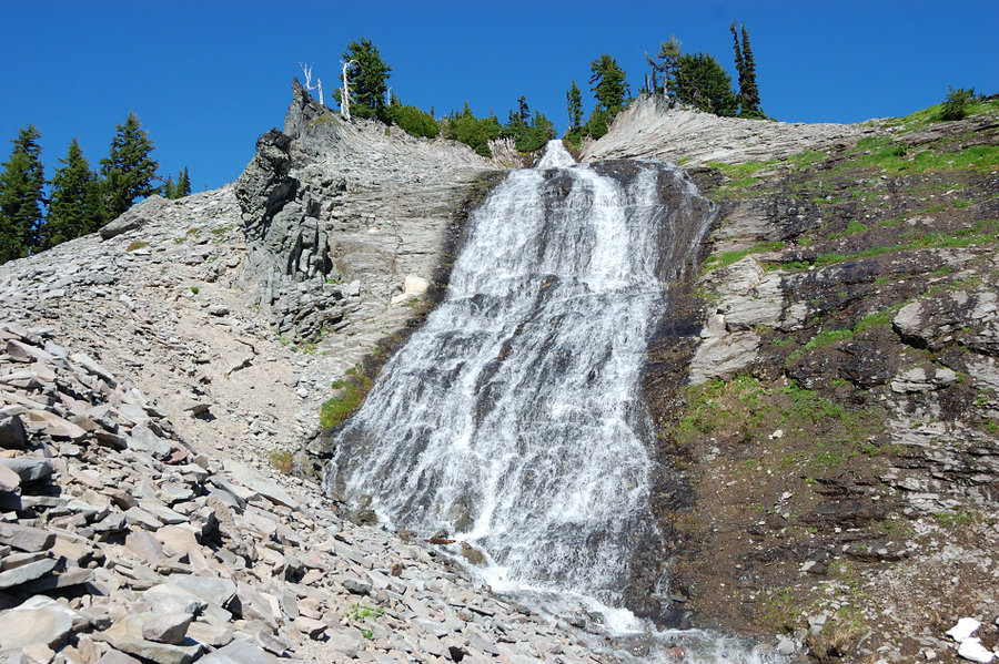
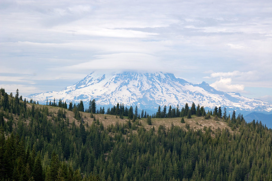
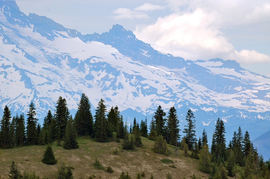
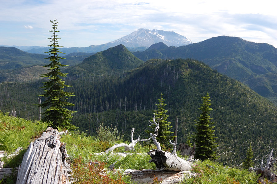
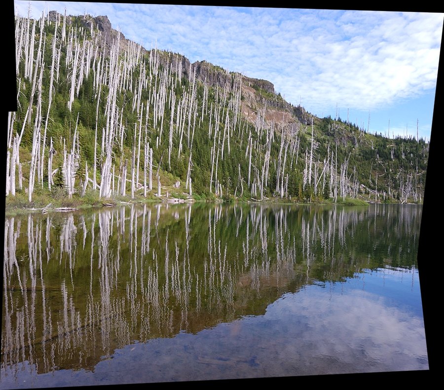
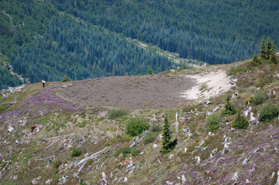
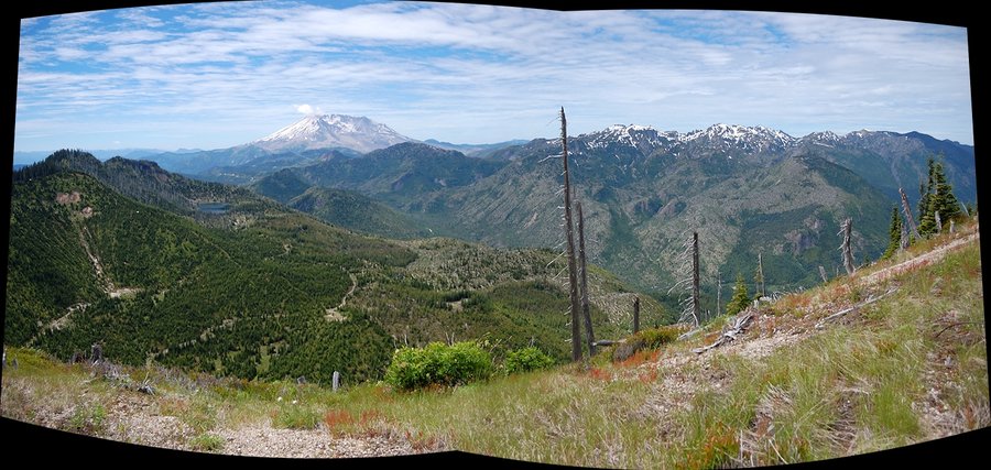
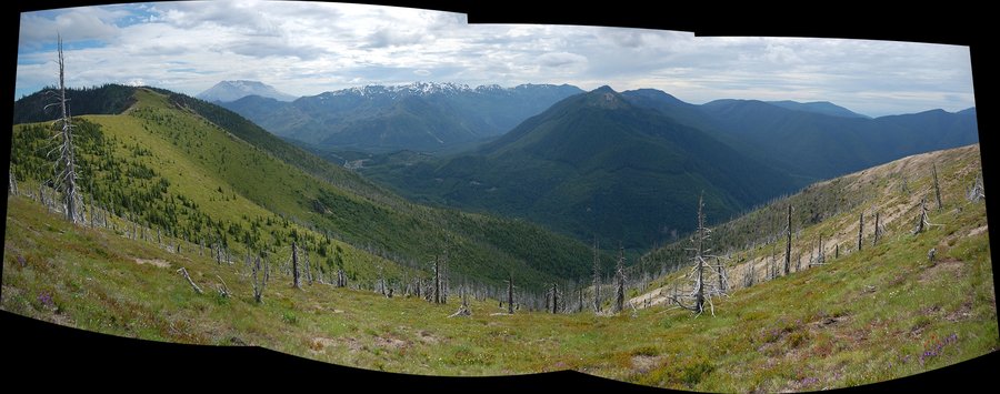
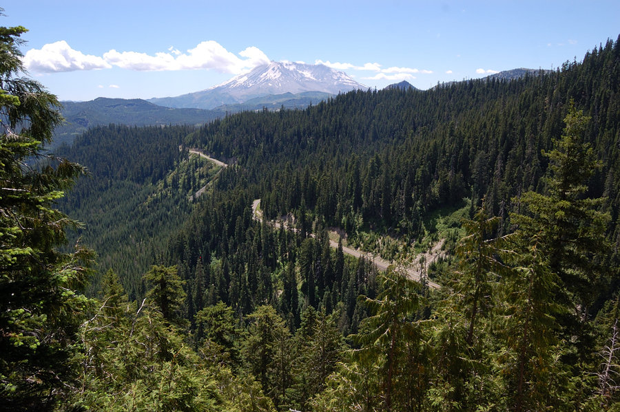
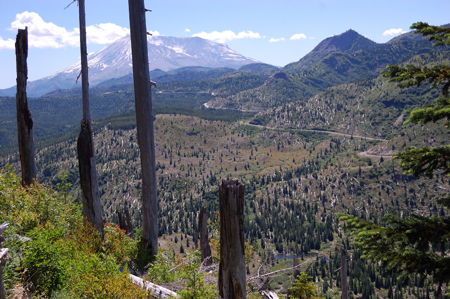
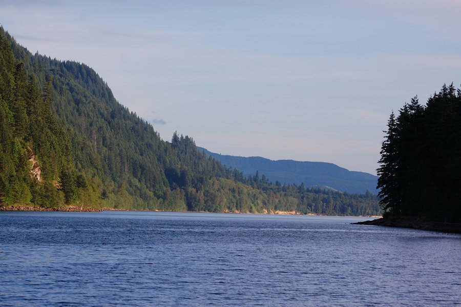
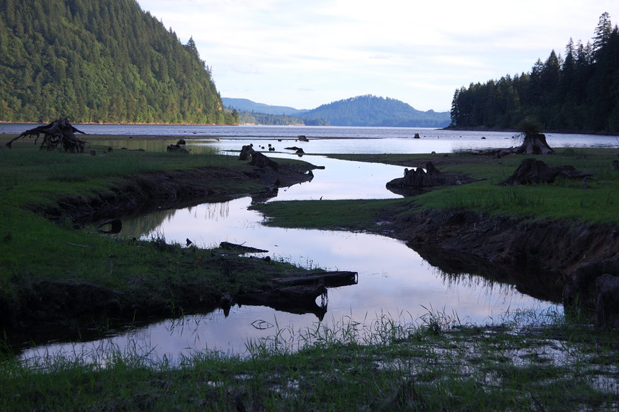
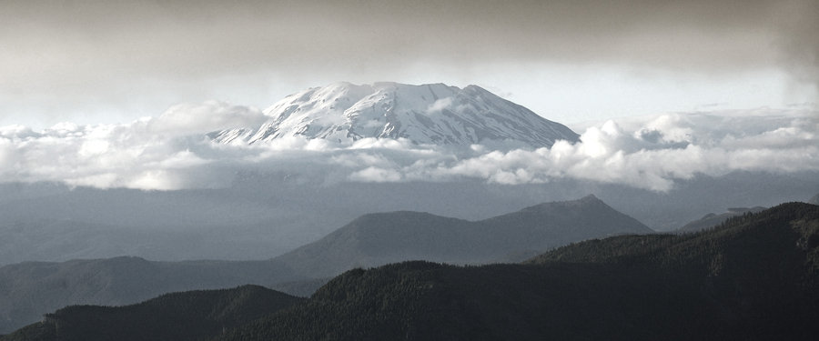
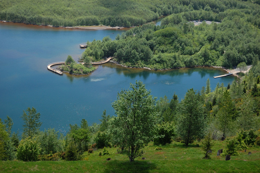
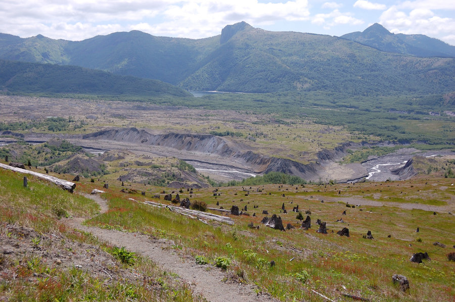
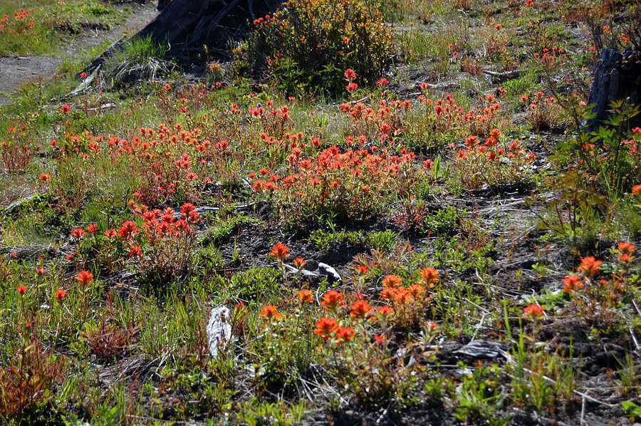
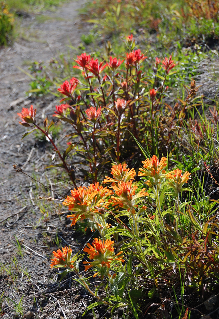
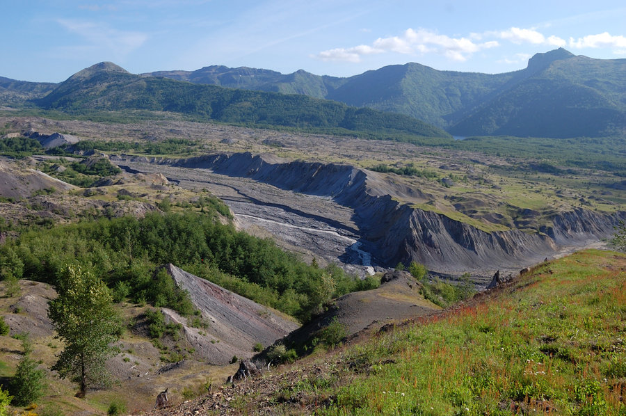
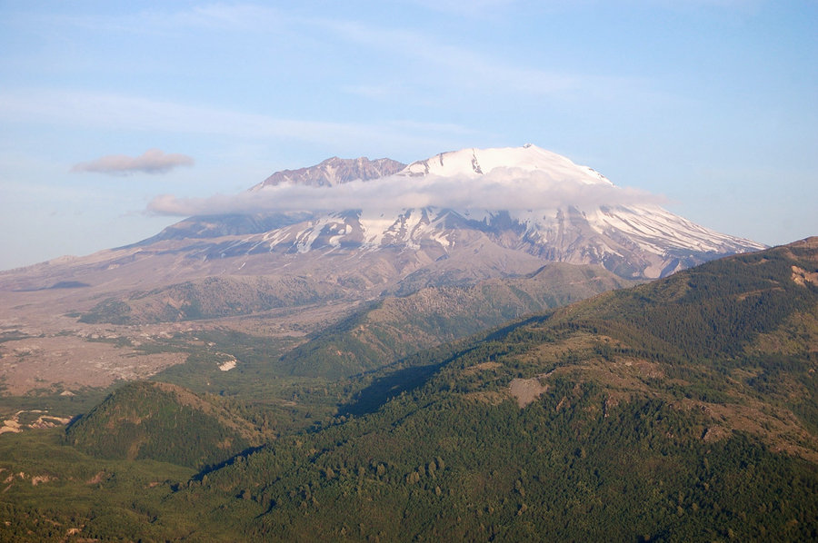
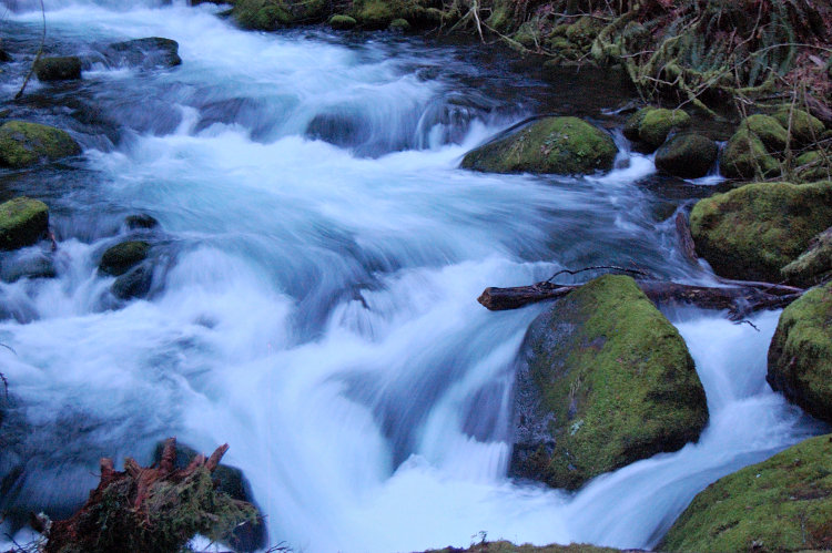
Coldwater Lake
7.5 miles of hiking • 1250' elevation gain •
We were going to do a loop around the lake, but with late arrival (took time driving over icy hill, luckily it mostly melted out by the time we headed back) and our start @ Coldwater Visitor Center we didn't want to push it. Hiked along the lake past the big washout area, had great views of Minnie Peak and (I think) Mt. Whittier.
There was little snow on lake trail, 5+ inches up on the hill.
December 25, 2014


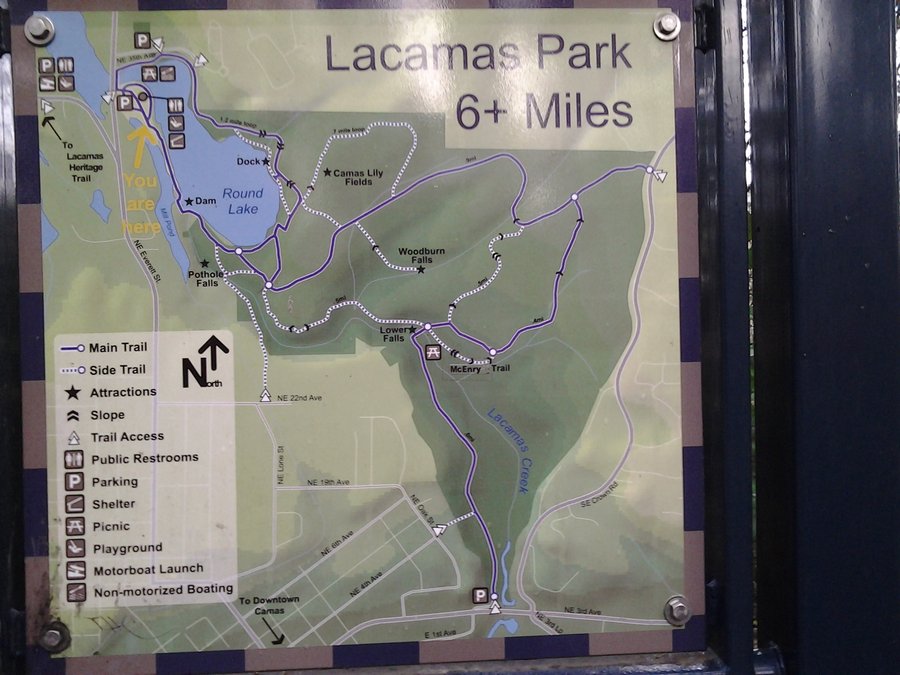
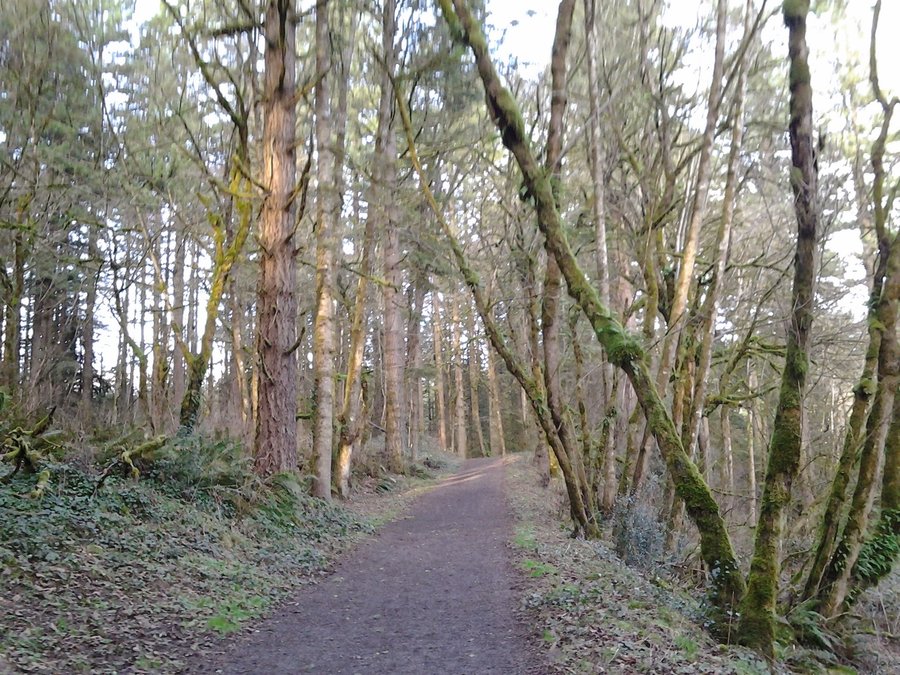
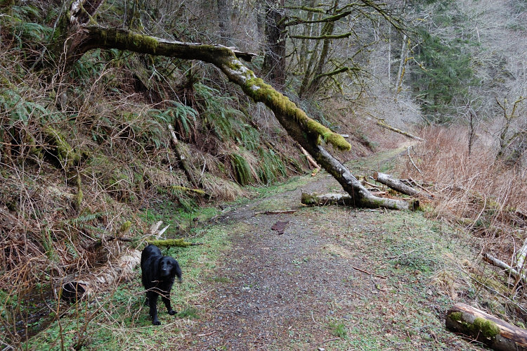
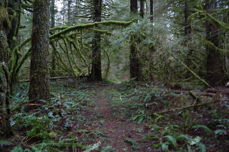
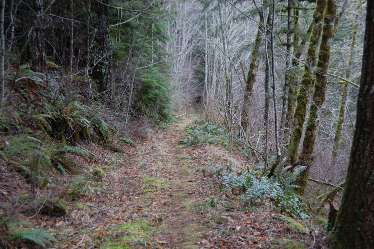
Whipple Park loop
3.5 miles of hiking • 250' elevation gain •
This park has been transformed in the past year, they laid gravel on almost all trails - very few muddy places left. New signs and maps, new bridges, etc...
December 21, 2014

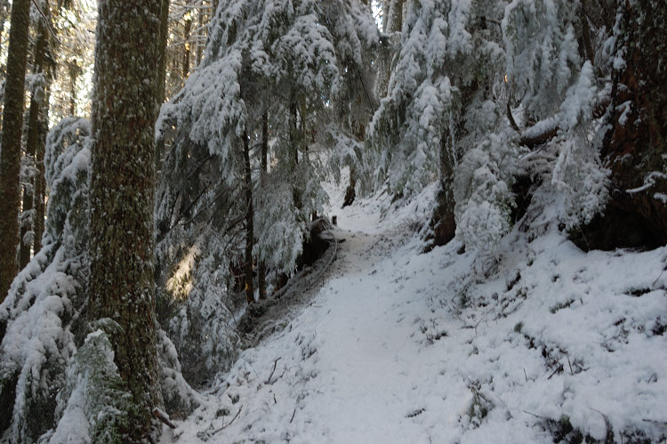
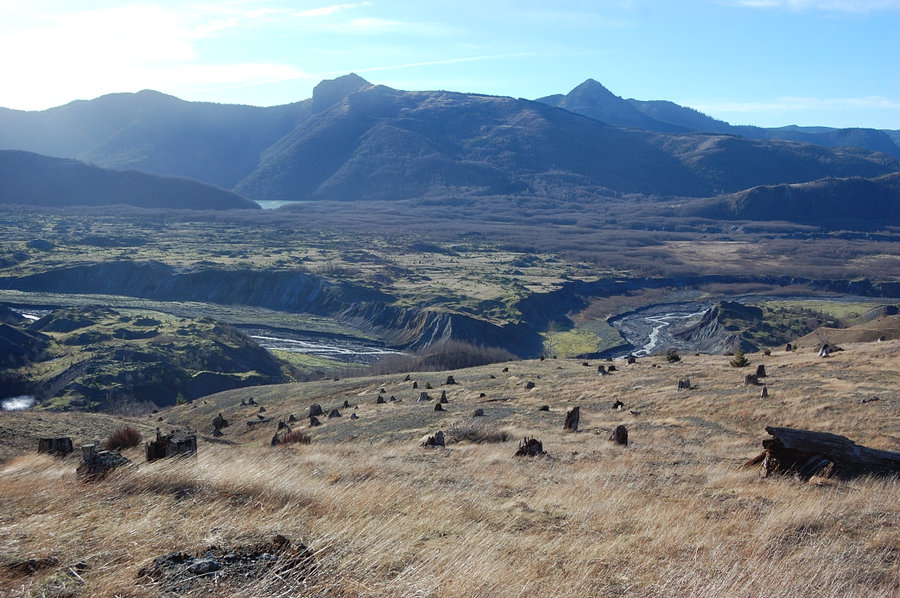
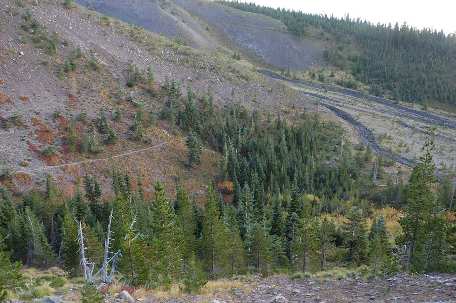
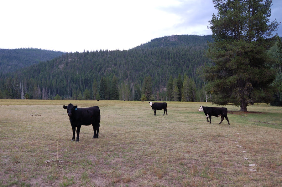
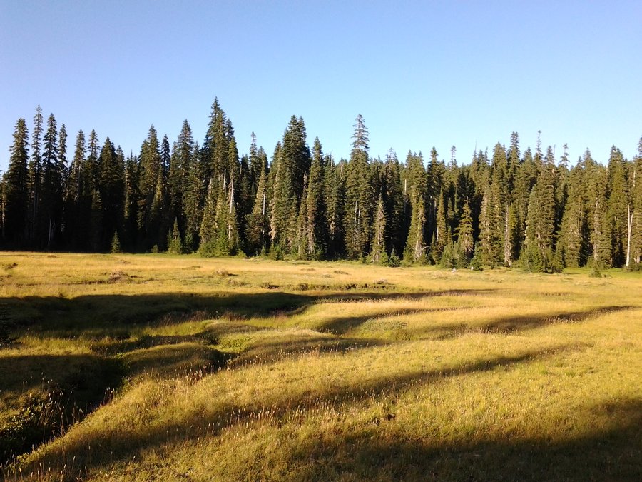
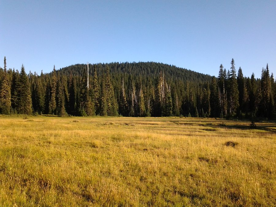
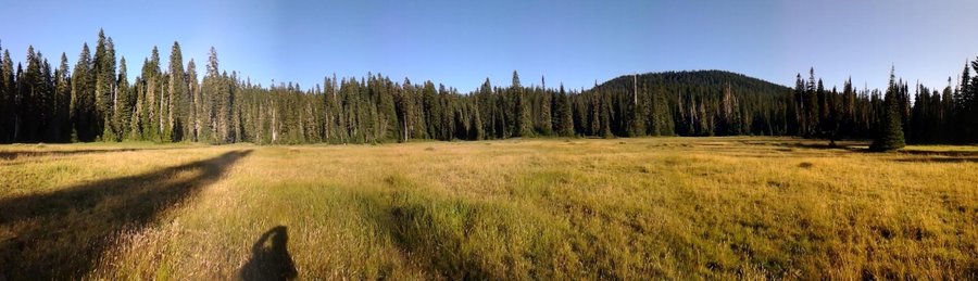
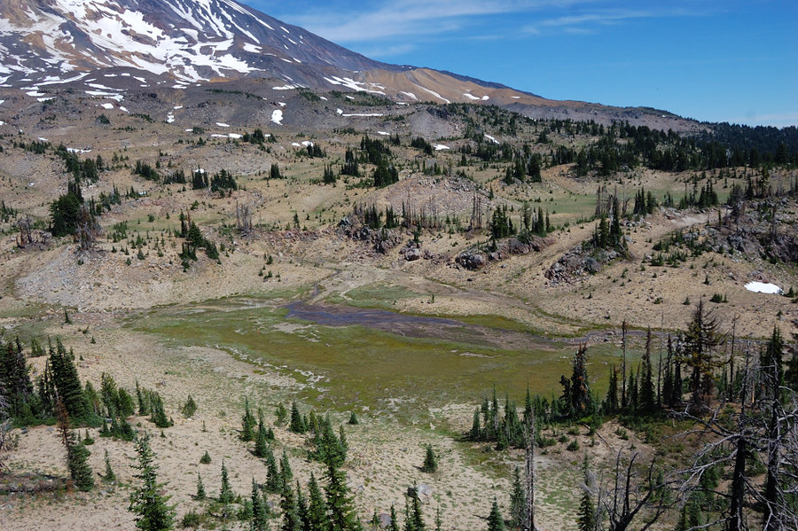
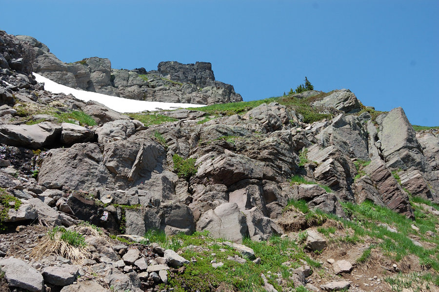
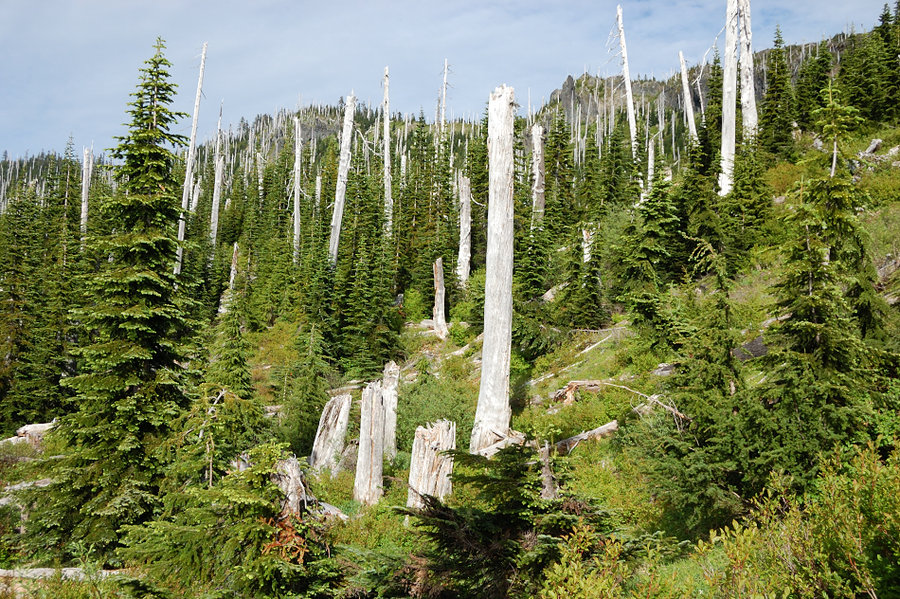
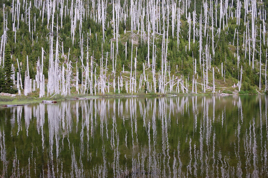
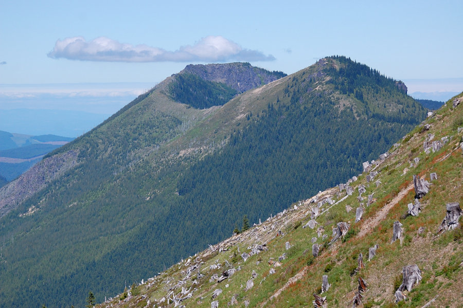
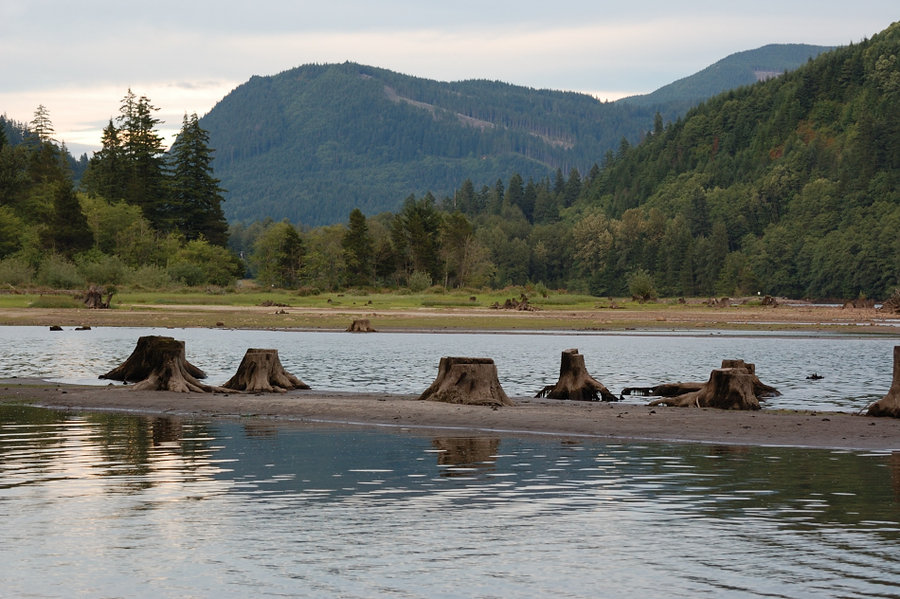
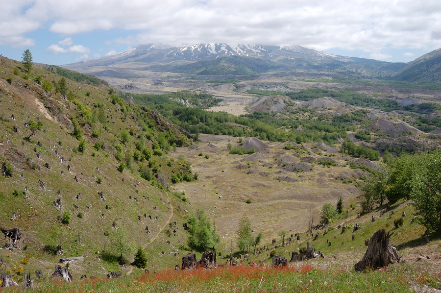
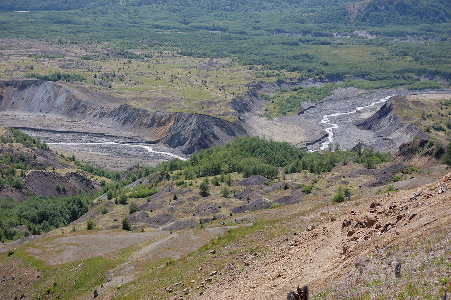
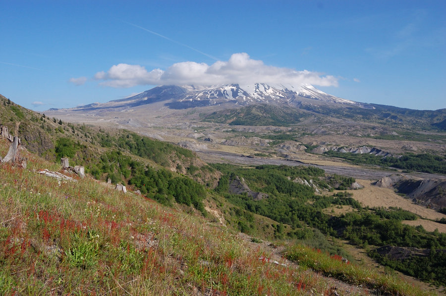
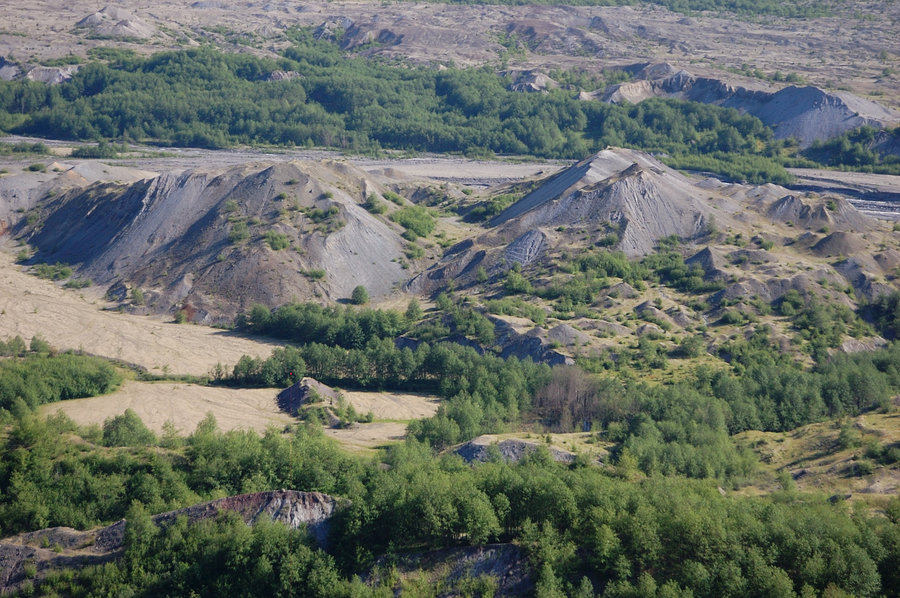
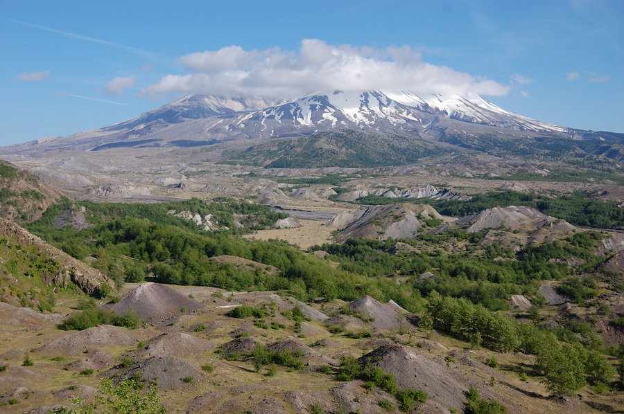
Hummocks and Johnston Ridge
8 miles of hiking • 1000' elevation gain •
Wanted to go from Hummocks to JRO but stopped about 2 miles short because of high wind (not a good time to go near drop-offs). Still a great day, we hiked back and around the Hummocks, and visited Coldwater Lake.
December 14, 2014


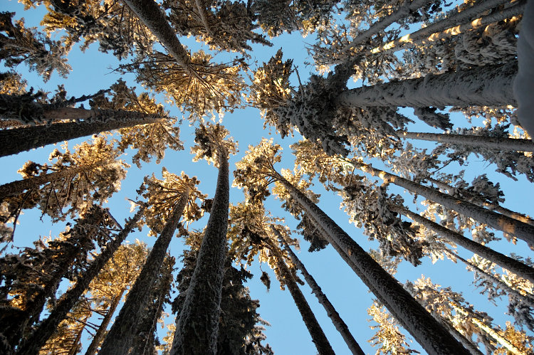
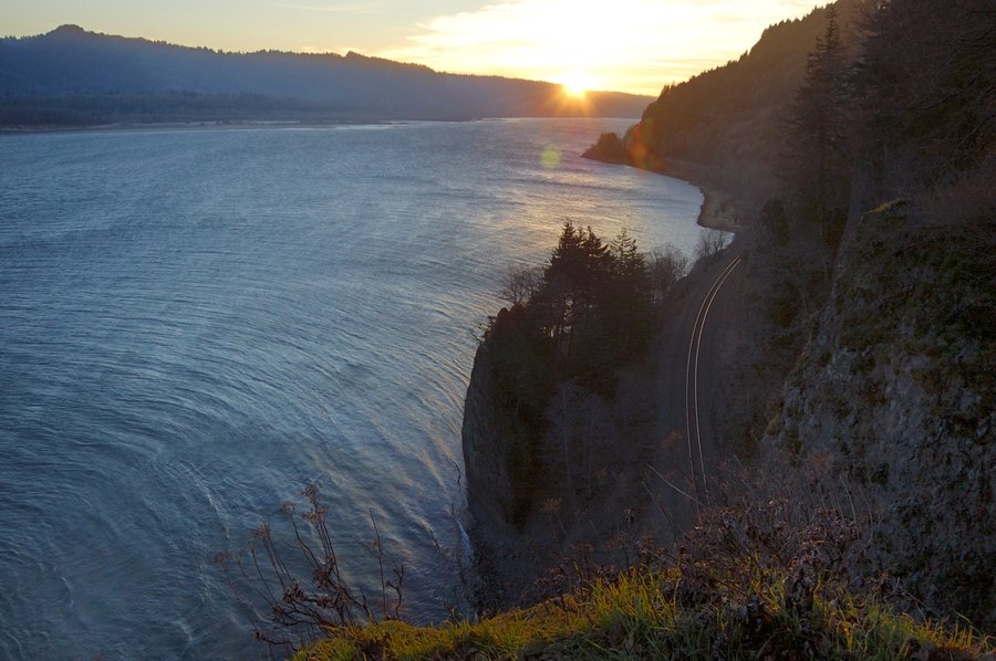
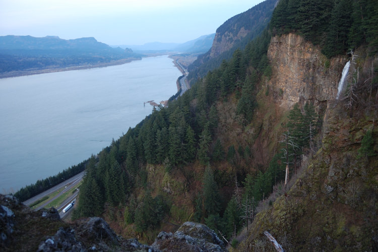
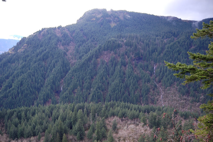
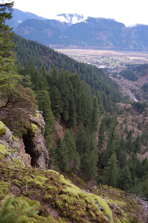
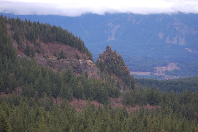
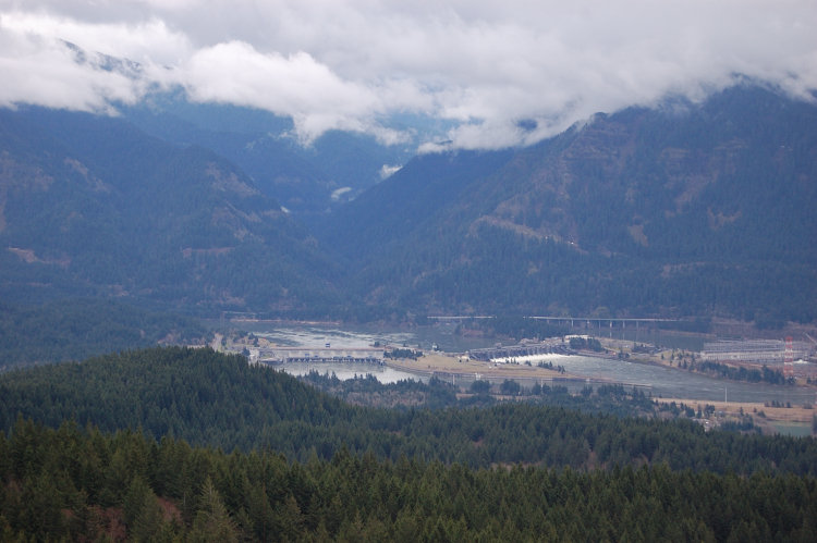
Angels Rest
4.5 miles of hiking • 1500' elevation gain •
The wind was not bad, until we reached the top... up there, it was like in the Jet Engine Test Lab busy at work (and sounded just the same). It was warm enough that wind chill was not an issue. Great views as always.
December 7, 2014


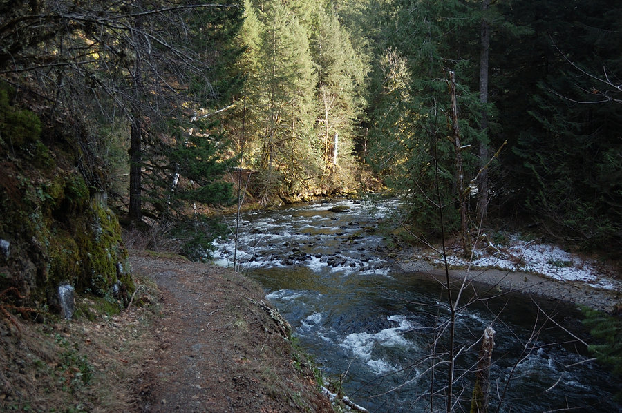
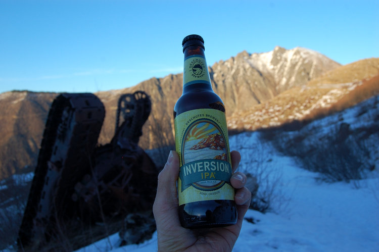
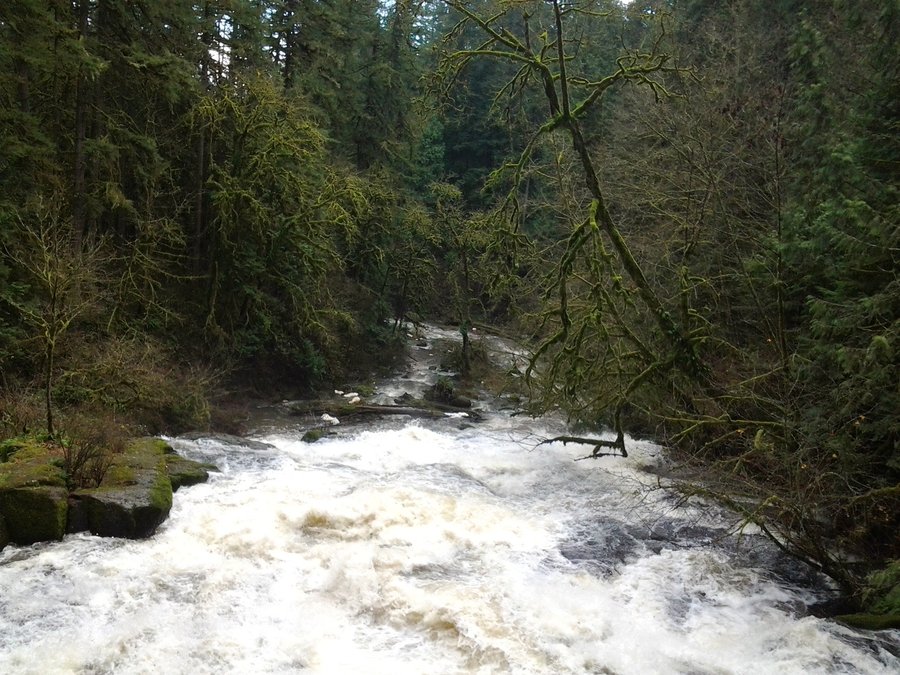
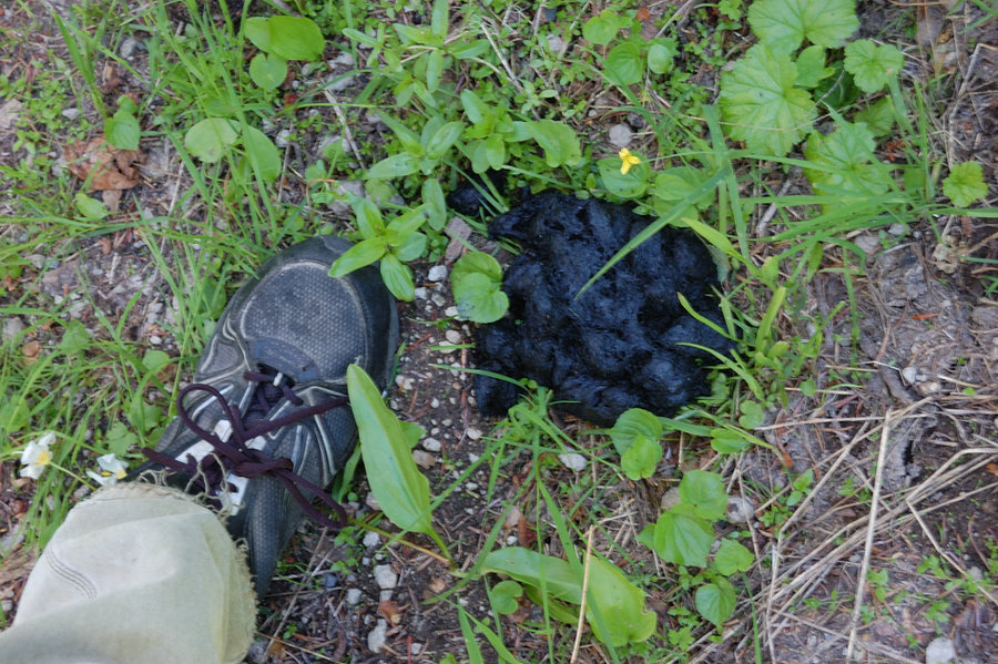
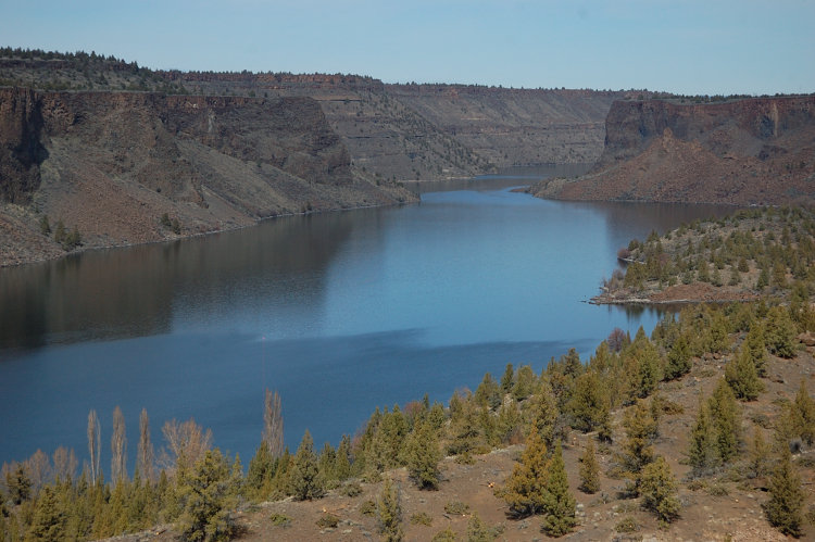
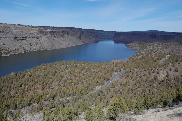
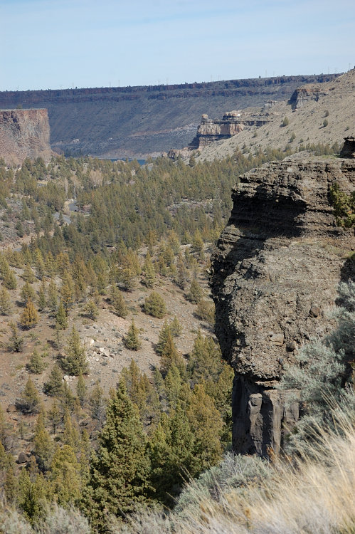
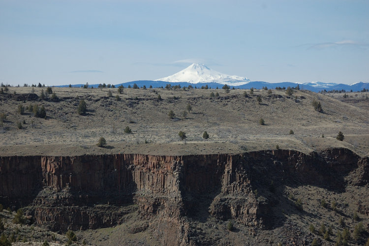
Deschutes River & Ferry Springs
8.5 miles of hiking • 500' elevation gain •
Clear & cold day, it barely got above freezing. Lots of birds, saw what we think bighorn sheep droppings. Hardly any people all day, I never seen this place so deserted.
November 30, 2014

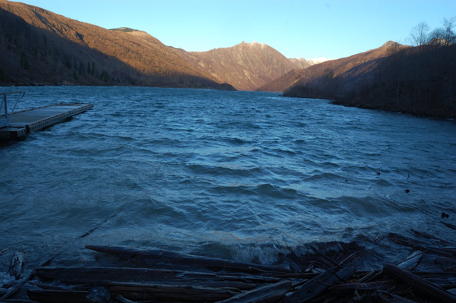
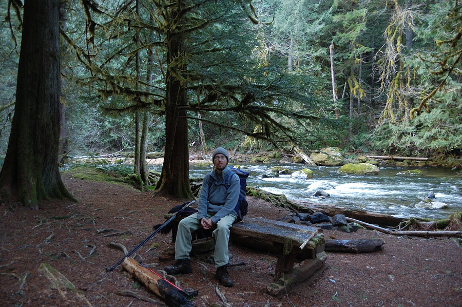
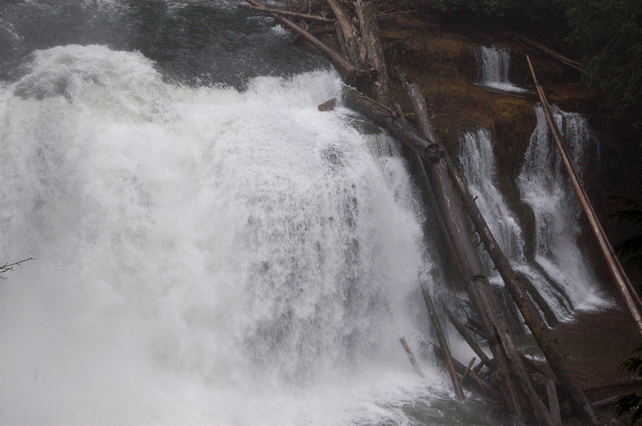
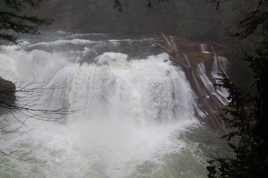
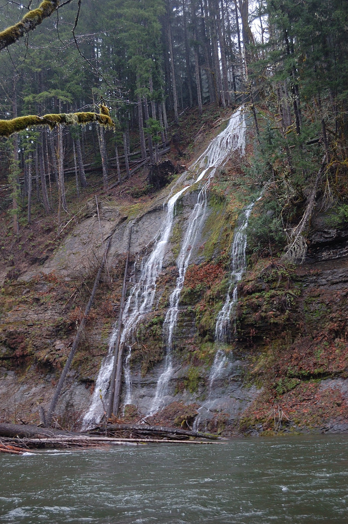
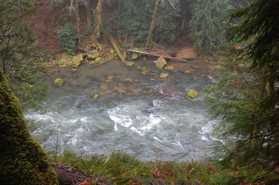
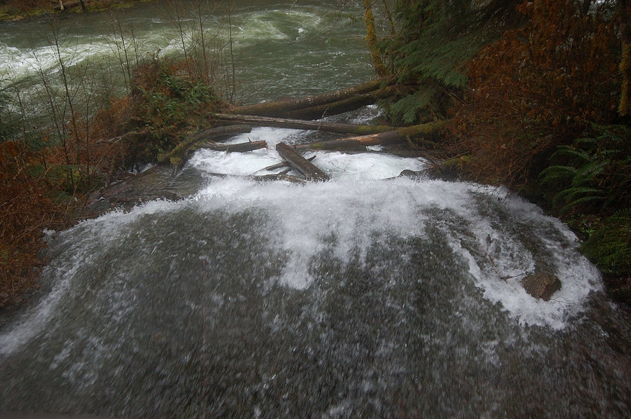
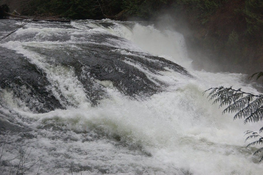
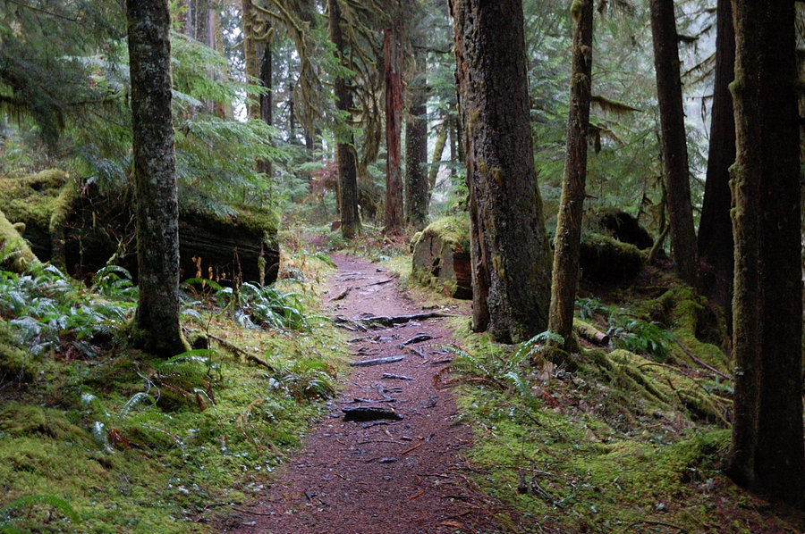
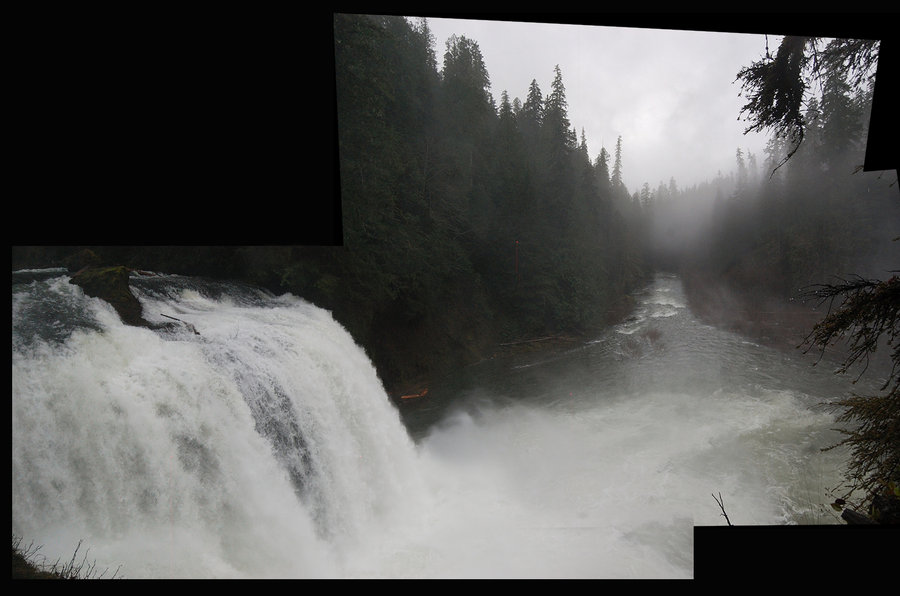
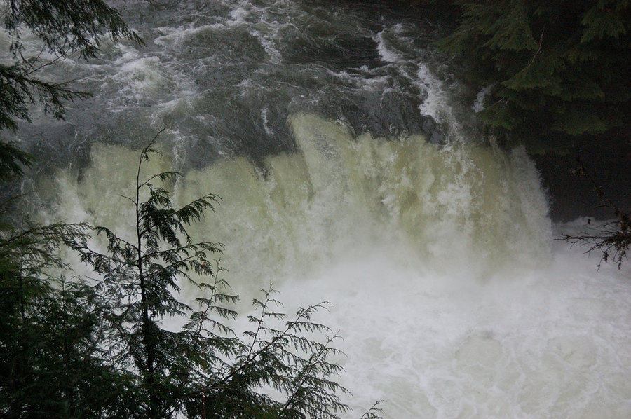
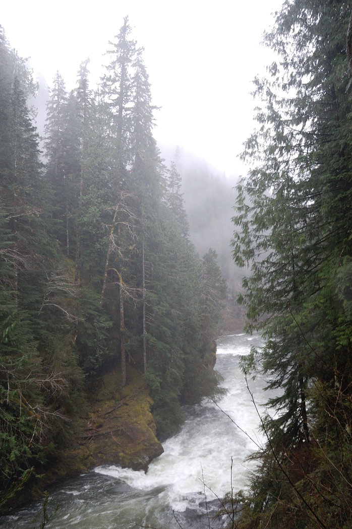
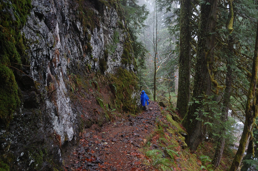
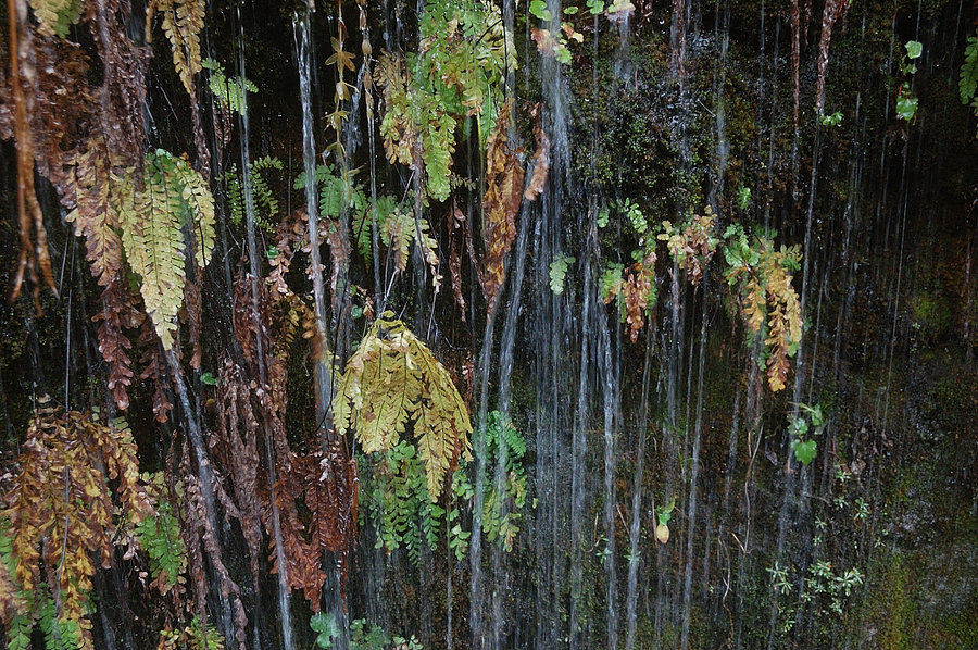
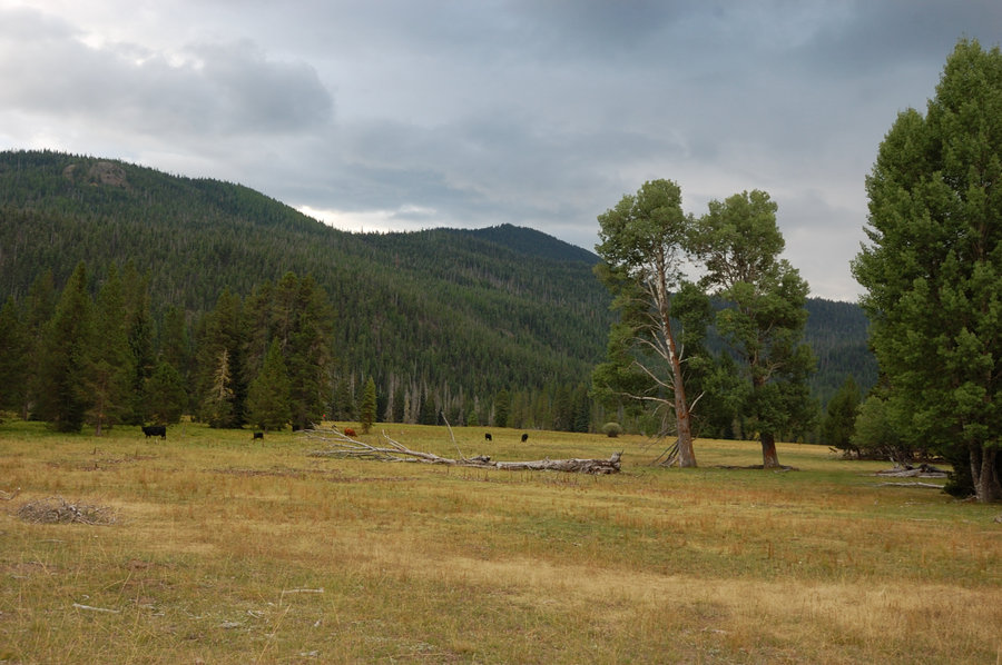
Lewis River
7 miles of hiking • 500' elevation gain •
Finally took my grandmother to see Lewis River - she always came to visit us in winter, when this trail was closed by snow. The falls were roaring, sheer walls of water; at Upper Falls viewpoint the ground was literally shaking under our feet.
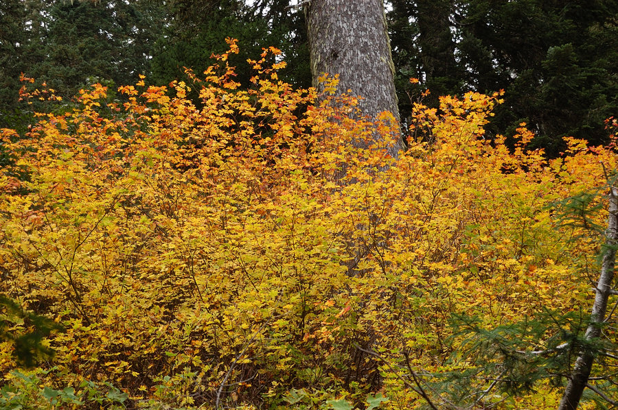
November 27, 2014


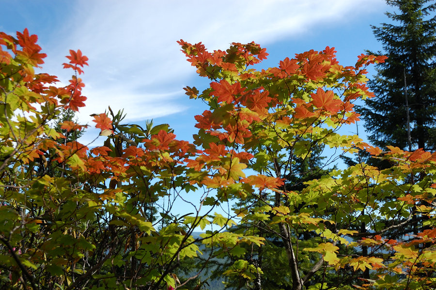
Angels Rest sunset hike
4.5 miles of hiking • 1500' elevation gain •
Sunset didn't really happen but I forgot my SD card anyway. Maple colors were beautiful on the lower half of the hike, some of the best I've seen. On the way down checked the steep "deer" trail off west side of summit. Nice day to be up there.
November 9, 2014

 1
1
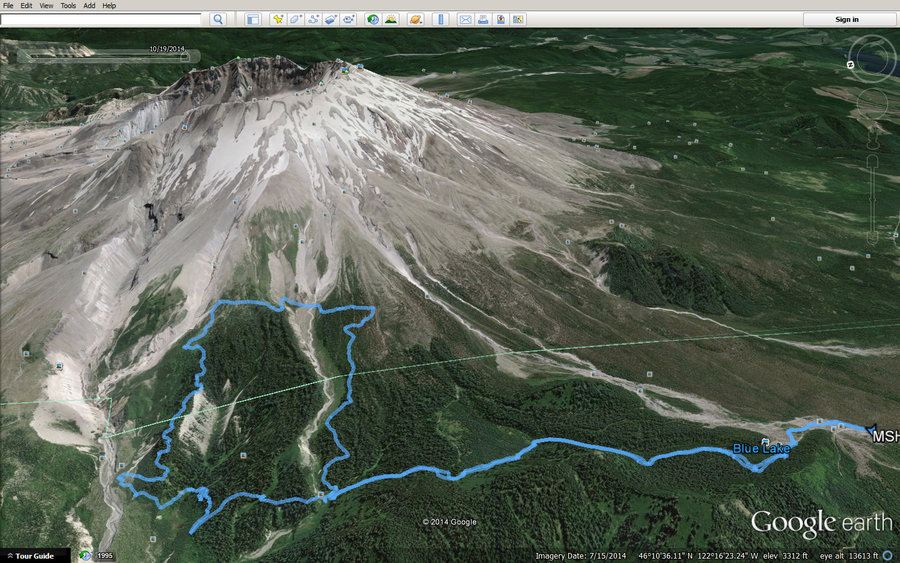
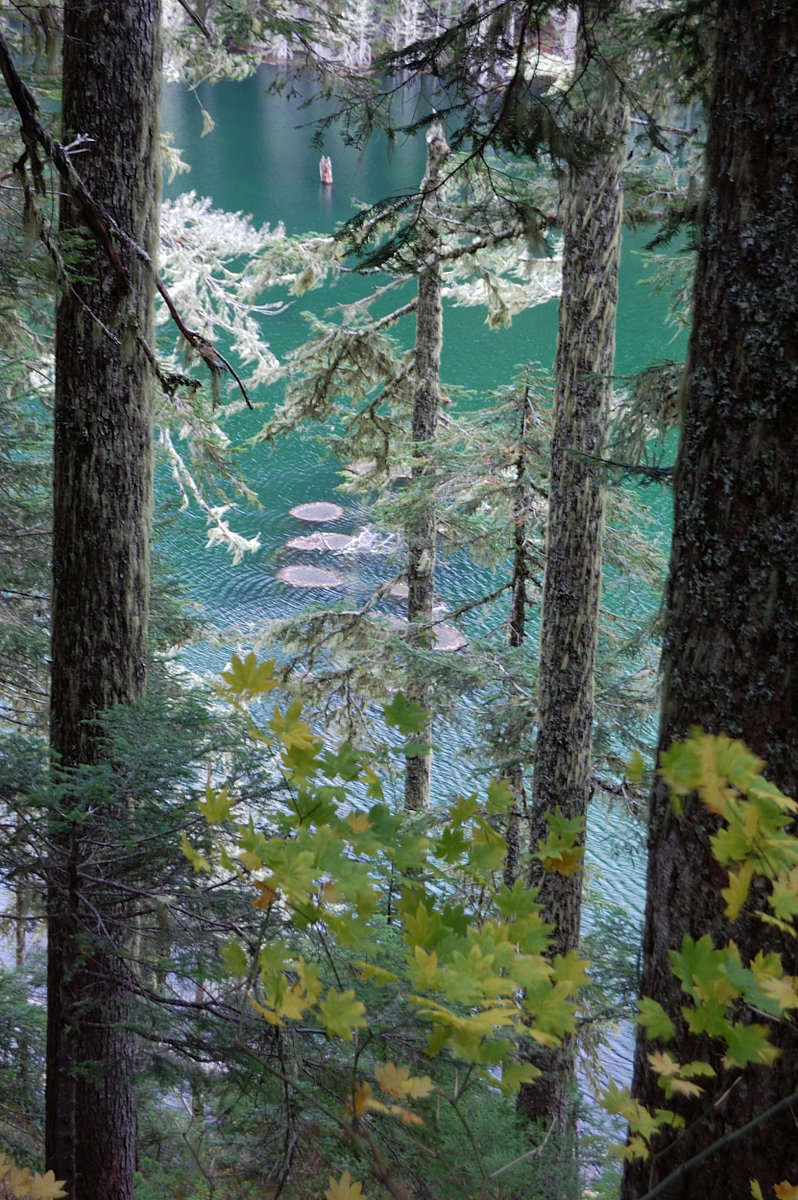
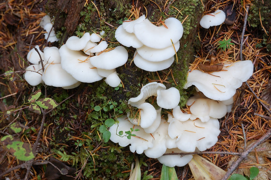
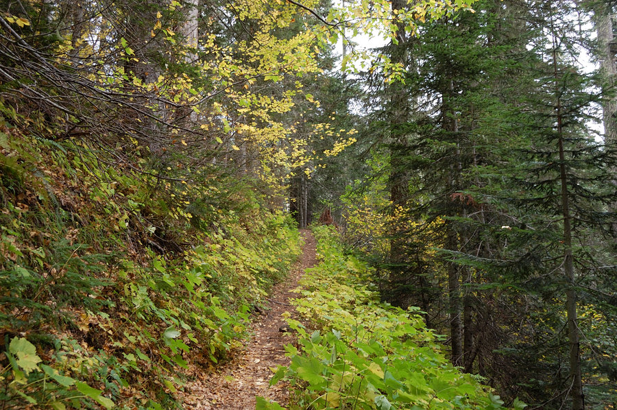
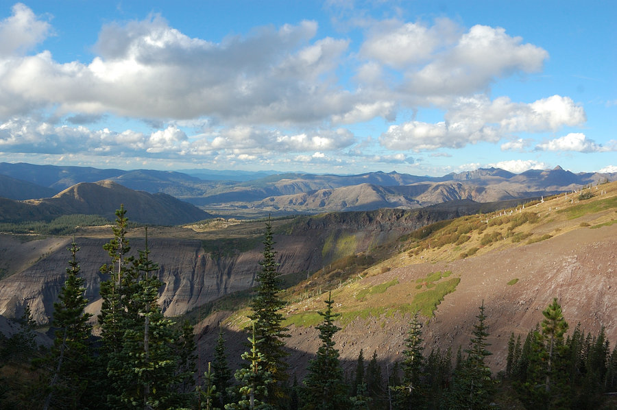
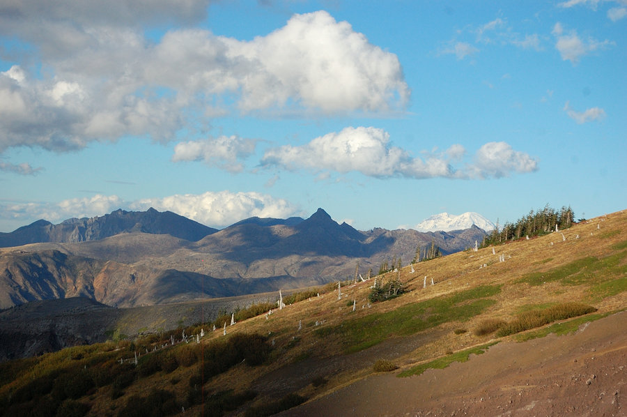
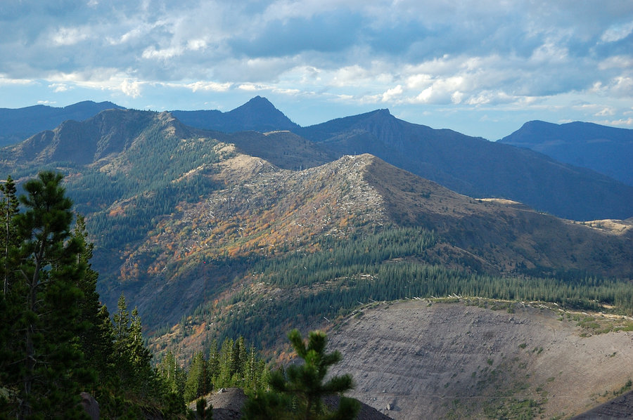
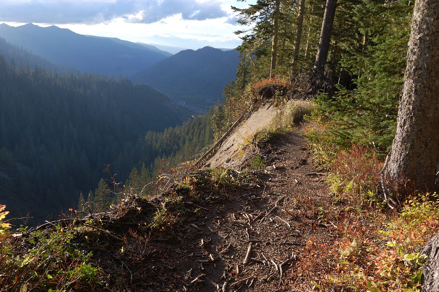
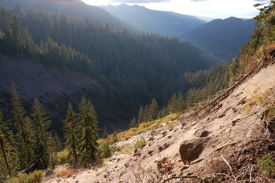
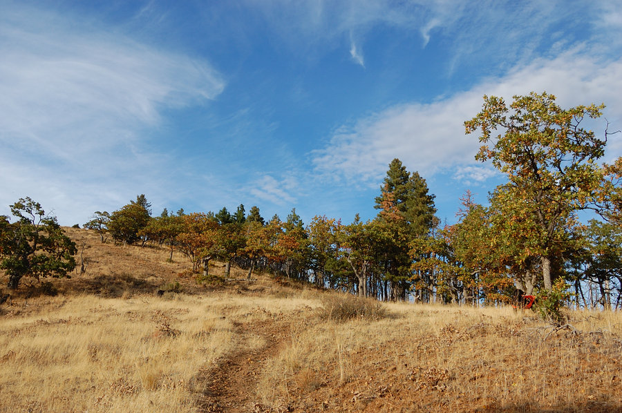
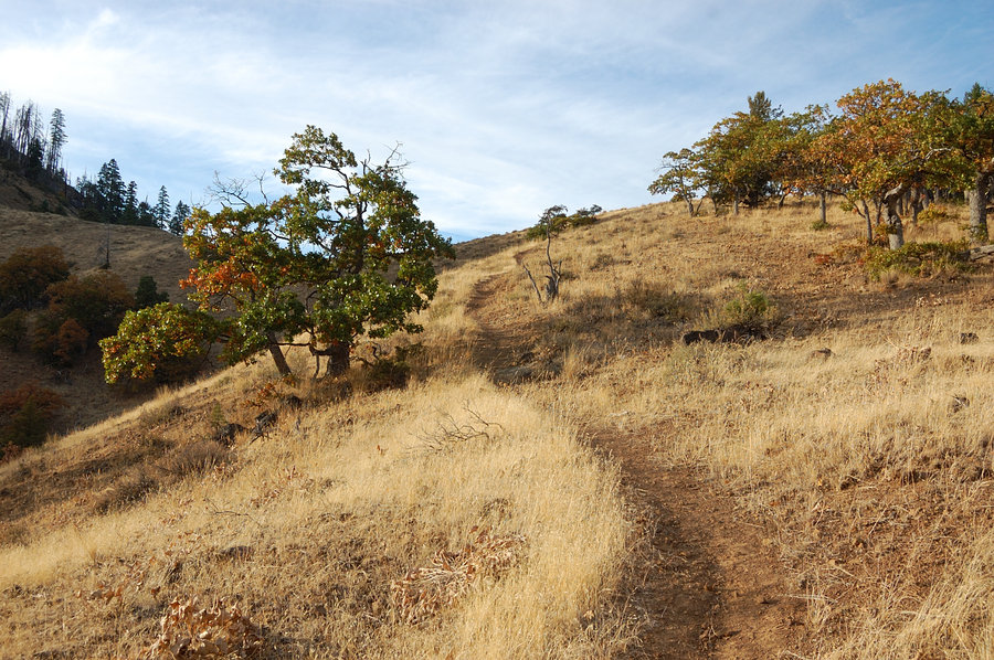
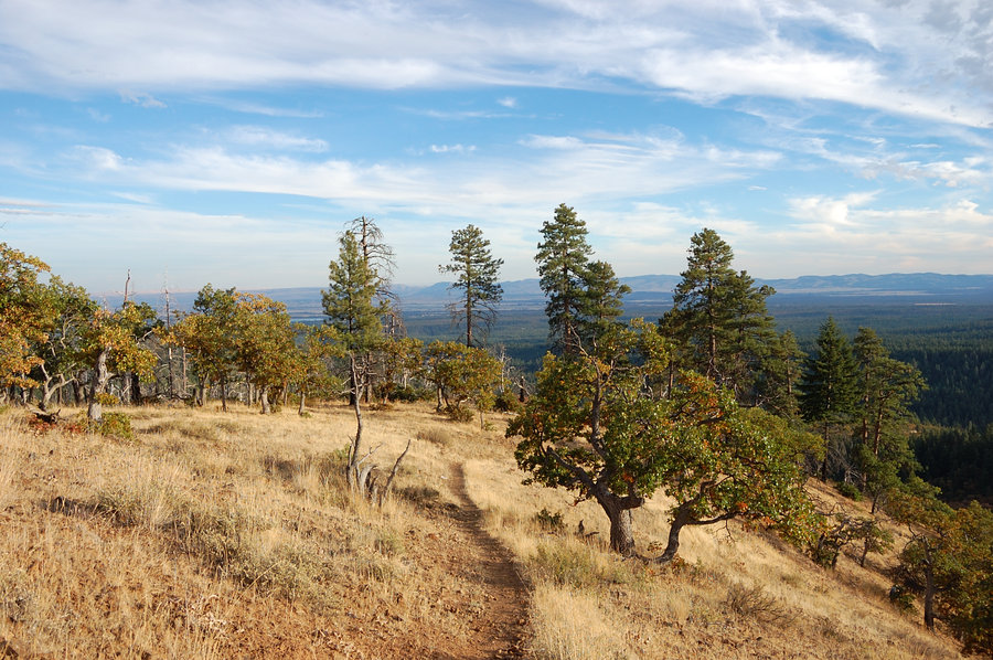
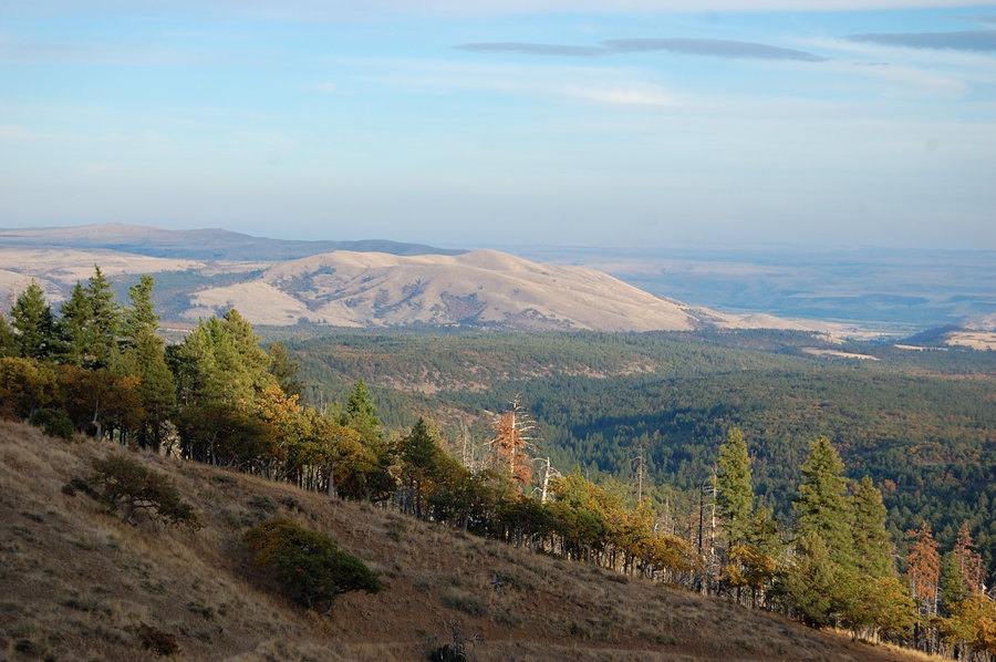
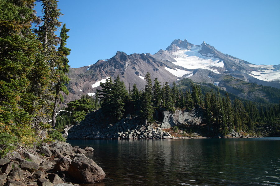
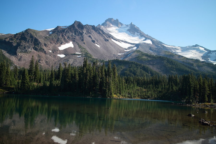
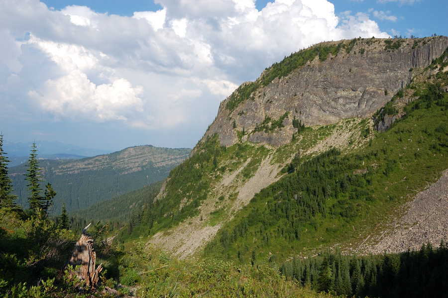
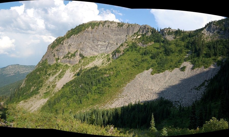
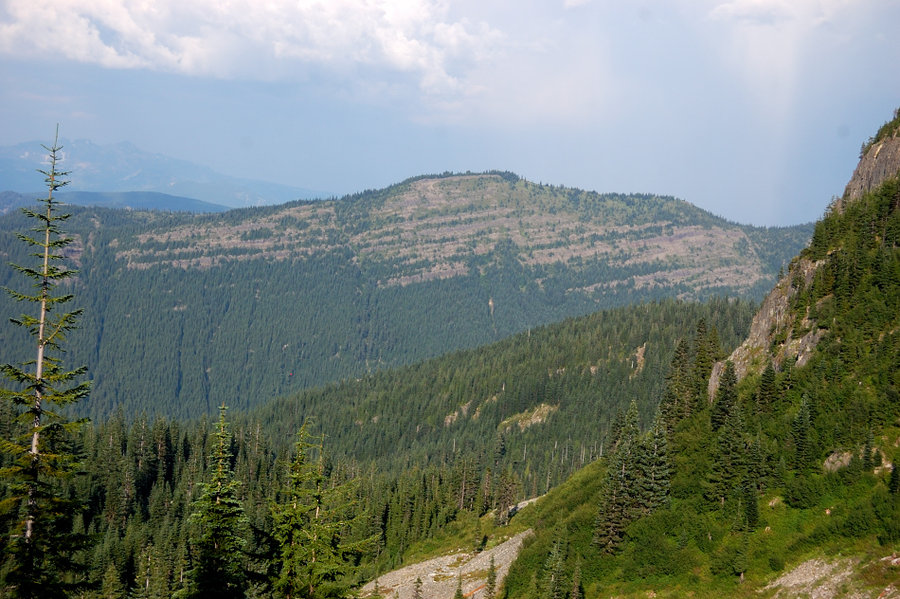
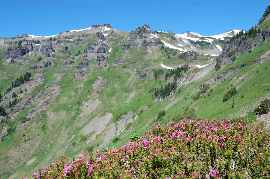
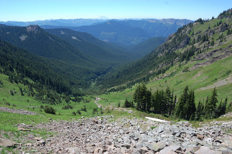
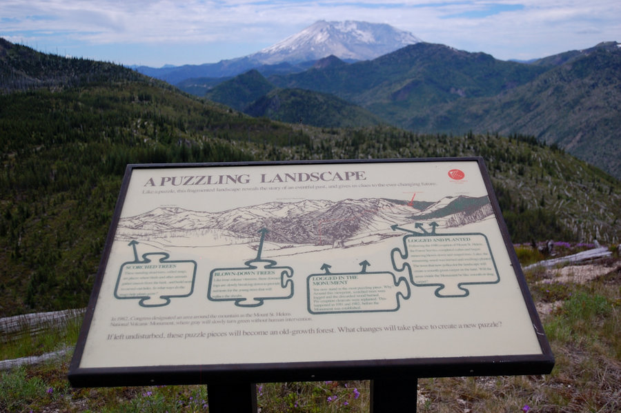
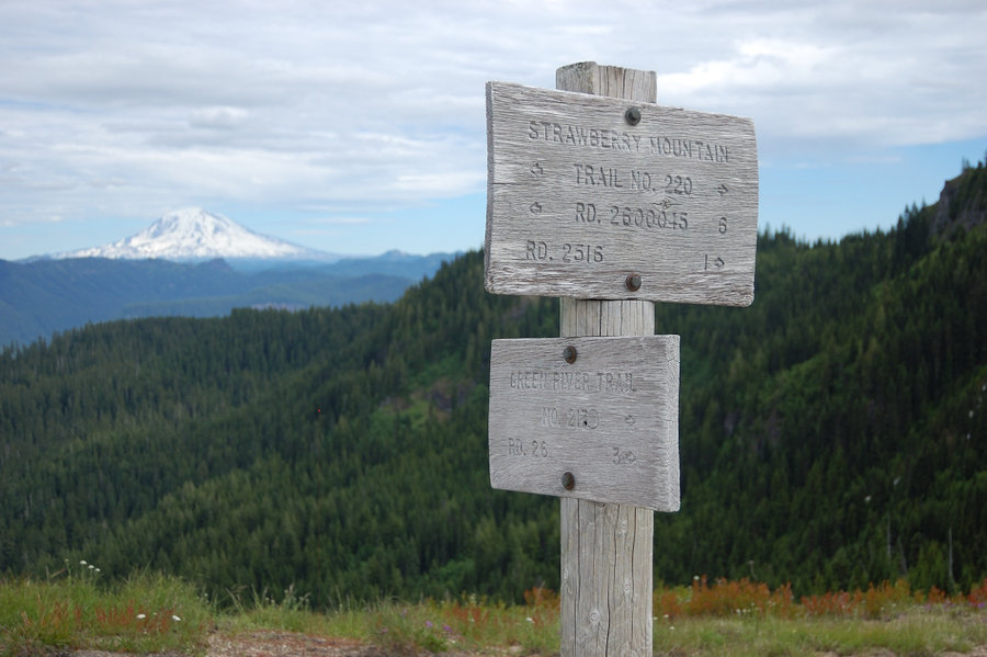
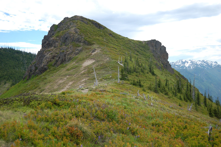
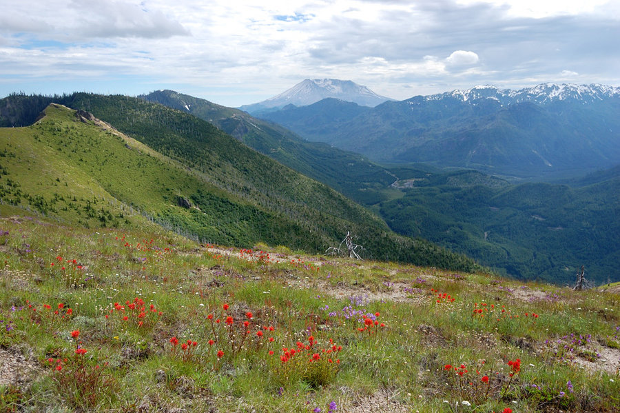
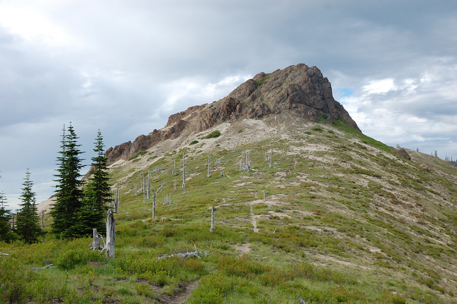
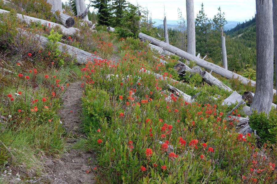
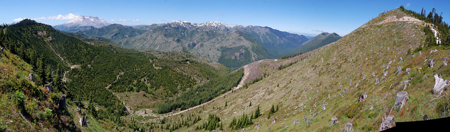
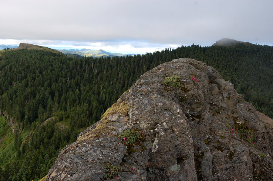
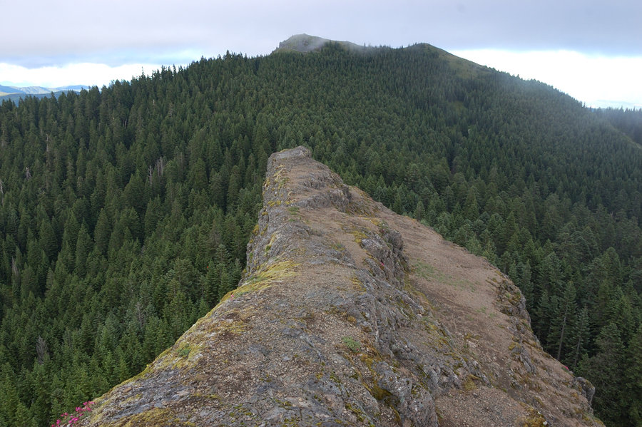
Sheep Canyon loop
11.5 miles of hiking • 2750' elevation gain •
Surprising how I never got to hike this whole loop before. Great trail, only 1 rough area about 1.5 mi long, nice fall colors, some really giant ancient trees, unique perspective on St. Helens... Downloadable GPS track @ the link.
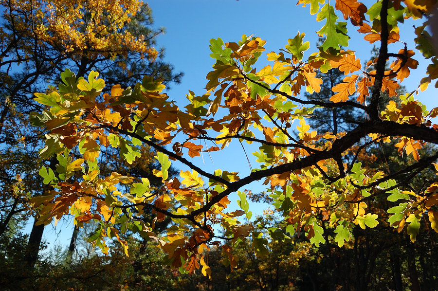
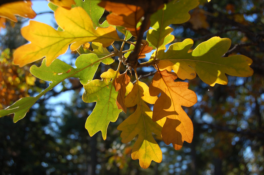
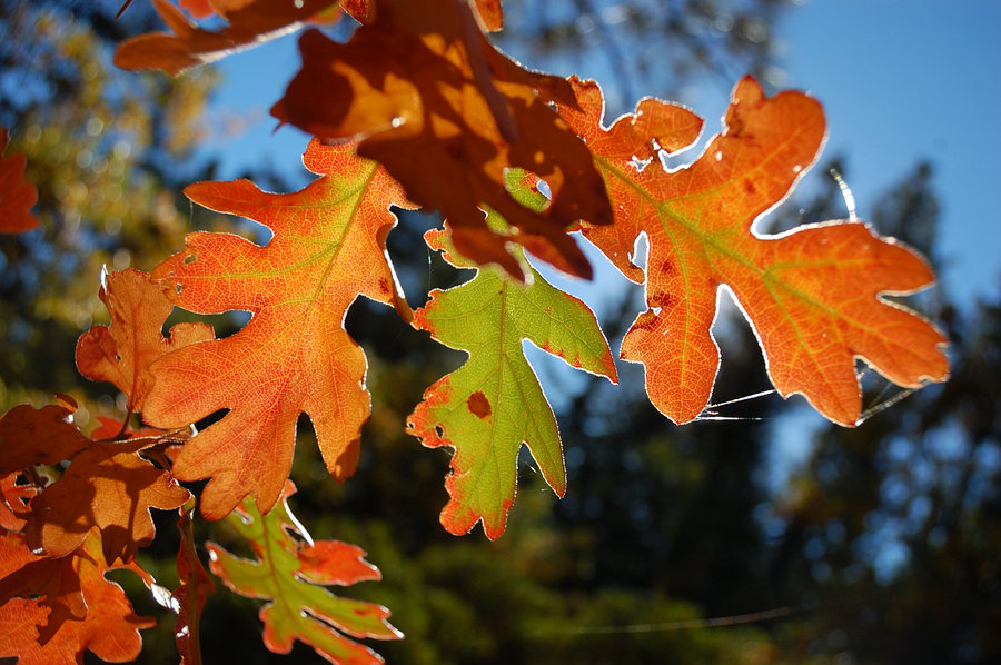
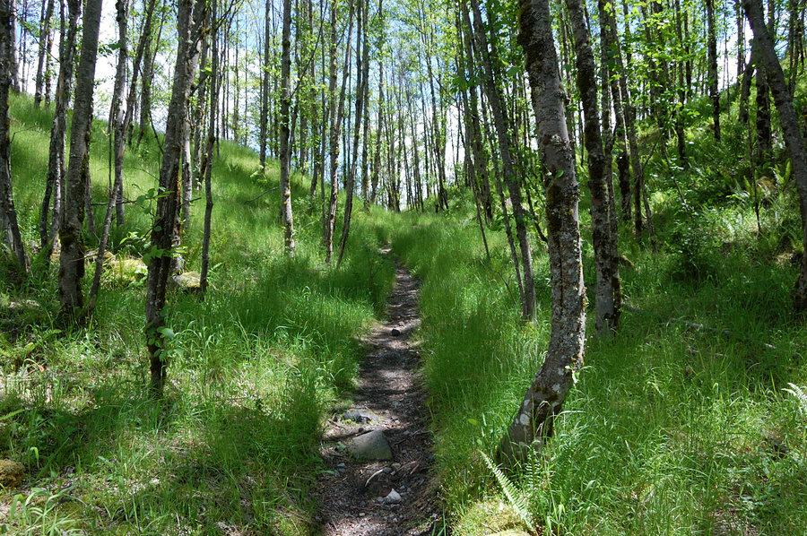
October 19, 2014


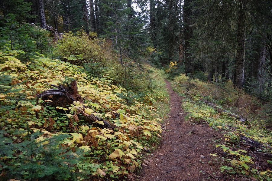
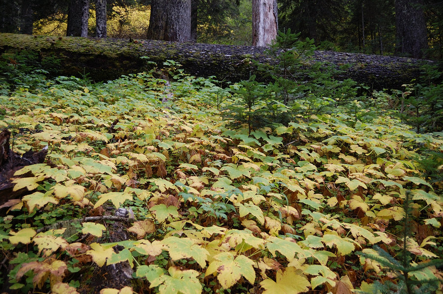

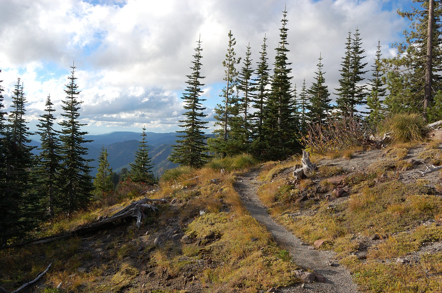


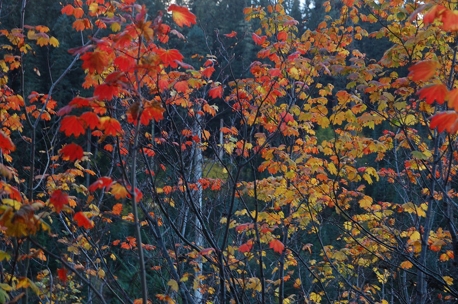
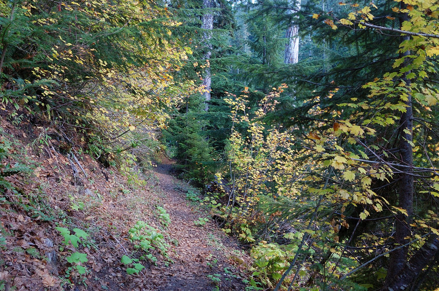

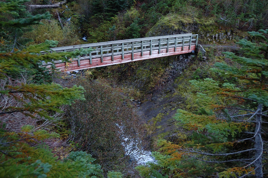
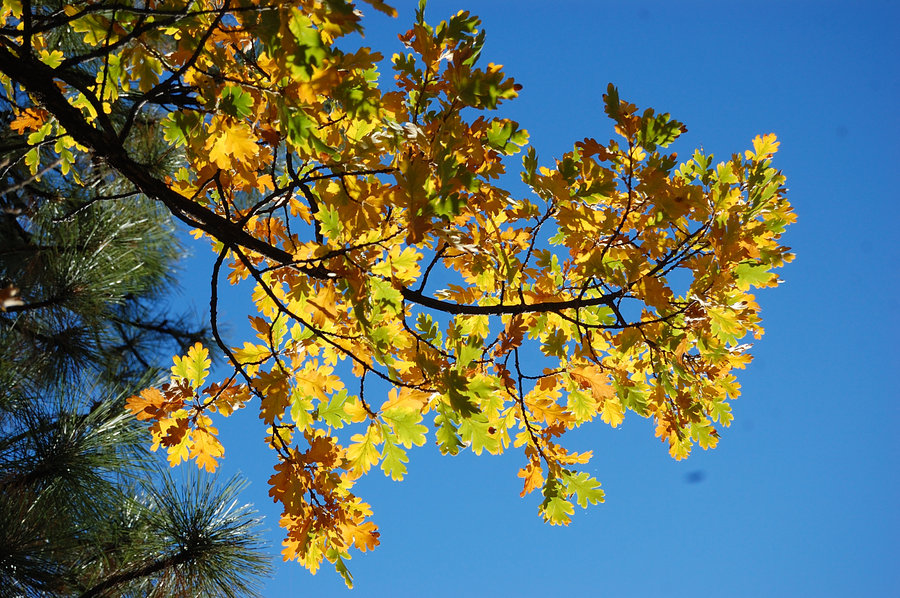
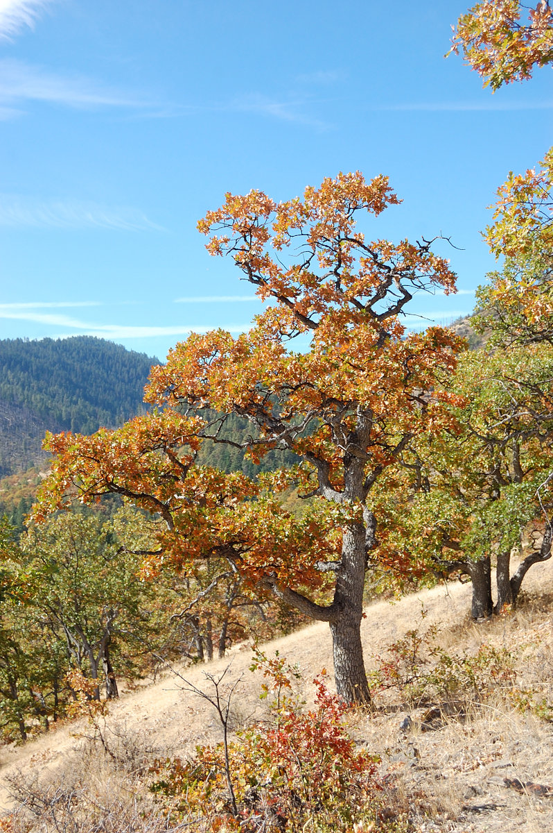
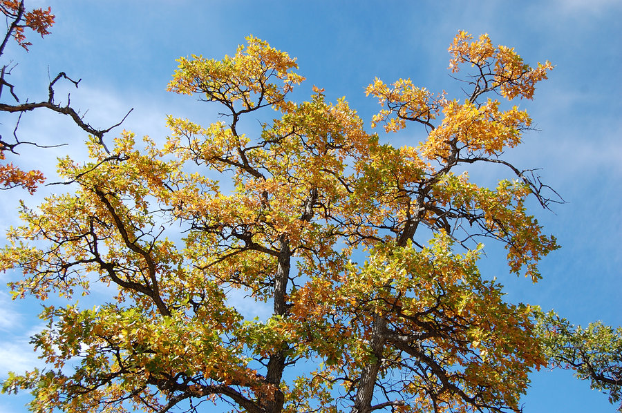
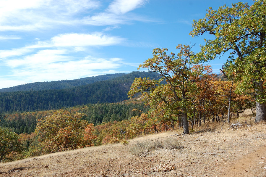
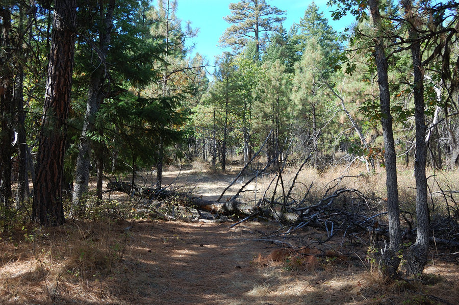
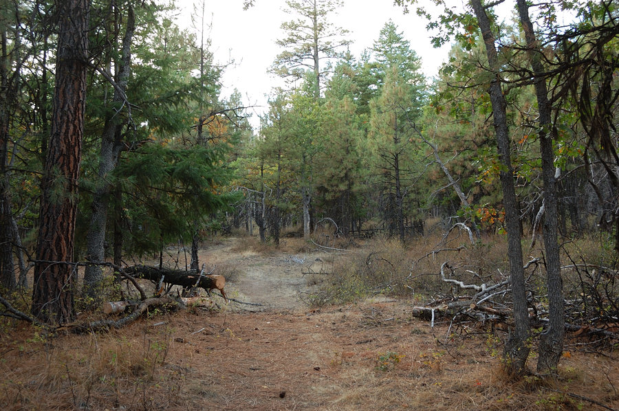
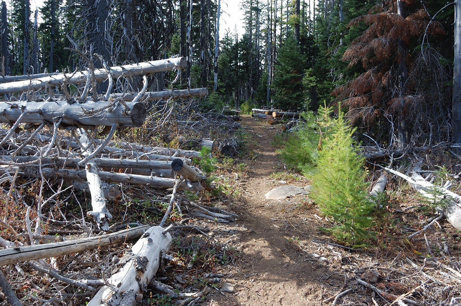
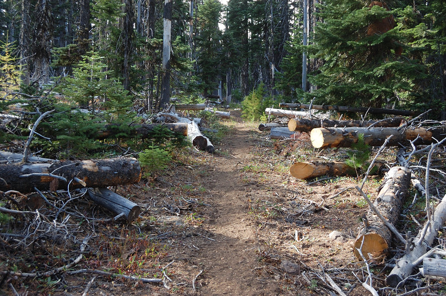
School Canyon trail to Flag Point
15 miles of hiking • 3000' elevation gain • 2 nights
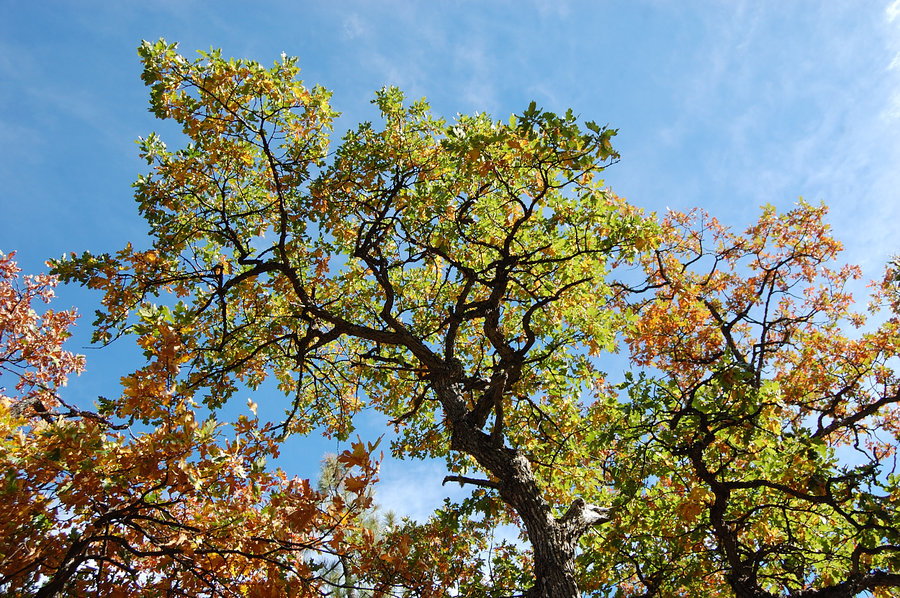
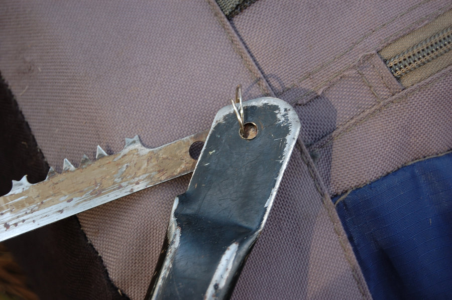
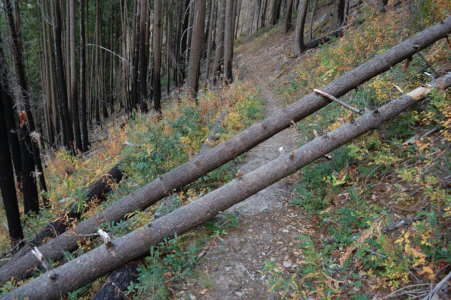
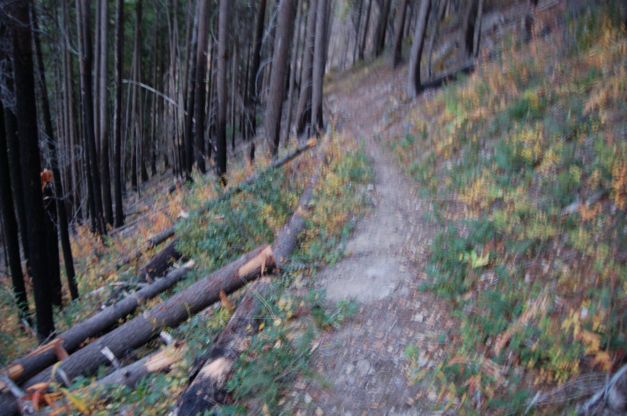
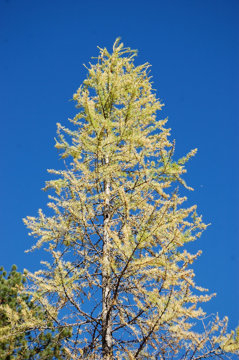
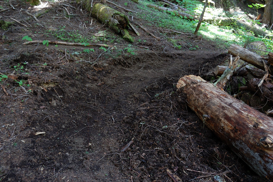
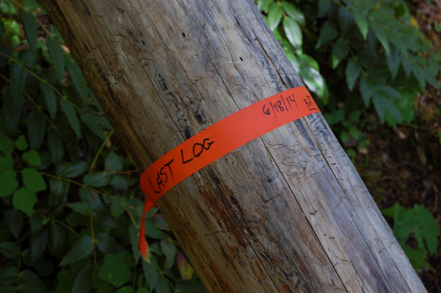
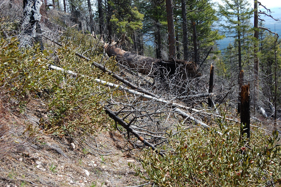
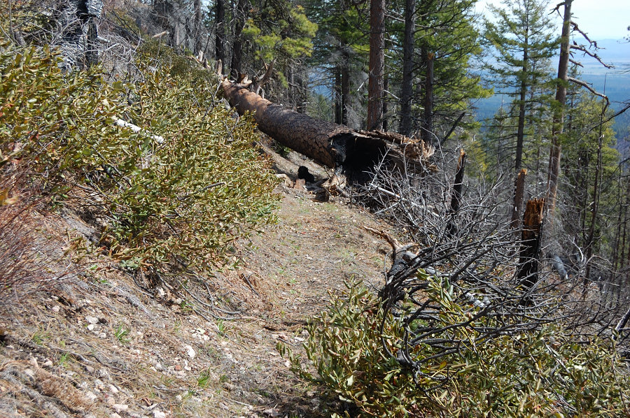
3-day hike with a little trail RX. Oak woods were quite gold but the best color is still ahead (this or next weekend), the larches - ones that I saw - just started to change color. The trail above the camping area to Flag Point is completely clear of blowdown (!), would like to know who did such a huge work. I removed 19 logs (small and mid-size stuff, still many left) on the lower part of the trail. Lots of yellow jackets that were a bit of problem at camp, but likely gone by now. Got about 3 hours of rain Saturday p.m. but otherwise it was excellent, dry and mostly sunny weekend.
October 10 – October 12, 2014


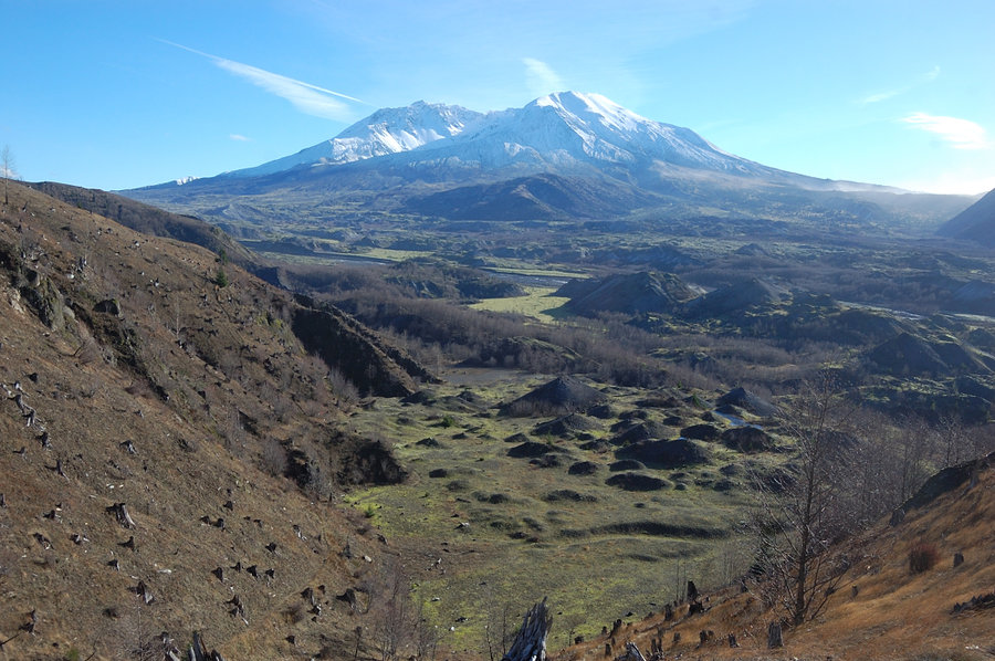
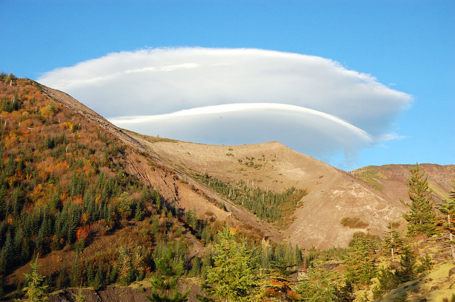
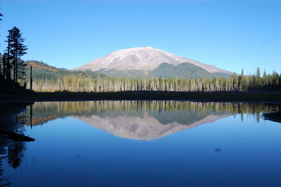
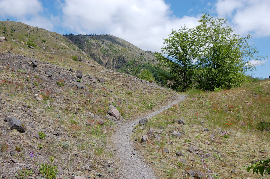
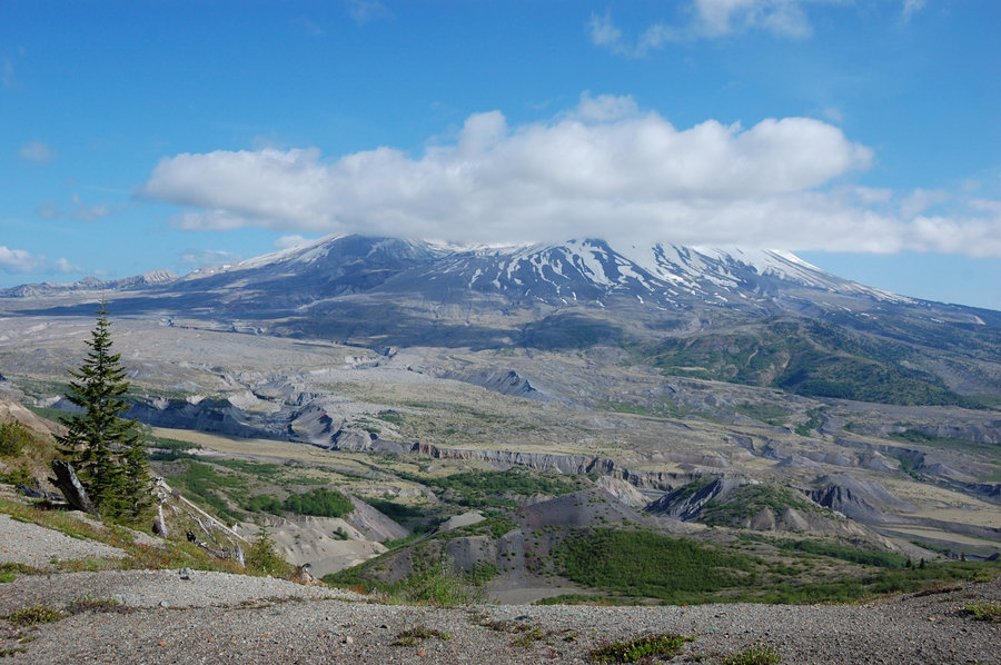
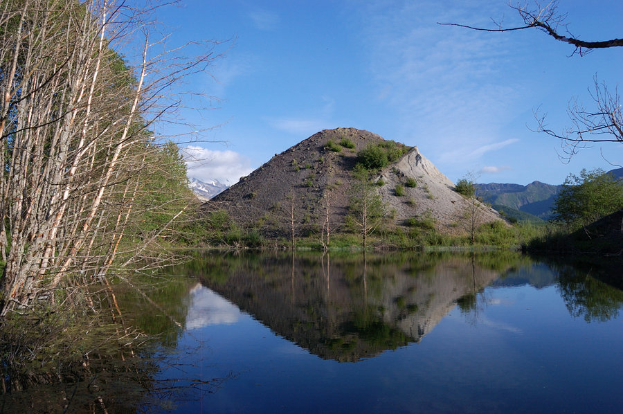
Goat Marsh Lake (MSH)
2.5 miles of hiking • 250' elevation gain •
Shallow lakes with muddy shores, but what a view! Plus, those cliffs on Goat Mtn...
October 5, 2014

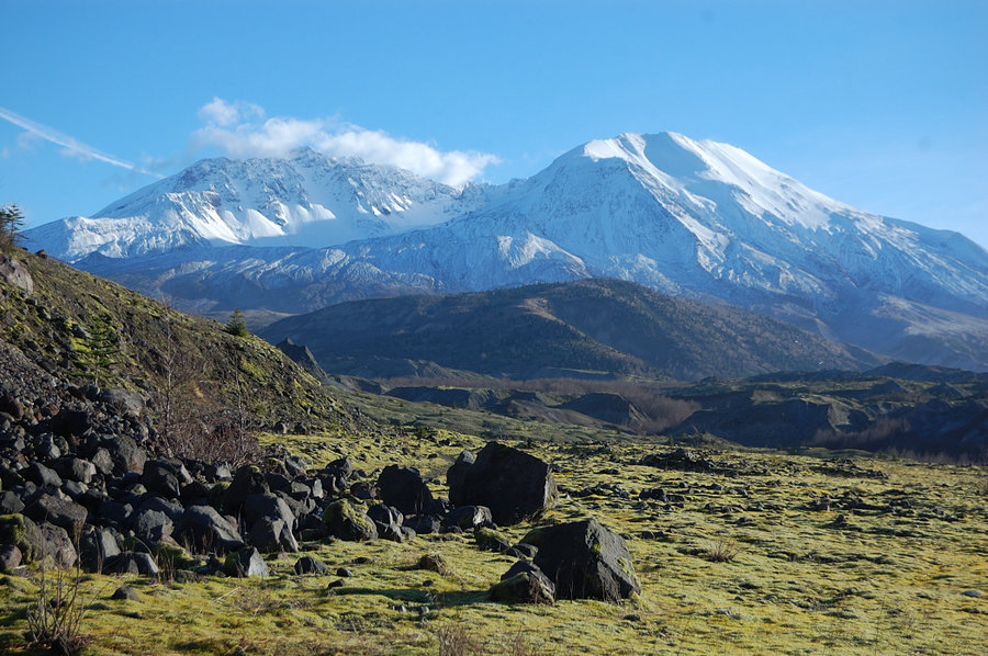
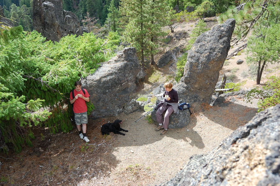
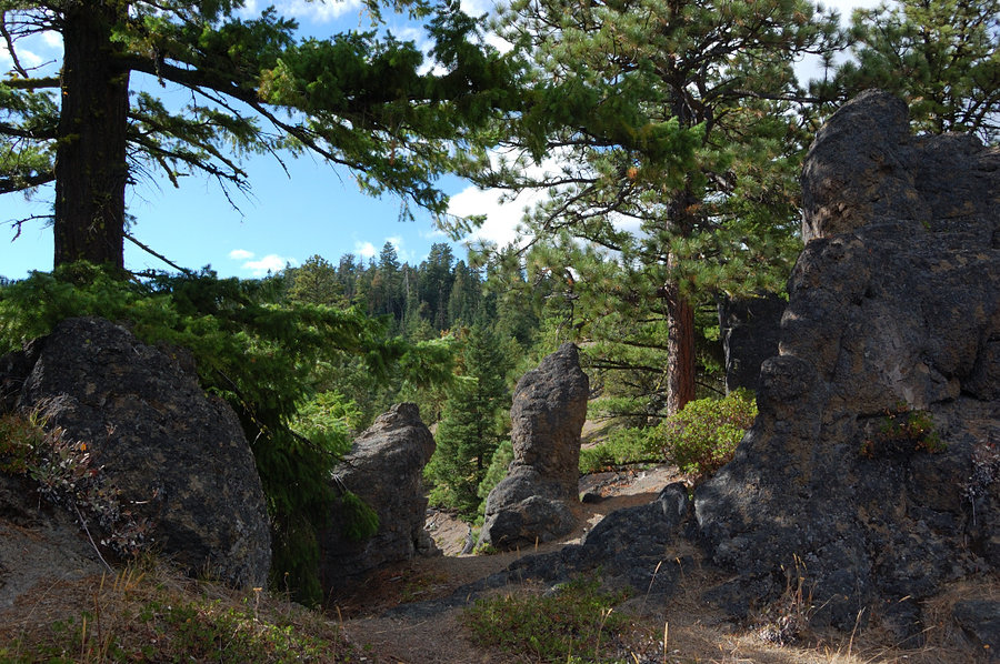
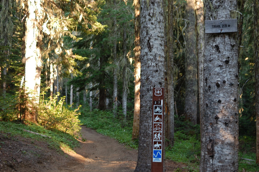
Trail 227A (Spirit Lake area)
5 miles of hiking • 1250' elevation gain •
Nice, little traveled trail near popular area. We started late so didn't go far.
October 4, 2014


 1
1
September 28, 2014


 2
2
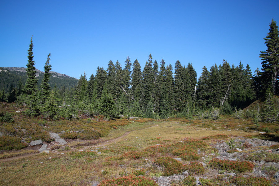
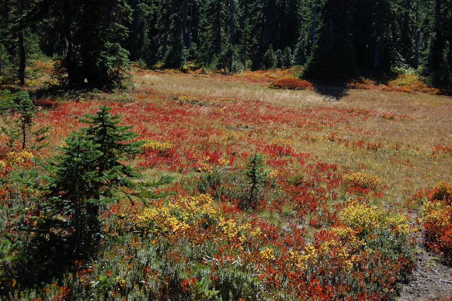
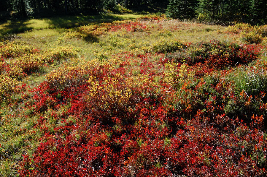
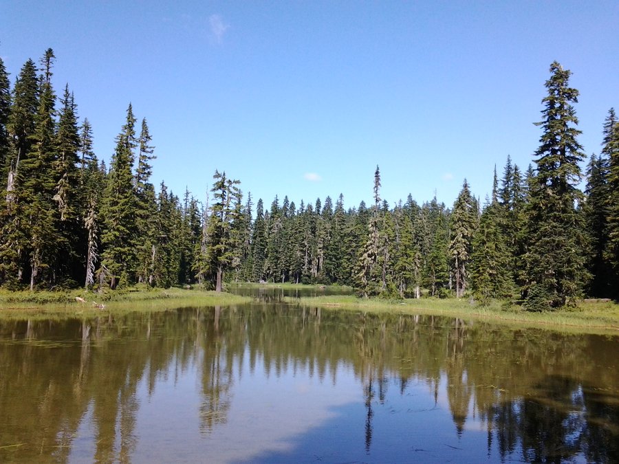
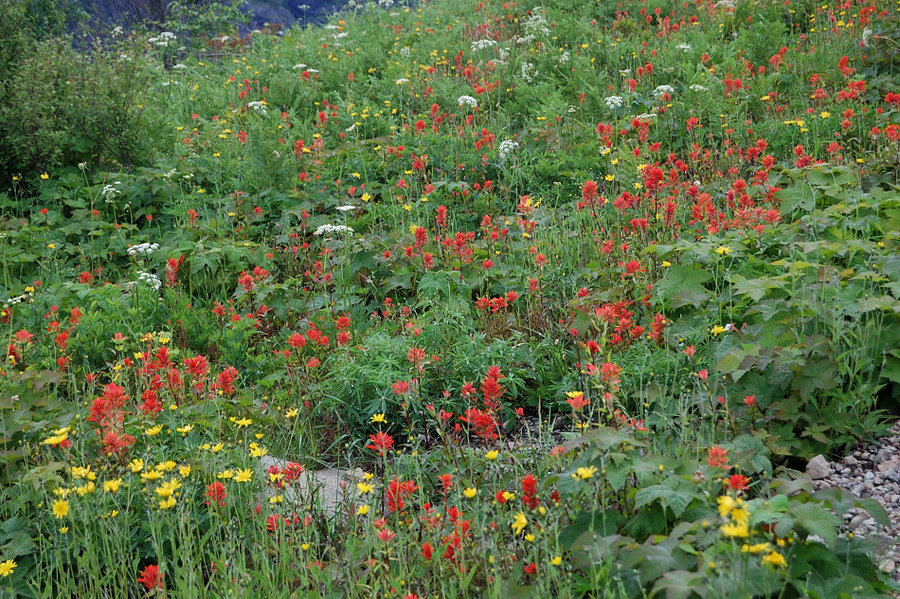
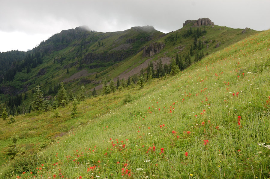
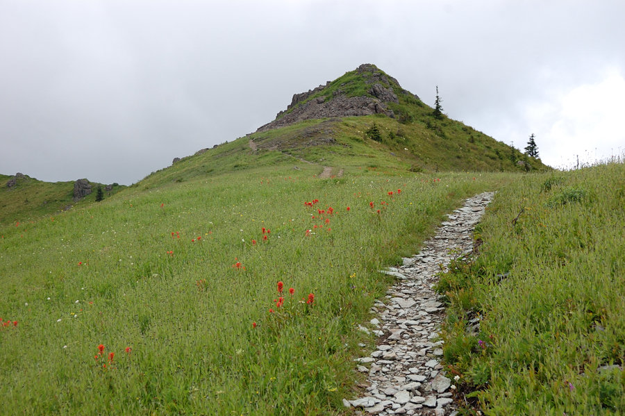
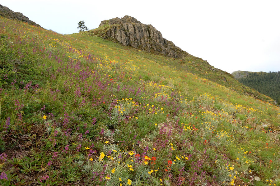
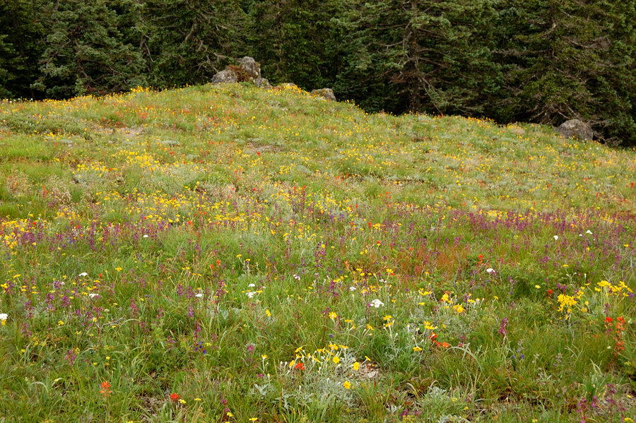
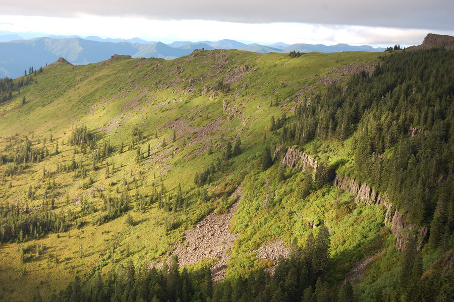
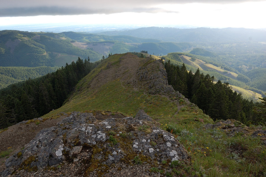
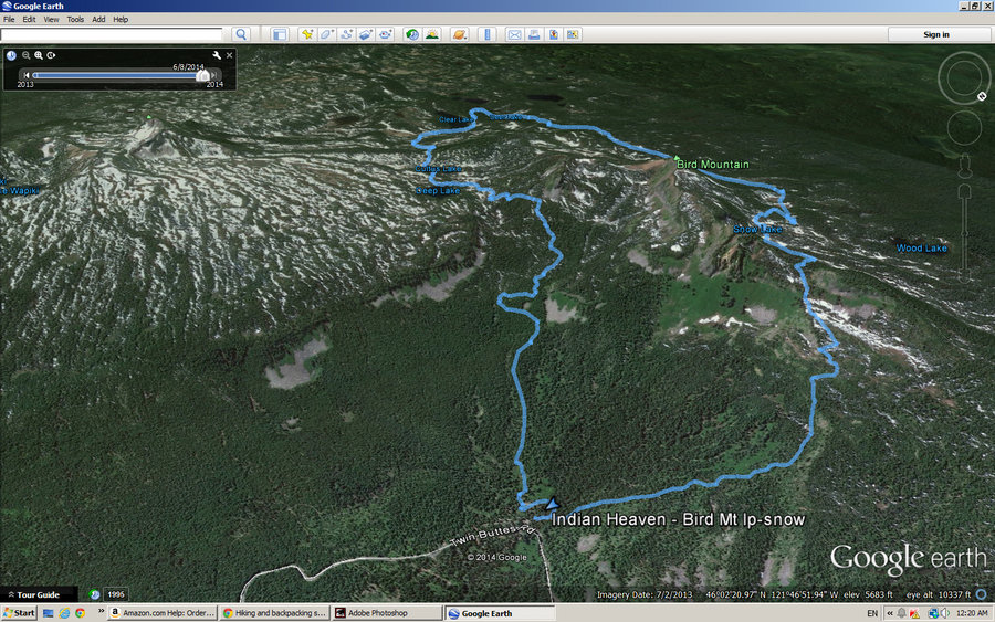
Indian Heaven - abandoned trails loop
17.91 miles of hiking • 1750' elevation gain • 2 nights
September 20 – September 22, 2014
 3
3
Jefferson Park via Whitewater Trail
11 miles of hiking • 2000' elevation gain •
Planned to do Obsidian but we left home late & also had uncertain smoke forecast for Three Sisters so we went to Jefferson Park (my dad never been there). Pretty hot to start, but cool and pleasant breeze at the lakes. Bays Lake was awesome. Fall color in the Park is starting nicely but the best will likely be next weekend. In some places it was loads of huckleberries, in other places very few. There were swimmers at Scout and Bays Lake, but in between the lakes we hardly saw anyone else.
Photo credit goes to my dad, I forgot my camera in the car
September 14, 2014

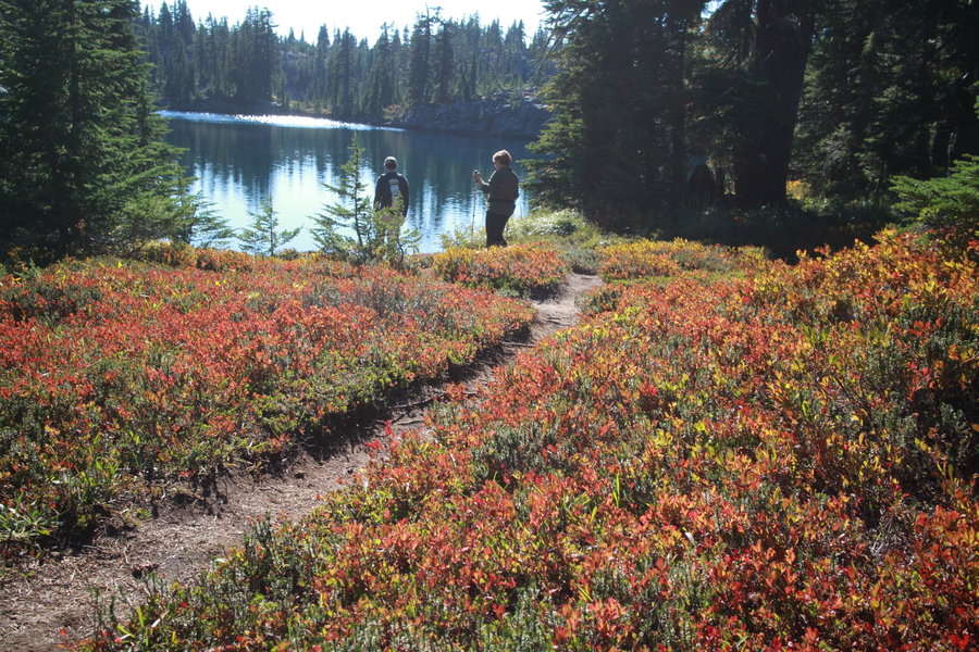
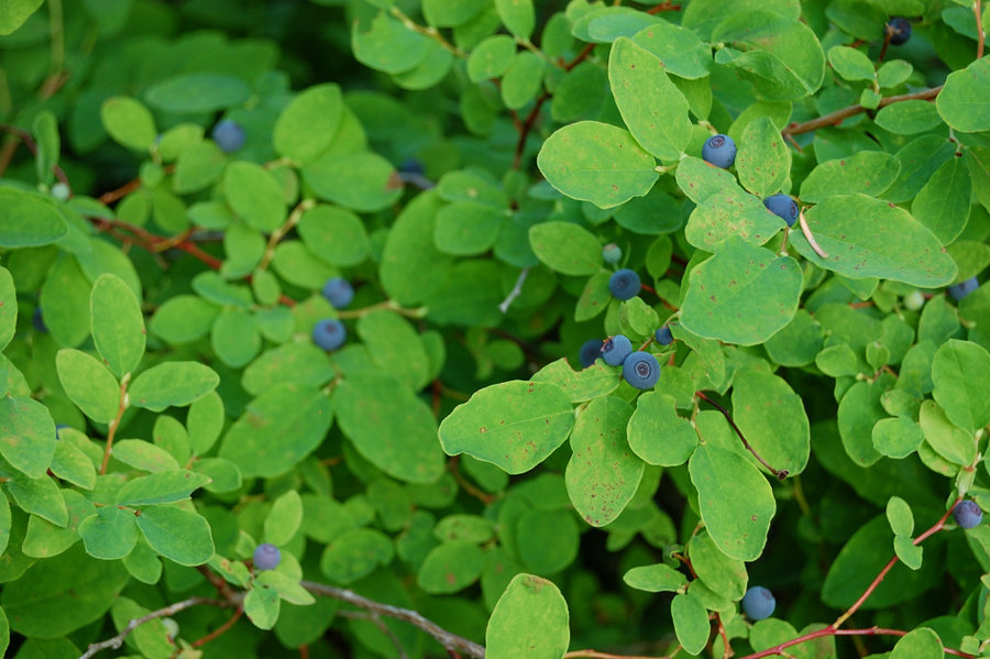
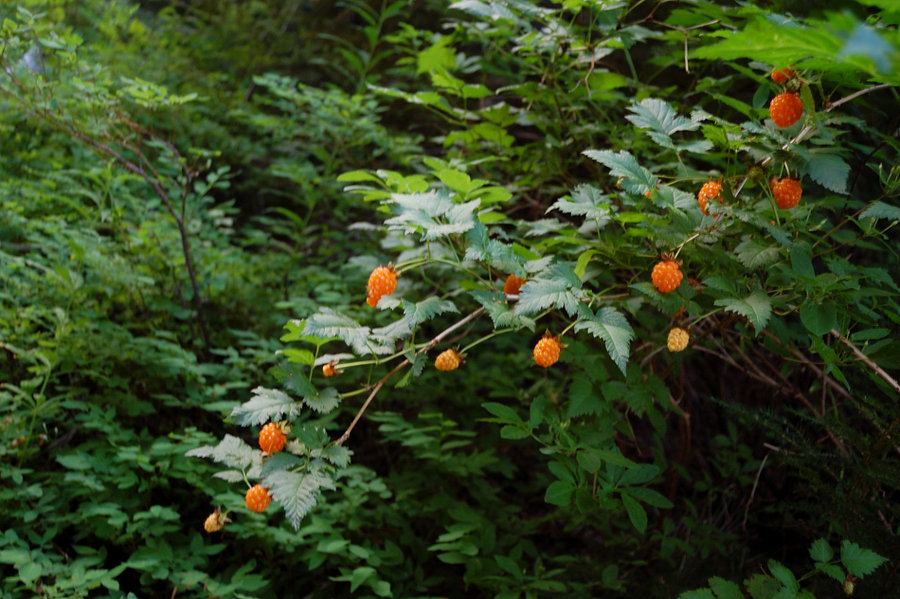
Indian Heaven - Thomas Lake to Blue Lake
6.77 miles of hiking • 1000' elevation gain •
Fall colors (red huckleberry leaves) are near their peak now in Indian Heaven, loads of berries but they're falling off already, probably will last one more week. Zero mosquitoes, warm lakes - best time to visit the area.
September 13, 2014


 1
1
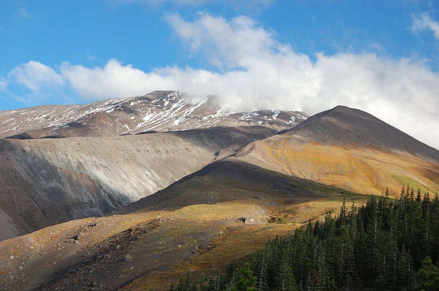
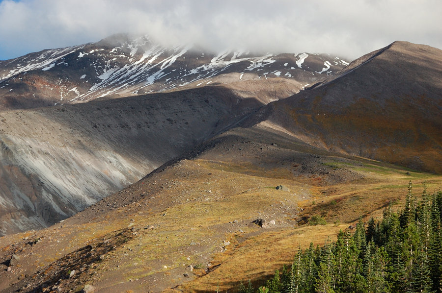
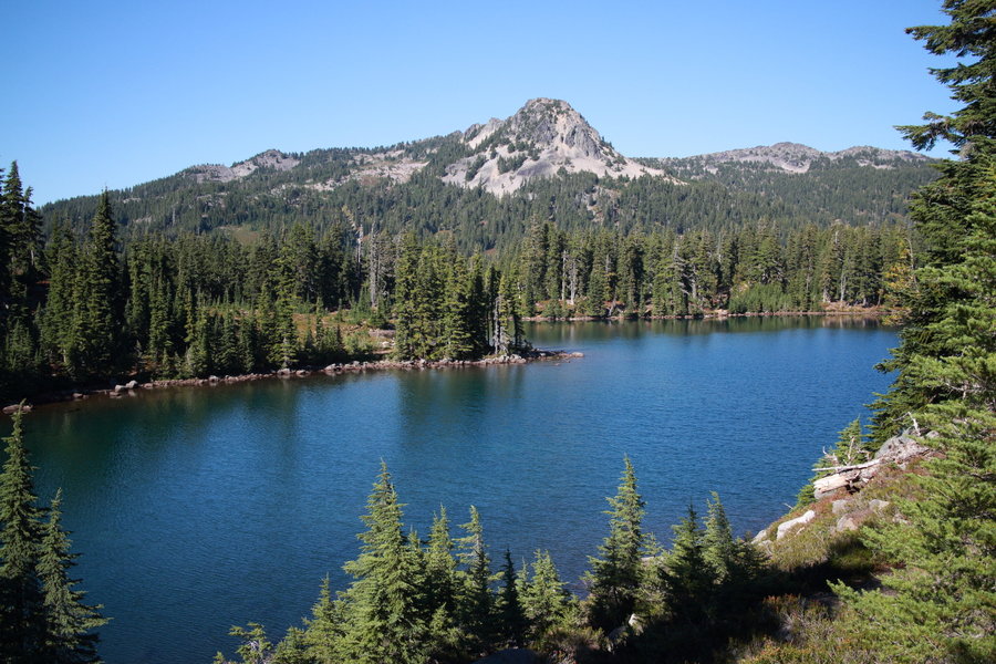
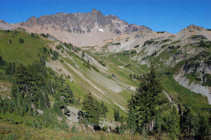
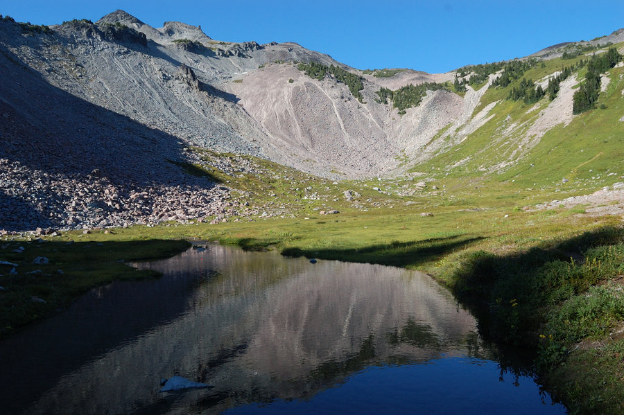
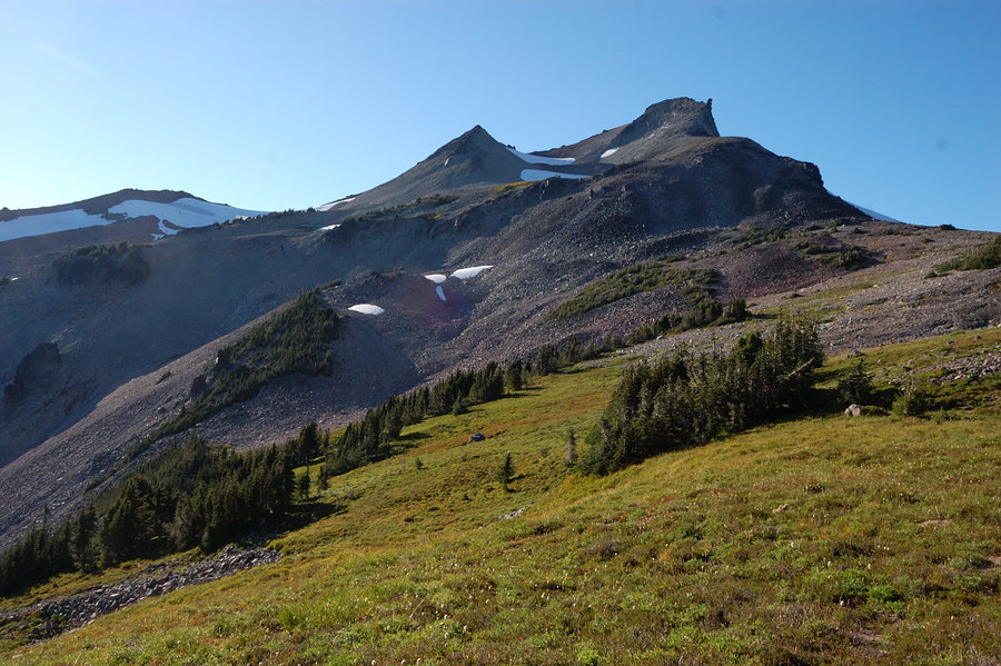
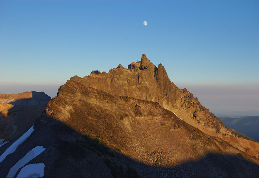
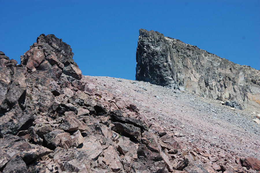
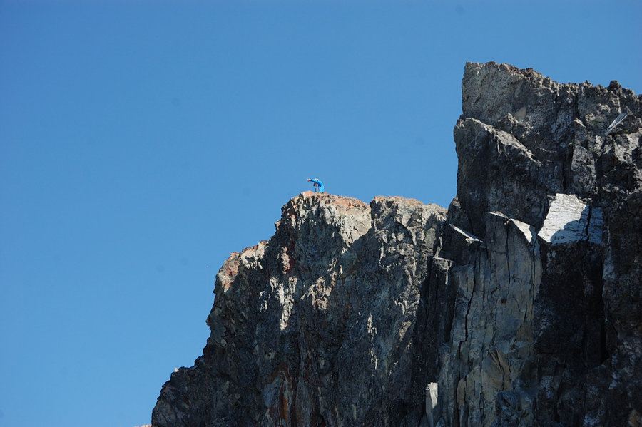
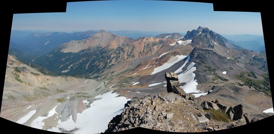
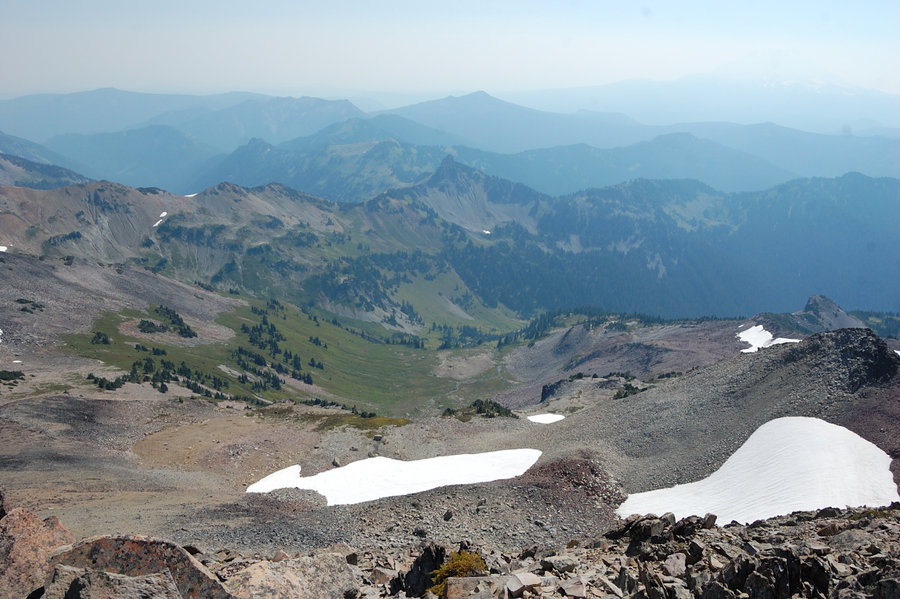
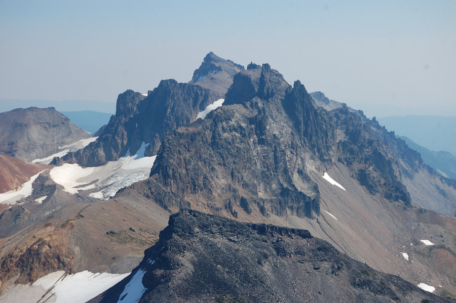
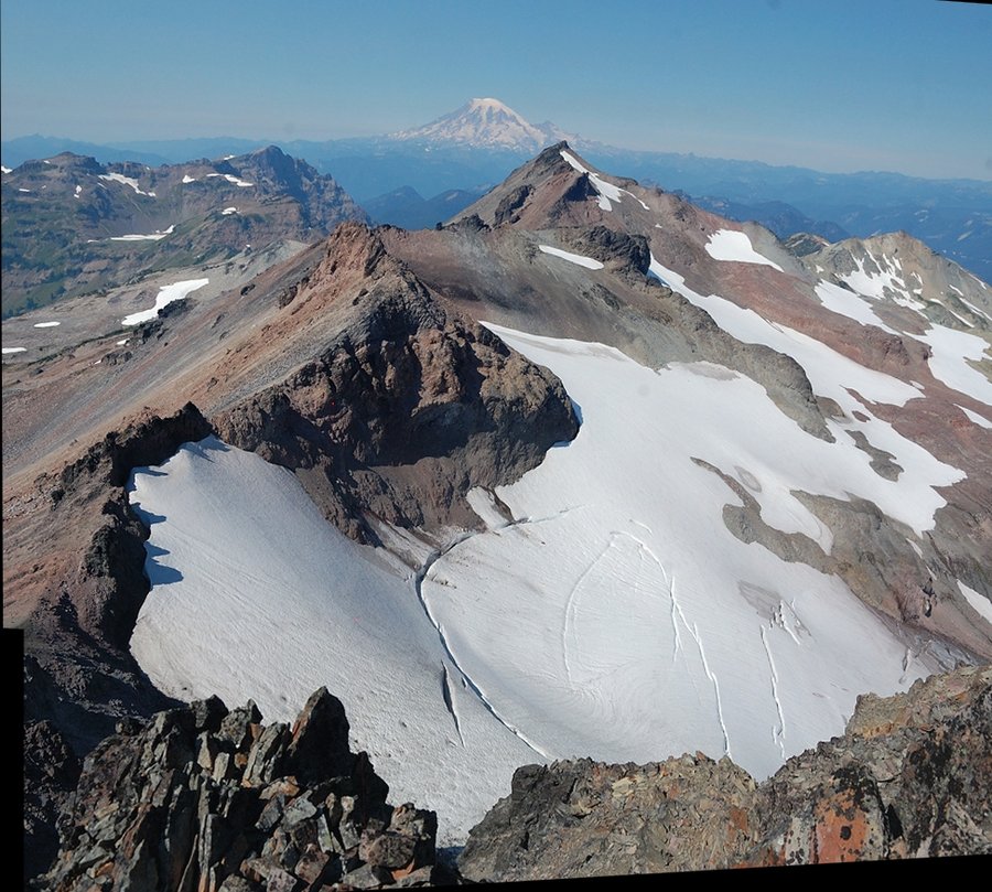
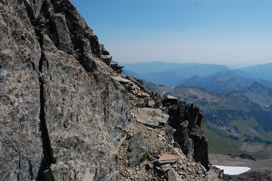
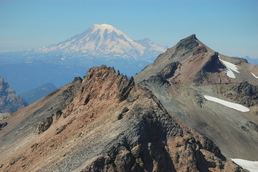
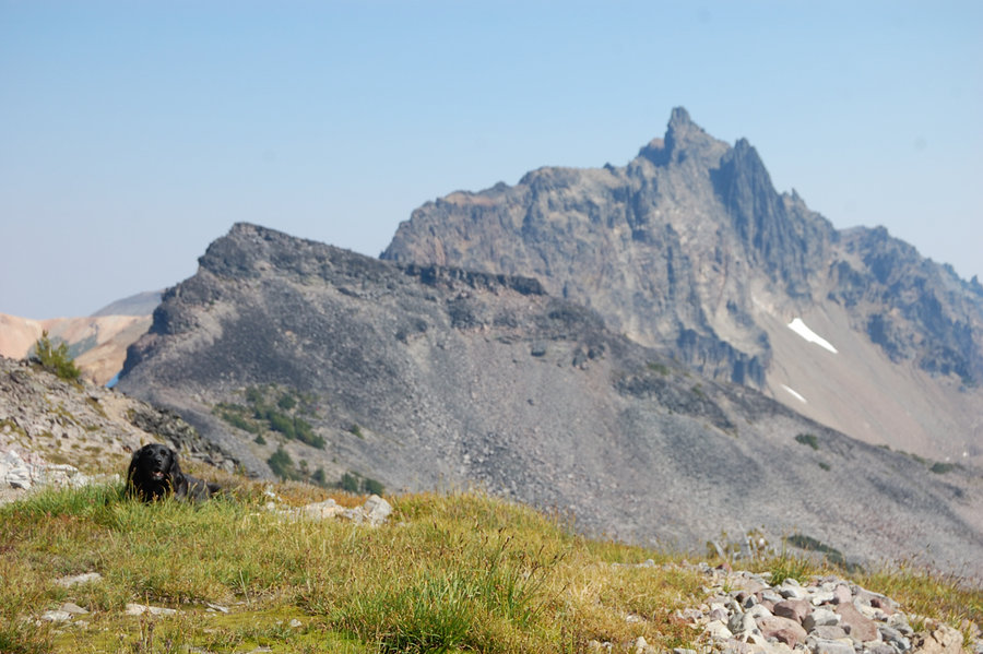
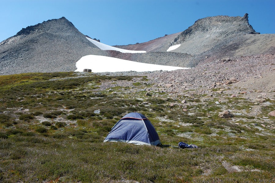
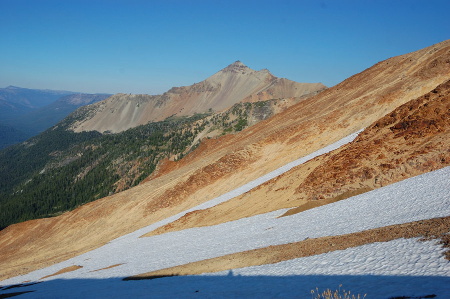
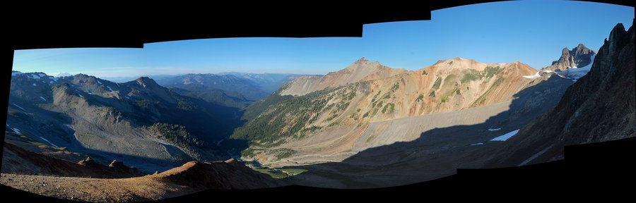
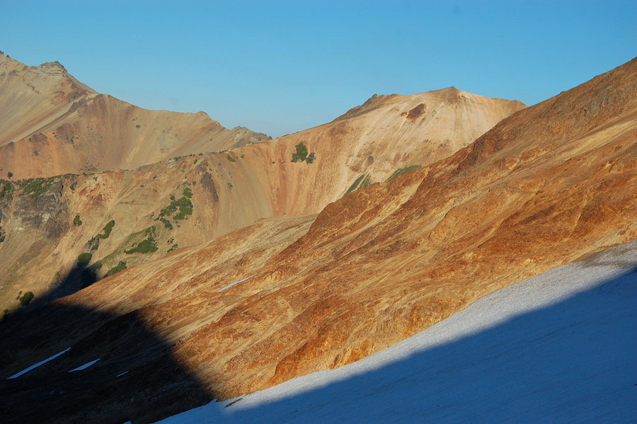
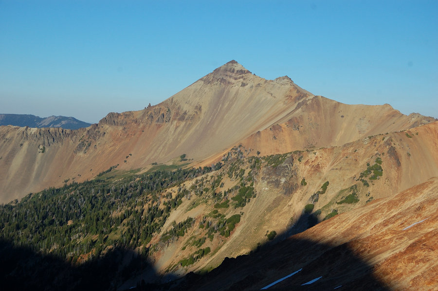
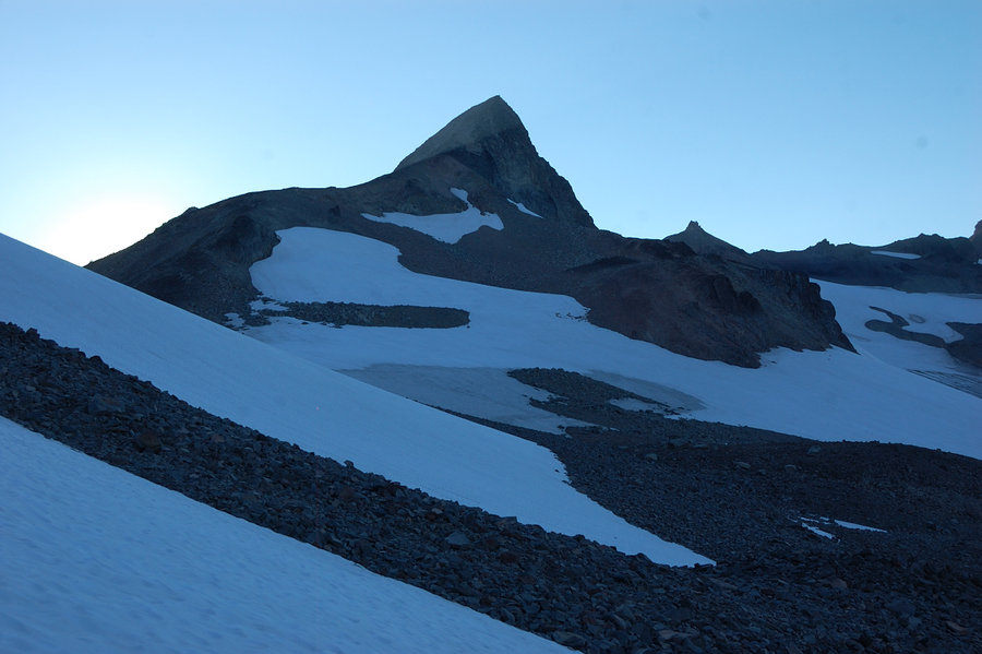
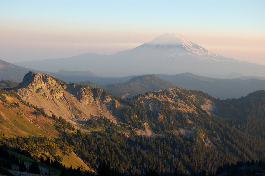
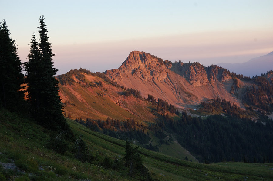
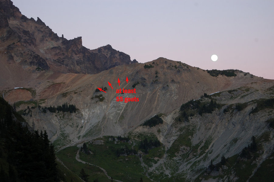
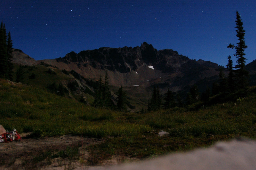
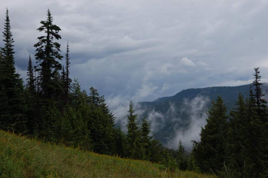
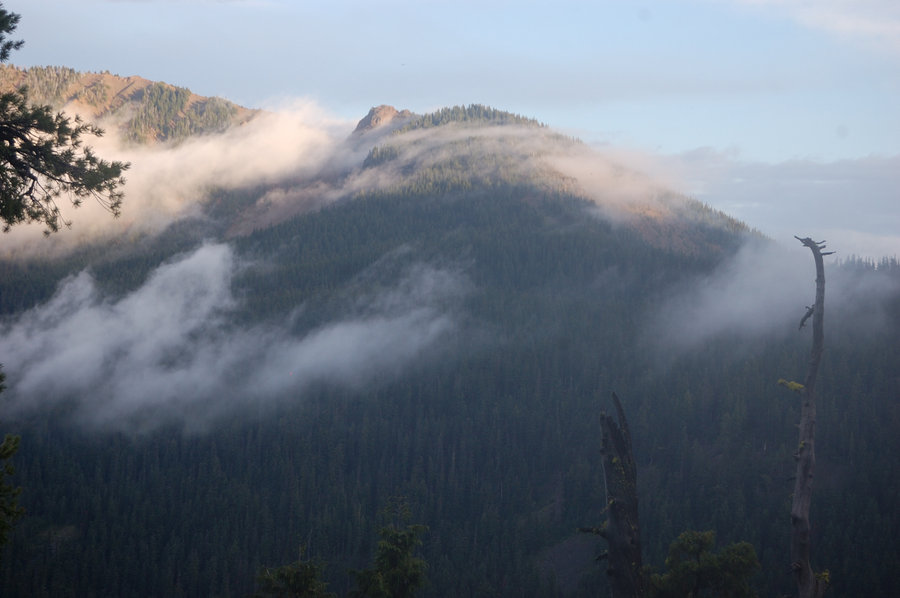
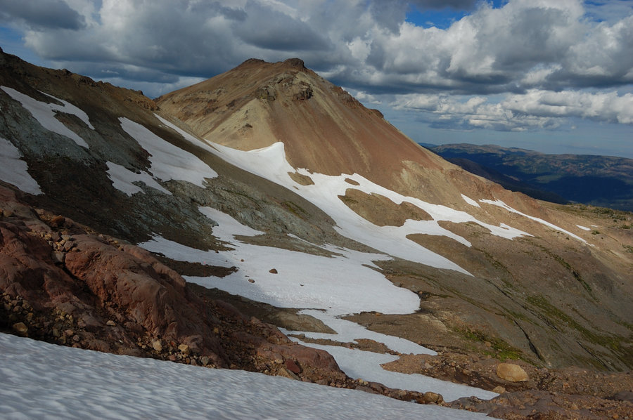
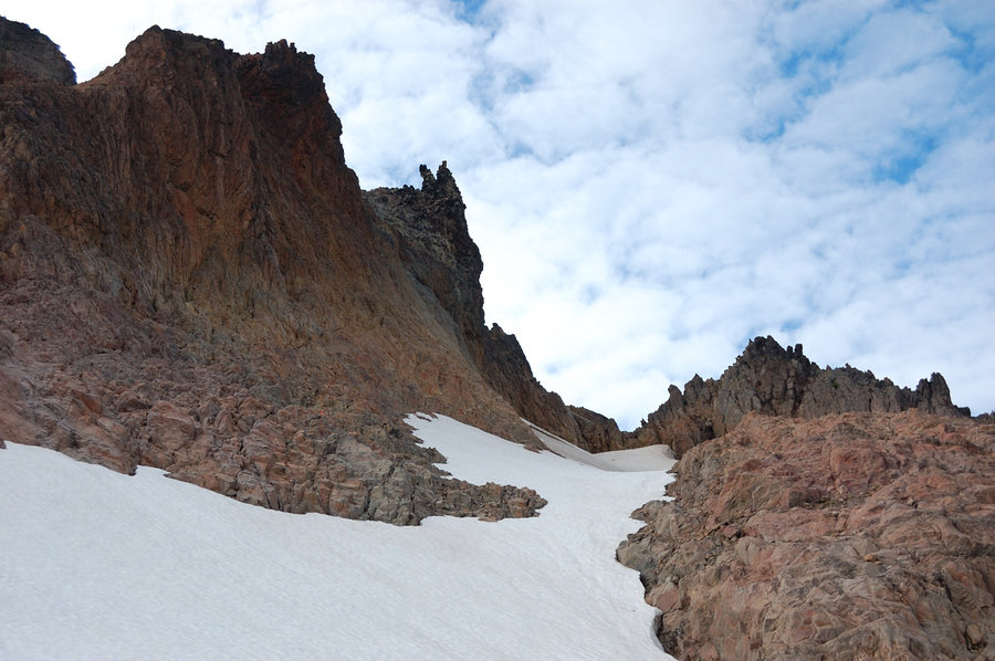
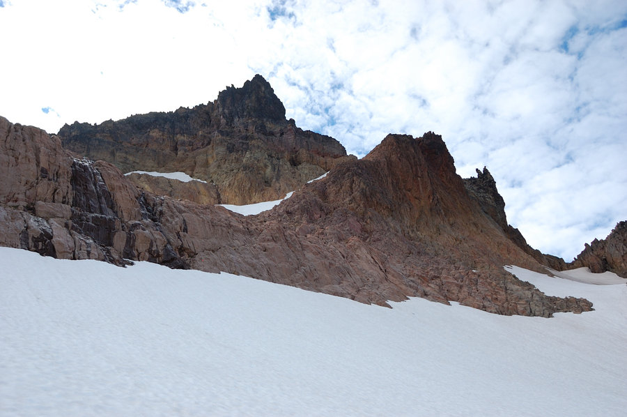
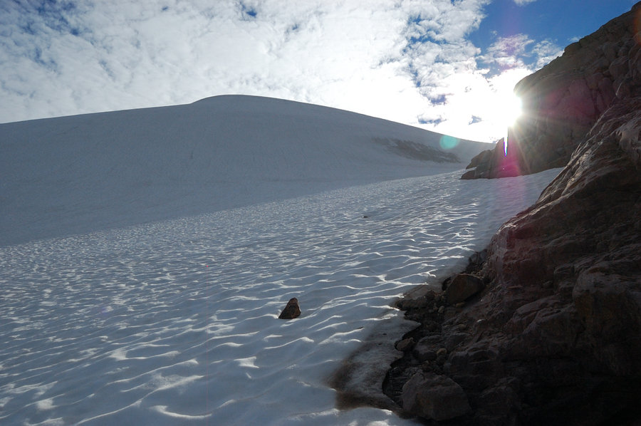
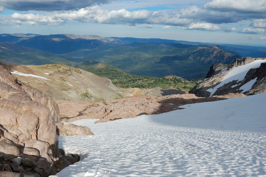
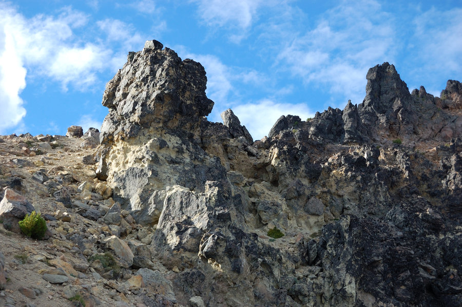
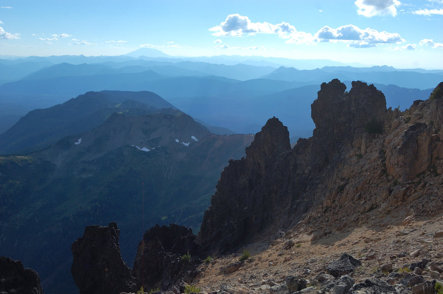
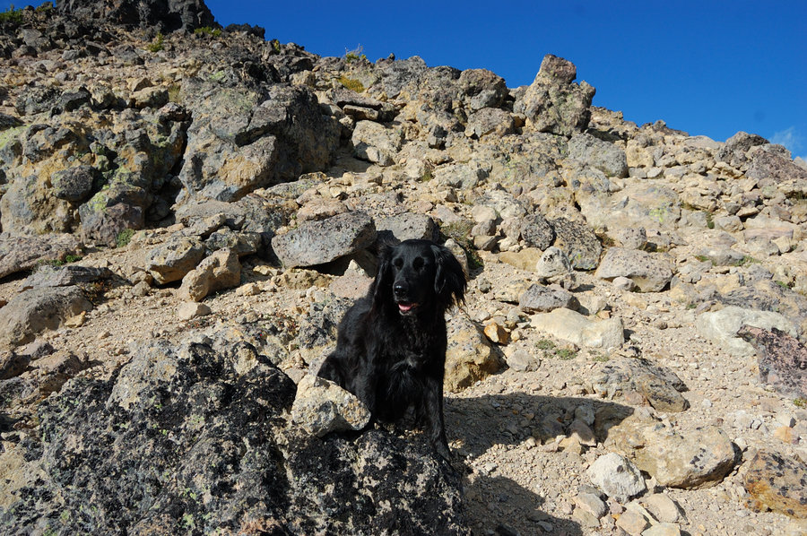
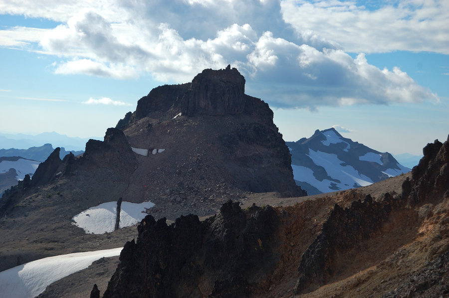
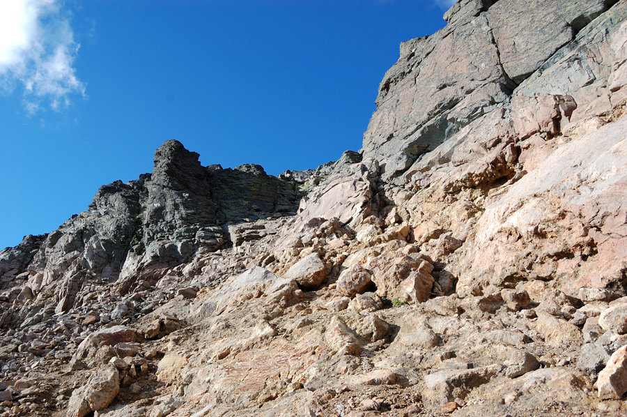
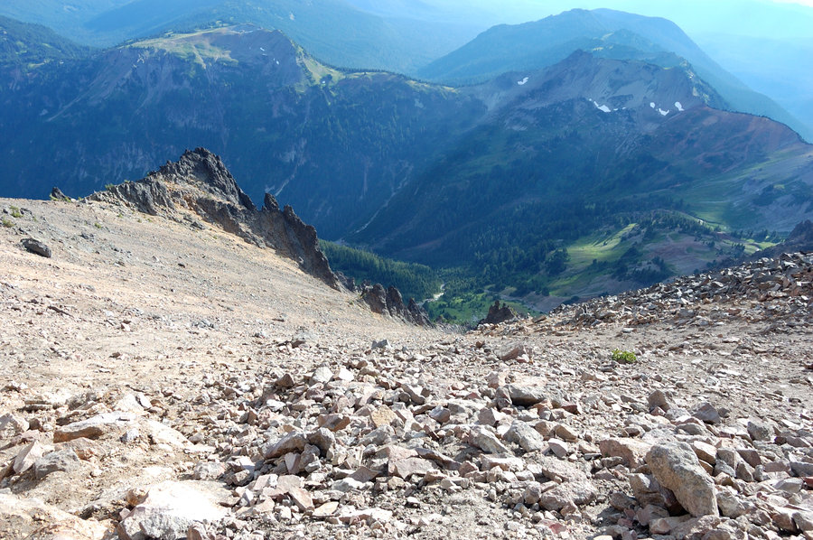
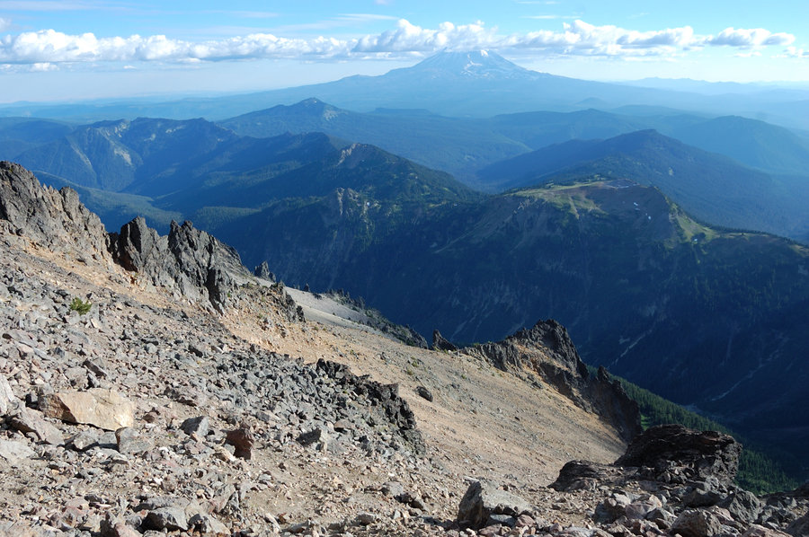
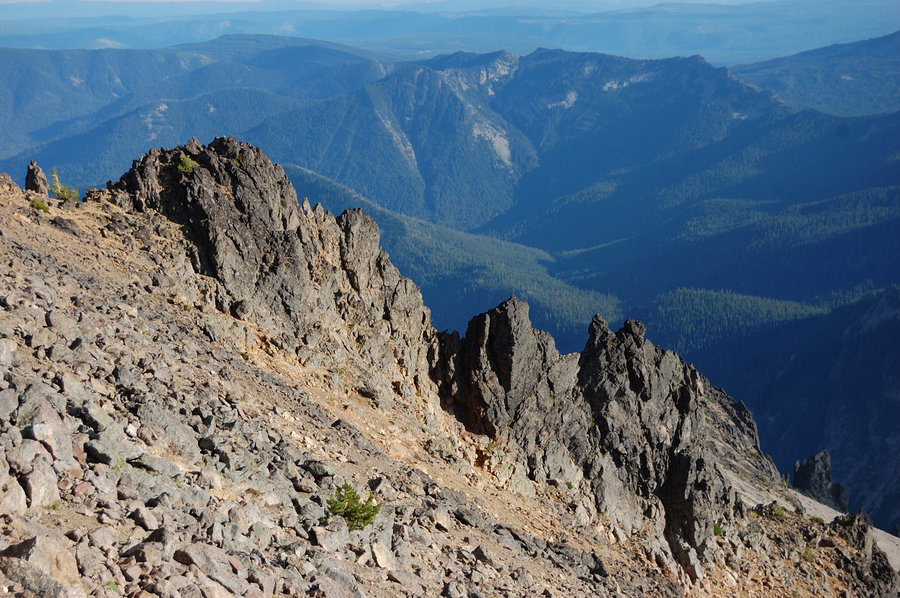
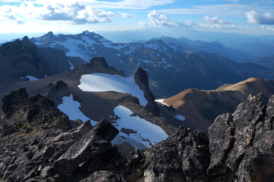
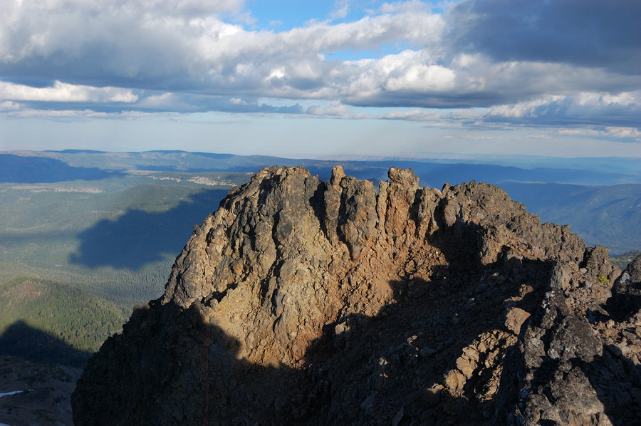
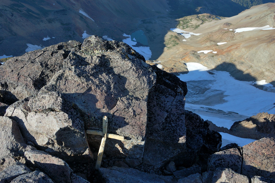
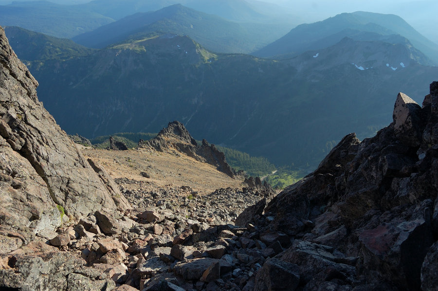
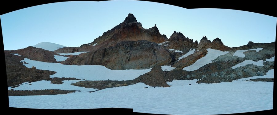
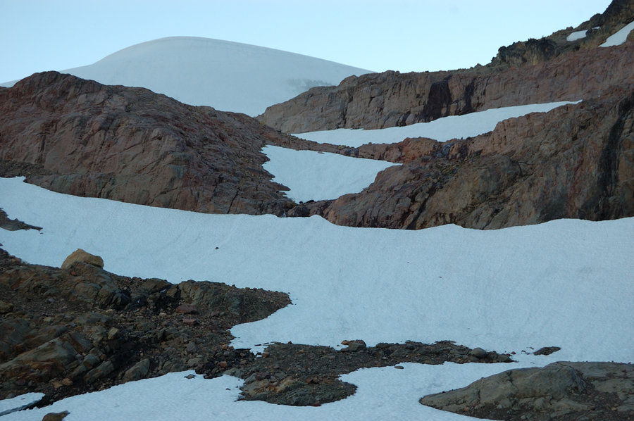
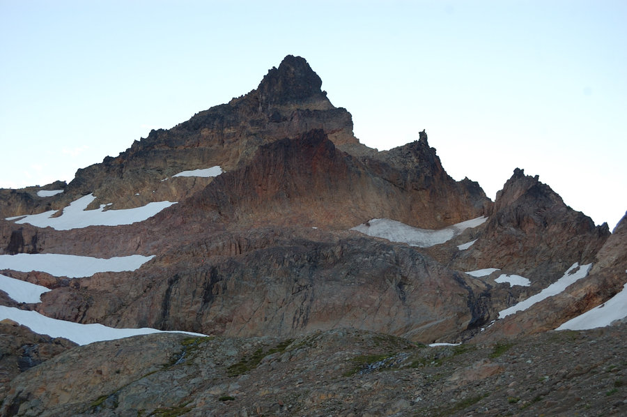
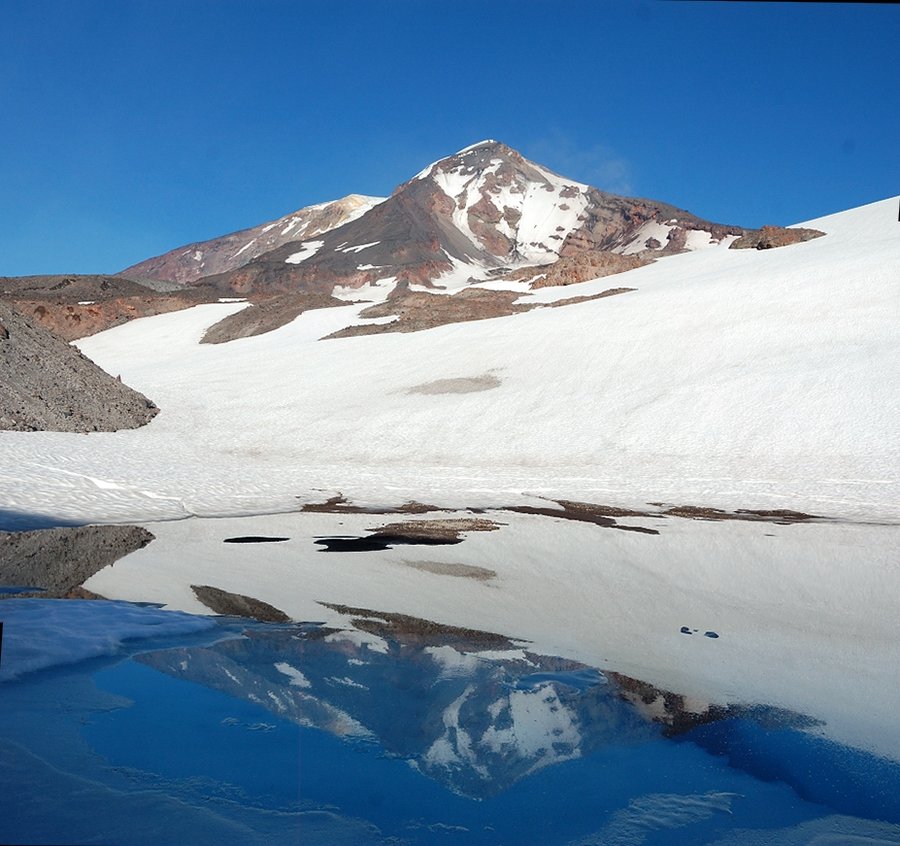
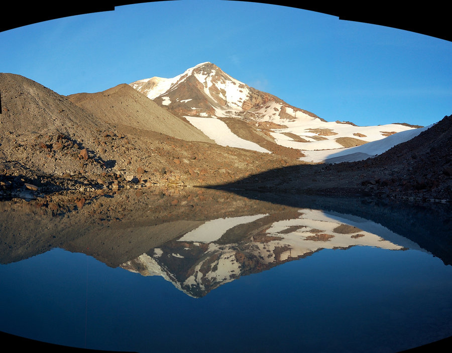
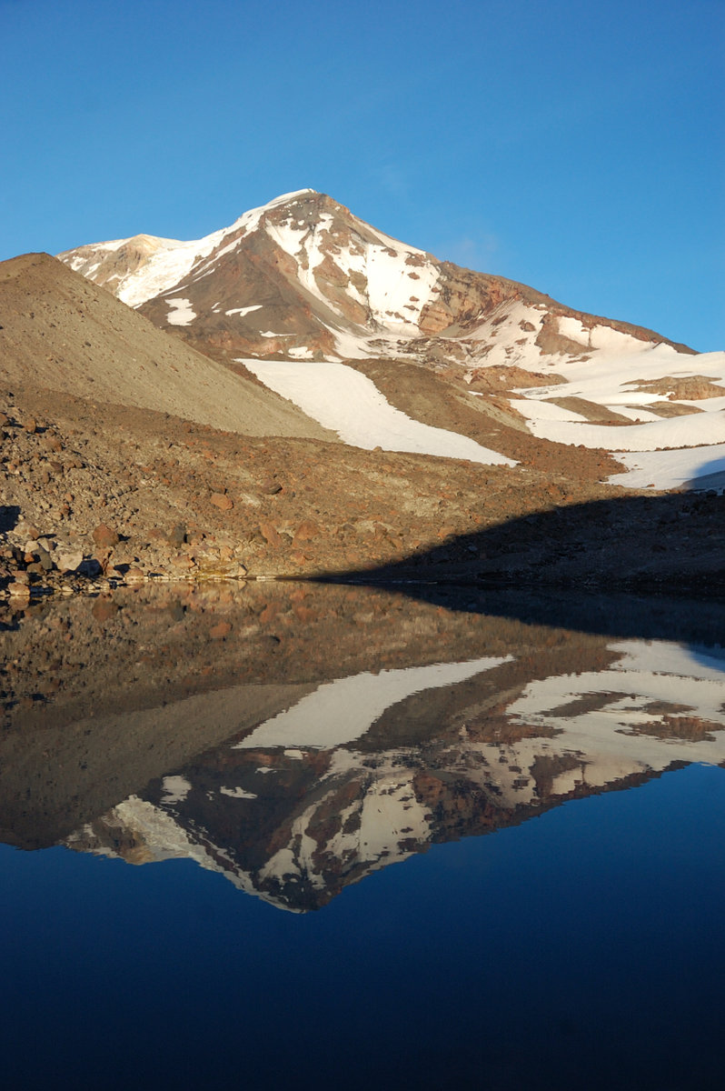
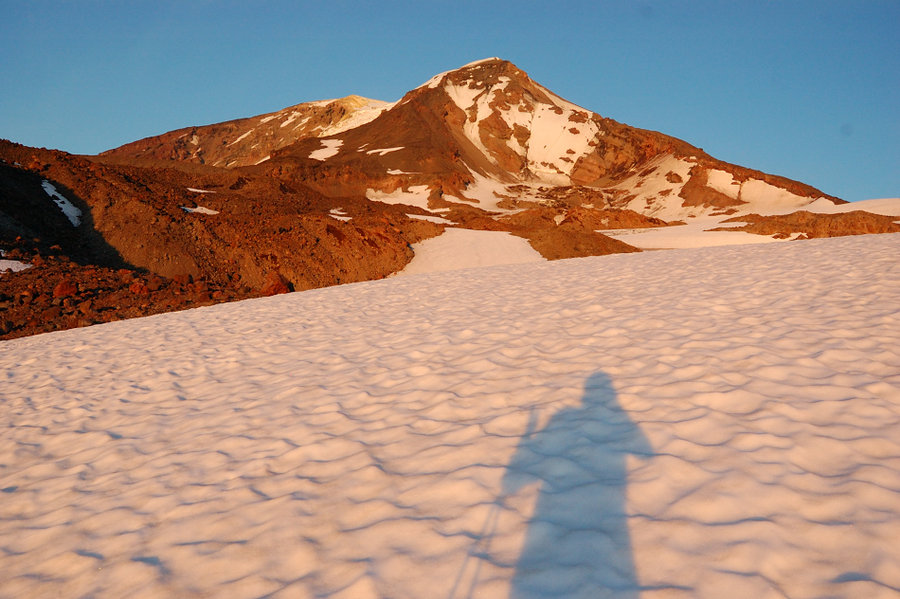
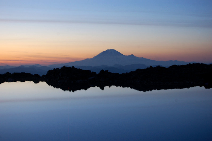
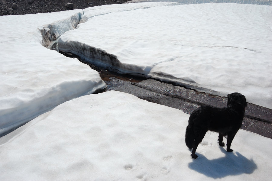
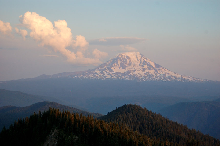
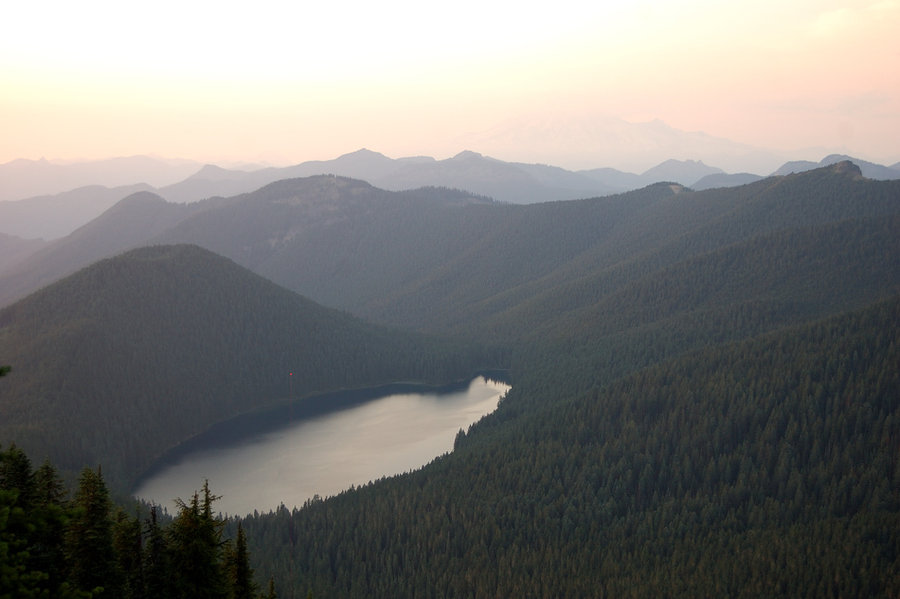
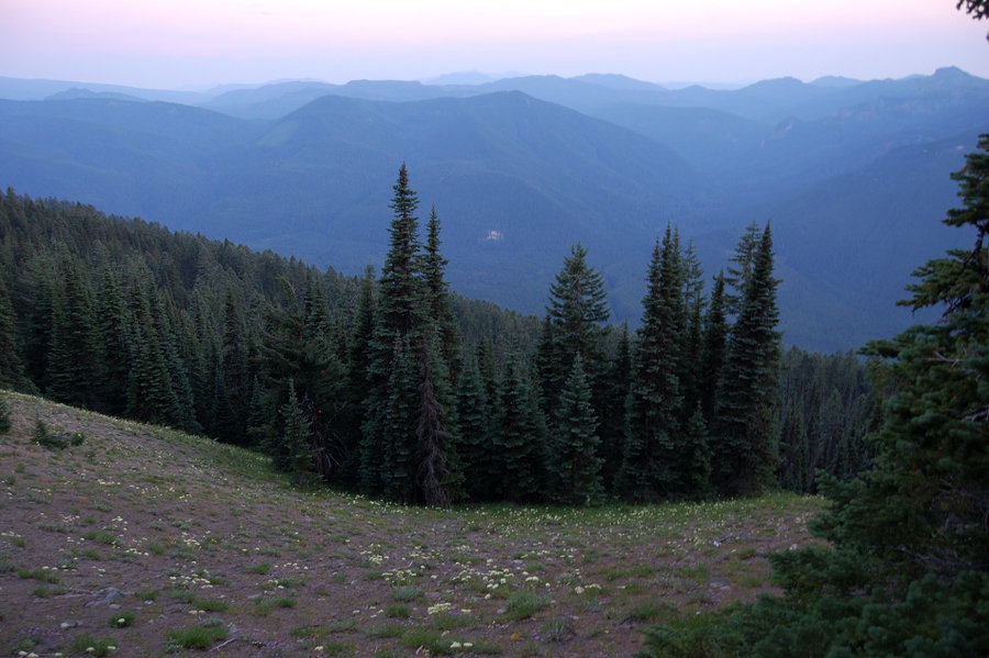
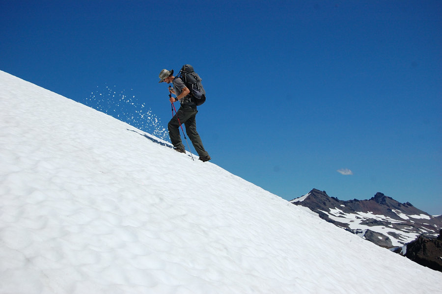
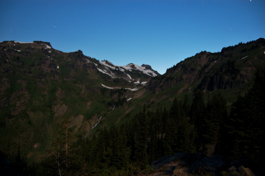
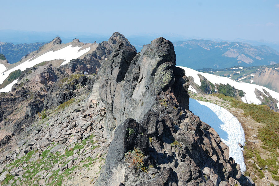
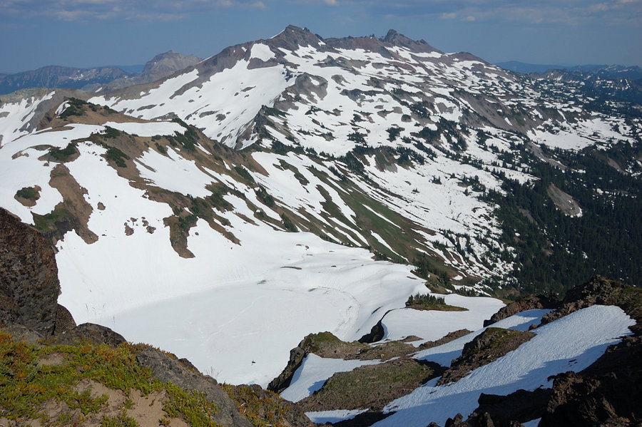
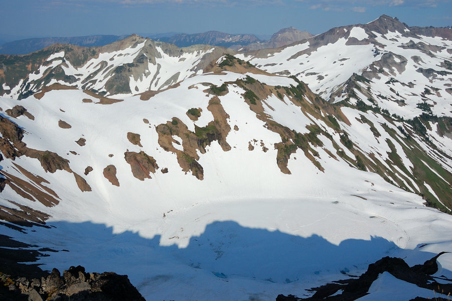
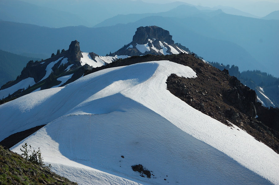
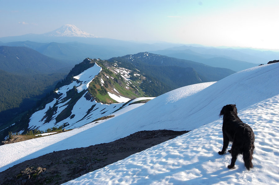
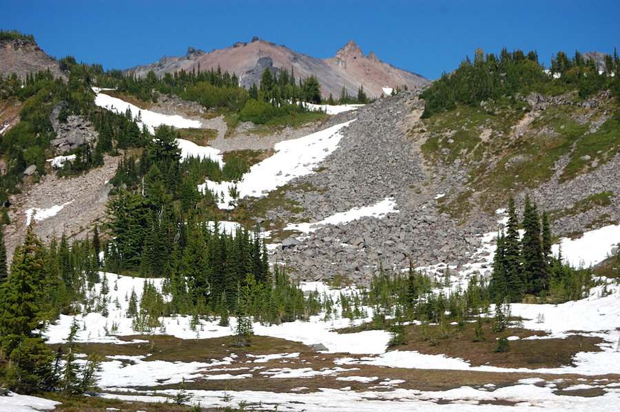
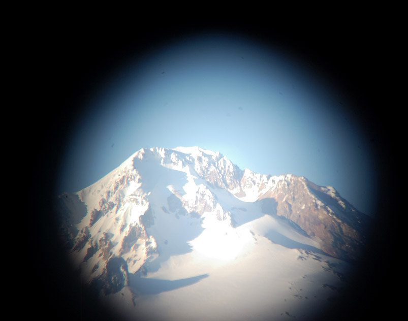
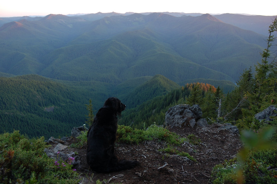
Ives Peak (done), Cold Lake high route (fail)
17.5 miles of hiking • 4750' elevation gain • 2 nights
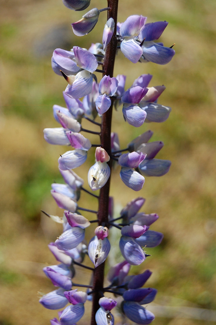
More fun times in my "summer home". Hiked in on Saturday and spent the night in high valley at 7400', just below Ives Peak summit. Awesome views all around - Mt. Adams, sharp-towered castle of Big and Little Big Horn, and of course the Ives. The moon was super-bright, didn't even need my flashlight.
On Sunday morning went to the summit with my dog Pepper. The smoke moved in and covered pretty much everything to our south and west, but to the north the views were clear. It was mostly just steep hike with a couple of snowfields, but at the end we came at the base of 100 ft high vertical spire and it almost looked like the only way is straight up. Luckily there were 2 climbers just ahead of us and watching them gave a good clue - just like them we went a bit down along the base of the rock, and there's a ledge that hugs the rock and leads to its less steep south side. From there, it was loose but straightforward scramble to the top.
Packed my camp and went down to the pass at 7100' with a lot of time to kill. I was thinking about finding an "easy" route to the east side alpine country ever since my hike there 3 weeks ago, and it looked like if we got down to the (name?) glacier behind the Big Horn we could go over the small pass between Goat Rocks and "point 7294", and down on Conrad Glacier to Cold Lake, just below the steep side of Gilbert Peak. To get to that first glacier, we could go down crevasse-free section of McCall Glacier to the N Fork Tieton (down to 5800' and possibly scree hell below the glaciers). I wanted to check if we could go right below the main ridge and drop down to glacier from there - if passable, that would save a lot of distance and elevation loss/gain. Long story short, we made it around 2 small summits - one with "usual" gray basalt scree slope, pretty solid walking; the second butte, vivid yellow/orange mineral was pure hell though, it's either loose gravel "cemented" in sand, or loose gravel over smooth bedrock. While a scenic place, its very slow going, steep and treacherous. Finally, we rounded "yellow butte" and came to a vertical drop-off at least 400 feet high! The base of the glacier we were aiming at was almost within stone's throw, but there was no reasonable way to get down to it. The map suggested slightly steeper slope, not vertical drop-off at this point. Well, we still got quite a view of ridge/glaciers from this wild, trailless side. Someday I will try the low route for Cold Lake, but will plan the whole day for it & probably earlier in the season.
We went down into Cispus Basin and camped at 6200' with full-on view of Cispus Valley rock wall, my favorite view on Earth. It was a cold and clear night, the temps probably dropped down to 35F. Next morning the clouds moved in, wind picked up and looked like it's going to rain, but we were on the way down and the cool weather was welcome. Except for one place on Saturday, saw zero bugs on this trip. The flowers pretty much gone, but of course the views (and goats!) are still there. It's been excellent weekend.
GPX track is @ the hillmap link.
September 6 – September 8, 2014


August 31, 2014


 3
3
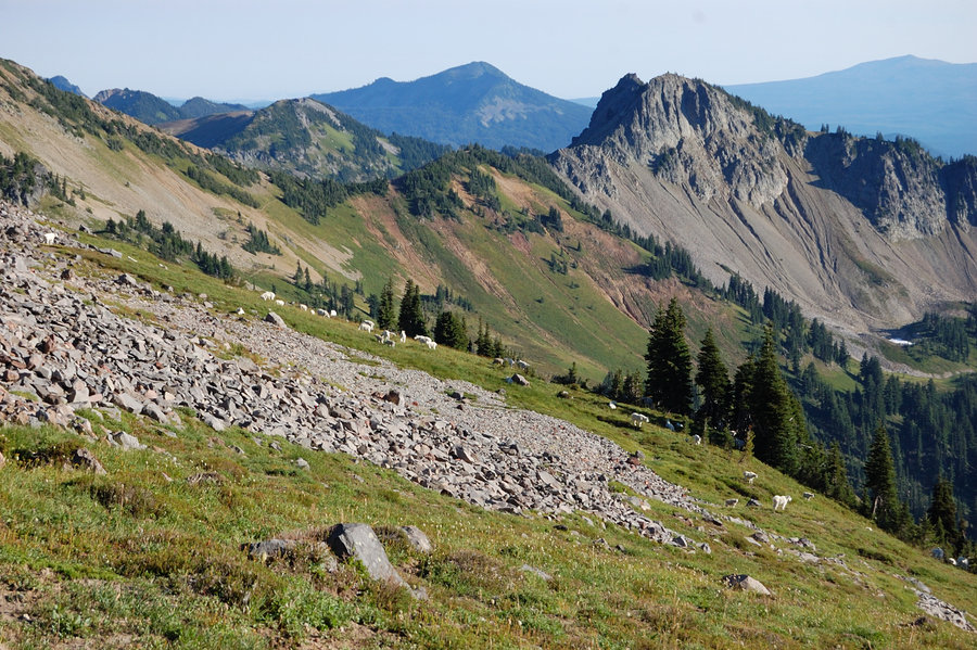
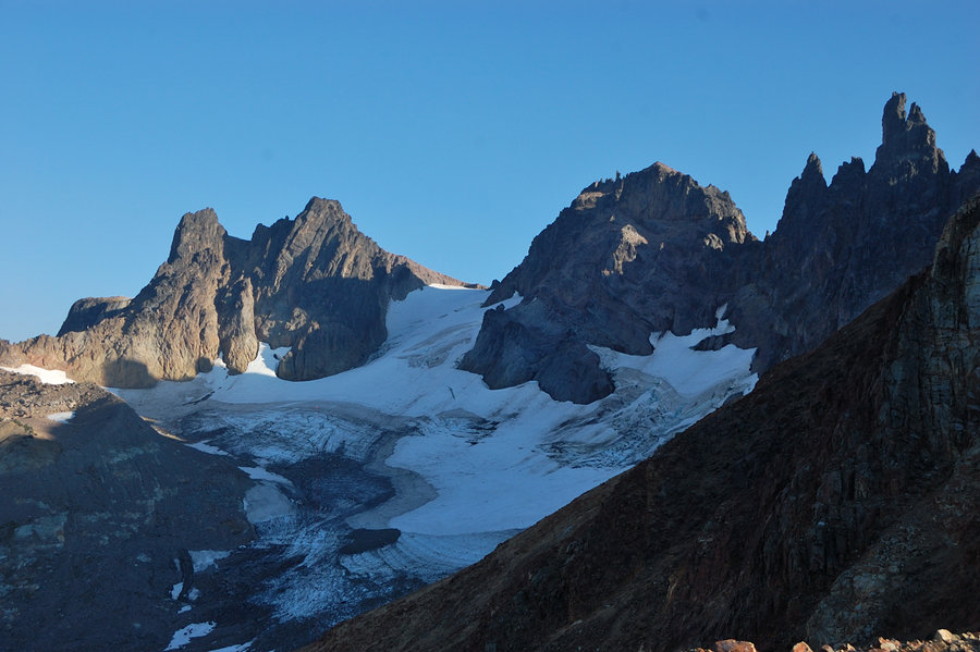
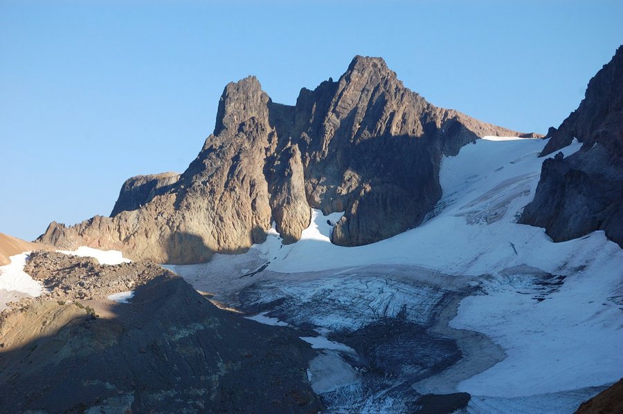
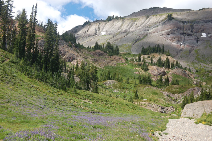
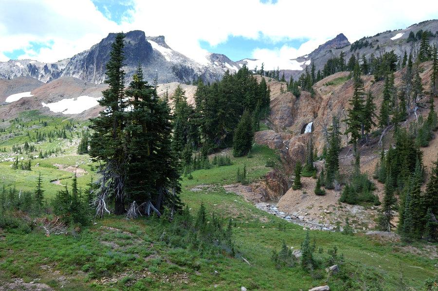
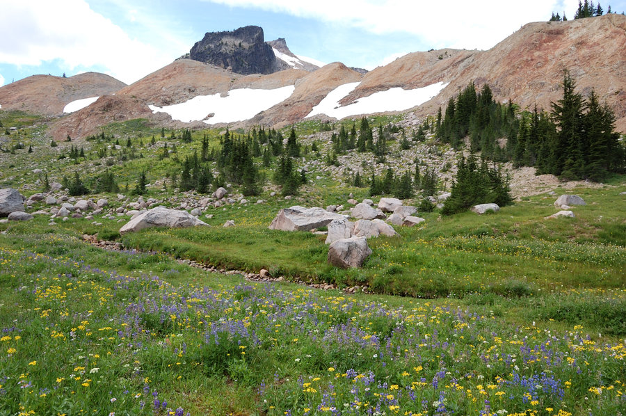
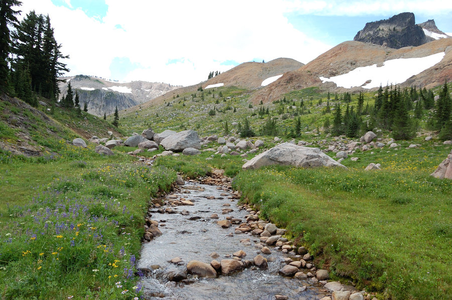
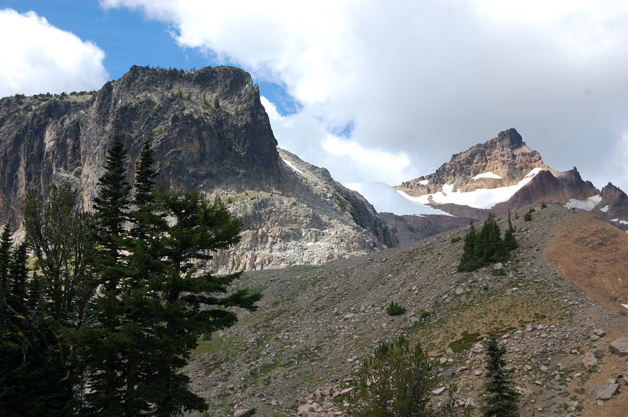
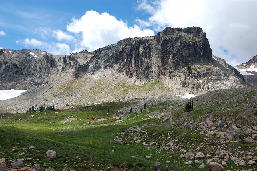
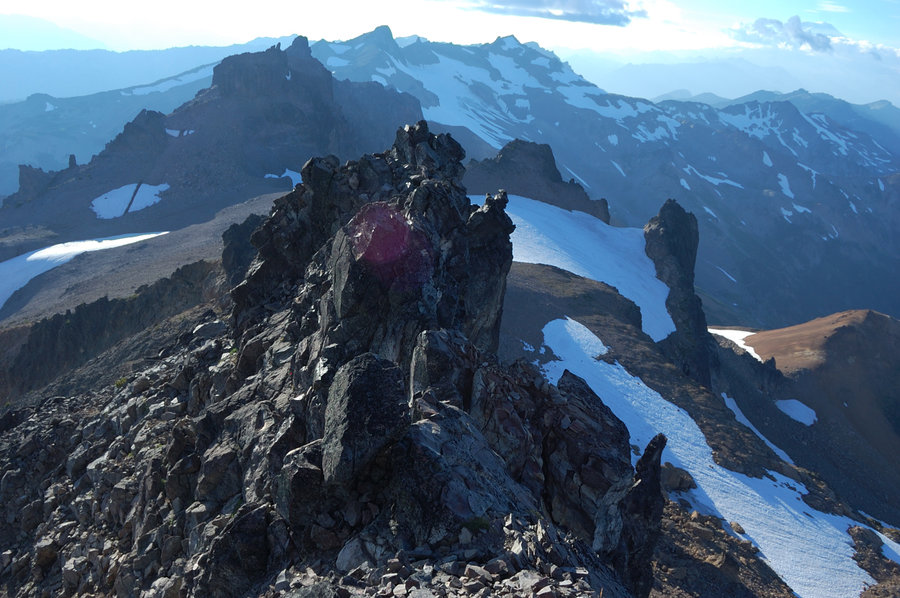
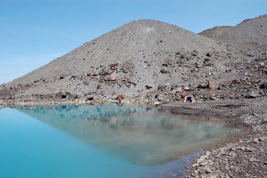
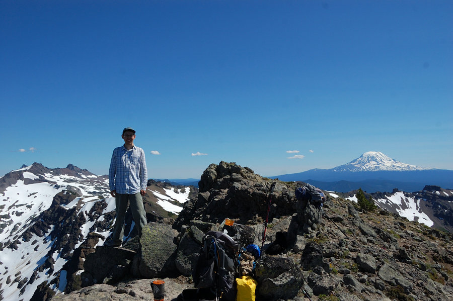
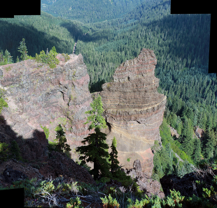
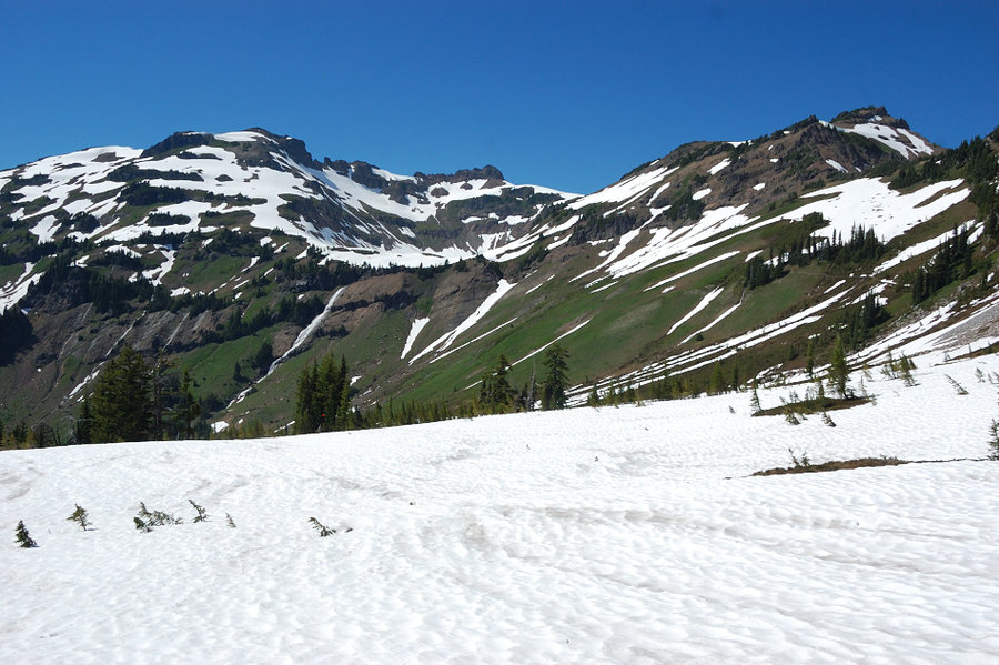
Gilbert Peak
24.7 miles of hiking • 5000' elevation gain • 3 nights
Wow, what a hike! Got drenched in a thunderstorm, ran into a bear, got chased by a bull (well, at low speed), but on top of that made the best climb I've ever done, and also found one of the neatest alpine areas in the Goat Rocks. I didn't find any maps for climbing Gilbert Peak from east side prior to this trip, so it was mostly a guess work, but could see other climbers' tracks from time to time. Pepper-the-best-climbing-dog made all but 20 yards to the top (couldv'e done summit with my help, but imho drop off on the other side was too much for her). Conrad Basin is awesome and remote area, someday I will camp up there for a few days and explore around.
August 23 – August 26, 2014


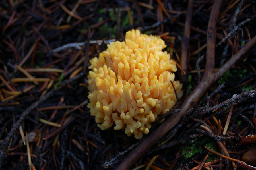
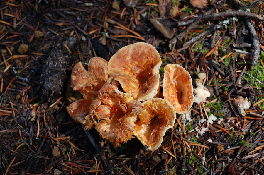
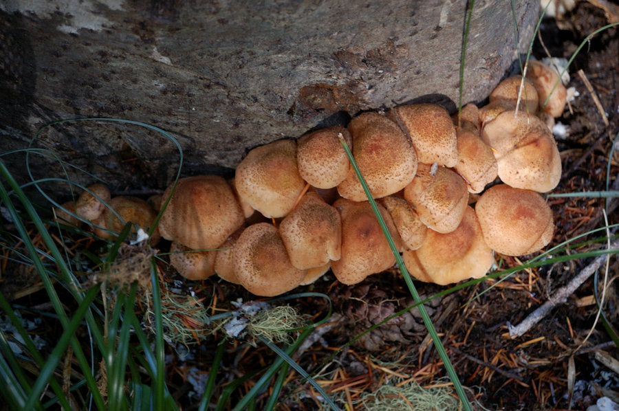
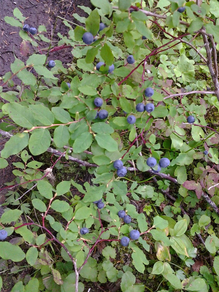
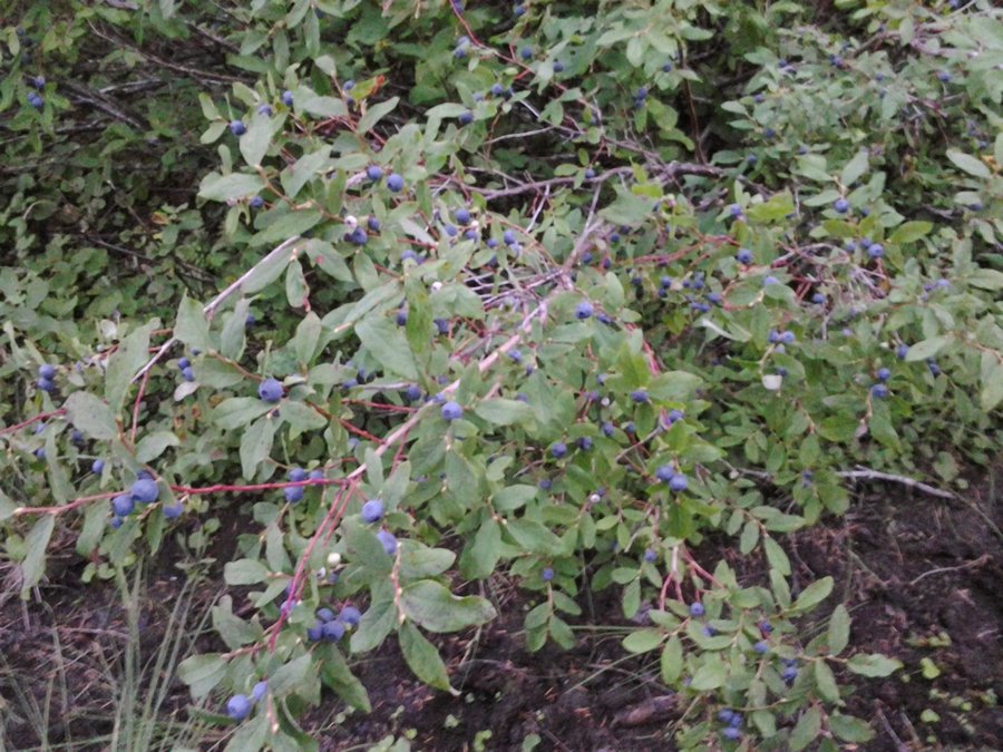
Bobcat Loop (modified) - Indian Heaven
15 miles of hiking • 1750' elevation gain • 1 night
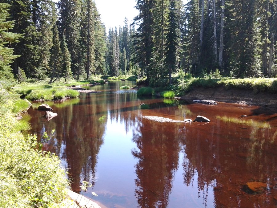
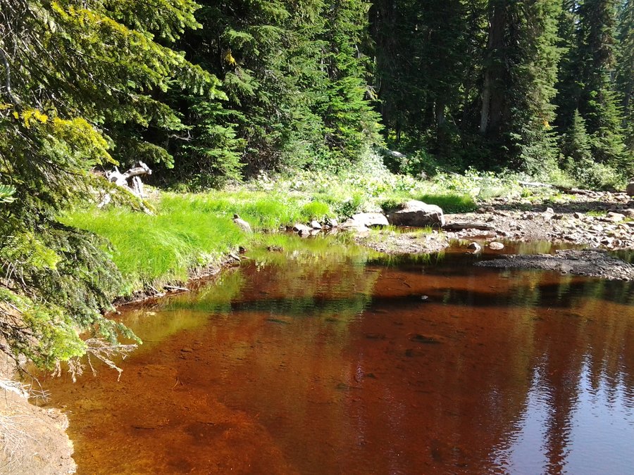
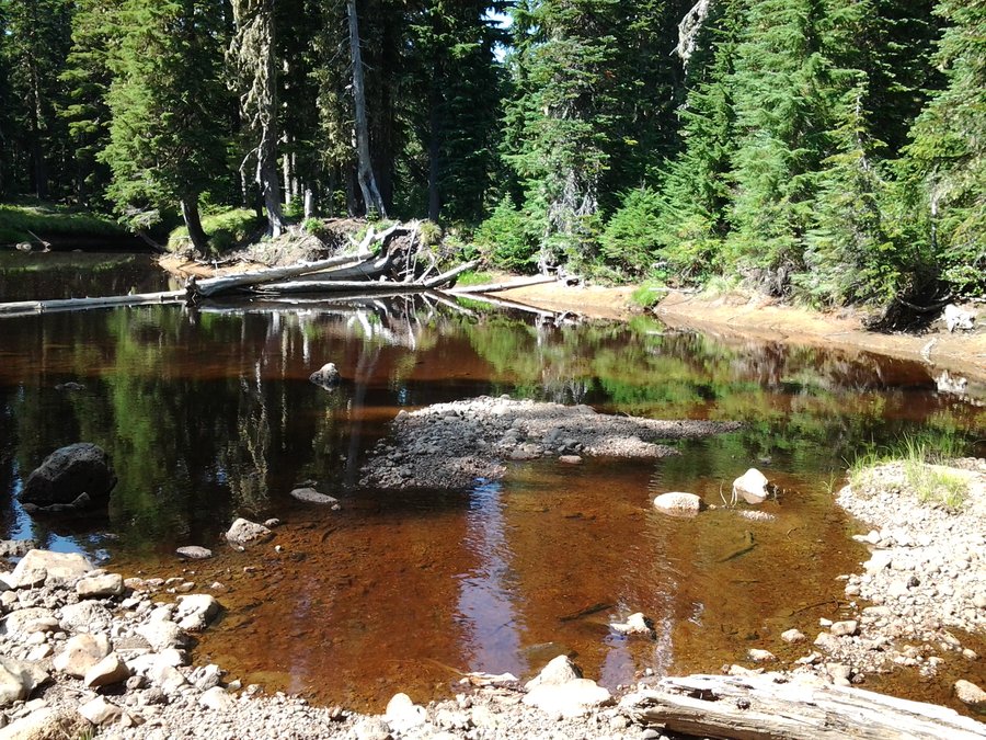
14 lakes/tarns in 15 miles (and that with some backtracking!). Was planning to camp at Chenamus but mosquitoes were bad so I just went back to Placid Lake, next morning the water was so good it was hard to start a hike! TONS of berries at Chenamus, very nice but shallow lake, probably not swimmable (pic #2-4, 7). Made the loop as described (@ the link) by Portlandhikers' member Bobcat, via abandoned trail along Rush Creek, added a few more lakes cross-country. Coffee-colored lake on photos is Rush Creek "Lake", I never seen water color like this. The last pic is Bear Lake.
August 16 – August 17, 2014


 5
5
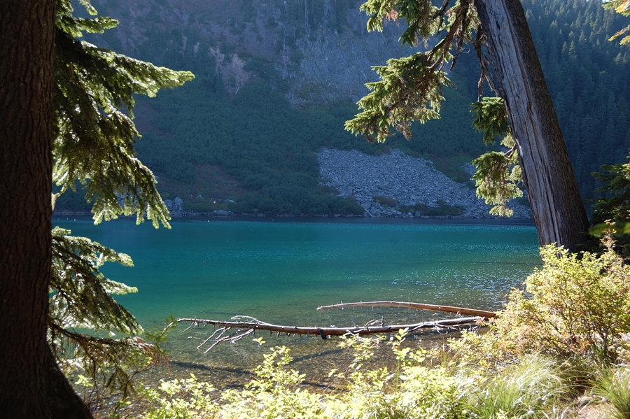
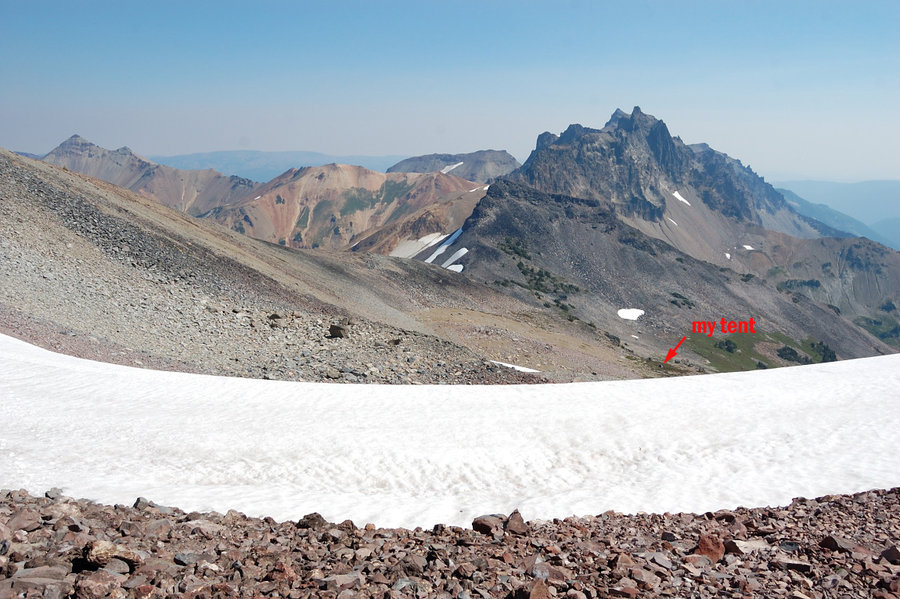
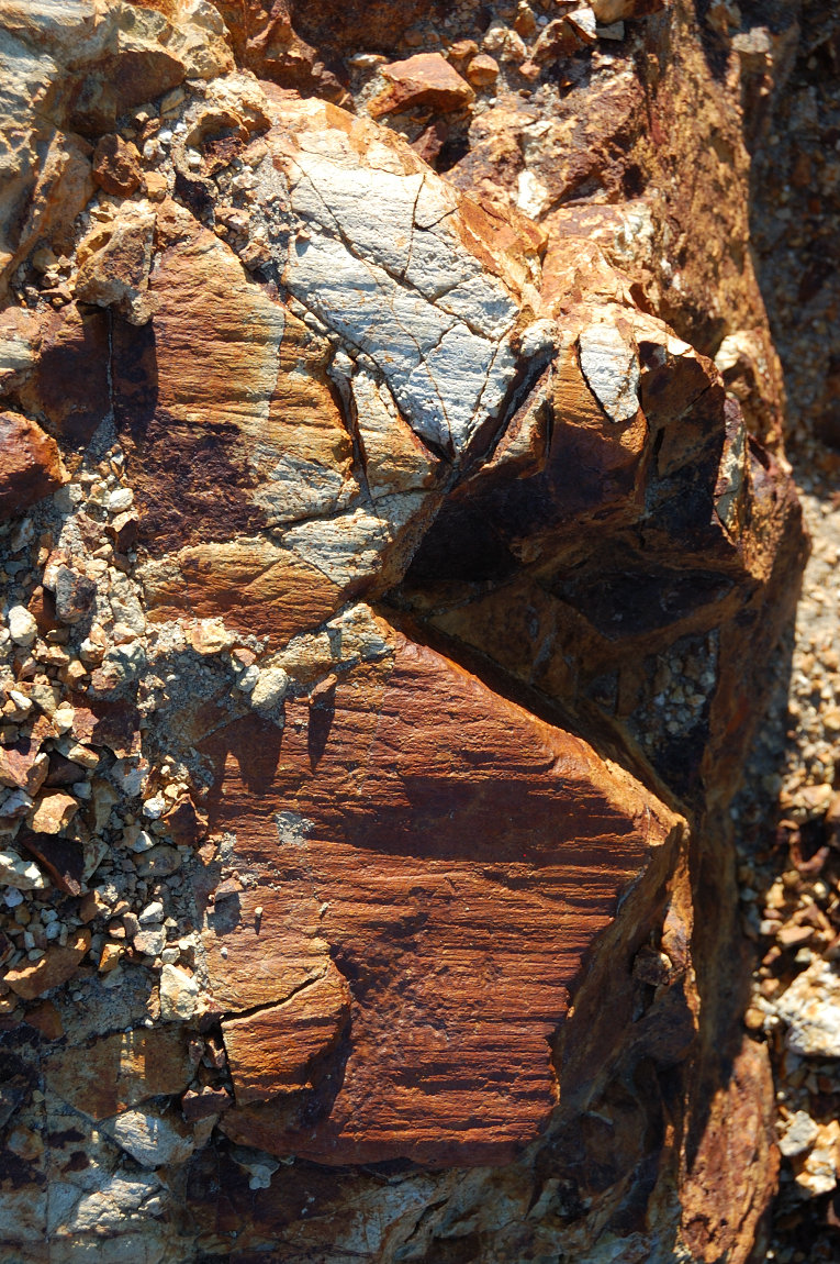
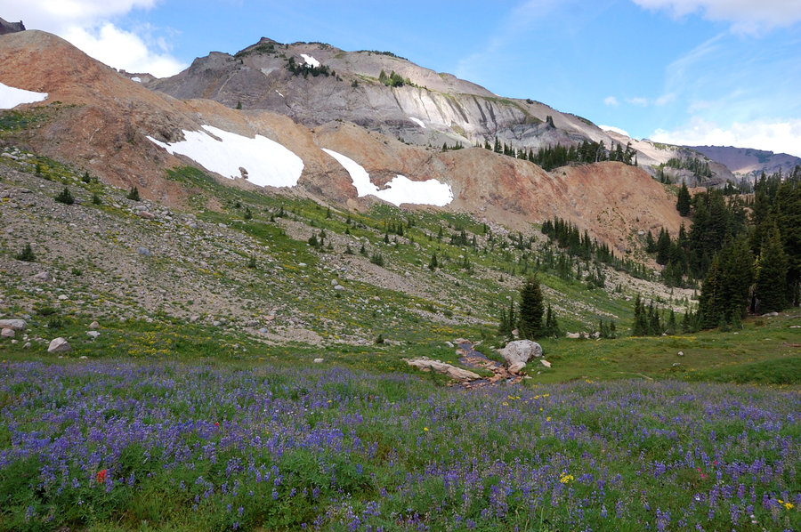
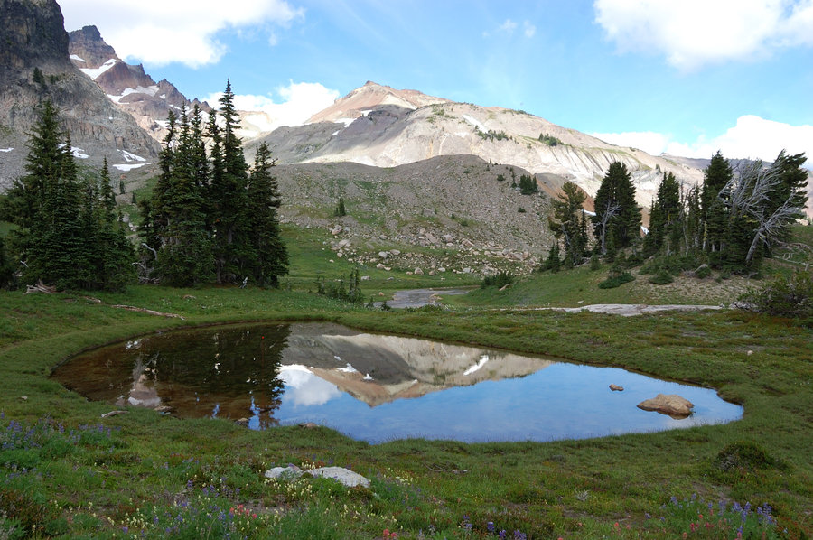
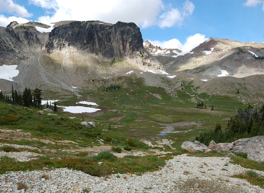
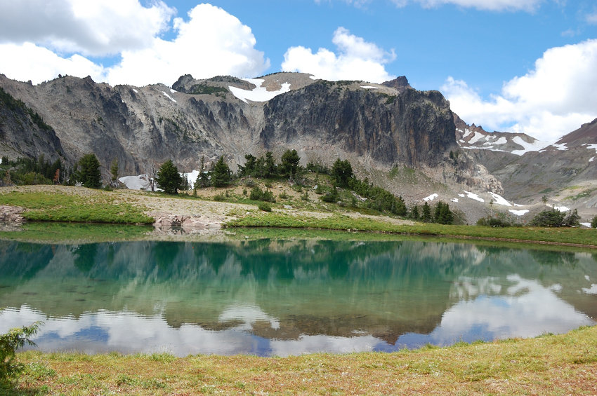
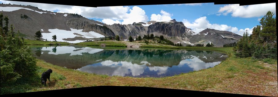
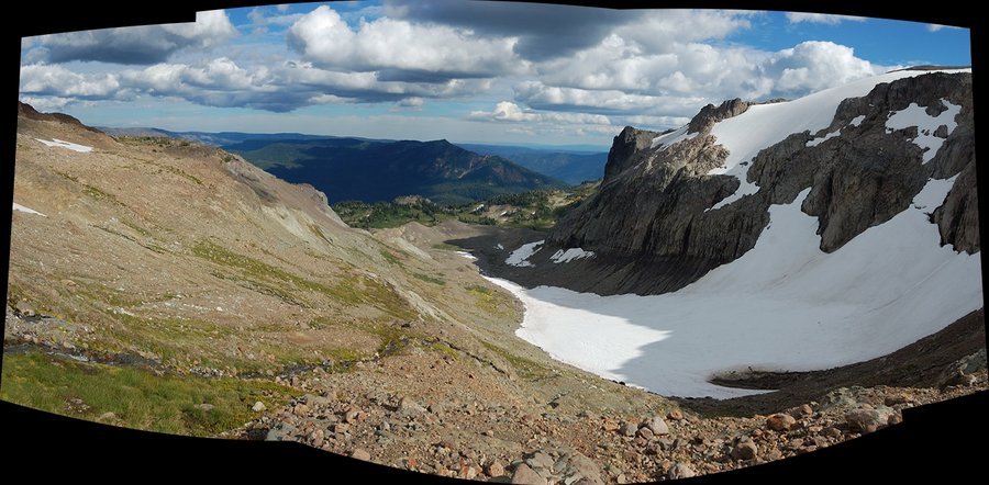
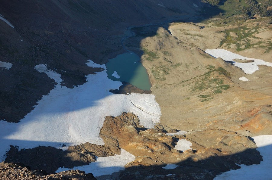
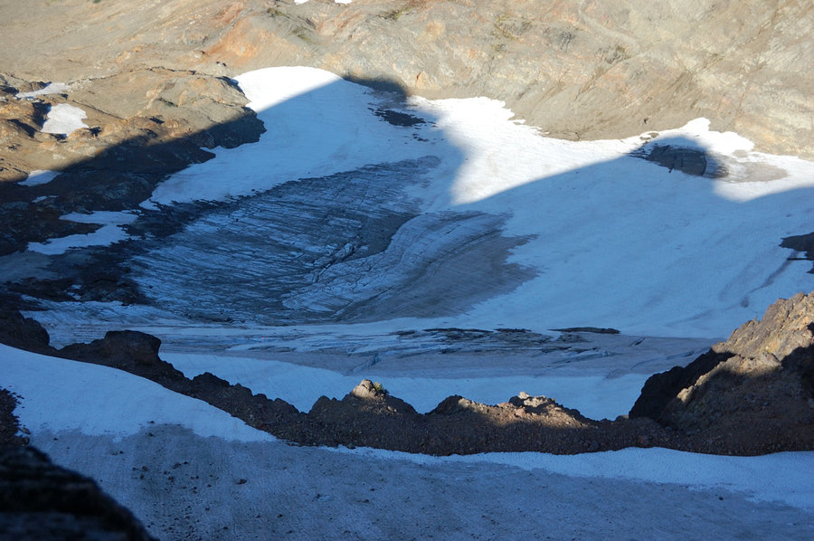
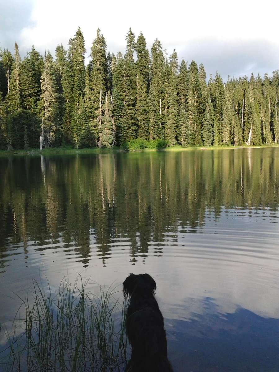
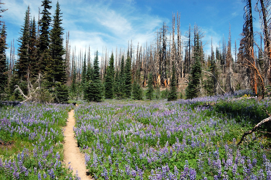
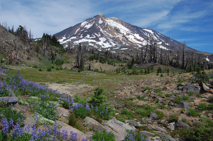
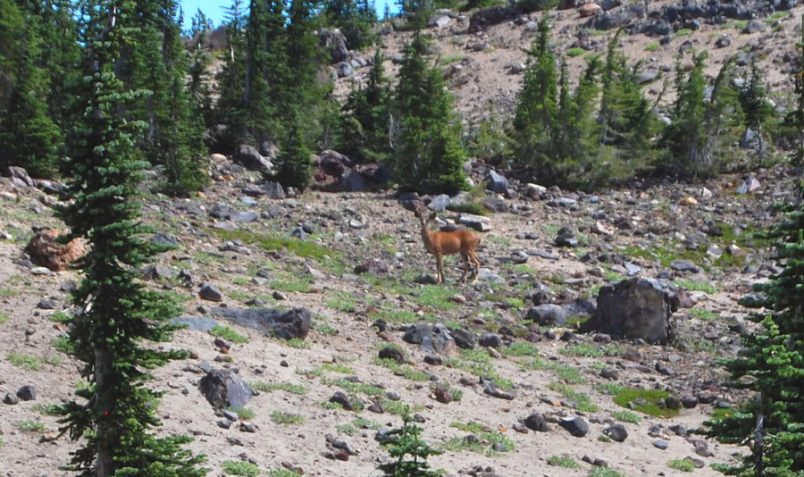
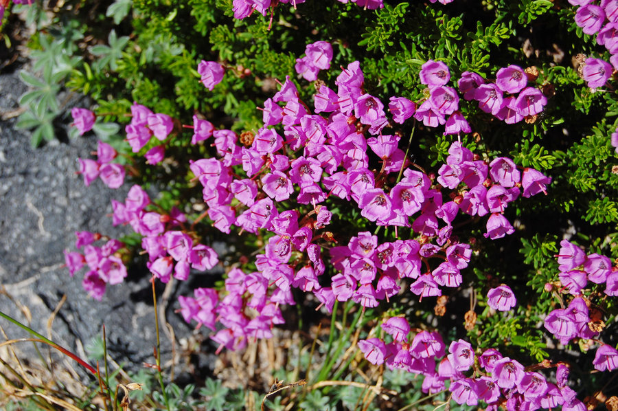
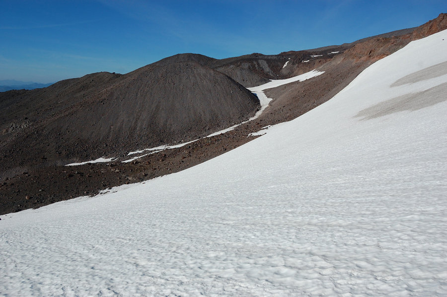
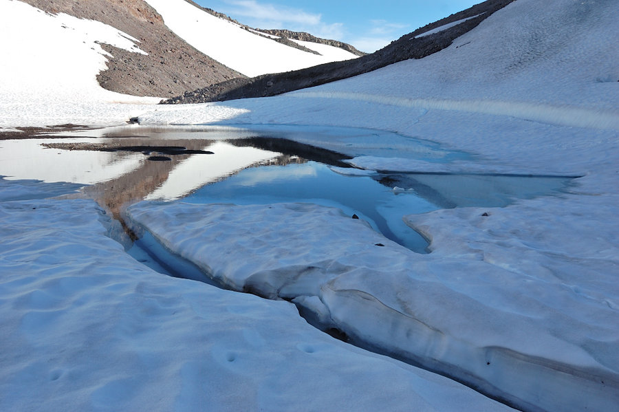
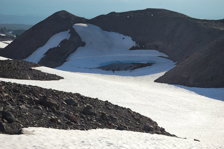
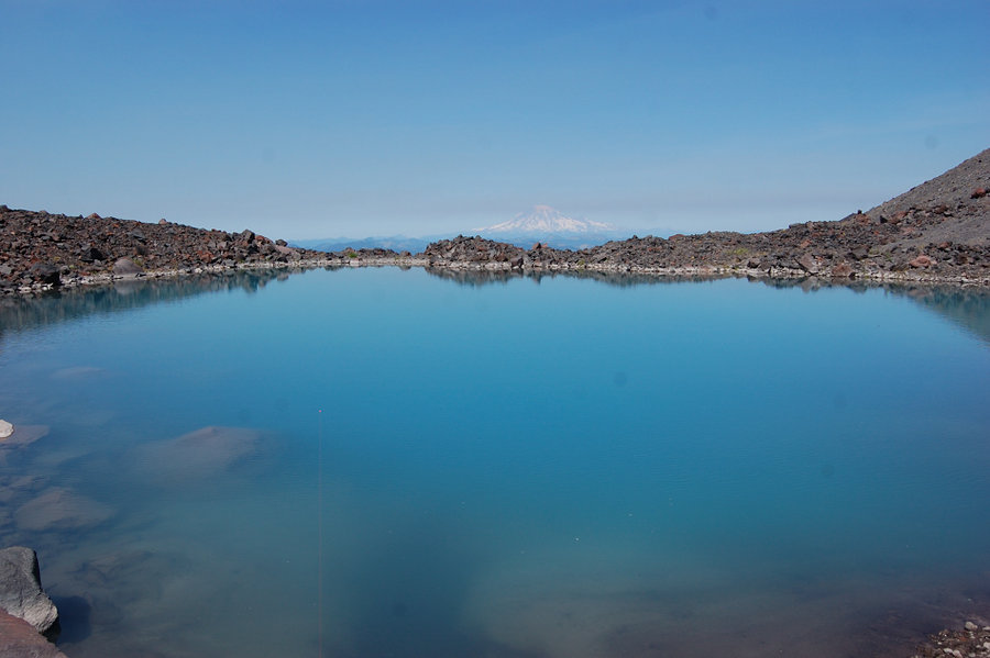
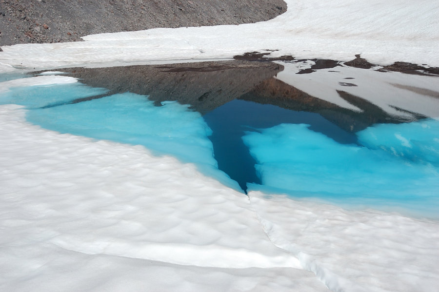
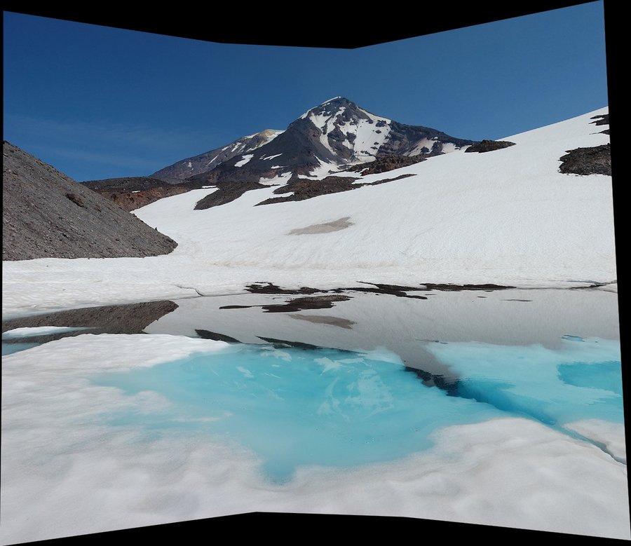
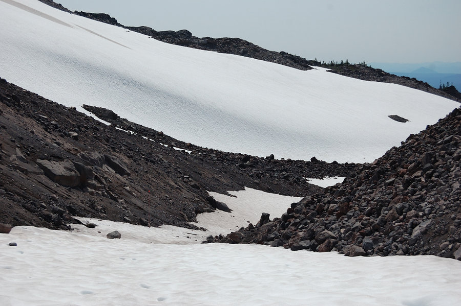
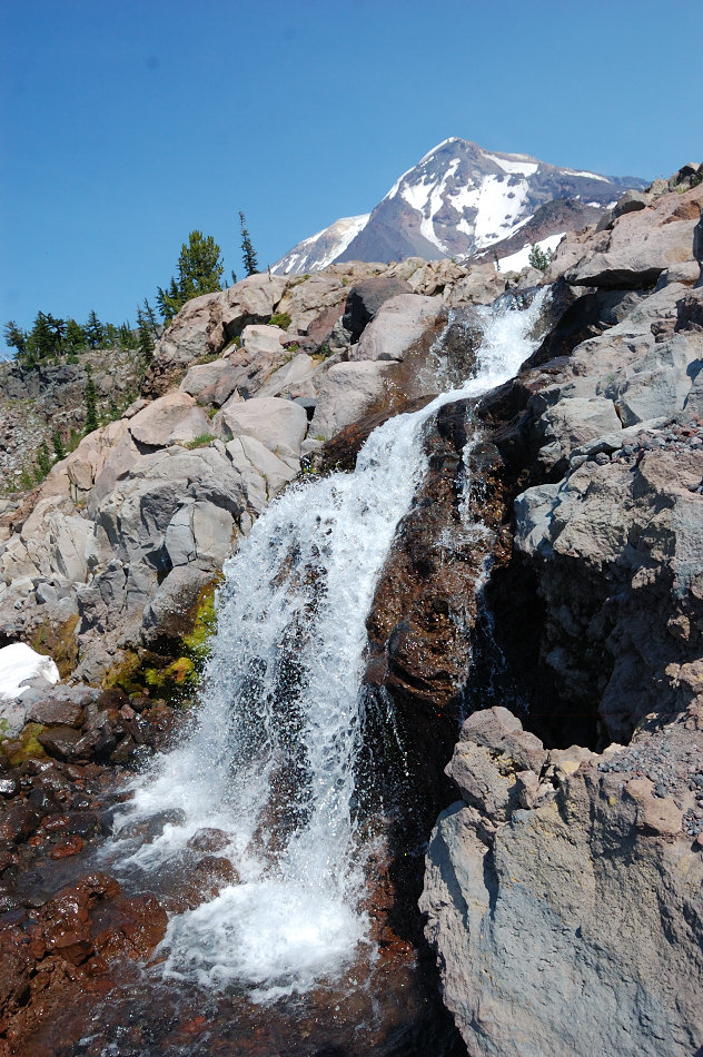
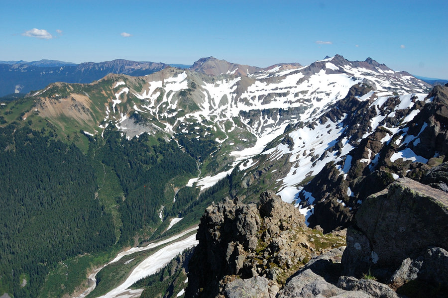
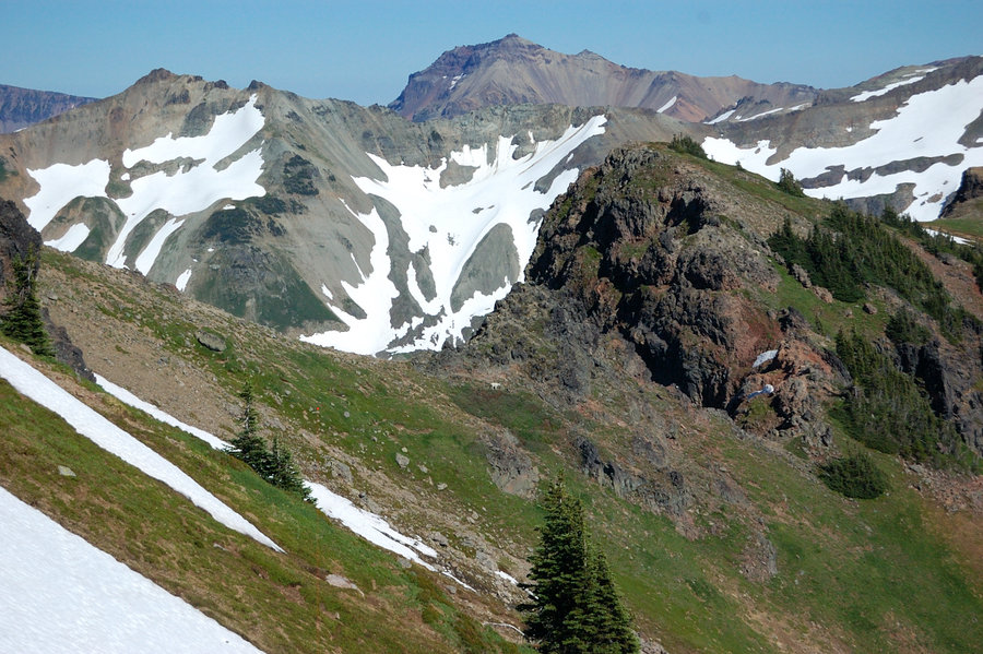
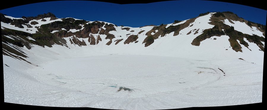
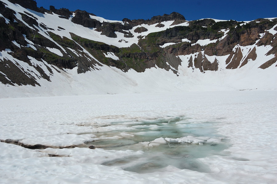
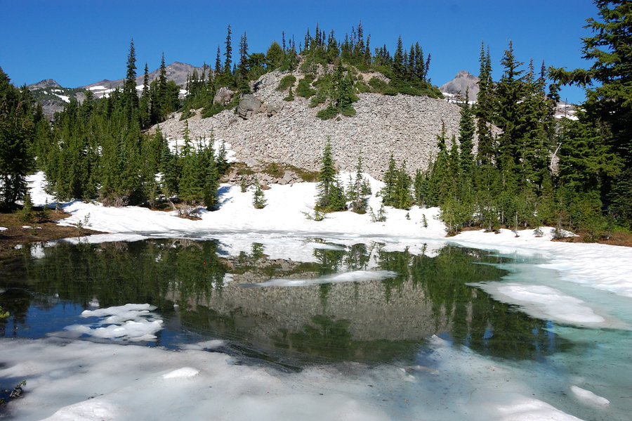
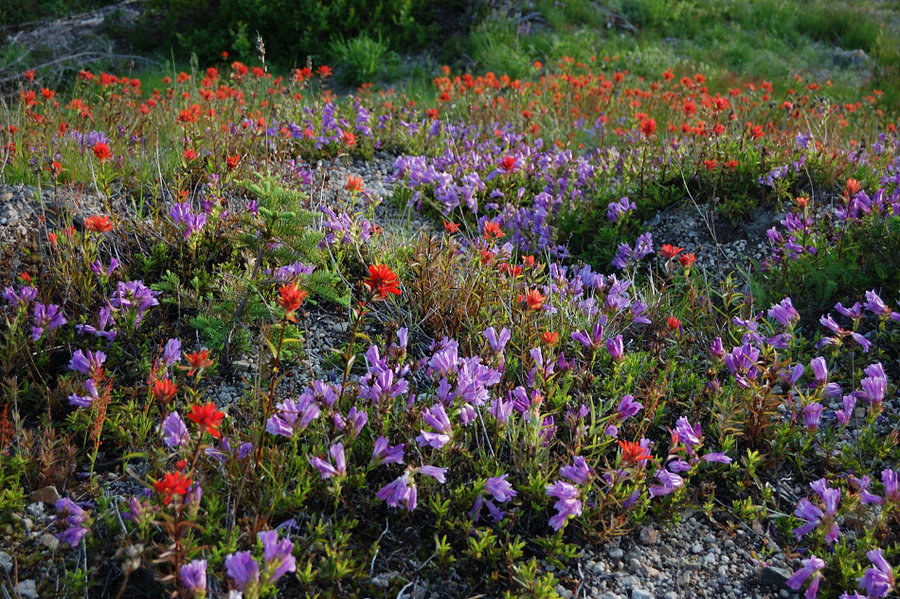
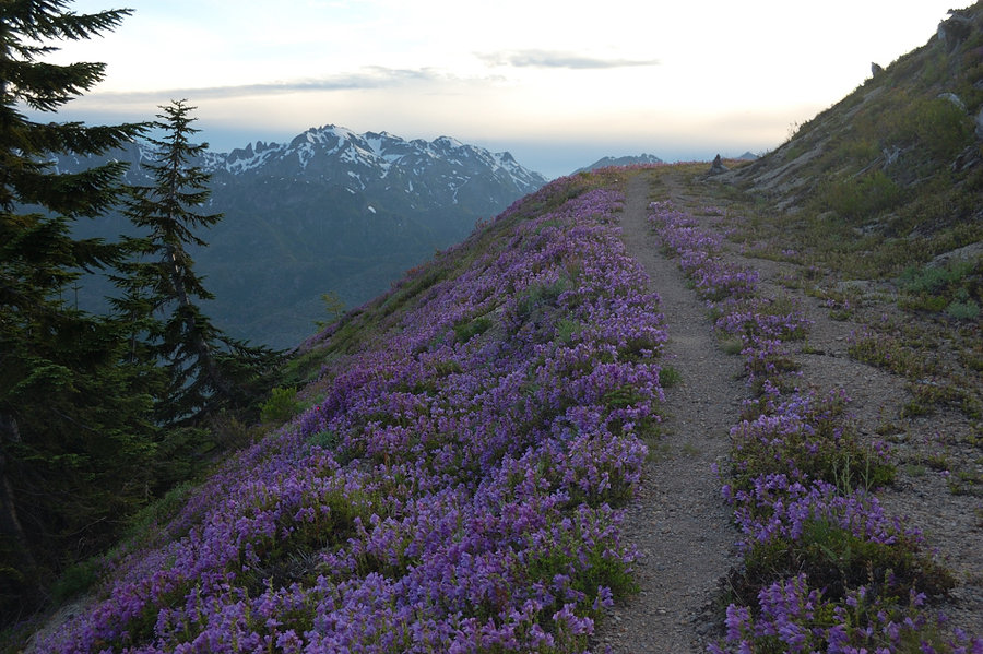
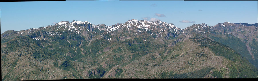
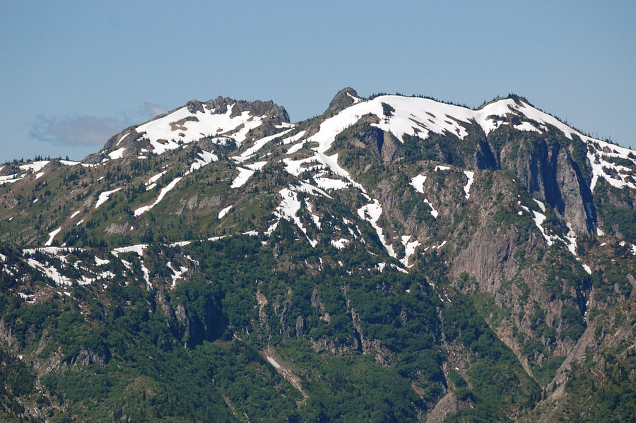
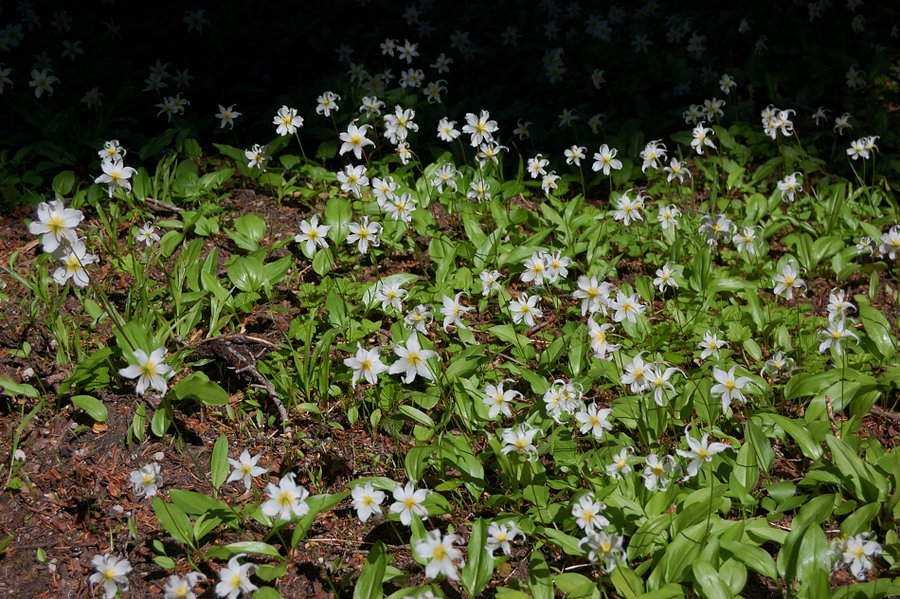
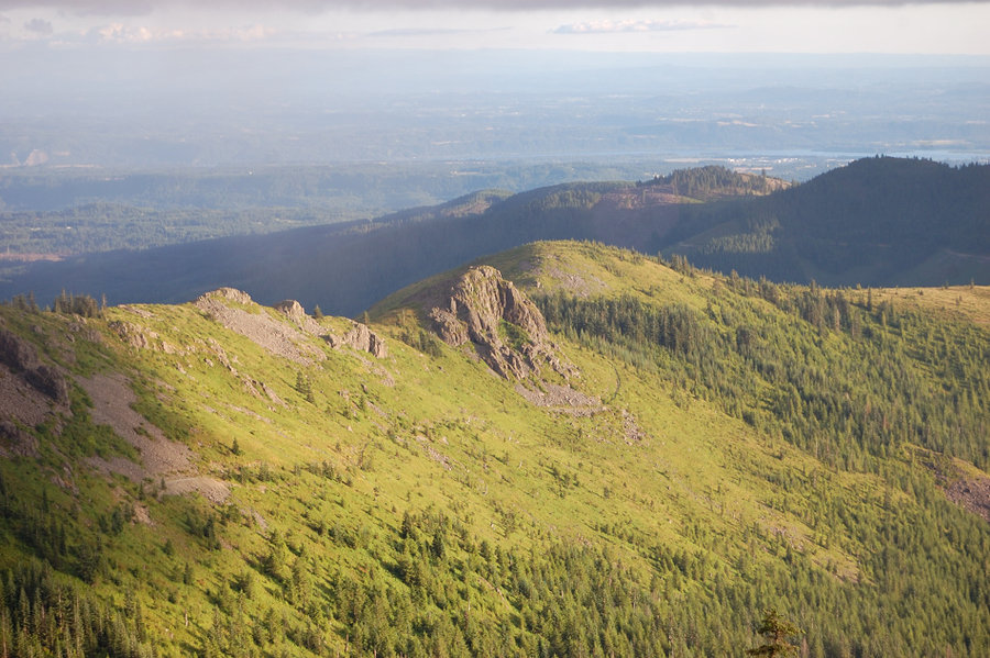
Pinnacle Glacier, Canyon & glacial lakes
24.6 miles of hiking • 5000' elevation gain • 2 nights
Camped first night on Friday at Horseshoe Meadows (the flowers are great right now), planned to hike offtrail to Crystal Lake for the second night via The Bumper - the hill/rock roughly 100 feet high with the first row view of the mountain. From The Bumper though, the terrain looked pretty easy and I thought I had still a lot of time, why not check the two mapped lakes below Pinnacle Glacier?
Reached one lake at 7011' with no problem, although what started easy became more rugged and slow going, and then I had to glissade down one branch of the glacier (no spikes!) and hike up snow bridge in the next gully - nothing technical but it did push my comfort level a bit. The lake was small and shallow (more like a tarn & still half covered in ice), but there was superb view of the mountain, and also interesting crevasses around this lake - not glacier type crevasses, it just looked like the water level recently dropped 5-6 feet and the ice around collapsed.
The second lake marked on the map at 7205' proved not so easy. I had to go around and over unstable moraine and it blocked my way until 7600', finally went over its upper edge but decided I'd run out of daylight if I had to come back. Going down to Lake 7011 though, I saw the second bigger lake a quarter mile away and what looked like much easier (snow-covered) way over moraines so I went down that way & it turned out to have the most beautiful Adams reflection I've seen, and also terrific Rainier view! It had a good place to pitch a tent (although on the "wrong" side of the lake) so I stayed there for the night. Checked the GPS that night it turned out not 7205' lake at all, but an unmapped one at ~6800' elevation - what a find! This lake was much bigger and deeper than 7011 lake, I wonder why it didn't make onto the map?
On Sunday, I went back over the pass and straight down the canyon, started on snow (easy) but soon descended onto lava jumble (slow!) and it lasted that way for a while. However, then the canyon changed dramatically, with glacier-polished bedrock and sparse trees (had definite Yosemite feel in some places), mats of blooming heather, and a series of small waterfalls. It's one of the nicer canyons I've seen, completely untouched by the 2012 fire. Around 6200' I had to leave the canyon if I was to find Crystal Lake, which - oddly - sits right near the top of a narrow ridge. That ridge was pretty nice to see, too - with more polished white rocks, many flat sandy depressions (camping opportunities abound), islands of trees and tons of heather. Saw a small unnamed lake (would definitely camp there if I had another night), and then found Crystal Lake which also has nice reflection of Adams but the lakeside is steep and I don't think it's possible to camp anywhere with lake view (and that lake definitely gets more visitors). 100' vertical down and I was back in the burn zone with mostly dead trees and some little green areas surprisingly spared by fire, but carpets of lupine and asters were insane (although already at peak bloom, so I'd give it 1 more week before things start to fade). Overall, fantastic trip but I have to say 90% of the scenery was above the PCT; this mountain on its west side is best explored off-trail.
August 11 – August 13, 2014


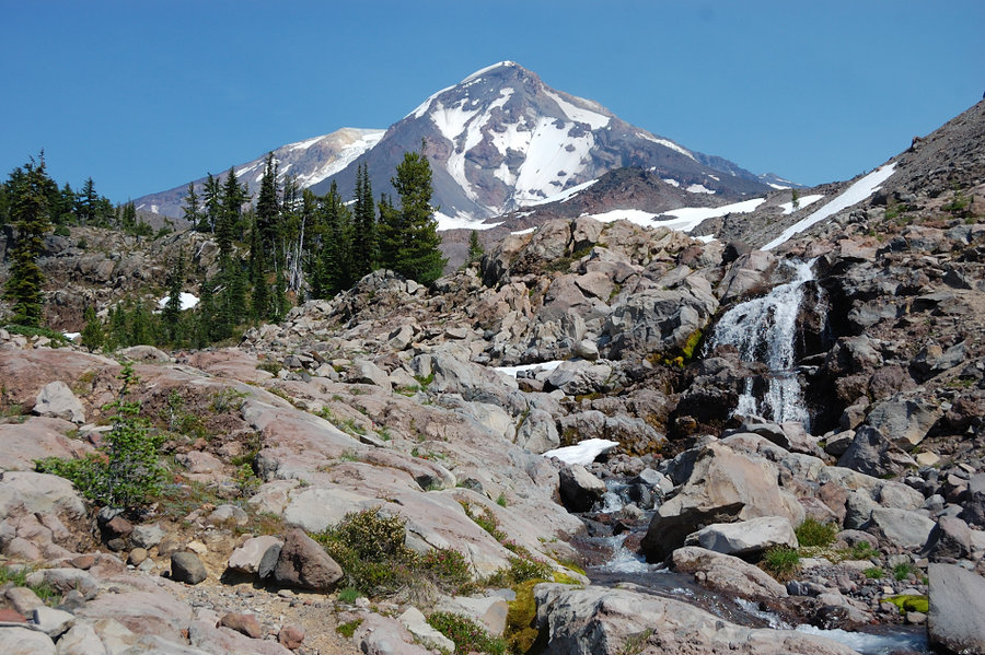

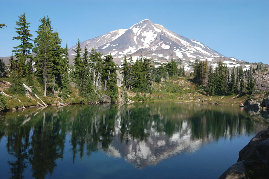
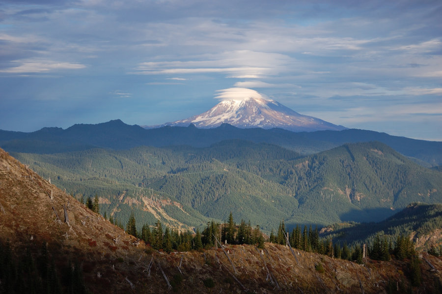
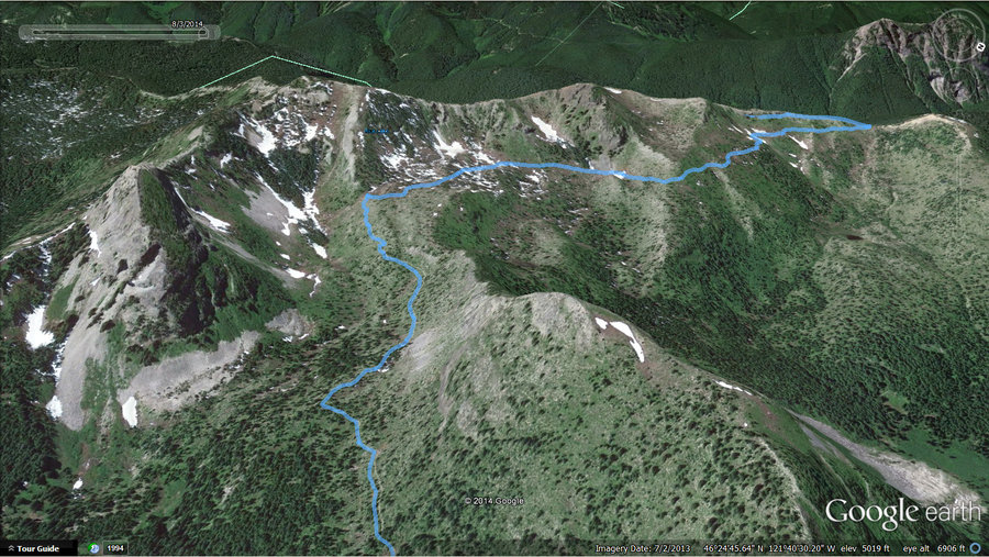
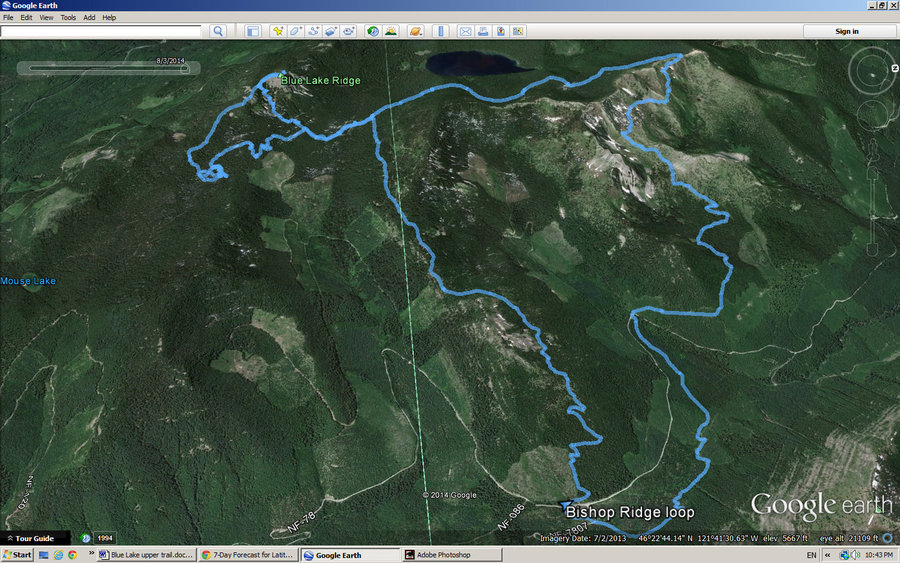
Blue Lake Ridge & Bishop Ridge
17.5 miles of hiking • 4000' elevation gain • 1 night
Nice area, although the bugs were pretty bad (didn't go down to the lake for this reason). All of the trails there are open to motor cycles & some for ATV's, but most of my hike was on Sunday and it's been perfectly quiet... When I go there again, will camp on the east side of Bishop Ridge (it's gorgeous!) & do whatever number of scrambles I'll have time for, and will likely skip the rest of the loop.
Blue Lake Ridge summit was very cool too, with a view of Rainier almost directly behind Blue Lake (although the mountain was mostly hidden in smoke), maybe I need to revisit it as well. There was some evidence of Mtn Goats. Ever-present, towering storm clouds really made up for hazy distant views.
August 2 – August 3, 2014


July 25 – July 27, 2014


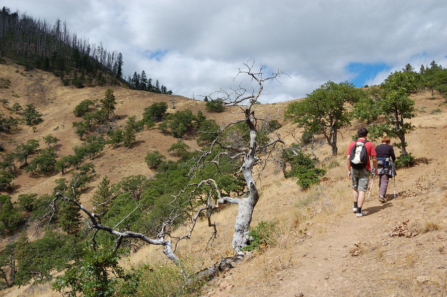
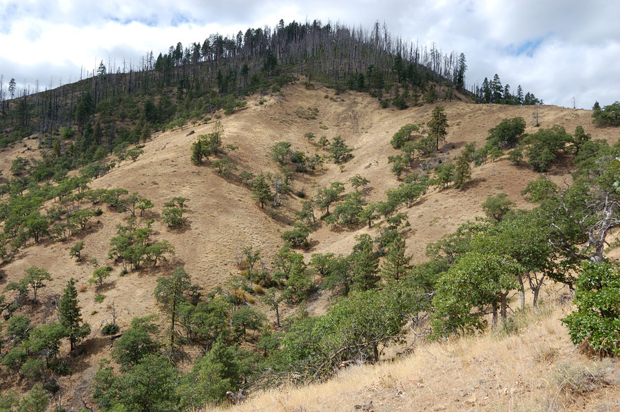
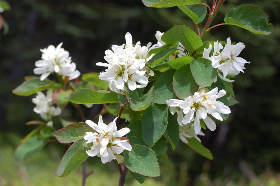
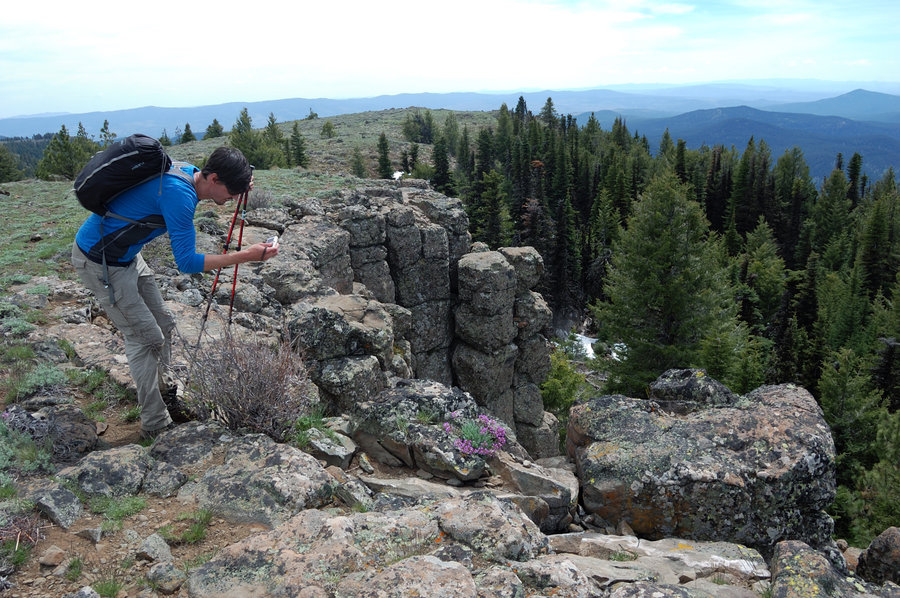
Iron Mtn loop
6.5 miles of hiking • 2000' elevation gain •
It's got to be one of the best sub-alpine hikes I've ever done. (alpine hikes are in their own category of course) You visit 2 mountains on this loop - Iron Mt. and Cone Peak, see old growth forests, dry and wet meadows filled with flowers, interesting geology. If not the clouds, we'd see most of major Cascade volcanoes, but even the views we got were great in all directions. These forests look much less clear-cut than around here, and with drier climate there's more open areas, meadows and viewpoints. Iron Mtn is very popular, but on the rest of the loop we didn't see many people.
July 20, 2014


 2
2
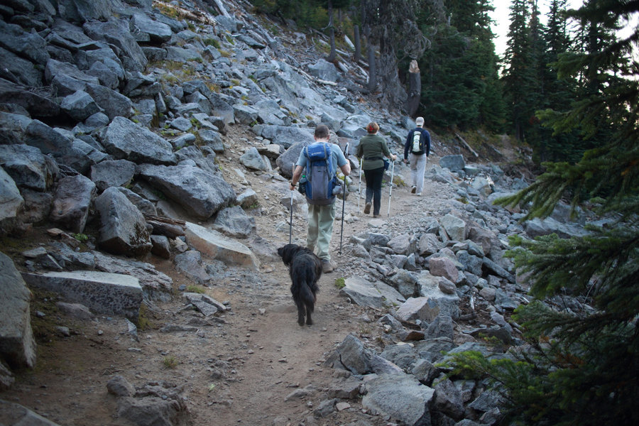
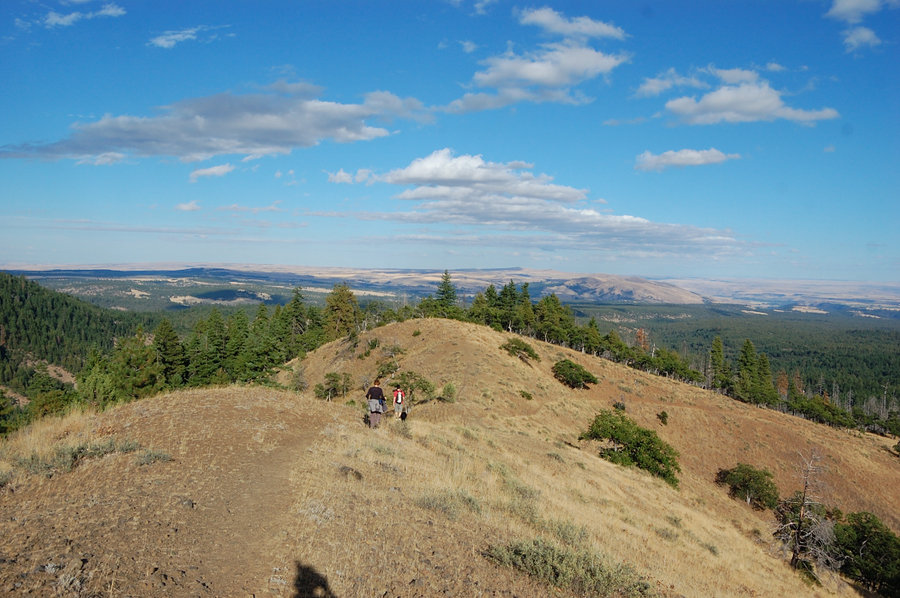
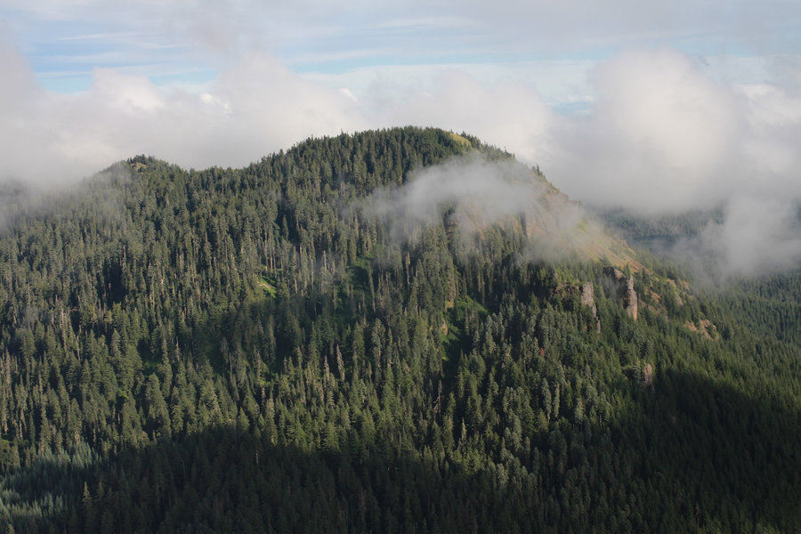
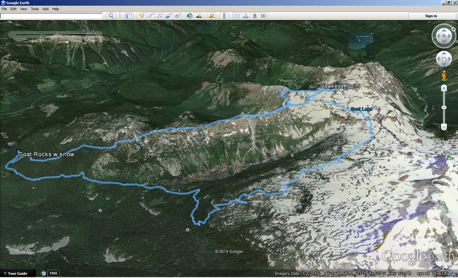
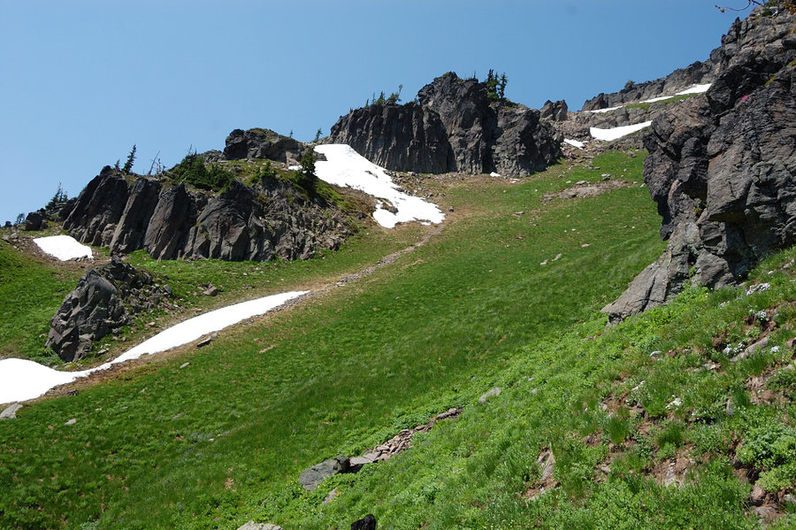
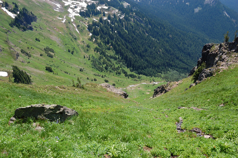
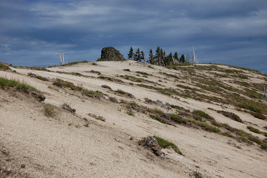
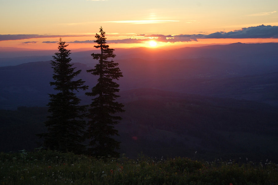
Goat Rocks loop
17.5 miles of hiking • 4250' elevation gain • 2 nights
Time off away from heat wave. Did the classic GR loop clockwise, with ridge walk to Hawkeye Point. Snow is mostly gone off Goat Ridge (just one basin @ 6300' still has significant snow), but east half of the loop mostly snow covered above 6000 (steep hillsides are snow free, flat bottoms snow covered - easy combination), for about 3.5 miles. Trails will be mostly clear in a couple of weeks. Drifts near Hawkeye Point are epic though, about 40-50 feet tall! Mosquitoes are light higher up, bad near Goat Creek @ 4600'. Flowers already starting on Goat Ridge, even above 6000' in steeper places. Also, saw the oddest thing in the woods - two rangers clearing a trail (how often do you see it)! They've done repairs on Snowgrass trail already, and were clearing blowdowns on Goat Ridge trail the day I was leaving.
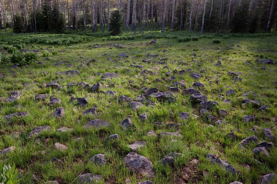
July 14 – July 16, 2014


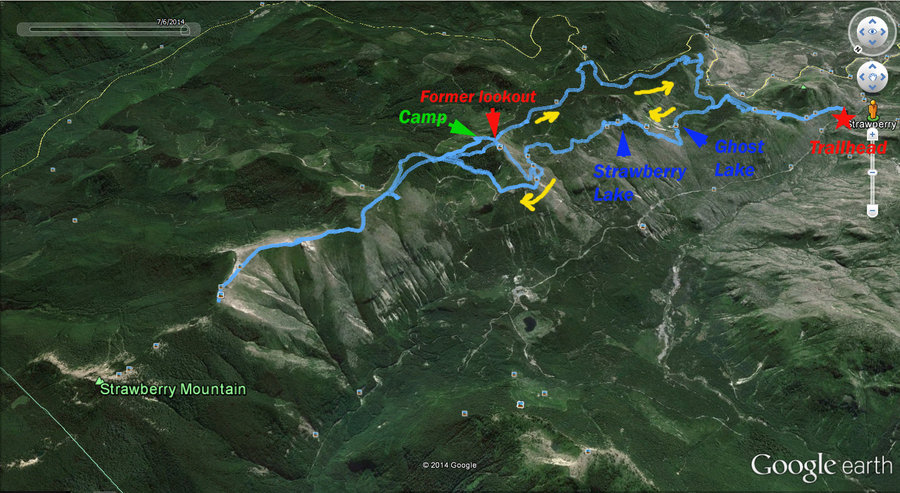
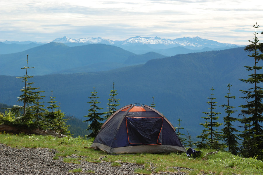
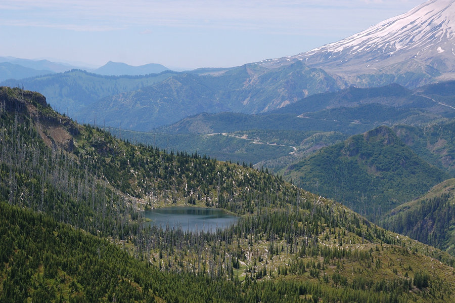
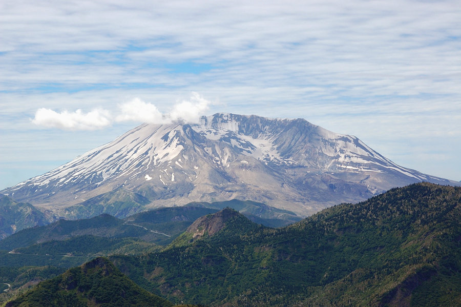
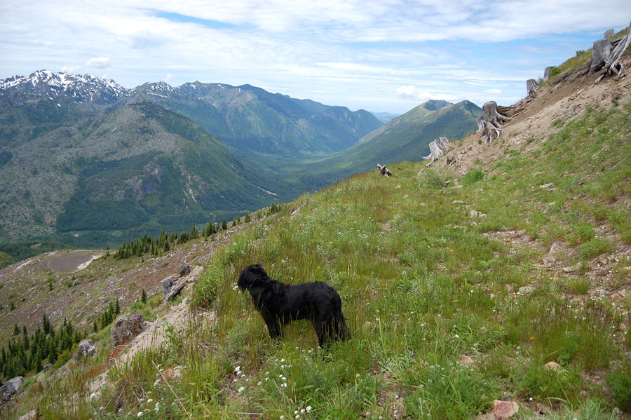
Strawberry Lake, Strawberry Ridge
21.5 miles of hiking • 4500' elevation gain • 2 nights
Mix of bushwhacking, hiking on trails, and logging roads. This area has some true jewels, but also some overgrowing-clearcut-like terrain to hike through, to get to the best places. A lot of variety, some places completely destroyed by 1980 eruption, other places mostly intact, sometimes just yards apart. Was surprised how little used these trails are, even Boundary Trail with its awesome views and just above the road gets overgrown in places. Would definitely come to explore more, and camp at Strawberry Lake when mosquitoes at the lake die off.
July 4 – July 6, 2014


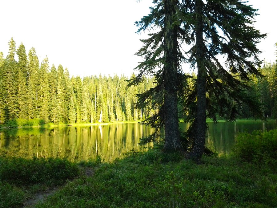
Yale Lake
1 miles of hiking • 0' elevation gain • 1 night
Camping at awesome wild beach, not far from the road, but far from campgrounds. Probably the shortest overnight hike I've ever done.
July 3 – July 4, 2014


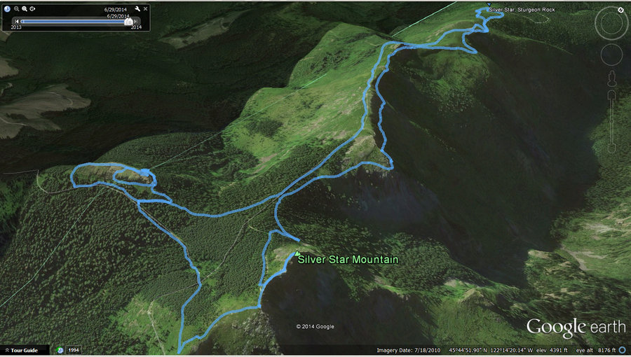
Silver Star & Sturgeon Rock
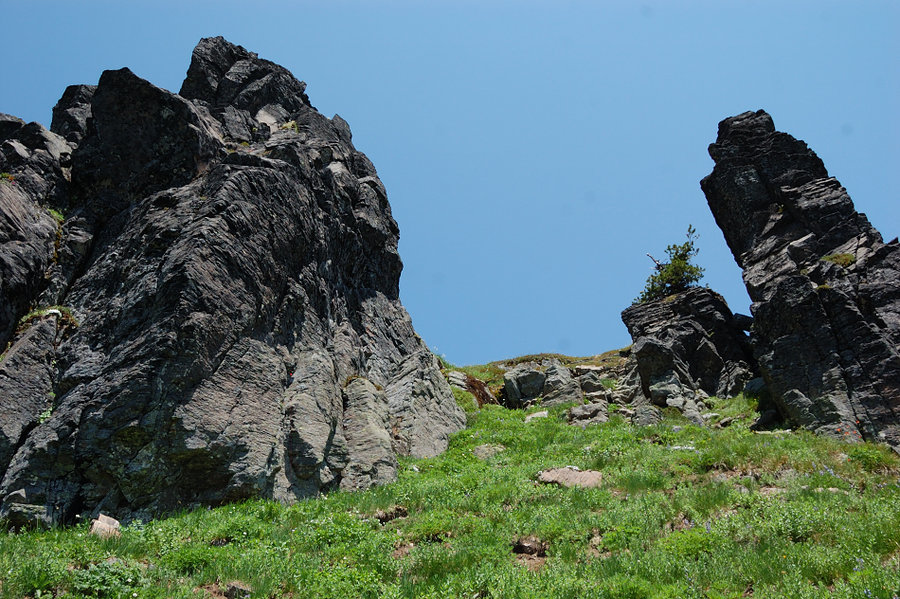
6.34 miles of hiking • 1750' elevation gain •
Silver Star north trailhead always poses a dilemma, either: a) this hike makes the drive almost worth it; or b) this hike is so good I am willing to sacrifice my car for it. But today's hike was exceptional.
First, found a shortcut trail for the summit. From the trail that goes east to Baldy Mtn., unsigned trail juts off uphill where main trail stops climbing. It cuts half of that rocky, crowded road stretch (not that long, but anyway).
Secondly, found the trail up Sturgeon Rock (not after circling 2/3 of it - what I was thinking when I went around N side first?? Not like anyone comes from there anyway. It started good, then turned into impenetrable brush, and then after going through that we were cliffed out). Turned out there's a steep, but well used trail from its downhill SW side. Saw some climbers trails though below vertical rock, I am not a climber but rock quality seems pretty good. The meadow near the top of Sturgeon is small, but PACKED with all kinds of flowers, really neat place. The view from the rock is almost as good as from the summit, but completely different, nice to have both in one hike.
Third, there's a good trail that runs from the old road just above Sturgeon Rock, and to 5 trails' junction just NW of the summit. Again, no need to hike the rocky roads.
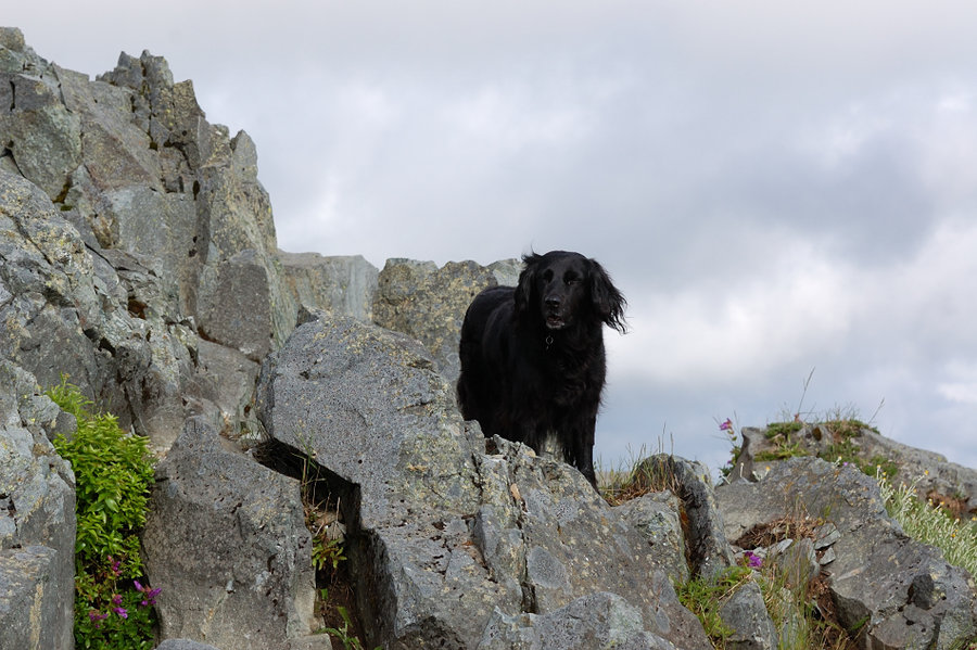
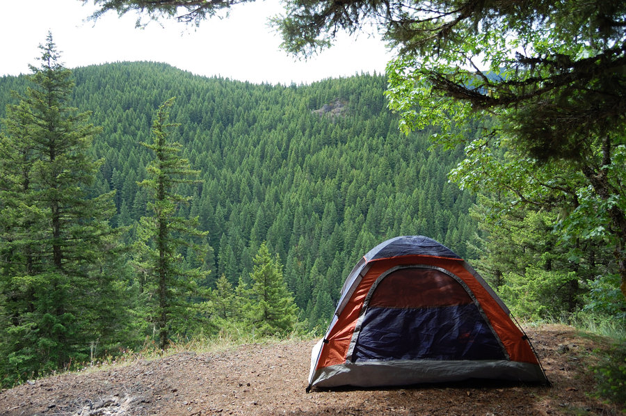
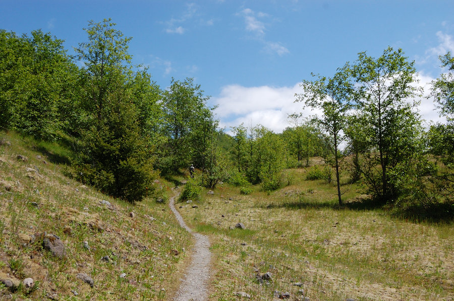
June 29, 2014


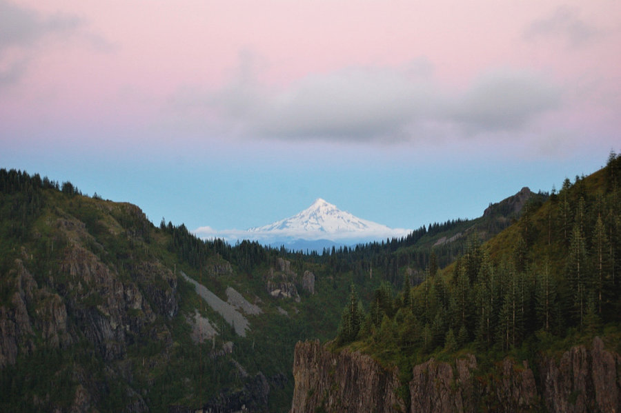

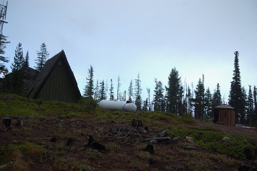
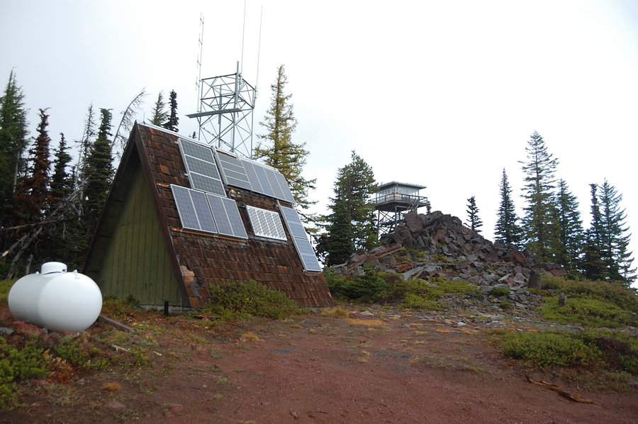
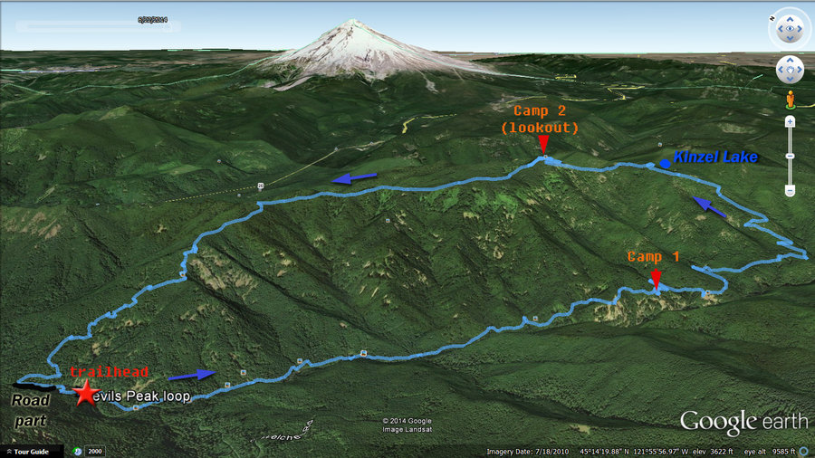
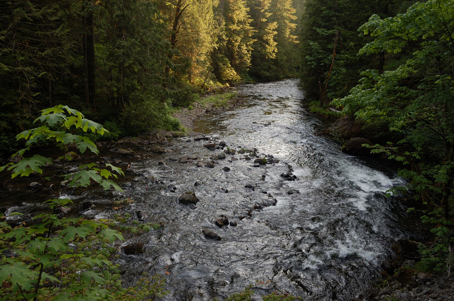
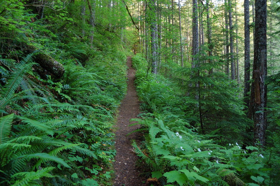
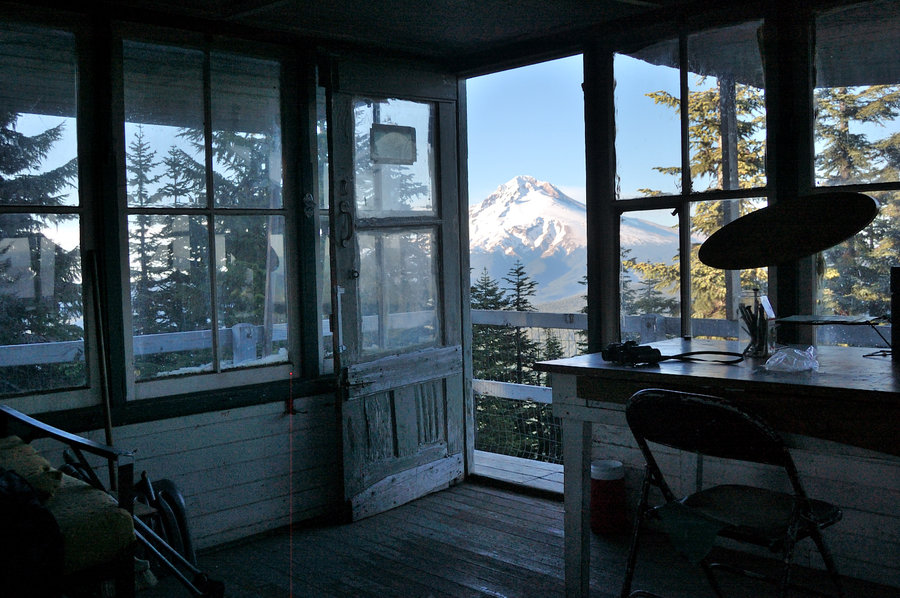
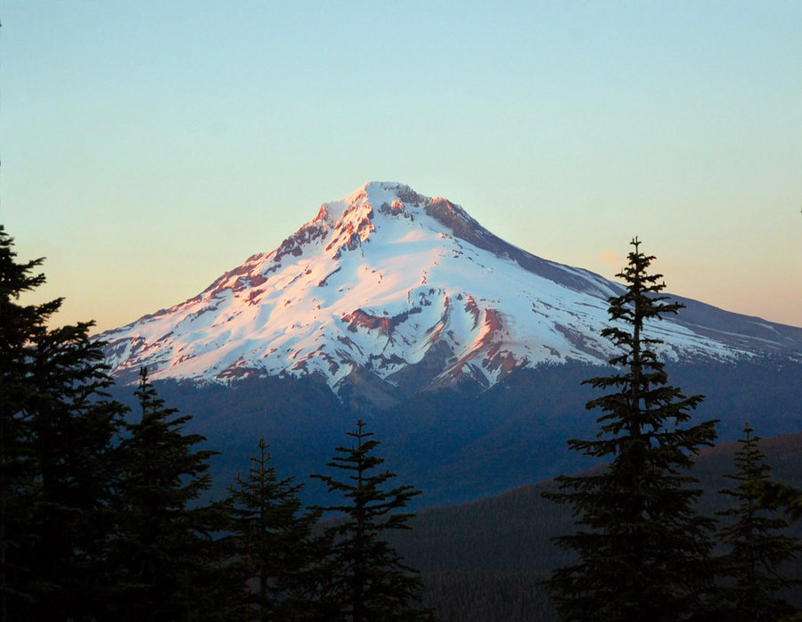
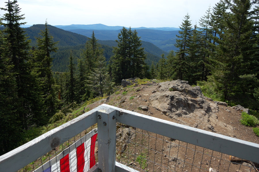
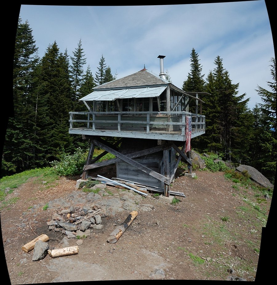
Devils Peak loop
16 miles of hiking • 4500' elevation gain • 2 nights
Spent first night camping on a cliff top overlooking Salmon River Canyon, then solstice night at the lookout tower. Awesome trip, a bit more elevation gain I am comfortable with but great training. My dog Pepper is back on the trails!
June 20 – June 22, 2014


Green Canyon Trail to viewpoint
4.5 miles of hiking • 2000' elevation gain •
Green Canyon trail with a little OT near viewpoint. Didn't spend much time at viewpoint because it was COLD, probably in the upper 30's. Nice rhodies. Decided to come back a week later for a more extended trip. The rain started the moment I got into the car.
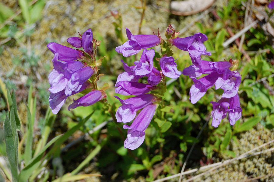
June 14, 2014


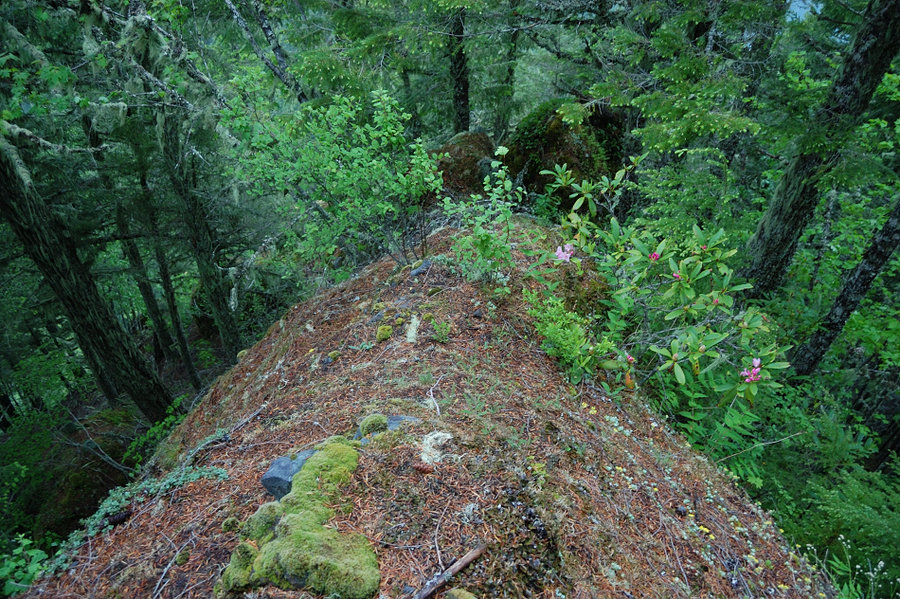
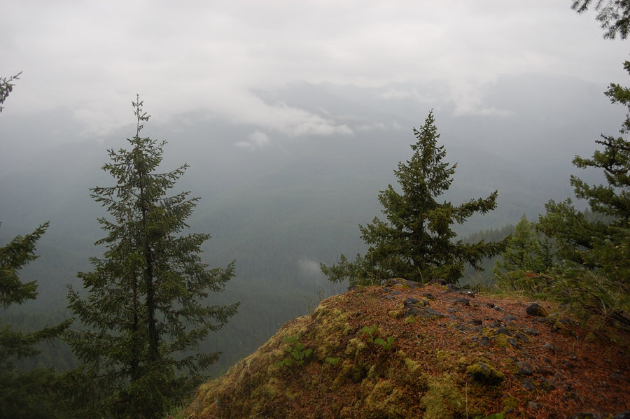
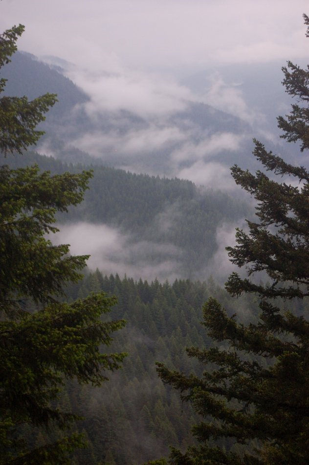
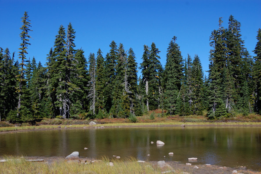
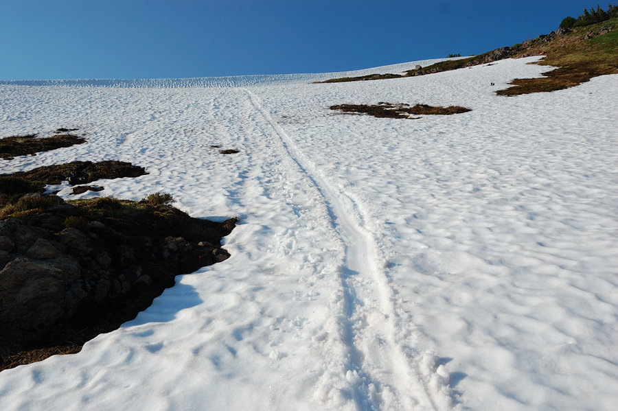
Indian Heaven - Bird Mtn loop
7.41 miles of hiking • 2250' elevation gain •
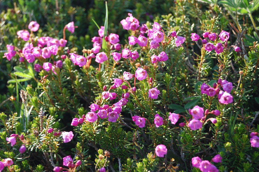
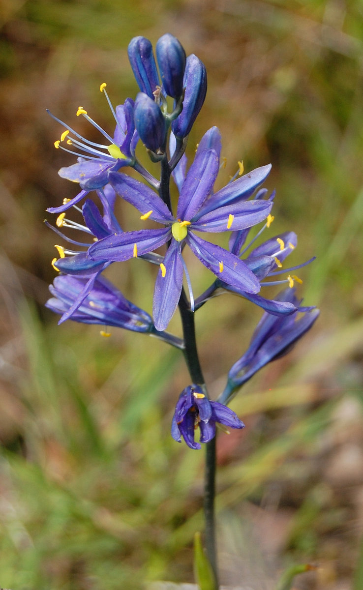
Forgot my camera, but luckily didn't forget the GPS (the track @ the link). Indian Heaven is still covered in snow, but the melt seems a bit early this year with most of S side and some of W side ridges of Bird Mt. already melted out. 5-7 feet drifts on the east slope, was fun with the crampons. The lakes just start to thaw. Mosquitoes are bad for the first and last 2/3 of a mile (where it's mostly snow free) but higher up they were few and not interested in me. Found some flat benches on E side of Bird Mtn with terrific views, that would make for great snow camping spots. Once past "tree well zone" the walking is very easy, and terrain is just beautiful and very easy going in any direction, with all brush still buried under snow.
June 8, 2014

 1
1
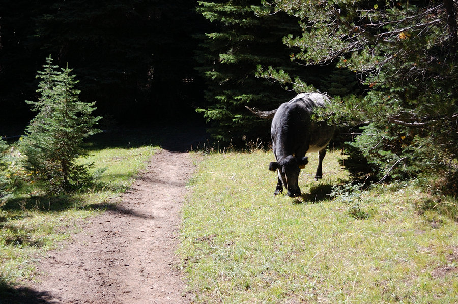
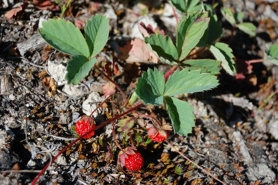
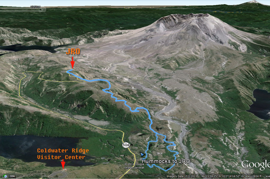
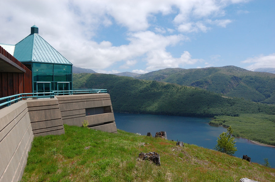
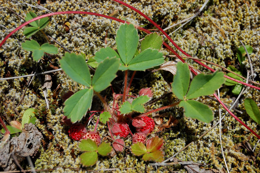
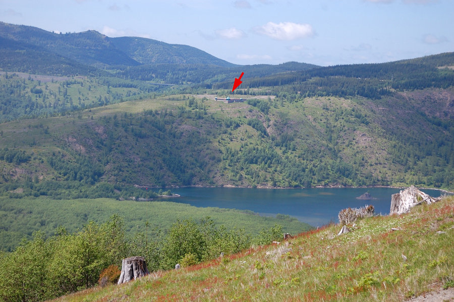
Hummocks to JRO
10 miles of hiking • 2250' elevation gain •
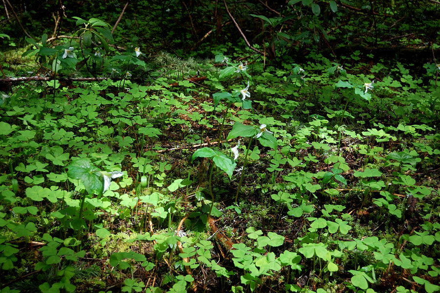
Hiked with my dad from the Hummocks to Johnston Ridge Observatory. Everything is so green right now, lots of flowers and ripe strawberries (& much more to come). Aside from JRO and another roadside viewpoint, saw only once couple on the trail, being parallel to the road it gets completely overlooked.
We got our wrist bands (required there) at Coldwater Ridge Visitor Center which saved the drive to JRO. CRVC is now open on Saturdays and Sundays, there's neat exhibits inside and movie room, and great view of the lake from the balcony.
June 1, 2014


May 24 – May 26, 2014


April 12, 2014

April 7 – April 8, 2014

Downtown Portland loop
4.5 miles of hiking • 250' elevation gain •
I go to Downtown so infrequently I think it qualifies for a trip report
April 6, 2014
 3
3
March 22, 2014


February 1, 2014