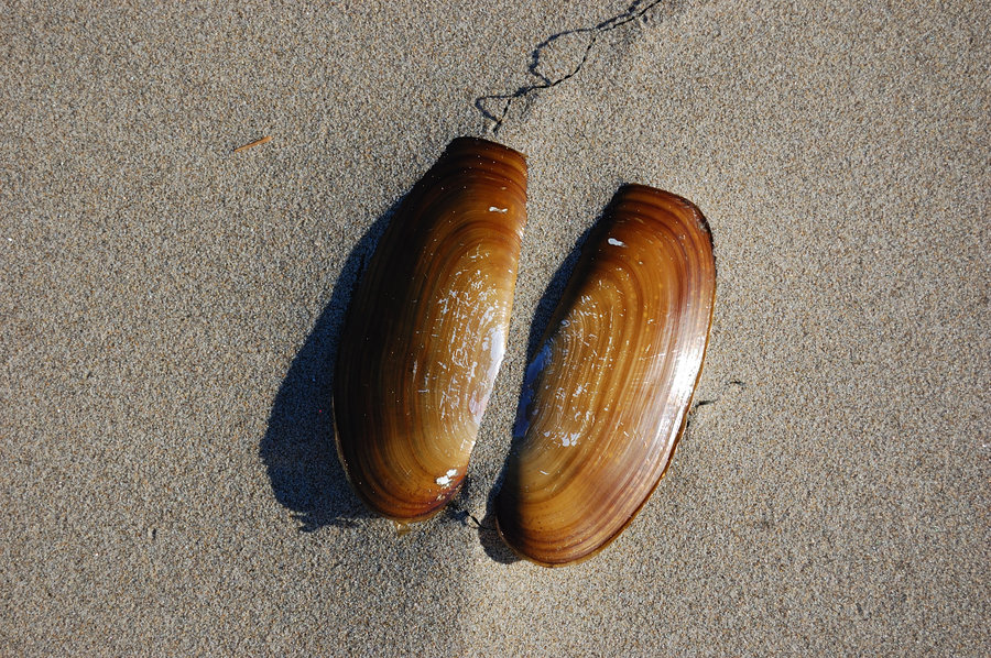
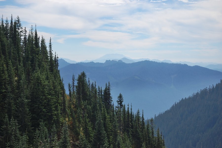
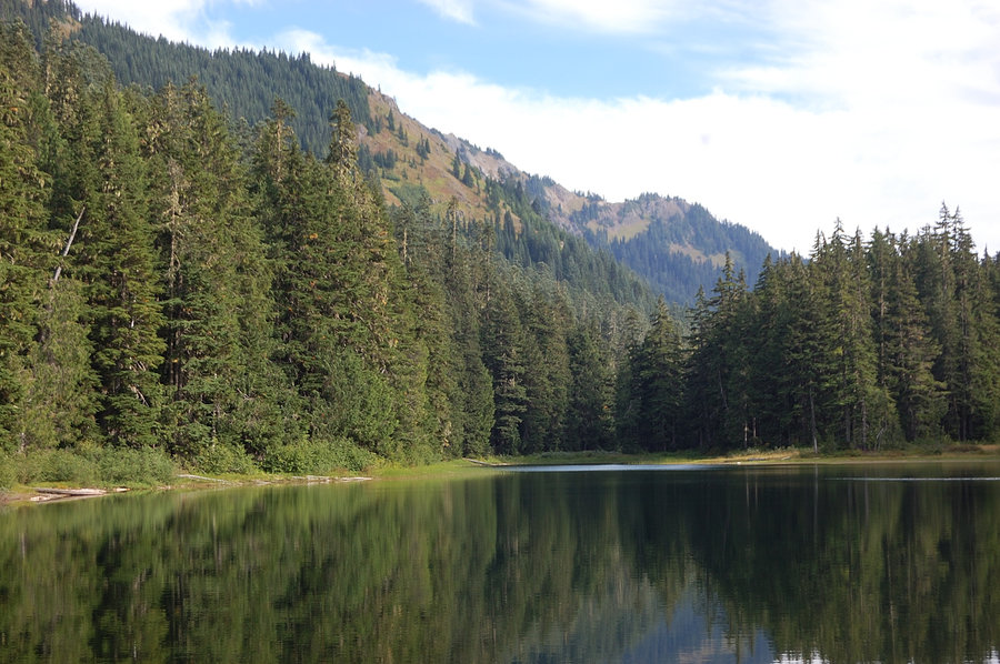
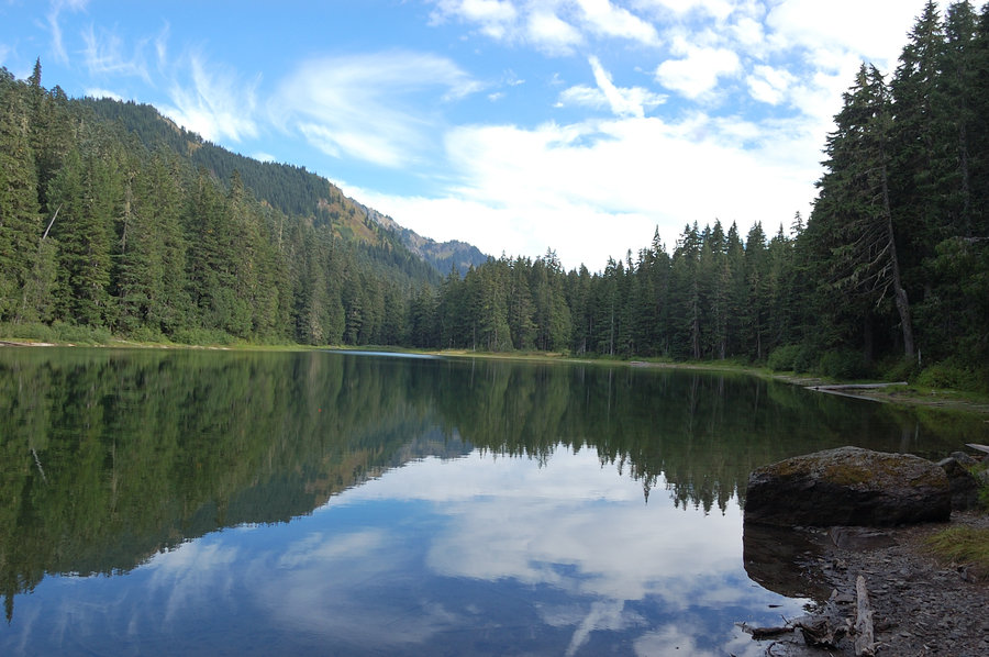
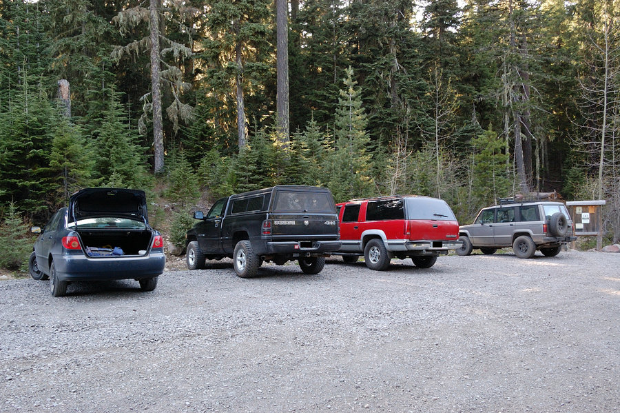
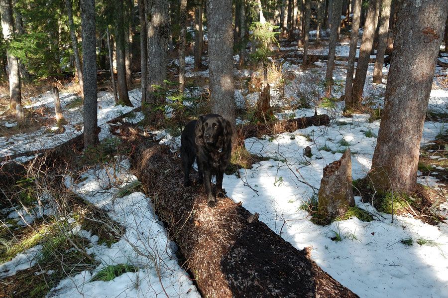
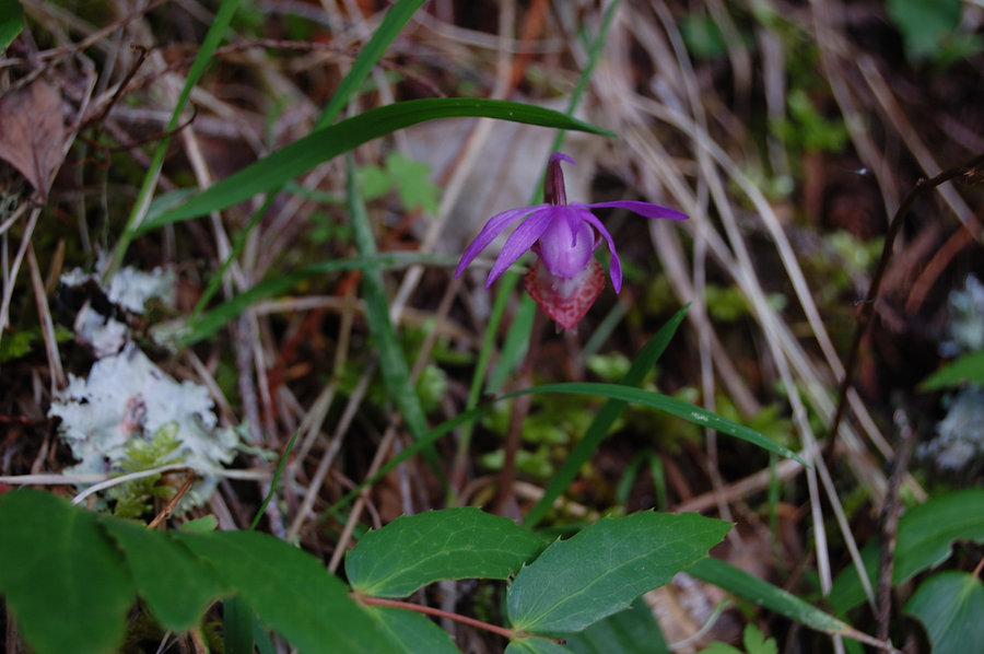
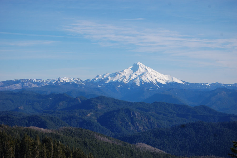
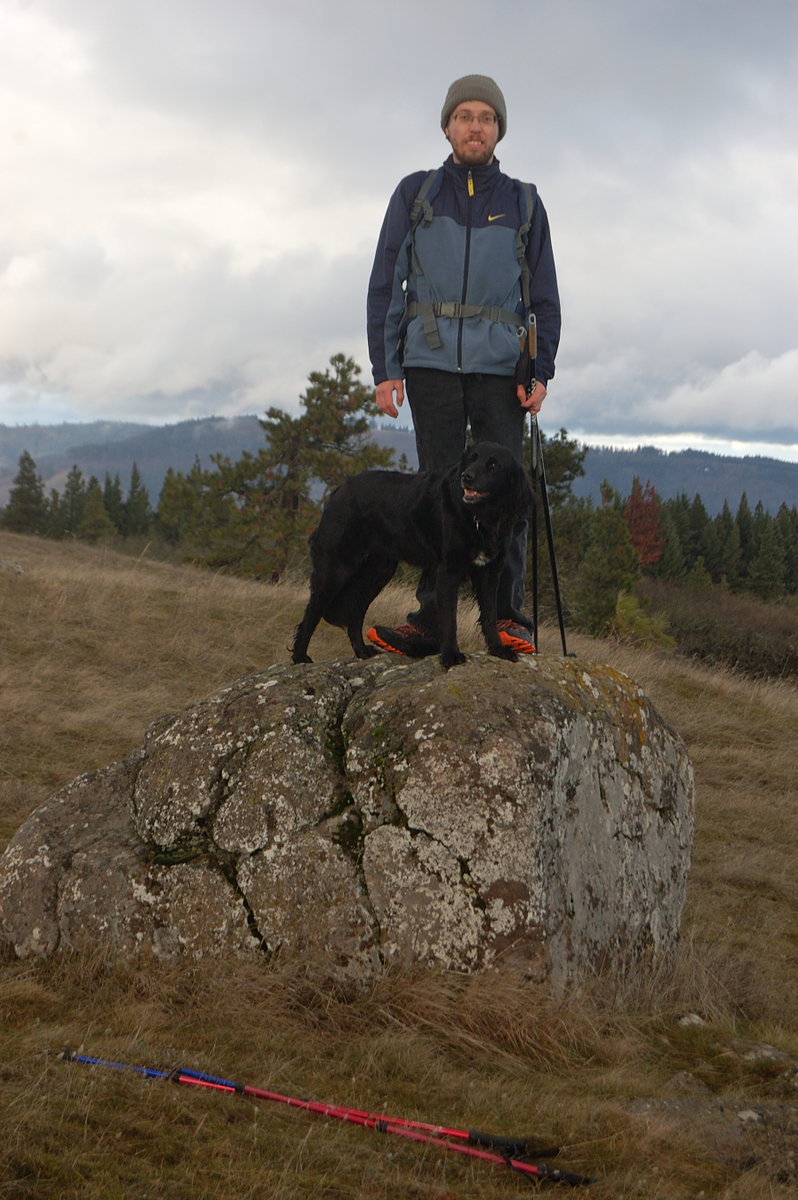
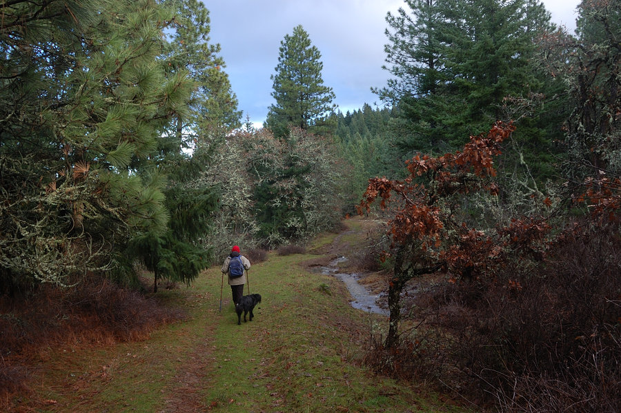
2015 Trips


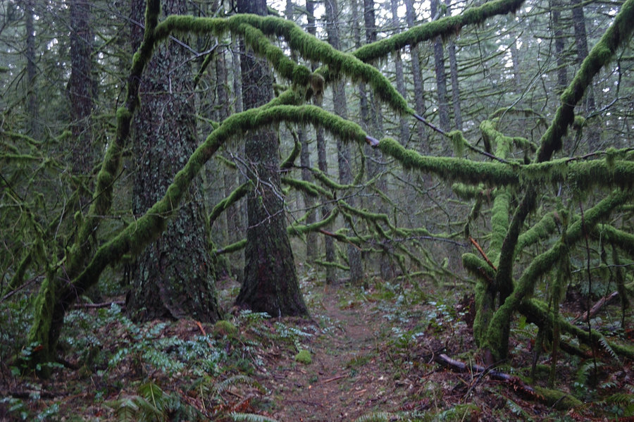
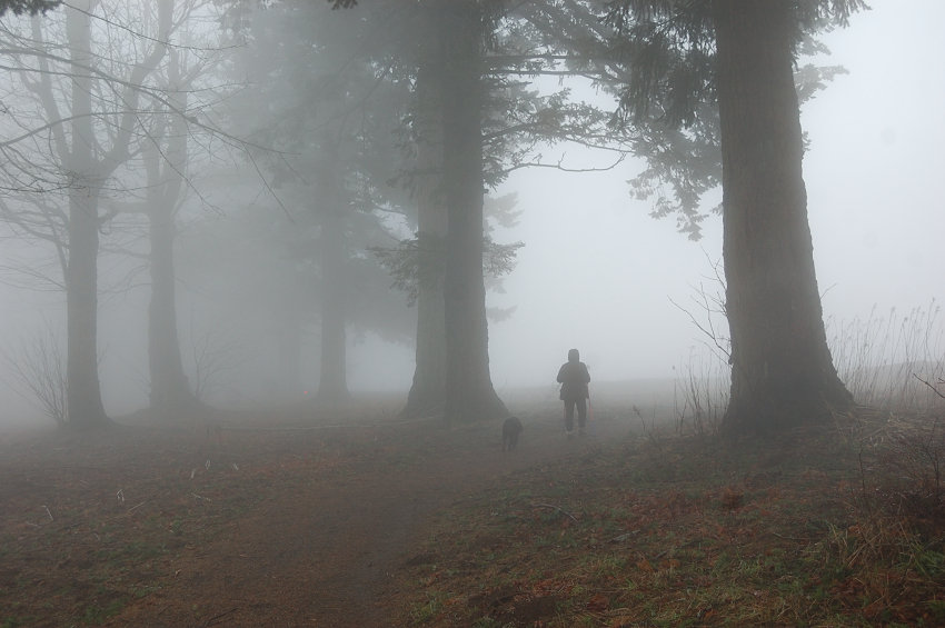
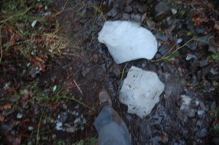
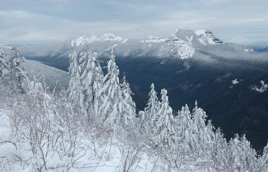
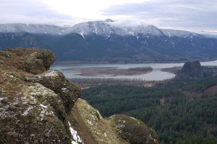
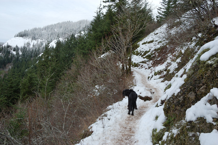
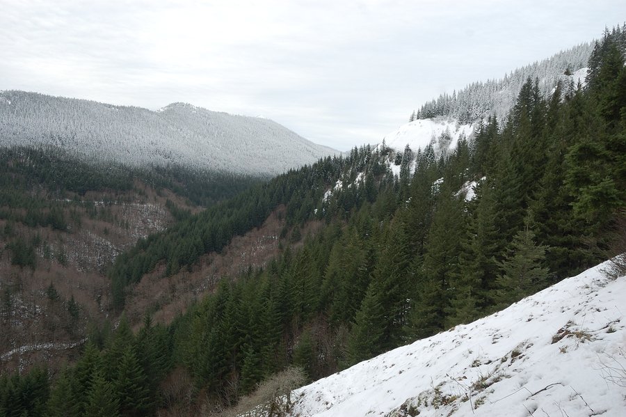
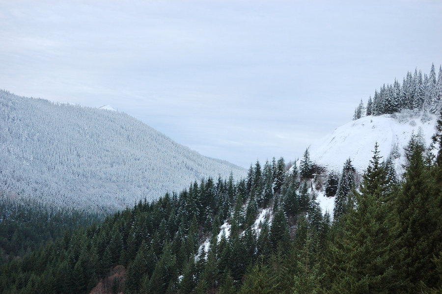
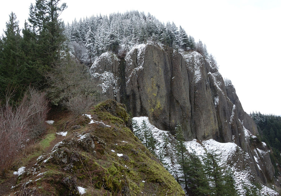
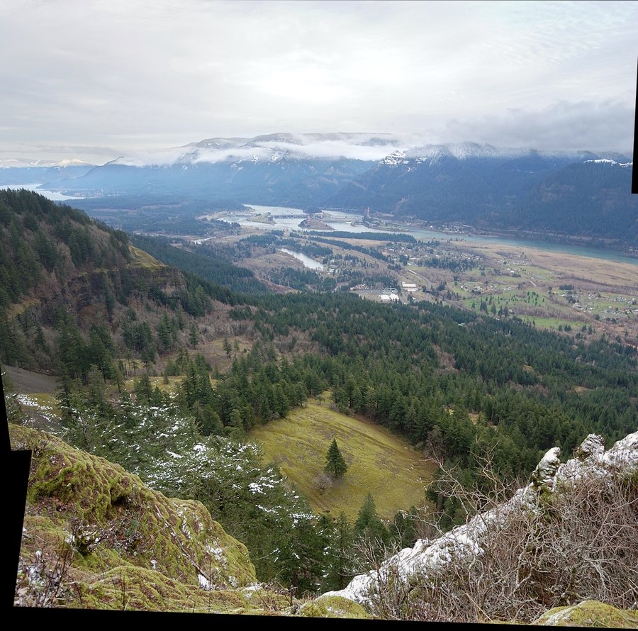
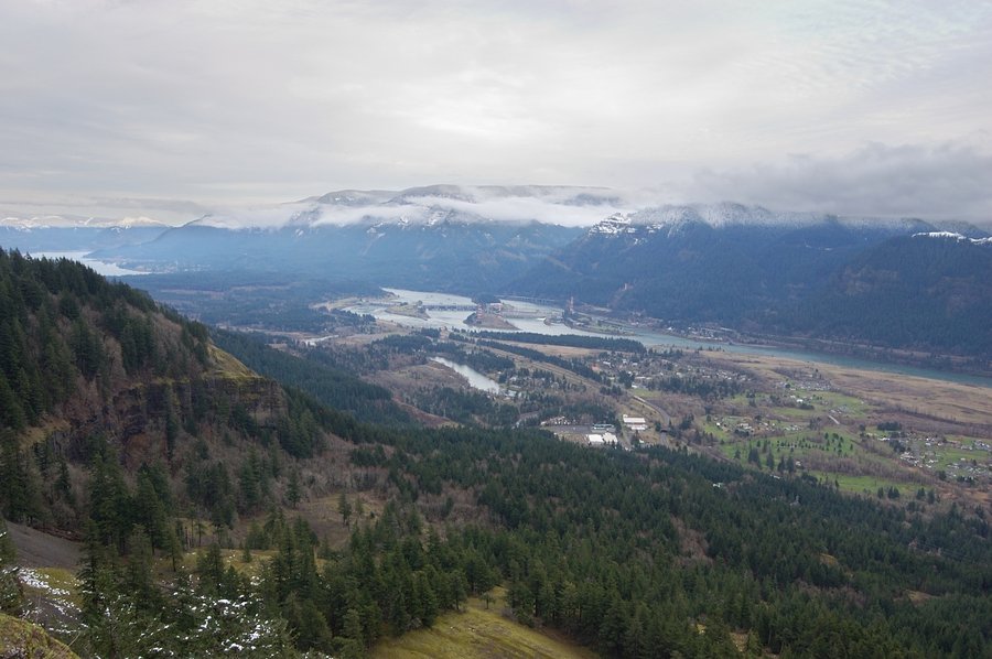
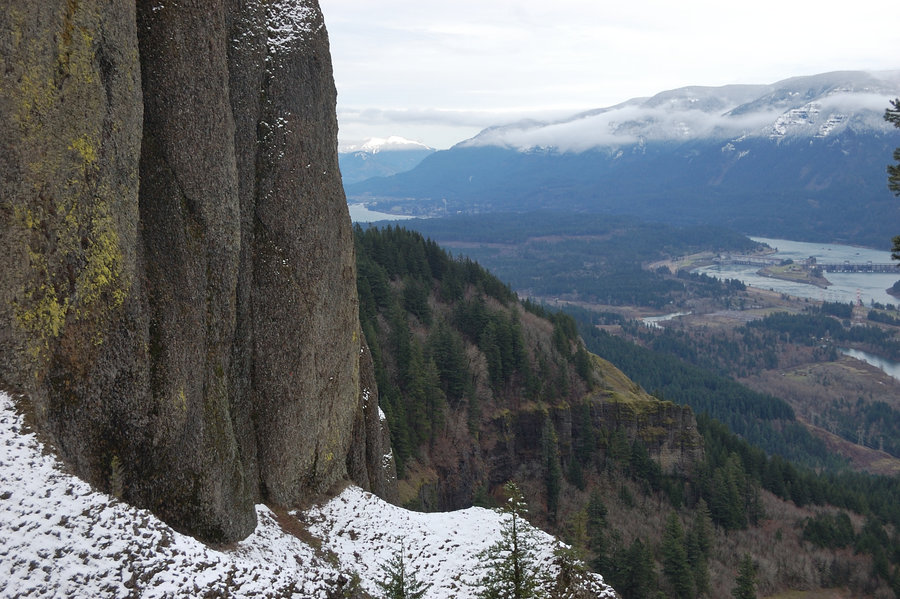
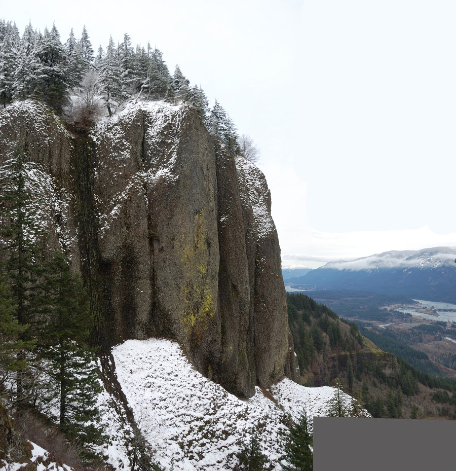
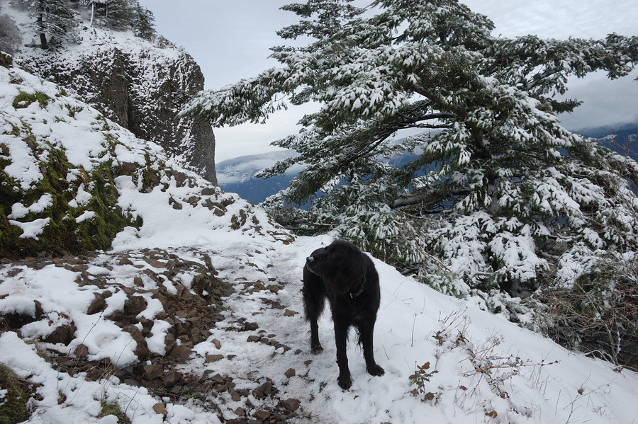
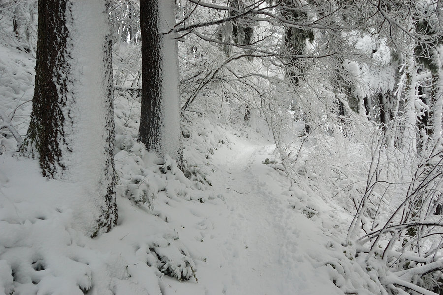
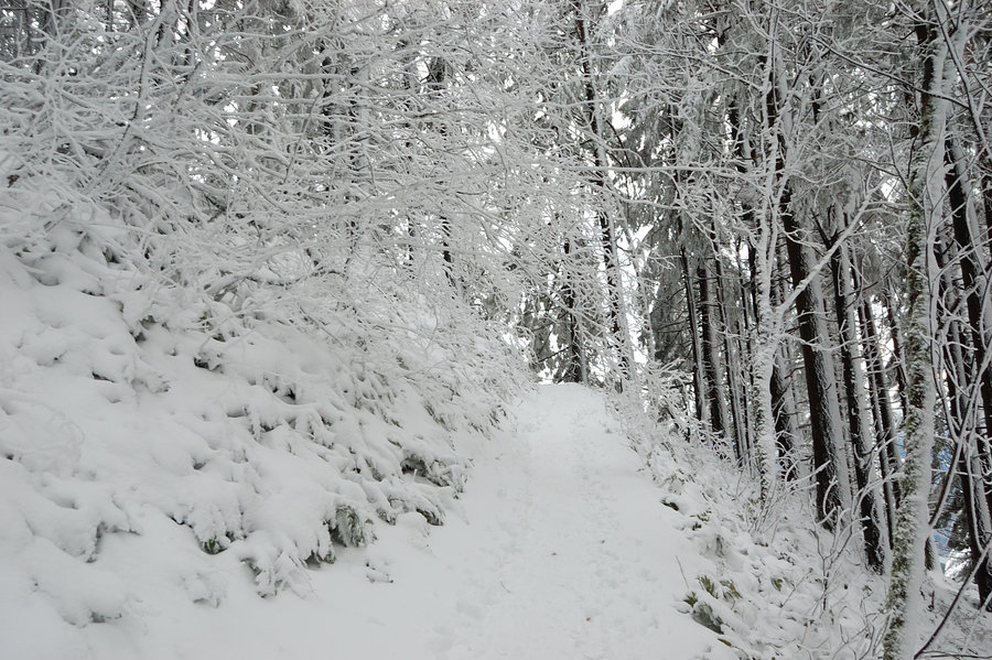
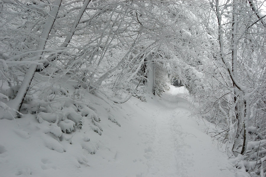
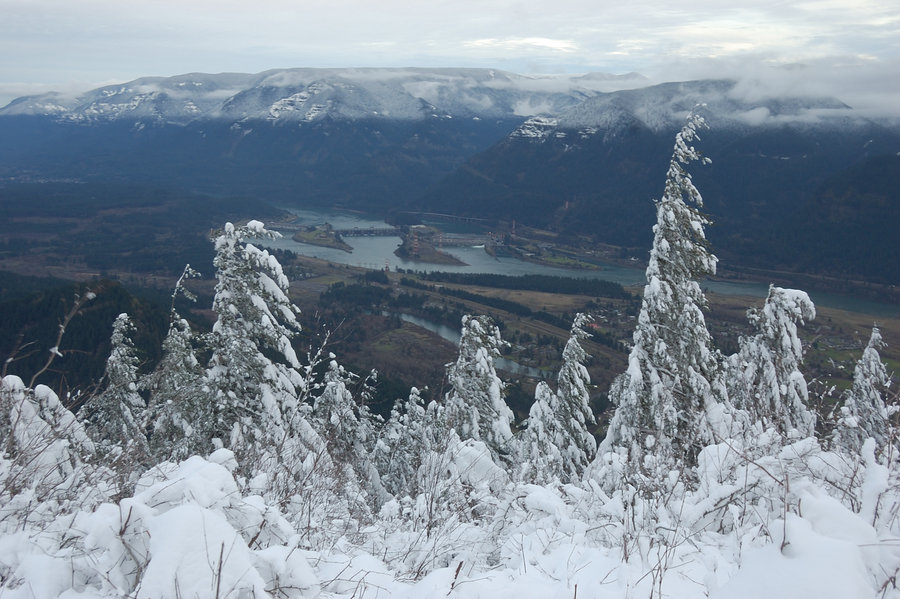
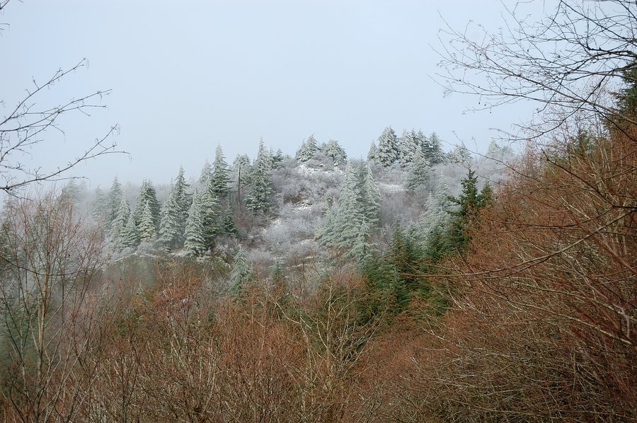
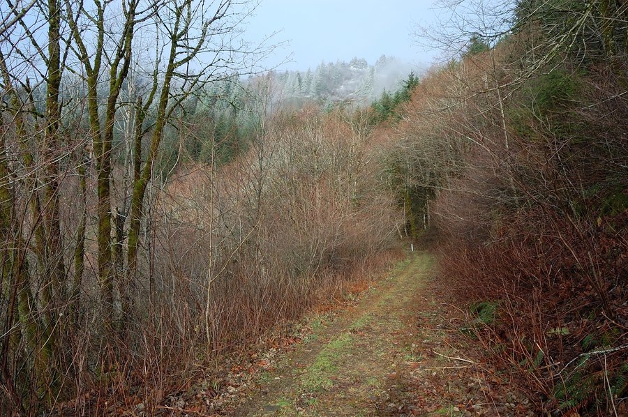
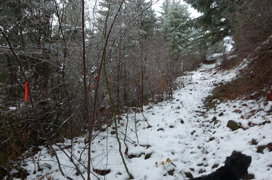
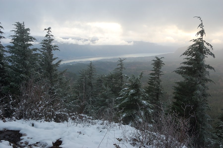
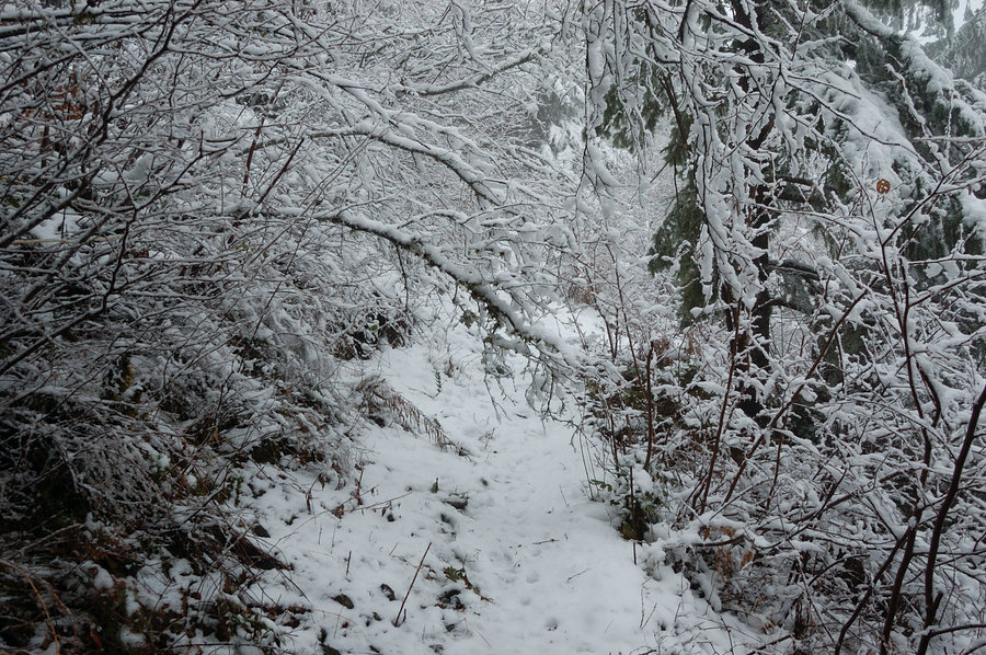
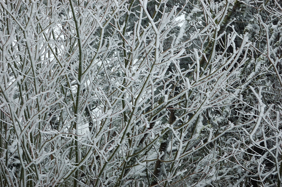
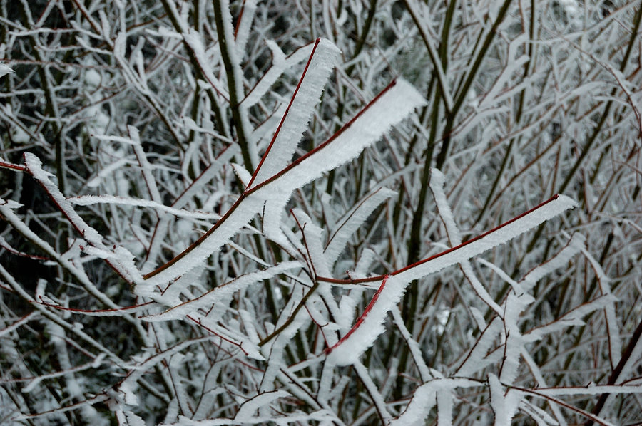
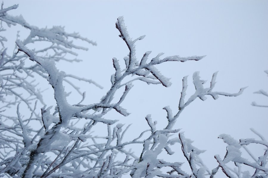
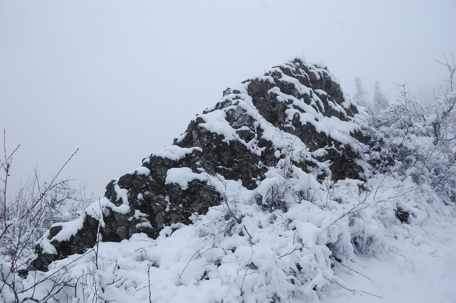
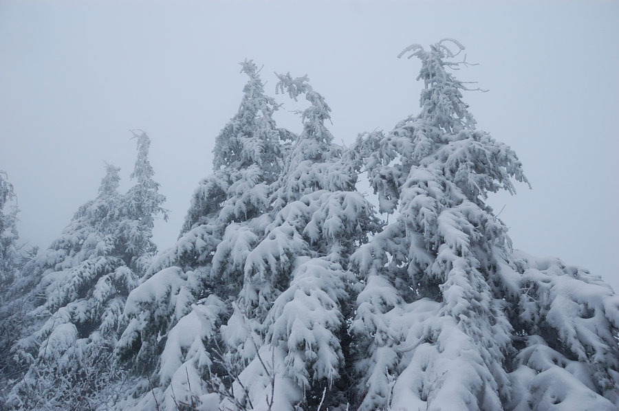
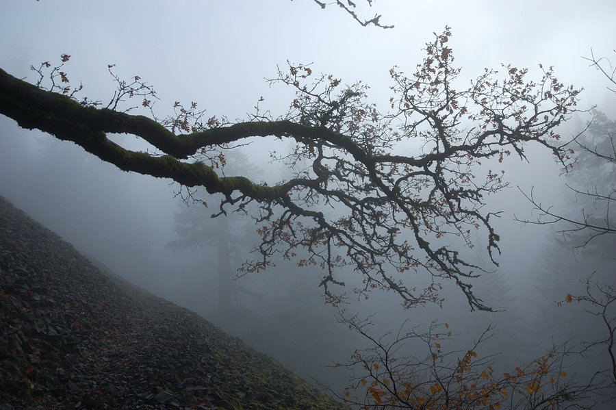
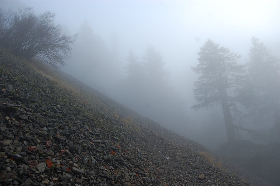
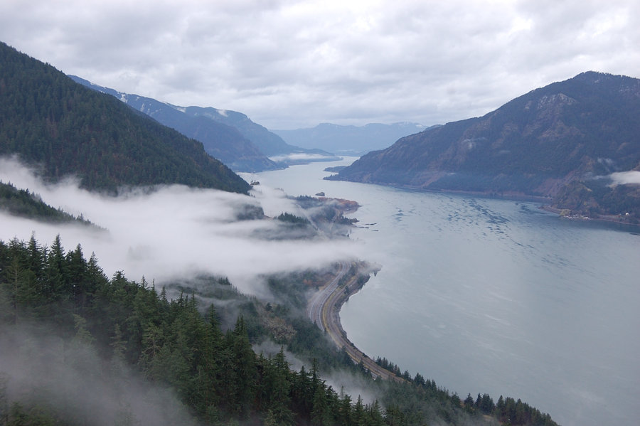
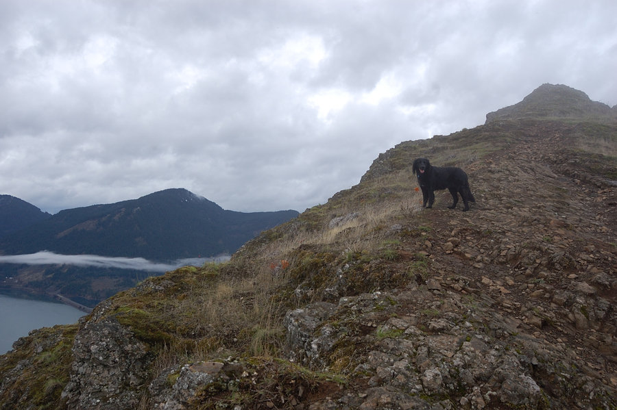
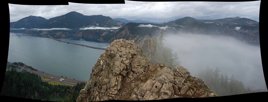
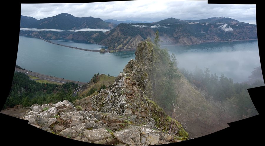
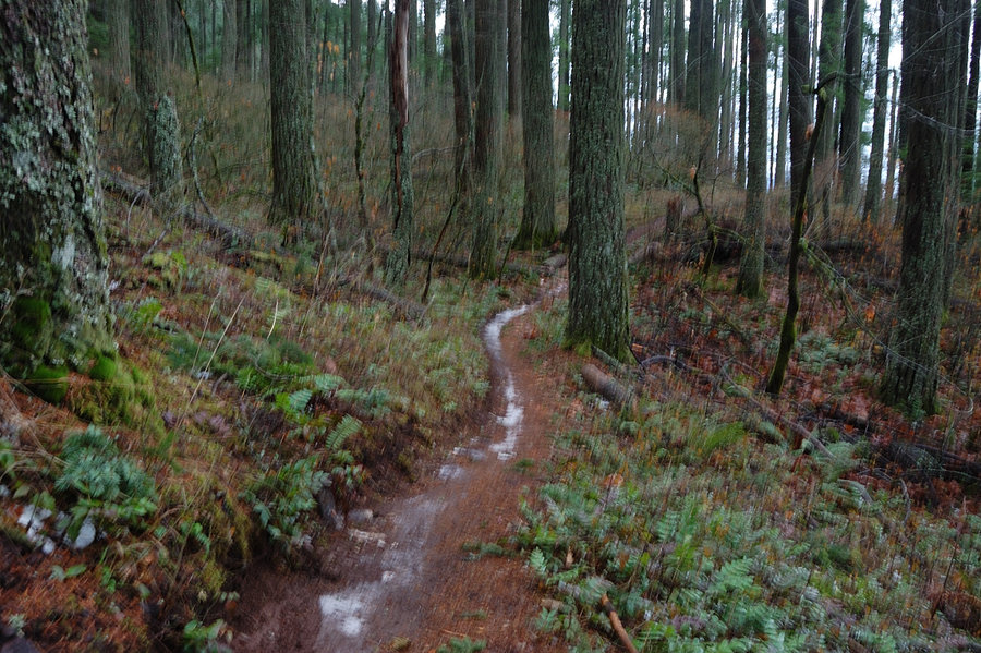
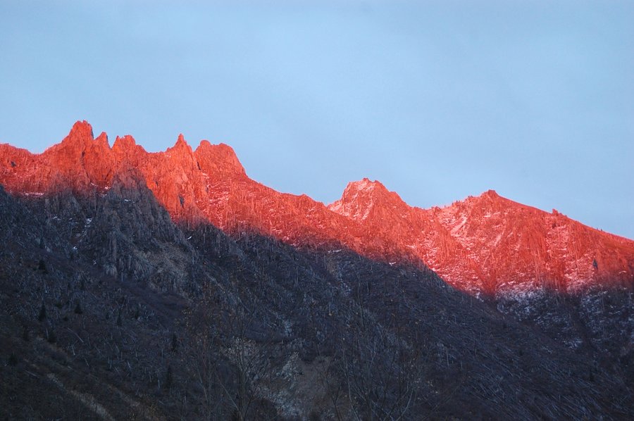
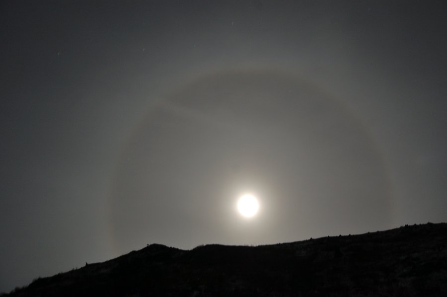
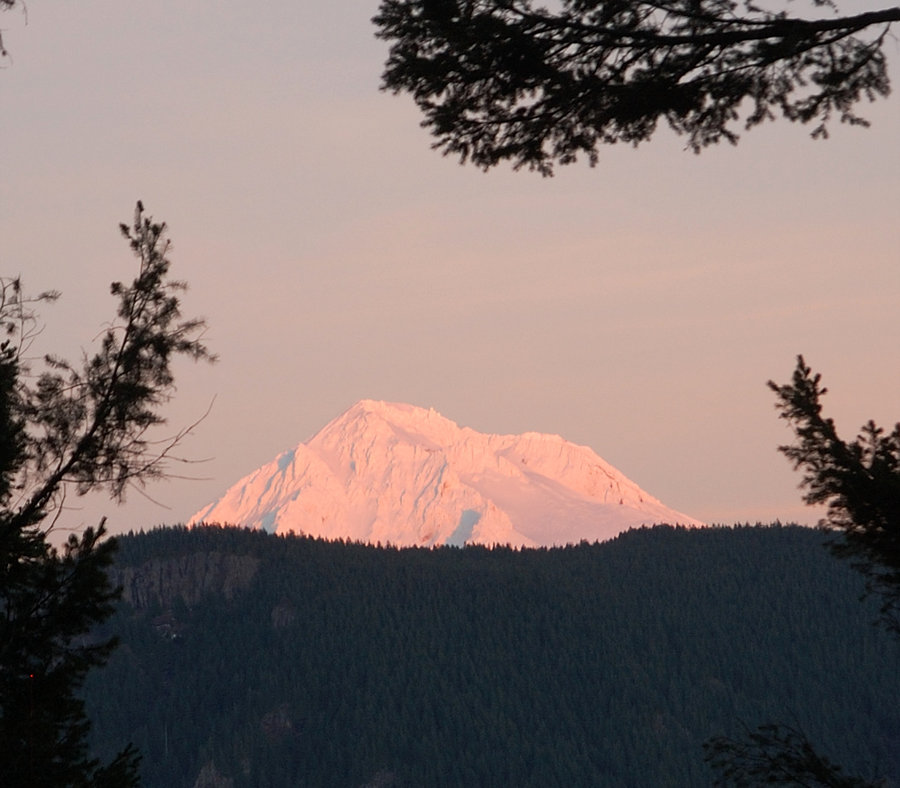
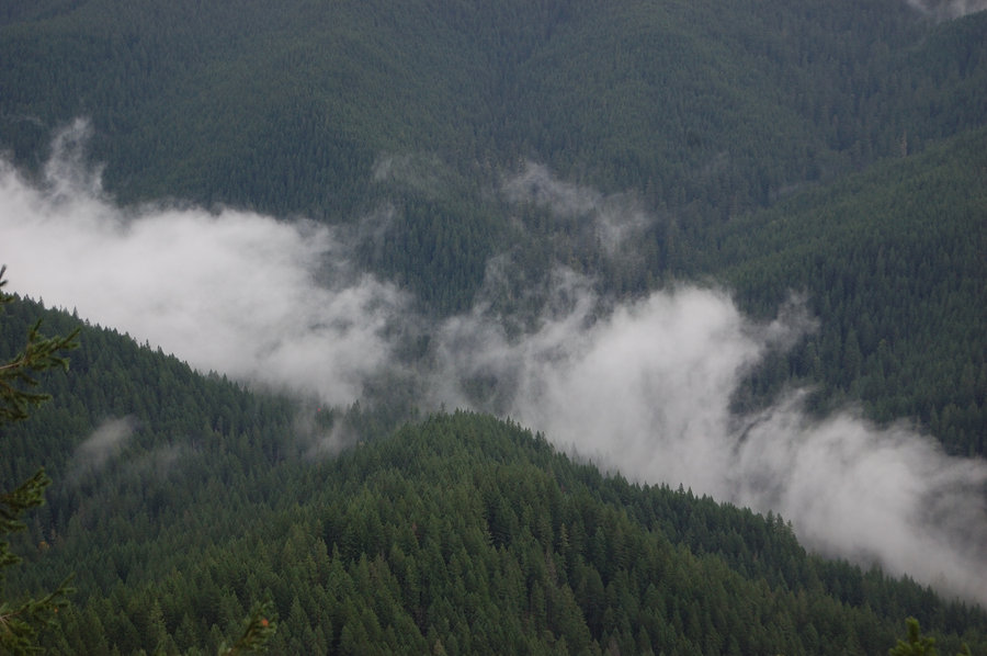
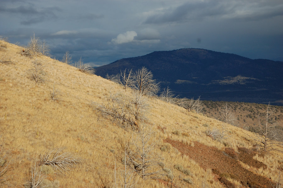
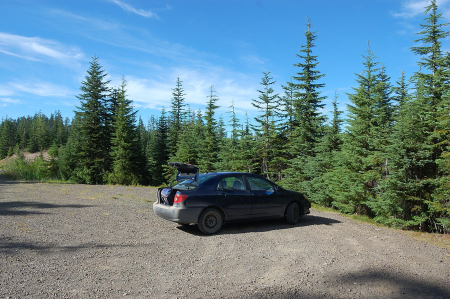
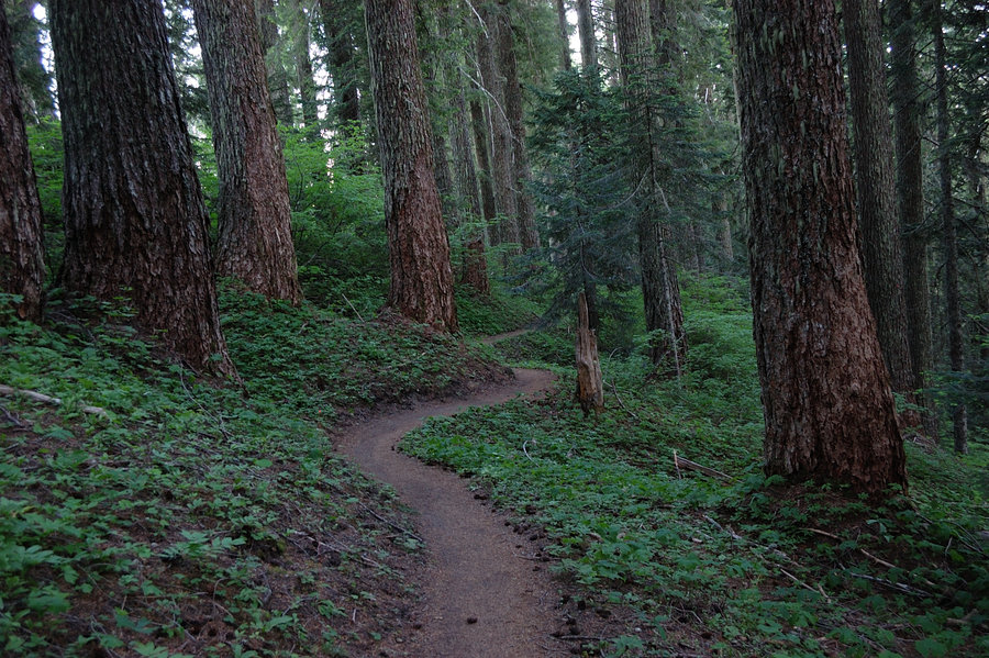
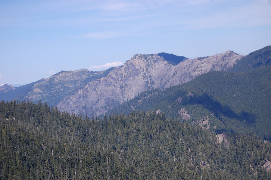
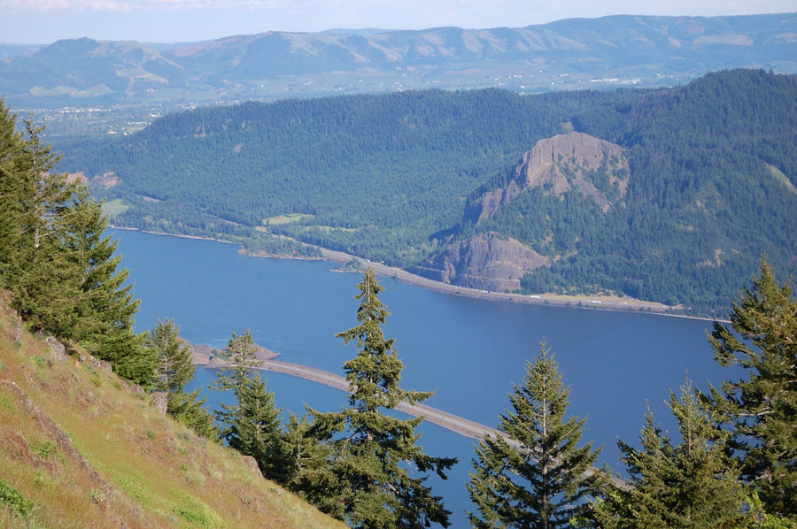
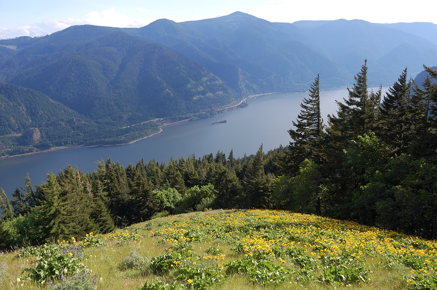
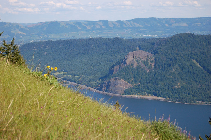
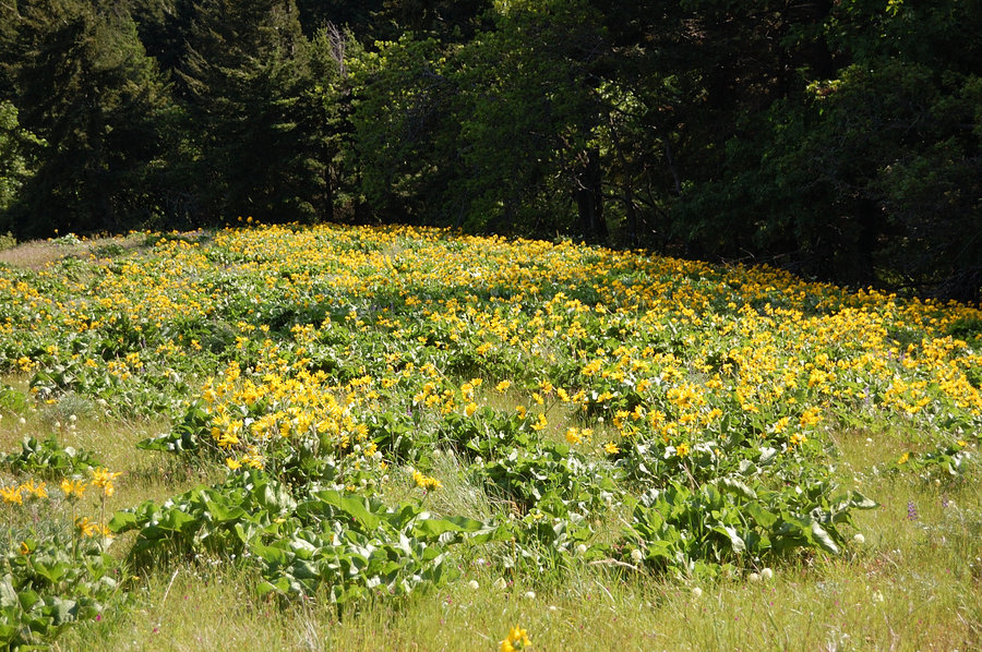
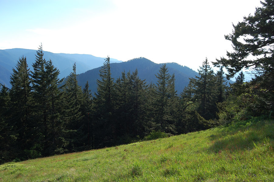
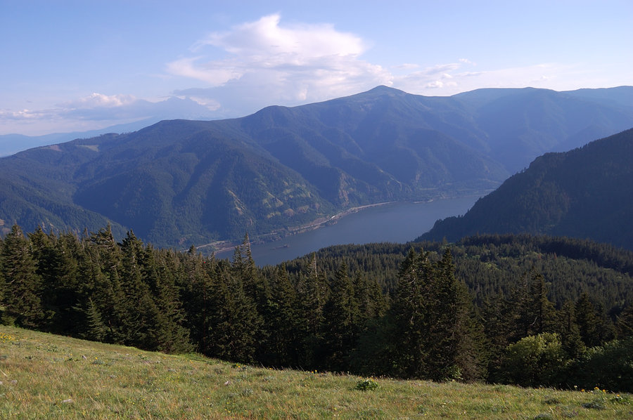
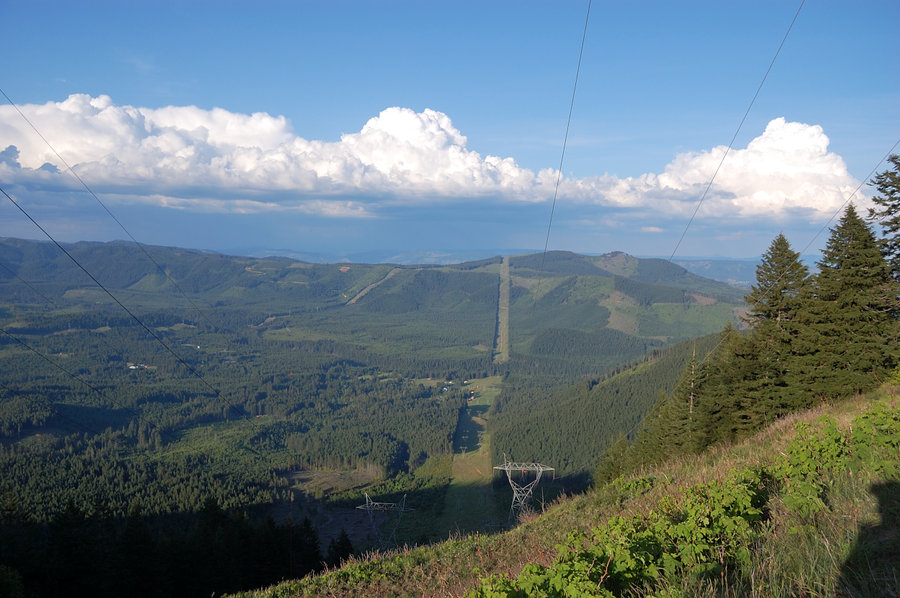
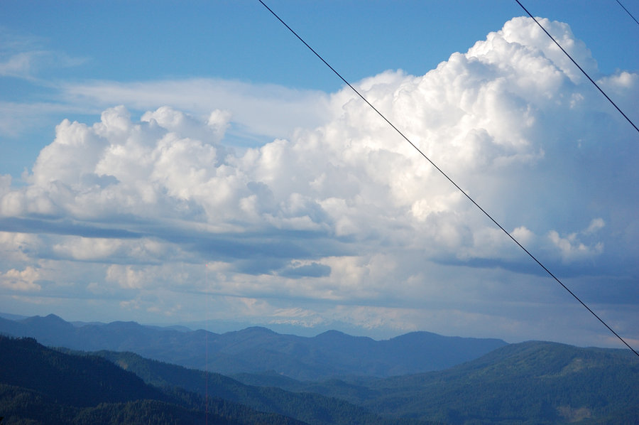
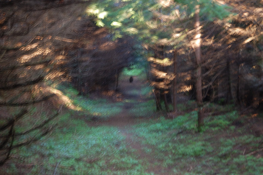
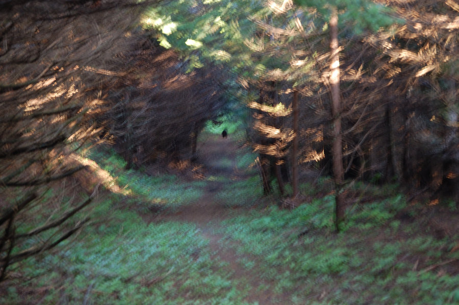
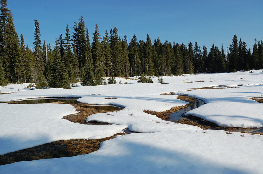
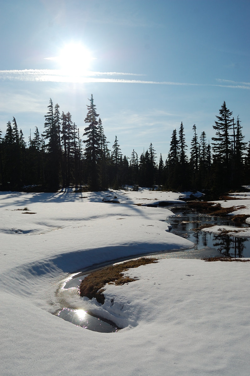
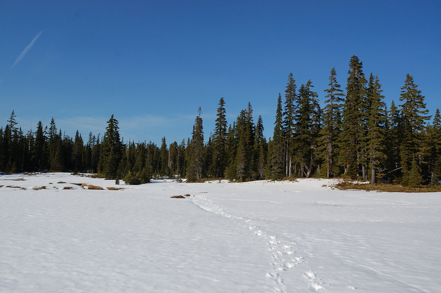
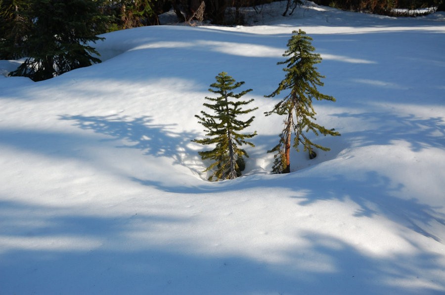
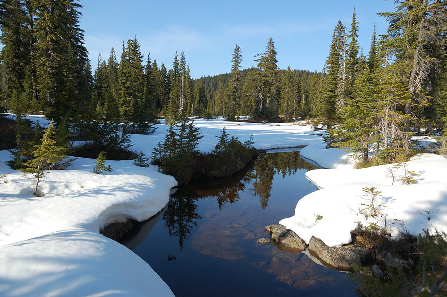
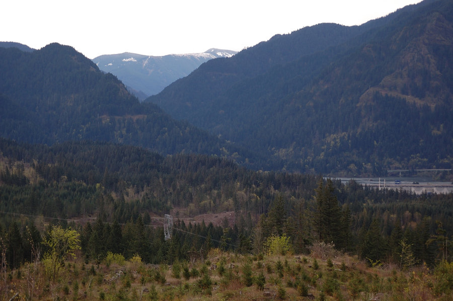
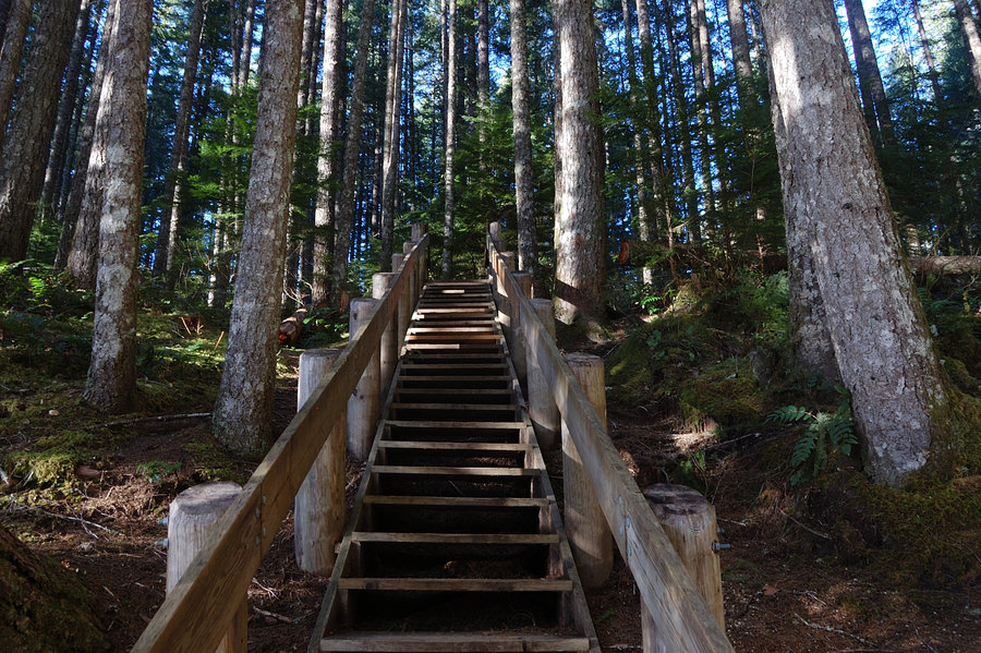
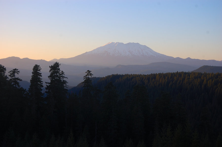
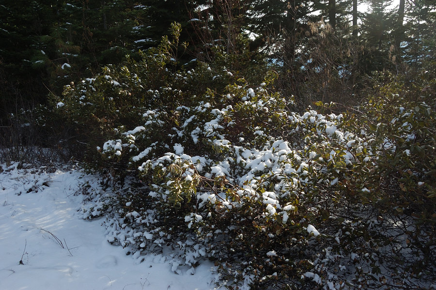
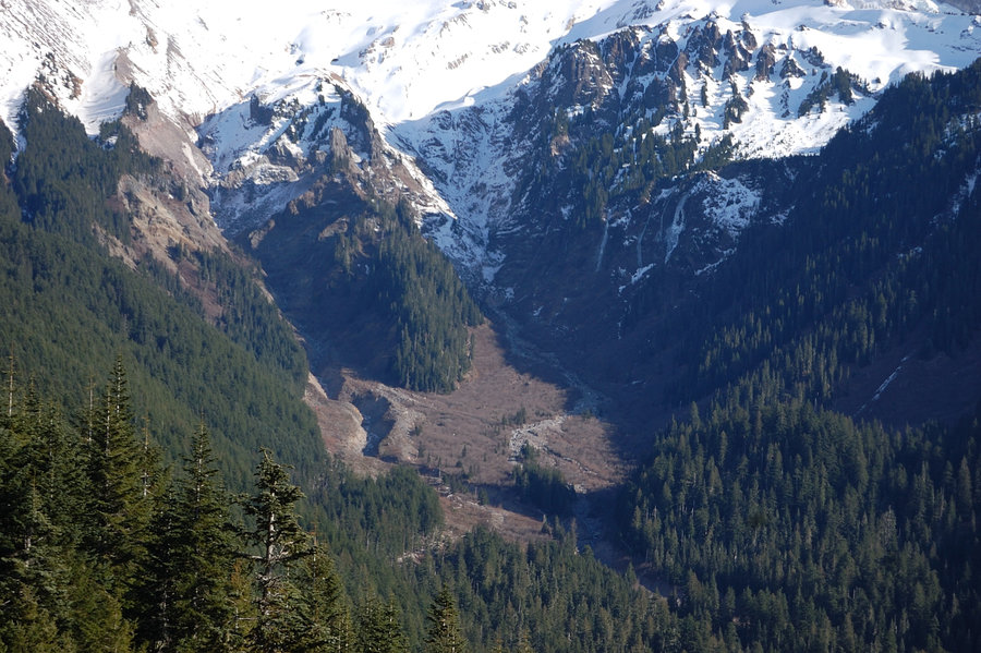
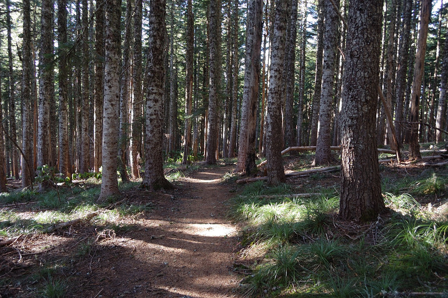
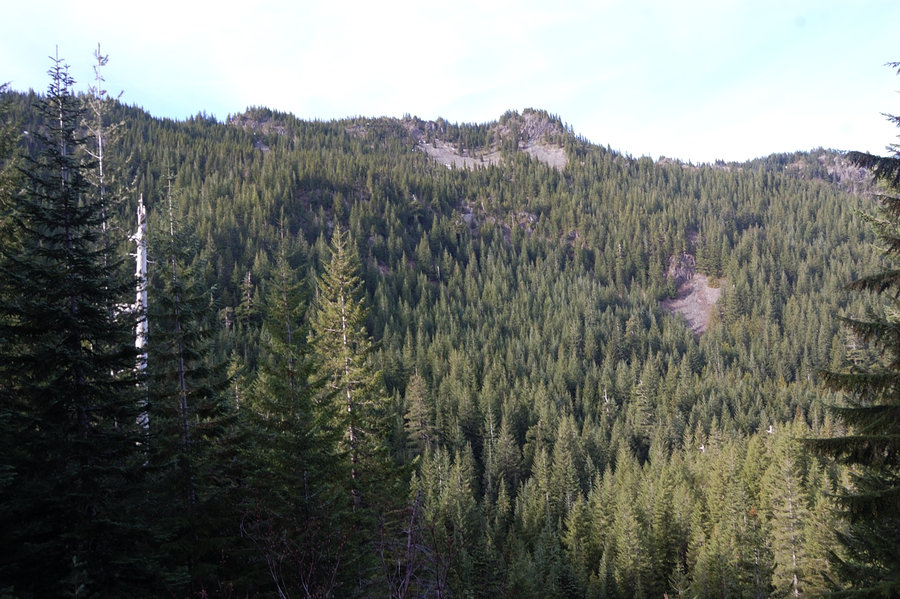
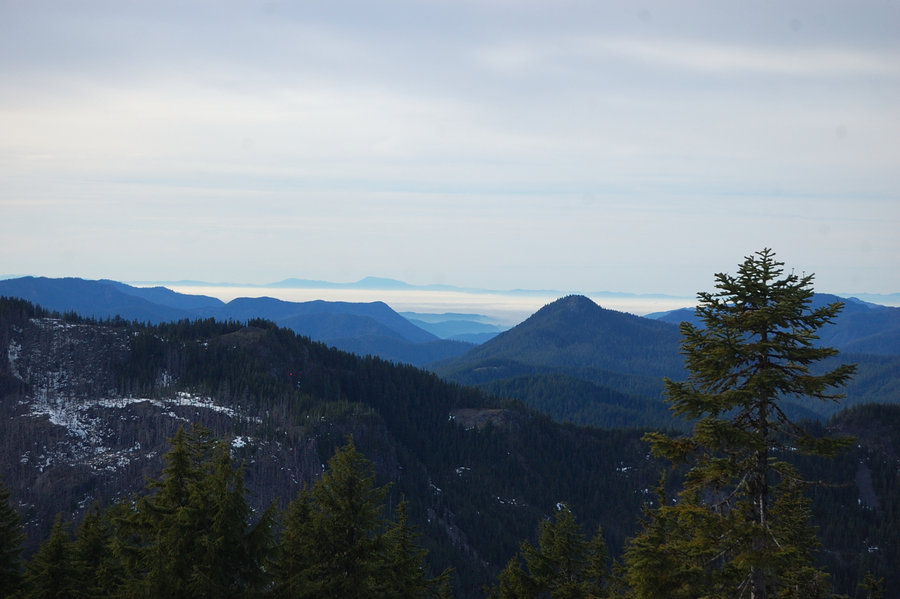
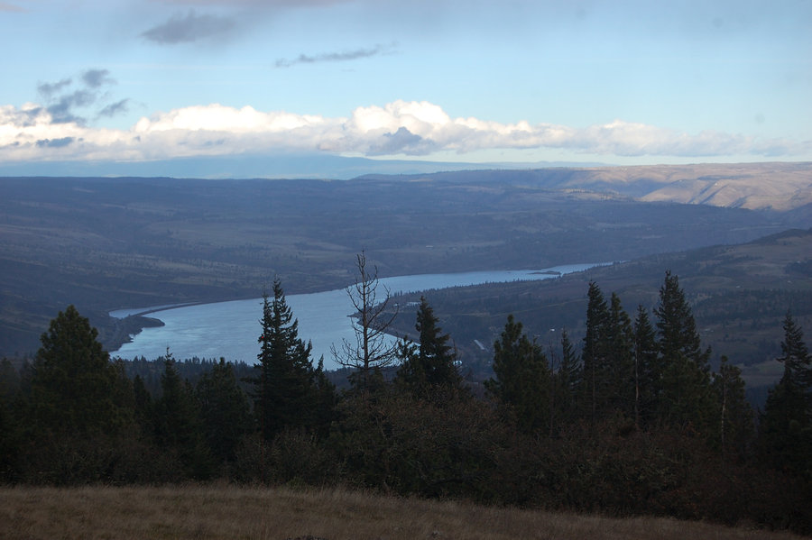
Hamilton Mtn
6.5 miles of hiking • 2250' elevation gain •
Knee-deep snow at the summit, decided to just return on short trail & not continue on a loop (also, due to icy east wind on/past summit). West side of the mountain was mostly shielded from the wind and everything above 1600' was a winter wonderland.

December 26, 2015


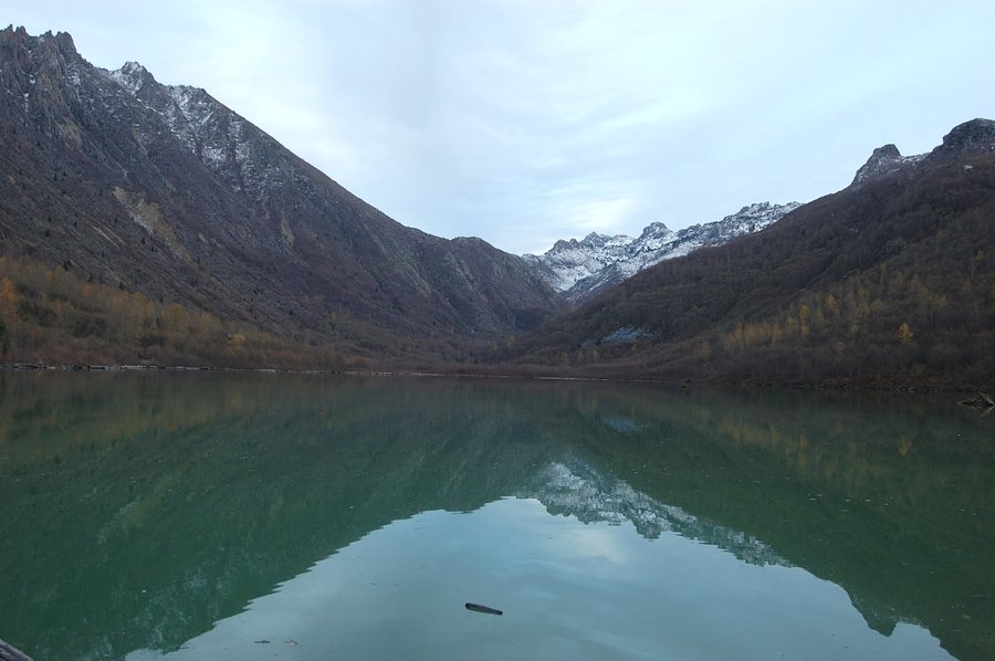
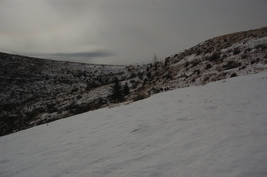
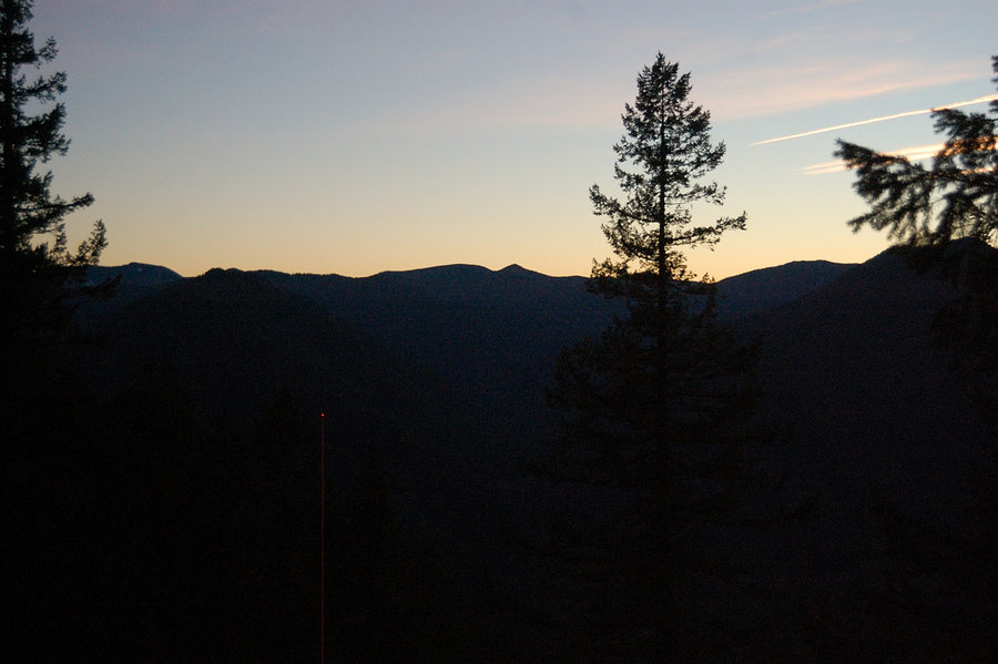
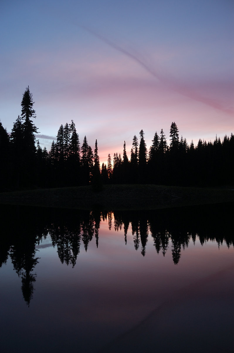
December 25, 2015

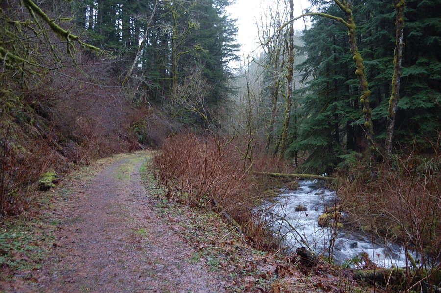
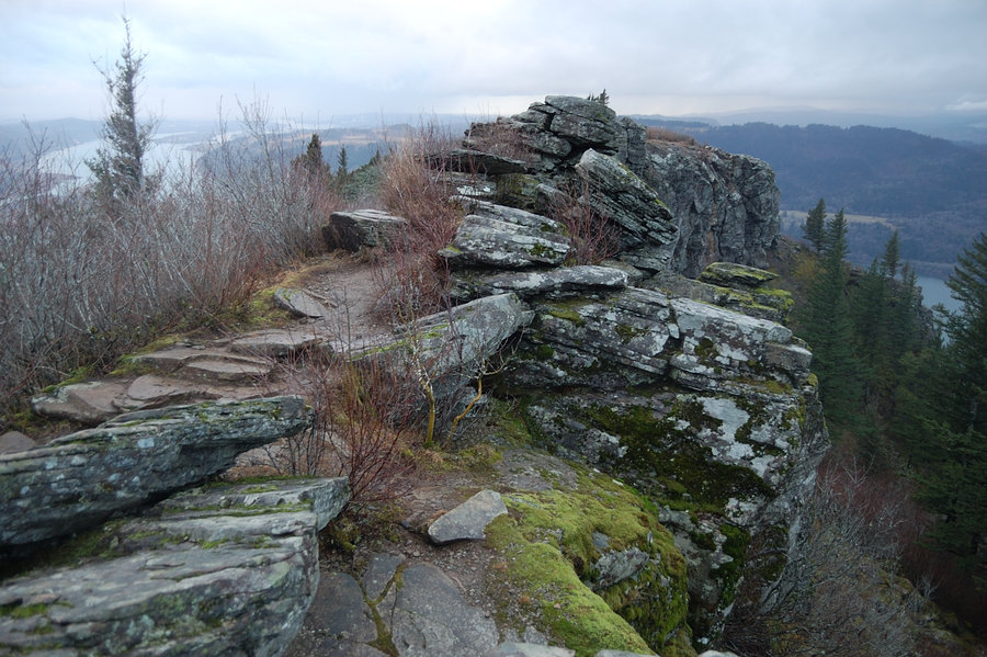
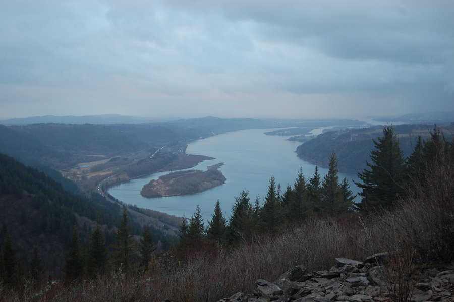
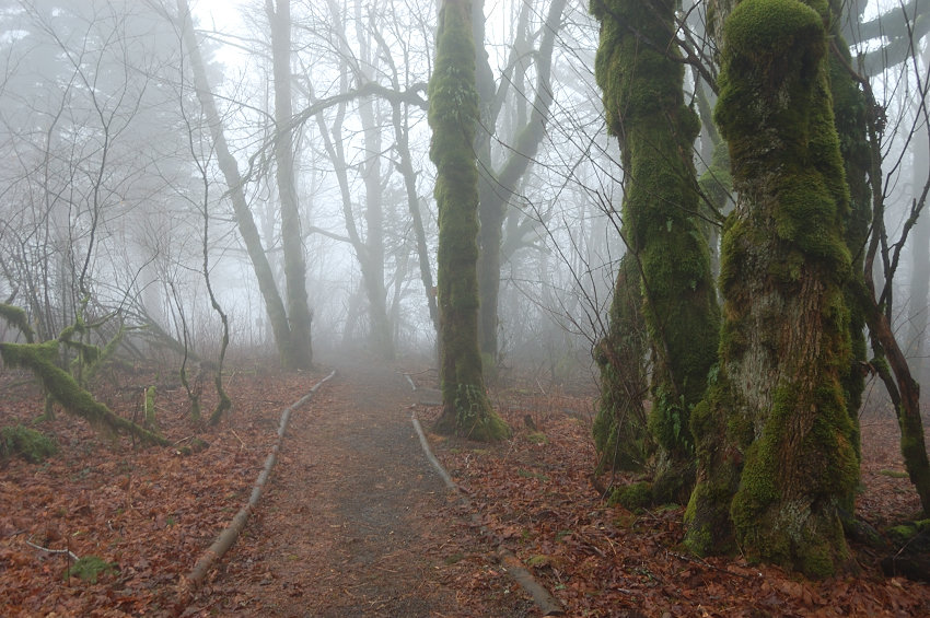
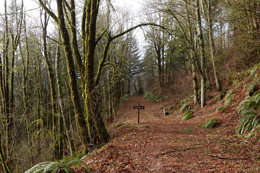
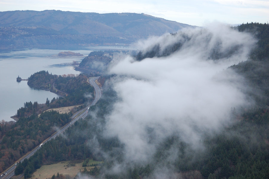
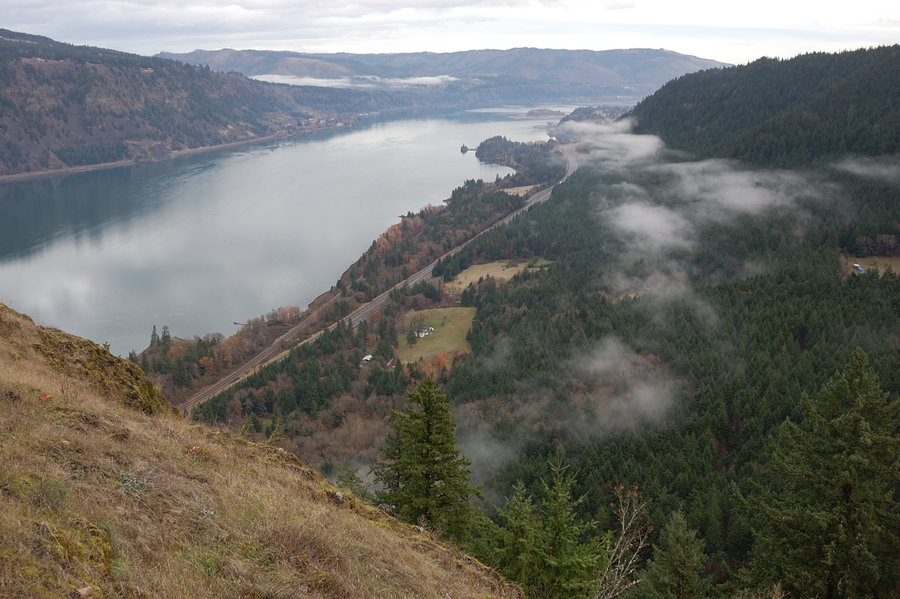
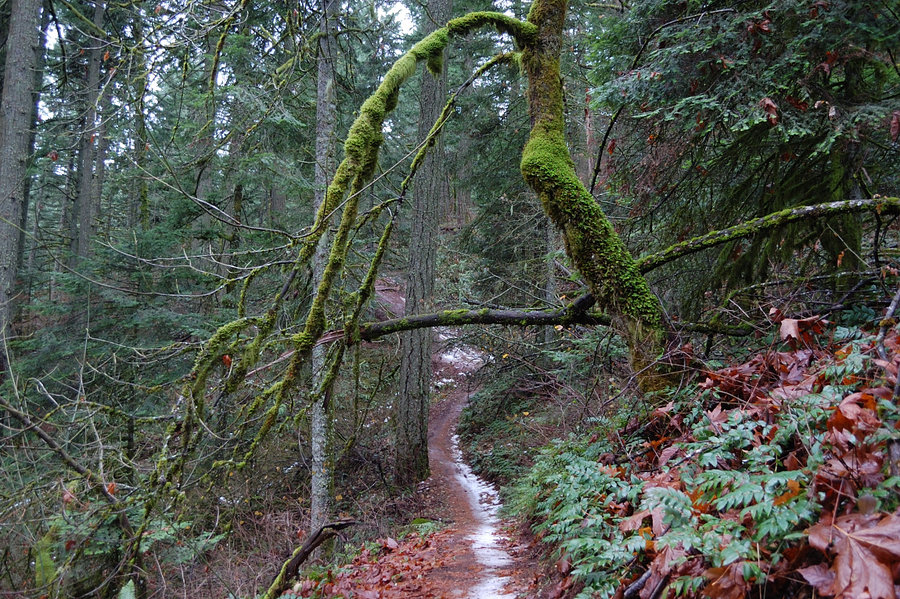
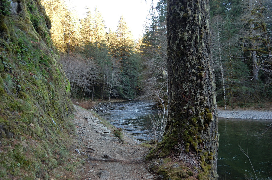
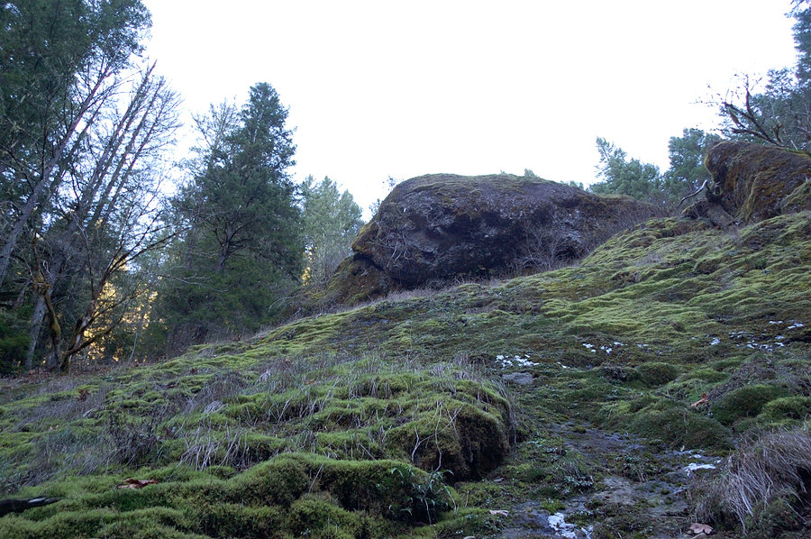
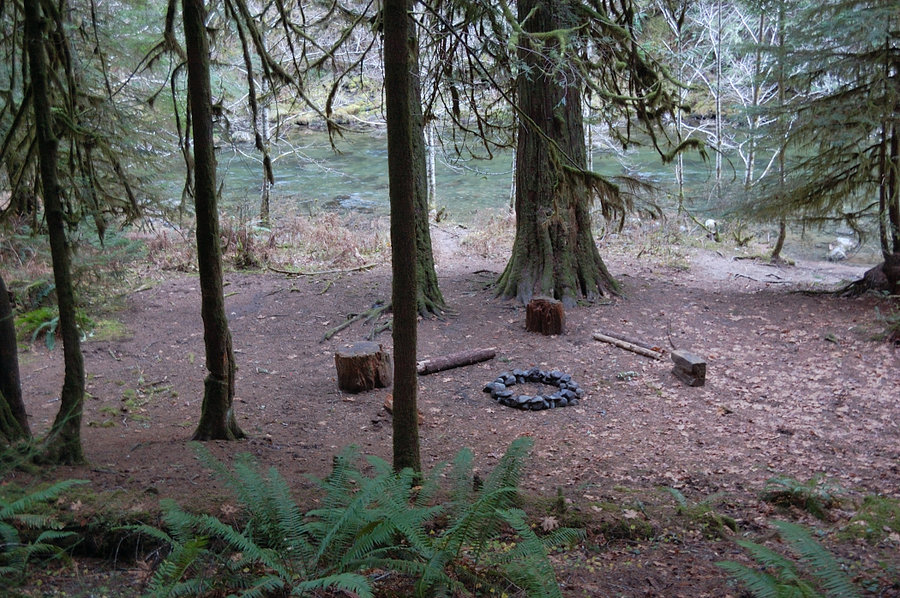
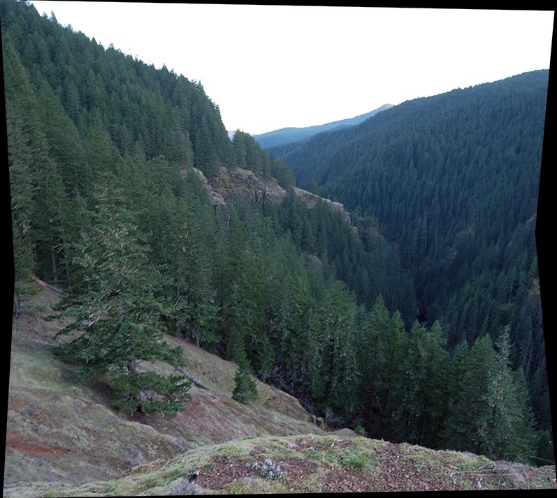
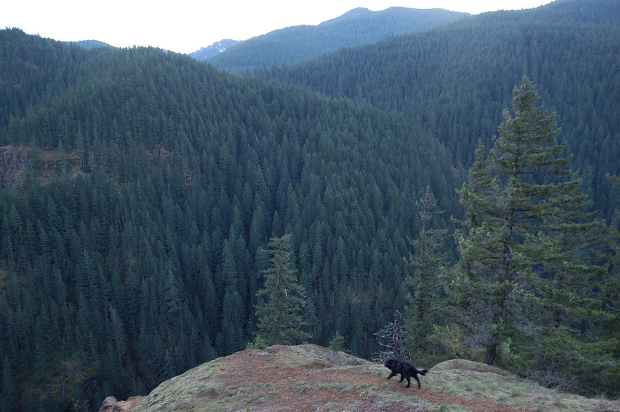
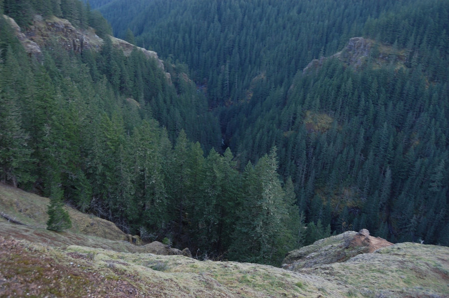
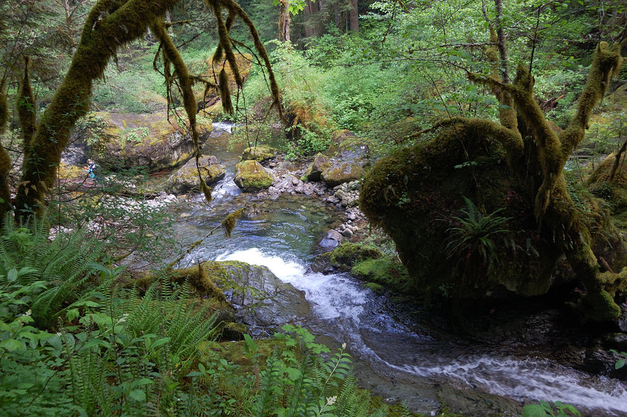
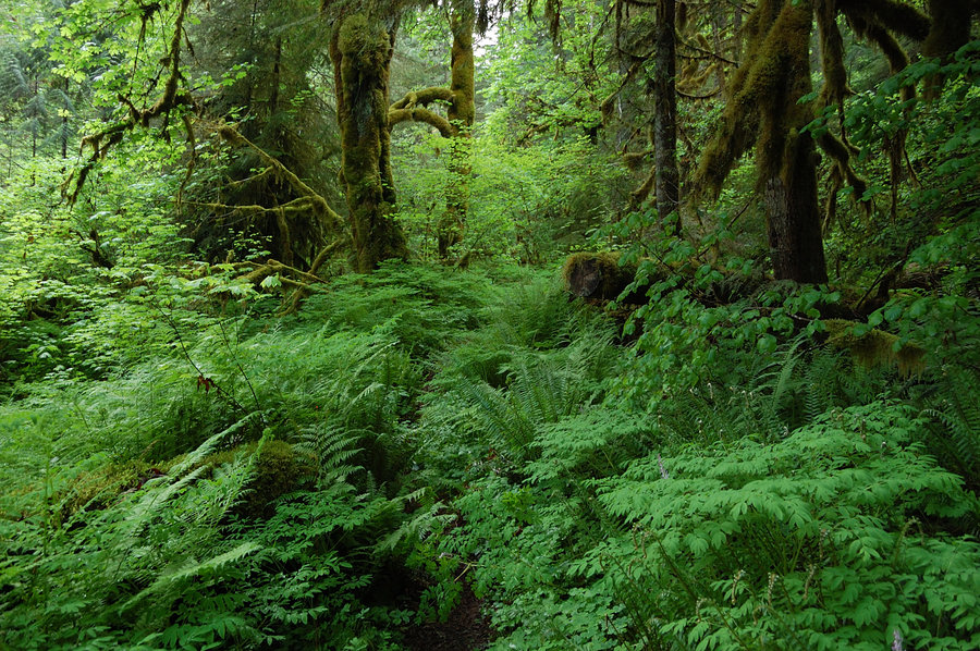
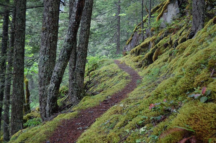
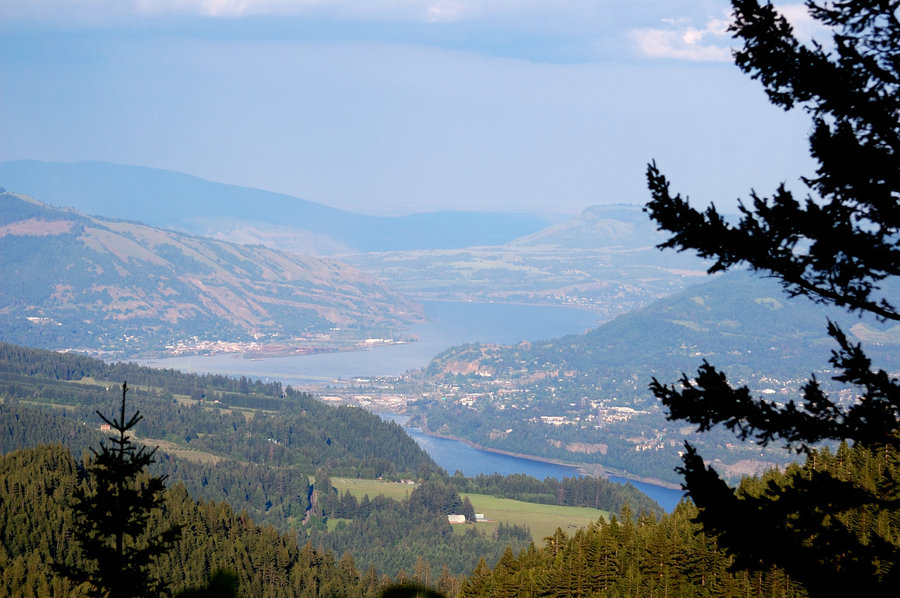
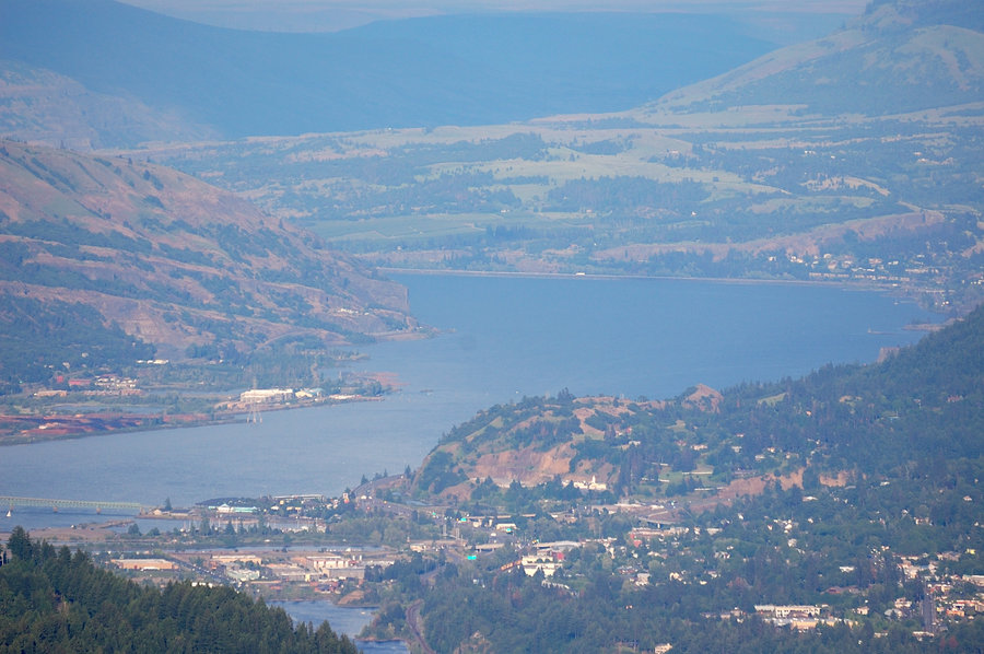
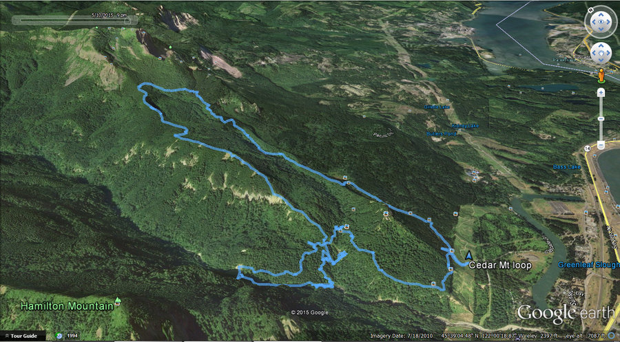
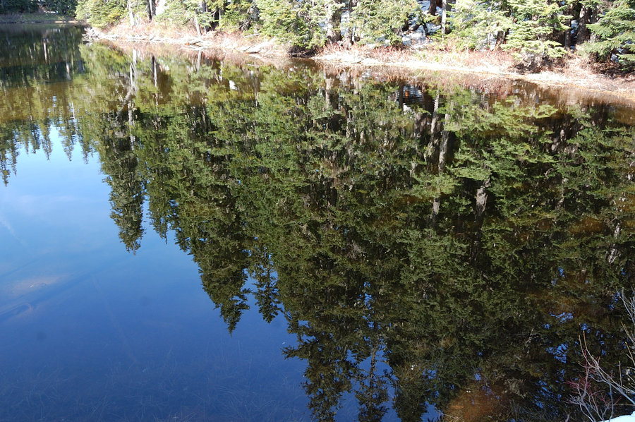
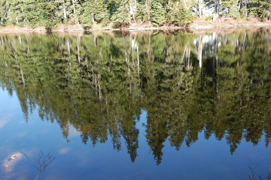
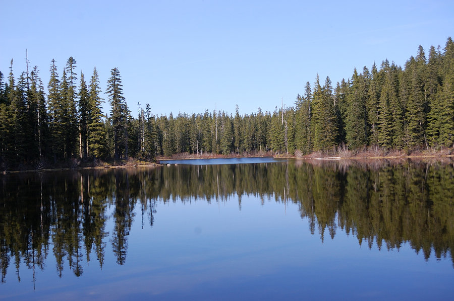
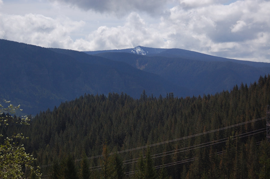
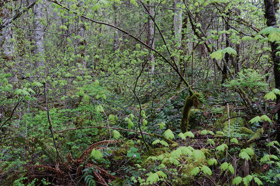
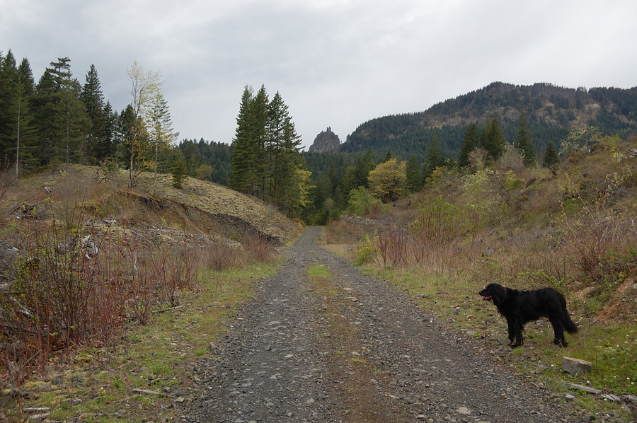
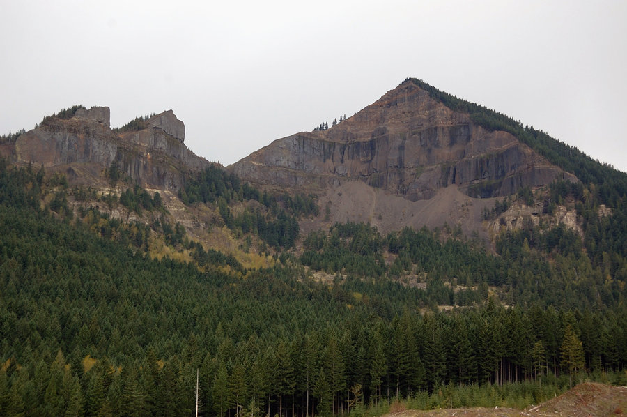
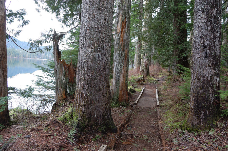
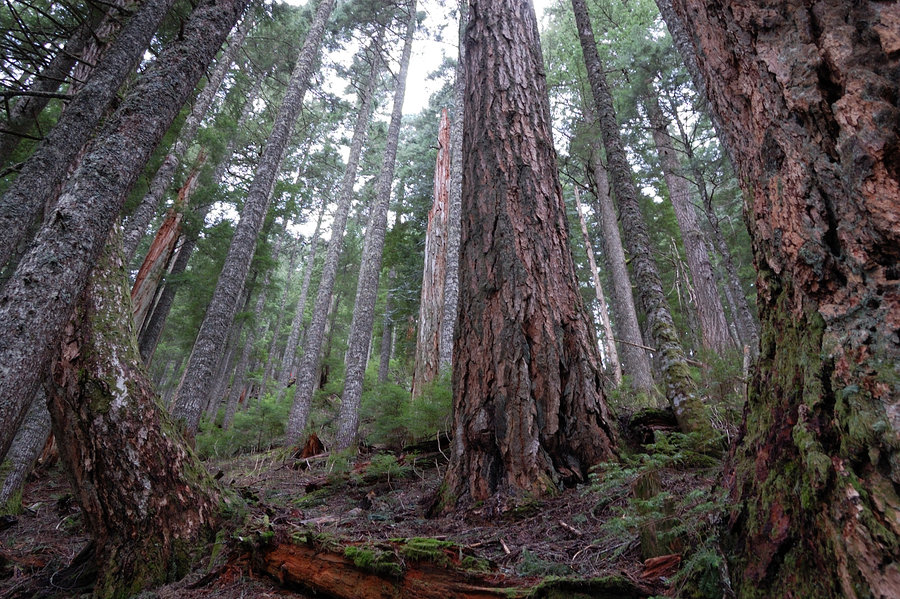
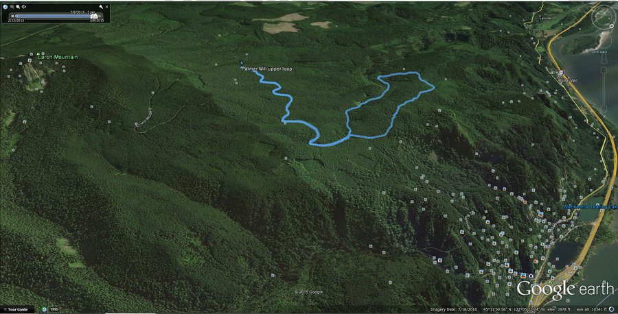
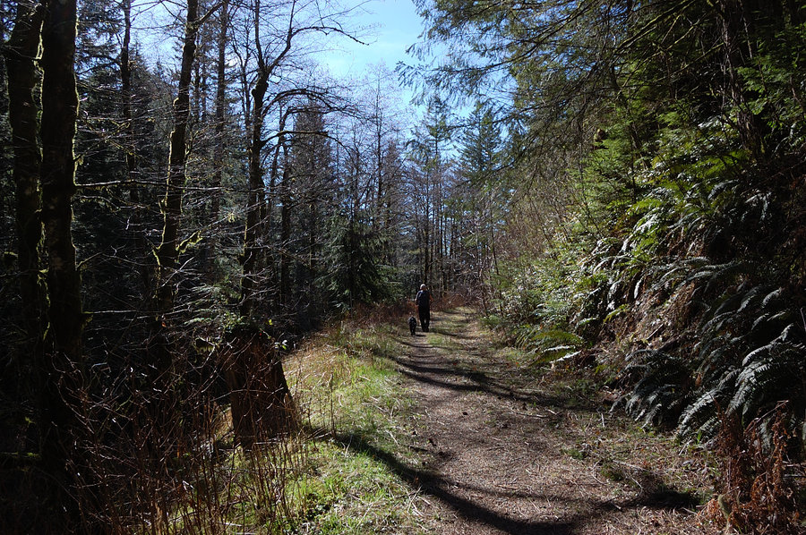
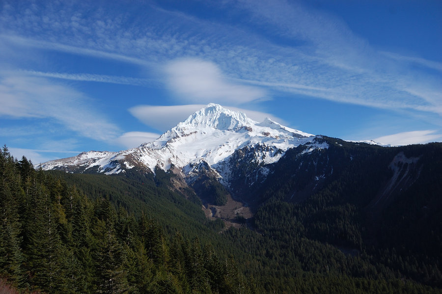
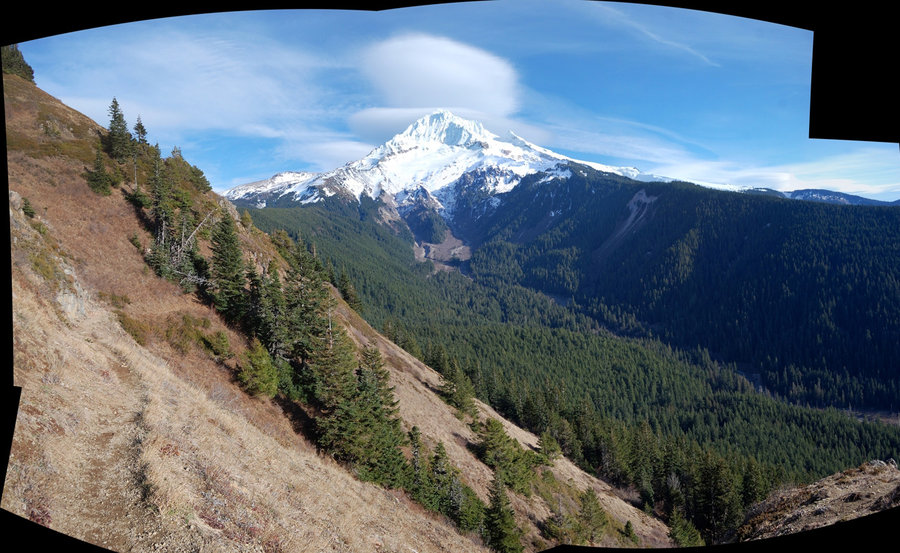
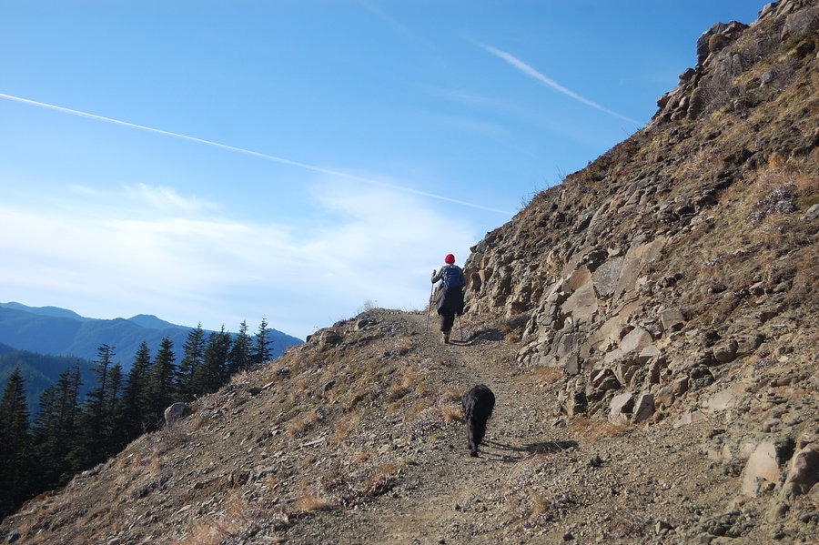
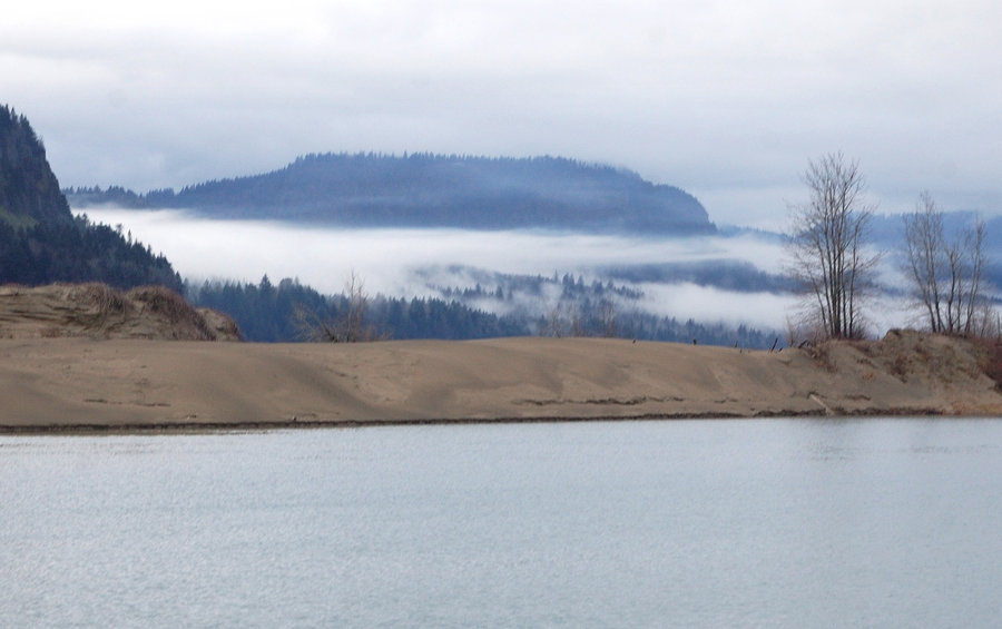
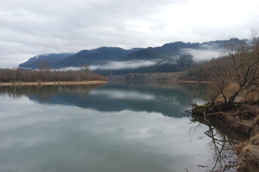
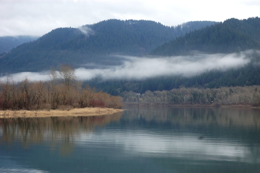
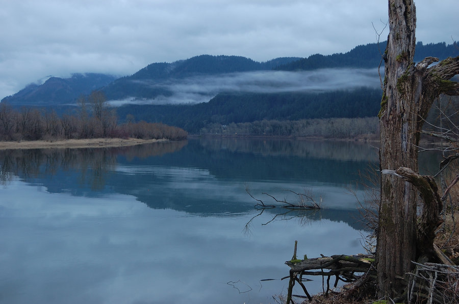
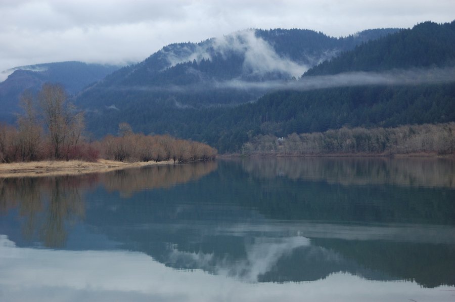
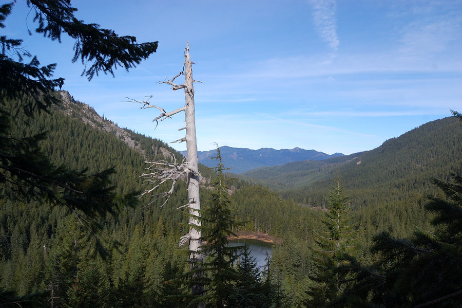
Palmer Mill - Angels Rest loop
7.5 miles of hiking • 2250' elevation gain •
Interesting how the S side of the hill was virtually snow-free to 2200', but once I started descending to the river the snow lasted to Angels Rest trail jct at 1700'. Lots of paths between Palmer Mill Rd and Foxglove Way, was confusing to follow even though I've been there before.
December 19, 2015
 2
2
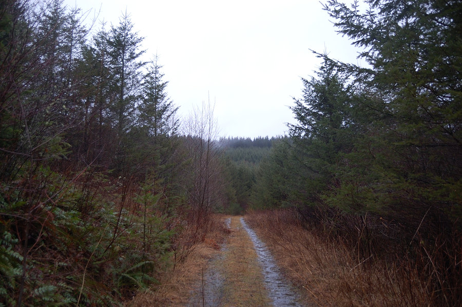
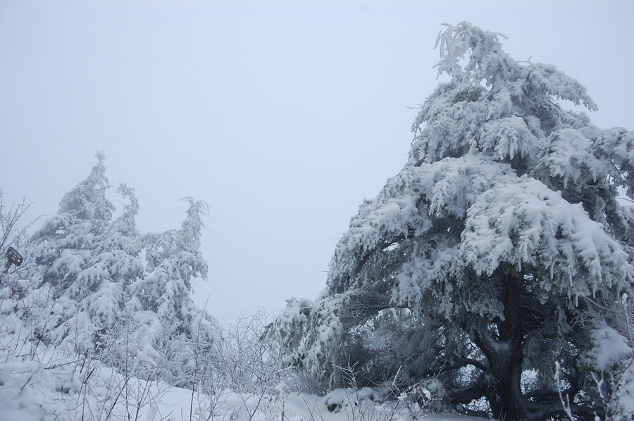
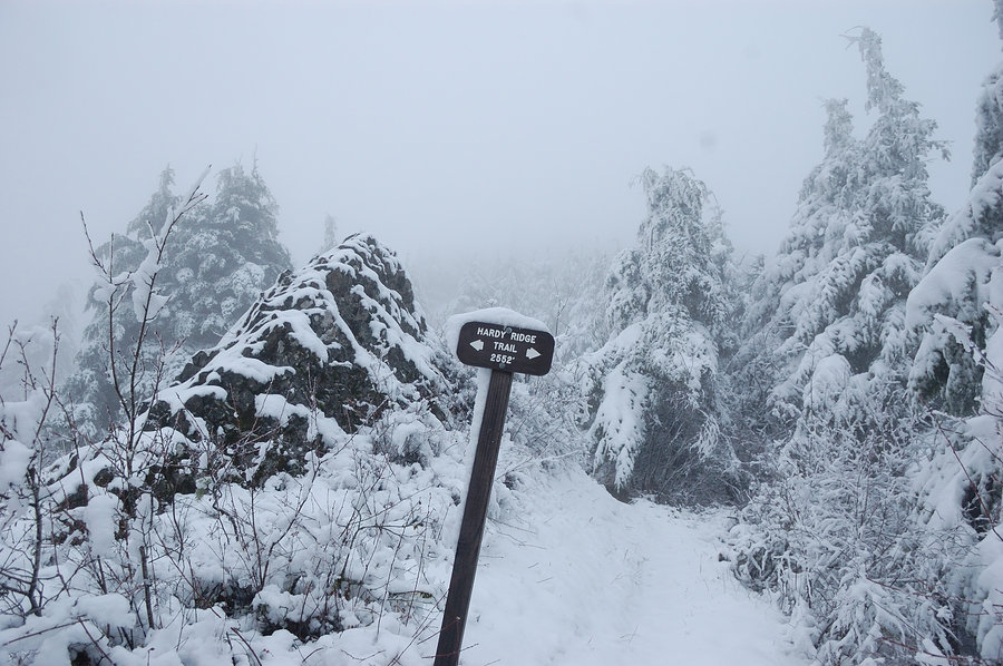
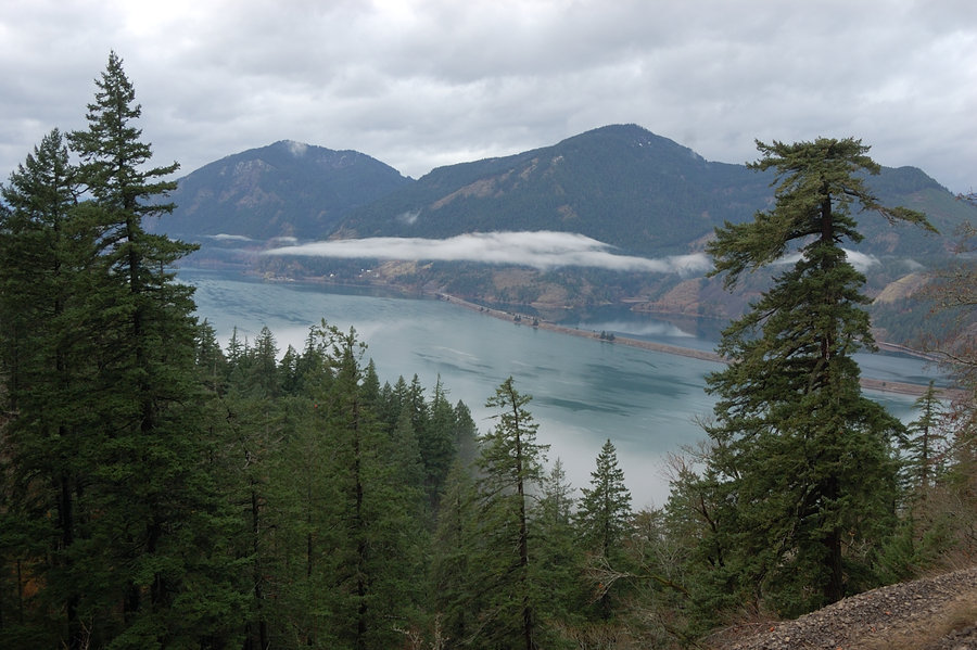
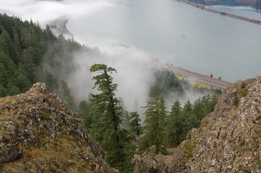
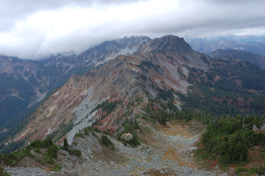
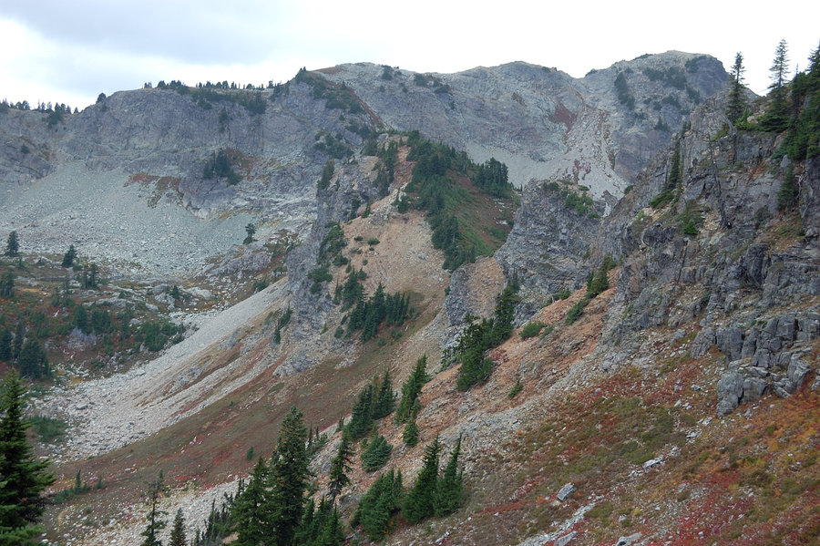
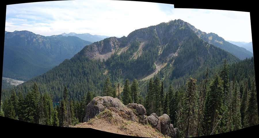
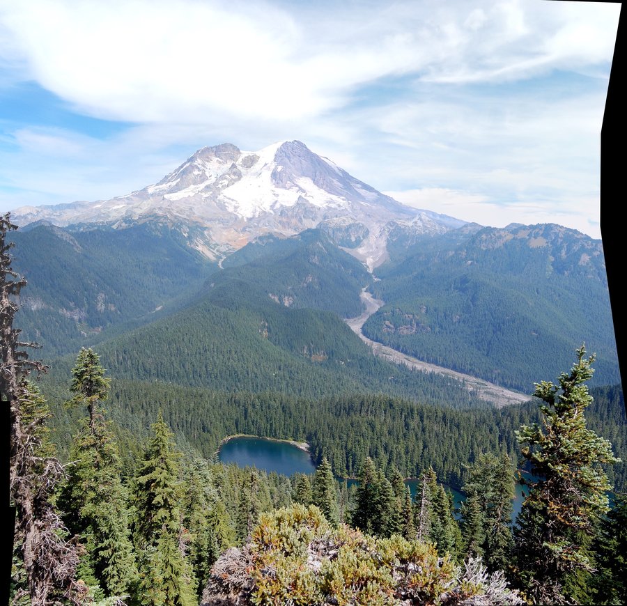
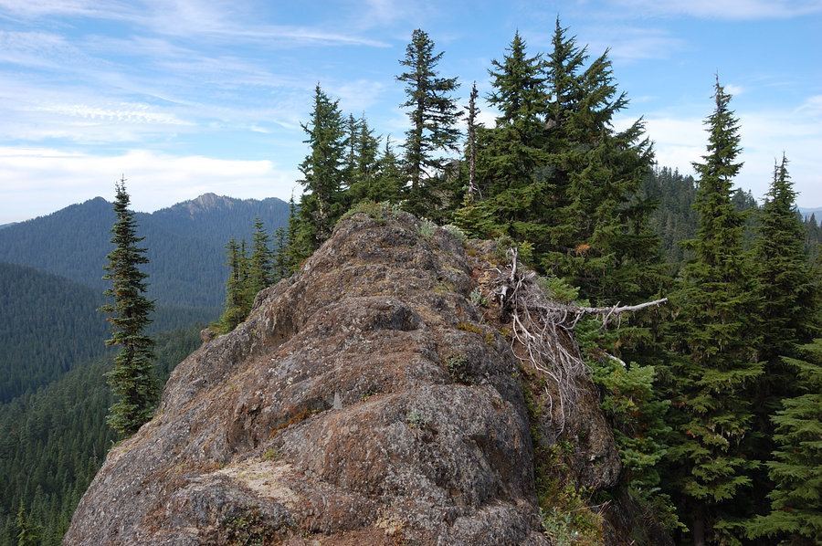
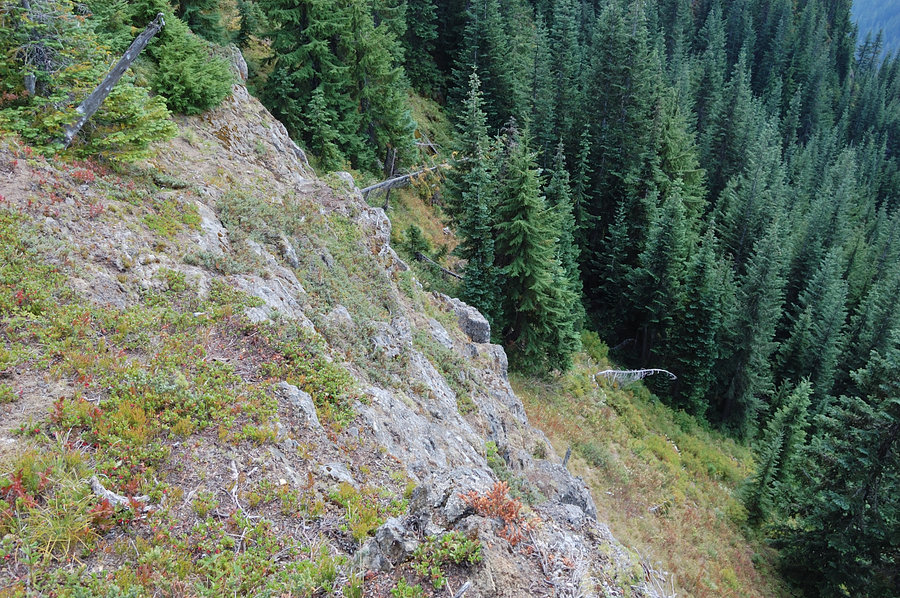
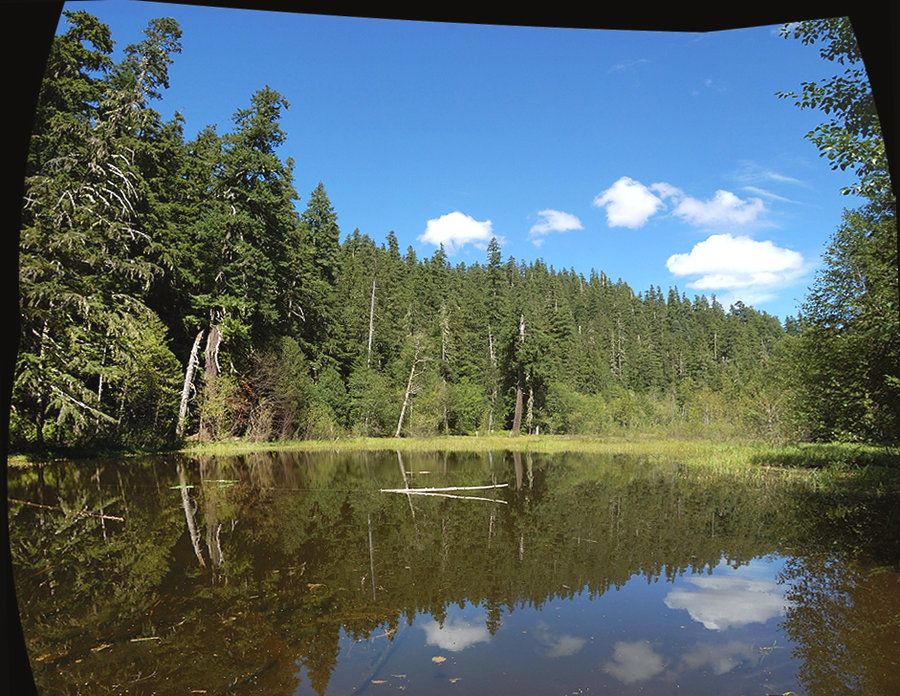
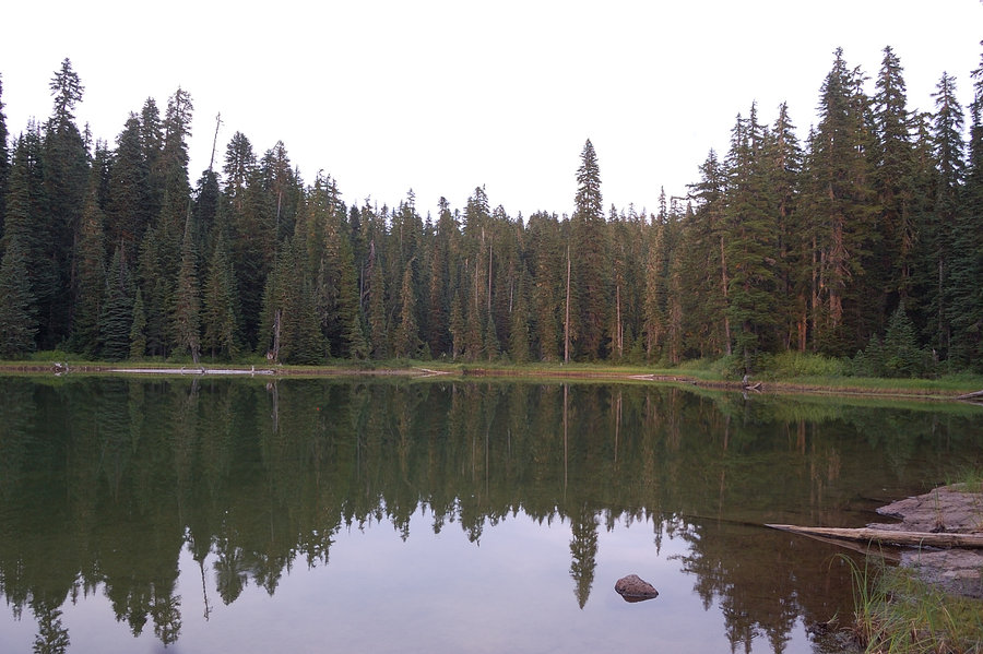
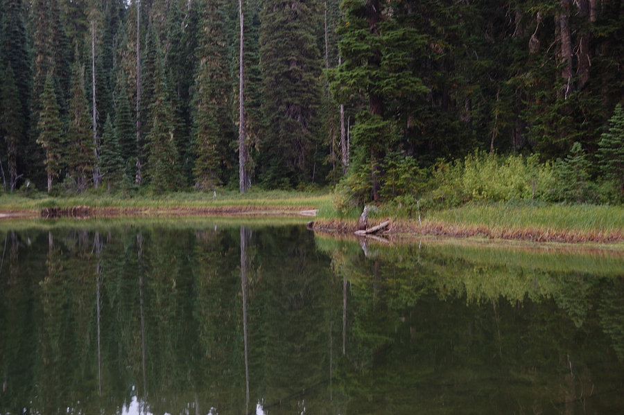
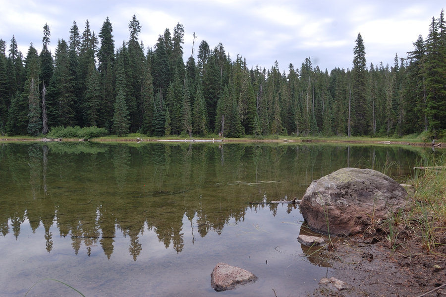
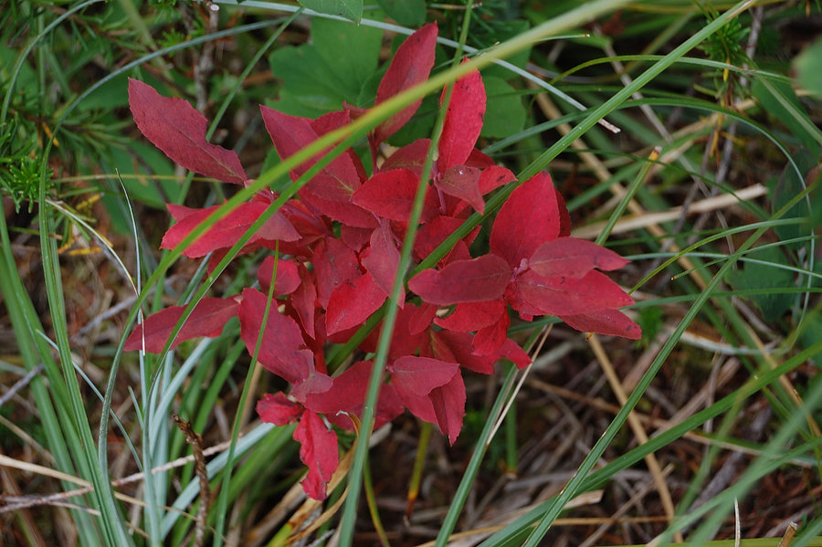
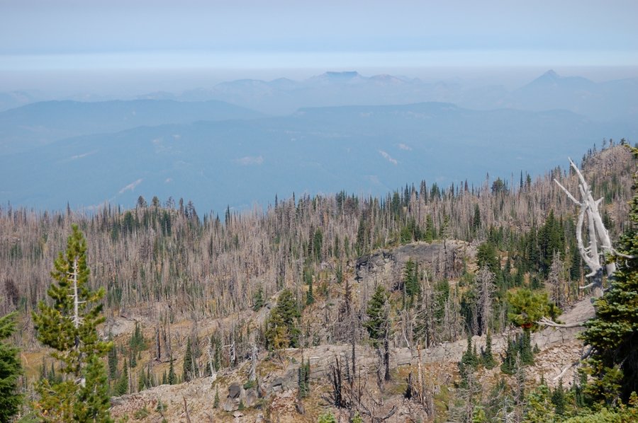
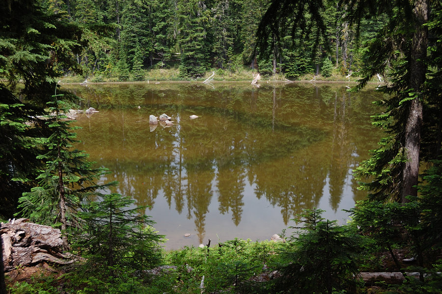
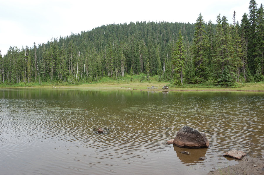
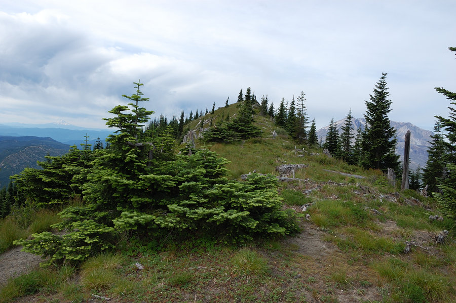
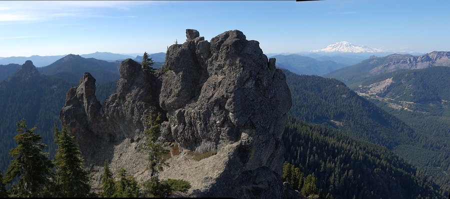
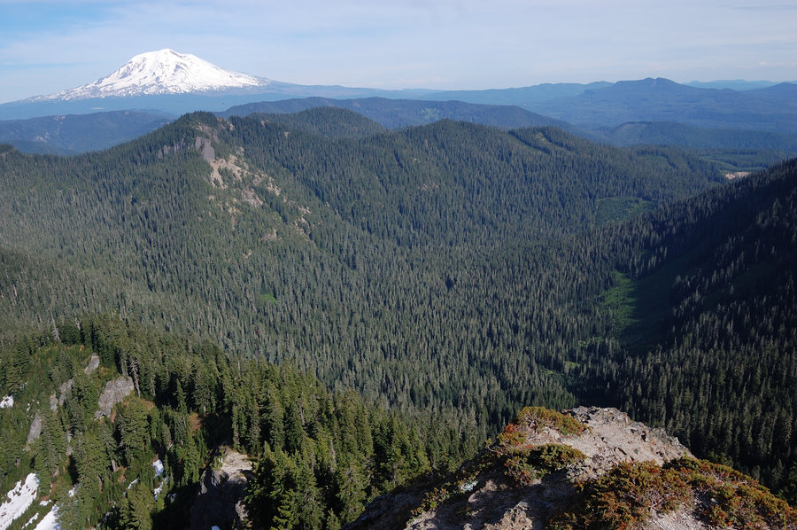
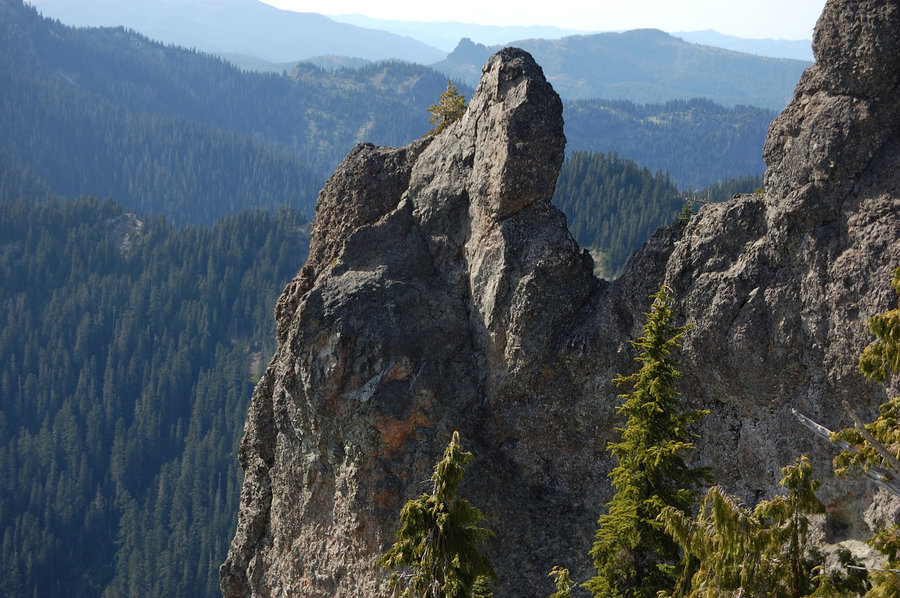
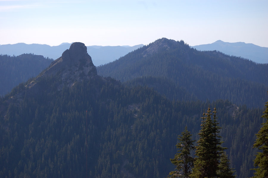
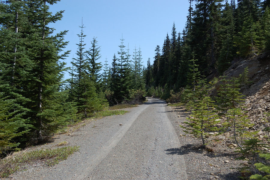
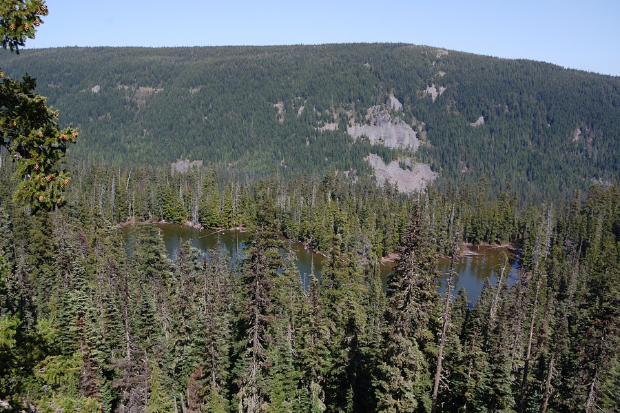
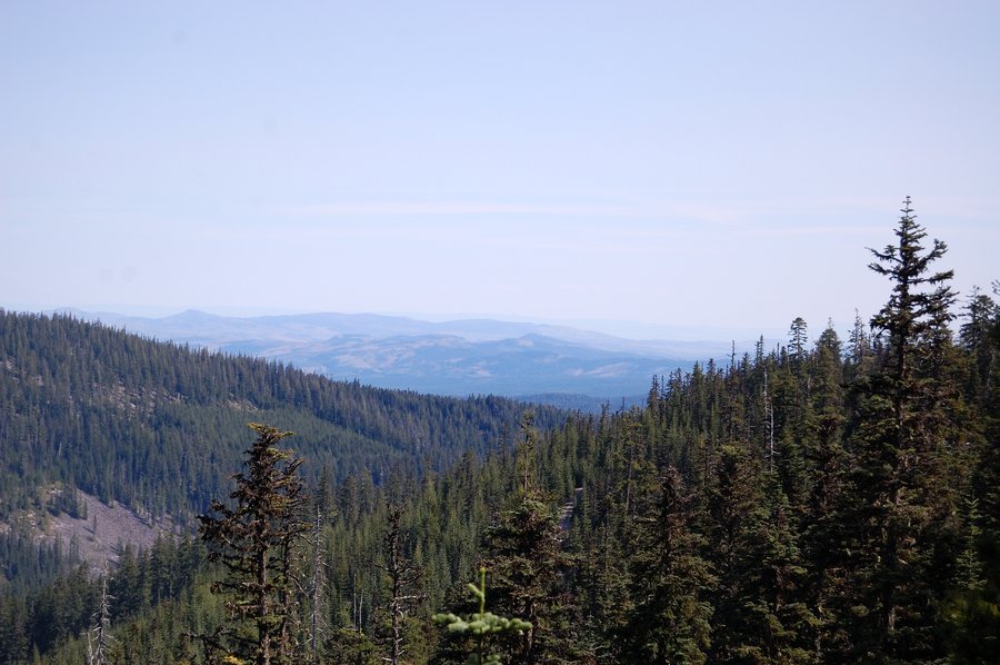
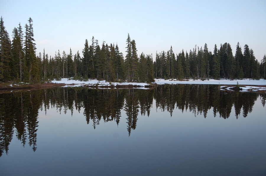
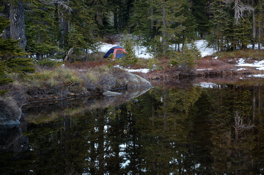
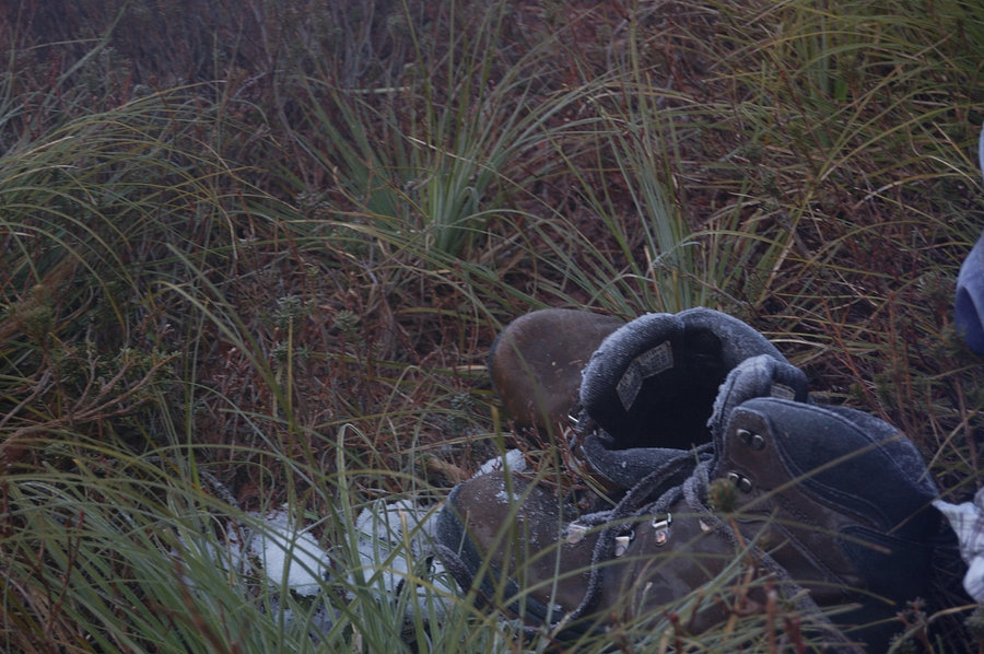
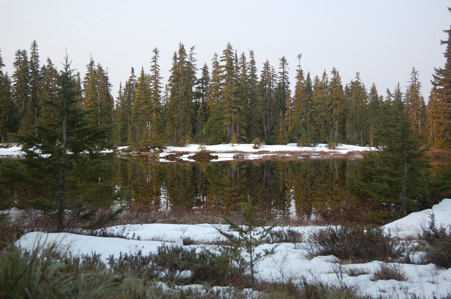
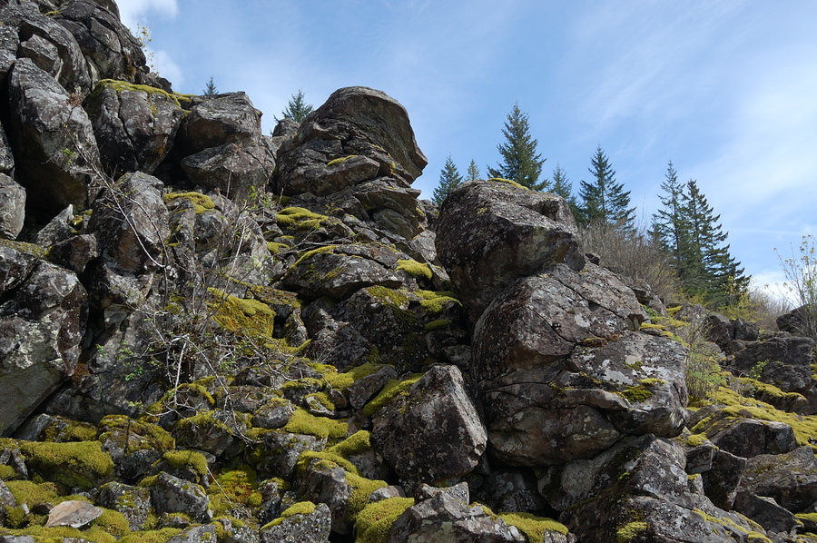
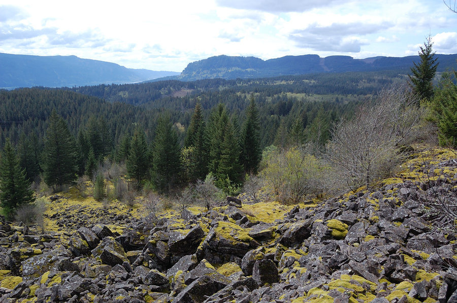
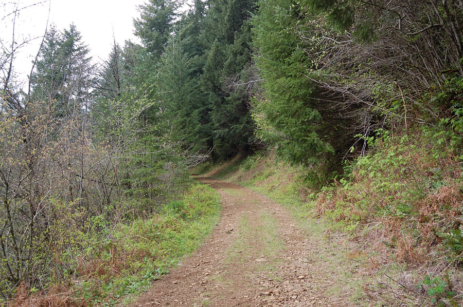
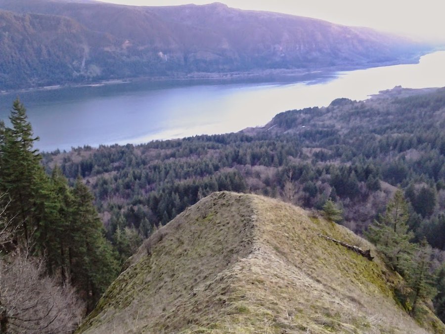
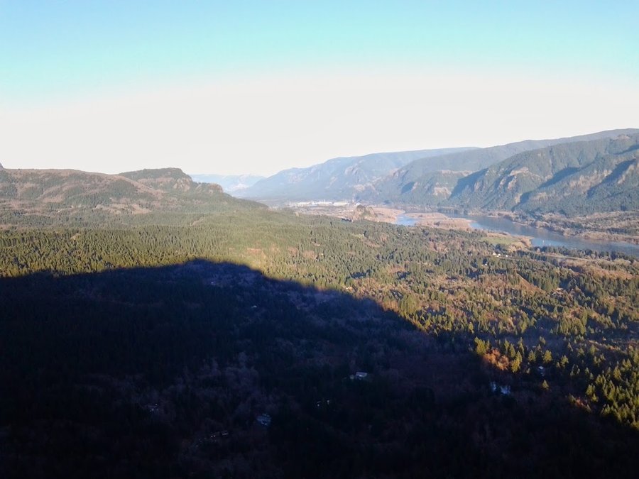
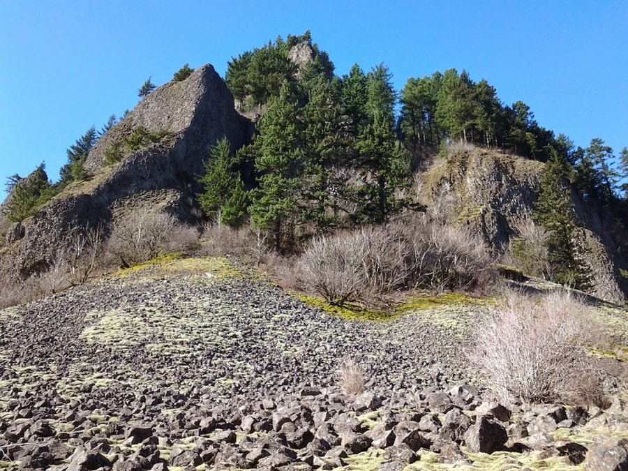
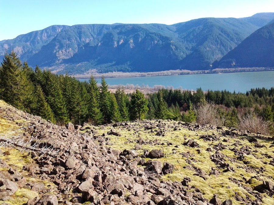
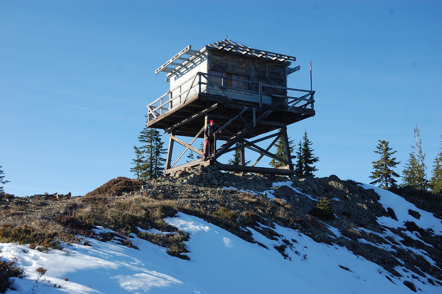
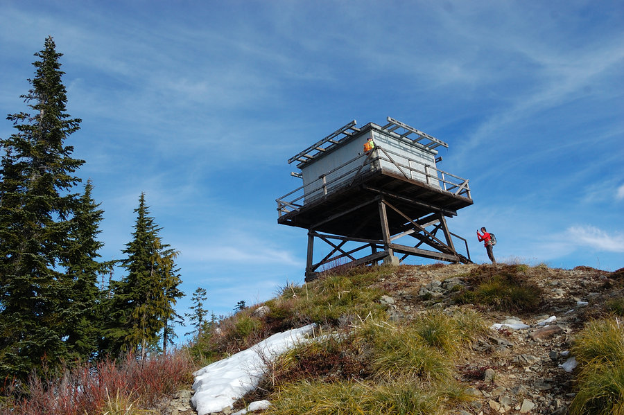
Hardy Ridge
7 miles of hiking • 1750' elevation gain •
Trip report:
http://www.oregonhikers.org/forum/viewtopic.php?f=8&t=23058&p=175148#p175148
December 15, 2015


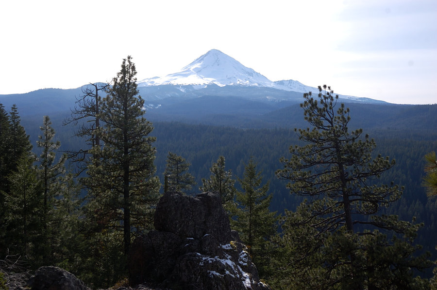
Mitchell Point (extended) hike
5.75 miles of hiking • 2250' elevation gain •
Went to Mitchell Point and Mitchell Spur - great views but pretty short hike so I wanted to extend it. After hiking a bit on forest roads stumbled upon MTB trail, wide and very well maintained. I followed it for about a mile but had to turn back because I didn't take a flashlight. Will come someday to see where it goes.
December 6, 2015


Salmon River
7 miles of hiking • 1000' elevation gain •
Hiked to canyon overlook. Wow this trail is really getting crowded - but for a good reason.
November 29, 2015


November 28, 2015
 1
1
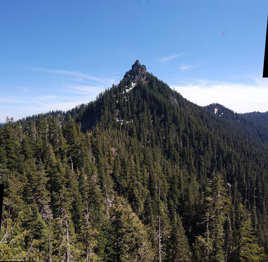
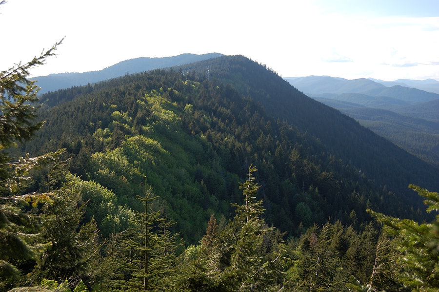
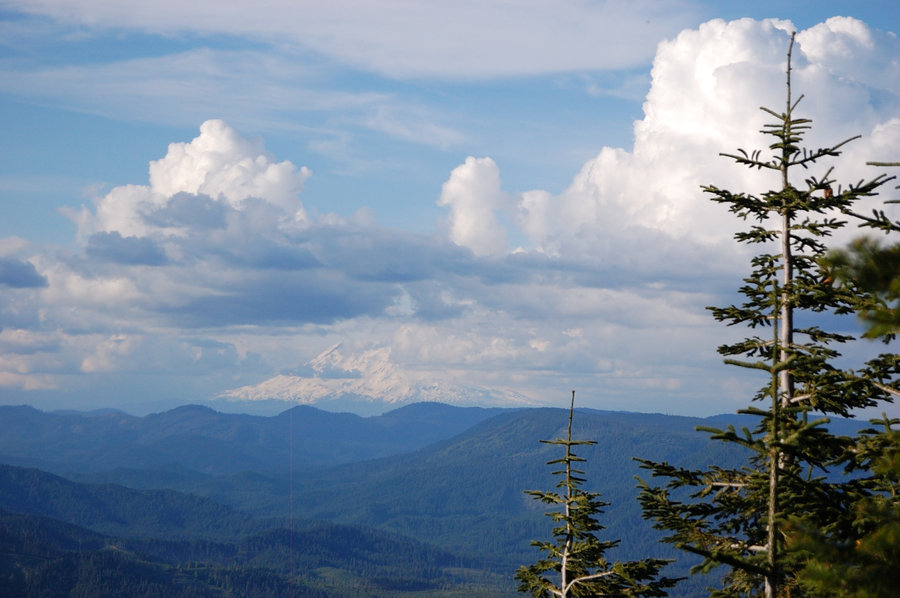
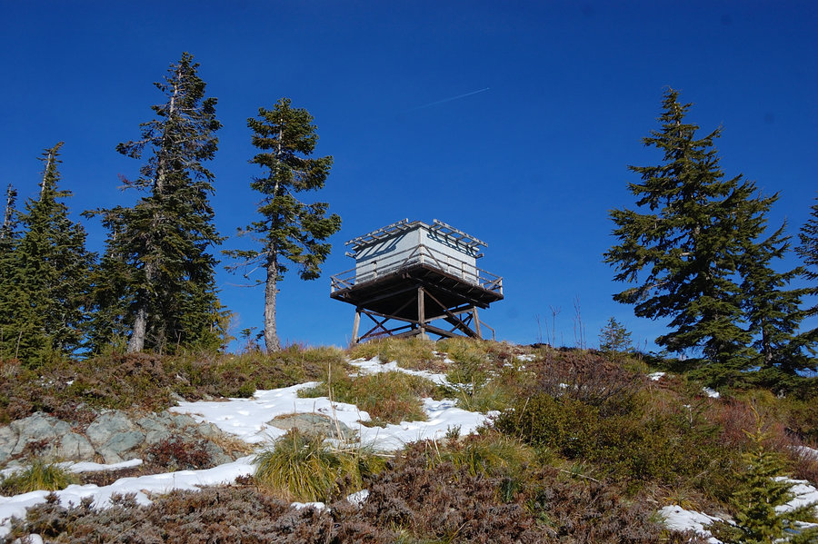
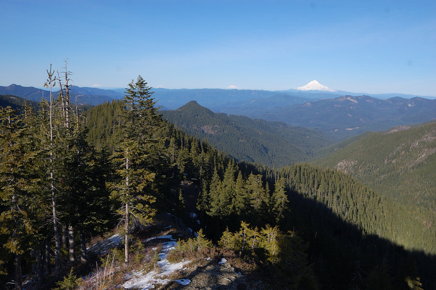
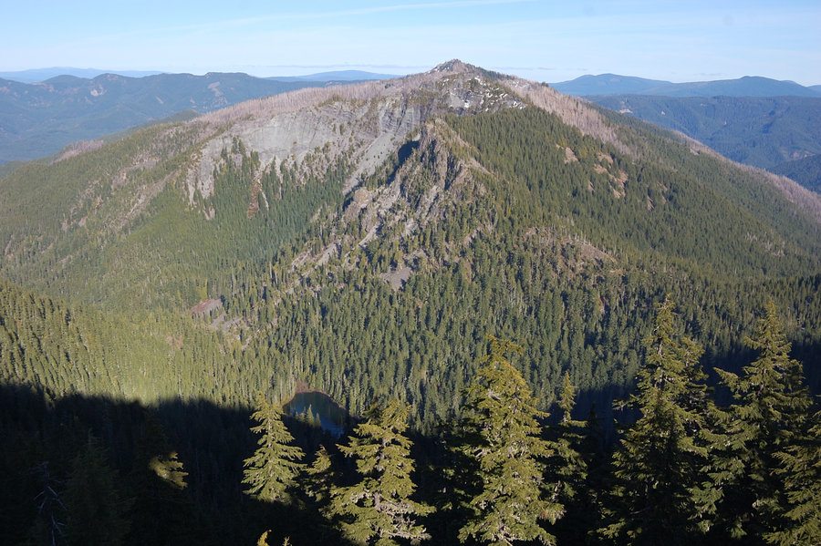
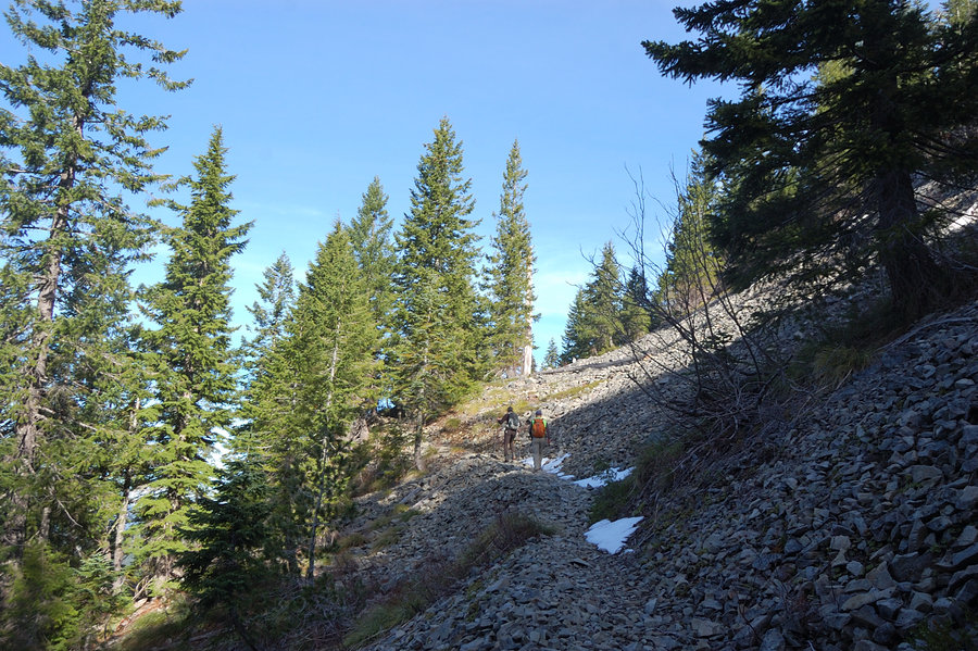
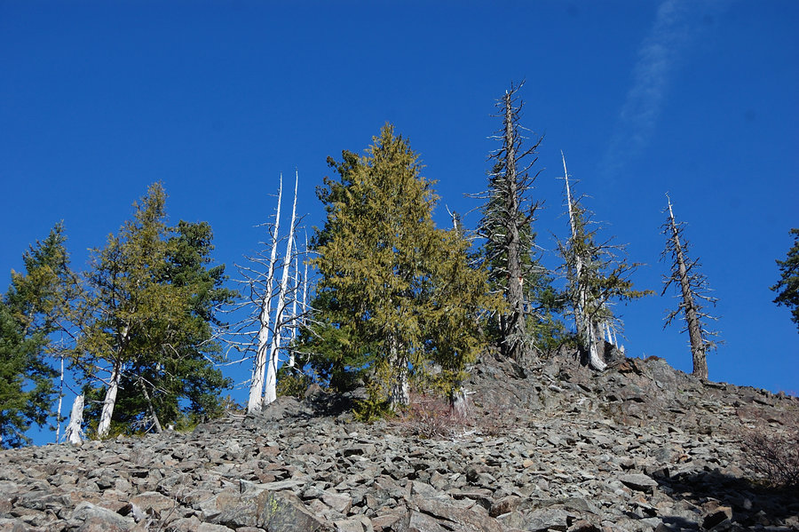
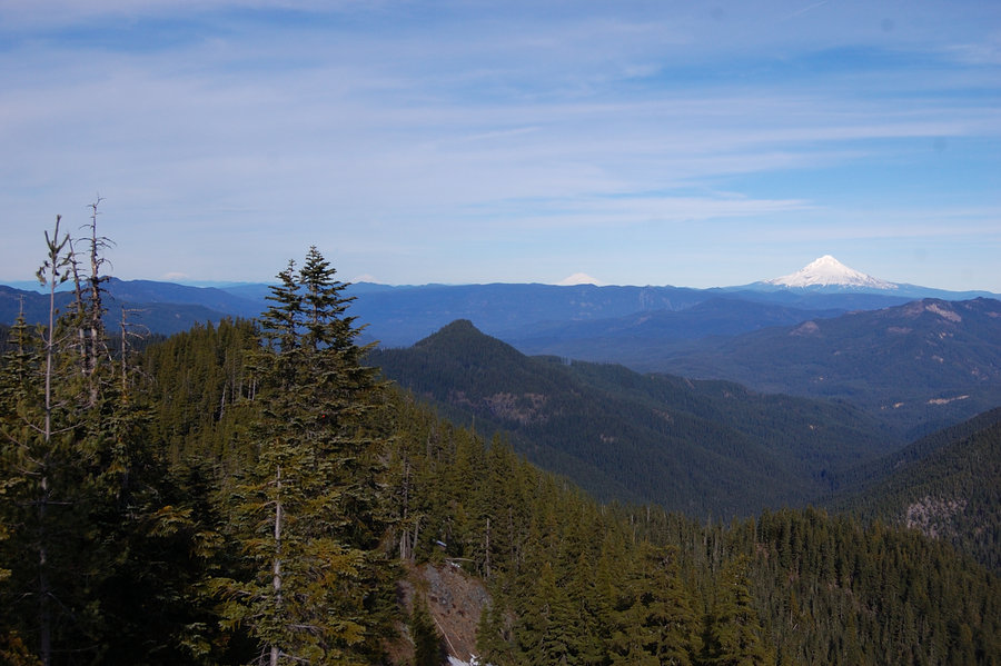
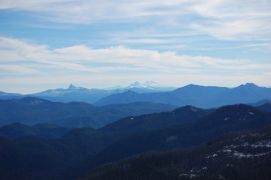
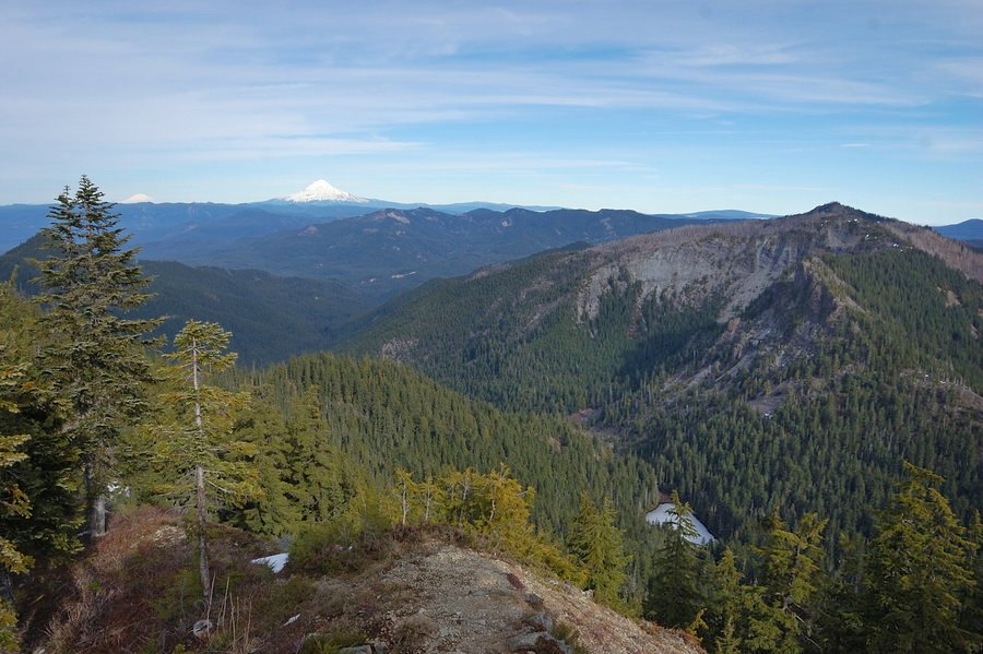
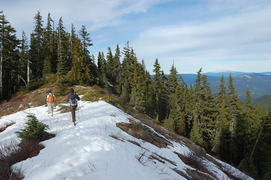
Lookout Mtn via Gumjuwac trail
10 miles of hiking • 3000' elevation gain •
Hike with Jeremiah and Rich. We started at Hwy 35 with dusting of snow on the ground and 15F temps (didn't feel really cold - no wind and probably very low humidity). After about 2 miles the snow started to increase but only got to 6-8 inches near the top, more in drifts. Lots of views on the last leg of the trail. There was pretty good wind on the top but by the time we got there it warmed up considerably. It was sunny all day and the views were clear; I think we counted 11 volcanoes but Mt. Hood stole the show. Great day to be outside.
November 27, 2015

 1
1
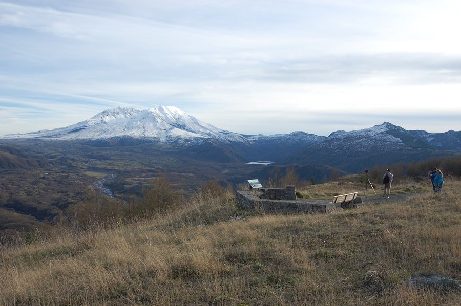
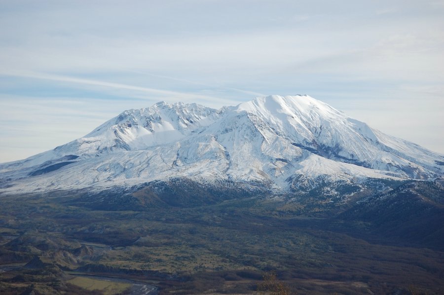
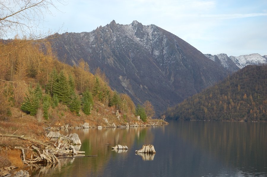
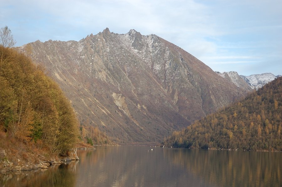
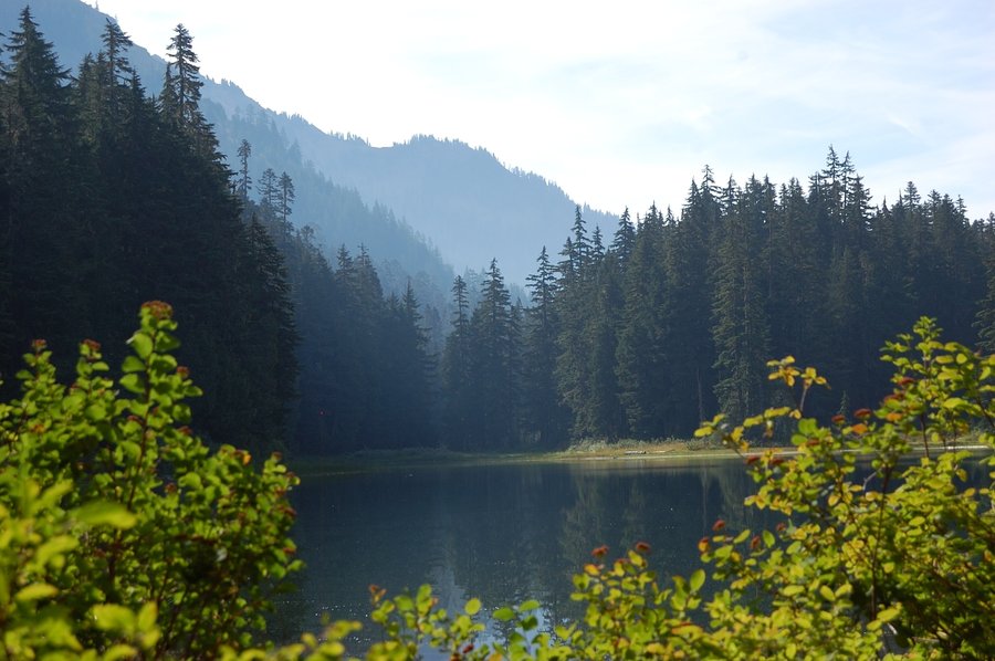
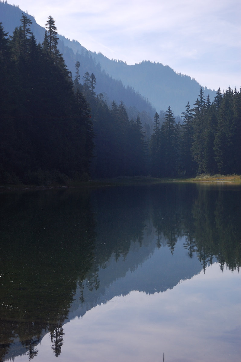
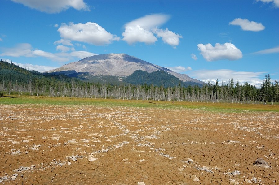
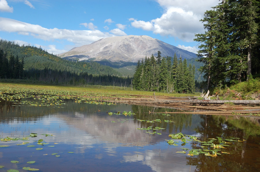
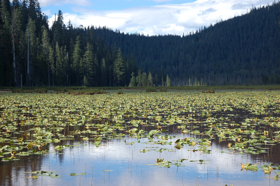
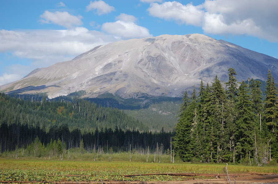
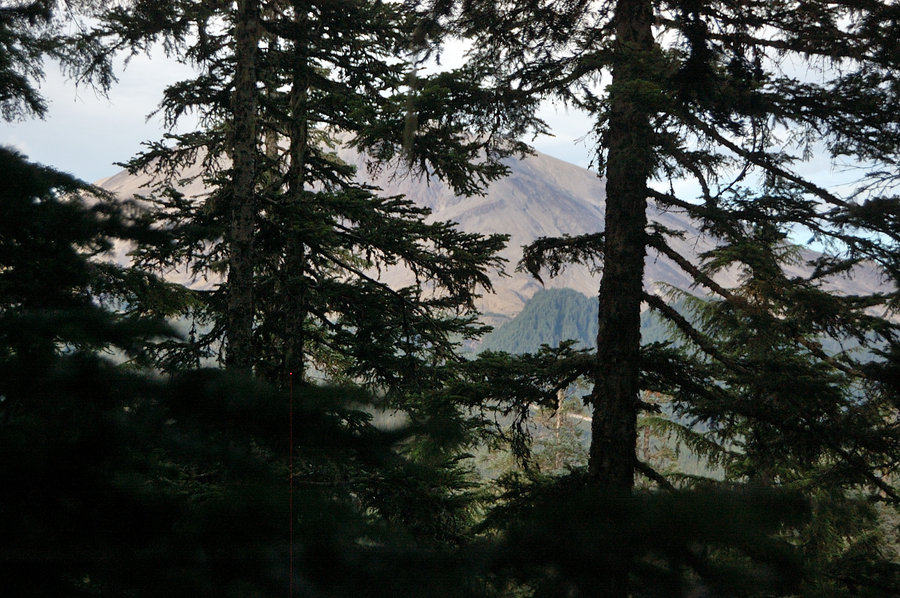
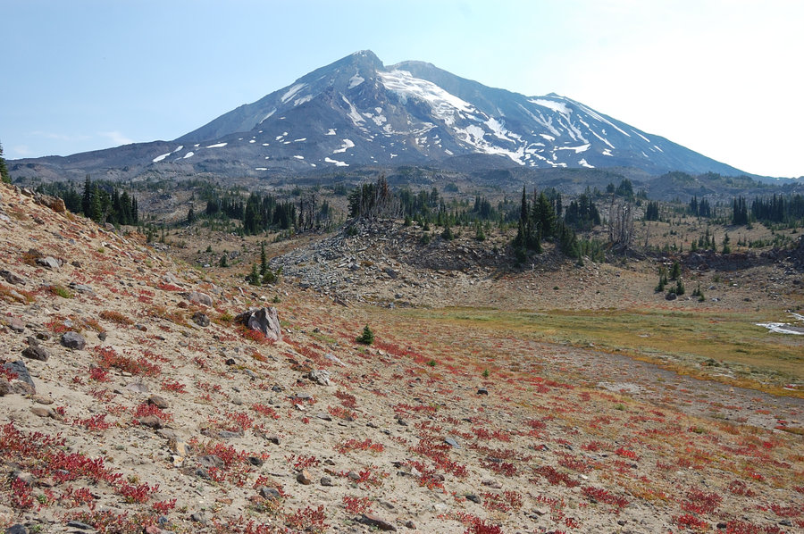
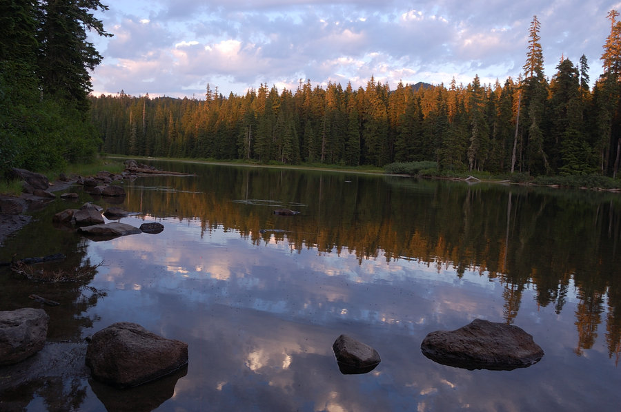
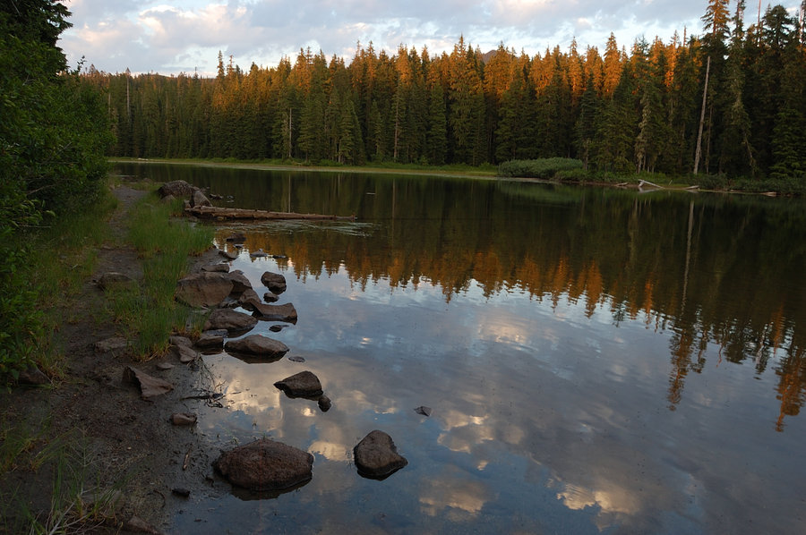
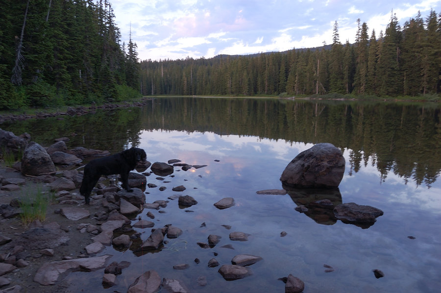
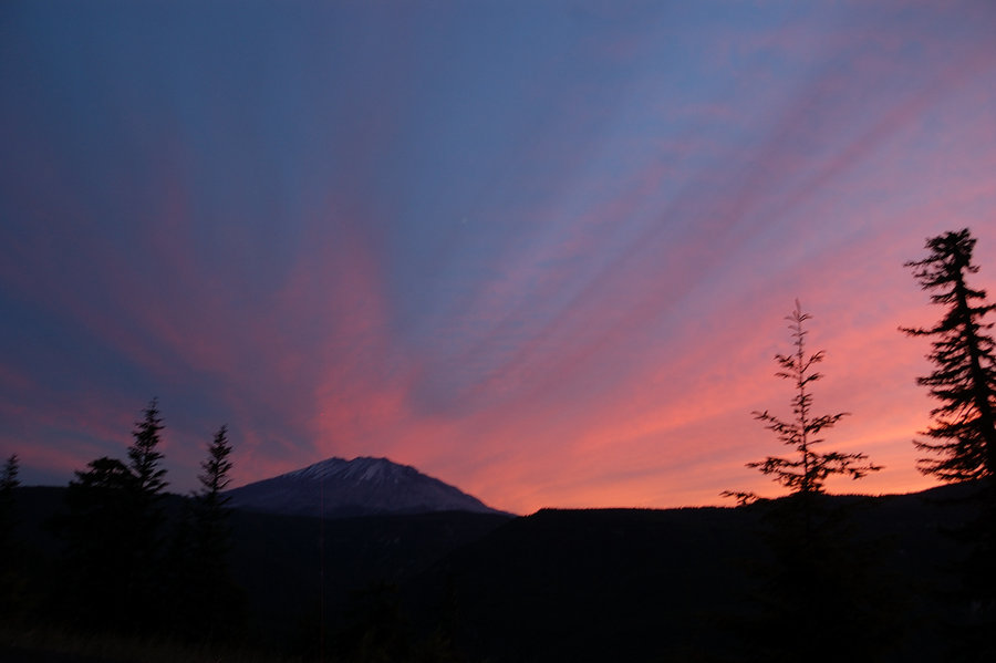
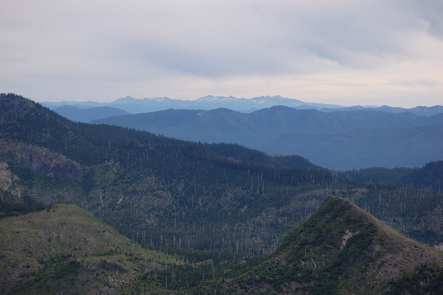
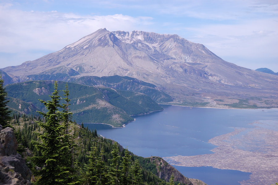
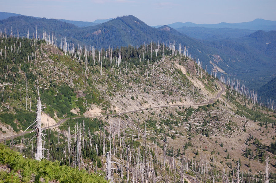
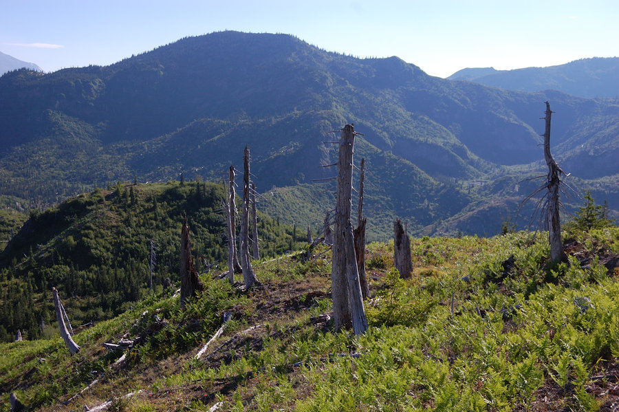
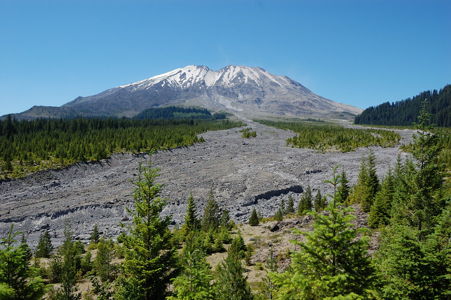
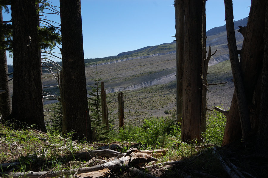
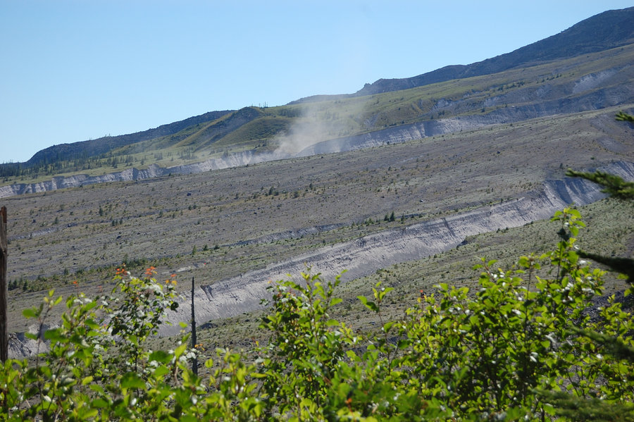
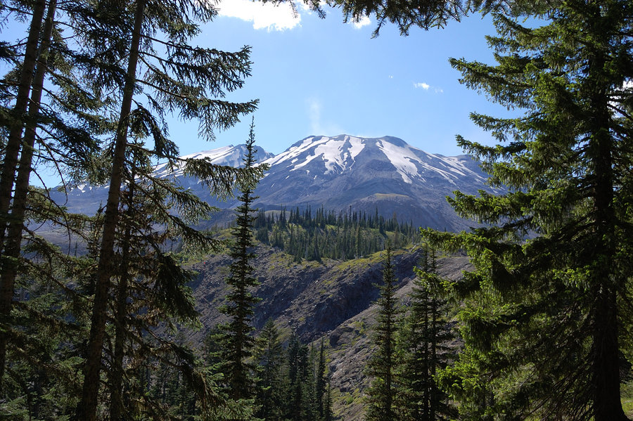
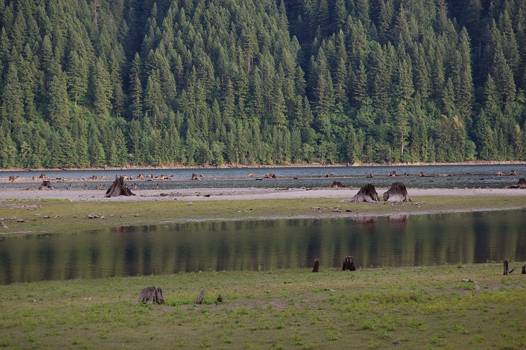
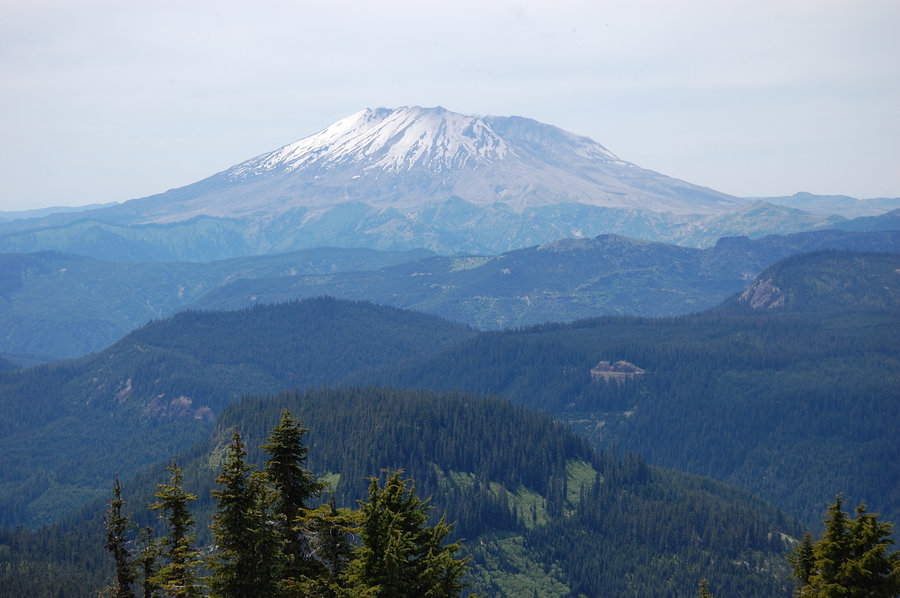
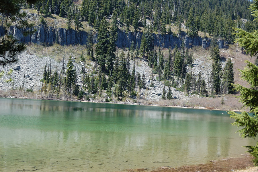
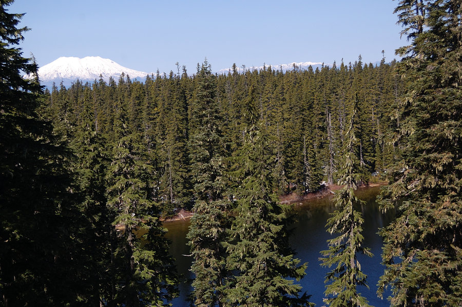
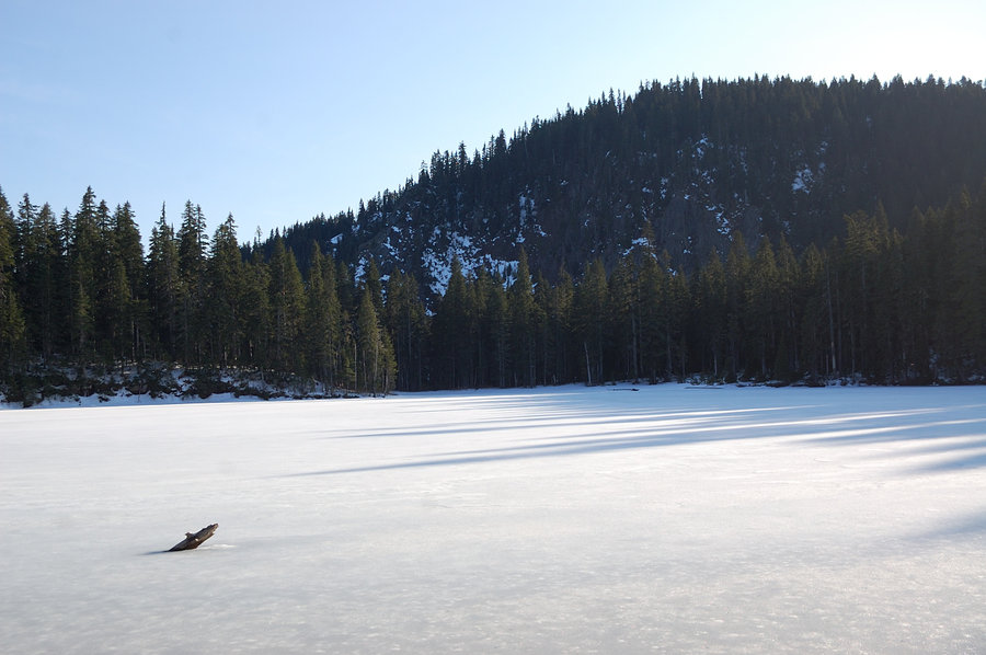
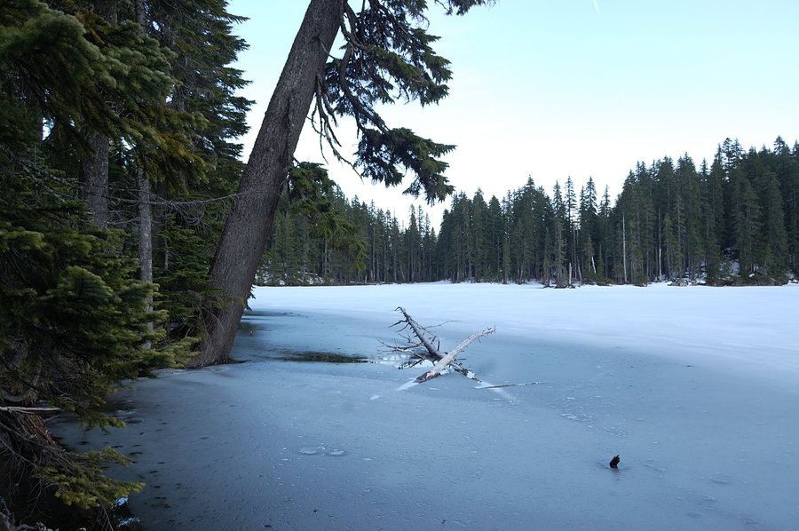
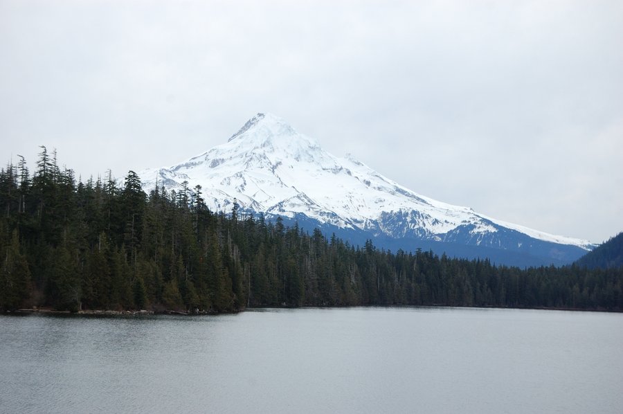
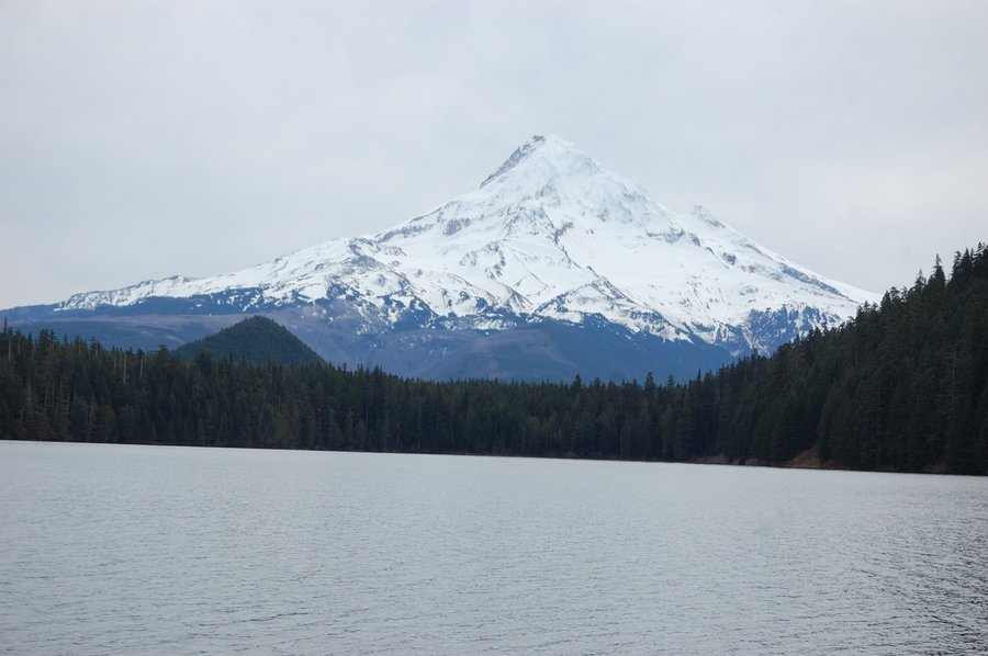
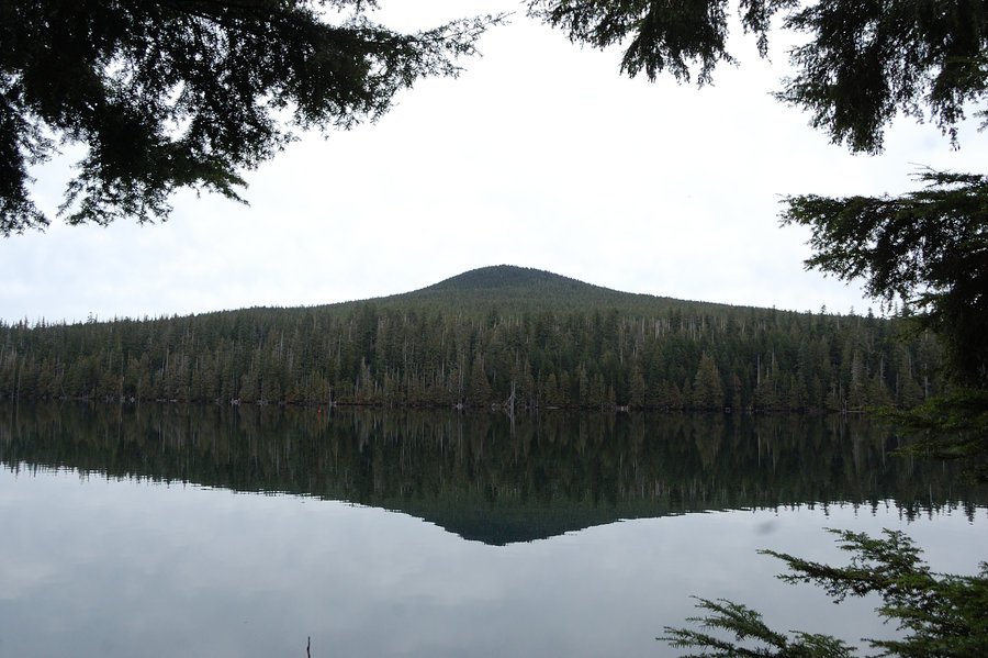
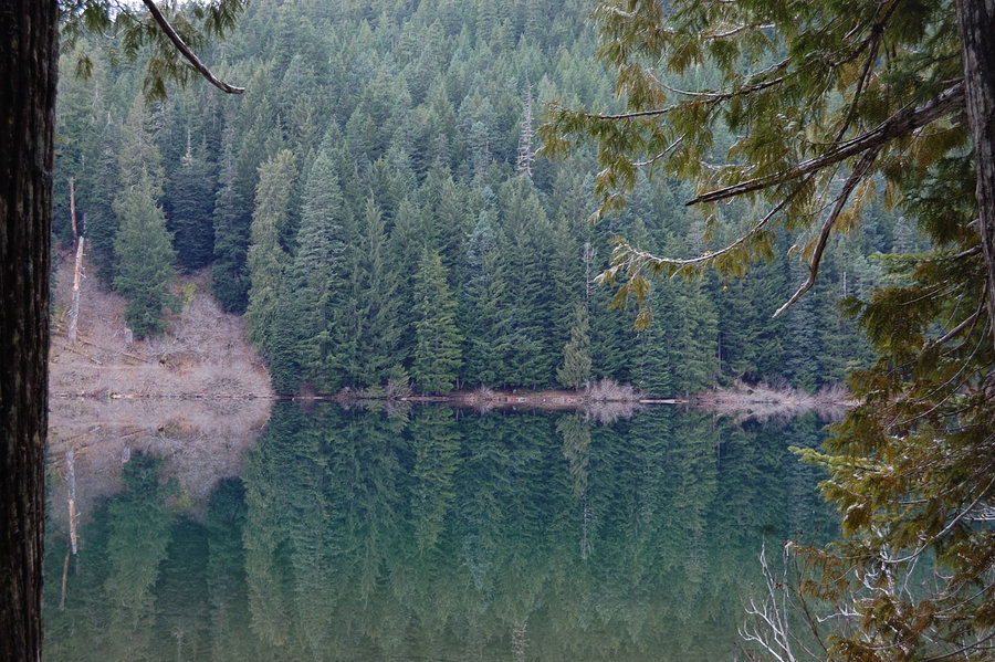
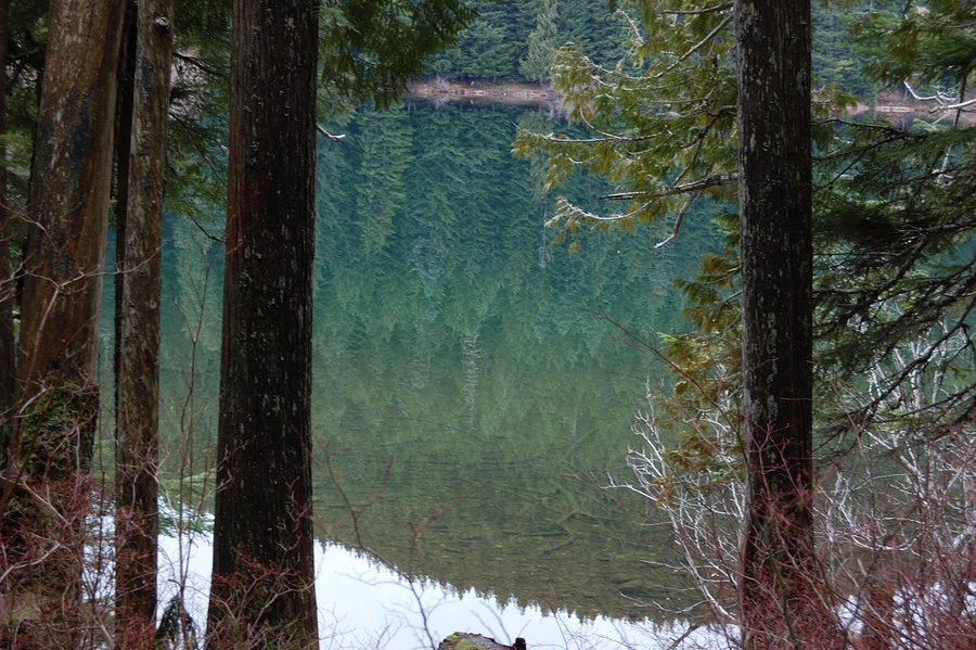
Coldwater Lake Loop
11.5 miles of hiking • 2250' elevation gain •
Made the loop clockwise. I started late (watched sunset 5 miles in) and finished by moonlight. There was an inch or two of snow on the ridge SE of the lake - it was so bright I almost didn't use my flashlight! Could see all surrounding mountains and MSH was rising above Johnston Ridge like a white cloud. Very still and quiet, magic night...
November 22, 2015


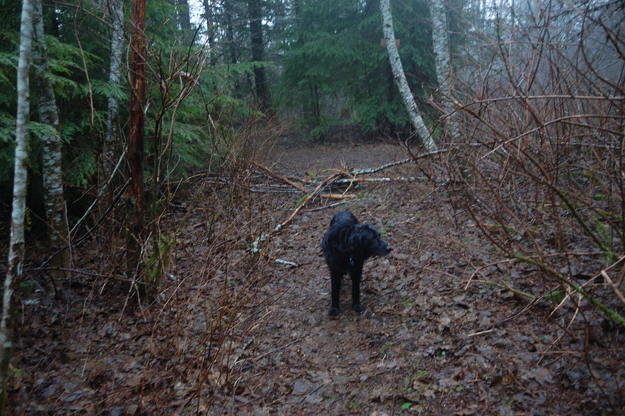
Wood Village hike
2.5 miles of hiking • 250' elevation gain •
Took an hour off work to hike with my dog. D. Robertson Park - golf course - McMenamins loop.
November 21, 2015

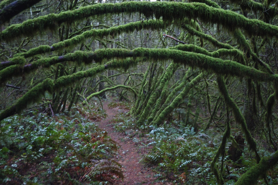
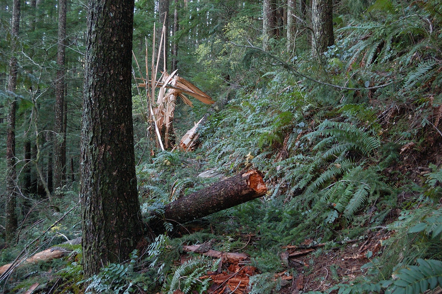
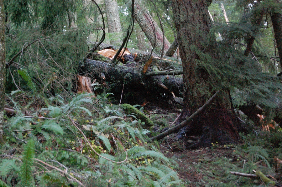
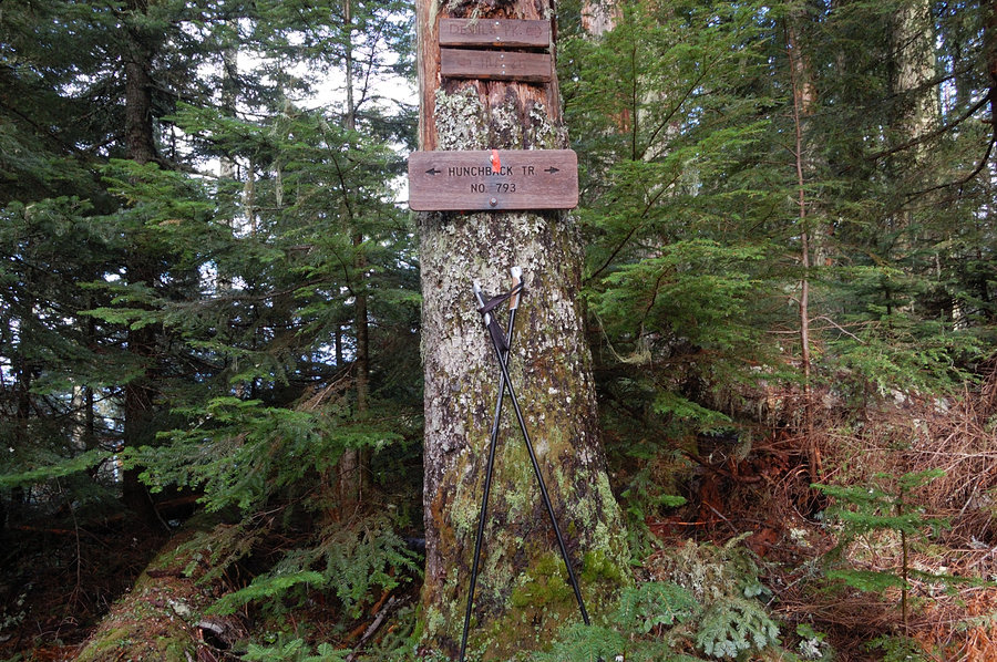
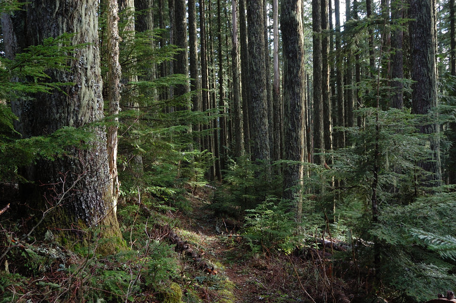
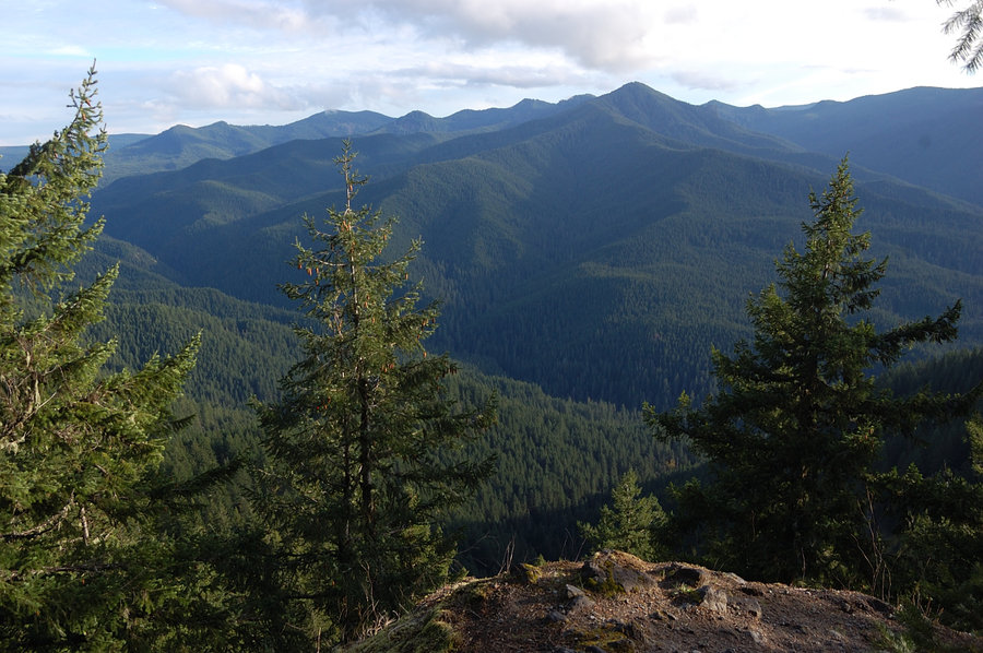
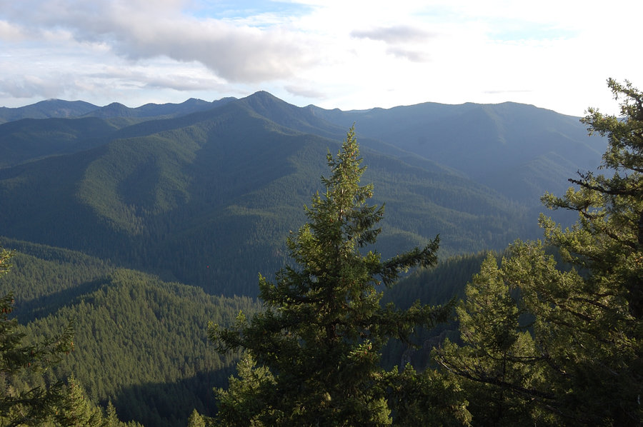
Hunchback trail
4 miles of hiking • 1500' elevation gain •
Hiked the trail to the top of the ridge - planned a bit longer hike but was slowed by new blowdowns. I can only guess how it looks further on the ridge where fallen trees weren't cleared in years - but for some reason I like it this way. A bit rough, a bit treacherous, that's the character of Hunchback.
November 21, 2015


Angels Rest after work
4.5 miles of hiking • 1500' elevation gain •
Quiet hike, was cool to watch the bats swoop straight at me, then turning away just inches from my headlamp. Was surprised to come to 2 police cruisers at trailhead, and a young woman who was still waiting for her friend to come down... Met her 15 minutes into the hike asking if I saw a tall guy in white hat (?), didn't take it too seriously at first.
November 4, 2015

Green Canyon trail to viewpoint
5.5 miles of hiking • 2000' elevation gain •
Hiked to watch cloud action from the rocks @3700'. The trail seems even more narrow and less-traveled right now. Salmon River ran fast and swift, just short of flooding the forest at Green Canyon Campground.
November 1, 2015


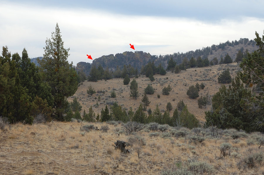
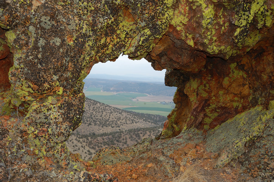
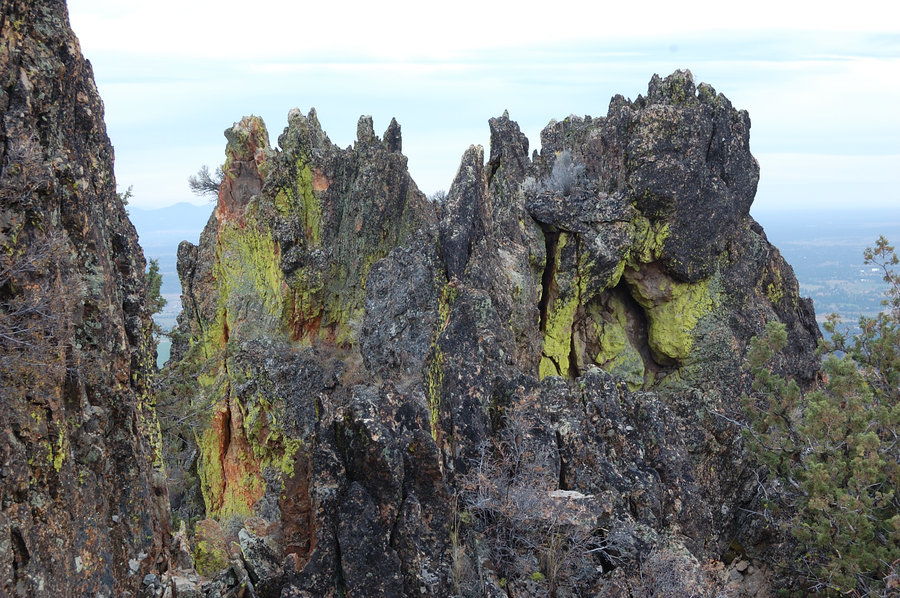
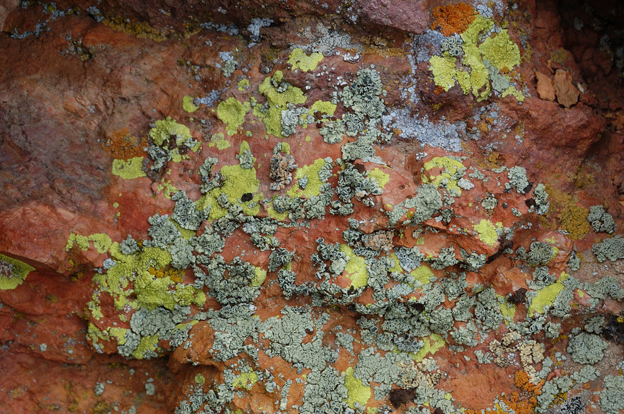
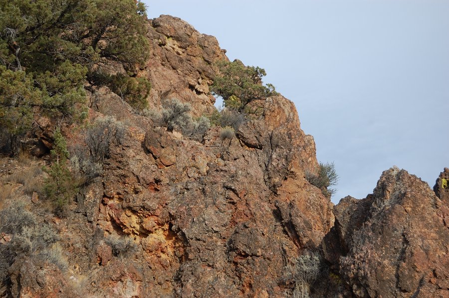
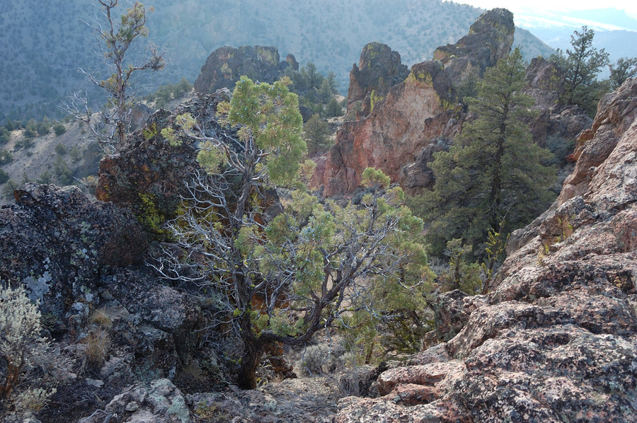
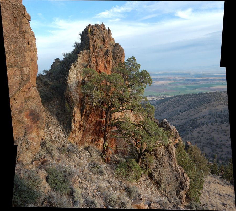
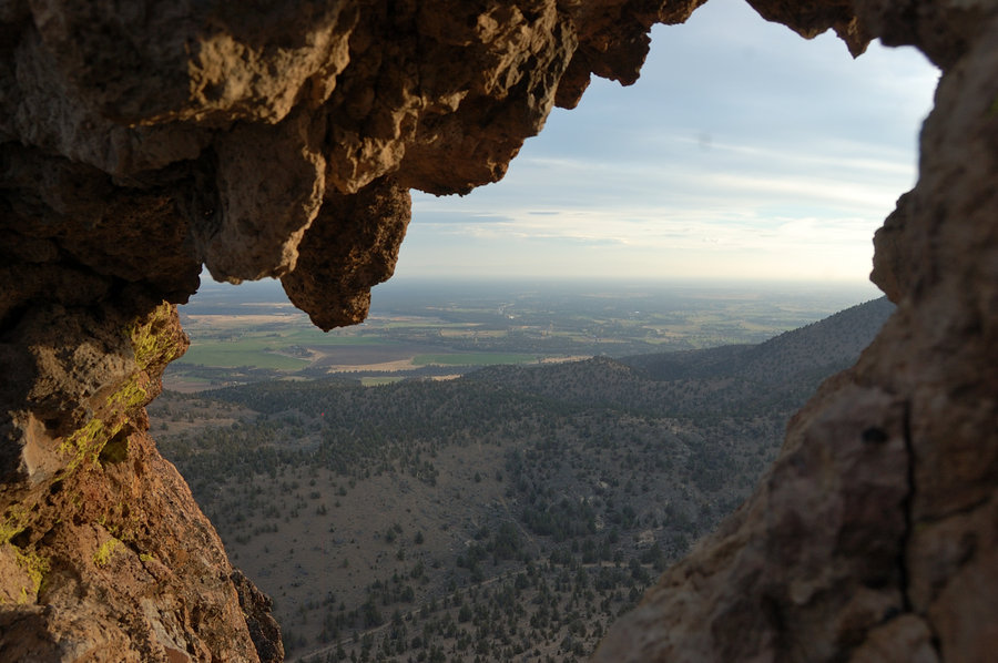
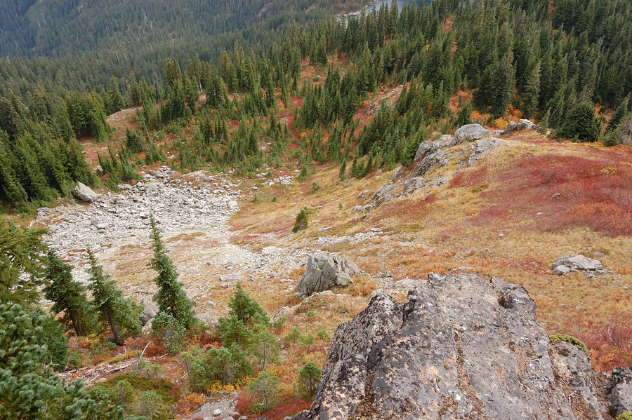
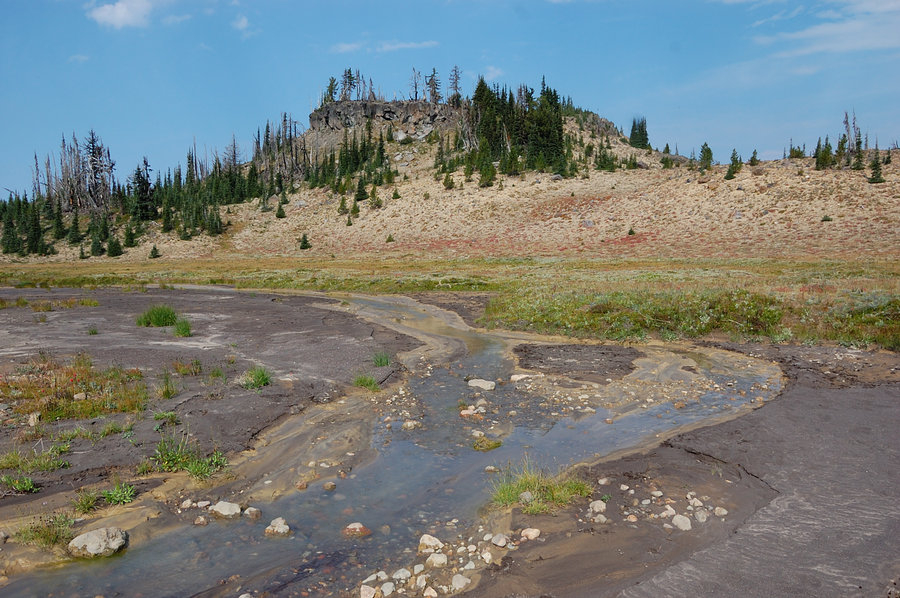
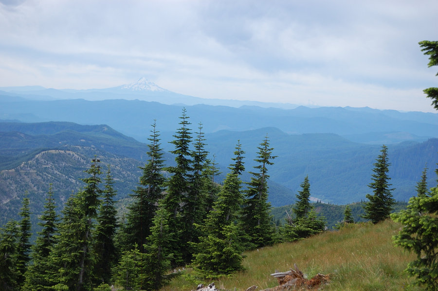
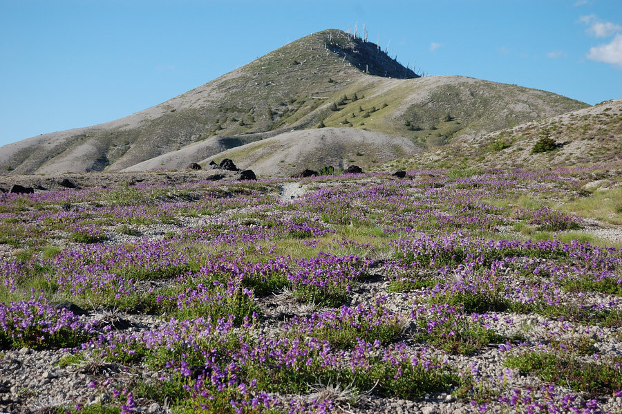
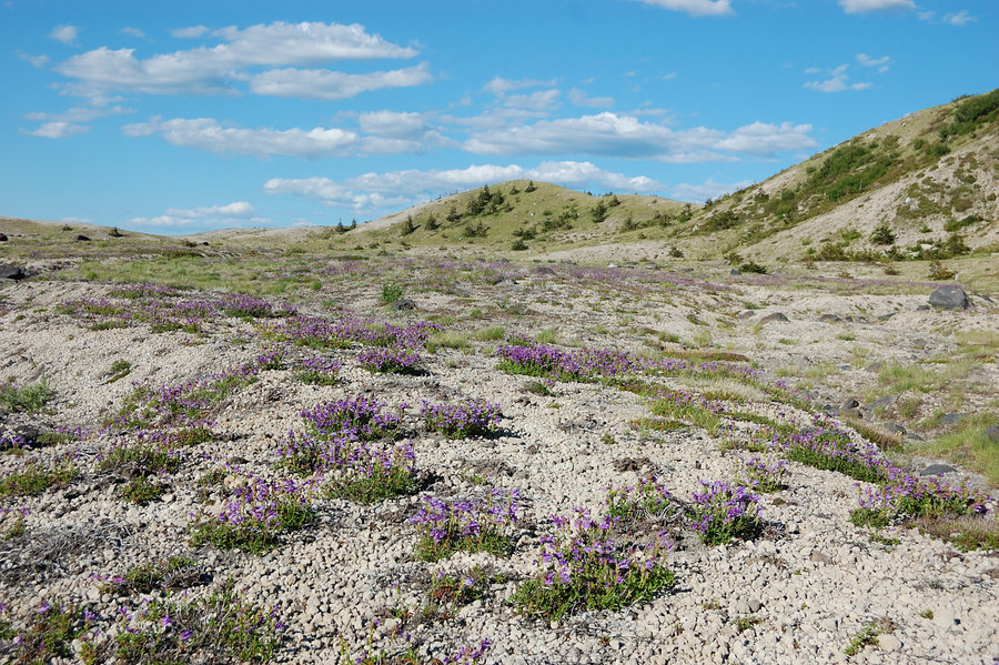
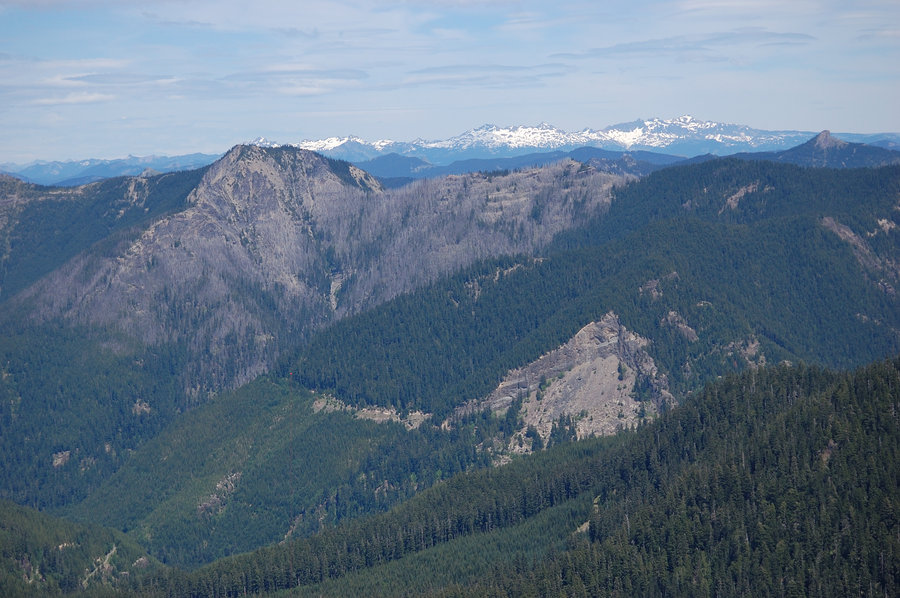
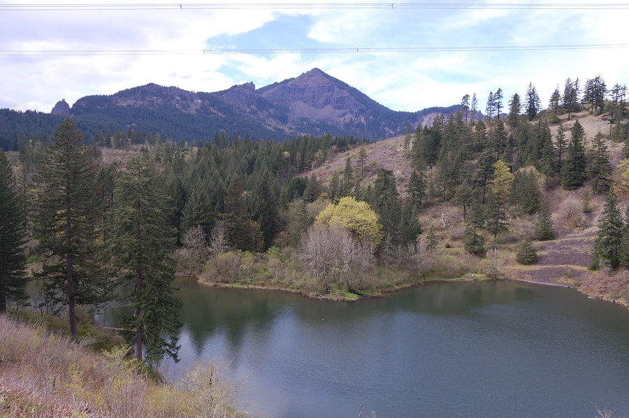
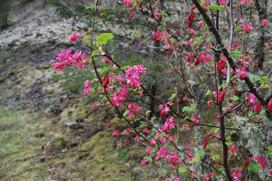
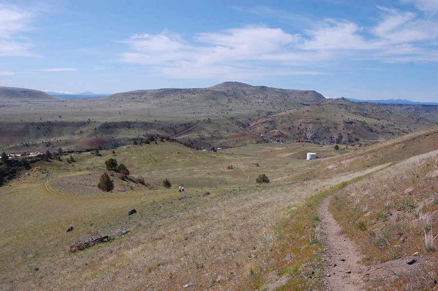
Grey Butte/ vicinity
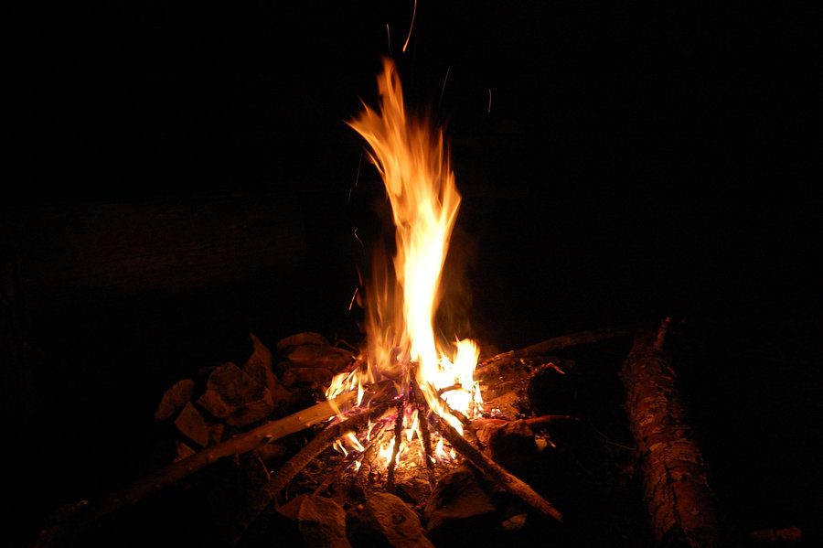
12.75 miles of hiking • 3500' elevation gain • 2 nights
Went Friday after work and car-camped 2 nights near Skull Hollow campground. Explored less used trails on Sat, found some cool little arches in the crags. Planned a big loop for Sunday but got 1pm start because of rain, went up-and-back Gray Butte - windy and cold, but mostly sunny afternoon. Great views from the top.
October 23 – October 25, 2015


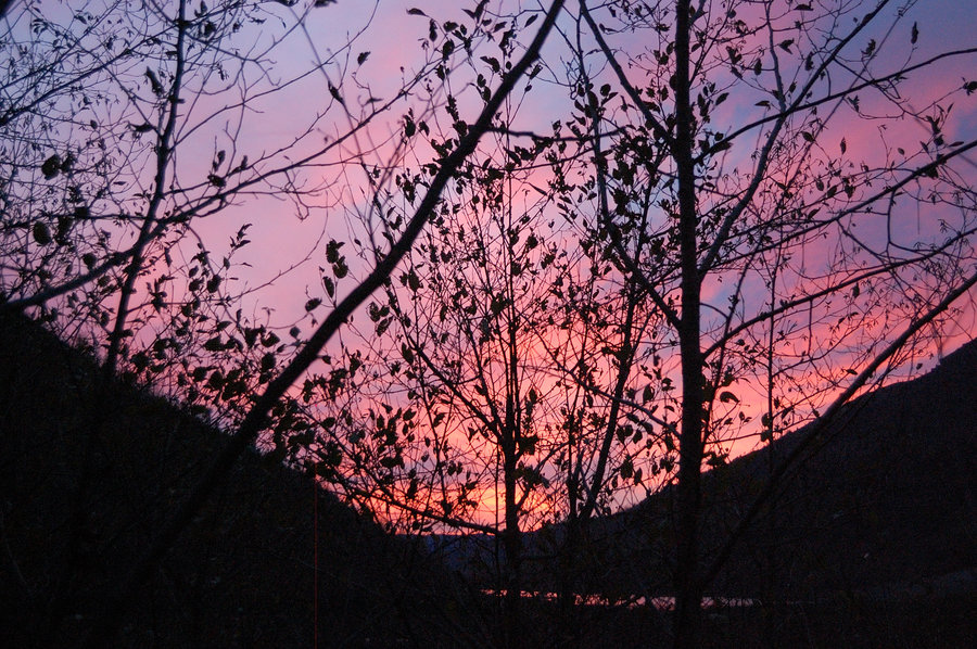
Angels Rest
4.5 miles of hiking • 1500' elevation gain •
Was pretty hazy, which made for great 2-color sunset - the river lighted on orange while the hills stayed blue. And there was red rainbow to the east... Wish I had a camera.
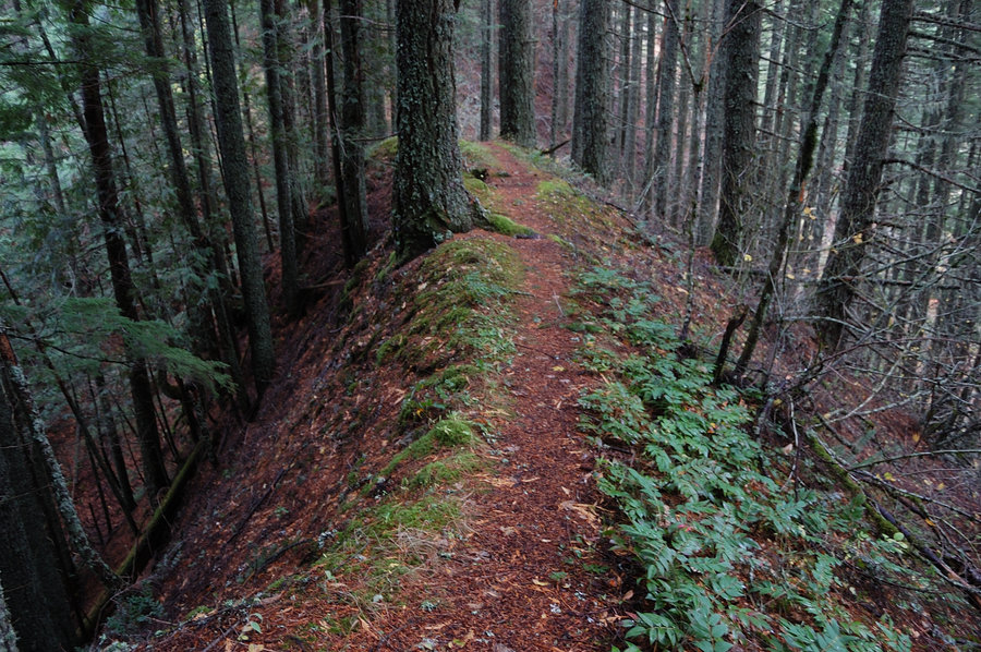
October 17, 2015

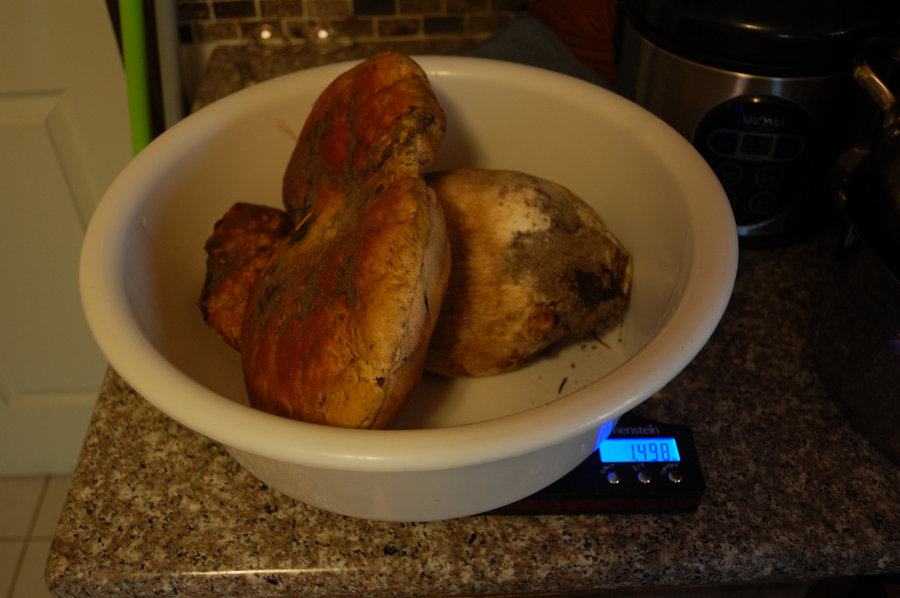
Forest hike
4 miles of hiking • 500' elevation gain •
Today's king boletus just blew our old record @ 1498 grams, or 3.3 pounds.
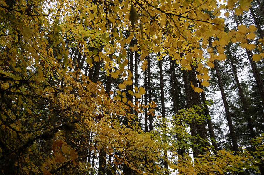
October 8, 2015


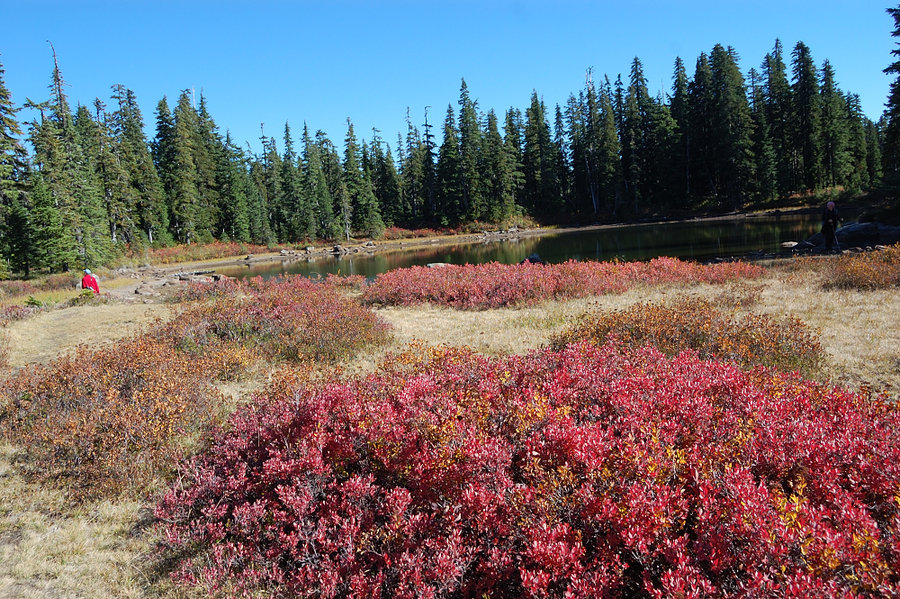
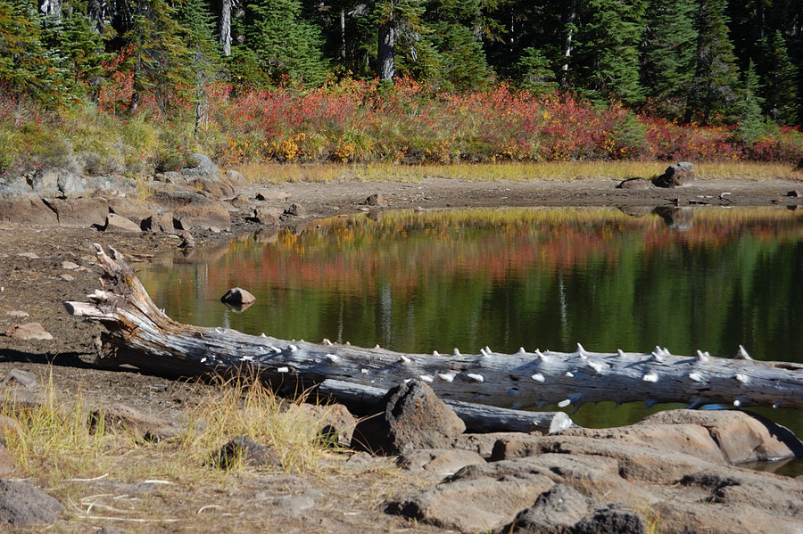
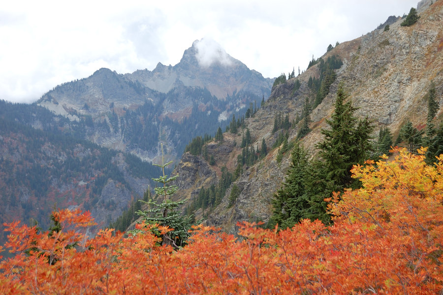
Indian Heaven hike
8.5 miles of hiking • 1000' elevation gain •
Nice fall colors although 1-2 weeks past peak.
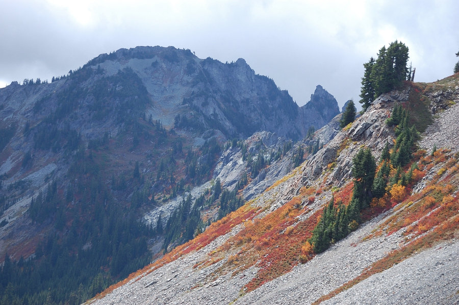
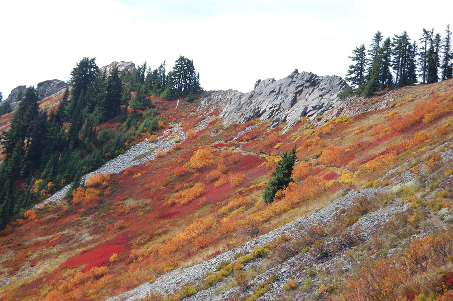
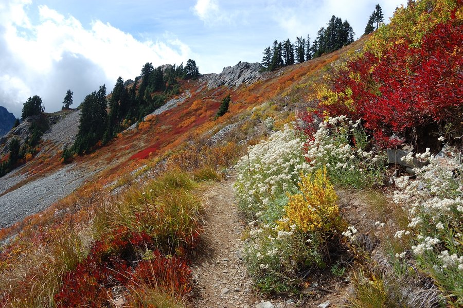
September 27, 2015

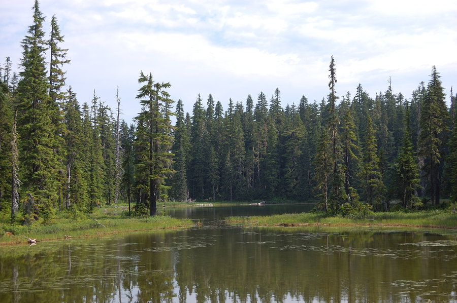
Mushroom hike 2
5.5 miles of hiking • 500' elevation gain •
Other side of the same mountain - no chanterelles at all but quite a few boletes. Will get better if we have some wet, warm weather this fall.
September 20, 2015

.jpg)
.jpg) 1
1
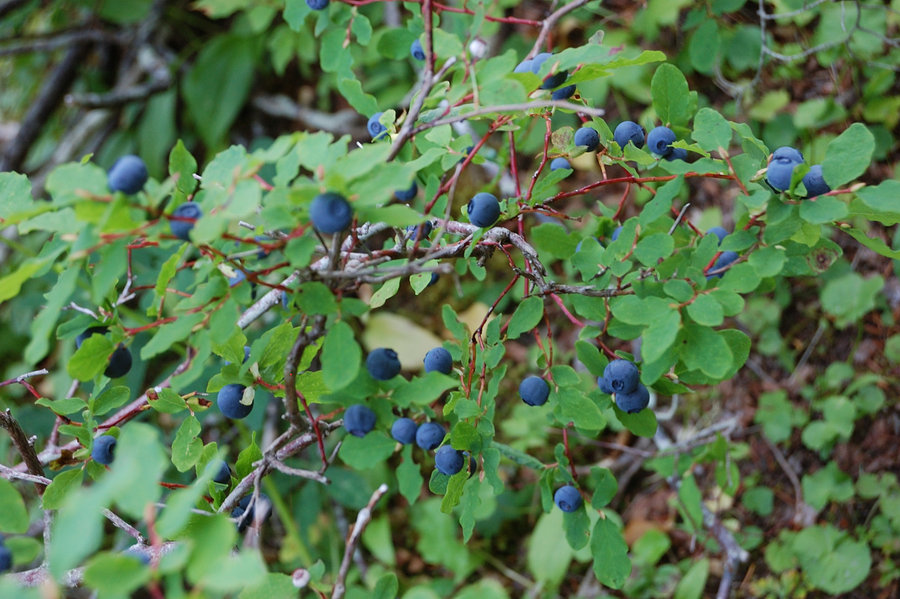
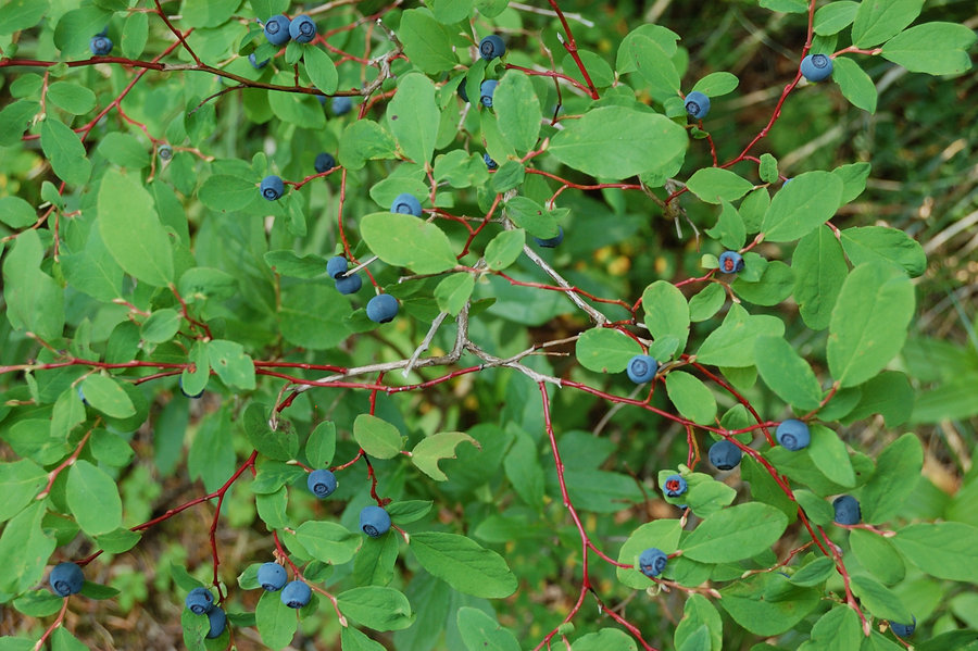
Mushroom hike
3.5 miles of hiking • 250' elevation gain •
Chanterelles going good already in many places, not enough to dry for winter but we picked a few pounds - it was the first real harvest of this season.
September 19, 2015
 2
2
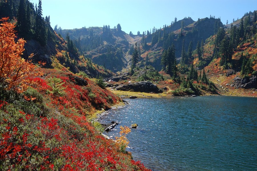
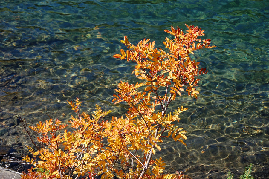
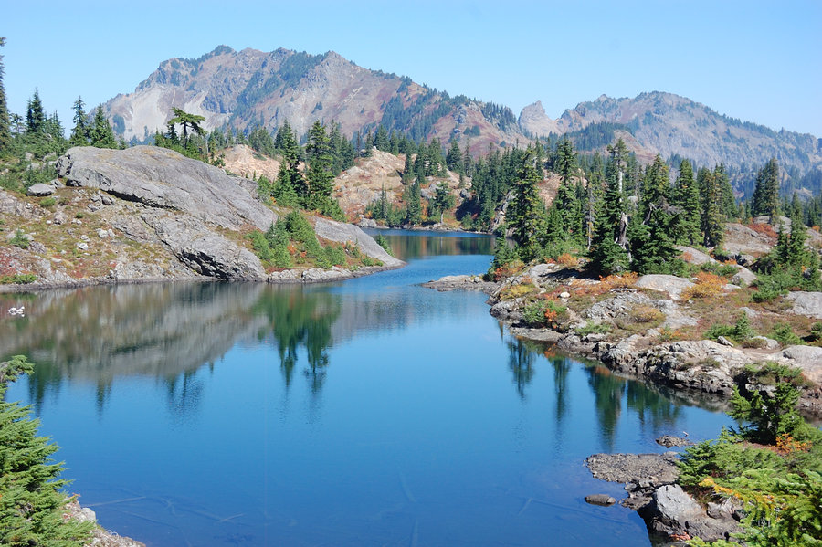
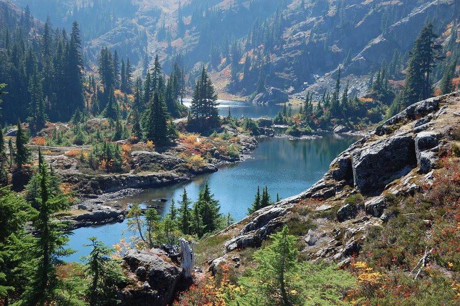
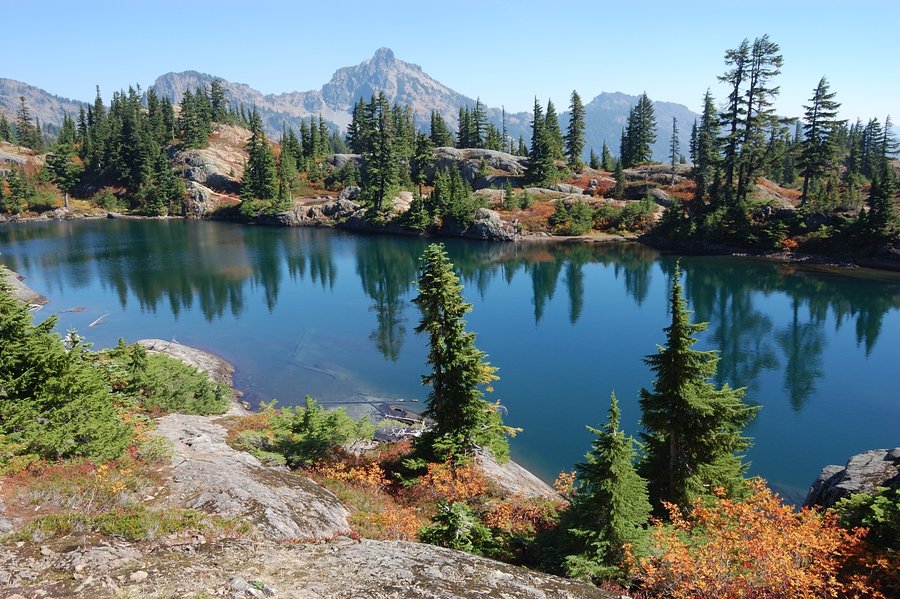
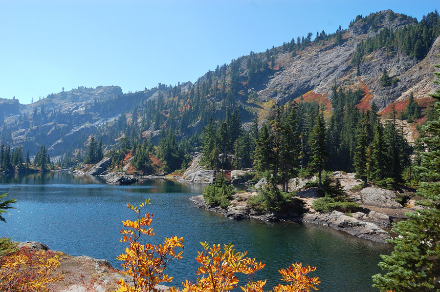
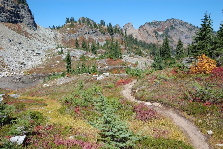
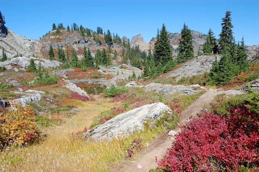
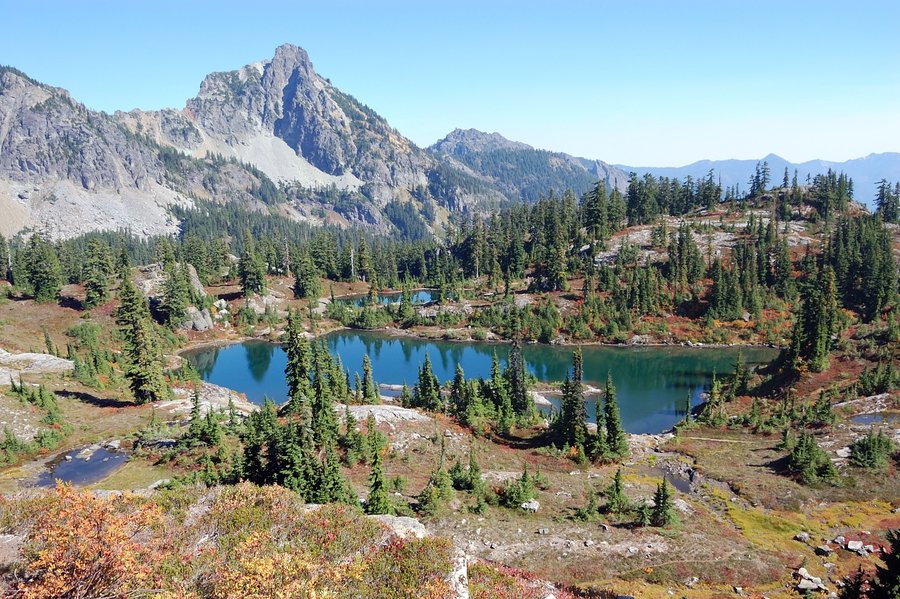
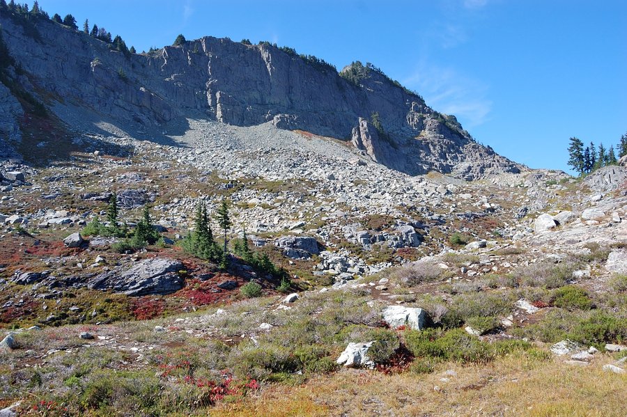
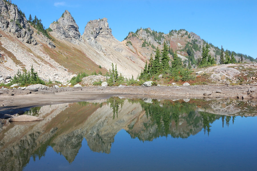
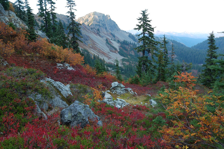
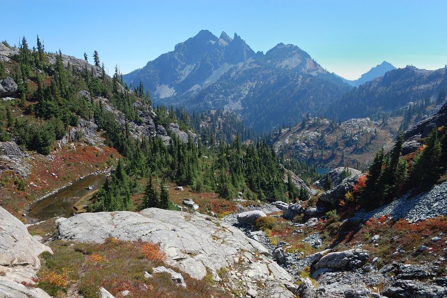
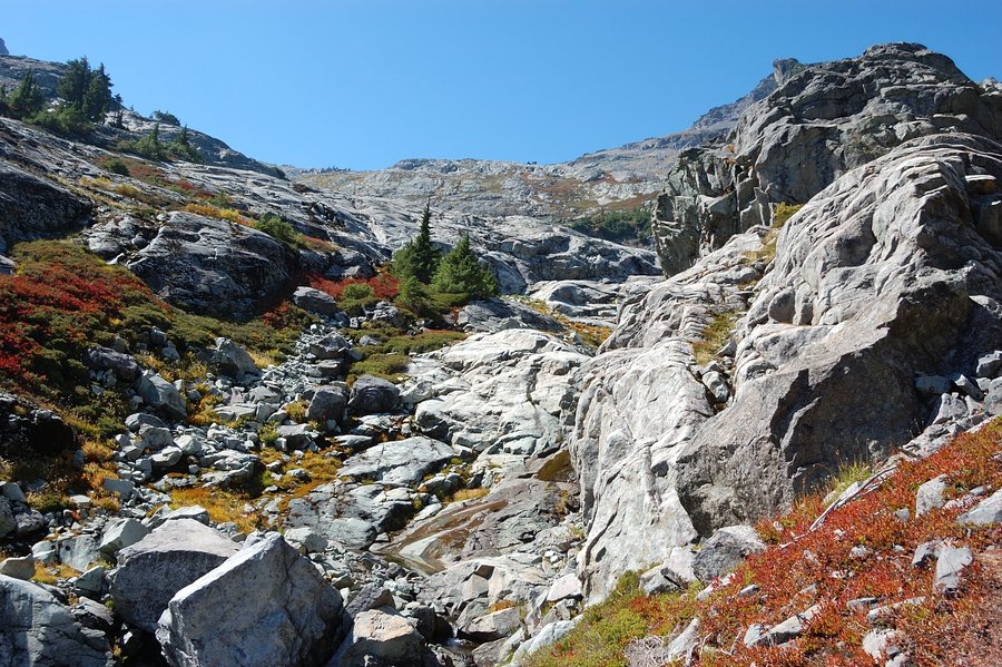
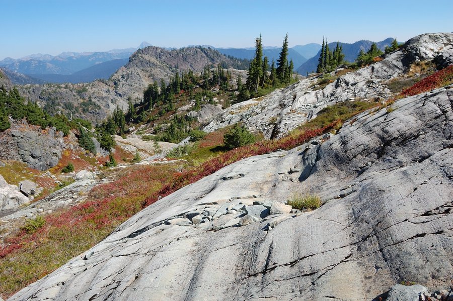
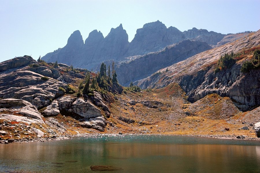
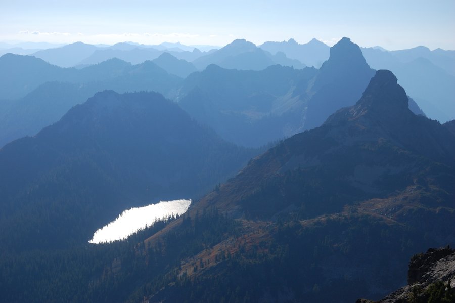
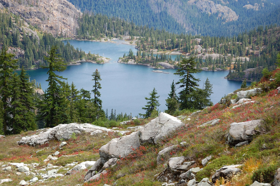
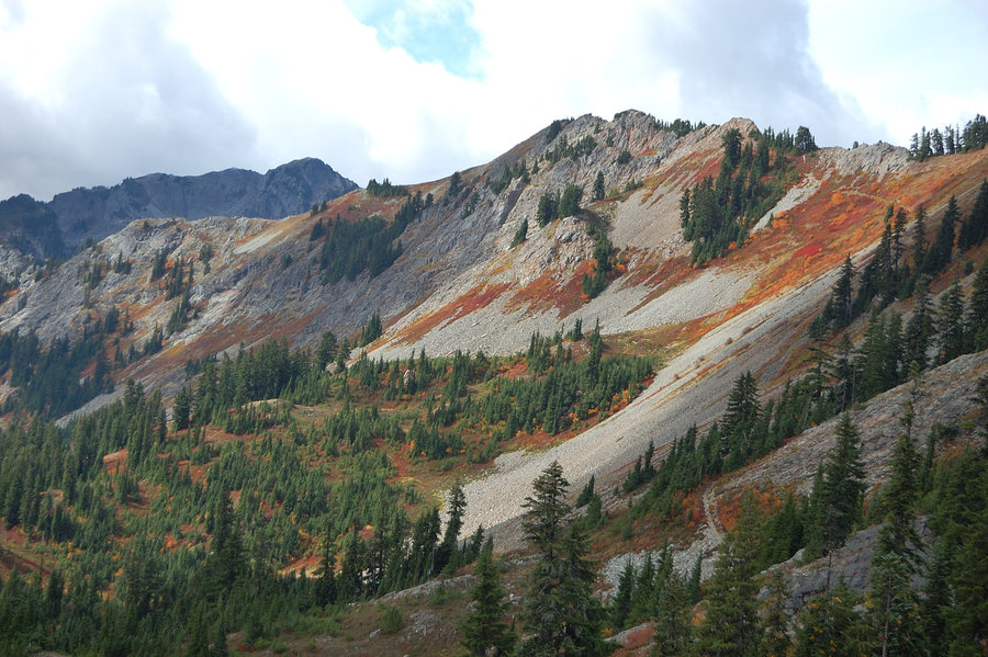
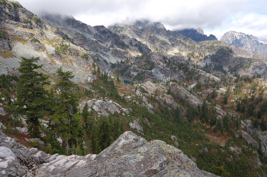
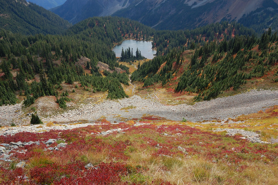
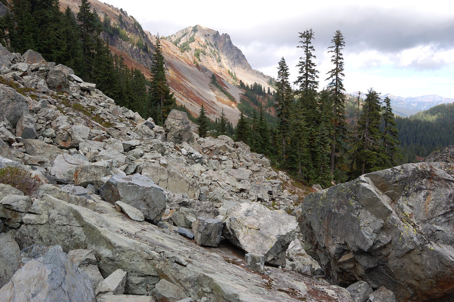
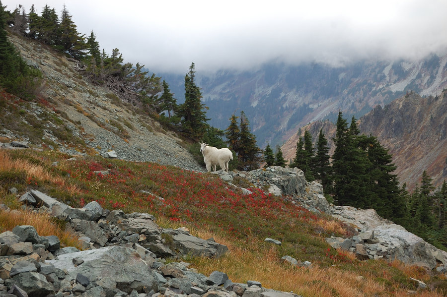
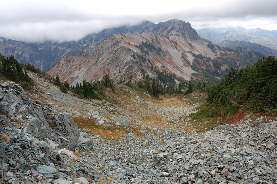
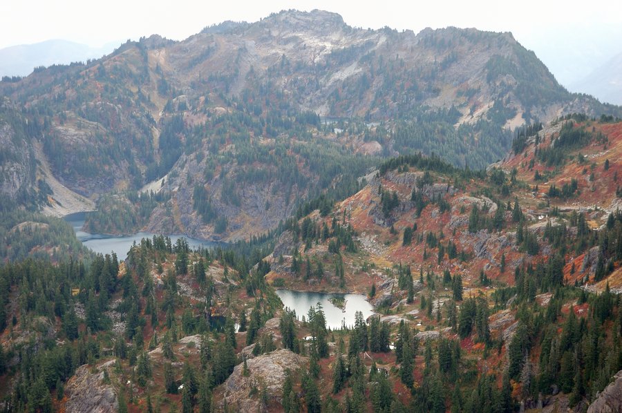
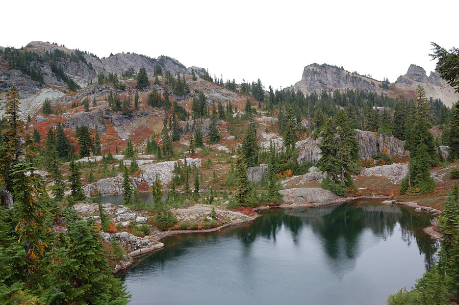
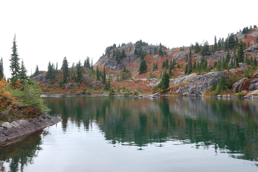
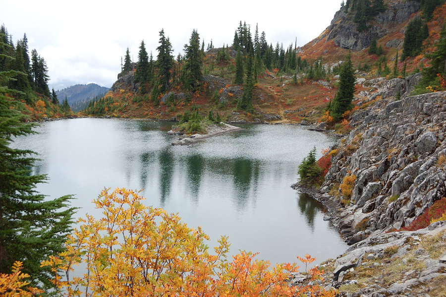
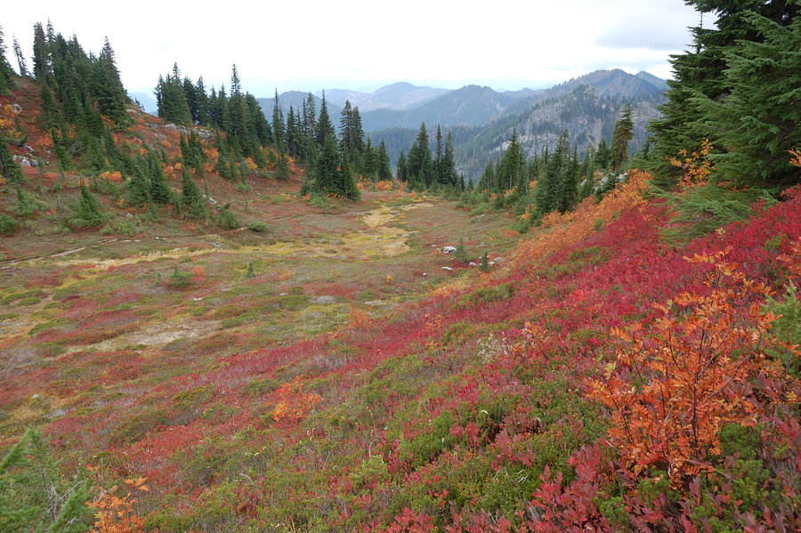
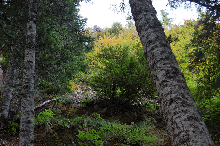
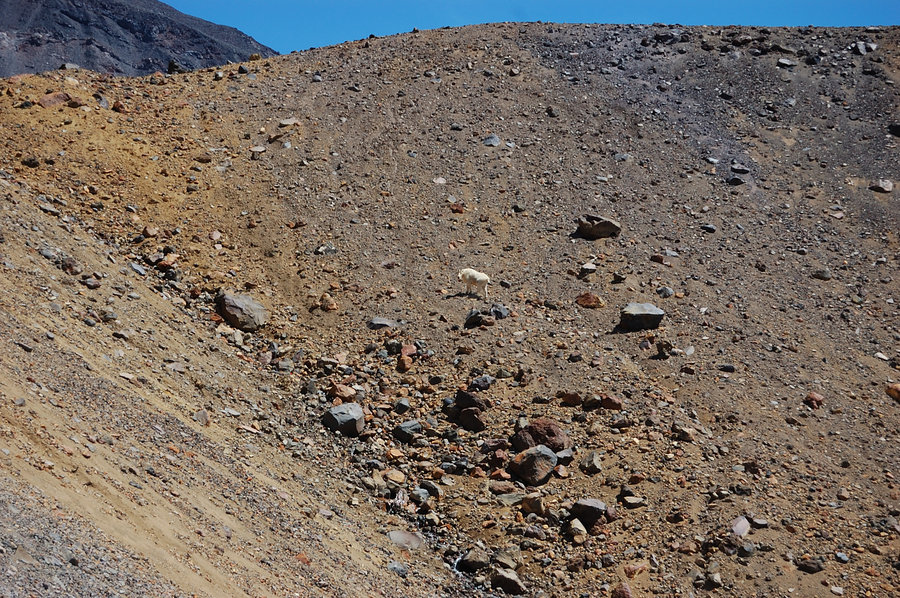
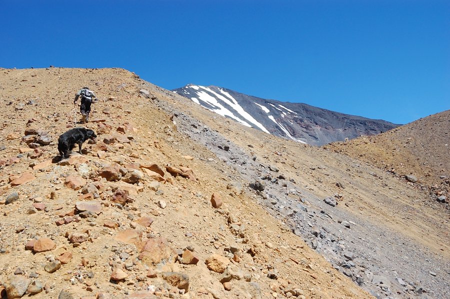
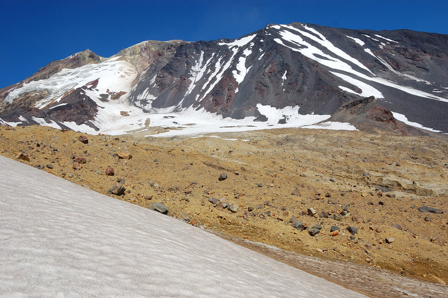
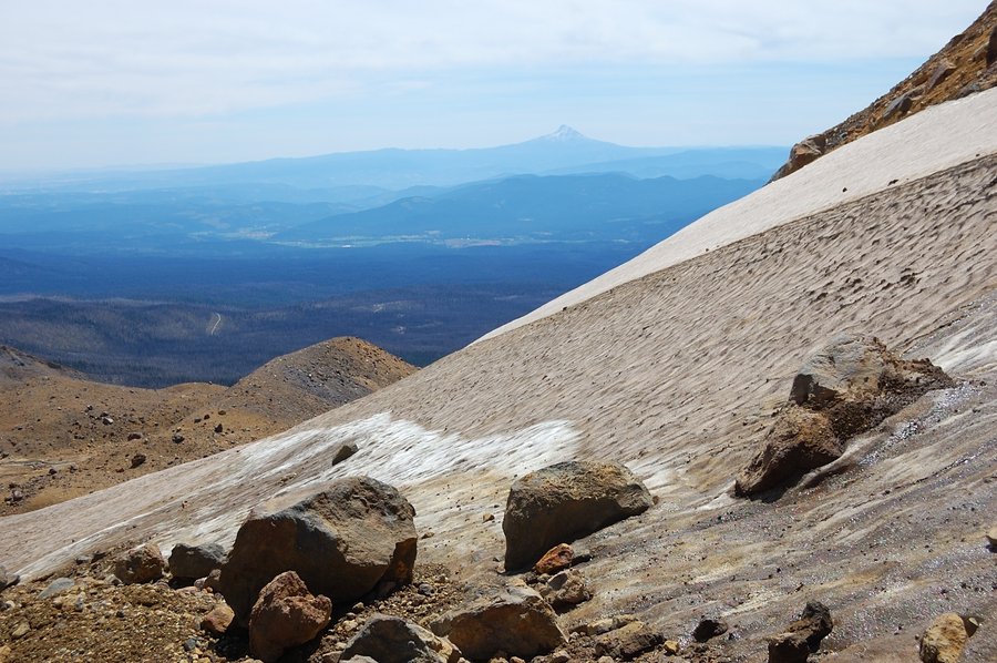
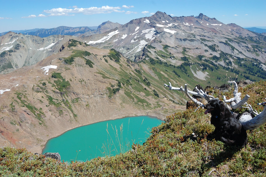
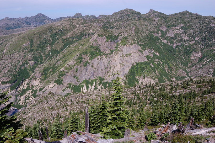
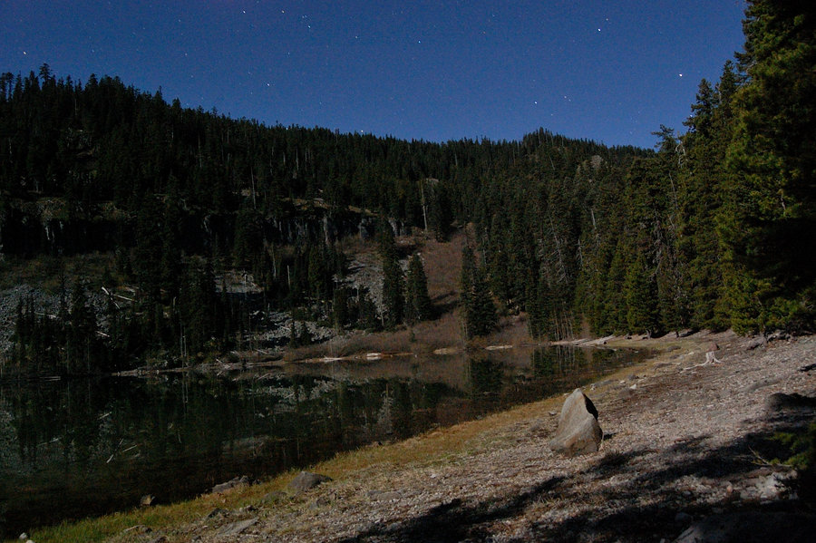
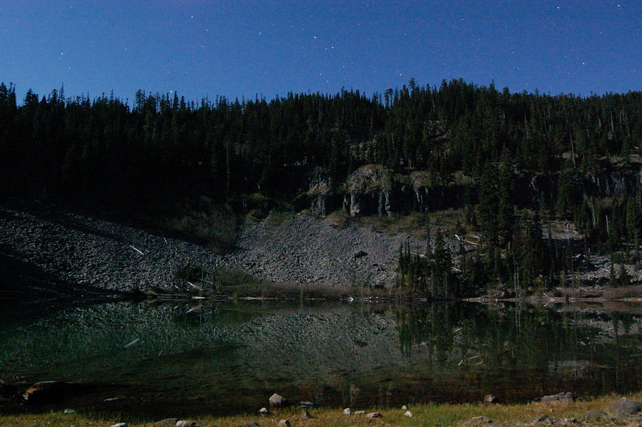
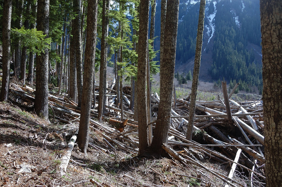
First trip to Alpine Lakes
26.86 miles of hiking • 9000' elevation gain • 4 nights
After busy Labor Day, got out on Thursday to explore Alpine Lakes Wilderness for the first time. Started at Rachel Lake trailhead and camped at Rampart Lakes, which was a must-see after reading epic TR's from the area (probably THE most crowded area I ever camped in, but justifiably so). When I came it was already getting dark, and found all campsites busy on Thursday night (!); I went through Rampart Lakes area, turned back, and luckily found one flat spot just big enough for 1 person to sleep (made for strange placement of my 2-person tent).
Next morning was a bit of a shocker from incredible scenery which I missed on the way in - white granite cliffs with fall color display as its best, stone-rimmed blue ponds. While this place is crowded but it looks well-kept and never seemed overused. Saw a couple mountain goats high on the cliffs.
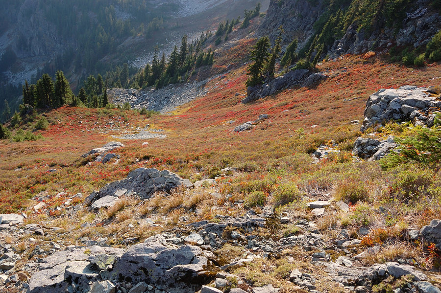
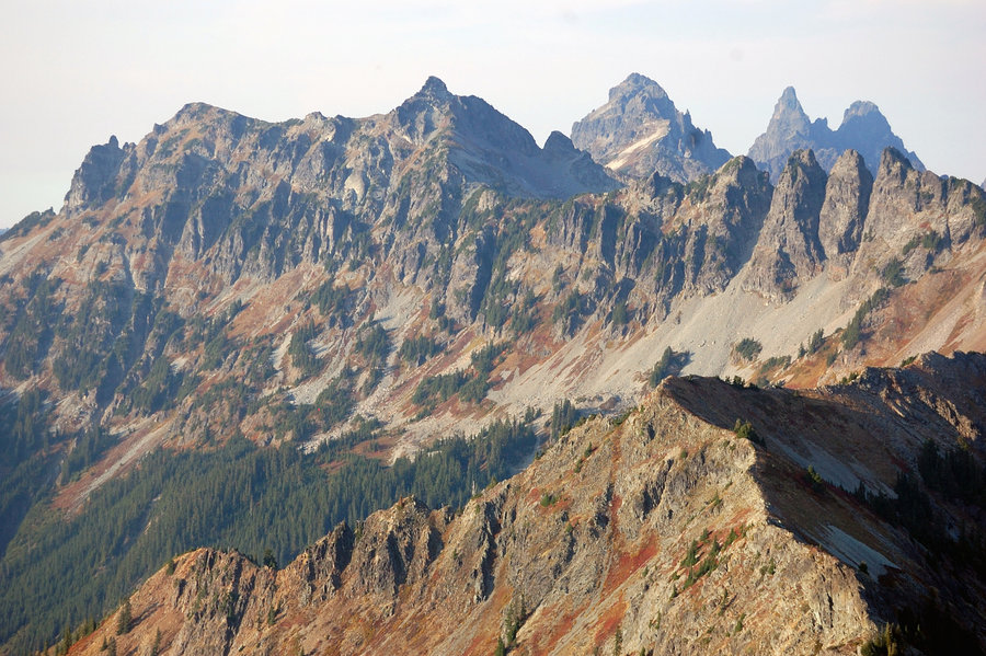
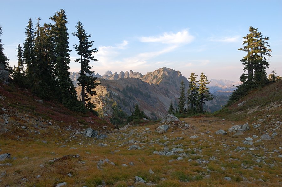
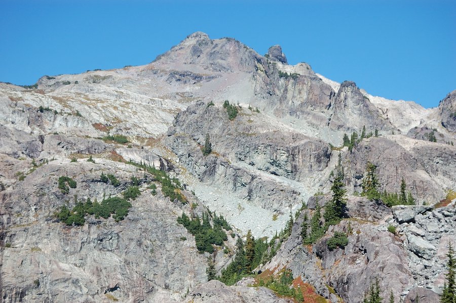
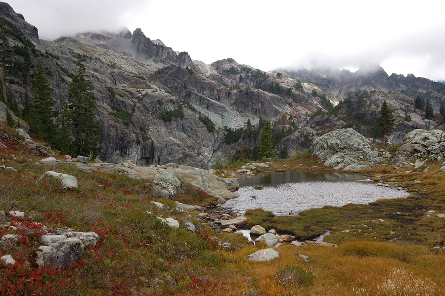
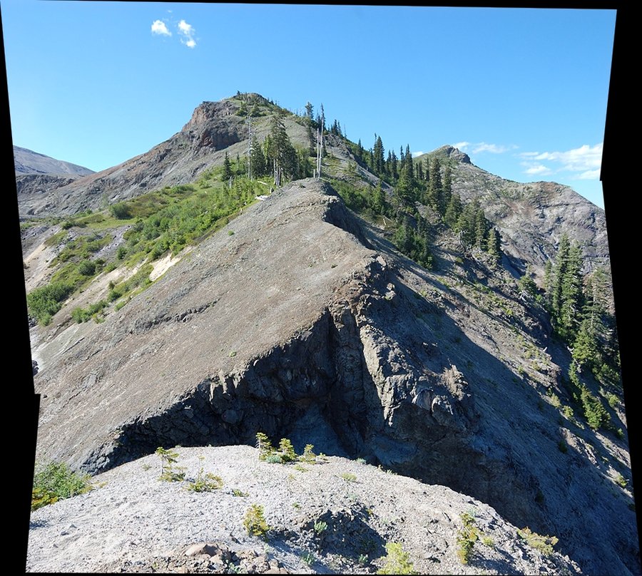
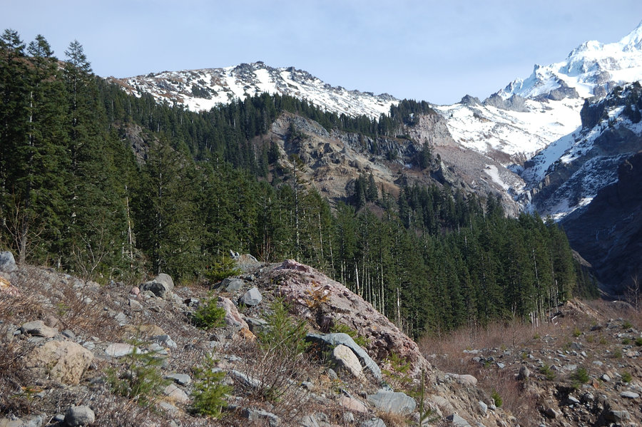
I spent a bit too much time in the lakes basin, exploring side trails and taking pictures, but eventually it was time to move on to offtrail part of the trip, and try to be at Glacier Lake by the evening. To make long story short, the trail peters out at the tarns on the east side of Alta Mtn, and after a short walk in the brush you pick an abandoned (unmapped but mostly good) thread that goes to one of summits of Hi Box Ridge, elevation 6100'. Past the unnamed top, it was trail-less descend on scree on its north side, and then I followed below the ridge on its east side just above tree line for about 1.5 miles, up to PCT at Chikamin Pass. Once on the PCT, it was a quick hike to unsigned junction near Spectacle Point, then down very steep "goat trail" to Glacier Lake.
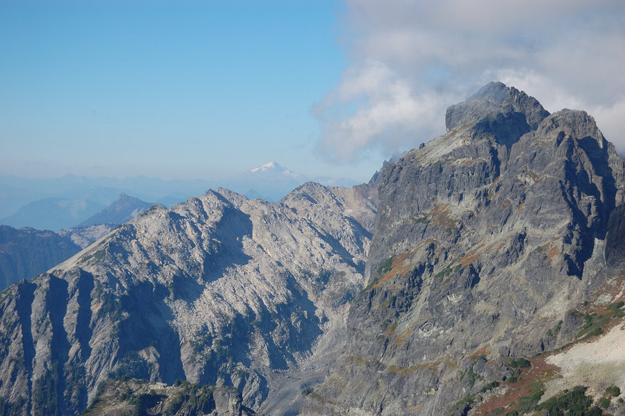
Saturday was my backpack-free day, and I watched several groups of climbers passing above my camp and starting their Chikamin Peak ascent through the gully filled with car- and house-sized rocks. My map showed it was indeed the right (and the only) way up the mountain. After bouldering fun through Crowd Gate the things eased considerably on the way to Ice Box Lake and the summit, with alpine creeks cascading down canyons of glacier-polished granite, more fall colors, better and better views of jagged peaks on all sides. The last 200 feet before the summit it steepened again and required some scrambling at the very end (excellent granite gave way to crumbling basalt), and a vertical stone step about 7 feet high below the top. I think description says it's III class scramble; in the end it was a lot like approaching Gilbert Peak's summit in the GR, only a bit steeper.
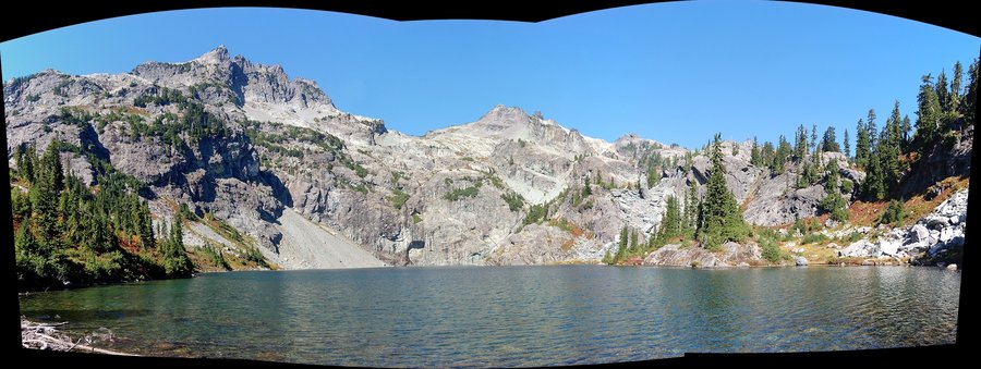
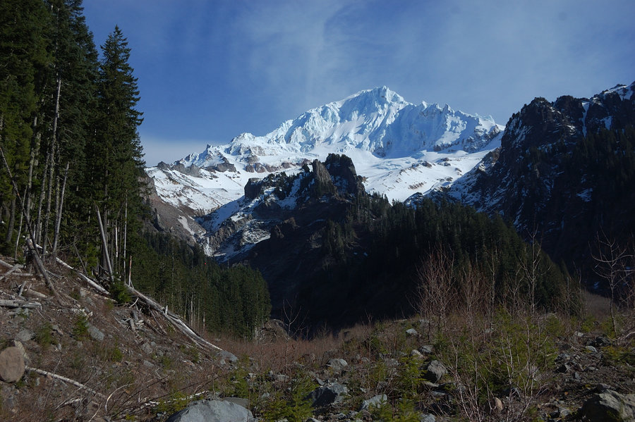
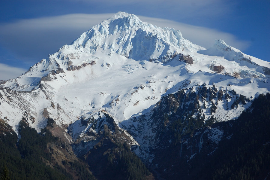
By the time I started down, the wind increased to steady 35-45 mph on the mountain (I remember thinking if it was strong enough to kick down loose rocks), and first clouds started to form over high peaks. The gusts increased even more by night time, and made good waves on the lake below my camp - which was, thankfully, well sheltered from the west. The next morning everything above ~5,500' was socked in clouds (a day before it was forecasted), but views of granite crags were even more dramatic. I didn't delay the hike out - needed to get the first 600 feet to Spectacle Point to see the condition of pass on Hi Box Ridge. Thankfully, my pass was clear and the weather seemed to improve, so I made a short trip to the top of Spectacle Point and took time getting about a million more photos. Since I rated Chikamin Peak 10/10 already, Spectacle got 12 out of 10 - it alone would be worth a 5 day hike to see! Also of note, fall colors along PCT approaching Chikamin Pass were really really good.
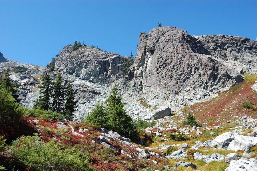
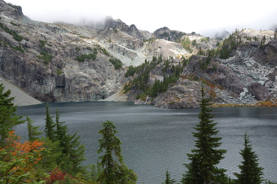
Off-trail hike back was uneventful, except that I was now losing the path constantly (it kind of visible through the brush and it's really helpful, but disappears through long stretches of boulder fields). I rarely lost it on the way in - something about it being easier to see on the way down? Or maybe it was sun shining into my eyes? In any way, it was thanks to my gps track I was able to follow the path through the steepest, brushiest part, maybe 300-400' vertical. It would take eternity to bushwhack this. Up and over the ridge, I continued to follow the old trail and discovered it bypassed the tarns below Alta Mtn, but that meant relatively flat hike instead of 150' bump which I really appreciated now. It joined the main trail, and after another quick search found official path to Lila Lake for my final night (on the entire trip, beyond trailhead I saw ONE trail sign, and it said "trail"! there's some signs that restrict fires or show "restroom" areas away from the water, but none that tell your whereabouts or where the trail is heading. good map is a must in these parts).
The final night was really cold, mostly because - trying to save weight - I took a summer bag I use down to 50F (it was forecasted to be 47) and I think it dipped into mid- or upper 30's. Have put on everything I had, including rain coat, and while I was cool at night, didn't really get too cold. Lesson - save weight with other items and take a good bag, if the weather looks marginal. Lila Lake looked at least on par with Rampart Lakes: more granite, blazing orange mtn. ash and red huckleberries, view of half dozen peaks... The only difference with Rampart Lakes is that no one else camped at Lila that night. Luckily, it was dry the entire time; the rain held off until I was driving back through Snoqualmie Pass.
September 10 – September 14, 2015


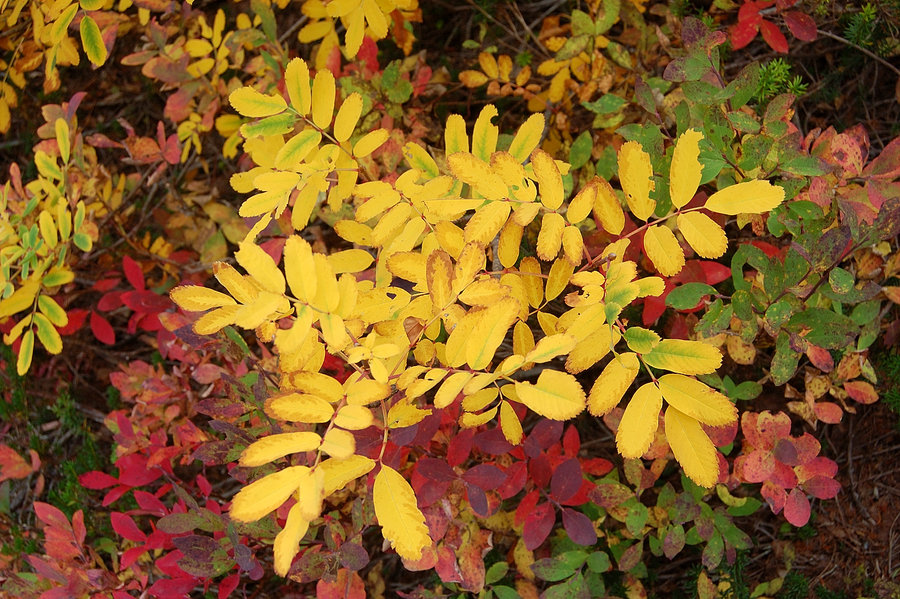


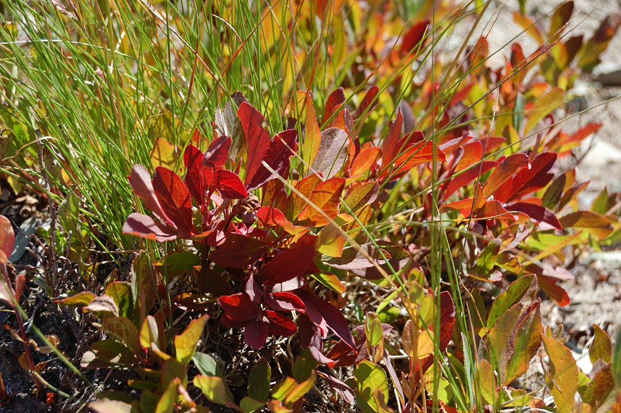
Clear and Cultus Lakes
6.5 miles of hiking • 1250' elevation gain •
Brrr... (nice fall colors, though!)
September 5, 2015

.jpg)
.jpg)
.jpg)
.jpg)
.jpg)
.jpg)
.jpg)
.jpg)
.jpg)
.jpg)
.jpg)
September 1, 2015
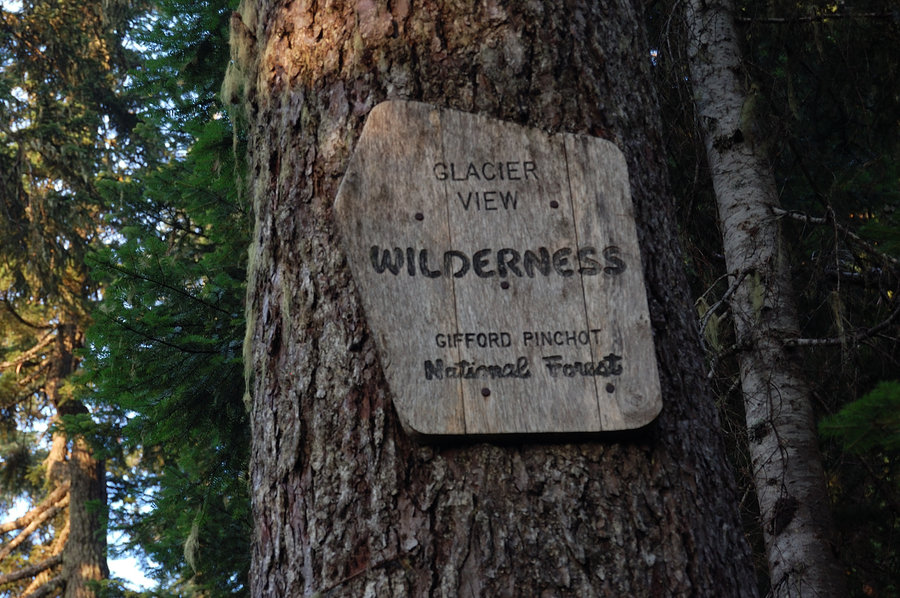
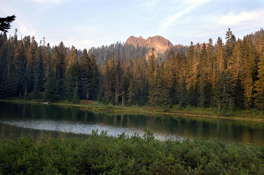
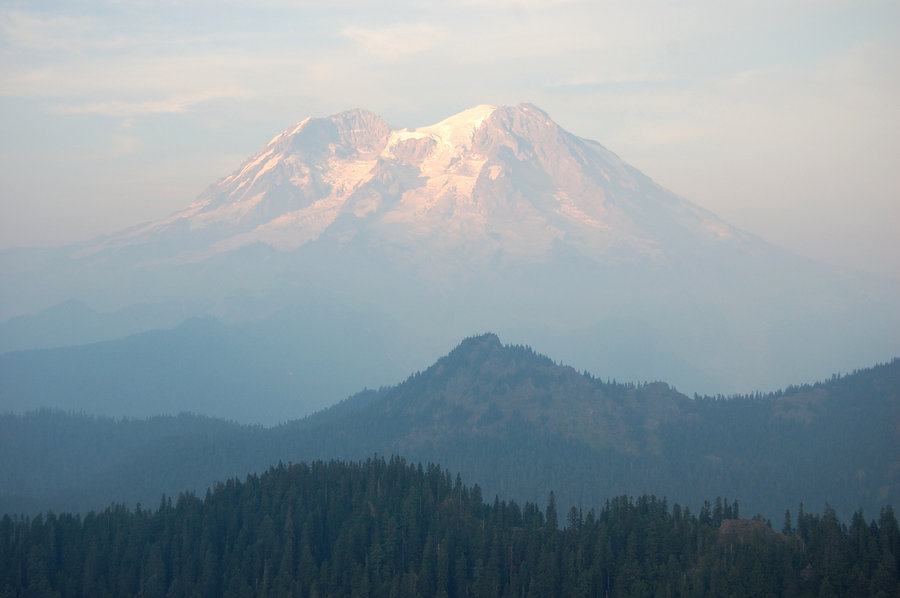
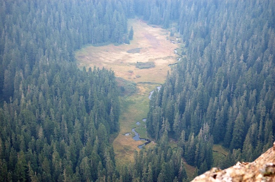
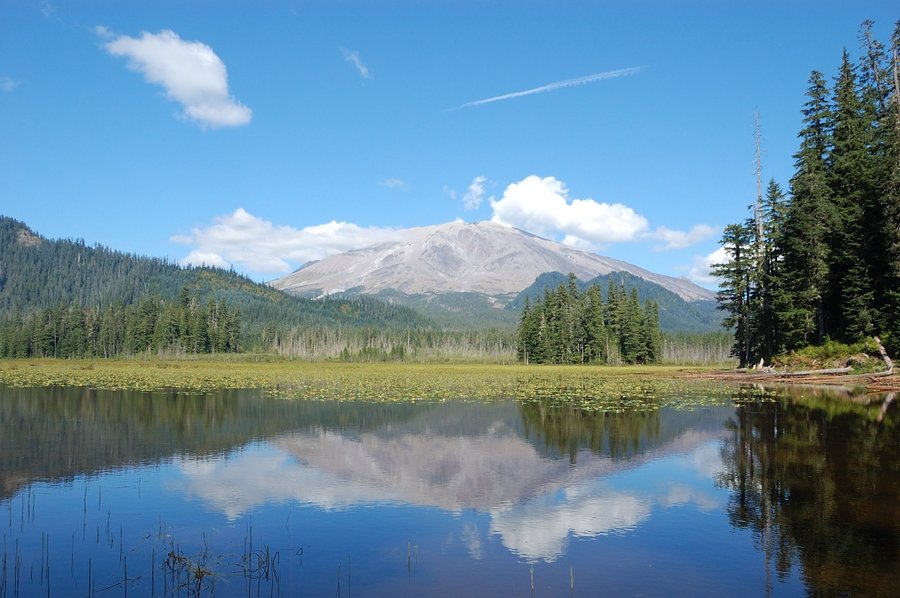
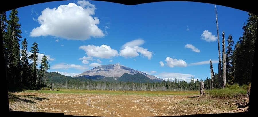
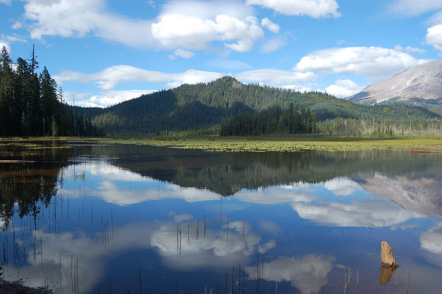
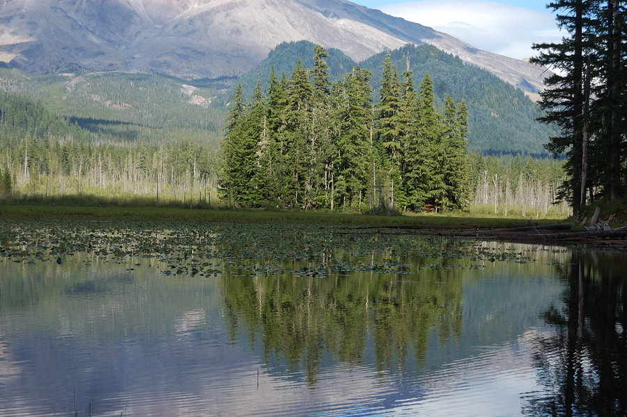
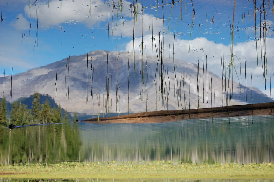
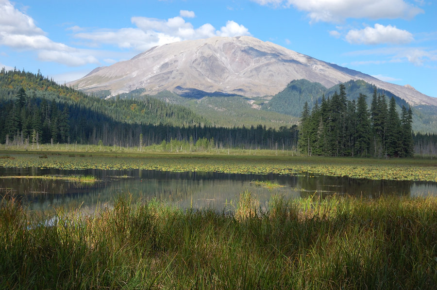
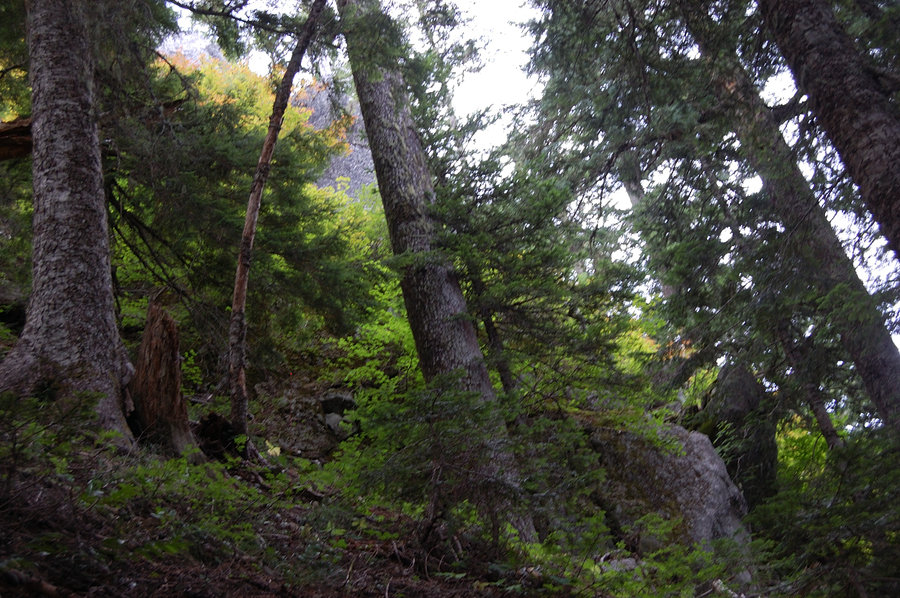
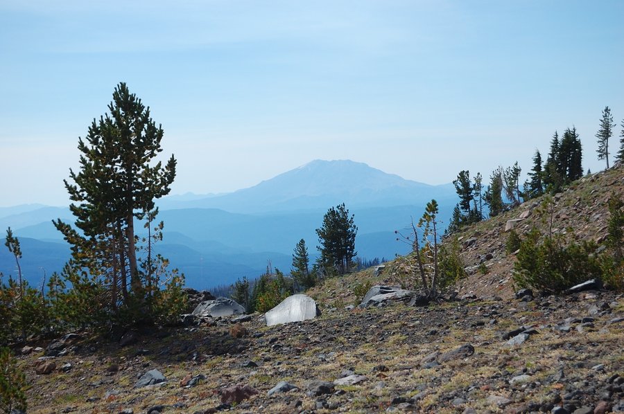
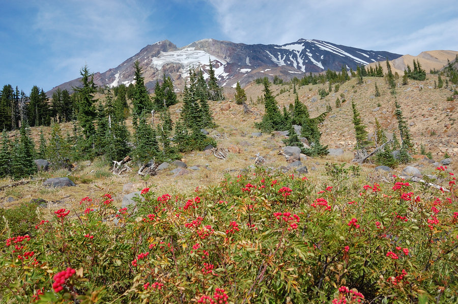
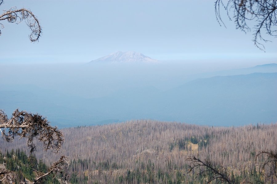
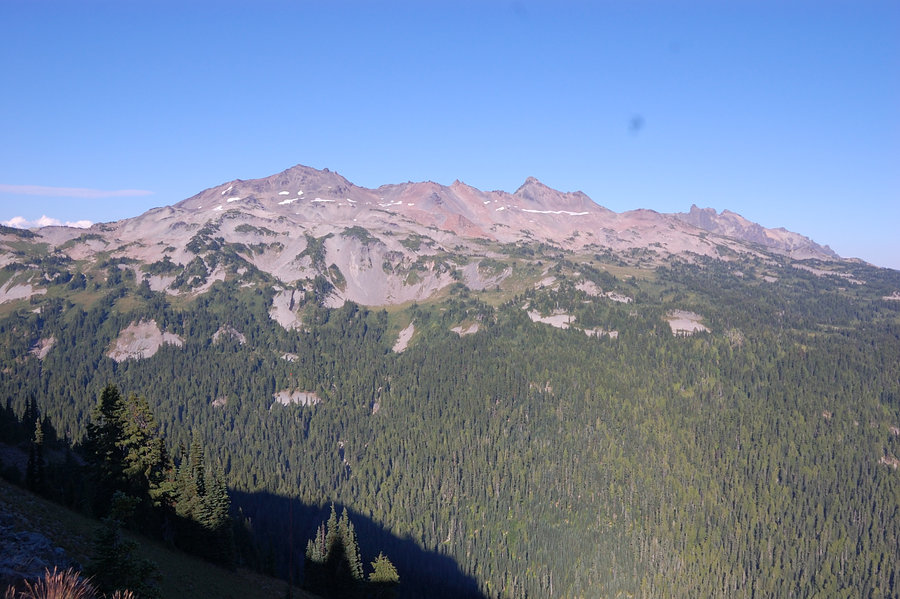
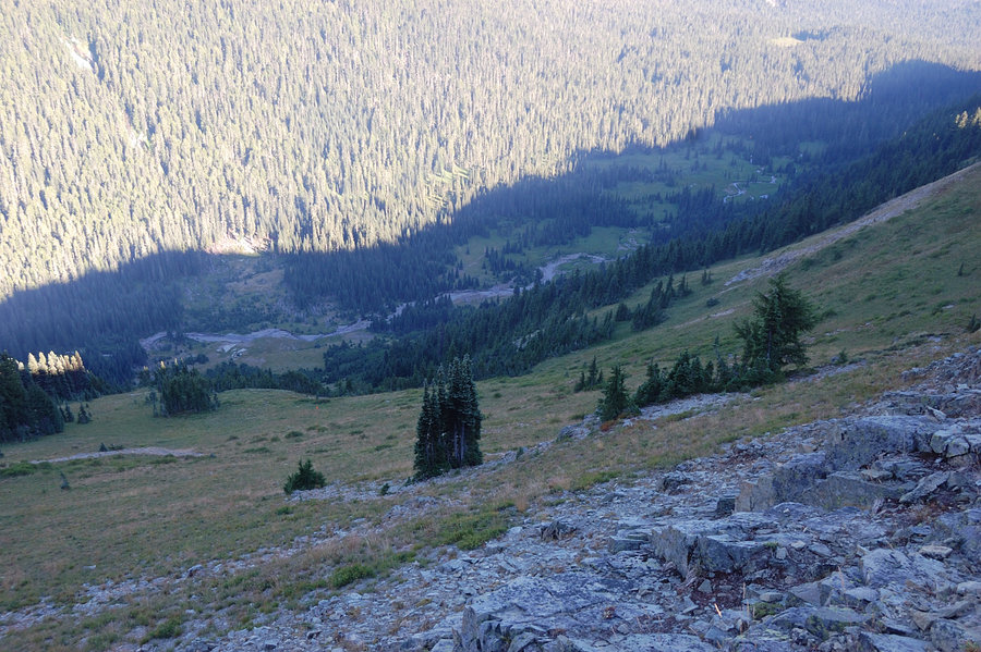
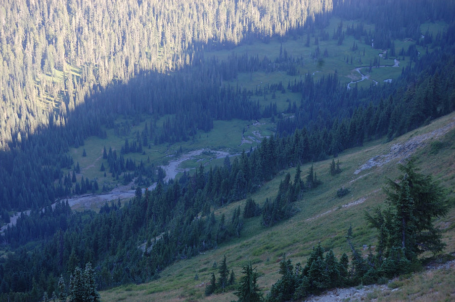
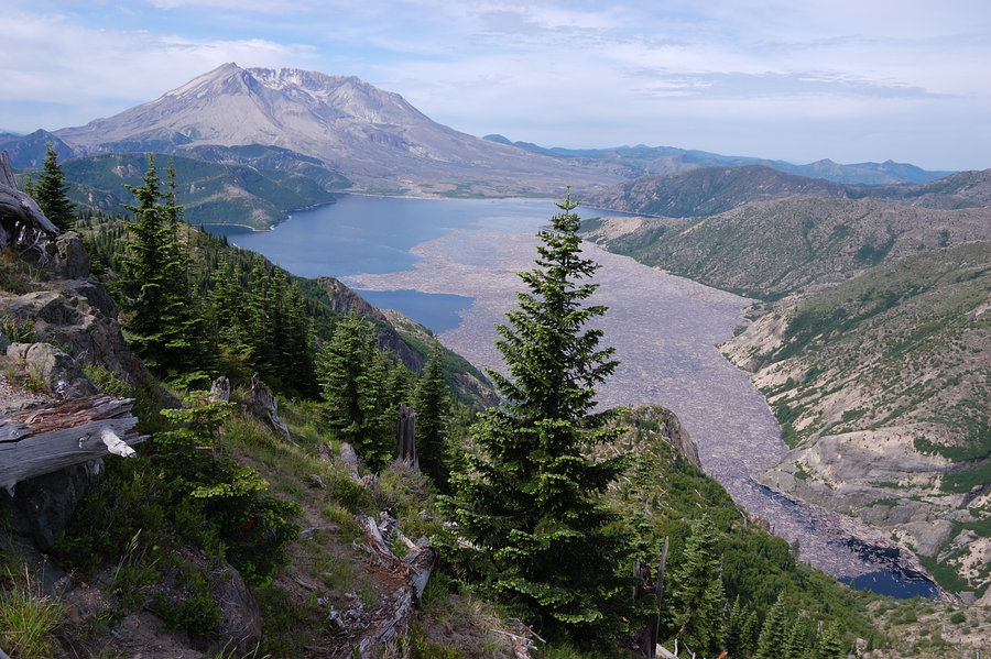
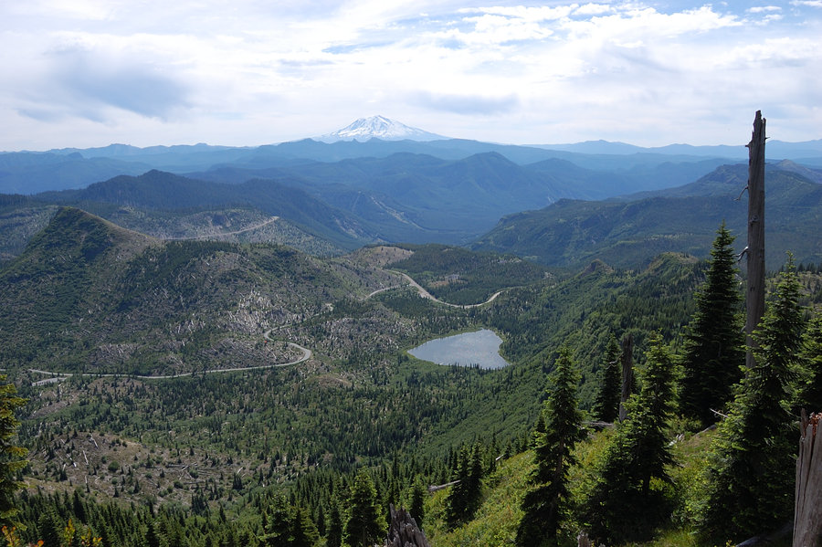
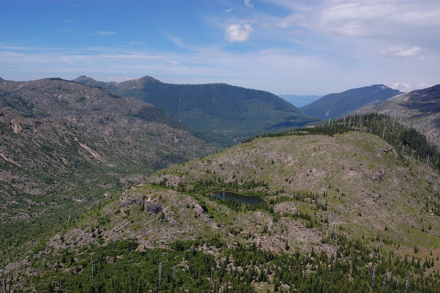
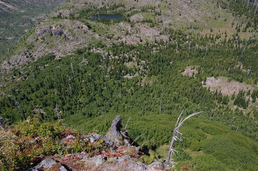
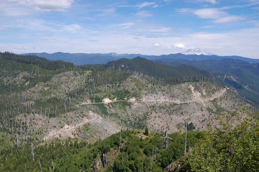
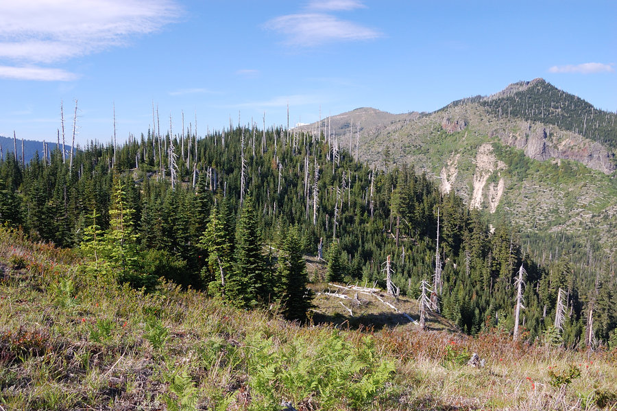
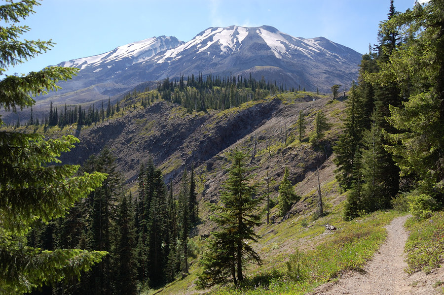
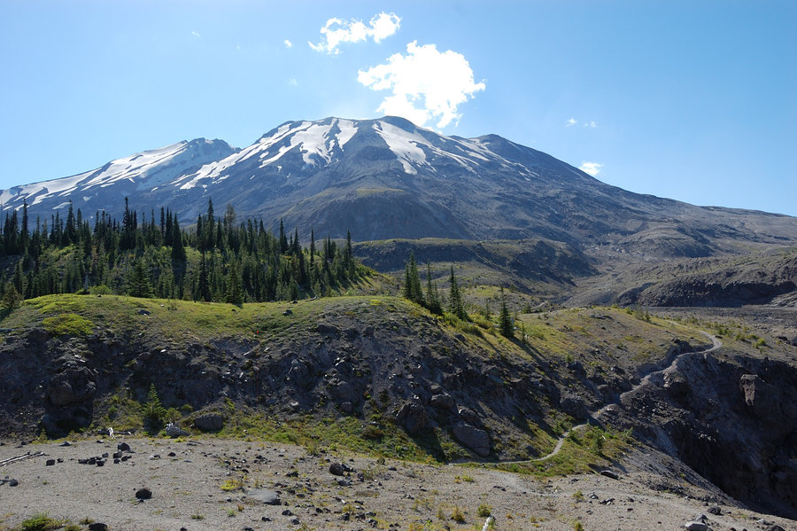
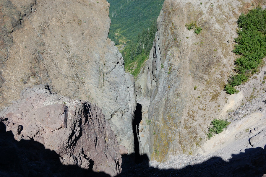
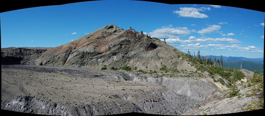
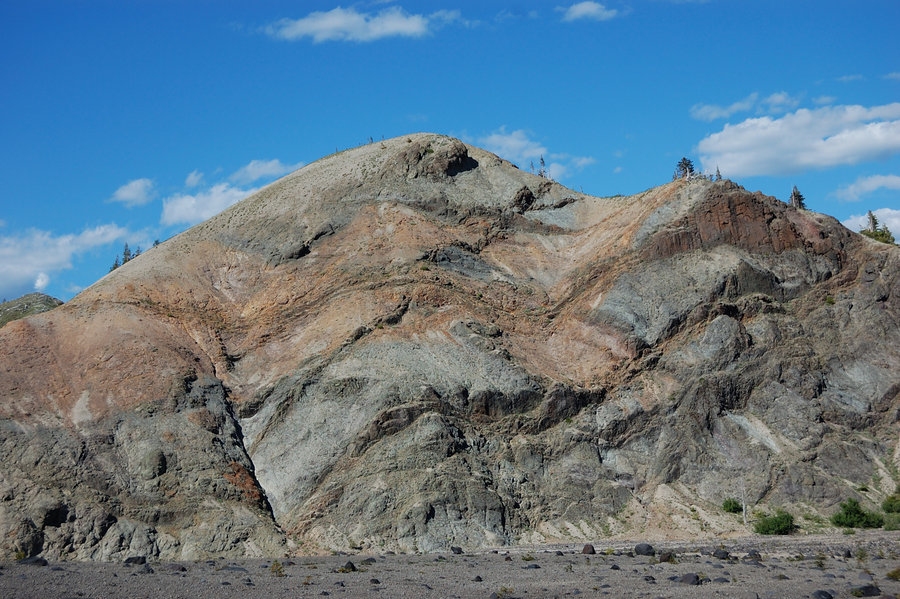
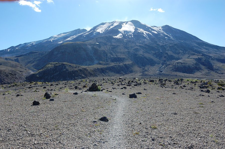
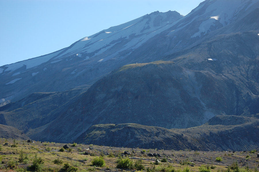
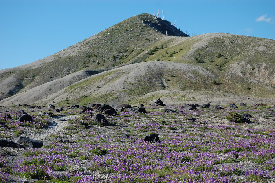
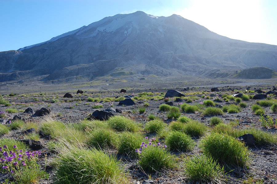
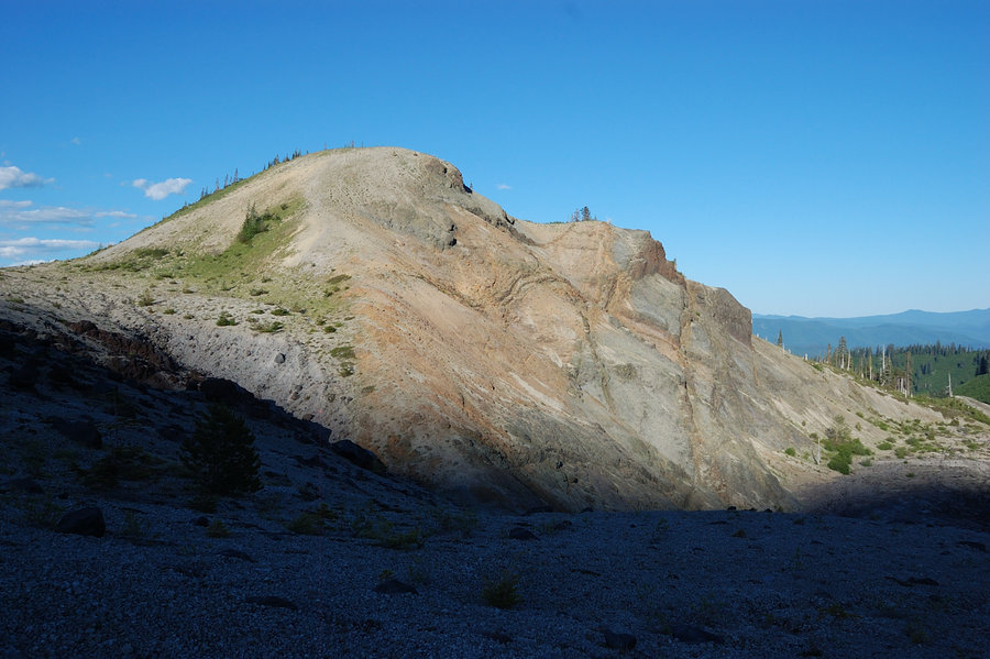
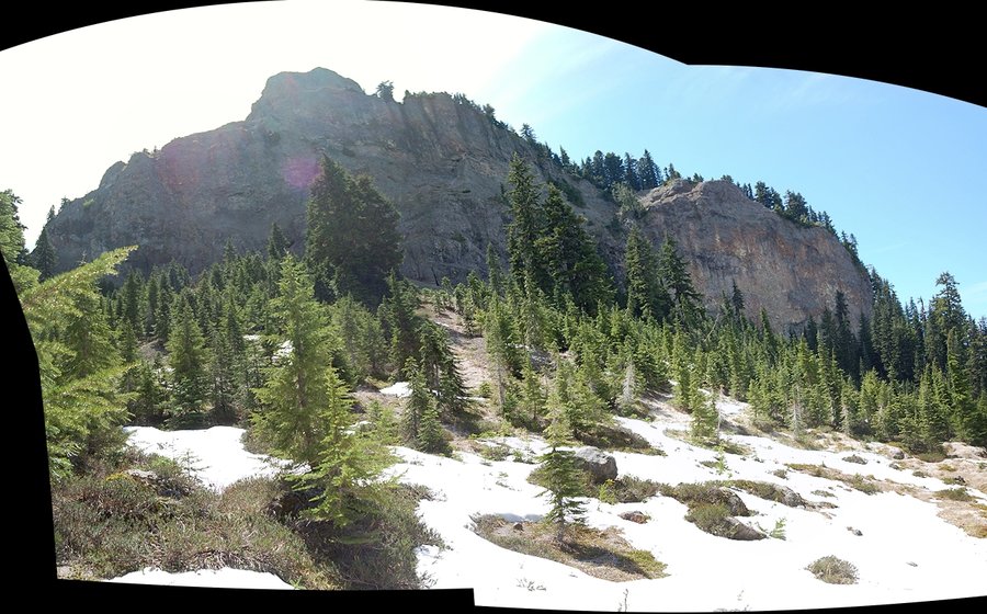
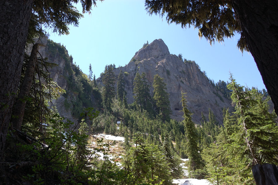
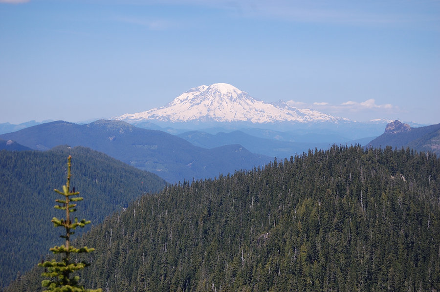
Glacier View Wilderness
11.31 miles of hiking • 3500' elevation gain • 1 night
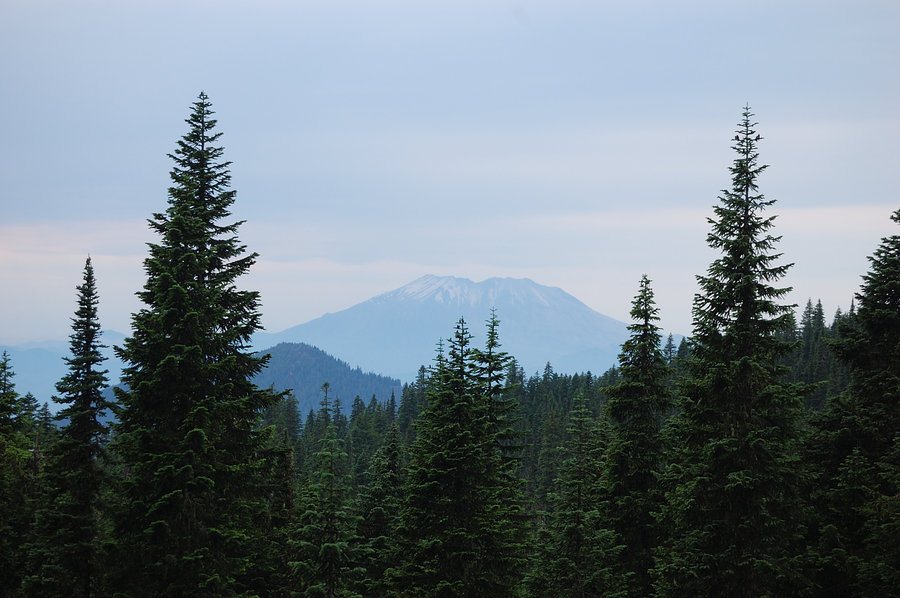
Going NW seemed the best choice to get out of the smoke (or at least, it would clear sooner), and this little wilderness was on my list for too long, so it was easy to decide where to go.
I started near Lake Christine late on Sunday and made it to junction of Beljica summit trail less than an hour to sunset. A quick but very steep hike to the summit was really worth it - even though it was still smoky, I could see the volcano well and it was huge! On a clear day it will be excellent view in all directions.
Down on main trail, I decided not to return to Lake Christine, but rather go to Goat Lake by flashlight, in hopes any campsites I find will be vacant on Sunday night. Found very good site right by the trail on N end of the lake, was alone at the lake and it felt like real wilderness.
Next day I went a bit east on the trail to a pass, then left trail and followed the ridge south to Point 5418. Long story short, it wasn't as straightforward as seemed on Google Earth (lots of brush, steep rocks) but certainly an interesting destination with a killer view at the end, full-on Rainier view, Mount Wow just to the south, and Lake George below. It was easy going along the rock wall at first, then scrambling up the wall, but following the narrow ridge to the summit - it's where brush gets serious. Just short of the summit found binoculars in the brush.
On the way back to trailhead I took time to see Beljica Meadows, which I saw from the summit last evening - probably very swampy place earlier in the season, but now it's all dried up except for stream channel and a couple of ponds. Still a couple mosquitoes here and there. Huckleberries turned red along the edge of the meadows; with crisp cool in the air it certainly felt like early fall. Looking at fiery sunset on Rainier through the trees, I realized I'd been better seeing the meadows on first day and saving Beljica summit for smoke-free Monday evening - oh well.
It's really scenic area, but road up there makes me think twice if I'll do another trip there in town car. It's very rocky, complete with some deep potholes, especially the last 1.5 miles to the trailhead. Certainly better than road to Silver Star, but with a few nasty spots. I promised myself to visit there again as soon as I buy a truck or SUV.
August 23 – August 24, 2015


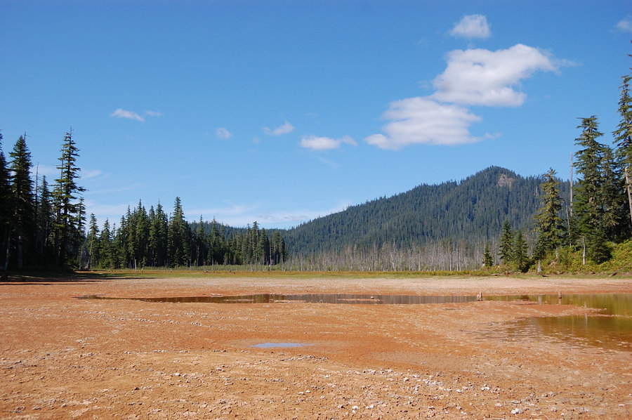
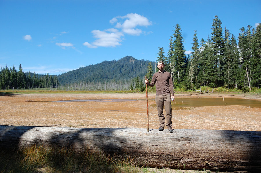
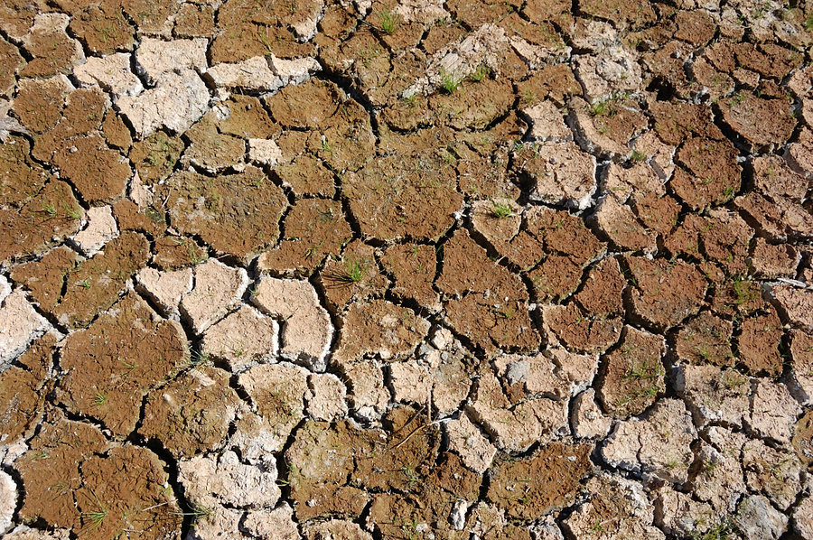
Goat Marsh
2.5 miles of hiking • 250' elevation gain •
My brother had time for a short hike, so we headed to where I hiked last week (less offtrail part). There's really high views to miles ratio, such a nice (and quiet) place! This trail got some brushing/maintenance in the past week.
August 16, 2015


 1
1
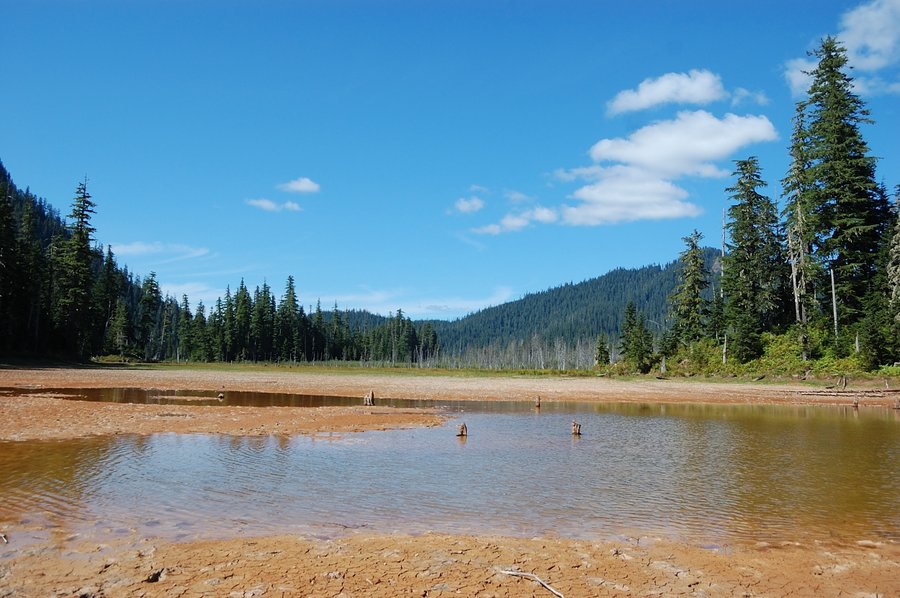
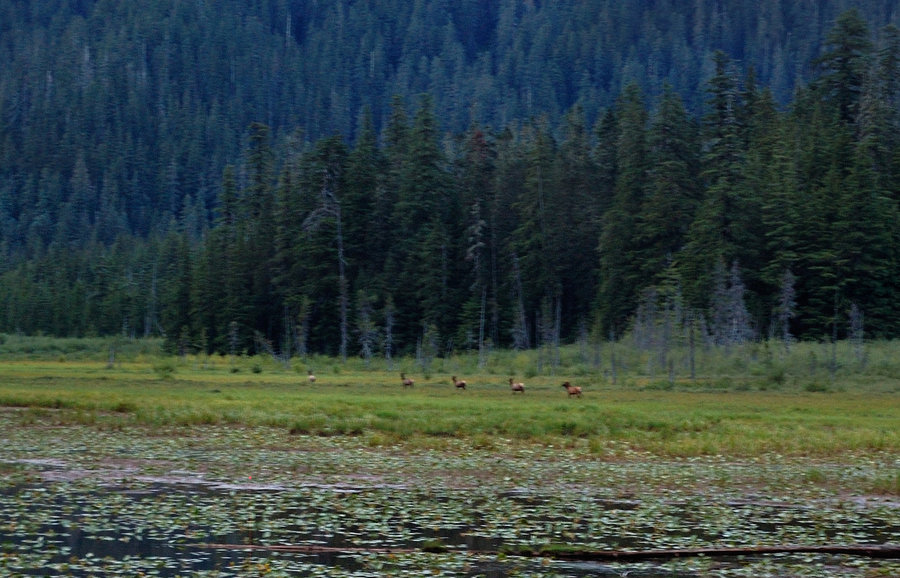
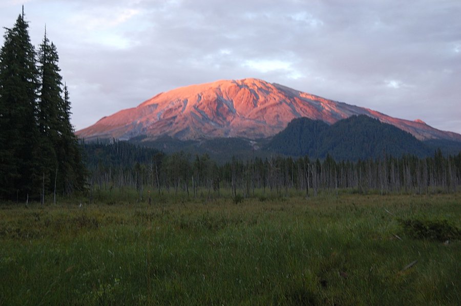
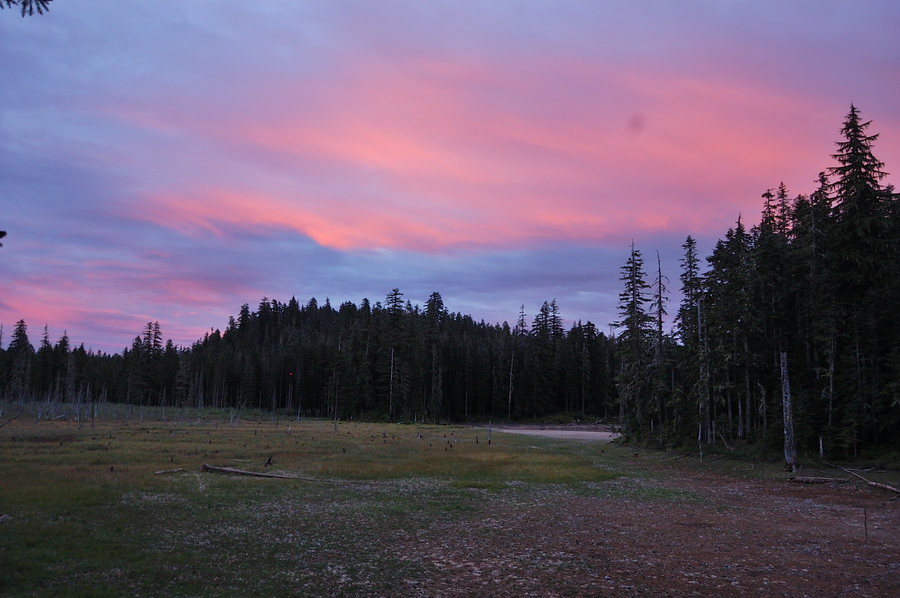
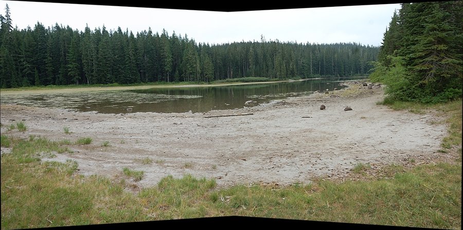
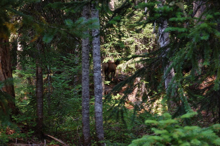
Goat Marsh, 1/2 of Goat Mtn
6.18 miles of hiking • 1500' elevation gain •
Visited the lakes & than tried to ascend Goat Mtn from east side but was cliffed out. Saw a herd of elk on the way back, and sunset on MSH was really nice. Fun day.
GPS track is attached in the link.
August 9, 2015


Chenamus Lake overnight
4 miles of hiking • 250' elevation gain • 1 night
Since I had one more day off, headed over to Placid and Chenamus Lakes. Placid was half dry - it's always much prettier early in the season, but I've never seen it THAT low! Chenamus didn't drop by much, still very nice at this point, but the best part were huckleberries, I ate as much as I could but didn't make a dent. Expected some rain, but only had couple of sprinkles at night and early morning.
August 2 – August 3, 2015


 2
2
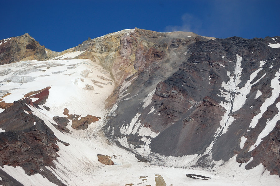
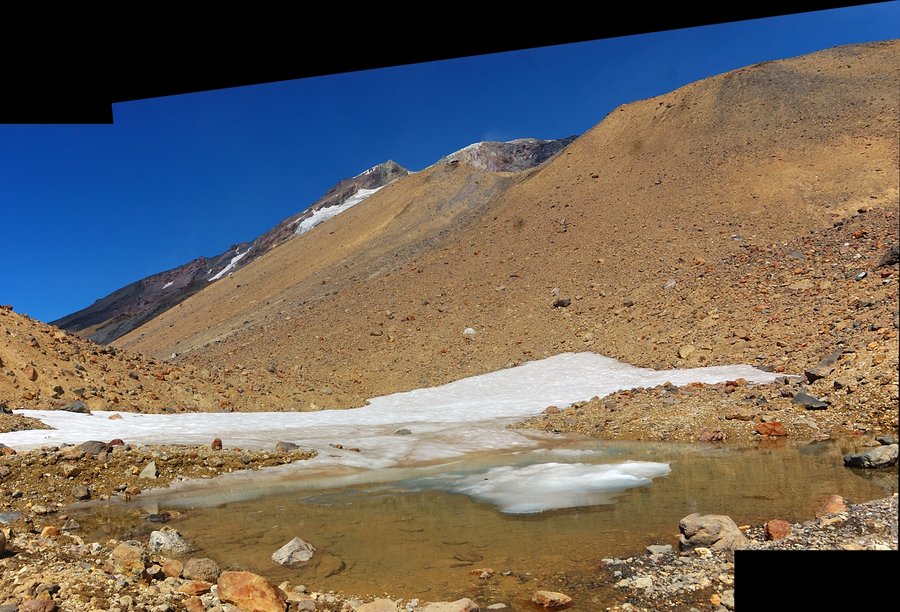
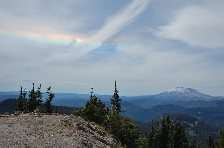
Stagman trail to Avalanche Glacier and The Bumper
22.5 miles of hiking • 5250' elevation gain • 3 nights
Friday-Sunday hike with portlandhiker Kelly (trip report to come)
July 30 – August 2, 2015


Whipple Creek park
4 miles of hiking • 250' elevation gain •
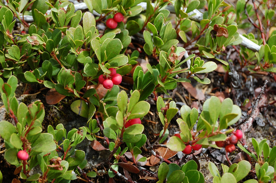
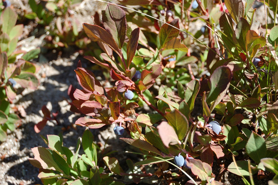
Not much of a hike, but berries were really good there. Blackberries (the sweetest I remember) and the first of red huckleberries.
July 26, 2015
 2
2
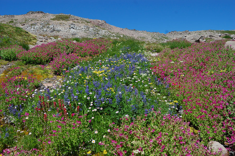
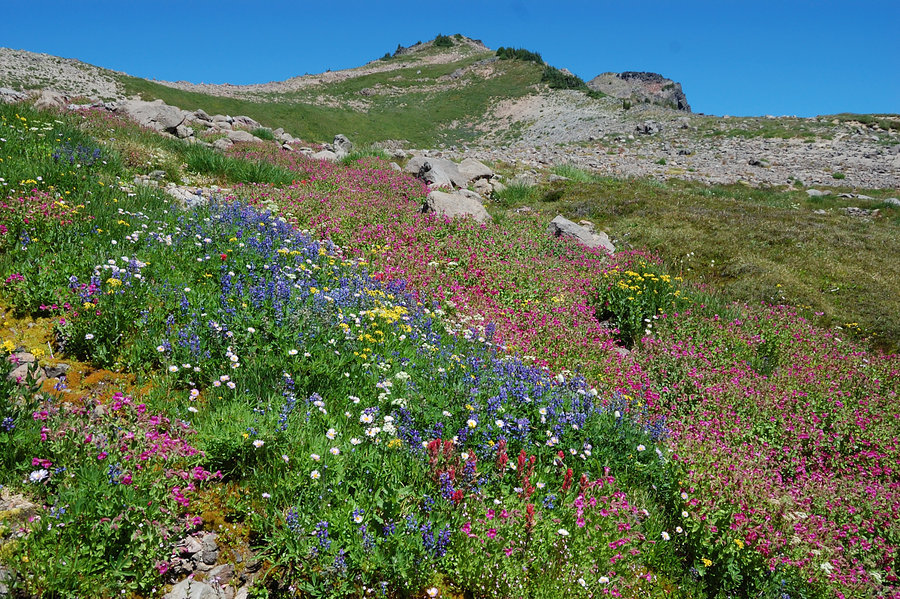
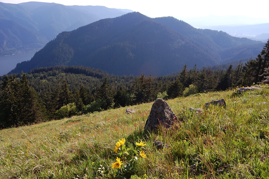
Hawkeye Point
13 miles of hiking • 3500' elevation gain • 1 night
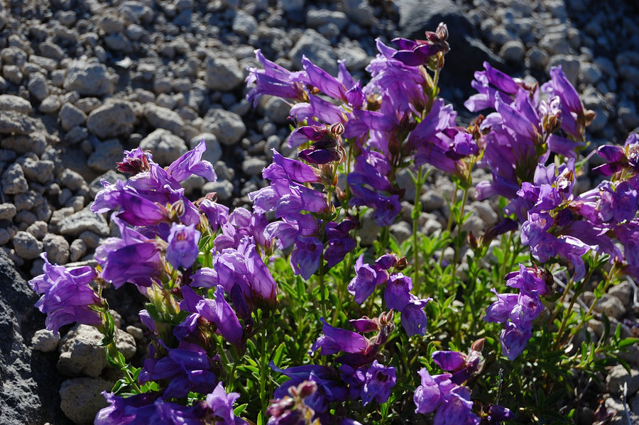
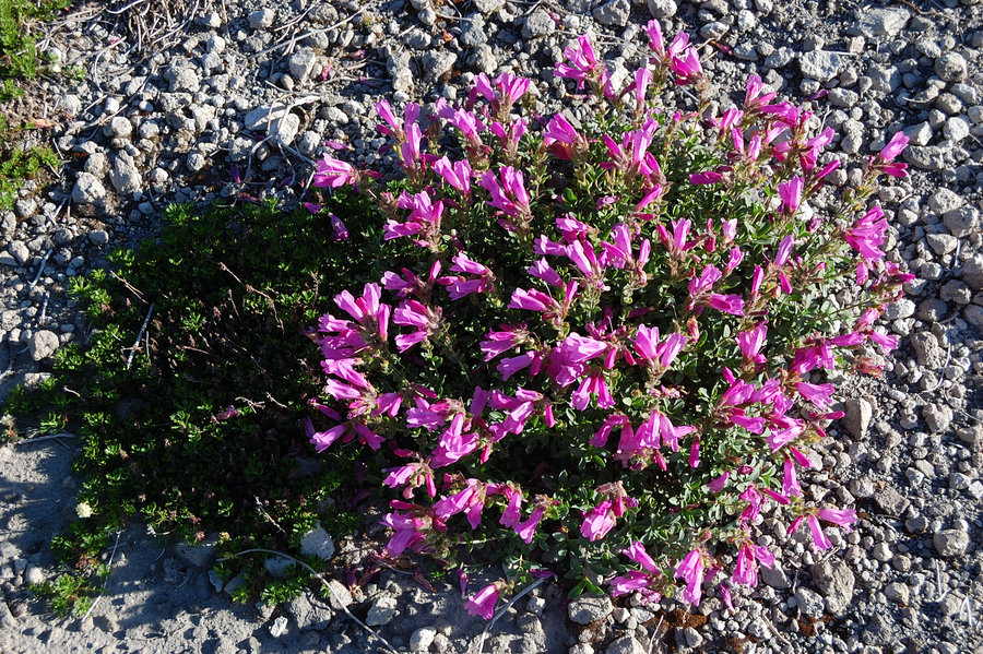
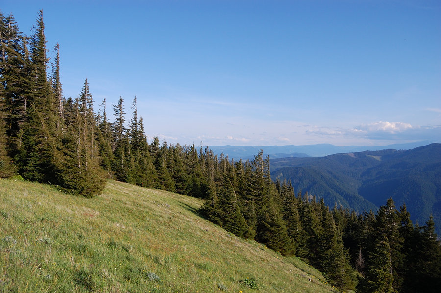
My little vacation didn't materialize, but it was nice to spend 2 hottest days up in the Goat Rocks. Saw the last flowers of the season above 6500 feet, but in most places they already gone. The lake completely melted out, it's color is incredible - I don't know when it will be next time to see it (last time was in September 2009, and I visit there every year). On the way back I climbed up to Goat Ridge past its rocky part, and followed the ridgeline for about a mile - awesome views to Old Snowy and Ives, and the valley below.
July 18 – July 19, 2015


 2
2
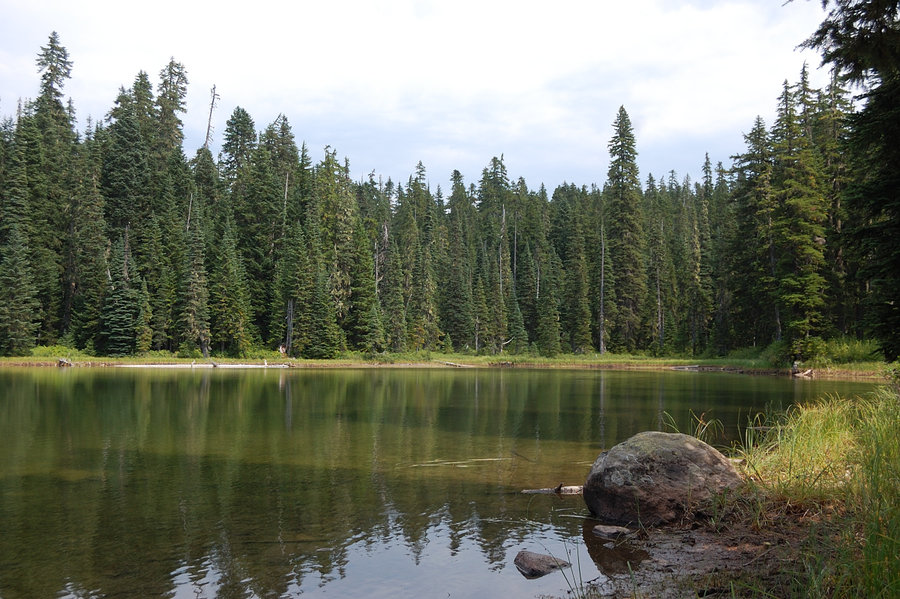
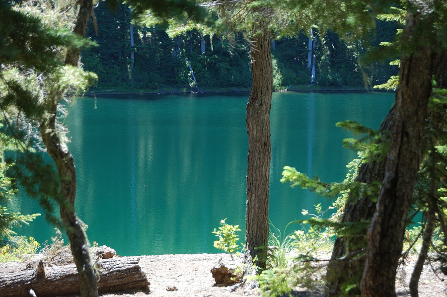
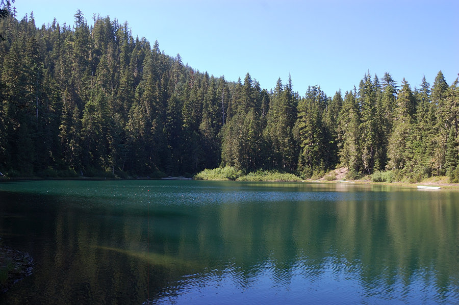
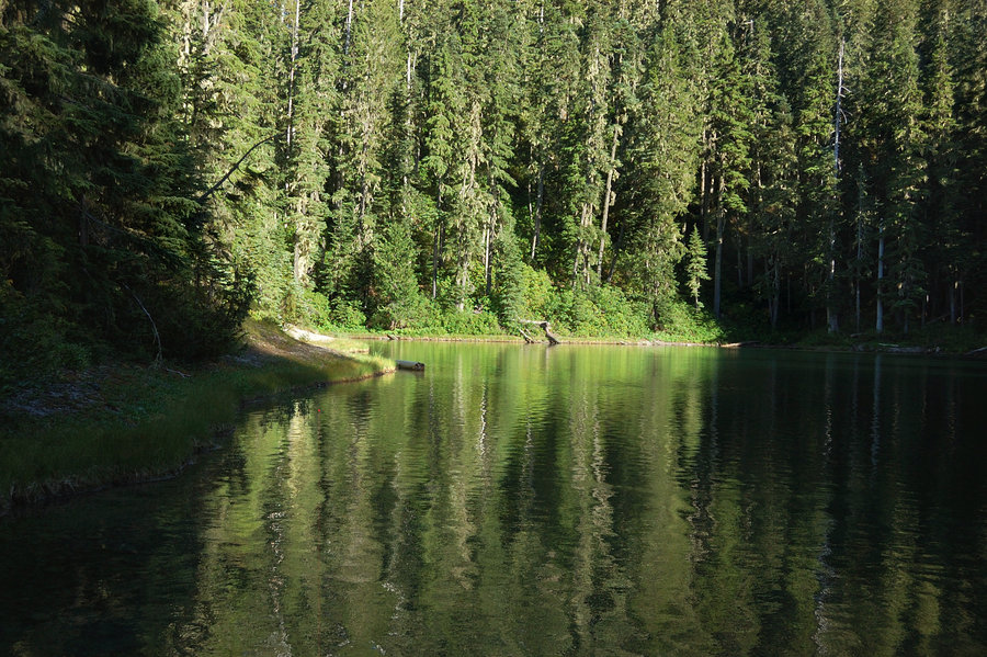
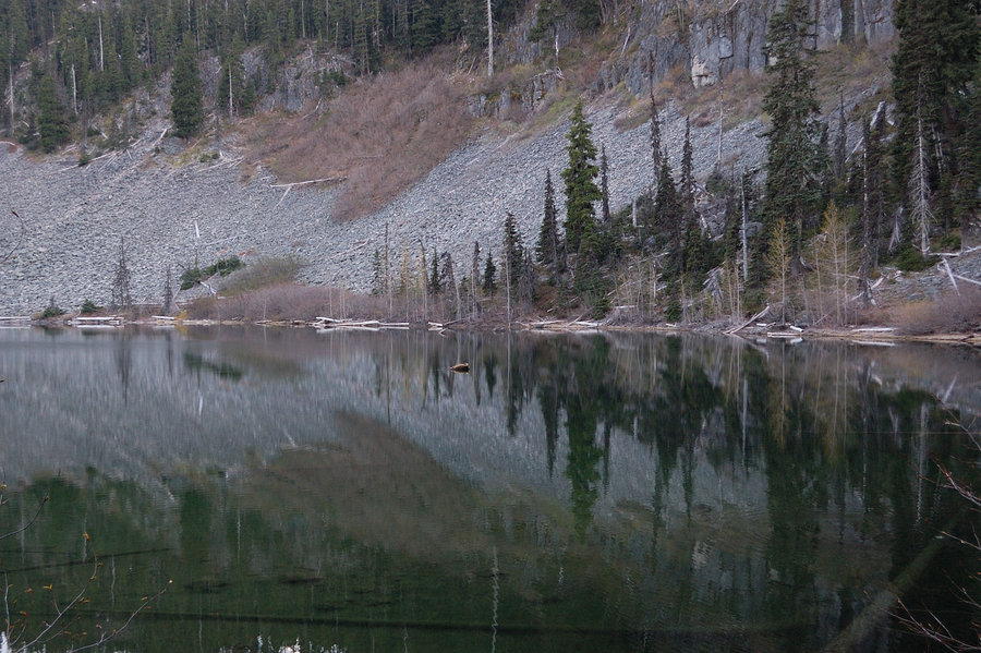
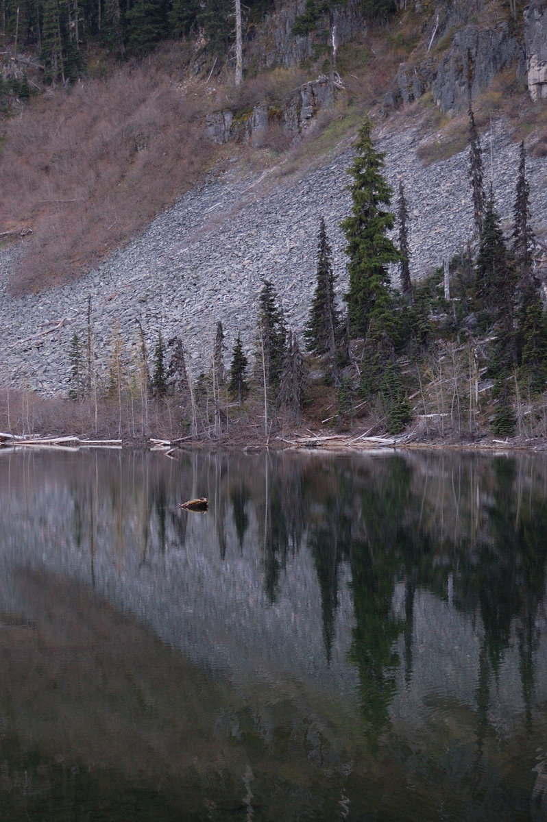
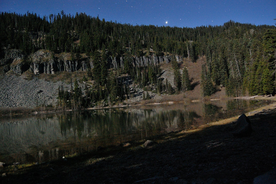
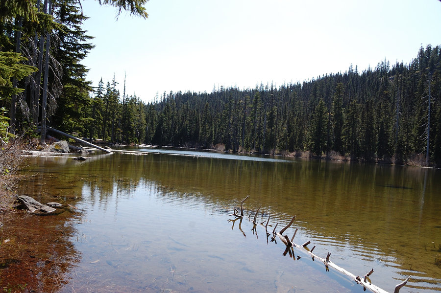
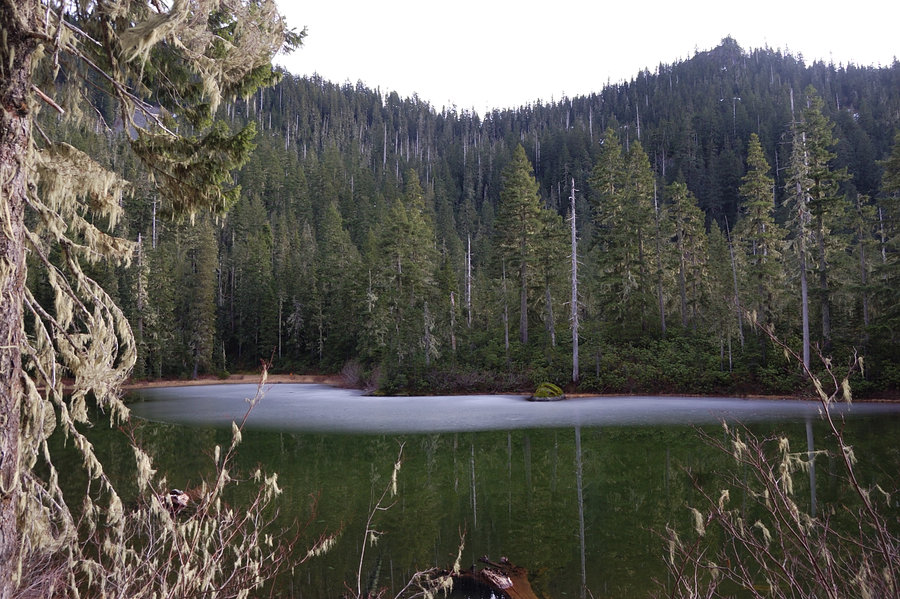
Unnamed lake, MHNF
9.5 miles of hiking • 1750' elevation gain • 1 night
A few miles up forgotten trail. Then 500' vertical offtrail on a hardly discernible boot path - to the most quiet lake on this busy holiday. Really special place...
July 4 – July 5, 2015


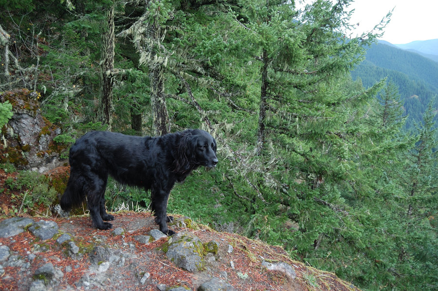
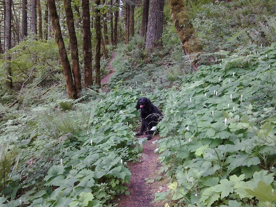
Indian Heaven loop
12.76 miles of hiking • 1500' elevation gain • 1 night
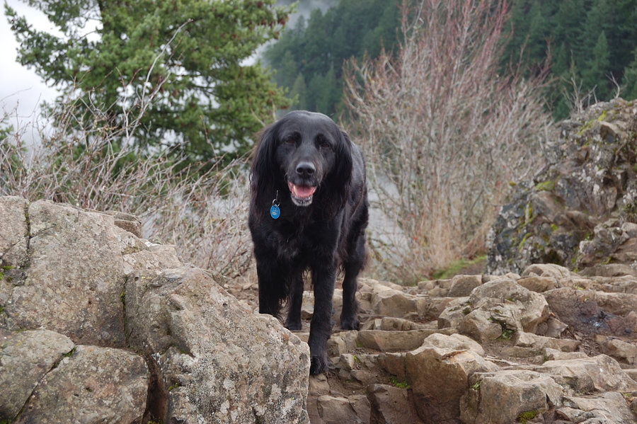
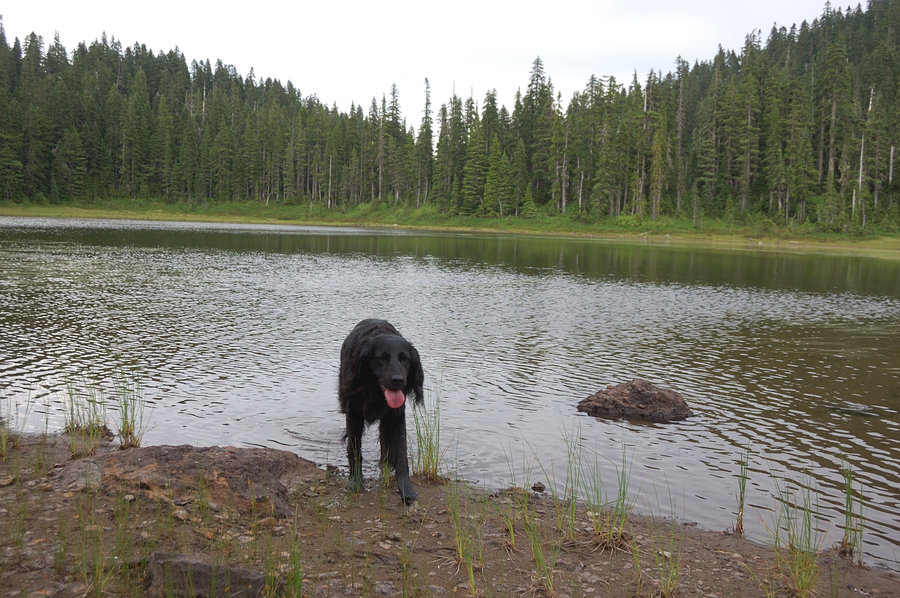
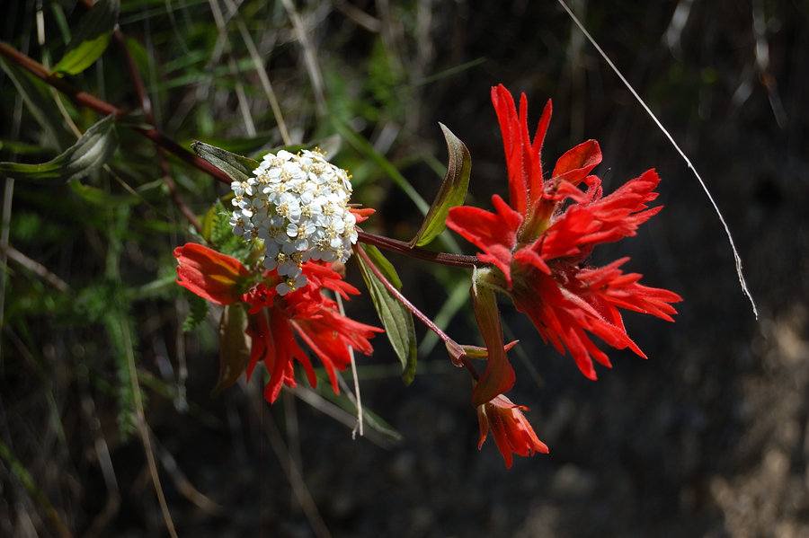
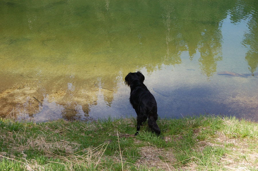
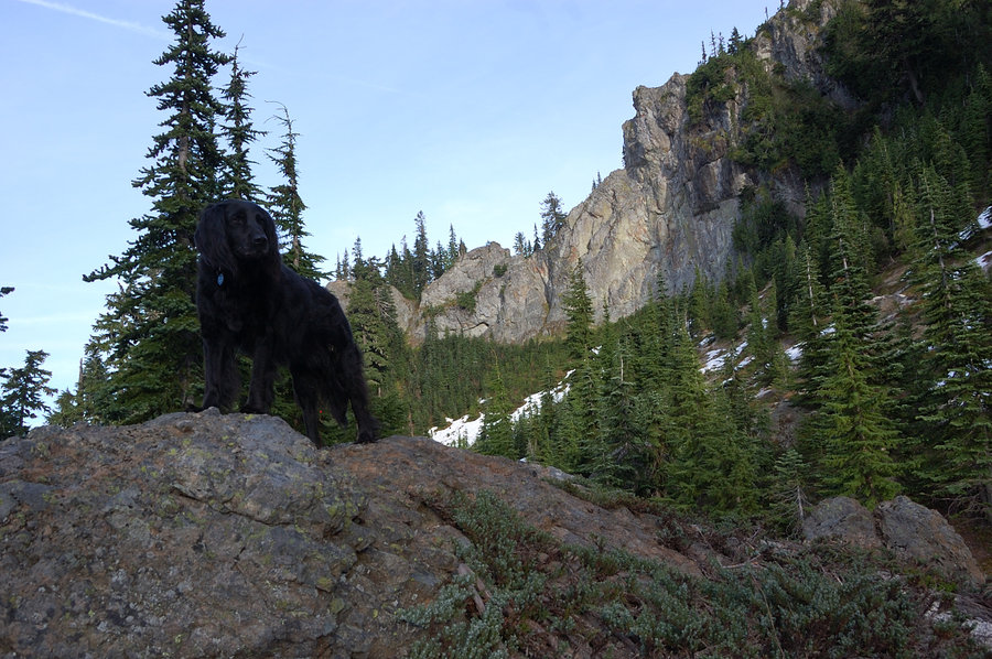
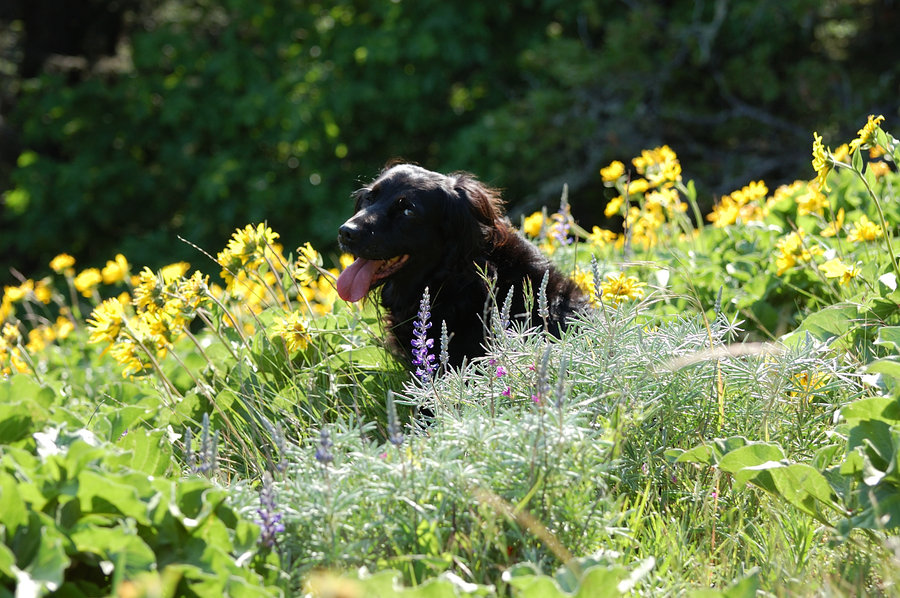
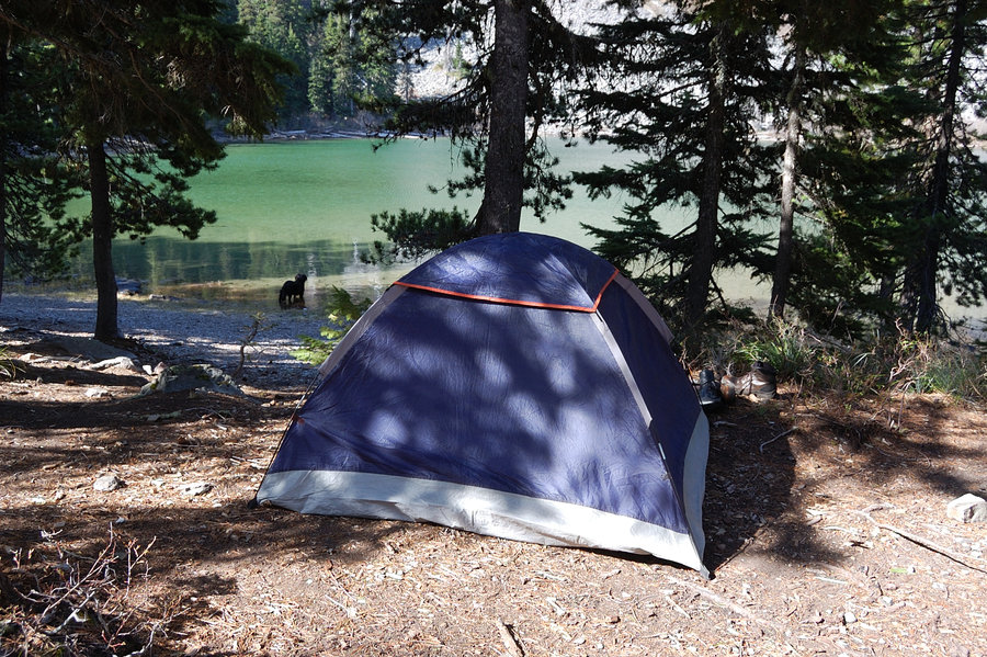
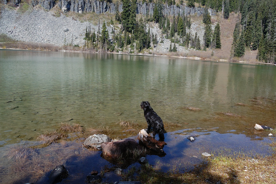
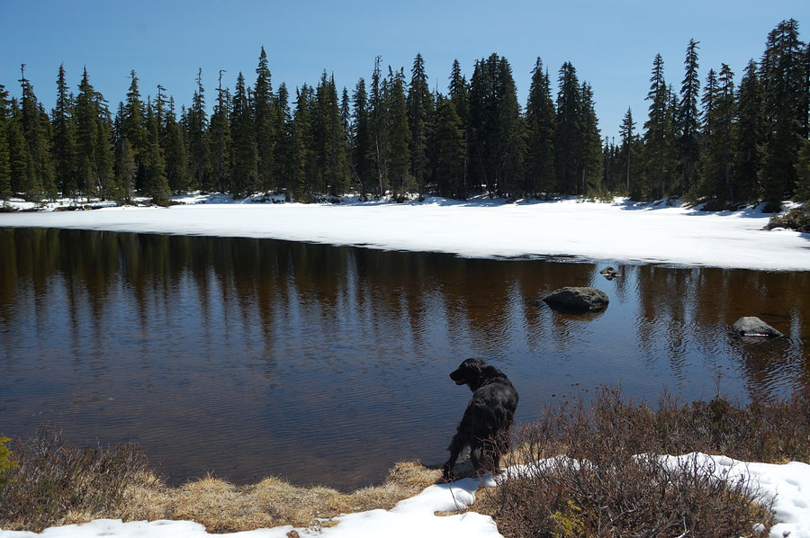
Camped at Placid Lake, made a loop on Sunday and visited Chenamus, Junction Lake, and went above Bear and Deer lakes on PCT - probably should have stayed down at Placid because it was so hot and mosquitoes didn't allow us to stop or rest. But it was nice to see the area in summer, still lots of beargrass. Looks like there will be loads of berries in the fall. Down at Placid were almost no mosquitoes, like I hoped (it's a lower lake so the bugs start and end earlier). The water was excellent, and the lake level still pretty high. It was nice to take Pepper camping again as she now recovered and ready for more hiking.
June 27 – June 28, 2015


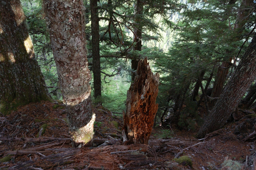
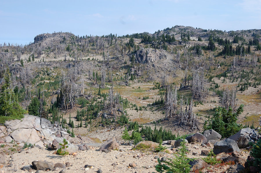
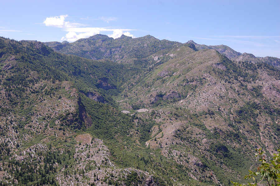
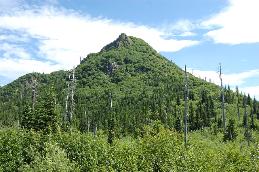
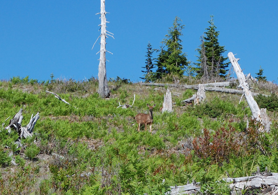
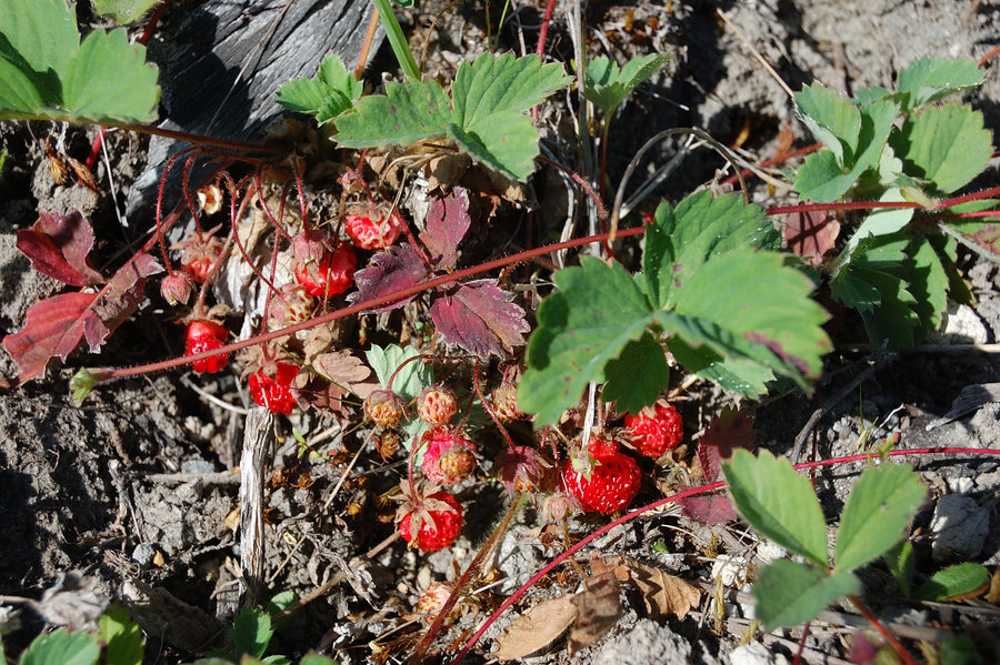
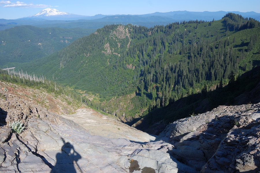
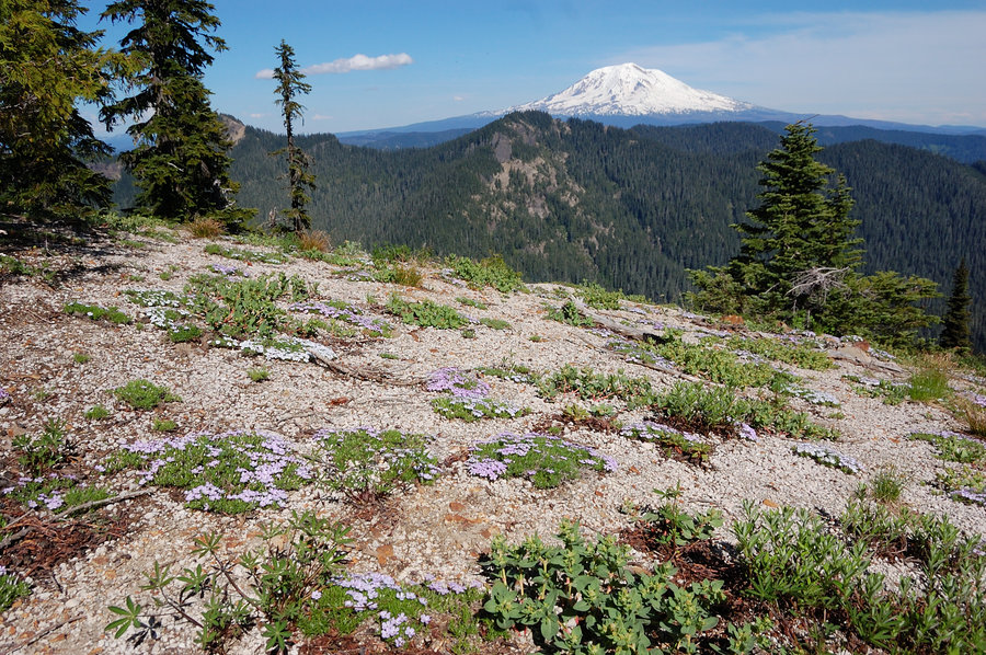
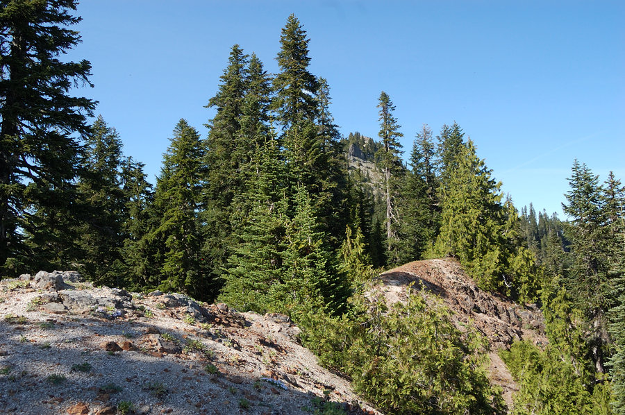
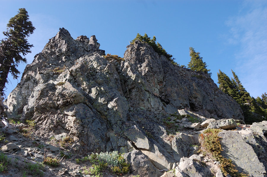
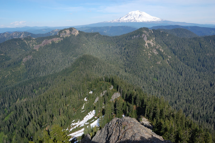
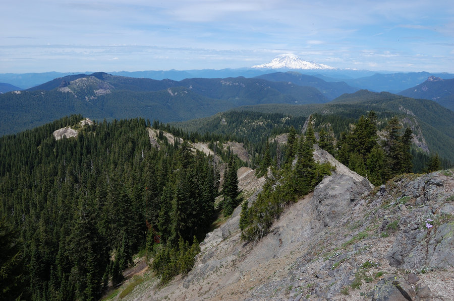
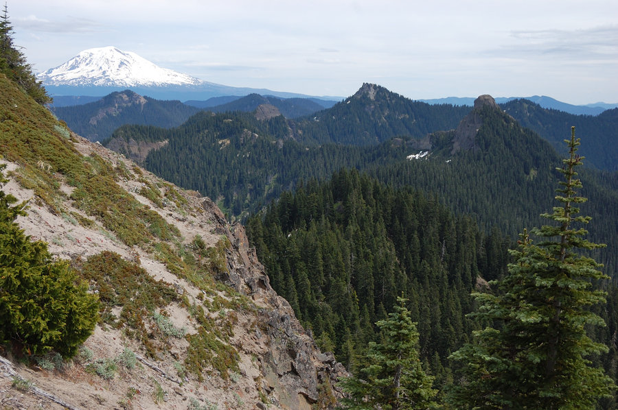
Peak bagging near Norway Pass
9.25 miles of hiking • 3000' elevation gain • 1 night
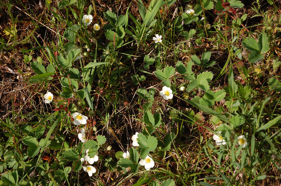
Joined Kelly from PH and 2 SAR veterans to hike Bismark Mtn and 2 other unnamed, untrailed summits on both sides of Rd. 26. Great day, all-around views, several deer and elk sightings, and loads of wild strawberries. Green, lush area with lots of wildflowers, but already very dry.
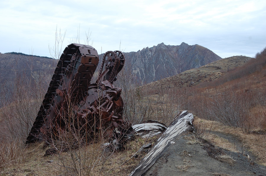
Kelly knows lots of stories and history on that area, apparently there were 500+ mines (!) in surrounding area and down at Spirit Lake. Also, before the 1980 eruption, you could drive onto Plains of Abraham (old road grade is still there in places). We still couldn't explain phone wire and old trail grade we saw on Bismark, there's any information about lookout tower, or pretty much anything on that mountain before the eruption.
June 22 – June 23, 2015


Yale Lake - new trail
2 miles of hiking • 250' elevation gain •
Going back from the trip, I stopped at "free" pullout to get a quick swim and what do I see. Instead of steep scramble to the lake there's nicely constructed trail, with footsteps and handrails and all! It's still in construction phase, I didn't follow it to the end but it seems to link campgrounds of Beaver Bay and Cougar Park, and maybe even Cougar. Didn't ever hear of the trail plans. The trail avoids going down to the beach though (fine with me), in easy places it stays fairly high and only goes down near the wetland. So after the hike, scrambled down to the beach and another surprise was water level - it was much higher last 4th of July (and I'd say the water was much clearer). The shoreline was 50 to 100 feet back this time and even formed new islands.
May 31, 2015


 1
1
Elk Pass to Craggy Peak
21.2 miles of hiking • 4500' elevation gain • 2 nights
Hiked Boundary Trail via Badger Lake, Kirk and Shark Rock, to Craggy Peak, scrambled to false summit. On the way out detoured to Badger Peak, the site of former lookout. Stayed both nights at Badger Lake.
May 29 – May 31, 2015


Bonanza Mine trail to Boulder Ridge
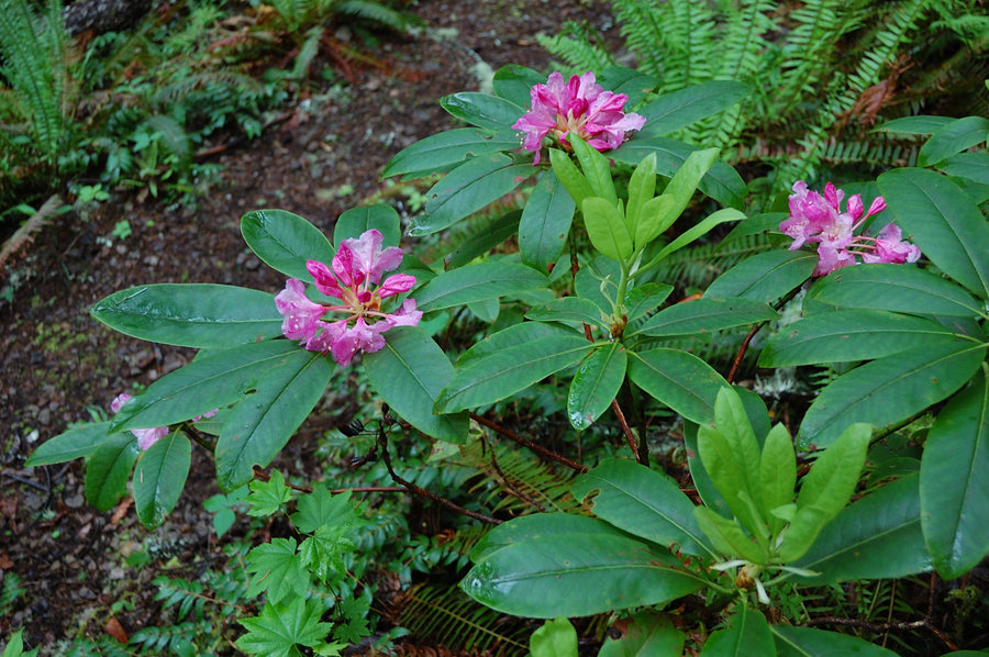
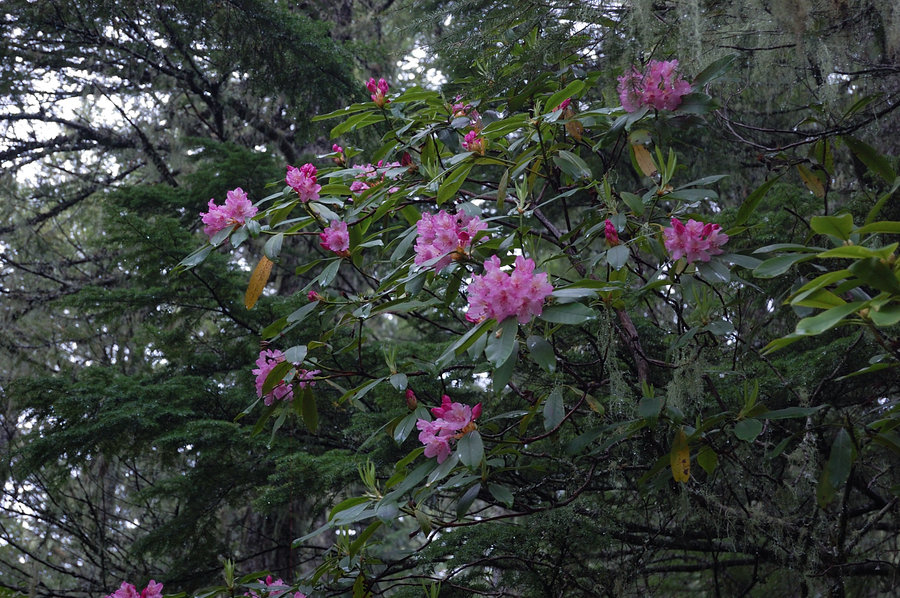
10 miles of hiking • 2750' elevation gain •
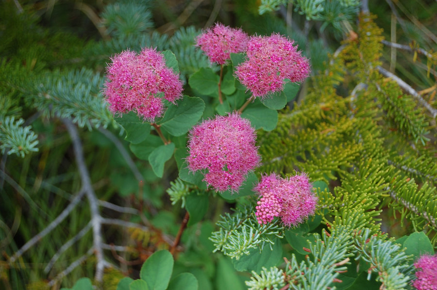
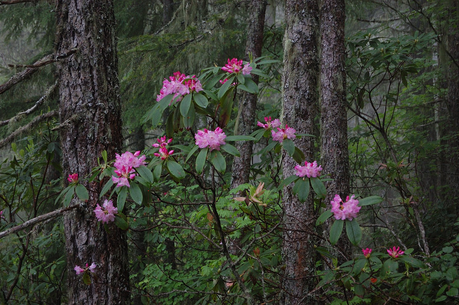
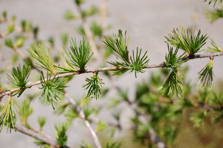
Quiet day hiking little-used trail. Rhododendrons and beargrass already starting to bloom, will get better in the next 2 weeks. Lots of ripe salmonberries on the lower trail. The ridge looks interesting destination for a clear day, some open views I coudn't see. Decided to skip the summit because it was well past my turnaround time.
May 26, 2015


 1
1
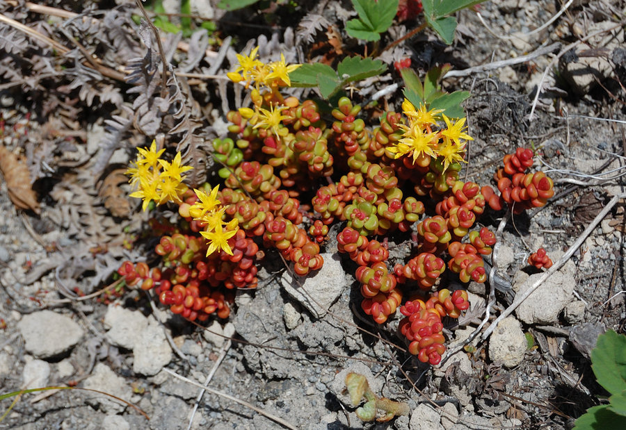
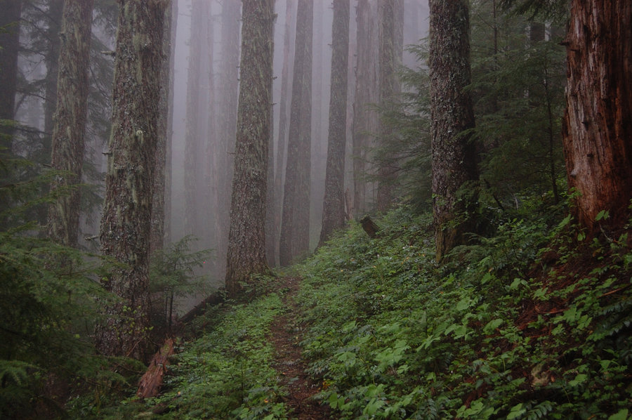
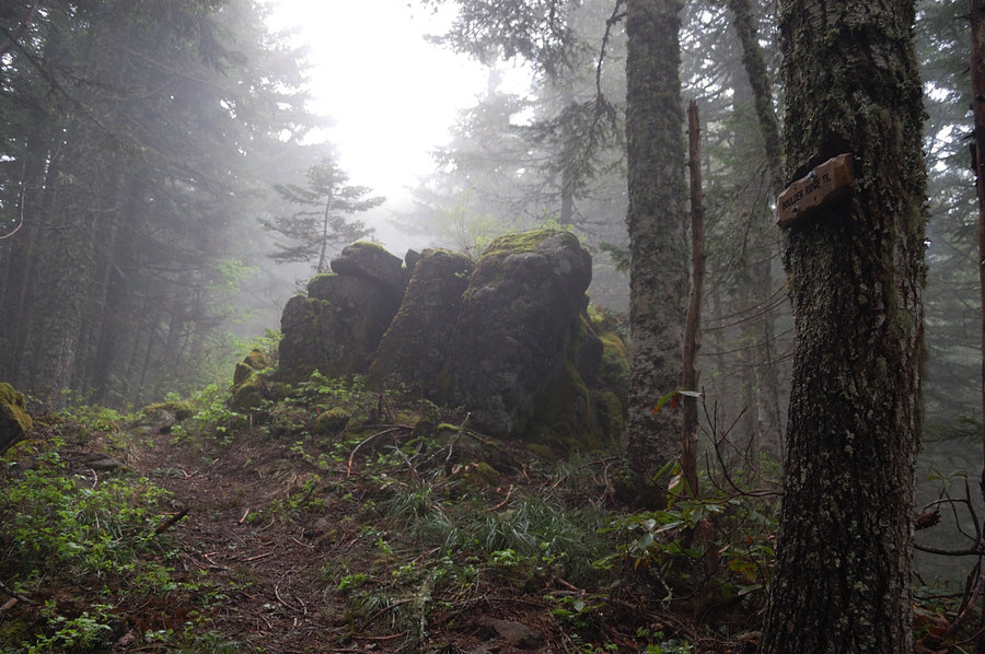
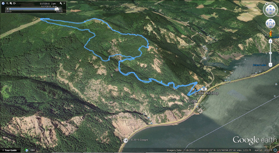
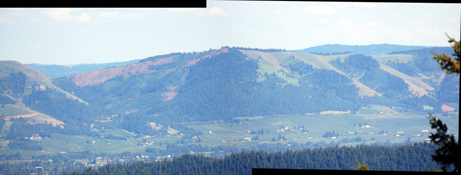
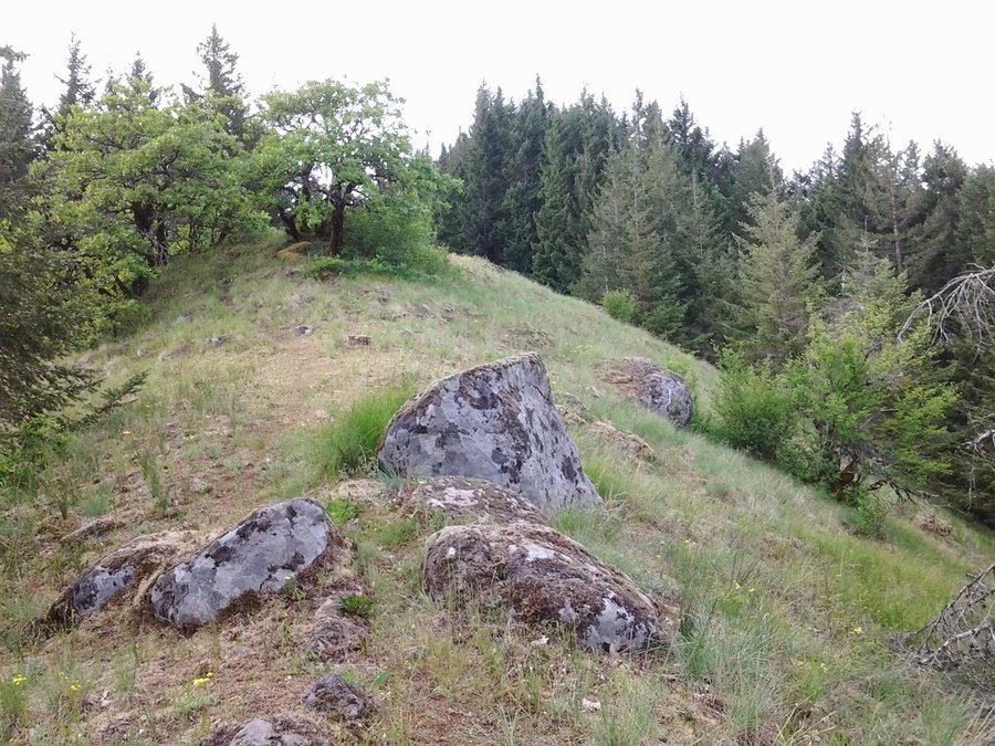
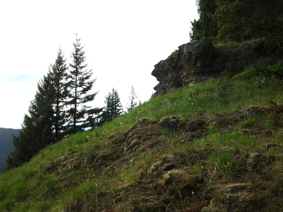
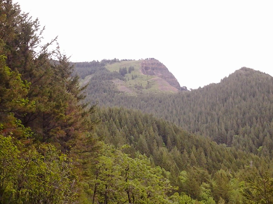
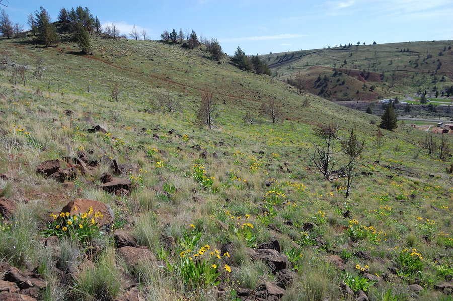
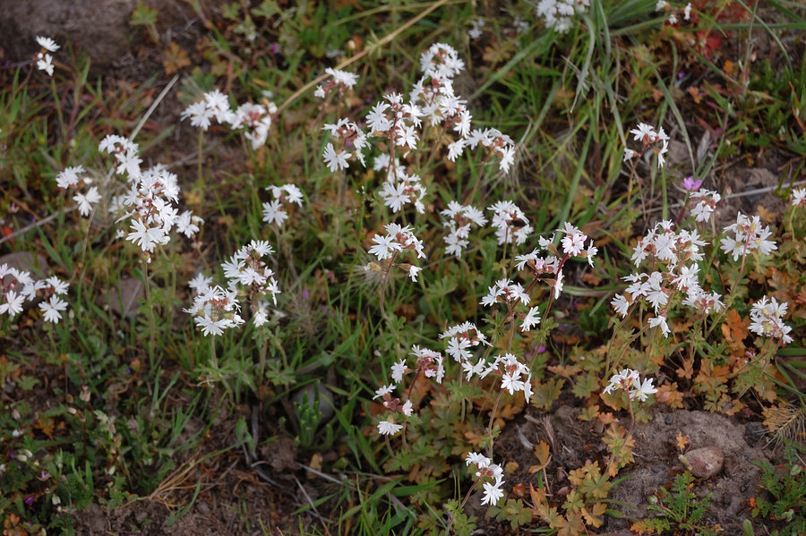
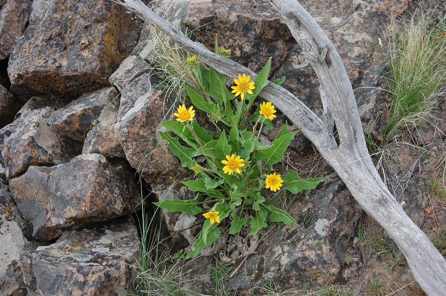
Cook Hill loop
8.63 miles of hiking • 3000' elevation gain •
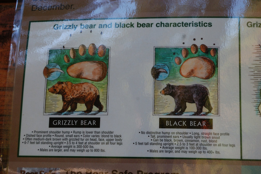
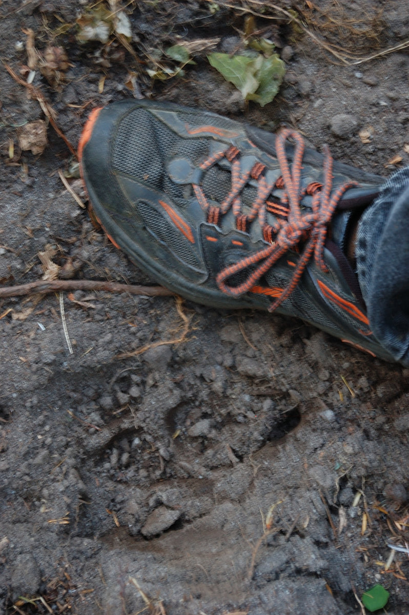
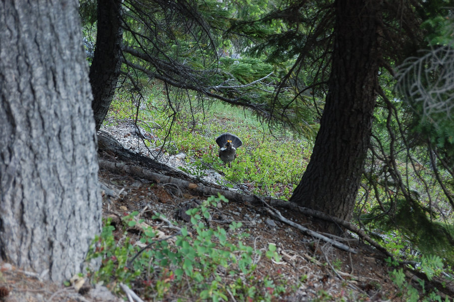
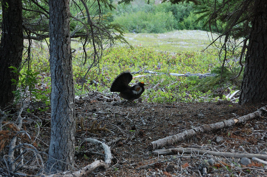
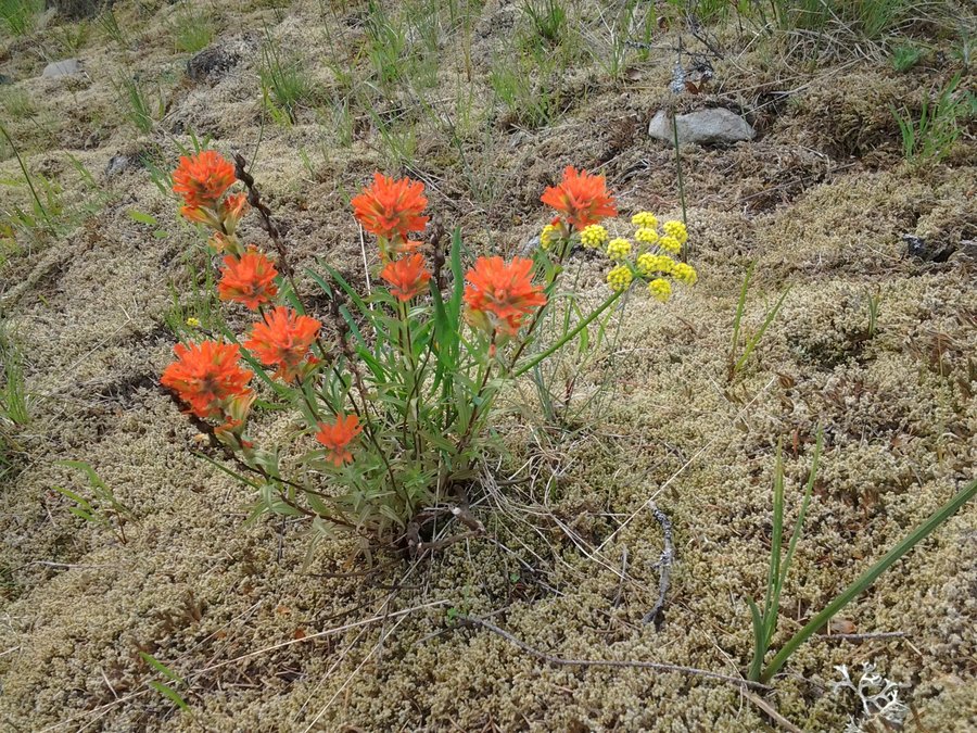
Very nice hike, so quiet and wild. Watched raptors play above balsamroot field, found my way through untracked meadows, saw a bear cub up close. Even got two blurry pictures of it (#26, 27 but it was after I wasted a few seconds, it was much closer when I saw it running away from us). A bit too many ticks there, but otherwise this place is gorgeous.
May 17, 2015

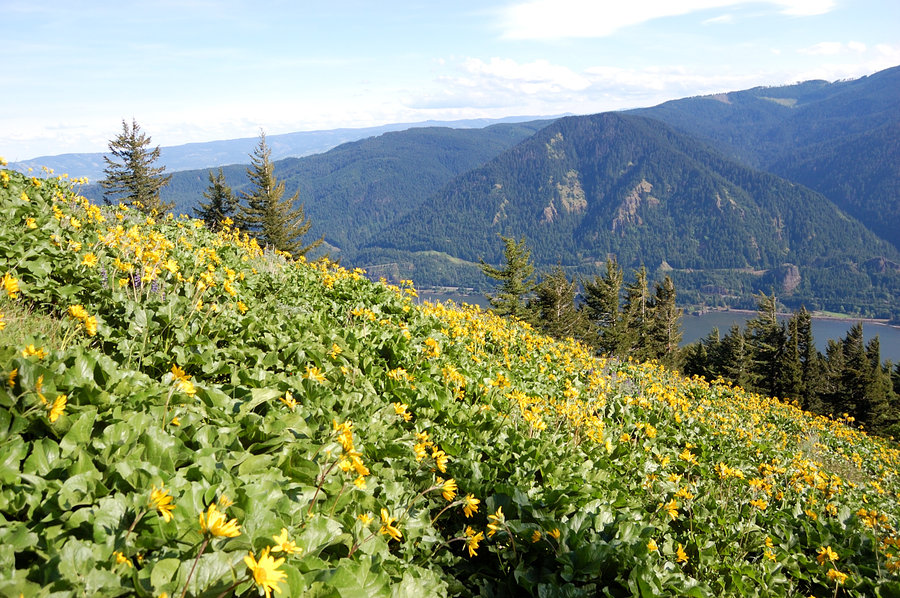


May 10, 2015


.jpg)


 1
1
Boulder Lakes loop
6.63 miles of hiking • 1250' elevation gain • 1 night
It's been wonderful two days exploring area around two of Boulder Lakes, before mosquitoes start in honest. Almost no snow, though it looked it was a lot more prior week. Only saw 2-3 mosquitoes each evening so the timing was right (also a "pet" deer visited us in camp and waited for handouts, but finally gave up). It was so nice down at Boulder Lake I almost didn't hike (till 2pm on Sunday!).
May 2 – May 3, 2015


 3
3
Munra Point and Wachella Falls
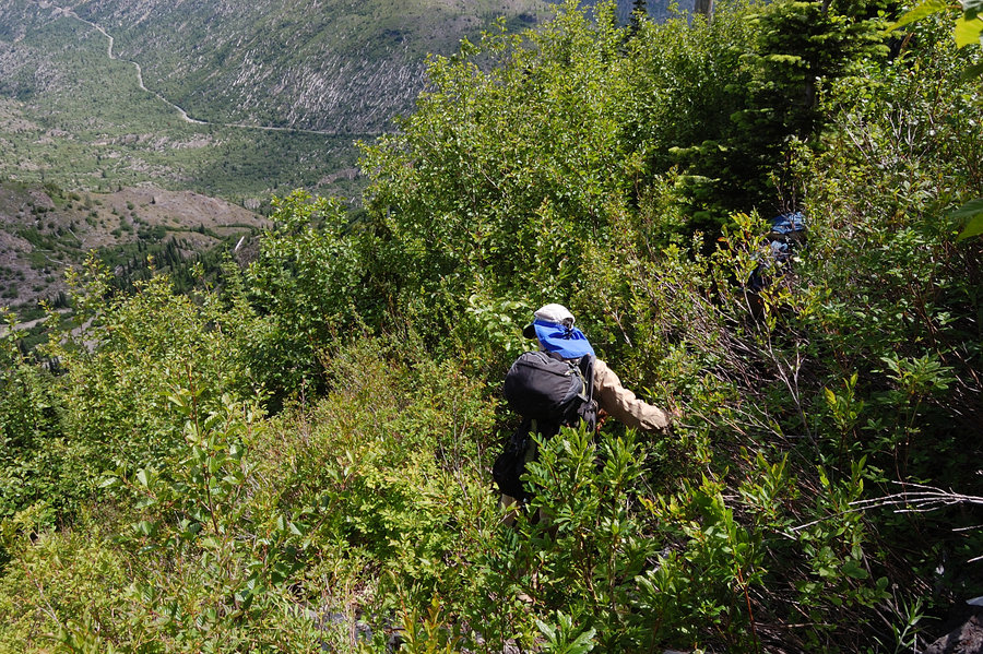
7.5 miles of hiking • 2000' elevation gain •
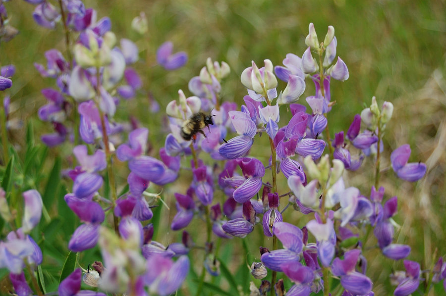
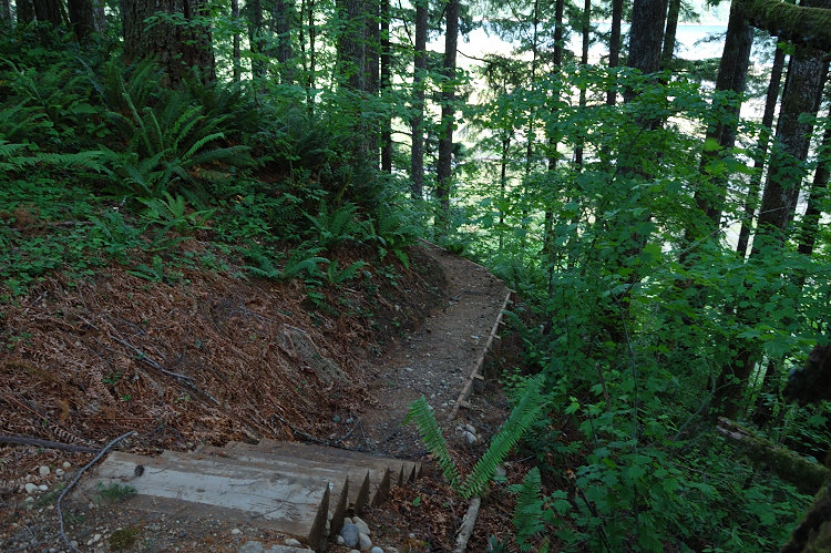
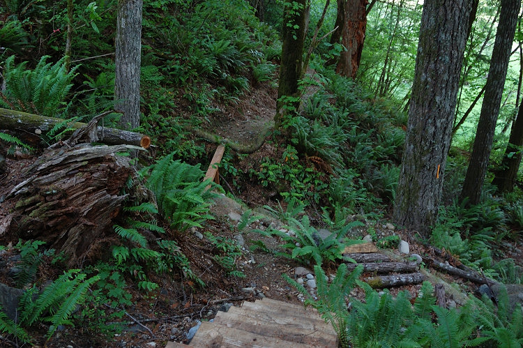
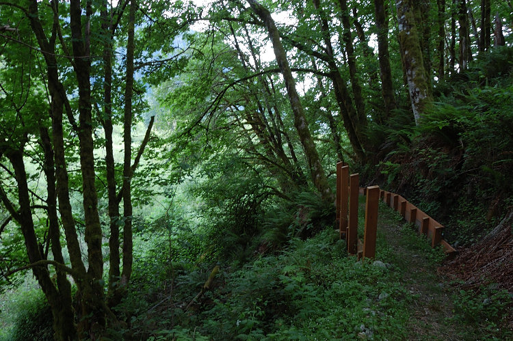
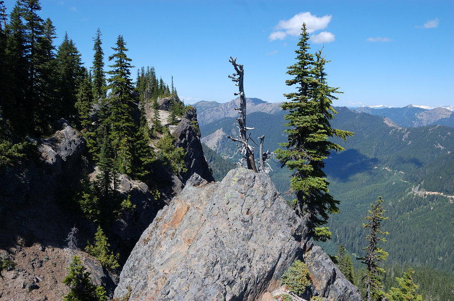
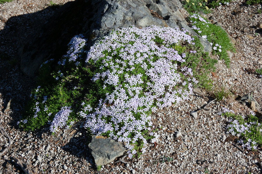
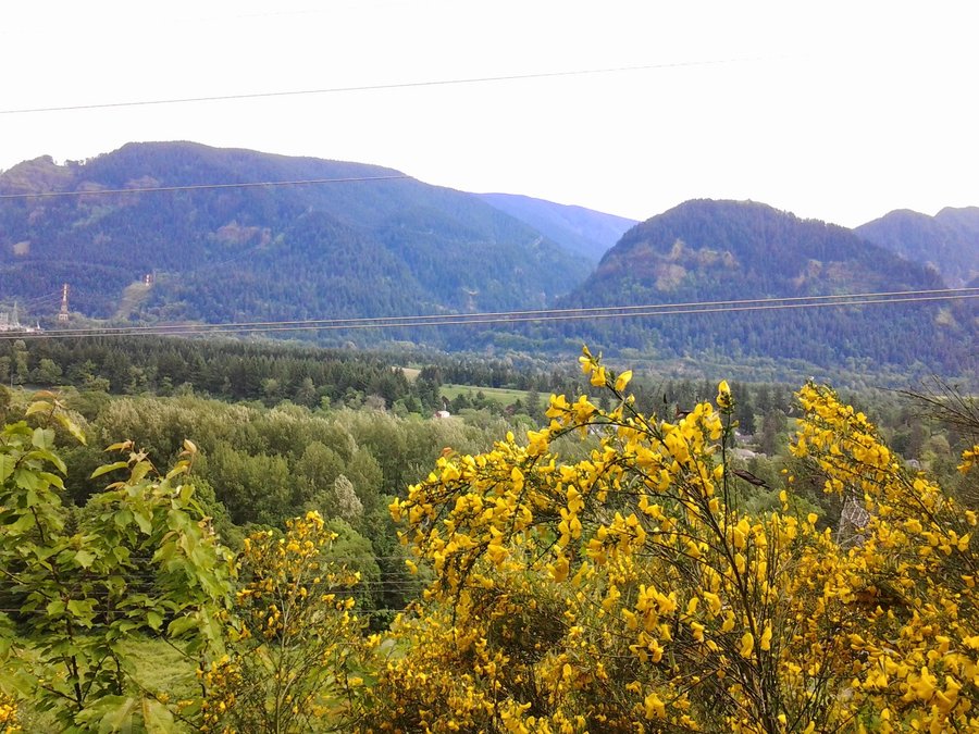
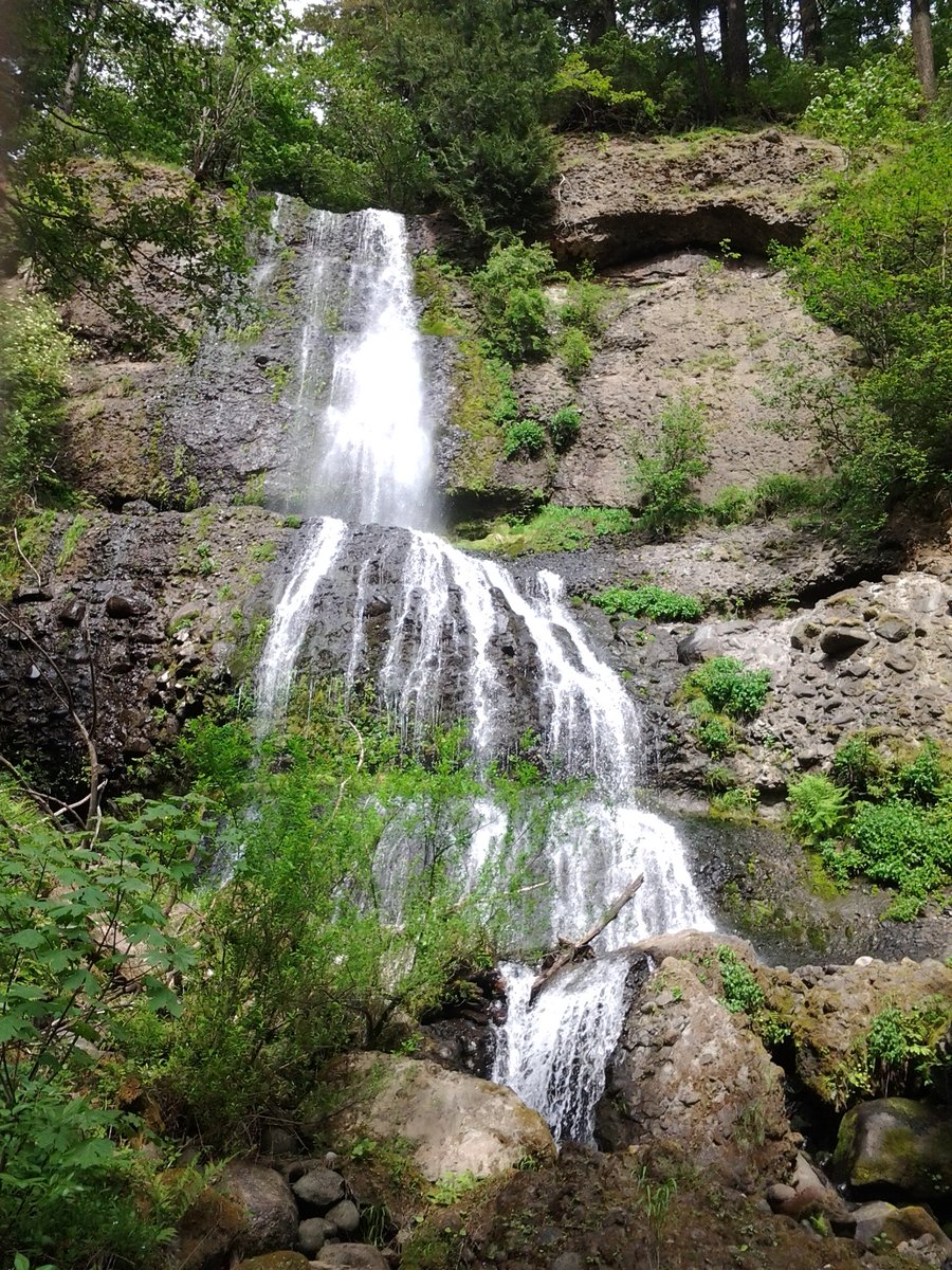
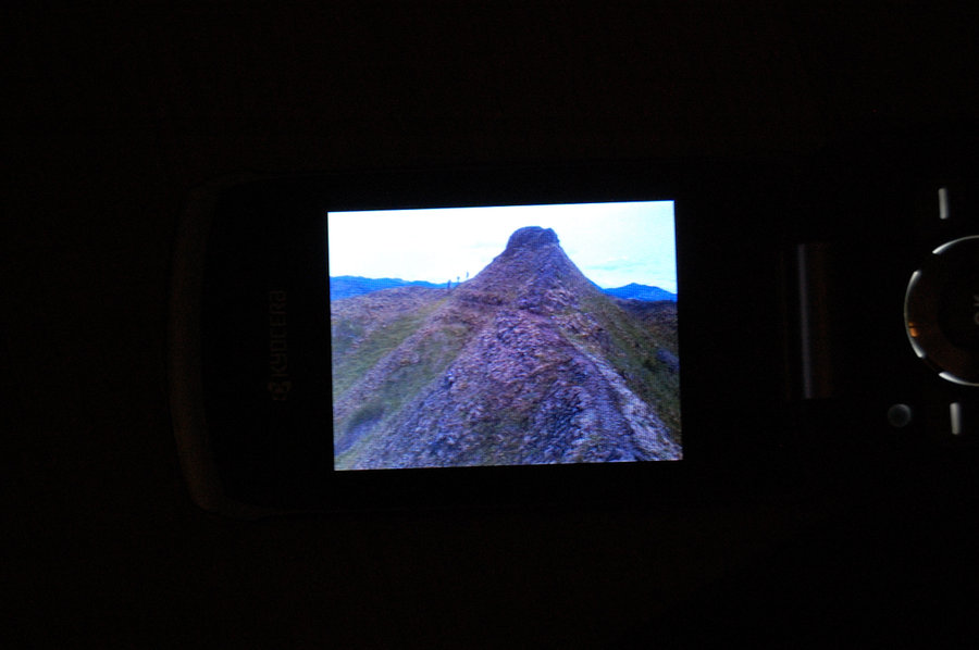
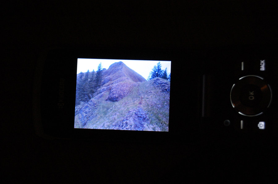
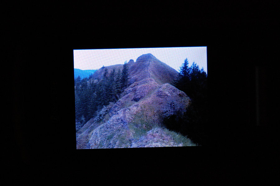
5 of us Portlandhikers did a trail improvement on lower switchbacks to Munra Point. We blocked off eroded - and way too wide - "direct path" so that hikers would take switchback trail (the idea was to take care of the problem before it grew even bigger and the FS would move in and do something like closing unofficial trail and whatnot...). After that, we hiked to Munra summit - that ridge is really cool, I liked the views from there & the scramble itself. Carpets of flowers on Munra right now, especially yellow Glacier Lilies and Phlox, with some mix of Larkspur. From the summit, we parted ways and I hiked south along the ridge & back, all the while wondering where's the crowds that Oregonian article would bring on this hike? Only saw 1 other group for almost an hour I was up there. The trail on top of the ridge was straightforward, the only part I couldn't do was the last 20 yards at north end of the ridge - that was really narrow with no room for error. Heading back around noon, I started to meet group after group going to Munra, helped 3 or 4 groups with directions (most of the hikers were well-prepared though). After coming back to the car, I added a short hike to Wachella Falls, also the first time for me. The photos are of my cell phone, since I expected long trail work in the rain and didn't bring my camera.
April 26, 2015


 2
2
April 18 – April 19, 2015


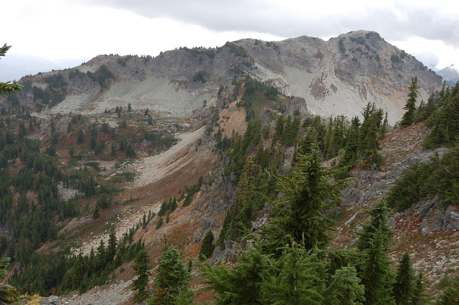
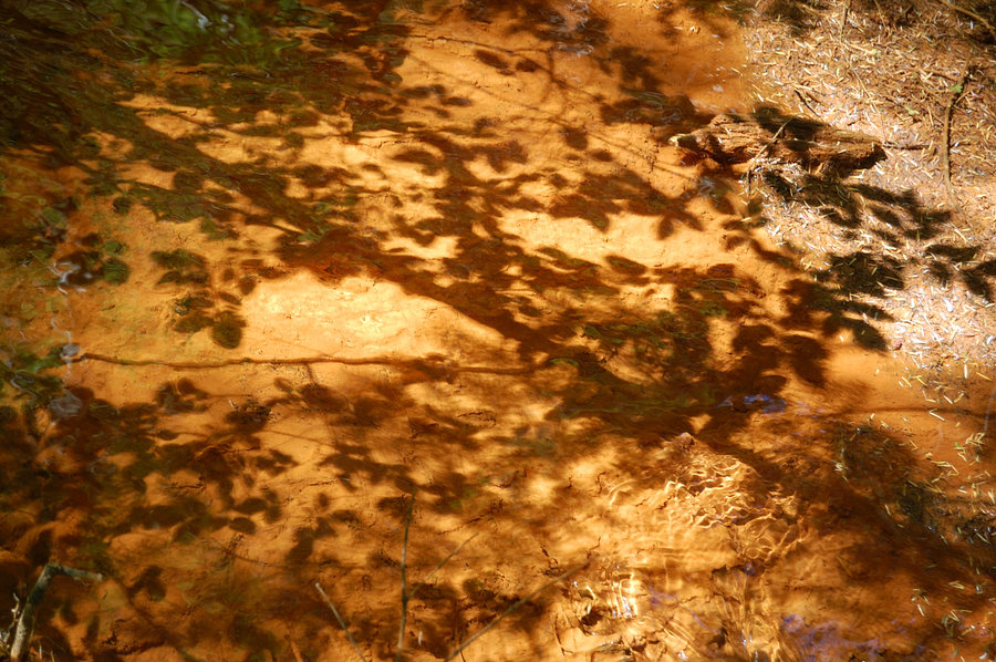
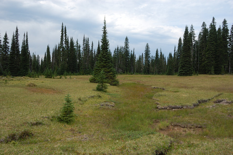
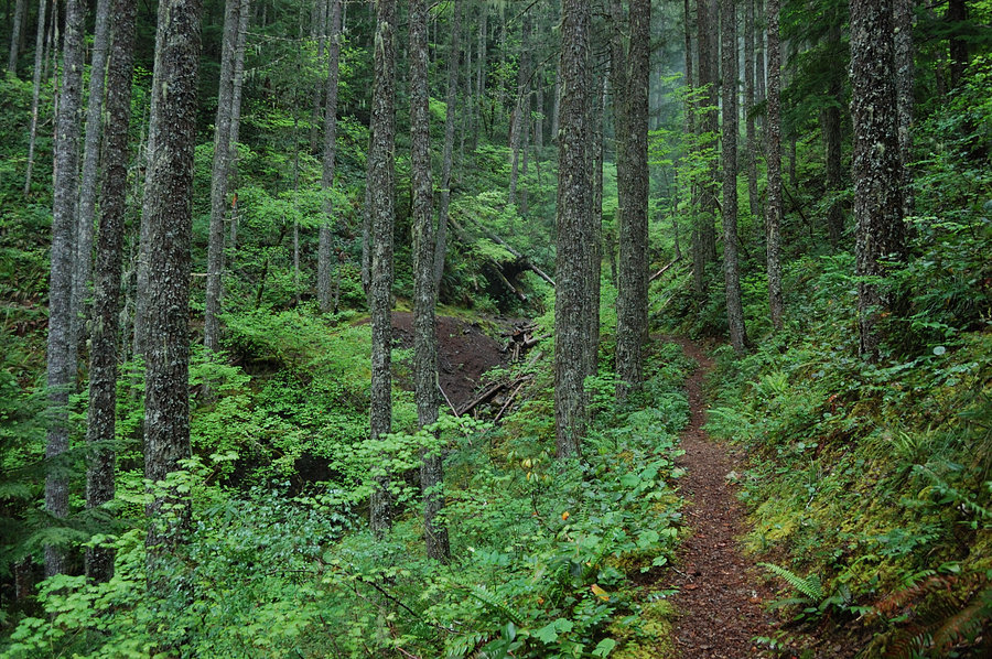
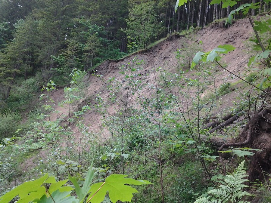
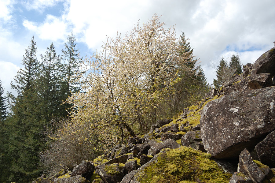
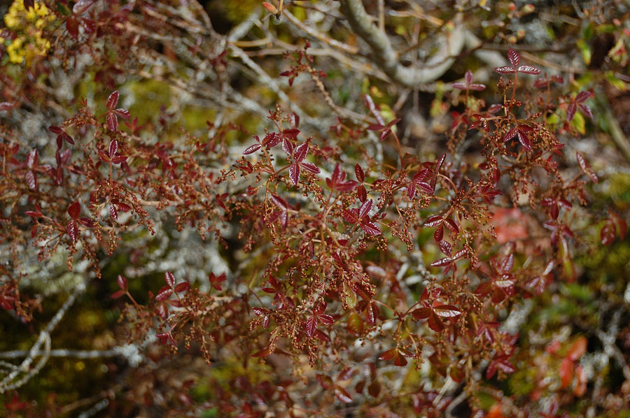
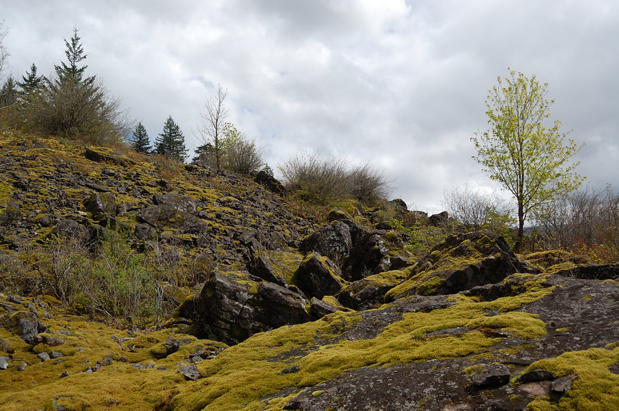
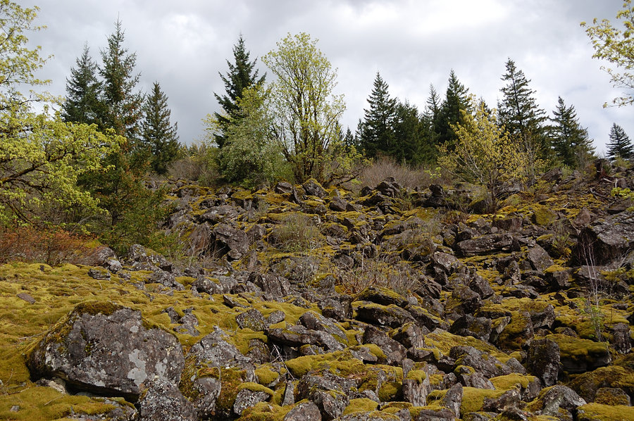
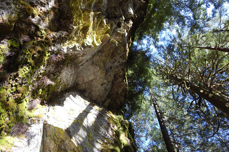
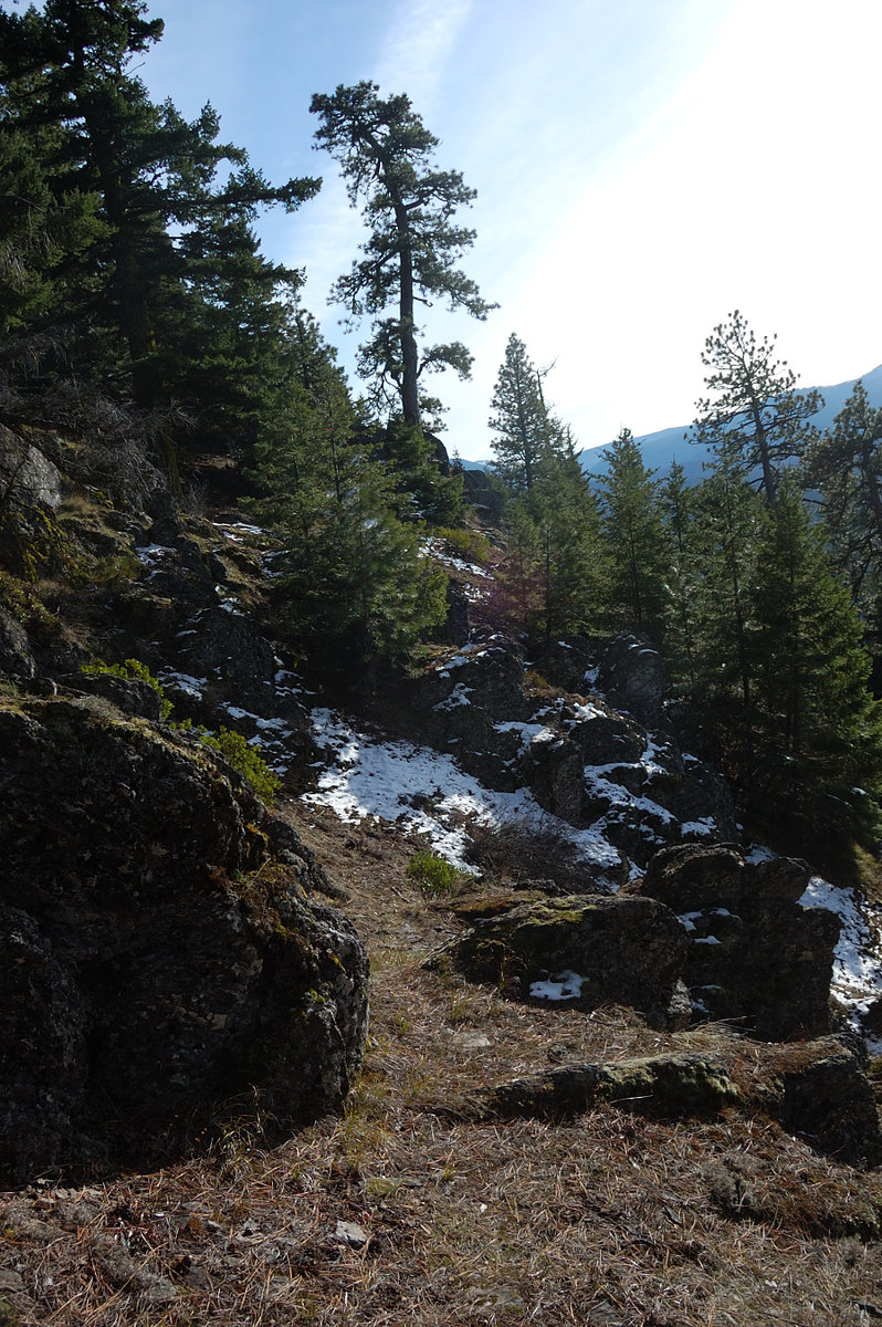
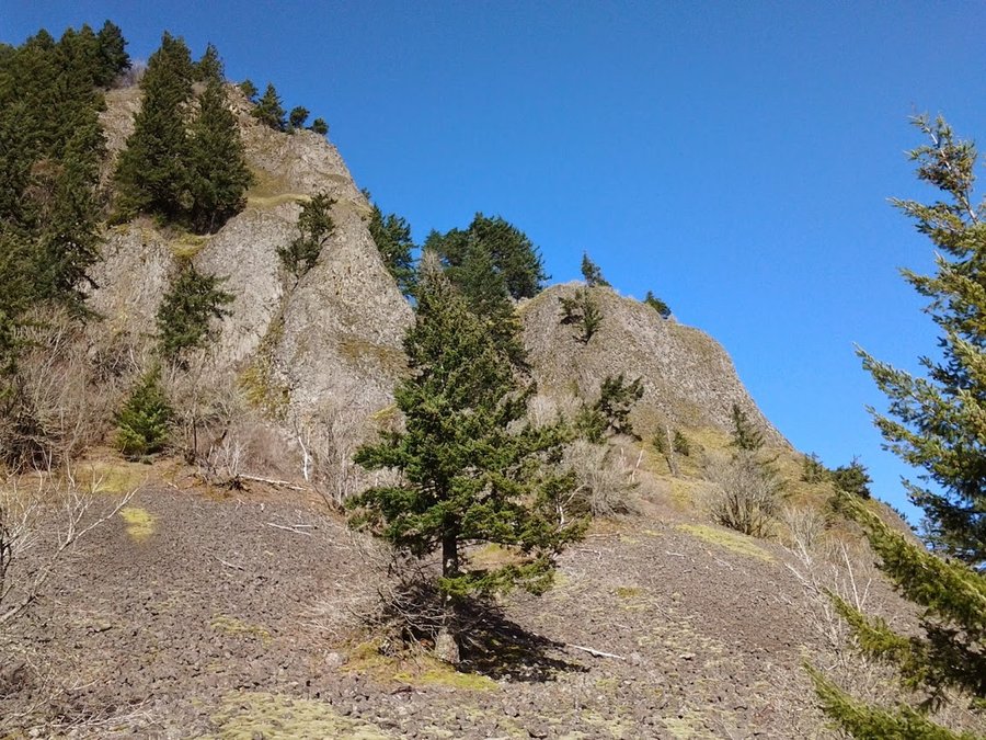
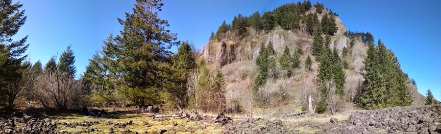
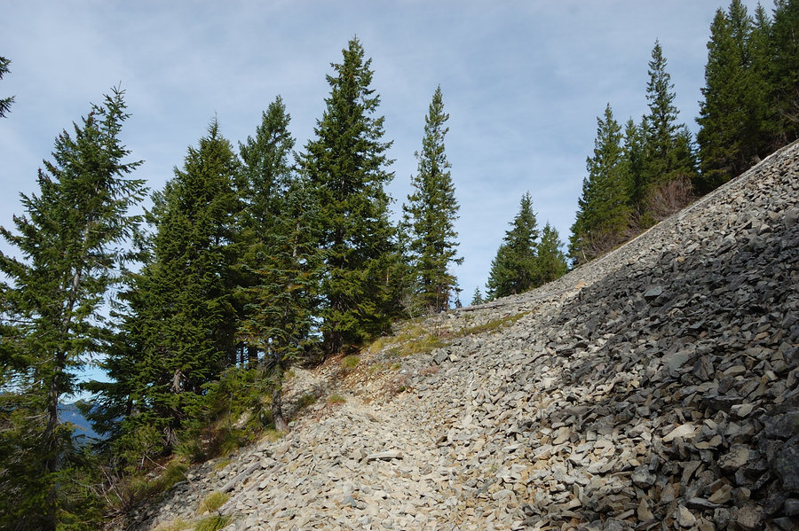
Hardy Ridge scree fields
4 miles of hiking • 1250' elevation gain •
Explored side trail that goes to/through talus fields right above the equestrian trailhead. Before long, the trail petered out though and I went straight uphill. Very cool area, one talus field after another, some rocks probably over 6 feet big. Past the rocks, there's some serious brush and poison oak, and it took me 2.5 hours to hit the road - so this route is hardly practical. It was a great day to play outside.
April 12, 2015


 1
1
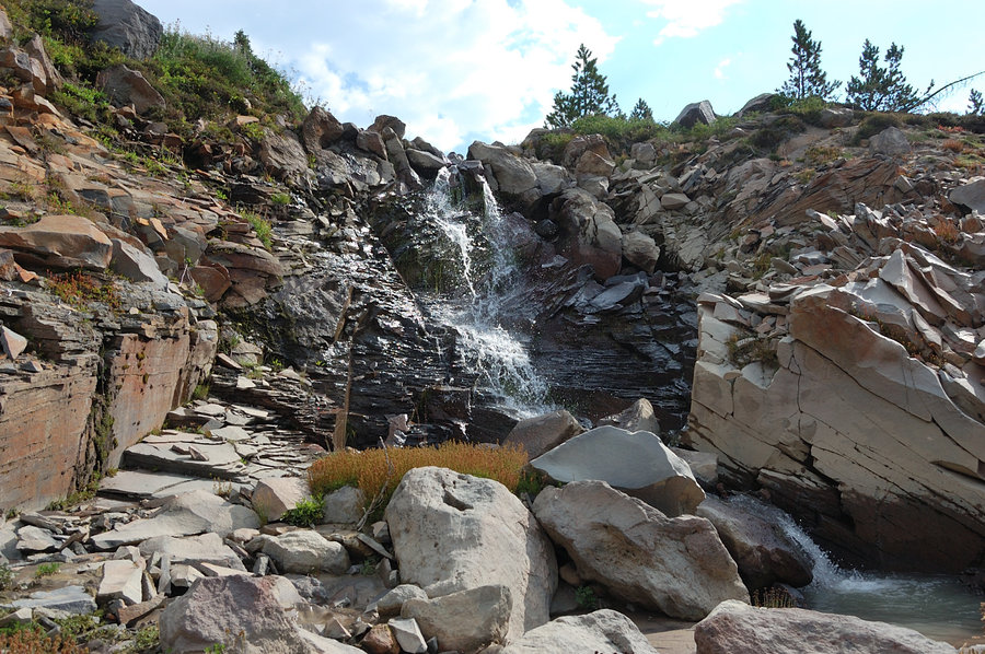
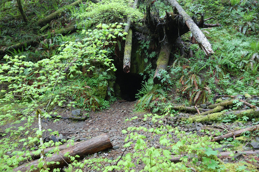
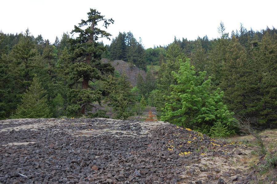
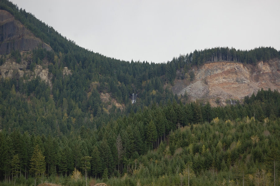
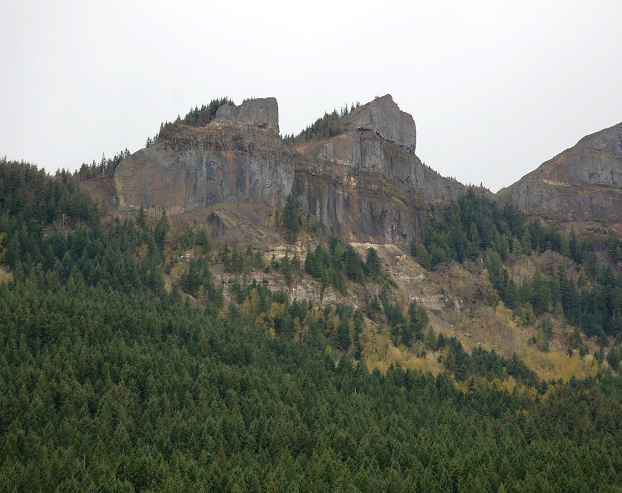
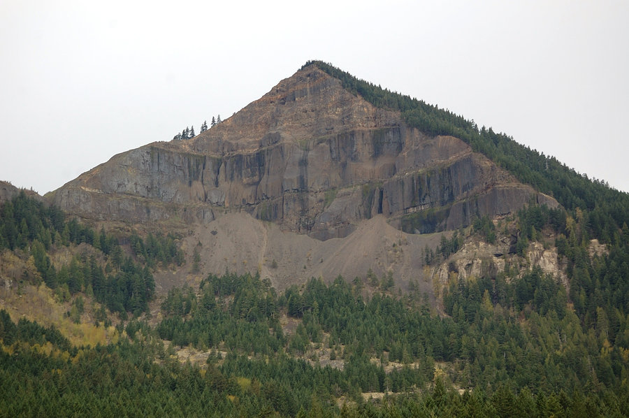
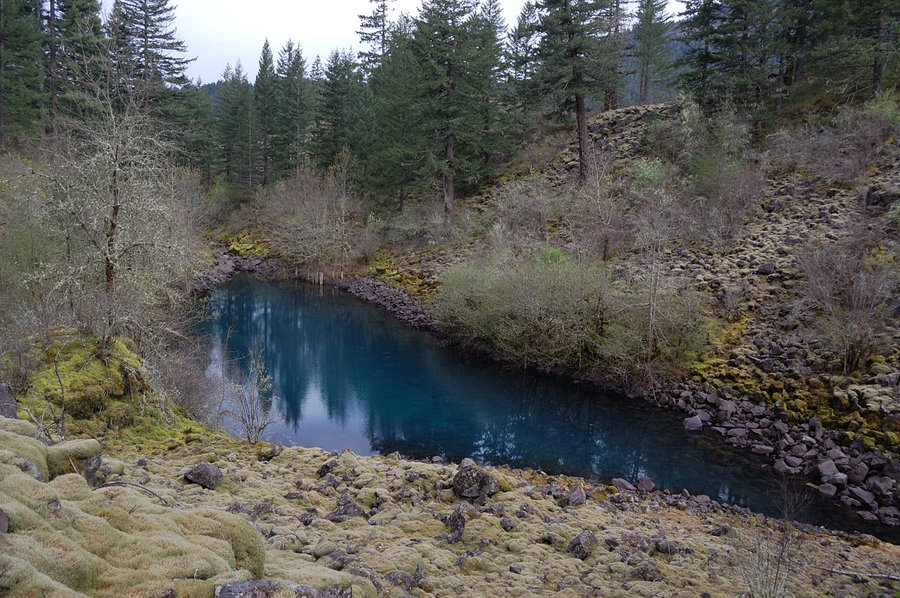
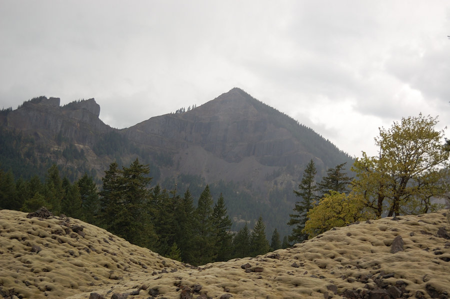
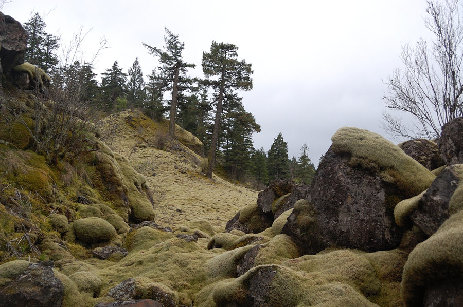
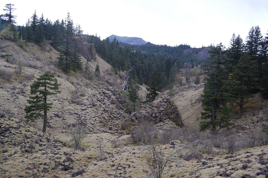
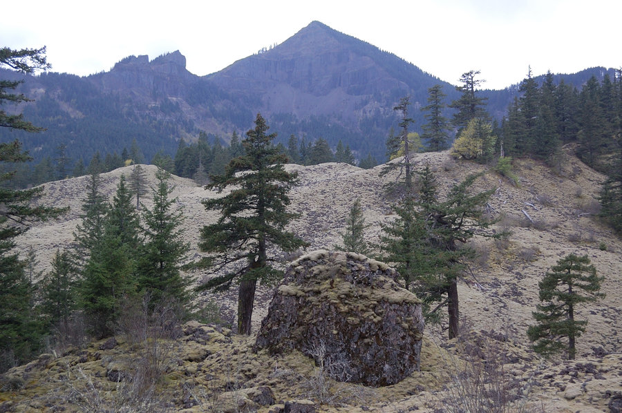
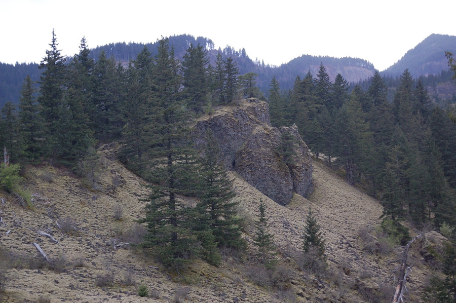
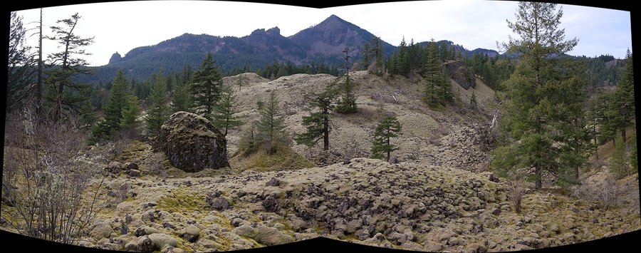
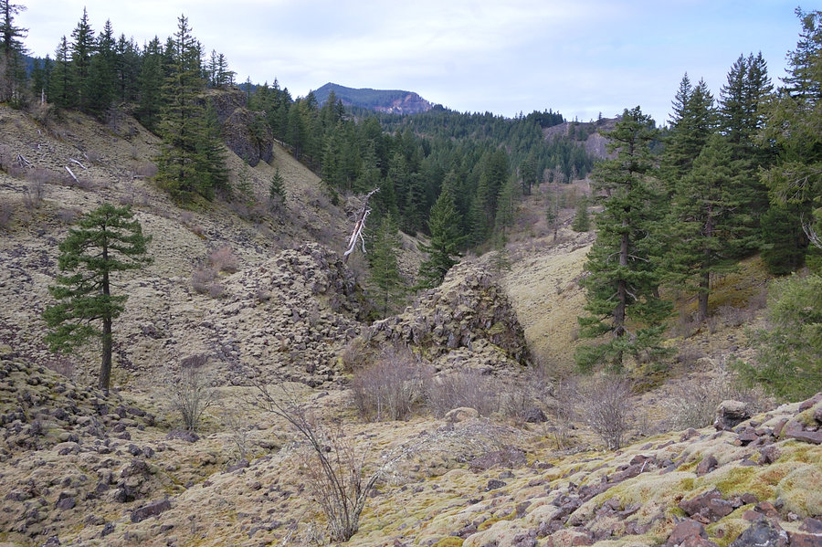
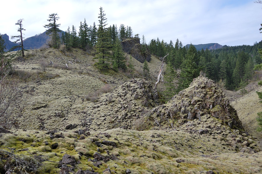
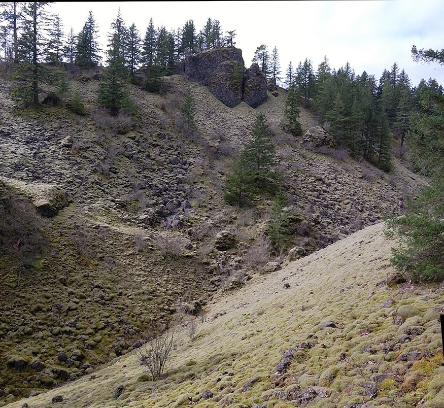
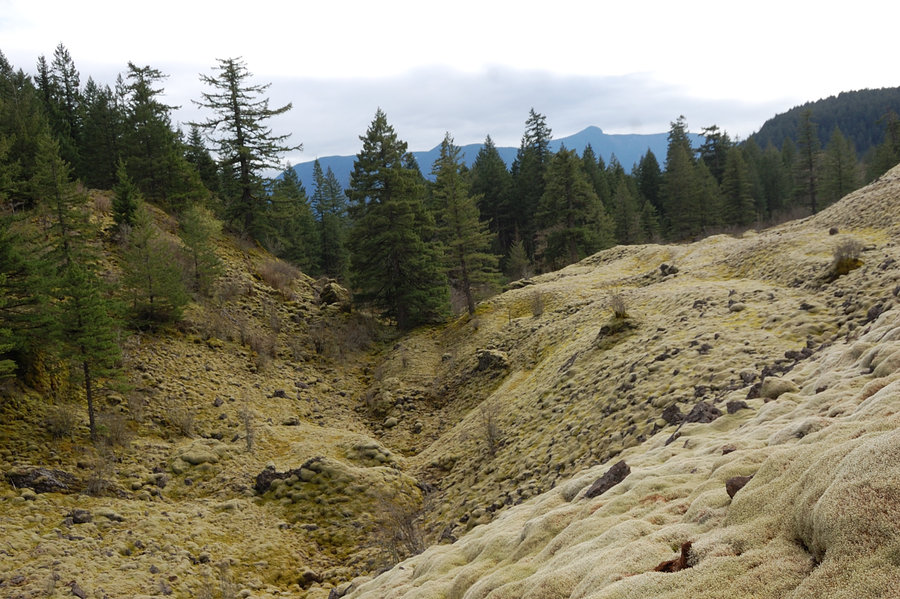
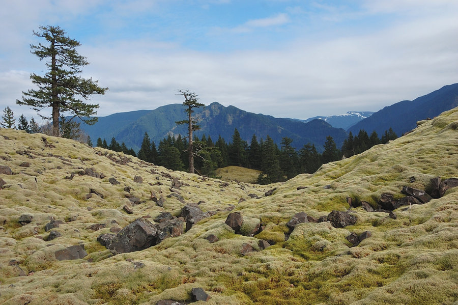
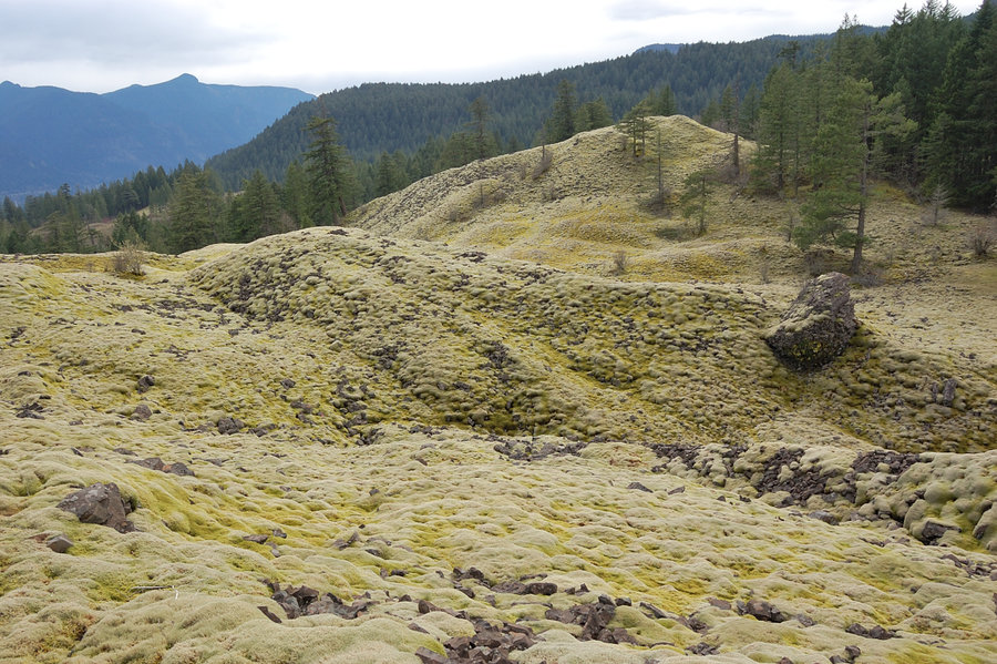
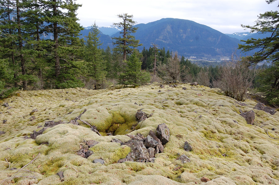
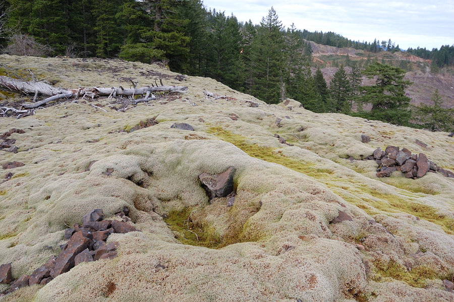
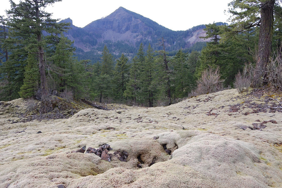
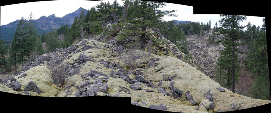
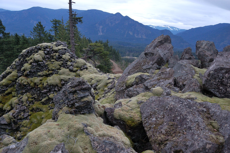
Table Mtn "hummocks"
4.23 miles of hiking • 1000' elevation gain •
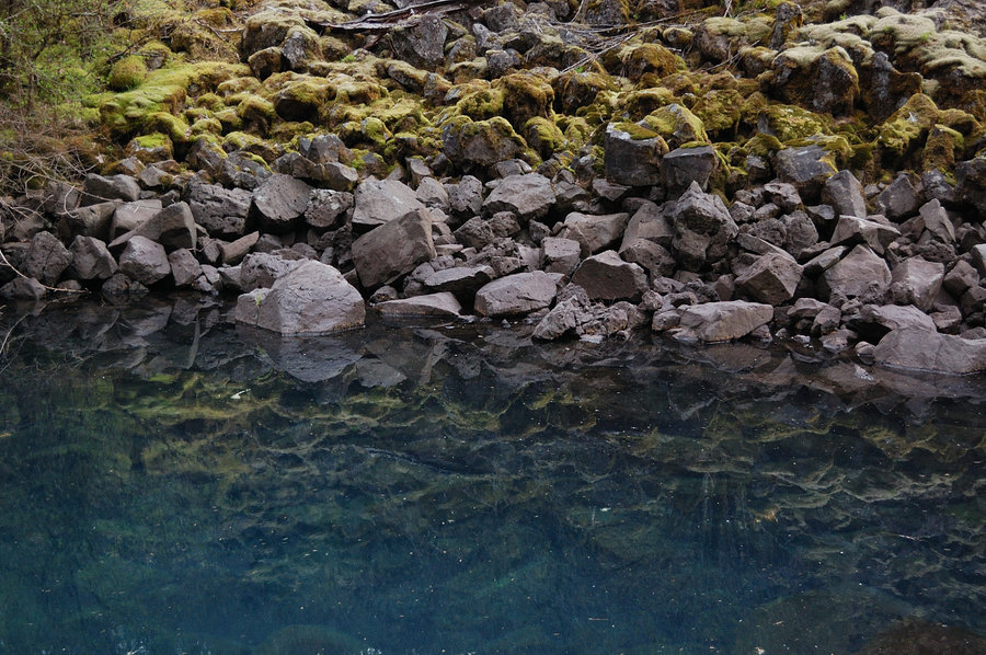
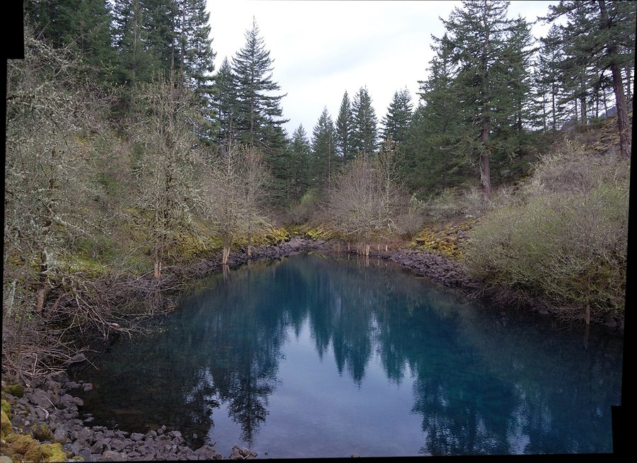
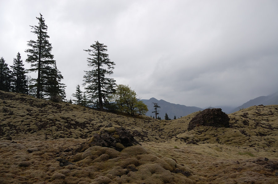
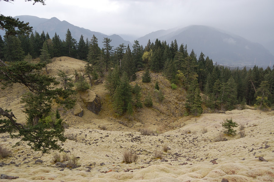
Just saw this area on Google Earth and thought it might be worth to explore. Not sure why I didn't read anything about it on the forum - so nice! Unlike much larger St. Helens hummocks, those are made not from pumice and fine gravel, but from large boulders, was pretty rough to hike despite the smooth carpet look. Lone-standing ancient trees gave this place almost park feel. The little lake barely visible on topo map was very neat as well, it's incredibly blue and probably 5-6 feet deep.
OTOH, the hike itself was a mixed bag - while the forested parts were pleasant, there were several large clearcuts overrun with poison oak (was almost none on undisturbed areas), small quarries, and even some garbage dumps. I walked across a clearcut with incredible view of Table Mtn and there was a carpet of freshly leafed poison oak (!); still got no reaction to it. But what sets that area apart is ever-present view of the cliffs with cascading waterfalls, and the "moss hills" are intact and very scenic.
April 5, 2015


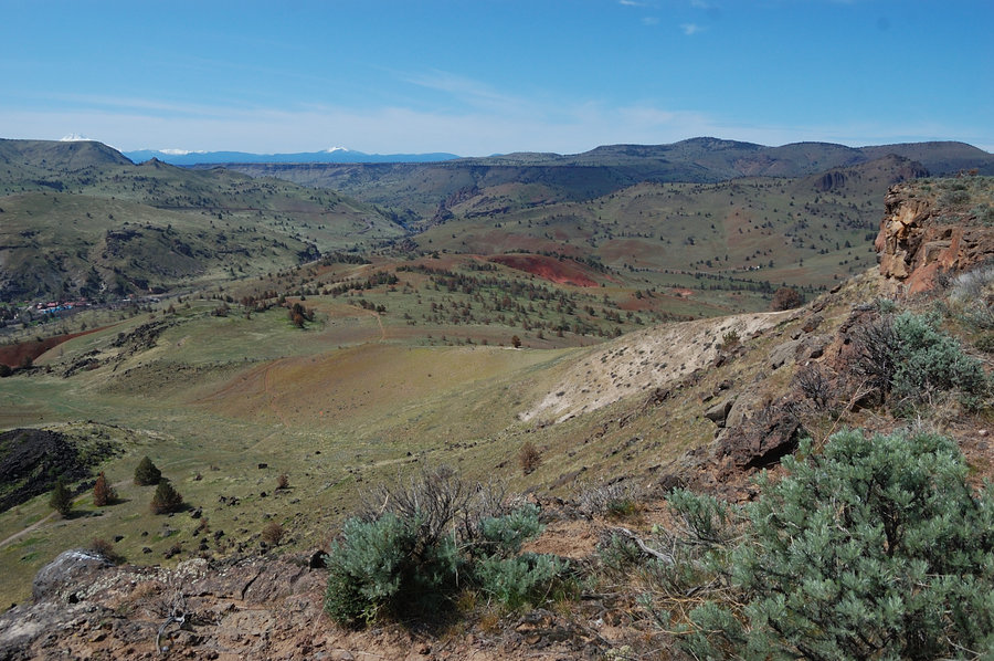
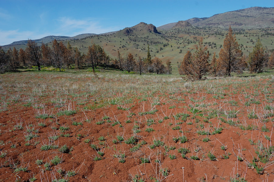
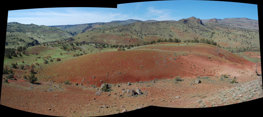
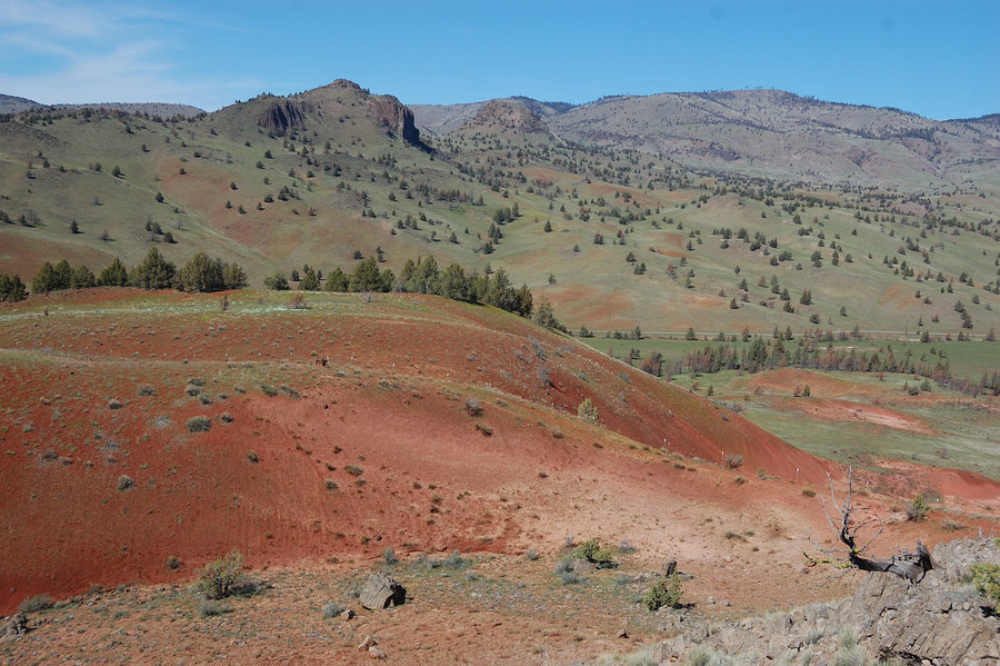
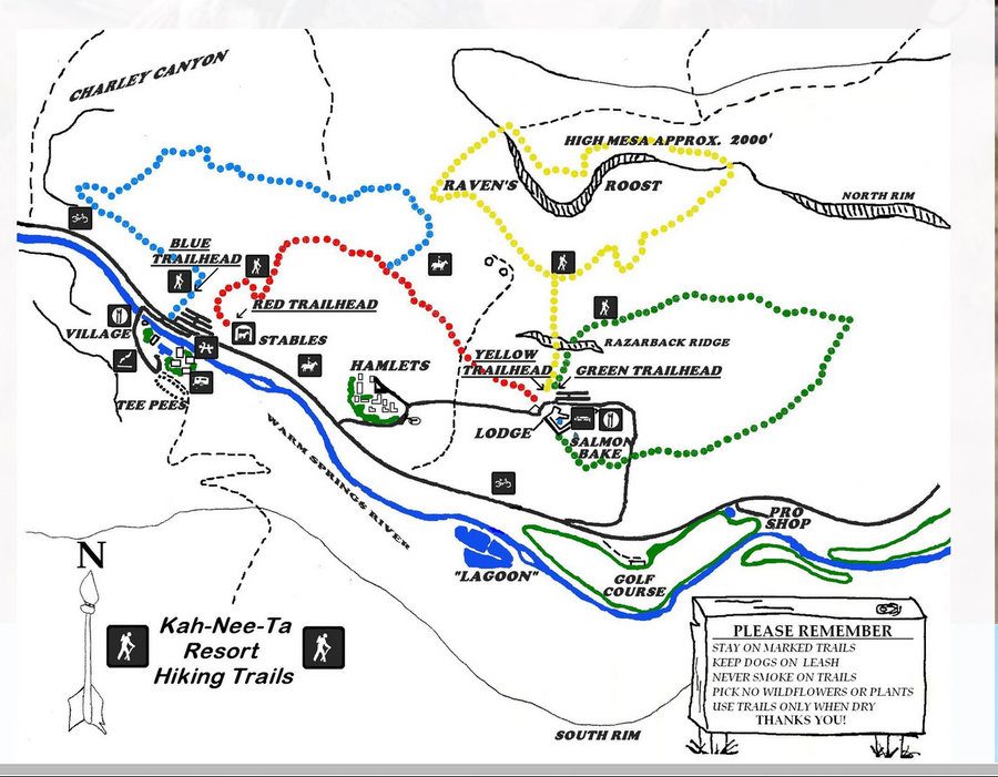
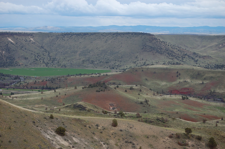
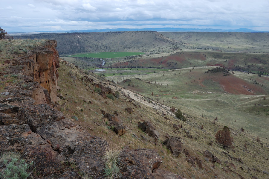
Kahneeta figure 8 loop
5 miles of hiking • 1250' elevation gain •
Took my mom and dad to Kahneeta, we made a loop over Raven's Roost and then another loop on Red and Blue trails, over a "painted hill".
March 29, 2015


Green Canyon trail to Hunchback jct
6.5 miles of hiking • 2500' elevation gain •
The trail is good in the middle, but lower and upper portions took a beating this winter. Still a great hike & very quiet, almost strange after seeing dozens of cars parked along Salmon River. Looking across to Devils Peak I couldn't see any hint of snow.
March 28, 2015


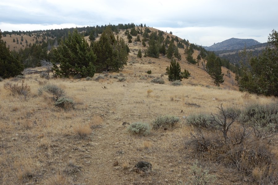
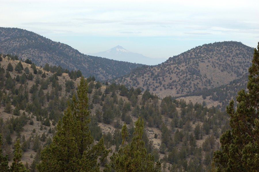
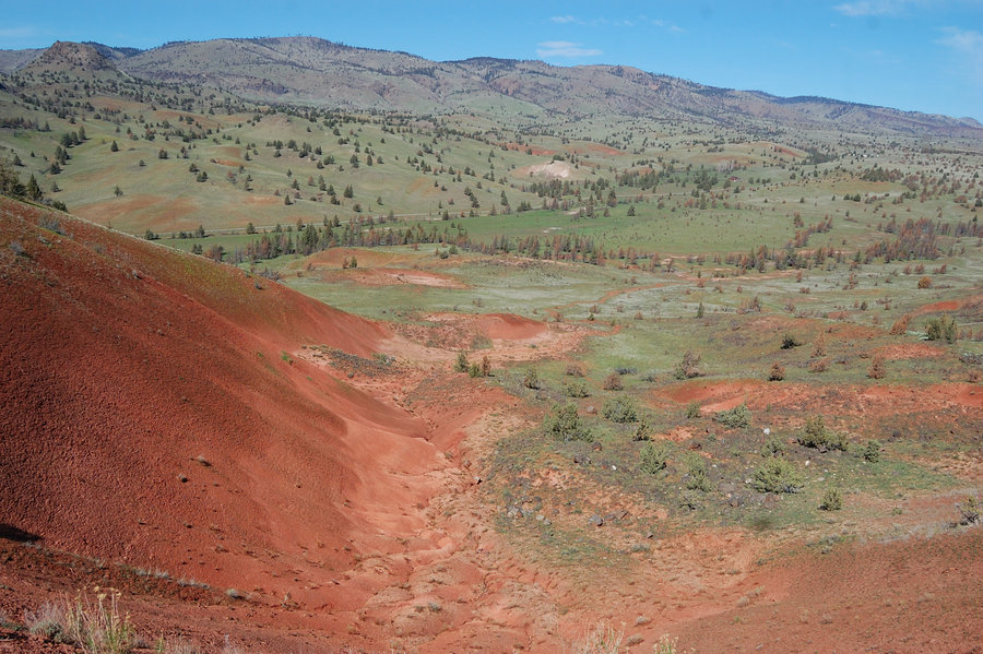
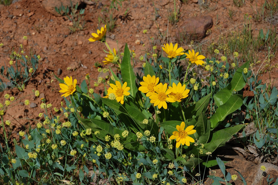
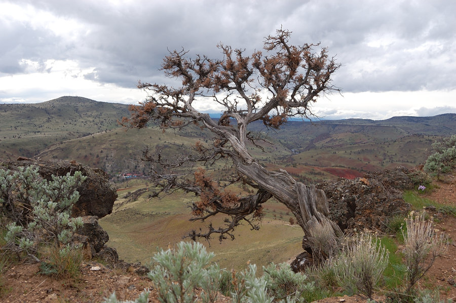
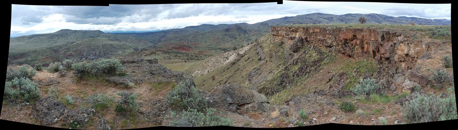
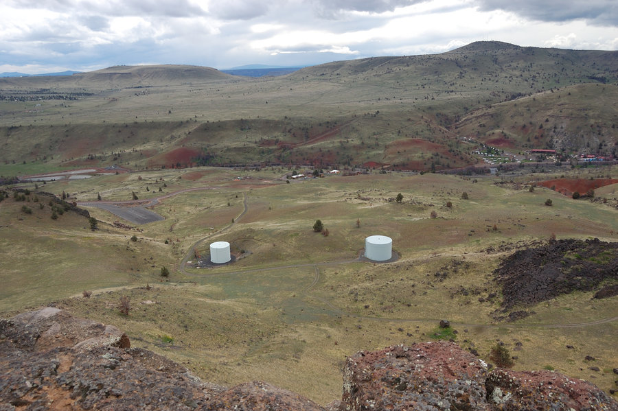
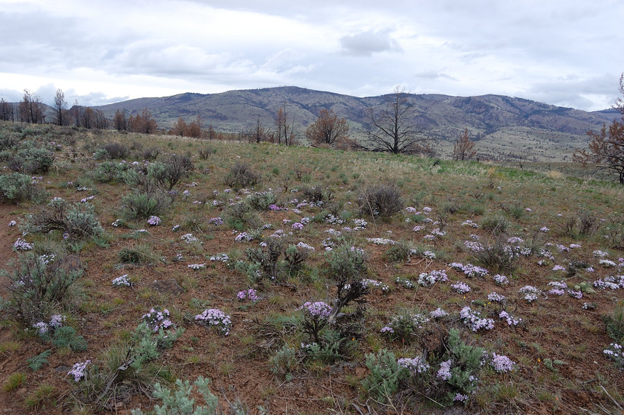
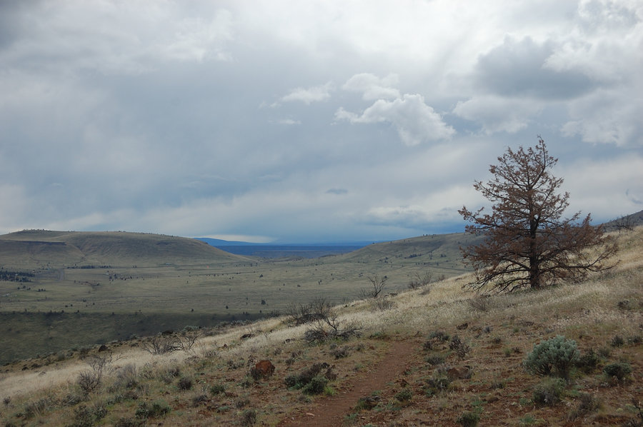
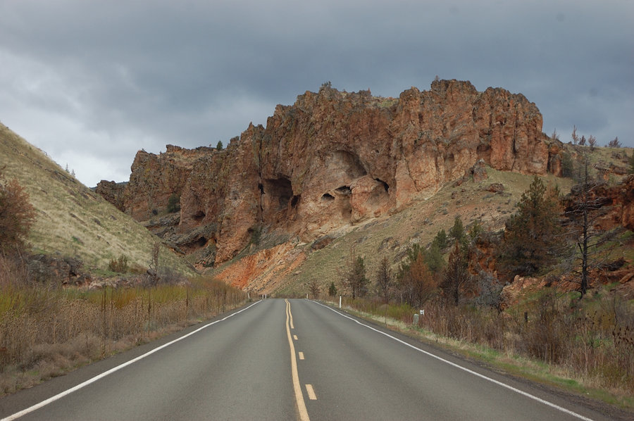
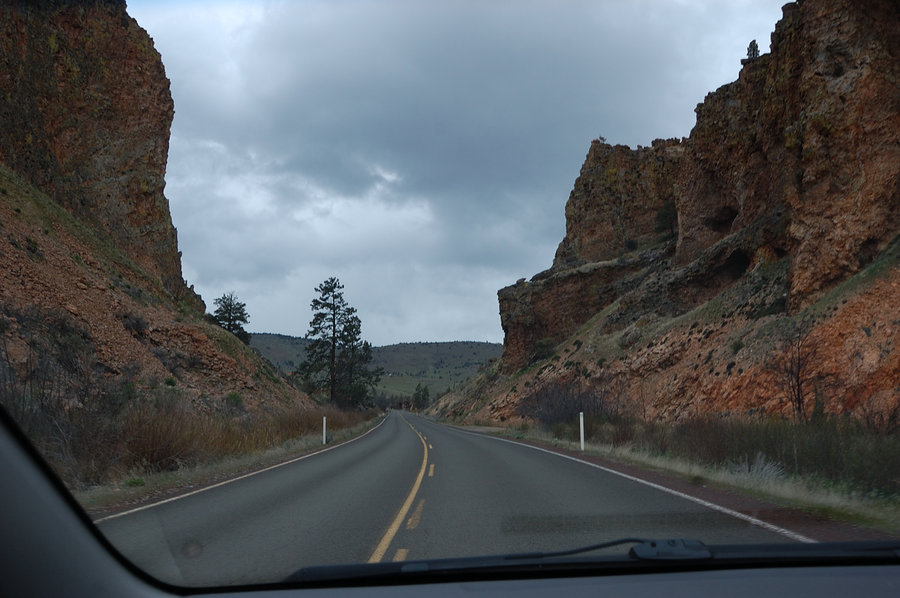
Kahneeta trails loop
4 miles of hiking • 1000' elevation gain •
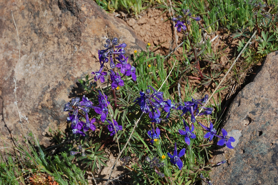
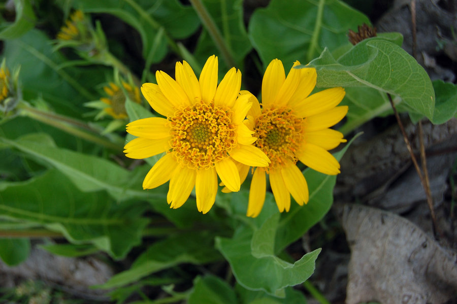
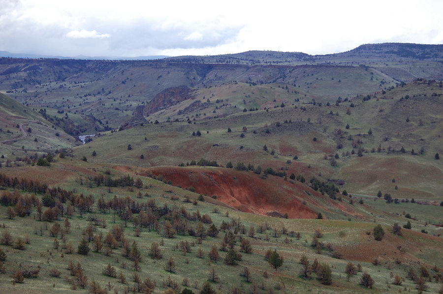
Small but interesting hiking area above Kahneeta resort in Warm Springs reservation. There wasn't much wilderness feel, but the views of the desert were great in all directions (with some "painted hills" not far away - next time I'd check the trail that goes in that direction), and flowers are getting really good, now only 1-2 weeks before their peak. We drove past torrential rain near Mt. Hood, but on that hike we hardly had any. The last several miles of road to/from Kahneetah were so scenic that we stopped for more pictures.
March 22, 2015


 2
2
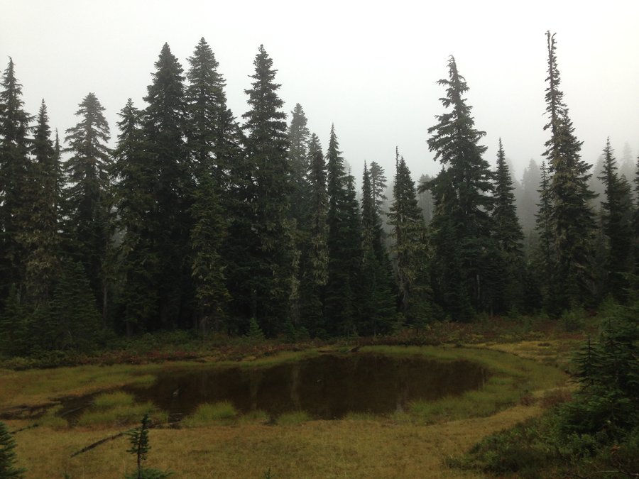
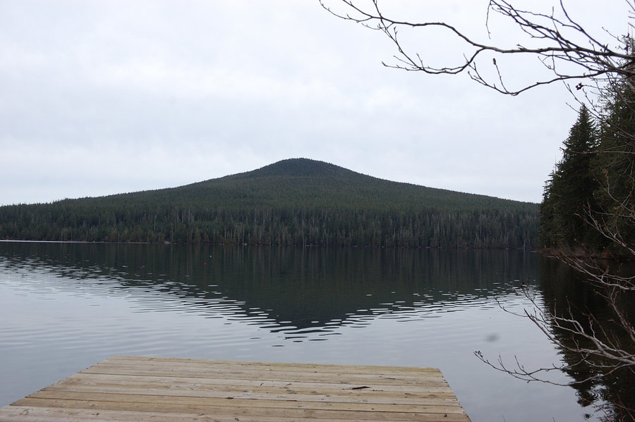
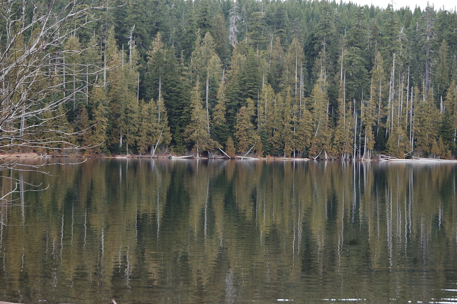
Lost Lake loop
4.8 miles of hiking • 250' elevation gain •
Very nice lake, even on this gray day it much exceeded my expectations. The trail goes mostly close to the water, views are good and old-growth forest is very nice (plus, the longest boardwalks I ever walked on). I am still not sure I'd come there in summer with the crowds - but on this March weekday it was very quiet. The road over Lolo Pass was very slow & north of the pass it goes through gauntlet of fallen trees (the passage is cut just barely wide enough to squeeze the car), we returned over Hood River and it was a lot better.
March 13, 2015


Bridal Veil Creek roads loop
7.4 miles of hiking • 750' elevation gain •
Wanted to hike Larch Mtn crater loop, but being aimless I took wrong forest road with a GPS in hand, not the one that intersects with the trail. Once we discovered our mistake, decided we'll just hike on - the road was good and old forest very pleasant. The bonus was finding overgrown road that goes around south side of Devils Rest (only partially shown on map).
March 8, 2015


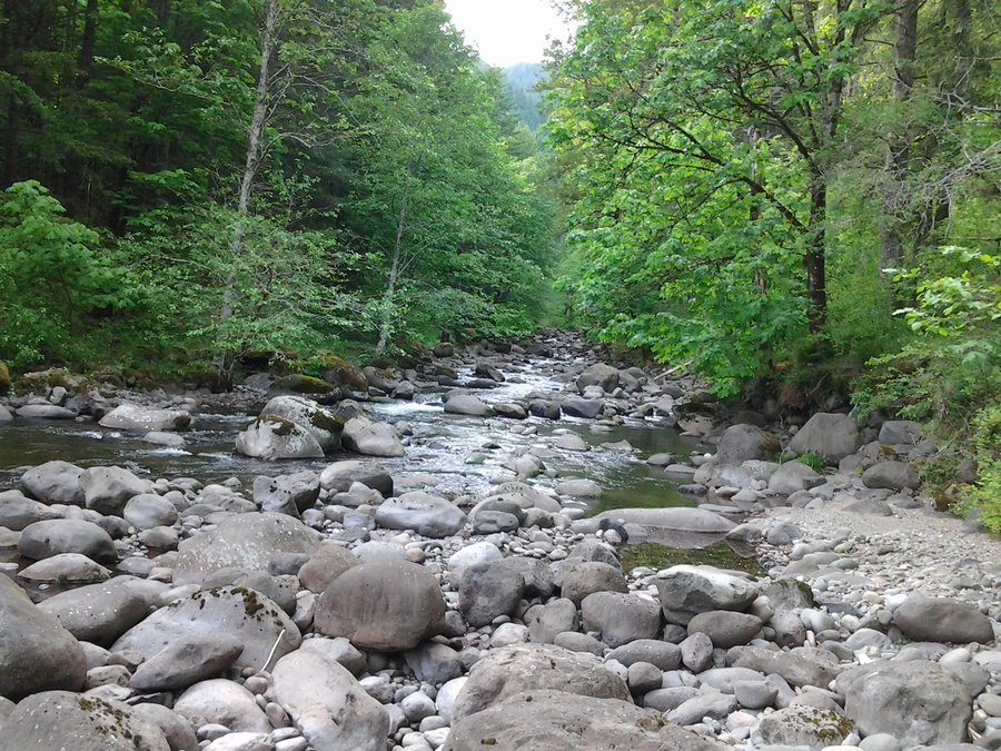
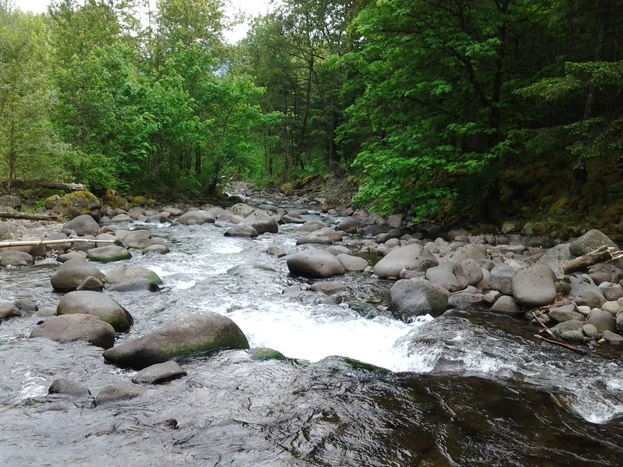
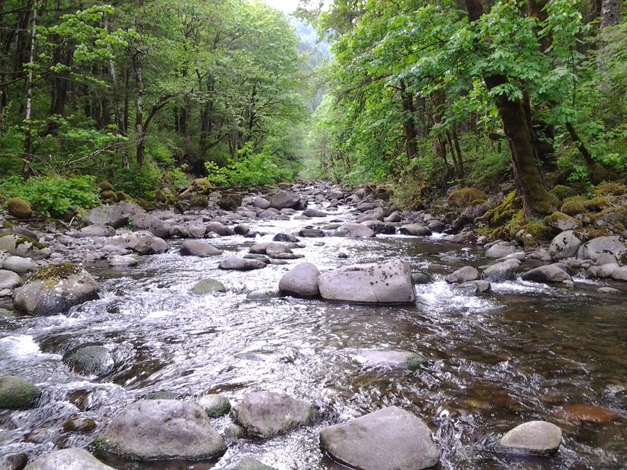
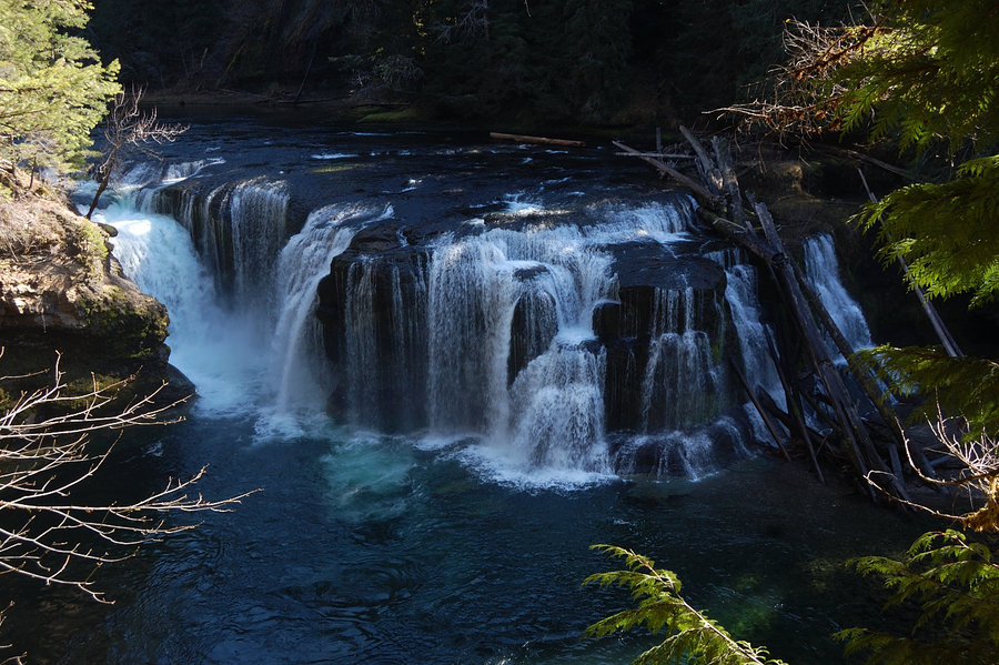
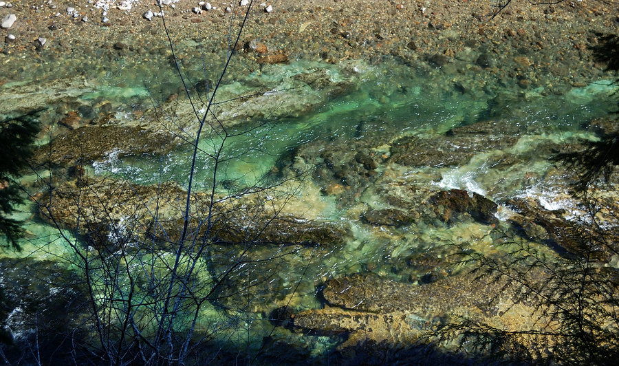
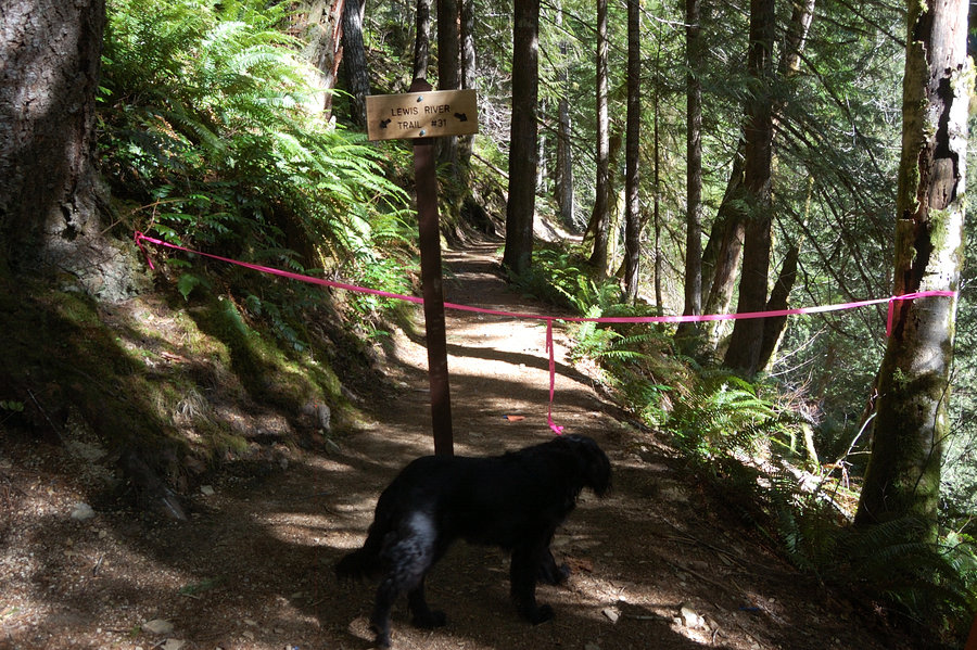
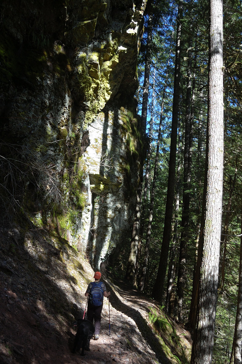
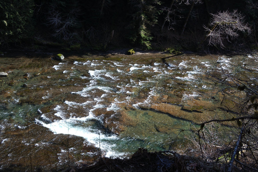
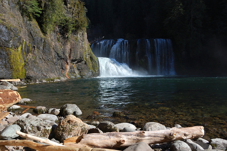
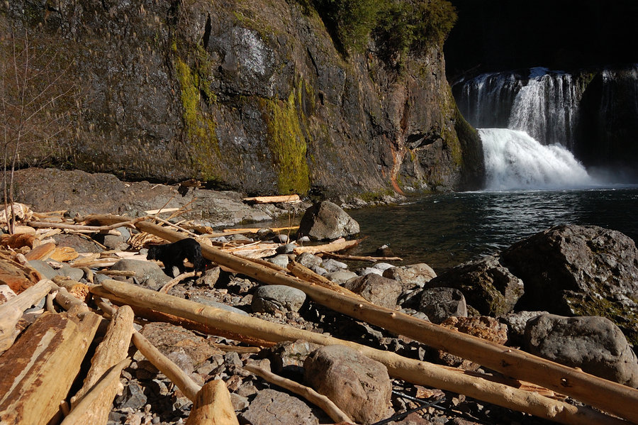
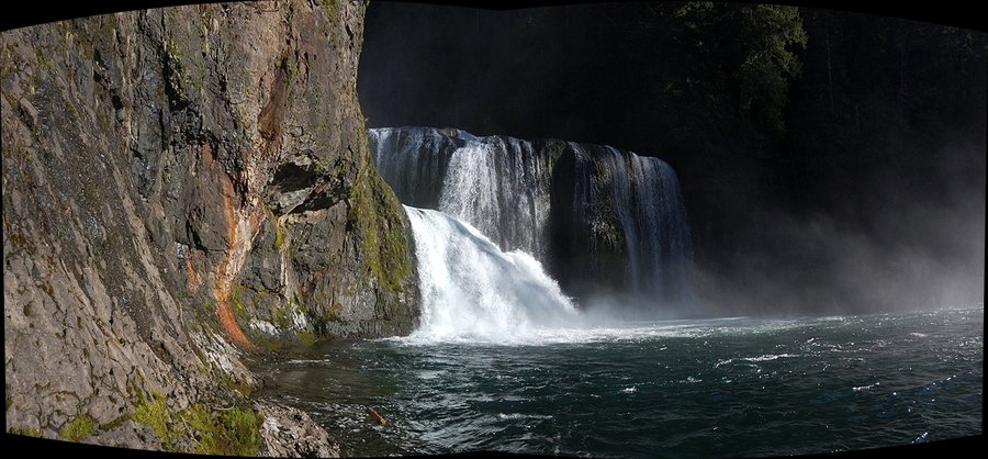
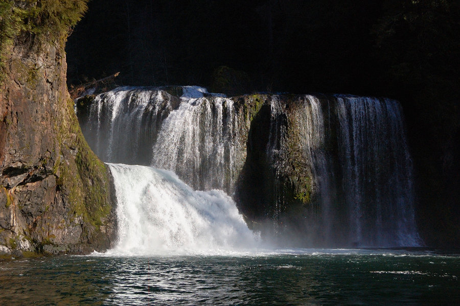
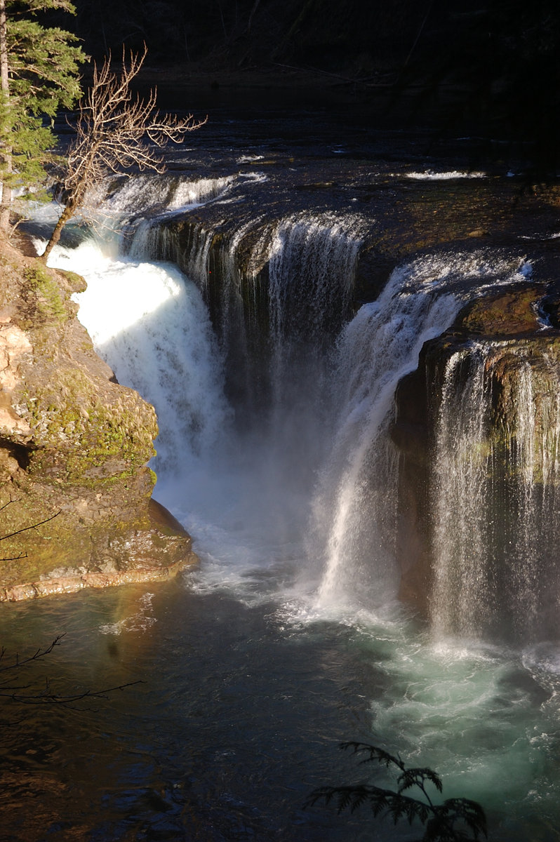
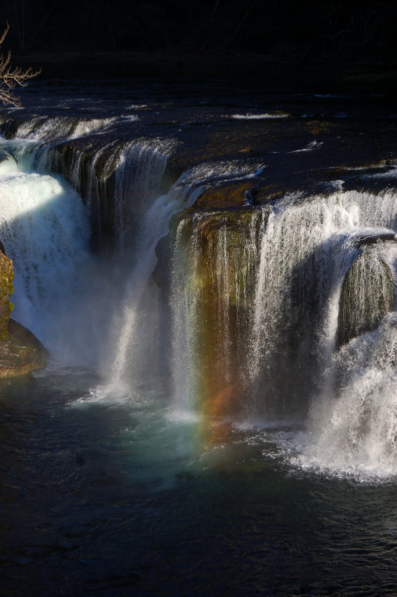
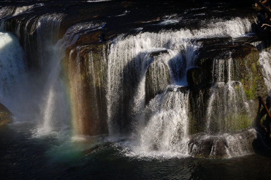
Lewis River falls
6 miles of hiking • 750' elevation gain •
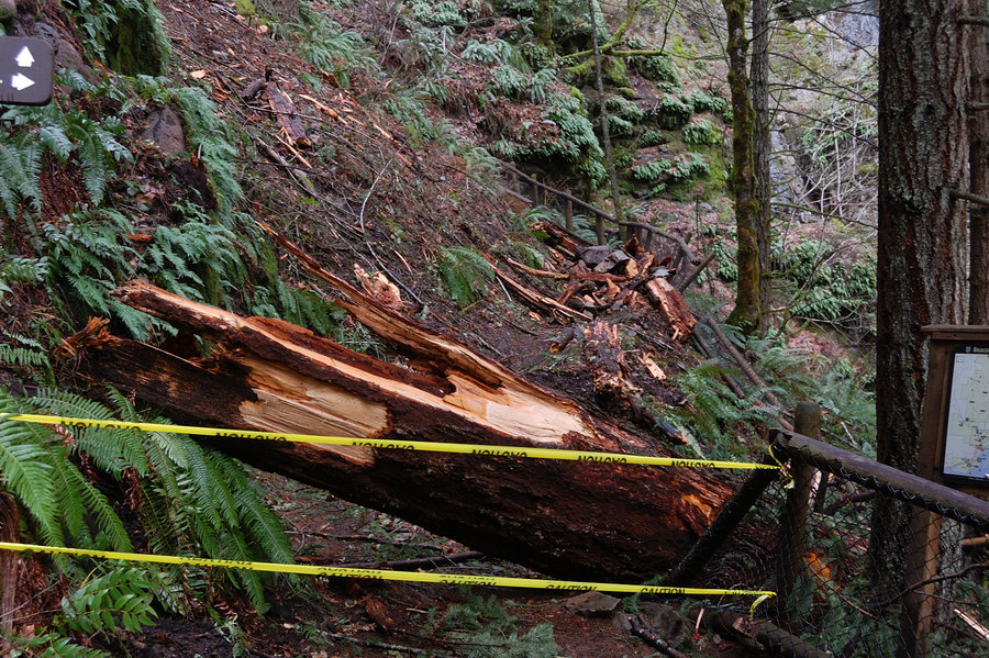
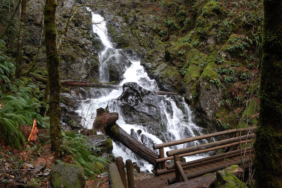
Absolutely gorgeous day at Lewis River, sunlit waters took on green, opal, deep blue colors - so different from rainy hike there in the fall. The river is running surprisingly low right now, which made waterfalls take on different shapes (rather than looking like sheer walls of water), very nice. We didn't go to Upper Falls overlook this time, just hanged out at "driftwood beach" at the base of the falls for a while, sunny and warm spot, with water spray (and cold air) shooting straight down the river 100 yards from us. Detour trail around the landslide is now well-signed and flagged and probably less than 1/3 mile long.
March 7, 2015


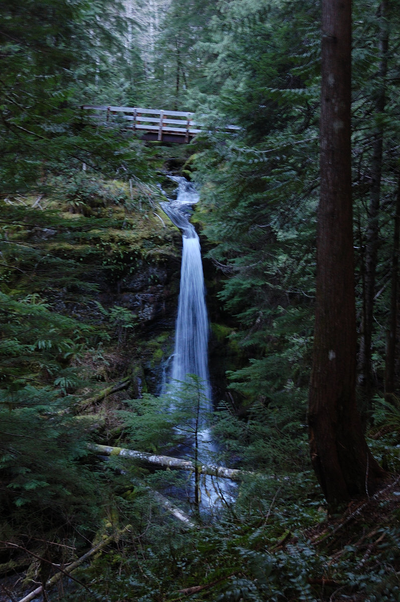

Dog River hike
7.4 miles of hiking • 1500' elevation gain •
Did north half of Dog R trail out-and-back, nice well-graded forest hike with a great viewpoint of Mt. Hood. We hit patches of fresh snow around 2600' elevation in shaded areas, and consistent coverage on the road at 3650' and decided it was a good point to turn around. This trail was rerouted in the past and connects to old alignment 2.5 miles in, it would be interesting to explore some day & make a loop.
March 1, 2015


Short hike/scramble loop
4 miles of hiking • 1750' elevation gain •
(due to FS opposing hikers in that locale I don't want to name it online) Did a short loop on less-used trails with Don's map in hand, found a nice spot and read book for couple of hours. I was able to follow new path all the way up, but then got a little lost on familiar way down, bushwhacked half way then was able to pick the thread with the help of flashlight and GPS on my tablet (not my hiking GPS). All in all, good adventure but I need to practice offtrail more often.
February 28, 2015

 3
3
Top Spur to Muddy Fork hike
6 miles of hiking • 750' elevation gain •
Hiked with my grandmother to a place I never thought I'll be able to show her, because she only visits us in winter. But this winter is "a bit" unusual and we not only made it to Top Spur Trailhead, but only saw one patch of snow off trail the entire day. The trail was in notably good shape, pretty much clear of blowdown (I expected some after Sunday's windstorm, but I think we saw only 1 or 2 down trees across the trail), and couple of steep washout areas got what I'll call a good temporary fix. The view from Bald Mountain was just as jaw-dropping gorgeous as I remember it; I used to go there often but it was a couple years since I last seen it. We talked with a couple who hiked to the ponds below McNeil at 5500', and they said there was 3 feet of snow. It's interesting how Hood's summit started to cloud up well before incoming weather, a barometer of sorts.
February 24, 2015


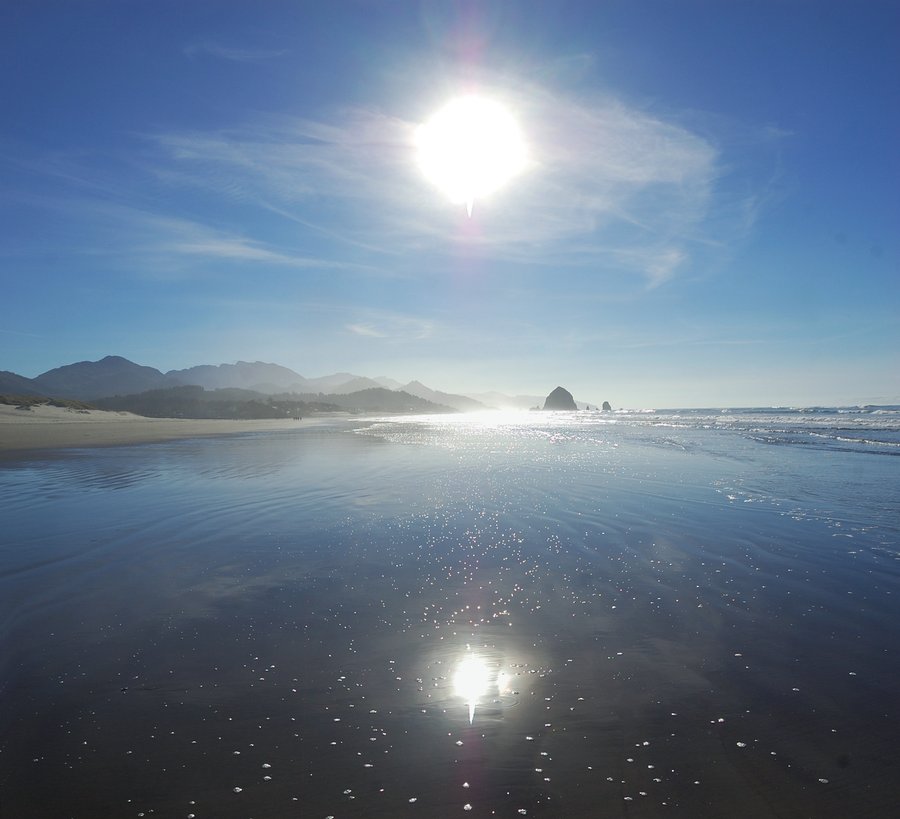
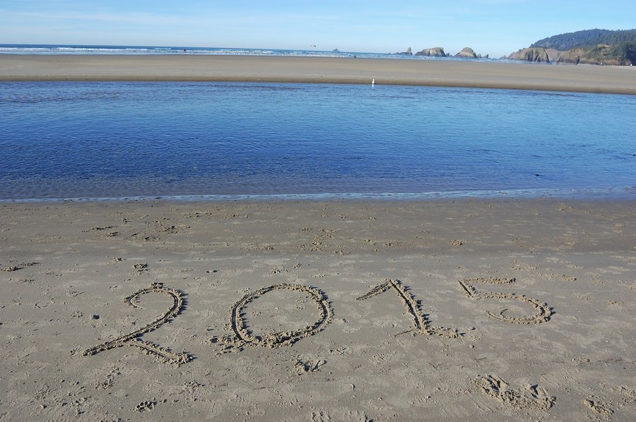
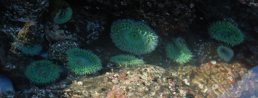
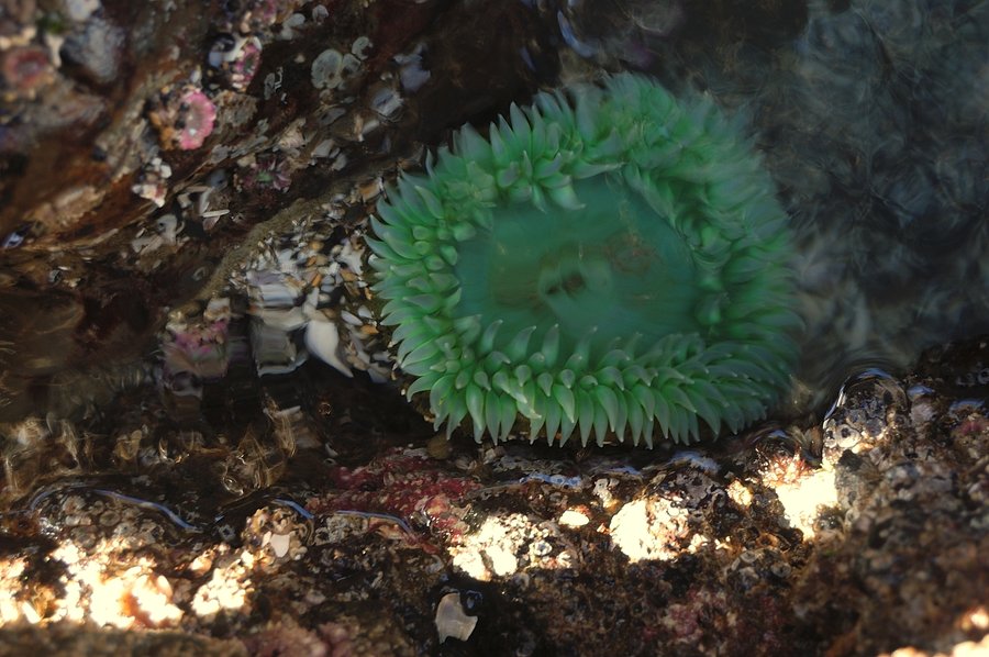
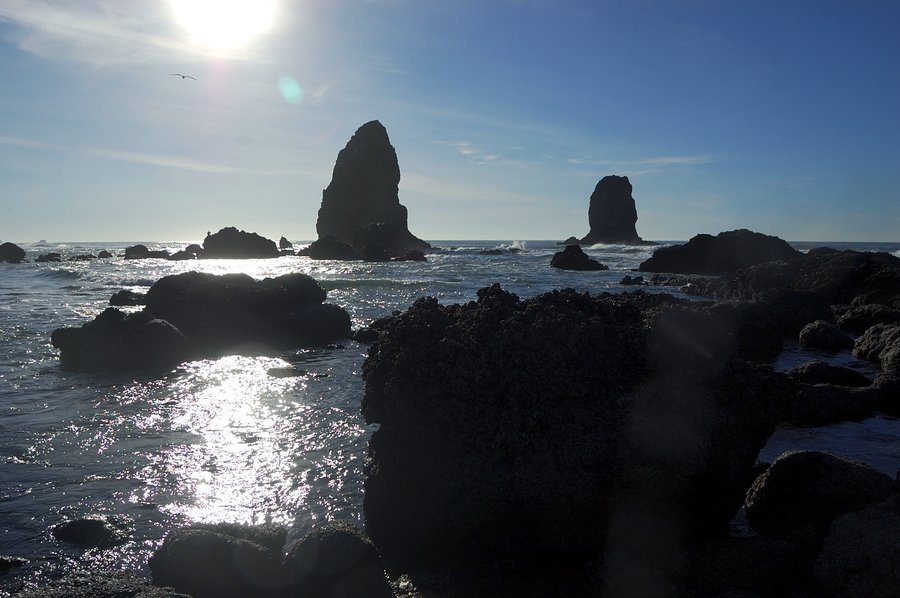
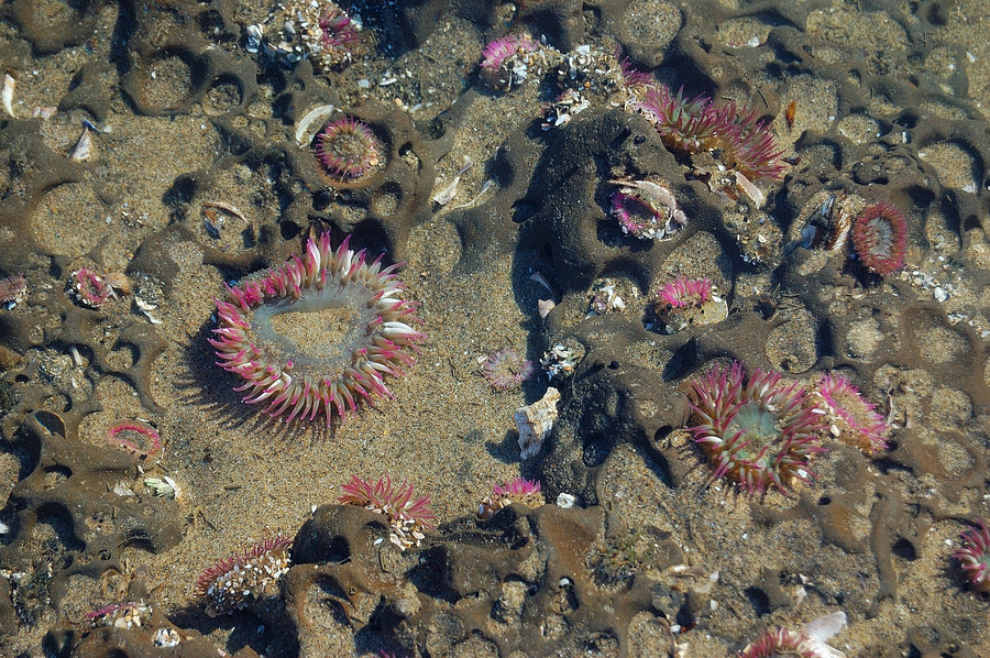
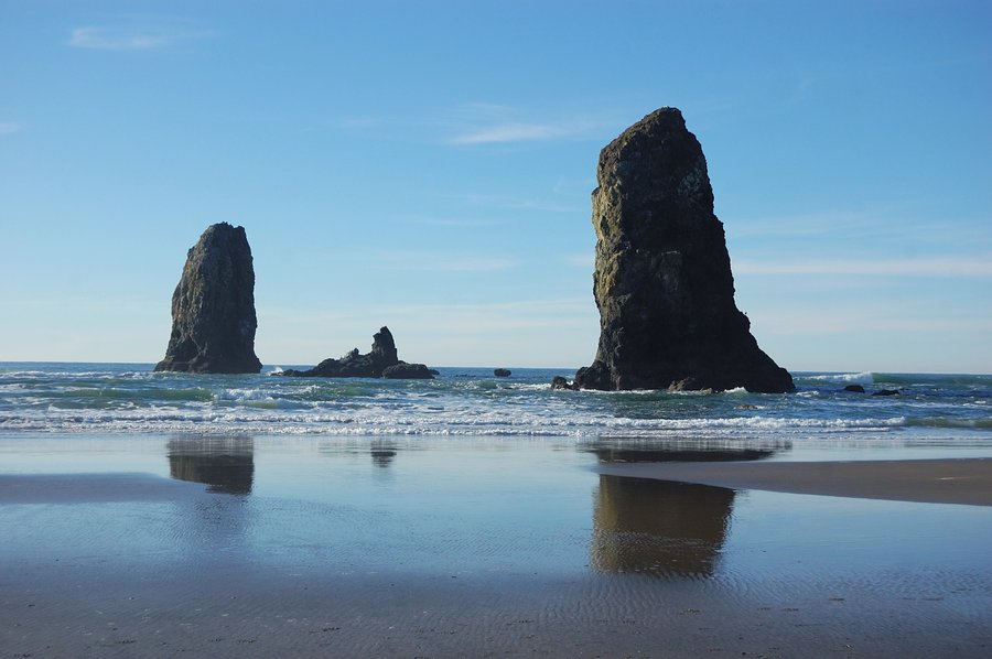
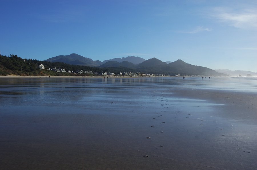
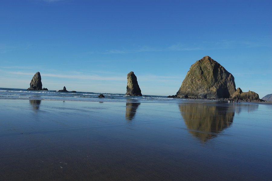
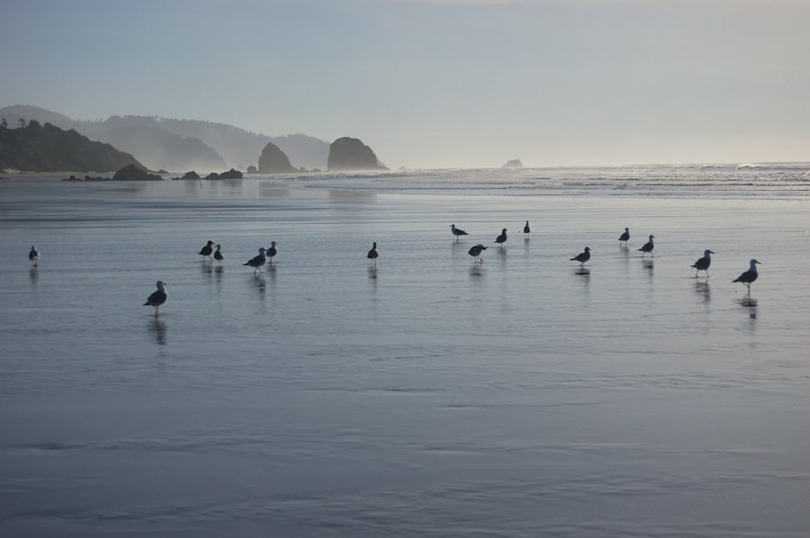
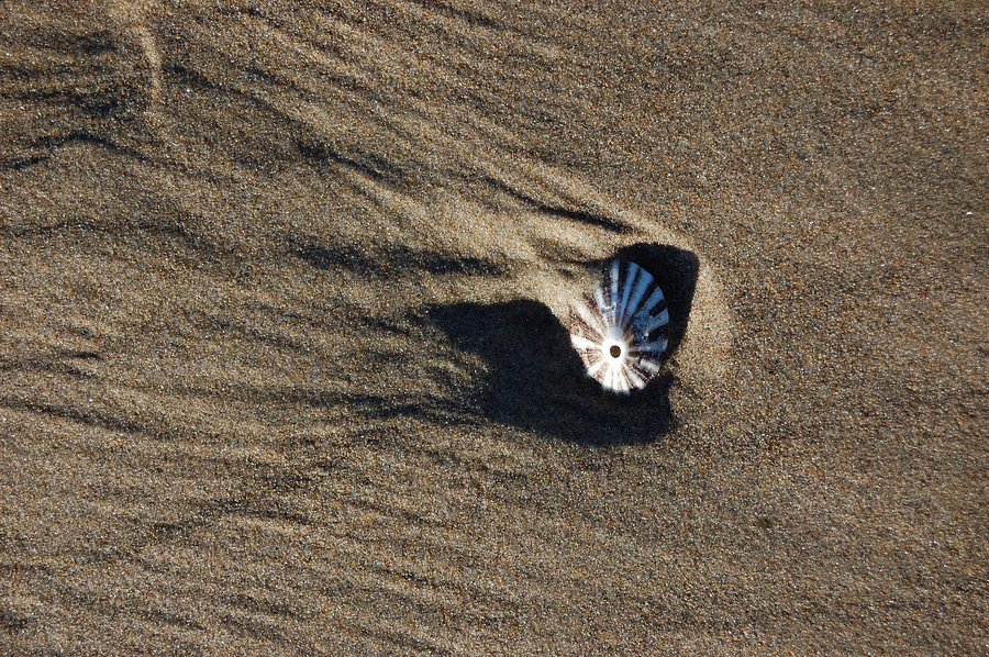
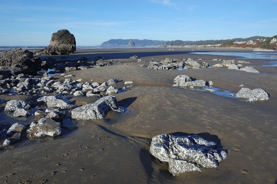
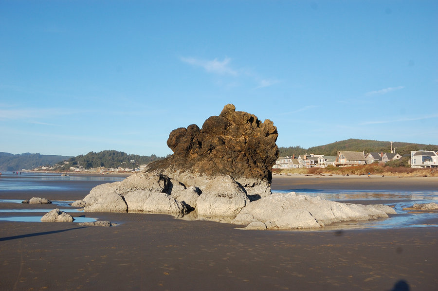
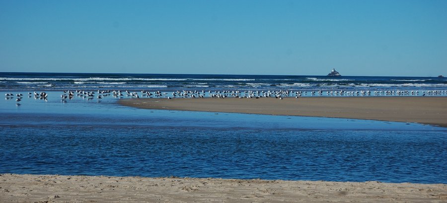
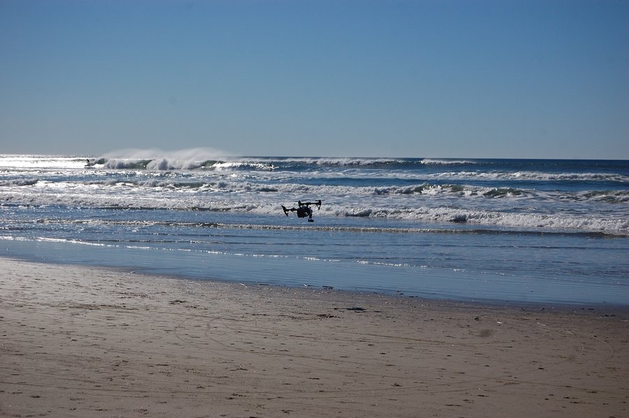
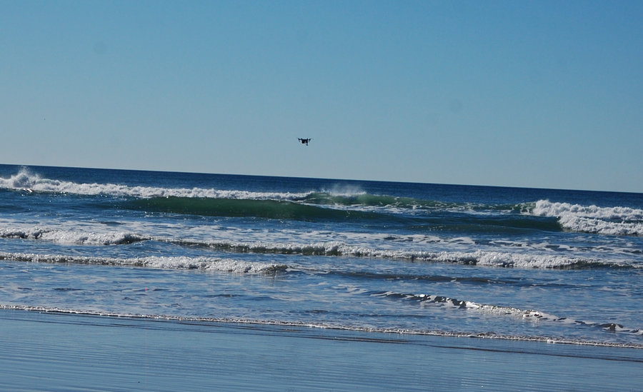
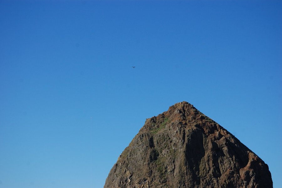
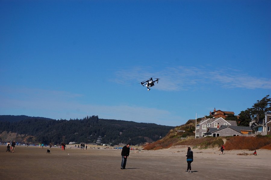
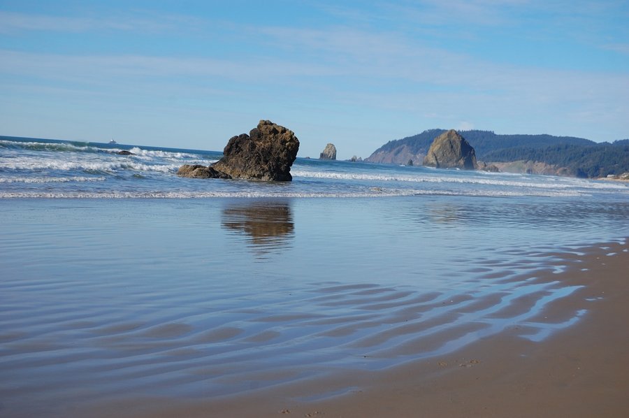
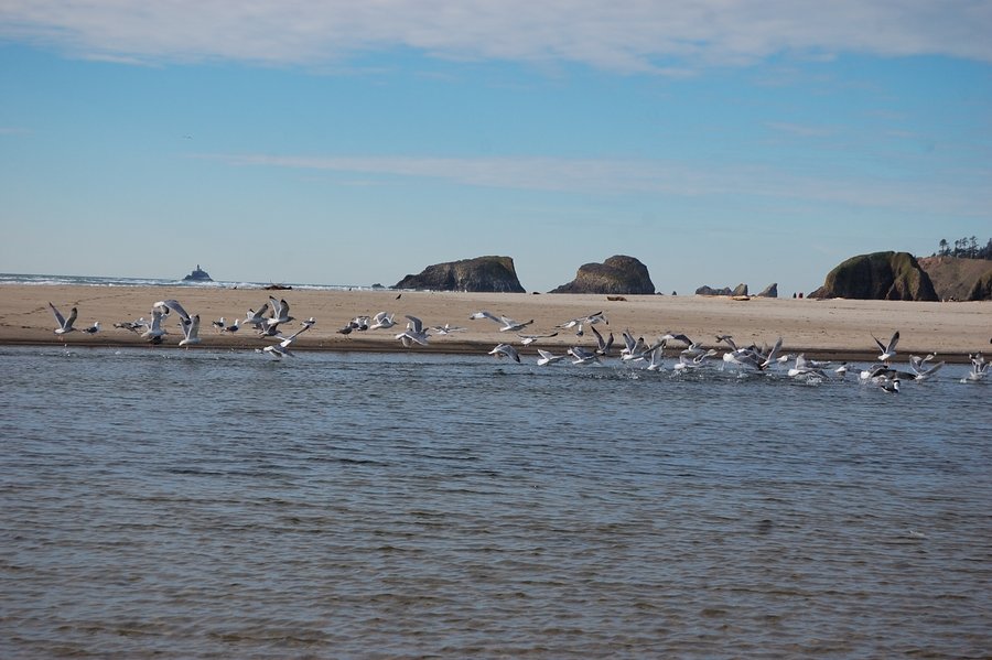
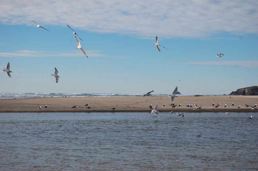
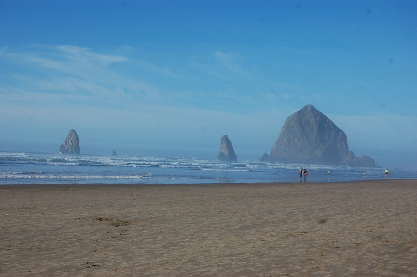
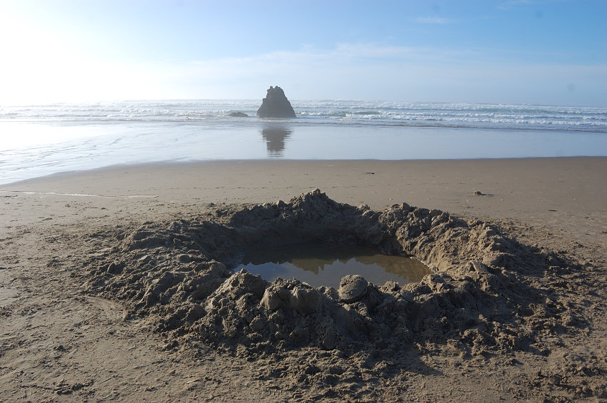
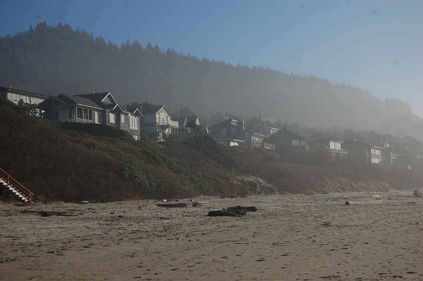
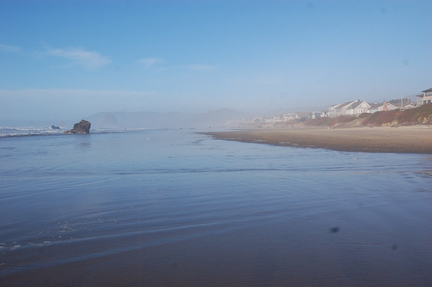
Cannon Beach
6.5 miles of hiking • 0' elevation gain •
The forecast said windy&cold everywhere but the coast, so that's where we went. No haze made for great visibility (wished I took my telephoto lens), and it did get pretty warm and pleasant. Got entertained watching someones drone practice, I am not sure if Haystack Rock was a good place choice for it but still, it was pretty cool to see.
February 22, 2015


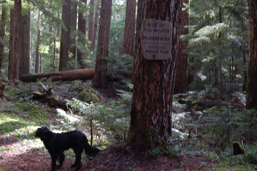
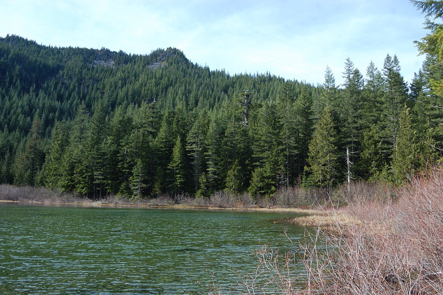
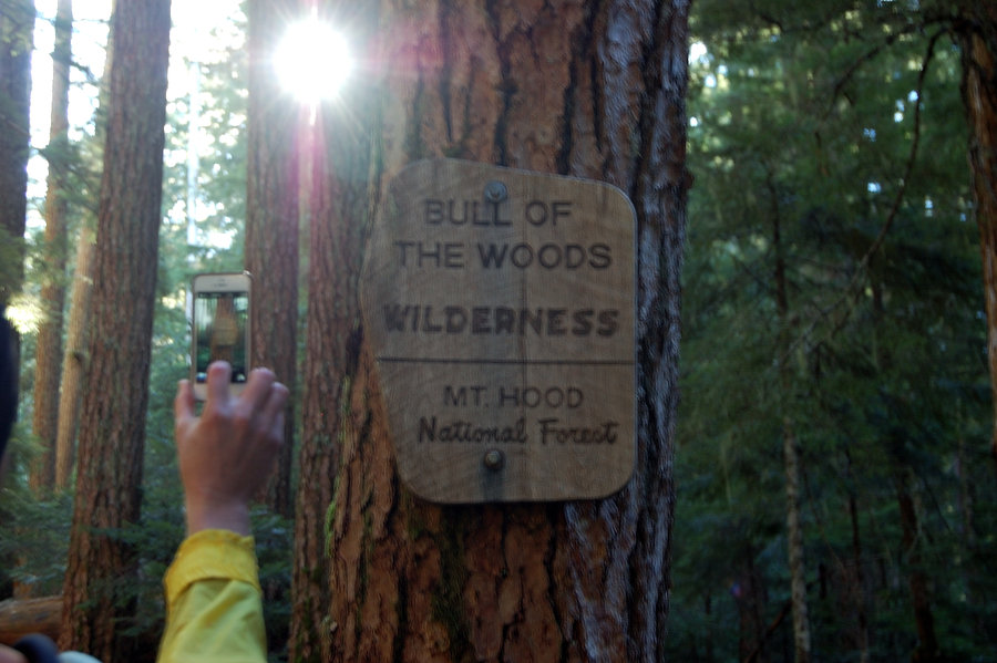
Bull of the Woods loop - again
7.5 miles of hiking • 2250' elevation gain •
Took my grandmother and Pepper on a classic loop to lookout. Very warm, sunny day - forecasted wind didn't materialize. There was even less snow than in January - only 1-2 old patches left on N side trail, some fresh snow on top will be gone in a few days. Pansy Lake (pic 2) and Big Slide Lake (pic 6) are 100% thawed, huckleberry plants look like they're ready to leaf out.
February 15, 2015

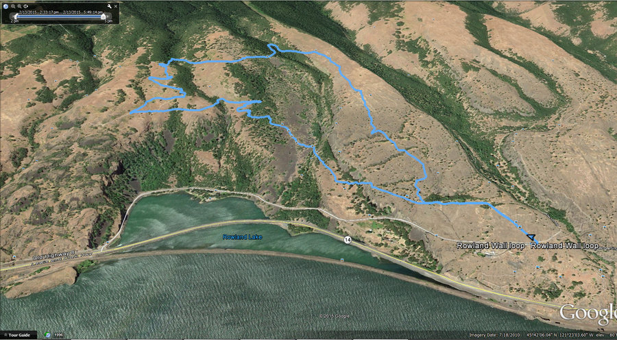
Rowland wall loop
5.12 miles of hiking • 1250' elevation gain •
Looking at my list just realized I forgot to post this hike. Probably my first loop in that area in a while staying 100% on non-closed trails ;)
February 14, 2015

Oneonta Trail after work
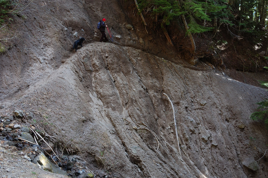
5.5 miles of hiking • 1250' elevation gain •
4 to 6 pm hike/run to the next bridge after Triple Falls Bridge, I forgot it's "that" far but with good pace made it back shortly before dark. The trail is still closed by landslide 1/3 mile before Triple Falls, but getting around was not a big deal (the washout was trickier going back).
February 12, 2015

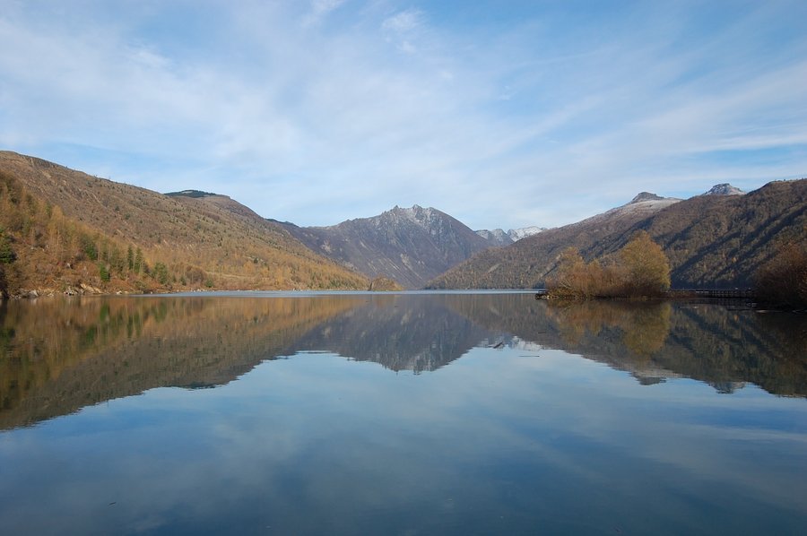
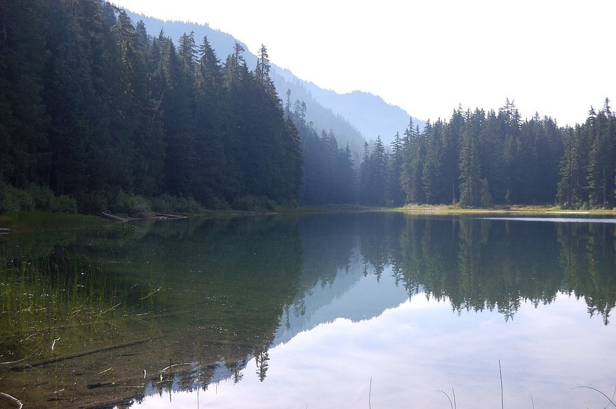
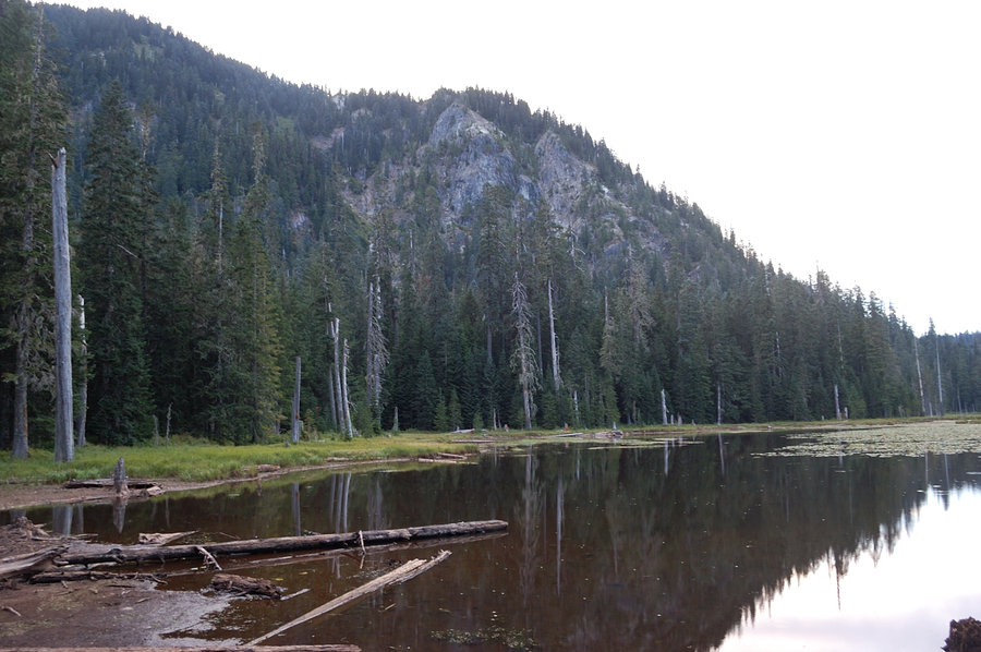
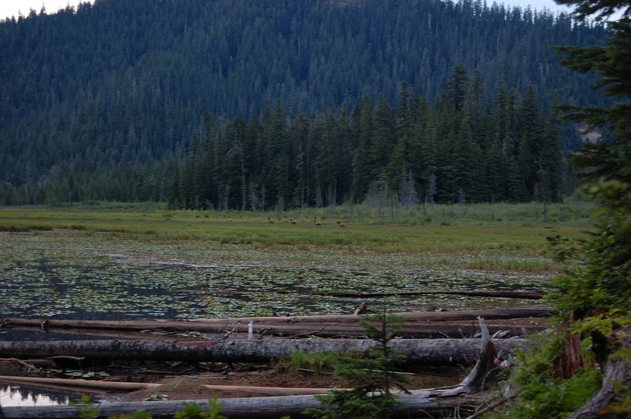
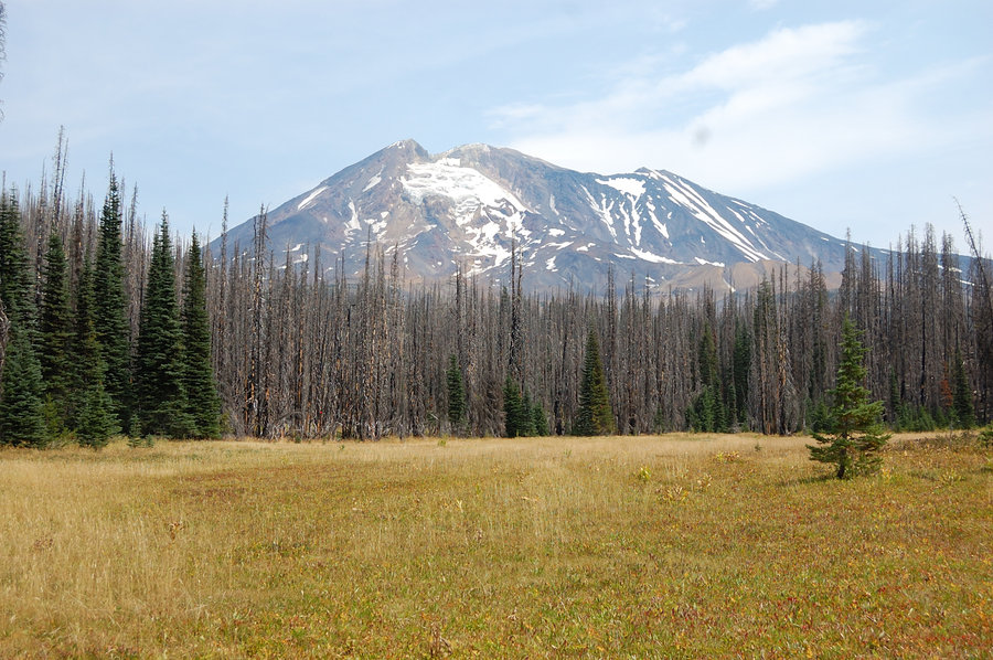
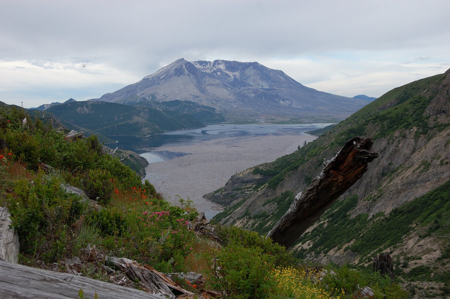
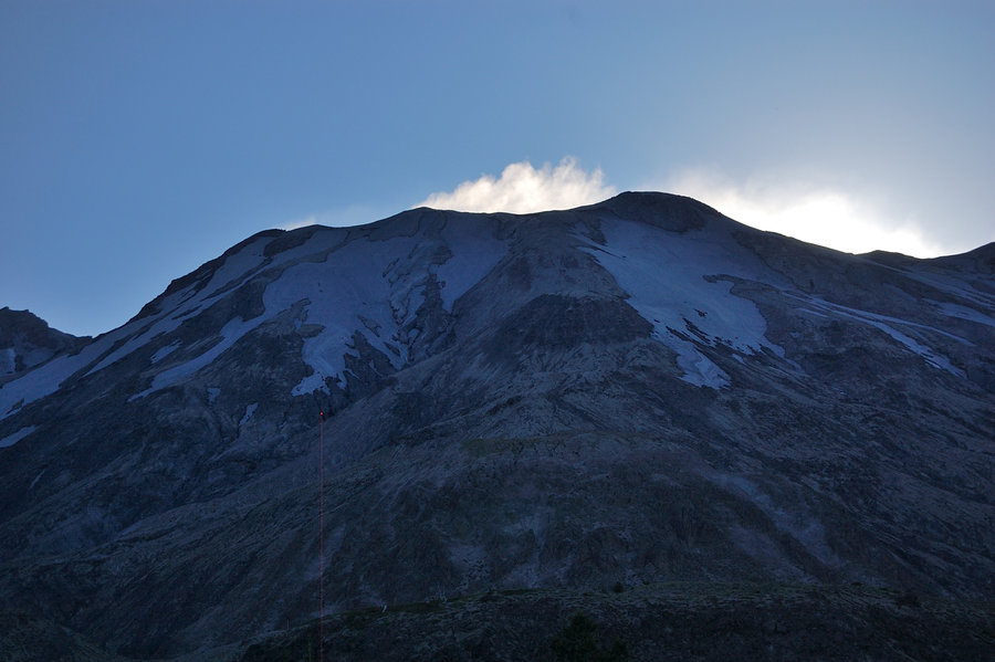
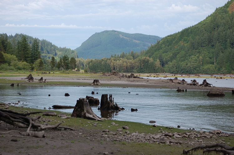
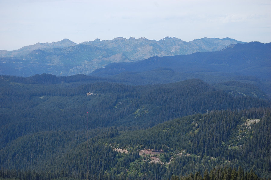
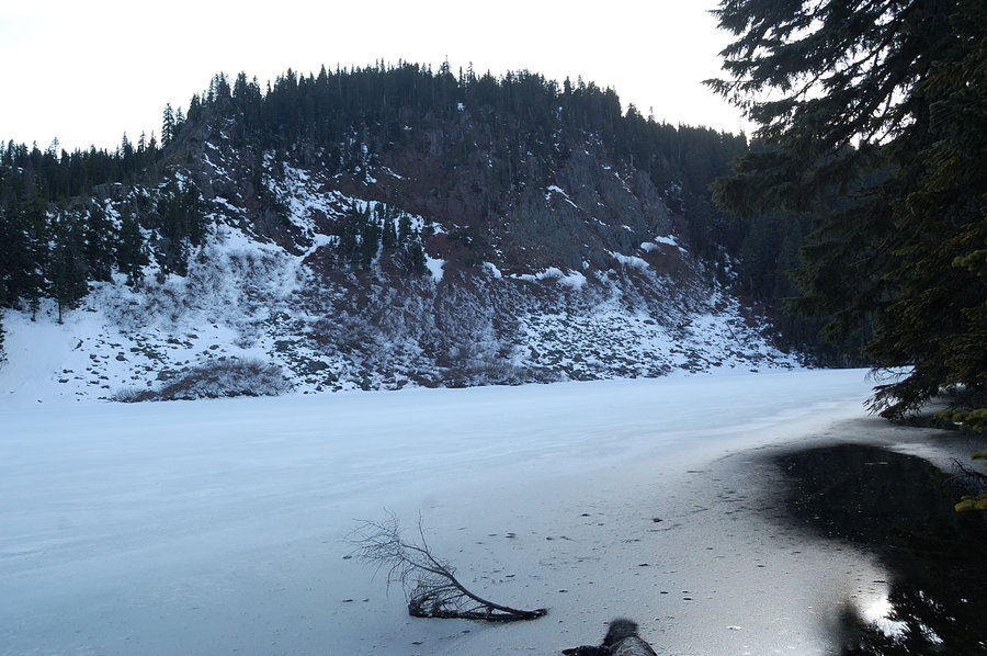
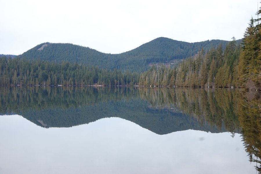
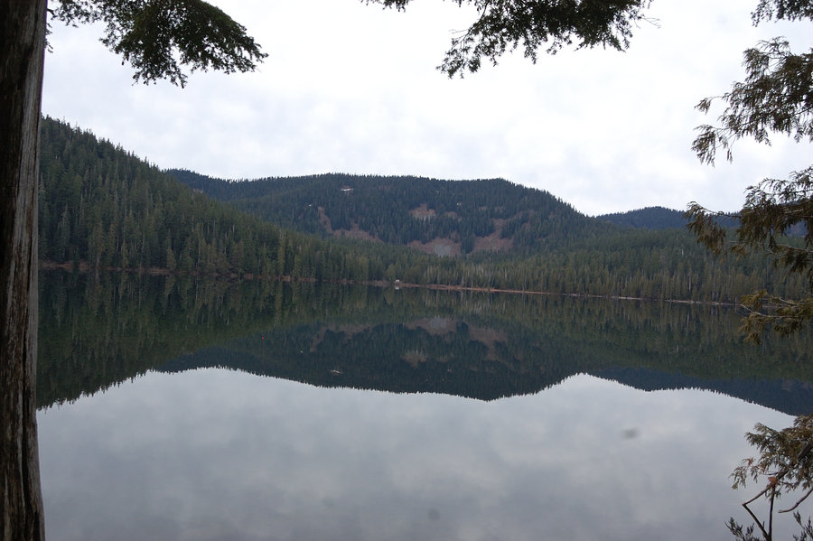
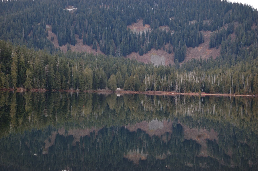
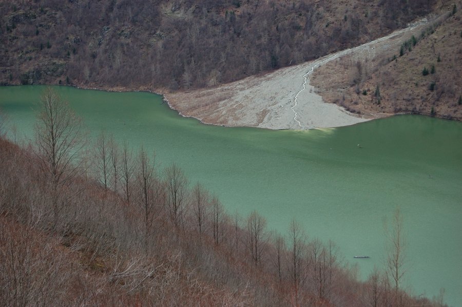
Coldwater Lake loop
11.3 miles of hiking • 2250' elevation gain •
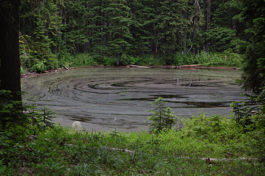
Overcast, but exceptionally warm day. Saw no other hikers, 2 boats, about 15 elk, numerous birds. Half of the lake is clean and clear, other half (upstream side) was very green, almost like algae bloom - I am curious why now? Mount St Helens was all white with fresh snow, looks like it got a good amount & not just a trace.
February 11, 2015


 1
1
CLACKAMAS RIVER TRAIL & ALDER FLAT
10.5 miles of hiking • 1250' elevation gain •
Link to Miah's trip report: http://www.oregonhikers.org/forum/viewtopic.php?f=8&t=21014
February 8, 2015

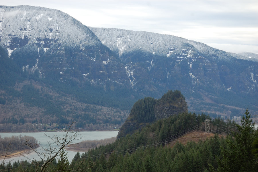
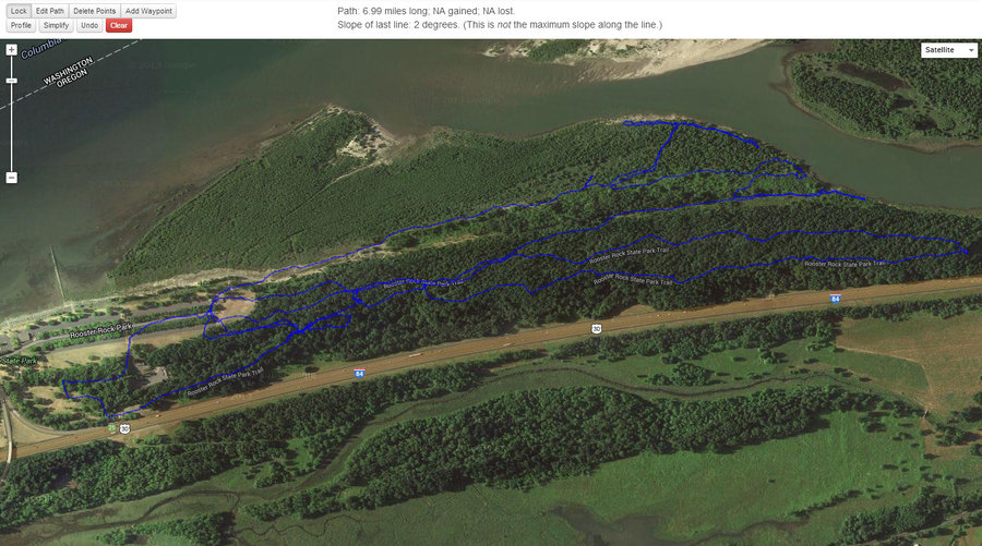
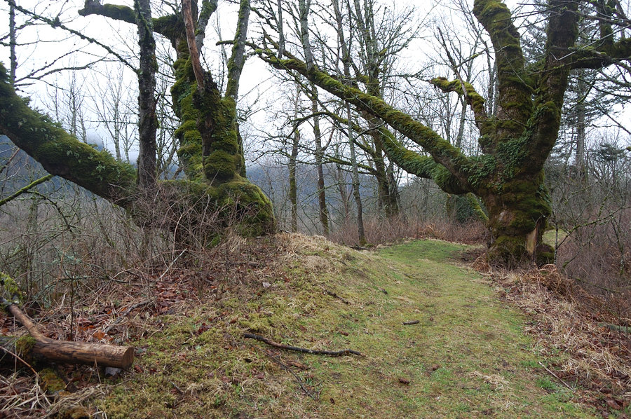
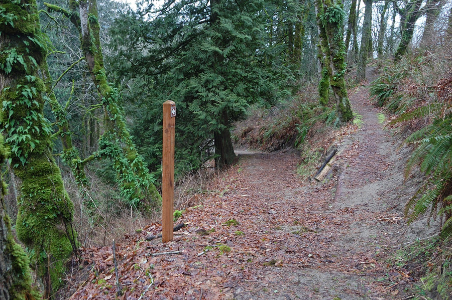
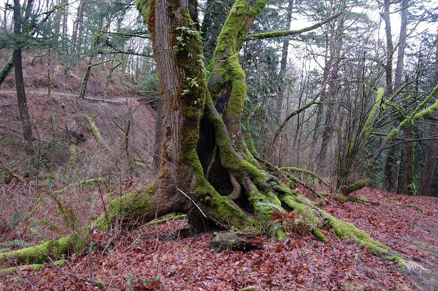
Rooster Rock State Park
6.92 miles of hiking • 750' elevation gain •
Planned to make three-mile loop (which I've never done) in Rooster Rock SP, and move on to another hike, but turned out there's many more trails to see. After the loop, I thought: there's zero cars on the parking lot, maybe the only such day in a year - let's check out "clothing optional" beach near Sand Island. The beach and trails to it turned out not so interesting (unlike trails up on the hill, which were pleasant and clean), but the view of other landmarks over the river is really nice.
February 1, 2015


Bull of The Woods Lookout Loop
7.5 miles of hiking • 2250' elevation gain •
Four of us made a loop over BOTW lookout on Saturday. This hike has some great views - not being the highest point in the area, our summit had views of 11 snowy volcanoes (and partial views from many points on the trail). Almost complete lack of snow at 5500' in January seems nice, but I hope it will change before the summer. Lots of lakes around, so much more there to explore.
January 31, 2015


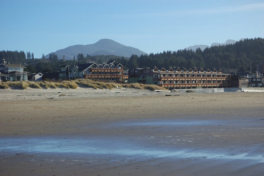
Cannon Beach family hike
6 miles of hiking • 0' elevation gain •
A bit foggy but summer-warm day at the beach.
To give an idea of number of people - the Portland-bound traffic stopped right at SR101/SR26 junction, so we turned around and went via Astoria, it worked much better.
January 25, 2015

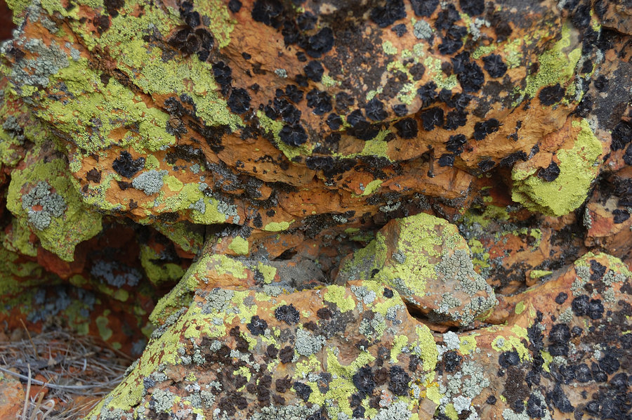
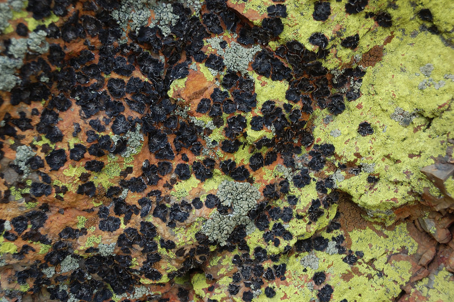
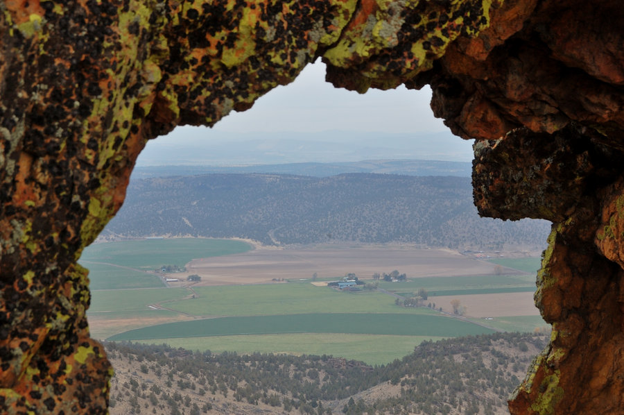
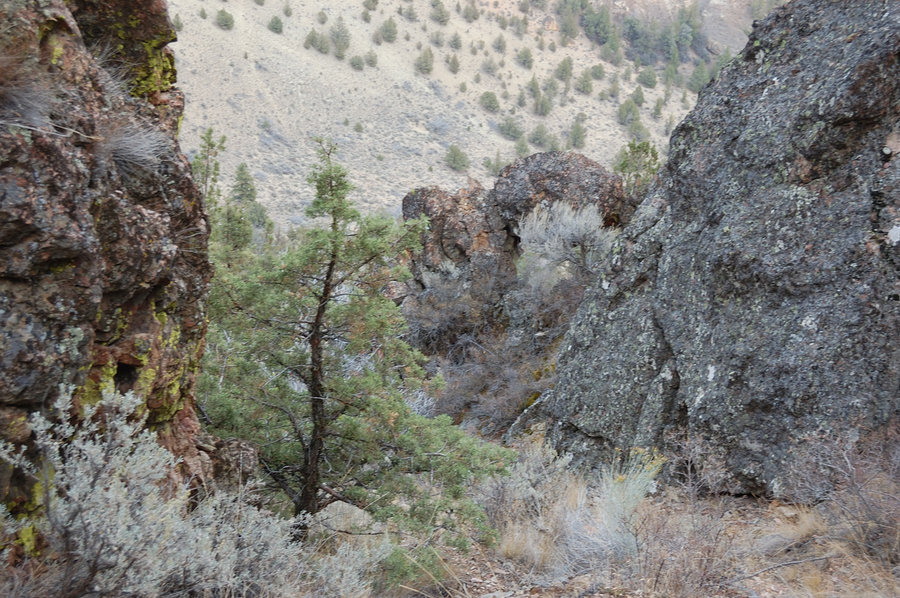
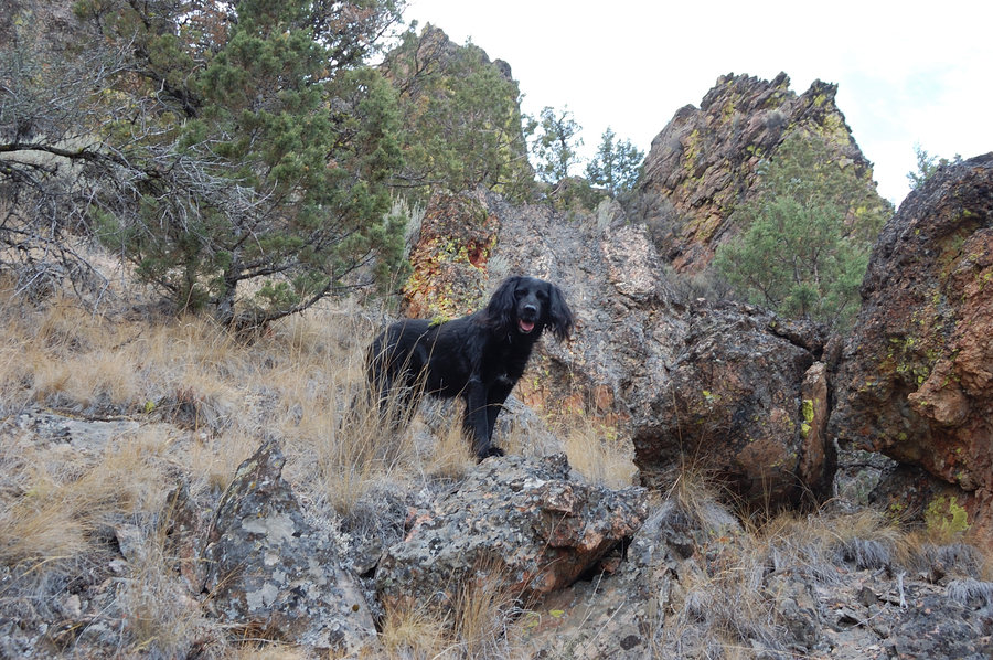
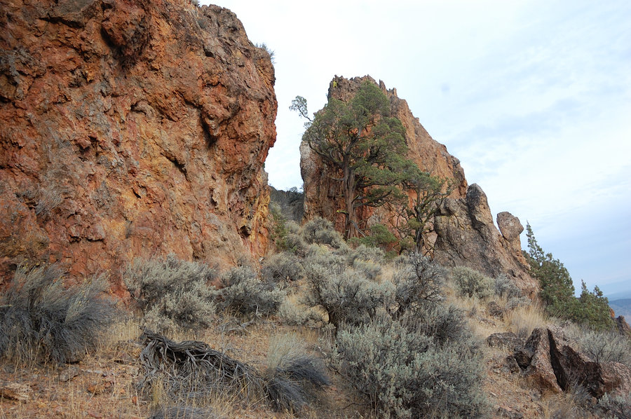
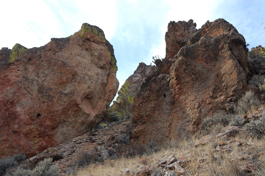
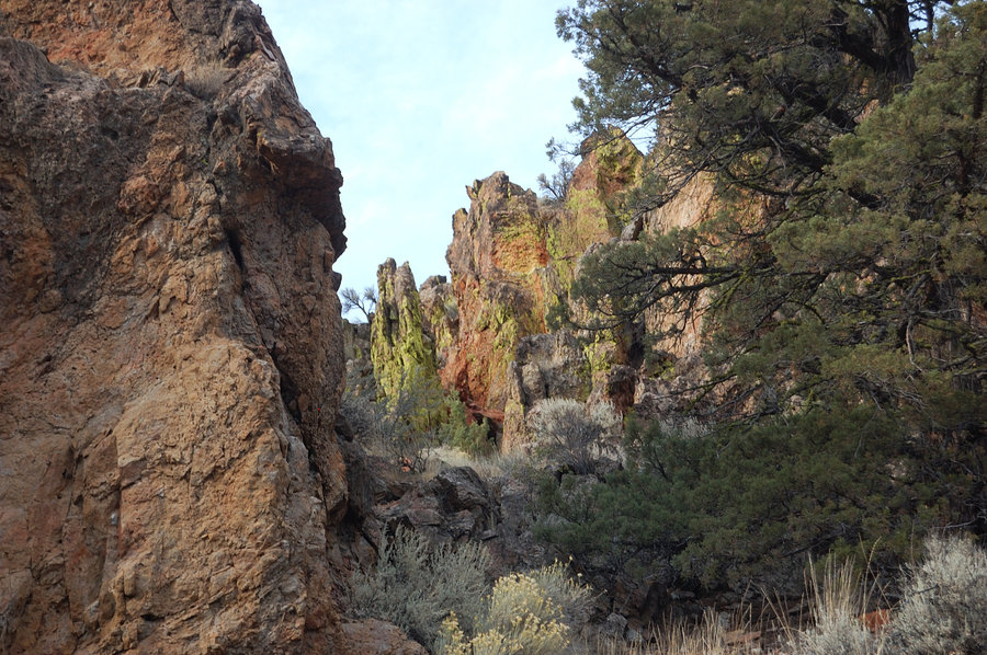
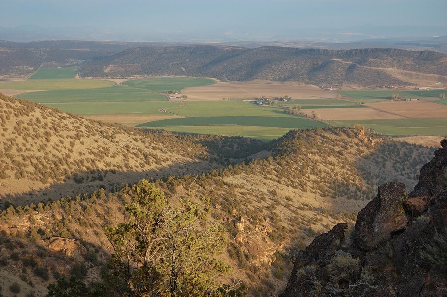
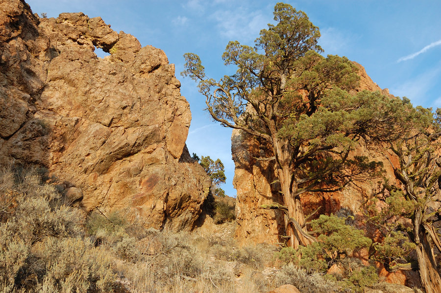
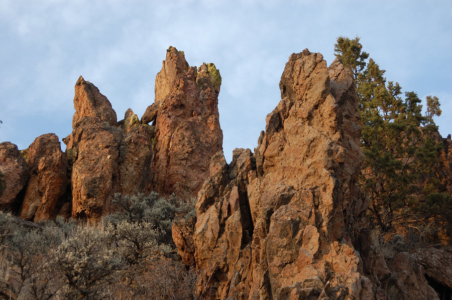
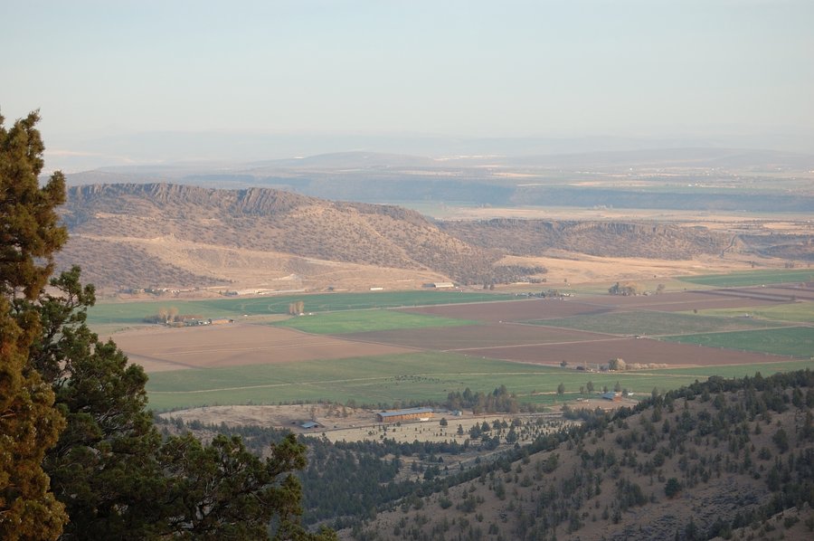
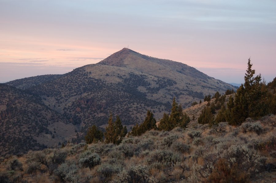
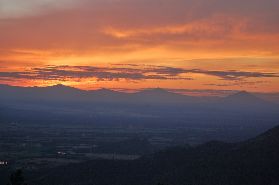
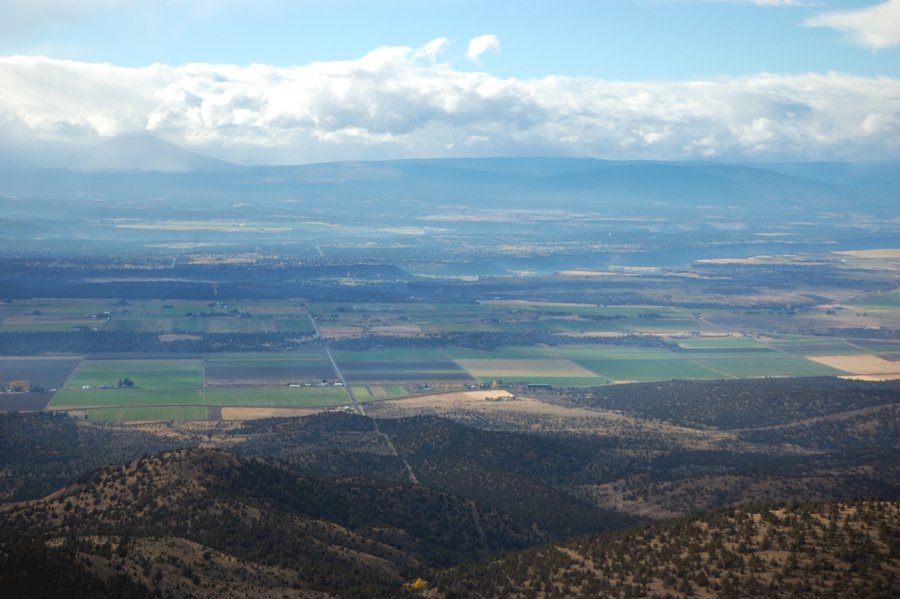
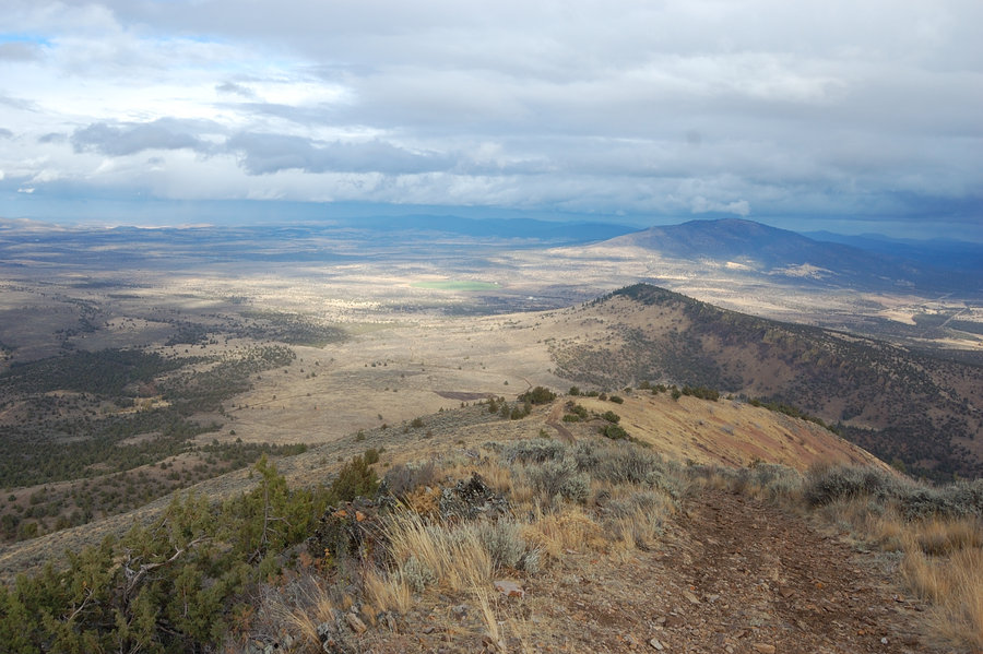
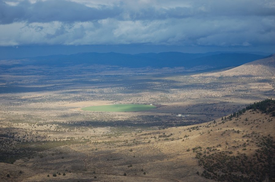
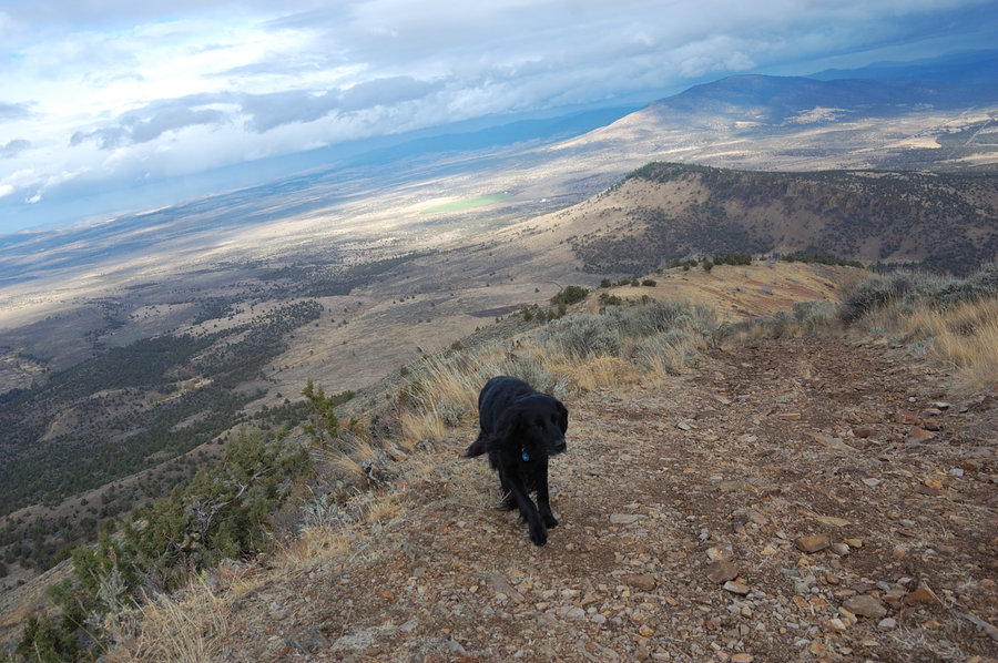
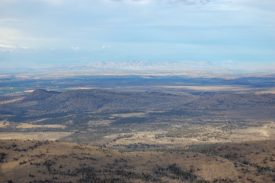
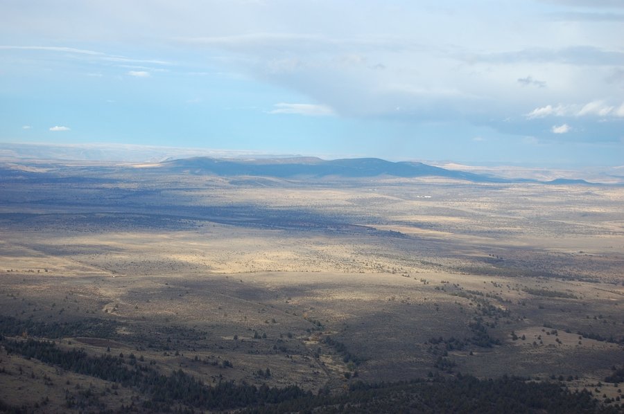
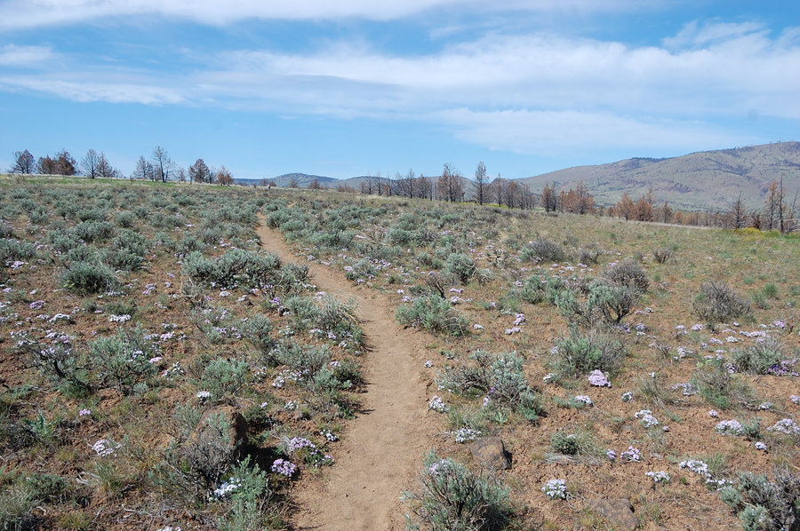
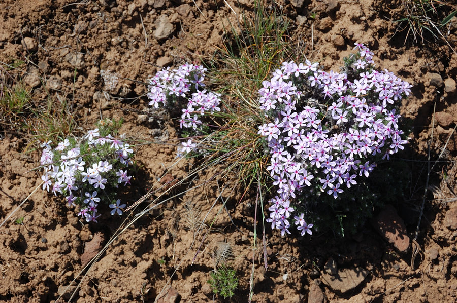
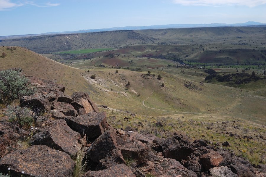
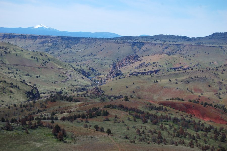
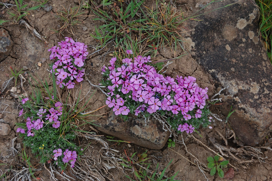
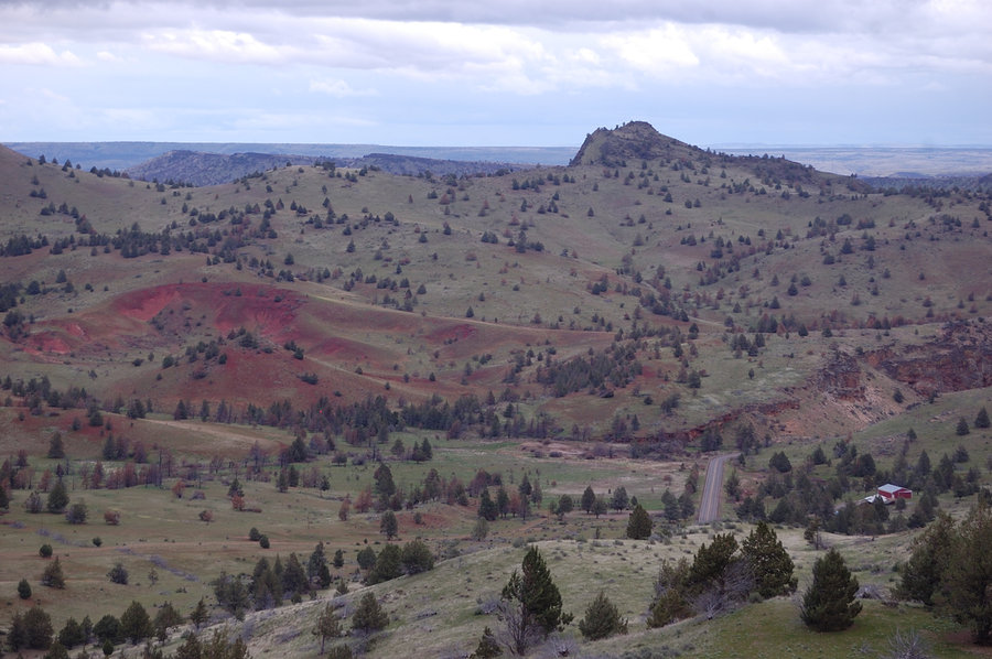
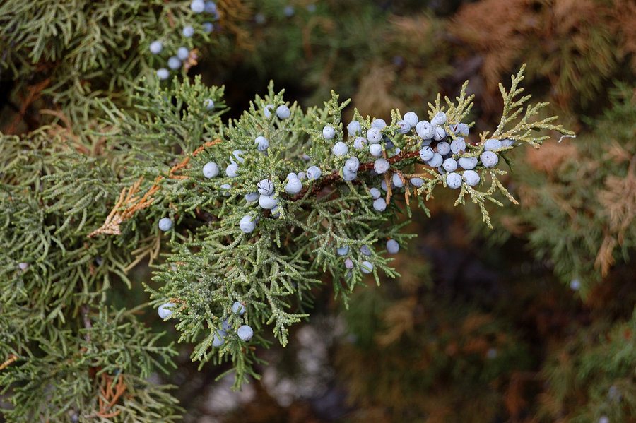
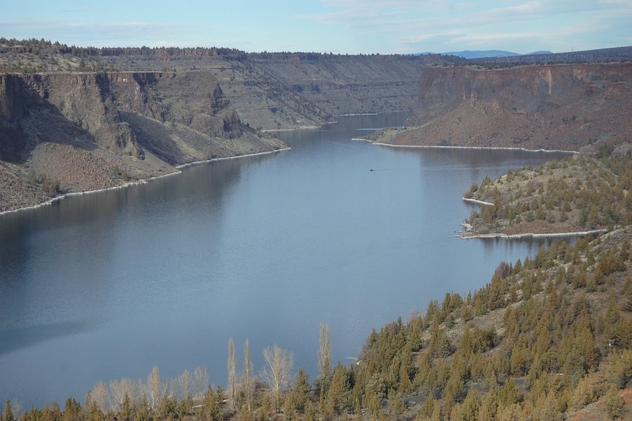
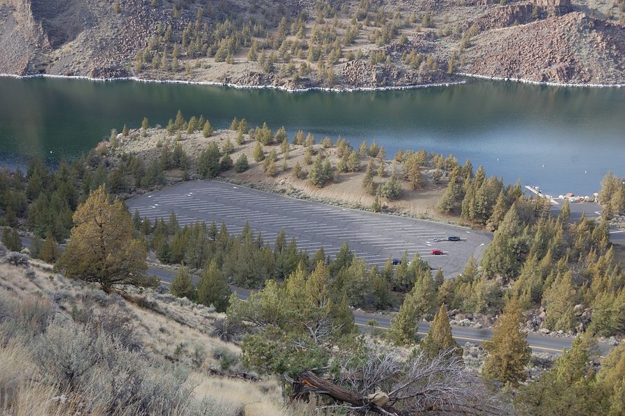
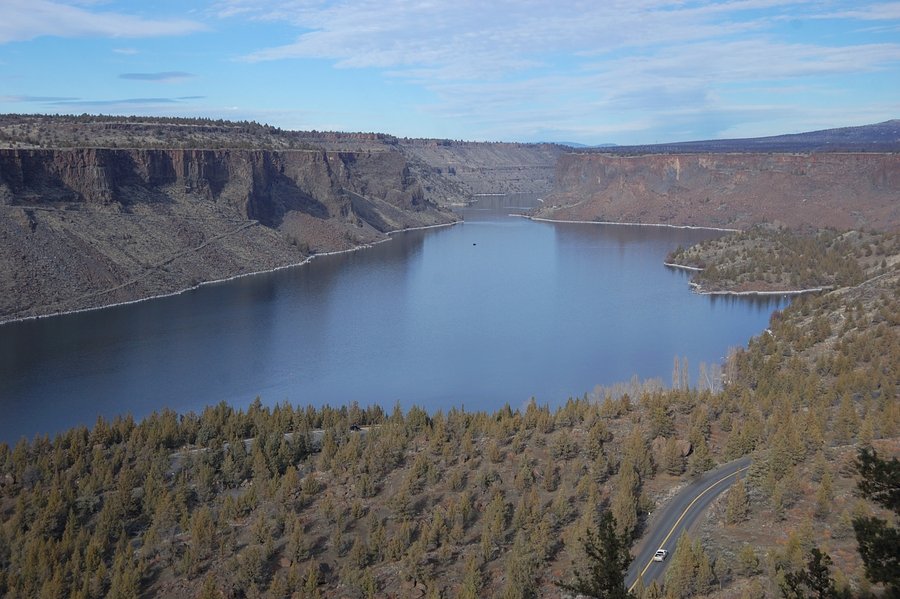
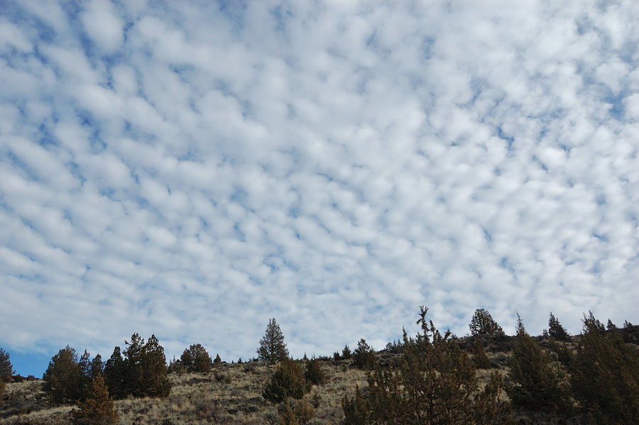
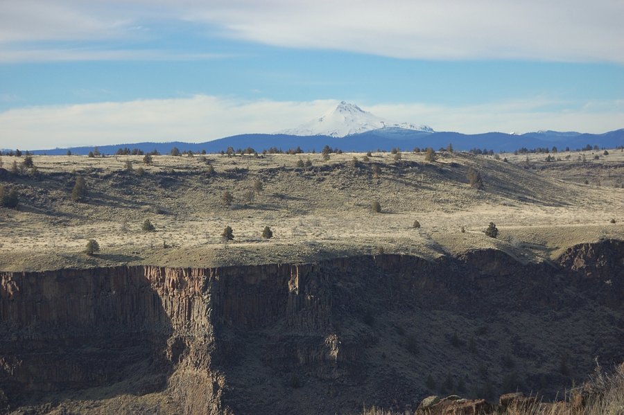
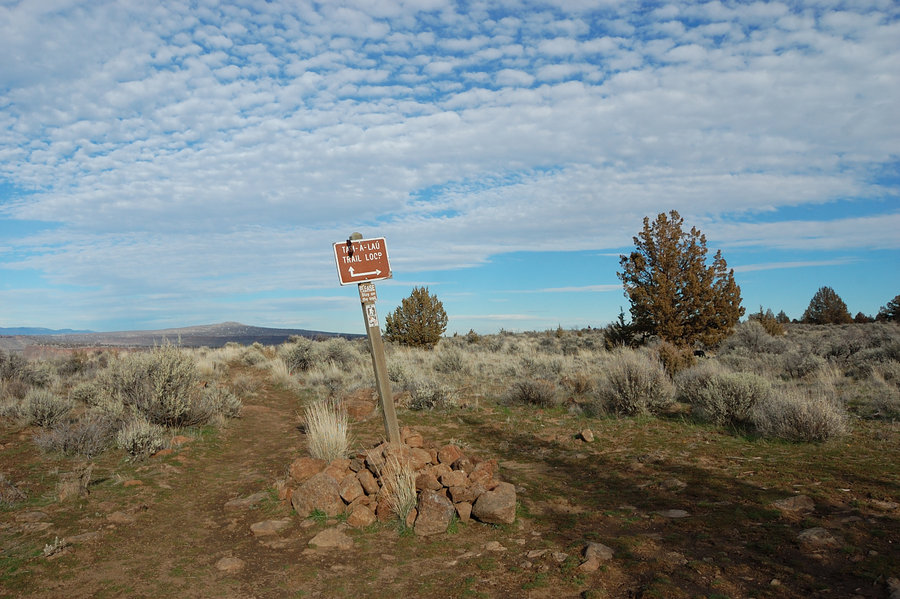
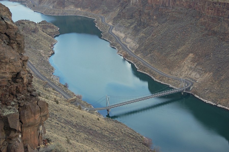
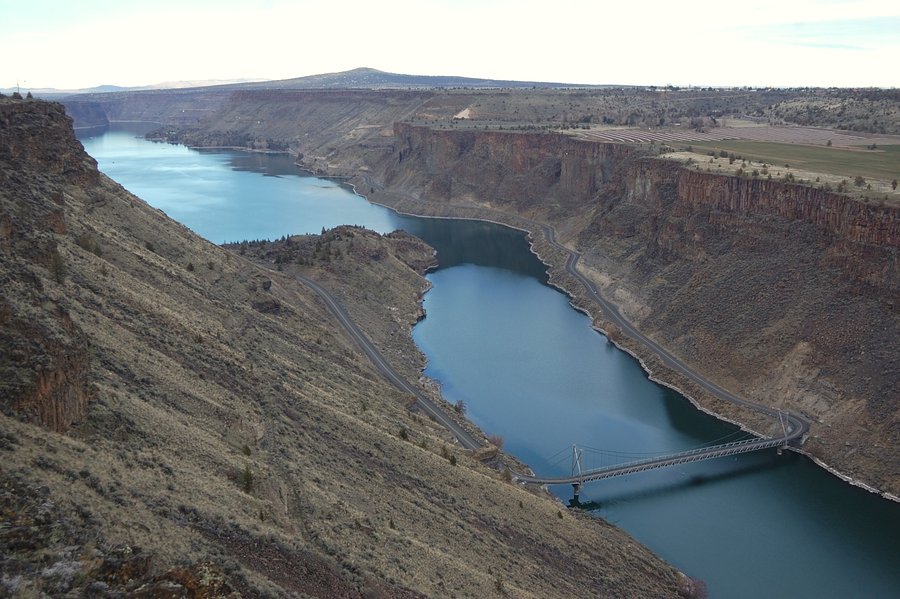
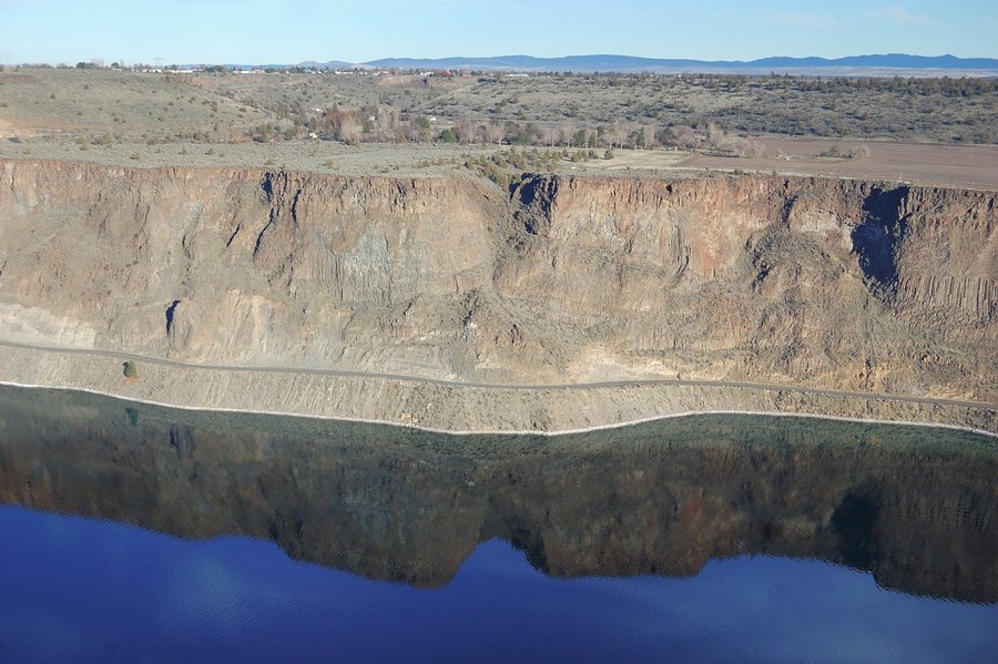
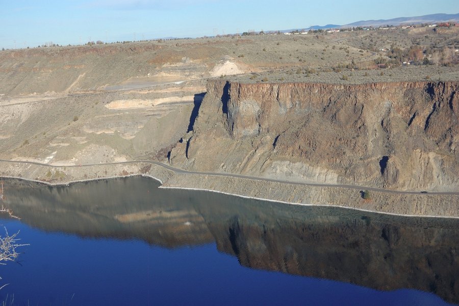
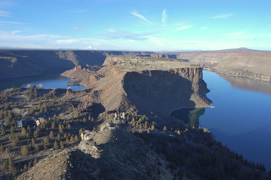
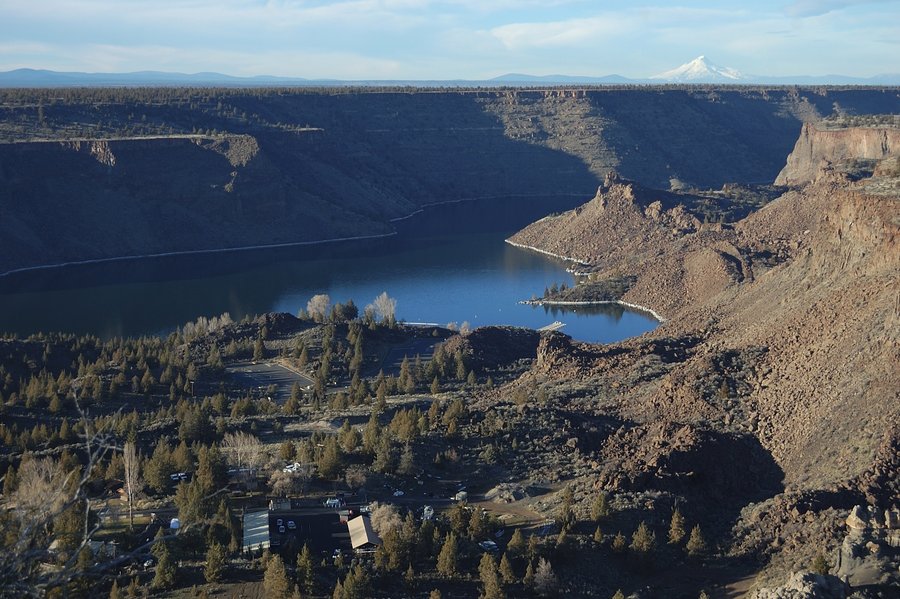
Tam-A-Lau Trail
6.7 miles of hiking • 750' elevation gain •
Gorgeous 60+ degree day in Cove Palisades State Park. Lake Billy Chinook looks like a wide, mighty river from this trail, and its rocky gorge is very scenic. The trail has plenty of views of the canyon and all nearest Cascades peaks - we could see Hood, Jefferson, Olallie, Sisters, Broken Top, Bachelor - only to name the biggest ones...
January 24, 2015


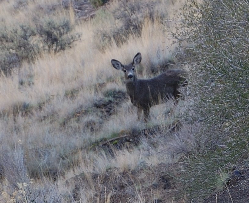

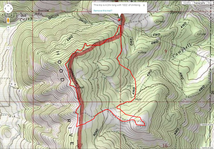
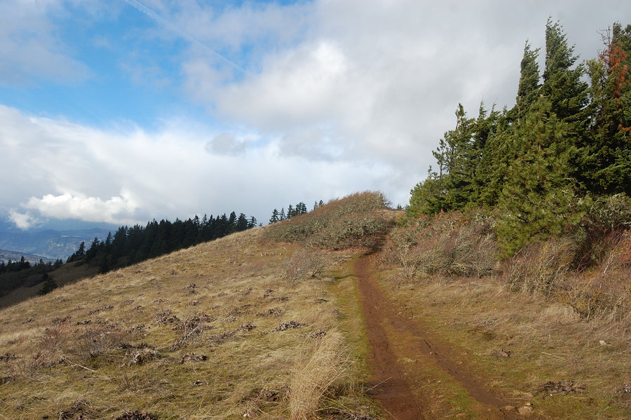
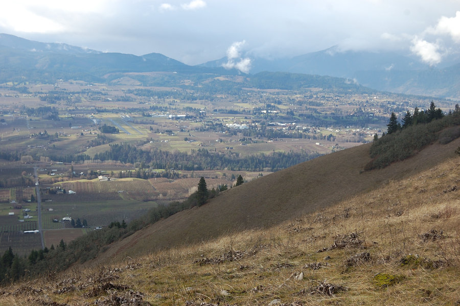
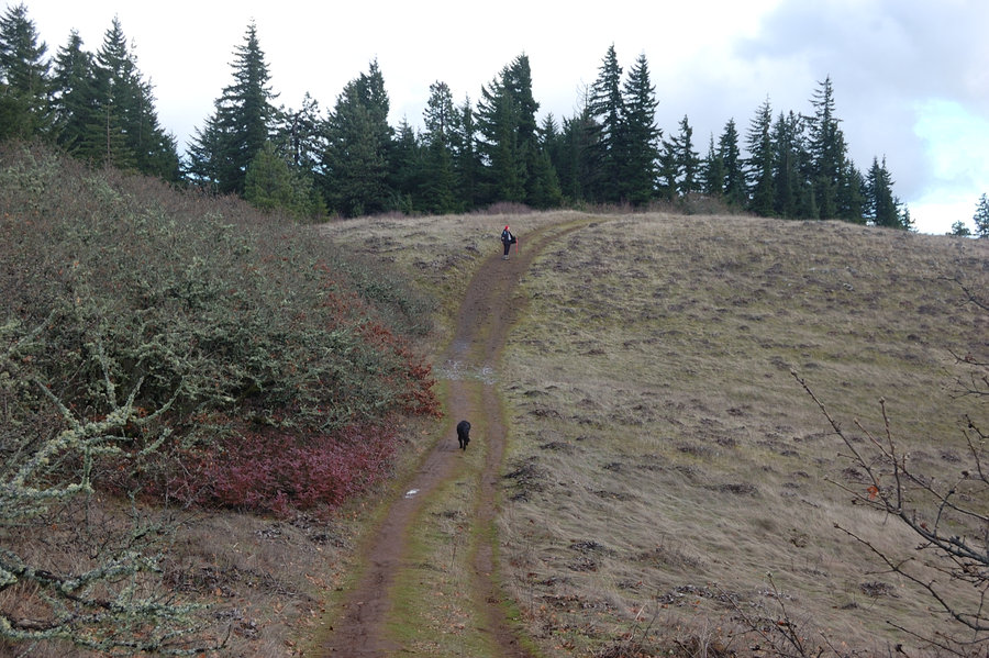
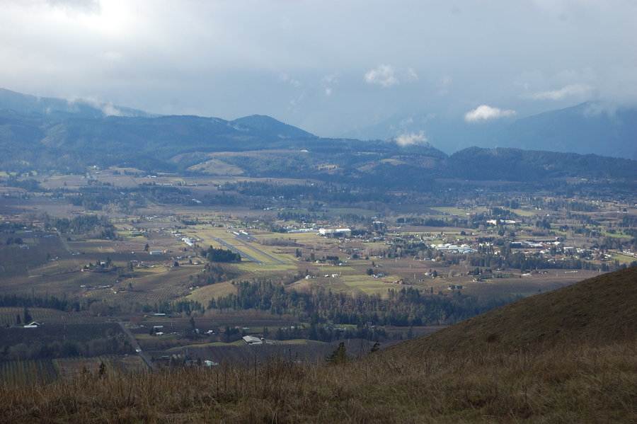
Hood River Mtn loop
4.2 miles of hiking • 1000' elevation gain •
Went with my grandmother to check out Hood River Mtn classic trail, then a few old road grades to the east. That small butte to the east of Elder Rd has some nice views to the east. Terrain around there is pretty open, with multitude of cow trails and old roads - still to be explored... The map is my drawing, not the actual GPS track.
January 19, 2015


January 18, 2015