

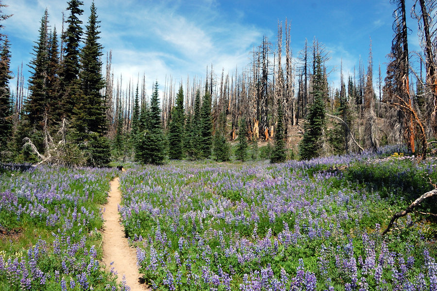
24.6 miles of hiking • 5000' elevation gain • 2 nights
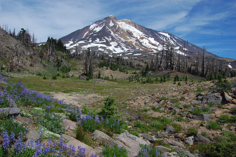
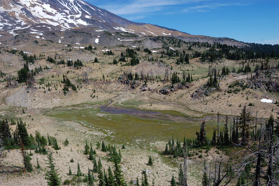
Camped first night on Friday at Horseshoe Meadows (the flowers are great right now), planned to hike offtrail to Crystal Lake for the second night via The Bumper - the hill/rock roughly 100 feet high with the first row view of the mountain. From The Bumper though, the terrain looked pretty easy and I thought I had still a lot of time, why not check the two mapped lakes below Pinnacle Glacier?
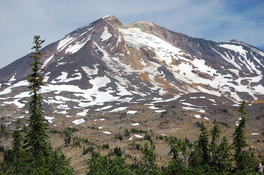
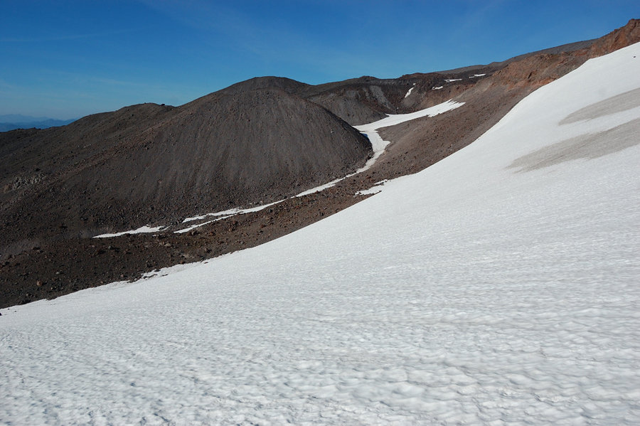
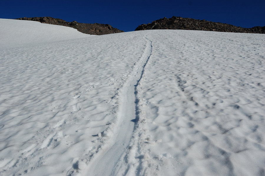
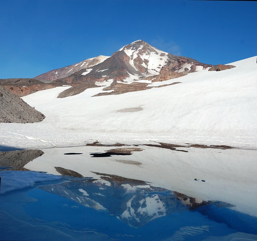
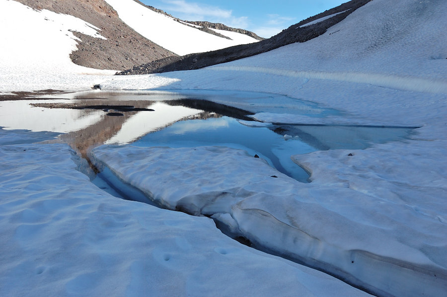
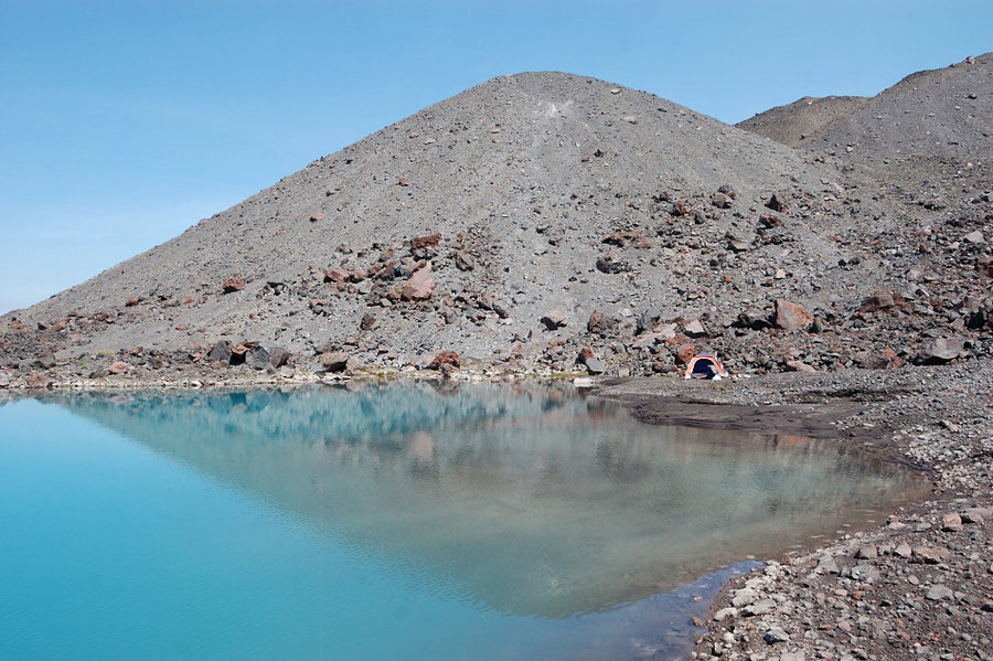
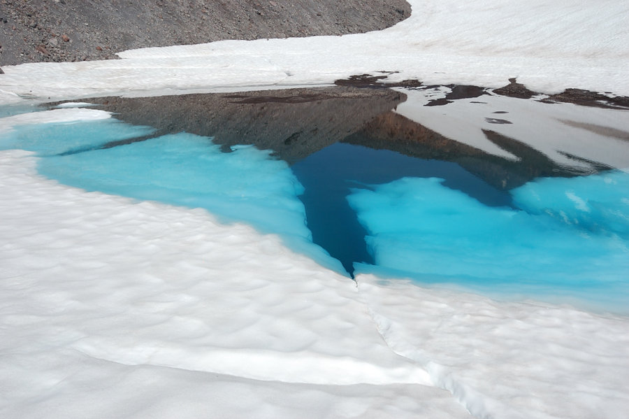
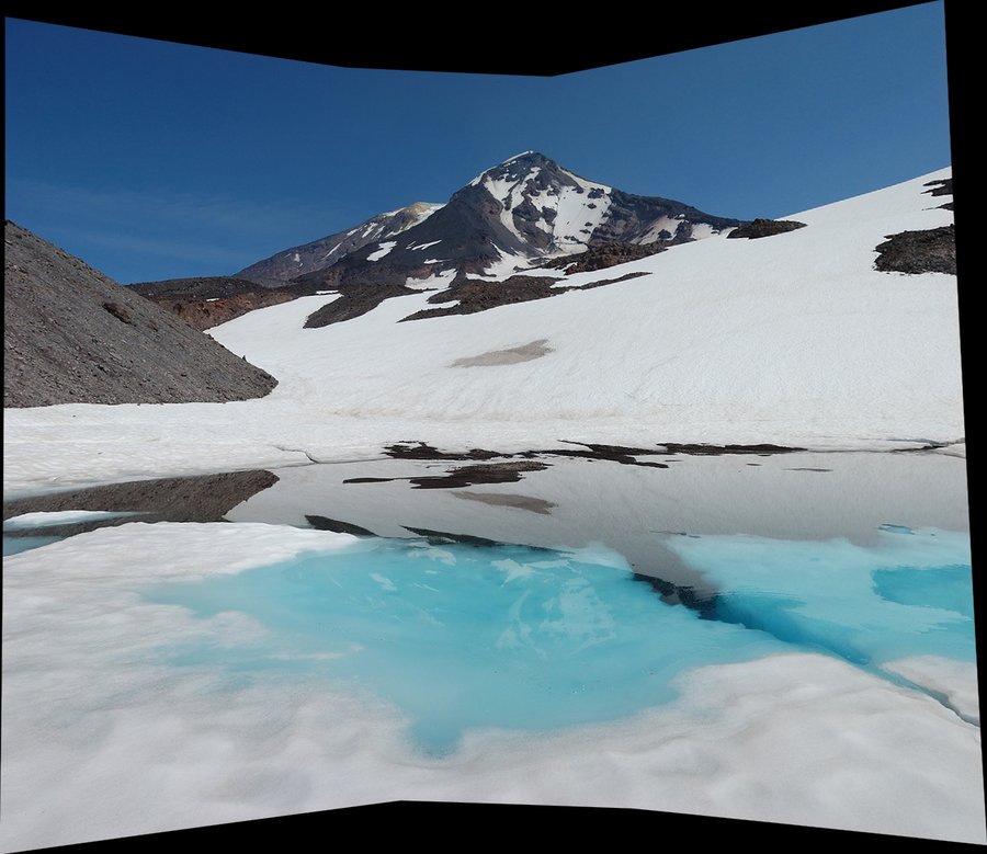
Reached one lake at 7011' with no problem, although what started easy became more rugged and slow going, and then I had to glissade down one branch of the glacier (no spikes!) and hike up snow bridge in the next gully - nothing technical but it did push my comfort level a bit. The lake was small and shallow (more like a tarn & still half covered in ice), but there was superb view of the mountain, and also interesting crevasses around this lake - not glacier type crevasses, it just looked like the water level recently dropped 5-6 feet and the ice around collapsed.
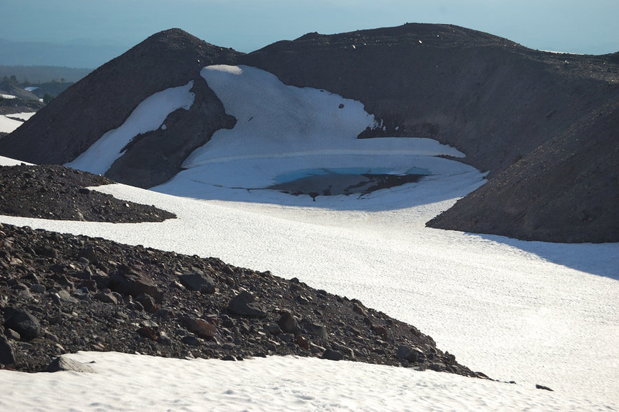
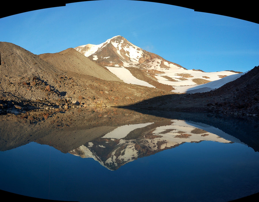
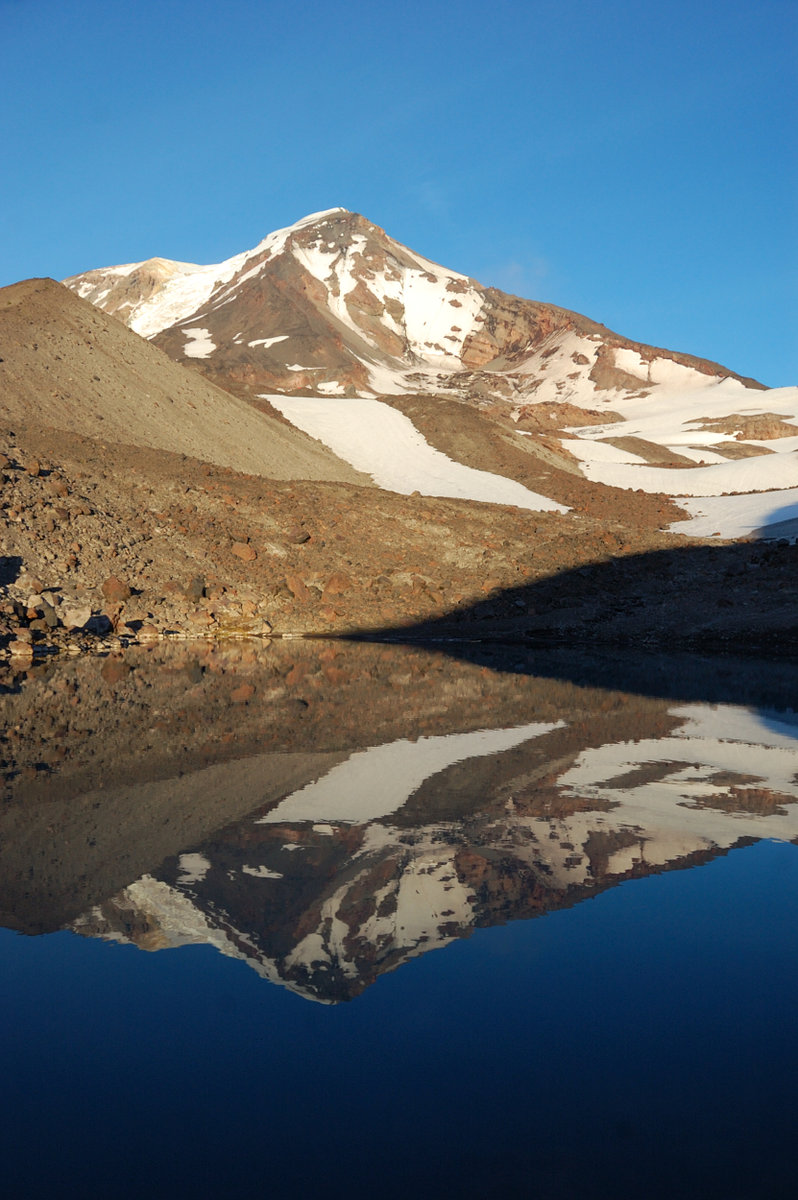
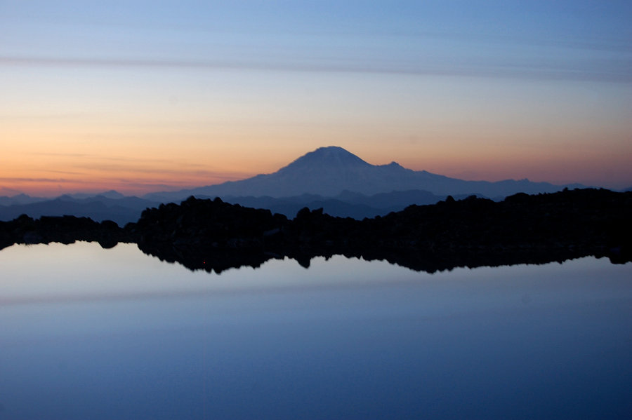
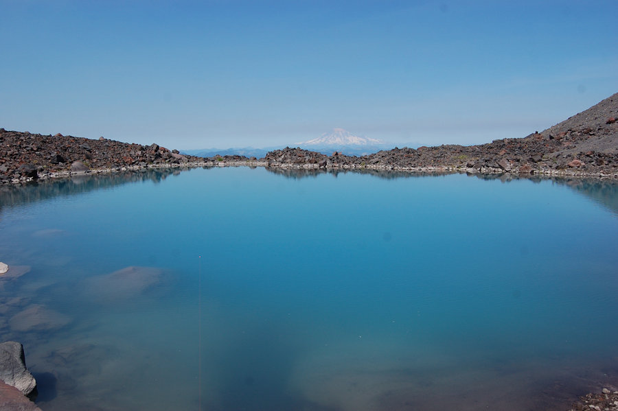
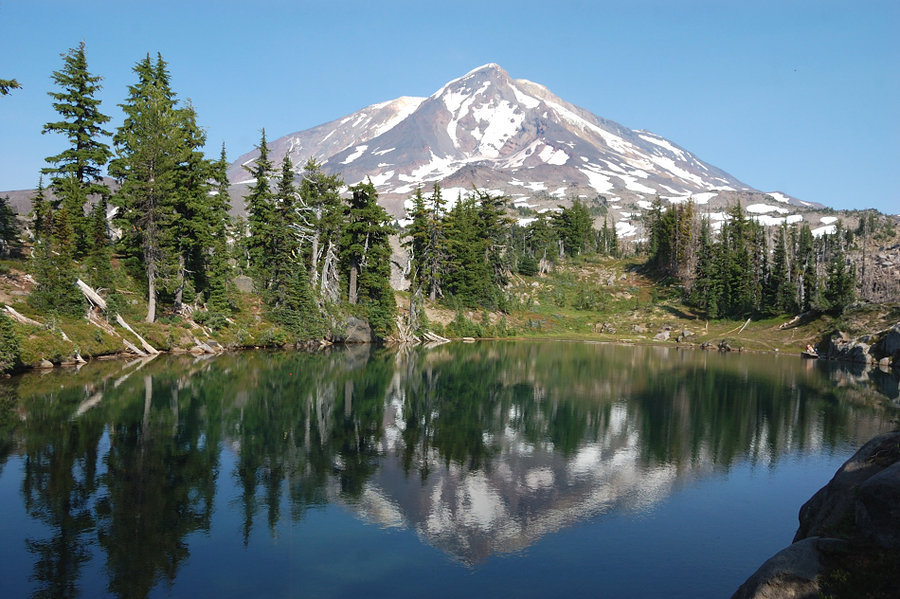
The second lake marked on the map at 7205' proved not so easy. I had to go around and over unstable moraine and it blocked my way until 7600', finally went over its upper edge but decided I'd run out of daylight if I had to come back. Going down to Lake 7011 though, I saw the second bigger lake a quarter mile away and what looked like much easier (snow-covered) way over moraines so I went down that way & it turned out to have the most beautiful Adams reflection I've seen, and also terrific Rainier view! It had a good place to pitch a tent (although on the "wrong" side of the lake) so I stayed there for the night. Checked the GPS that night it turned out not 7205' lake at all, but an unmapped one at ~6800' elevation - what a find! This lake was much bigger and deeper than 7011 lake, I wonder why it didn't make onto the map?
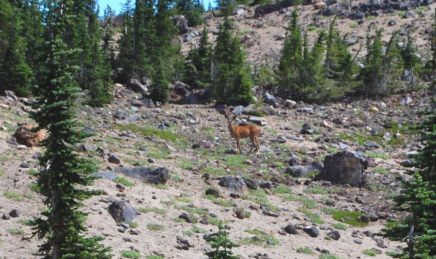
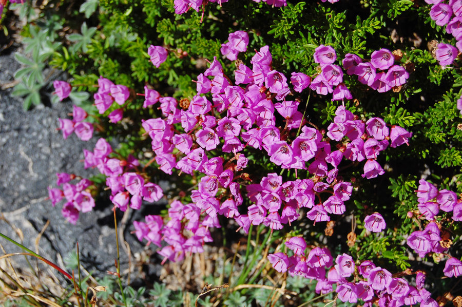
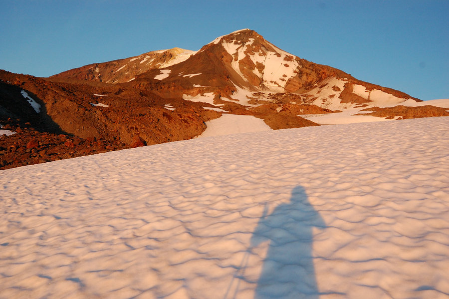
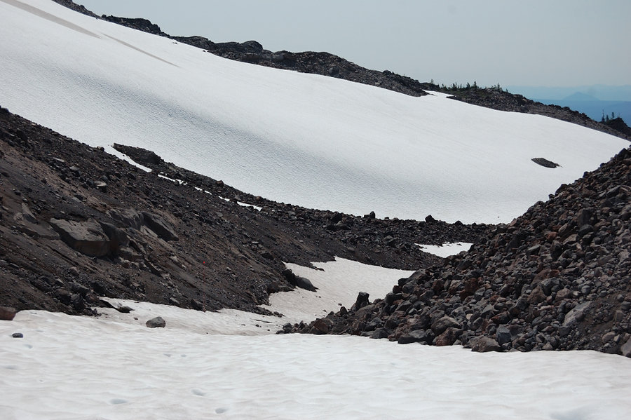
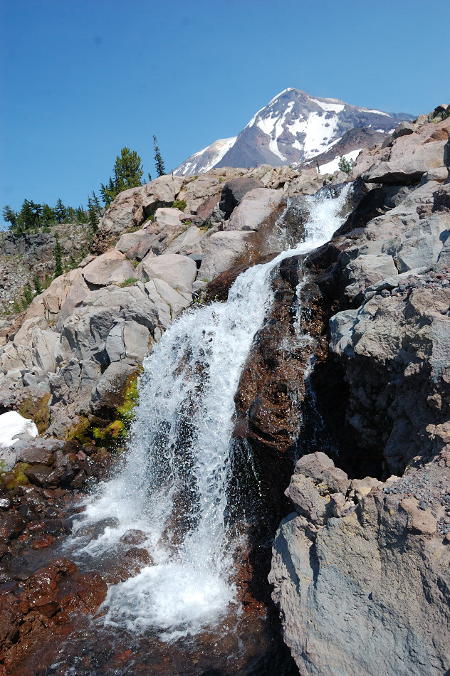
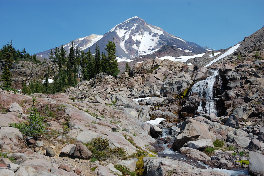
On Sunday, I went back over the pass and straight down the canyon, started on snow (easy) but soon descended onto lava jumble (slow!) and it lasted that way for a while. However, then the canyon changed dramatically, with glacier-polished bedrock and sparse trees (had definite Yosemite feel in some places), mats of blooming heather, and a series of small waterfalls. It's one of the nicer canyons I've seen, completely untouched by the 2012 fire. Around 6200' I had to leave the canyon if I was to find Crystal Lake, which - oddly - sits right near the top of a narrow ridge. That ridge was pretty nice to see, too - with more polished white rocks, many flat sandy depressions (camping opportunities abound), islands of trees and tons of heather. Saw a small unnamed lake (would definitely camp there if I had another night), and then found Crystal Lake which also has nice reflection of Adams but the lakeside is steep and I don't think it's possible to camp anywhere with lake view (and that lake definitely gets more visitors). 100' vertical down and I was back in the burn zone with mostly dead trees and some little green areas surprisingly spared by fire, but carpets of lupine and asters were insane (although already at peak bloom, so I'd give it 1 more week before things start to fade). Overall, fantastic trip but I have to say 90% of the scenery was above the PCT; this mountain on its west side is best explored off-trail.


Comments

JM
August 19, 2014
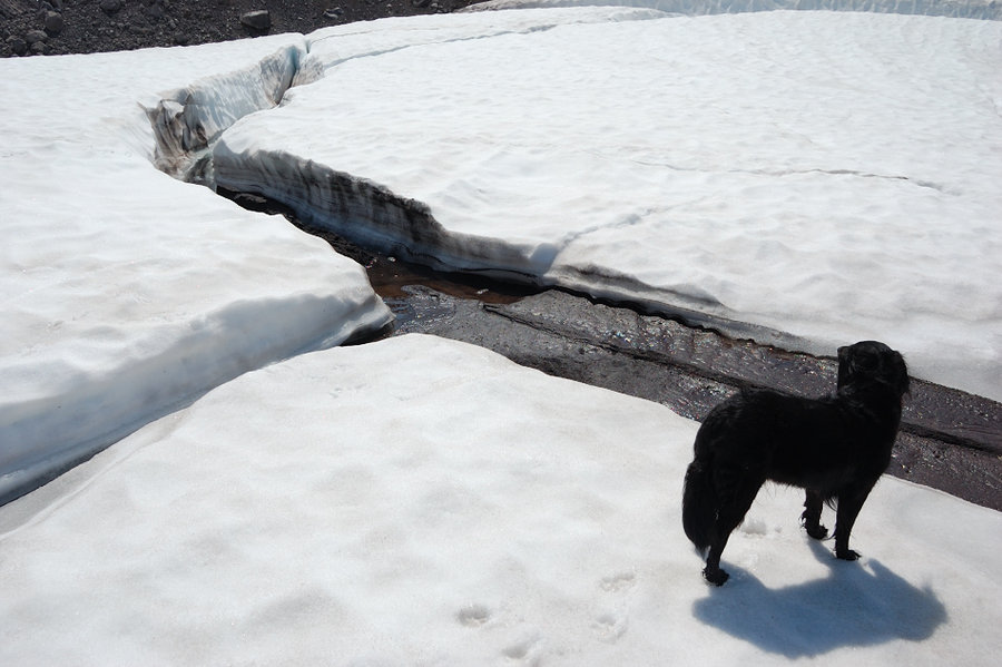
Another great trip, Roman! Those pics are fantasic. I like the silhouette of Pepper looking for salamanders in the lake. Cool waterfall too! Where was that?
Roman
August 20, 2014
Thanks! The waterfall was in Riley Creek Canyon, saw two falls while going along he creek and then (after exiting the canyon) spotted 2 more just downstream.
Karl
August 15, 2014
Finally found this one. Like minds, indeed! Really nice stuff up there! :-)