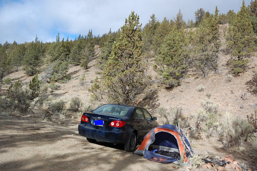
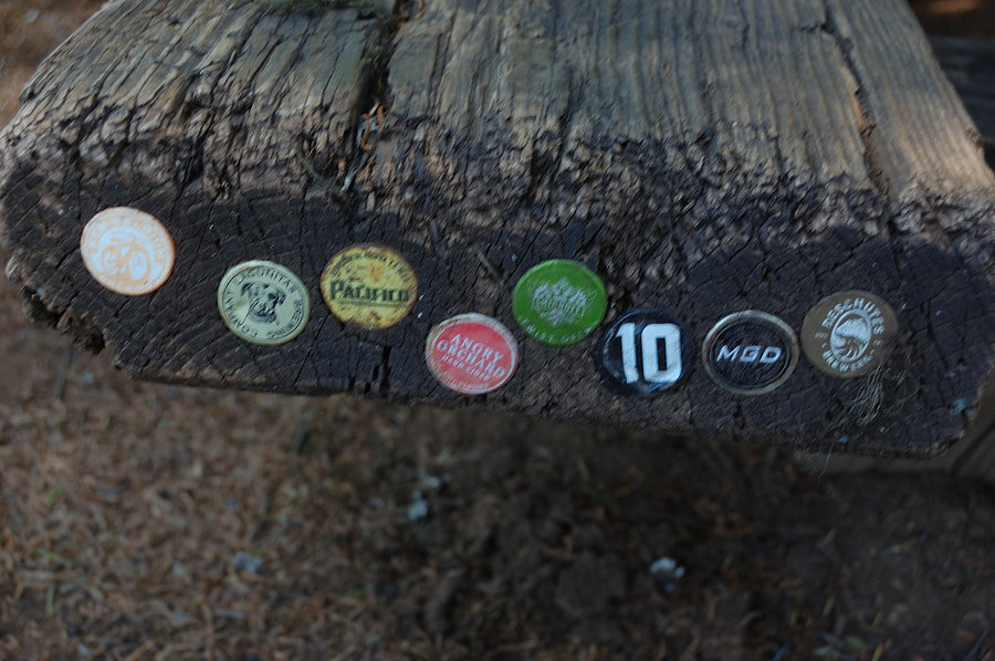
2016 Trips

 1
1
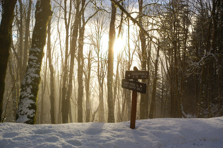
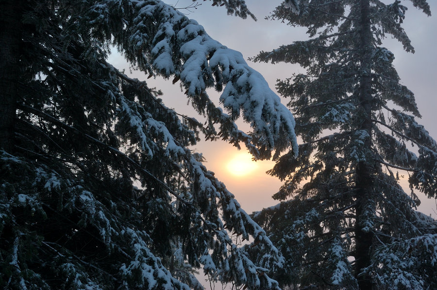
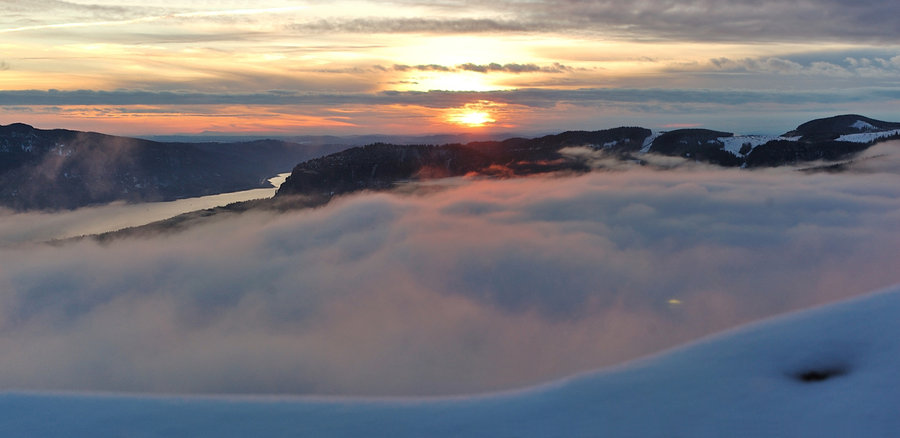
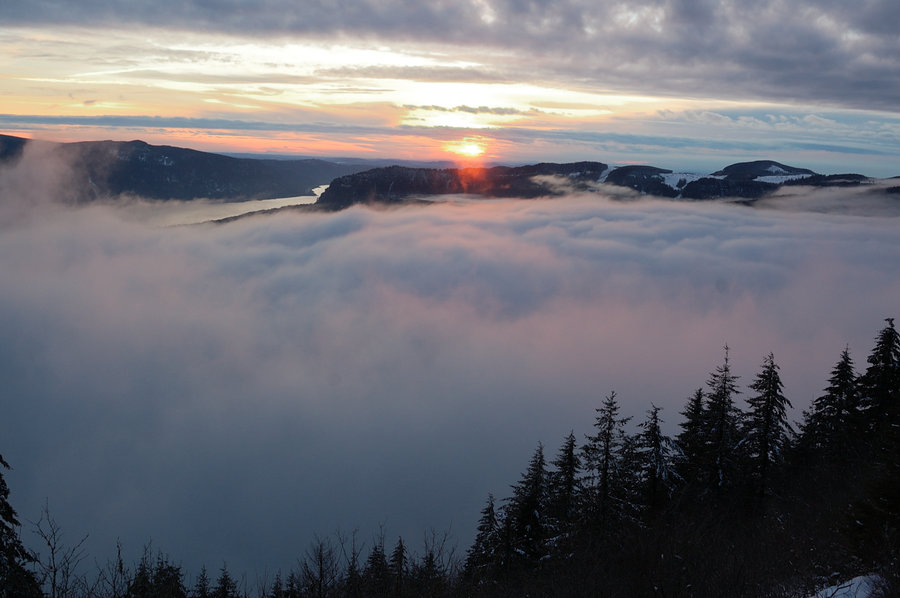
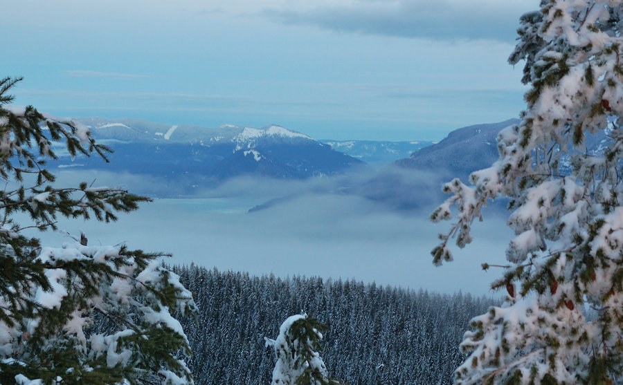
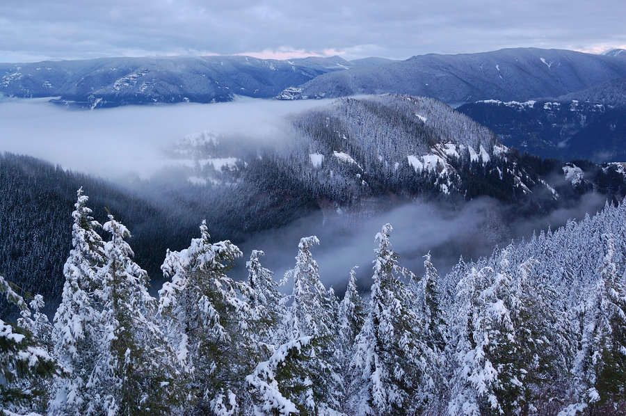
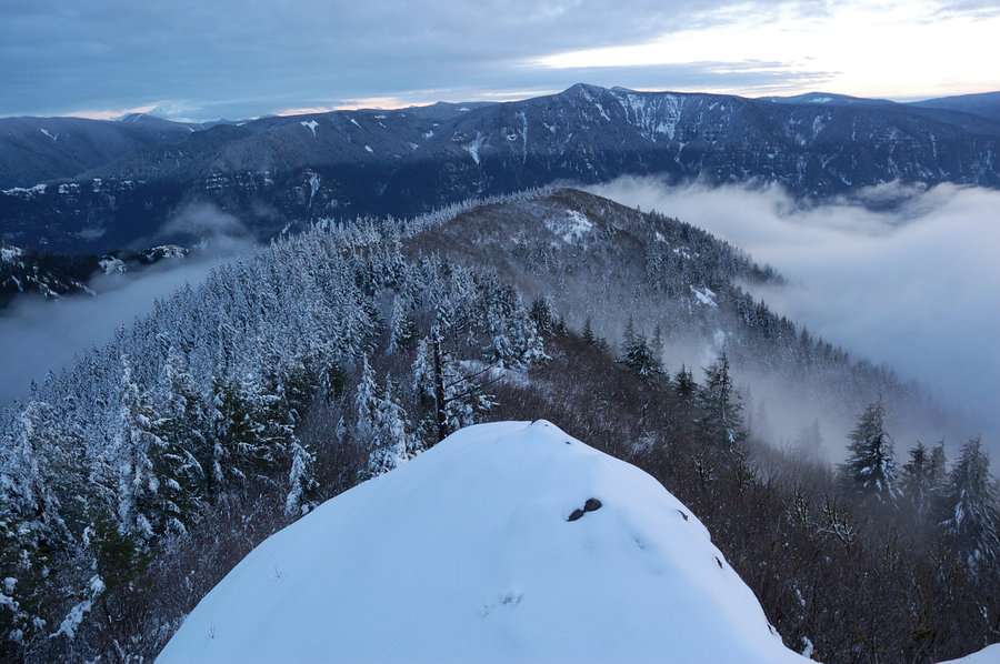
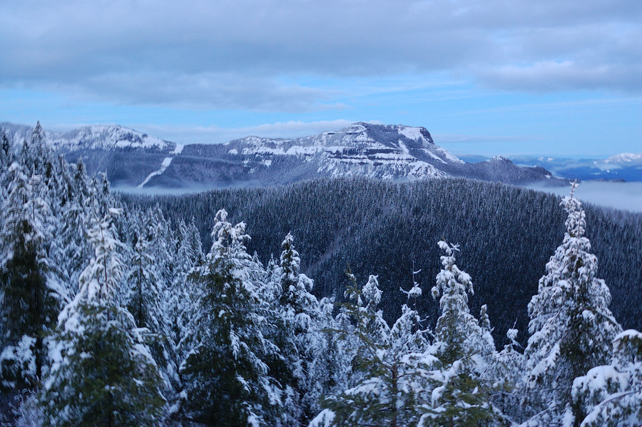
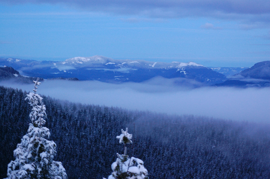
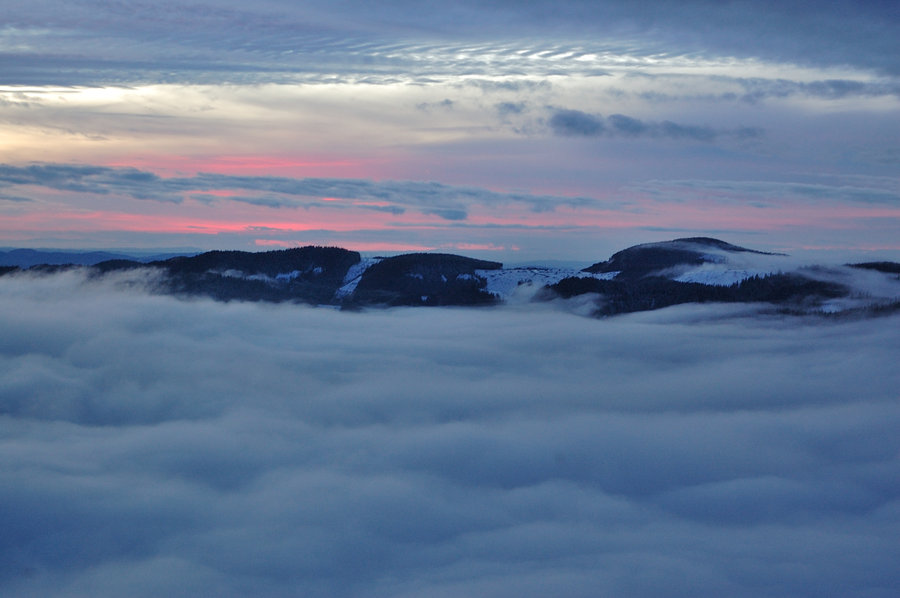
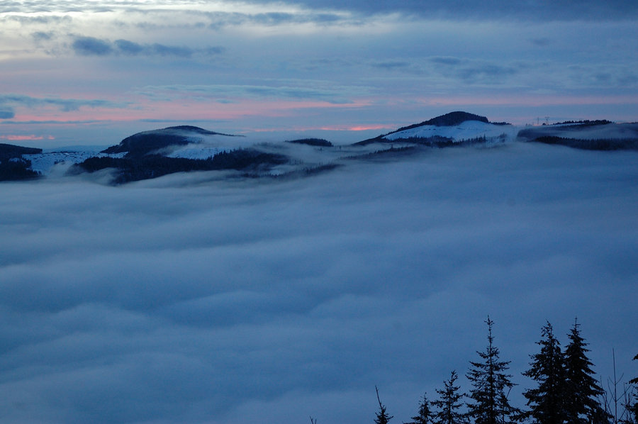
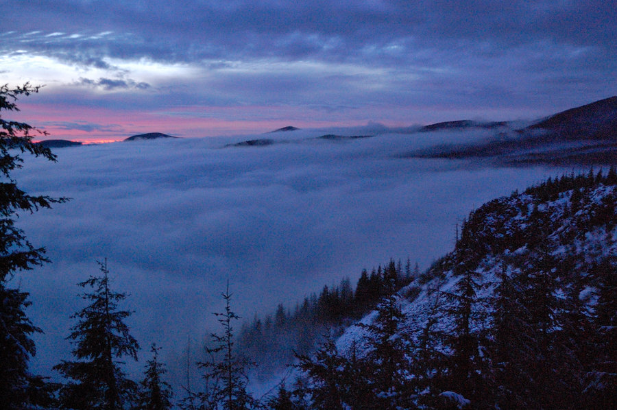
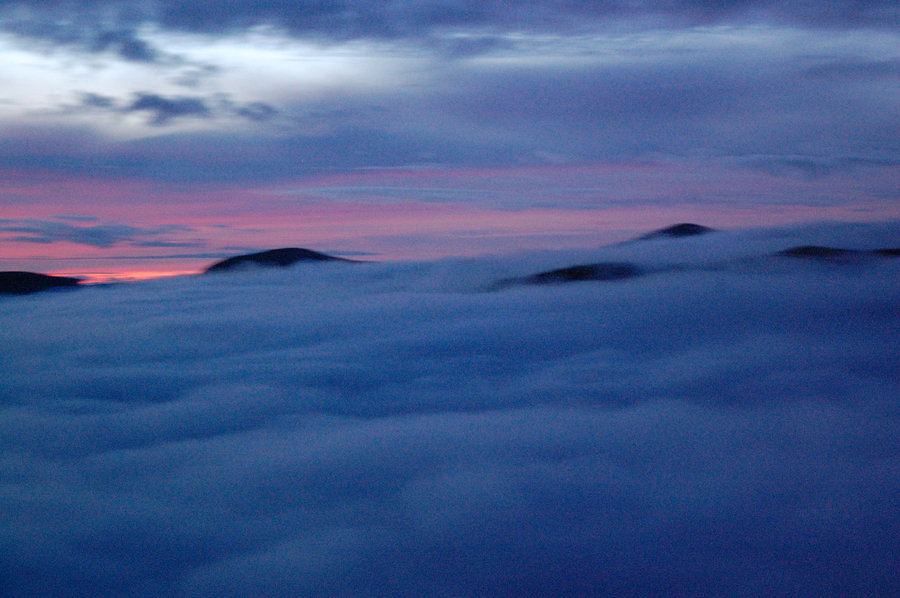
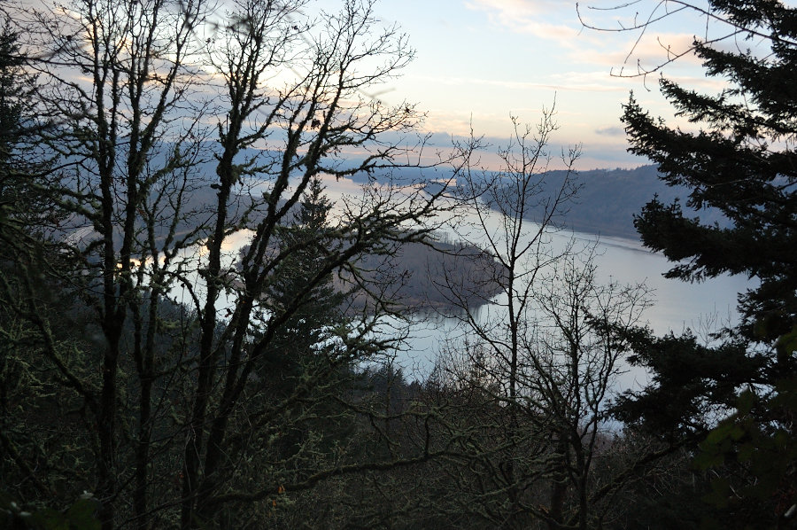
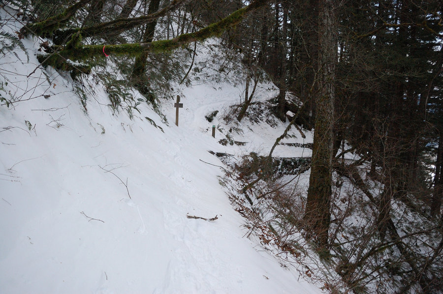
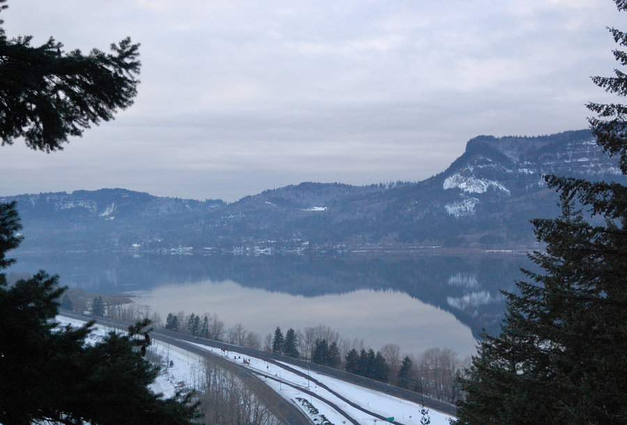
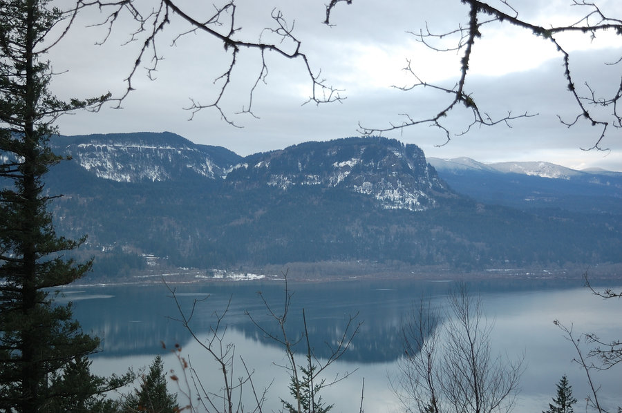
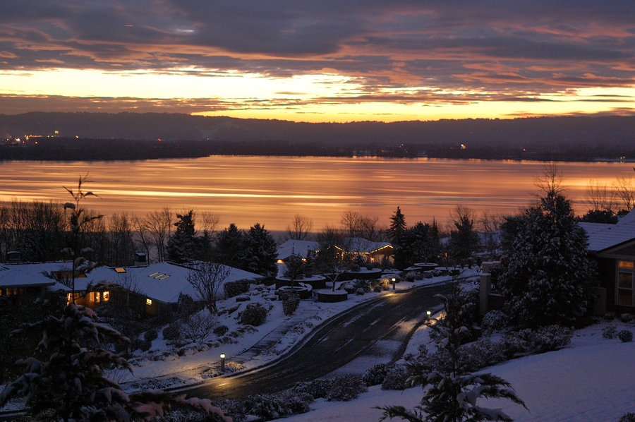
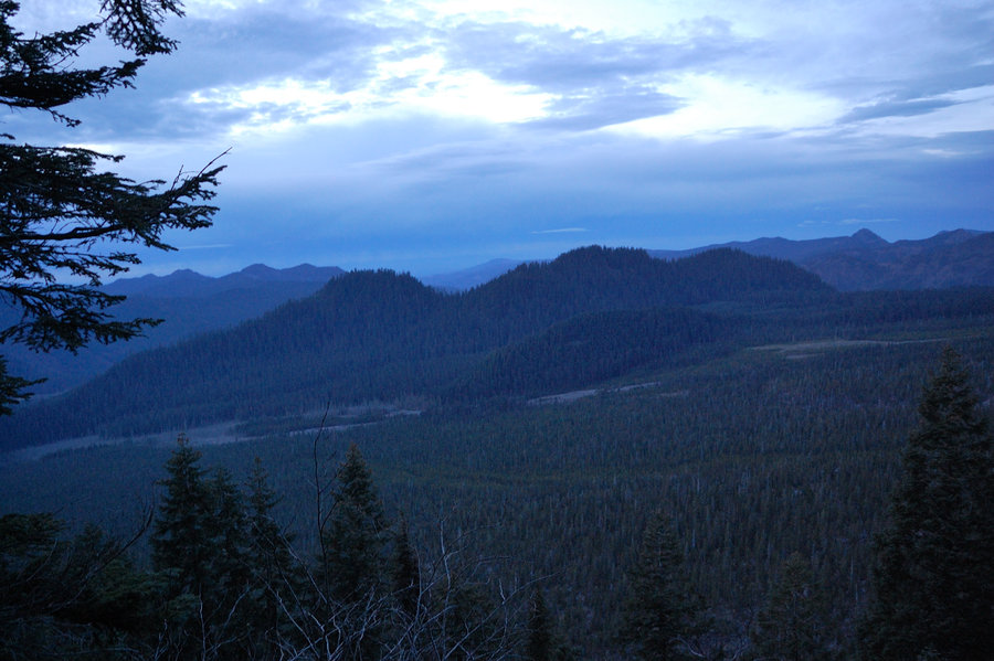
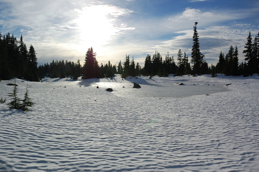
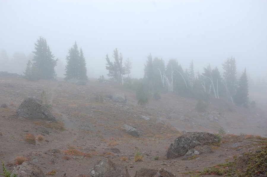
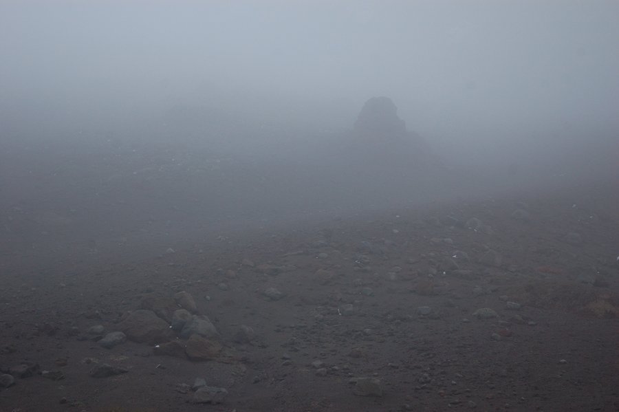
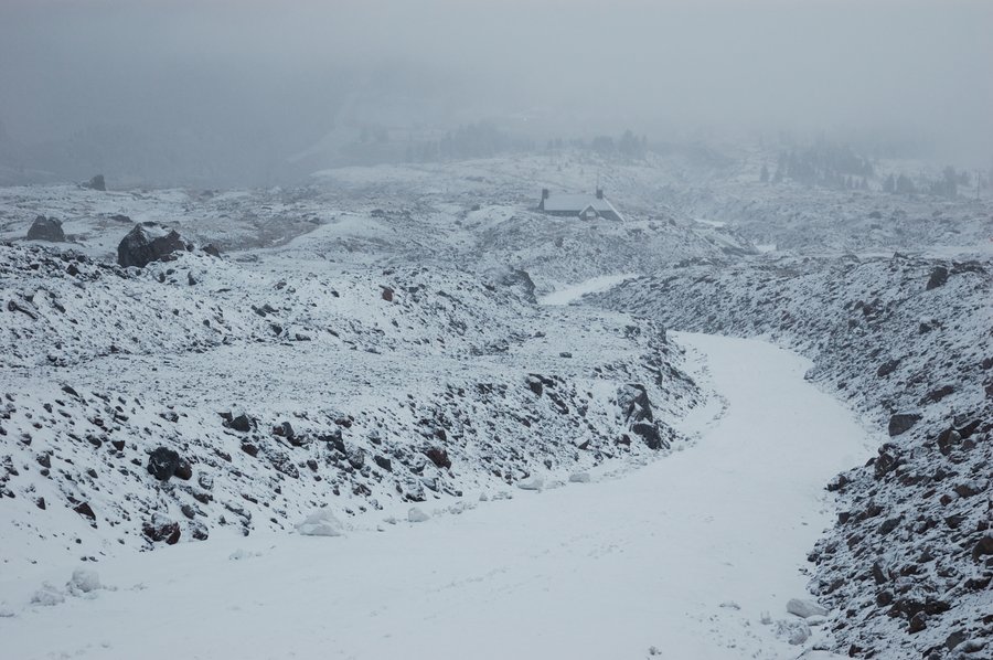
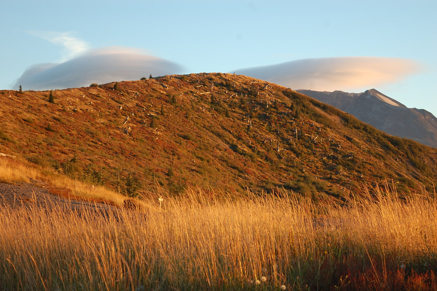
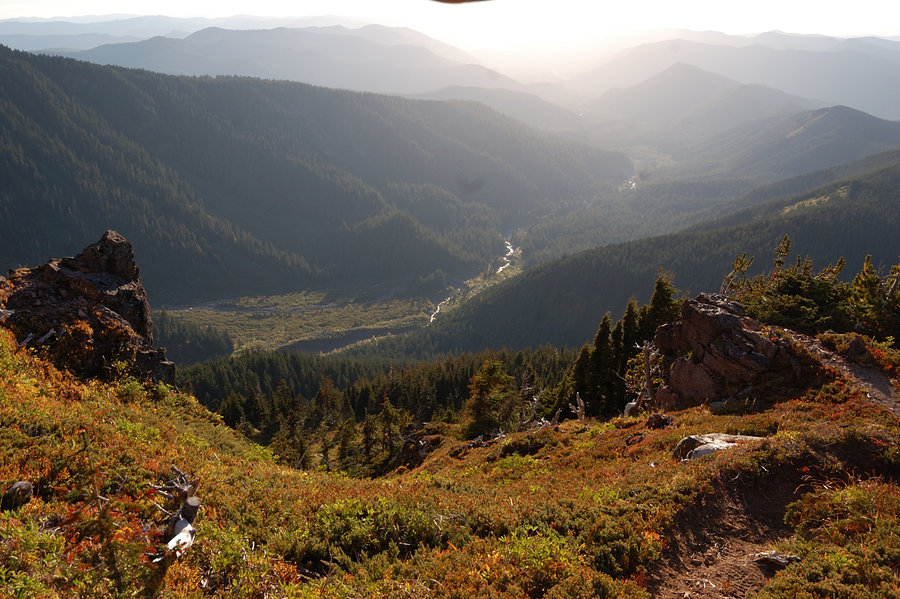
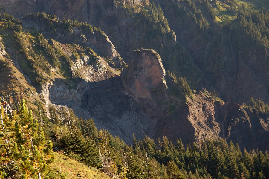
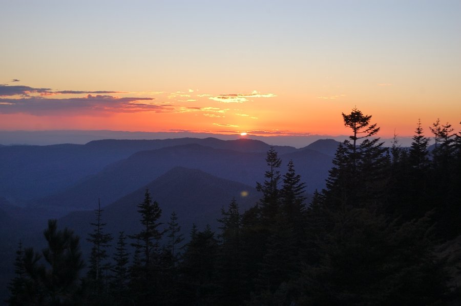
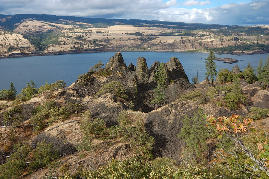
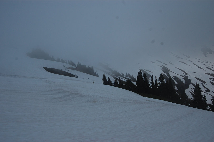
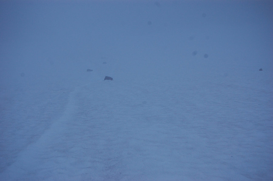
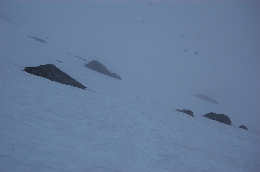
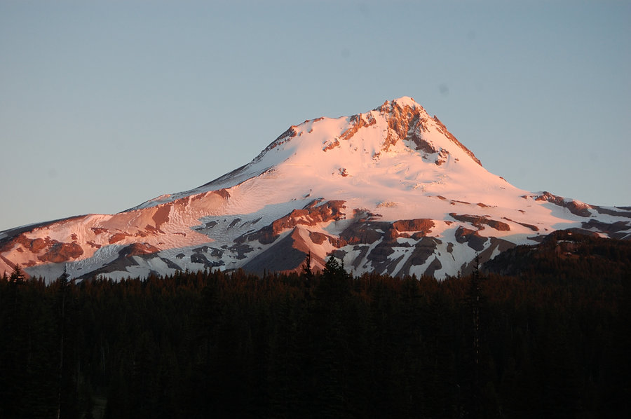
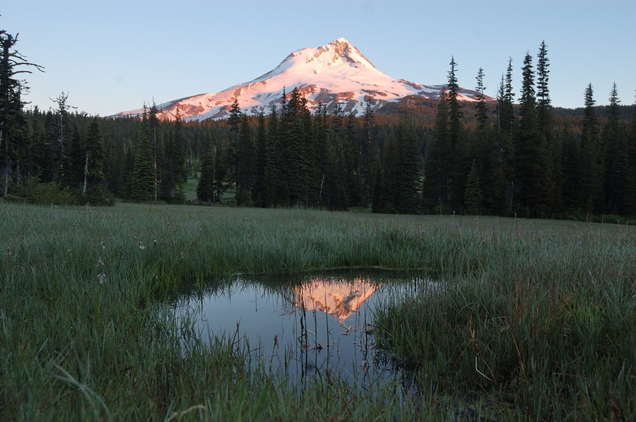
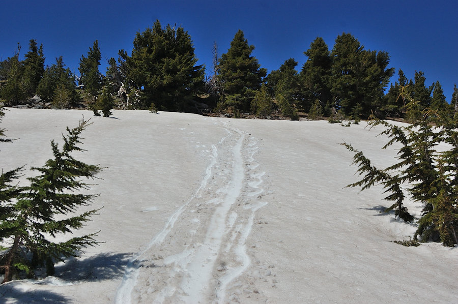
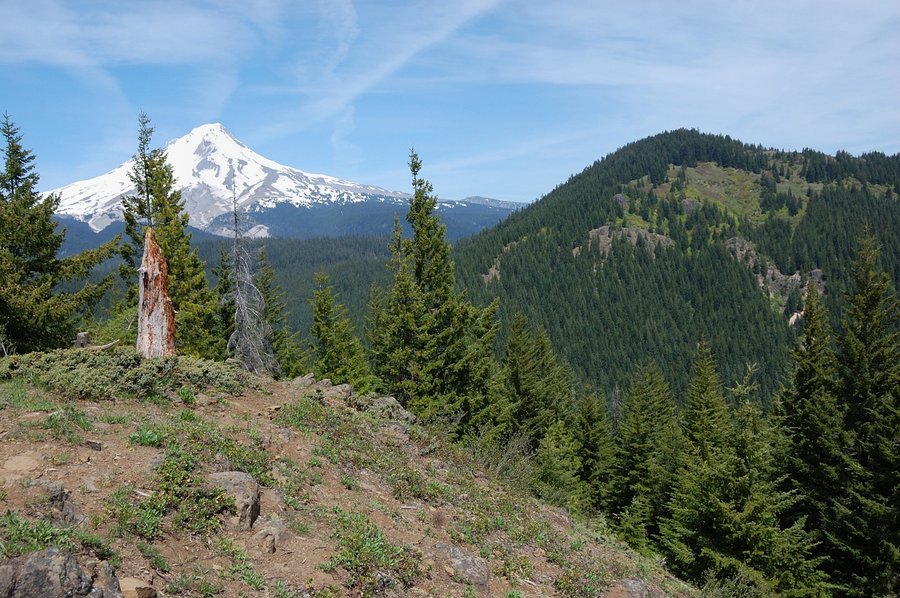
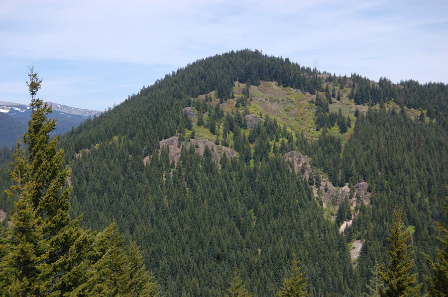
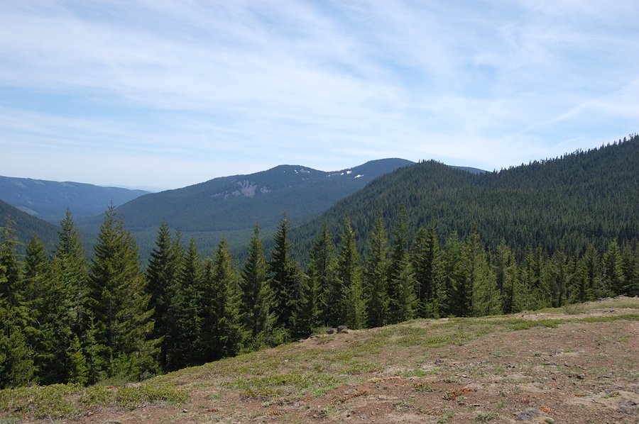
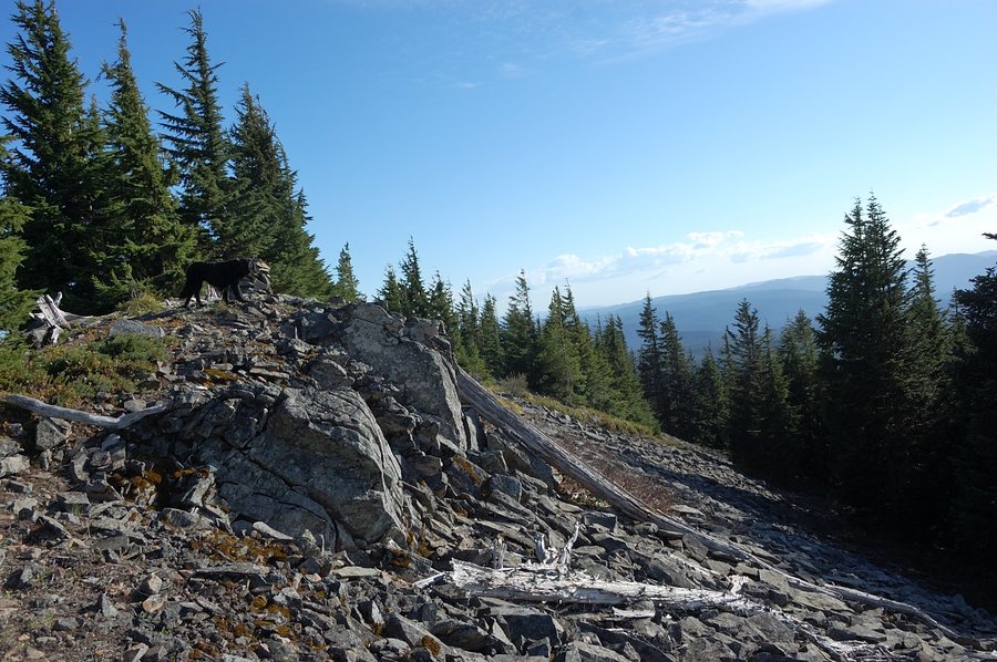
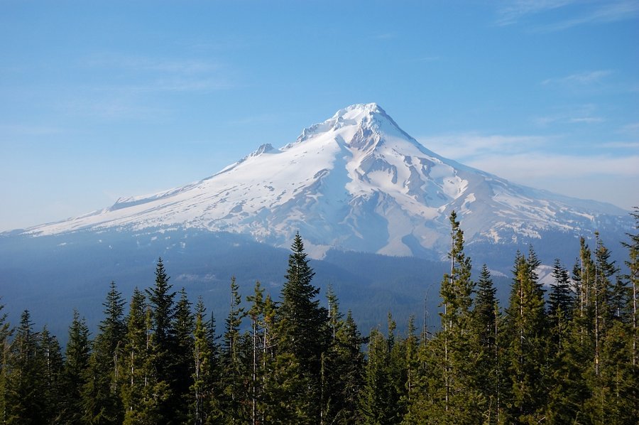
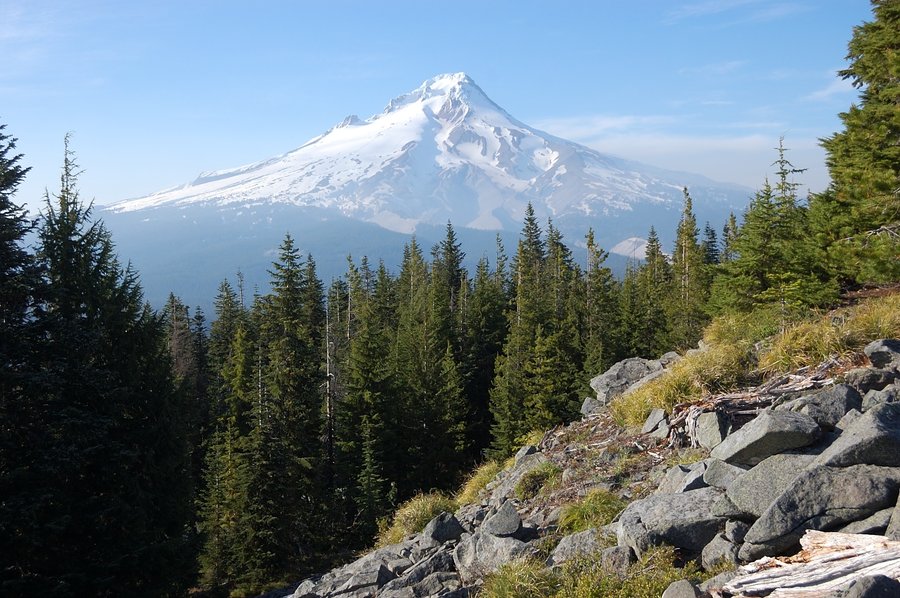
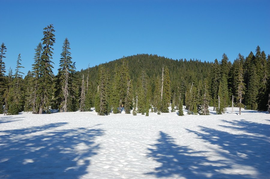
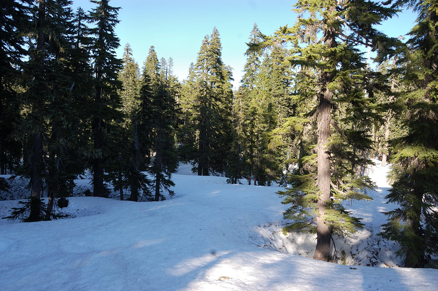
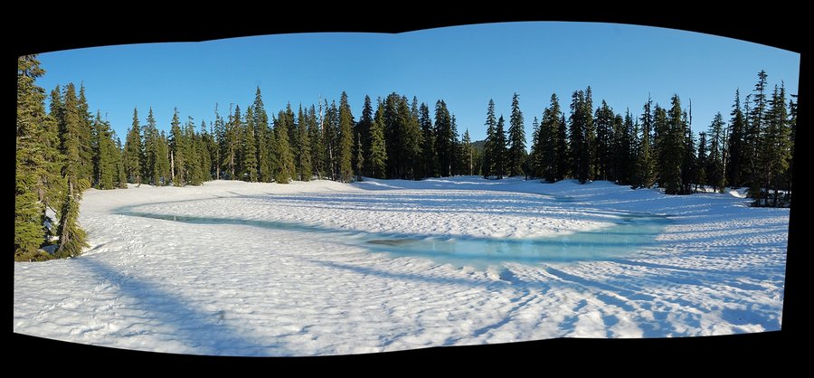
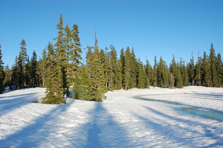
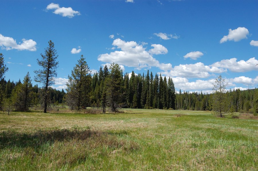
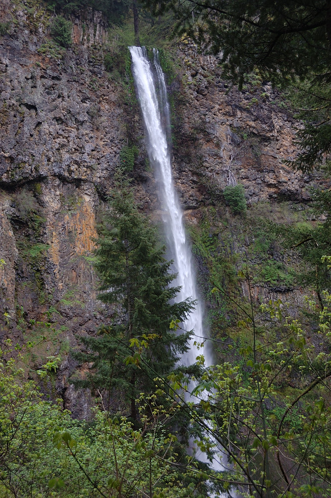
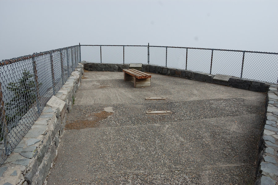
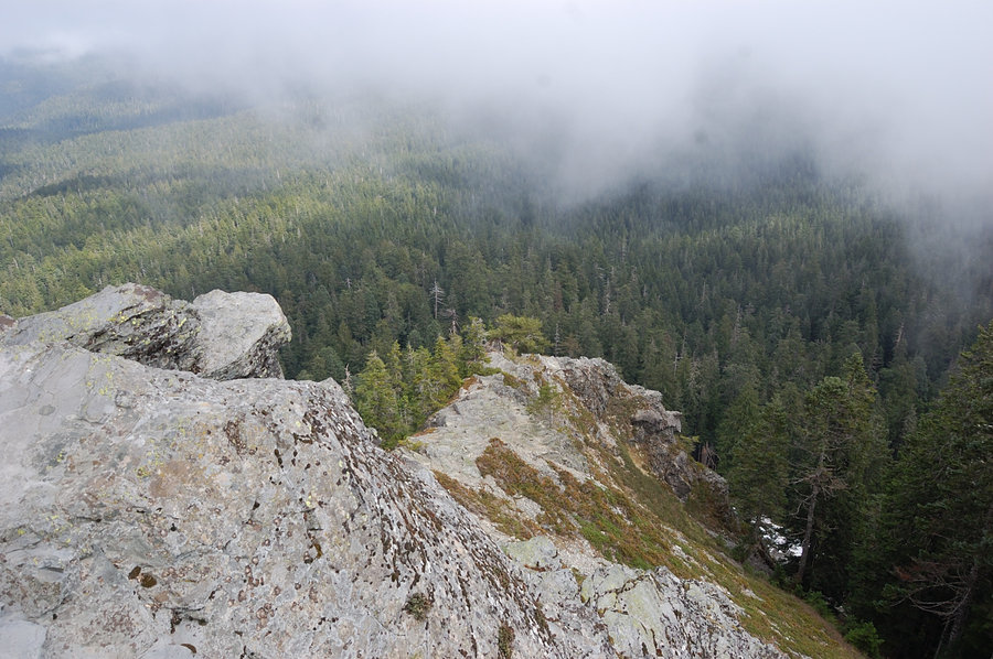
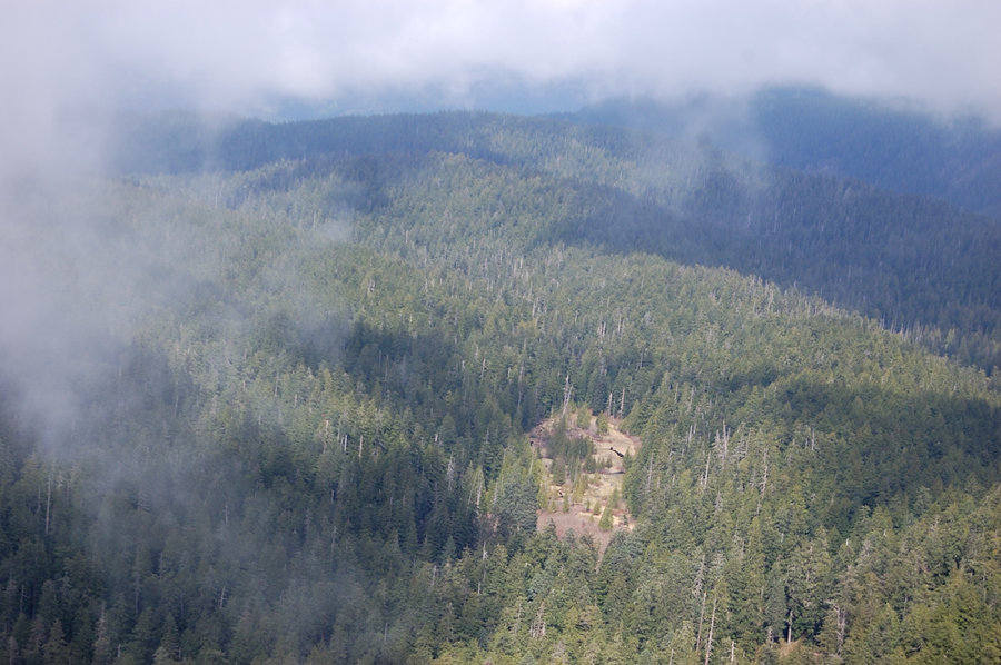
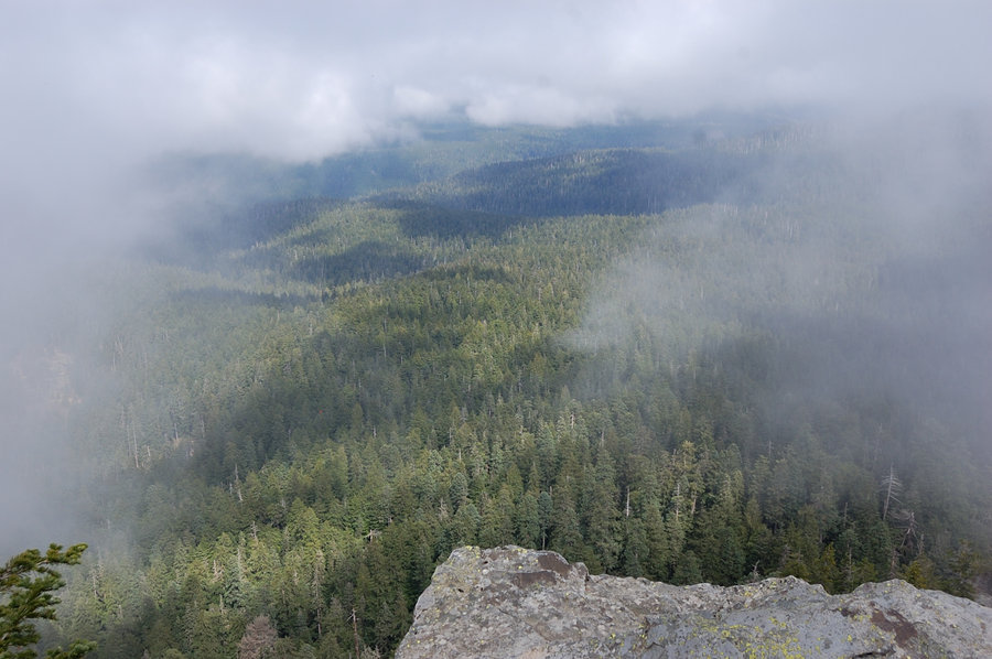
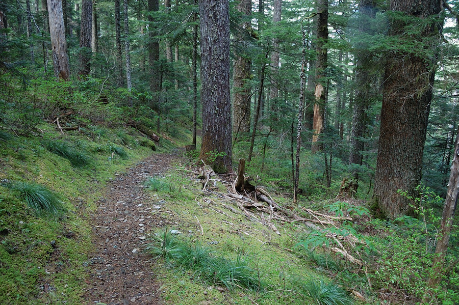
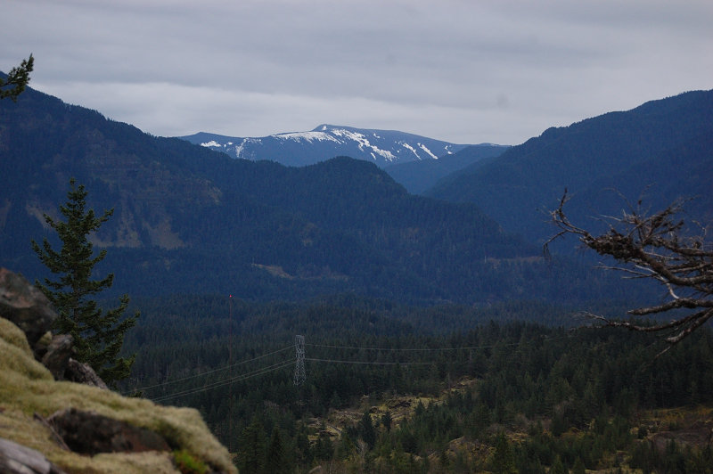
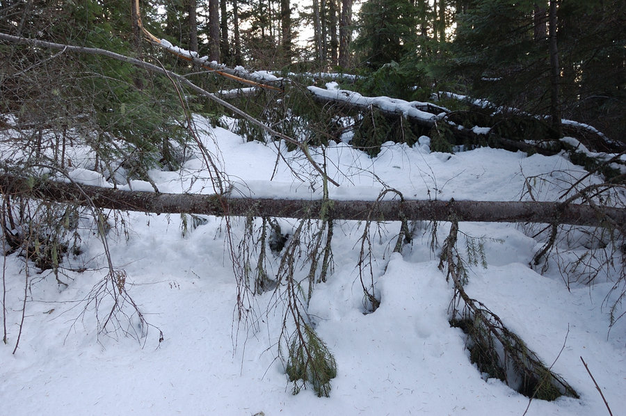
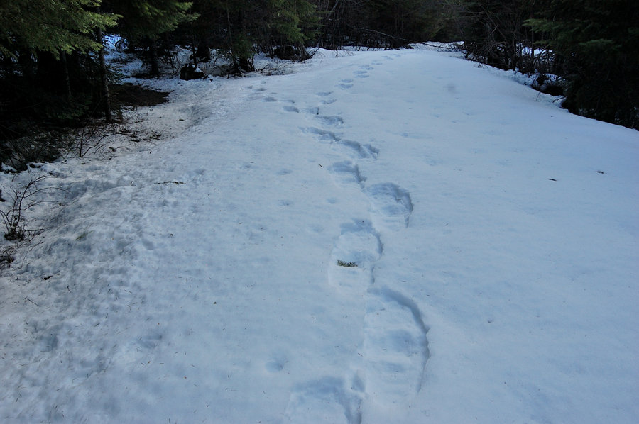
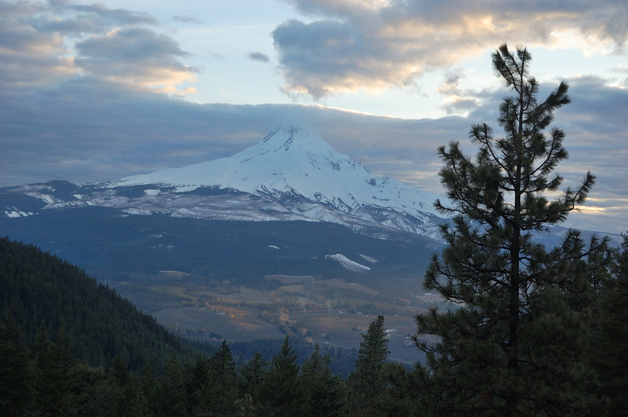
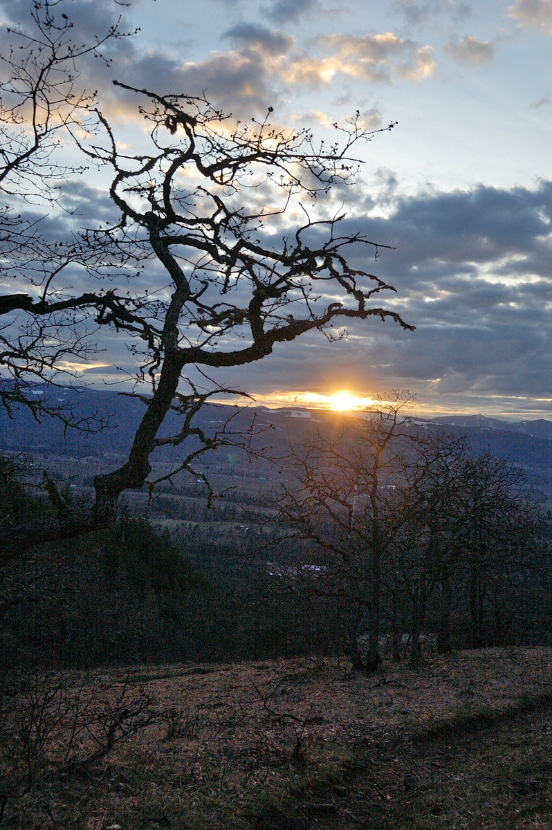
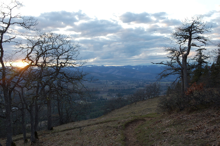
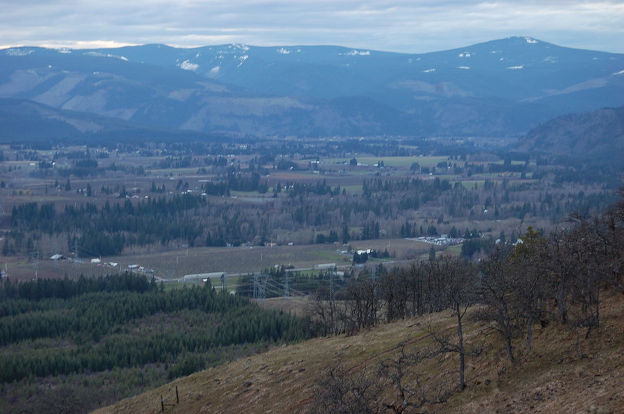
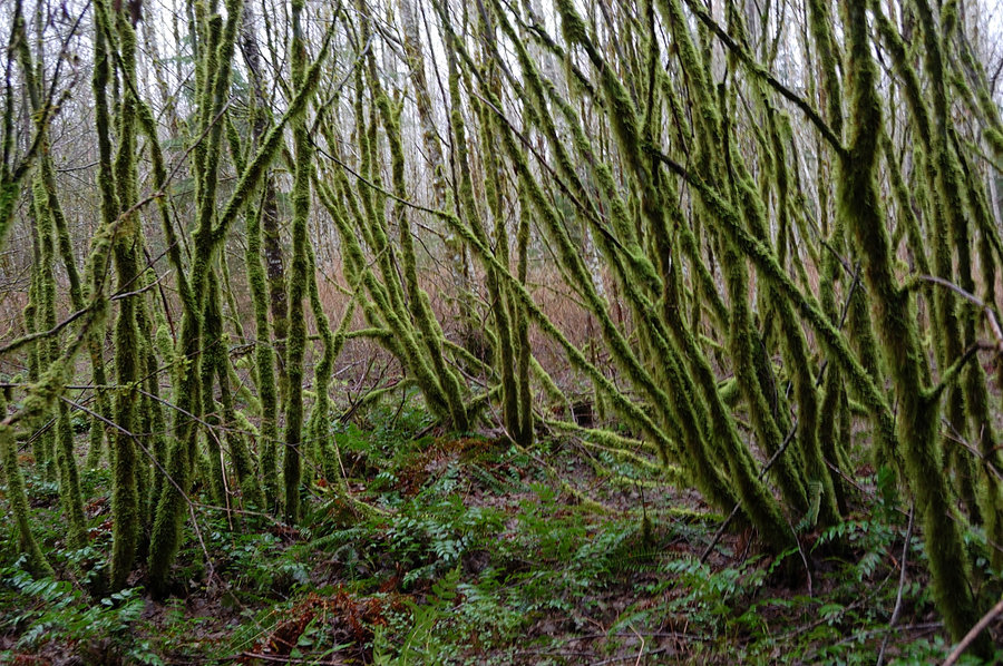
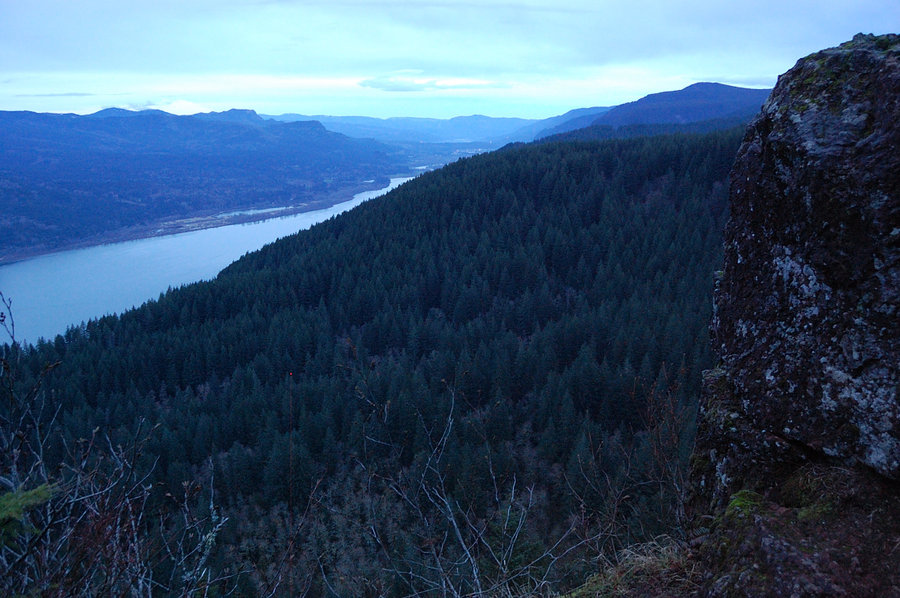
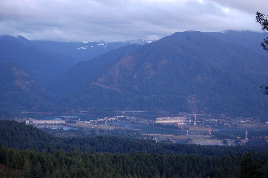
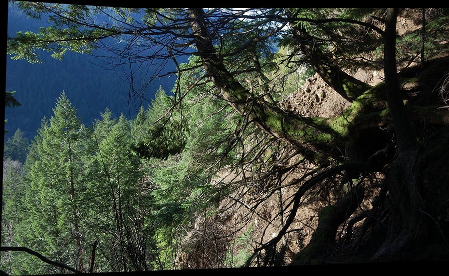
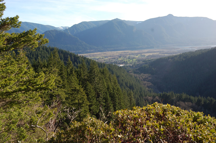
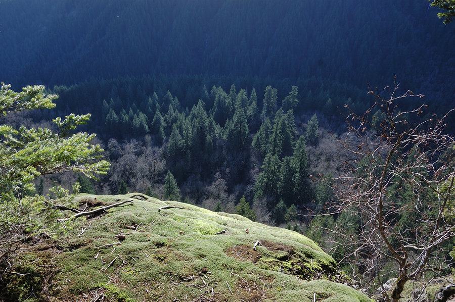
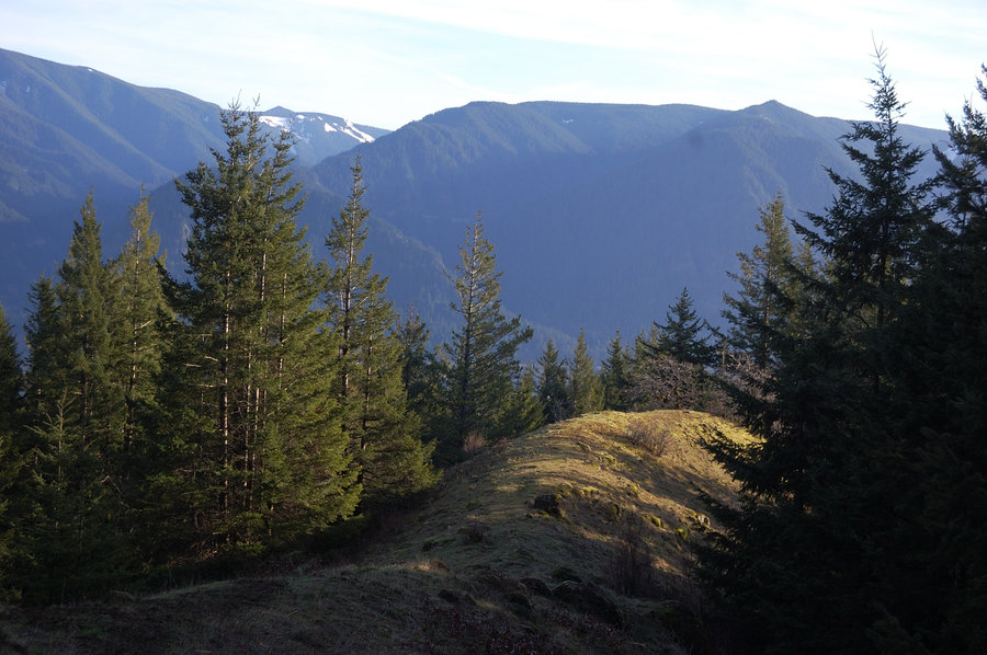
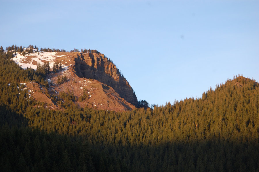
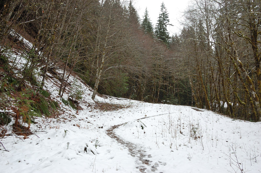
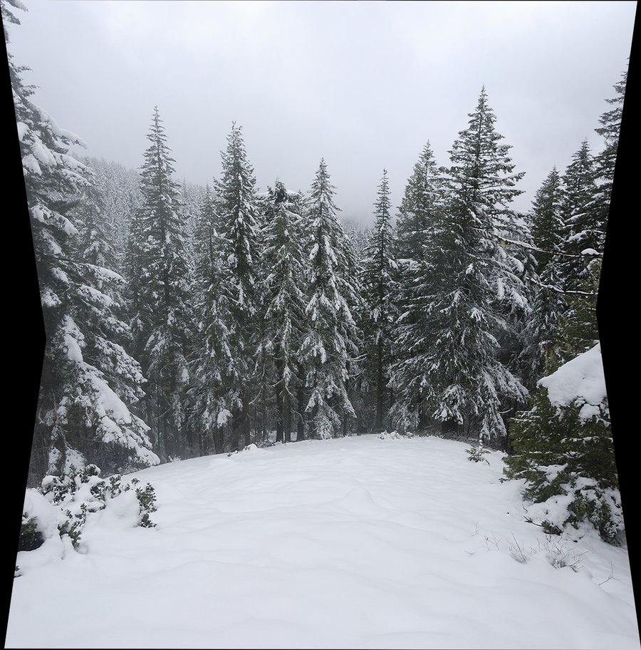
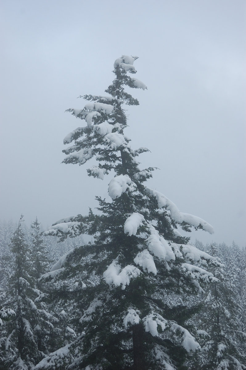
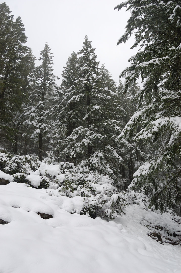
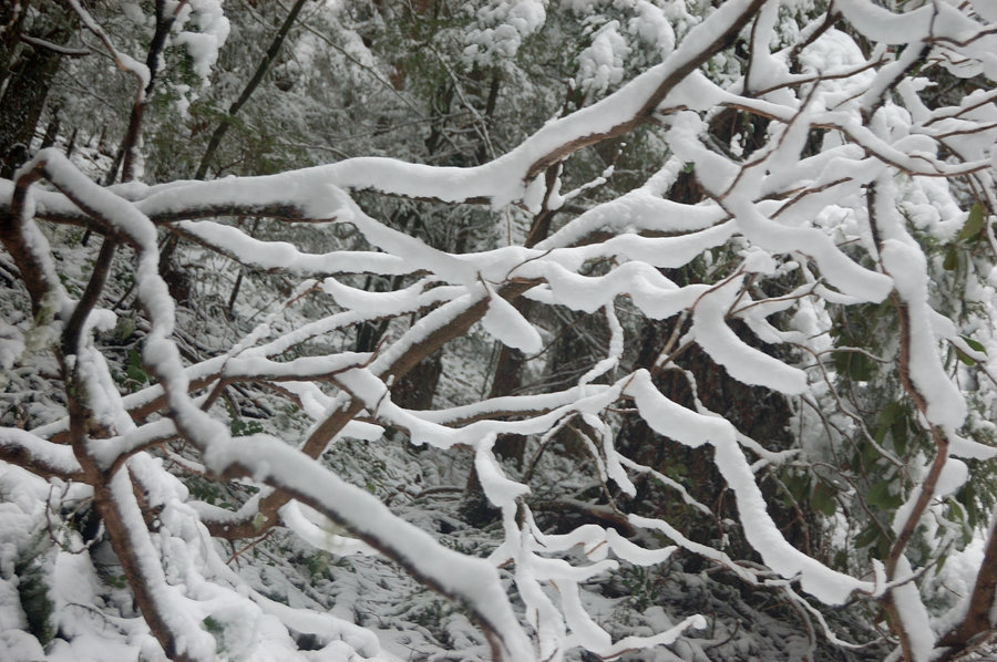
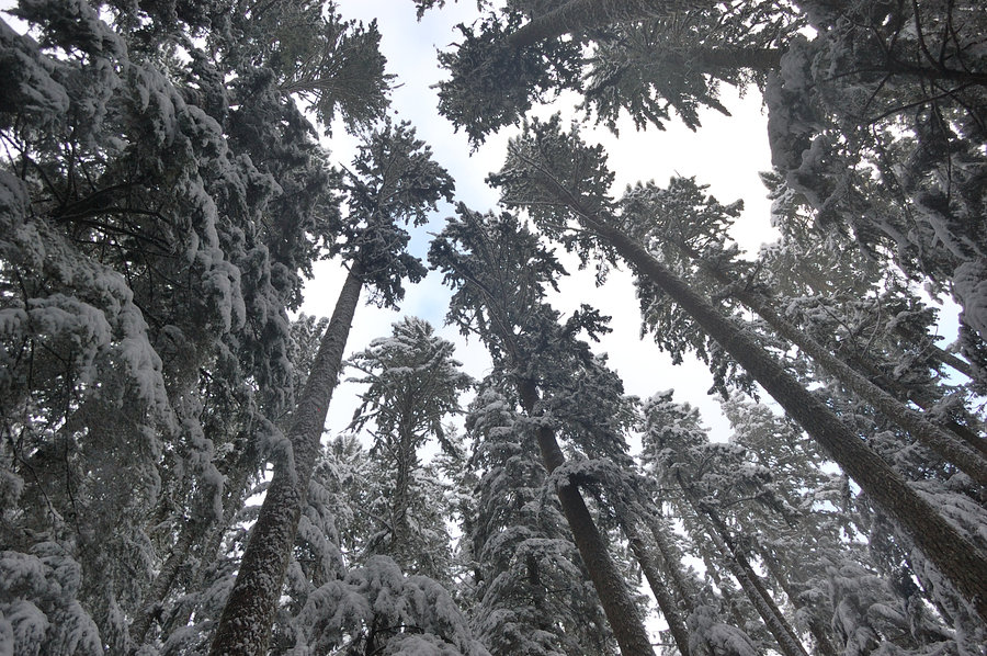
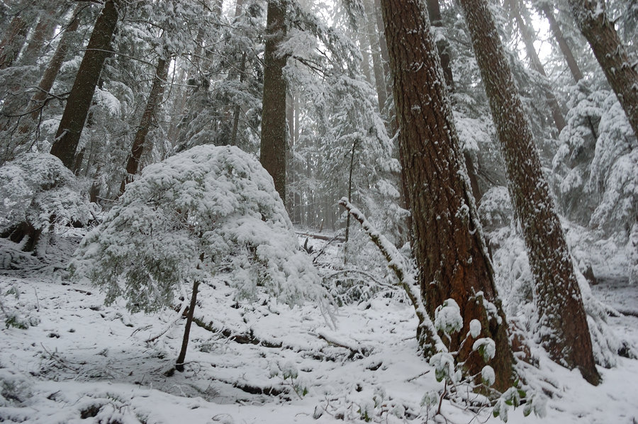
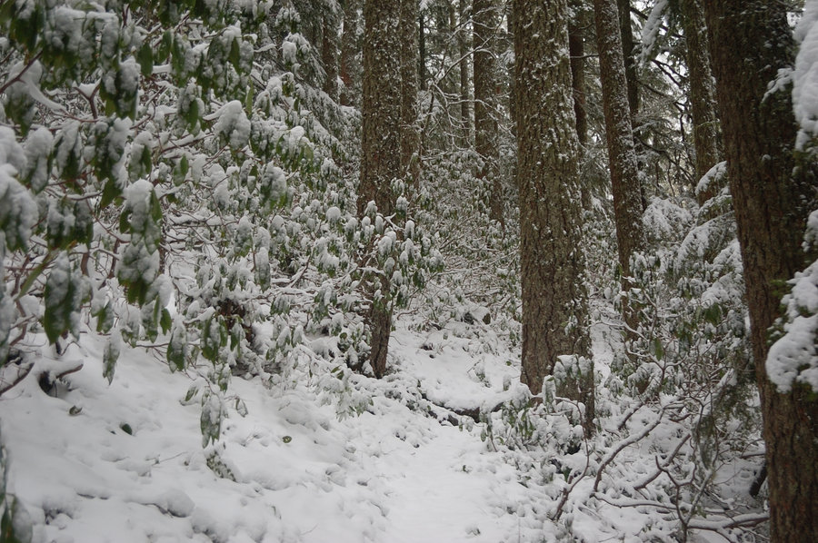
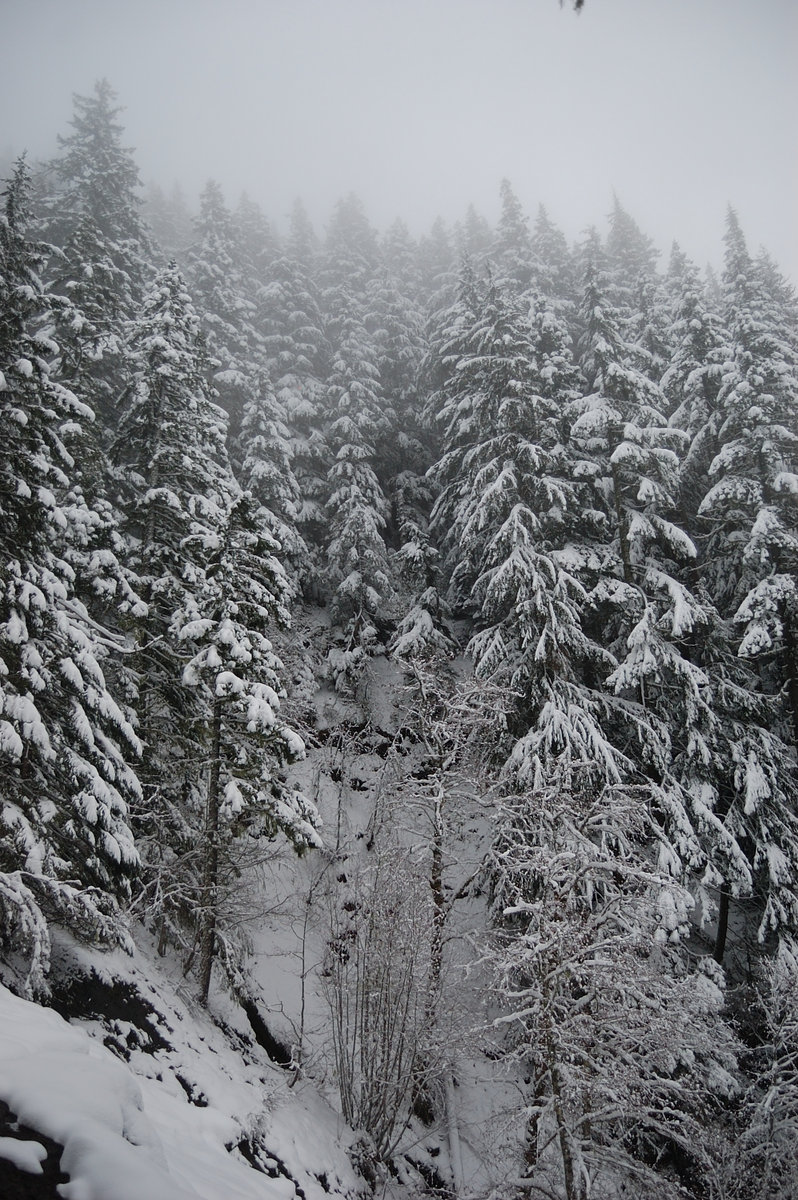
Hardy Ridge
7.5 miles of hiking • 1750' elevation gain •
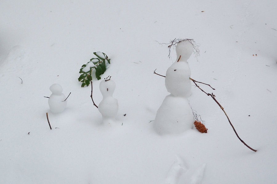
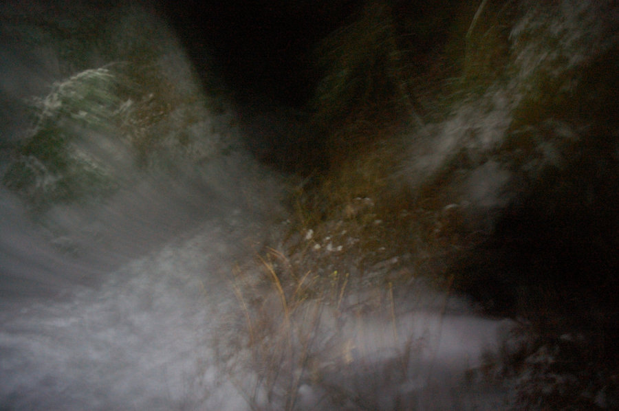
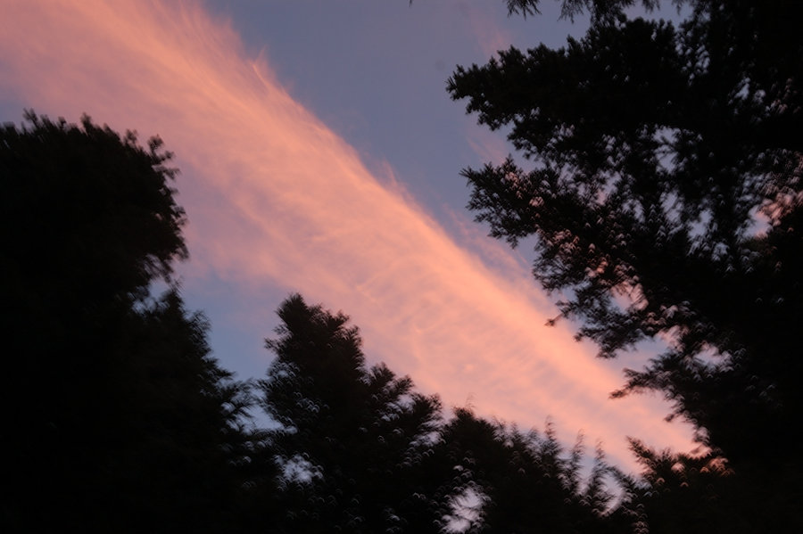
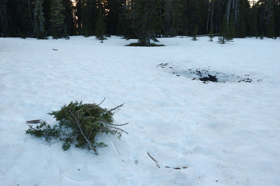
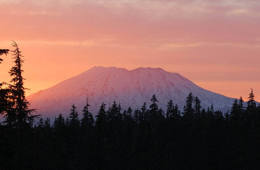
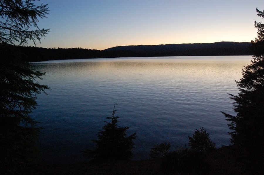
Perfect weather, fresh snow from the night before, unbelievable sunset! Judging by the tracks I was alone on Hardy yesterday, and probably just 1 person the day before. Decided to not do a loop in the dark, and return back on a more tracked trail on west side.

December 25, 2016


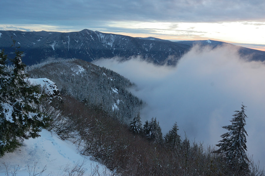
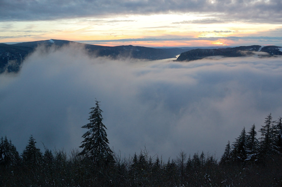
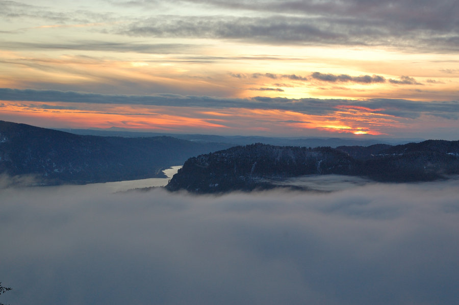


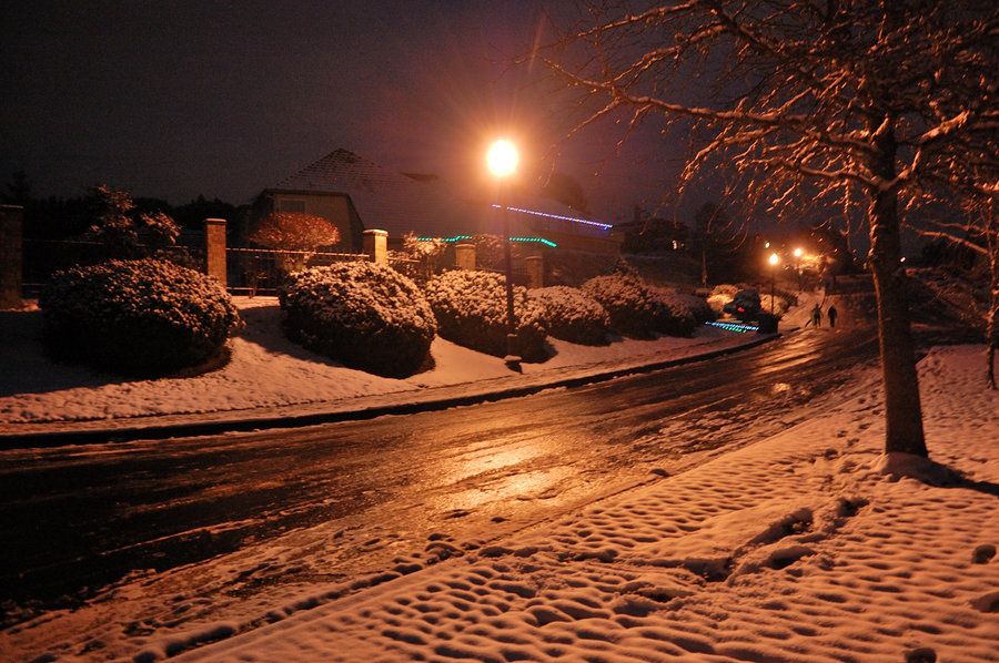
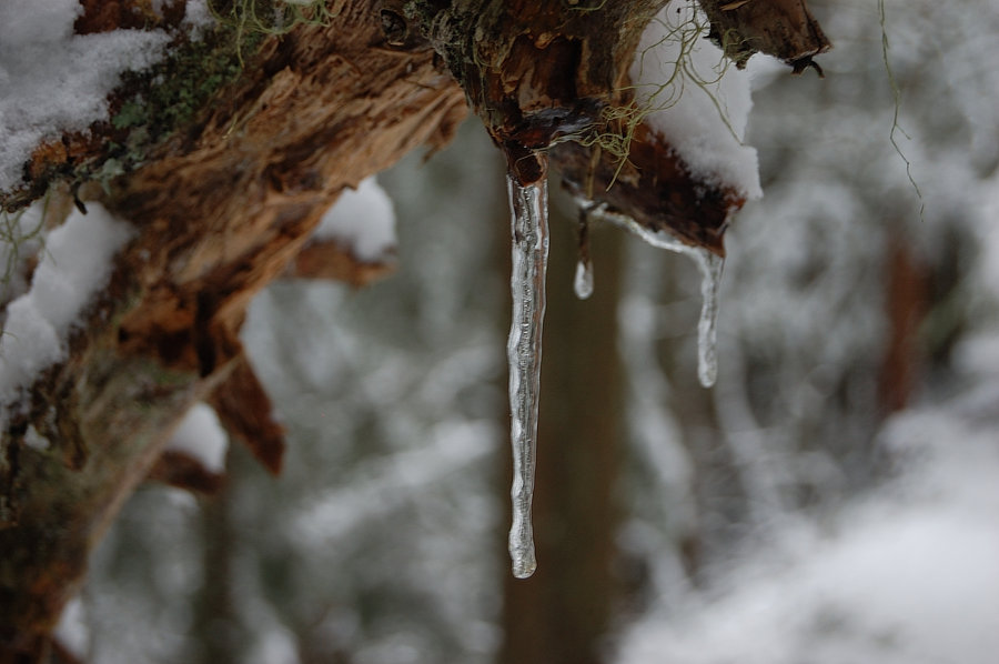
December 24, 2016


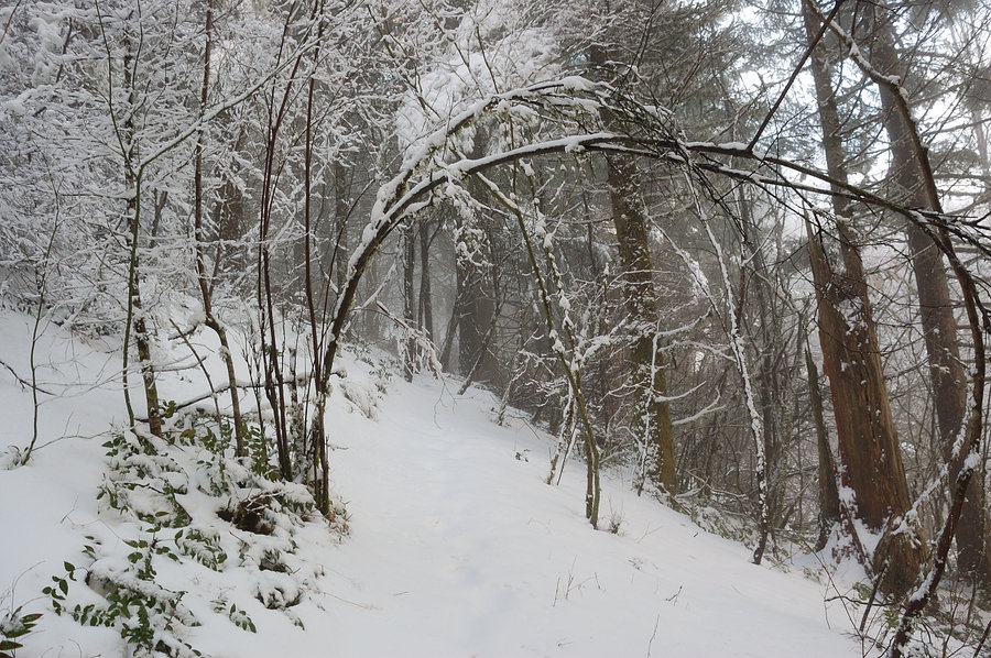
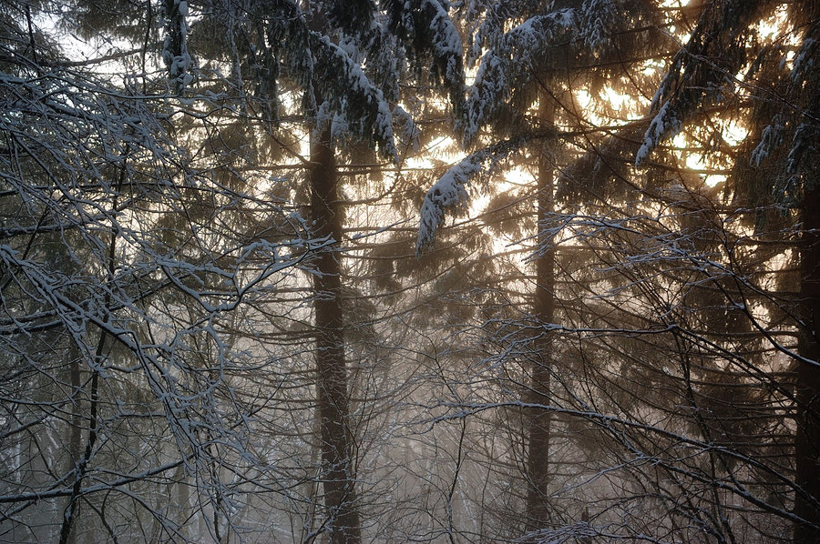
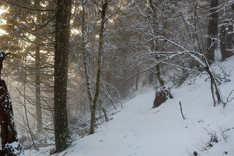
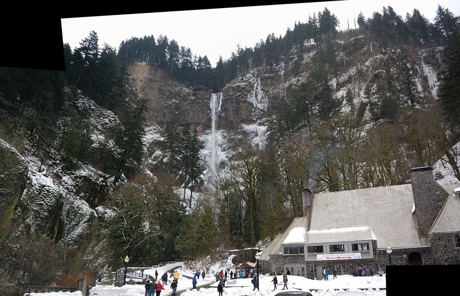
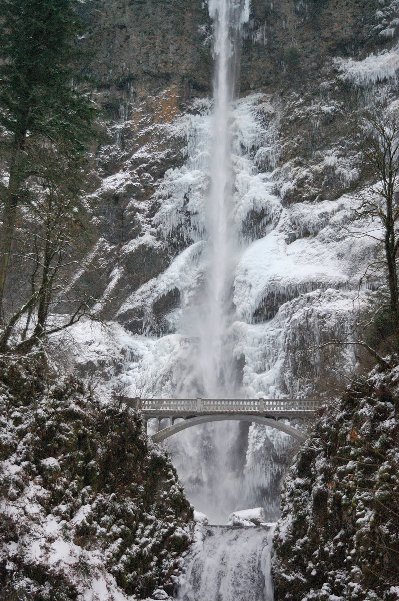
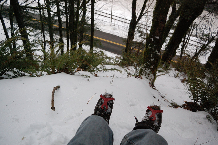
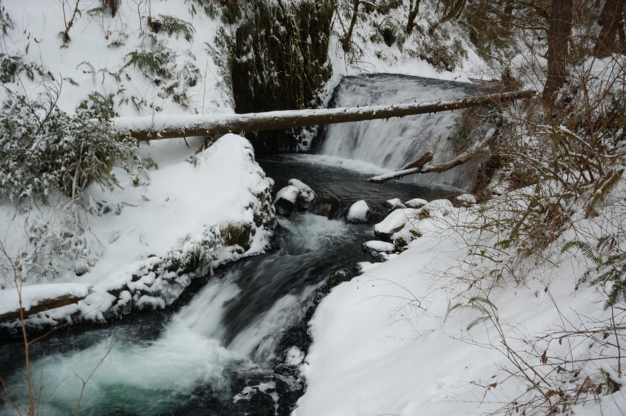
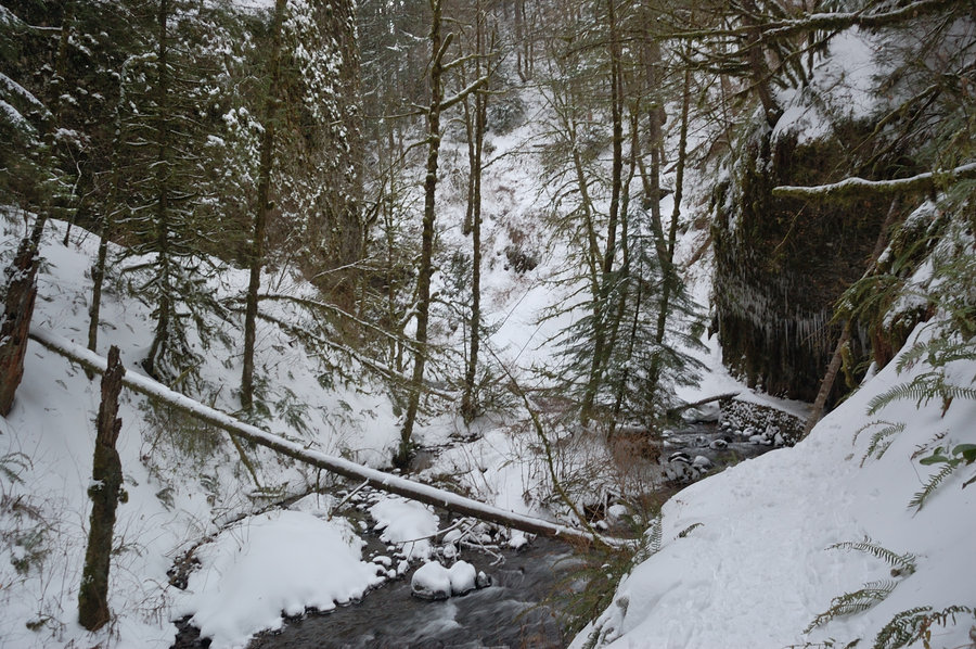
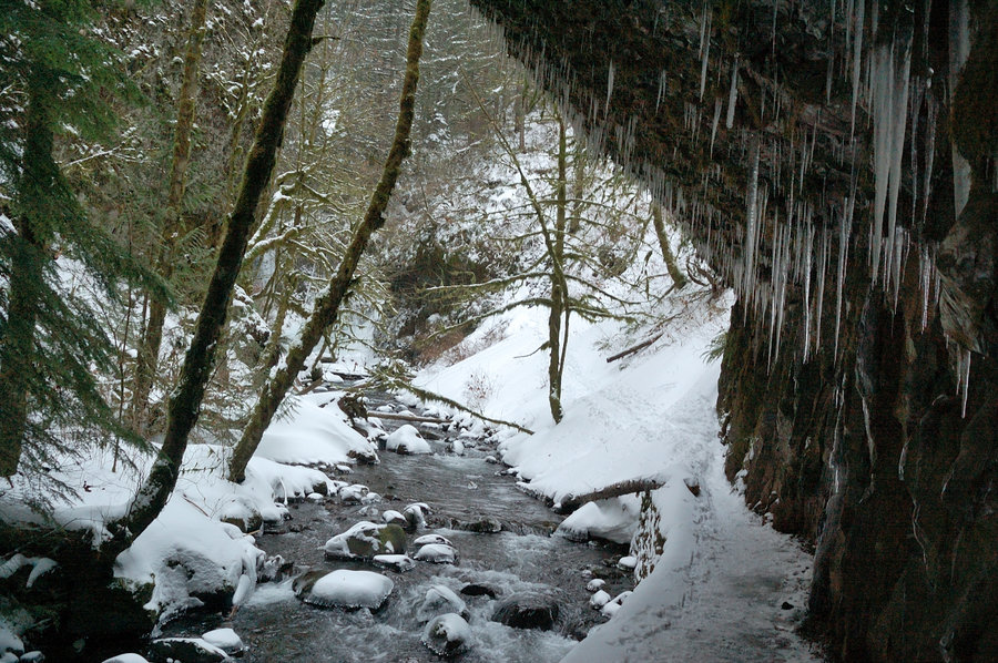
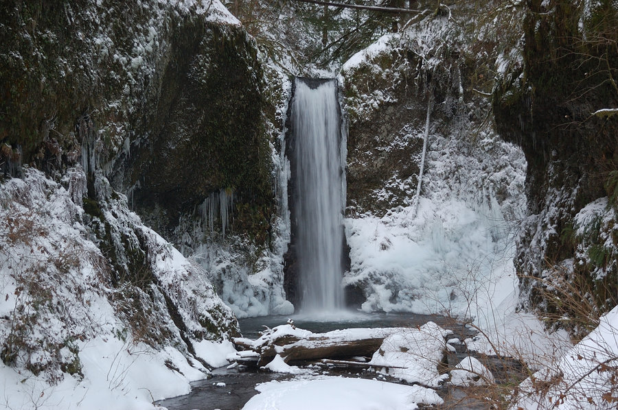
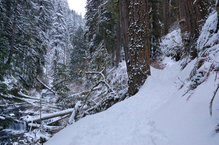
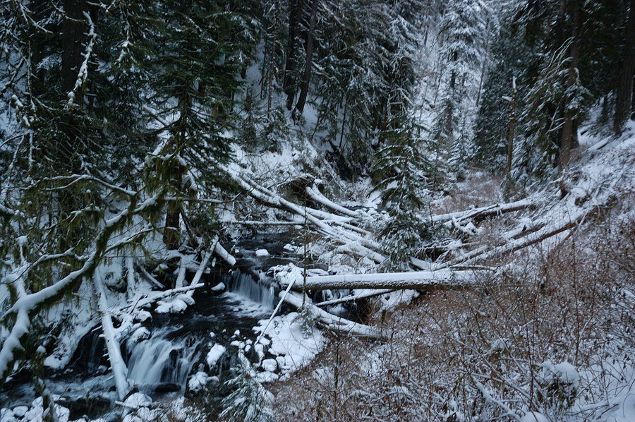
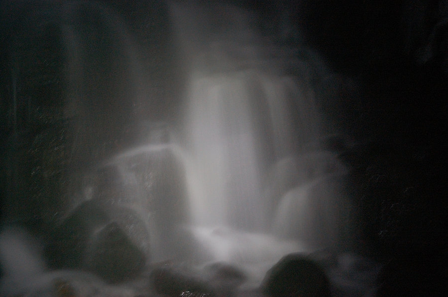
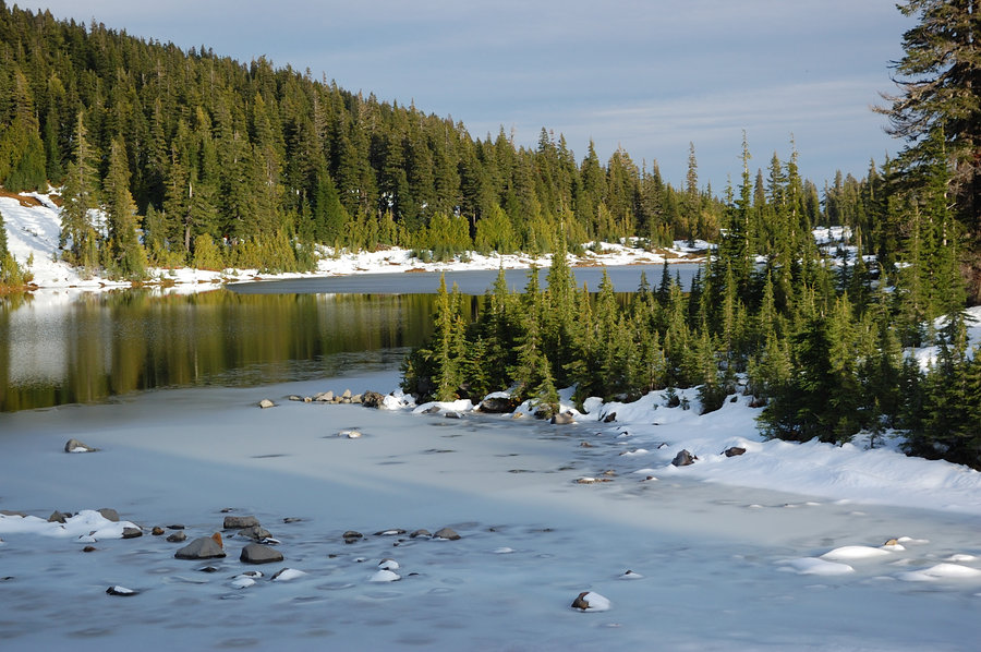
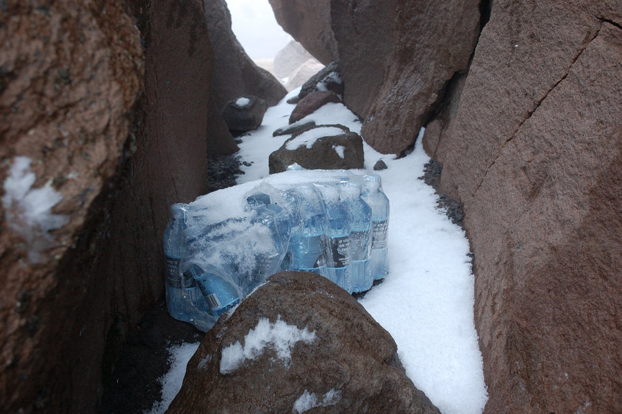
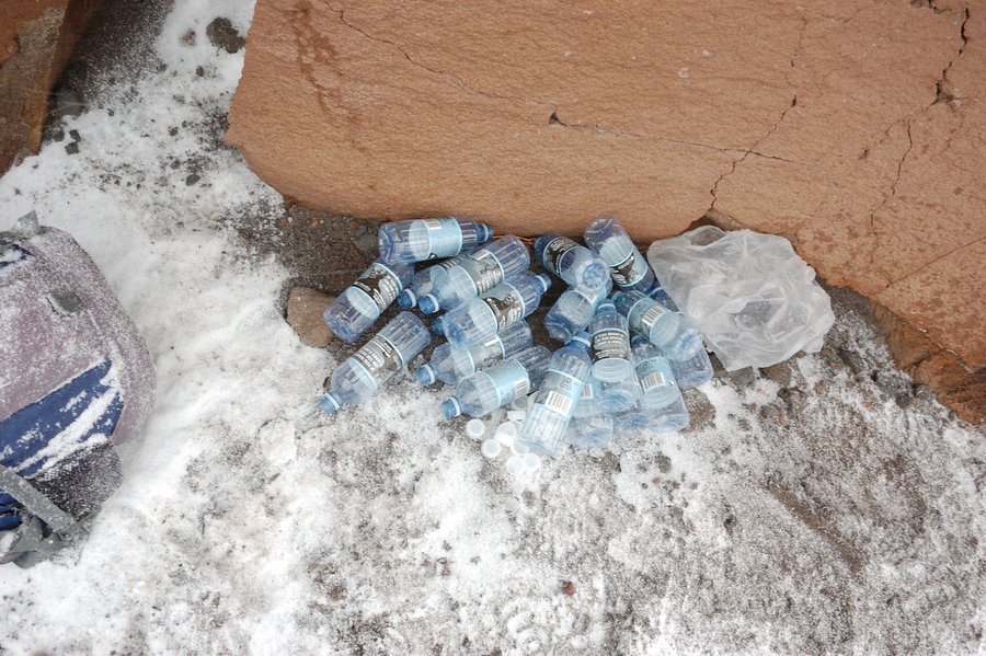
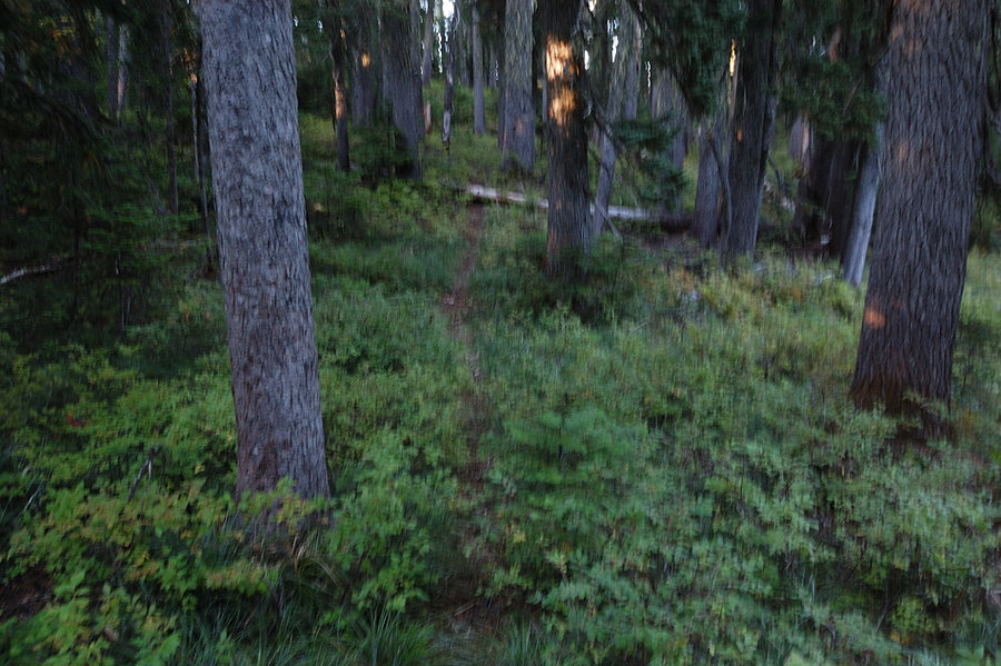
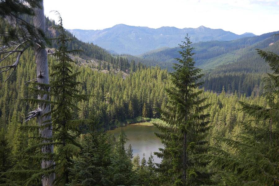
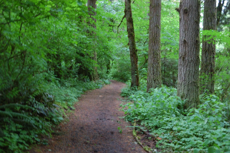
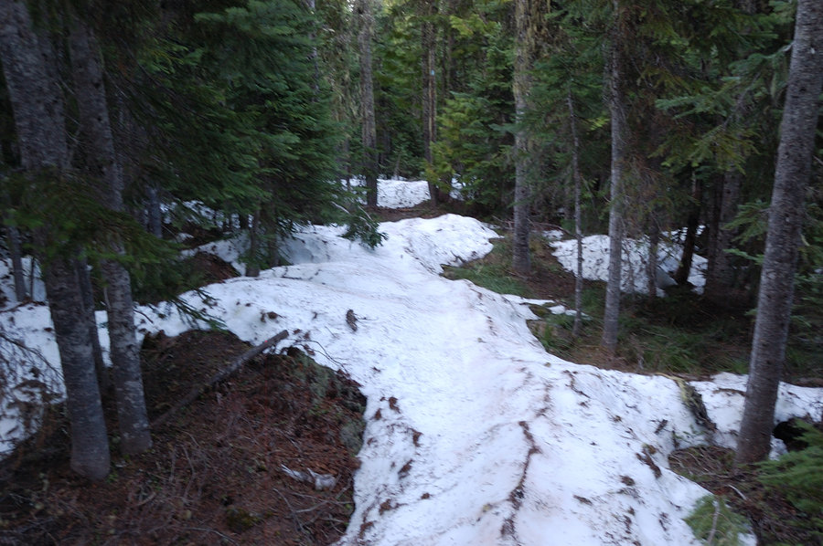
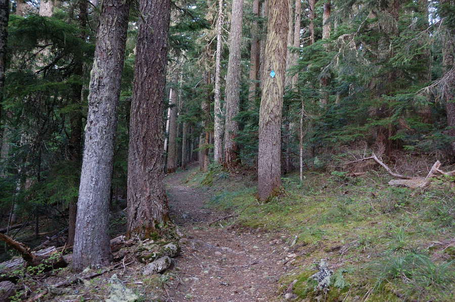
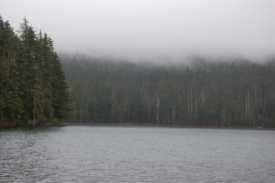
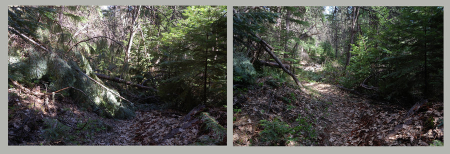
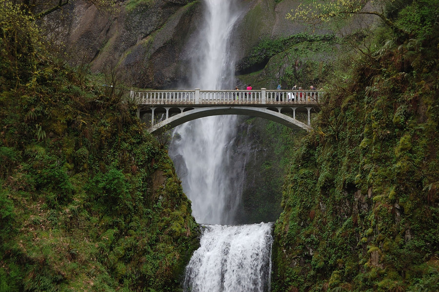
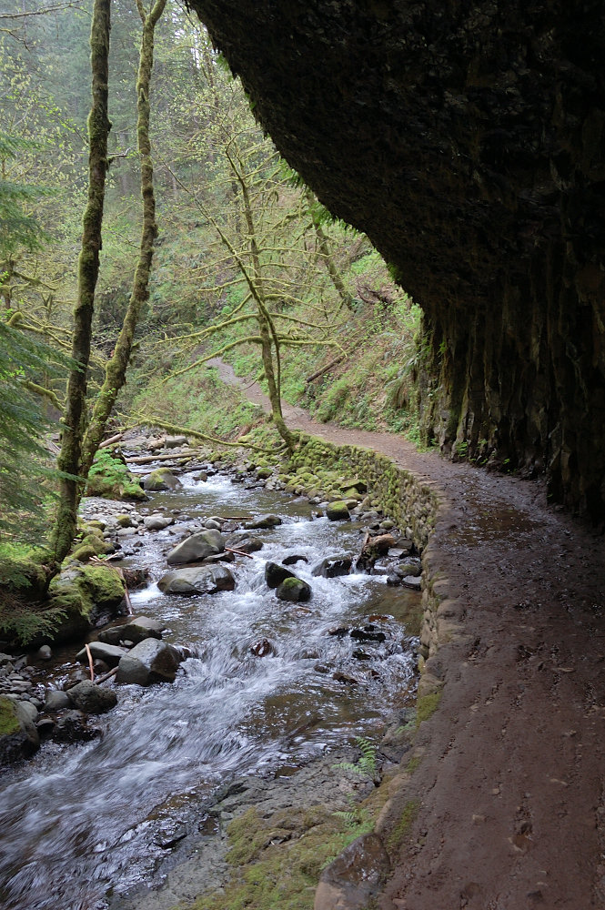
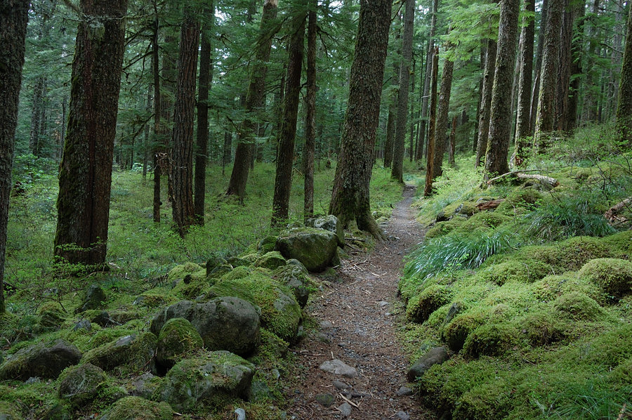
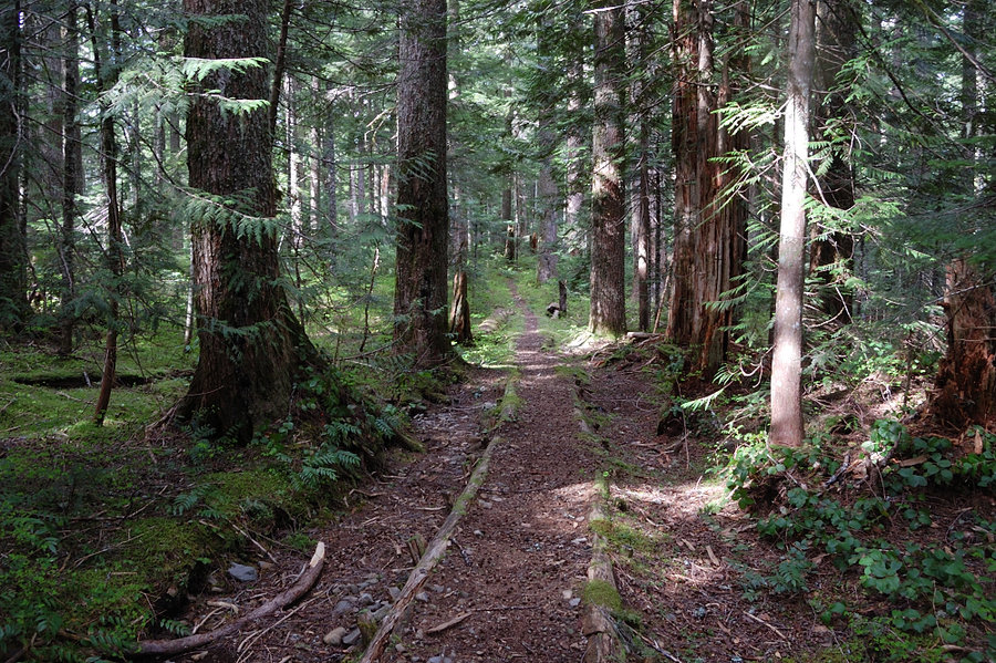
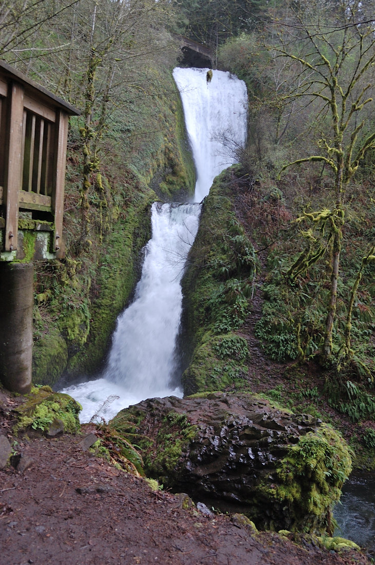
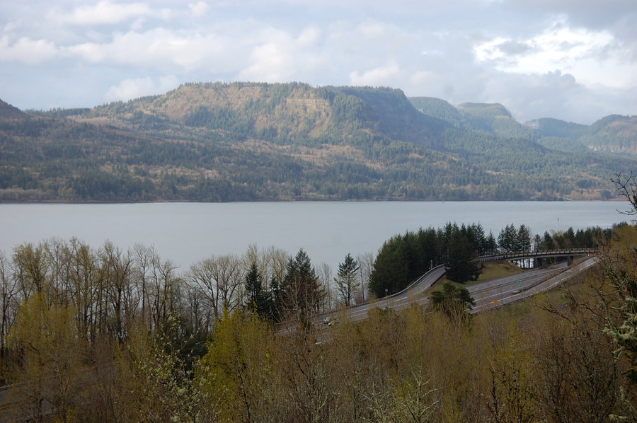
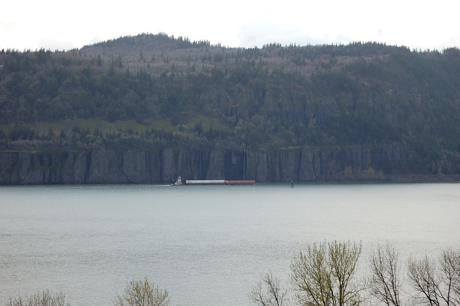
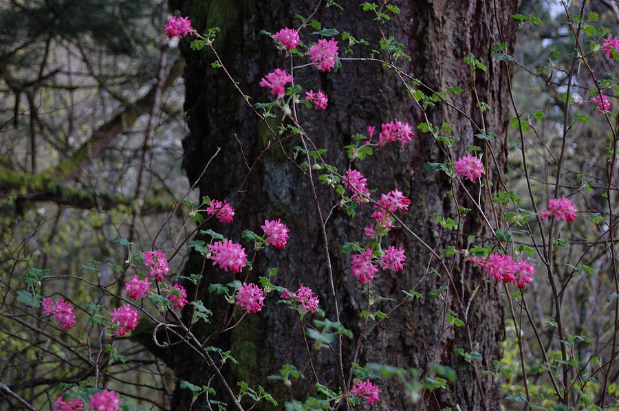
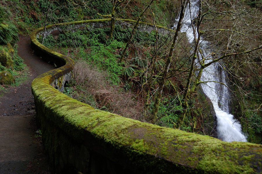
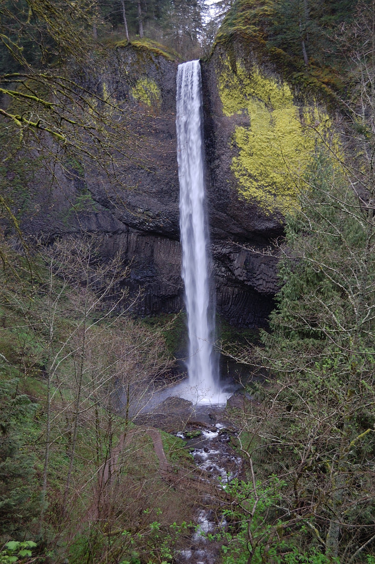
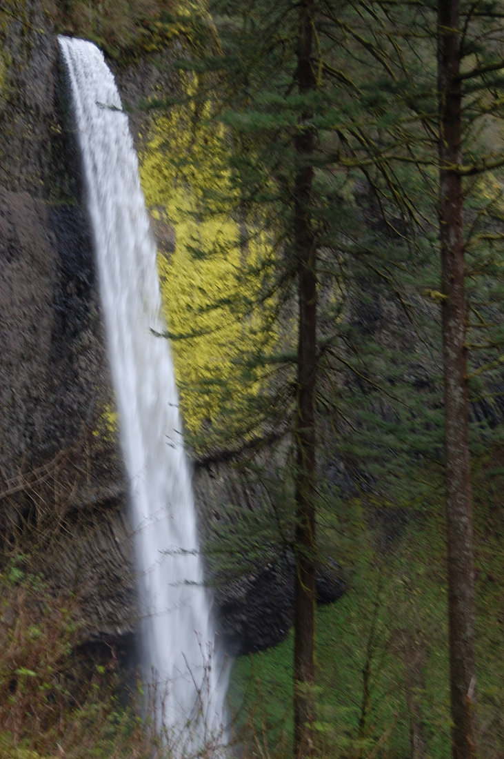
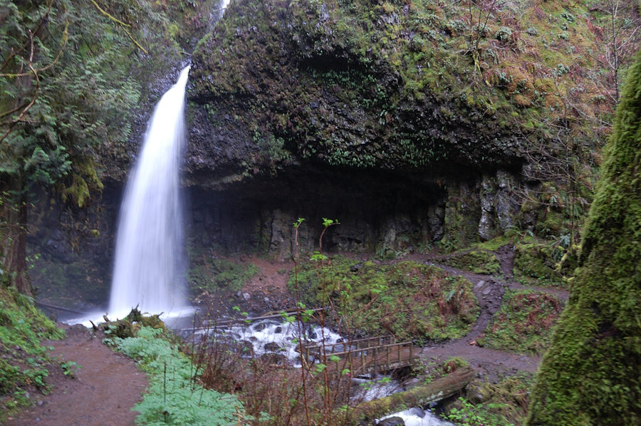
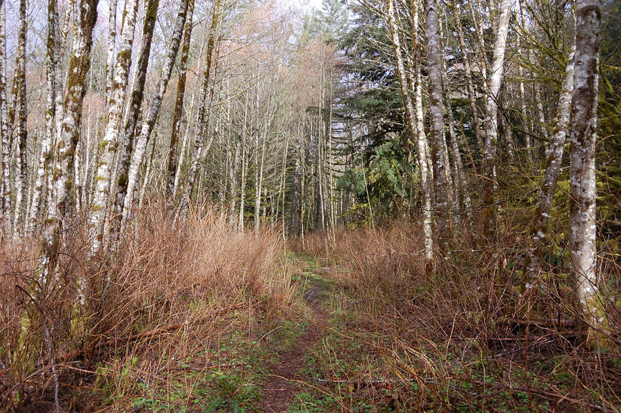
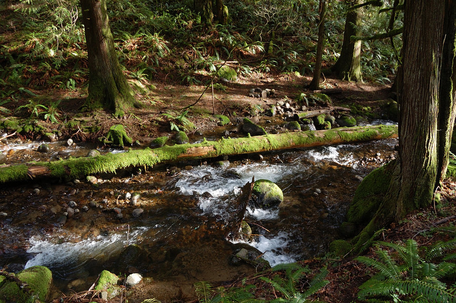
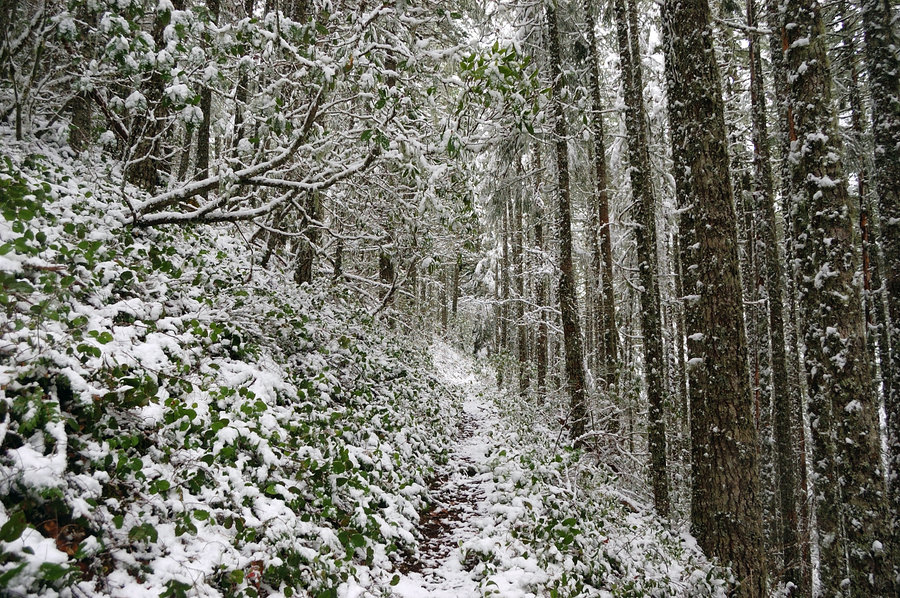
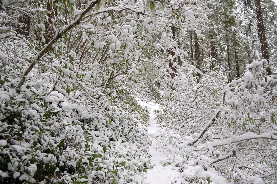
Multnomah-Wahkeena loop
5.5 miles of hiking • 1750' elevation gain •
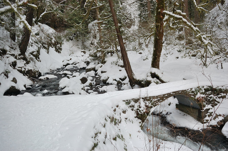
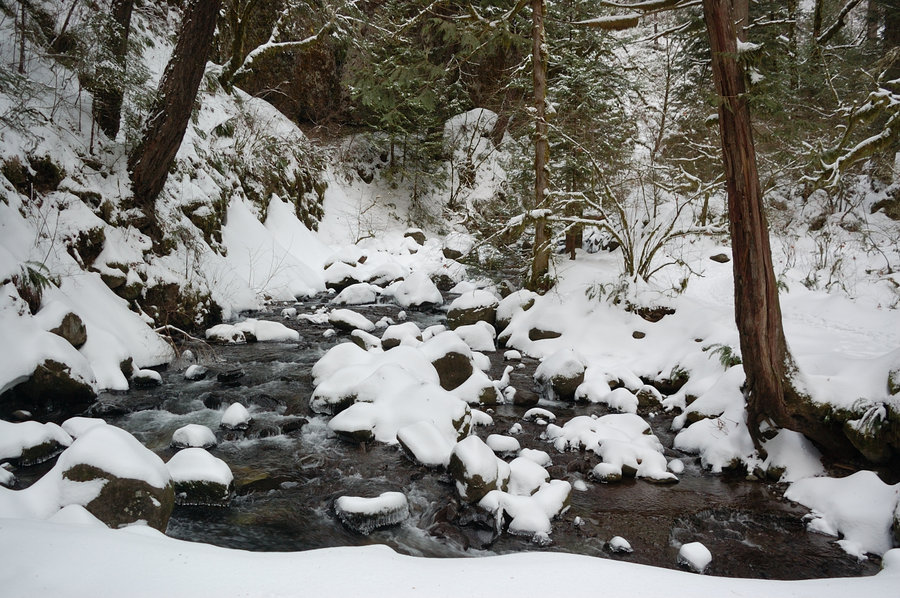
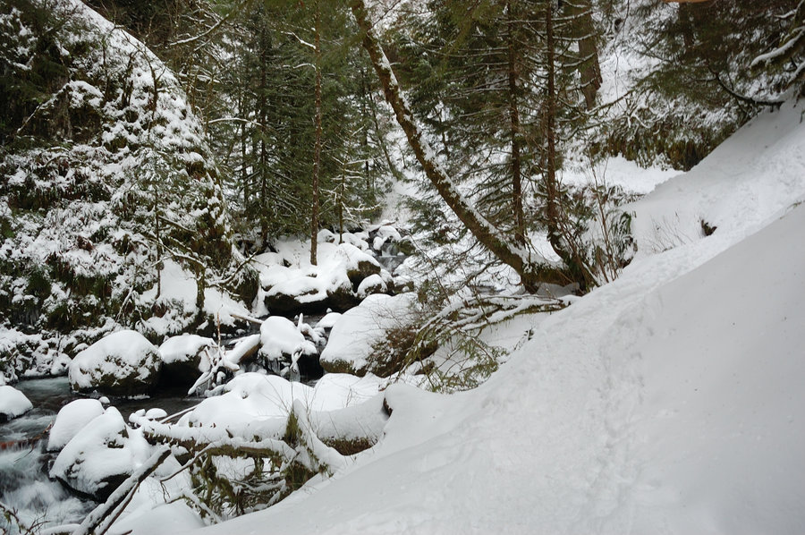
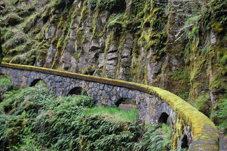
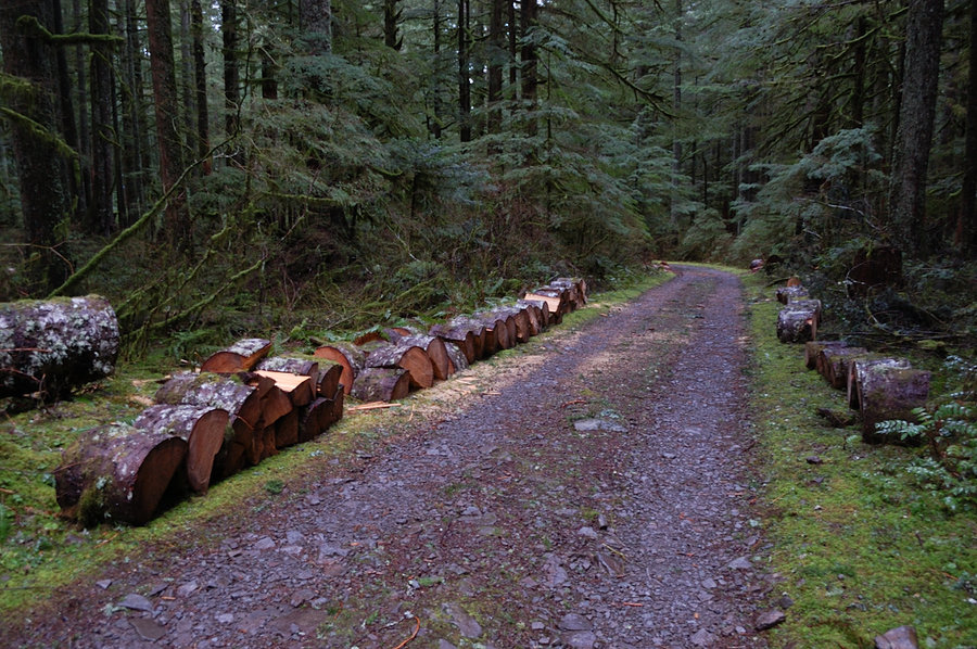
In short - a lot of snow, some ice, almost no blowdown. When I got to Multnomah Falls the lower gate was closed (the signs only warned about hazardous conditions, so everyone went around the gate), but when I was near Benson Bridge people coming back said the trail is closed and there's ranger turning everyone around. I didn't want to lose any more daylight stuck behind the crowd (was very late to start) so turned around there and went a bit east on Historic Hwy, and bushwhacked up to Gorge Trail, couple hundred yards off switchback 2 on Mult. trail. It was very icy coming off-trail but with crampons it was OK - and they stayed on for the rest of the hike. The trail in Multnomah Basin was very well tracked and frozen canyon looked fantastic. It became dark right after I hit high point of the loop; the rest of the trail had tracks to follow though it was definitely harder than my way up (i.e. in a few places tracks went straight downhill instead of taking switchbacks). On the lower part of Wahkeena trail (the section with paved switchbacks & stone wall) 4-5 foot snowdrift covered several switchbacks but luckily all snow was hard frozen and it was easy going. Connector trail above the Hwy between Wahkeenah and Multnomah trailheads had one big tree down in bad spot, but I don't recall any more on this loop.
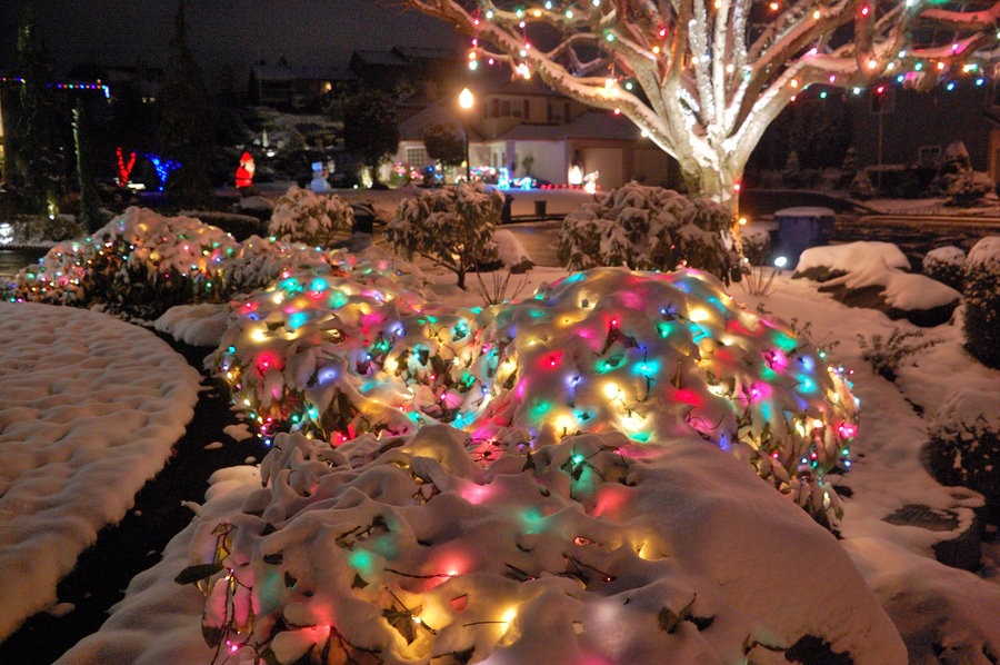
December 17, 2016


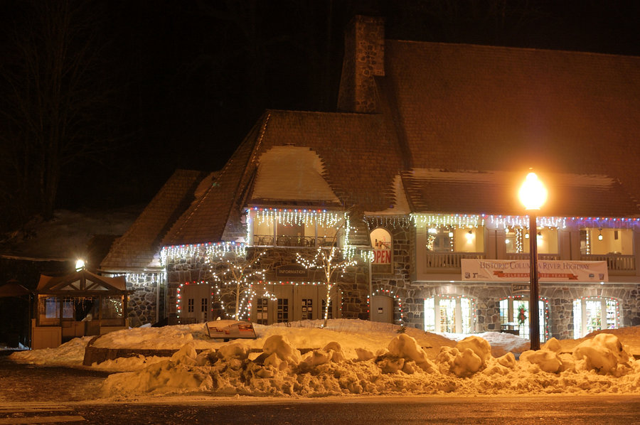
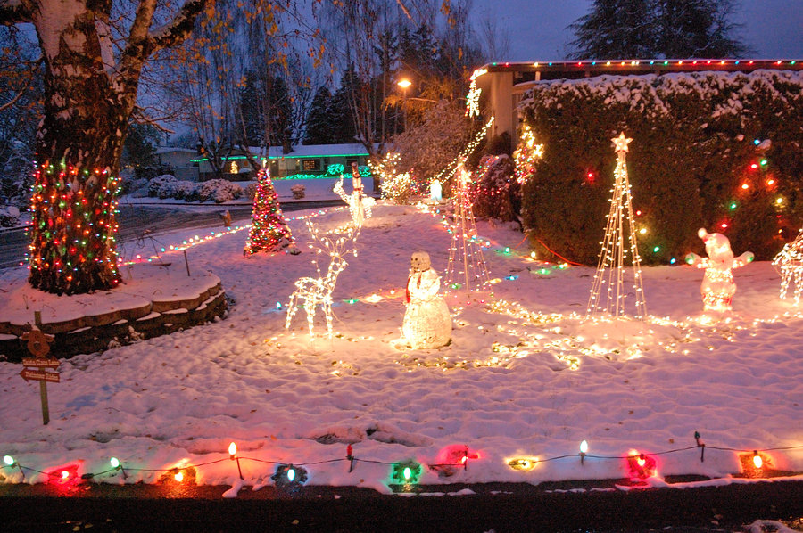
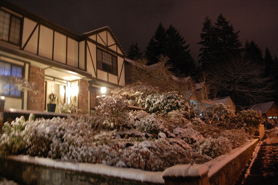
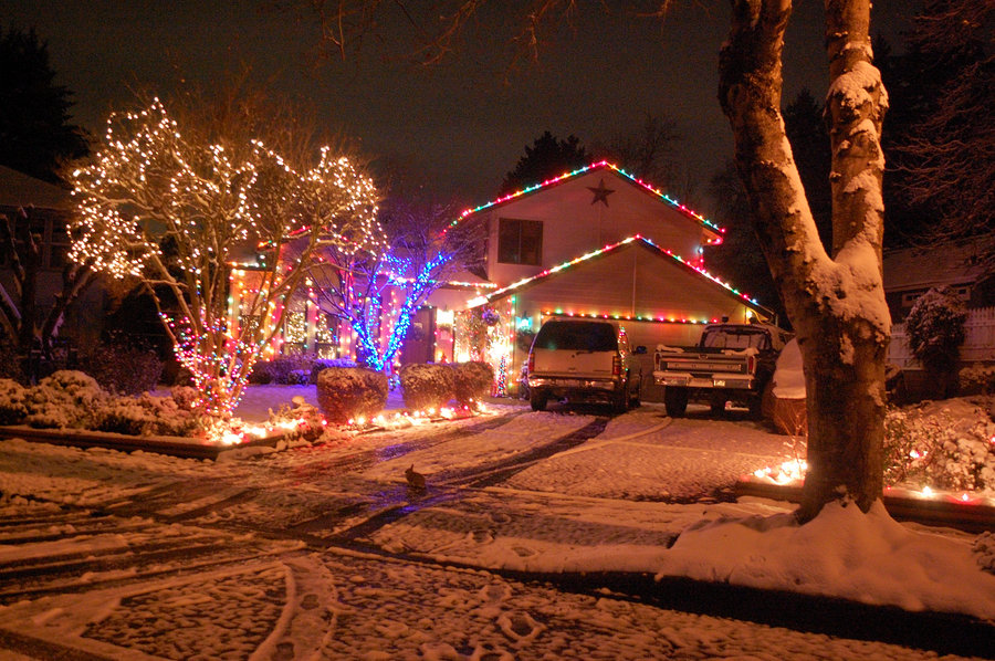
City hike #2
3 miles of hiking • 250' elevation gain •
Repeat of last week's hike (mostly), but with more holiday lights! Snow really makes everything look great
December 15, 2016


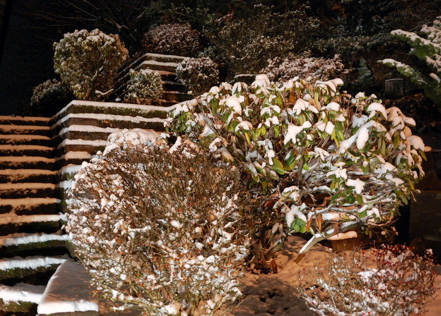
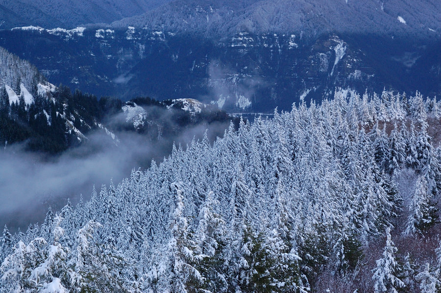
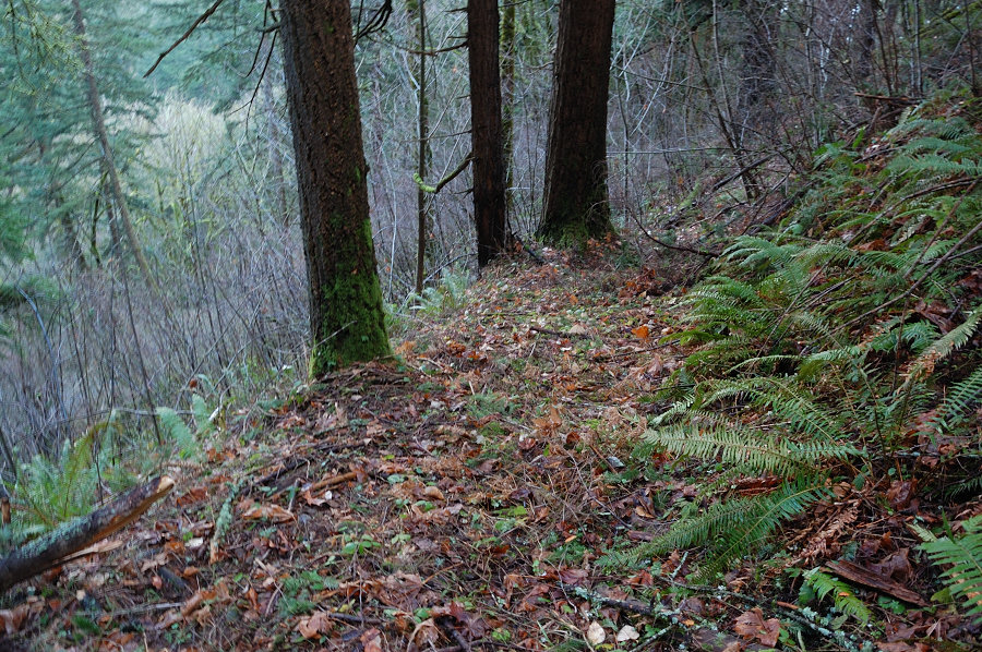
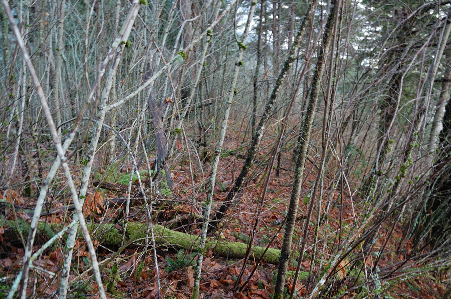
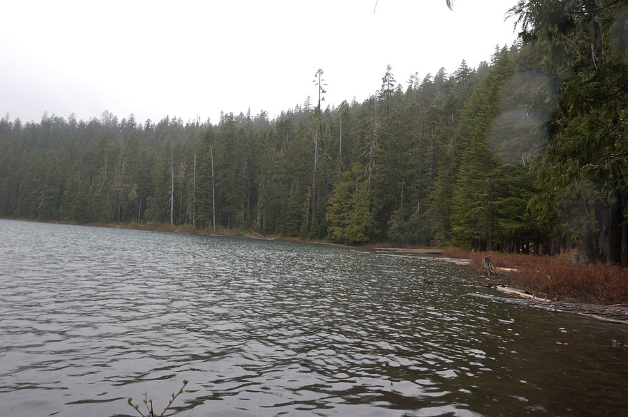
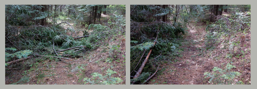
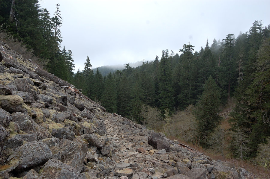
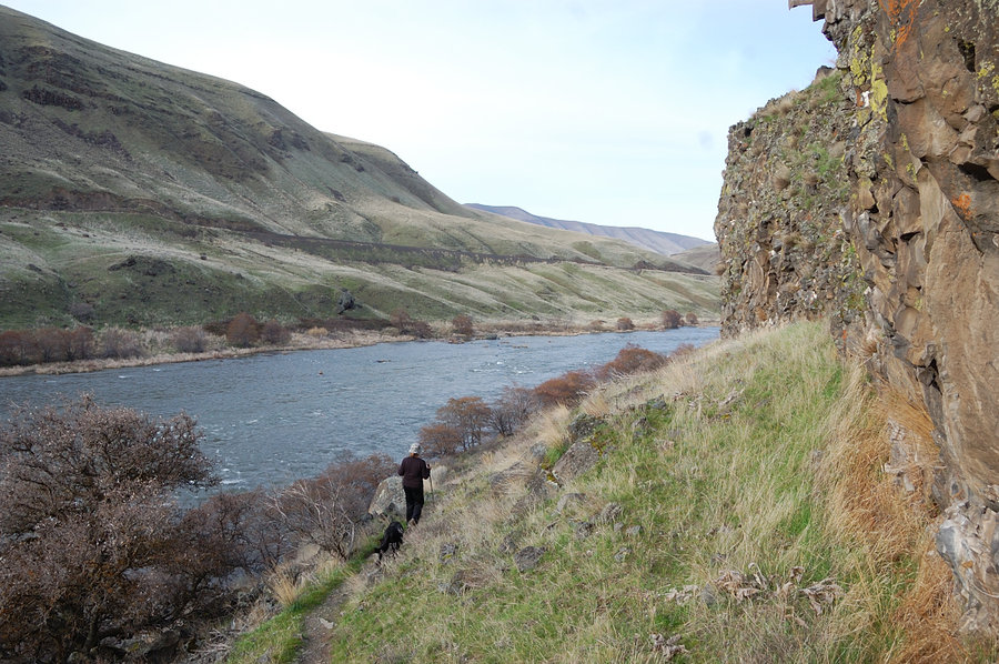
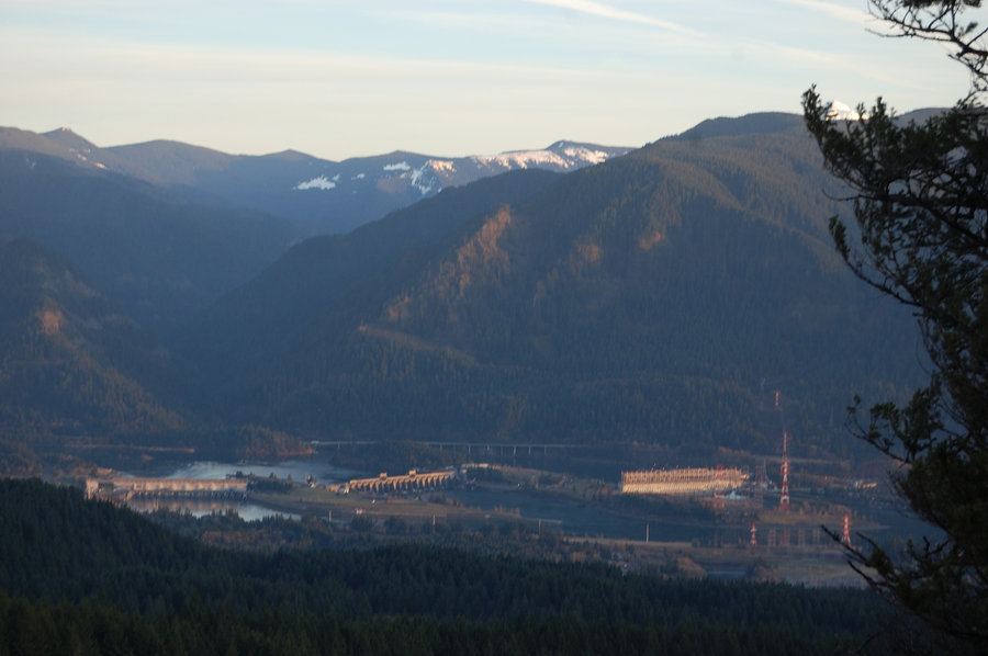
Palmer Mill Rd
5 miles of hiking • 1500' elevation gain •
Lunch break hike. Very icy in the beginning and again after the barricade (the middle of the road on W side has mostly melted out); the road is completely blocked by fallen trees and rocks. Slower hiking speed but definitely appreciated lack of cars & the quiet. I can only guess condition of trails further east.
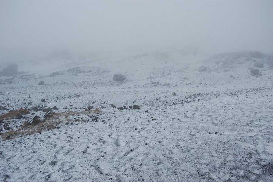
December 13, 2016


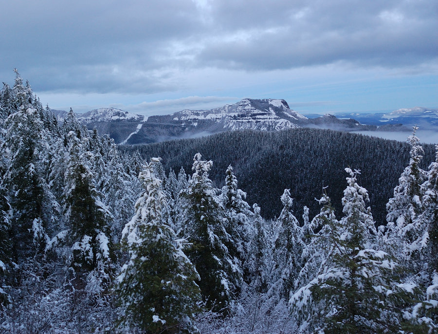
Palmer Mill Rd
9.5 miles of hiking • 2000' elevation gain •
Planned Hardy Ridge hike but couldn't find my Discover Pass - but any time outdoors is nice. Was pretty sunny in the beginning, mostly dry day until the very end.
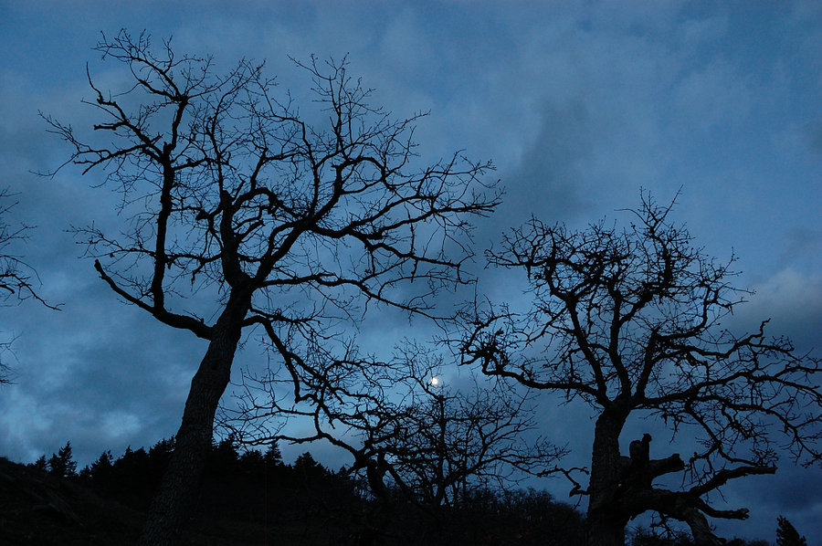
December 3, 2016


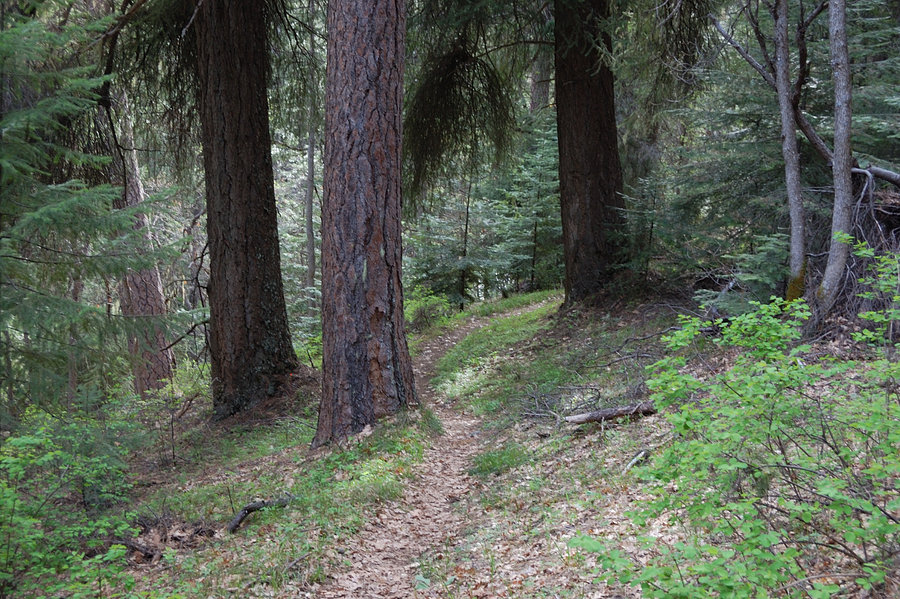
Angels Rest
4.5 miles of hiking • 1500' elevation gain •
Lunch break hike, before all the rain started. Nice partly sunny day, quite windy on the top.
November 22, 2016

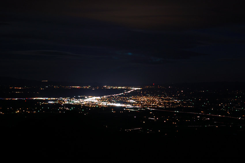
Angels Rest - Palmer Mill Rd loop
7.5 miles of hiking • 2250' elevation gain •
Got 2 hours early from work to hike this forest loop, really nice warm weather (I've seen it colder in June), though very windy on Angels Rest. Was really nice to start with sun still out, though wished (again!) I had my GPS for back side trails in the dark. Going down the main trail I experimented going without flashlight, very doable with moon and light clouds, even under trees (though pretty slow). Very cool nightly views of Portland and suburbs in the distance, dark river framed with lights.
November 10, 2016


 1
1
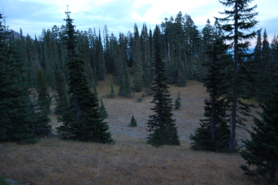
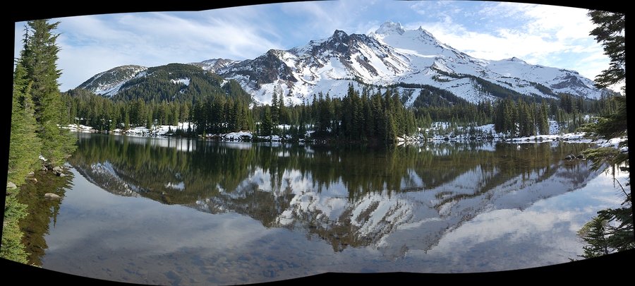
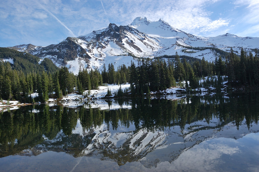
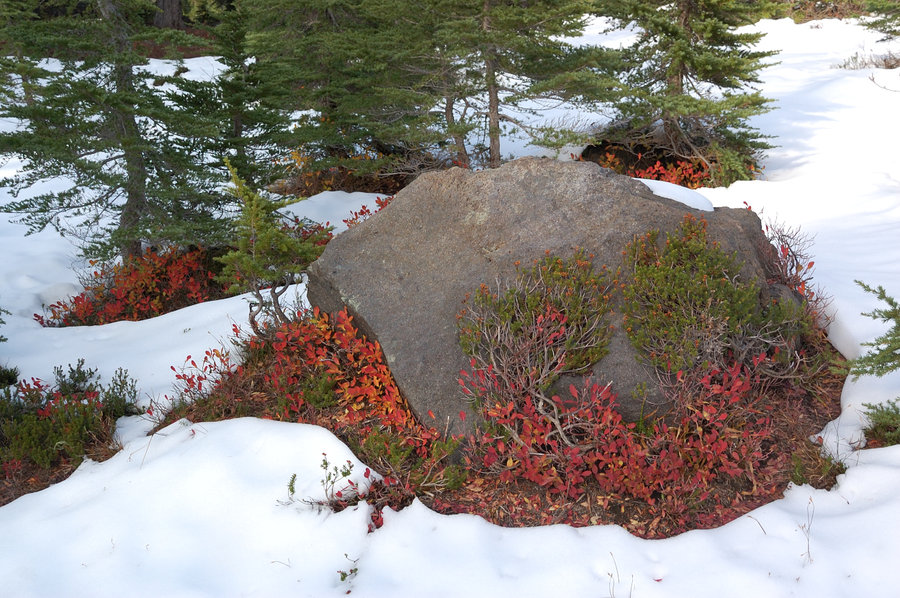
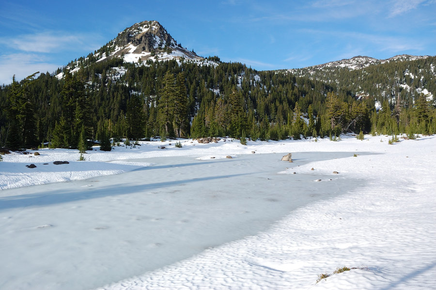
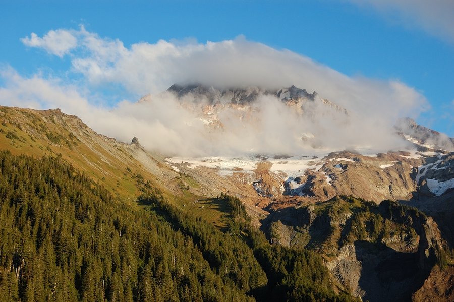
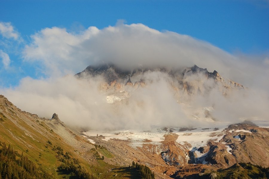
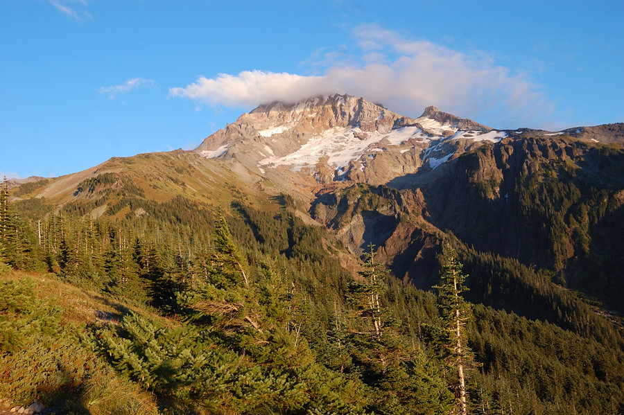
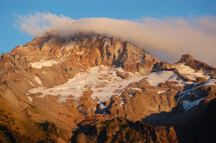
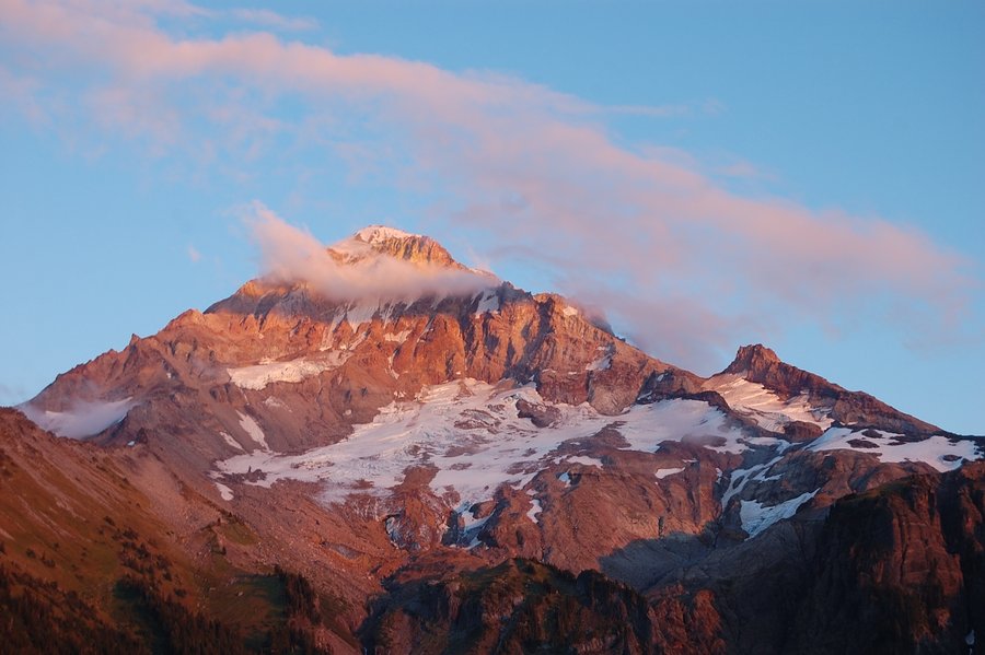
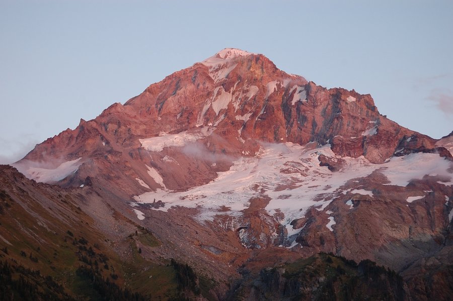
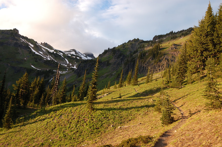
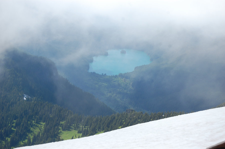
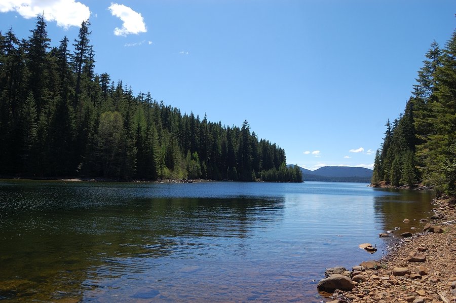
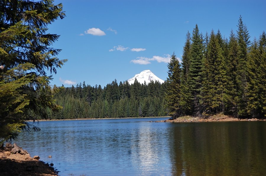
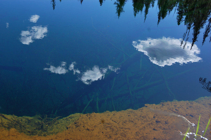
Jefferson Park
12 miles of hiking • 2250' elevation gain • 1 night
With a nice Saturday forecast, drove Friday straight from work and spent night at the trailhead, to make the most use of daylight. The Park got some snow and everything looked wintry, but at the same time the lakes are only starting to freeze. Great views, nice to see some sun and blue sky - it's been awesome day up there!
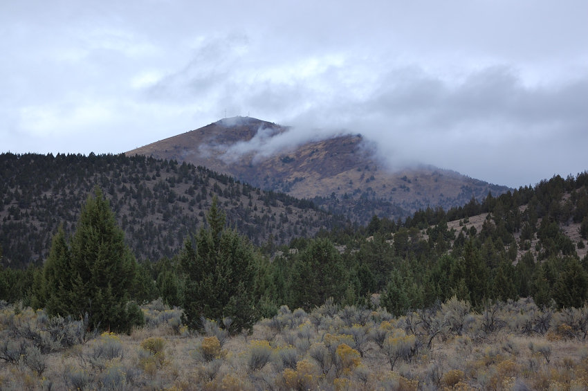
October 21 – October 22, 2016


Grey Butte
6.5 miles of hiking • 1750' elevation gain • 1 night
Hiked/camped 1st night on the E aide of Grey Butte, but rain arrived by mid-morning so I drove west to more sunny area.
October 9 – October 10, 2016


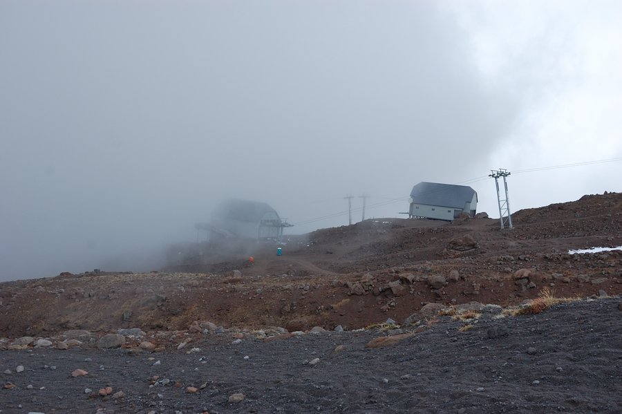
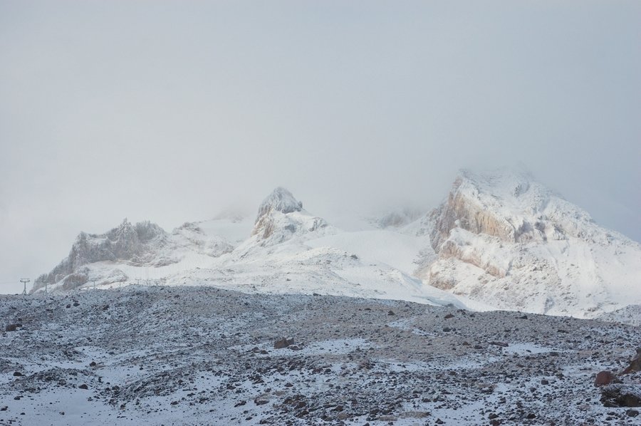
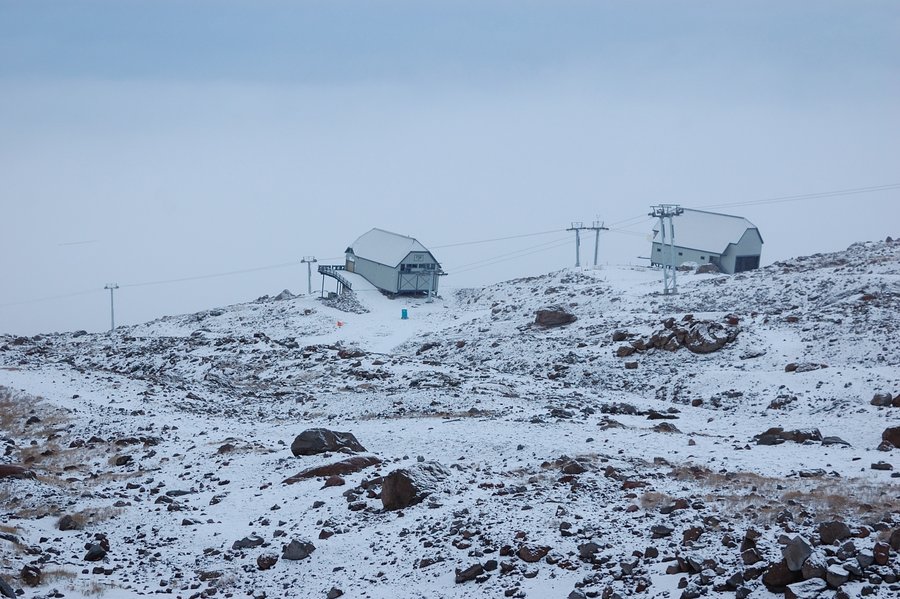
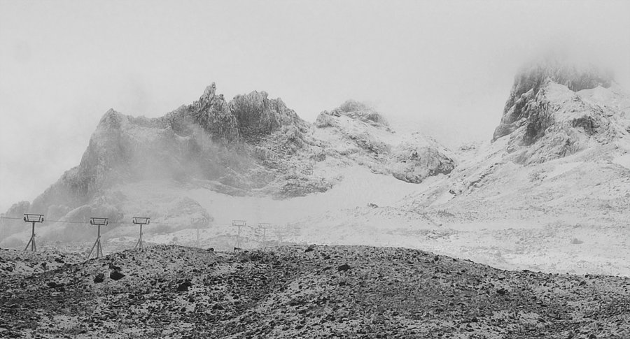
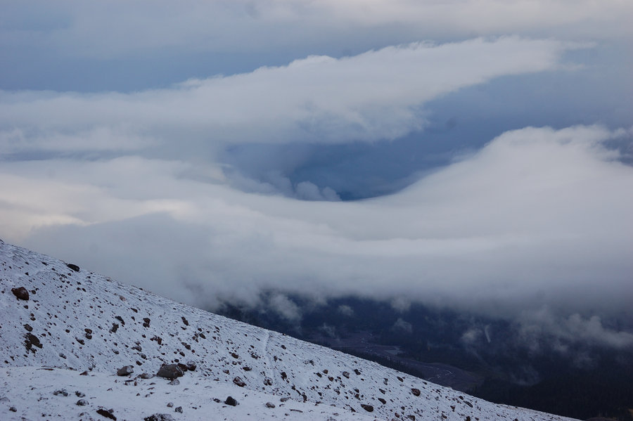
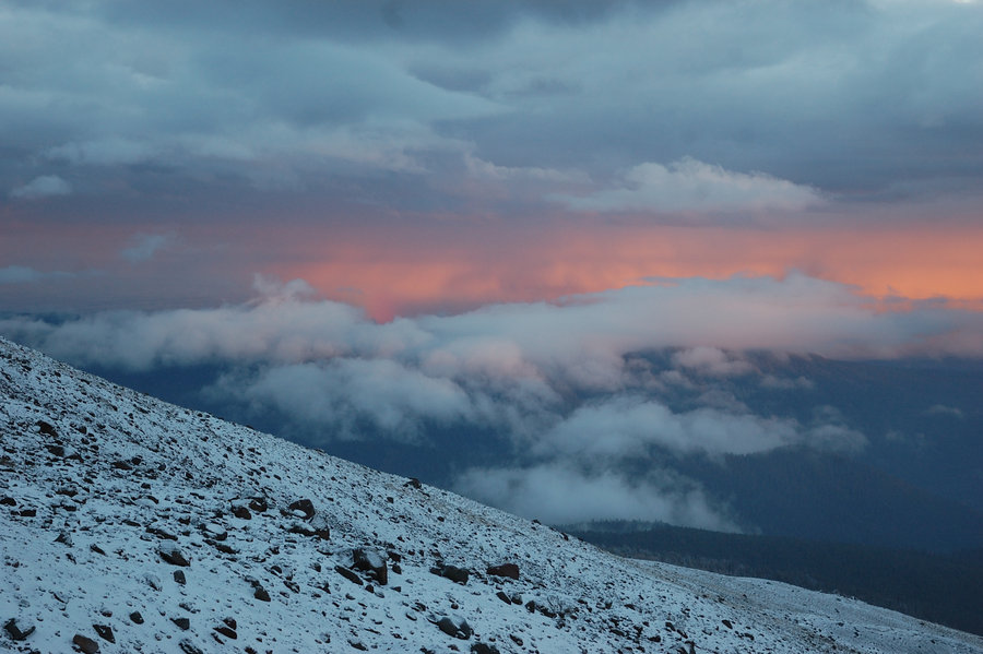
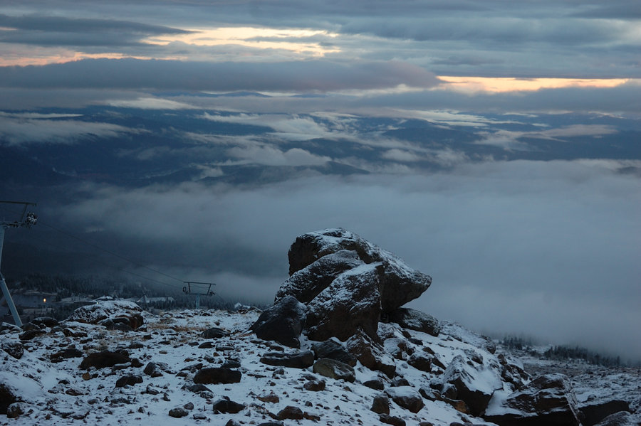
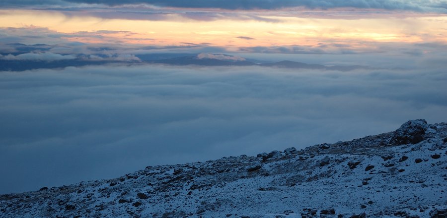
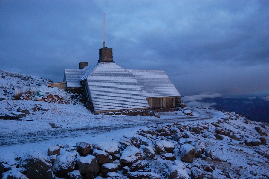
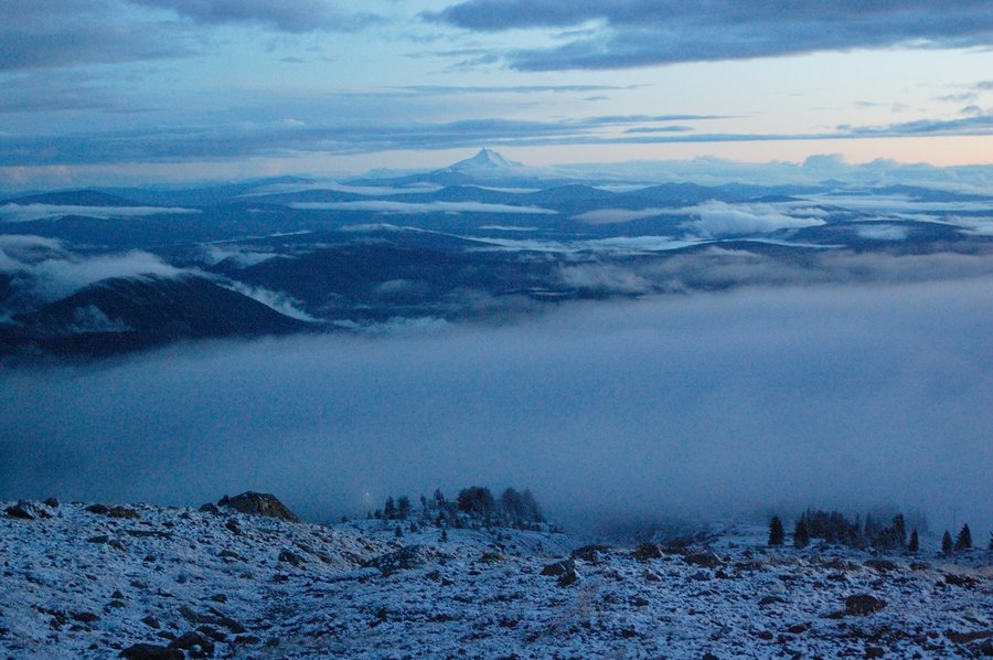
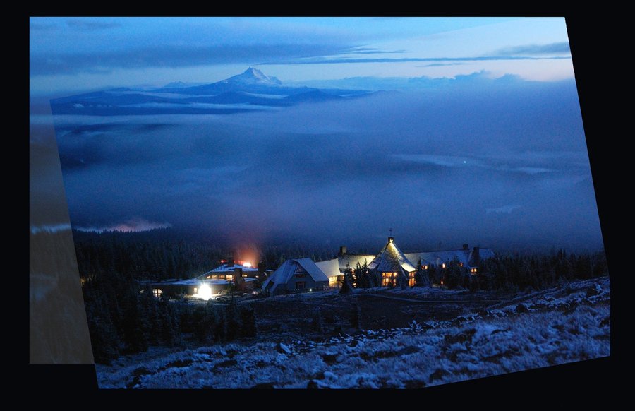
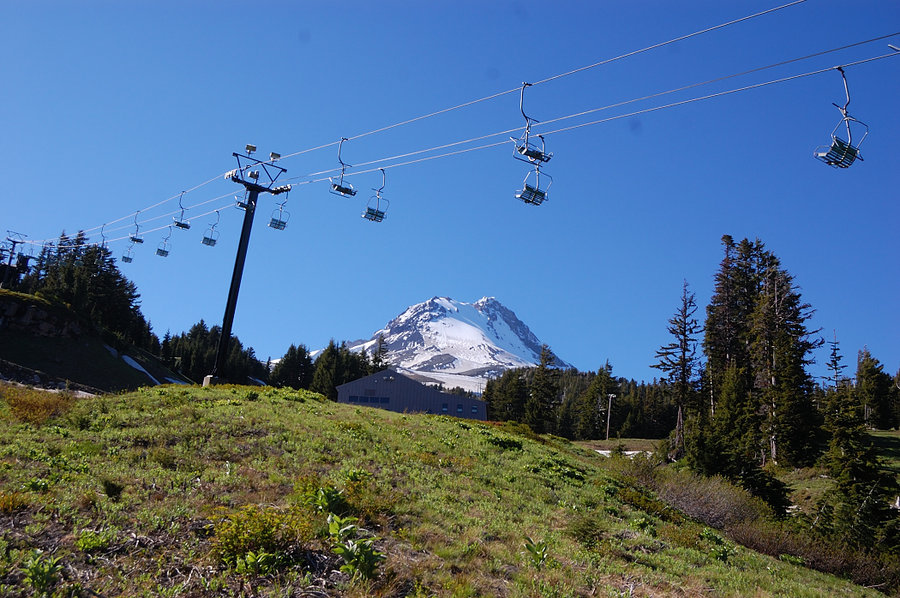
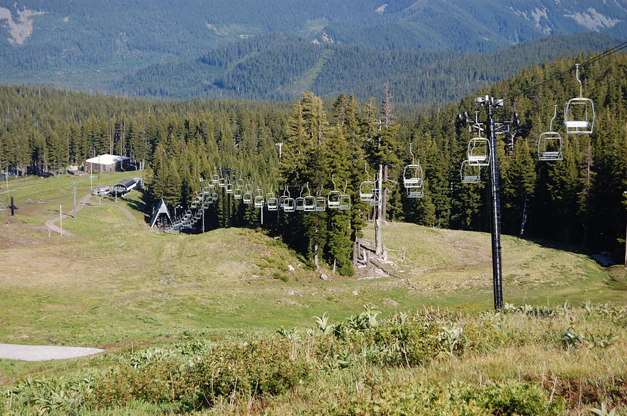
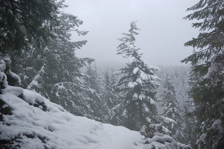
Silcox Hut & Palmer ski area
4 miles of hiking • 2000' elevation gain •
Took advantage of 6...7K snow levels to get out of the rain at Timberline. Didn't count on any views on a cloudy day, but there was some, and after a quick blizzard the weather really calmed down by sunset.
October 2, 2016

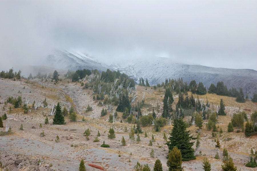

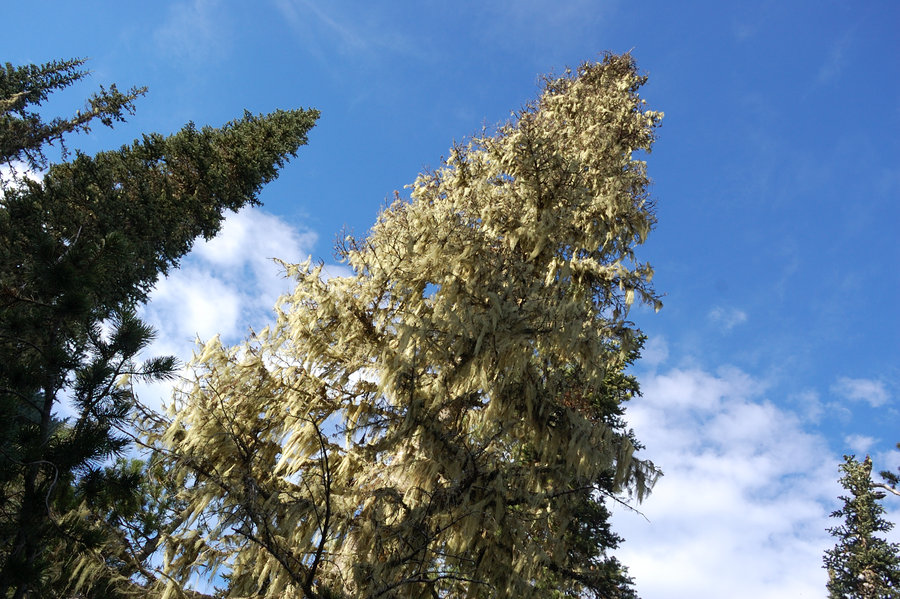
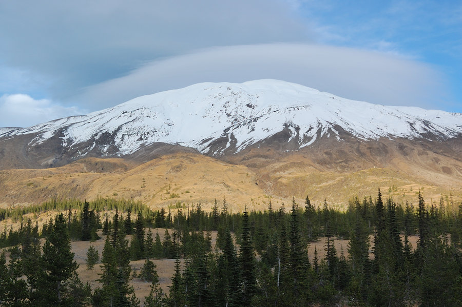
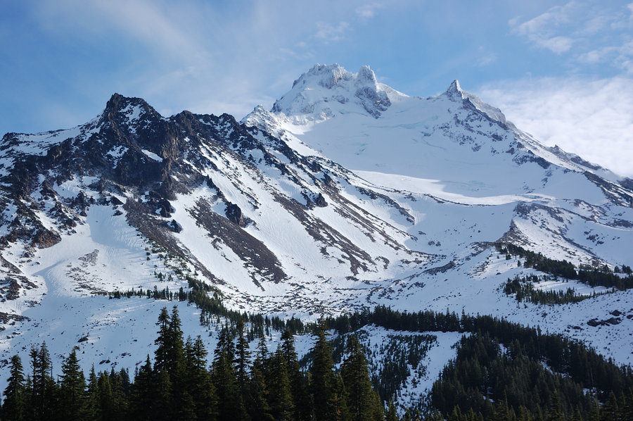
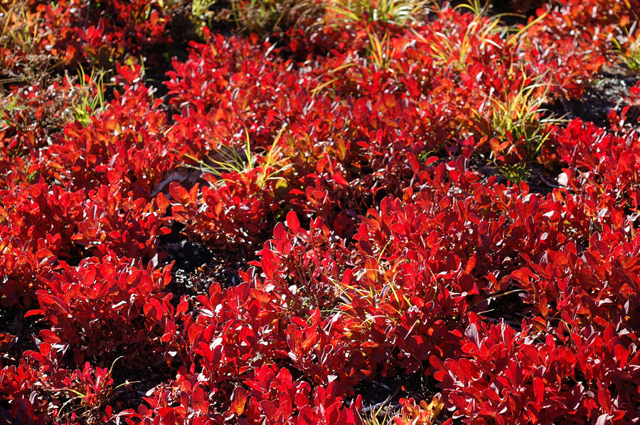
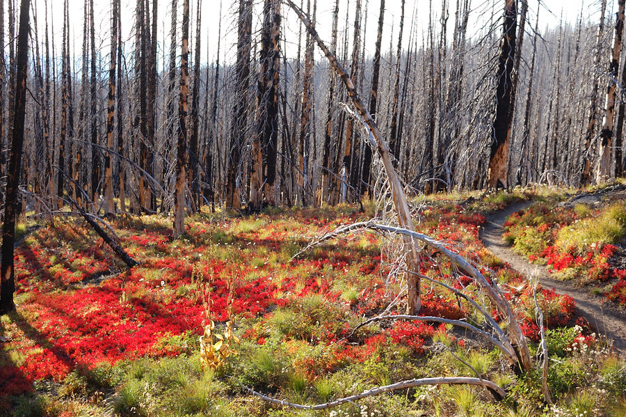
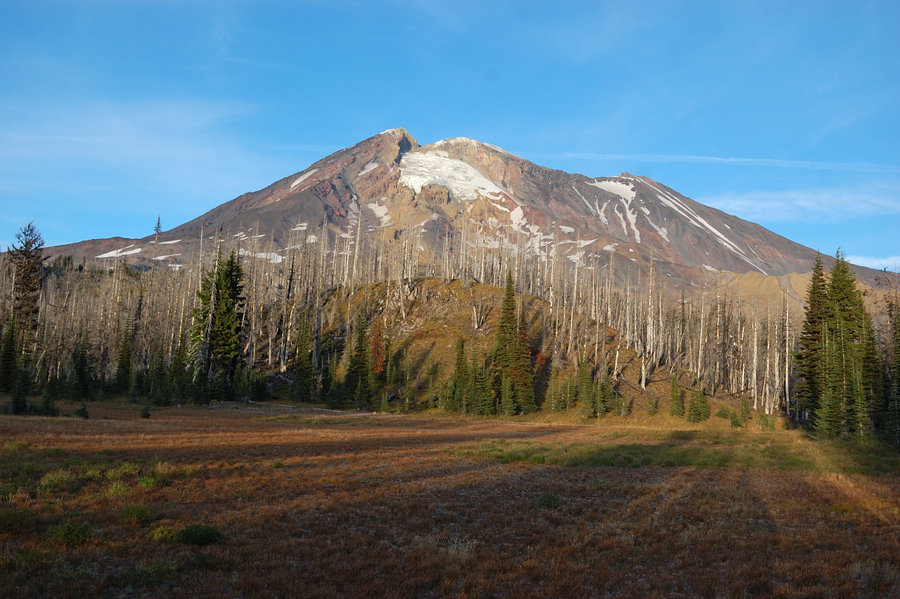
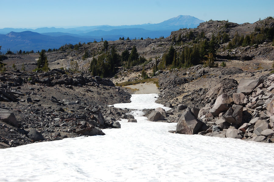
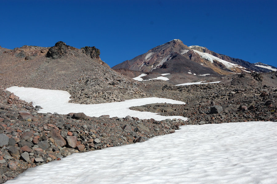
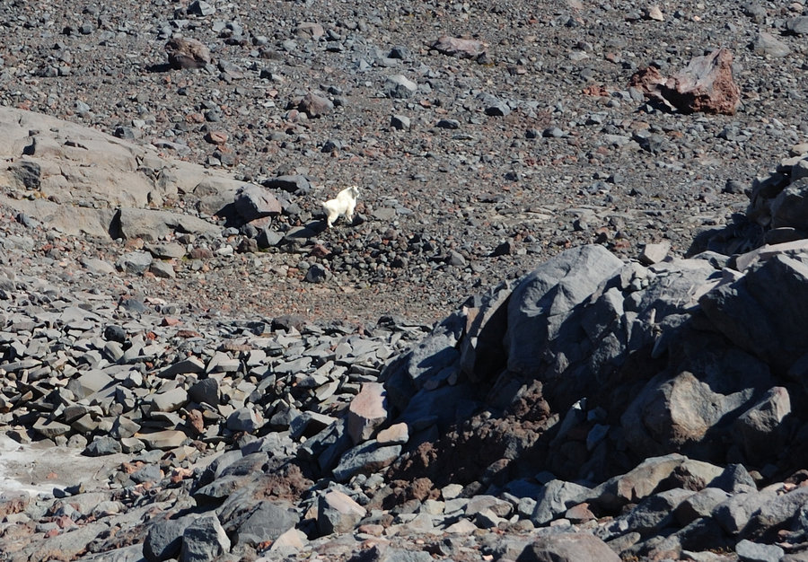
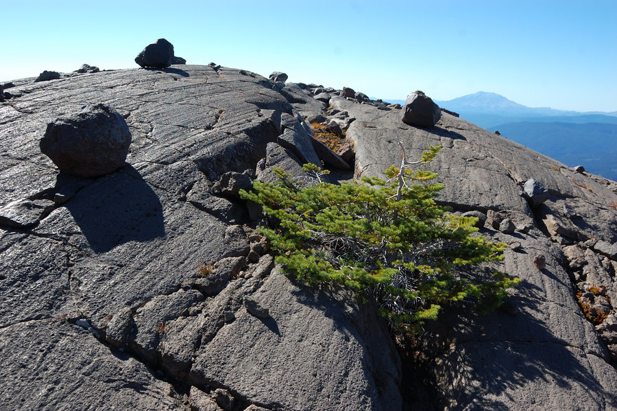
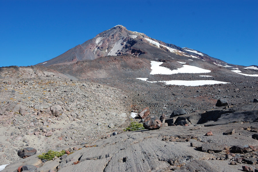
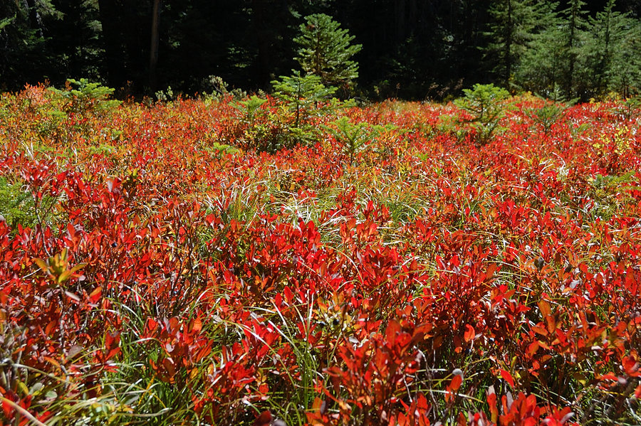
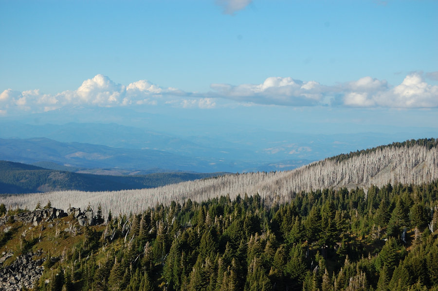
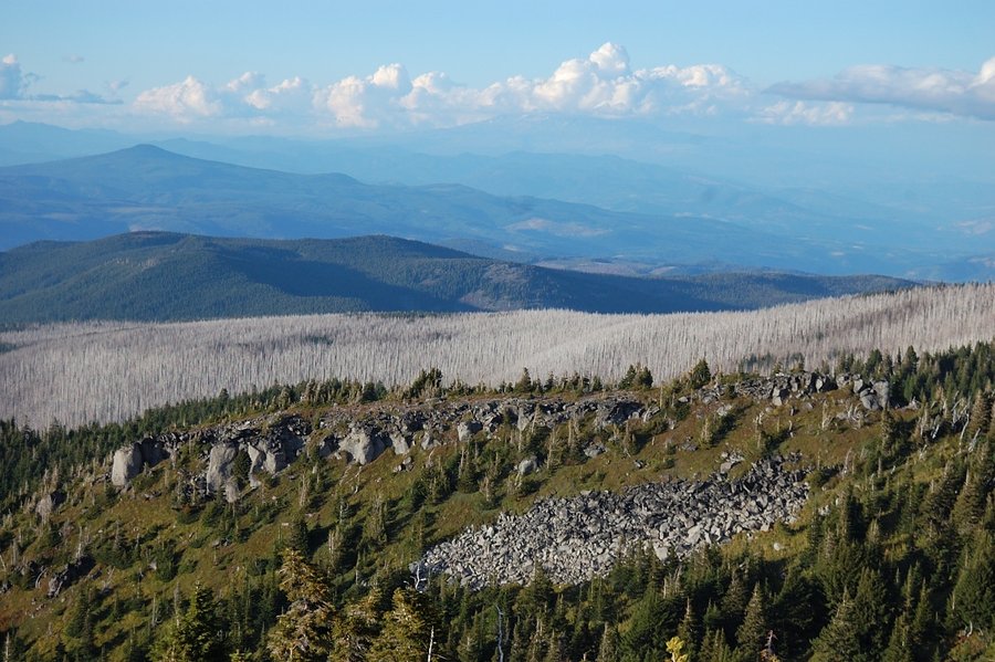
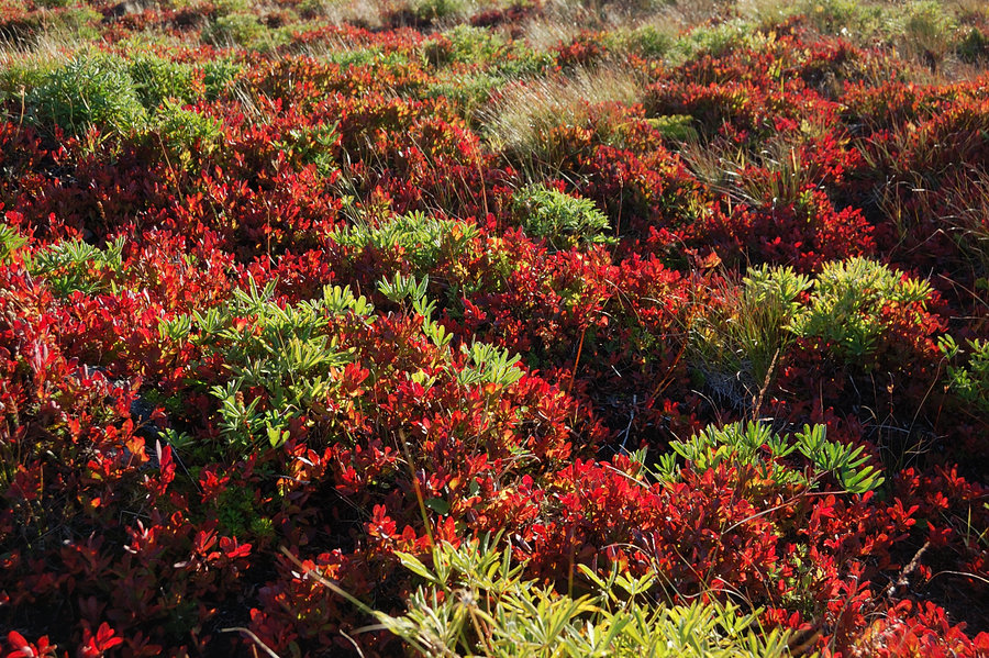
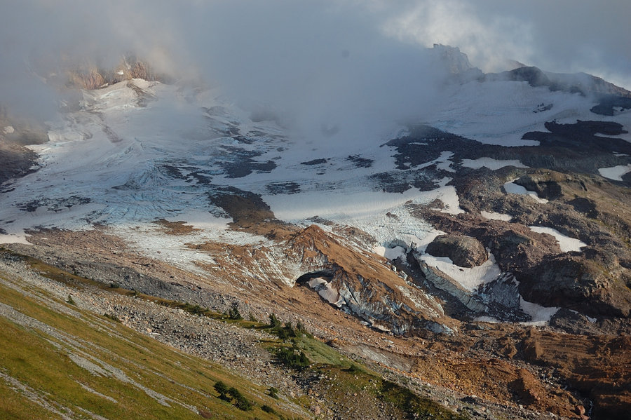
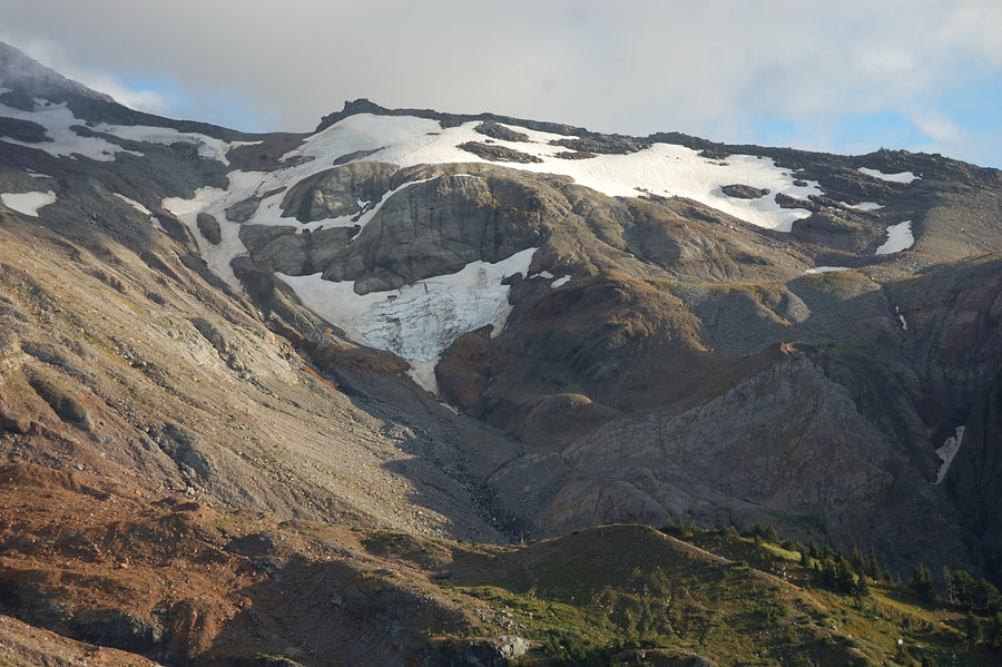
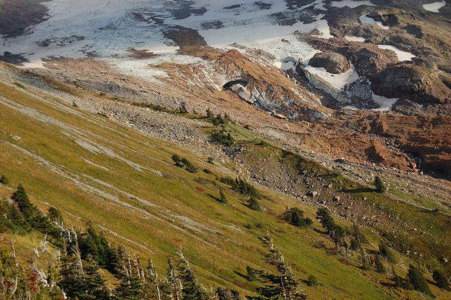
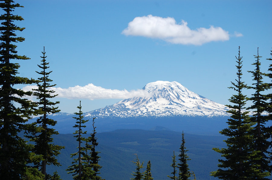
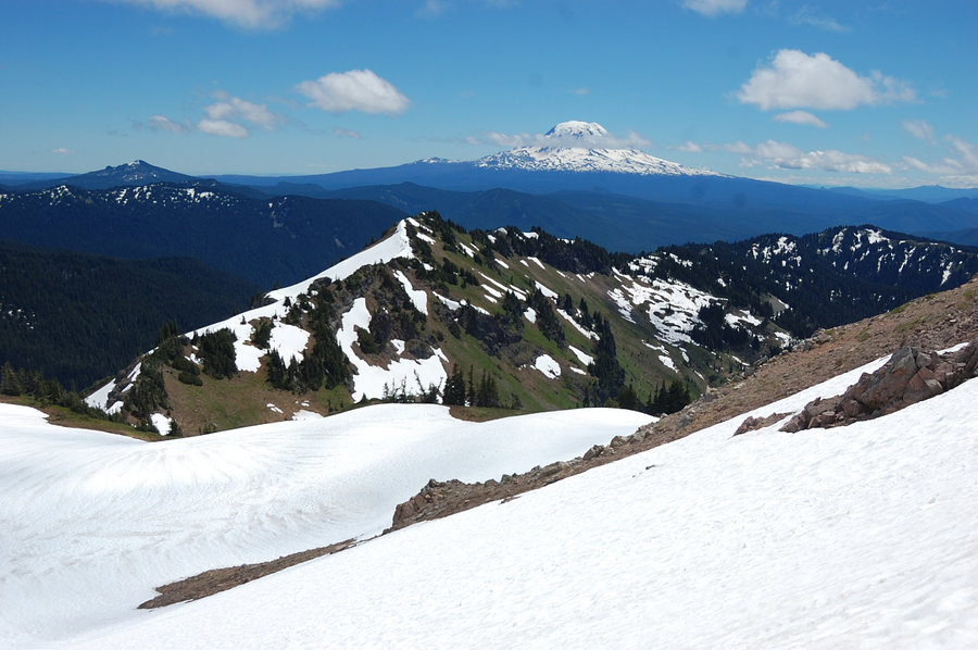
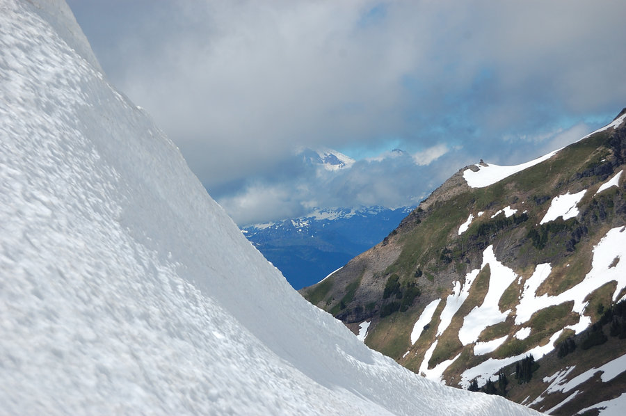
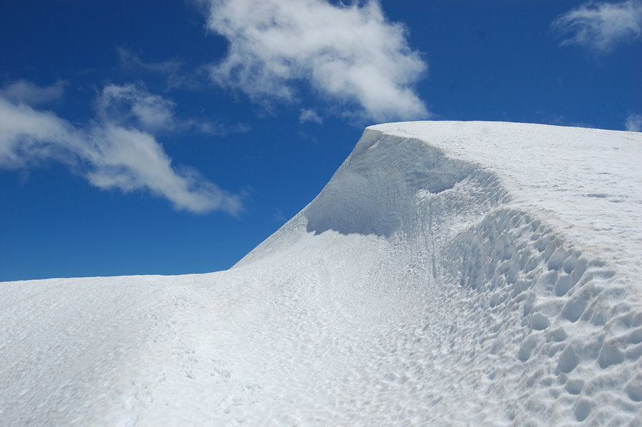
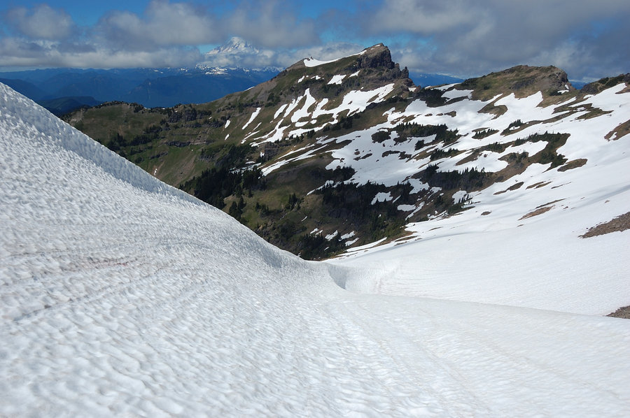
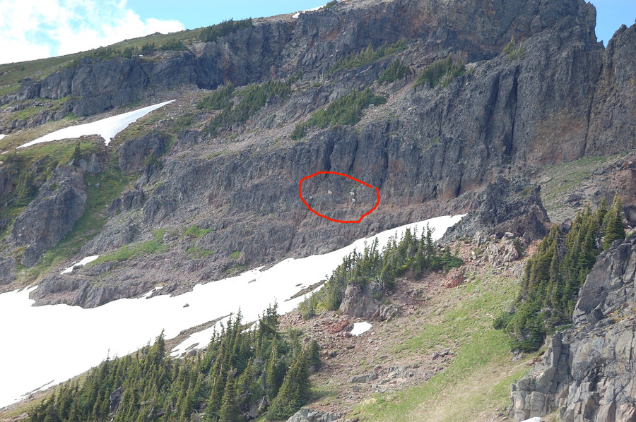
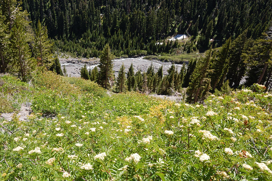
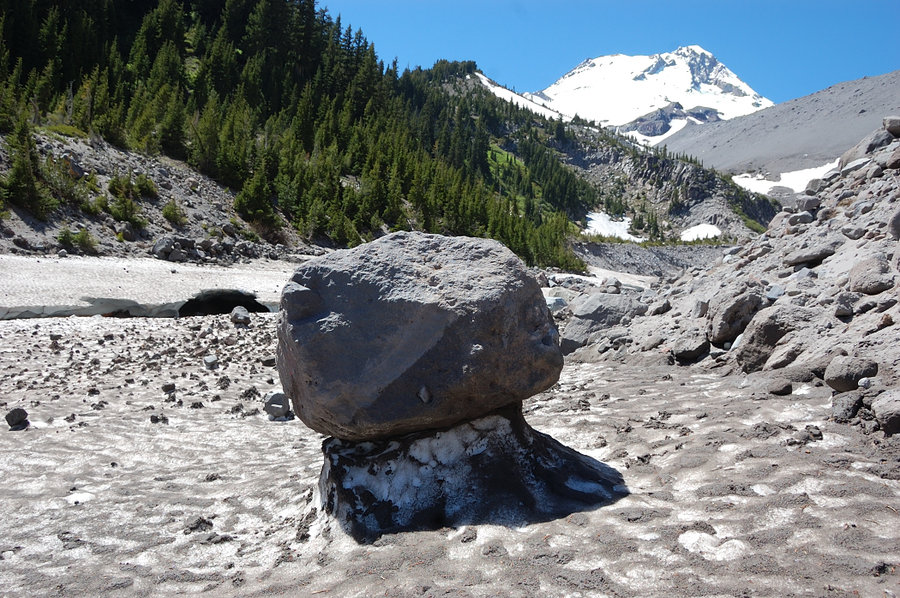
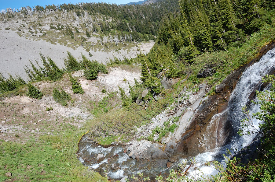
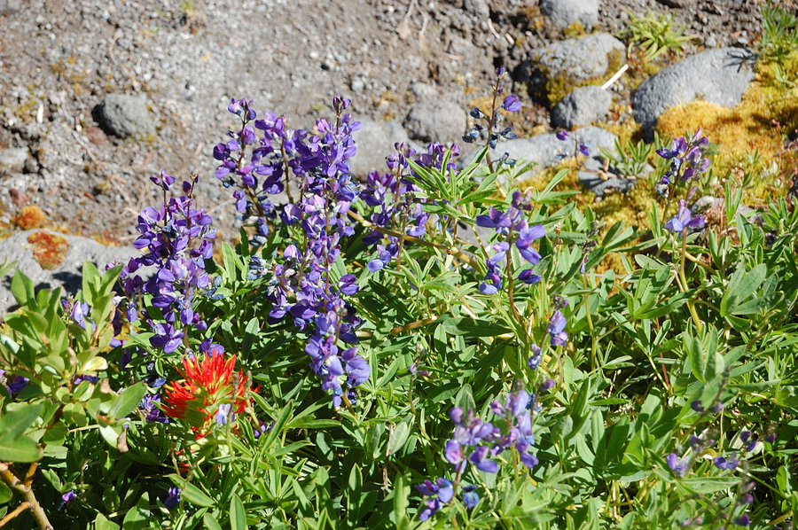
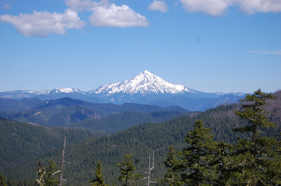
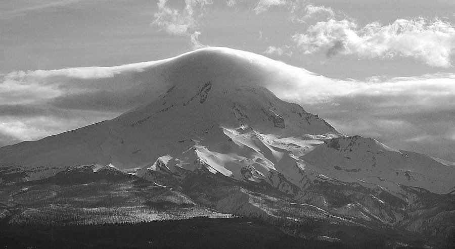
Mt Adams' west side
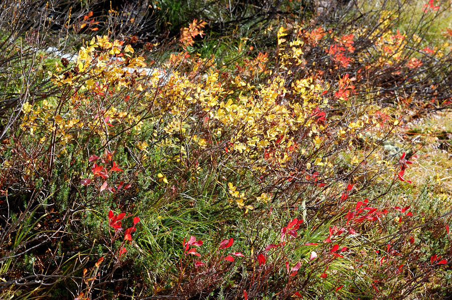
17.5 miles of hiking • 3500' elevation gain • 1 night
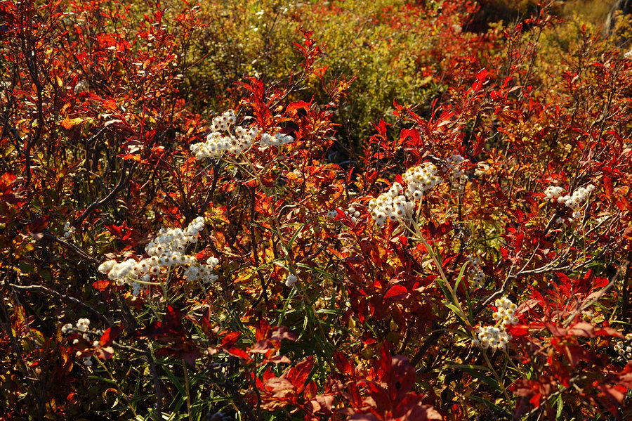
Hiked to Horseshoe Meadow on PCT, and then off-trail to about 7,250' on the mountain. Real summer weather, almost too warm - a nice change after a few rainy weeks. Ran into a group of 3-4 mountain goats rounding a corner onto a snowfield, but they really afraid of hunters up there, immediately ran behind the rocks and scattered each other way - only could take pic of one from far away. Burned section of forest has huckleberry and mtn. ash carpets which were really bright with autumn yellows and reds.
September 25 – September 26, 2016


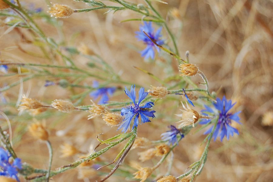
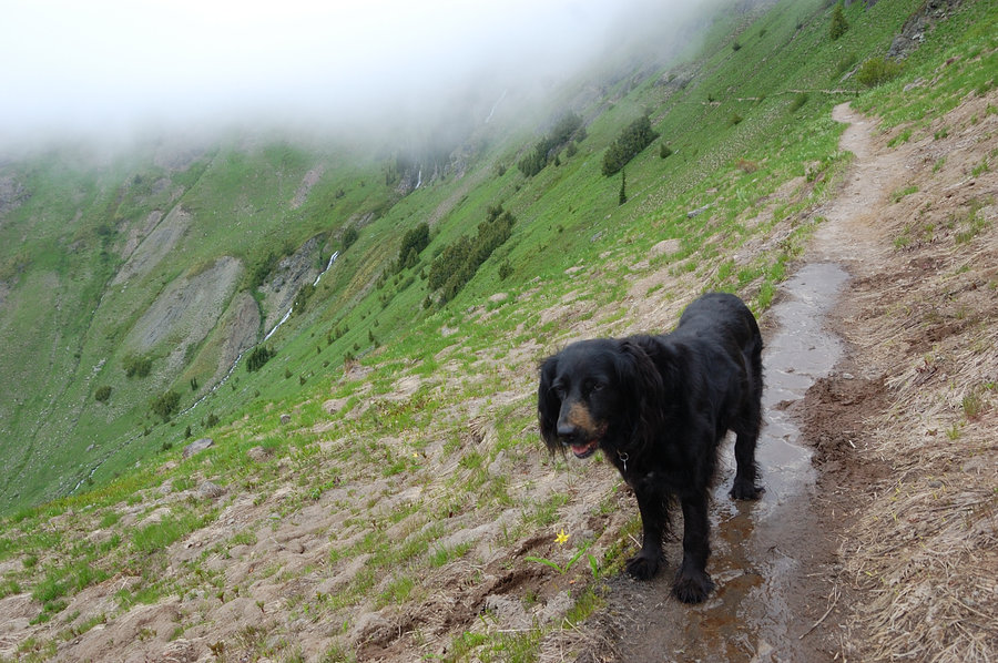
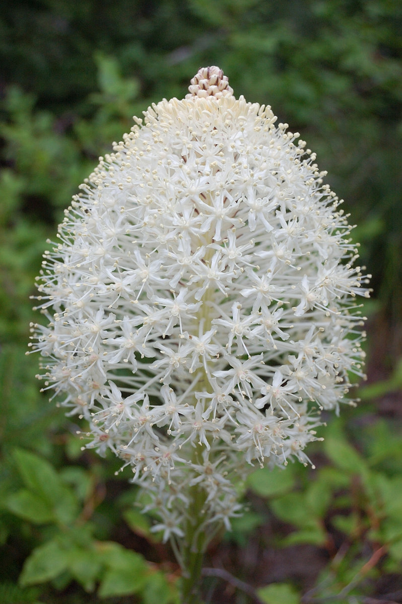
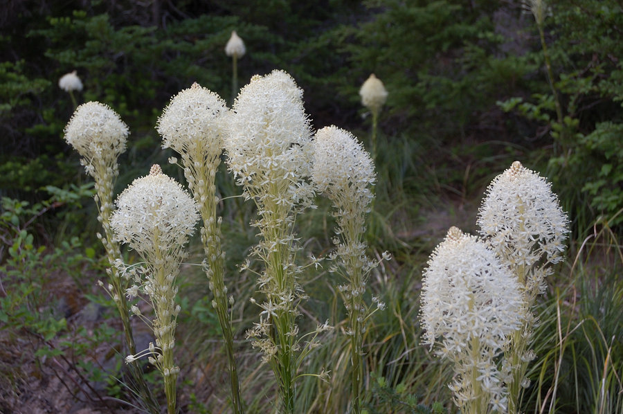
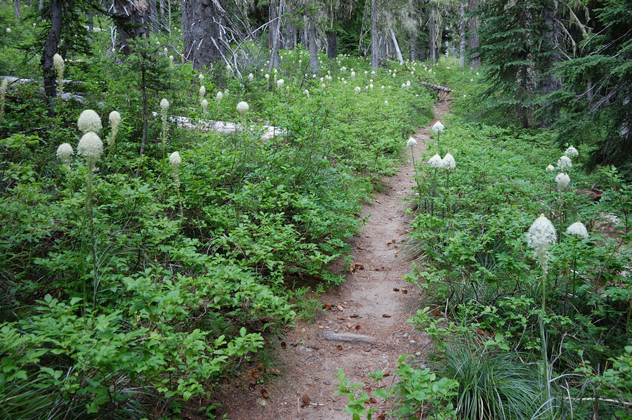
Indian Heaven hike 2
9.25 miles of hiking • 1250' elevation gain •
More abandoned trails... (this was in September, didn't have time to post)
September 25, 2016


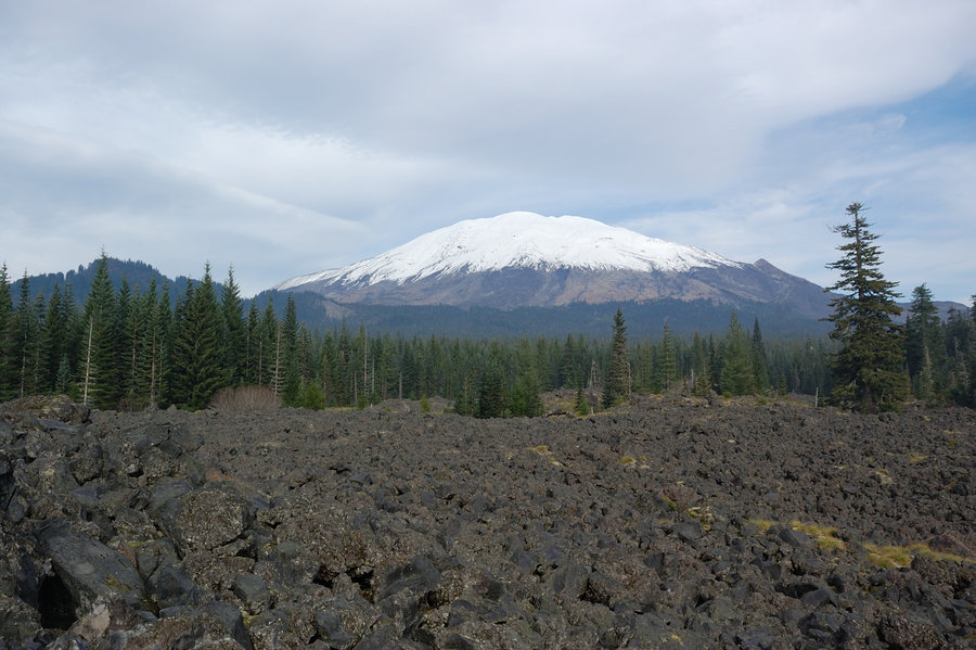
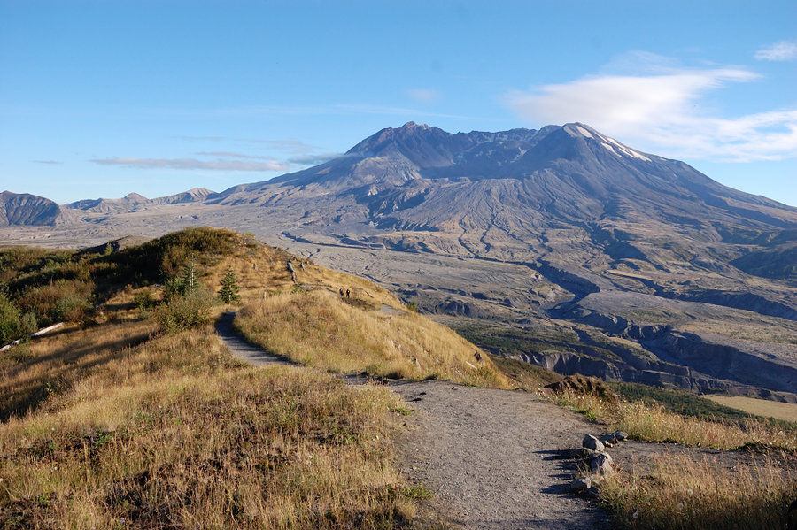
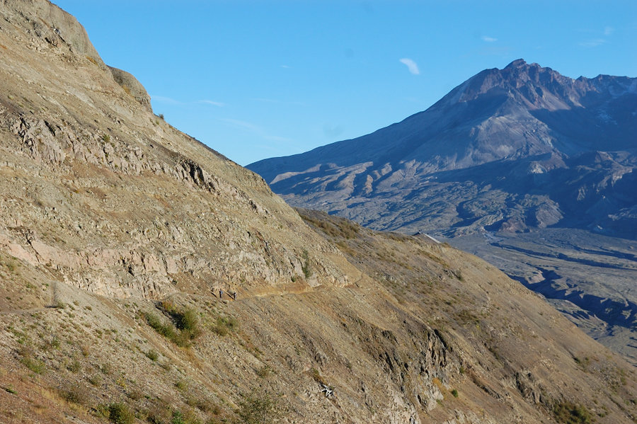
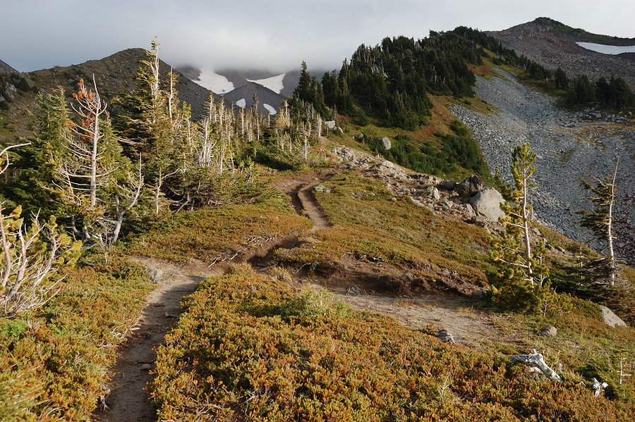
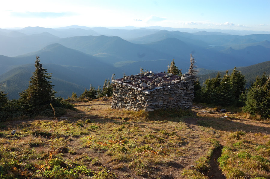
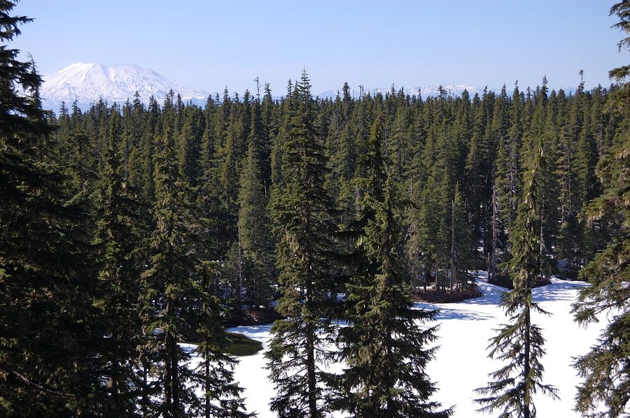
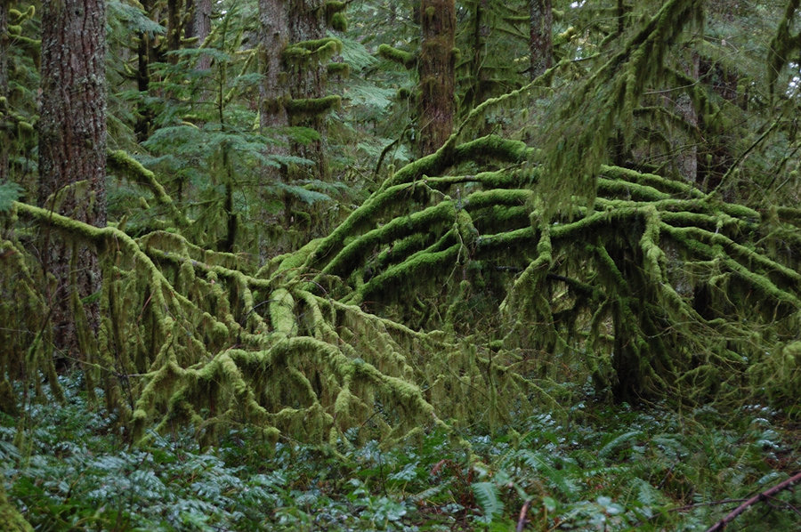
MSH - Harry's Ridge (1/2 mile short)
6.5 miles of hiking • 1000' elevation gain •
Went with my dad to test new lens and spend an evening outdoors. There's a new trail being built that will bypass Devil's Elbow (though less direct than former elk trail).
September 24, 2016


September 10 – September 11, 2016

Angels Rest - Palmer Mill Rd loop
7.5 miles of hiking • 2250' elevation gain •
Not really sure finding backside trails without GPS and compass was a good idea (even though I've been there several times). Had to guess on several junctions, but we figured it out.
September 4, 2016


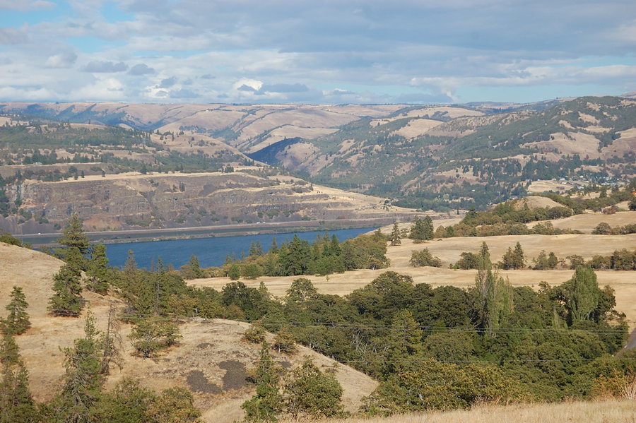
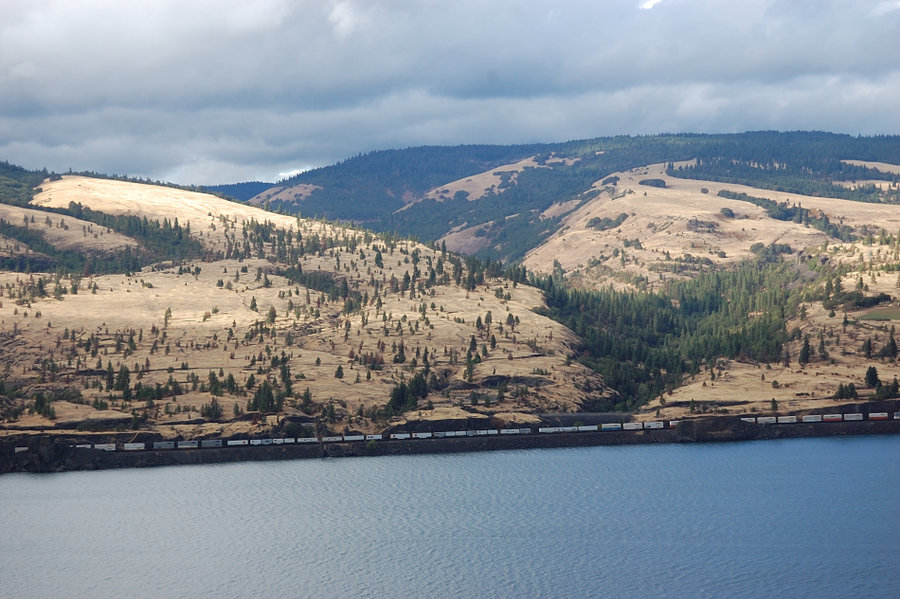
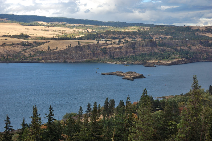
Memaloose Hills
5 miles of hiking • 1000' elevation gain •
Nice hike out east when it's raining in town.
September 2, 2016


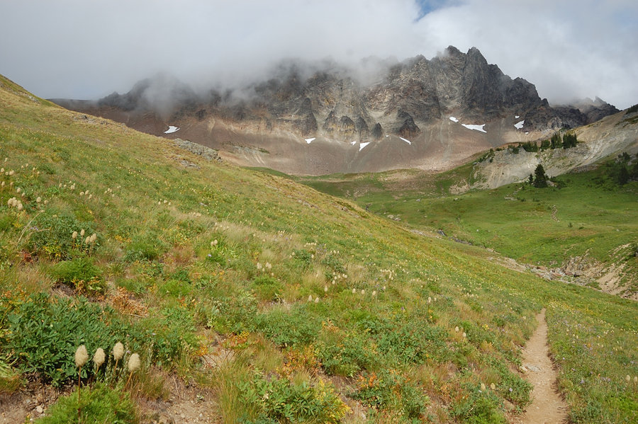
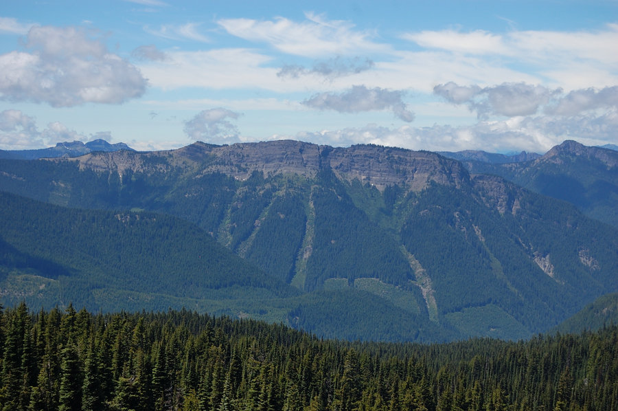
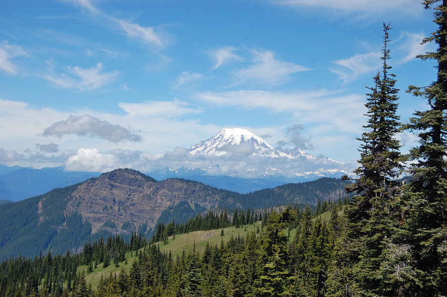
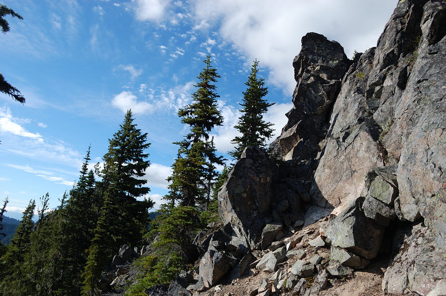
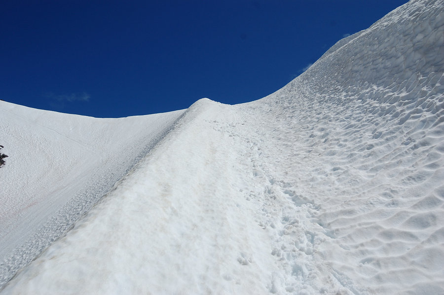
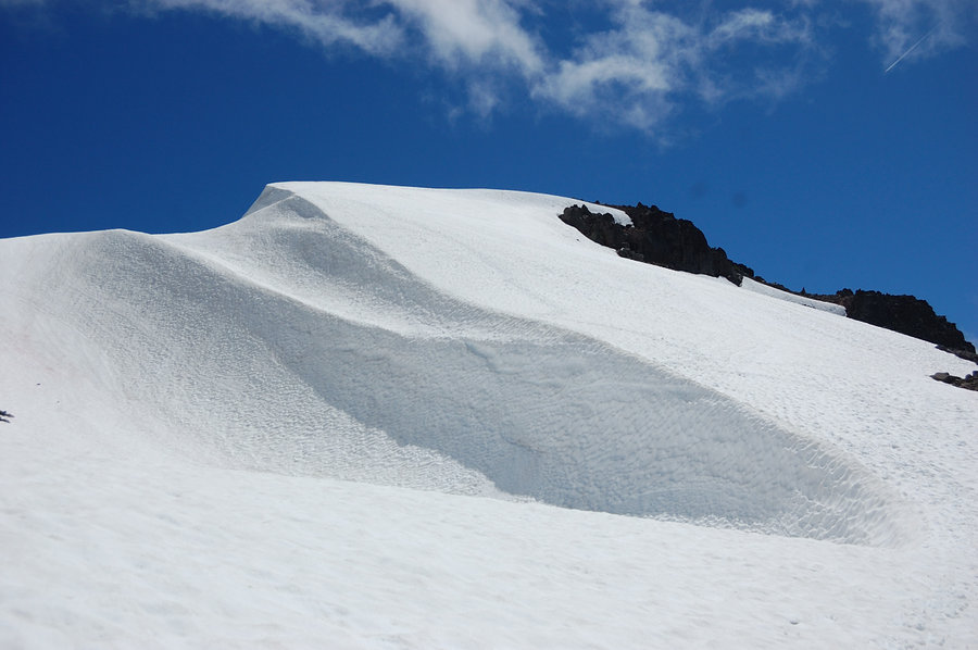
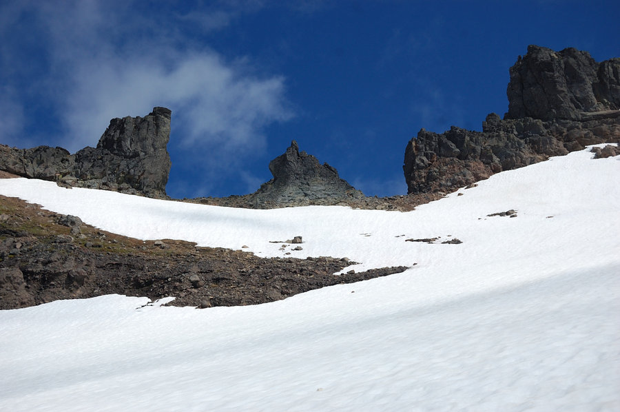
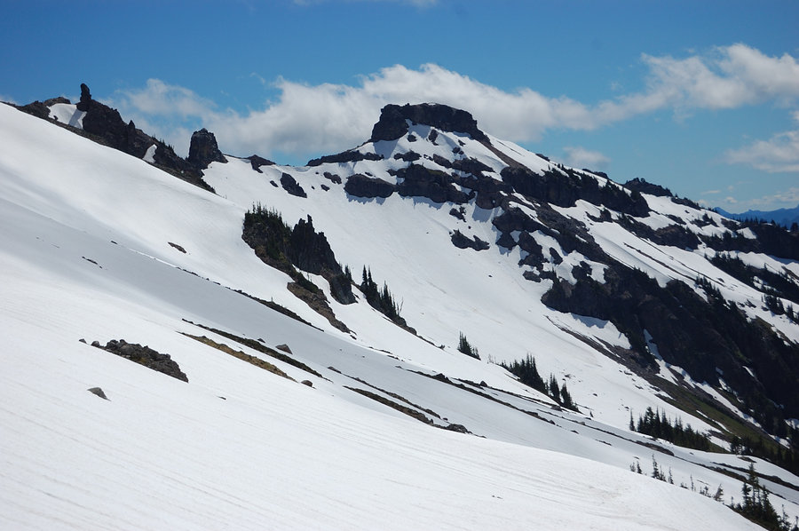
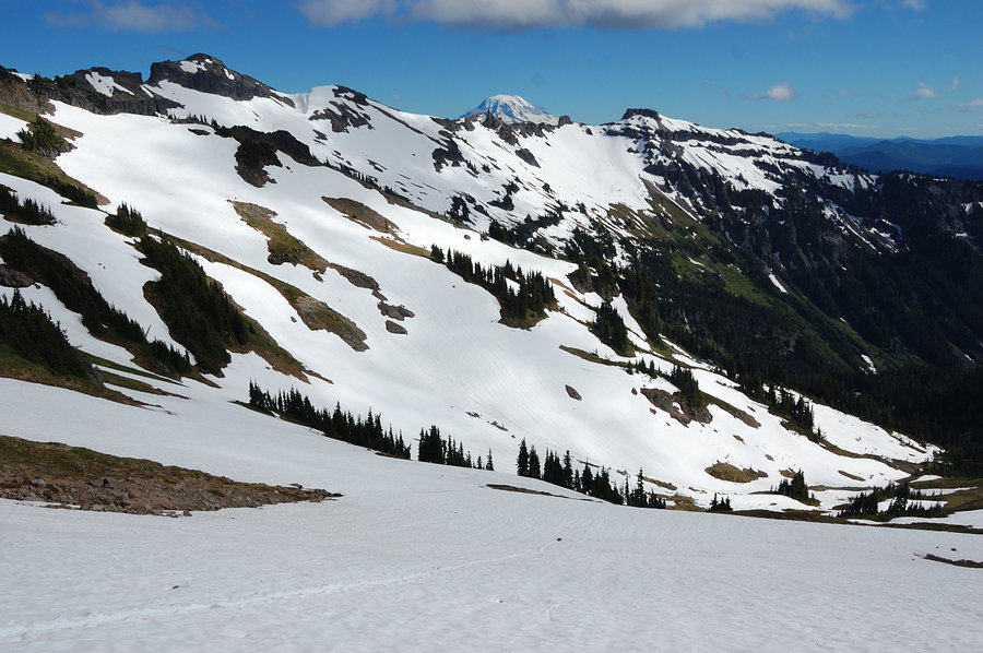
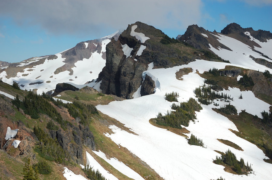
Goat Rocks
18 miles of hiking • 3500' elevation gain • 2 nights
Miles/elevation is rough approximate. Visited "actual" Snowgrass flats for the first time, followed PCT N and S for a while.
August 26 – August 28, 2016


Indian Heaven - Placid Lake
4.5 miles of hiking • 250' elevation gain • 2 nights
Spent super-hot weekend on Placid Lake, briefly hiked to Chenamus but was thwarted by mosquitoes. It was a bit early hike for Indian Heaven bug-wise, but great time nonetheless. (edit - it was a 2-night trip, not 1-night)
August 19 – August 21, 2016


 1
1
Timberlin trail to Zigzag Creek
6 miles of hiking • 1250' elevation gain •
Tracked some of last summer's hikes on a piece of paper & then lost it, didn't want to spend time and recalculate the stats again. Just found it today
August 3, 2016

Triple Falls
4.5 miles of hiking • 750' elevation gain •
Tracked some of last summer's hikes on a piece of paper & then lost it, didn't want to spend time and recalculate the stats again. Just found it today...
August 2, 2016

Mitchell Point
2.5 miles of hiking • 1250' elevation gain •
Tracked some of last summer's hikes on a piece of paper & then lost it, didn't want to spend time and recalculate the stats again. Just found it today
August 2, 2016

Lava Canyon
4 miles of hiking • 1000' elevation gain •
Tracked some of last summer's hikes on a piece of paper & then lost it, didn't want to spend time and recalculate the stats again. Just happened to find it today...
July 30, 2016
 1
1
Depoe Bay, Newport, Yakina Head, others
3 miles of hiking • 250' elevation gain •
Tracked some of last summer's hikes on a piece of paper & then lost it, didn't want to spend time and recalculate the stats again. Just happened to find it today...
July 28, 2016

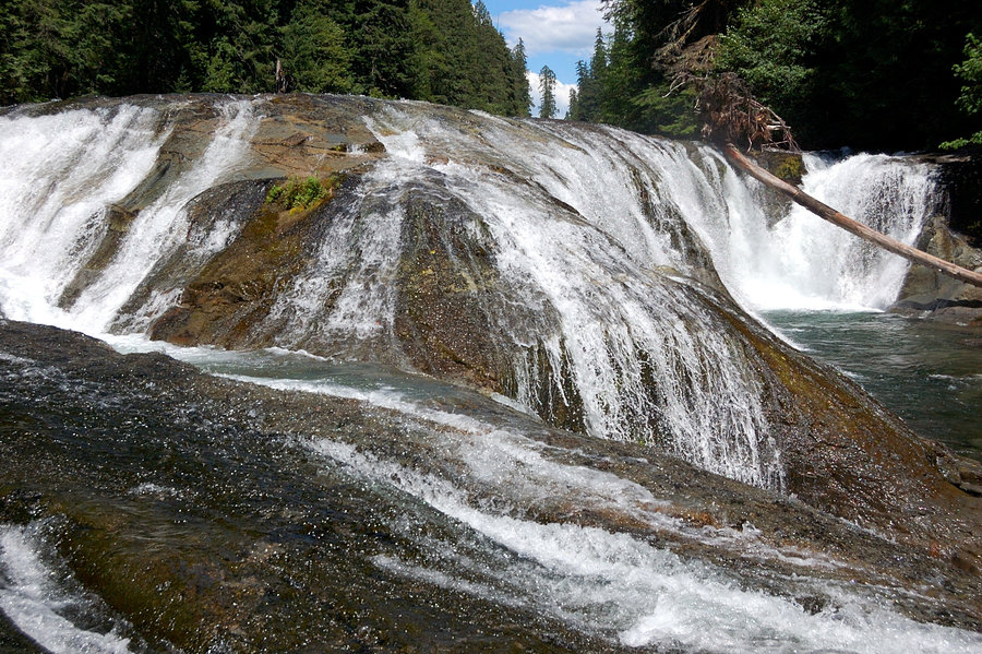
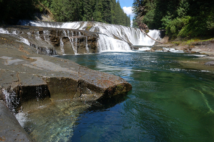
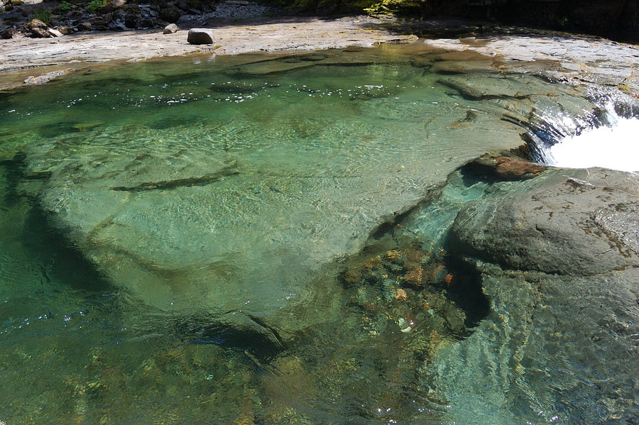
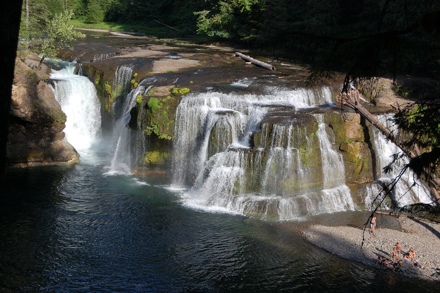
Lewis River falls
6.5 miles of hiking • 1000' elevation gain •
First hike for my cousins - they liked it up there. The river is pretty low now, which makes it possible to hike almost in front of the falls, and find interesting vantage points. Middle portion of the hike is still closed, but detour is clearly marked. Also, we heard a large tree fall on the other side of the canyon.
July 21, 2016


Hunchback (partial)
5.5 miles of hiking • 2000' elevation gain •
Had only half day to hike - this steep trail made a nice work out.
July 17, 2016

JRO + Coldwater Lake
5 miles of hiking • 500' elevation gain •
Tracked some of last summer's hikes on a piece of paper & then lost it, didn't want to spend time and recalculate the stats again. Just found it today
July 11, 2016
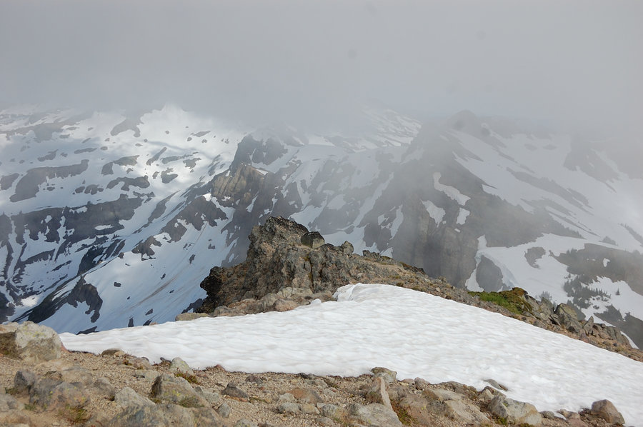
 2
2
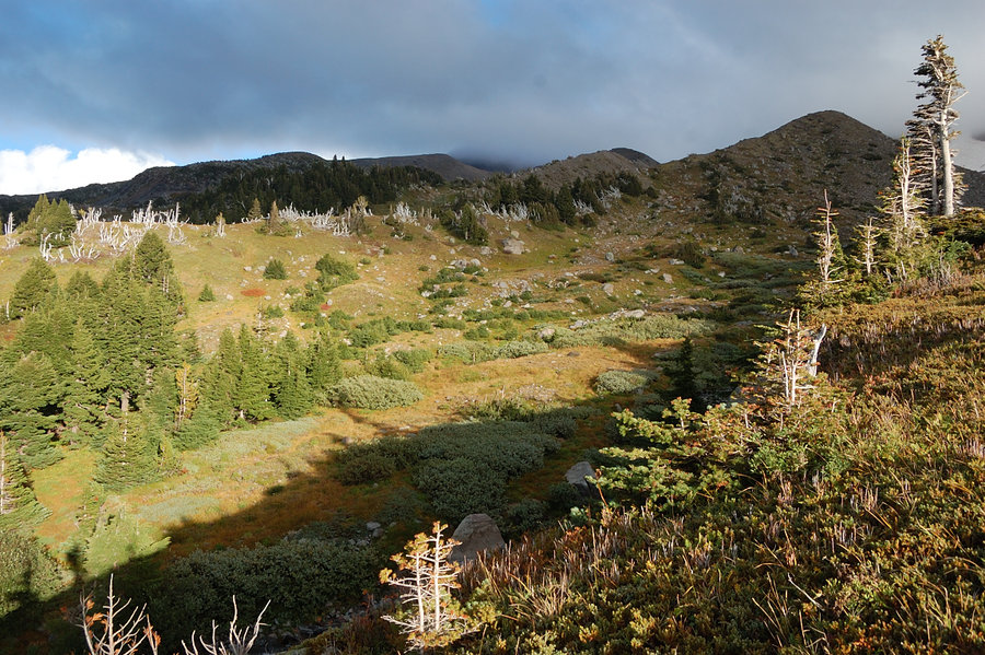
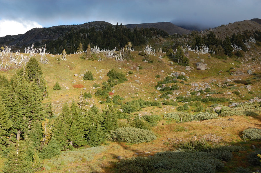
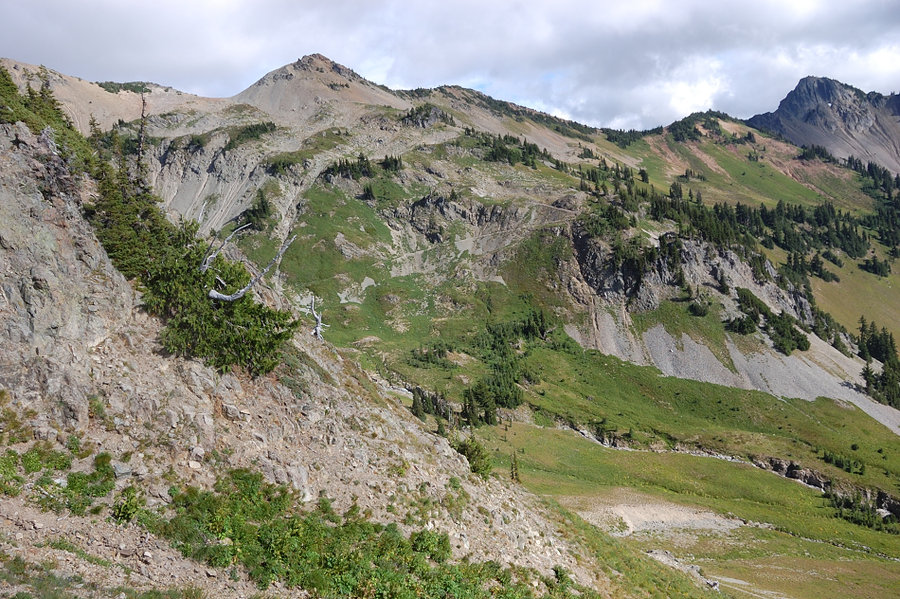
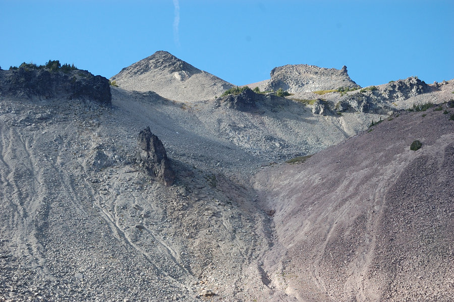
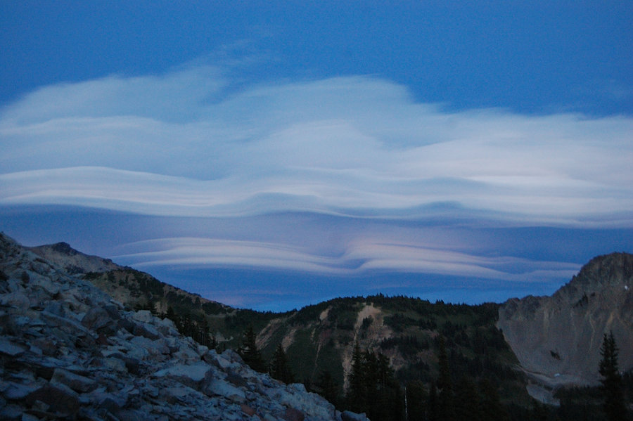
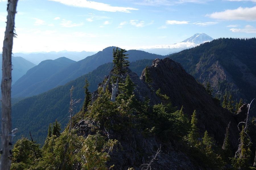
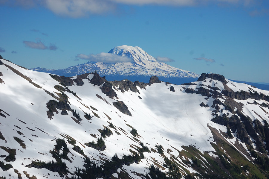
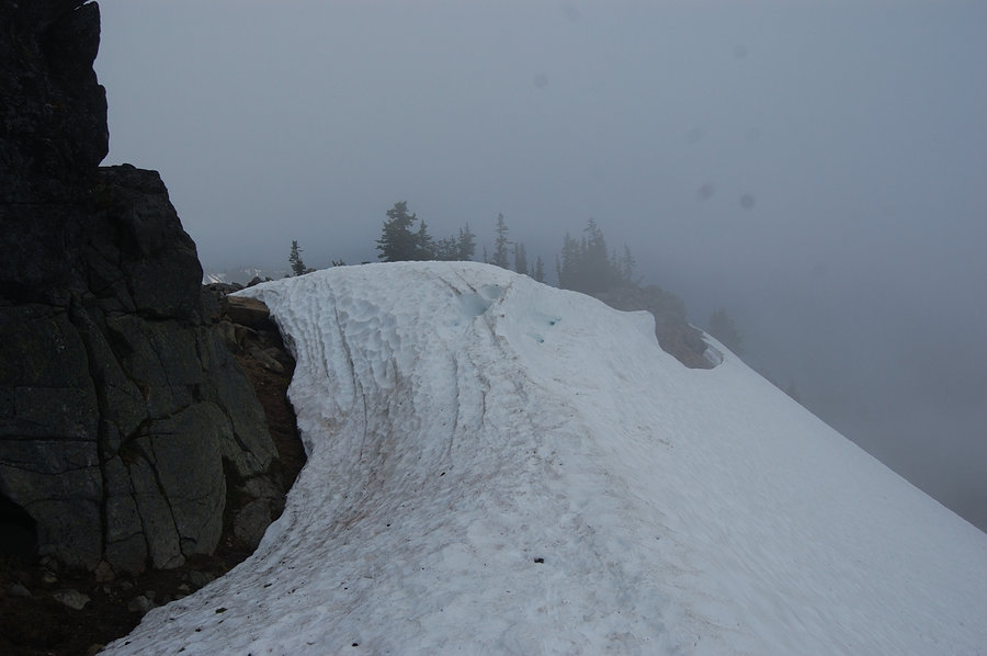
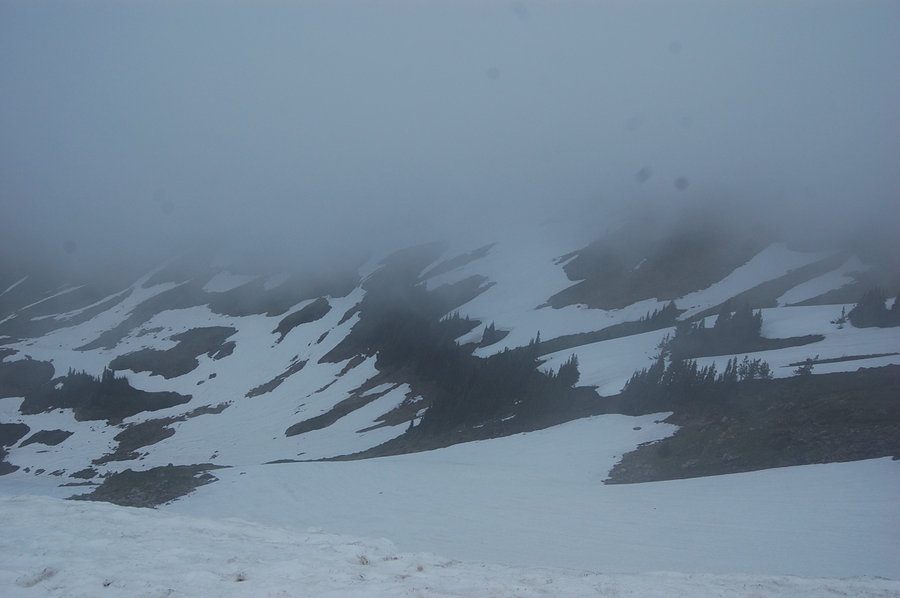
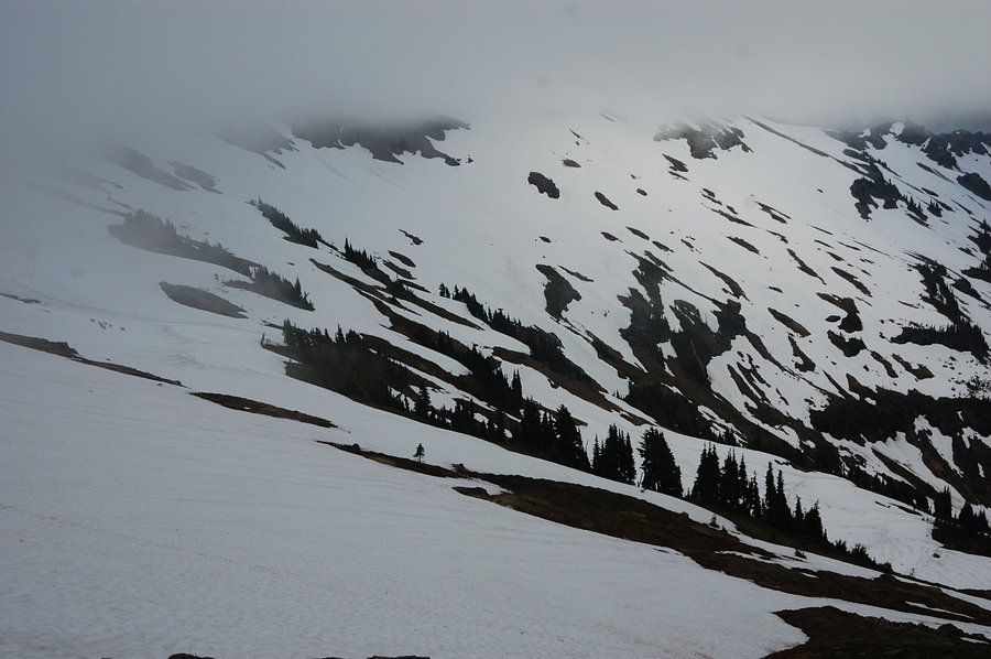
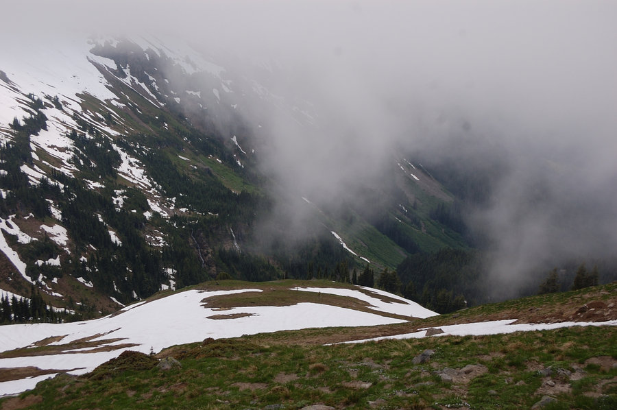
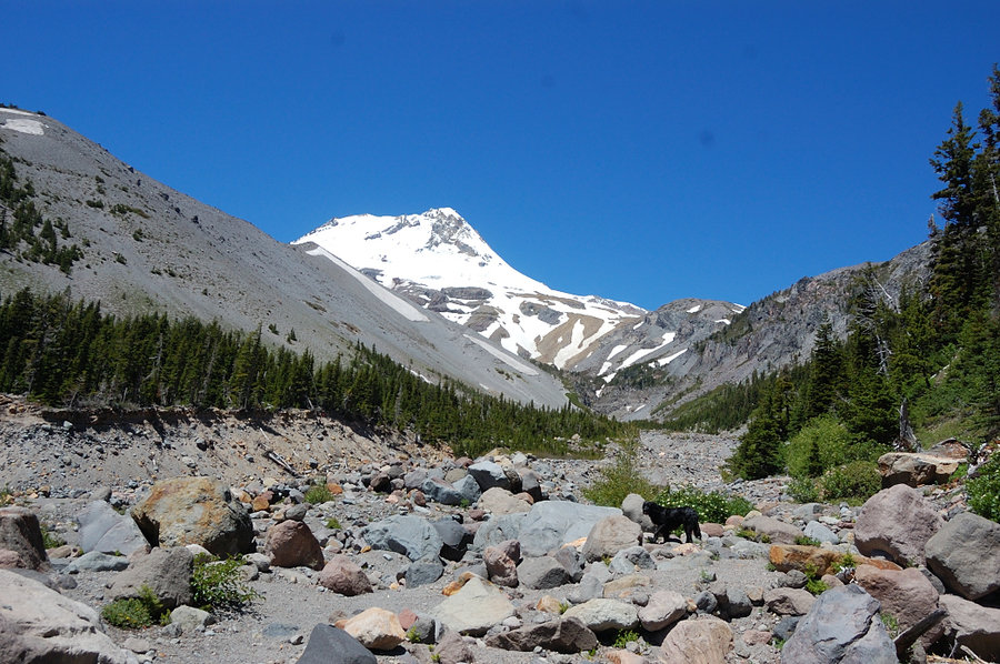
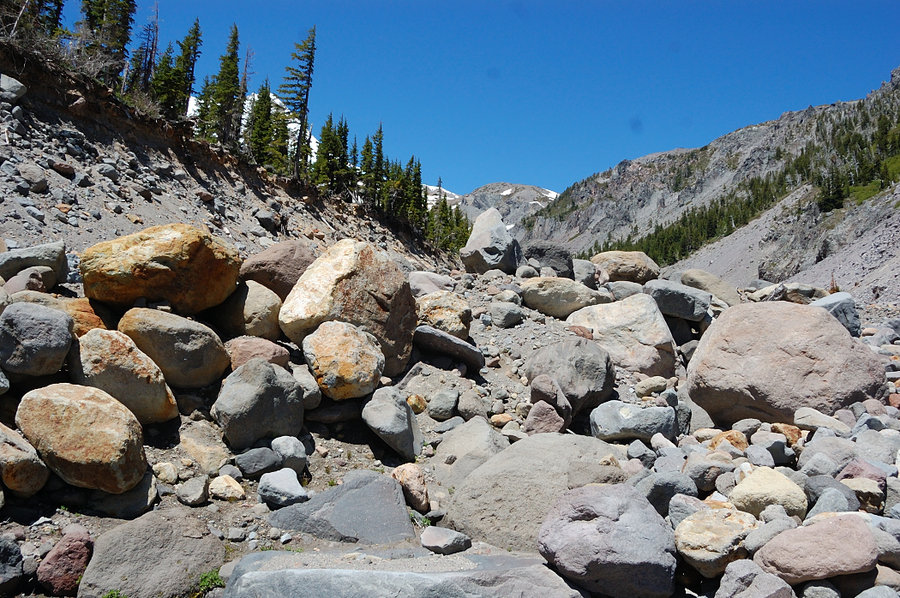
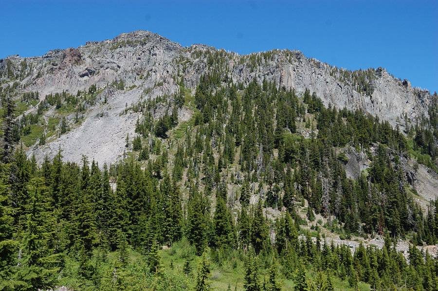
Goat Rocks
15.63 miles of hiking • 5750' elevation gain • 3 nights
Johnson Peak hike via Goat Ridge (what started nice on Sunday ended with a white-out and 60 mph winds, as we hurried over 7200' pass back to the camp). Did several shorter scrambles on Fri-Sat on side ridges W of Goat Ridge.
July 1 – July 4, 2016


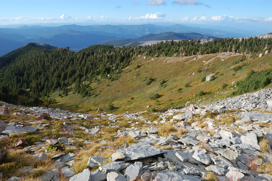
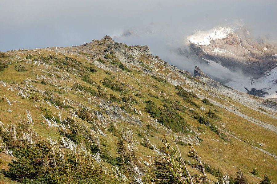
Elk Meadows - Mt Hood Meadows Loop
17.5 miles of hiking • 4000' elevation gain • 1 night
...with a side trip to Lamberson Butte.
June 25 – June 26, 2016


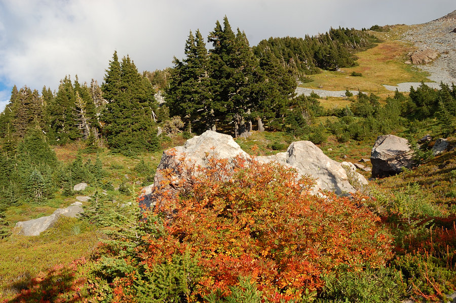
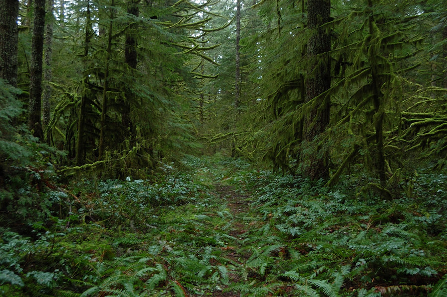
MSH - Sheep Canyon Loop
11.5 miles of hiking • 2750' elevation gain •
What a hike to forget my camera! Sunny, quiet, almost zero snow and zero bugs, and cool temps - perfect combination.
June 19, 2016

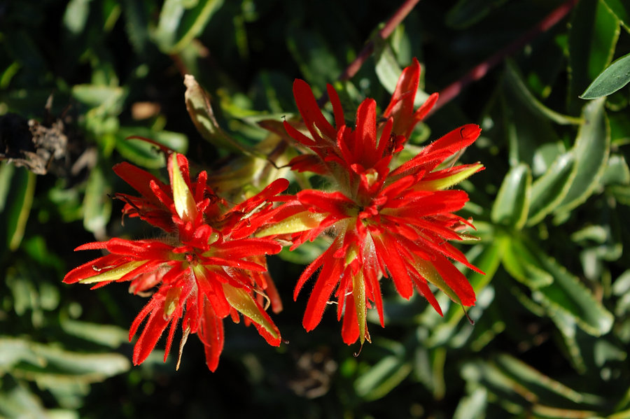
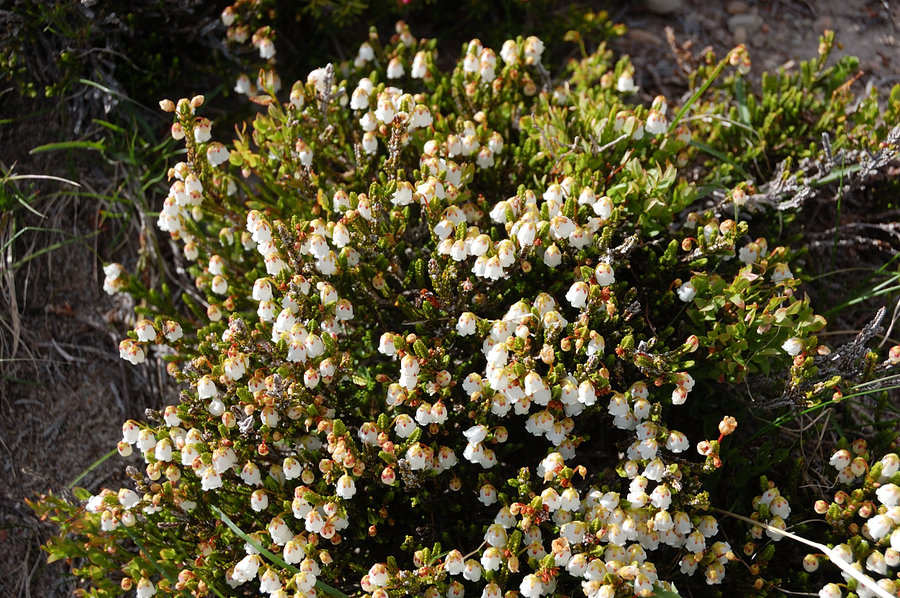
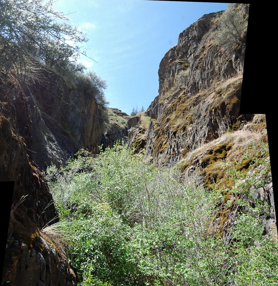
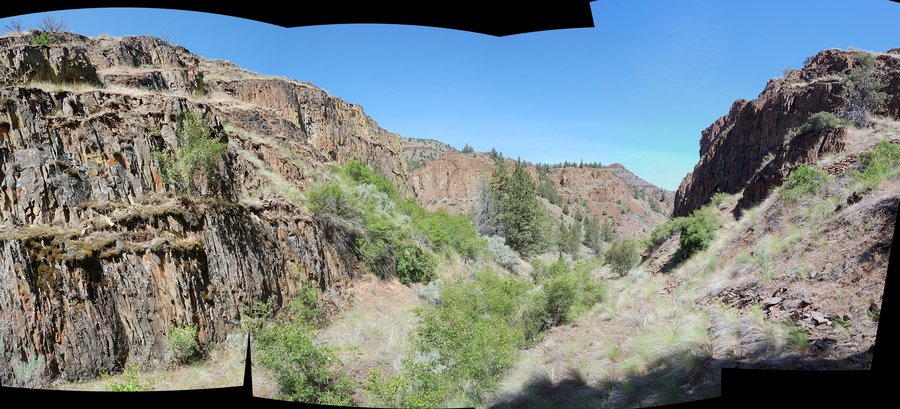
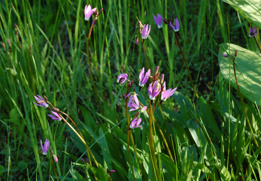
Bull of the Woods loop
7.5 miles of hiking • 2250' elevation gain •
Great flowers, hungry mosquitoes...
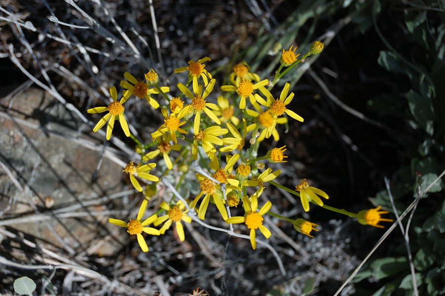
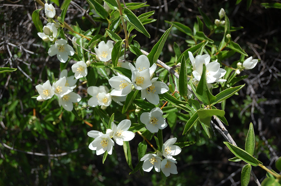
June 12, 2016


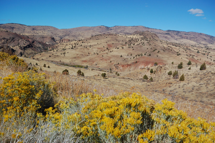
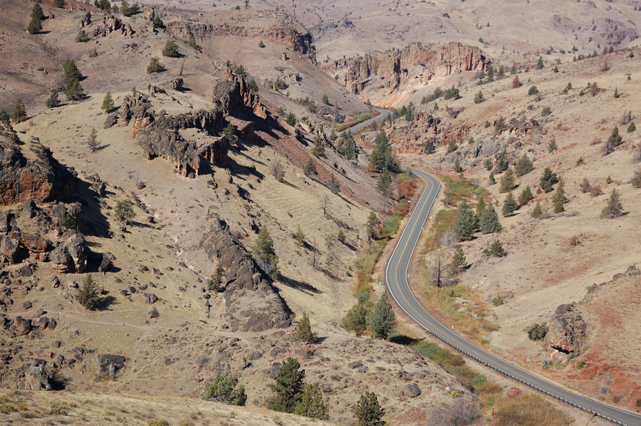
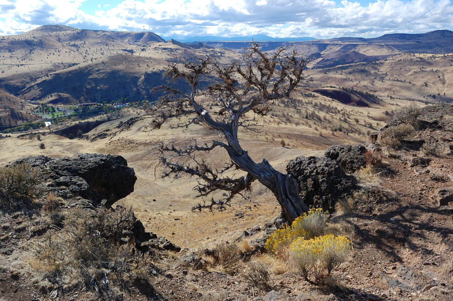
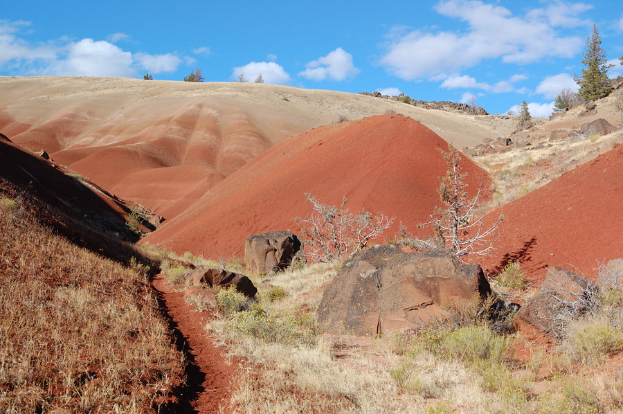
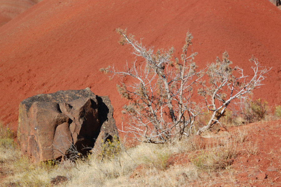
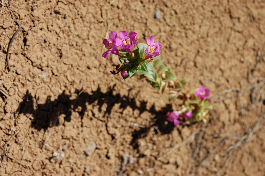
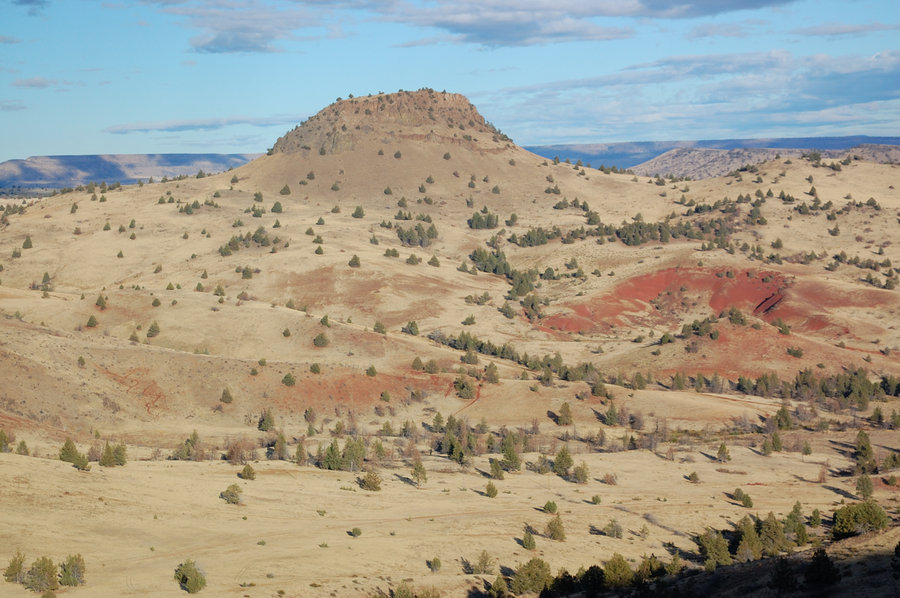
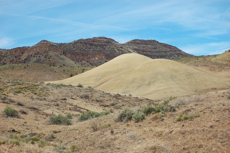
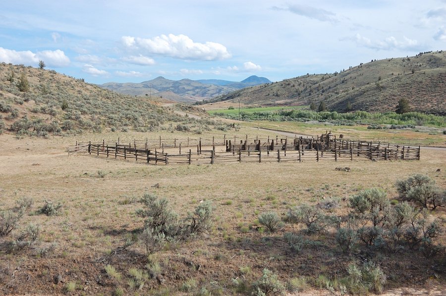
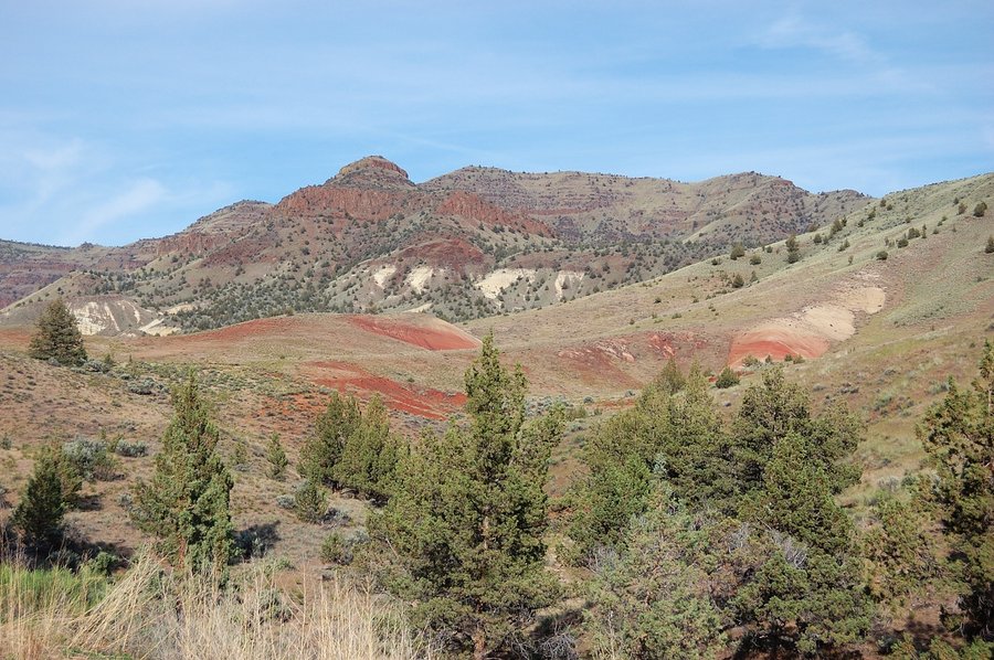
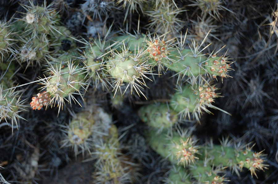
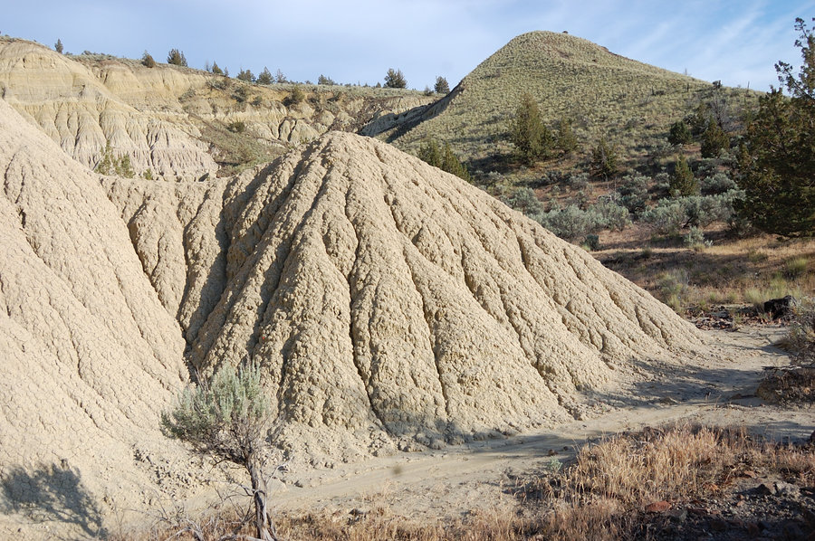
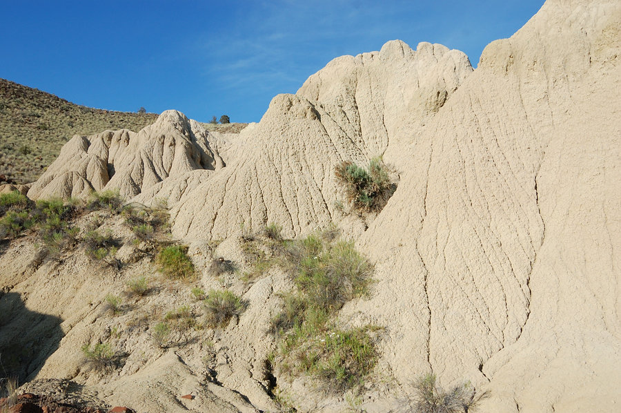
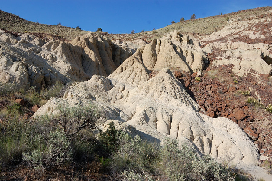
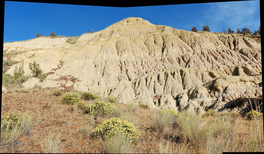
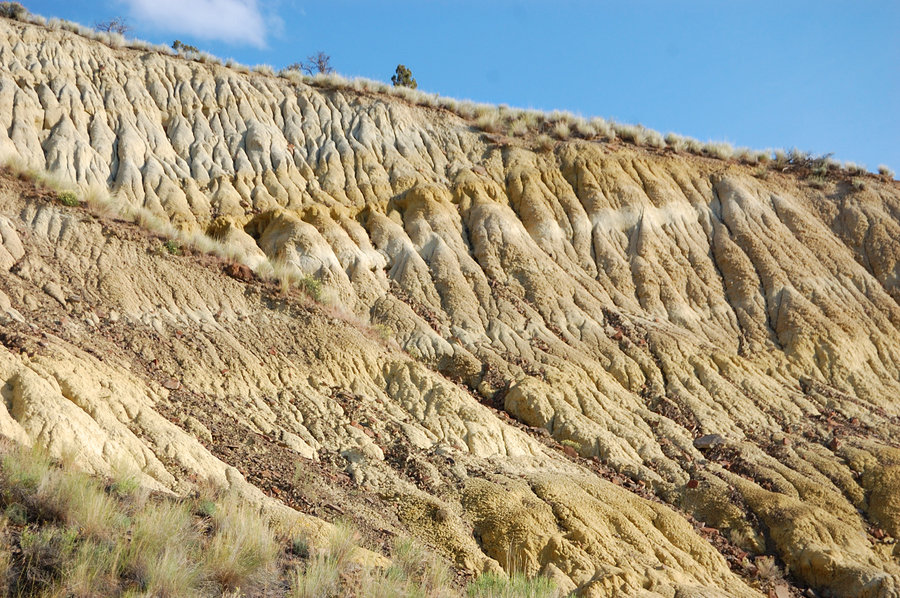
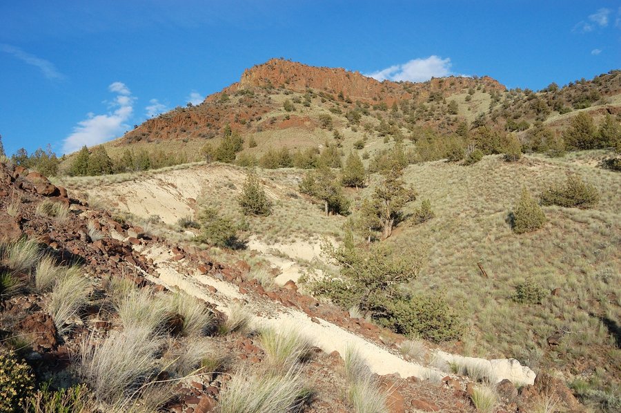
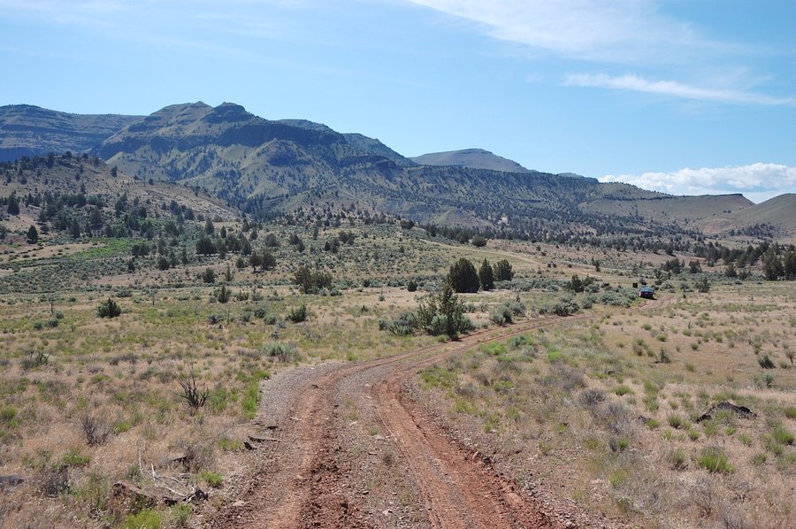
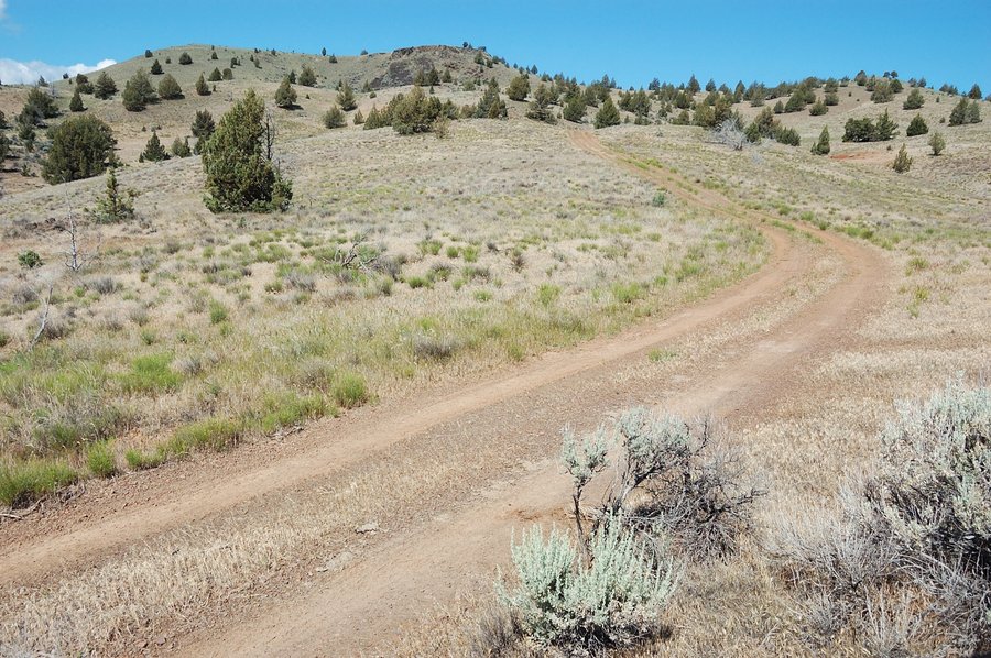
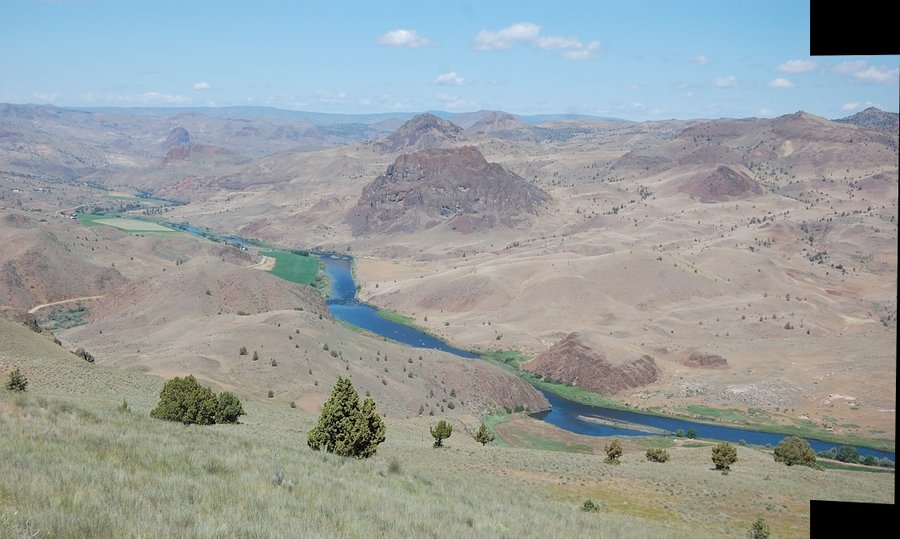
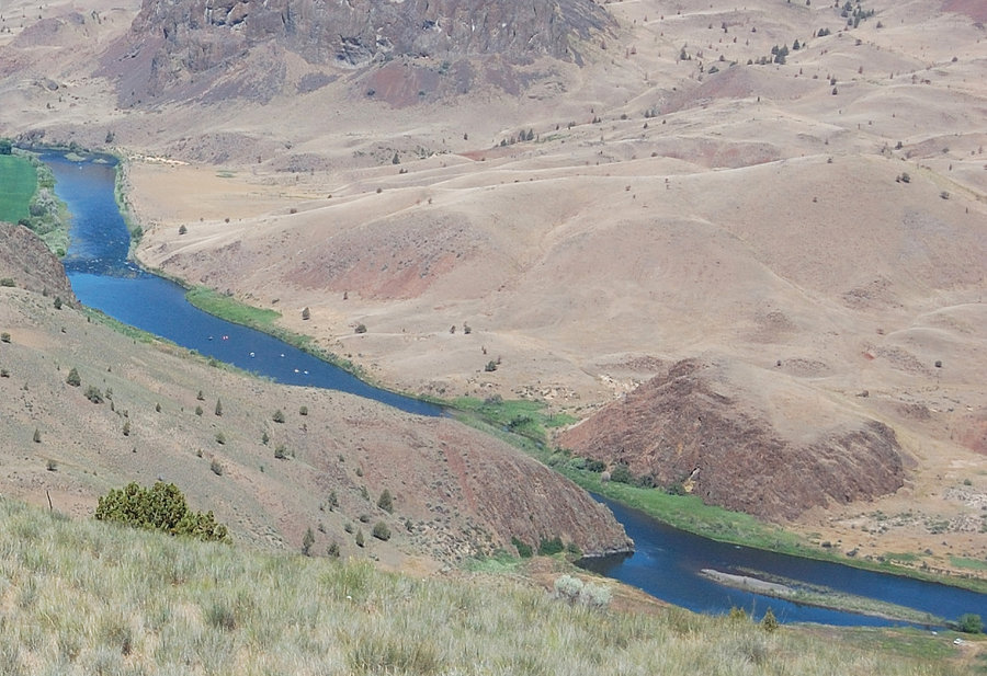
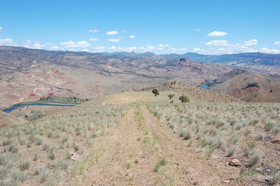
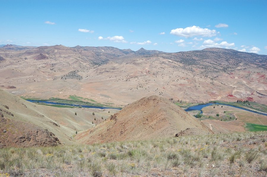
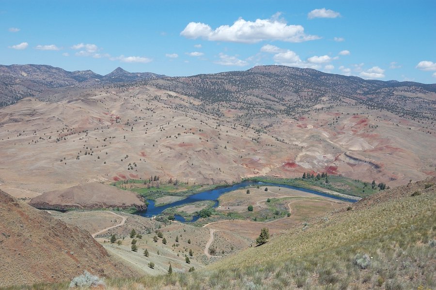
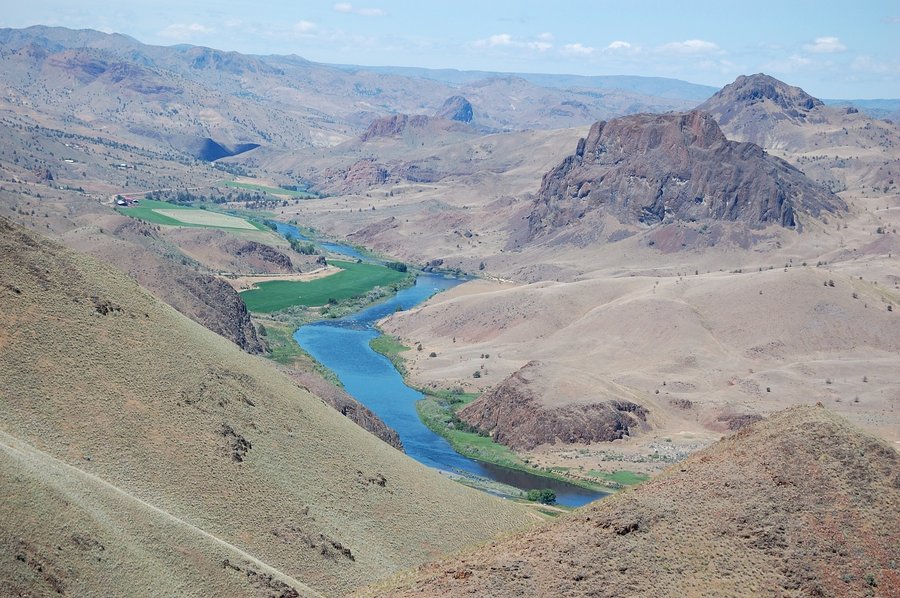
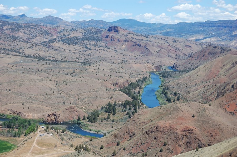
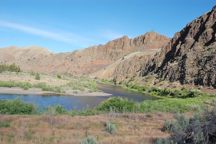
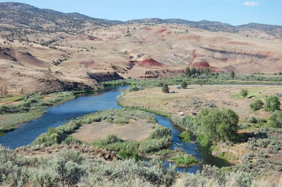
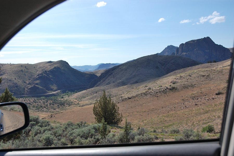
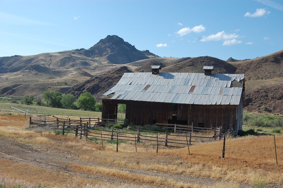
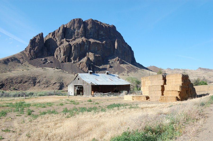
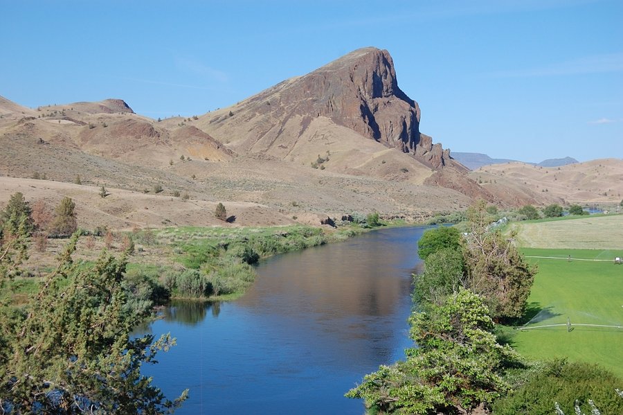
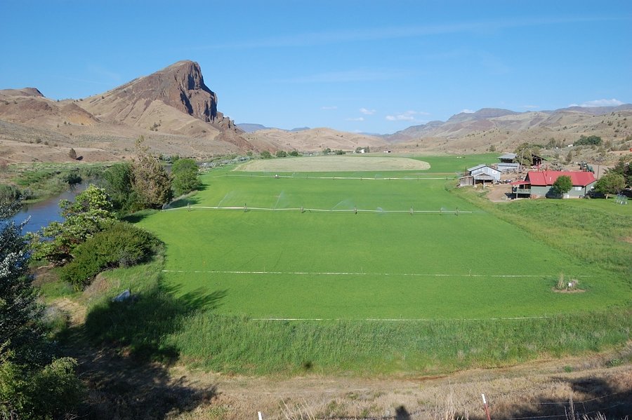
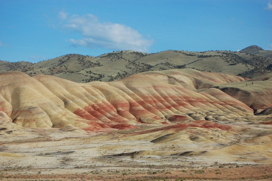
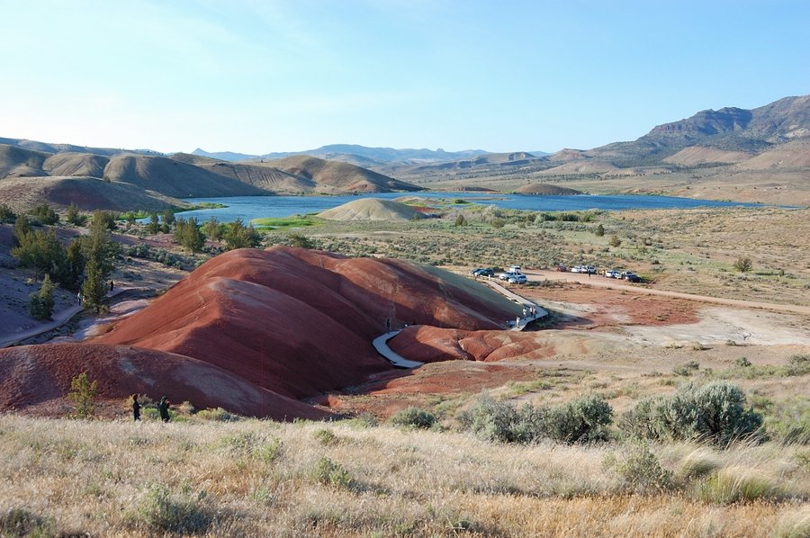
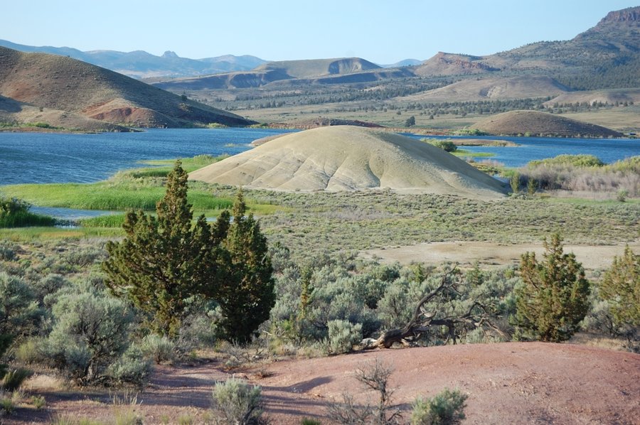
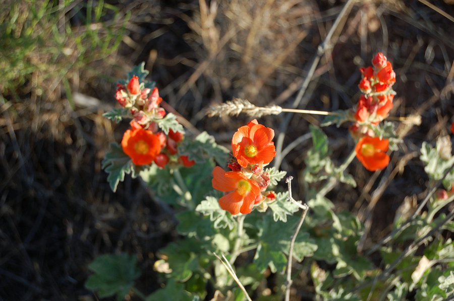
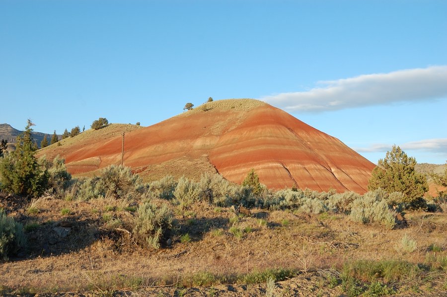
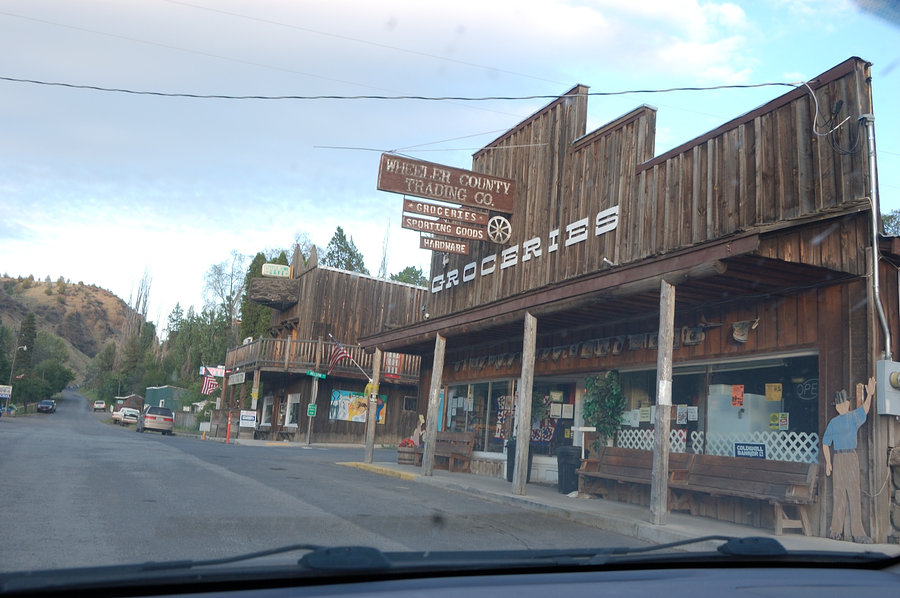
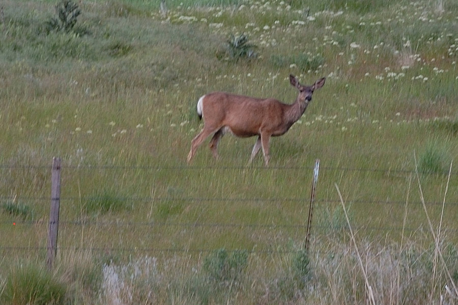
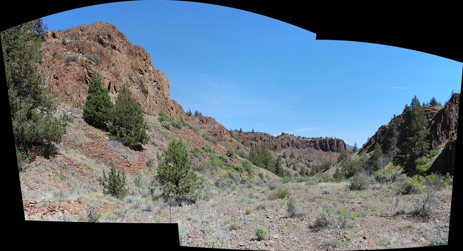
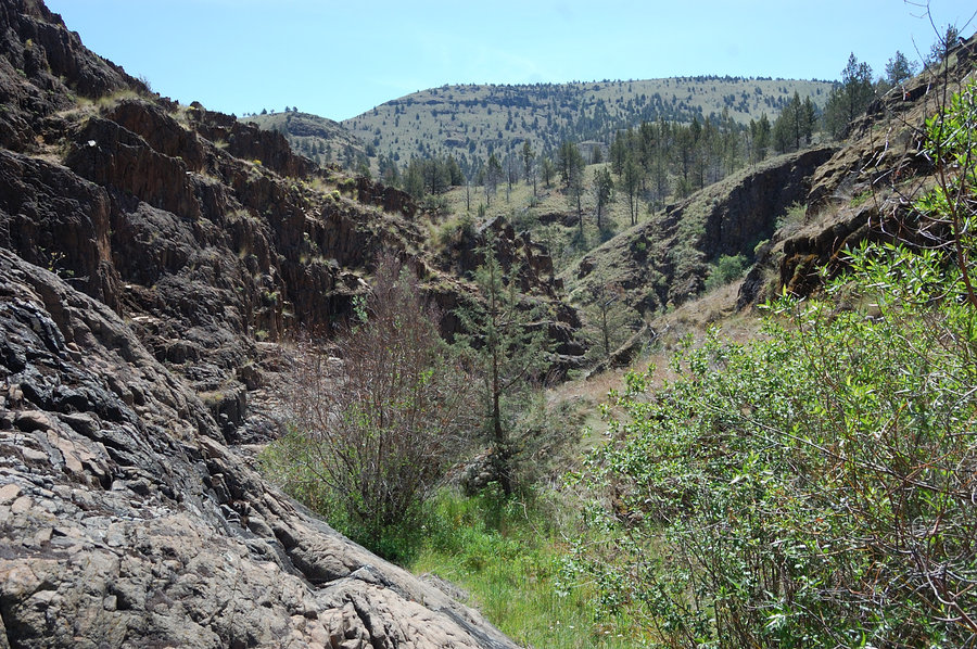
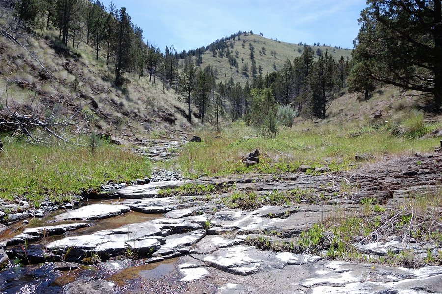
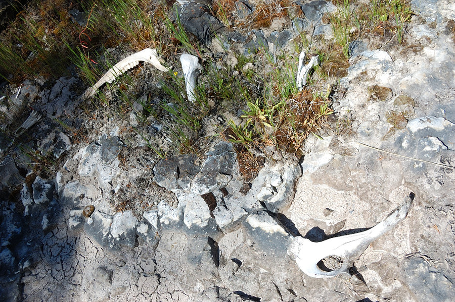
Central Oregon road/hiking trip
19.5 miles of hiking • 3750' elevation gain • 3 nights
3 desert hikes, Painted Hills, and a small summit in Ochocos. Saw a little less than planned due to heat (20F above forecast!) but still had a great time revisiting old, and exploring new places.
May 28 – May 31, 2016


Whipple Creek park
3.5 miles of hiking • 250' elevation gain •
Didn't really want to drive far because of rain...
May 21, 2016

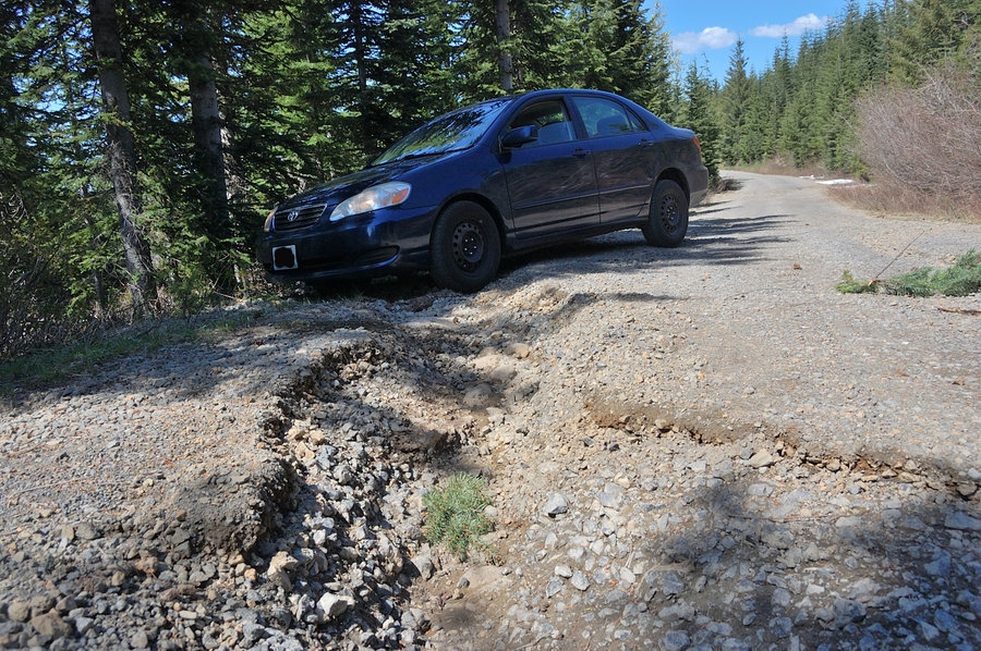
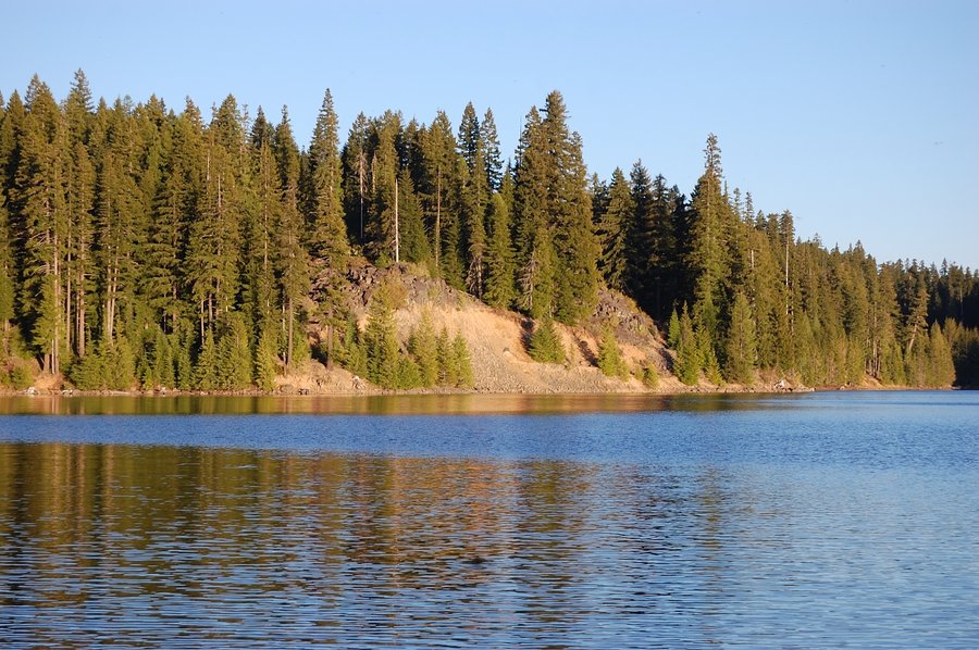
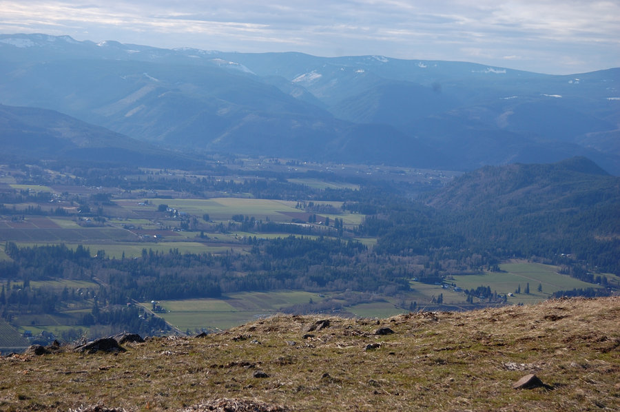
Twin Lakes, Ghost Ridge & vicinity
17.36 miles of hiking • 3250' elevation gain • 2 nights
Had Friday off, so headed to Twin Lakes right after work on Thursday; camped at Upper Twin for 2 nights. Had no real plans for Friday - explored rock viewpoint east of the lake (only partial view of Mt. Hood), headed over to Palmateer Point (again Hood was partly covered with trees, but open views in other directions, nice place to visit), then went to PCT and over to Barlow Pass just to make sure I didn't miss anything (there was nothing to miss), and finally to 4925' summit on Ghost Ridge (really interesting place, and excellent views). Somehow missed trail junction back to the lake, chose snowy gully for easy cross-country and soon found abandoned trail, that connected to the trail I was looking for. USFS maps of the area are really obsolete (have one on my GPS, even old trails didn't match up). Another dry, warm, and windy night - the rain held off until noon on Saturday.
May 12 – May 14, 2016


 1
1
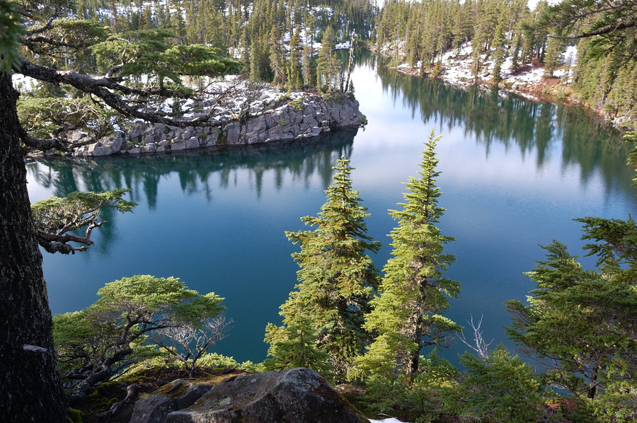
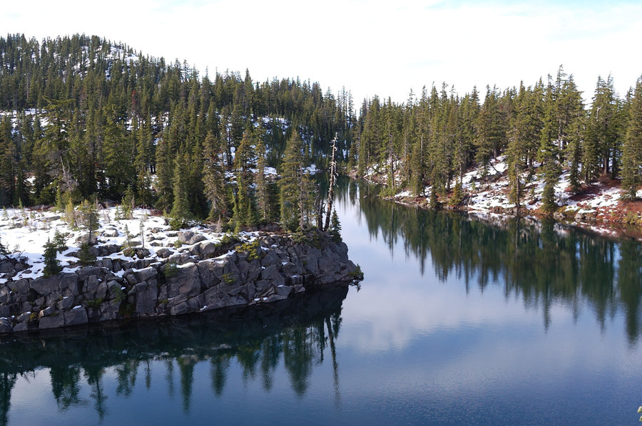
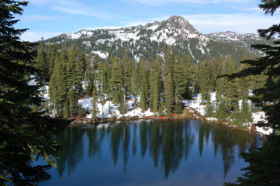
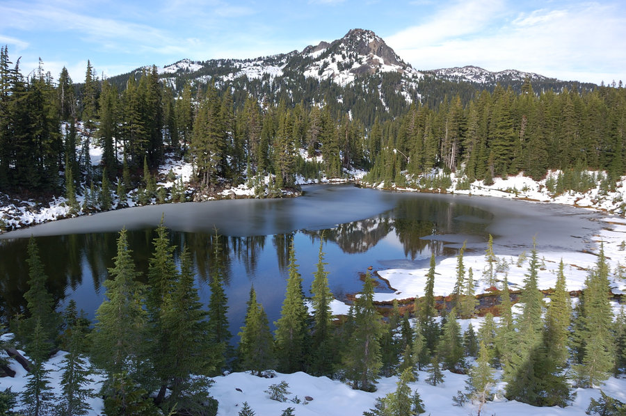
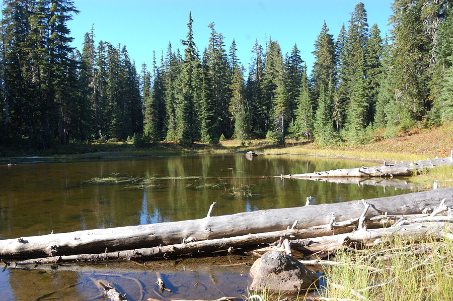
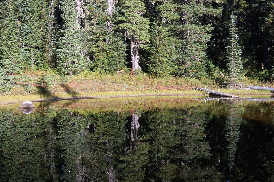
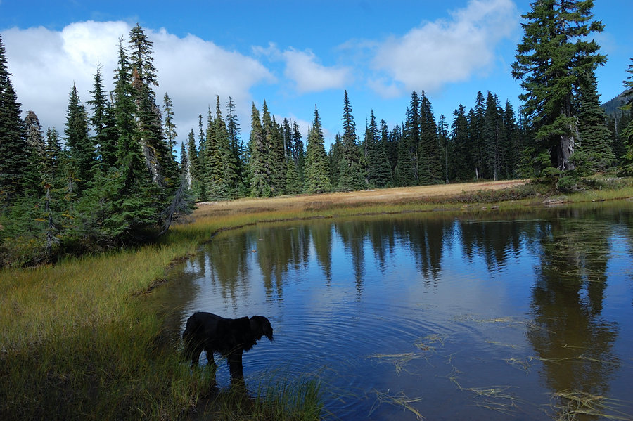
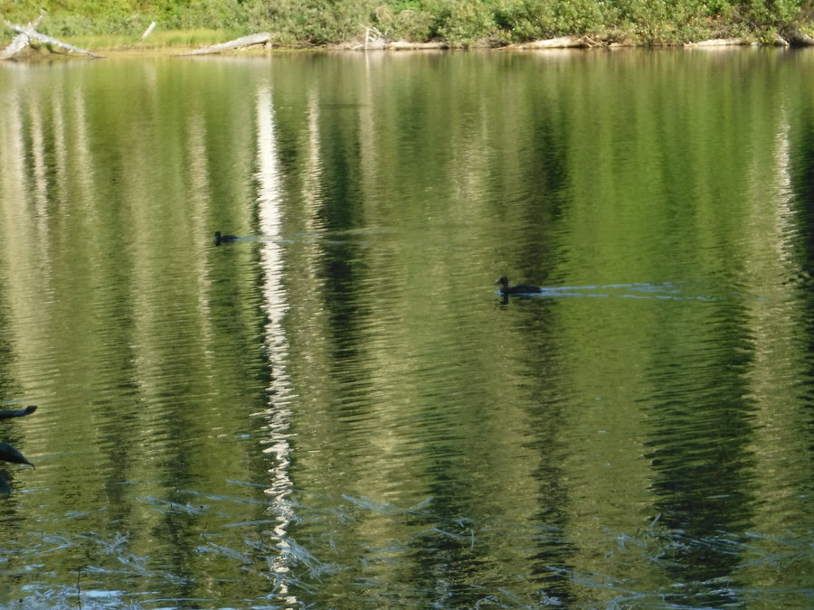
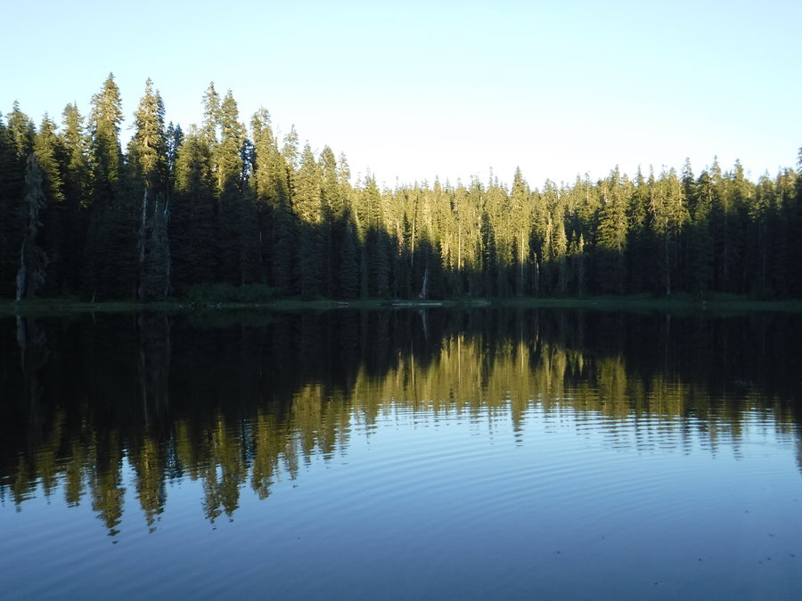
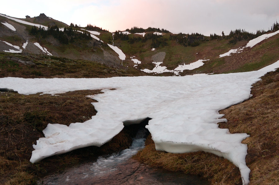
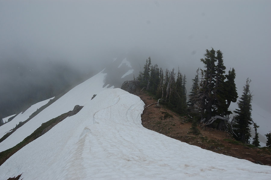
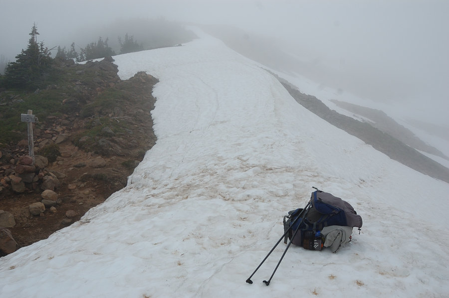
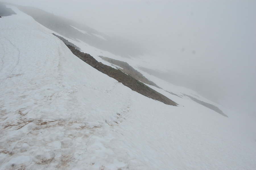
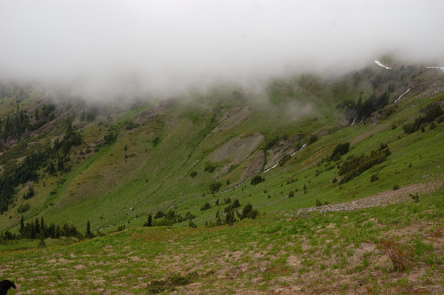
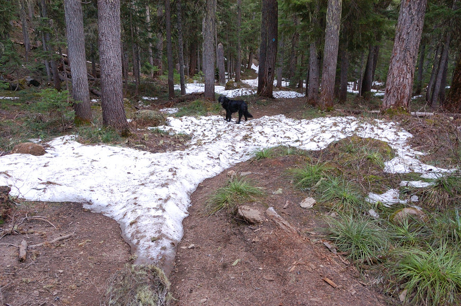
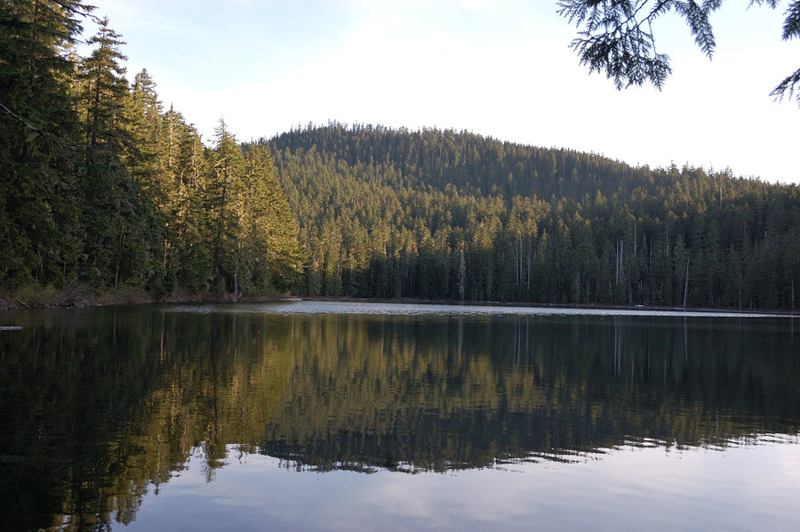
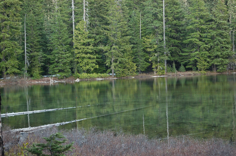
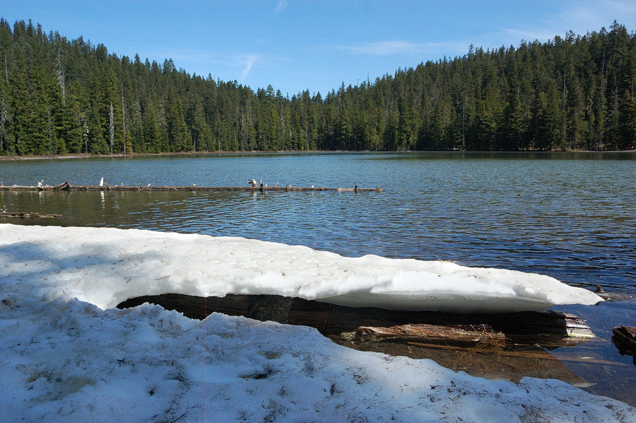
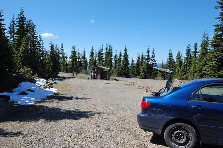
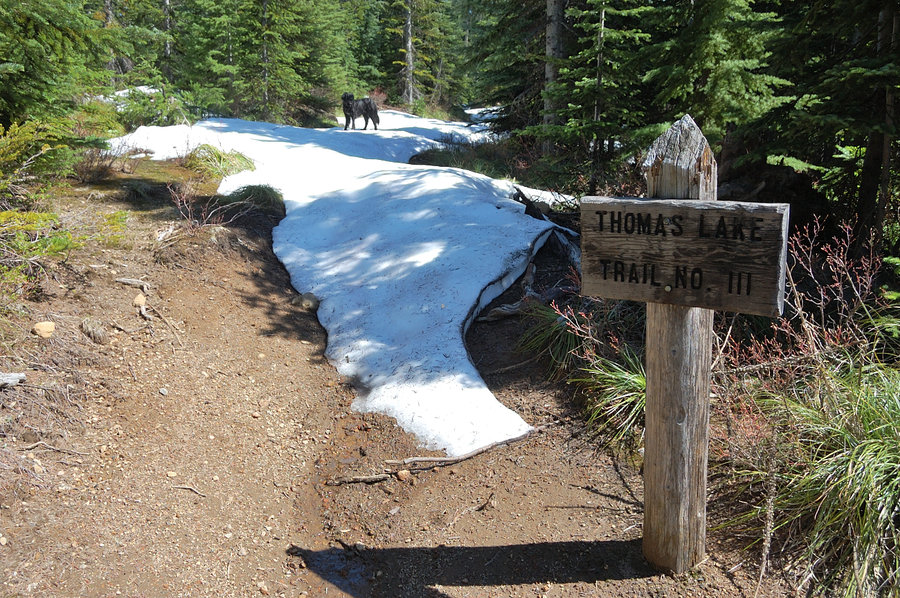
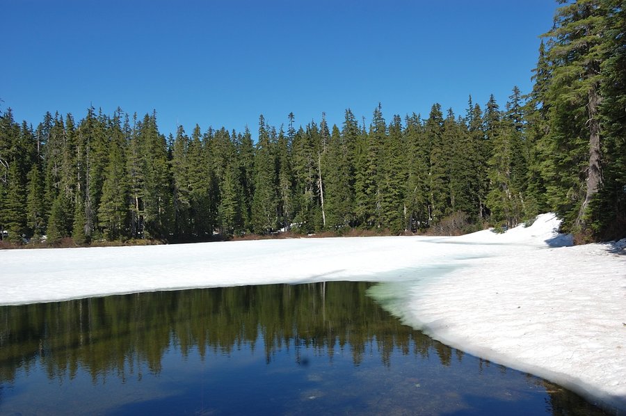
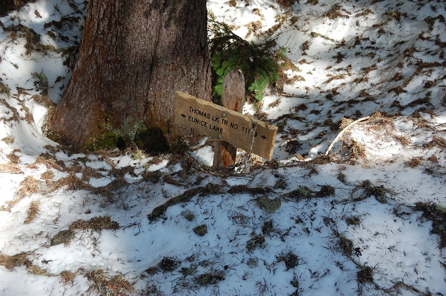
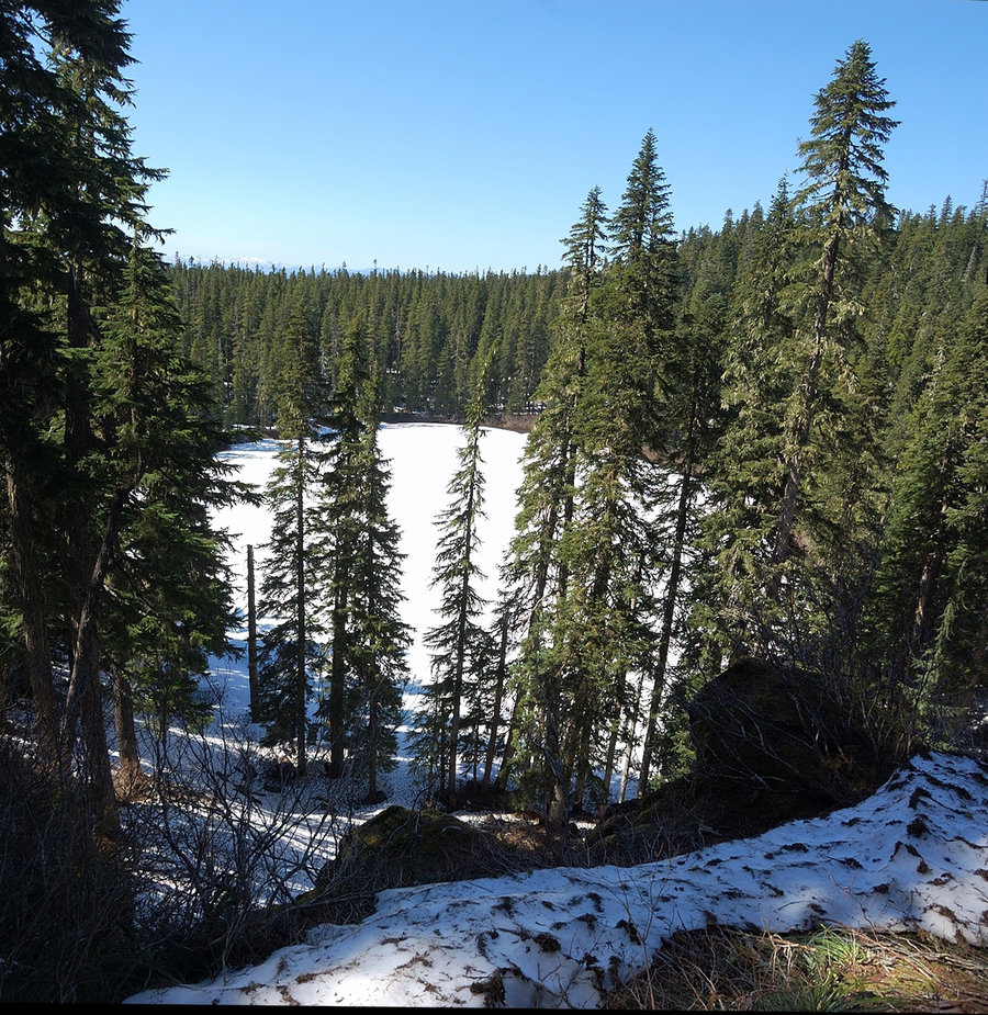
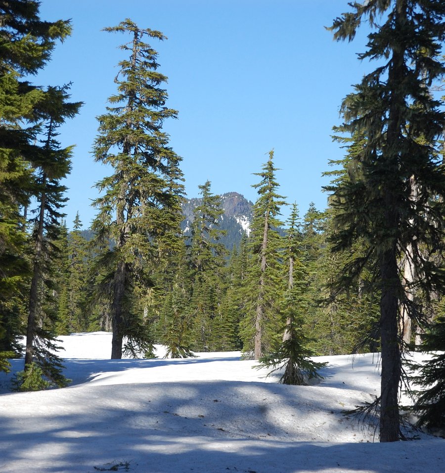
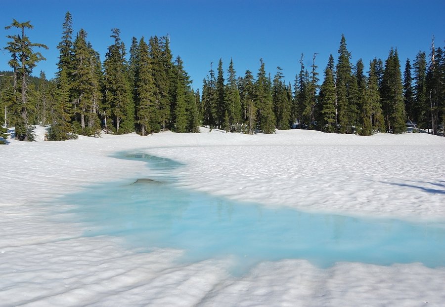
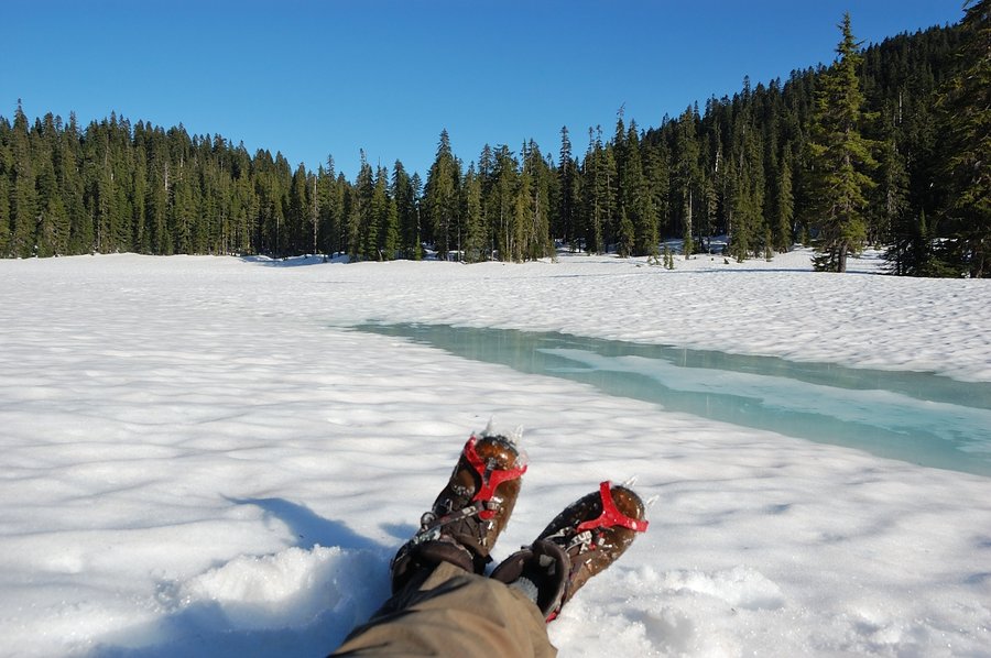
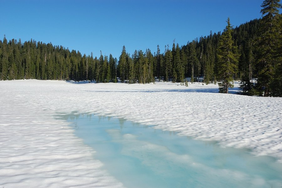
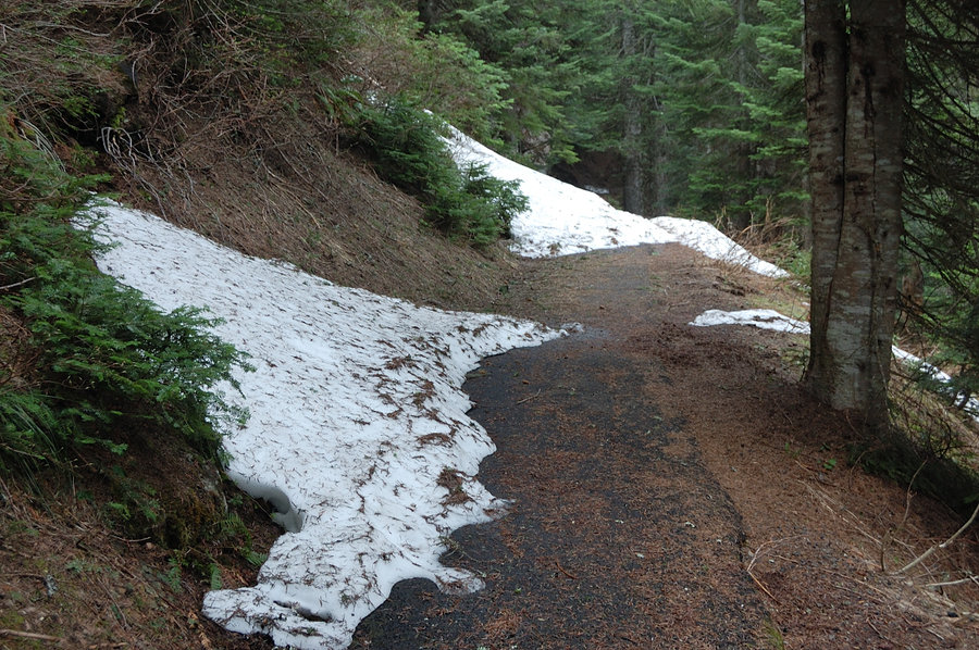
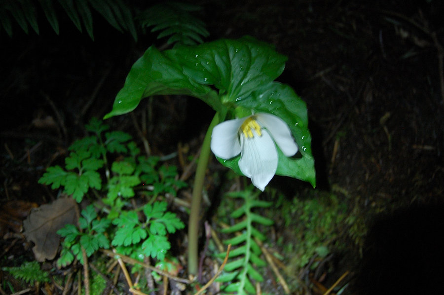
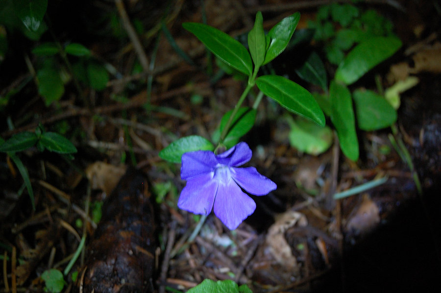
Indian Heaven
6.7 miles of hiking • 1000' elevation gain •
Hiked to Junction Lake, via Thomas and Rock Lake. Road melted out, but trail 100% under snow past Eunice Lake viewpoint, was fun with crampons. Small washout on 1st picture is ~1.7 mi from the trailhead, had to pass it on the shoulder.
May 7, 2016


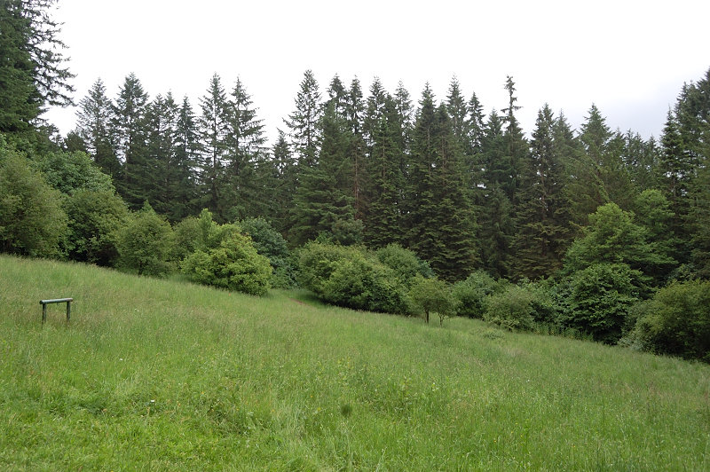
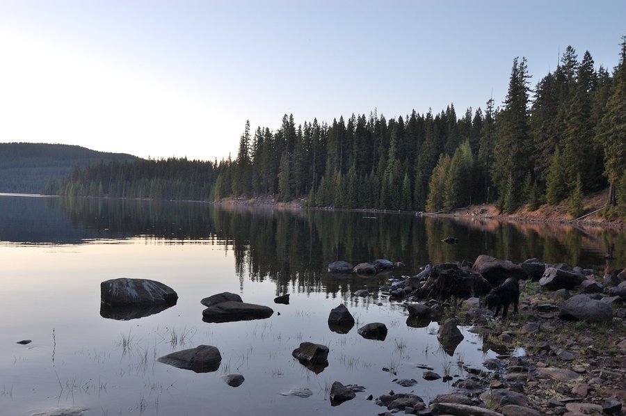
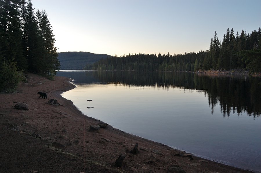
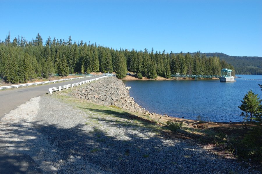
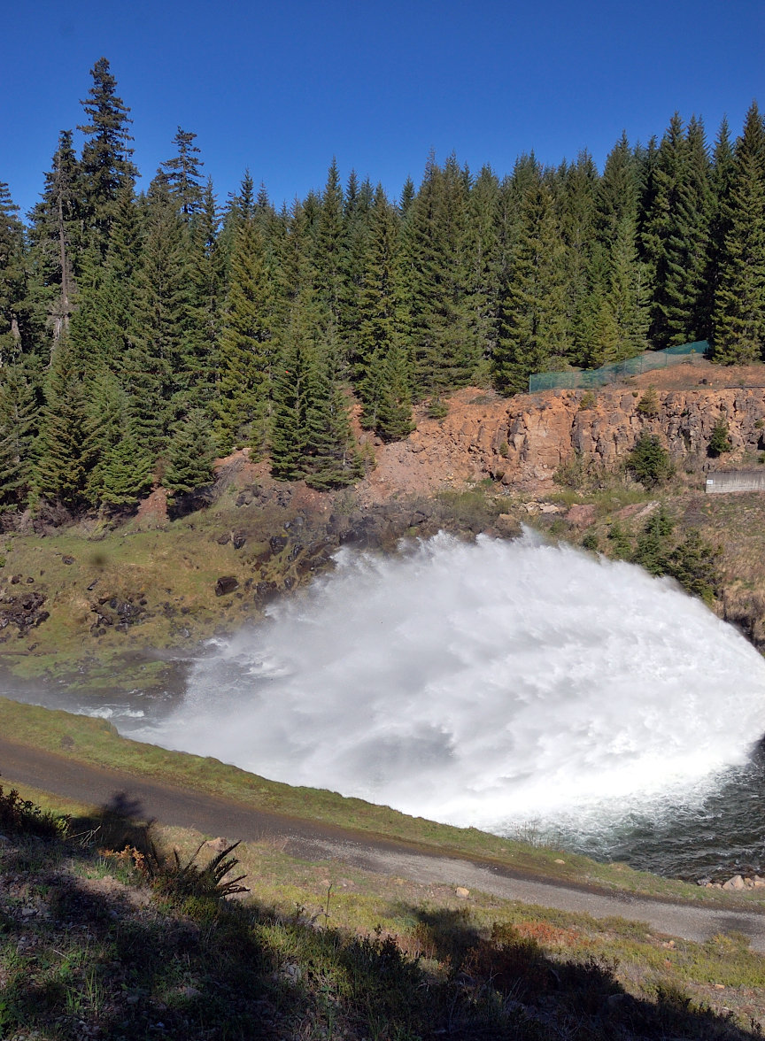
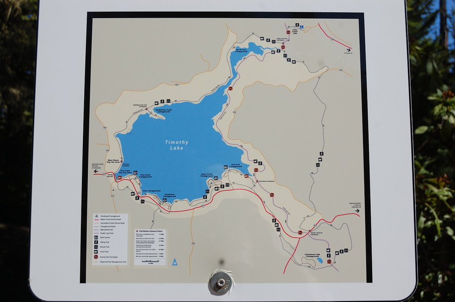
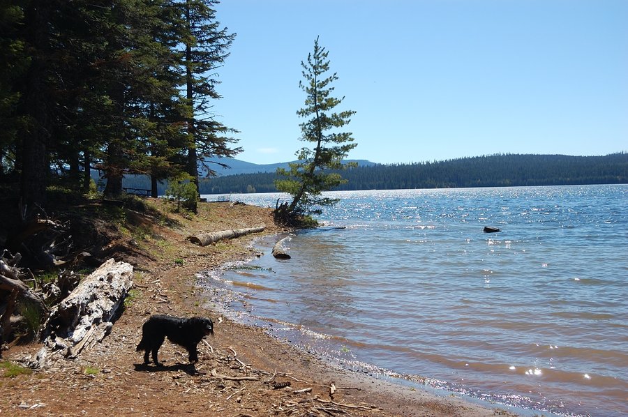
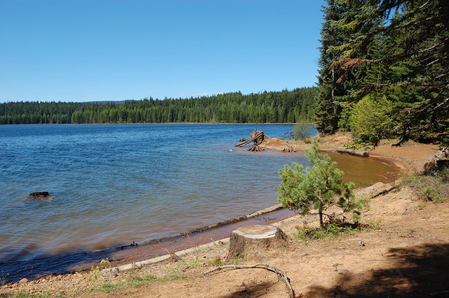
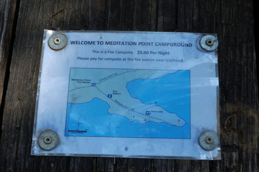
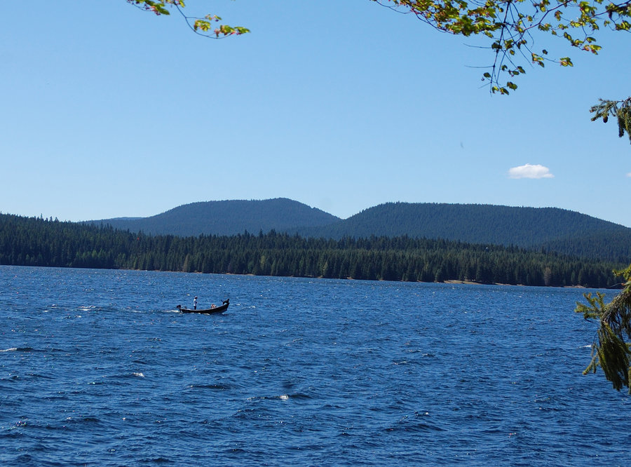
Timothy Lake loop
16.47 miles of hiking • 500' elevation gain • 1 night
Made a loop around Timothy Lake on Sunday-Monday, last minute change in plans but it turned out very nice hike. In between 6 campgrounds saw only 2 groups camping (and a half dozen backcountry backpackers), of course it will be different story in the summer.
May 1 – May 2, 2016


 1
1
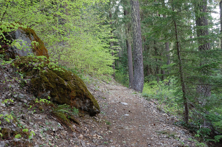
Badger Creek
9.5 miles of hiking • 1250' elevation gain • 1 night
Not many views or landmarks on this trail, but Badger Creek itself is nice (more like a river right now - lots of water) and shady forest was perfect for the hot weekend. Cleared about 10 blowdowns in the first 4.5 miles, smaller trees where my bow saw was practical; cut branches off the bigger trees.
April 16 – April 17, 2016


April 10, 2016


 1
1
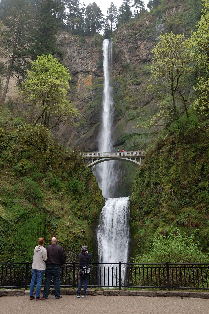
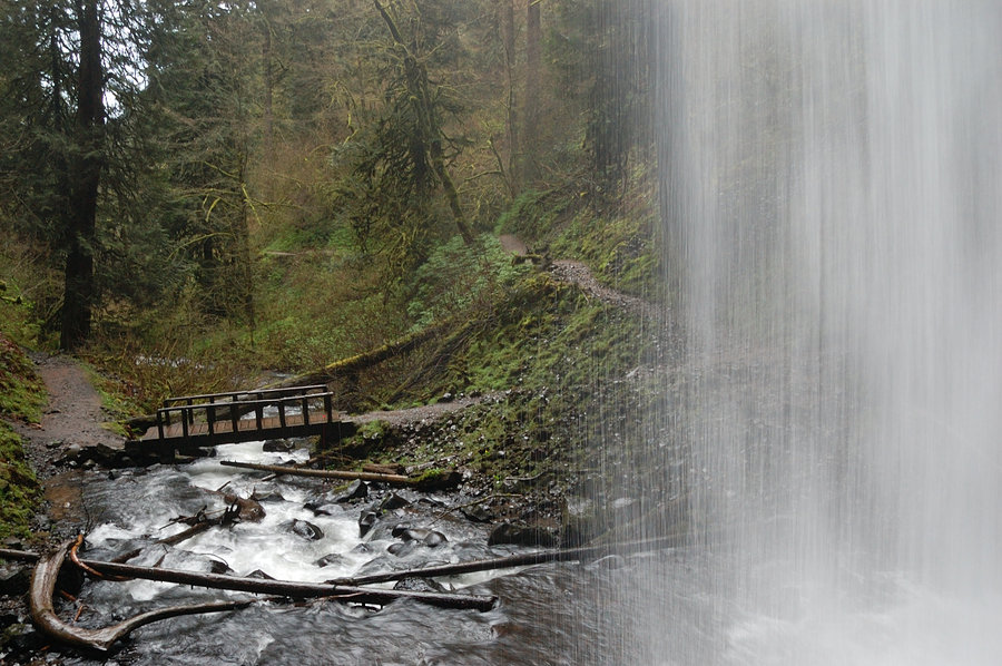
Gorge waterfalls tour
4 miles of hiking • 750' elevation gain •
Decided to wait out evening traffic in the Gorge, and visit some falls I never been to due to very short hike distance (Upper Latourell Falls, Shepperd's Dell, and Bridal Veil). All were very nice, and the drive home at 8pm was really quick, much better than if I headed west at 4:30.
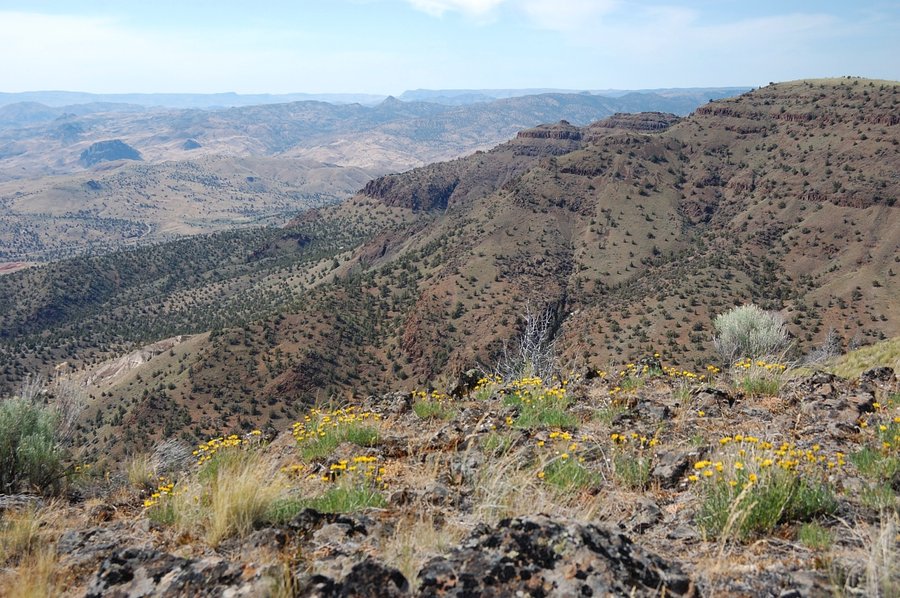
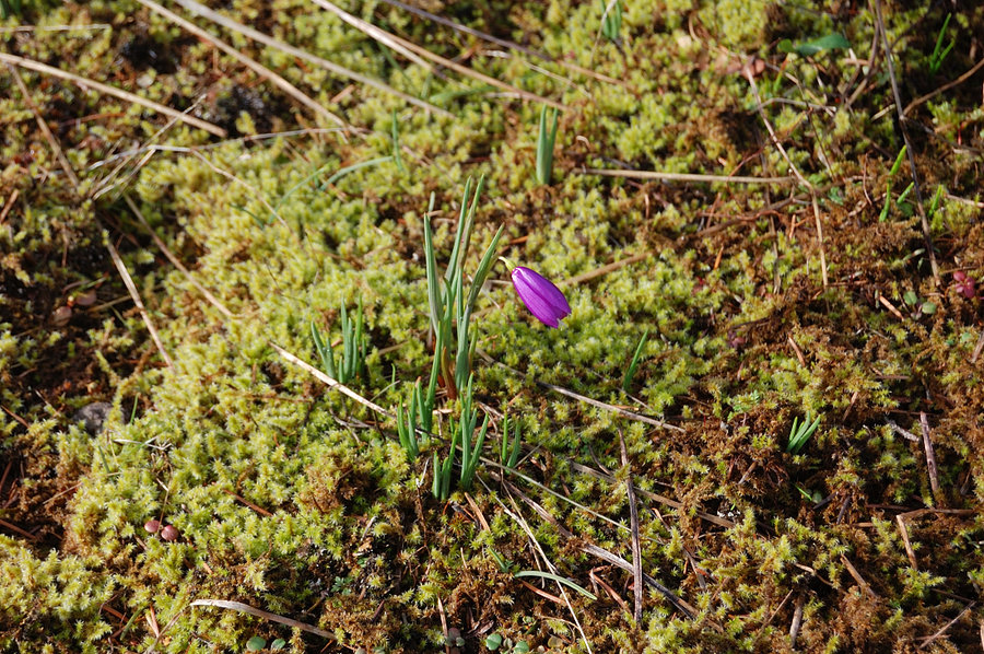
March 24, 2016


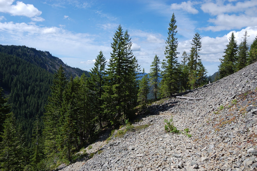
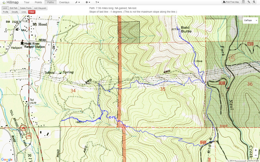
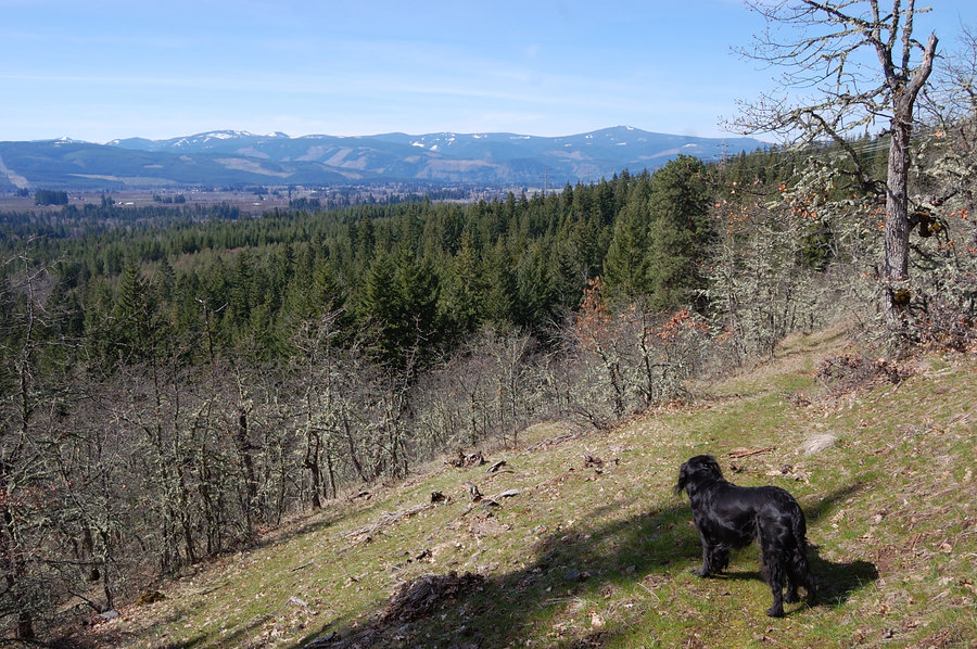
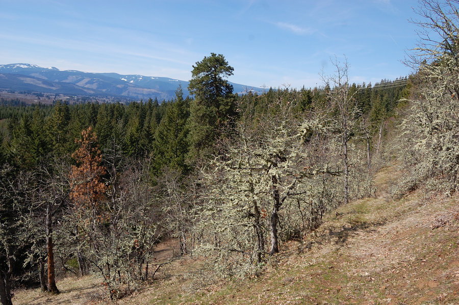
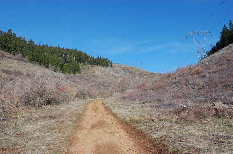
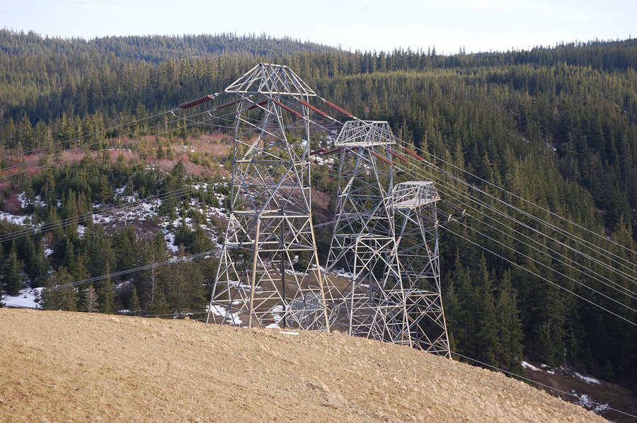
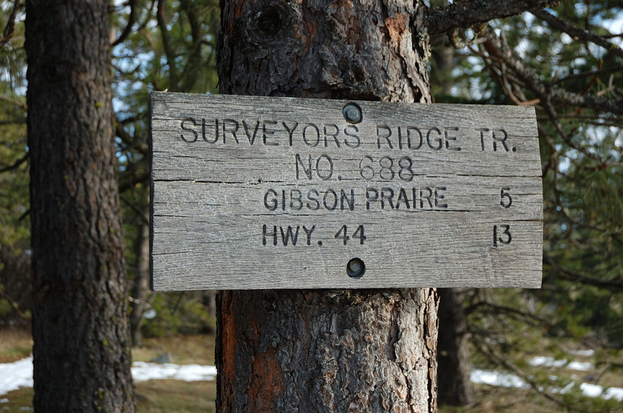
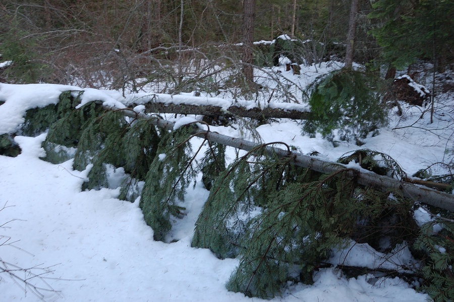
Bald Butte Loop
7.56 miles of hiking • 2500' elevation gain •
Really nice hike for sun and views, though powerline road wasn't really scenic choice; next time I'll just hike Oak Ridge Trail out and back. Still 1+ feet of snow on forested part of Surveyors Ridge trail, with heavy blowdown for about half mile.
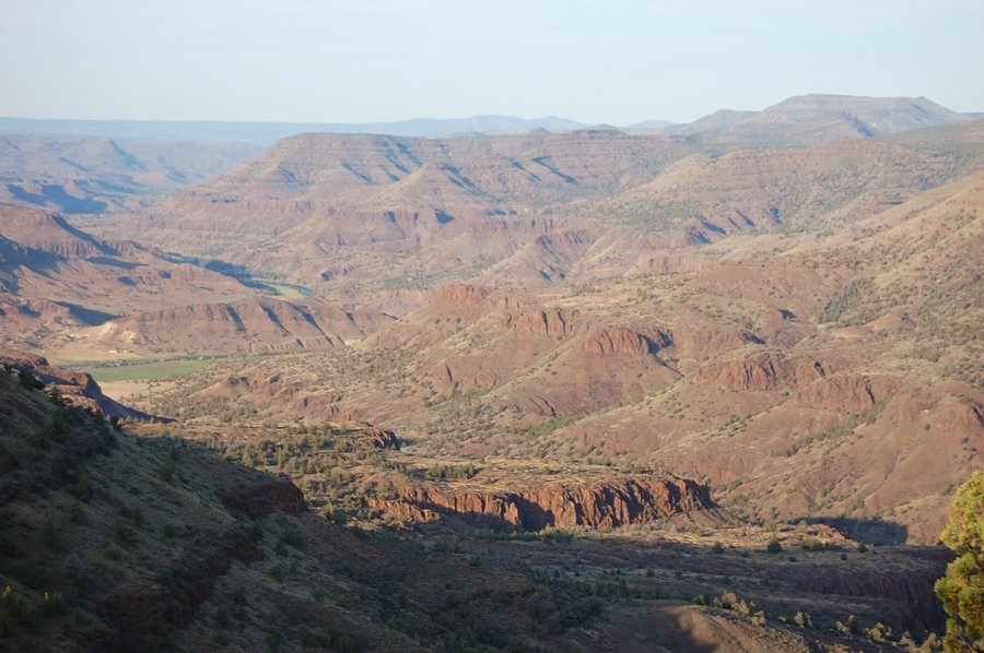
March 19, 2016


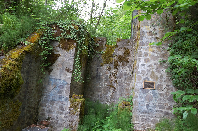
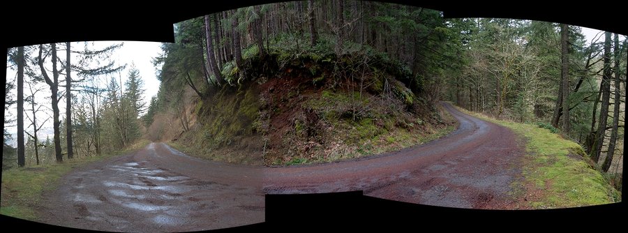
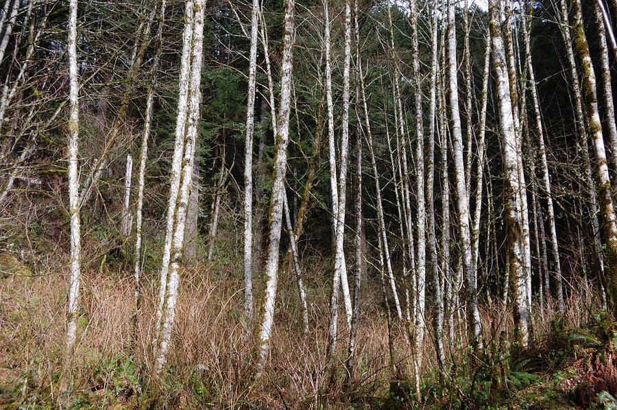
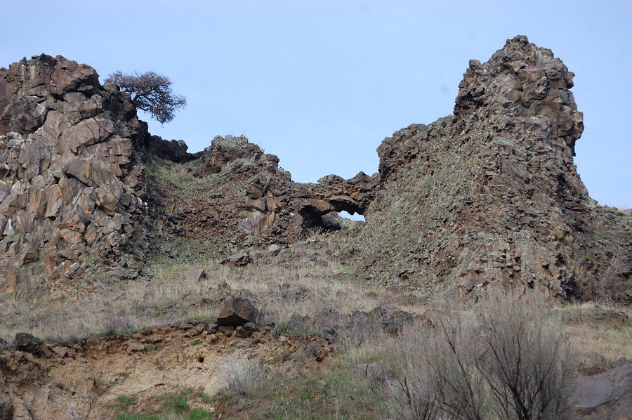
"Coopey Ridge" - Palmer Mill Rd loop
7.25 miles of hiking • 2500' elevation gain •
Very little tracked (almost a bushwhack) but fun ridge route, with some exploring on the plateau.
March 17, 2016

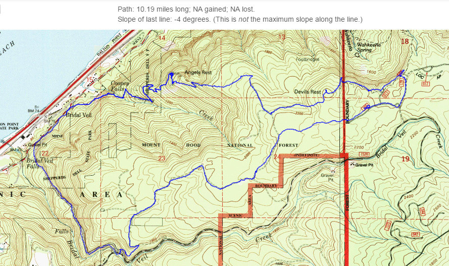
Angels-Devils Rest Loop
10.19 miles of hiking • 2750' elevation gain •
Quiet loop on backcountry trails & logging roads, with return via Devils' and Angels' Rest. Good thing I took my GPS - real labyrinth of little trails out there, very easy to get lost.
March 6, 2016


February 20, 2016


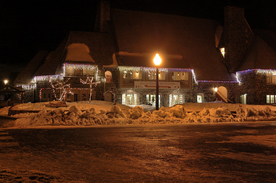
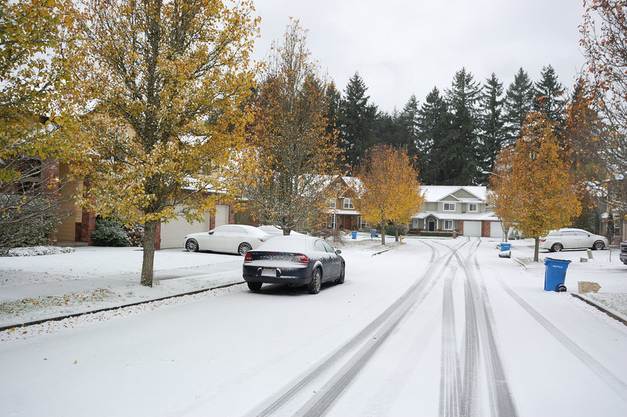
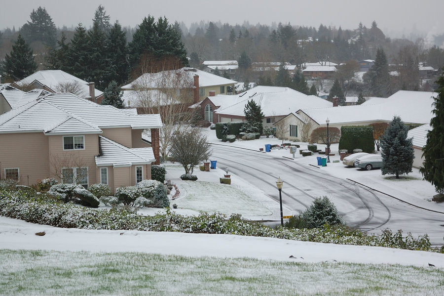
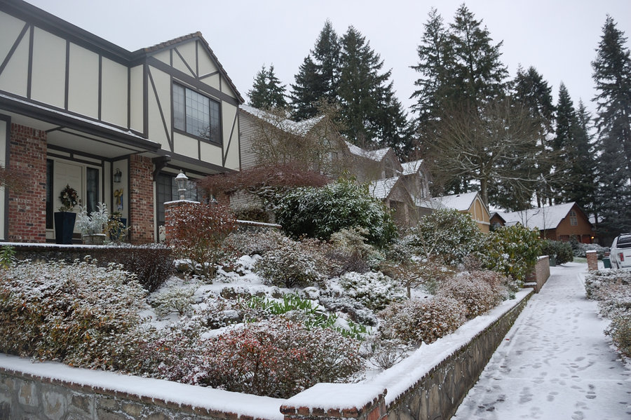
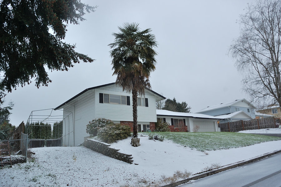
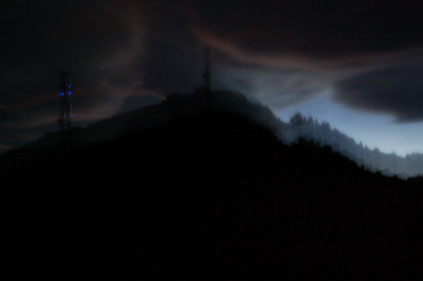
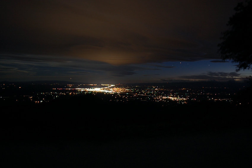
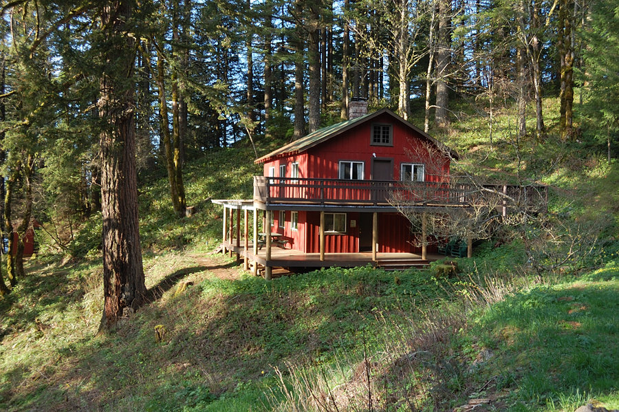
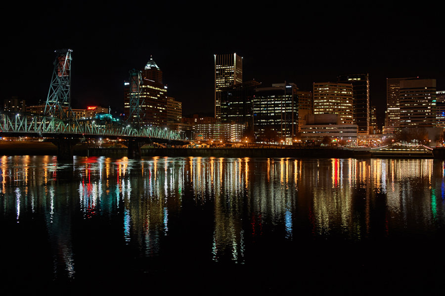
Downtown Portland hike
4.5 miles of hiking • 0' elevation gain •
Pictures are my dad's, we were testing his new camera for night photography and I think it works great.
February 12, 2016

 1
1
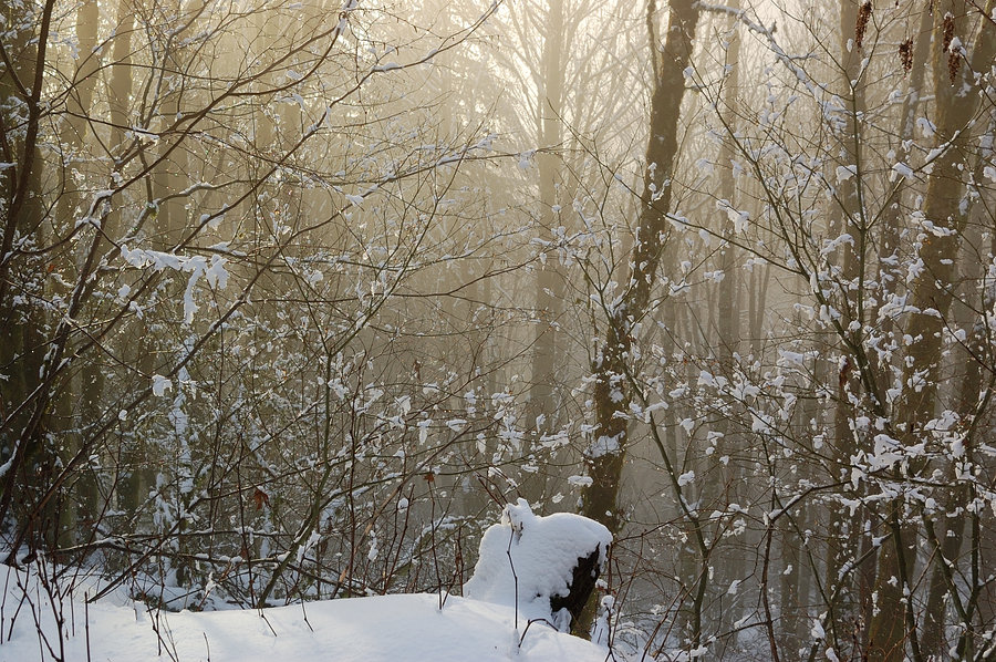
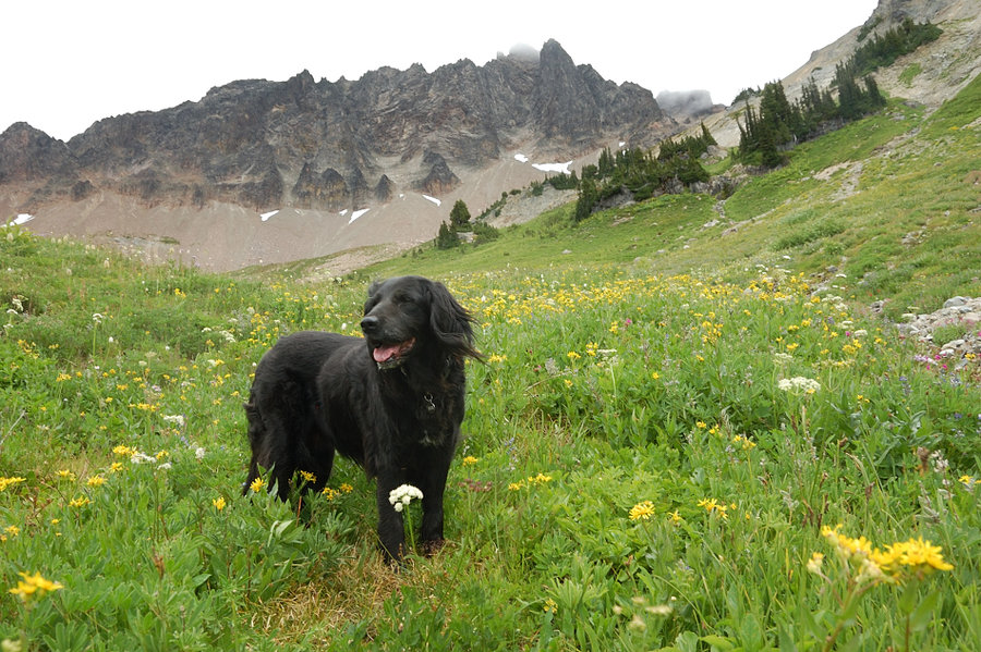
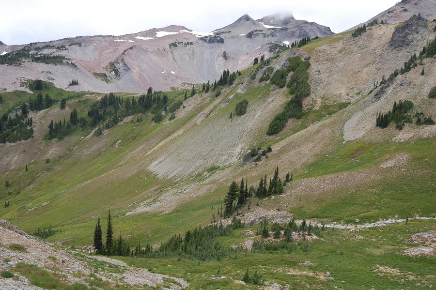
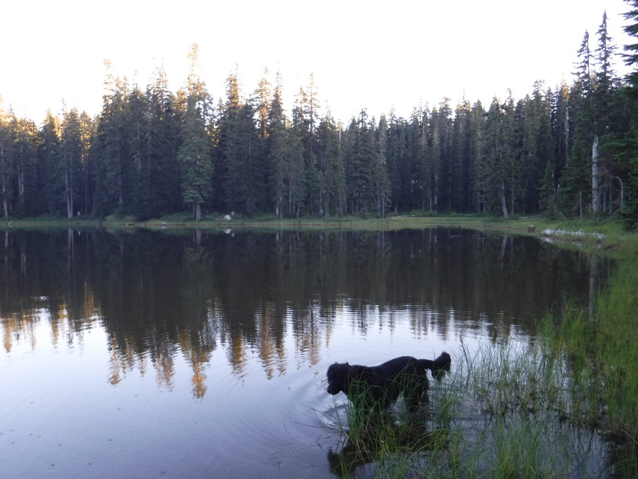
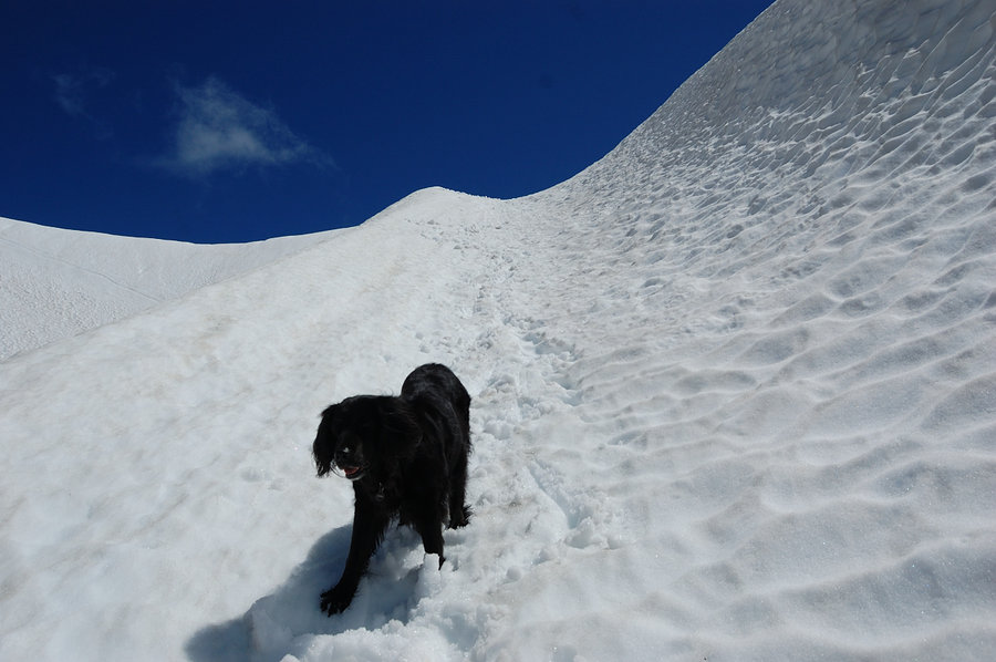
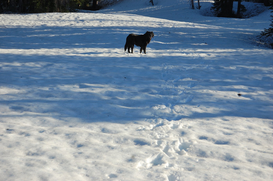
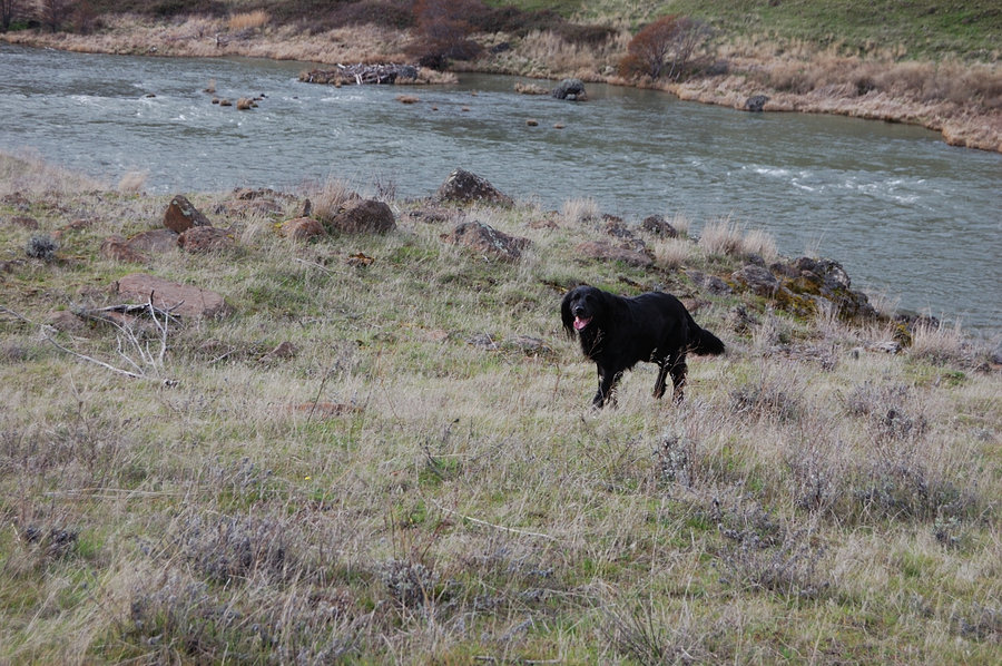
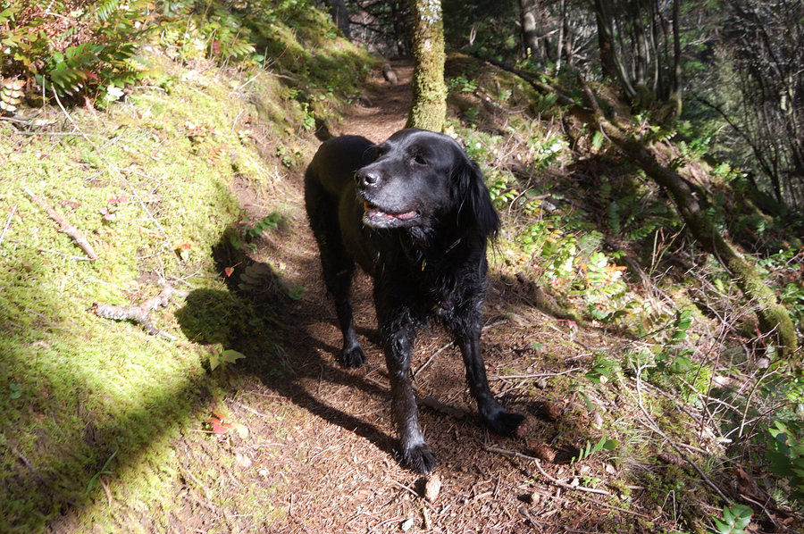
Cedar Mtn - PCT loop
6.5 miles of hiking • 2250' elevation gain •
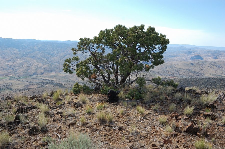
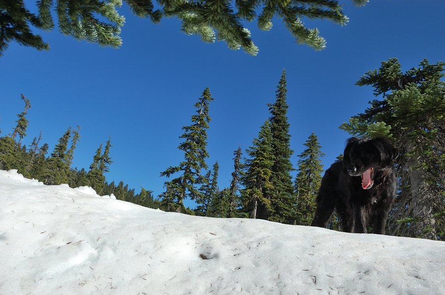
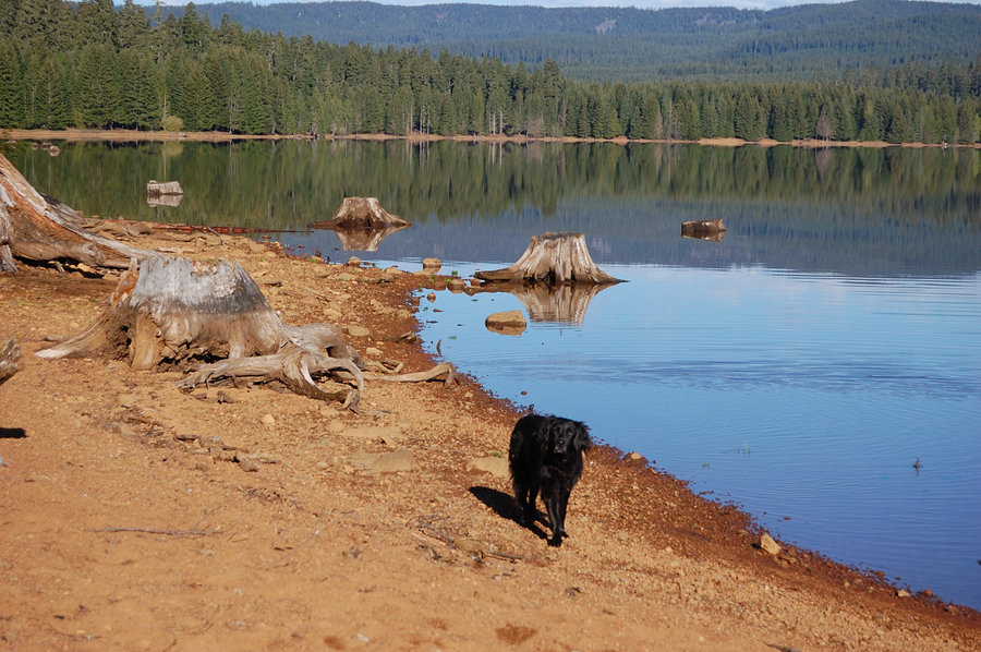
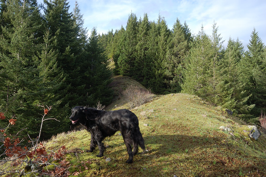
Did the usual loop around Aldrich Butte and over Cedar summit, and back on PCT & the roads. It was quite windy in places, but we were sheltered by ridges most of the time. Was great to have Pepper back on trail and full of energy, now fully recovered from another surgery.
February 7, 2016


 2
2
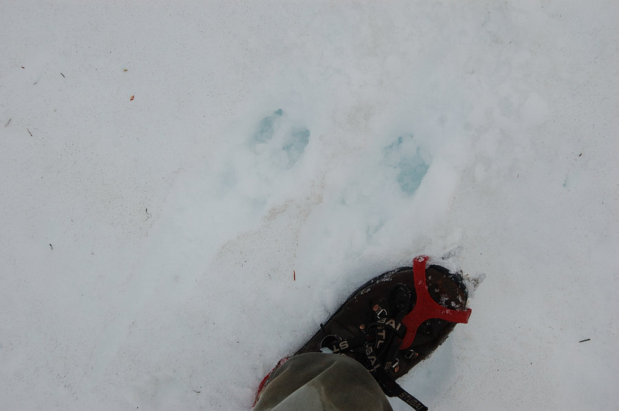
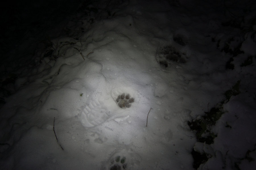
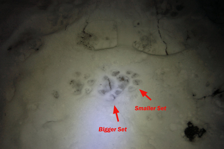
Salmon Butte (partial)
8 miles of hiking • 2500' elevation gain •
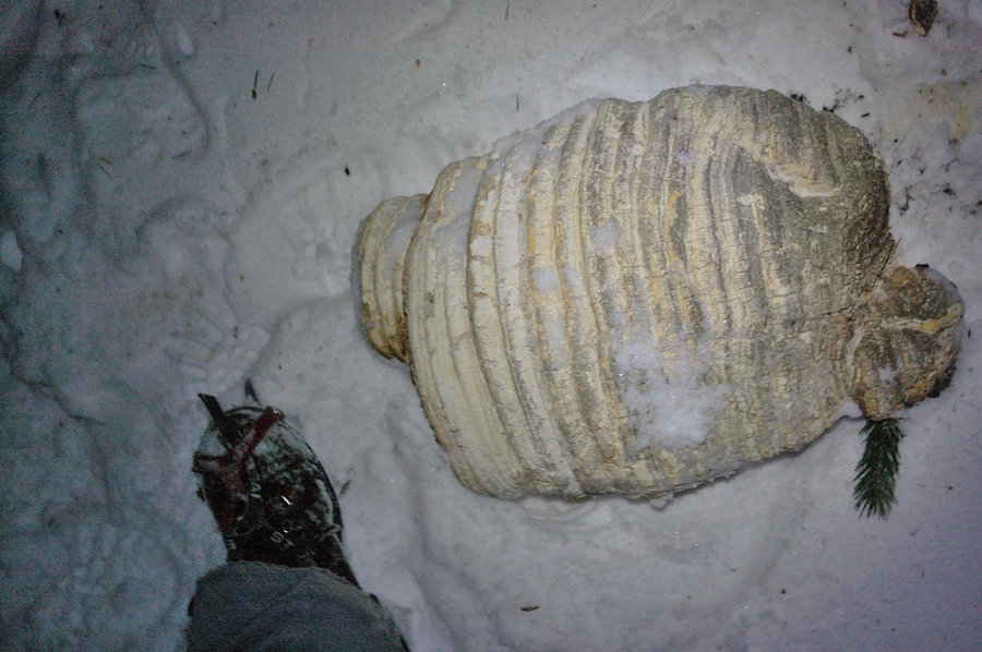
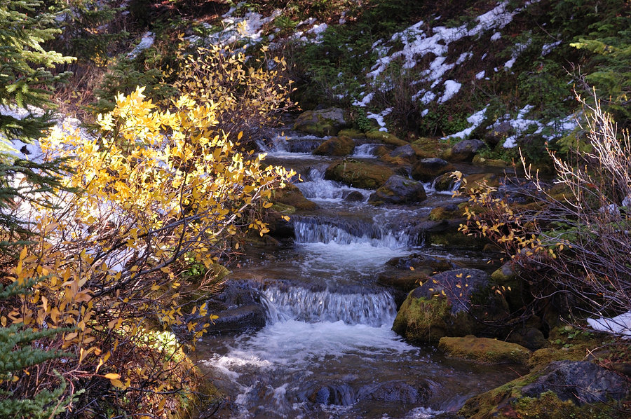
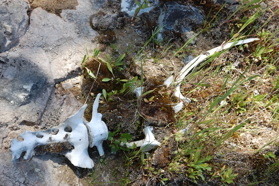
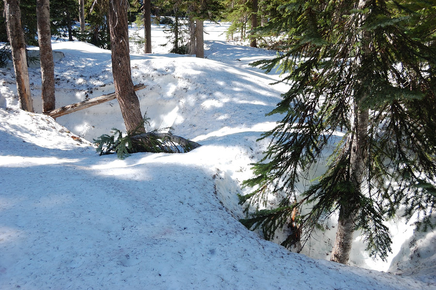
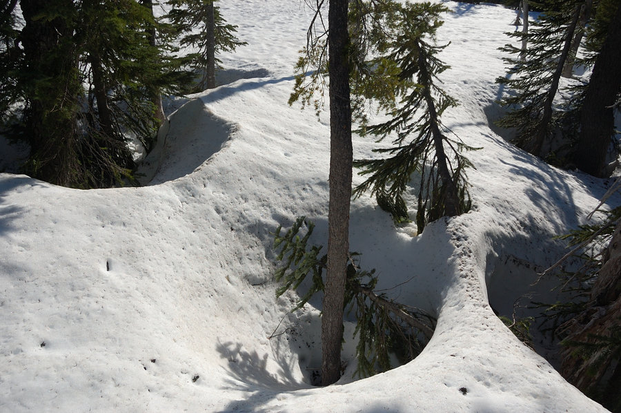
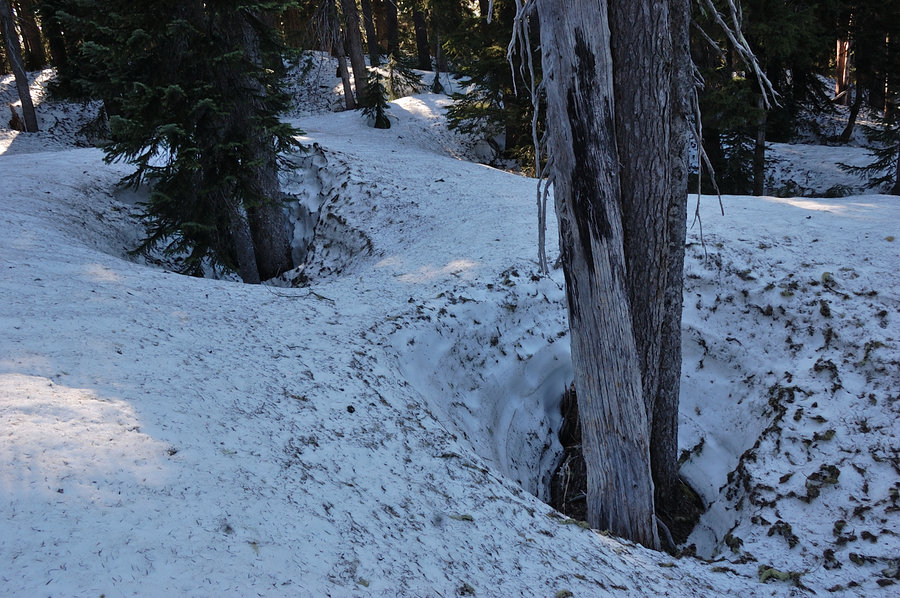
At last moment's thought I headed to Salmon Butte to see some fresh snow. Was a nice hike for the weather, but I didn't set enough time to make it to the summit (4th Salmon "fail" already - someday I need to plan and get it done). New powder was ~3-4 inches above 2000' and was easy to walk on, but near 4000' I started encountering old snow layer below, and it was firm and icy. Crampons would be helpful for the upper part. Coming back I saw that my tracks were followed by 2 cougars (or bobcats?) downhill - I didn't take my dog and my tracks were the only ones on trail beyond 1st mile, so these couldn't be dog tracks. They went on trail for about 1/2 mile before veering into the forest.
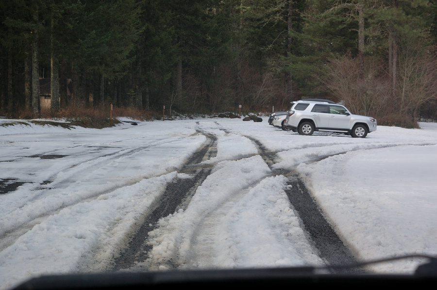
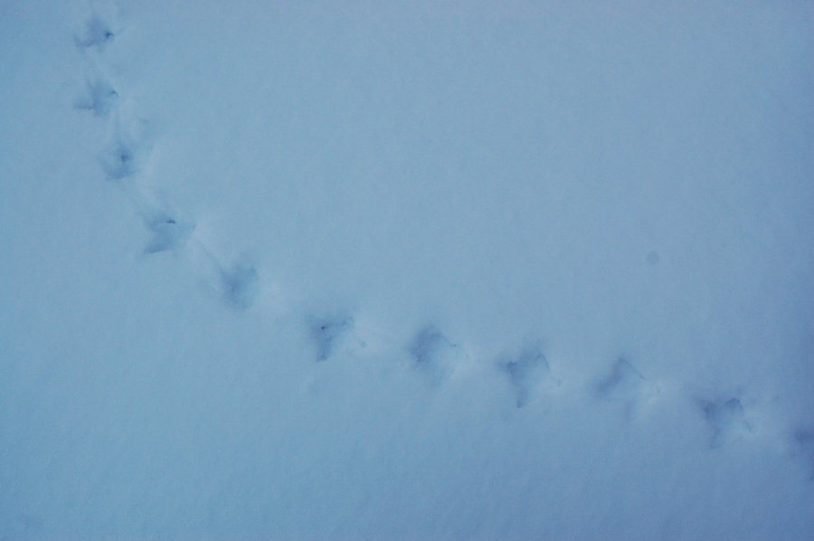
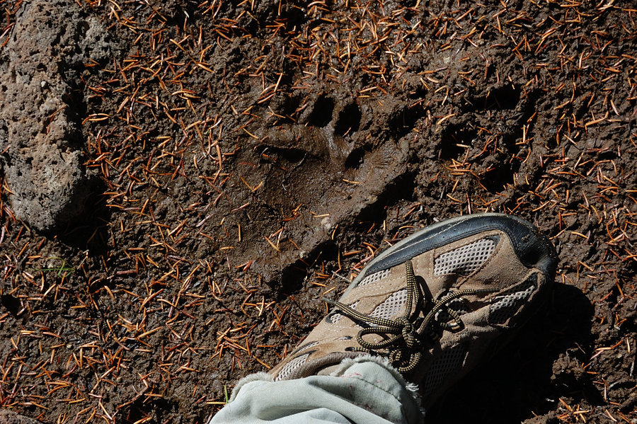
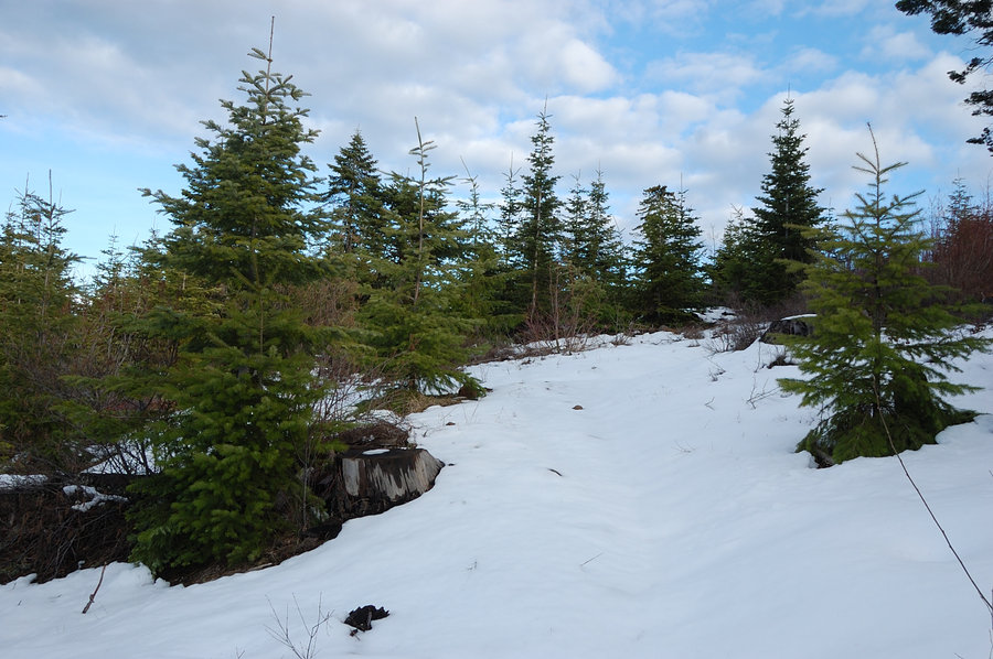
January 31, 2016


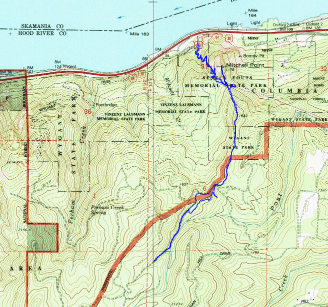
Mitchell Point & a bit beyond
5.93 miles of hiking • 2000' elevation gain •
Having got to upper trail long way in December, now it was much more straightforward ridge walk 500 ft up to intersect it... Turned out upper trail is official and open to motorcycles, (& the whole network of motor trails up on the hill, some still being constructed) - but on this day everything was very quiet. Hiked up trails, then a road, until snow got too deep to continue without snowshoes. Lots of deer and elk tracks, some recently replanted clearcuts with views of Hood River Mtn and Surveyors Ridge but not so much of HR valley.
January 24, 2016

 1
1
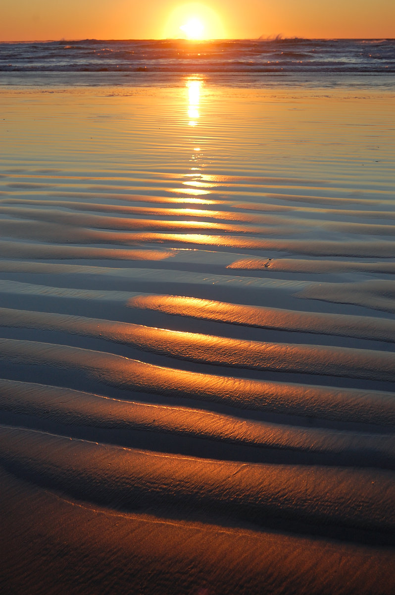
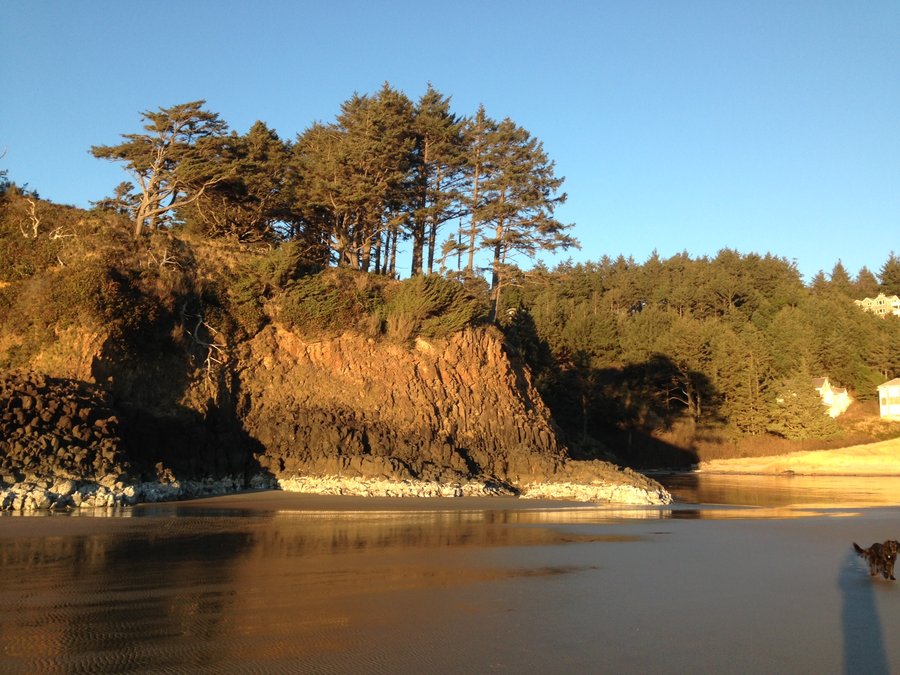
Cannon Beach and Chapman Beach
7 miles of hiking • 0' elevation gain •
Family hike on the coast. We planned to go to Arcadia Beach, but couldn't get around rocks due high tide. Instead added a shorter hike across Ecola Creek, north to Bird Rocks. At some point in early afternoon it was warm enough to wear a T shirt - almost felt like summer.
January 10, 2016

.jpg)
.jpg)
.jpg)
.jpg)
.jpg) 1
1
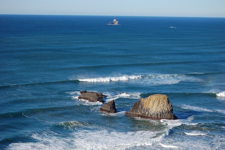
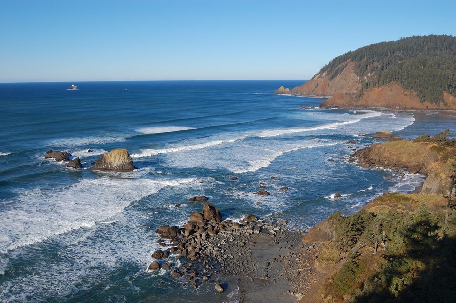
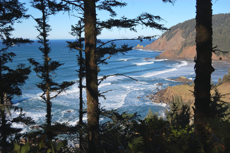
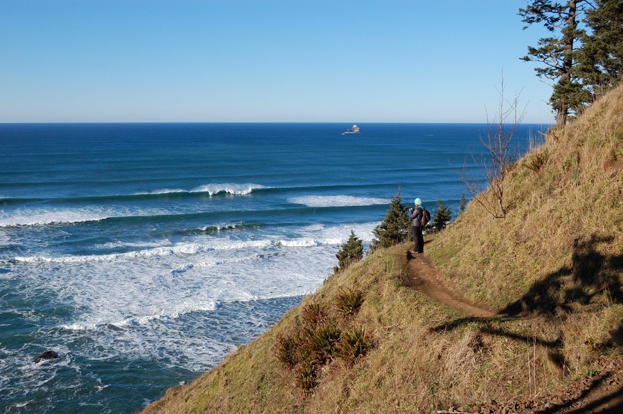
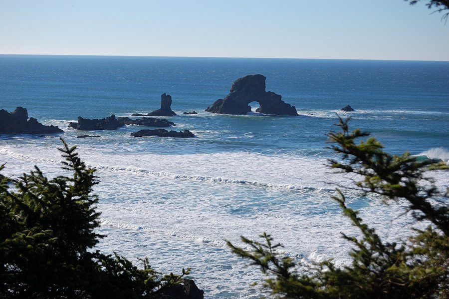
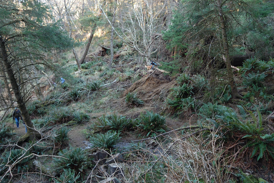
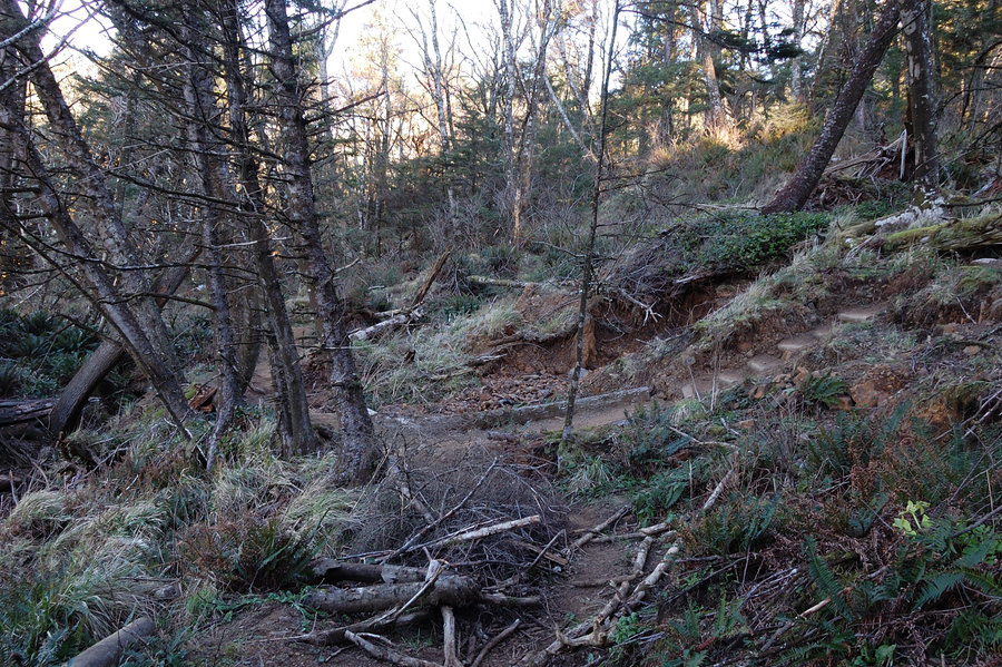
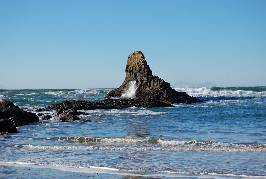
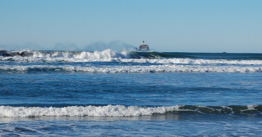
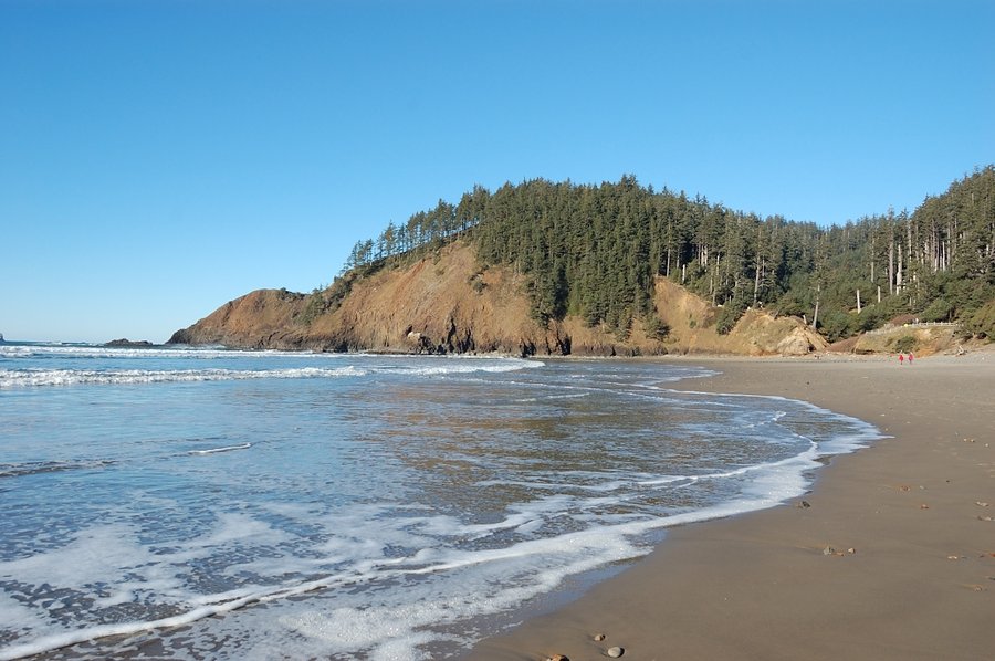
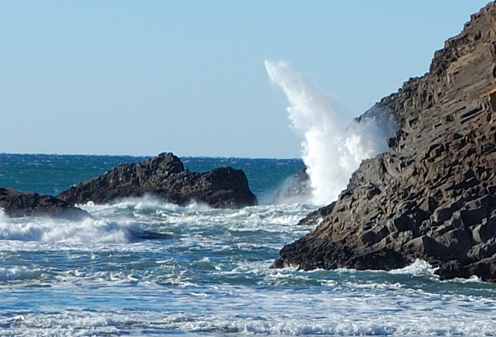
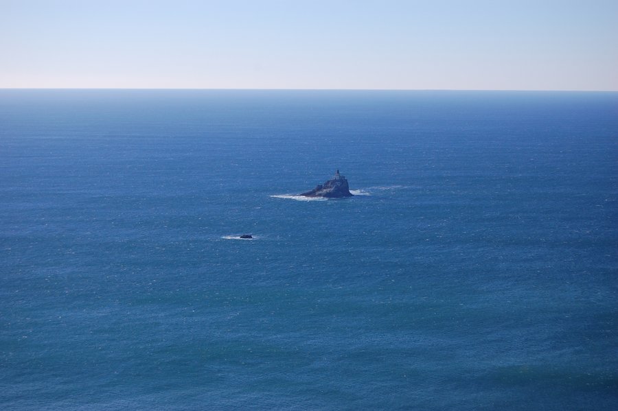
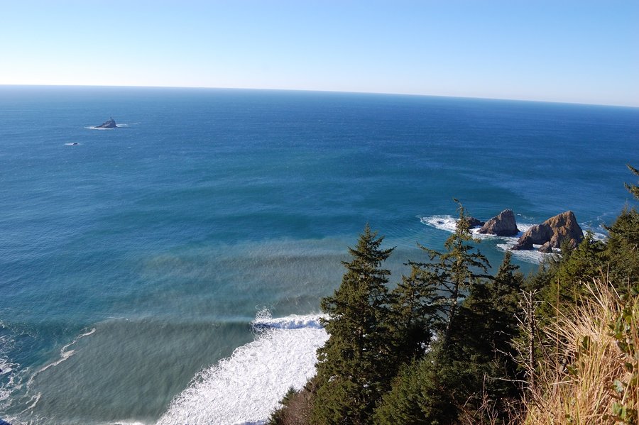
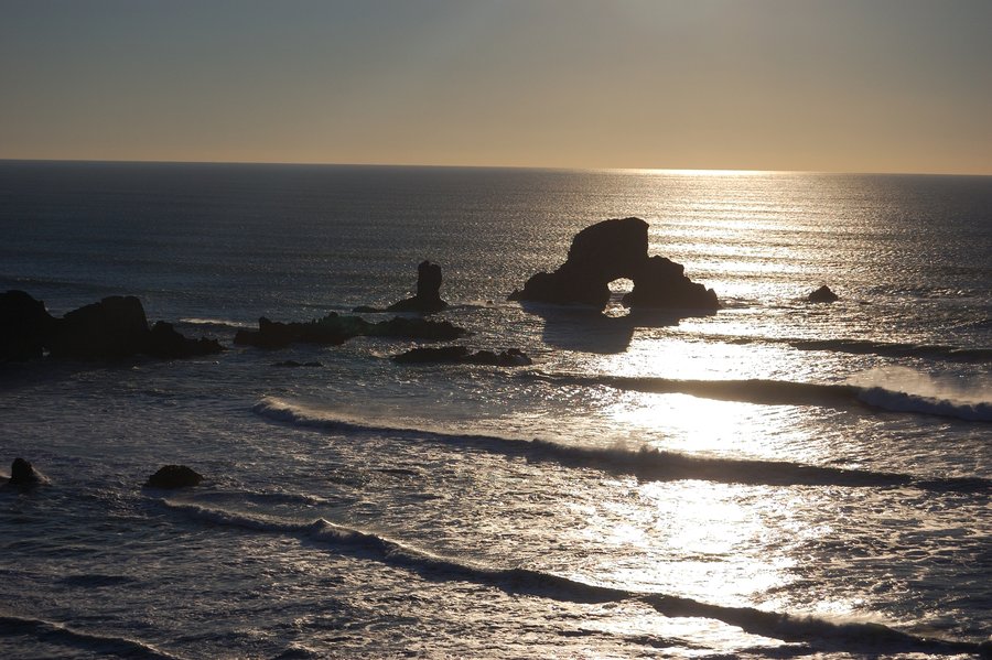
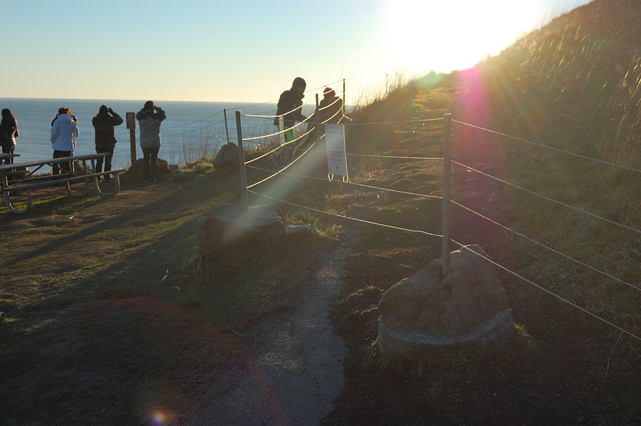
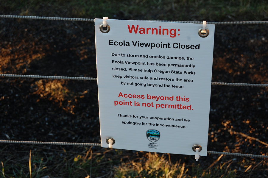
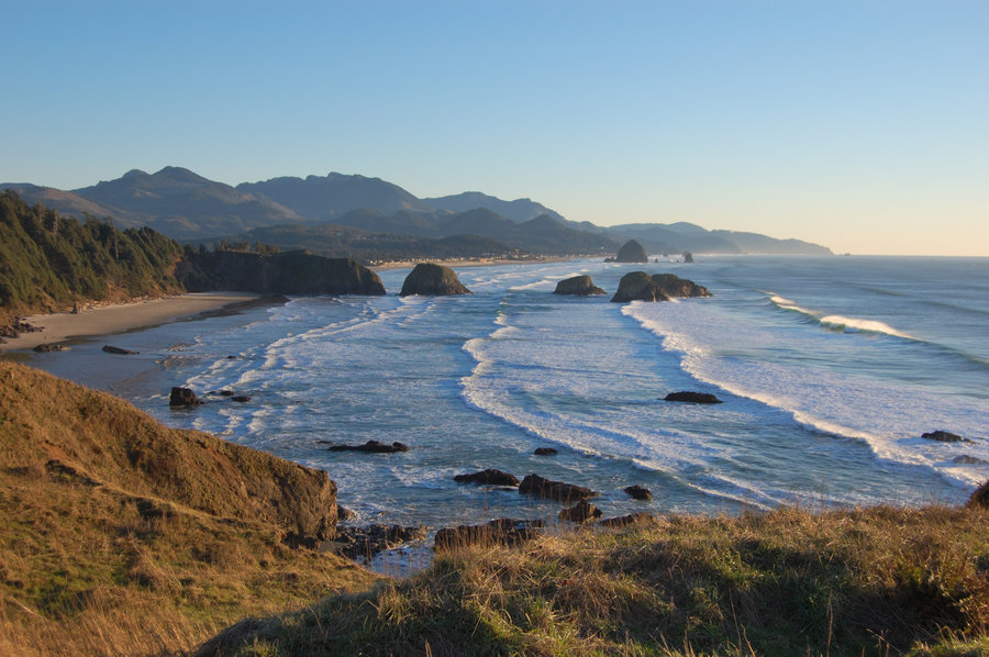
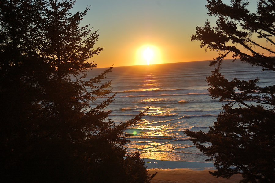
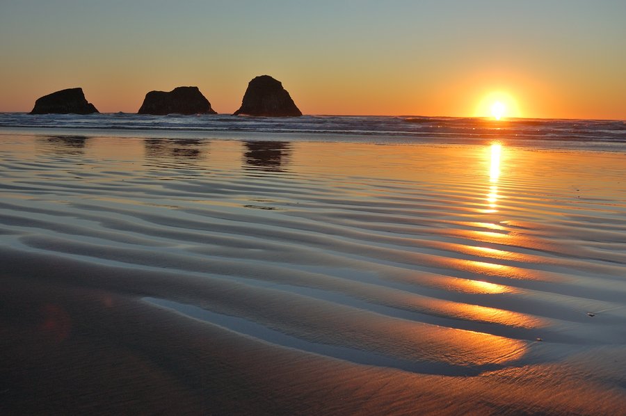
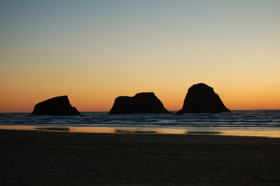
Ecola State Park
9 miles of hiking • 2250' elevation gain •
Windy day & on the cooler side, but awesome views. This little park is probably my favorite place on the coast. The road to second parking area (at Indian Beach) is closed because of storm damage but that means less crowded trails.
January 2, 2016