

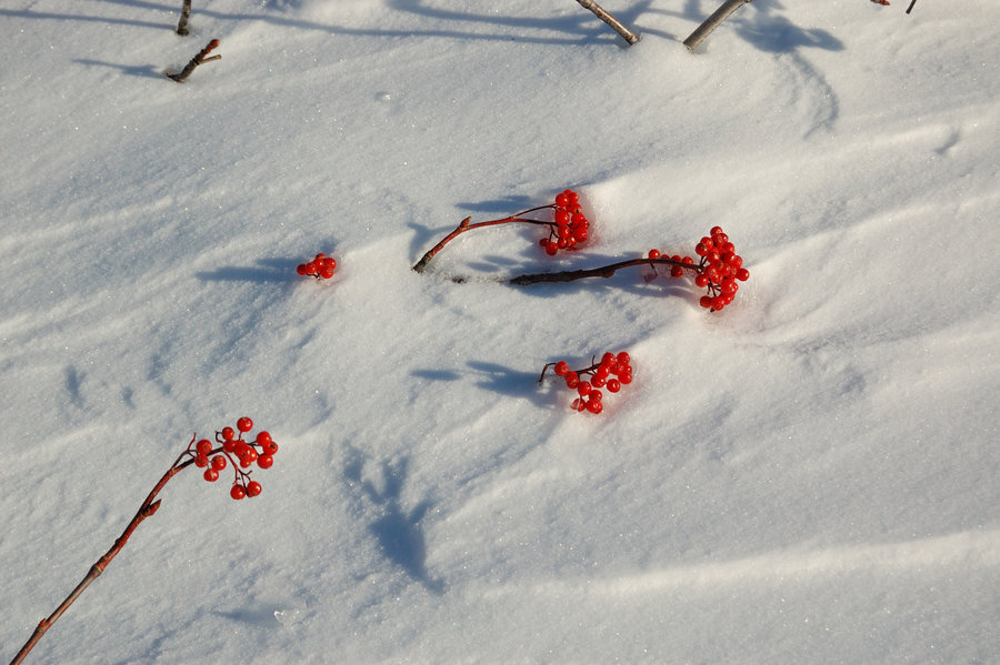
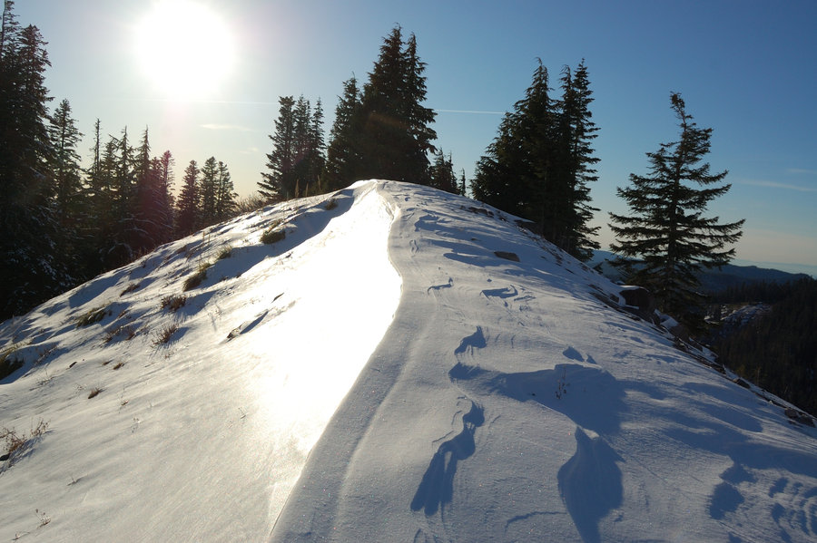
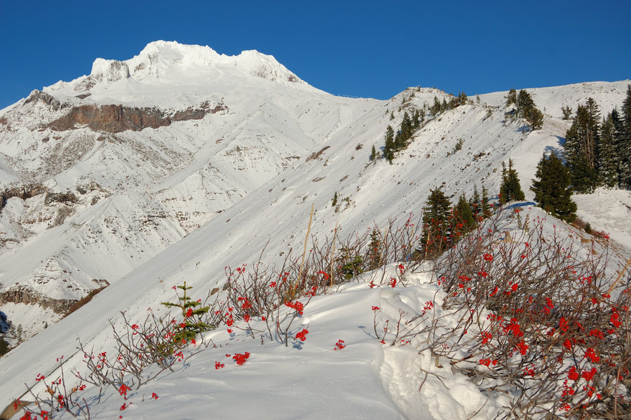
2018 Trips


 1
1
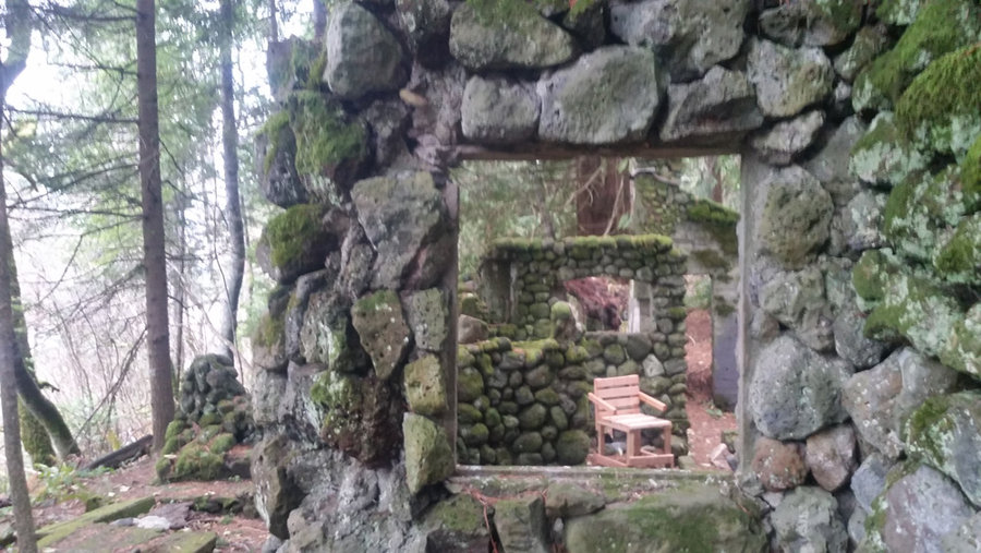
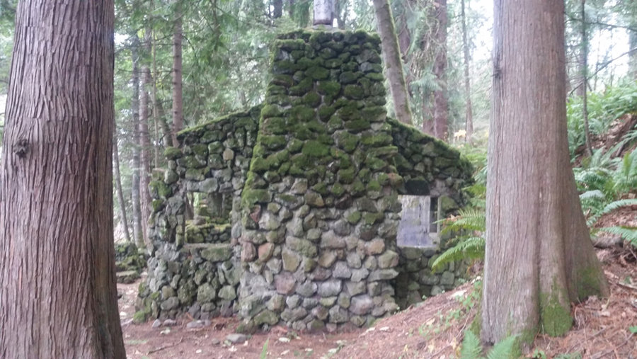
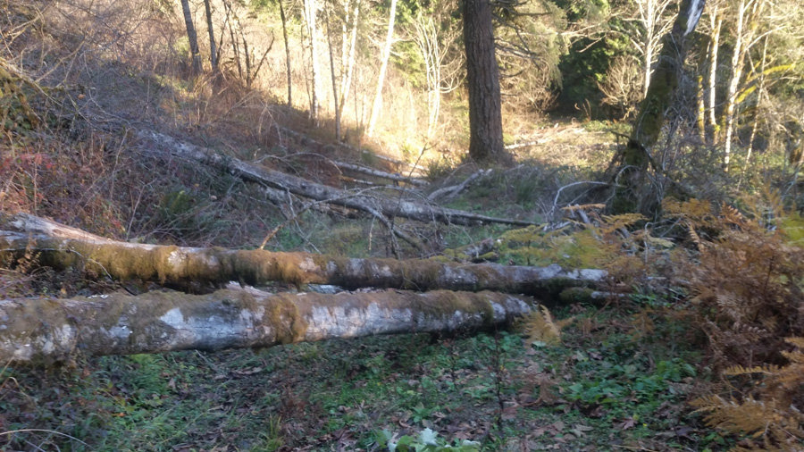
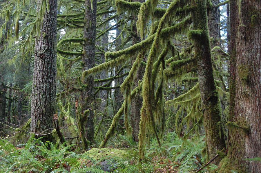
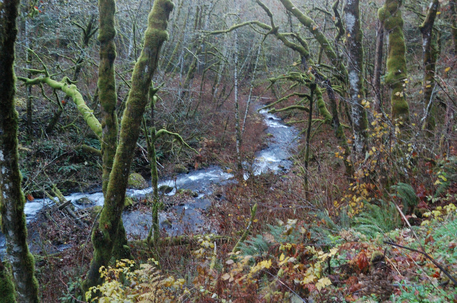
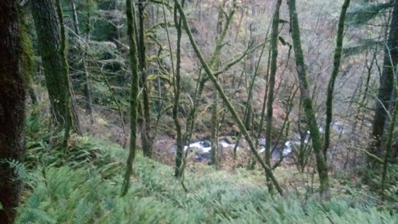
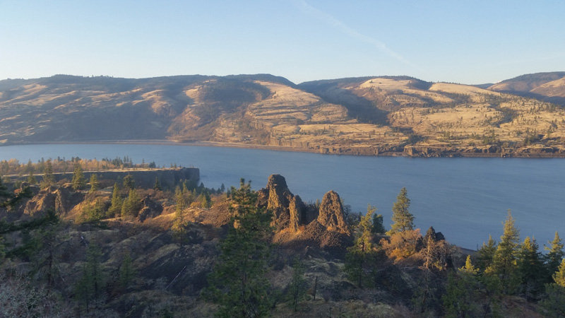
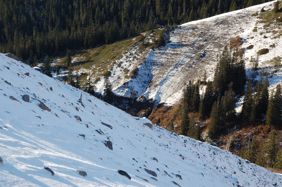
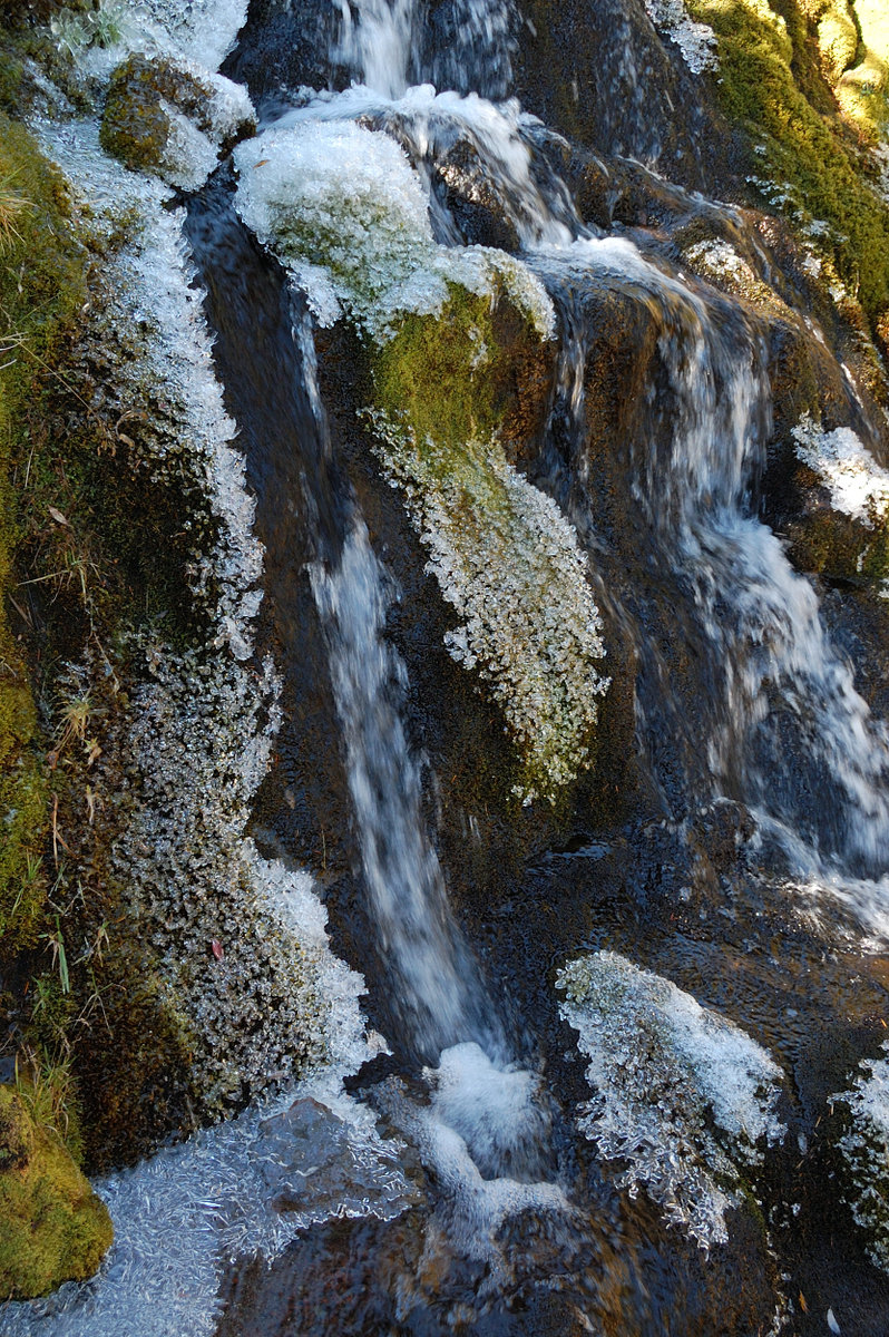
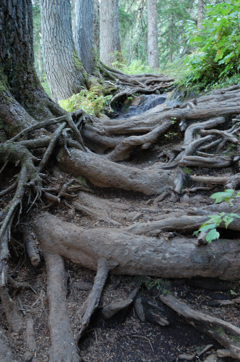
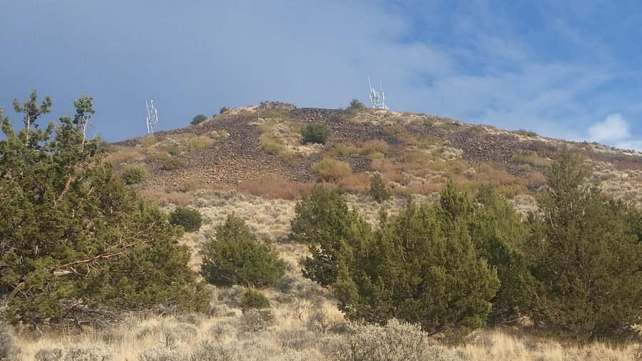
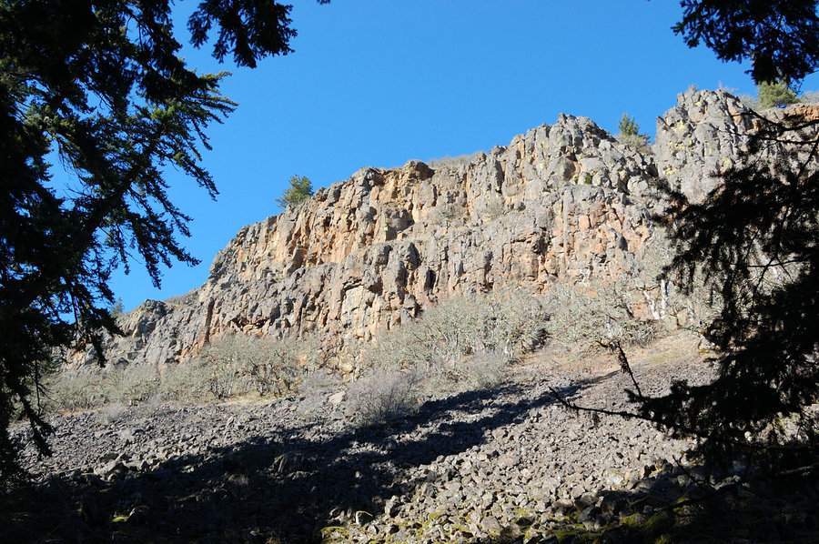
Stonehouse & above, plus Archer
4 miles of hiking • 500' elevation gain •
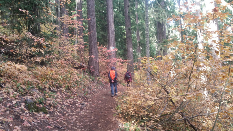
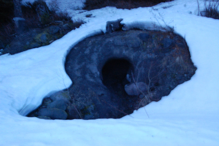
Wanted to check a trail I saw earlier from SR-14, but it only went ~50 yards to stone house ruins (which were pretty cool). Schwacked up above the ruins for an hour, but brush was pretty bad, what looked like deer trails just dissipated in the brush. On the way back went up Archer Mtn's High Valley, so my pup could run in the open. Picked some apples in old orchard.
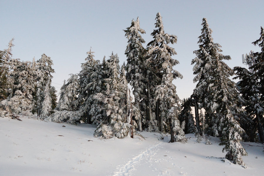
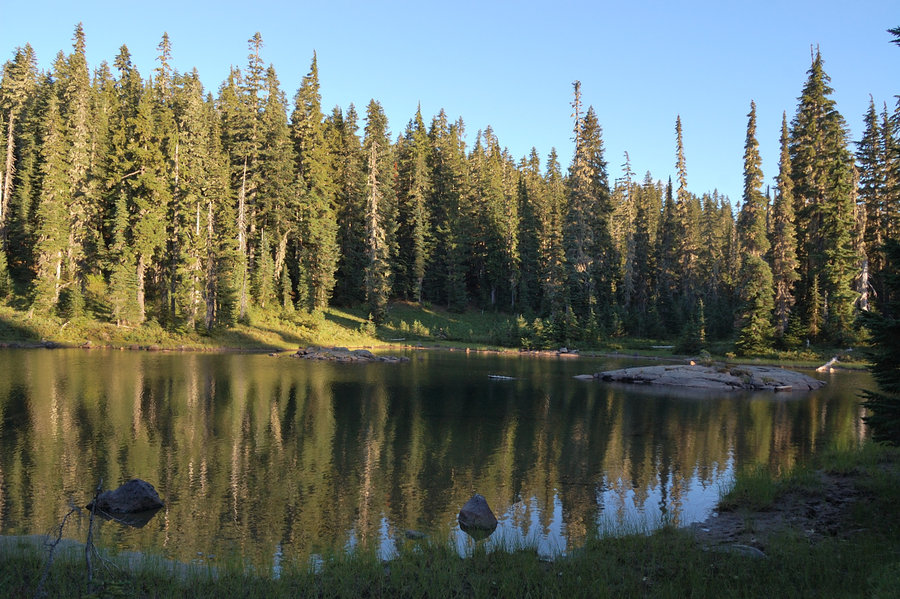
December 15, 2018


 1
1
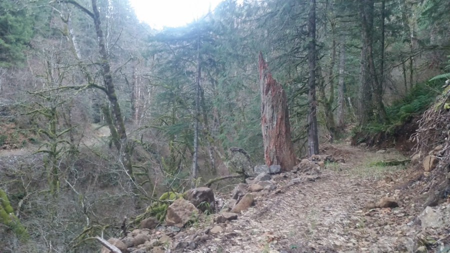
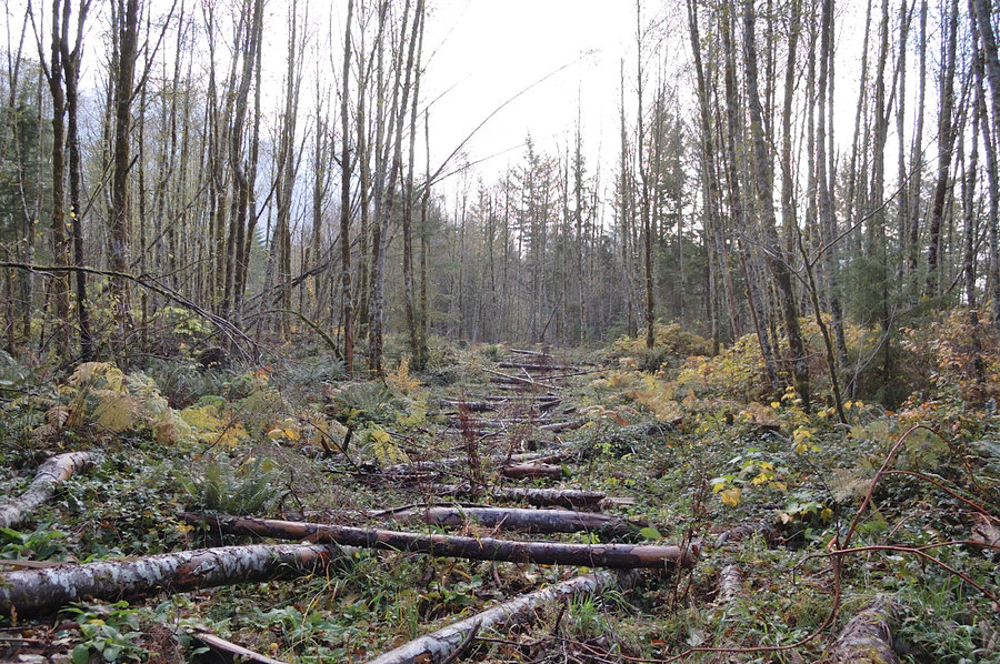
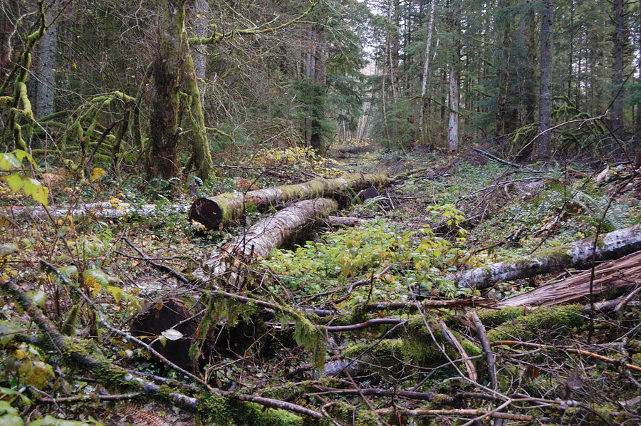
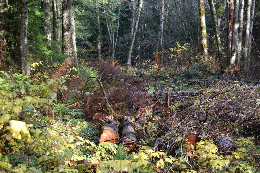
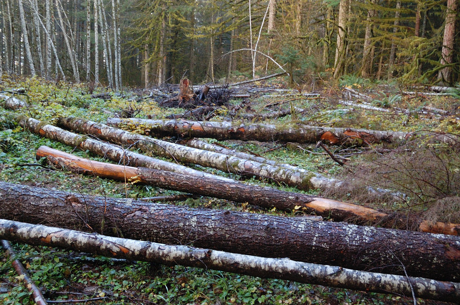
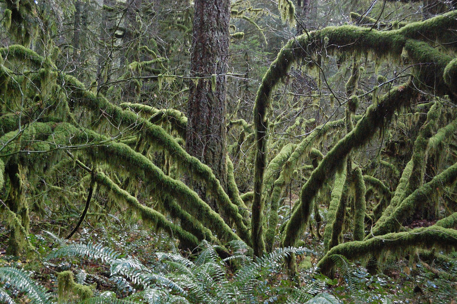
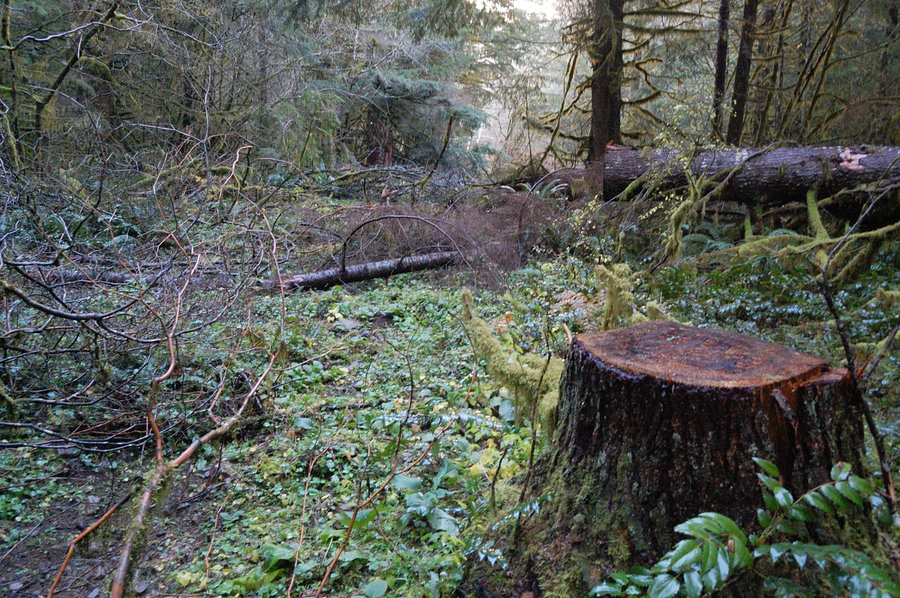
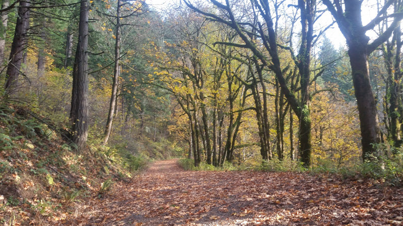
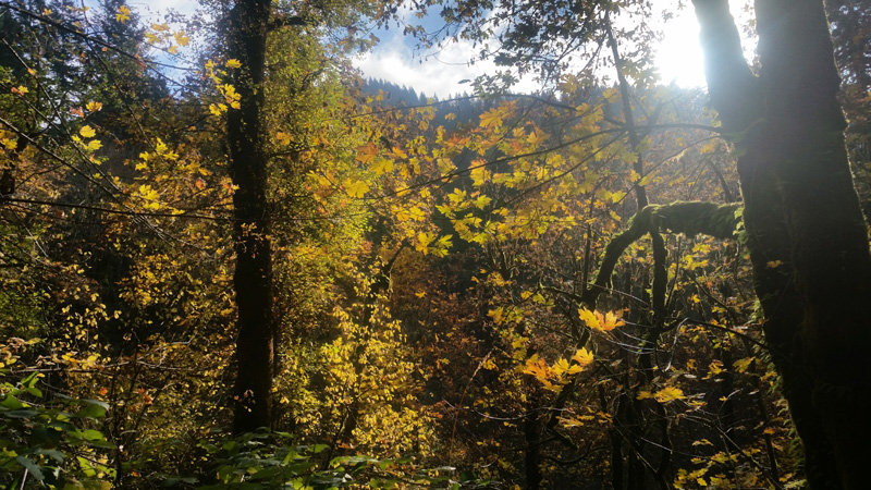
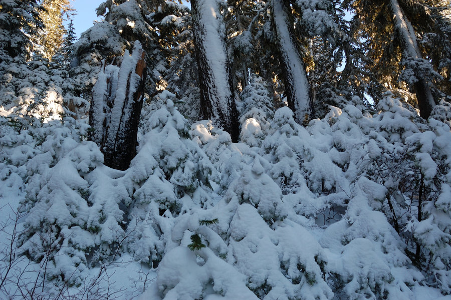
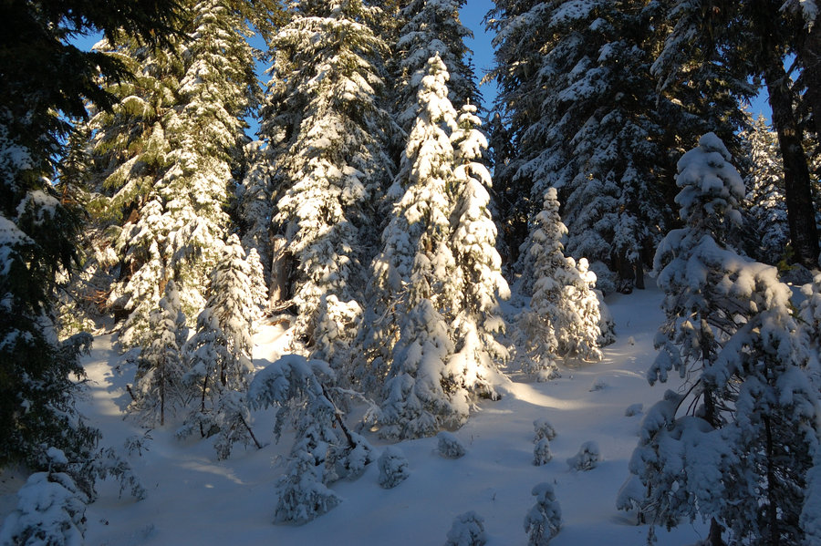
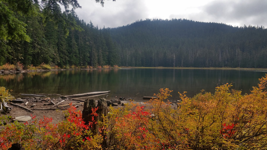
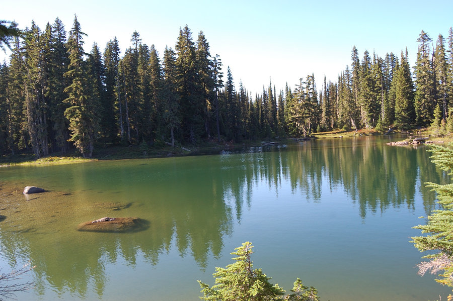
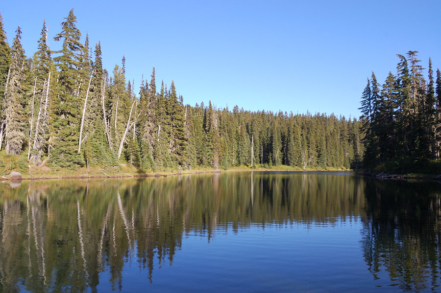
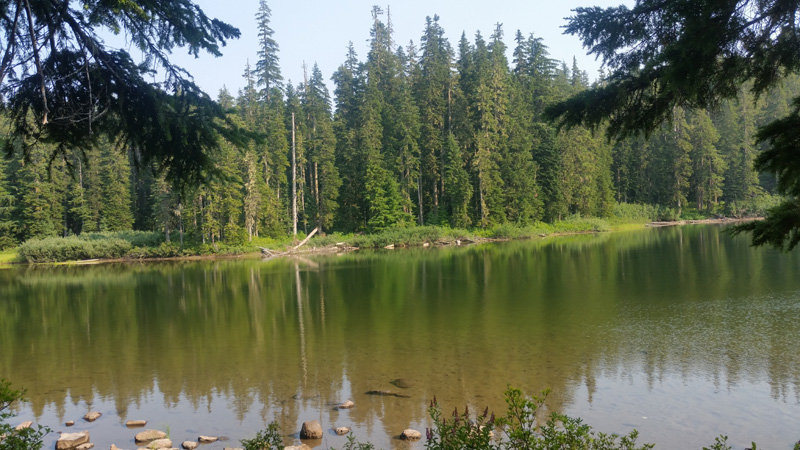
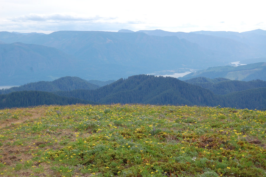
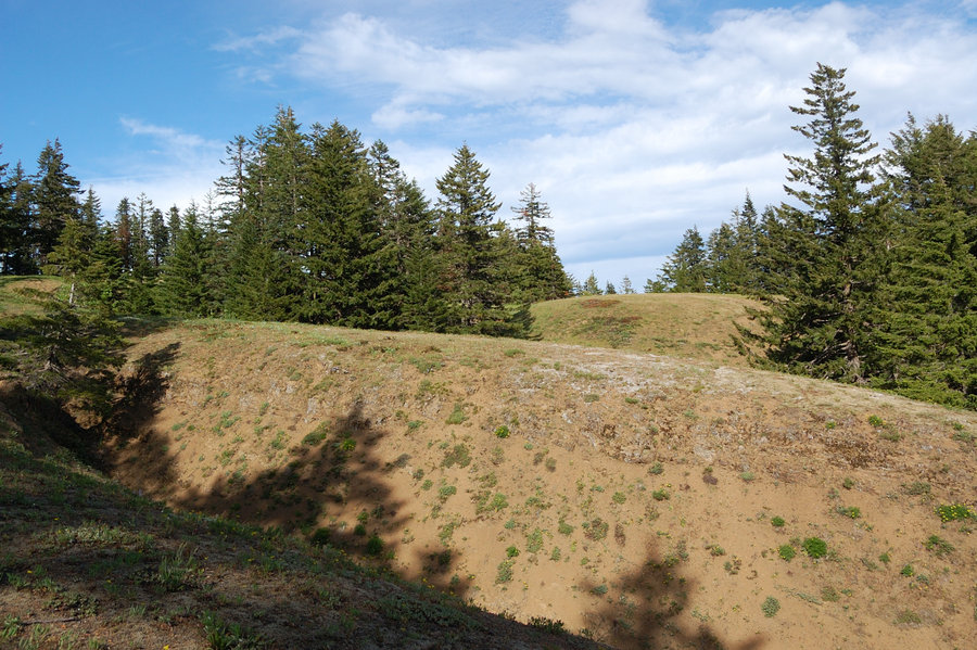
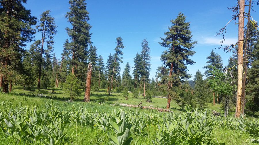
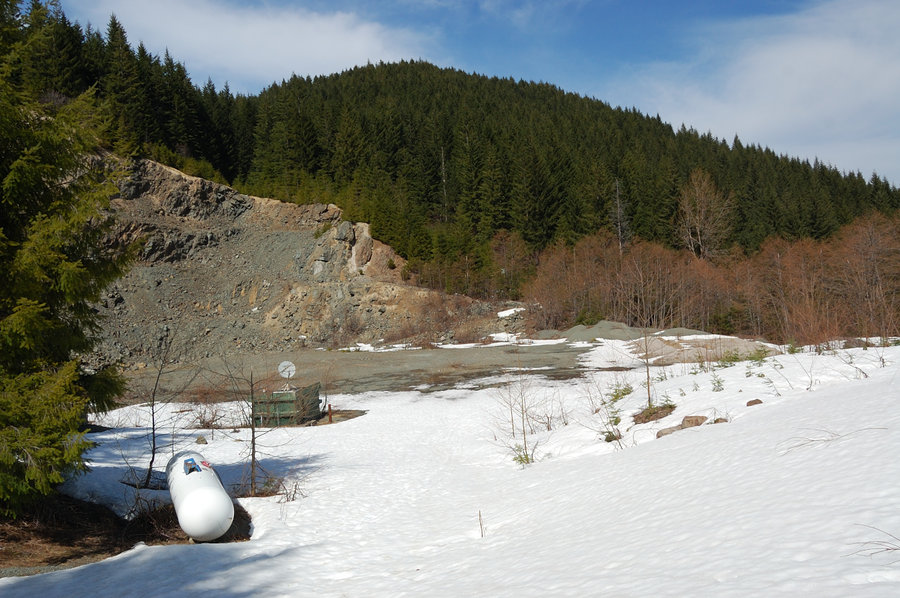
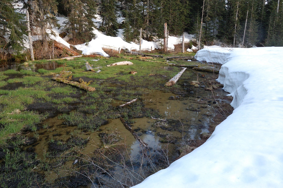
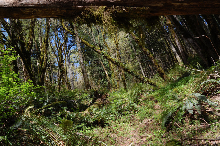
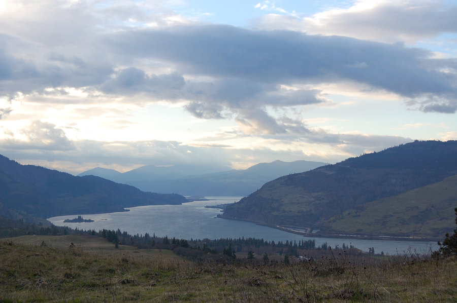
Bridal Veil plateau
3.5 miles of hiking • 750' elevation gain •
Nice evening in the forest, but I was surprised at the degree of "decommissioning" on unofficial trails up there. BV Plateau is pretty much trail-less area now, for better or for worse (with the exception of Palmer Mill Rd).
December 2, 2018


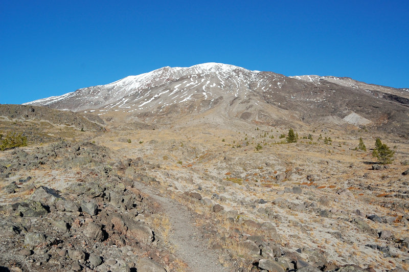
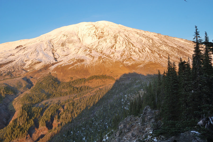
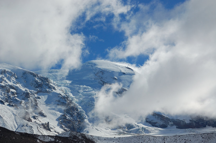
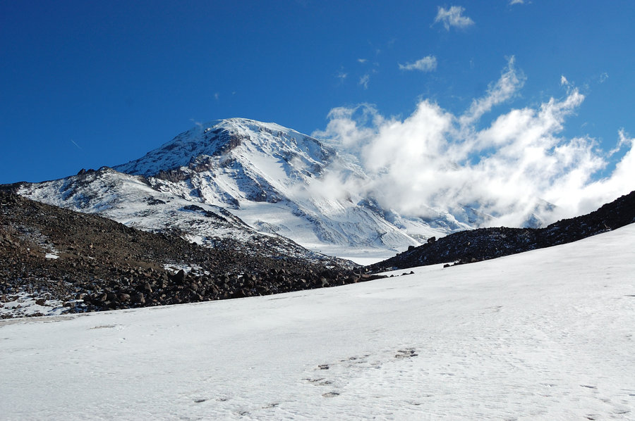
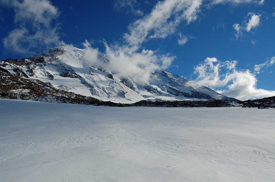
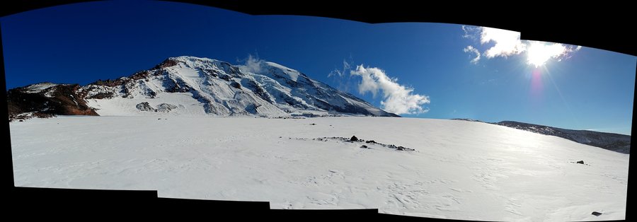
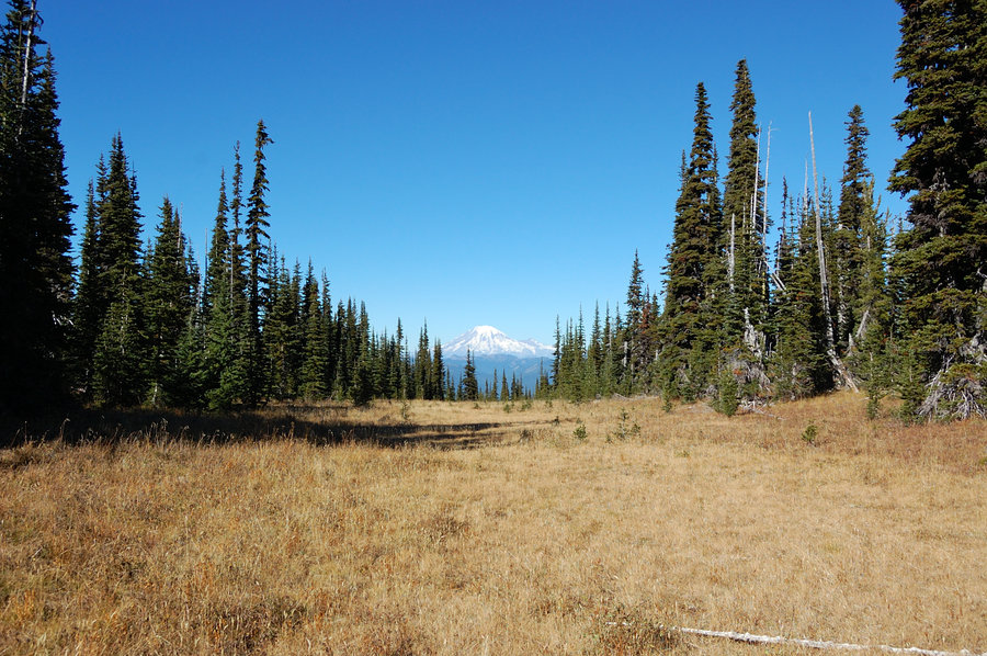
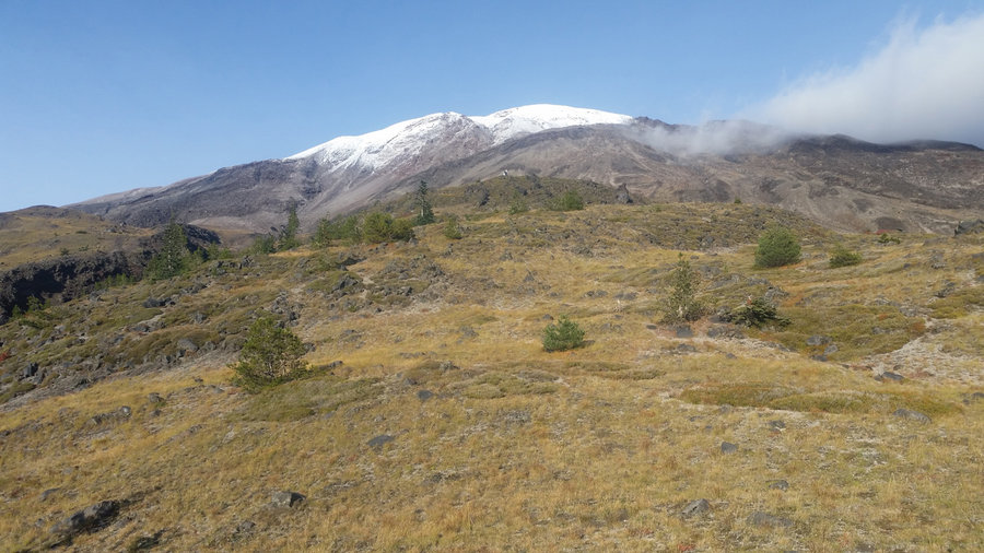
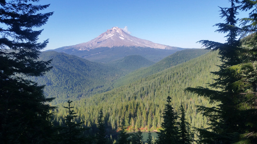
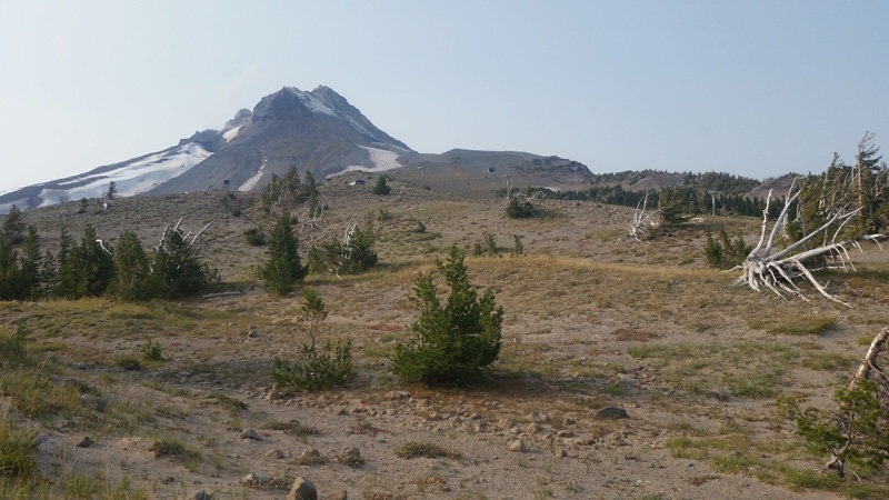
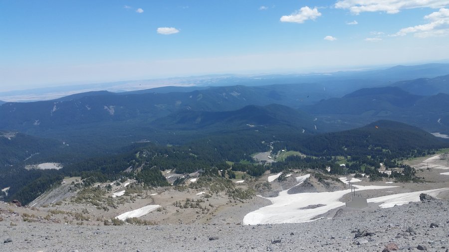
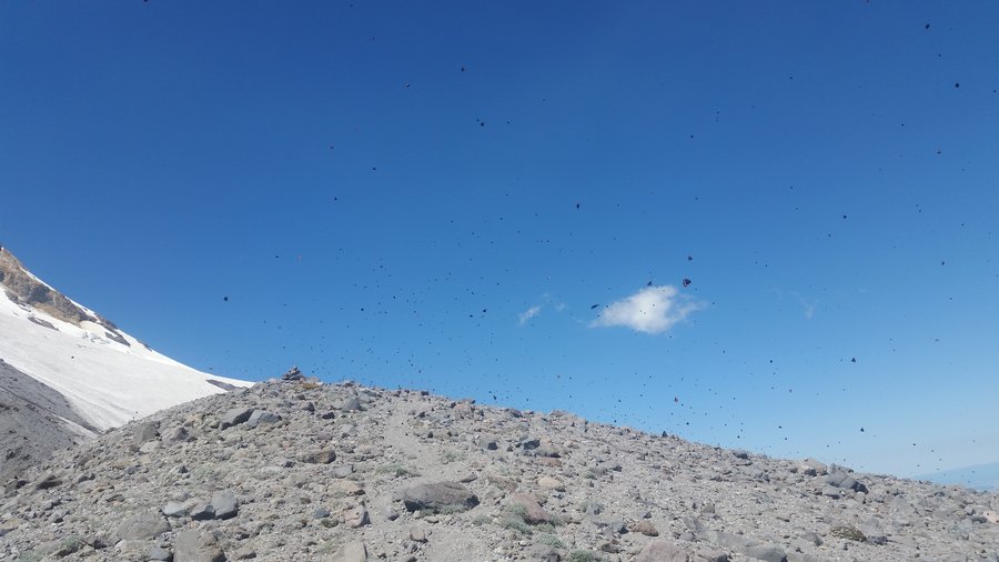
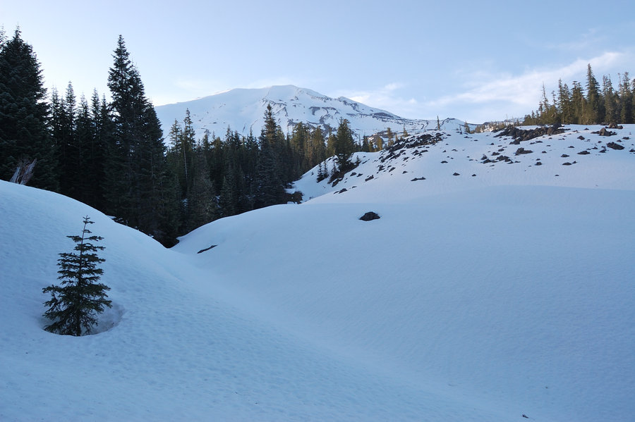
MSH west side hike
8 miles of hiking • 1750' elevation gain •
This time with my parents. Gorgeous day on the mountain, we were lucky to hit the trail days before real snow arrived.
November 18, 2018


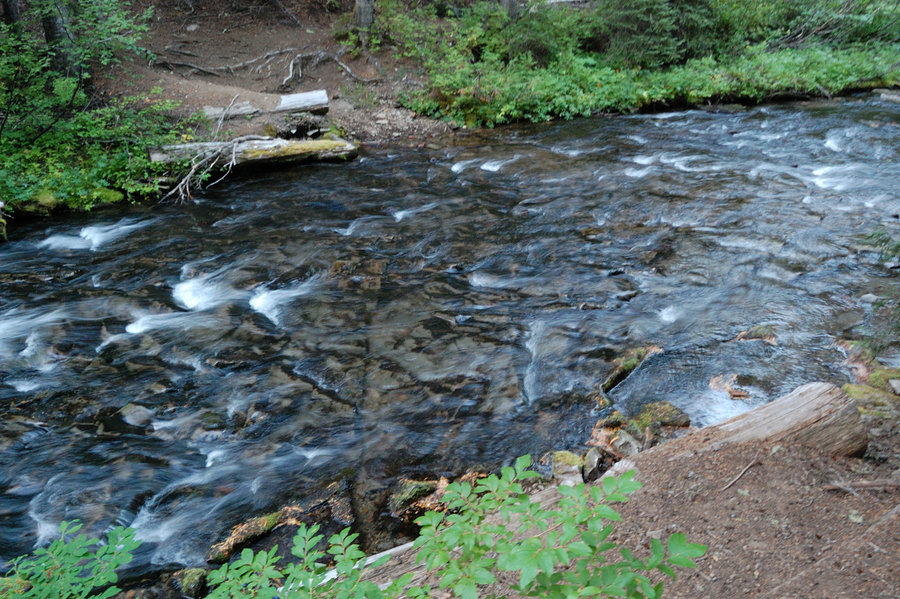
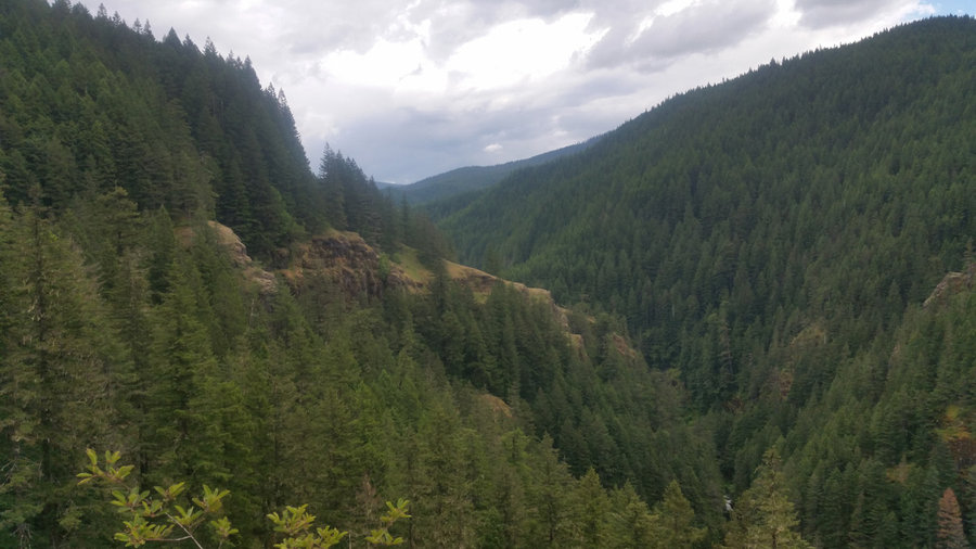
Gorge hike
3 miles of hiking • 1000' elevation gain •
Lunch break hike, just 10 minutes from my work
November 16, 2018

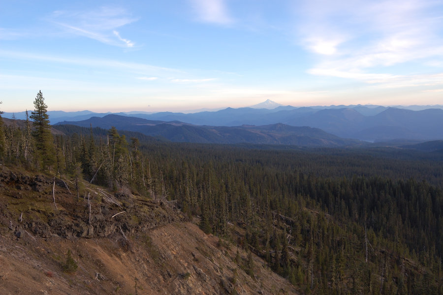
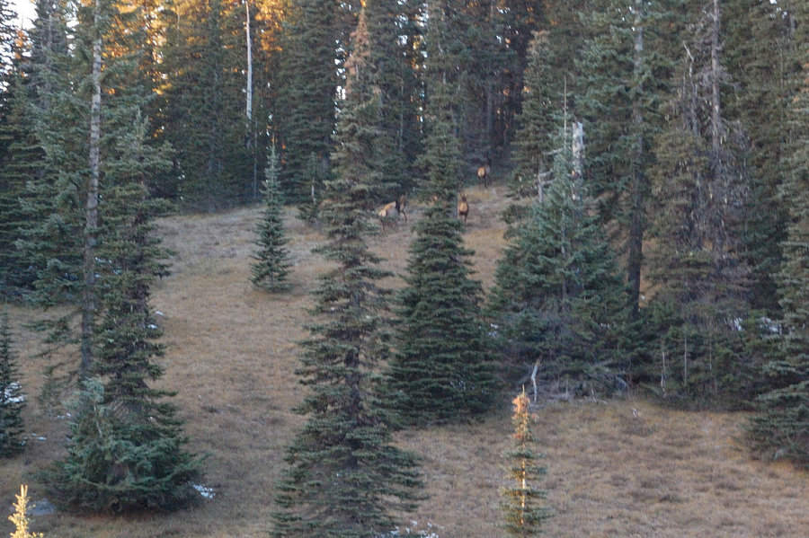
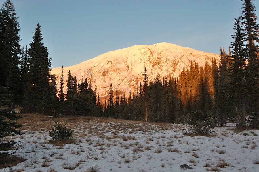
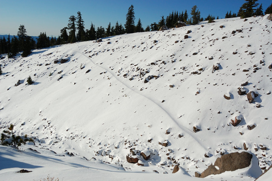
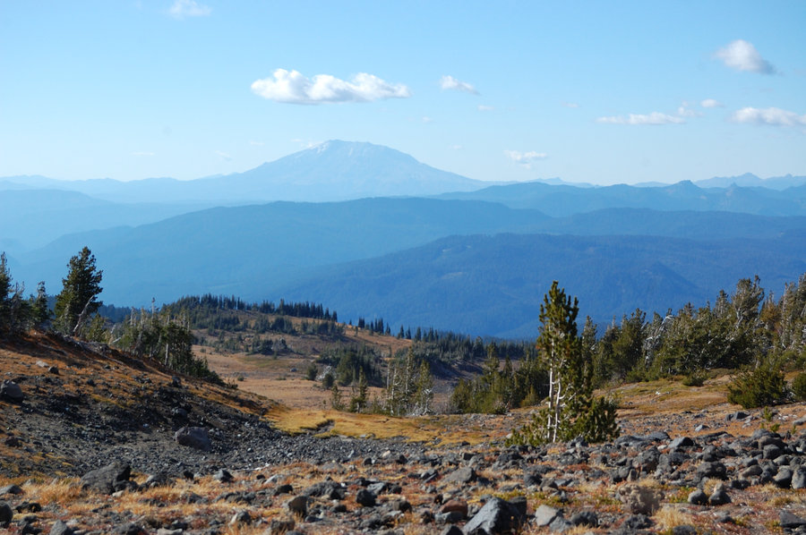
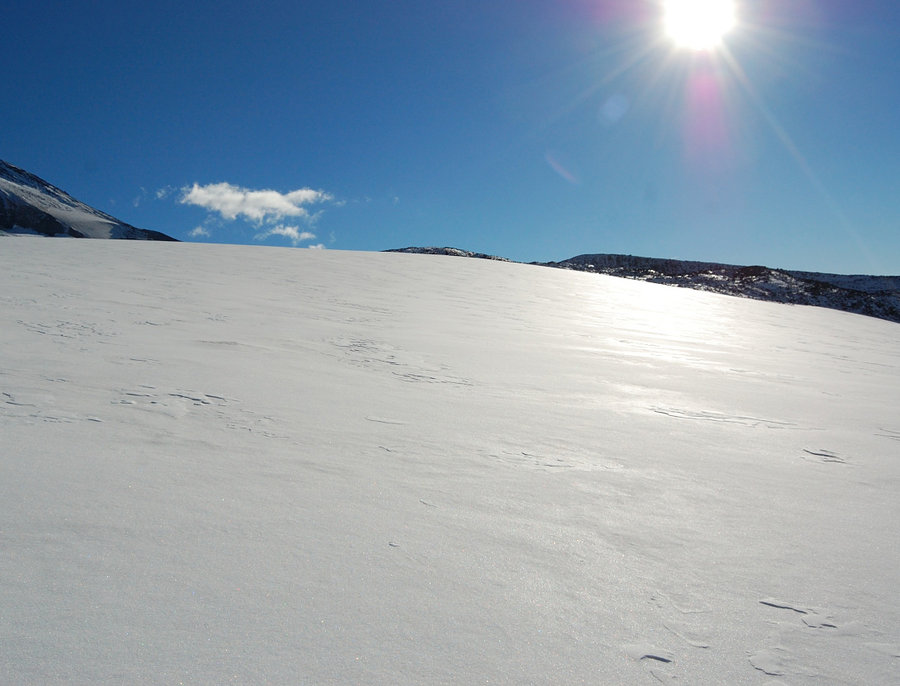
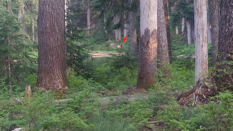
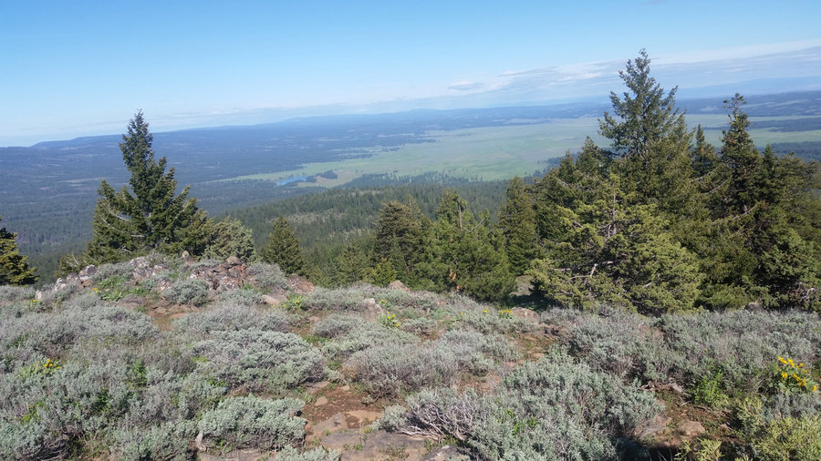
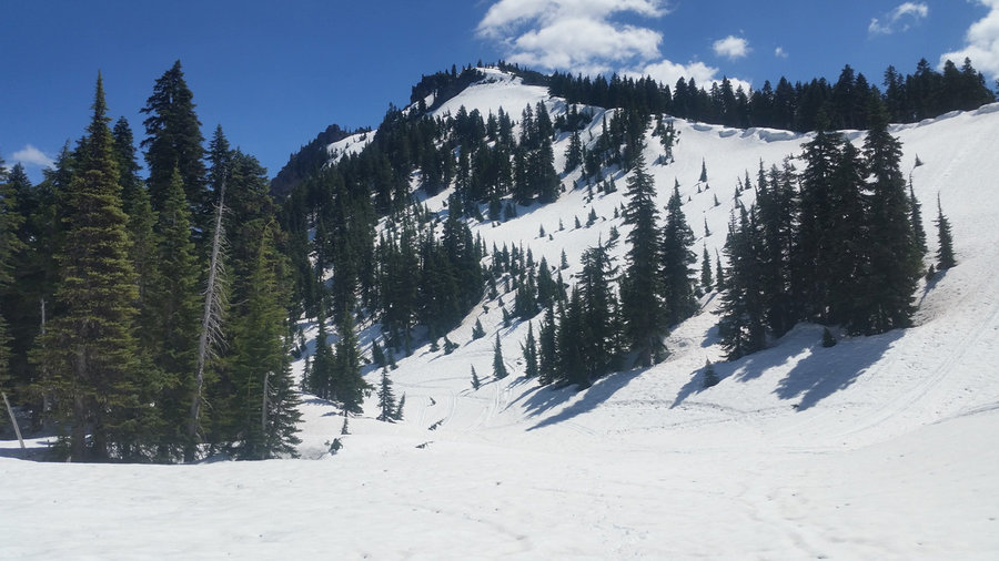
Butte Camp Dome
8 miles of hiking • 1750' elevation gain •
Great day and sunset on the mountain. Saw some elk but was too slow to get a good picture, as usual. Was surprised to see California's smoke made it so far north, east of Hood and Jefferson into the Central Oregon. Saw some peaks of Coast Range too - visibility was great today.
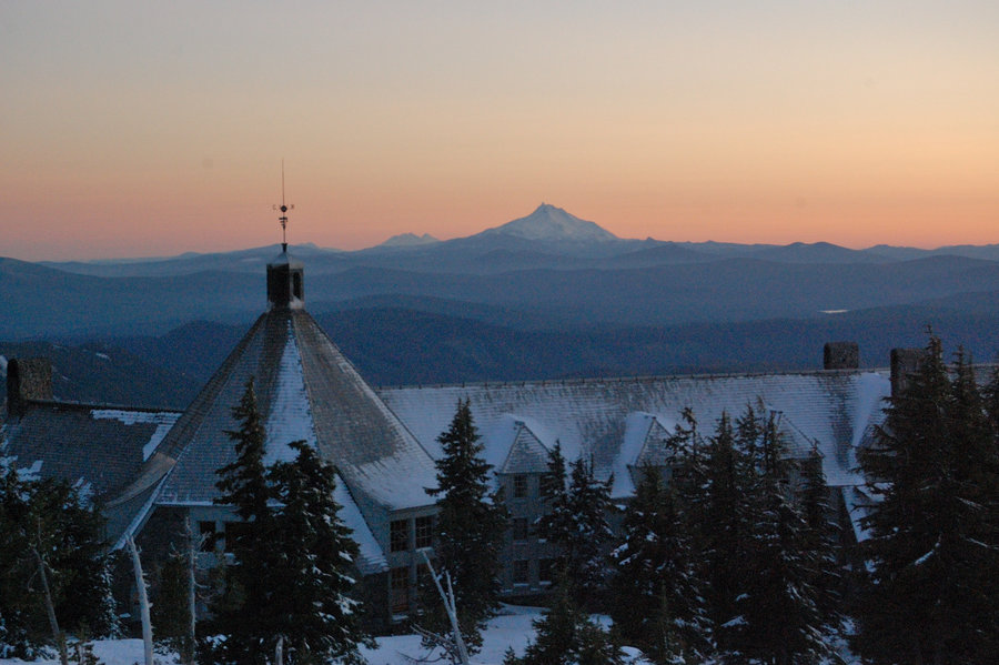
November 11, 2018

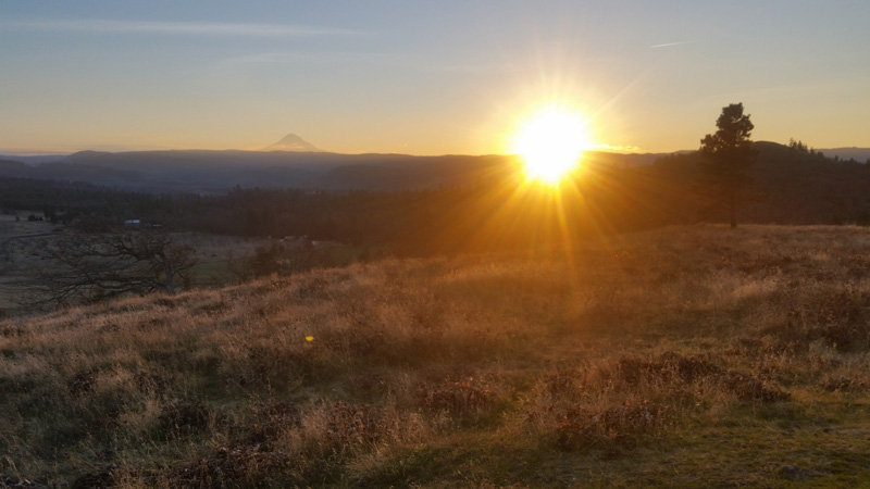
 1
1
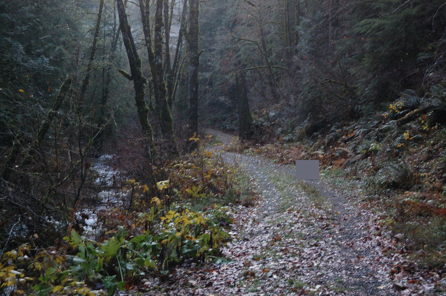
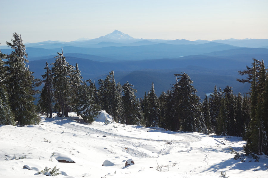
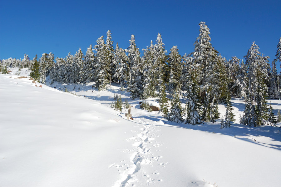
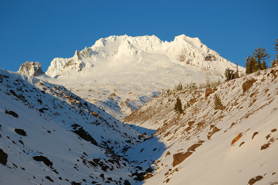
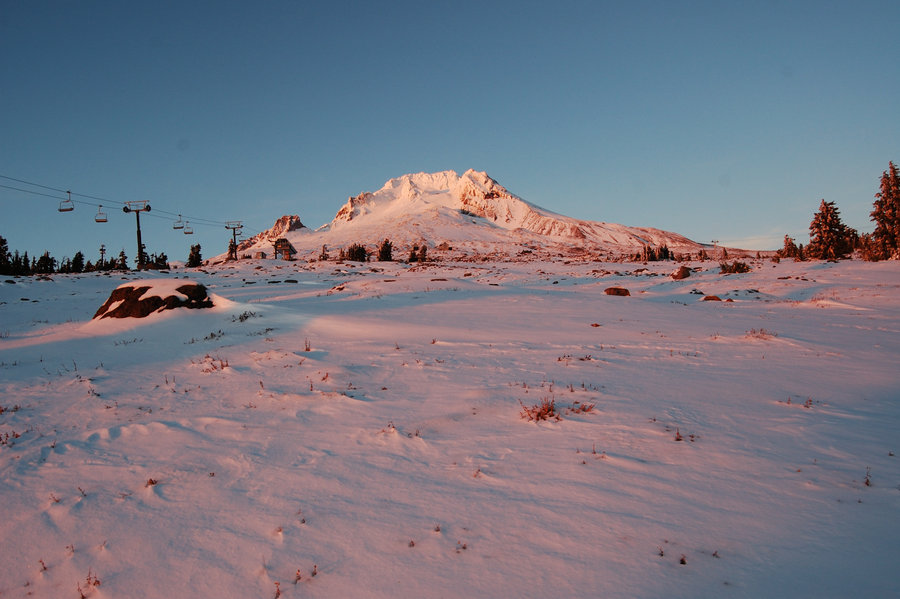
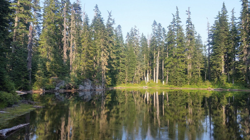
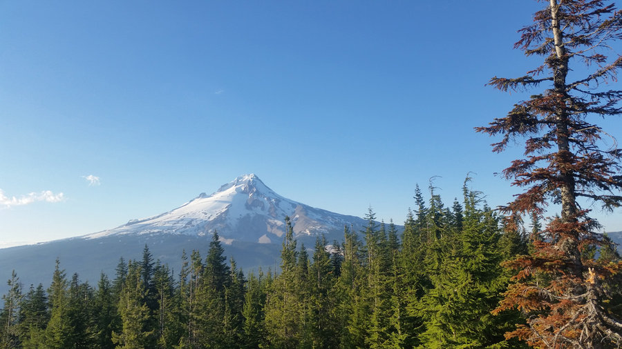
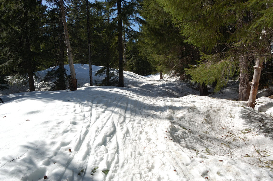
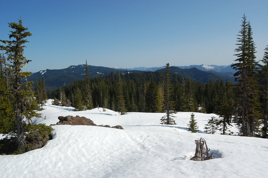
Timberline Lodge to Zigzag Overlook
4.4 miles of hiking • 500' elevation gain •
Took half day off work to hike Timberline Trail, one last time before winter. There was 5-7'' of snow at 6000 feet, down to 3-5'' at 5600' - still pretty easy to break trail, while everything looked like real winter.
November 8, 2018


October 30, 2018


October 20, 2018

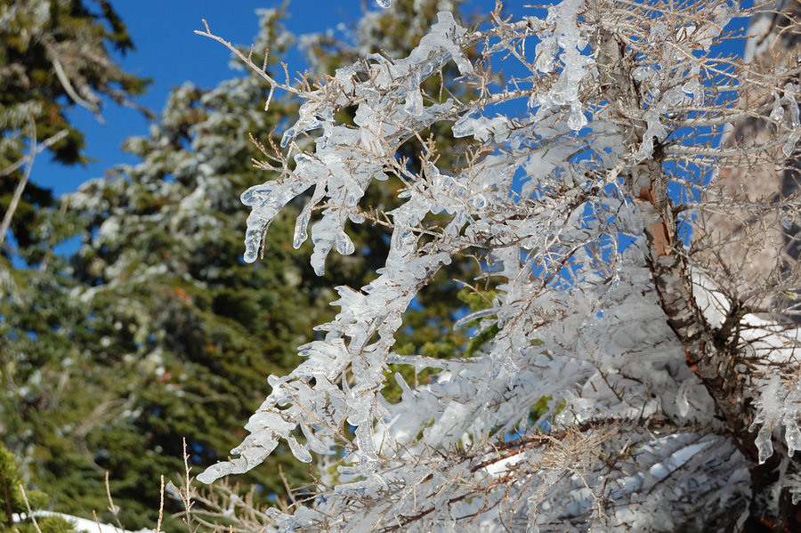
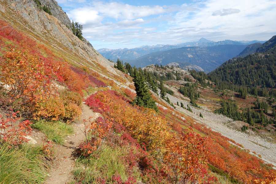
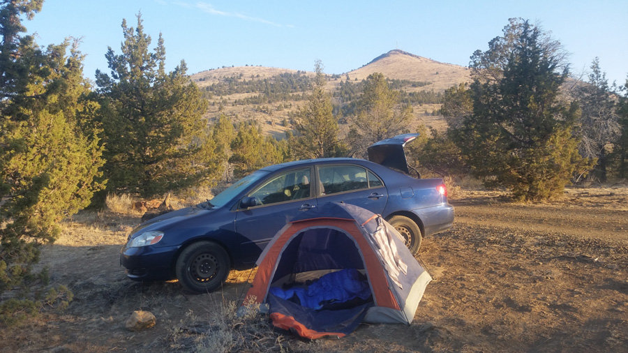
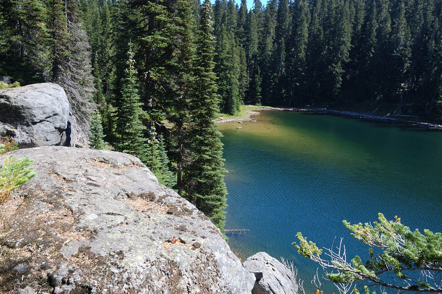
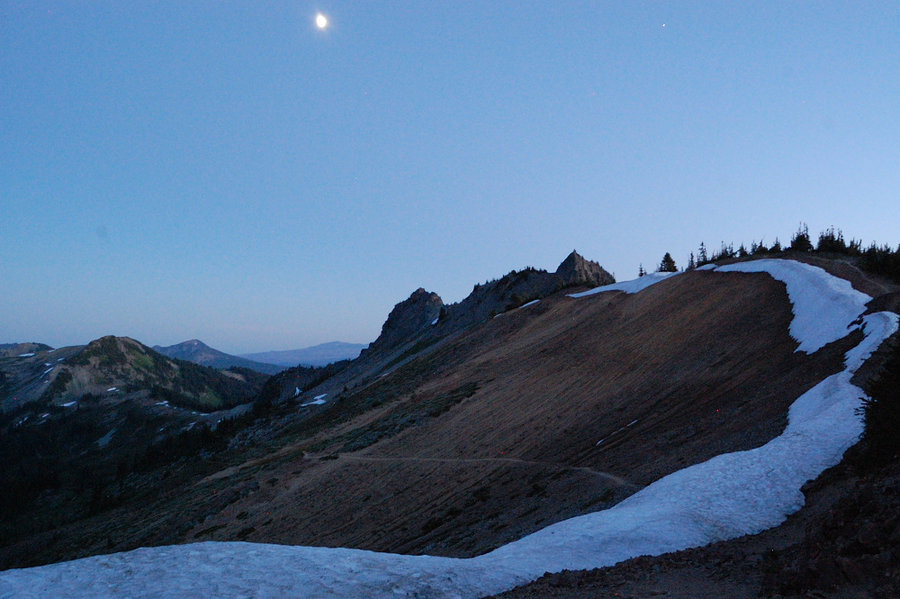
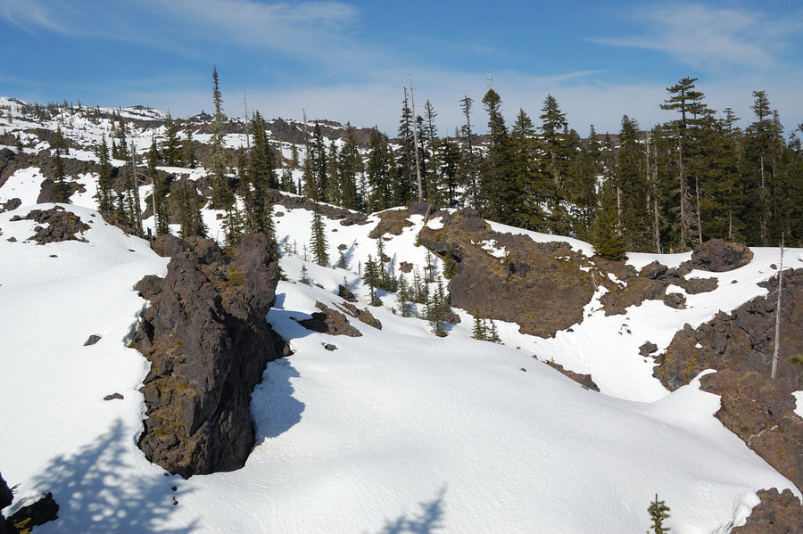
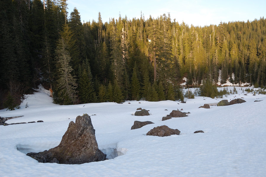
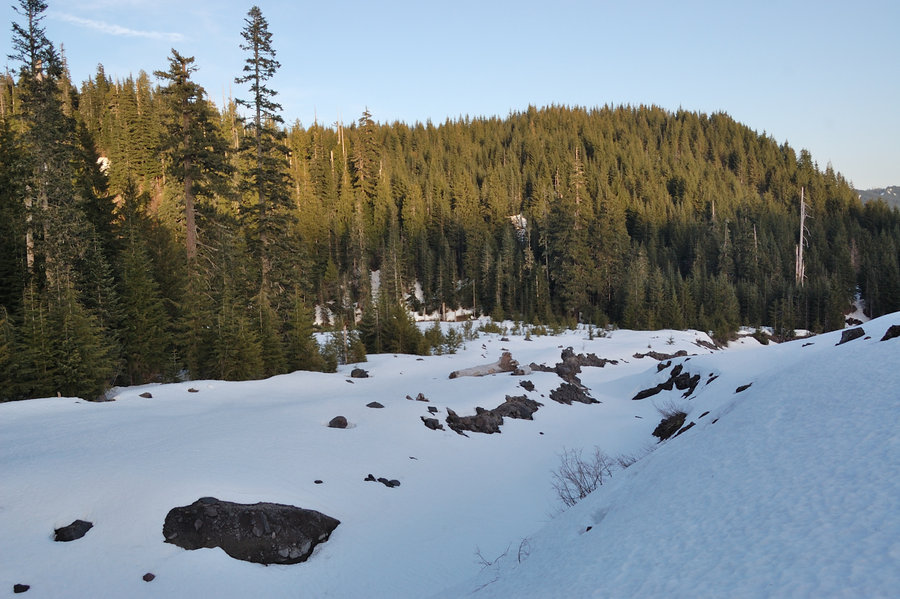
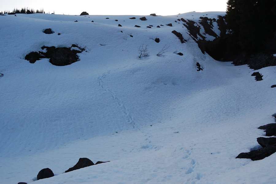
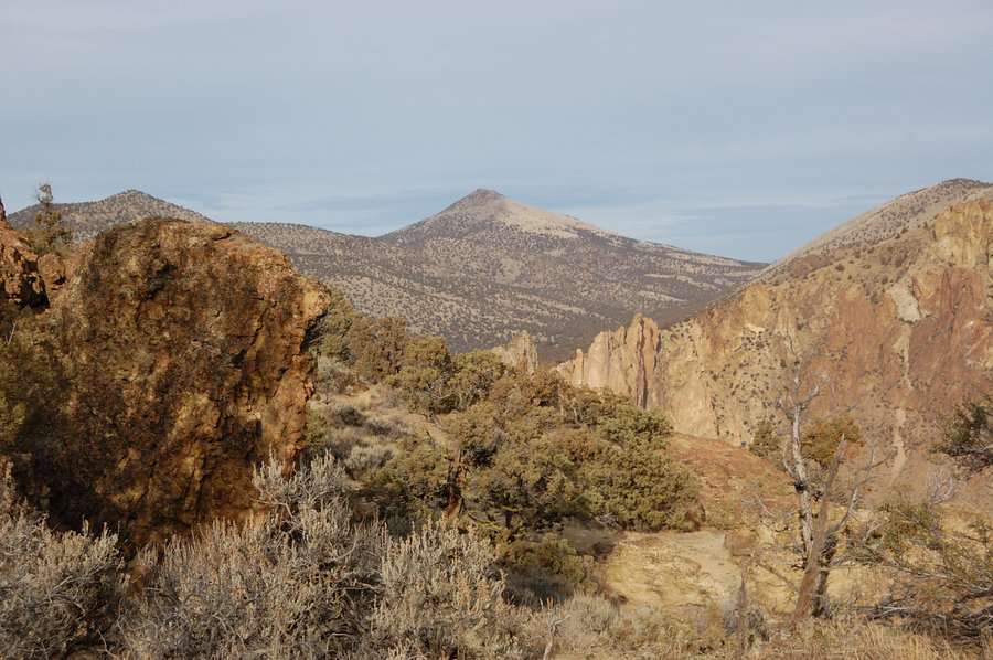
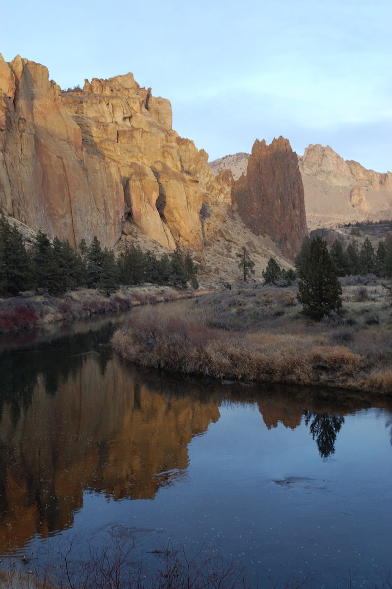
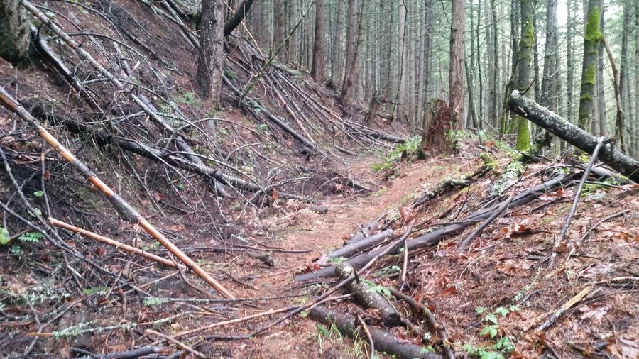
.jpg) 3
3
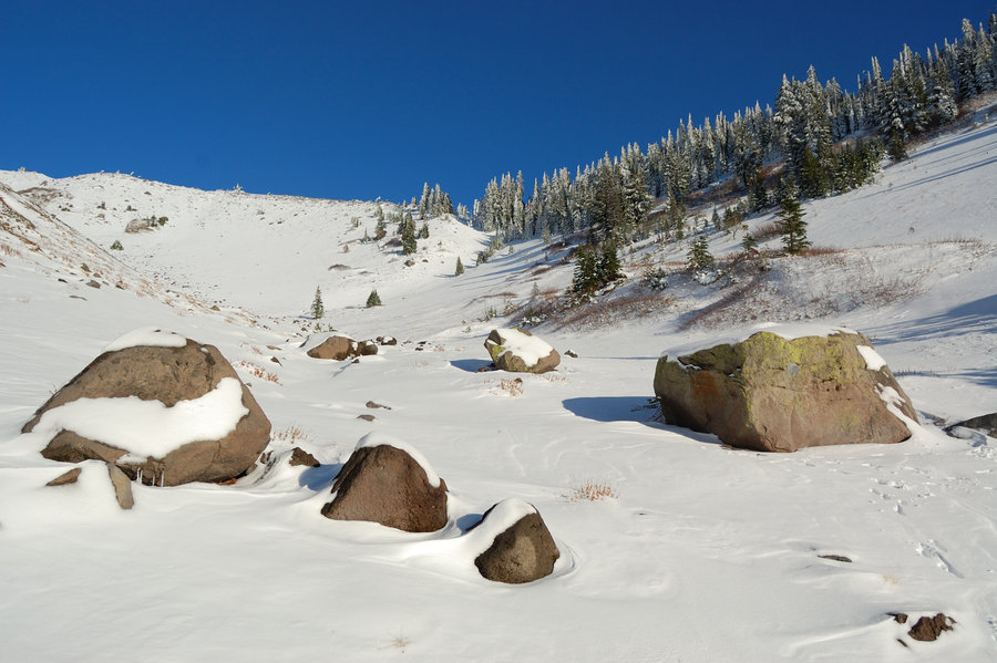
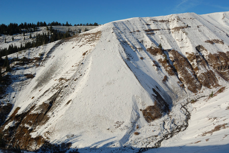
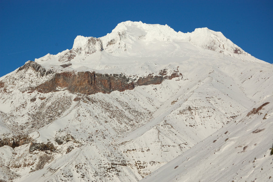
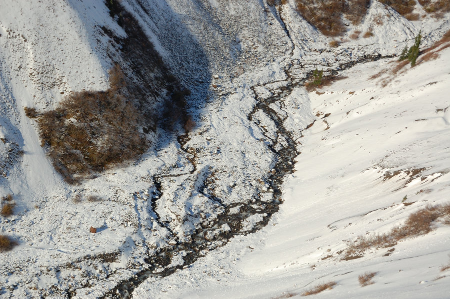
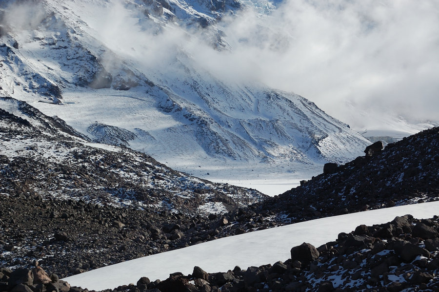
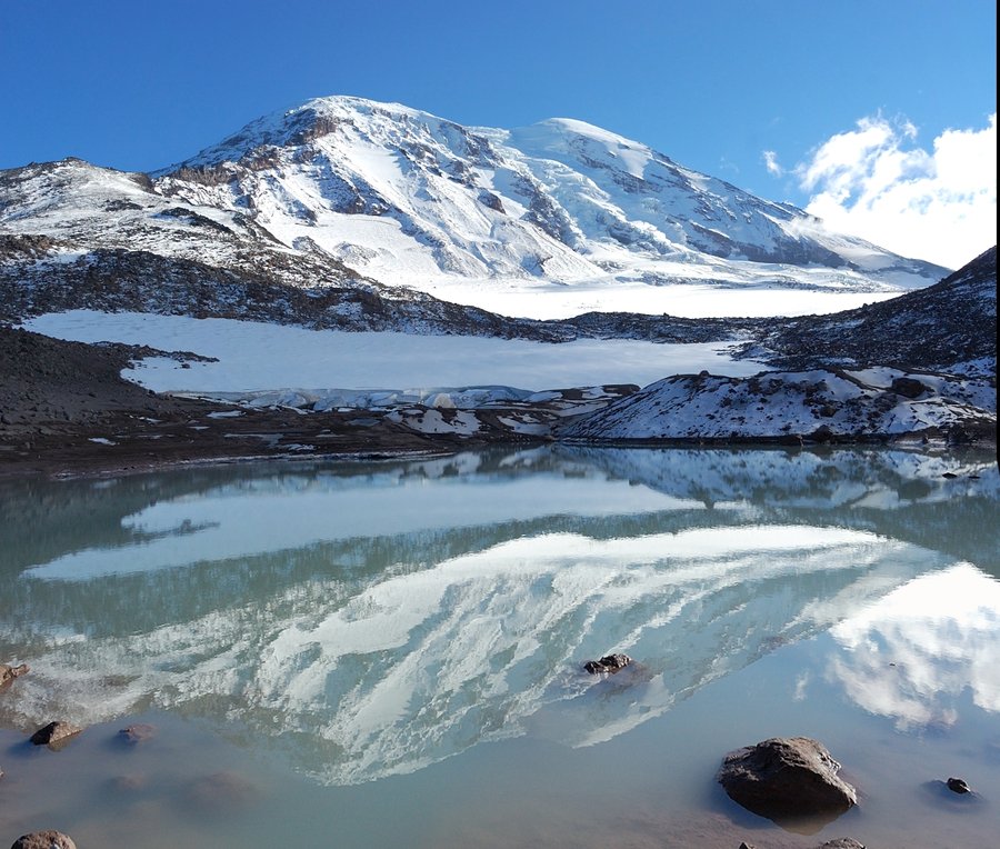
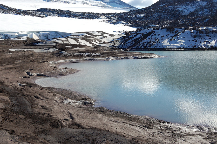
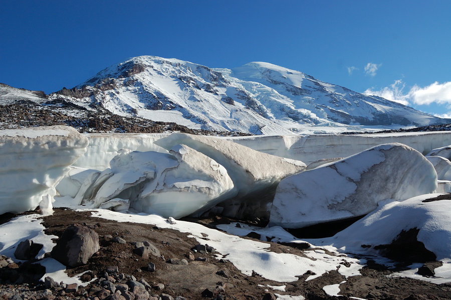
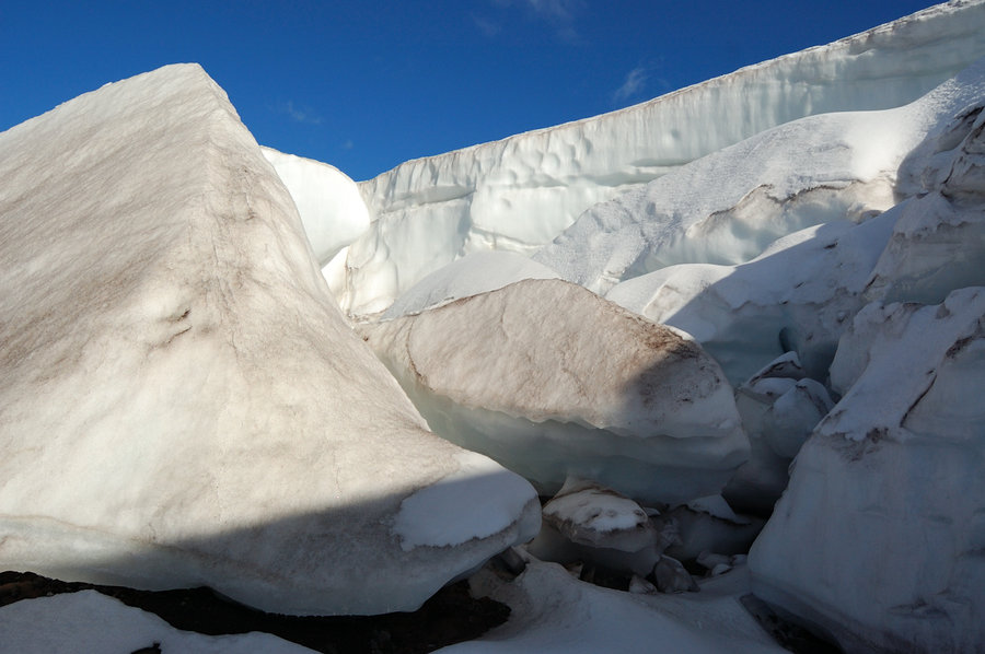
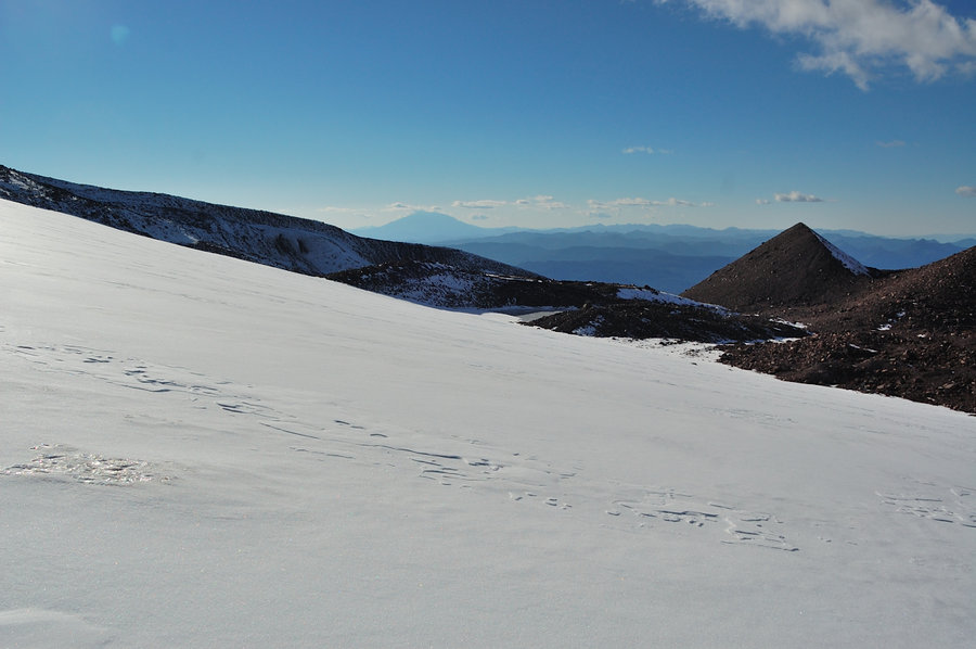
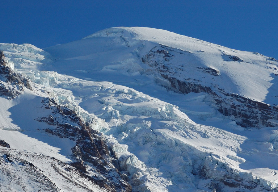
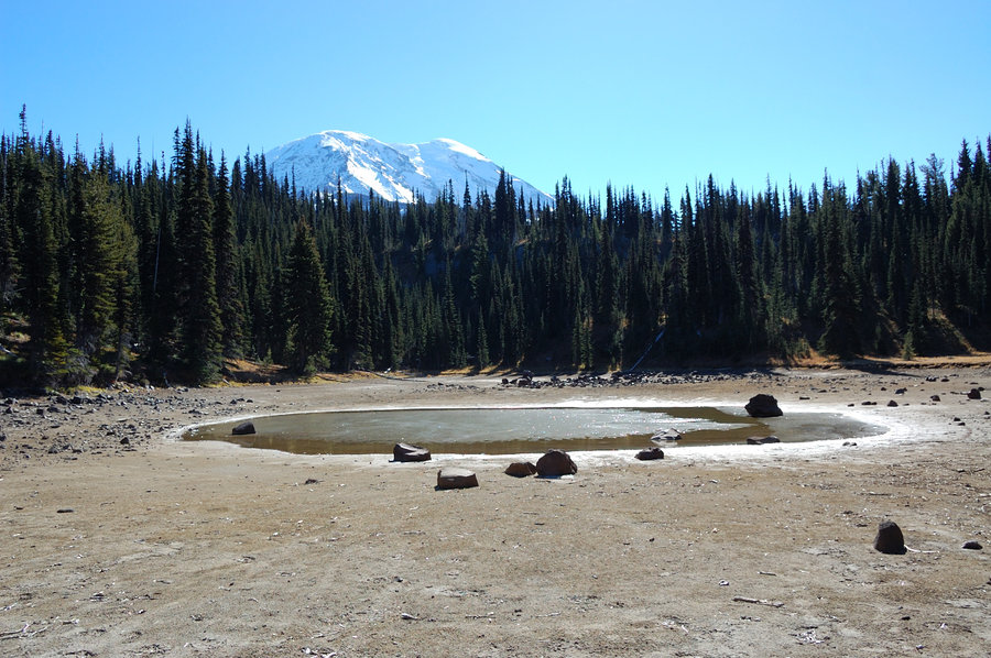
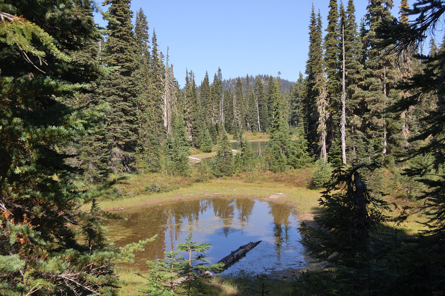
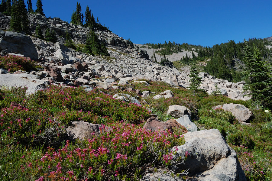
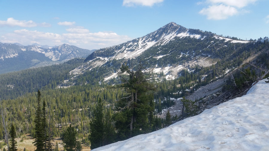
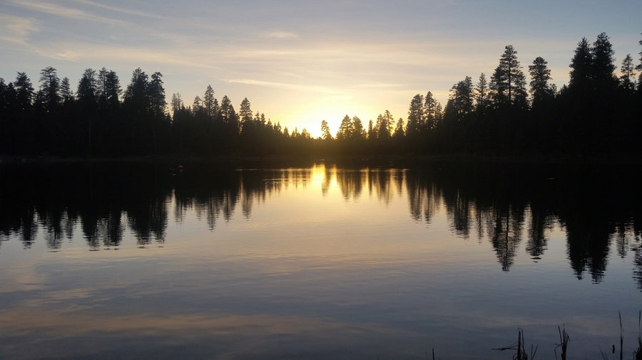
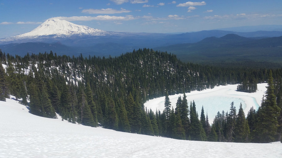
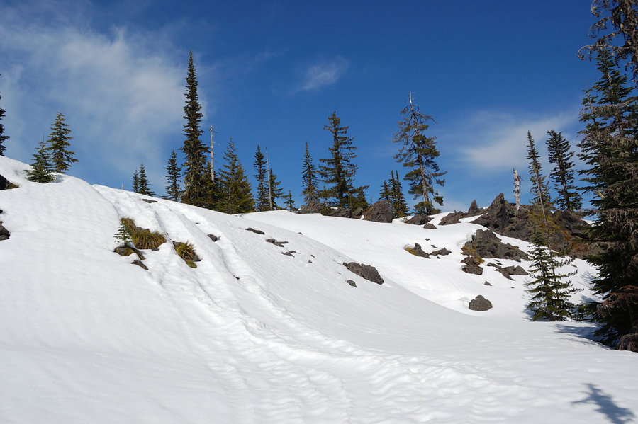
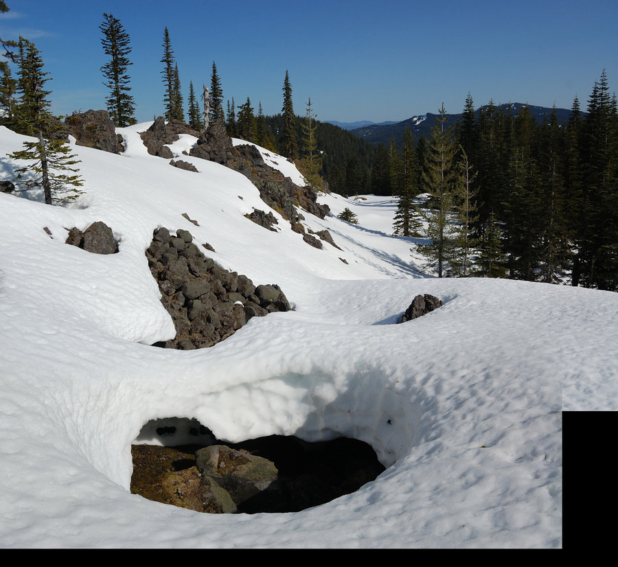
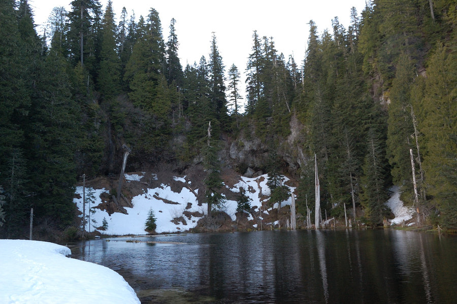
Adams - north side hike
17.5 miles of hiking • 3750' elevation gain • 2 nights
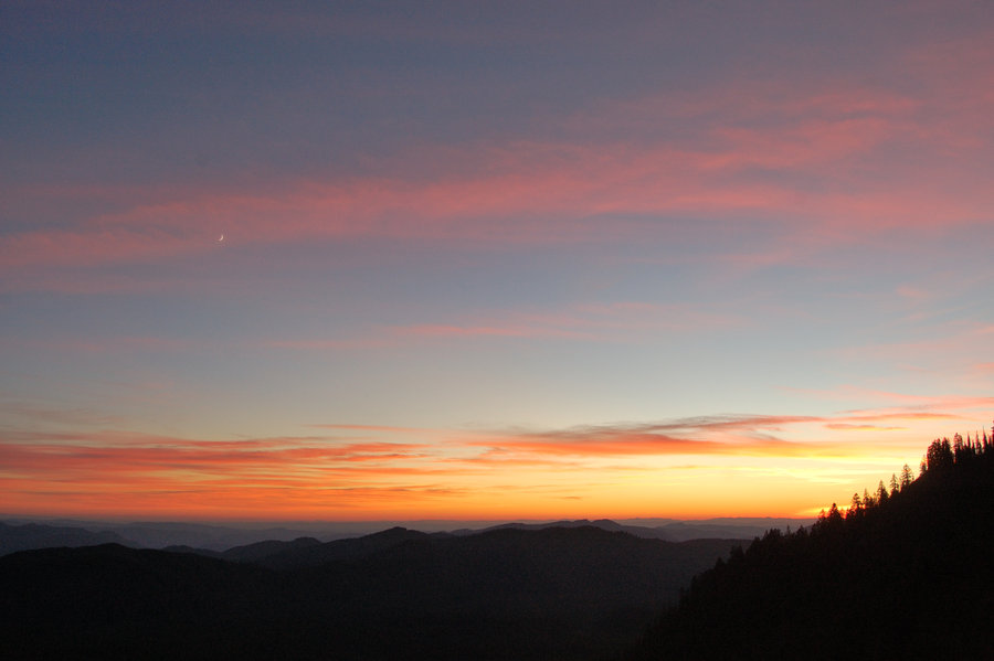
Hiked to Killen Lake on Friday evening and set up a camp. Next day I went to High Camp, then continued to Glacier Lake. Adams Glacier looked nice and easy, with just a dusting of fresh snow, so I hiked to 7,800' for even better views. Adams Glacier is immense, when you're standing on it! On Sunday I took it easy because my foot hurt a bit, made a loop around lower Killen Creek Meadows and visited some ponds, before heading back. Stopped at Takhlakh Lake for the sunset on the drive home.
October 12 – October 14, 2018

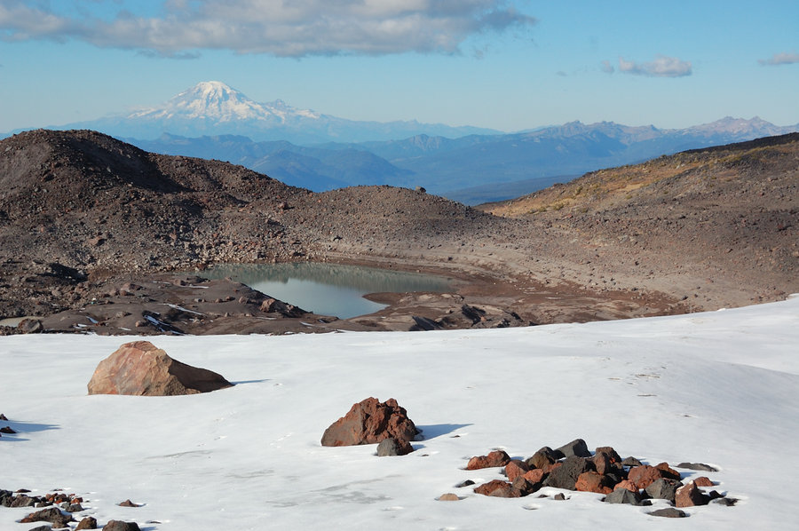
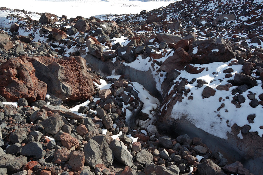
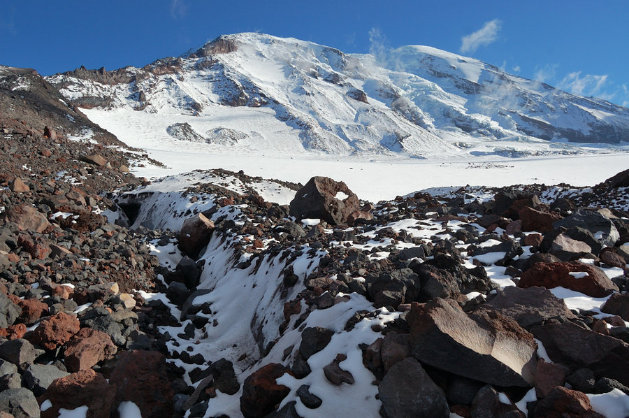
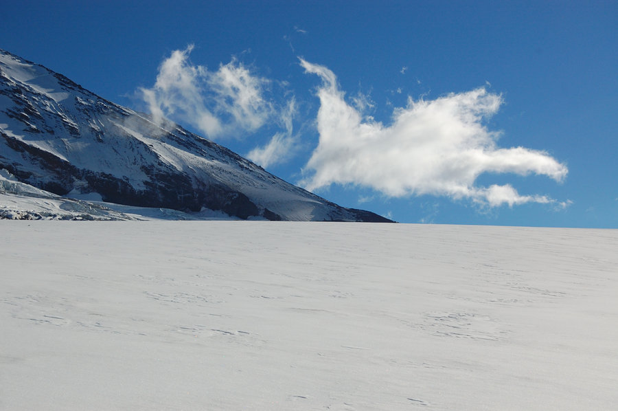
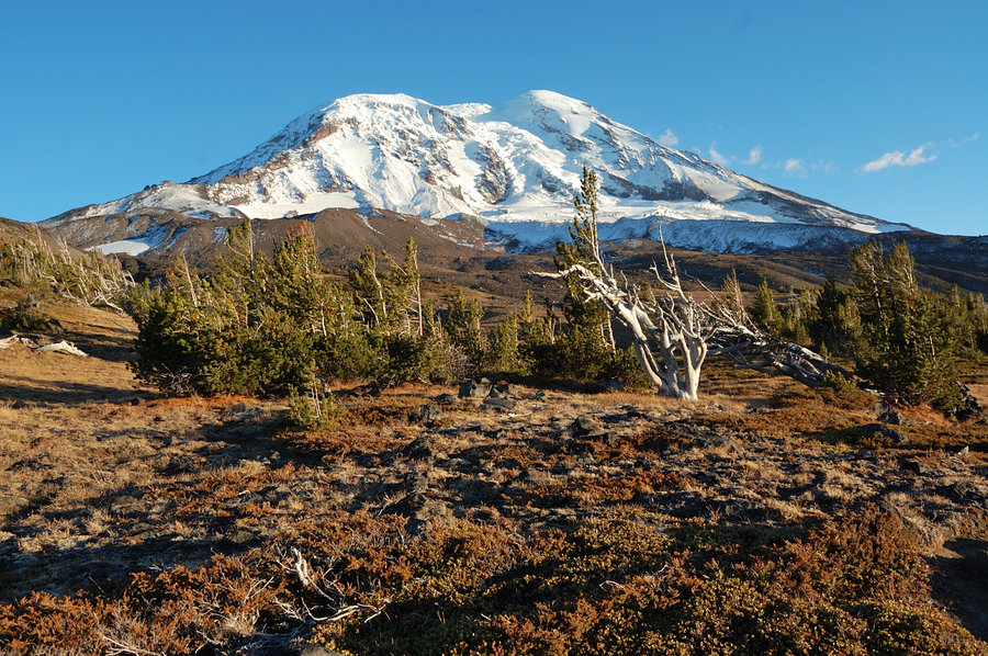


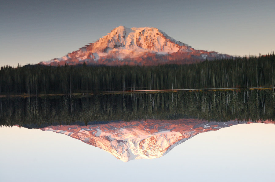


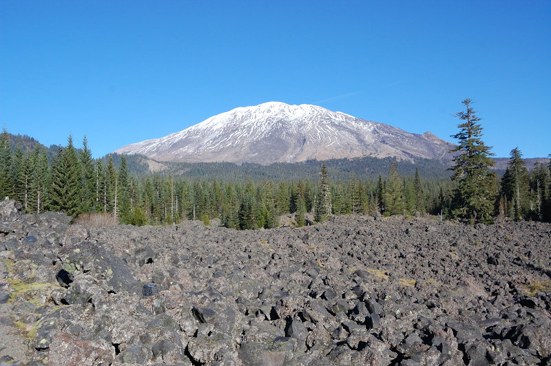
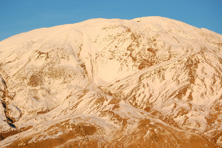
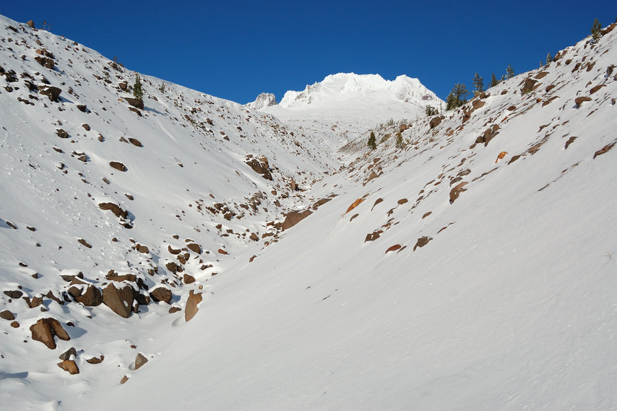
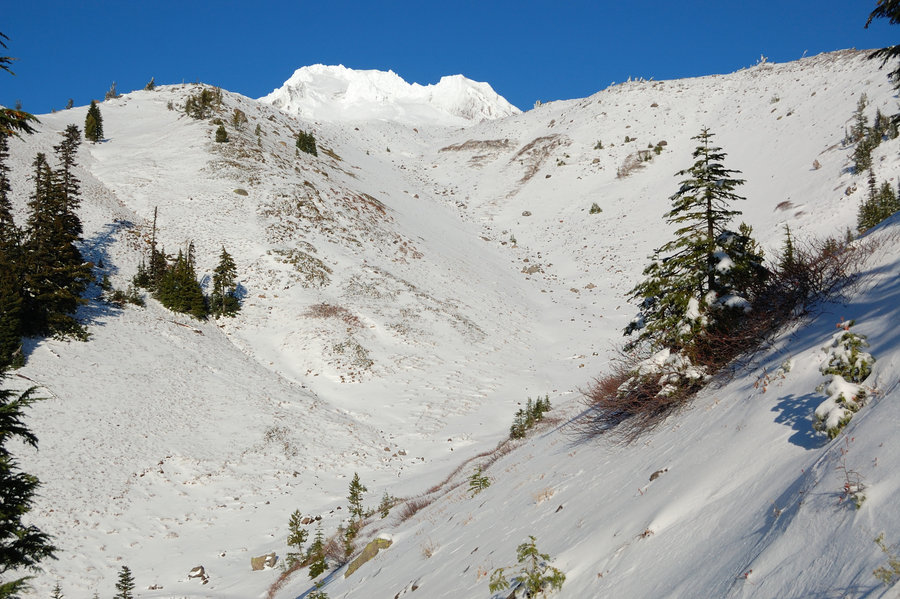
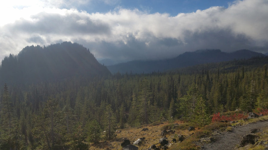
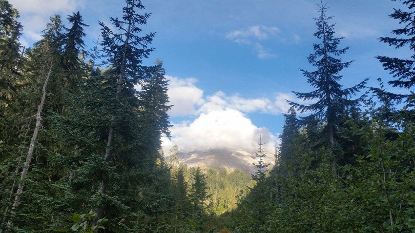
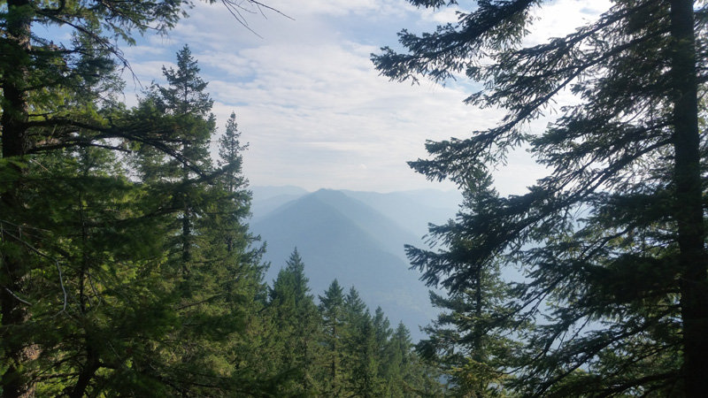
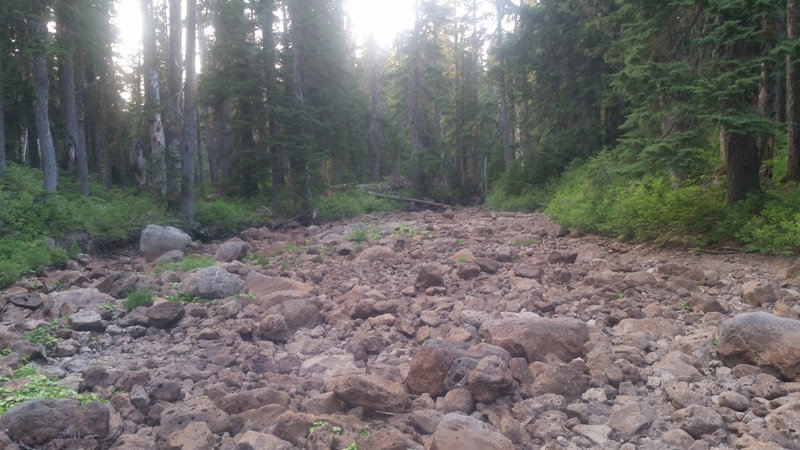
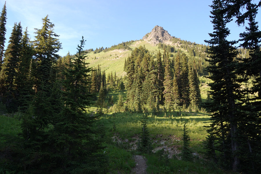
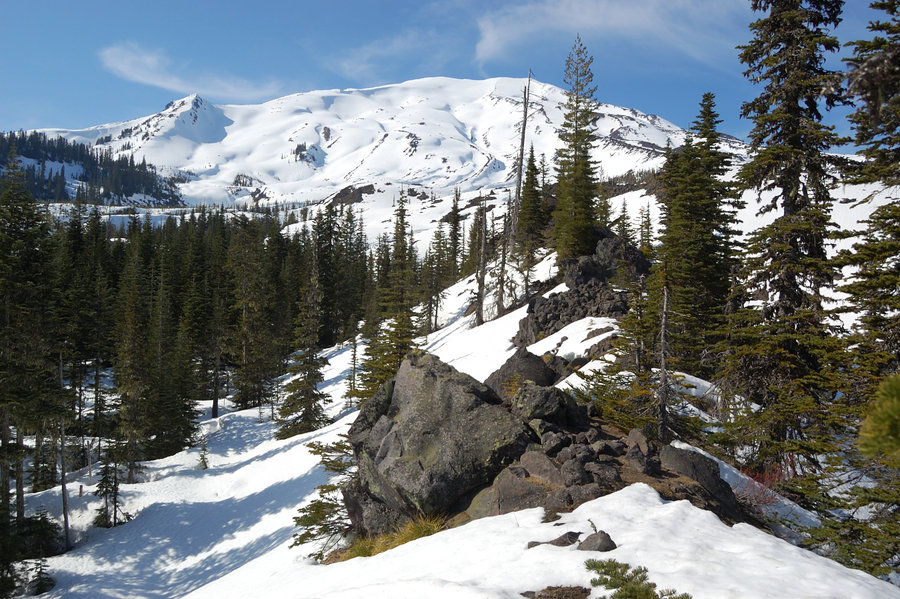
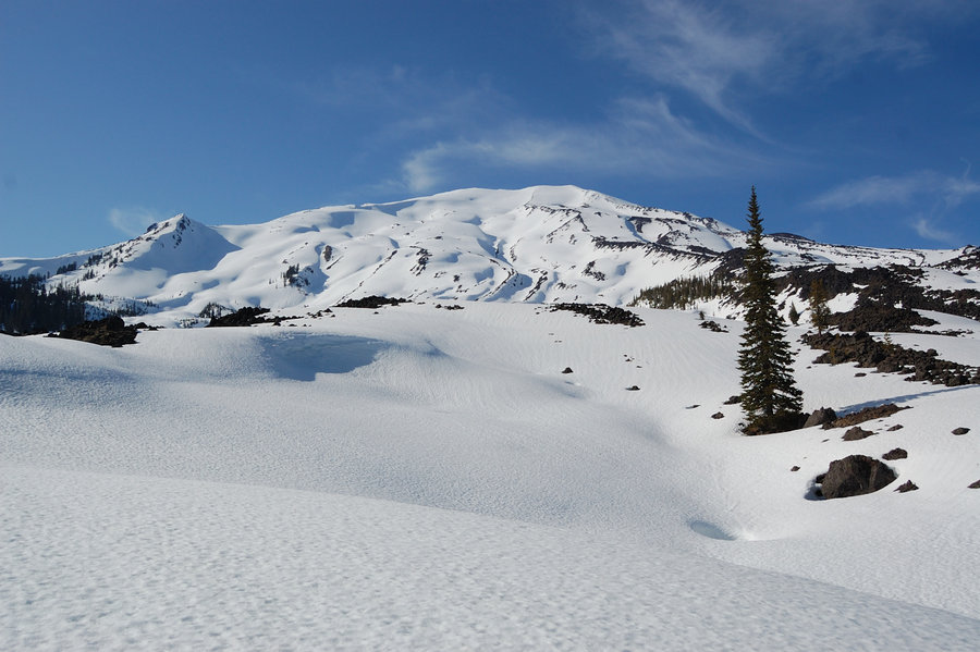
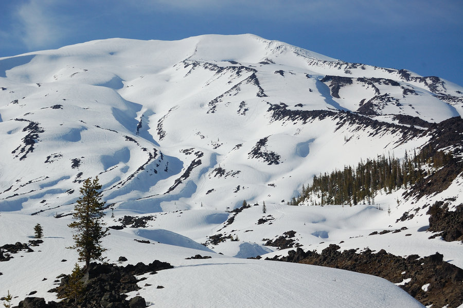
MSH west side hike
7.7 miles of hiking • 1750' elevation gain •
Butte Camp trail with a bit of Loowit Trail. The mountain was all socked in at first, but started to open up, and then last clouds parted on the west side just as I got above the treeline! It was really cold there, but cloud action was awesome, and it was nice to see fresh snow on top.
October 6, 2018


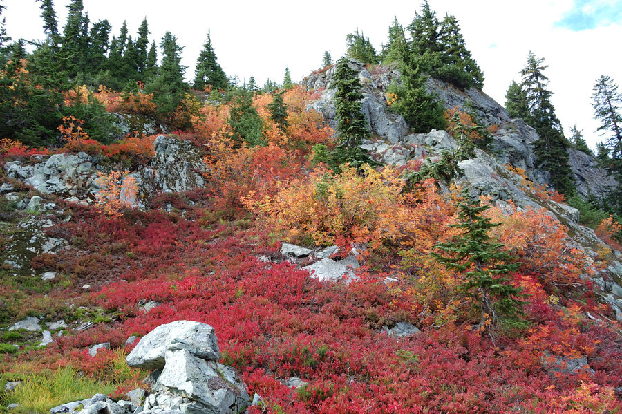
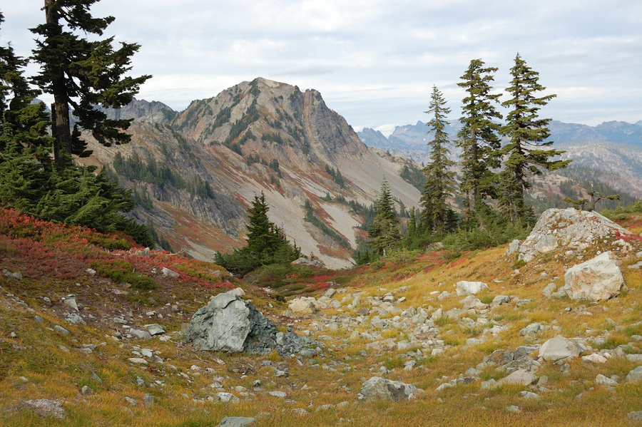
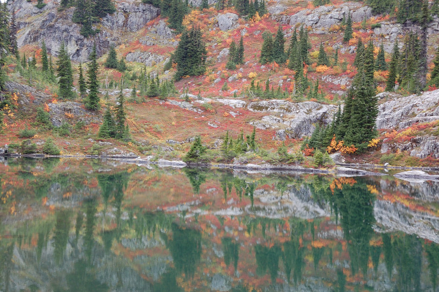
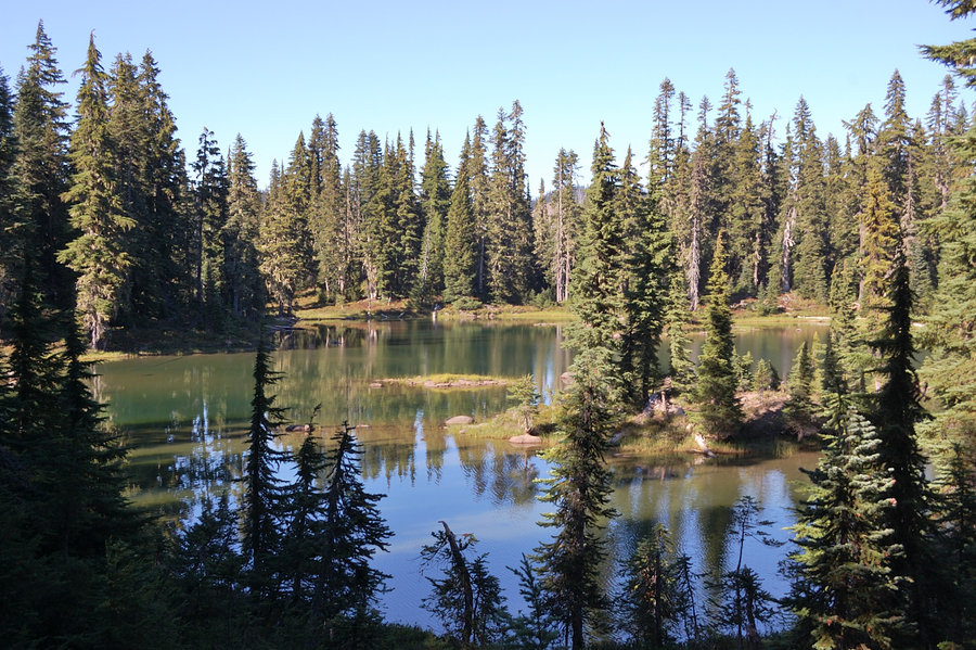
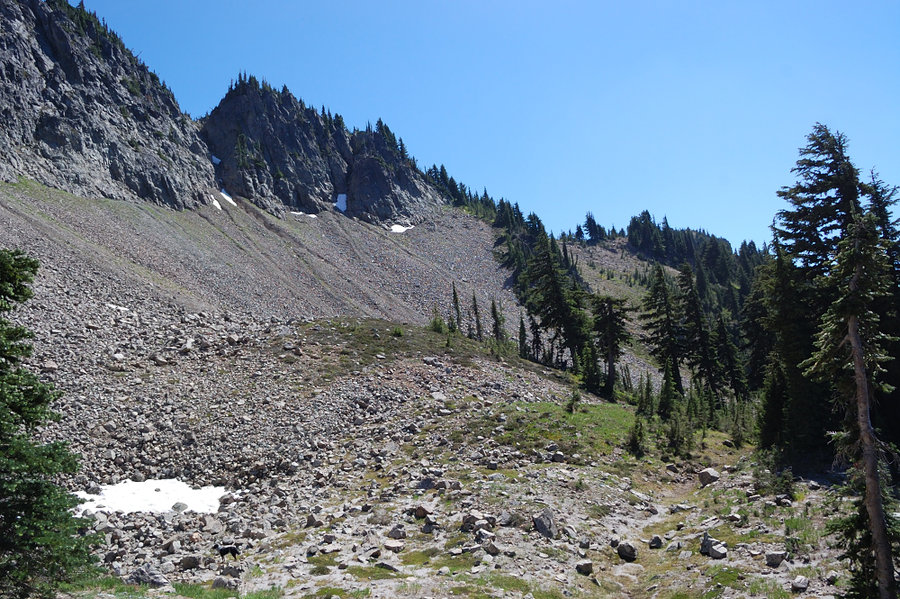
 3
3
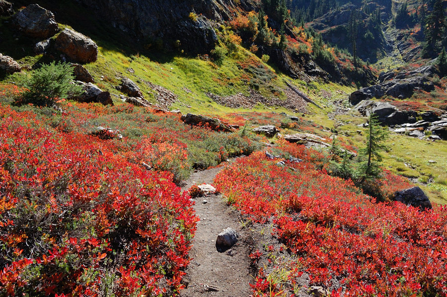
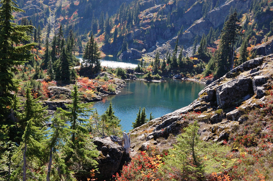
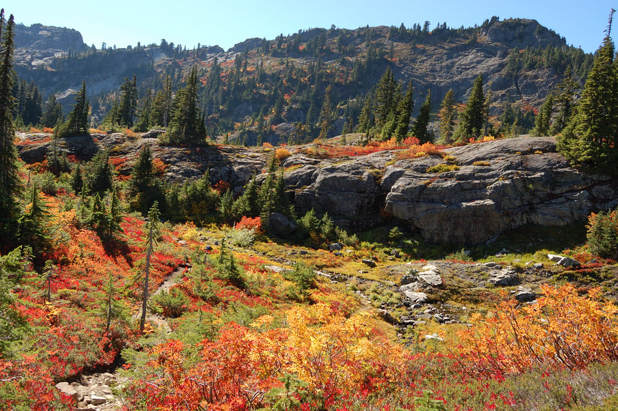
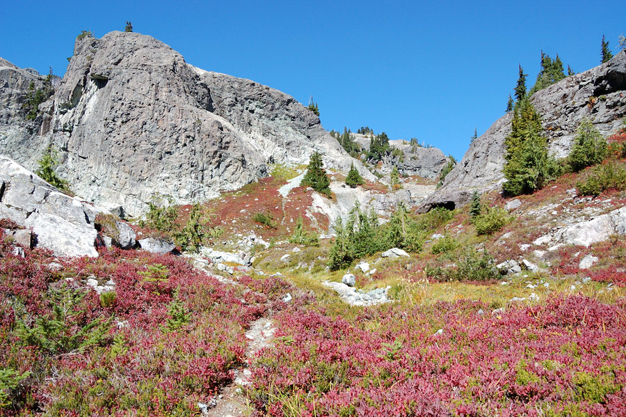
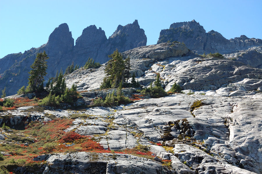
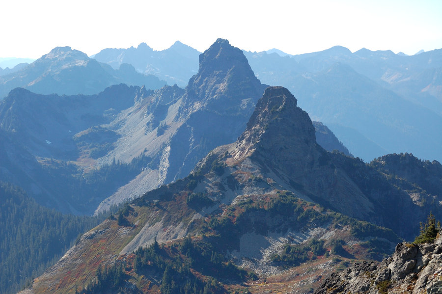
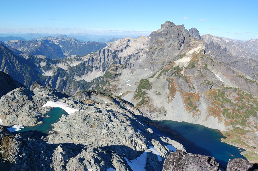
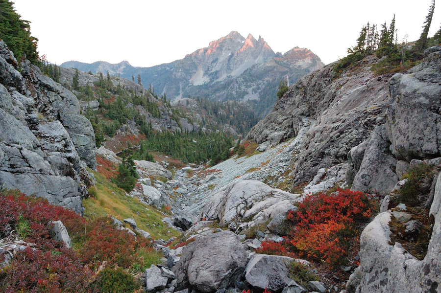
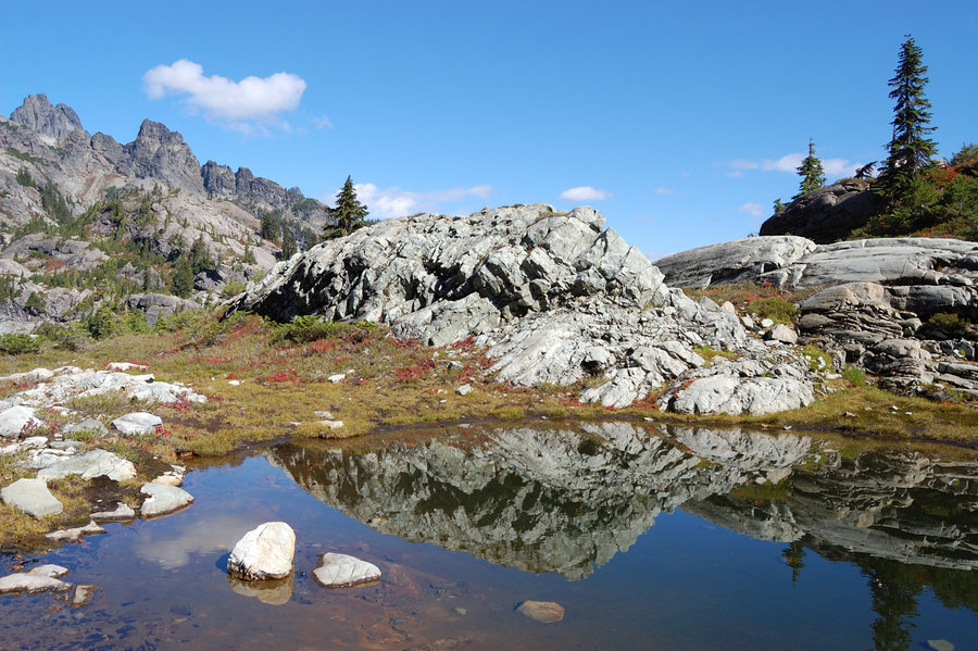
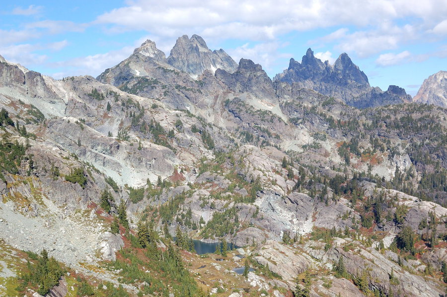
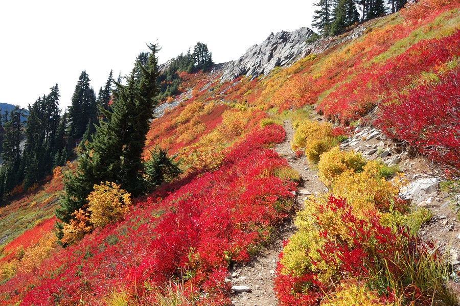
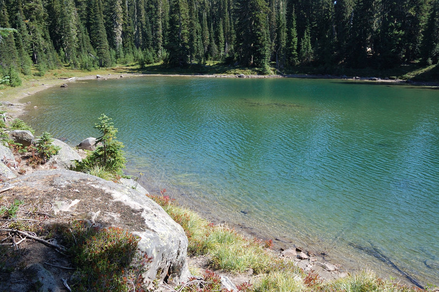
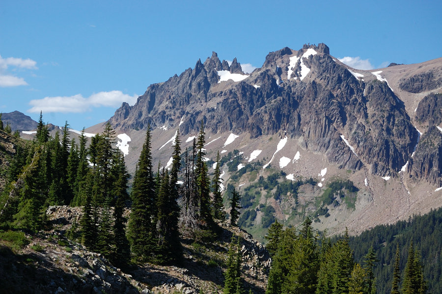
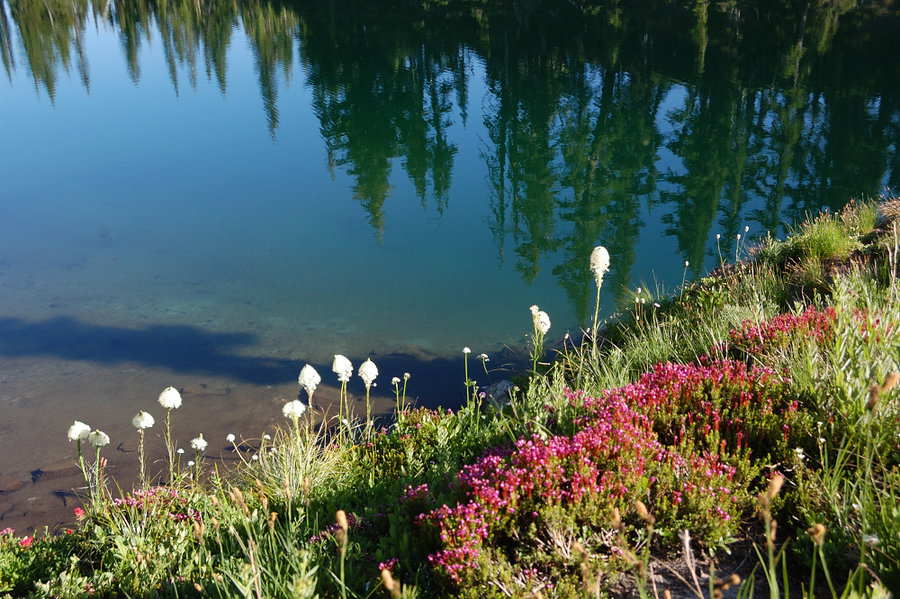
Alpine Lakes Wilderness
27 miles of hiking • 8500' elevation gain • 4 nights
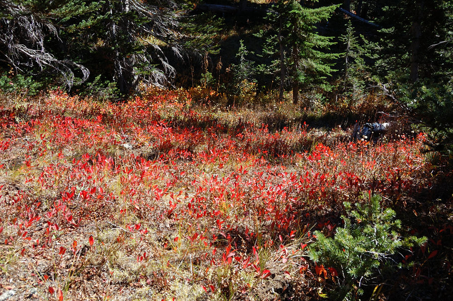
Scrambling vacation in the Alpine Lakes, what can get better than this? Did pretty much the same route I've done three years ago - hiked to Rampart Lakes, Lilia Lake, Glacier and Icebox Lake, and to Chikamin Peak summit, with exciting part going over Hi Box Ridge and talus fields below Alta Pass. Planned my schedule better this time - no scrambling to knife-edge ridge with a flashlight, or other stuff I did on the first trip. But like then, I wished I had 2-3 more days just to wander around, and explore nearby destinations. Scenery is just epic up there, and fall colors were at their best.
September 26 – September 30, 2018


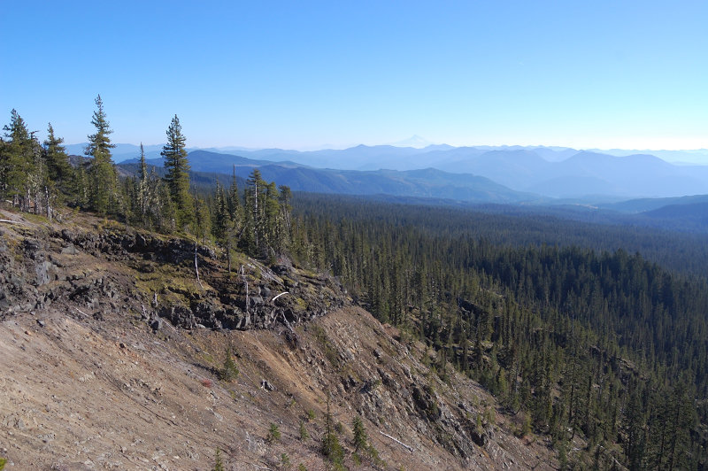
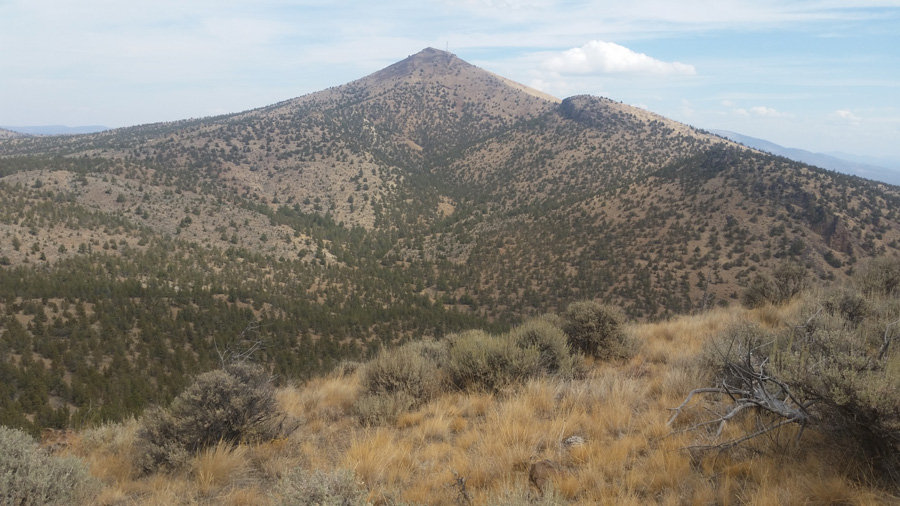
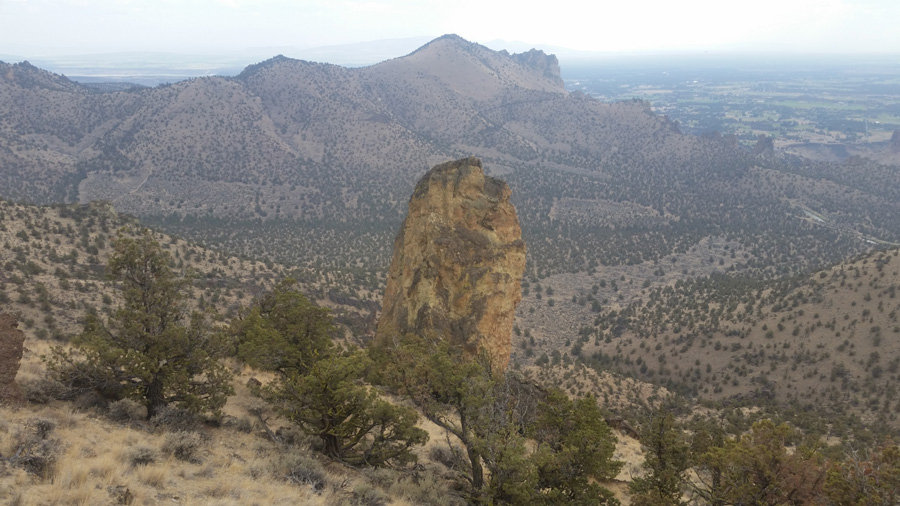
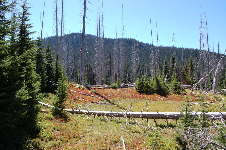
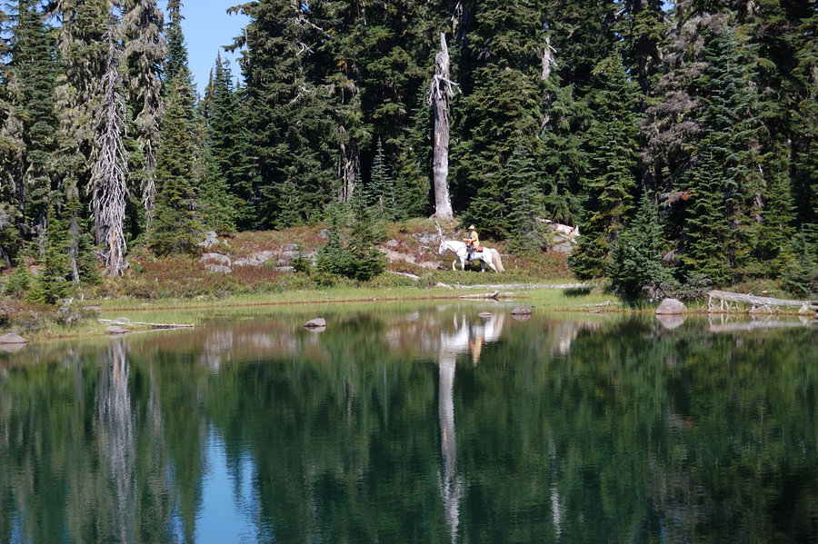
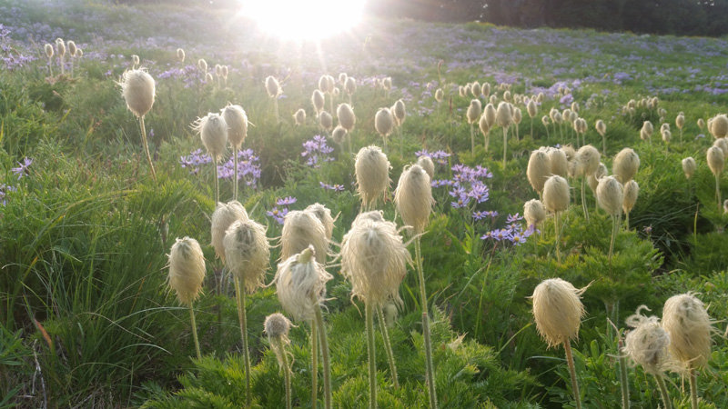
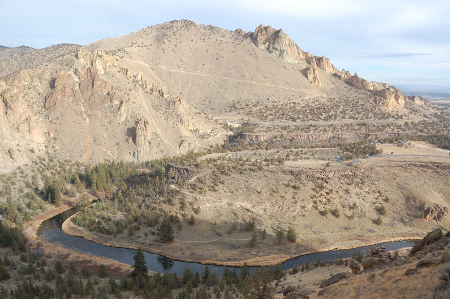
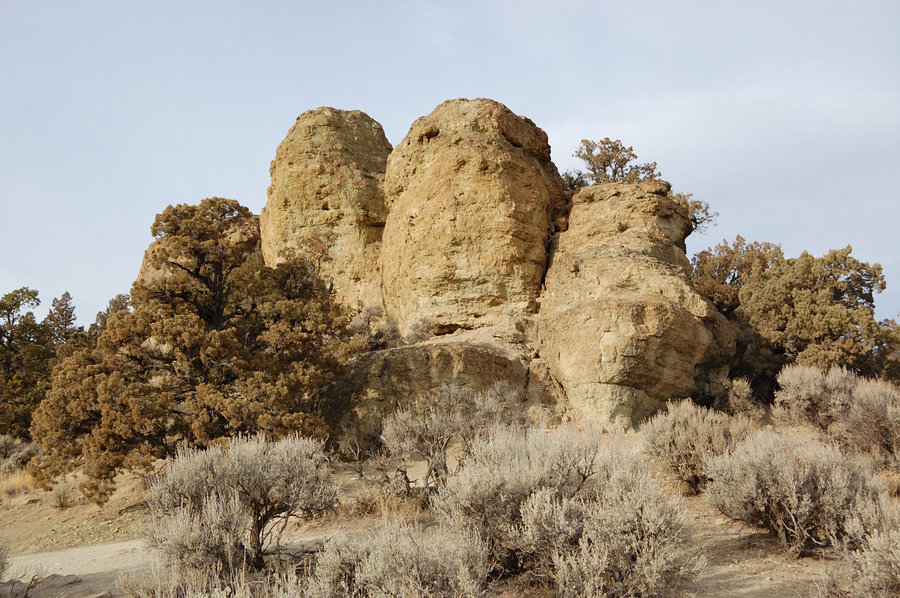
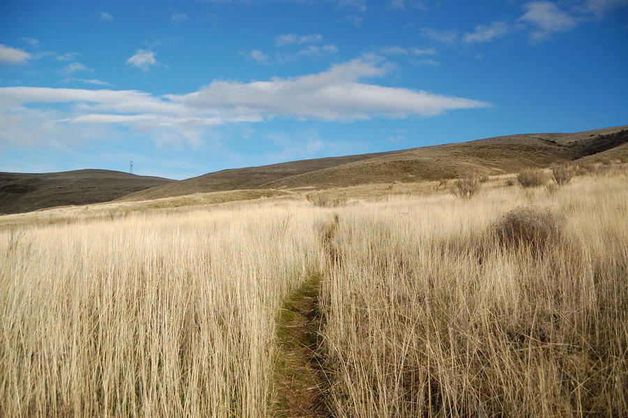
Gray Butte/vicinity
9.75 miles of hiking • 2000' elevation gain • 1 night
Went after work on Friday and camped at trailhead, to get earlier start before rain arrives. Very warm night, full of stars. One trail runner ran downhill by my camp at midnight, then back uphill at 1am - now that's a dedication! I went to see some trails/ridges on southwest side of Gray Butte, then hiked over the summit on NW side, and returned on the road on E side to make a loop.
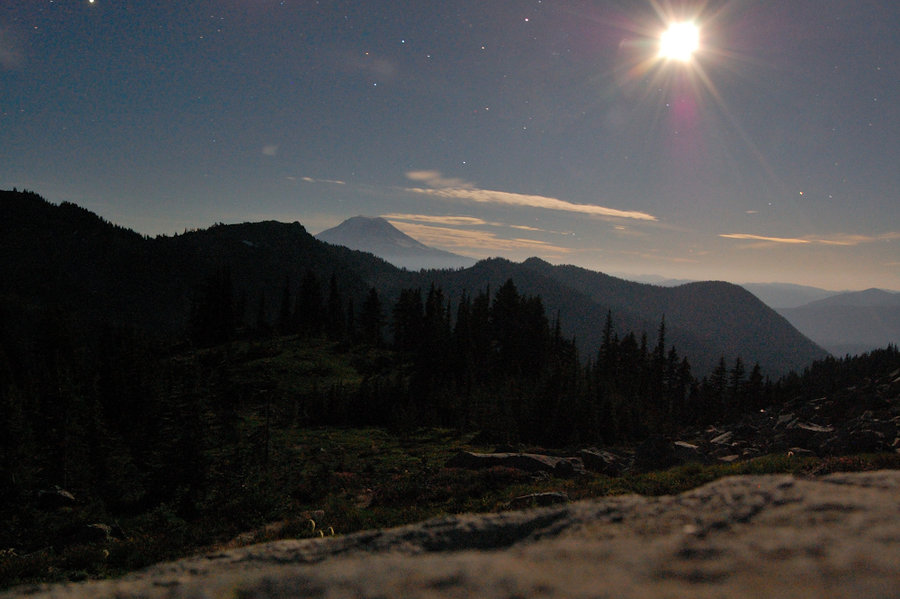
September 14 – September 15, 2018


 1
1
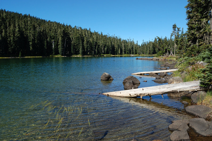
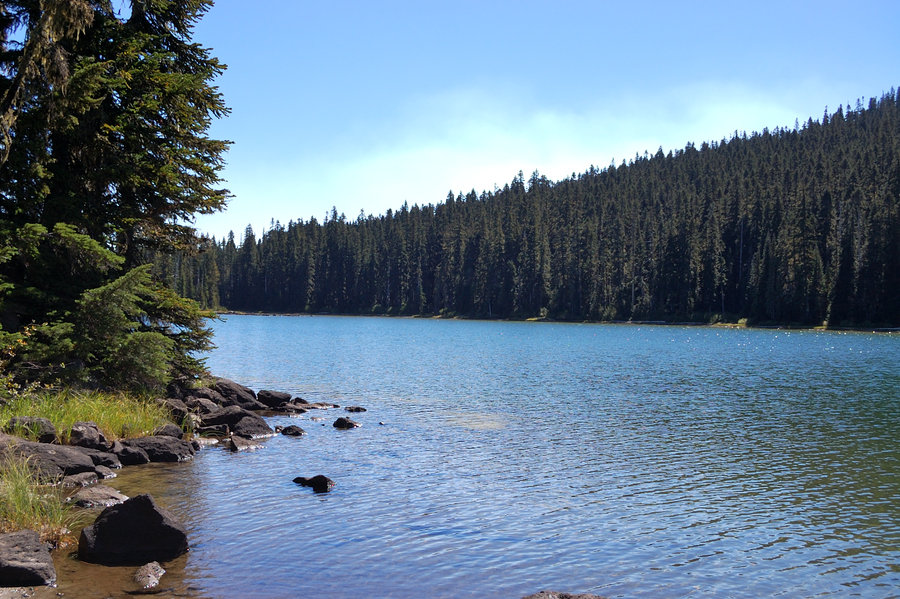
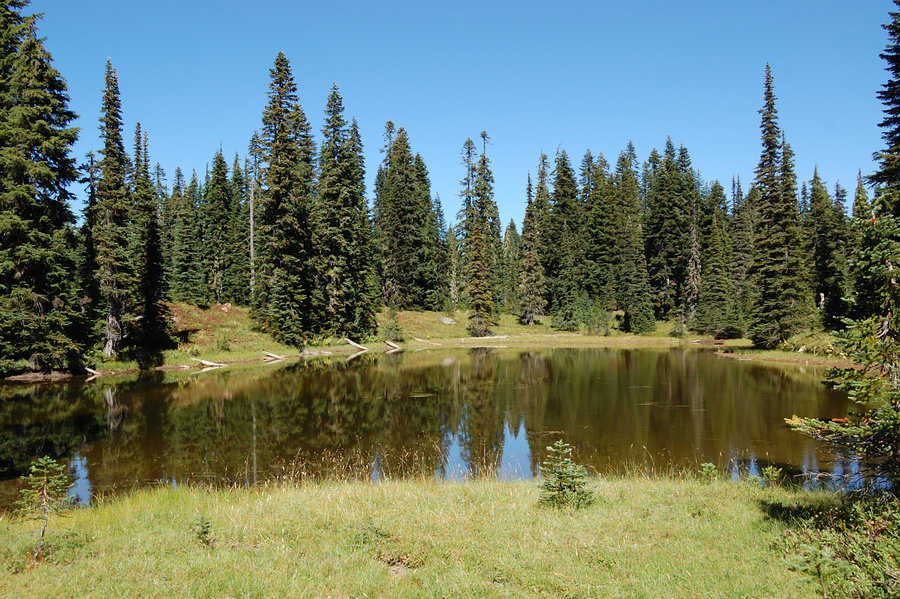
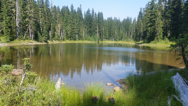
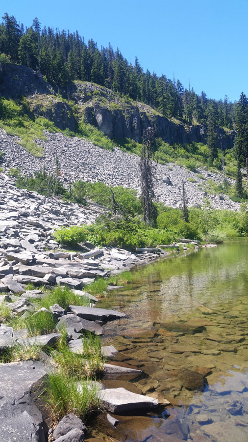
William O'Douglas Wilderness
24 miles of hiking • 2750' elevation gain • 2 nights
Real wilderness, feels so wild and remote! Only PCT corridor was somewhat crowded. Lots of lakes and tarns, elk trails all over the place. I wanted to check out Tumac Mountain as well (for view of Rainier) but got carried away exploring the lakes.
September 1 – September 3, 2018


 1
1
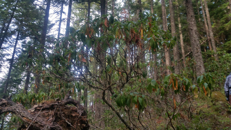
Hunchback trail
4 miles of hiking • 1500' elevation gain •
Great steep hike when we're short on time. I'd like to say the ridge was same as always, but it was not. The forest is stressed by drought, rhodies are also drying out. We need some real rain..
P.S. Just realized we were there just 4 days before a woman, who was attacked and killed by a cougar, was reported missing.
August 25, 2018


 1
1
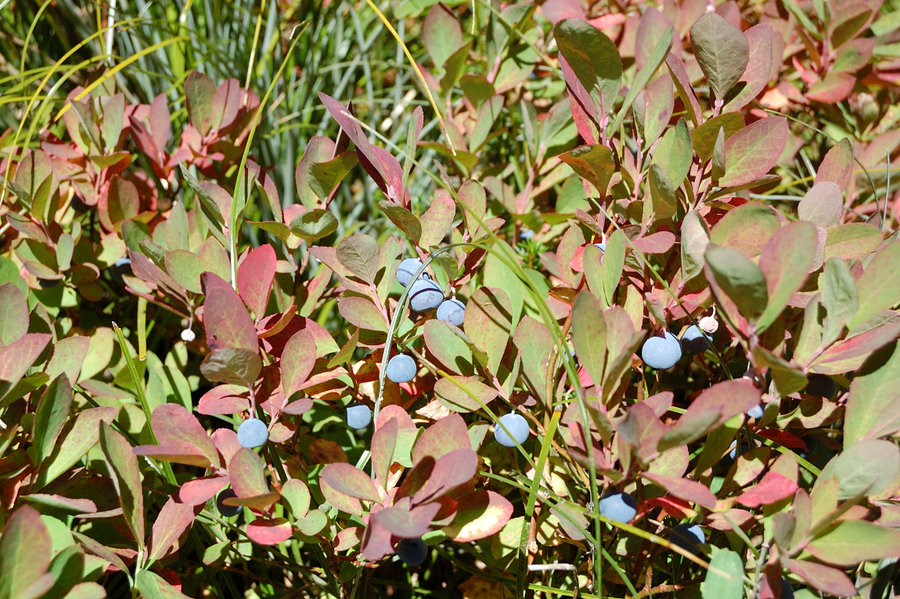
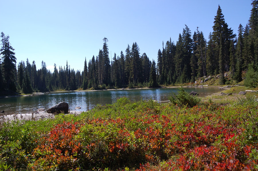
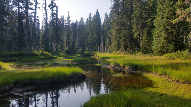
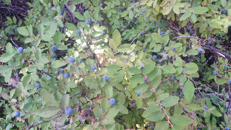
Indian Heaven
10 miles of hiking • 1250' elevation gain • 1 night
Checked some of the little lakes/ponds I found earlier in spring in snow - wanted to see how they look in the summer. Swam in 4. Ate so much berries I got stomach ache. Met 2 rangers (while on trail) and got my permit checked. Saw a dozen of elk (was slow with my camera), then another lone elk on the way back. Sitting by one lake & drying up I observed a mouse diving under water for extended periods of time (not kidding), only swimming up to take a breath; it took several dives until it was done foraging and run ashore by my feet.
August 18 – August 19, 2018

 1
1
Mt Hood east side hike
9 miles of hiking • 1500' elevation gain •
Family hike above Mt Hood Meadows.
August 12, 2018


Placid Lake
2 miles of hiking • 0' elevation gain •
Not really a hike, just a nice vacation day on a lake. Mosquitoes were minimal, berries - plentiful, finally the time to hit trails in Indian Heaven. But I need more practice swimming, it's been a long time..
August 9, 2018

 1
1
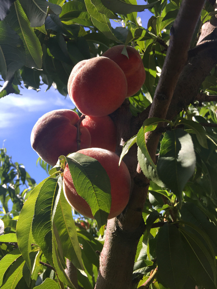
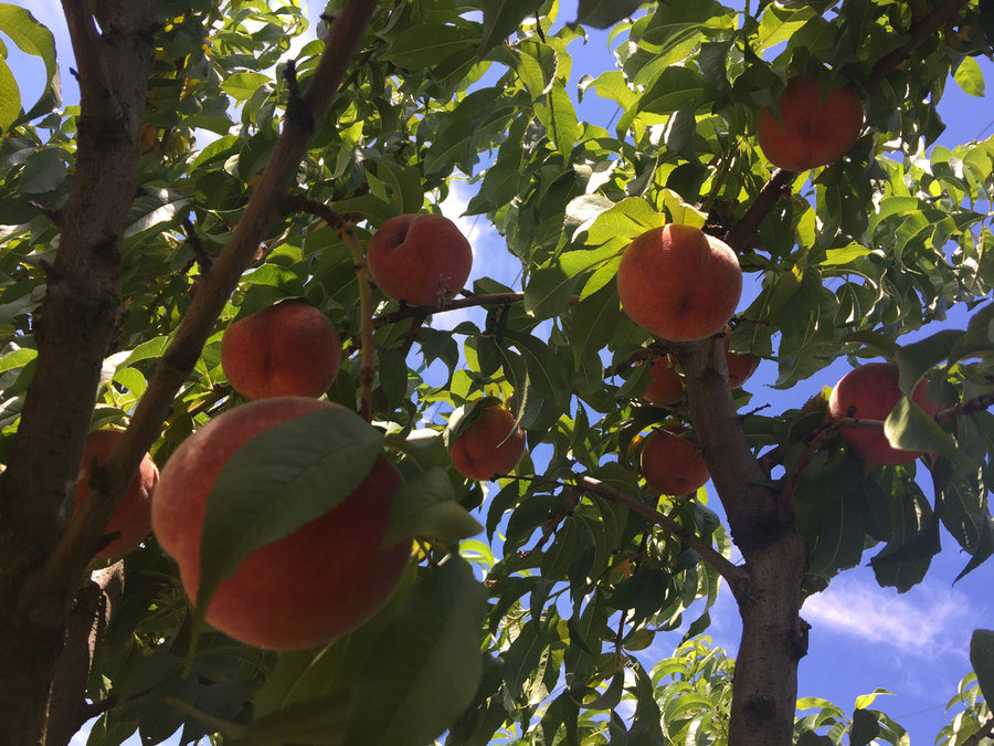
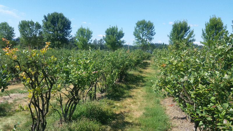
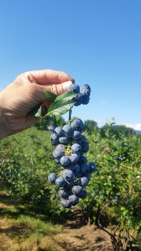
Vancouver orchards "hike"
1.5 miles of hiking • 0' elevation gain •
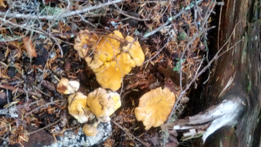
Got a nice "hike" picking blueberries and peaches most of the day (to fill freezer for winter). One of the reasons I like living here is we're not limited to fruits from the mall, that taste like plastic. Now if we only get some decent rain so wild mushrooms can start..
August 4, 2018

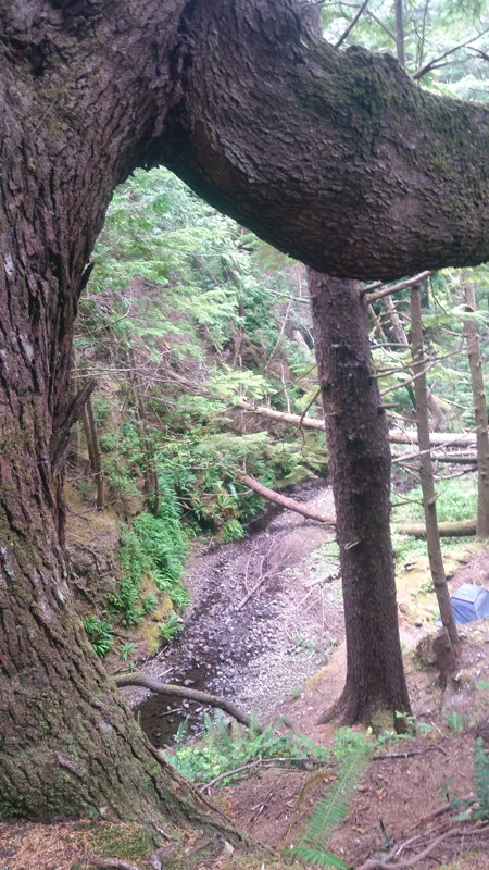
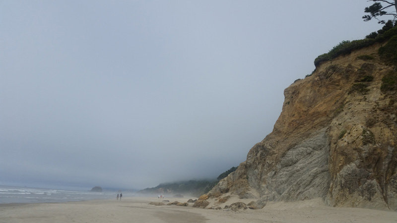
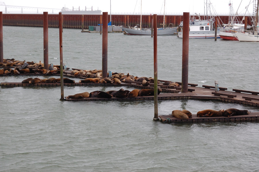
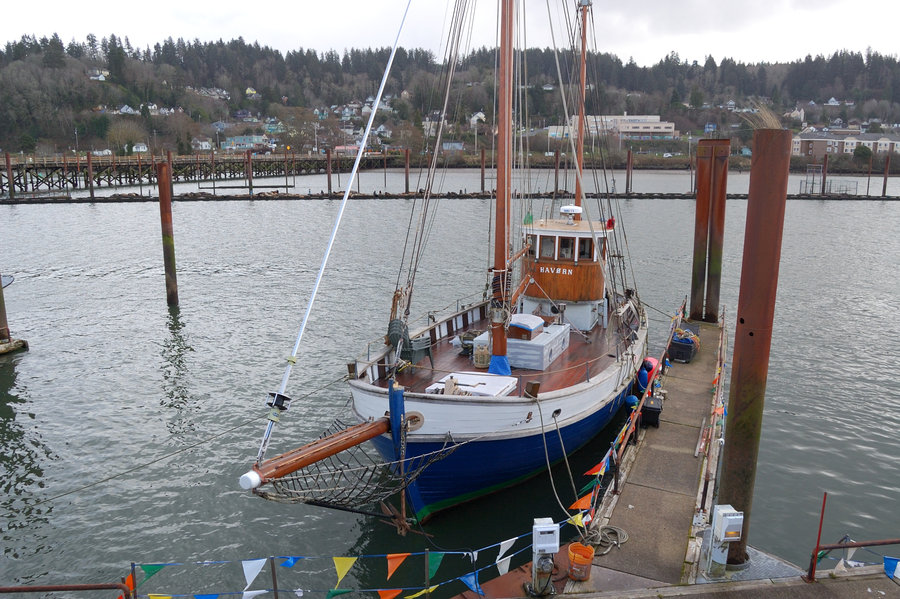
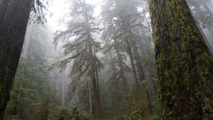
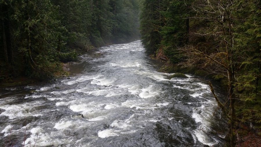
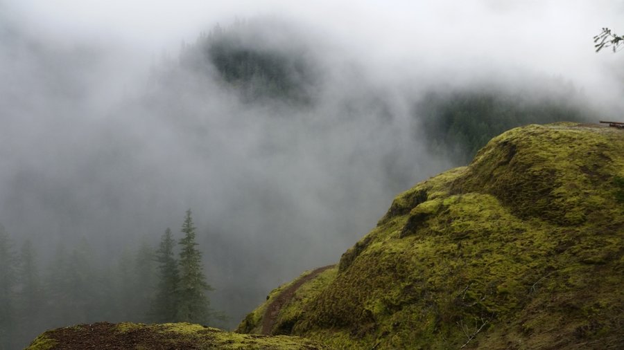
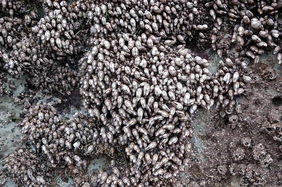
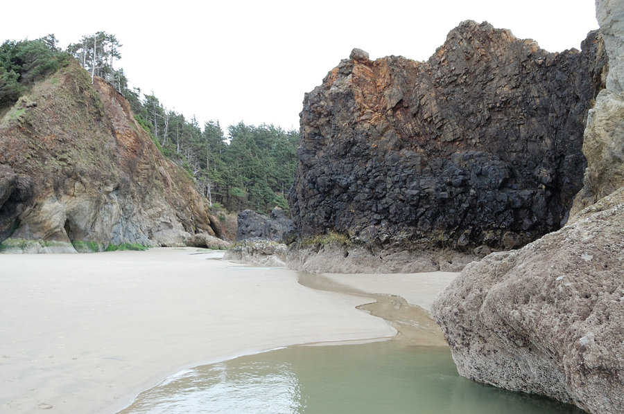
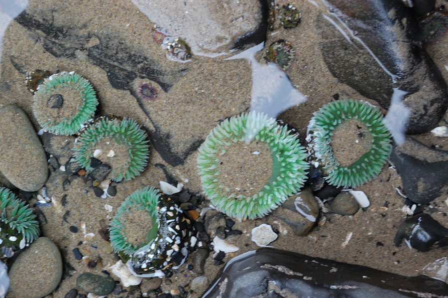
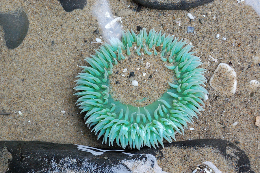
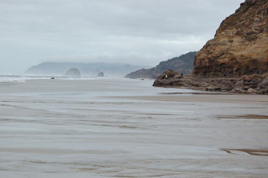
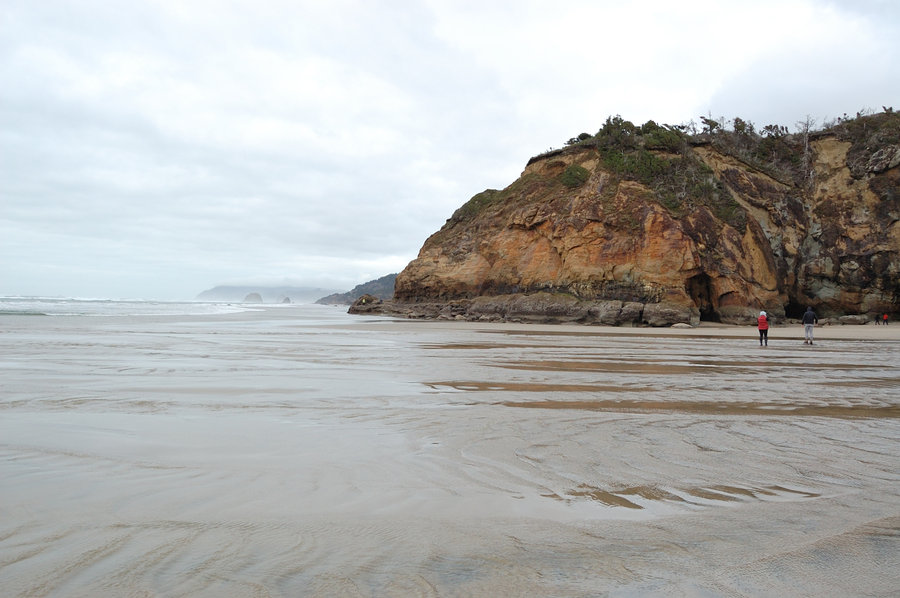
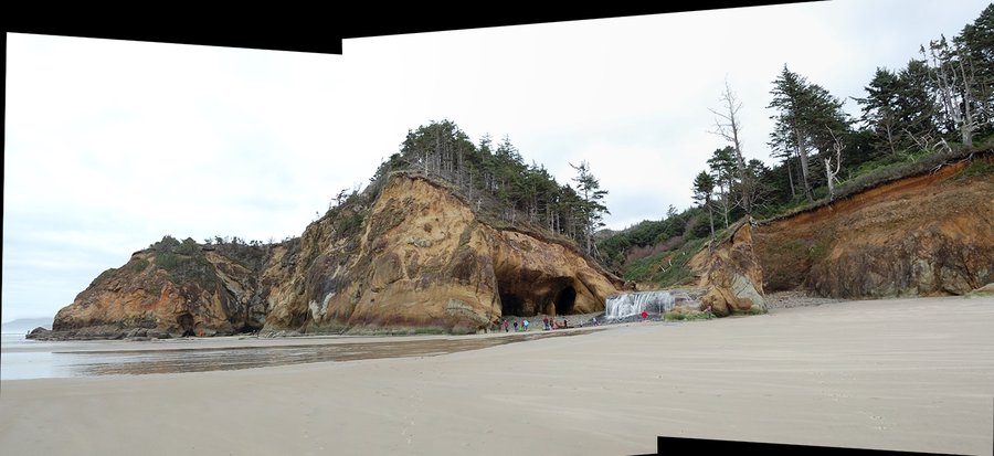
Oregon coast
10 miles of hiking • 0' elevation gain • 2 nights
Nice rest from the heat at the beach. Gorgeous gray skies, cold water, foggy 65 degrees, even some drizzle at night :) Low tides in the morning were the lowest I ever seen. Camped nearby in the Coast Range. It was nice to stay half day on Monday, before driving to work.
July 28 – July 30, 2018


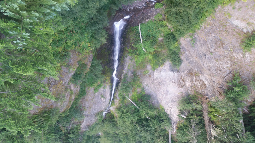
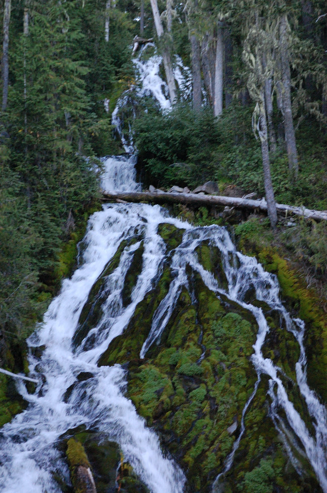
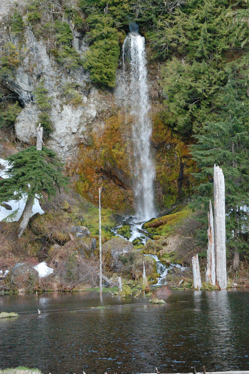
Goat Rocks rambles
33.5 miles of hiking • 6750' elevation gain • 3 nights
4 days of exploring mountain meadows, scree fields, abandoned trails, ponds, and waterfalls. So much to see there!
July 21 – July 24, 2018


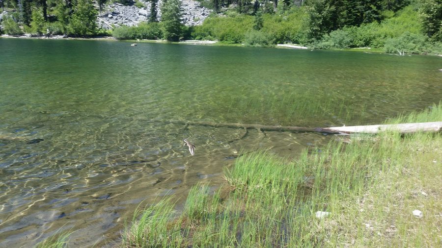
Boulder Lake
2.5 miles of hiking • 250' elevation gain • 1 night
Probably the laziest overnight trip (it was warm in low 80's, but so much better than near 100F at work); I got there on Wednesday just before dark, and spent Thursday swimming in the lake, going around it and checking out Little Boulder, and just reading in camp. Awesome day.
July 11 – July 12, 2018

Triangle Moraine (Mt Hood)
6.5 miles of hiking • 3500' elevation gain • 1 night
Went to about 8,700, not sure if I found the actual Triangle Moraine but was somewhere close. Great breeze, great views, lots of butterflies (video @ the link). Unfortunately my camera died before I got to best stuff. Hiking on glacier was pretty cool, as well as view north to all the cliffs, and the falls at the head of Clark Creek..
July 7 – July 8, 2018


Veda Lake
2.5 miles of hiking • 250' elevation gain •
Short hike after work. Slow, rocky road there, was surprised to see a Corolla at trailhead - it can certainly be done.
July 6, 2018


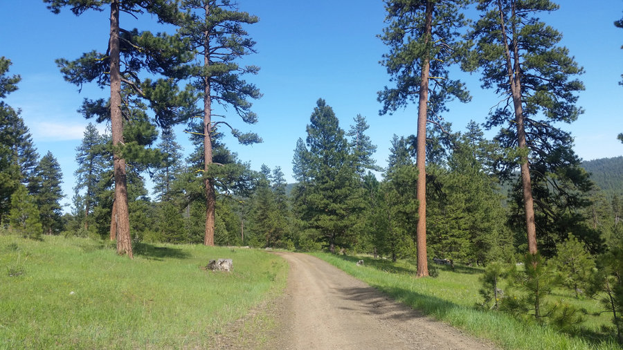
Ed's Trail (Silver Start Mtn)
4 miles of hiking • 1000' elevation gain •
Great family hike, real gem but getting up "road" to North trailhead is hard on the car. We need to get that Discover Pass and park at Grouse Vista next time.
June 30, 2018


Elkhorns
30 miles of hiking • 5250' elevation gain • 3 nights
6 lakes+1 peak +7 passes = great formula for epic weekend (first night was car camping before the hike, but technically, a night under stars, so I think it counts)
June 21 – June 24, 2018


Ochocos Loop
30 miles of hiking • 5000' elevation gain • 3 nights
3-day 2-night loop (plus night near car before hike), from Lookout Mtn over Round Mtn, down to Walton Lake and Ochoco campground, then up Duncan Butte & over Lookout back to the trailhead. About 1/3 of the loop was with no trail - I went on ATV trails and logging roads, with short cuts through forest. Real ponderosa country, loved most of the loop.
May 25 – May 28, 2018


May 22, 2018


May 13 – May 14, 2018


 2
2
April 25, 2018


Gorge hike
4 miles of hiking • 1250' elevation gain •
Mostly offtrail / deer trails / wild hikers trails
April 22, 2018


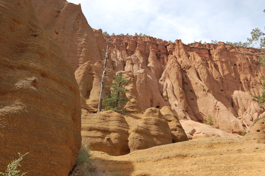
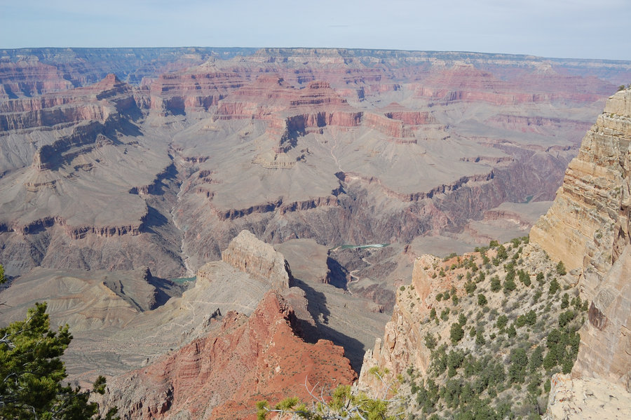
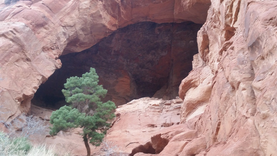
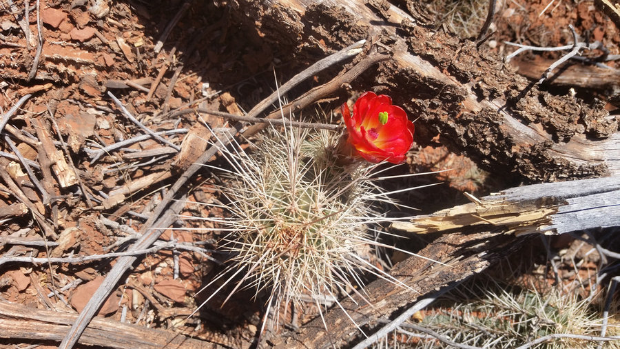
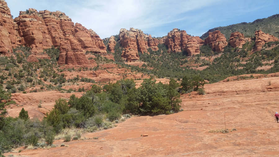
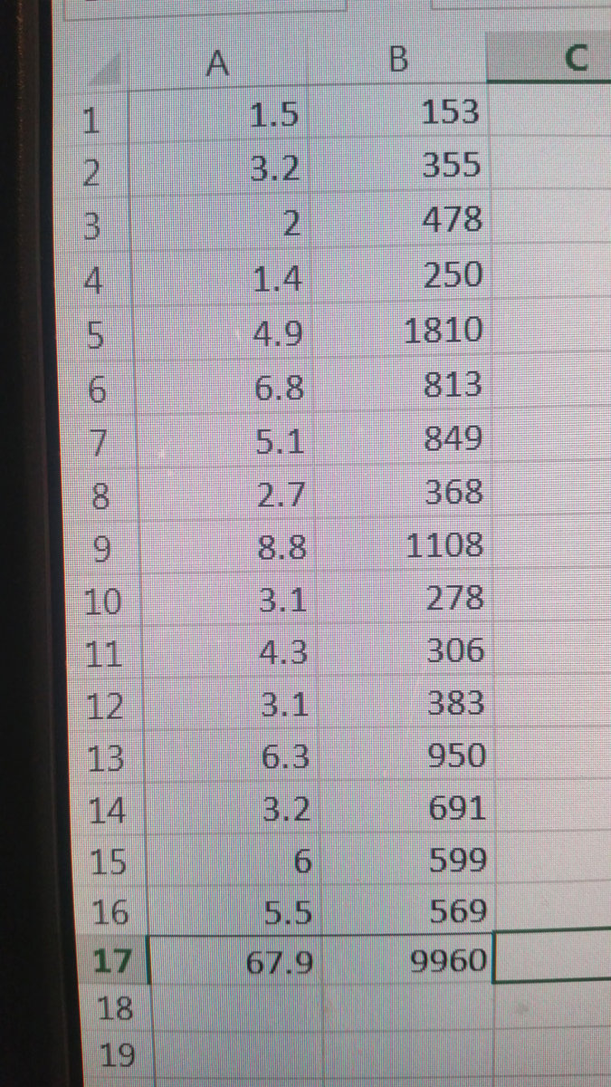
Arizonacation
67.9 miles of hiking • 10000' elevation gain •
Spent a week with my family in north/central Arizona; we did 2 short/medium hikes each day.
April 12, 2018

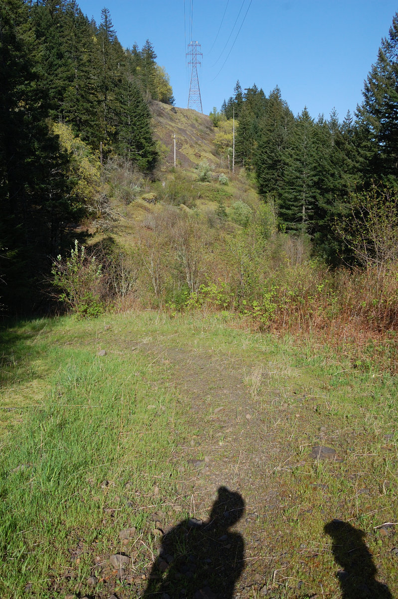
Oak Ridge - Bald Butte loop
6.8 miles of hiking • 2250' elevation gain •
Tried new loop with ridge off Bald Butte's west side - much better views than going via powerline road. Want to repeat when balsamroot bloom starts. GPS track is in the link
March 31, 2018


February 26, 2018


February 7, 2018


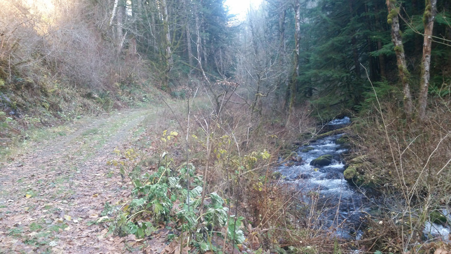
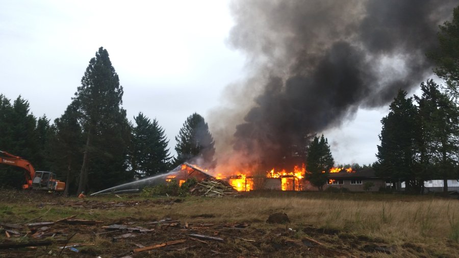
Troutdale fire hike
1 miles of hiking • 250' elevation gain •
Saw big smoke on the way to post office, decided to investigate. Turned out it's firefighter training/ demolition, not accidental fire.
February 1, 2018


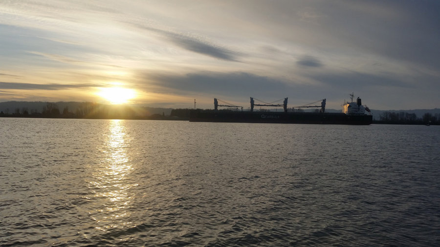
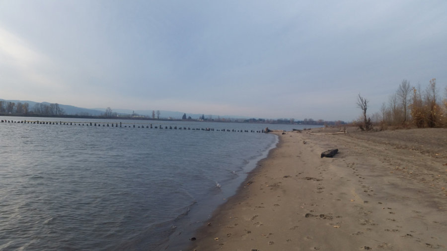
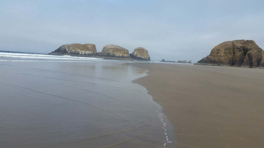
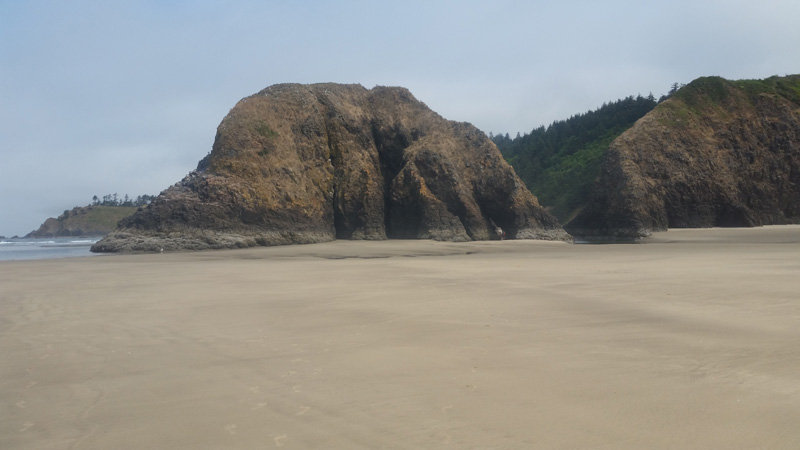
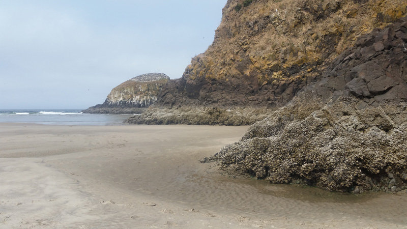
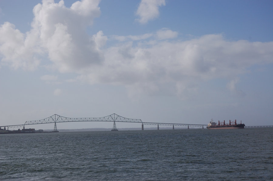
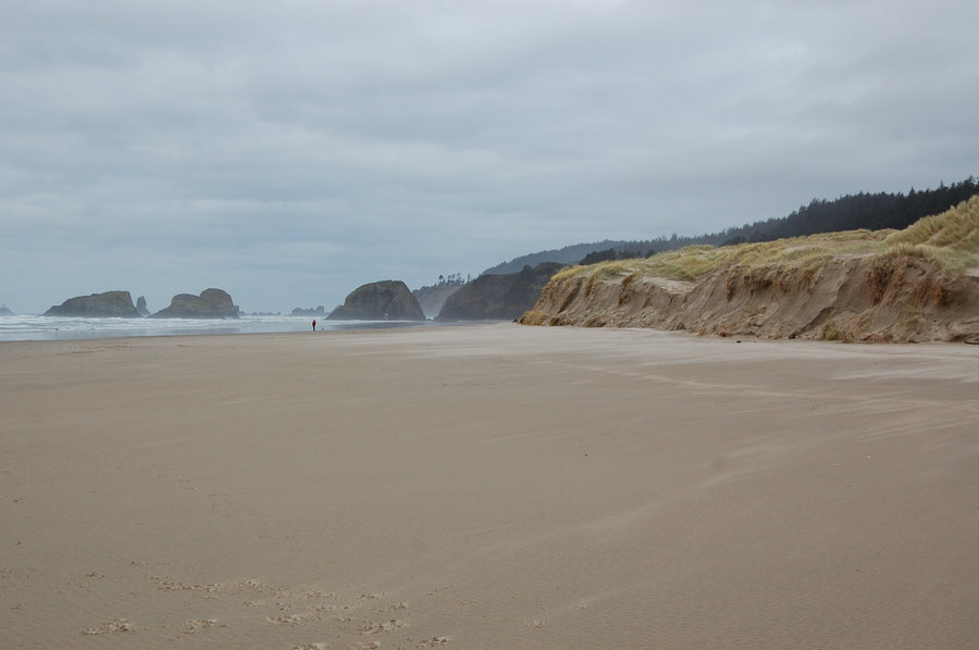
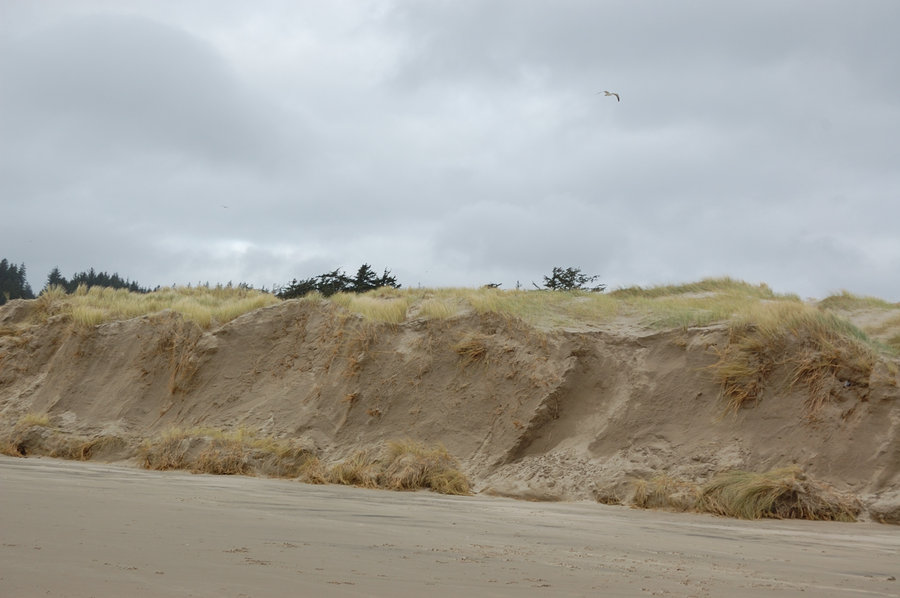
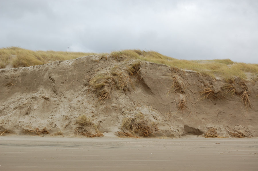
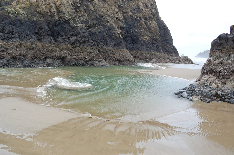
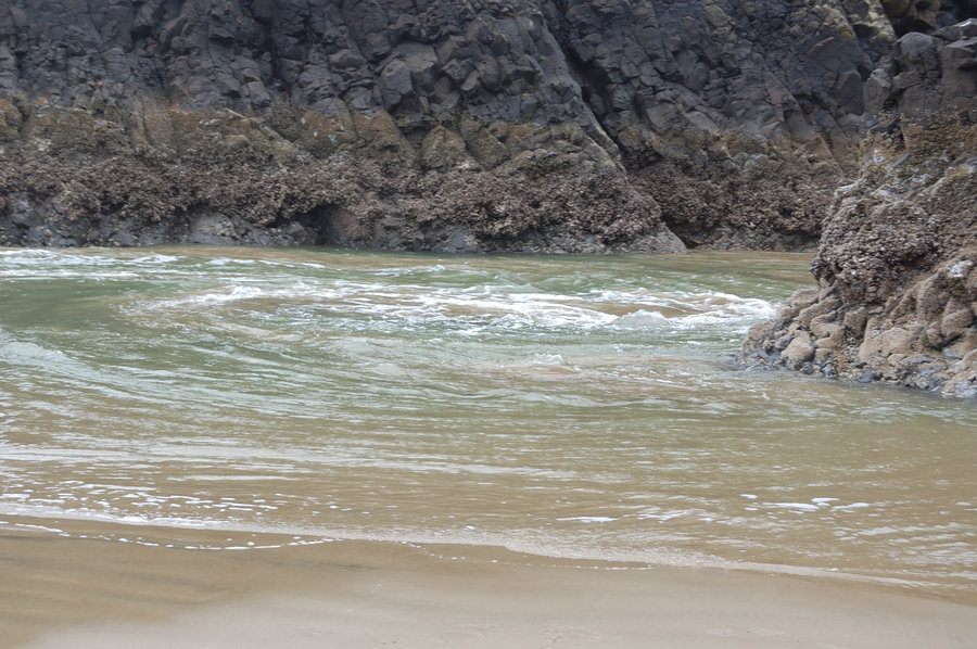
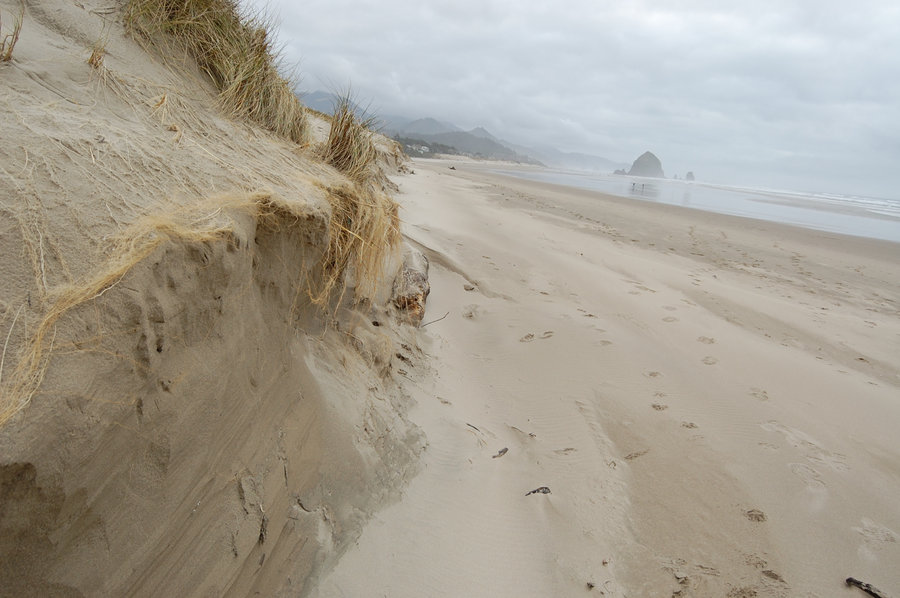
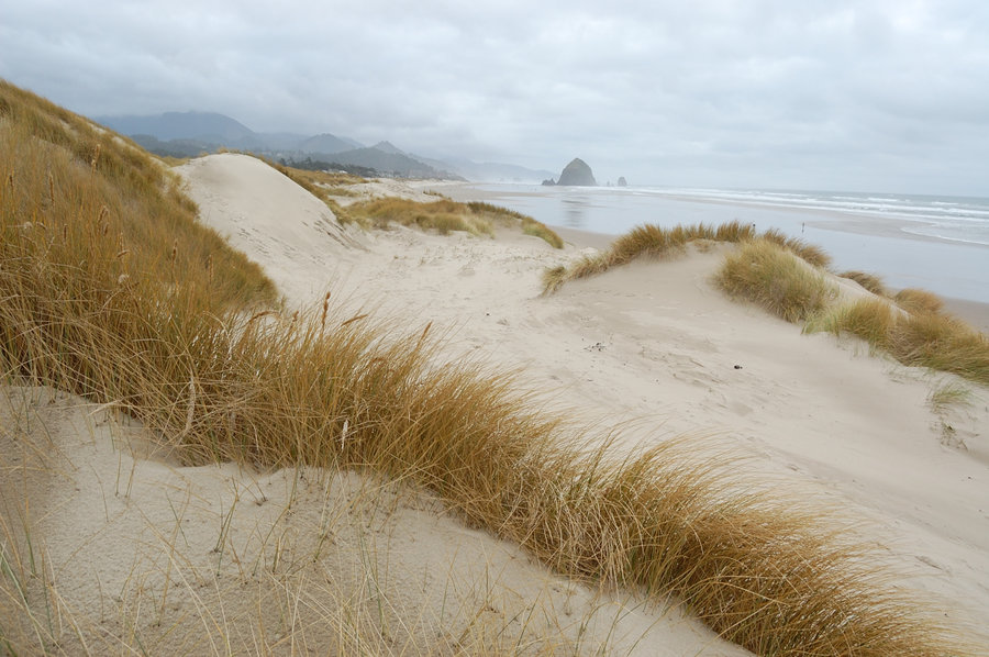
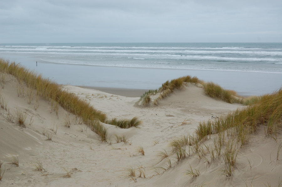
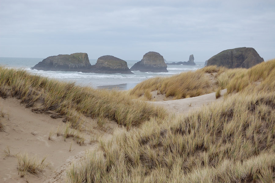
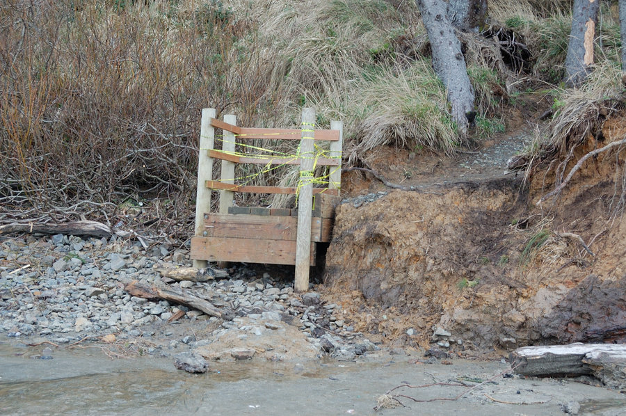
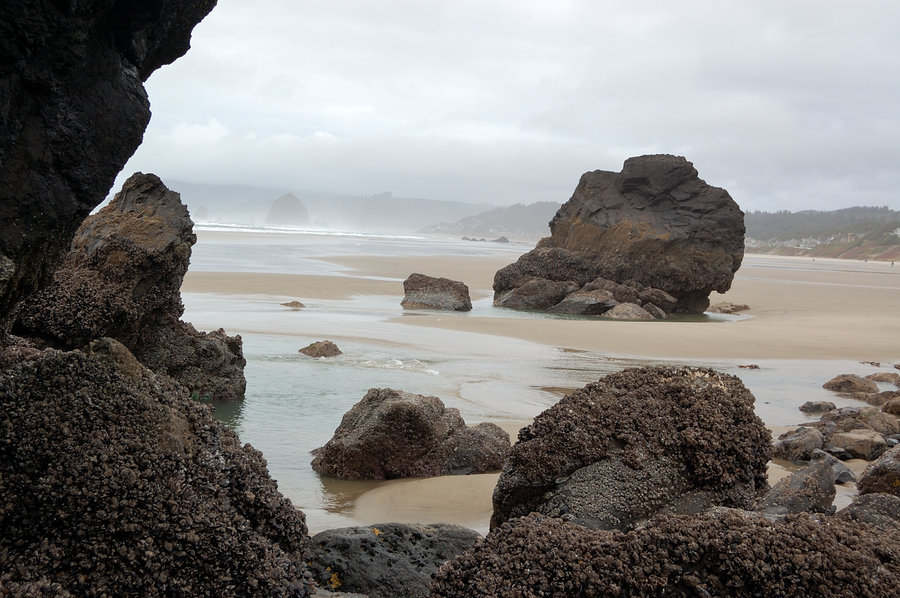
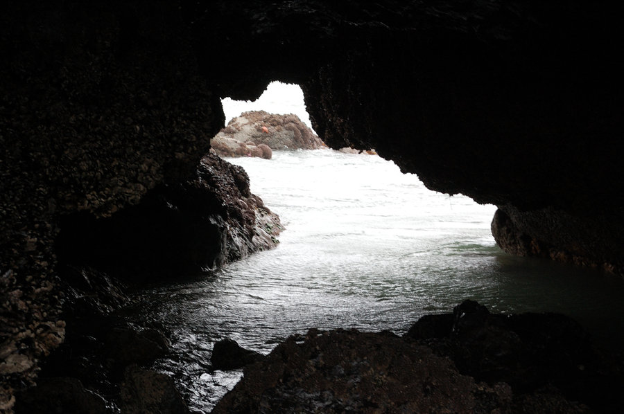
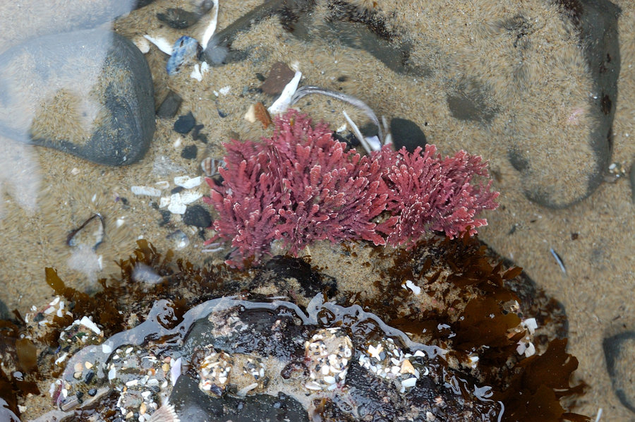
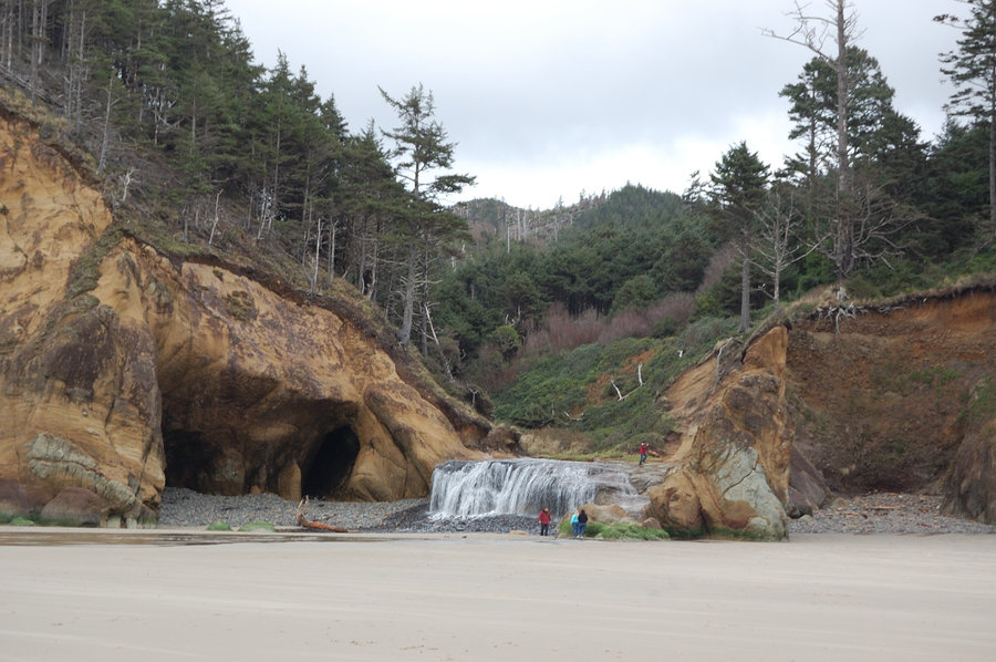
Coast hikes
8 miles of hiking • 0' elevation gain •
Chapman and Arcadia Beach, and Hug Point. Only Chapman had some recent storm impact (dunes partially eroded). Arcadia and Hug Point had access trail washed out, but still easy to get to the beach. No logs on the beach to speak of, nice - after watching some recent storm coverage I expected everything to be buried with logs. Some of the lowest tide I ever seen.
January 28, 2018


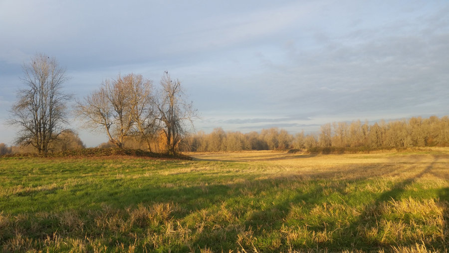
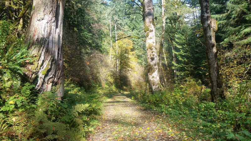
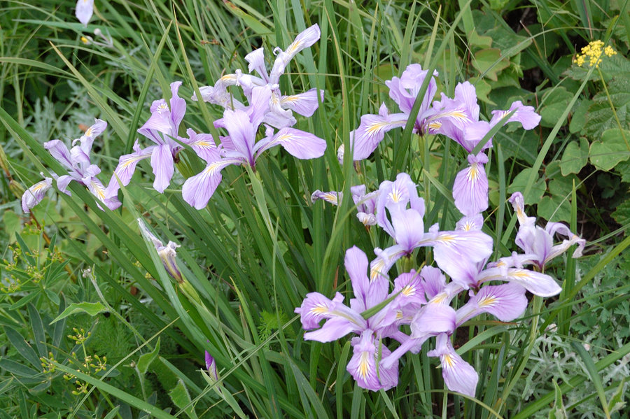
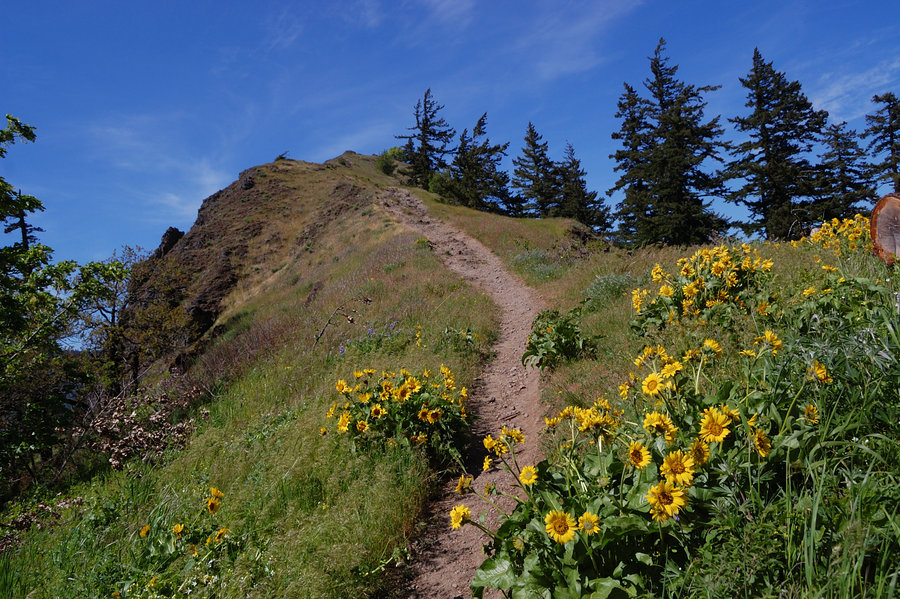
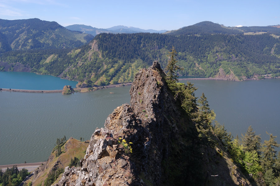
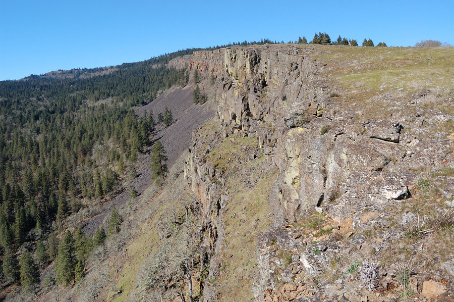
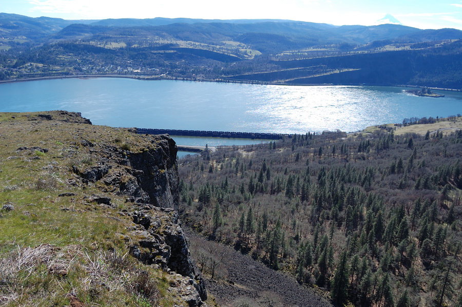
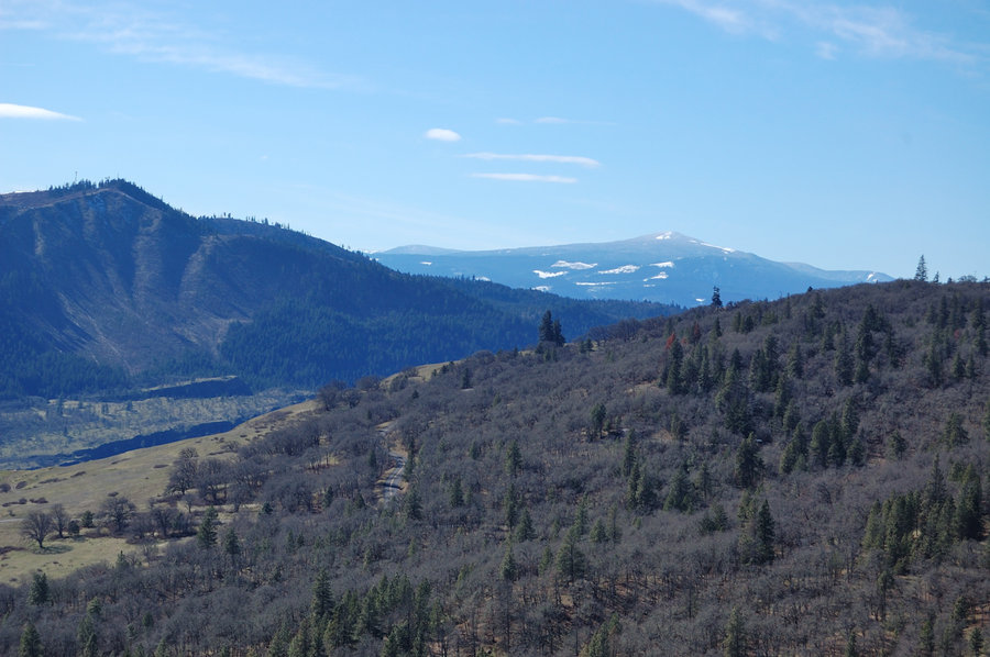
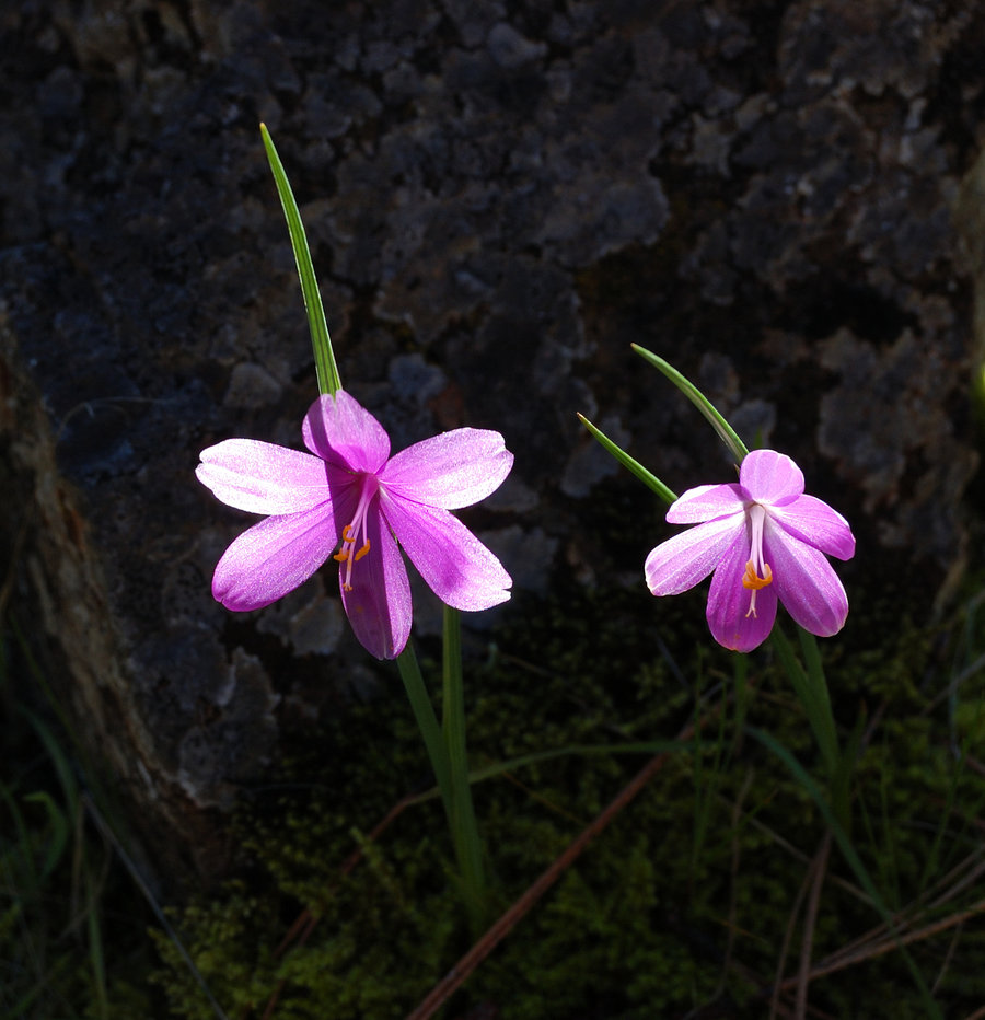
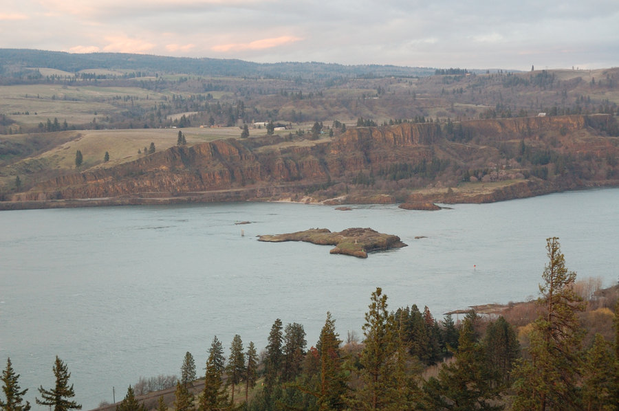
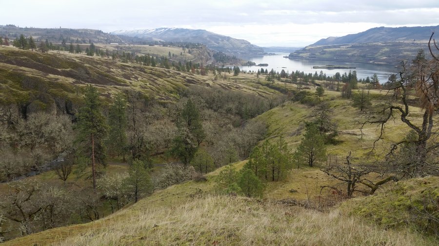
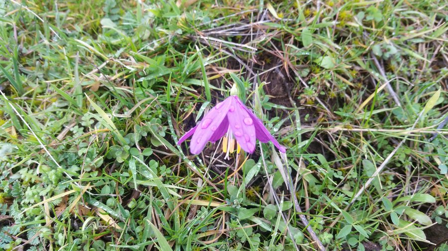
Catherine Creek
5 miles of hiking • 1250' elevation gain •
Grass widows already out and about (not many, but nice to see 1st signs of spring). Wanted to cross Catherine Creek around 1200' via abandoned road & going offtrail, but after catching 3 ticks on me decided against bushwhacking. Mostly stayed out of rain, even though it poured around Table/Hamilton/Dog on the way out & back.
January 26, 2018

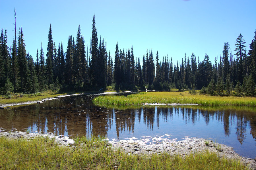
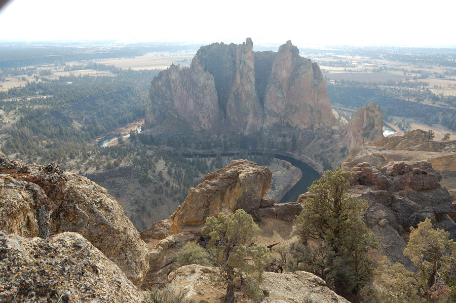
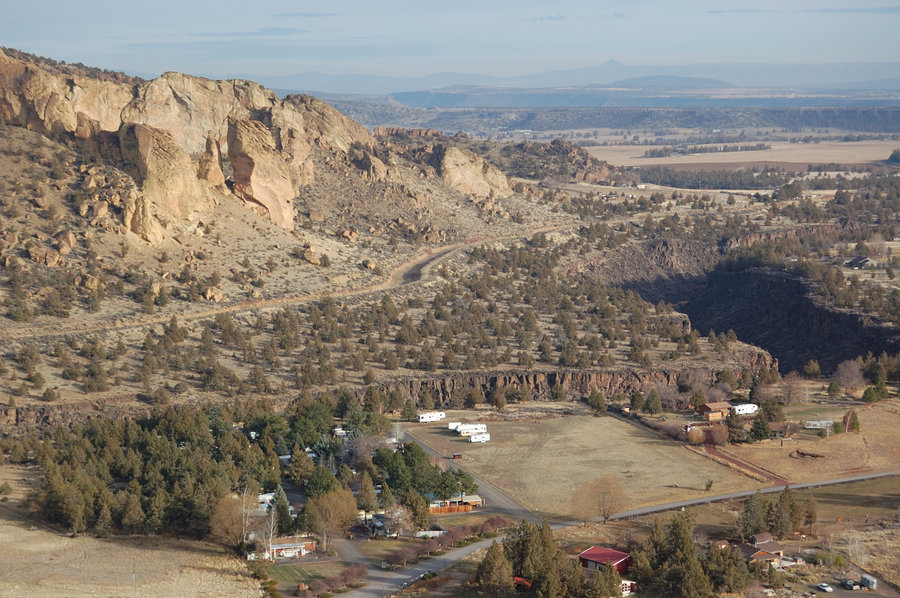
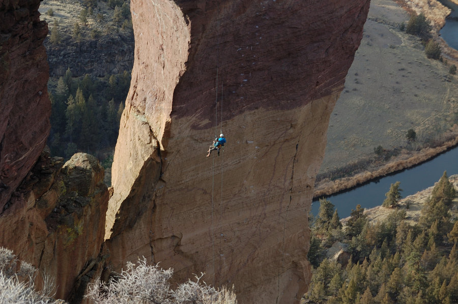
.jpg)
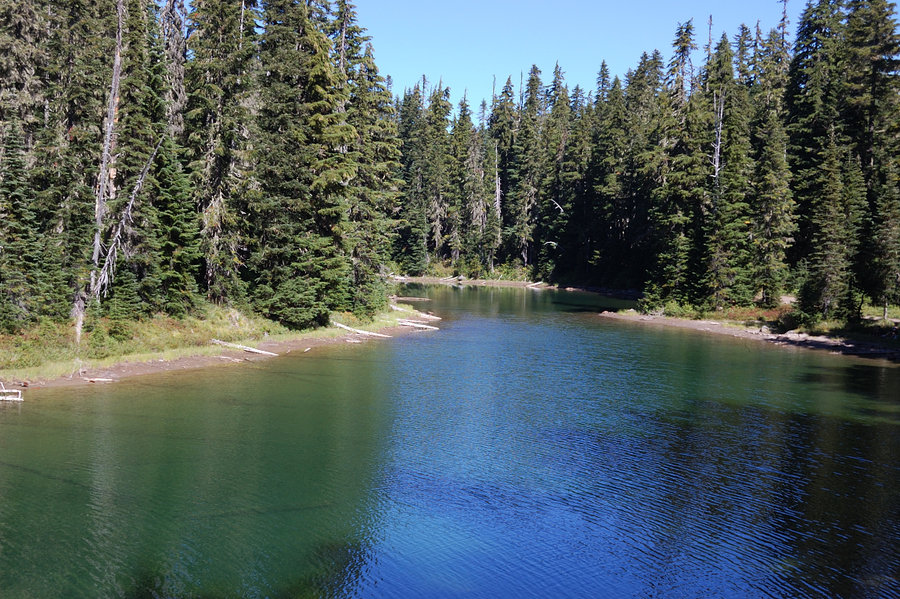
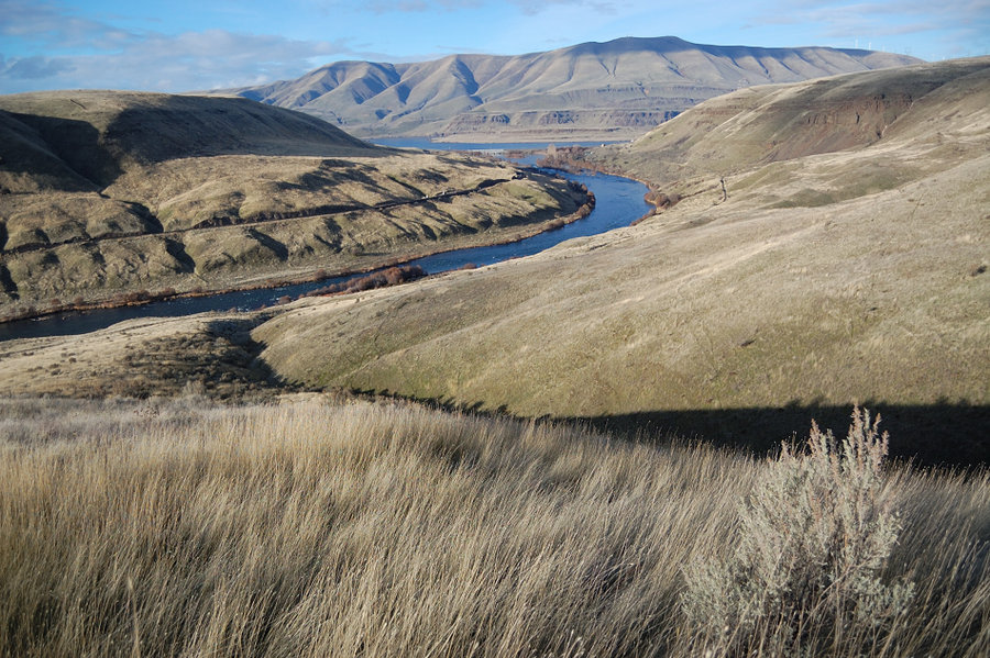
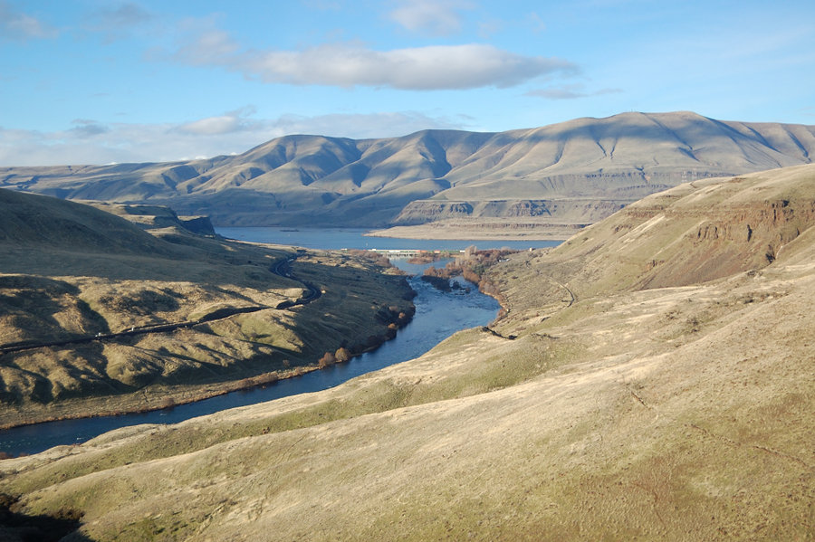
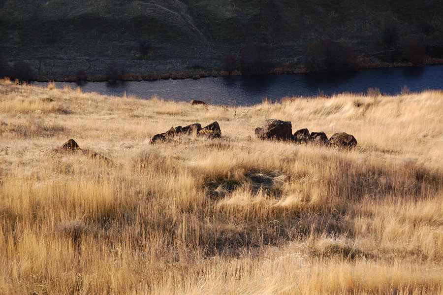
Deschutes River
7.5 miles of hiking • 500' elevation gain •
Lower trail out to old farm, road & Ferry Spring trail back. Lots of sun and golden grass, temps close to 60...
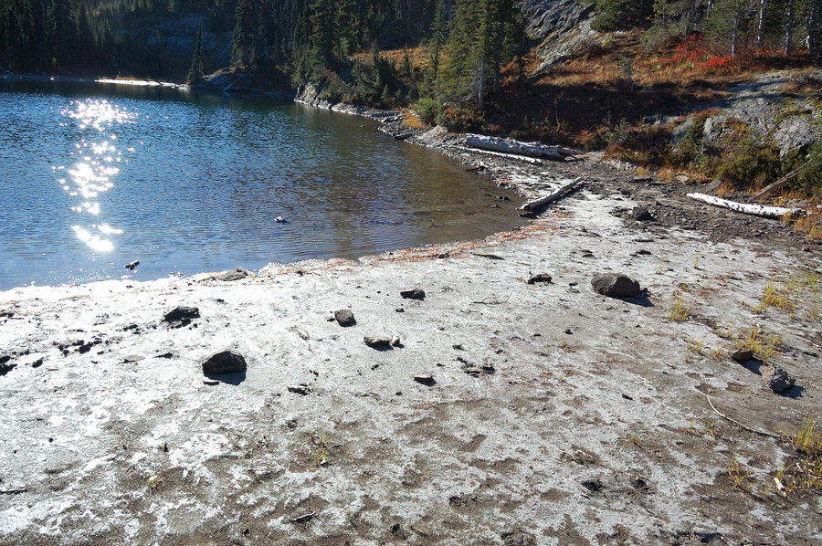
January 20, 2018


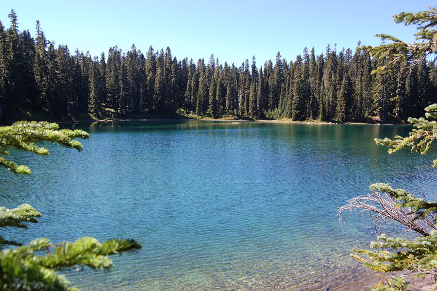
Coldwater Lake
8.5 miles of hiking • 250' elevation gain •
Out n back on lower trail. Great day, sunny, near 60s.
January 14, 2018

January 1, 2018
