17.5 miles of hiking • 4750' elevation gain • 2 nights
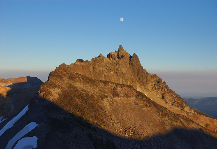
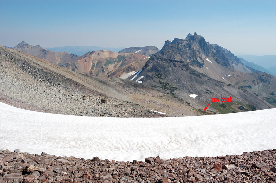
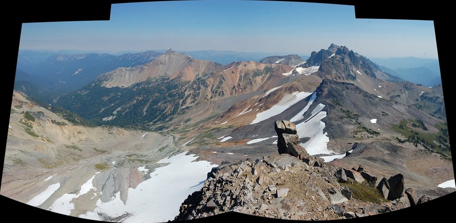
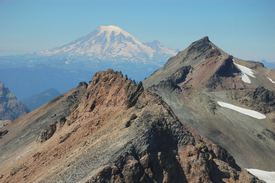
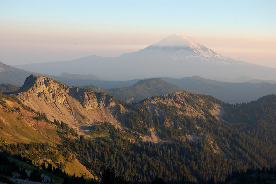
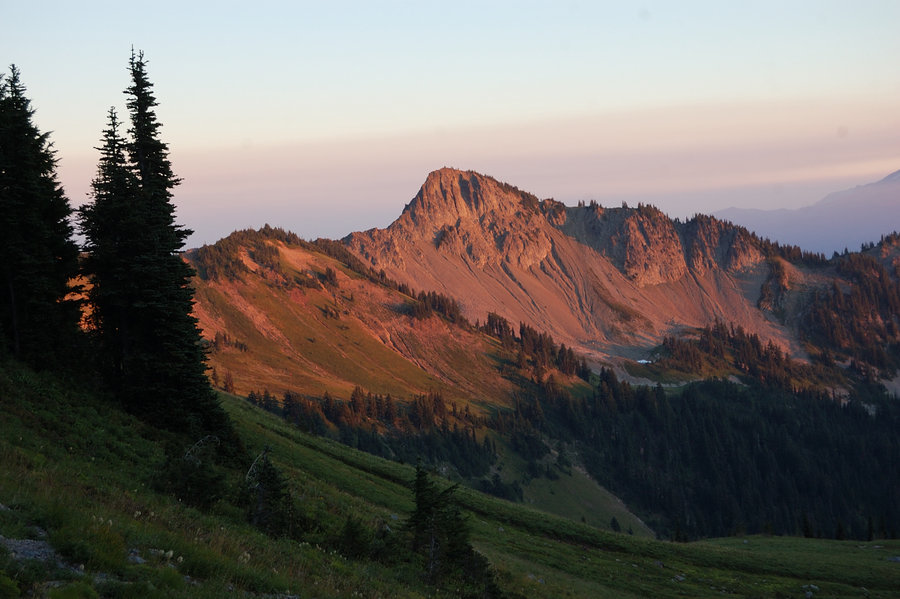
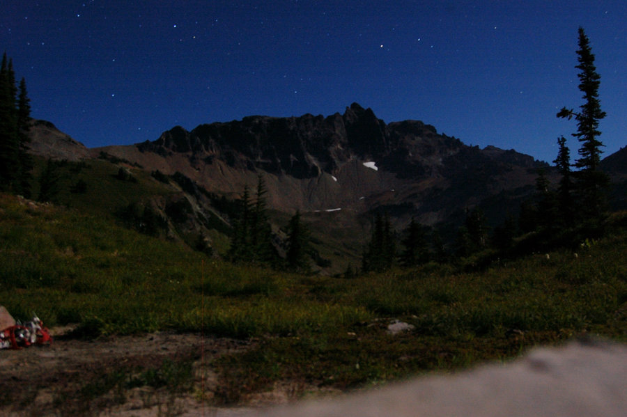
More fun times in my "summer home". Hiked in on Saturday and spent the night in high valley at 7400', just below Ives Peak summit. Awesome views all around - Mt. Adams, sharp-towered castle of Big and Little Big Horn, and of course the Ives. The moon was super-bright, didn't even need my flashlight.
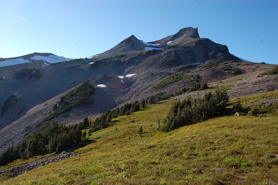
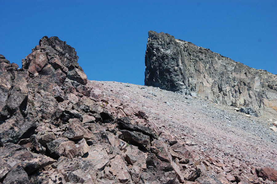
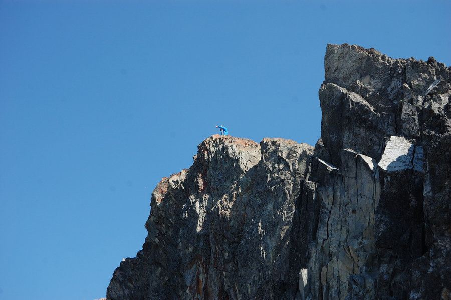
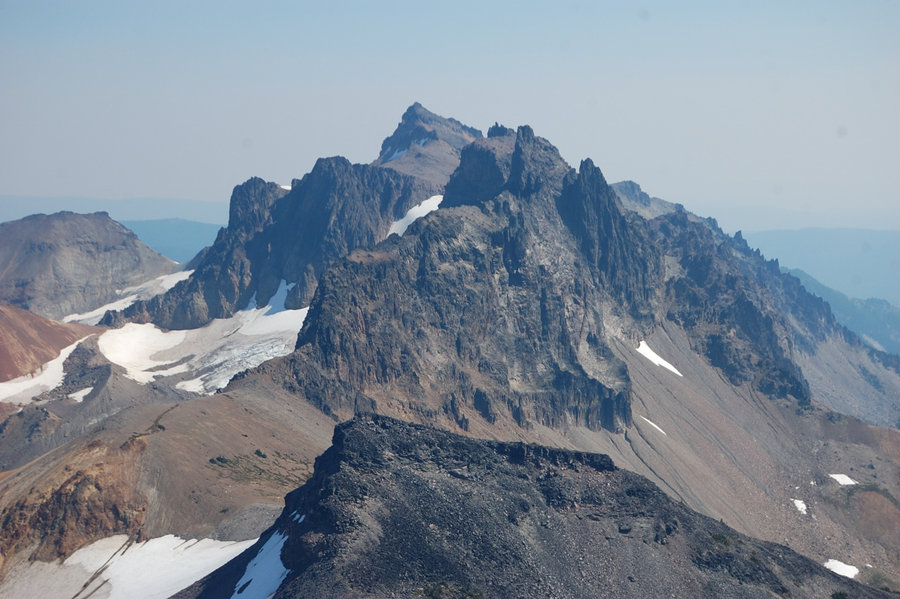
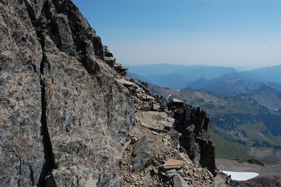
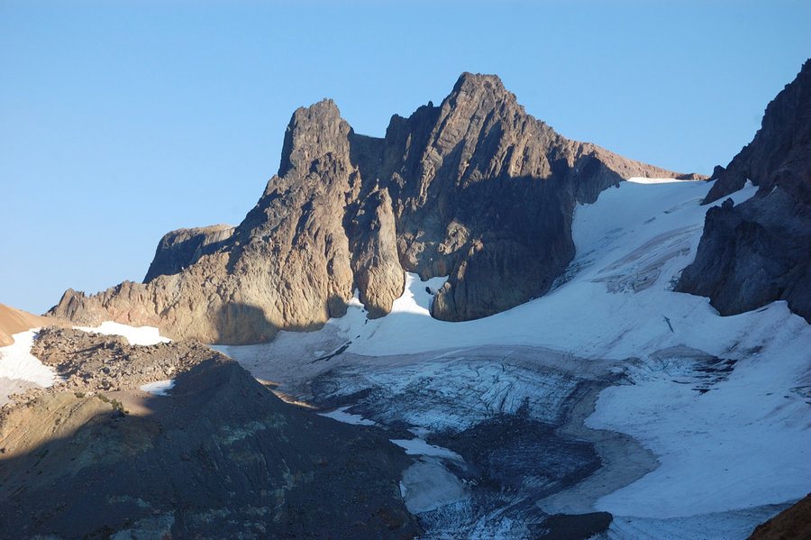
On Sunday morning went to the summit with my dog Pepper. The smoke moved in and covered pretty much everything to our south and west, but to the north the views were clear. It was mostly just steep hike with a couple of snowfields, but at the end we came at the base of 100 ft high vertical spire and it almost looked like the only way is straight up. Luckily there were 2 climbers just ahead of us and watching them gave a good clue - just like them we went a bit down along the base of the rock, and there's a ledge that hugs the rock and leads to its less steep south side. From there, it was loose but straightforward scramble to the top.
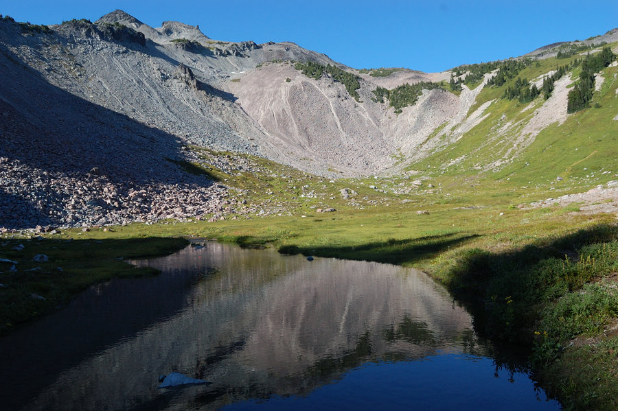
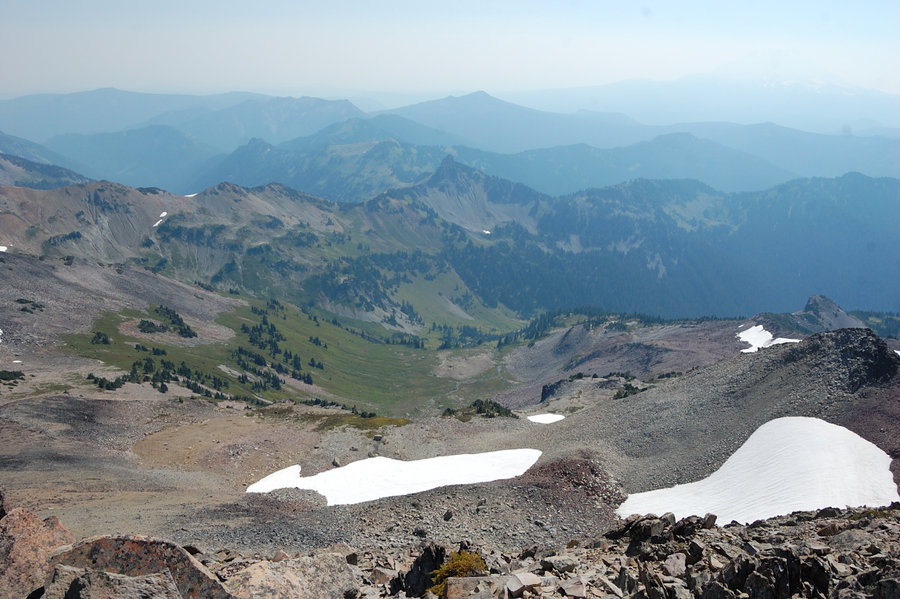
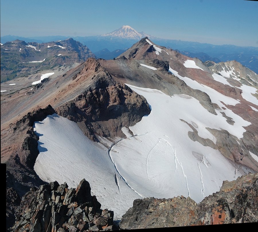
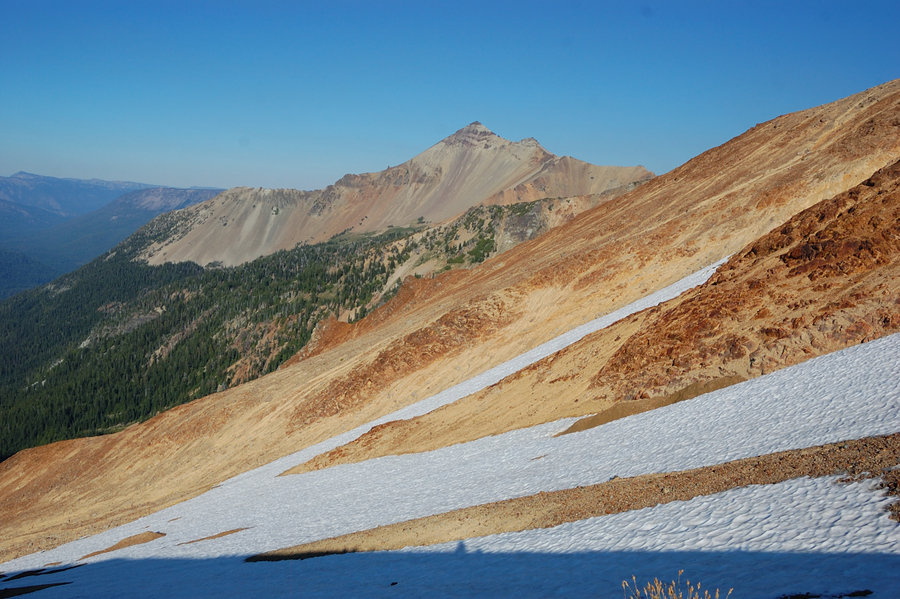
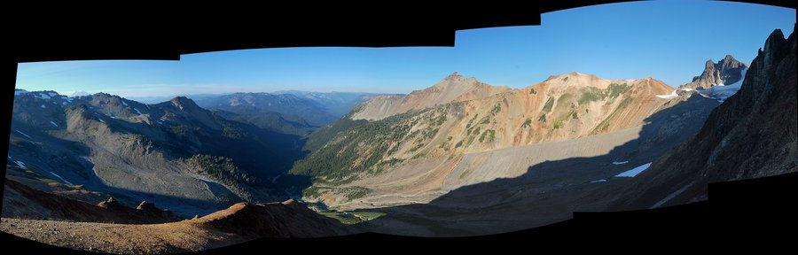
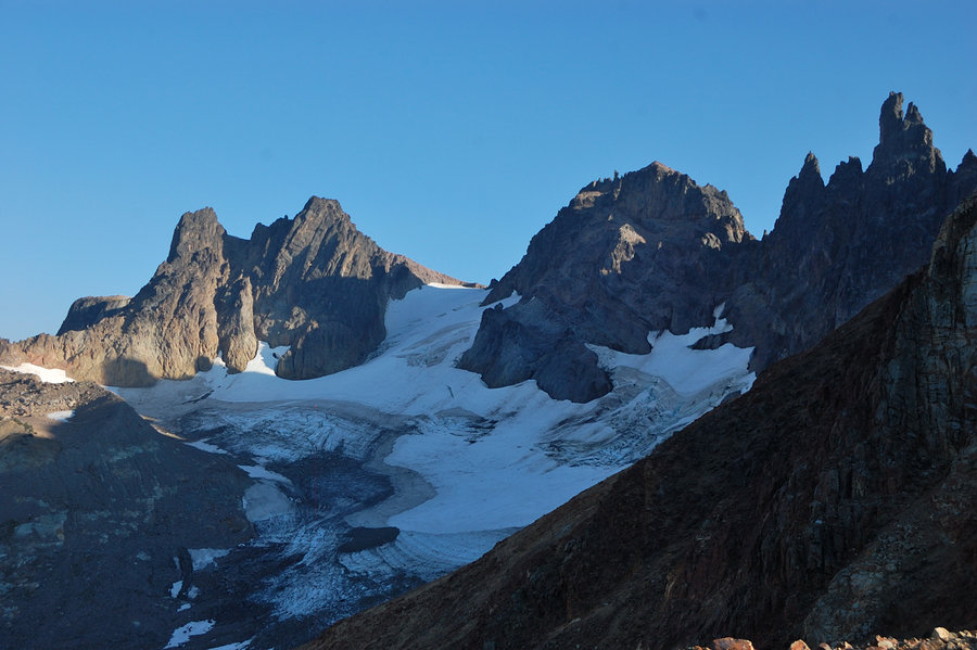
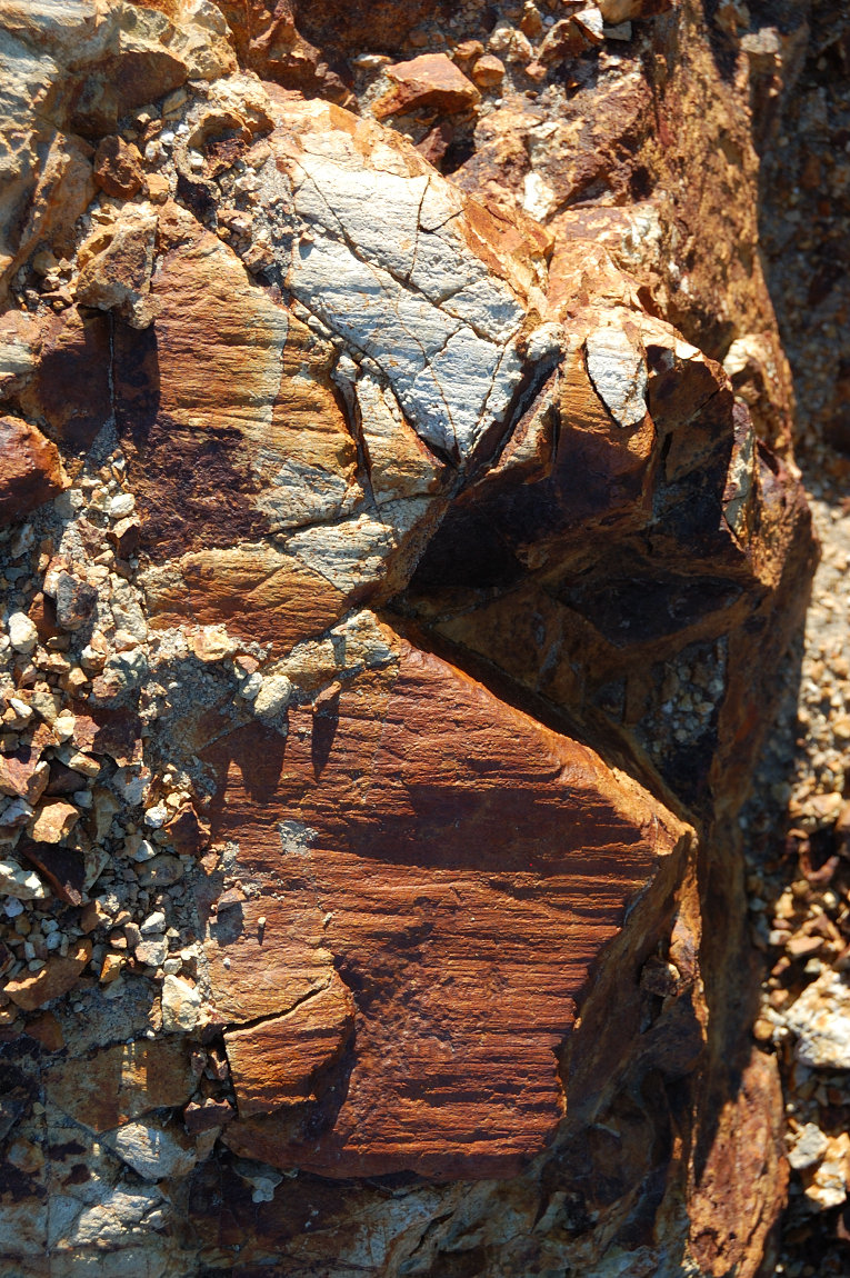
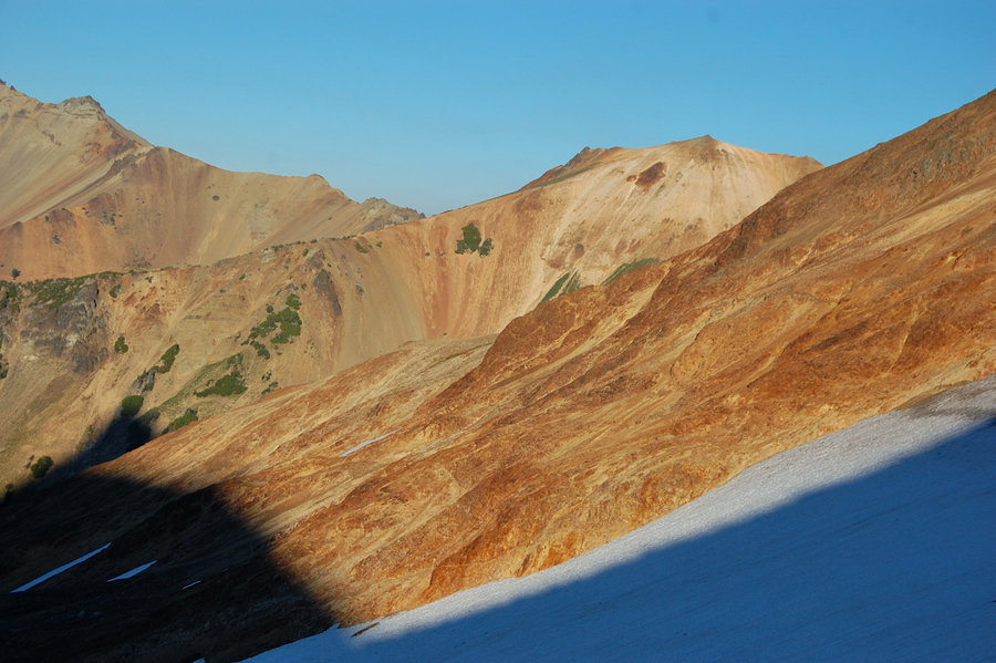
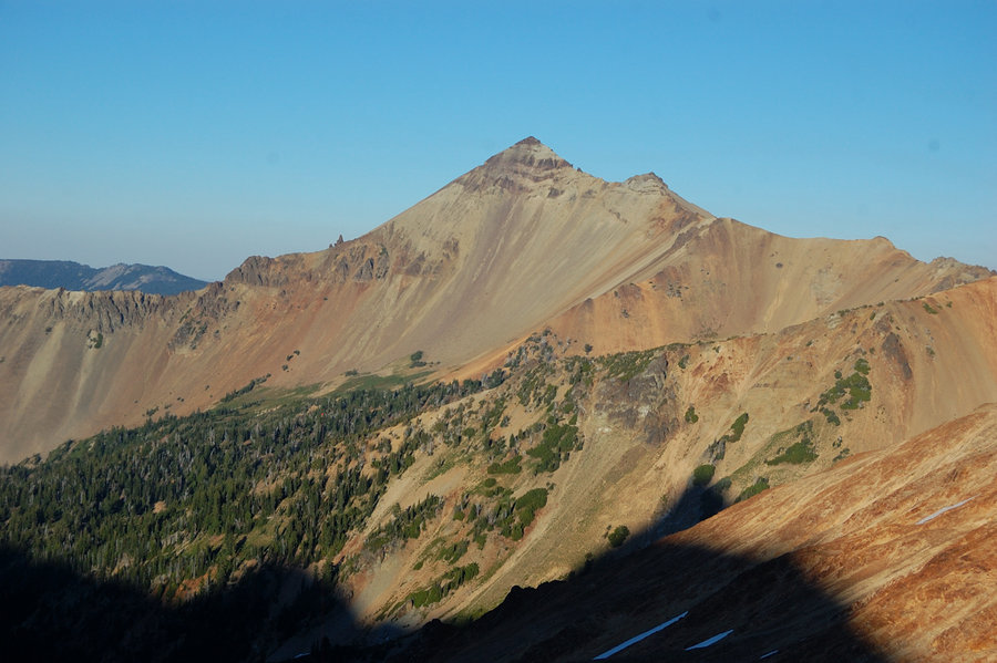
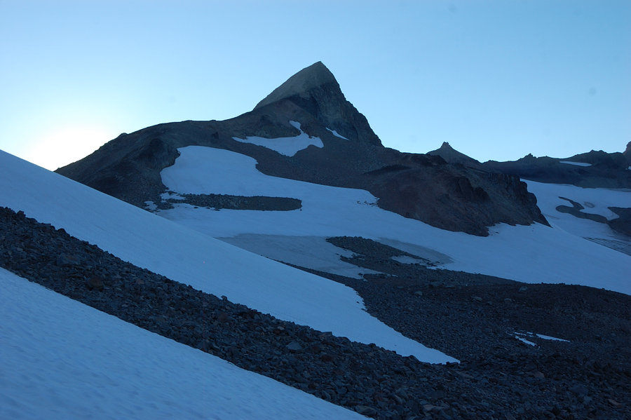
Packed my camp and went down to the pass at 7100' with a lot of time to kill. I was thinking about finding an "easy" route to the east side alpine country ever since my hike there 3 weeks ago, and it looked like if we got down to the (name?) glacier behind the Big Horn we could go over the small pass between Goat Rocks and "point 7294", and down on Conrad Glacier to Cold Lake, just below the steep side of Gilbert Peak. To get to that first glacier, we could go down crevasse-free section of McCall Glacier to the N Fork Tieton (down to 5800' and possibly scree hell below the glaciers). I wanted to check if we could go right below the main ridge and drop down to glacier from there - if passable, that would save a lot of distance and elevation loss/gain. Long story short, we made it around 2 small summits - one with "usual" gray basalt scree slope, pretty solid walking; the second butte, vivid yellow/orange mineral was pure hell though, it's either loose gravel "cemented" in sand, or loose gravel over smooth bedrock. While a scenic place, its very slow going, steep and treacherous. Finally, we rounded "yellow butte" and came to a vertical drop-off at least 400 feet high! The base of the glacier we were aiming at was almost within stone's throw, but there was no reasonable way to get down to it. The map suggested slightly steeper slope, not vertical drop-off at this point. Well, we still got quite a view of ridge/glaciers from this wild, trailless side. Someday I will try the low route for Cold Lake, but will plan the whole day for it & probably earlier in the season.
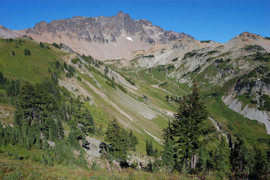
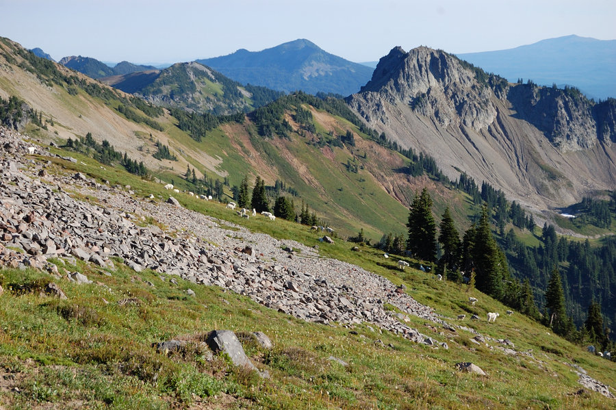
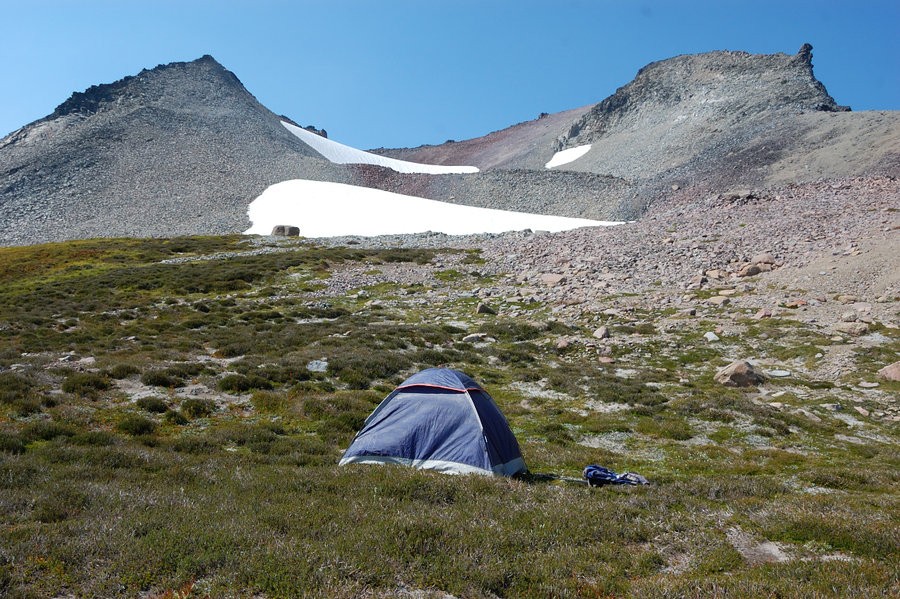
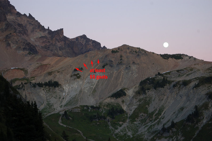
We went down into Cispus Basin and camped at 6200' with full-on view of Cispus Valley rock wall, my favorite view on Earth. It was a cold and clear night, the temps probably dropped down to 35F. Next morning the clouds moved in, wind picked up and looked like it's going to rain, but we were on the way down and the cool weather was welcome. Except for one place on Saturday, saw zero bugs on this trip. The flowers pretty much gone, but of course the views (and goats!) are still there. It's been excellent weekend.
GPX track is @ the hillmap link.