

2017 Trips


 1
1
December 10, 2017

December 3, 2017

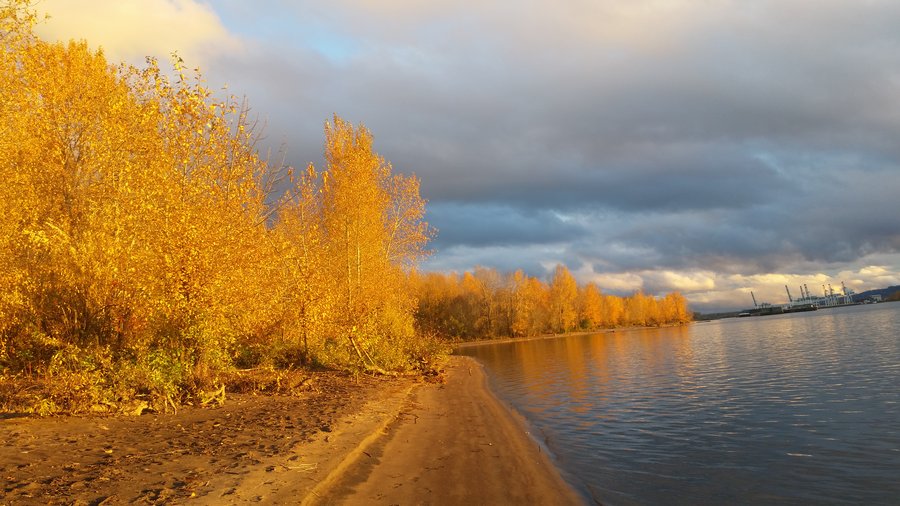
Coast hikes
7 miles of hiking • 0' elevation gain •
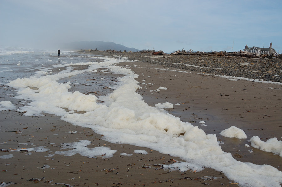
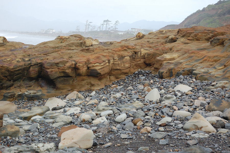
Netarts to Oceanside, and beach north of Cape Meares. Big waves, pillows of foam on the shore - nice day in between the storms.
November 29, 2017


 1
1
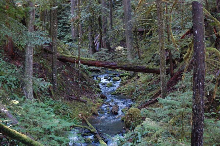
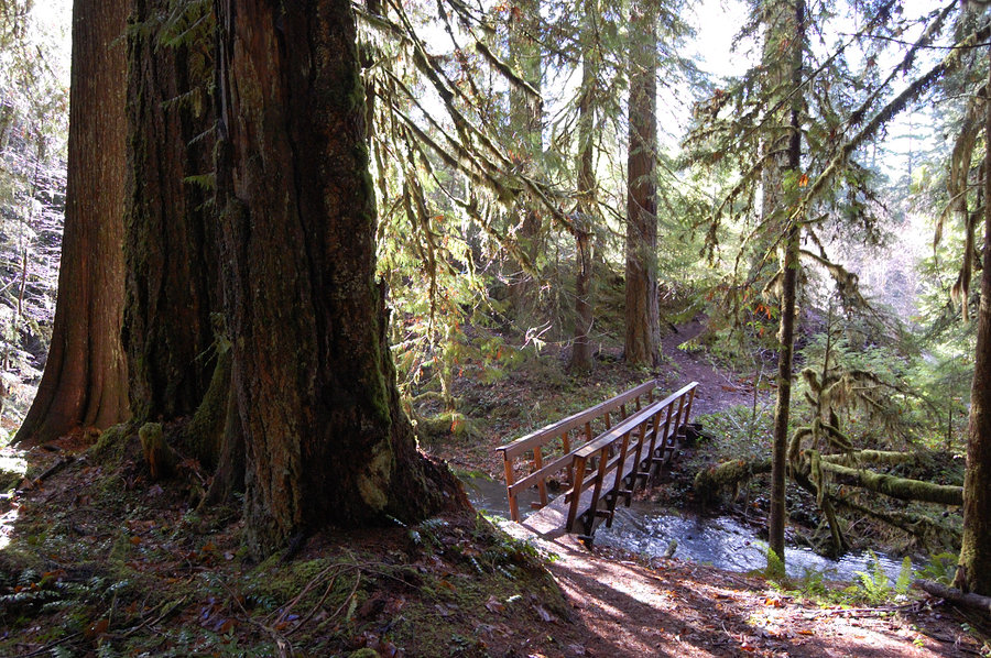
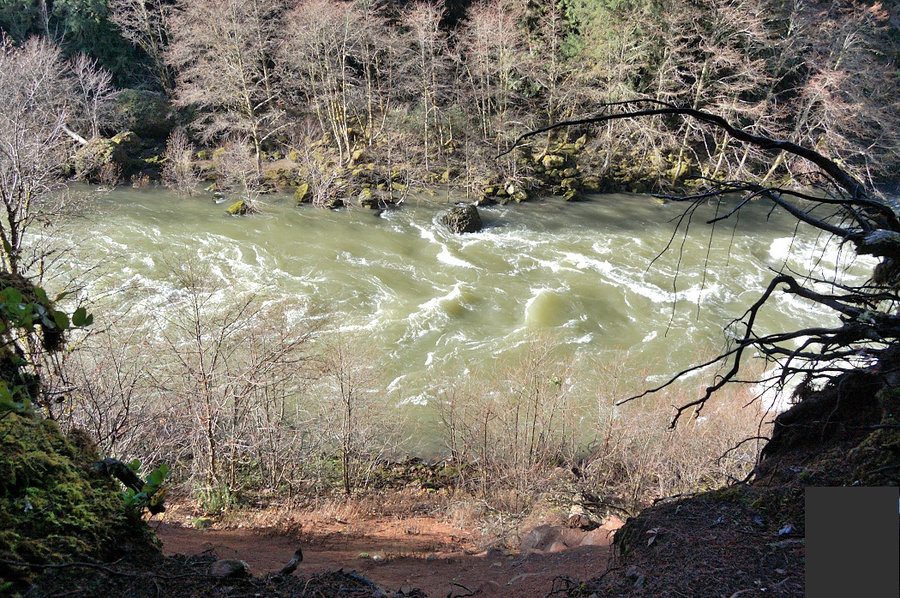
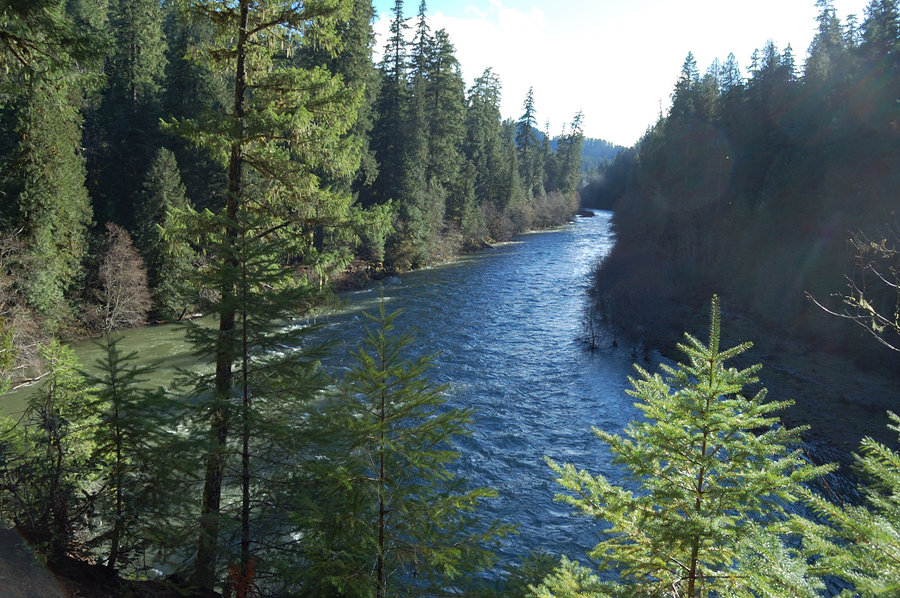
Riverside trail (Clackamas)
9 miles of hiking • 1000' elevation gain •
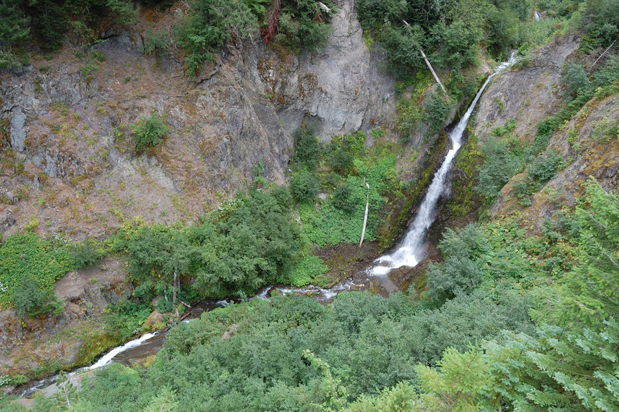
We hiked from Rainbow gate to Riverside Camground and back. Lots of water everywhere, some of the trail near Oak Grove Fork was flooded. Awesome trail, need to head to Clackamas River more often.
November 24, 2017


November 18, 2017

 1
1
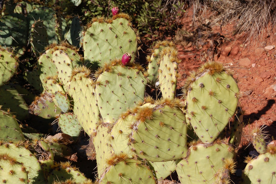
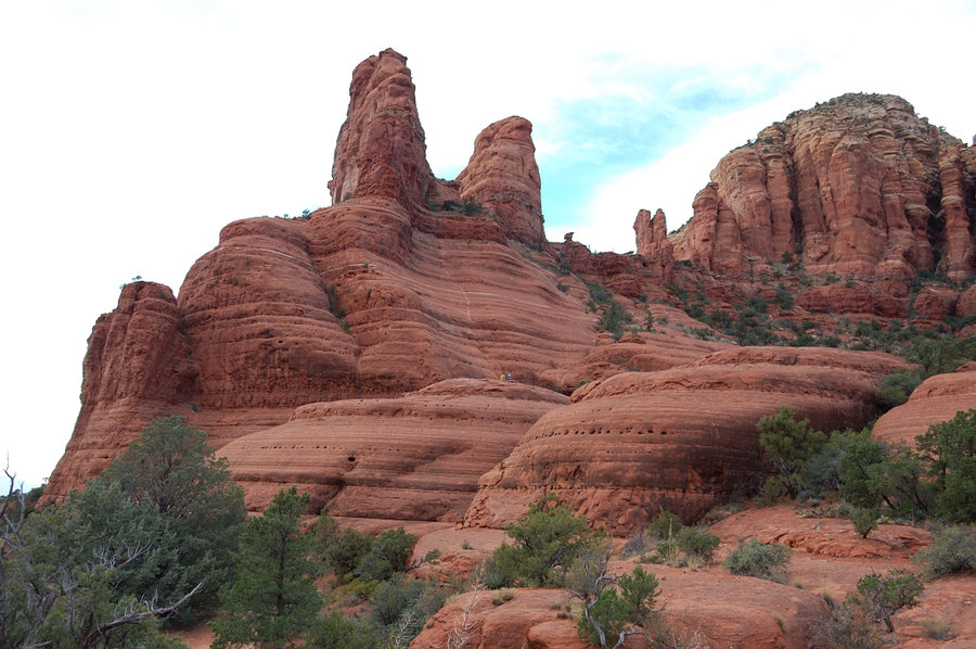
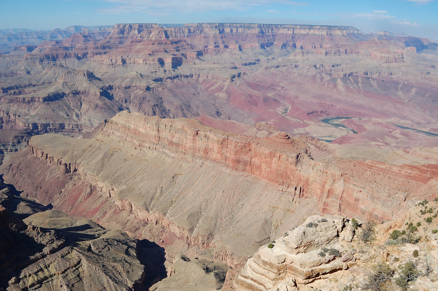
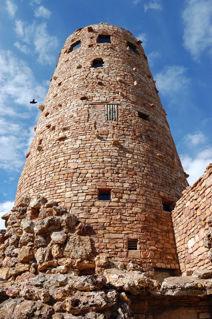
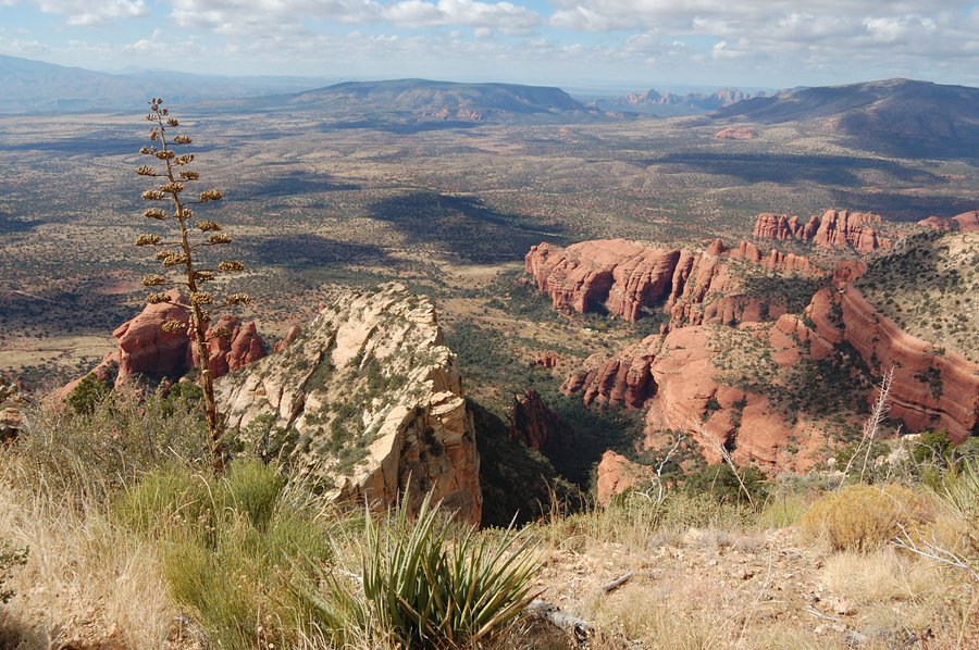
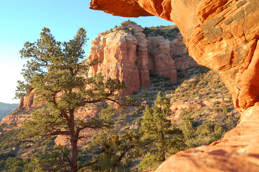
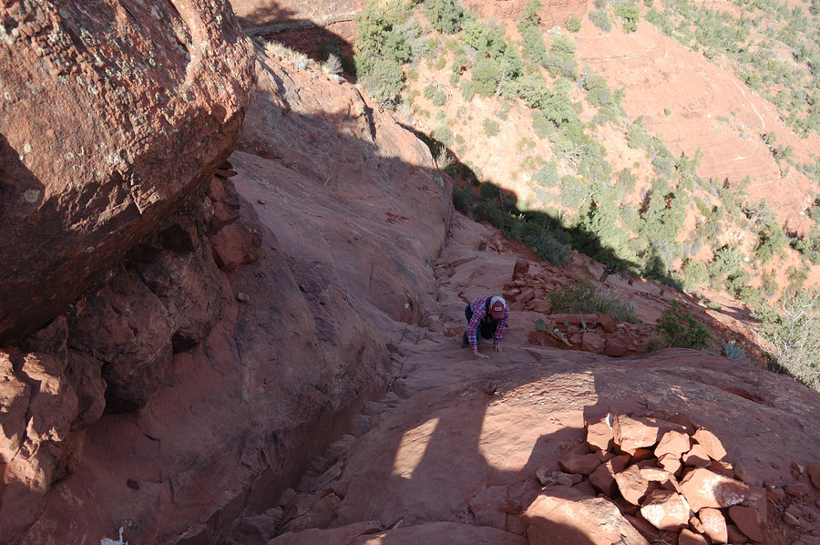
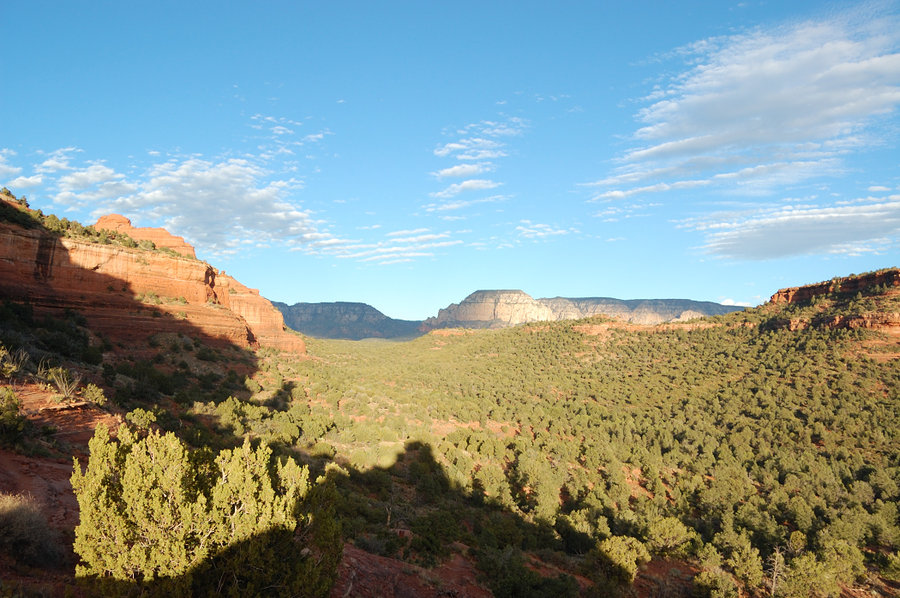
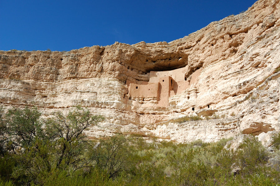
A week in Arizona
58 miles of hiking • 8750' elevation gain •
Mostly sightseeing trip, lots of driving, but we did try to fit in 2 short hikes/scrambles each day. Some really spectacular places out there.
November 1, 2017


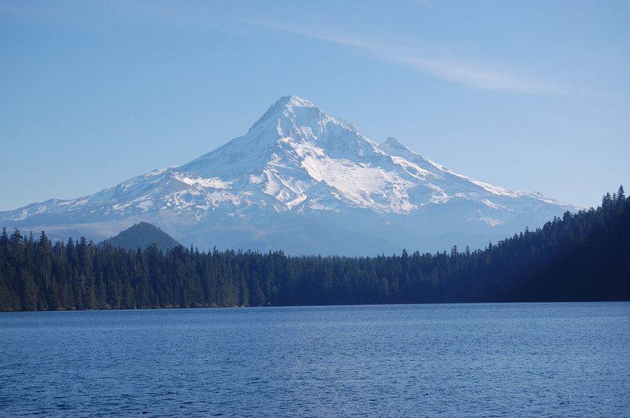
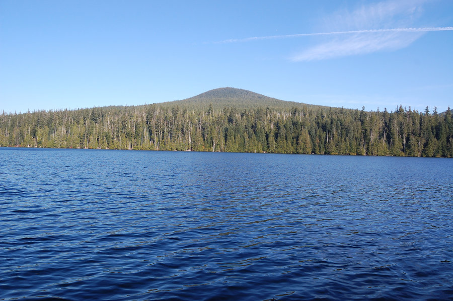
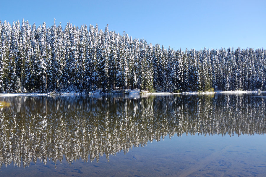
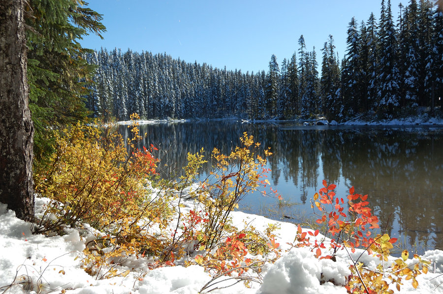
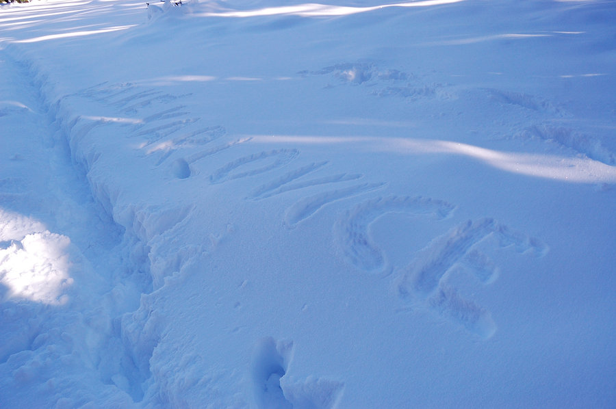
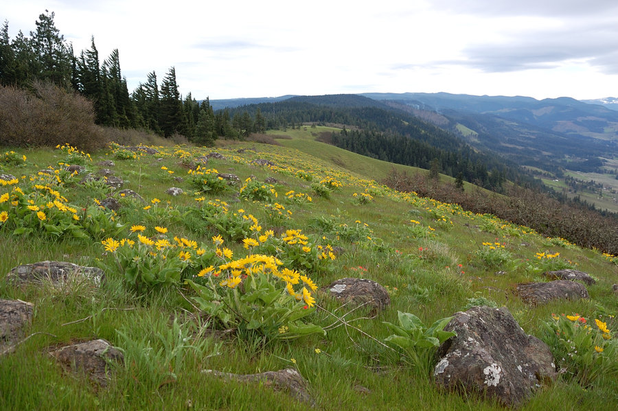
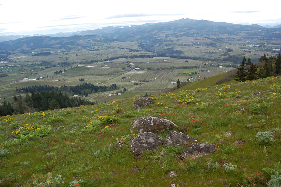
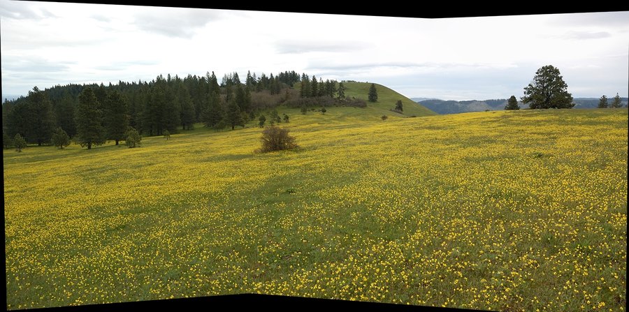
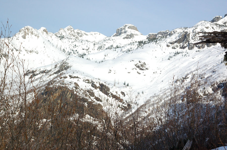
Lost Lake loop
4.3 miles of hiking • 250' elevation gain •
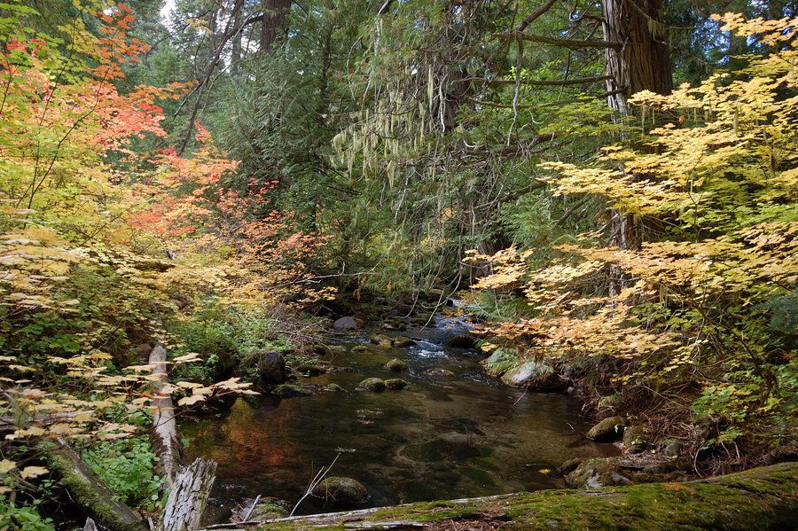
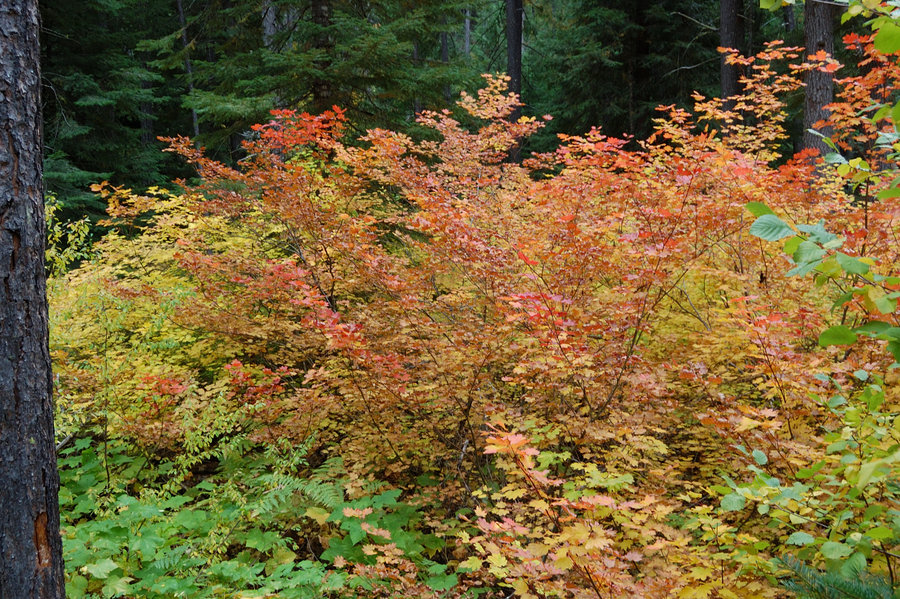
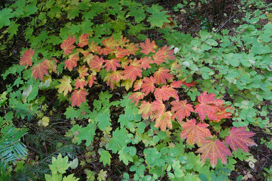
It was awesome day up there! No I didn't retire early, just swapped days & worked through last rainy weekend.. With a couple tries we found the start of trail #618A (@ marker on map), better than starting the hike on paved road. Fall colors almost gone at the lake but views of Hood were hard to beat. Great autumn colors in Hood River and the Gorge.
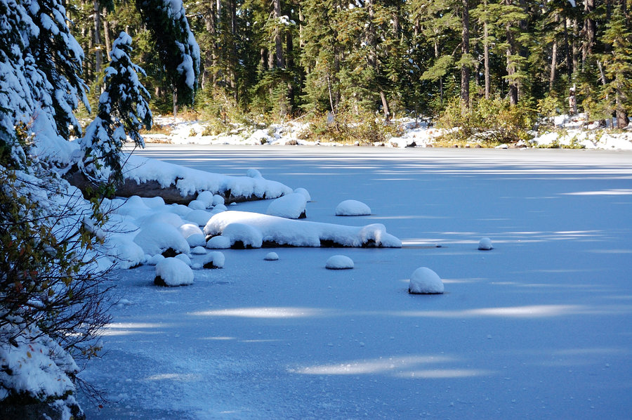
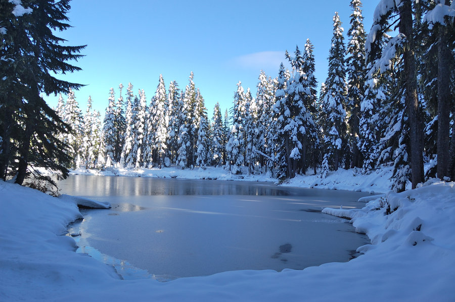
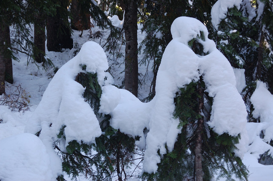
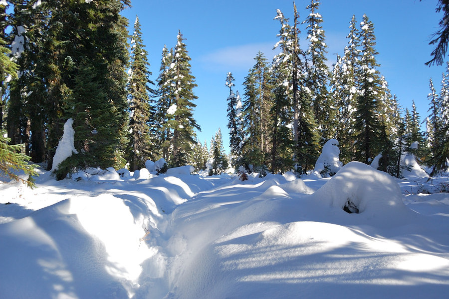
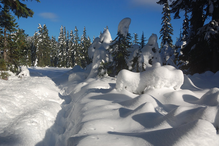
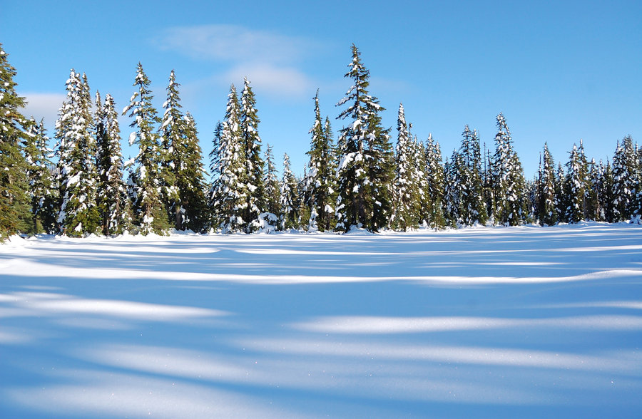
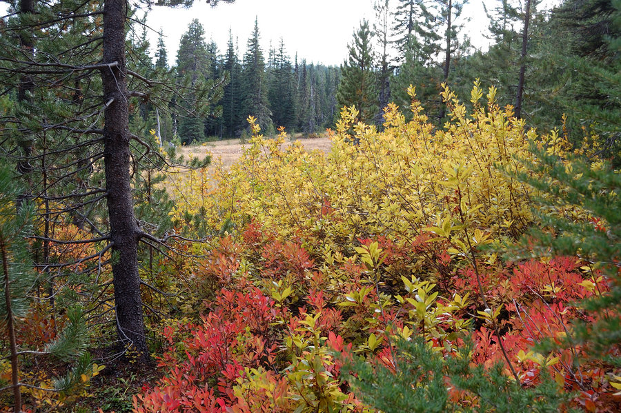
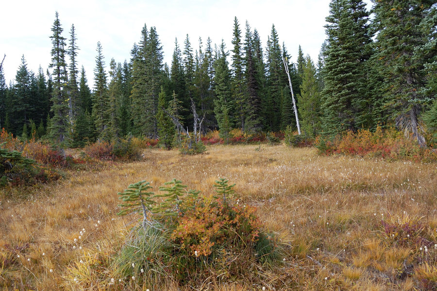
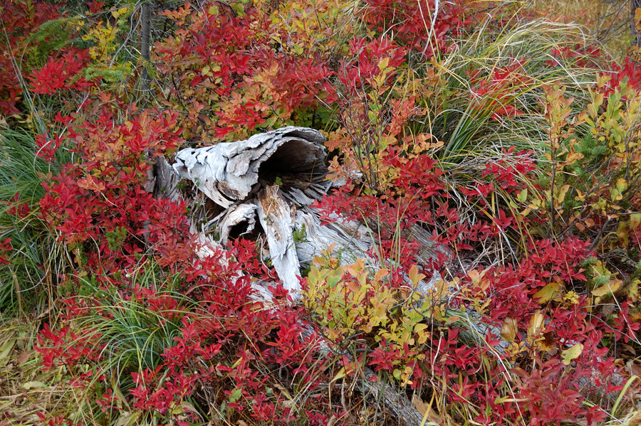
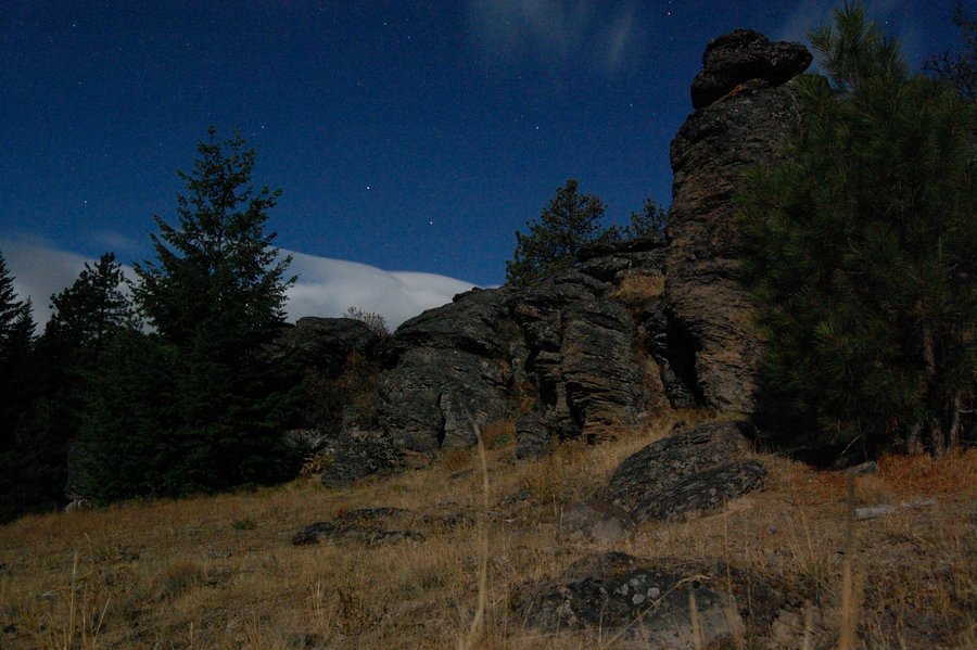
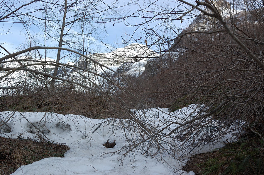
October 26, 2017


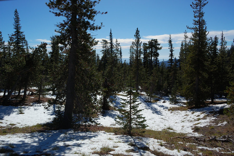
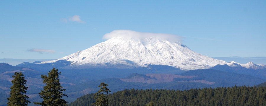
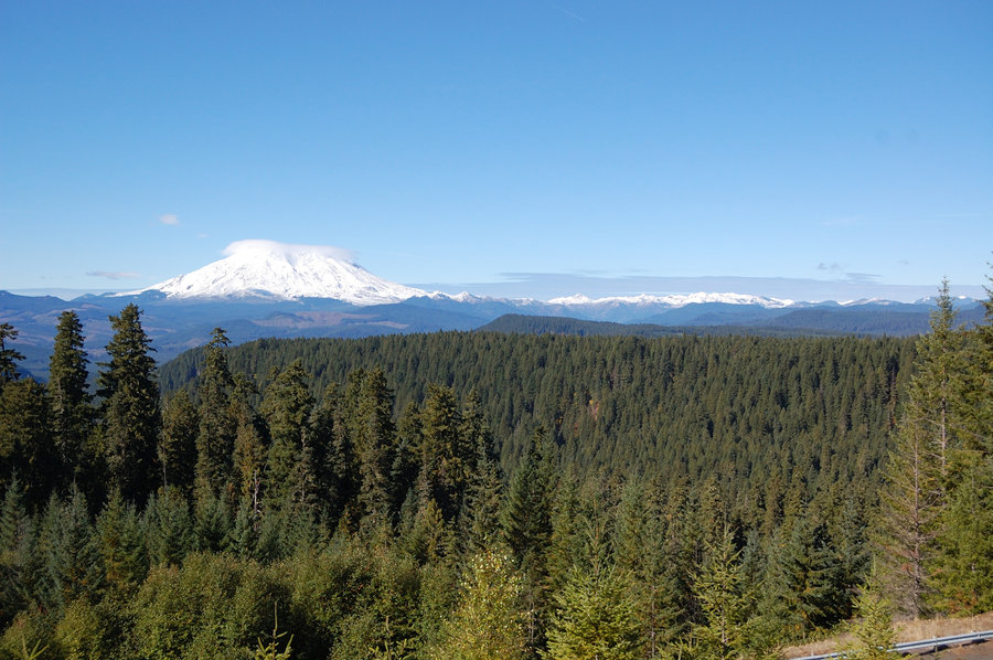
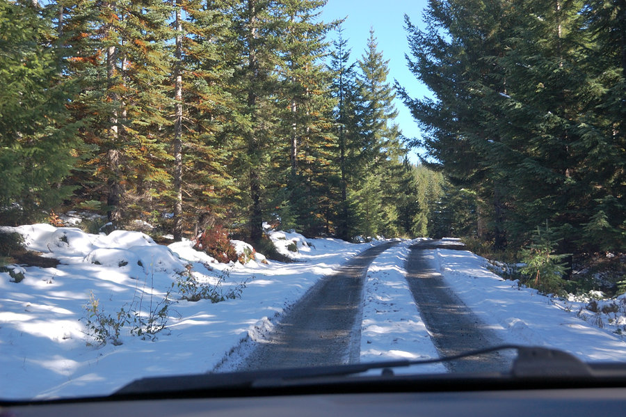
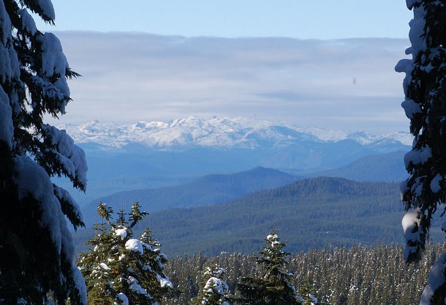
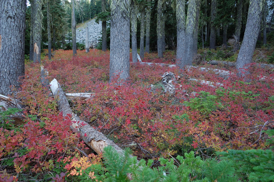
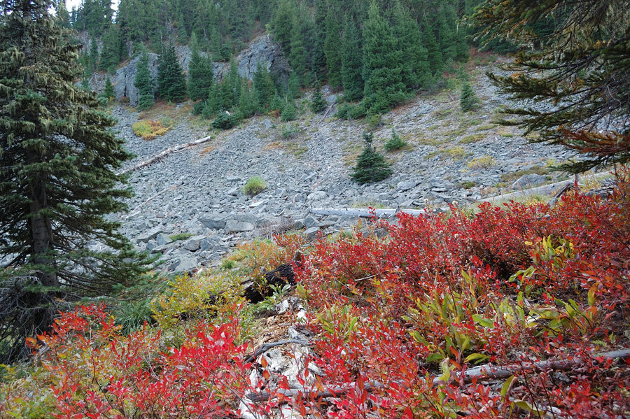
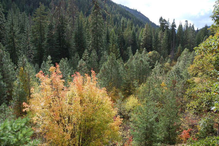
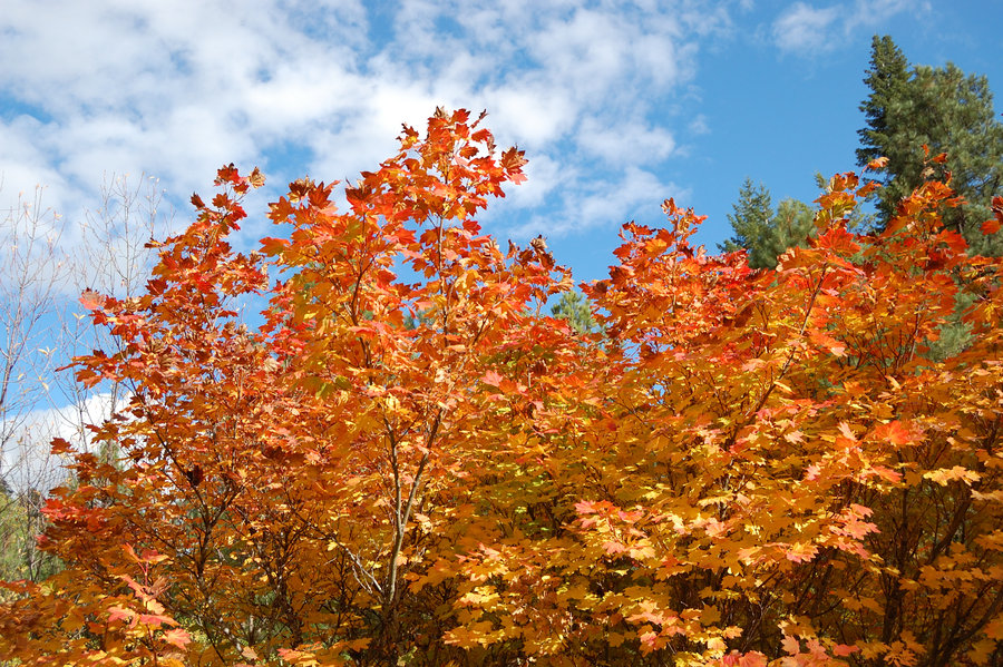
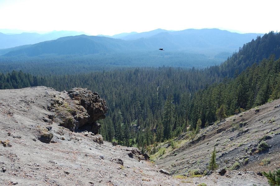
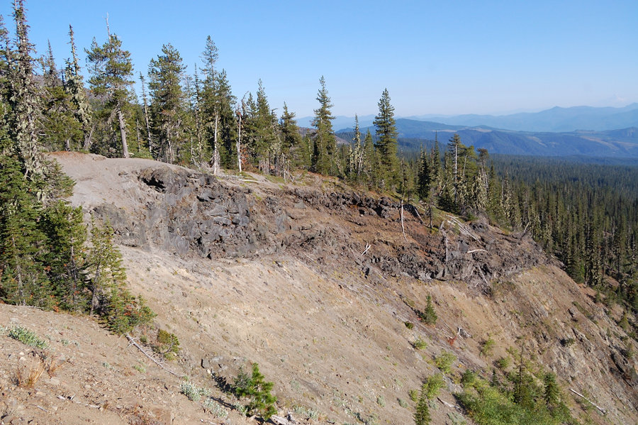
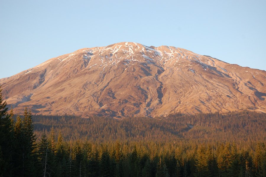
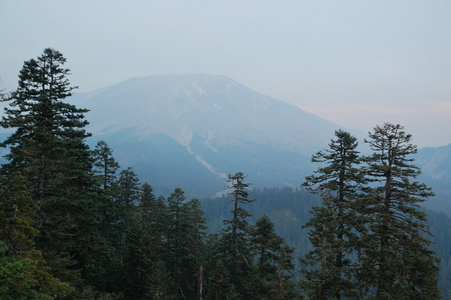
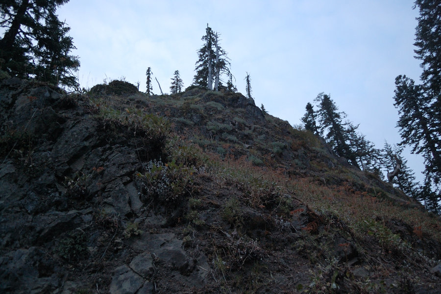
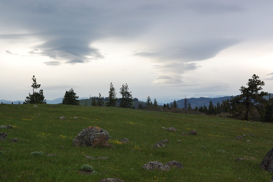
Butte Camp trail
8 miles of hiking • 1750' elevation gain •
Some observations:
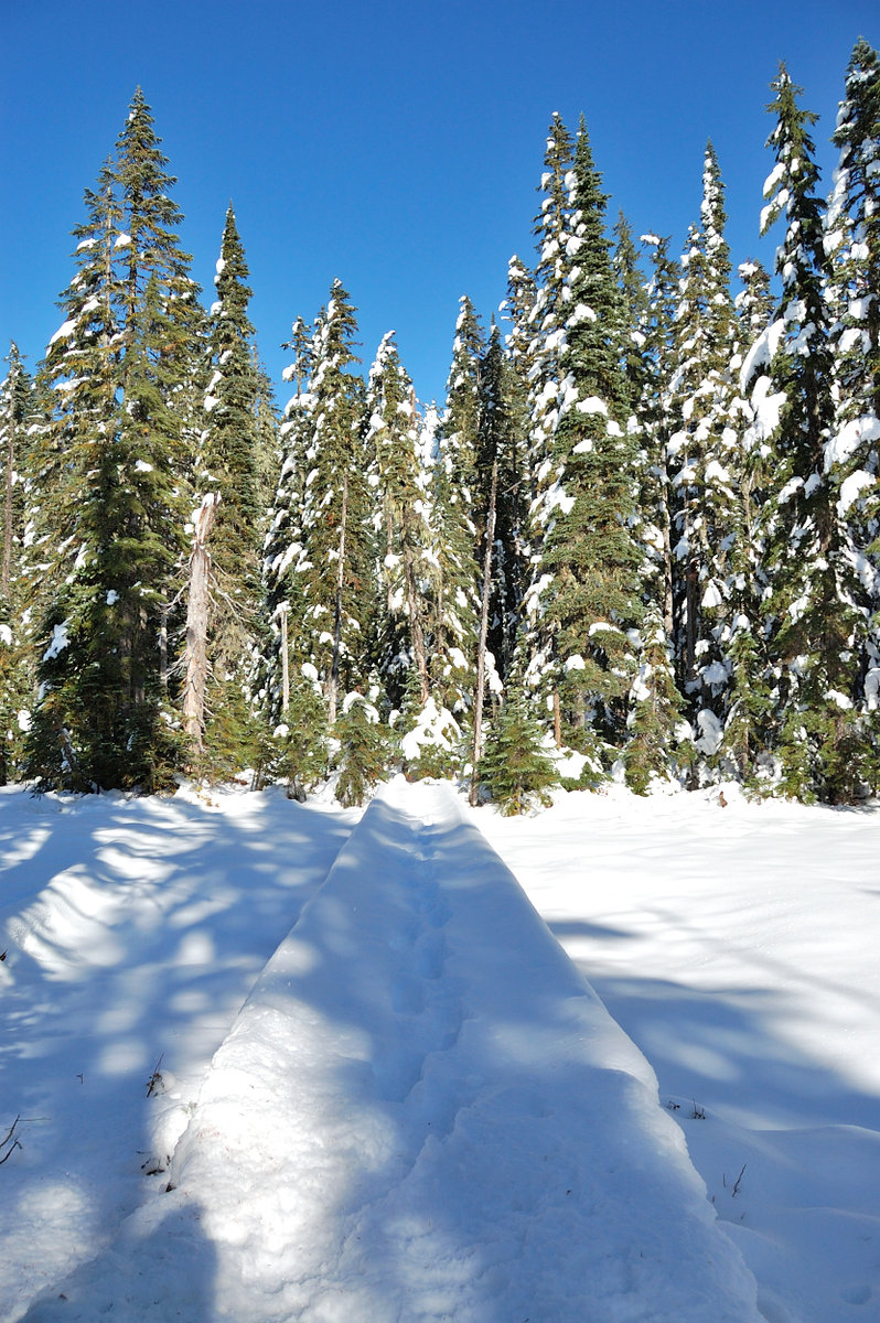
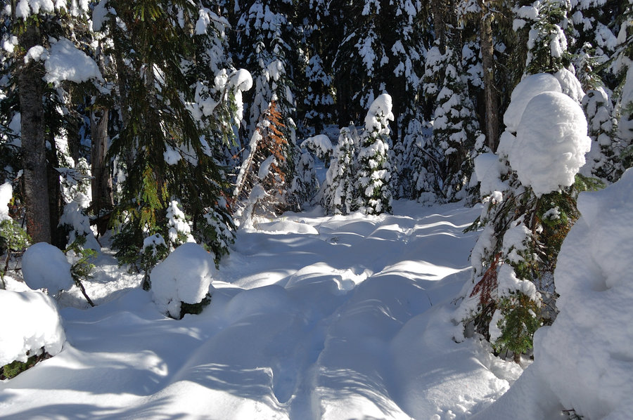
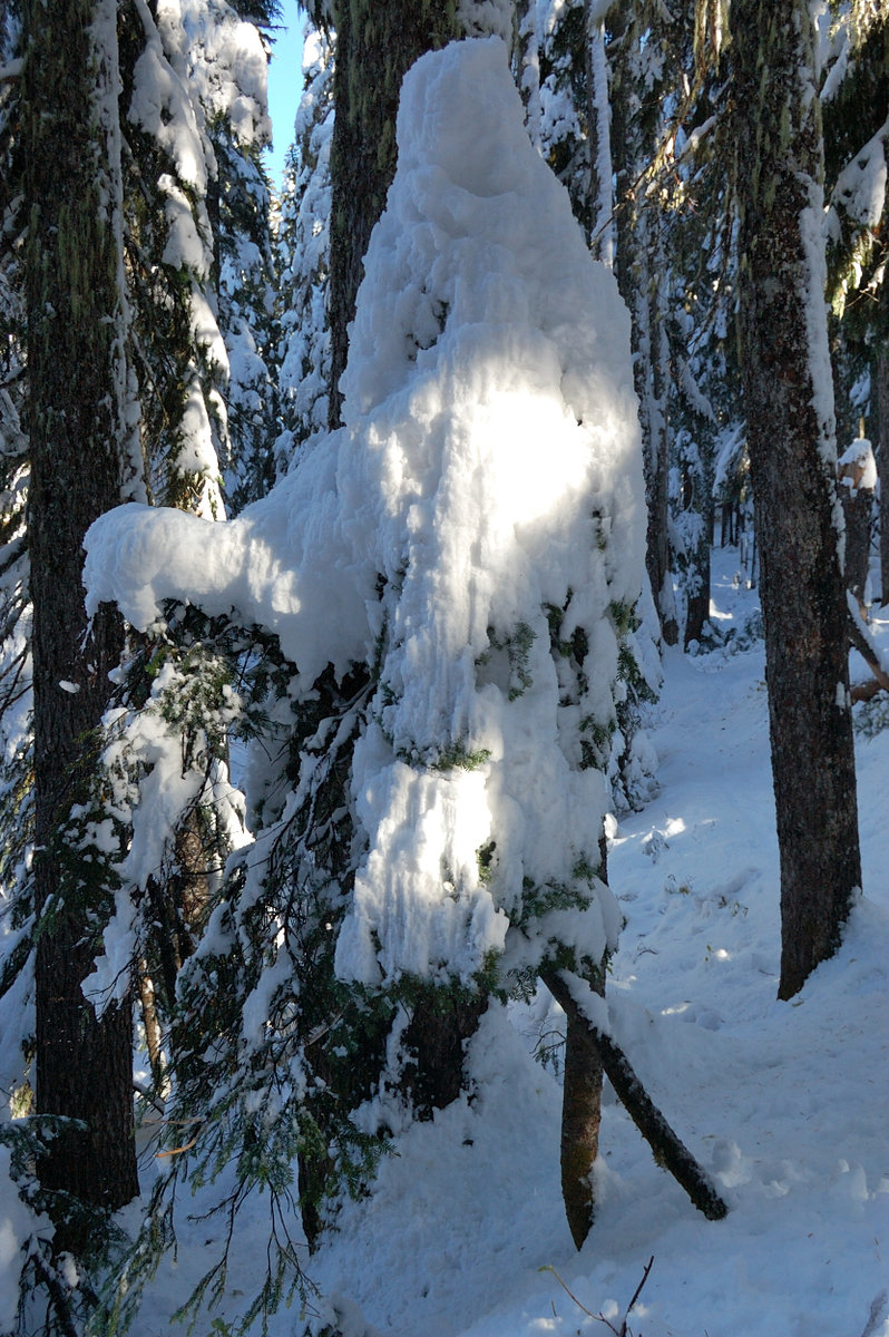
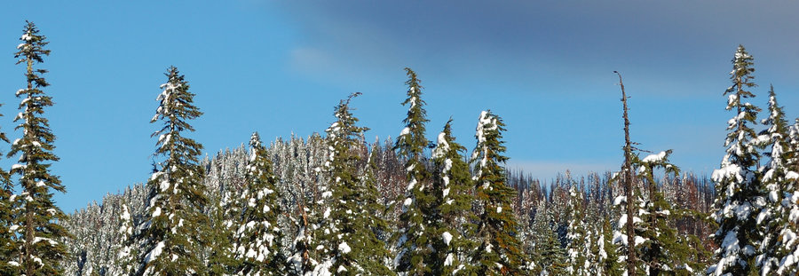
Snow starts at 4600' (2-3'' deep in the trees and 50-60% coverage). However, once above the treeline and exposed to the sun, it becomes mostly snow-free.
Butte Camp trail is remarkably good shape after last storm, but I met other hikers who tried & couldn't follow Sheep Canyon trail earlier in the day, and had to switch plans... interesting, because that's active lahar area. Or maybe they just took a wrong turn.
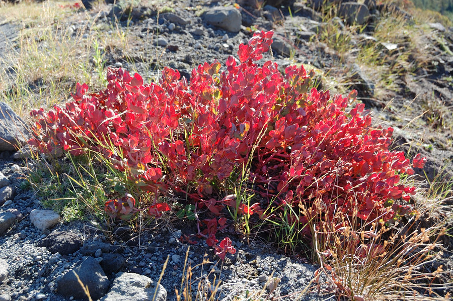
Fall colors are at their peak (not much on this trail, but was nice to see some). Maples along the roads were all glowing gold.
Rough gravel/dirt roads up there finally got graded & in nice shape. Drove over Red Rock Pass and to Kalama Horse Camp, it's now pretty nice, with a few rocks on the road here & there - but way better than a few weeks ago. Didn't drive down to Blue Lake but it seemed they did something there too (fresh gravel?).
The creek at Butte Camp (4000') is gone! Seems bizarre as it hasn't dried up even in late summer, was a good running creek across the flat part of the trail. I went west across the plain to the foot of the hill - no water. Went up into the brush and I could see the springs are flowing good as always, but then it seems to disappear into the ground.
October 24, 2017

Memaloose
4.5 miles of hiking • 1000' elevation gain •
We were going to another area, but having already started late we got stuck in dead traffic east of Cascade Locks. This little hike helped to save the day.
There;s one lane each way on I-84 around MP 51-52, I would take SR 14 for anything in Hood River or east until they fix the freeway. On the way back we took SR 14 and could see traffic on 84 stretch for 10+ miles!
October 15, 2017


 1
1
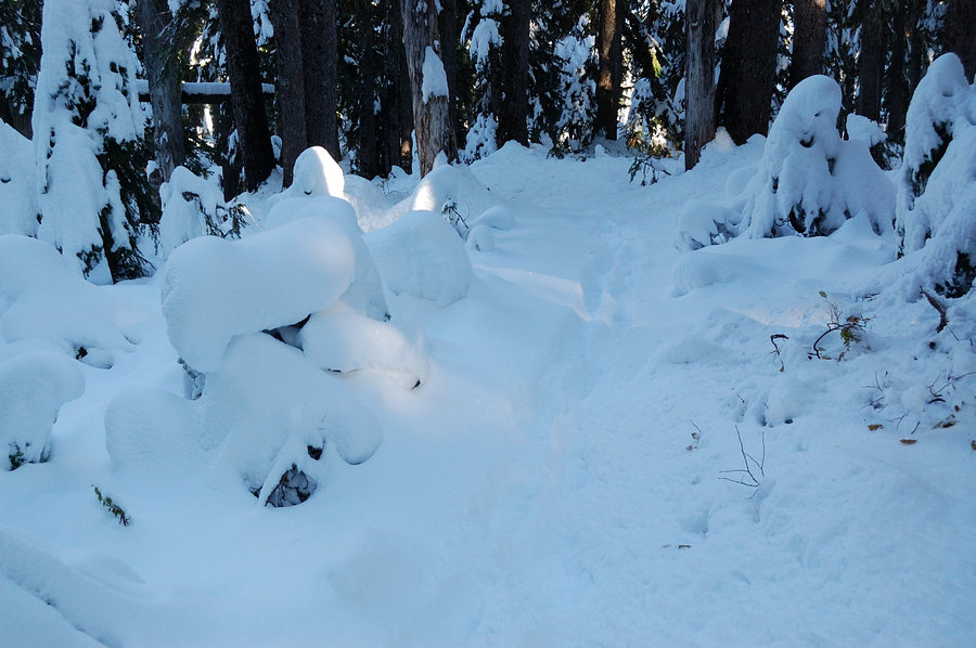
October 6, 2017


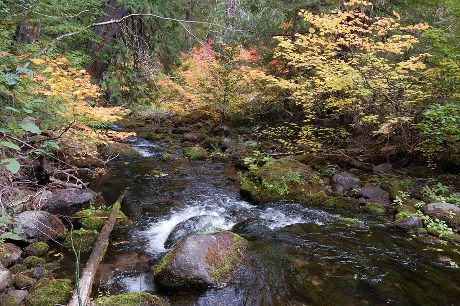
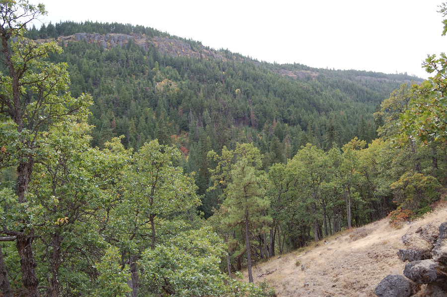
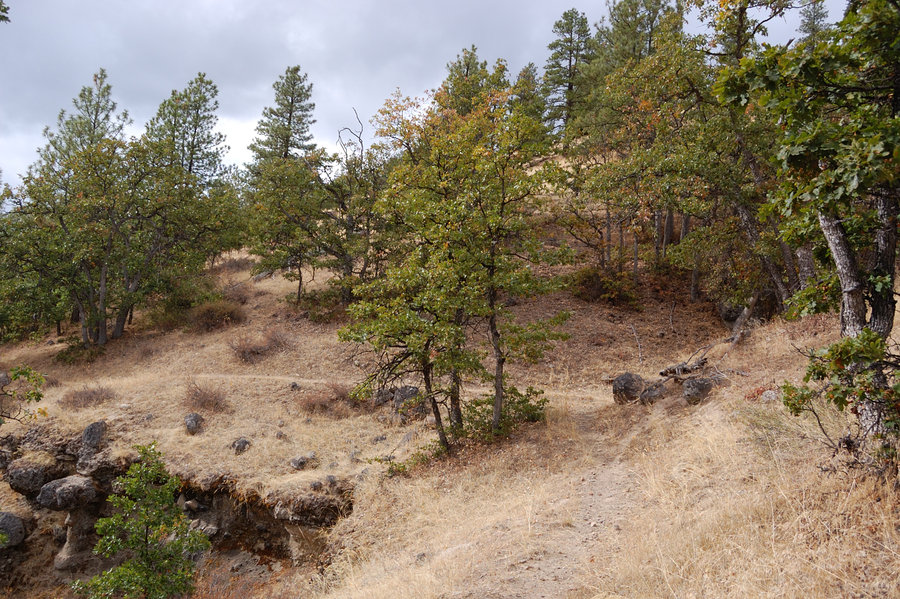
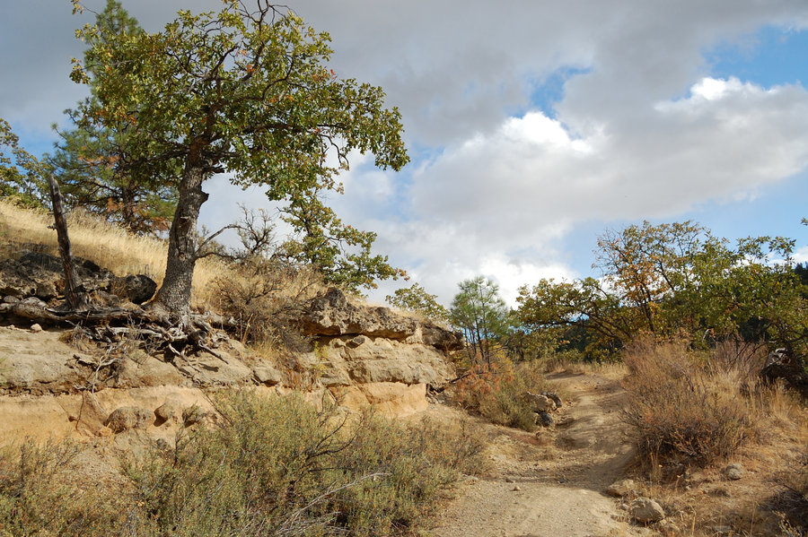
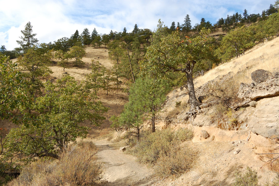
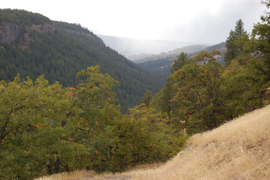
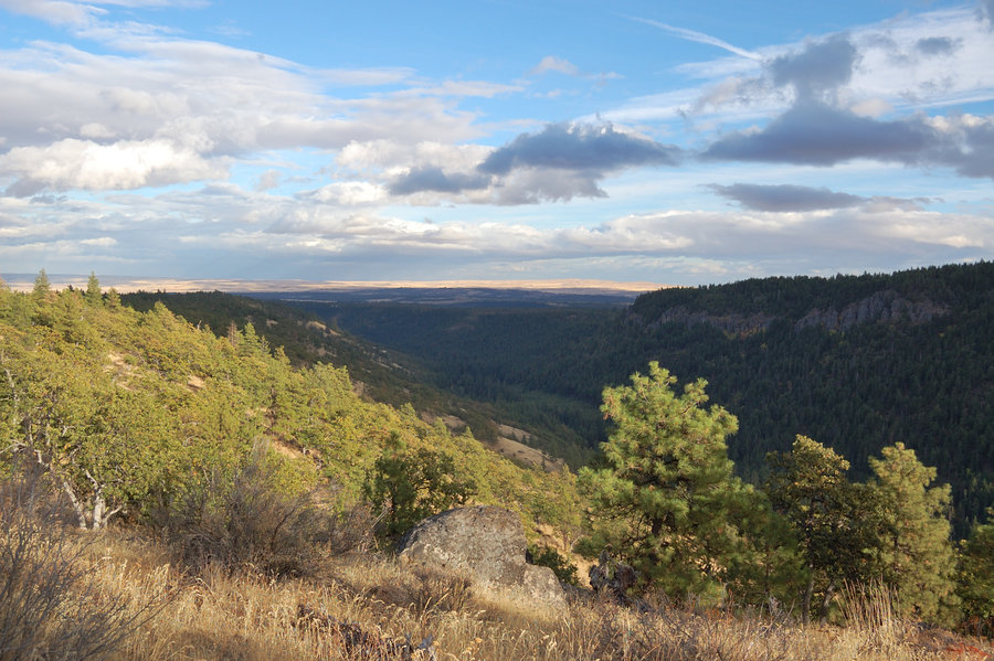
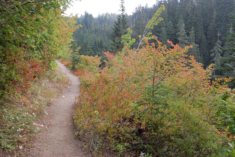
Fifteenmile Creek
24.75 miles of hiking • 4000' elevation gain • 2 nights
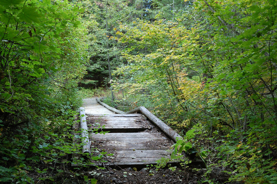
Figure 8 "loop" with side trip to Ramsey Creek (track at the link). Fall colors along 15-mile Creek were very nice in places, but in most places maples are still green - the area will look great for the next 2-3 weeks.
October 6 – October 8, 2017


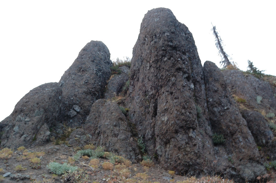
Butte Camp trail
8.1 miles of hiking • 1750' elevation gain •
Last summer-like day, couldn't stay at work.
September 28, 2017

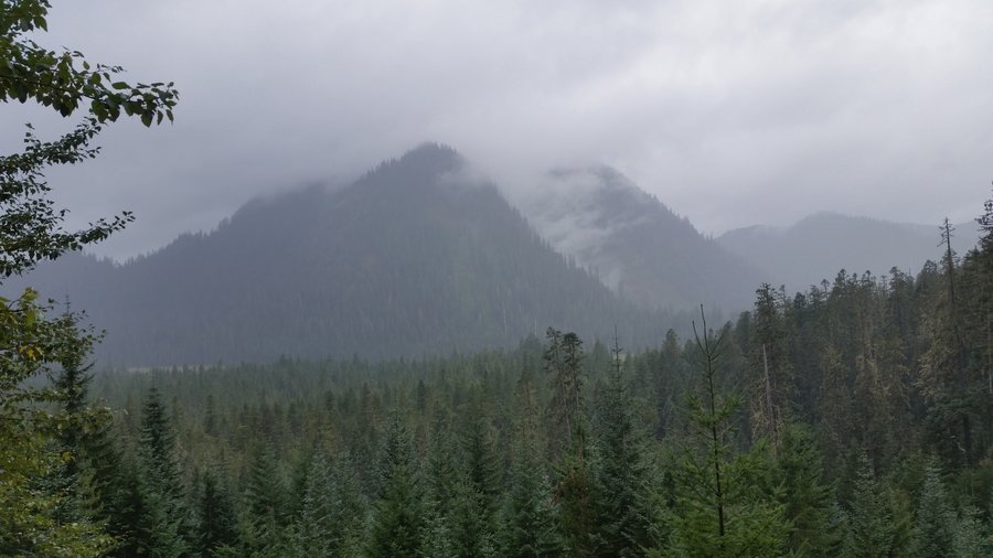
Sheep Canyon area
12 miles of hiking • 2250' elevation gain • 1 night
Made a loop around "Sheep Ridge" with closed road, that used to go to upper trailhead. Also visited little summit on the ridge, old favorite in the area. Only the last couple miles were in the rain, glad I decided to extend the hike as the rain held off. GPS track is in Hillmap link.
September 16 – September 17, 2017

Coast hikes
7.5 miles of hiking • 0' elevation gain •
Chapman to Crescent Beach (around Chapman Point in low tide), then Cannon Beach.
September 10, 2017
 1
1
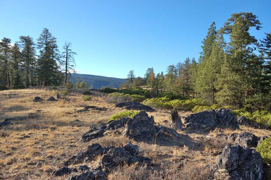
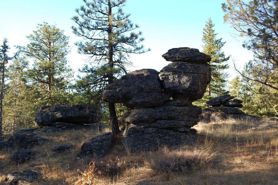
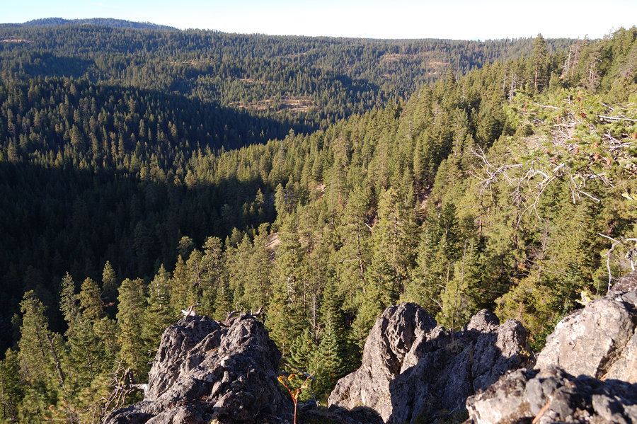
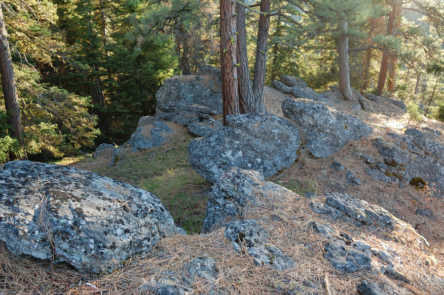
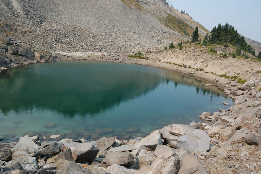
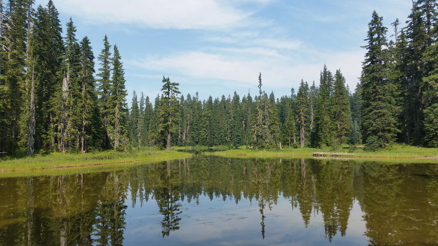
"Yellowjacket Divide"
23.5 miles of hiking • 6000' elevation gain • 3 nights
Wild. Rugged. Scenic. Remote.
September 2 – September 5, 2017


 1
1
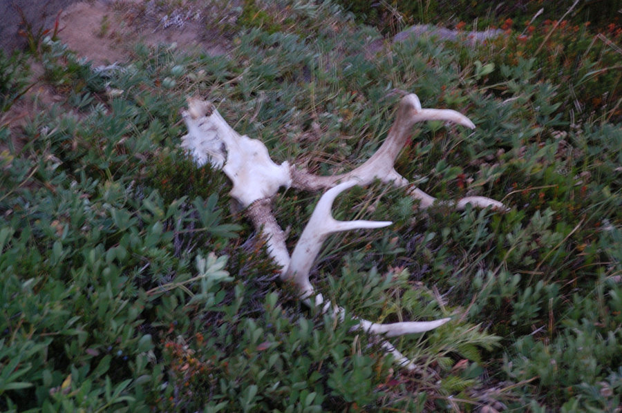
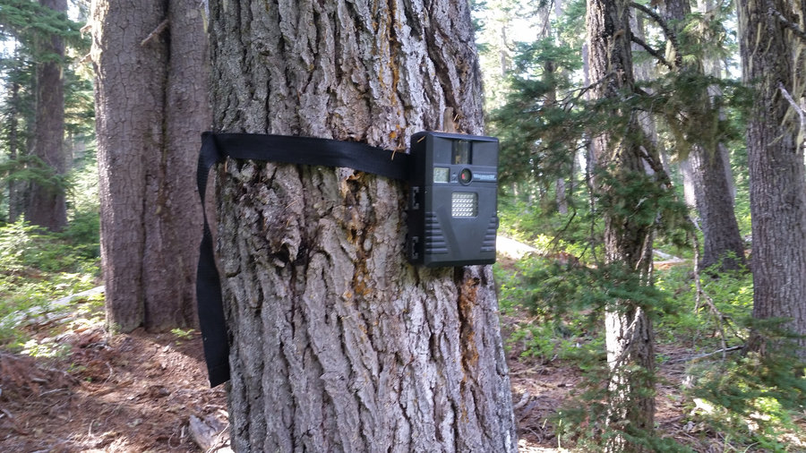
Indian Heaven
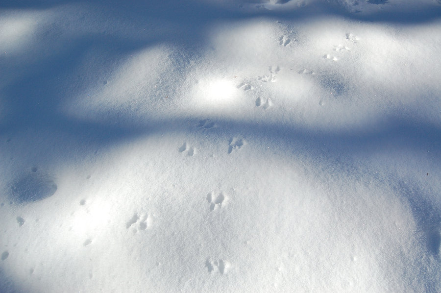
6 miles of hiking • 750' elevation gain • 1 night
Placid, Chenamus Lake, and a couple offtrail ponds. Found hunters' hidden wildlife cam, got a few selfies. Lakes were a bit cold - great with the hot weather. Little did I know it was last weekend to camp in IHW in 2017, hope to see these places intact next year...
August 26 – August 27, 2017

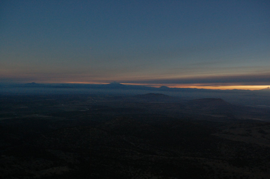
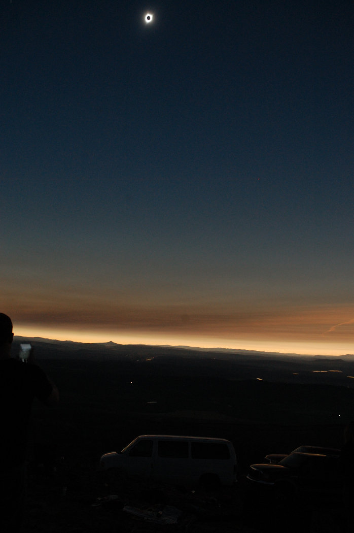
Gray Butte
3 miles of hiking • 1000' elevation gain • 1 night
Eclipse viewing from Gray Butte in Central Oregon
August 20 – August 21, 2017


Goat Rocks
17.7 miles of hiking • 3750' elevation gain • 3 nights
Drove in Thu night after work; did a variation of classic loop, about 1/2 off-trail but never far from it. Finally nice temps, low 60's during the day, low 40's at night (almost cold!) with some clouds - it really felt great for a change. Still plenty of water/streams but flowers only left in a few places.
August 17 – August 20, 2017


 1
1
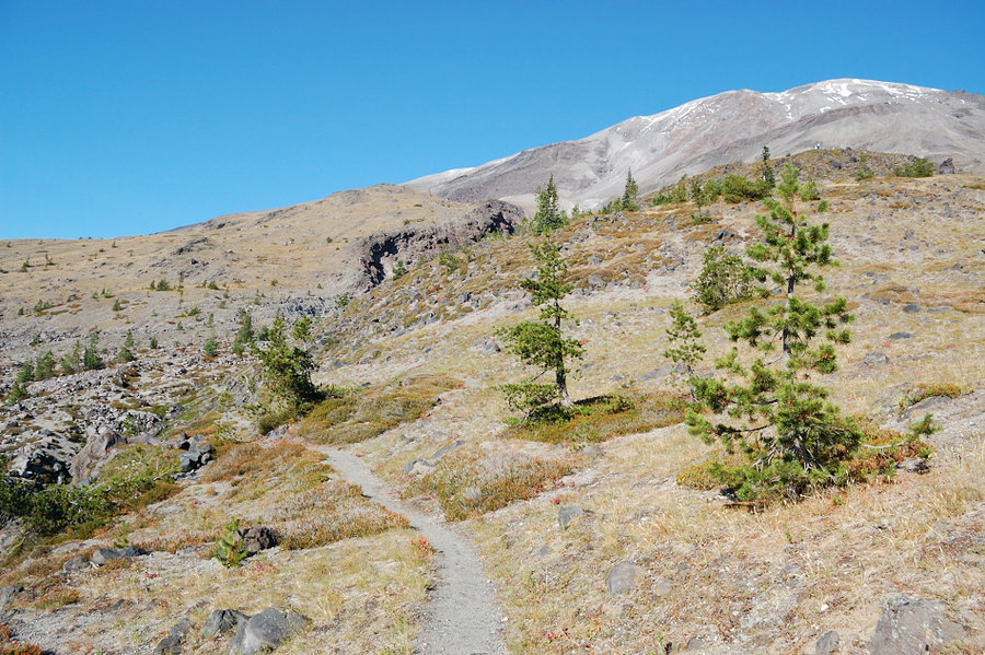
MH Meadows (trip 5)
7 miles of hiking • 1250' elevation gain •
Timberline Trail from ski resort (yes, again!)
August 12, 2017

MH Meadows (trip 4)
5.63 miles of hiking • 1750' elevation gain • 1 night
Had a busy Saturday, so trip near town worked perfect - started at 8:15 pm, up ski lift road by moonlight (no flashlight needed), camped in the same location. It was awesome night, so clear and bright! On Sunday woke up to smoke and it quickly became hot, I explored more ridges, then found a shady spot to sit and read, with great view of the mountain. Amazing how much water runs off on a hot day, but all the snowfields still there after 2 weeks. Flowers OTOH change fast - a couple weeks ago they were just starting above Timberline trail; now they're past peak at timberline and 30-40% gone below the trail, but still at their best on the upper slopes.
August 5 – August 6, 2017

Coast trip
10 miles of hiking • 0' elevation gain • 1 night
Cannon Beach, Arcadia Beach, Hug Point, Arch Cape, Cove Beach, and camping in offbeat location! Cool temps - in the low 70's in the middle of the day, but a bit smoky.
August 2 – August 3, 2017

MH Meadows (trip 3 of 3)
7 miles of hiking • 1750' elevation gain • 1 night
Covered some new terrain Saturday afternoon (track of 3 last trips here - still a lot of gaps in between but now I scratched the surface ;), found new meadows and viewpoints, everything looks really good right now in peak bloom. The mountain was very nice in moonlight; saw some meteors. Had to leave for work this morning so it was pretty short overnight trip.
July 29 – July 30, 2017

MH Meadows (trip 2 of 3)
6.5 miles of hiking • 2000' elevation gain •
Next day - hike alone - some in depth exploration of the area
July 23, 2017

MH Meadows (trip 1 of 3)
7.3 miles of hiking • 1250' elevation gain •
Hiked with my mom to Clark Creek and back. Lots of flowers, saw a colony of marmots, kind of unexpected for this place - very cool.
July 22, 2017


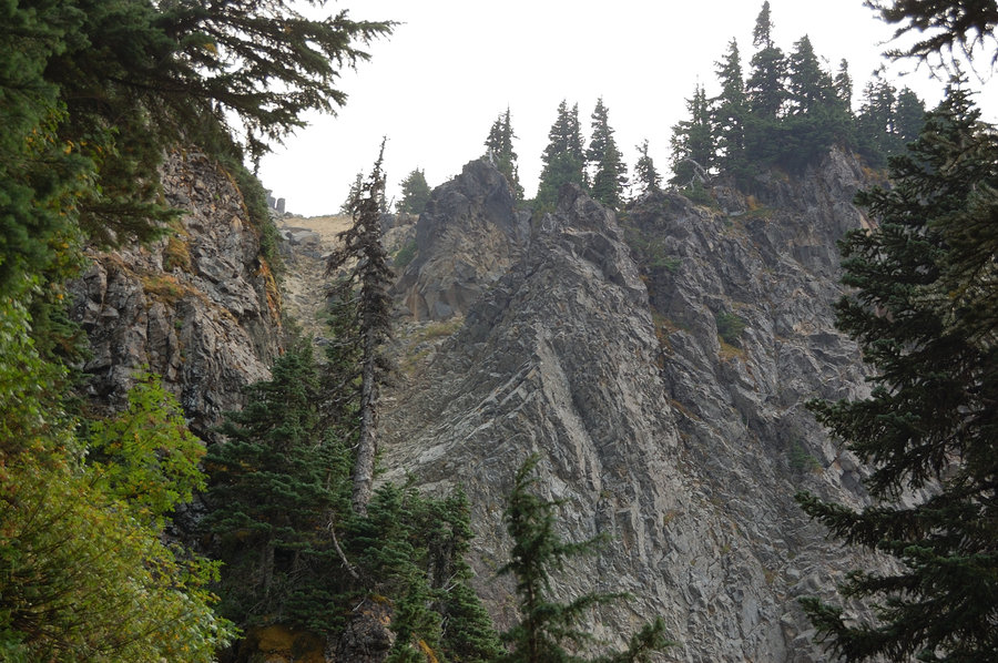
Goat Mtn
7 miles of hiking • 2500' elevation gain •
Up S ridge, down N ridge with Ben. Visited a couple false summits on the way. Fun scramble, lots of slide alder on N side!
July 8, 2017

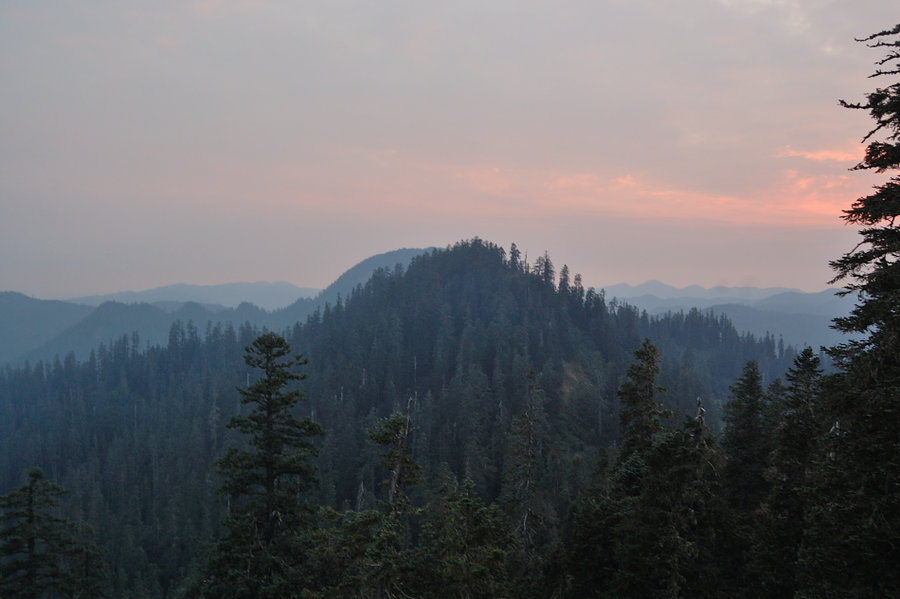
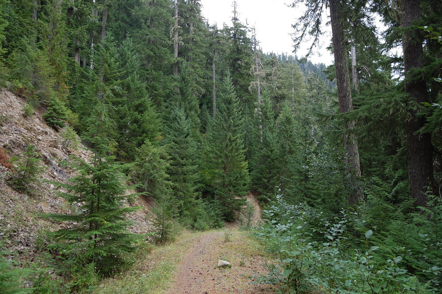
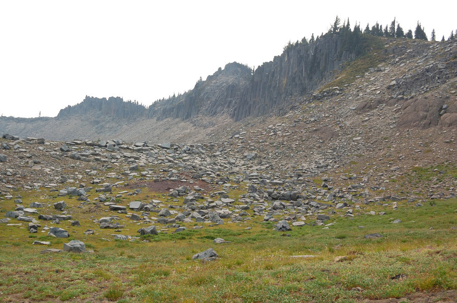
Dark Divide
31.31 miles of hiking • 7750' elevation gain • 3 nights
Jumbo, Sunrise, Juniper Peak & back, from south trailhead mentioned on OH. Trails were rutted from motorcycles and brushy in parts (esp. part near Dark Mtn), but high points of the hike were spectacular. Saw many goats on Jumbo Peak. Still some snow around - once it melts most of the trail will have no water, and will be challenging for camping. Only met 1 group of motorbikers so it was a quiet hike; more tried to go up from Quartz Cr Ridge but were stopped by steep drifts.
July 1 – July 4, 2017

Blue Lake, Gifford Peak
9.5 miles of hiking • 1750' elevation gain • 1 night
Escaping from heat in Snowy Heaven.
June 24 – June 25, 2017


Grassy Knoll
4.2 miles of hiking • 1250' elevation gain •
Trail is in good shape (a couple short brushy spots, only 1 blowdown); flowers were just starting, maybe at 20%. Should be really good by July 4th. The road had some deep water-filled potholes, especially the last 2 miles - but made it ok in a Corolla so almost any car can too...
June 17, 2017
 1
1
June 10, 2017
 1
1
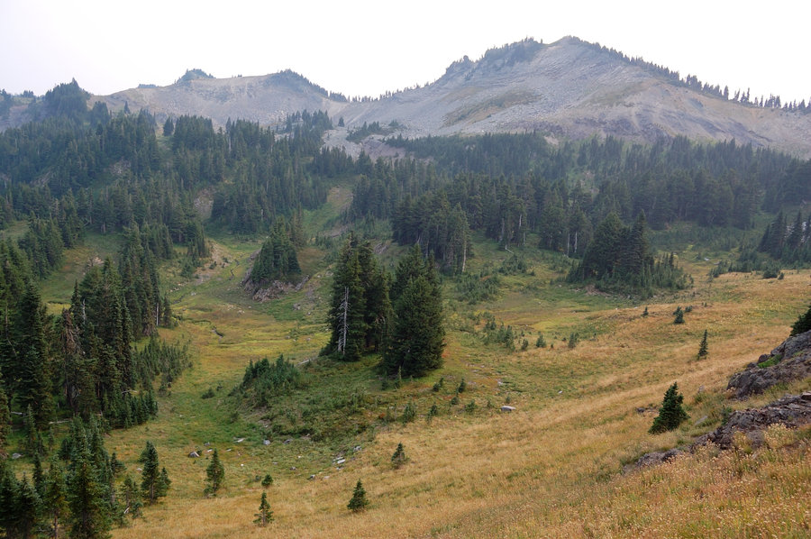
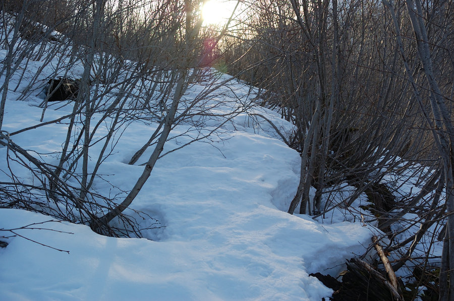
Paradise Park
12 miles of hiking • 3000' elevation gain •
Got a chance to free up Tuesday and went to Mt Hood, to beat the heat and try to reach Paradise Park from Twin Bridges campground.
The trail was in good shape up to about 4300', then blowdown and snow started so I went straight up. There was not much snow overall, 1-2 feet deep before 5000' elevation (ridges are already melting out), then about 3-5 feet above that, and just below the Park there were some impressive 10+ ft deep drifts that will last long time. Got to the first real views at 5800'; if I had extra hour would go to see Split Rock - but didn't want to deal with blowdown and snow bridges in the dark on the way back. About 7.5 hours up & down. That's a long and nondescript trail to get there, but the Park and close-up views of the mountain make it totally worth it. I wouldn't try heading over Zigzag Canyon anytime soon, a lot of snow there & Zigzag River was running really strong near trailhead.
June 6, 2017
 2
2
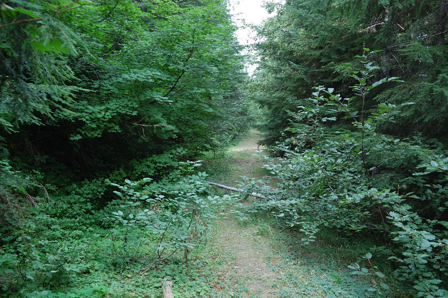
Ball Point - Little Badger Creek loop
9 miles of hiking • 2250' elevation gain • 1 night
Really nice conditions this last weekend - sunny and cool, I don't think there was warmer than 65F. Lots of flowers, but they are on the decline. In a couple weeks there will be lots of strawberries, especially along Little Badger. The trail was in good condition, couple of large trees on upper trail I had to crawl under, but overall a lot fewer blowdown than couple years ago. Brush got cut through Ball Point NW saddle, but then ~1/3 mile is pretty brushy, that was the only slow part. I worried most about Little Badger (lower) trail though, if it was passable at all given how overgrown it was last time, but it turned out well maintained, definitely work have been done there. Connected 2 trails via easy bushwhack from lower trailhead.
June 3 – June 4, 2017

MSH area
16.5 miles of hiking • 3000' elevation gain • 2 nights
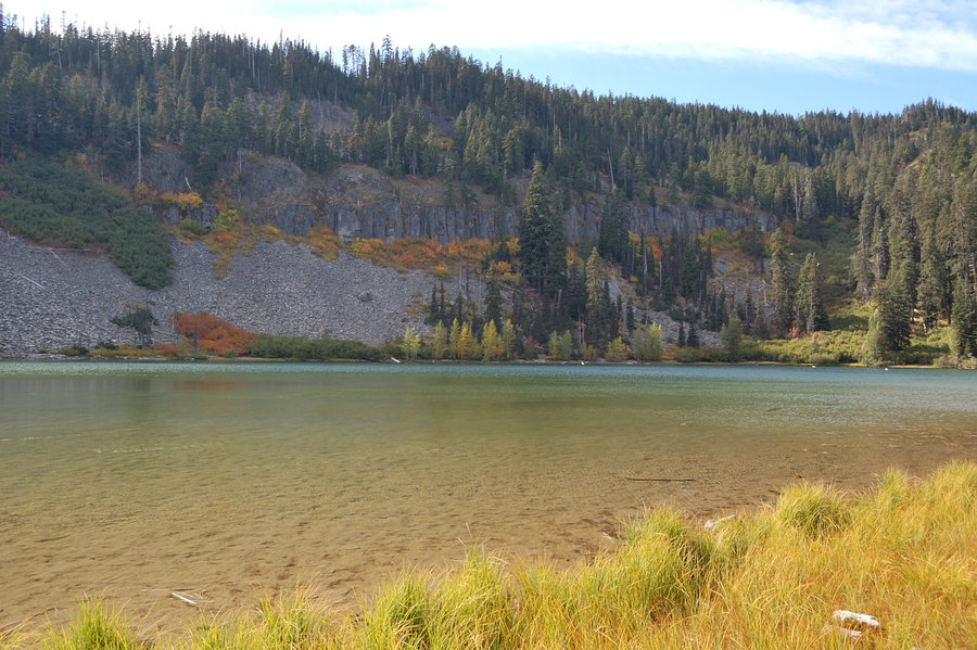
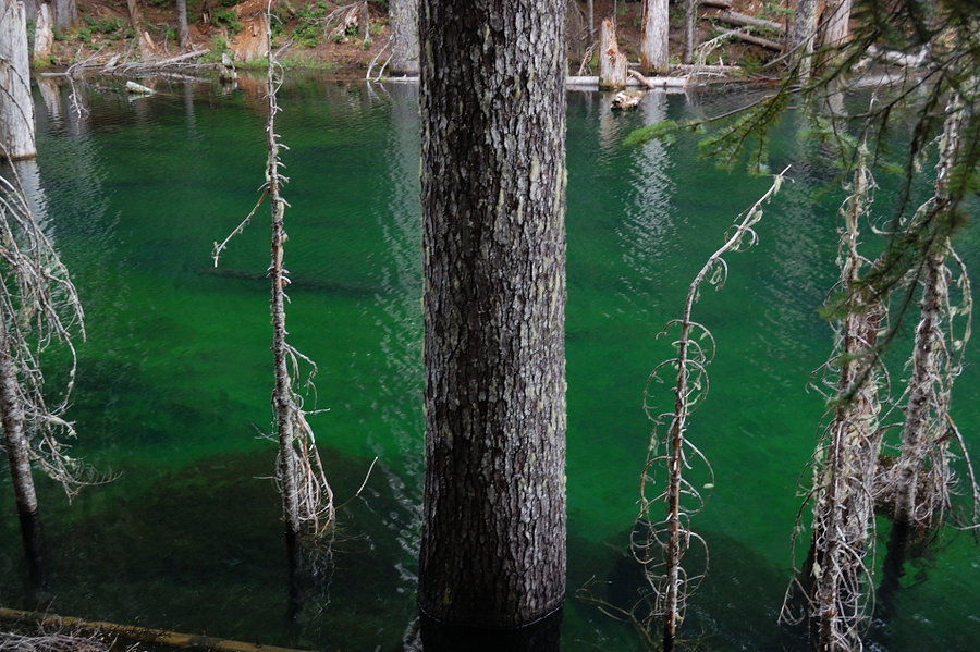
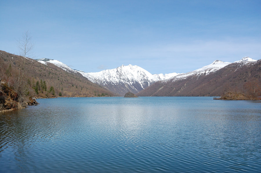
Explored the lakes and area to the NE, was thinking this is public land as maps show it. Saw property sign on the hike in odd location (well within NF boundary), so did an after-hike research. Turned out this area was in National Forest long ago, then was privatized by Weyerhauser, then sold to a smaller investor in 2007 (& got closed to the public), then subdivided - and is in danger of getting built-up. Glad I got to see it still relatively intact, but sad it's being lost for hikers... Higher parts of this area are almost on par with Margaret Backcountry, only greener with the trees planted; the view of snowy peaks across Coldwater Lake was incredible. Lots and lots of wildlife, a pair of beavers swam by my camp back and forth completely unafraid, just a couple yards away. Elk and coyote tracks were everywhere. Pictures (fixed!): #1, #2, #3, #4, #5, #6, #7, #8, #9
The story of this area from Oregonian in attached link.
May 27 – May 29, 2017

 1
1
May 20, 2017

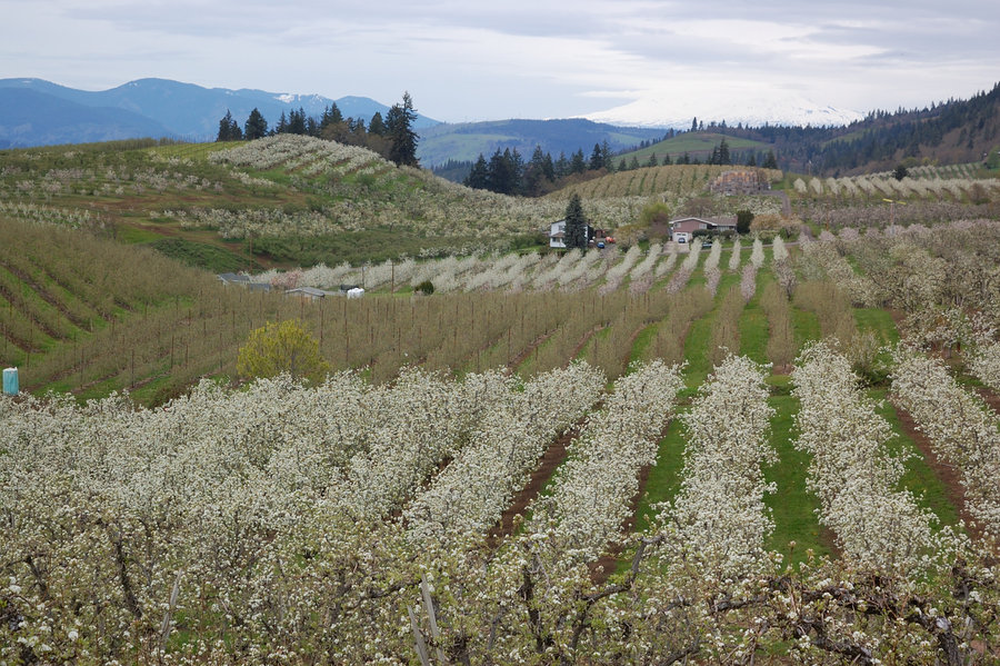
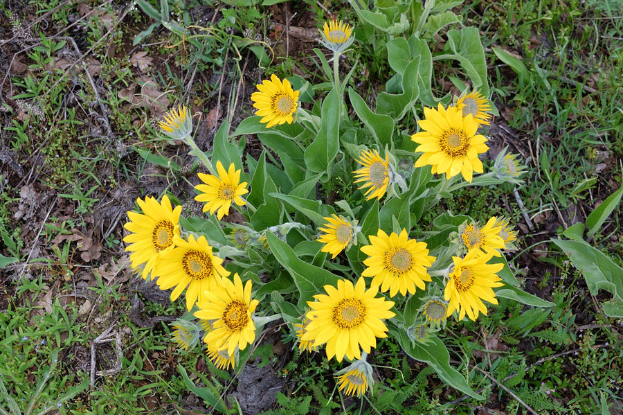
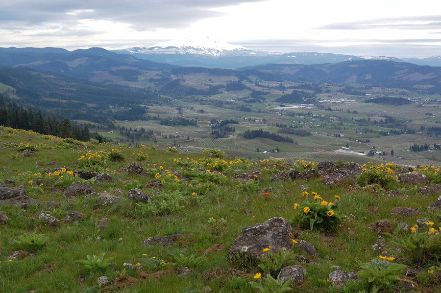
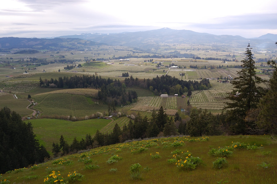
Hood River Mtn (short hike)
3 miles of hiking • 500' elevation gain •
Came back with my parents and brother, it was perfect day to be out there. Flowers were near their best on the hills, though orchards in Hood River were mostly done. And nice to finally see that view of nearest volcano against blue sky.
May 6, 2017
 2
2
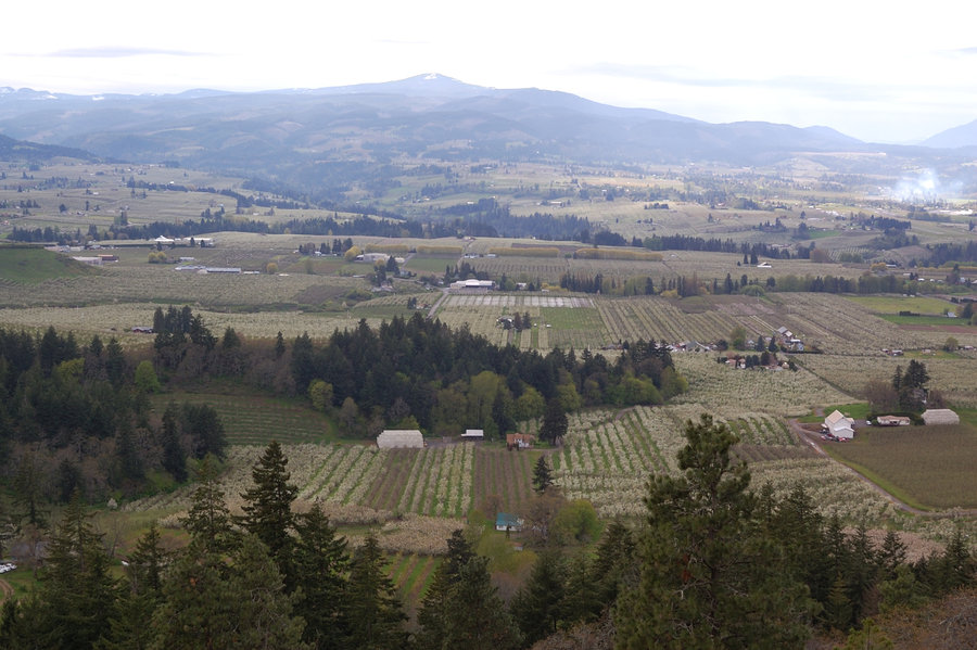
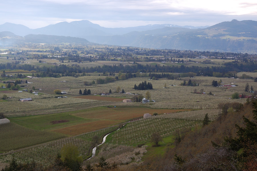
Hood River Mountain/vicinity
5.8 miles of hiking • 1250' elevation gain •
[GPX link added] Still very nice hike despite some recent logging. Lots of flowers right now, more than I ever seen there. Hood River's gardens are in white, too. Tried to find straight way from summit down to Hood River, but it all seems to go into private land. Also checked a little summit east of Elder Rd, owned by same logging company, open to hikers.
P.S. Ok it let me add some photos for short time, but now cannot upload anymore.
April 29, 2017

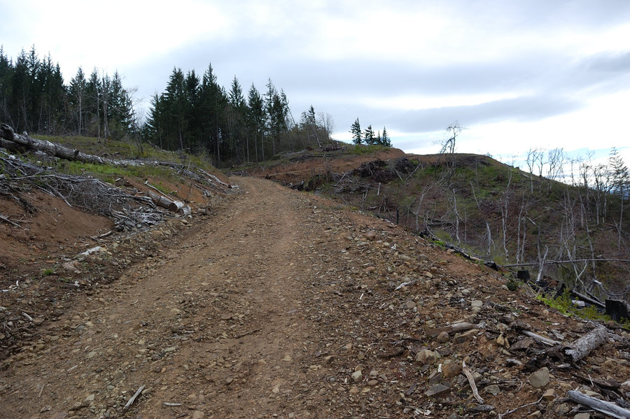
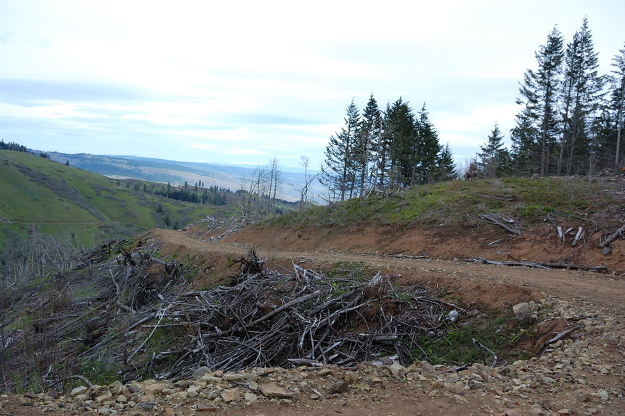
Coy Wall area
9.6 miles of hiking • 2250' elevation gain •
Bike trails through private pastures/timberland in Coyote Wall area.
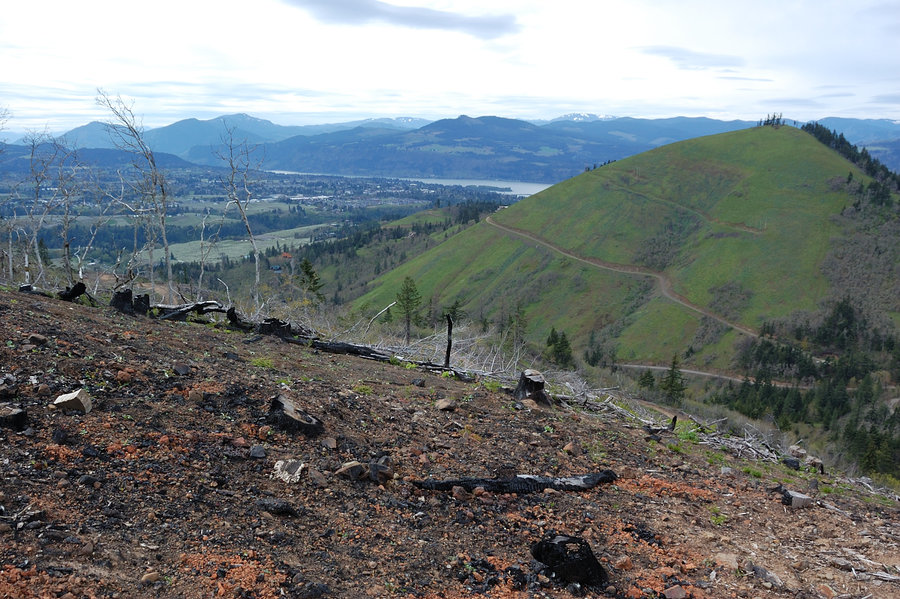
April 22, 2017

Eastern Gorge hike - 4
5 miles of hiking • 1000' elevation gain •
Favorite hike for my parents, they want it to stay off the forums. Grass widows were almost out, but balsamroot started in earnest at about 800-1000', will be better in the coming weeks. Lupine is showing up too, no flowers yet.
April 9, 2017
 2
2
Coldwater Lake Loop (clockwise)
11.5 miles of hiking • 2250' elevation gain •
Lower trail along the lake was good, but about 300-500' up on far side of the loop there's still 2-4 feet of snow (mixed with slide alder laying at different angles). Worst 3 miles took about 4 hours of deep postholing. Returned to car shortly before midnight.
It gets amazingly dark in those parts - if I just followed the trail with flashlight it would be easy (done it there), but trying to follow the terrain I could barely see snow-covered ridge ahead of me, and didn't see anything beyond 30-40 yards once snow ended. A tiny light of Coldwater Visitor center was visible on the other side of the lake, that was a nice beacon: if I wasn't seeing it anymore, this meant I dropped off ridgeline onto E side. Top of the ridge was easy going, almost no snow - only by the end I finally got lost and descended on the E side a couple hundred feet; followed old road grade back to the trail. Saw elk at least 3 times, pretty cool. Some ski tracks followed the ridge, but they turned back just before real snow.
March 31, 2017


March 19, 2017

March 19, 2017
 1
1
March 16, 2017


Bridal Veil area
5 miles of hiking • 1500' elevation gain •
Finally a shorts and t-shirt weather! Had to be at work til noon, so went to my usual stomping ground close to Troutdale...
March 10, 2017
 1
1
Vancouver Lake, Frenchman's Bar
4.5 miles of hiking • 0' elevation gain •
Quick loop at Vancouver Lake (map link) with newly constructed trail, then about a mile beach walk at Frenchman's Bar. Lots and lots of birds there today, flocks of white geese were so numerous one field looked white like snow, the next field was gray with Canada Geese, I heard some cranes as well...
March 5, 2017
 1
1
Angels Rest - Palmer Mill Rd loop
8 miles of hiking • 2250' elevation gain •
GPS track @ the link...
March 4, 2017

February 26, 2017


 2
2
Angels Rest area-logging roads
5.5 miles of hiking • 1000' elevation gain •
Loop on closed/abandoned road grades, with a bit of bushwhacking to connect the segments.
February 18, 2017


Deschutes River
6 miles of hiking • 250' elevation gain •
Nice sunny hike, very warm out in the desert but the hills were still 50% covered in snow, and some people tried to ski the road grade.
Uploading photos doesn't work for me anymore, cannot figure why
February 11, 2017

Palmer Mill Rd
4.5 miles of hiking • 1250' elevation gain •
Sunday's a working day, this little hike was a nice break
January 29, 2017


Palmer Mill Rd
4.5 miles of hiking • 1250' elevation gain •
Long lunch break hike (15 min from my work)
January 23, 2017

