11.31 miles of hiking • 3500' elevation gain • 1 night
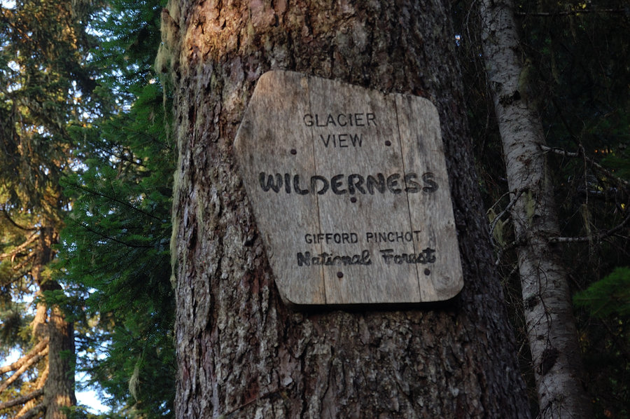
Going NW seemed the best choice to get out of the smoke (or at least, it would clear sooner), and this little wilderness was on my list for too long, so it was easy to decide where to go.
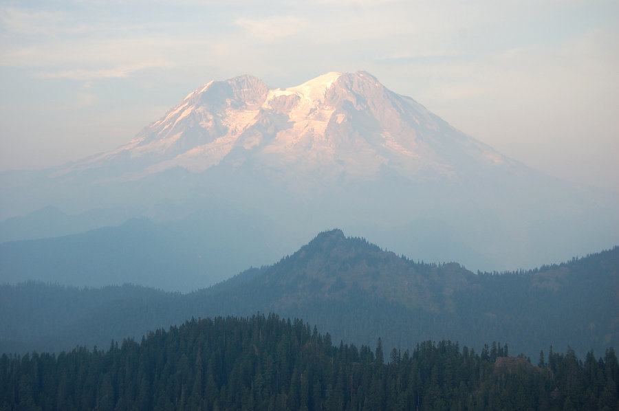
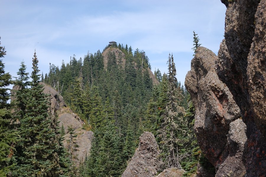
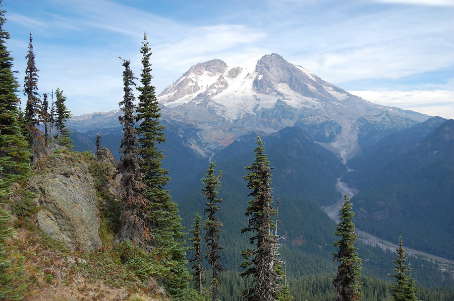
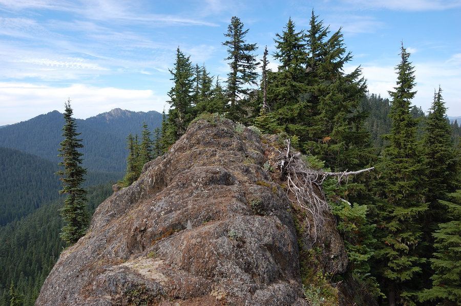
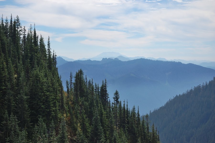
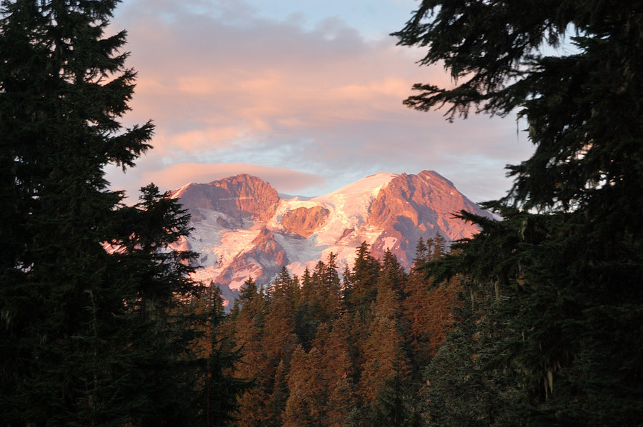
I started near Lake Christine late on Sunday and made it to junction of Beljica summit trail less than an hour to sunset. A quick but very steep hike to the summit was really worth it - even though it was still smoky, I could see the volcano well and it was huge! On a clear day it will be excellent view in all directions.
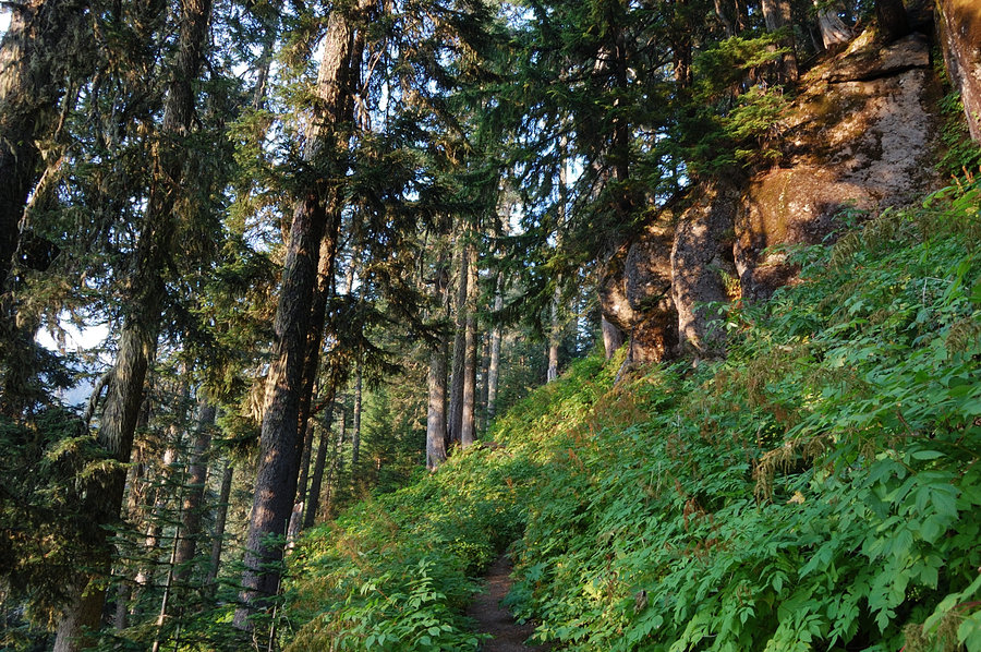
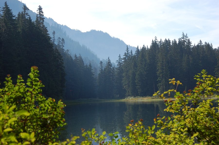
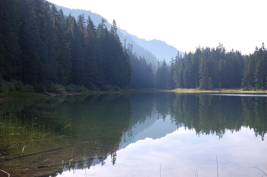
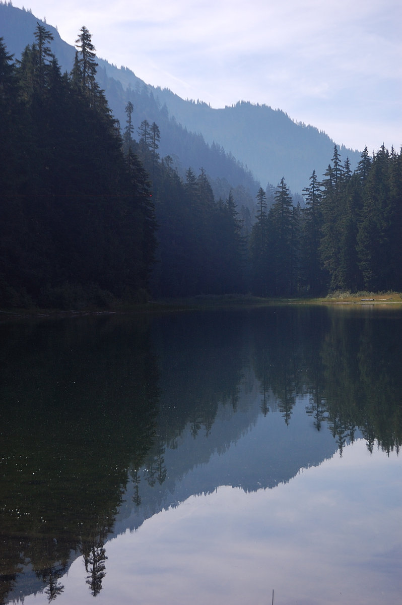
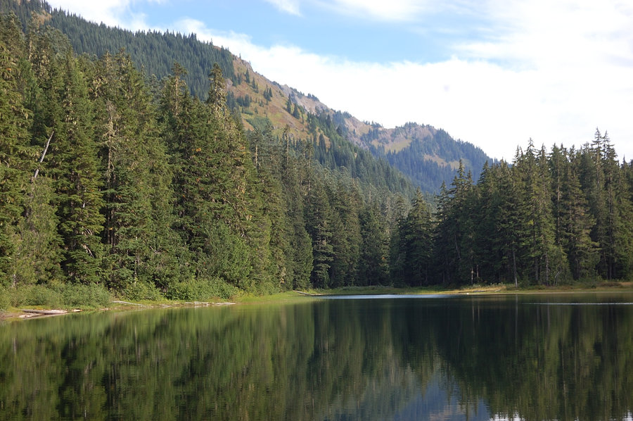
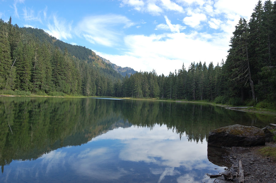
Down on main trail, I decided not to return to Lake Christine, but rather go to Goat Lake by flashlight, in hopes any campsites I find will be vacant on Sunday night. Found very good site right by the trail on N end of the lake, was alone at the lake and it felt like real wilderness.
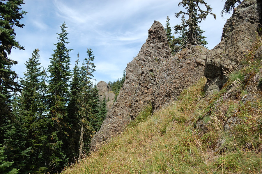
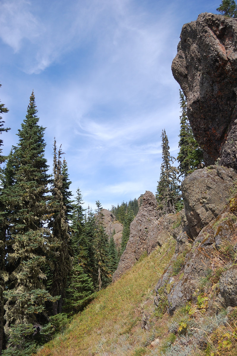
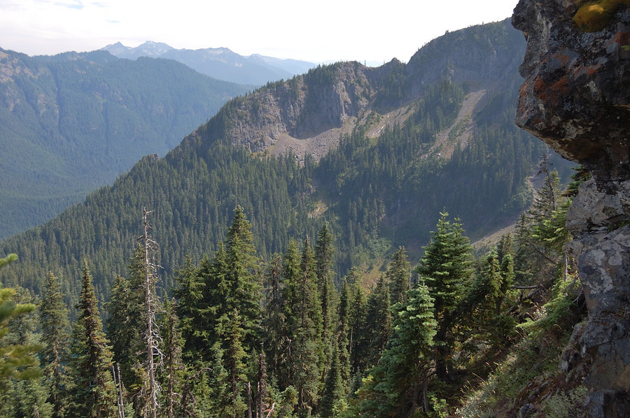
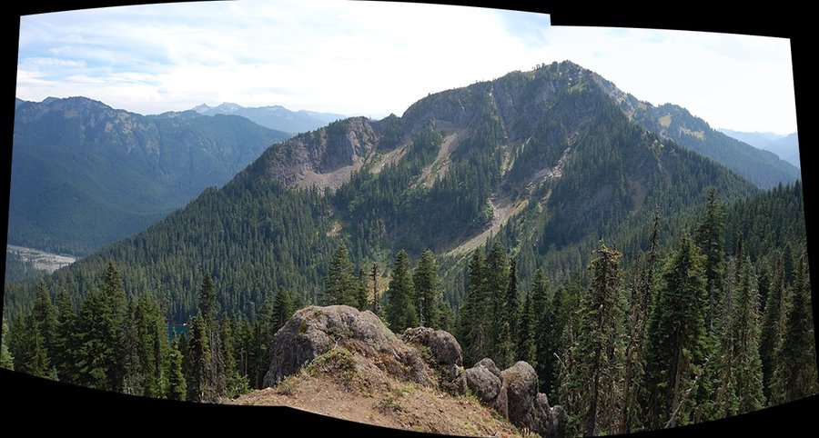
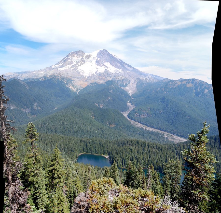
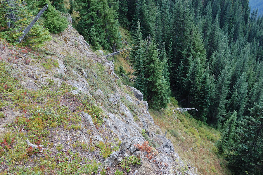
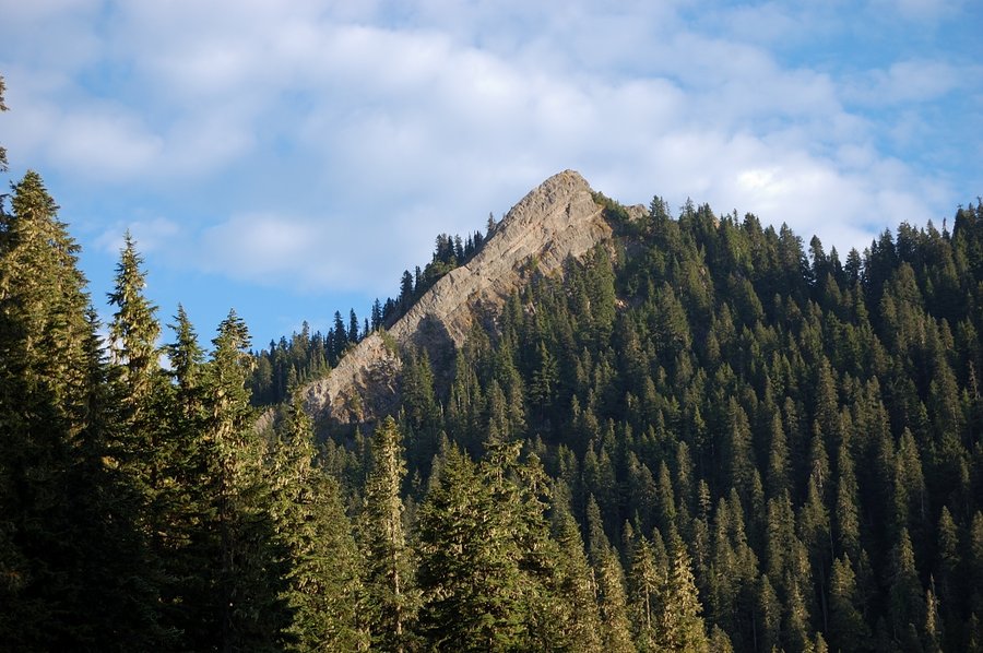
Next day I went a bit east on the trail to a pass, then left trail and followed the ridge south to Point 5418. Long story short, it wasn't as straightforward as seemed on Google Earth (lots of brush, steep rocks) but certainly an interesting destination with a killer view at the end, full-on Rainier view, Mount Wow just to the south, and Lake George below. It was easy going along the rock wall at first, then scrambling up the wall, but following the narrow ridge to the summit - it's where brush gets serious. Just short of the summit found binoculars in the brush.
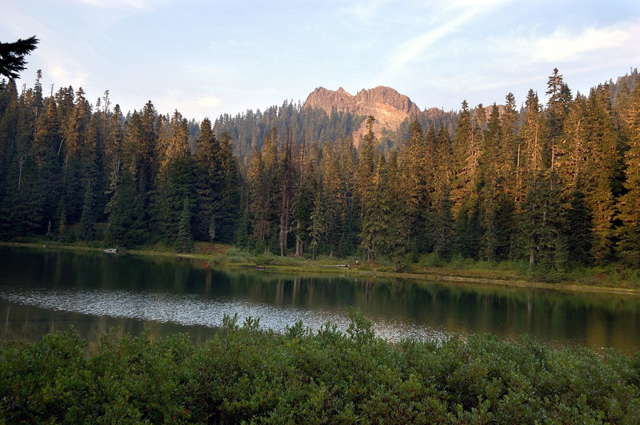
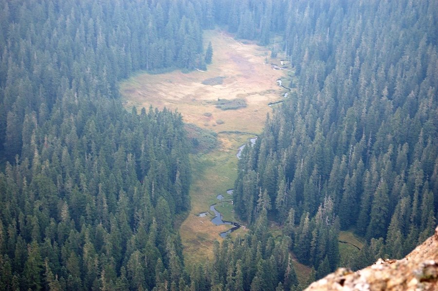
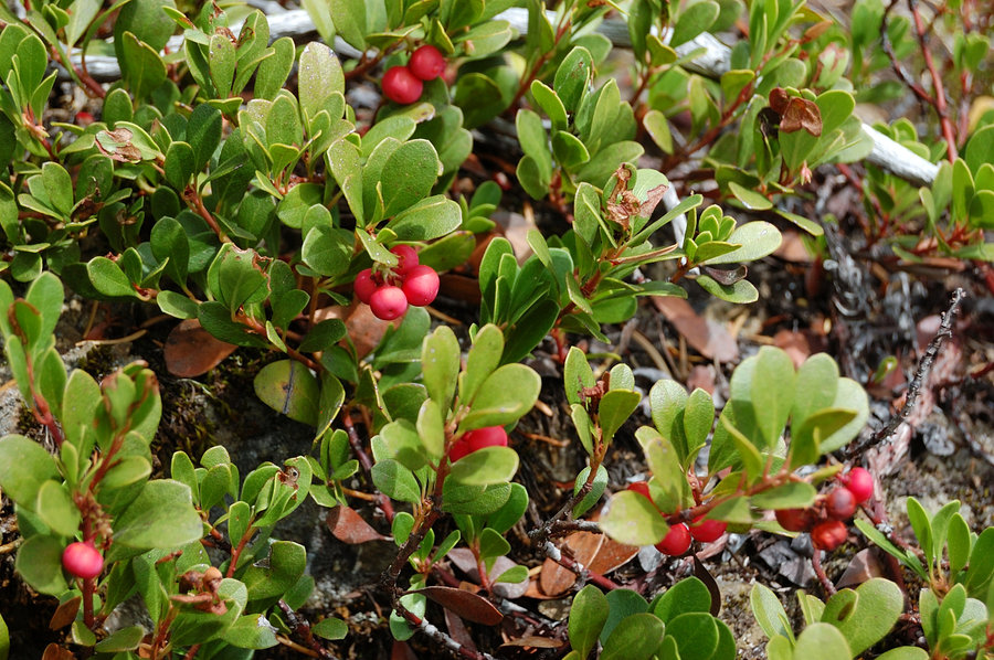
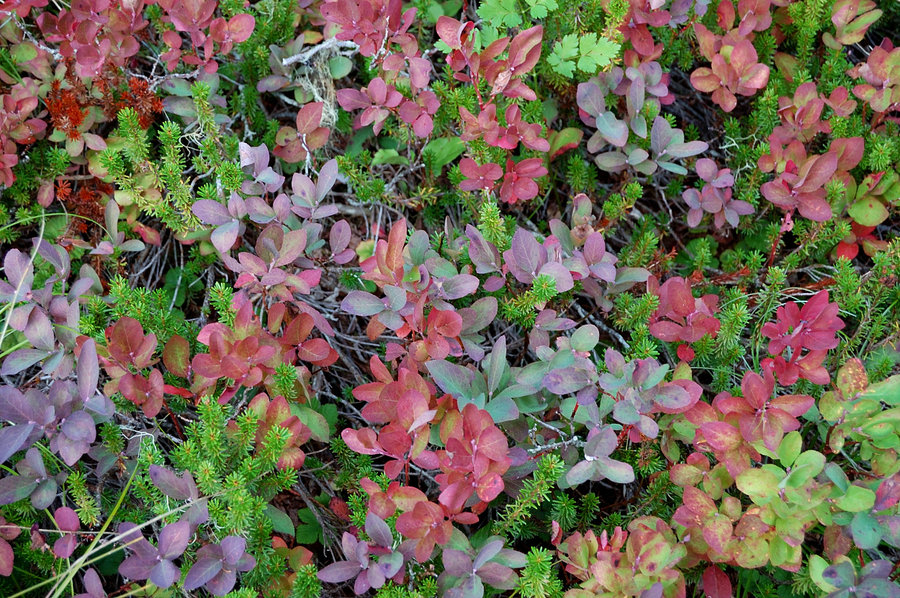
On the way back to trailhead I took time to see Beljica Meadows, which I saw from the summit last evening - probably very swampy place earlier in the season, but now it's all dried up except for stream channel and a couple of ponds. Still a couple mosquitoes here and there. Huckleberries turned red along the edge of the meadows; with crisp cool in the air it certainly felt like early fall. Looking at fiery sunset on Rainier through the trees, I realized I'd been better seeing the meadows on first day and saving Beljica summit for smoke-free Monday evening - oh well.
It's really scenic area, but road up there makes me think twice if I'll do another trip there in town car. It's very rocky, complete with some deep potholes, especially the last 1.5 miles to the trailhead. Certainly better than road to Silver Star, but with a few nasty spots. I promised myself to visit there again as soon as I buy a truck or SUV.