

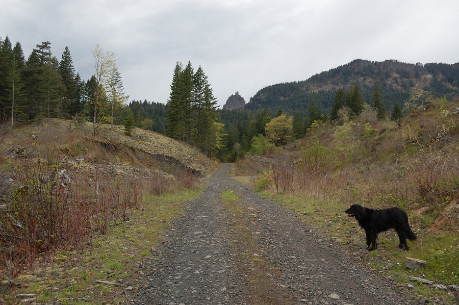
4.23 miles of hiking • 1000' elevation gain •
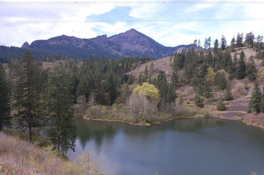
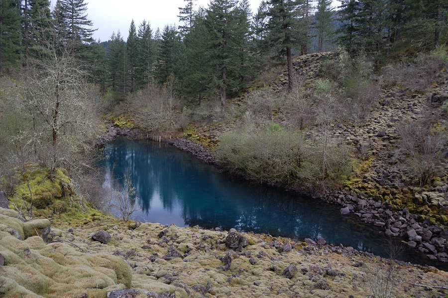
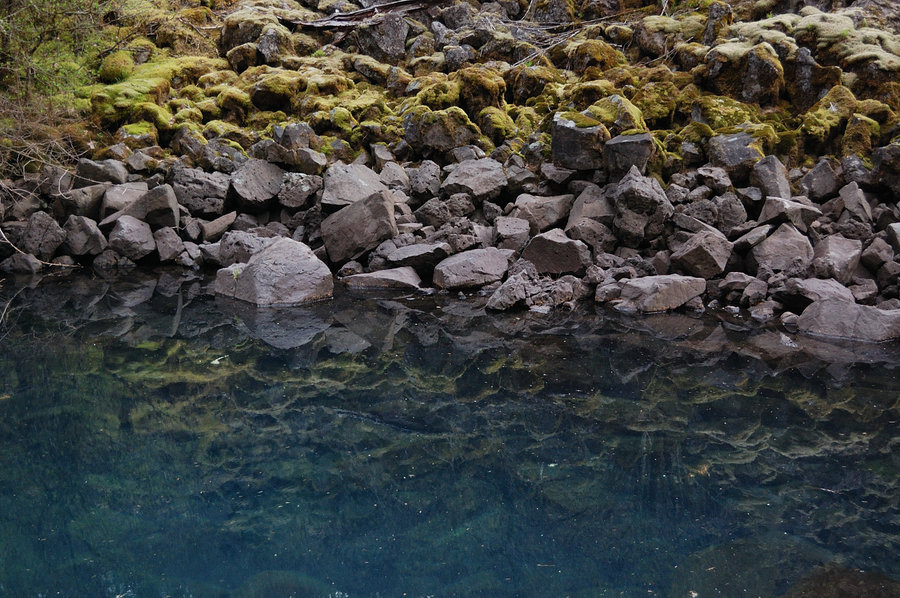
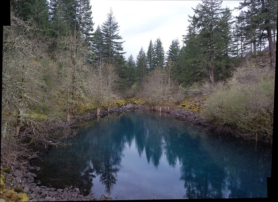
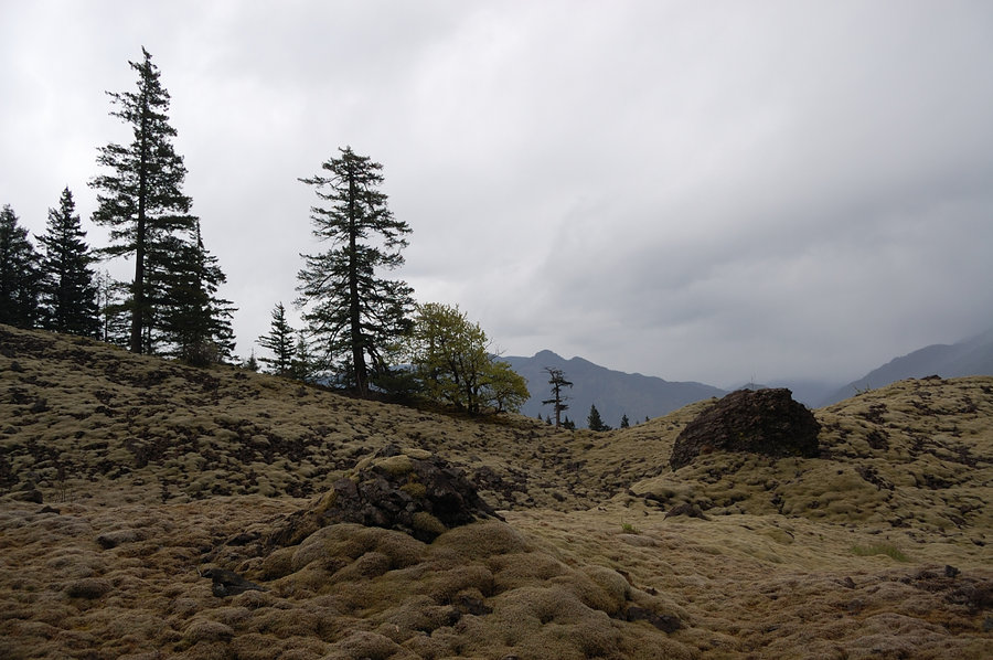
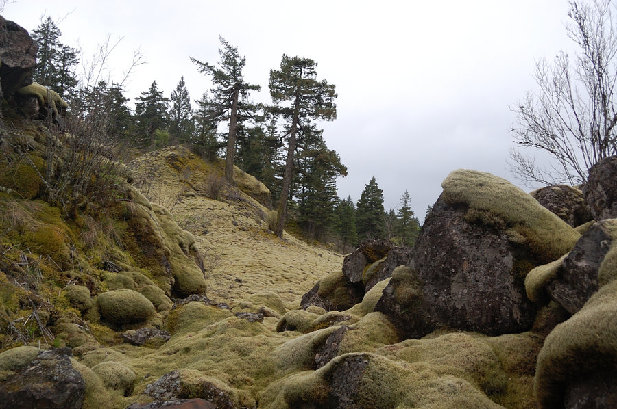
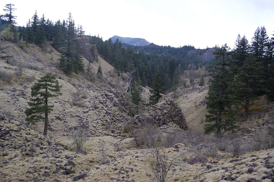
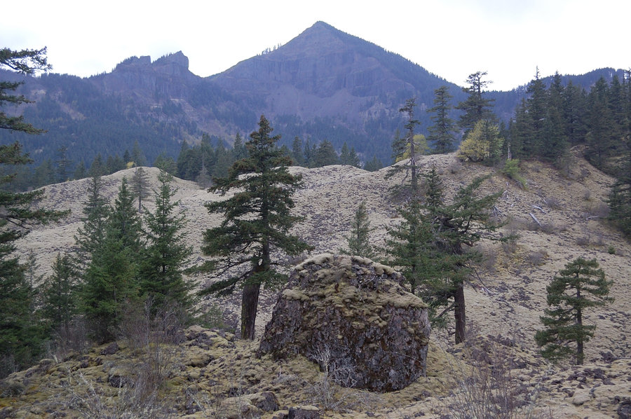
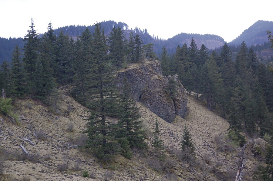
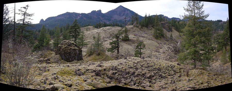
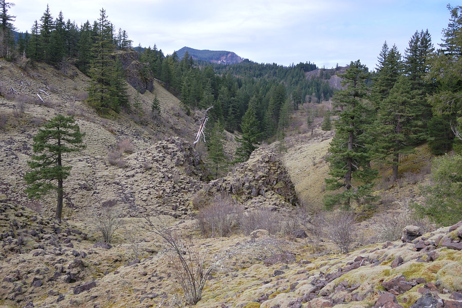
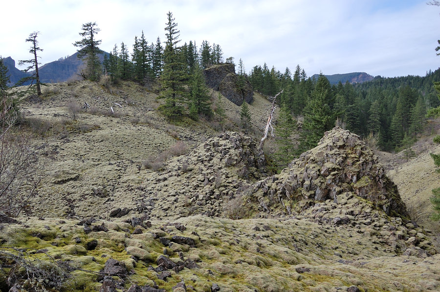
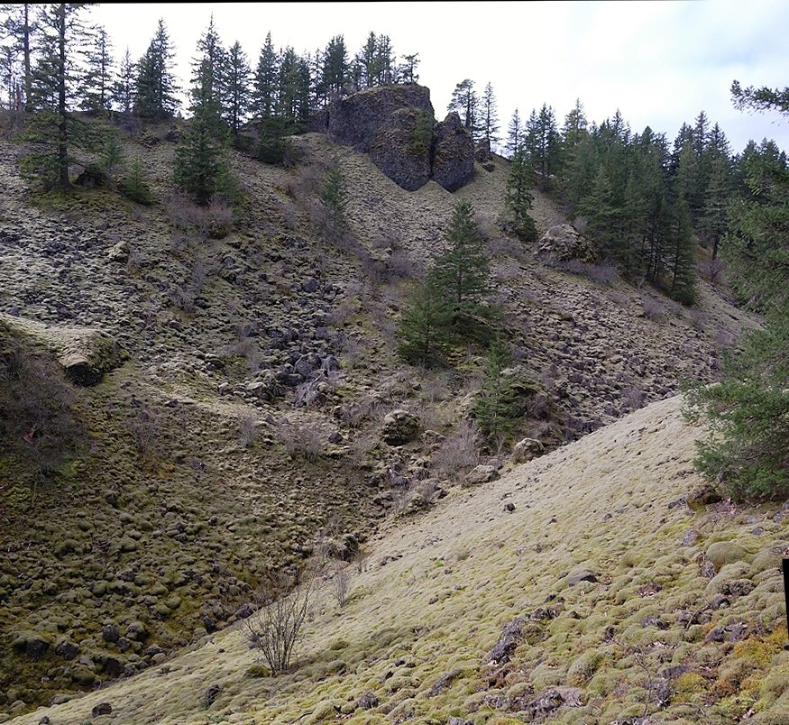
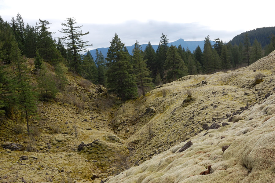
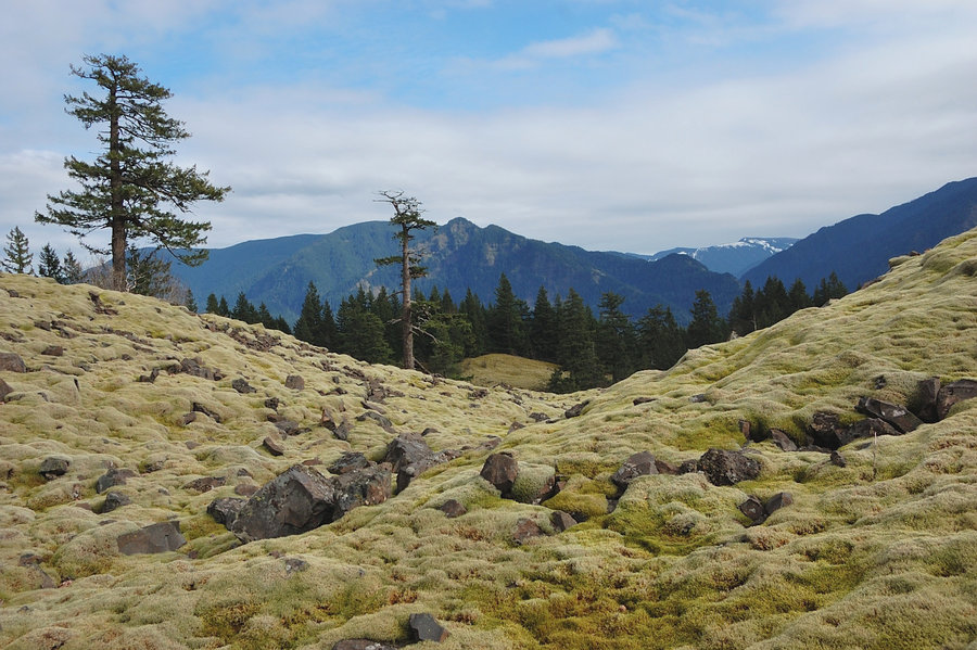
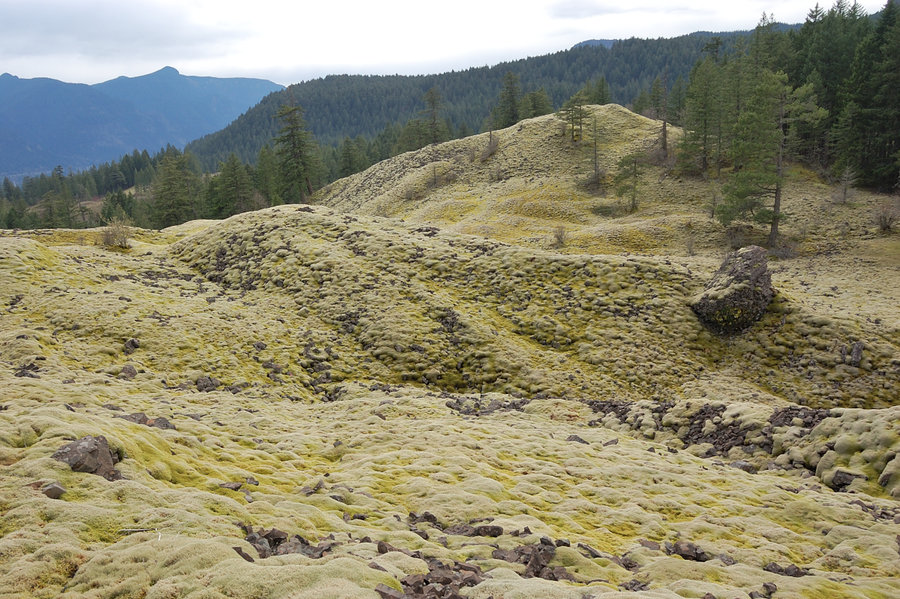
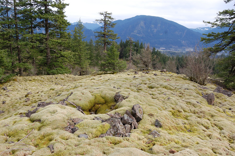
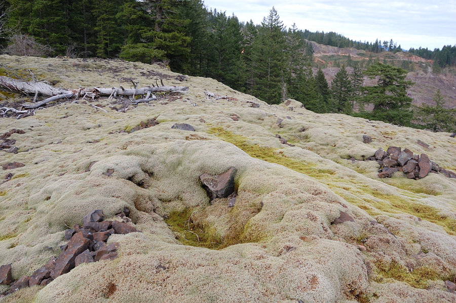
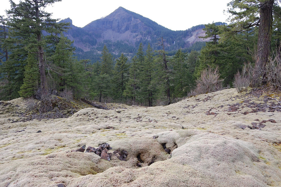
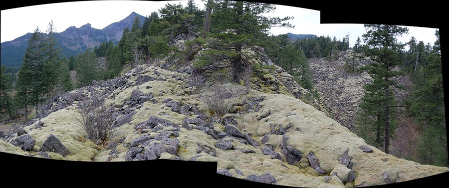
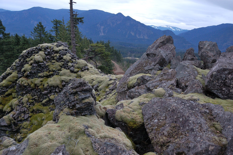
Just saw this area on Google Earth and thought it might be worth to explore. Not sure why I didn't read anything about it on the forum - so nice! Unlike much larger St. Helens hummocks, those are made not from pumice and fine gravel, but from large boulders, was pretty rough to hike despite the smooth carpet look. Lone-standing ancient trees gave this place almost park feel. The little lake barely visible on topo map was very neat as well, it's incredibly blue and probably 5-6 feet deep.
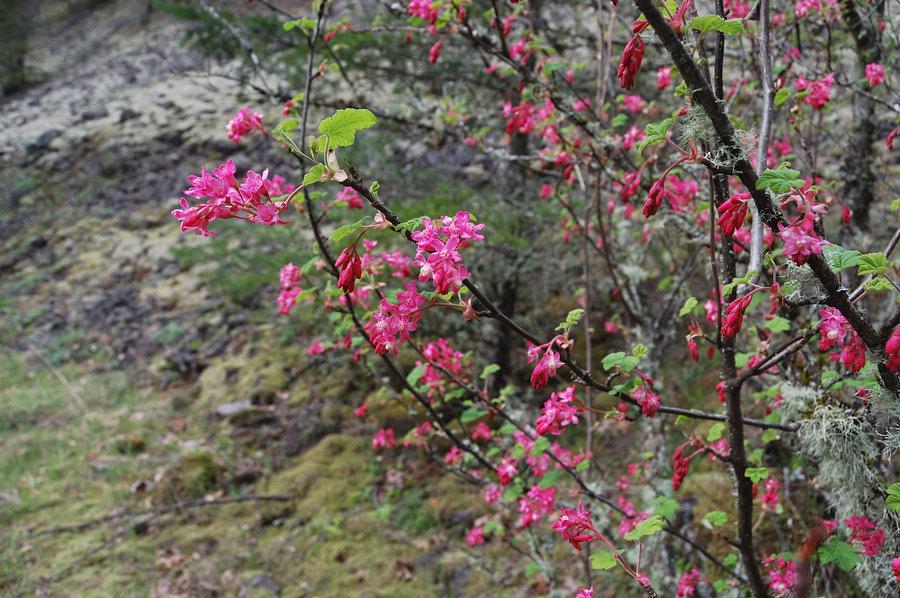
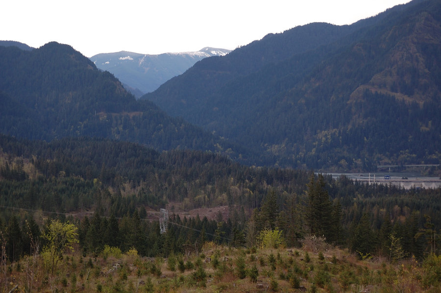
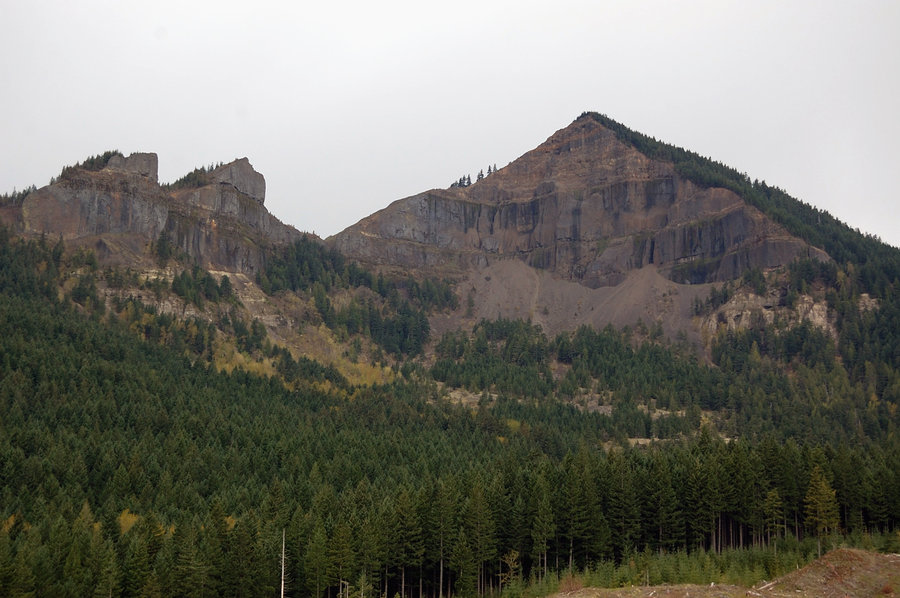
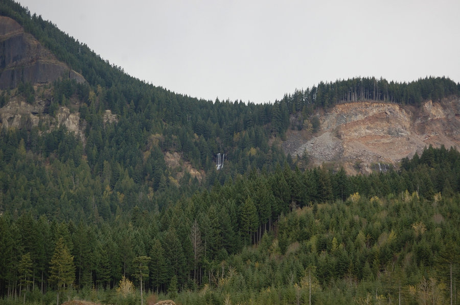
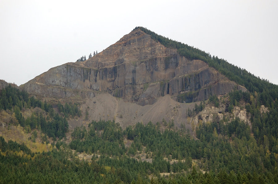
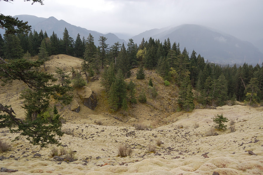
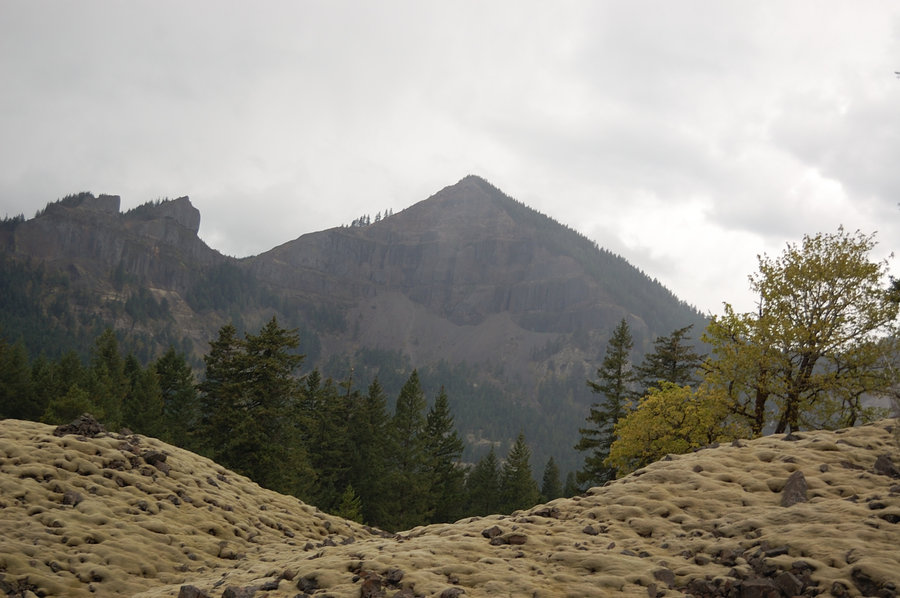
OTOH, the hike itself was a mixed bag - while the forested parts were pleasant, there were several large clearcuts overrun with poison oak (was almost none on undisturbed areas), small quarries, and even some garbage dumps. I walked across a clearcut with incredible view of Table Mtn and there was a carpet of freshly leafed poison oak (!); still got no reaction to it. But what sets that area apart is ever-present view of the cliffs with cascading waterfalls, and the "moss hills" are intact and very scenic.


Comments

Karl
April 10, 2015
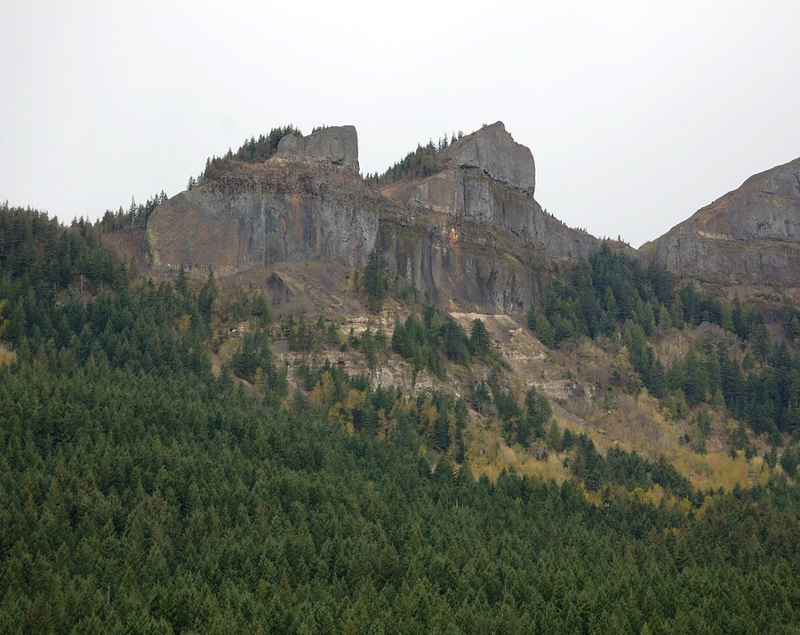
Wow! I've never seen photos from in there before. I love it! That's gotta be the landslide debris from when the whole mountain slid down, eh? Excellent views of the peak, too.
I've seen that blue elsewhere in that area, especially at the base of Cedar Mtn, and near the Hot Springs. Wish I knew what caused that. Copper, maybe? So strange!
Roman
April 10, 2015
That blue lake/pool - I thought it would be a nice swimming hole in summer (if the water level won't drop much lower), but now not so sure - if it's copper in the water, is it safe to swim? I need to research...
These mossy hills were really interesting to see, and Table with Two Chiefs look much taller/grander from this relatively low area. I am pretty sure this is landslide debris where trees are still trying to take hold. I think to re-visit this place some time on a sunny morning and get better pictures of it.
Karl
April 11, 2015
I'm not sure what it is, but would love to find out! I've also found an awful lot of wood that's dyed that same blue color out there. Definitely something in the ground.

Jen
April 16, 2015
Love that area, did you see the vision quest pits? There are quite a few, and one you can actually visualize on GoogleEarth.
The lake level does drop in the summer and the all the boulders on the edge get a salty rime on on them. I went there in warm weather with some kids with the idea to swim, but it just seemed a little gross. We ended up in Greenleaf Creek instead. There is another area like this due west just on the other side of Greenleaf Creek, smaller, but it has some interesting stone structures worth exploring.
Roman
April 19, 2015
Jen - no I didn't notice vision quest pits, will remember to look for them next time. Some time I'll also need to see mossy area right below abandoned road that goes along Table's scree slope ("2 Chiefs trail"?), should be awesome view from there.
Woodswalker
April 7, 2015
I like the lakes.