

2016 Trips

 1
1
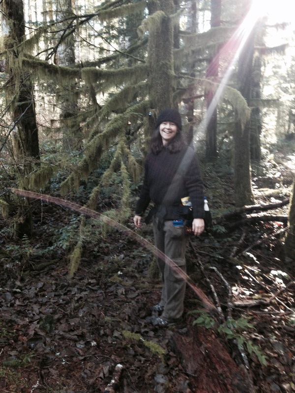
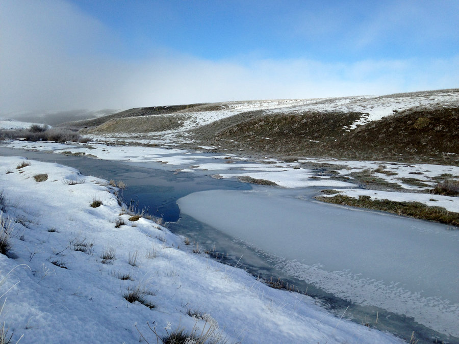
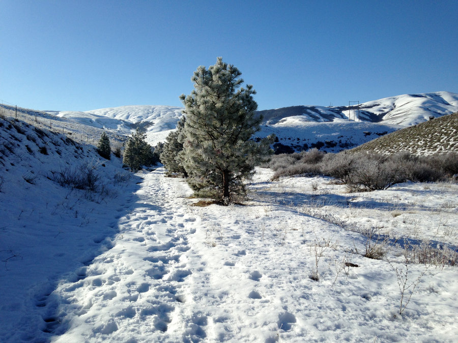
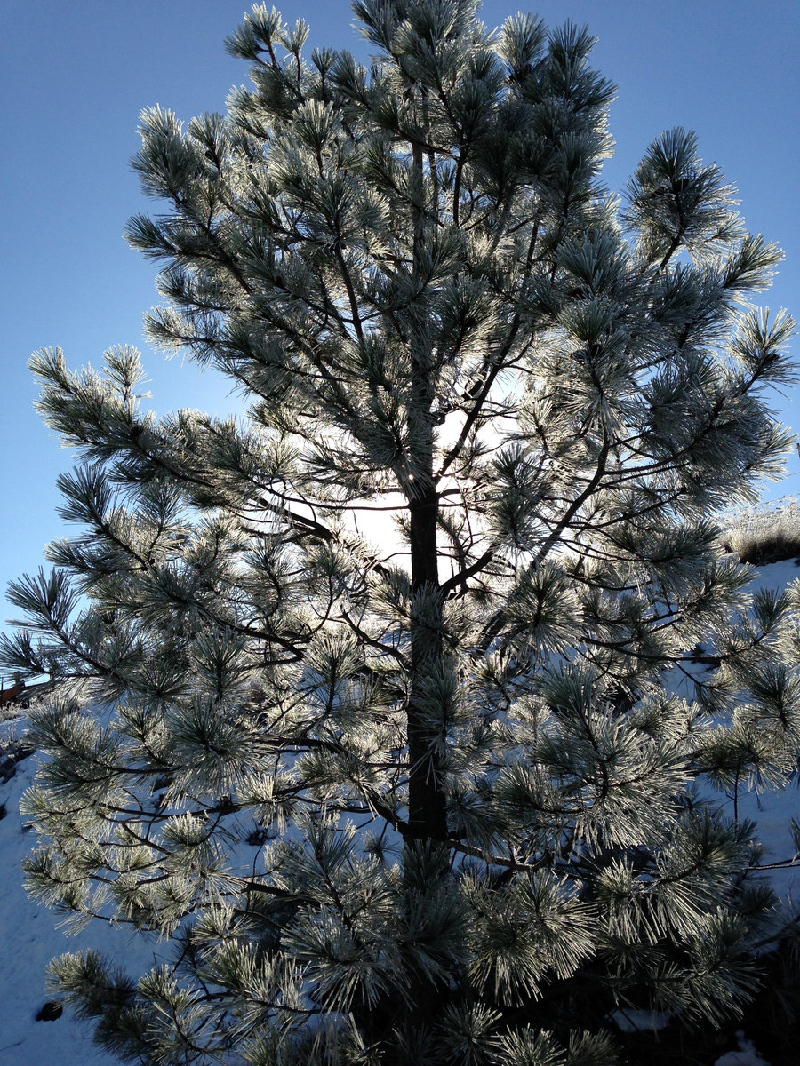
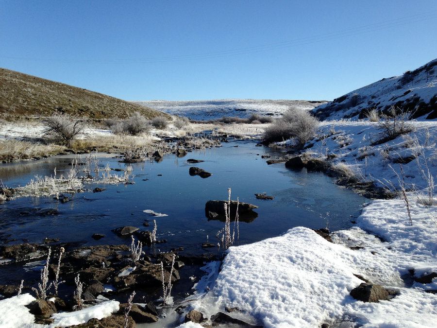
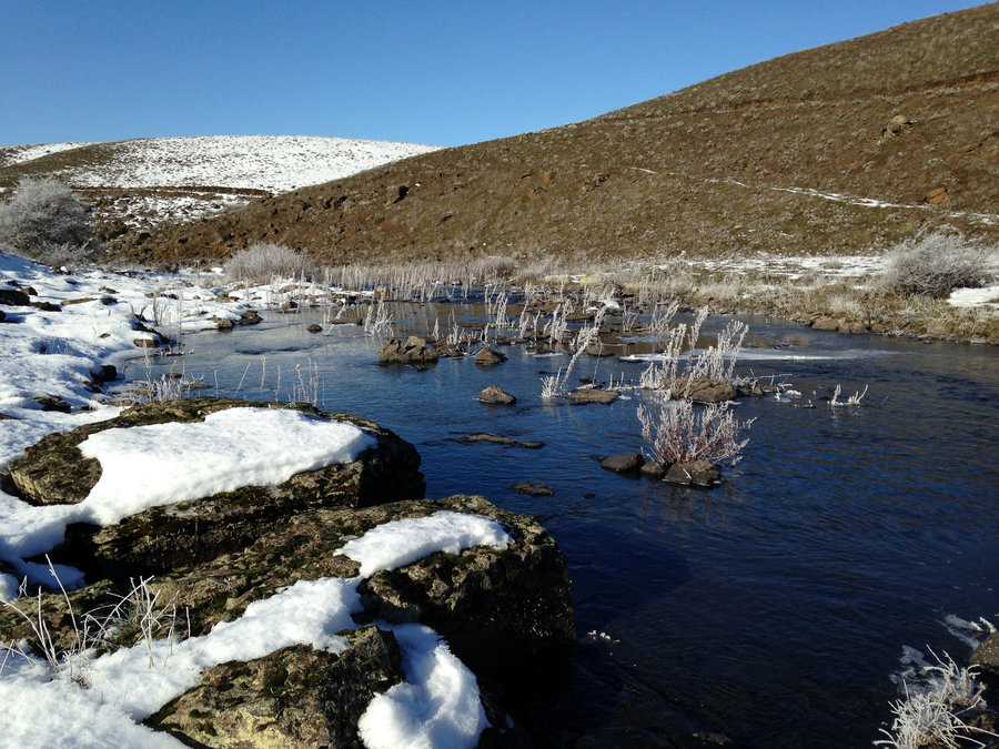
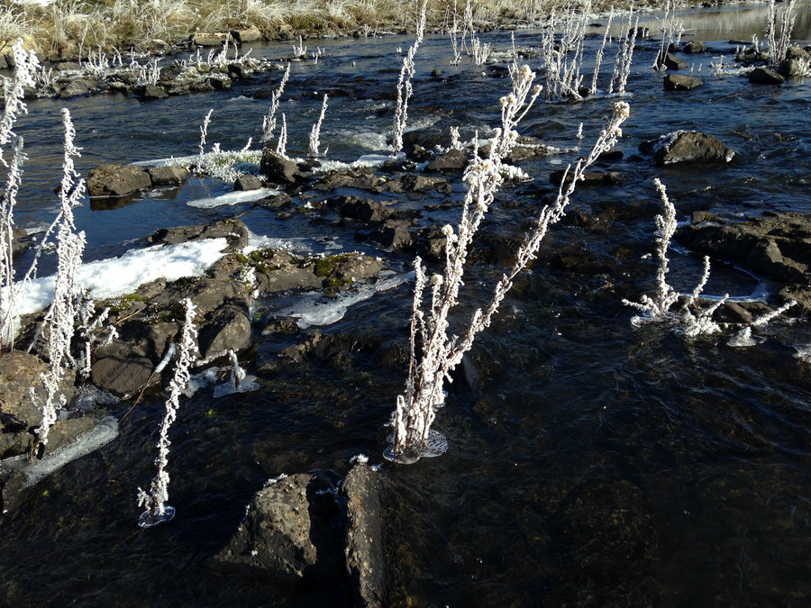
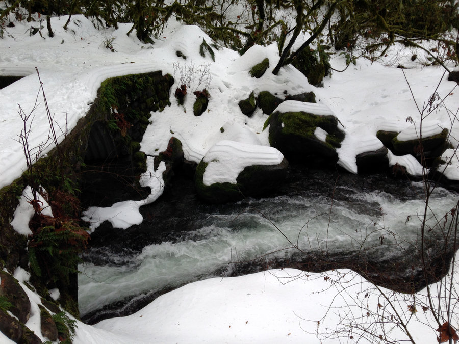
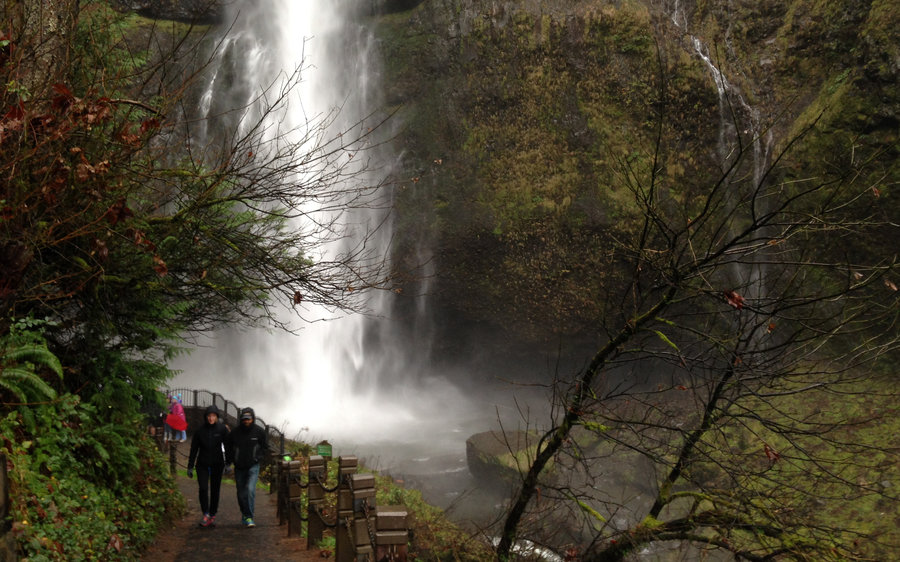
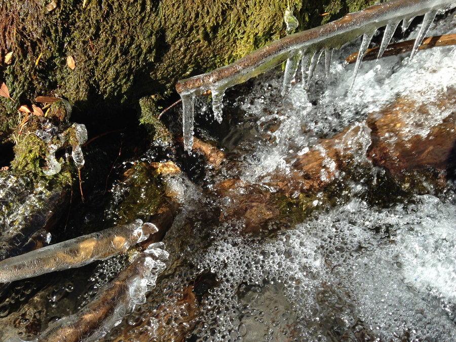
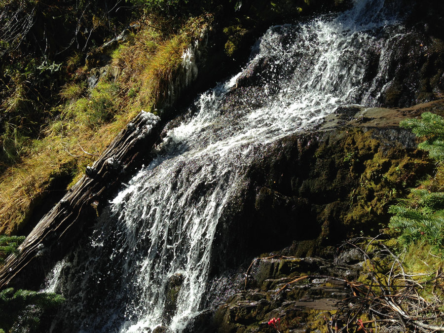
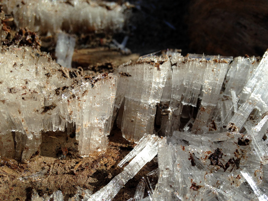
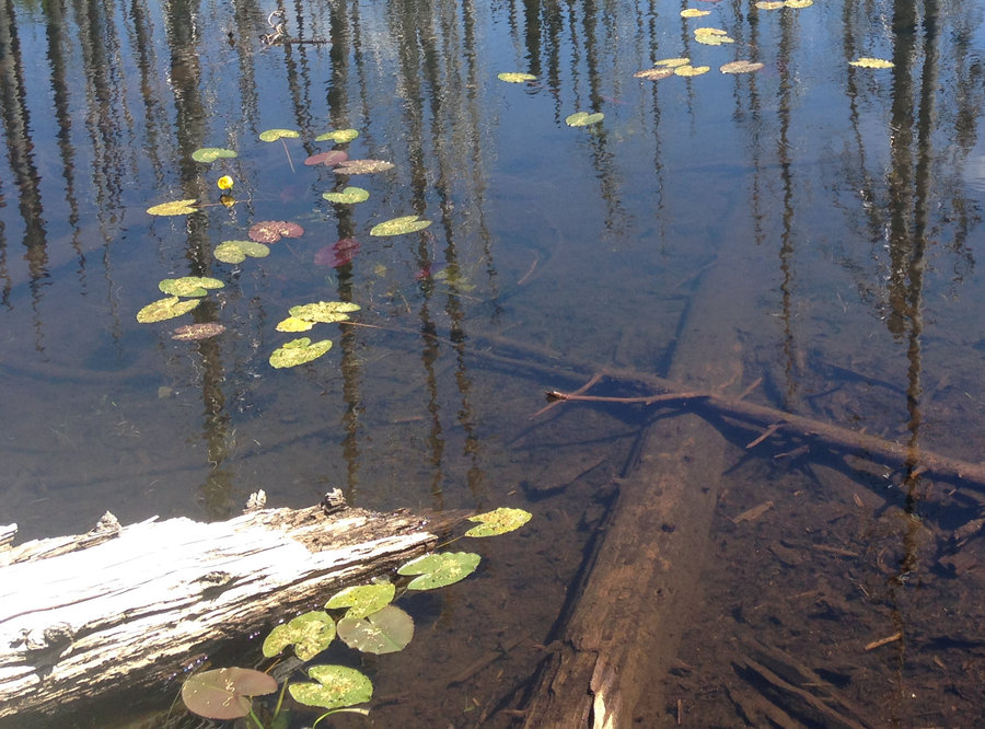
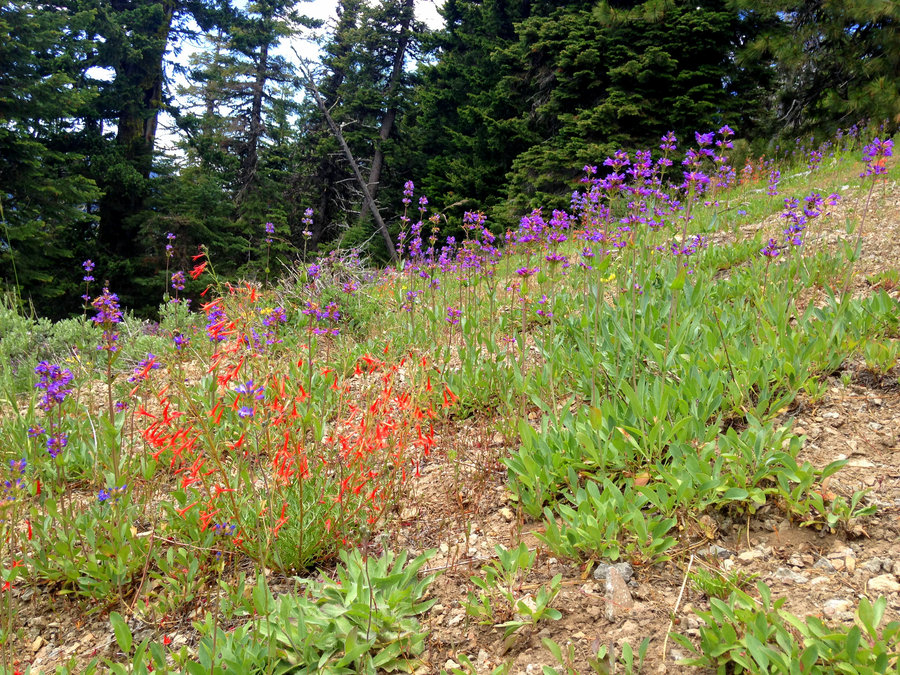
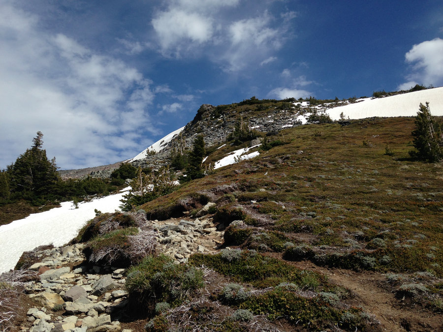
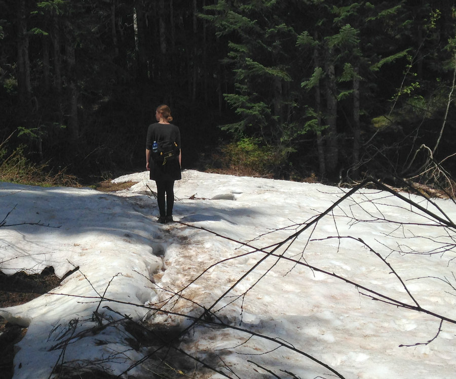
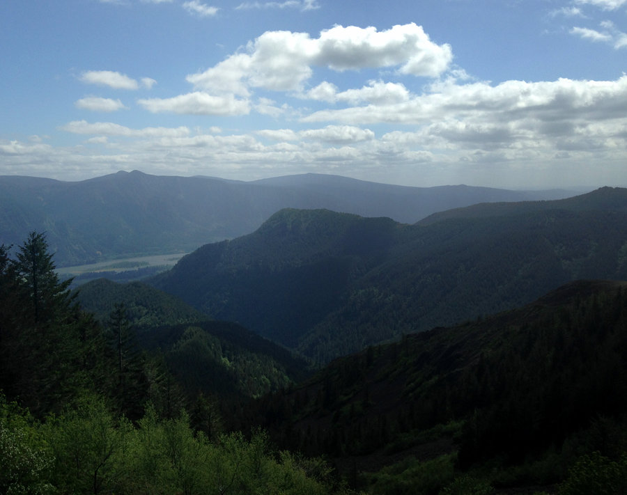
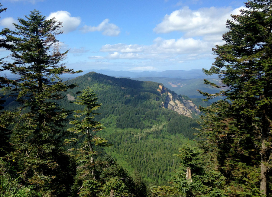
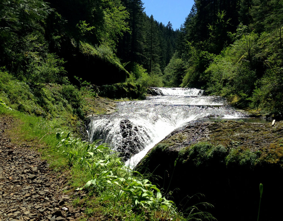
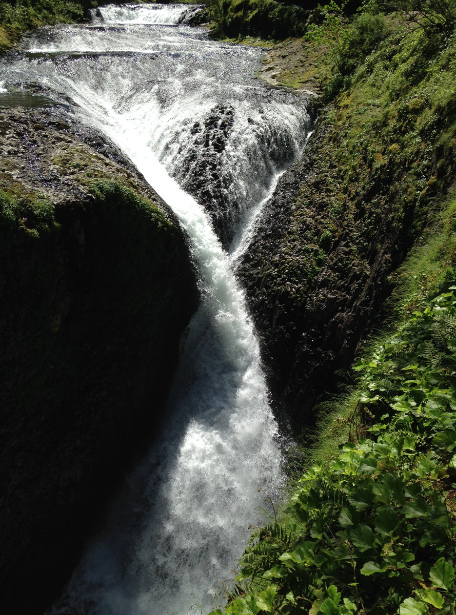
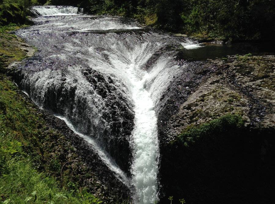
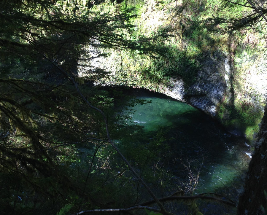
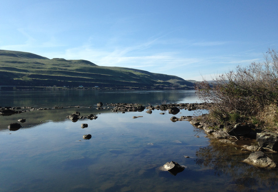
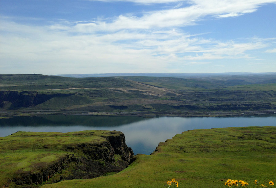
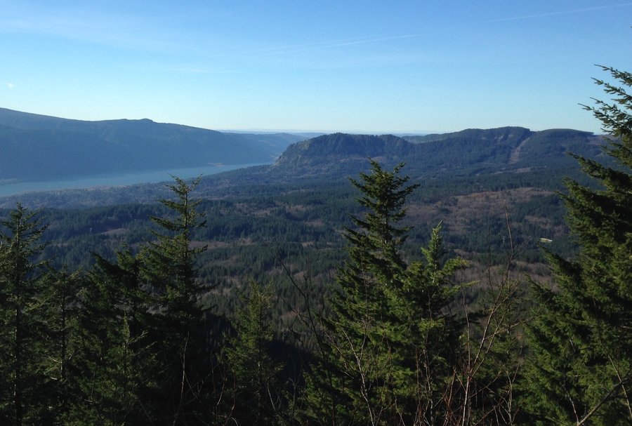
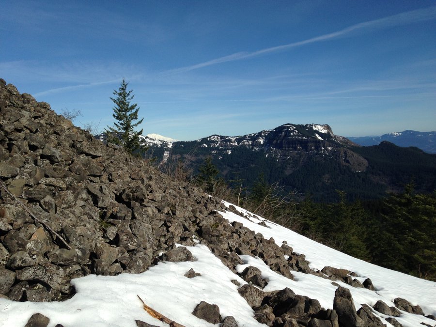
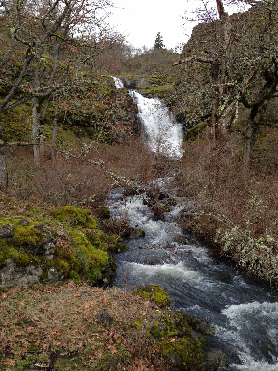
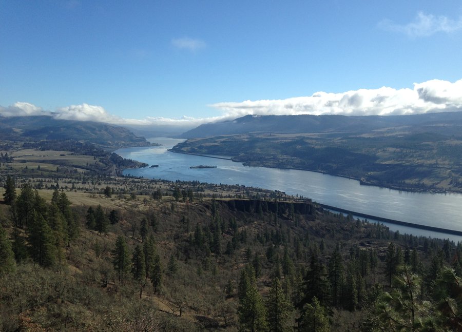
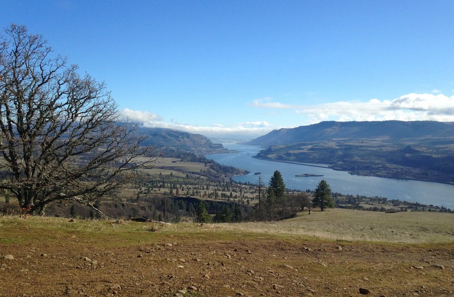
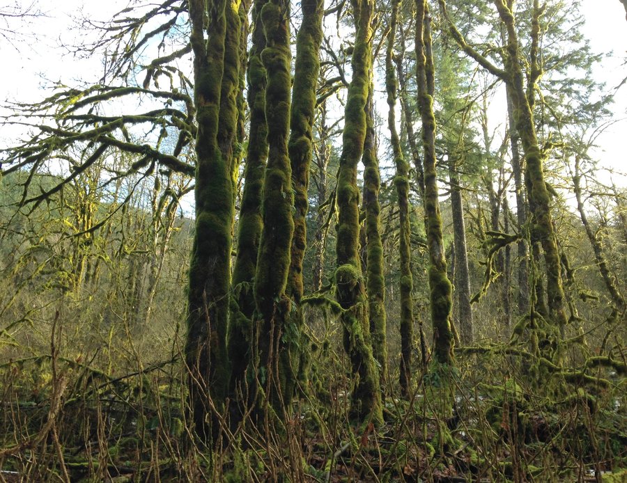
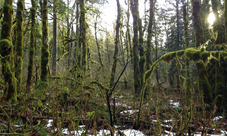
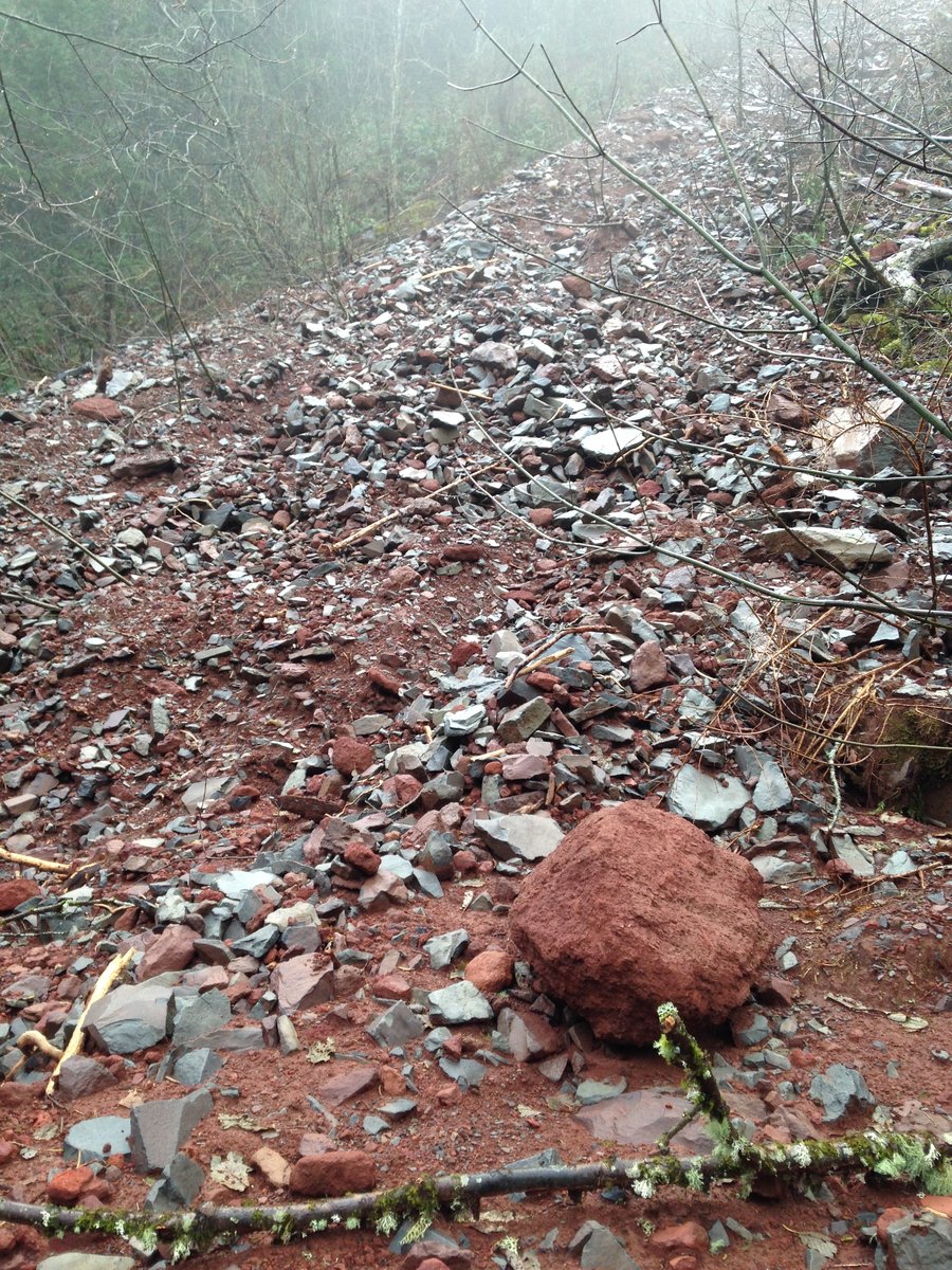
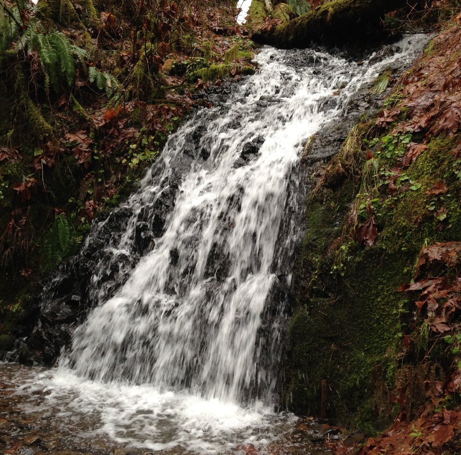
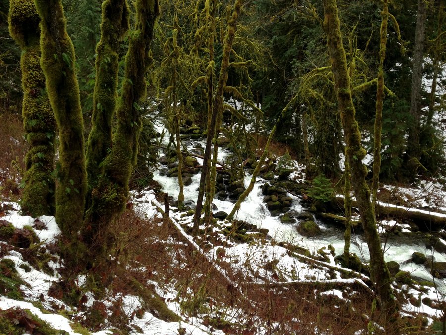
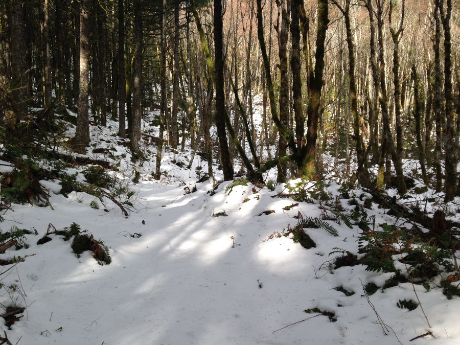
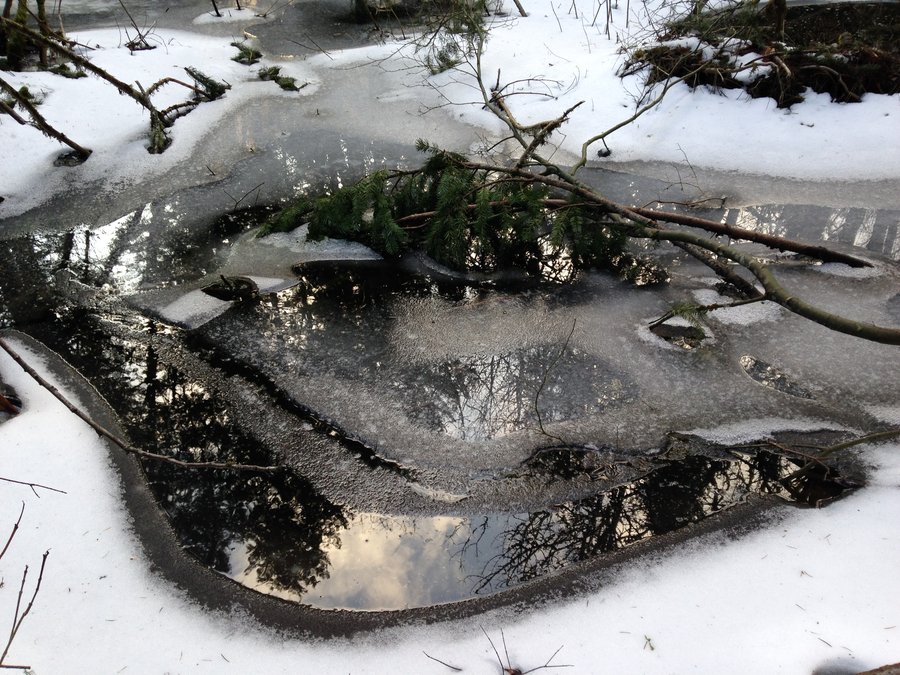
Klickitat Rail Trail
6.4 miles of hiking • 250' elevation gain •
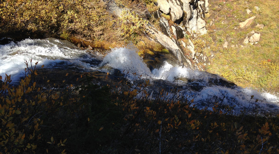
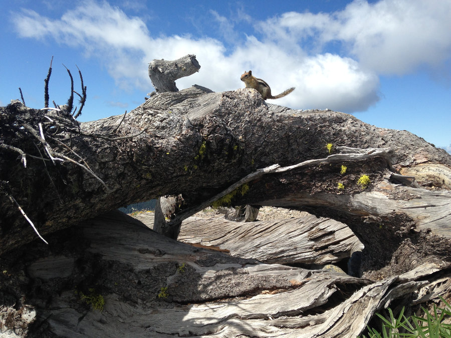
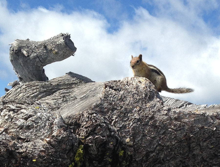
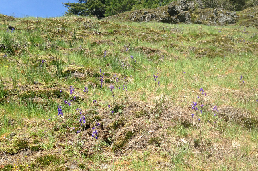
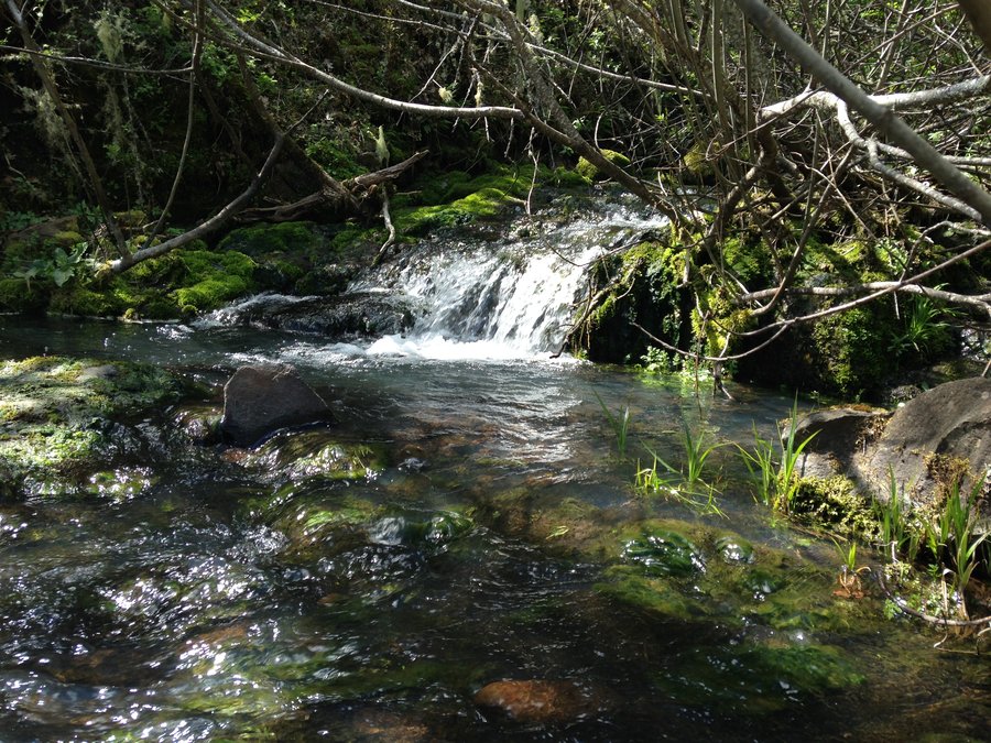
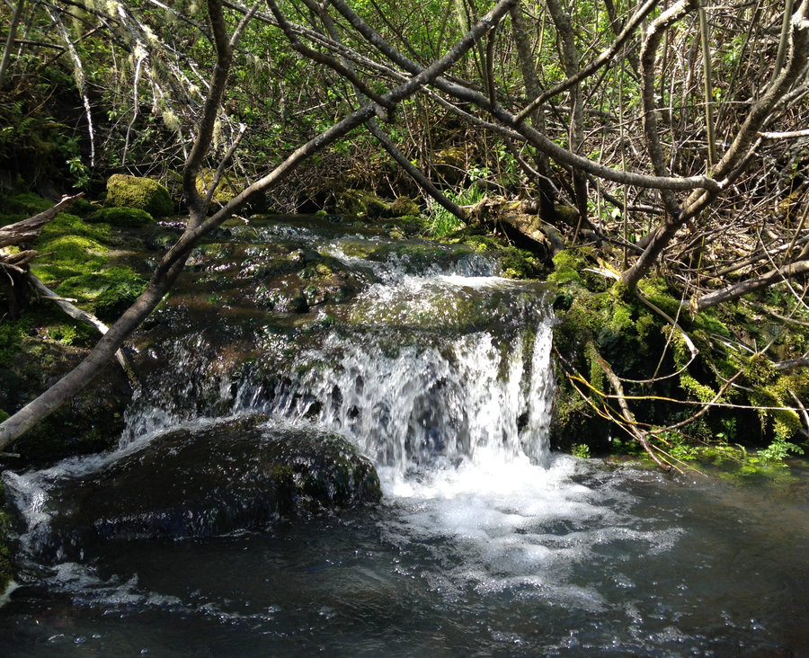
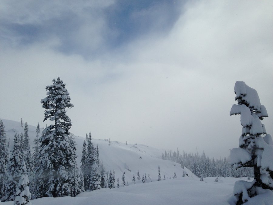
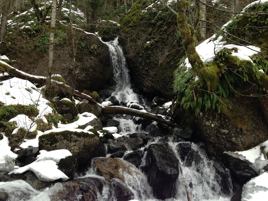
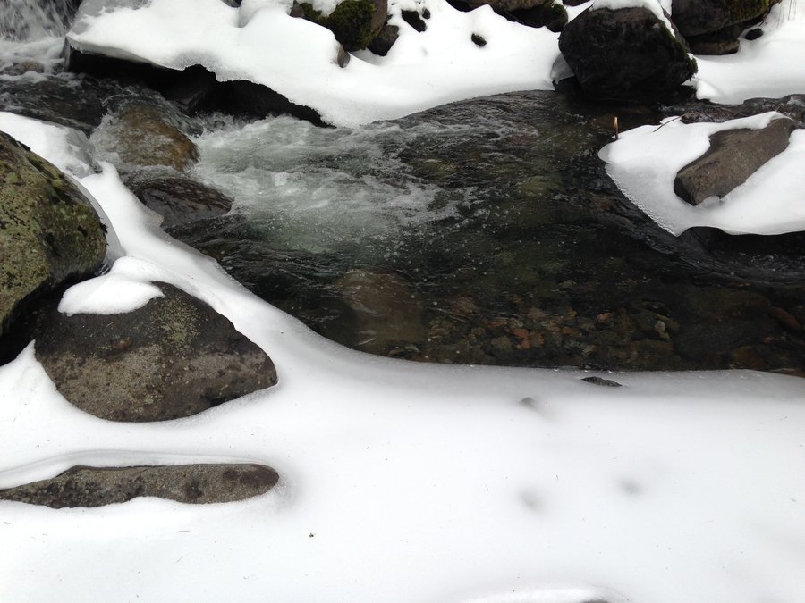
Wonderful day in the ice,sun and wind out at Swale Canyon. Very crusty snow, about 6" deep. Micro spikes were helpful but it could have been done with out them. First time I've been out there in the snow. Amazing. Perfect end to the year. Happy New Year all.

December 30, 2016


 1
1
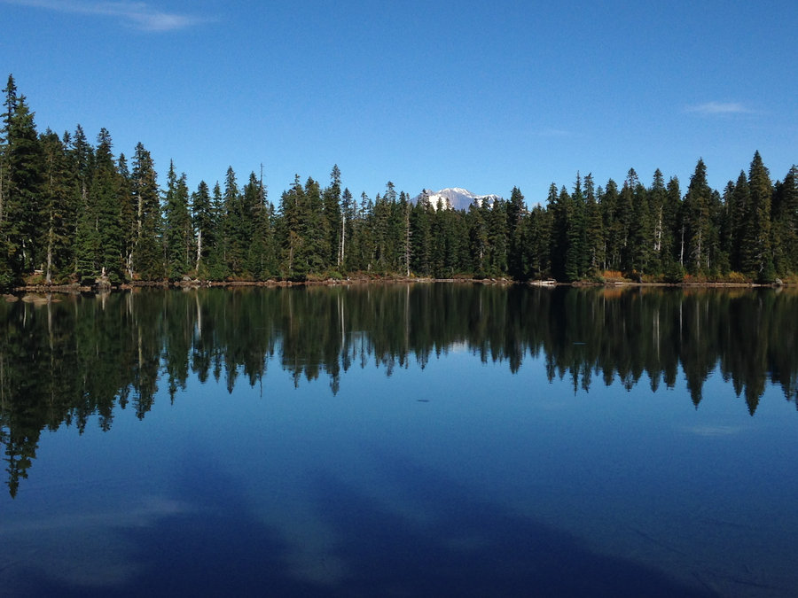
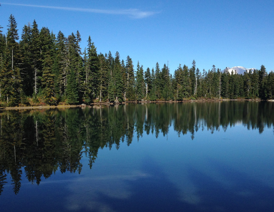
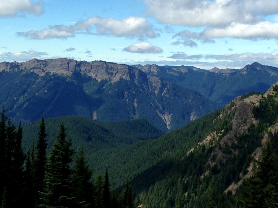
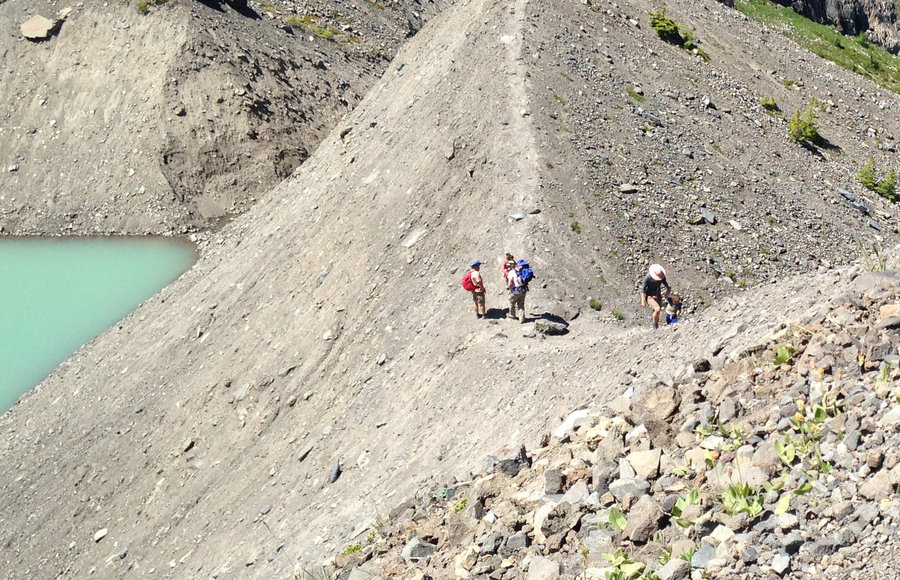
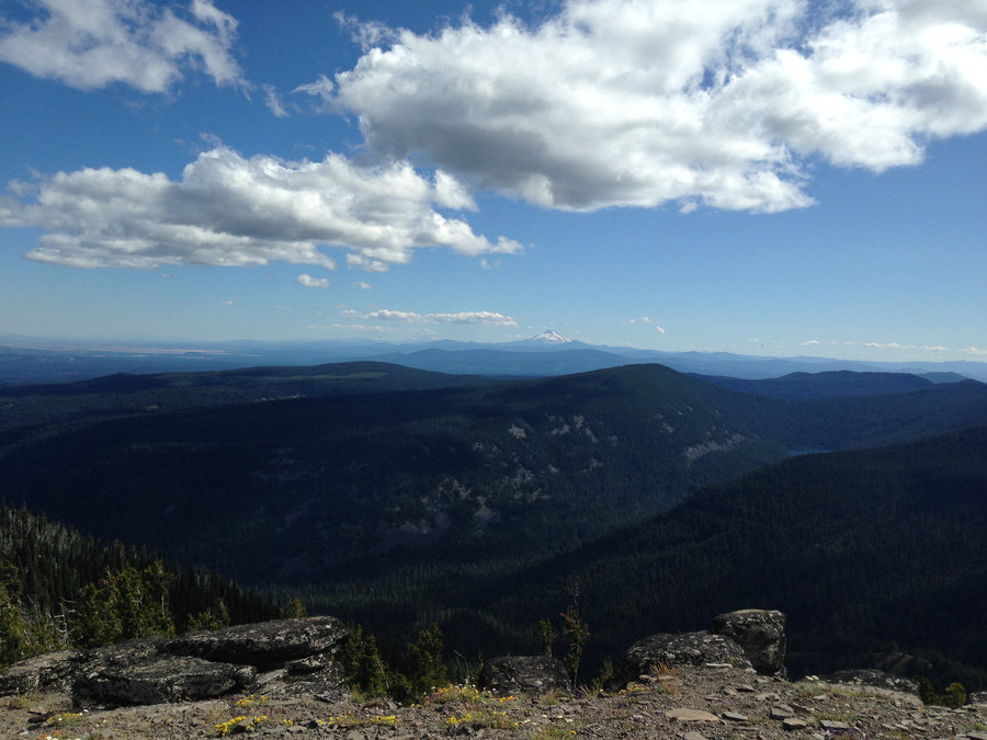
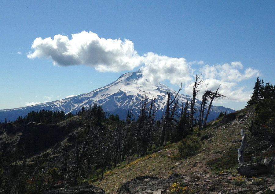
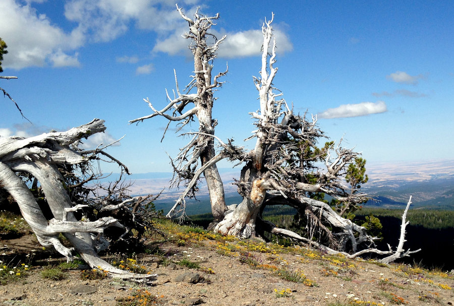
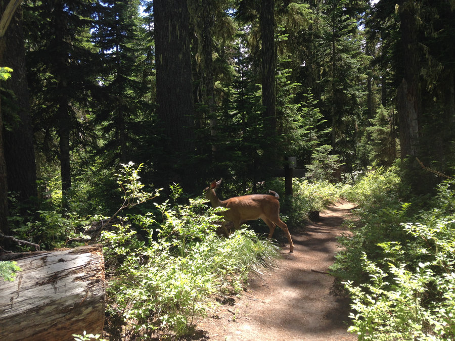
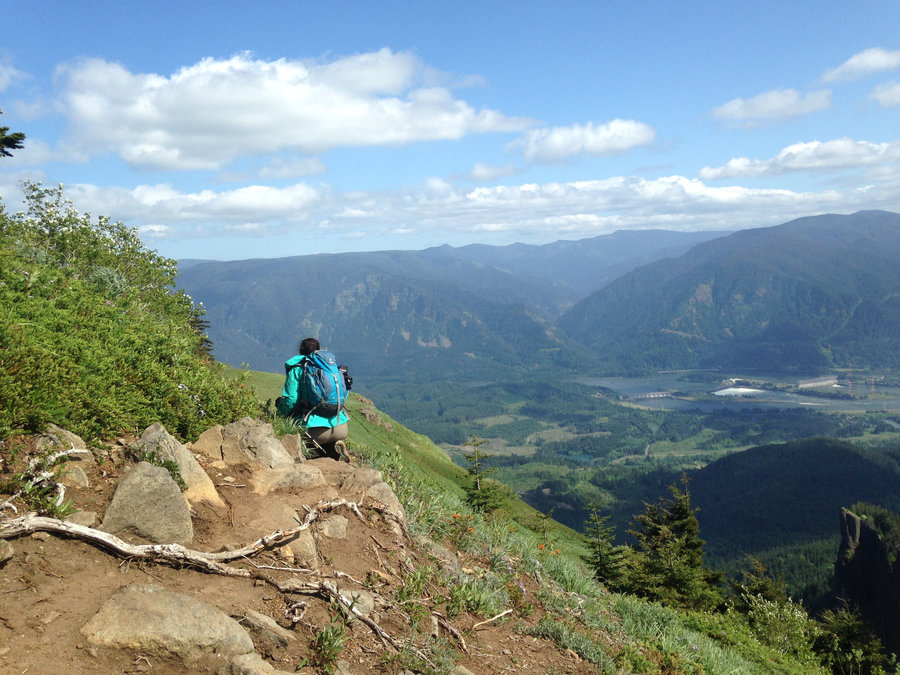
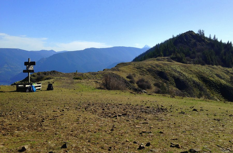
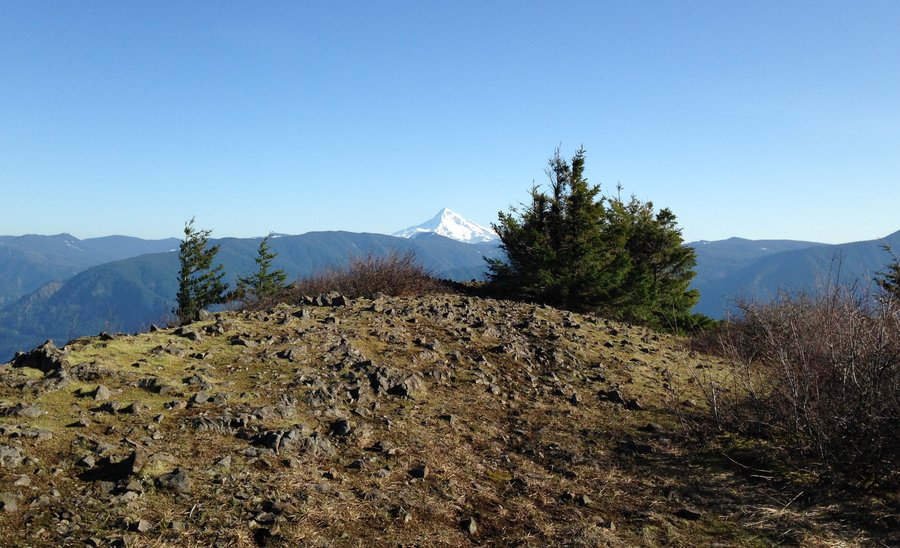
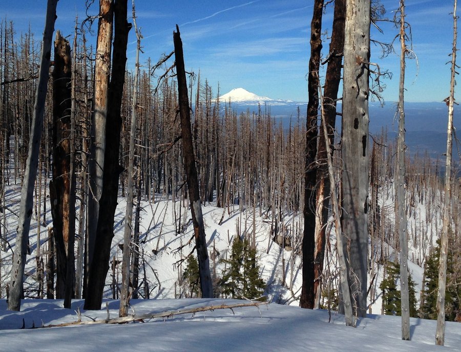
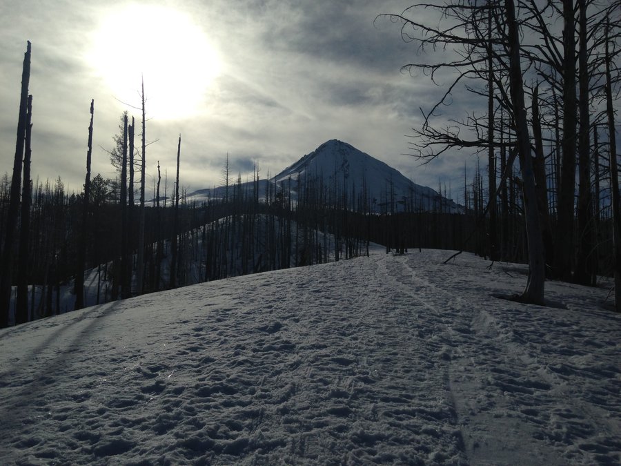
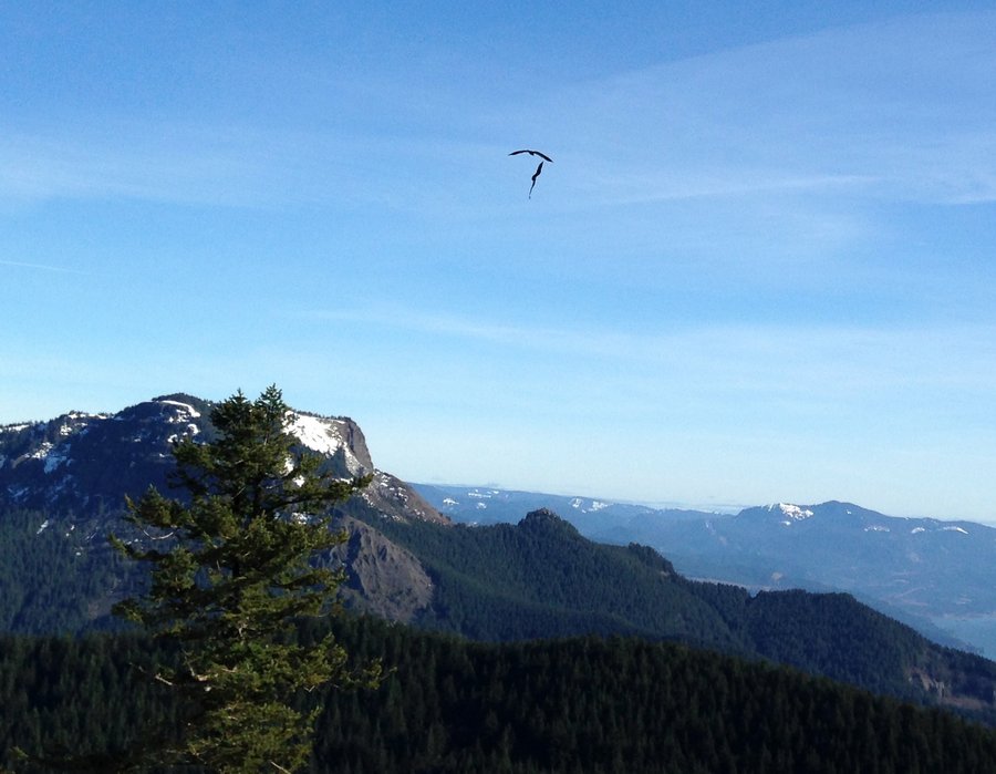
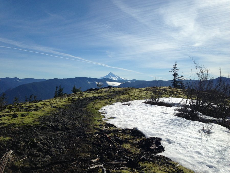
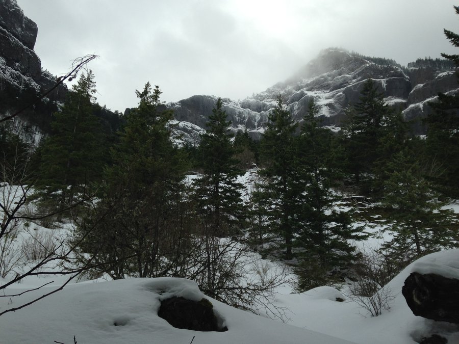
Also Hamilton Mountain
10 miles of hiking • 2750' elevation gain •
Beautiful day celebrating the Solstice with Karl and another friend. I'm just dittoing his report :) He said it all really well.
December 22, 2016

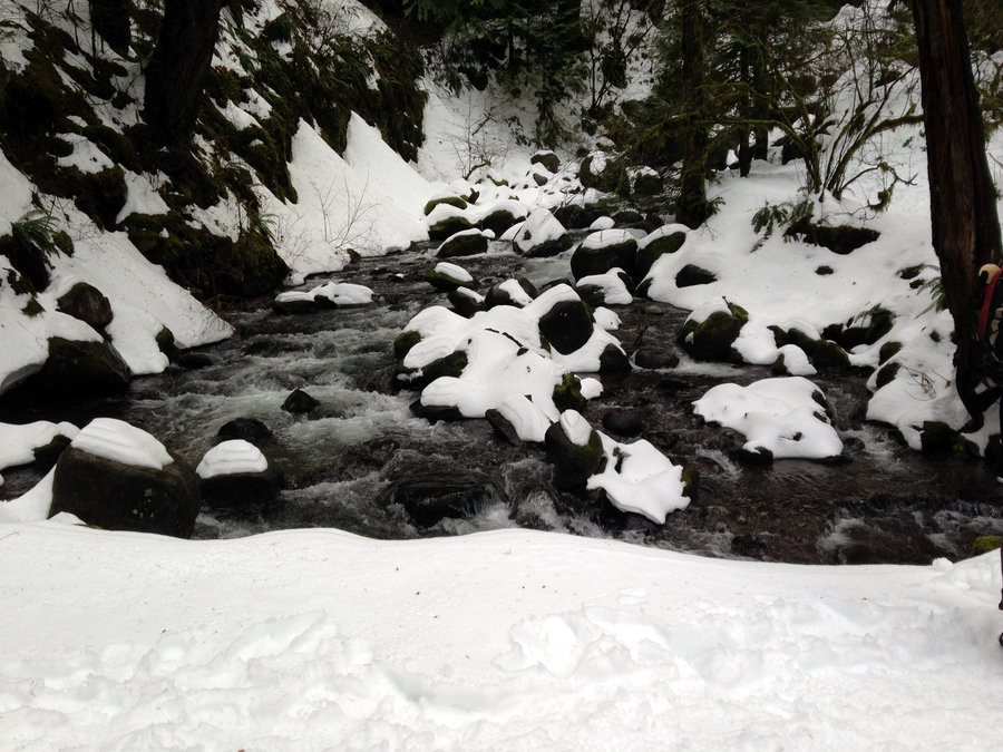
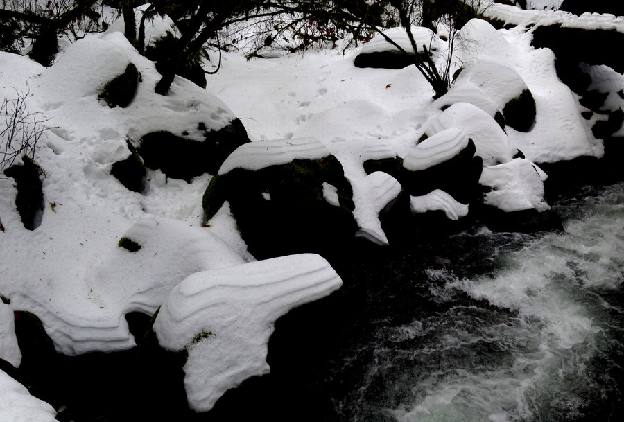
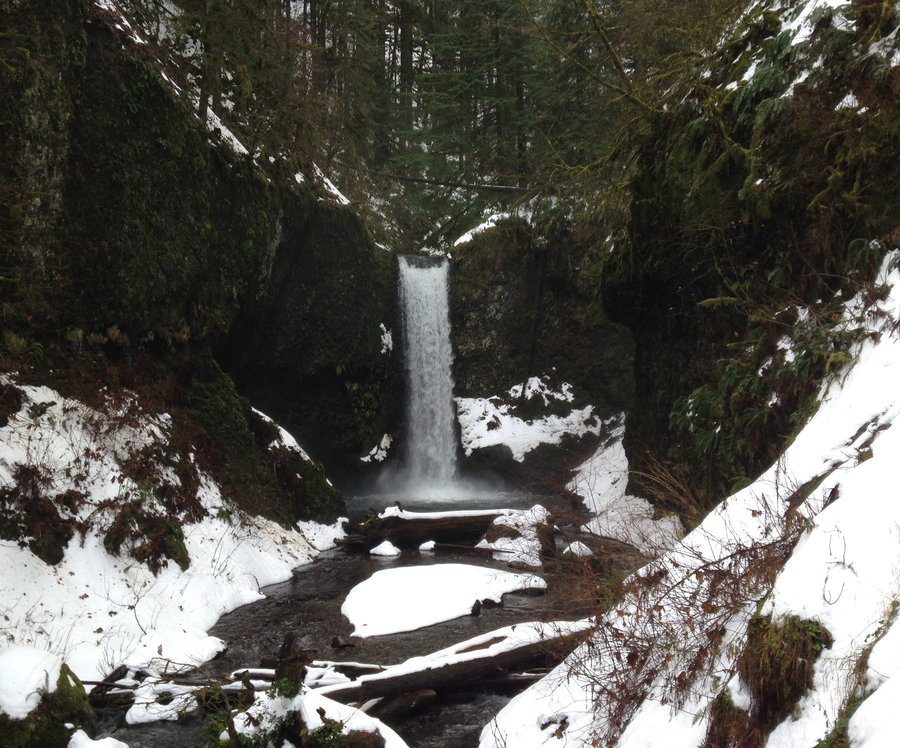
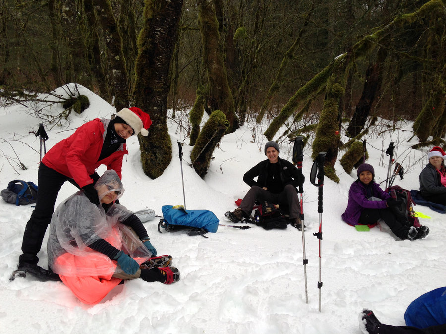
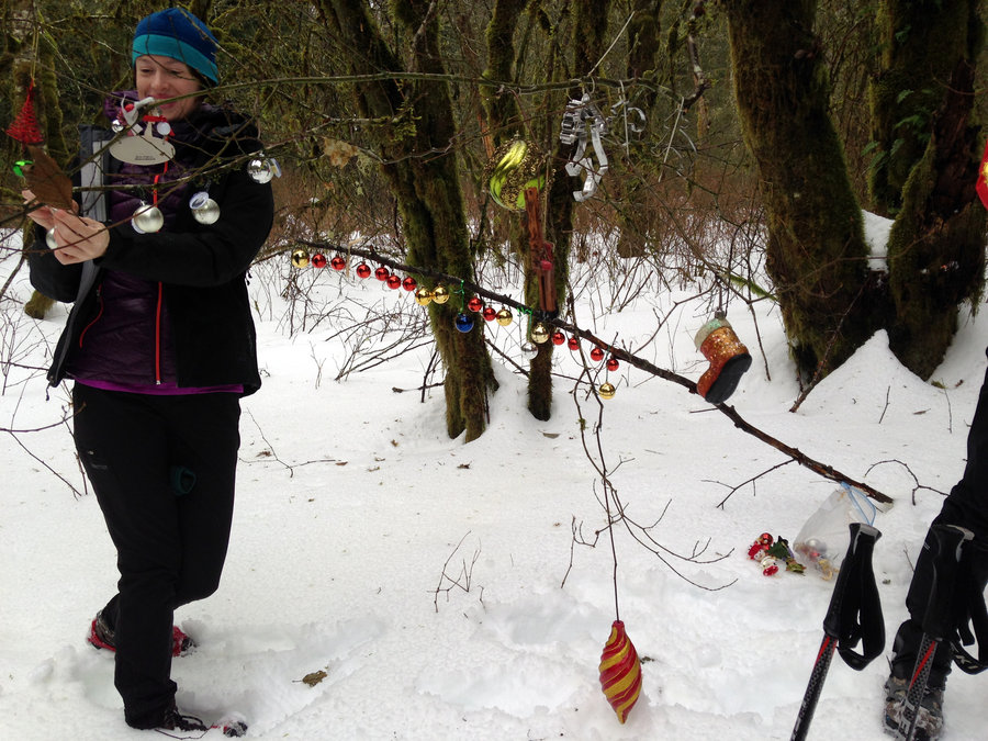
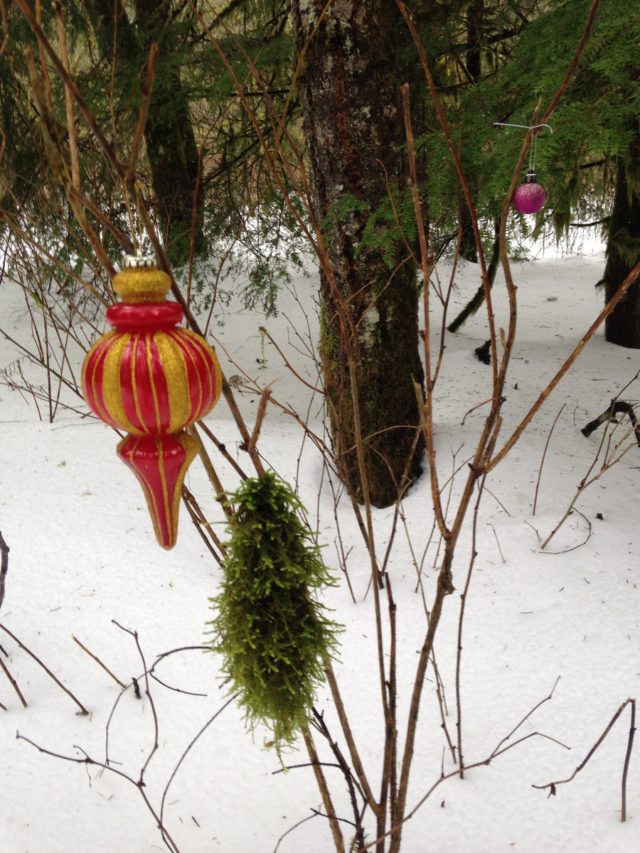
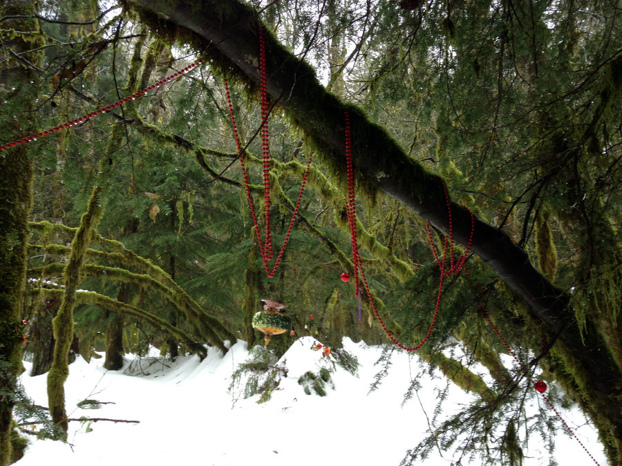
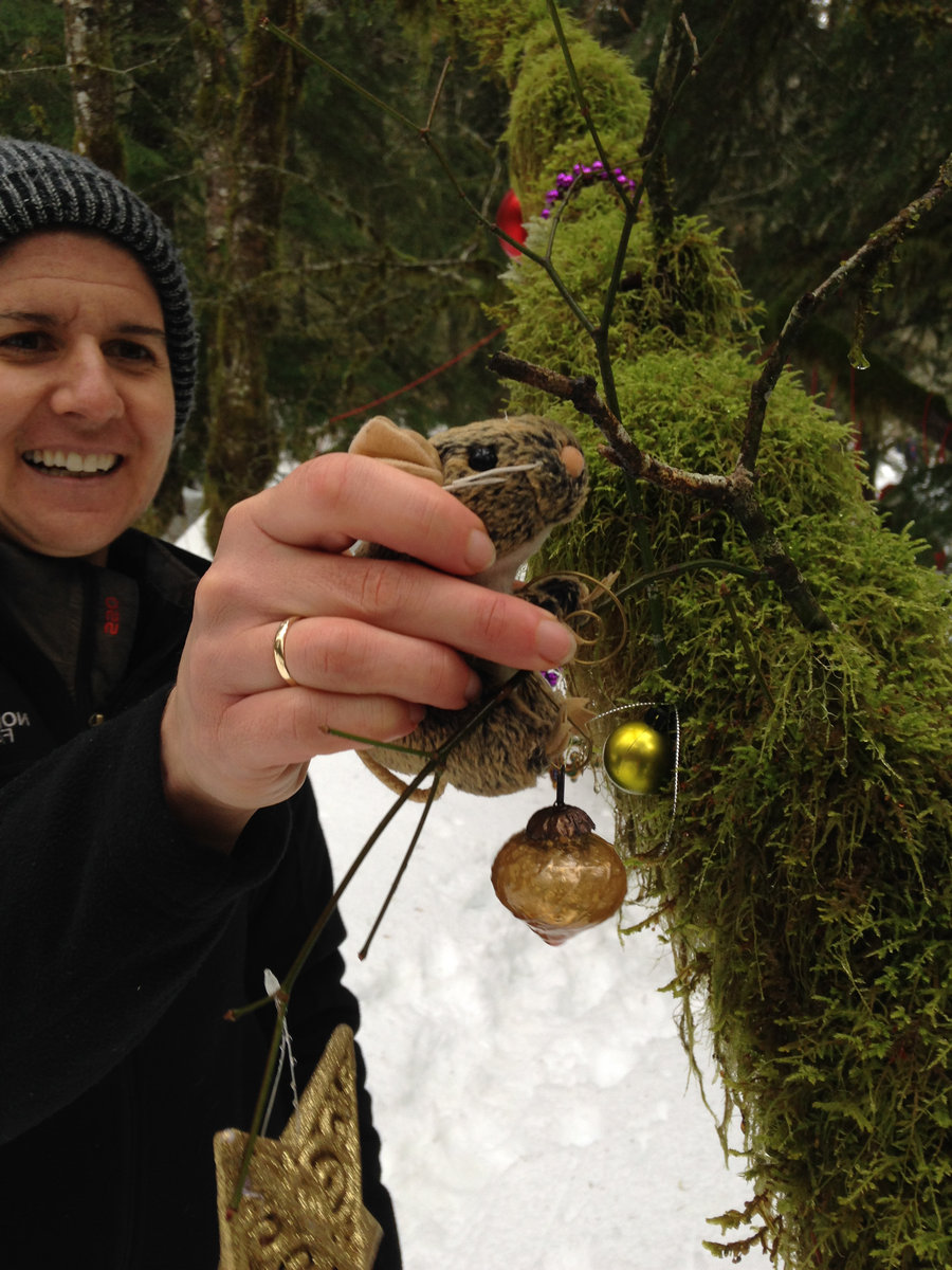
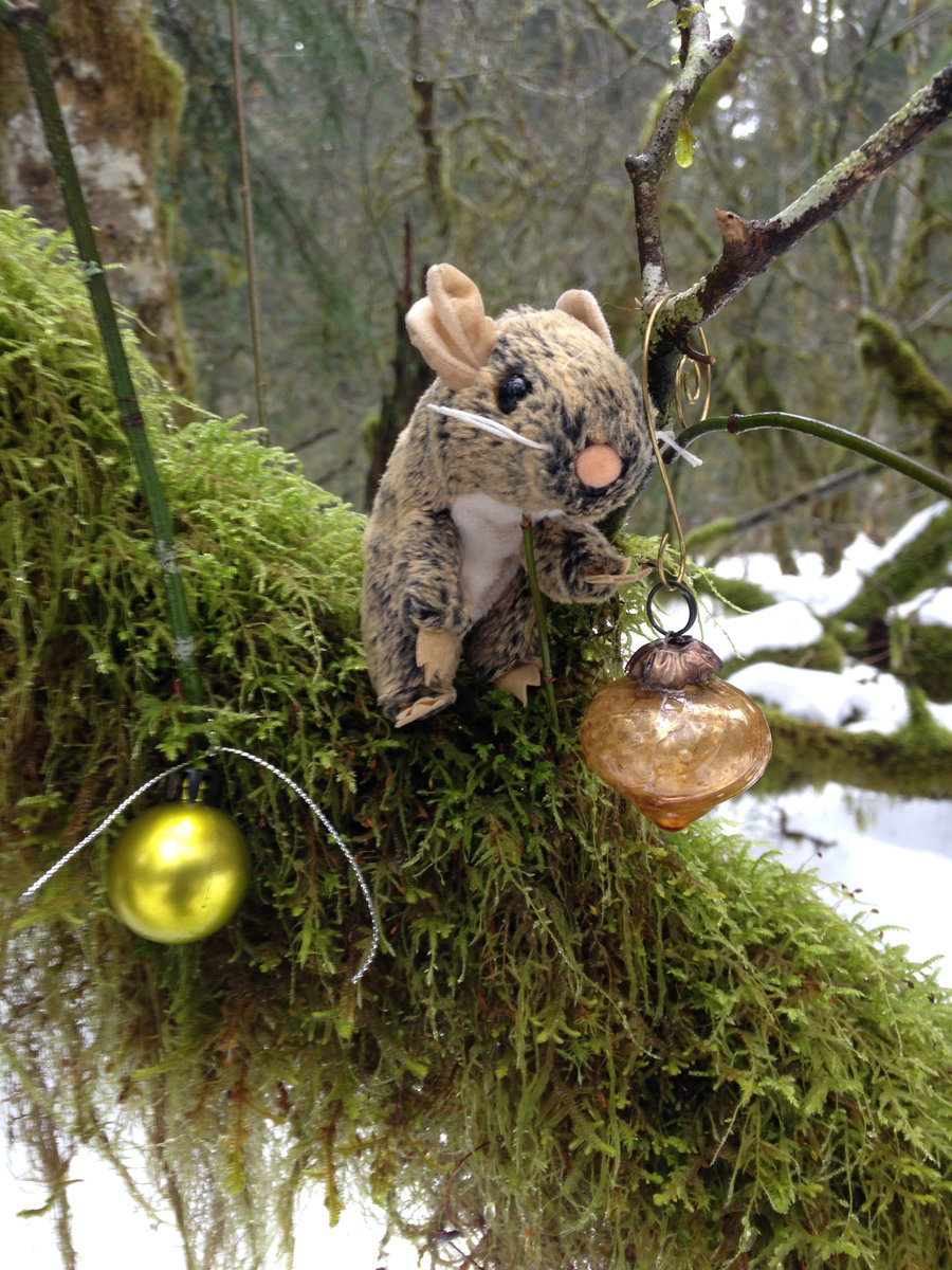
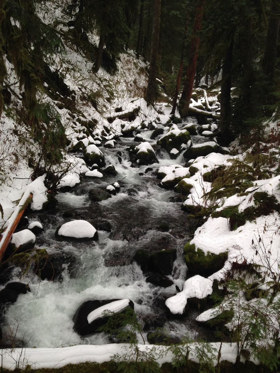
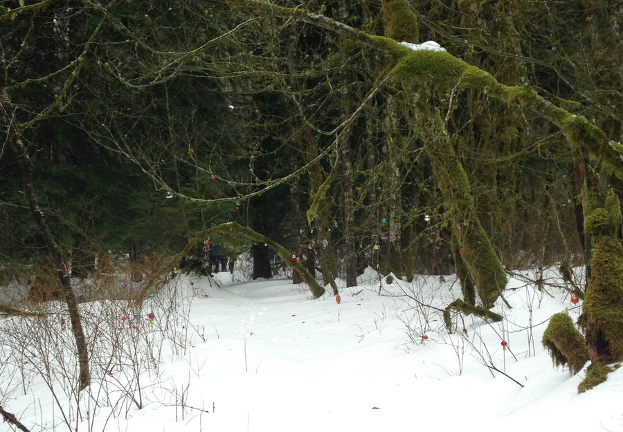
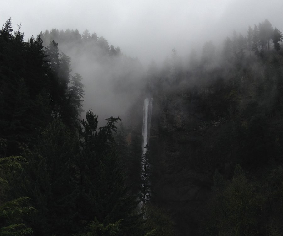
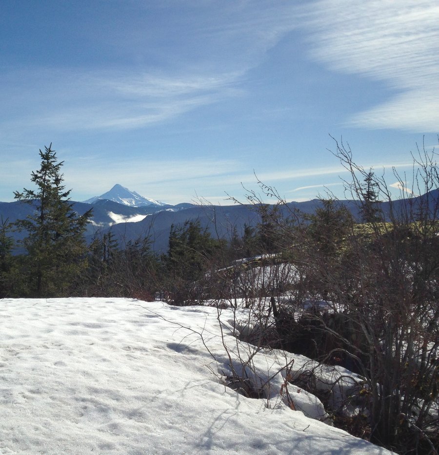
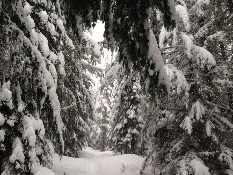
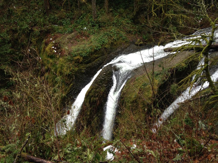
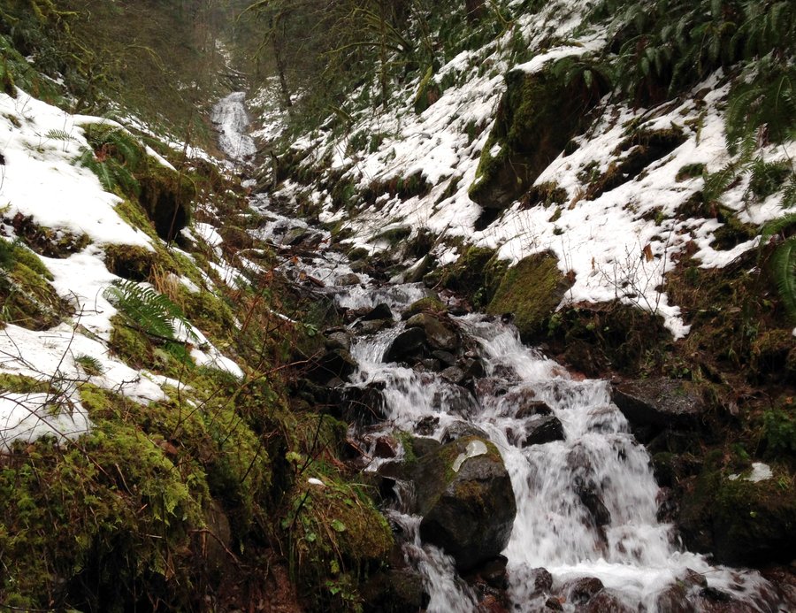
Ornament Trail
6.9 miles of hiking • 1750' elevation gain •
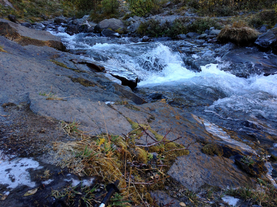
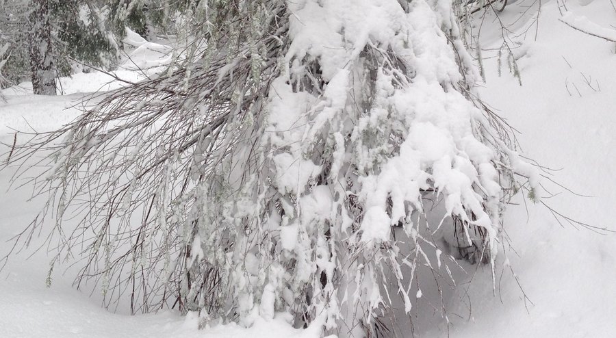
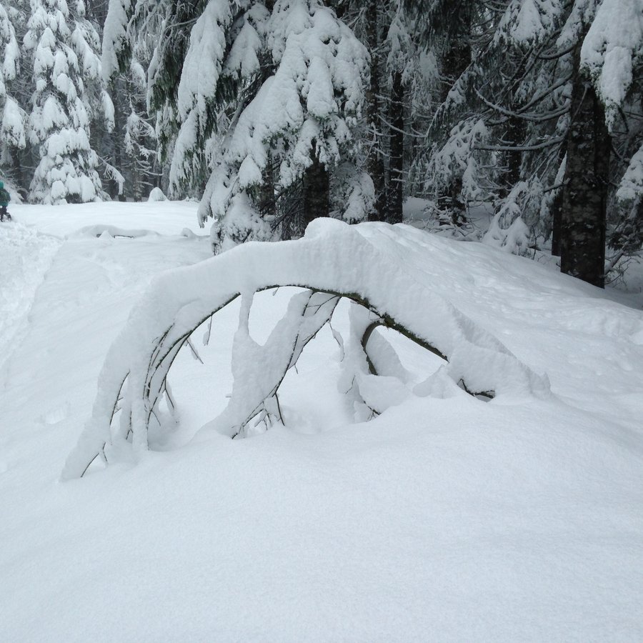
Another gorgeous day in the gorge. There was about 12-18 inches of snow in places and some very narrow tread. Ran into some lovely folks. Spikes were necessary and if the snow gets softer it might not be so safe. Fantastic day.
December 12, 2016


 1
1
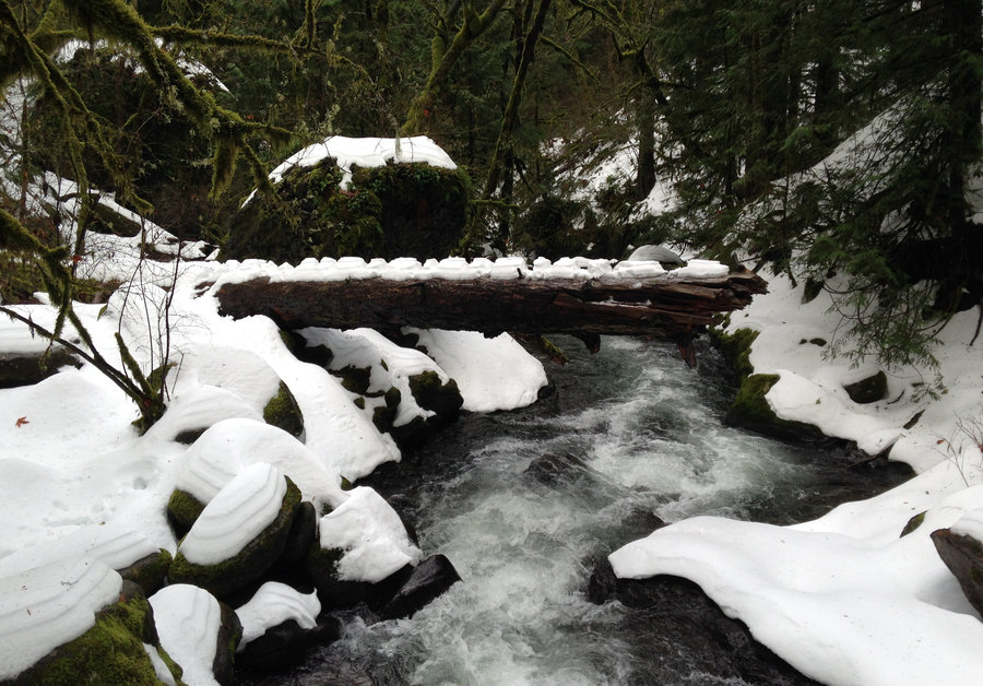
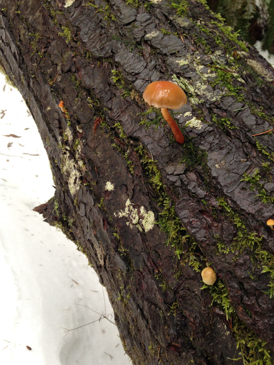
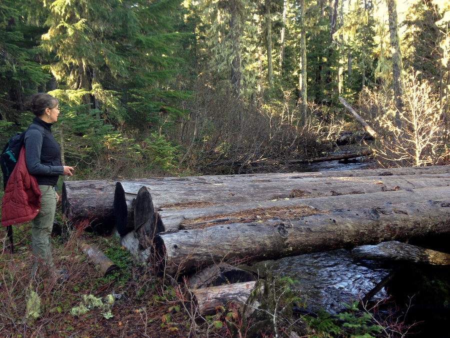
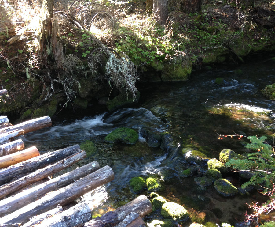
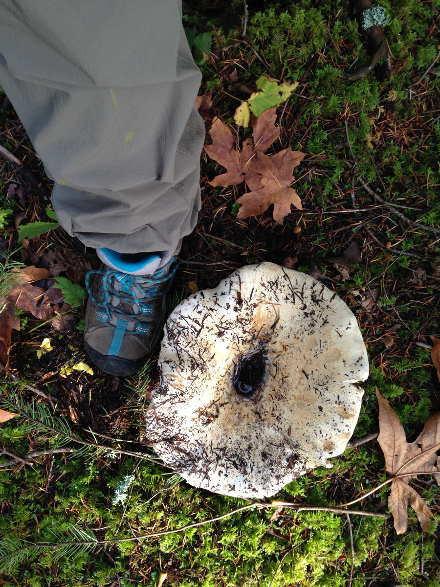
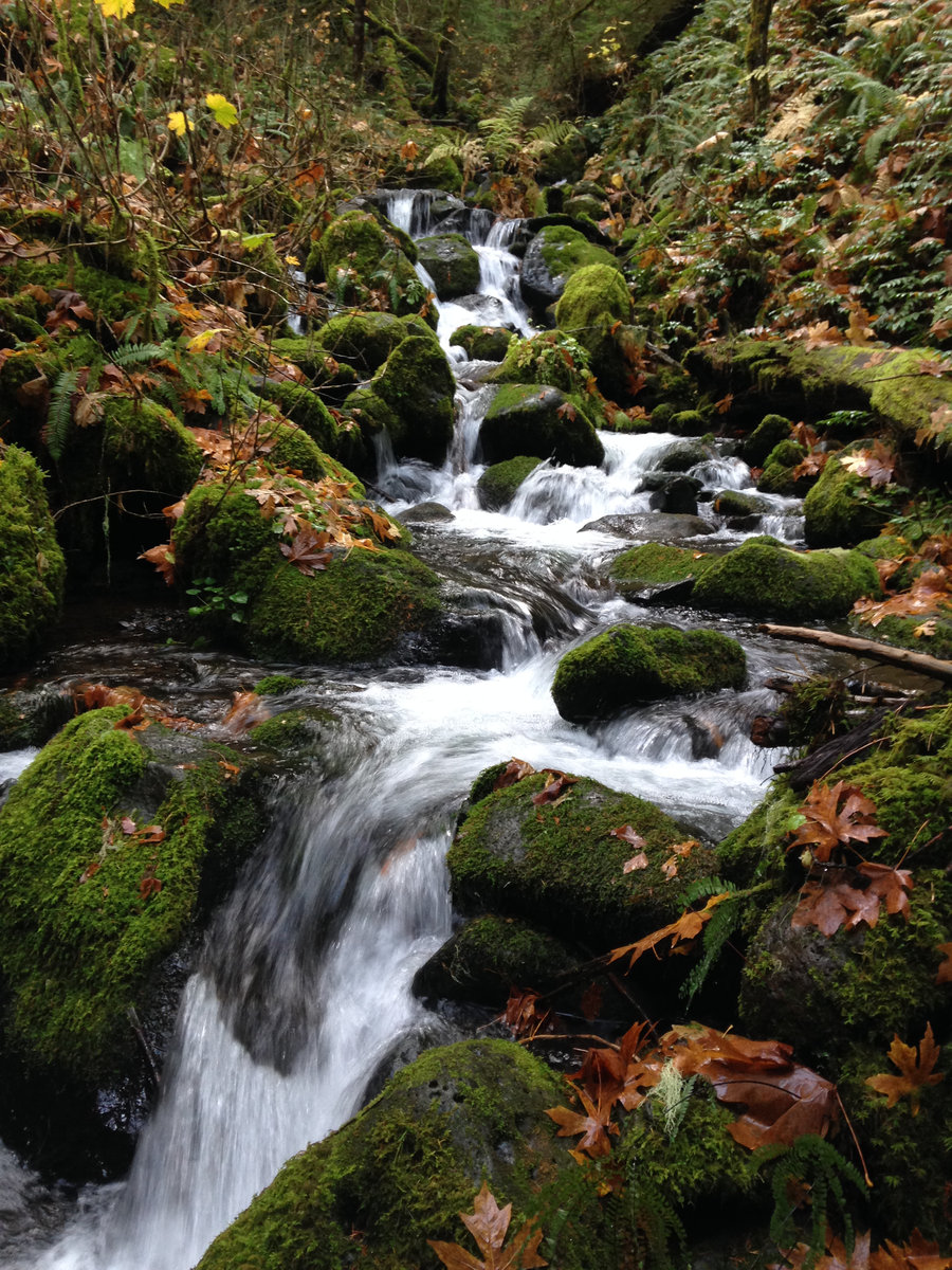
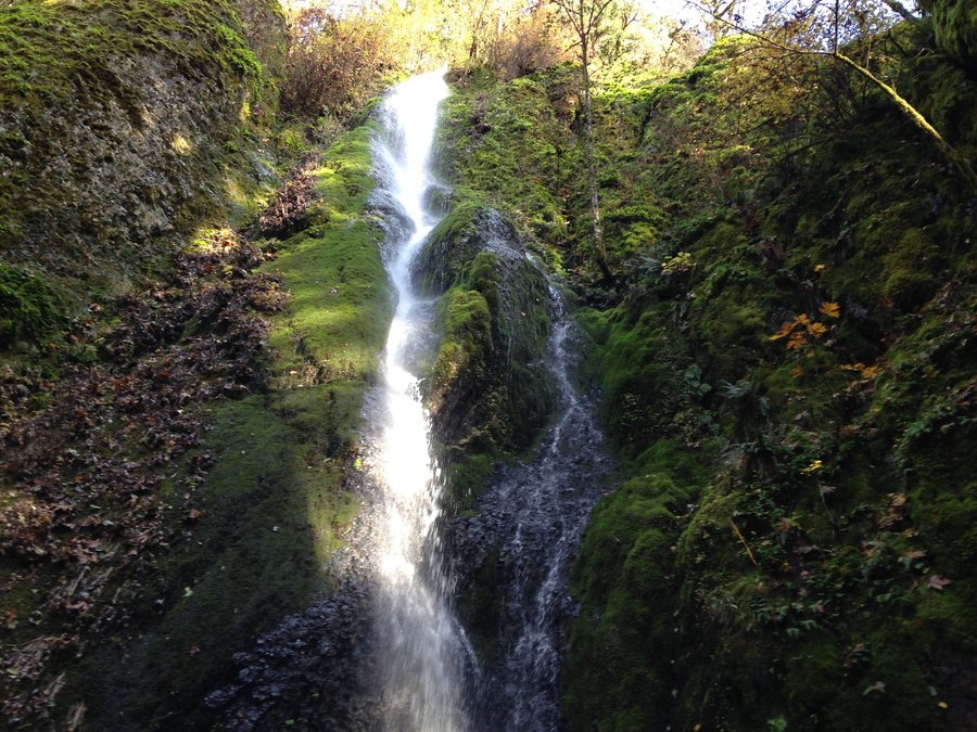
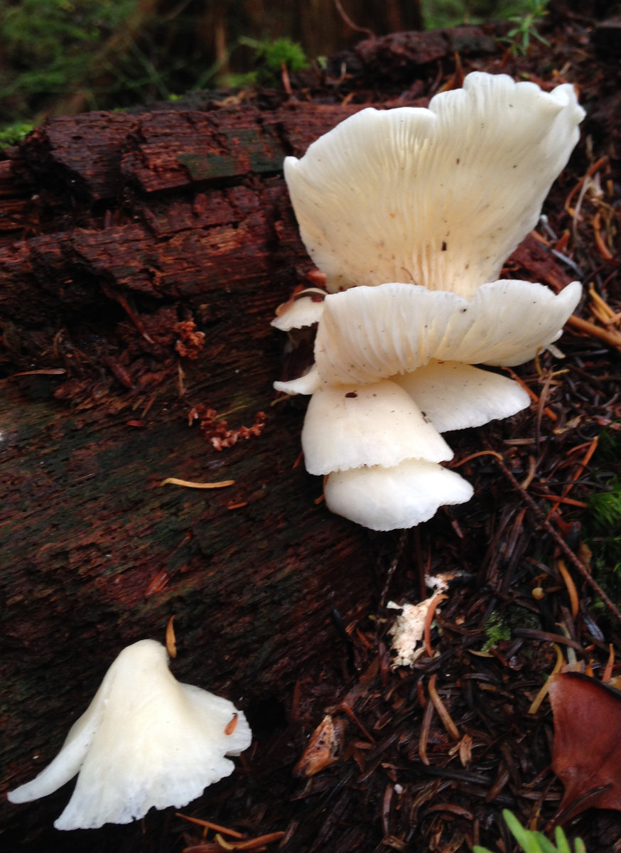
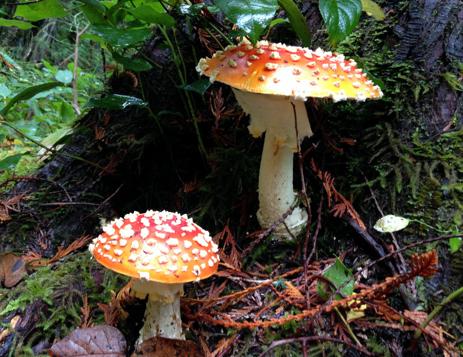
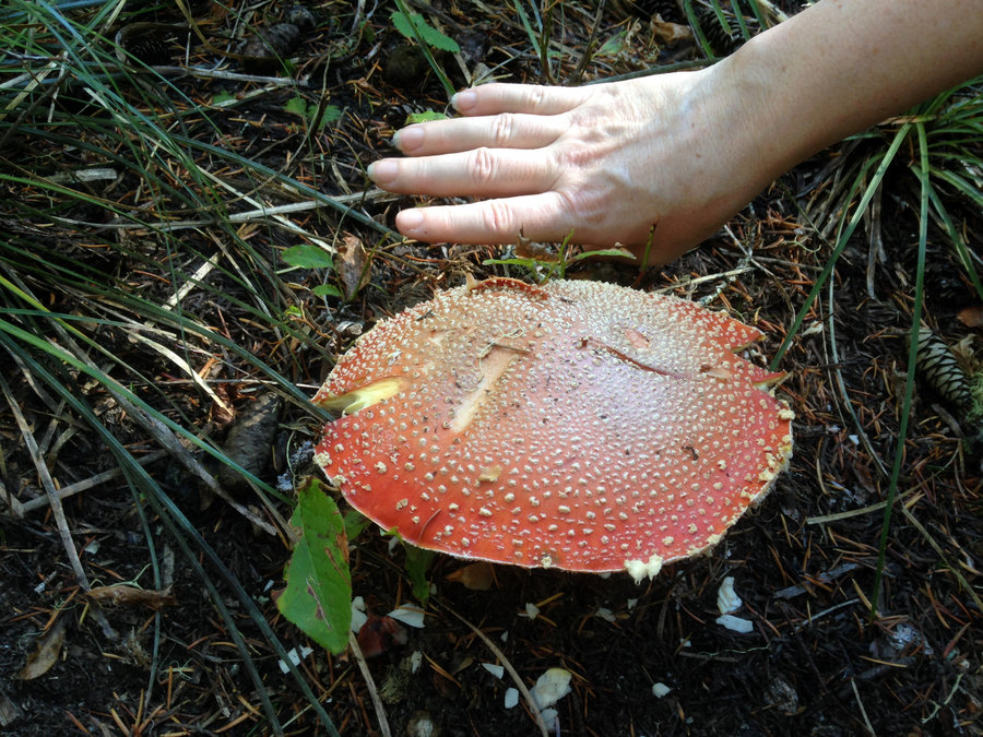
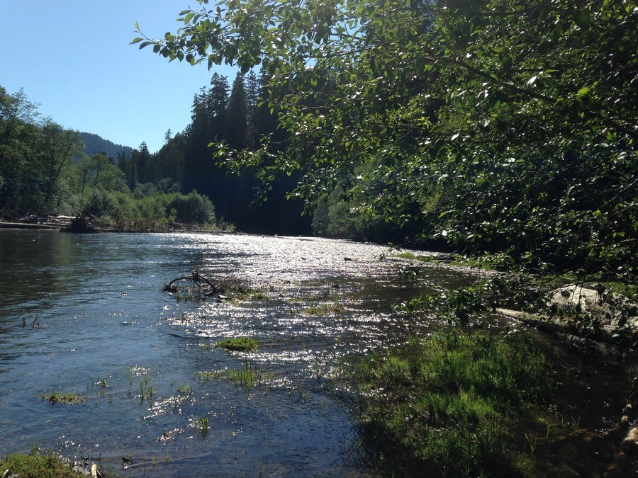
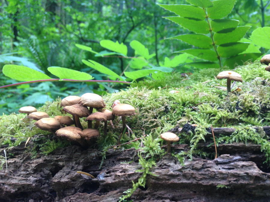
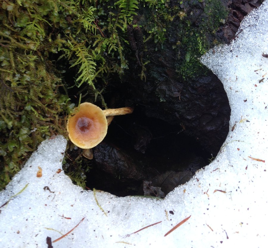
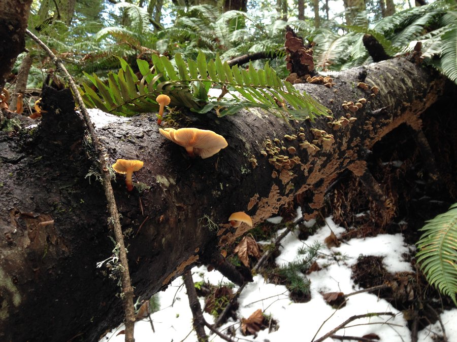
Oneonta Franklin Loop
10.2 miles of hiking • 2750' elevation gain •
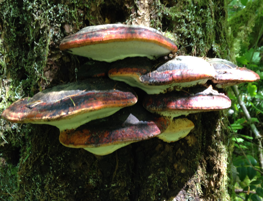
Wonderful misty day in the gorge. Still a lot of mushrooms. The washout 1 mile south of Triple Falls is manageable as long as the creek level doesn't rise. Winter creek was mostly a dry footed crossing. Great day.
November 27, 2016

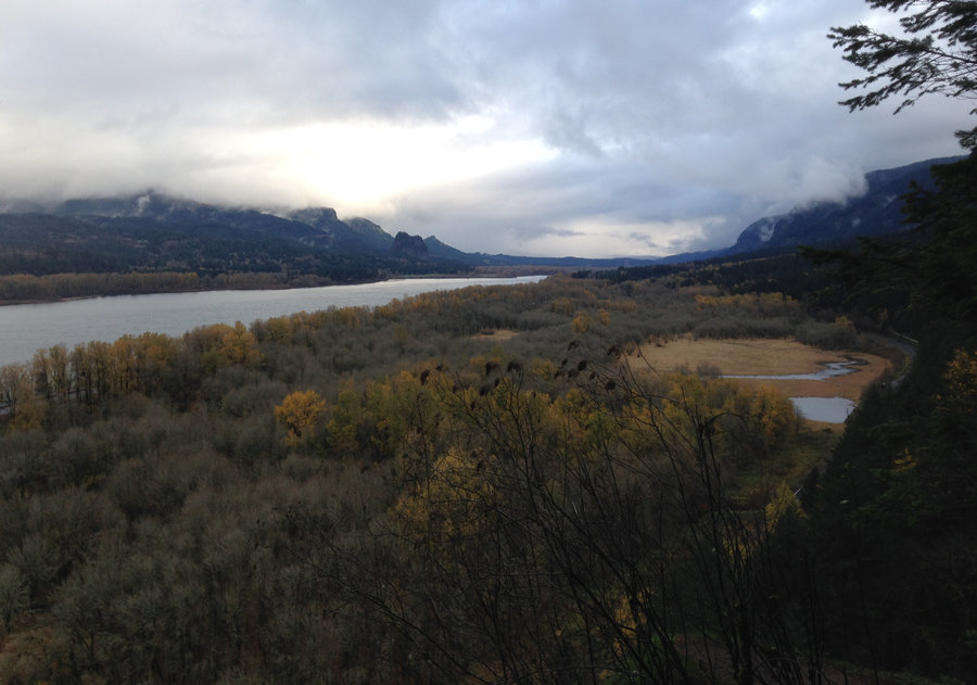
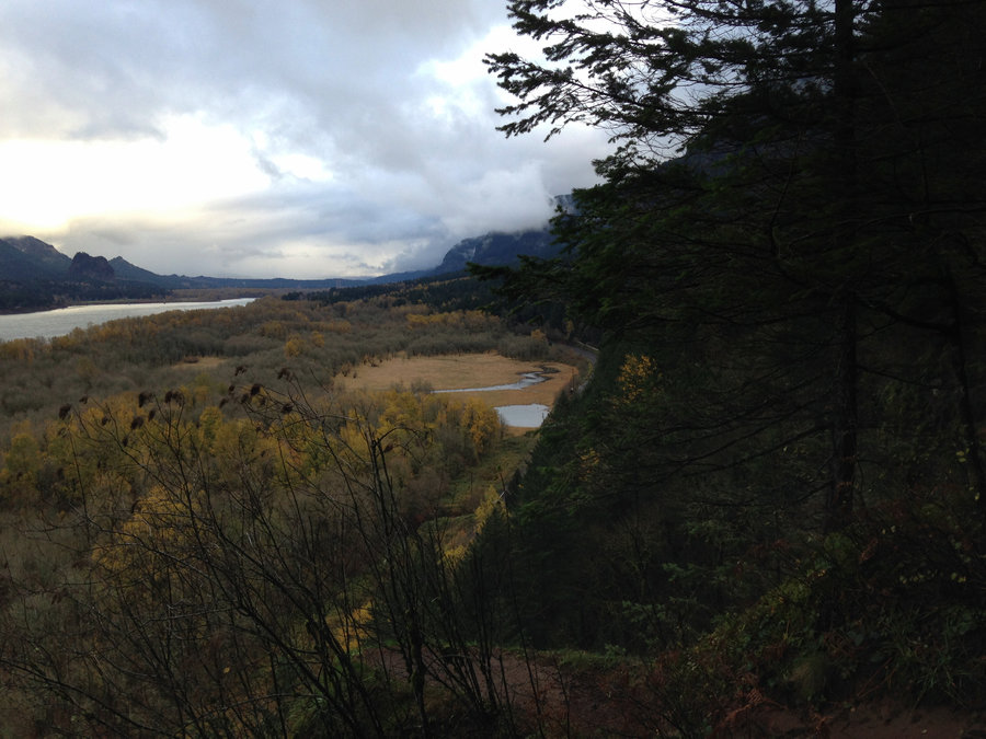
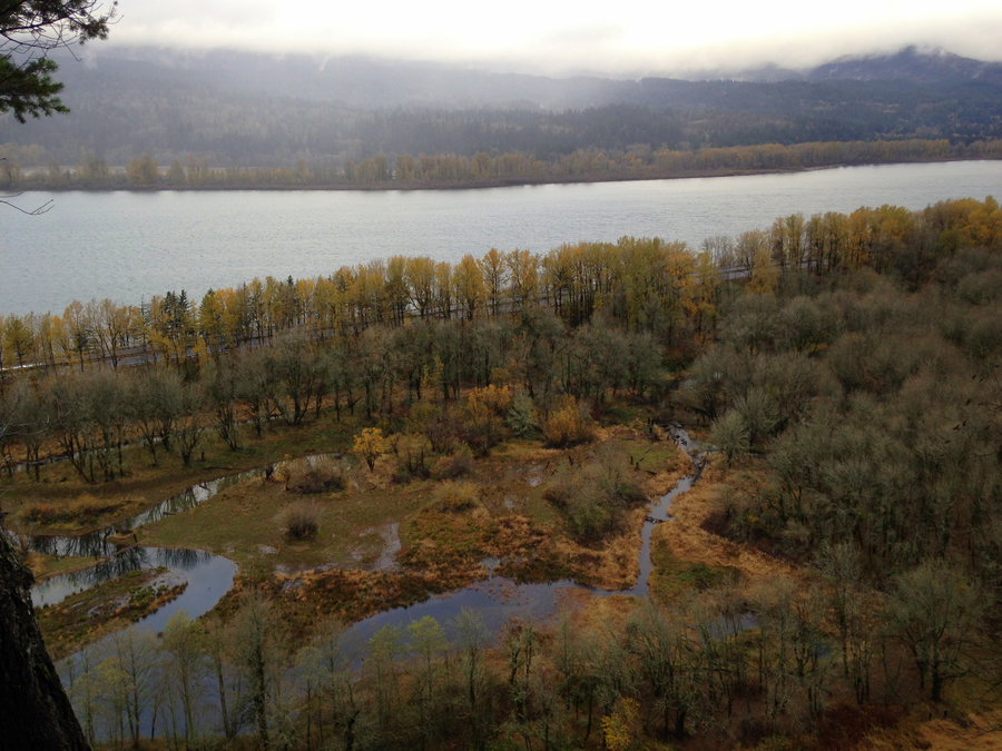
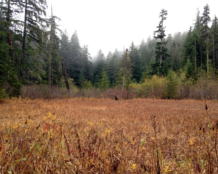
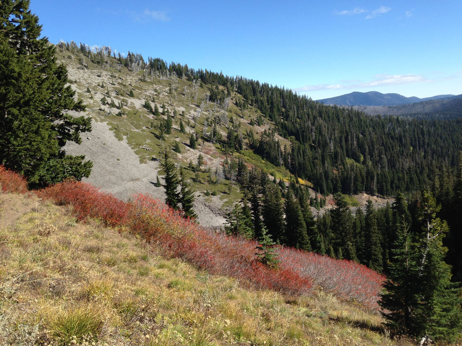
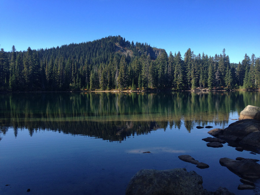
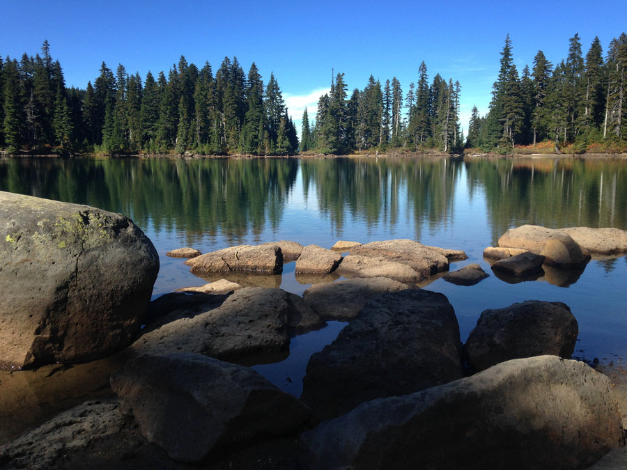
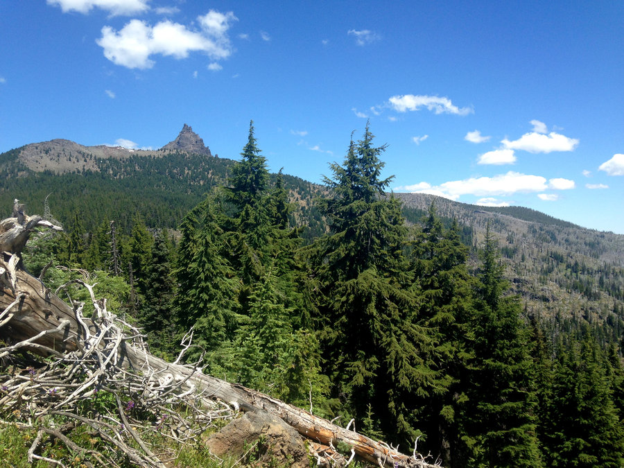
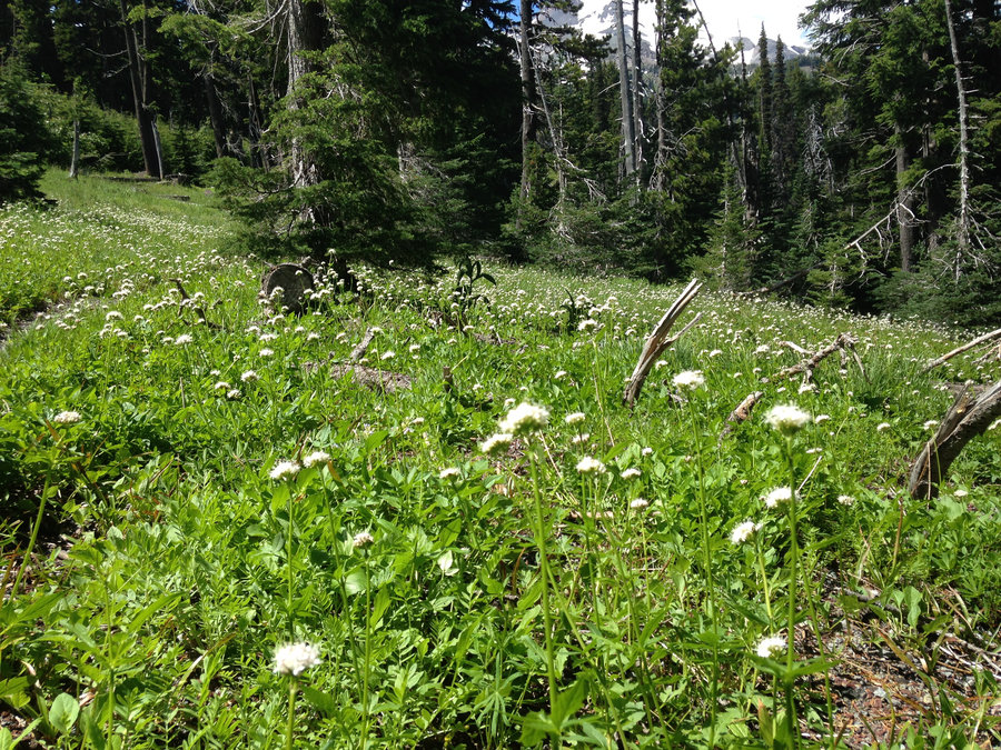
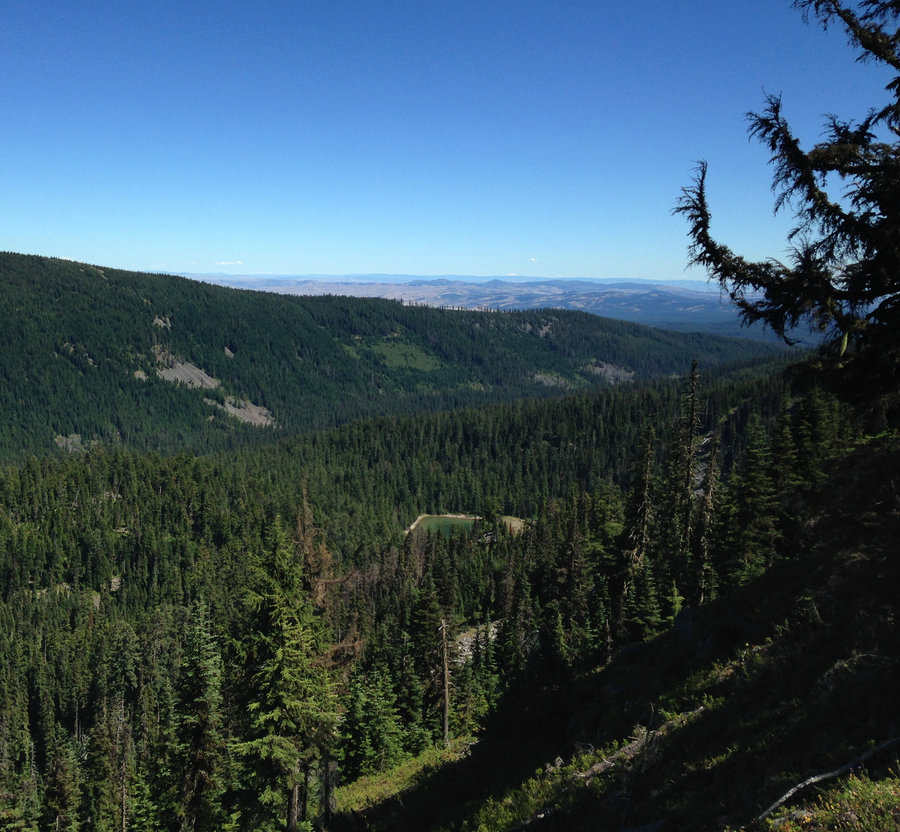
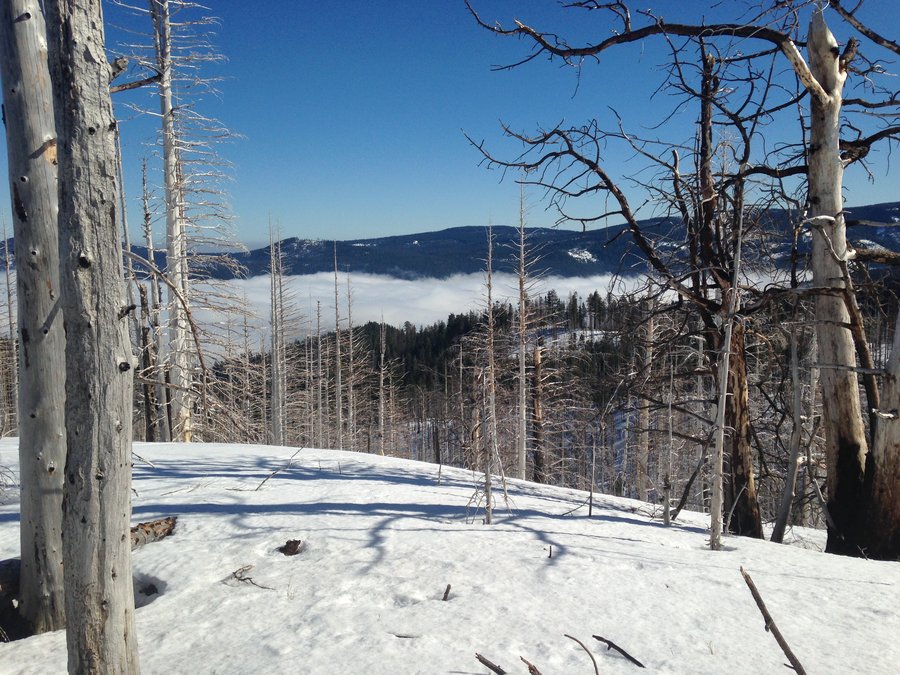
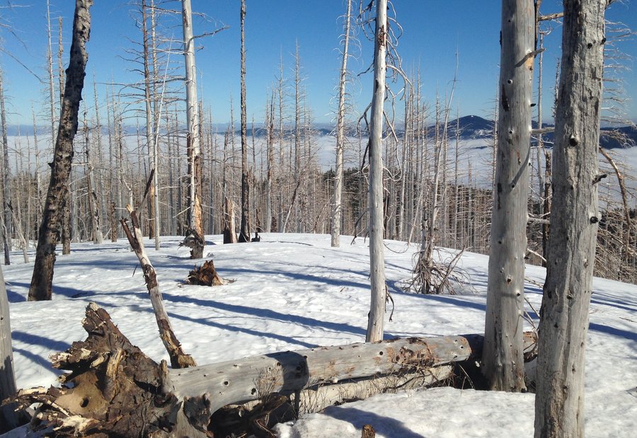
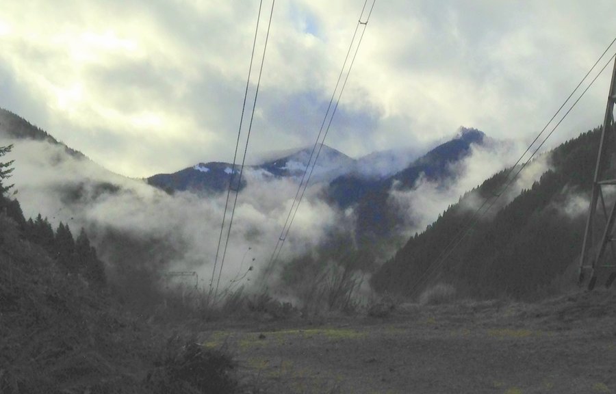
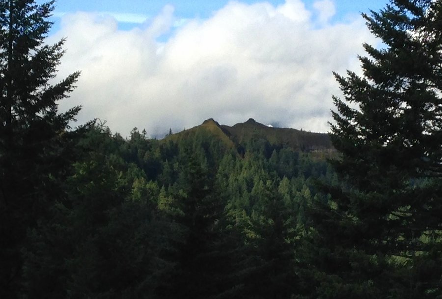
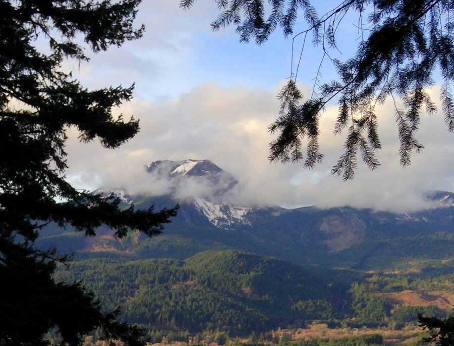
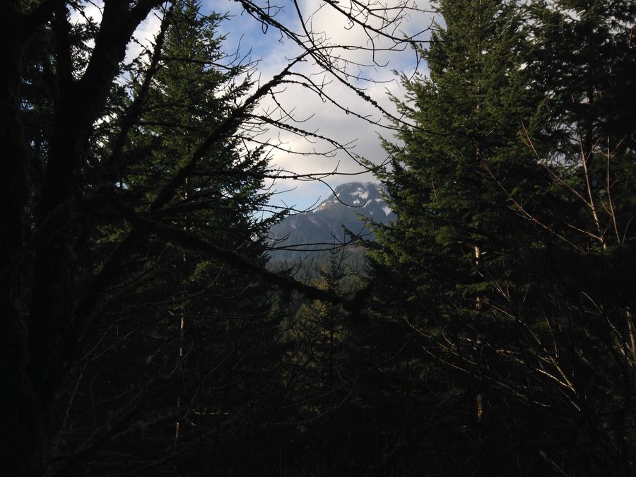
Pocket Creek roundabout
6 miles of hiking • 500' elevation gain •
Did a bit of exploring in the Pocket creek area with a friend who is doing wildlife survey work. pretty quiet day. We were on and off of the ski trails all day. BTW ski trails in summer are really just slightly lower brush with frequent blue diamonds on the trees. Looks like the Larches are almost gone needle wise. We saw lots of cool mountain views, but not so much wildlife.
November 8, 2016

 1
1
Herman Creek Trail to Mullinex Creek
10.6 miles of hiking • 1750' elevation gain •
Gorgeous day in the Gorge! The fall color is fading out once you hit the Nick Eaton Trail junction. But lots of mushrooms and waterfalls!
November 3, 2016

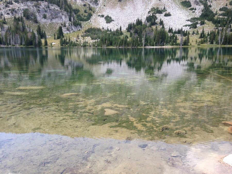
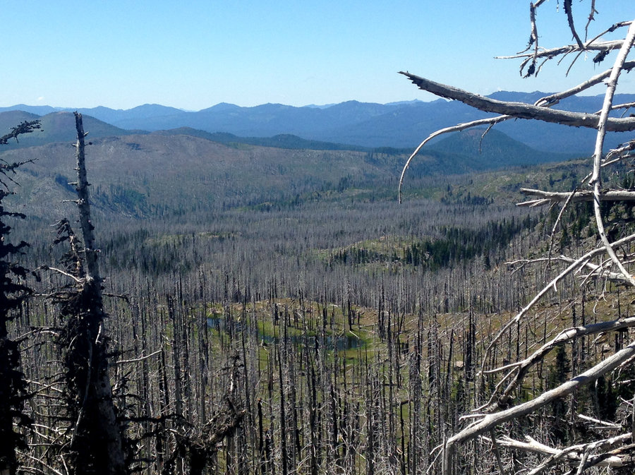
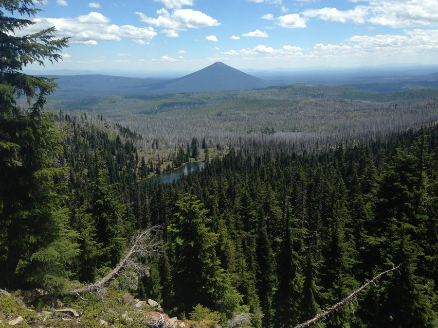
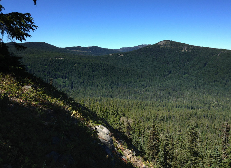
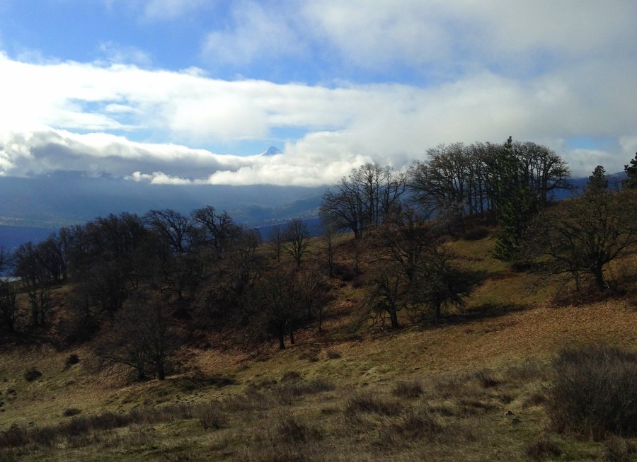
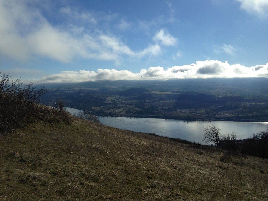
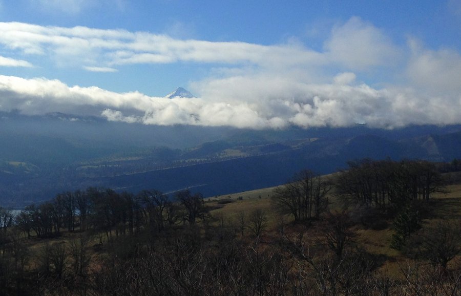
 2
2
Larch mountain towards Bell Creek
8.2 miles of hiking • 1750' elevation gain •
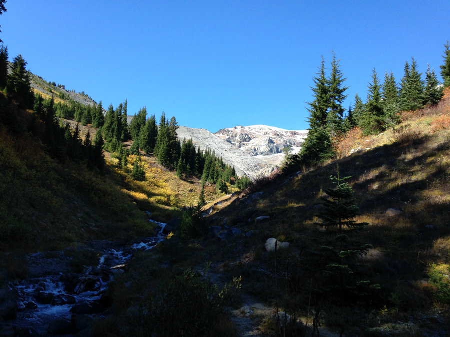
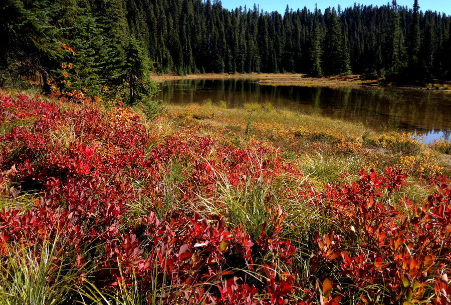
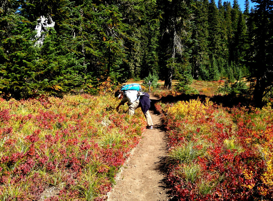
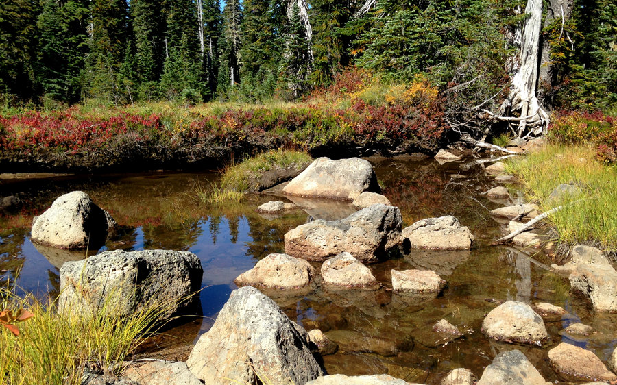
I have finally accepted that fact that winter is here and I need to shift towards misty day hikes. I wanted to go somewhere quiet so we parked at Larch Mountain parking lot and walked a ways down the hill to the top of the Oneonta trail with the goal of wandering down to Bell Creek. Perfect day, we saw one other person, tons of mushrooms and hundreds of springs and creeks feeding Oneonta and Bell, a bog and lots of big trees.Around the Bell Creek crossing, for quite a ways there was no trail, just a creek. The downside? All uphill on the way back. Sure felt like more than the 1500 that it looks like on the map. Beautiful day!
October 23, 2016


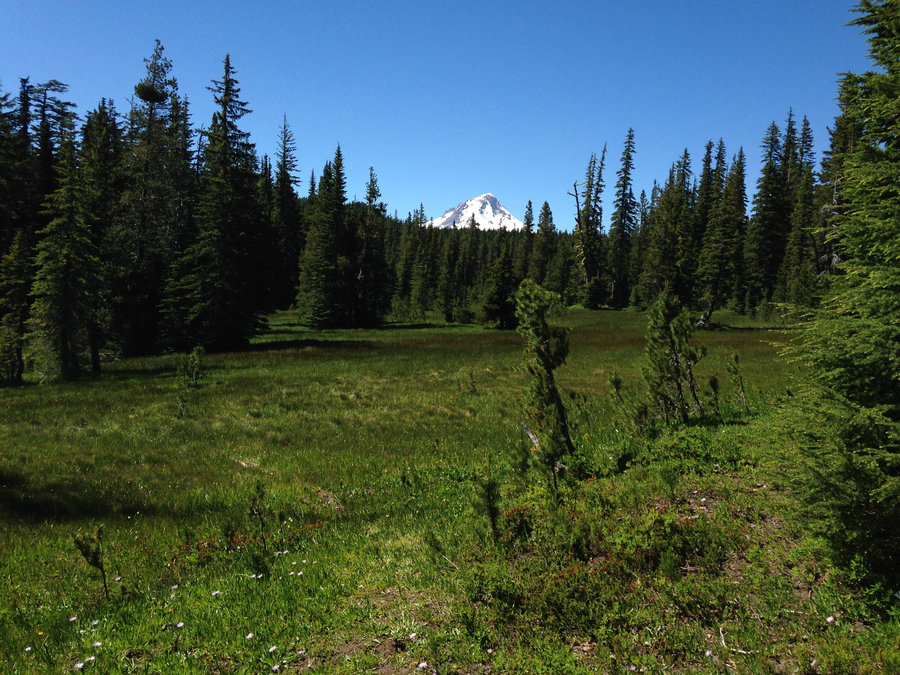
 1
1
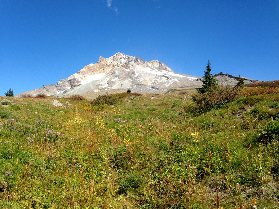
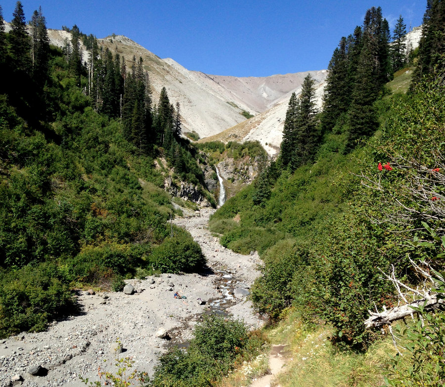
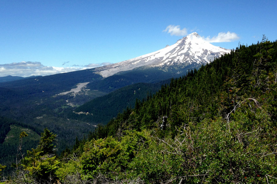
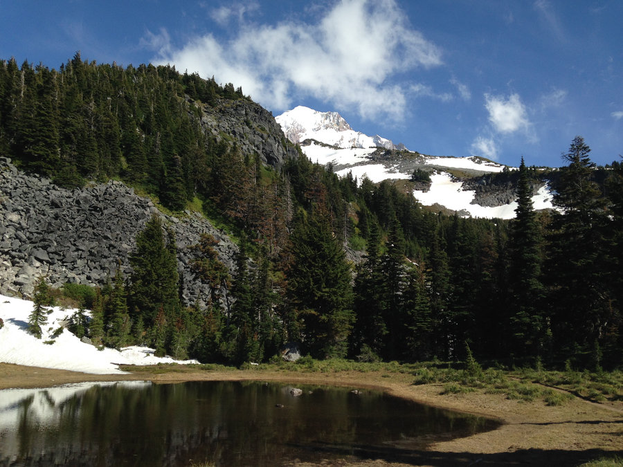
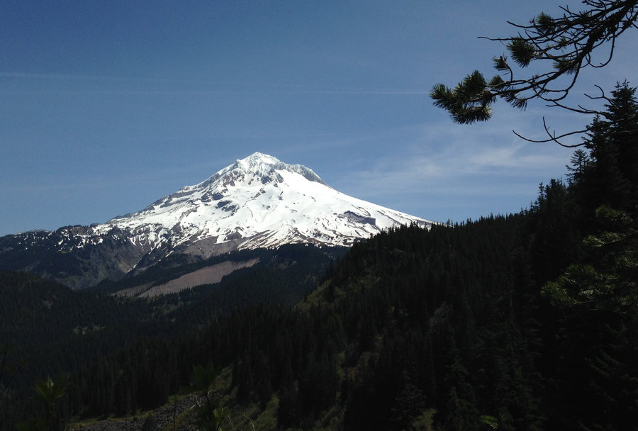
Mt Hood Meadows to Heather Canyon
5 miles of hiking • 750' elevation gain •
Quick trip along the Timberline. Beautiful but icy near water. Once I got to Heather Canyon I had planned to head up it. But it was way too icy and the water was moving a bit fast towards that big waterfall. Great day even though it was short.
October 11, 2016


 1
1
Indian Heaven
11 miles of hiking • 1250' elevation gain •
Beautiful day. The fall colors are at peak right now and the lakes are still looking good! We started at E. Crater trailhead and went past Junction Lake through all the lovely meadows and tarns. Deep Lake ended up being our turnaround point after a marvelous day.
September 25, 2016


Timberline Lodge to Split Rock
12 miles of hiking • 2250' elevation gain •
Amazing day. The fall colors are on!! Crisp and clear and beautiful. Plus, still a few flowers. Great day in the Hood.
September 12, 2016


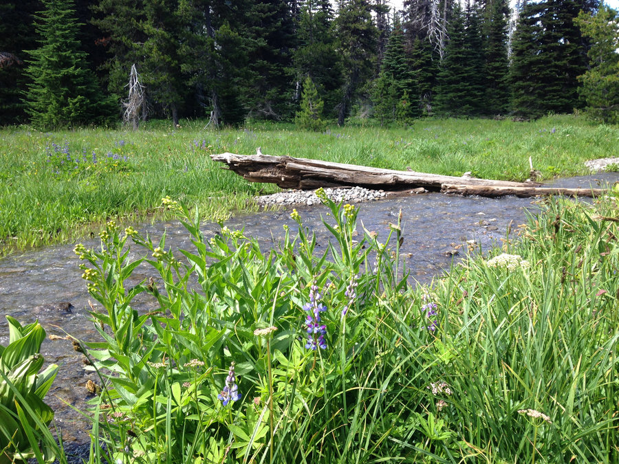
Fret Creek Loop
9.3 miles of hiking • 1500' elevation gain •
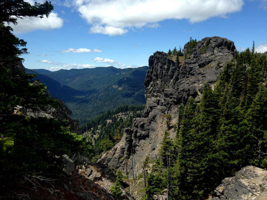
Easy day in the Badger Wilderness. Beautiful dramatic skies watching rain showers move across the plains below us. Had fun catching up on the fire season news and general latest happenings with the staff person at Flag Point Lookout. Wonderful day.
September 4, 2016

 1
1
Goat Lake loop Hike
12.8 miles of hiking • 2500' elevation gain •
Three days camping at Walupt Lake with amazing day hikes. The wildflowers are still putting on a show in the wet patches, although they are bloomed out elsewhere. Fantastic views and only one small misty shower. Great day in a stunning area.
August 27, 2016


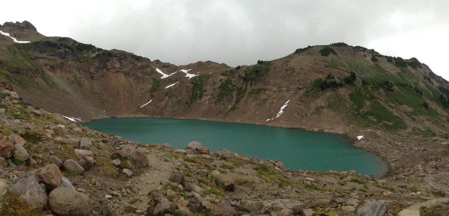
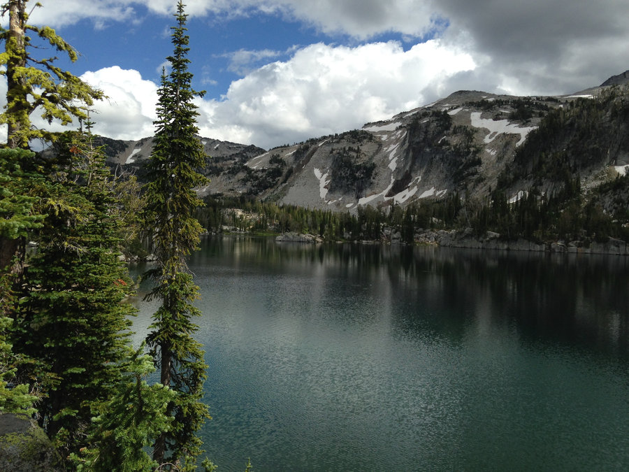
 2
2
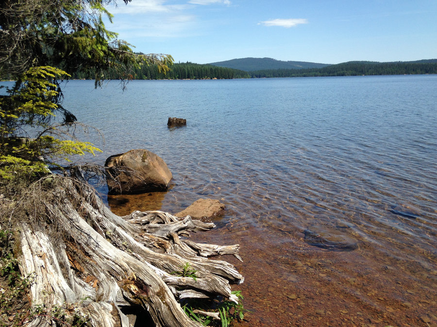
Sheep Lake - Goat Rocks Wilderness
9 miles of hiking • 2000' elevation gain •
We just stopped off at Walupt Lake campground long enough to pick a site and park the car. Then up the trail we went to Sheep Lake. Amazingly quiet for a Friday and hot enough to take a quick dip in the lake. Some one had beat us to the huckleberries, but the views and lake beauty more than compensated.
August 26, 2016

Little Crater - Timothy Lake
8.2 miles of hiking • 0' elevation gain •
Beautiful day with my goddaughter staying cool by the lake.
August 20, 2016

 1
1
Elk Cove via Vista Ridge
10.1 miles of hiking • 2250' elevation gain •
Wonderful day back in my "hood". Flowers still lovely in places. Dollar lake is looking small and very green.
August 16, 2016


E. Lostine River Mirror Lake
14.8 miles of hiking • 2000' elevation gain •
The most beautiful place I have ever been. Nice forest and creek, beautiful glacial meadows and The Lakes!!!
August 11, 2016


Aneroid Lake
12 miles of hiking • 3000' elevation gain •
The first few miles were rather uninspiring. But after that it was amazing. Flowers are blooming, mosquitoes calm at the lakes, but definitely around in the meadows. Wonderful day.
August 10, 2016


Zumwalt prairie
2.25 miles of hiking • 250' elevation gain •
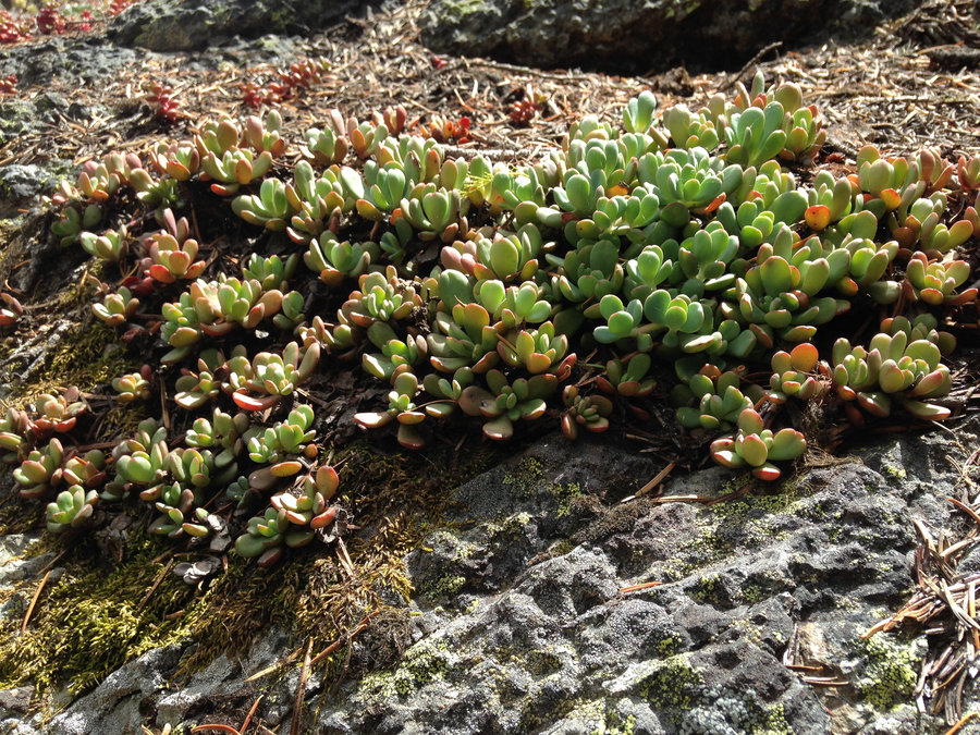
It was a gnarly weather day so I decided to go where the weather would add to the scenery. So I went to Zumwalt prairie and took a short stroll and then drove up the long gravel road to Buckhorn Lookout on the edge of Hell's Canyon. Fantastic views and tons of wildlife. Especially close to Buckhorn Lookout.
August 9, 2016
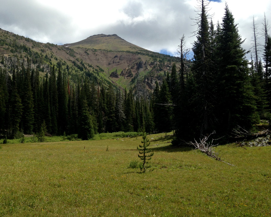
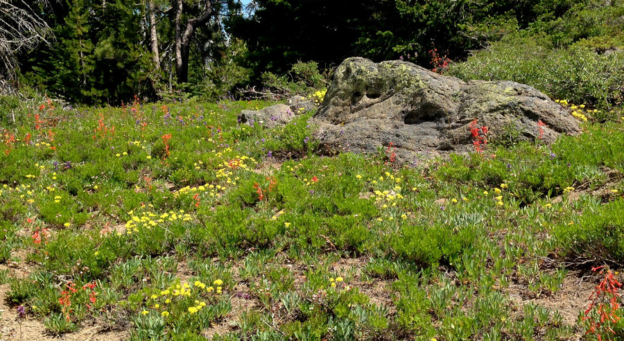
 2
2
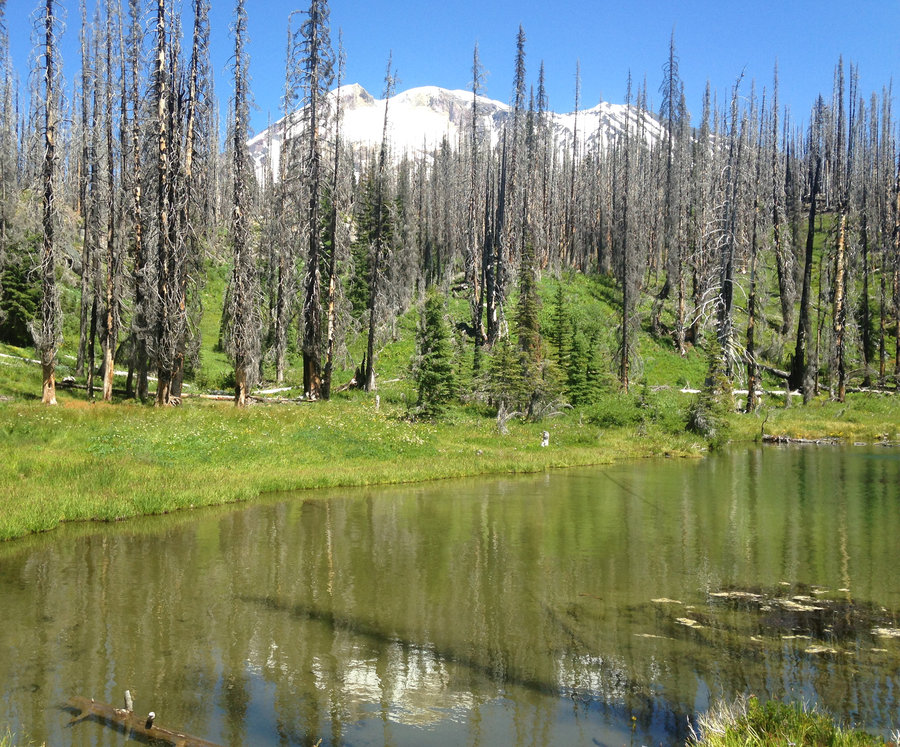
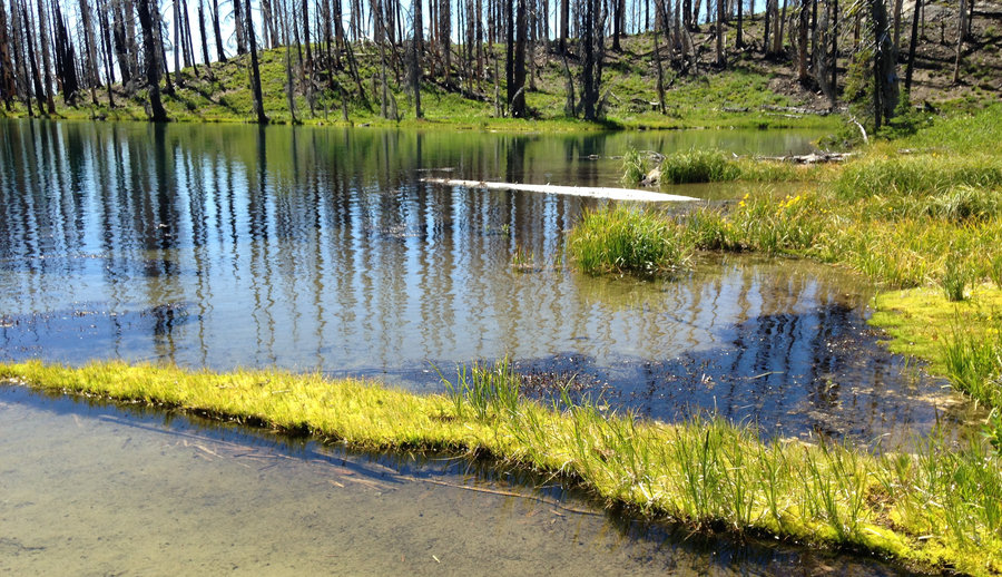
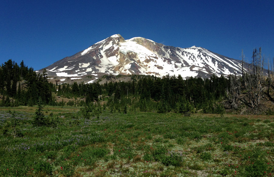
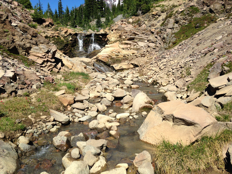
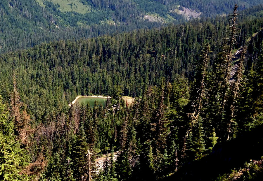
Past the Bumper on Mt Adams
17 miles of hiking • 3750' elevation gain •
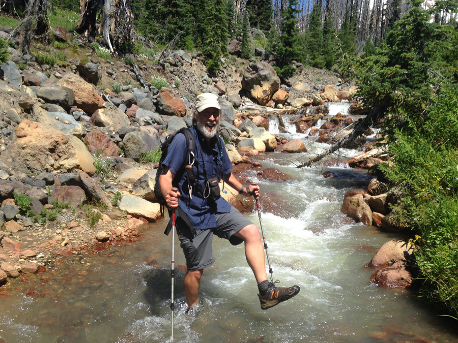
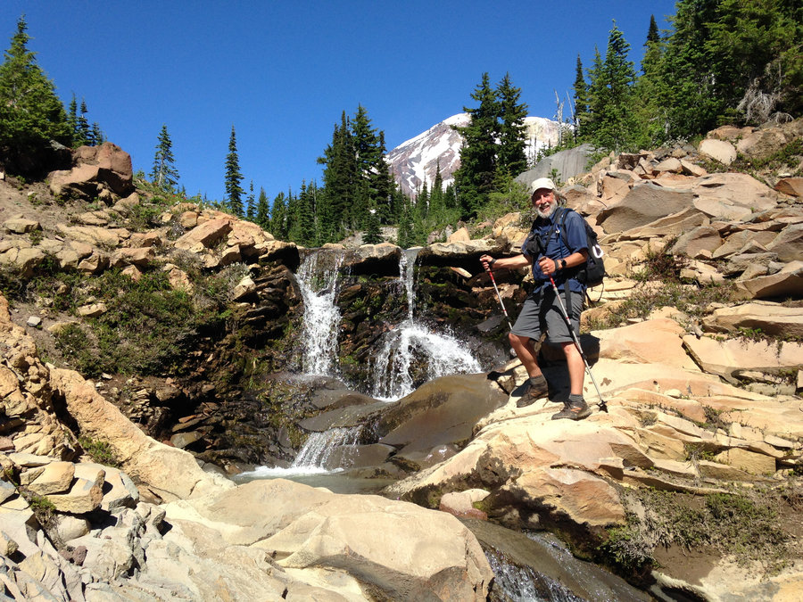
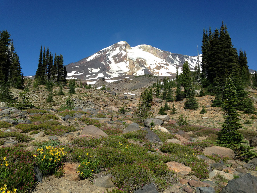
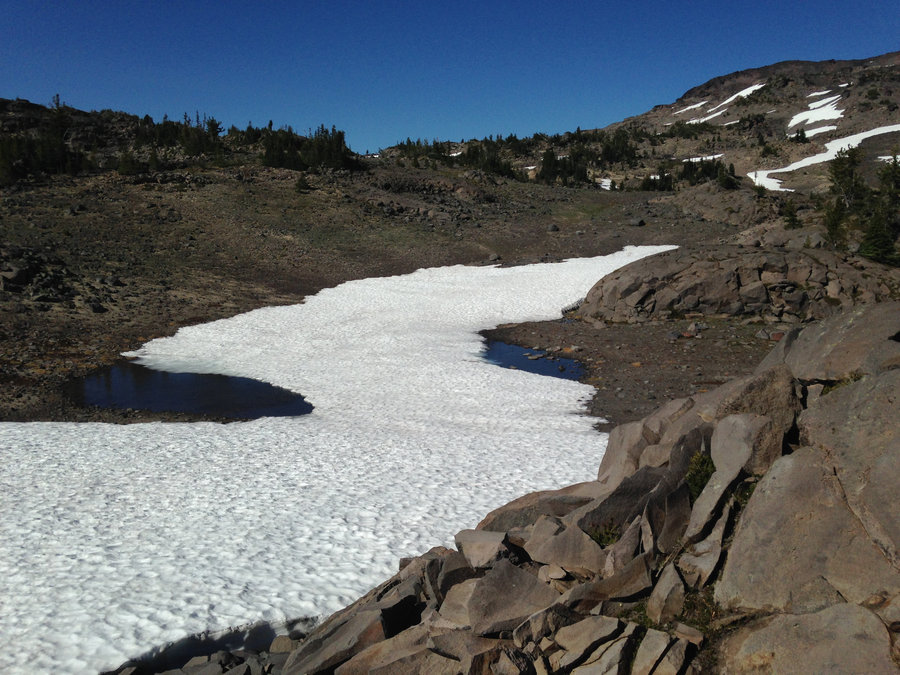
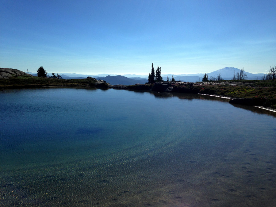
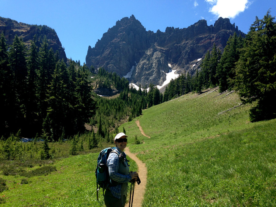
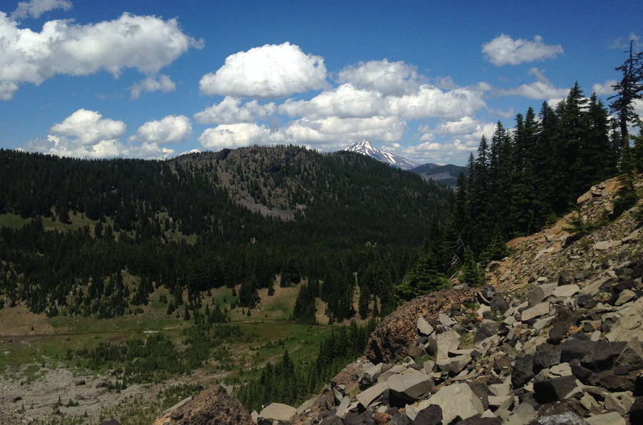
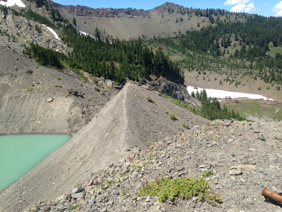
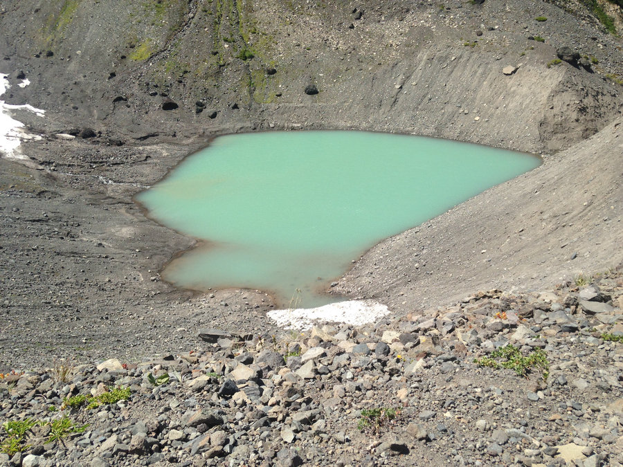
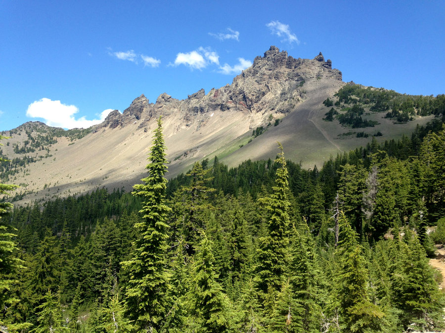
Fantastic day!!!! We headed up Stagman ridge with the idea of tagging Lookingglass Lake and then doing a bit of, off trail above treeline near the Bumper. The burn is coming along nicely with some fun views through the burned trees. We decided to cut off the Stagman ridge trail on a use path directly over to Lookingglass Lake instead of going up and then descending to the lake on the main trail. Beautiful route through many flower filled creeklets. The main branch of Cascade Creek was flowing pretty good and the rock hop was too long for my legs. We found an easy spot to ford where it was just calf high. The user path ended at the creek, but once over, the main trail down to the lake, parallels the creek about 50 yards max from the creek. We took first lunch at Lookingglass Lake which was wonderful and had a waterfall!! Then we headed up the main trail up to the Round the Mountain trail, proceeded north along it and decided to cut off trail in some meadows just south of Horse Meadows. We headed eastish above tree line, staying east of The Bumper and strolled north. We found a lovely high spot. I spotted a nice cirque tarn nearby and Karl spotted the Hump. He headed off to tag that and I went to the tarn and took way too many pictures. By then it was dinner time so I ate some food and we headed down to pick up the PCT which was about 3/4 of a mile below us. We didn't have to meander much to find a good way down. Hit the Pct and bombed back to Stagman Ridge trail and back to the car by sunset. Wonderful day.
July 31, 2016


 1
1
Canyon Creek to Cirque Viewpoint
7.5 miles of hiking • 1500' elevation gain •
Totally beautiful day. We did the loop and then added on the stretch up the moraine to the view of the glacial cirque. Wildflowers full on in the lower meadows and getting ready to pop on the upper meadows. Skeeters very minimal.
July 21, 2016


Three Finger Jack
10.4 miles of hiking • 1500' elevation gain •
Amazing out and back on the PCT Highway. Saw lots of blooms, lakes in the distance, views galore, happy people and one through hiker! Really, really good hike.
July 20, 2016


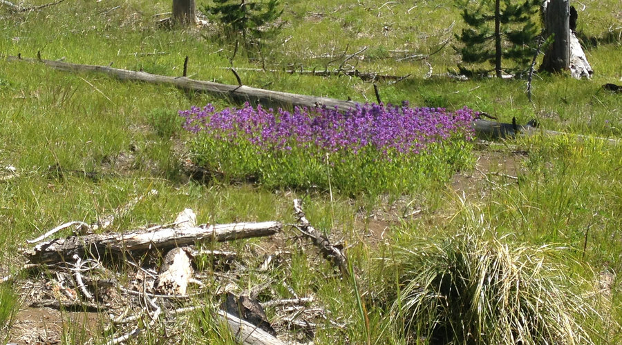
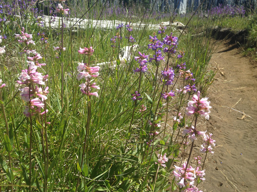

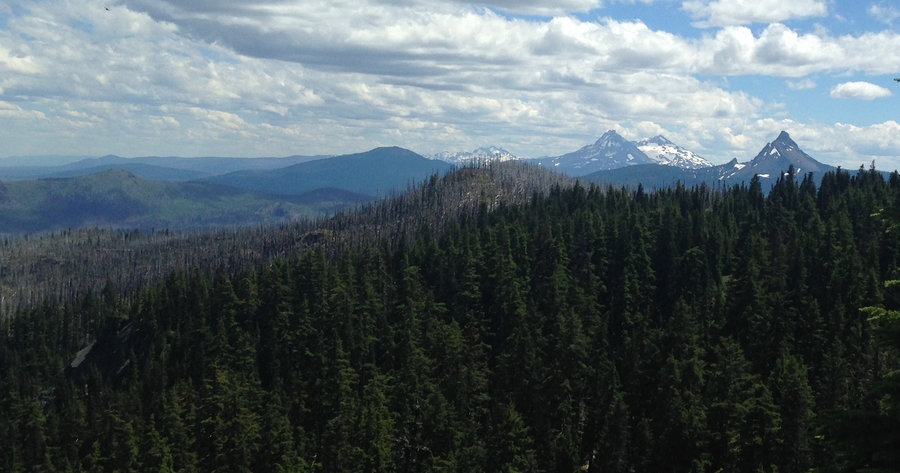

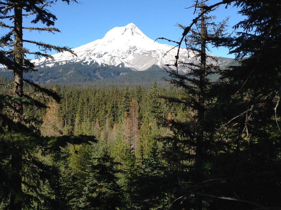
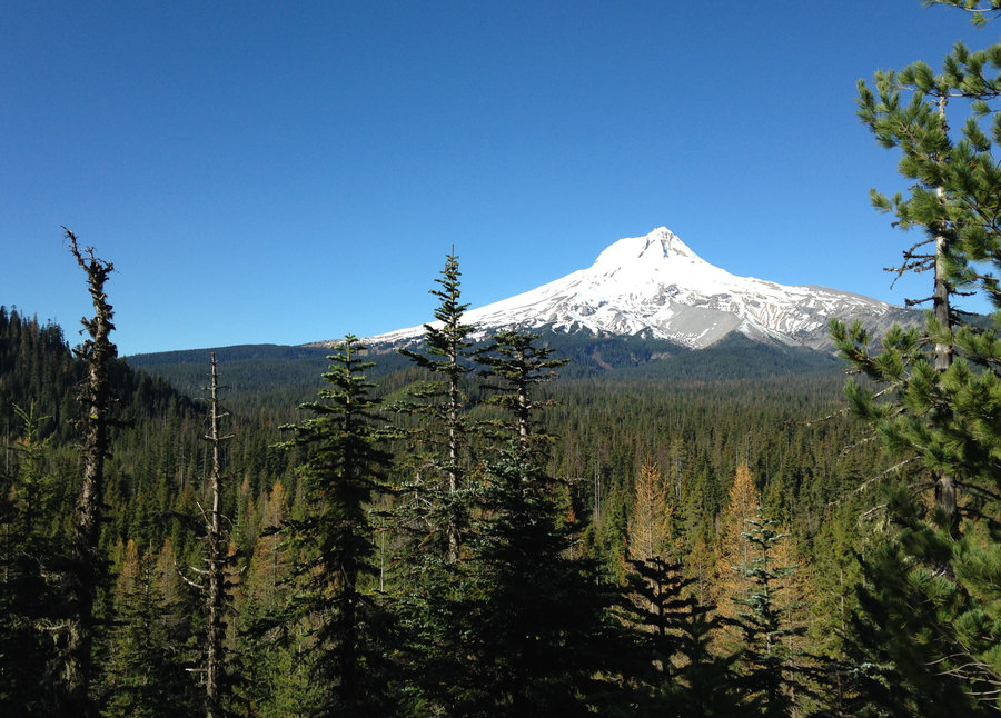
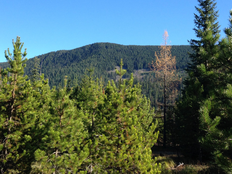
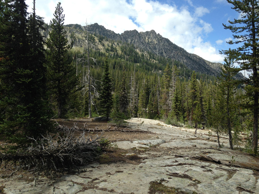
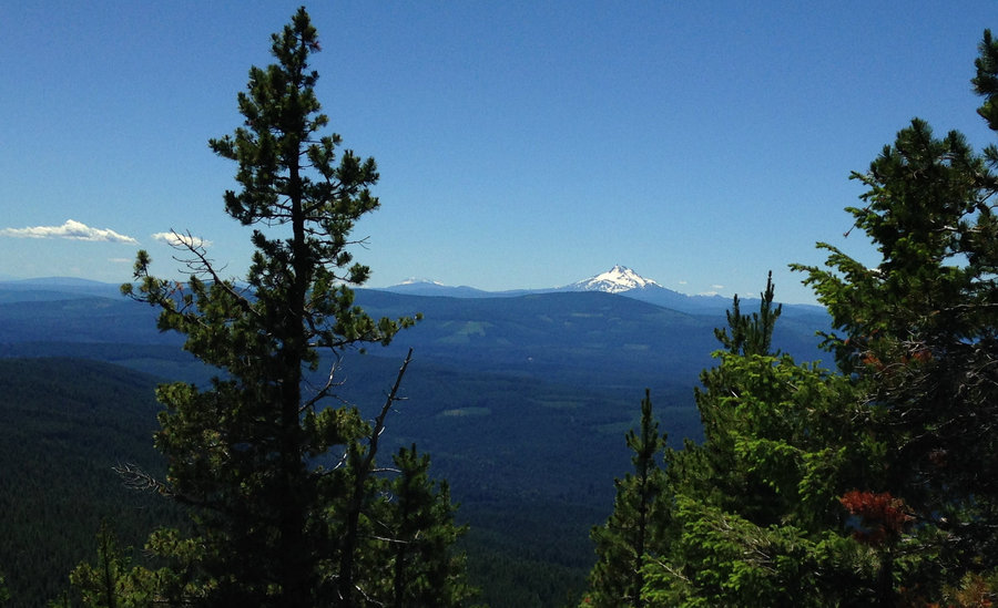
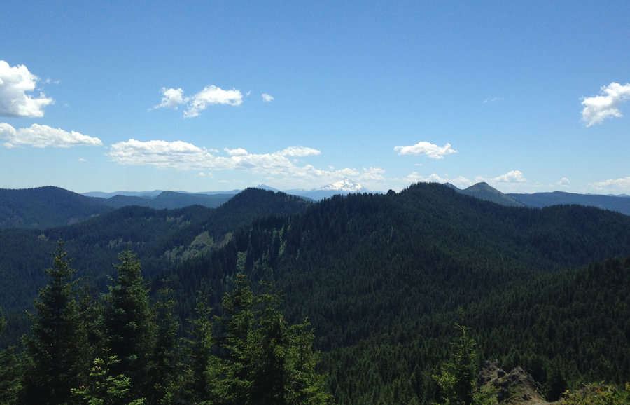
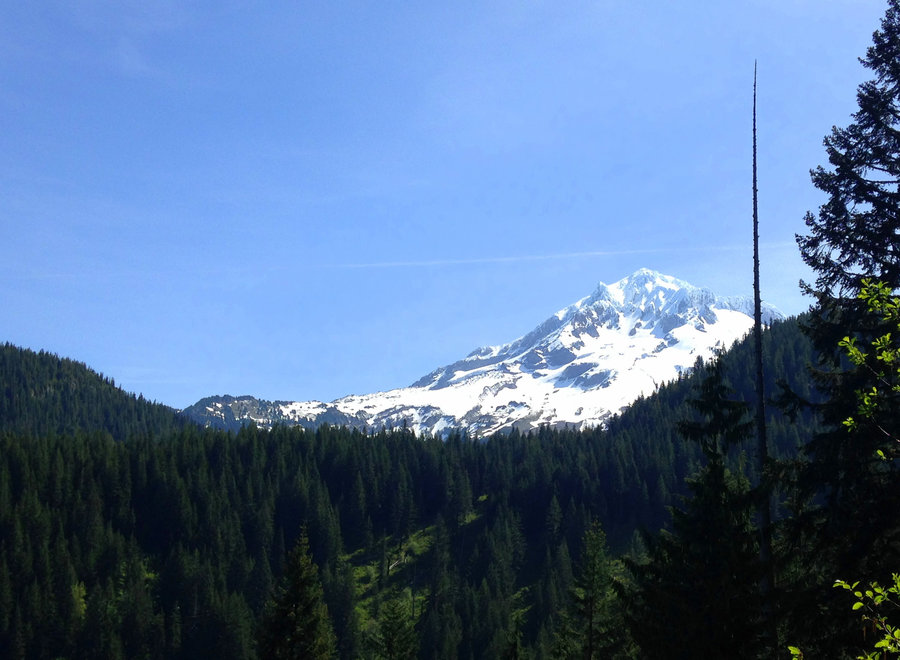
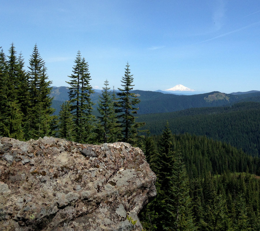
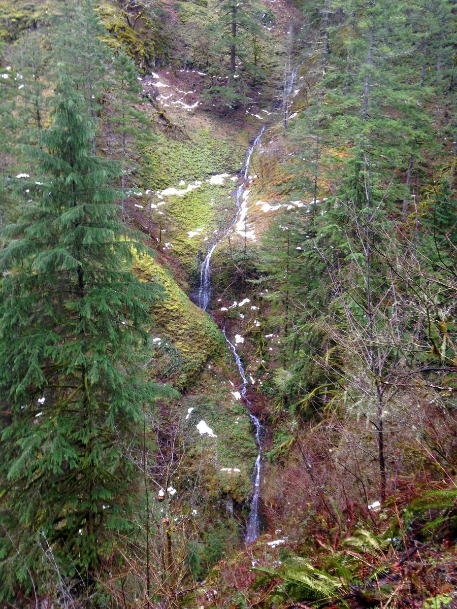
Lookout Mt to almost Flag Point
10.2 miles of hiking • 2000' elevation gain •
I wanted to hit the bloom in the Badger and I needed some sun. So off to the east I went. Quiet day up there saw a few people near the summit. The penstemon is peaking, with lots of other colors dotted through. I parked at High Prairie, hiked to the old lookout site and headed down the Divide trail, taking my time even though it was downhill mostly. Where the Divide trail hits the Flag Point Road, I went a short distance up to a quiet lookout point in a blooming meadow. My camera doesn't capture distance very well. But, I could see all three Washington Volcanoes as well as Jefferson, Three Sisters, Little Brother, and Washington, plus a few more. To the east I could see the foothill of the Blue Mountains. I only saw one fire in the distance, yay. All uphill on the way back, but marvelous.
July 13, 2016


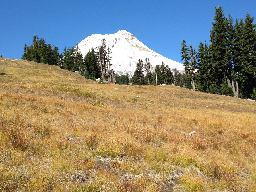
Umbrella falls and Newton Creek
4.4 miles of hiking • 250' elevation gain •
Just a couple of short strolls to check on flowers. Lovely day in the meadows.
July 6, 2016


Bonney Butte to Echo Point
6.7 miles of hiking • 2000' elevation gain •
Just a lazy looking at the views and sitting in the meadows watching the breeze kind of hike. We parked about a half mile up the 4890 rd where it intersects the 471 trail. Started out in a nice fir and hemlock forest, but it quickly shifted to more open alpine forest. We hit the summit of Bonney Butte with crystal clear views except beyond Mt Hood. Great views of Jefferson and the 3 Sisters to the south, and views from Gunsight into the Warm Springs, to the north and east. Nice breeze and no bugs. After lunch we circled Bonney Meadows which surprisingly had just a few people. Then we took a quick side trip up to Echo Point for a view down into Boulder lake and east to Grasshopper point.
July 3, 2016


JRO to Loowit falls
17 miles of hiking • 3000' elevation gain •
It was an amazing day. Looping together several different areas. Magnificence personified.
July 2, 2016
 1
1
Salmon Butte
11.8 miles of hiking • 3000' elevation gain •
Beautiful day, beautiful views. No bugs, no down logs and wonderful views and flowers at the top.
June 27, 2016


 1
1
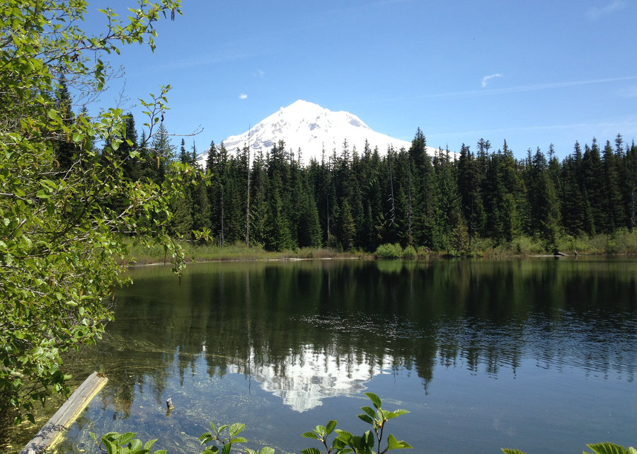
Mcneil Point
10 miles of hiking • 2250' elevation gain •
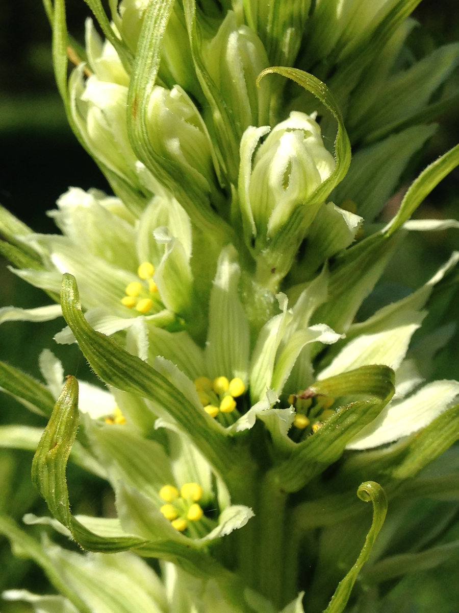
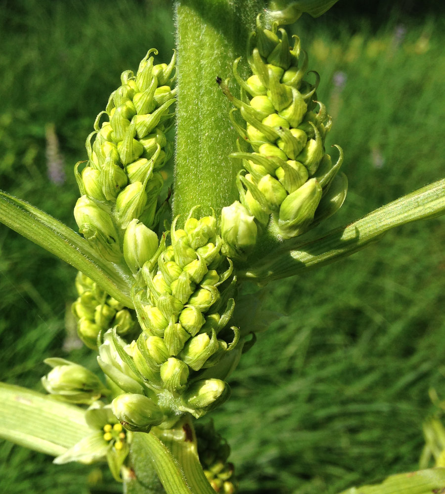
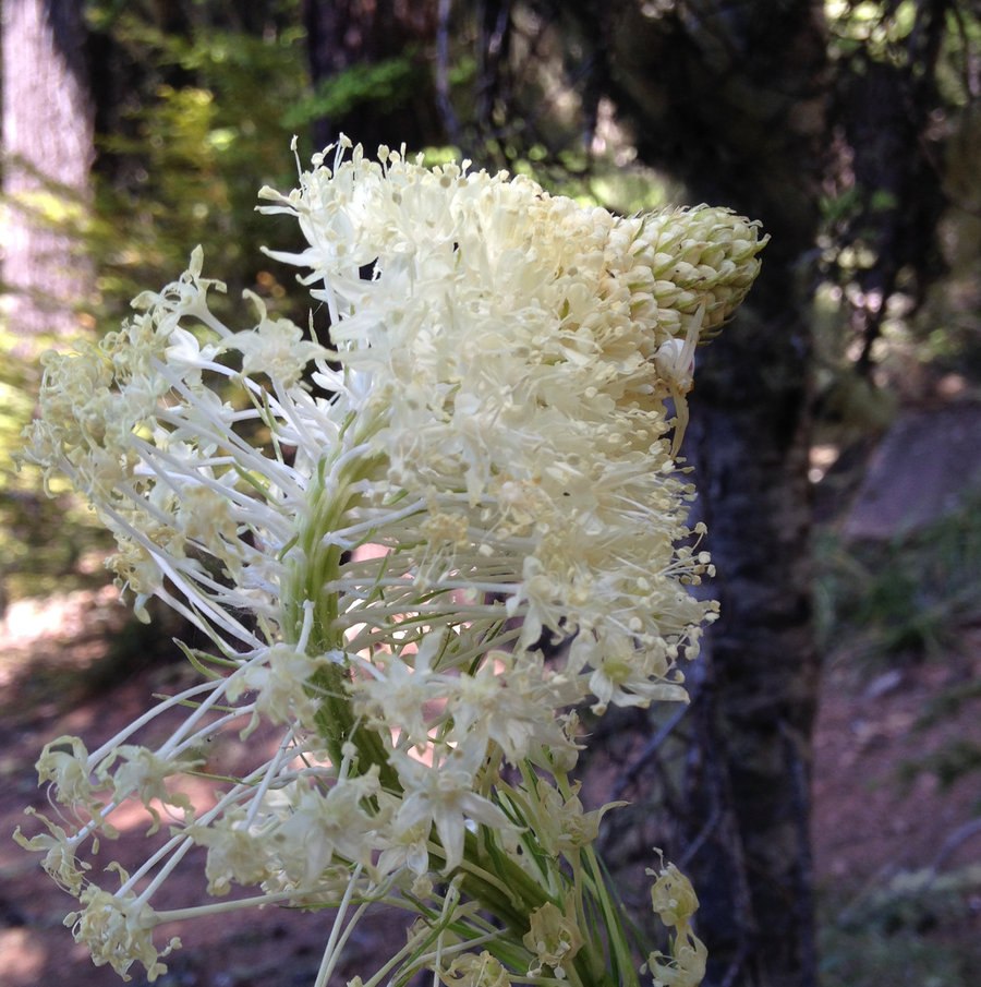
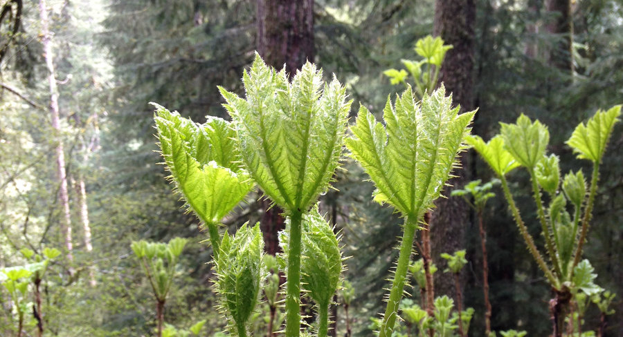
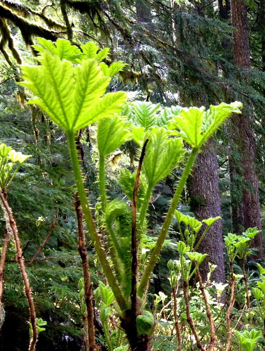
I always make at least one trip here. I usually try and hit the area when the tarns are just starting to melt and then again when the flowers are blooming at McNeil point. Yesterday was in between those two windows and still wonderful. I got a crazy late start so I didn't get pics of the slightly past peak of bloom on Bald Mountain and my camera ran out of storage on the way back. Right now though the color combos are fantastic though with the eriogonums and the gillias rounding out the usual suspects. The tarns were completely melted. There were only a few very small snow patches until the Timberline jct with the Mazama trail where there were a few big patches. Snow coverage began in earnest at the turnoff to McNeil Point. Maybe 50% coverage or a bit more. A bit slippery and a few folks elected to go down the climbers trail rather than go back across the snowfields. The weather was warm but not hot, no bugs and sunny with a few picturesque clouds. Always wonderful up there.
June 22, 2016


Timothy Lake stroll
10.6 miles of hiking • 500' elevation gain •
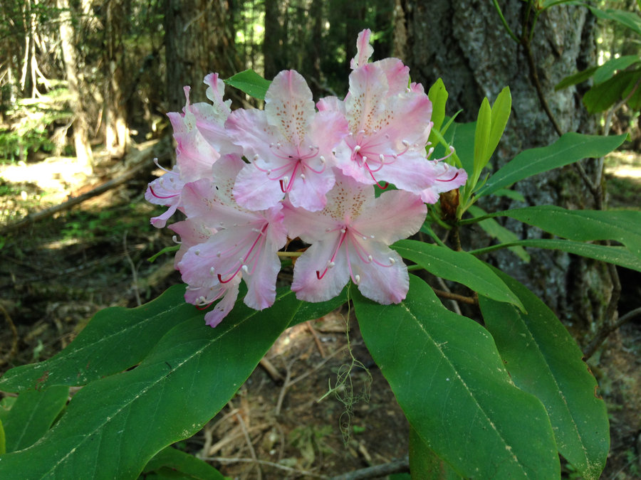
Nice stroll from Little Crater Lake to the dam at Timothy Lake. Great way to beat the heat. Some bugs were swarming me in the morning for about the first mile and then it was fine. The Rhodie bloom is on!
June 7, 2016

 1
1
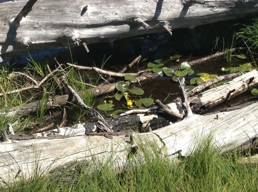
Lewis River from Curley Creek to Ford
10 miles of hiking • 750' elevation gain •
Looking to beat the heat, we decided on a stroll and dip strategy along the less crowded portion of the Lewis River. The lower arch of Curley Creek falls was actually visible. We slowly made out way up the trail as far as the theoretical ford that's shown on the USGS maps. Which as far as I can tell is not any better than most of the rest of the river for fording. It was a wonderful day on the river.
June 5, 2016


 1
1
Above Burnt Lake
8.4 miles of hiking • 2000' elevation gain •
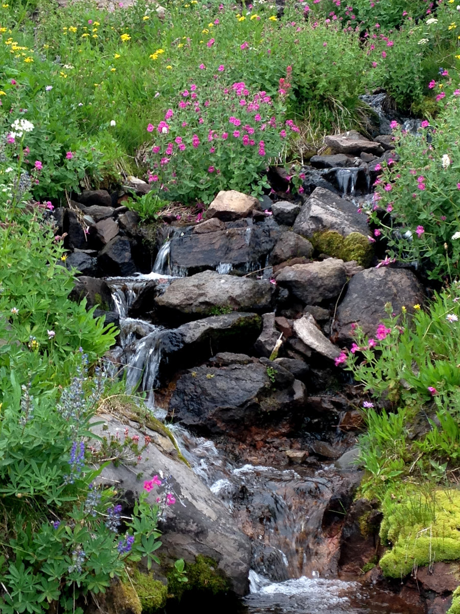
It was a four volcanoe day! We took advantage of the sunshine to hike to Burnt Lake and above. Spring flowers are still going strong above 3600' and a few tiny snow patches just to make it more scenic. No bugs at all. We stopped at Burnt lake for a quick snack, again miraculously no bugs, and then headed up the trail.Since it was a holiday weekend and we wanted to have a bit of solitude, we decided to head east on the Zigzag Trail towards Mt. Hood and Paradise Park, in search of a viewpoint, instead of doing my usual hike to Zigzag Mt. In less than a quarter mile we found one pretty nice viewpoint where we could see Adams, Rainer and Helens and then found a really great viewpoint with a view of Hood and Adams and the corner of Burnt Lake. Wonderful day and wonderful company.
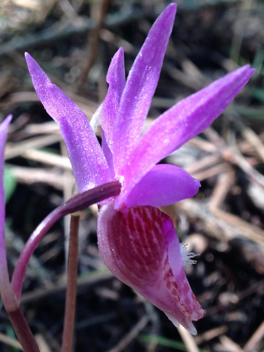
May 30, 2016


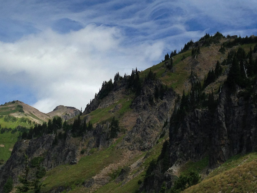
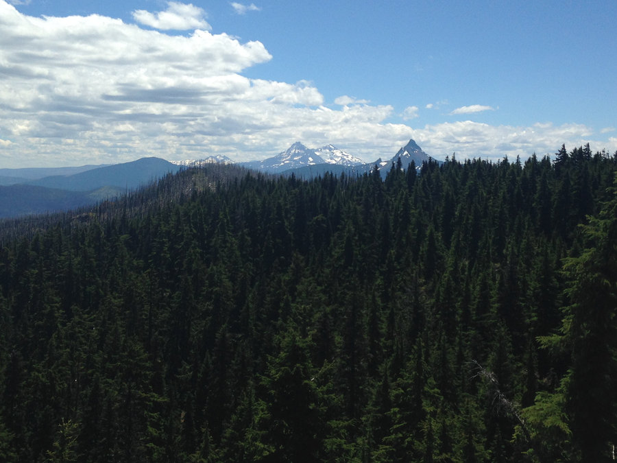
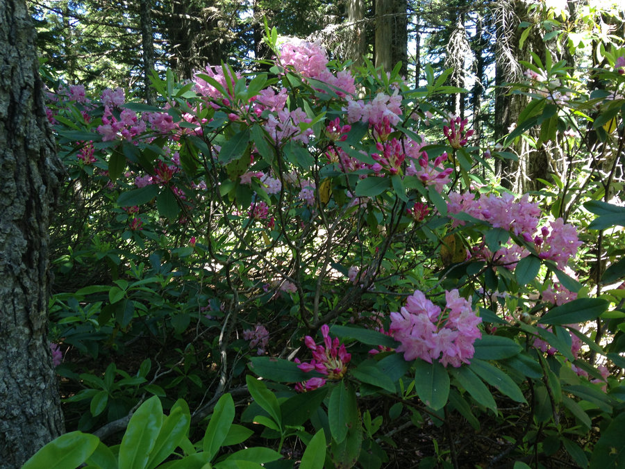
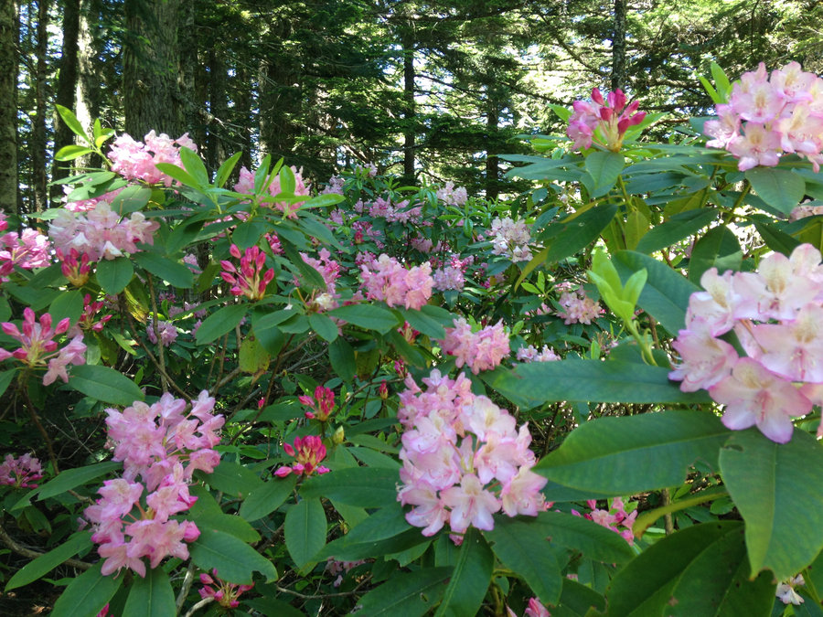
 2
2
Table mountain
11 miles of hiking • 3500' elevation gain •
Fortunately the weather people were wrong! Started at Hot Springs parking lot and slowly made it to the top. Lots of wild flowers and views. Looped around north of the summit on the North Table trail to the Pct, to descend for some variety. Perfect timing for the phlox.
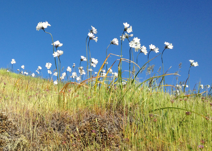
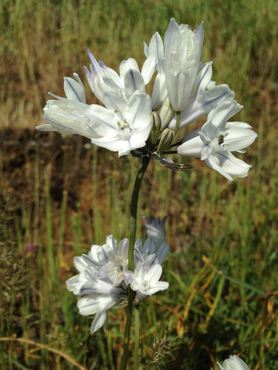
May 8, 2016


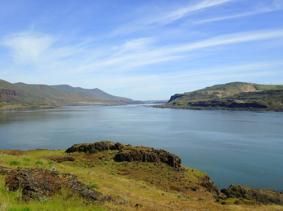
Eagle Creek
15.2 miles of hiking • 1250' elevation gain •
Beautiful sunny day. Lots of blooms and relatively quiet on the trail. The side creeks are getting pretty low already.
May 2, 2016


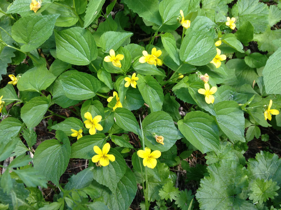
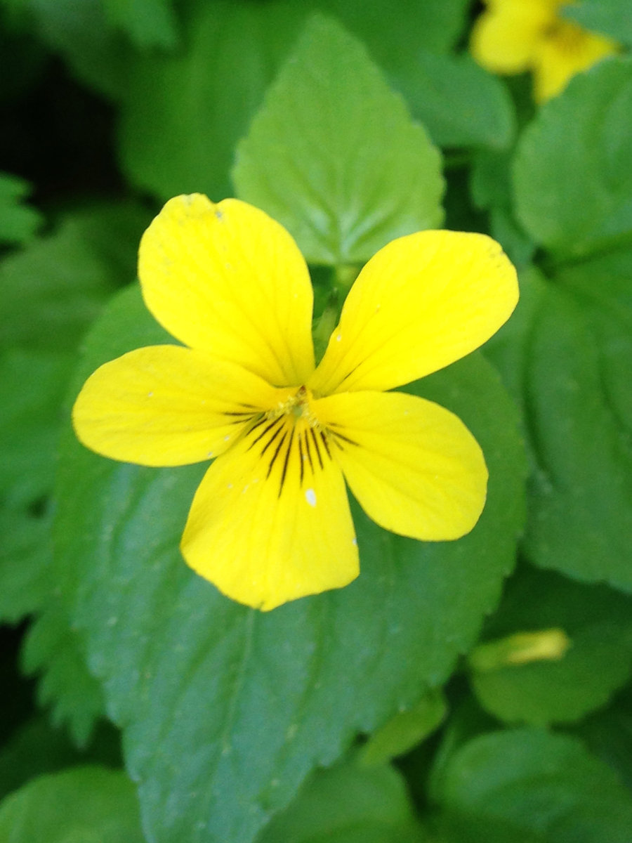
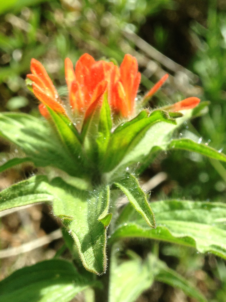
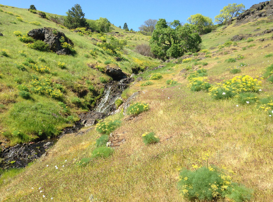
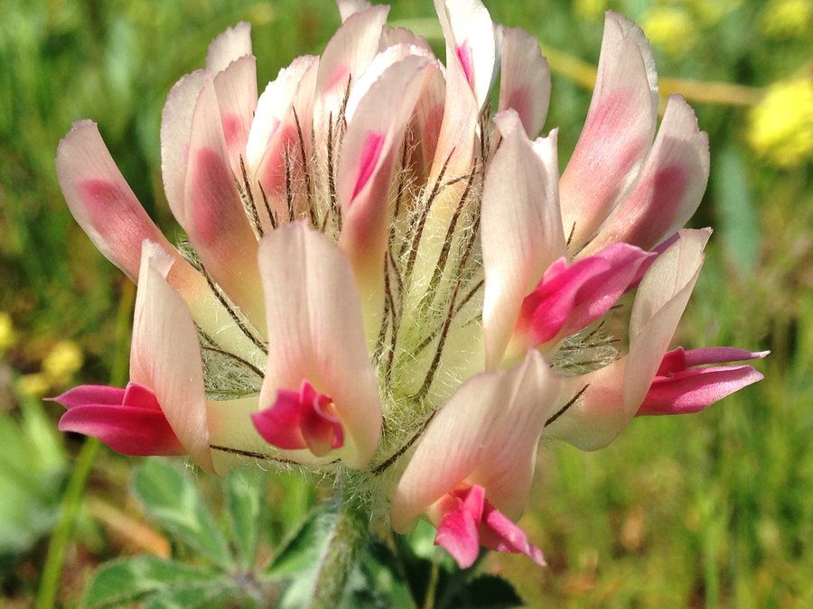
Catherine Creek stroll
3.5 miles of hiking • 750' elevation gain •
Just a very short. sweet stroll, catching up with some old friends. The Bitteroot is blooming so profusely and the bicolor lilies and lupines are still going strong
April 26, 2016

 1
1
Cedar Swamp
15 miles of hiking • 2750' elevation gain •
The weather was the perfect mix for this hike. Alternating misty cloud wisps and light showers over the canyon rocks with brilliant bursts of sun that made everything glow. Although the trailhead was absolutely packed when I arrived, we saw only a few people on the trail. We even knew some of them. Not a great photo day for me, but it was a wonderful first trip to cedar swamp with wonderful company.
April 24, 2016


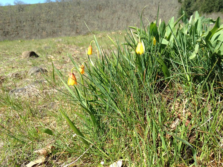
Gorton Nick Eaton loop
8.2 miles of hiking • 3000' elevation gain •
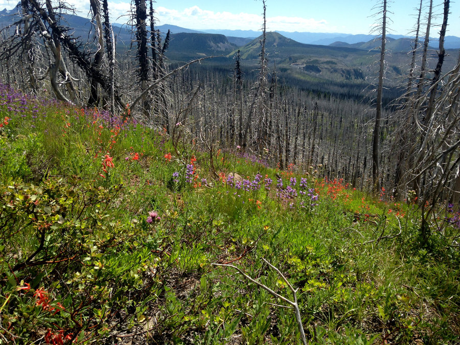
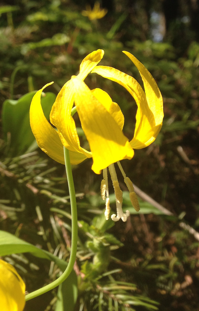
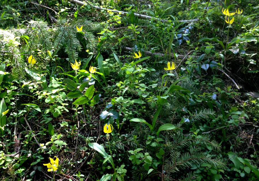
After working all weekend, I needed some time with the forest. My first time up this loop. Recent trail work had cleared the blowdown on the Gorton, so it was an easy if slow cruise up. Larkspur is looking great in the hanging meadows on Nick Eaton. Lots of anemone. The lupines were looking a bit wilted even though they haven't bloomed yet. Did bit more distance south on the Nick Eaton so I could get up on peak 3152. Which was actually one of my favorite parts of the day!
April 18, 2016


Leisurely Labyrinth Meanderings
10.7 miles of hiking • 1000' elevation gain •
Since I had a super long work week coming up, I decided to do a second day of hiking. Headed up the Labyrinth trail up towards Atwood and wandered, exploring abandoned 4WD roads, looking at flowers and the visible clouds of tree pollen in the air. Apparently the Camas is full on lower down, but we wanted to avoid the crowds, so we stayed up high.Super beautiful day
April 9, 2016


Eagle Creek
10 miles of hiking • 1000' elevation gain •
Beautiful sunny day at my favorite go to hike. Glacier lilies are a bit wilted, larkspur is awesome, chocolate lilies, blue eyed Mary, mimulus and plectritis are all going strong. Tish creek was easy to cross. A wonderful restorative day.
April 8, 2016


Horsethief picnic stroll
3 miles of hiking • 500' elevation gain •
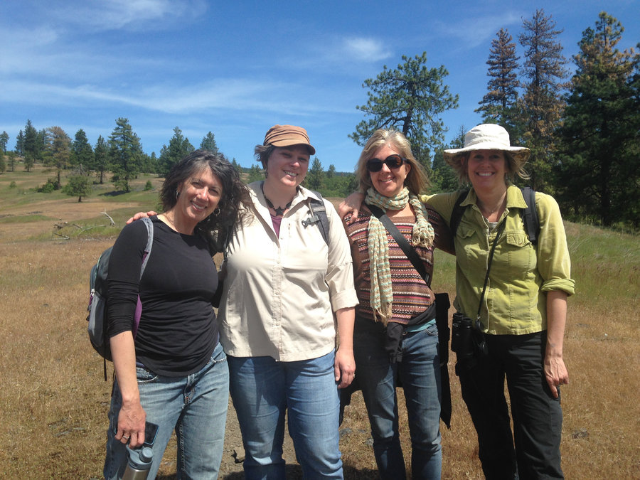
Took two of my dearest friends on a picnic outing to the Columbia Hills area. We strolled and scrambled around Horsethief Butte for a good long while. On the way out we ran into a group of students learning how to do cultural site assessment. Then we drove down to Crawford Oaks and actually used the picnic table, to have a wonderful lunch, with a tablecloth, proper tea from a pot and fresh berries for dessert. After our feast we did a quick stroll up to the waterfall and headed home. Wonderful day!
April 6, 2016


 1
1
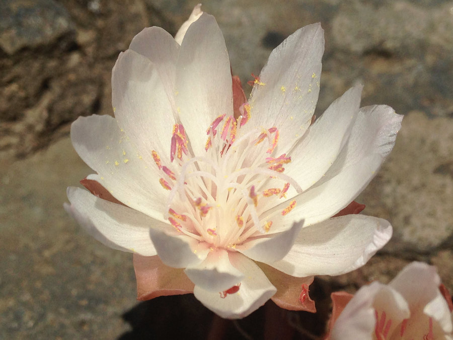
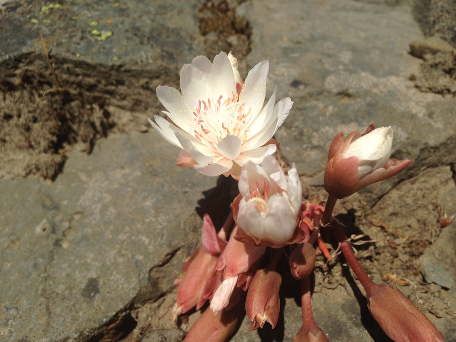
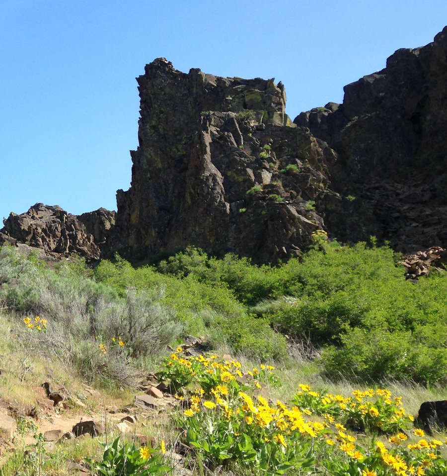
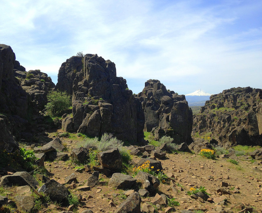
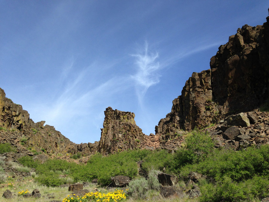
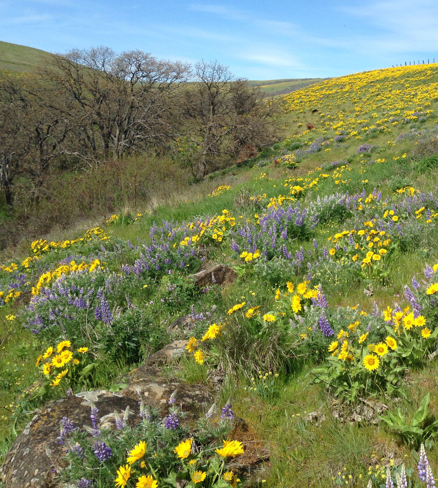
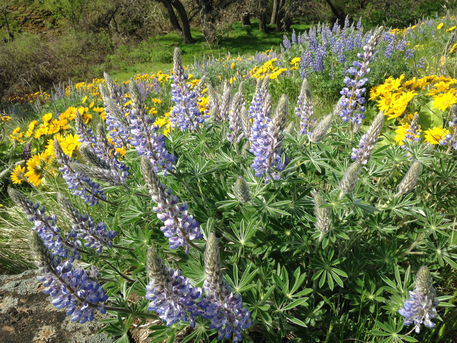
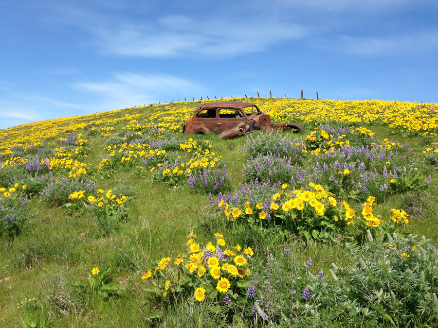
Dalles Mt Ranch Floral Parade
8.2 miles of hiking • 1250' elevation gain •
We headed out to join the hordes of flower seekers. To our delight, it was surprisingly uncrowded. We modified the basic loop a bit and added some lower plateau wanderings. Balsam root is spectacular right now. Lupines are blooming but not at peak yet. Phlox were looking good and of course the car is still there is the densest flower meadow of all. Wonderful day, wonderful company. What could be better than a day like that!
April 3, 2016


 1
1
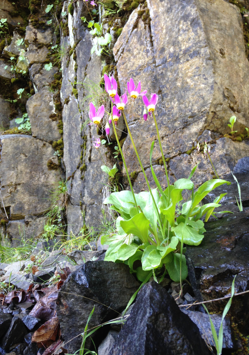
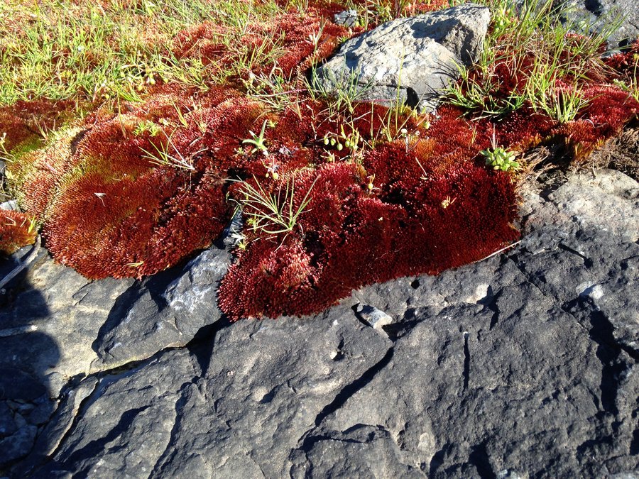
Catherine creek- Tracy Hill loop
6.35 miles of hiking • 1500' elevation gain •
Just a short flu recovery hike. I made a big loop with some side explorations around Tracy hill area. On the east side the grass widows are now few and far between. Some shooting stars, Lupines and Larkspurs getting ready to go. Wonderful day out there.
March 30, 2016

 1
1
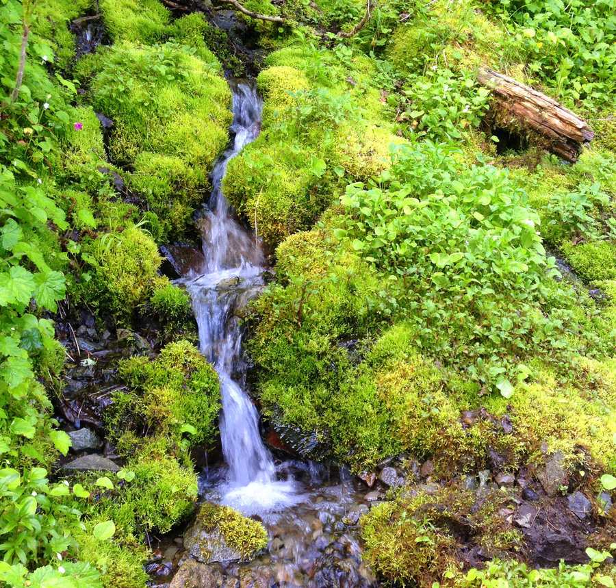
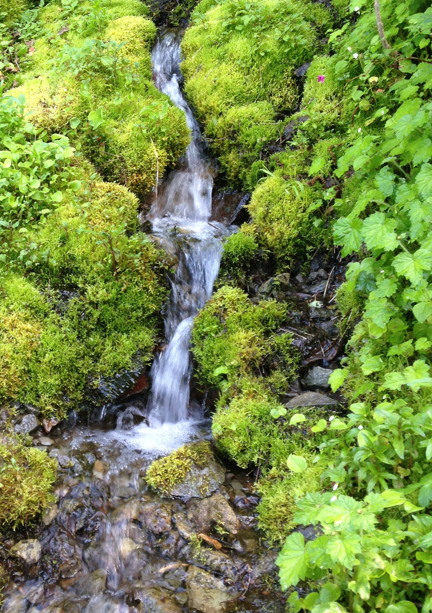
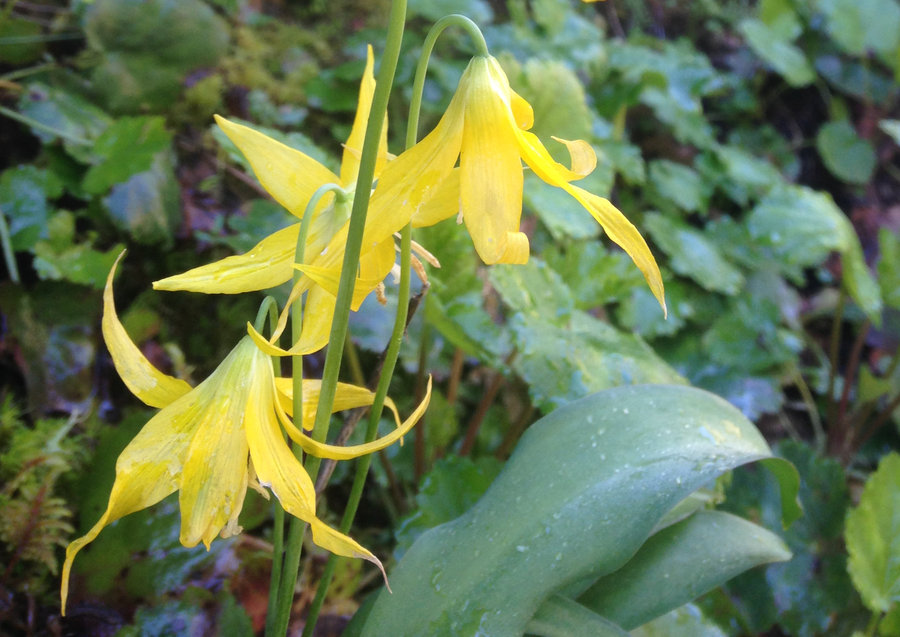
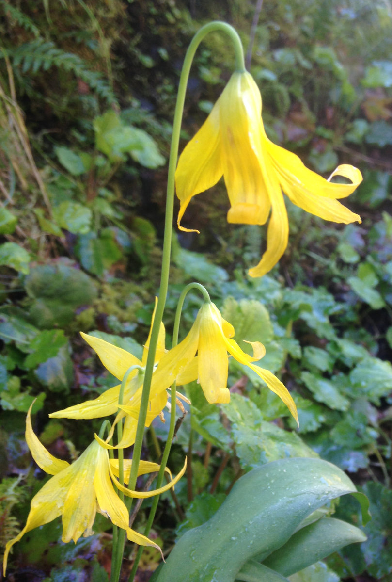
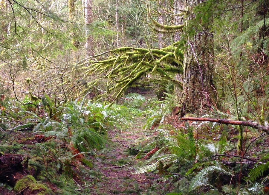
A bit of Multnomah Basin.
7 miles of hiking • 1750' elevation gain •
Decided to do a hike up to Multnomah Basin and see how it was doing. We just went a bit beyond the toothbrush trail, picked up some garbage and hightailed it back down to our cars. Winter creek is fine to cross right now, and everything is covered in glowing electric green moss.
February 29, 2016


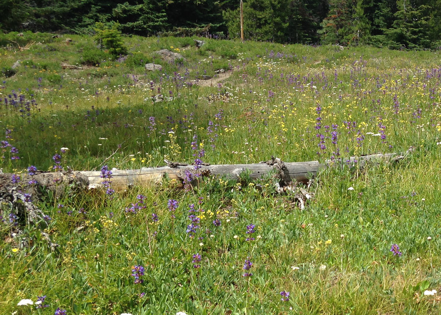
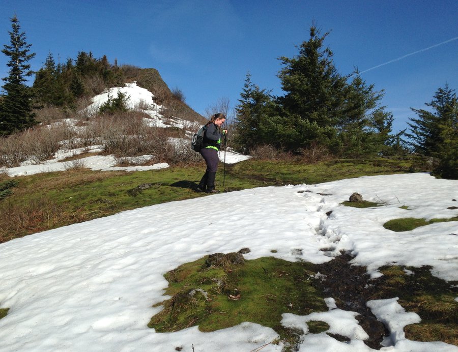
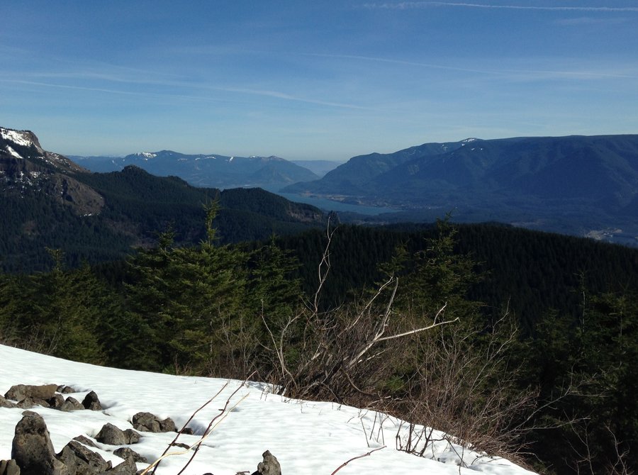
 2
2
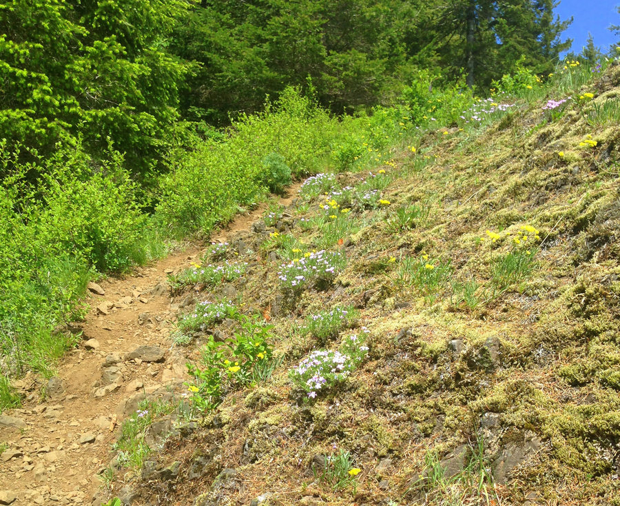
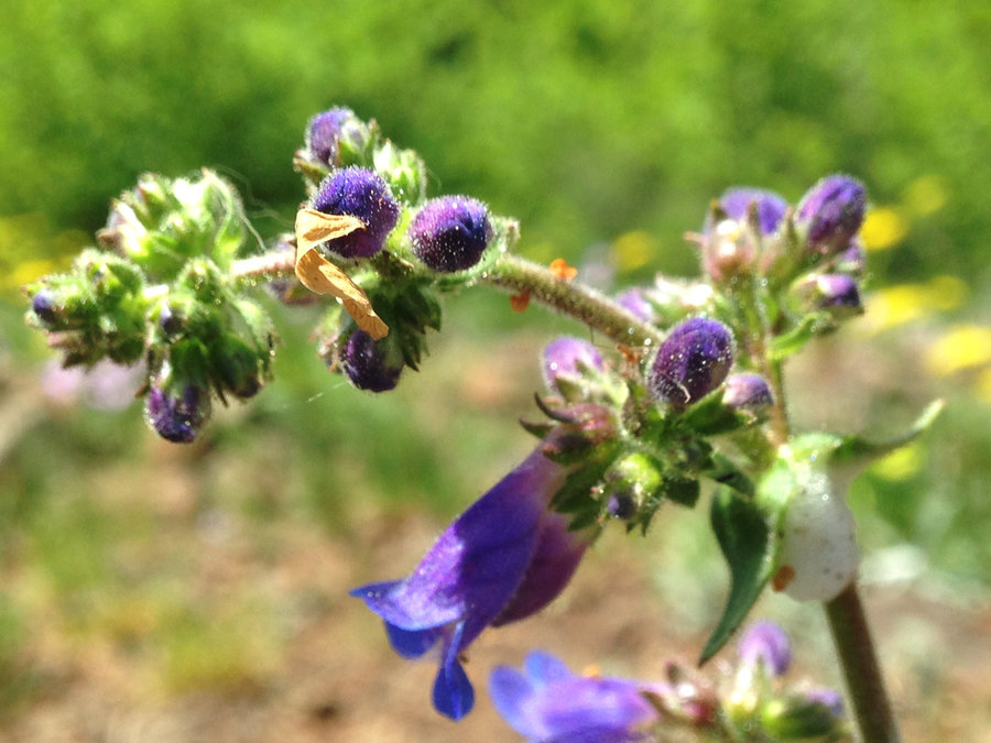
Hamilton Phlox loop
16.5 miles of hiking • 4500' elevation gain •
Glorious day to hike. Wonderful companions and one stellar view after another. Starting at Hamilton mountain TH, we went up to the summit and down to the saddle. Took Don's cutoff trail from the saddle, crossed the creek at the upper bridge and proceeded up to take in Phlox point. Took the westside trail down and then looped back east, crossed the lower bridge and then headed back to the Hamilton trail and our car. Wonderful day, lovely dusk views of the gorge. No snow, anywhere on those trails except one small patch off to the side. It was just to nice to stay inside.
February 25, 2016


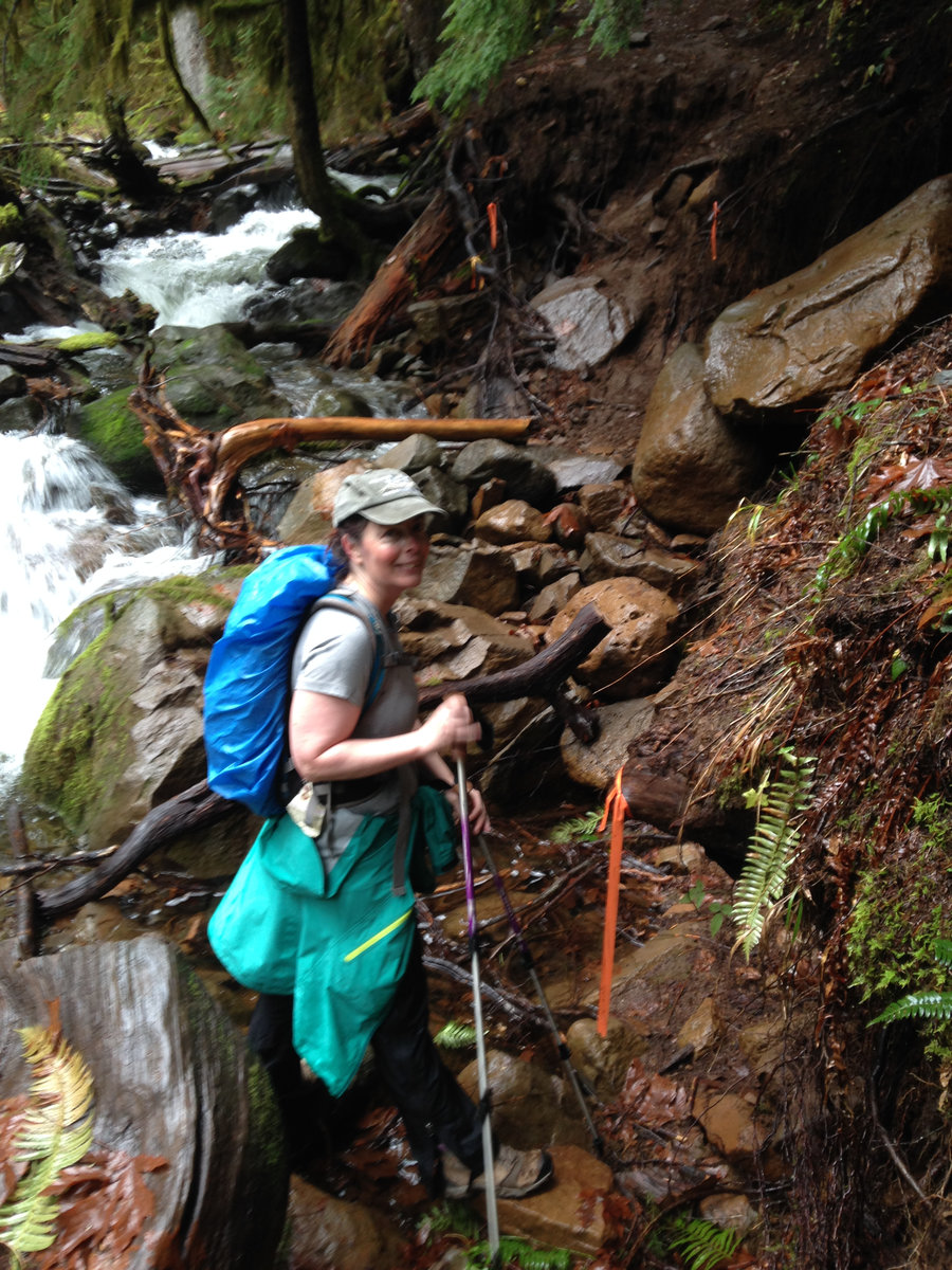
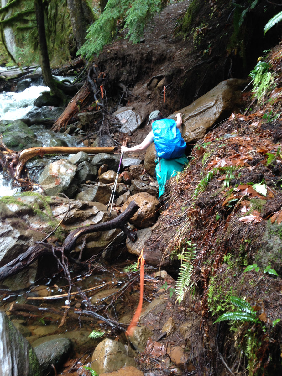
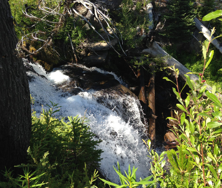
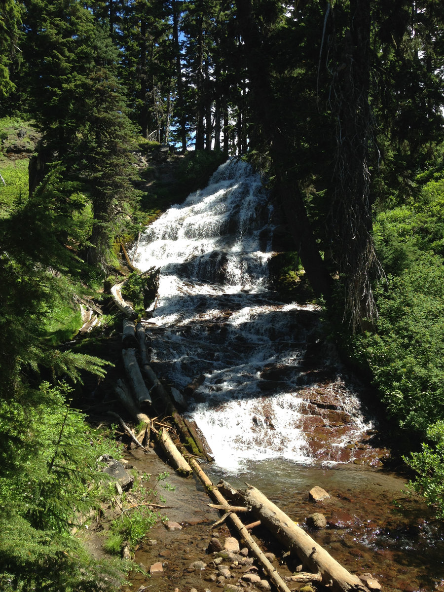
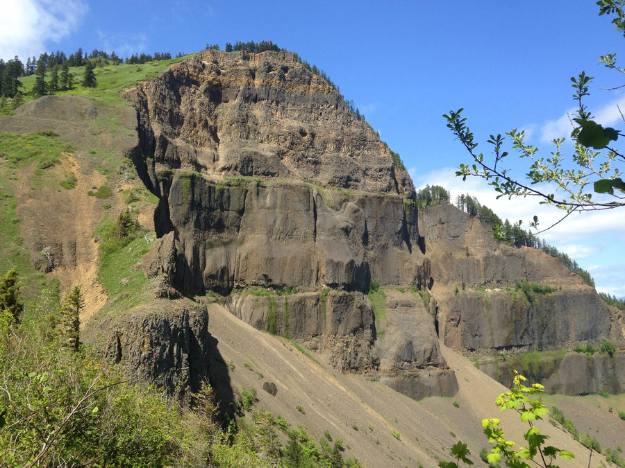
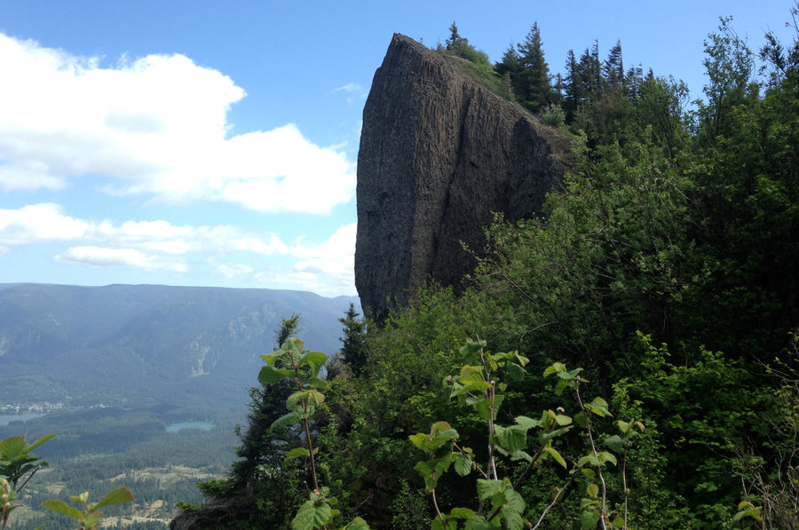
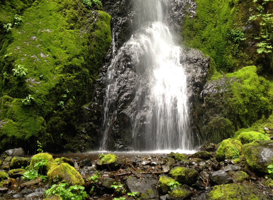
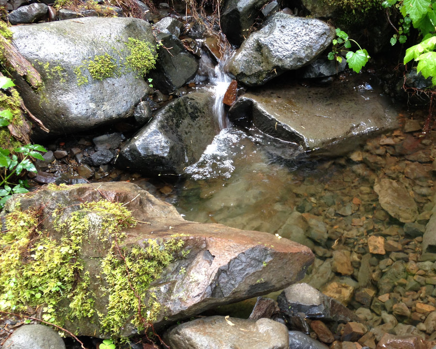
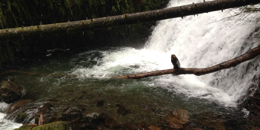
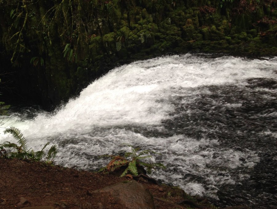
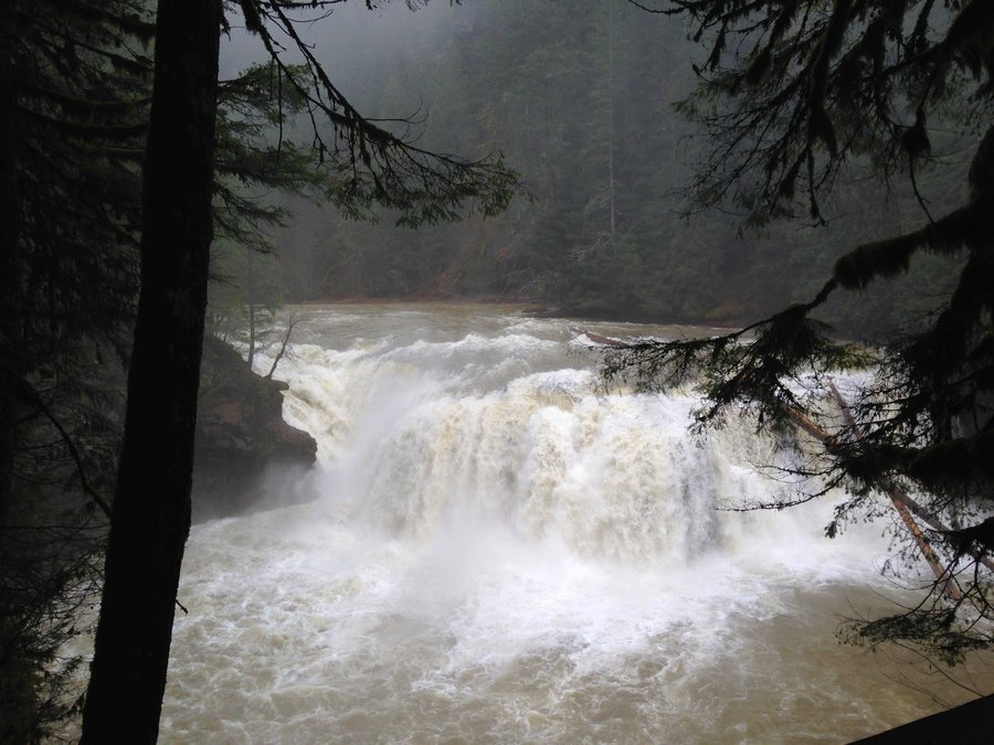
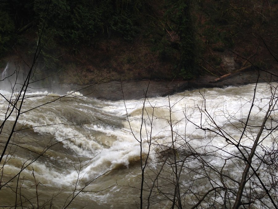
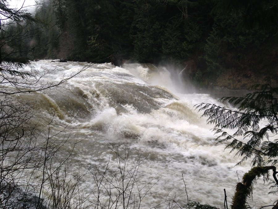
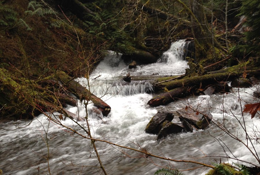
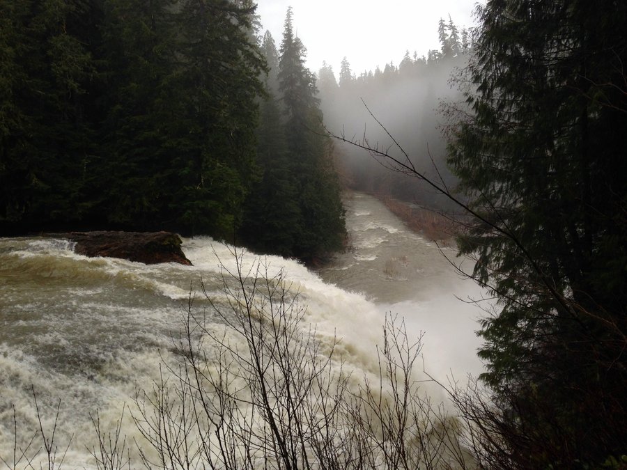
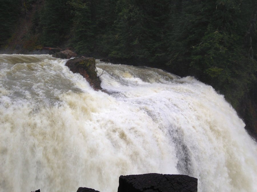
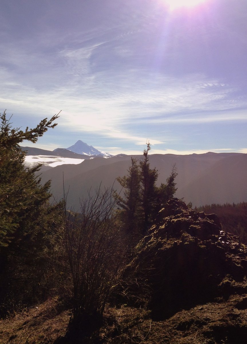
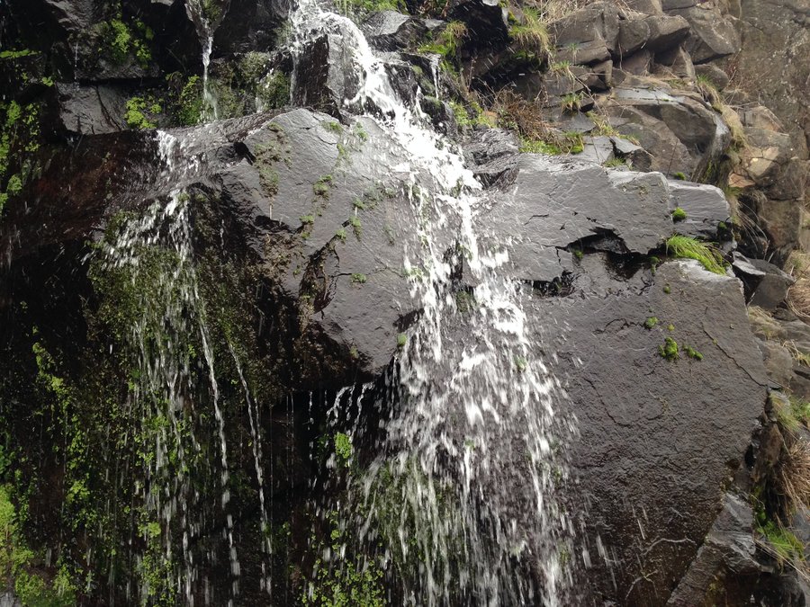
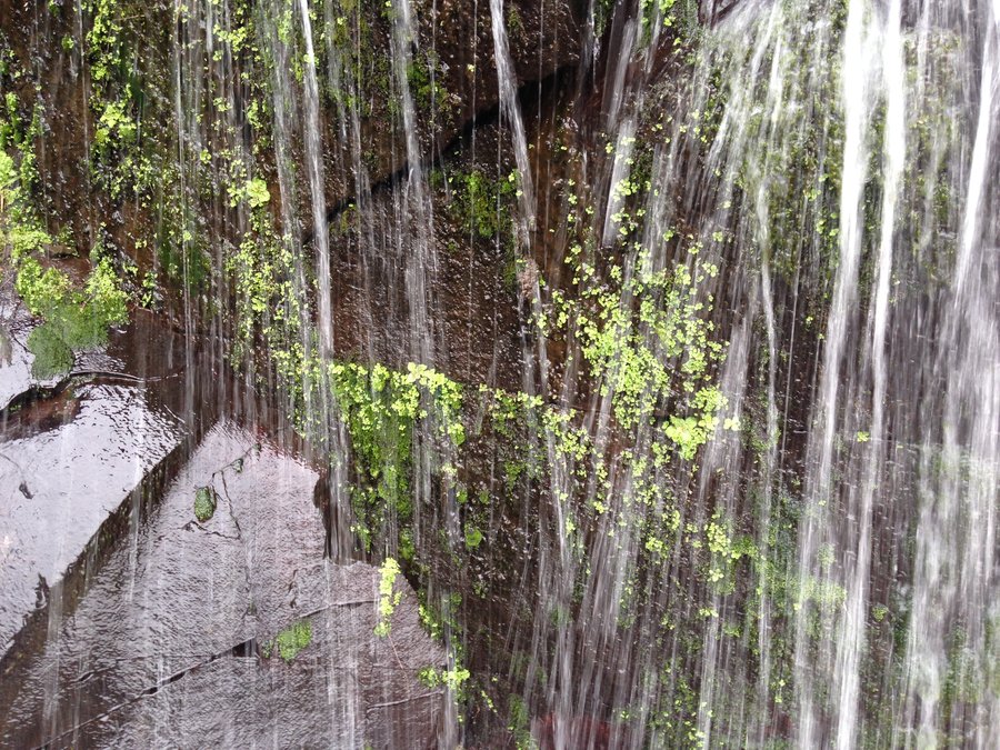
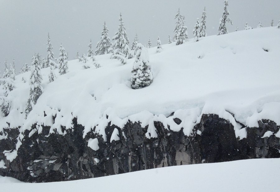
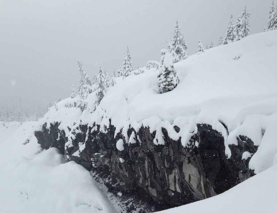
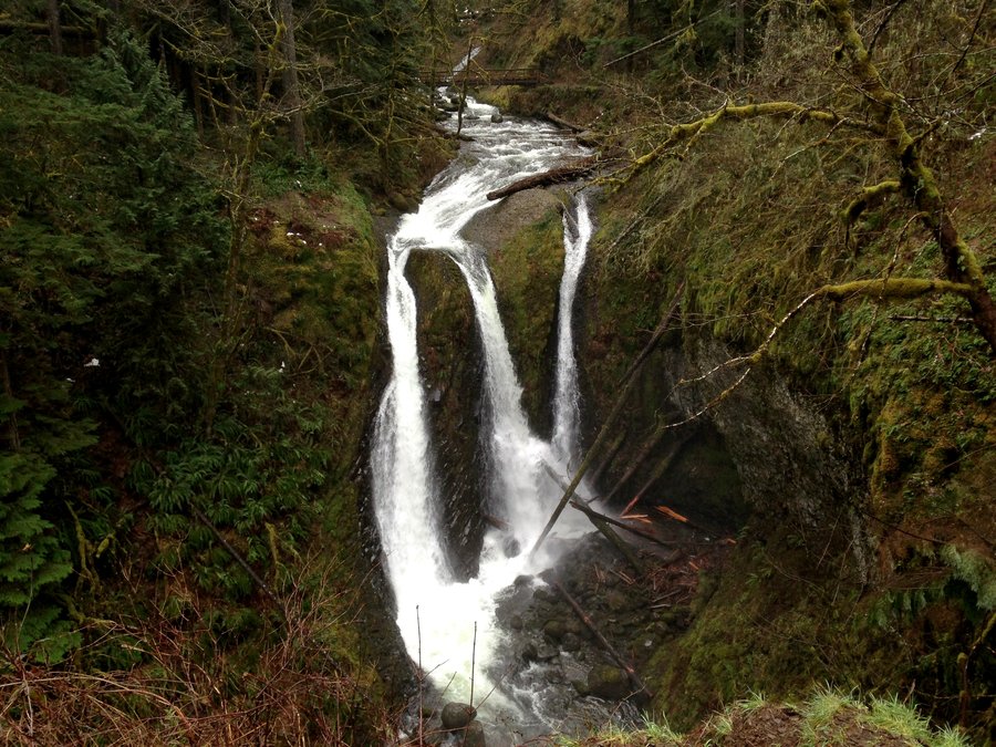
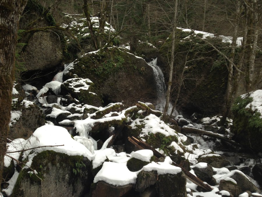
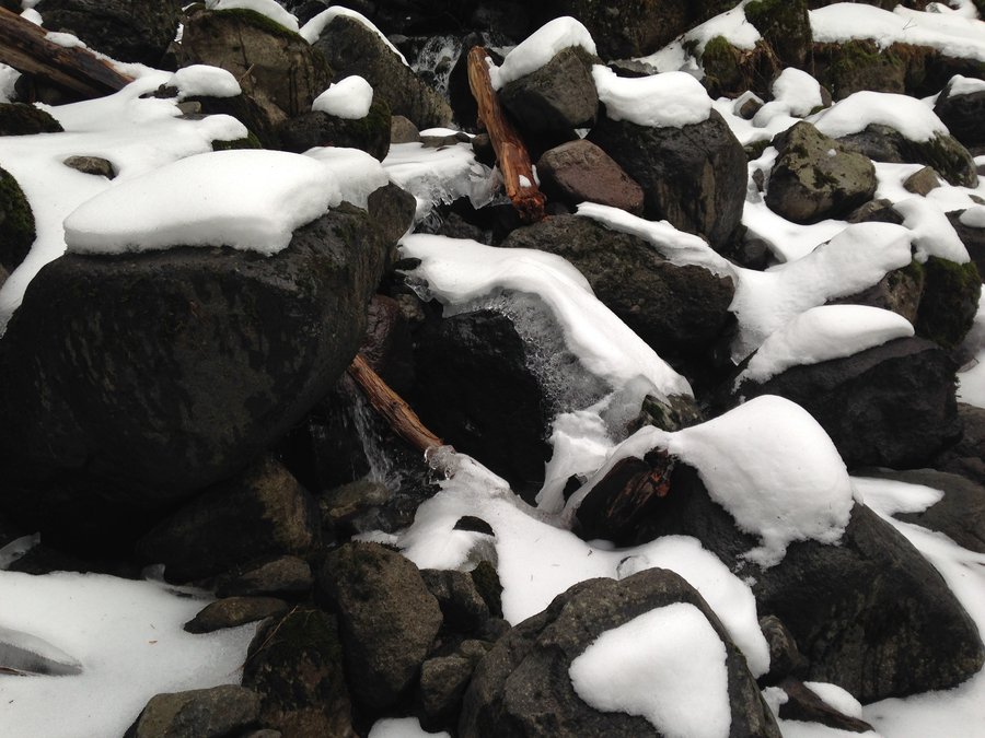
 3
3
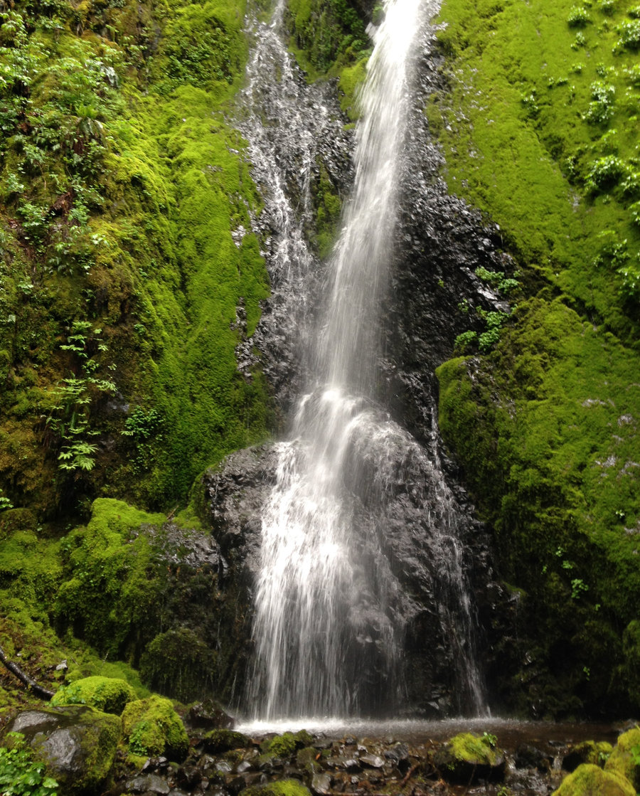
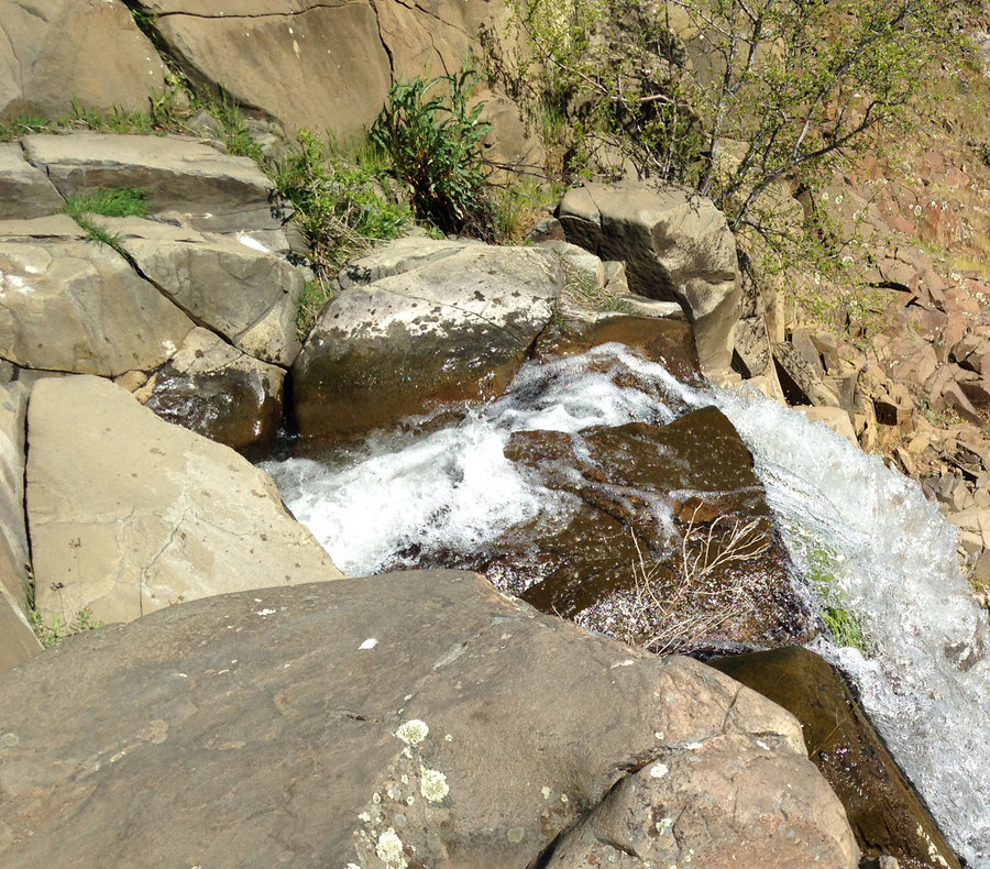
Lewis River Waterfall Extravaganza
14 miles of hiking • 1750' elevation gain •
Perfect waterfall weather and a day with a great hiking buddy. The road up to the Lower Lewis falls in passable but really had major cracks in places with large sunken sections and gaps. That basic post apocalyptic look, so we parked a ways before the Crab Creek trailhead. Right away there were beautiful waterfalls, just by the side of the road. So many everywhere we looked on the trail. The big three were amazing. Wonderful day in the woods!
February 15, 2016


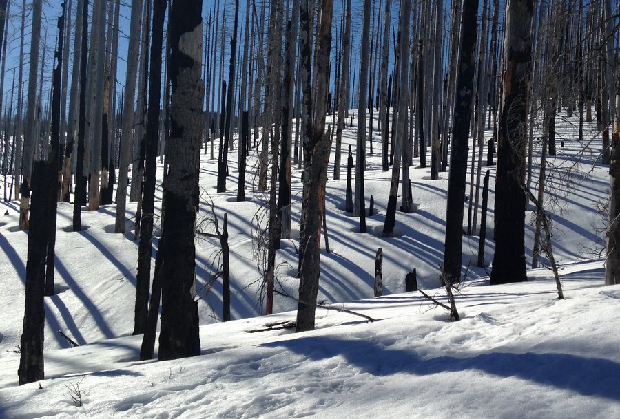
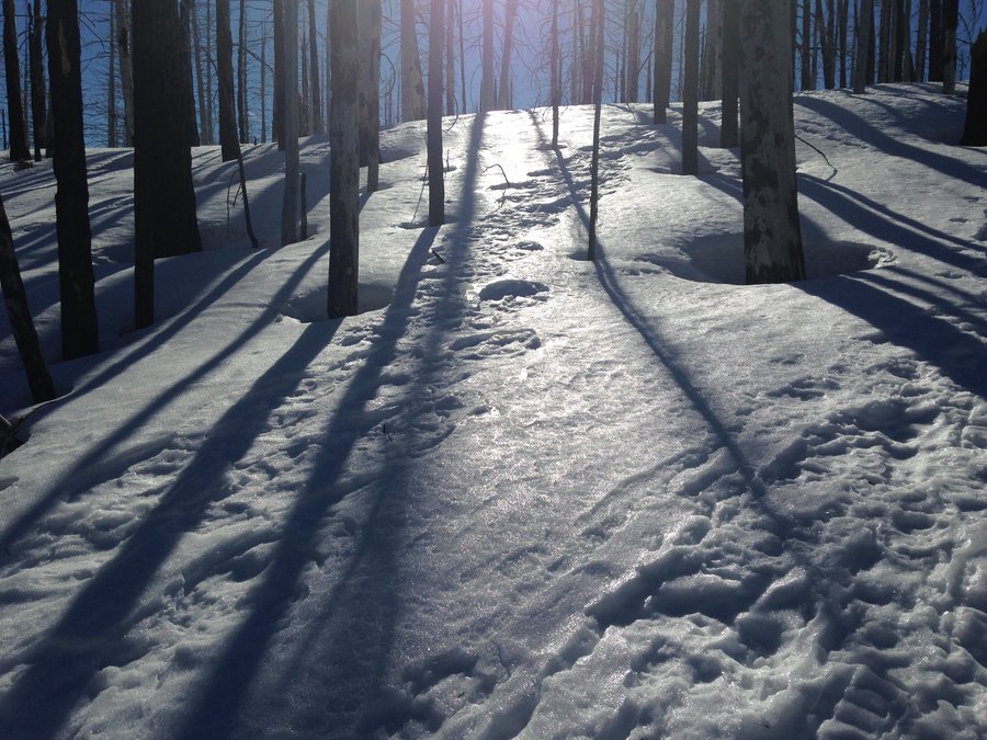
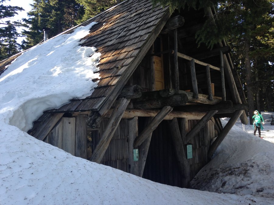
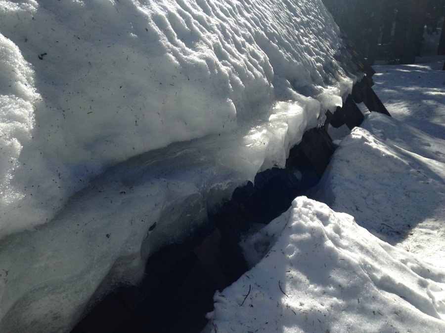
 2
2
Tilly Jane snowshoe
5.2 miles of hiking • 2000' elevation gain •
Glorious day! I talked a friend into playing hooky from work and snowshoed up to the Tilly Jane shelter. Tons of views, just a few people and perfect temps. I smelled sulpher from the mountain for the first time ever. The snow was hard packed up to about the burn. From there it was mostly packed. Hood stole the show, but Rainer, Adams and St. Helens were all visible.
February 9, 2016


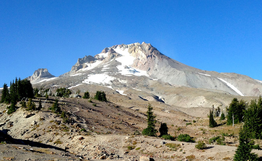
 1
1
Almost Phlox Point
10.8 miles of hiking • 2500' elevation gain •
10 of 10 on the Bluebird scale! Started up the west side of the Hardy ridge trail. We hit snow at about 2300'. There wasn't solid cover, but where there was snow it was almost thigh deep in places. a lot of post holing. As we came out onto Hardy ridge proper, there snow was much less, but it seemed to be sticking in the rock fields. A lot of melting snow cover over moving rocks and holes. People were making it fine, but some care was required. Little ankle biting rock fields :) At about the last 50' of eg to the final Phlox ridge, the snow just looked to slippery to make it. Many people did after us though. On the east side of the loop there was a bit of slippery snow. Nothing deep though. Took the cutoff over to the Meta Bridge, with the intention of taking Don's cutoff to Hamilton's saddle. But in the end the snow had slowed us down enough that we just looped down the road on the east side of Hardy creek and headed back to the trailhead. Great day.
February 7, 2016


Coyote Atwood Meander
8.5 miles of hiking • 1750' elevation gain •
This is my go to hike for when I want to just wander with no particular goal in mind. It didn't hurt that there was the chance of more clearing to the east. It was cloudy until noon, then the sun burned away the clouds for a stellar view day. I so needed the open vistas and sunshine! No flowers or even buds up above. But so many beautiful creeklets and seeps everywhere. This might be the most water I have ever seen out there. It was a fantastic day.Having had my sunshine I am back to being happy for all the rain and snow this year.
February 2, 2016


 1
1
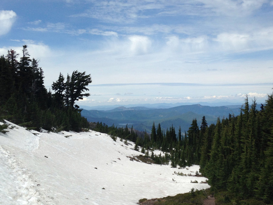
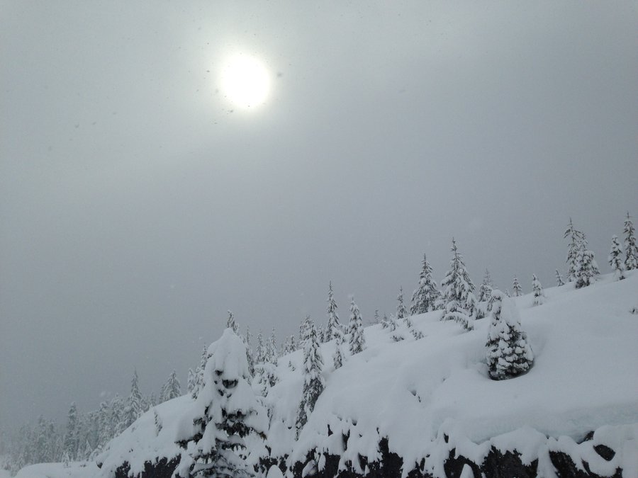
Marble Mt. snow park to Chocolate falls
5 miles of hiking • 1000' elevation gain •
Did a quick out and back, up the Winter climb route from the sno-park to just above where Chocolate Falls would be if it was flowing. We had thought to go up a bit further, or try to make a loop over to June Lake. But the word coming from those descending was that it was deteriorating above. And that there was no track on any of the eastward routes and people were losing the trail. Still beautiful in the snow and great to see so much of it.
January 30, 2016

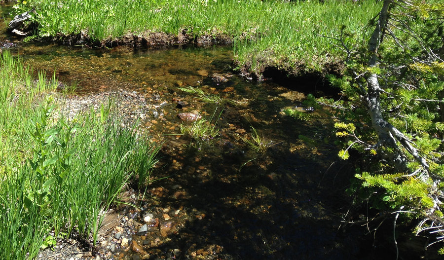
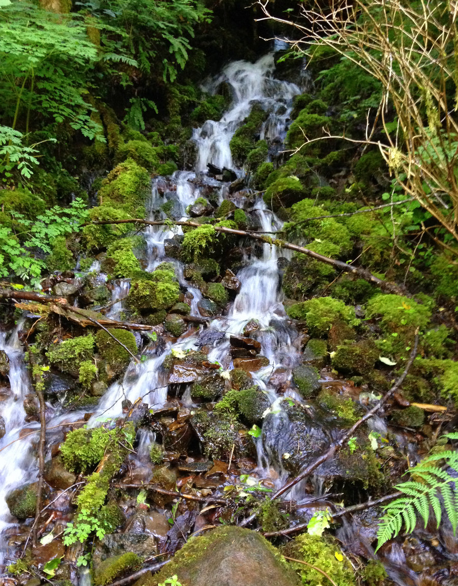
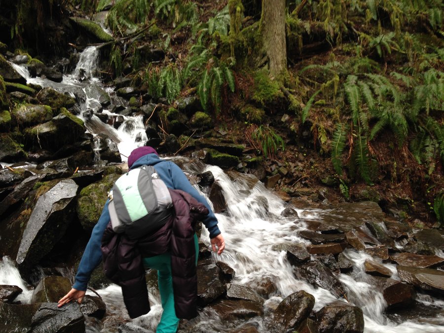
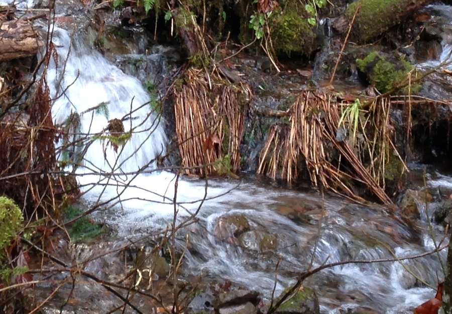
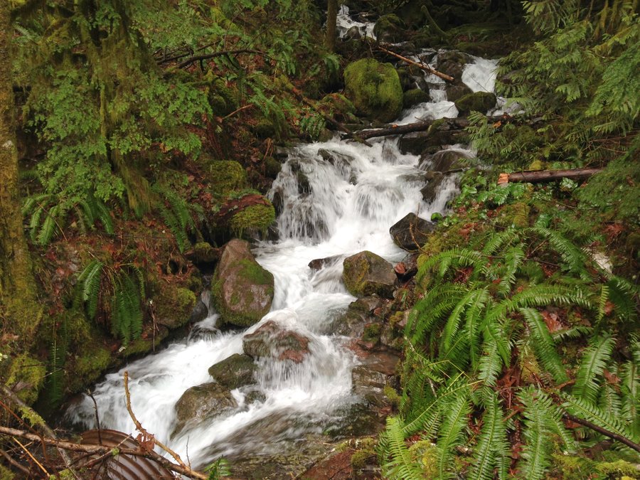
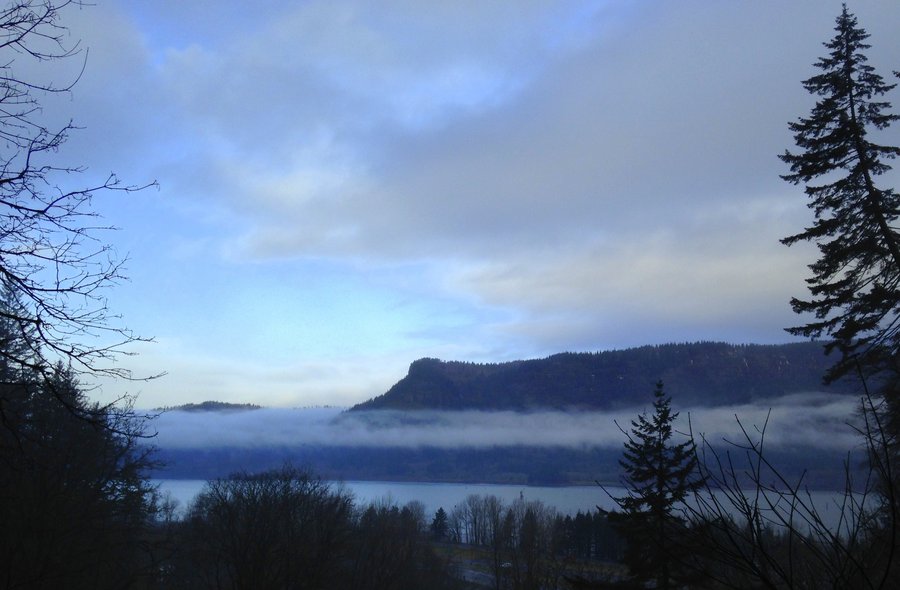
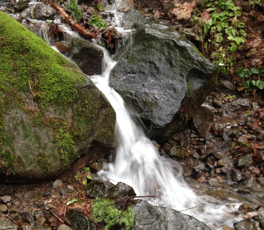
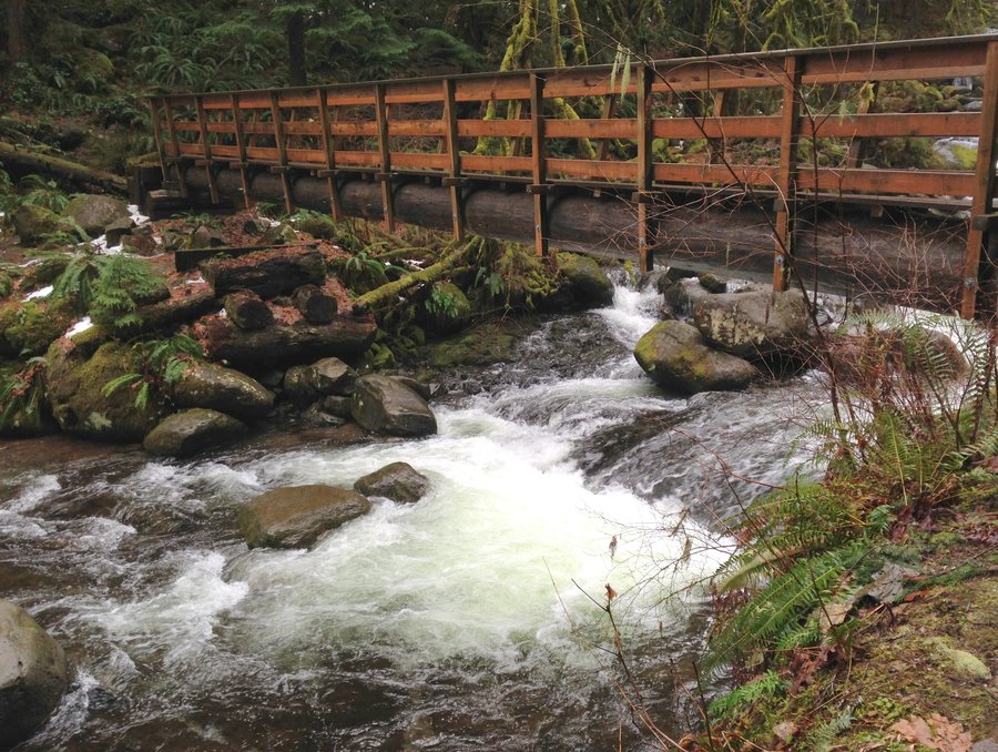
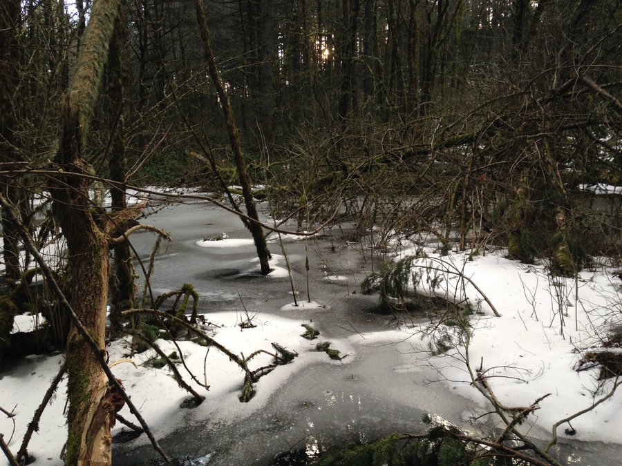
Tanner creek Trail
11.7 miles of hiking • 2000' elevation gain •
At last a little sun and some clouds and just a dash of misty rain. We started at the Wahclella parking lot and took the #400 over to abandoned Tanner creek Rd and down the tanner creek trial. There are now two washouts, on the road section, both easy and tons of down trees, also easy. Water is really flowing and all the seasonal creeks are stunning. Although the majority of it is a road walk, it is still great with occasional, awesome views down Tanner canyon, over to Munra and even across to Washington. The trail once the road ends, has lots of blowdown, obscuring the tread in places, and lots of tiny creeks. Some even with old planks across them. A fantastic day.
January 24, 2016


 1
1
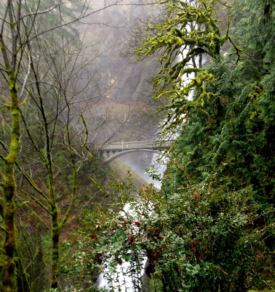
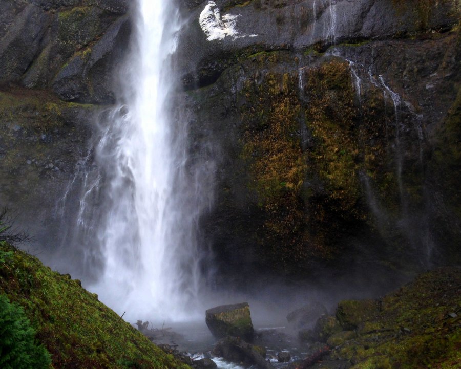
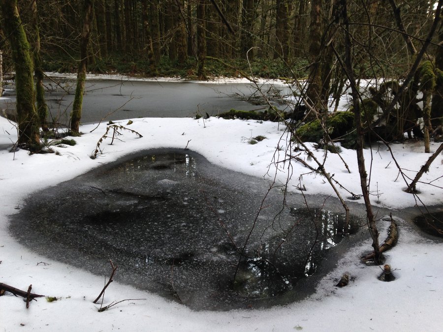
Multnomah to Oneonta washout
9 miles of hiking • 1500' elevation gain •
Forecast was mostly dry, so I went out to the gorge. I wanted to add a bit of newness to a route I had done many times. So I started at Multnomah Falls and took the #400 trail over the Oneonta Trail. Big but safe washout on the 400. Lots of new waterfalls in the distance I had never seen and even a stone foundation left over from the days when there were more hotels and lodges in the gorge. Lots of trees down on the Oneonta. All easy to get past but some a little awkward. I hit snow just above Triple Falls, but it wasn't very deep.
January 15, 2016


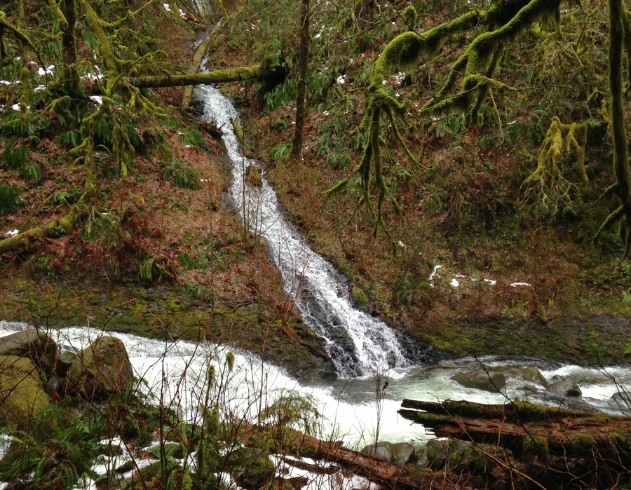
Little Greenleaf falls
9.2 miles of hiking • 1500' elevation gain •
Some sun, some clouds,and a wonderful day. Took the Dick Thomas Trail over to the Two Chiefs trail up through the amphitheater of Table to the creek crossing of Greenleaf. Microspikes were handy in a few places but not required. The snow was about 6 inches once we hit about 1000 feet, but it is melting fast. Beautiful ice and snow formations. Great views through the openings in the trees at the amphitheater. On the way down we took a small side trip down the PCT to Greenleaf overlook. Great company and a magical first hike of 2016!
January 10, 2016


View trips from: 2014 2015 2017 2018 2019 2020 2021 2022 2023