

2015 Trips


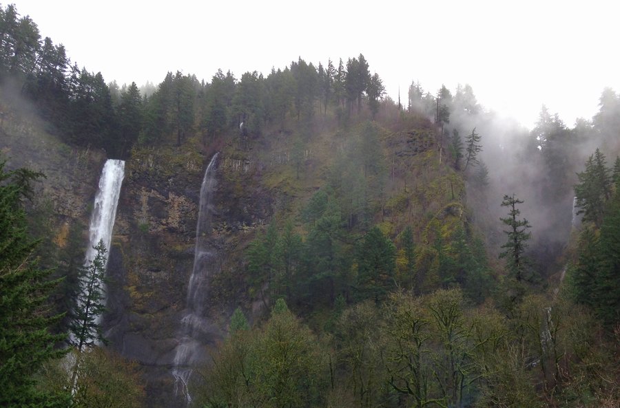
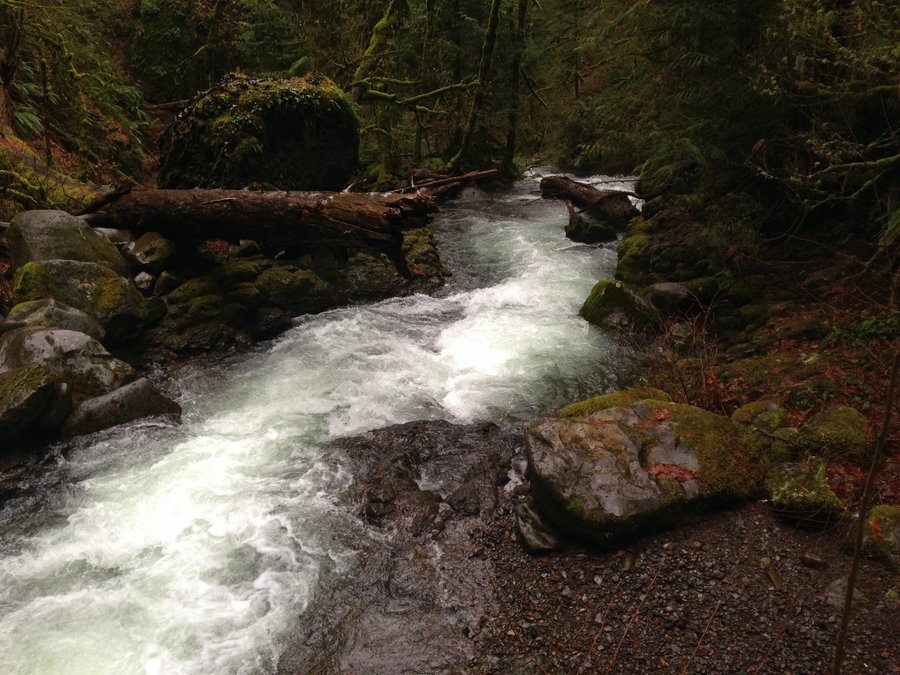
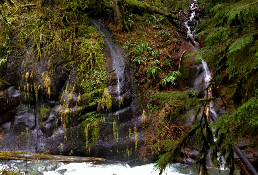
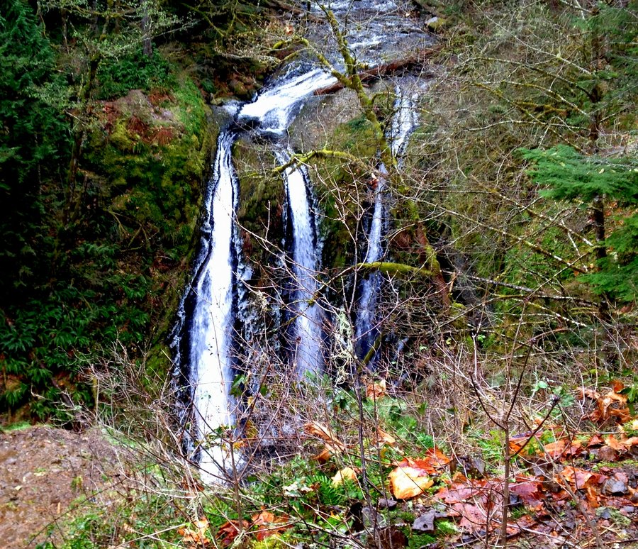
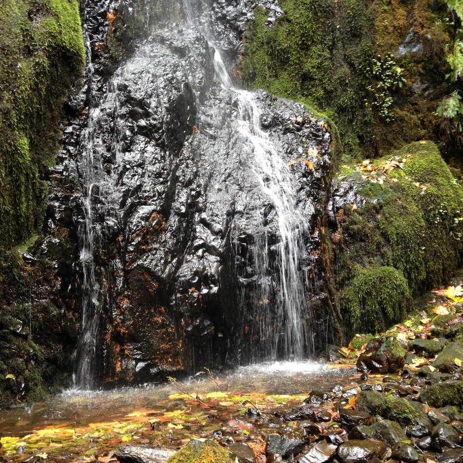
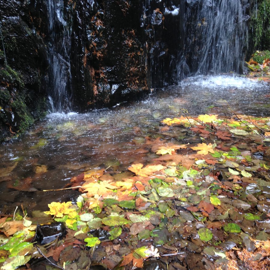
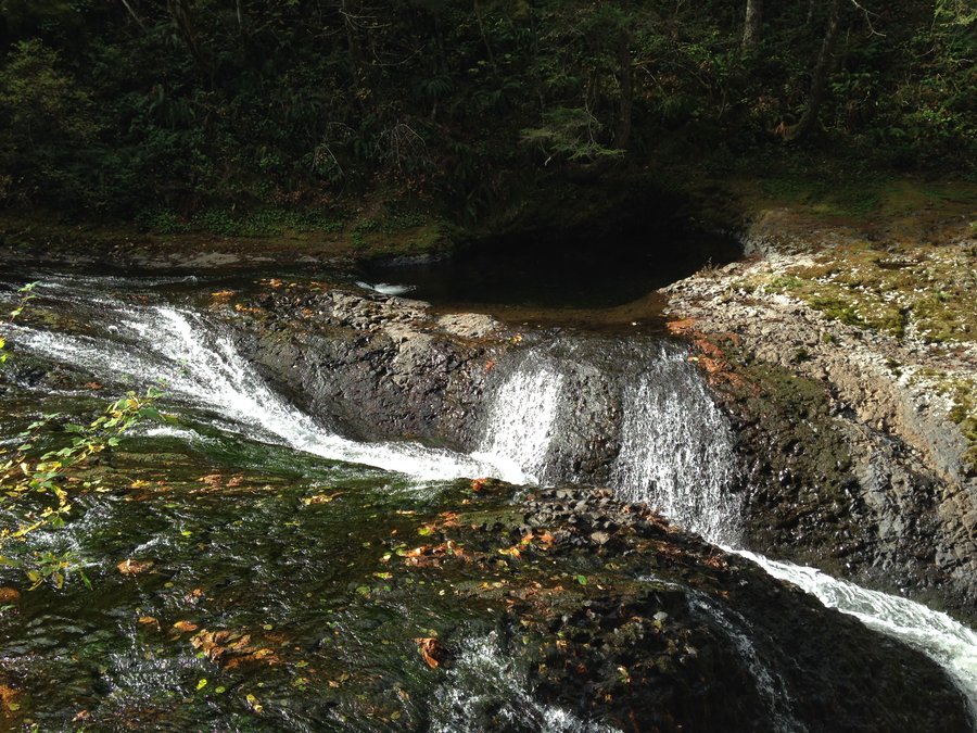
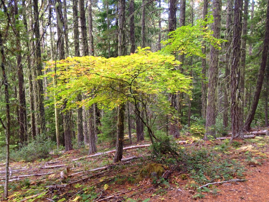
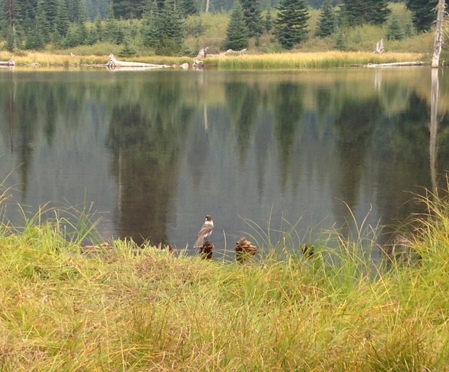
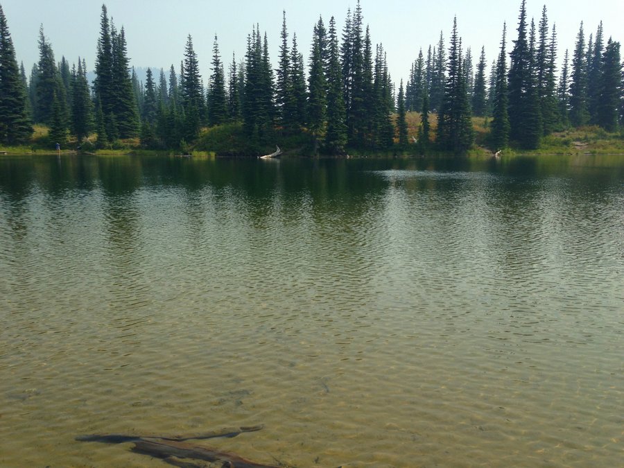
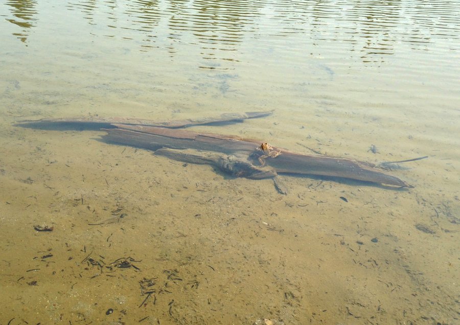
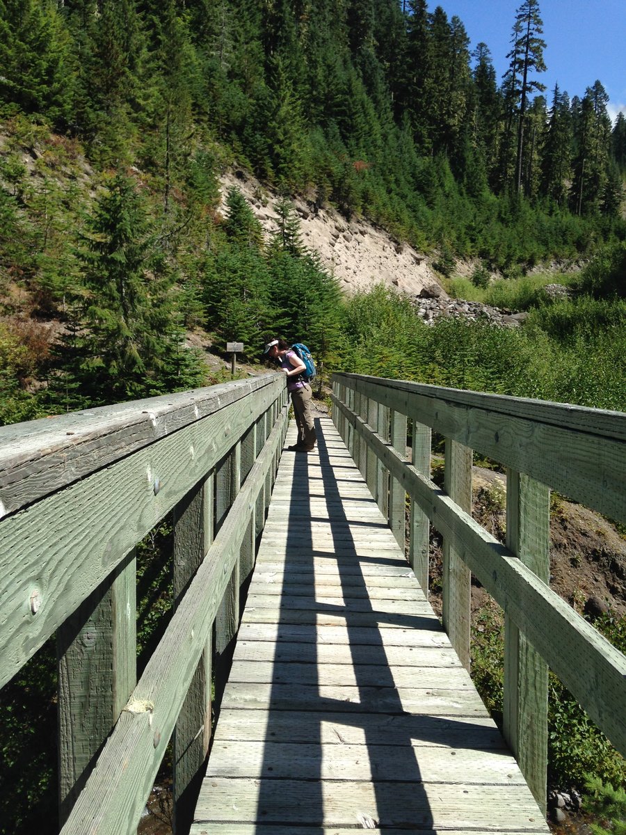
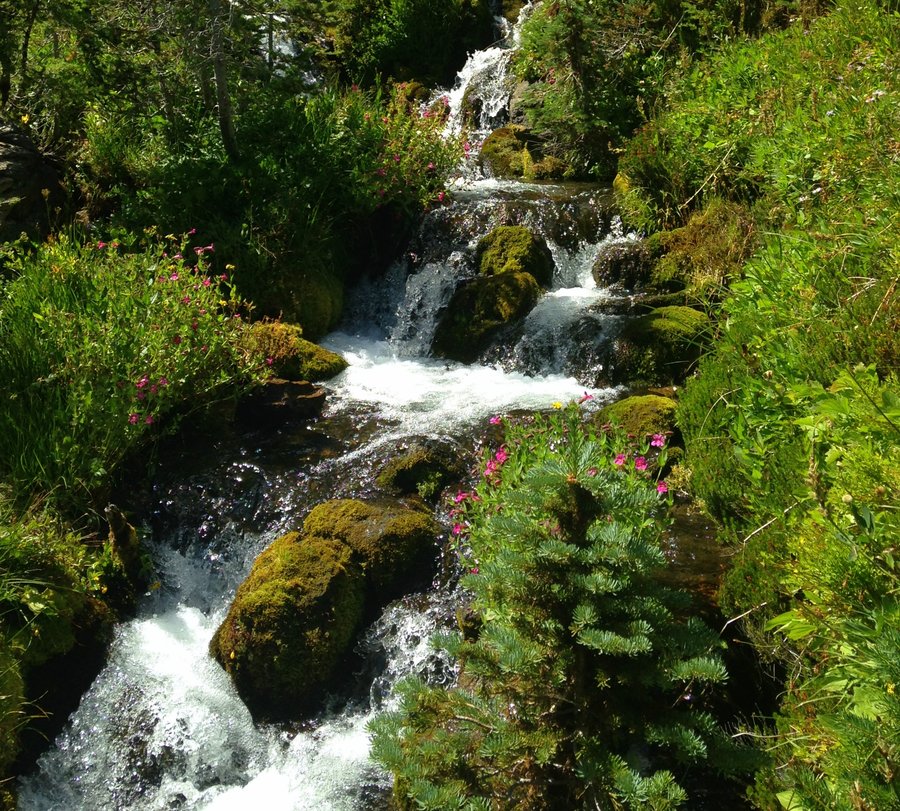
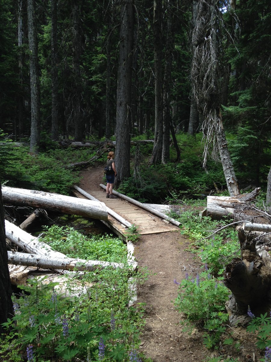
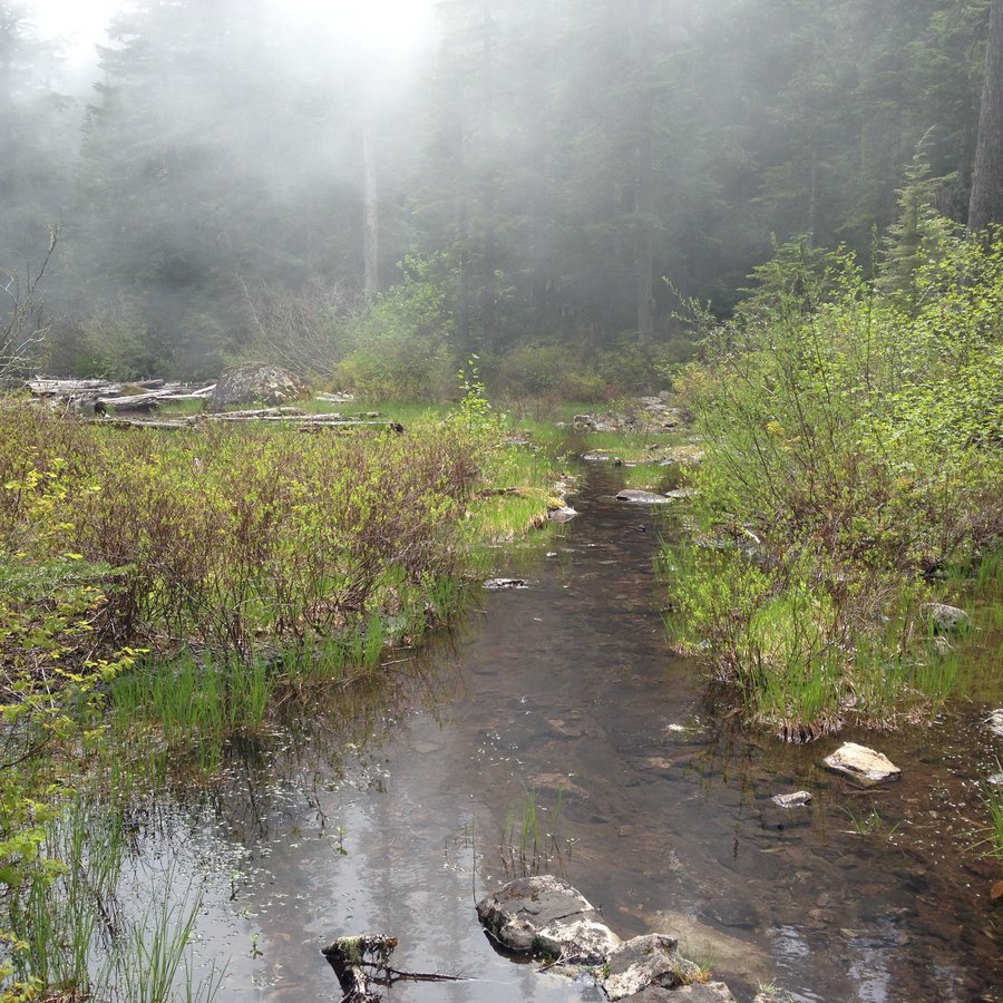
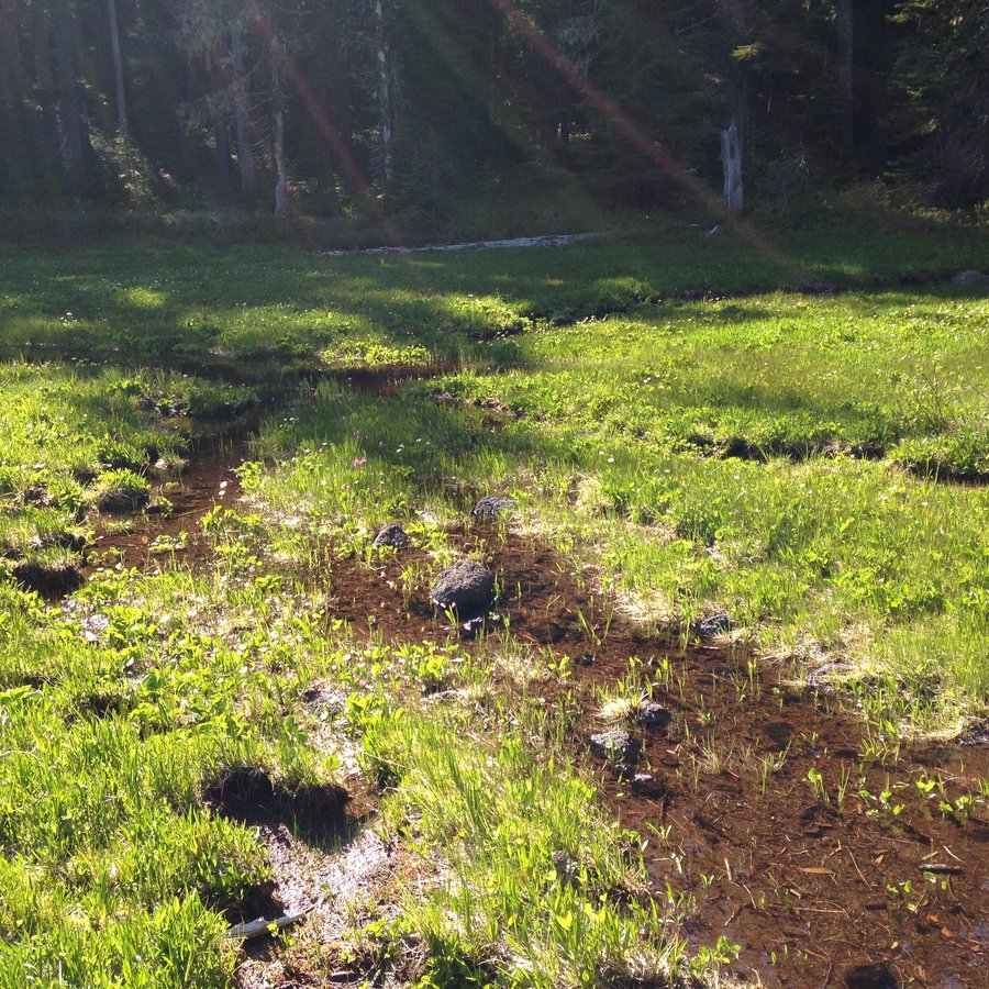
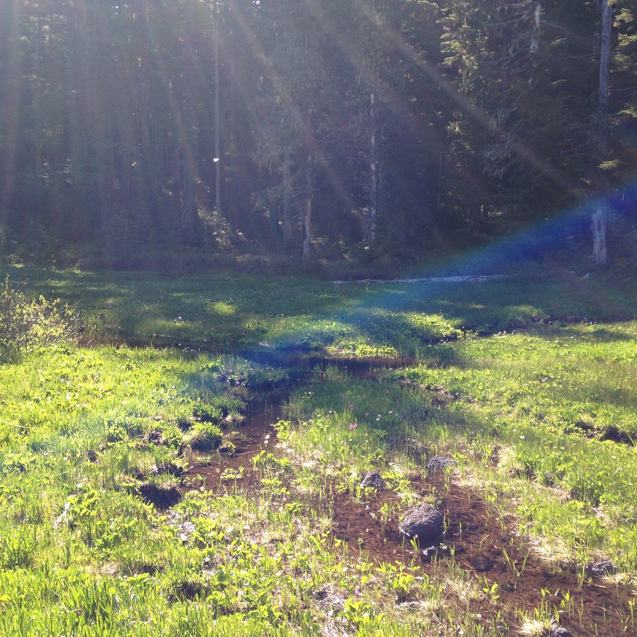
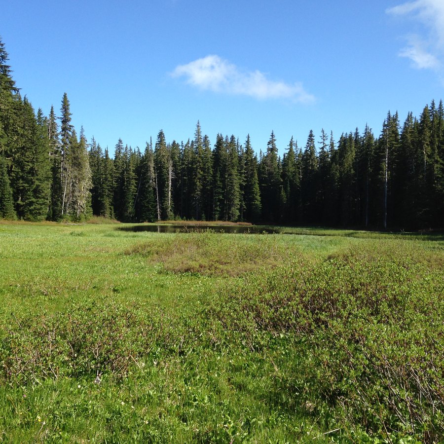
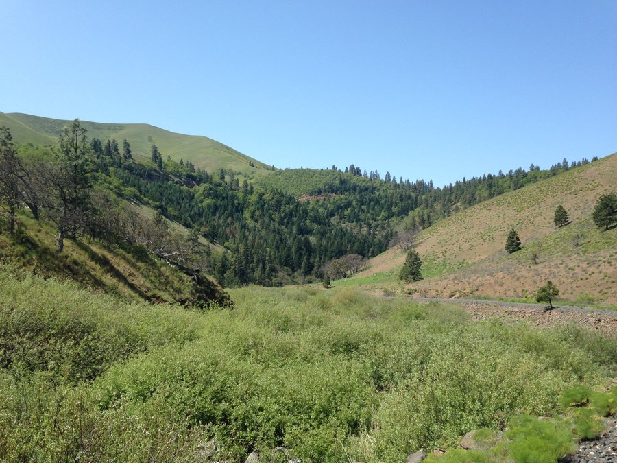
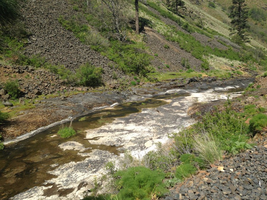
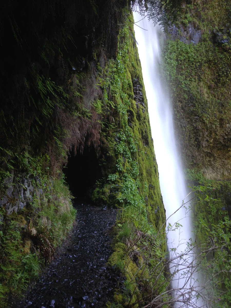
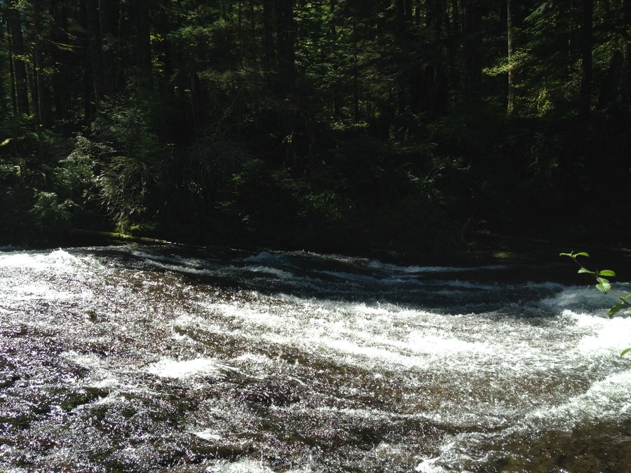
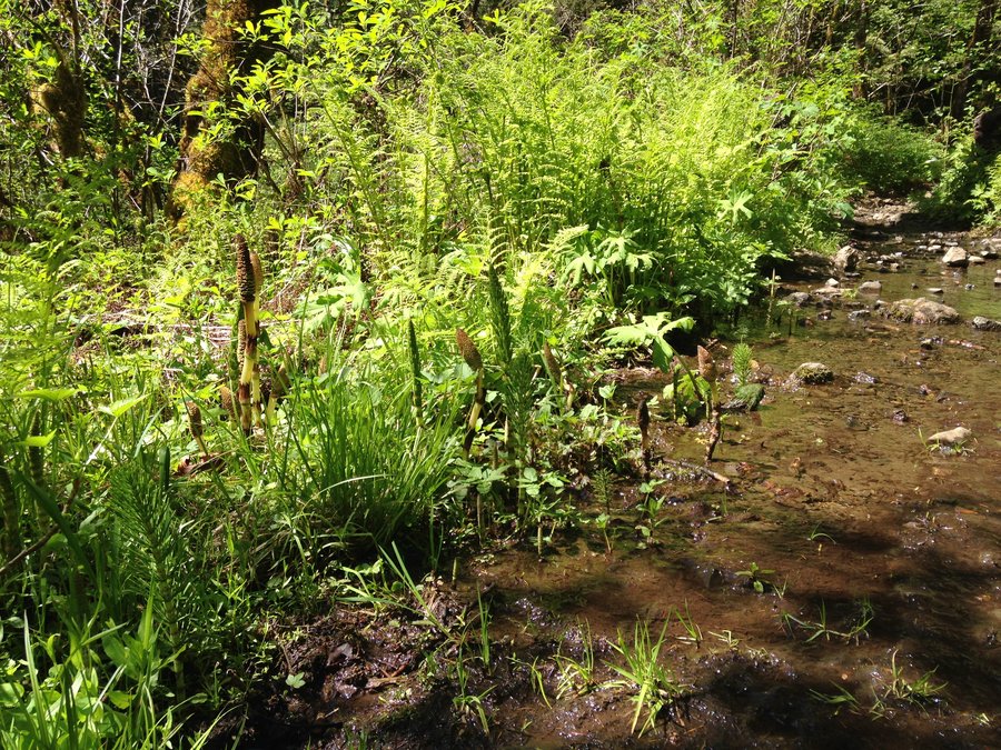
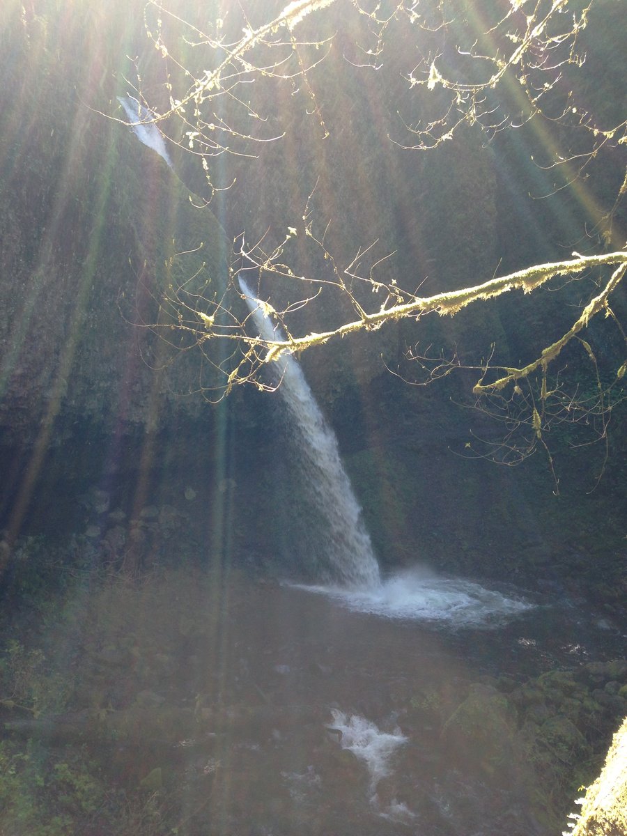
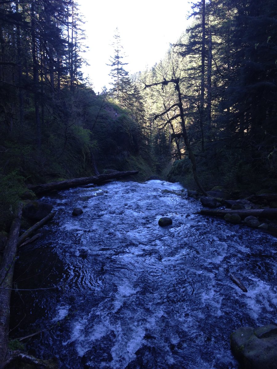
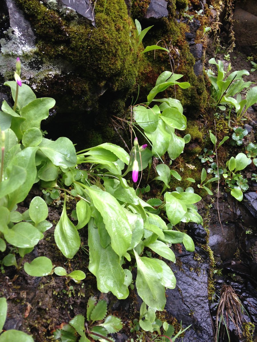
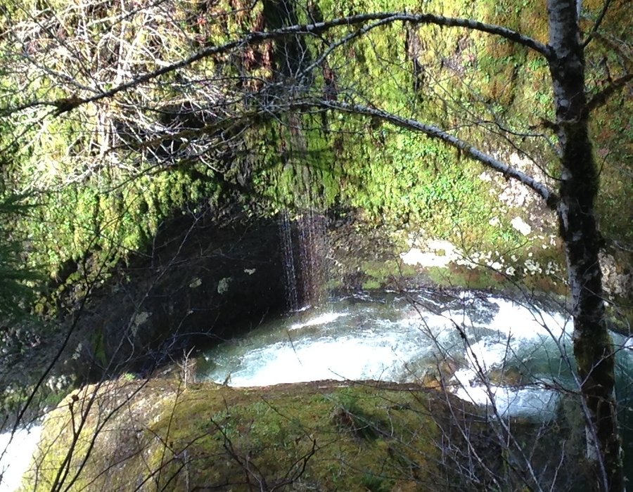
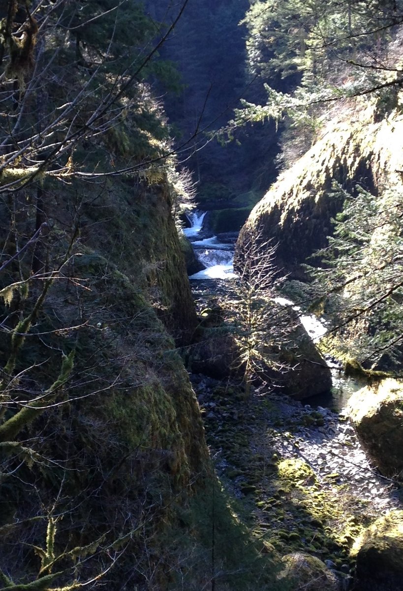
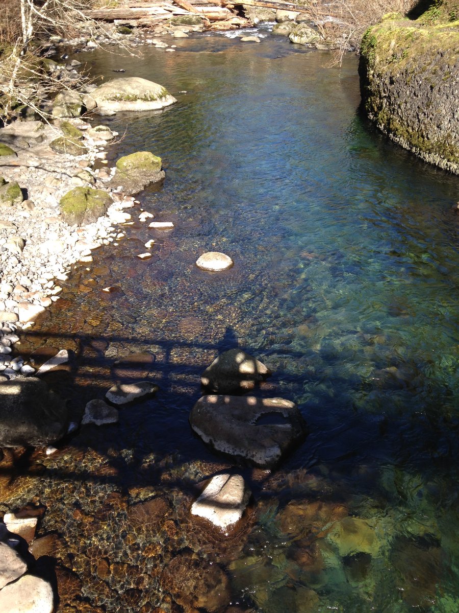
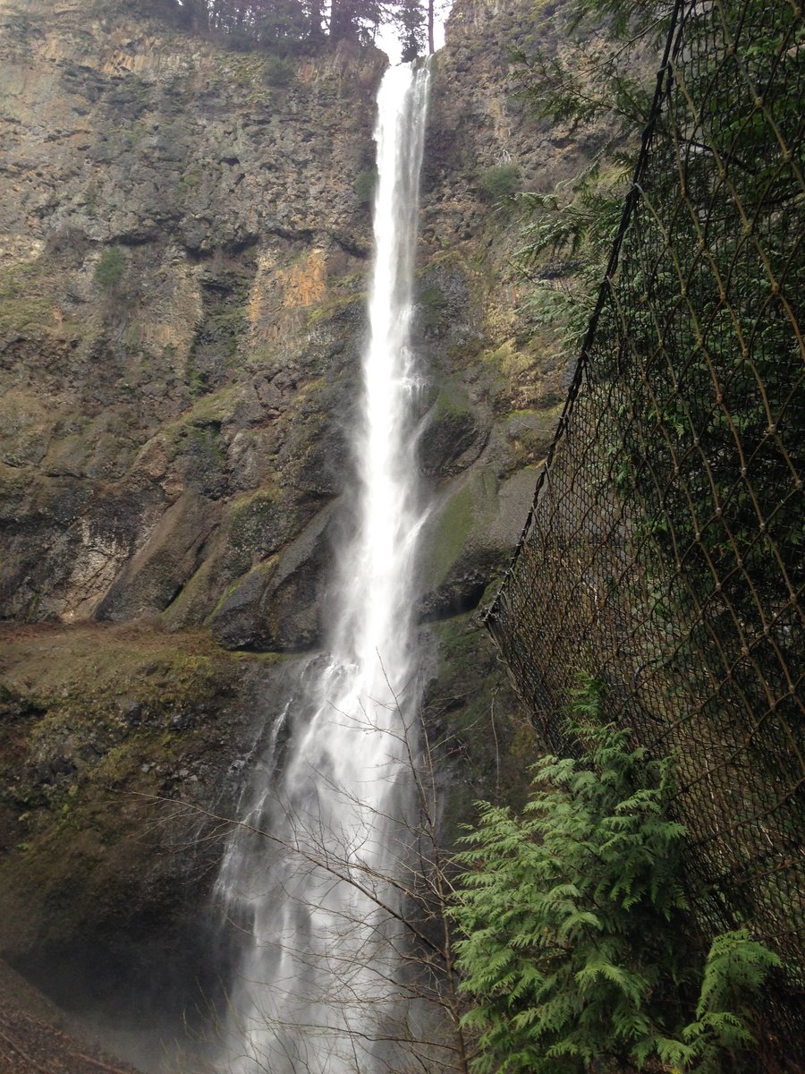
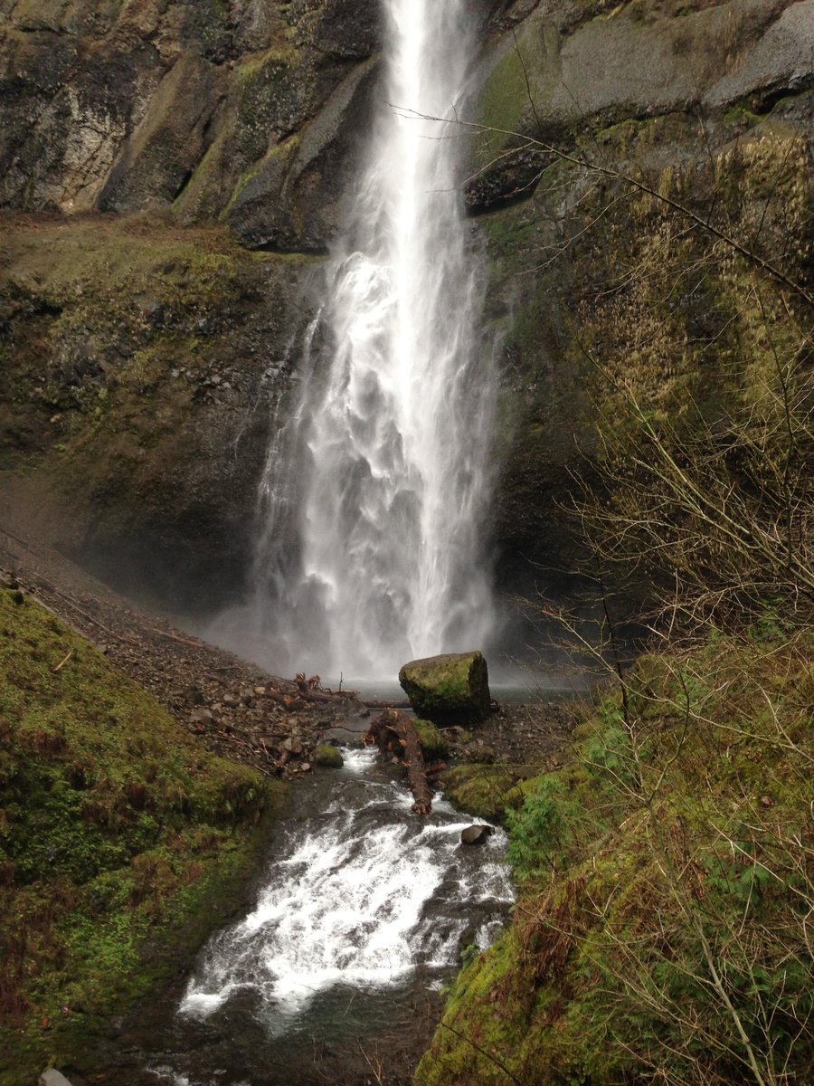
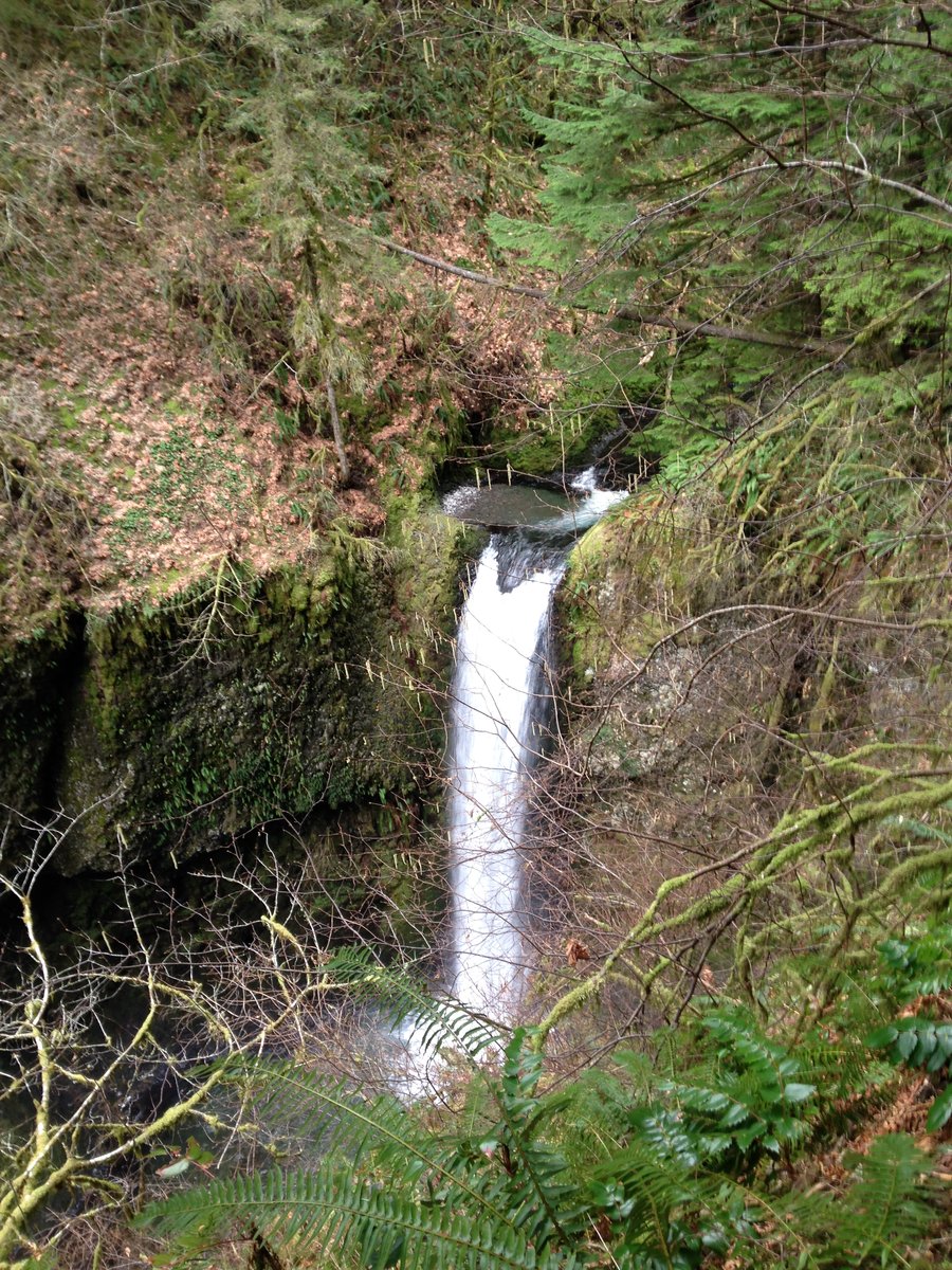
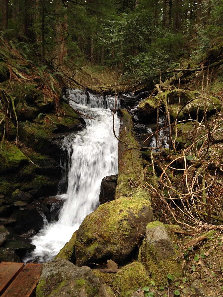
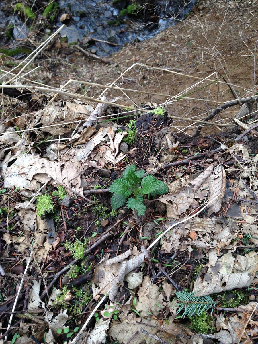
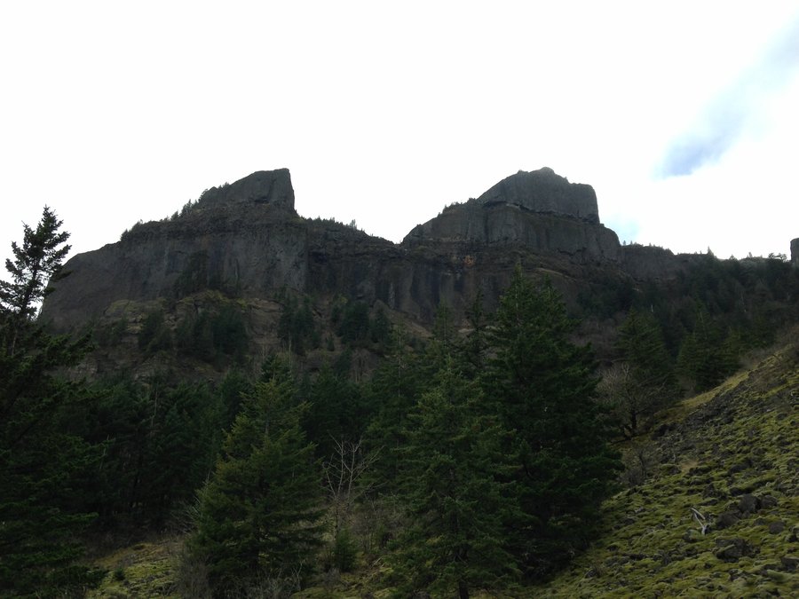
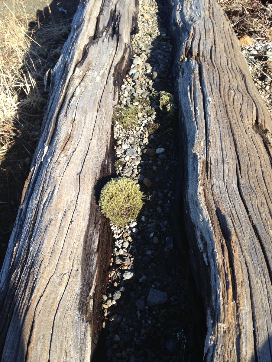
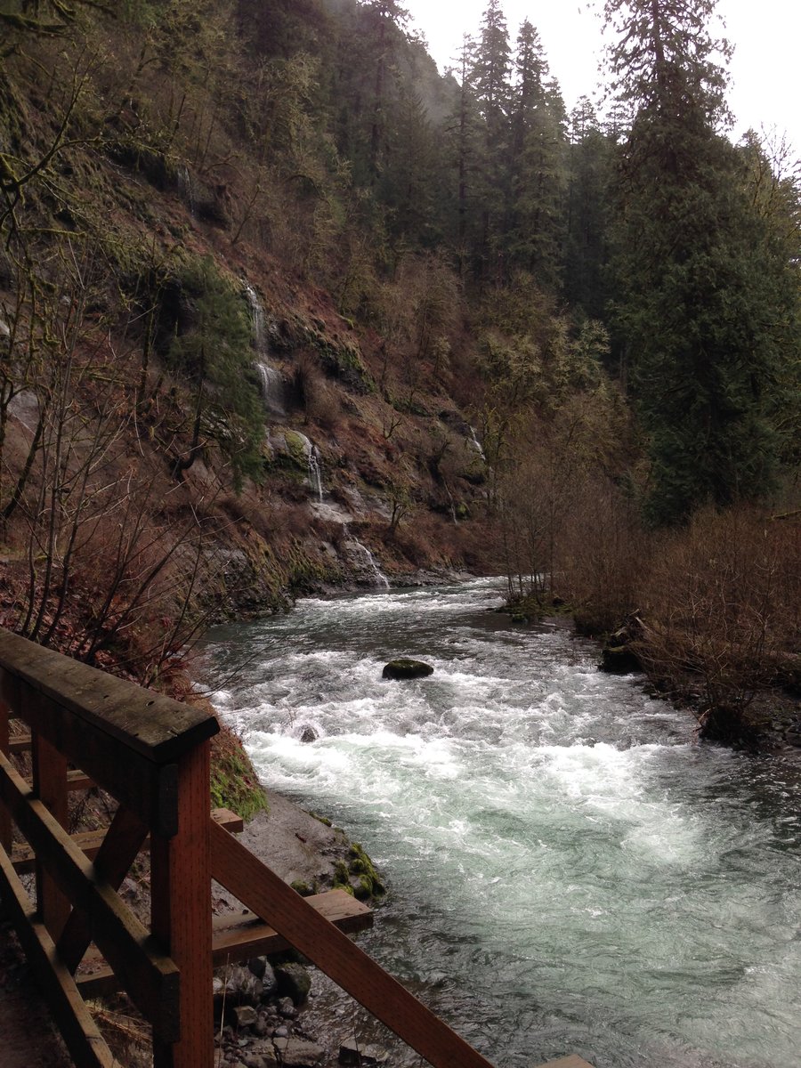
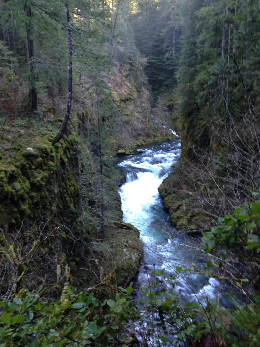
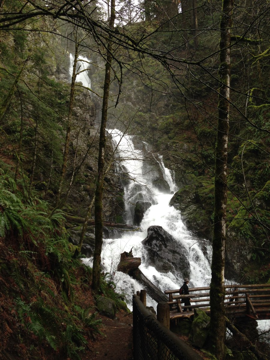
Multnomah to Winter creek
5.4 miles of hiking • 1250' elevation gain •
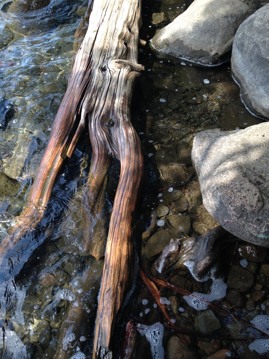
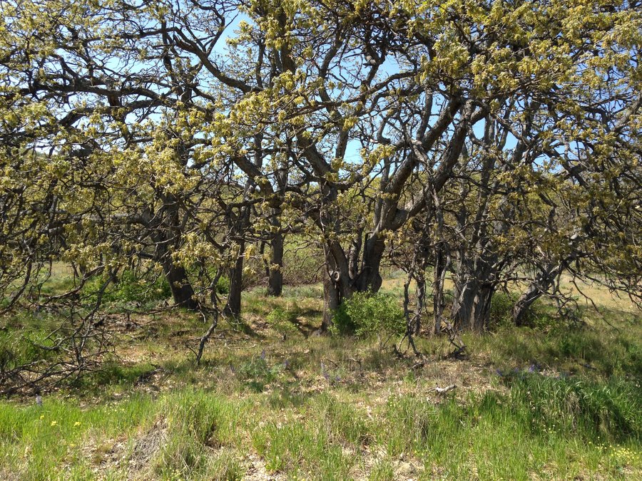
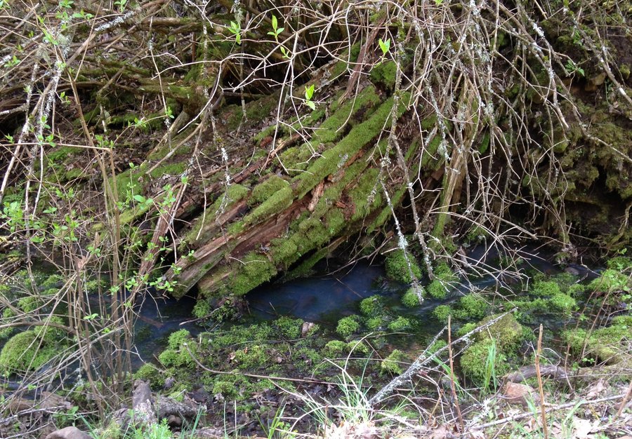
I wanted to get up in those nice falls on Multnomah Creek today. Winter creek just before the HIghwater trail junction turned me around. I was pretty sure it would. People crossed easily while I was there, but none of them with dry feet. It was just that inch and a half above boot top depth that decided me. Short hike but a great day.

December 14, 2015

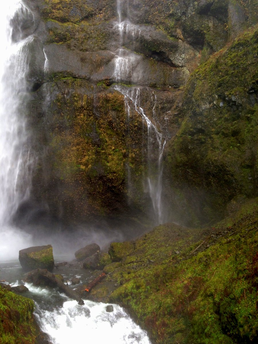
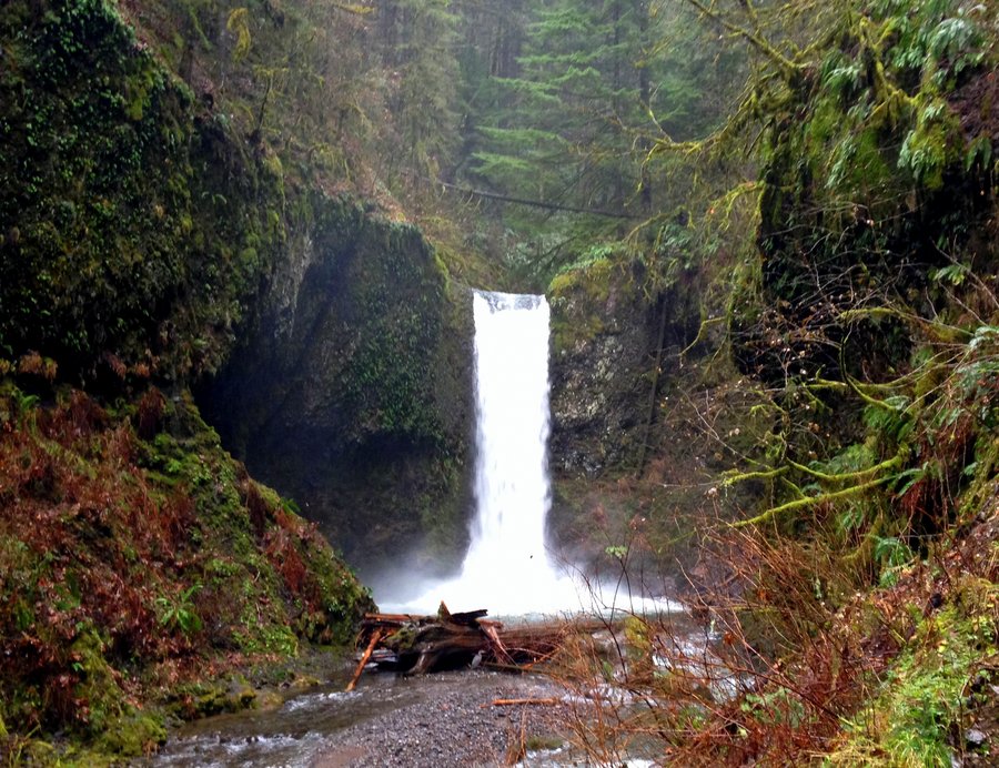
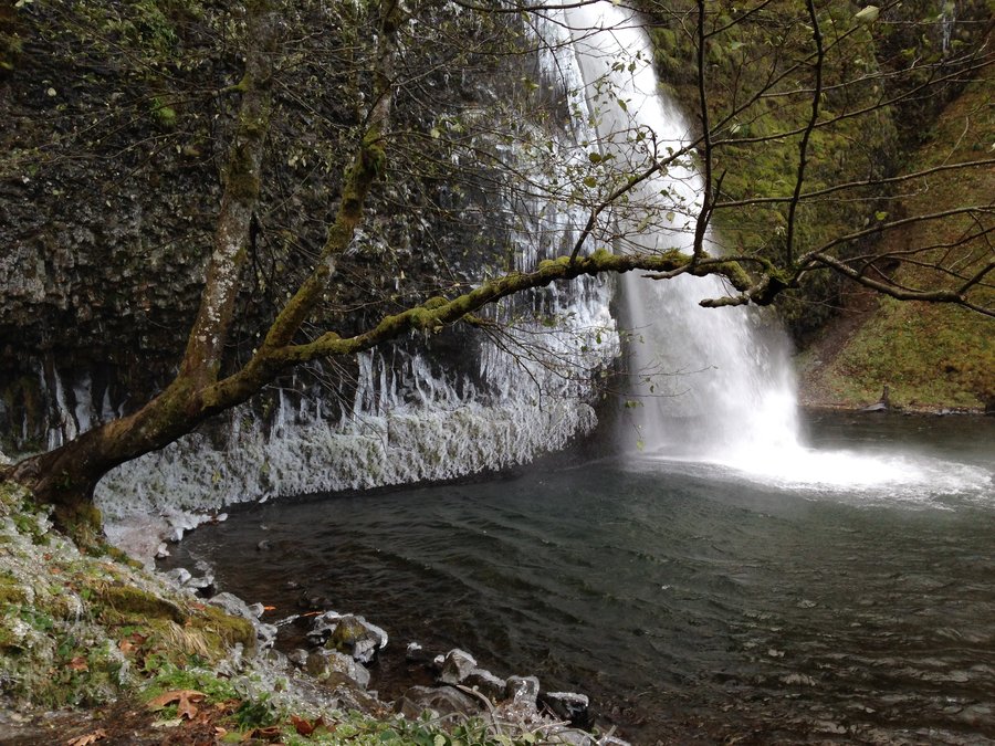
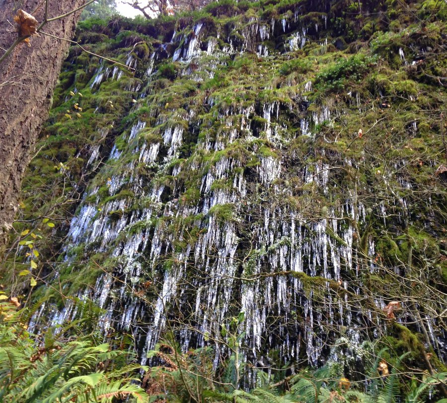
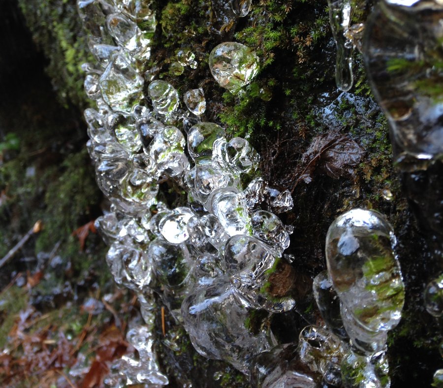
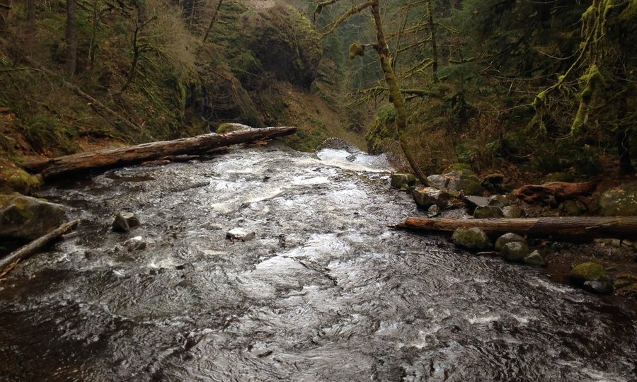
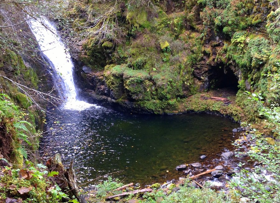
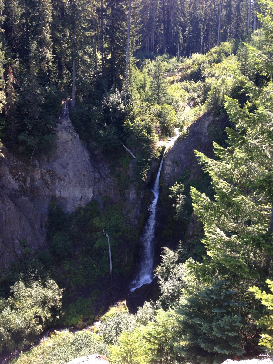
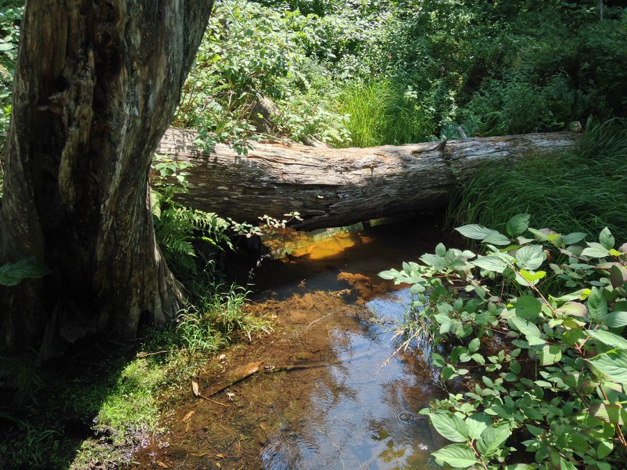
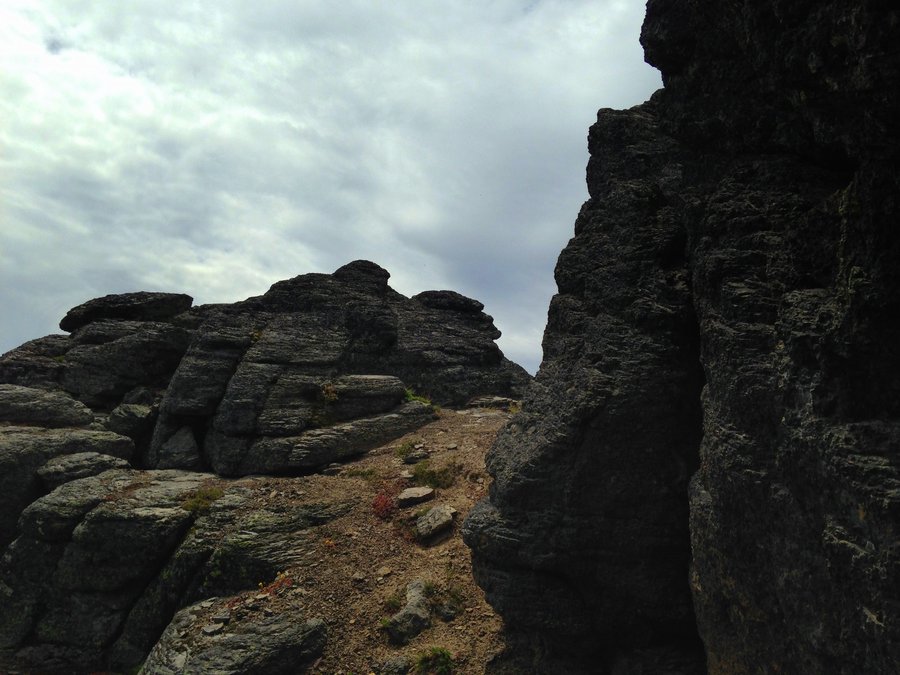
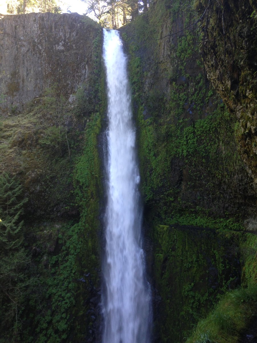
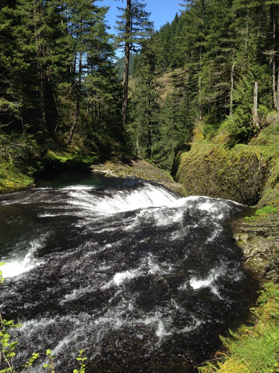
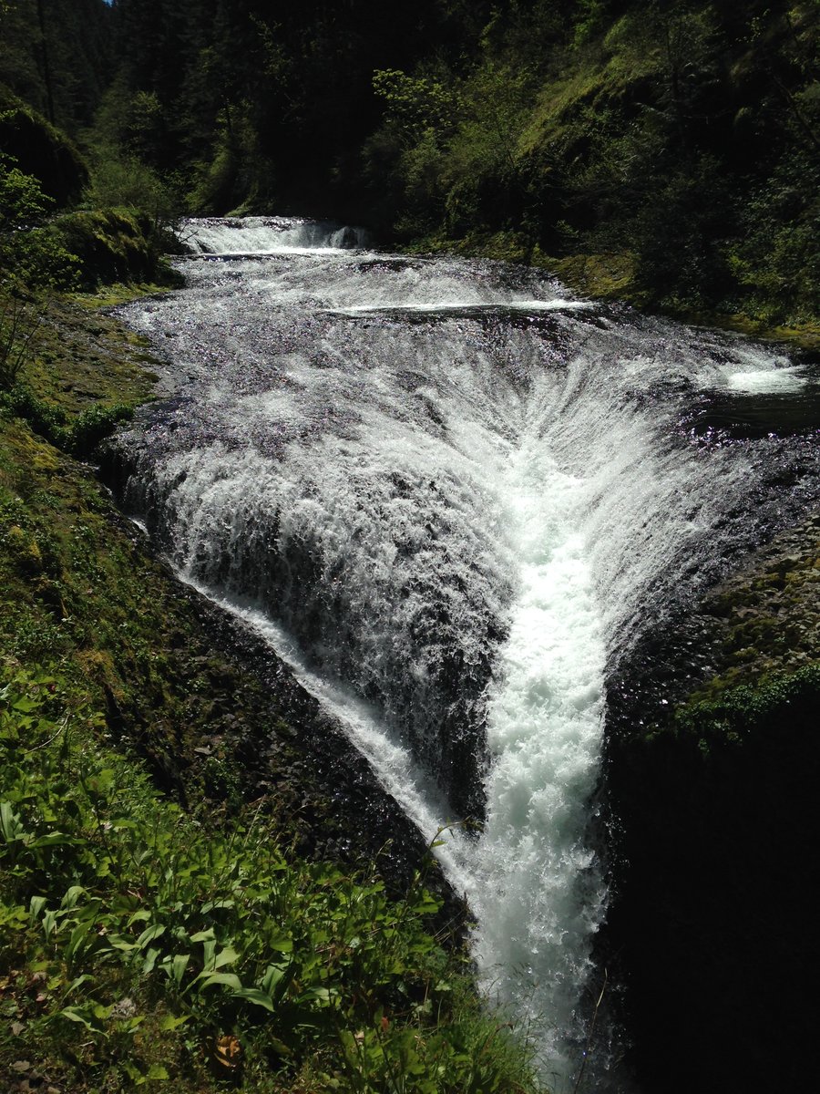
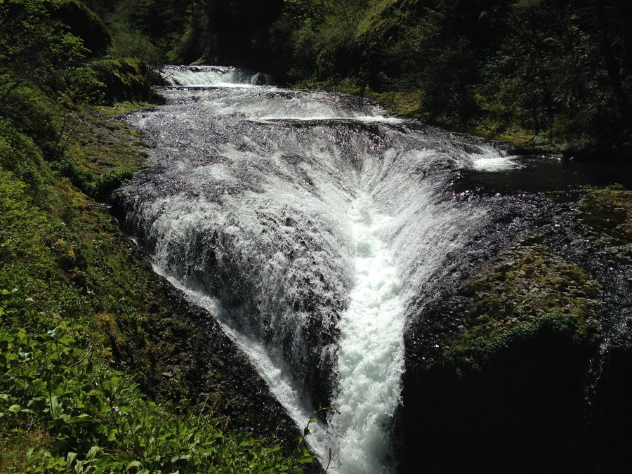
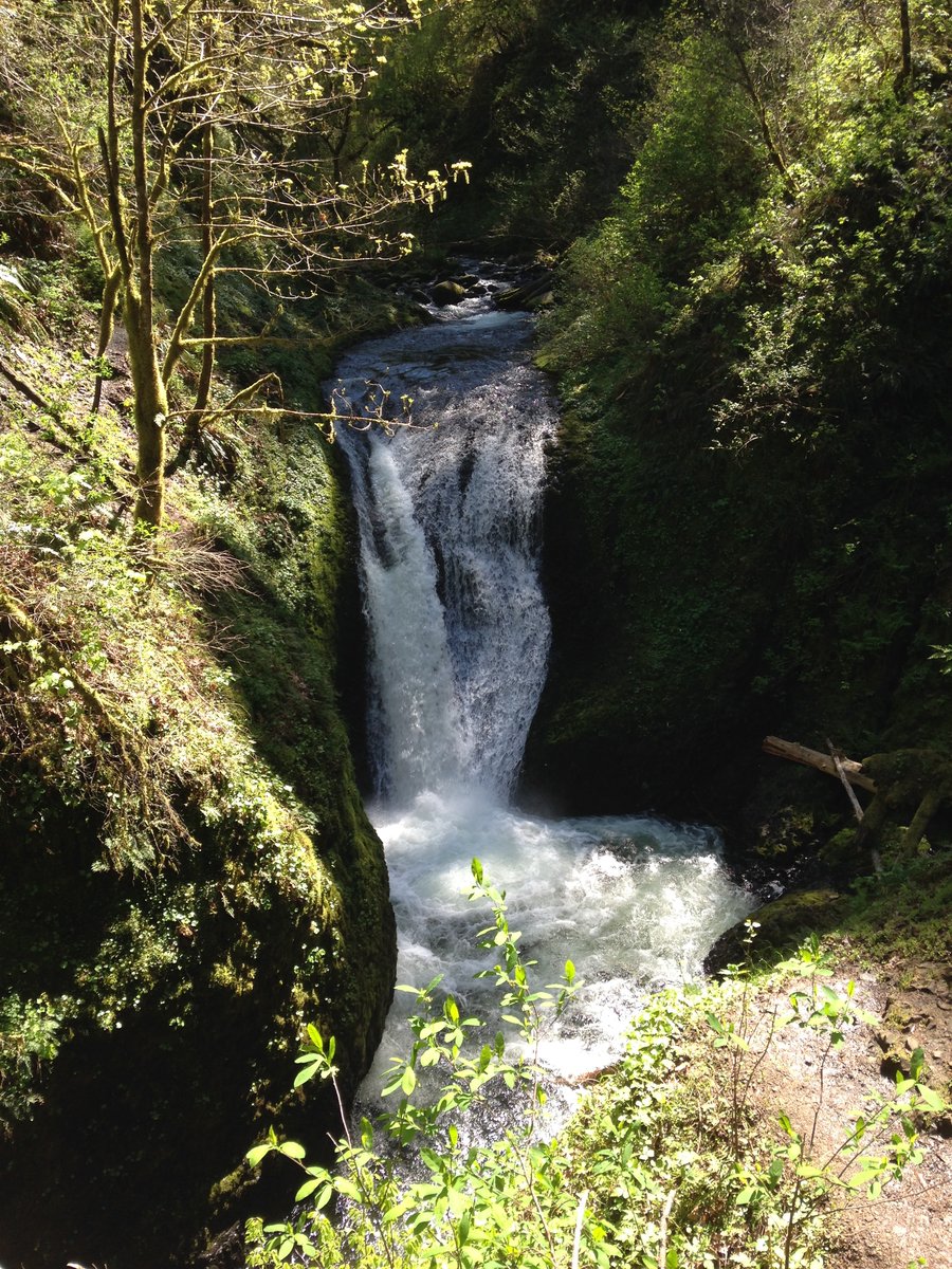
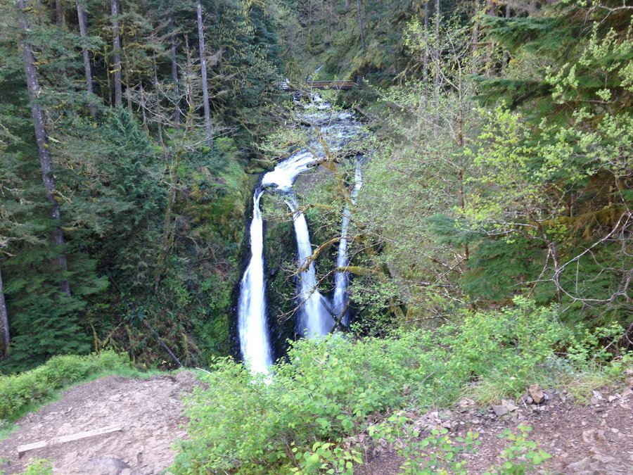
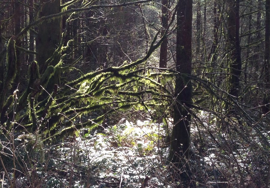
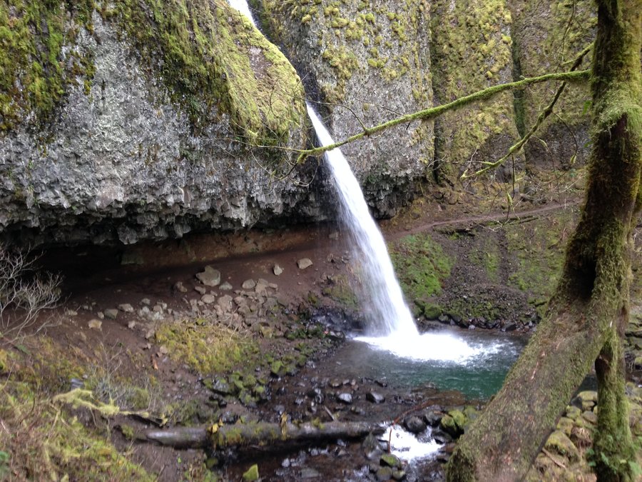
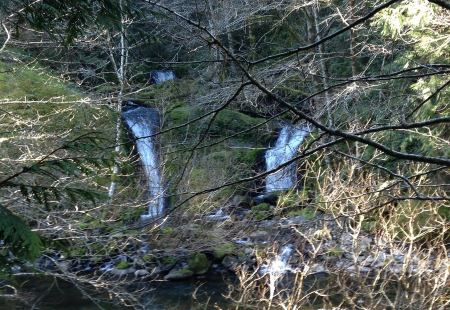
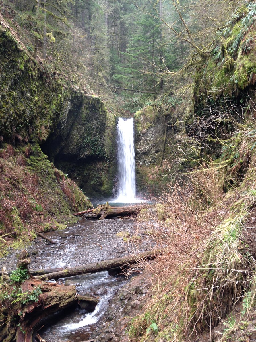
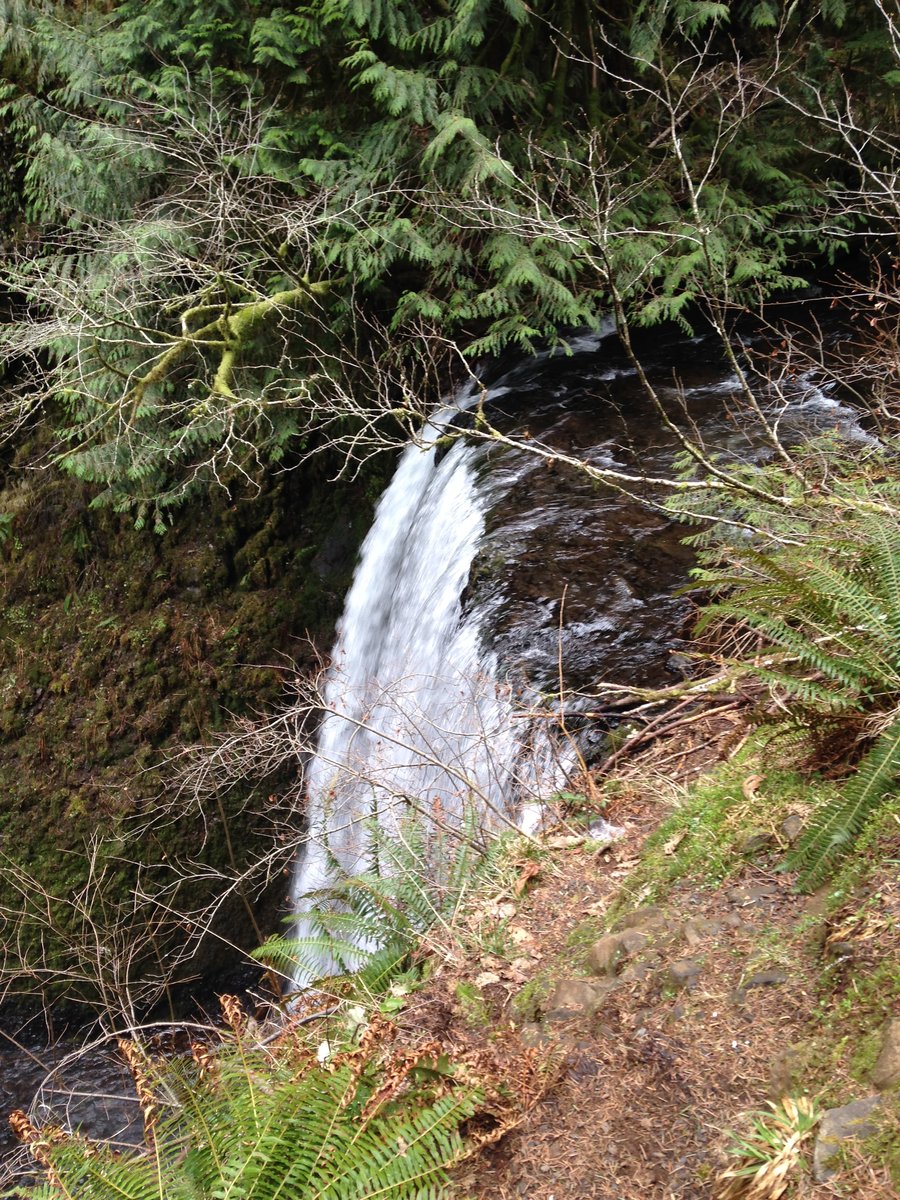
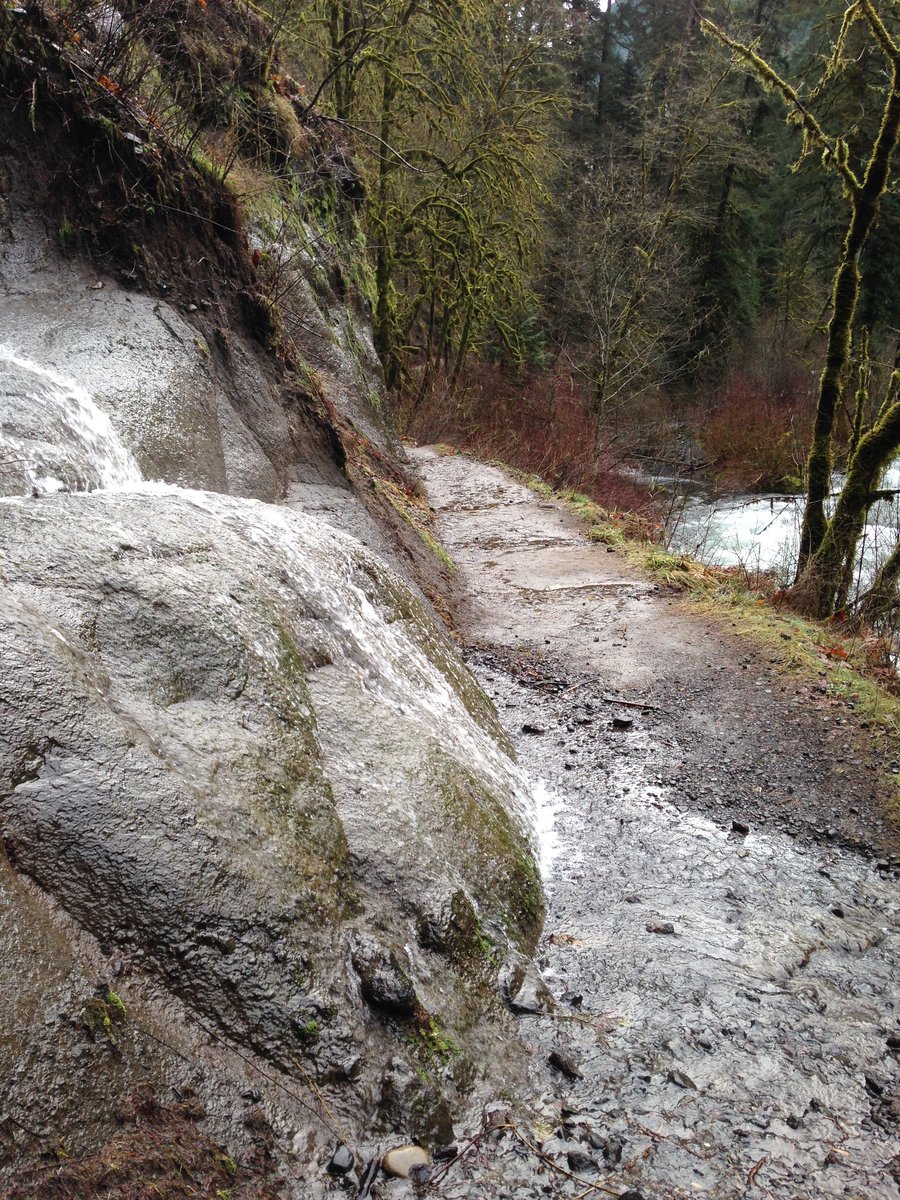
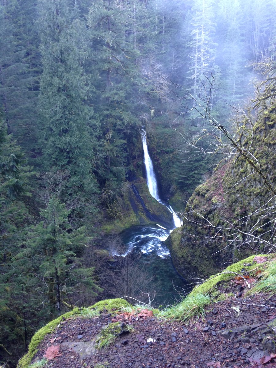
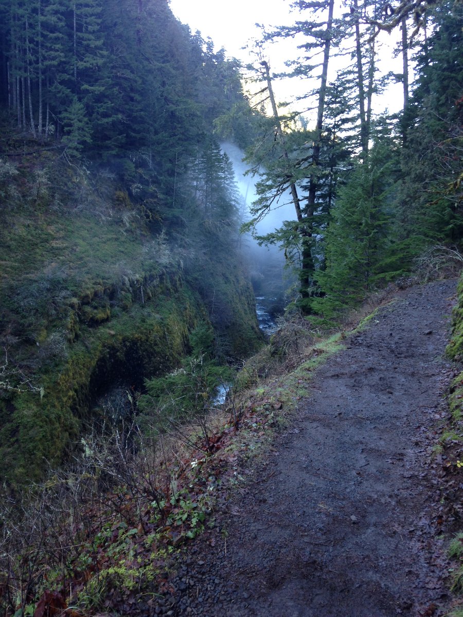
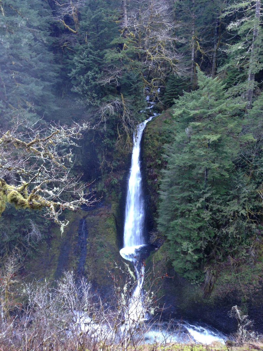
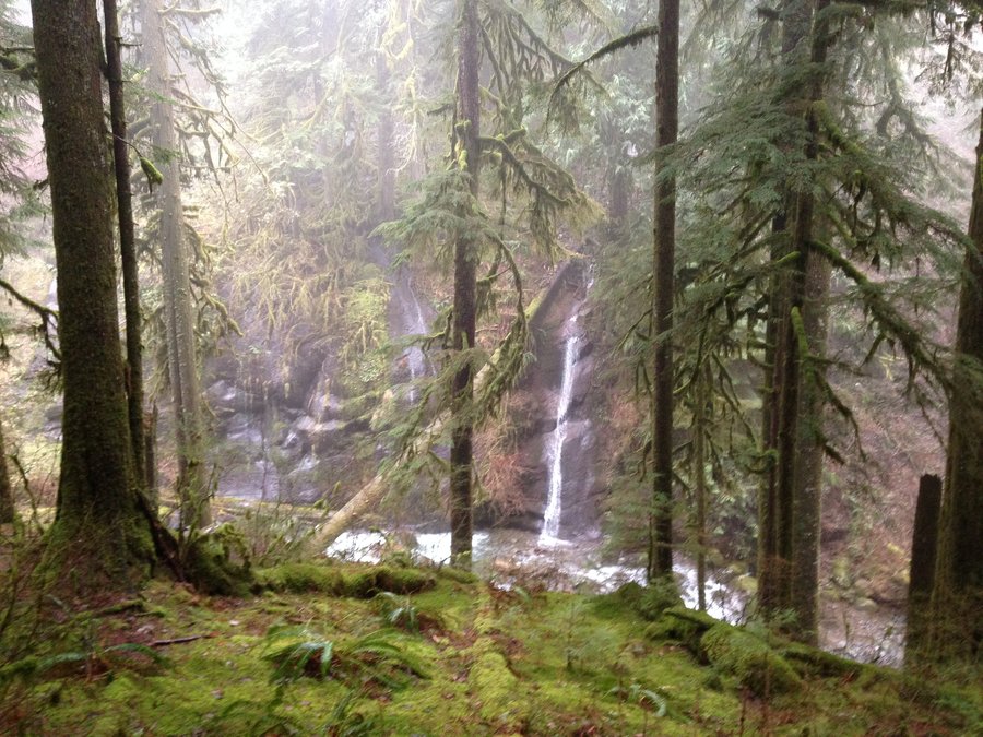
Triple Falls
4.4 miles of hiking • 1000' elevation gain •
I just had a few hours, so I did a walk to the Triple Falls bridge. The scenic highway was a sheet of ice and on the way back there was a bad rollover that had not been there that morning. It was sporadically icy so I got to use my microspikes a lot. Many beautiful icicles and a quiet day.
December 1, 2015


 6
6
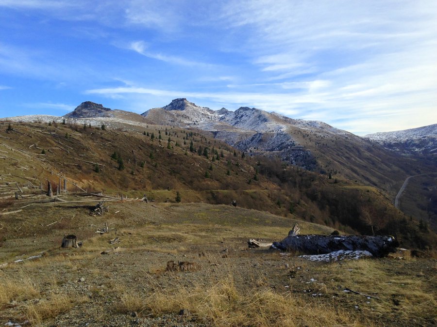
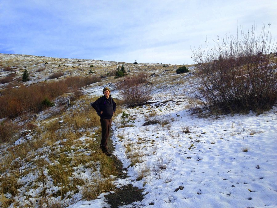
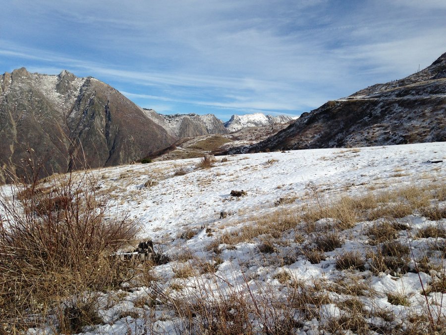
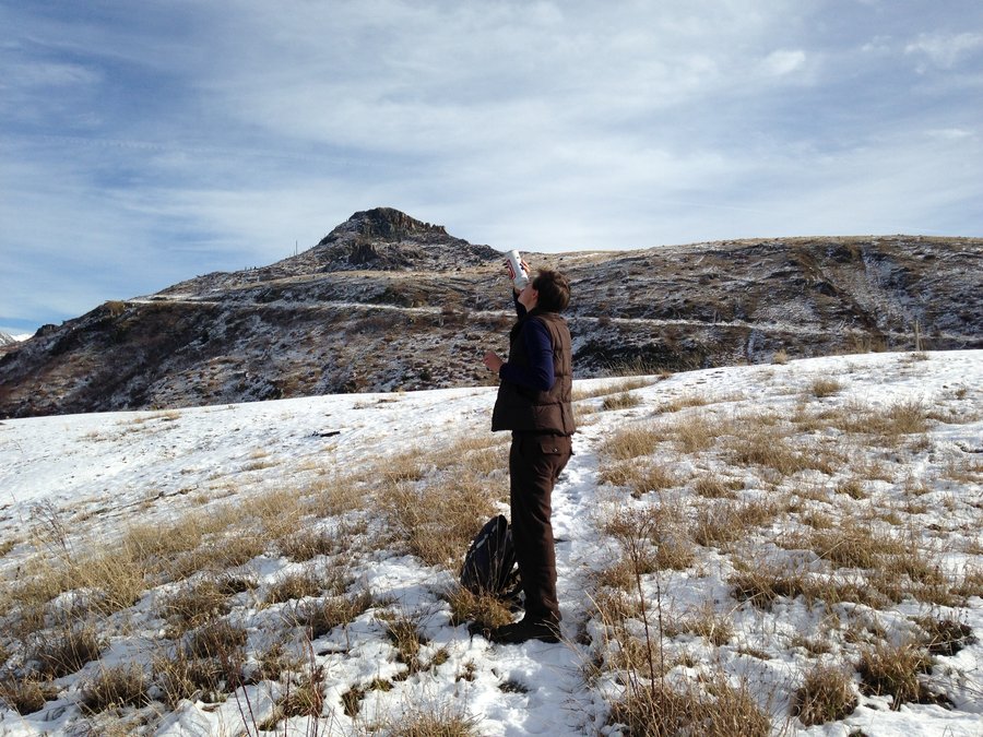
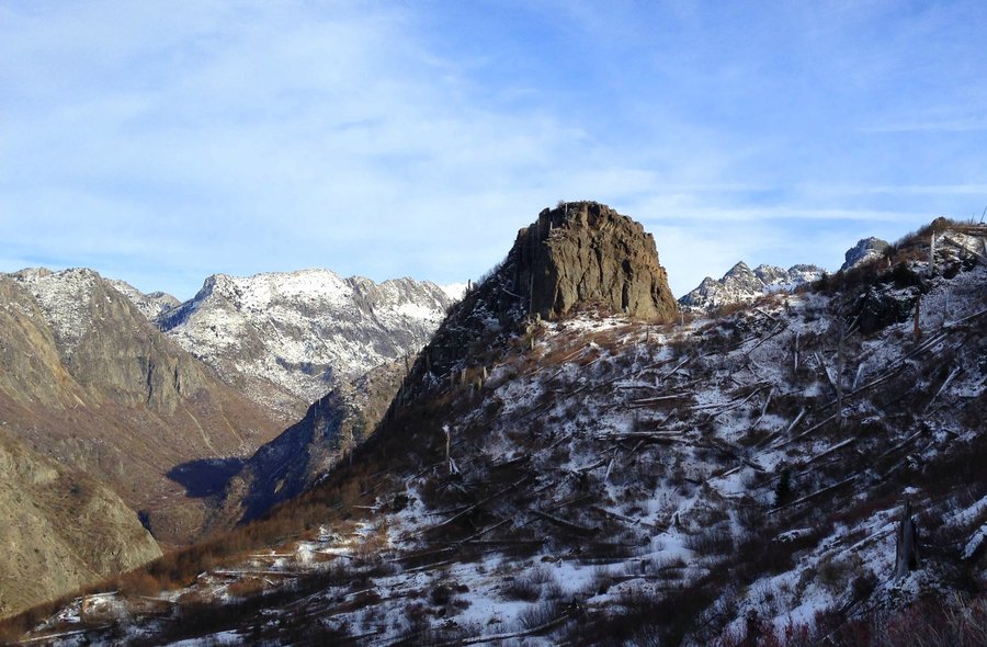
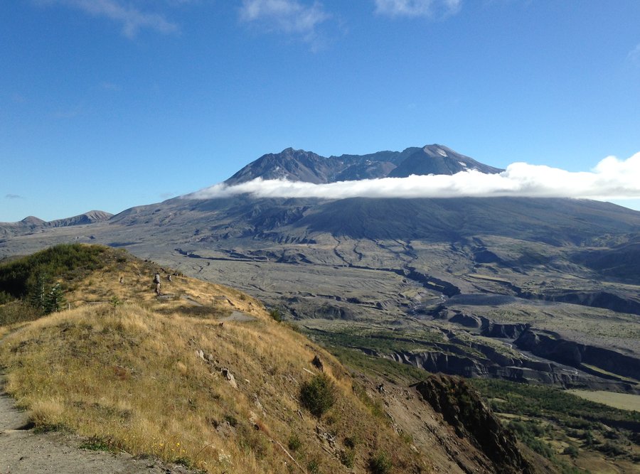
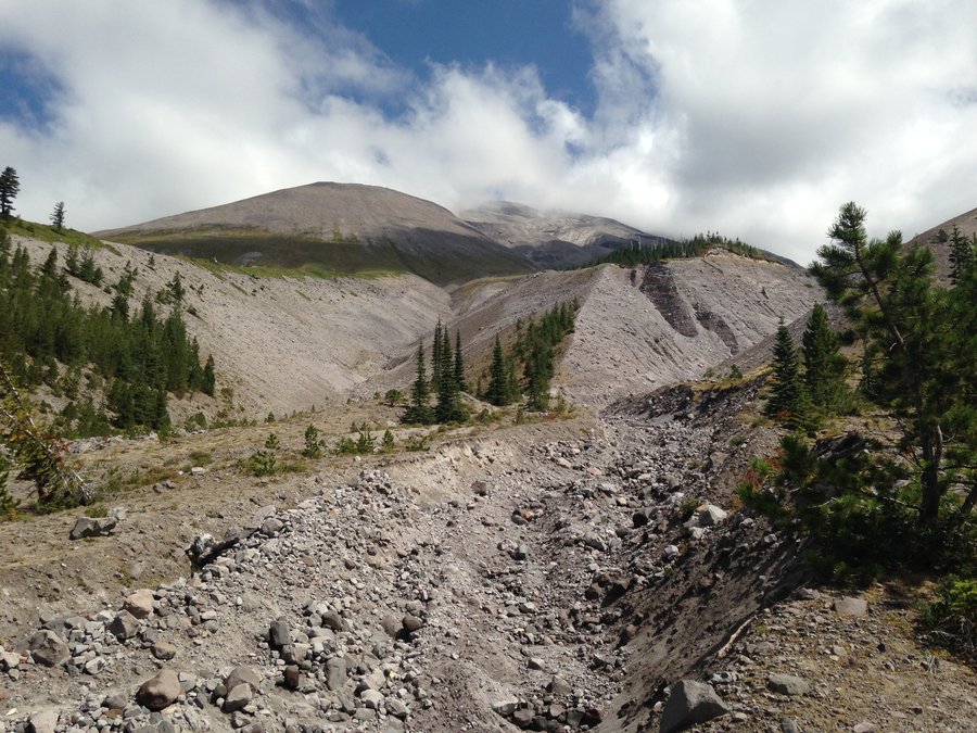
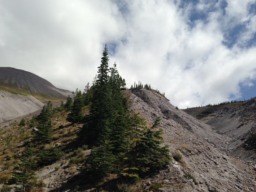
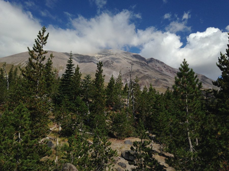
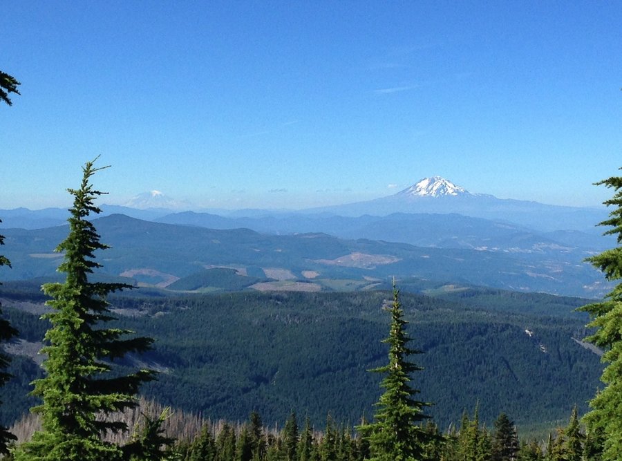
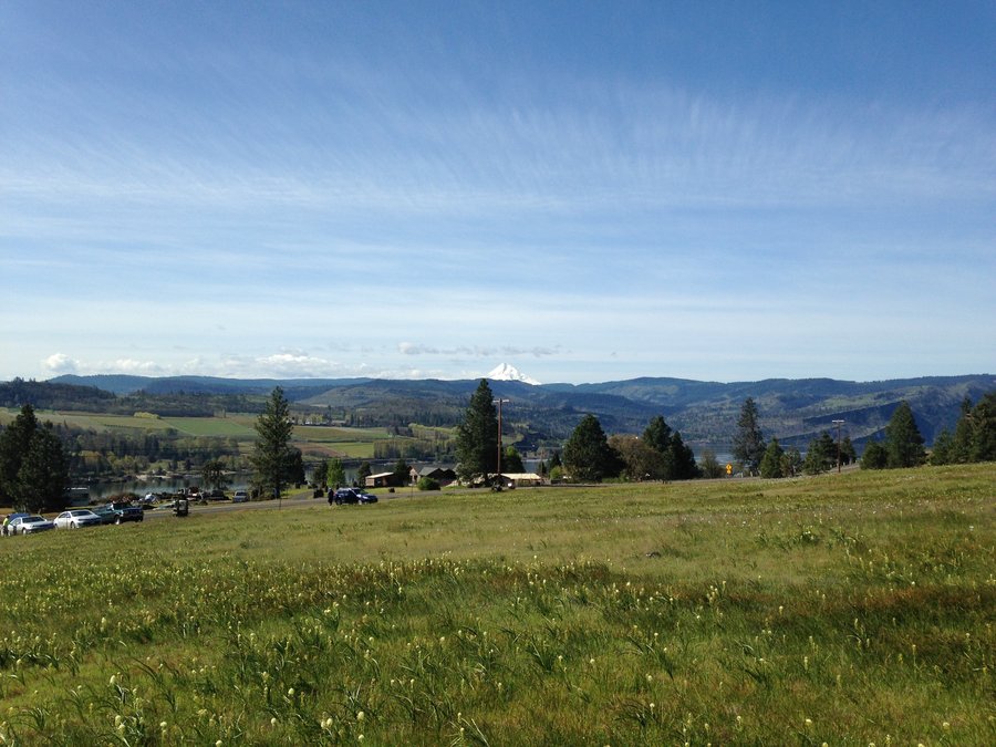
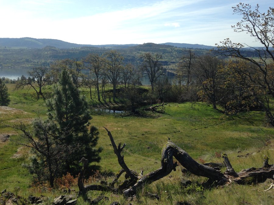
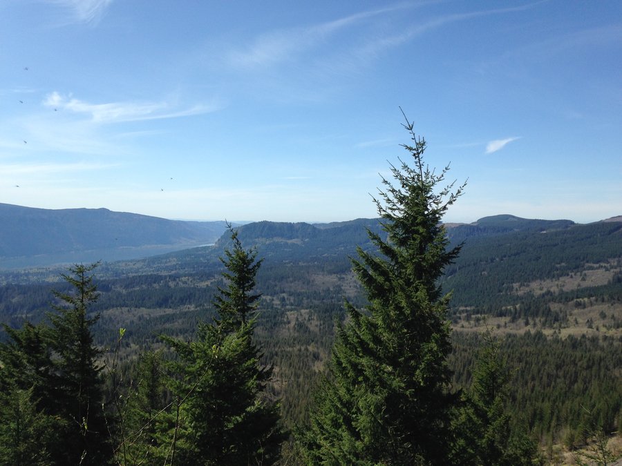
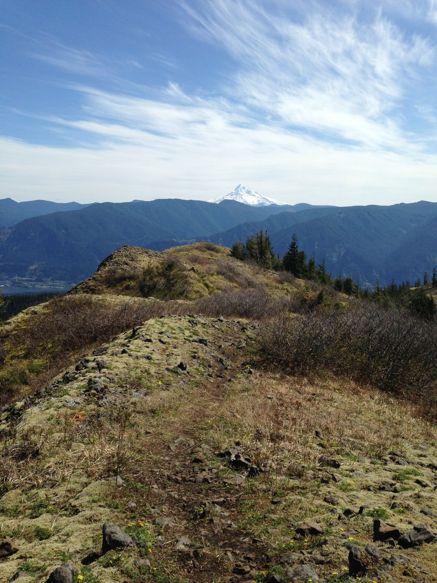
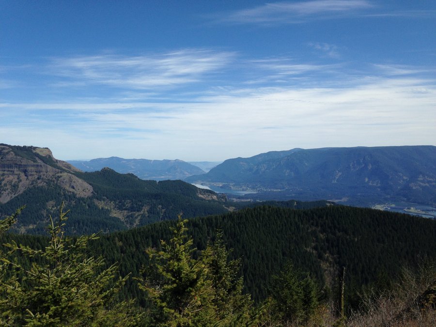
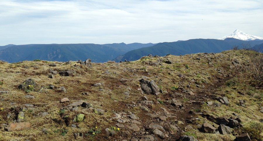
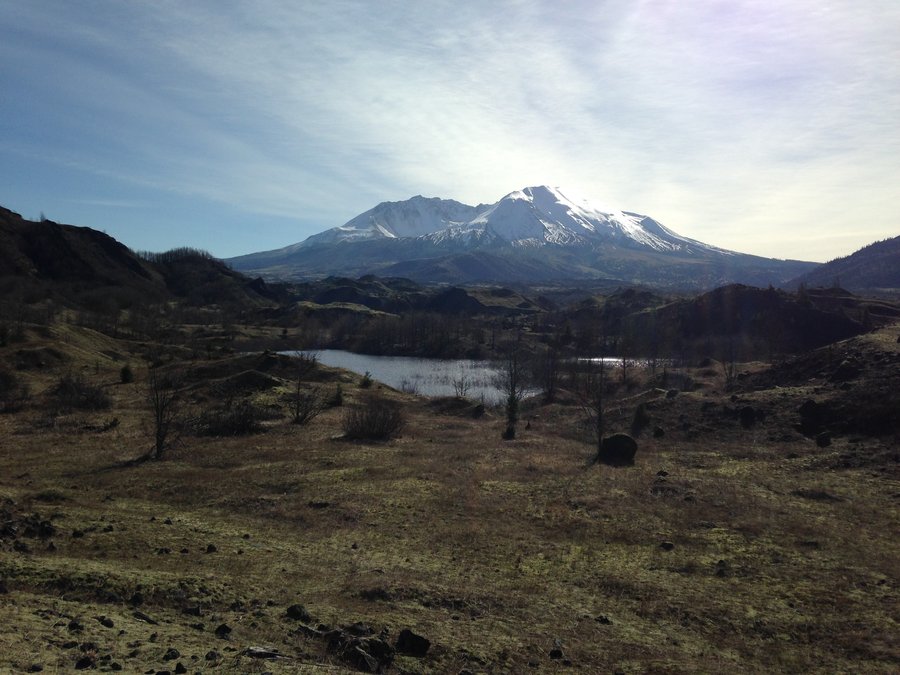
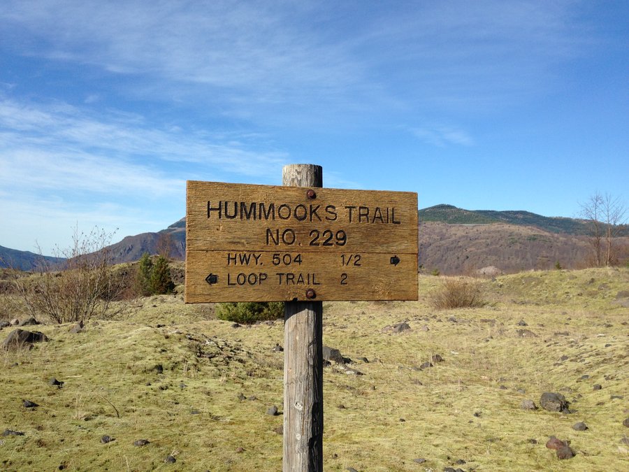
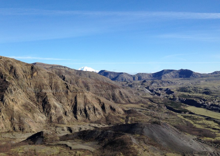
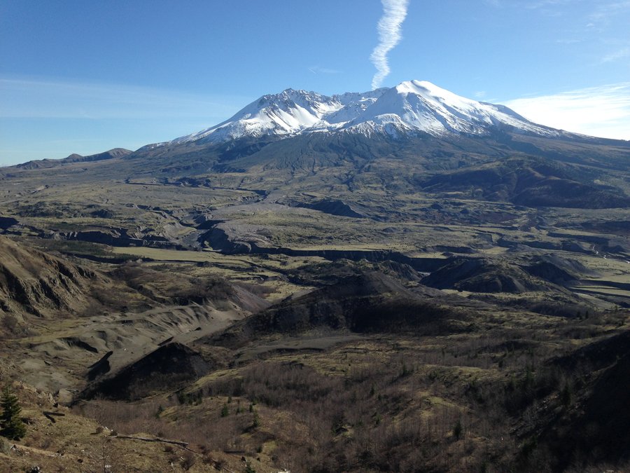
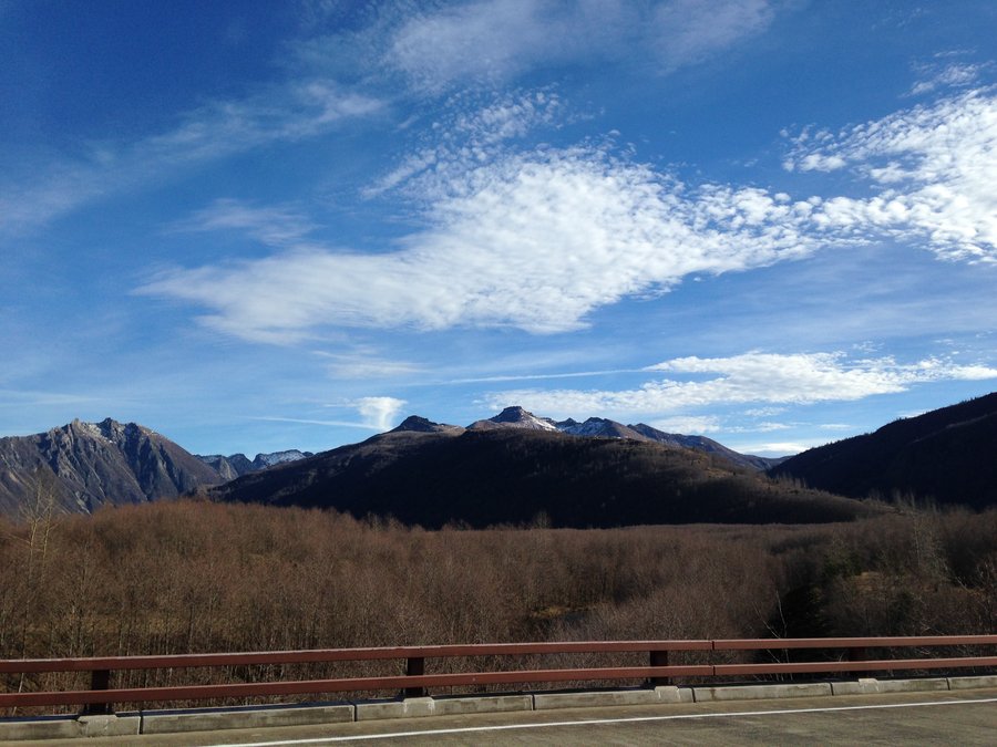
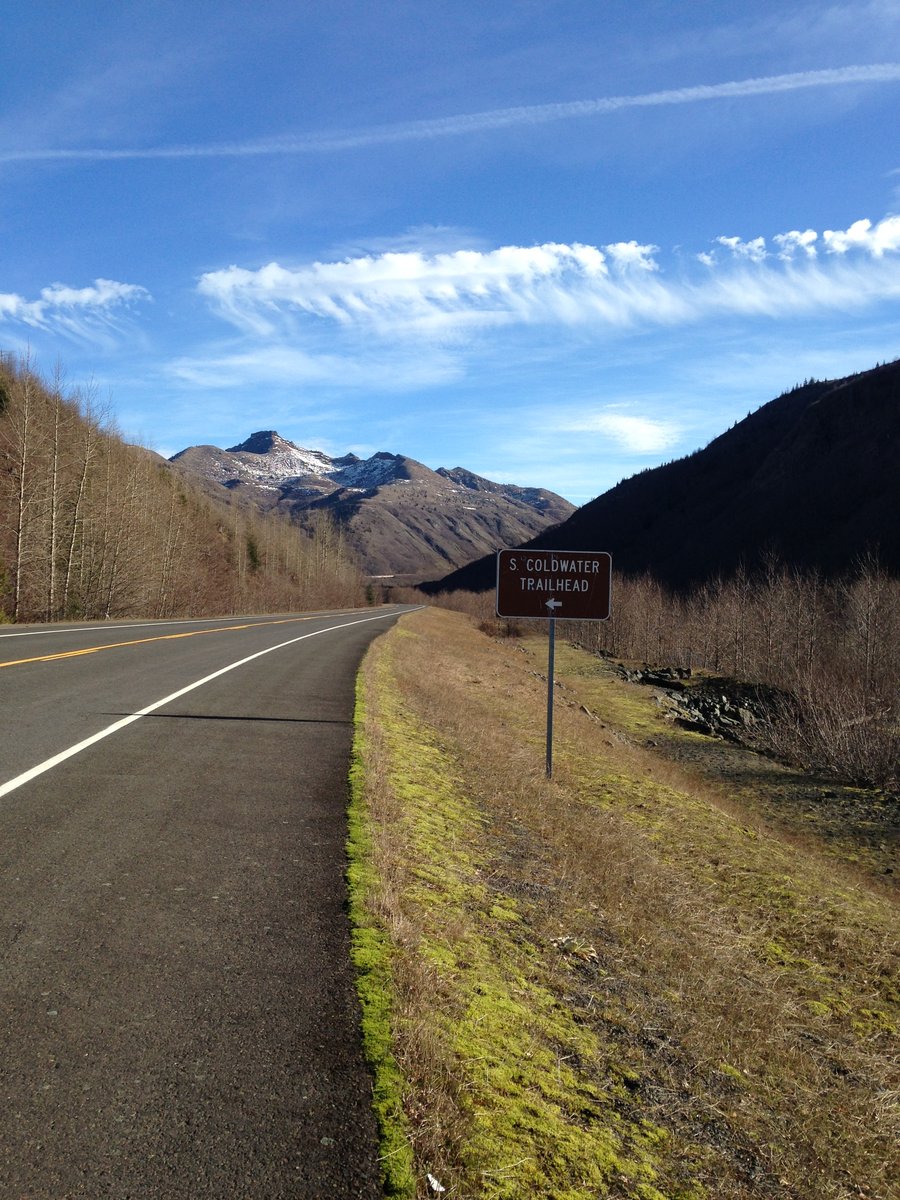
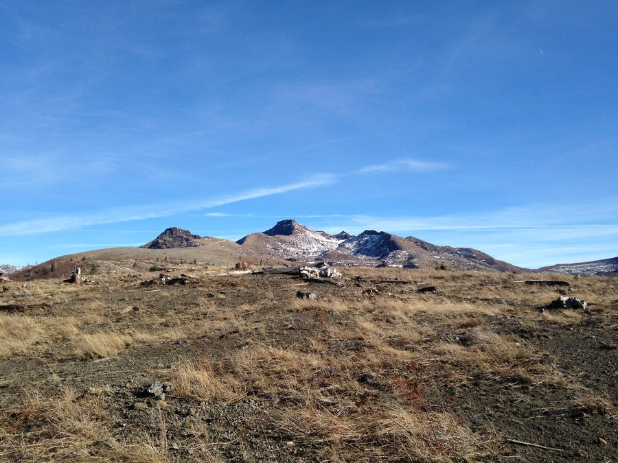
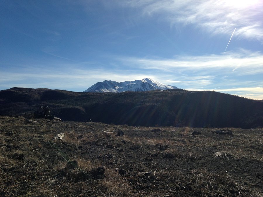
Coldwater Ridge
10 miles of hiking • 1750' elevation gain •
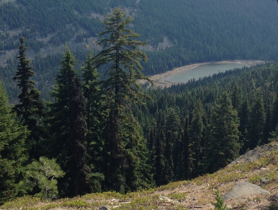
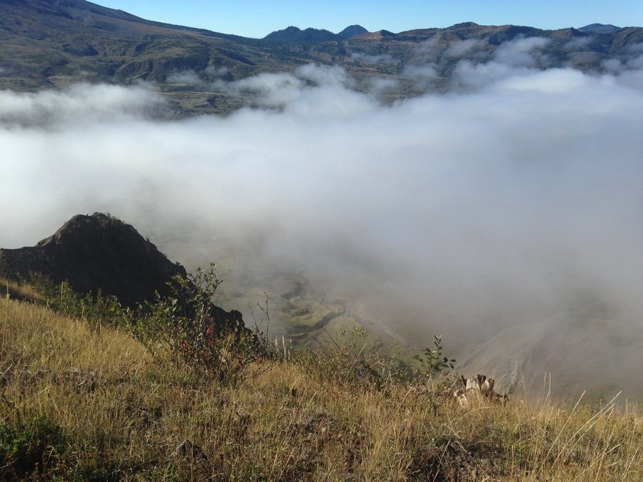
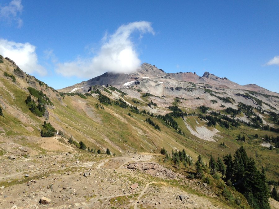
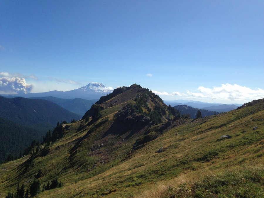
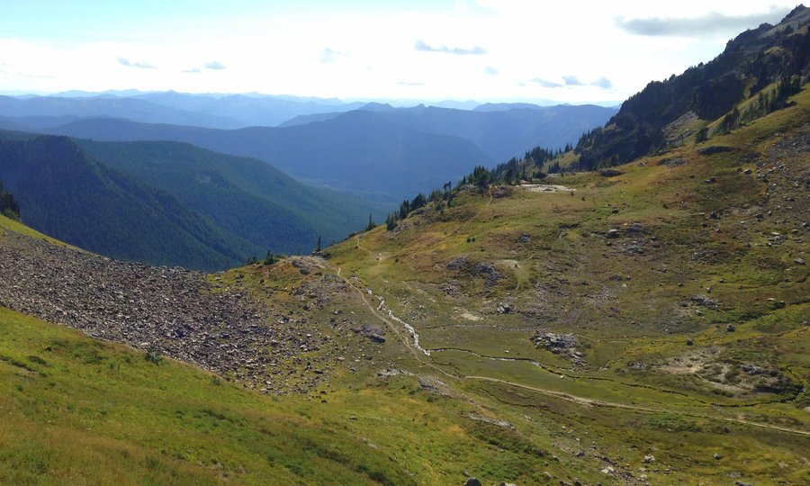
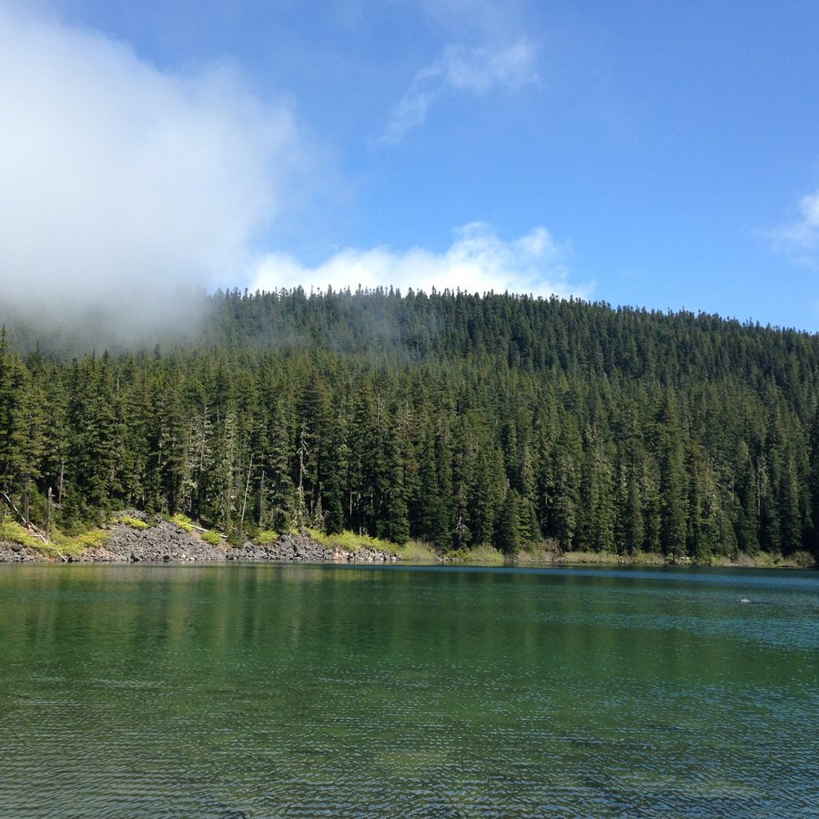
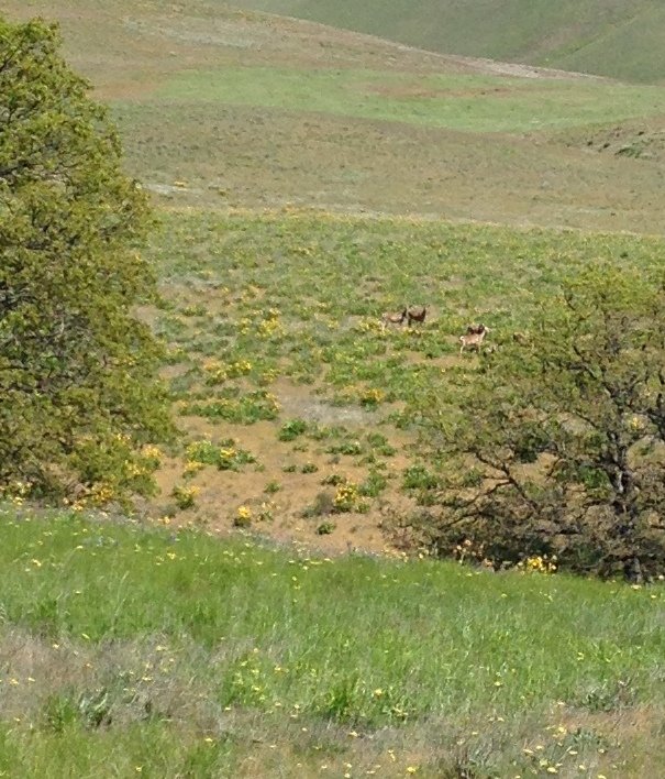
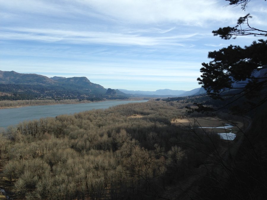
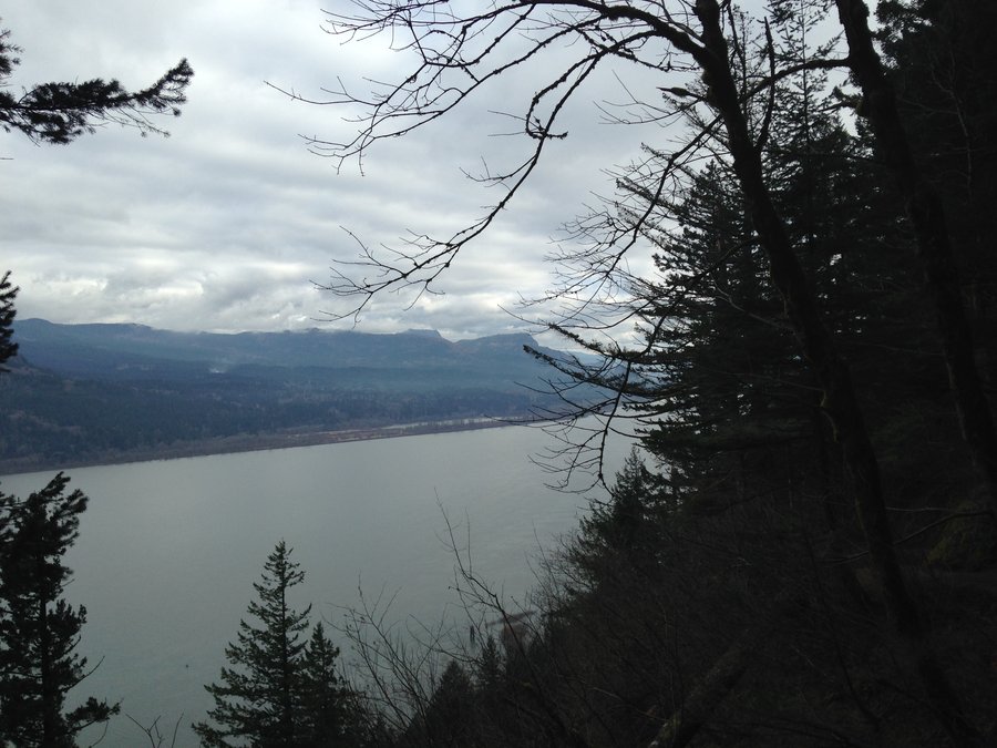
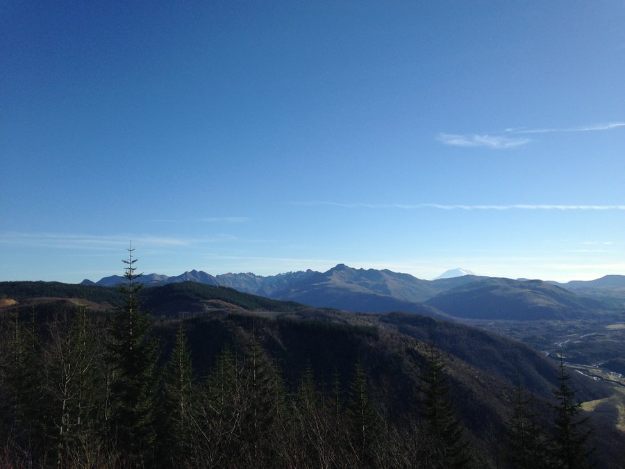
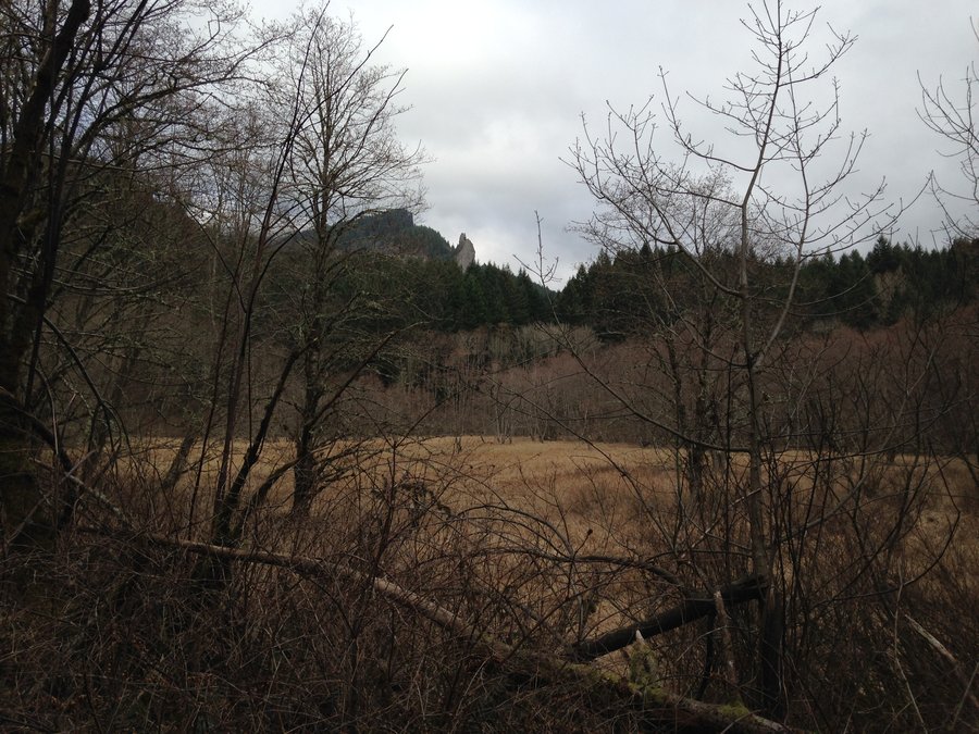
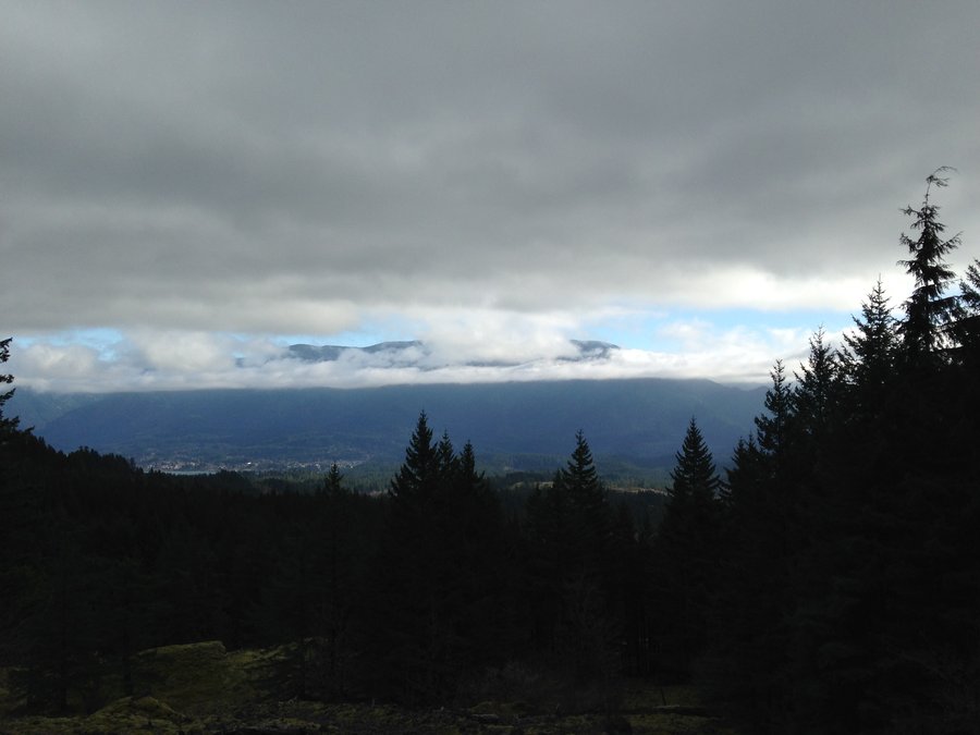
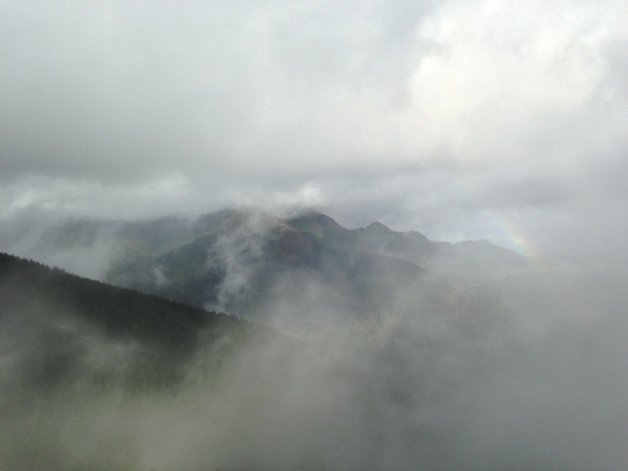
A friend invited me to go to Mt St Helen's with her yesterday, so off we went. The road up was icy in spots but fine. Just enough snow to make it beautiful. We parked at the Hummocks and road walked to The south Coldwater lake TH. As usual, beautiful views everywhere. We continued up towards Coldwater Peak and went about a mile beyond the junction with the trail down to the lake. Then we hit our turnaround time and headed back. Great company and a wonderful trip.
November 22, 2015


 2
2
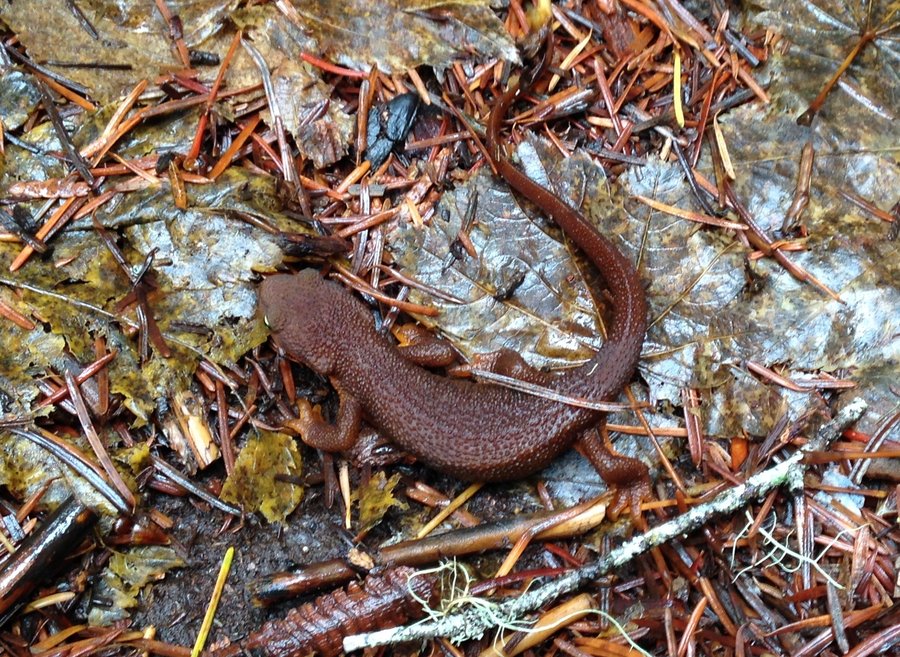
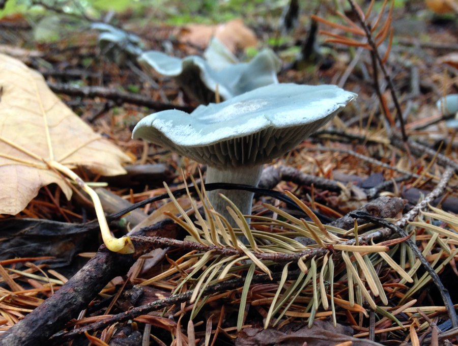
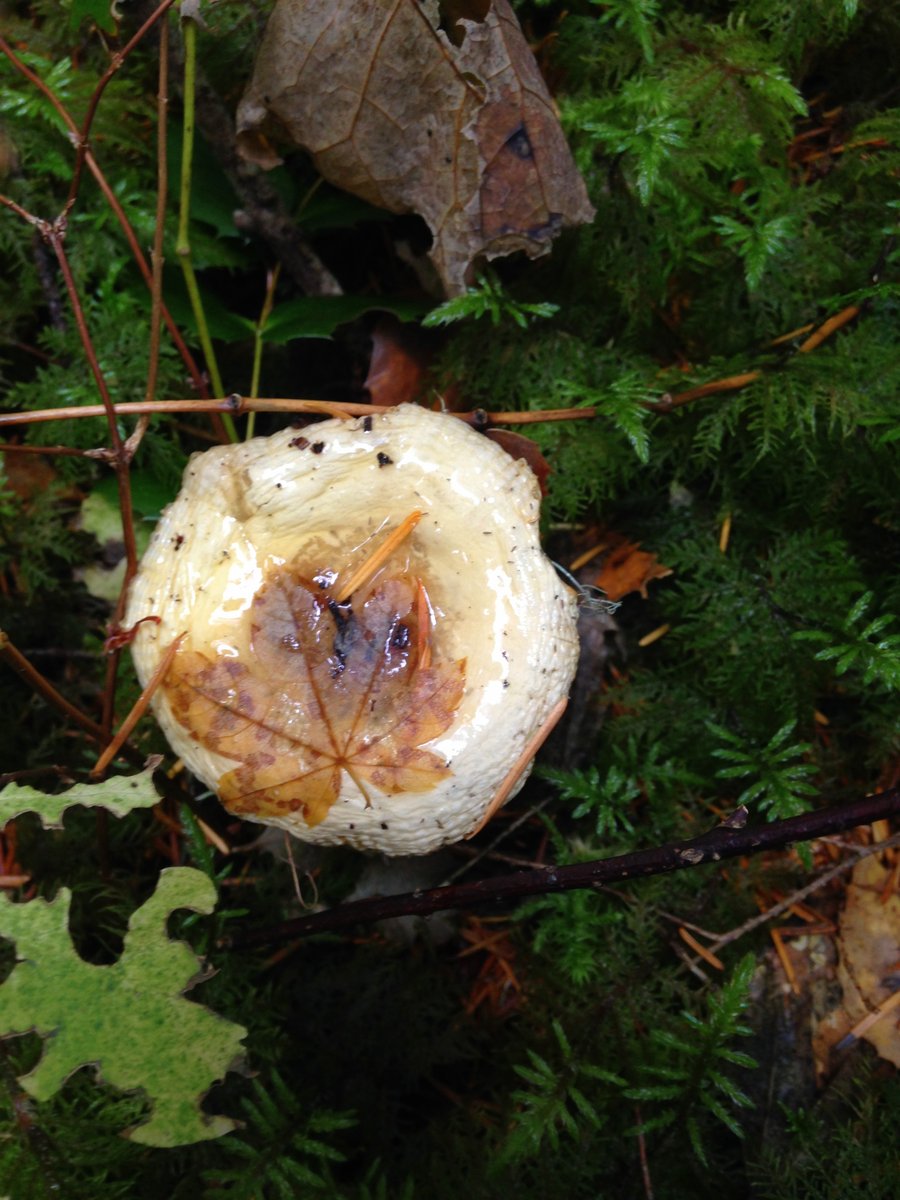
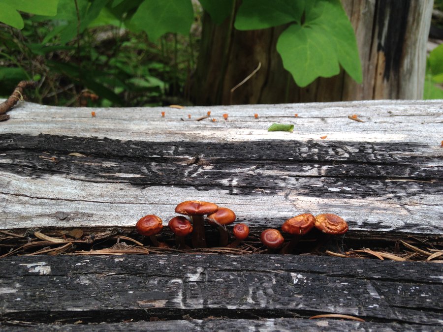
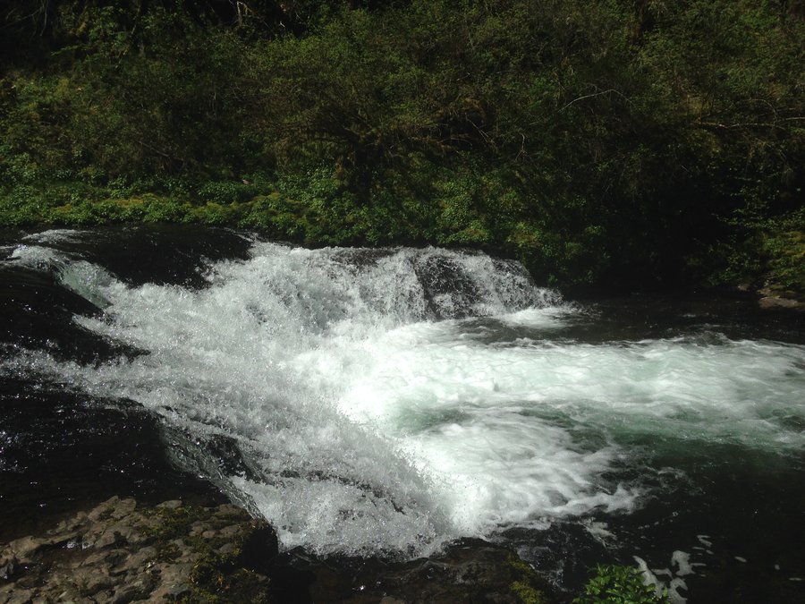
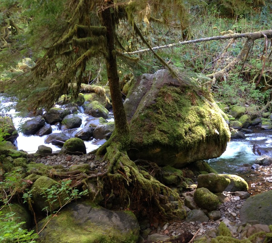
Clackamas Riverside Trail
5 miles of hiking • 750' elevation gain •
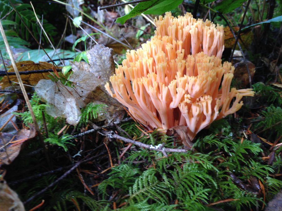
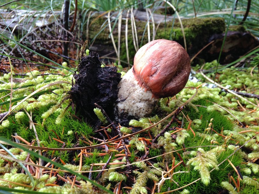
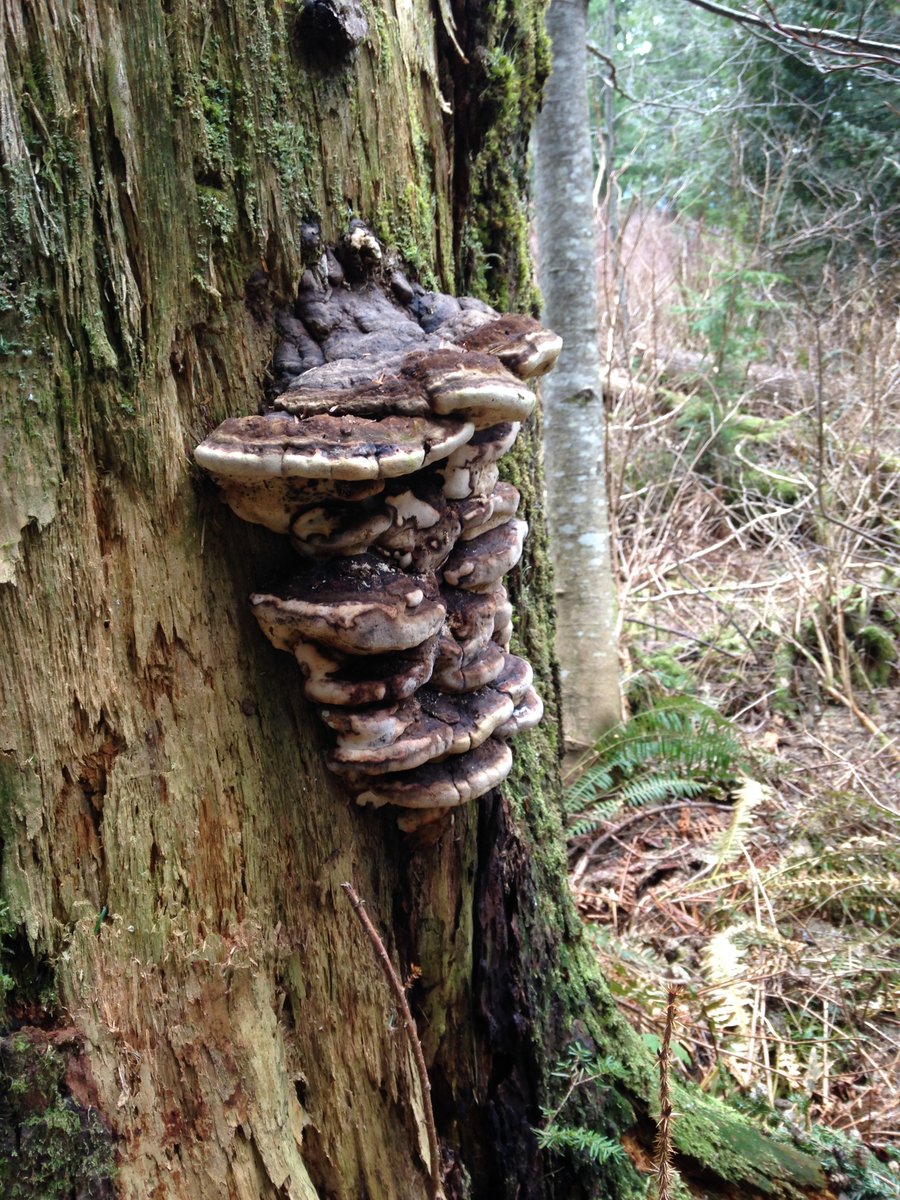
Went with a couple of friends I hadn't seen in awhile for a short hike. Masses of mushrooms, loads of green and even a few sunbreaks!! The downpour held off until we were back at the car. Still some visible snow on the surrounding hills. The Clackamas was pretty calm in places, but all the side creeks were muddy brown and flowing fast. Wonderful day.
November 17, 2015

 1
1
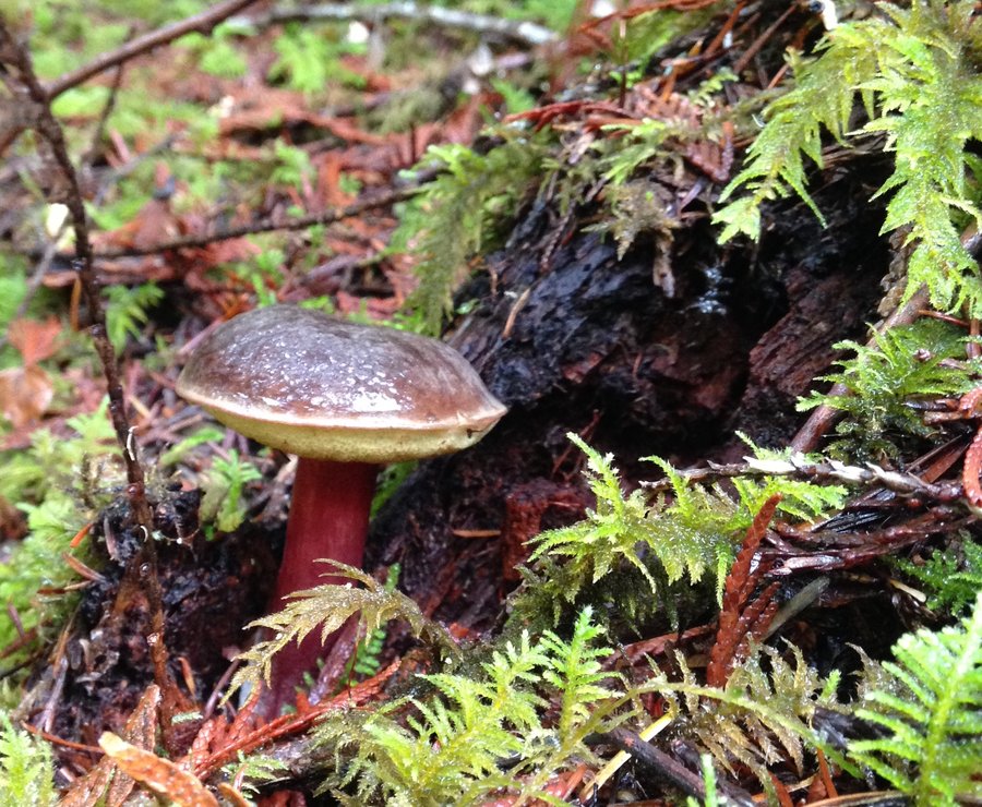
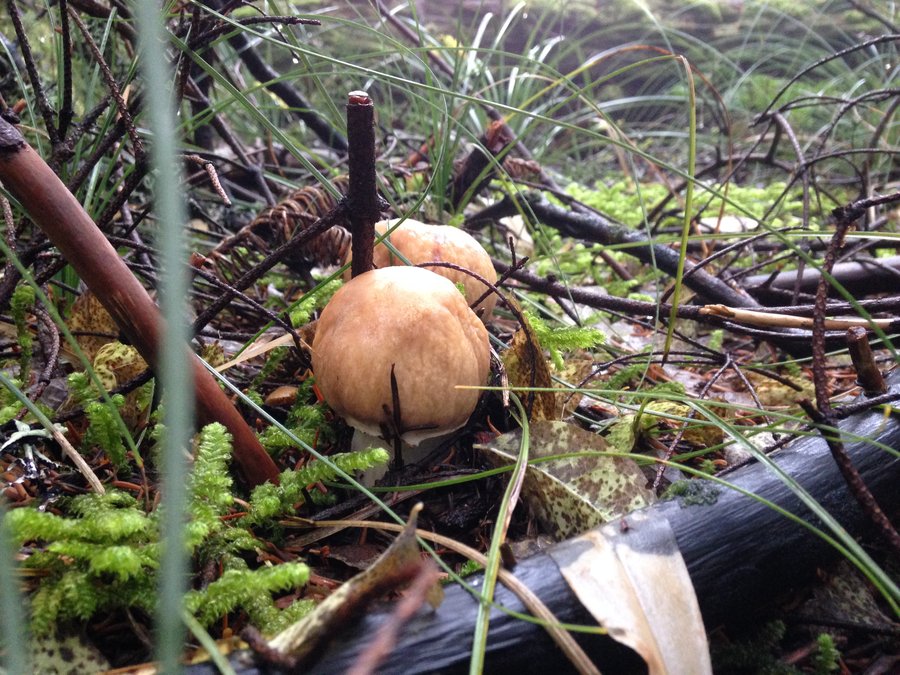
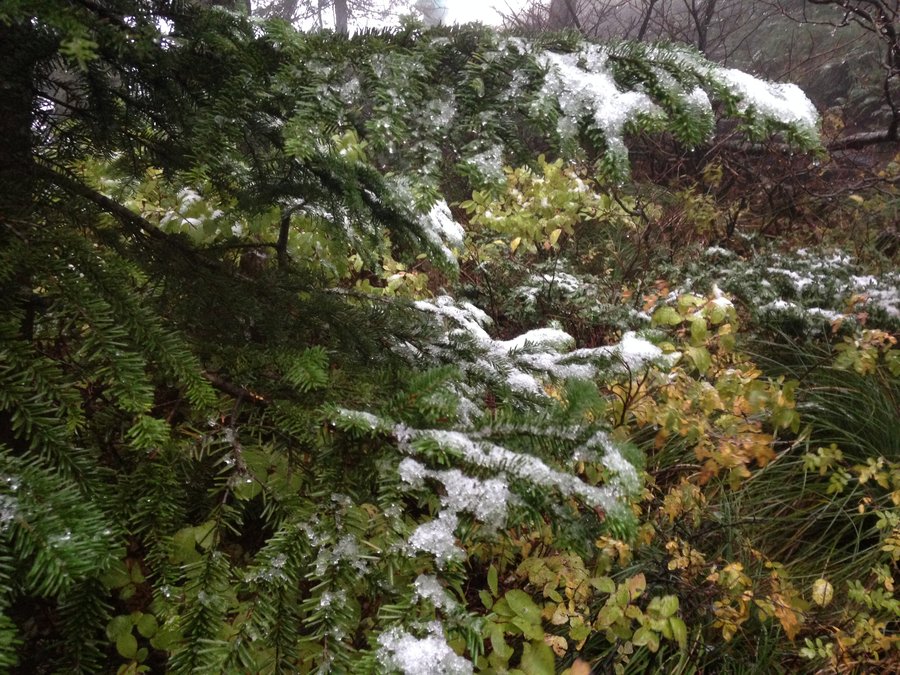
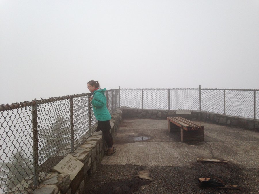
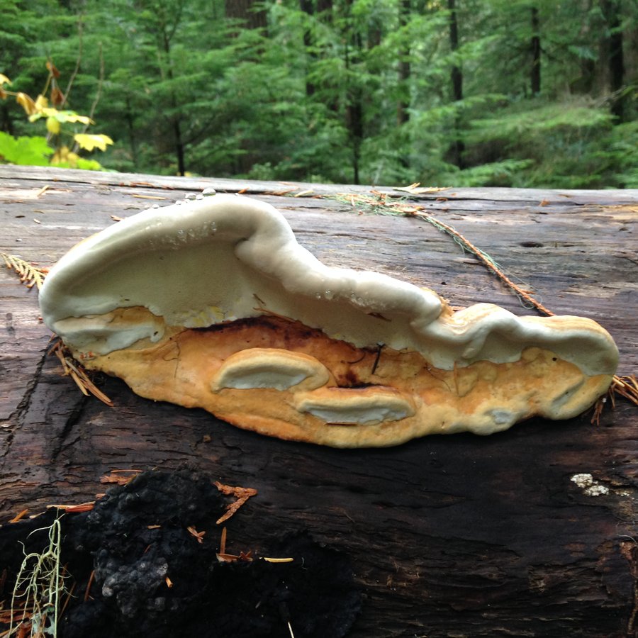
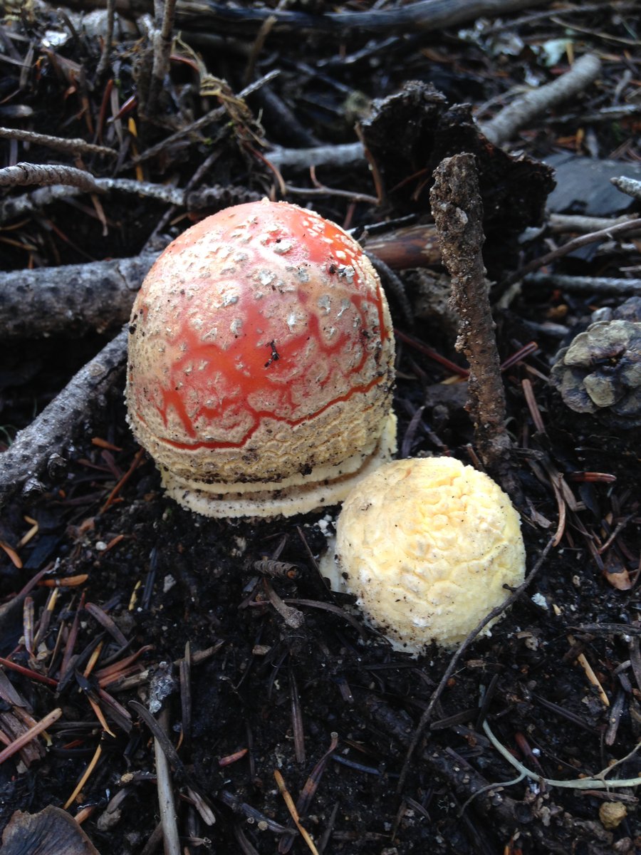
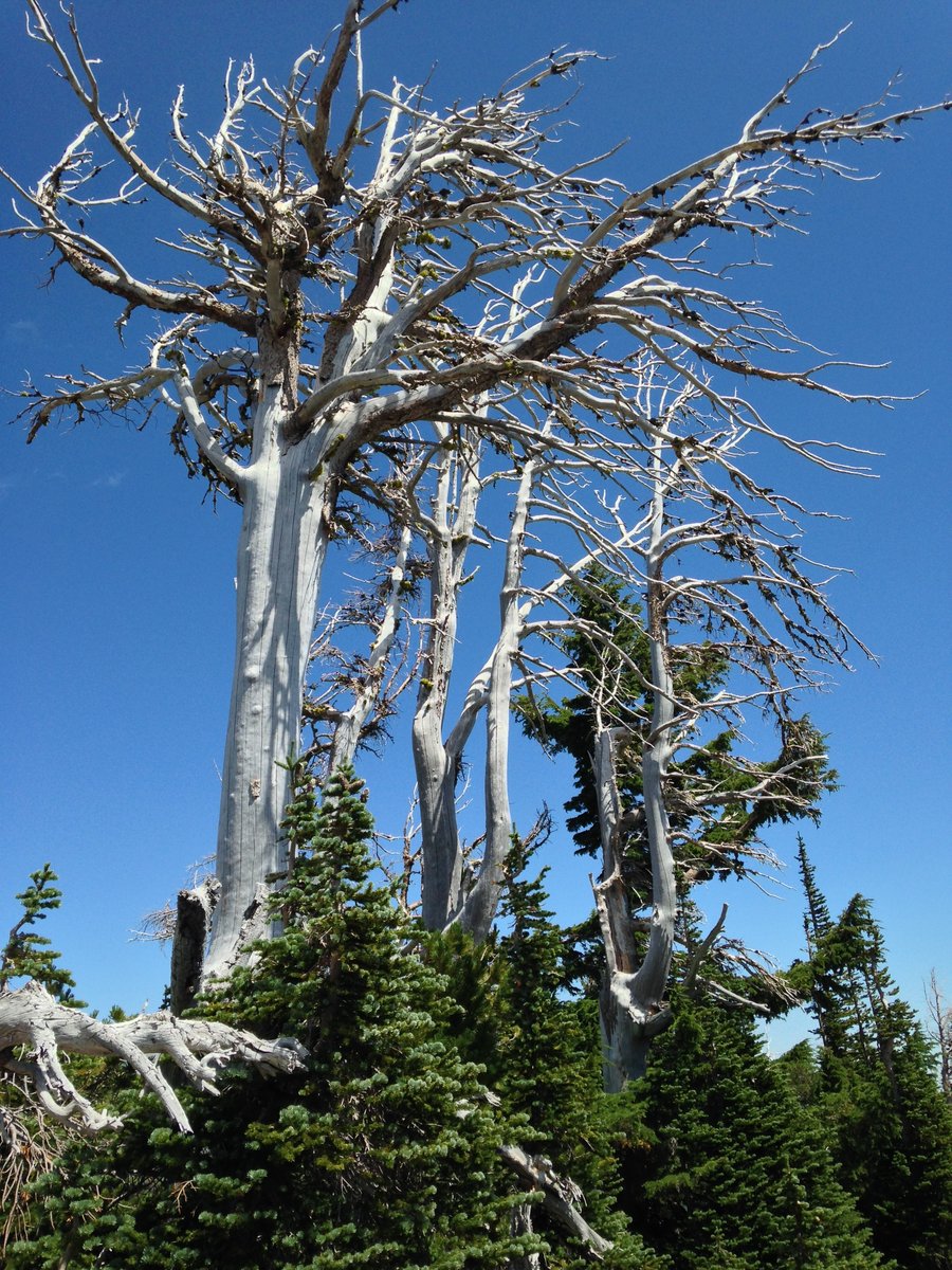
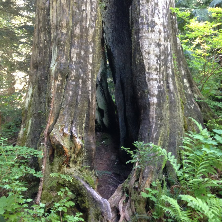
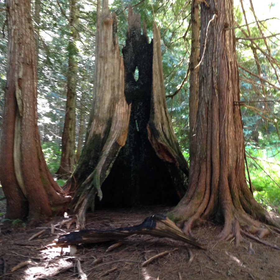
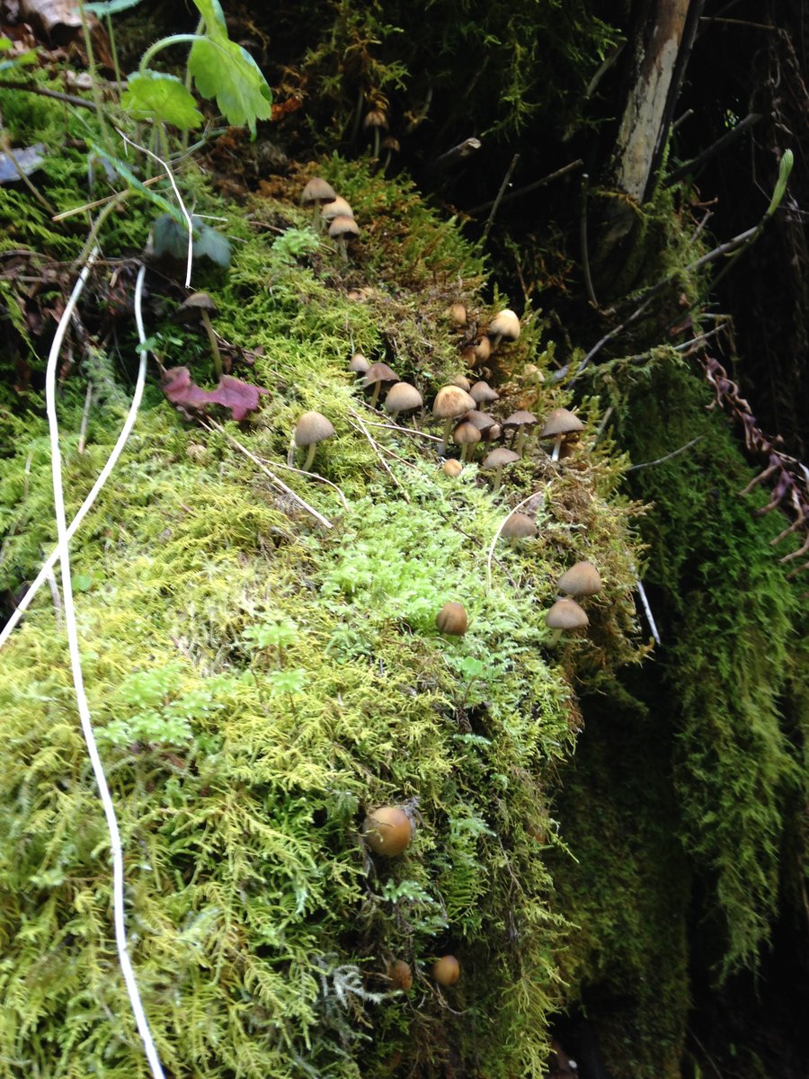
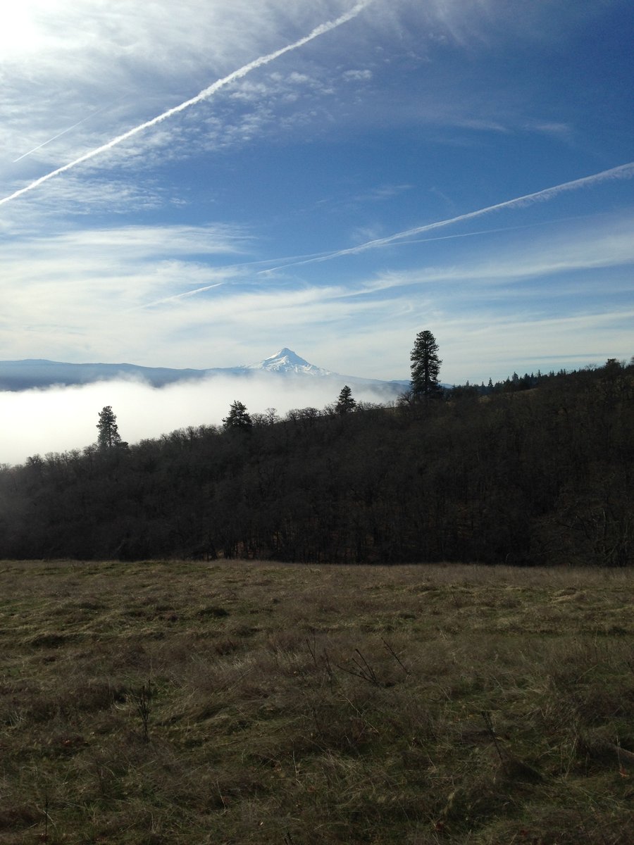
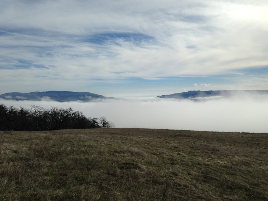
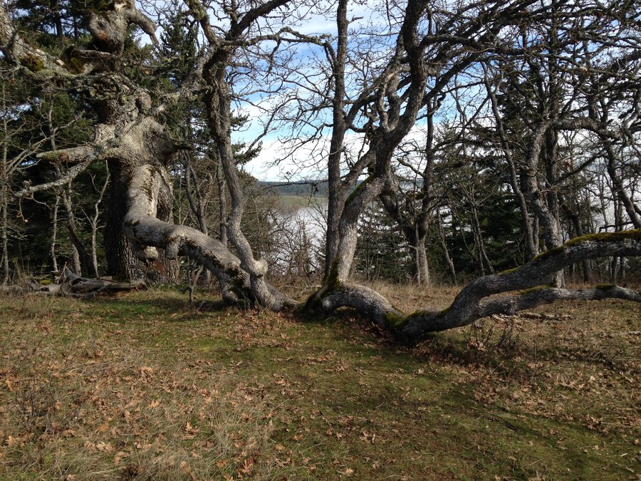
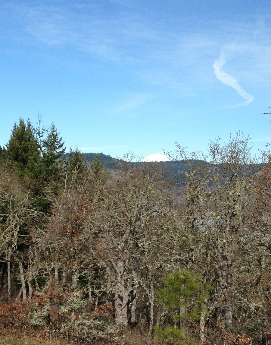
Bell Creek and Larch Fog
9 miles of hiking • 1750' elevation gain •
Great day with a friend taking the back way into Bell creek from Larch mountain. Slow pace due to excessive mushroom gawking. Some truly astounding old growth. Great day but dense fog at the beginning and end of the hike, so no views, but there was a light dusting of frost/snow on the trees just before the top of Larch. Wonderful trip.
November 10, 2015

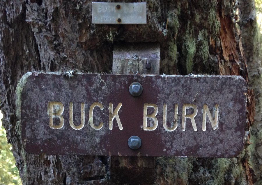
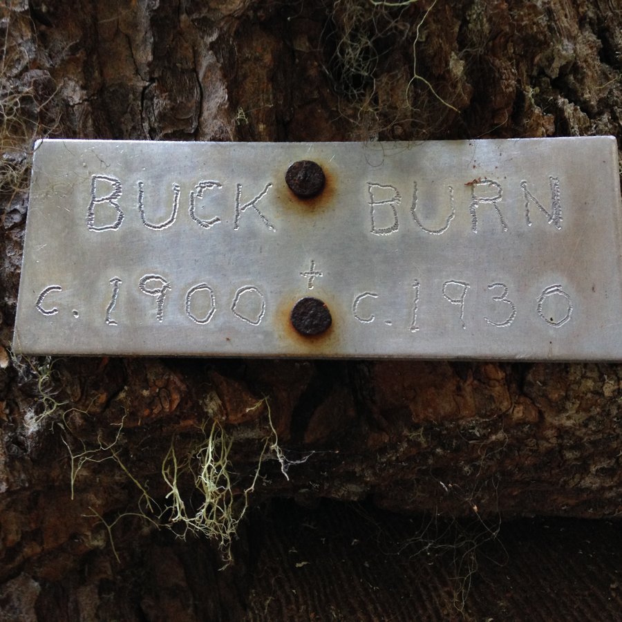
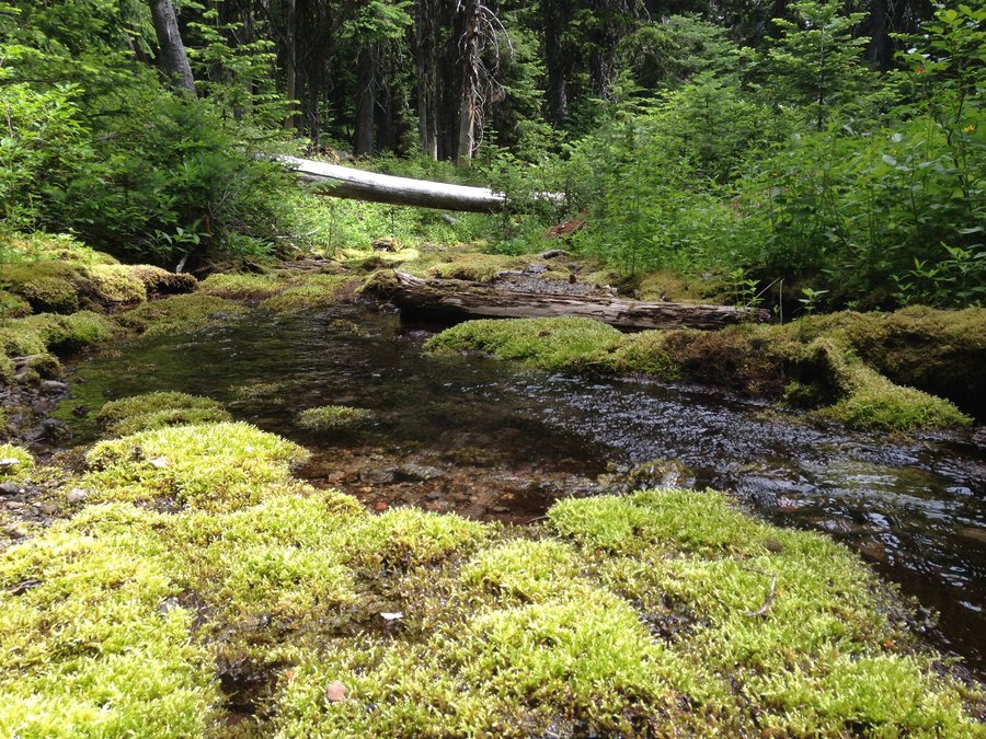
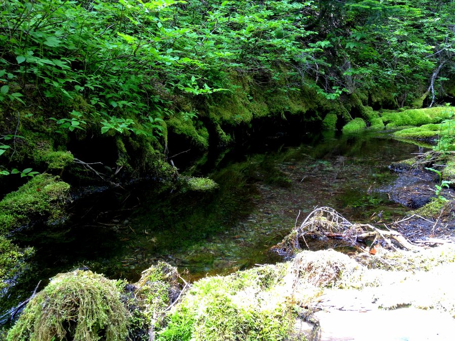
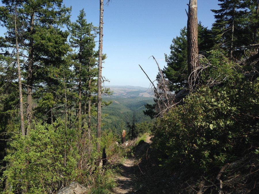
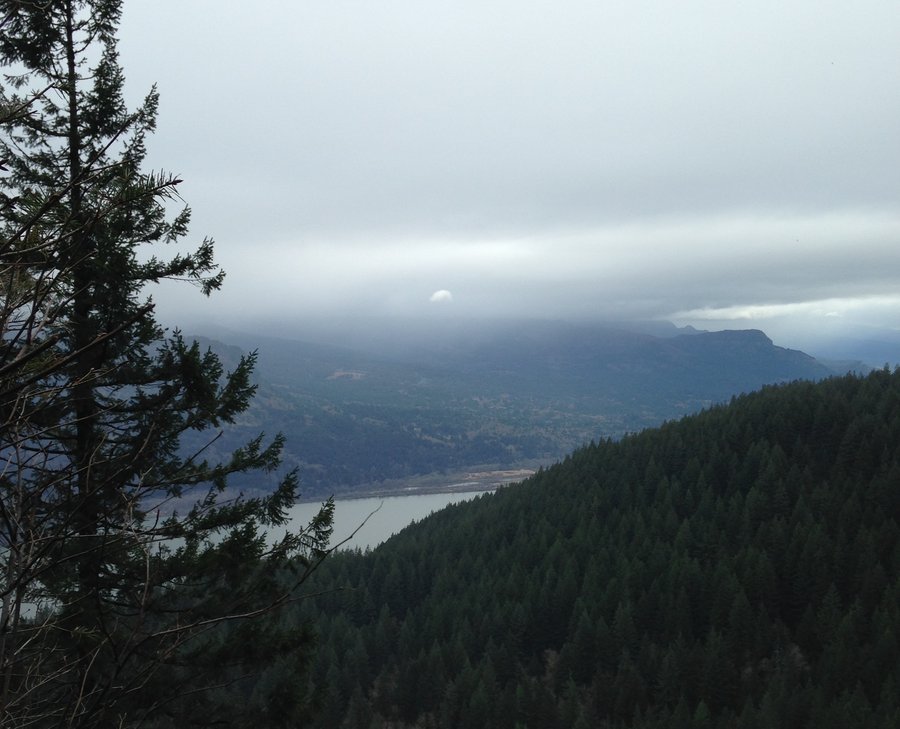
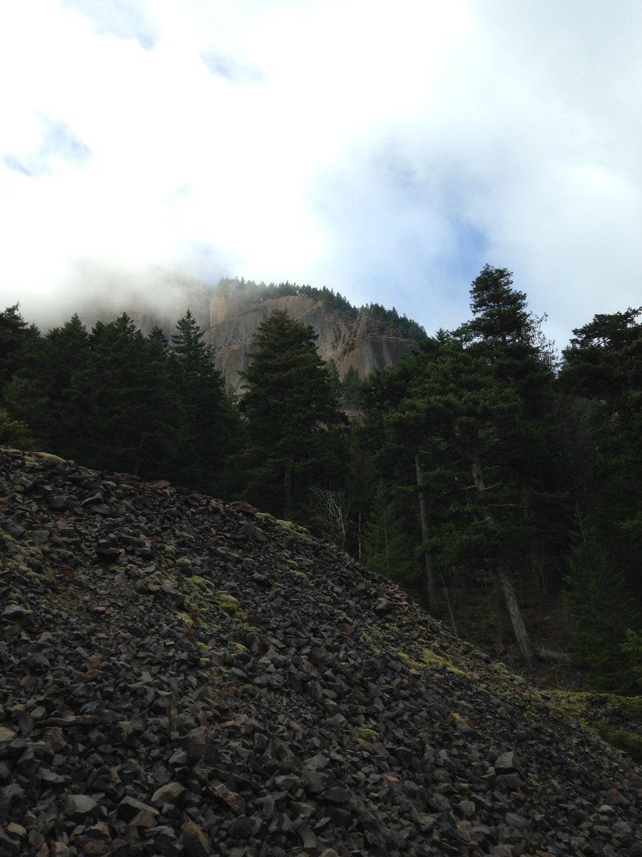
Herman creek to Whiskey creek
11.6 miles of hiking • 2250' elevation gain •
The parking lot was full when I pulled in but I only saw a few people on the trail. At 9 am on a Tuesday no less. Conferring with a women who pulled in right after me she diagnosed it as: OMG, last sunny day fever. I'm currently obsessed with the small pool filled remains of what I usually experience as rushing creeklets. The vine maple understory really stood out. I didn't get as far as I wanted, but it was still a wonderful day.
October 27, 2015


 3
3
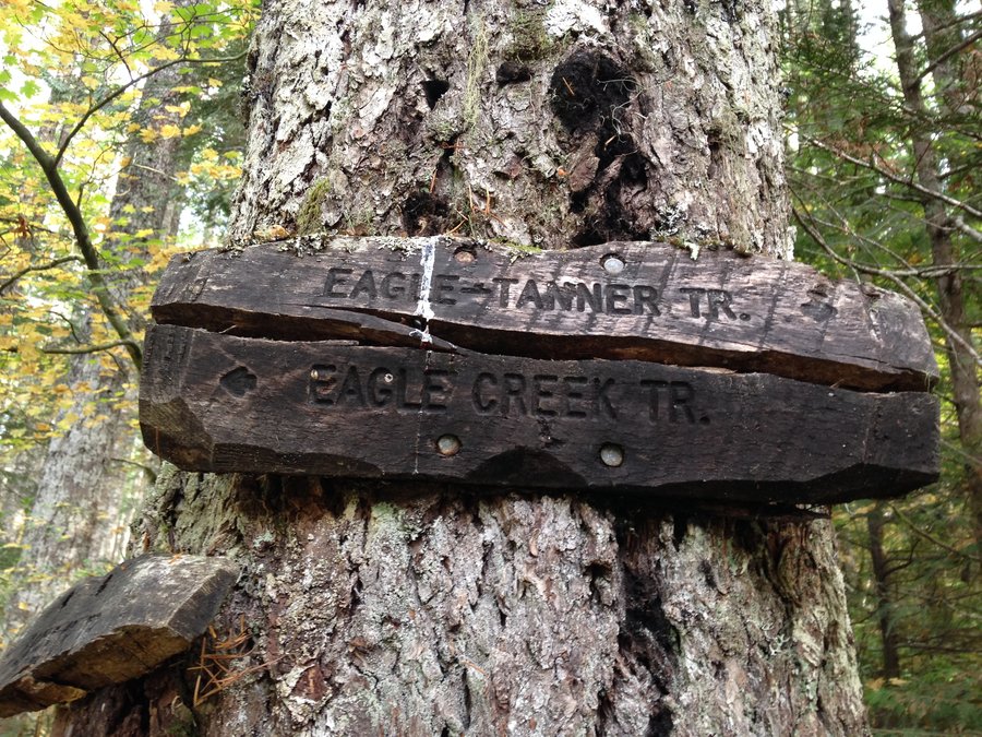
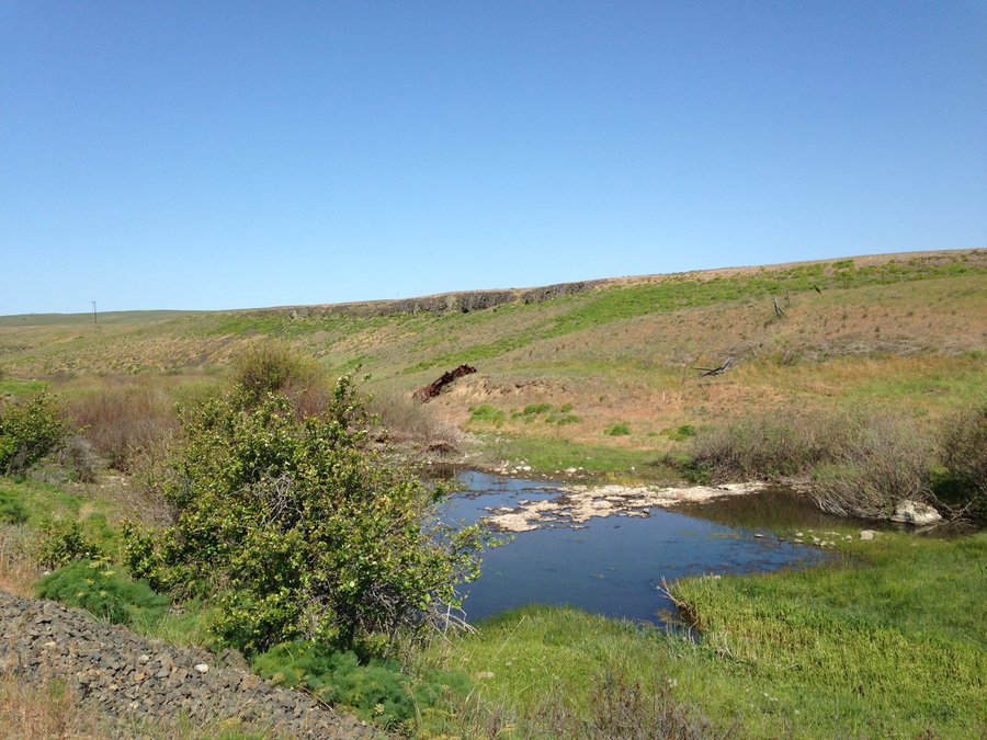
A Quiet Eagle Creek
15 miles of hiking • 1750' elevation gain •
Always one of my favorite hikes, especially after the crowds depart in the fall. The fall colors are mostly yellows and sporadic. But the maple leaves look really nice falling into the water. The salmon are still spawning. Apparently it's a larger than usual year. The understory of yellow trees was particularly nice above 7.5 mile camp. I only saw a few people all day except for a large group of teenagers having their picture taken in the plunge pool below Tunnel falls and shrieking at the top of their lungs at the cold. Given the solitude so far I actually found this endearing rather than annoying. Wonderful day!!
October 21, 2015


 1
1
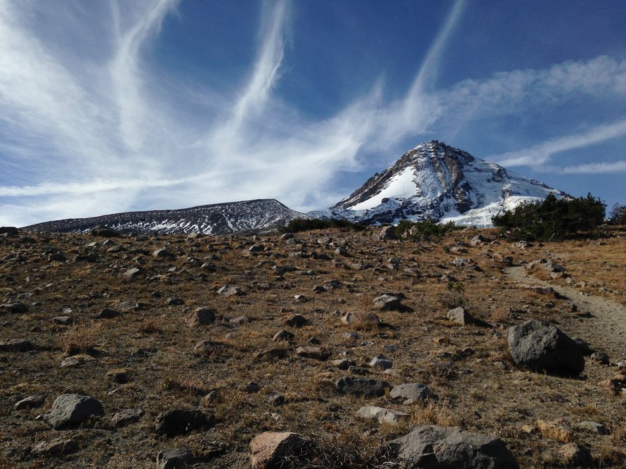
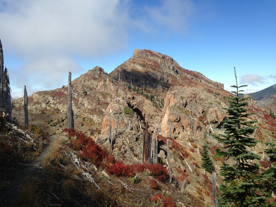
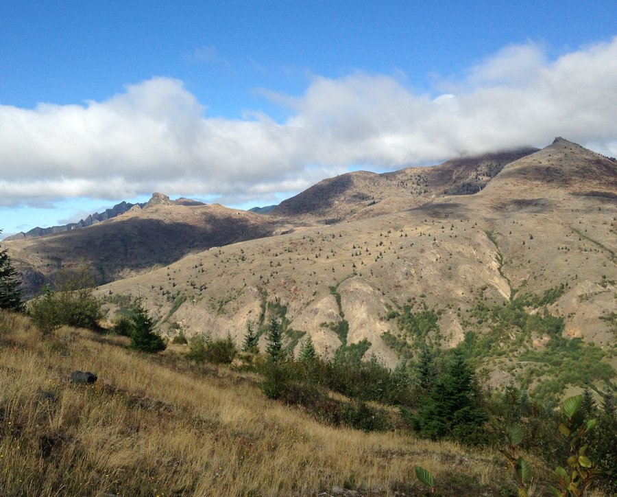
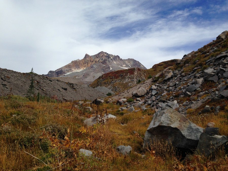
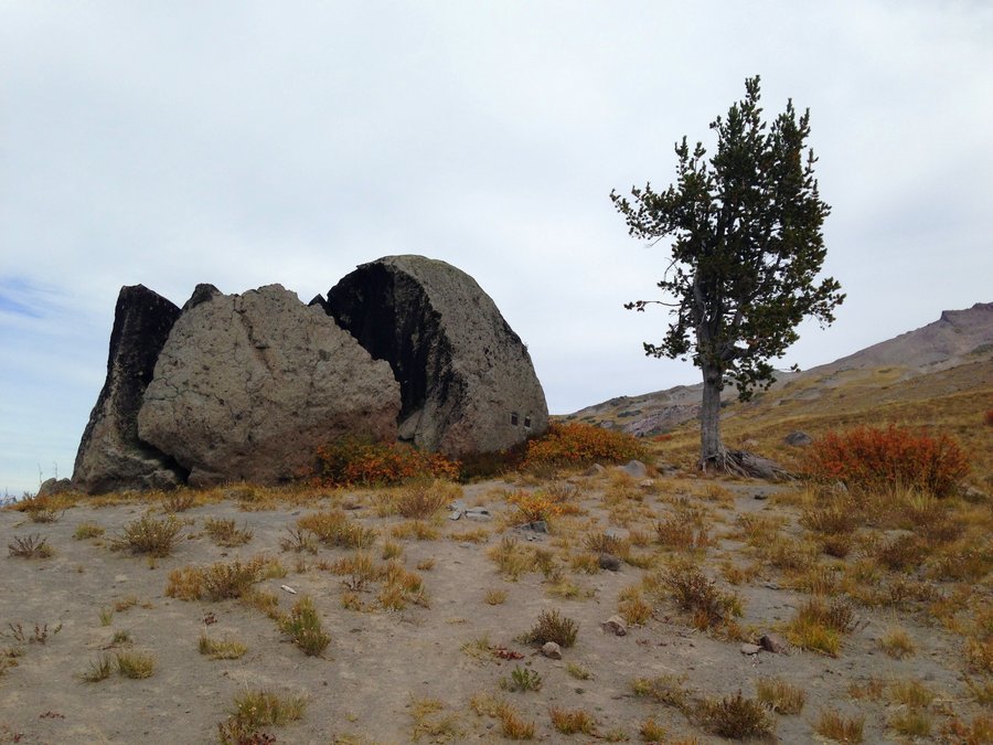
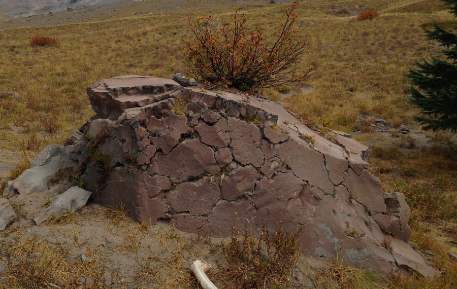
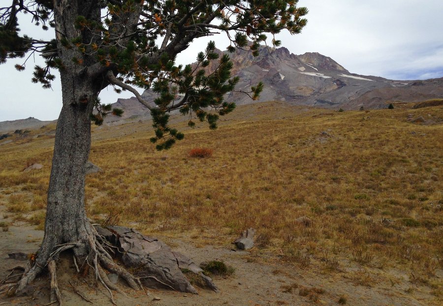
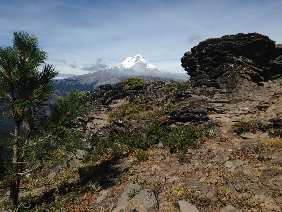
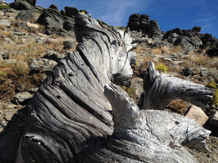
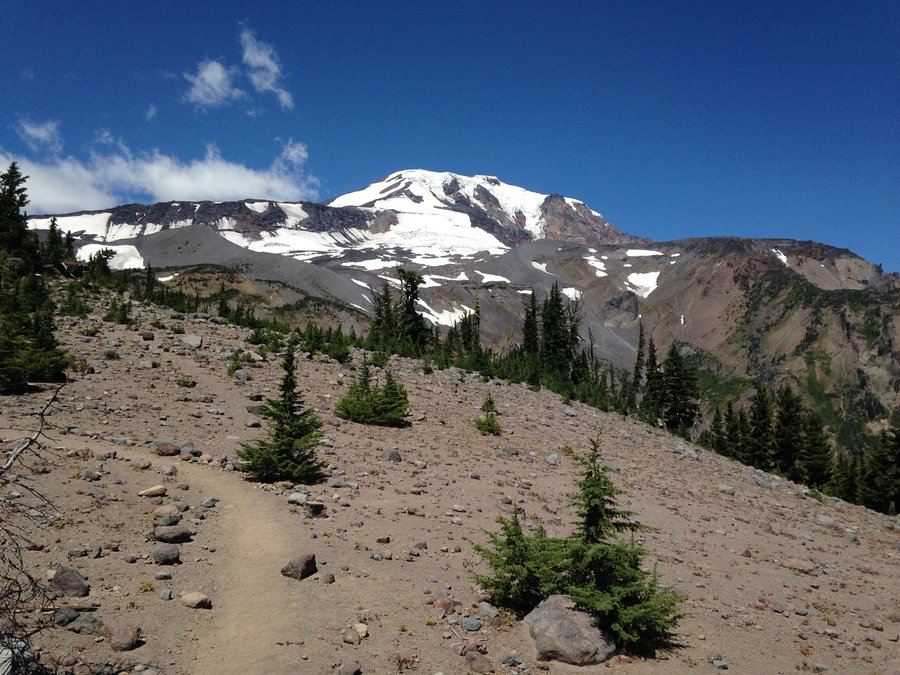
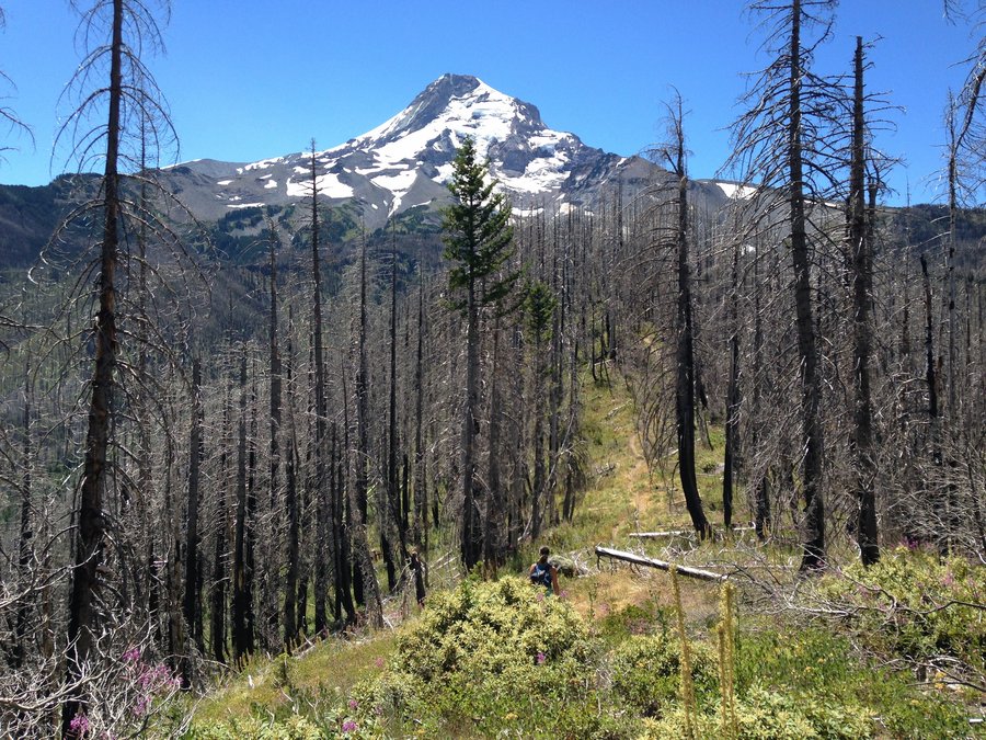
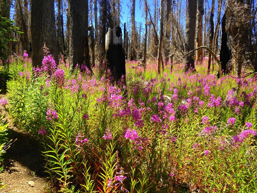
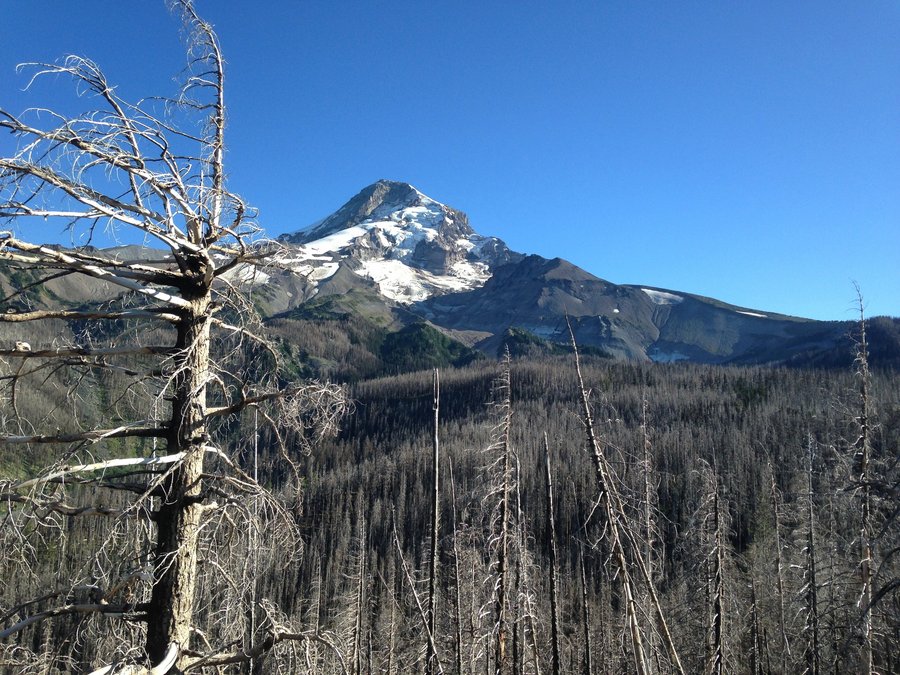
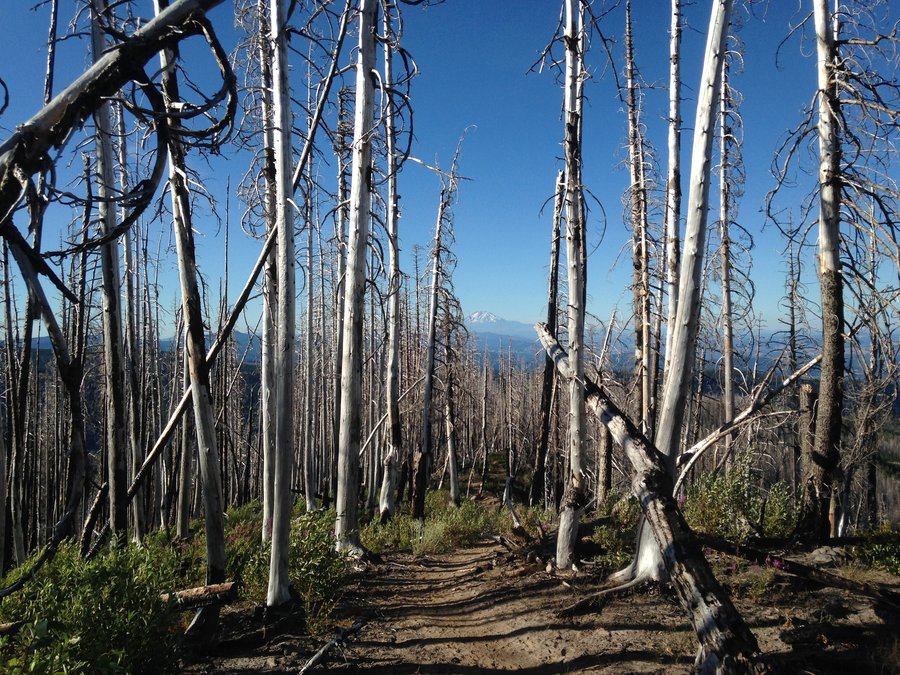
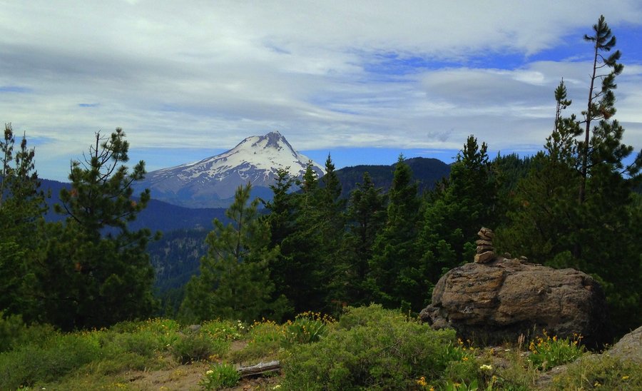
Cooper spur to Lambertson Butte area
7 miles of hiking • 0' elevation gain •
Nice slow hike to take in the views before the snow comes. Lots of great views. Larches in the distance were golden. No snow on trail and the Badger Lake fire is still smoking.
October 14, 2015


 1
1
Twin Lakes loop
10.5 miles of hiking • 1500' elevation gain •
Pretty quiet for a Sunday. Did a nice loop up from Frog lake sno-park, past Twin Lakes, and then up to Palmateer Point. You could see the fall colors very clearly on Barlow Butte. For the return I looped up to the PCT and came back down. I often think of the PCT as Hikers Highway! Not a lot of fall color, but the spots where there was color were outstanding.
October 3, 2015

 2
2
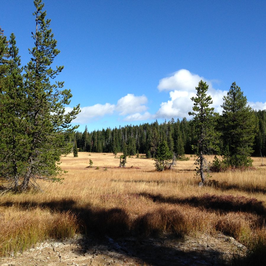
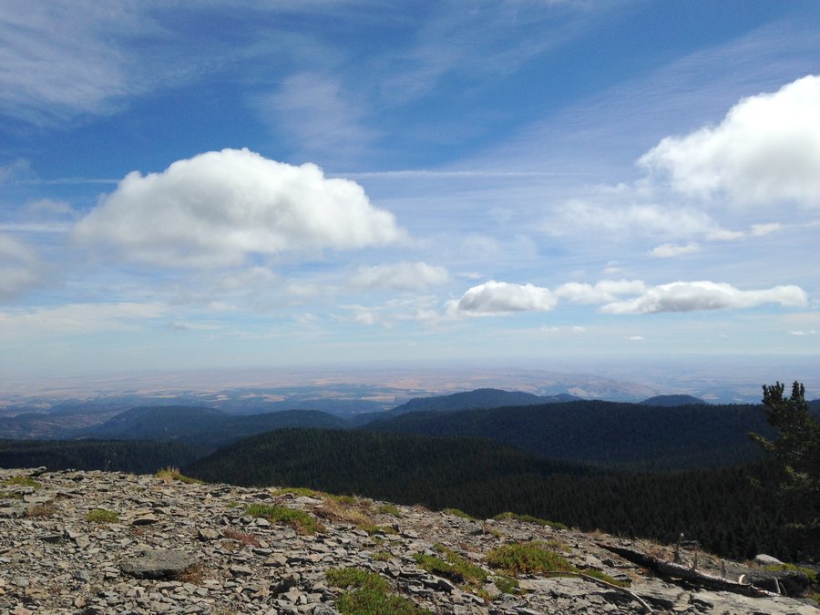
High Prairie to Beyond Gunsight Butte
11.07 miles of hiking • 2000' elevation gain •
Another wonderful day in the Badger Wilderness. A nice meander up and over Lookout Mt, over Gunsight Butte and back on the Bennett Pass Road to High Prairie. Beautiful views.
September 28, 2015


 2
2
Bonney Butte Hawkwatch
8 miles of hiking • 2000' elevation gain •
The cloud cover looked as though it wasn't going to live up to the forecast's promise of sunny skies. But twenty minutes into the hike it all cleared off. There was no sign at the trailhead, but the signage was excellent everywhere else on the hike. I didn't see a single person on the trail. I knew there were lots of folks up on the butte, so I enjoyed my solitude while I had it, with a long slow meander through the meadows. The views past the campground and up to the butte were great. At the top lots of birders were enjoying the day. Volunteers from Hawkwatch International were doing their annual raptor count. While I was up there we saw ravens and turkey vultures of course, but also a merlin and lots of other birds I couldn't even pretend I was seeing without binoculars. Just before I left the volunteers brought down a juvenile coopers hawk they had banded. A wonderful day.
September 26, 2015


 1
1
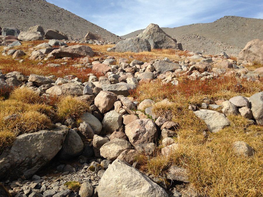
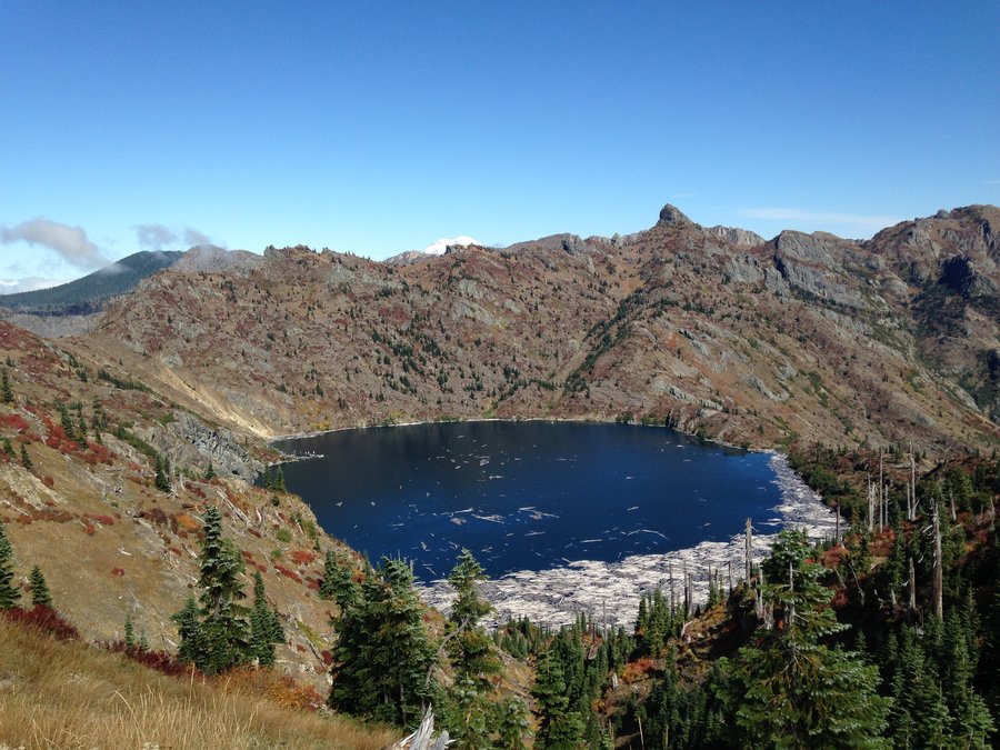
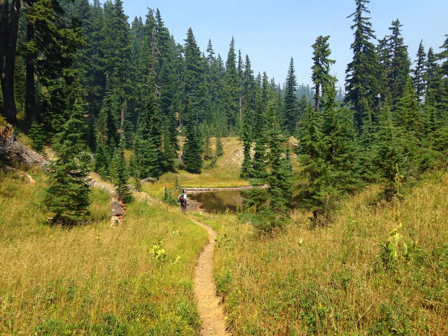
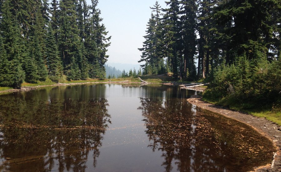
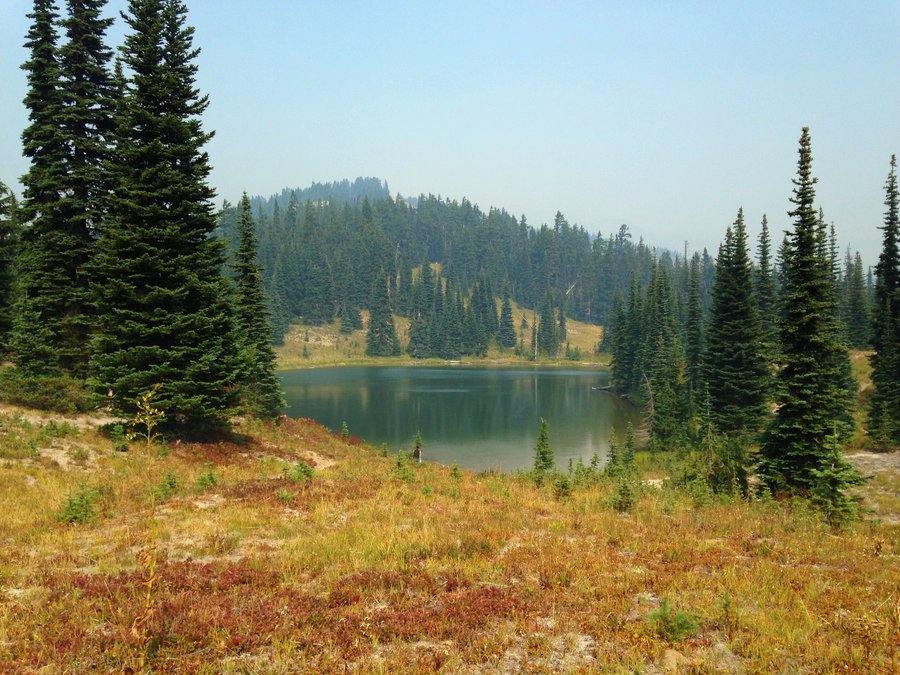
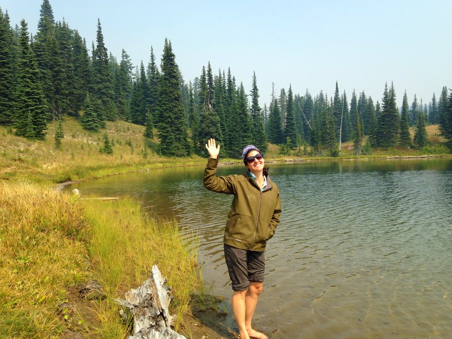
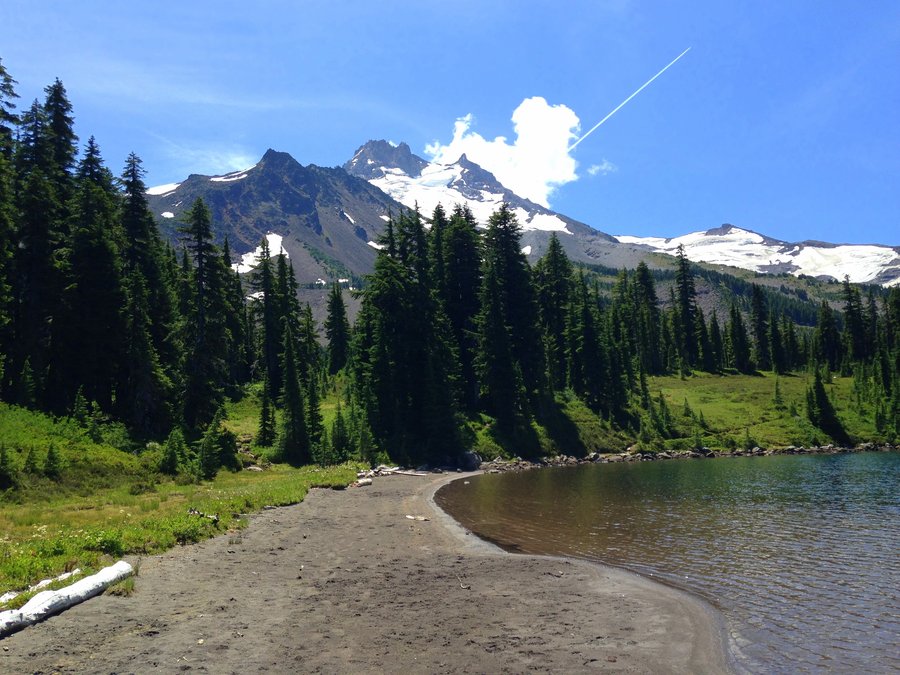
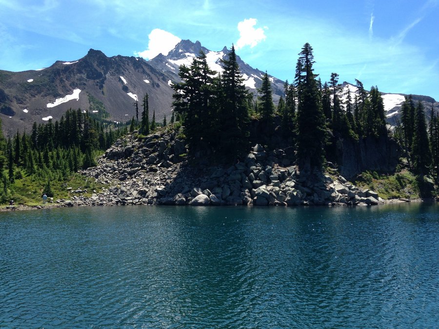
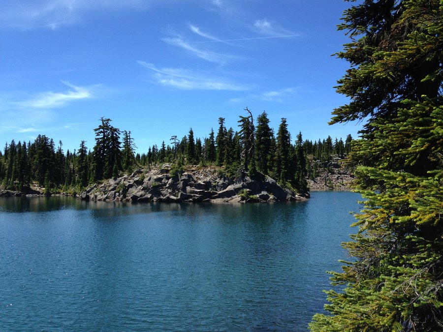
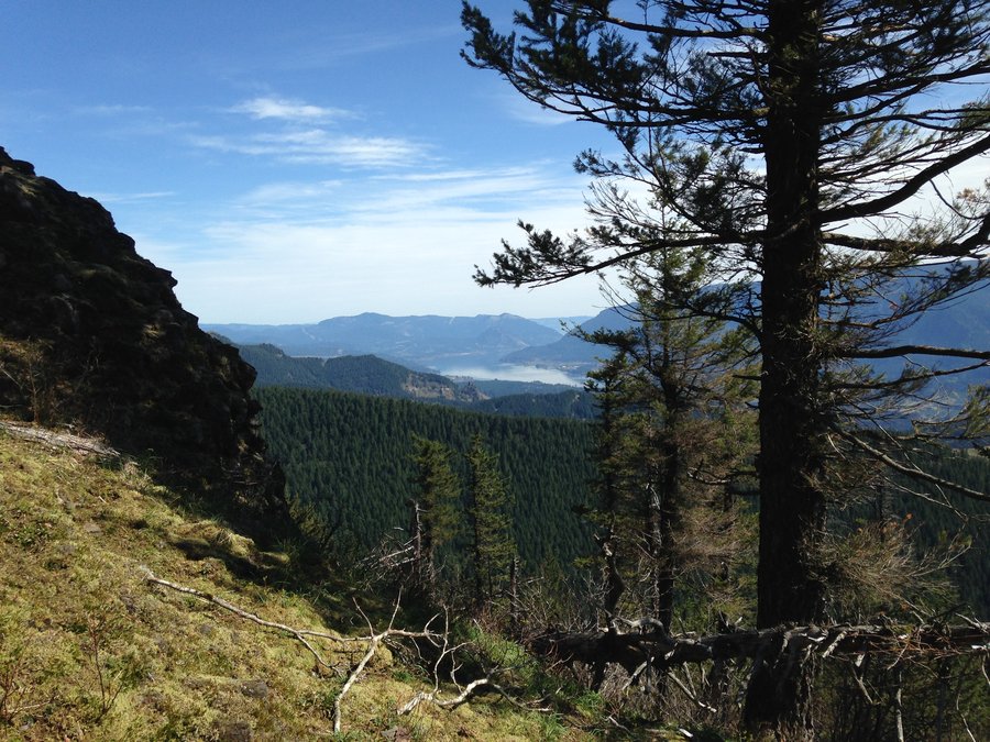
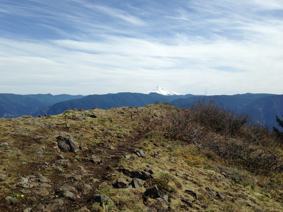
JRO to St Helen's Lake
10.18 miles of hiking • 1750' elevation gain •
It had been a long time goal to see St Helen's Lake. Monday I finally made it, with sparkling skies and beautiful autumn colors. The views here are different and spectacular around every turn.
September 21, 2015


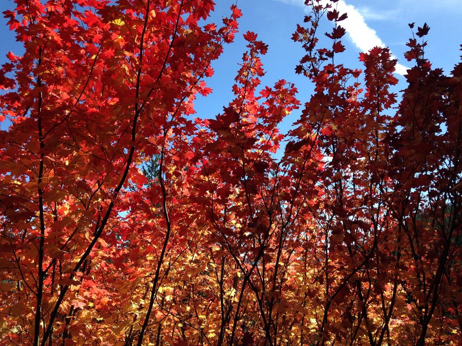
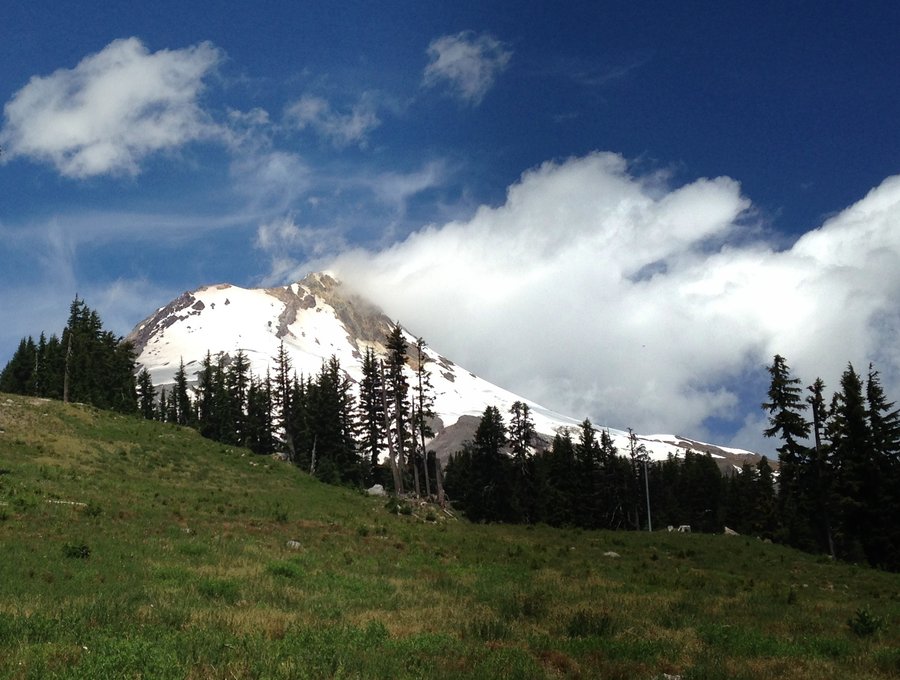
Paradise Park from Timberline Lodge
13.26 miles of hiking • 3000' elevation gain •
Due to intermittent car starting issues, which can't be diagnosed until it will occur for the mechanic, I am heading places that have reception, or people with phones or radios nearby. I thought Timberline would be crazy crowded, but it really wasn't except right around the lodge in the afternoon. The fall colors were stunning, crossing the Zigzag was ridiculously easy, and it was totally beautiful everywhere.
September 13, 2015


Thomas Lake to Bear Lake
11.5 miles of hiking • 1750' elevation gain •
Ponds and more ponds! Tarns, lakes galore as well. We took established trails for the first part of the day, then some version of the various older and unmaintained trails to get back. The PCT is great, but I really prefer the older trails though the meadows. The sun never fully emerged but it was out enough to make lots of great reflections in the water. Great day, great trailfriend, great day to be alive.
September 7, 2015


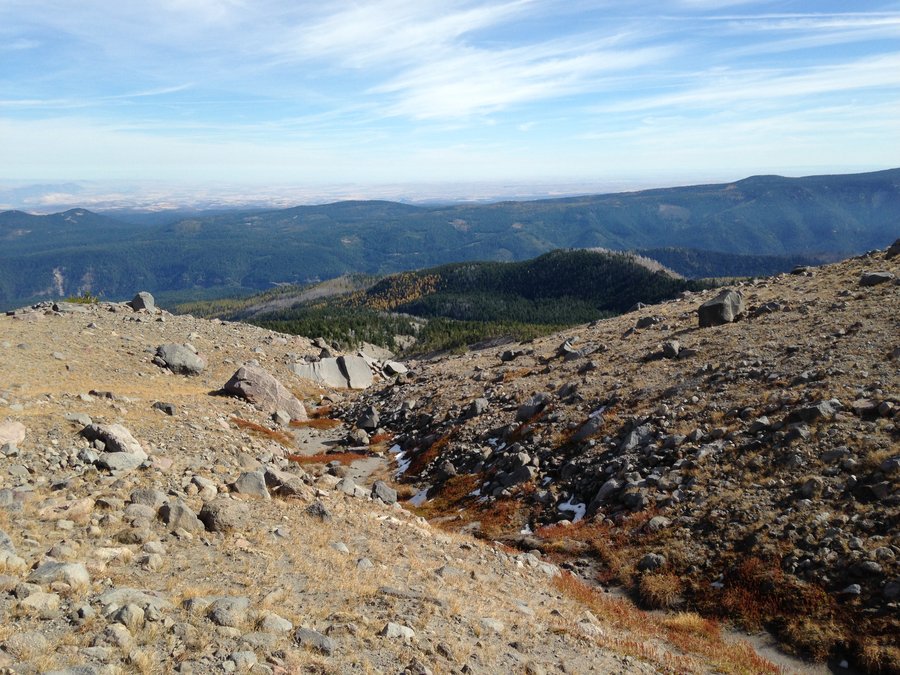
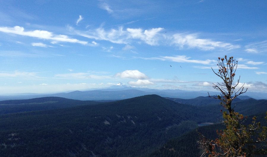
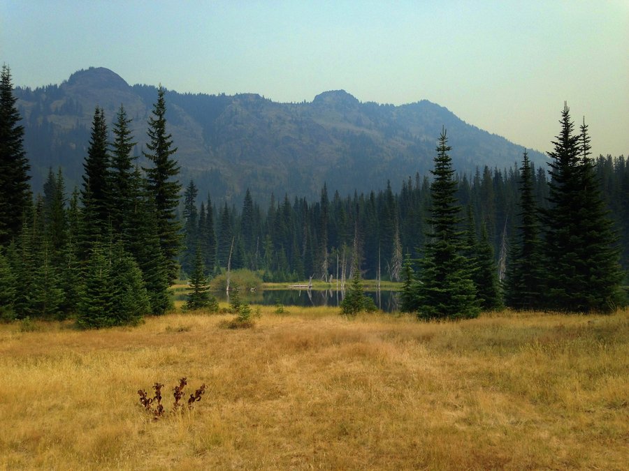
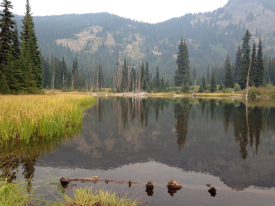
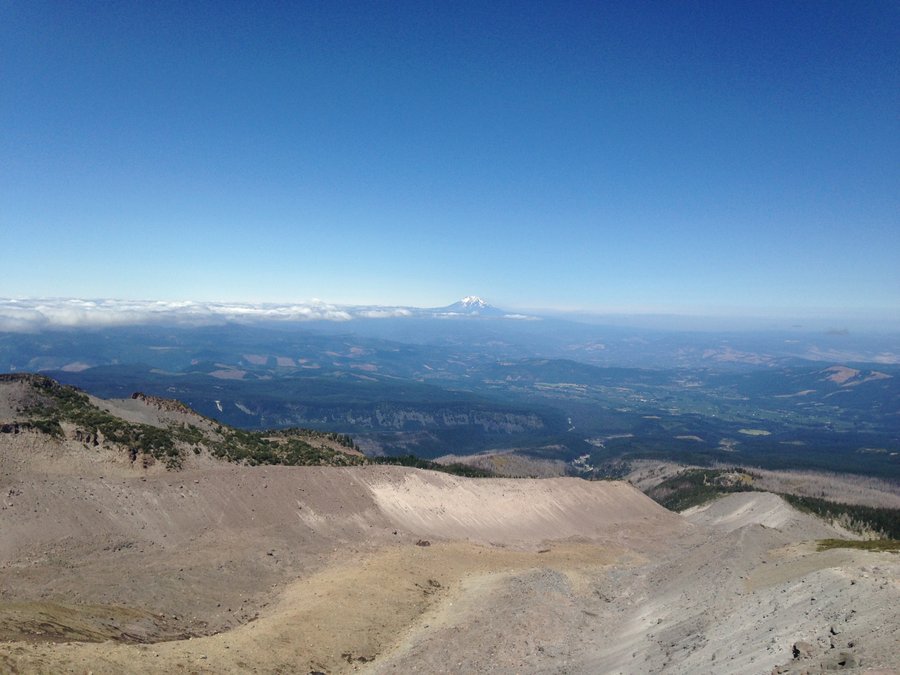
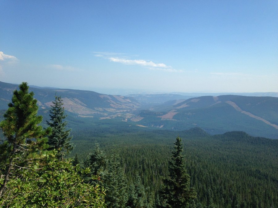
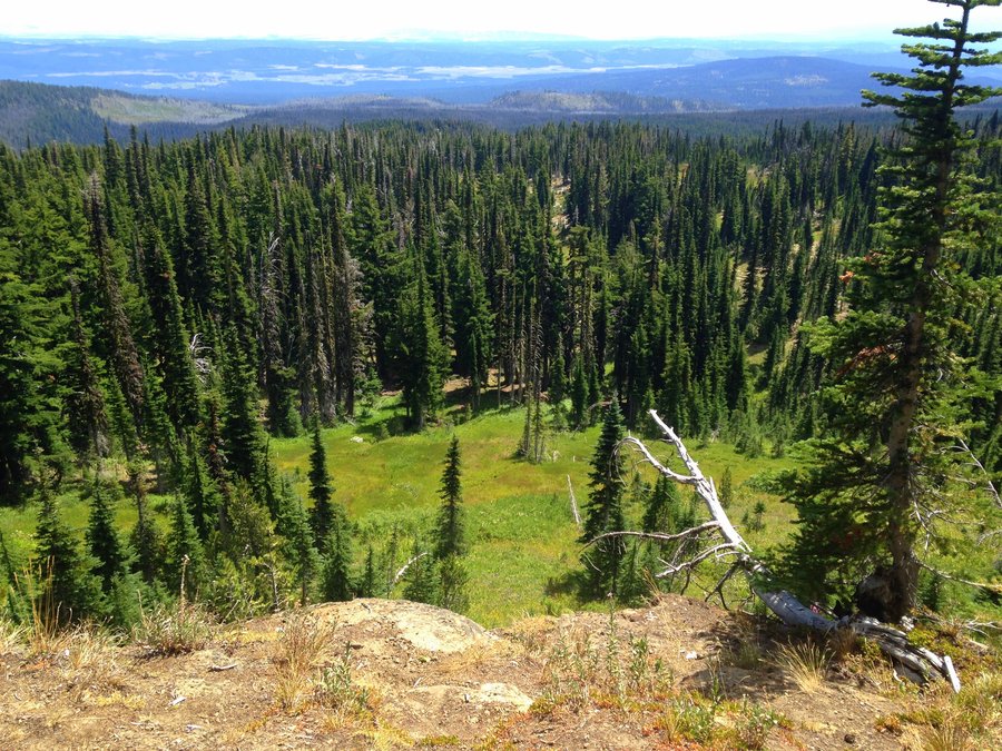
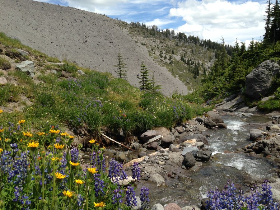
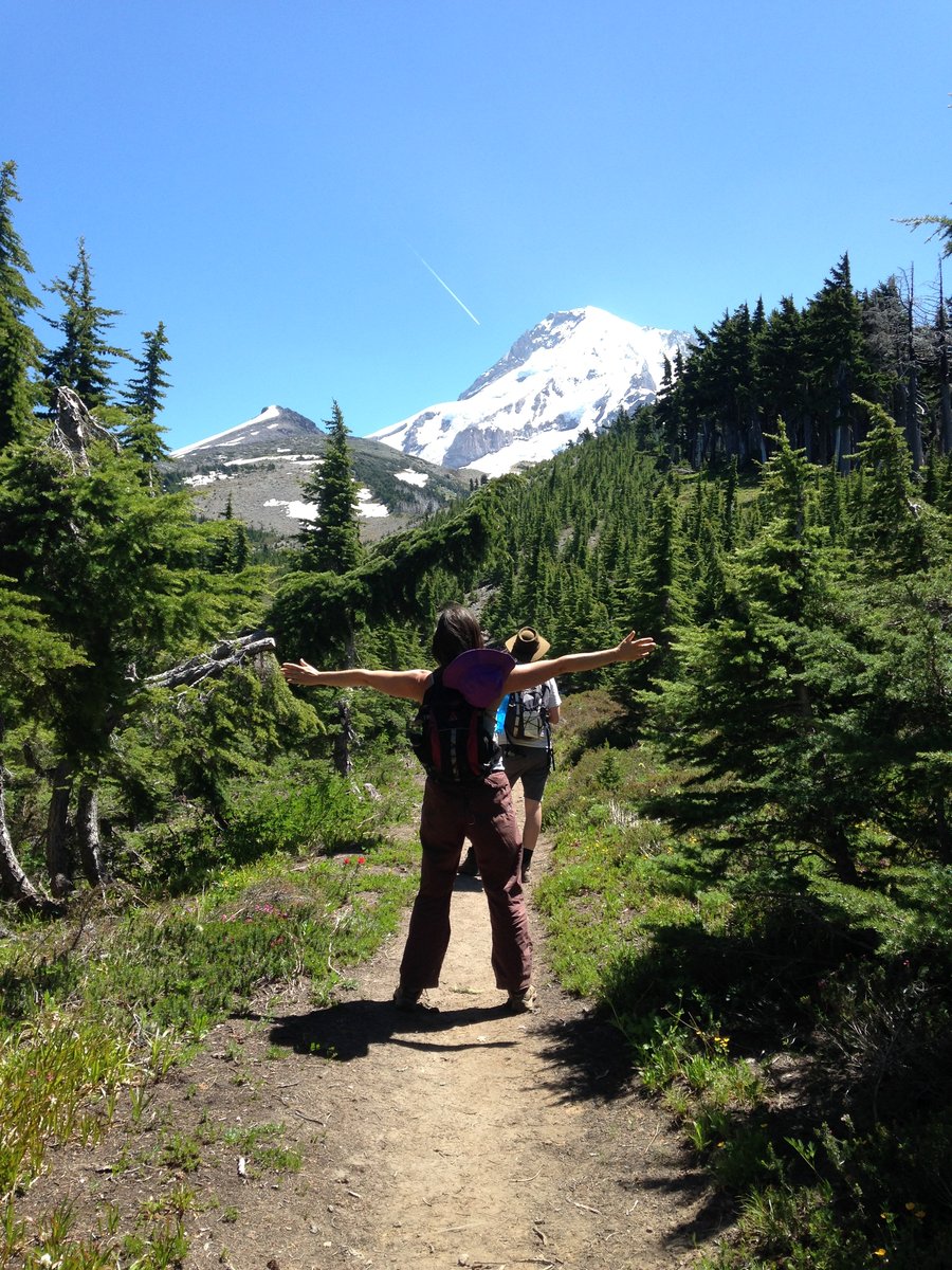
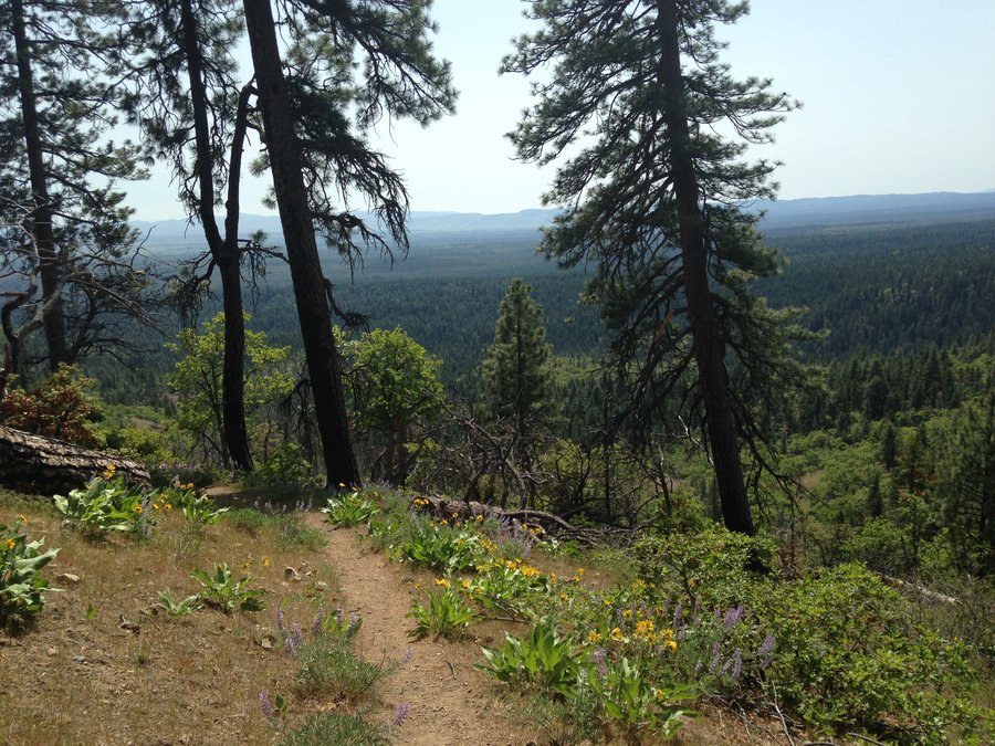
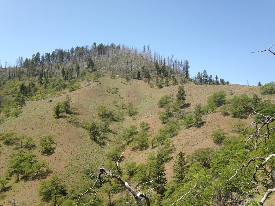
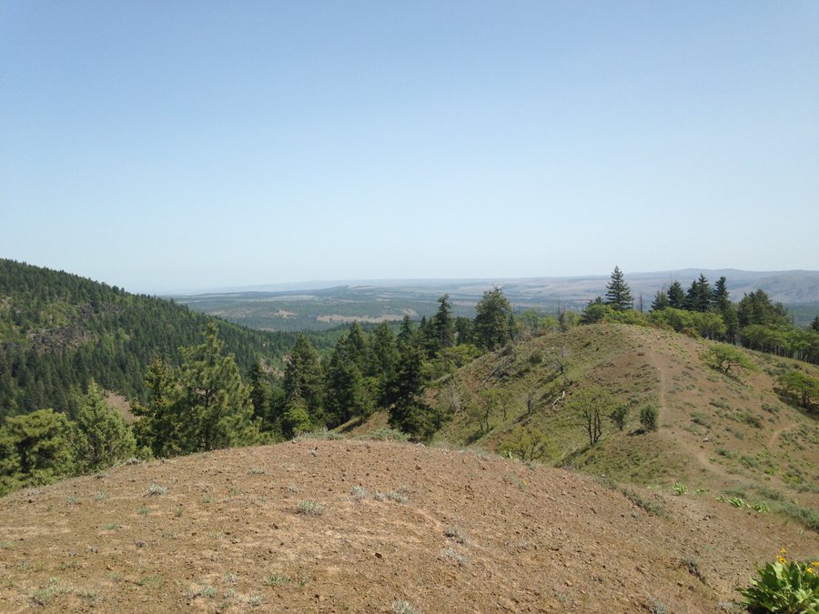
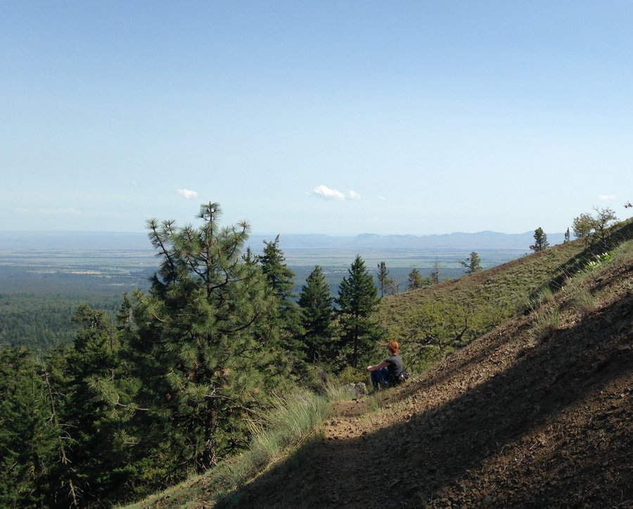
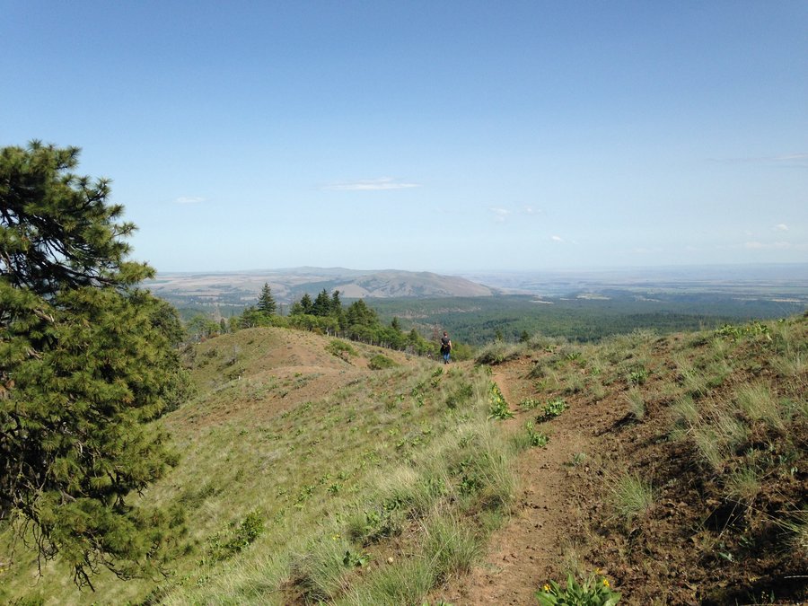
Lookout Mt. to Gunsight Butte
9.08 miles of hiking • 2250' elevation gain •
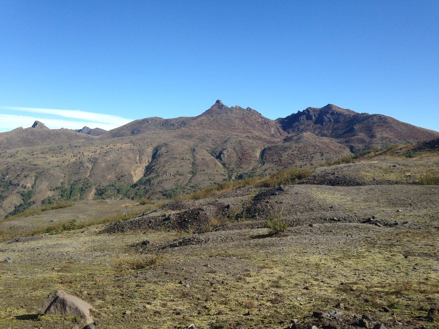
Searching for clear skies, the Badger Creek Wilderness sounded promising, so I set out to the east. I wanted to do a different section than I usually do. So I planned a loop from High Prairie, up Lookout Mt., down to Gumjuwac saddle, over Gunsight Butte down to Jean Lake and back to the trailhead by way of the Bennett Pass road. I ended up only going as far as the viewpoint from Gunsight Butte. Bennett road was closed to cars. Once at the viewpoint on Gunsight it seemed possible that the road might be completely washed out in one section and that section was pretty near the road's junction with the trailhead. The angle of view was to bad to tell for certain and it might not even have been the washout I was looking at, but it was already late in the day and the idea of having to walk almost all the way back to the TH find that it was impassable, then back track a few miles and then still go back up over Lookout Mountain was unappealing. So instead of a loop I just made it an out and back. Which was great I didn't mind seeing the same views twice. Wonderful day, smoke free and just enough clouds to make it dynamic.
August 31, 2015


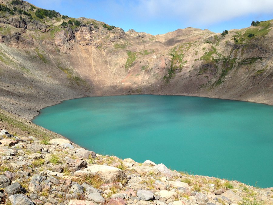
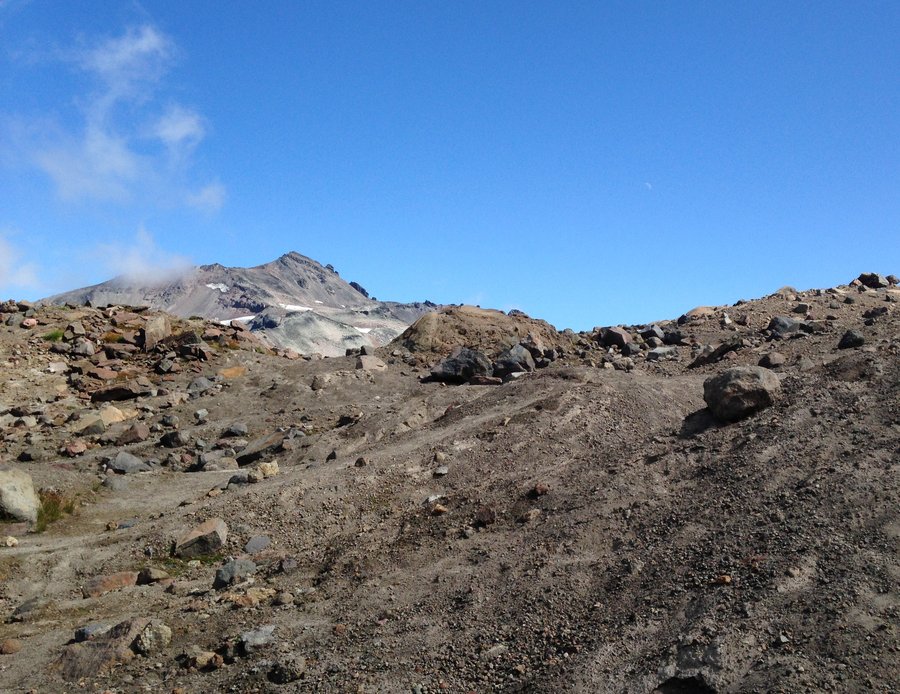
Goat Rocks day 4-Glacier Lake
4.5 miles of hiking • 1500' elevation gain •
This was a hilarious hike. We wanted to end our trip with a stroll and possibly a swim in this low elevation lake. Due to not looking carefully at the map we found ourselves going very steeply up then sliding insanely steeply down and repeating until we found ourselves with 3/4 of a mile left to still make 800 feet of elevation gain. After trudging up through a beautiful mossy but hot rockfall we found ourselves at a lake that looked more like Detroit Reservoir at low water. We had to laugh at ourselves since it was so completely opposite of what we expected.
August 24, 2015


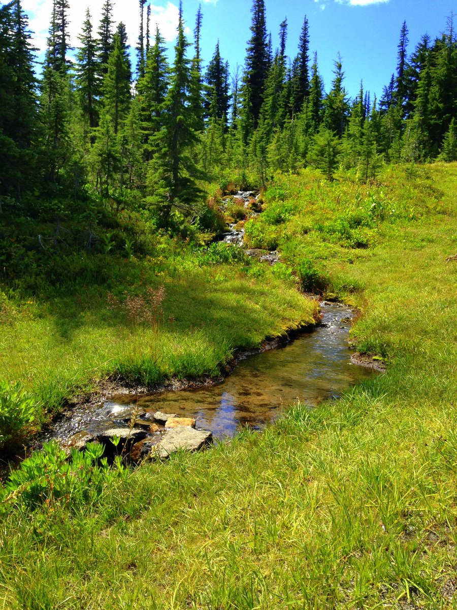
Goat Rocks day 3 Walupt Creek
14.54 miles of hiking • 1750' elevation gain •
Smokey day so I walked up mostly dry Walupt creek to a beautiful pond just before the PCT junction. Complete bird sanctuary, but the only one willing to pose was a Grey Jay. Refreshed myself back at Walupt lake and tried to get a few photos through the smoke.
August 23, 2015


Day 2 Nannie Ridge to Sheep lake
10.92 miles of hiking • 2750' elevation gain •
Beautiful scenery despite the smoke. Lots of northbound PCTers at the lake and lots of backpackers.
August 22, 2015

 2
2
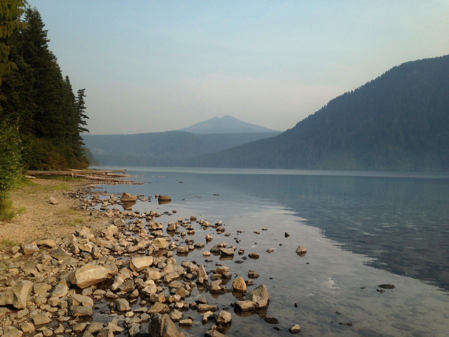
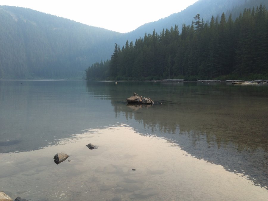
Day 1 Goat Lake!
12.24 miles of hiking • 2750' elevation gain •
Friday was the smoke free day so we went on a trail that promised amazing views and weren't disappointed. We were the only day hikers up there but it wasn't too busy except in the Jordan Basin- Goat Lake area where lots of people were heading in for the weekend. While we were up there the wind shifted and the plume of the Mt Adams fire started heading our way. Definitely somewhere I want to explore more. Exceptional in every way.
August 21, 2015


 2
2
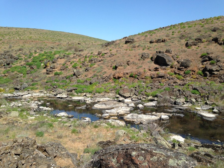
Sheep Canyon
9 miles of hiking • 1750' elevation gain •
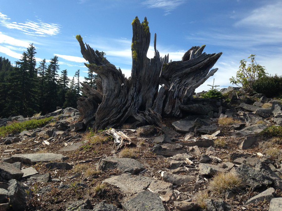
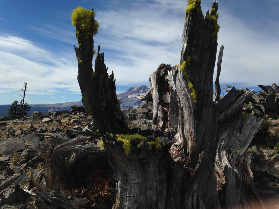
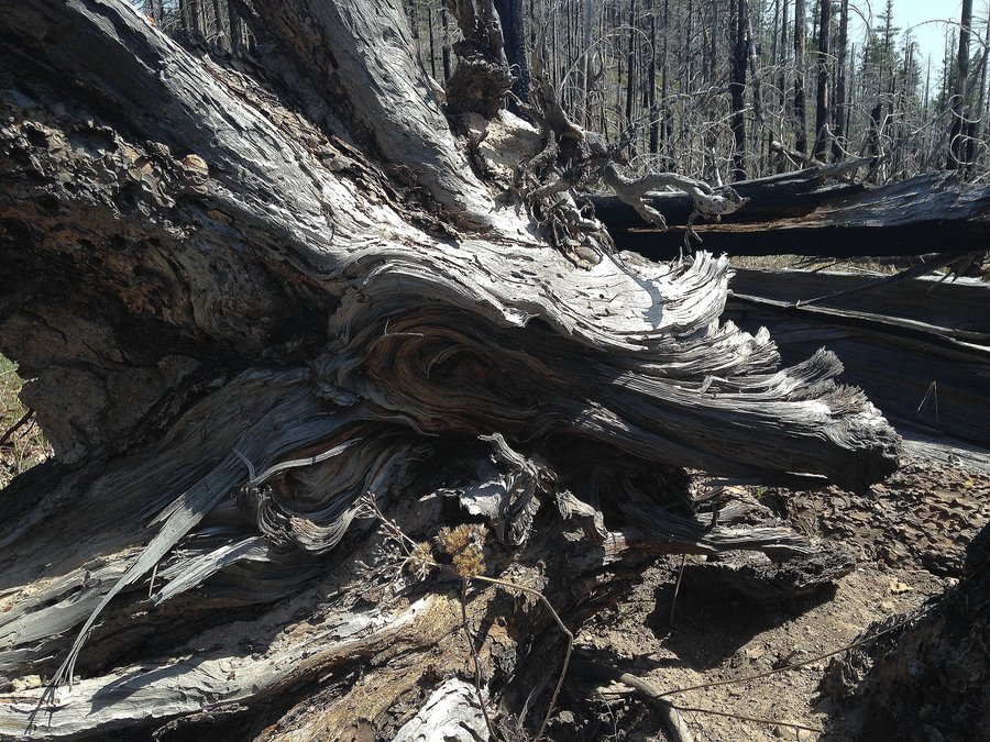
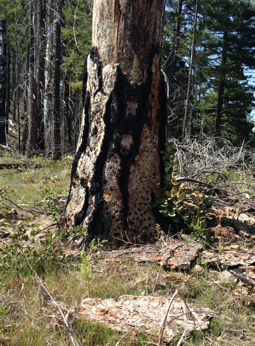
Great day, Nice clear air surprisingly. Smokey east of the Cascades. We didn't do the whole loop having heard from backpackers, who heard from someone else that the South Fork Toutle trail was washed out. We later ran into hikers who had done the loop and said that there was a easily managed rockslide, passable by even the unadventurous. Still we were happy with our choice since we had more then to explore some nearby overlooks and up some of the washout canyons. Beautiful forest with some awesome snags and and a bit of old growth here and there. Blue lake is a worthy destination on its own and Helens was magnificent although the photos really don't capture it. The ground was still damp and cool from the rains and it was totally fabulous in every way.
August 16, 2015


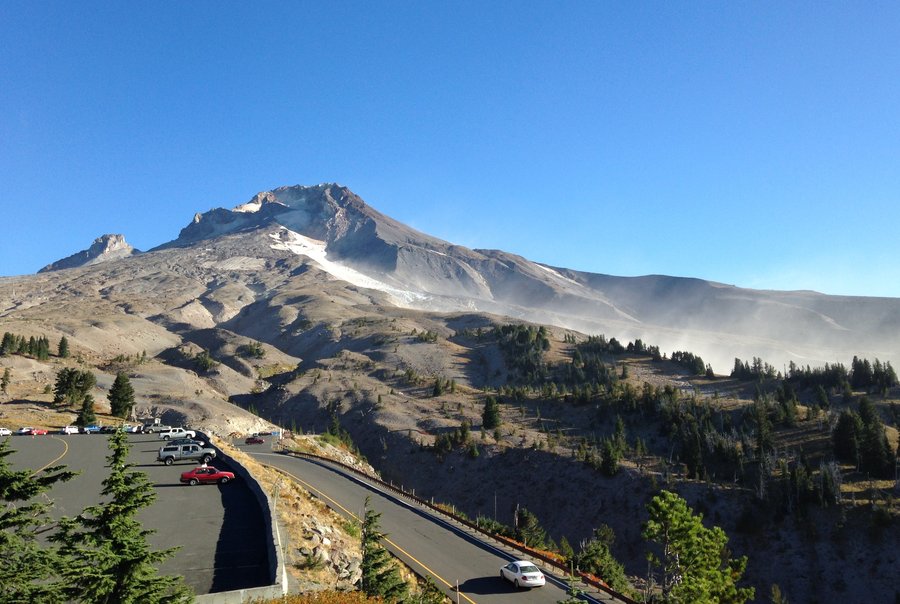
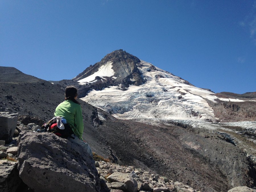
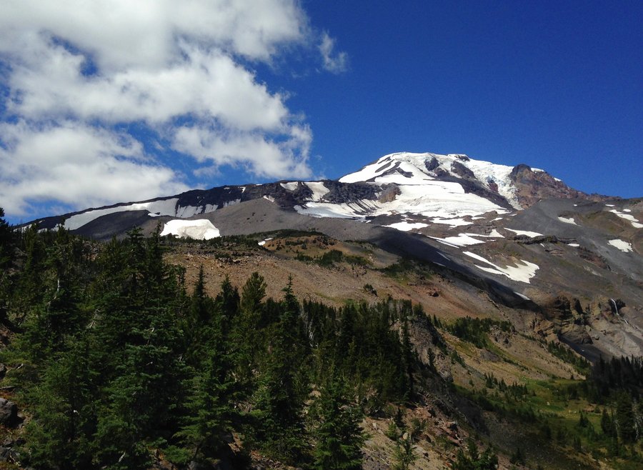
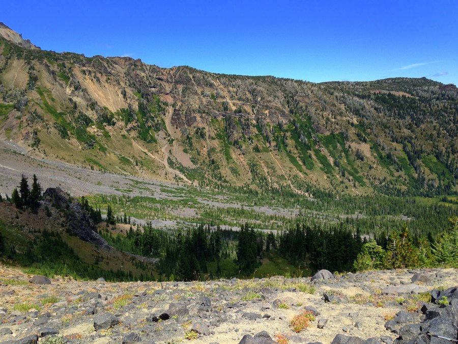
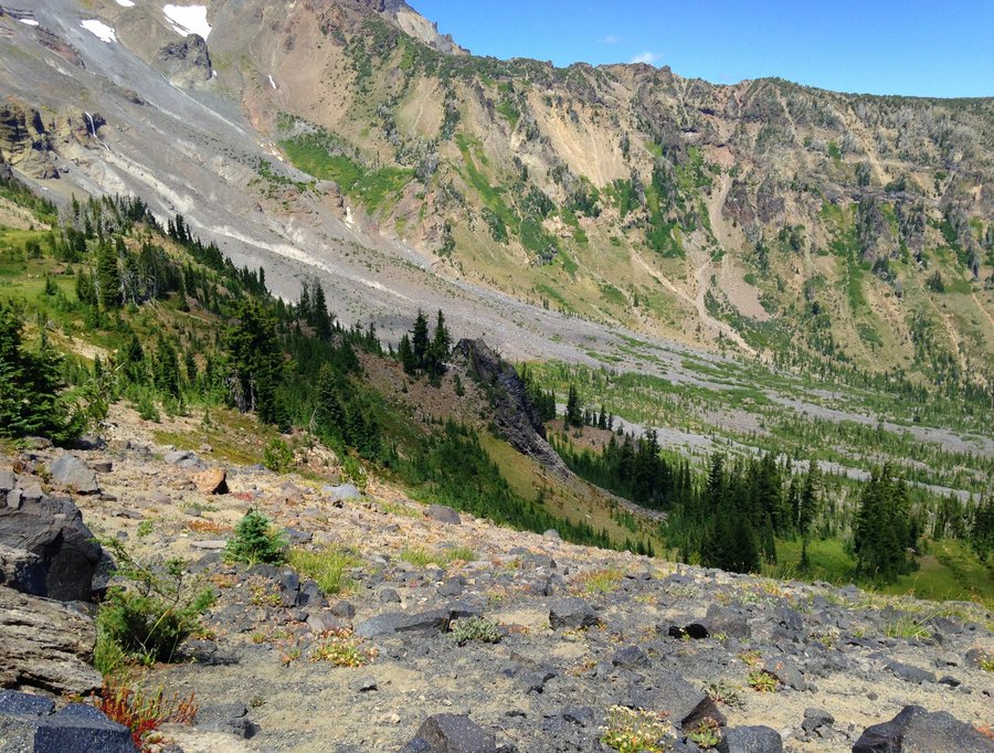
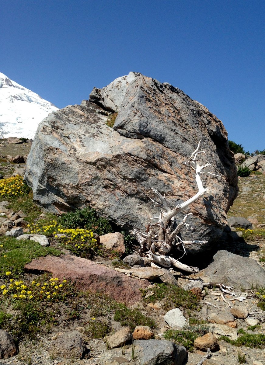
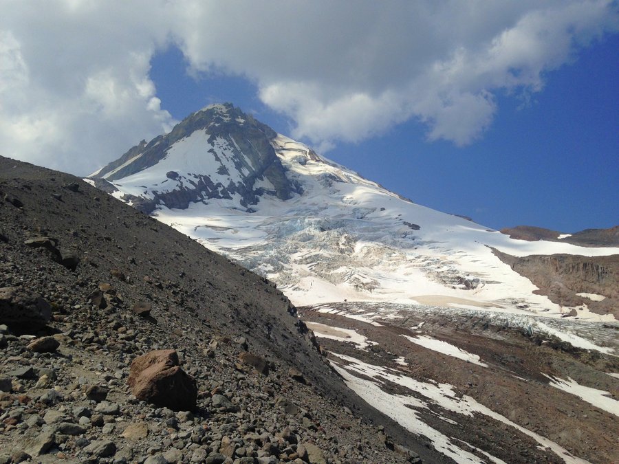
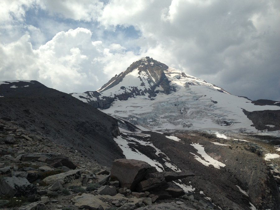
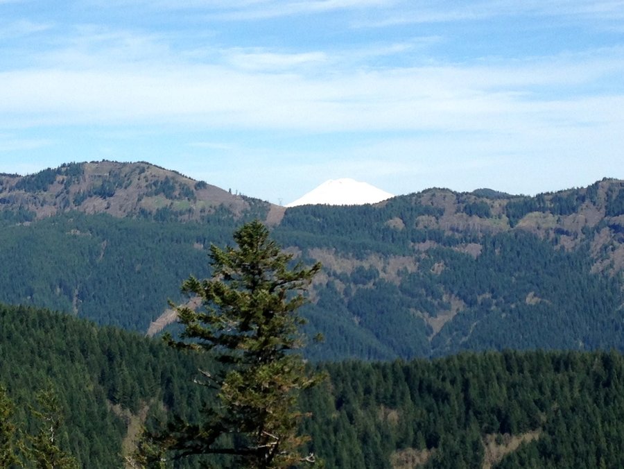
Cooper Spur
5.76 miles of hiking • 1750' elevation gain •
Totally beautiful day with excellent views. The smoke didn't start making a haze until later in the day and then mostly eastish. The glacier actually looks a lot more broken up than when I was there a month ago.
August 15, 2015

Lost Lake Butte and loop
8 miles of hiking • 1500' elevation gain •
With the heat I wanted to end my hike with a lake. So I headed east out I-84 to Lost Lake. On the way I saw a a huge smoke cloud which I later found out was the Cougar creek fire on S.E. Mt. Adams. The way up to the butte goes through some really nice forest. Lots of Rhodies and not a lot of dead tree. Surprisingly I was not seeing a ton of impact offtrail considering this a hugely popular campground.Very hot and hazy at the top of Lost Lake Butte, so I didn't stay long up there. The lake was a total zoo, but also really fun to see so many people having an awesome time. It was much quieter on the south and south western side of the lake. The view of the mountain is fantastic from there. I took photos but really want to go back sometime when the air isn't filled with smoke.
August 12, 2015

 1
1
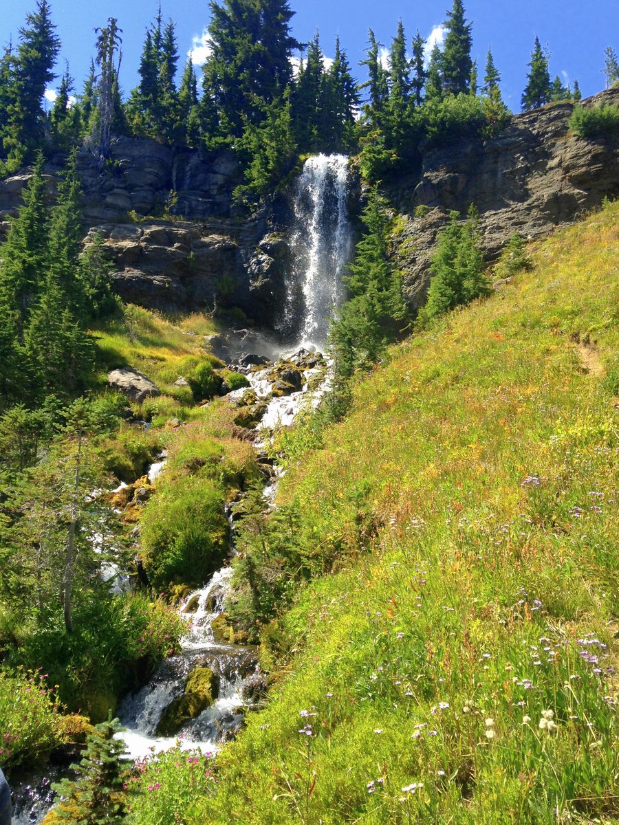
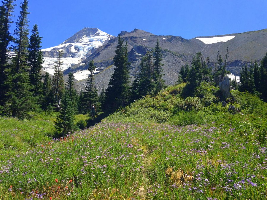
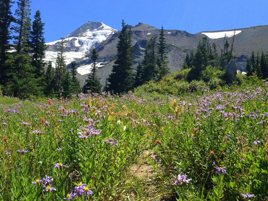
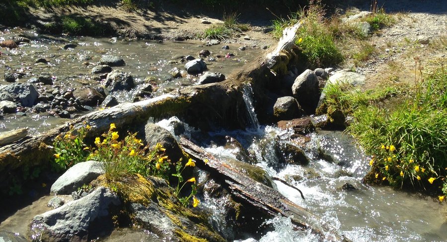
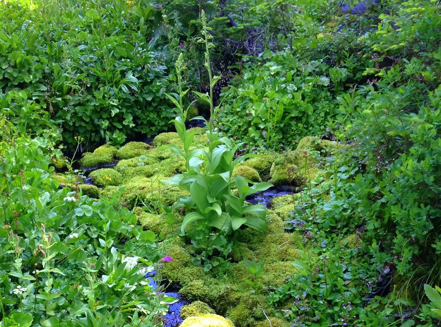
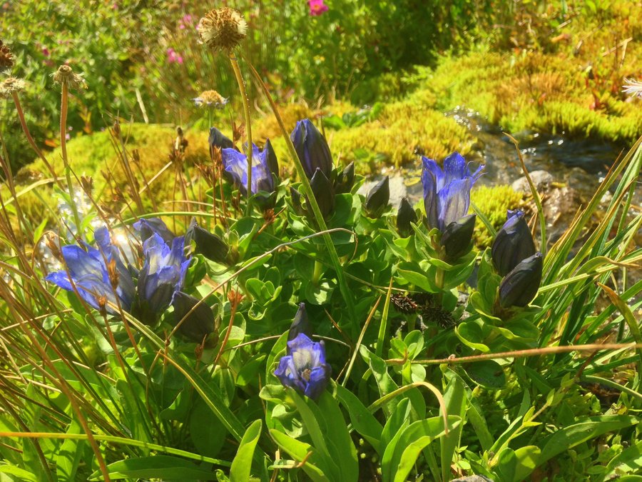
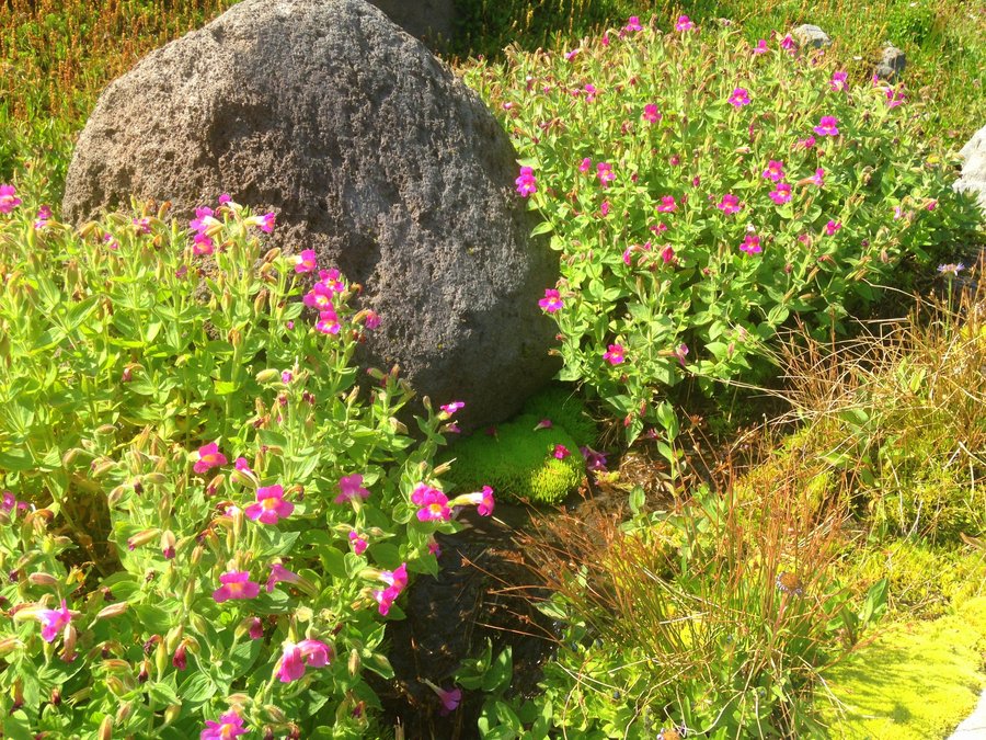
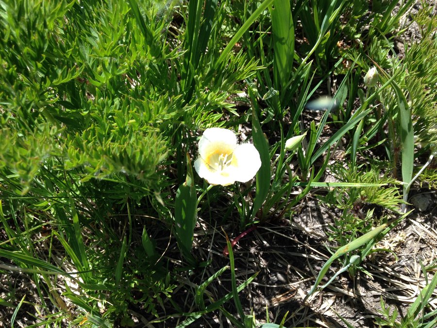
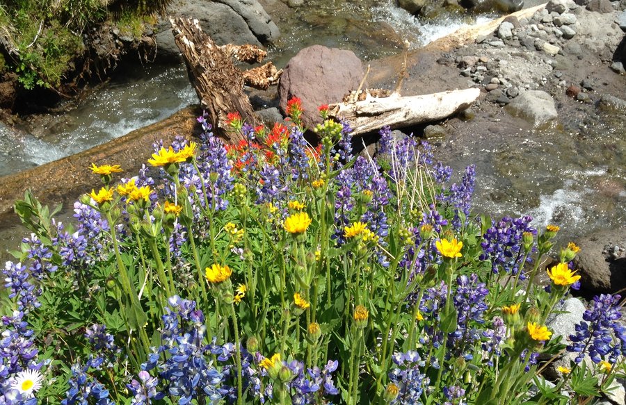
Bird Creek Meadows
6.05 miles of hiking • 1250' elevation gain •
Crystal clear day, perfect temperature and a great trailfriend all added to the delight of my first trip to Mt Adams. Even though the blooms are mostly done it was still amazingly beautiful. The park host at Mirror lake where we bought our permit let us know that mountain goats have been seen not to much above the Hellroaring viewpoint.No goats but it was still beautiful. The gentians are at their peak. Not much else is blooming except near water. Crooked creek waterfall was much bigger than I expected.One of the high points of my hiking year for sure.
July 28, 2015


 1
1
Little Crater Timothy Lake
7.09 miles of hiking • 250' elevation gain •
Wanted to have an easy stroll with maybe a swim.The wind was strong and the water was too cold, so no swim. But it was a totally awesome day nonetheless.
July 24, 2015

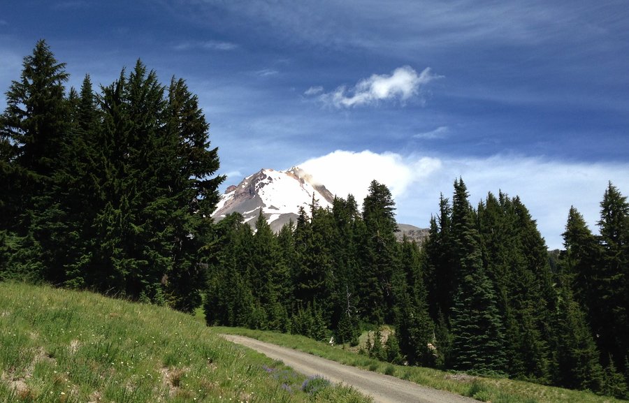
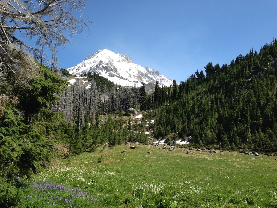
Elk Cove Dollar Lake
13.08 miles of hiking • 2750' elevation gain •
Very clear skies, still a few flowers and magnificent views. A bit of wandering above the Timberline trail. What more could you want. Fireweed is full on. There were a few biting bugs between Cove Creek and the Timberline trail. No problem if you were moving. We had a great time!
July 20, 2015

Jefferson Park
12.91 miles of hiking • 2250' elevation gain •
My first time up to Jefferson Park. Absolutely stunning. No bugs. Blue sky. Perfect temps.The flowers are mostly done but still a few nice patches. Saw quite a few people on the trail, but up at the actual lakes it was pretty quiet. Everyone seemed to disappear to their own little spots.
July 15, 2015


 1
1
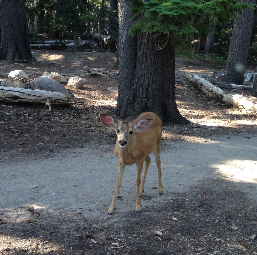
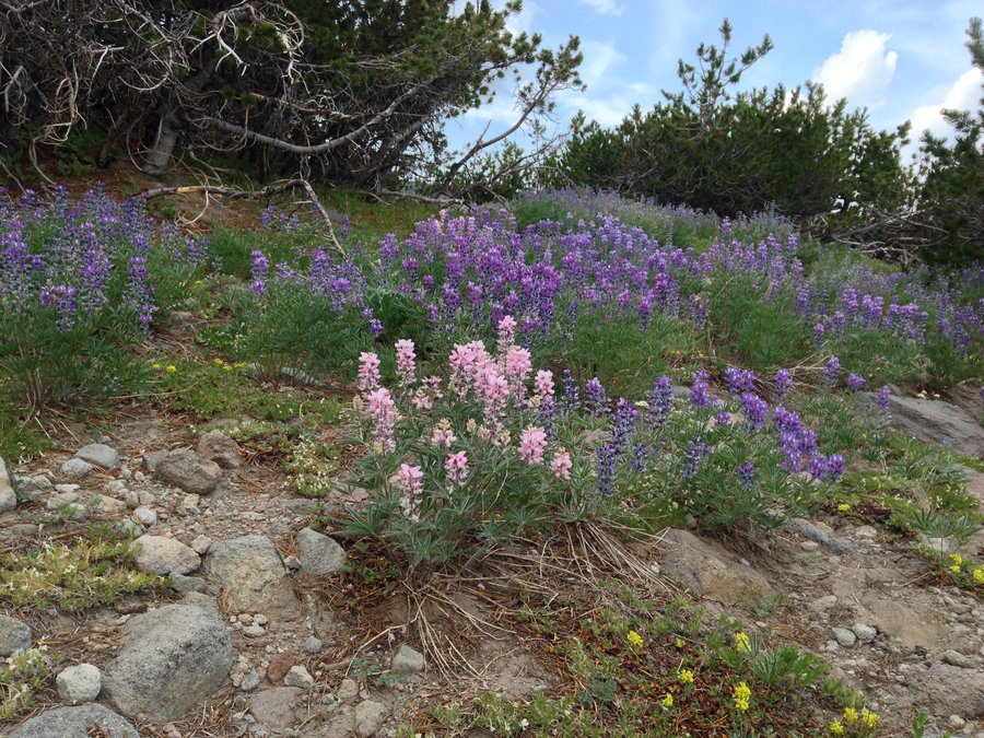
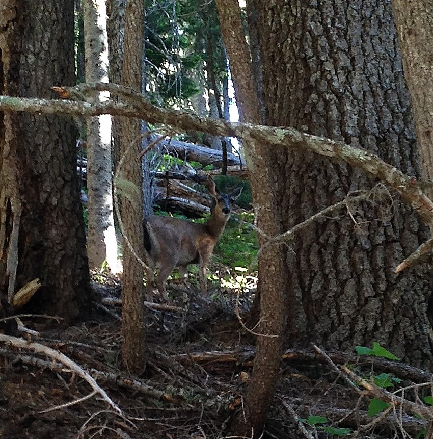
Cooper Spur almost
5.74 miles of hiking • 1750' elevation gain •
I decided to let my car do some of the elevation gain since it was a hot day so I drove up to the Cloud Cap trailhead. A young stag walked right up to me just as I started up the trail and things just got even better from there. The flowers are still going but a lot of the lupine are looking tired in places. The heat got to me at a certain point and I decided it was the better part of valor to not do the last 800 feet of elevation gain up to where the official trail ends. Nonetheless I had a great time with lots of incredible glacier views.
July 9, 2015


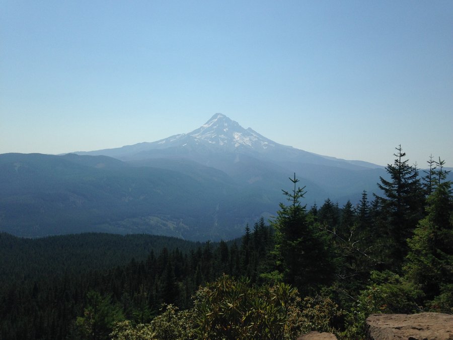
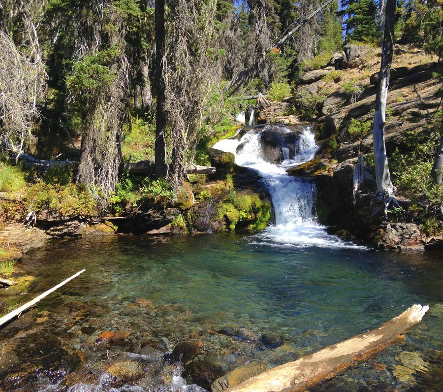
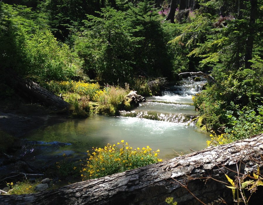
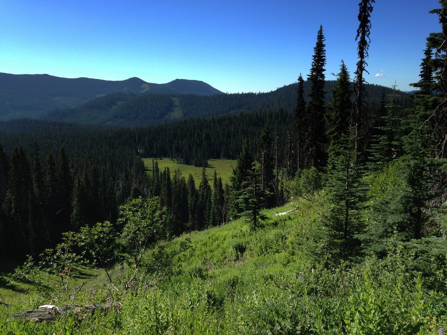
Fret Creek loop
9.19 miles of hiking • 1750' elevation gain •
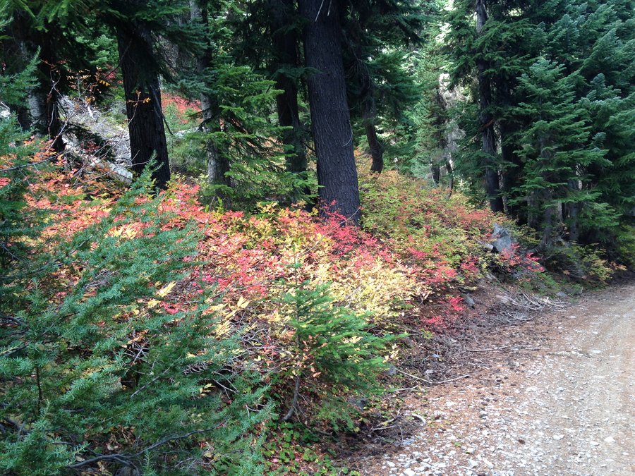
Great day in one of my favorite places. Fret creek is one of the few shady hikes in the Badger Creek Wilderness. We went up and caught the Divide trail from Lookout Mountain. Went a ways up the road the goes to Flag Point to a place we call Arch point. Then walked back down the gravel roads and a mile on the paved road to our car. We saw no one and only two cars on the paved road as we were driving out. The light was not great for all the views but it was still a wonderful trip.
June 24, 2015


 3
3
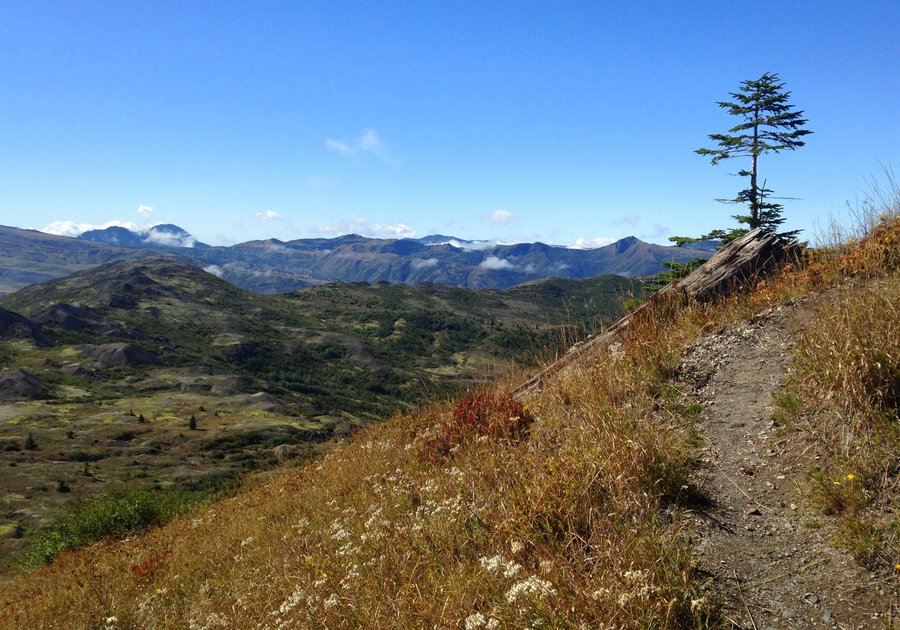
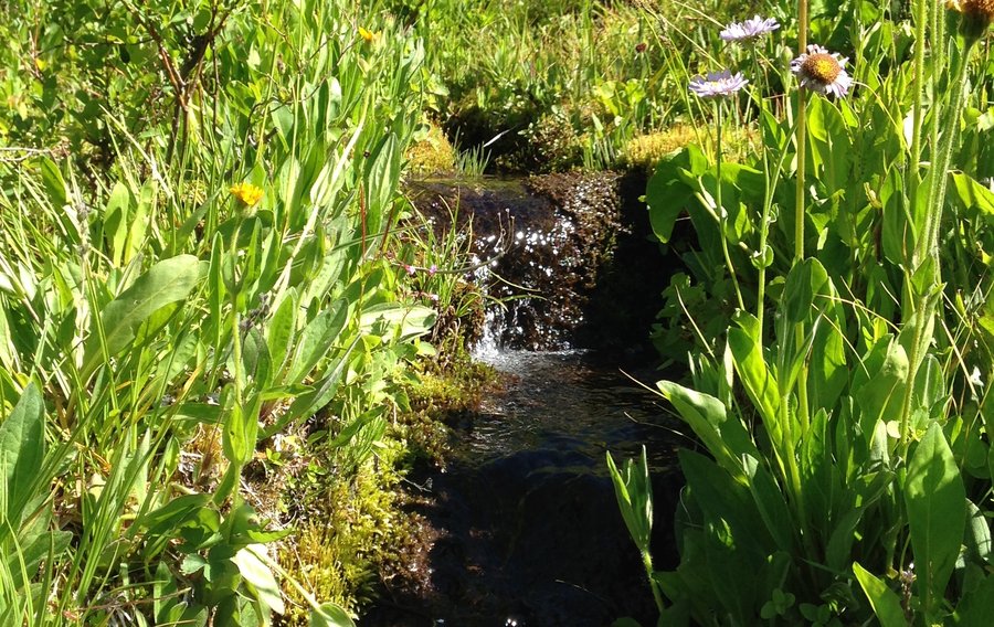
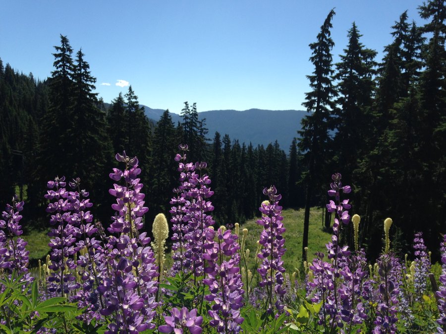
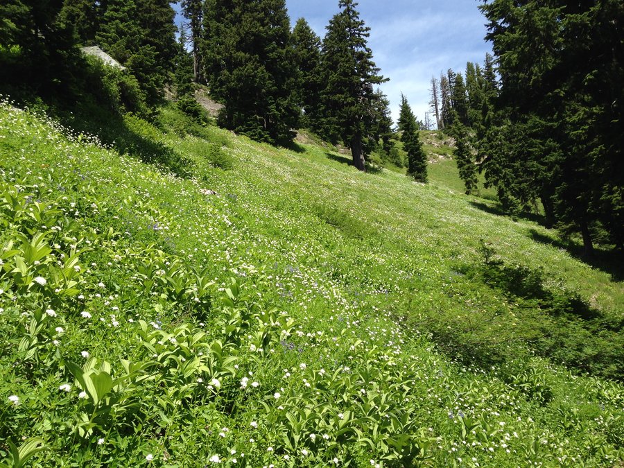
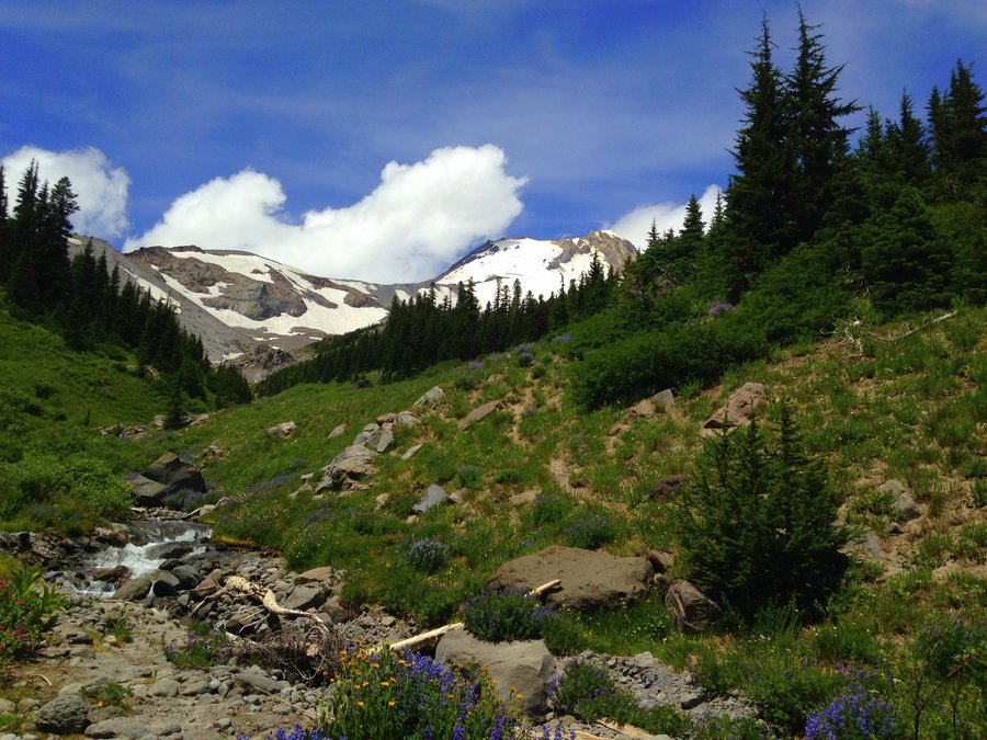
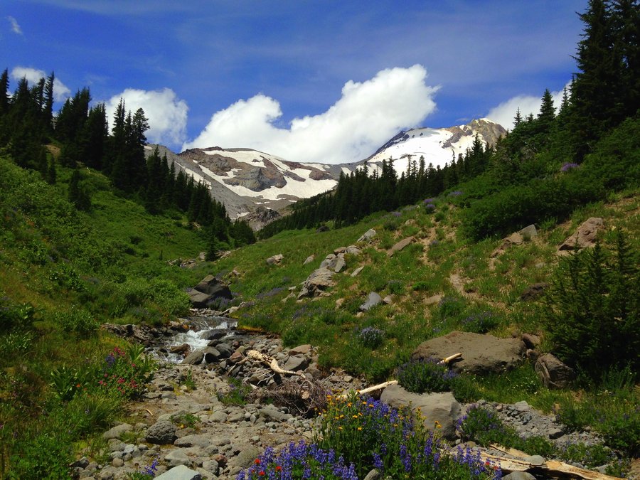
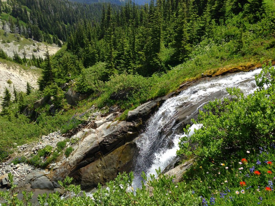
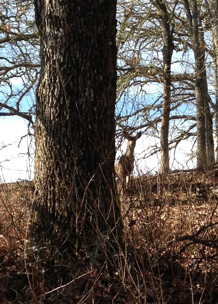
Heather Canyon via Umbrella Falls
10.5 miles of hiking • 2000' elevation gain •
Wild flower explosion day! Also lots of deer, birds and small tadpoles. I decided to see the flowers before the upcoming heat fried them. I headed up towards Umbrella Falls from the Elk Meadows trail and then continued onto the Timberline Trail over to Heather Canyon. Turned around there and from Umbrella falls area took the Sahalie Falls trail down to my car at the Elk Meadows trailhead.
June 22, 2015


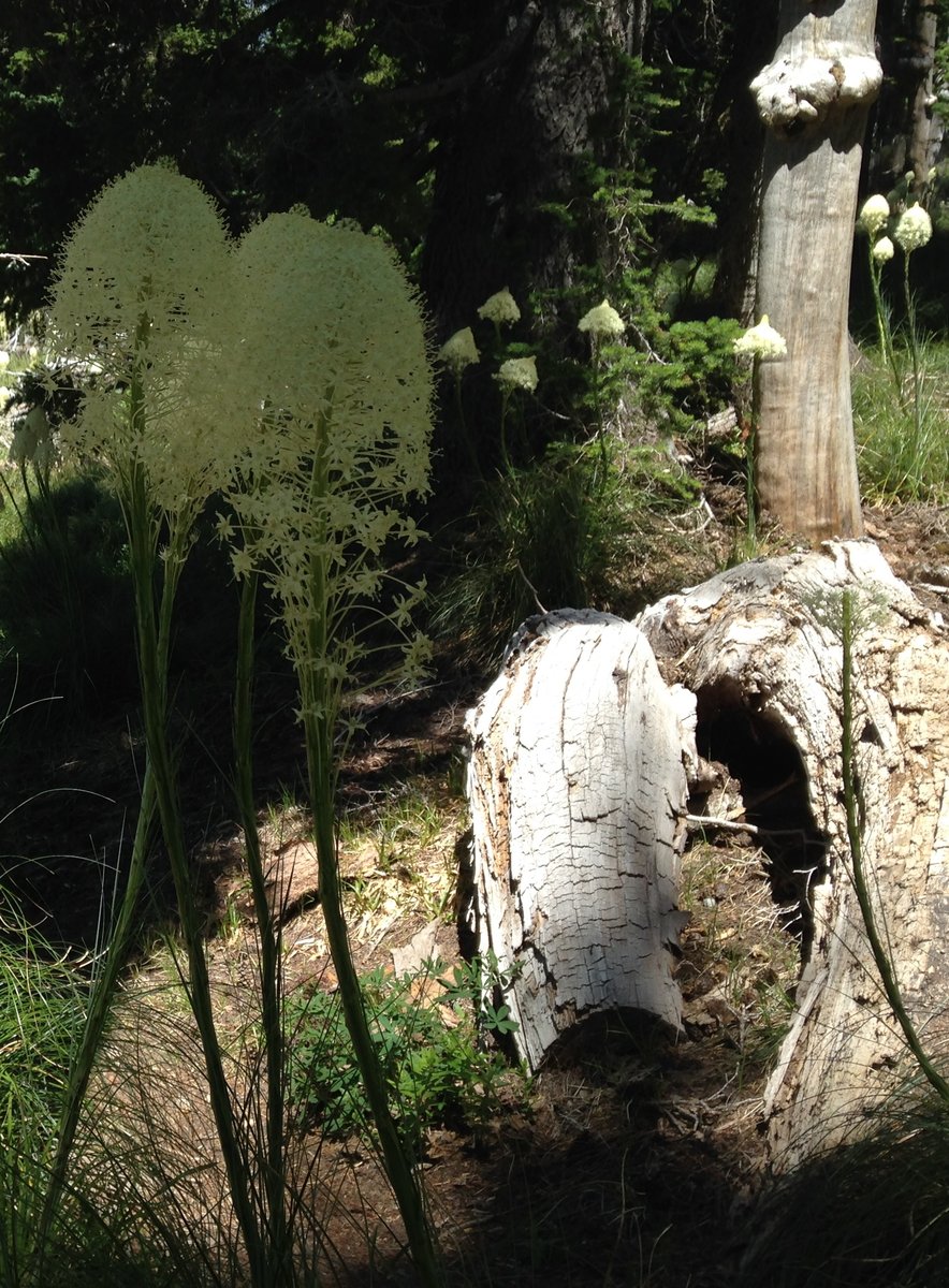
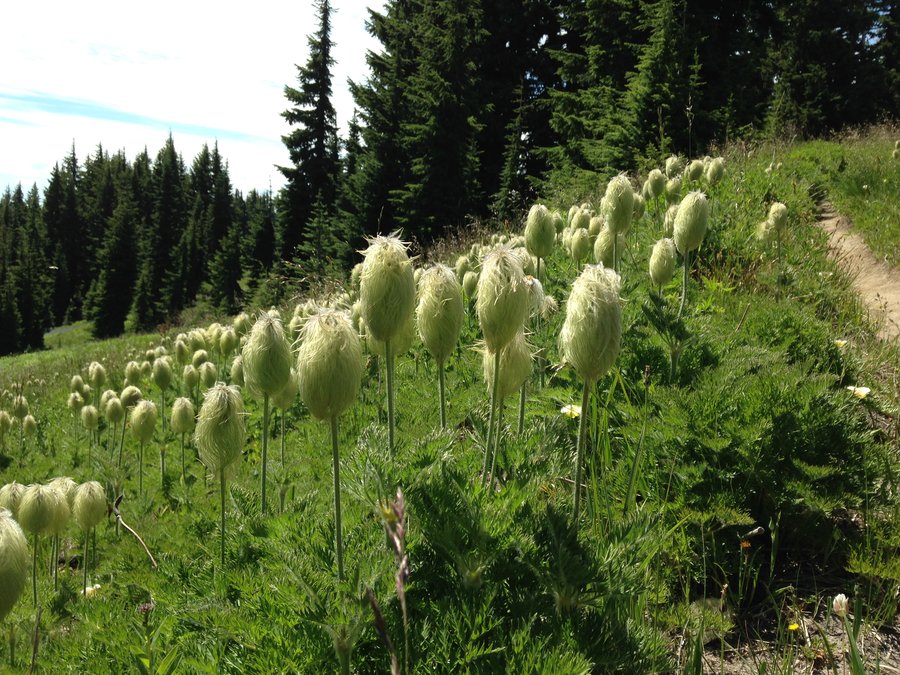

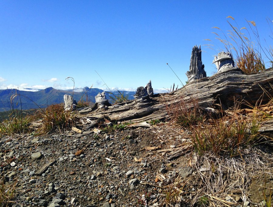
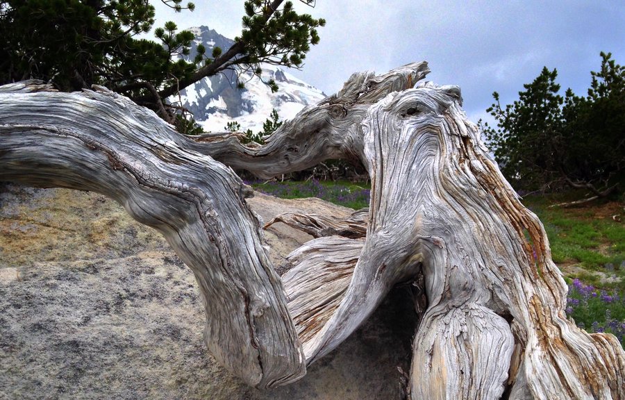
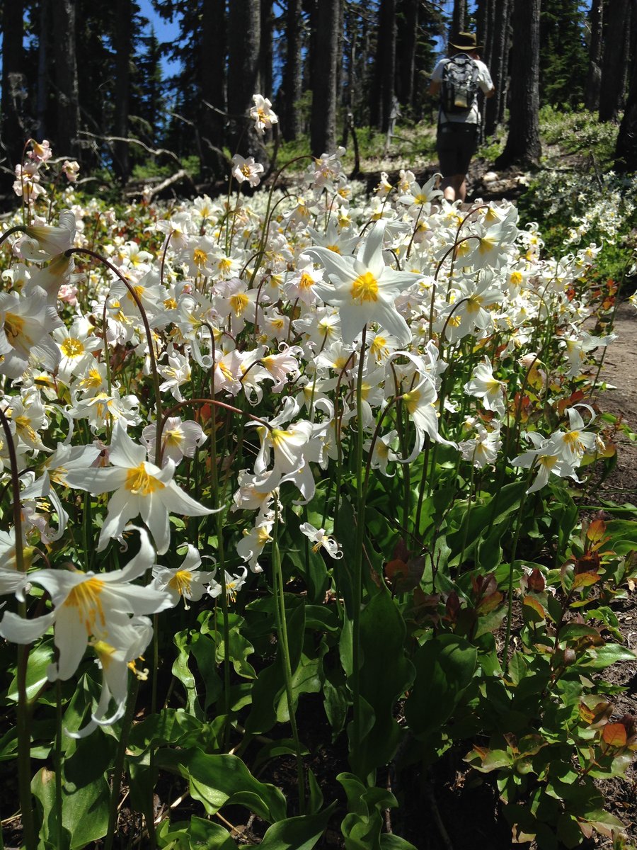
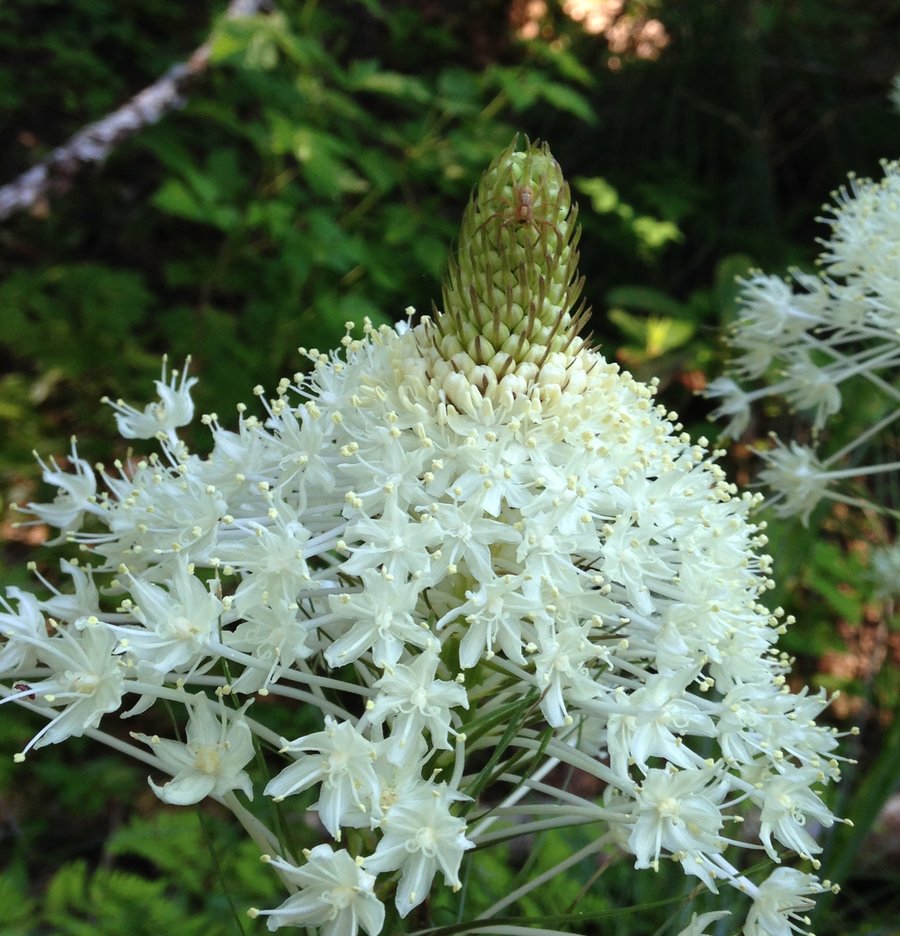
Cairn Basin
9.1 miles of hiking • 1750' elevation gain •
Absolutely stunning day! The bear grass and avalanche lilies are completely amazing. The lilies are going to be done really soon though.No snow at all though except a few patches, none on trail. I took about a million pictures of curling bark as it sloughs off the burned trees. It was a friends belated birthday adventure so we had a fantastic picnic in Wyeast Basin and got back to town pretty late, it was one of those stop and gawk days.
June 14, 2015


 1
1
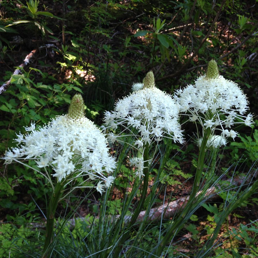
Burnt lake to East Zigzag
10.93 miles of hiking • 2500' elevation gain •
Fantastic day! No bugs and lots of shade loving flowers in the woods. The flowers in the saddle were at peak bloom and the beargrass was blooming in patches from just below Burnt lake to the top. A little hazy but all five volcanoes were visible. Went a bit beyond the top but decided it was to hot to explore further.
June 8, 2015

 1
1
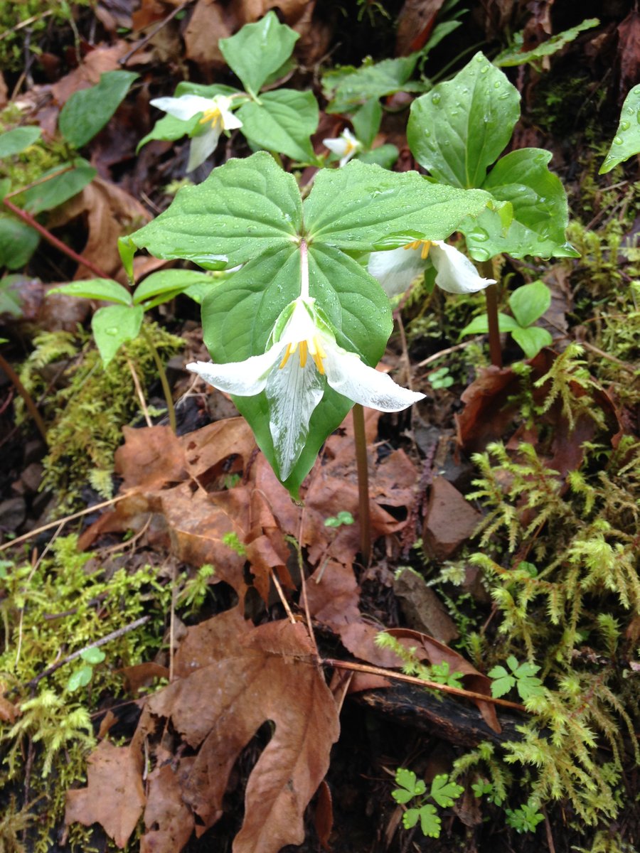
Shellrock Cache Meadow loop
12.9 miles of hiking • 3000' elevation gain •
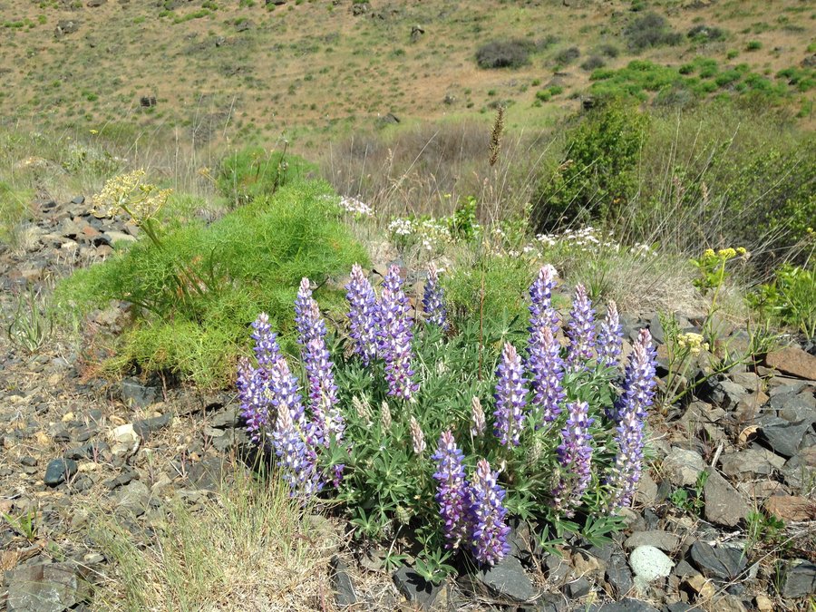
Miraculously the sun cleared with just a few puffy clouds for drama. We parked at the Shellrock lake trailhead and did a counter clockwise loop up to Frazier around past Serene Lake and Cache meadows, back up to Frazier and down. Absolutely no snow, A few mosquitoes at the trailhead. A bit of Beargrass and lots of Trilliums. Great day.
May 25, 2015


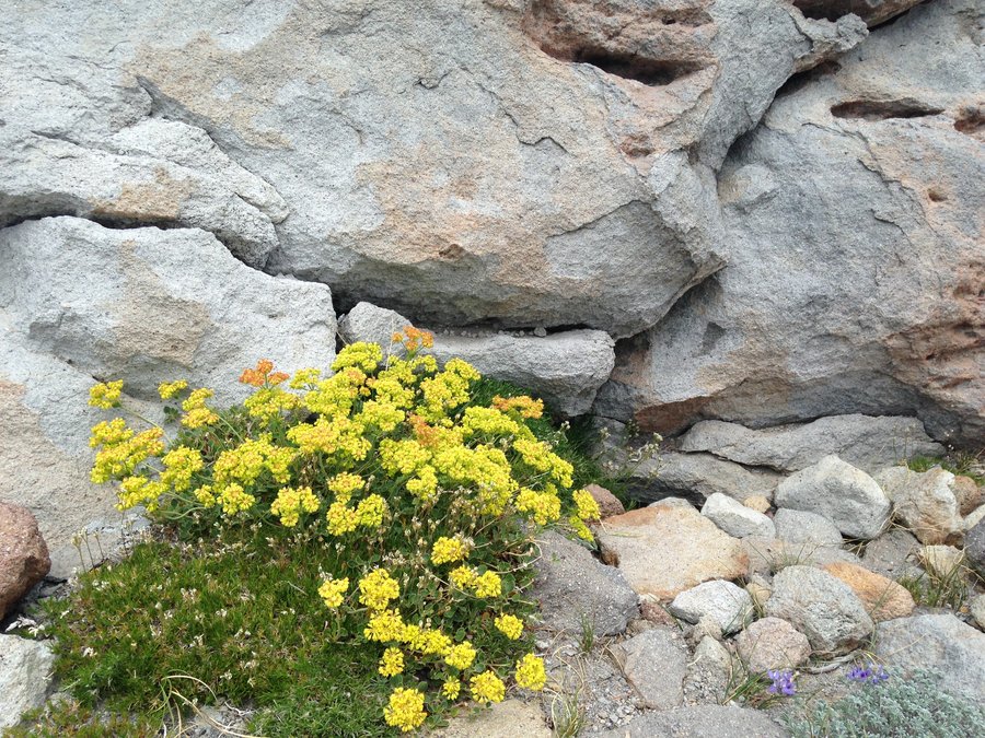
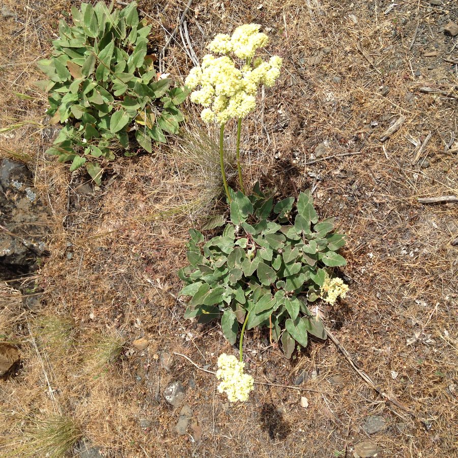
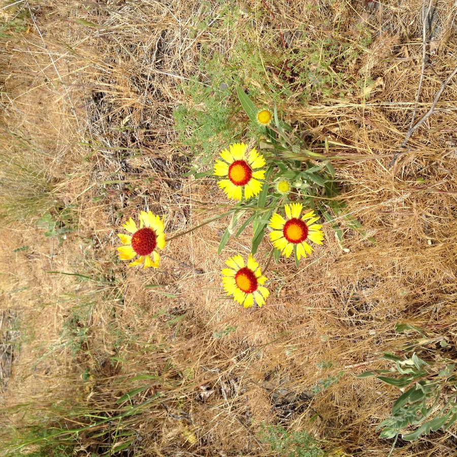
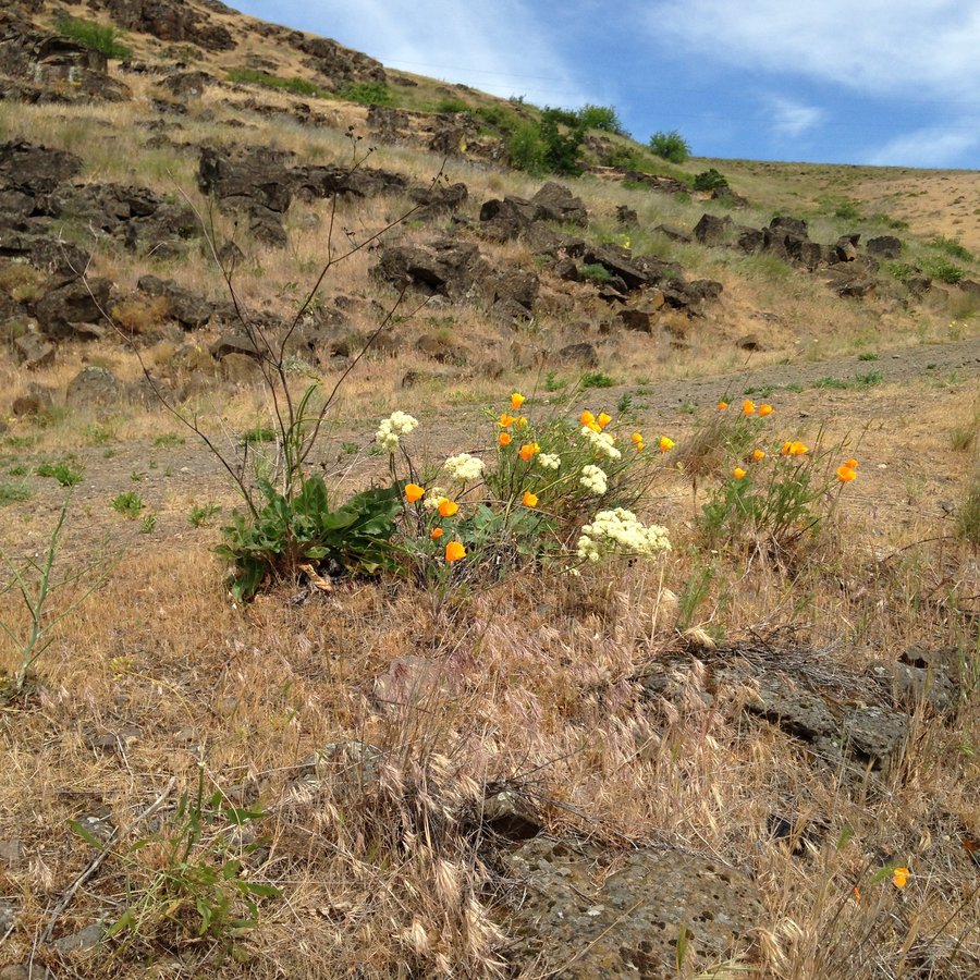
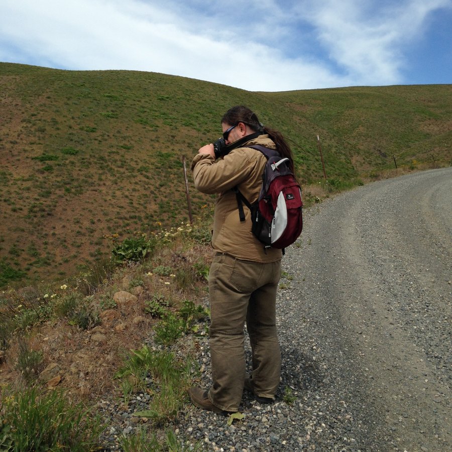
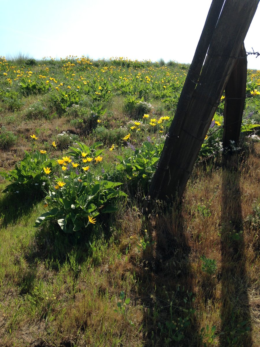
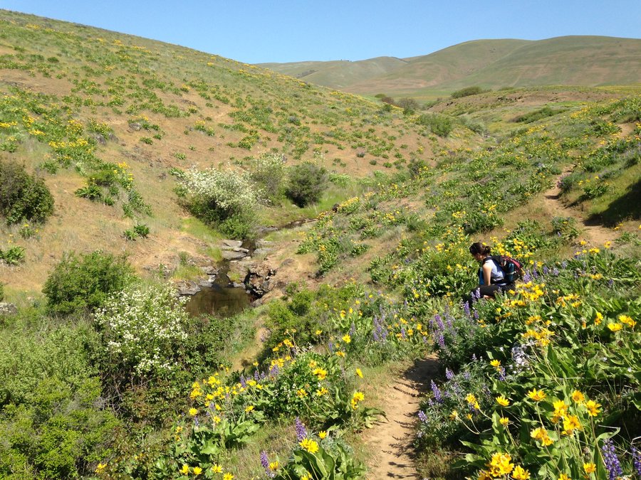
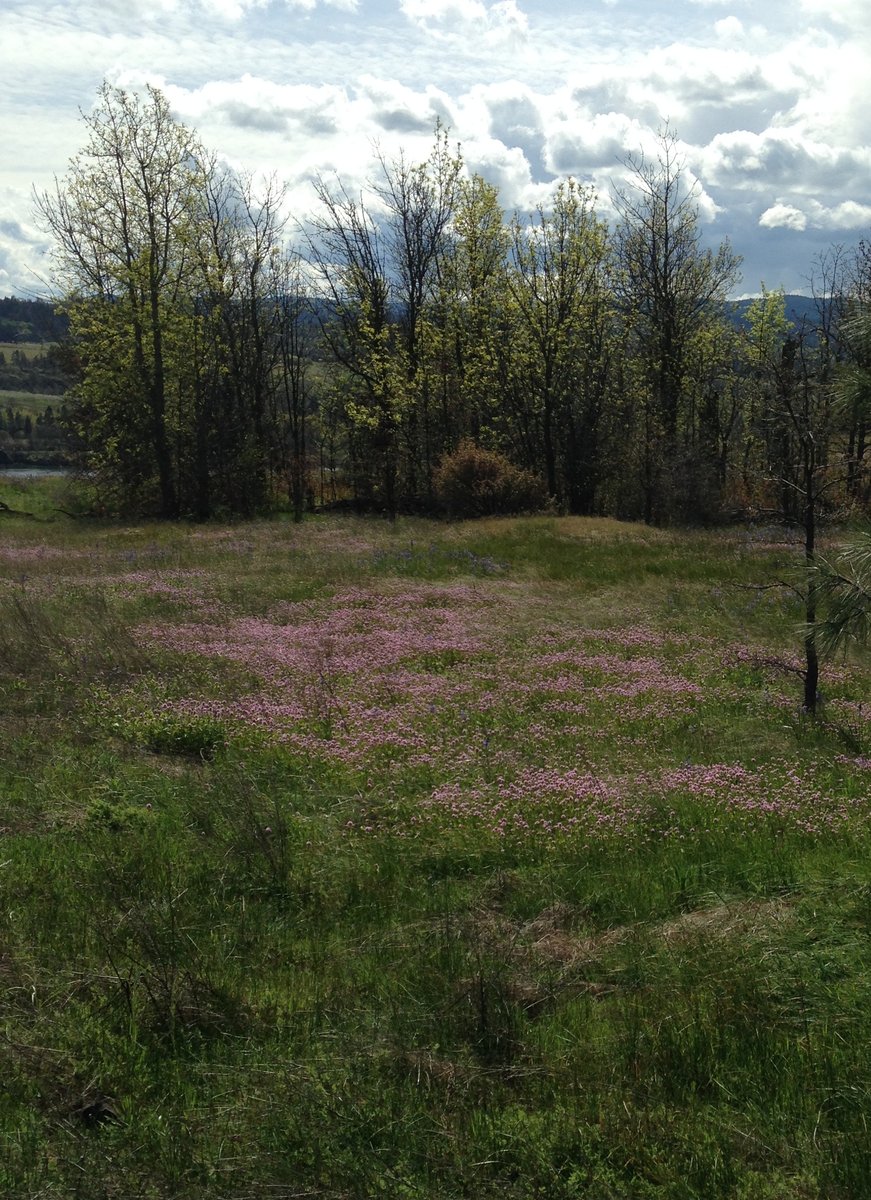
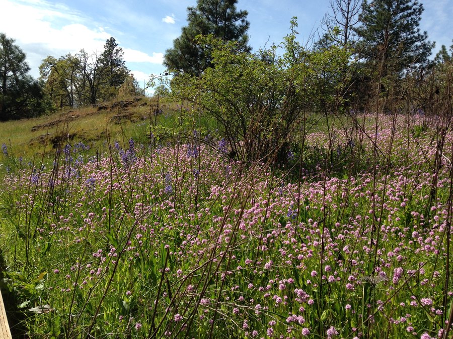
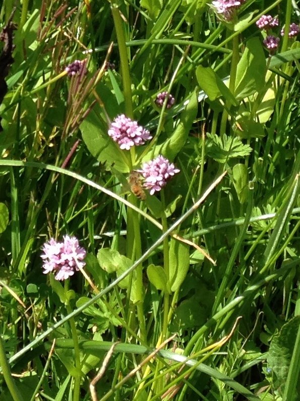
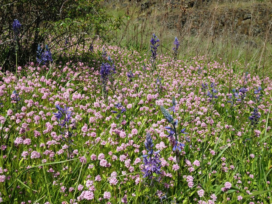
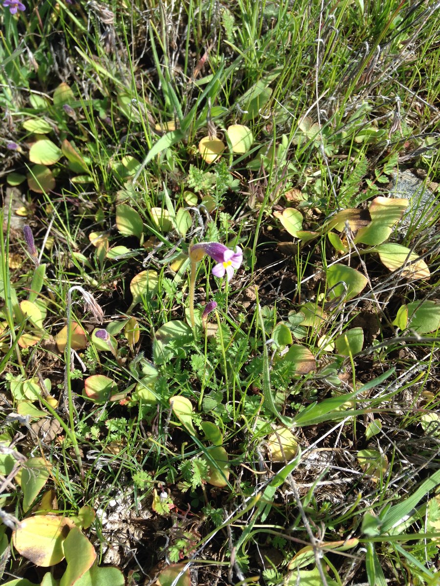
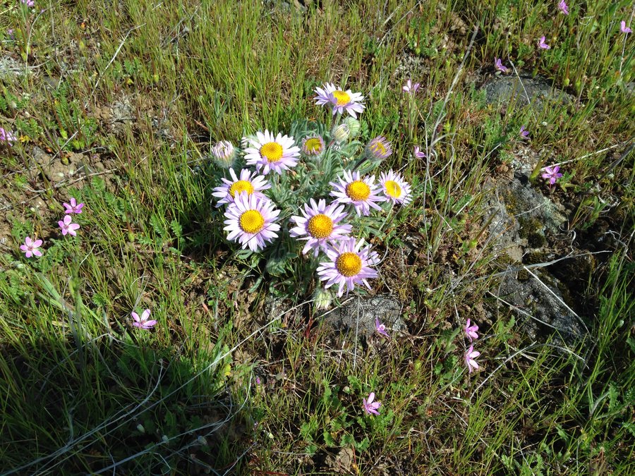
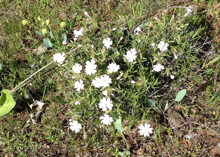
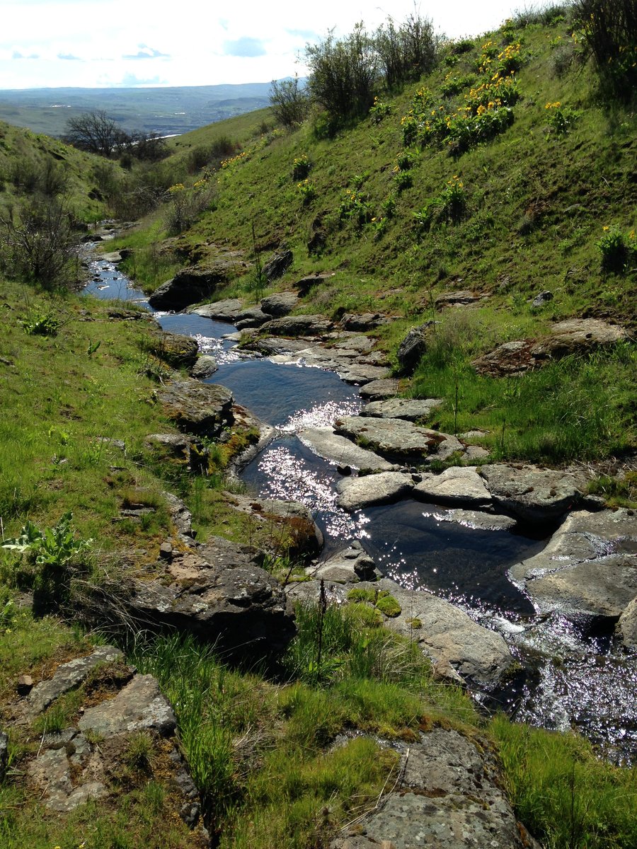
dalles mt ranch
8.5 miles of hiking • 1000' elevation gain •
Just a short hike with a good friend to take some flower shots.The Balsam is done down below but the various Buckwheats are going strong and we saw some things that neither of us had seen before.
May 15, 2015


 1
1
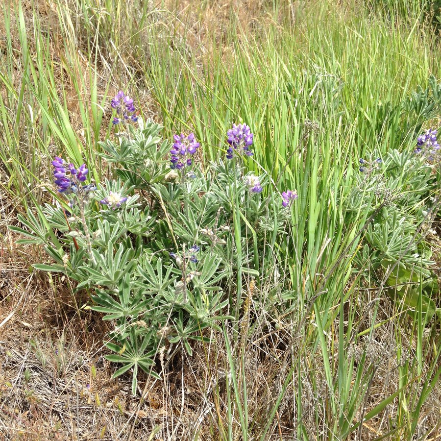
Red Mountain
11 miles of hiking • 1750' elevation gain •
Great day!! The mosquitoes are already out in full force in Indian Heaven.
May 9, 2015

 1
1
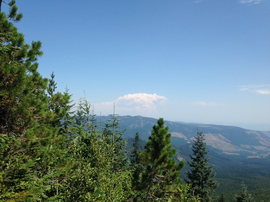
School canyon
6.24 miles of hiking • 1250' elevation gain •
Short jaunt to explore the area of the Ball Creek fire. Having watched it burn from Flag Point lookout I was amazed at how much survived and regrew. Balsam is about a week from peak, Lupines are full on and the area is still in the brief flush of spring green. Such great views everywhere. Because of the haze it was hard to capture all the amazing views.
May 4, 2015


 2
2
Swale Canyon
14 miles of hiking • 500' elevation gain •
Went with a group out to Swale Canyon. Perfect temps. The water is getting a bit low and the blooms seem a bit past peak, but still beautiful. Lots more art installations/altars than I expected. They were great.
May 3, 2015

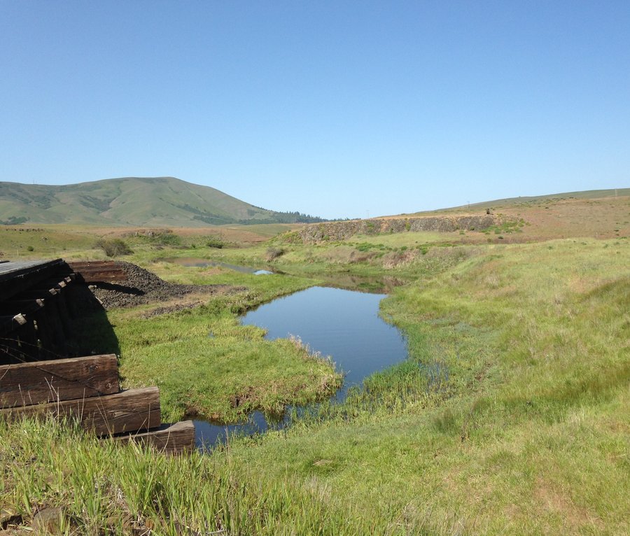
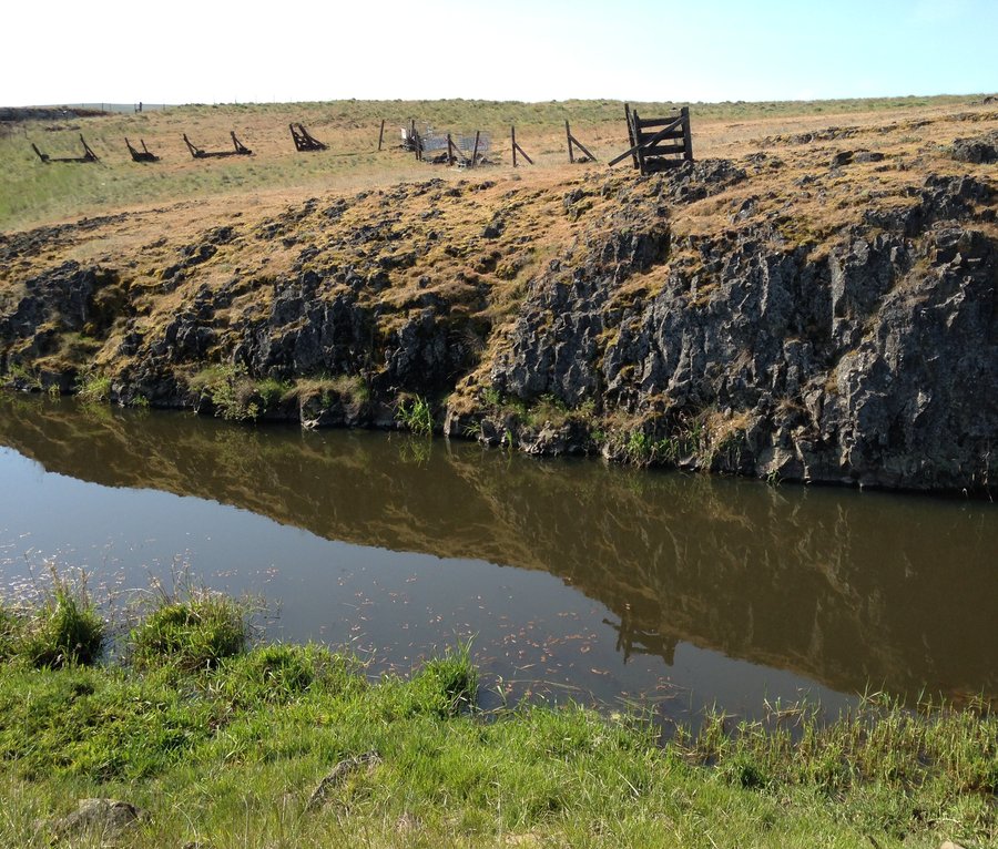
 1
1
Eagle creek to Seven mile camp
14.2 miles of hiking • 1500' elevation gain •
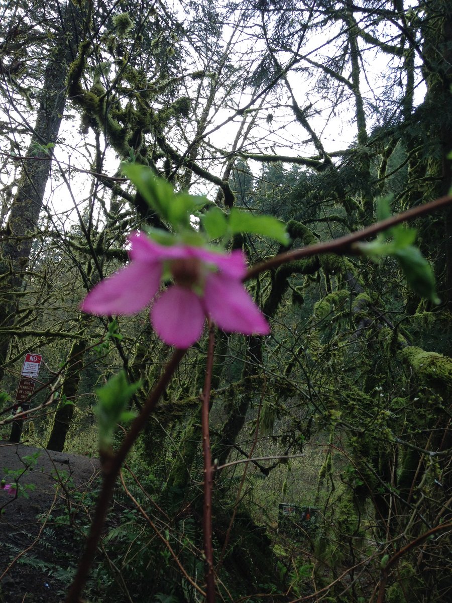
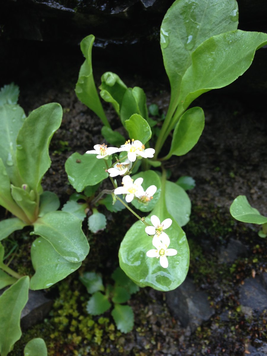
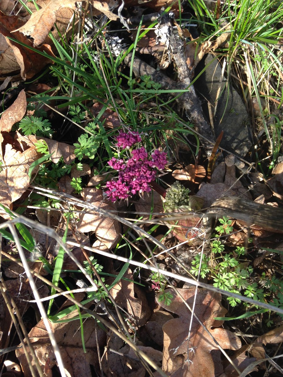
I was a bit brain dead Monday, so I thought I would just go out to Eagle Creek. As usual I am always amazed by that place. Penstamen, rosy plectritus, valerian, all going strong. Lupines, lilies and Monkey flowers just starting.. Met some nice folks along the trail.
April 27, 2015


 1
1
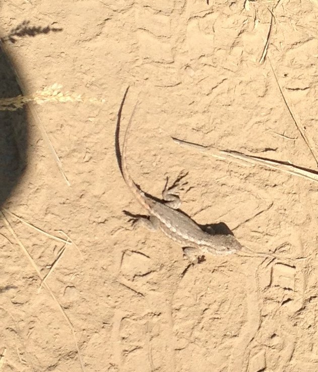
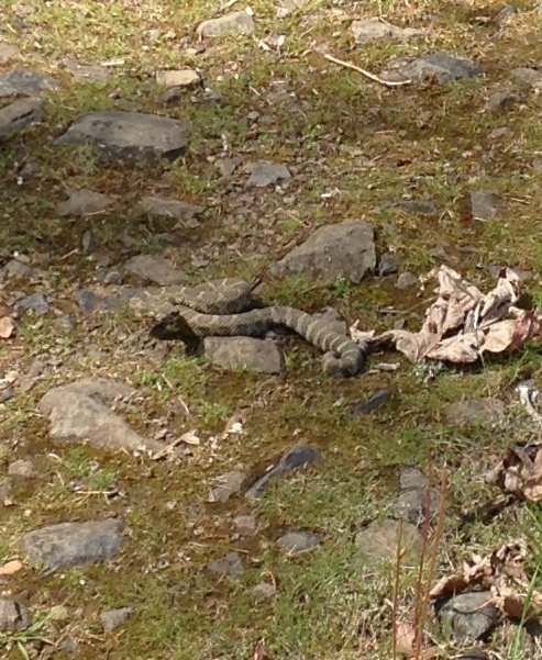
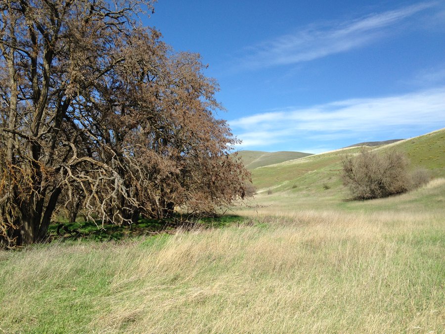
Dalles ranch times 2
9.55 miles of hiking • 1750' elevation gain •
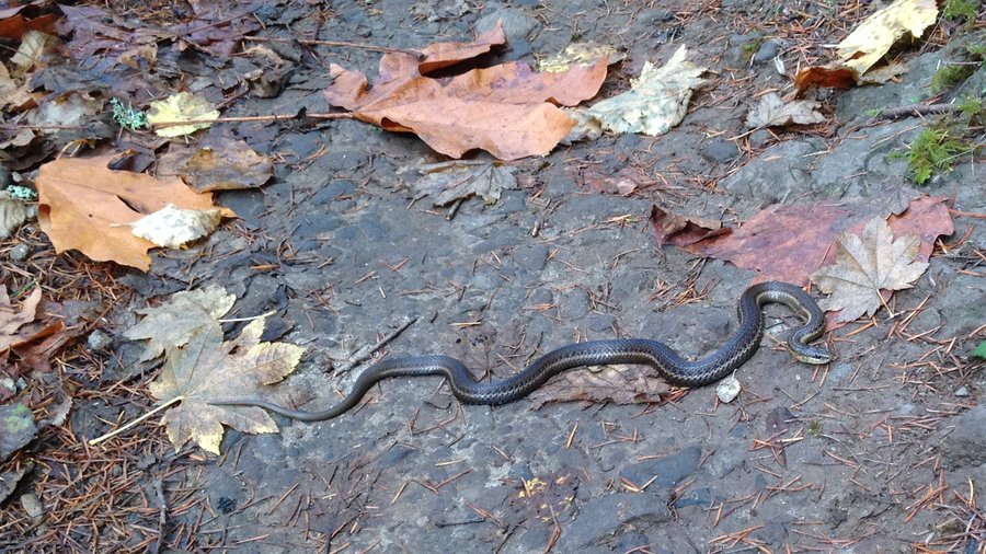
Couldn't resist one more trip. Balsam slightly past peak but still totally full on, now joined by lupines and phlox. We saw deer, a lizard and a rattlesnake,
April 20, 2015

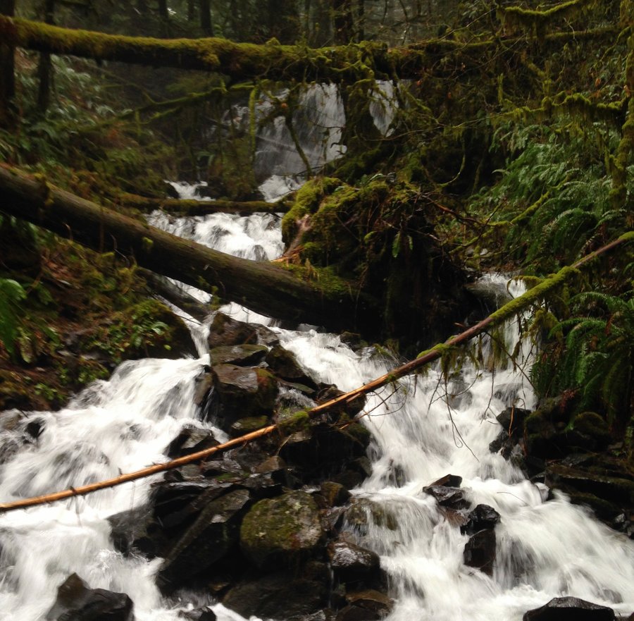
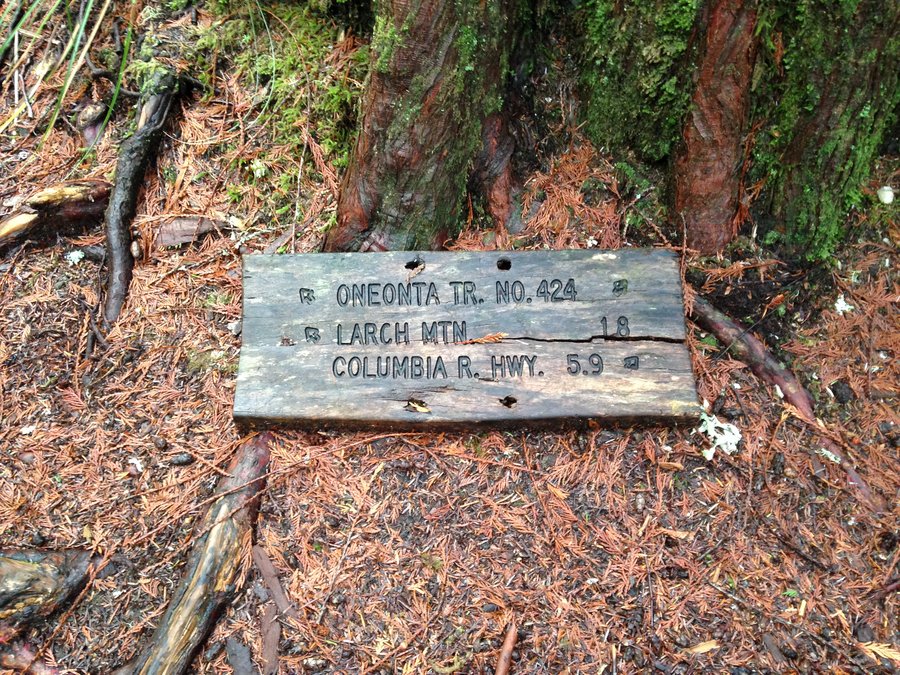
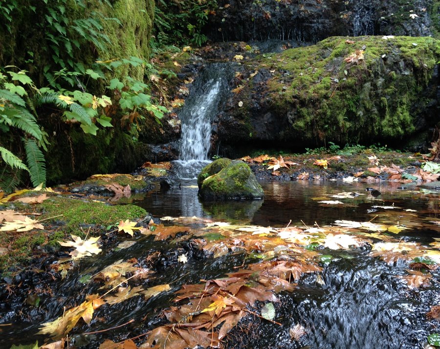
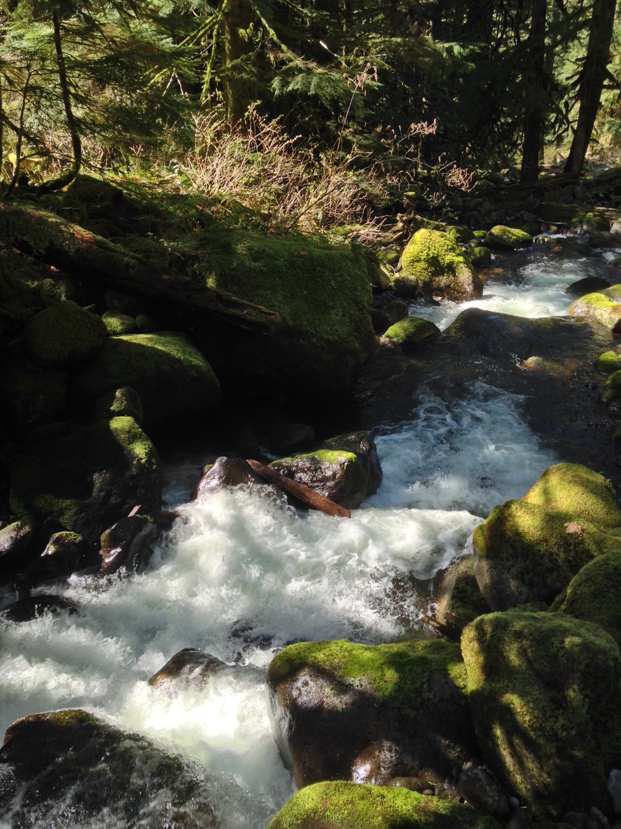
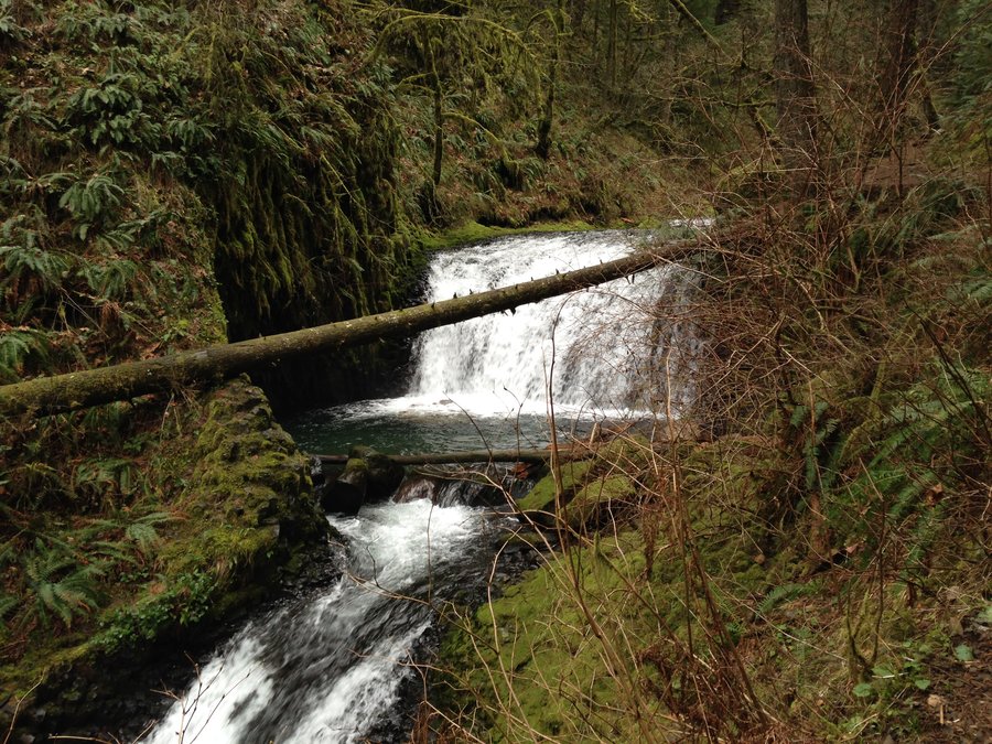
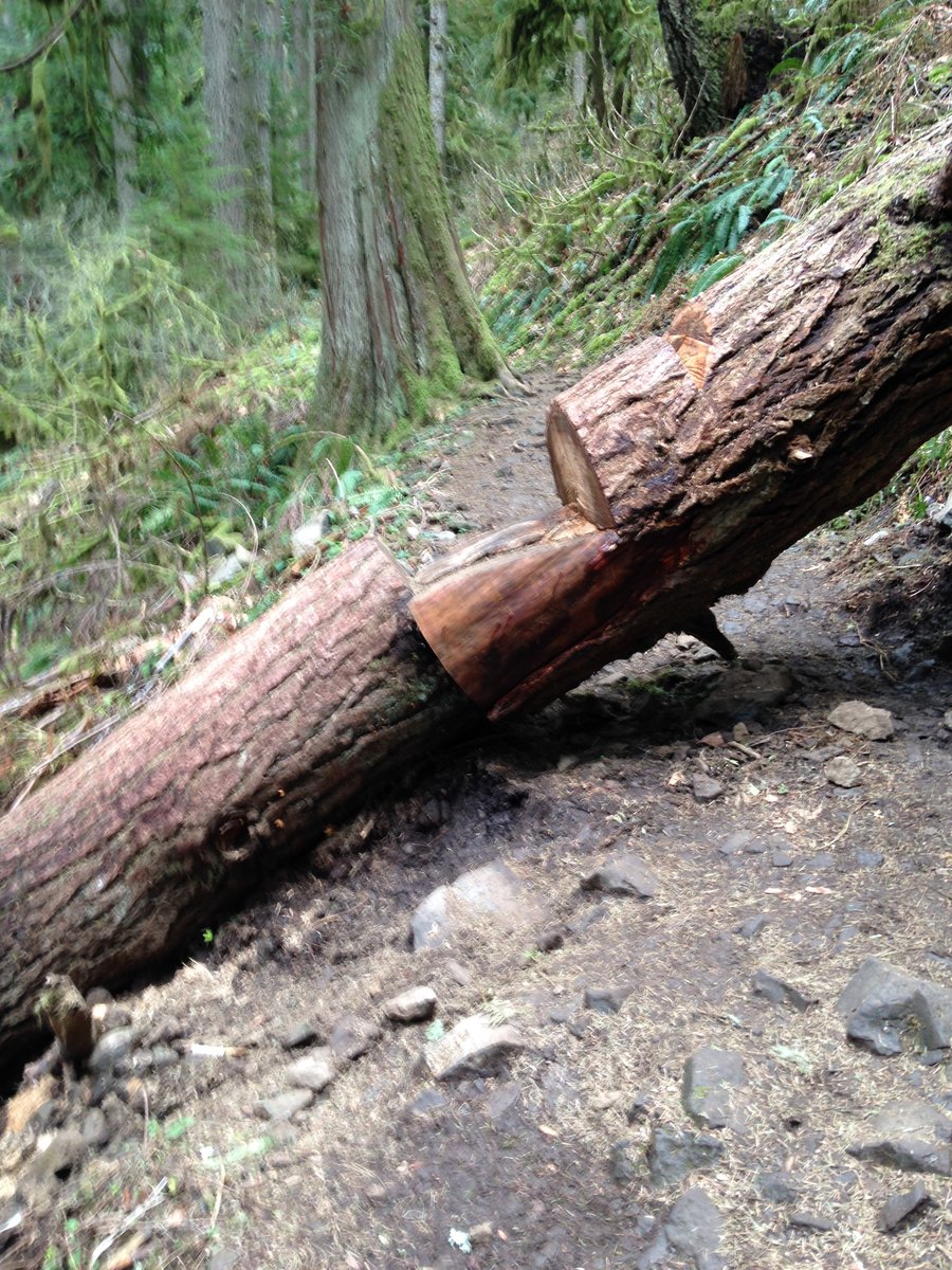
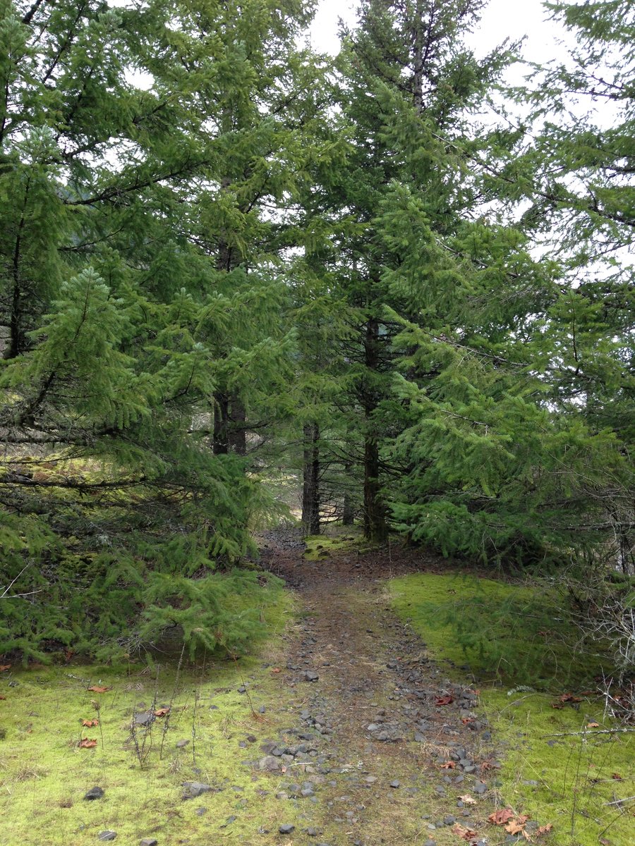
Oneonta trail
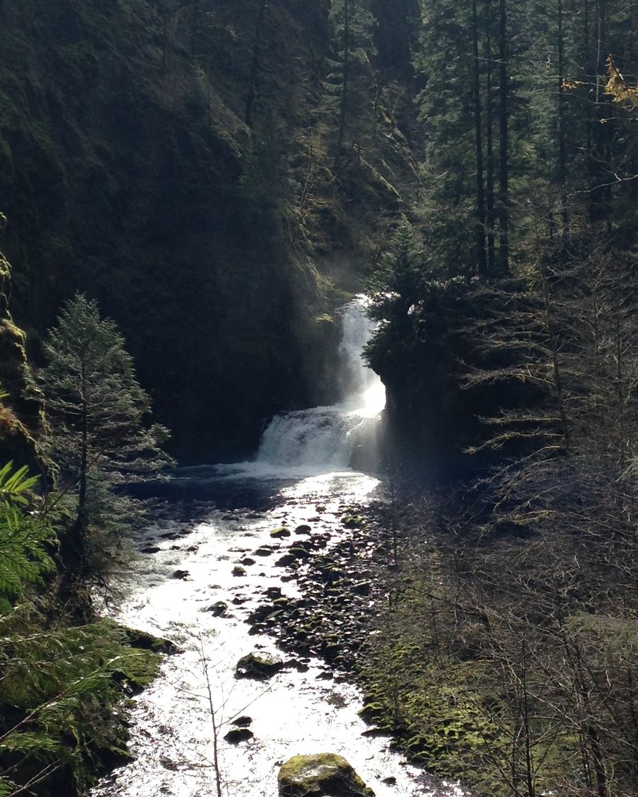
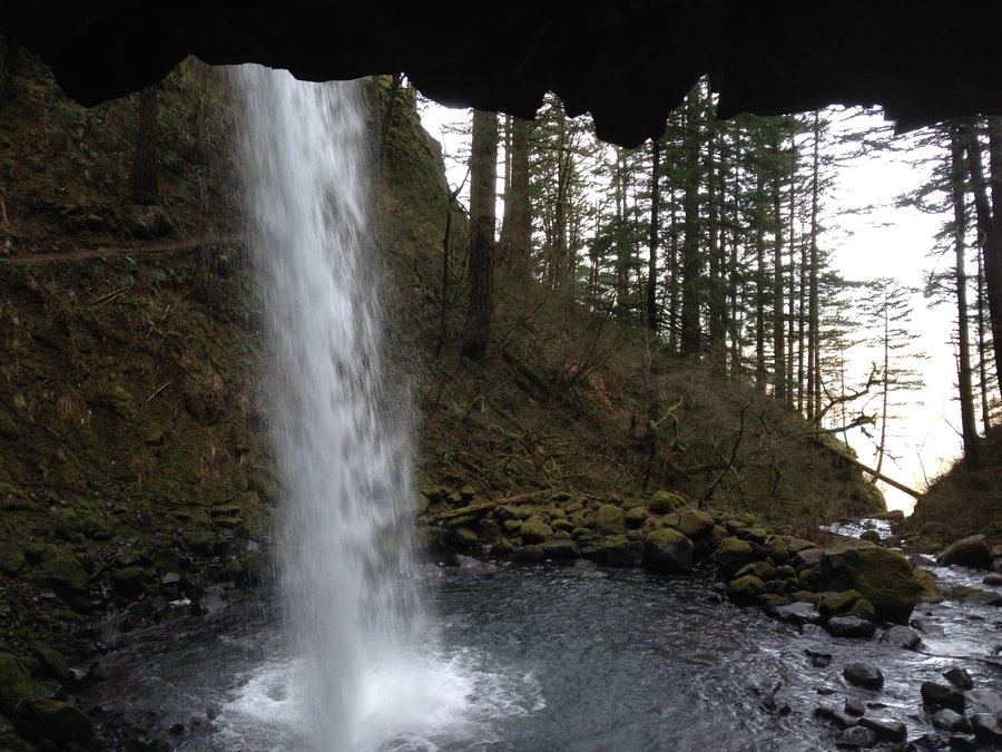
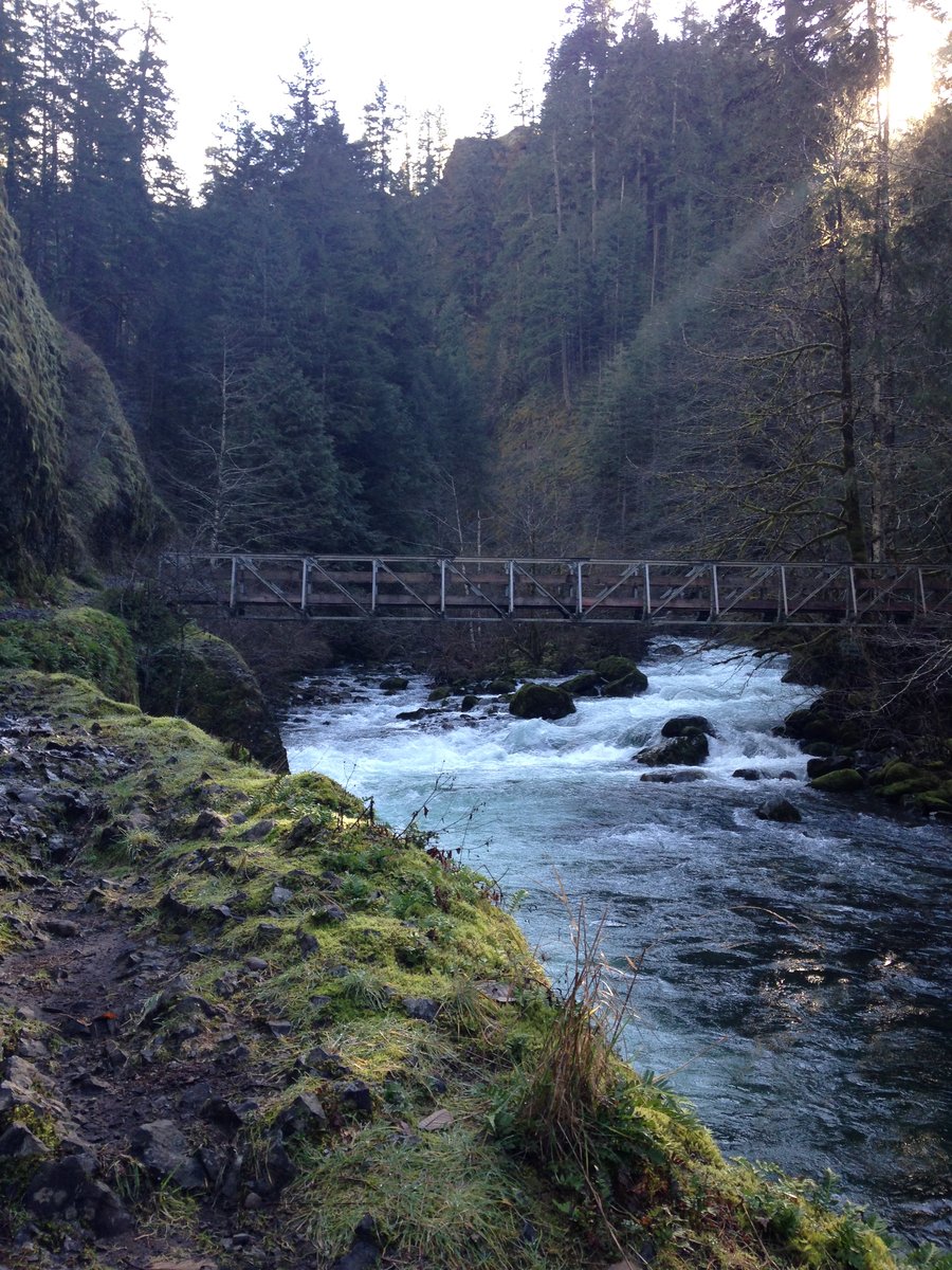
8.44 miles of hiking • 1750' elevation gain •
I had the afternoon free and the landslide on the Oneonata trail is fixed, at least for now. I like to keep going up past Triple Falls and turn around just past the last bridge. Great day!
April 16, 2015


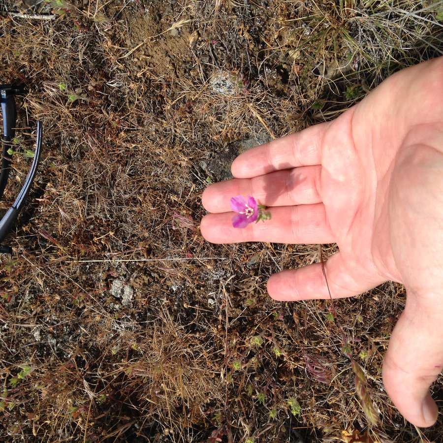
Catherine creek very slow stroll
5.23 miles of hiking • 1250' elevation gain •
Slowest speed record ever!! Too many things to look at. Photo capture of the day was a Chocolate Lily and a rattlesnake. I went up the open meadow west of Catherine Creek over to Atwood road and then east to the old 4WD road which is where I saw the rattlesnake. Perfect day!
April 9, 2015

Phlox Point
8.6 miles of hiking • 2250' elevation gain •
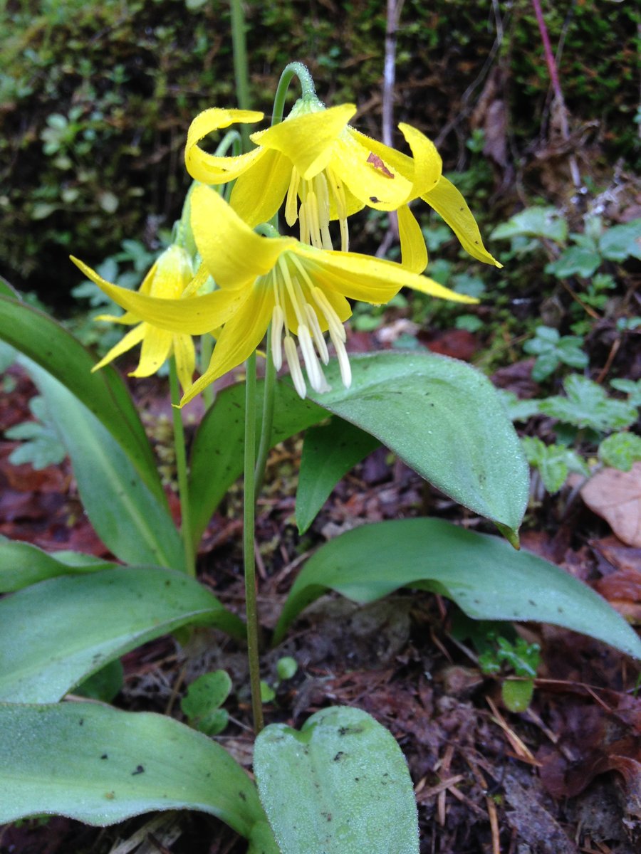
I decided to try and get one more sunshine hike in before the rains return. I took the west route up because it looked like it had more views and I was concerned that the clouds might roll in later. It was a yellow flower day. VIolets, Lomatiums, and Glacier lilies galore. With the brush and trees not leafed out there were lots of sneak peeks through the trees on the ascent. I had the summit to myself so I hung out for quite awhile. Great day!
March 30, 2015


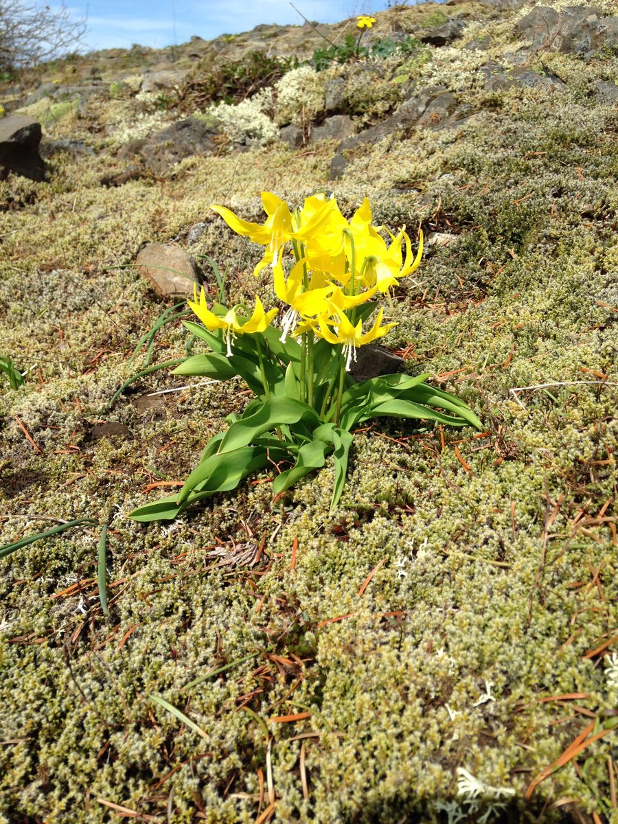 3
3
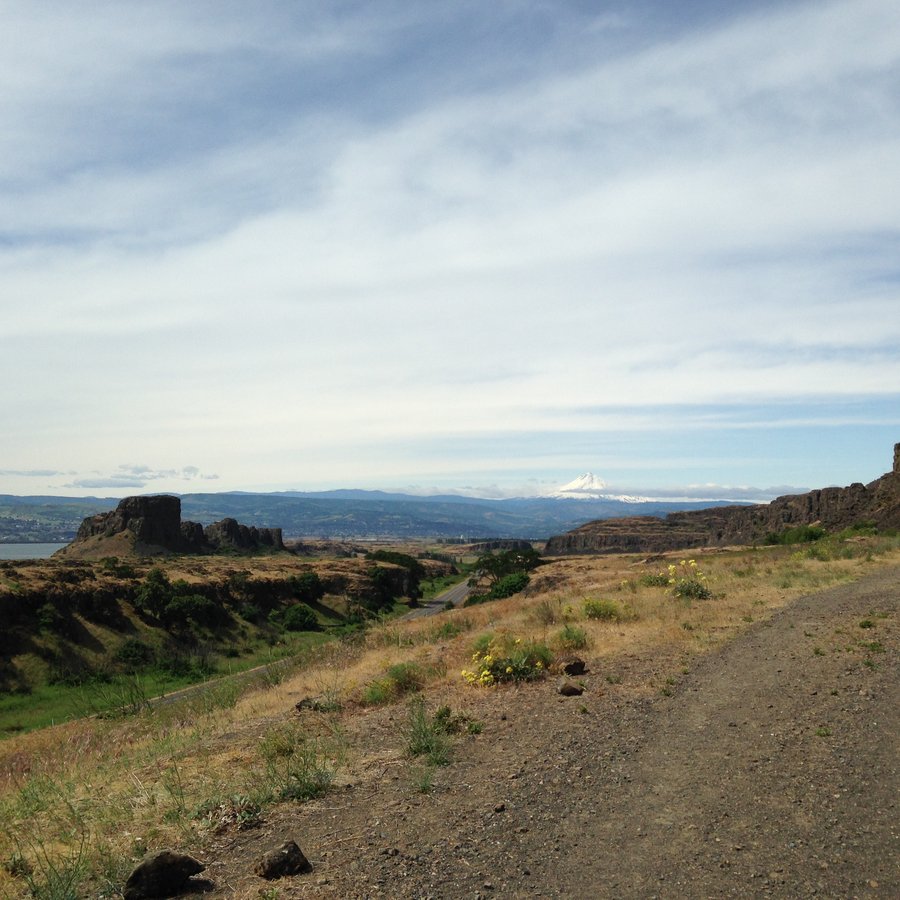
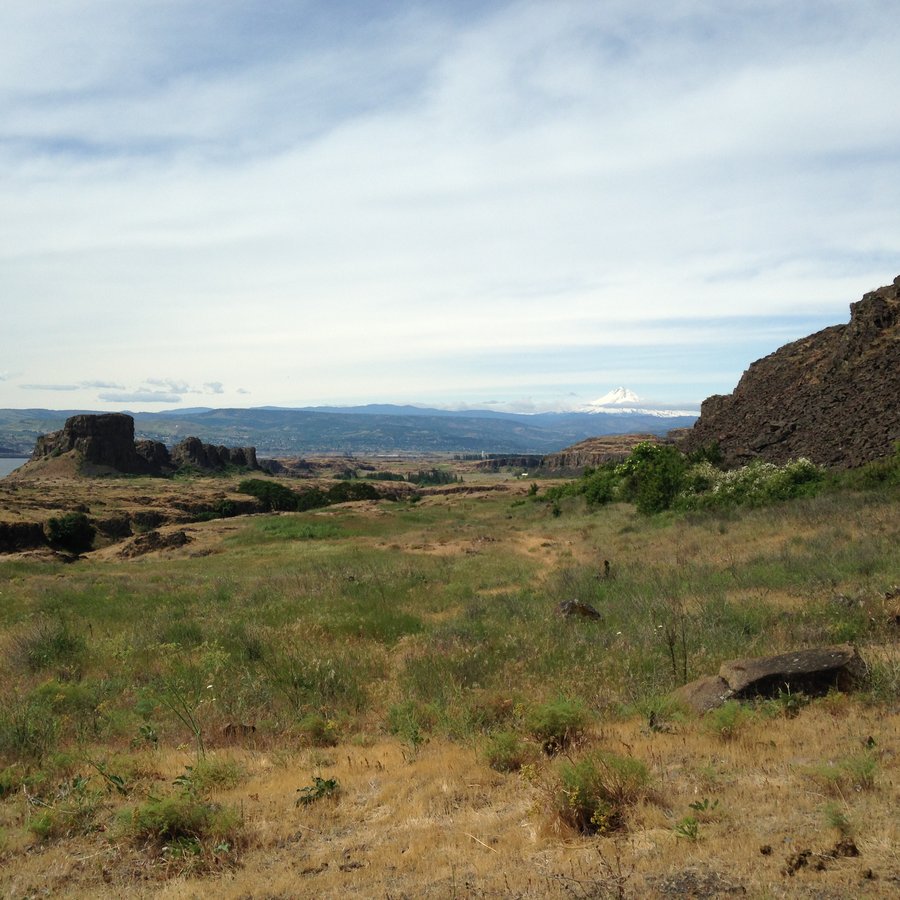
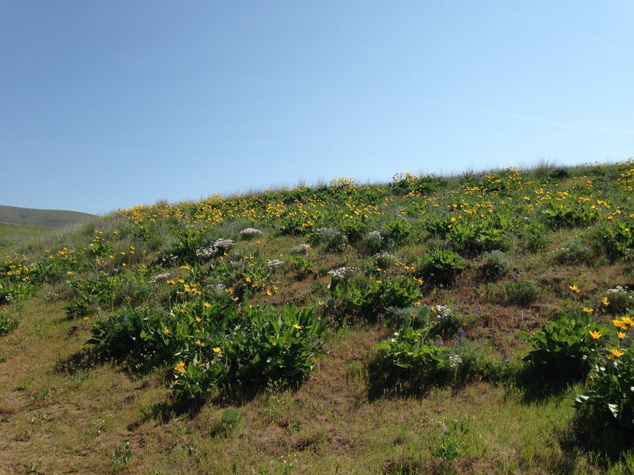
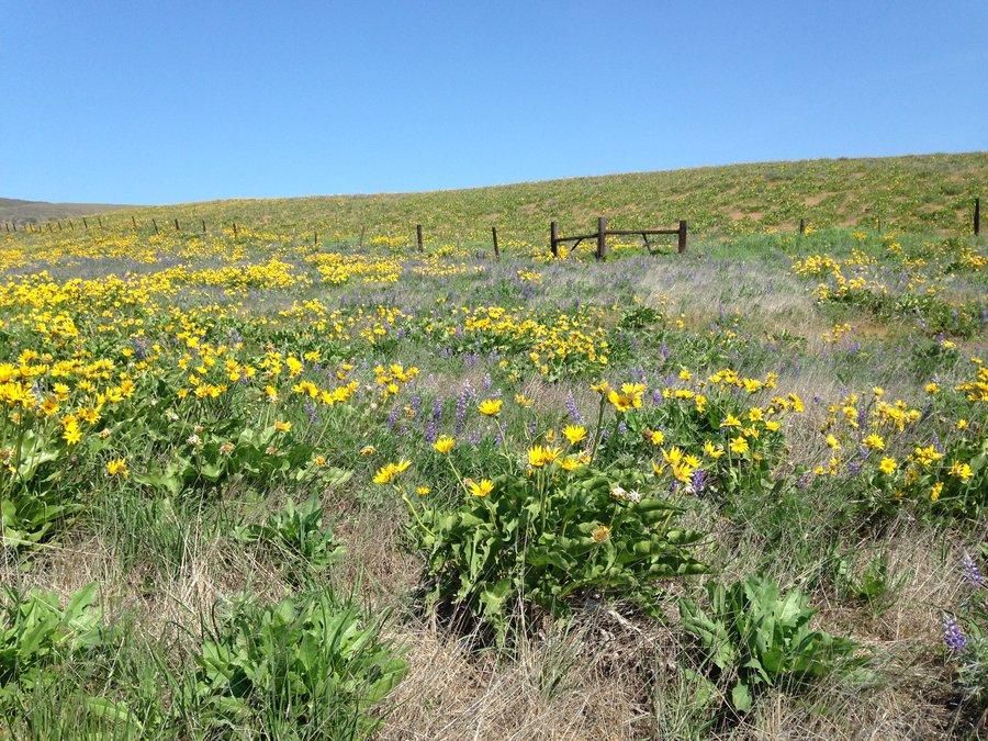
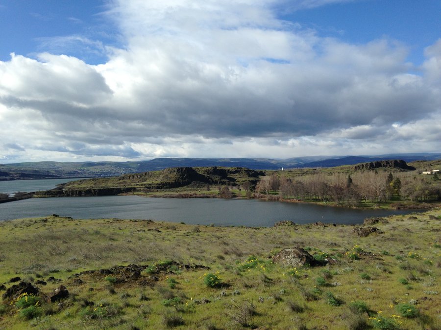
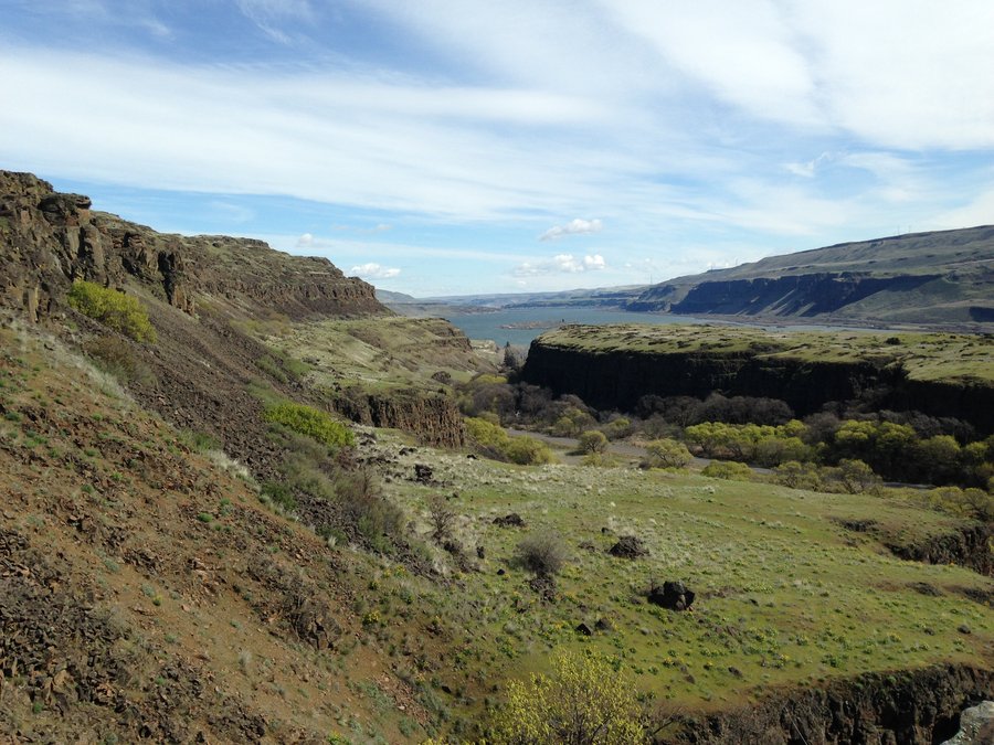
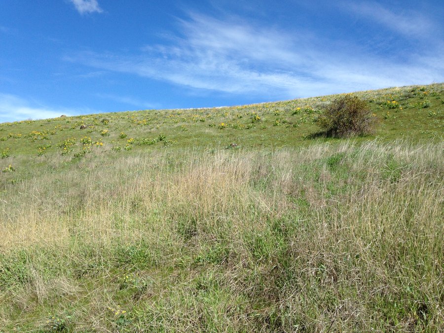
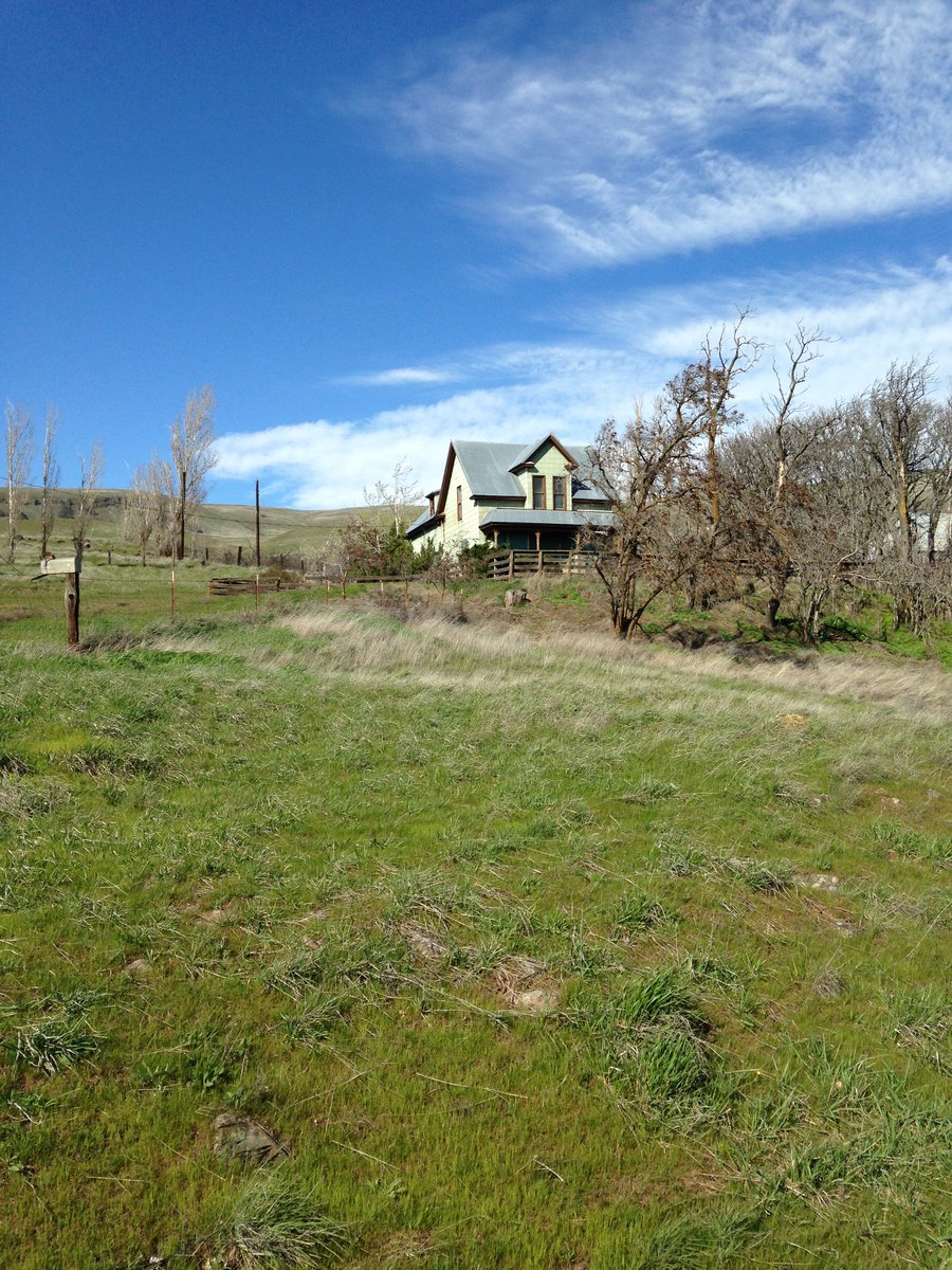
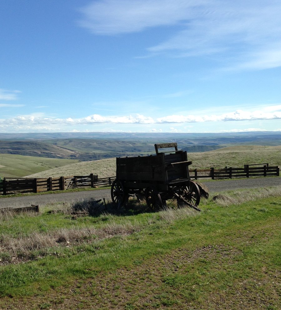
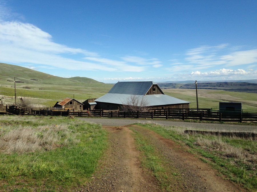
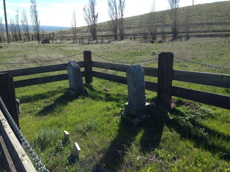
Horsethief Butte to Dalles Mt. Ranch
10.86 miles of hiking • 1750' elevation gain •
Beautiful sunny day out to the east. Walked around and through Horsethief Butte, then ambled east on the plateau. Lots of the smaller wildflowers are full on right now. Climbed down a convenient gully directly across from the new parking lot for the Crawford Oaks trailhead, Heading up to the Dalles Mountain ranch complex we saw tons of Balsam root not quite at peak, but with tons of flowers, Lupines just starting and patches of phlox. The old farmhouse area was great to explore.
March 24, 2015


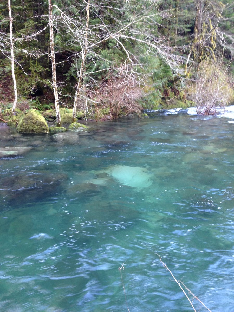
Eagle creek
8 miles of hiking • 750' elevation gain •
Just a quick trip on a sunny day to see how the flowers were progressing. The answer is quickly!
March 19, 2015


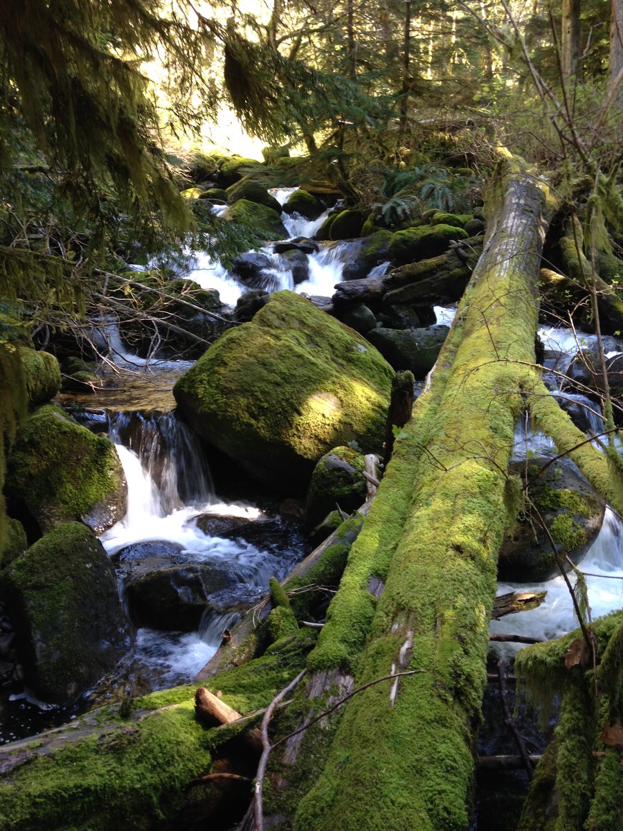
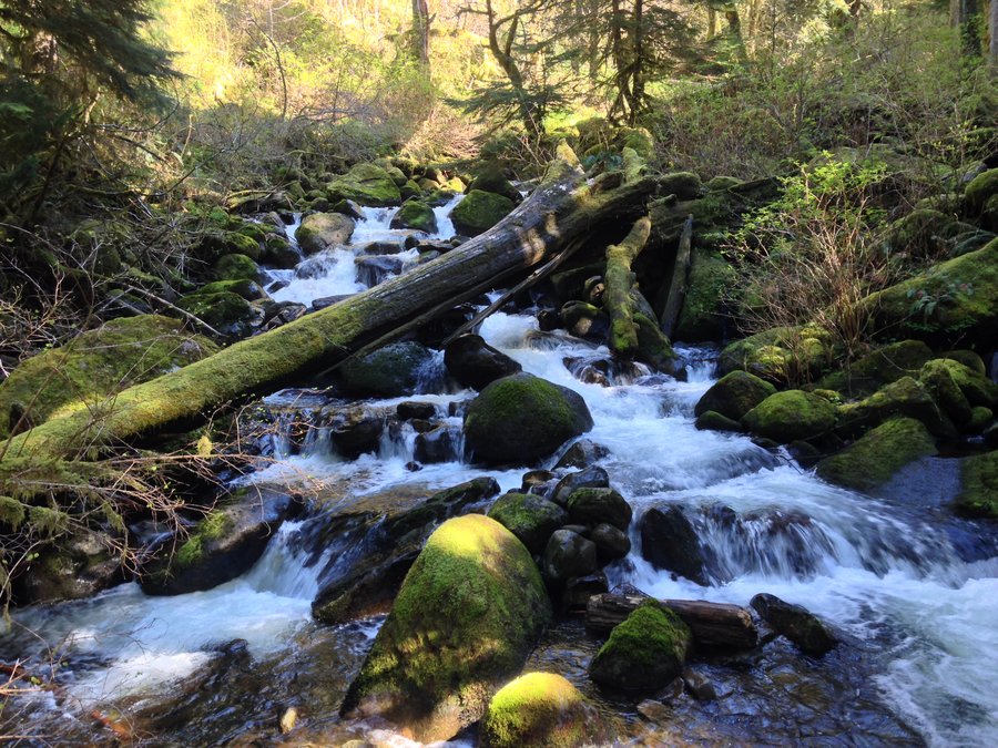
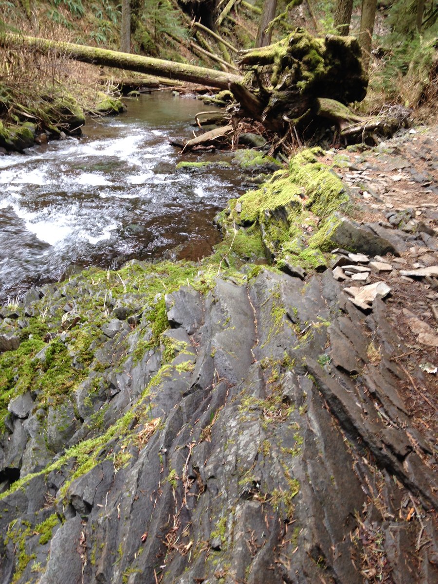
Horsetail falls to the Landslide
4 miles of hiking • 500' elevation gain •
A short hike in the gorge with a friend and a chance to look at the landslide that is about 1/2 mile north of Triple falls.
March 9, 2015

 4
4
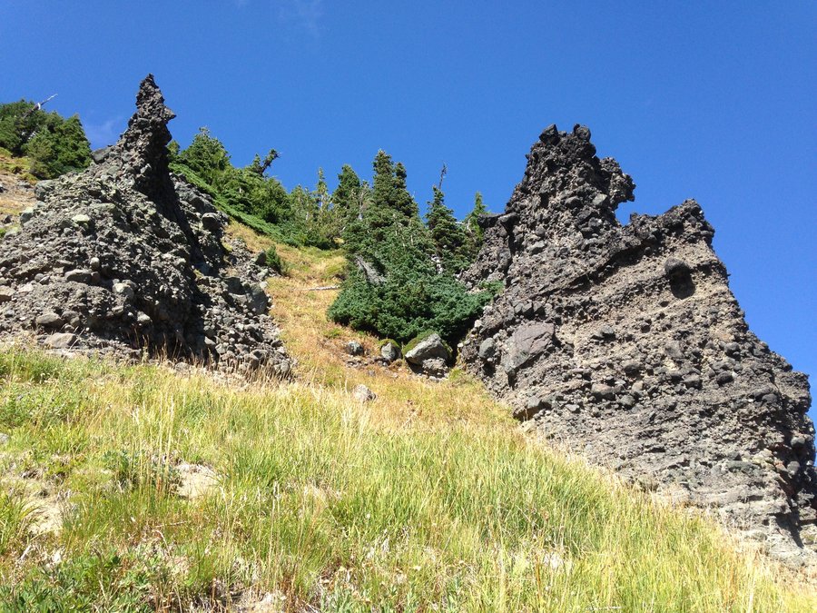
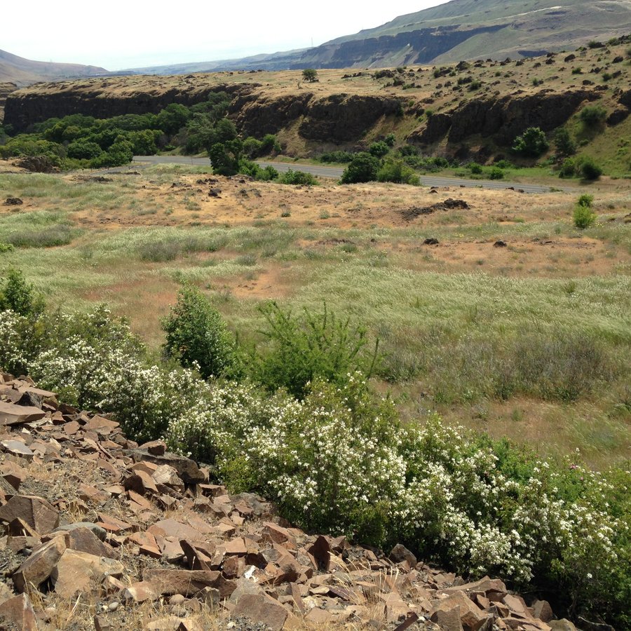
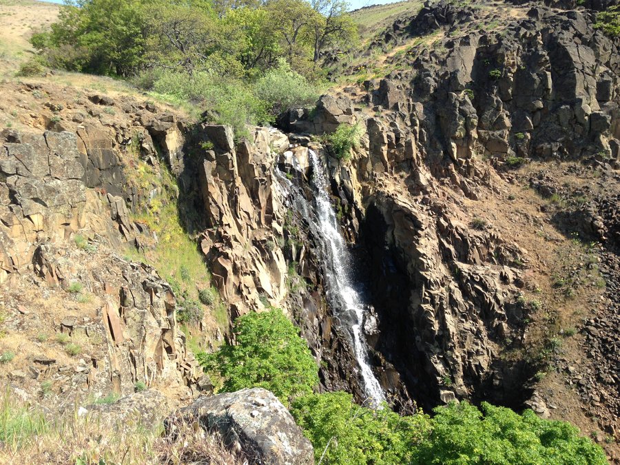
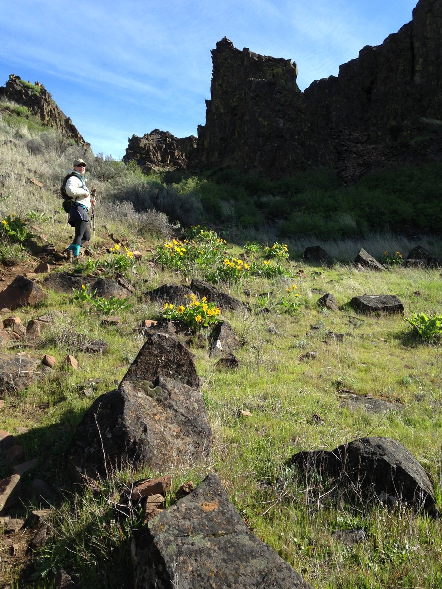
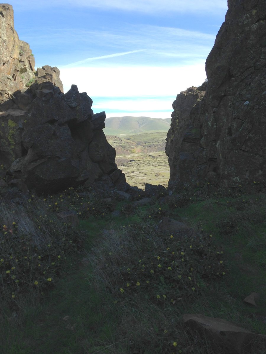
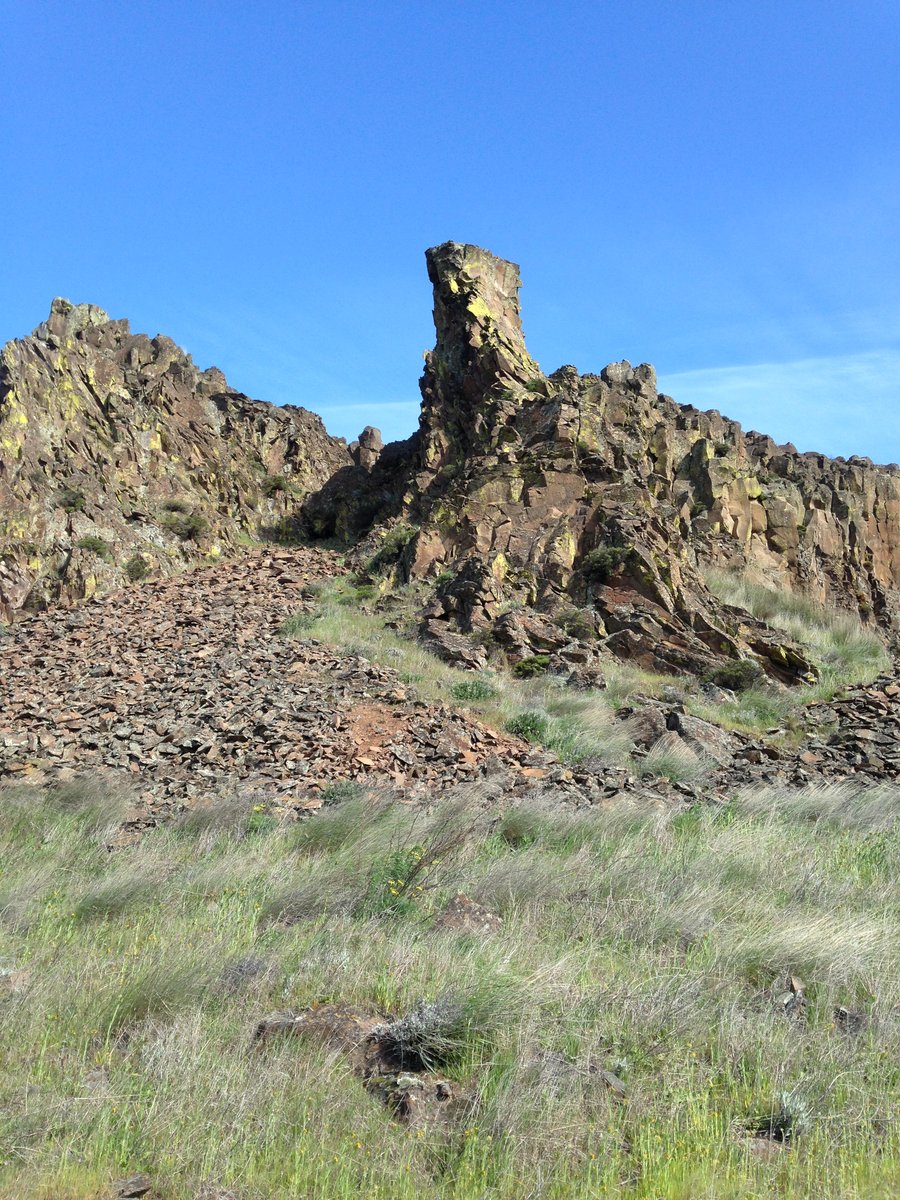
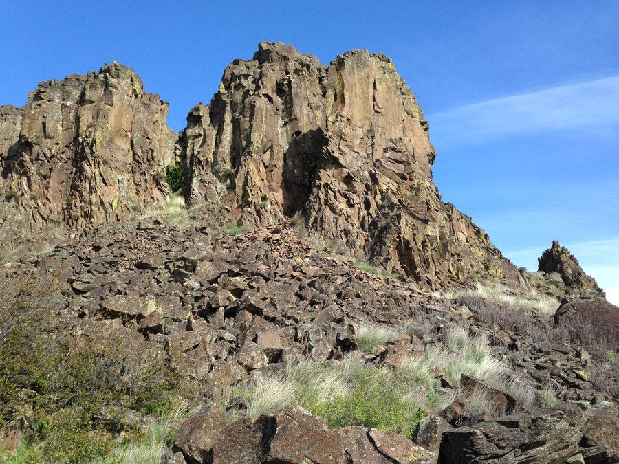
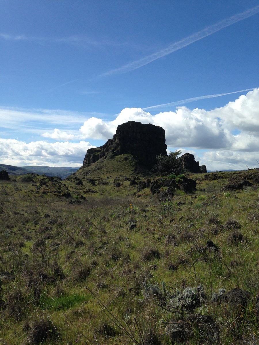
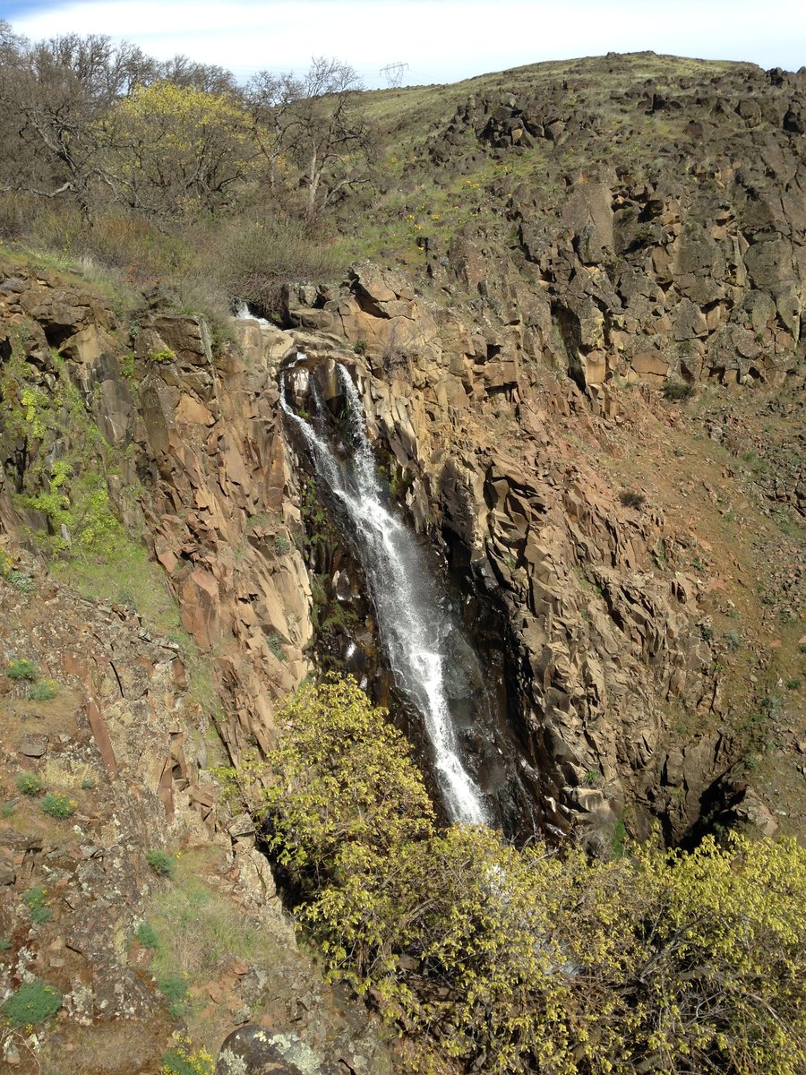
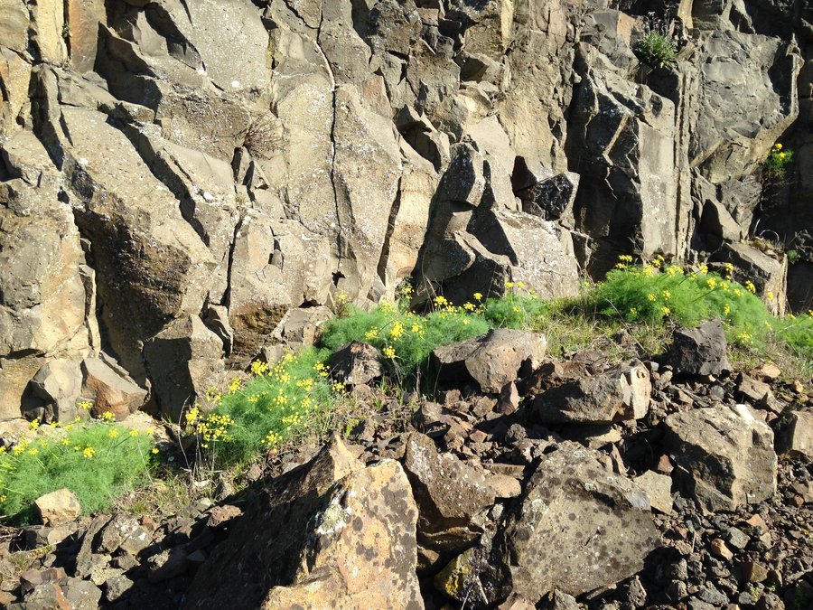
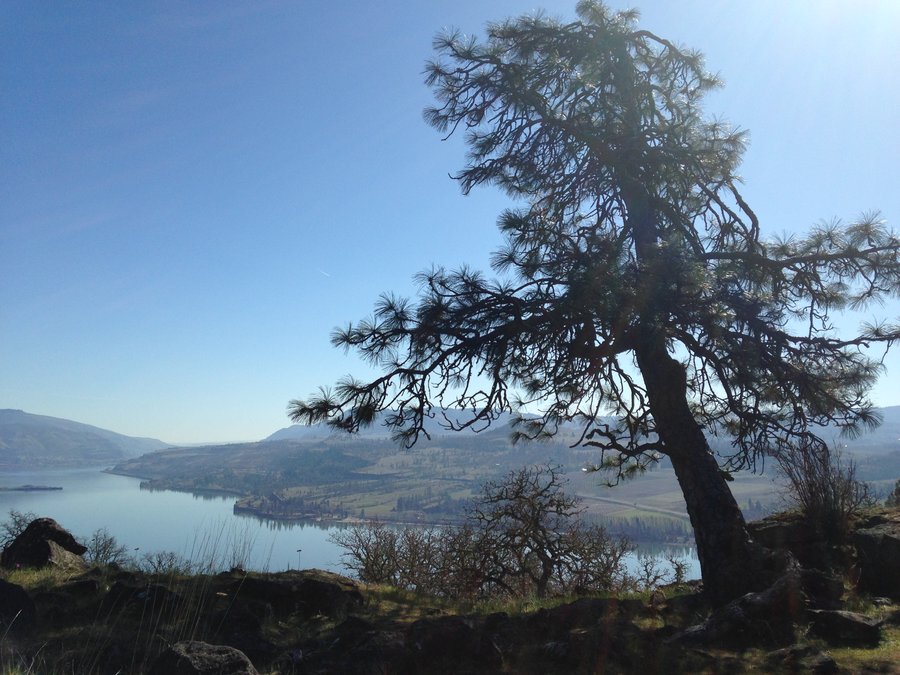
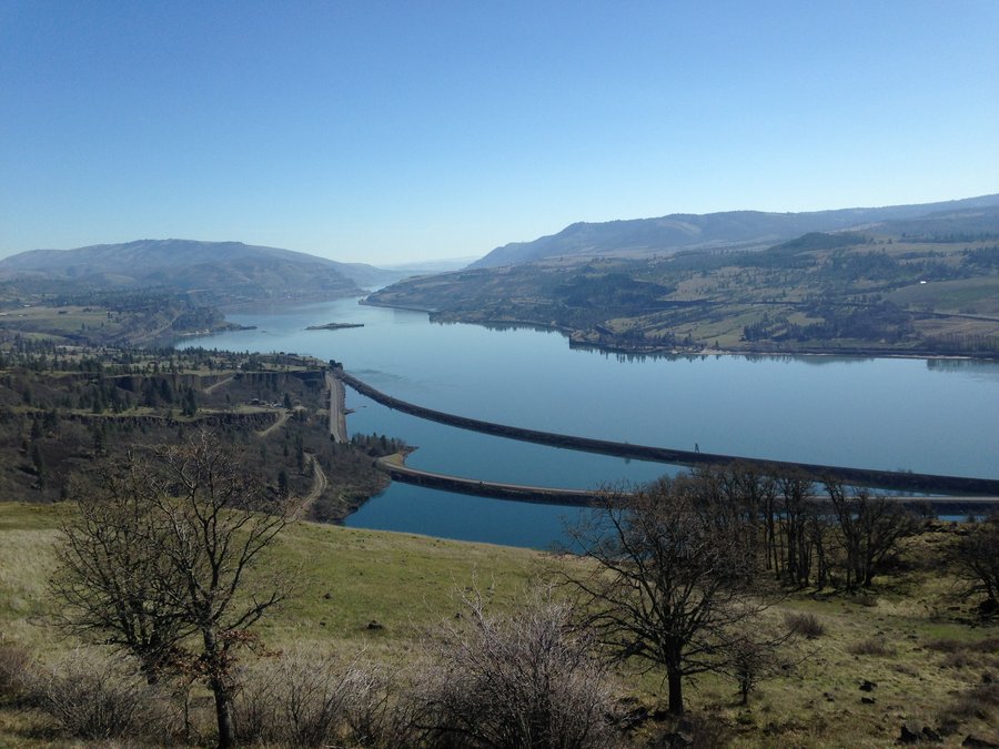
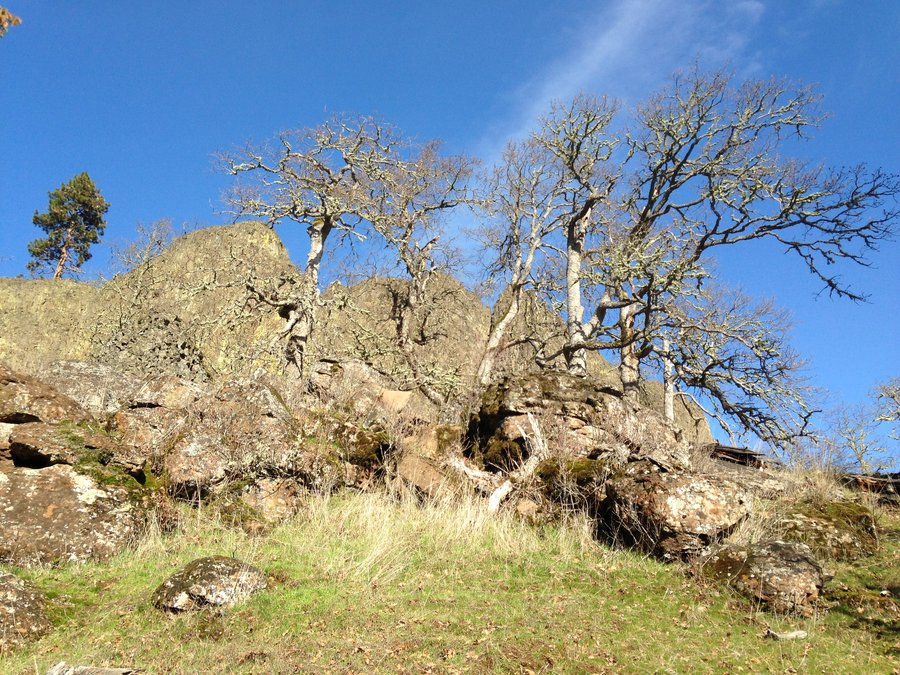
Coyote wall Labyrinth area
3.09 miles of hiking • 1250' elevation gain •
I did a loop heading up the Labyrinth Trail to Atwood road, east on Atwood road aways to Rowland ridge. Then angled back down catching the top of what Green trail maps is calling Little Maui trail. The flowers are just starting up. Pretty quiet day out there.
March 8, 2015


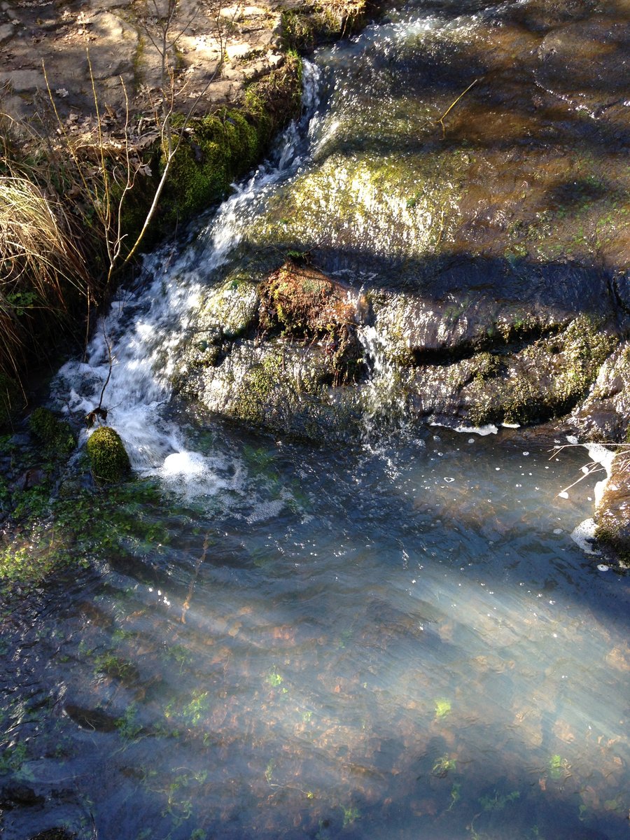
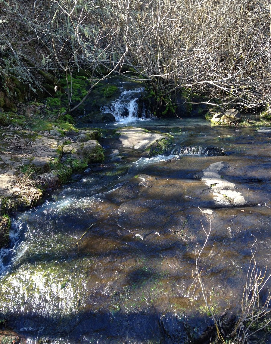
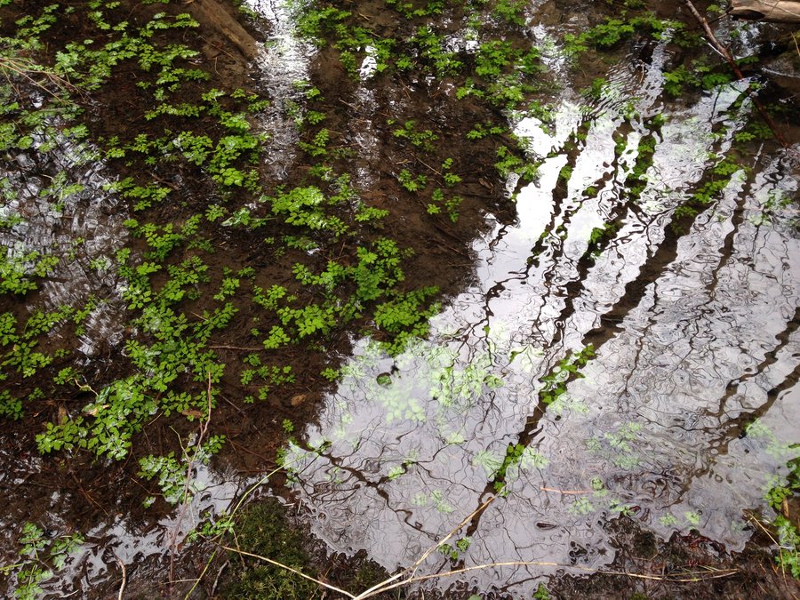
Eagle creek
10.2 miles of hiking • 1000' elevation gain •
An easyish flu recovery hike today for me. Beautiful day and beautiful colors in the water and moss right now. Just a few flowers are starting to open.
March 3, 2015

 1
1
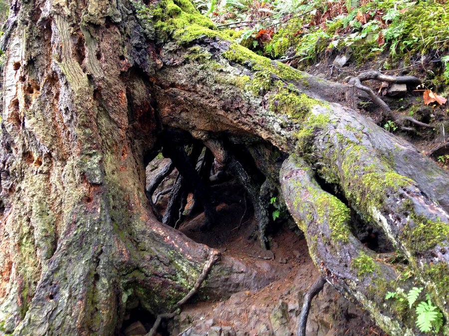
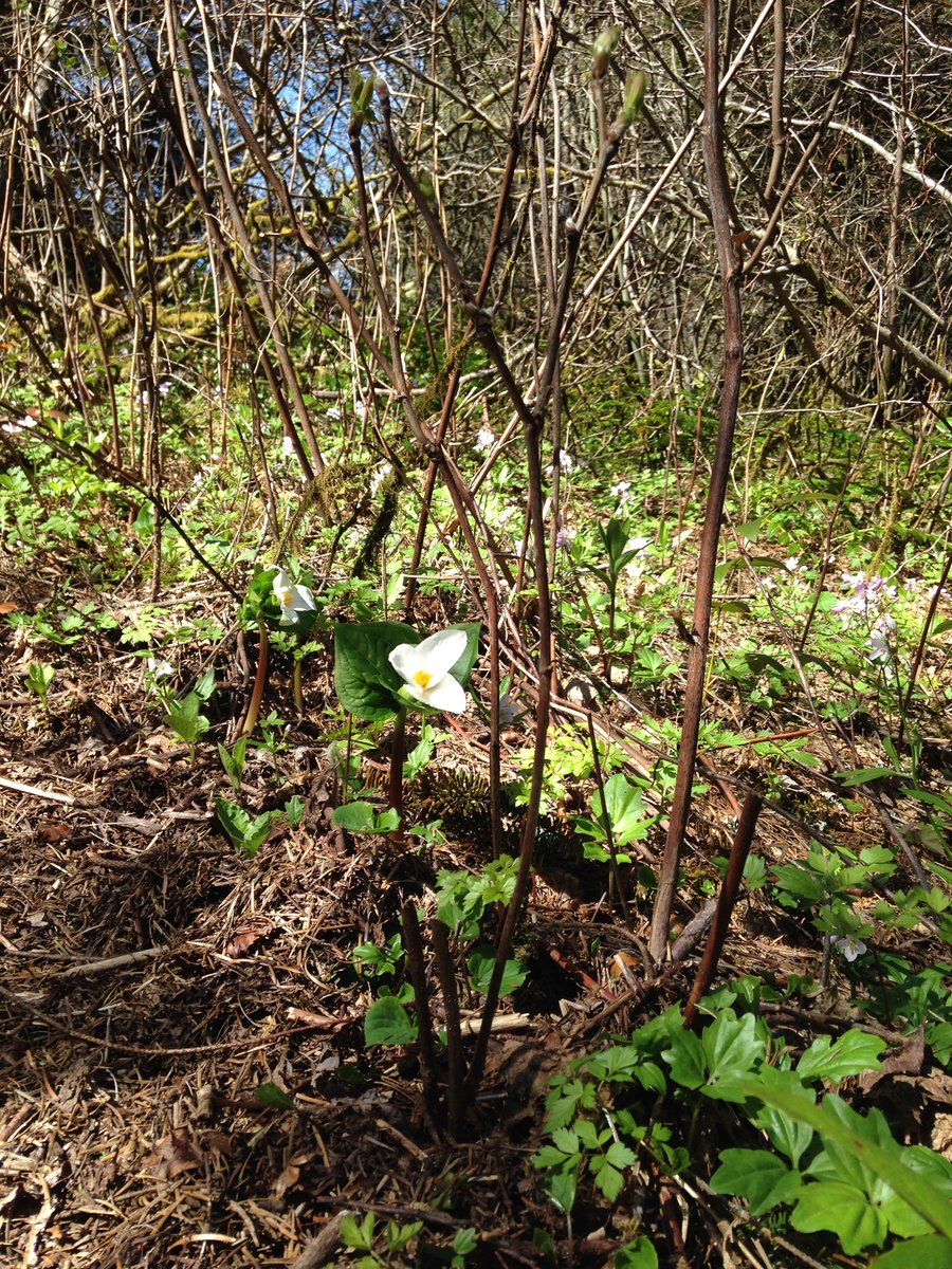
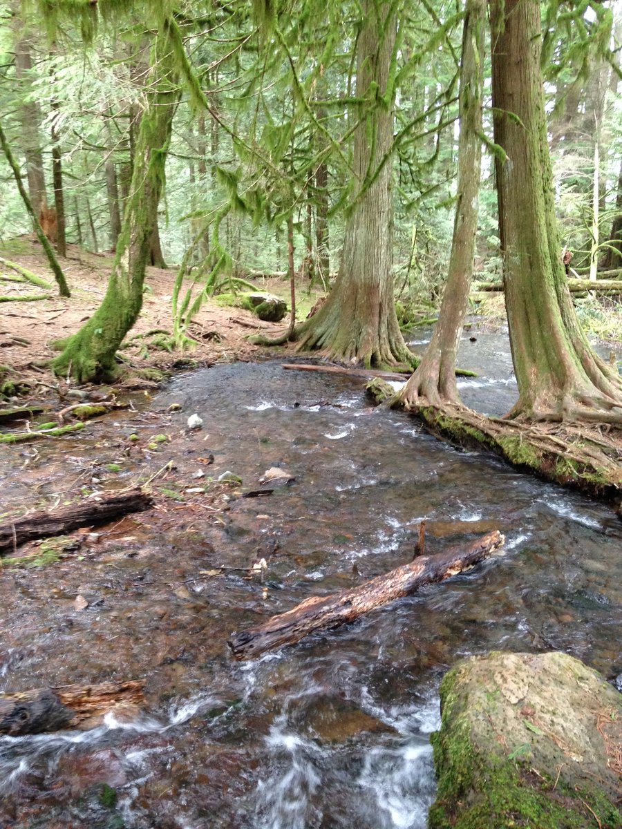
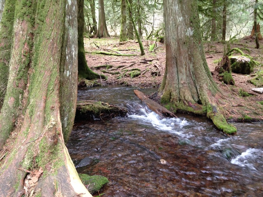
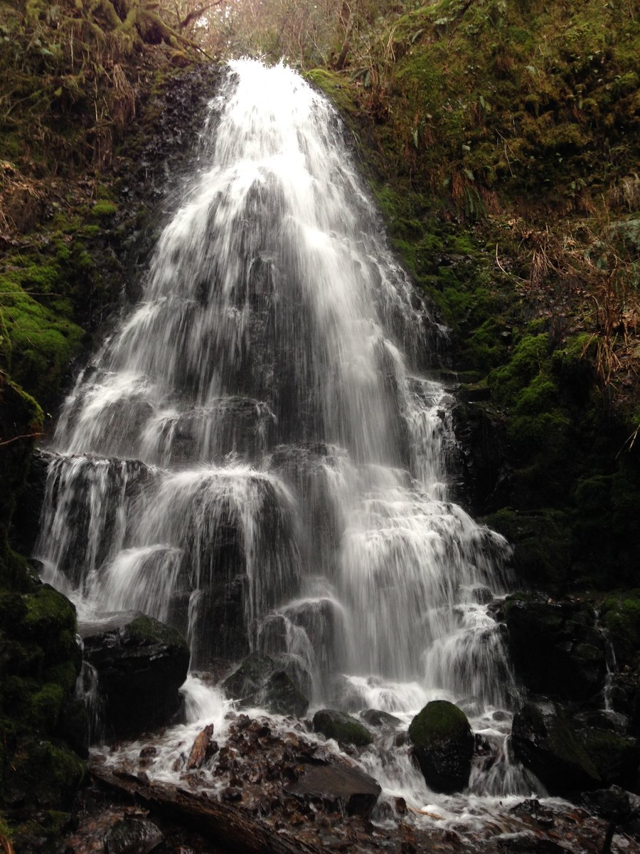
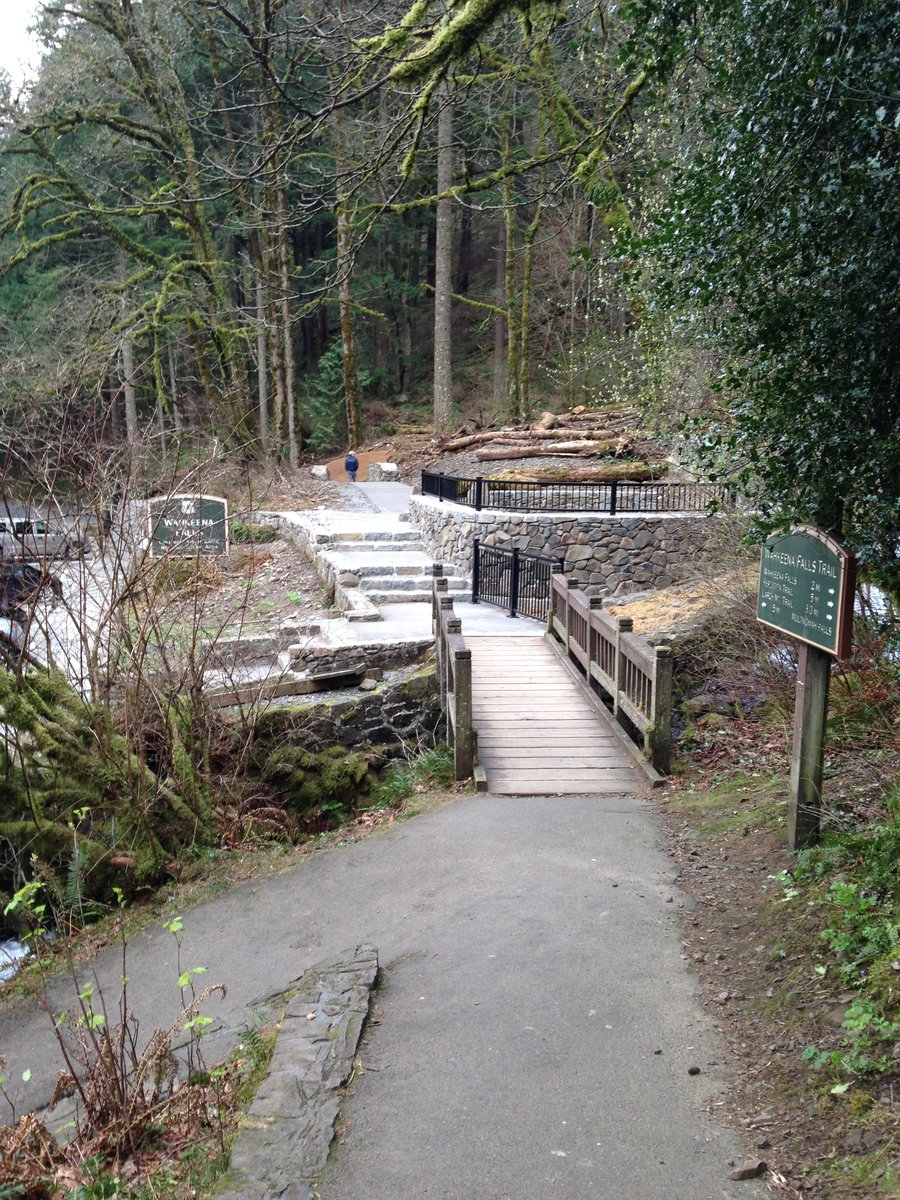
Multnomah Devil's rest loop
10 miles of hiking • 2250' elevation gain •
Curiosity led me to walk the Multnomah trail up to Multnomah Basin road and head west. I decided to make a loop by cutting over on the user path from the road over to the Devil' s rest trail. Went to just below the top and watched some rain clouds rolling in, then headed back down and detoured over to Wahkeena springs and down the Wahkeena trail to the newly renovated viewing platform, and back to Multnomah via the return trail.
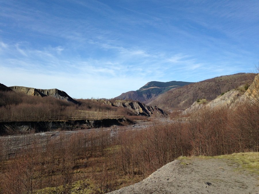
February 19, 2015


 4
4
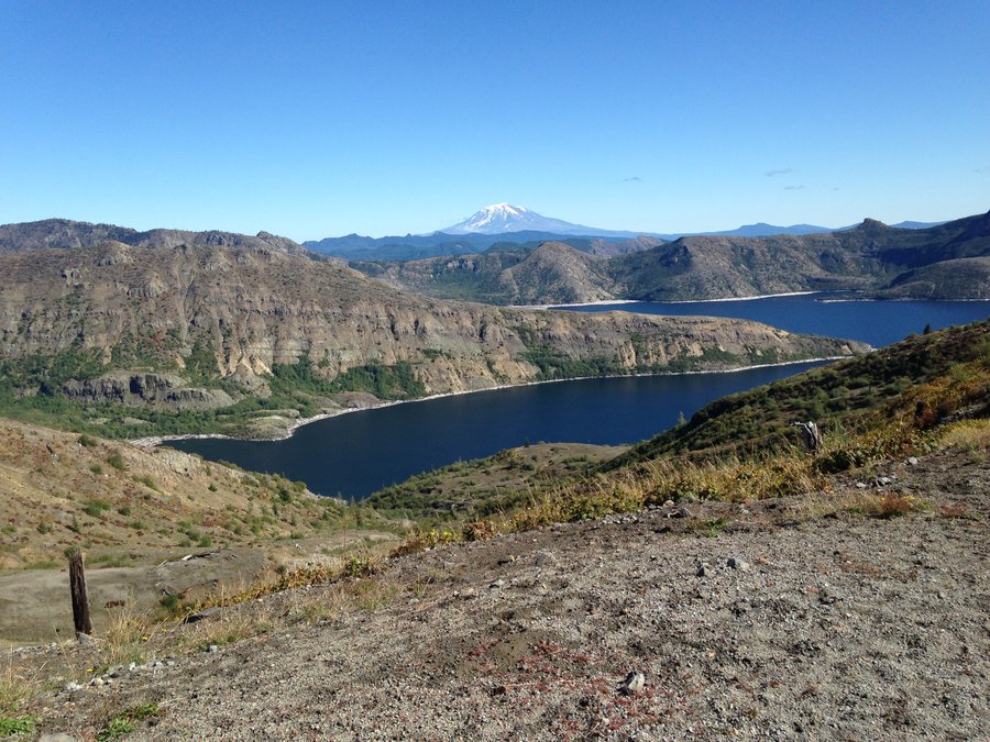
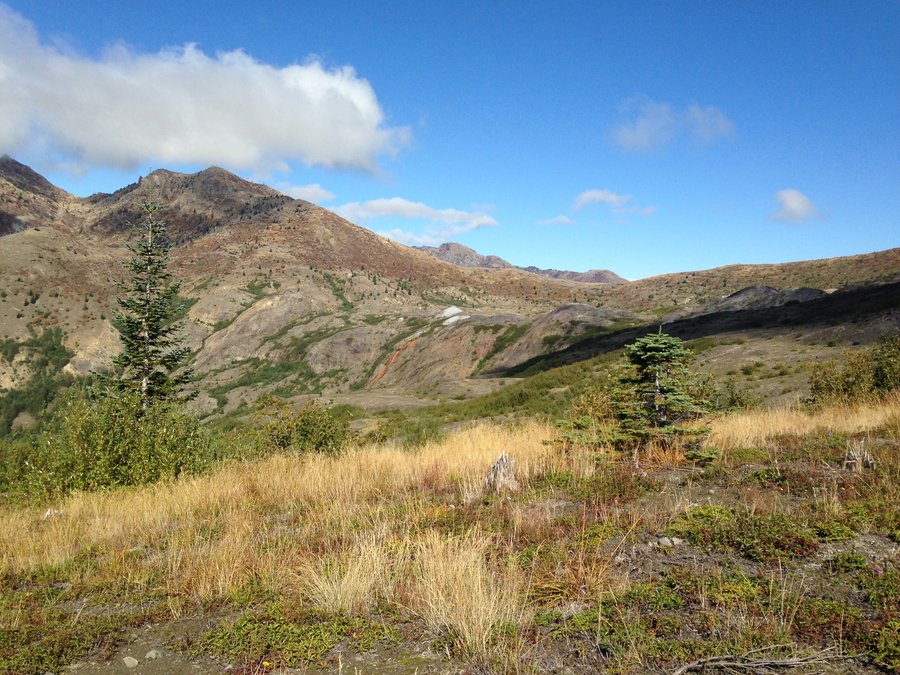
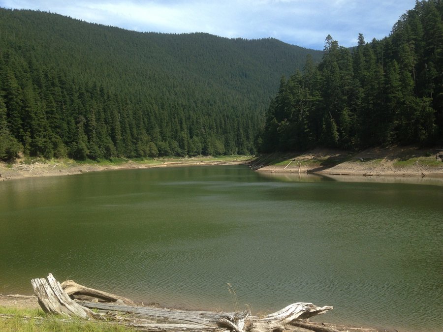
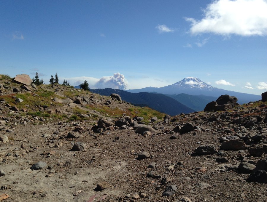
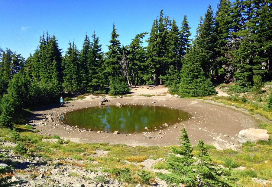
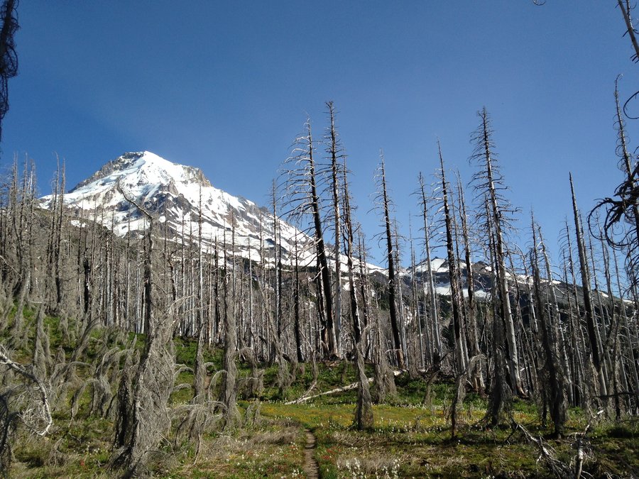
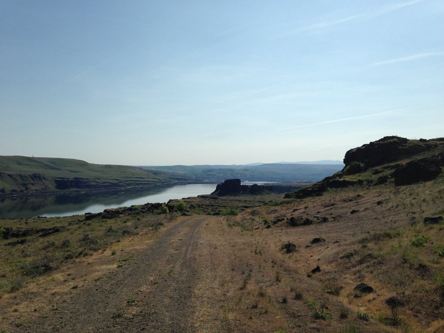
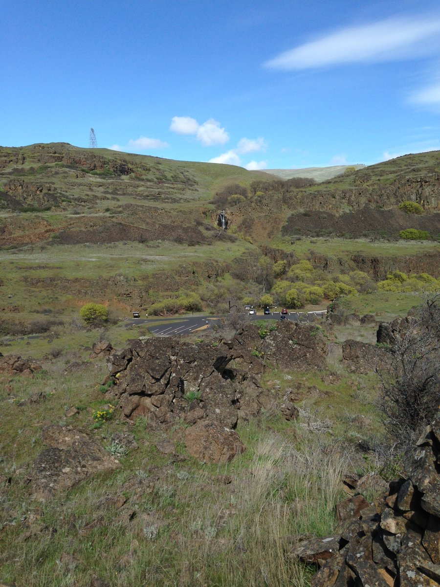
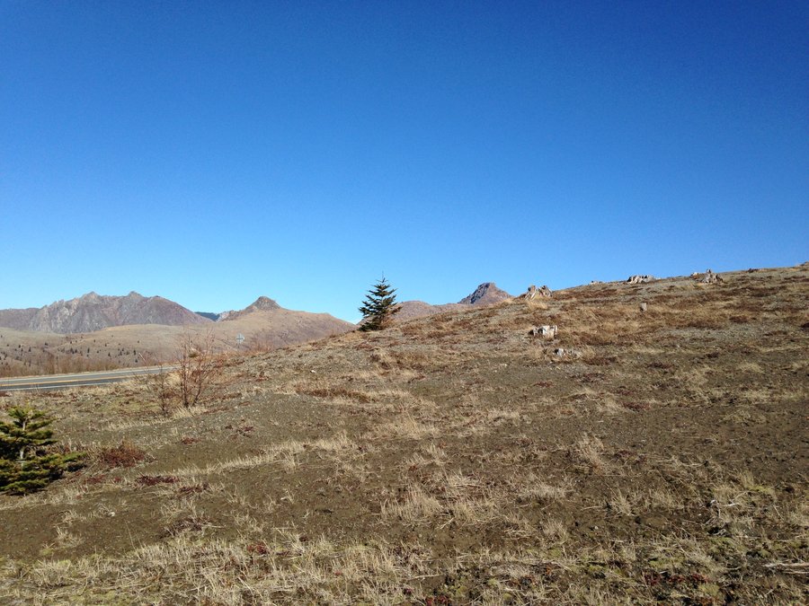
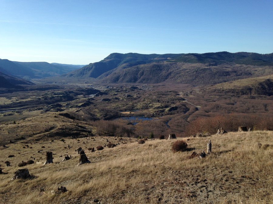
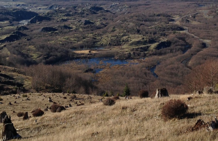
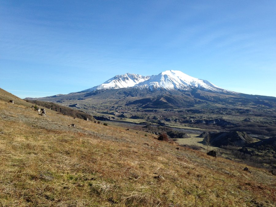
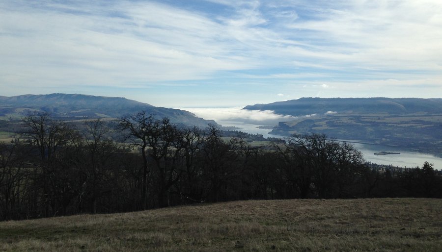
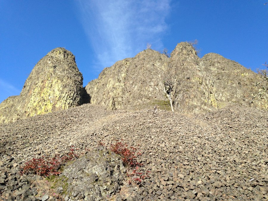
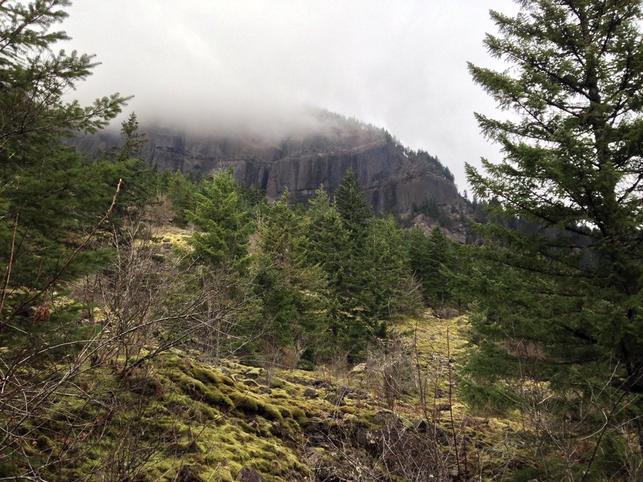
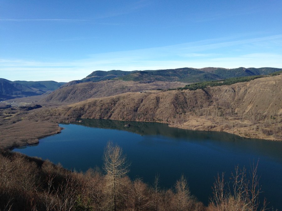
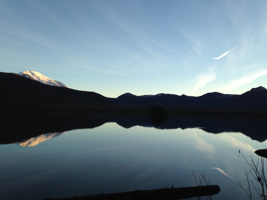
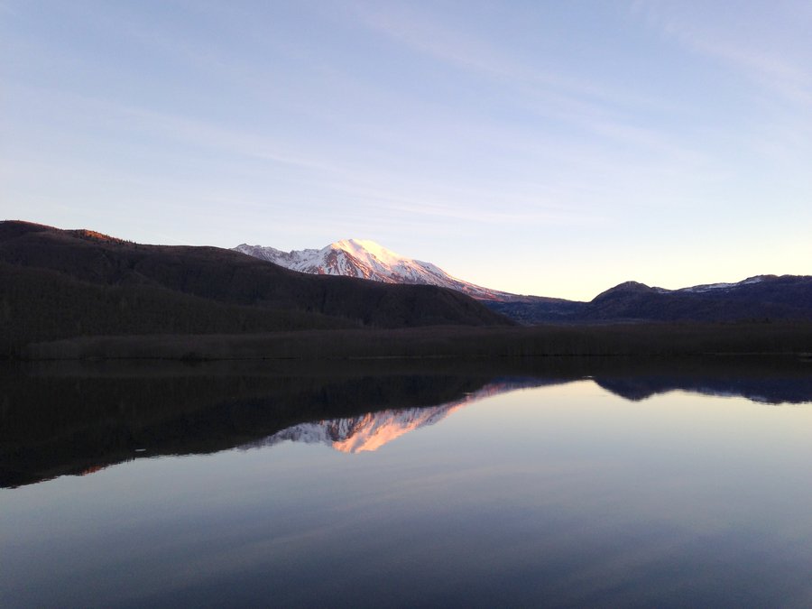
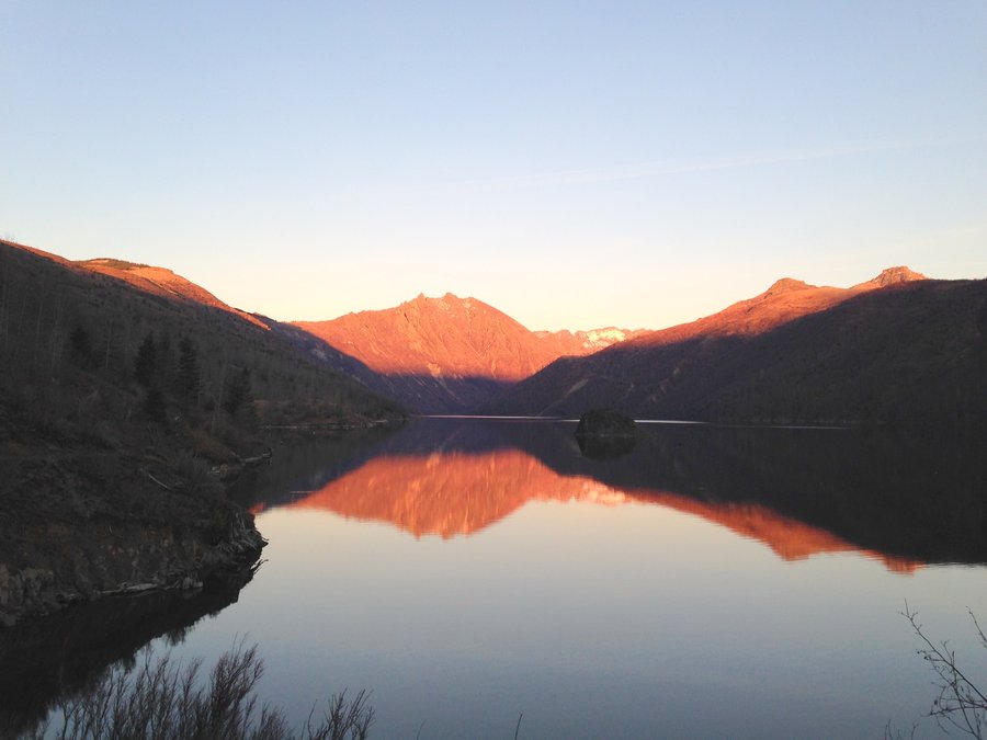
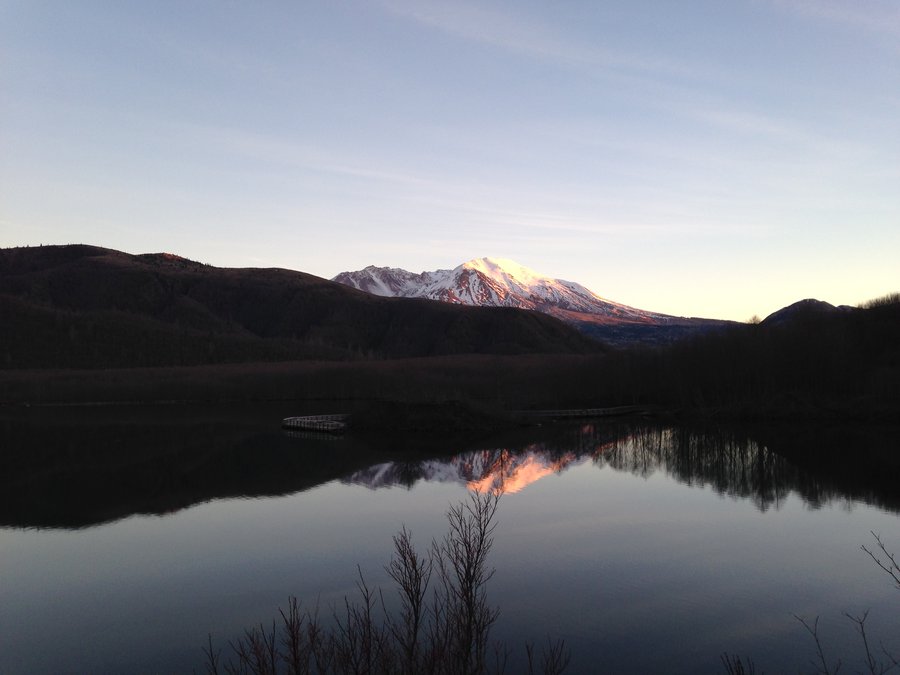
Hummocks up Johnston Ridge
9.6 miles of hiking • 2000' elevation gain •
Totally glorious day, views at every step and scarily small amounts of snow. We only saw a few patches on the back of Coldwater peak in the distance, besides what was on Adams and Helens. Nice views of Coldwater, Castle and Spirit Lakes. We went from the Hummocks trailhead up to the Loowit viewpoint.
February 15, 2015

 1
1
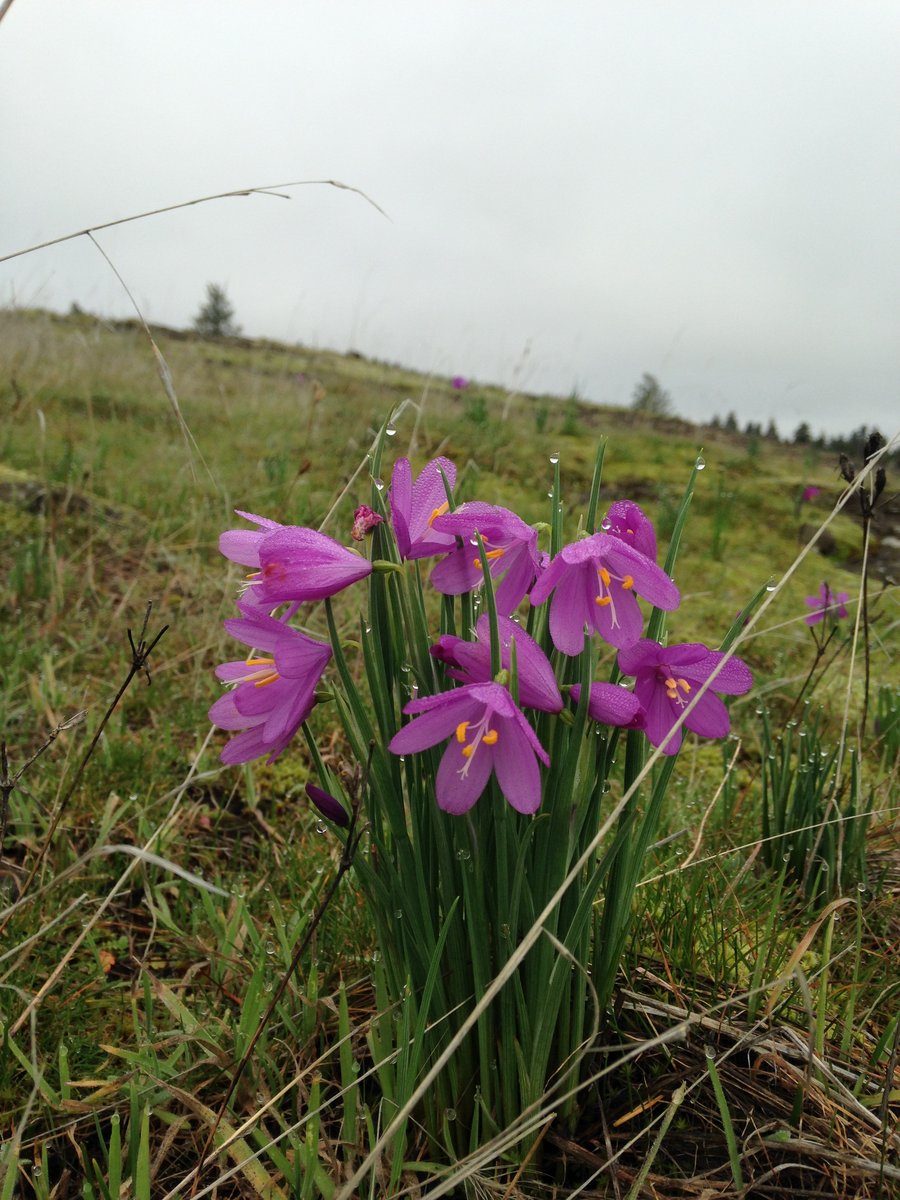
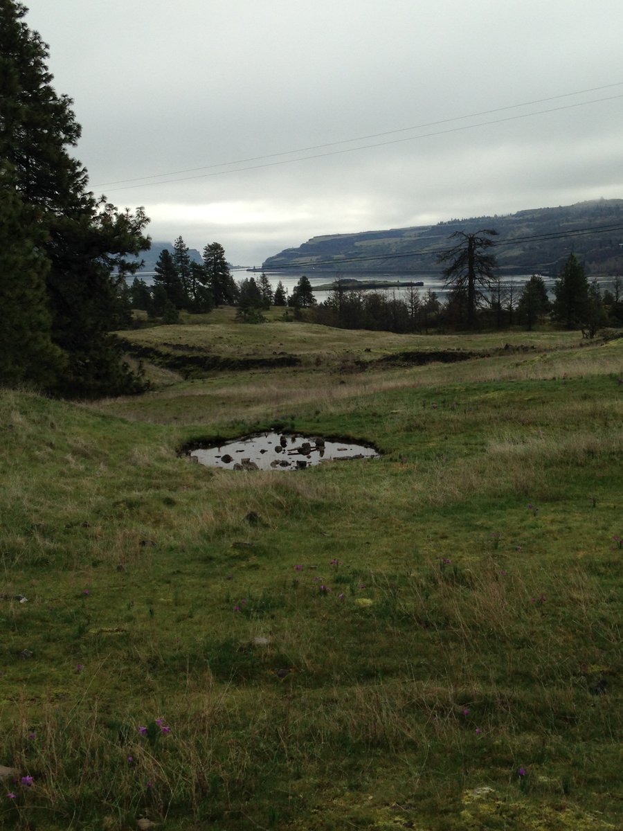
Catherine Creek loop
5.5 miles of hiking • 1250' elevation gain •
Did a mini hike and went for a small loop up Tracey hill and over to Catherine creek and down. Grass widows are full on. especially lower.
February 12, 2015

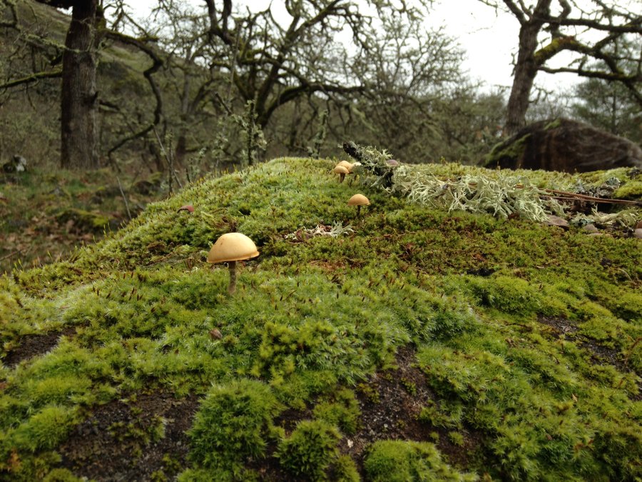
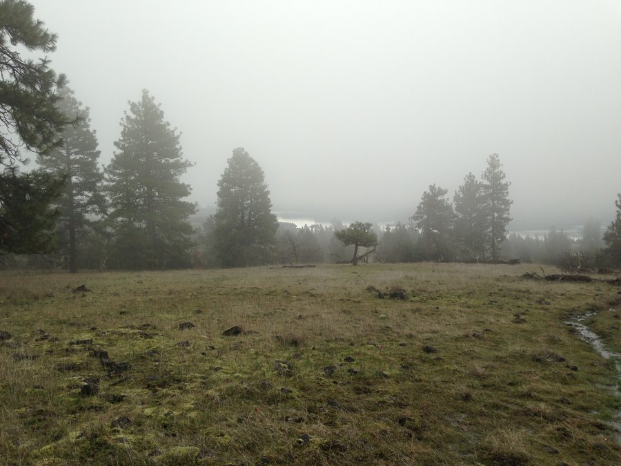

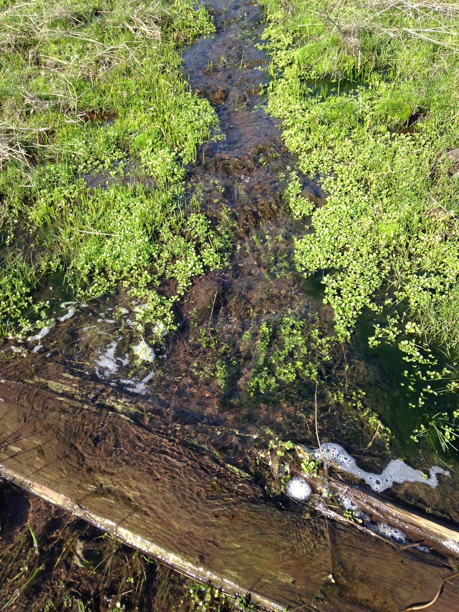


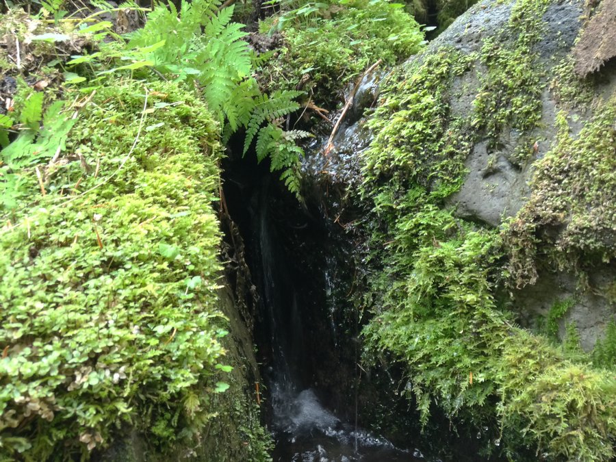
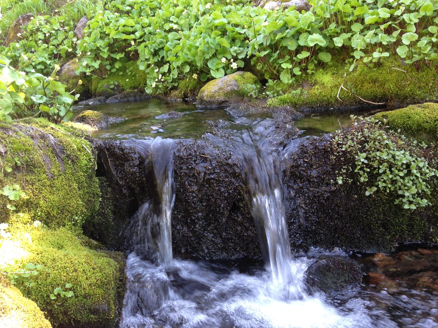
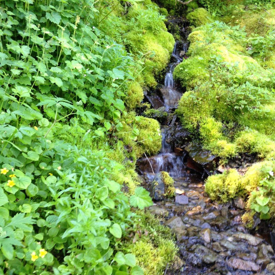
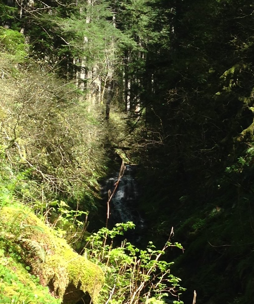
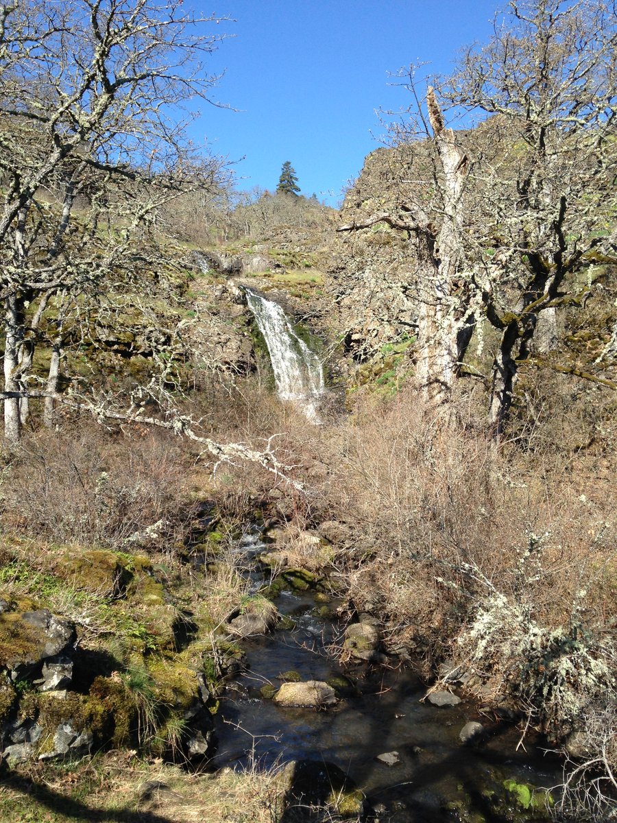
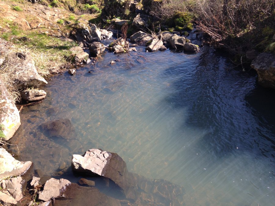
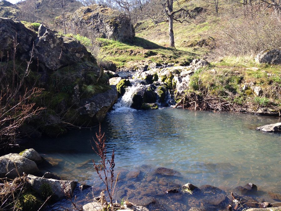
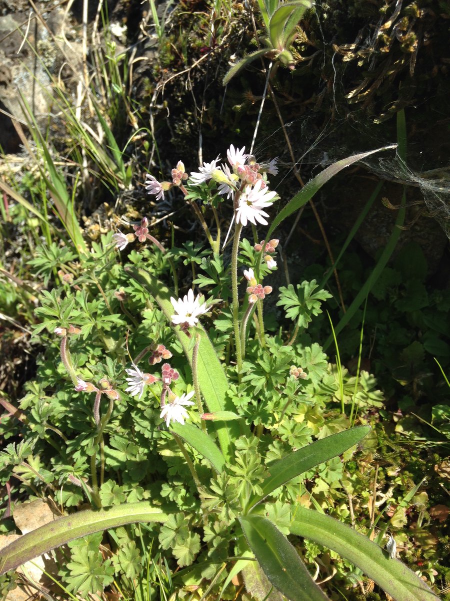
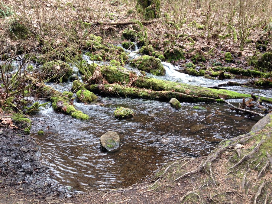
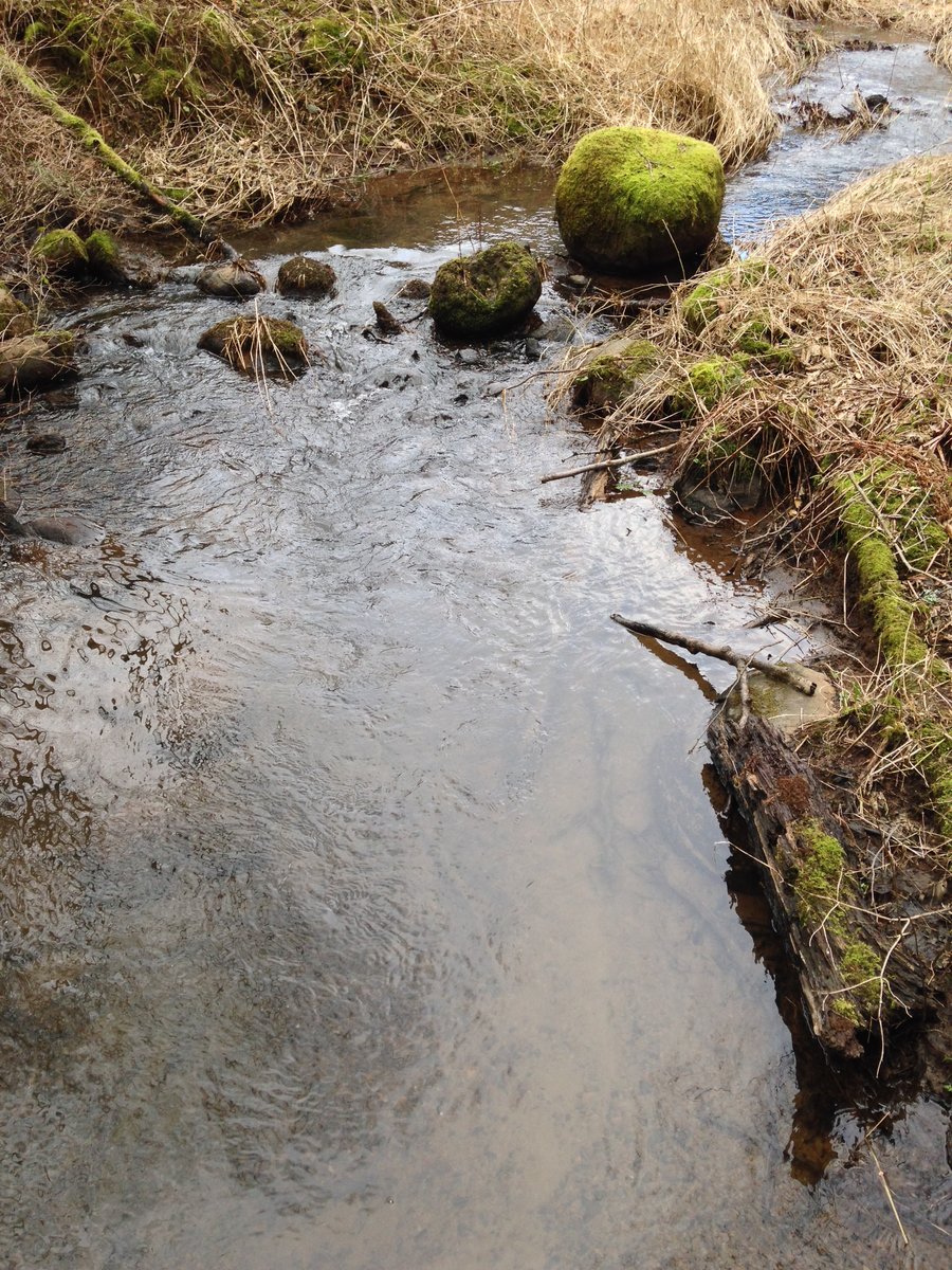
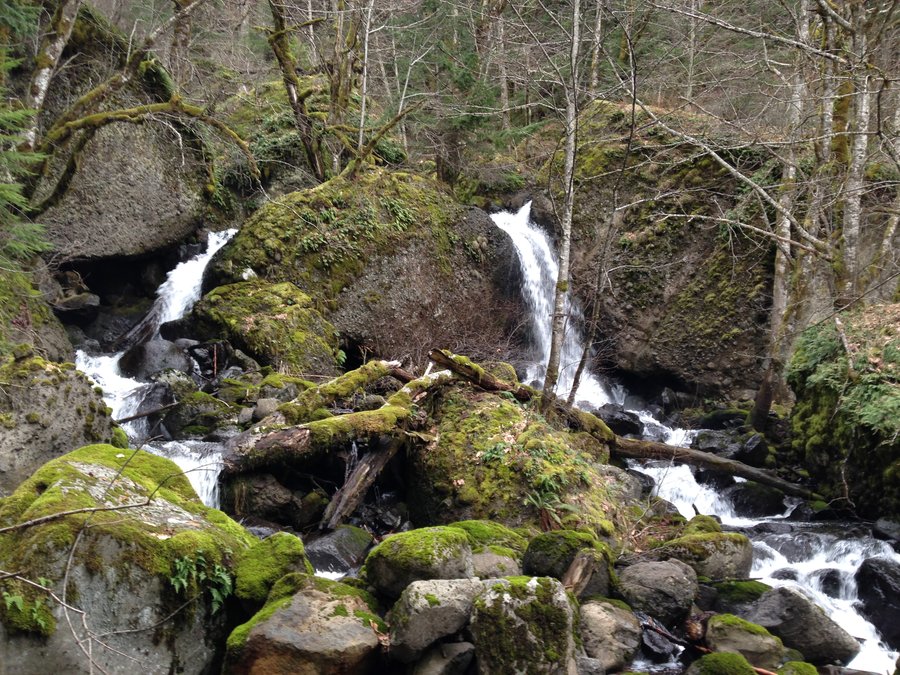
Greenleaf Creek Cascade
9.1 miles of hiking • 1250' elevation gain •
Not much in the way of views as I seemed to be right at the leading edge of the clouds most of the day. Still a nice day in the woods.
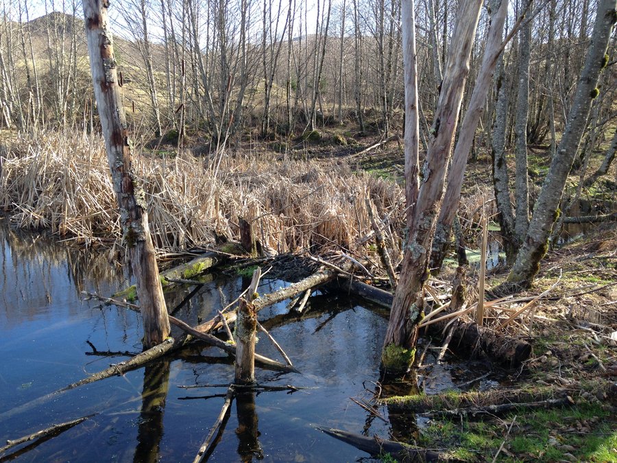
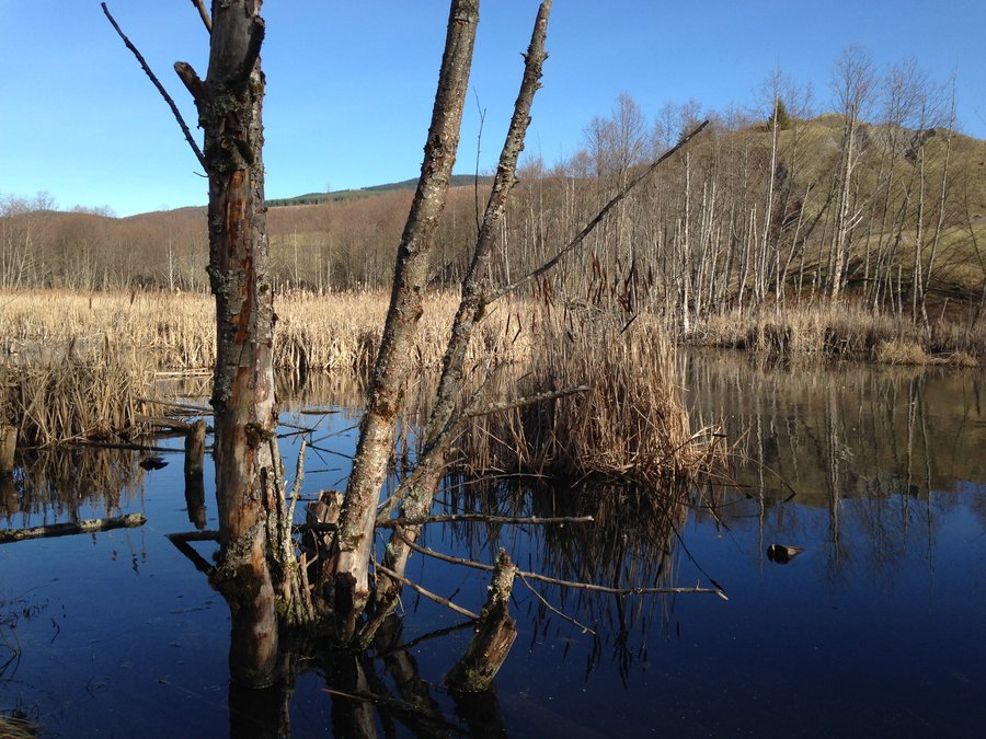
January 30, 2015


 3
3
Coldwater Lake loop
12.3 miles of hiking • 1750' elevation gain •
Beautiful day in the 60's. No snow to speak of. Incredible views. A lot of things not normally accessible are right now.
January 25, 2015


Eagle creek
8 miles of hiking • 750' elevation gain •
Waterfalls to numerous to count. Lots of water on the trail. The sun peeked out as well.
January 20, 2015


Hamilton Mountain Loop
7.6 miles of hiking • 2250' elevation gain •
It wasn't a good view day, but the mists and rainbows were amazing and the falls were completely raging! Great day.
January 19, 2015


 1
1
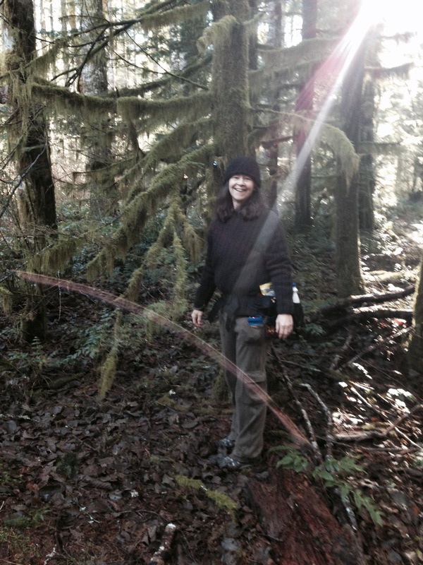
Multnomah basin
11 miles of hiking • 2750' elevation gain •
Great day with 2 new trail friends. Misty and mossy and fun.
January 11, 2015


Trillium lake Snowshoe
5 miles of hiking • 500' elevation gain •
There was several inches of snow, hard packed could easily be hiked with micro spikes or without traction. However the snow was melting while we were there. snow level was a couple hundred feet higher. Great day!
January 2, 2015

View trips from: 2014 2016 2017 2018 2019 2020 2021 2022 2023