

2014 Trips


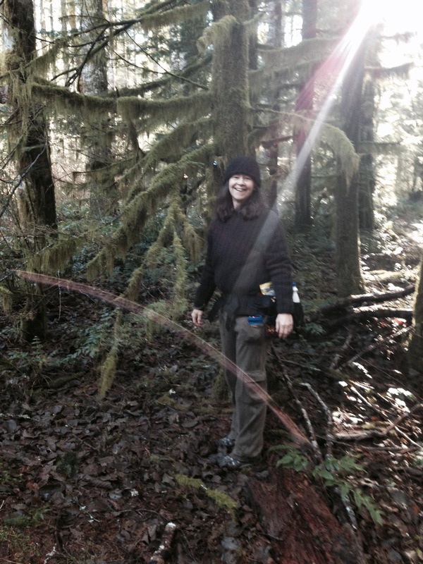
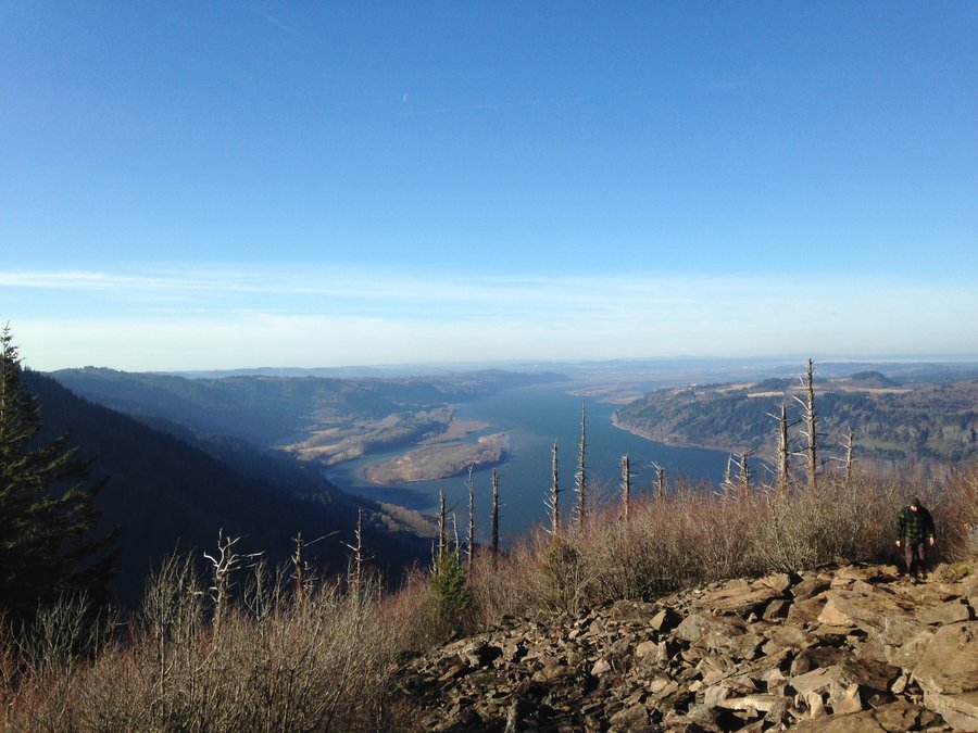
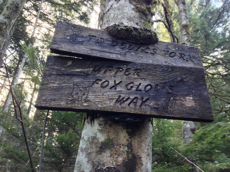
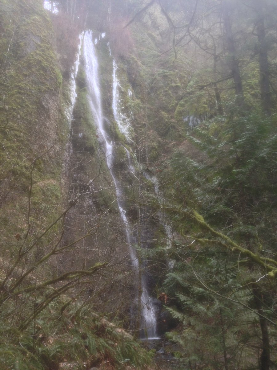
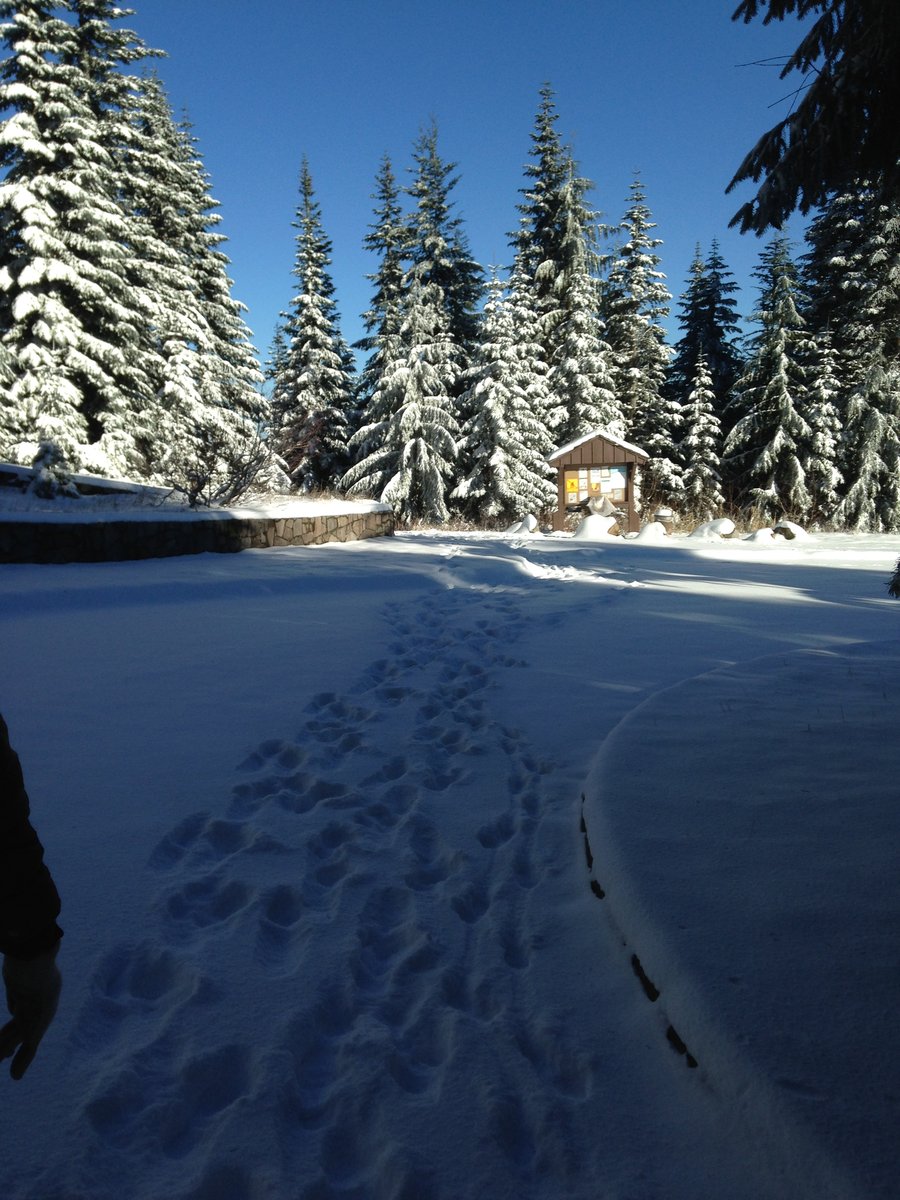
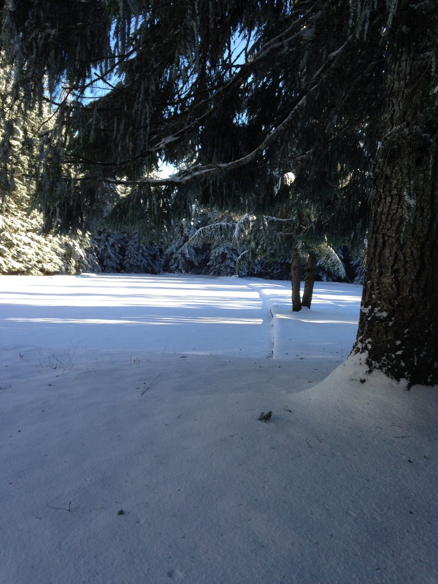
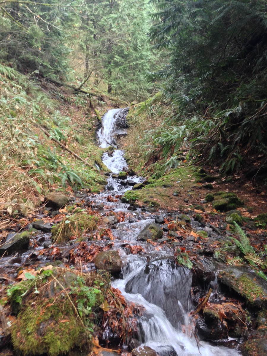
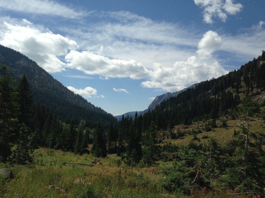
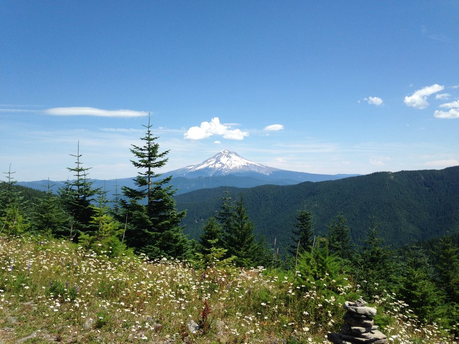
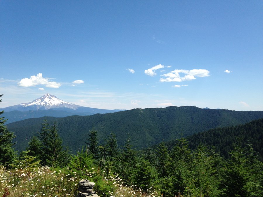
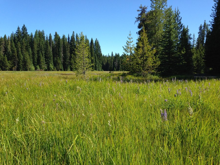
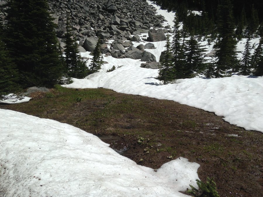
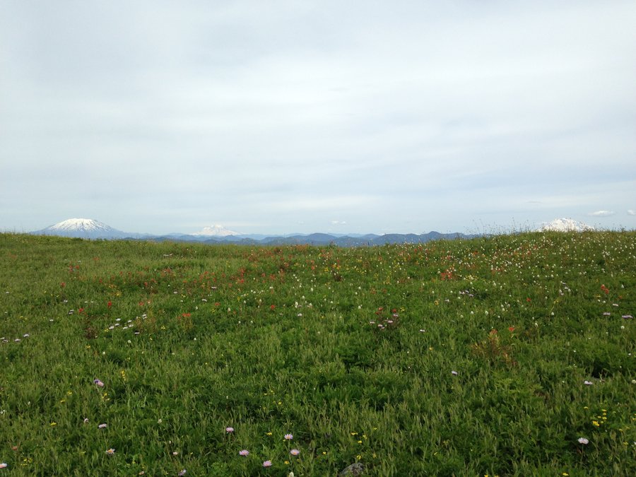
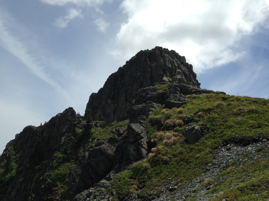
Angels Foxglove short loop
7 miles of hiking • 1750' elevation gain •
Clear skies, lots of wind, lots of friendly hikers. After reaching Angels rest, I continued east on the trail towards Wahkeena, Headed south east on the Foxglove trail and looped around back to the Angels rest trail. I didn't go much further east because the temperature was dropping so I headed back down. Caroling hikers and many happy dogs with their humans. It was a great day. Woodswalker

December 14, 2014

 1
1
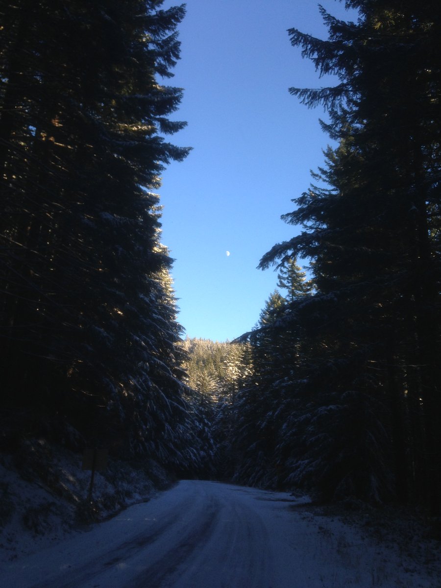
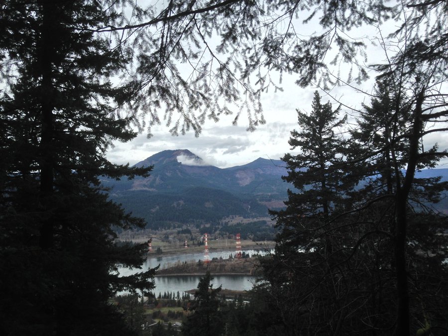
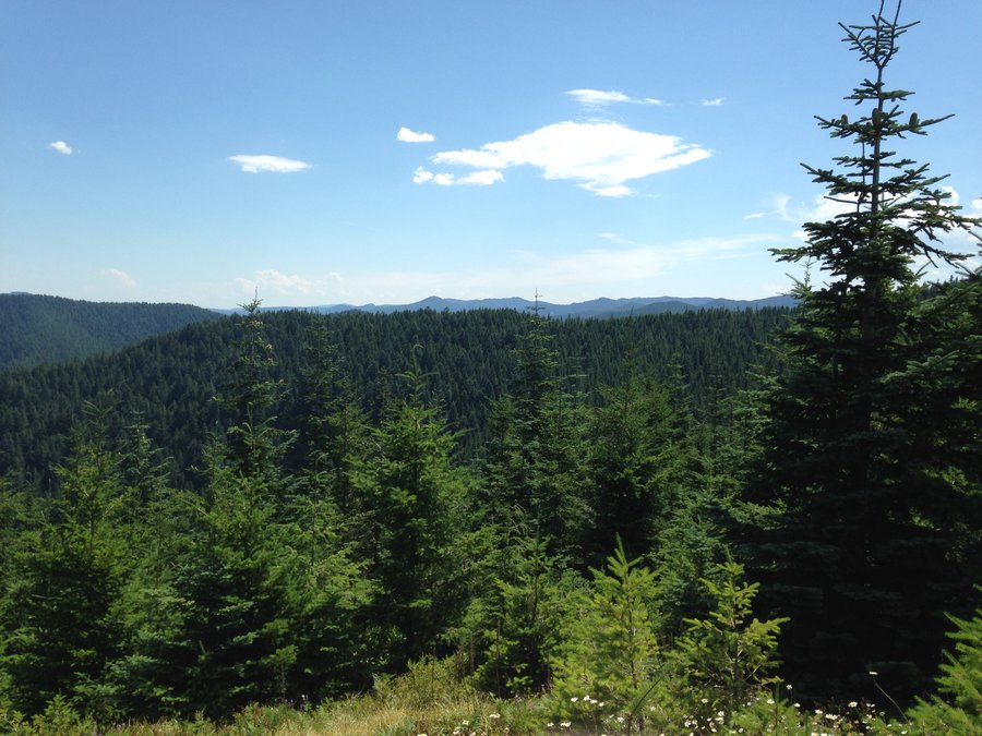
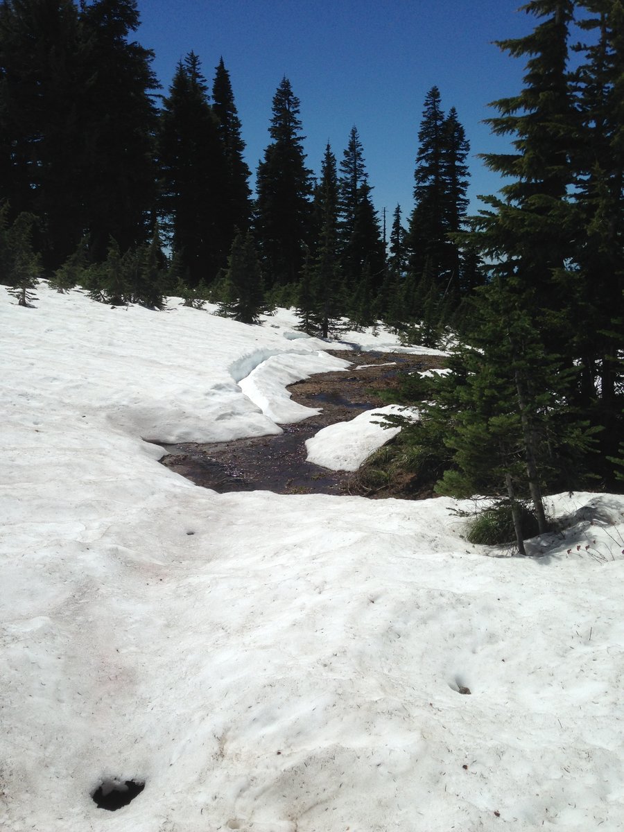
Herman Creek
8 miles of hiking • 1500' elevation gain •
The weather report was calling for sleety mix and high winds in the gorge, but it was high thin clouds all day with some sunshine. I followed the Herman Creek trail to just past Casey Creek. The wind was calm once I got away from the trailhead. A thin sprinkle of snow and ice dusted the trail. But not slippery at all. Great day out.
December 2, 2014

Larch Mountain
9.1 miles of hiking • 1500' elevation gain •
Great snow day. parked a ways down from the gate and walked up the road. Then cut over to the Larch Mountain trail to the top. Snow and ice starting at about the 8 miles on the road. Powdery snow once we got off the road.
November 30, 2014


November 25, 2014


Lower MacClay Wildwood
8.2 miles of hiking • 750' elevation gain •
Doing recovery hikes still. Great wind free clear hike today. Mostly fine. Some black ice along Balch creek in spots. Sadly someone slipped and it seemed like they had a broken leg. Fire truck and ambulance crews had to take him out on a stretcher. No easy task going downhill with a stretcher on ice.
November 16, 2014

Powell Butte
3 miles of hiking • 250' elevation gain •
Lower half is icy but there is room to walk on the grass. Great views today.
November 3, 2014

Towards McNeil Point
6 miles of hiking • 1250' elevation gain •
I'm still doing recovery hikes, but wanted to make it up onto the mountain another time this year before the snows. The road was still accessible. Ran into some snow but it was melting fast. The mountain looks great.
October 27, 2014


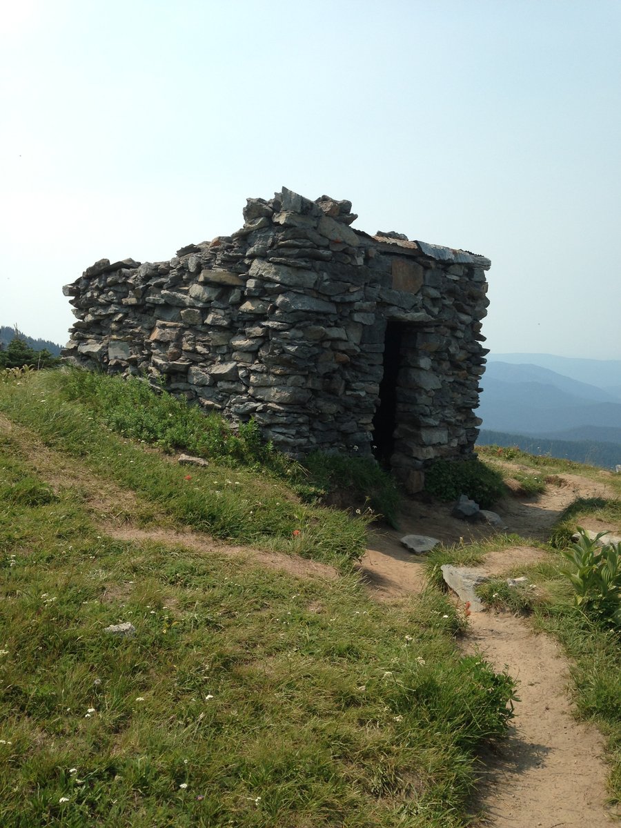
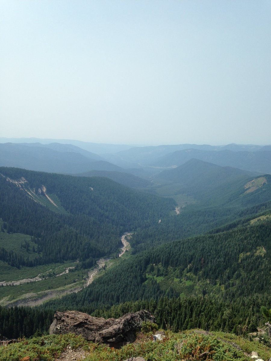
short Cooper Spur
3 miles of hiking • 1000' elevation gain •
I'm starting to make some headway on a back injury, so I went up with a couple friends to see a little bit of Cooper Spur before the snows. We made it a little ways past the stone shelter on a beautiful clear day. Very few people, big views!
October 6, 2014


Triple E
2.5 miles of hiking • 500' elevation gain •
I'm still recovering from a back injury so , I did three easy hikes, Old Maid Flats, Little Zigzag falls, and up above Timberline Lodge towards Silcox Hut.
September 22, 2014

 1
1
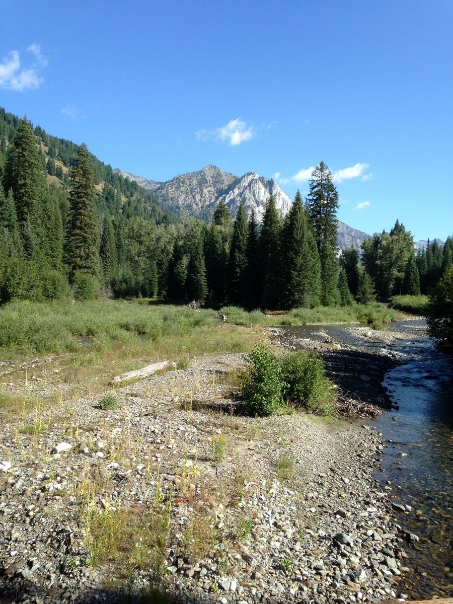
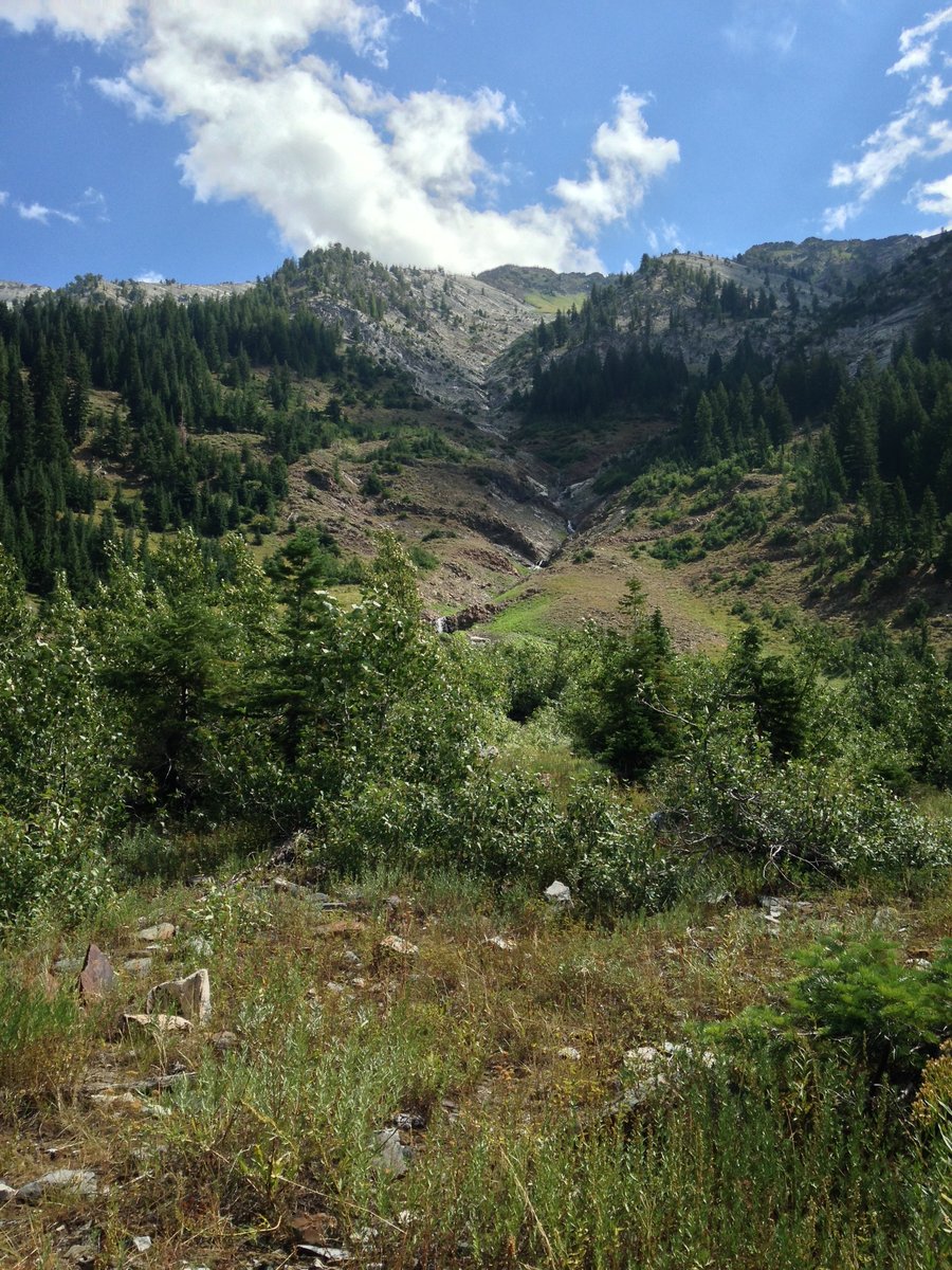
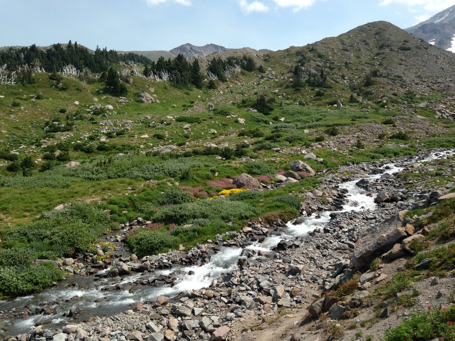
Wallowas East Eagle
7 miles of hiking • 1000' elevation gain •
The weather was beautiful on the second day of my trip. No bugs and amazing rock formations on the cliffs and under my feet.
August 16, 2014


 1
1
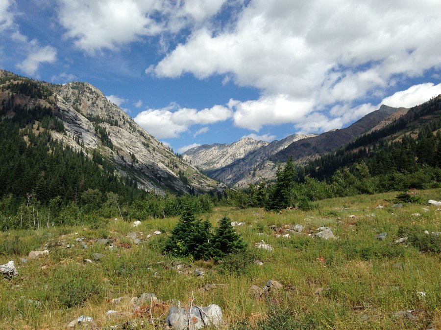
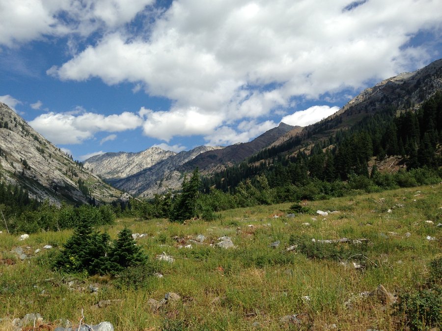
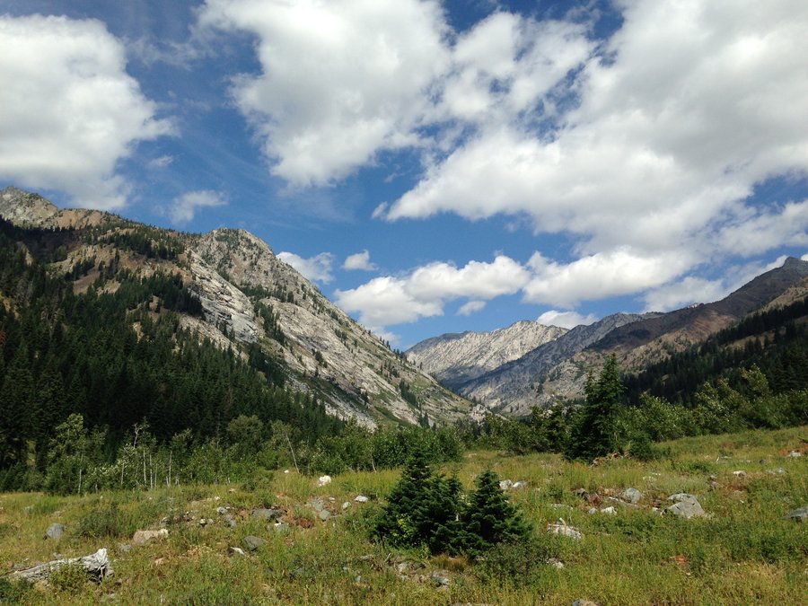
Wallowas main eagle
8 miles of hiking • 1250' elevation gain •
It hailed and rained and thundered, but it was beautiful. No bugs.
August 15, 2014

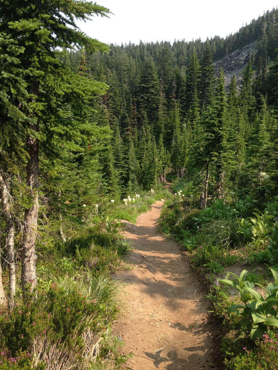
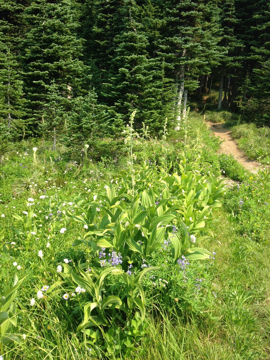
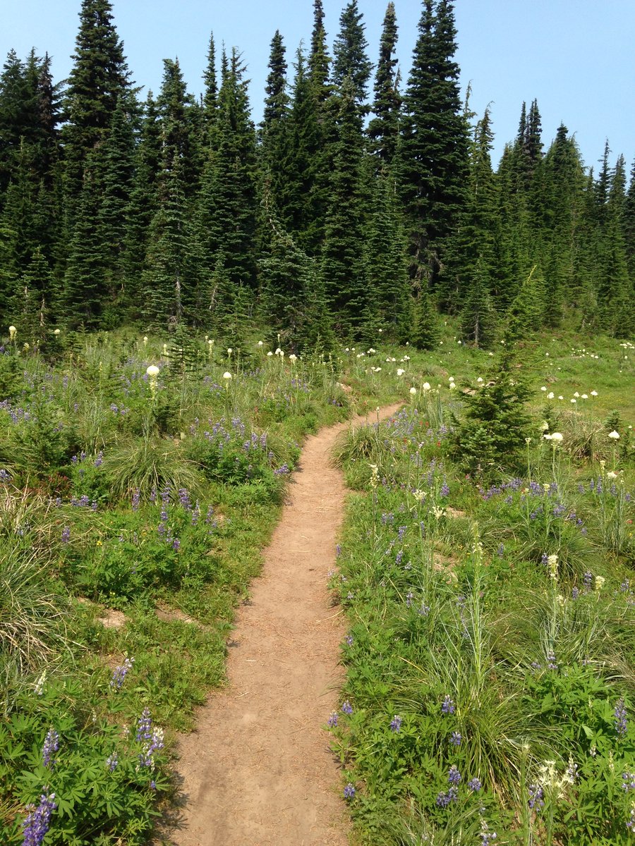
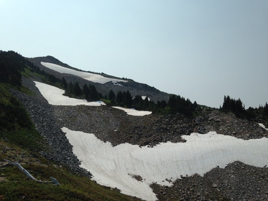
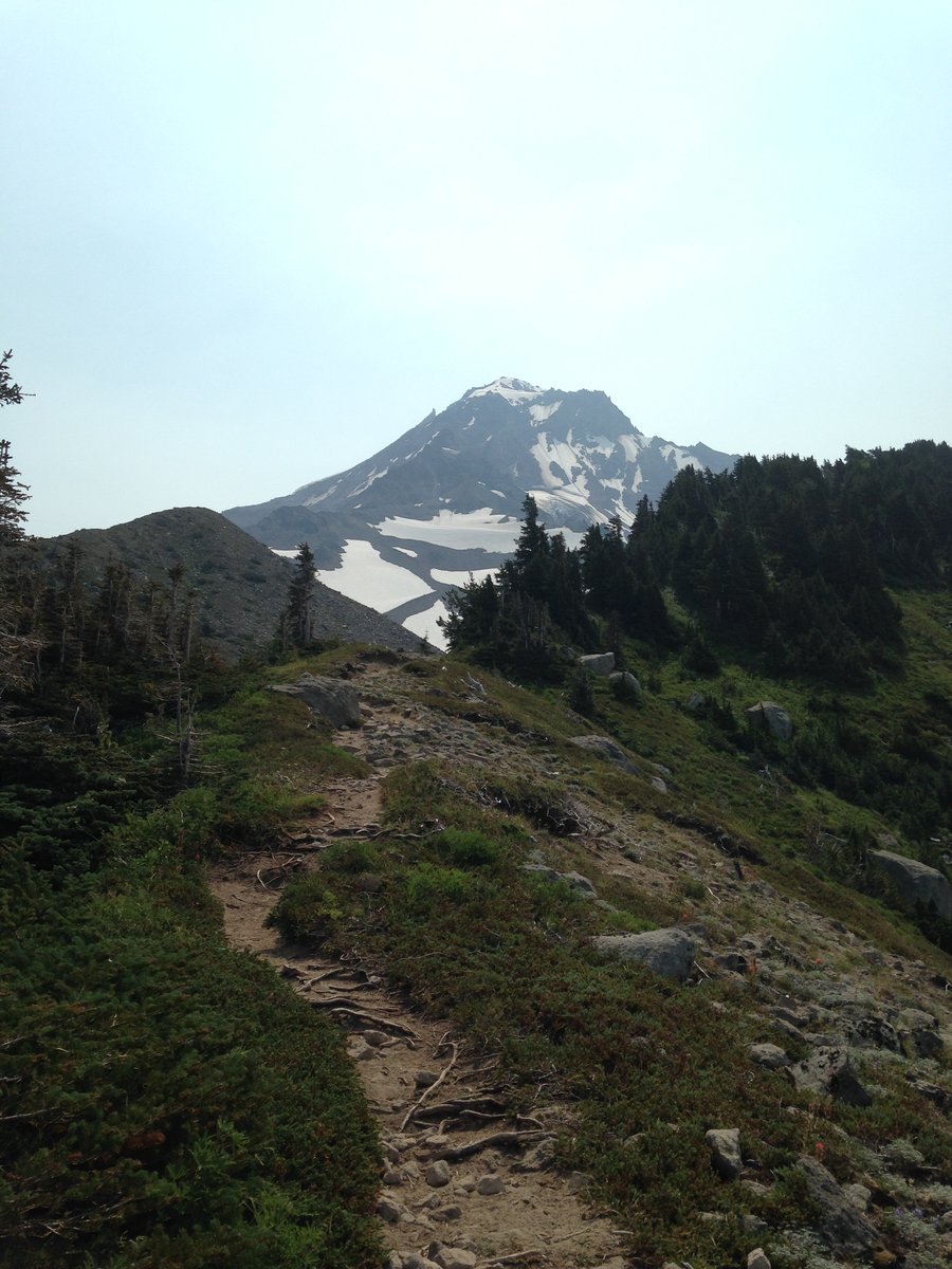
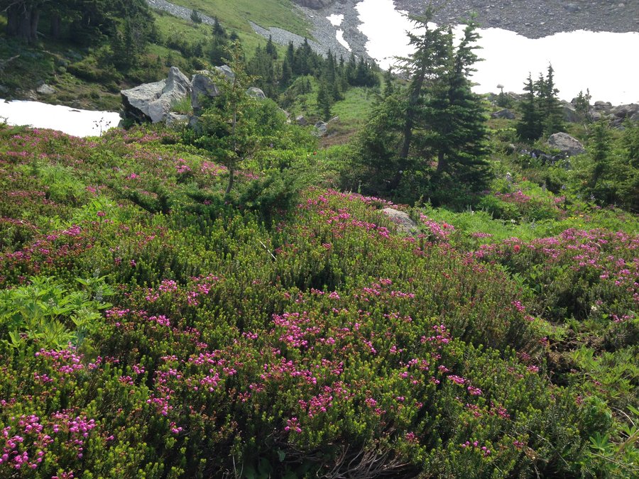
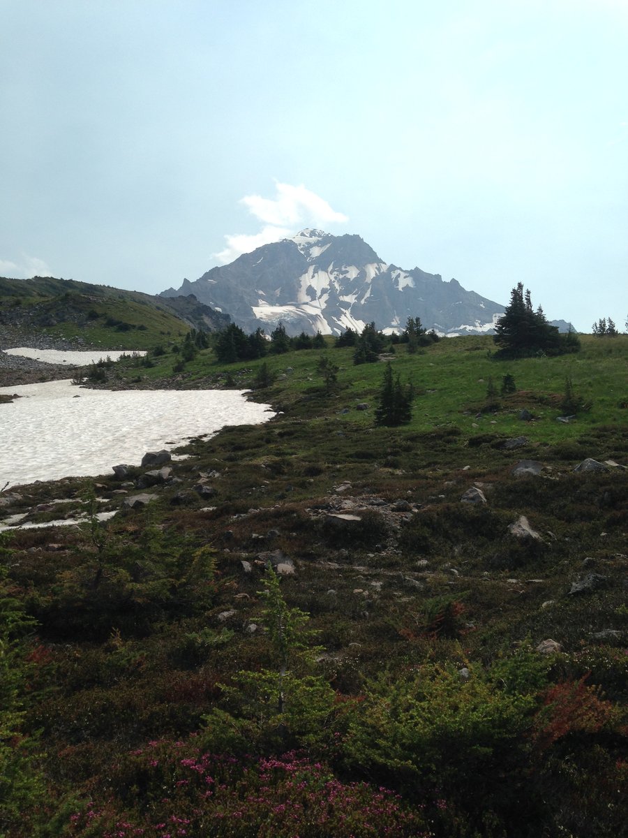
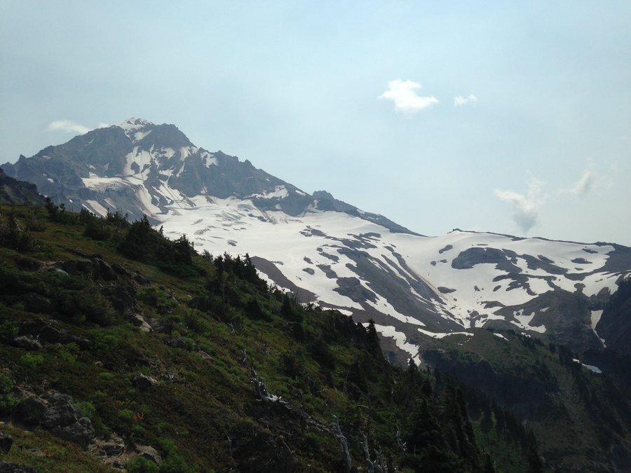
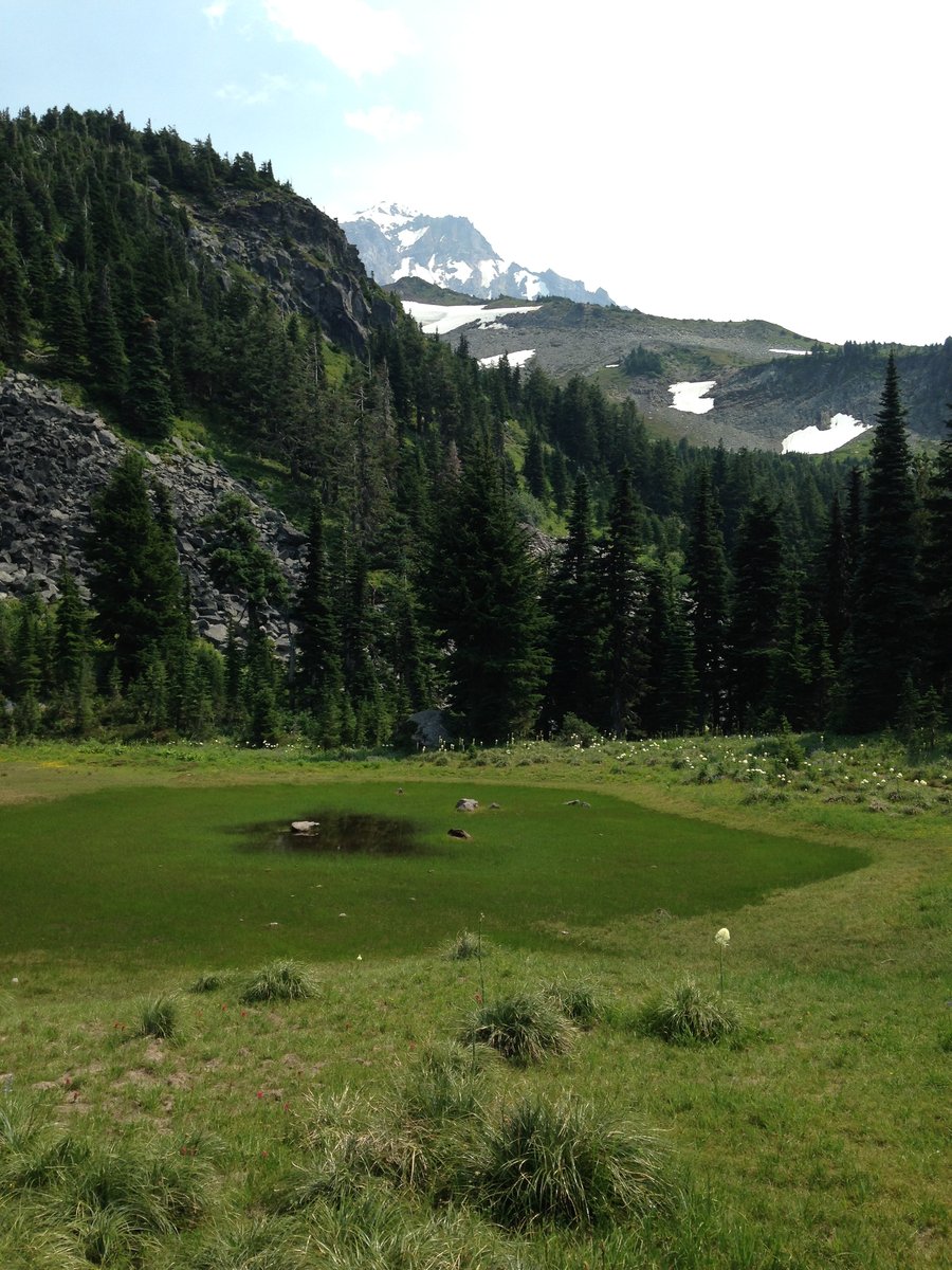
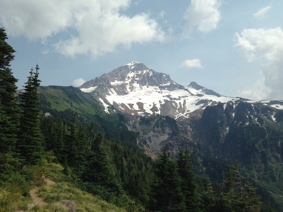
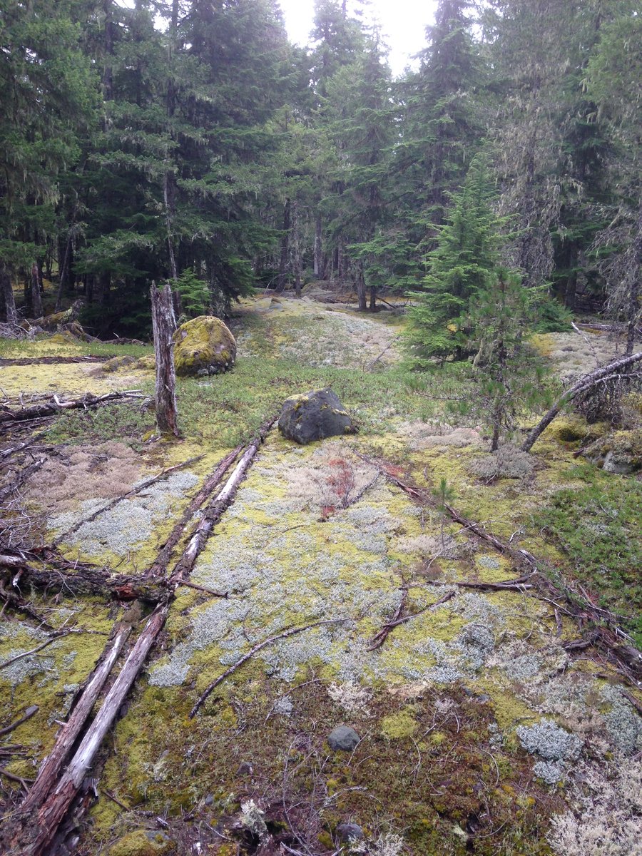
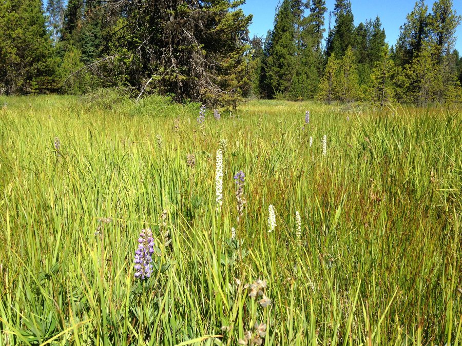
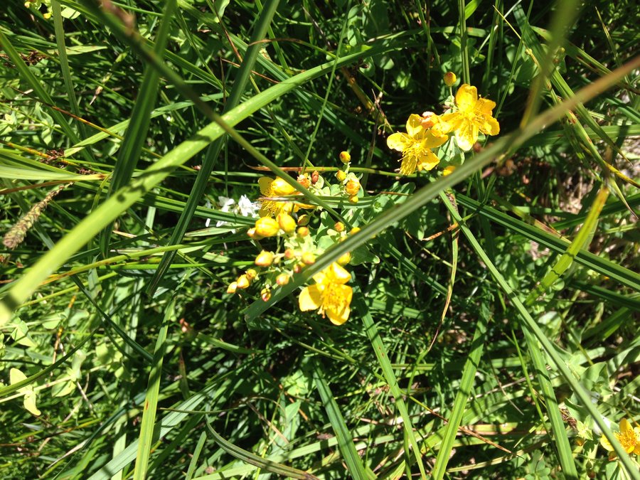
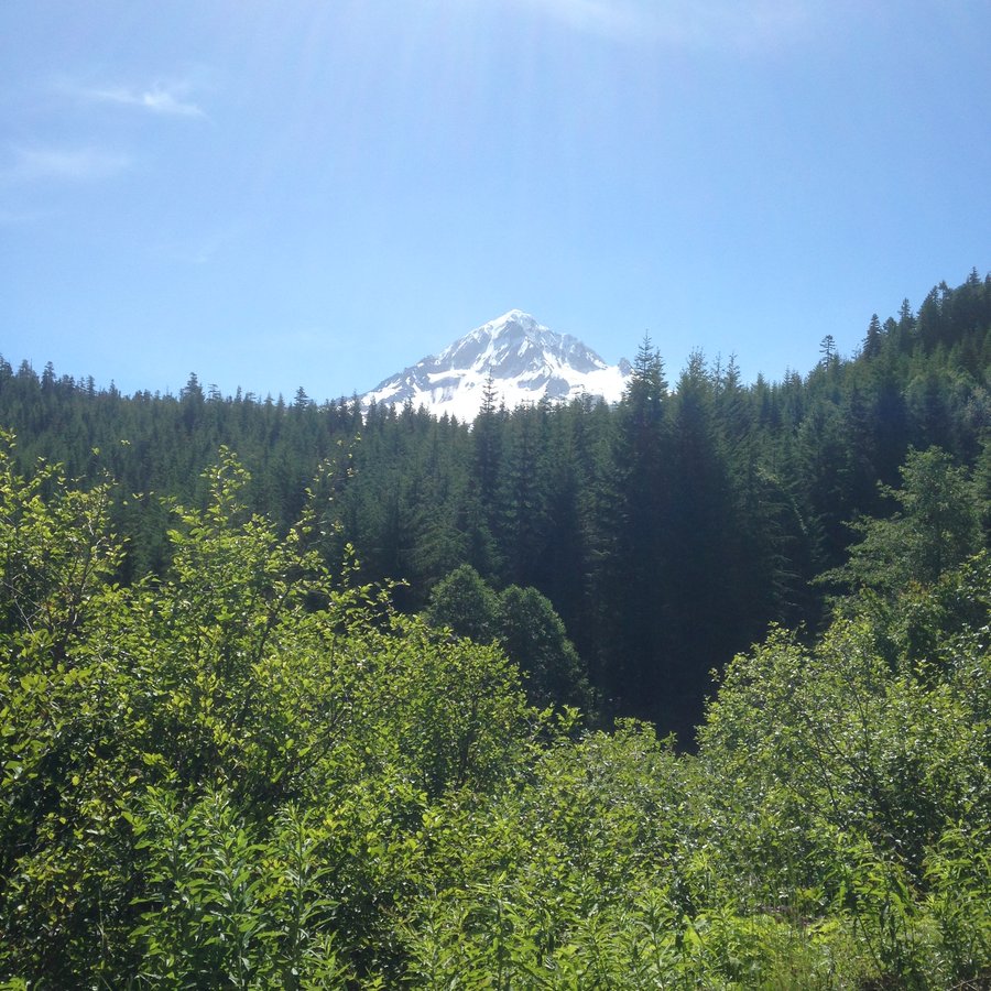
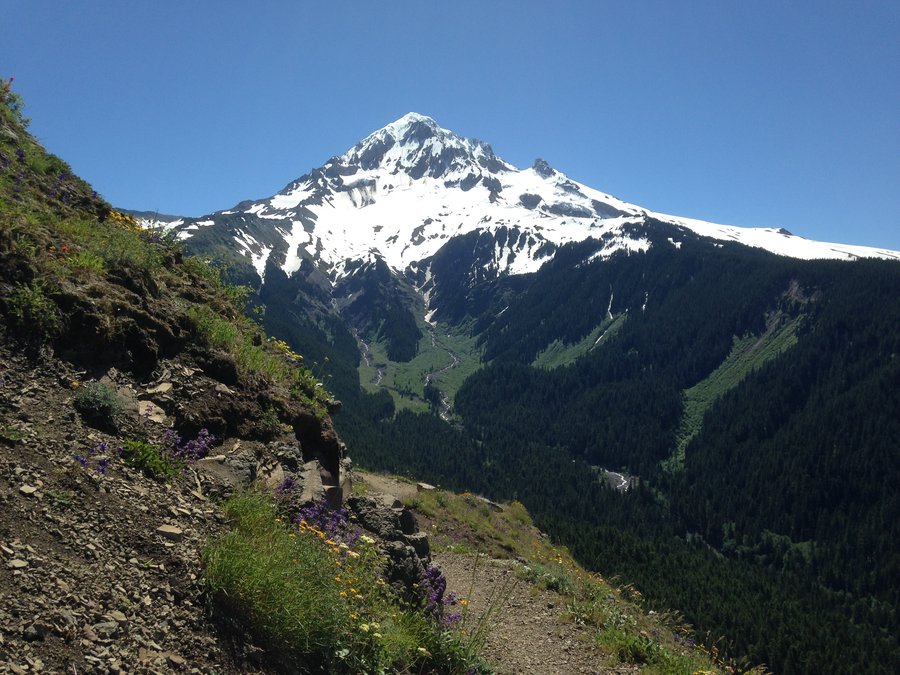
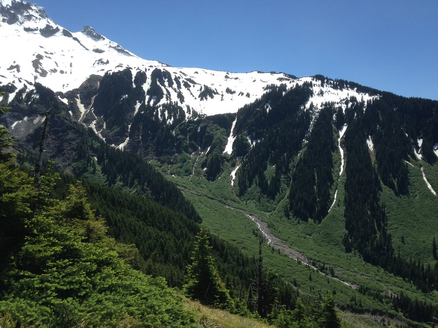
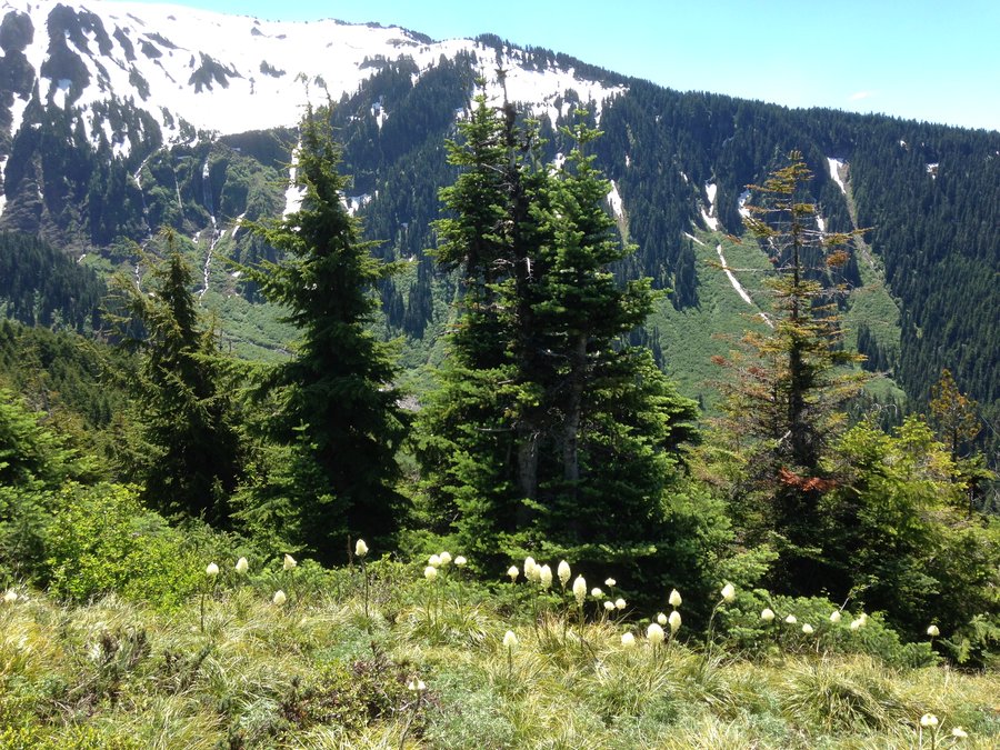
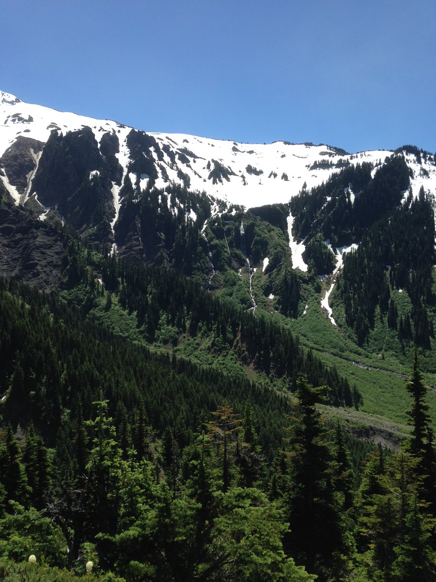
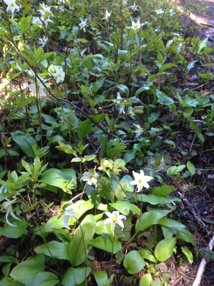
Mcneil Point
10 miles of hiking • 2250' elevation gain •
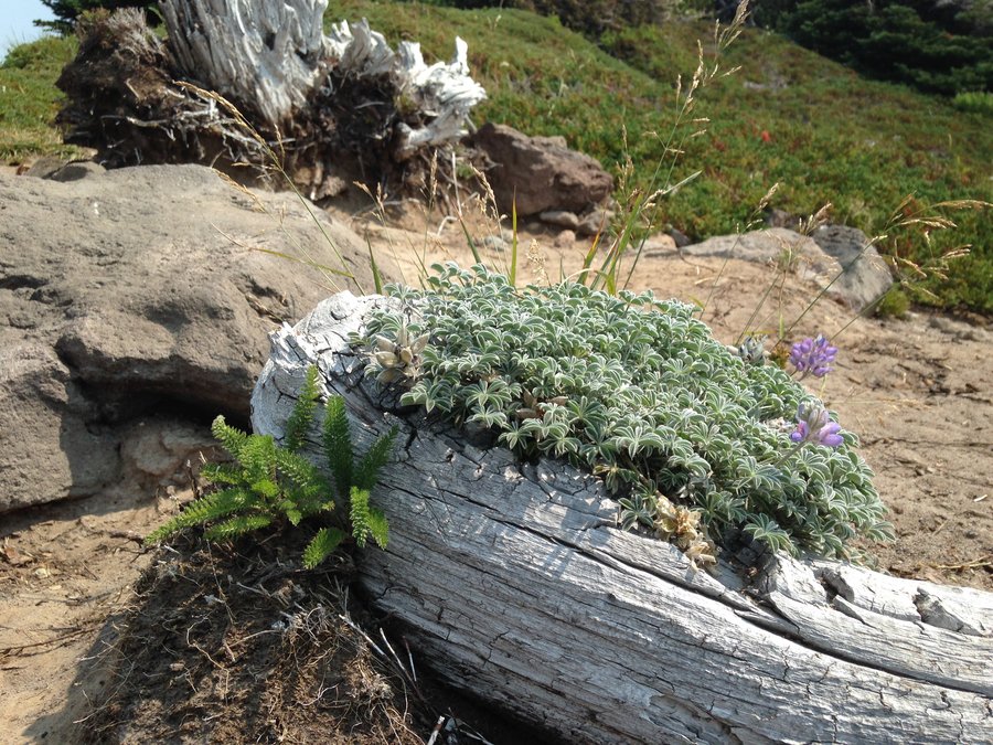
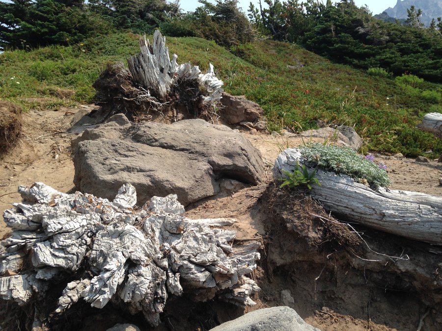
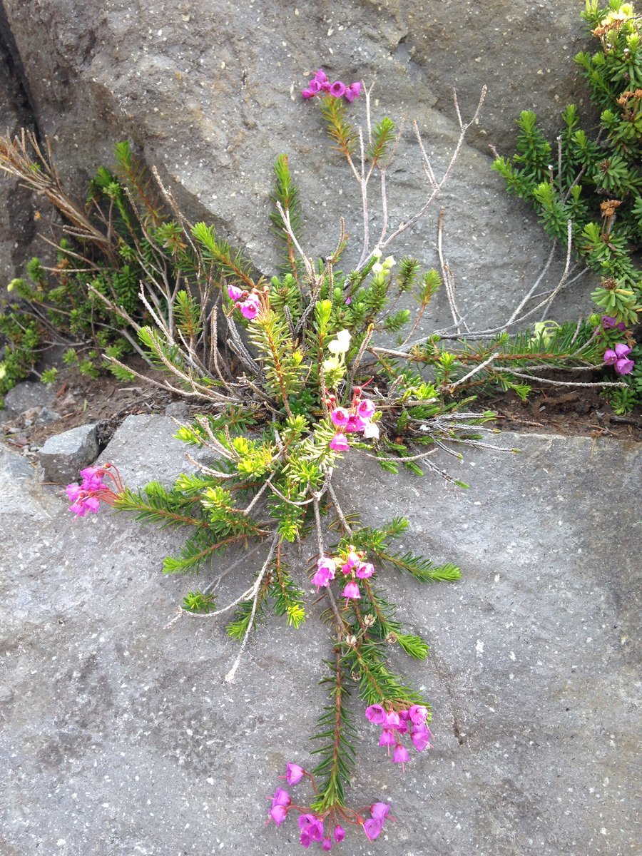
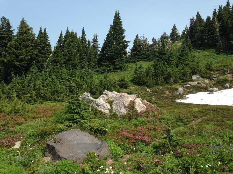
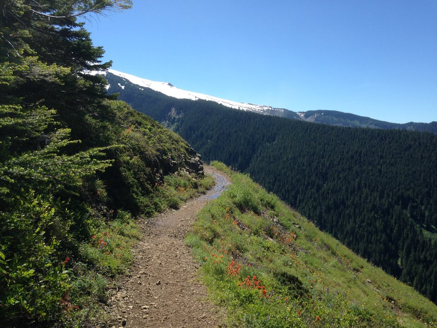
Very hazy but a perfect day. Some snow still, flowers really going for it starting at the switchbacks. Some of the heather is done some is at peak, some still budding. False hellebore just starting. The black flies were biting though even when I was moving between the upper viewpoint and the tarns. Still around everywhere else but fine if you are moving. I actually had the top all yo myself for a good half hour. Ran into a few section hikers at the PCT junction and several Timberline 360 groups in the afternoon. The flowers should still be good for another week or two up top.
August 4, 2014


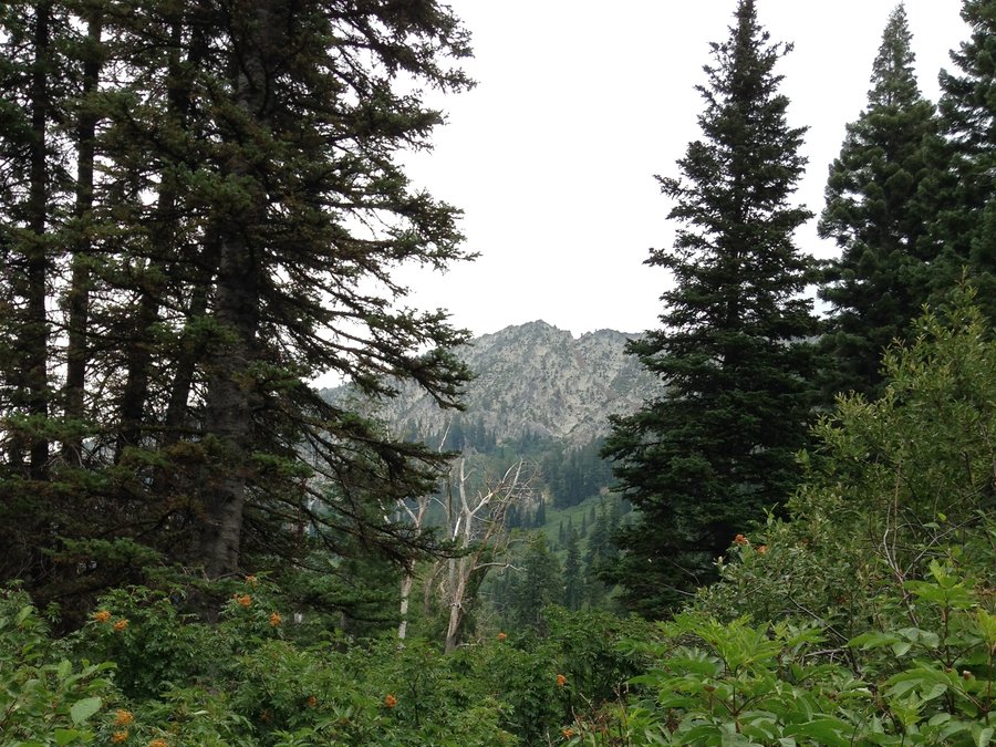
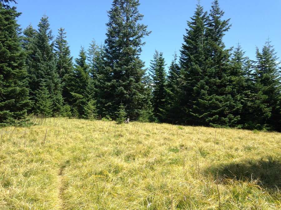
McIntyre Ridge
5.5 miles of hiking • 1250' elevation gain •
Went on a fun meetup hike. Good views and still some wildflowers in the meadows.
July 31, 2014

Newton creek Timberline hike
7.25 miles of hiking • 1250' elevation gain •
Lupines full on at the little meadow just beyond where Newton Creek trail meets the Timberline trail.
July 28, 2014

Salmon River
3.2 miles of hiking • 250' elevation gain •
Beautiful river and some amazing old growth trees.
July 25, 2014

Old maid flats
2.6 miles of hiking • 0' elevation gain •
Great level stroll, with good moss and trees.
July 24, 2014


Silcox hut plus
2.5 miles of hiking • 1250' elevation gain •
Quick afternoon leg stretcher up to Silcox hut from Timberline parking lot. Still some snow up there in spots. Phlox blooming like crazy. Also the most large wildfires I've seen at one time. At least 3 near Jefferson and 4 or 5 to the east in the Warm Spring and Maupin areas.
July 17, 2014

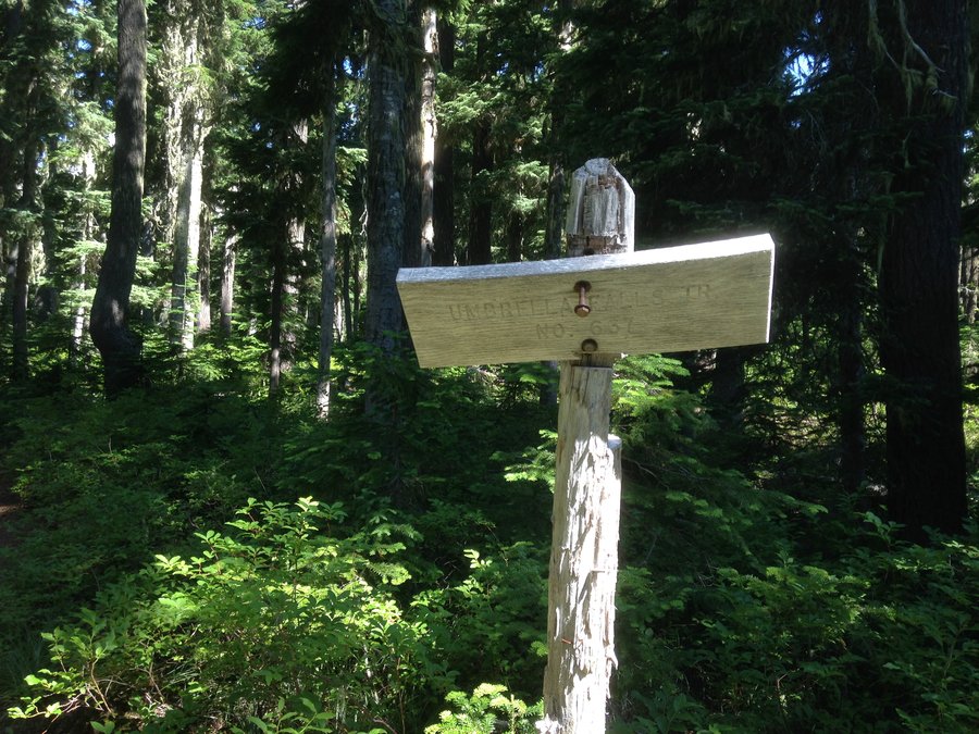
Umbrella falls
6 miles of hiking • 1000' elevation gain •
Shortish hike with great views to the east through the ski runs, nice babbling brooklets and good wildflower blooms. Took a quick walk over on the way back to Newton creek to see how the crossing to Elk Meadows was doing this year.
July 16, 2014

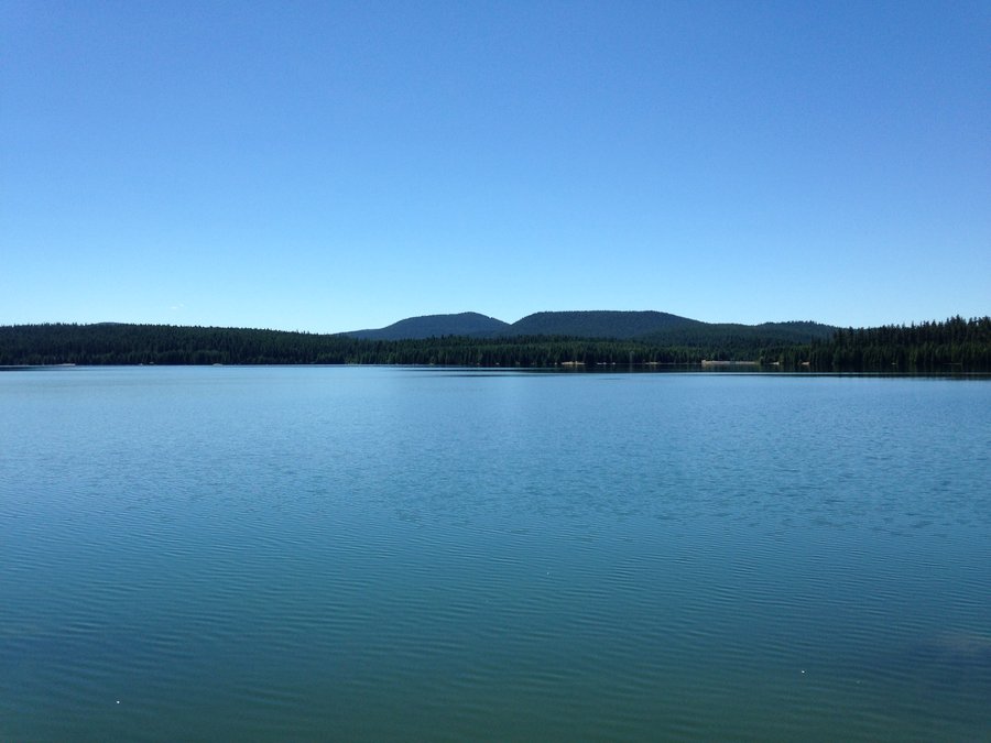
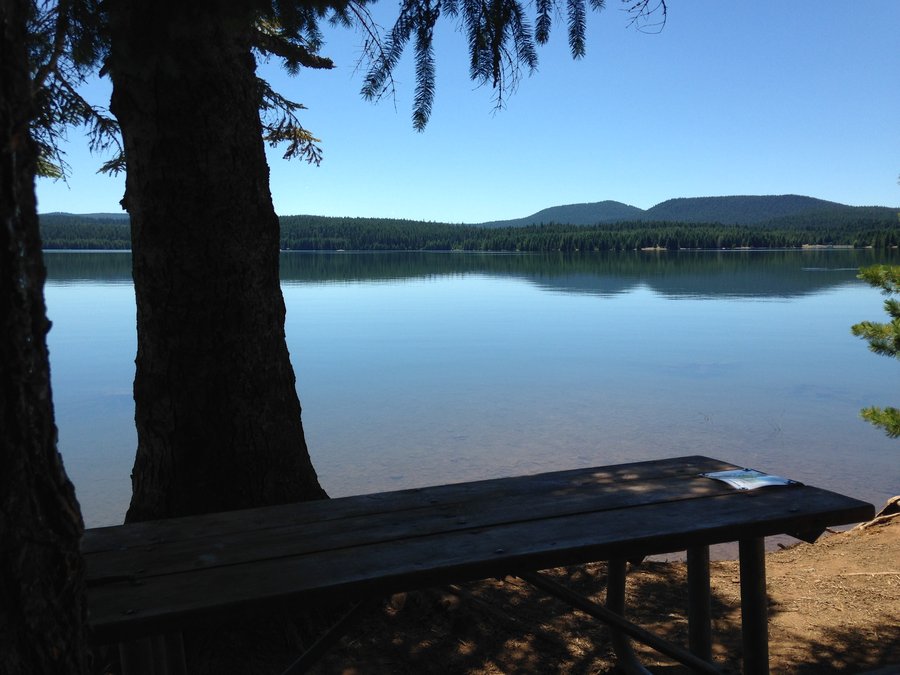
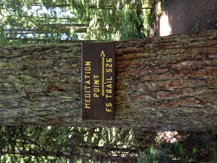
Little Crater and Timothy Lake stroller hike
4 miles of hiking • 0' elevation gain •
Easy lake day in the sun. Stopped by Little Crater lake, then walked from the dam to Meditation Point on Timothy Lake. No bugs, level hike, beautiful lake views.
July 7, 2014


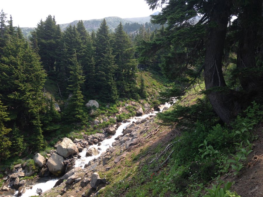
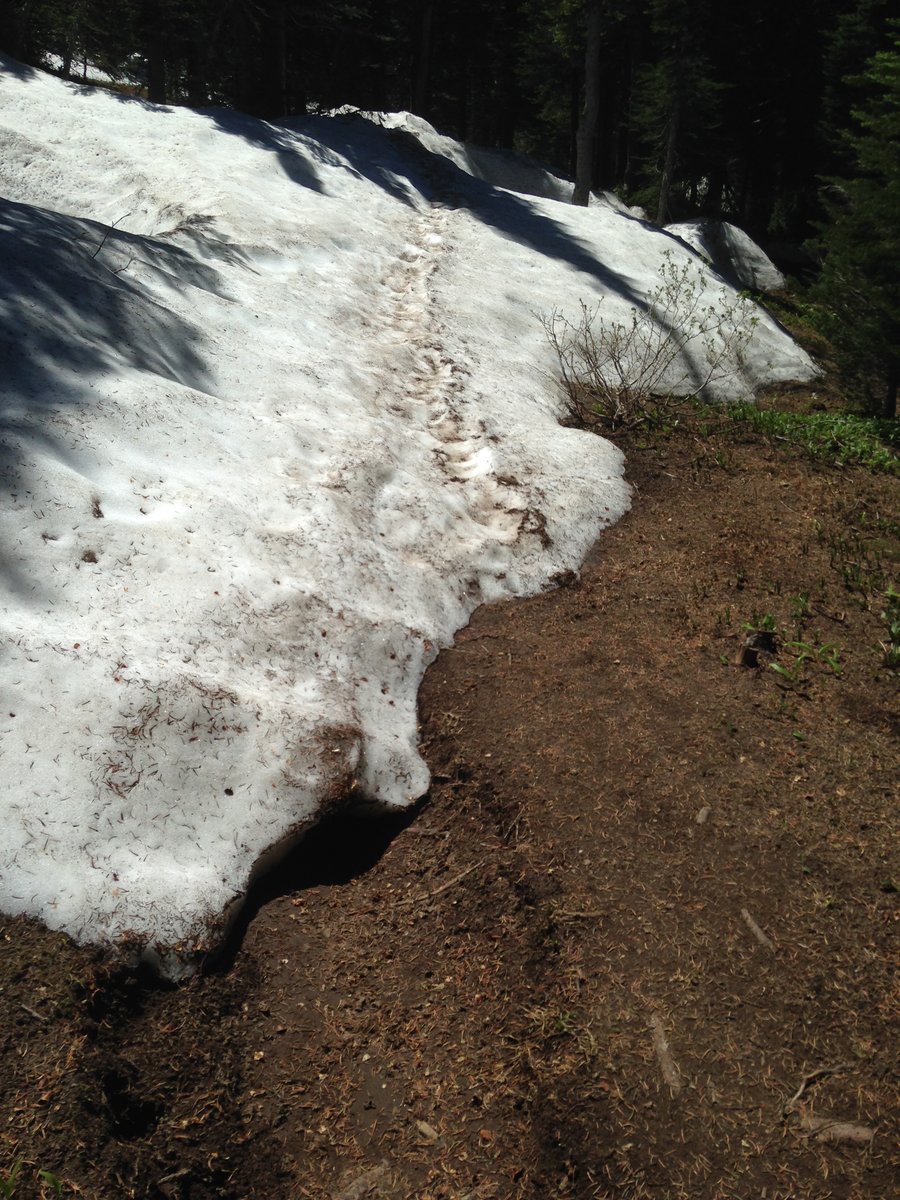
below Mcneil Point
8.5 miles of hiking • 2000' elevation gain •
I've been seeing lots of reports on the scramble trail up to Mcneil Point, but I was curious how the regular trail was doing. I went to where the Mazama trail hits the Timberline trail and the went up that little canyon for awhile. The trail had been drifts alternating with trail but at that point it was solid snow. Great blooms a bit lower down and the bugs were around but not landing or biting.
July 1, 2014


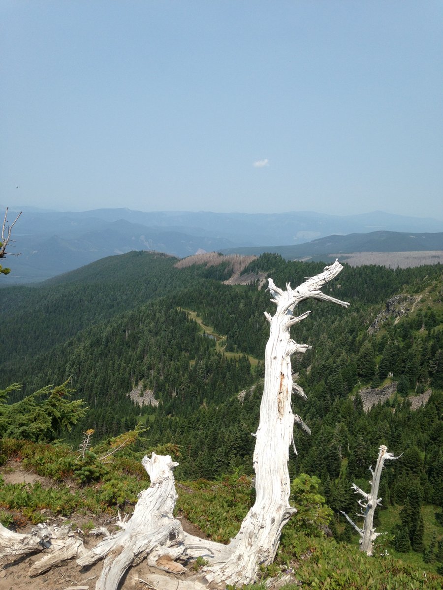
Silver Star trail
5.6 miles of hiking • 1250' elevation gain •
Hazy, but the views were still fantastic. Helens, Adams, Rainer, Hood, Jefferson, and Mt Washington. The bloom is full on right now for everything except bear grass. A bit slower above where Ed's trail and Sturgeon trail join up just below the summit.
June 22, 2014


Nesika Lodge
8 miles of hiking • 1750' elevation gain •
Went up with the Trail Club meetup to see the open house at Nesika. Very wonderful trip and an impressive legacy of lodge tending.
June 14, 2014

Eagle creek
12 miles of hiking • 1250' elevation gain •
Great day! Perfect weather! The little seasonal waterfalls are mostly wet rock but the big ones like Tunnel Falls are still going strong of course.
June 2, 2014

Wahclella falls
2 miles of hiking • 250' elevation gain •
Just a quick trip out on a busy work day to have lunch at the falls. Relatively quiet. Beautiful sunny day, Rosy plectritis full on right now.
May 30, 2014
 1
1
Dog Mountain
7 miles of hiking • 2750' elevation gain •
Balsam root still going strong with fields of yellow. A few places where the larkspur, phlox etc made an amazing rainbow mix. Lupine and paintbrush still not quite open most places.
May 21, 2014

Devil's Rest
7 miles of hiking • 2500' elevation gain •
Nice day, a bit hazy. A surprising number of people at the top. Paid my respects to the gnomes and paid the toll with a yellow agate cabochon.
May 15, 2014

Upper Latourell falls
1.6 miles of hiking • 500' elevation gain •
Short sprint in the rain to enjoy the green and a friends birthday.
May 8, 2014

April 29, 2014

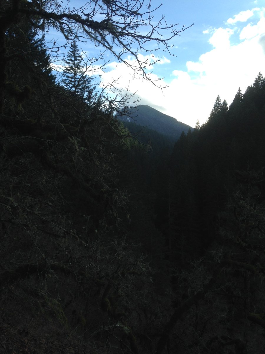
Tanner Creek
4.8 miles of hiking • 1000' elevation gain •
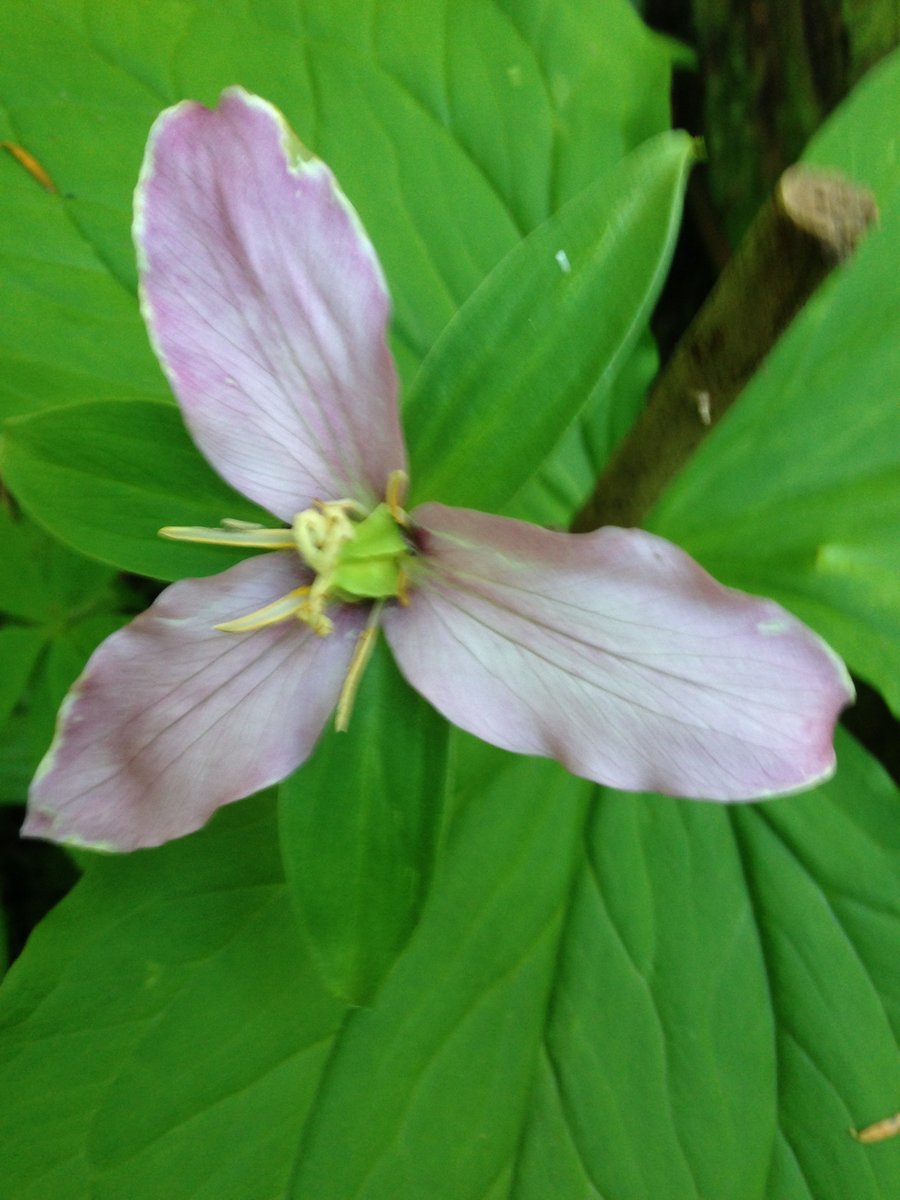
Took the #400 from Wahclella up to closed rd#777 up to jct with Tanner Butte Trail. Nice combo of urban and woodland herbs and flowers. Smith's Fairy Bell, Star Solomon Seal, Yellow Violets, Trilliums and some Daffodils were blooming.
April 20, 2014

Catherine Creek west meadows
7 miles of hiking • 750' elevation gain •
Drifts of camas, death camas, shooting stars and lots of other blooms and even some chocolate lily in the shade west bank above Catherine creek. Beautiful!
April 12, 2014

Dry Creek and Pinnacles
7 miles of hiking • 1250' elevation gain •
Great day! Calypso orchids and trilliums are blooming along the trail right now.
April 10, 2014

Tunnel falls
12 miles of hiking • 1250' elevation gain •
Great hike,crazy amount of water and seasonal and otherwise Lady slippers blooming near Eagle Benson Jct. Lots of other blooms.
April 7, 2014

Tracey Hill
6 miles of hiking • 1250' elevation gain •
Beautiful views, a multitude of seeps/ mini springs and flowers still a bit sparse at the higher elevation. Nice lower.
April 2, 2014

Angels TH to Wahkeena TH
6.4 miles of hiking • 1500' elevation gain •
Great day, misty mountains, roaring creeks and enjoyable April fools day tales from chance met hikers along the way.
April 1, 2014

March 23, 2014

Eagle Creek
4 miles of hiking • 500' elevation gain •
It was the day of waterfalls to numerous to count
March 17, 2014
March 12, 2014

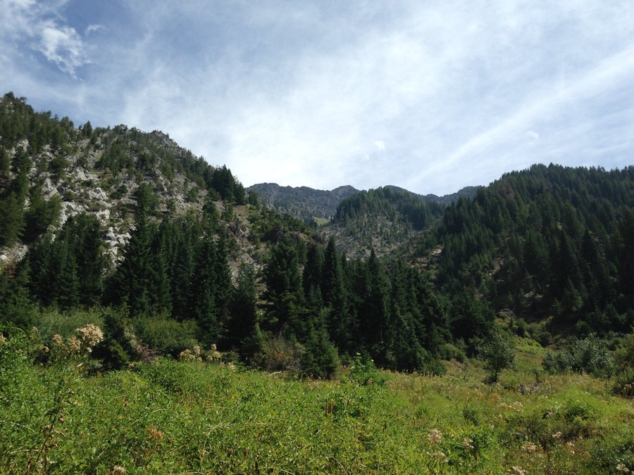
Aldrich butte plus
5 miles of hiking • 1500' elevation gain •
The spring frog chorus is at it's peak at Carpenter Lake.
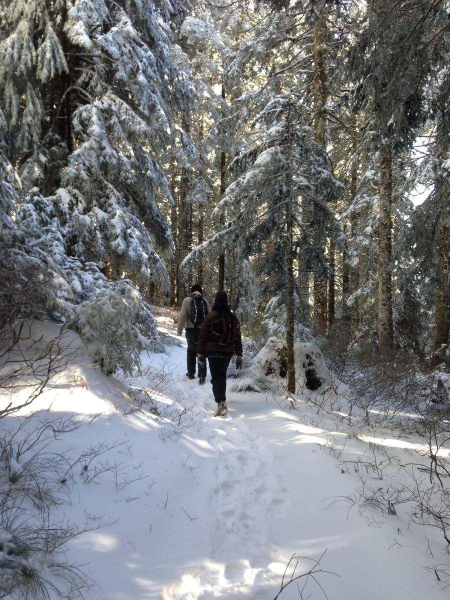
March 11, 2014


Timberline snowshoe
2.5 miles of hiking • 750' elevation gain •
Great short snowshoe. Headed up towards Silcox Hut then cut over to the rim of White River canyon.
January 25, 2014

Tri County ridge
3 miles of hiking • 750' elevation gain •
Great views! Great snow shoe. Snow a bit thin at the trailhead but better higher up.
January 17, 2014

Elowah Falls
2.2 miles of hiking • 250' elevation gain •
Fun short stroll with a couple of gorge newbies up to the falls. Made it before the rain and took a little extra stroll to check out the new McCord Creek Bridge next to the highway.
January 6, 2014

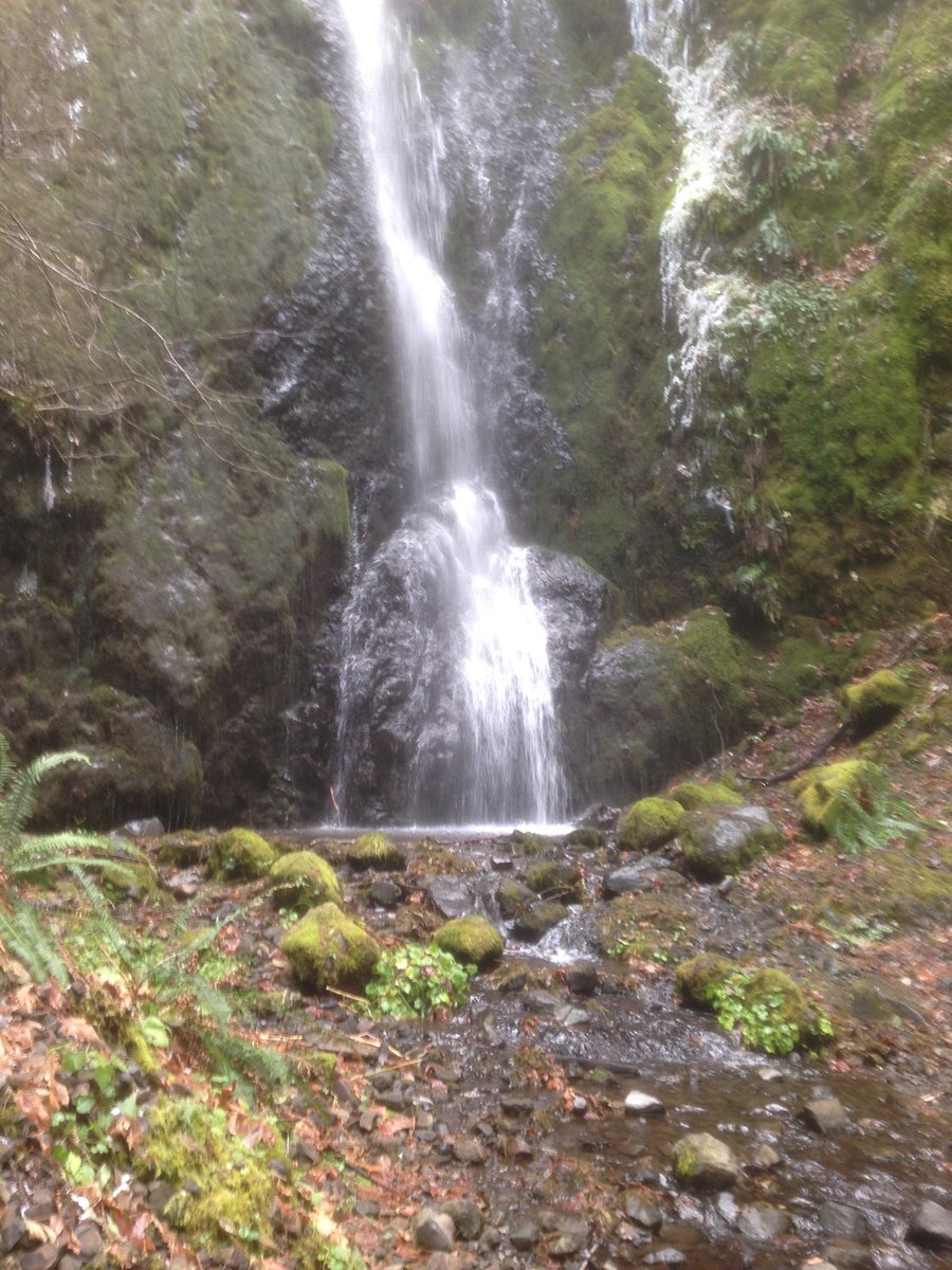
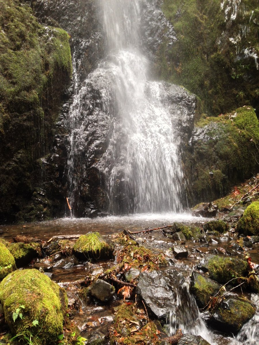
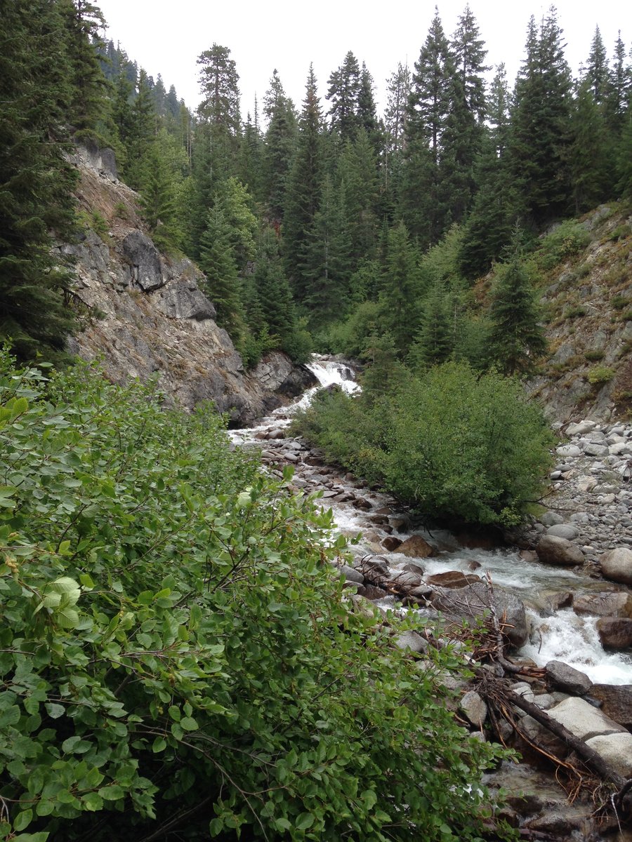
Lower Greenleaf falls
8.2 miles of hiking • 1250' elevation gain •
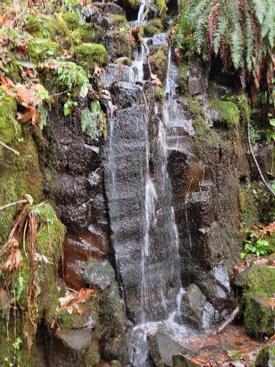
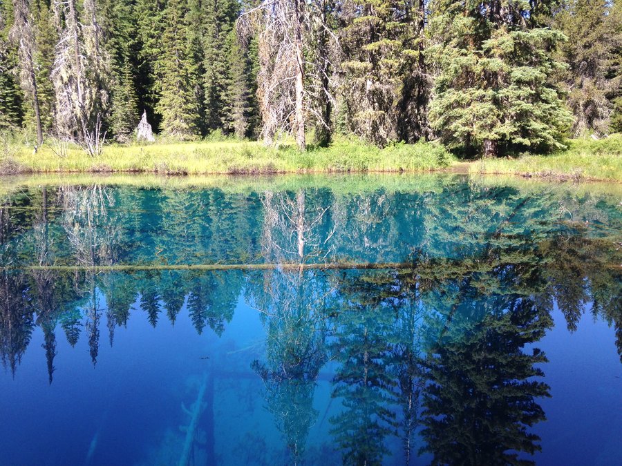
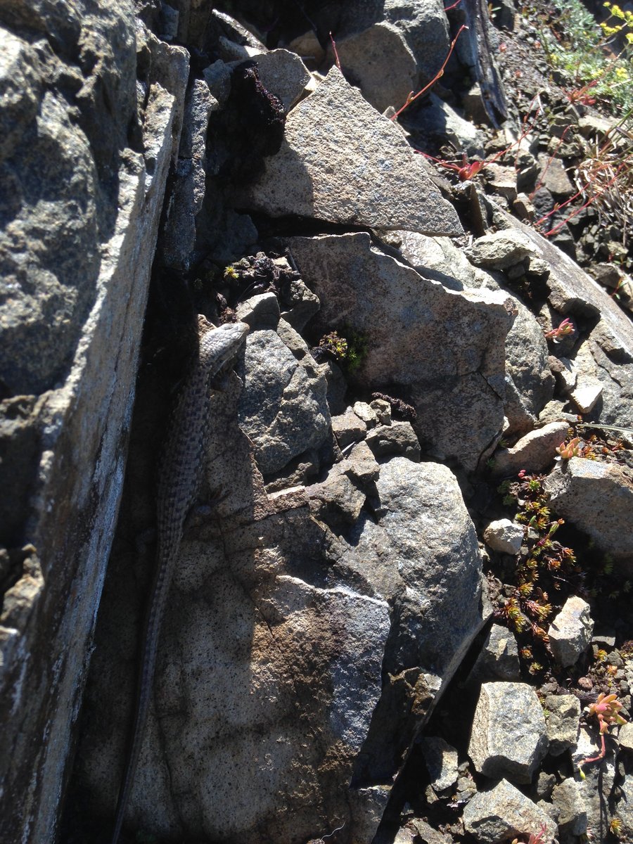
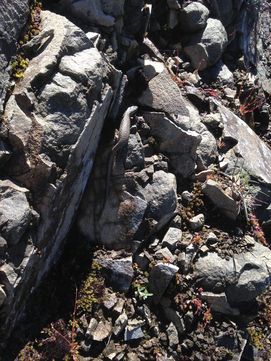
I had planned on doing a hike with a meetup group from Multnomah fallls to Nesika Lodge, however circumstances intervened and I found myself unable to make the meetup time, so I went to my bucket list and pulled one out. As I drove through the thick fog out of Portland I wondered if I would be able to see anything other than the tree in front of me. But no! Once I got out of Portland the sky cleared up and turned into a day for stellar views. I started my hike from the road to the shortcut trail behind Bonneville Hotsprings. The trail starts out fairly narrow and sided by blackberry bushes but only for a hundred feet or so. It soon opened up into fairly open forest with ferns and moss. I cruised up and around Carpenter Lake, which offered a good view of Table Mountain and Sacajawea rock, crossed the PCT seeing lots of small springs and creeks along the way. The trail was mostly really well graded with just short sections of slight steepness and offered occasional teasers views of the gorge. But of course the real star of this hike is the rock slide area at about mileage 3.7. which offers a stellar view of the sheared off cliffs of Table Mountain and gorge views as well. Which is where I opted to have lunch Just a little bit further was Lower Greenleaf falls, which was much more scenic than I expected. All in all a great day and a great start to the New Year.
January 1, 2014

View trips from: 2015 2016 2017 2018 2019 2020 2021 2022 2023