

2018 Trips

 2
2
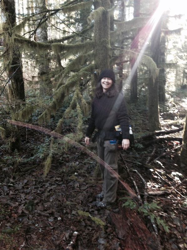
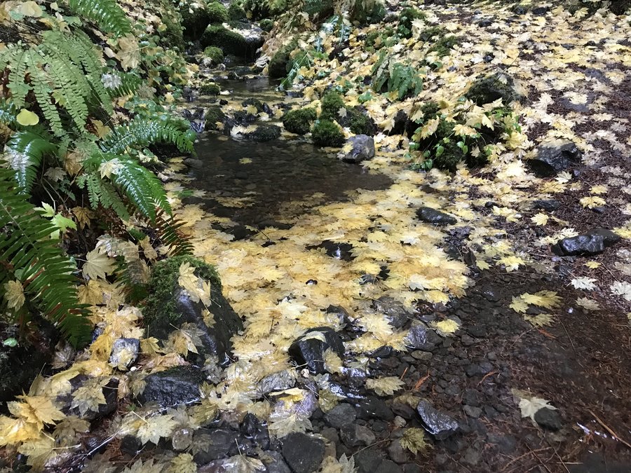
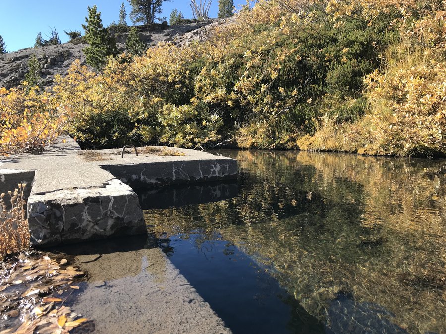
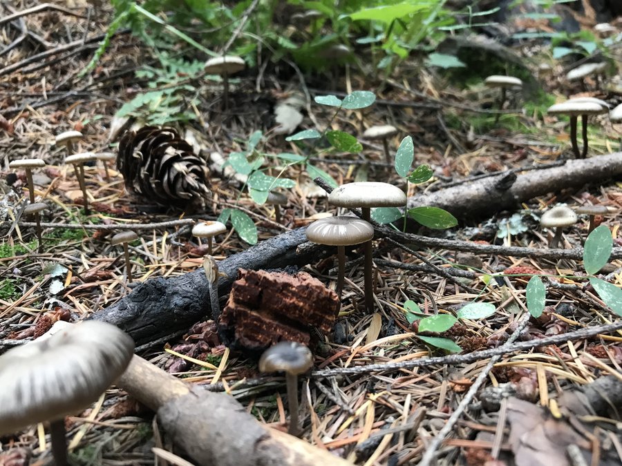
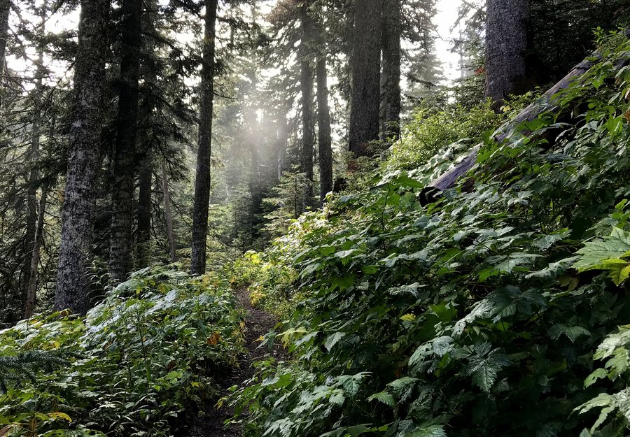
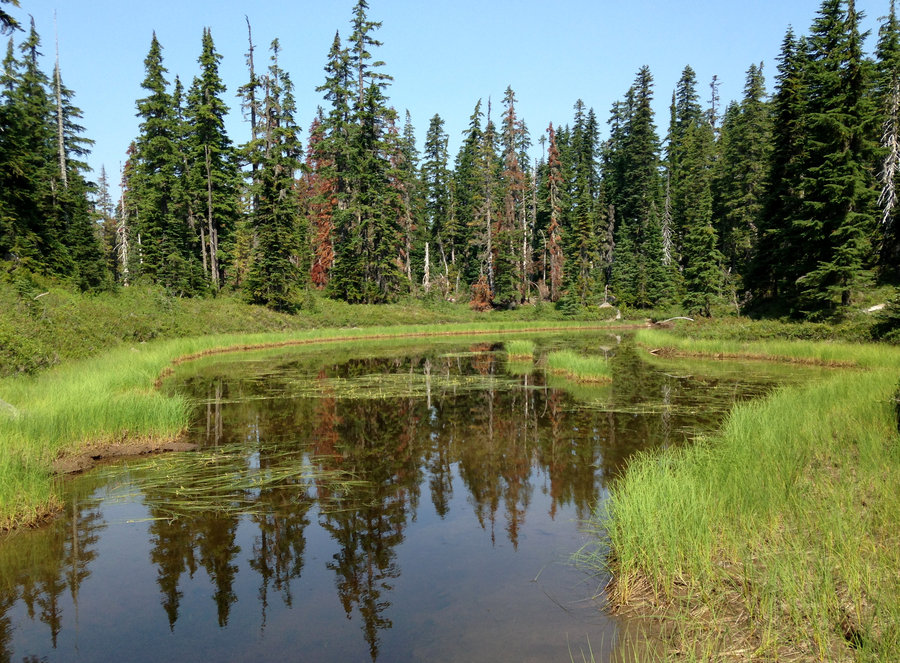
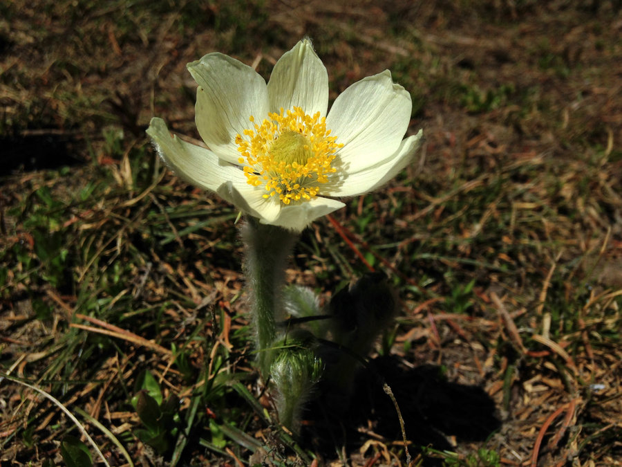
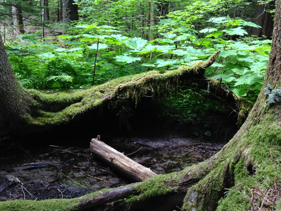
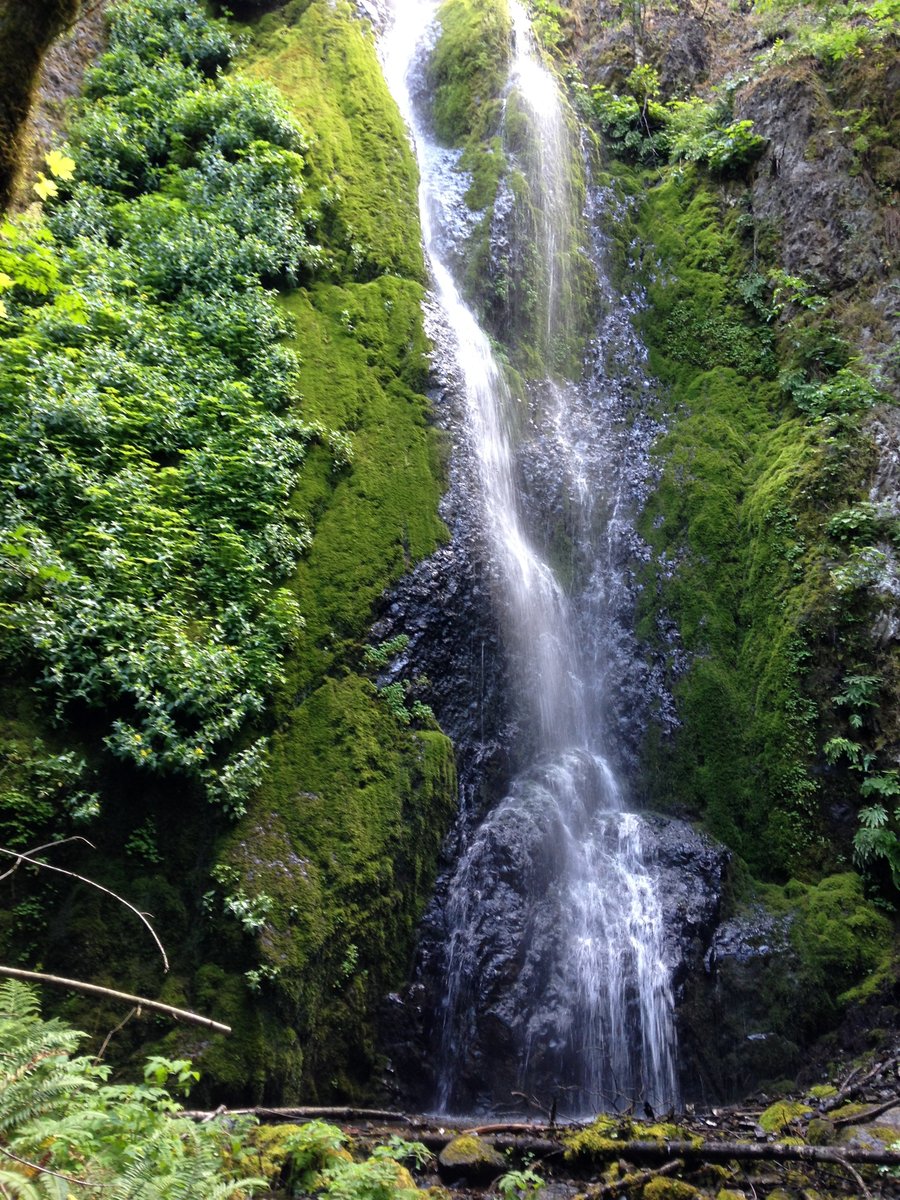
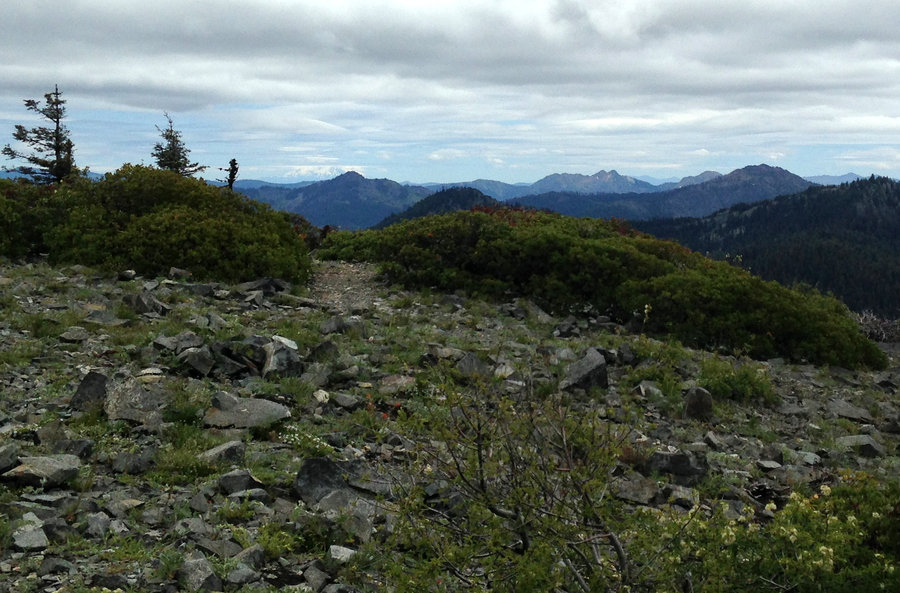
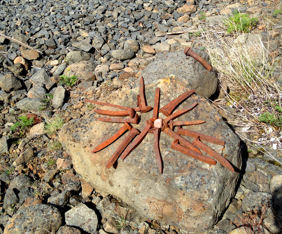
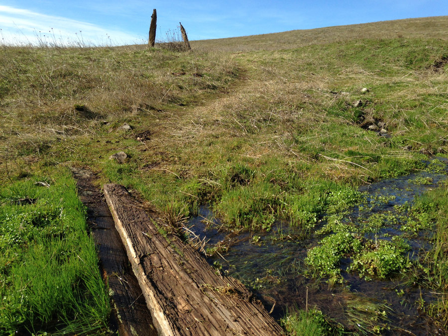
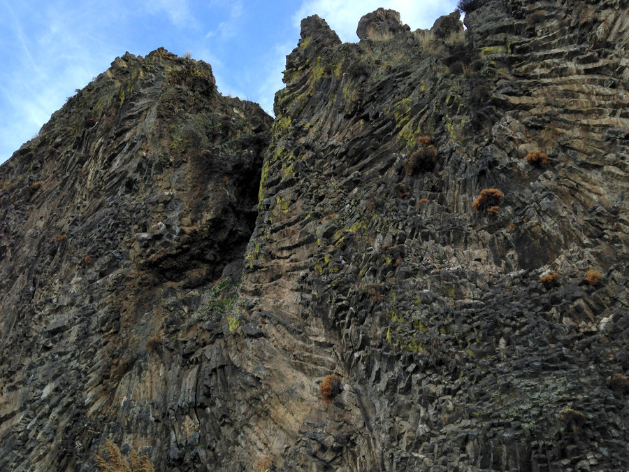
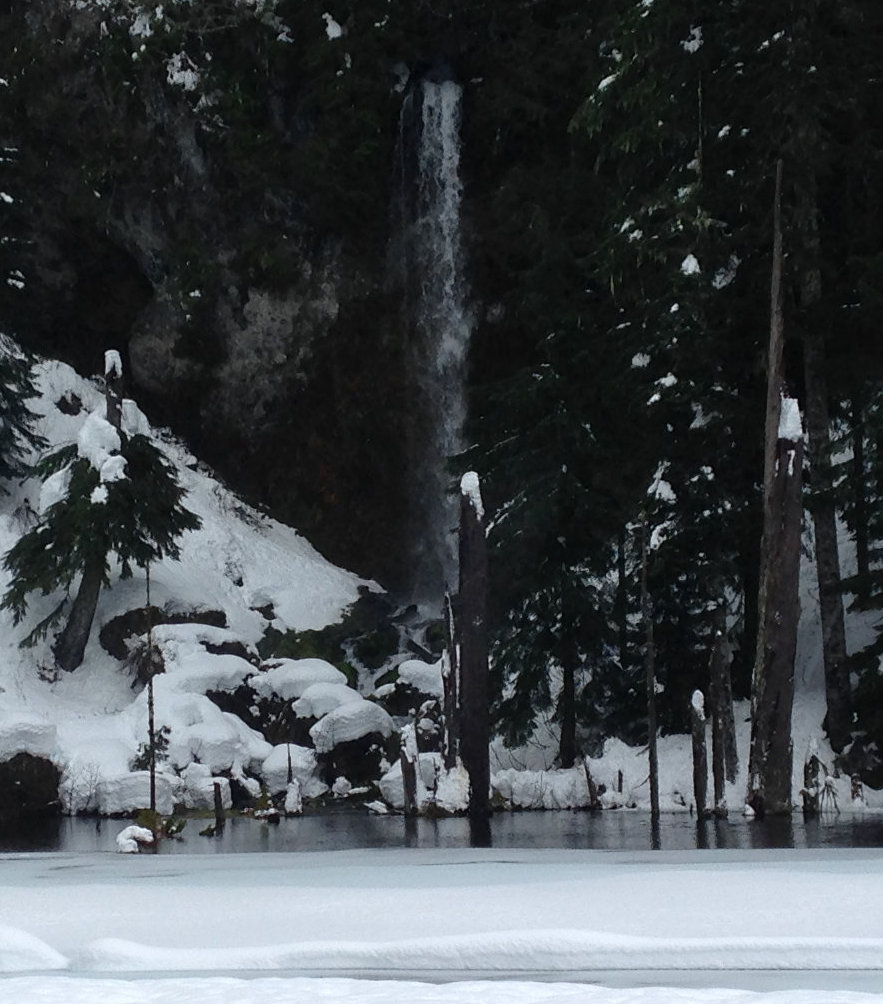
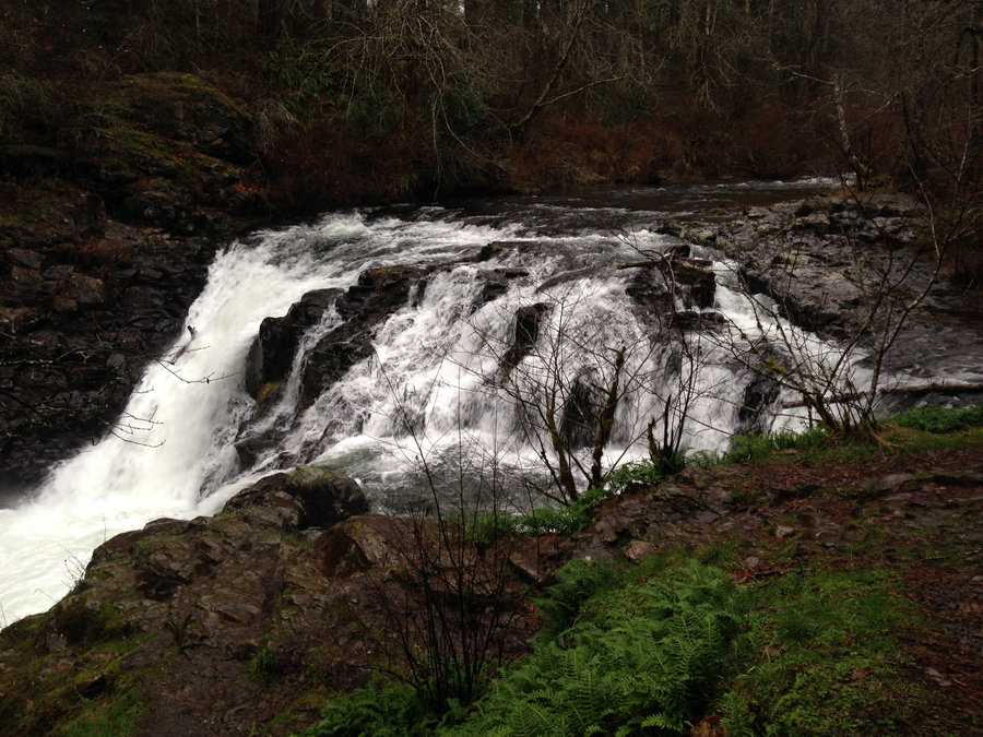
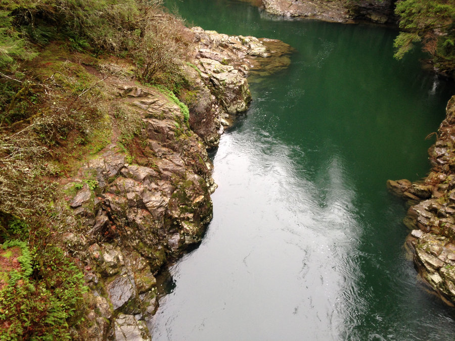
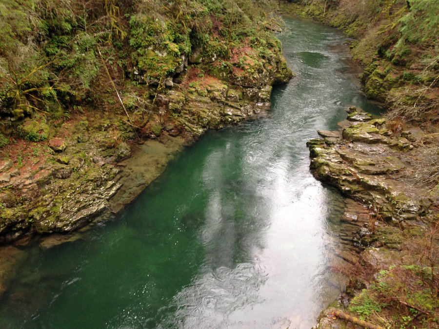
Shellburg and Stassel Falls
5.7 miles of hiking • 750' elevation gain •
Perfect day with a good friend checking out the mossy and watery forest in this area. Perfect day! Much prettier than I expected.

December 23, 2018
 2
2
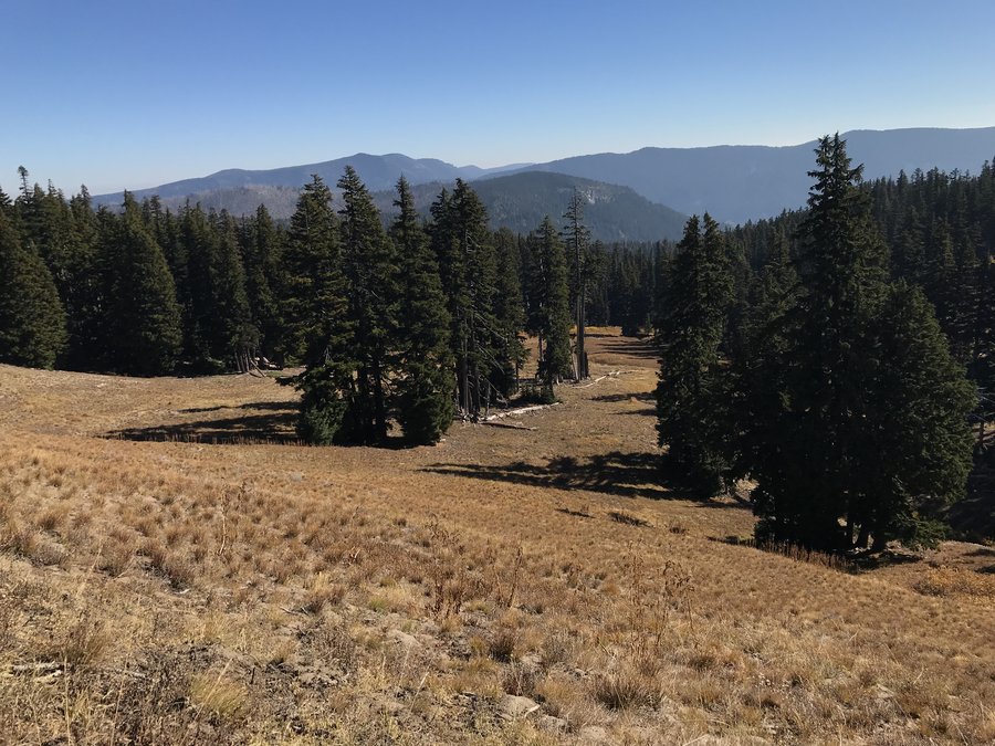
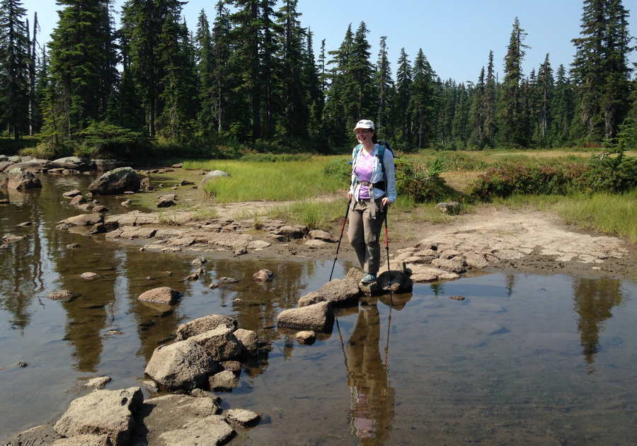
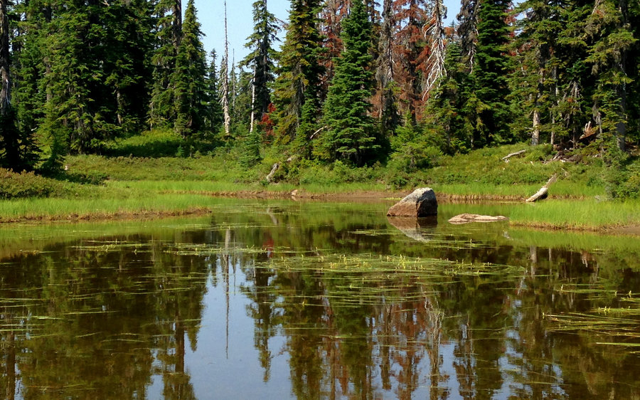
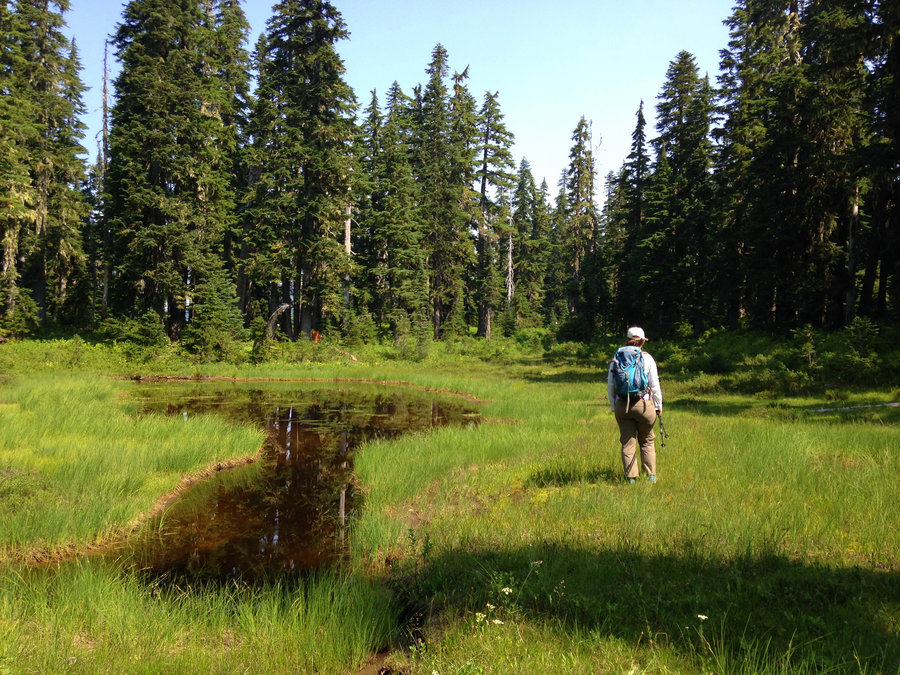
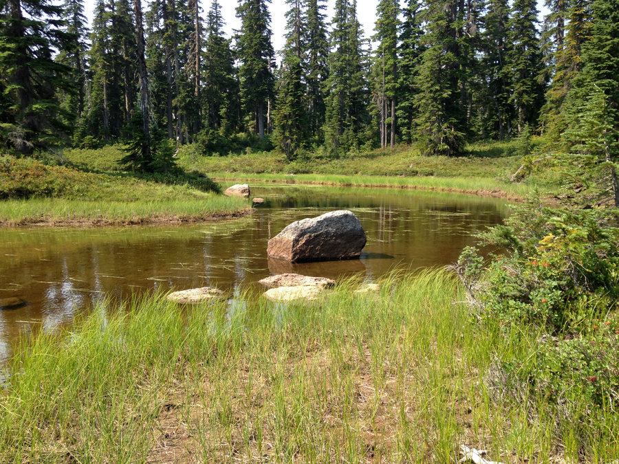
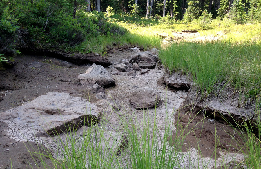
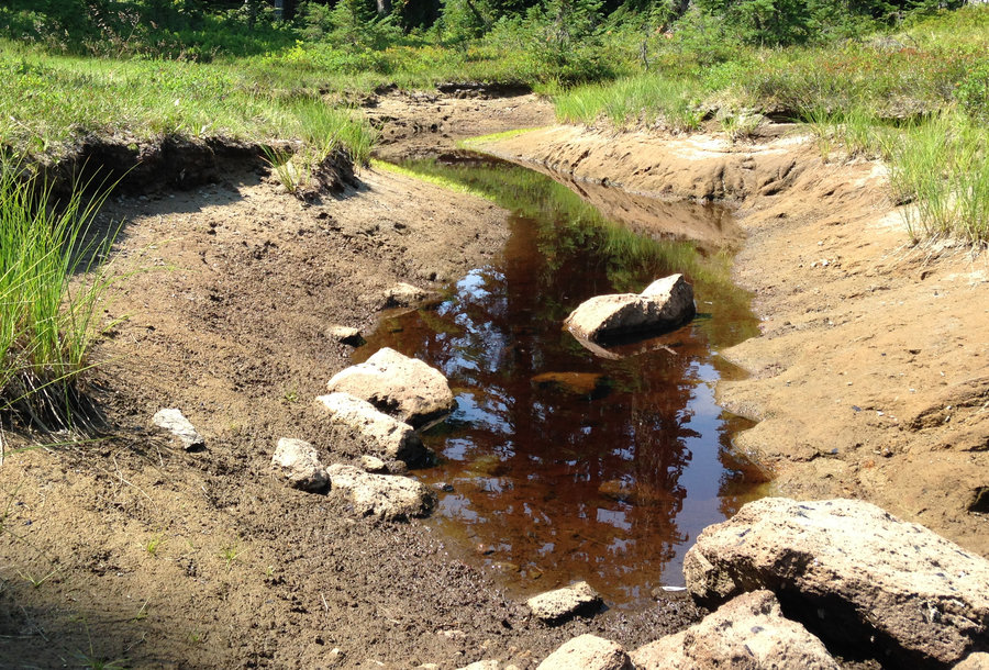
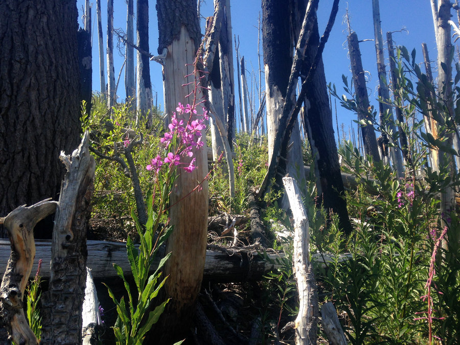
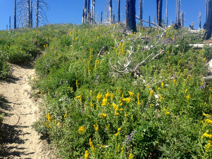
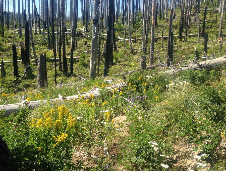
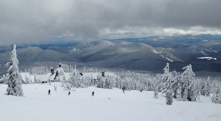
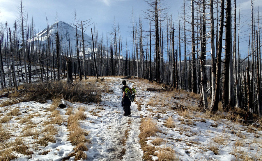
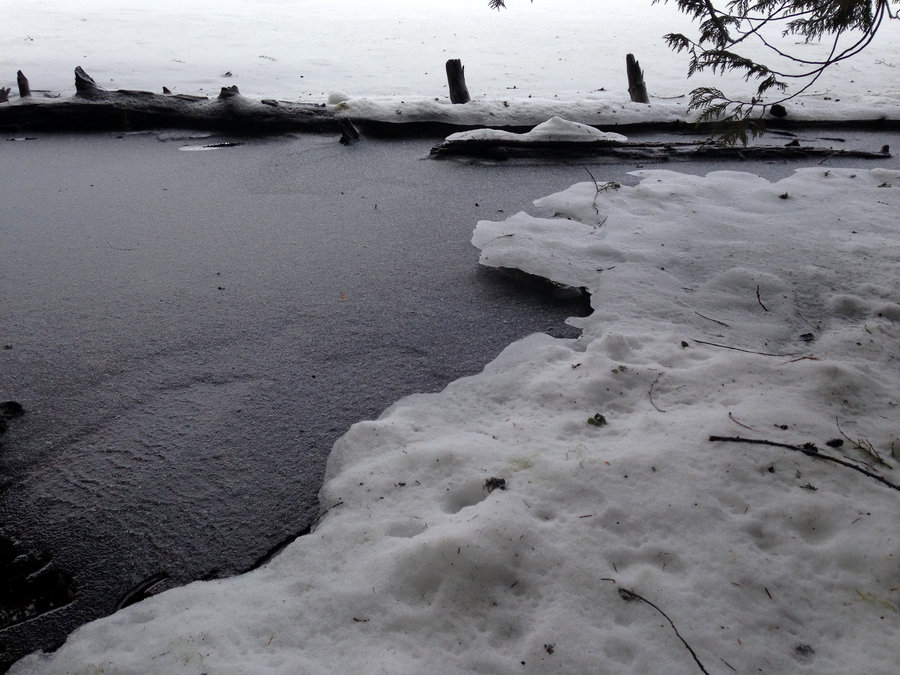
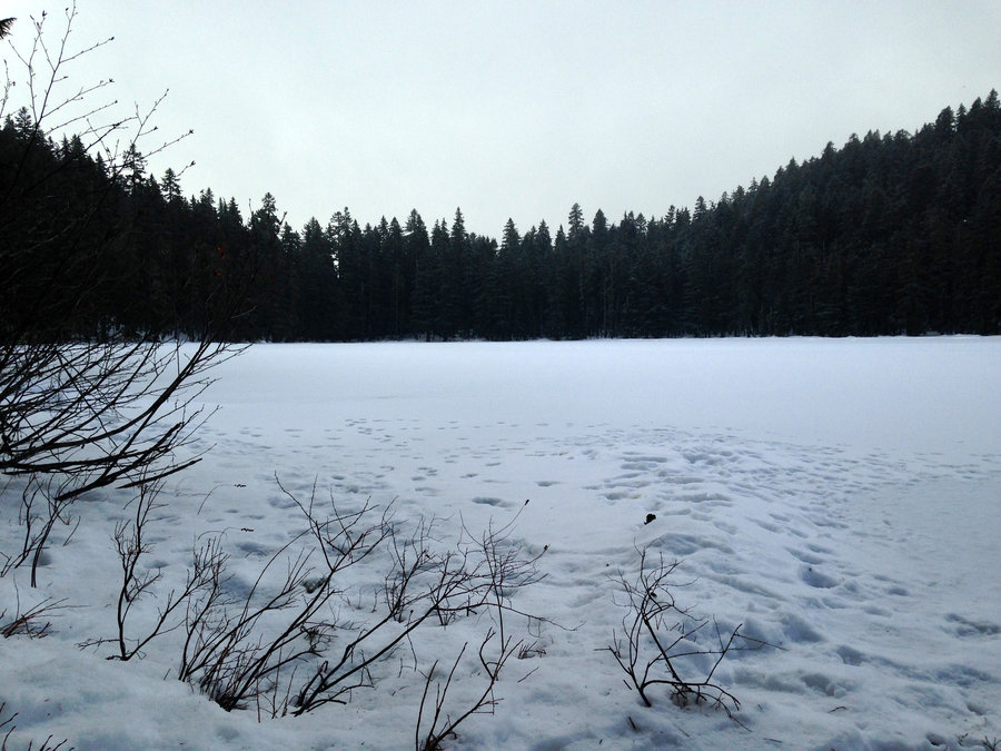
Skyline Road and Off Trail Stroll
4.8 miles of hiking • 500' elevation gain •
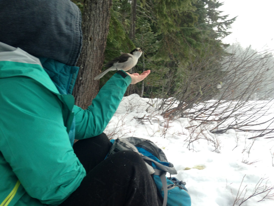
Went with friends to help switch out film on a wildlife camera for Cascadia Wild. We walked along Skyline road for a few miles before cutting off to the camera. Minimal snow that was pretty packed down. Spikes were helpful. Fun adventure.
December 22, 2018
 1
1
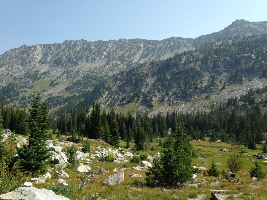
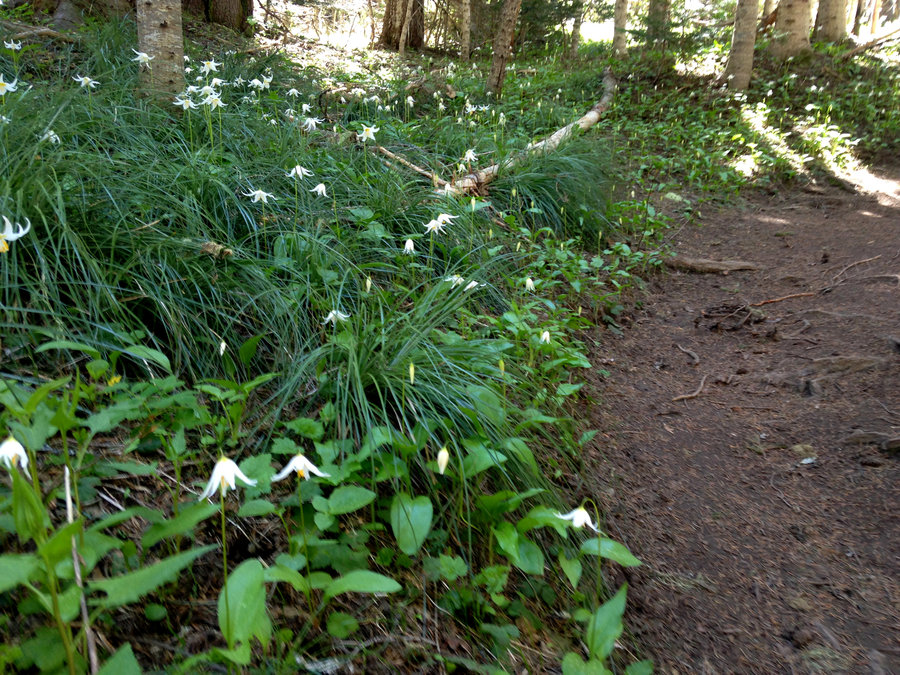
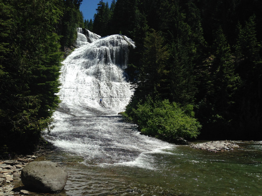
Goat Creek Trail
8 miles of hiking • 1500' elevation gain •
Lots of lush green and some great waterfalls on this new to me trail. Wonderful day with a great crew.
December 16, 2018
 1
1
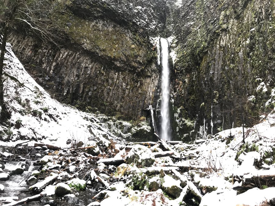
Dry Creek Falls Plus
7.6 miles of hiking • 1000' elevation gain •
Still felt like I needed another recovery hike, without much eg. Hike today from Bridge of the Gods aways down the PCT, visiting Dry C reek Falls on the way. Hit snow right away, but it was just enough to cushion the tread and make things beautiful. Melting fast though.
December 10, 2018

 1
1
Forest Park off Germantown RD
7.5 miles of hiking • 500' elevation gain •
I still needed some flattish recovery hikes so I did a short section of the Wildwood trail, starting at Germantown road. Not muddy yet.
December 5, 2018
 1
1
Oaks Bottom stroll
4 miles of hiking • 0' elevation gain •
Needing something with no eg today, I did a bird hike down to the local wetlands.
November 25, 2018
 2
2
Multnomah Wahkeena Loop
6.2 miles of hiking • 1750' elevation gain •
An amazing day back in the heart of the Gorge. I feel like I can finally take a deep breath.We ran into some folks we knew and oohed and ahhed over everything. The trails are in great shape. Some sections actually have baby miners lettuce and saxifrages growing on them. Others look like they were spiffed up yesterday. Not even a leaf on the ground. Everyone was so very happy
November 24, 2018

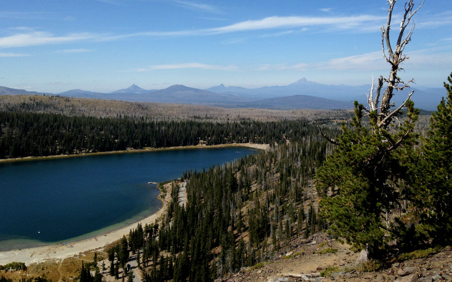
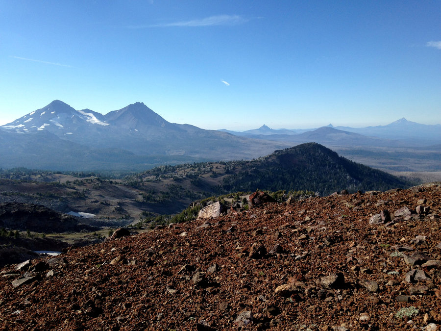
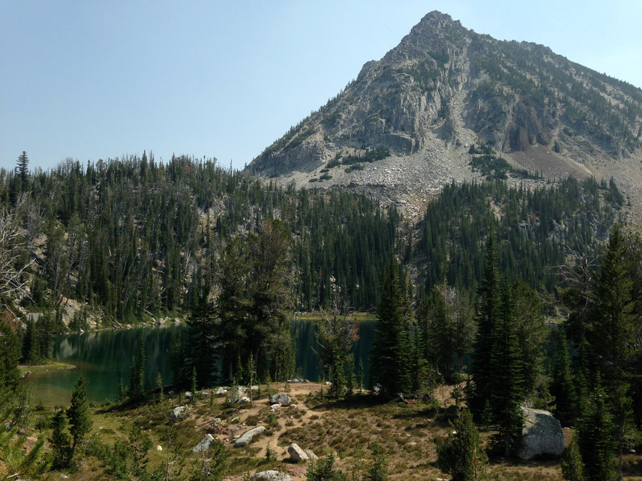
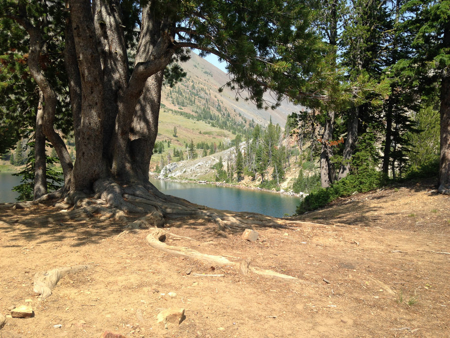
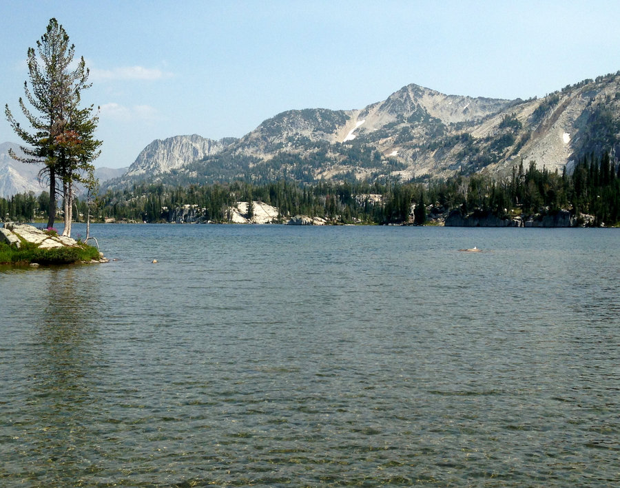
Twin Lakes Loop
12.8 miles of hiking • 1750' elevation gain •
Made a fun loop up past Twin Lakes, had lunch on Palmateer Point, then I headed down to Devils Half Acre Meadows, up to Barlow Pass and back down the Pct. The wind wasn't too bad no real snow yet, just a few patches, but both the lakes were trying to ice up.
November 12, 2018

Forest Park
7 miles of hiking • 1000' elevation gain •
An enchanted day watch the golden leaves drift.
November 11, 2018
 2
2
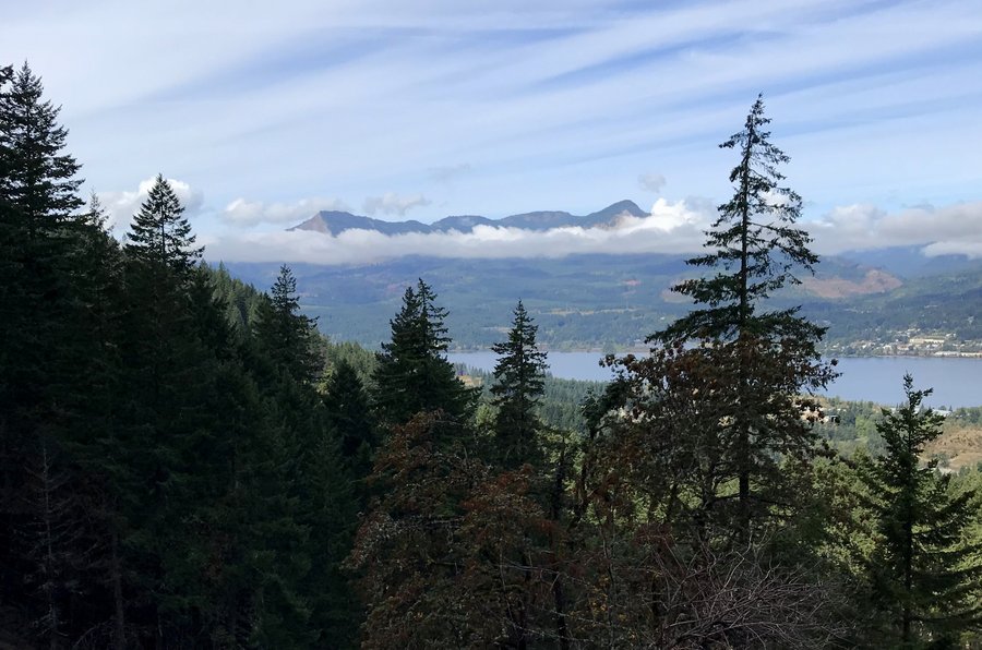
Herman Creek to Noble Camp
16 miles of hiking • 3000' elevation gain •
Amazing day, exploring the mossy green beyond Cedar Swamp. I want to come back on a long day this summer. Totally beautiful.
November 8, 2018

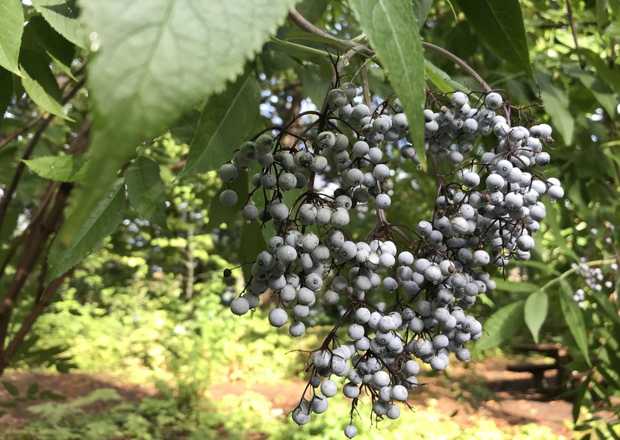
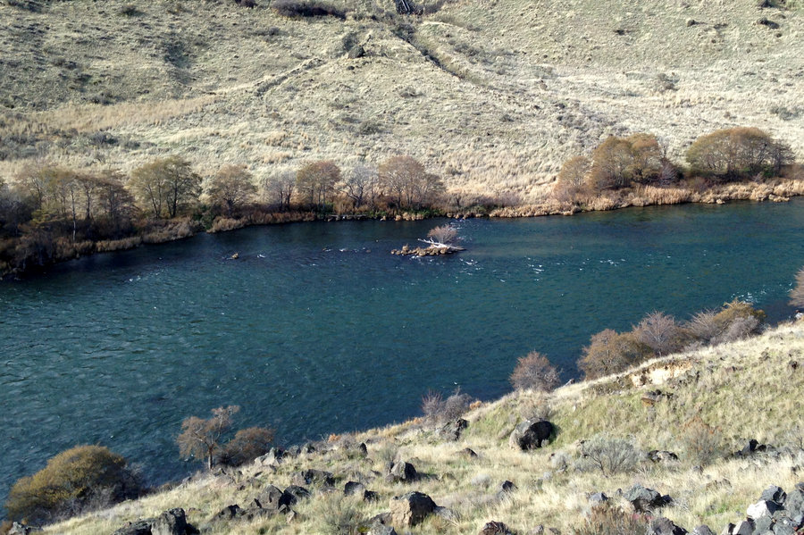
Salmon River stroll
11 miles of hiking • 1000' elevation gain •
I decided to ease into the rainy season with a walk up the Salmon River. I strolled along to Goat Creek where there were plenty of logs to cross on, but everything was a bit slippery. In general the creeks all are running now. The sun broke out here and there late afternoon.
November 1, 2018

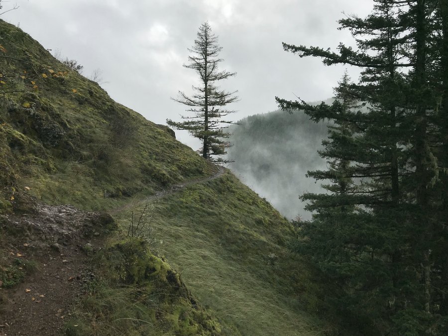
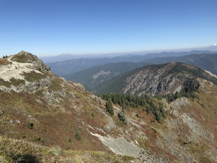
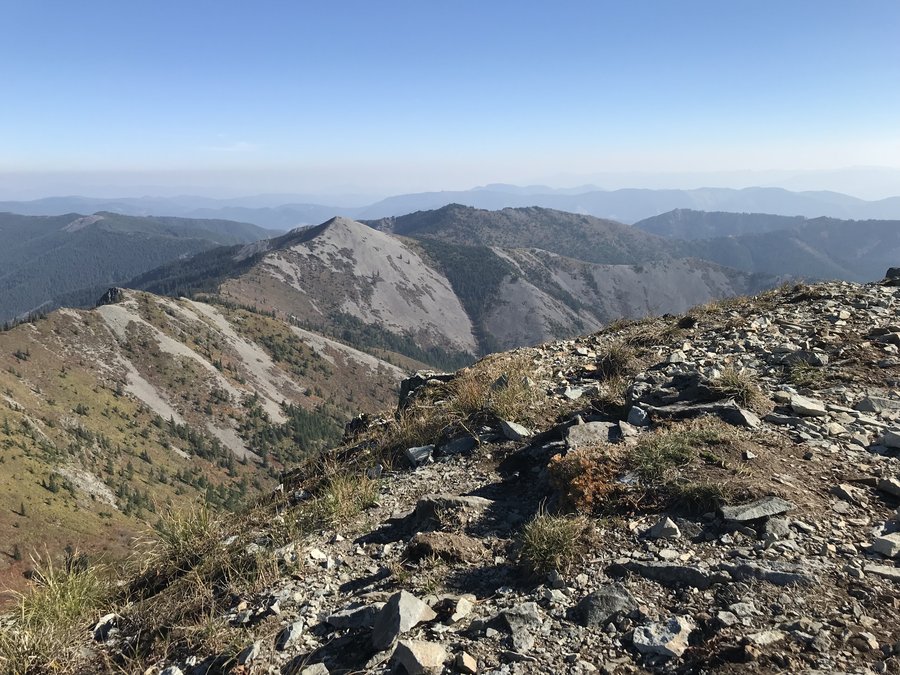
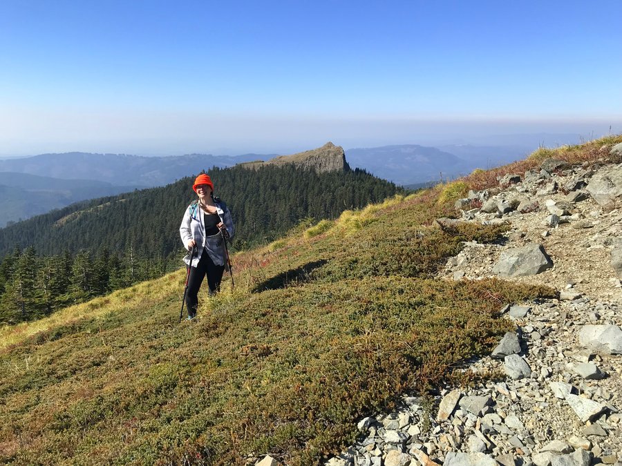
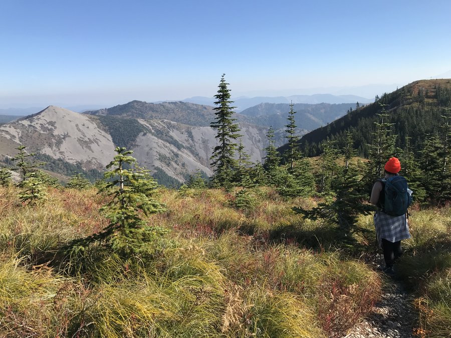
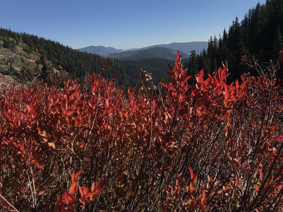
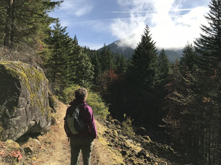
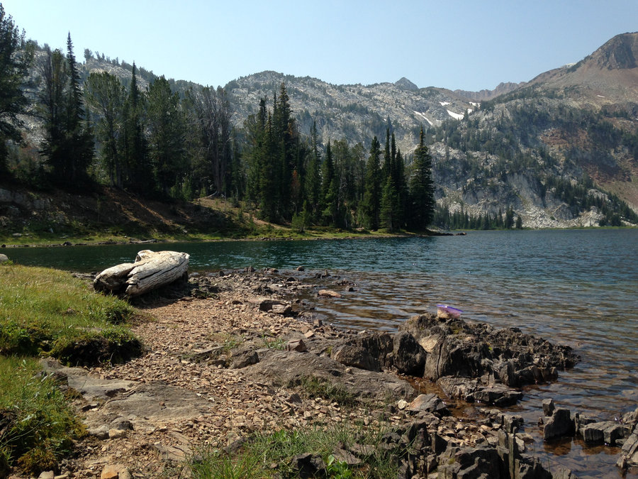
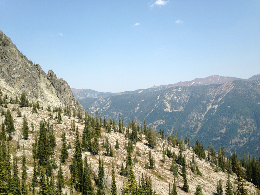
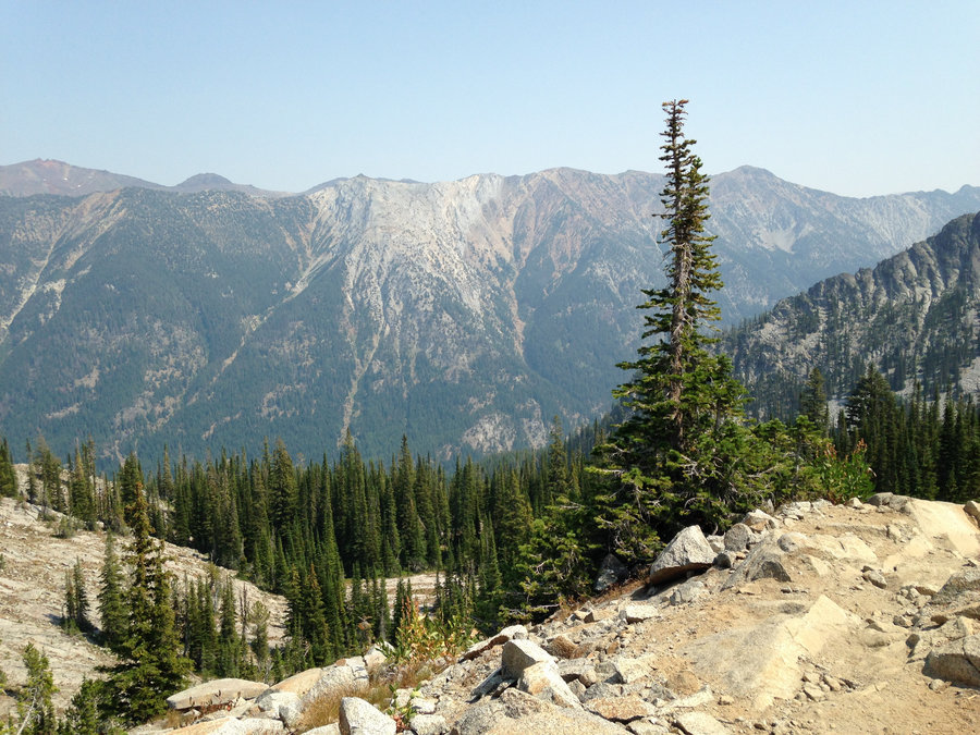
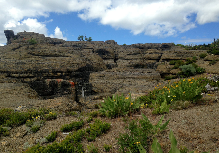
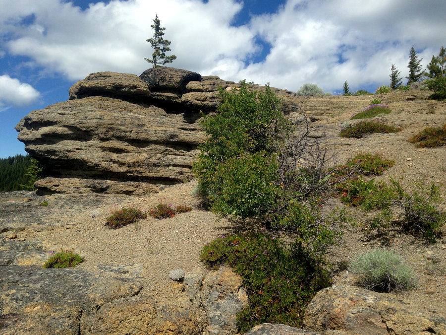
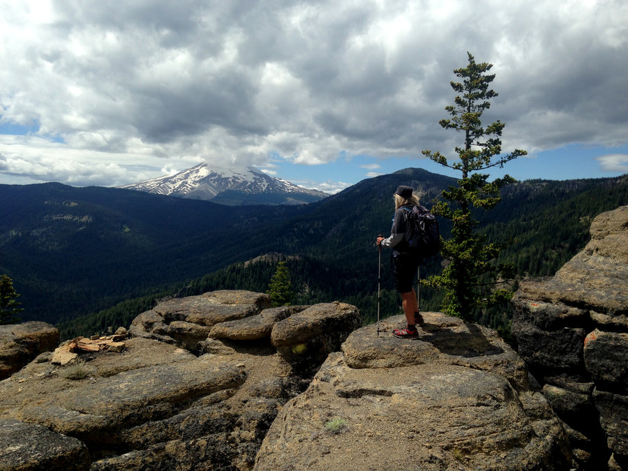
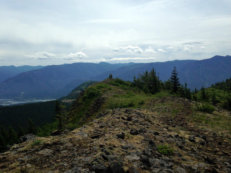
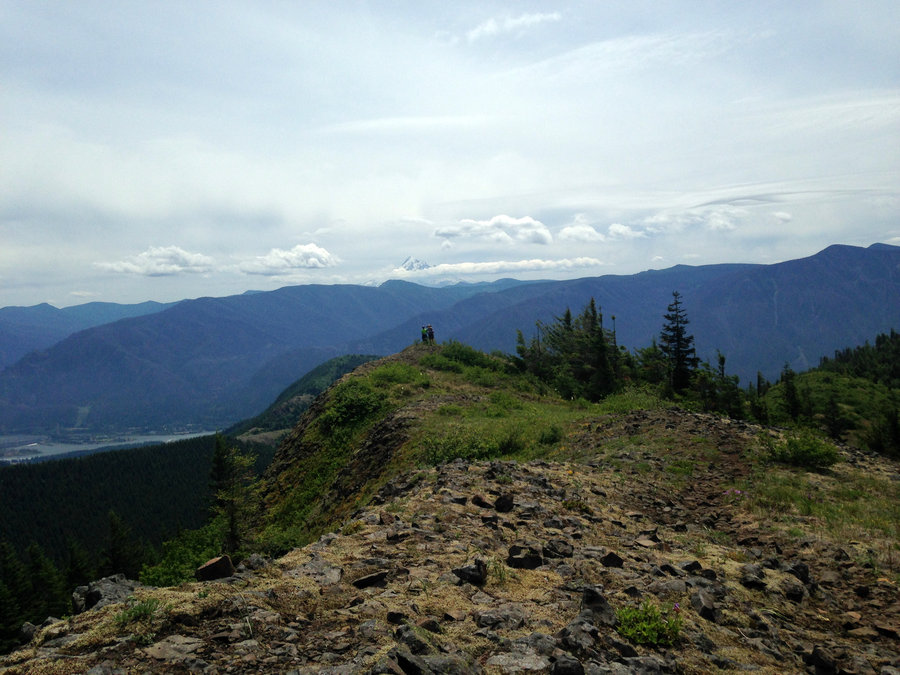
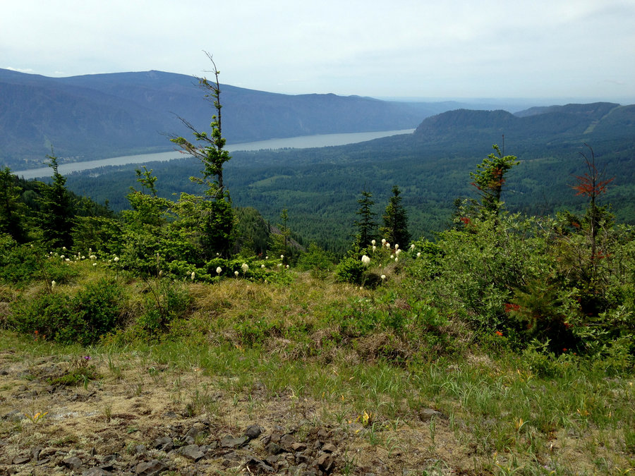
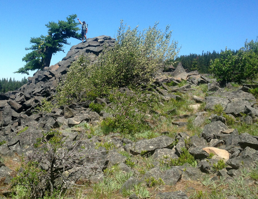
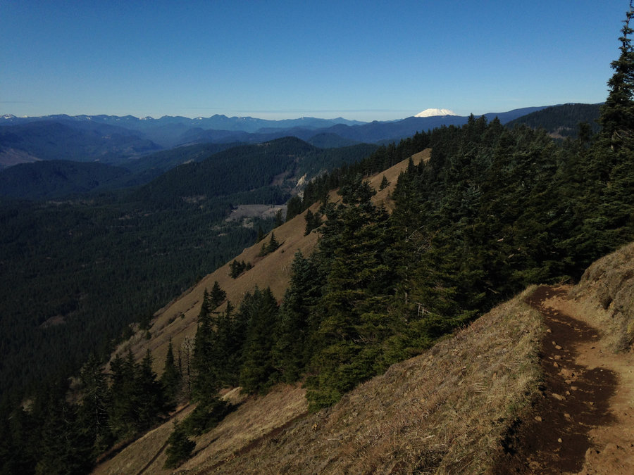
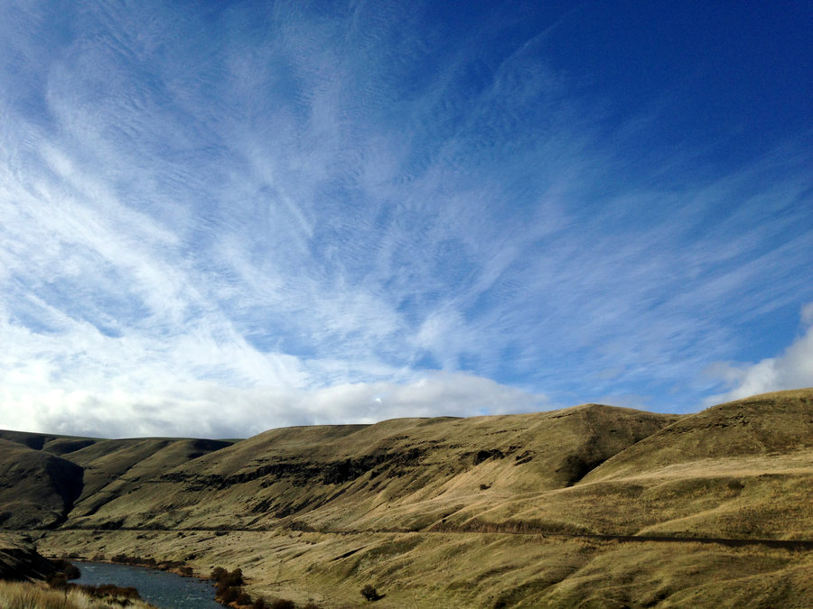
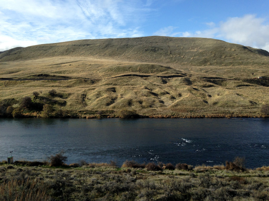
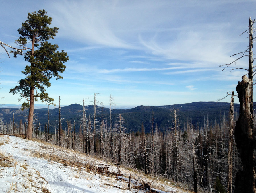
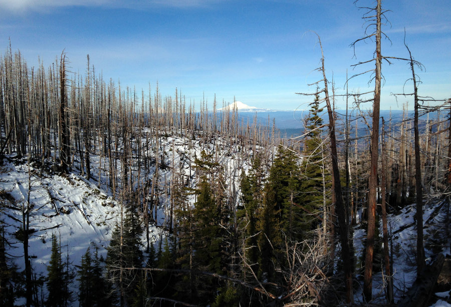
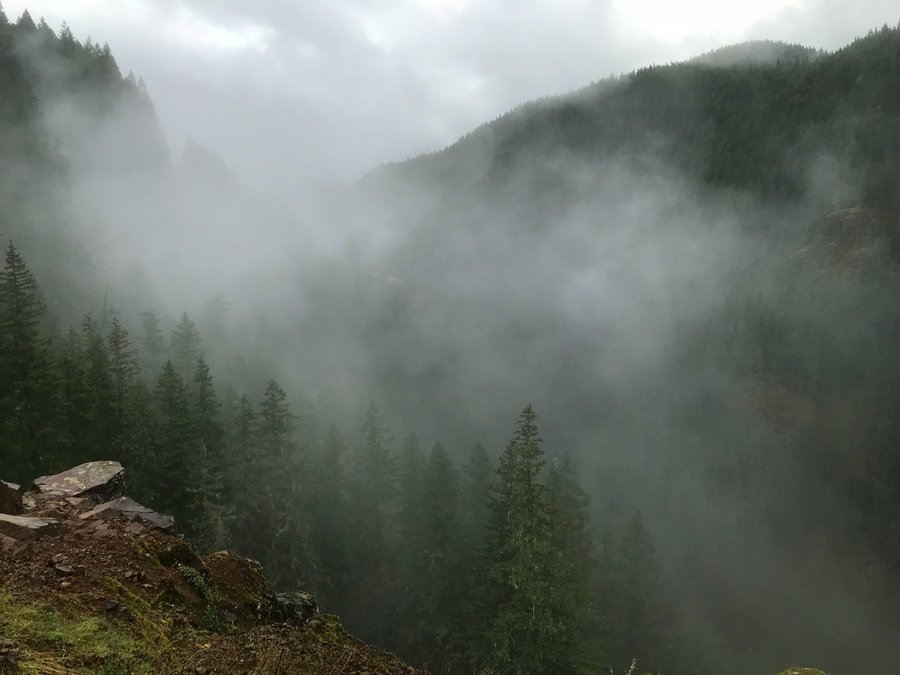 3
3
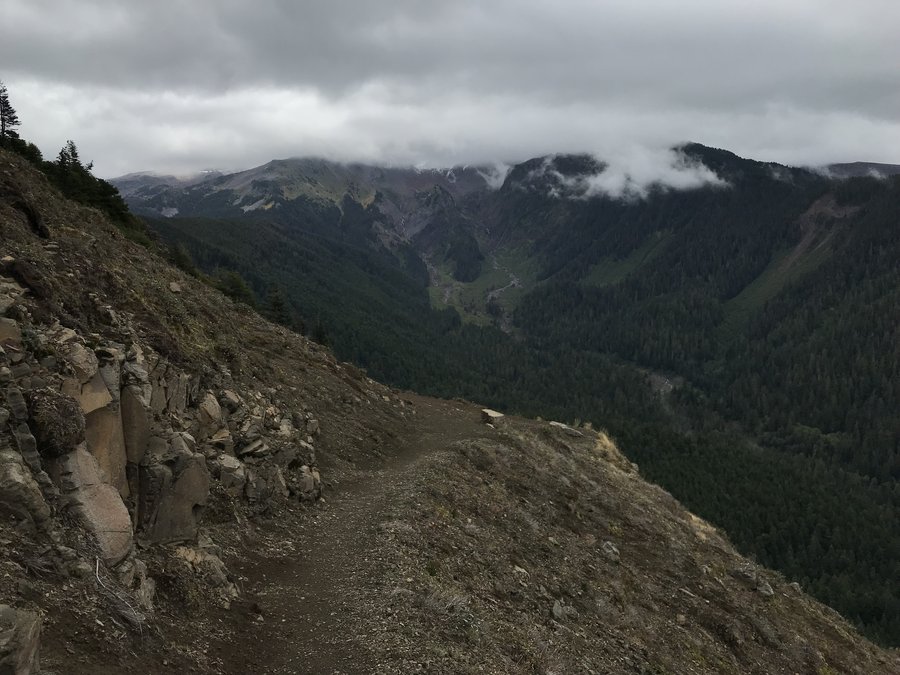
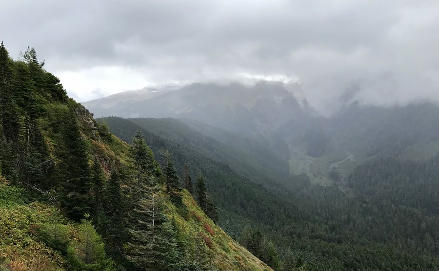
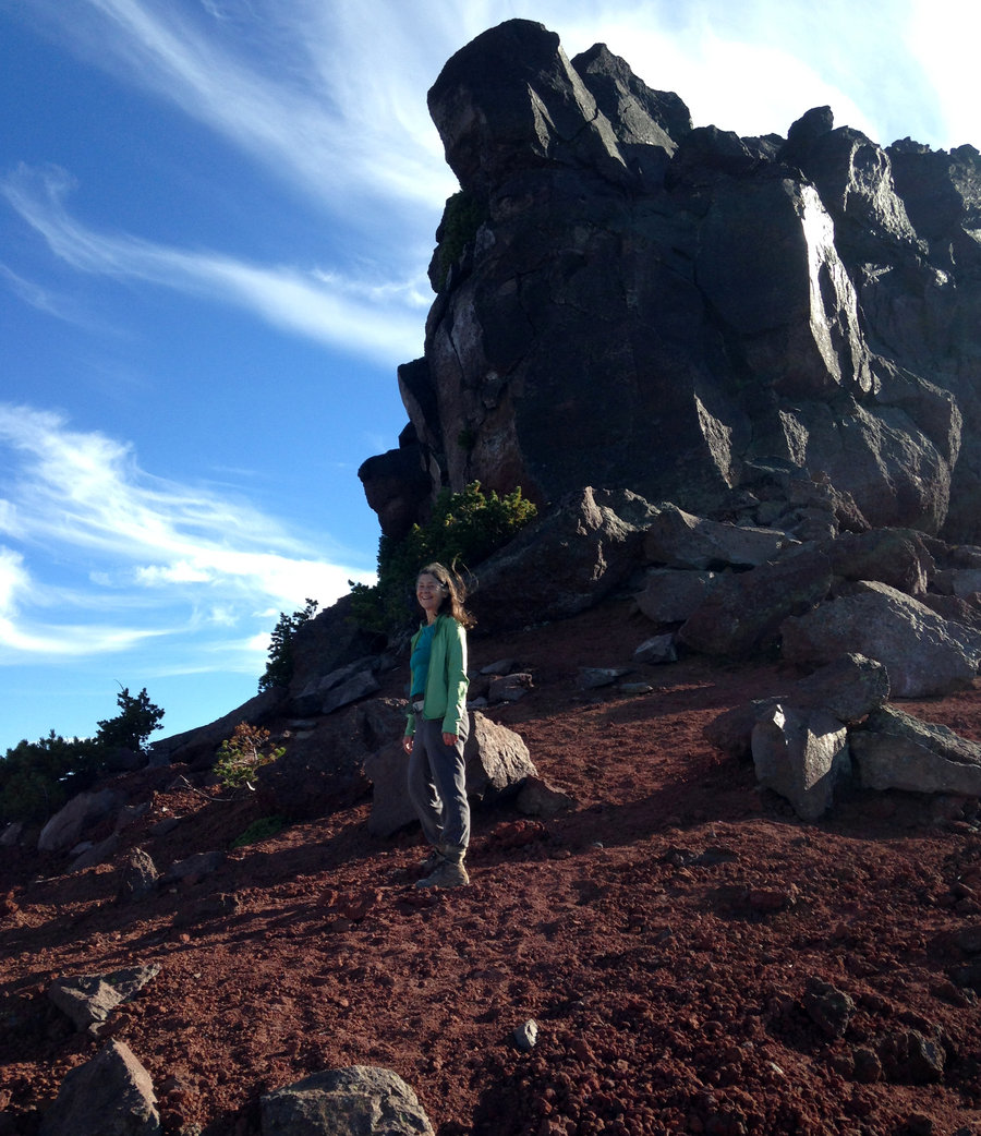
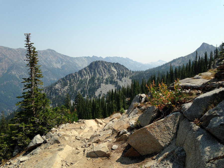
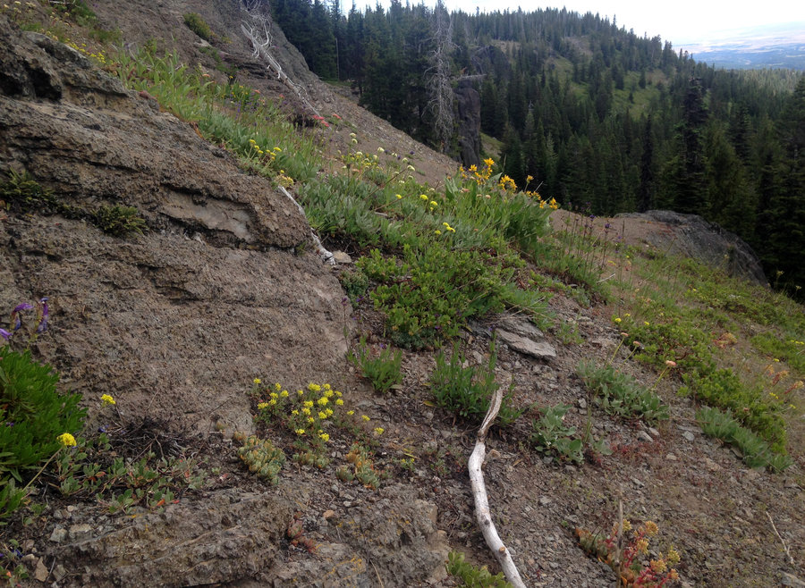
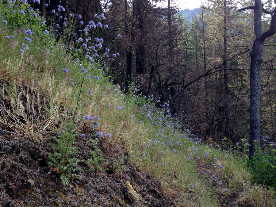
Silver Star Wanderings
7.7 miles of hiking • 2250' elevation gain •
Had a wonderful day up on Silver Star. The fall colors are still great and the summit had just enough people to be interesting. We used the Grouse Vista Trail up and then contoured down from the top to hit the trail over to the ridge by the Indian Pits on the south arm. Wonderful company, amazing weather, made all the sweeter by the fact that it was probably the last day of sunny dry weather for awhile.
October 21, 2018

 2
2
Mt hood Meadows to Heather Canyon
7.5 miles of hiking • 1250' elevation gain •
I wanted to see the last of the fall color on the east side and scope out some off trail options in the area. So I took a short hike along the TT. I was hoping to walk up Heather Canyon, but it was icy along the edges up the canyon. Instead I stopped a short distance up the canyon, at a nice waterfall in the sun and had lunch. Glorious!!
October 19, 2018

 2
2
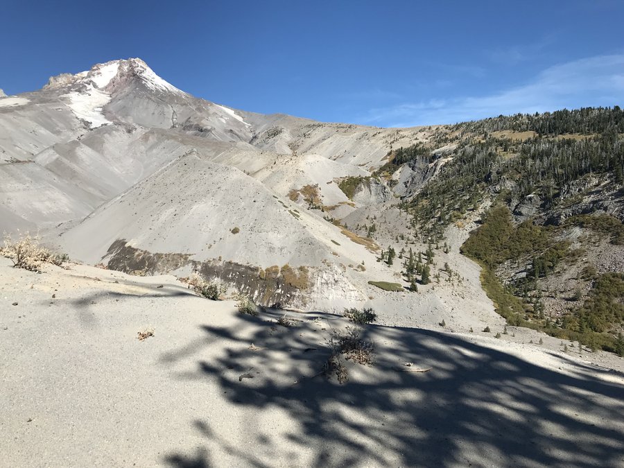
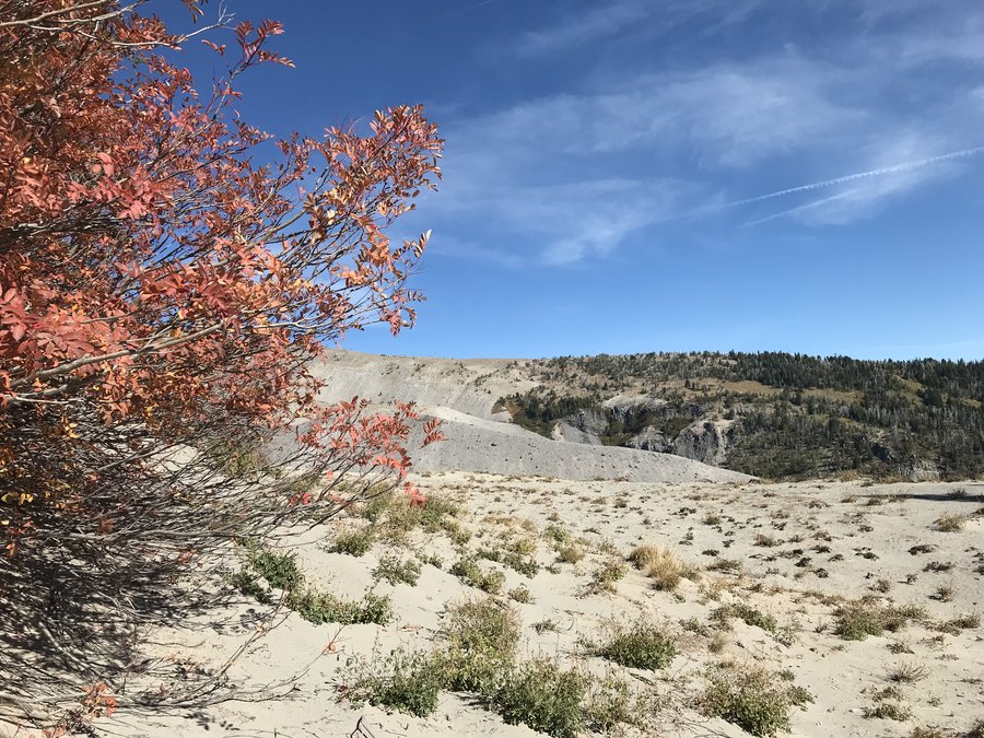
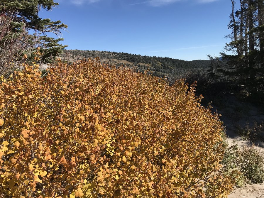
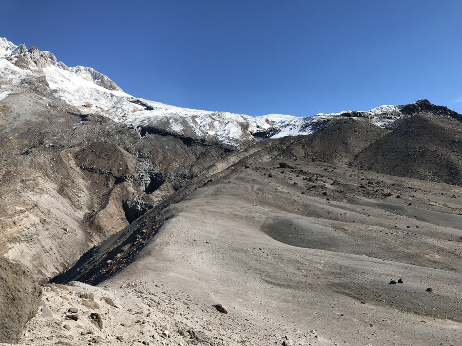
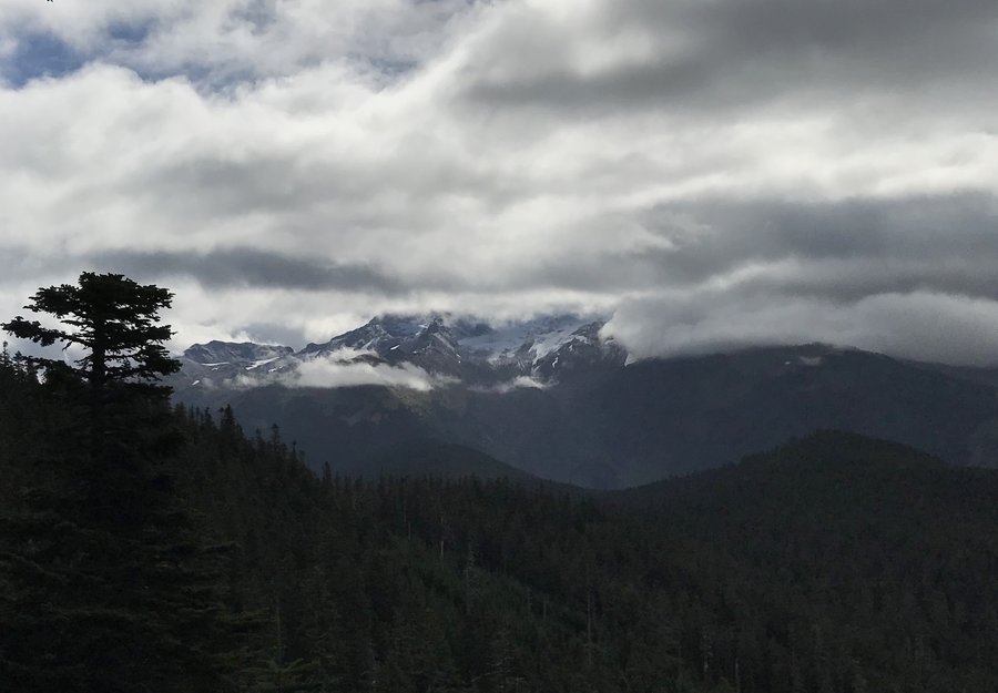
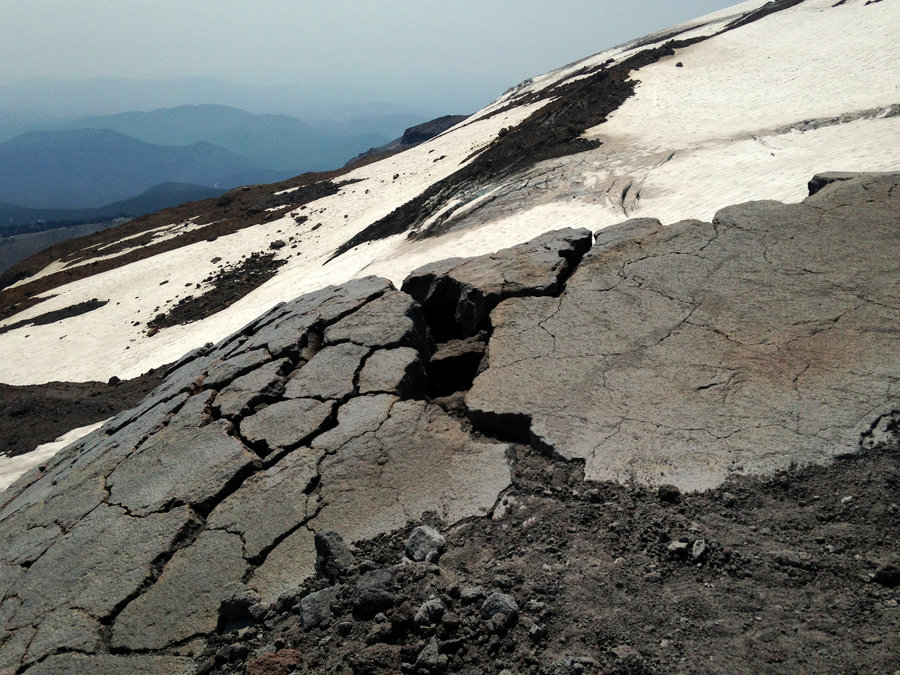
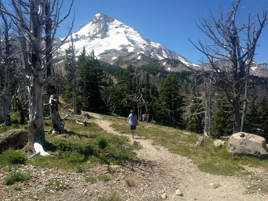
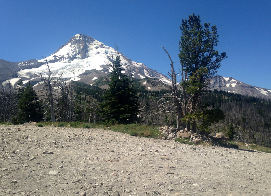
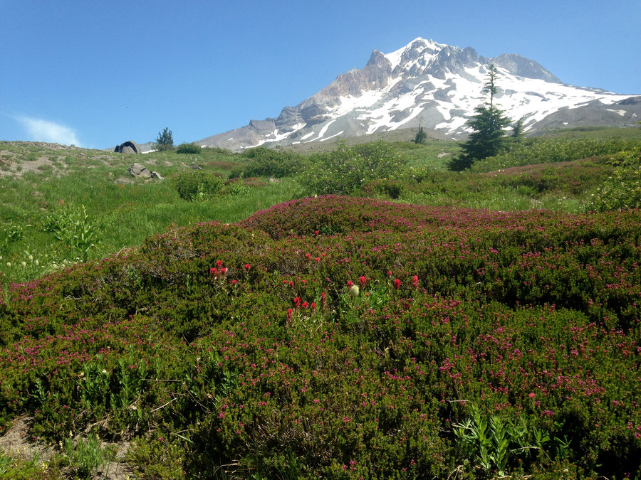
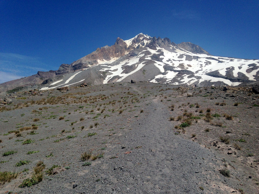
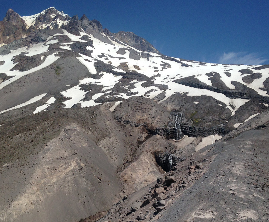
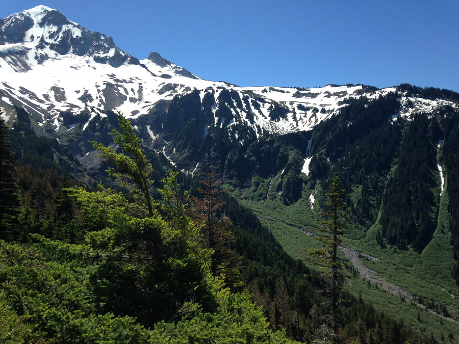
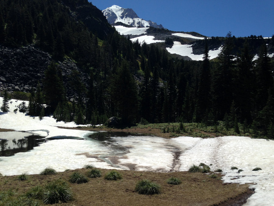
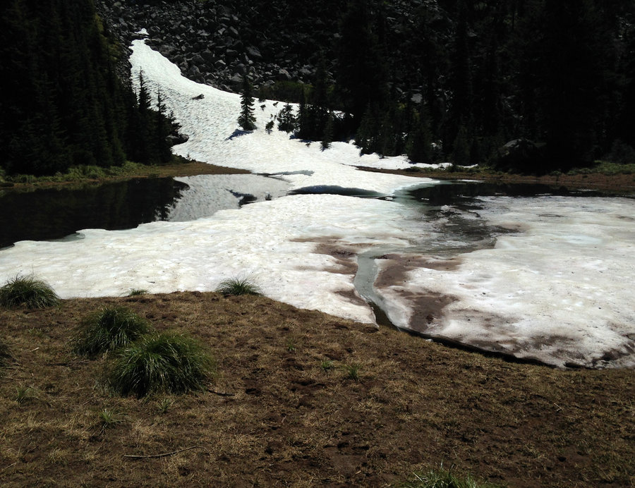
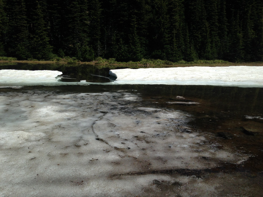
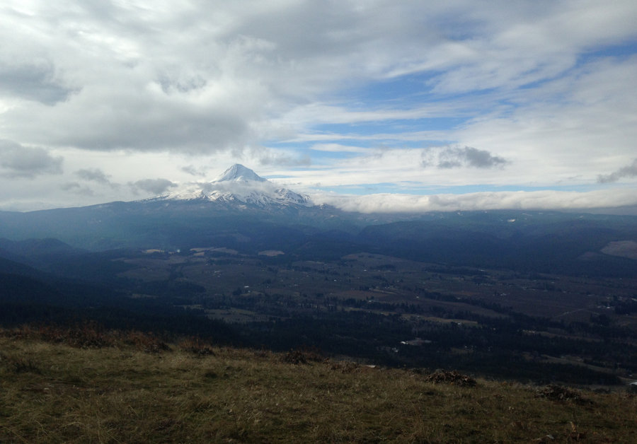
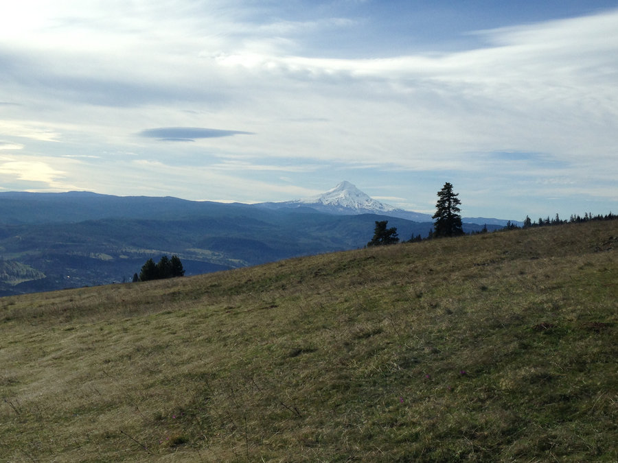
Barlow Pass to Mt Hood
11.5 miles of hiking • 2000' elevation gain •
Such a glorious day on the mountain!! The Pct is well graded and brings you up to remarkable views of the White River Canyon and the mountain within a few miles. The autumn colors are mostly faded, but still some spectacular places. The mountain is so perfect right now.
October 15, 2018

 2
2
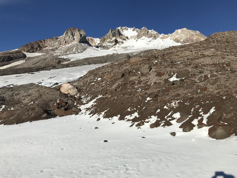
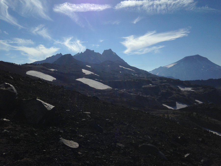
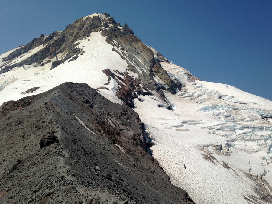
Mississippi Head Loop
11.5 miles of hiking • 4000' elevation gain •
A TFF was kind enough to show me the route over the head. Started at Timberline Lodge and had first lunch above Paradise Park and then we started over the rocky ridge back to Timberline above Mississippi Head. We made a quick detour down to the plane crash site and a view of the Zigzag Canyon, then headed up the mountain high enough to cross over back to Timberline Lodge. Twilight brought us back down to the Lodge and the end of an amazing day.
October 11, 2018

 1
1
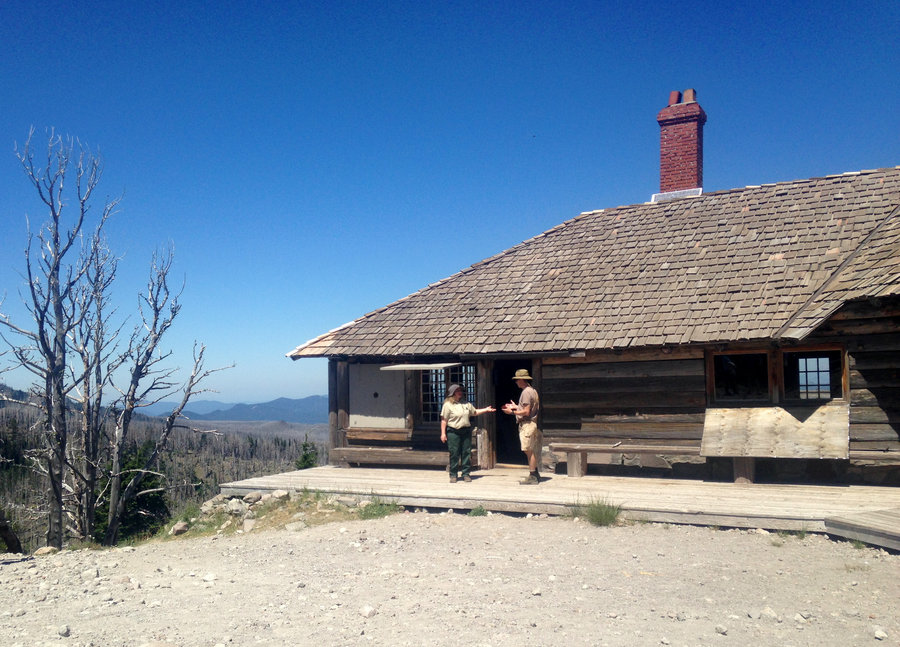
Cooper Spur Shelter
4.5 miles of hiking • 1000' elevation gain •
Another short but sweet trip. Some friends had rented out the A frame so I joined them for the day and did the Tilly Jane, Cloud Cap, Cooper Spur Shelter Loop. Wonderful day even though it was foggy. There's new snow at about 7000'
October 7, 2018

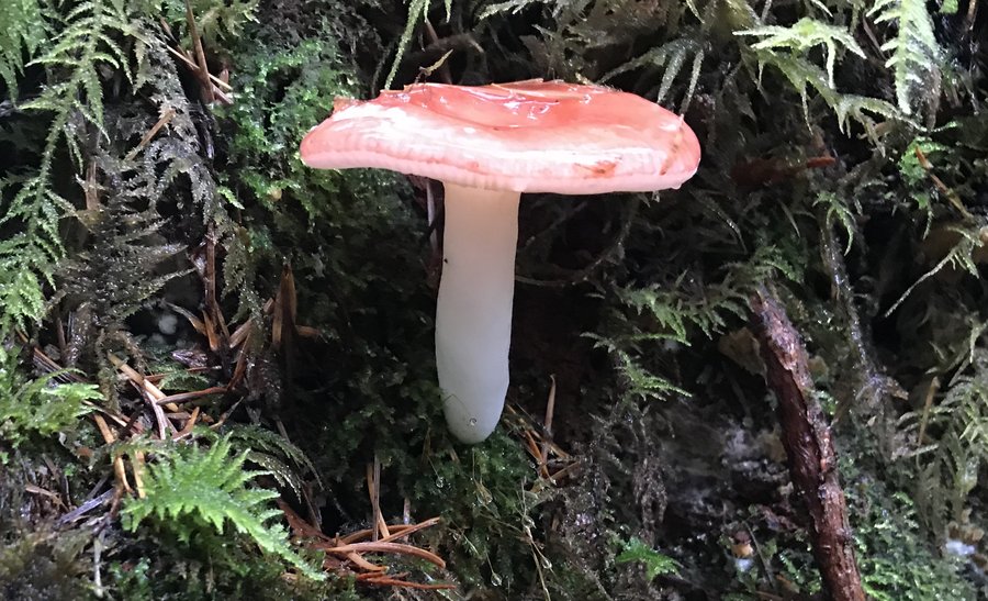
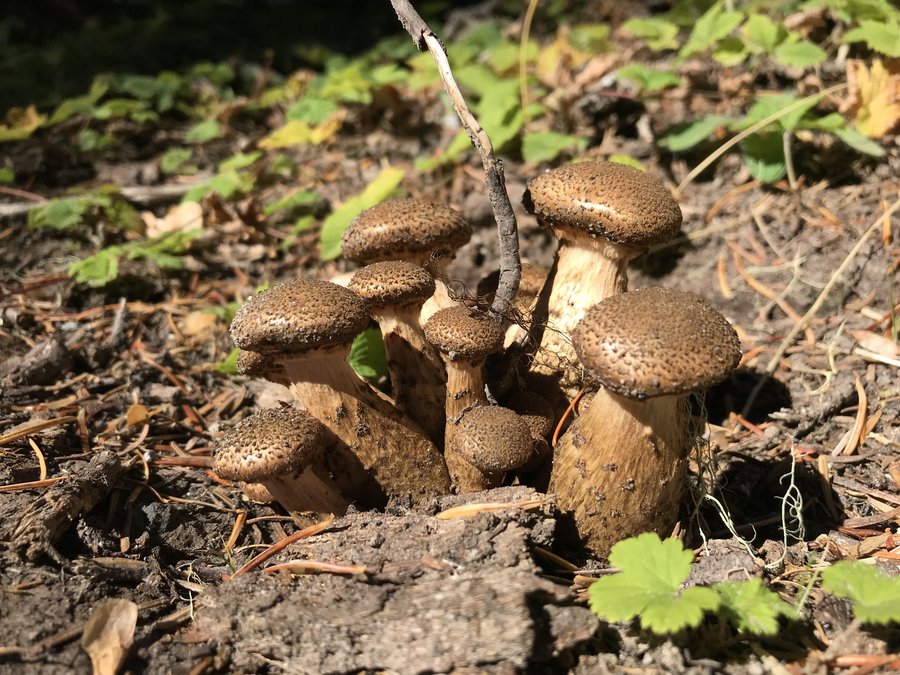
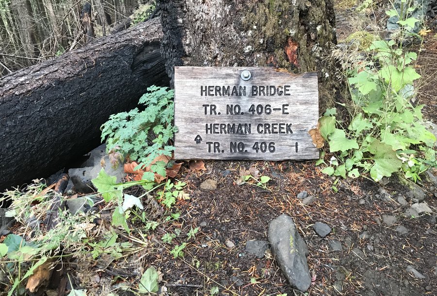
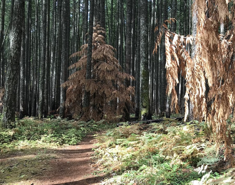
Herman Creek
11.7 miles of hiking • 2000' elevation gain •
Great out and back on the Herman Creek Trail. Mushrooms are starting to pop and the few deciduous trees that are left are starting to turn.
October 4, 2018

 1
1
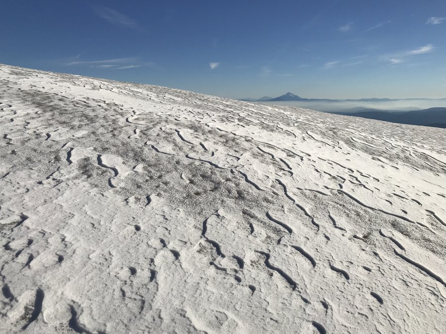
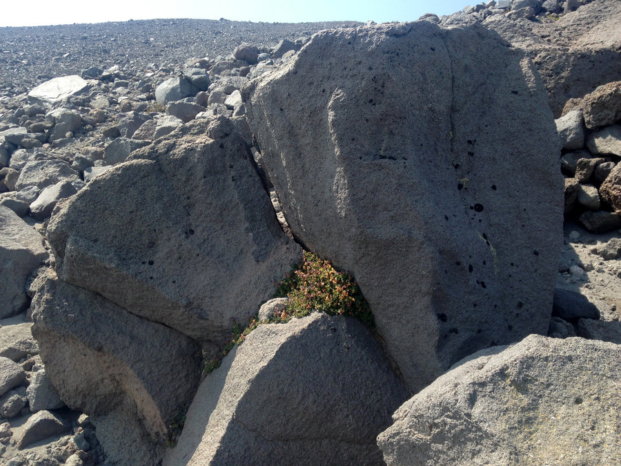
Lunch Counter above McNeil Point
11.4 miles of hiking • 3250' elevation gain •
Perfect day to be on the mountain. The view form the high point at 7000' is amazing and had me puzzling about all the trails between me and Yocum Ridge that were visible. I know some folks do a traverse between the two ridges, but these didn't seem to make sense for that. Enjoying the mountain while I can.
September 24, 2018
 1
1
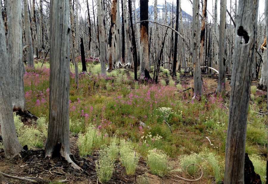
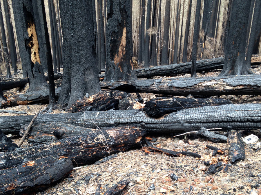
Herman Creek to Pacific Falls
5 miles of hiking • 1000' elevation gain •
Had a great short hike through the burn. The trail was still in great shape, post all the work that was done earlier this year. Saw one thru hiker and one person in the lot. I've missed the gorge,
September 17, 2018

 1
1
Lolo Pass to Bald Mountain
6.6 miles of hiking • 1250' elevation gain •
Made a short and sweet trip over to the Bald Mountain viewpoint, to catch the first traces of snow. The mountain was mostly in hiding, but the rain held of until we were back.
September 13, 2018

 1
1
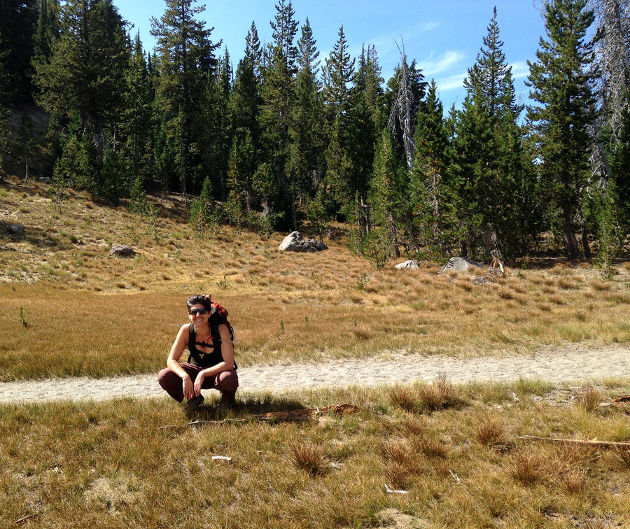
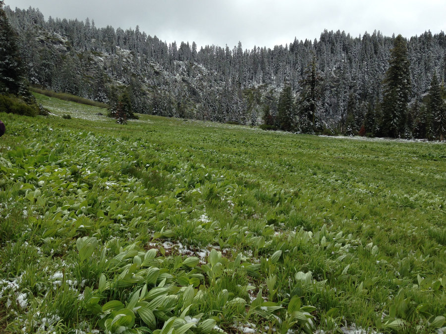
Broken Hand and Park Meadows
20 miles of hiking • 3500' elevation gain • 2 nights
Wonderful smoke free, heat free car camping and dayhiking excursion in the Broken Top area. The first day we were able to hike to Broken Hand before we ran out of daylight and hit our turnaround time. I had wanted to go on to No Name Lake, but I was able to easily see the route I would take. The second day, we went up to Park Meadows and after five miles of walking through recent burn, we were very happy to lounge in the wonderful views at the meadows. All in all, a wonderful adventure!
August 24 – August 26, 2018

 1
1
Thomas, Junction and Bear Lake loop Indian Heaven
10.5 miles of hiking • 1250' elevation gain •
Wonderful day out in lake and meadow land. We made a grand loop, up Thomas Lake trail to Rock Lakes, cutting over to Junction lake on an abandoned trail. Heading north and east to Lemei Lake, and then continuing north to the cutoff trail at Clear Lake back to the PCT. WE followed PCT south to Bear Lake and then took another abandoned trail back to Rock Lakes. That route allowed up to stay more in the meadows. Bugs picked up in a couple areas around 5ish and we heard they were bad at night. Totally perfect day!
August 19, 2018

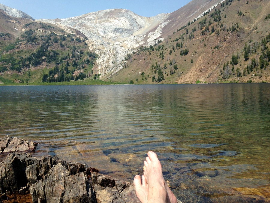
Wallowa Wanderings
53.5 miles of hiking • 9500' elevation gain • 4 nights
I had an amazing eastern Oregon trip, doing several day hikes out in the Wallowas. My favorites were Ice Lake, Mirror Lake and Chimney Lake. I had planned to push myself by doing a couple of summits, but the temperatures were in the high 80's even at 7600'. So I was forced to chill out by the lakes instead, which was the best idea ever. The bloom is 70% done except high up and in wet patches, where it is still beautiful. There were almost no bugs except in a couple of boggy meadows briefly, and they weren't landing when I was moving.
August 11 – August 15, 2018

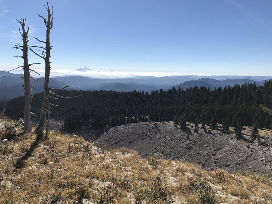
Cloud Cap to Cooper Spur
7 miles of hiking • 2500' elevation gain •
Wonderful day getting out of the heat.
July 30, 2018

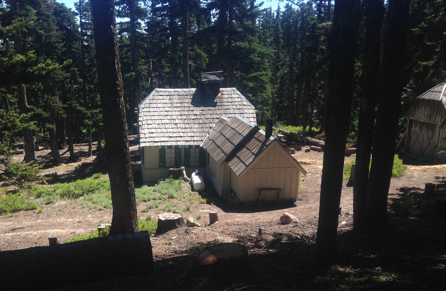
Tilly Jane Pollalie Loop
7.6 miles of hiking • 2250' elevation gain •
A marvelously quiet and beautiful day on the mountain. We hiked from the lower Cooper Spur TH up the Tillly Jane trail. The Lupines are mostly done, but the goldenrod, yarrow and penstamens were going strong. We headed over at the top to Cloud Cap, which was open for a tour, so we got to see the inside. We just caught a bit of the tour, but it sounded great. On the way back we did the Polallie trail down. Several logs to climb over and there was a a mile or so of working our way through the ceanothus. This trail is quickly being overgrown, but the views of the northern mountains are definitely better, and there were a few sneak peaks of Polallie falls, which is amazing even at a distance. Wonderful day.
July 22, 2018

 2
2
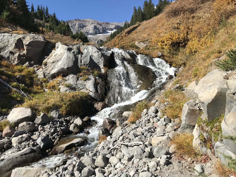
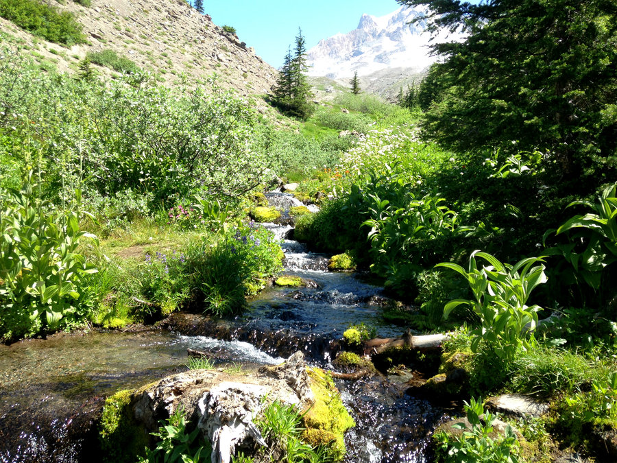
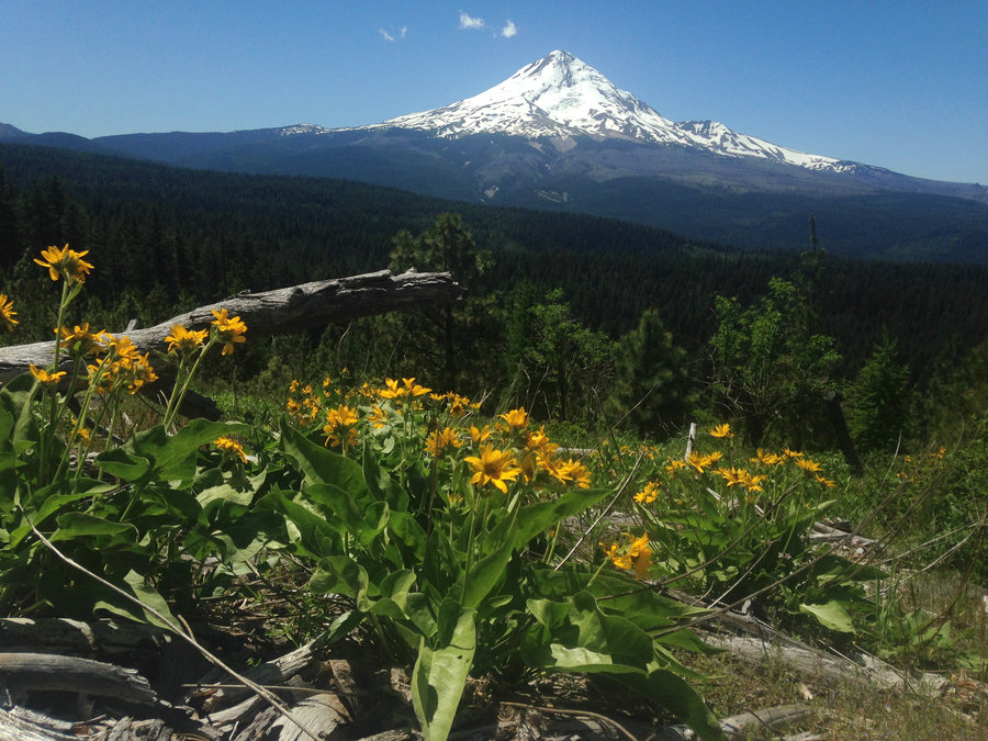
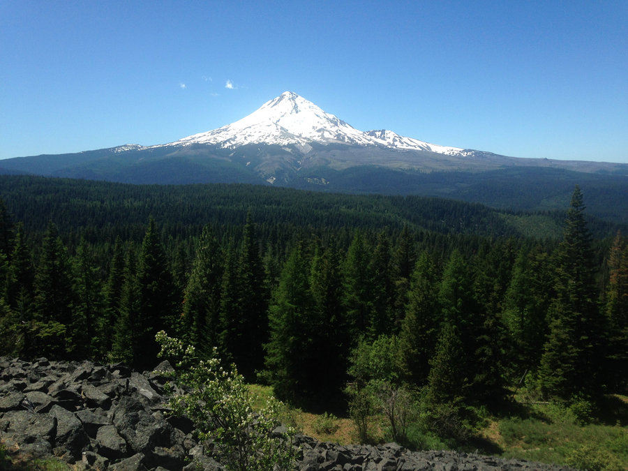
Above Paradise Park
12.5 miles of hiking • 3250' elevation gain •
Wonderful day around and above Paradise Park on Mt. Hood. The flowers are still looking good. The biting flies aren't bad and I got up high enough, early enough above the park, to see some of the waterfalls coming off the glaciers. Wonderful day.
July 16, 2018

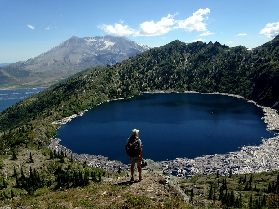
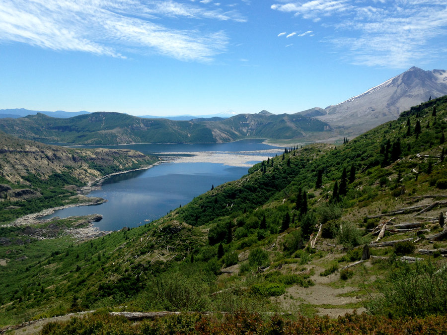
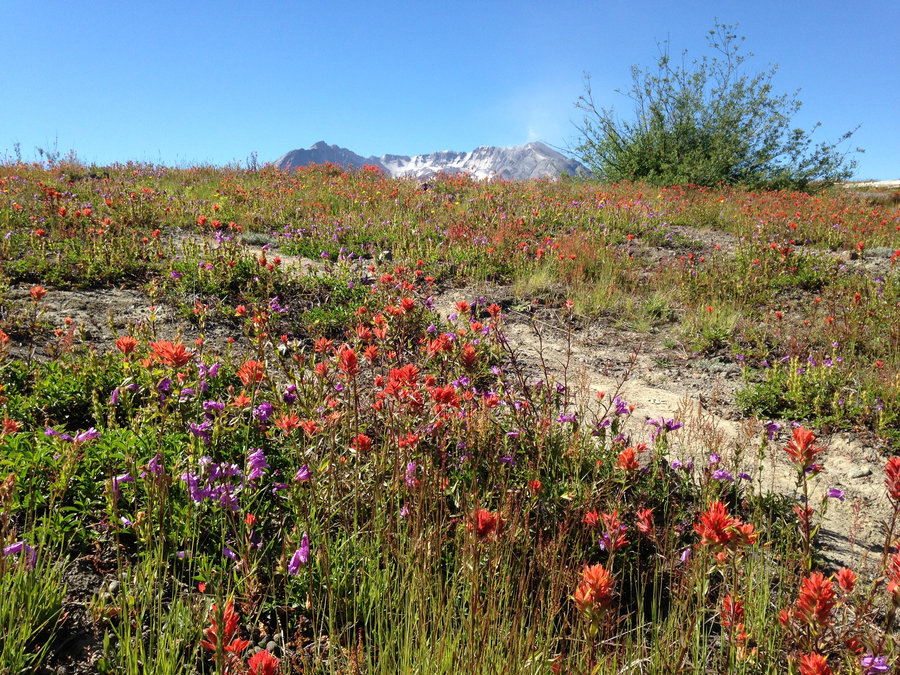
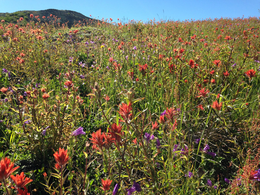
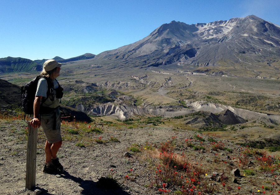
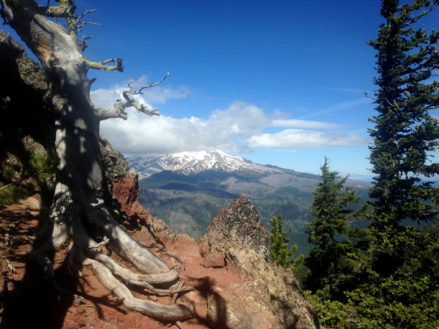
St Helen's Lake
14.1 miles of hiking • 3750' elevation gain •
Absolutely fantastic day up exploring on Mt St Helens. The flowers are still peaking up around the Observatory and the lakes were beautiful as always. Tagged Coldwater Peak on the way back, which was awesome. Good company and good views. Perfect day.
July 8, 2018

East Zigzag Mountain
9.6 miles of hiking • 1750' elevation gain •
Flowers are looking good in the saddle below the summit. Plus, the clouds cleared away and gave us clear views of the Paradise Park Side of Mt Hood and partial views of Jefferson and Adams. There's not much snow at all on the South side of Mt Hood. Wonderful hike.
July 1, 2018
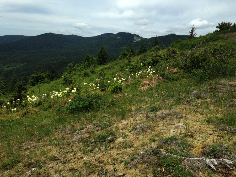
 1
1
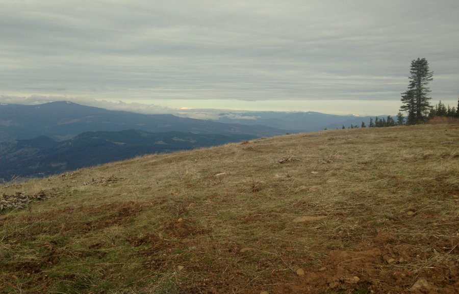
Lookout Mountain to Flag Point
12 miles of hiking • 3000' elevation gain •
Wonderful day getting back into one of my favorite areas. The bloom at High Prairie is just getting started. In a few places on the trail flowers were plentiful, in others the snow had just recently melted. We explored some of the amazing rock formations out there. I love the Badger Creek Wilderness!!
June 29, 2018


 1
1
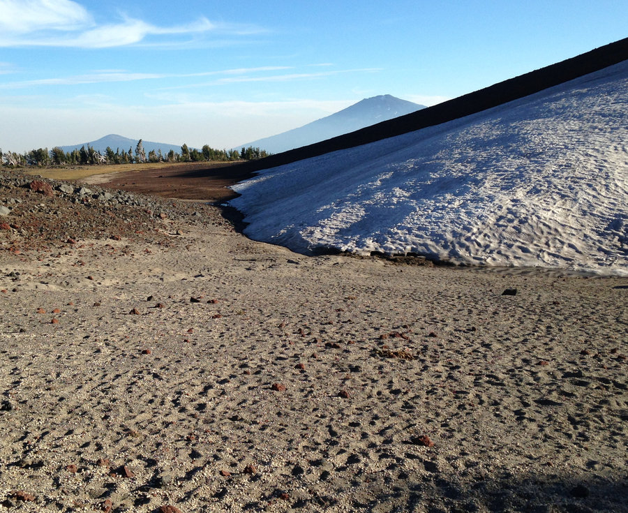
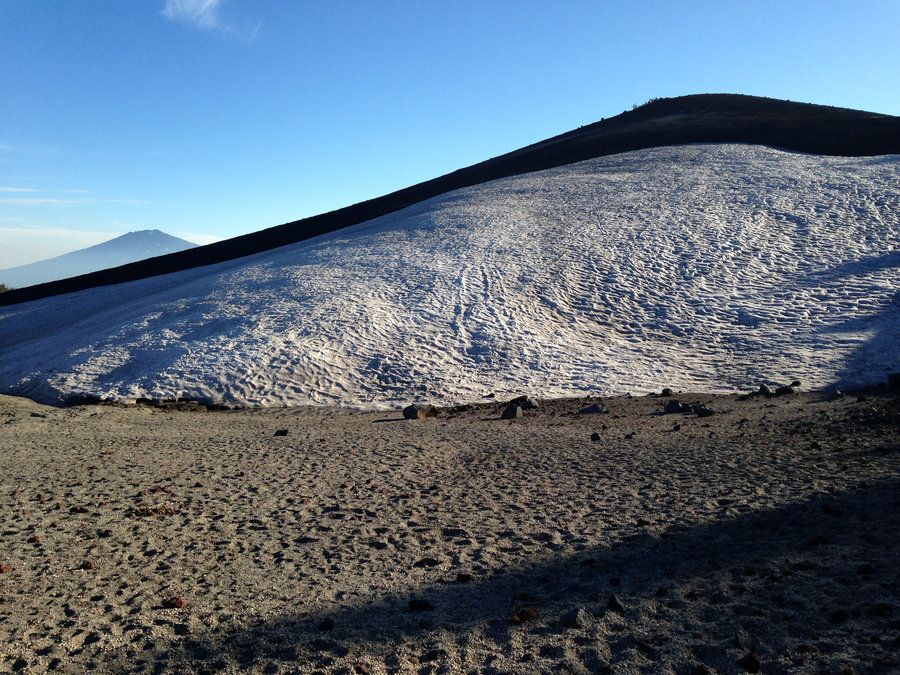
McNeil Point
10.6 miles of hiking • 2250' elevation gain •
Fabulous first trip up for the year. The flowers are just starting at the top, but are looking good around Bald Mountain. One sketchy spot still, right before the McNeil Plateau. The trail from the Mazama junction and about a third of the way up the first section of the turnoff trail to McNeil is still snow covered, so it is still helpful to know the route. Amazing as always.
June 26, 2018

 2
2
Walupt Falls
3.5 miles of hiking • 500' elevation gain •
There are no words to describe this place. A lot more folks are finding their way to this magical spot.
June 24, 2018

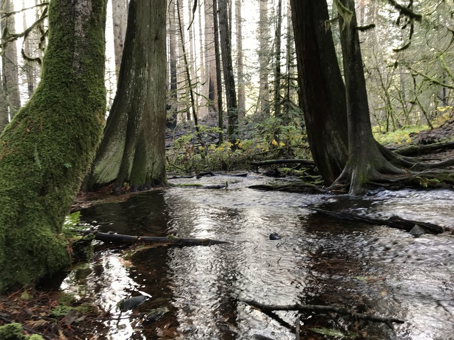
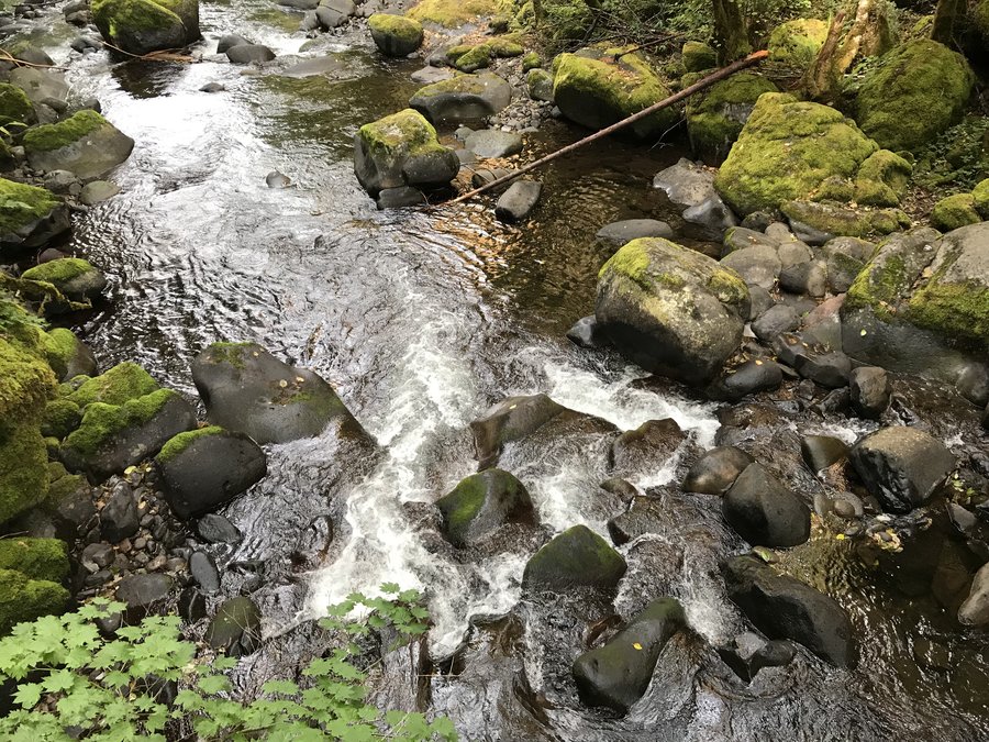
 1
1
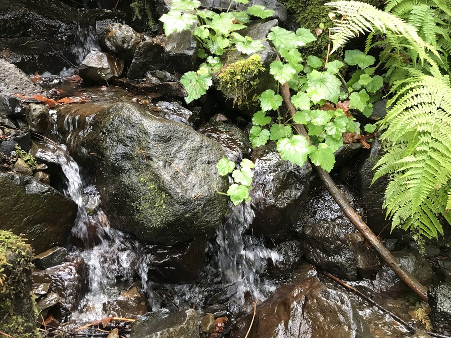
Herman Creek to Cedar Swamp
15 miles of hiking • 3250' elevation gain •
I was happy to find many living trees, were still visible in much of the burn. Cedar Swamp was spared and still beautiful. There are a lot of small rocks dropping on the trail and some burned logs to crawl over, but still amazing. A wonderful day.
June 15, 2018

North Umpqua Leg Stretcher
7.8 miles of hiking • 500' elevation gain •
I decided to break up the drive north on I-5 with a quick out and back on the North Umpqua trail. Awesome day and perfect hike. The only thing I would do differently if I went again, would be to drive a few more miles down the road, to do a section further upstream. In the first 2 miles,there is a burn section that would be wonderful during fireweed season, but not so exciting for just a short leg stretcher. There are some wonderful big old trees in there once you get out of the burn and lots of lovely green.
June 11, 2018

Mt Elijah Southern Oregon
6 miles of hiking • 1000' elevation gain •
A dusting of snow over early alpine bloom greeted us as we went up the trail. This is an amazing short hike. Alpine lakes in flowering meadows and and an incredible view from the top. The base of Shasta was visible as were Red Buttes, Greyback and the Kalmiopsis. We had high clouds that blocked some of the further away peaks, but it was still stunning.
June 10, 2018

 1
1
Phlox Point and Hamilton Saddle
12.2 miles of hiking • 2750' elevation gain •
Awesome day with friends, going up Phlox Point. The phlox is almost done, but there are lots of flowers up there right now. Then added a bit more on by crossing the horse bridge higher up and taking Don's Cutoff up to Hamilton Mountain Saddle. Great day
June 3, 2018

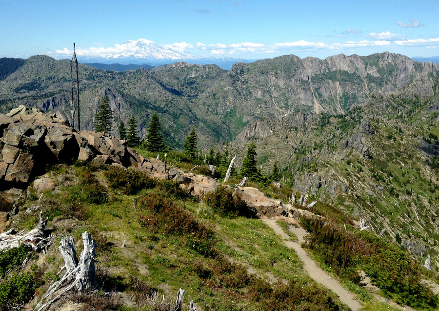
Surveyors Ridge End to End
20 miles of hiking • 3000' elevation gain •
Non stop views on a great day. Very quiet except for a dozen bicyclists. The Balsam Root is past peak, but lots of woodland flowers out. Took a detour up to the top of Shellrock Mountain for stunning views Hood, Adams, Rainier and Helens all looking good. We could see Lookout Mountain and it still has a good bit of snow on top. Wonderful day.
May 28, 2018

Timothy and Little Crater Lakes Loop
12 miles of hiking • 250' elevation gain •
Awesome day getting in some easy mileage. Mosquitoes were minimal and the bloom in the meadows is just starting. Super quiet up there right now. So enjoyable to stroll through all the empty campsites.
May 21, 2018

Surveyors Ridge
11 miles of hiking • 2500' elevation gain •
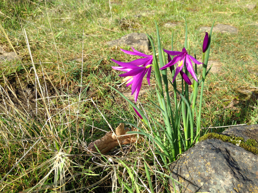
Came in from the north over Bald Butte and went a few miles down the Surveyors Ridge Trail. The flower show on Bald Butte is probably 3 weeks out. But no snow at all. Our high point was at 4100'. Excellent day with a good friend.
April 28, 2018

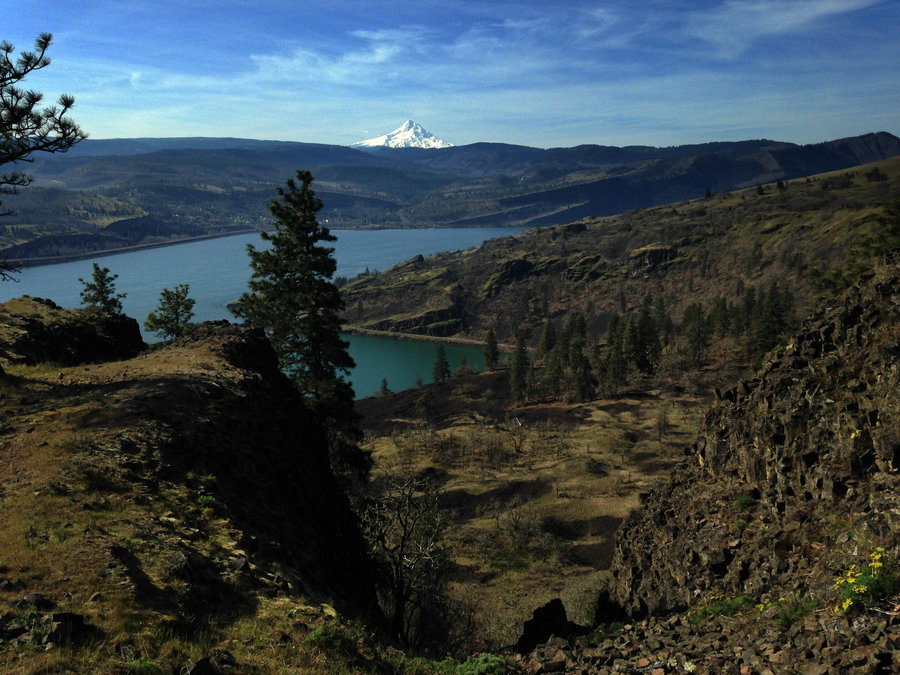
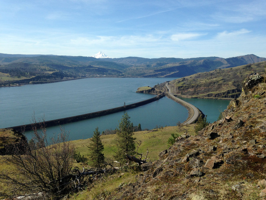
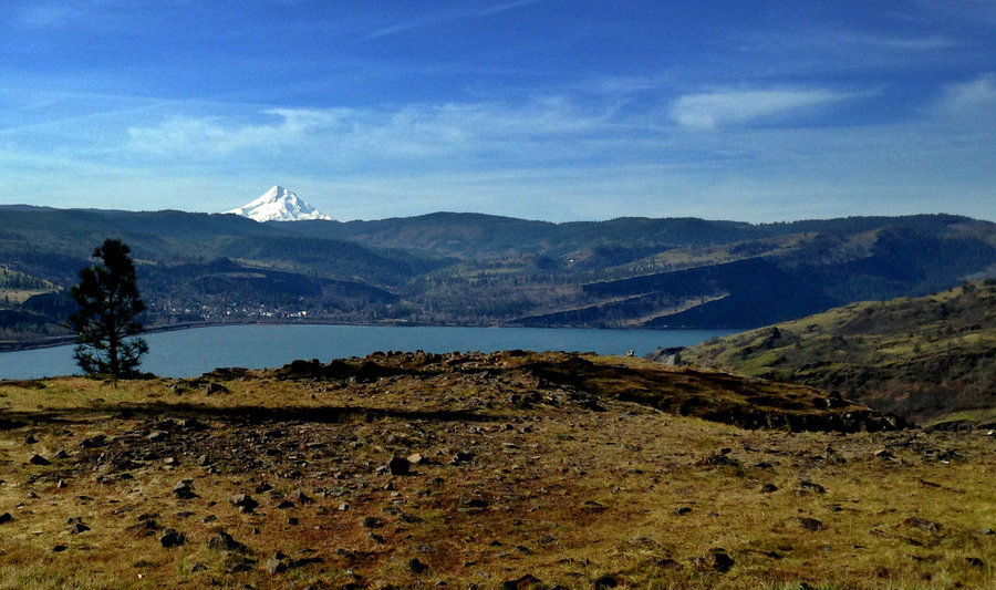
Catherine Creek
10 miles of hiking • 1750' elevation gain •
Great day. I went up the east side of Tracy Hill along the rim of Major Creek and then north on Tracy Hill until i hit non public land. A few Lewisias are starting, camas, death camas, rosy plectritis, popcorn flower, clovers and many others. The lupine isn't going yet.
April 23, 2018

Bells Mountain Trail
13.2 miles of hiking • 2500' elevation gain •
Beautiful sunny day and views from multiple clearcuts. Early spring blooms were looking good. Trillium, sorrel, violets etc. Great day!
April 19, 2018

Salmon River Hike
13 miles of hiking • 1500' elevation gain •
Beautiful day exploring the Salmon. Spring Lillies are starting to pop and every little creeklet and stream was gushing! No snow that I could see from 2600'. Snow on the surrounding peaks still, but melting fast.
April 9, 2018
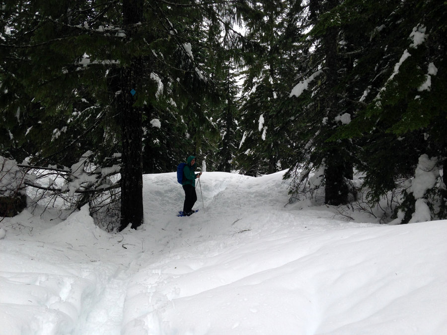
 1
1
Atkisson Sno-Park to Natural Bridges
8.2 miles of hiking • 500' elevation gain •
Had a great snow shoe trip from the snow park out along the Big Trench to check out the lava bridges over a collapsed lava tunnel. This would be a great place to cross country sky, but probably this weeks rainstorm is going to take out much of the snow. We checked out the Peterson Guard Station, which is a newly opened rental as well. Great day!!!
April 1, 2018

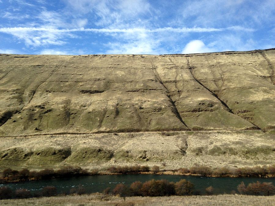
Lower Deschutes
12.7 miles of hiking • 250' elevation gain •
Great day. Lomatiums are starting and I even saw some phlox and 2 lupines budding.
March 25, 2018

Greenleaf Falls
14.6 miles of hiking • 1750' elevation gain •
Spring Equinox is wonderful in the gorge. I took the PCT up from the N. Bonneville trailhead and followed the Two Chiefs Trail up to an amphitheater overlooking the gorge and then on to Greenleaf Falls. Super quiet on the trail and lovely.
March 20, 2018

Swale Canyon
12 miles of hiking • 500' elevation gain •
Perfect day, perfect company. Sunshine and only a couple of ticks. What more could one ask for. We saw a few grass widows, gold stars and yellow bells, and the lomatiums are starting to pick up steam. At least a few weeks until full on flower season though.
March 18, 2018

 1
1
Hamilton Mountain Loop
7.6 miles of hiking • 2000' elevation gain •
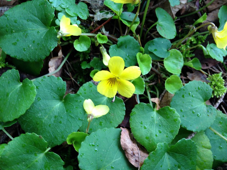
Had a great hike with a great hiking buddy and a new trail friend. The lower parking lot was completely full at 8:30, but we didn't see that many people on the trail. The yellow violets are starting to bloom. One tiny patch of snow. Although it was cloudy, there still appeared to be quite a bit of snow on Table Mountain. At least on the west side.
March 17, 2018

Coyote Wall Loop
12.2 miles of hiking • 2250' elevation gain •
Beautiful day out east. The latest cold snap slowed the bloom a bit, so it is beautiful but sparse. Wonderful day.
March 12, 2018

 1
1
Crawford Oaks Loop
8 miles of hiking • 1000' elevation gain •
Beautiful sunshine!! Just a few flowers at this point.
March 6, 2018

 1
1
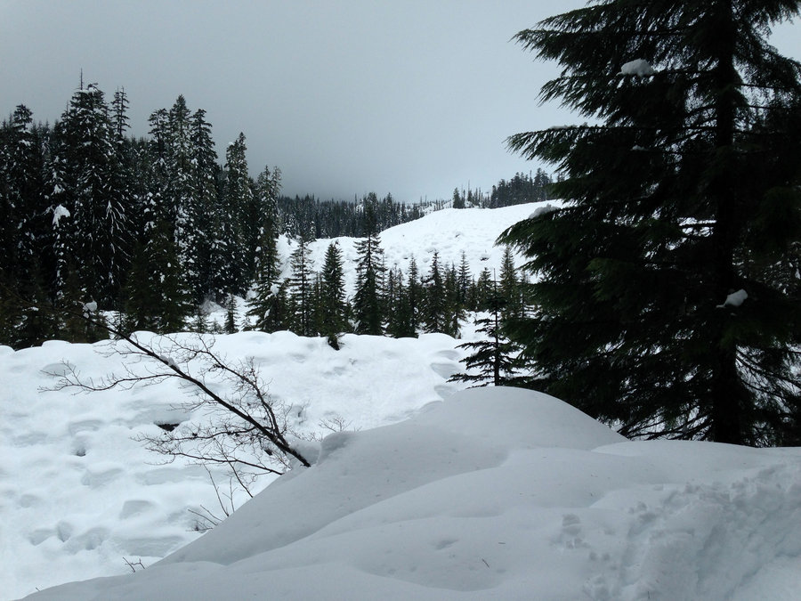
Glade Trail to Timberline Snowshoe
4.5 miles of hiking • 2500' elevation gain •
Wonderful day, no rain and even some blue sky. Crosstown Trail out of Government Camp was well broken, but on the Glade Trail up to Timberline we got to break trail. Right now the Timberline Trail was not really accessible off the Glade. Too many ski berms and tree wells, but we just went up a bit higher and then headed over. Beautiful day.
March 1, 2018

 1
1
Dog Mt via Augspurger trail
8 miles of hiking • 3000' elevation gain •
Yesterday was beautiful and sunny but with a bitter wind, so I chose to stay in the trees and go up Augspurger Trail to the top of Dog. I have missed the gorge sneak peeks through Douglas firs so I was super happy to go this route. The wind had shifted to the north by the time I hit the top, so the trees made a lovely warm place for an extended lunch. The Dog portion of the trail was super muddy and a bit slick. Great day!!
February 13, 2018

 1
1
Surveyors Ridge
14 miles of hiking • 3000' elevation gain •
We decided to hit Bald Butte from the Northern end off FR 17/ Pinemont Dr. using and ATV route for the first few miles. Then we headed south, to the Rimrock viewpoints. There was no snow at all, although to the west, it was evident there was snow much lower. Just a few small ice patches on the trail. Wonderful day.
February 11, 2018

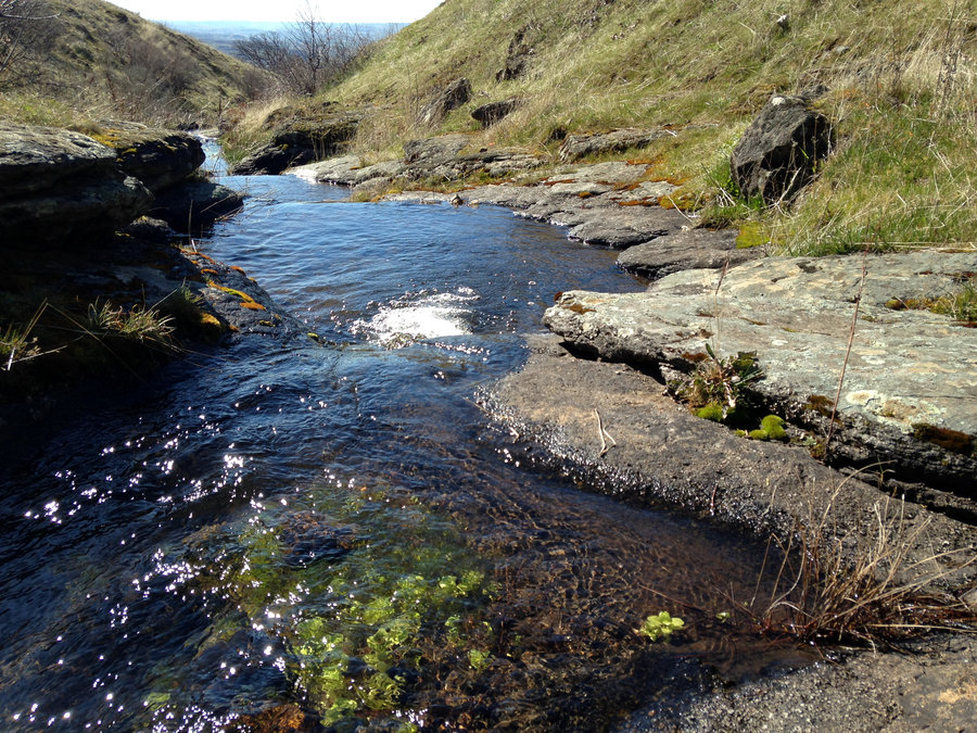
Tracy Hill Loop
7.5 miles of hiking • 1750' elevation gain •
Great day in partial sun. The grass widows are starting to spread up the slope and a few umbels are blooming. Lovey time strolling and exploring.
February 7, 2018

Lower Deschutes
13.2 miles of hiking • 250' elevation gain •
Great day. Sun, clouds and lots of solitude.
January 30, 2018

 1
1
June Lake
4.8 miles of hiking • 750' elevation gain •
About 3 feet of fresh snow up there. Fortunately, a couple other folks had broken trail just ahead of us. We had a lot of fun getting snow bombed by the trees. We had thought about doing a loop over to Chocolate Falls and down, but the boulder field was not covered in enough snow and the trail was not apparent, as well as the sky being misty with very low visibility. Wonderful day with great friends.
January 27, 2018

 1
1
Clackamas River Trail
15.8 miles of hiking • 2500' elevation gain •
Awesome day out in the creekside green. Lots of old cedars, mossy trees and waterfalls galore. Plus fun company with a great trail friend and a really fun new trail friend. I've so missed the mossy river canyons. Plus no rain!!!
January 20, 2018

Latourell Falls
3 miles of hiking • 500' elevation gain •
I decided to take my afternoon walk as a small hike to Lauterell Falls. it was a great idea.
January 15, 2018

Tilly Jane area
5.2 miles of hiking • 1750' elevation gain •
Wonderful day on the mountain. No real snow as far as the Tilly Jane cabin and very solid ice rink quality tread on the first 1/3. Some traction a necessity, but snow shoes are a bit much and awkward in some places.
January 13, 2018

 1
1
Moulton Falls from Hantwick TH
6.6 miles of hiking • 500' elevation gain •
In my ongoing search to find lovely hikes to replace my gorge standbys, I headed out along the Lewis river from Hantwick TH over to Yacolt and Moulton Falls. Great area and it seems like a nice gateway to some longer hikes. Great company and a lovely day!!
January 7, 2018

Upper Twin Lakes
6.8 miles of hiking • 1000' elevation gain •
Fantastic day with a friend snowshoeing the Twin Lakes area. Trails are well broken in and there is a good amount of snow. Palmateer looks like it may be currently accessible from the PCT cutoff. At least the start of it was super packed down, but the connector trail from Upper Twin Lake was invisible.
January 6, 2018

View trips from: 2014 2015 2016 2017 2019 2020 2021 2022 2023