


2015 Trips


 1
1
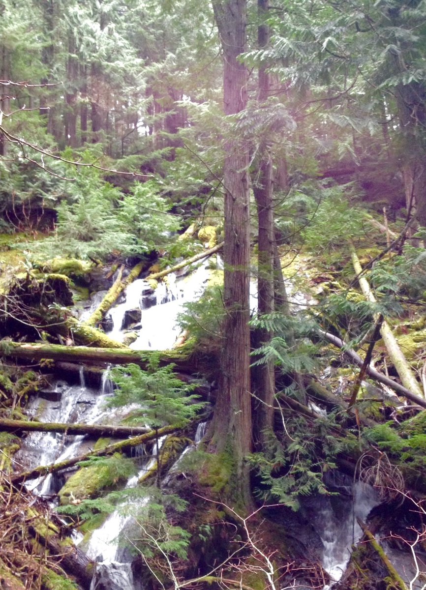
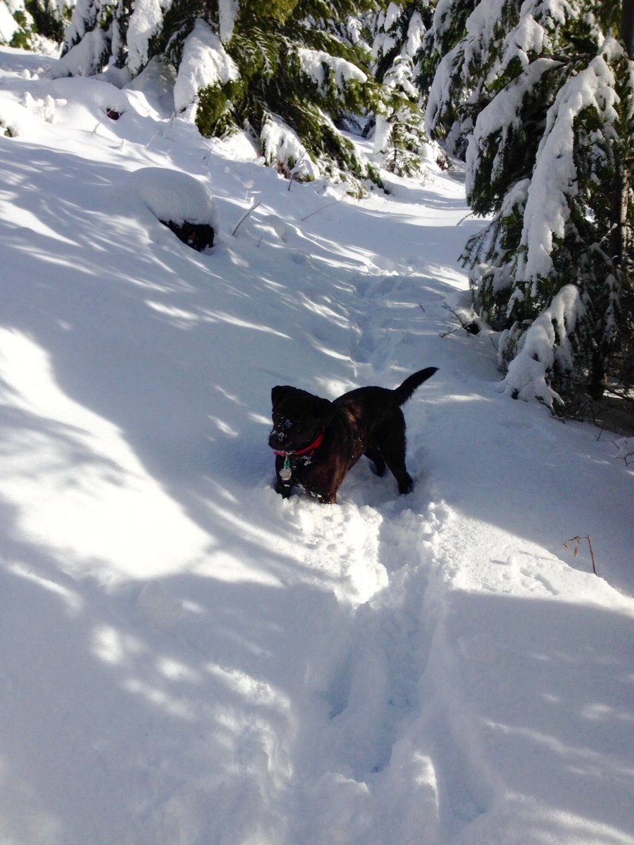
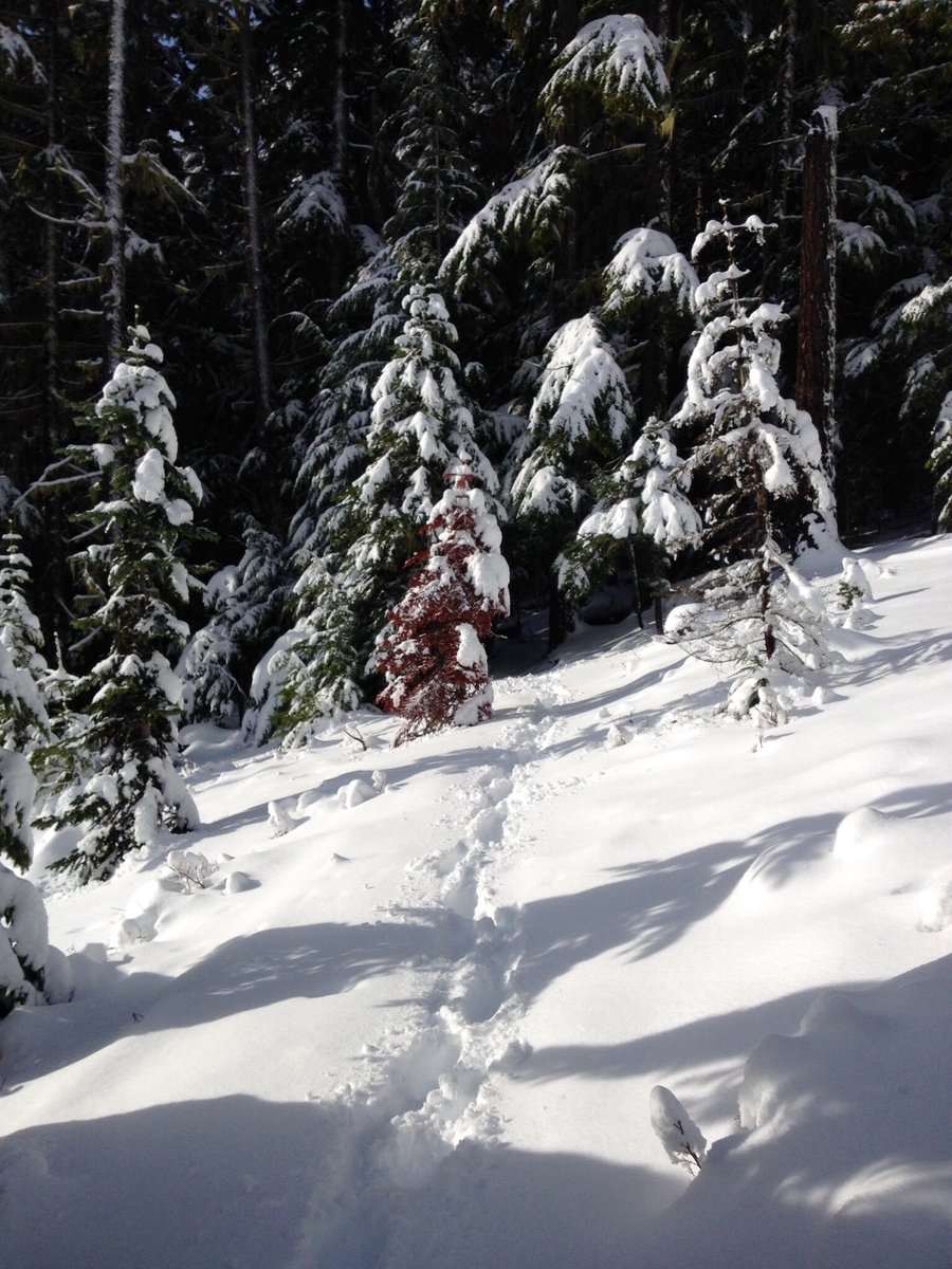
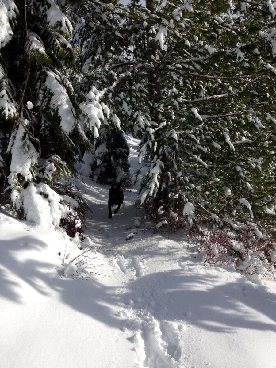
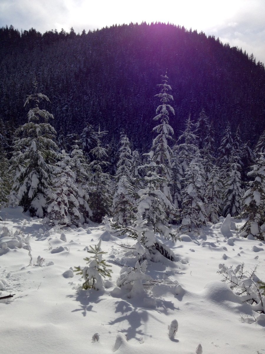
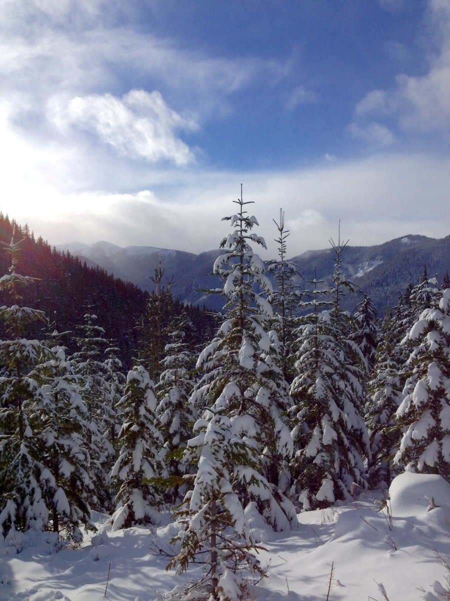
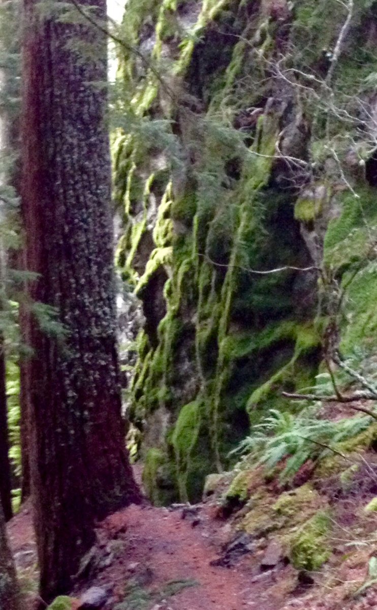
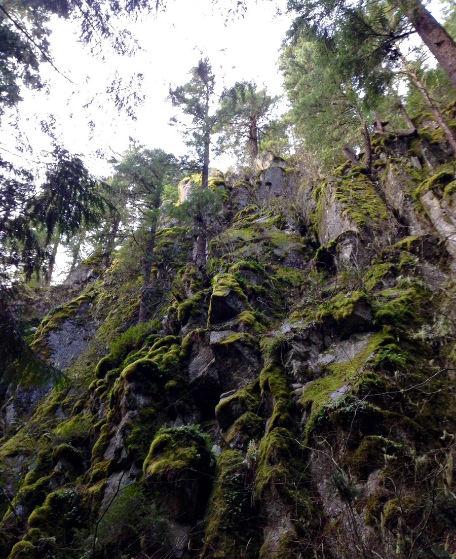
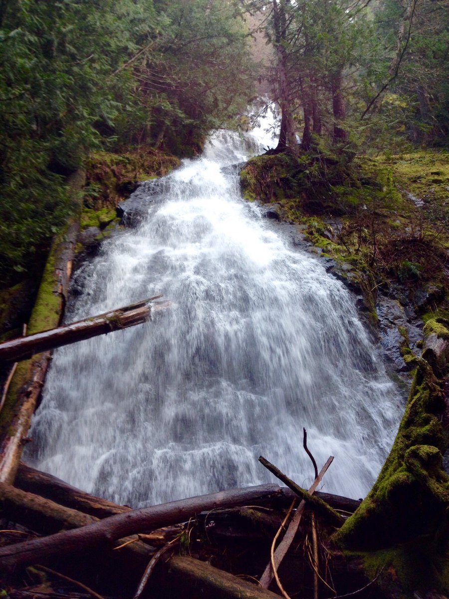
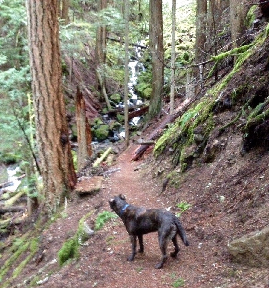
Palisades
8 miles of hiking • 2000' elevation gain •
Trail Is in excellent condition when you consider the weather we have been having. Waterfall was pretty spectacular, biggest I have ever seen it. Turned around when all I could see was the dogs head & tail sticking out of the snow, which was a bit after the 2nd overlook. Saw nary a human, nor beast, the entire day,
December 13, 2015


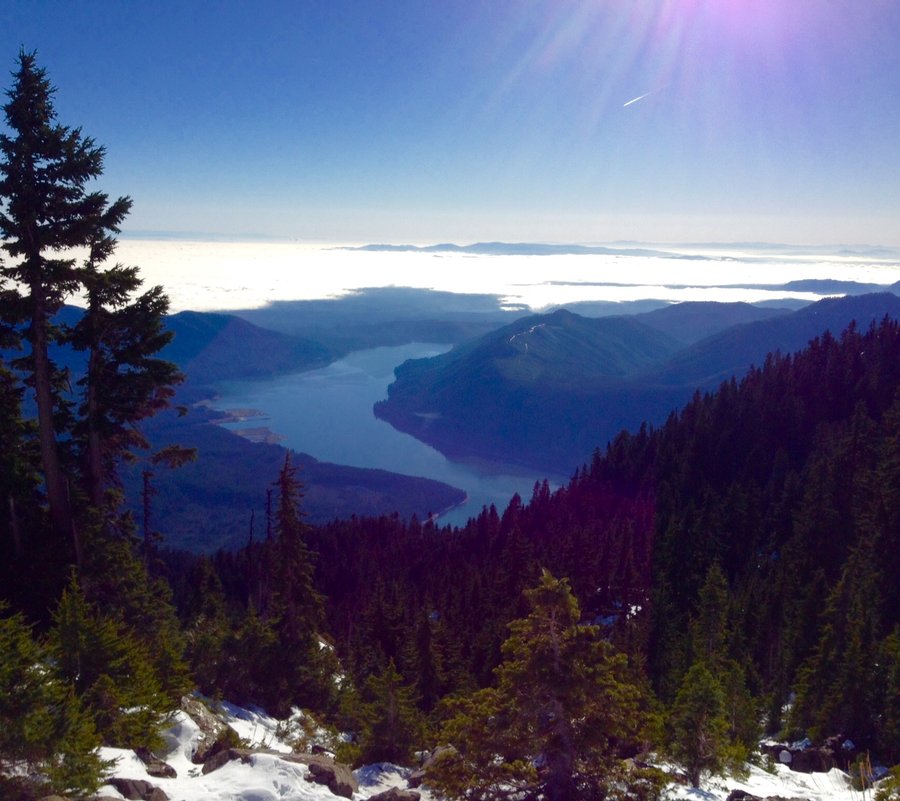
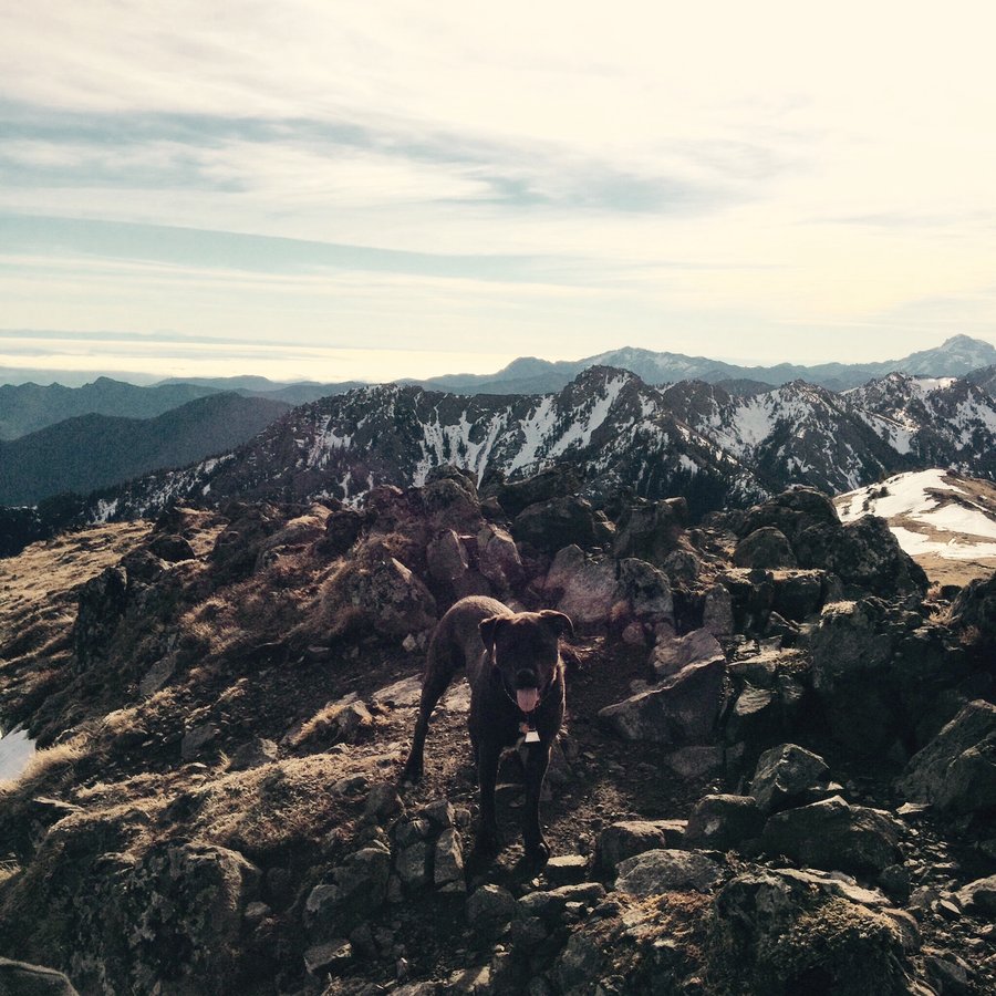
Mt. Ellinor
6.67 miles of hiking • 3250' elevation gain •
Summer route used. Traction devices advised.
November 28, 2015


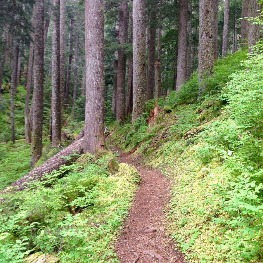
Tiger Mtn.-Issaquah Alps
10.37 miles of hiking • 3750' elevation gain •
Issaquah HIgh School trail to West Tiger 1 & then hiked over to the view point @ the Hikers Hut.
October 17, 2015


 2
2
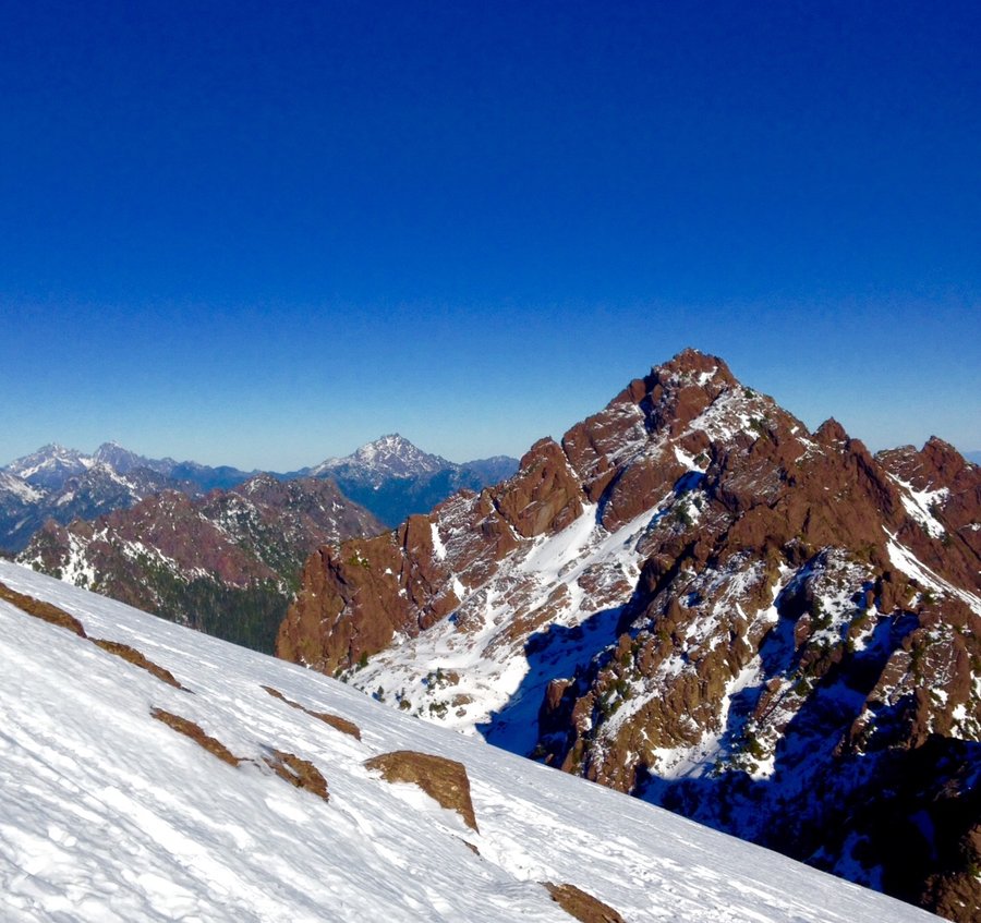
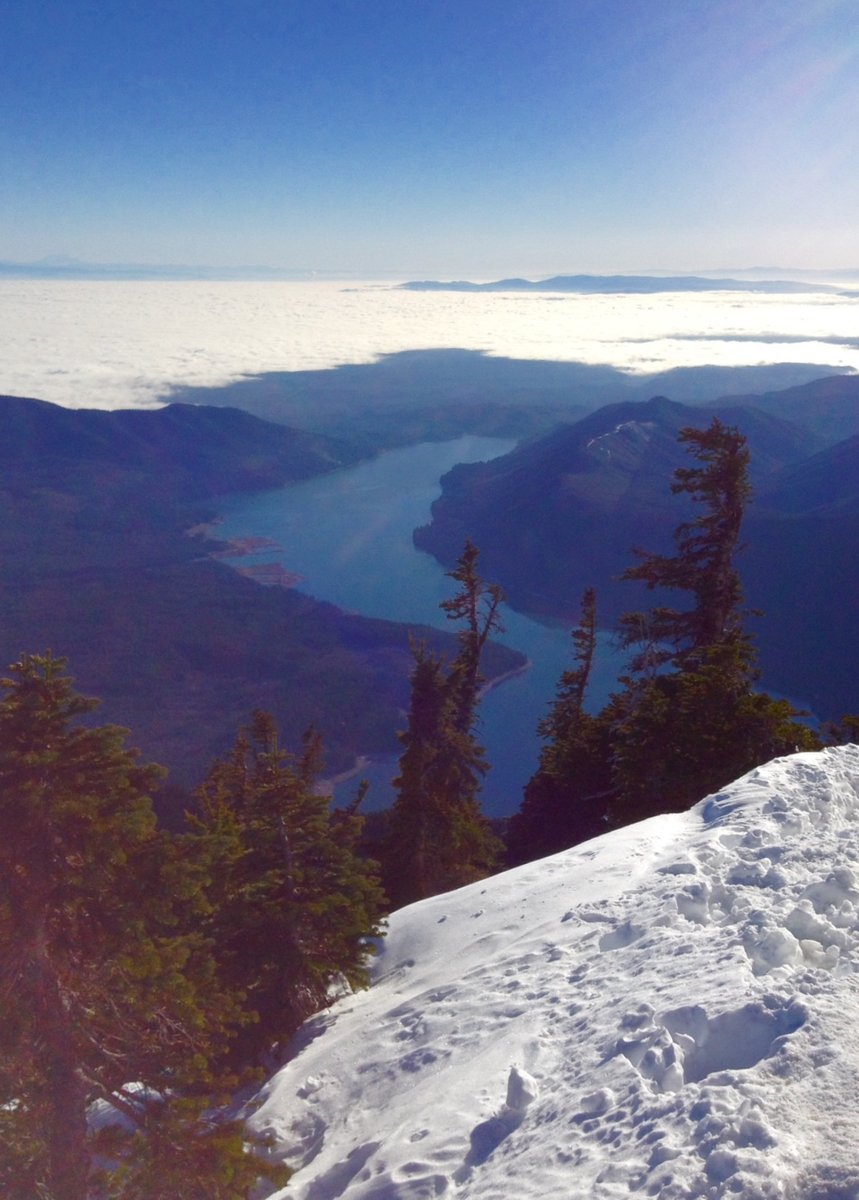
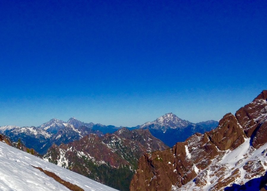
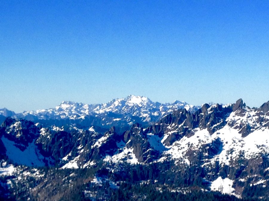
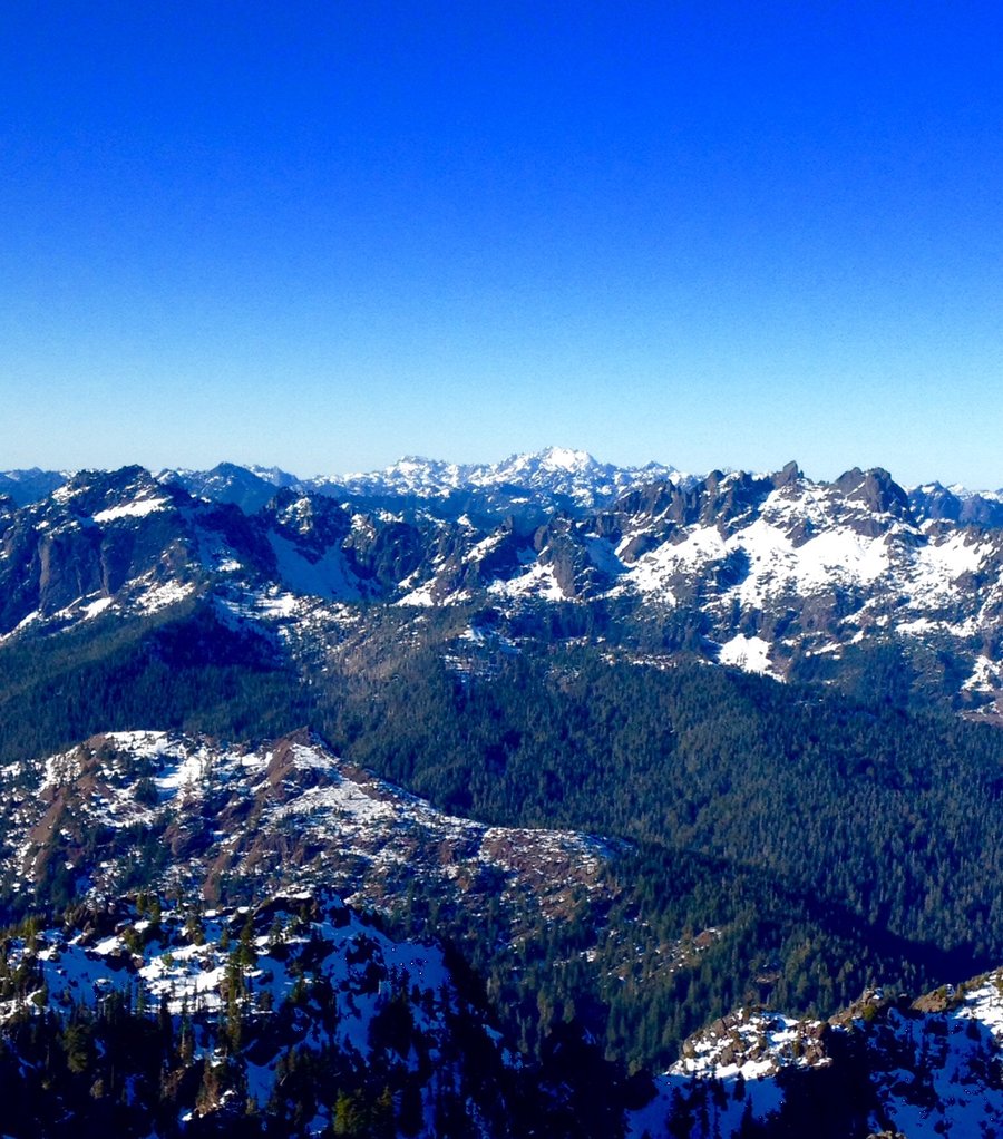
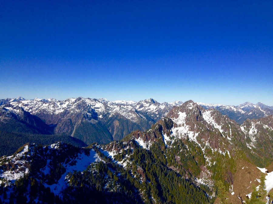
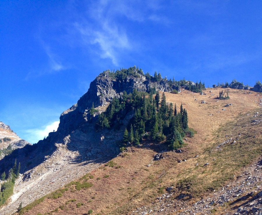
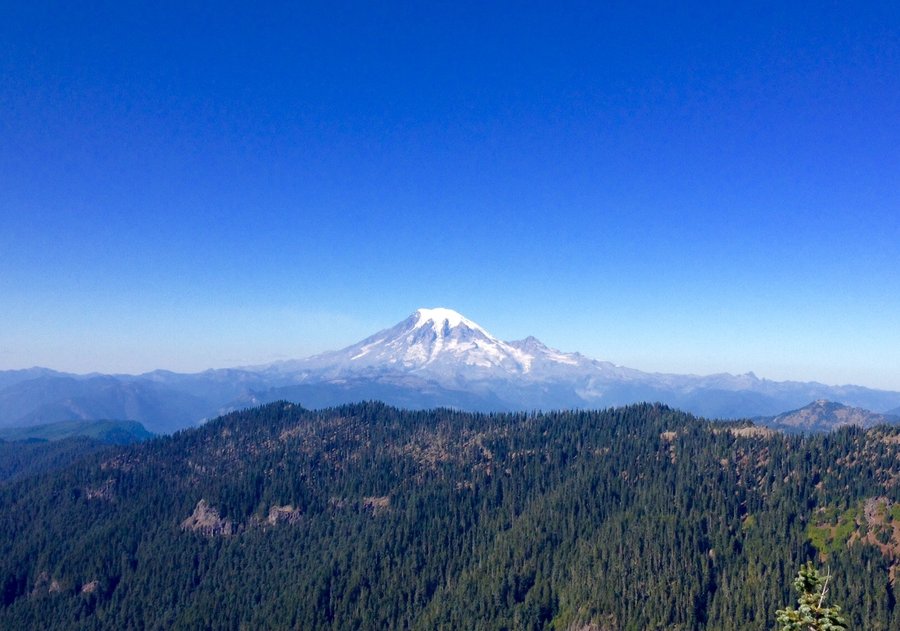
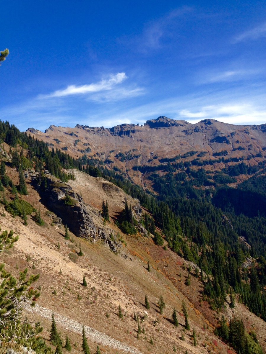
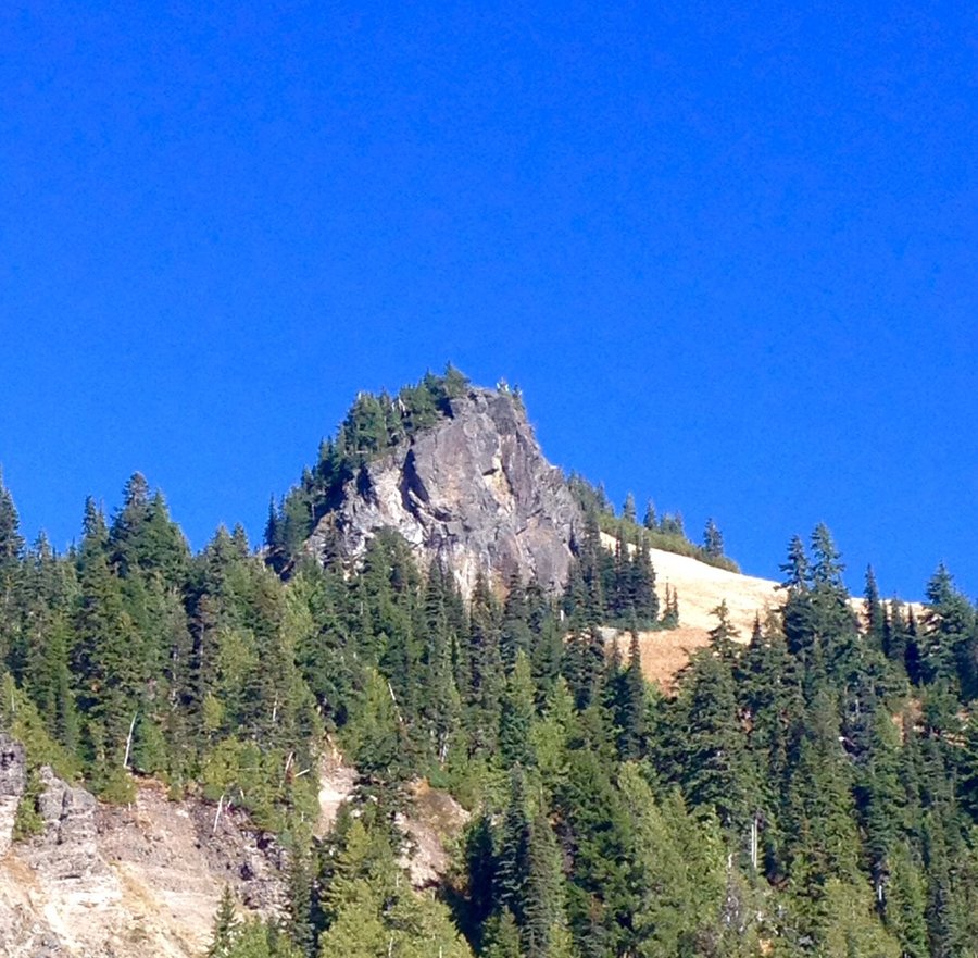
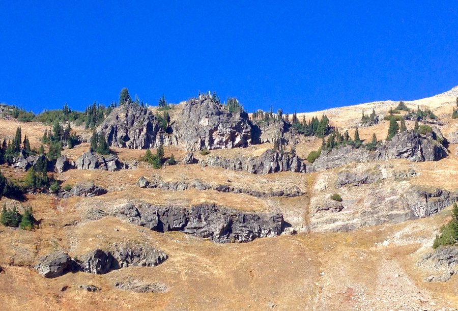
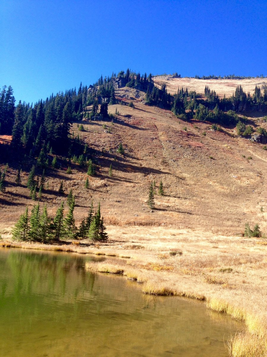
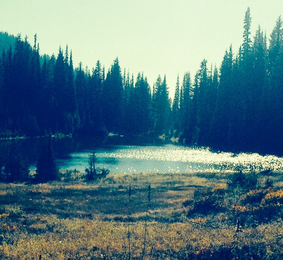
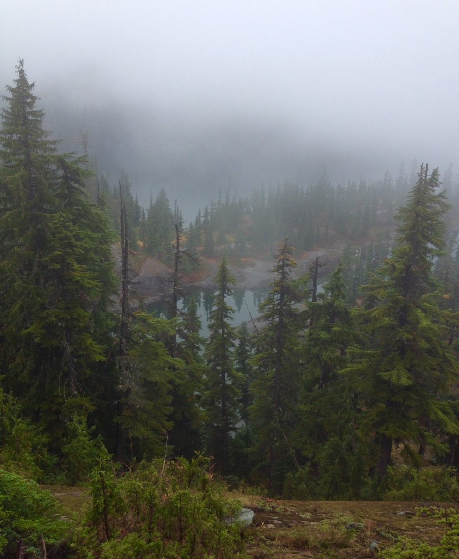
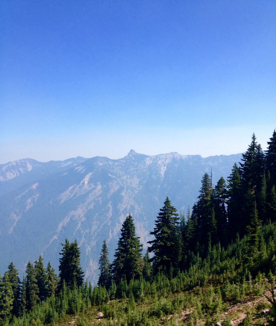
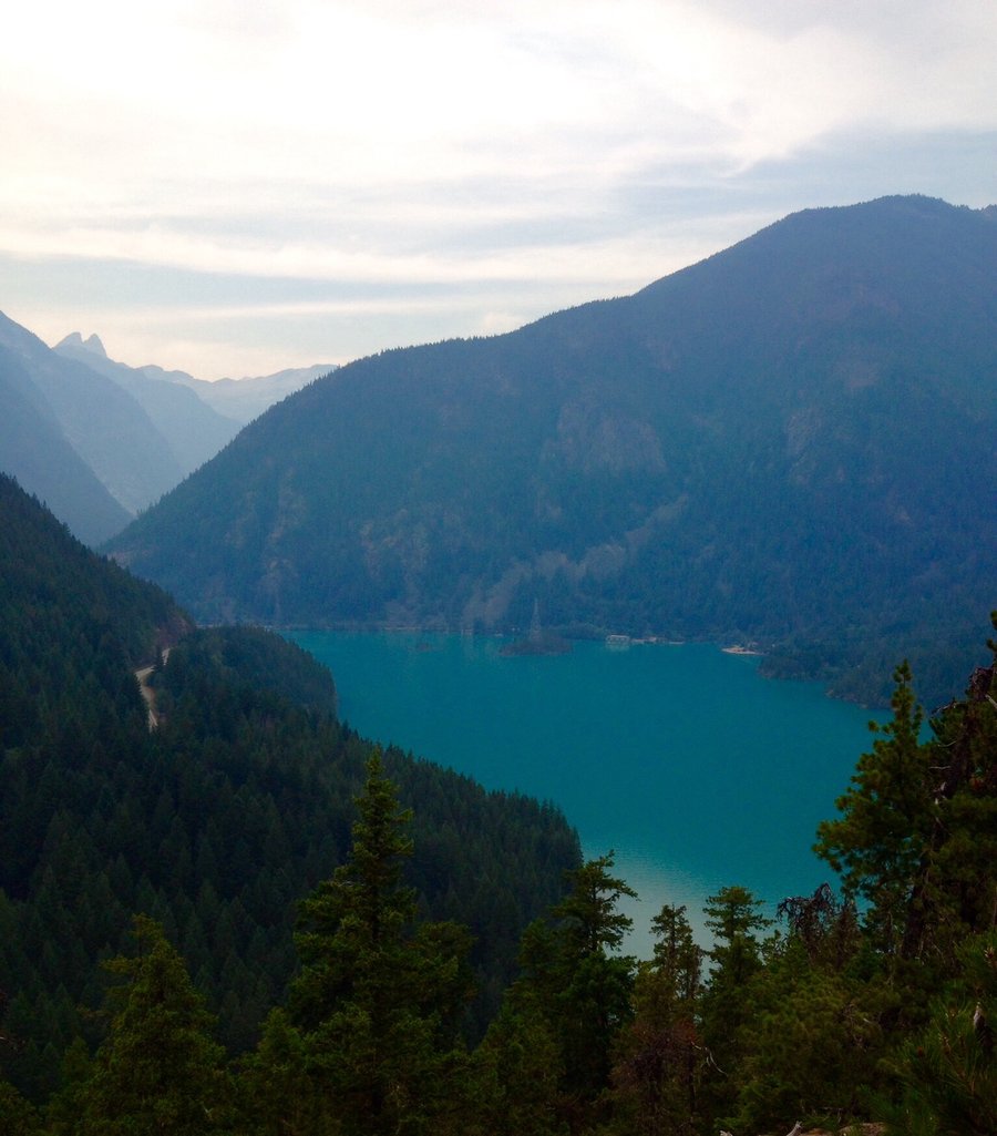
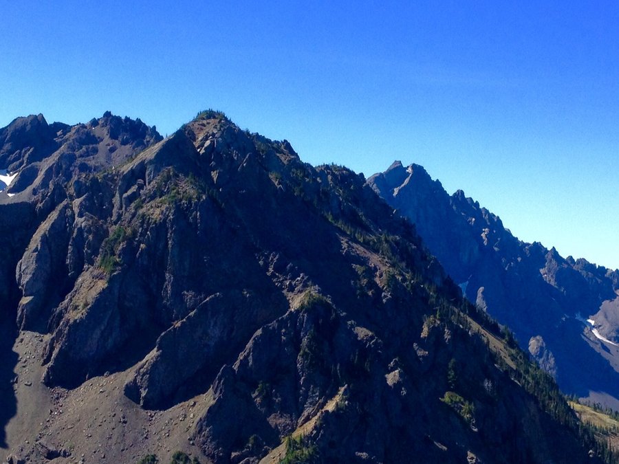
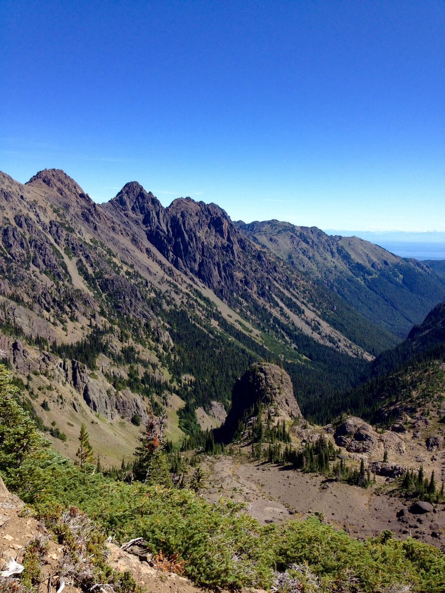
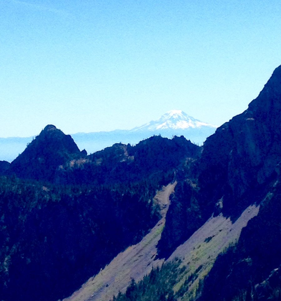
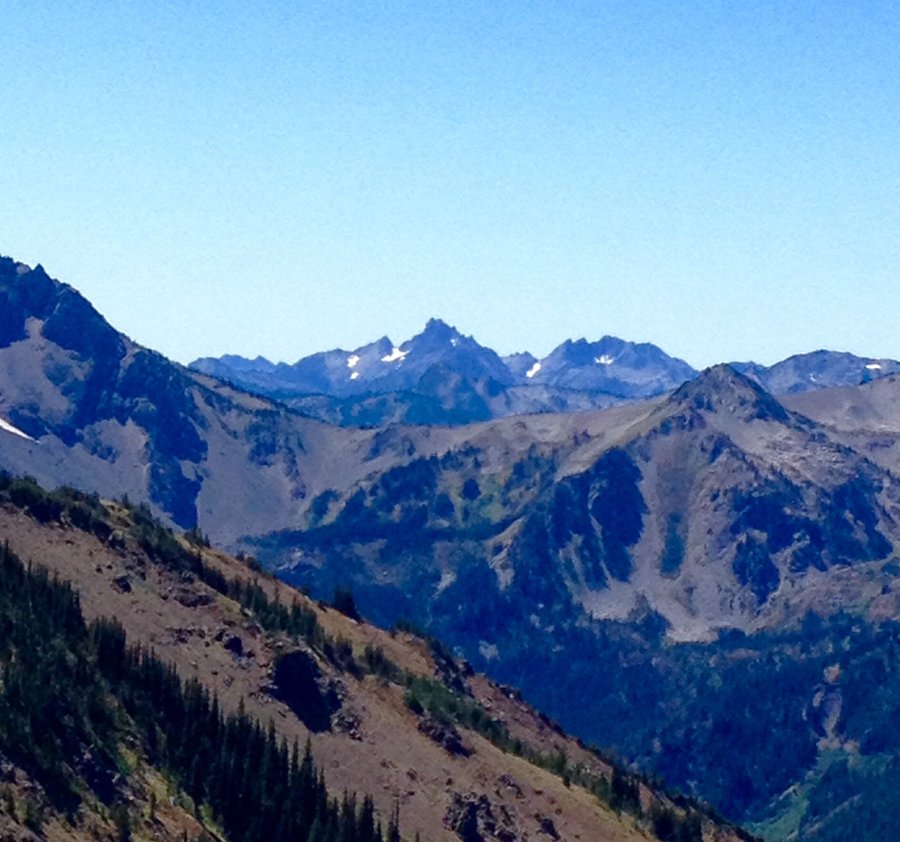
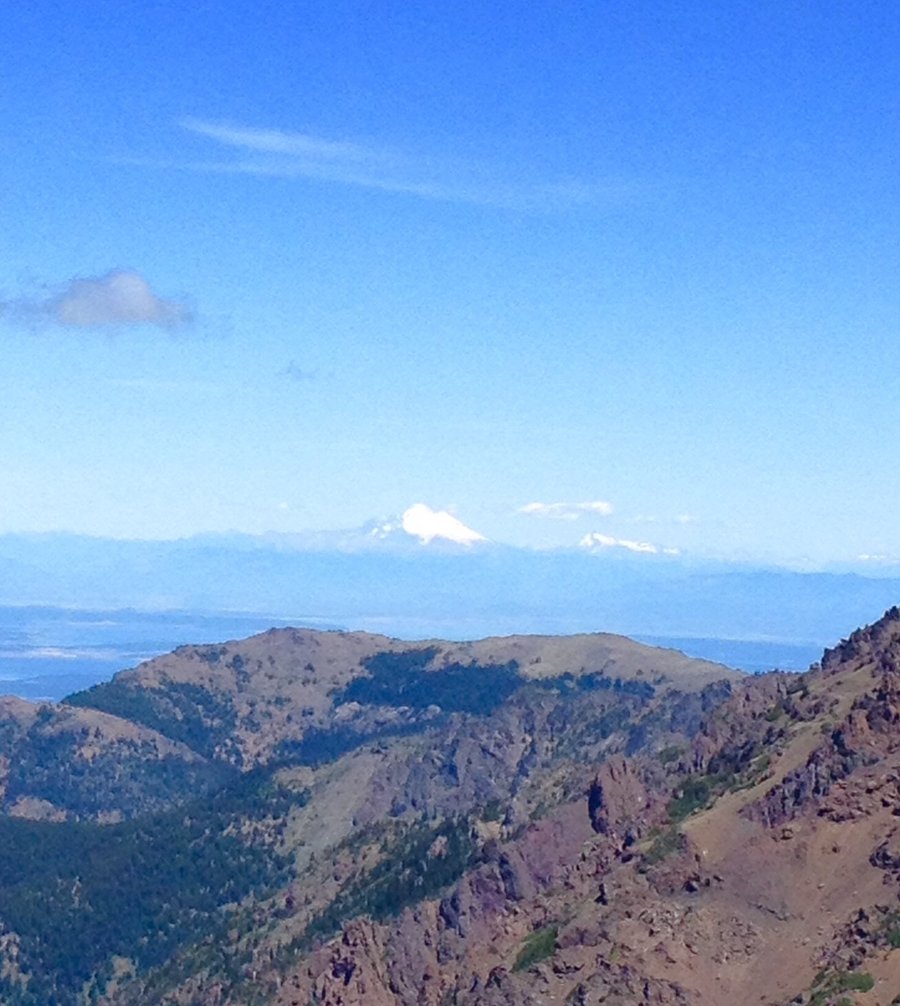
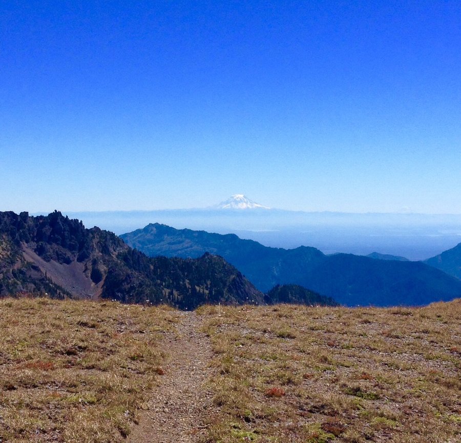
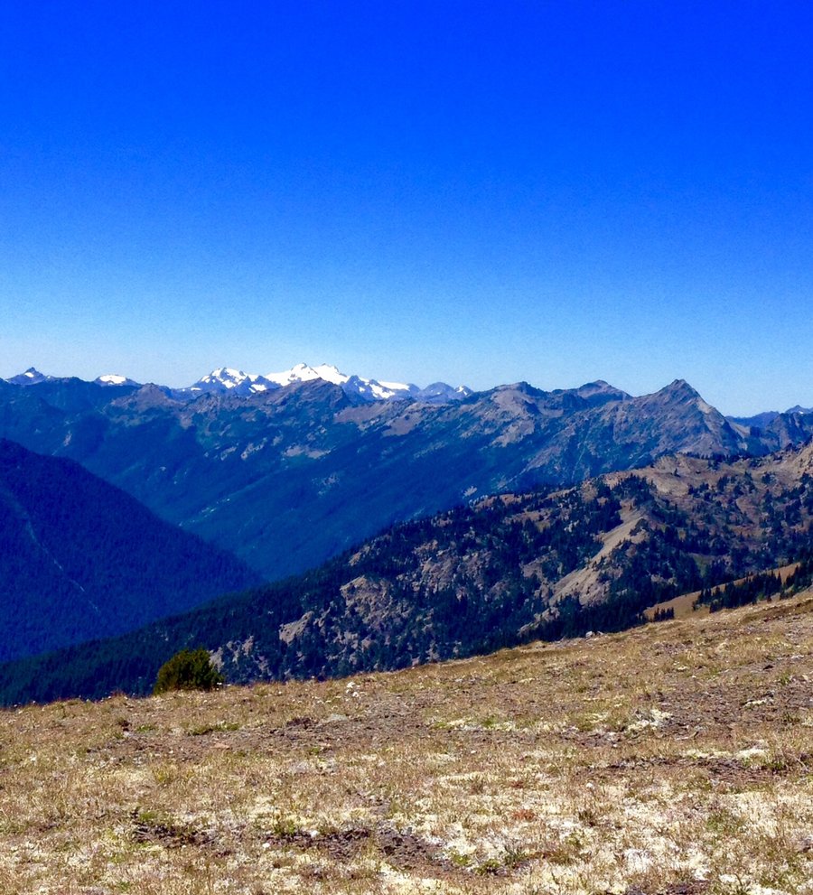
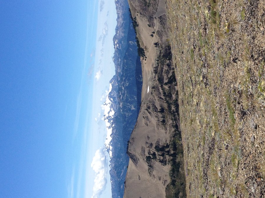
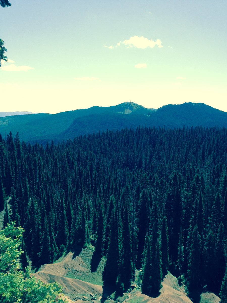
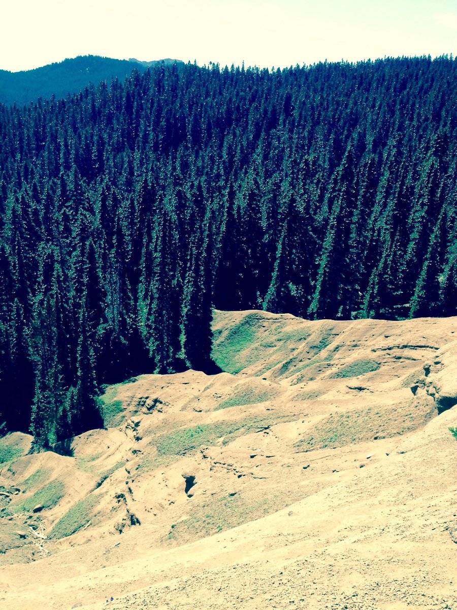
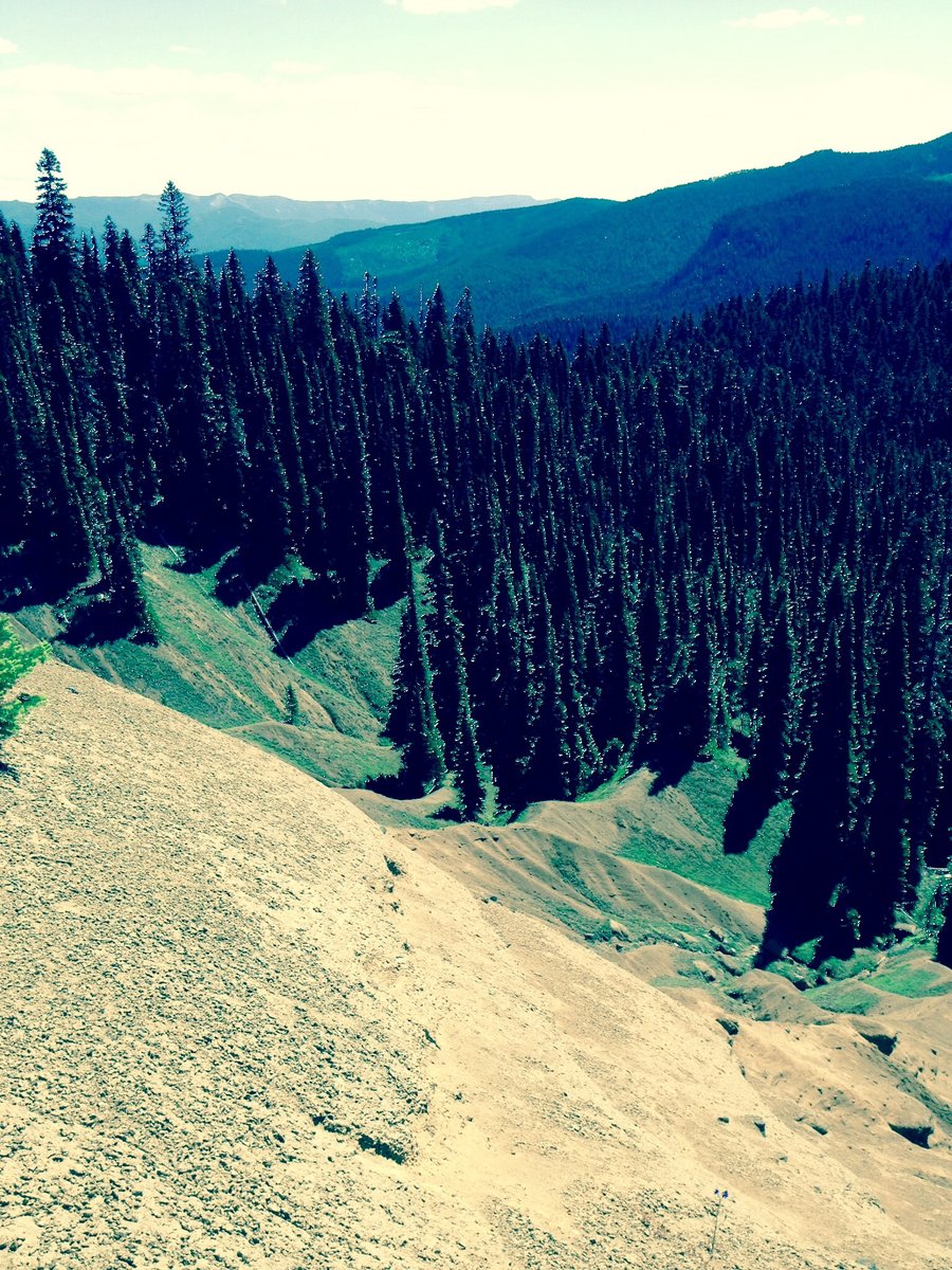
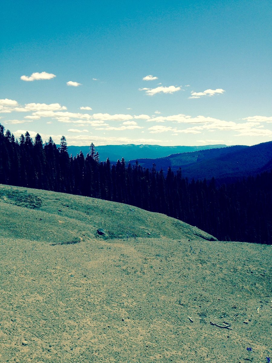
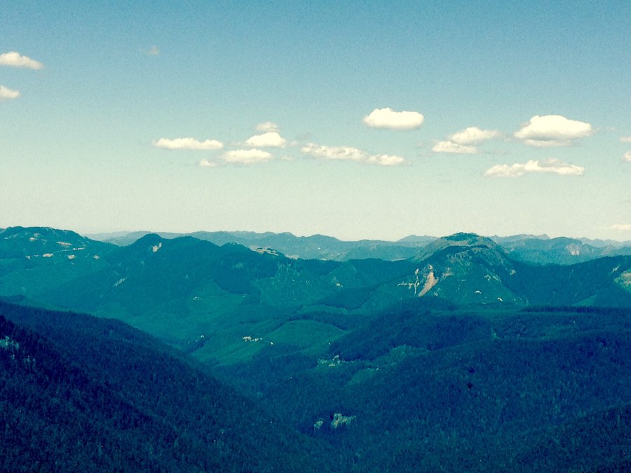
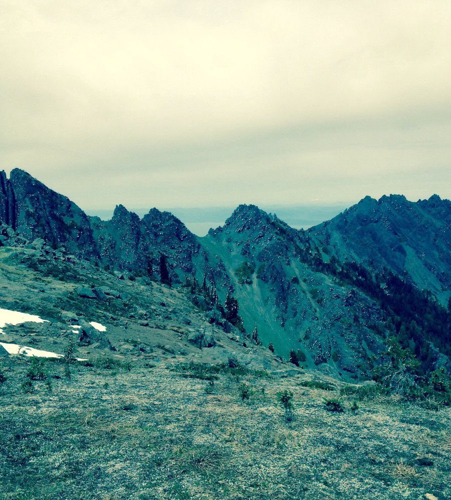
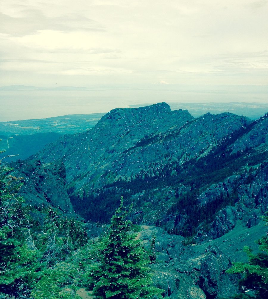
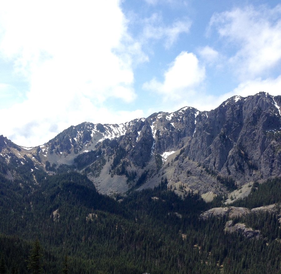
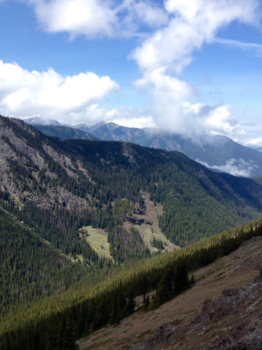
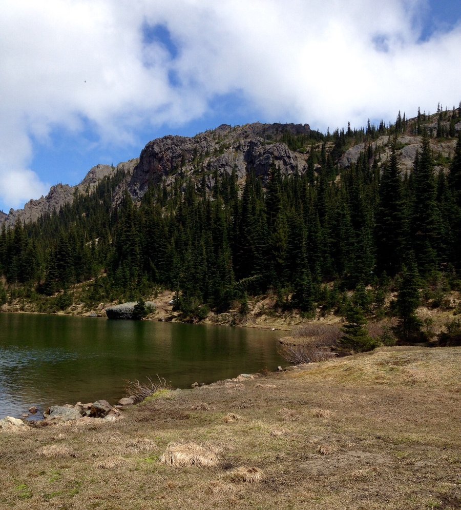
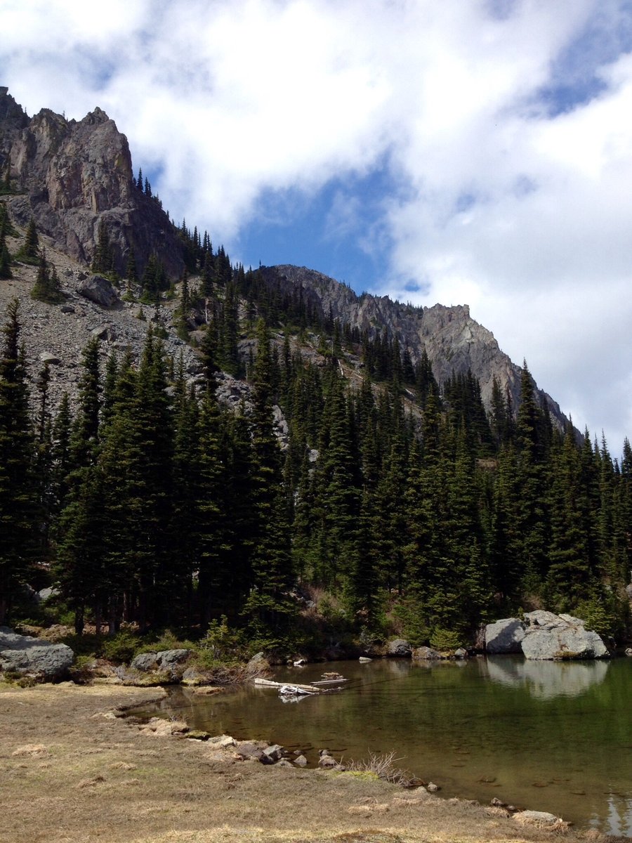
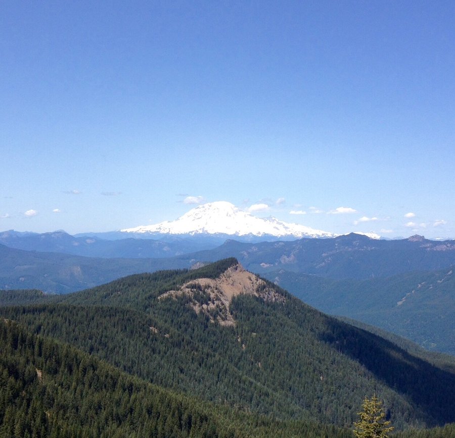
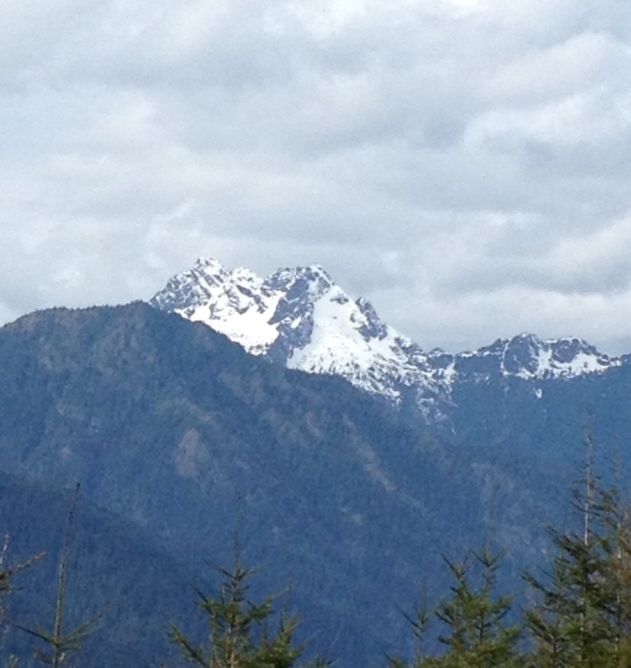
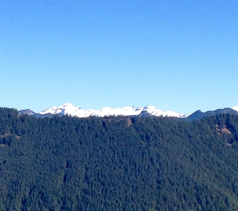
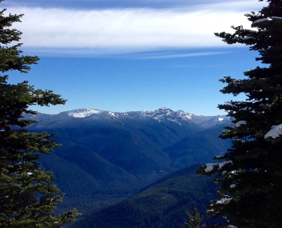
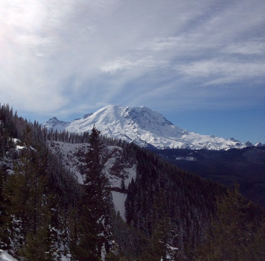
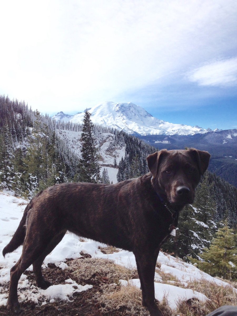
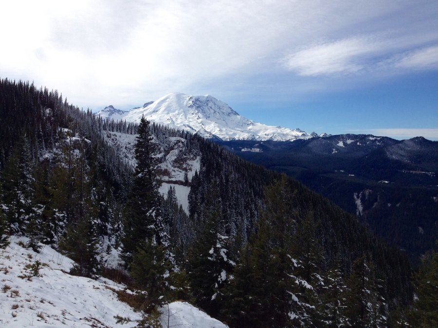
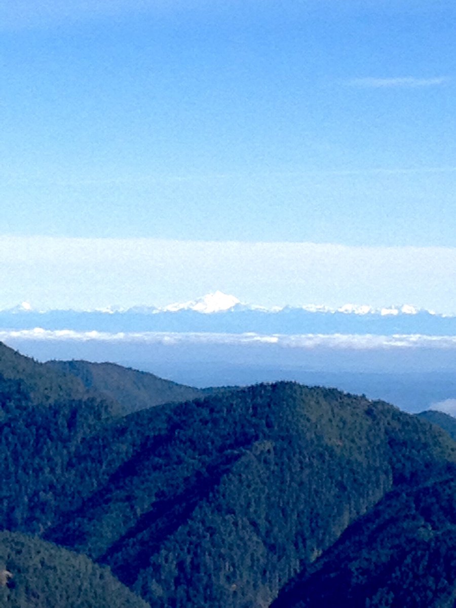
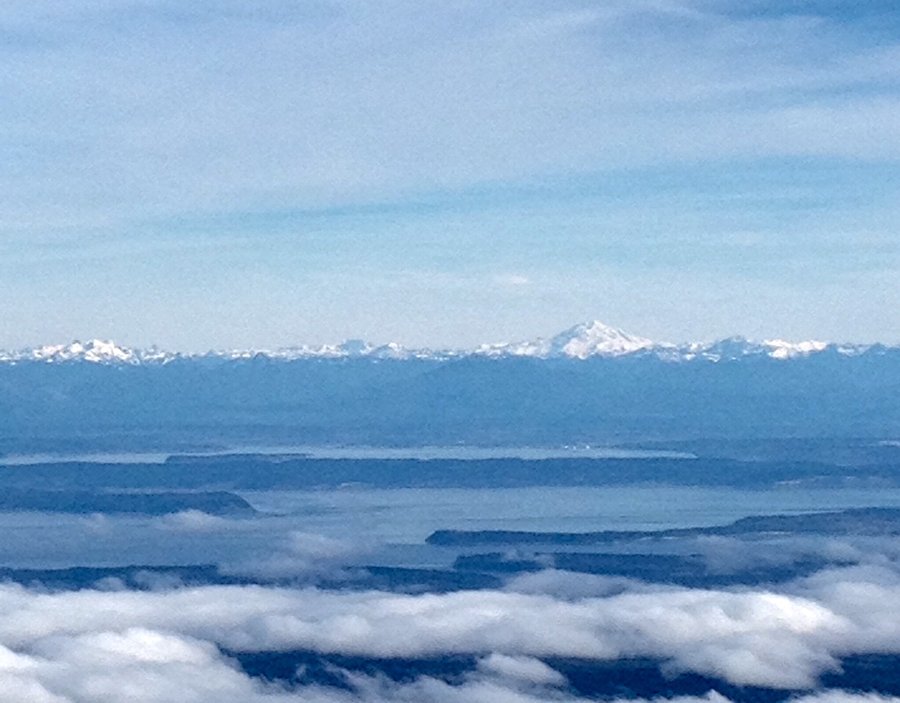
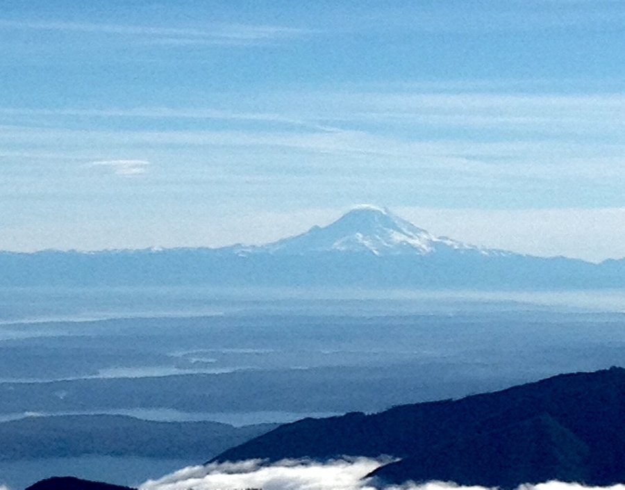
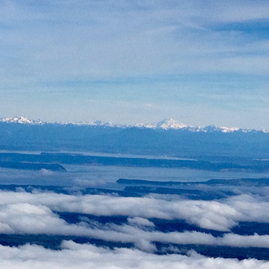
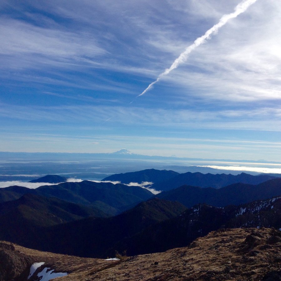
Lilly Basin & Heart Lake
14.59 miles of hiking • 3750' elevation gain •
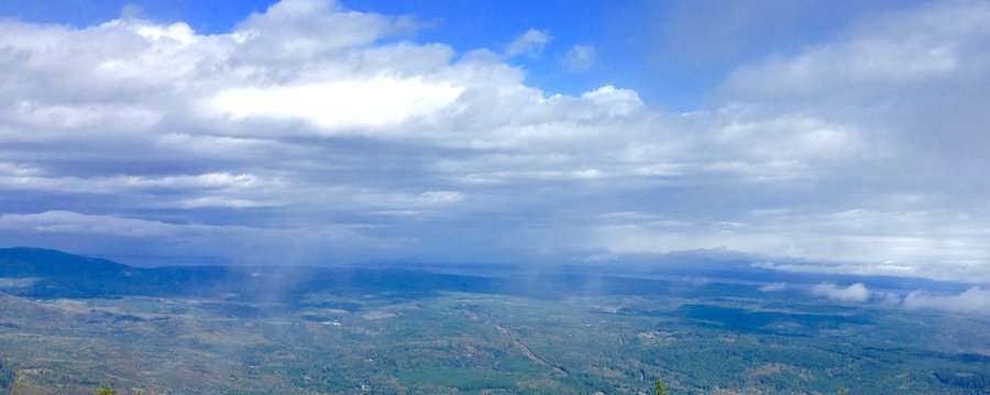
This was a re-do hike as previous attempt was marred by smoky conditions. No such issues on this hike. Expansive views of Rainier and surrounding peaks with occasional views of St. Helens and Adams. Road to the trail head has been regraded so the area where a high clearance vehicle was needed is no longer an issue.
October 4, 2015


Mt. Walker & Falls View Canyon
6.5 miles of hiking • 2750' elevation gain •
Hiked to both the North & South view points on Walker then drove a short distance to the Falls View Campground & hiked the short falls loop trail.
September 20, 2015

 2
2
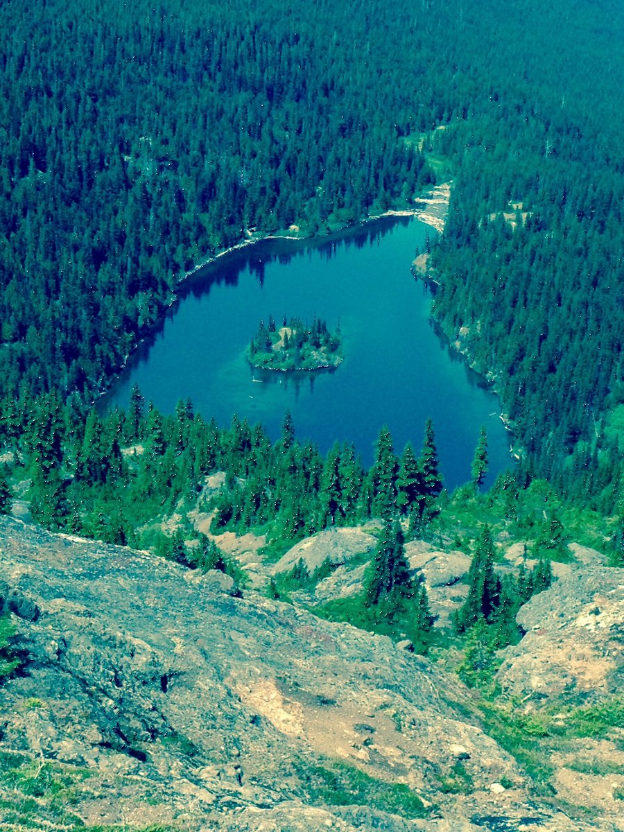
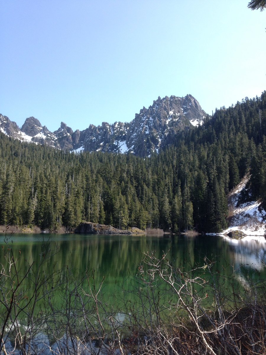
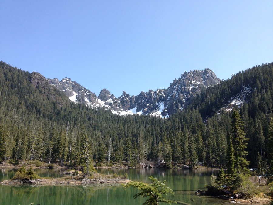
Pete & Spectacle Lakes
25.25 miles of hiking • 4500' elevation gain • 1 night
Was suppose to be a 2 nighter but the rainy weather cut the trip short by a night. Camped @ Pete Lake then day hiked up to Spectacle. This will be on my re-do list as I expect the views @ Spectacle during favorable weather conditions would be very nice.
September 5 – September 6, 2015


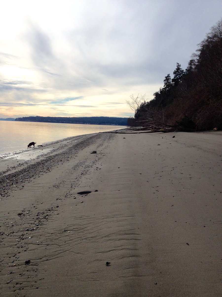
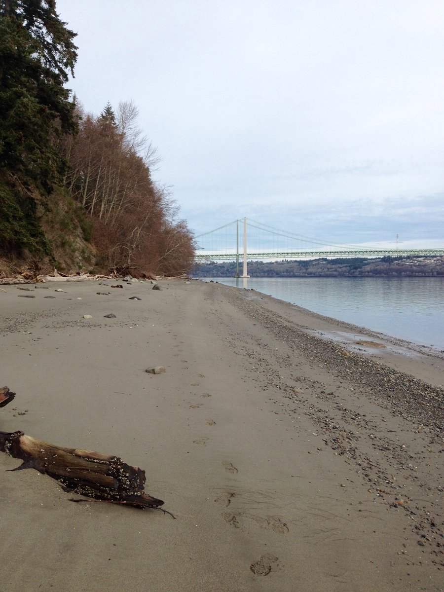
Fort Casey State Park
5 miles of hiking • 250' elevation gain •
Family reunion on Whidbey Island & plan was a hike @ Deception Pass. This was scuttled as area was closed due to high winds. Hiked @ Fort Casey State Park instead. Very high winds @ the fort kept the crowds down. Three of us took the guided fort tour which requires a minimum of 4 people to attend but the tour guide was nice enough to count the dog as a person so the tour could take place. Tour was quite interesting. Dog enjoyed it.
August 29, 2015

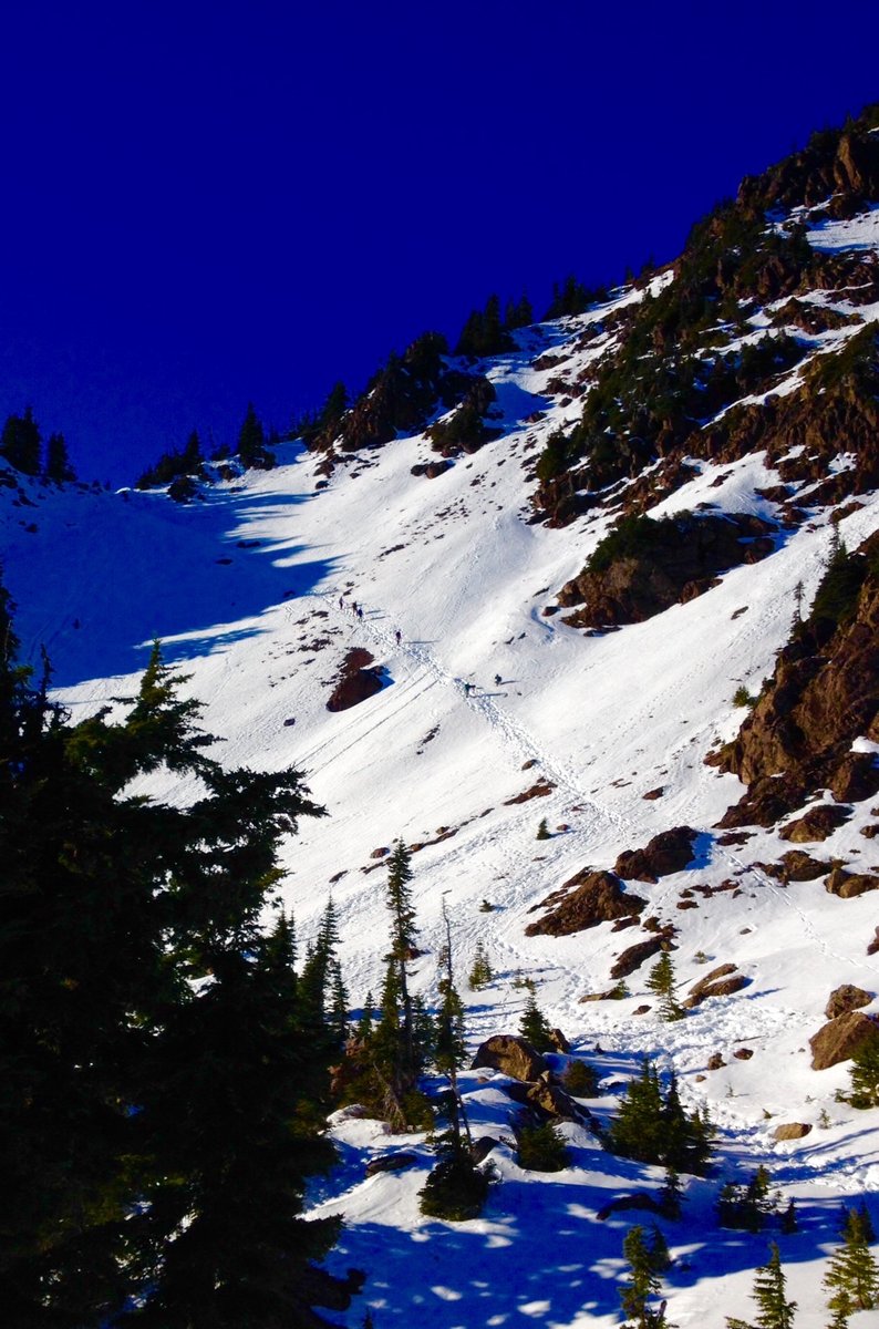
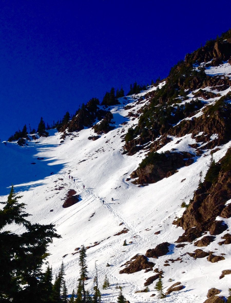
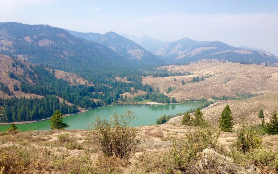
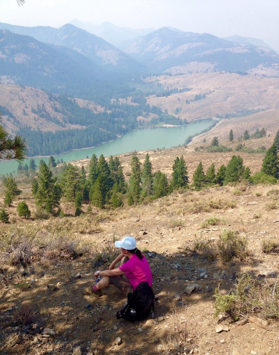
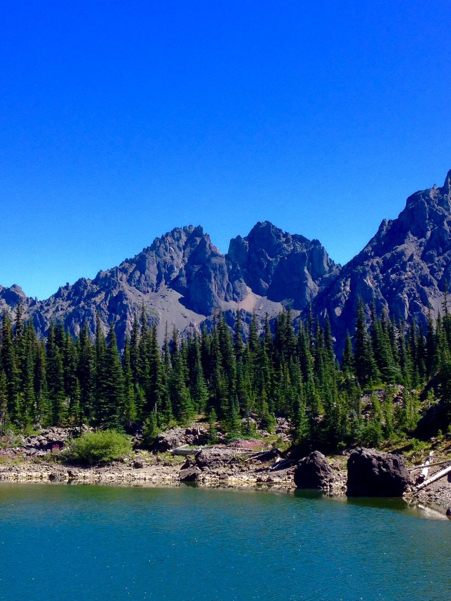
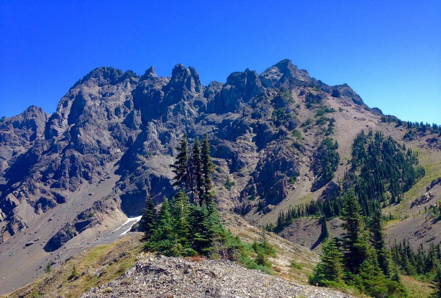
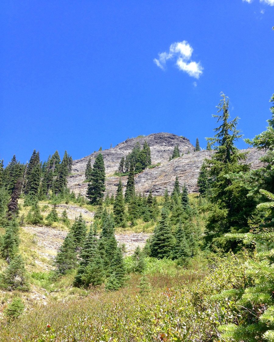
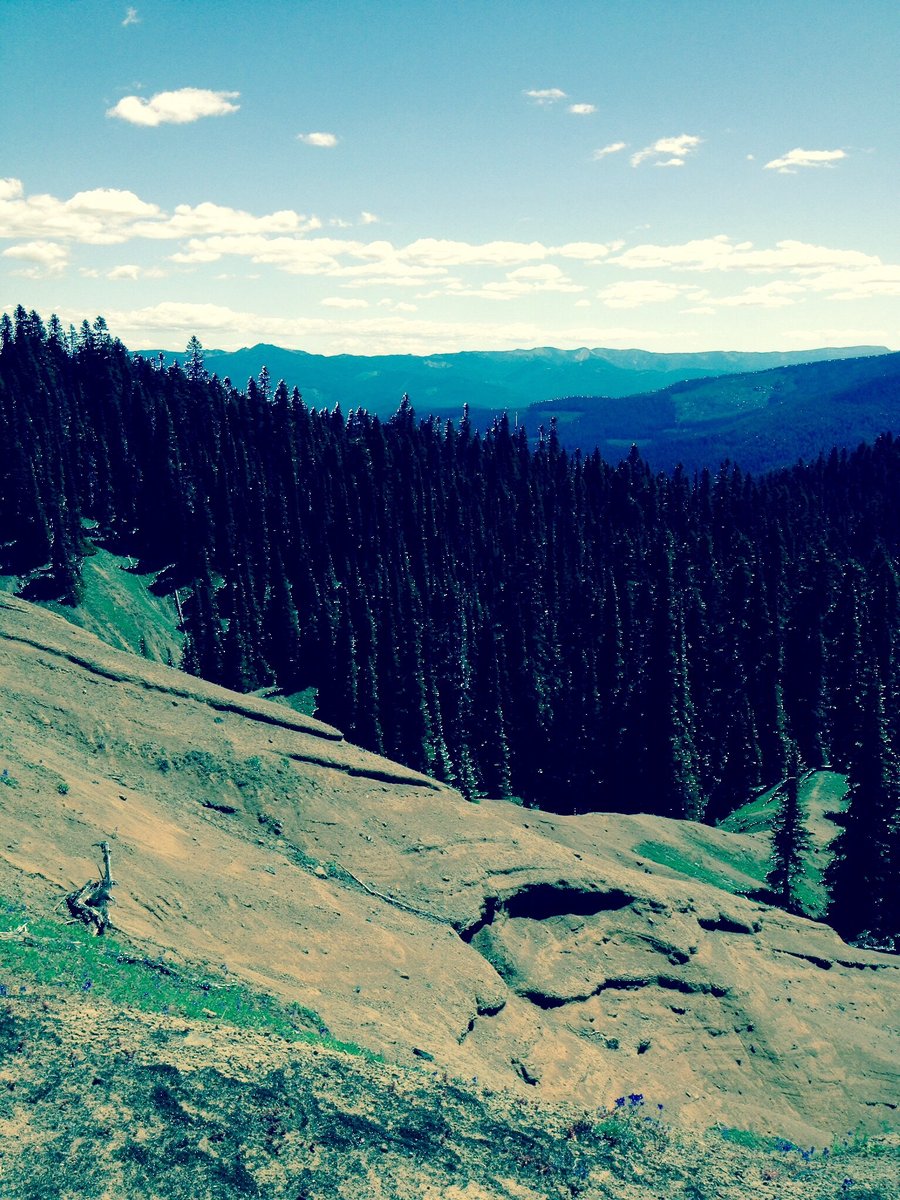
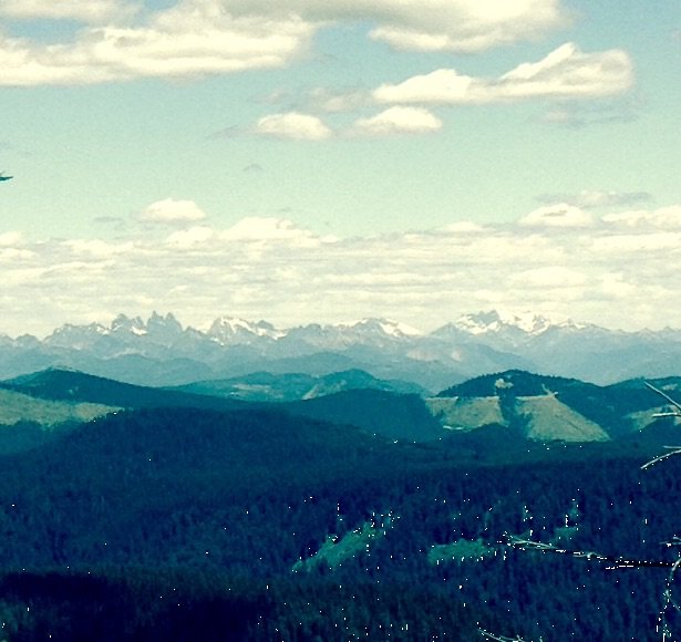
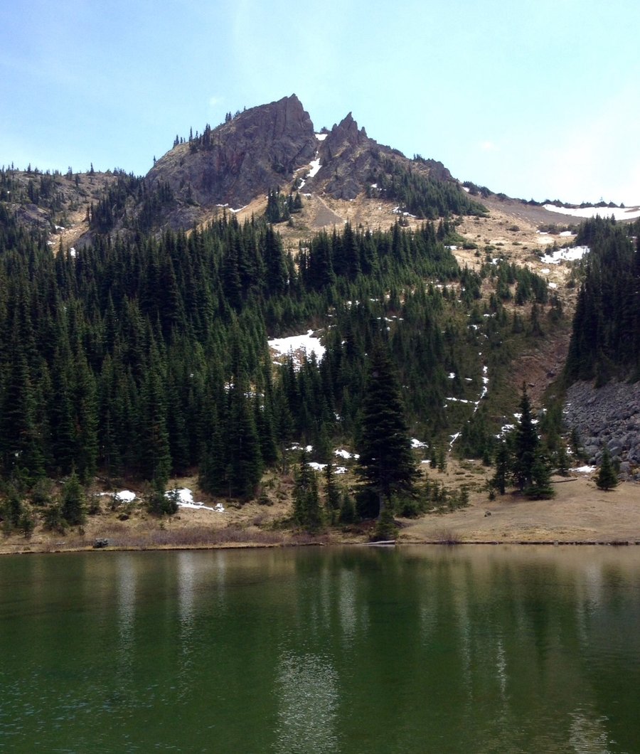
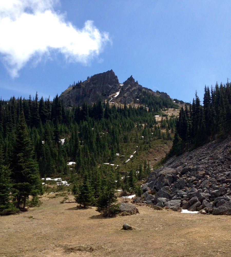
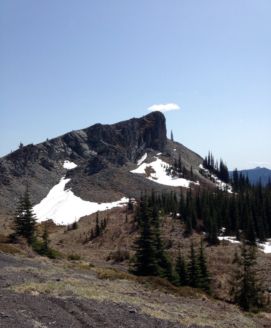
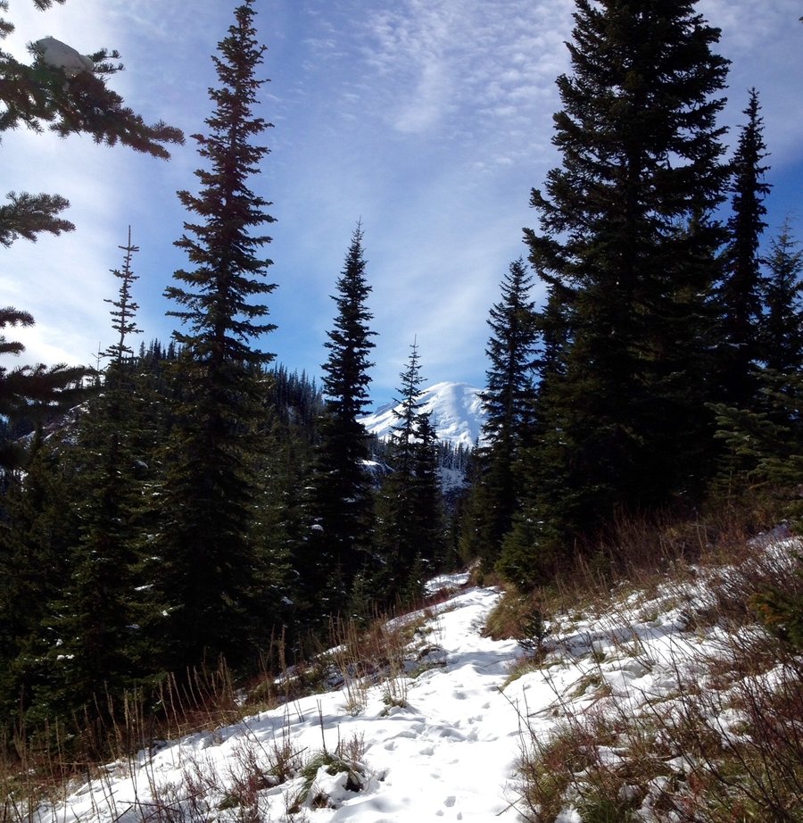
Lily Basin
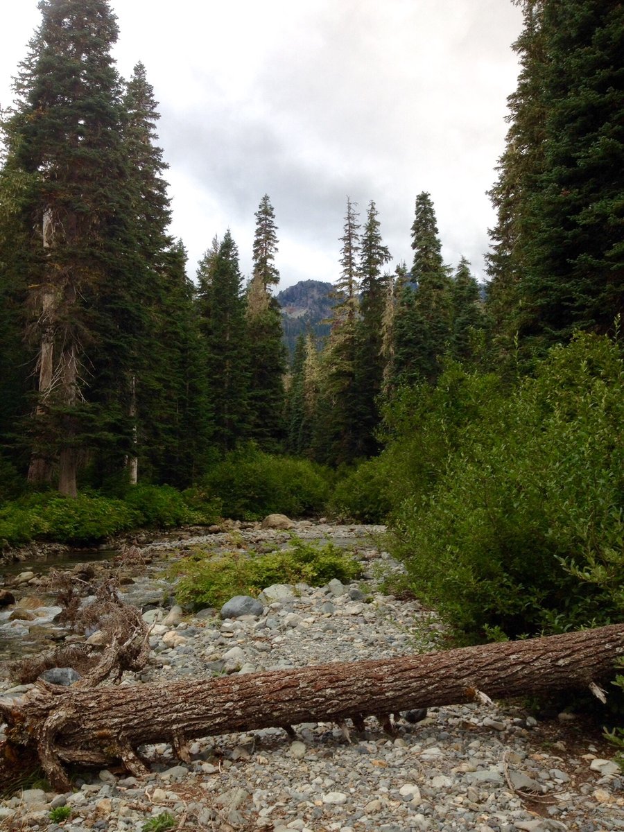
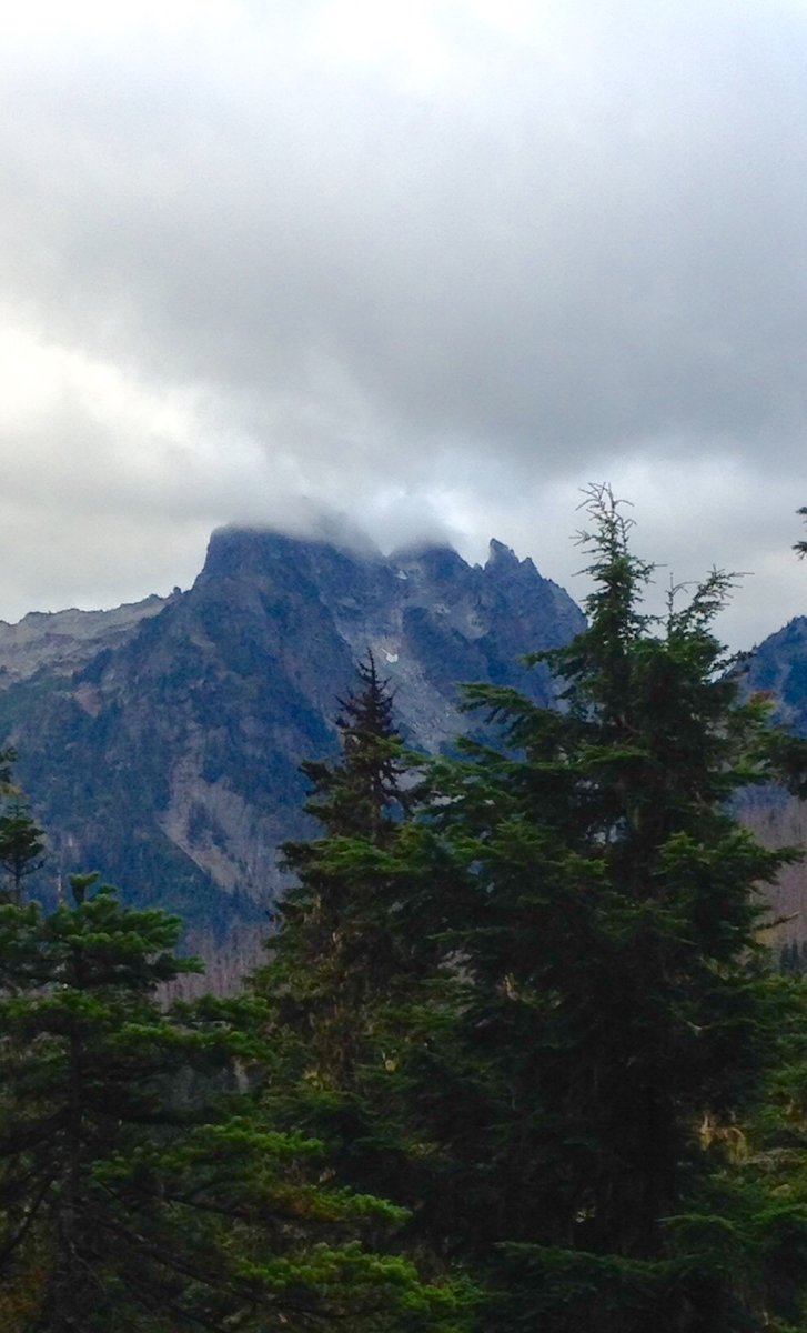
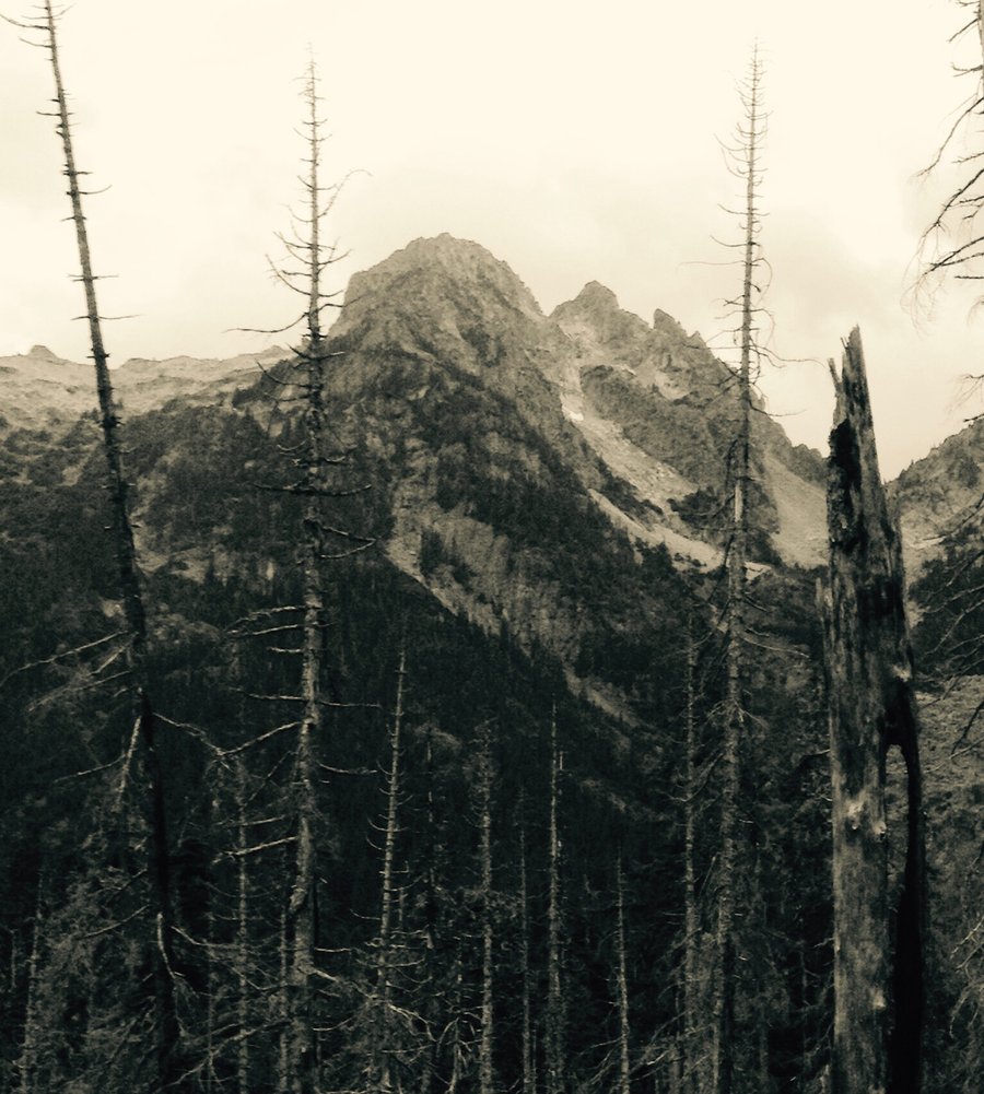
8.7 miles of hiking • 2500' elevation gain •
I was going to hike to Heart lake but the smoke & haze from the forest fires affected the views & the air quality. On the road to the TH there is a fairly significant washout right after the gravel pit which will be problematic if you do not have a high clearance 4x4. This hike is on my re-do list when the conditions improve.
August 22, 2015


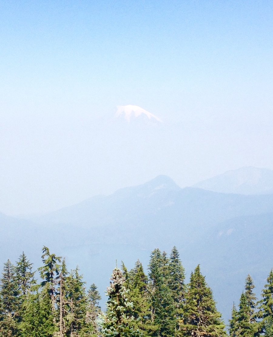
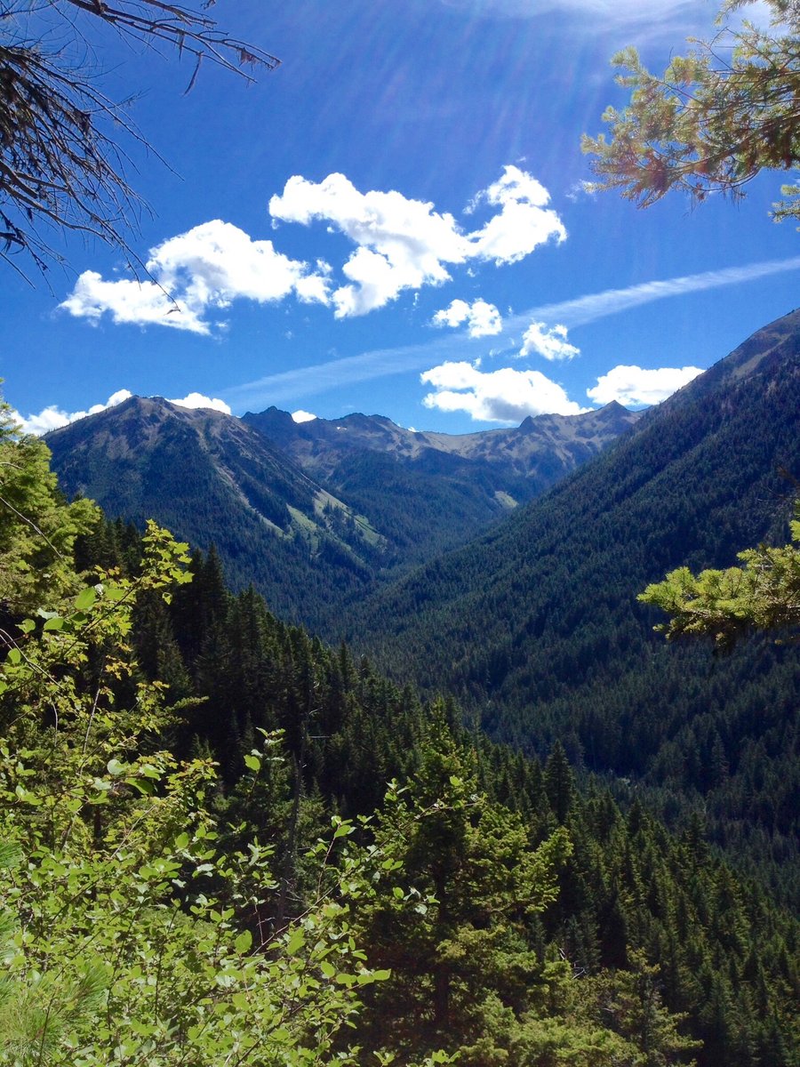
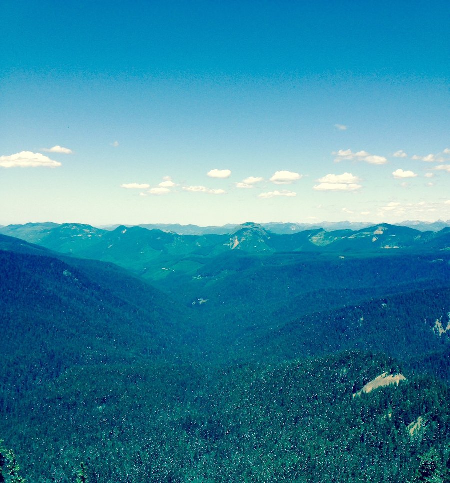
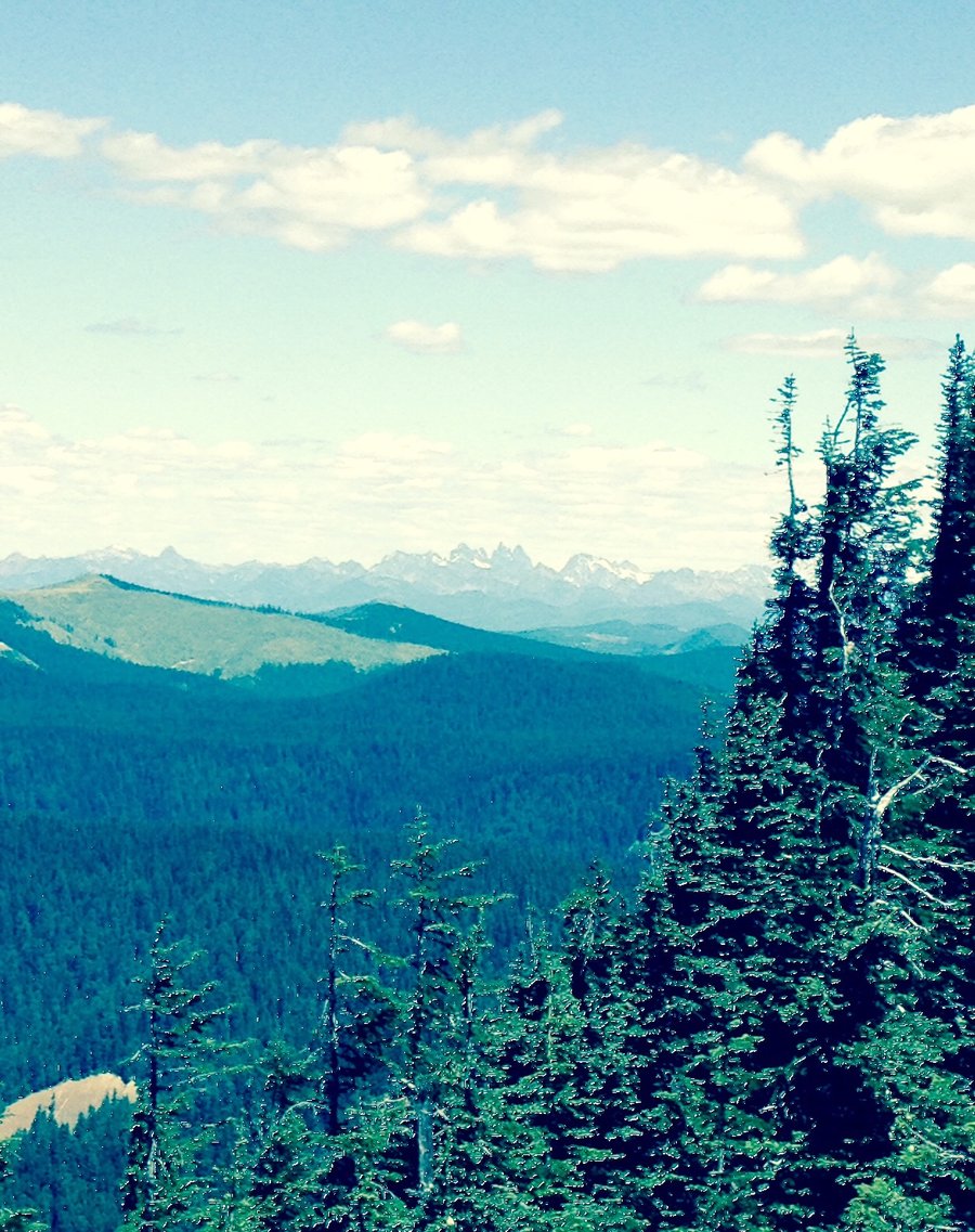
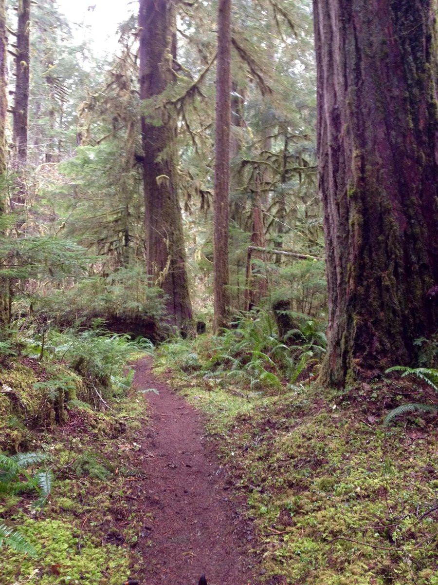
North Cascades-Thunder Knob & Patterson Mtn. Loop
8 miles of hiking • 2000' elevation gain • 2 nights
Camping trip with the Mrs. Day hiked Thunder Knob on the west side of the cascades and then drove over to Winthrop and hiked the Patterson Mtn. Loop. The loop hike was very dusty & hot, approx 105 degrees, w/ minimal shade & zero water sources. Wife chanted "serenity now" through out the hike to get through it. Views were also muted on both hikes by haze & smoke due to nearby forest fires.
August 11 – August 13, 2015

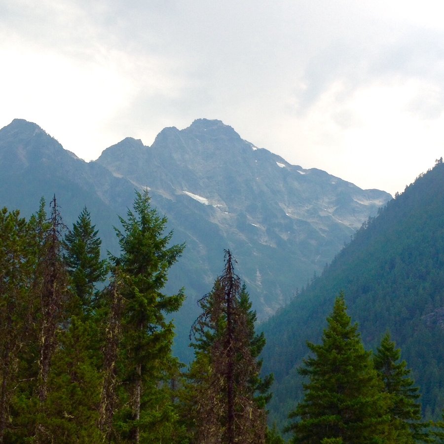

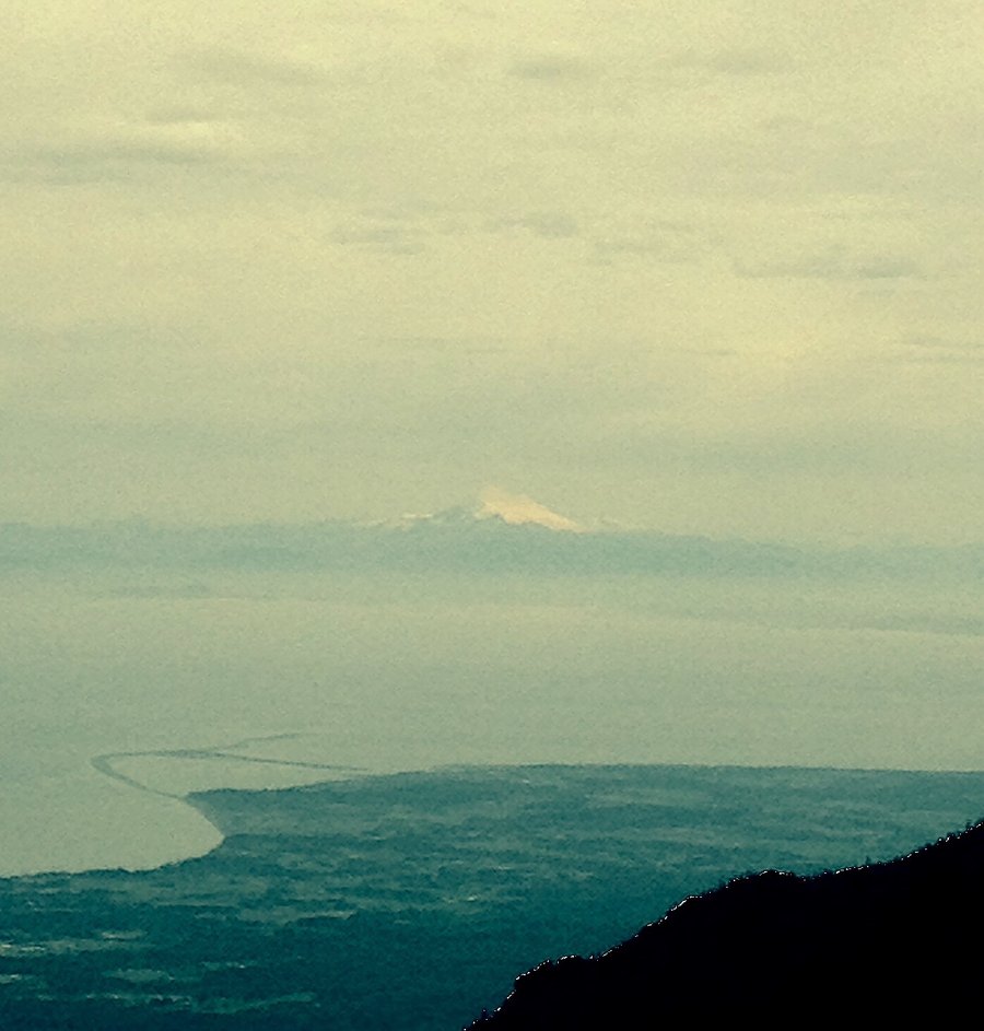
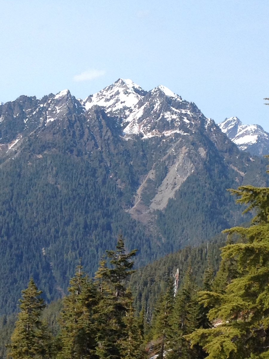
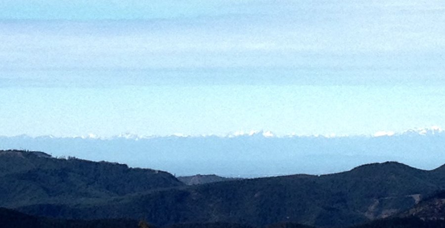
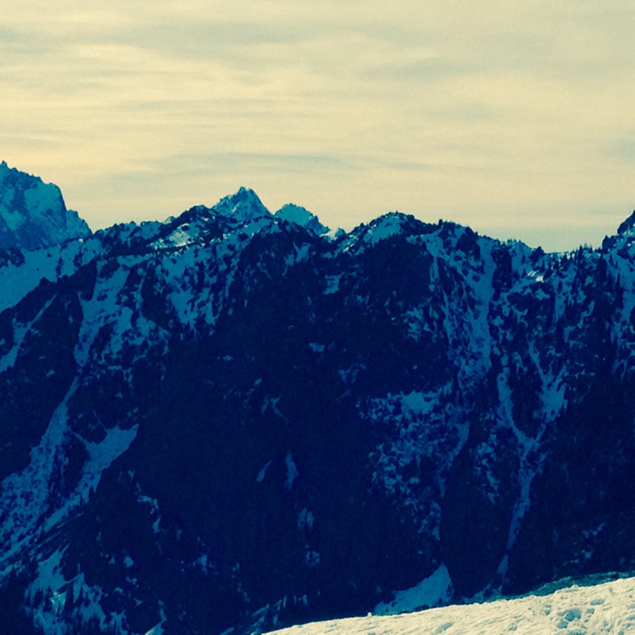
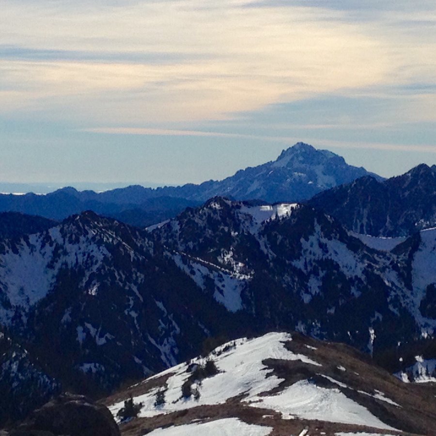
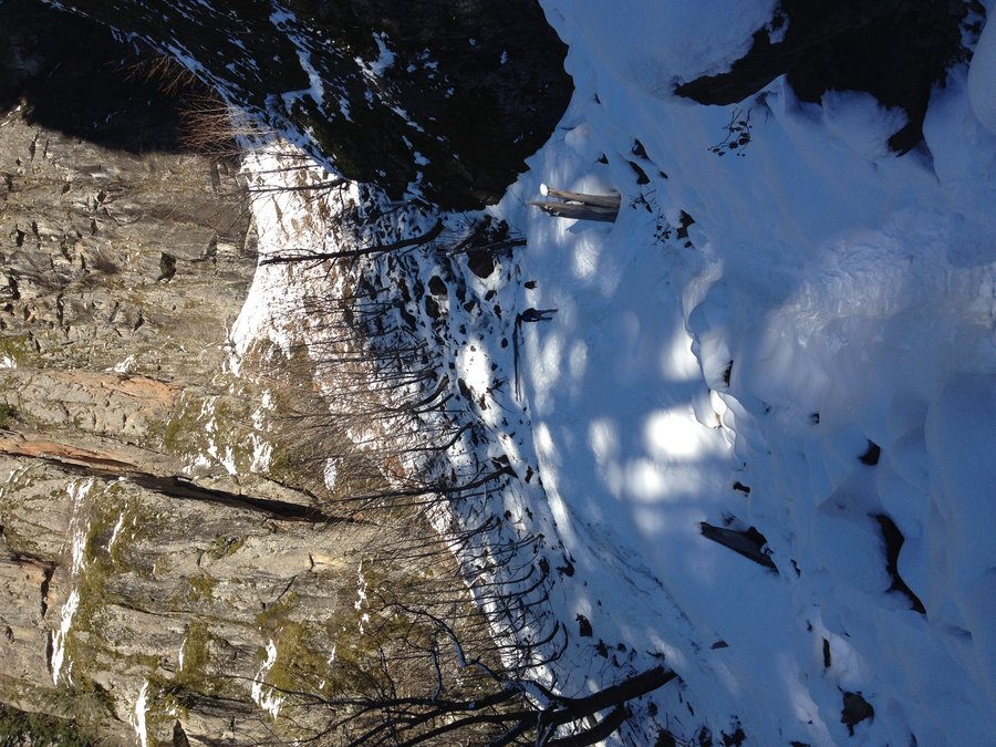
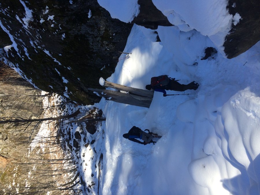
Olympic Mtns-Upper Dungeness to Dosewallips
35 miles of hiking • 9250' elevation gain • 3 nights
Parked vehicles @ the Dosewallips & Upper Dungeness TH's. Started hike @ the Upper Dungeness & made camp @ Boulder Shelter. Next day, day hiked up to Marmot Pass & hiked to the top of Buckhorn Mtn. & another un-named peak to the south. Next day packed up & hiked to Home Lake, up Constance Pass, over the divide to Sunnybrook Meadows, then down to the old Dosewallips ranger station. Great views from the divide but the descent from the divide, 6500', to the Dosewallips @ around 2000', in approx. 5 1/2 miles was pretty tough with a full pack.. The last day was an easy road hike to the Dosewallips TH.
July 28 – July 31, 2015


 1
1
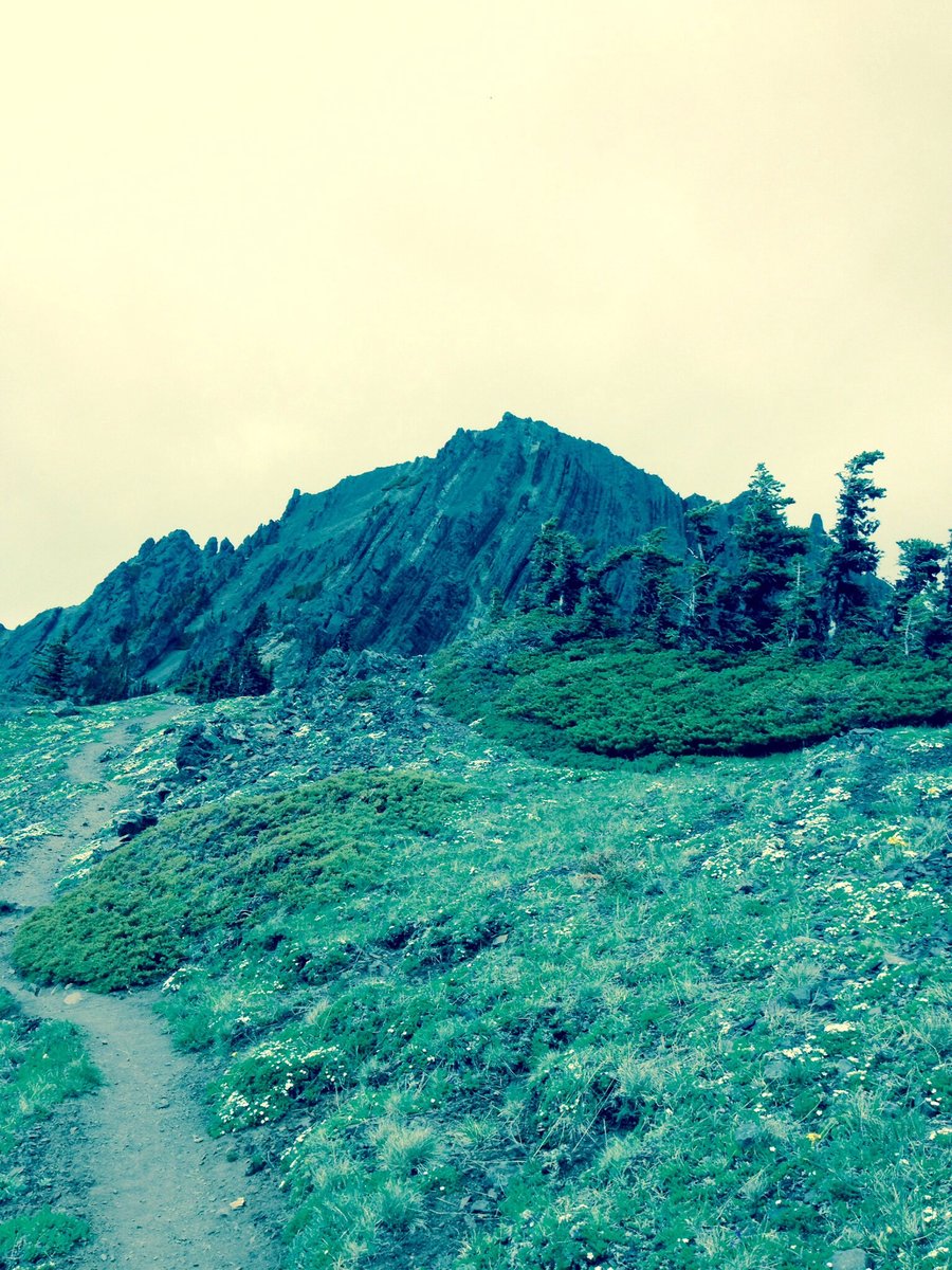
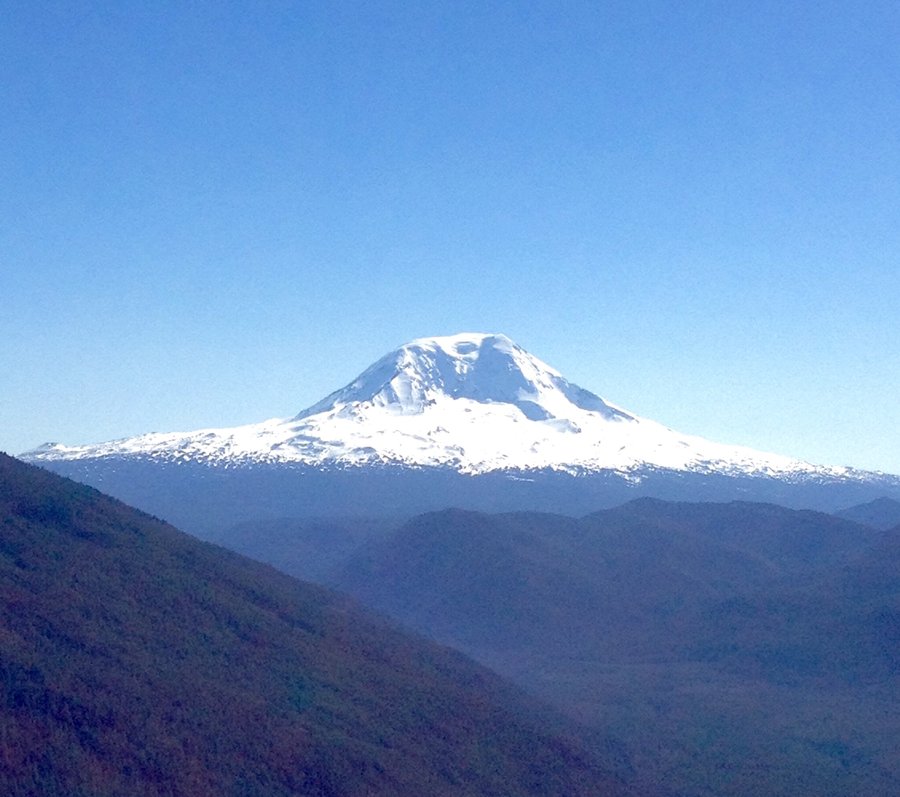
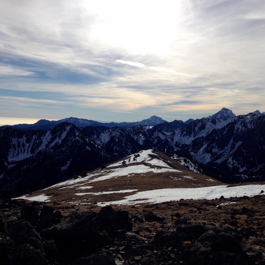
Nannie Ridge-Sheep Lake-Walupt Creek Loop
14.73 miles of hiking • 3250' elevation gain •
Hot, very dusty hike with very little water sources after Sheep Lake. Great views of Mt. Adams but overall was a bit underwhelmed with this hike as Nelson in his day hiking book gave it 5 stars. Maybe hiking around the Alps a couple weeks ago & then Hurricane Ridge a few days ago has spoiled me a bit.
July 18, 2015


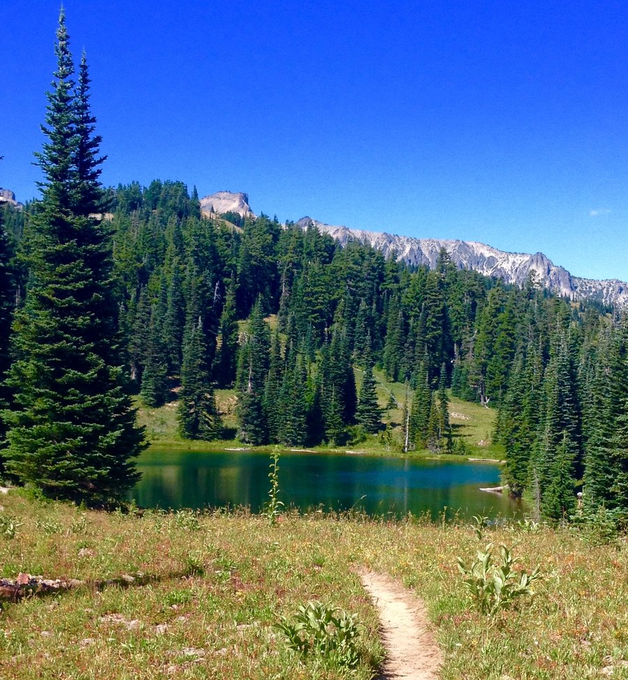
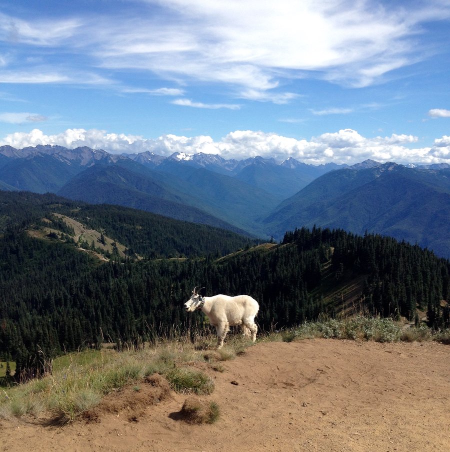
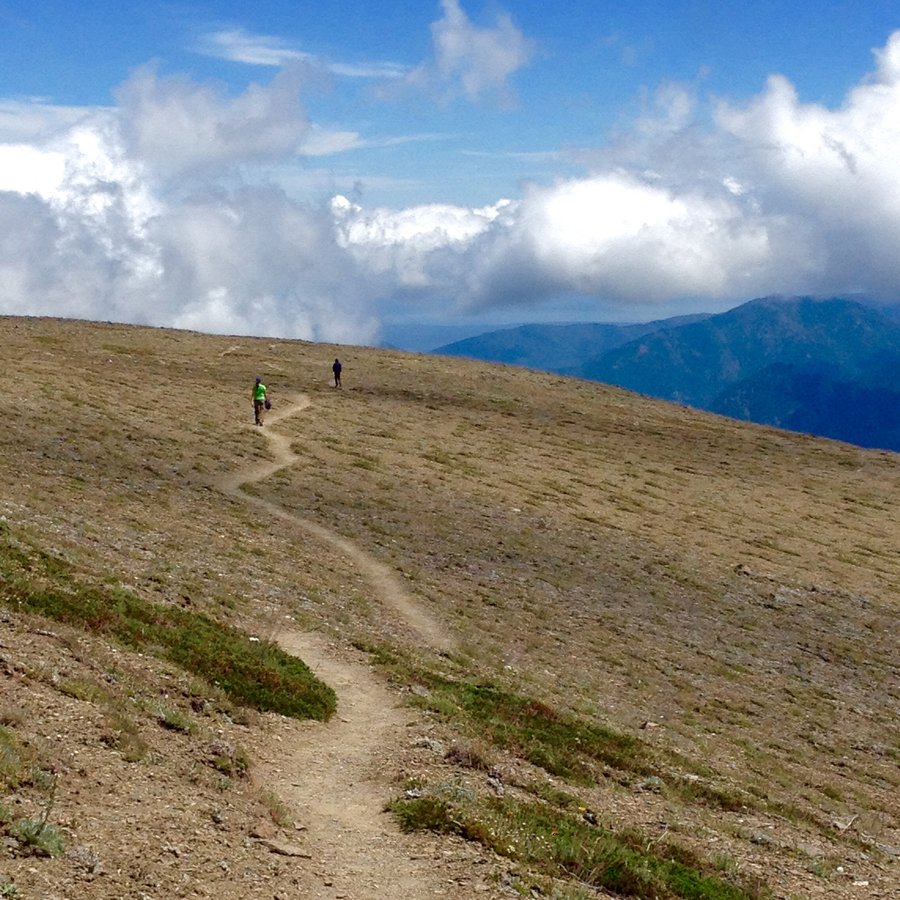
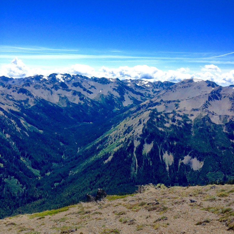
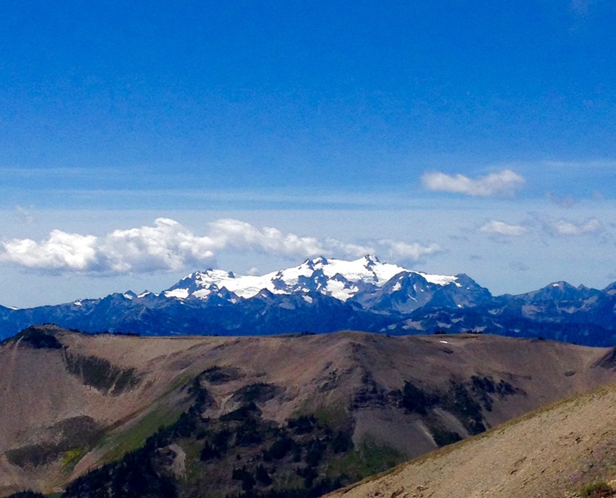
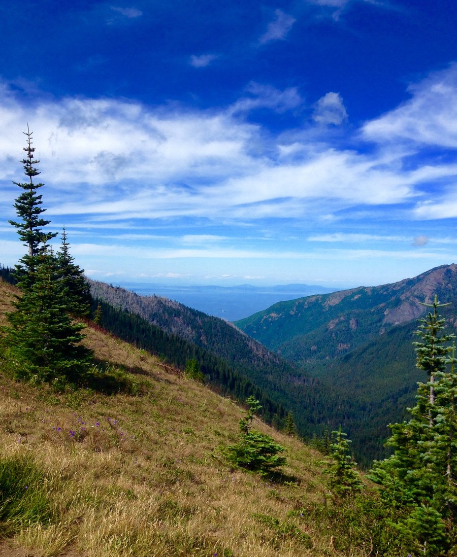
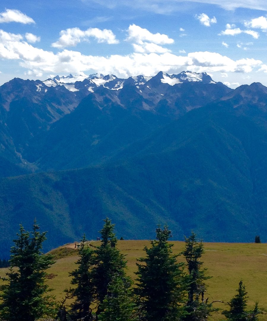
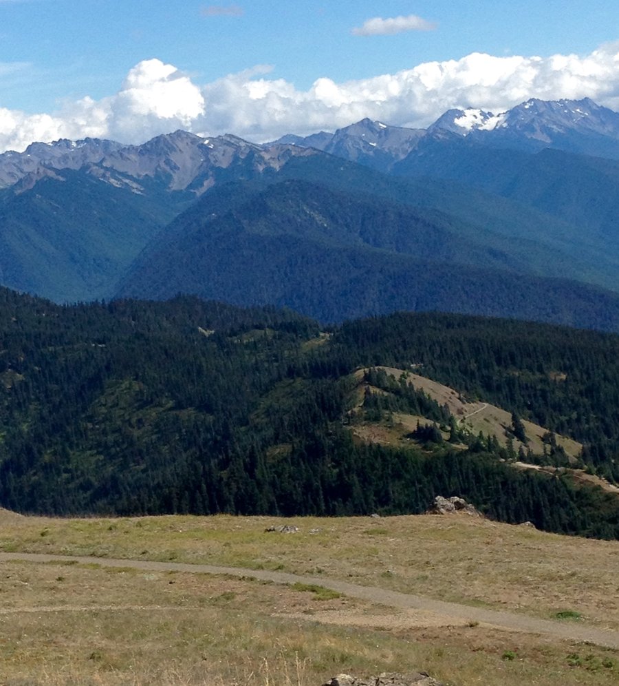
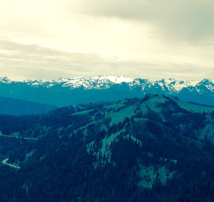
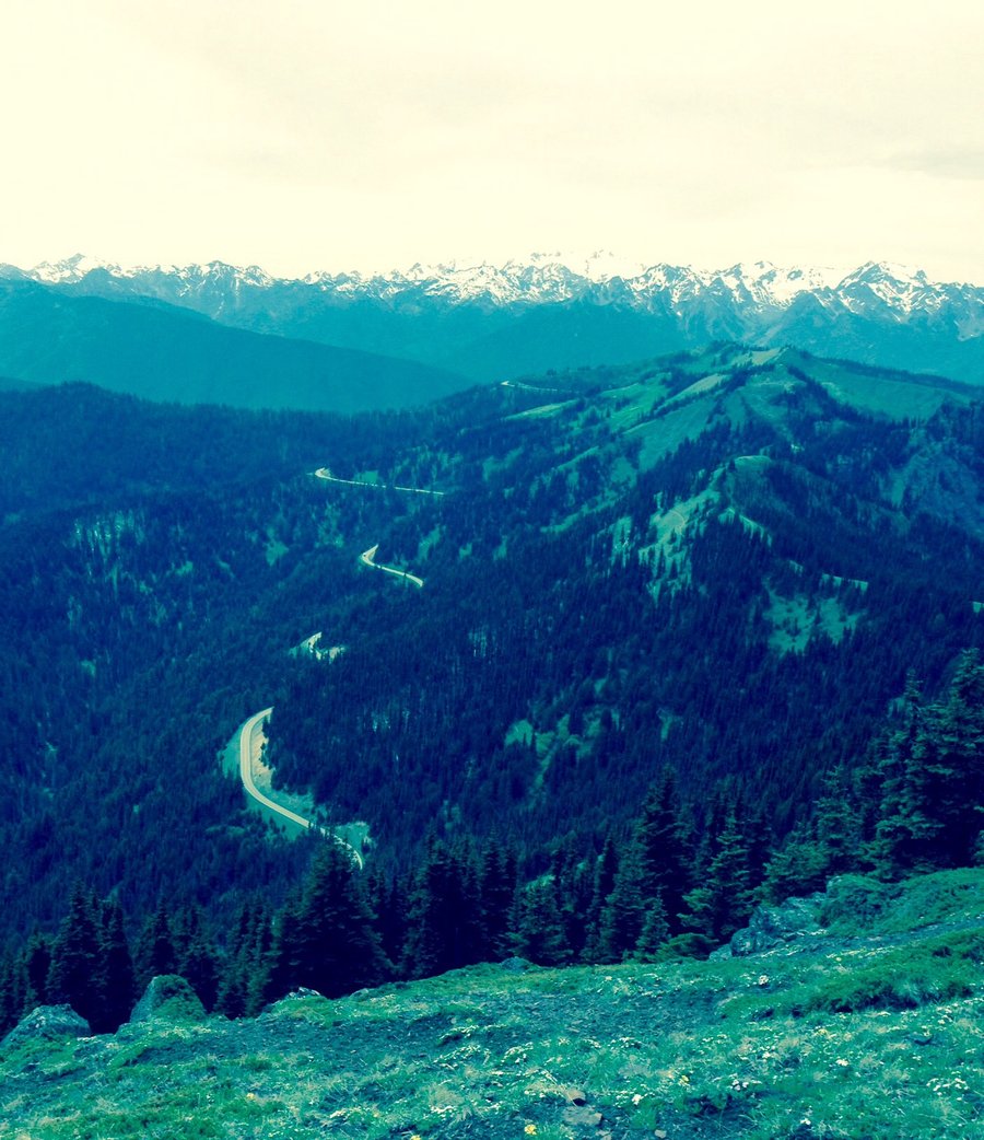
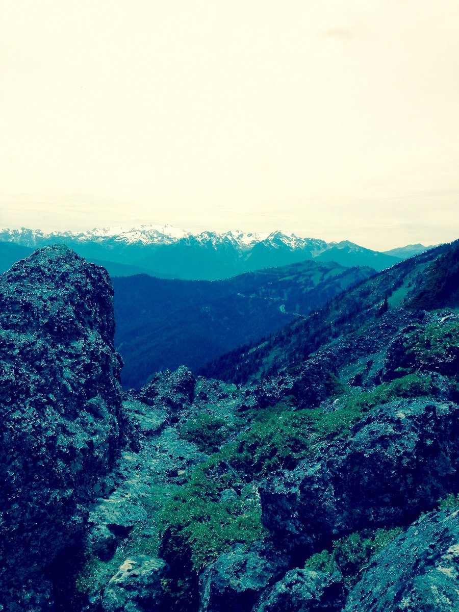
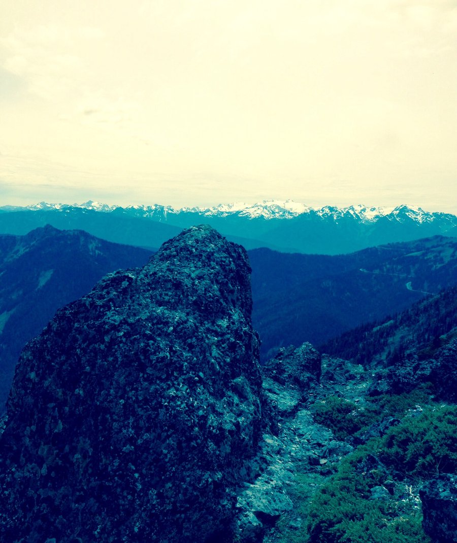
ONP-Hurricane Ridge
9.27 miles of hiking • 2250' elevation gain •
Some light hiking with the family up on Hurricane Ridge. Drove to Obstruction Point & did some hiking on Grand Ridge. Than drove back to the visitor center & over to the Hurricane Hill TH & hiked to the top of Hurricane Hill.
July 16, 2015


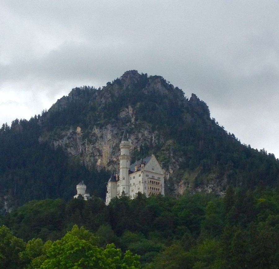
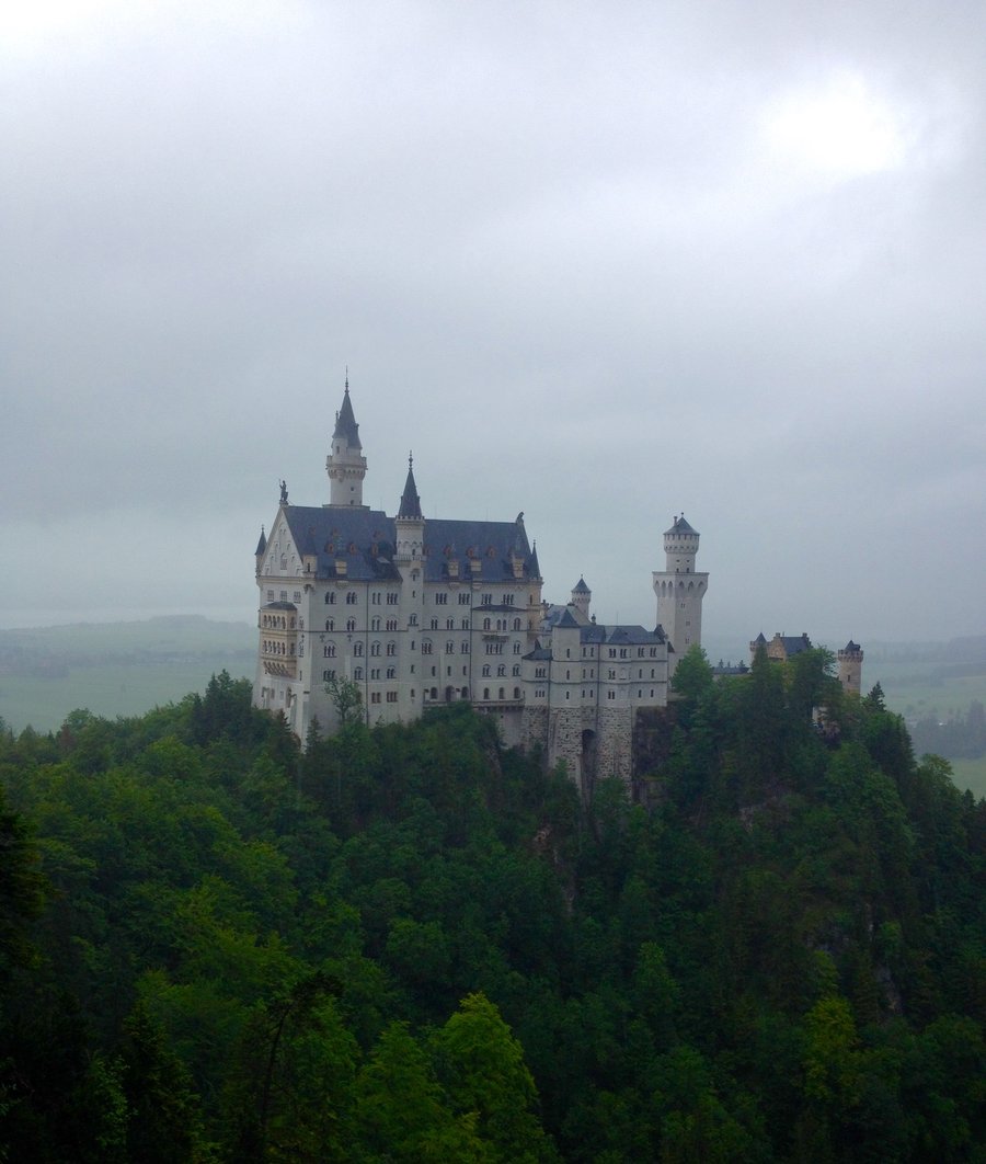
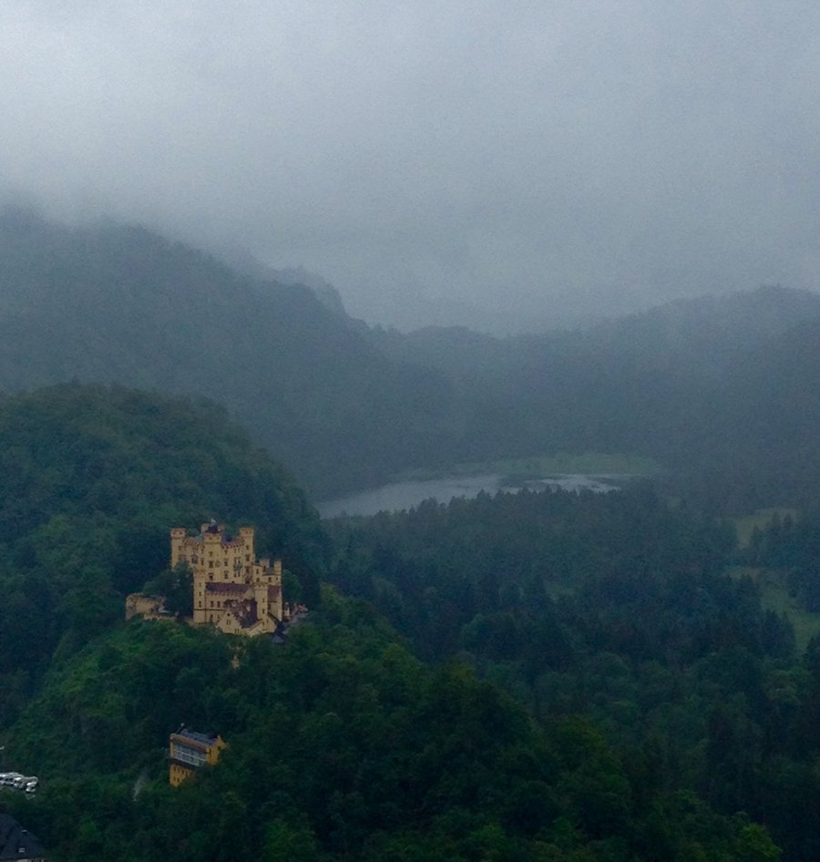
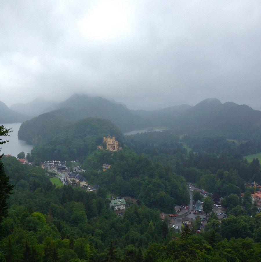
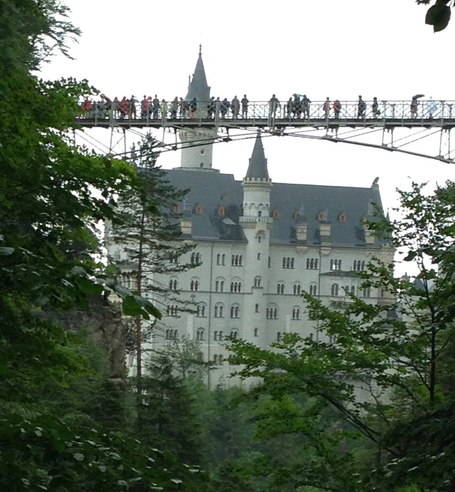
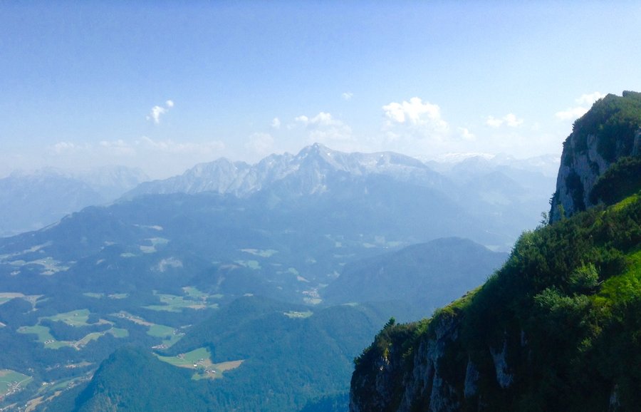
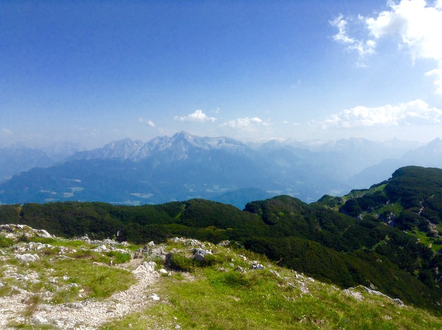
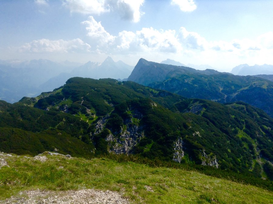
Neuschwanstein Castle-Germany
6.25 miles of hiking • 1500' elevation gain •
This place was a tourist trap when I was last here 20 years ago & it's even worst now. Even so it is worth a trip to the area as it is Germany's most famous castle & on a nice day the scenery is beautiful. Unfortunately for us it was rainy & cloudy. Lots of hiking trails in the area as you are @ the foothills of the Bavarian Alps.
July 8, 2015

 1
1
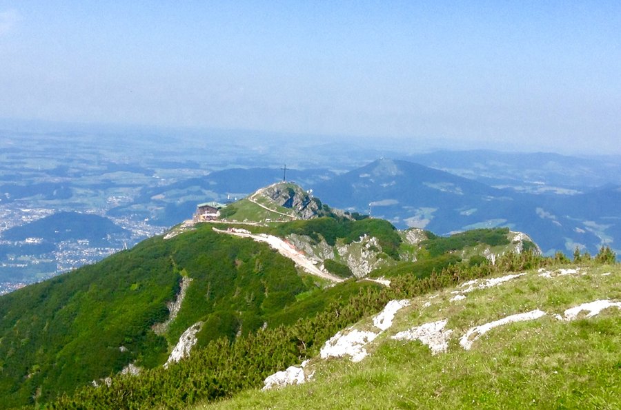
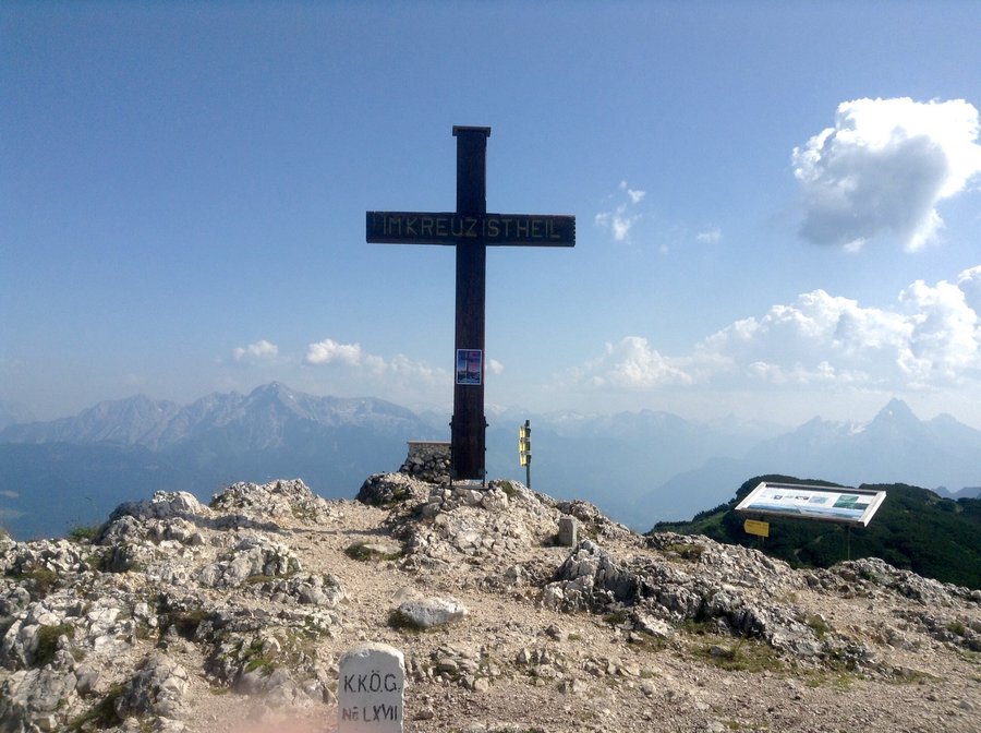
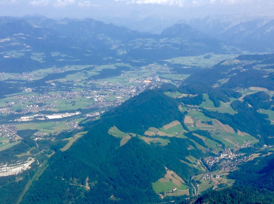
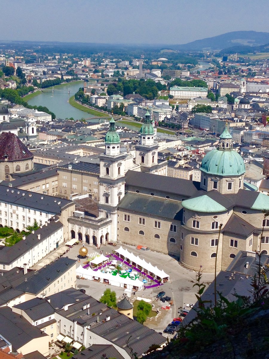
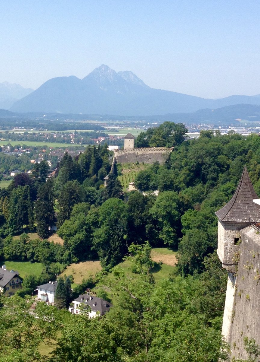
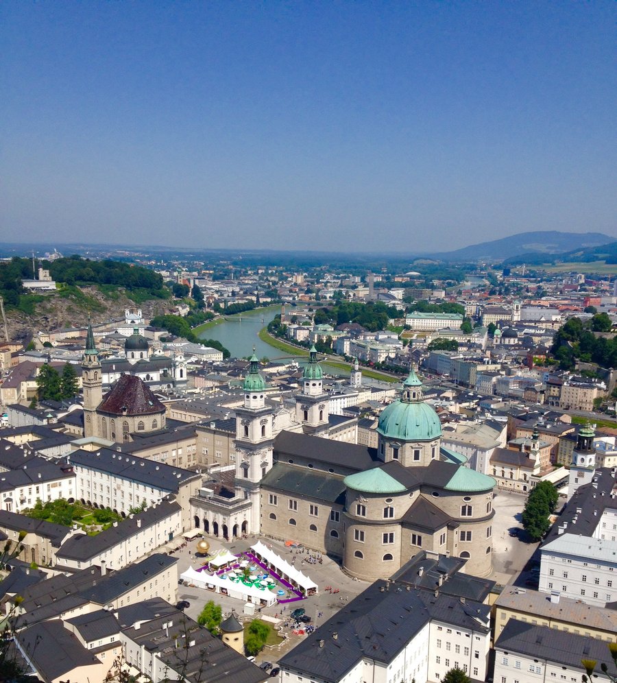
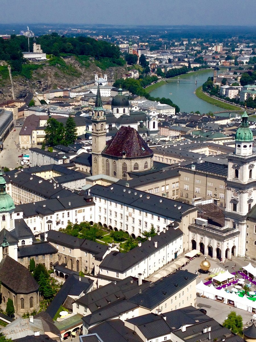
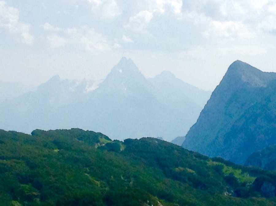
Salzburg, Austria
10 miles of hiking • 2500' elevation gain •
While my daughter & her husband decided to take the Sound of Music bus tour...gag, my 8 year old Grandson & I purchased "Hop On, Hop Off" bus passes & explored the city. One of our destinations was to climb to the Hohensalzburg Fortress which overlooks the city. Climb to the fortress is approx 1750' & on a 95 degree day it was nice to get to the top & some cooling breeze. We then took the bus 30 minutes to the city of Grodig & took the cable car to the top of the Untersberg Mtn. which has an altitude of around around 6500'. We hiked to the Climbers Cross/Memorial and then ended the day back @ the beer garden located at the top cable car station for pizza, a beer & a Sprite.
July 4, 2015


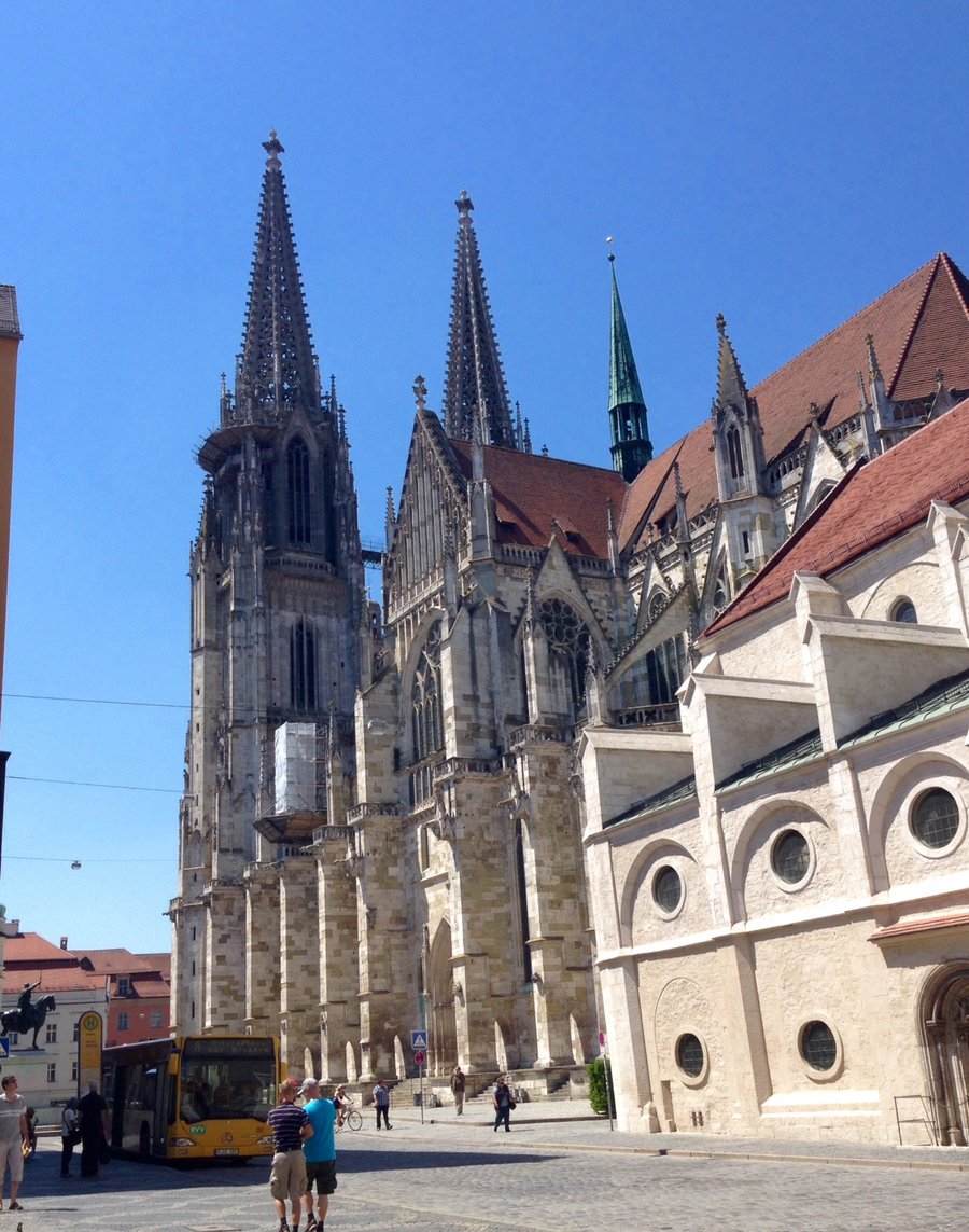
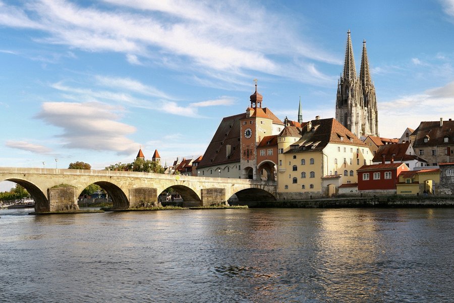
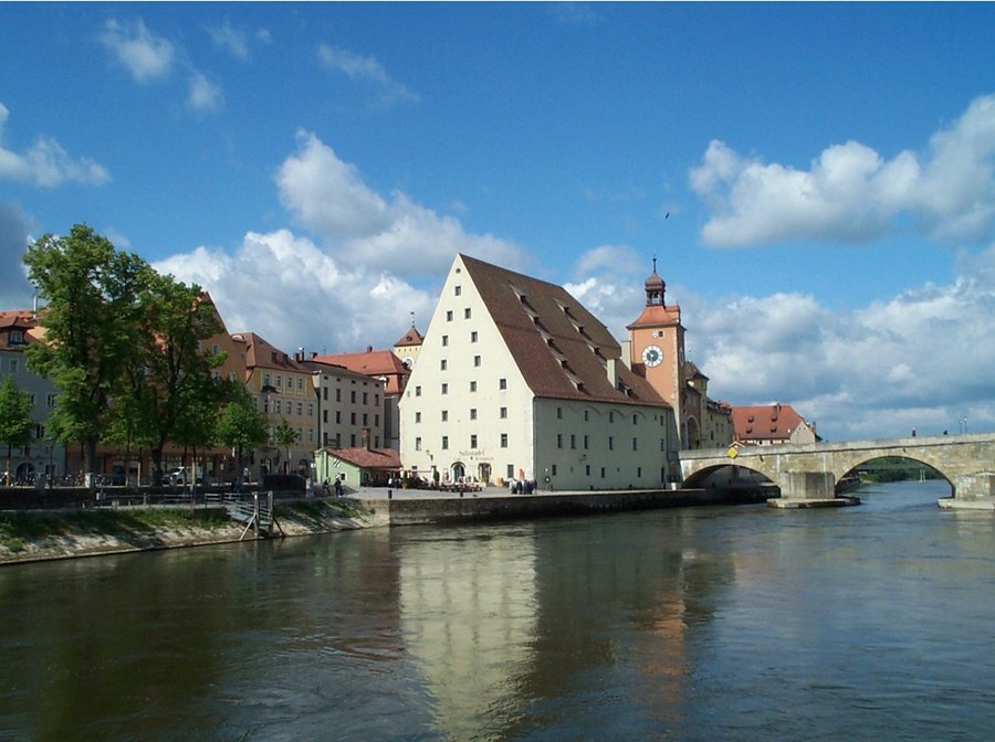
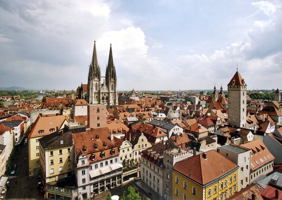
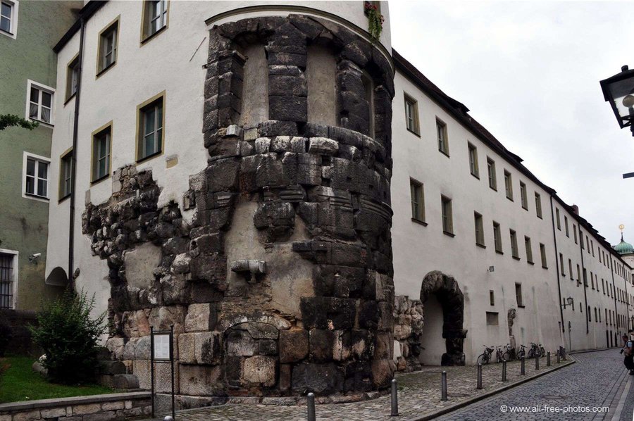
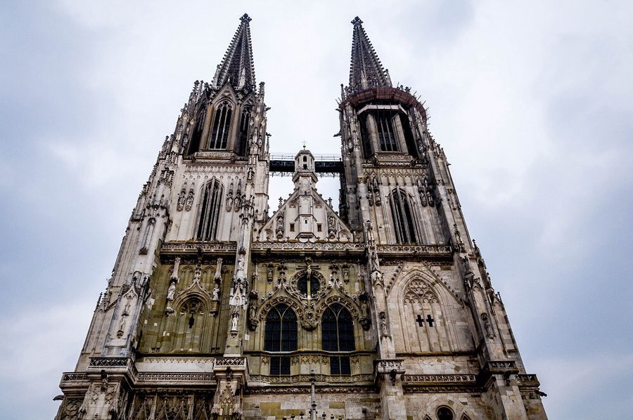
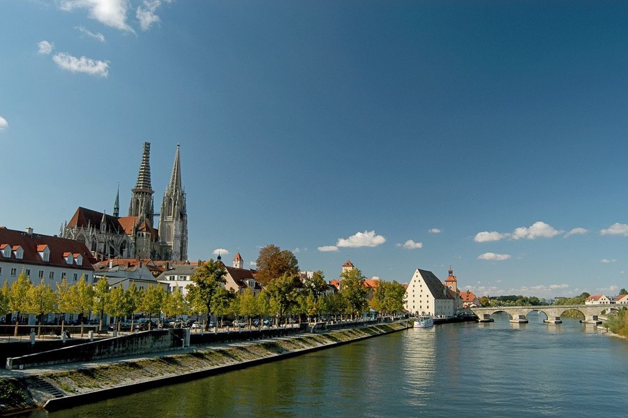
Regensburg City Hike-Germany
5.5 miles of hiking • 500' elevation gain •
City if Regensburg is known for its largely intact medieval city center which is dominated by Regensburg's St. Peters Cathedral & the 12th century Old Stone Bridge which spans the Danube River
July 2, 2015


 1
1
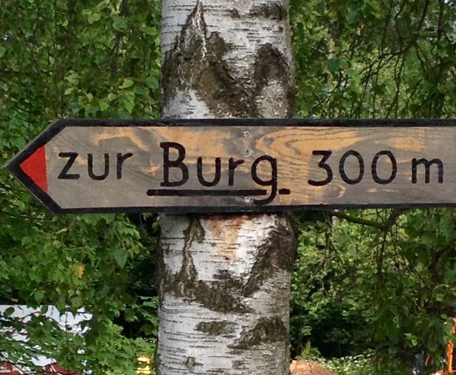
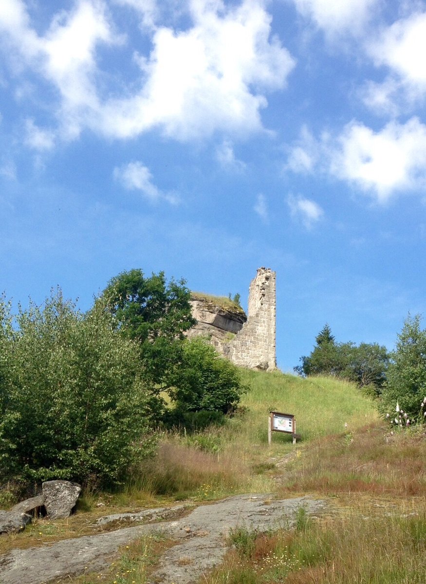
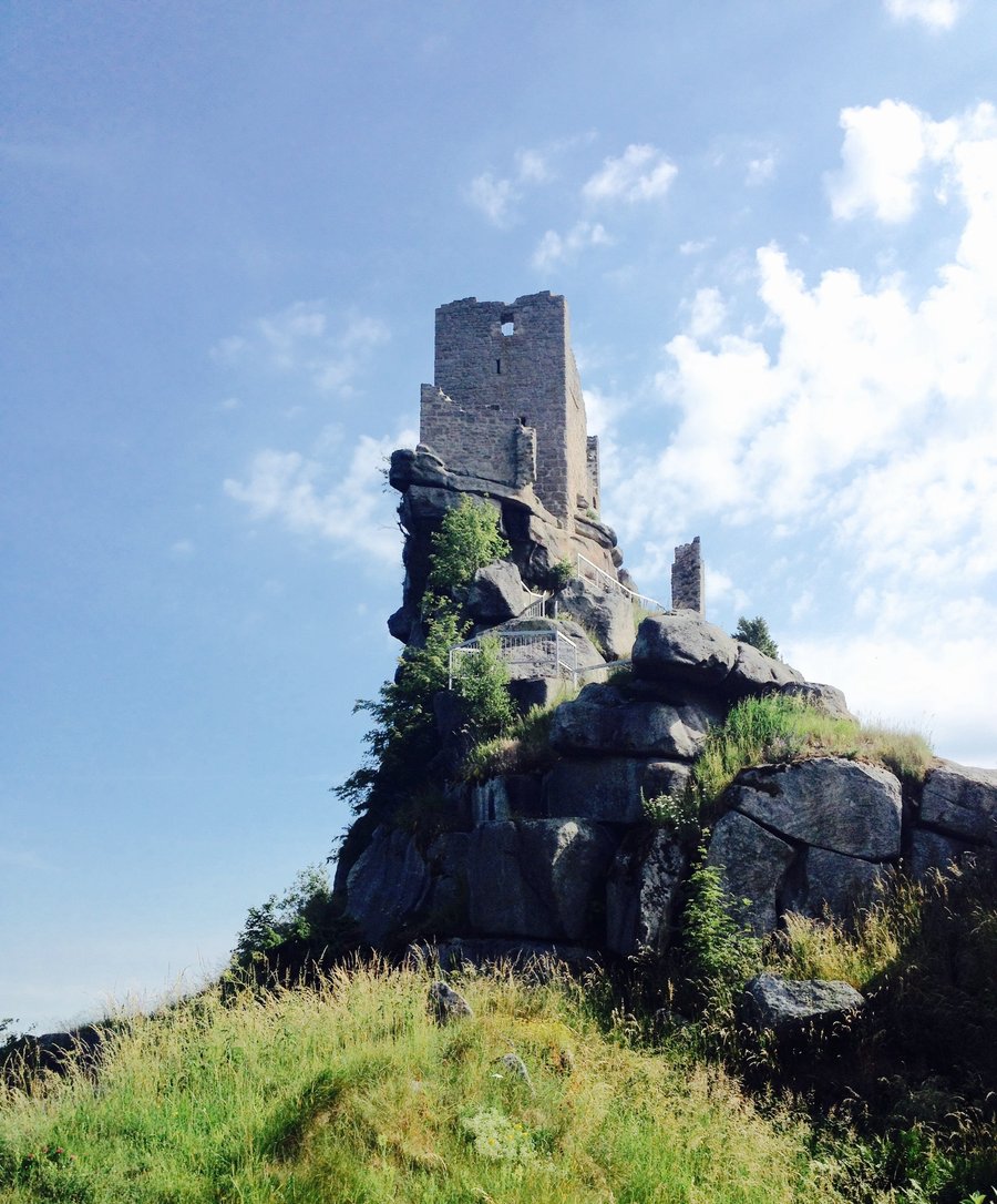
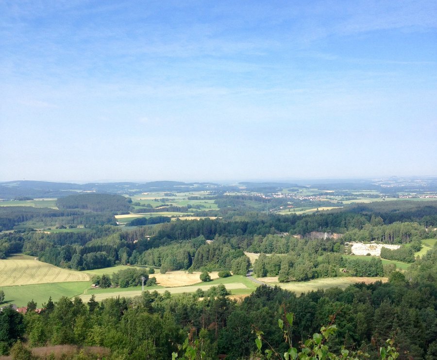
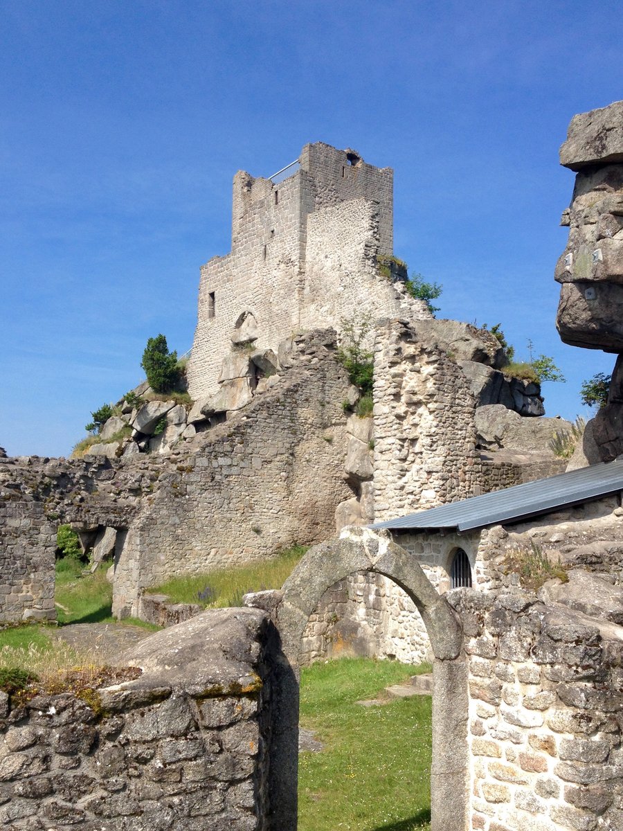
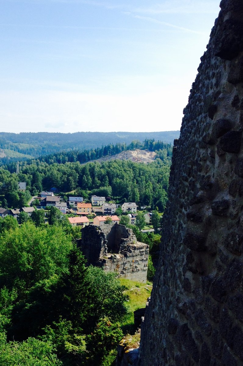
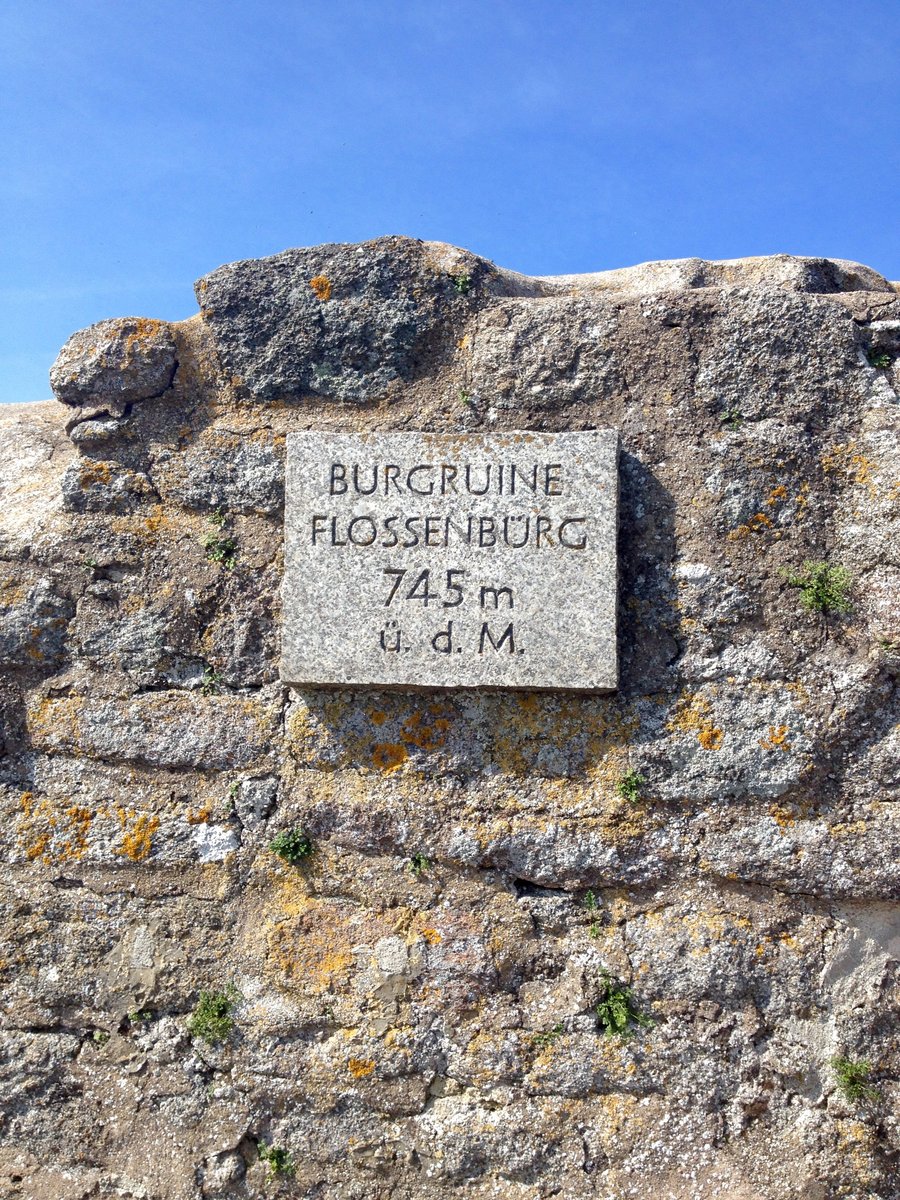
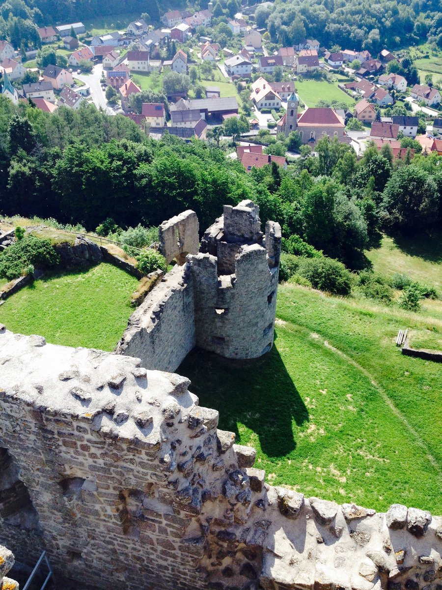
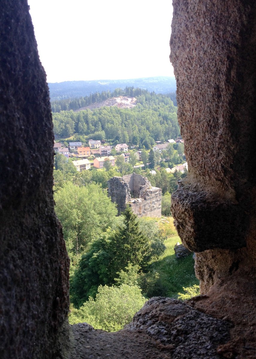
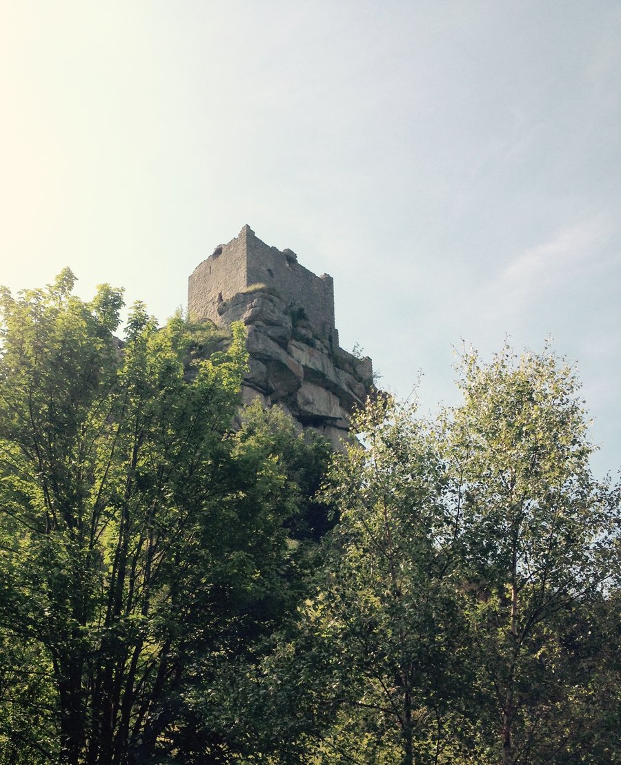
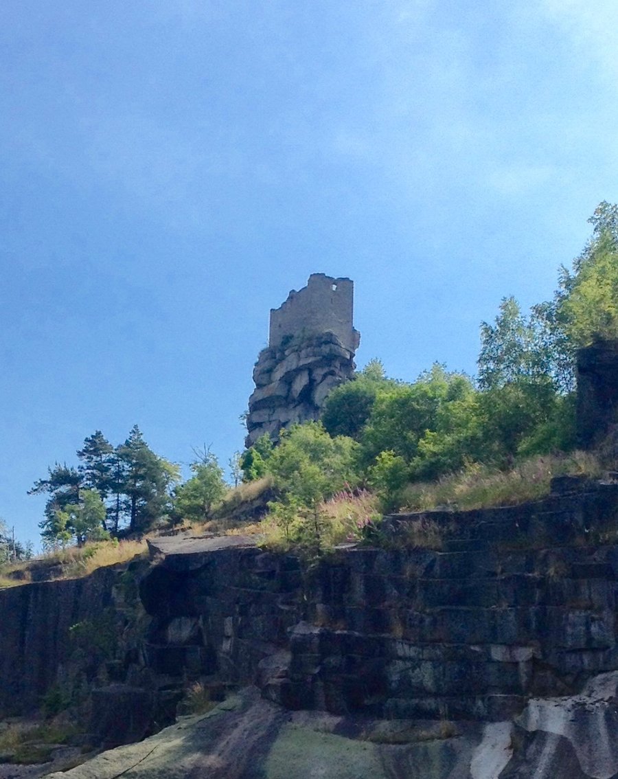
Flossenburg Castle Ruins-Germany
3.6 miles of hiking • 500' elevation gain •
Visiting the Grandkids in Vilseck Germany. Took my eldest Grandson hiking/exploring @ the castle ruins in Flossenberg.
June 30, 2015


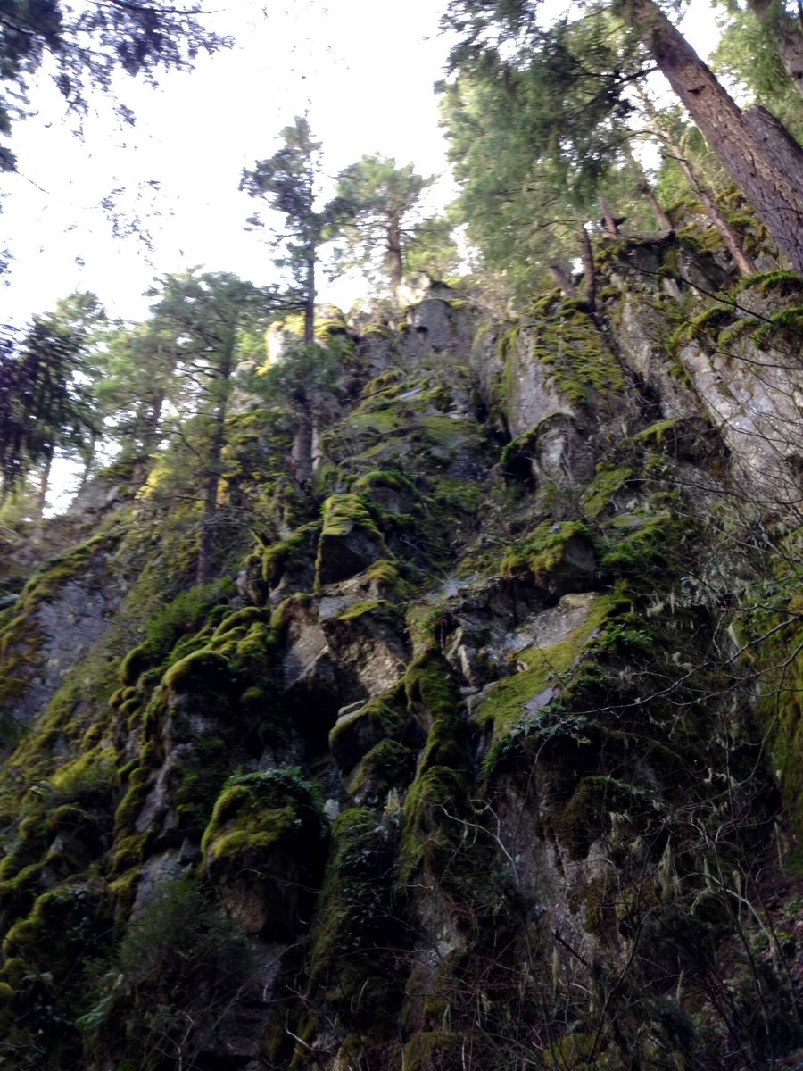
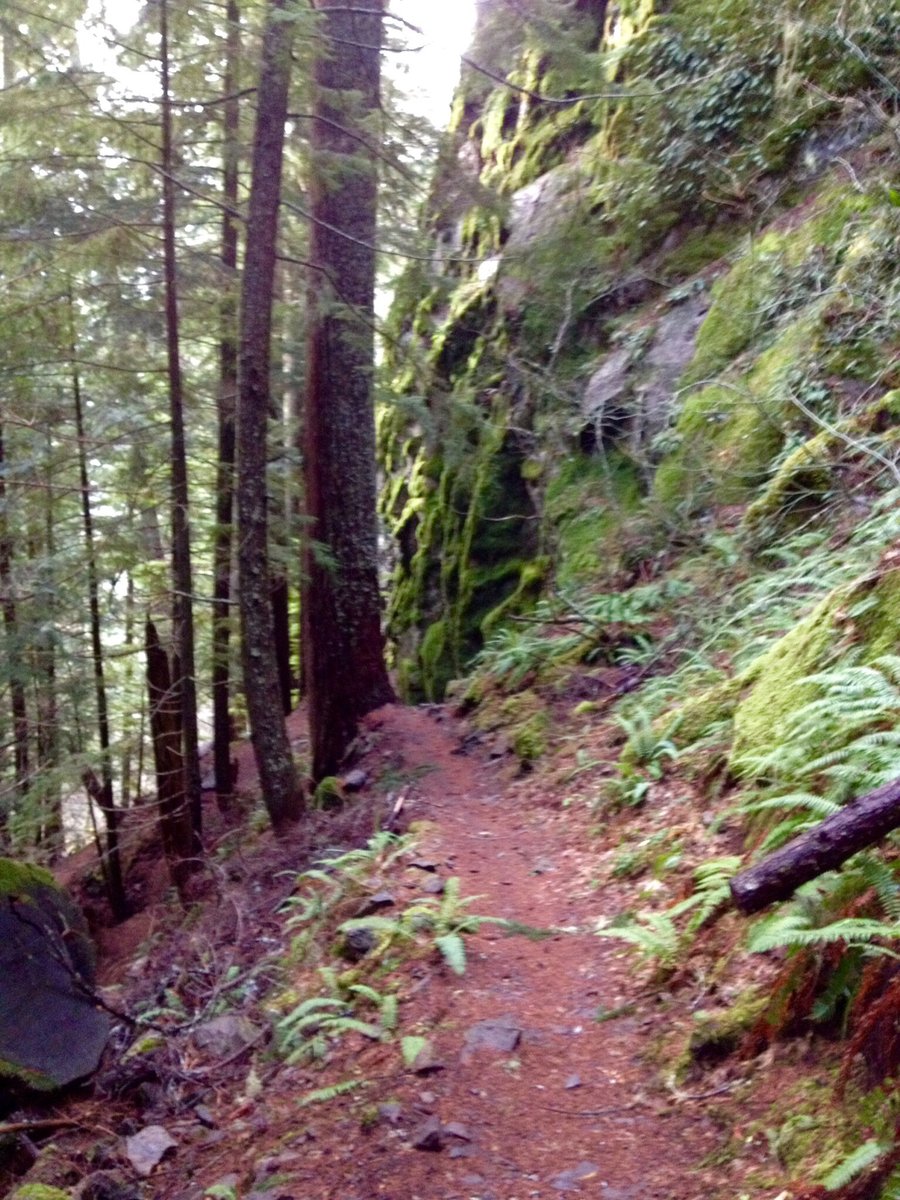
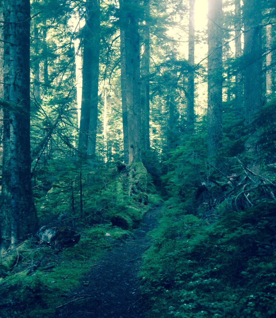
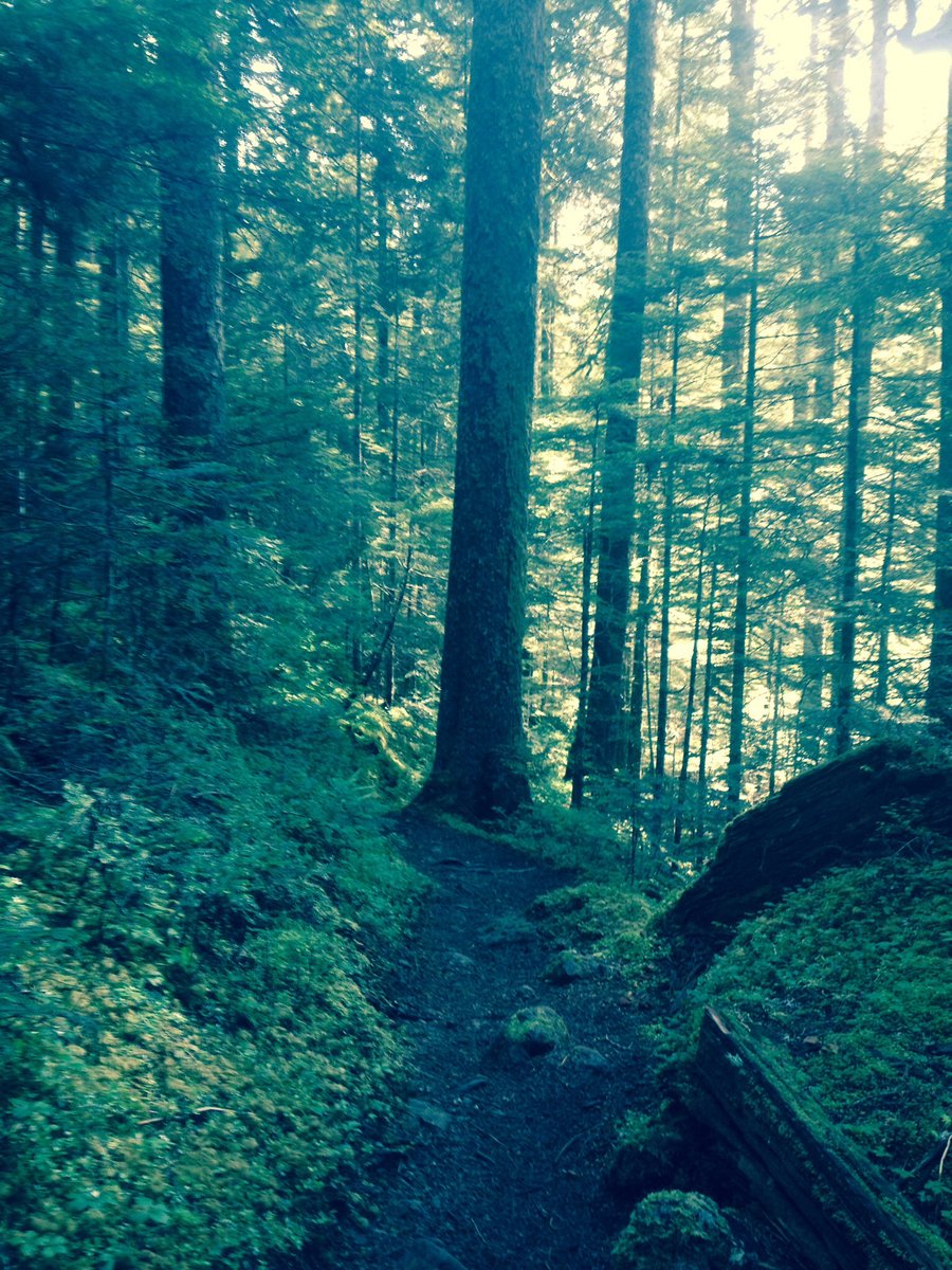
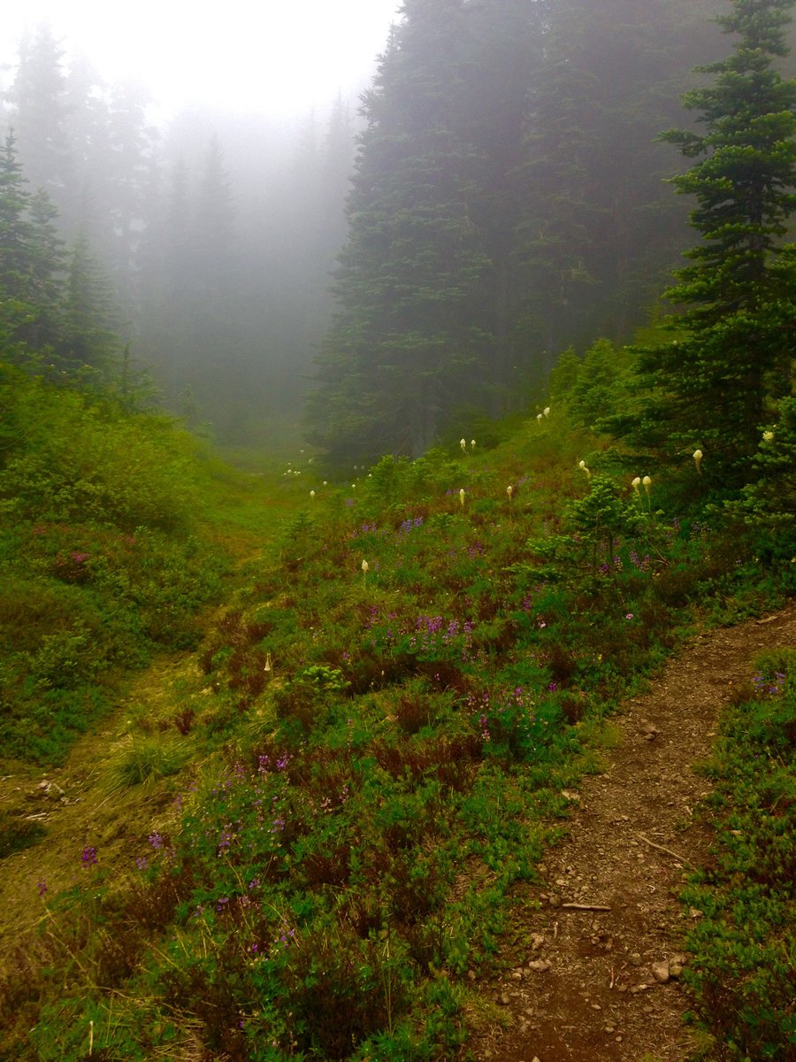
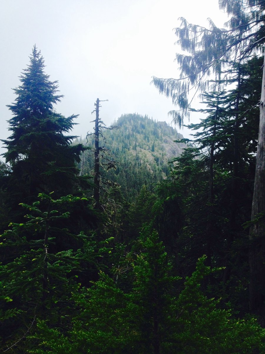
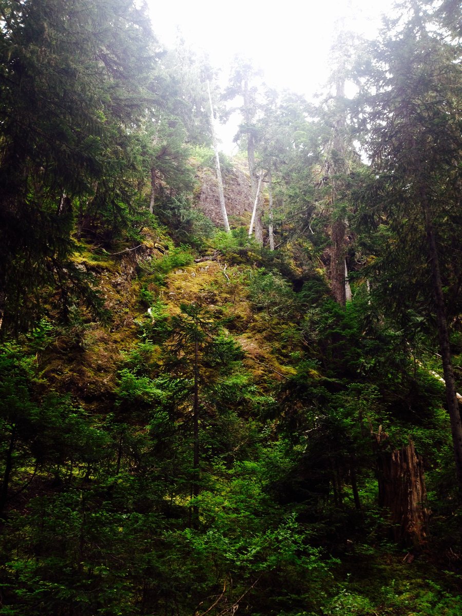
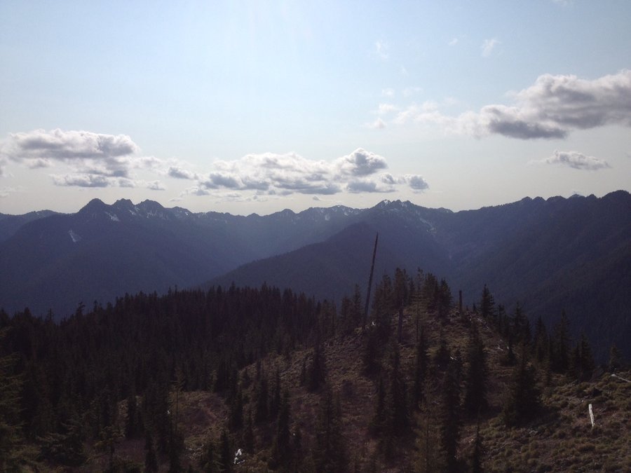
Olympics-Tunnel Creek
13.5 miles of hiking • 3250' elevation gain •
Clouds moved in to obscure the views @ the ridge top but nether less an enjoyable hike with the dog.
June 20, 2015


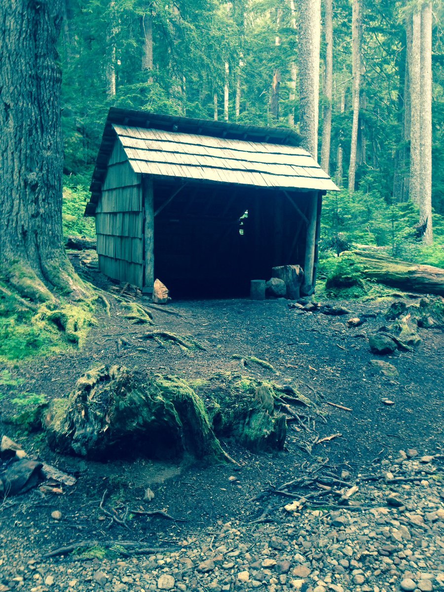
Government Meadow & Arch Rock
13.5 miles of hiking • 2250' elevation gain •
Hiked the Naches trail to Government Meadows & then from there took the PCT to Arch Rock. We only saw one person on the trail the entire day.
June 14, 2015


 1
1
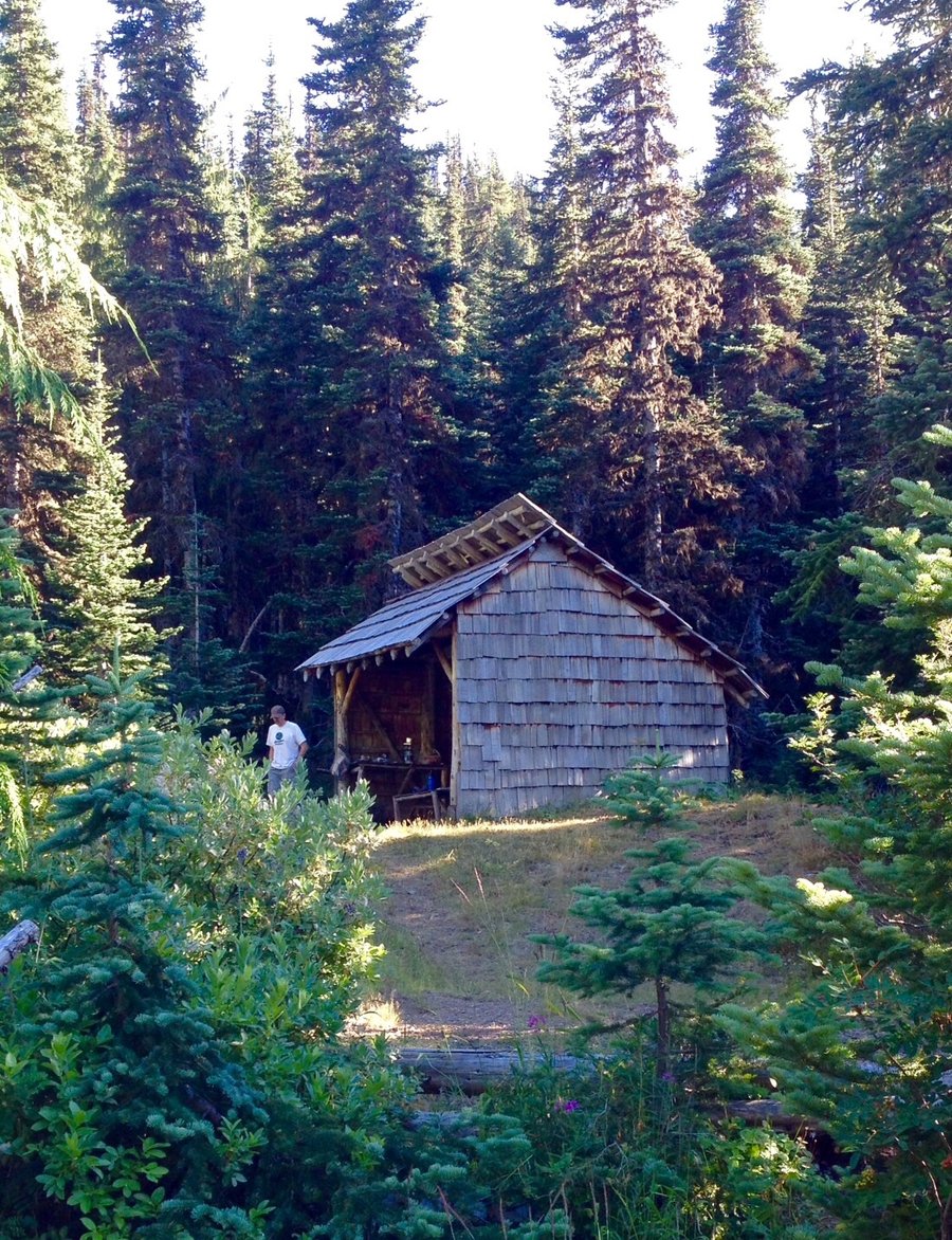
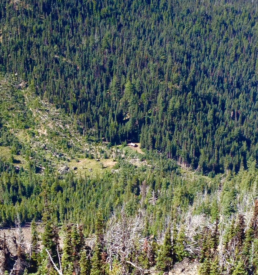
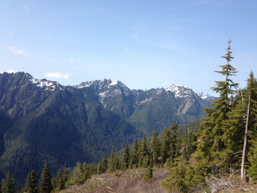
Klahhane Ridge & Heather Park-ONP
8 miles of hiking • 3250' elevation gain •
Switchback Trail to Victor Pass then hiked to Heather Park & along Klahhane Ridge as far as the overlook to Lake Angeles. Trail is completely snow free.
May 31, 2015


Silver Lake
11.82 miles of hiking • 3500' elevation gain •
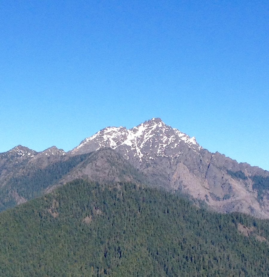
Beautiful alpine lake off the approach to Mt. Townsend.
May 17, 2015


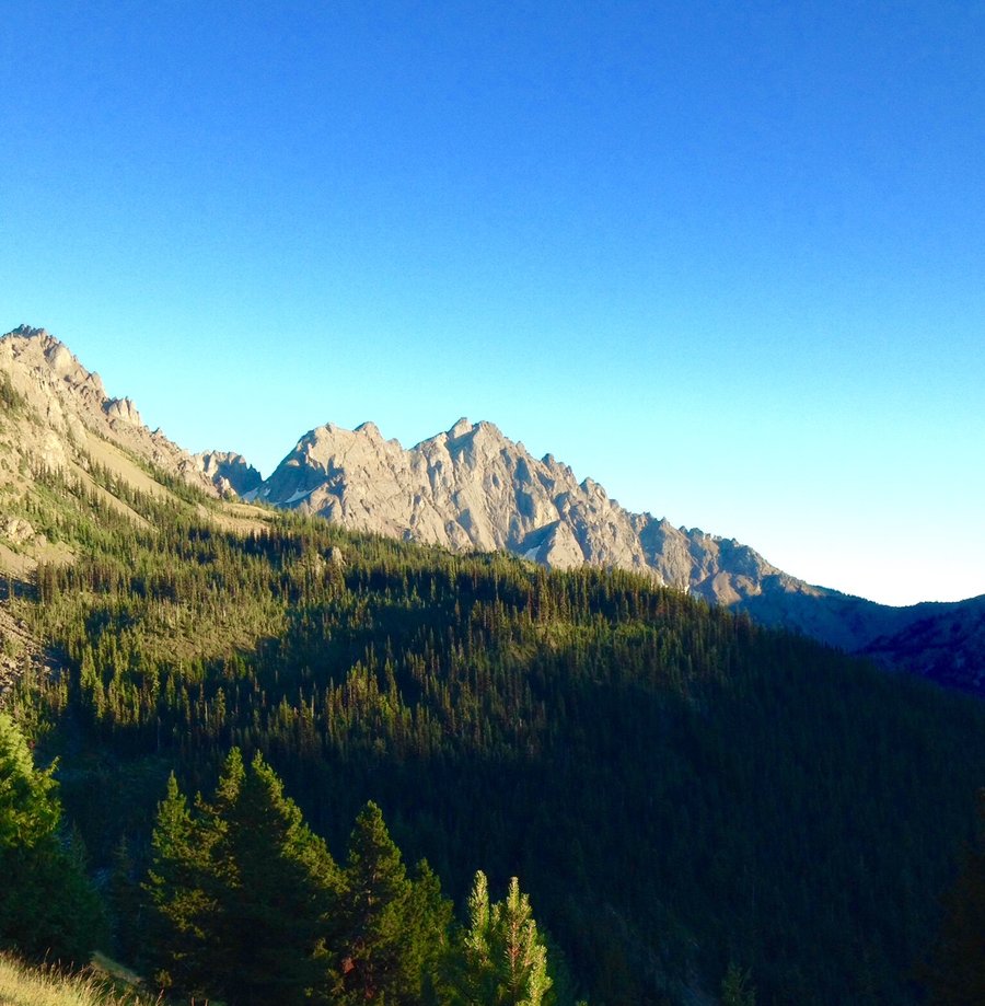
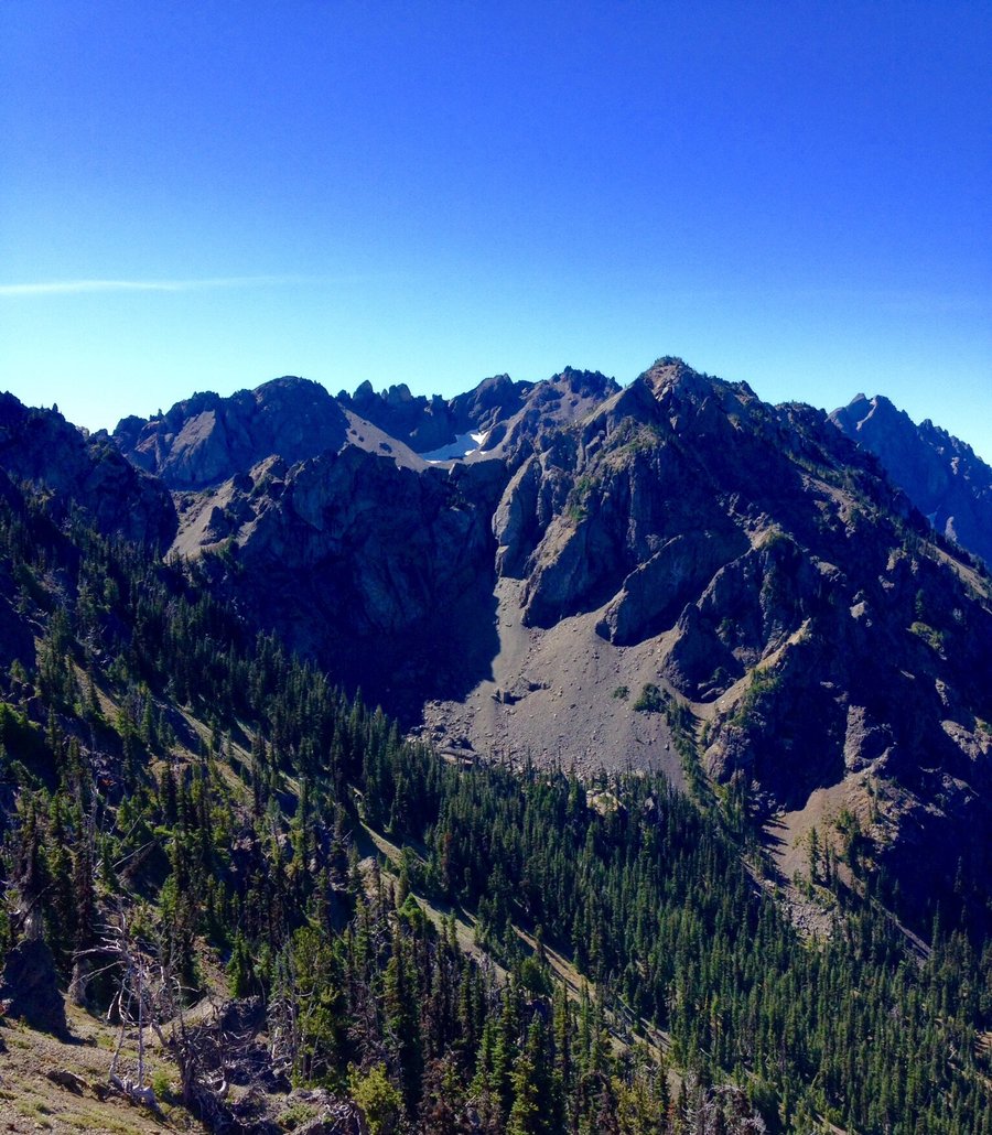
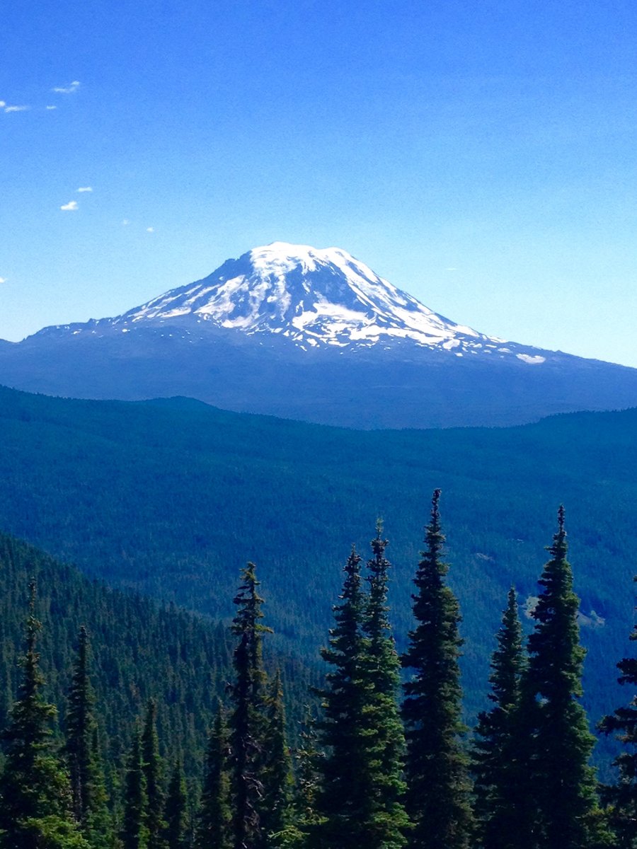
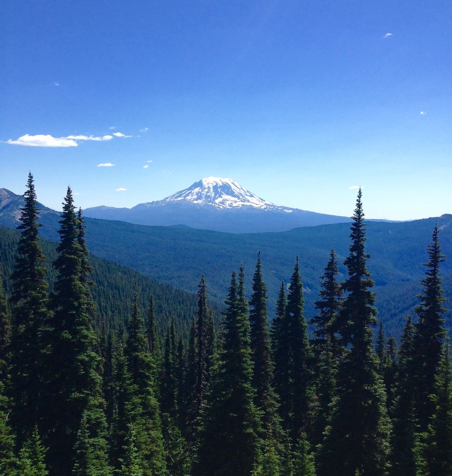
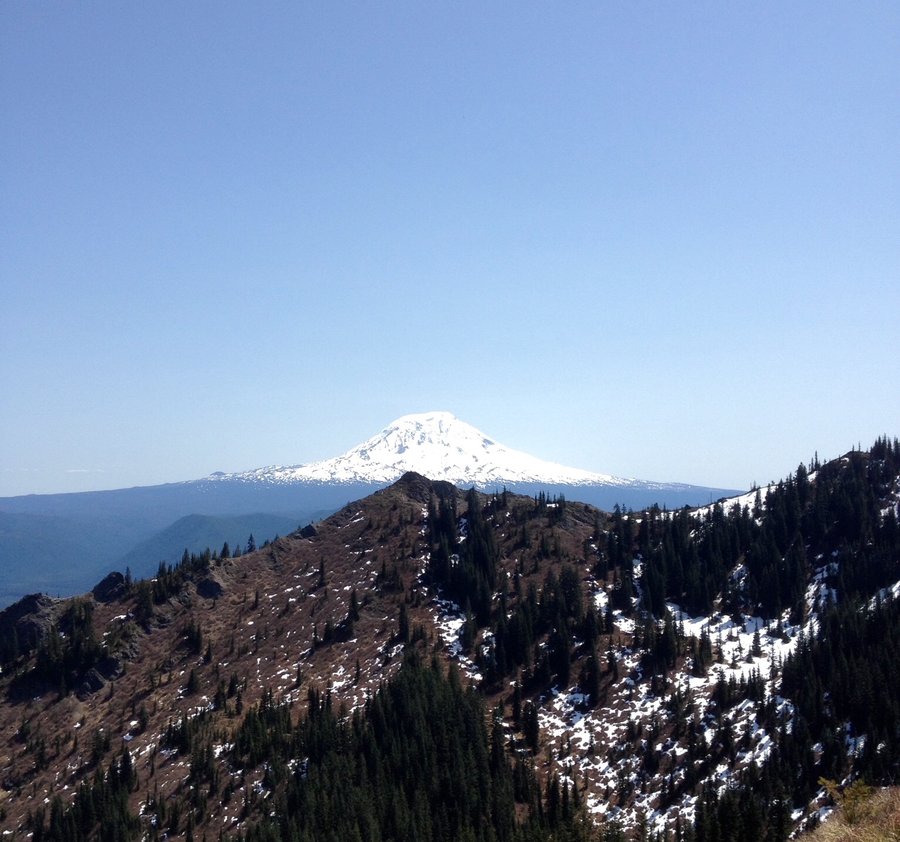
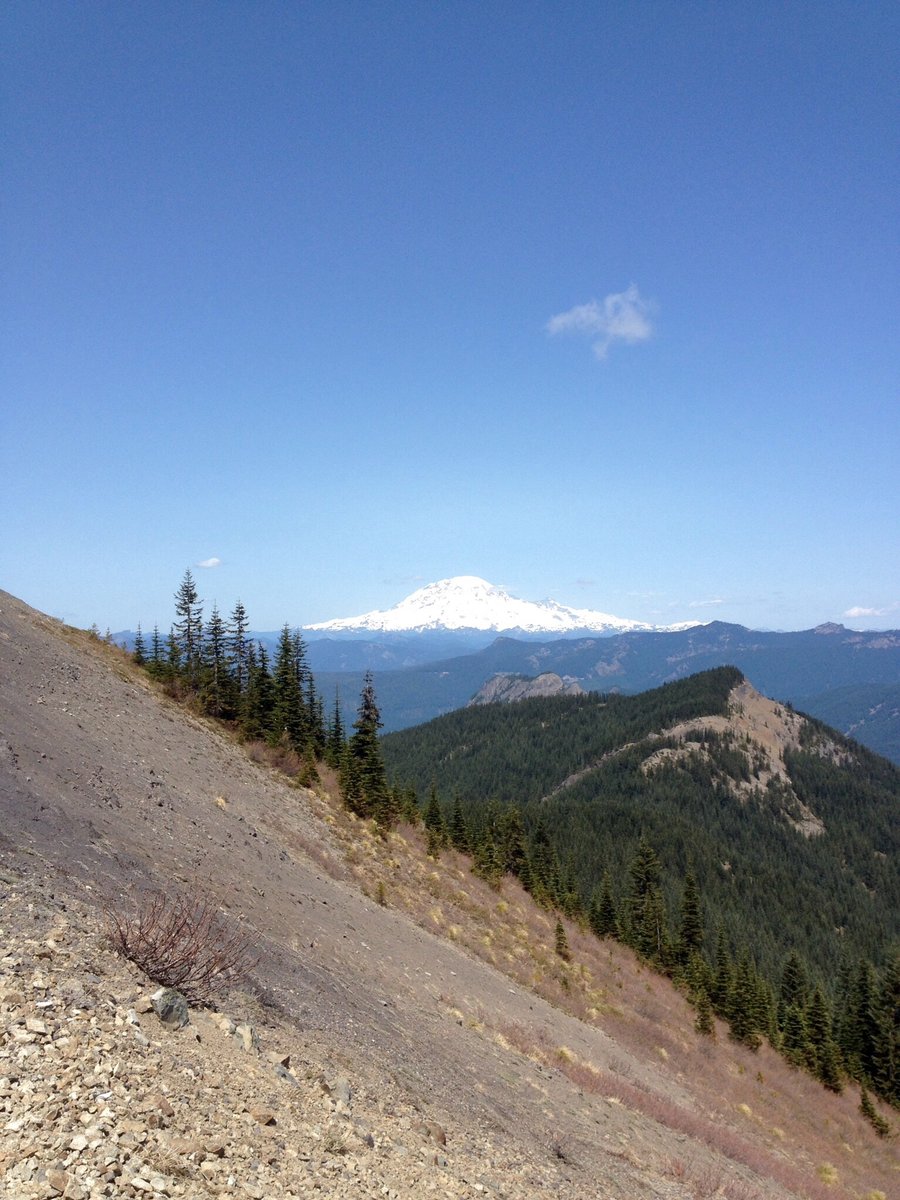
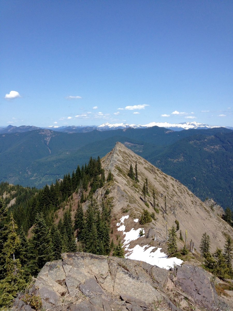
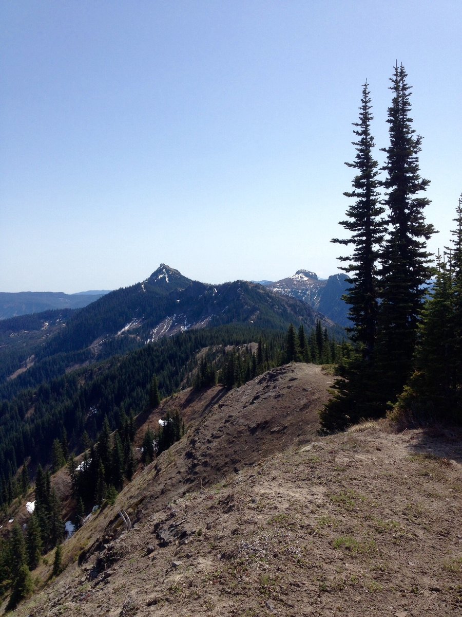
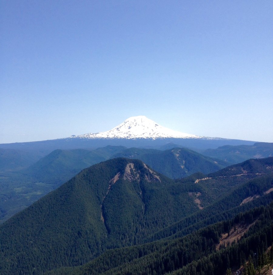
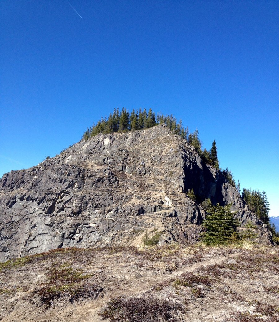
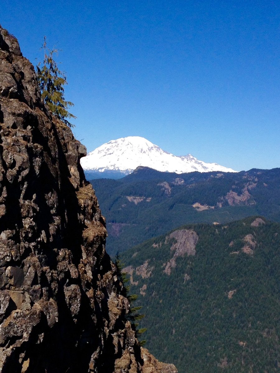
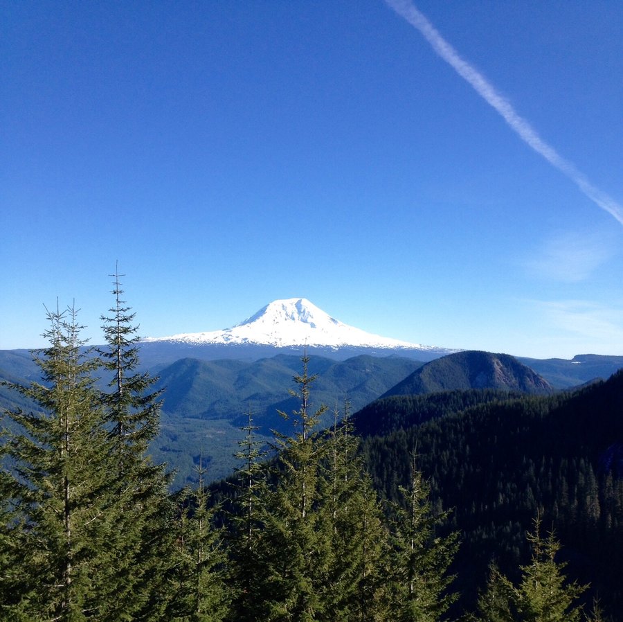
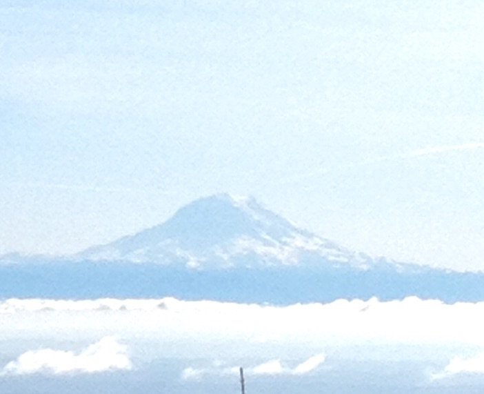
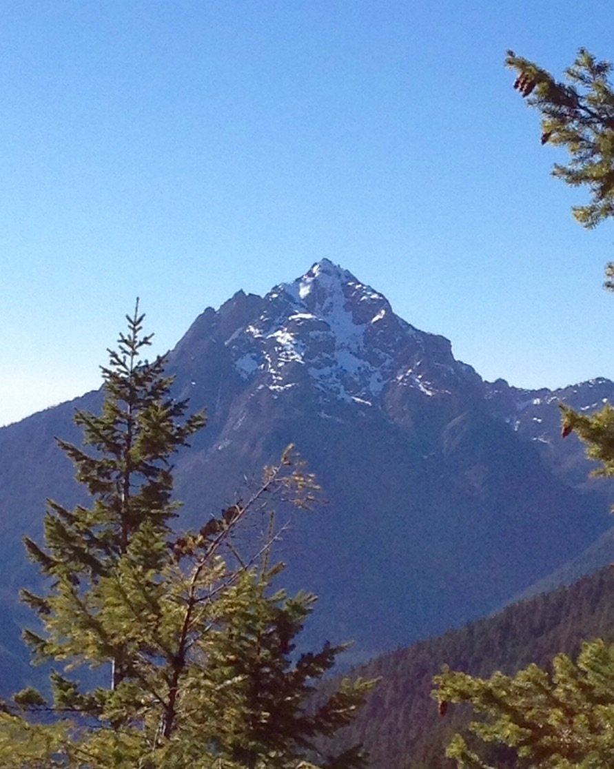
Juniper Ridge & Peak
7 miles of hiking • 2250' elevation gain •
Great ridge hike with the big 3 Washington volcano's clearly visible along with the peaks of the Goat Rocks.
May 3, 2015


 1
1
ONP-Flap Jack & Black & White Lakes
17.95 miles of hiking • 5250' elevation gain •
Staircase to Flap Jack Lakes to Black & White Lakes than a steep descent to Big Log Camp. Approx 3000' in 2.3 miles. Then back to Staircase. A little snow on the approach & descent from Black & White Lakes but nothing needing traction devices.
April 18, 2015


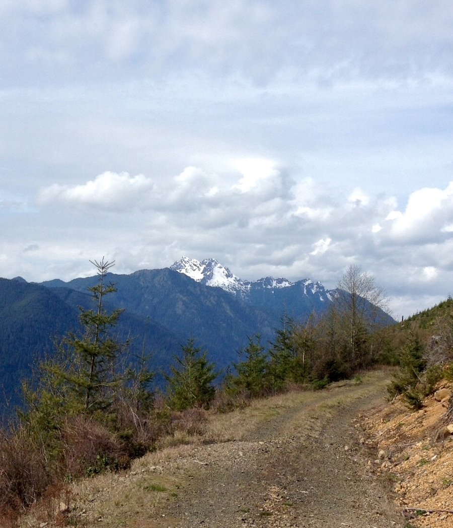
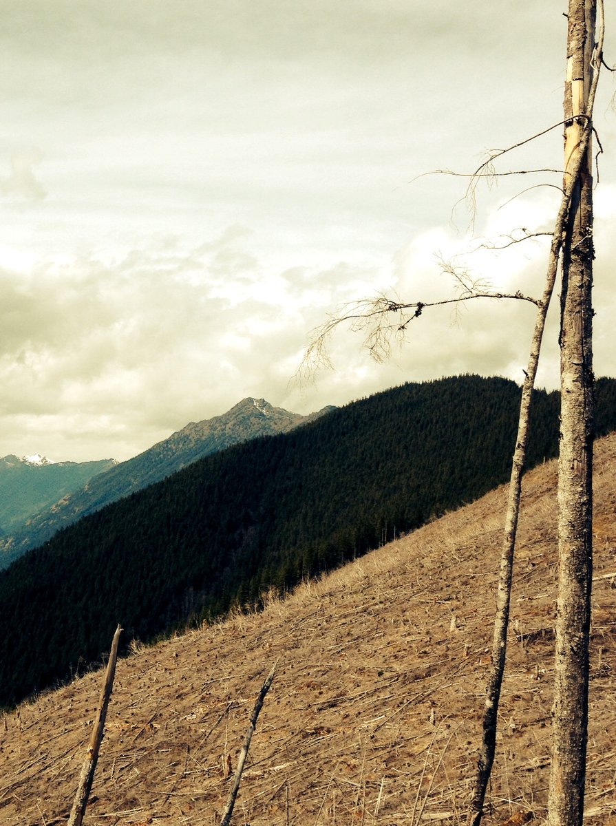
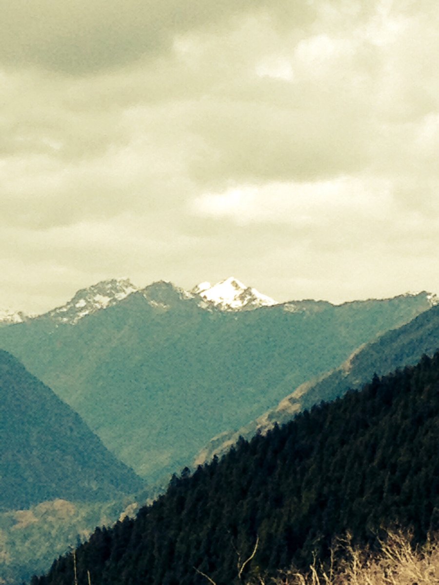
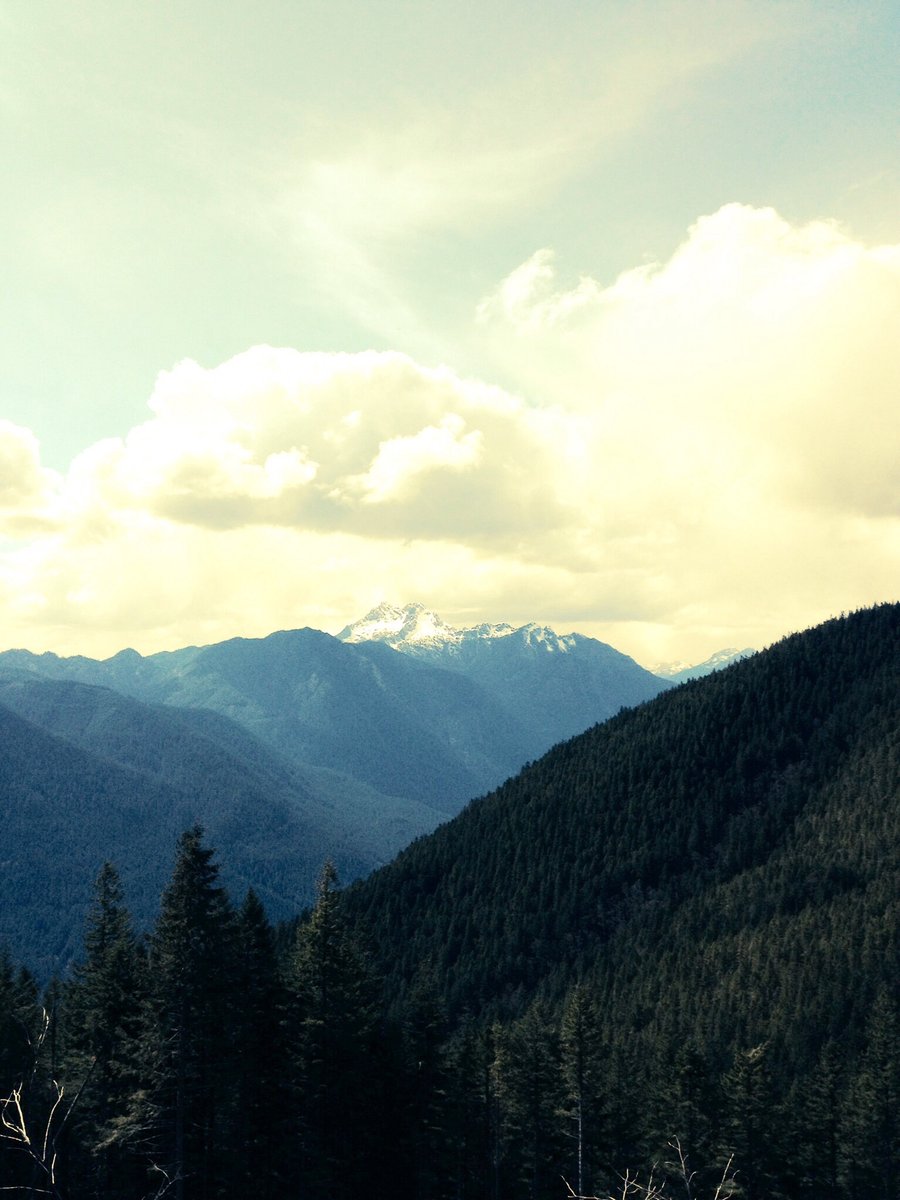
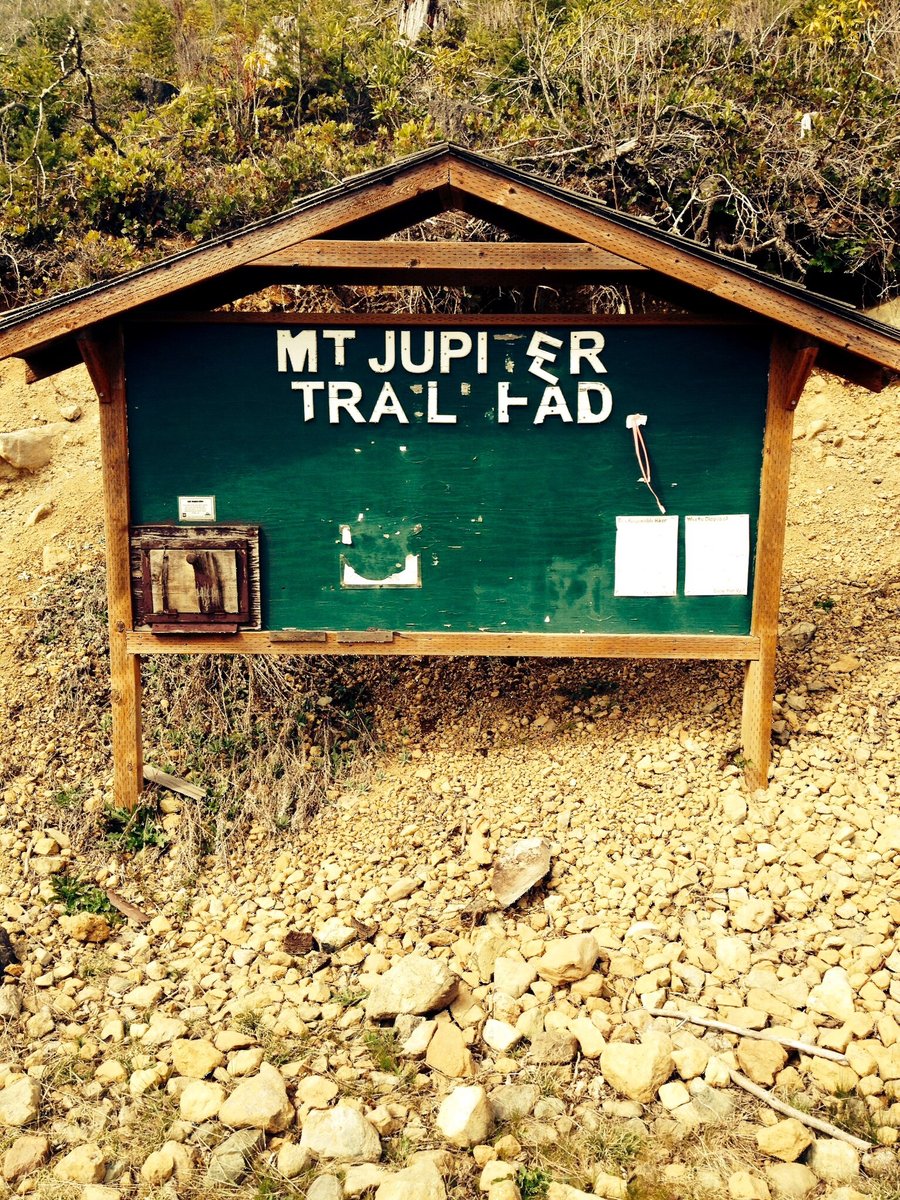
Mt. Jupiter
11.63 miles of hiking • 2750' elevation gain •
A hike up Mt. Jupiter used to be about 14.5 miles in length w/ an elevation gain of around 3500'. Due to the road now being gated prior to the TH the hike is now around 20 miles in length w/ a gain of a bit over 5000'. This was a recon hike to determine the state of the roadway to the TH and to determine if one could either bicycle or even ride a dirt bike from the gate up to the TH.
April 5, 2015


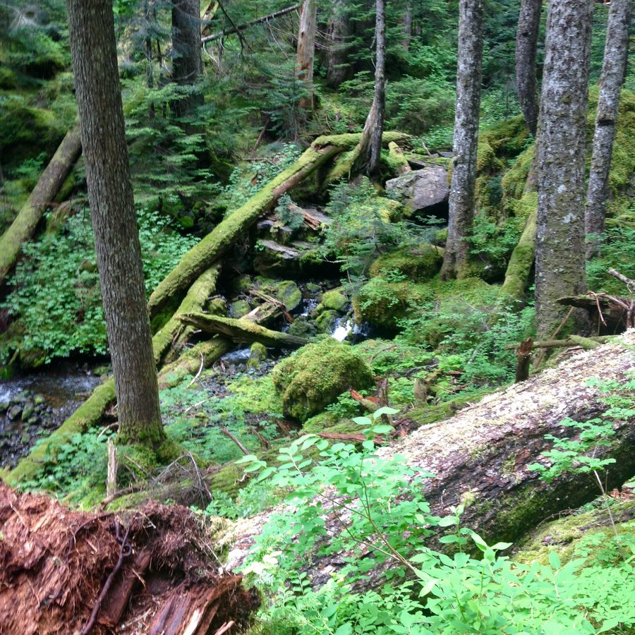
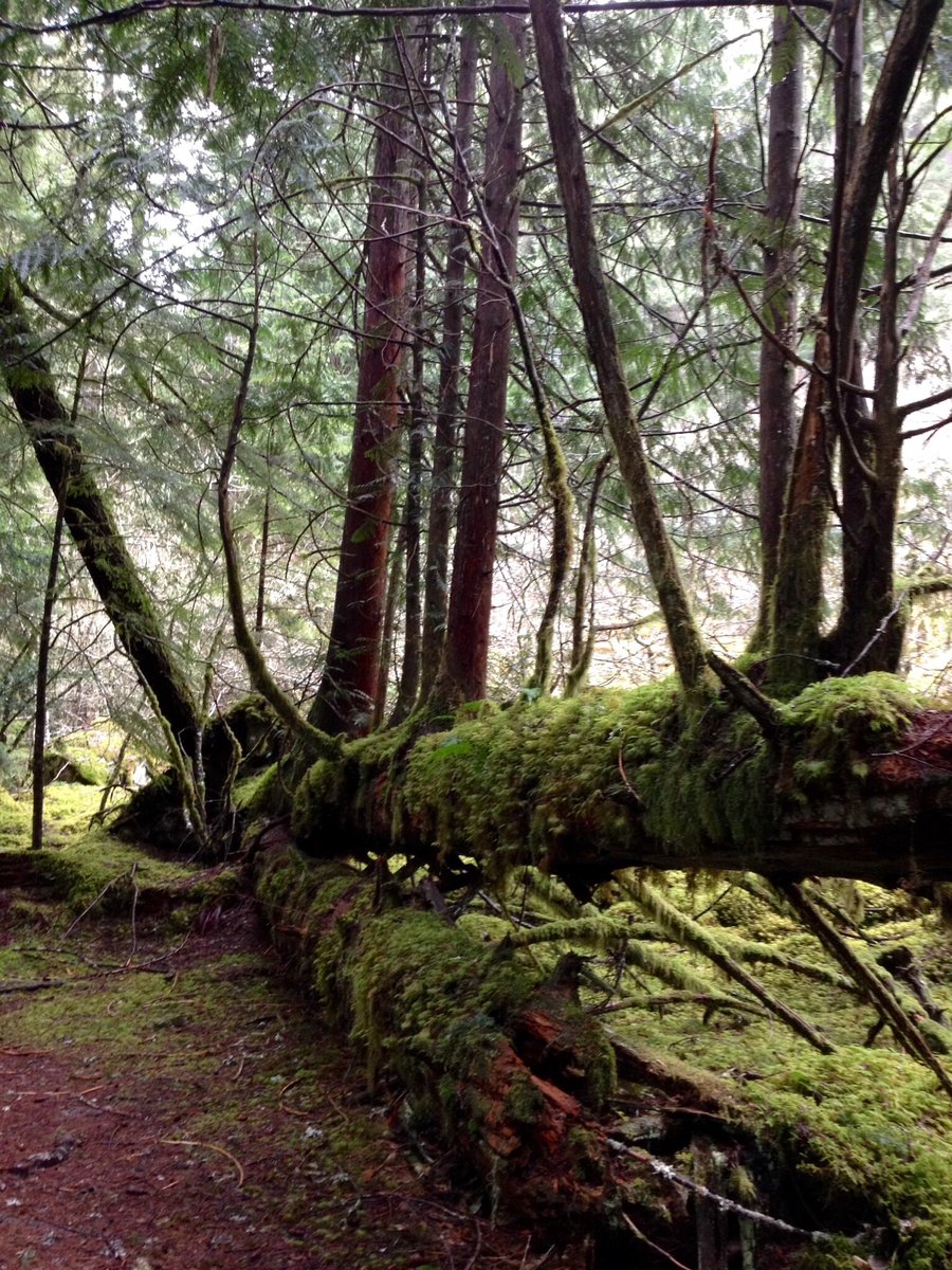
Lower South Fork Skokomish River
10.19 miles of hiking • 1750' elevation gain •
Nice rainy day hike in the Olympics.
March 22, 2015


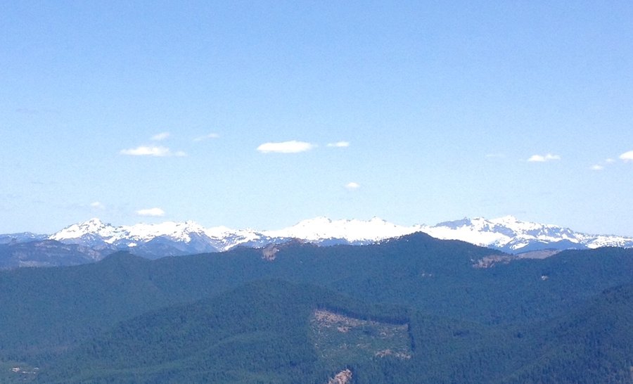
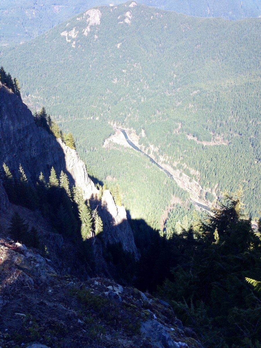
Tongue Mtn. & Juniper Ridge
8.5 miles of hiking • 2750' elevation gain •
Picture perfect weather. A bit of a scramble to reach the summit of Tongue but nothing to technical. Road to TH completely clear w/ no issues.
March 8, 2015


Suntop Peak
13 miles of hiking • 3500' elevation gain •
Excellent views. Clear enough to see some of the Olympic range.
February 22, 2015


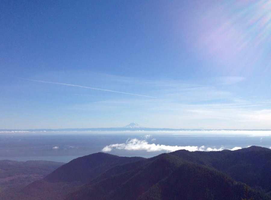
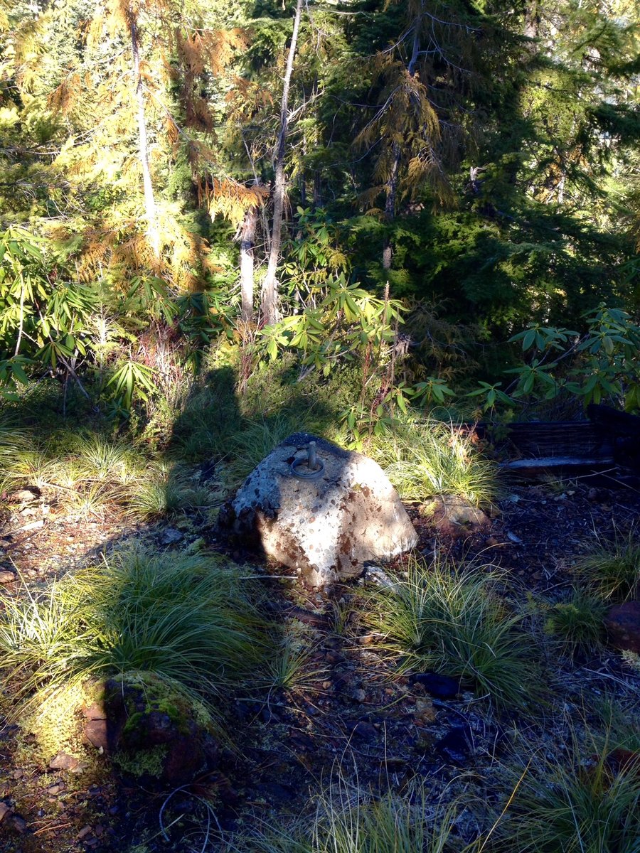
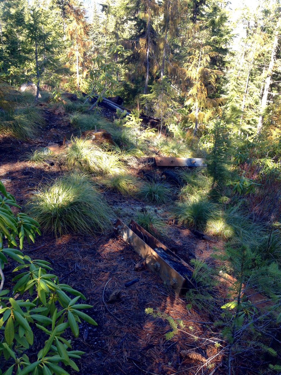
Jefferson Ridge & Elk Lake
7.25 miles of hiking • 2500' elevation gain •
Jefferson Ridge is a short but steep hike to a former fire lookout site. The remains of the old lookout are present. The FS road to the trailhead is very rough & a high clearance 4 x4 is recommended. Elk Lake was a pleasant hike but I found the lake to be unimpressive.
February 15, 2015


February 8, 2015

 1
1
Mt. Townsend
7.82 miles of hiking • 2750' elevation gain •
Took advantage of the high snow levels and warm weather to hike to the top of Townsend.
January 25, 2015


January 17, 2015

Camp Sheppard to Little Ranger Peak
10.42 miles of hiking • 2000' elevation gain •
Drizzly, foggy hike. Ms. 'P' the wonder dog probably ran for 20+ miles. The snow which was present on January 1st is gone.
January 11, 2015


 1
1
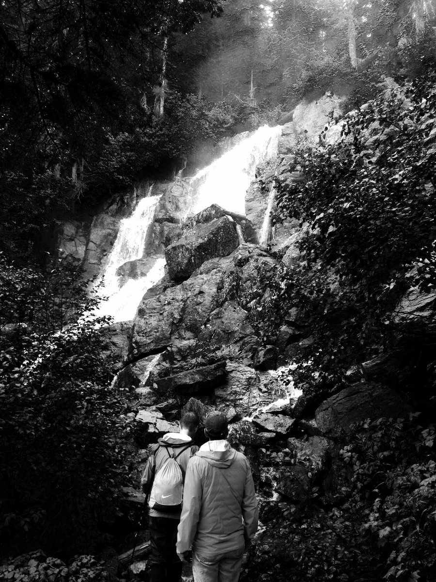
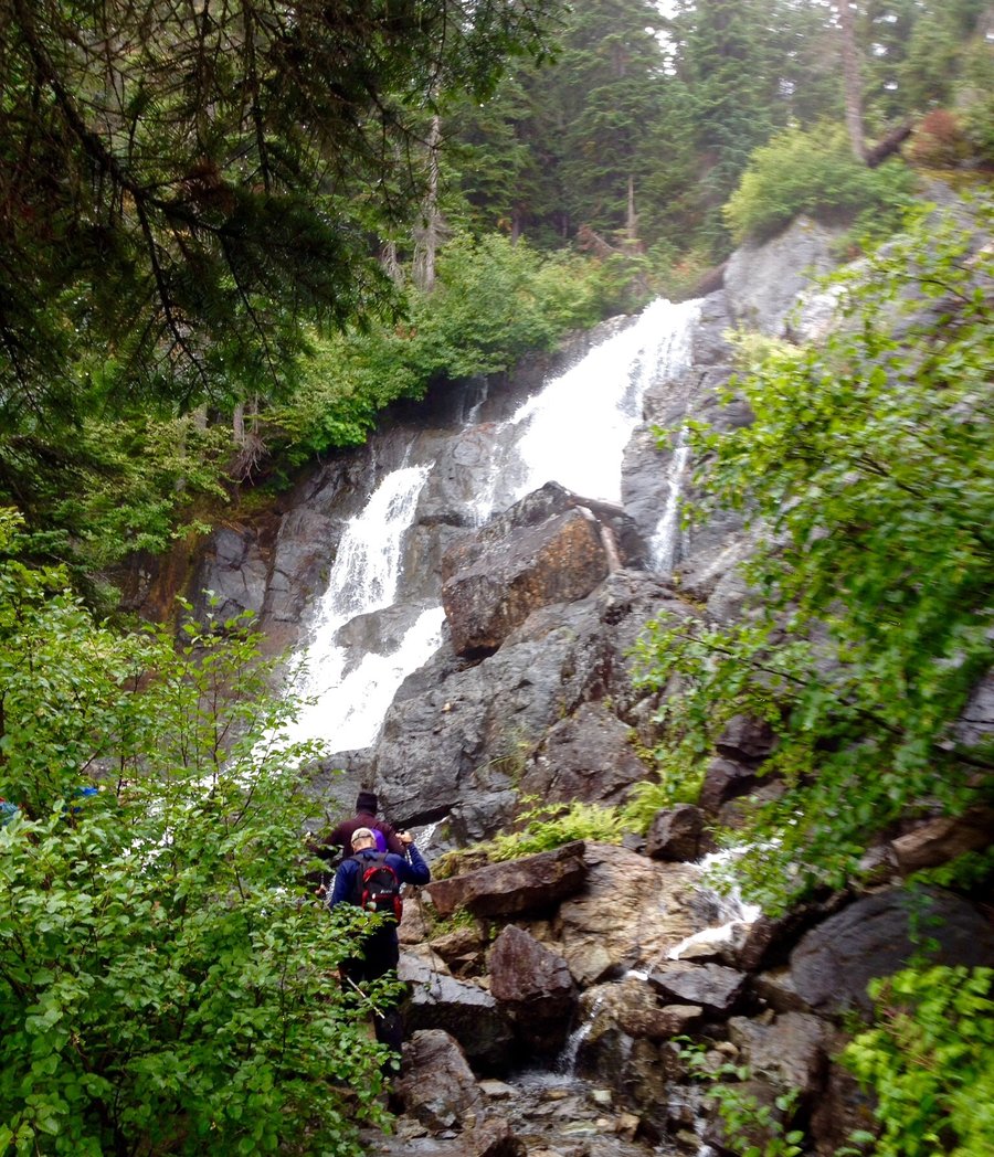
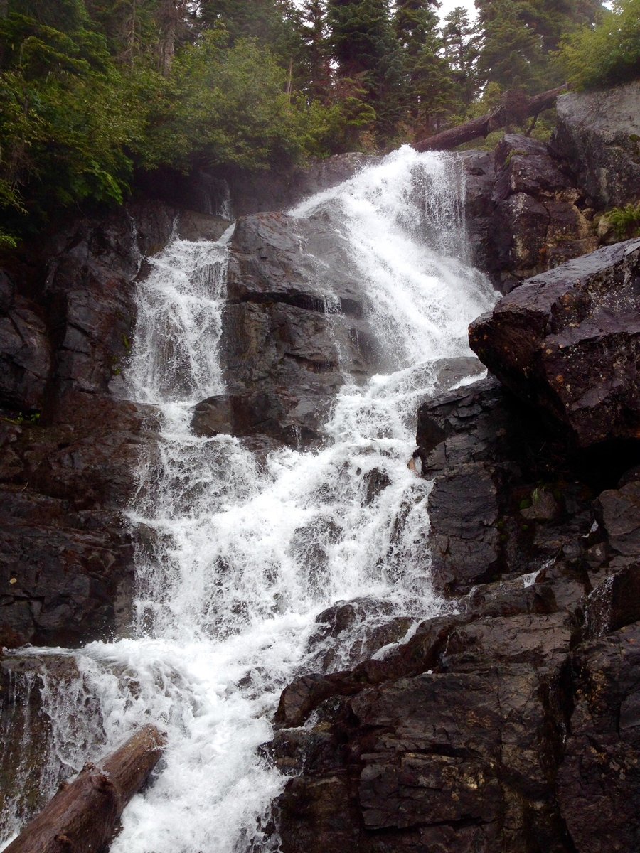
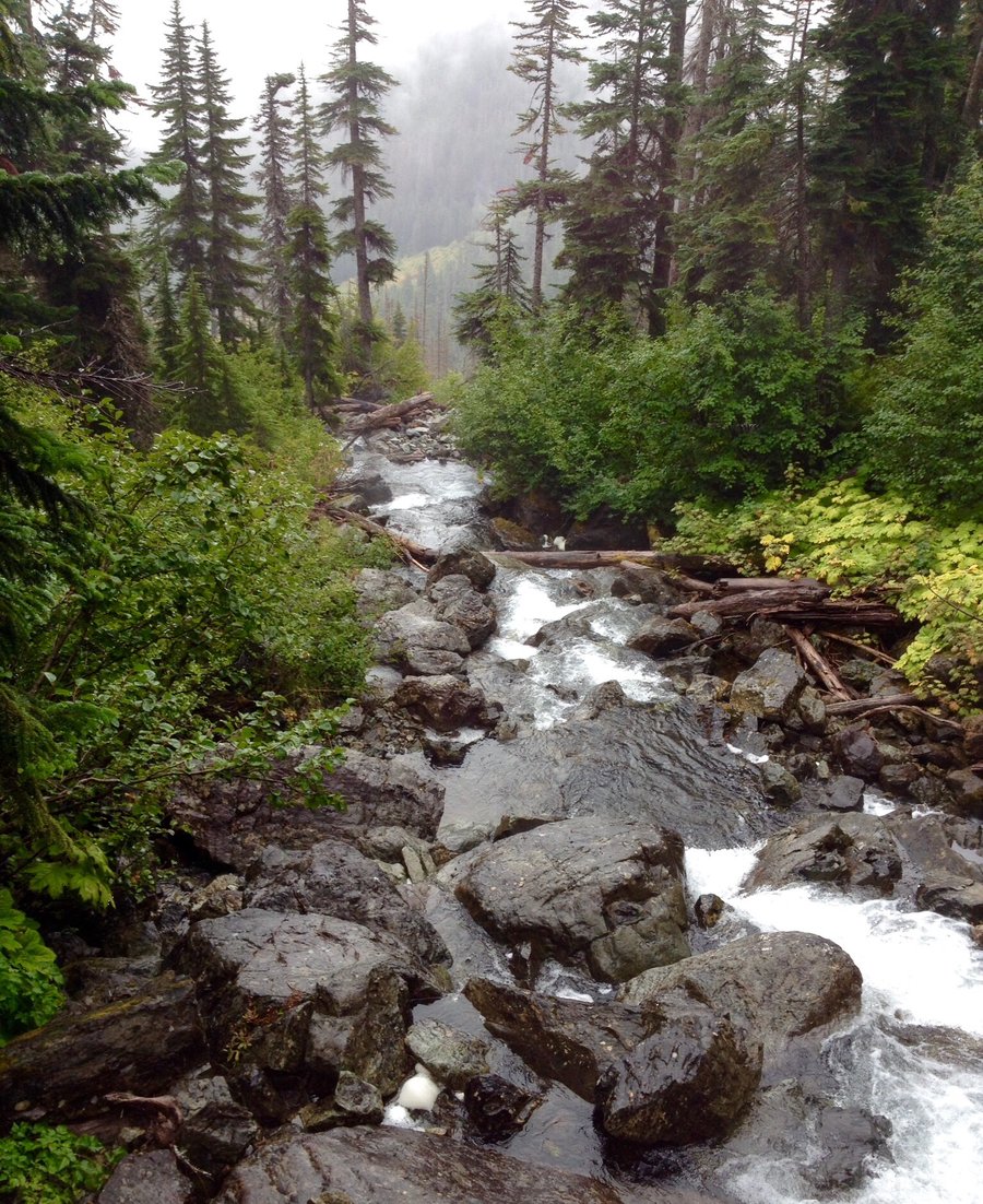
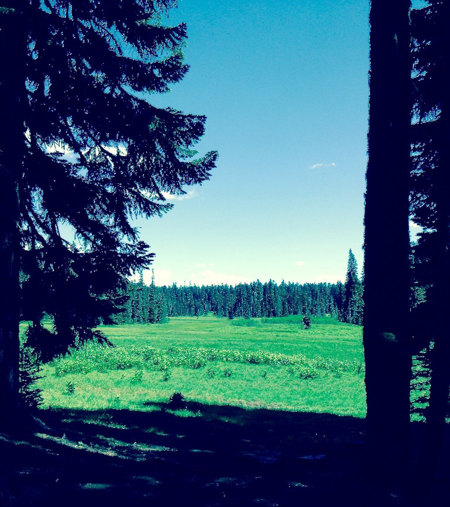
Snoquera Falls
5.08 miles of hiking • 1250' elevation gain •
Short family hike to start the New Year. More snow than expected but no traction devices needed.
January 1, 2015


View trips from: 2012 2013 2014 2016 2017 2018 2019 2020 2021 2022