


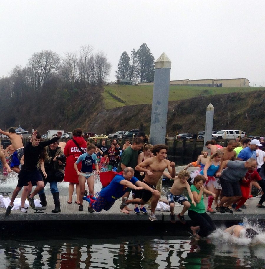
2014 Trips


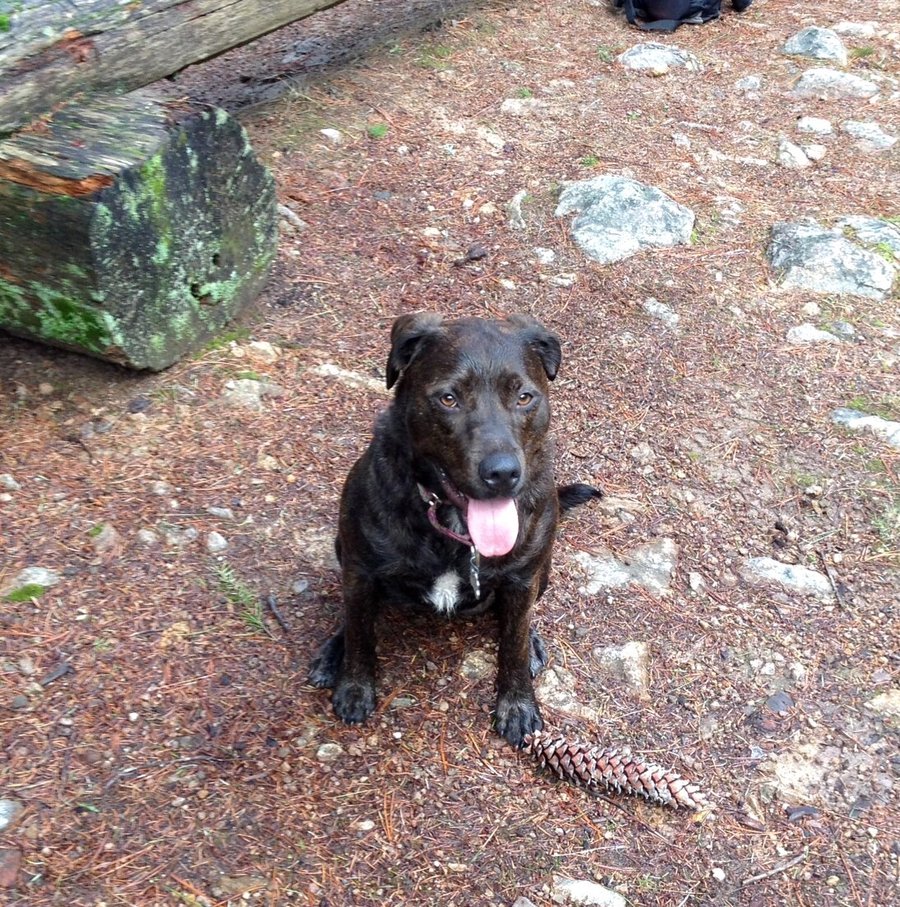


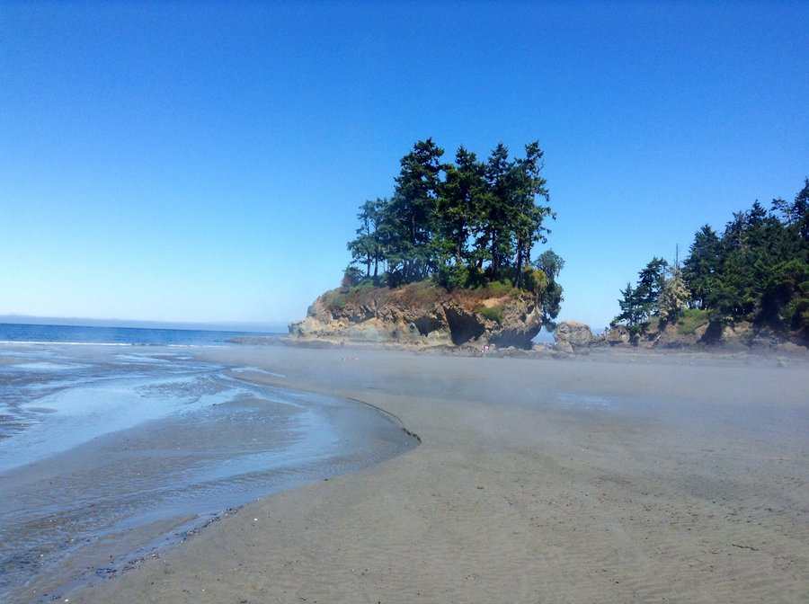
Pt. Defiance
5.29 miles of hiking • 1000' elevation gain •
Adopted a rescue dog a couple of weeks ago & am in the process of training her as a hiking partner. After some leash time on the trails we hike over to the dog park for some socializing.
December 13, 2014


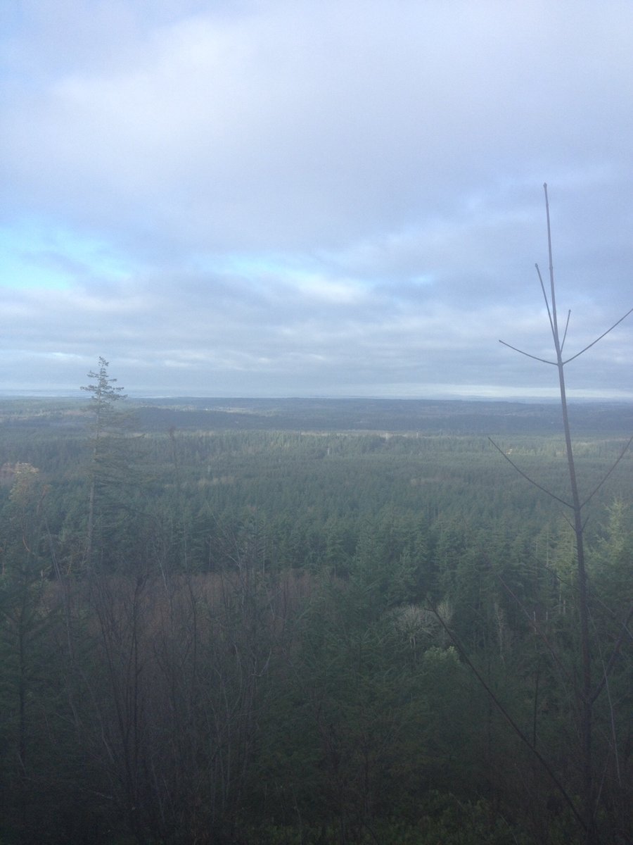
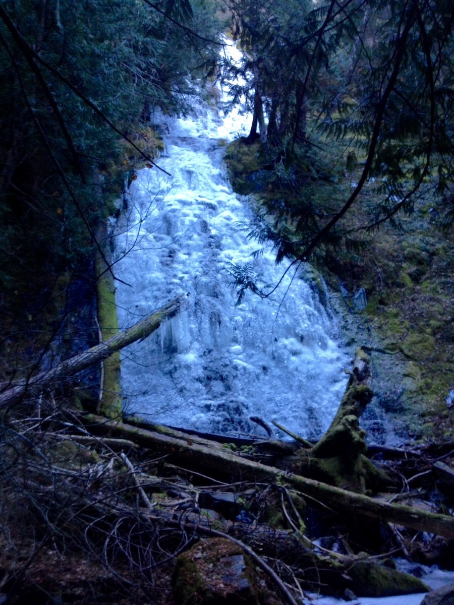
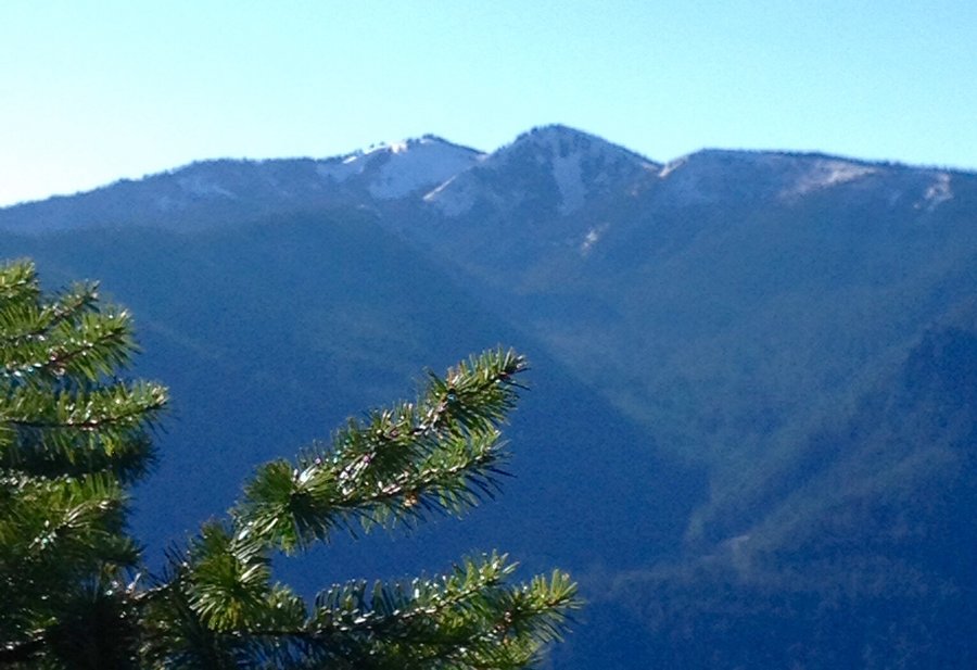
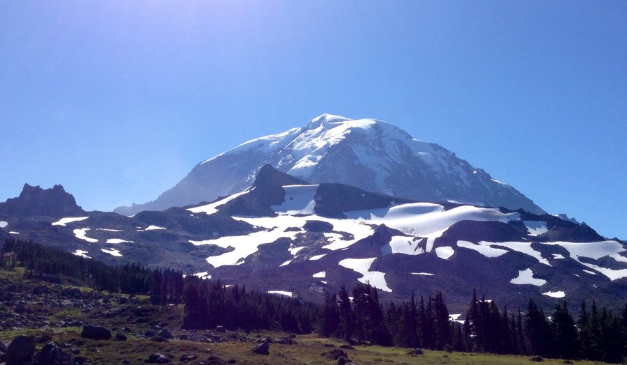
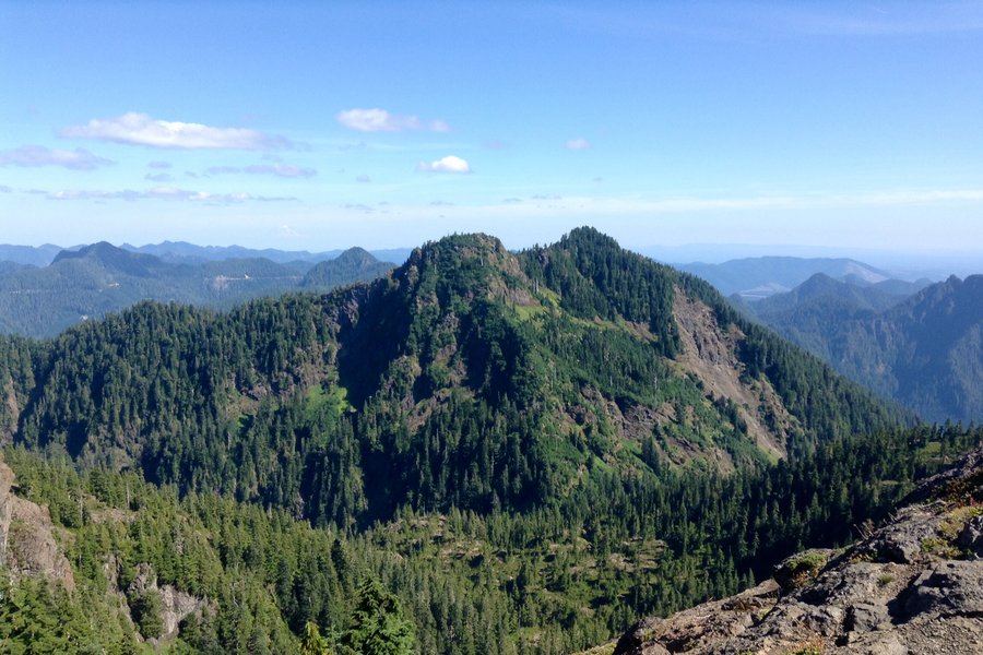
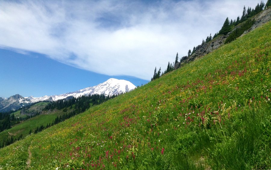
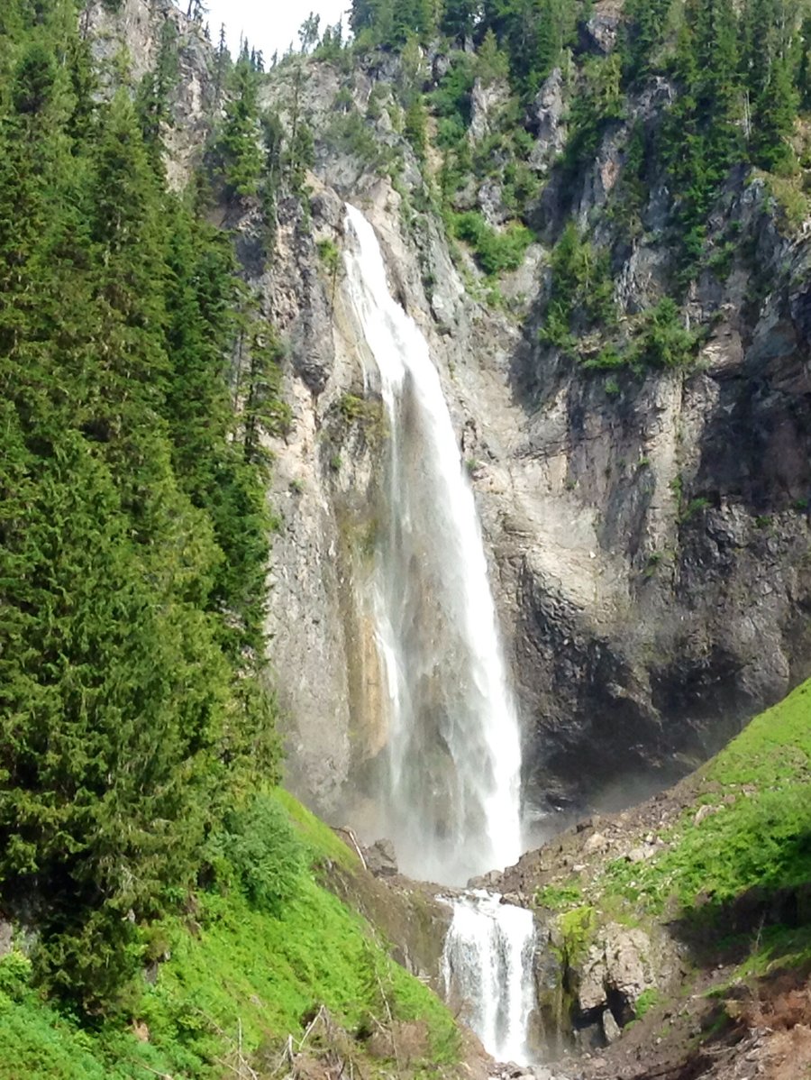
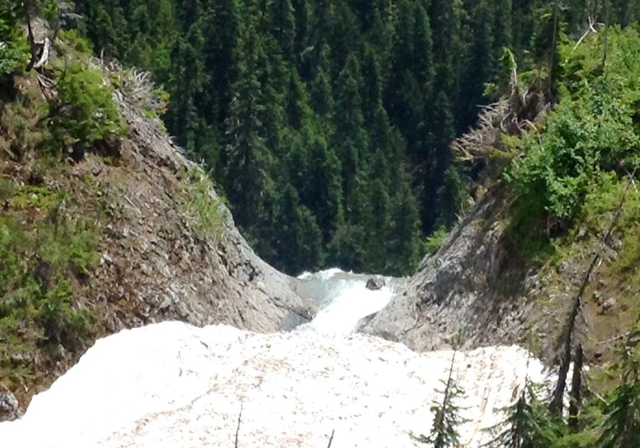
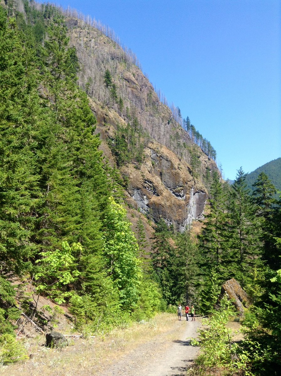
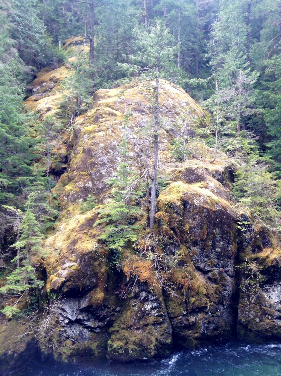
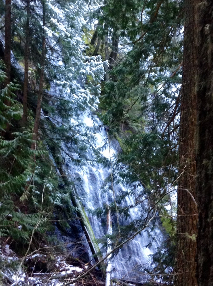
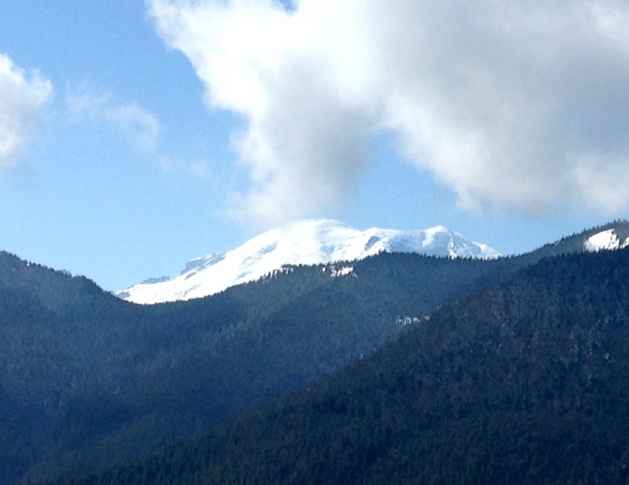
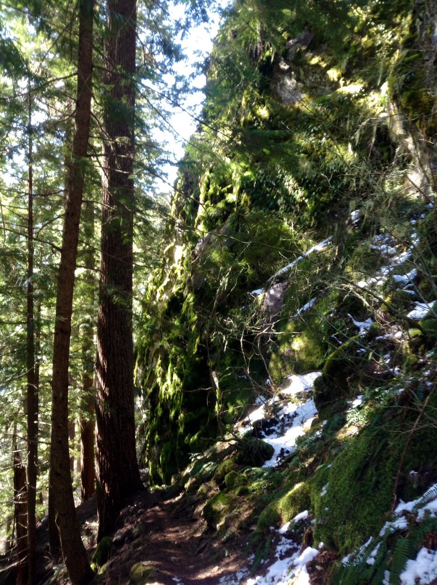
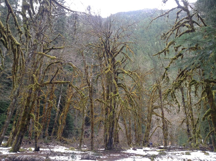
Palisades-Dalles Ridge Loop
14.61 miles of hiking • 3500' elevation gain •
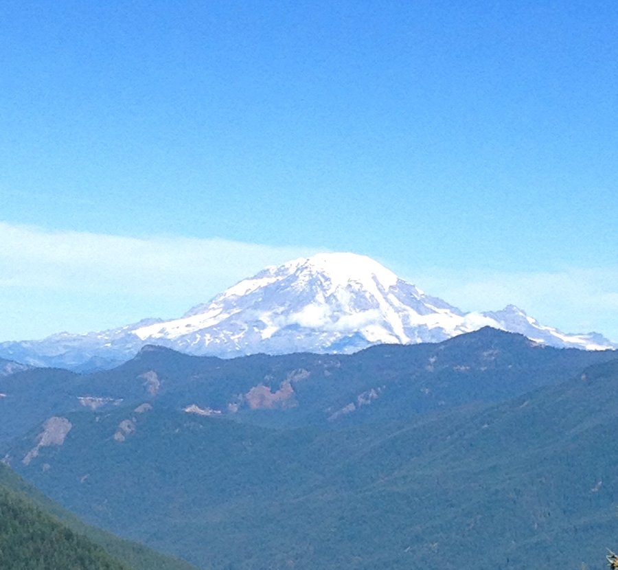
Quite Nippy @ the TH, 21 degrees. The main waterfall was even frozen over. I have always wanted to hike this loop and with the cooperative weather, today was the perfect day for it. Nice views of Rainier and the surrounding countryside.
November 15, 2014


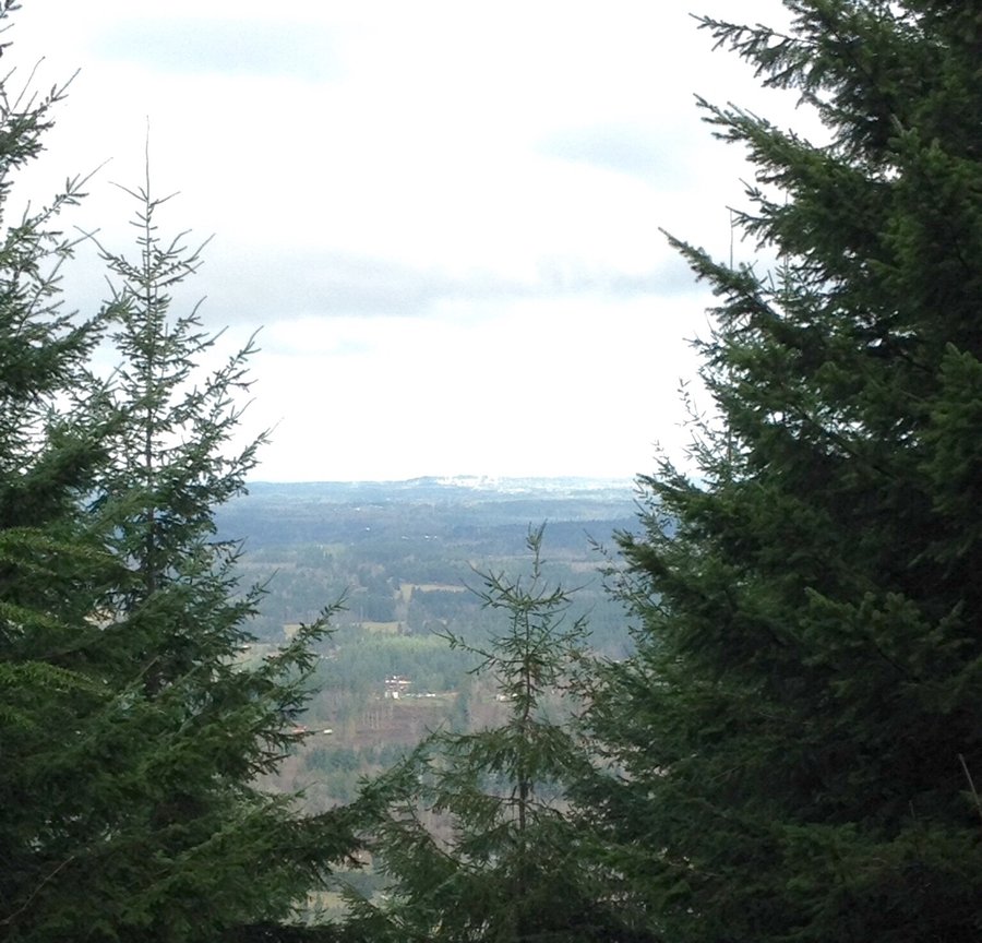
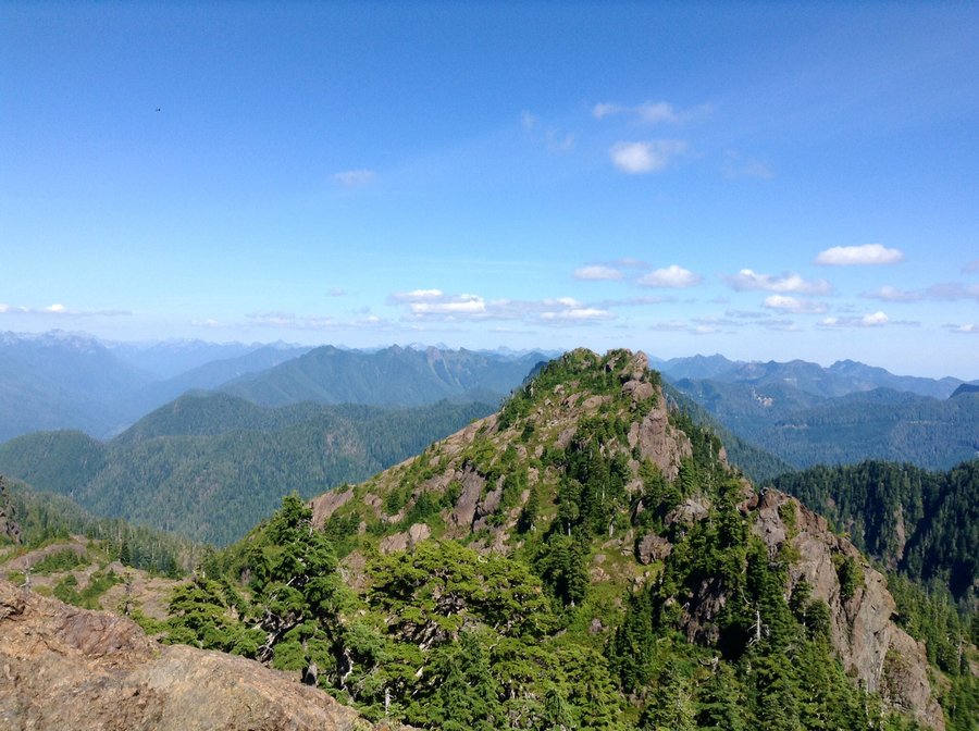
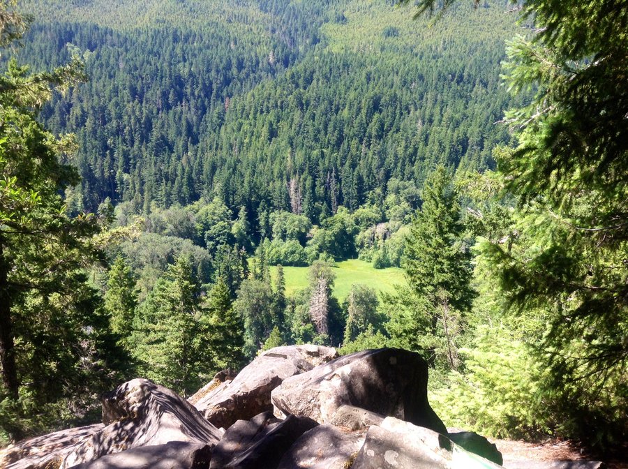
Palisades
9.74 miles of hiking • 2500' elevation gain •
Hiked to the 3rd viewpoint. No views due to low clouds & fog.
November 1, 2014


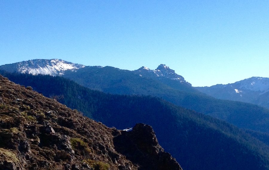
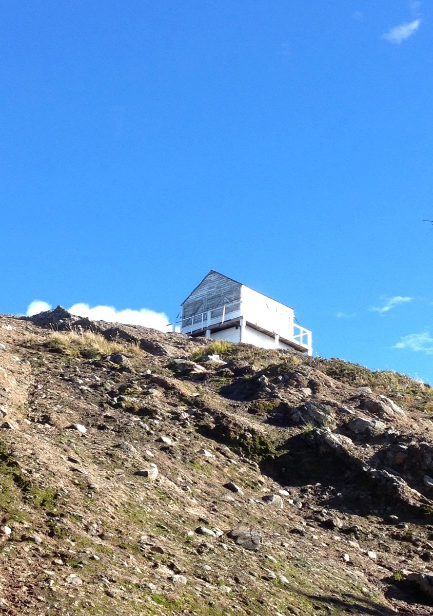
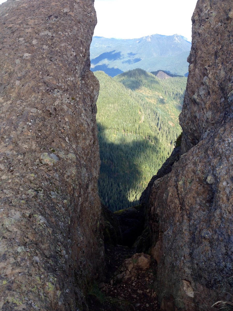
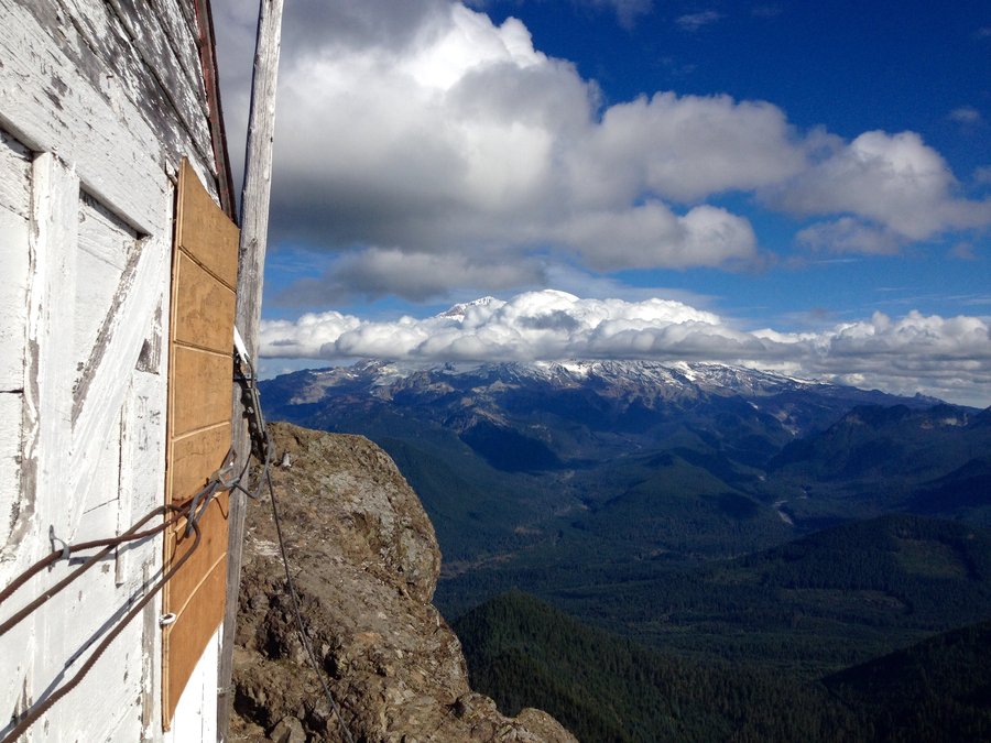
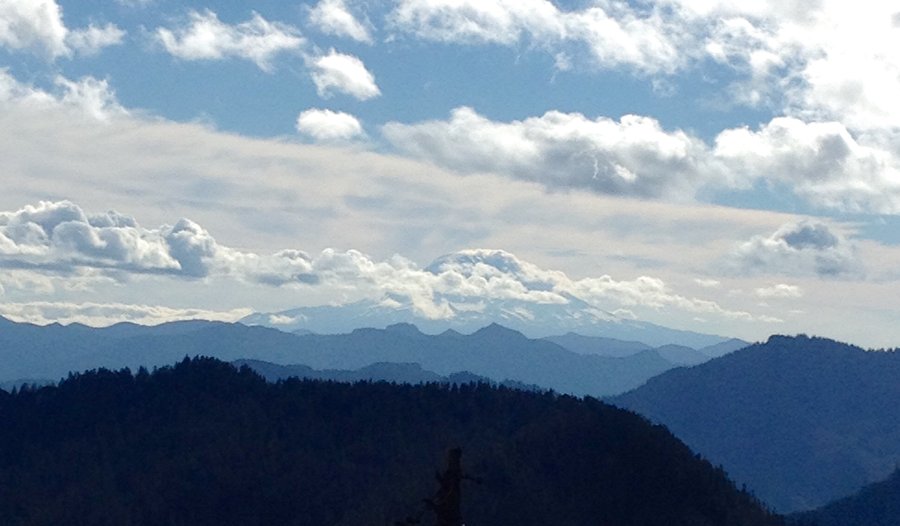
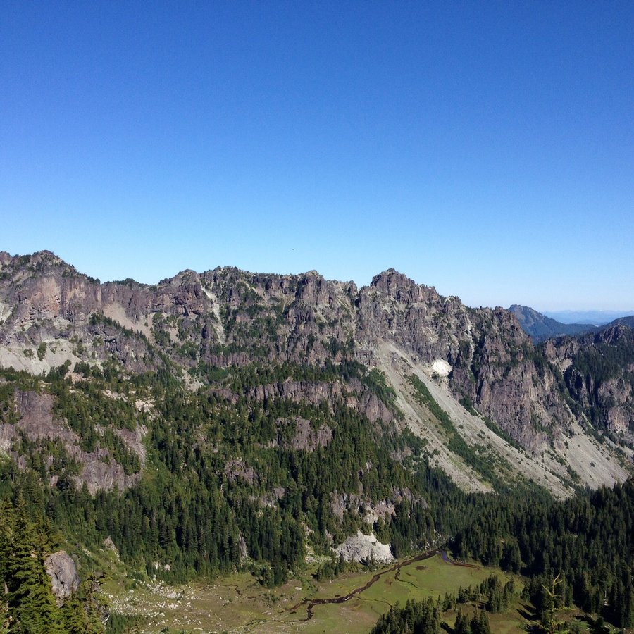
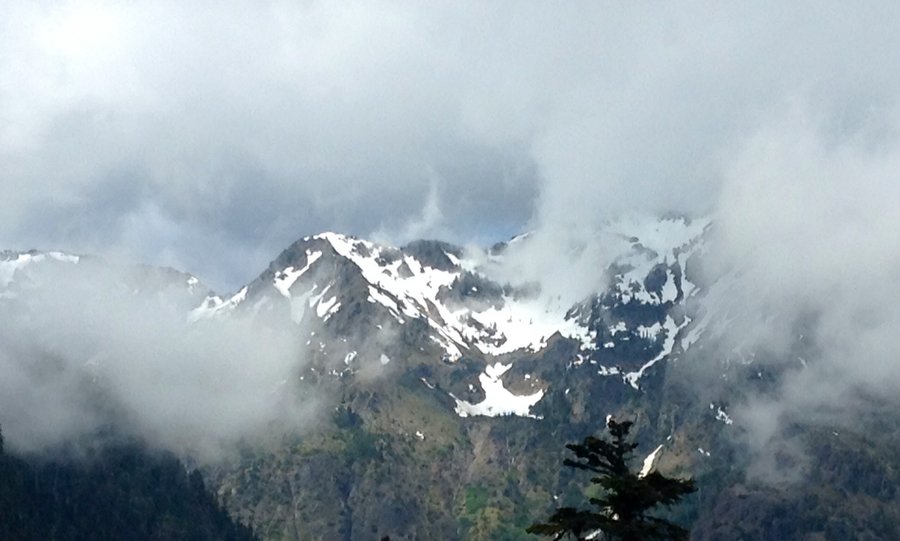
High Rock Look Out & Mt. Beljica
7.4 miles of hiking • 2500' elevation gain •
High Rock Lookout Tower remains standing. My. Beljica was a lookout spot but had no building. It did have at one time a tool shed which contained a telephone located approx. 100' below the summit. Views from both were expansive but the 2 big Mtns, Ranier @ Adams, were mostly cloud covered.
October 19, 2014


 2
2
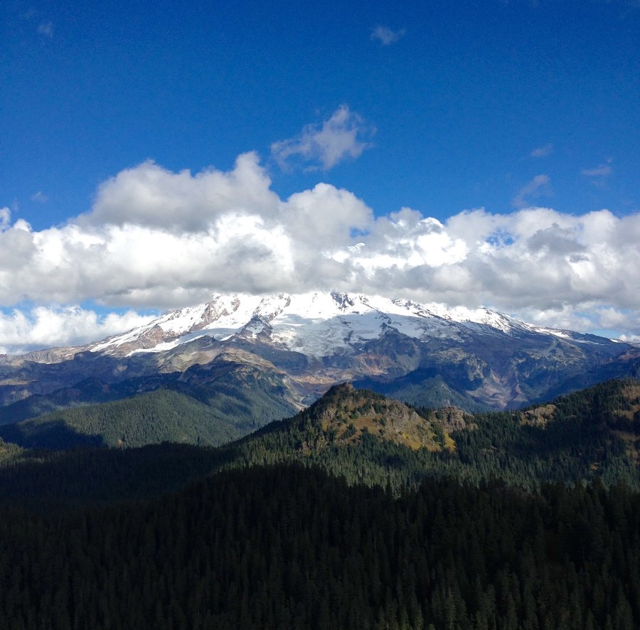
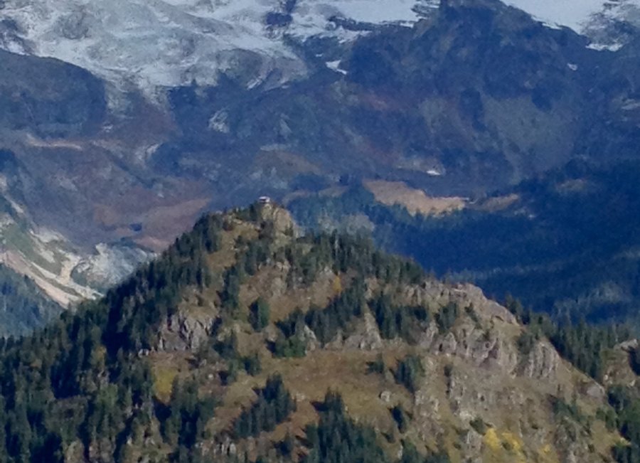
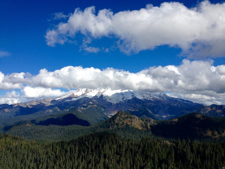
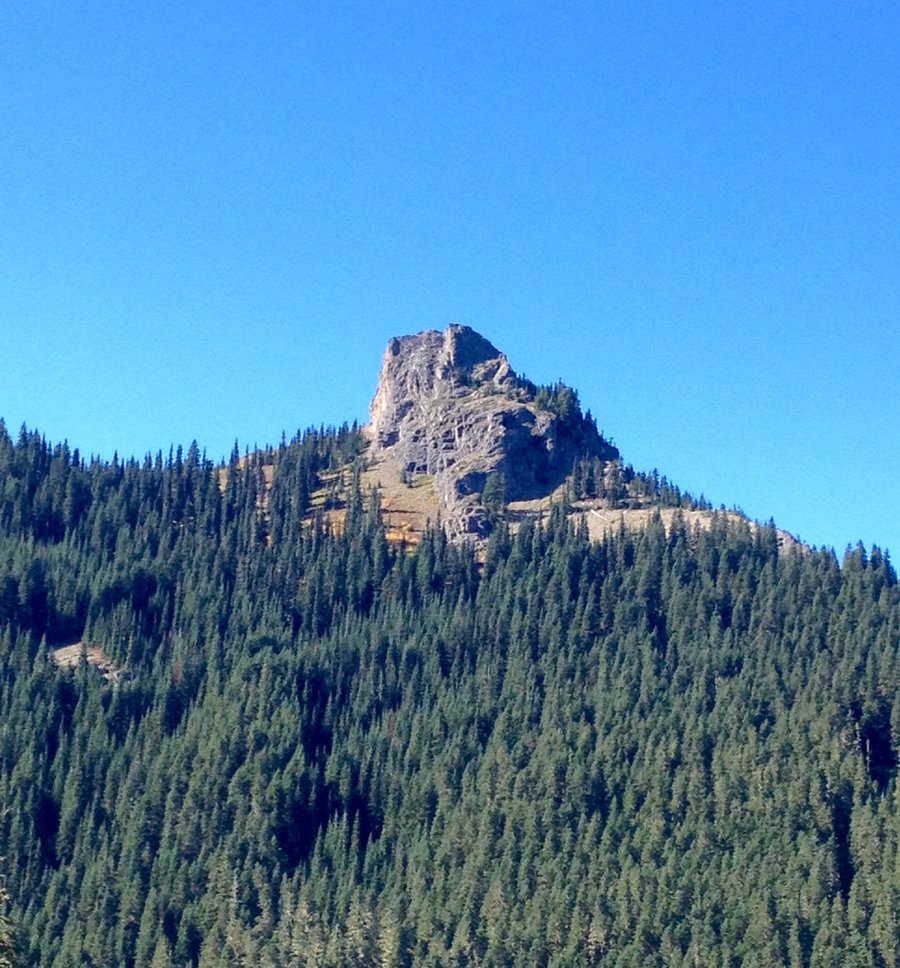
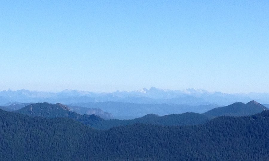
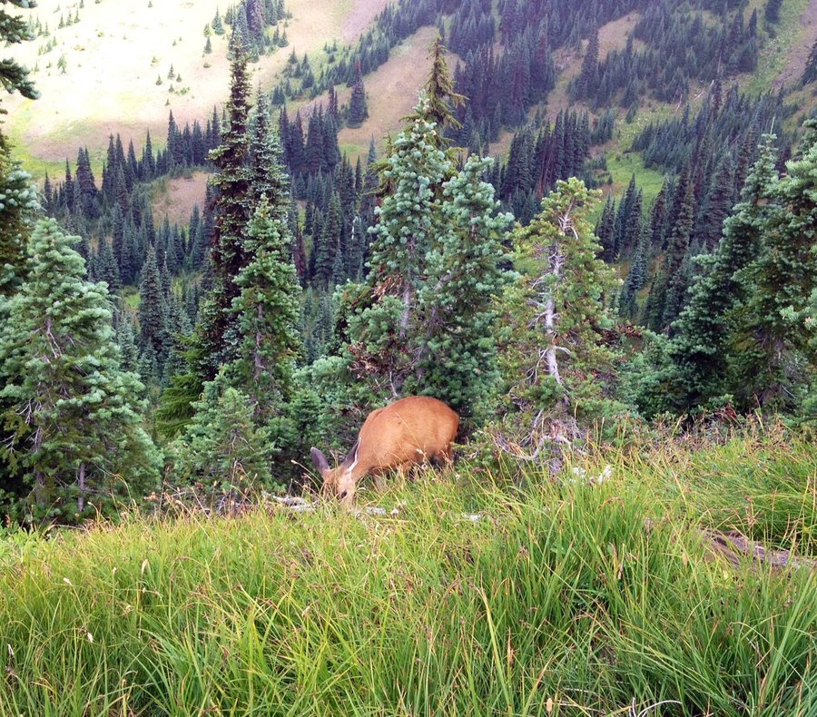
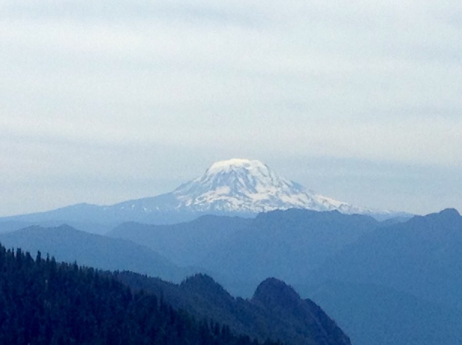
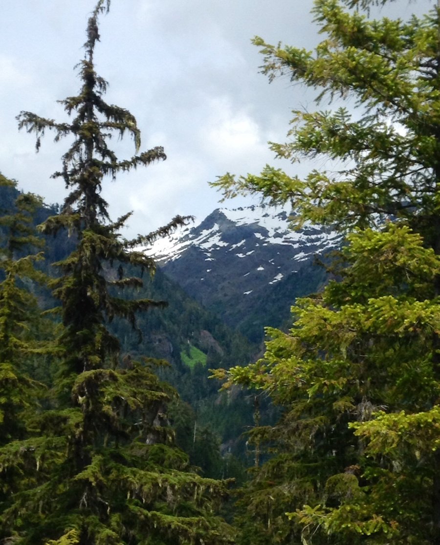
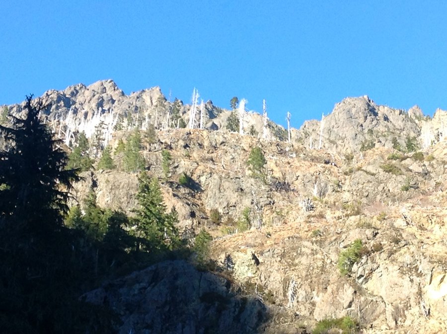
Sunrise & Jumbo Peaks-Gifford Pinchot National Forest
8.24 miles of hiking • 3000' elevation gain •
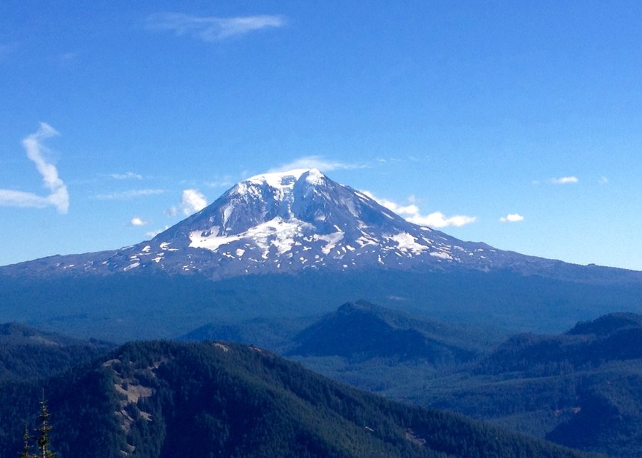
Great views from both peaks, especially Sunrise with Rainier, Adams, St. Helens & Hood clearly in view. Sunrise peak used to be home to a fire watch tower & remnants of the old tower remain evident. This trail is used also by motorcycles so the trail it is quite rutted but we saw only one group of motorcycles the entire day.
October 5, 2014


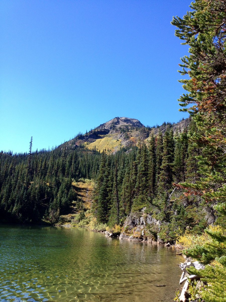
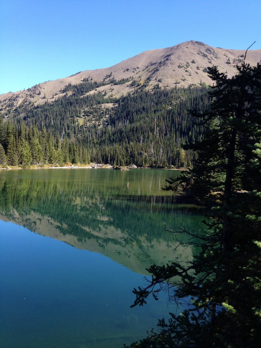
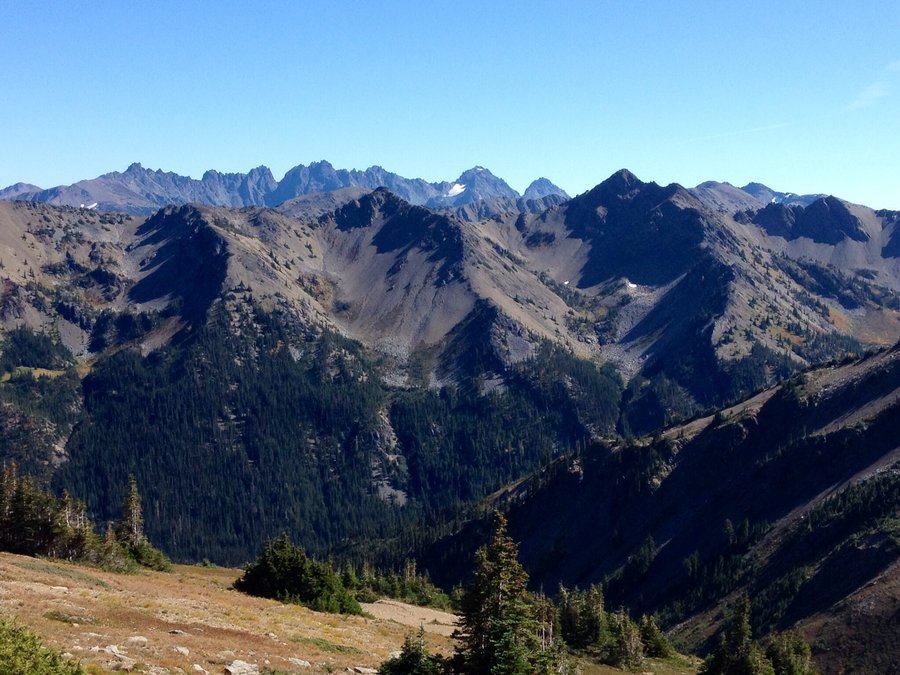
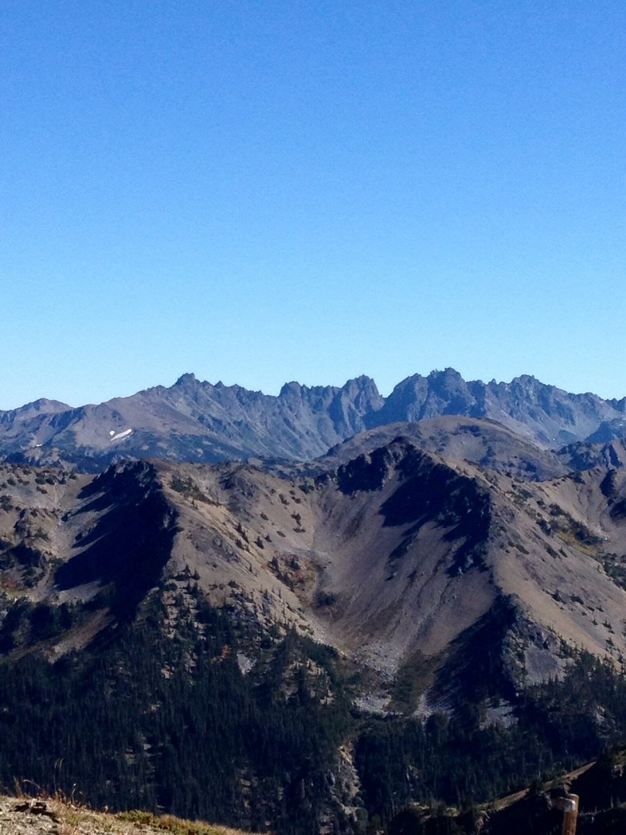
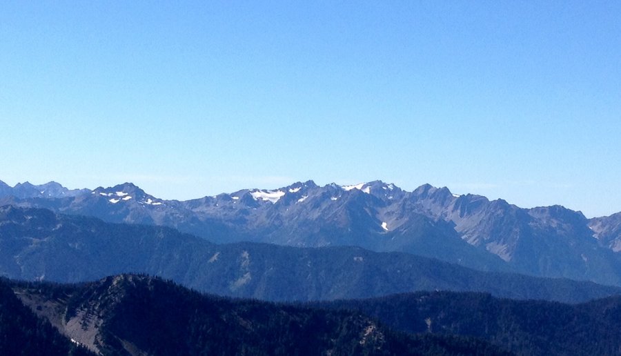
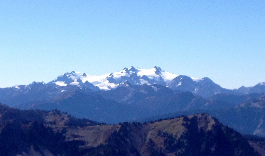
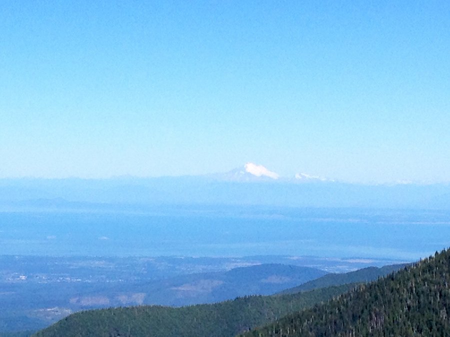
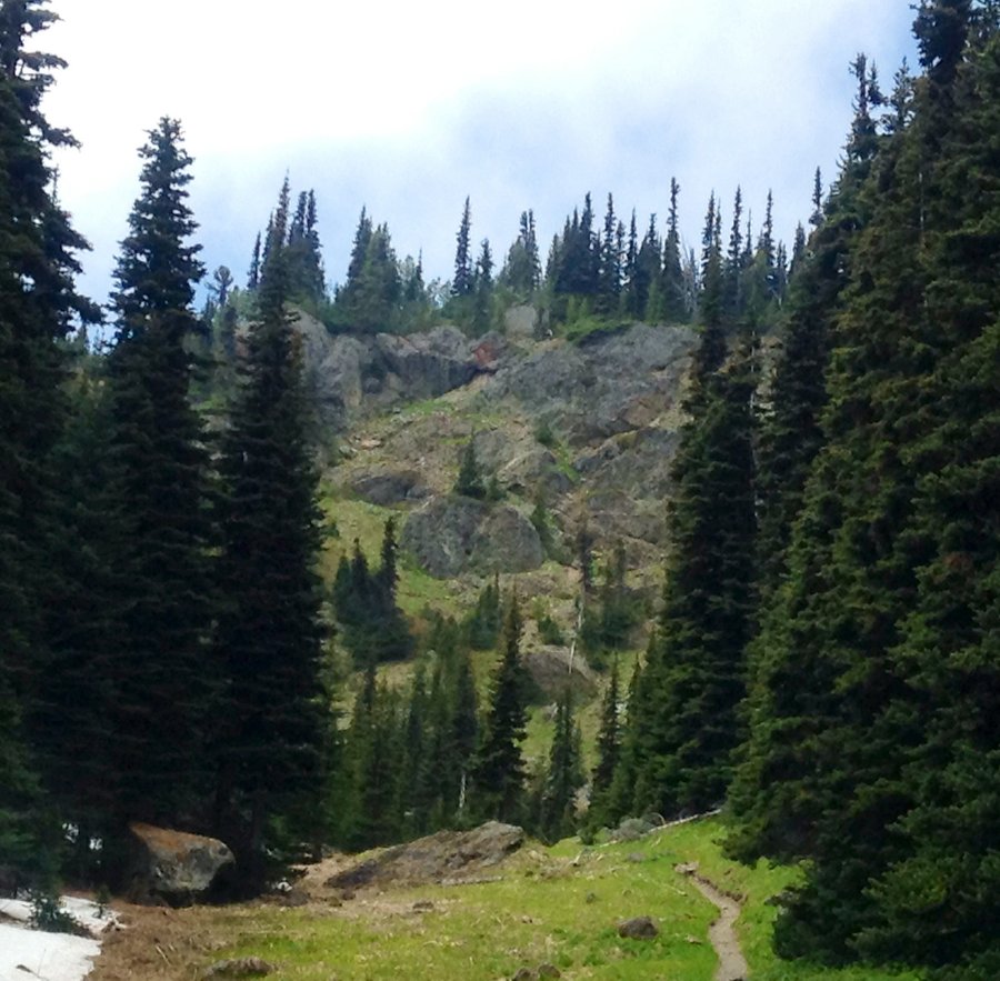
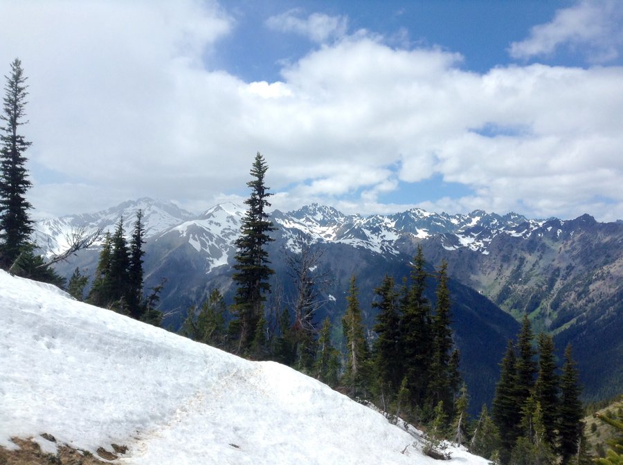
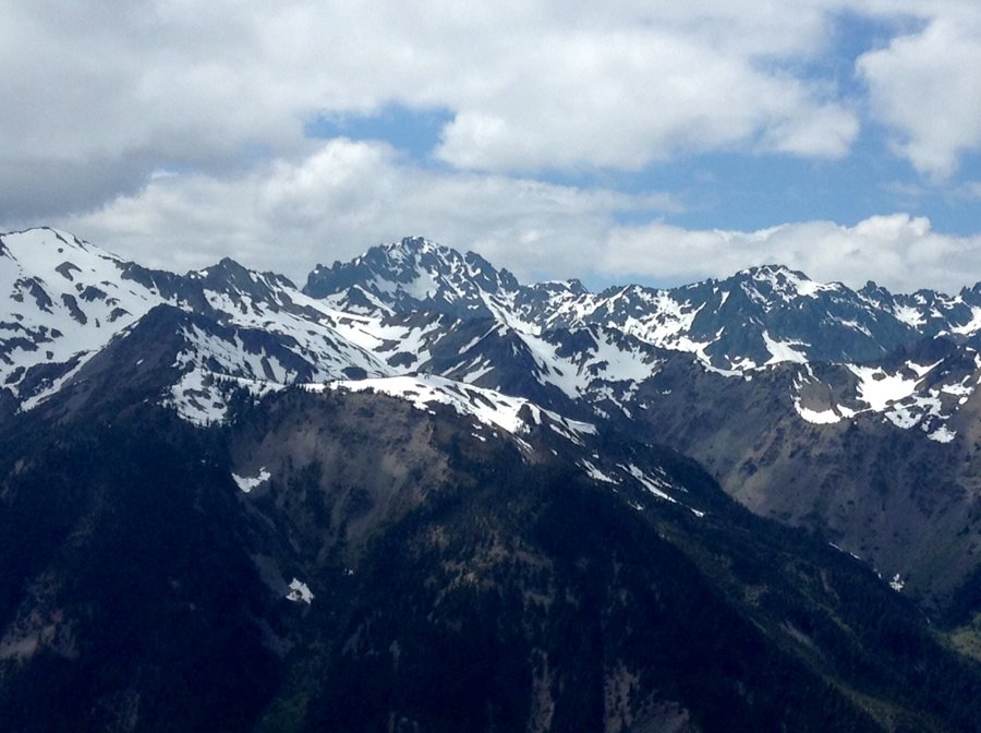
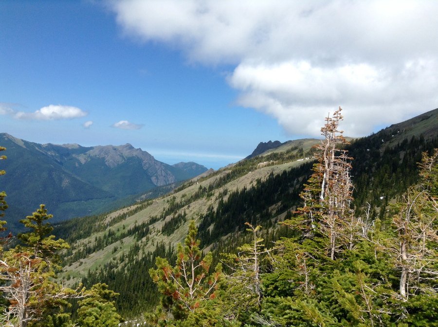
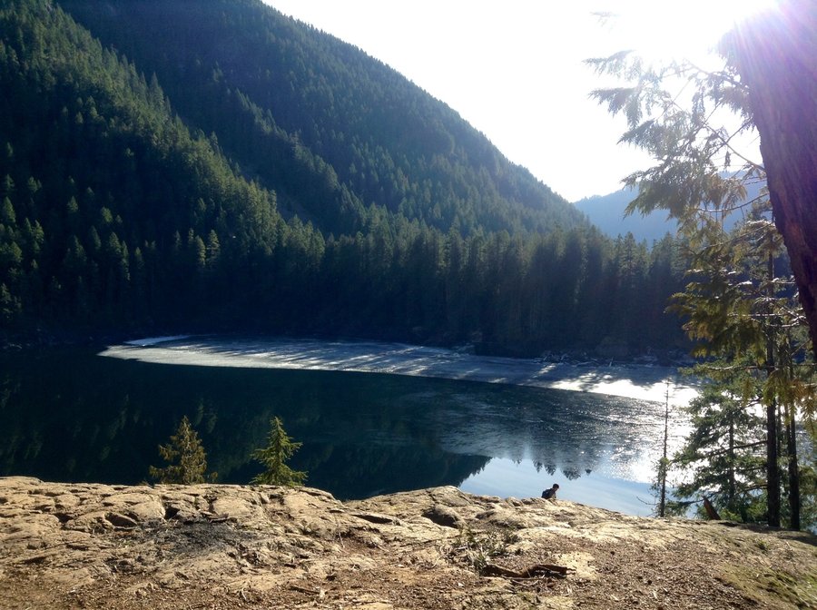
ONP-Grand Valley Loop
9.22 miles of hiking • 3000' elevation gain •
Took the Obstruction Peak trail to the Badger Valley cut off & followed that trail to Grand & Moose Lakes. Then ascended the Grand Valley trail back to the original TH.
September 20, 2014

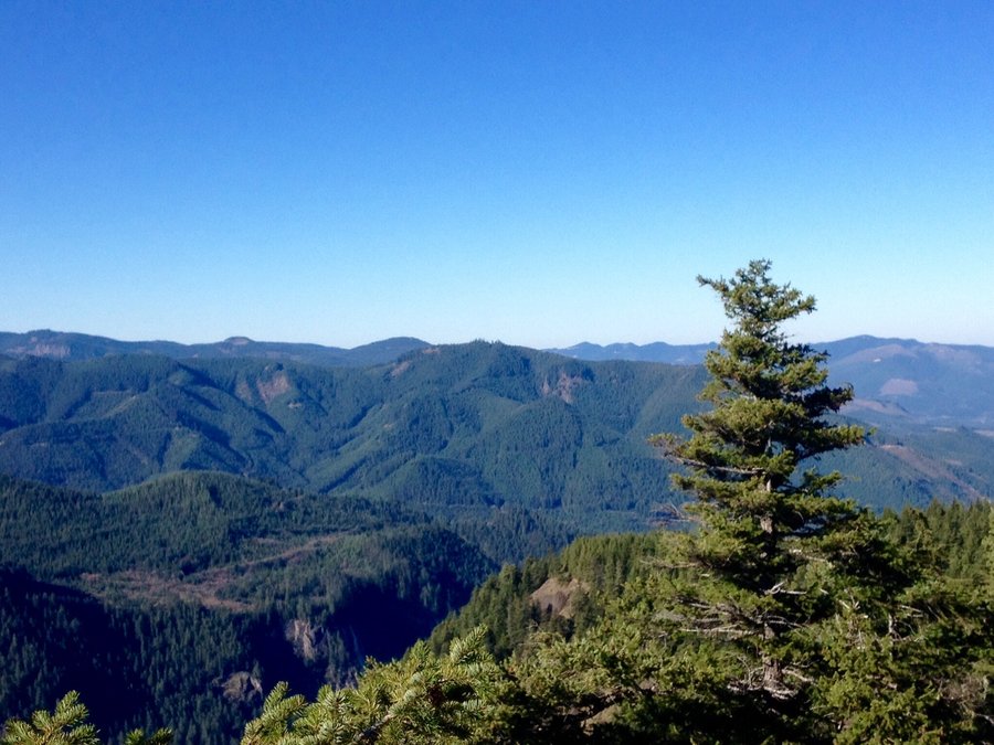
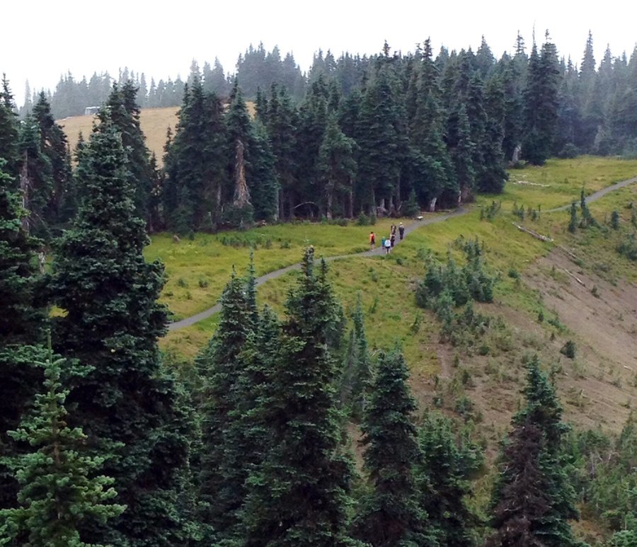
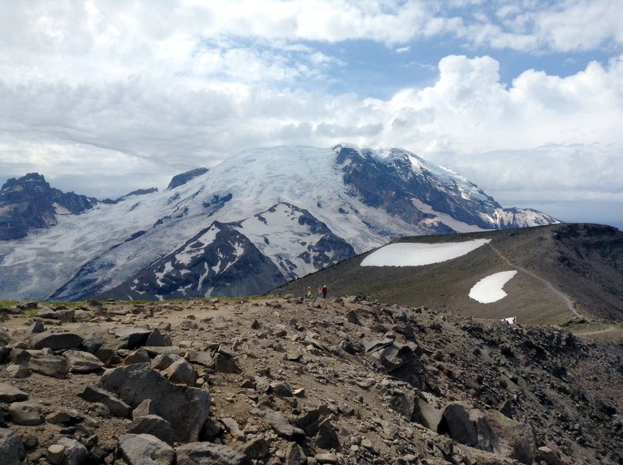
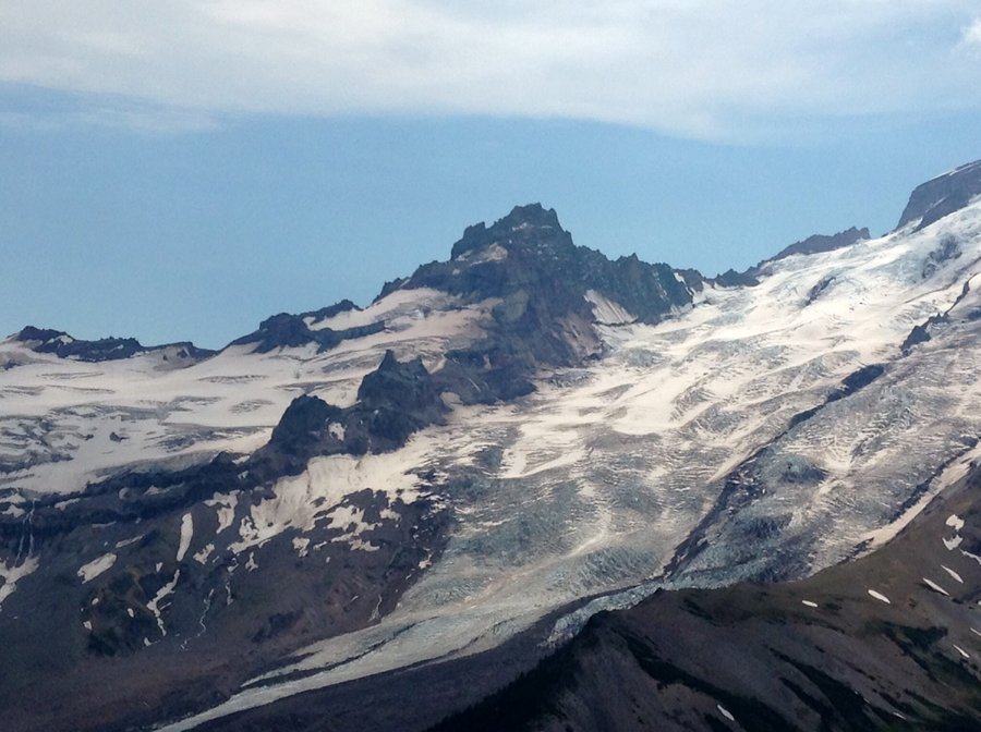
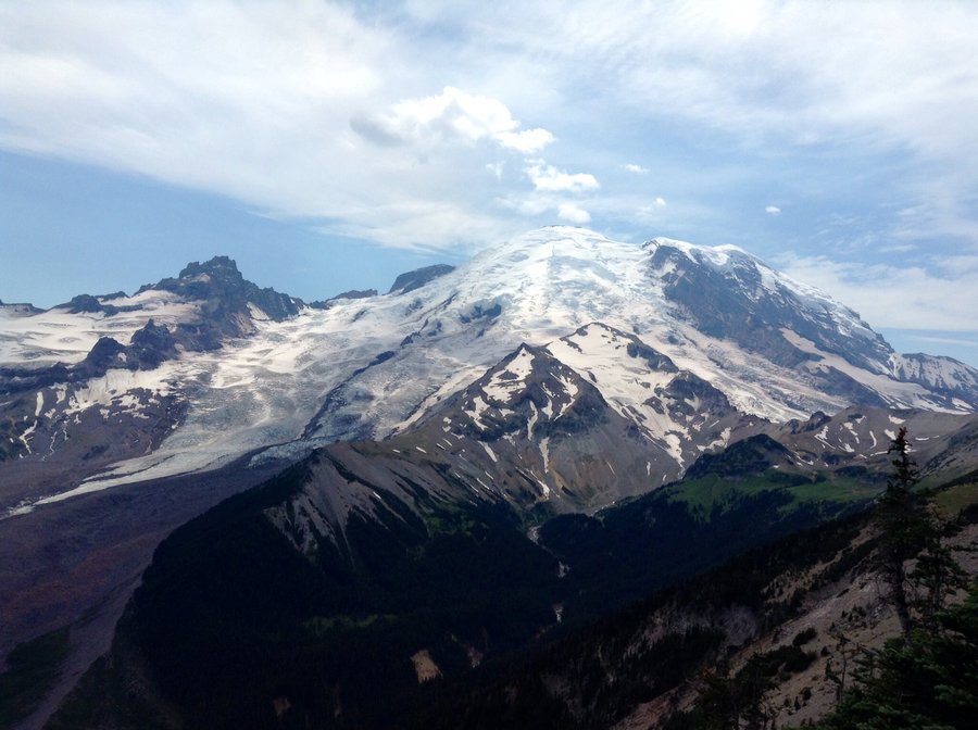
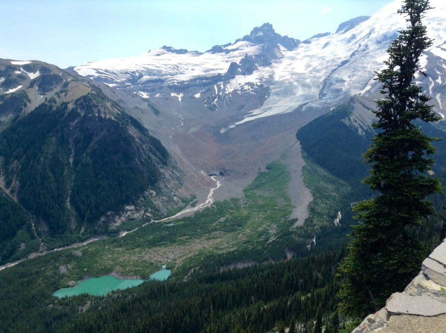
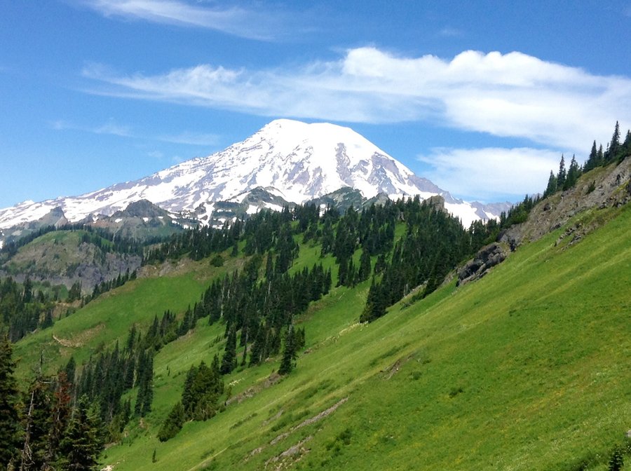
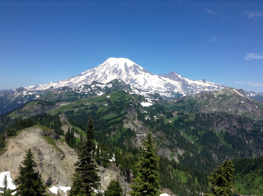
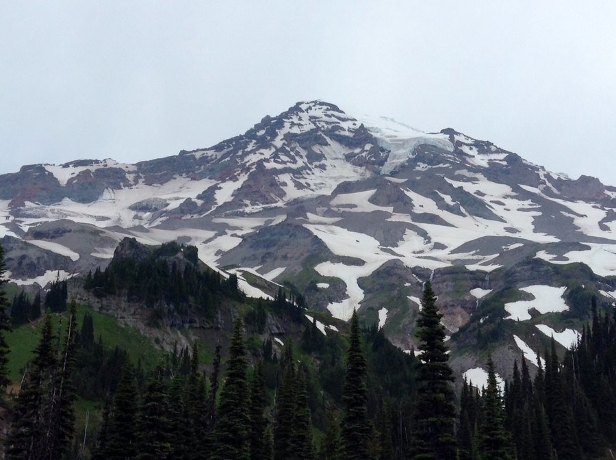
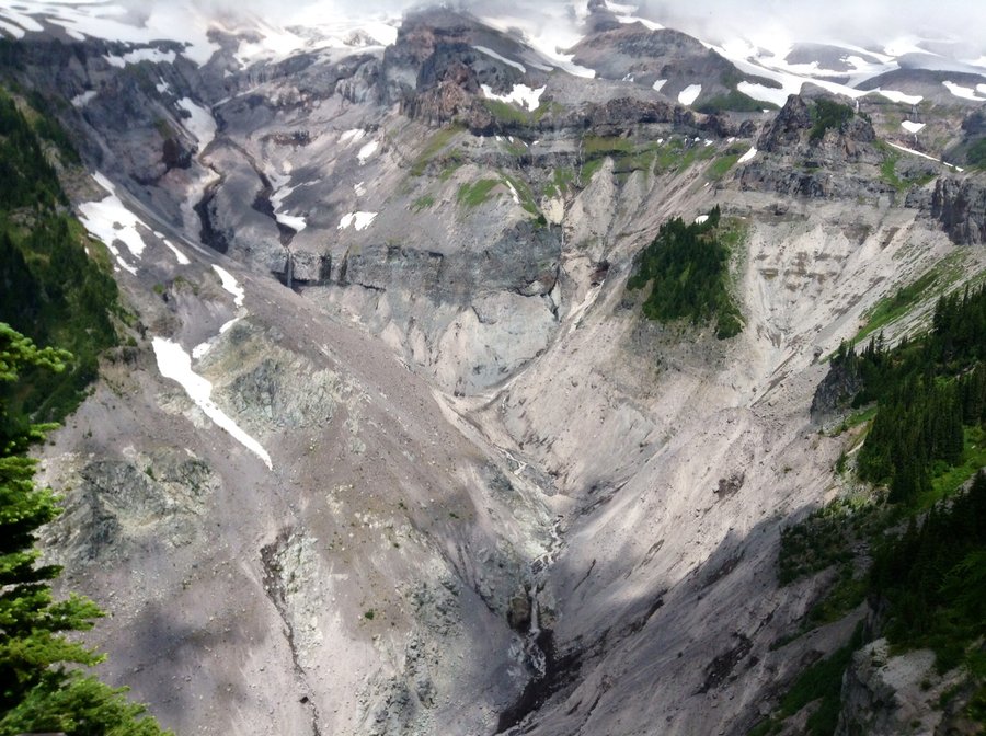
Mt. Rainier-Spray & Seattle Parks
10.24 miles of hiking • 3000' elevation gain •
Road to trail head is worse than I remember. Unlike my last attempt @ this hike the weather was perfect & the views were sublime.
September 7, 2014


 4
4
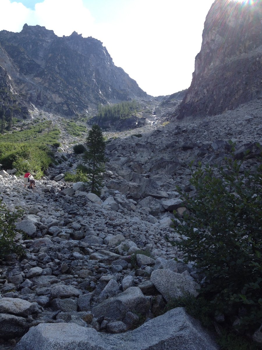
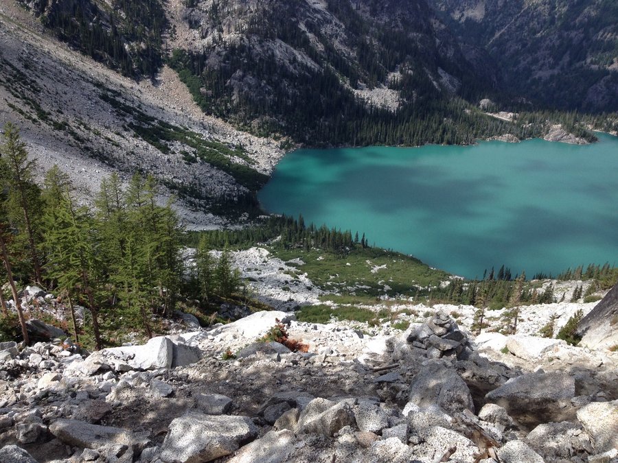
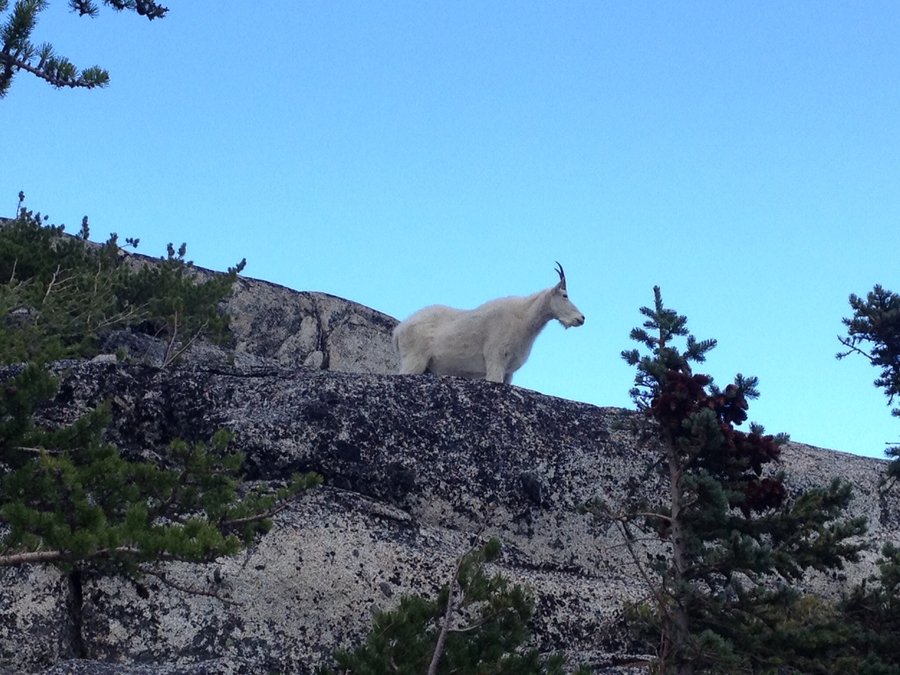
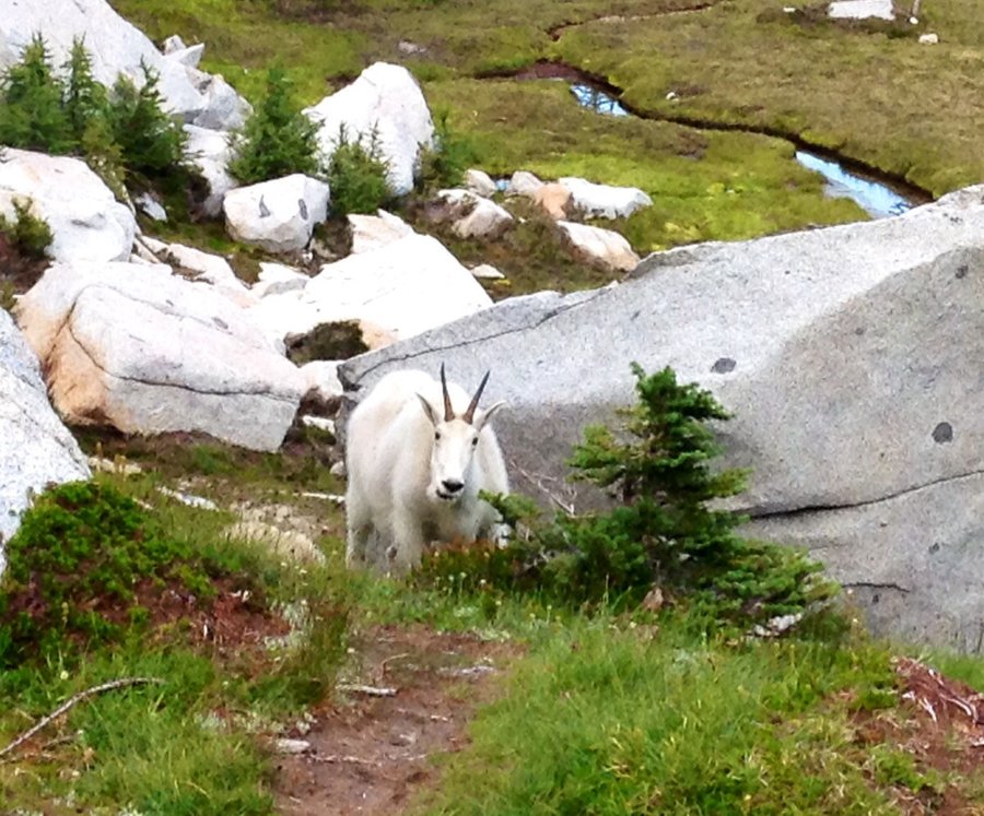
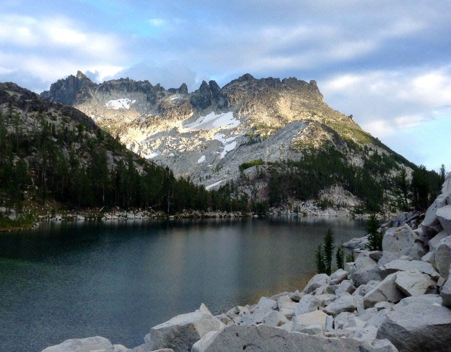
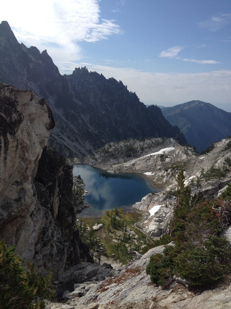
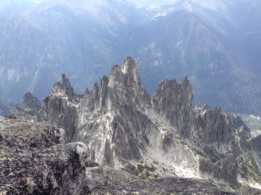
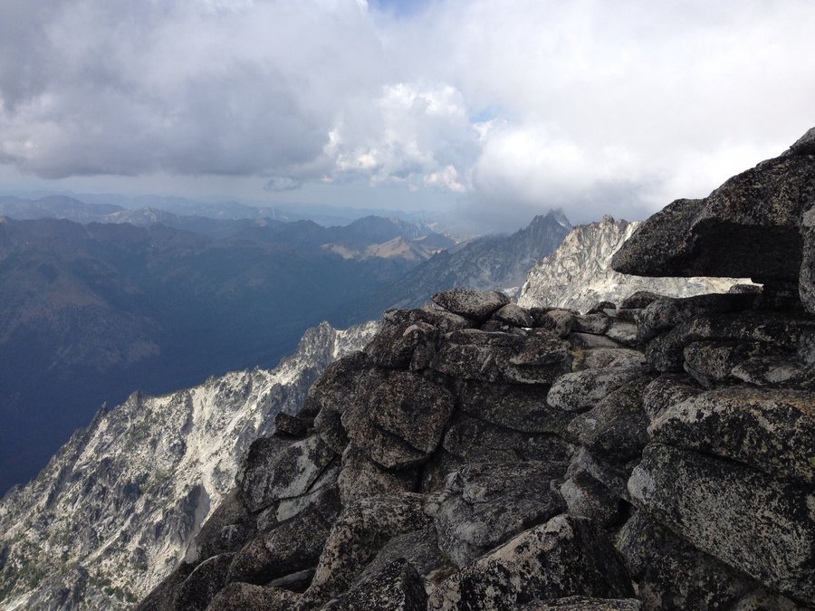
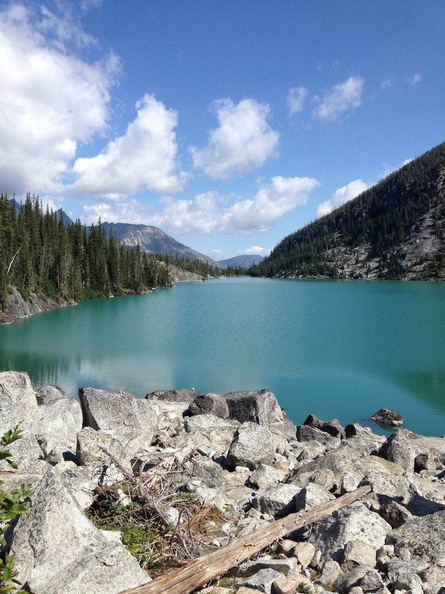
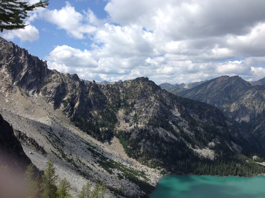
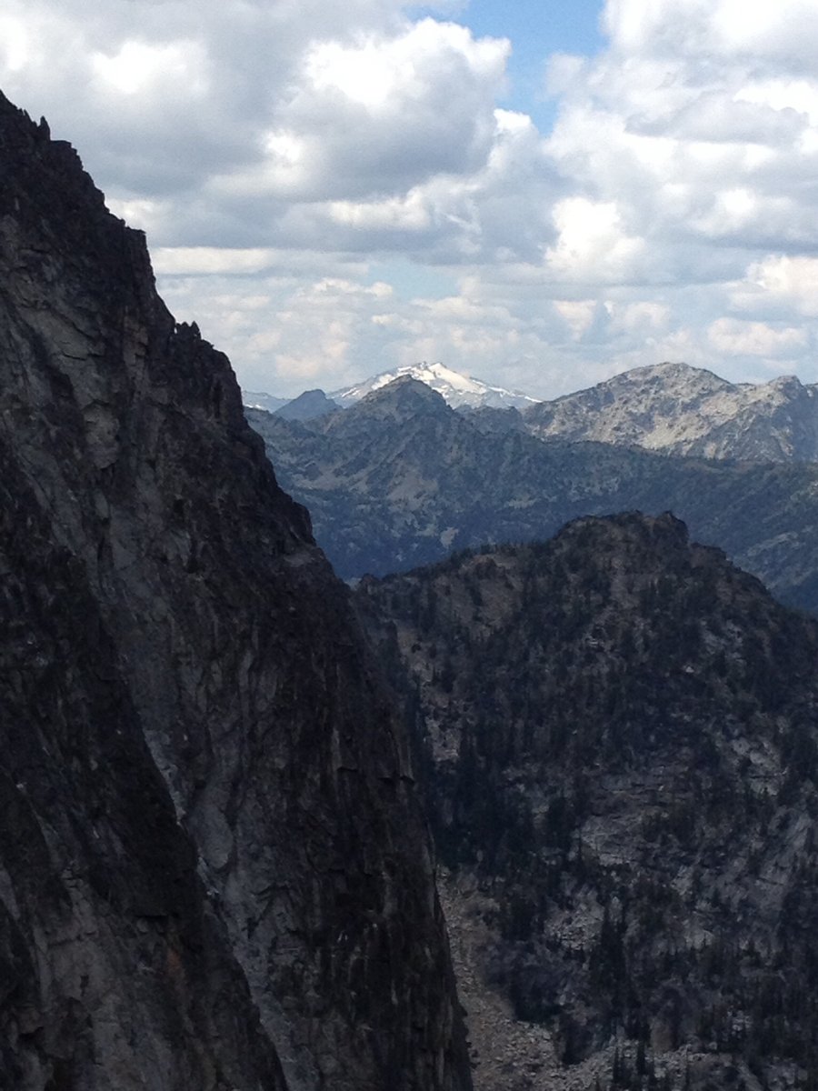
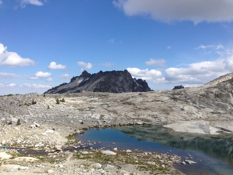
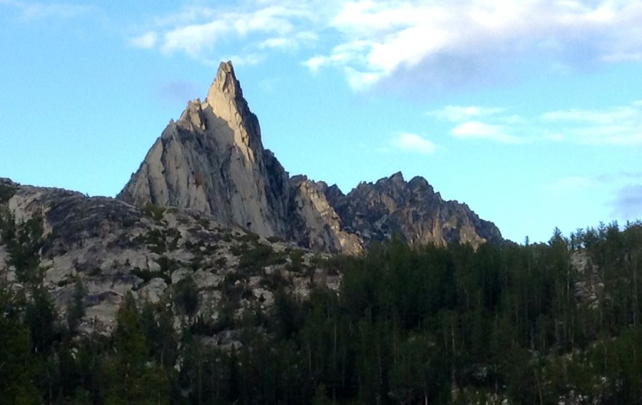
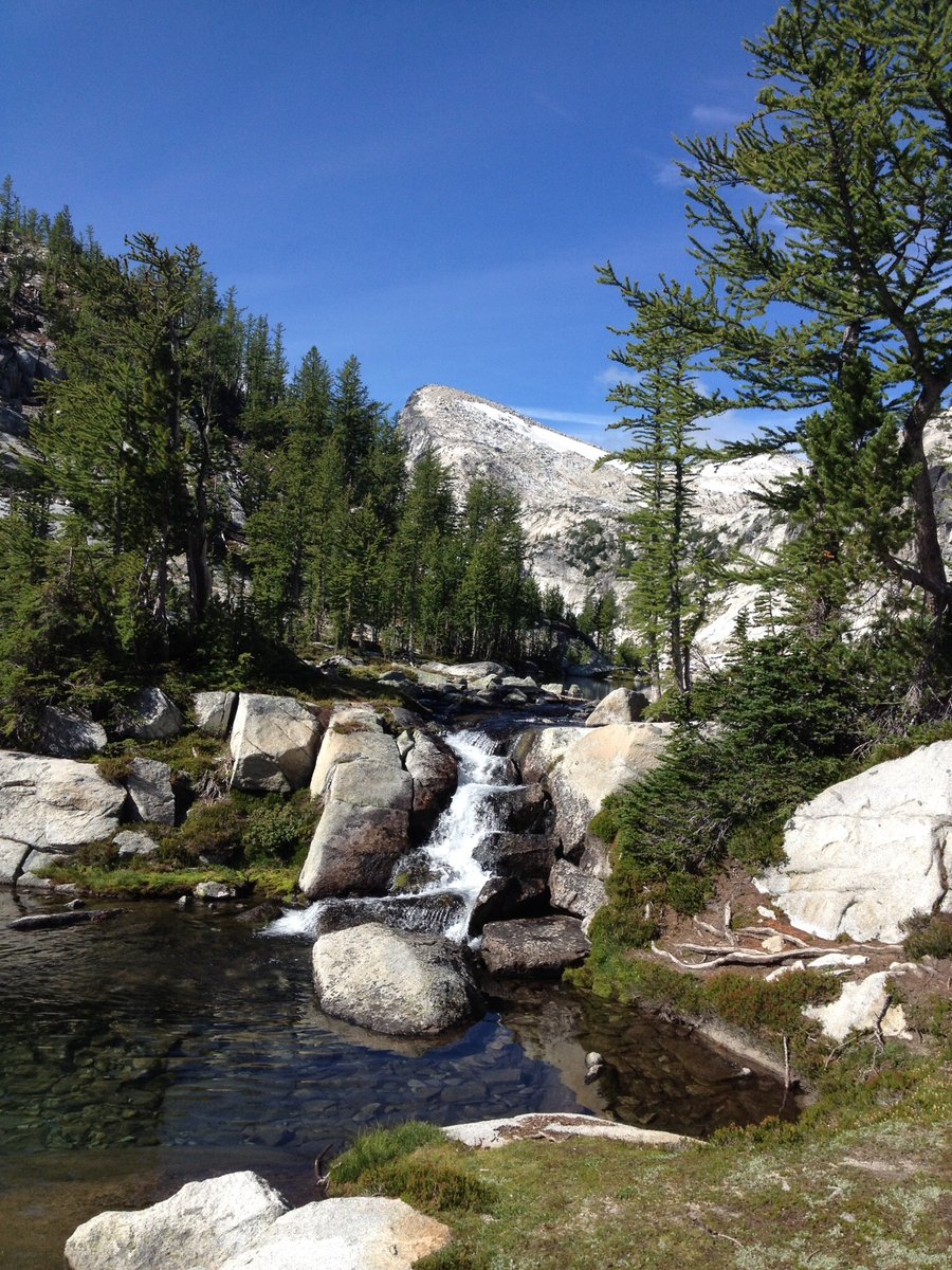
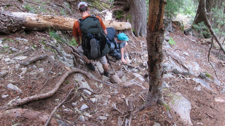
Enchantments Traverse
26 miles of hiking • 7500' elevation gain • 2 nights
We were fortunate enough to score a Core Enchantment permit this year and decided to do the classic Enchantments traverse backwards which is to begin @ the Lake Stuart TH & exit via Snow Lakes. Scrambling up Aasgard Pass with a full pack is a bear, 2500' in 1 mile, but we completed it in a couple hours & set up base camp @ Lake Perfection. The next day skirting a couple thunder & hail storms we climbed Little Annapurna & went up Prusik Pass. Final day consisted of a Long dissent to the Snow Lake TH.
August 23 – August 25, 2014


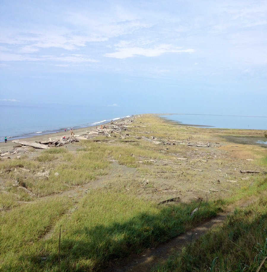
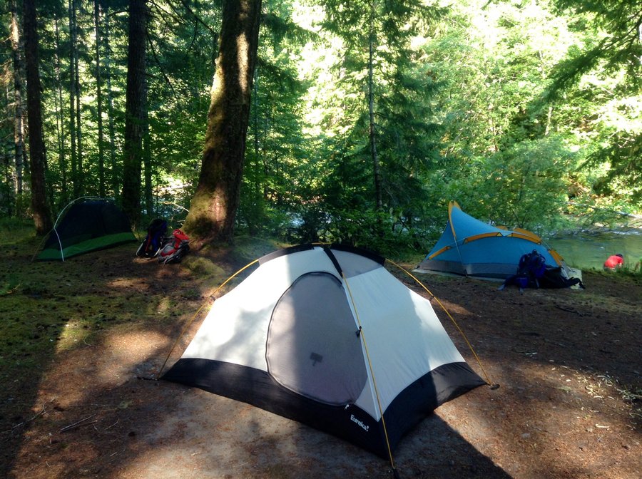
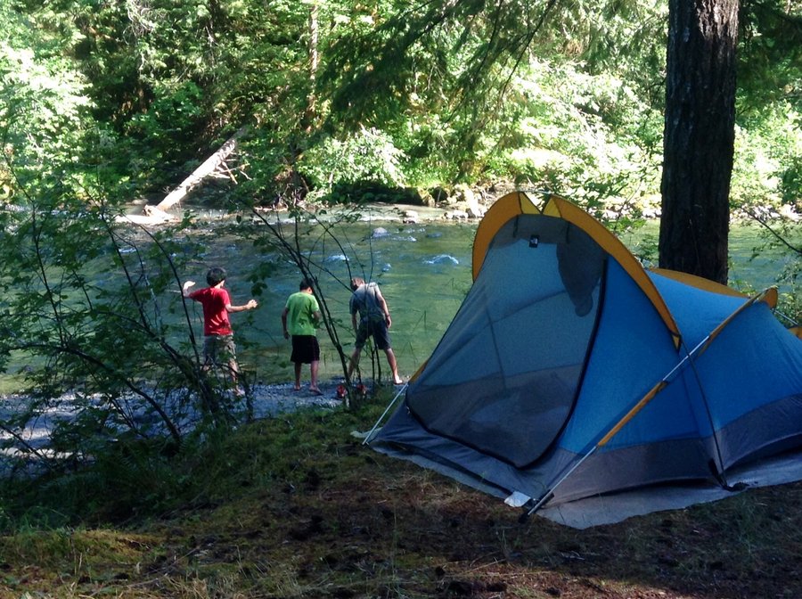
Dungeness Spit and Dungeness Recreation Area
10.25 miles of hiking • 1250' elevation gain • 2 nights
Foggy, and at times a bit drippy, camping trip with my Grandson. Lot's of fun trails & beaches for kids to explore.
August 14 – August 16, 2014

 2
2
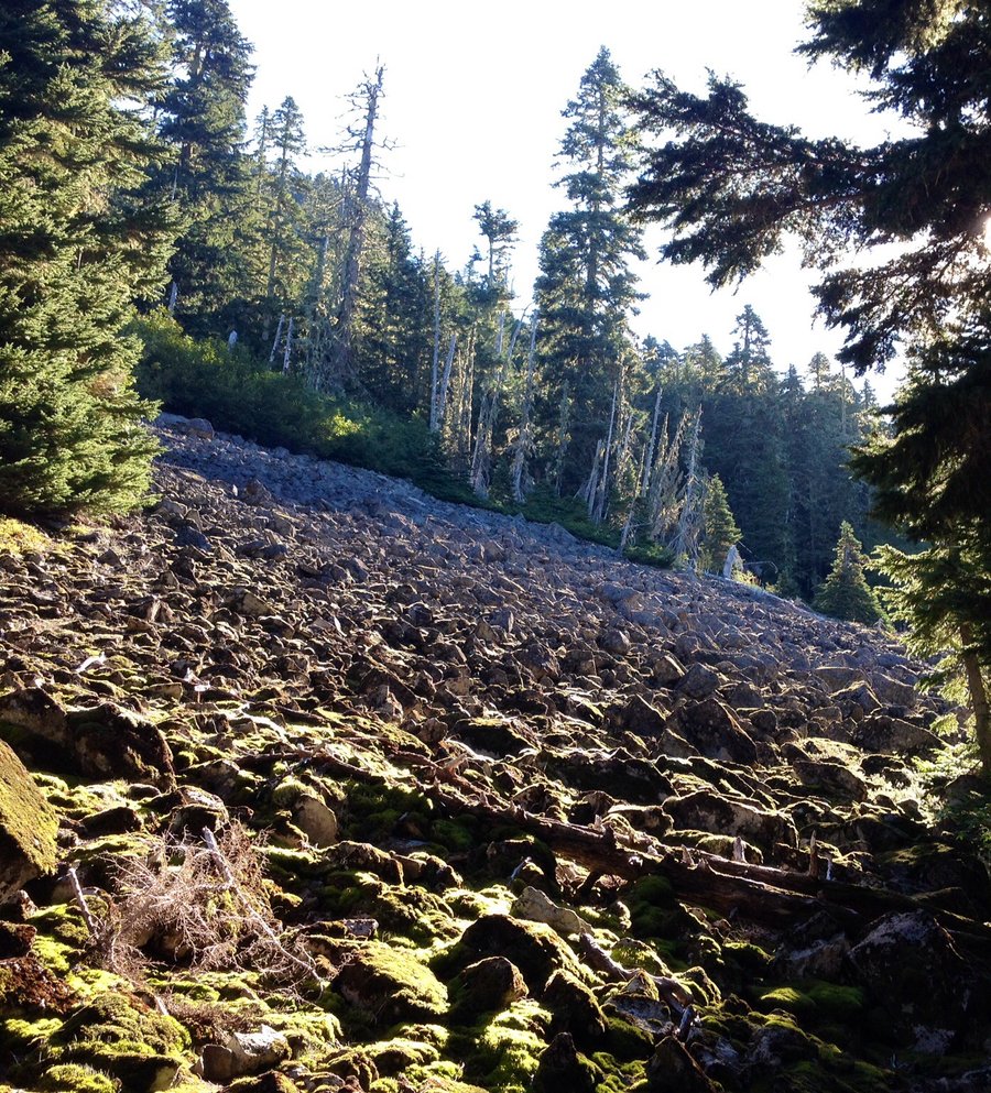
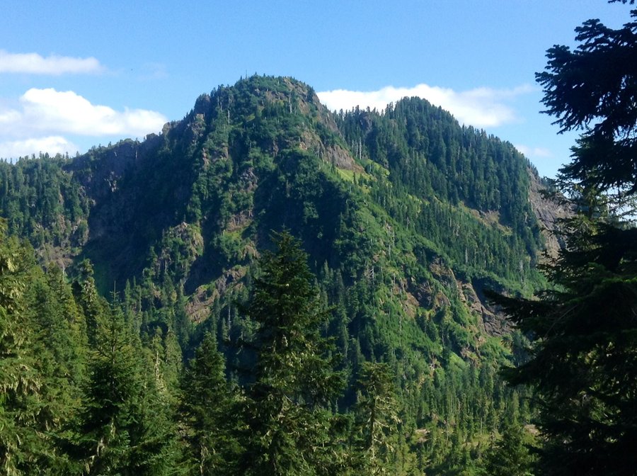
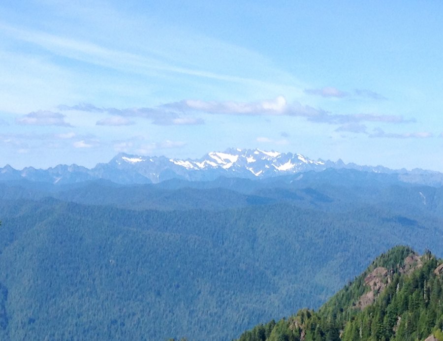
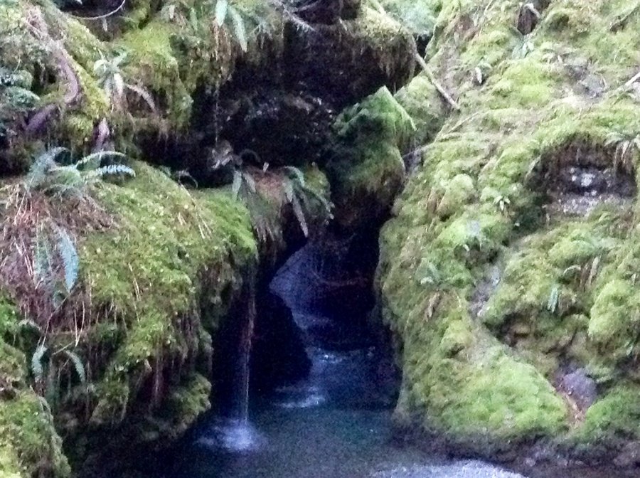
Pete's Creek-Colonel Bob Peak
8.58 miles of hiking • 3750' elevation gain •
Steep, rocky trail but you are awarded with great views of Lake Quinault, Mt. Olympus & the Colonel Bob Wilderness from the summit,
August 9, 2014


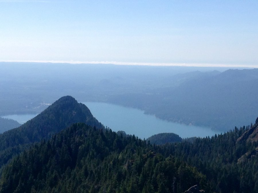
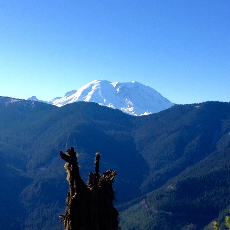
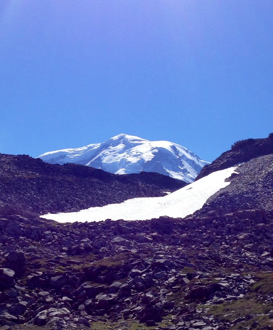
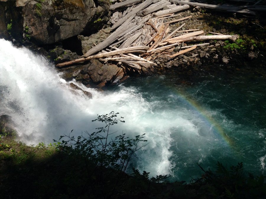
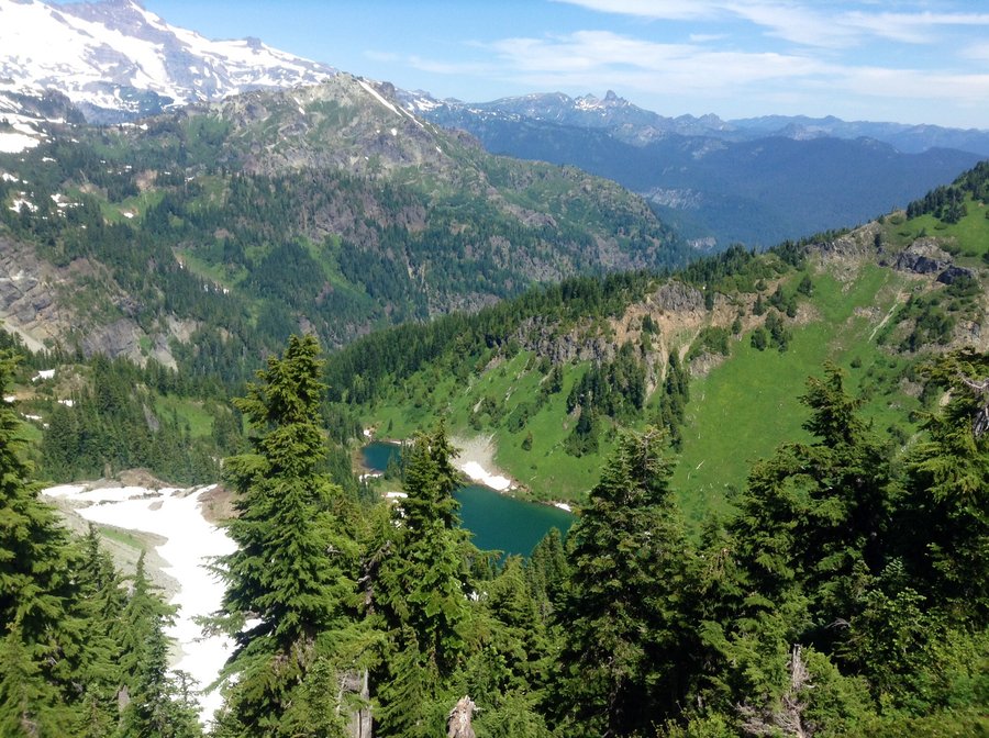
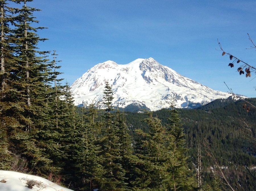
Mt. Rainier Park
16.85 miles of hiking • 3750' elevation gain • 3 nights
Camped at Ohanapecosh & day hiked to the Hot Springs, Silver Falls & the Grove of the Patriarchs. Spent a day @ Sunrise & hiked up Burroughs Mtn.
July 30 – August 2, 2014


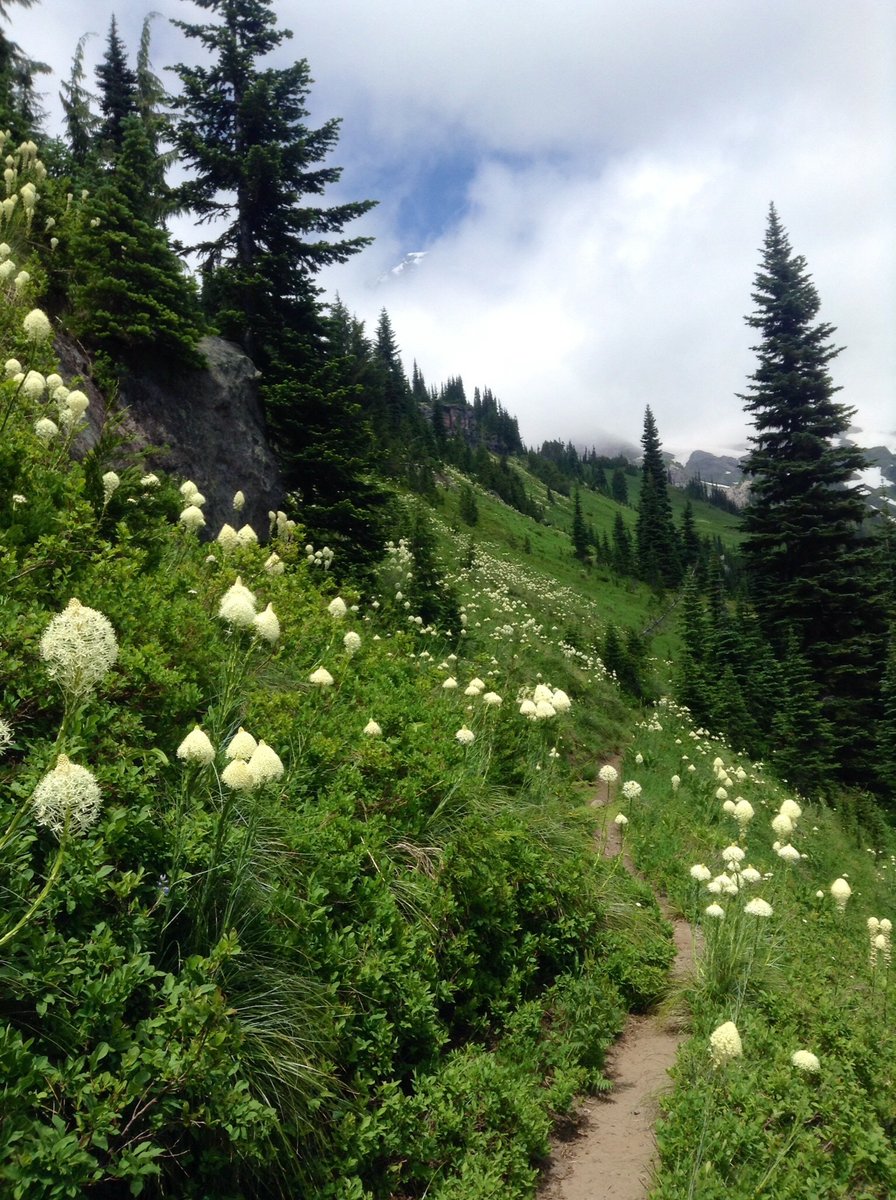
Tatoosh Ridge
6.81 miles of hiking • 3250' elevation gain •
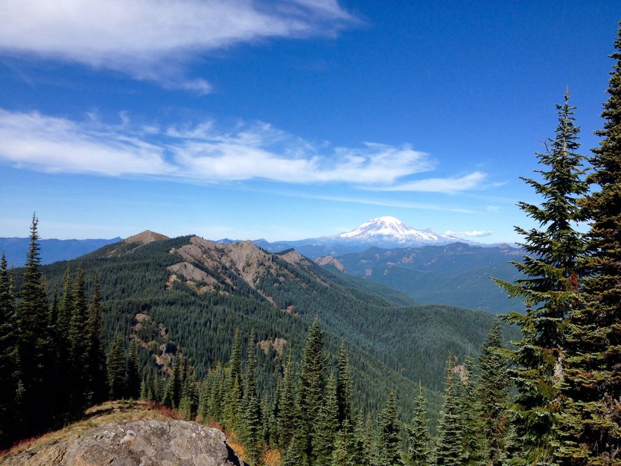
Flowers blooming so a bit buggy @ times. Great views of Rainier, Adams, St Helens & the Peaks of the Goat Rocks.
July 27, 2014


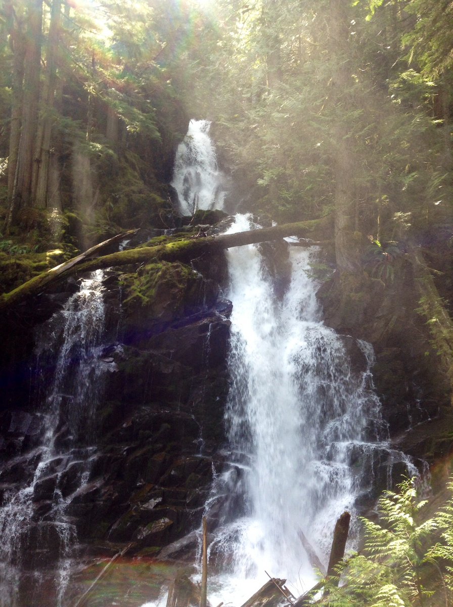
Mt. Rainier-Comet Falls, Van Trump Park & Mildred Point
8.2 miles of hiking • 3000' elevation gain •
On the Mildred Point Trail the Beargrass & Avalanche Lillie's are in full bloom.
July 18, 2014


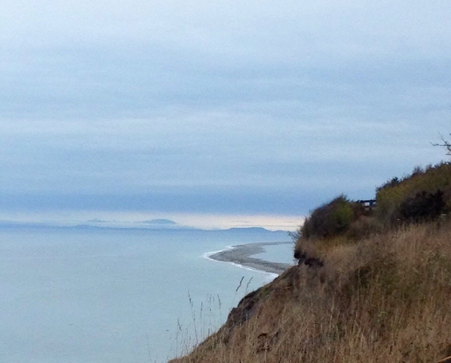
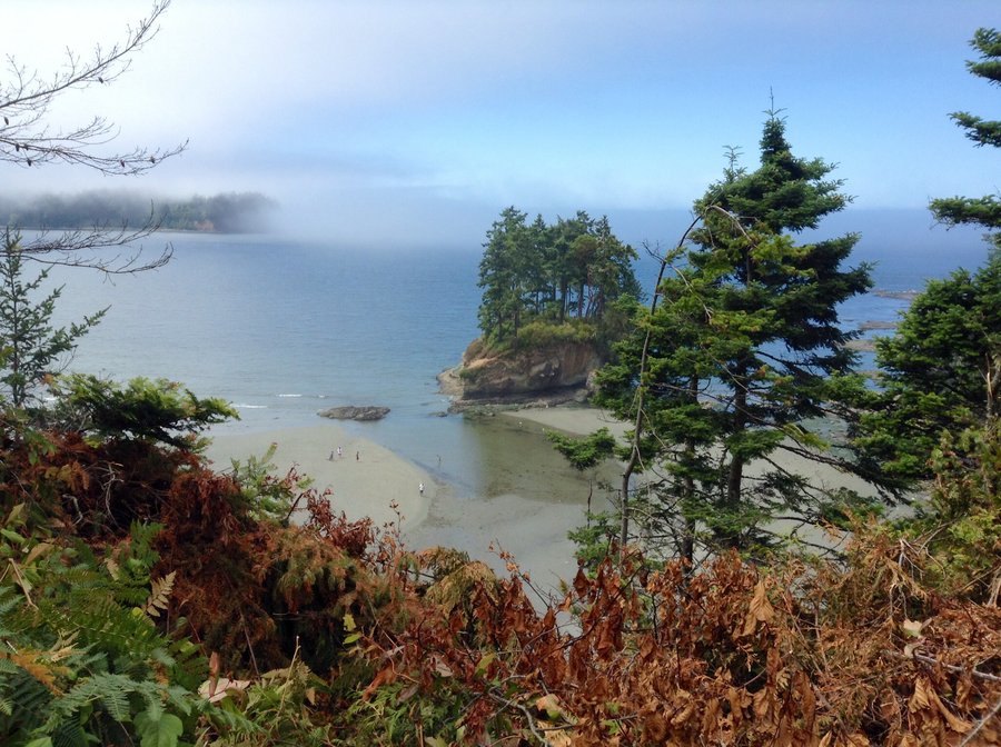
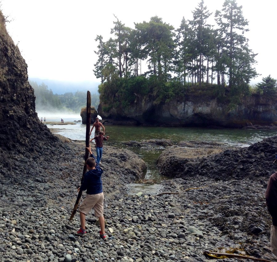
Salt Creek Overnight
4 miles of hiking • 250' elevation gain • 1 night
Camping with my Grandson. Explored the remains of Camp Hayden.
July 15 – July 16, 2014


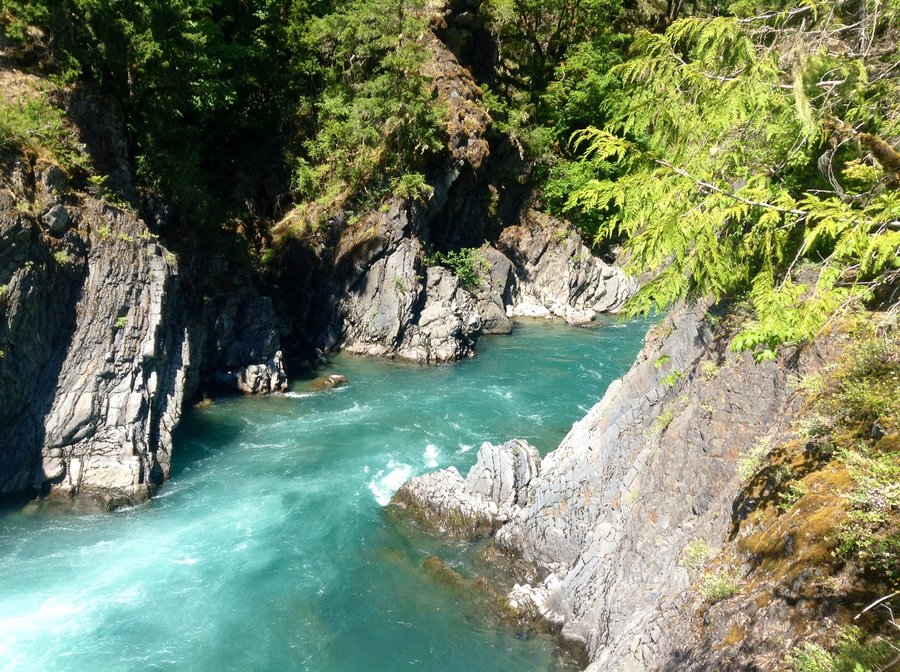
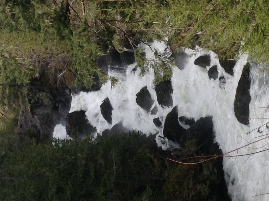
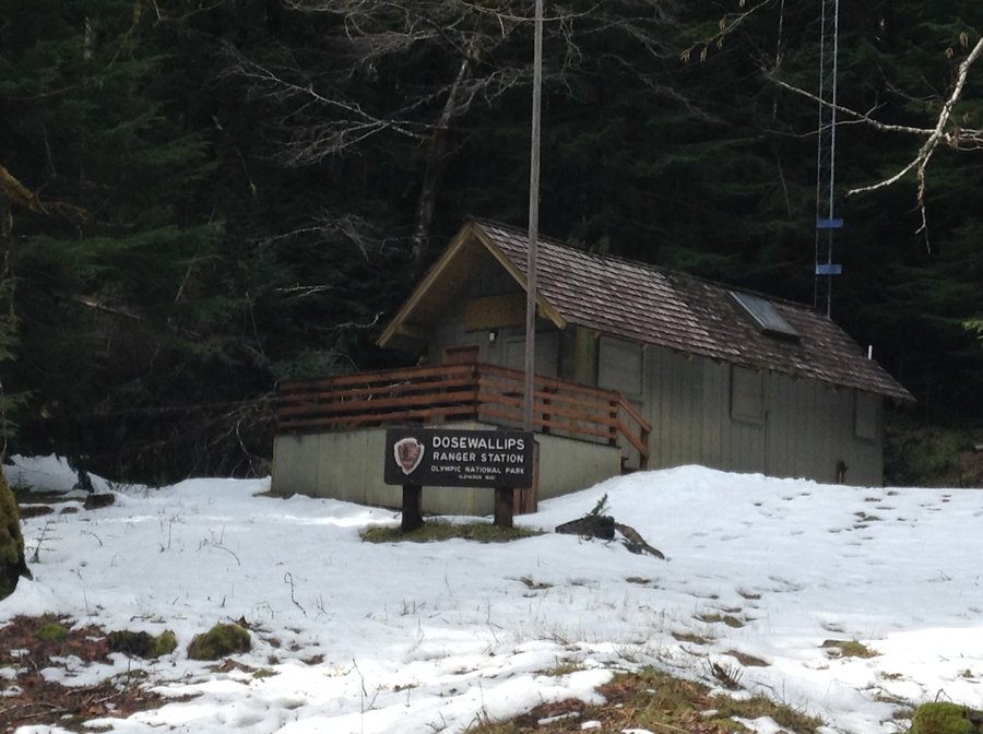
ONP-Dosewallips Overnight
14 miles of hiking • 2000' elevation gain • 1 night
Short overnight trip with my brother & the kids.
July 12 – July 13, 2014


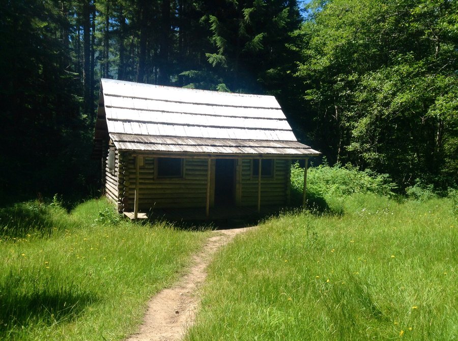
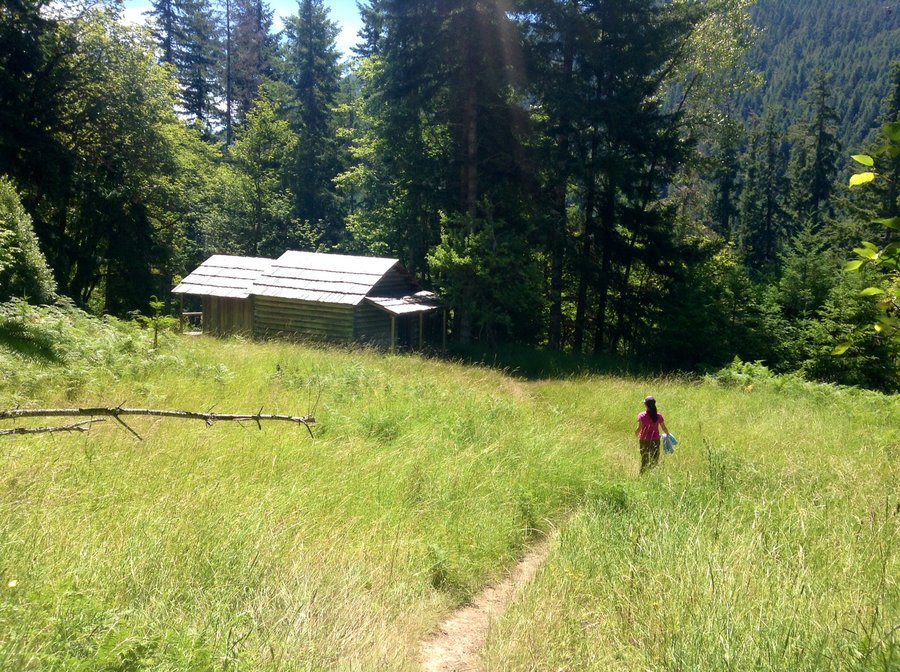
ONP-Elwha River
16.2 miles of hiking • 2000' elevation gain • 2 nights
Spent a couple of nights in the ONP exploring some settlers homesteads on the Elwha River. Michaels Cabin & The Humes Ranch are the main 2 homesteads in the area.
June 30 – July 2, 2014


June 21, 2014


June 15, 2014

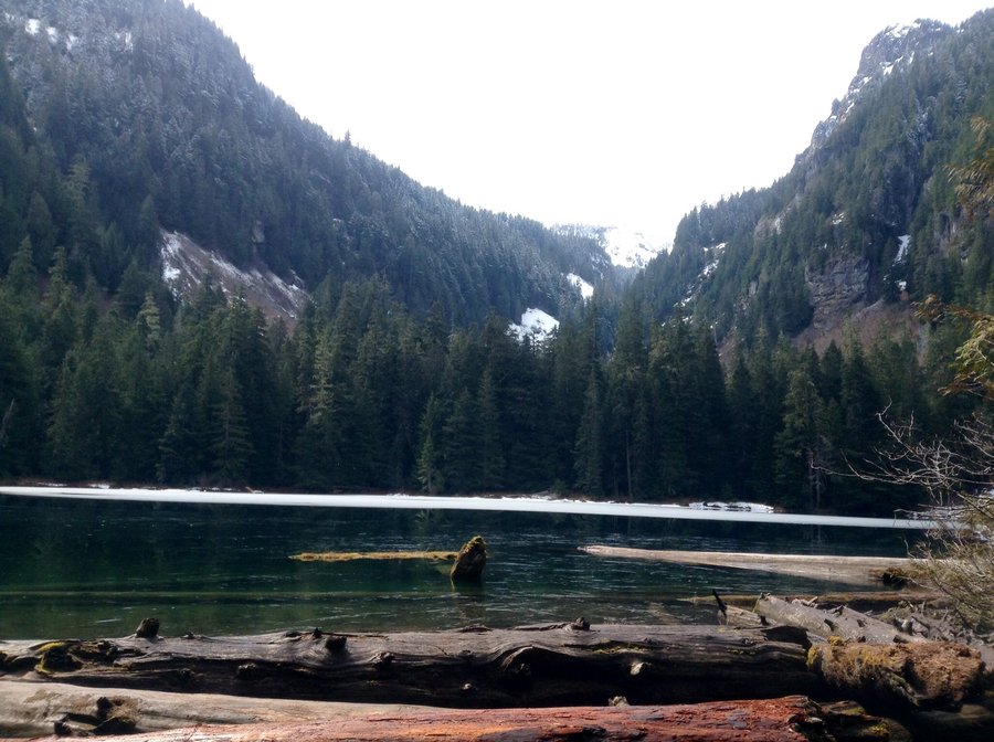
Mildred lakes
9.15 miles of hiking • 3750' elevation gain •
Challenging hike. Trail tread consists mostly of boulder/rocks & tree roots.
June 8, 2014


June 4, 2014

Greenwater, Quinn & Lost Lakes
14.83 miles of hiking • 2500' elevation gain •
A bit of spotty snow on the approach to Lost Lake. Trail in good shape.
May 31, 2014

May 26, 2014
 1
1
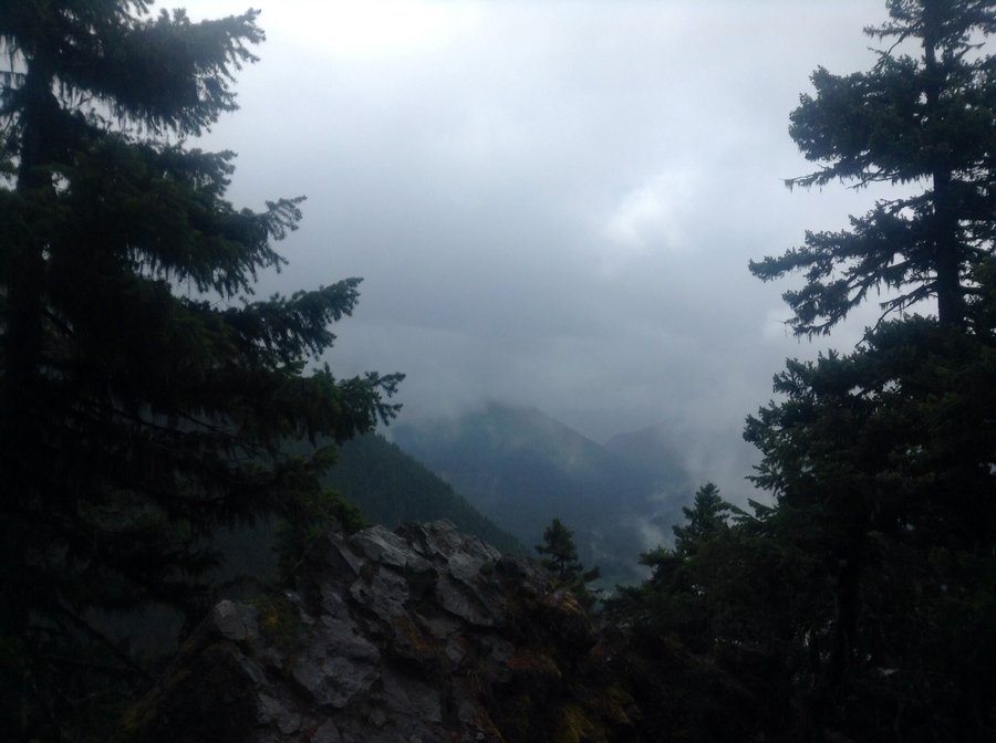
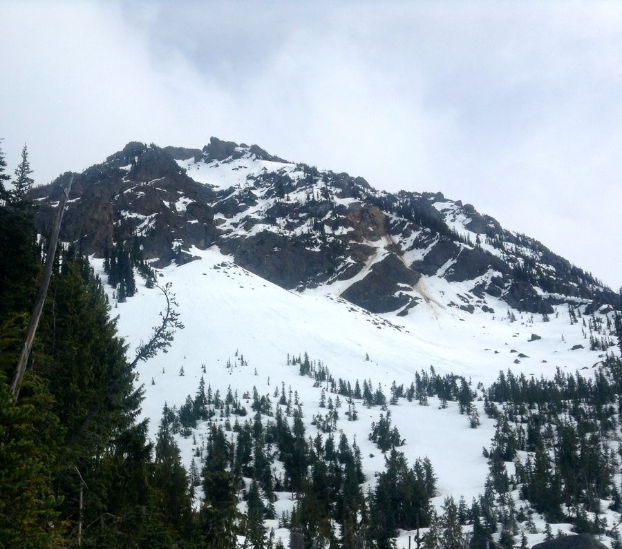
Mt. Townsend
8 miles of hiking • 3000' elevation gain •
Was hoping to climb out of the mist & fog but it was not to be today. No views due to the weather conditions which was a bit of a bummer.Trail in good shape though w/ only spotty snow.
May 24, 2014

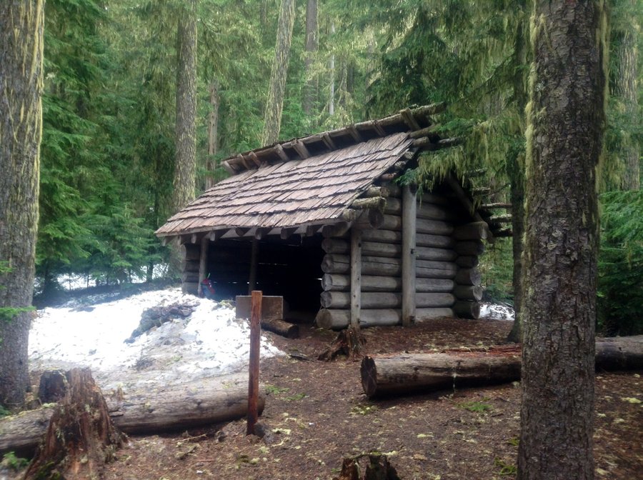
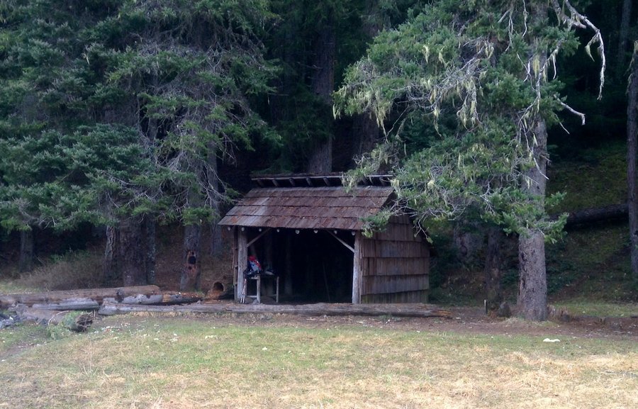
Ranger Creek Trail
10 miles of hiking • 2500' elevation gain •
Hiked as far as the Boy Scout Shelter which is @ approx. 5000'. A bit of spotty snow as you approach the shelter but overall trail in good shape.
May 18, 2014


Upper Dungeness River
14.18 miles of hiking • 2750' elevation gain •
Hiked to Camp Handy & Boulder Shelter. Spotty snow began @ approx. 4200' @ continued on & off until Boulder Shelter. Trail in good shape.
May 3, 2014

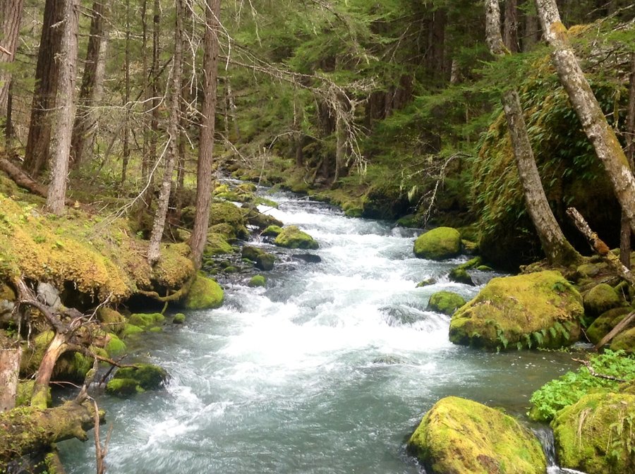

Mt. Rainier Carbon River
10.68 miles of hiking • 1750' elevation gain •
Hiked to Ranger Falls & Green Lake.
April 20, 2014


April 18, 2014

Snoquera Falls & Ranger Peak Trail
10.52 miles of hiking • 2750' elevation gain •
Hiked the fall's loop trail & then up the Ranger Peak Trail to the 2nd viewpoint. No snow.
April 12, 2014
 1
1
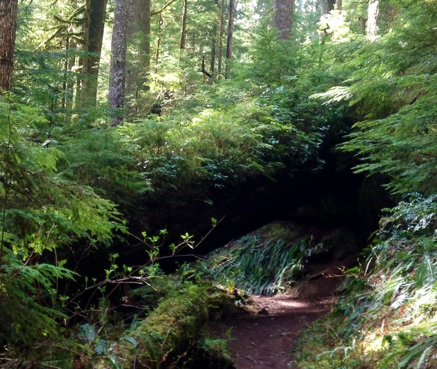
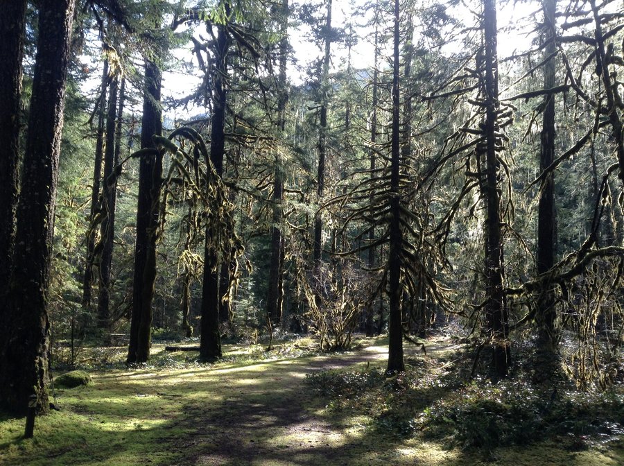
Up the Duckabush to ONP
14 miles of hiking • 3500' elevation gain •
Hiked to the ONP boundary. Trail in good shape with approx half dozen easily negotiated blow downs.
April 6, 2014


March 30, 2014

March 23, 2014


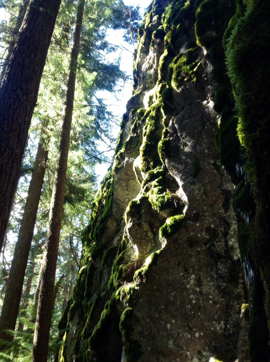

Dosewallips
13.18 miles of hiking • 2000' elevation gain •
Hiked into the ONP as far as old ranger station.
March 9, 2014


Tiger Mtn.
7.36 miles of hiking • 2750' elevation gain •
Took the Issaquah High School trail up just past the 15 mile gap.
February 23, 2014


Brothers Base Camp
14.5 miles of hiking • 3250' elevation gain •
Hiked to Lower Lena Lake, through The Valley of the Silent Men and approx. 1 mile past the Brothers base camp to the base of The Brothers. Trail is completely free of snow.
January 26, 2014


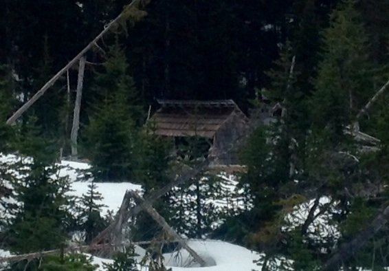
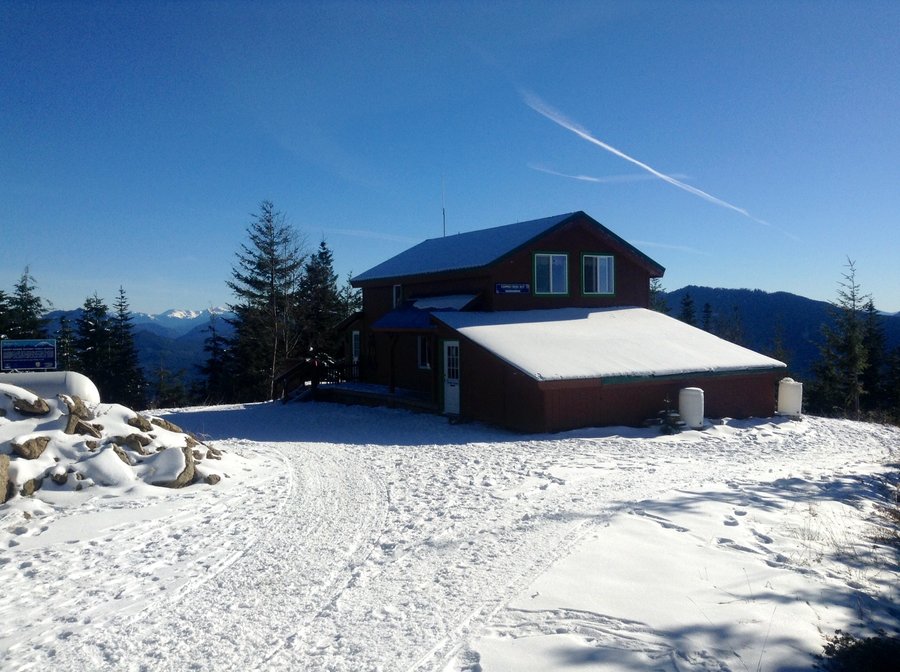
Mt. Tahoma Snowshoe
11.18 miles of hiking • 1750' elevation gain •
Snowshoed to the Copper Creek Hut & to Rainier Vista
January 5, 2014


January 1, 2014


View trips from: 2012 2013 2015 2016 2017 2018 2019 2020 2021 2022