


2012 Trips


December 24, 2012

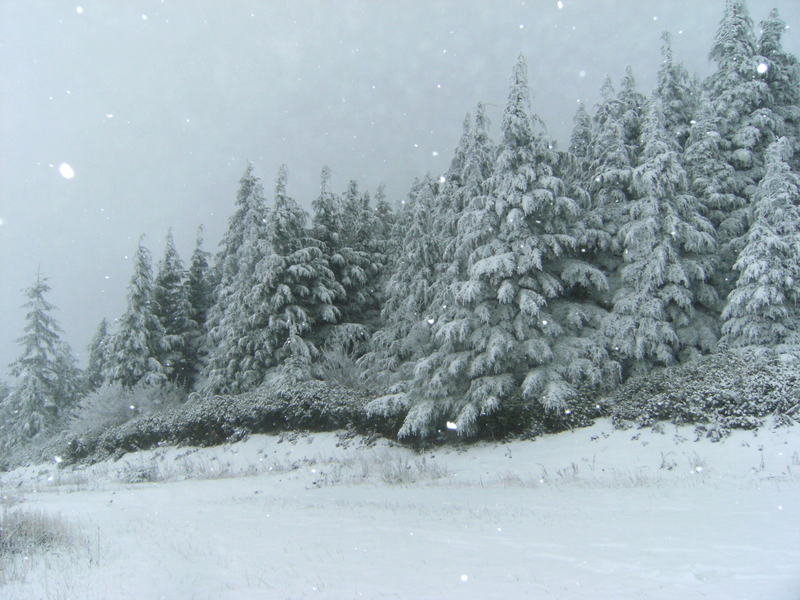
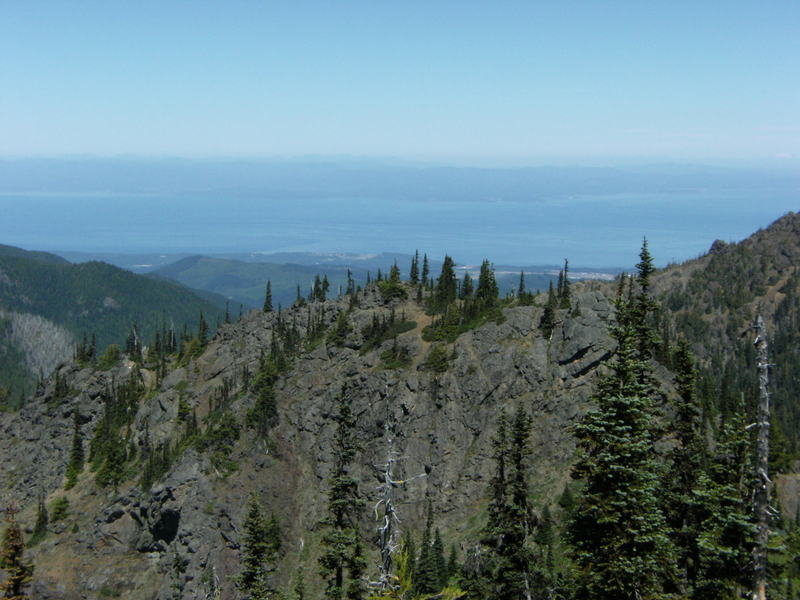
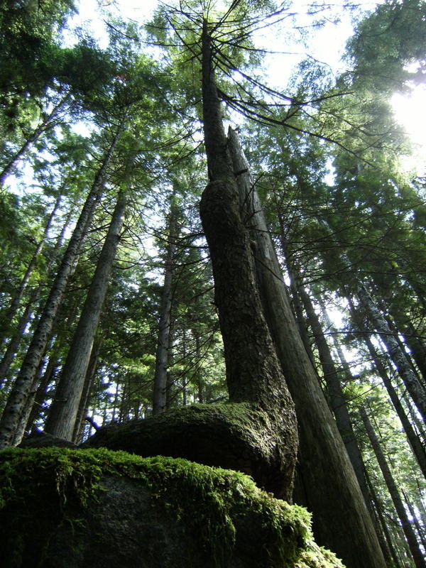
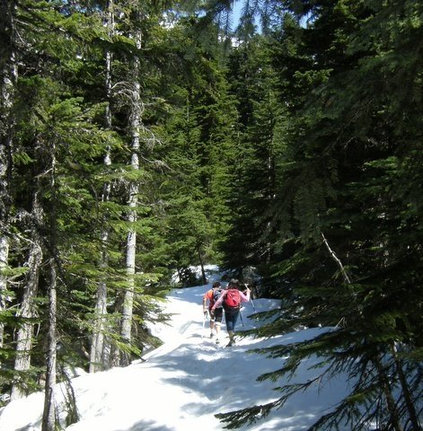
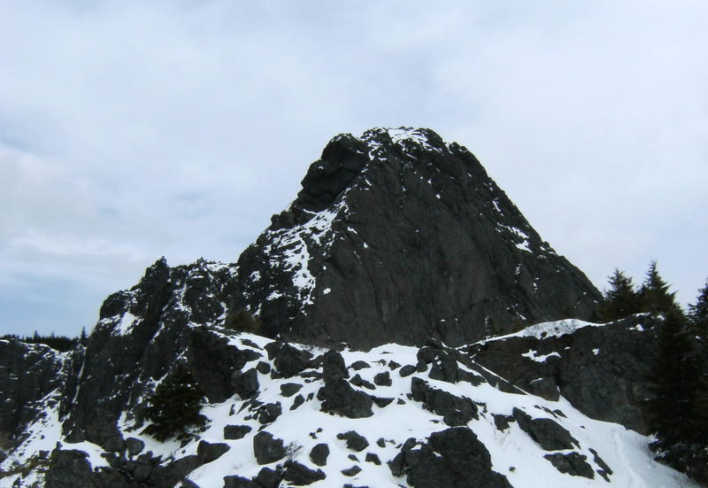
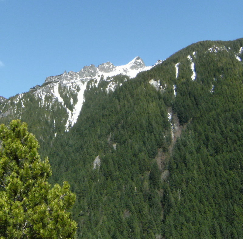
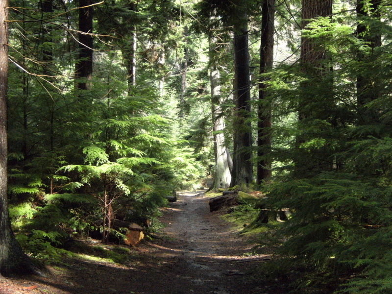
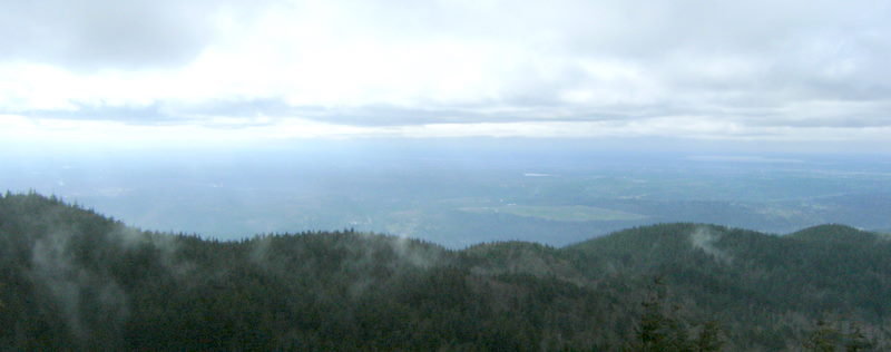
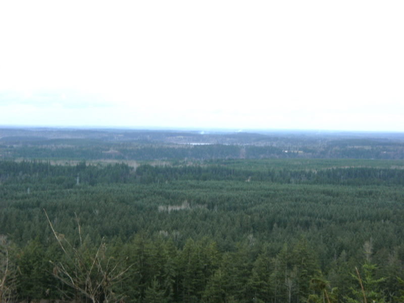
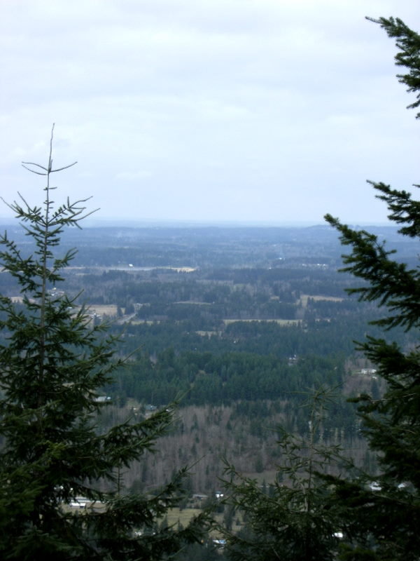
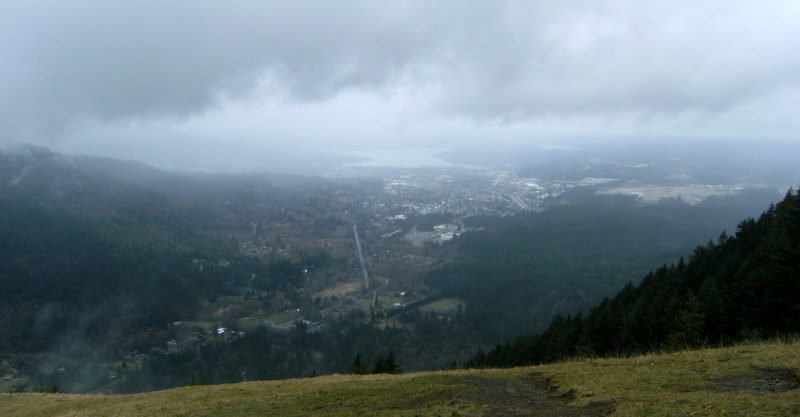
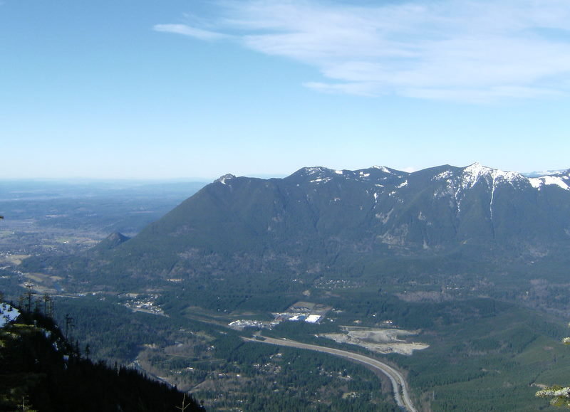
Tiger Mtn. Trifecta
9 miles of hiking • 3000' elevation gain •
From the Highpoint TH hiked to all three summits. A bit of snow begining @ around 1700' but nothing which required traction devices.
December 8, 2012

Chambers Bay
7.29 miles of hiking • 1250' elevation gain •
Took the mutt to the dog park and afterward we did a couple laps of the park.
December 1, 2012

Squak Mtn.
7.07 miles of hiking • 2000' elevation gain •
Rainy day hike up to the West & Central Peaks.
November 18, 2012

Tacoma-Urban Hike
8 miles of hiking • 250' elevation gain •
Wife was spending the afternoon @ her pottery studio in the Stadium District so decided an urban hike would be a nice change of pace. Hiked from the Stadium District down to Old Town. Then from Old Town along the waterfront to Ruston. Hiked back basically the same way.
November 9, 2012

Tiger Mtn-West Tiger 1 Summit
9.67 miles of hiking • 3250' elevation gain •
Hiked to the summit of West Tiger 1 from the Issaquah H.S. trailhead.
November 4, 2012

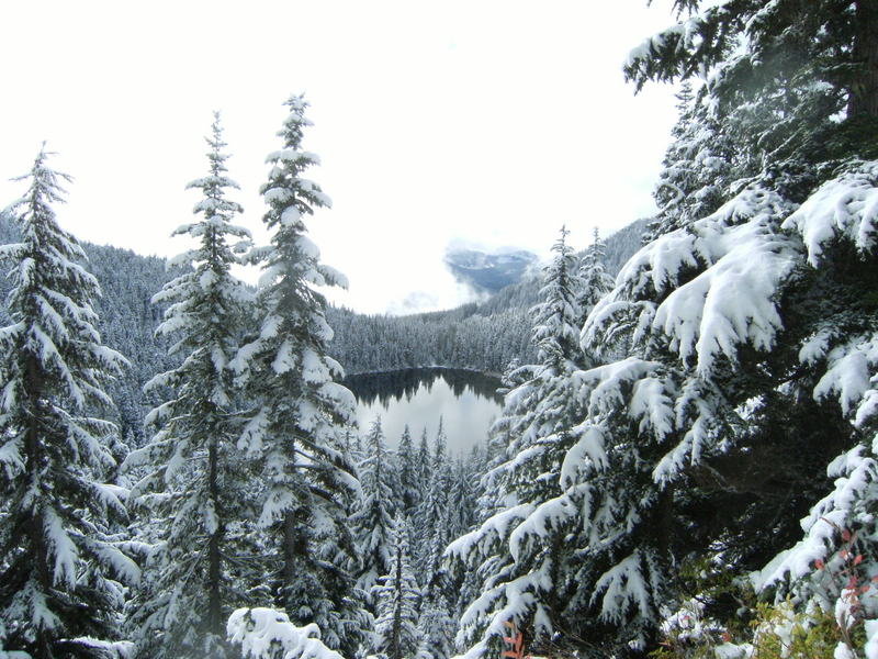
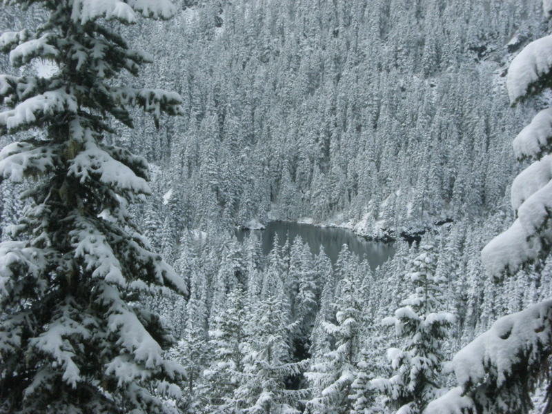
October 27, 2012

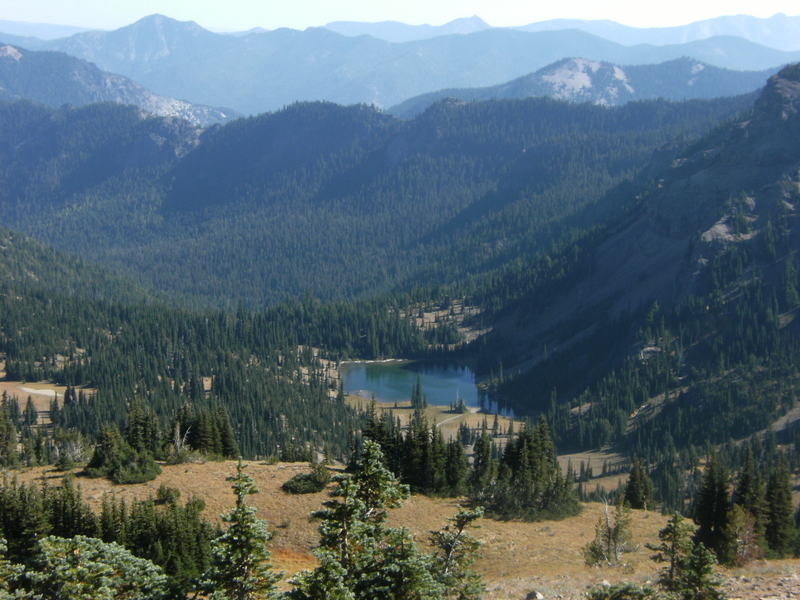
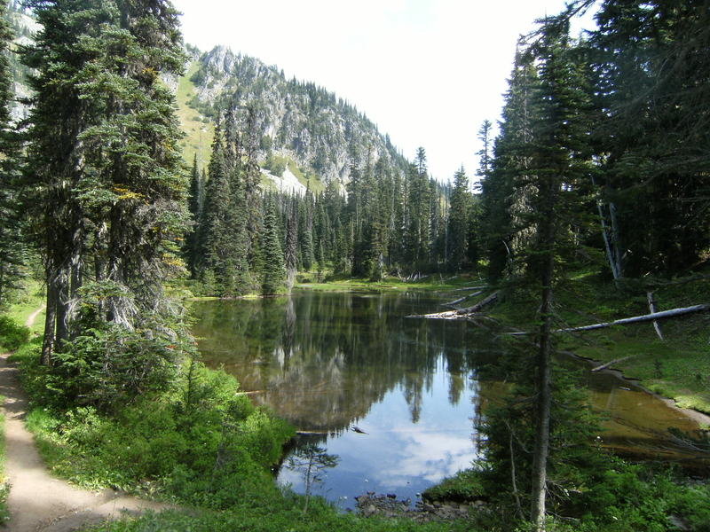
Alpine Lake Wilderness
10 miles of hiking • 2500' elevation gain •
Began the hike @ the Talapus Lake TH and hiked to Talapus, Olallie, Island & Rainbow Lakes. There was a bit more snow then I expected but all trails were in good shape and no traction devices were needed.
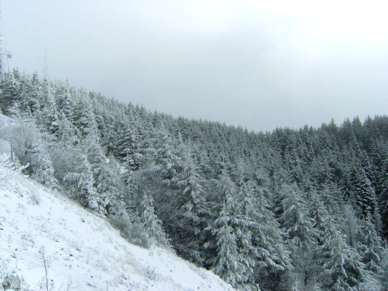
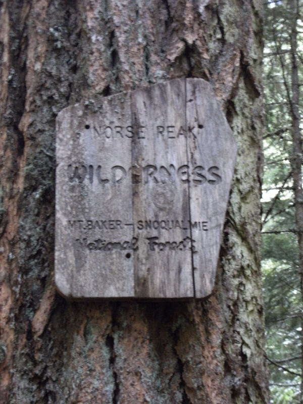
October 21, 2012


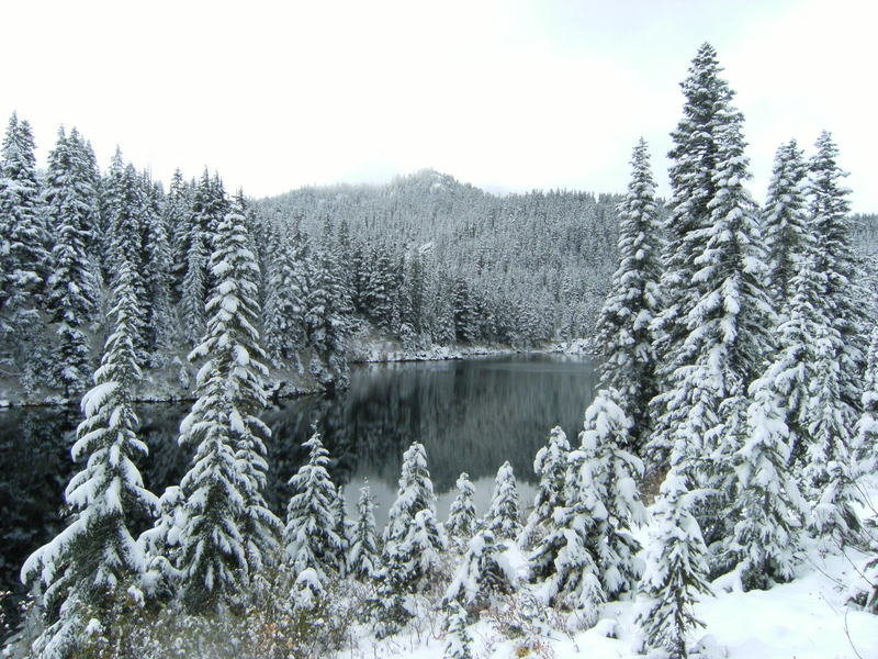

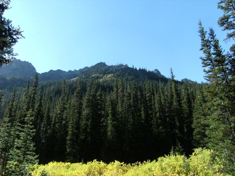
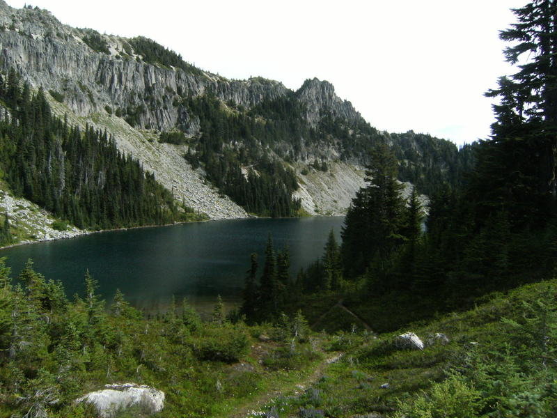
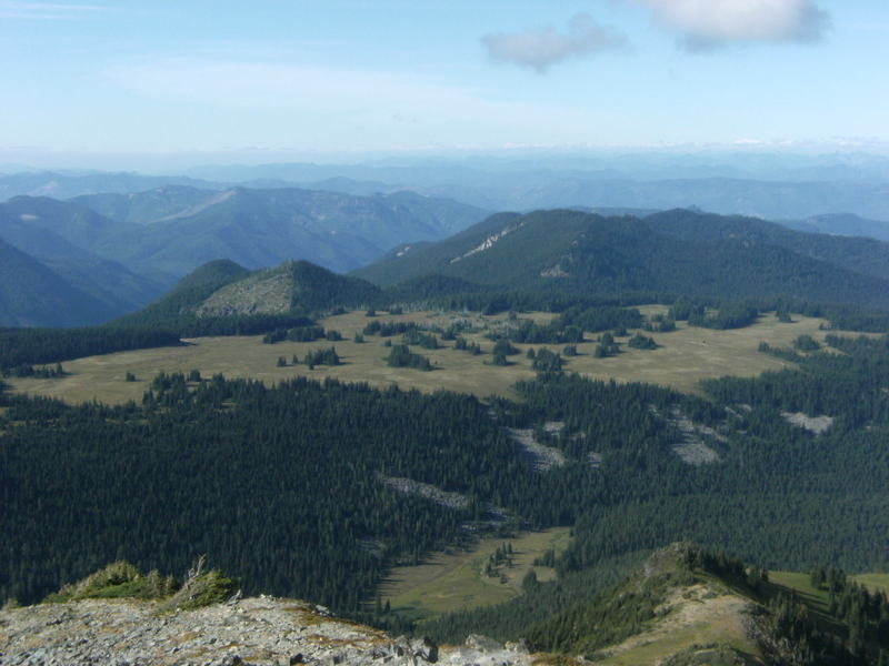
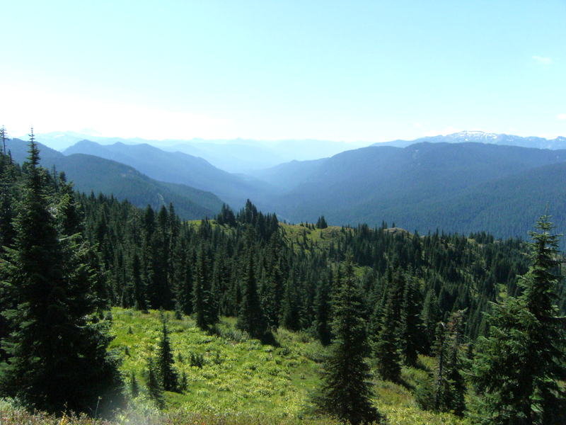
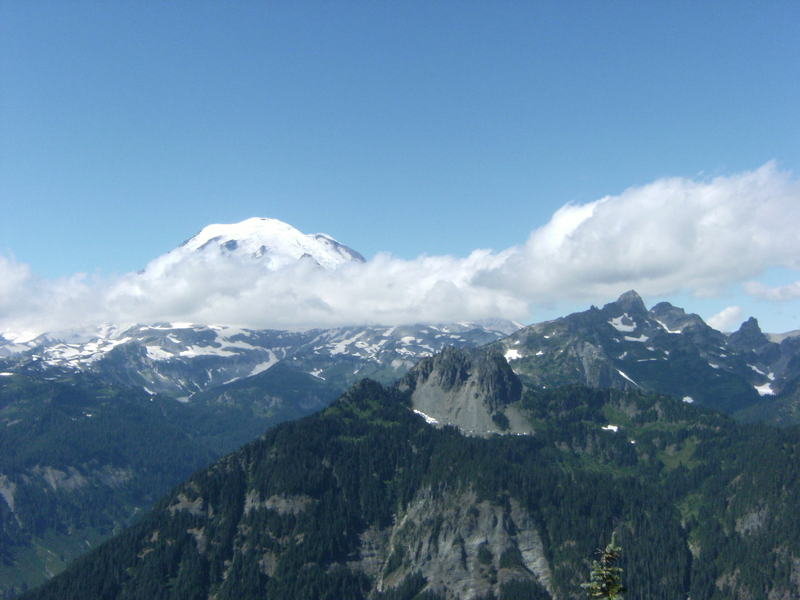
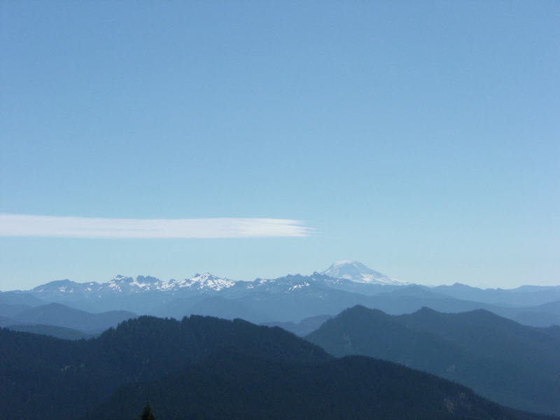
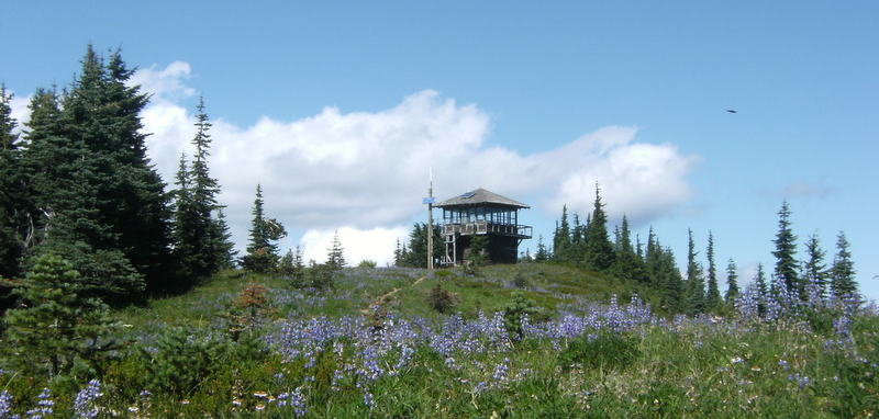
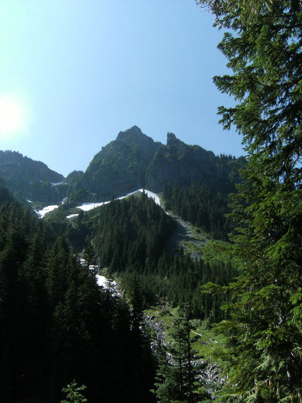
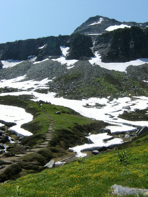
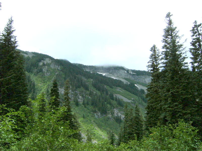
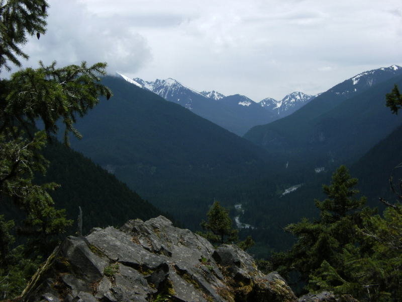
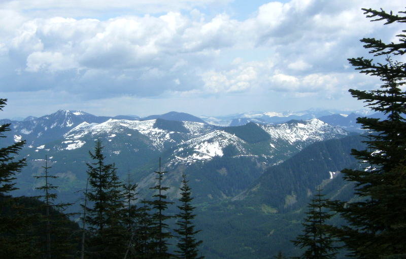
Norse Peak
10 miles of hiking • 3250' elevation gain •
Hike is to a former fire lookout site so there are awesome 360-degree views from the top. There are no water sources while heading up and with the majority of the hike being exposed pring plenty of liquids on a warm day.
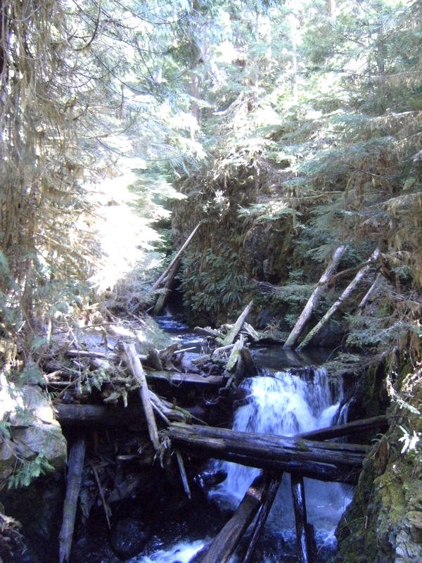
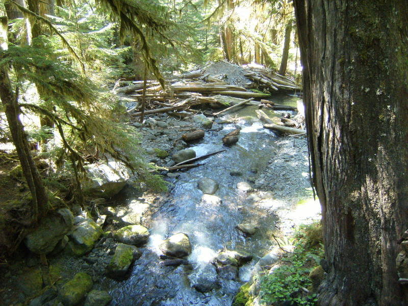
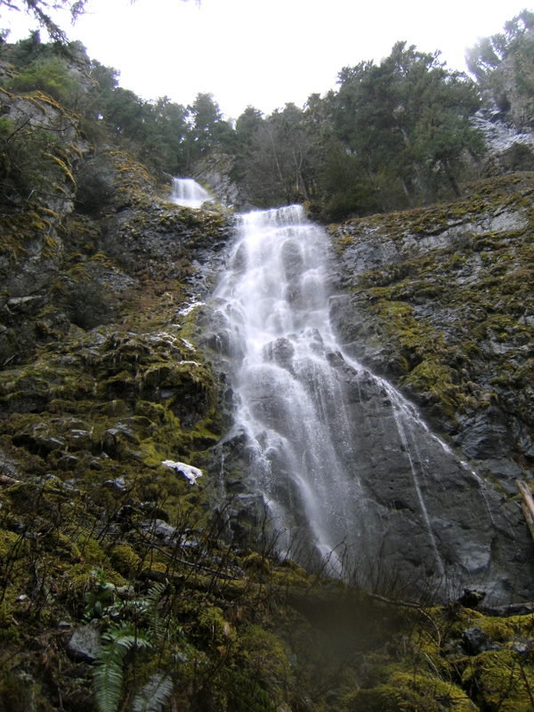
October 5, 2012

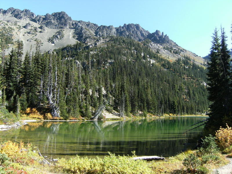
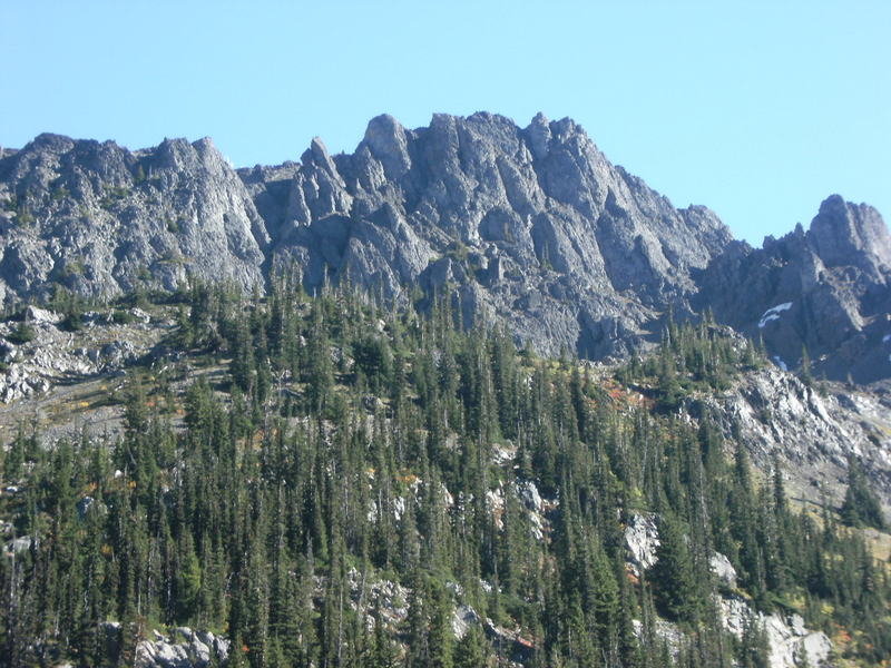
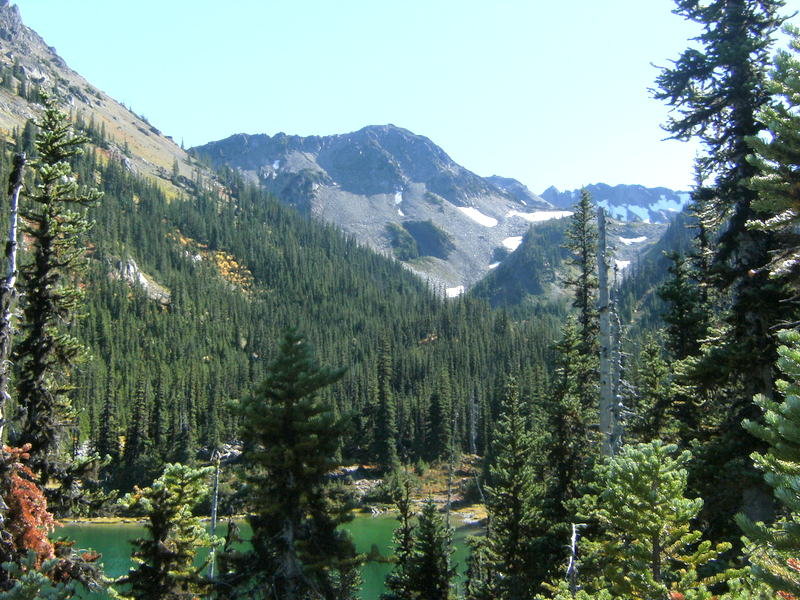
Royal Basin-Royal Lake
15 miles of hiking • 3750' elevation gain •
The trail follows the Dungeness River, and then Royal Creek, up through Royal Basin and to Royal Lake.
September 30, 2012


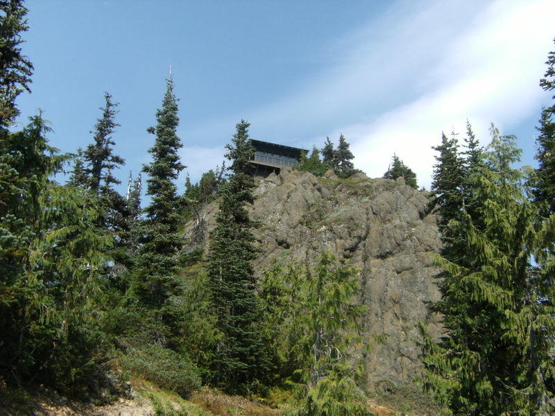
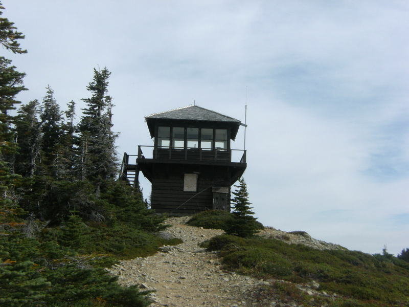
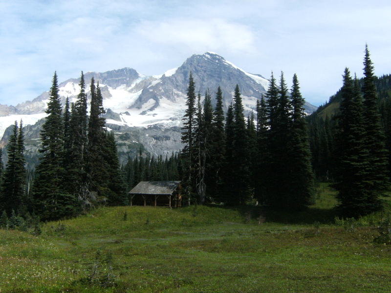
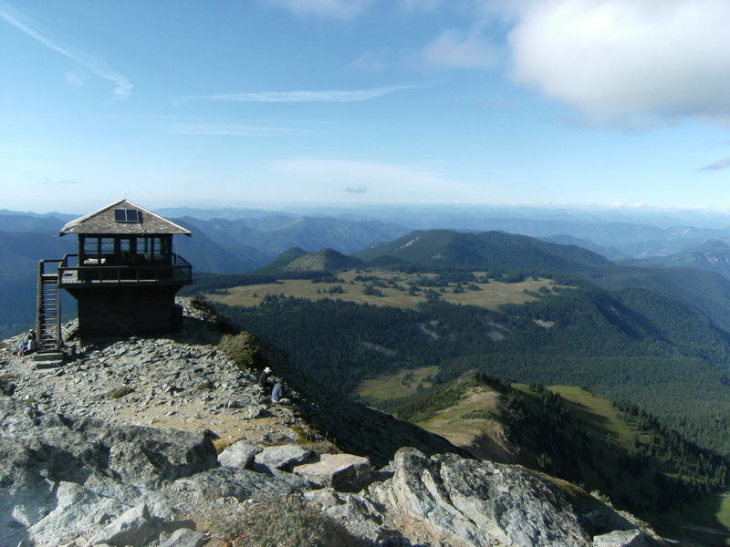
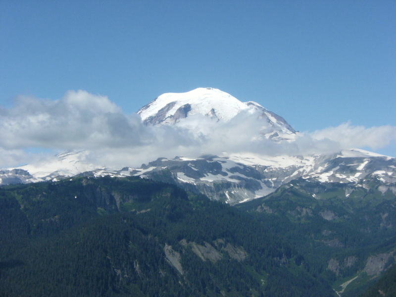
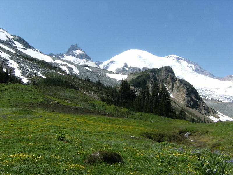
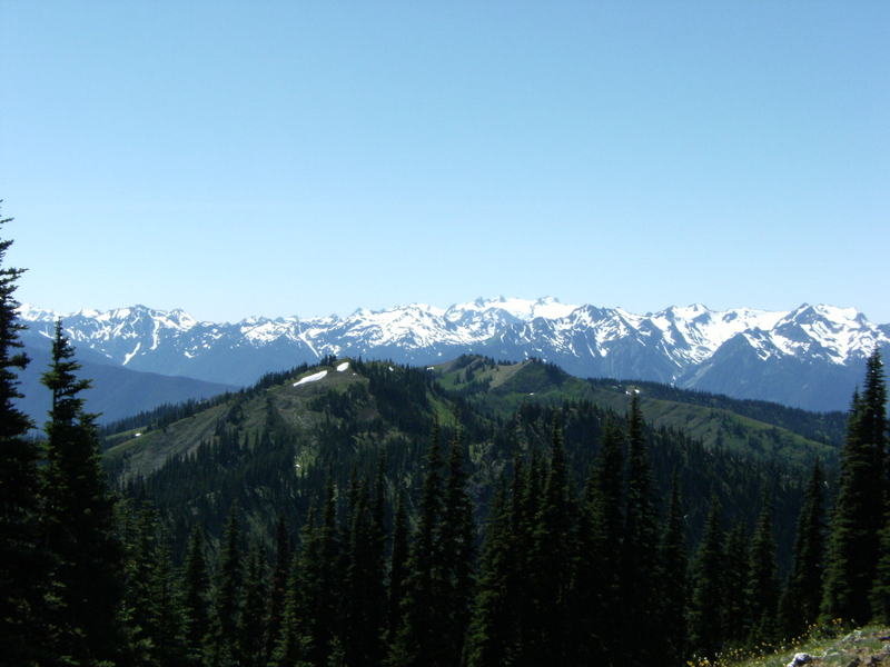
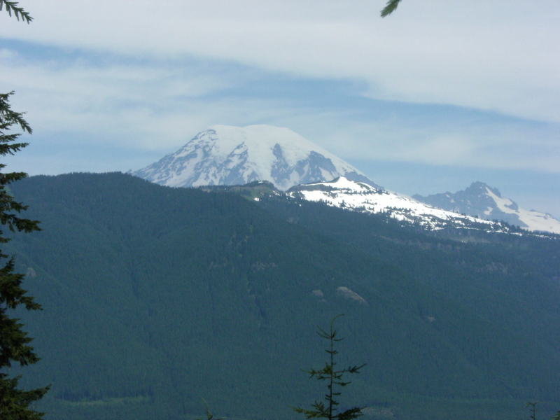
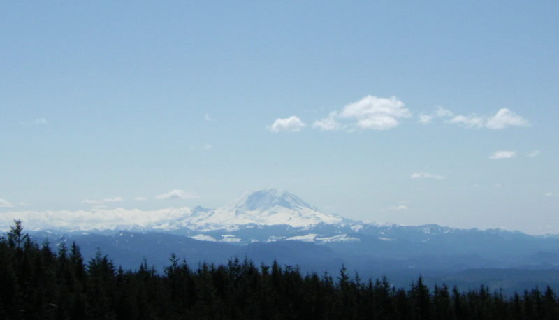
Mt. Rainier-Gobblers Knob Lookout
9.5 miles of hiking • 3250' elevation gain •
One of my hiking goals this year was to hike to all 4 of the existing fire lookouts within Mt. Rainier National Park. The 4 lookouts are Shriner, Fremont, Tolmie and Gobblers Knob. Gobblers Knob can be hiked via several TH's. We hiked to the lookout from the Lake Christie TH. While smoke was not a problem physically it did effect views from the lookout.
September 23, 2012


 1
1
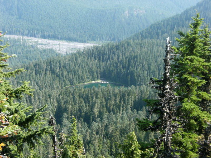
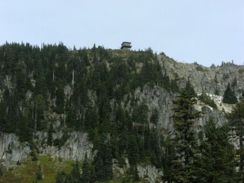
Mt. Rainier-Tolmie Peak Lookout
7 miles of hiking • 2000' elevation gain •
Trail begins @ Mowich Lake and takes you up to Eunice Lake and then up to the lookout located on Tolmie Peak..
September 15, 2012

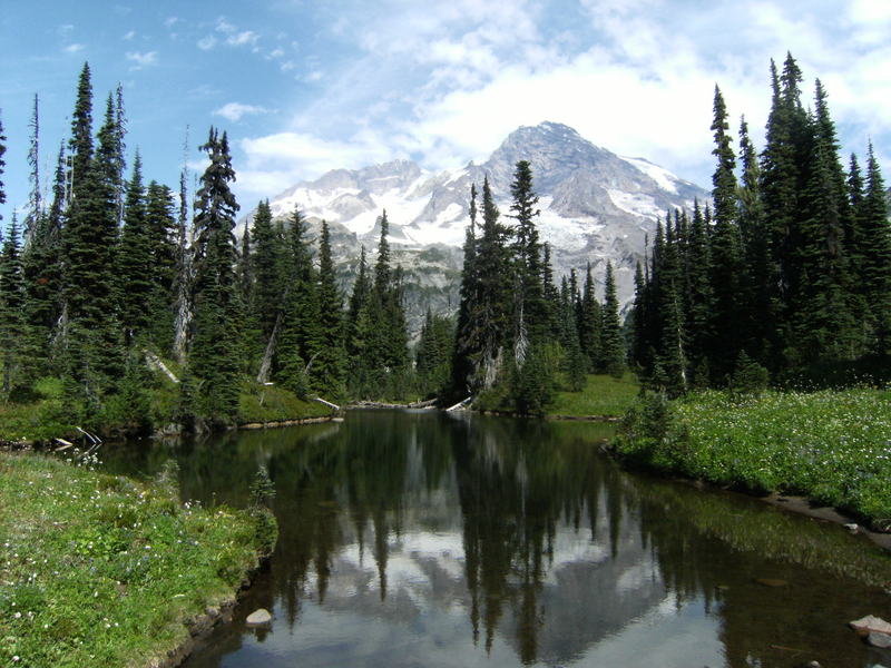
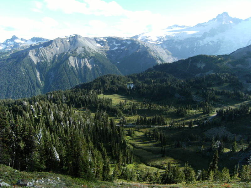
Mt. Rainier-Indian Henrys Hunting Ground & Mirror Lake
15 miles of hiking • 4000' elevation gain •
Took the Wonderland Trail from the Longmire visitor centor up to Indian Henrys Hunting Ground & Mirror Lake. Nice campsites on the way up @ Pryamid Creek and Devils Dream.
September 8, 2012


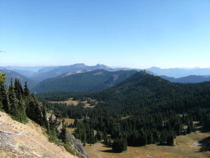
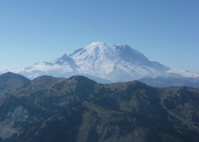
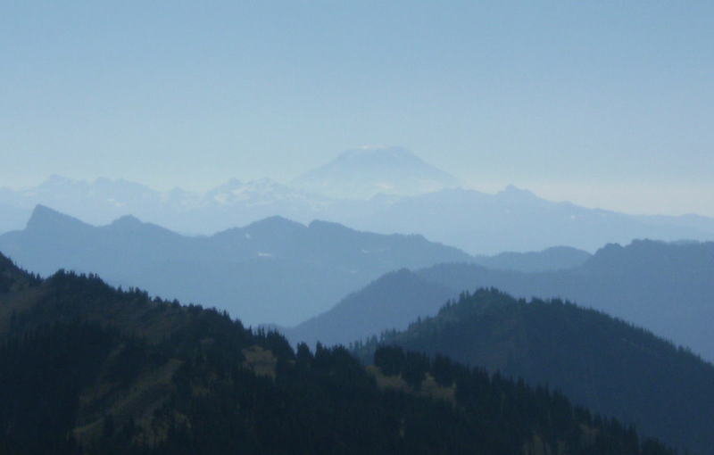
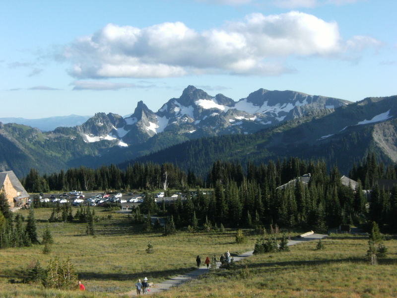
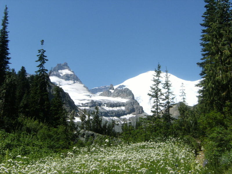
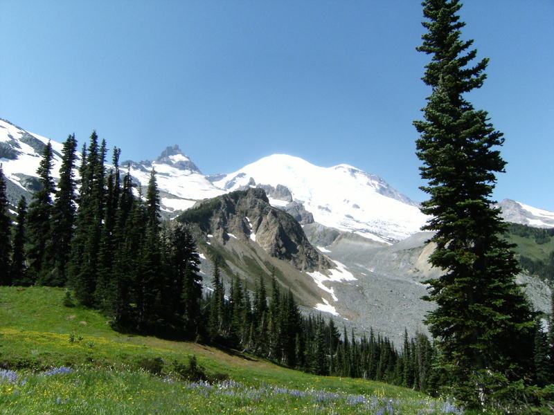
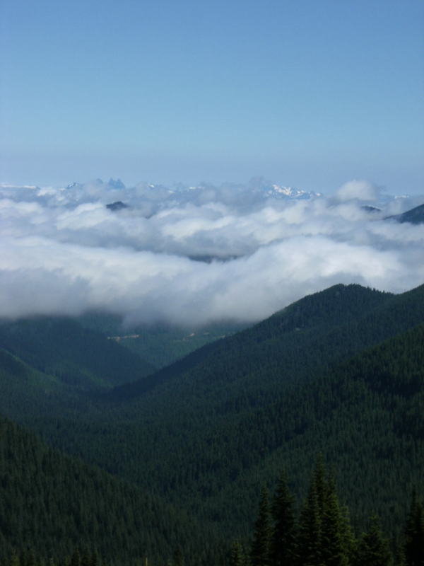
Mt. Rainier-Skyscraper Mtn & Fremont Lookout
11.5 miles of hiking • 2750' elevation gain •
Both hikes are accessed from the Sunrise visitor center and offer great views of Mt. Rainier and the park.
September 2, 2012


Mt. Rainier- Shriner Peak
9 miles of hiking • 3500' elevation gain •
Great views greet you on this hike up to an old fire lookout. Bring plenty of water on a warm day as the majority of the hike is exposed and there are no water sources available.
August 30, 2012


Olympic National Park-Staircase
12 miles of hiking • 1500' elevation gain • 2 nights
Camped @ Staircase and day hiked up to Big Log Camp.
August 23 – August 25, 2012

 3
3
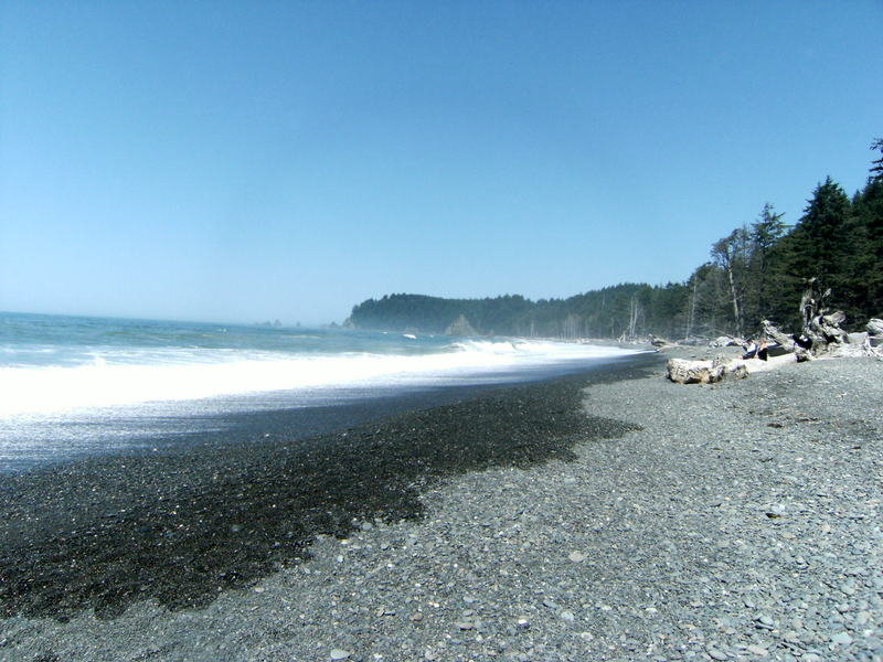
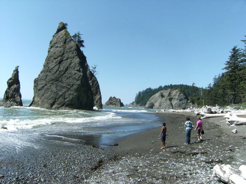
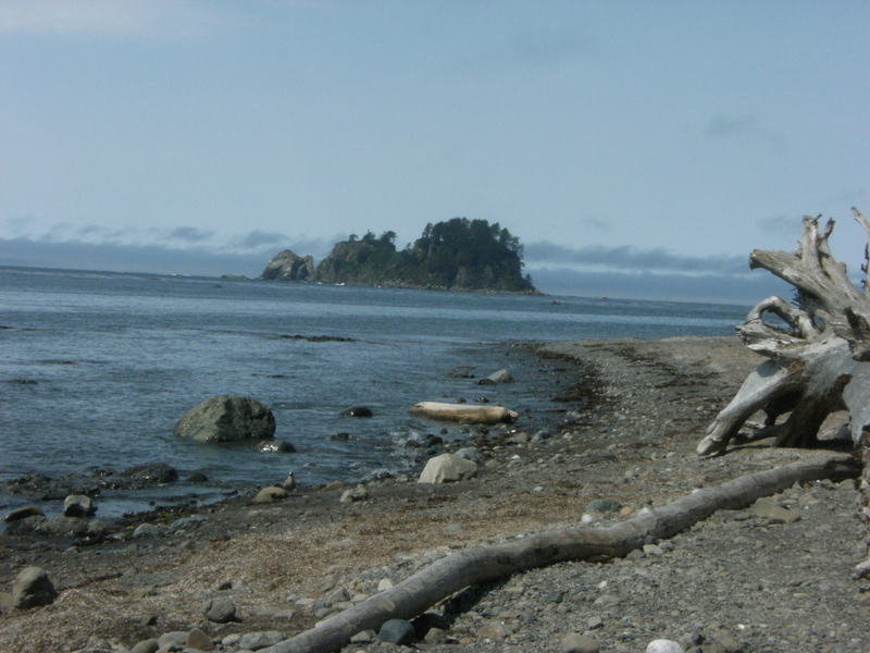
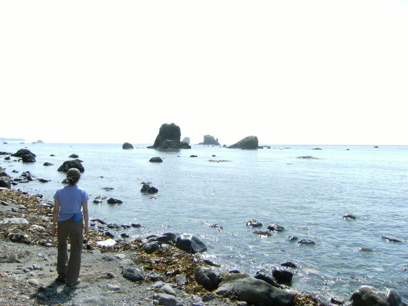
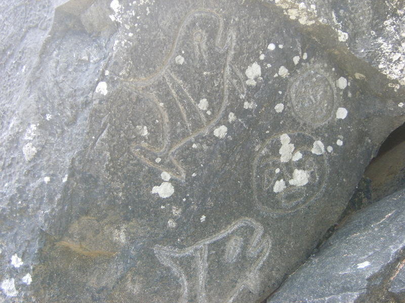
Olympic National Park-Lake Ozette
15.5 miles of hiking • 500' elevation gain • 3 nights
Family camping trip to Lake Ozette. Day hiked the Ozette Triangle and to The Hole in the Wall.
August 15 – August 18, 2012


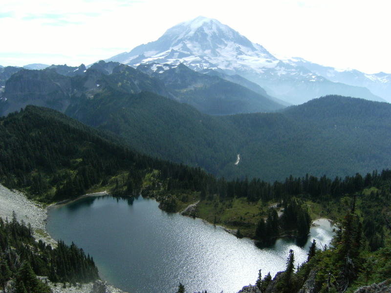
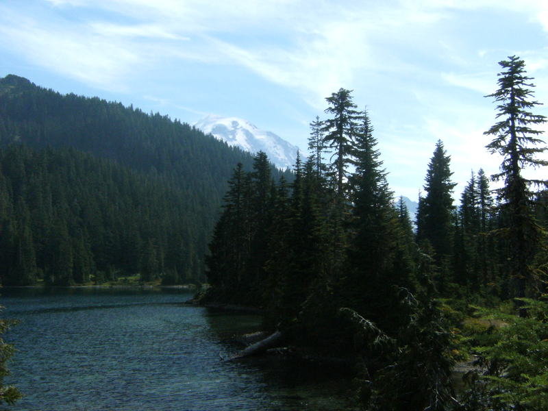
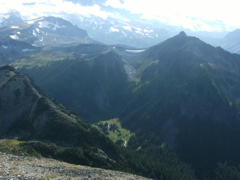
Mt. Rainier-Panhandle Gap
12 miles of hiking • 3000' elevation gain •
There is bit of snow to traverse here and there after Summerland but it's no big deal.
August 12, 2012

 1
1
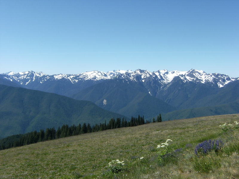
Olympic National Park
15 miles of hiking • 3250' elevation gain • 2 nights
Camped within the ONP and hiked to Sol Duc Falls, Deer Lake, Sunrise Ridge and Mt. Angeles.
July 31 – August 2, 2012


Noble Knob
10 miles of hiking • 1250' elevation gain •
Easy hike w/ great views. Many side trails available for those who like a bit of exploring.
July 28, 2012


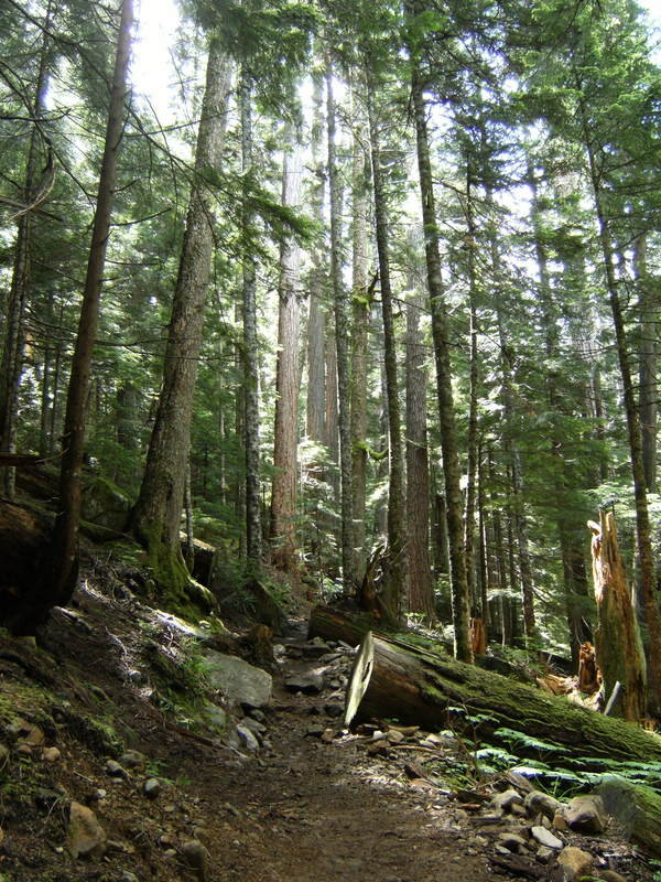
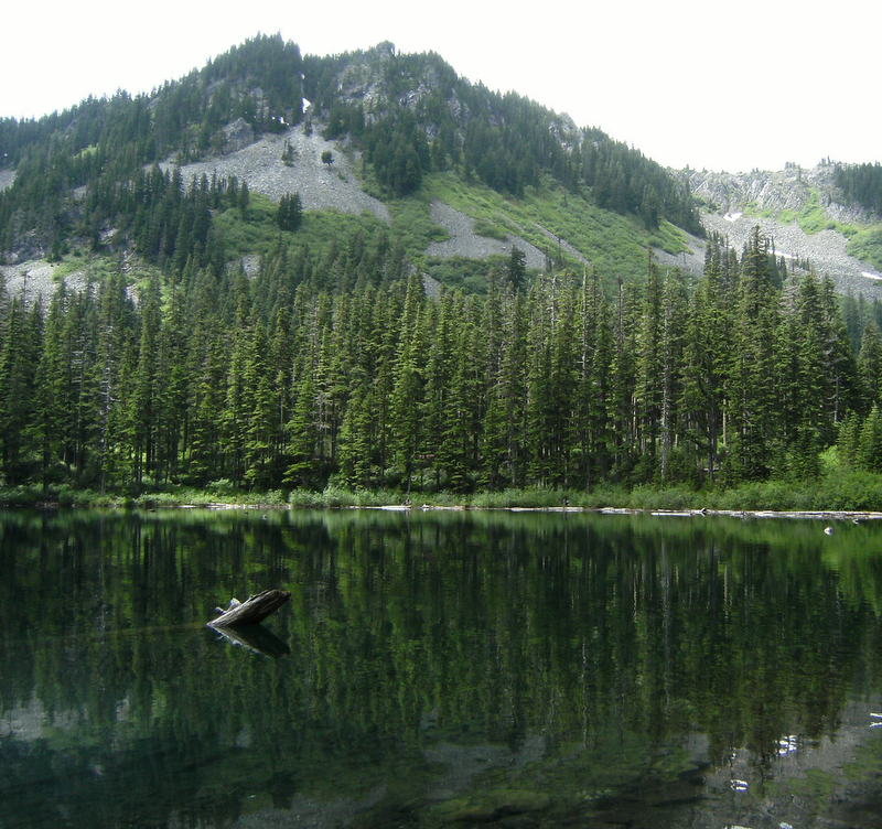
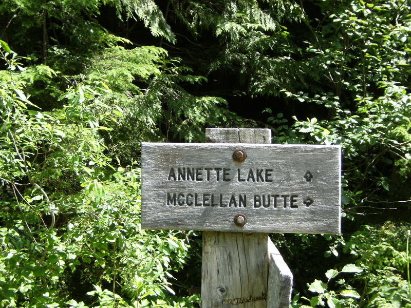
Annette Lake
8.5 miles of hiking • 2000' elevation gain •
Trail a bit muddy when you get close to the lake but overall trail is in good shape. Trail is very popular and parking lot was full when I showed up late morning. There are some very nice campsites @ the lake..
July 21, 2012


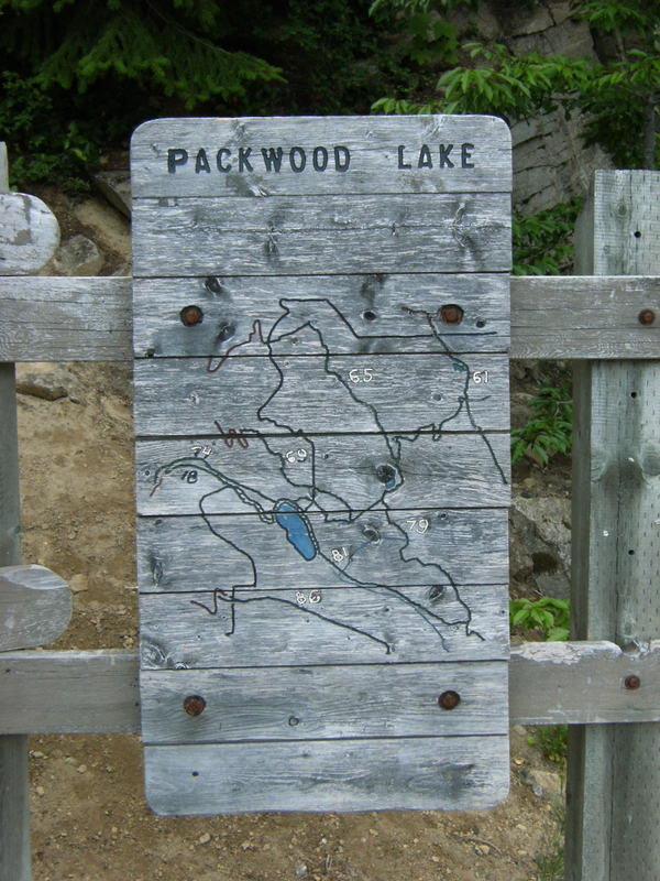
La Wis Wis, Purcell Falls and Packwood Lake
11.5 miles of hiking • 1000' elevation gain • 2 nights
Camped at La Wis Wis and then hiked to Purcell Falls and Packwood Lake. Massive lightning and thunderstorm early morning of the 20th gave quite a show.
July 18 – July 20, 2012


Mount Townsend
7.5 miles of hiking • 2750' elevation gain •
Began the hike @ the Little Quilcene Trail #835. Was hoping the peaks elevation, a bit over 6200', would break us out of the stubborn low cloud cover and drizzle but it was not to be on this day. If fact the higher we climbed the denser the cloud cover became. Trail is in good condition and free of snow.
July 15, 2012

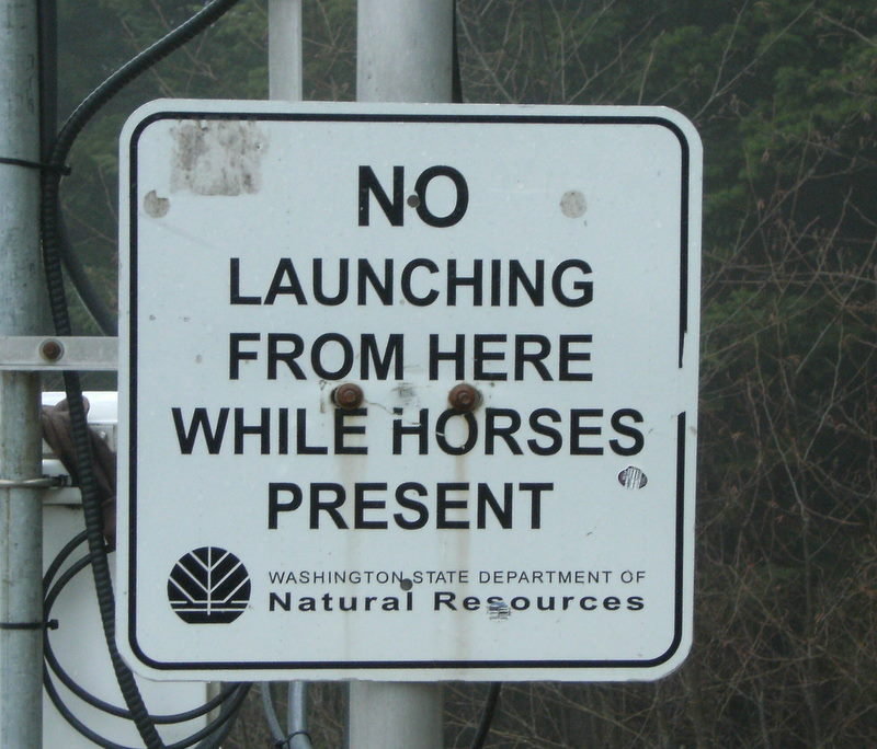
Poo Poo Point
4 miles of hiking • 1750' elevation gain •
Hiked up to Poo Poo Point via the Chirico Trail. Short hike but with a fair amount of elevation gain. A bit hazy @ the top which I was told was a result of some big fires somewhere in Asia. Many paragliders were being launched taking advantage of the weather conditions. Unfortunately forgot the camera.
July 10, 2012

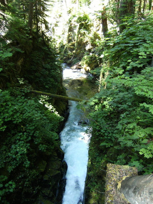
Teneriffe Falls
8.5 miles of hiking • 2500' elevation gain •
Plan was to hike up Mt. Teneriffe but got side tracked exploring some side trails and ended up just hiking as far as the falls.
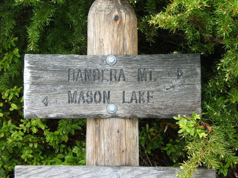
July 7, 2012


Ira Spring Trail-Mason Lake
7.5 miles of hiking • 2750' elevation gain •
Hiked the Ira Spring Trail to Mason Lake. A bit of snow still present @ the lake.
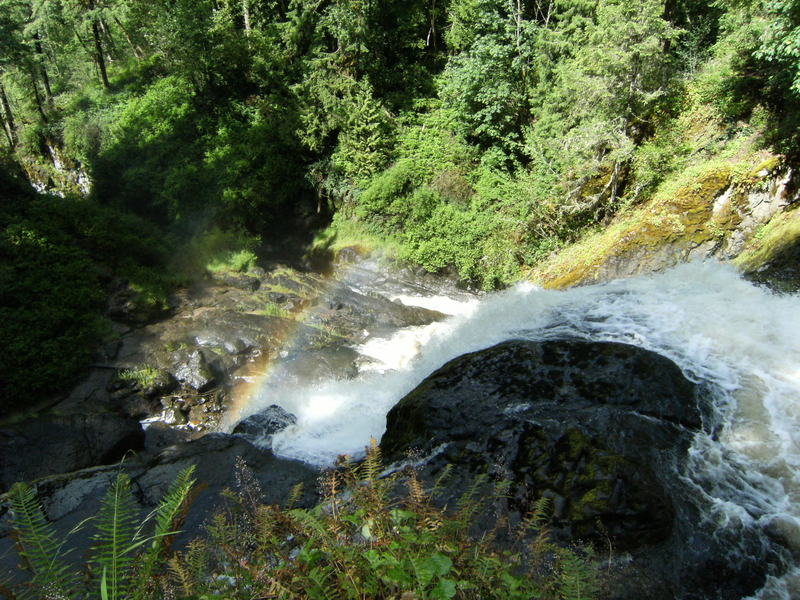
July 1, 2012


Pack Forest-Hugo Peak-Falls Trail
8 miles of hiking • 1500' elevation gain •
Hiked up Hugo Peak and then took forest service roads 1060-1000 to the Falls Trail and hiked to the falls.
June 24, 2012


Greenwater, Quinn & Lost Lakes
12 miles of hiking • 2000' elevation gain •
A bit a patchy snow about 1 mile up from the Echo and Lost lake cut offs. Very light traffic once you get clear of Greenwater Lakes. Had both Quinn and Lost Lakes to my self.
June 16, 2012


Squak Mtn.
6 miles of hiking • 2000' elevation gain •
Quick after work conditioning hike up to the West Peak.
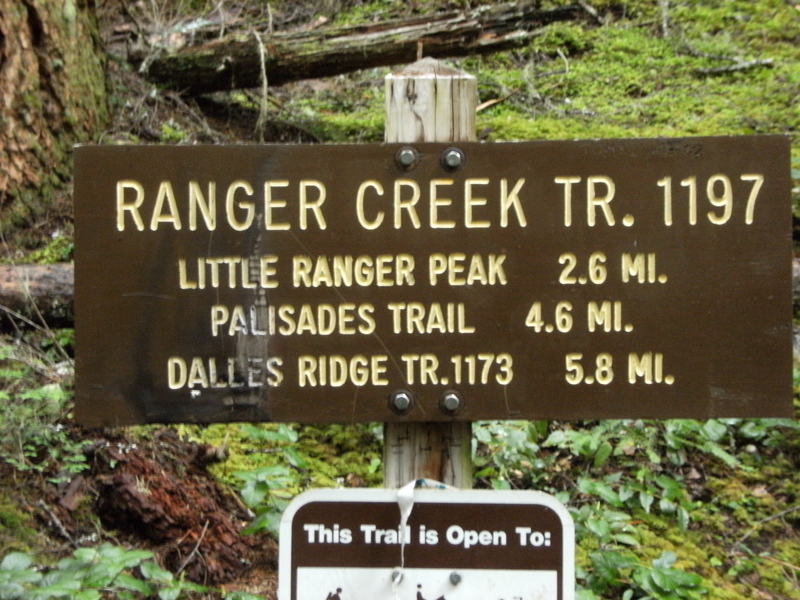
June 11, 2012

Little Ranger Peak-Palisades Trail
10.5 miles of hiking • 2750' elevation gain •
Hiked the Ranger Creek Trail to Little Ranger Peak. Supposed view of Mt. Rainier was obstructed by clouds. Continued on the Ranger Creek Trail to the Boy Scout shelter situated at around 5000'. From there one can take the Palisades Trail to Dalles Ridge which is supposed to have great views but due to deteriorating weather and the cloud cover being uncooperative decided to save hiking the ridge for a more favorable weather day.
June 3, 2012


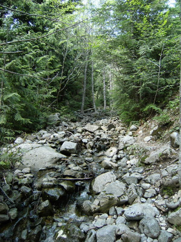
Dirty Harry's Balcony & Peak
9.5 miles of hiking • 3500' elevation gain •
Trail is gnarly, rocky w/ portions more like a river bed due to the melting snow pack. The cut off to the balcony is @ approx 2500' and the TH is marked by an old oil drum. The hike out to the balcony is worth the side trip as it is only 1/4 mile off the trail and has some nice views. Very crowded though as that is the turn around point for the majority of the hikers. Snow began @ approx 3800 feet and was prevalent all the way to the summit which is @ around 4700'. Views from the summit were fairly impressive but are beginning to be blocked out by trees.
May 26, 2012


Lena Lake
7.5 miles of hiking • 1500' elevation gain •
Rainy day hike up to Lena Lake. Went up as far as The Brothers TH.
May 20, 2012

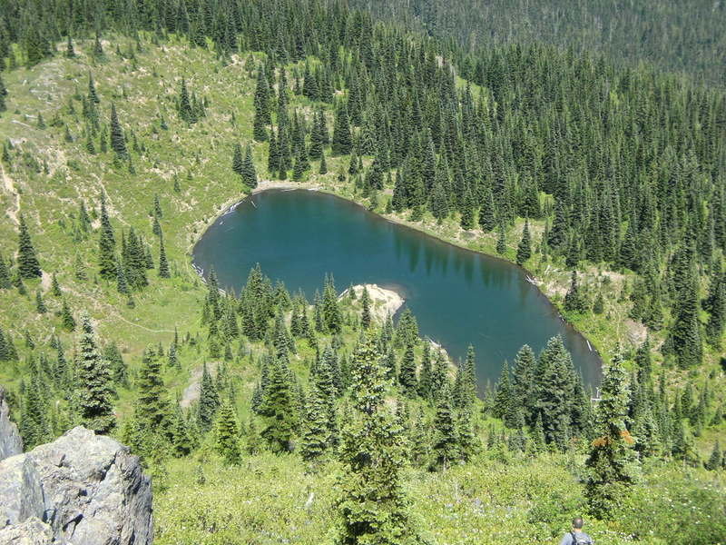
Pratt Lake Basin
8.5 miles of hiking • 2250' elevation gain •
Snow began @ the Talapus Lake cut off and I used the micro spikes from there to the 4100' Pratt Lake Basin. Use caution as the snow pack is melting fast and trail is unstable in places.
May 12, 2012

 1
1
Greenwater & Echo Lakes
10 miles of hiking • 1500' elevation gain •
First time hiking in this area and the plan was to hike to Greenwater and then to Echo Lake. The trail to Greenwater Lake is fine but approx.3 miles past Greenwater Lake and @ approx. 3400' the snow became to deep and the trail to difficult to follow. Will give it a try again in a month or two.
May 6, 2012


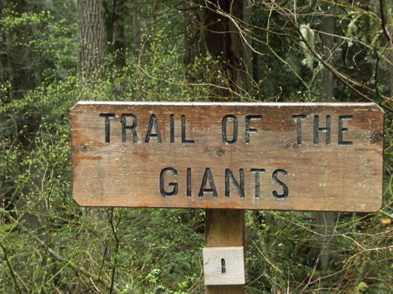
Pack Forrest-Hugo Peak & Beyond
6.5 miles of hiking • 1500' elevation gain •
Hiked up Hugo Peak. Took the road down to the Kirkland Pass and then hiked the Trail of the Giants. Descended Hugo Peak via the Reservoir Trail.
April 29, 2012

 1
1
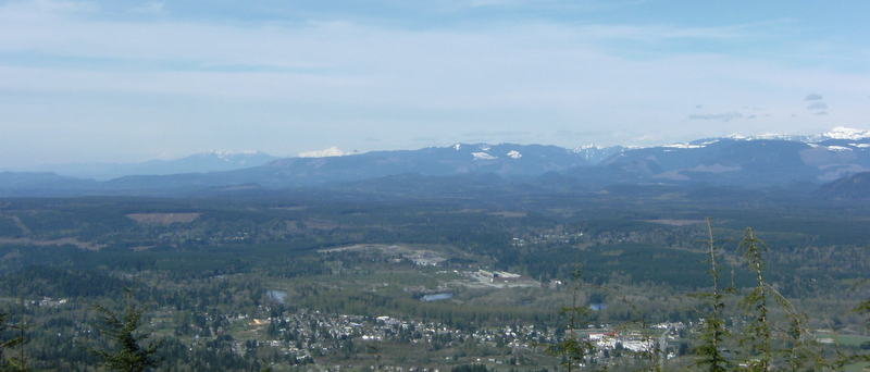
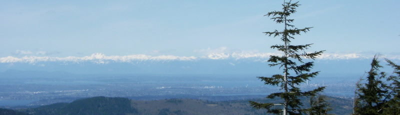
Rattlesnake Mtn
13 miles of hiking • 3000' elevation gain •
Climbed to the East Peak via the Snoqualmie Point Trail. Snow began a bit before Grand Prospect and used micro spikes from there to the summit.
April 21, 2012

Tiger Mtn. Peaks 1 & 2
8.5 miles of hiking • 2750' elevation gain •
Highpoint Trail, TMT & West TMT to peak 1. Snow on the trail the last mile but microspikes not used. Hiked the road to peak 2 and then took the TMT back to the Highpoint Trail and then back to the TH. Much less snow on the descending trails.
April 7, 2012

Squak Mtn. West & Central Peaks
11.5 miles of hiking • 2750' elevation gain •
Hiked both west & central peaks. All trails were snow free but muddy. Weather was a little bit of everything....rain, sleet, snow, sun and fog.
April 1, 2012

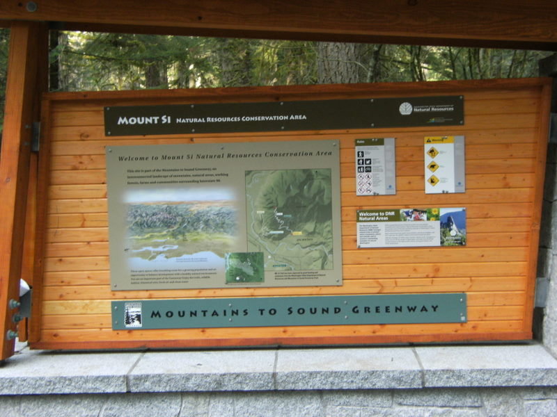
Mt. Si (Old Trail) & Little Mt. Si
12 miles of hiking • 4250' elevation gain •
The Old Mt. Si trail is accessed from the Boulder Garden Loop Trail off of the Little Mt. Si Trail. The old trail is rougher & steeper then the new trail and and is shorter by approx. a mile. The great thing though is that it has much less traffic and is more secluded then the new trail. Snow began @ approx. the 2500' mark and that is where I donned the micro spikes. After ascending and descending the old trial I then hiked up Little Mt Si which had it's typical high traffic level but was snow free.
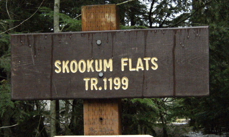
March 24, 2012


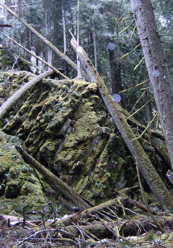
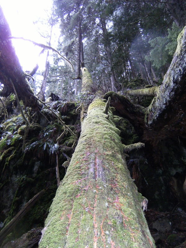
Skookum Flats/Falls
12.5 miles of hiking • 1000' elevation gain •
Began hike from the TH off FS Road 73. Trail meanders east along the White River through beautiful old growth forest. Skookum falls are @ around 2.5 miles. Trail was in good shape with icy/snowy portions here and there but no traction devices were needed. Beside a few elk saw no one else on the trail.
March 10, 2012


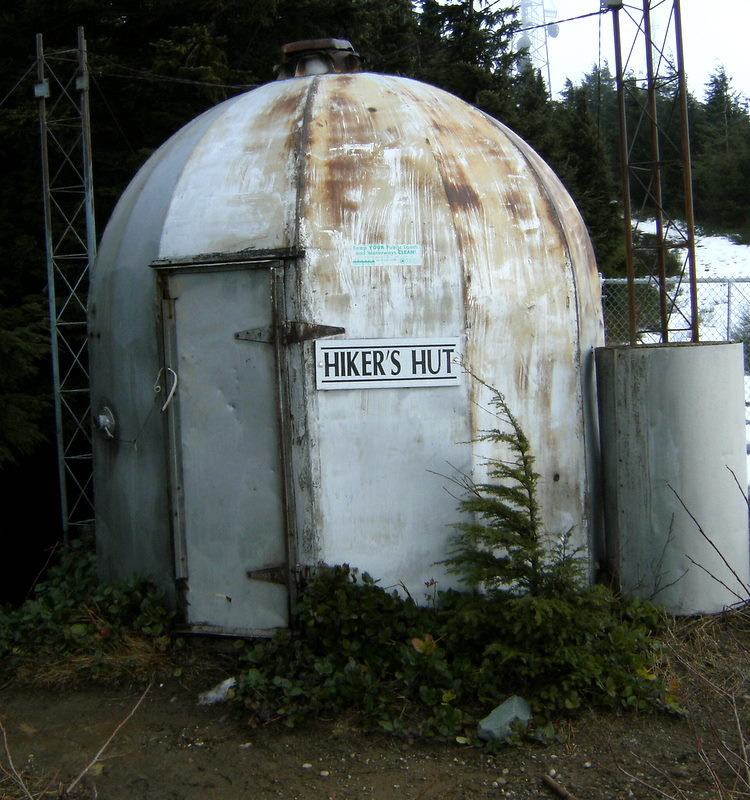
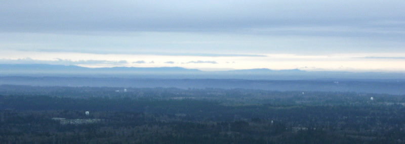
Tiger Mtn....All Peaks, One Twice
9.5 miles of hiking • 3000' elevation gain •
Began hike @ the Highpoint TH and took the TMT to summit #2. Then took the access road to the Hikers Hut and then the Poo Top trail to summit #1. Re-traced my route to summit #2 and then took the West Tiger 3 trail to summit #3. Took West Tiger 3 trail back to the TH. All trails were clear of blowdowns and there was only a bit of snow on the TMT nearing summit #2.
March 4, 2012

Squak Mtn.
8.5 miles of hiking • 2250' elevation gain •
Hiked both peaks. Snow on trail beginning @ around the 1000' mark but no traction devices needed. A few blowdowns here and there but nothing substantial.
February 25, 2012

Pack Forrest-Hugo Peak
4 miles of hiking • 1250' elevation gain •
A few blowdowns to navigate around/over @ the beginning but overall trail is in good shape.
February 19, 2012

Tiger Mtn....Poo Poo Point to West Summit 1
11 miles of hiking • 3000' elevation gain •
Started hike @ the Chirico TH and and proceed to hike to Poo Poo Point. Misty and foggy with limited visibility @ Poo Poo Point. Then took the Poo Poo Point Trail to One View Trail. Followed the One View Trail past the 15 mile gap to the TMT. Took the TMT to the Hidden Forrest Trail and then took Hidden Forrest Trail west to the Poo Top Trail. Took that trail to West Tiger Mtn. Summit #1. Summit was shrouded in heavy fog and mist with virtually no visibility. All trails were in good condition w/ minimal blowdowns
February 11, 2012


Mt. Washington
10 miles of hiking • 3250' elevation gain •
A few blowdowns at the beginning of the trail but overall trail is in good condition. Trail is pretty much snow/ice from the start and and while I used the microspikes, snowshoes were not necessary. Very windy @ the 4500' summit.
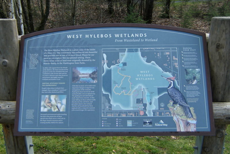
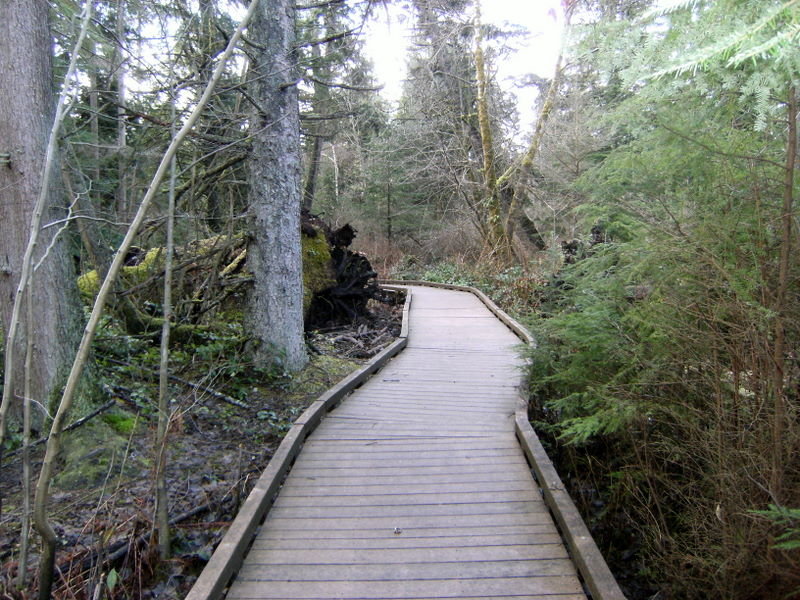
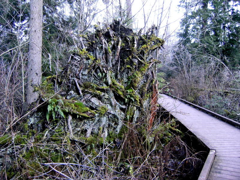
February 4, 2012


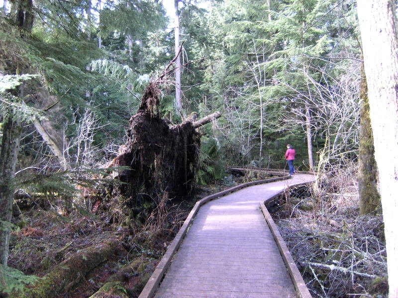
West Hylebos Wetlands
4 miles of hiking • 0' elevation gain •
Had the afternoon off so took by 5 year old grandson on this hike. Hike is mostly on a boardwalk which meanders through the wetlands. Great educational hike for kids but beware as boardwalk can be quite slippery in places.
February 2, 2012

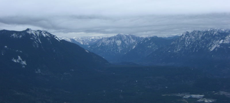
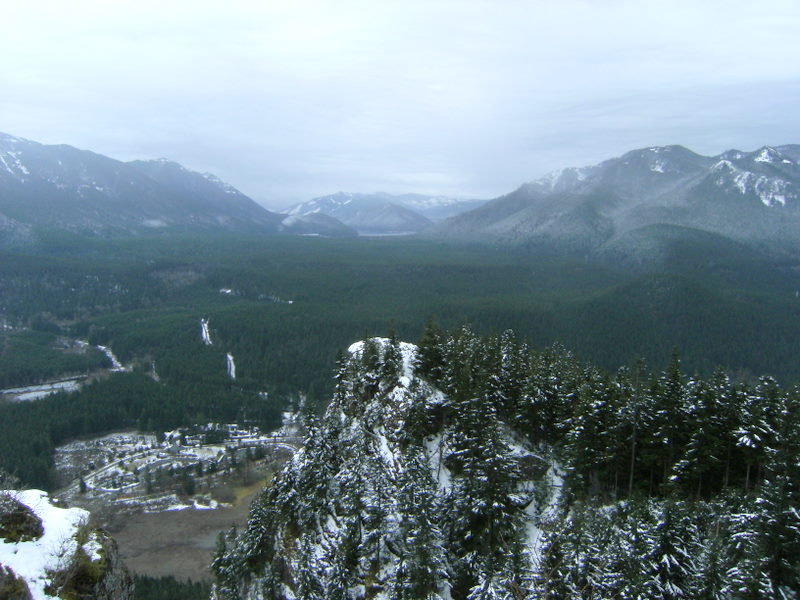
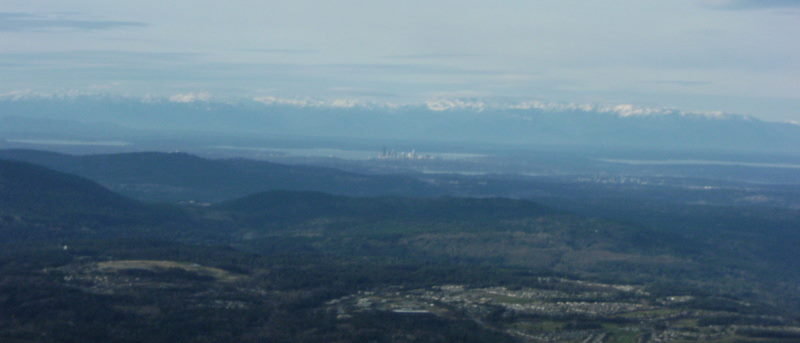
Rattlesnake Mtn.-Ledges 1,2,3 & East Peak
10 miles of hiking • 3000' elevation gain •
Trail is in very good condition. Trail is a bit icy up to the first ledge and then is snow/ice all the way to the East Peak... with deep snow the last mile and a half from the summit. Crowds were light and in fact this the first time I have ever seen the first ledge people free.
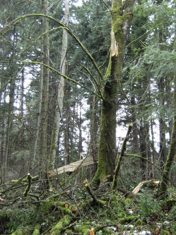
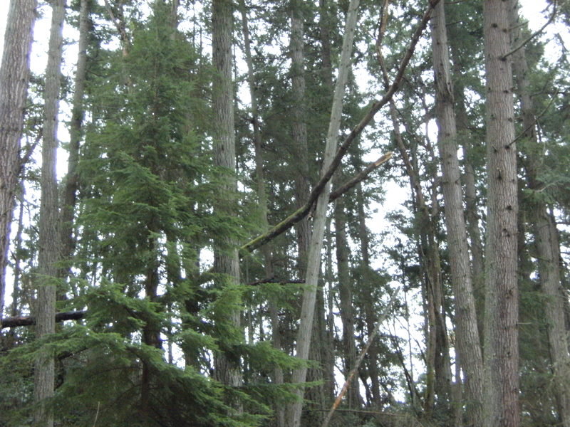
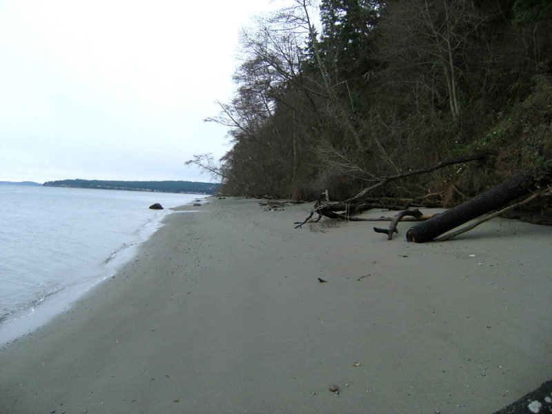
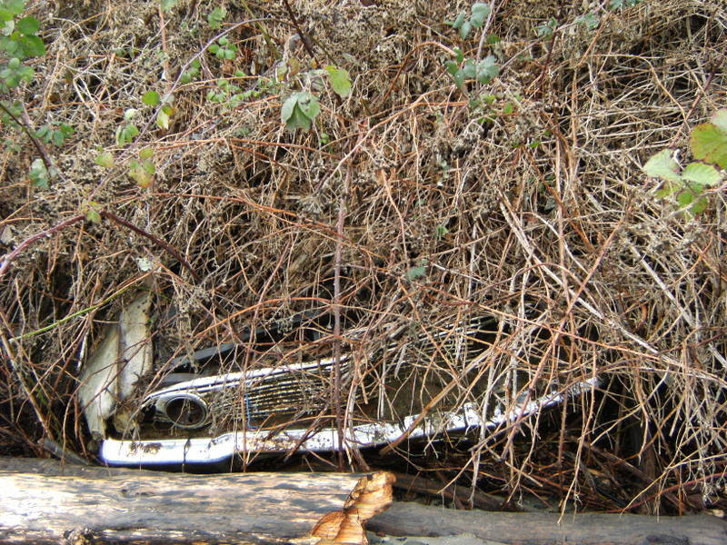
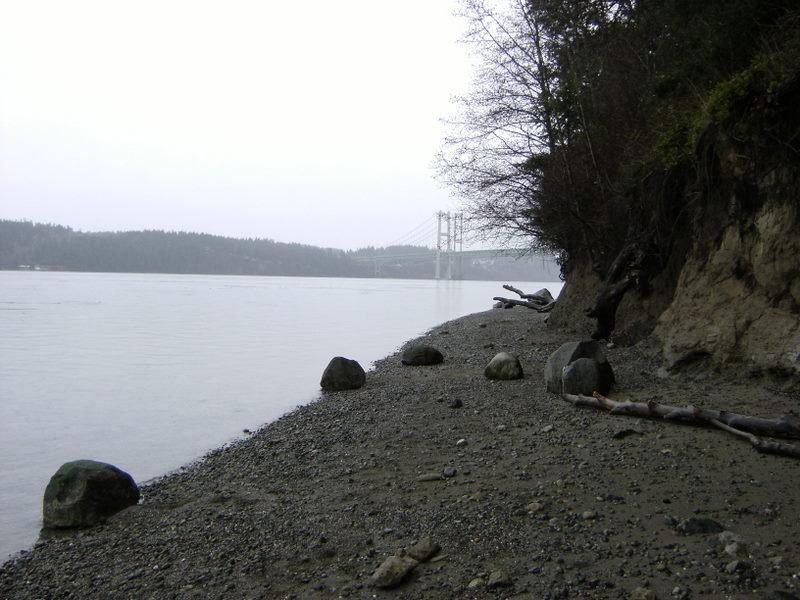
January 28, 2012


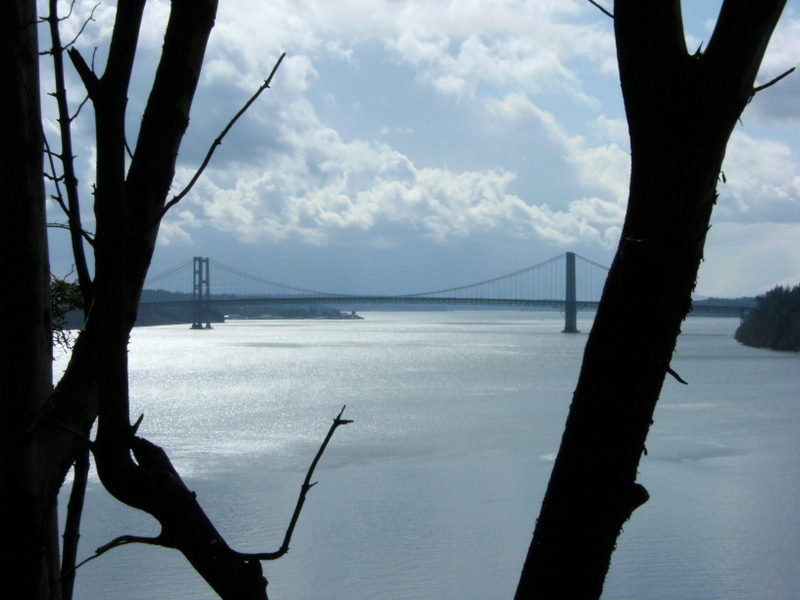
Hiking Puget Sound
10.5 miles of hiking • 500' elevation gain •
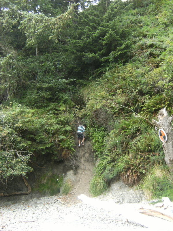
With the recent snow/ice/wind storm damage making the majority of trails in the area in-hike able I decided to venture out and hike some of the beaches of Puget Sound. Started the hike @ the War Monument in Tacoma, crossed the Narrows and hiked down the Narrows Trail to the foot of the Narrows Bridge. The Narrows Trail has been heavily damaged from the storm and because of the numerous blow downs is nearly impassable. Upon reaching the shore line I proceeded to hike to Pt. Fosdick and Hidden Beach. One interesting thing the storm did uncover was an old car someone must have pushed/driven off of one of the many surrounding cliffs.
January 22, 2012


Tiger Mtn.
8.5 miles of hiking • 2000' elevation gain •
Began hike @ the Issaquah H.S. trail head. Greeted w/ steady rain which turned to snow @ around 1000'. Snowed off and on as I took the Poo Poo Point Trail and then the One View Trail up to the 15 mile gap. Came down the same way went up.
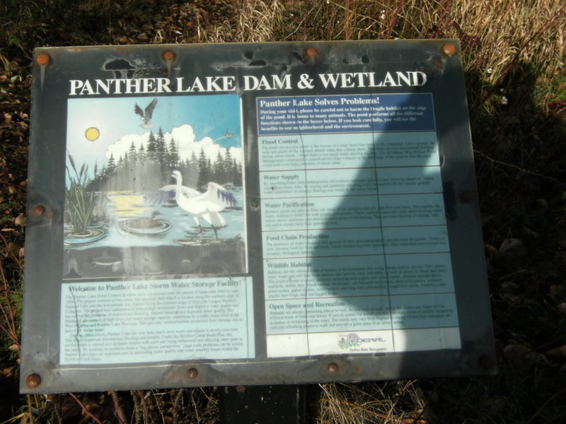
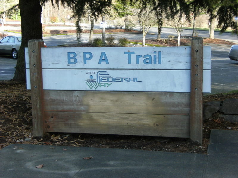
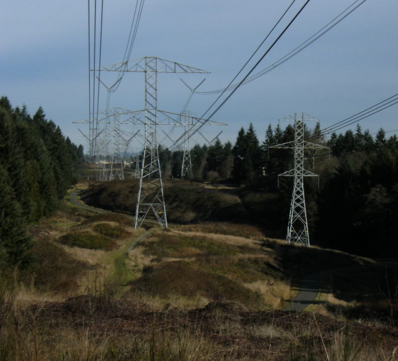
January 14, 2012

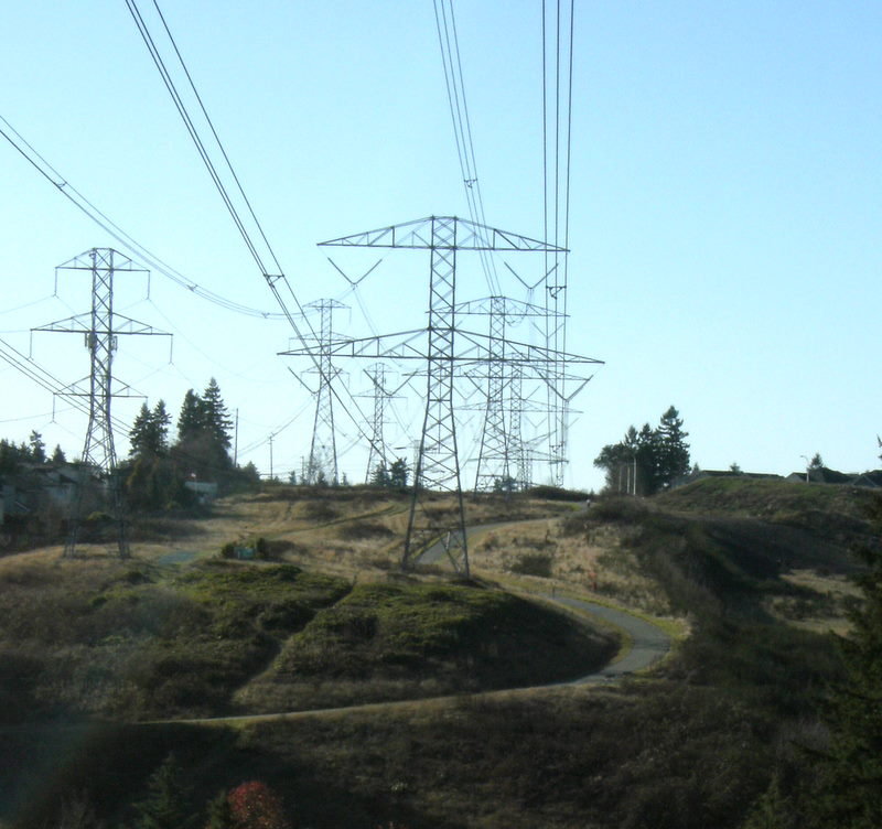
BPA Trail, Panther Lake Wetlands
5 miles of hiking • 250' elevation gain •
This is my “I gotta get away from work” hike which I usually take in some variation 2-3 times per week. The BPA Trail begins @ Celebration Park in Federal Way and meanders SW for approx. 4 miles ending in NE Tacoma. There are several trails which parallel the main asphalt trail. These offer more of a hiking experience and elevation gain and give you access to the Panther Lake Wetlands which is located SE of the Federal Way Aquatic Center. For the purpose of this site I will be only listing this hike 1x.
January 11, 2012

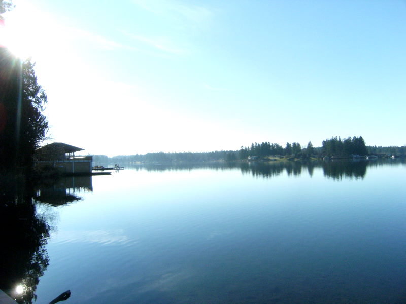
Bresemann Forest/Spanaway Lake Loop
3.5 miles of hiking • 250' elevation gain •
This is my almost daily dog walk. Bresemann forest & Spanaway Lake have many trails to explore and in the winter time foot traffic is light. For the pupose of this site I am only going to list this hike 1x.
January 8, 2012


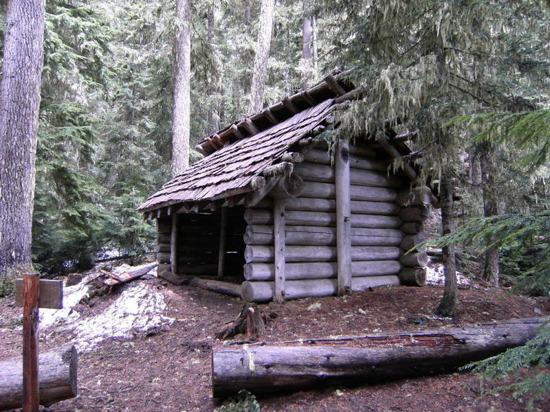
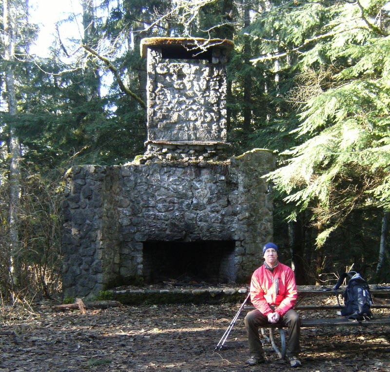
Squak Mtn.
10 miles of hiking • 2000' elevation gain •
This moss laden forest is an nice alternative hiking area to it's much more crowded neighbor Tiger Mtn. Many well signed trail options offer a moderate climb to the remnants of the Bullitt Lodge and the peaks 2000' summit.
January 6, 2012


 2
2
Mt. Si
8 miles of hiking • 3250' elevation gain •
A bit snowy the last couple of miles from the top but not to bad. MIcrospikes, while not absolutely neccessary, did make the climb and the desent quite a bit easier. Was very windy @ the summit. Haystack snowy/icy so did not attempt to summit. Crowds light.
January 1, 2012


View trips from: 2013 2014 2015 2016 2017 2018 2019 2020 2021 2022