5.5 miles of hiking • 1750' elevation gain •
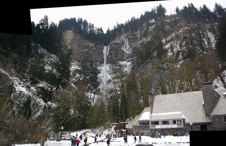
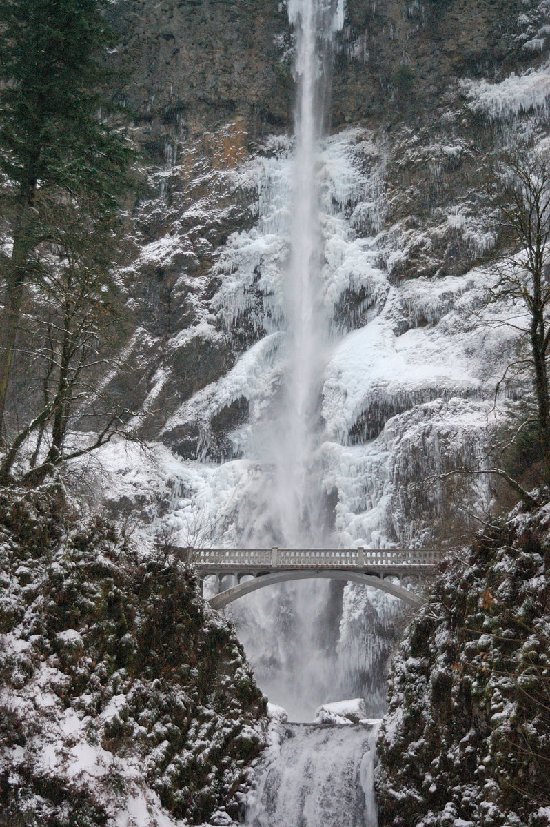
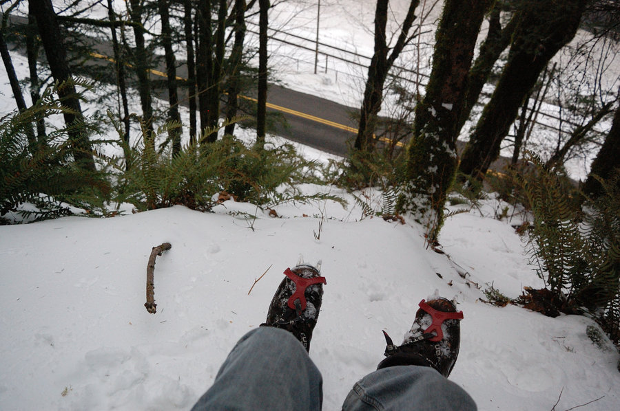
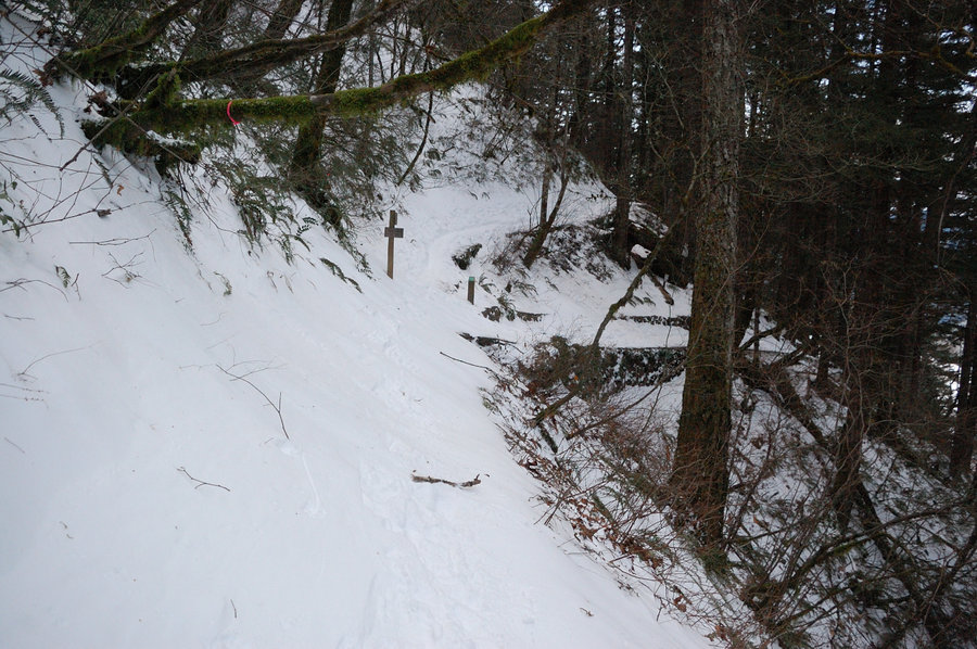
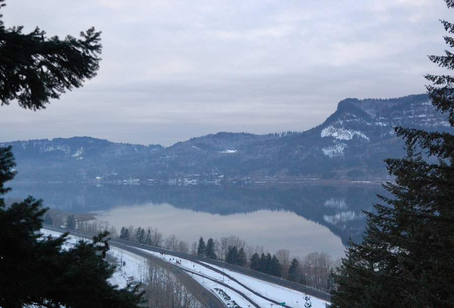
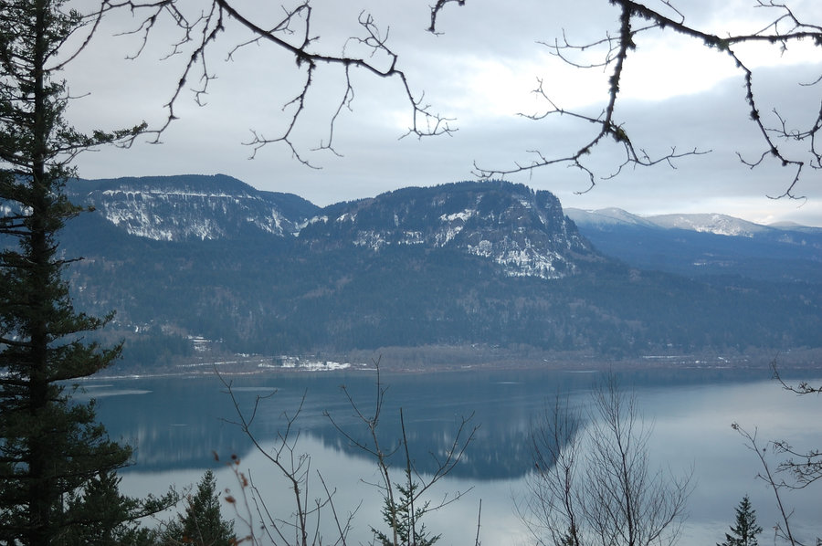
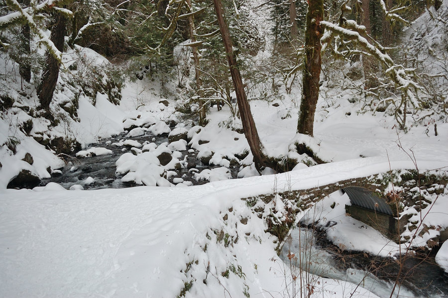
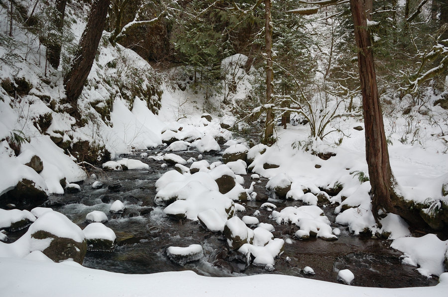
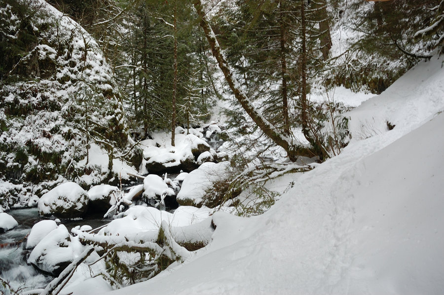
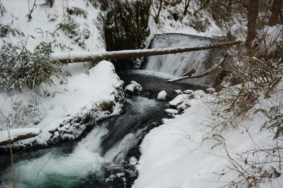
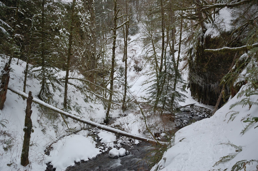
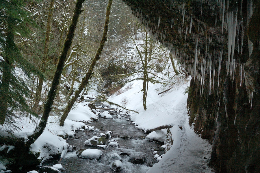
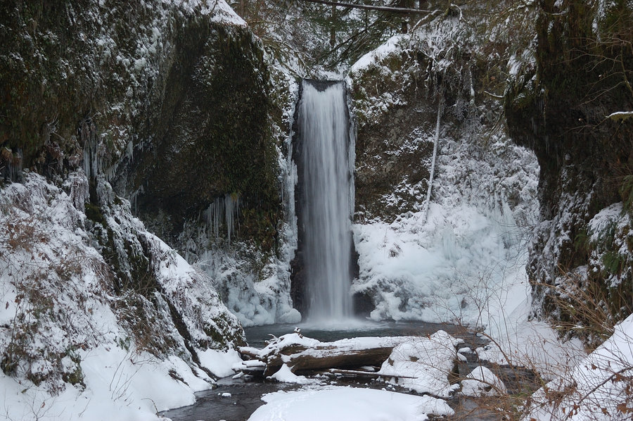
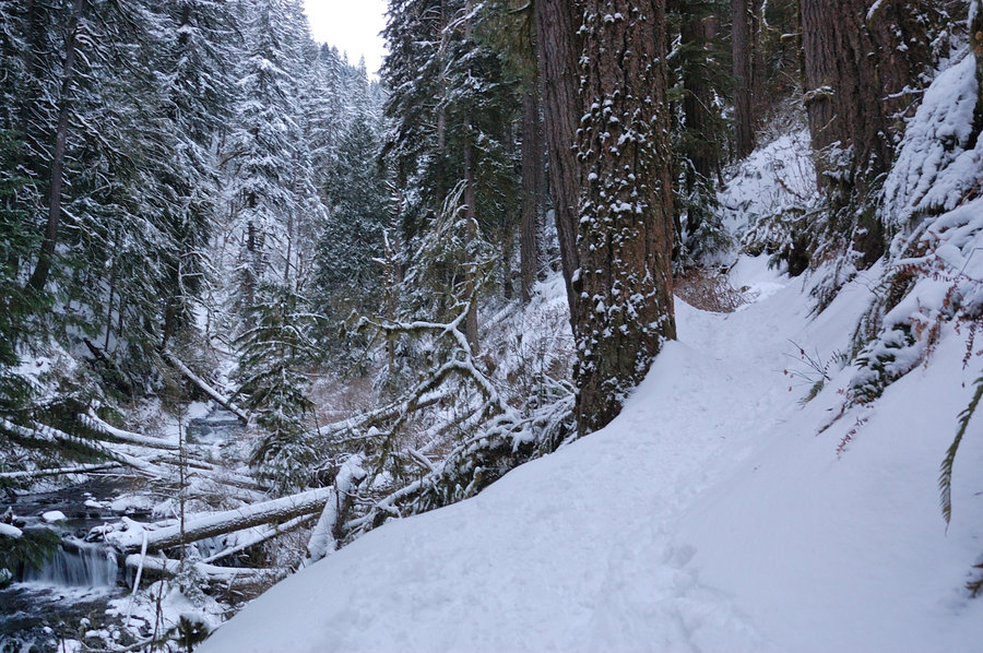
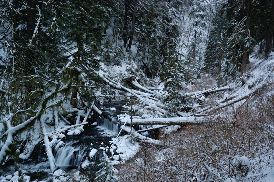
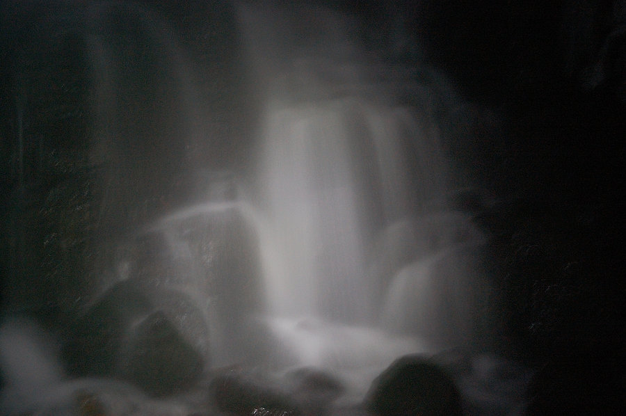
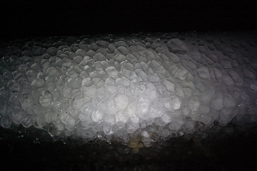
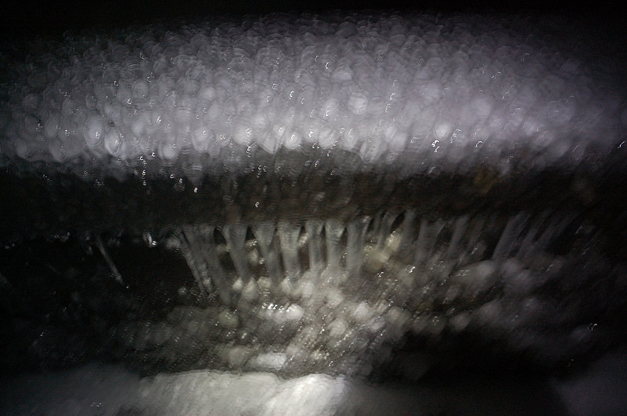
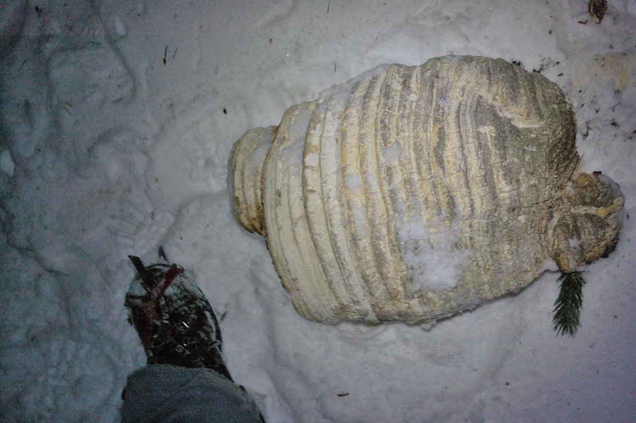
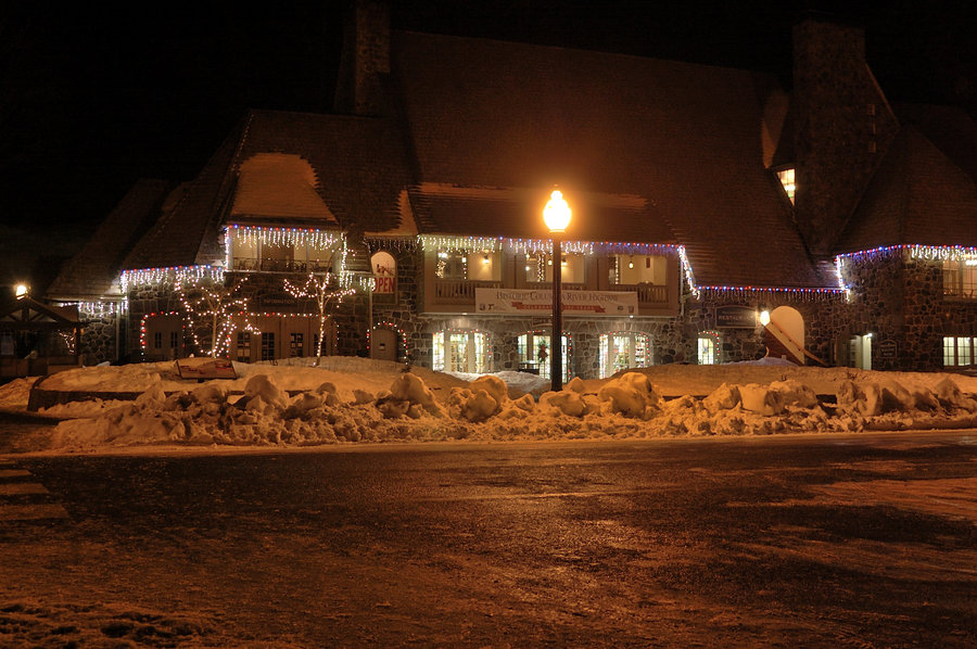
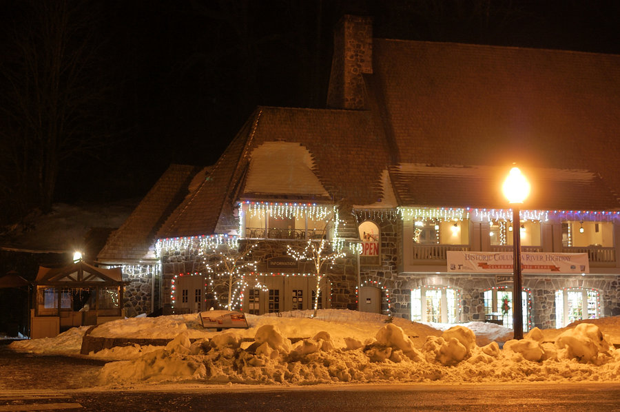
In short - a lot of snow, some ice, almost no blowdown. When I got to Multnomah Falls the lower gate was closed (the signs only warned about hazardous conditions, so everyone went around the gate), but when I was near Benson Bridge people coming back said the trail is closed and there's ranger turning everyone around. I didn't want to lose any more daylight stuck behind the crowd (was very late to start) so turned around there and went a bit east on Historic Hwy, and bushwhacked up to Gorge Trail, couple hundred yards off switchback 2 on Mult. trail. It was very icy coming off-trail but with crampons it was OK - and they stayed on for the rest of the hike. The trail in Multnomah Basin was very well tracked and frozen canyon looked fantastic. It became dark right after I hit high point of the loop; the rest of the trail had tracks to follow though it was definitely harder than my way up (i.e. in a few places tracks went straight downhill instead of taking switchbacks). On the lower part of Wahkeena trail (the section with paved switchbacks & stone wall) 4-5 foot snowdrift covered several switchbacks but luckily all snow was hard frozen and it was easy going. Connector trail above the Hwy between Wahkeenah and Multnomah trailheads had one big tree down in bad spot, but I don't recall any more on this loop.