

2019 Trips

 3
3

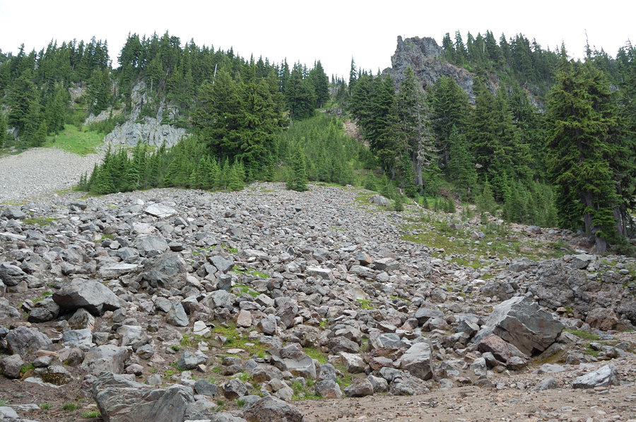
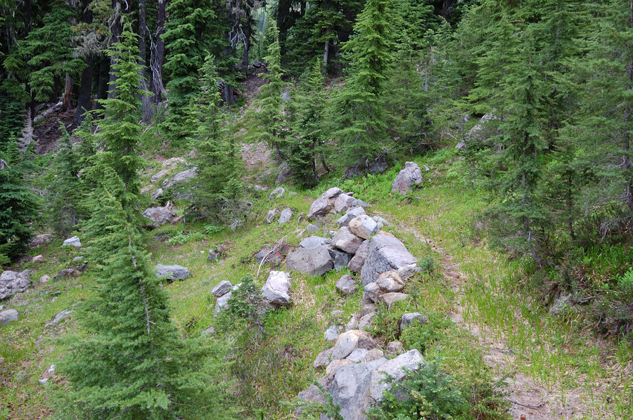
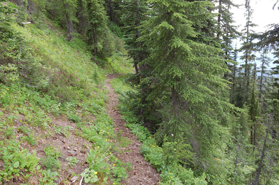
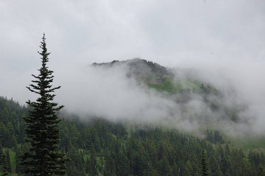
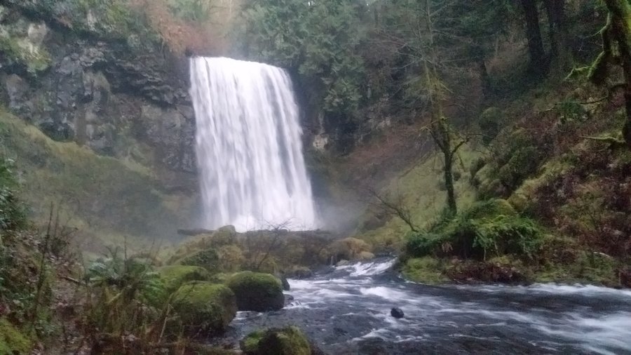
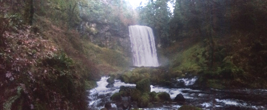
July 20 – July 24, 2019


 1
1
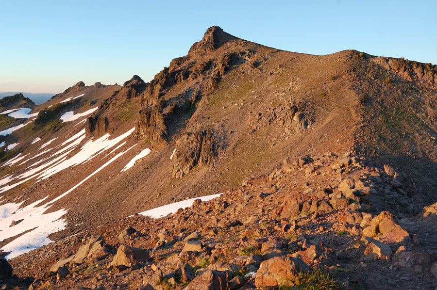
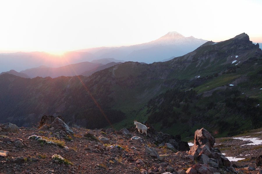
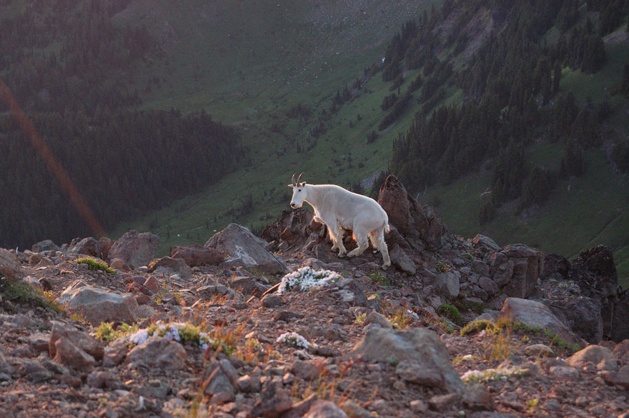
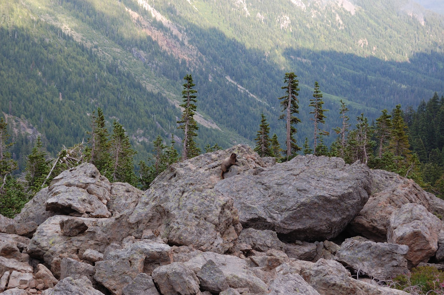
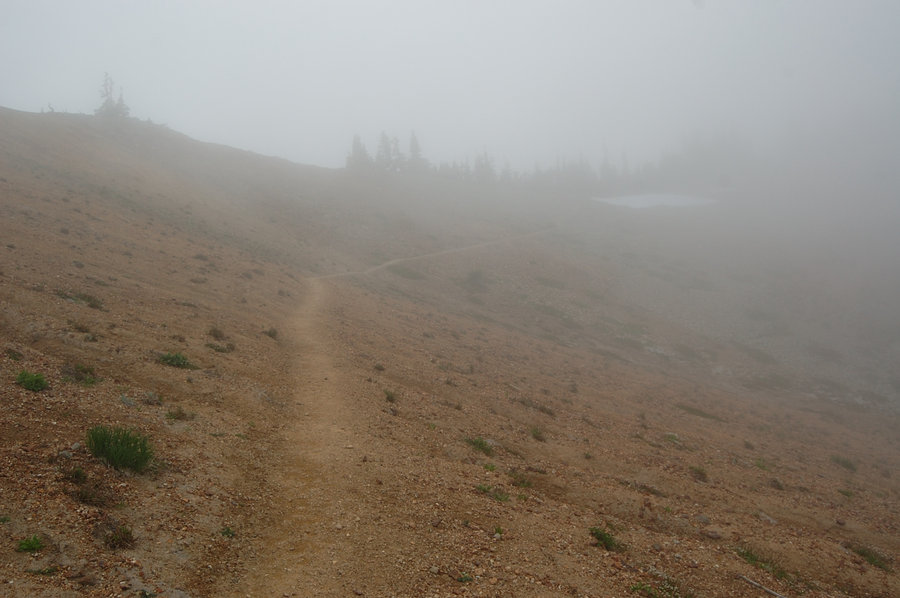
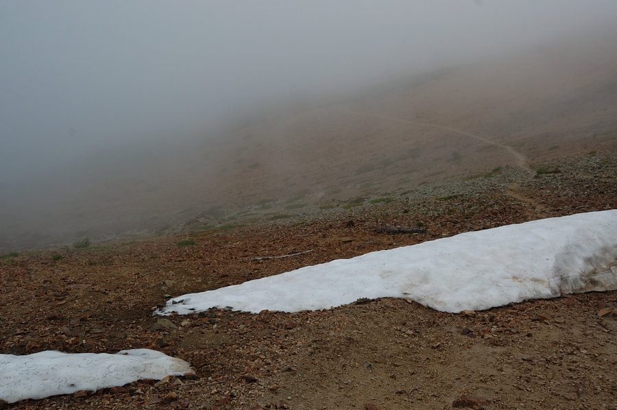
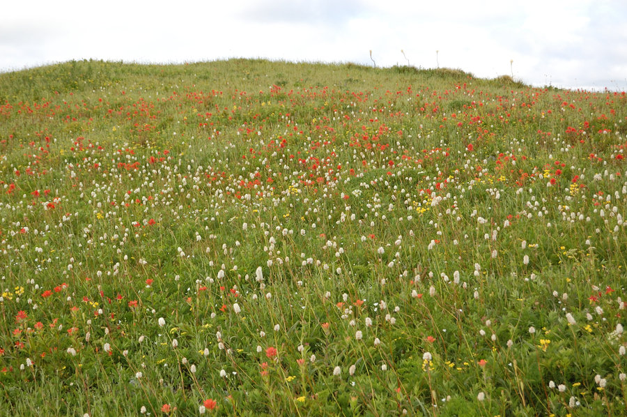
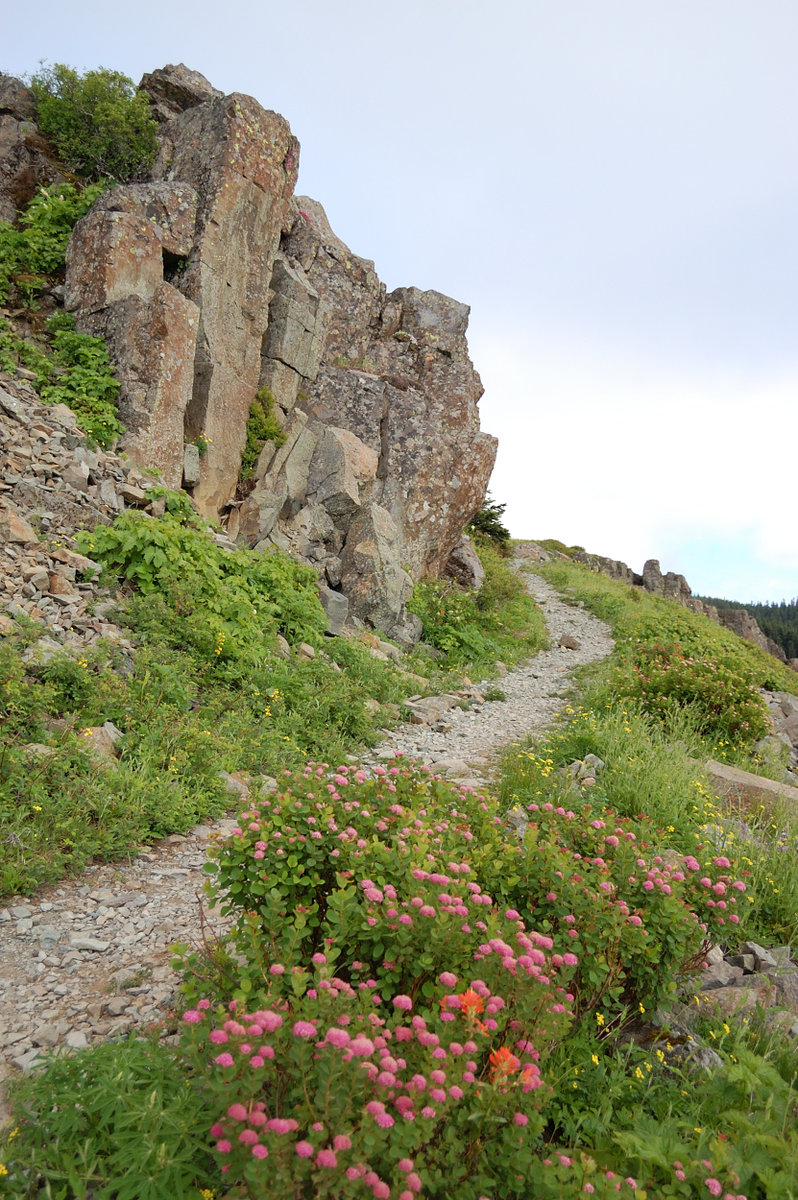
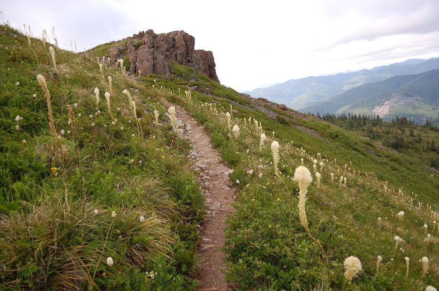
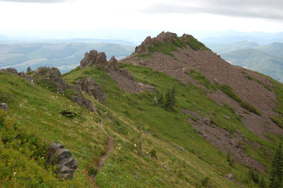
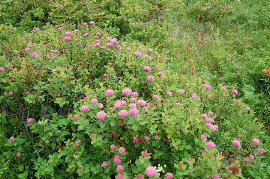
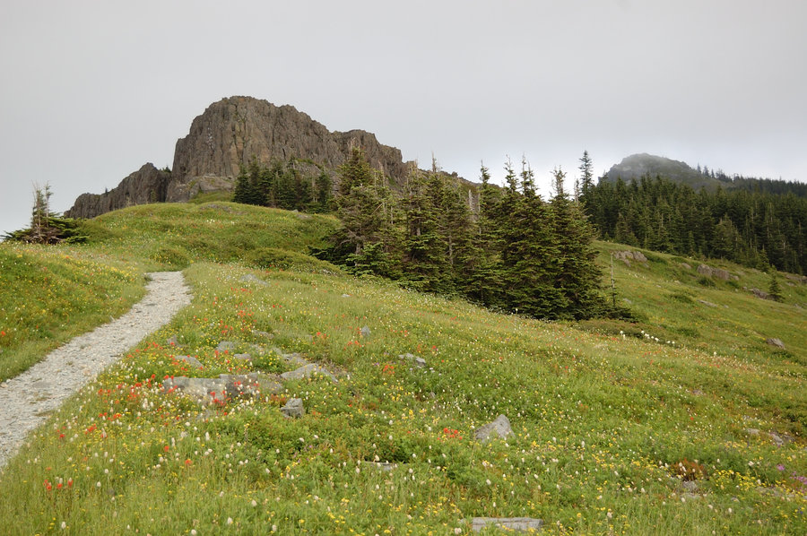
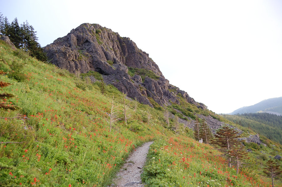
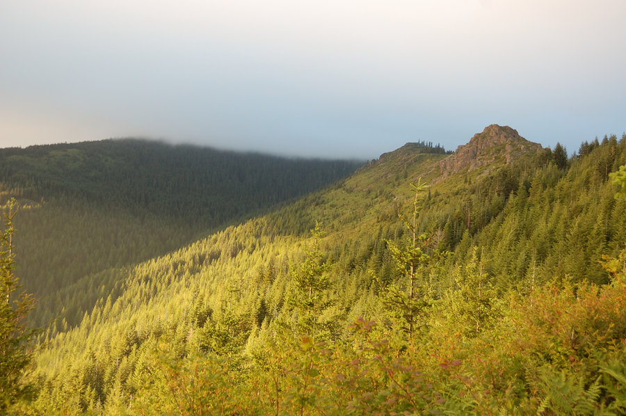
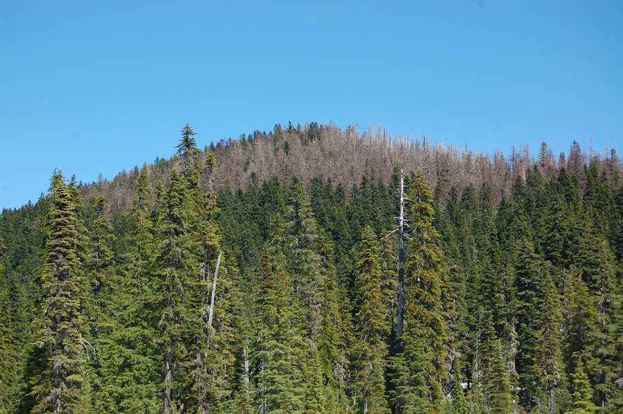
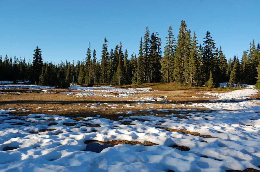
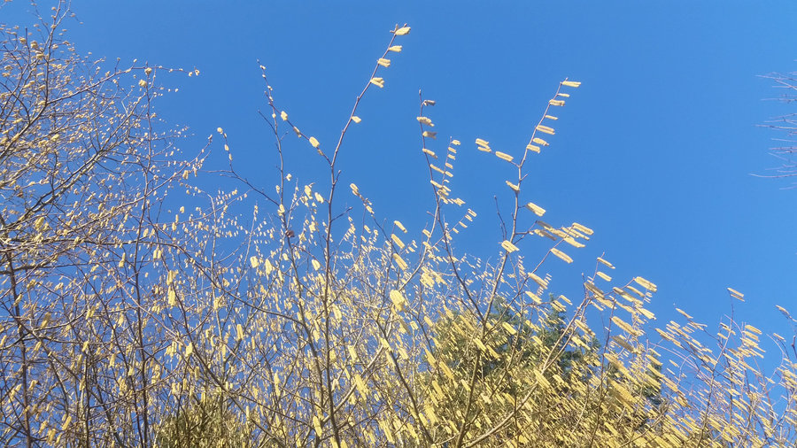
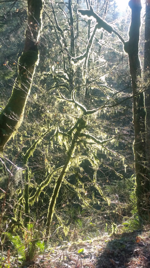
Silver Star
1 miles of hiking • 0' elevation gain •
Hiked from Grouse Vista to the ridge where Eds Trail runs on east side (did a small part Eds trail, but mostly stayed on west side). It was pretty cold and windy in the low 50's, and summit was hiding in low clouds by the time I got close, so I stayed lower for the views. Either because of the weather, of being a weekday, but mountain was very quiet, felt like real wilderness.
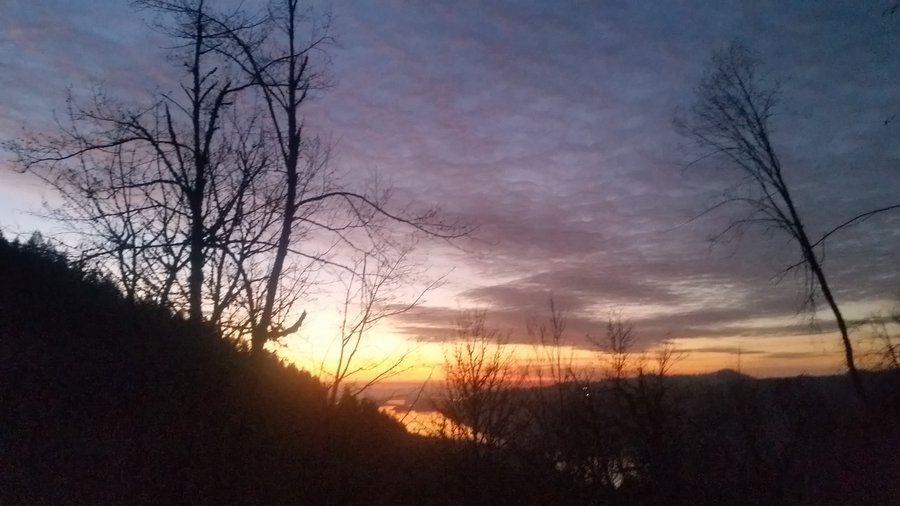
June 18, 2019


 1
1
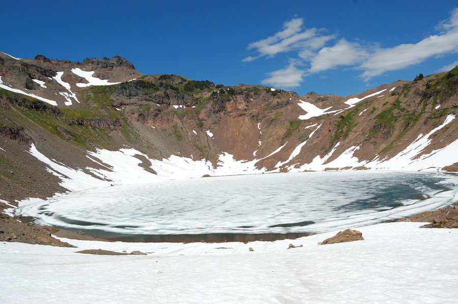
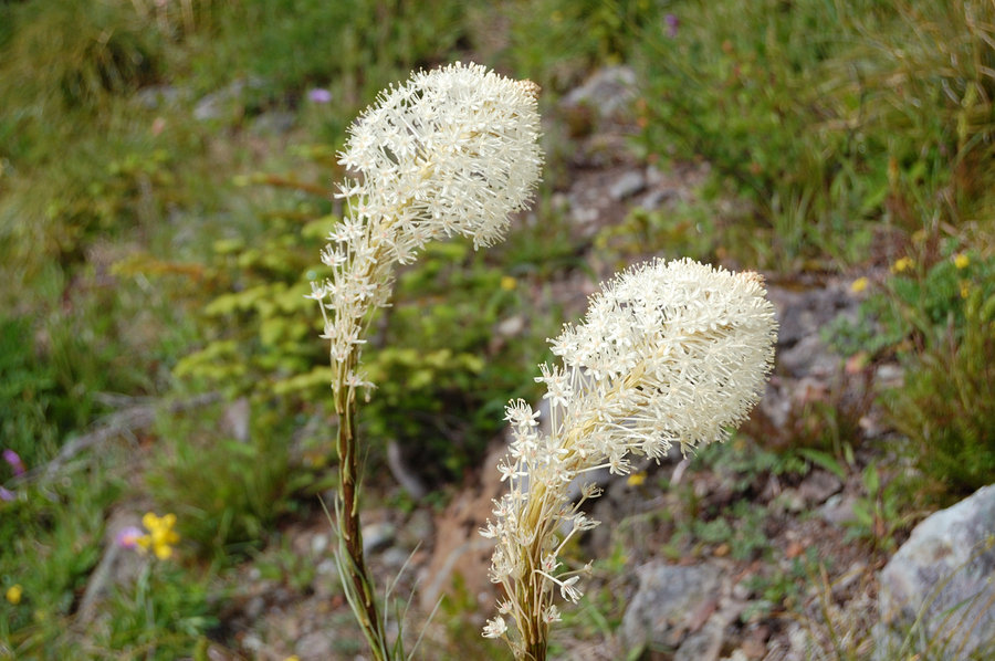
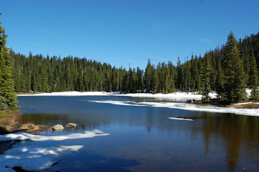
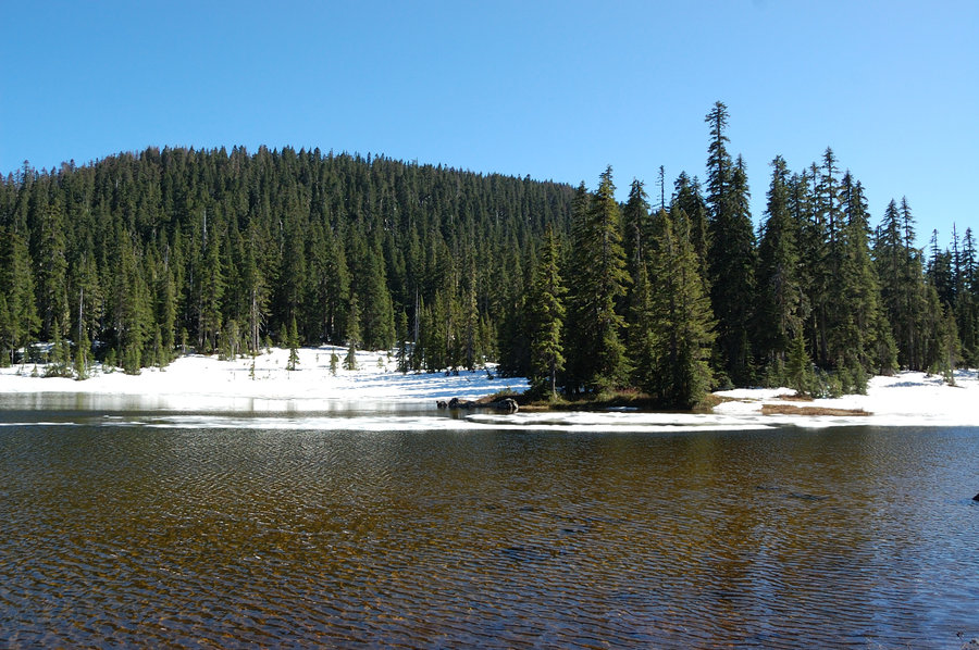
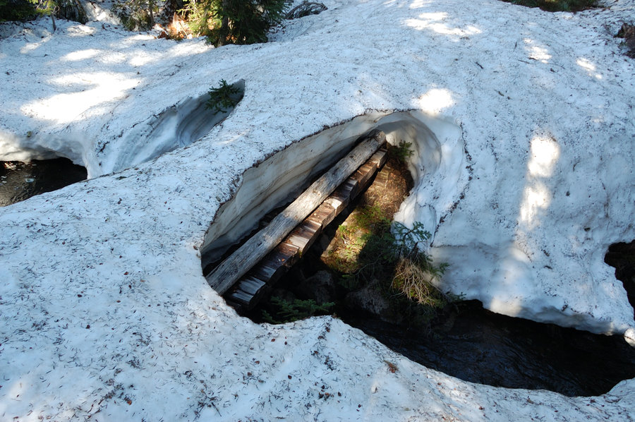
Indian Heaven
1 miles of hiking • 0' elevation gain • 1 night
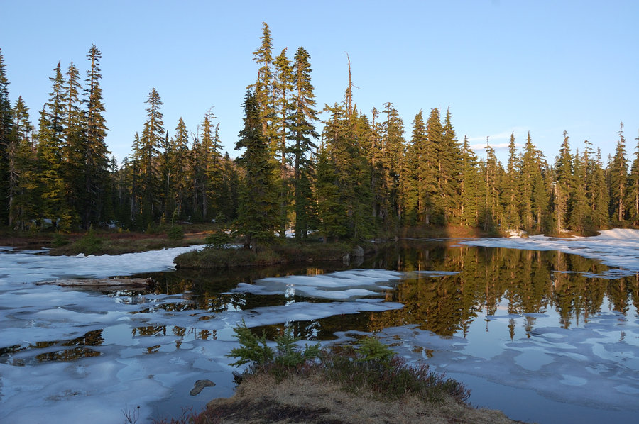
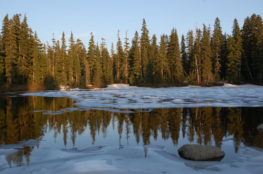
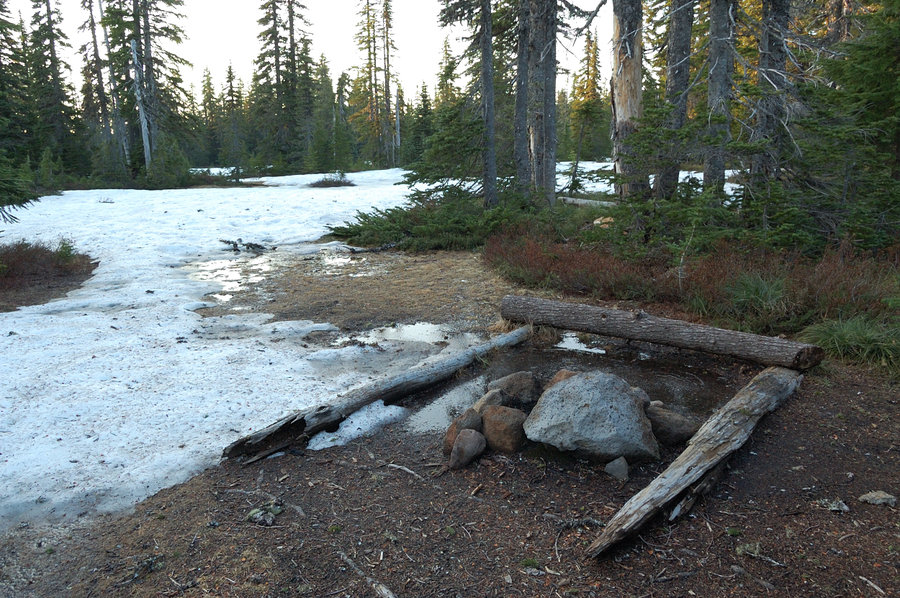
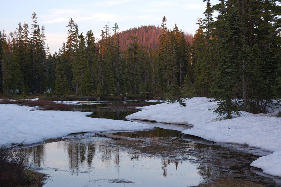
Backpacked on to Rock Lake 5/31 to 6/1, and then hiked to Junction Lake & around the East Crater on 6/3.
May 31 – June 1, 2019


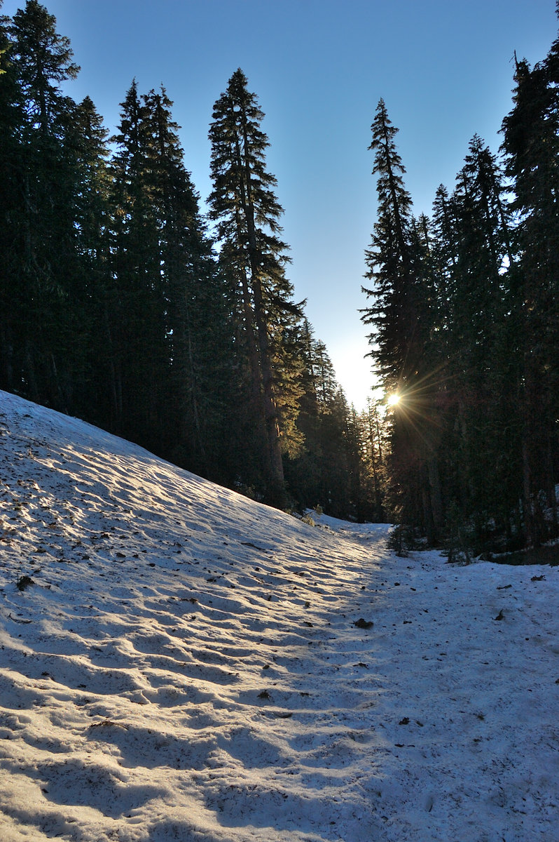

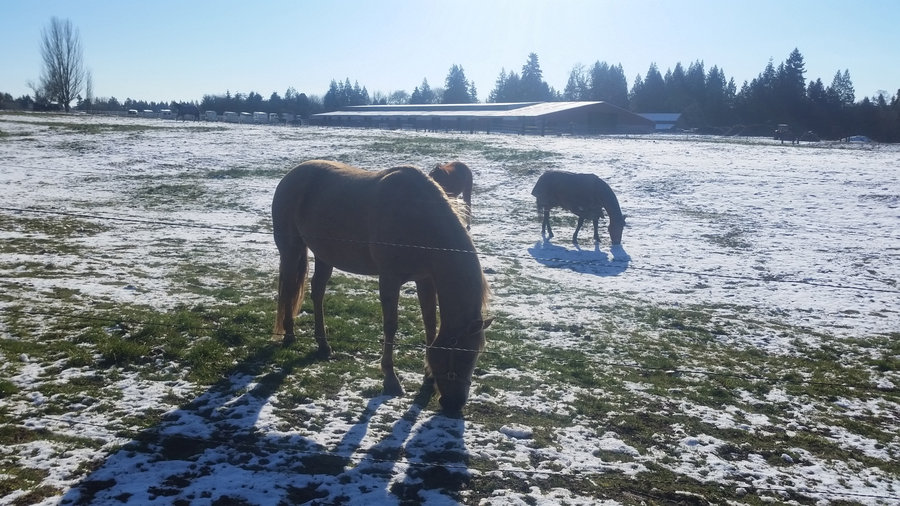
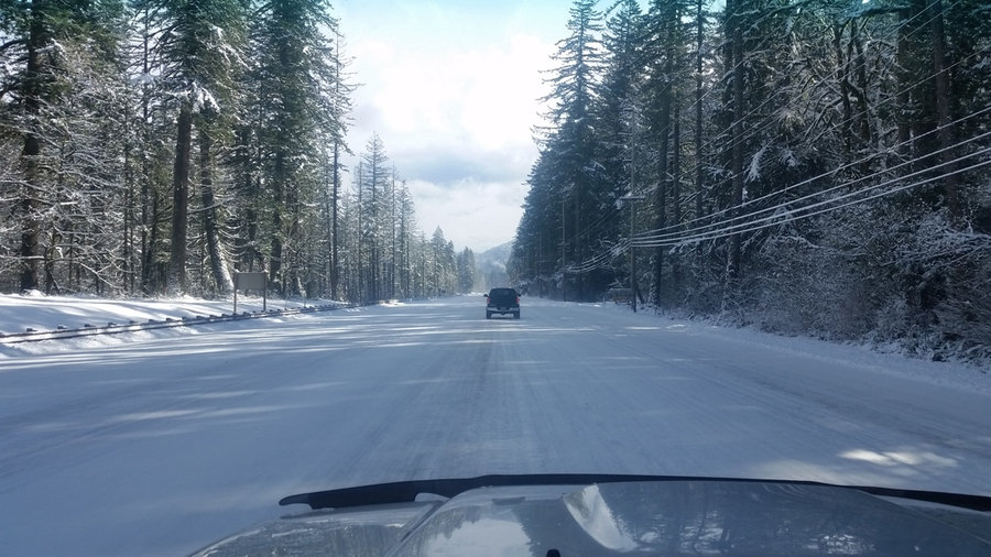
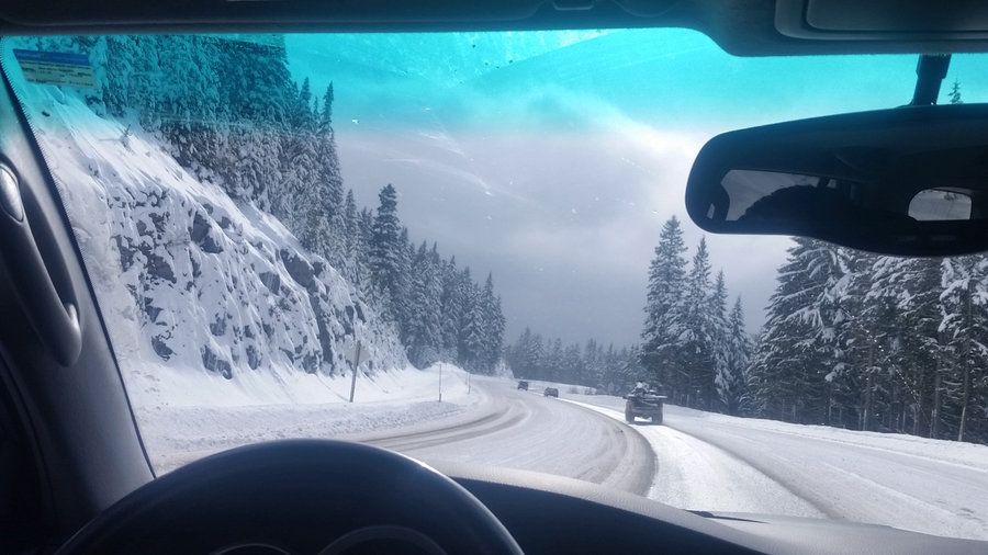
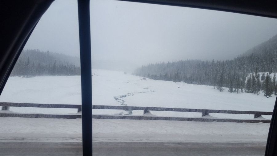
Teacup snowpark XC ski
1 miles of hiking • 0' elevation gain •
Averaged about 3mph so I think this can qualify as a hike (also more xc skiing is work than hiking). It was snowing pretty well the entire time, great powder at 16F, really enjoyed it. I forgot a phone in the car, but we got some pictures on the drive.
February 9, 2019


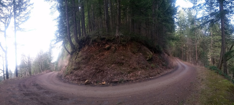

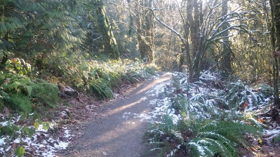
Palmer Mill Rd
1 miles of hiking • 0' elevation gain •
Lunch break hike, got to enjoy flex schedule before I start new job
January 29, 2019


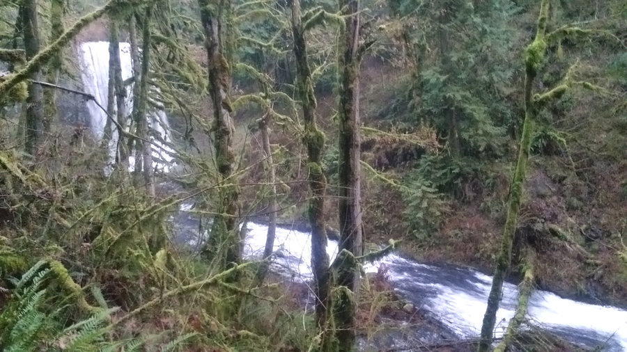
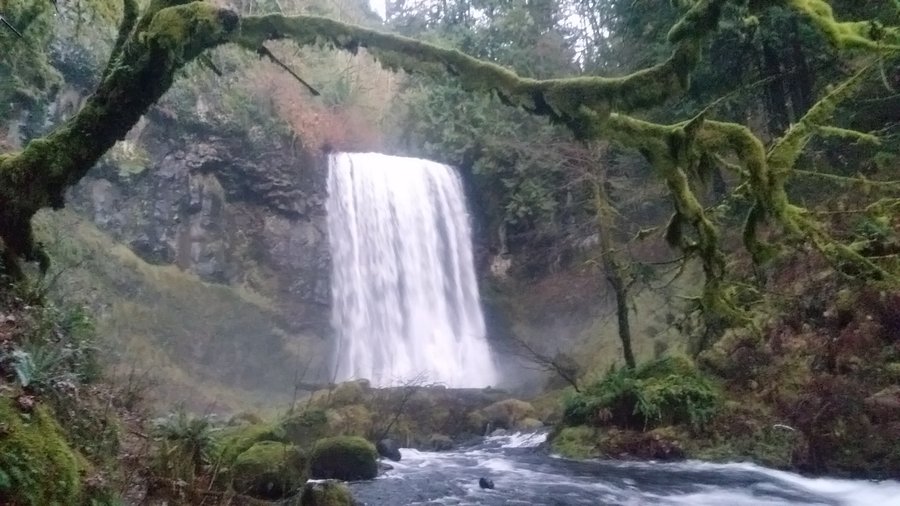
 3
3
January 25, 2019


View trips from: 2011 2012 2013 2014 2015 2016 2017 2018 2019