

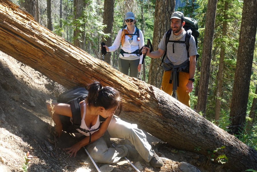
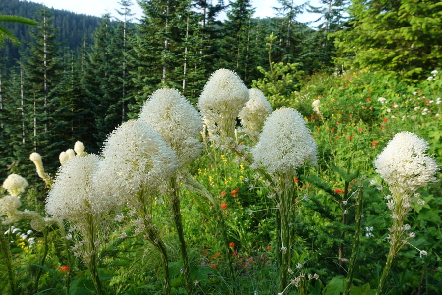
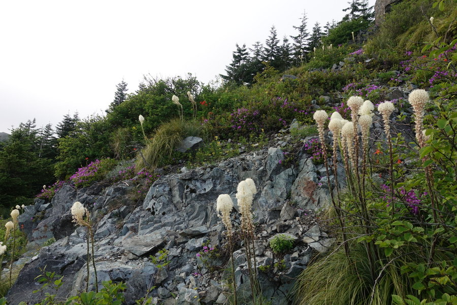
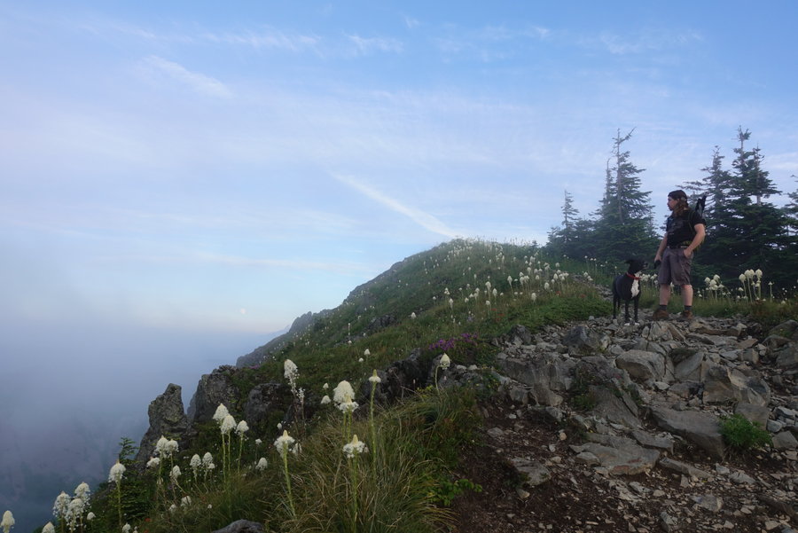
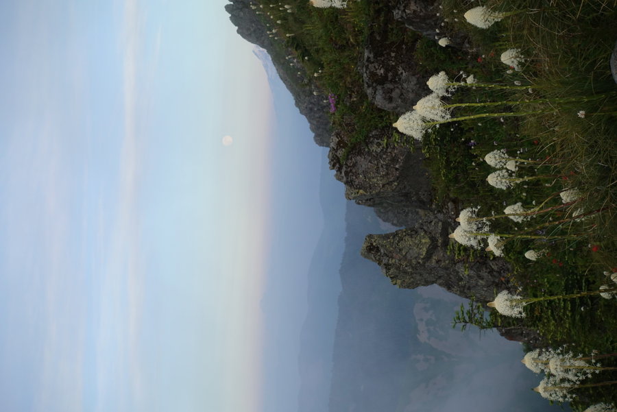
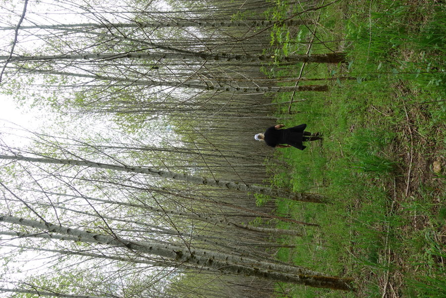
2020 Trips

 1
1
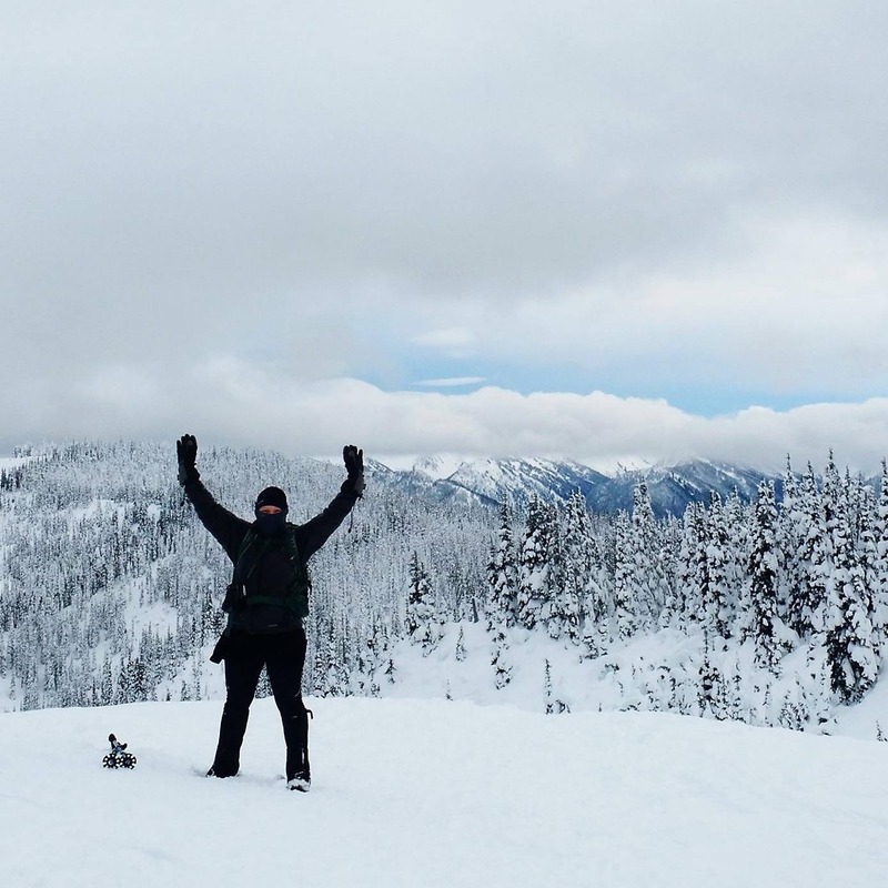
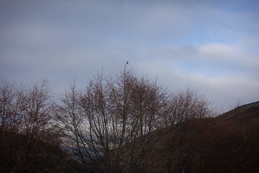
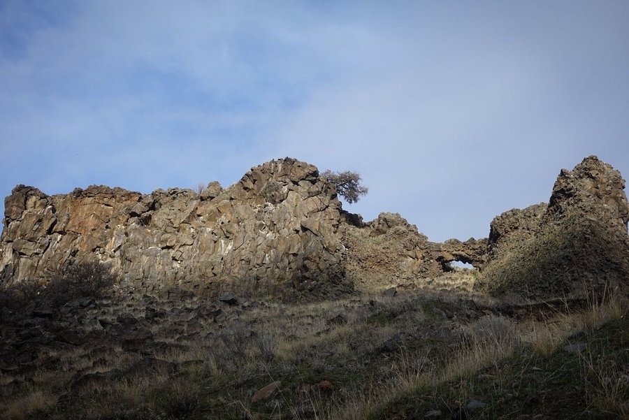
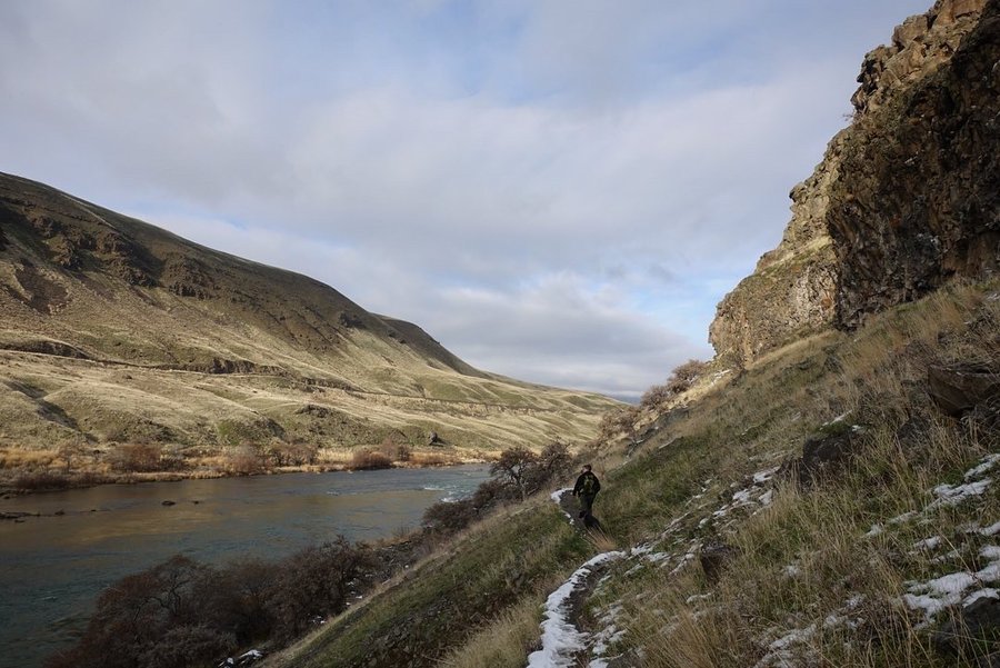
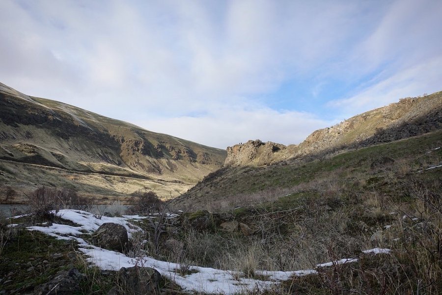
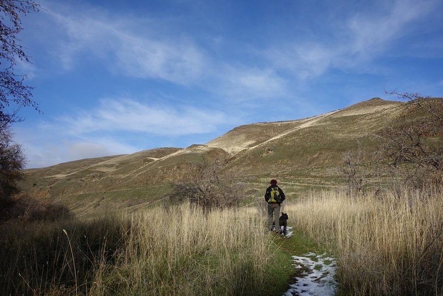
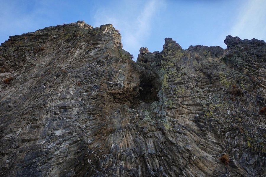
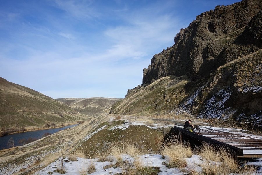
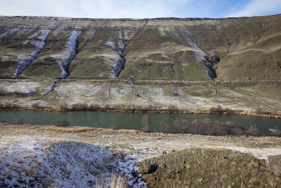
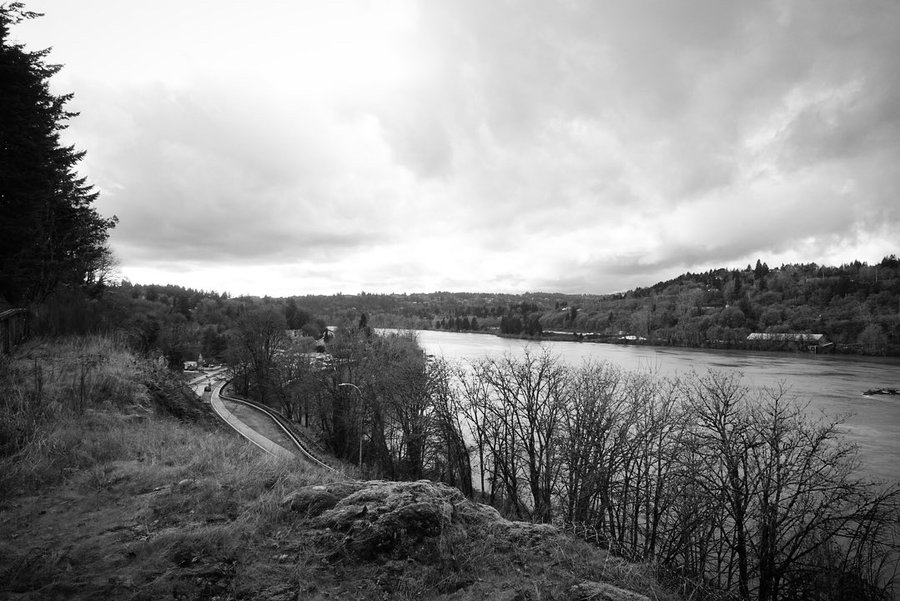
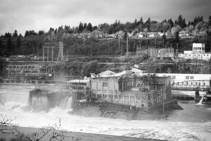
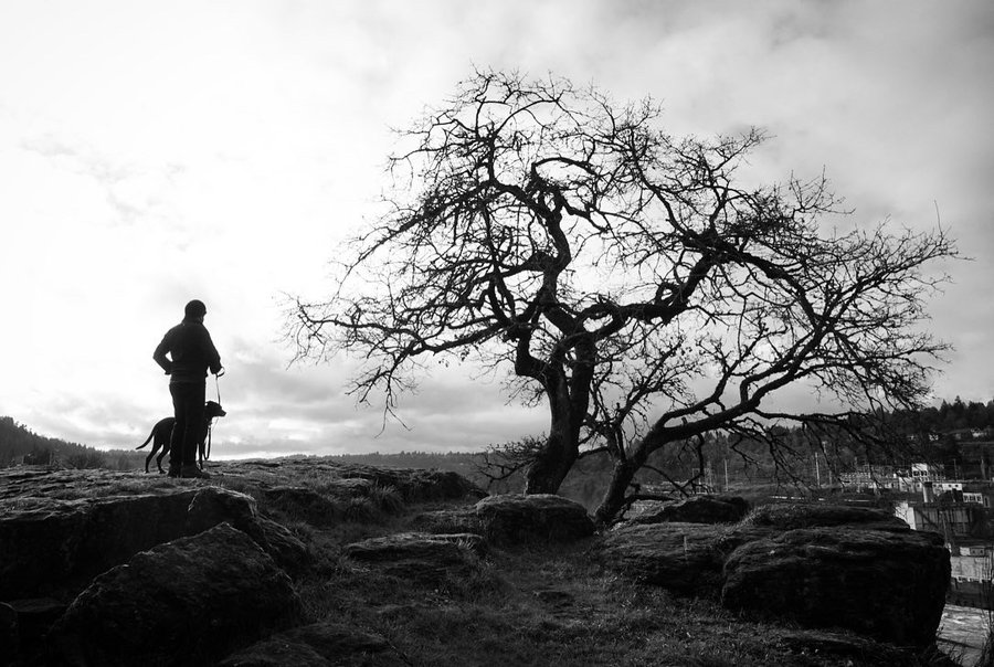
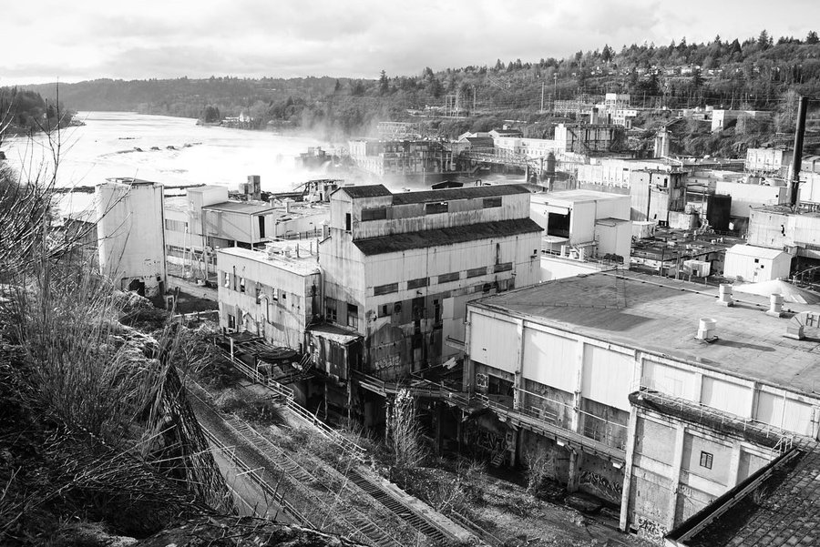
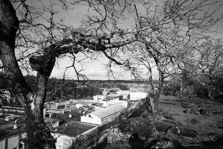
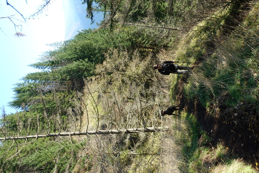
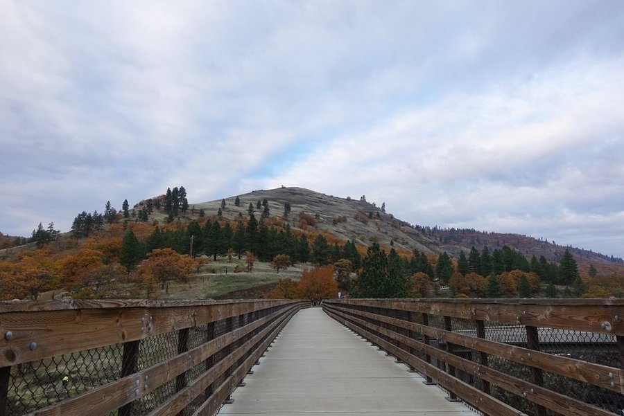
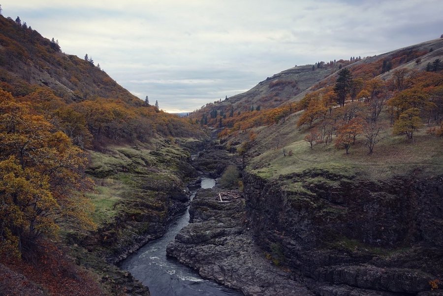
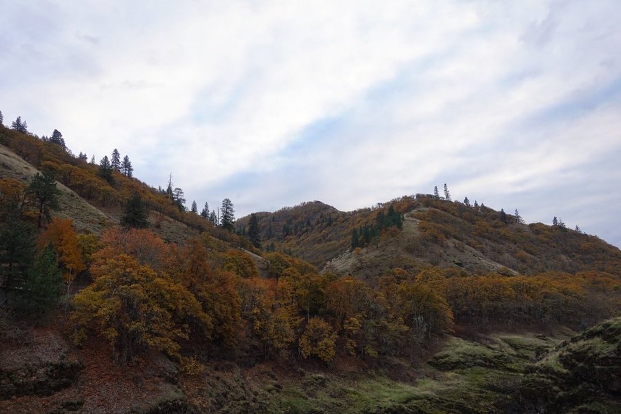
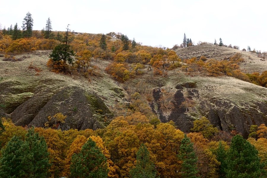
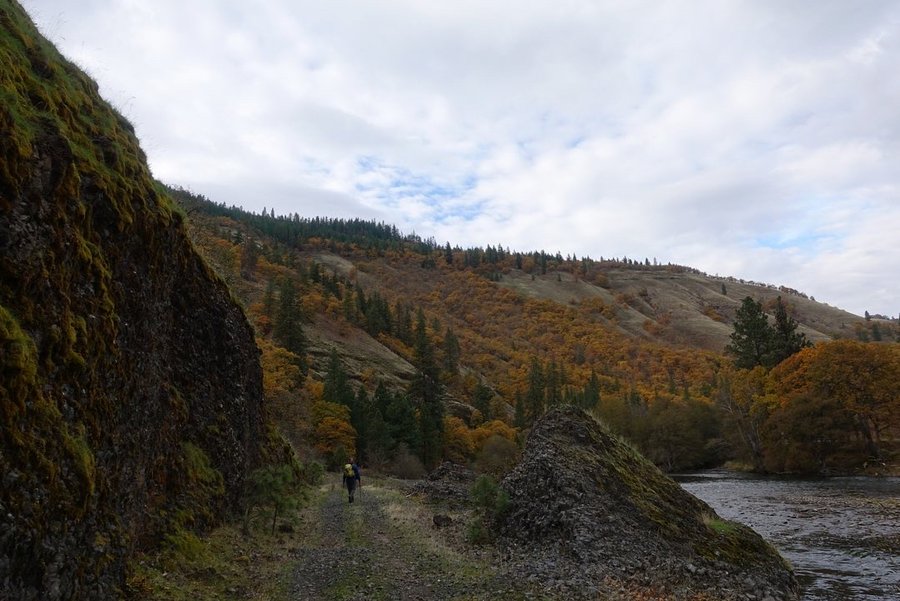
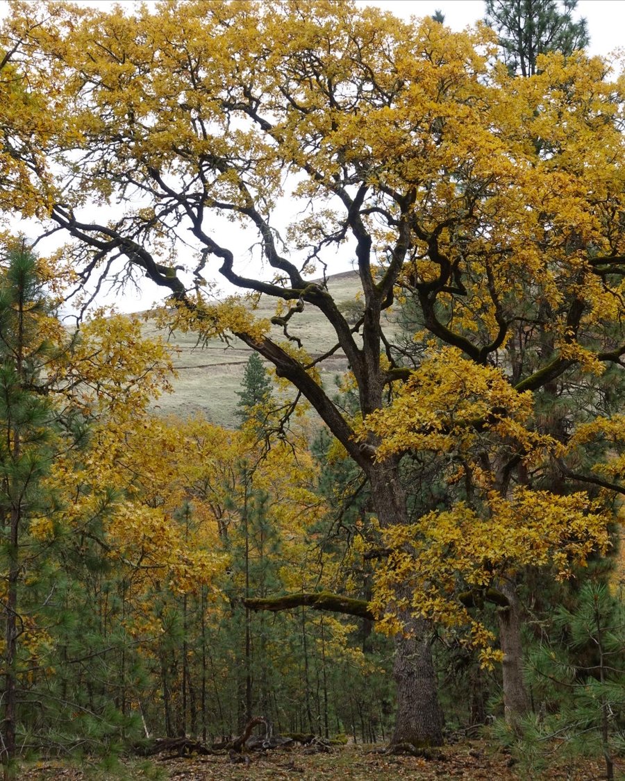
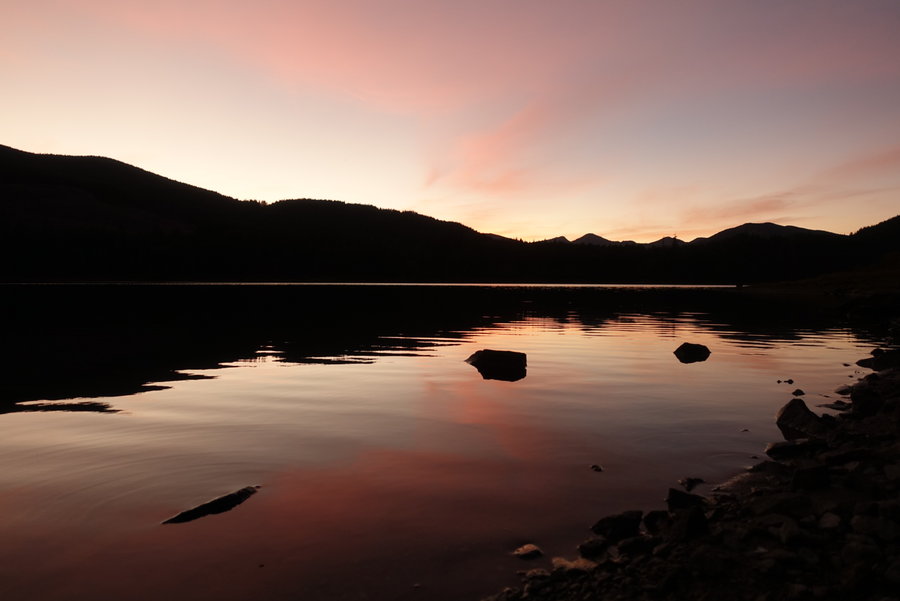
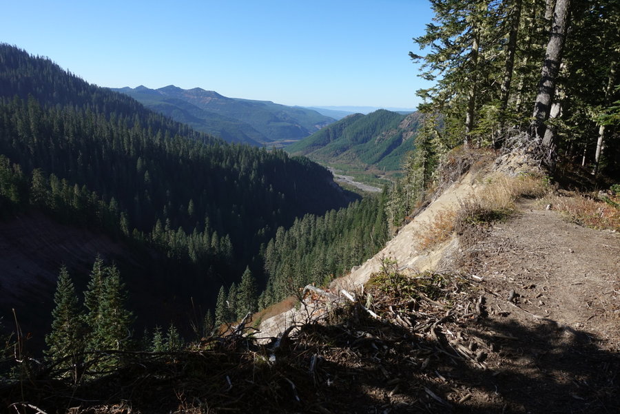
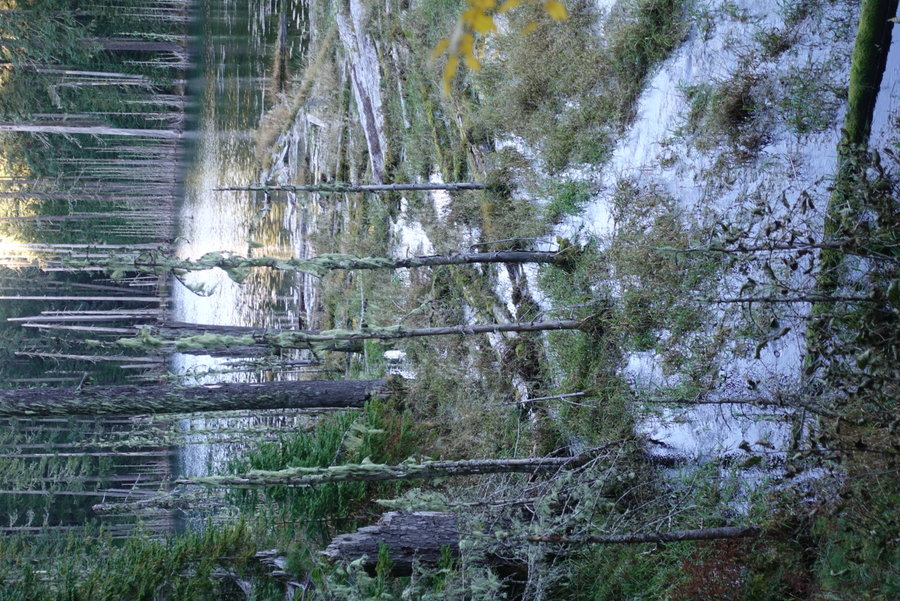
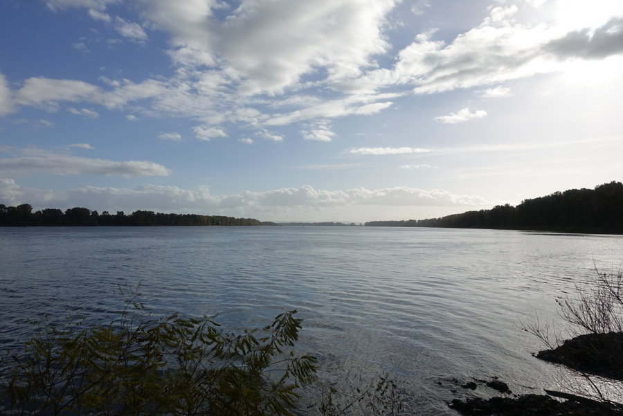
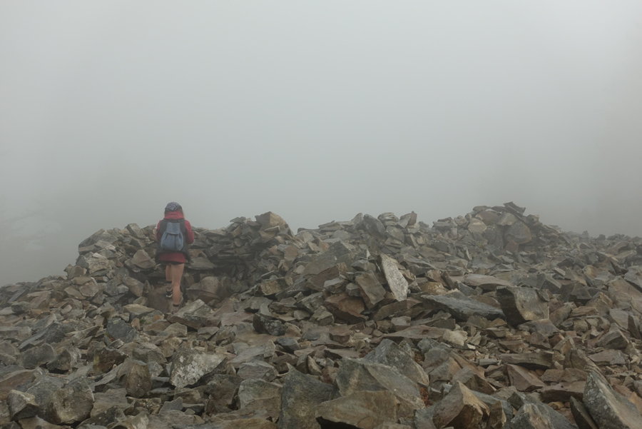
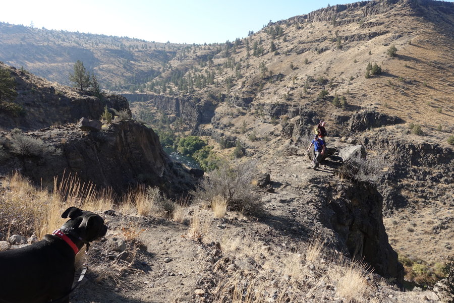
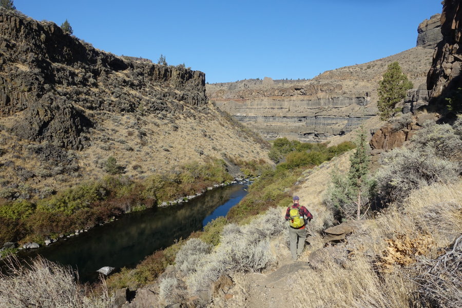
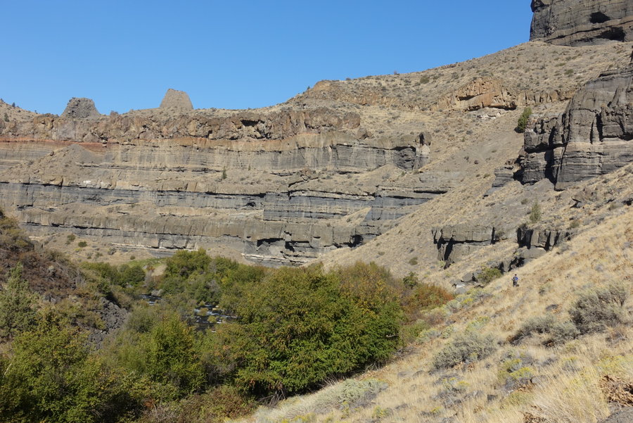
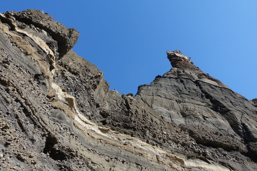
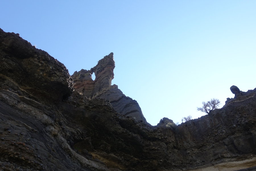
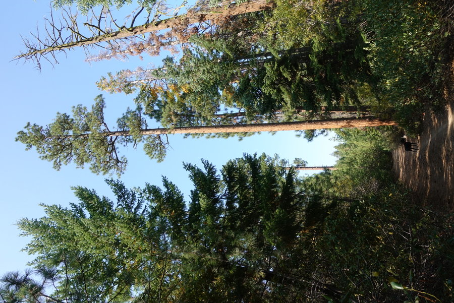
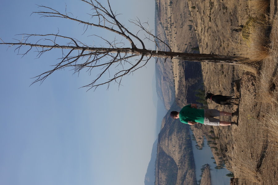
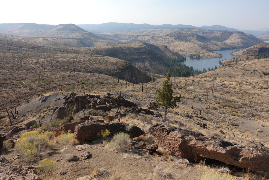
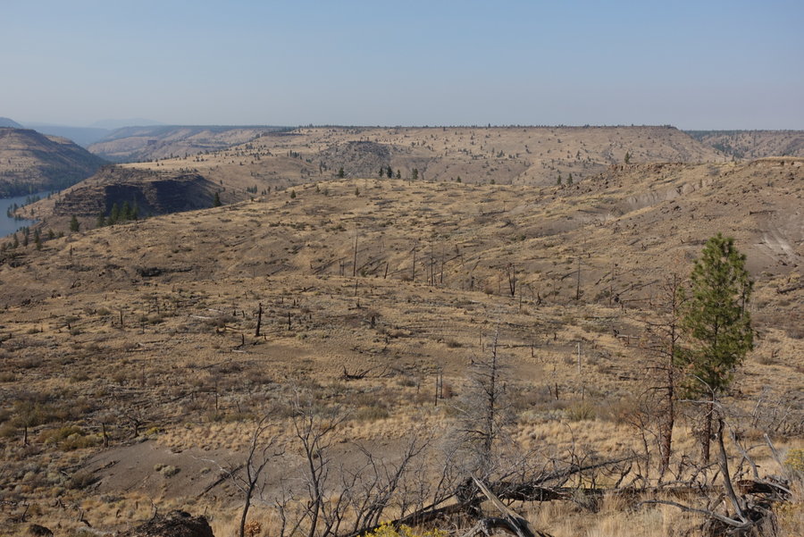
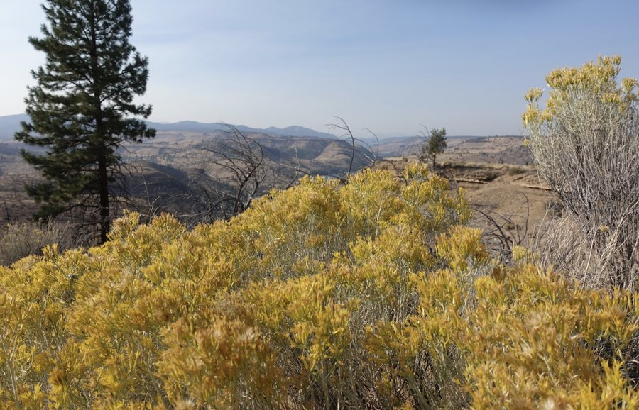
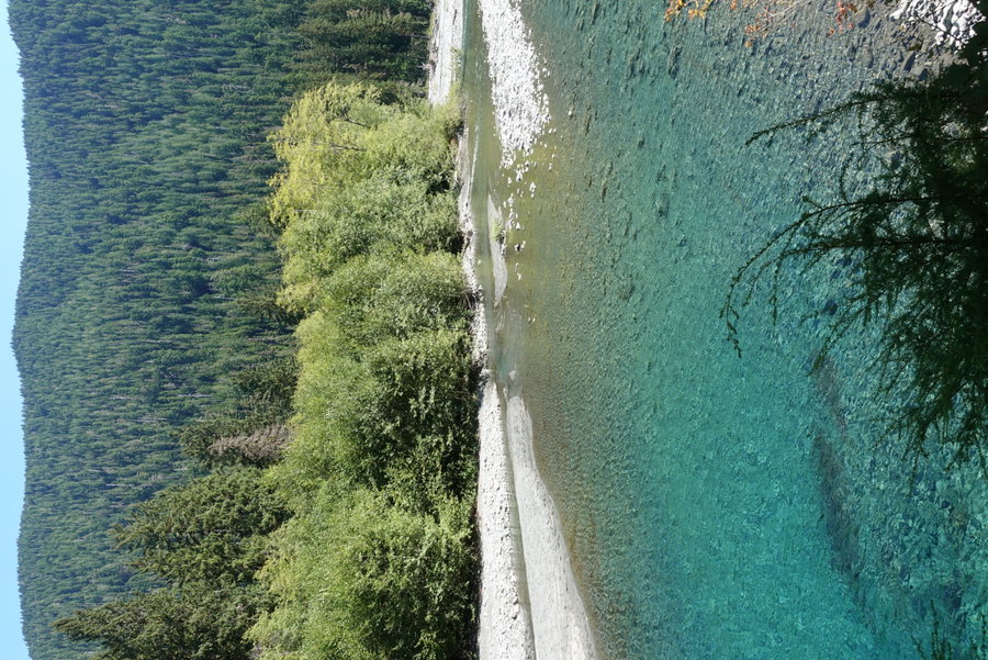
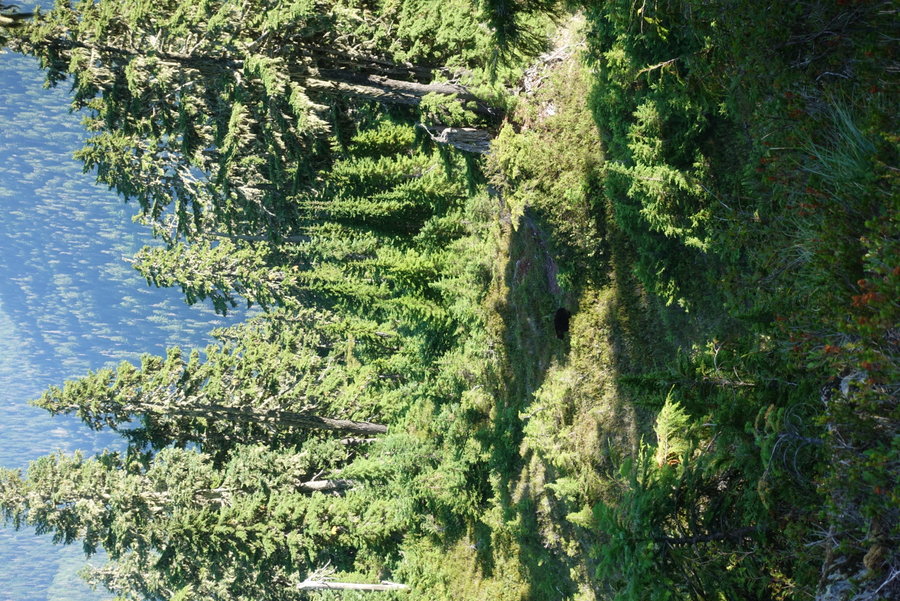
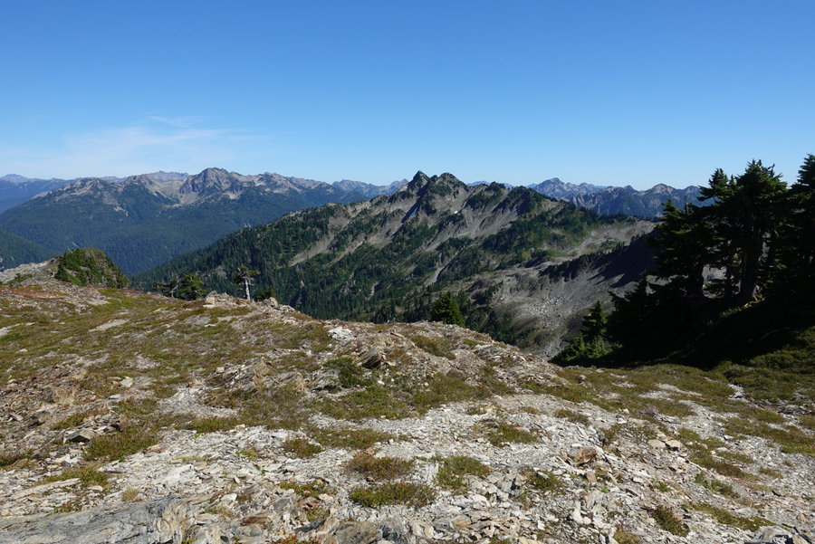
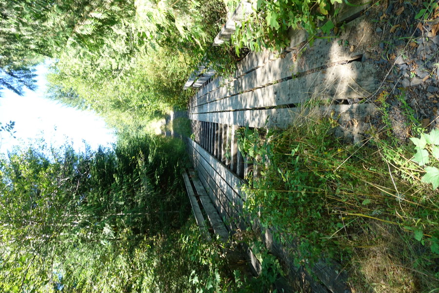
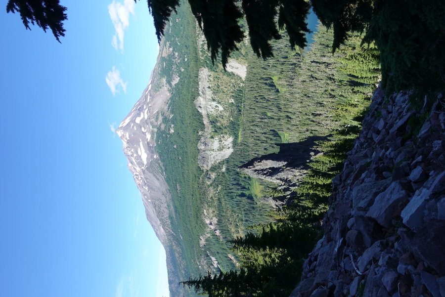
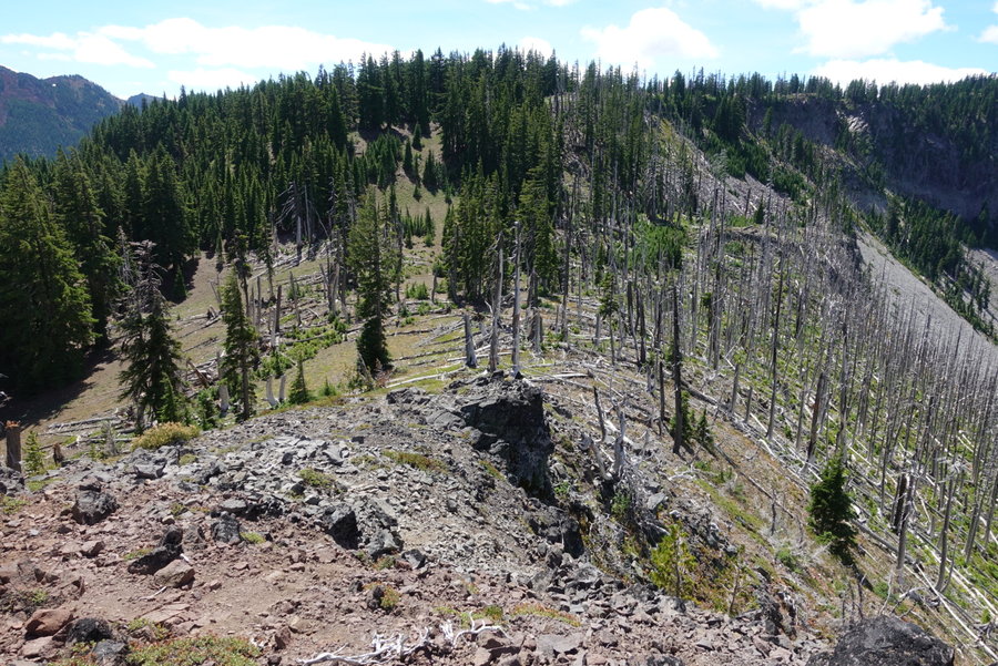
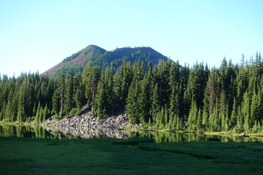
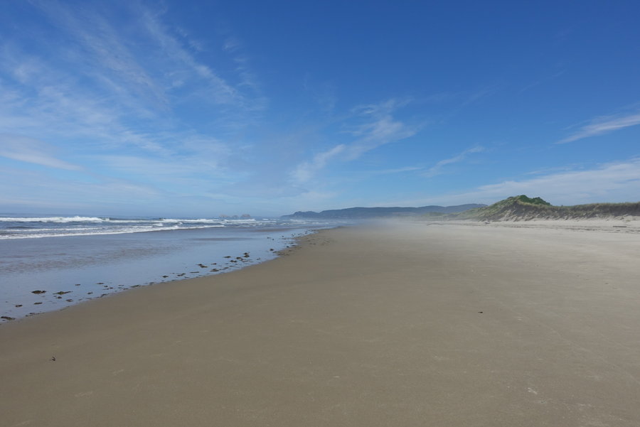
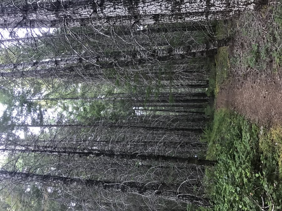
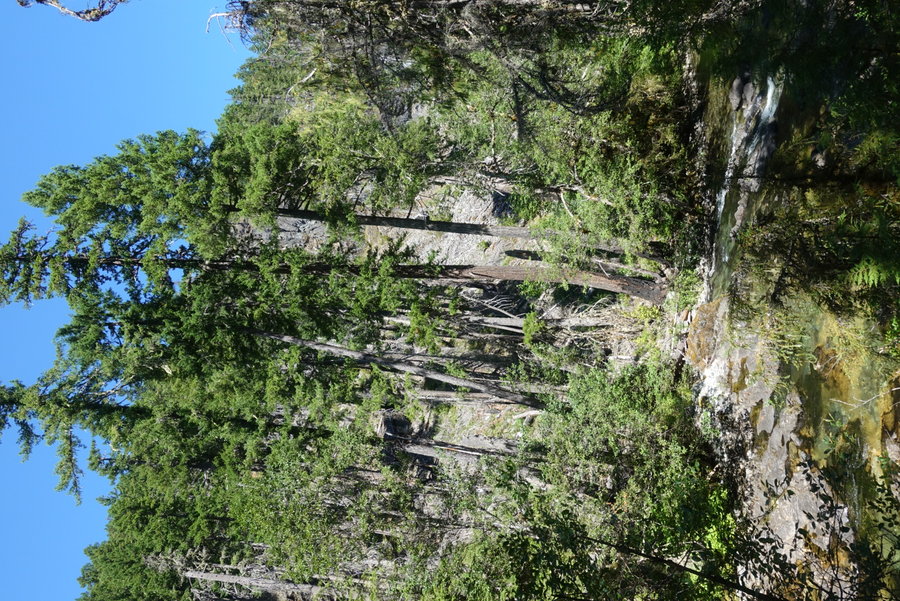
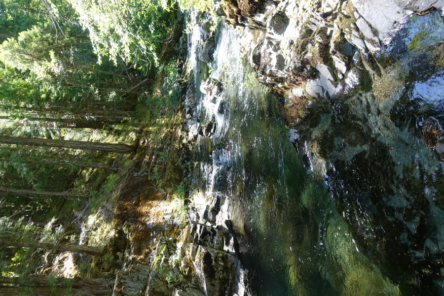
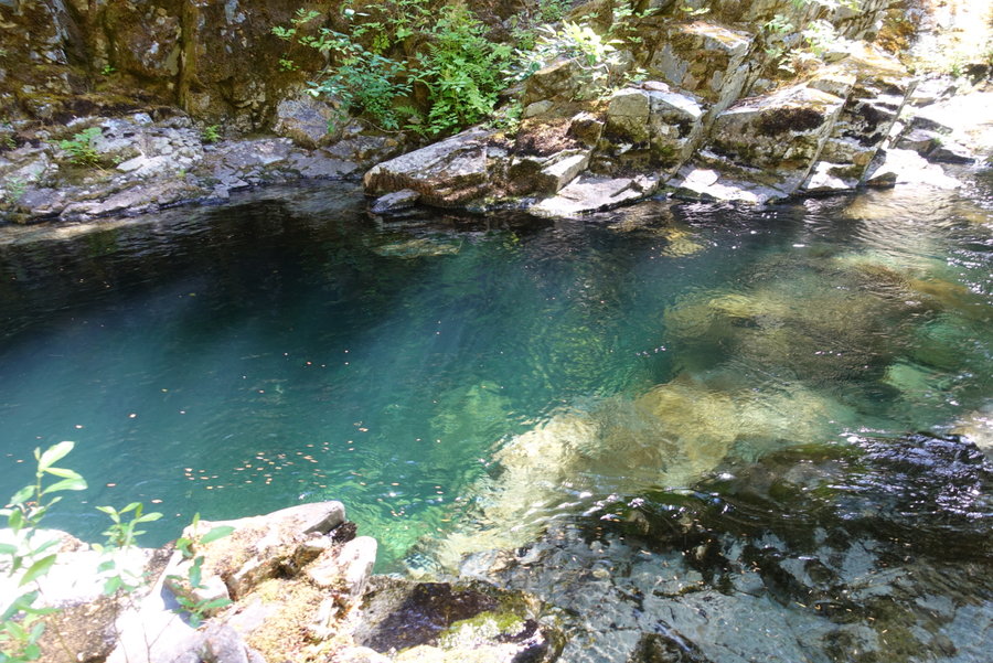
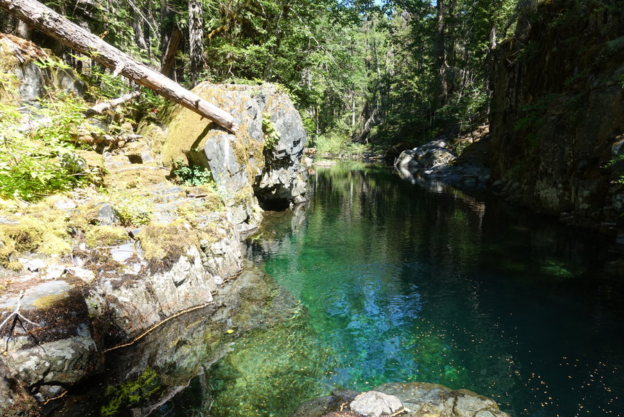
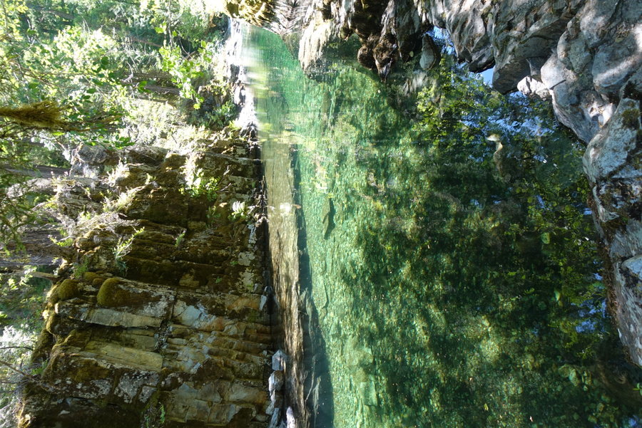
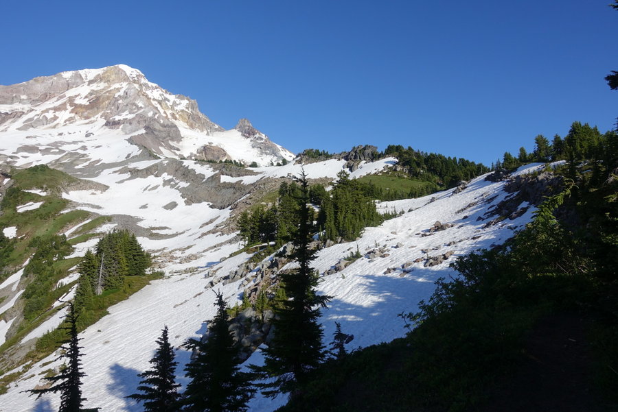
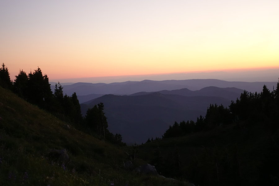
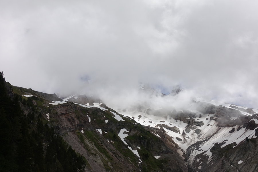
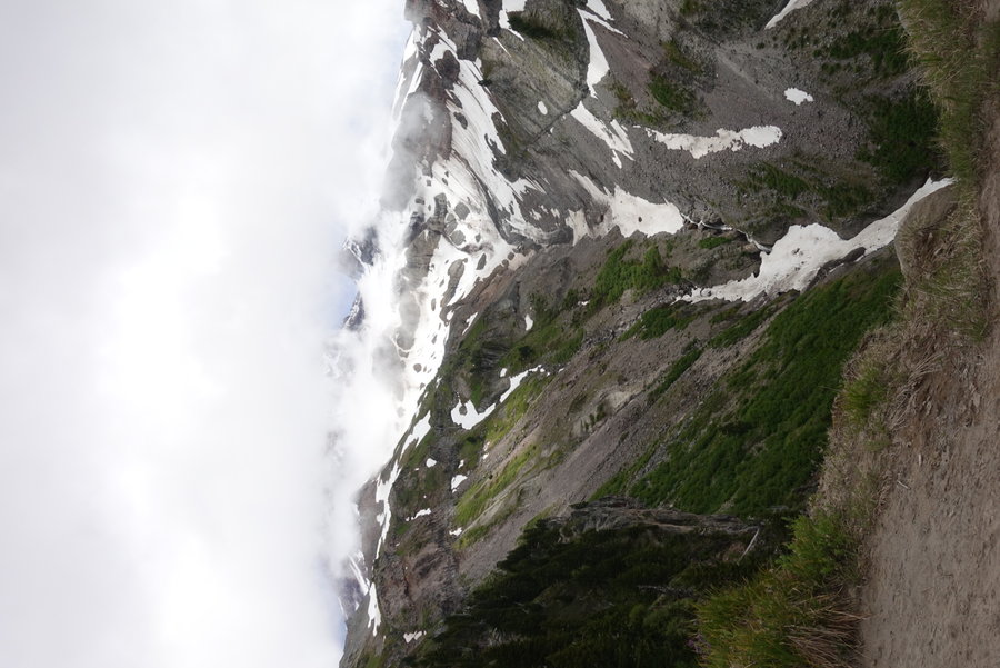
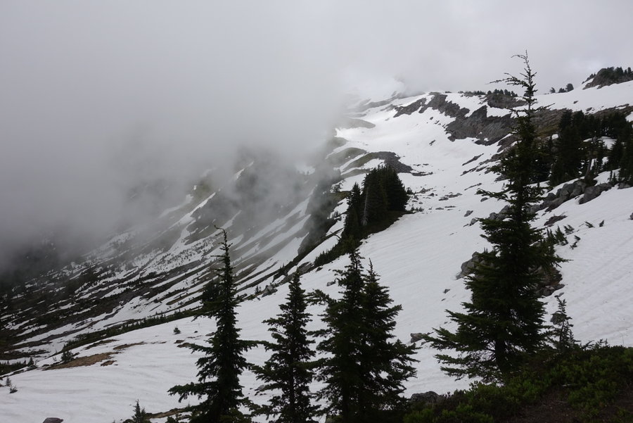
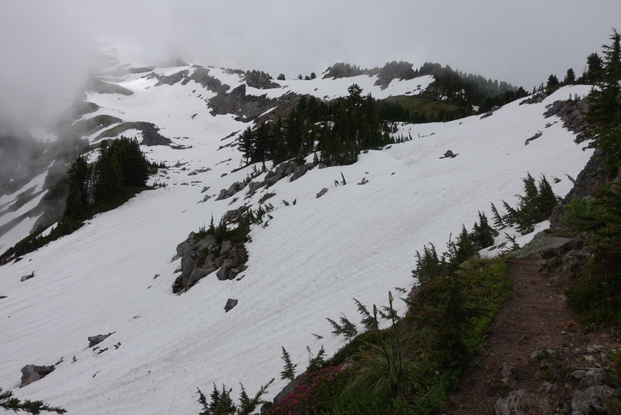
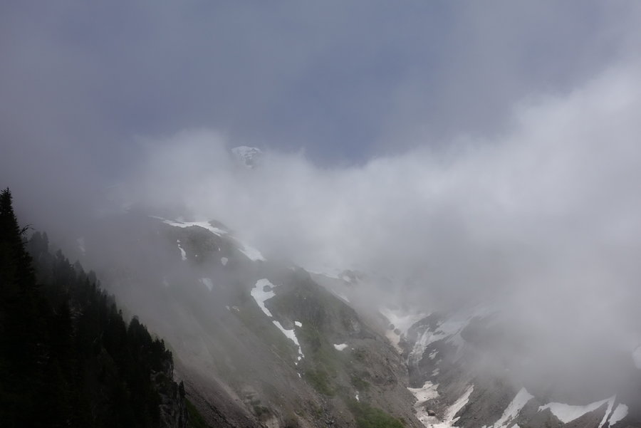
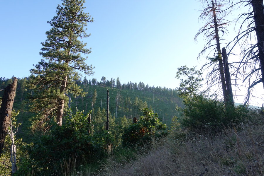
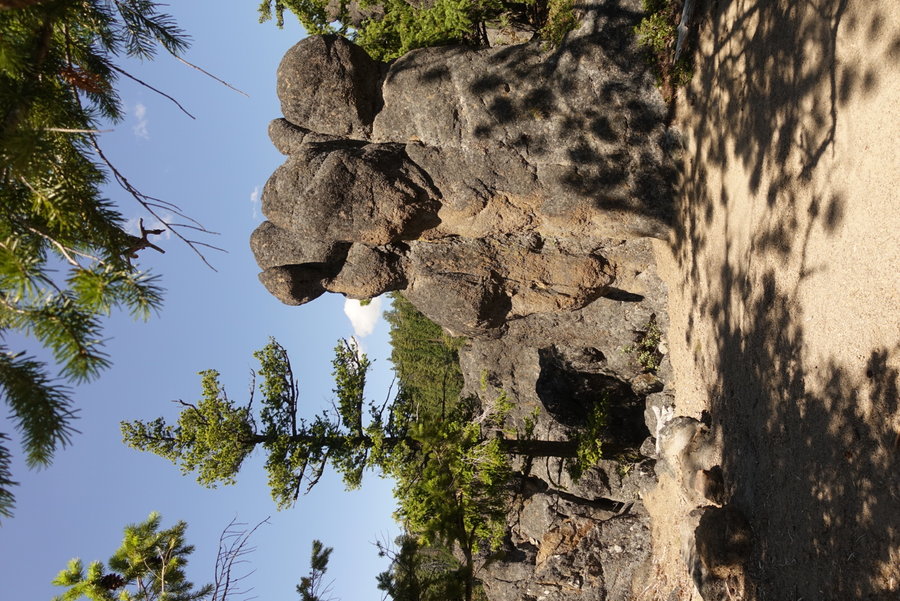
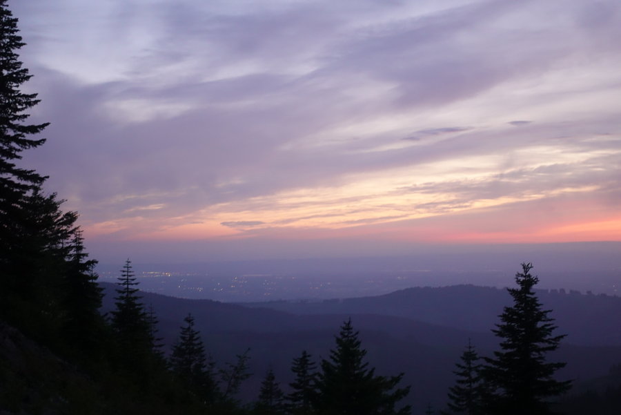
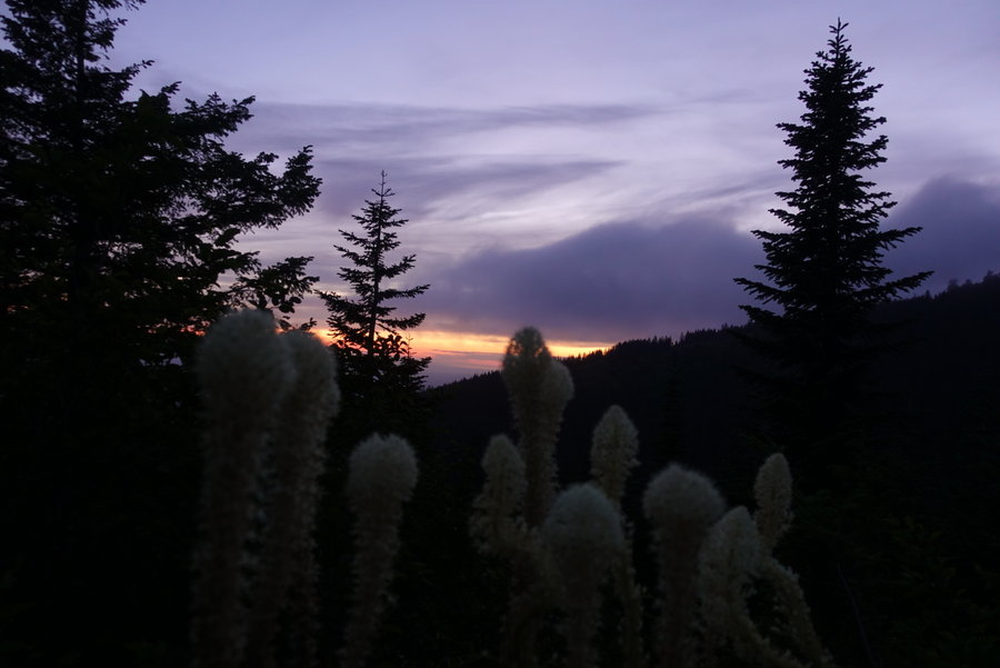
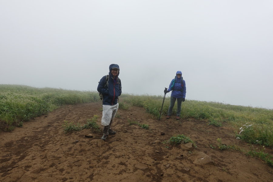
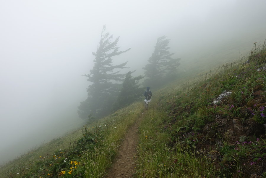
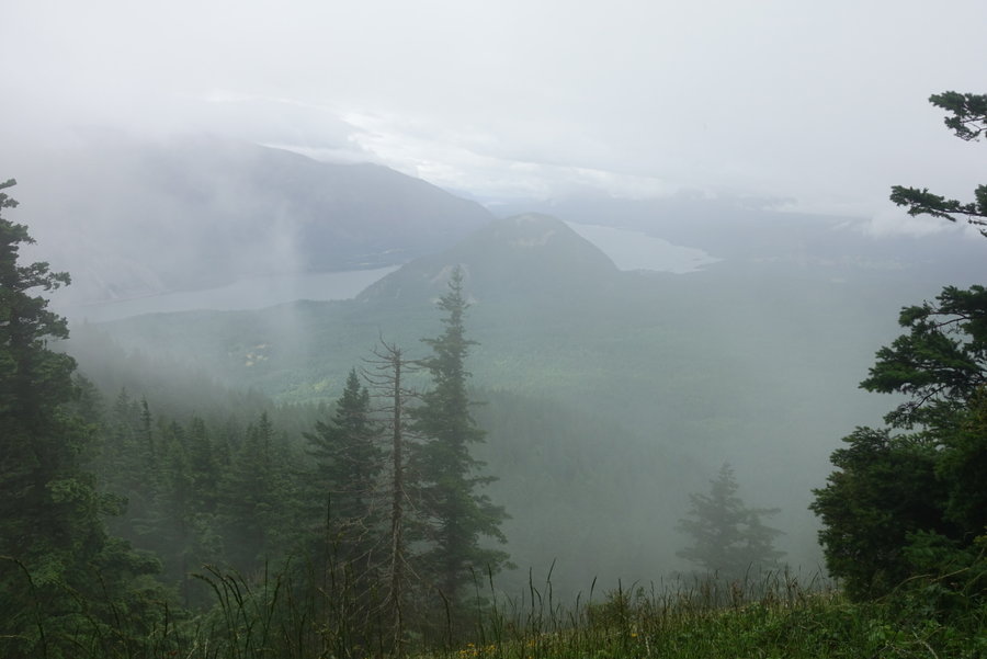
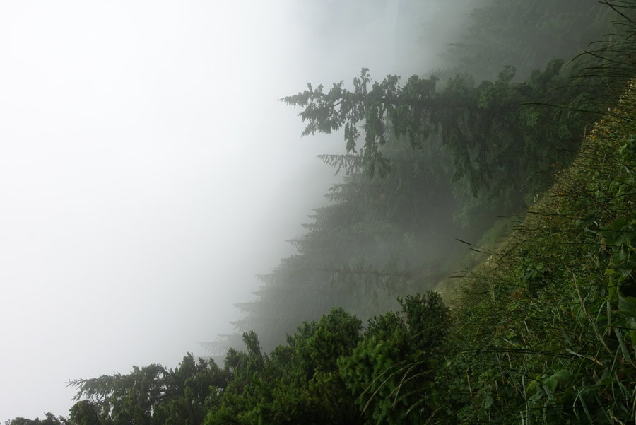
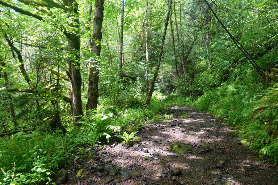
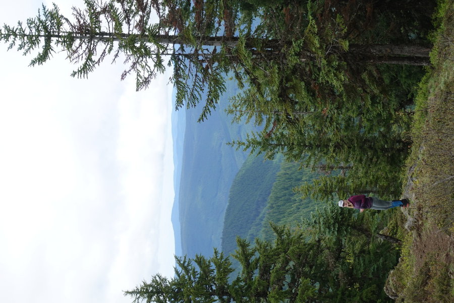
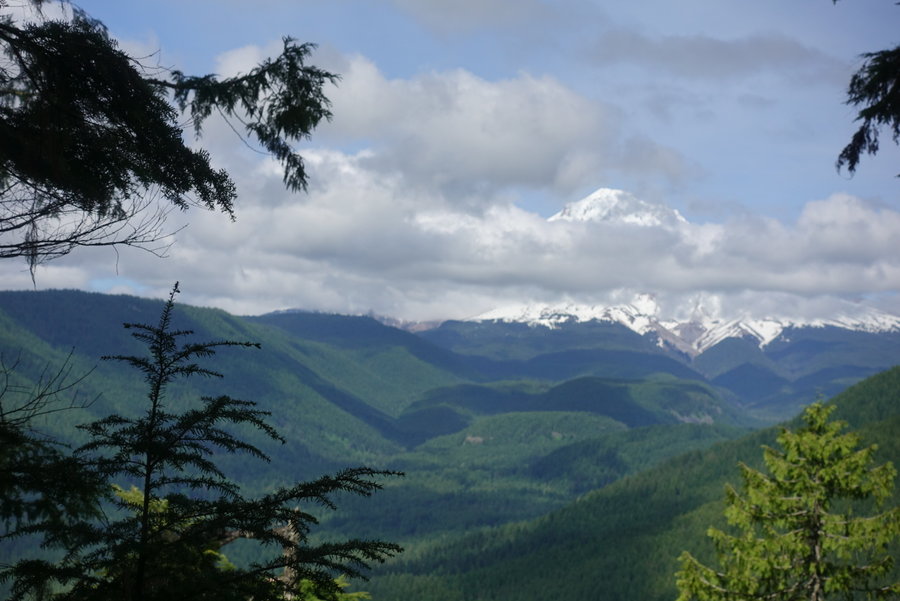
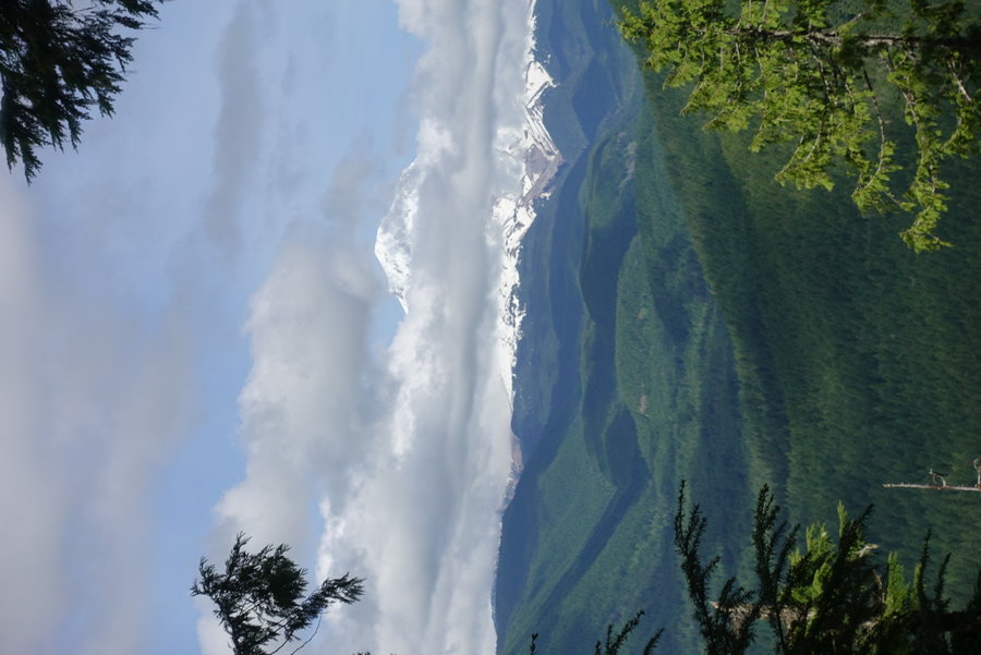
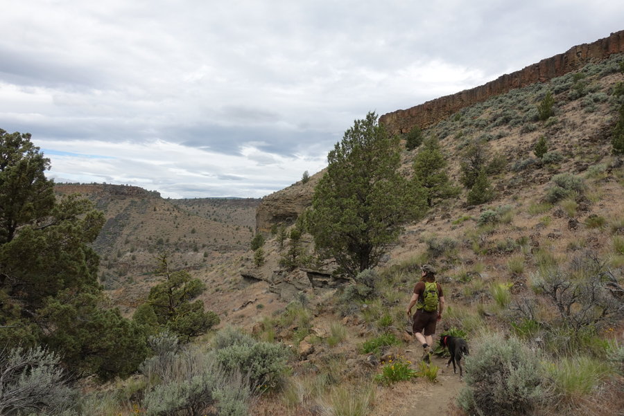
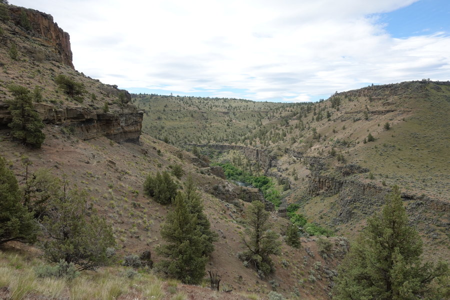
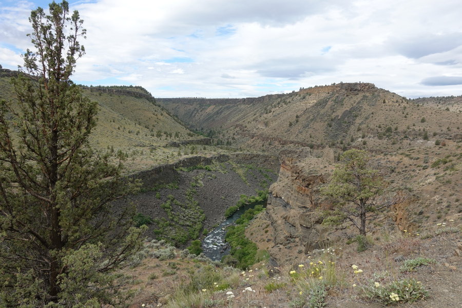
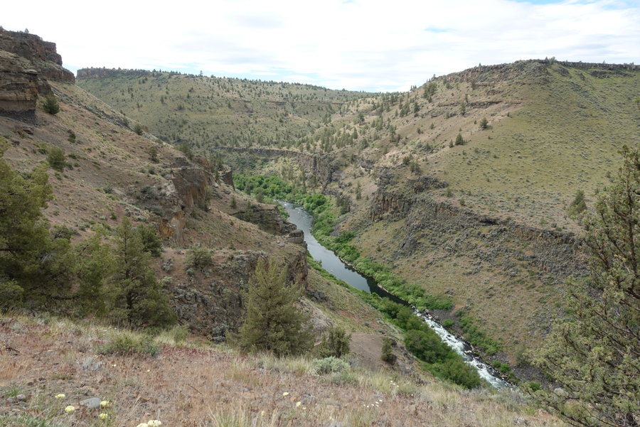
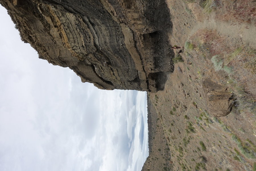
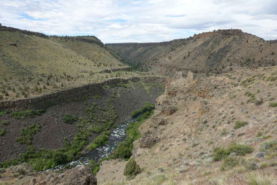
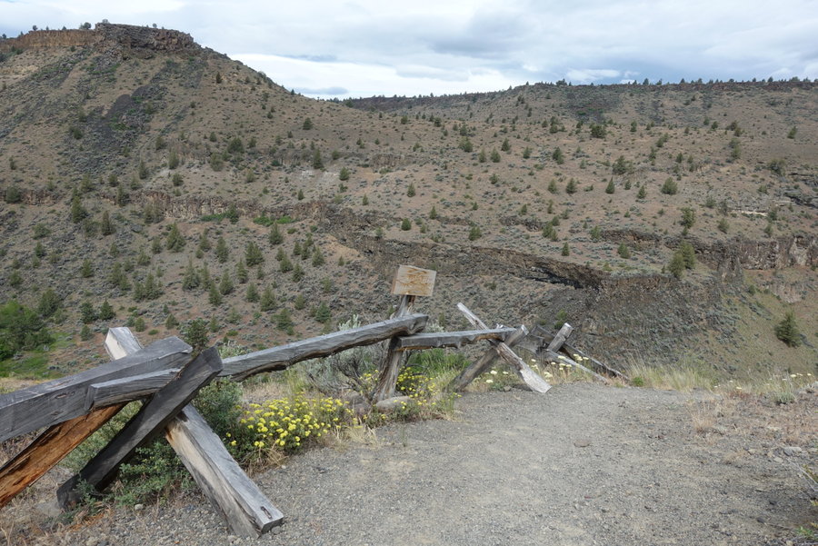
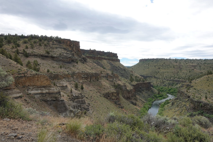
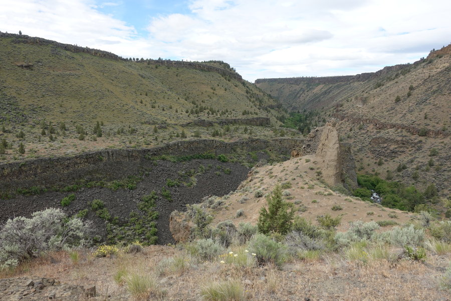
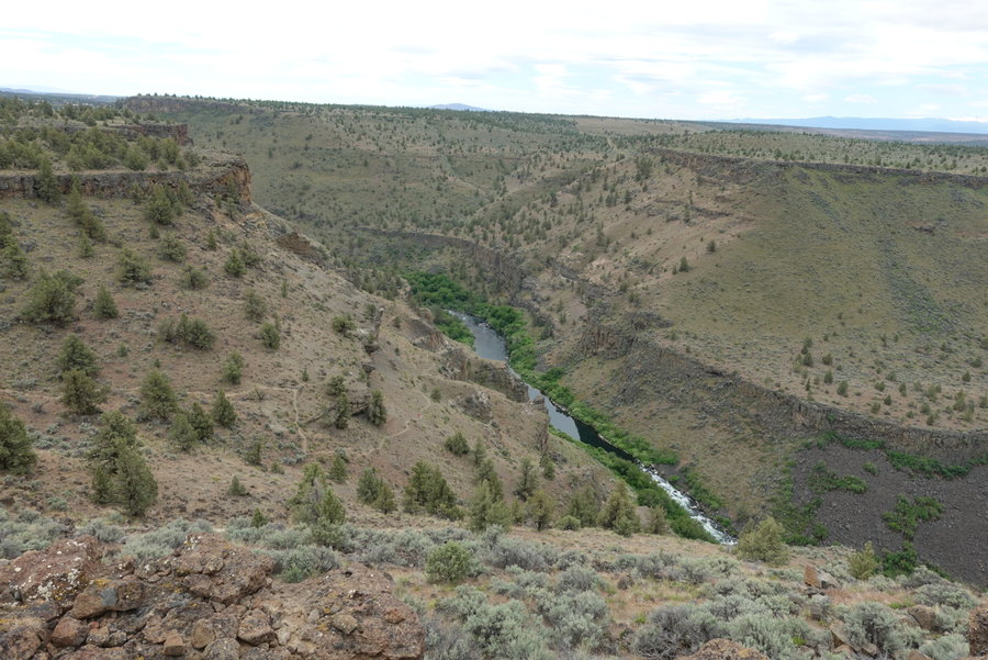
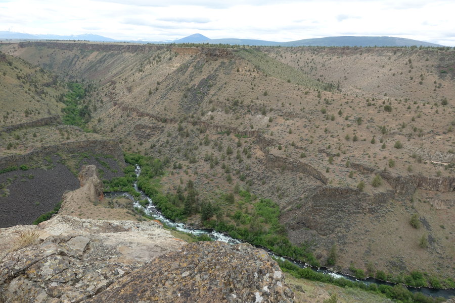
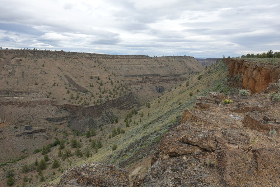
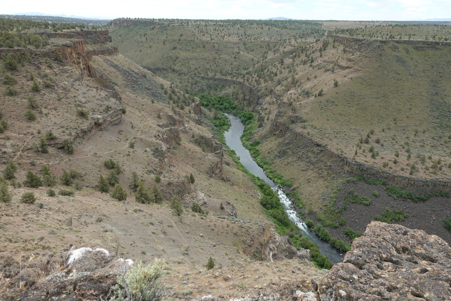
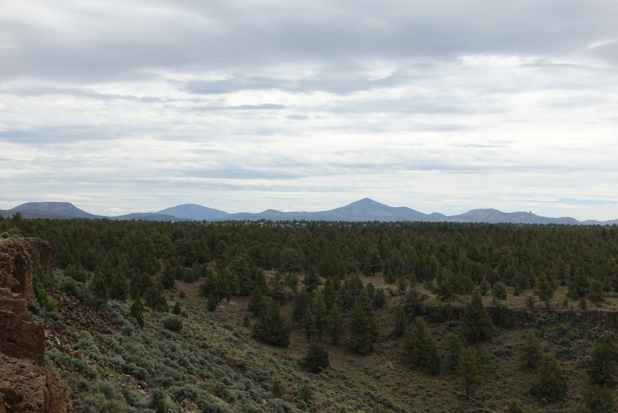
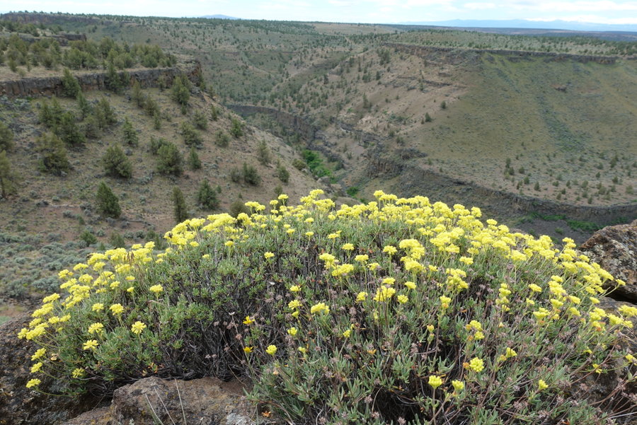
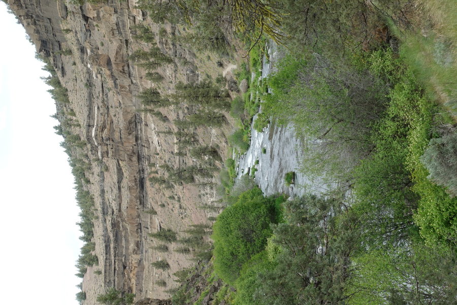
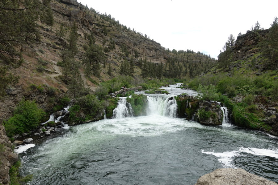
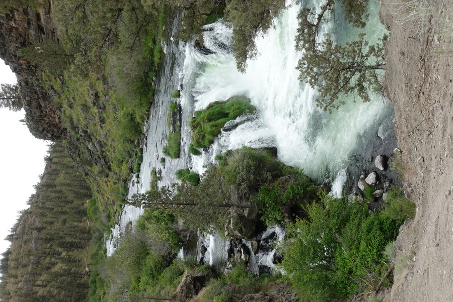
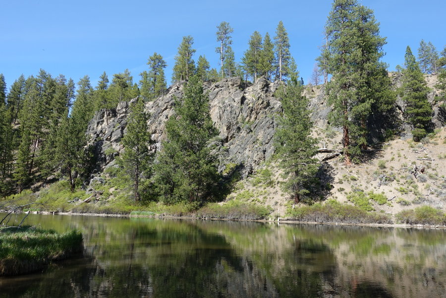
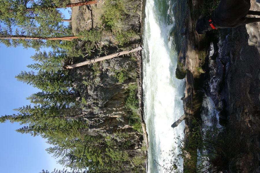
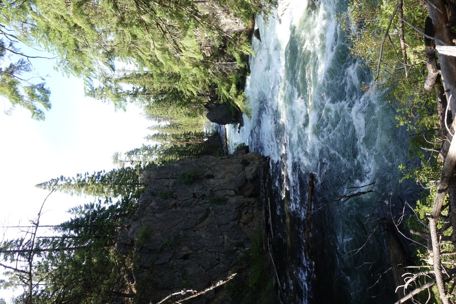
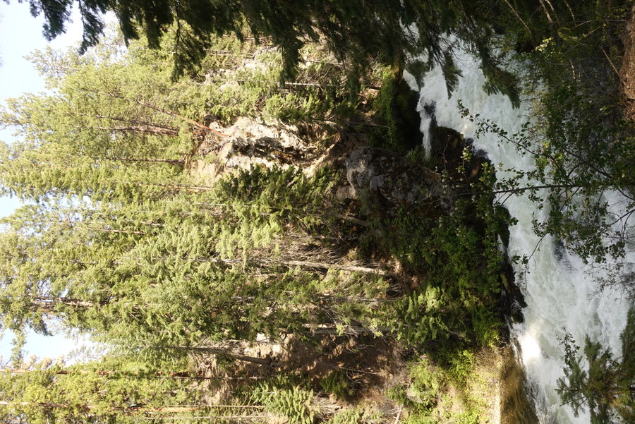
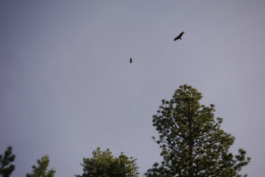
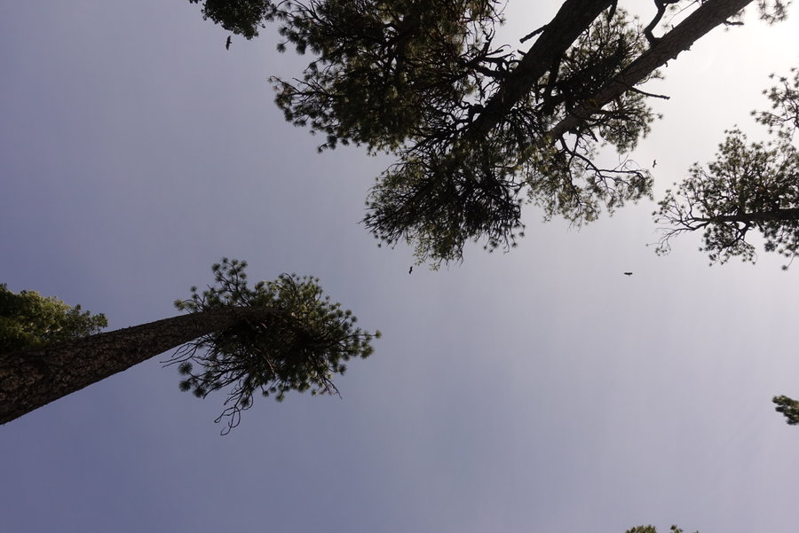
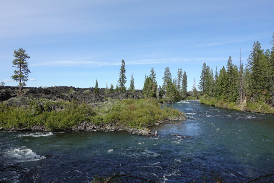
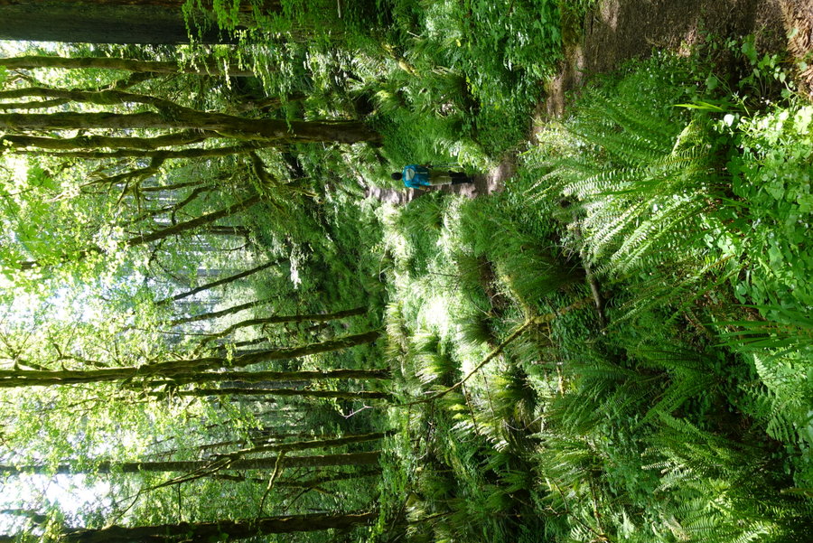
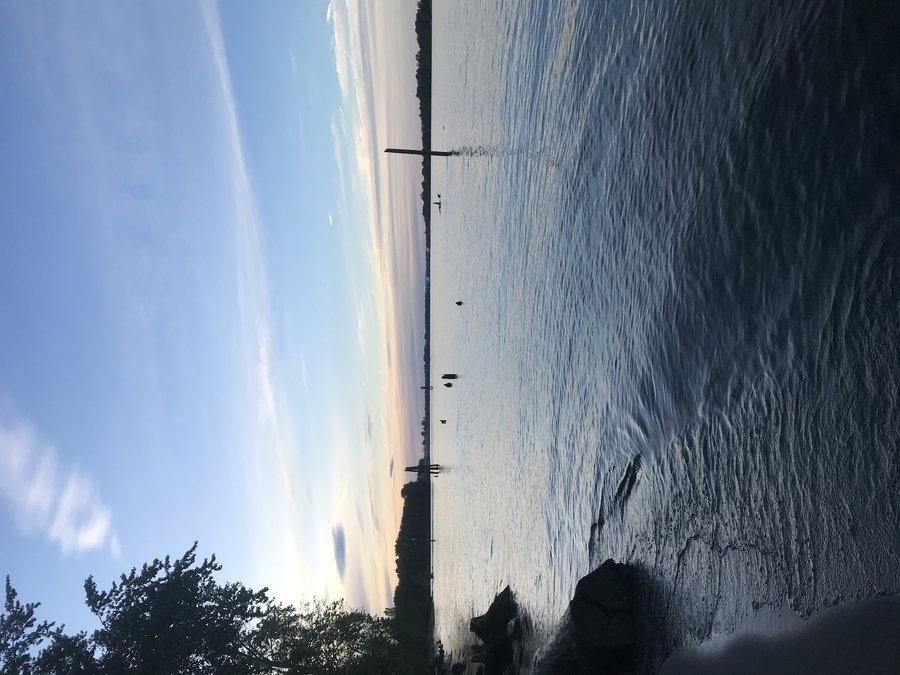
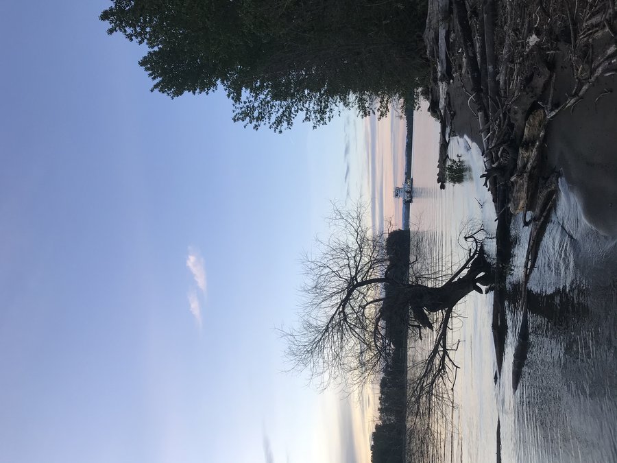
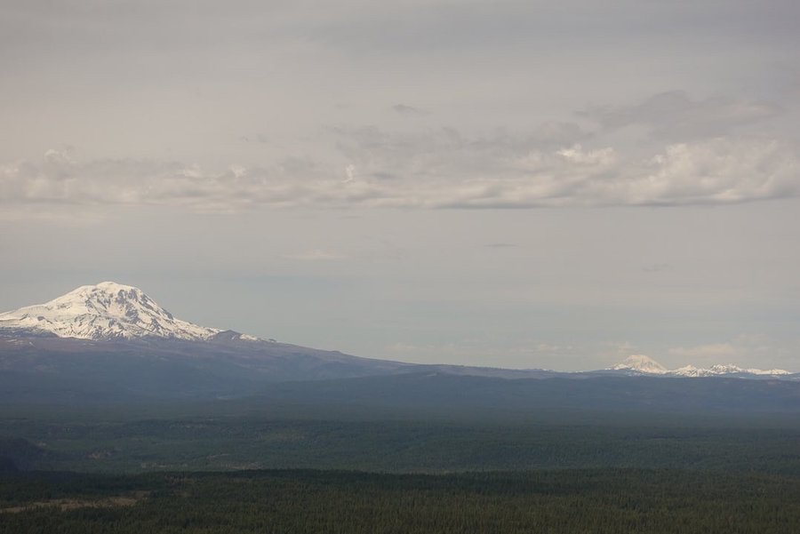
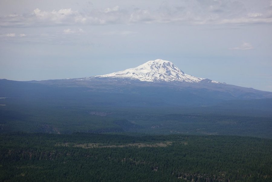
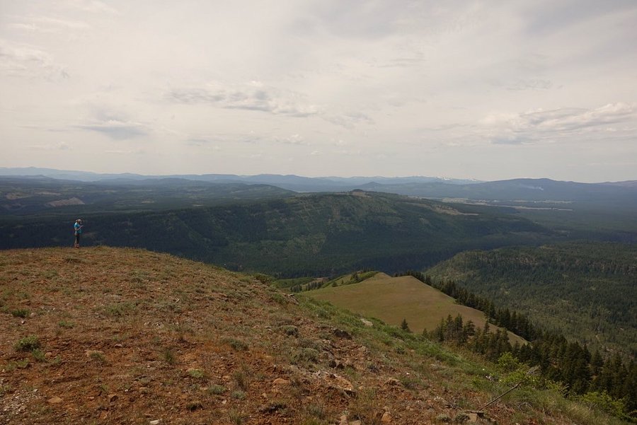
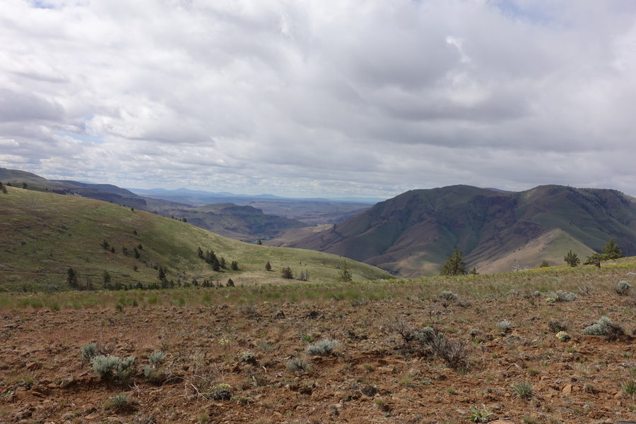
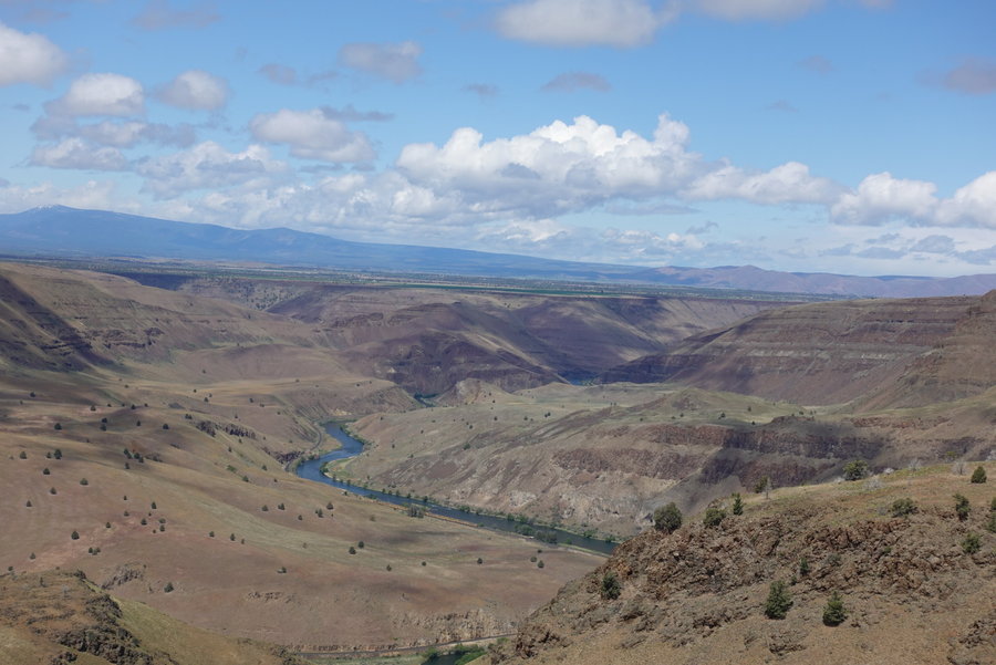
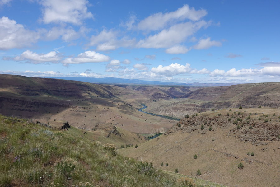
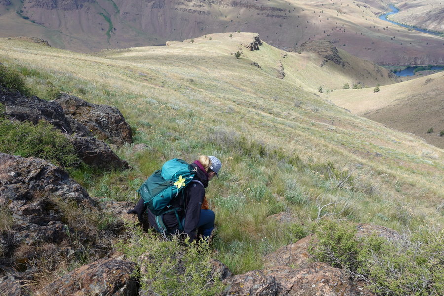
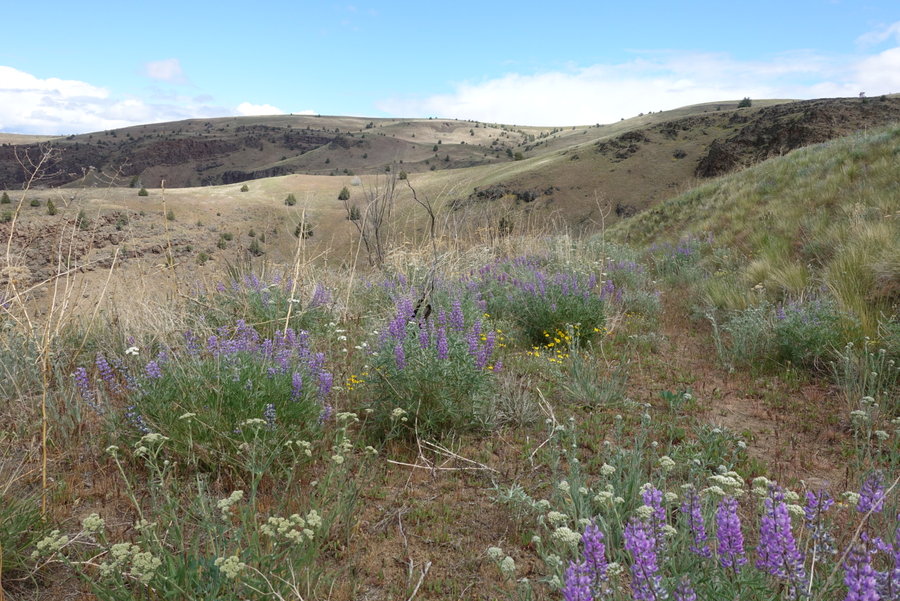
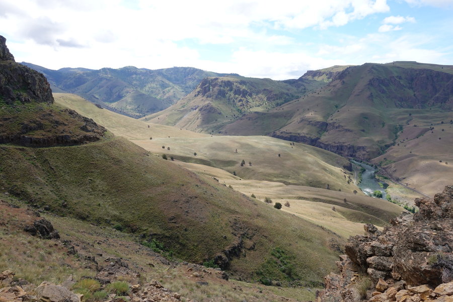
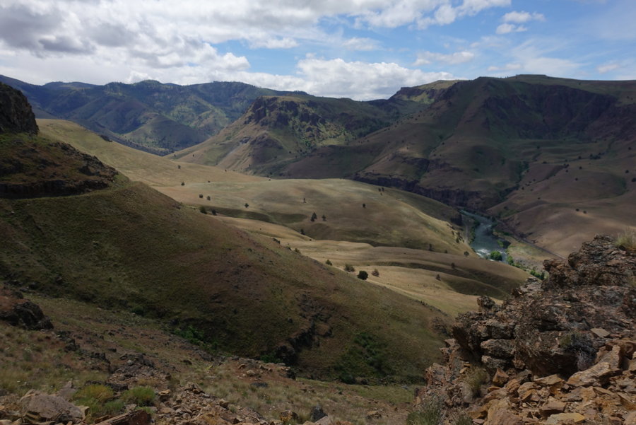
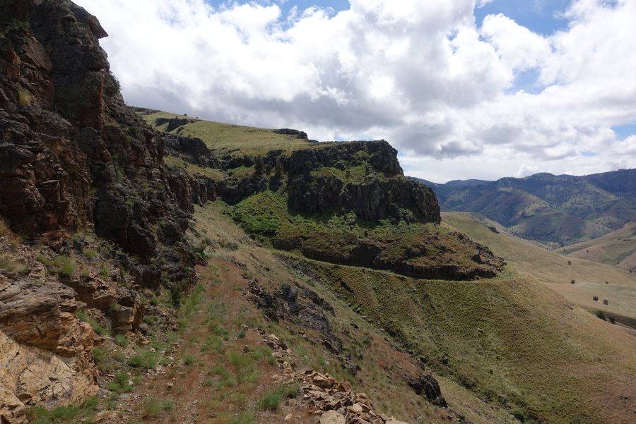
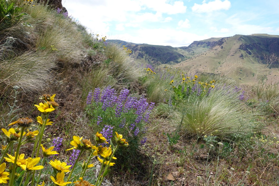
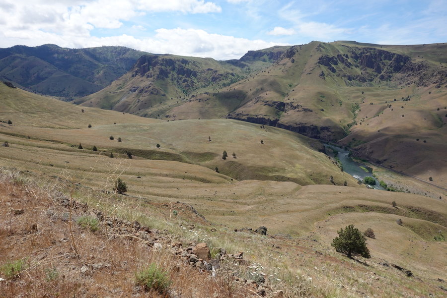
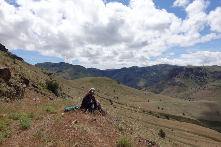
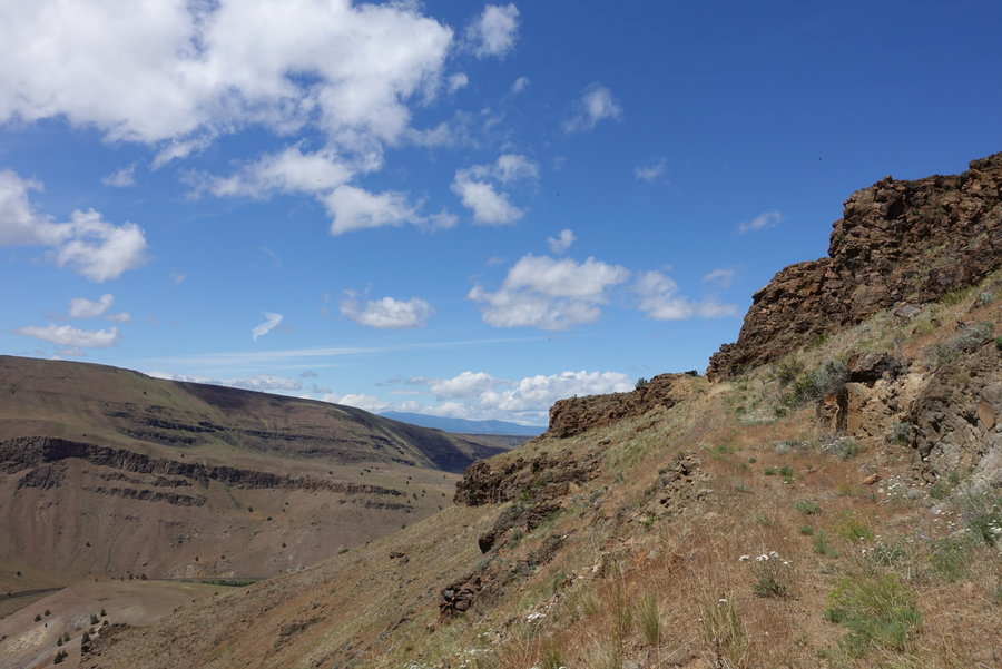
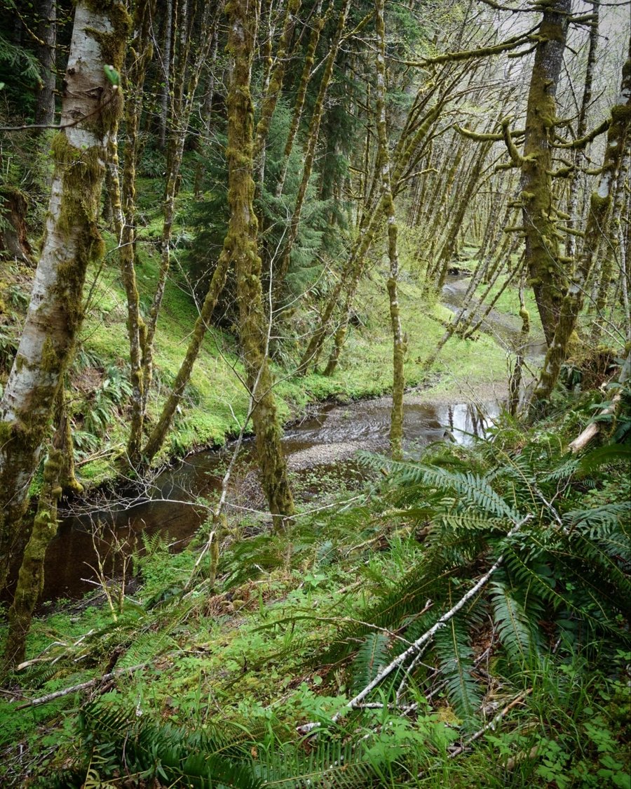
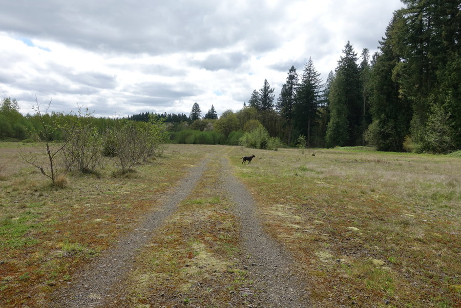
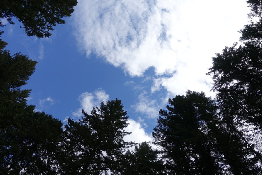
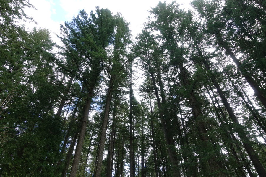
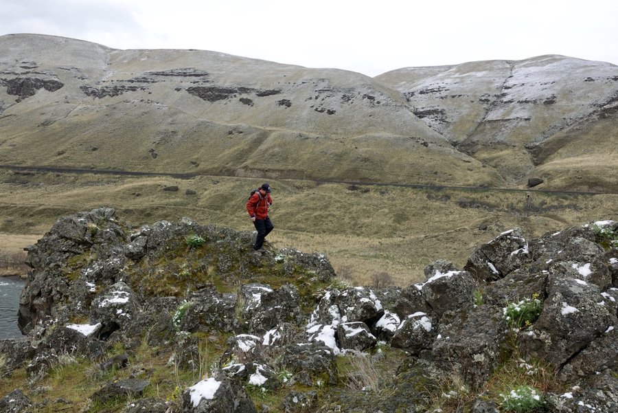
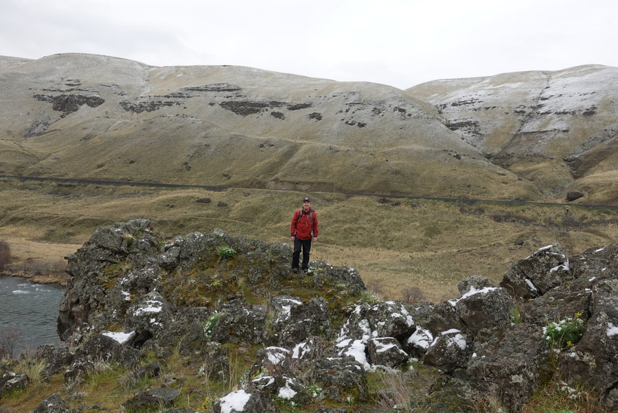
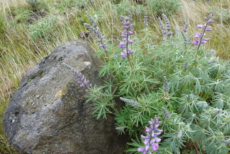
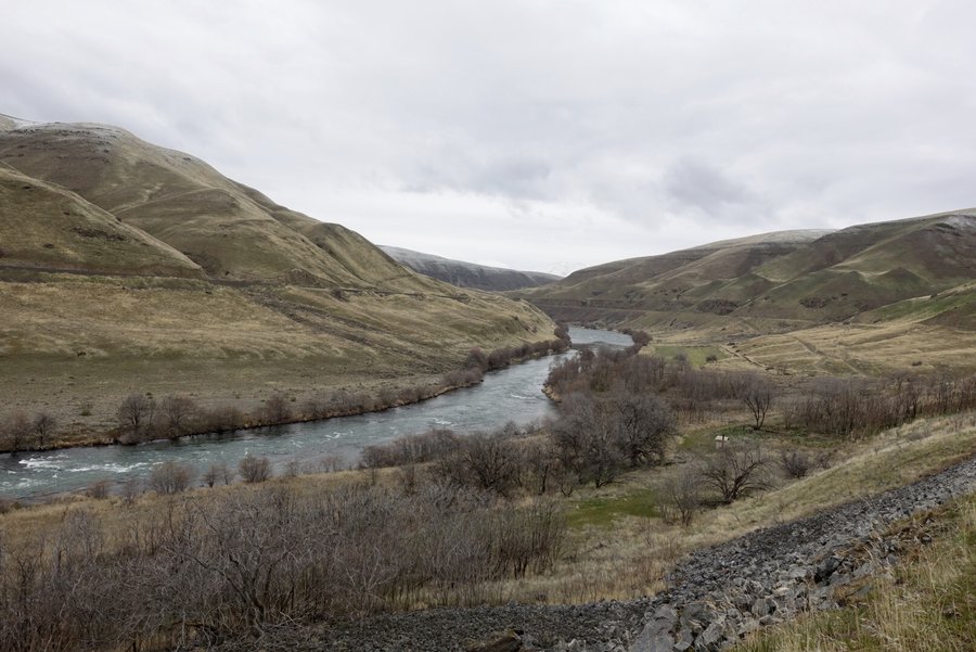
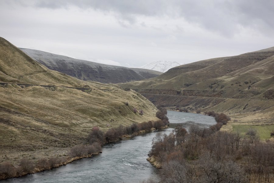
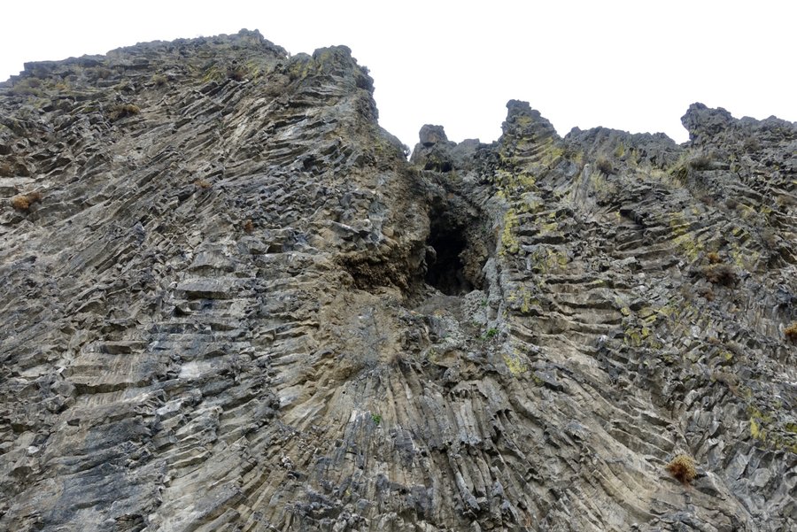
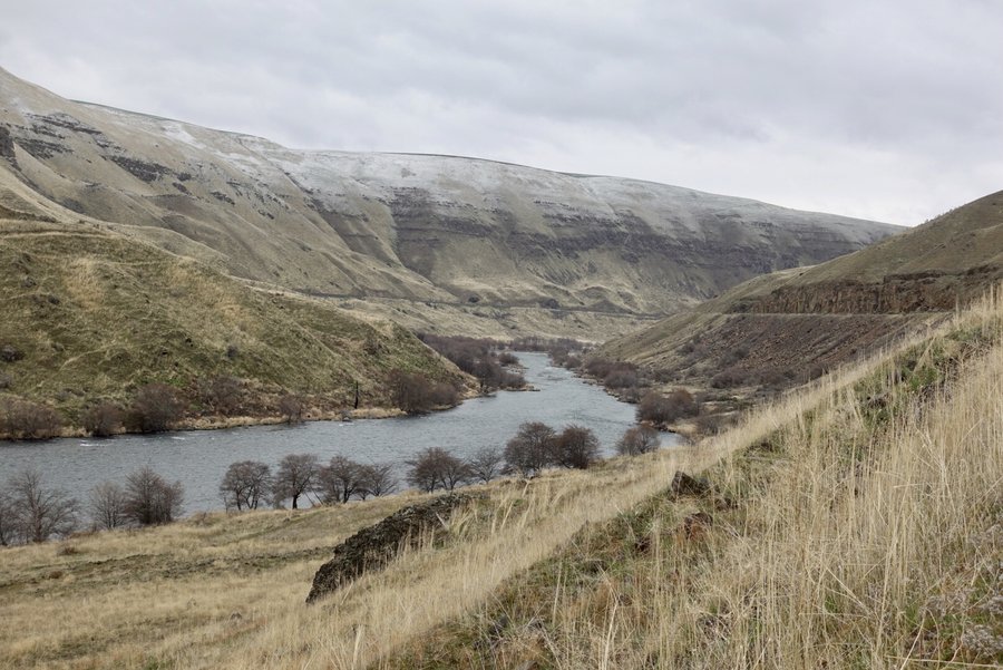
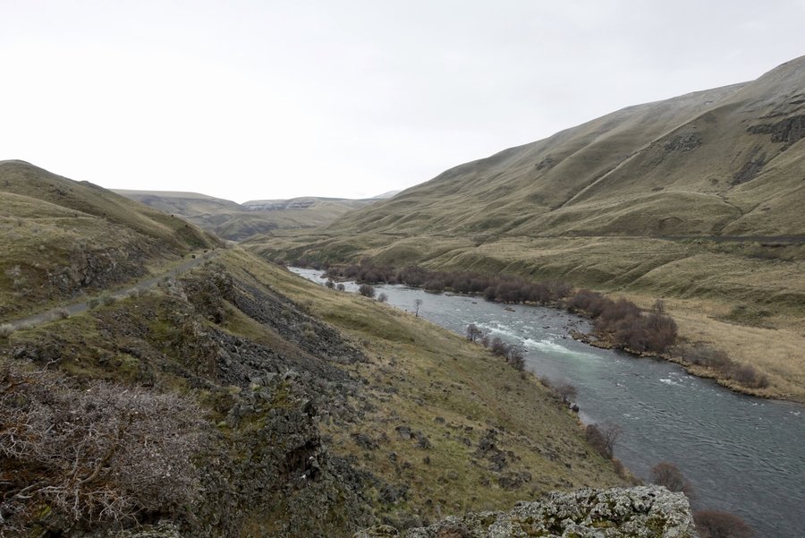
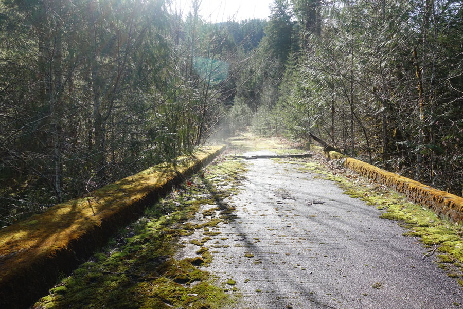
Deschutes River Trail
9 miles of hiking • 250' elevation gain •
Chasing sunshine. Fog throughout the Dalles but opened up at the river.

December 27, 2020


 1
1
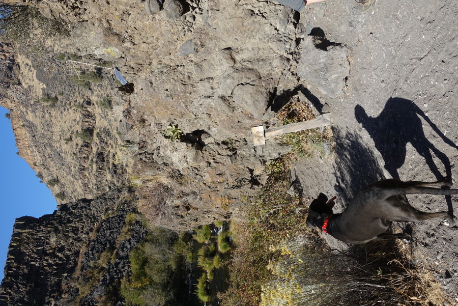
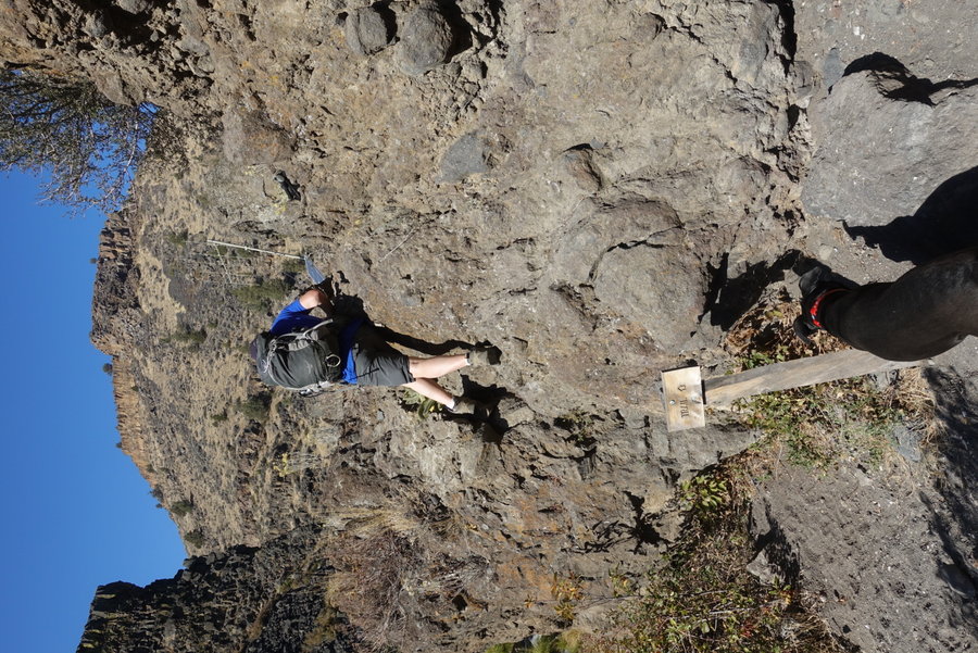
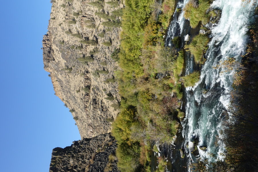
December 26, 2020


 2
2
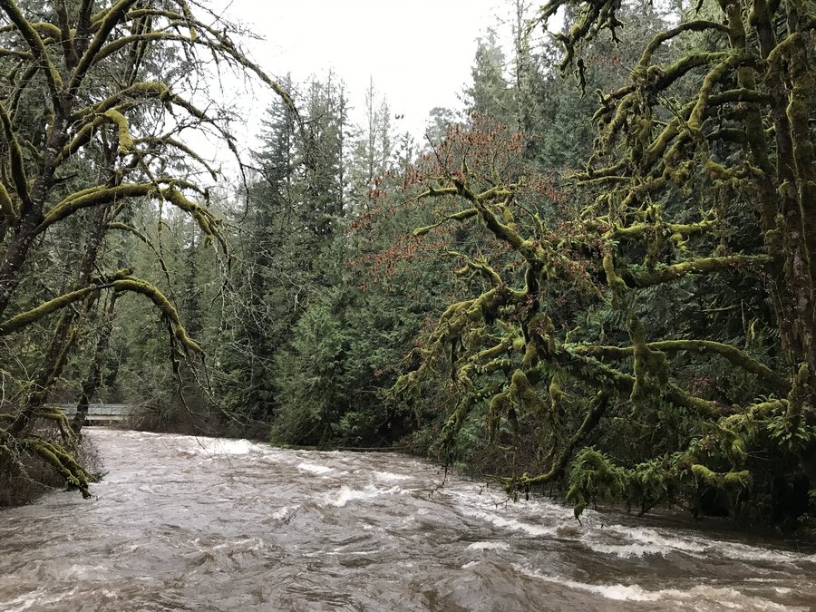
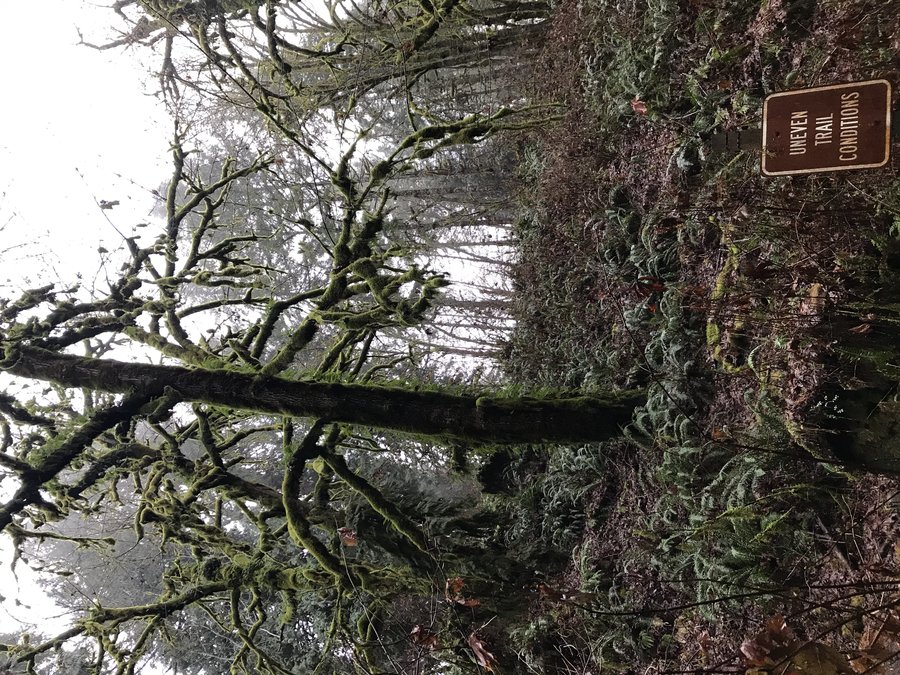
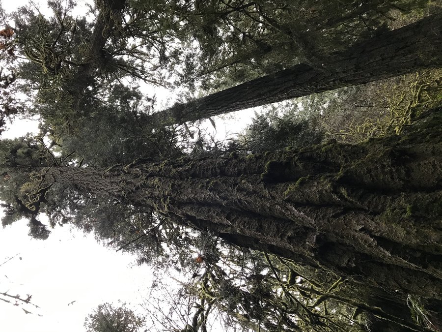
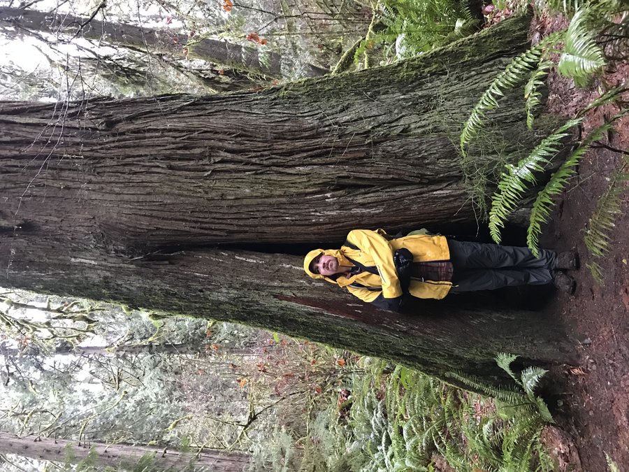
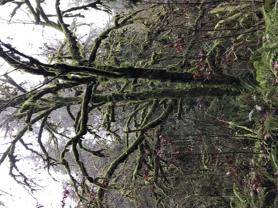
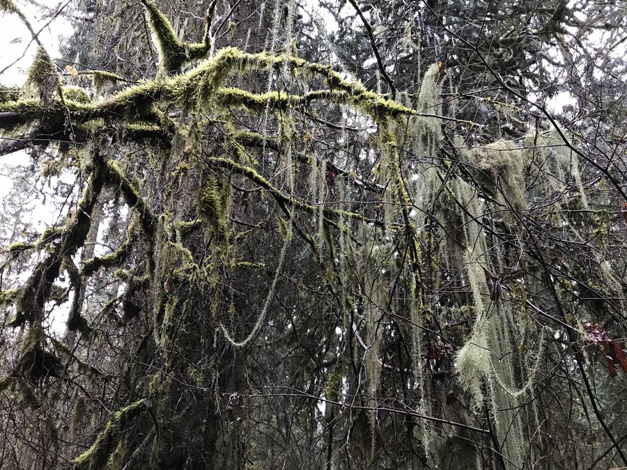
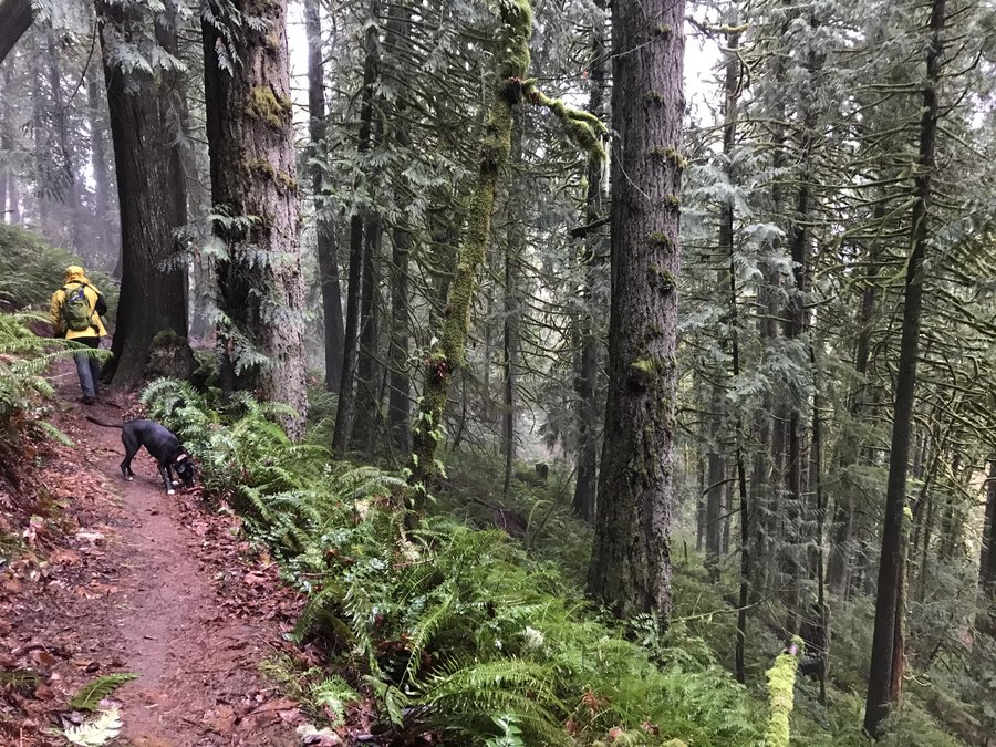
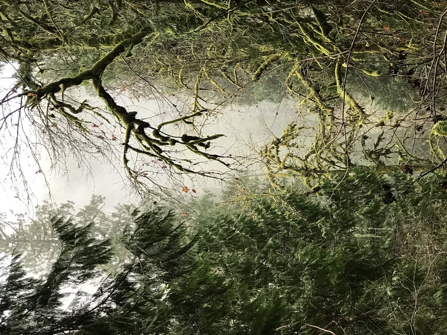
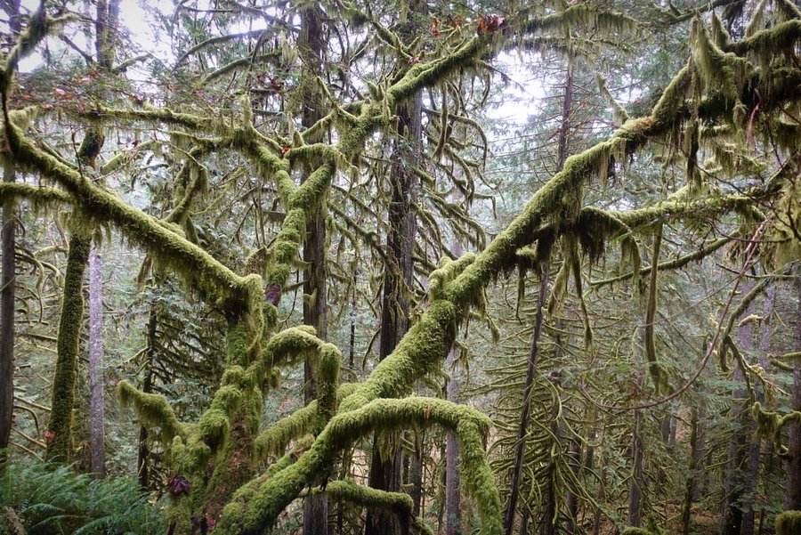
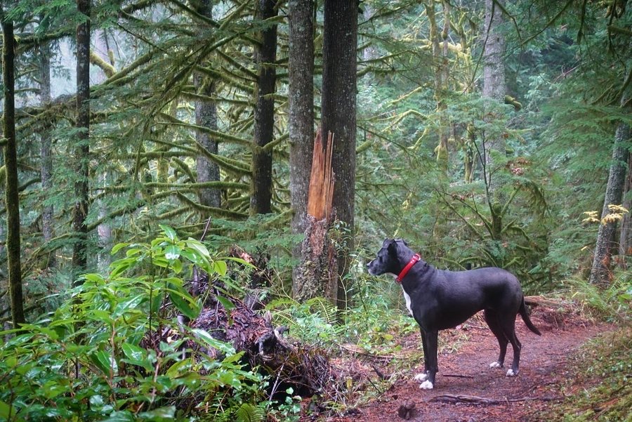
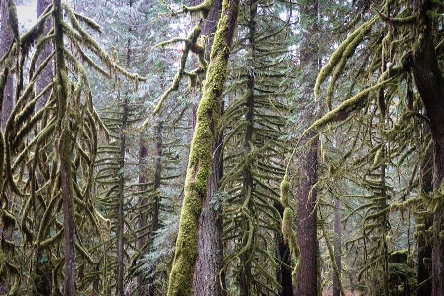
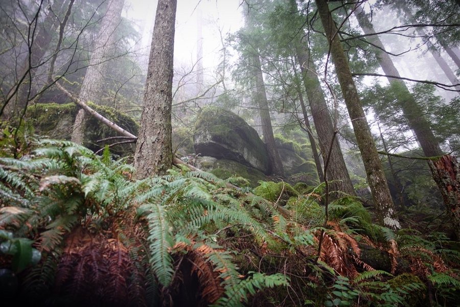
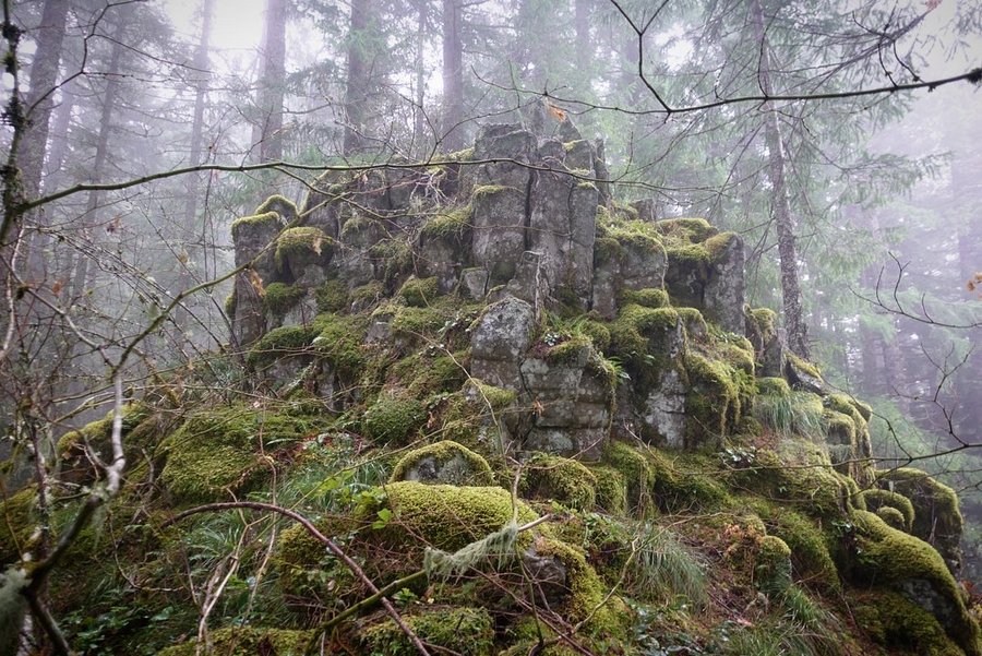
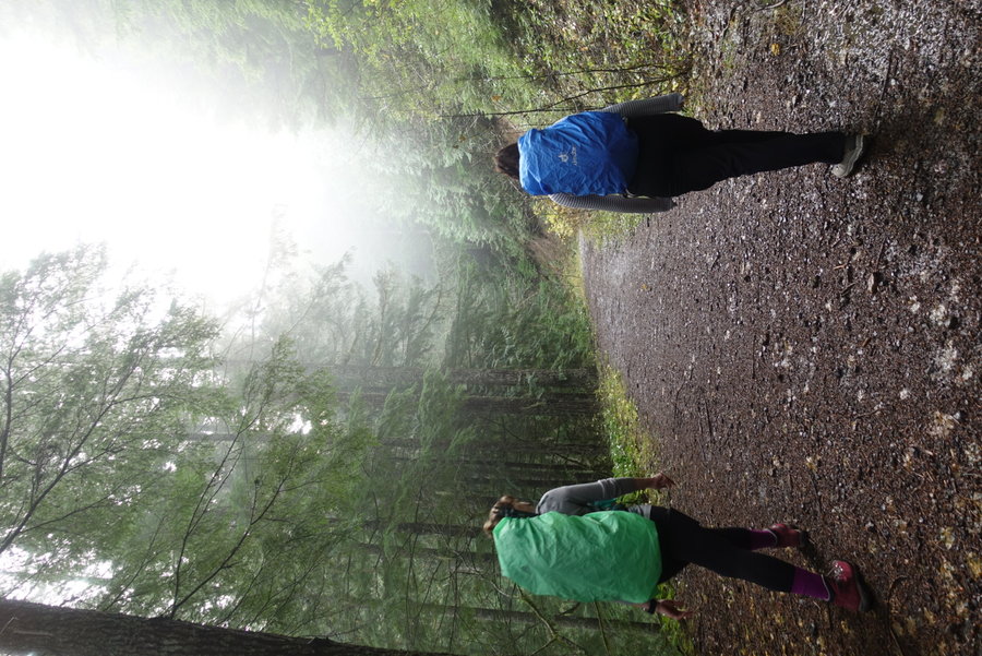
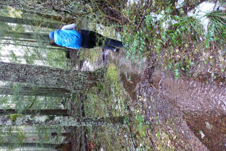
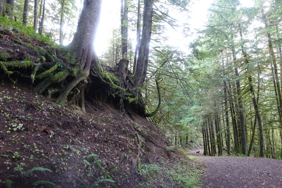
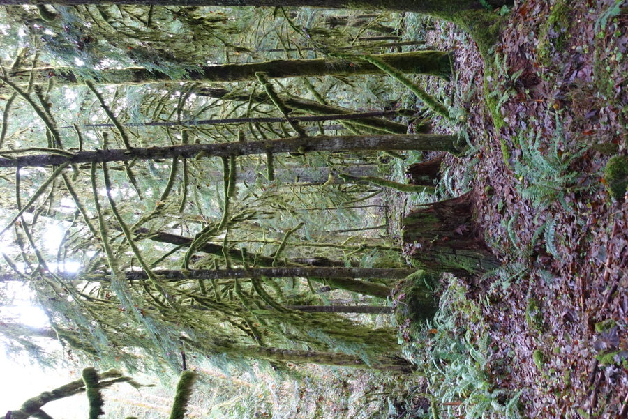
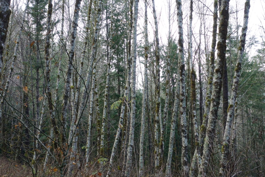
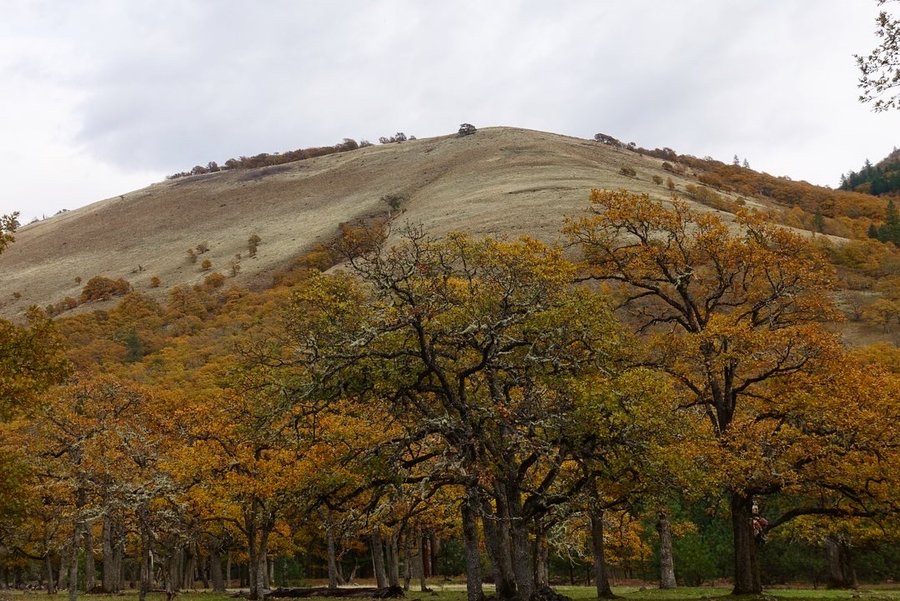
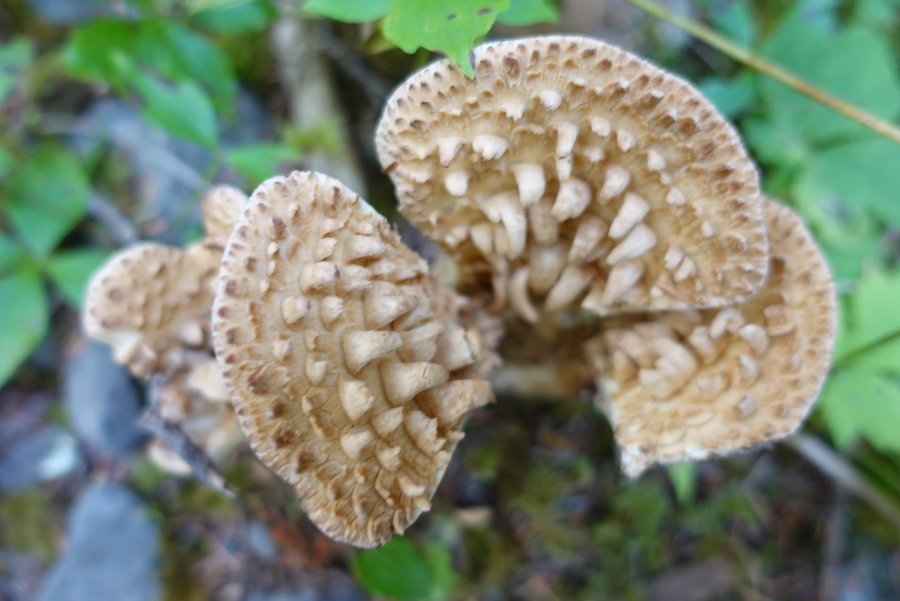
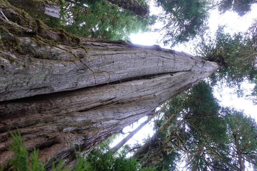
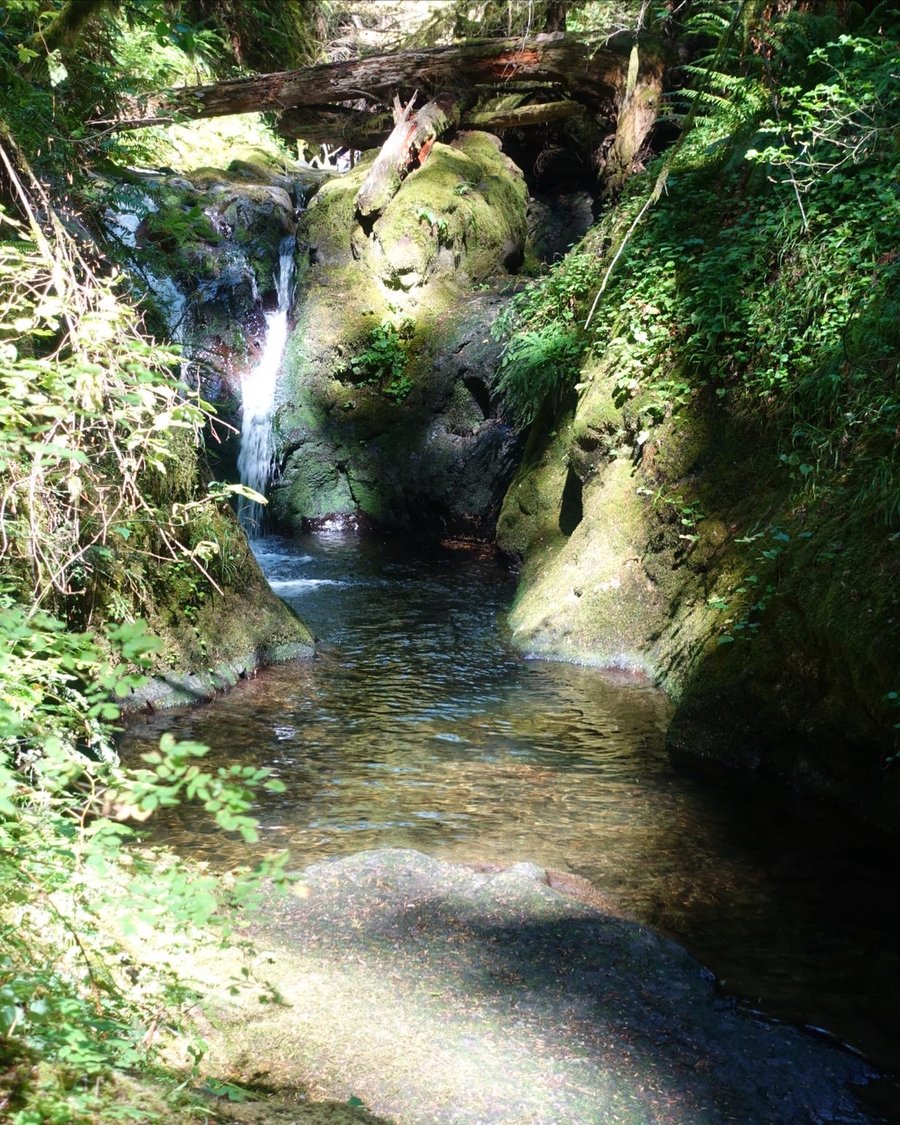
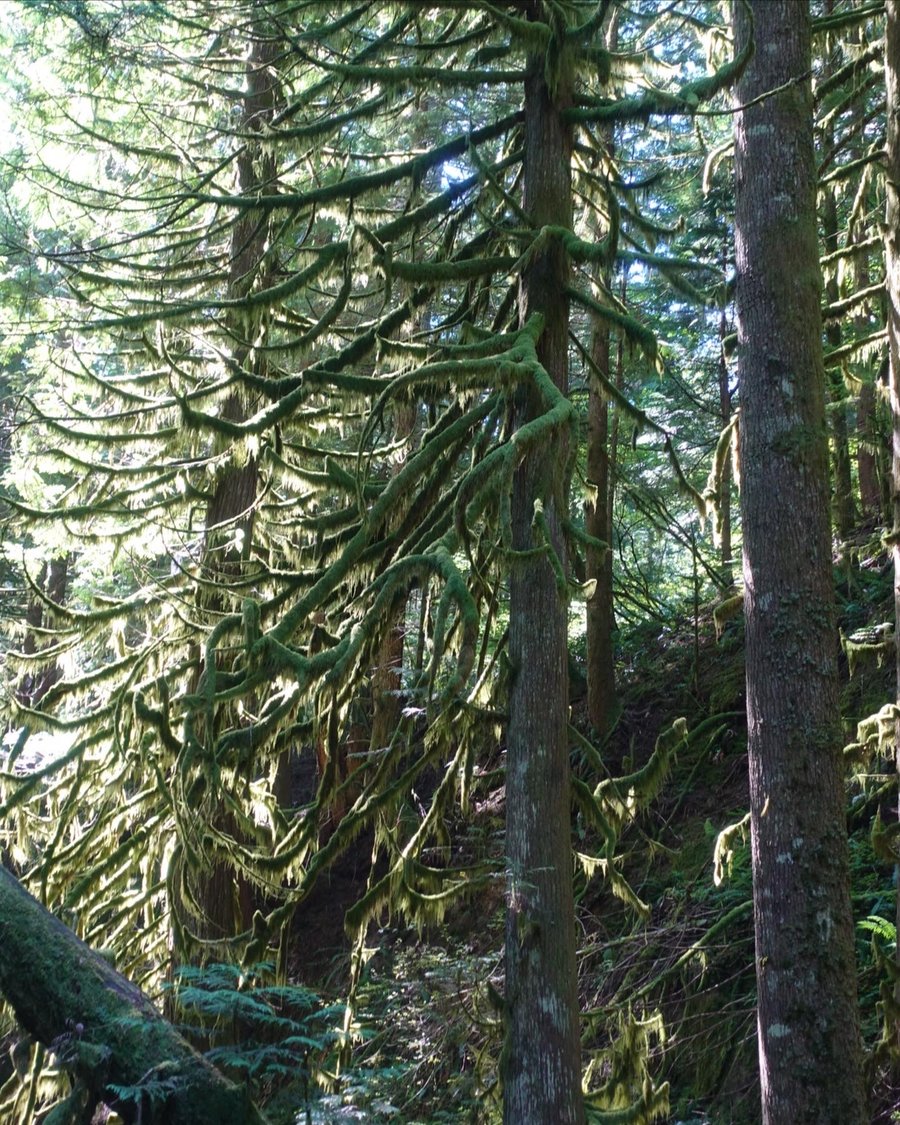
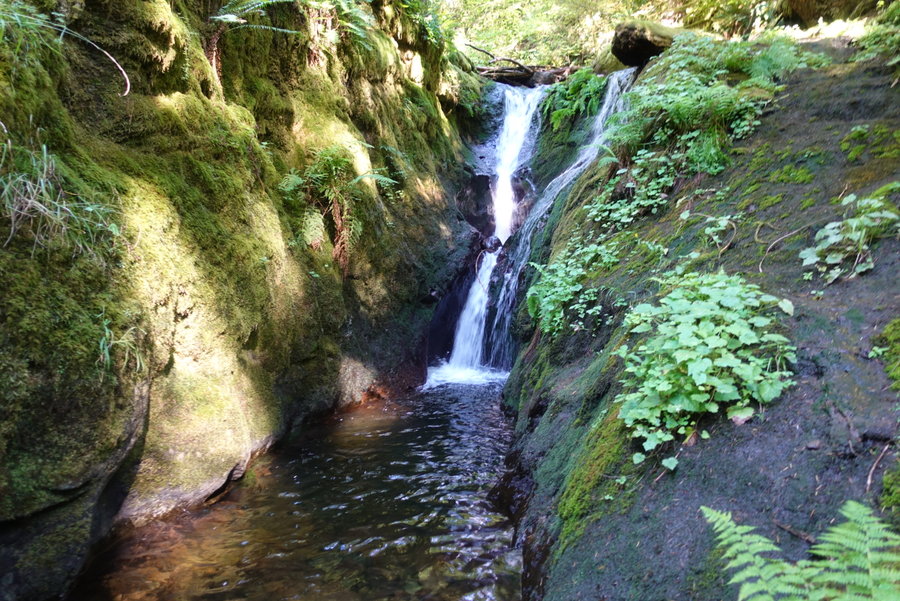
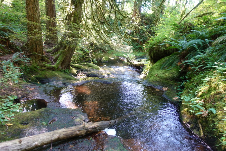
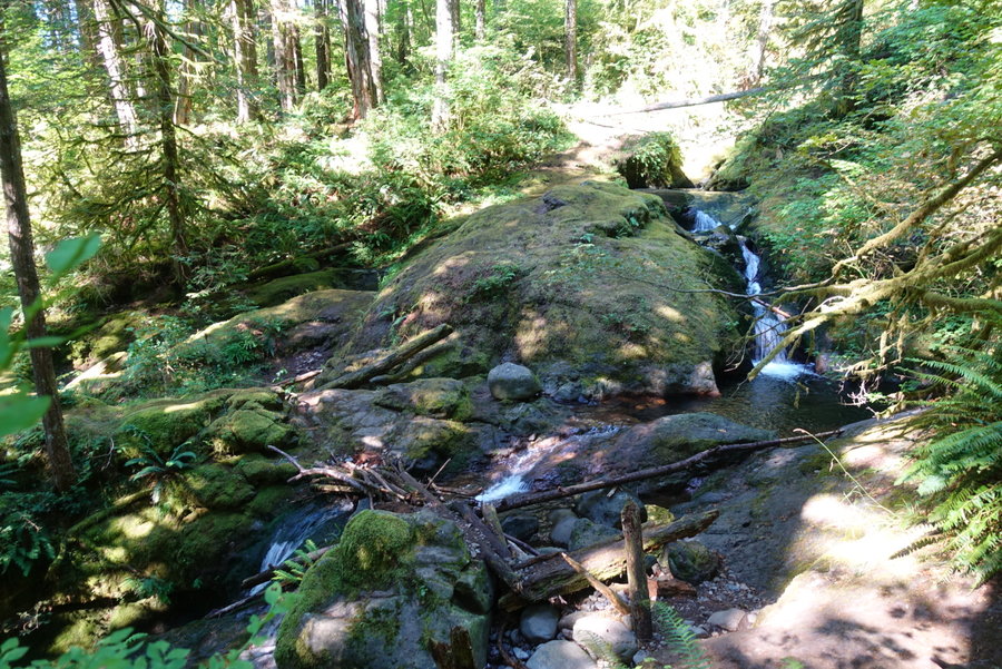
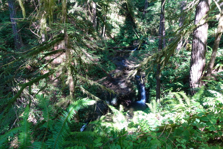
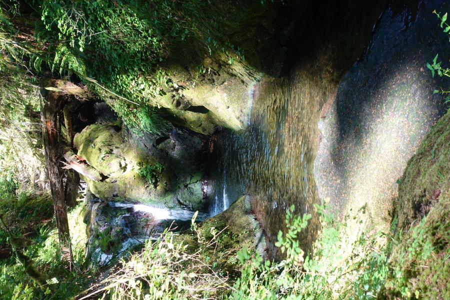
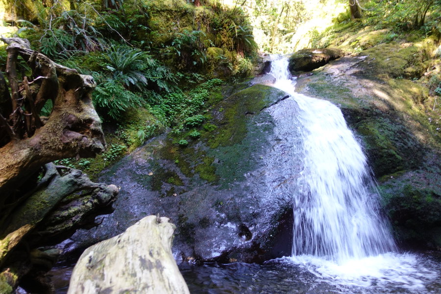
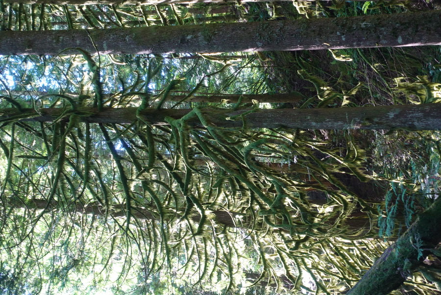
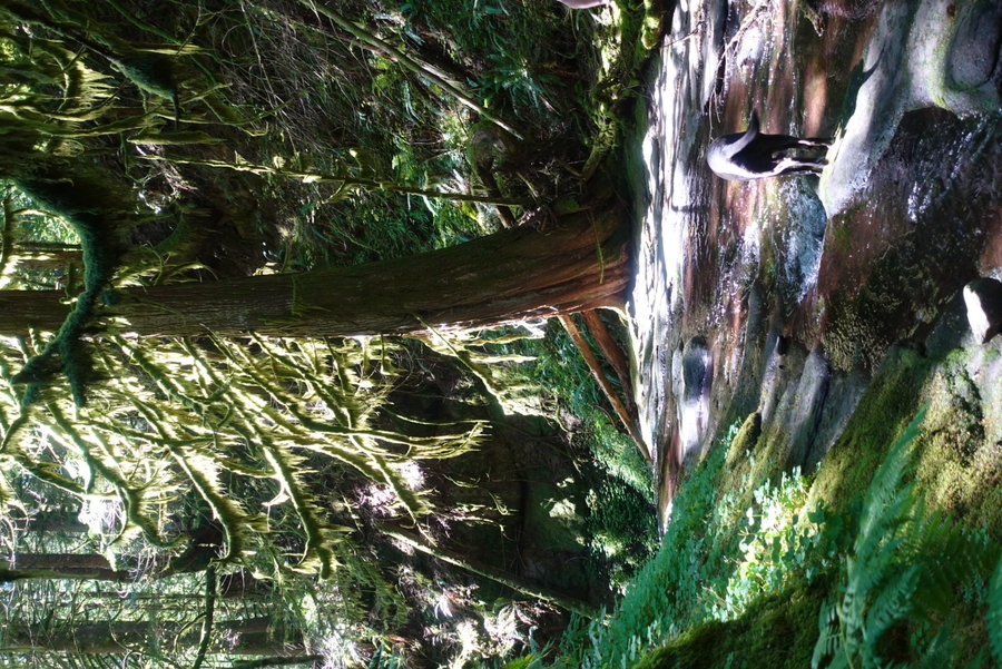
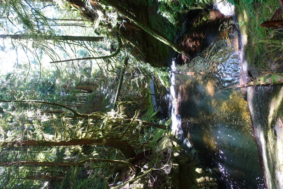
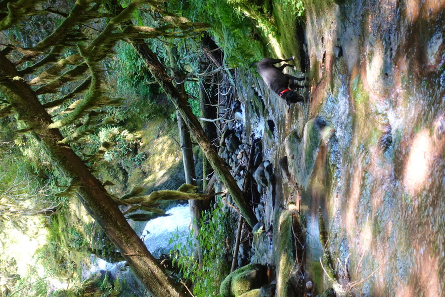
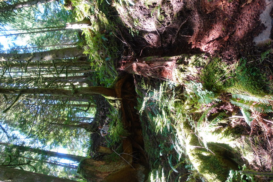
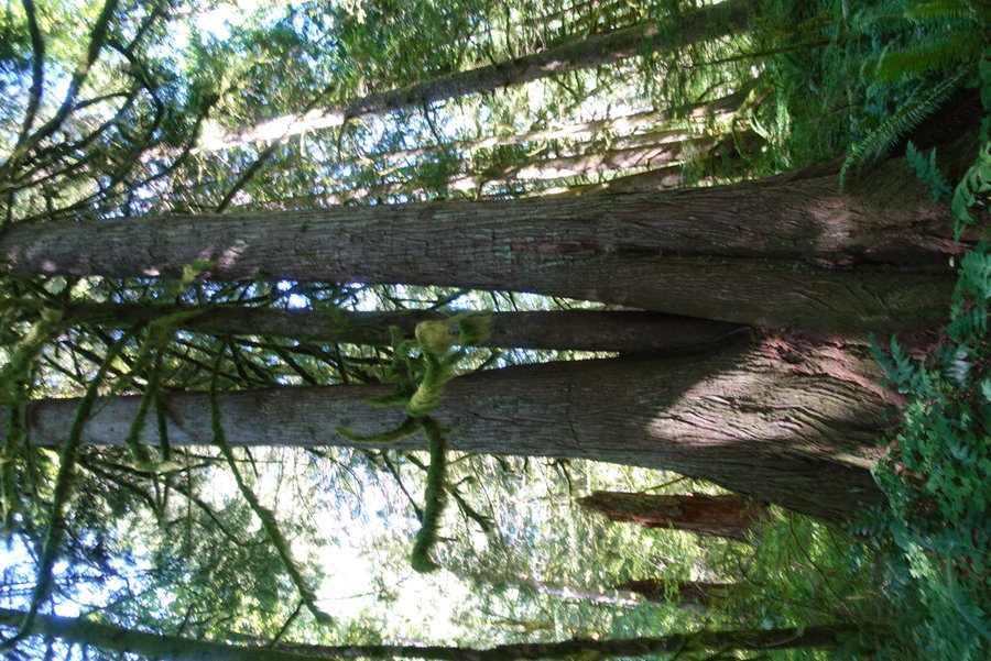
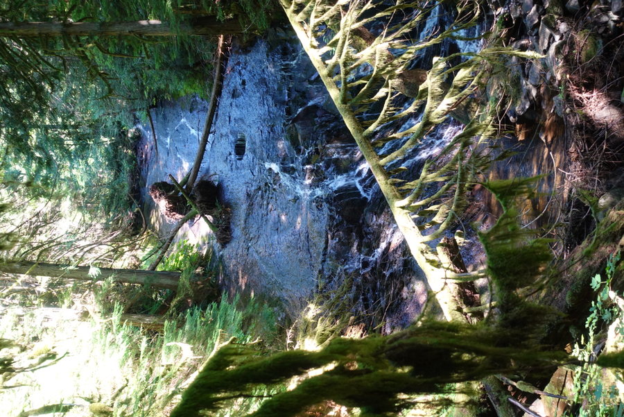
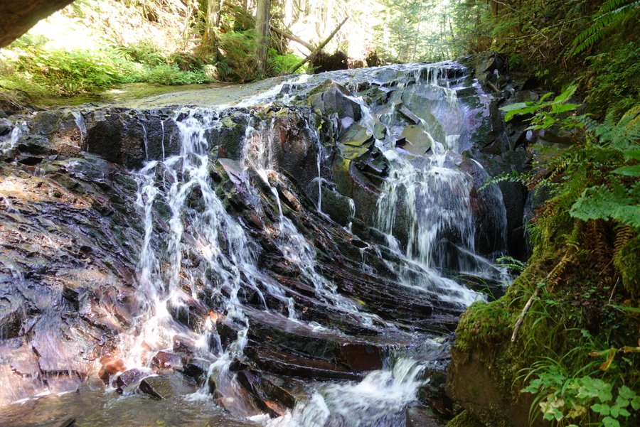
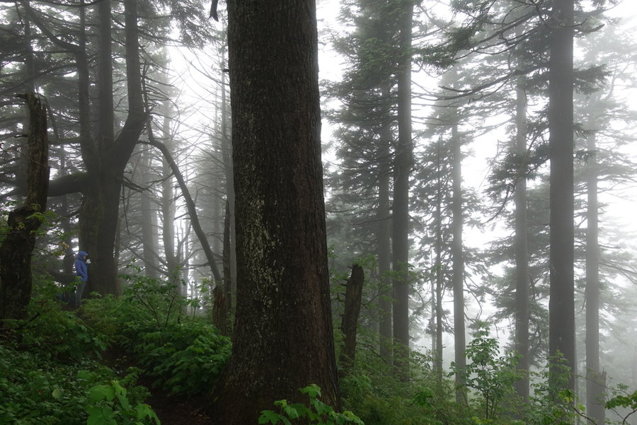
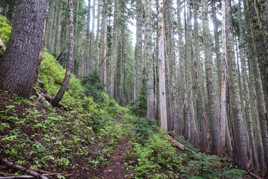
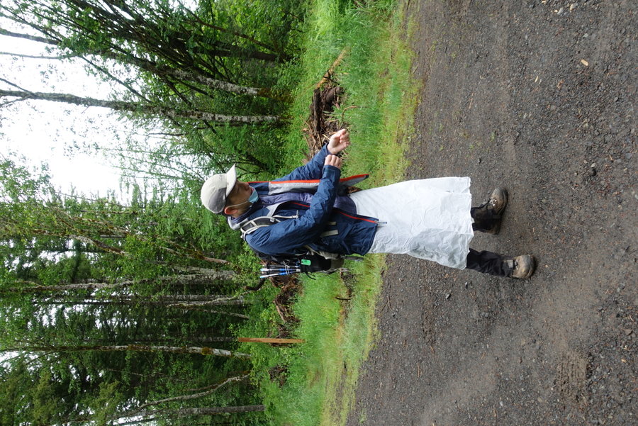
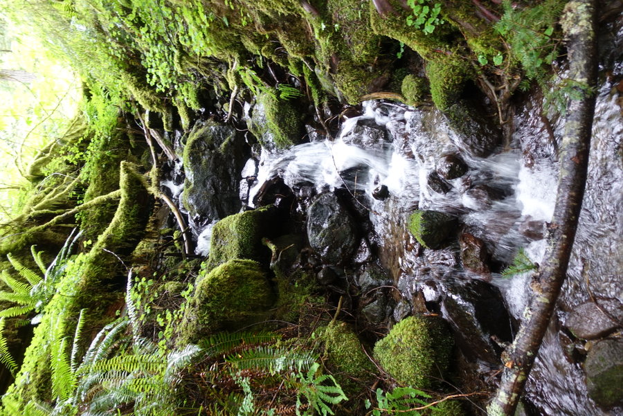
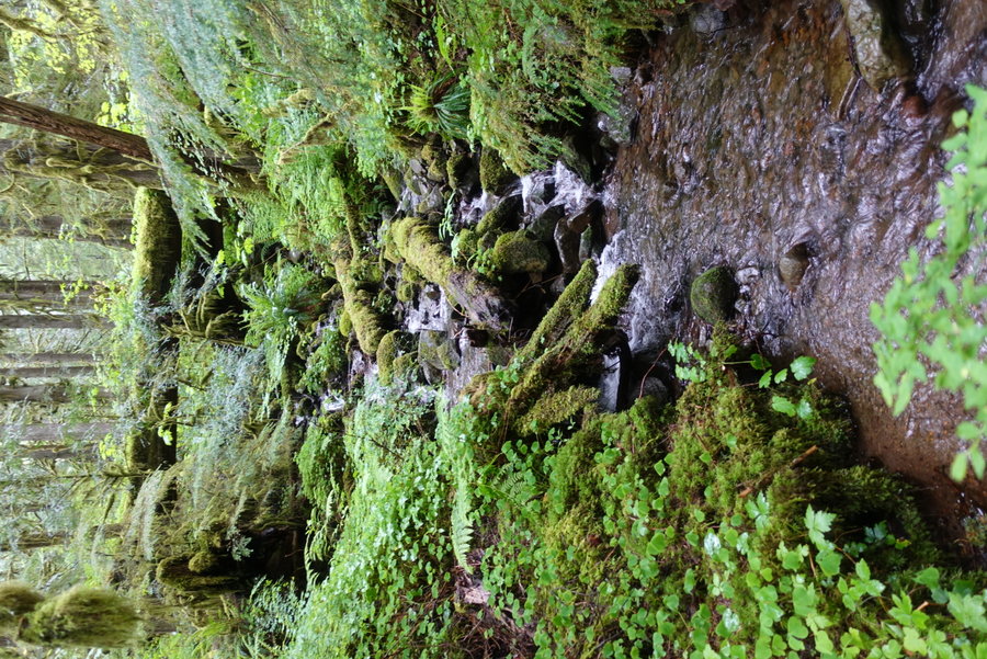
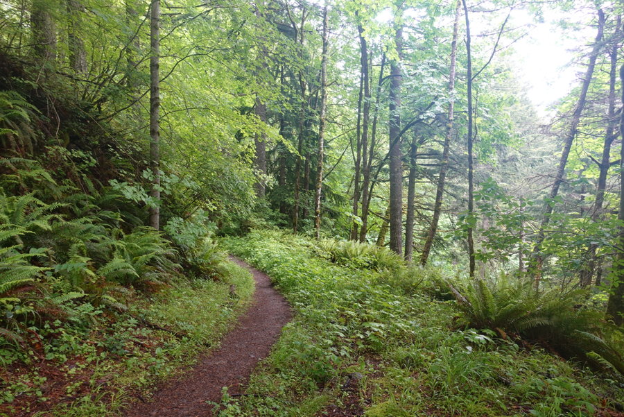
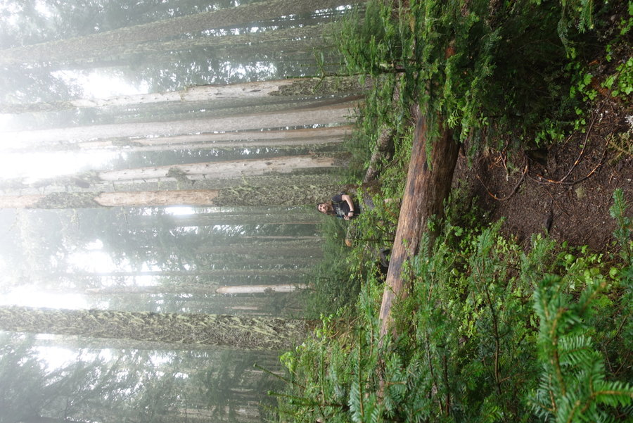
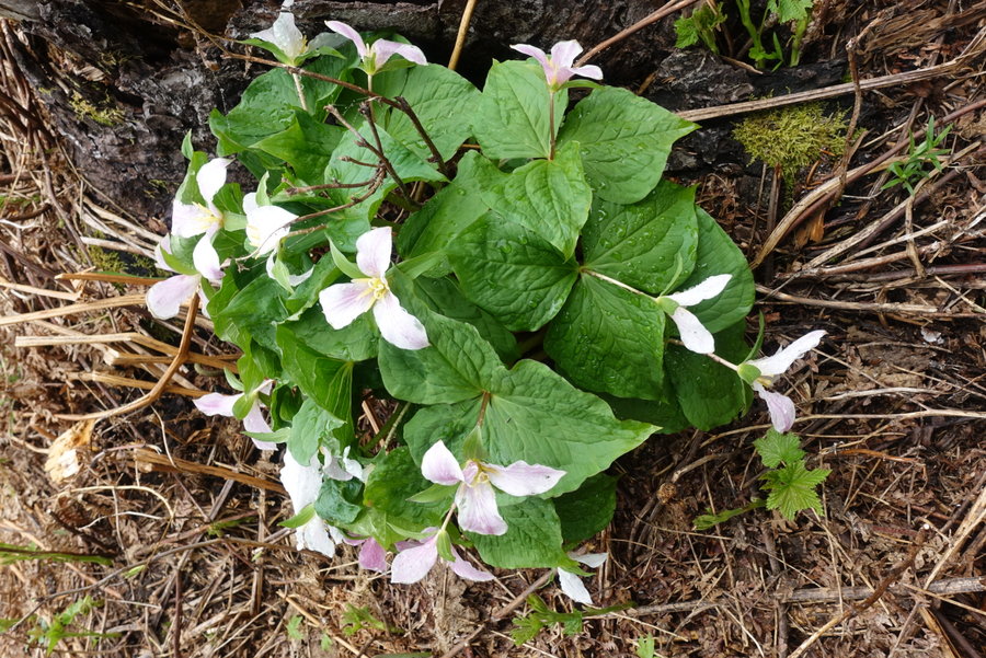
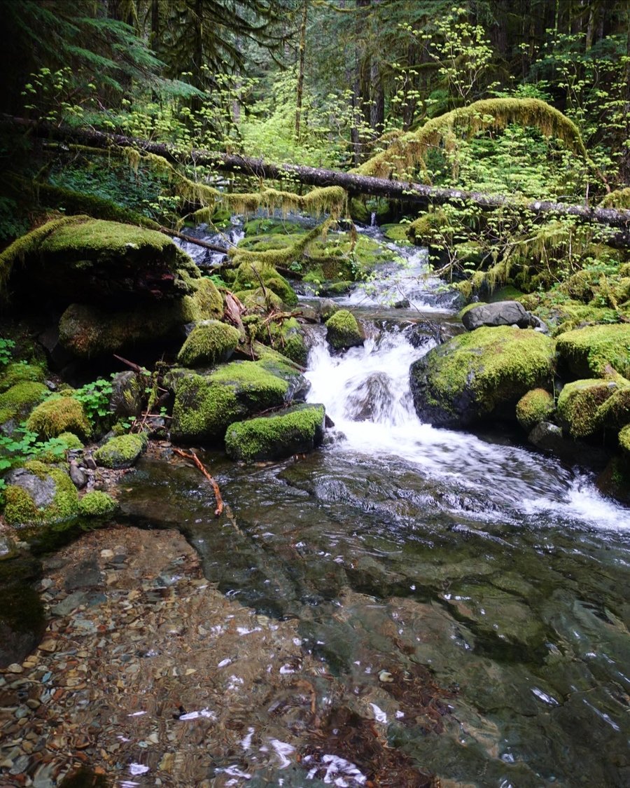
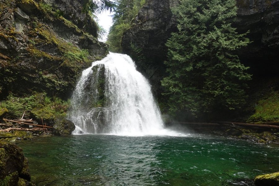
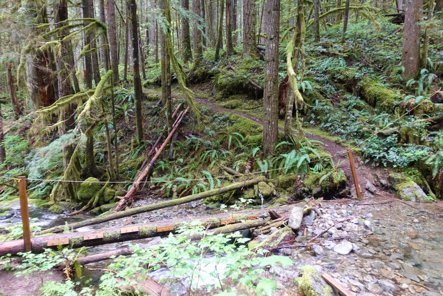
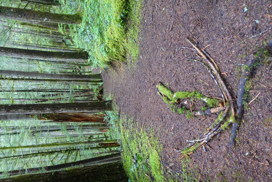
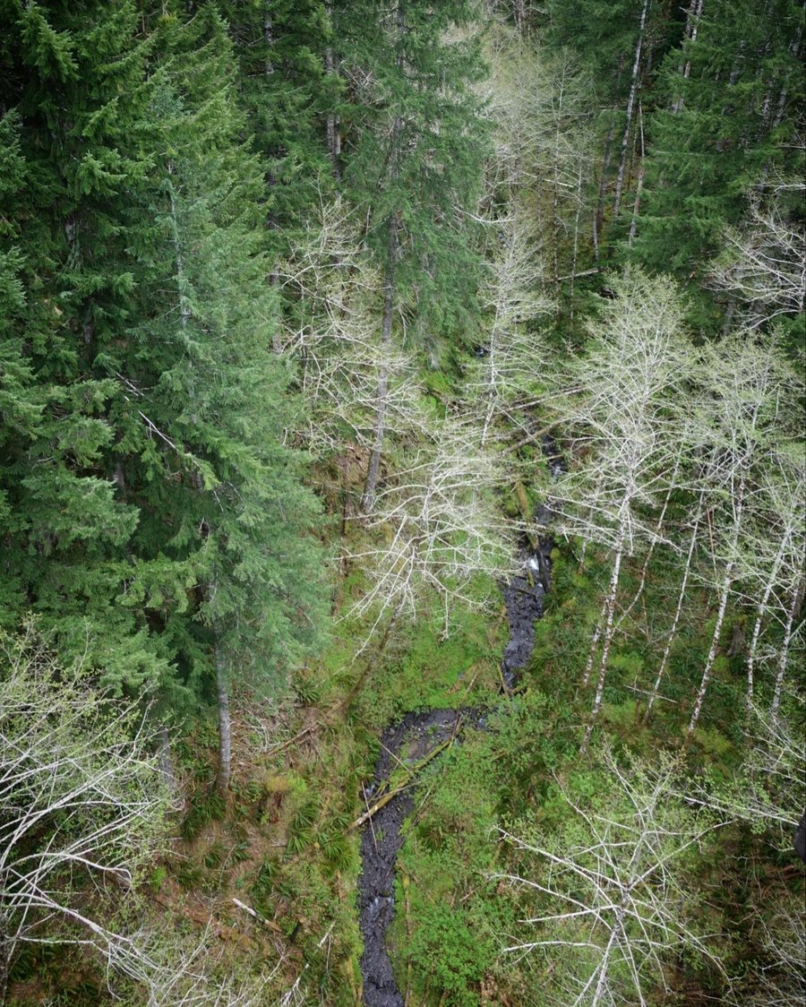
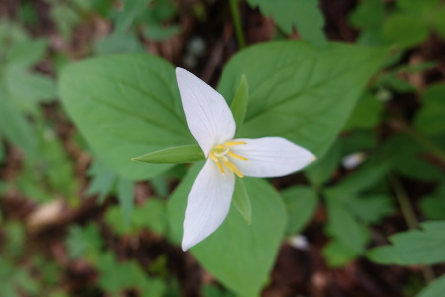
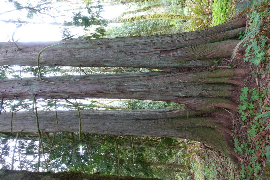
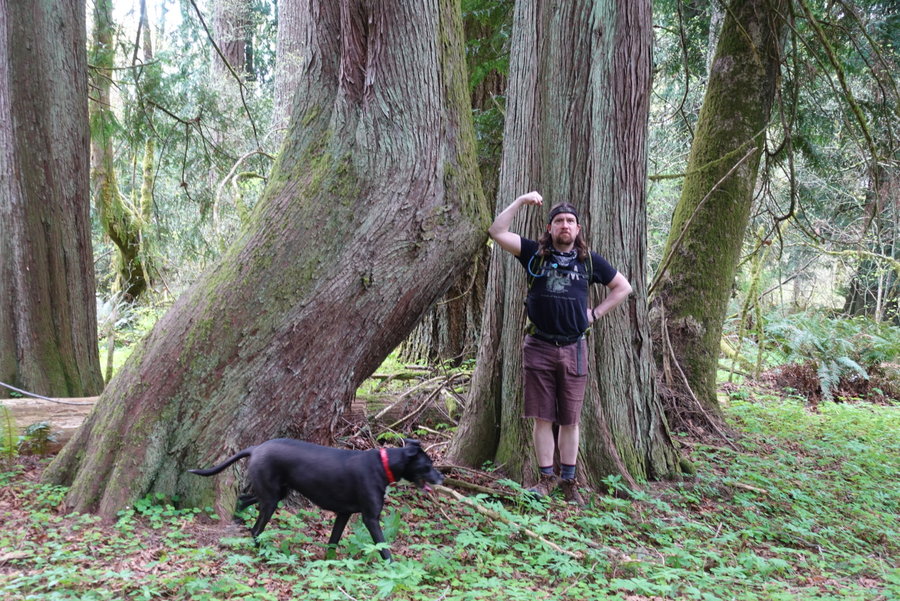
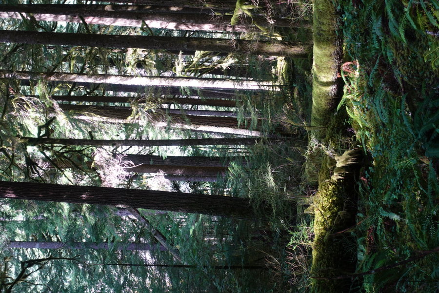
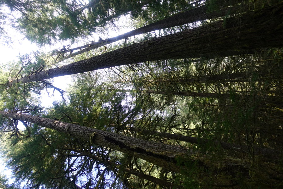
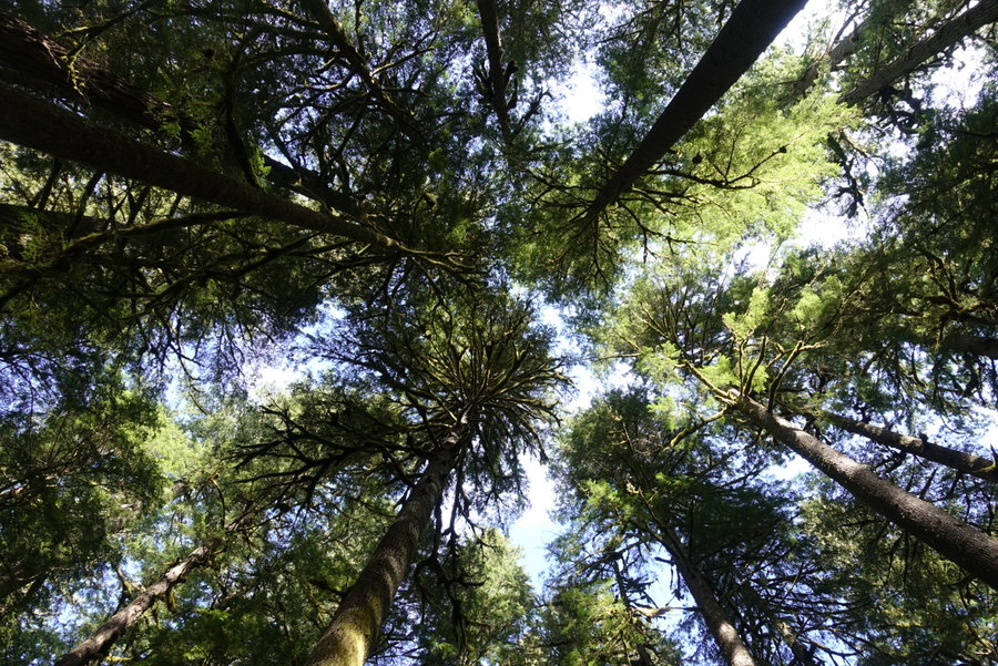
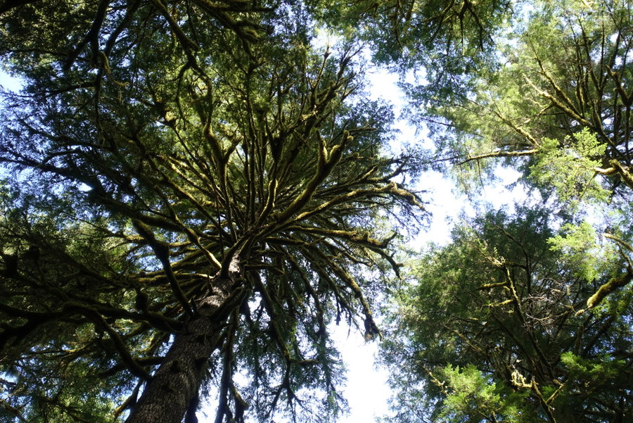
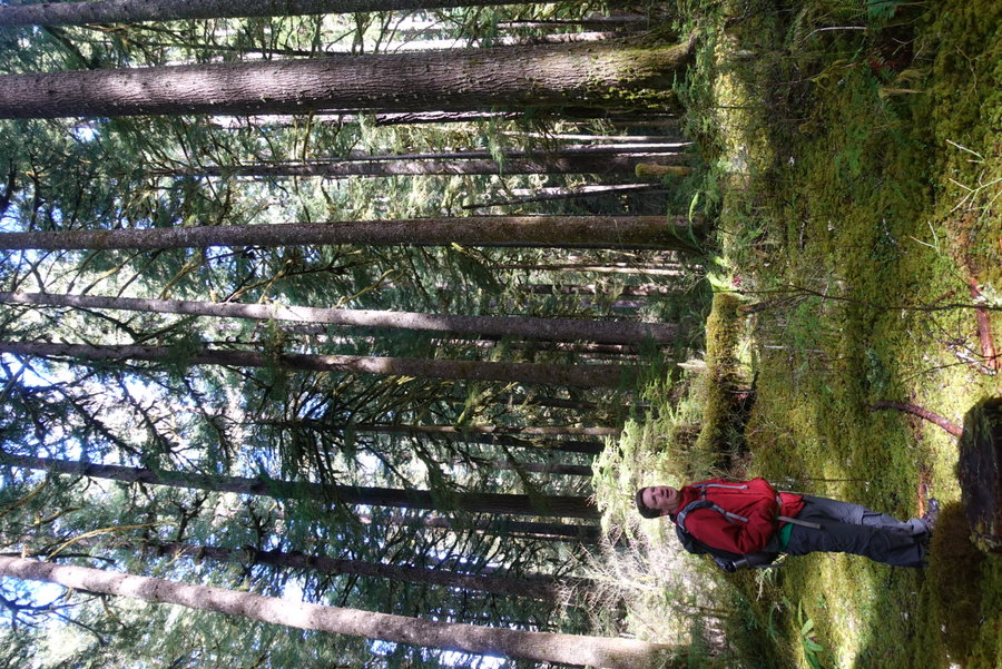
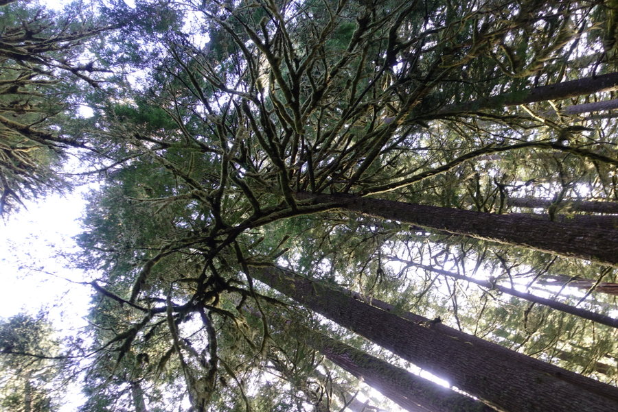
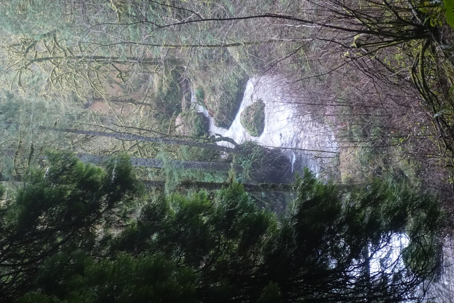
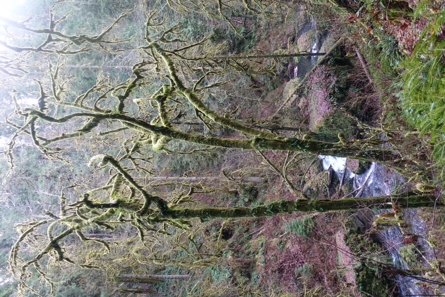
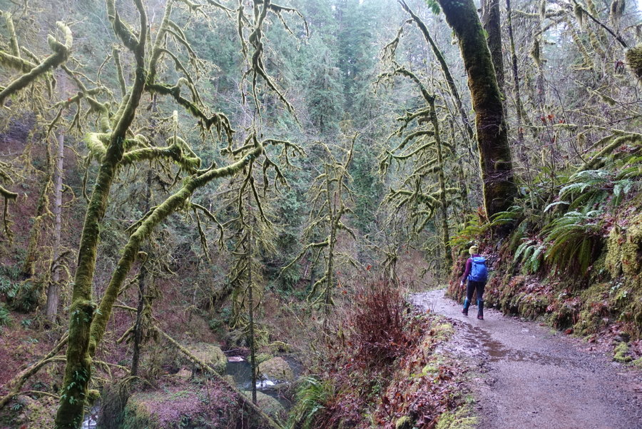
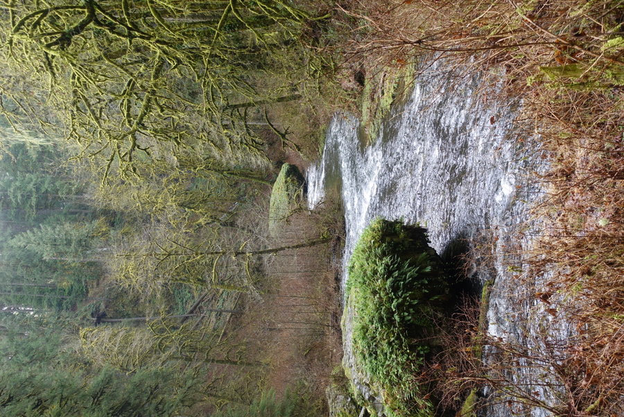
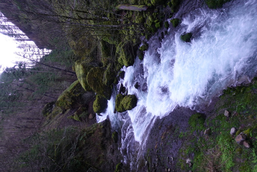
Eagle Fern Park
3 miles of hiking • 500' elevation gain •
Rainy day among old growth and an empty trail.
December 20, 2020


 1
1
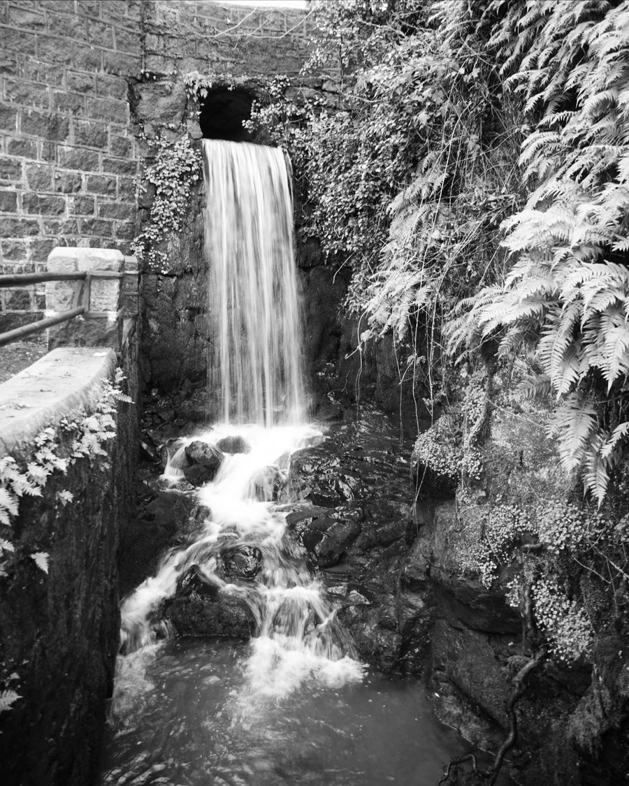
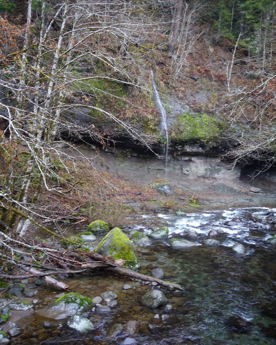
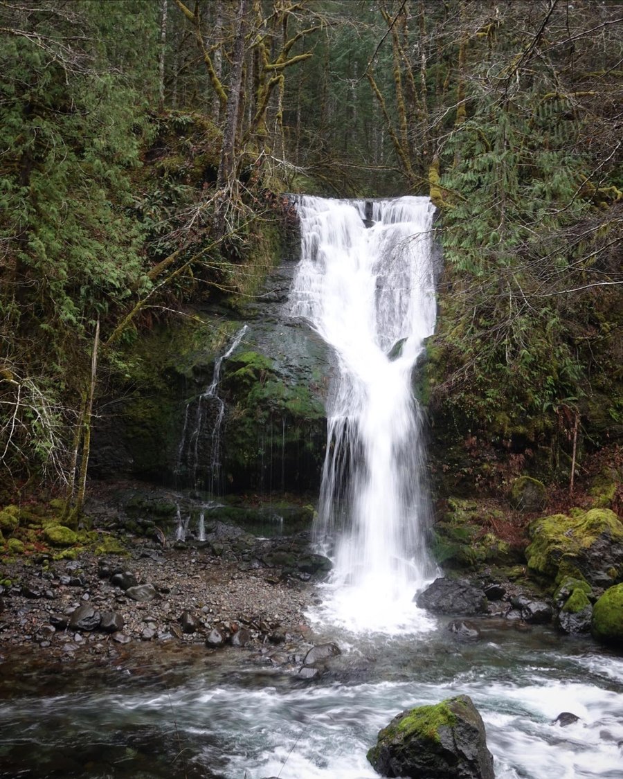
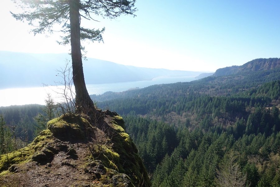
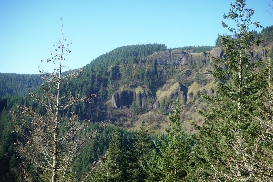
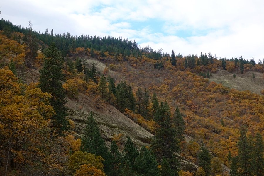
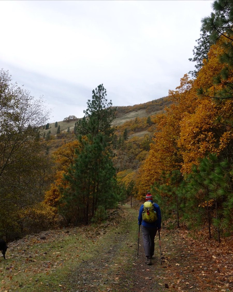
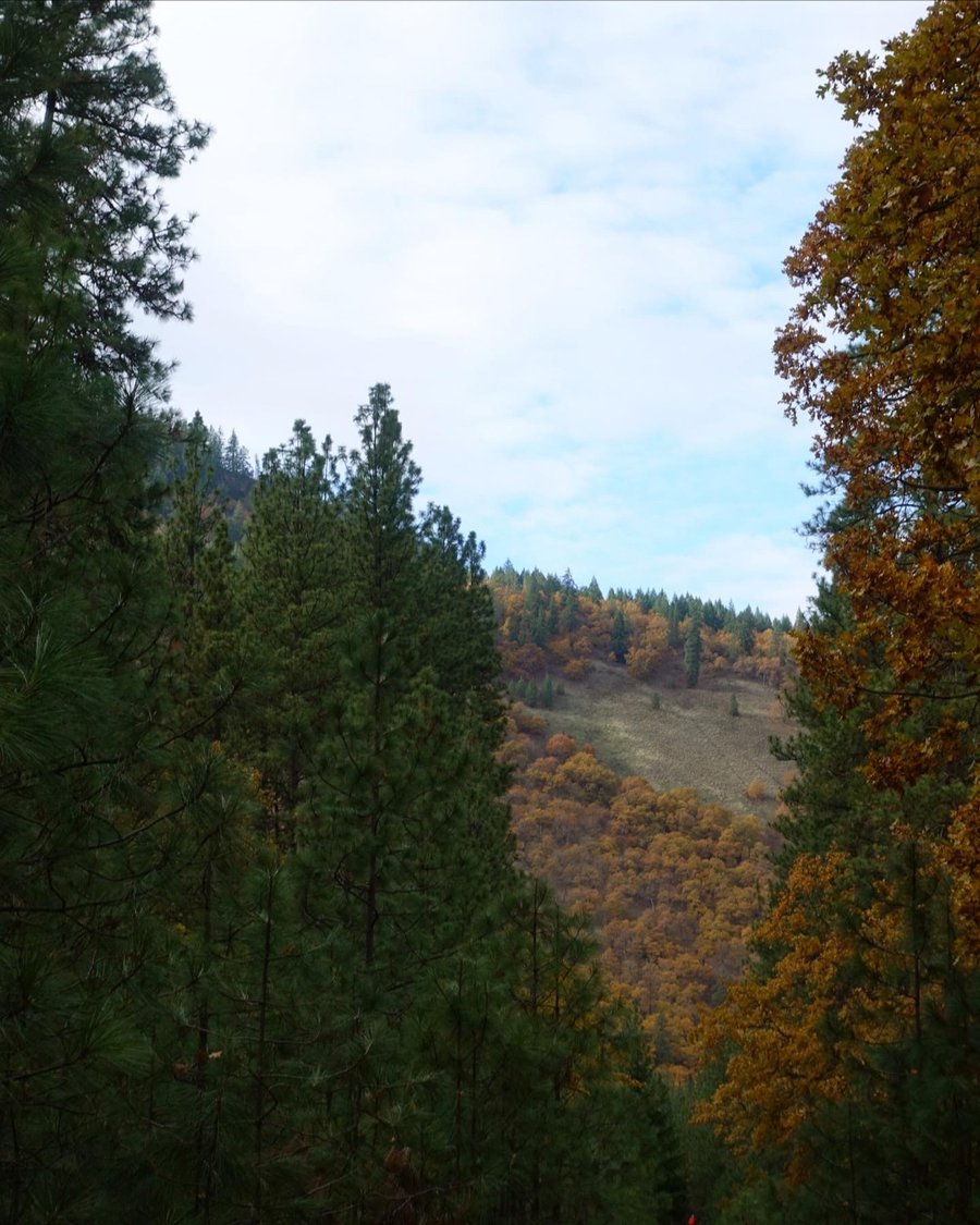
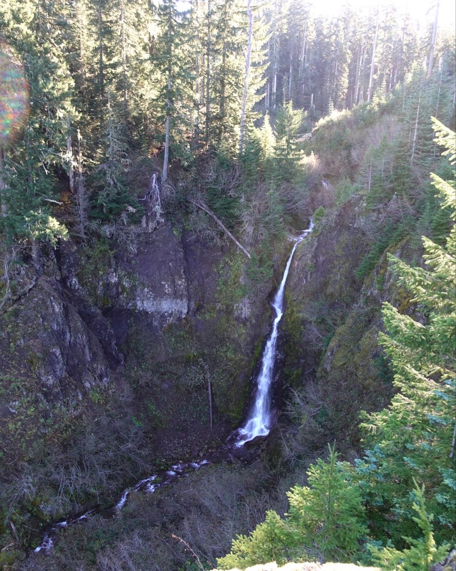
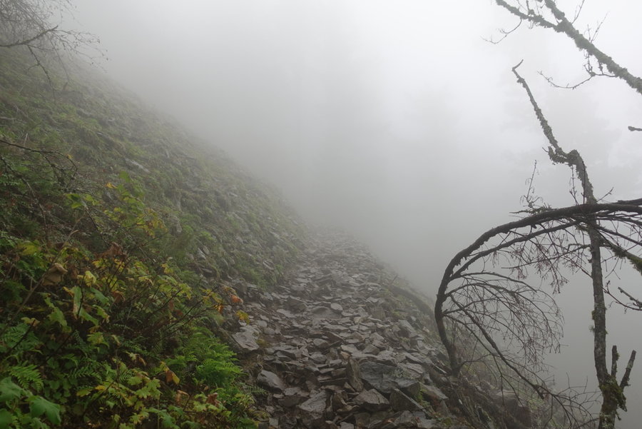
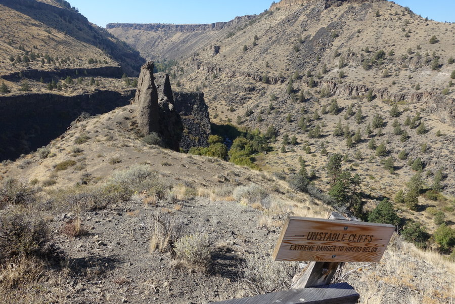
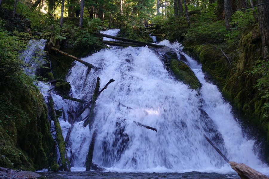
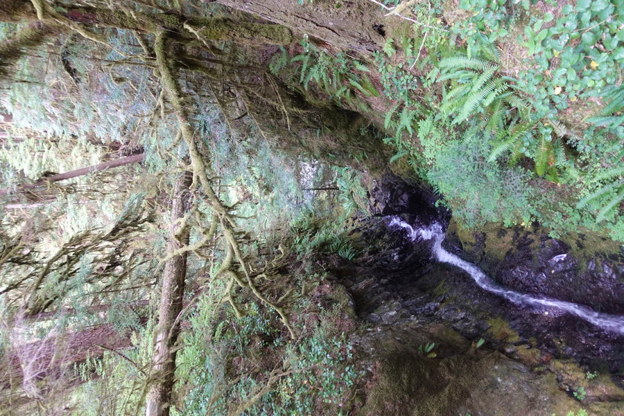
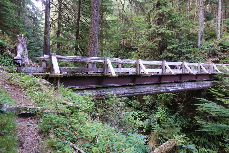
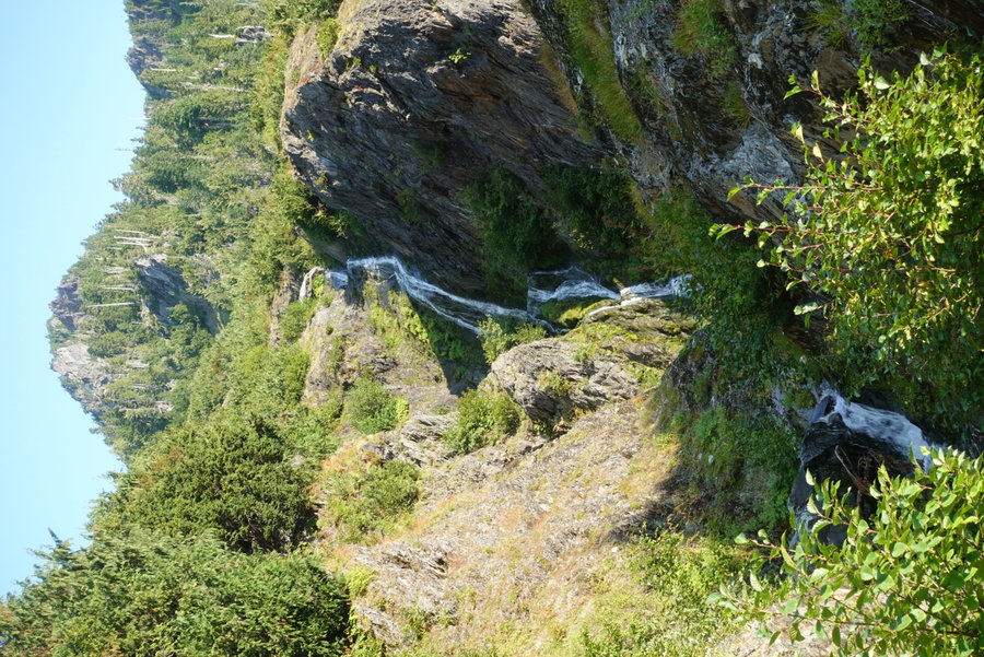
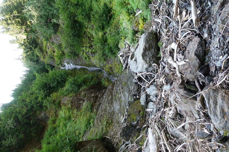
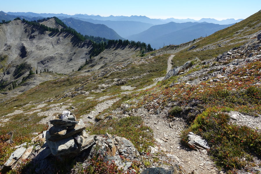
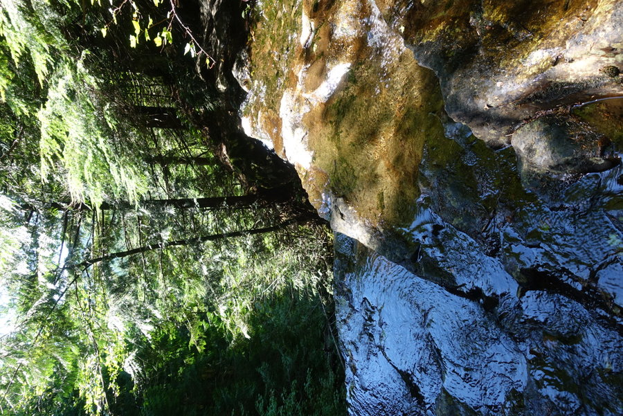
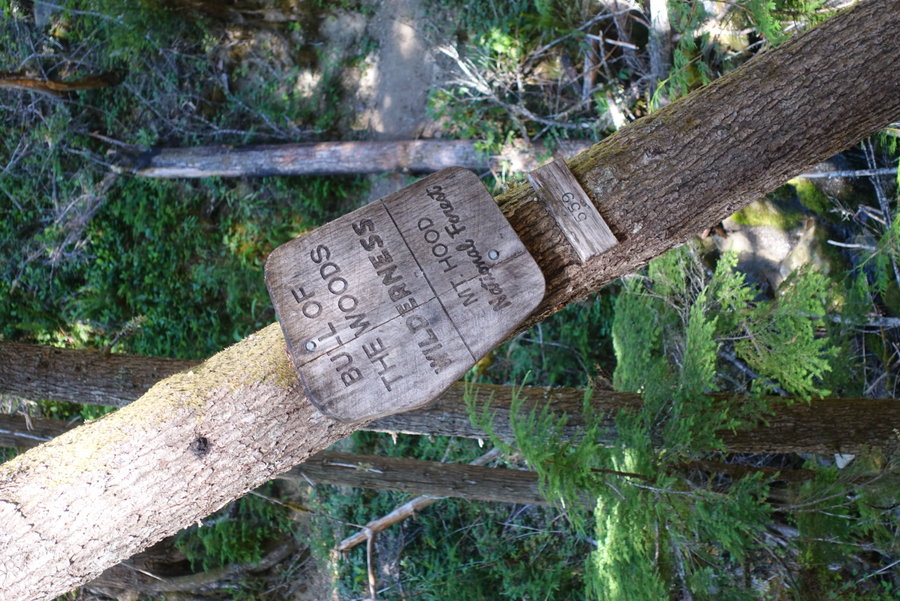
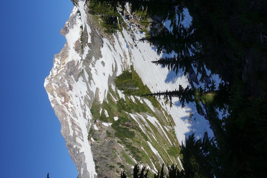
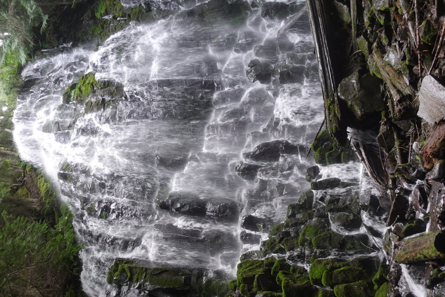
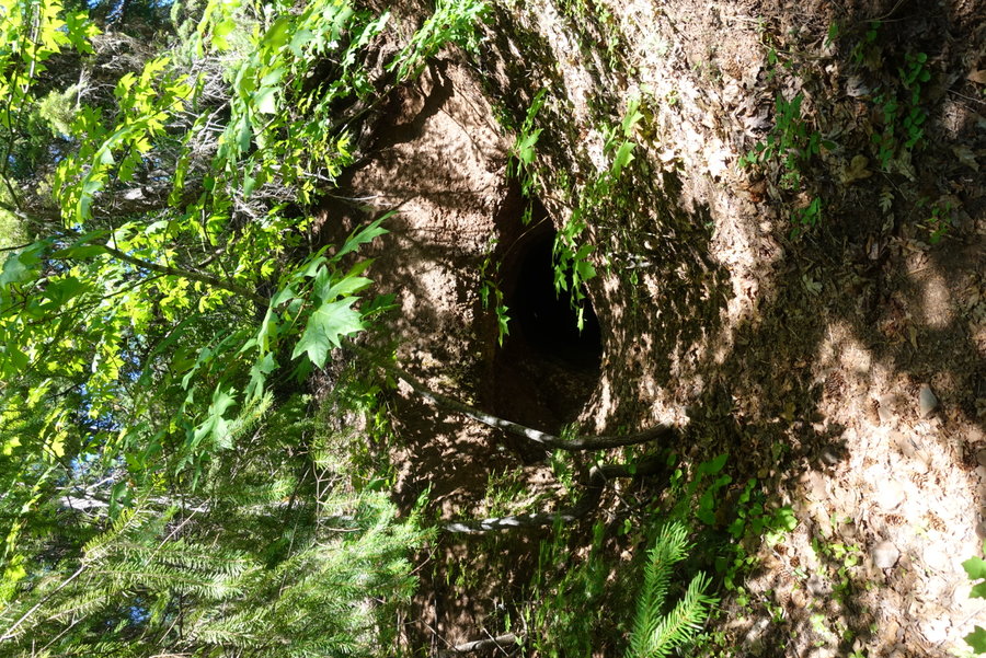
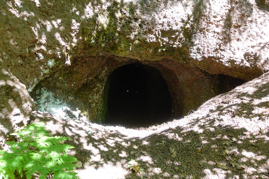
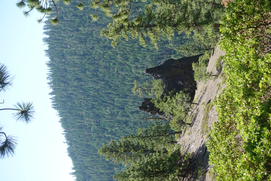
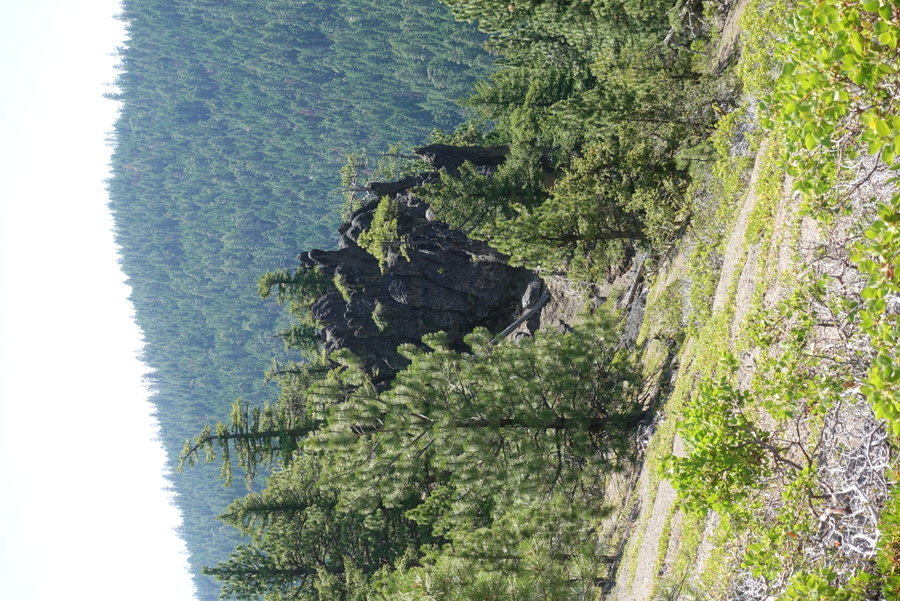
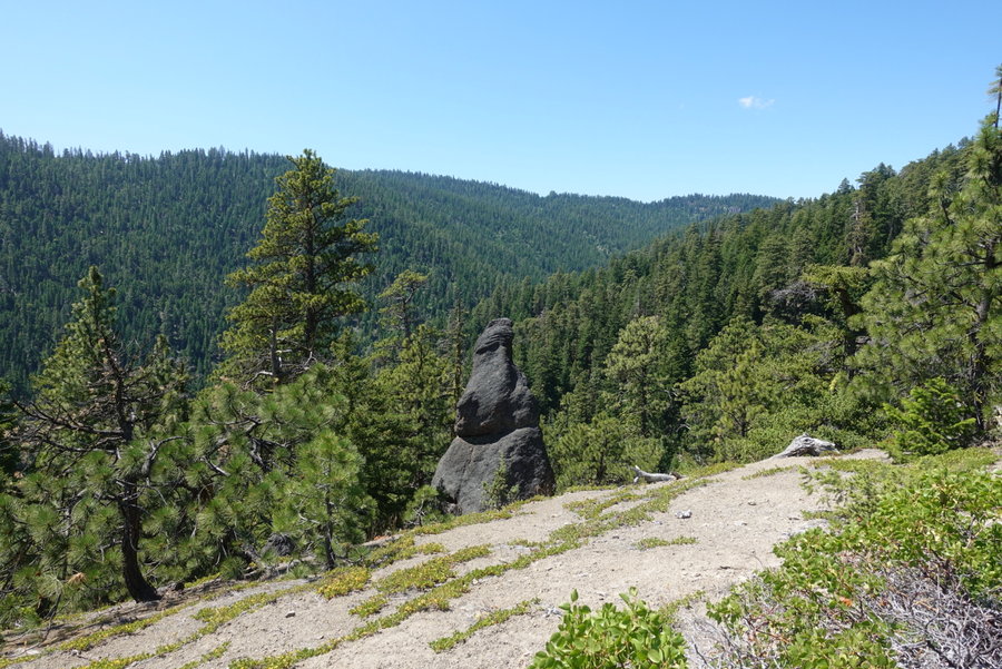
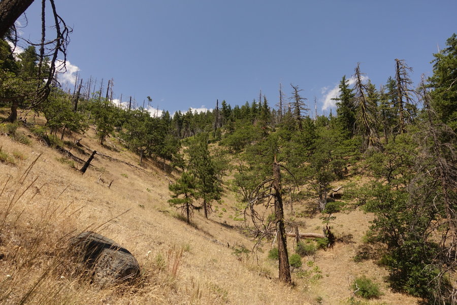
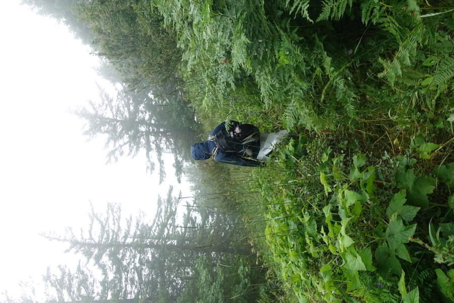
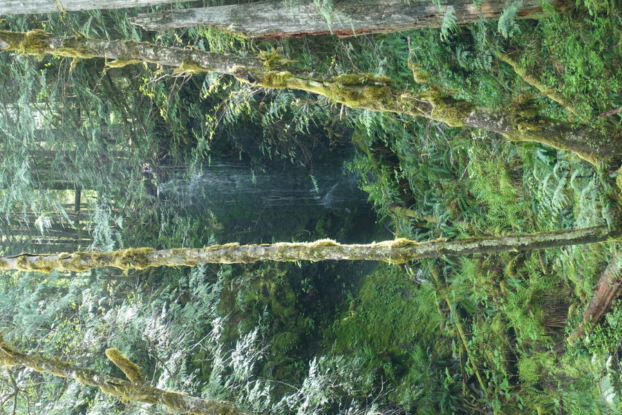
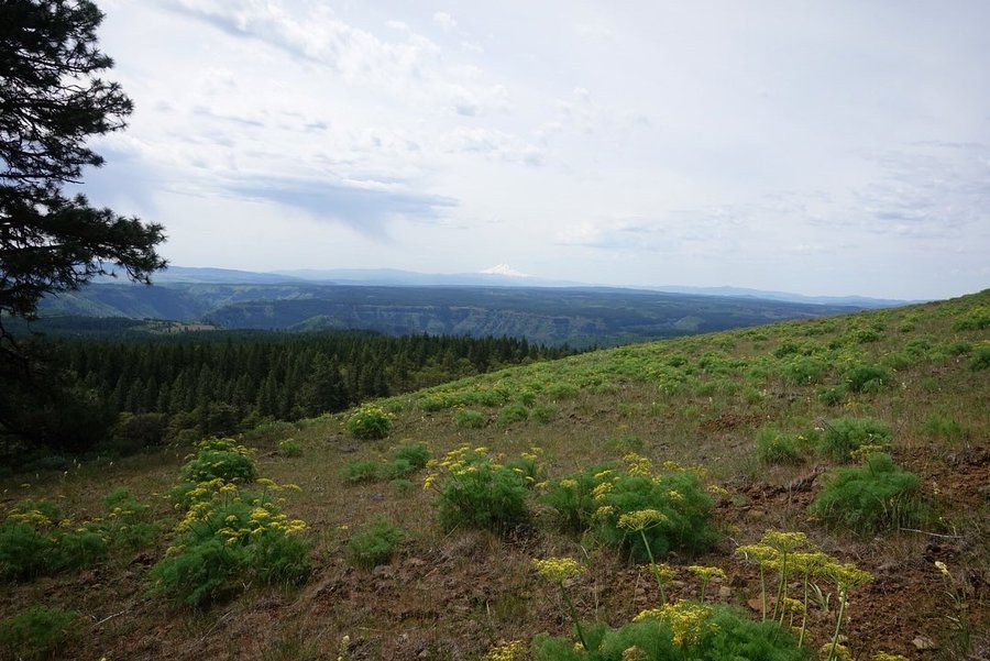
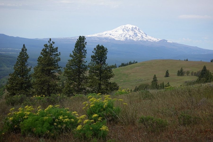
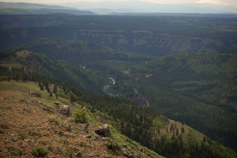
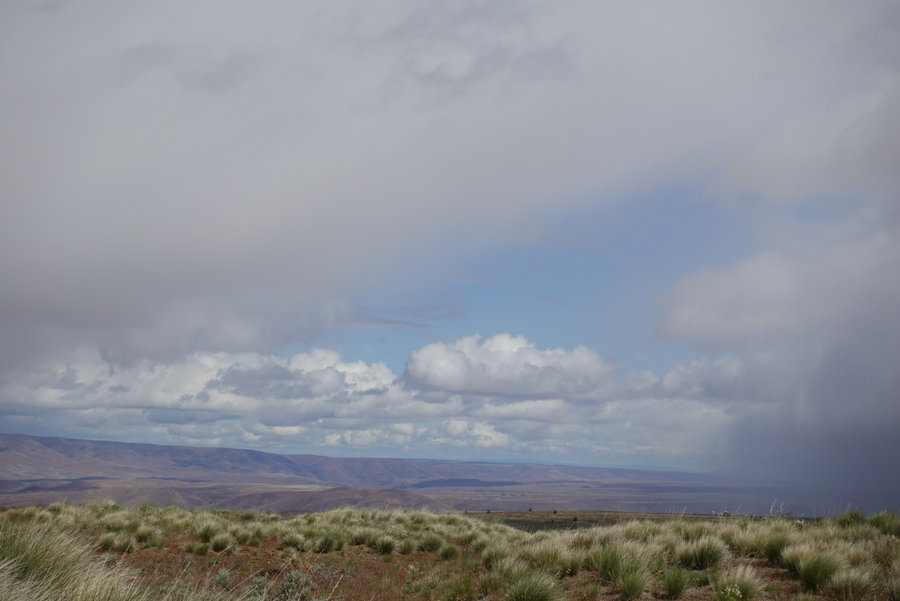
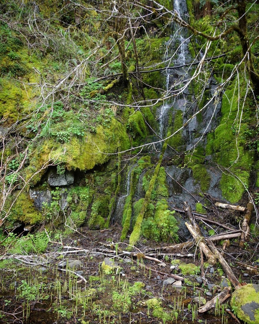
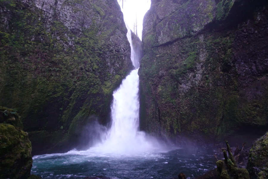
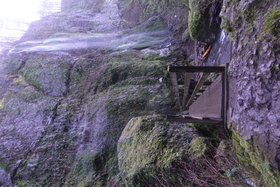
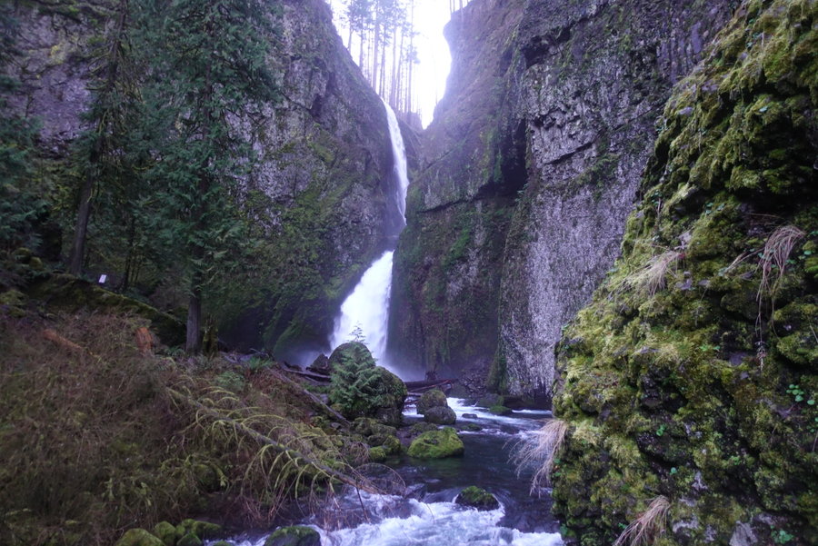
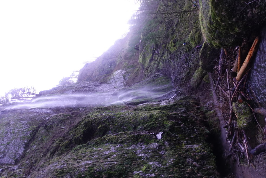
Three Corner Rock and some roadside waterfall meanderings
4 miles of hiking • 1000' elevation gain •
December 6, 2020


 1
1
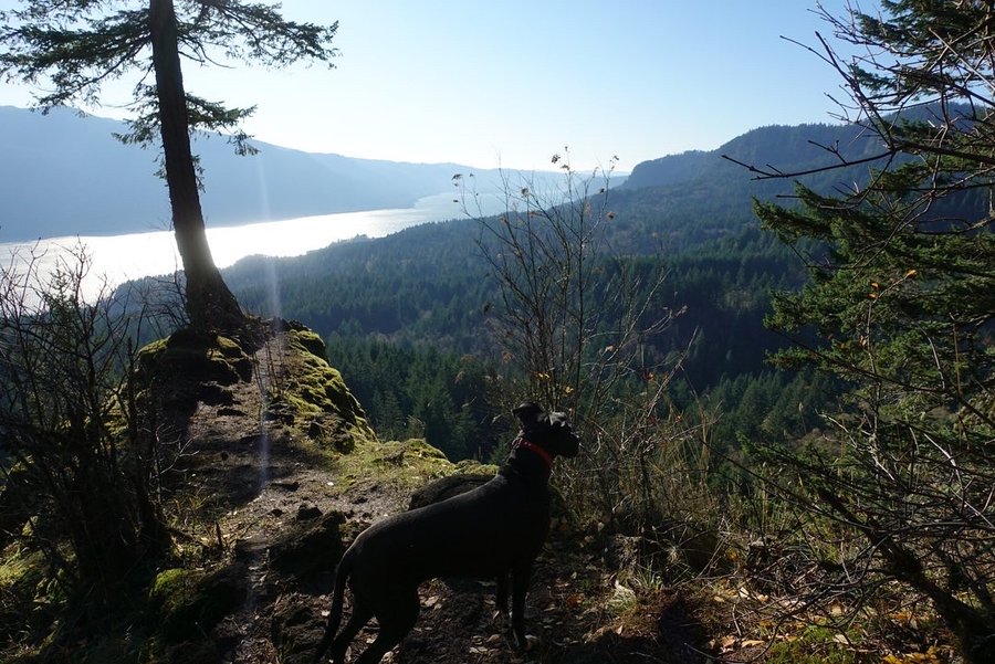
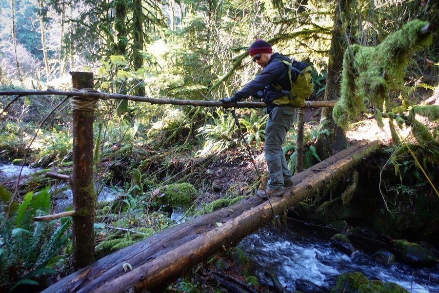
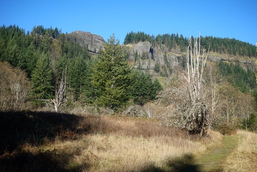
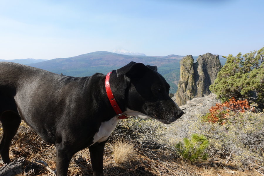
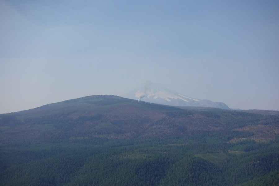
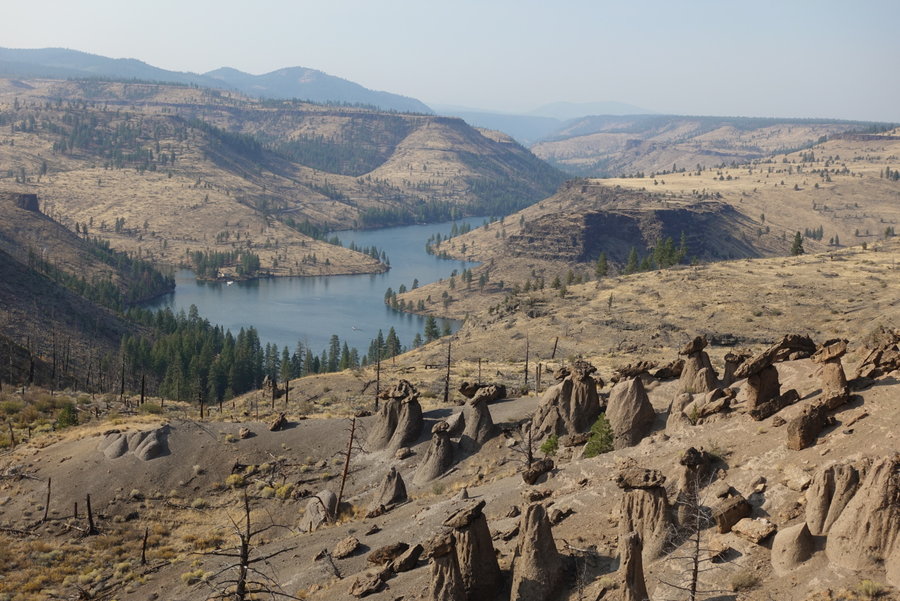
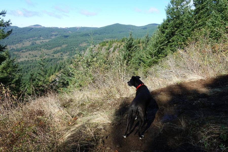
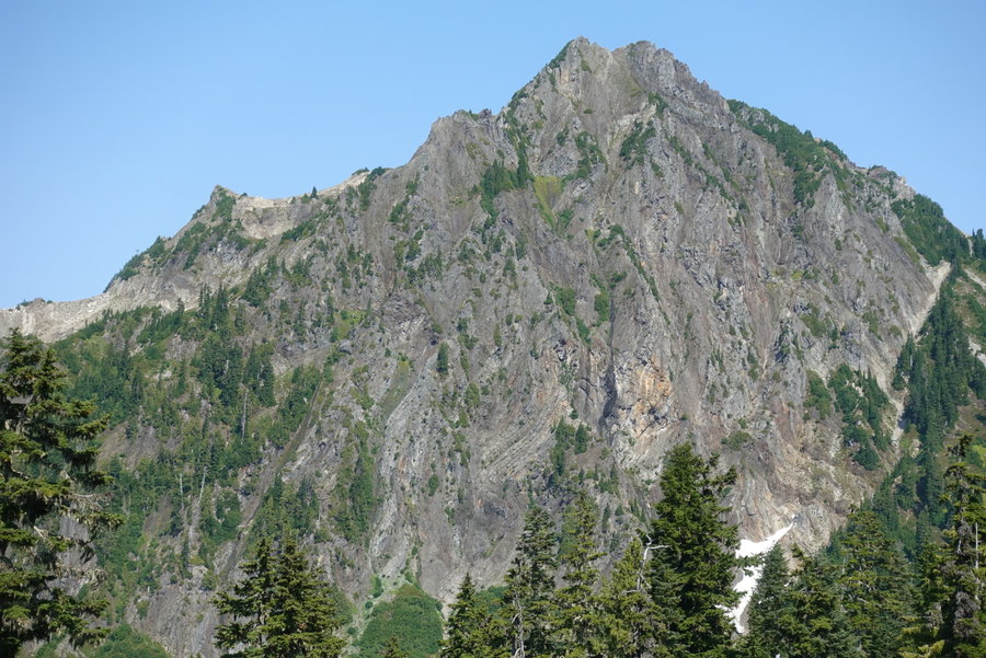
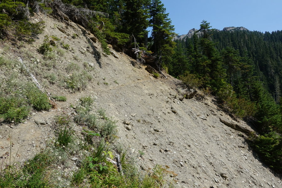
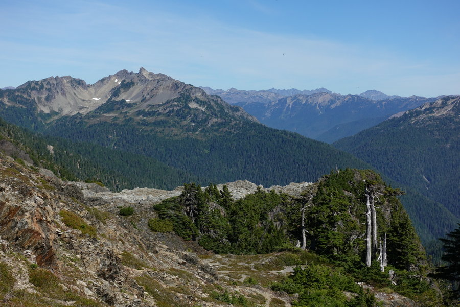
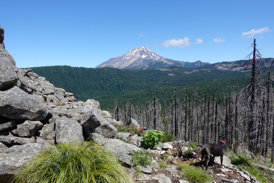
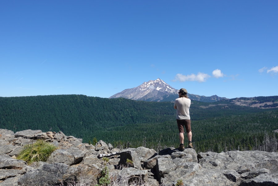
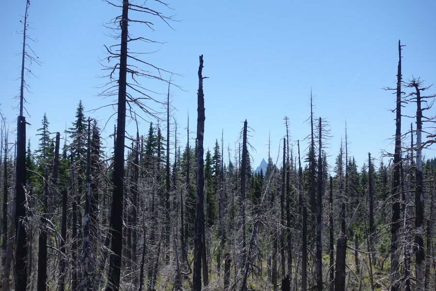
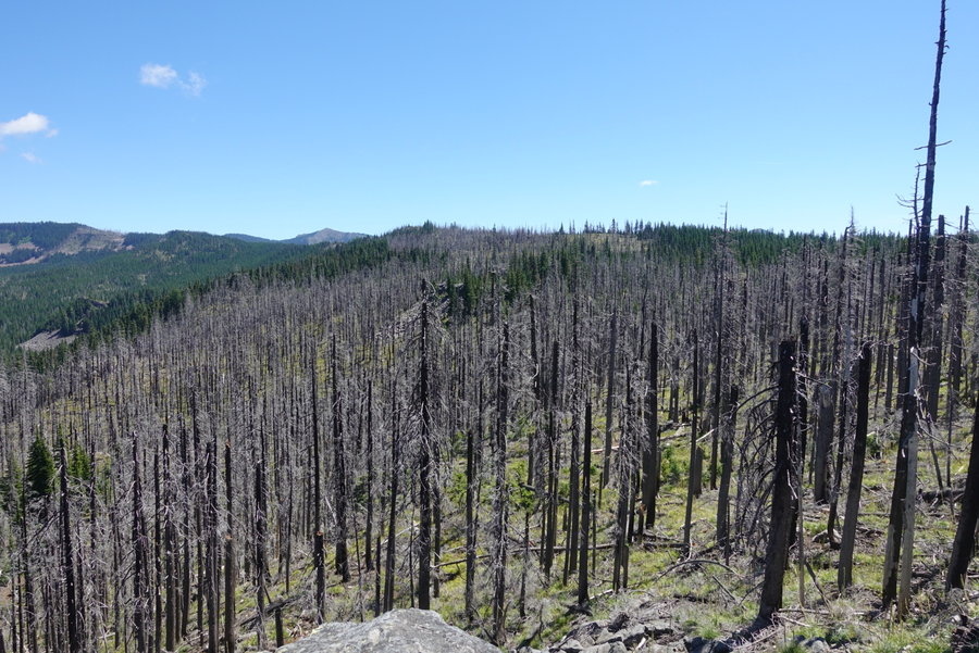
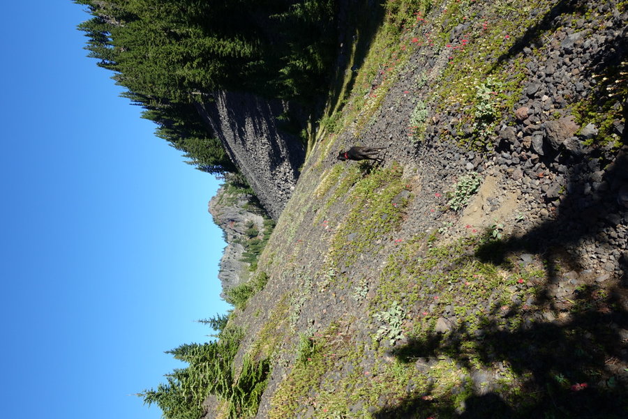
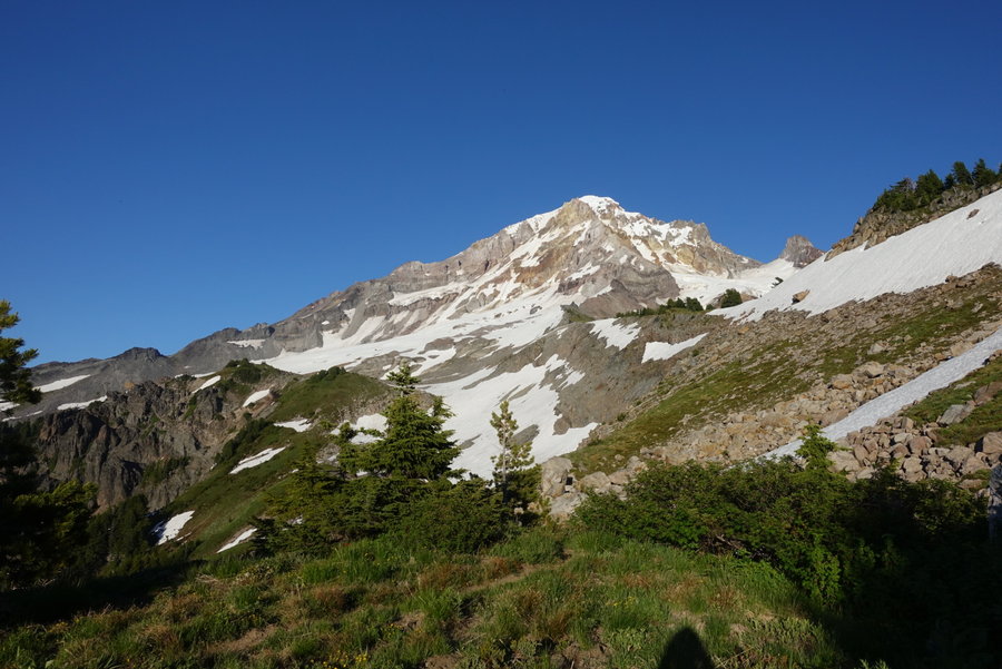
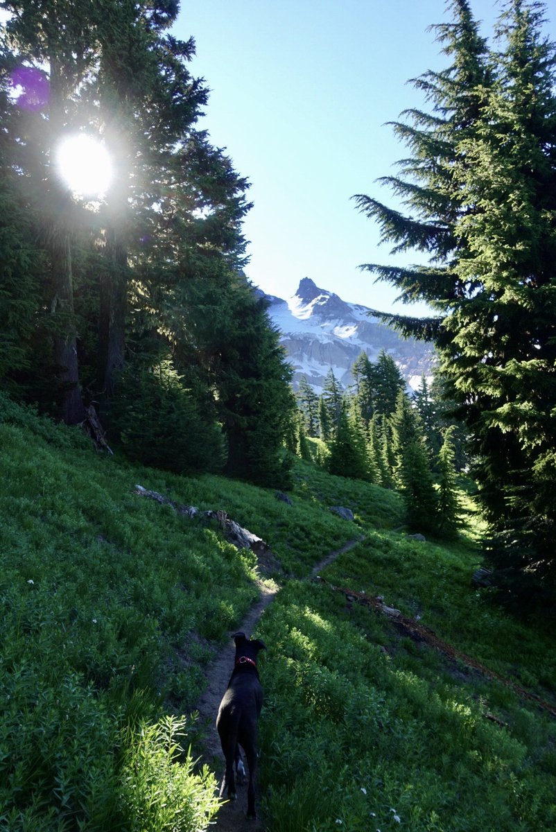
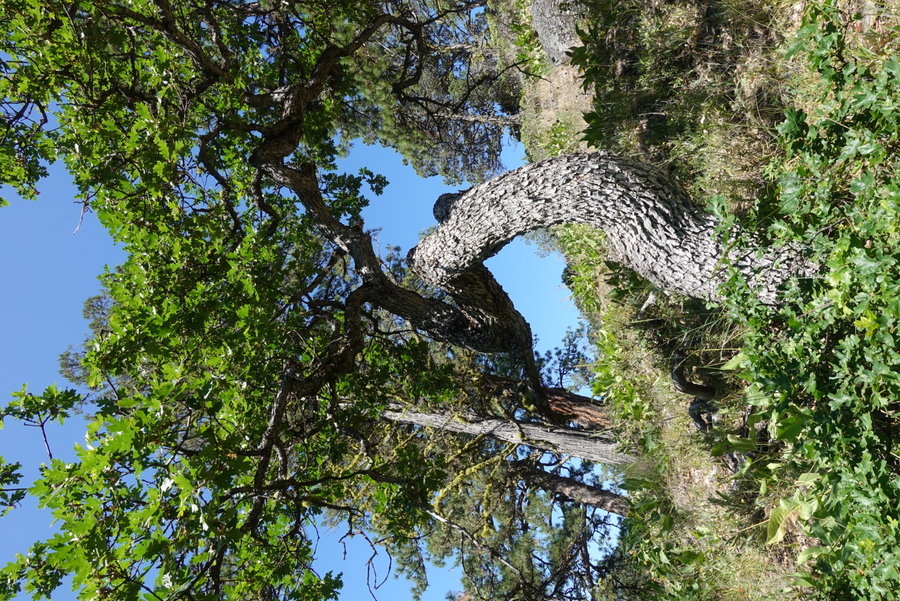
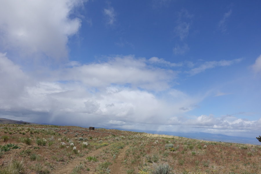
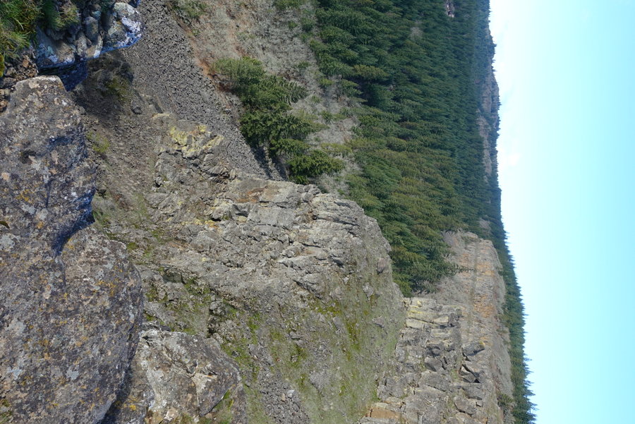
Archer
3.5 miles of hiking • 1500' elevation gain •
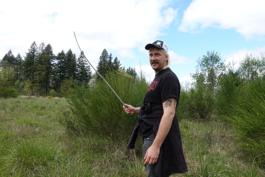
Meandered, but didn't go to the summit. Just felt like getting out in the sun and exploring, counting this as a birthday hike since I can't get out tomorrow. Will go back and explore more when the trail is less slick and I don't have a dog with me and a one armed boyfriend to worry about falling off the cliff edges.
November 29, 2020


 1
1
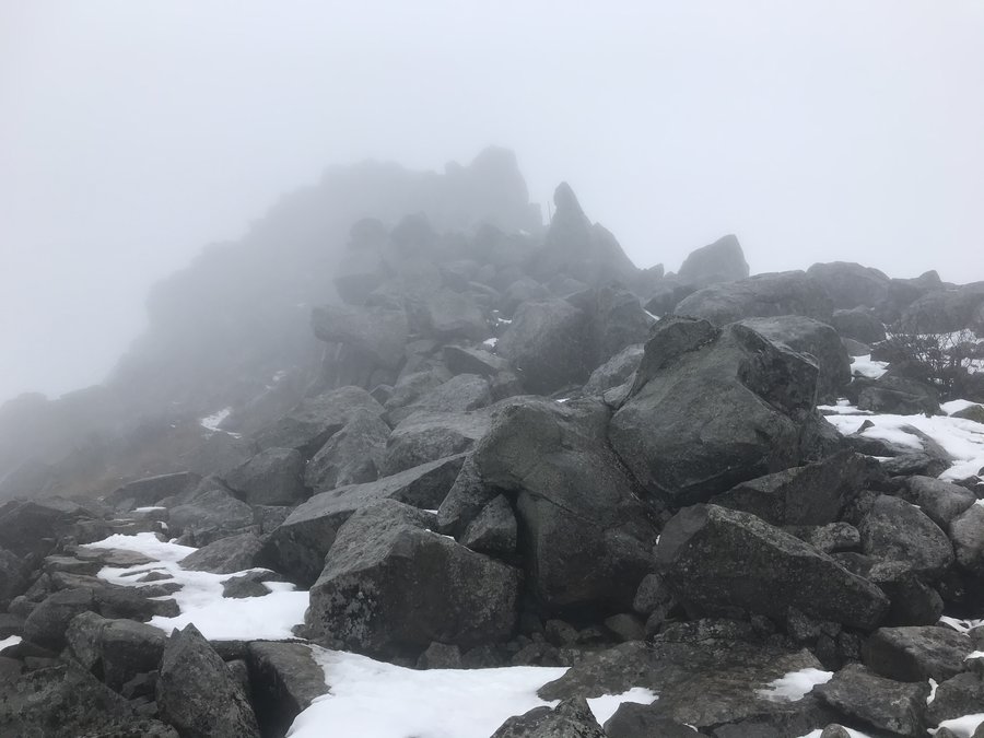
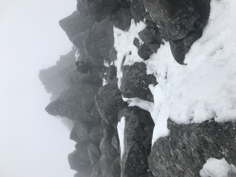
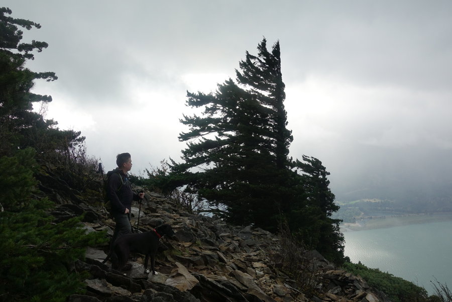
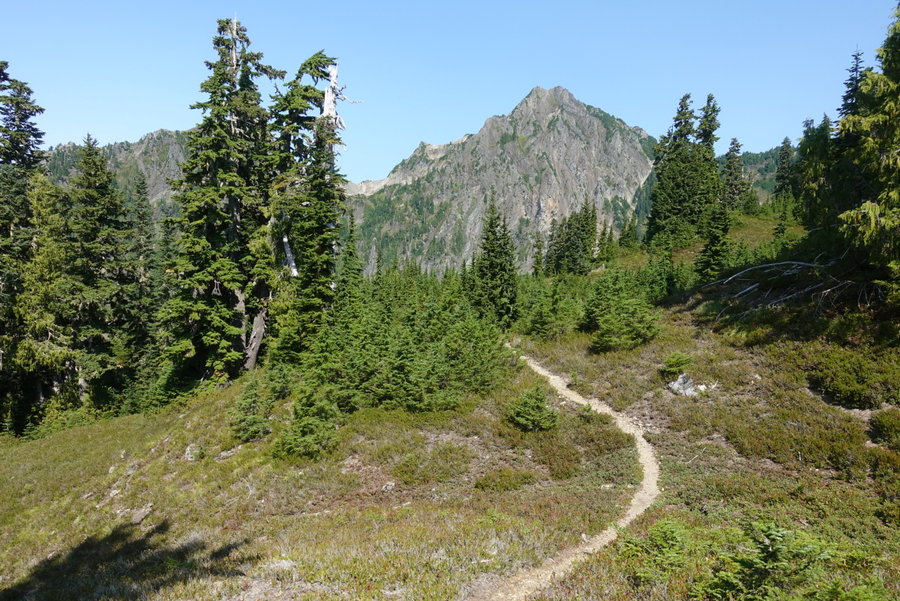
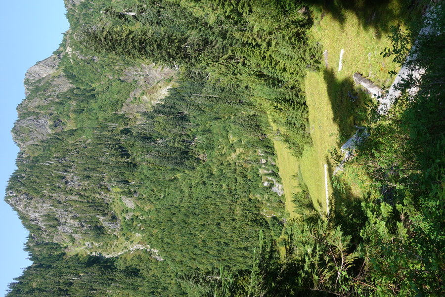
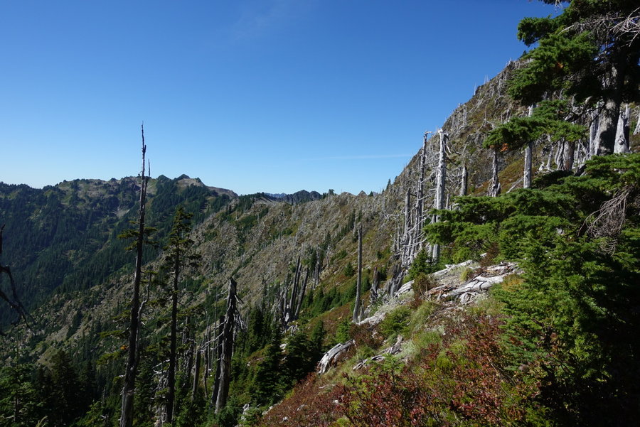
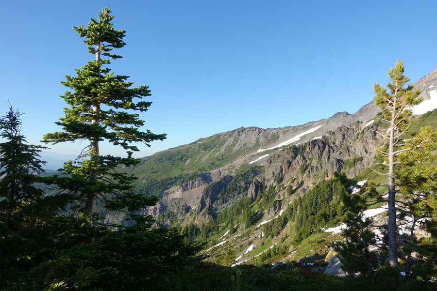
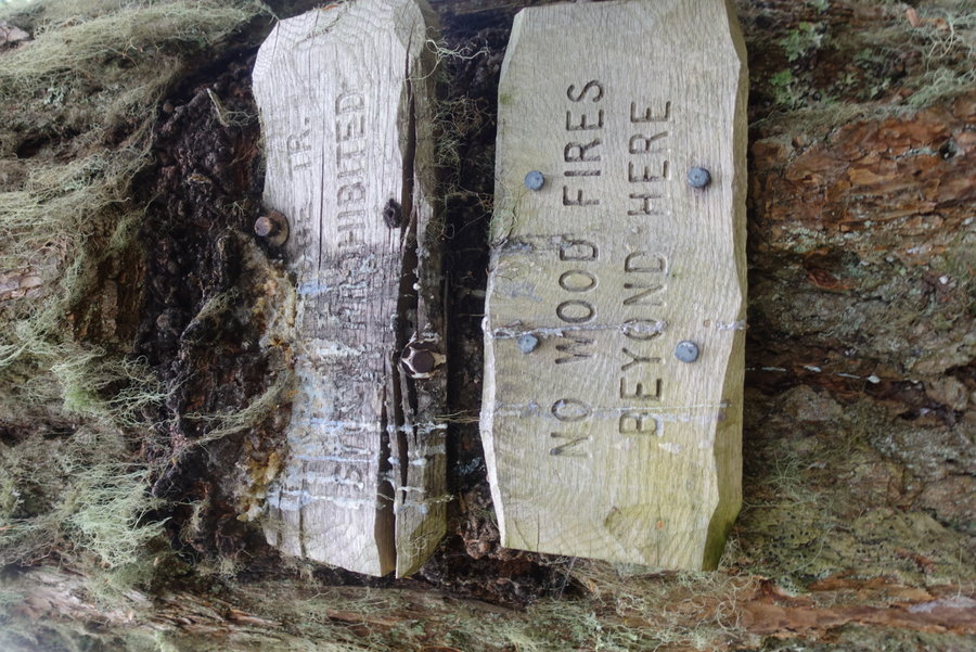
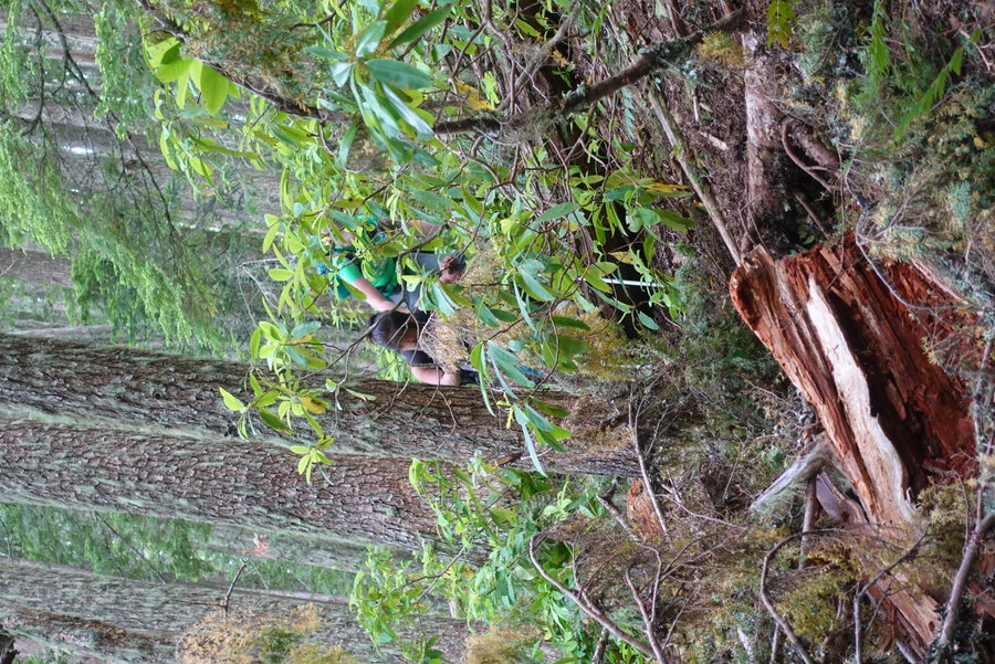
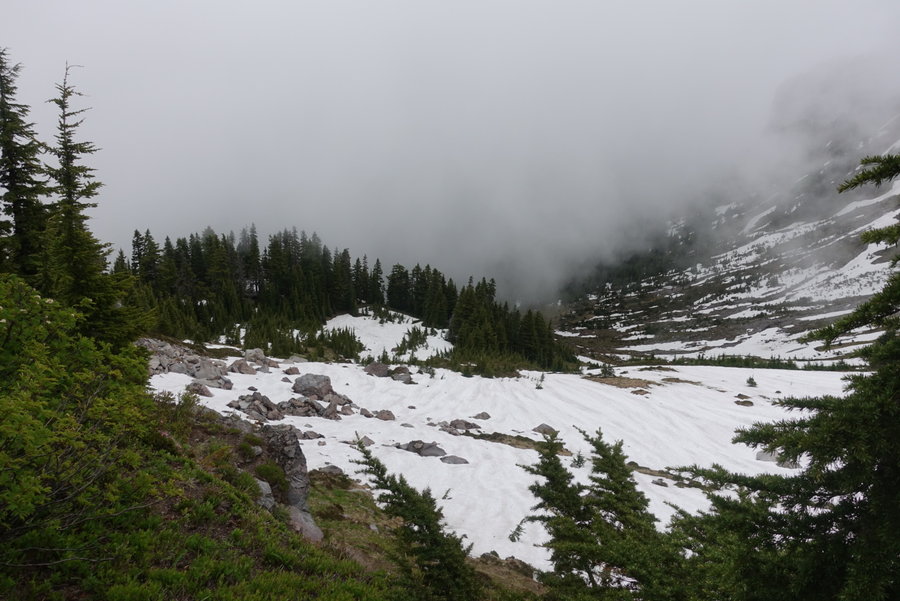
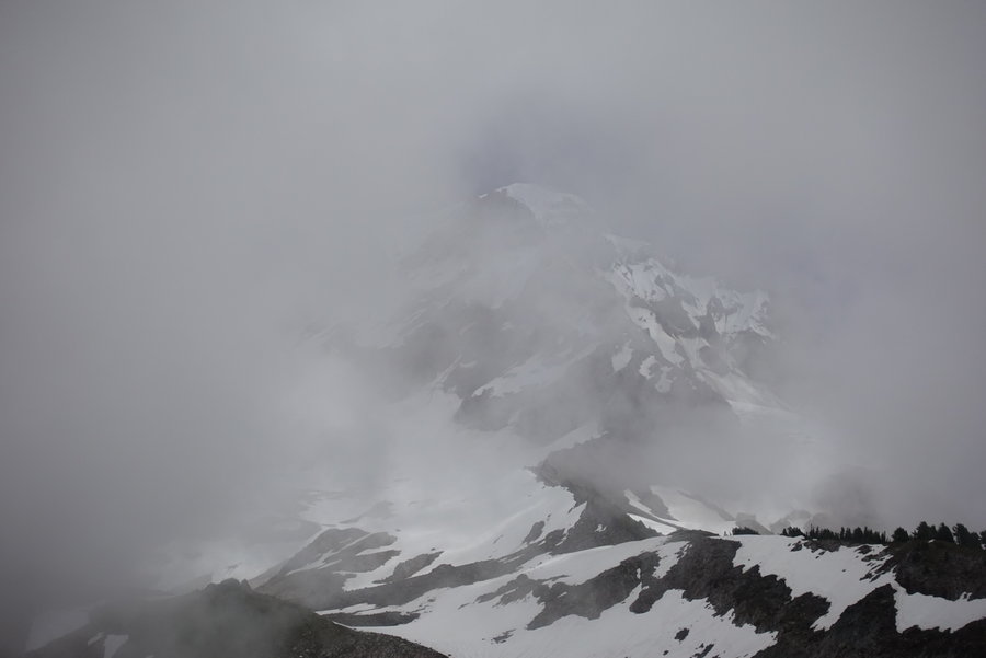
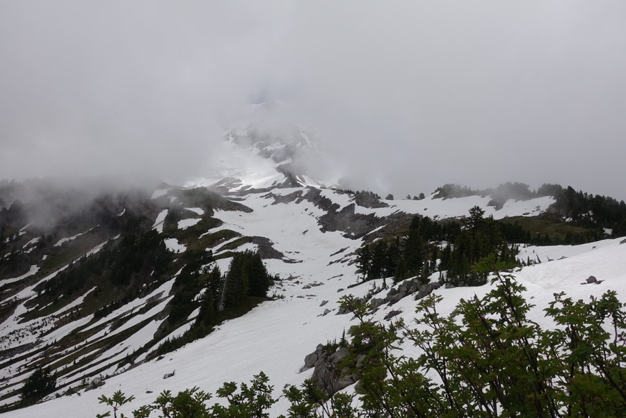
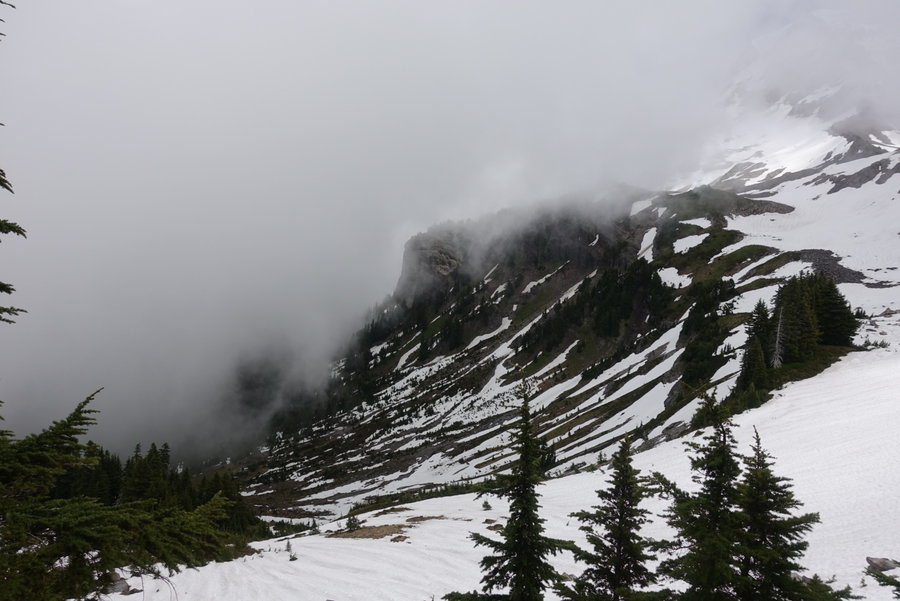
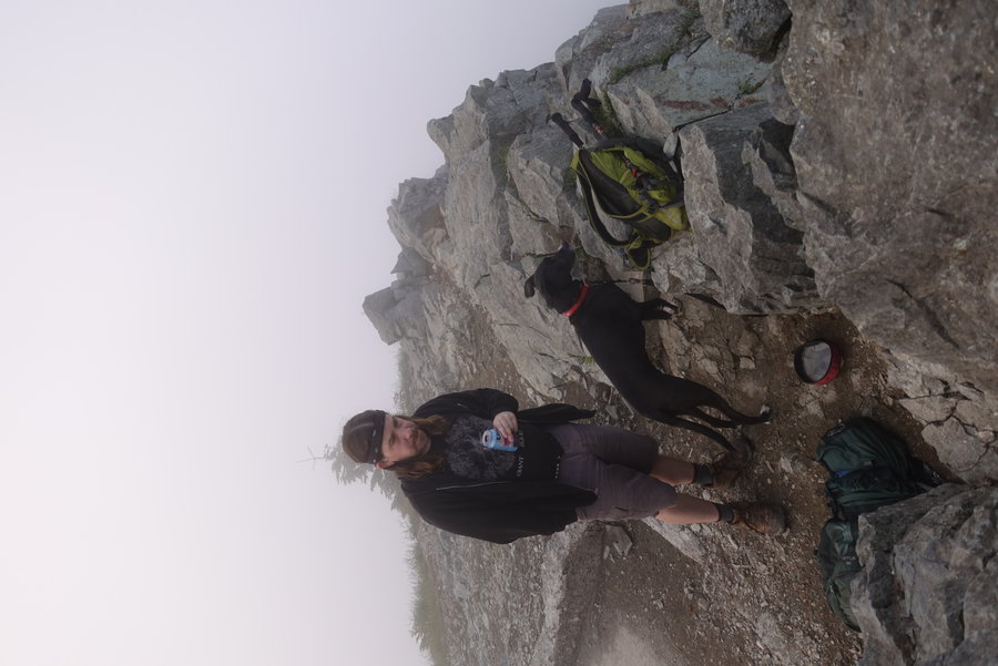
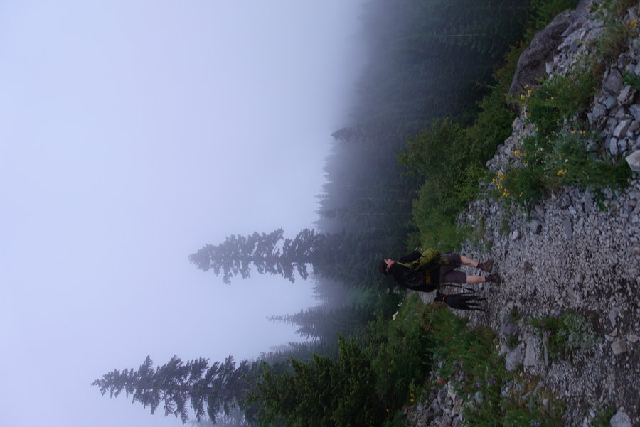
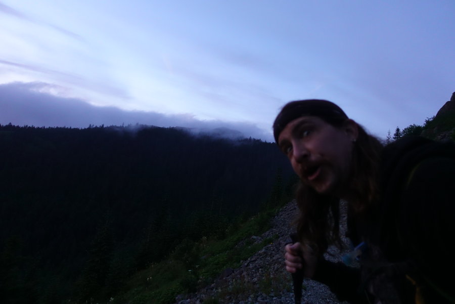
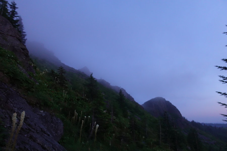
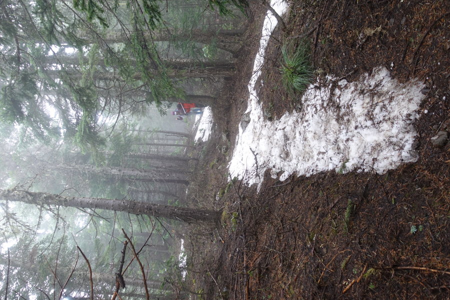
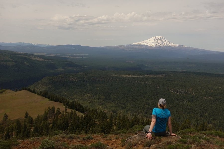
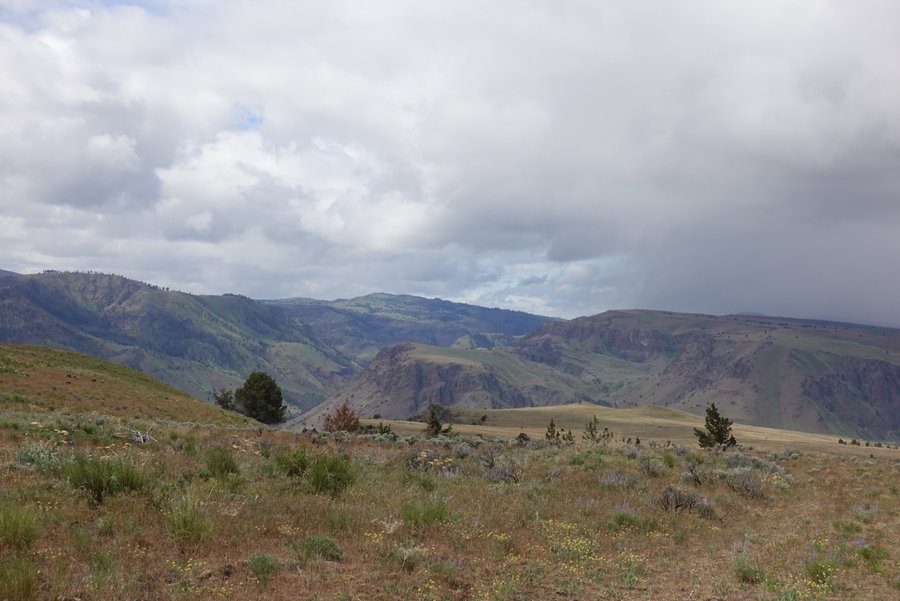
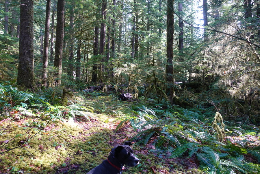
Hunchback Mountain
4.5 miles of hiking • 2000' elevation gain •
Just a quick spooky day in the woods. Still didn't make it out much past the first viewpoint on the ridge, we were in a cloud all day but the ridge was snow free. My partner was having difficulty on the scrambly sections with his dominant arm currently in a cast/sling. I was okay with where we stopped, but one of these days I would like to get further on this trail. The forest is gorgeous and I usually only ever encounter one or two humans here. My only complaint is the road noise that you never really escape from.
November 28, 2020


 2
2
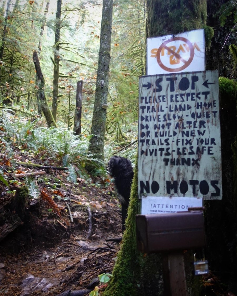
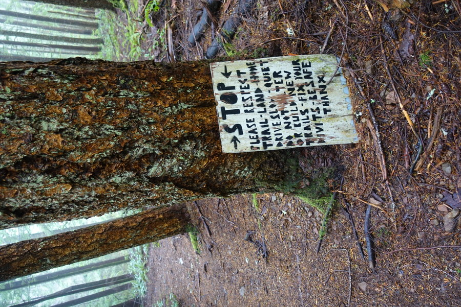
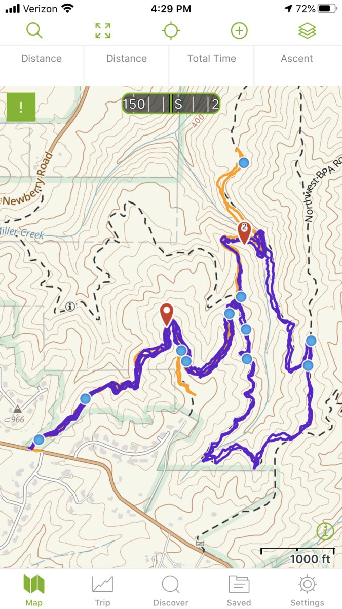
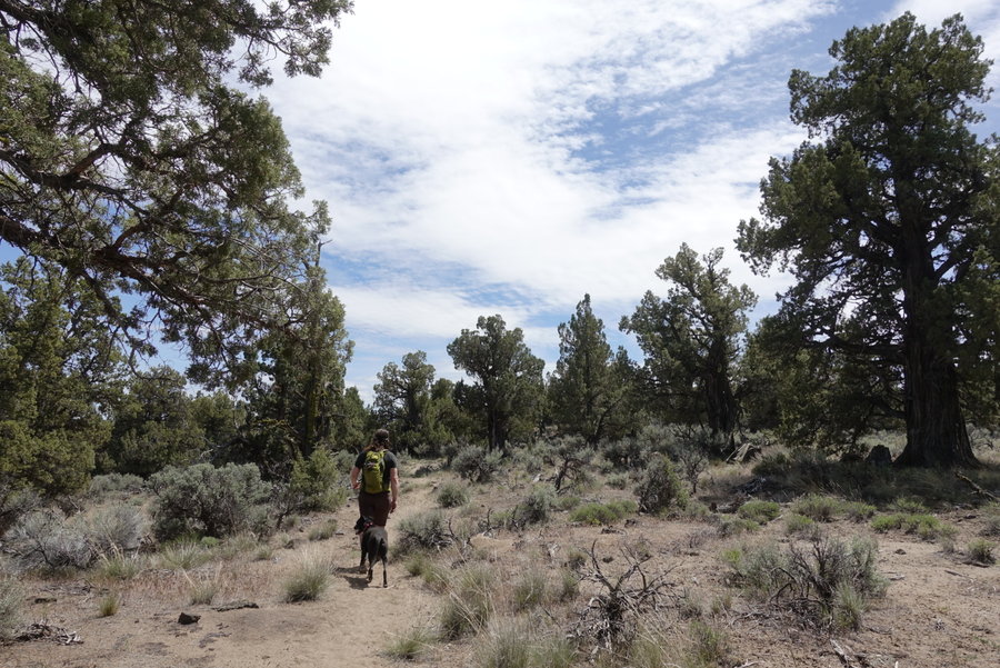
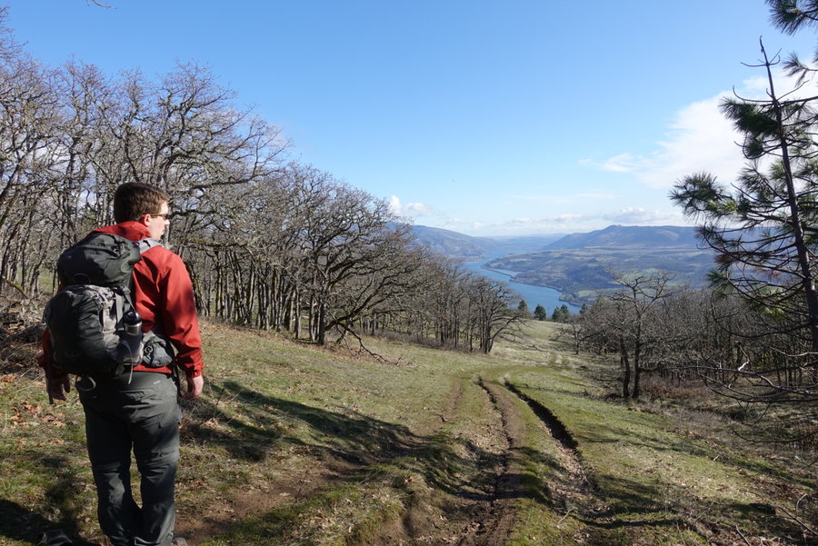
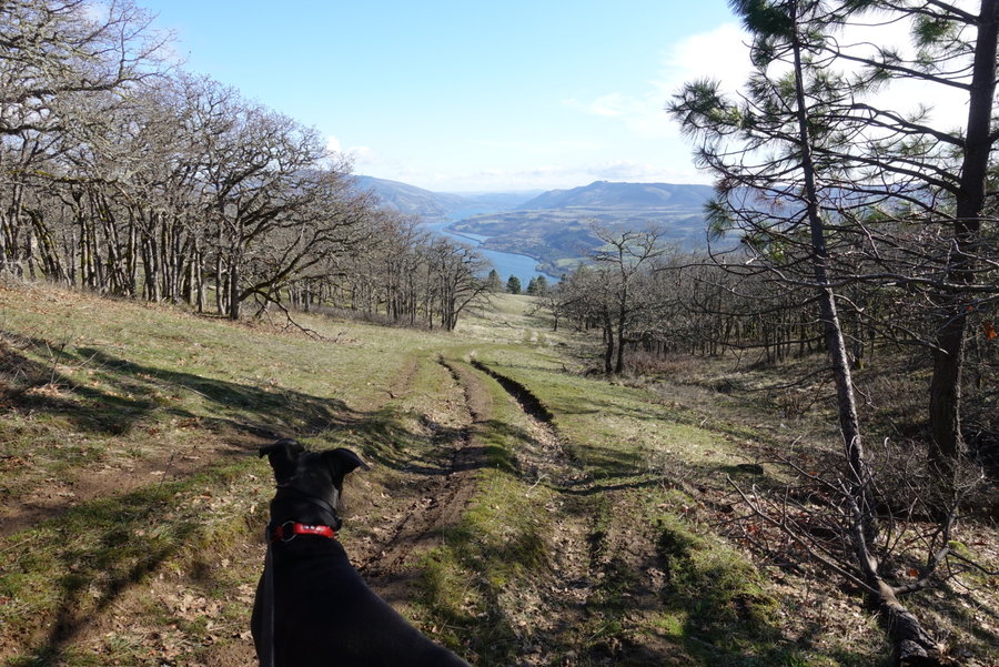
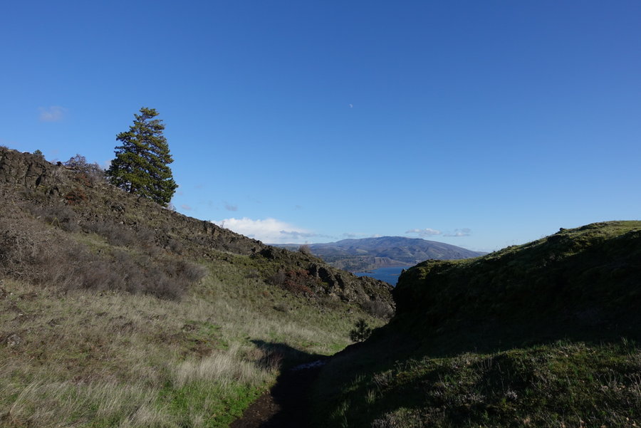
McIntyre Ridge Trail #782 and Wildcat Creek Road
9 miles of hiking • 2000' elevation gain •
With an iffy weather forecast, we didn't want to stray far from Portland. We opted to try out the McIntyre Ridge Trail from near 26. (I wasn't sure if my Prius could get to the other two trailheads.)
It was absolutely deserted (and thankfully no target shooters, though eventually we did hear some shooting going on, but I'm not sure where they were.) I had never tried the trail, and with warnings of illegal activity I probably won't ever go out there alone, nor will I bring my dog who is scared of booms. There were many user created trails, but we stuck to what was the main trail and the road. We hit snow at the road end, but nothing too deep yet and trail was still easily followed.
November 15, 2020


 1
1
November 8, 2020


 2
2
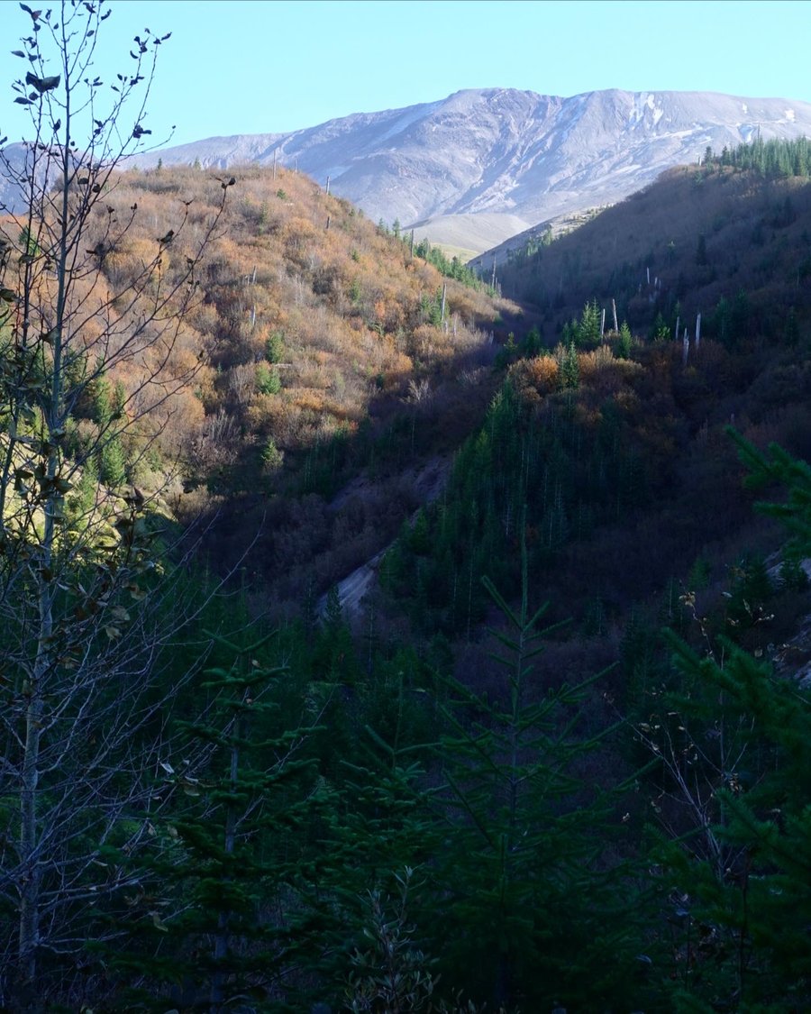
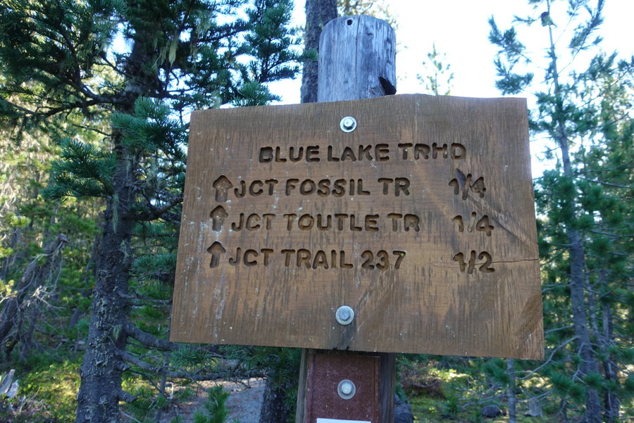
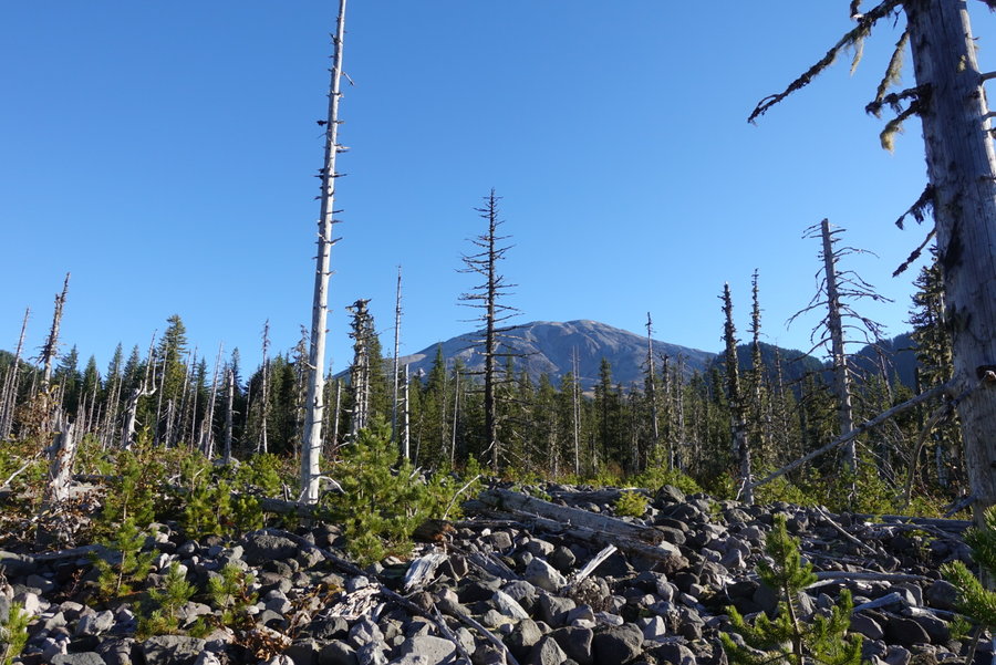
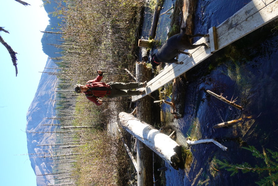
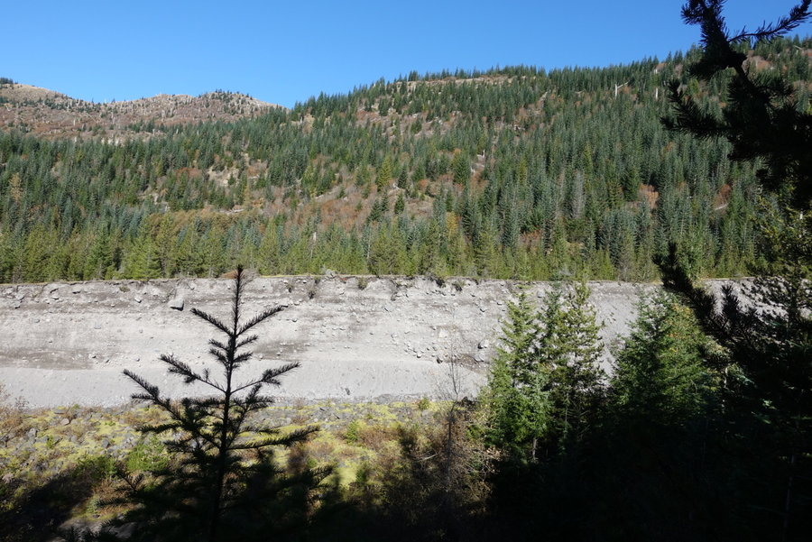
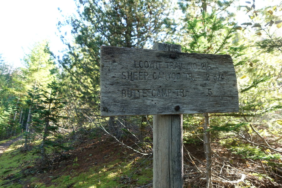
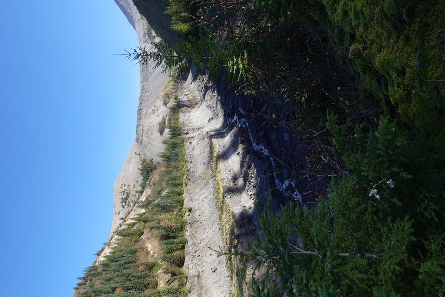
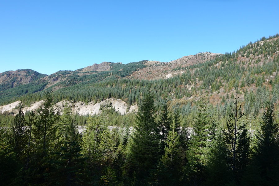
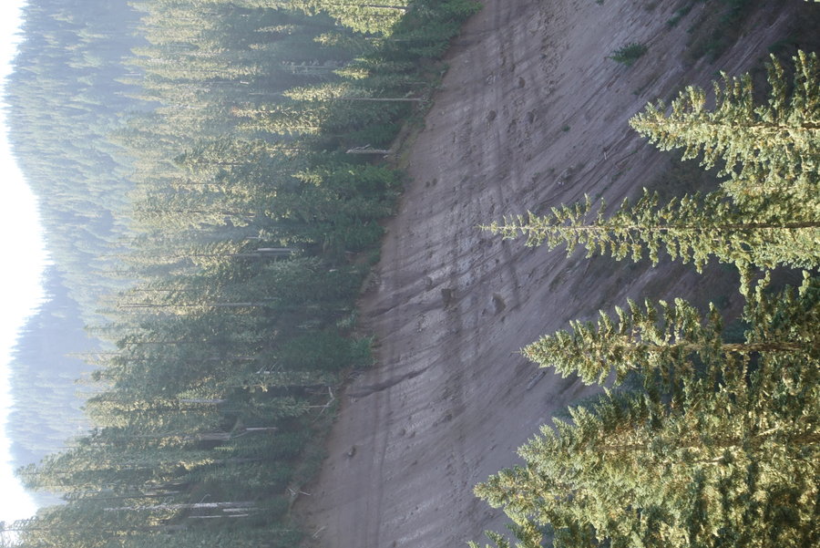
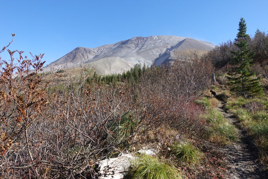
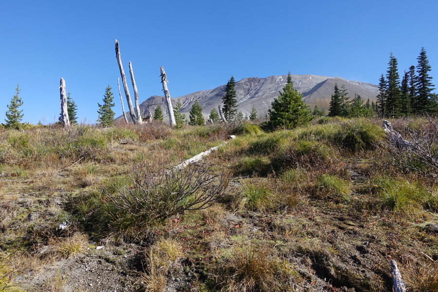
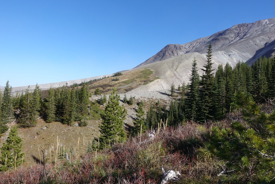
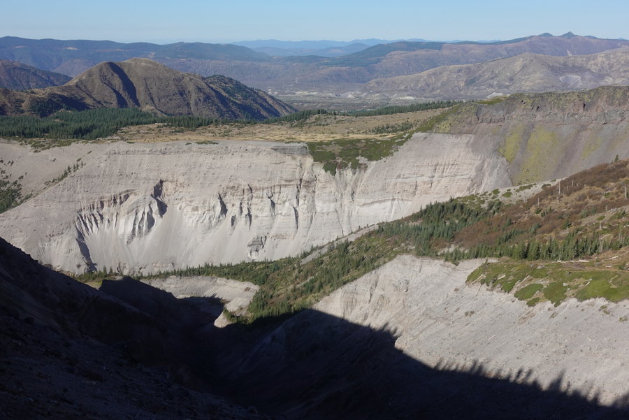
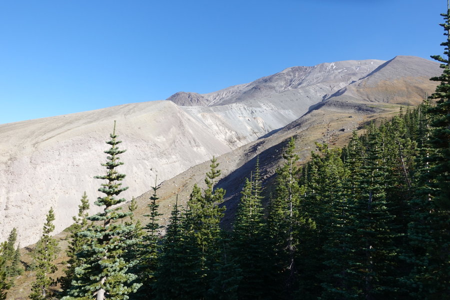
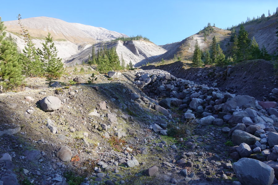
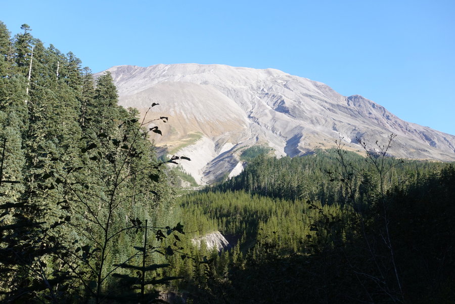
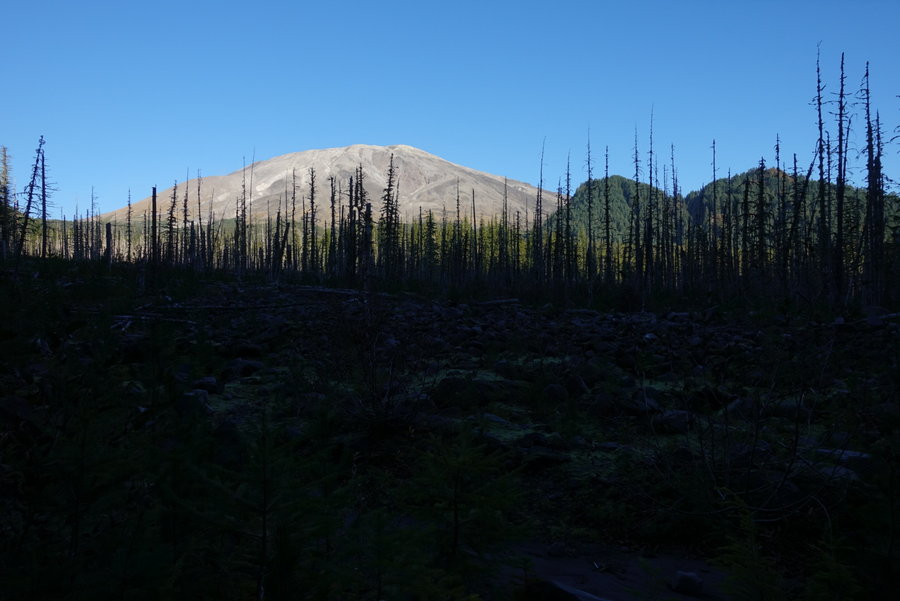
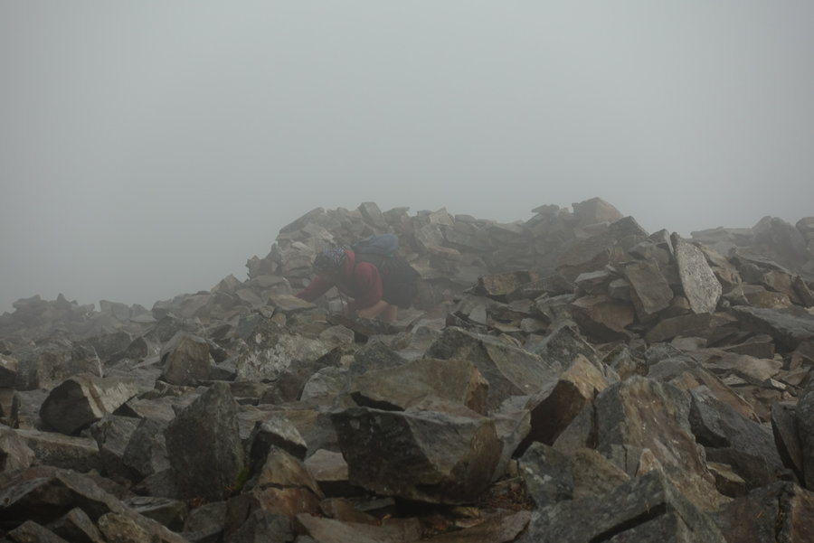
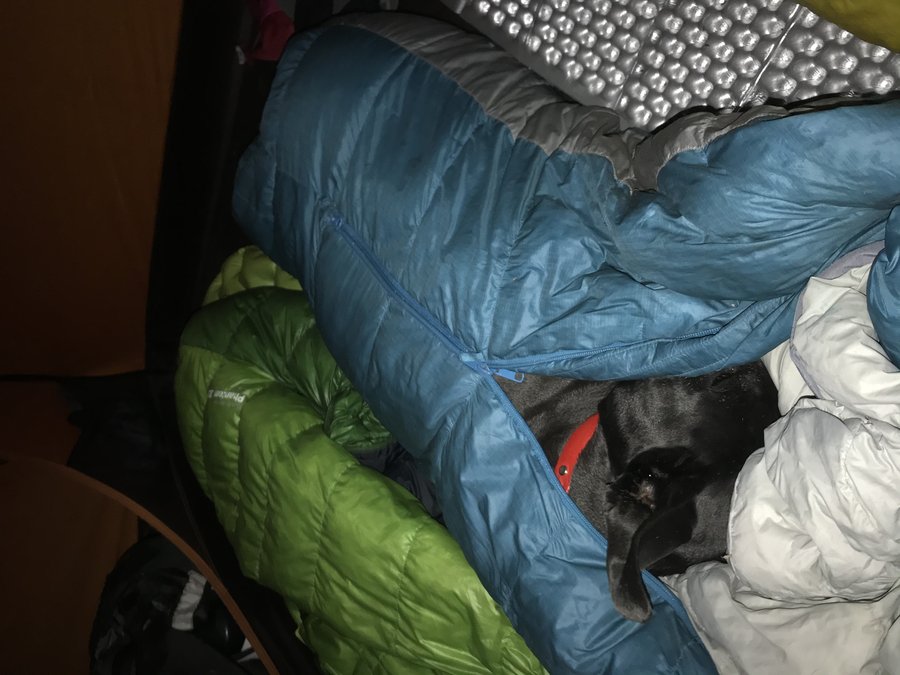
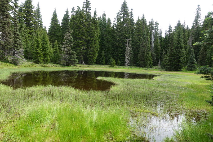
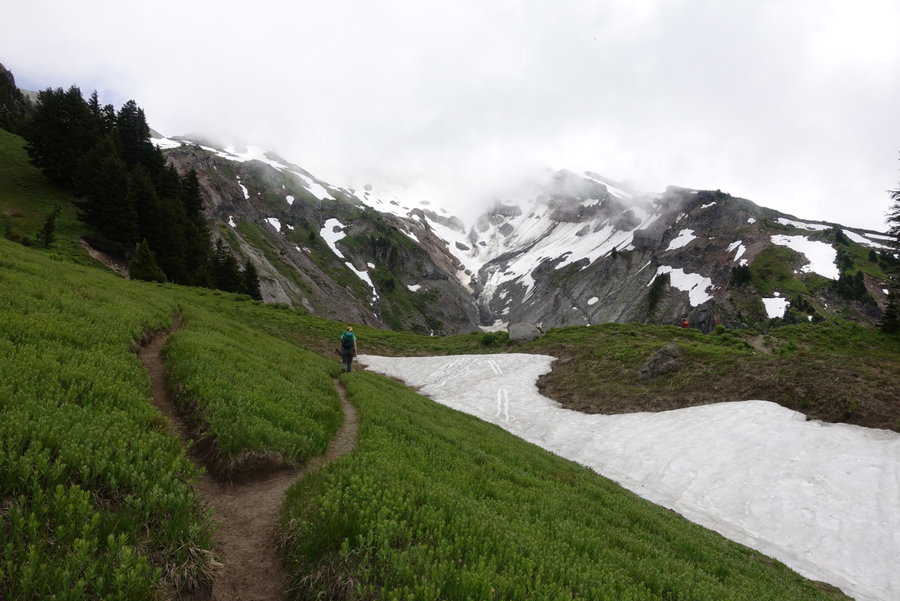
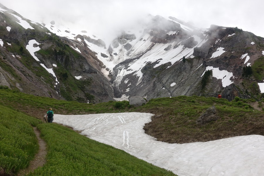
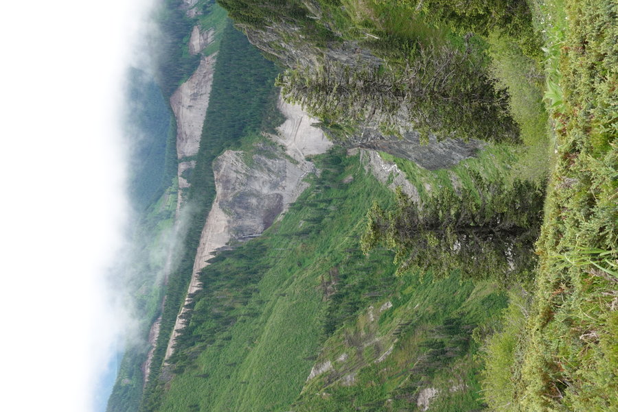
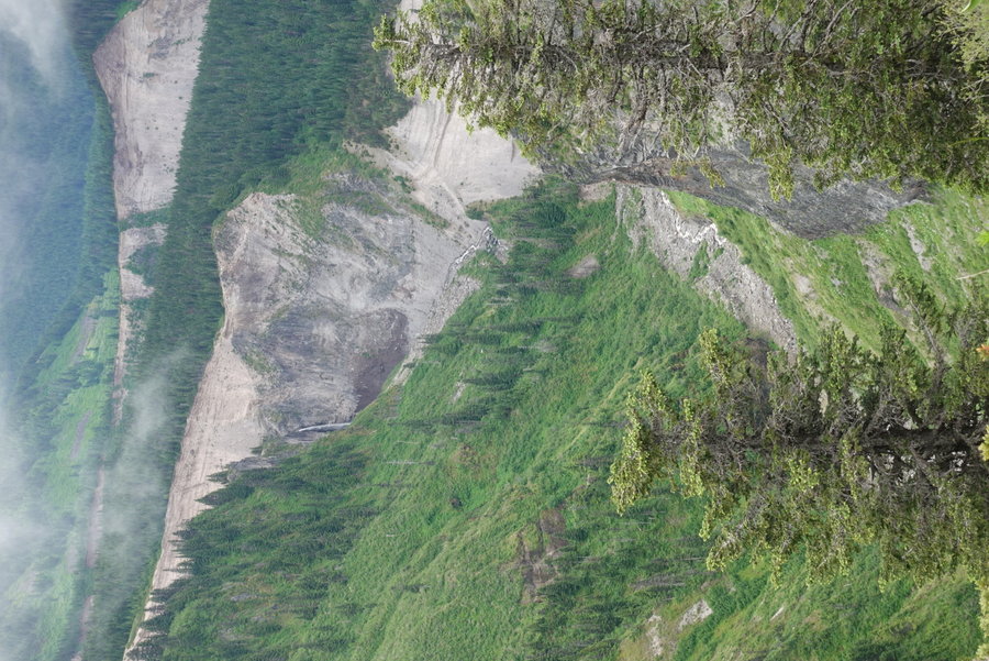
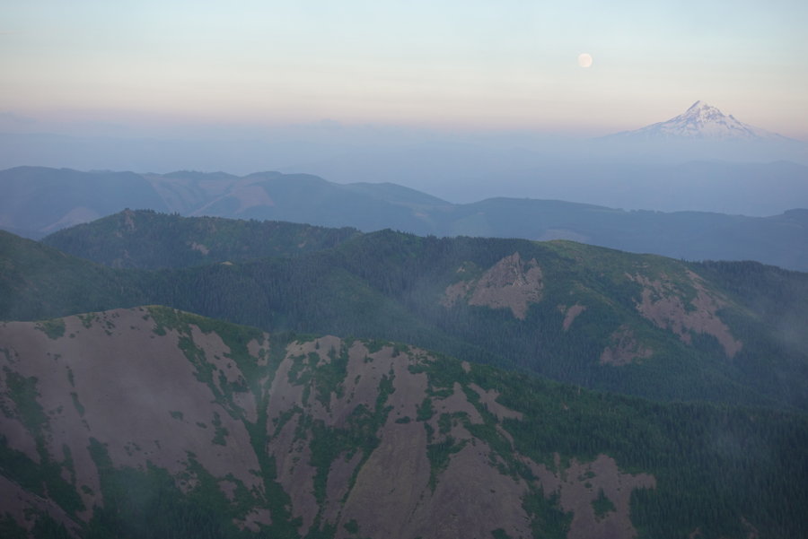
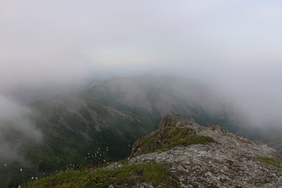
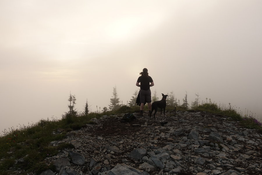
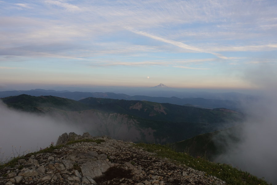
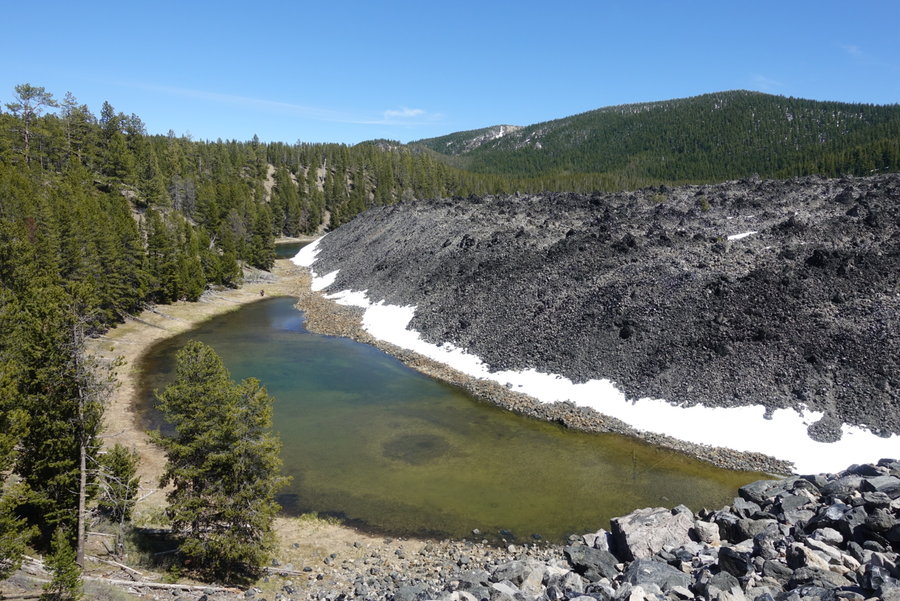
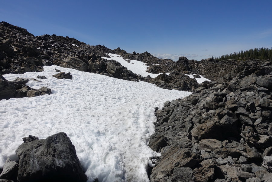
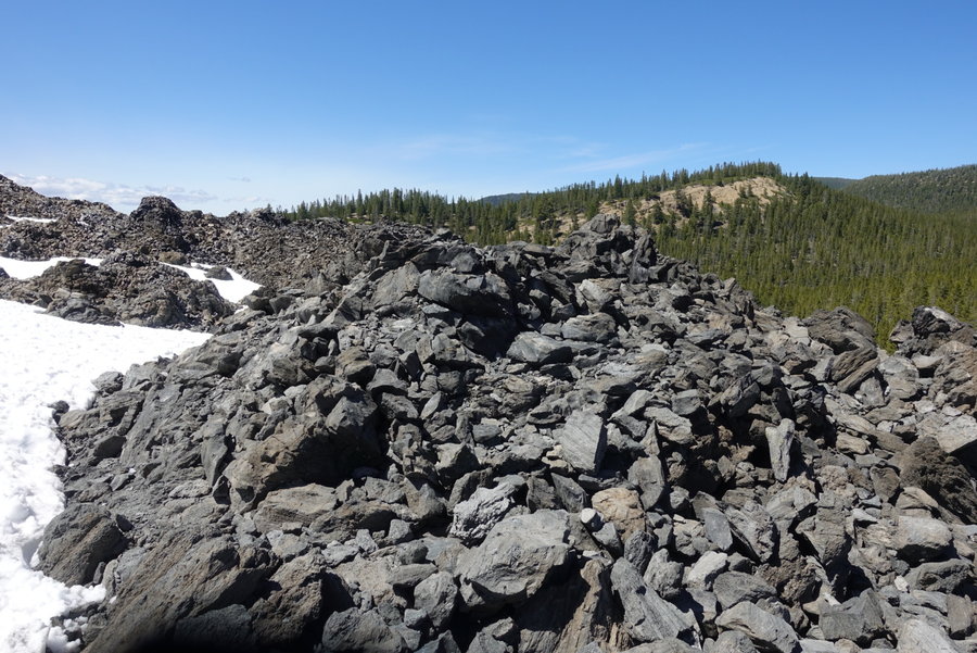
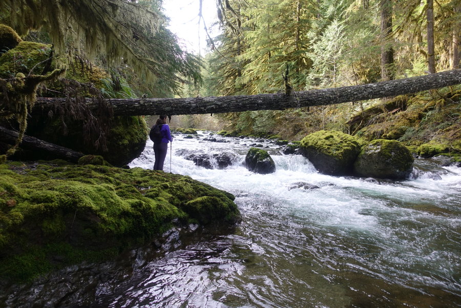
Sheep Canyon Loop + Merrill Lake wanderings
13.5 miles of hiking • 3000' elevation gain • 1 night
Secluded day, only ran into two groups of trail runners the entire loop.
When I want a reminder how small and insignificant I am, I visit Mt St Helen's to be in awe of what nature if capable of. Always amazing to see an ever changing landscape.
Hunting season is definitely gearing up, saw multiple camps set up near the trailhead. Elk season starting soon. Be cautious if visiting in the coming weeks.
October 31 – November 1, 2020


 1
1
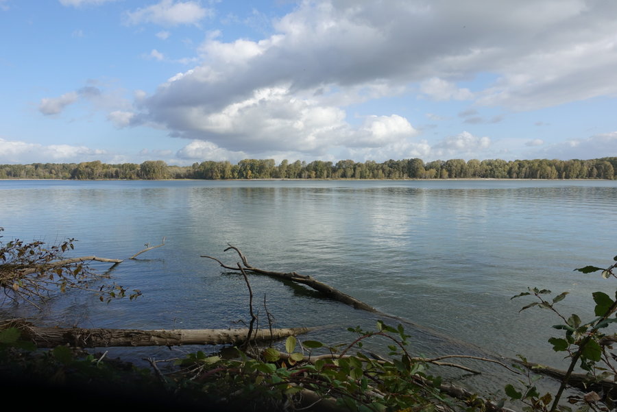
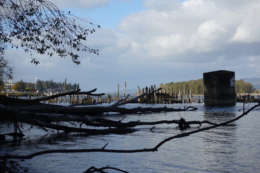
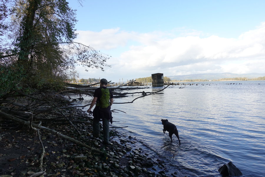
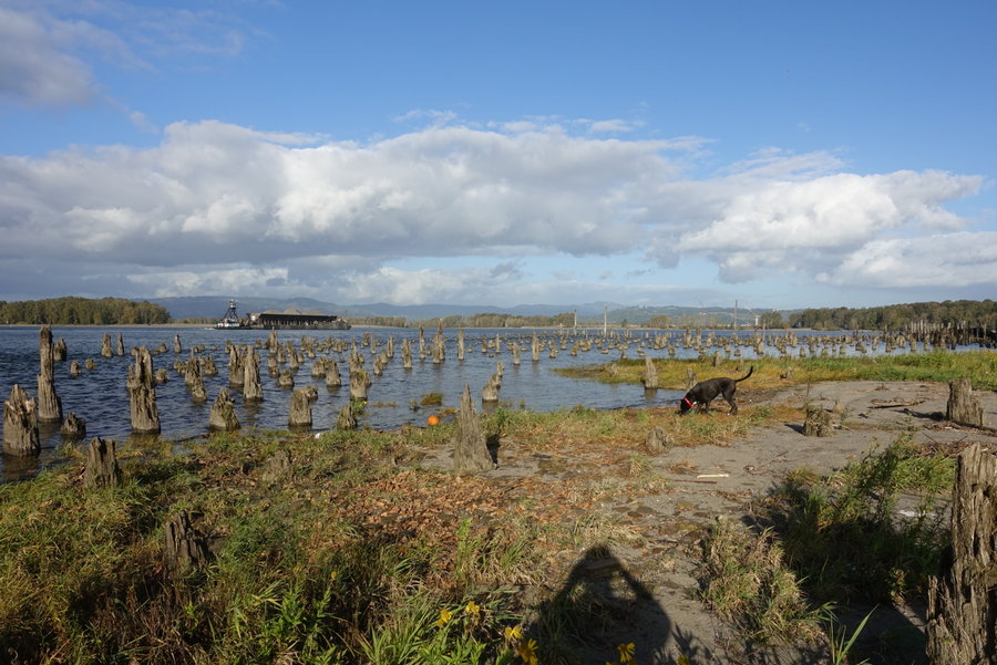
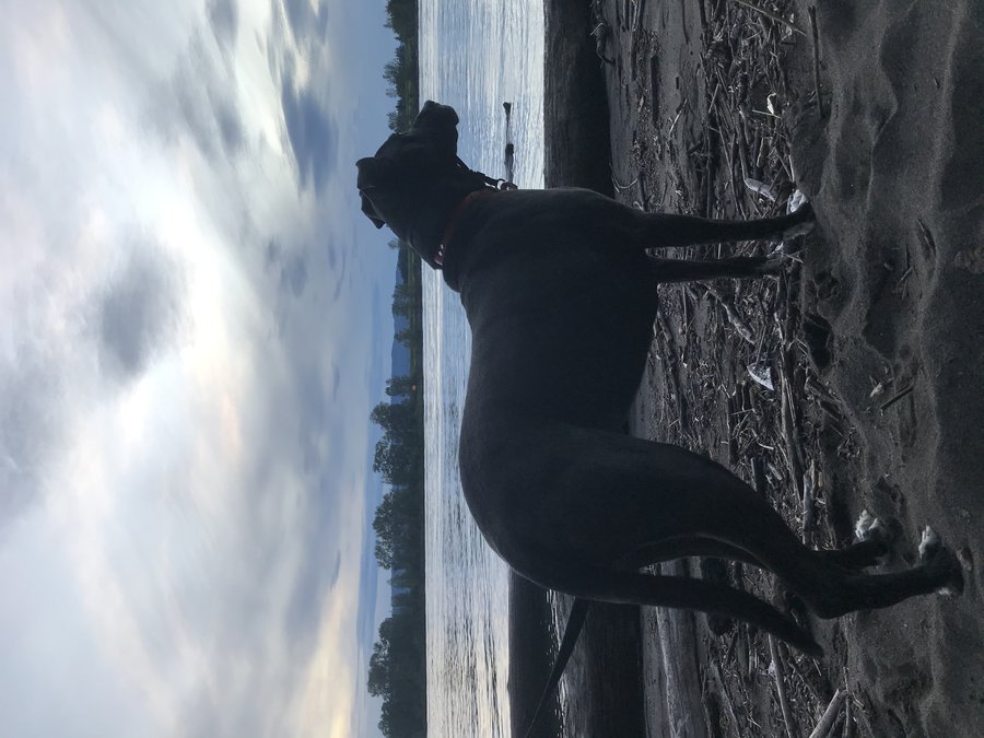
Warrior Point
7 miles of hiking • 0' elevation gain •
I was supposed to be on vacation this week, but couldn't afford a trip. Instead, I just took today off and took a nice flat stroll on Sauvie. It was nice to not be at work and just enjoy the day.
October 30, 2020


 1
1
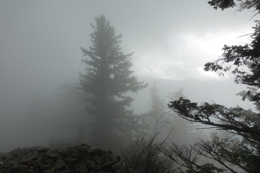
Firelane 15
4 miles of hiking • 500' elevation gain •
With the passing of one of my oldest dearest friends to cancer earlier this month, I've been having a hard time motivating myself to get up and outside. Fuck cancer and this stupid year.
Instead, I've been sleeping in on the weekends, then feeling guilty about not getting out, and have just managed to do short hikes in the afternoon.
I'll get back out there pushing it again soon.
October 25, 2020

 1
1
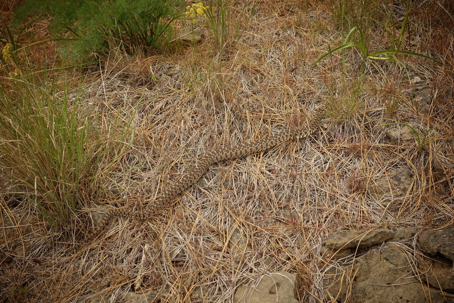
Wind Mountain
2.5 miles of hiking • 1000' elevation gain •
Quick hike up wind, slept in and didn’t want to drive far.
Ran into a girl building a cairn in the archeological site, held back my anger and told her as nicely as I could muster, that she was damaging a fragile site and she needed to get out. It totally blew my mind when she said she didn’t know.
October 18, 2020


 1
1
Scout Camp and Little ZigZag Falls
3.5 miles of hiking • 500' elevation gain •
I decided to go back and conquer the trail I had previously turned around on due to my fear of the cliffs.
Went the opposite way this time, and found it much more manageable. That, and I think my 5 day trip in the Olympics on the rugged Skyline Trail just made it seem easy in comparison.
This trail has one fun scramble section, where the trail goes straight up a rock wall. Surprisingly, the dog did fine, and with a little pushing went right up.
The day was so hot though, we scrapped our next hike, and headed back towards Portland instead. We decided to get out and stretch our legs at Little Zigzag, and were refreshed by the cool breeze under the trees.
October 4, 2020


 2
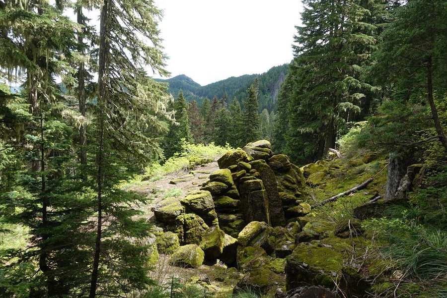
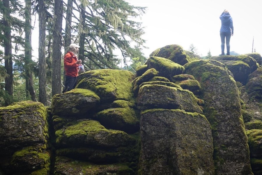
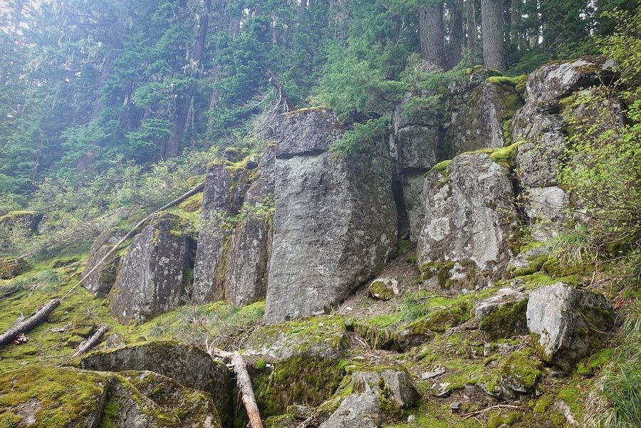
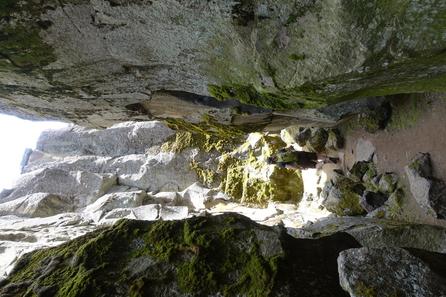
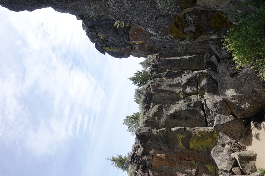
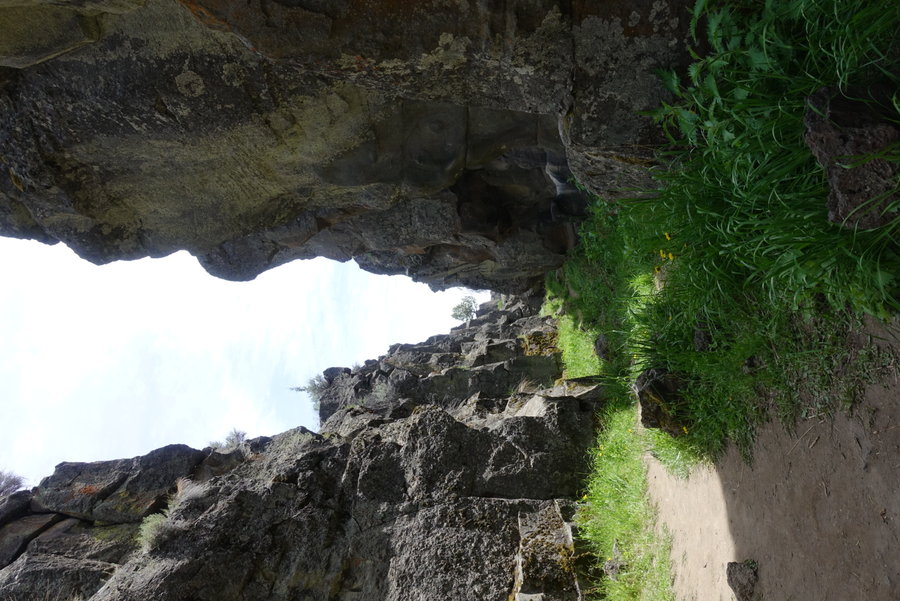
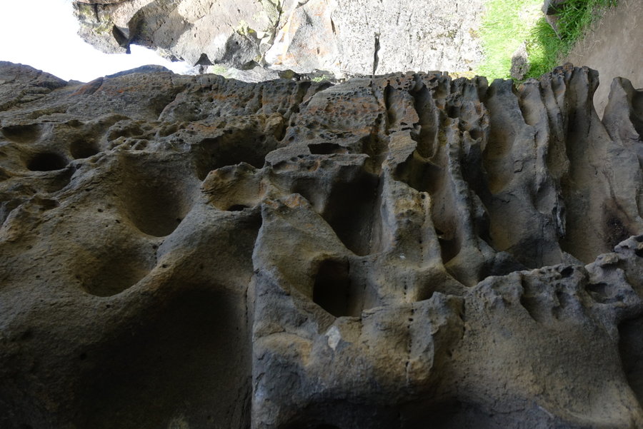
2
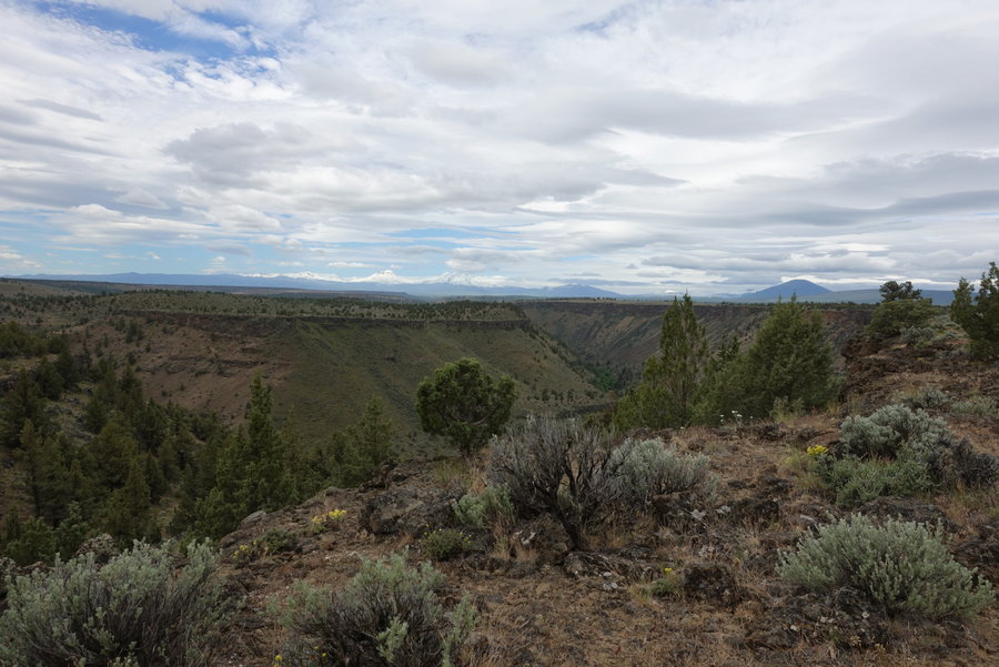
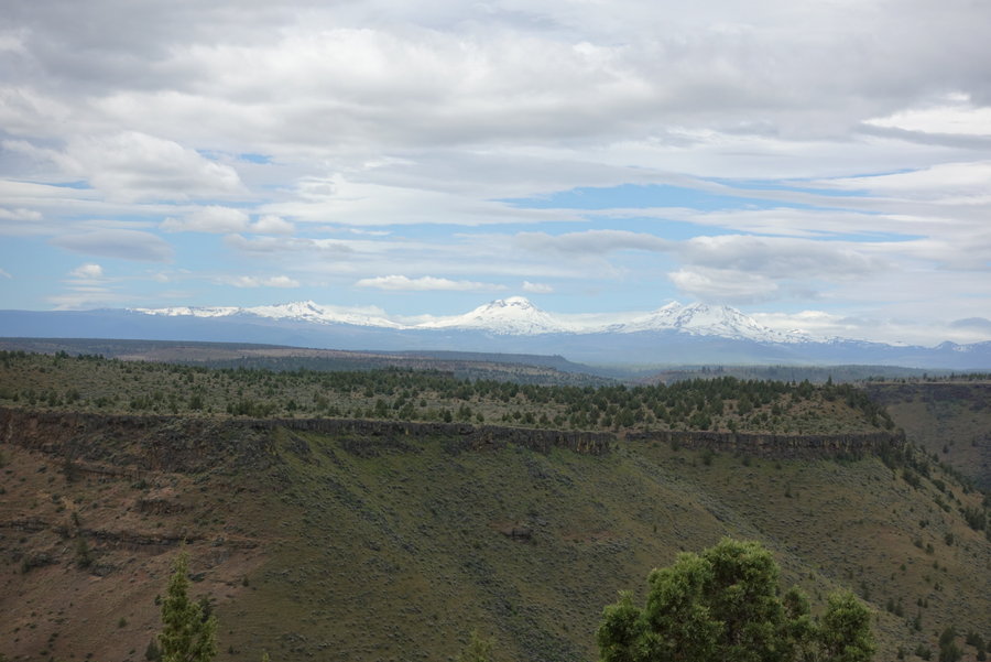
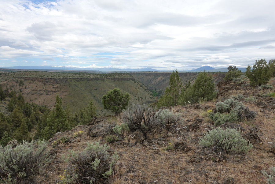
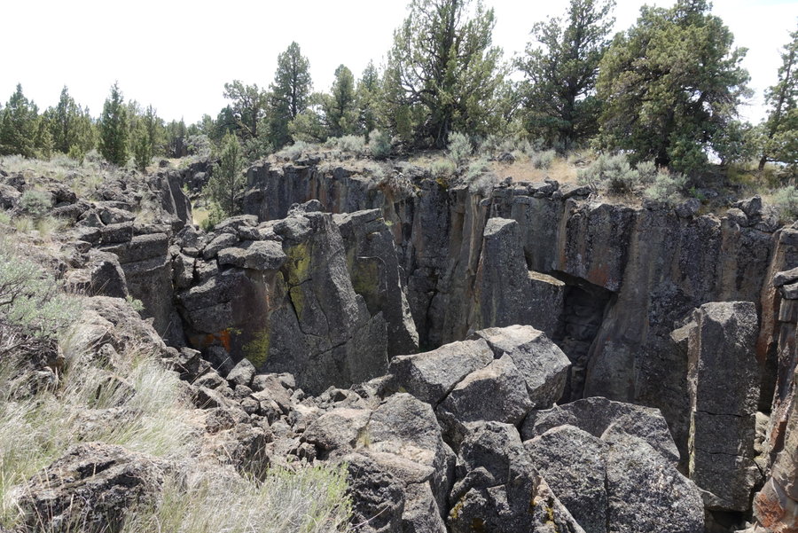
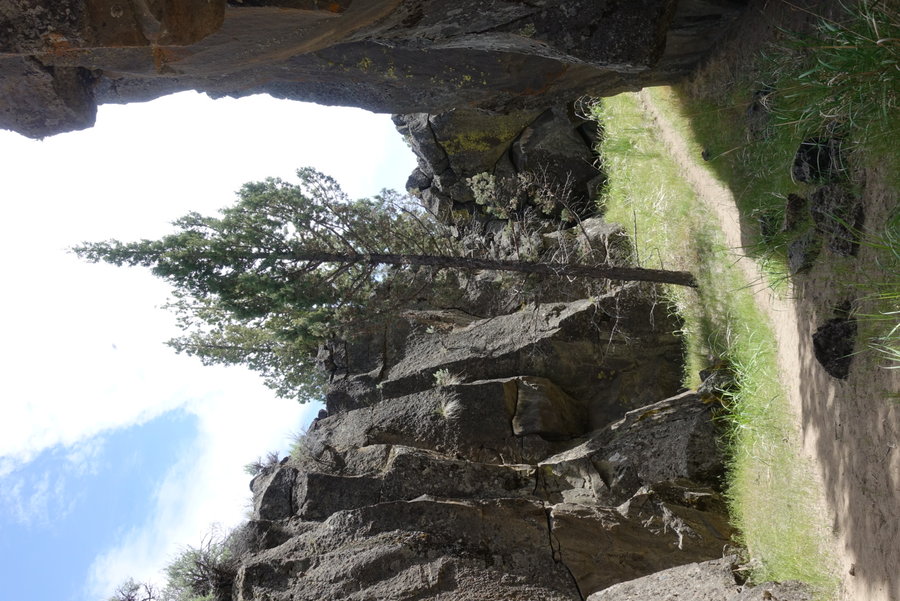
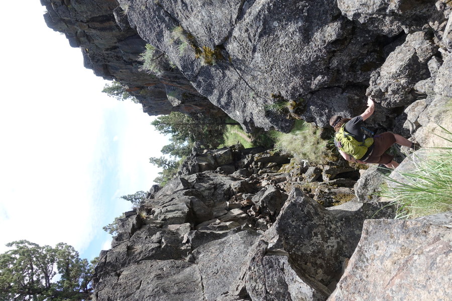
Gothic Rock and Metolius Balancing Rocks
3.5 miles of hiking • 500' elevation gain •
Spent the weekend in central Oregon on a socially distant camping trip.
We made our basecamp at Steelhead Falls Campground. Our driving time was long, and our hikes short and hot but it was worth it to finally spend some time with friends I hadn't hung out with since the pandemic began.
The evenings were thankfully cool, and full of coyotes howling throughout the night.
Got an eye on a few of the fires burning in the state.
October 3, 2020


 1
1
Hardy Ridge
7 miles of hiking • 1750' elevation gain •
Just a shorty up Hardy to avoid the crowds on Hamilton.
September 27, 2020

 1
1
Grouse Vista to Larch
5.46 miles of hiking • 1250' elevation gain •
Just a quick early shorty to get outside. Wasn't entirely sure what all was open near Portland, so opted for something close and out of current fire areas. Went up the somewhat boring way to Larch, just to avoid people on silver star.
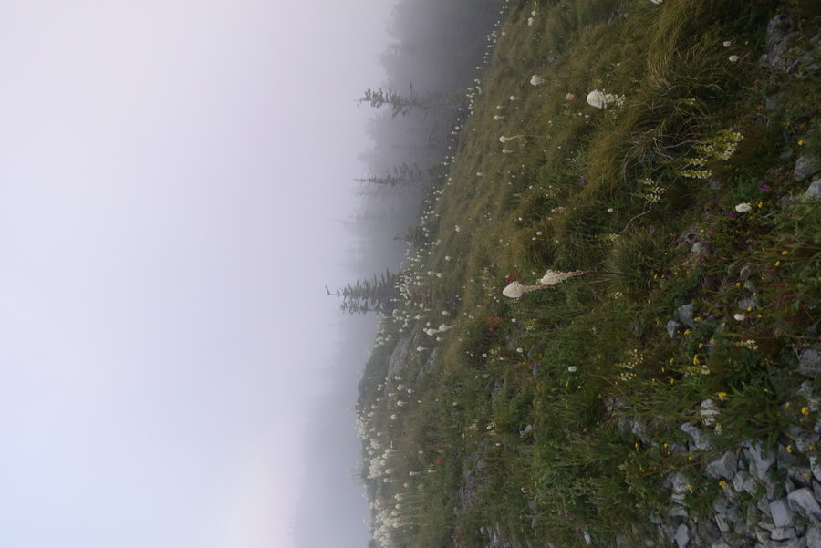
September 20, 2020


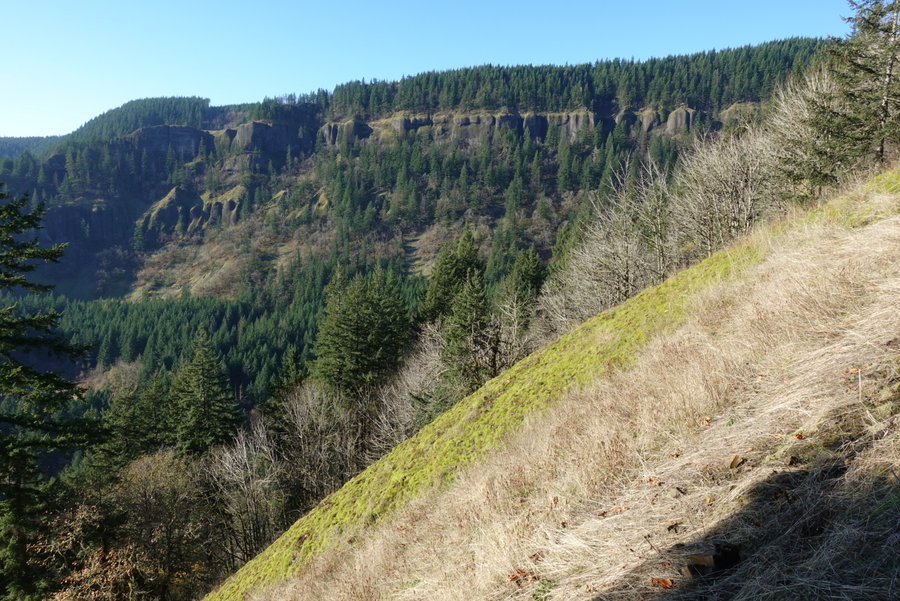
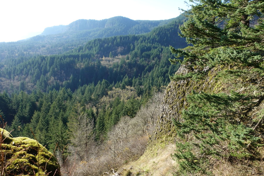
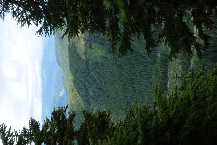
 3
3
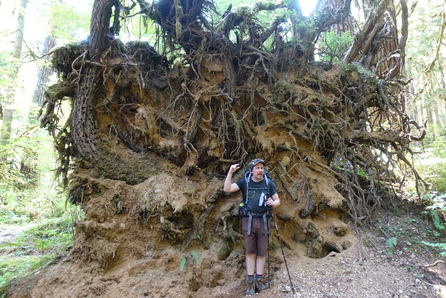
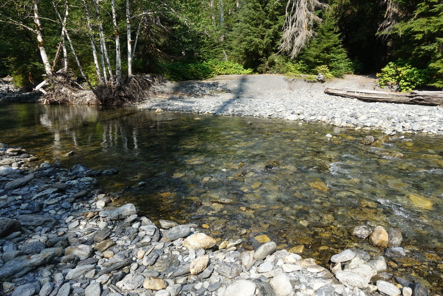
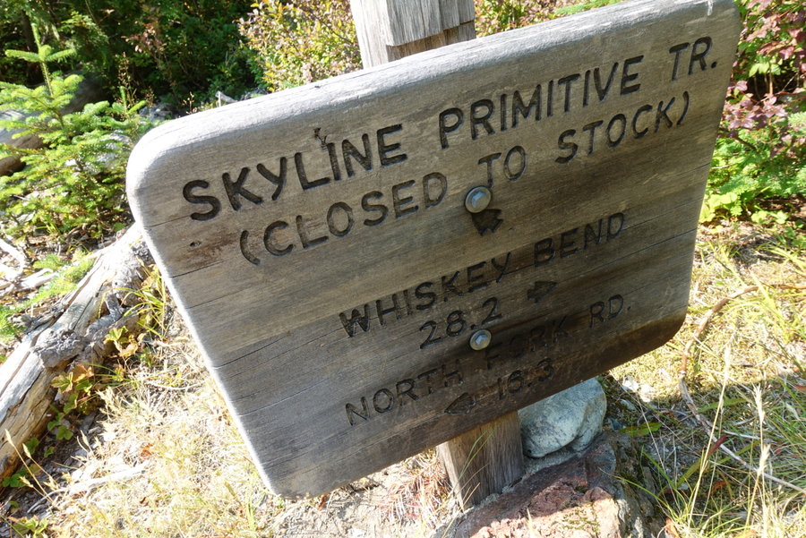
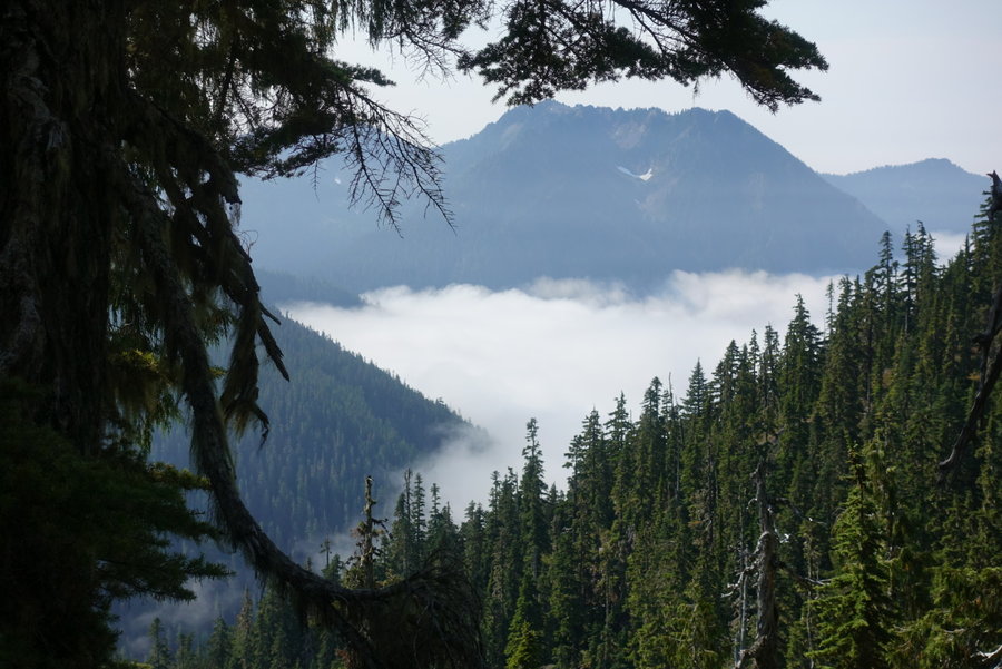
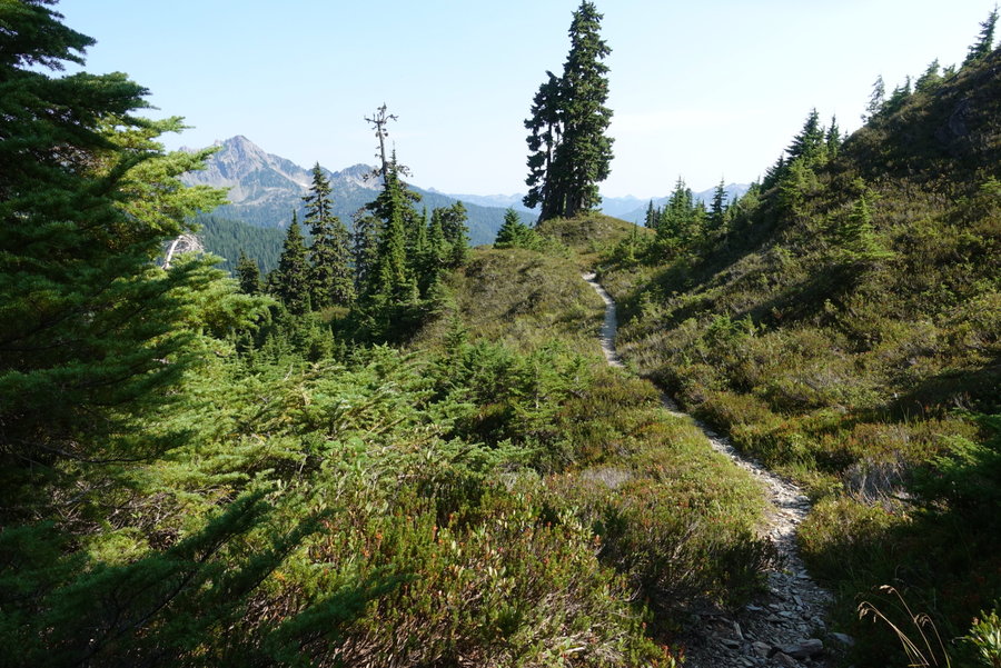
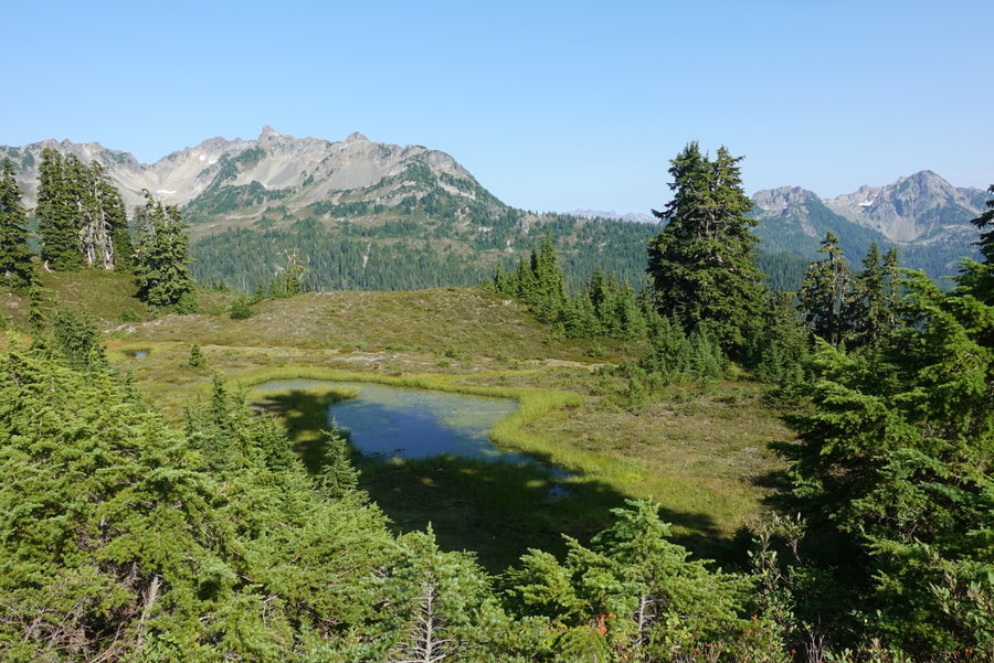
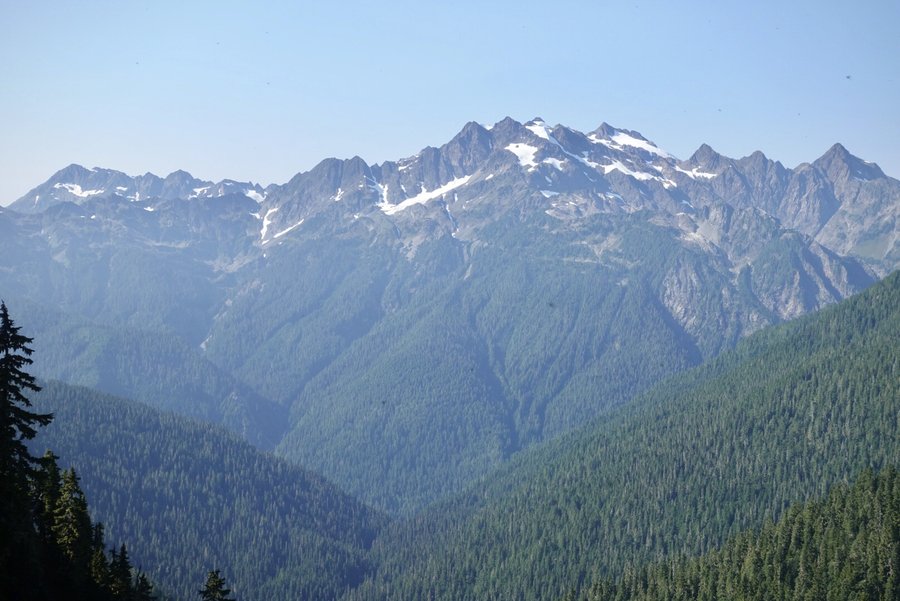
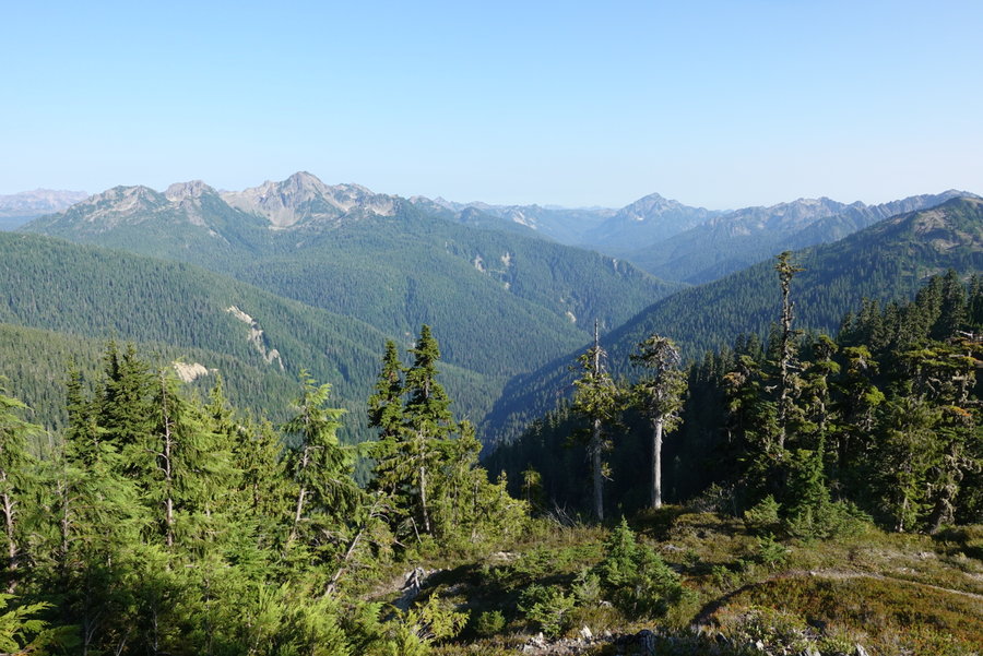
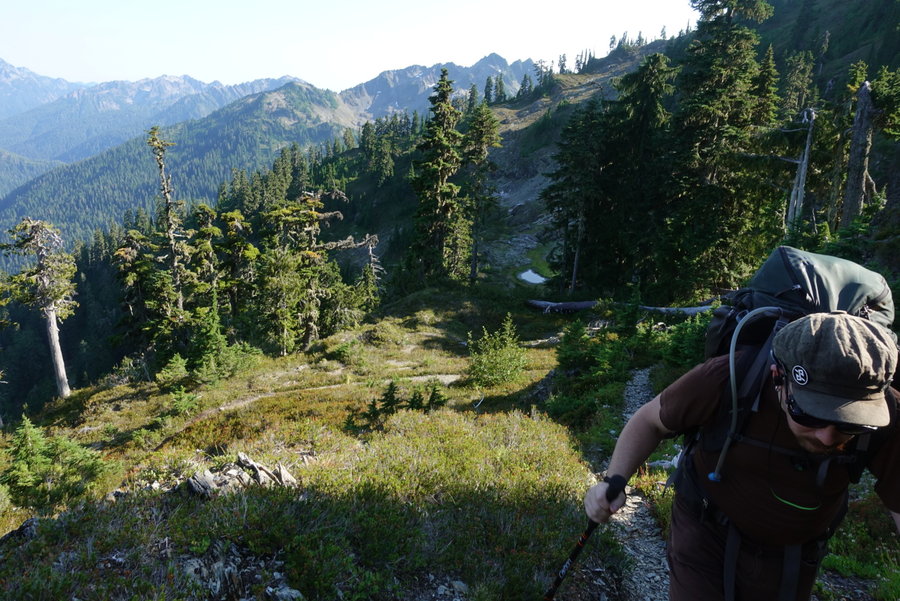
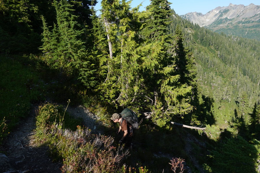
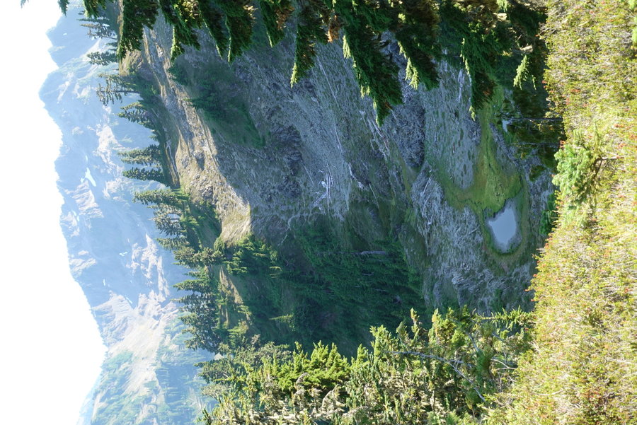
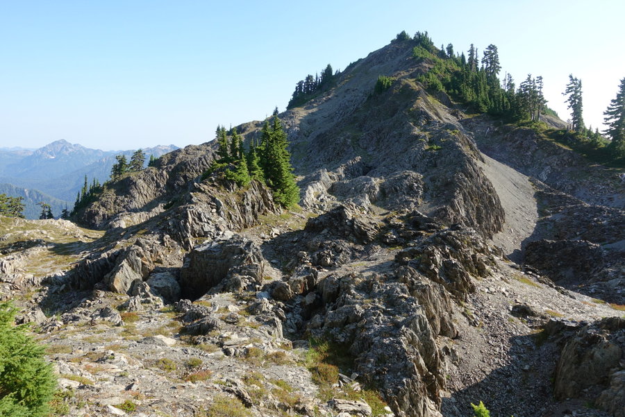
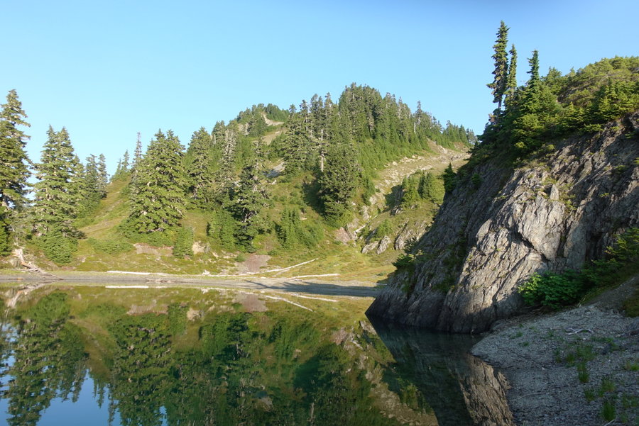
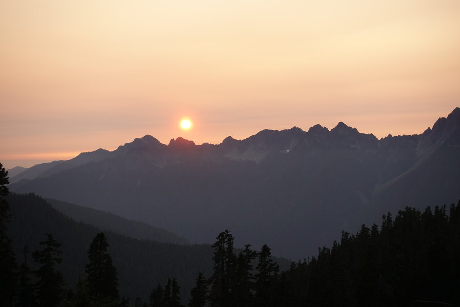
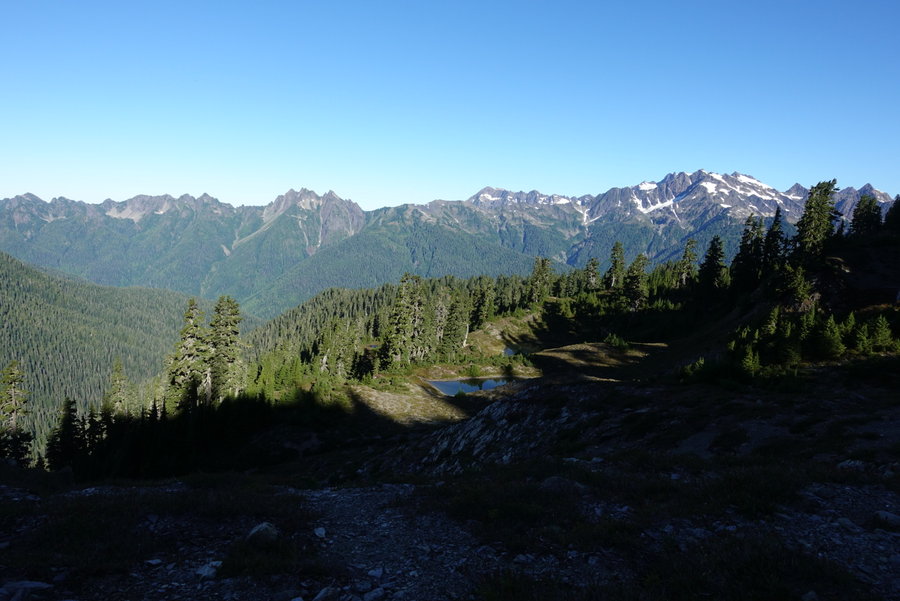
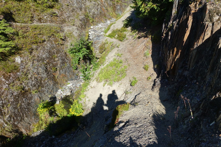
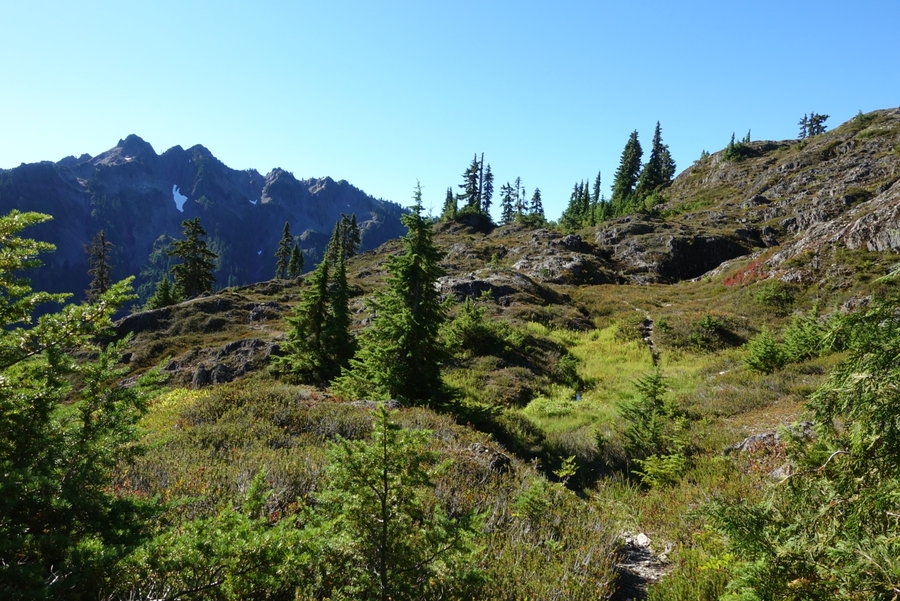
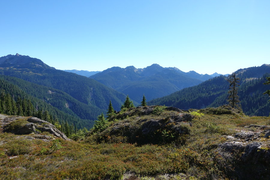
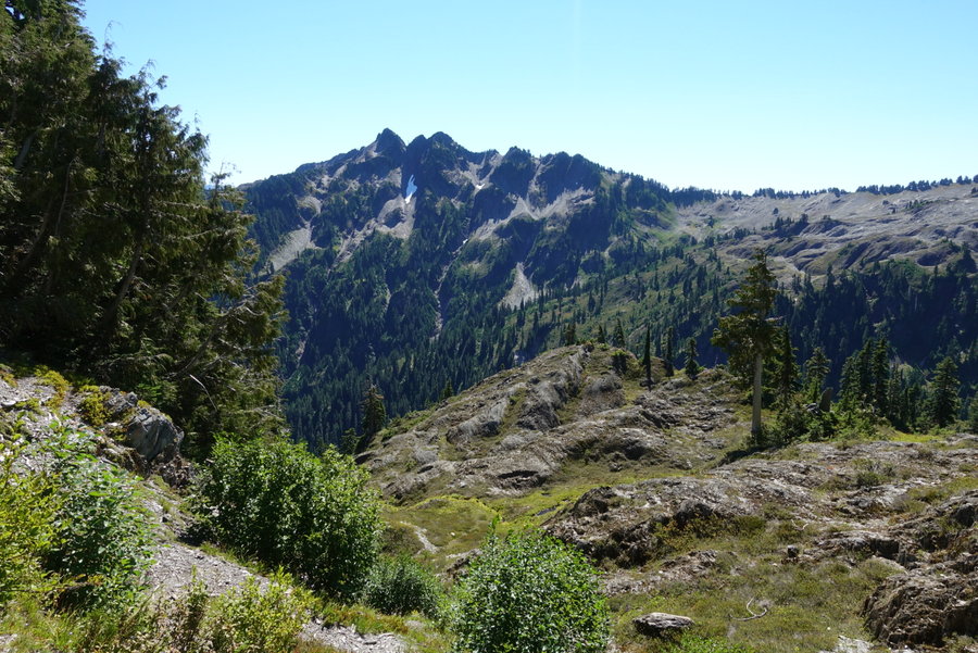
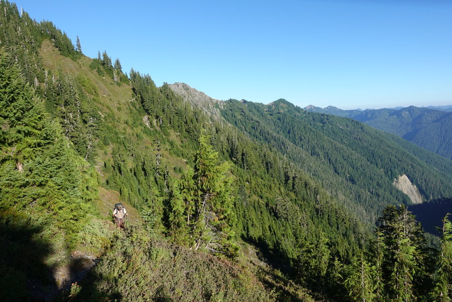
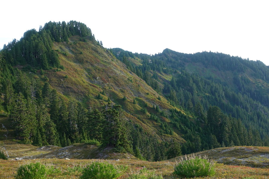
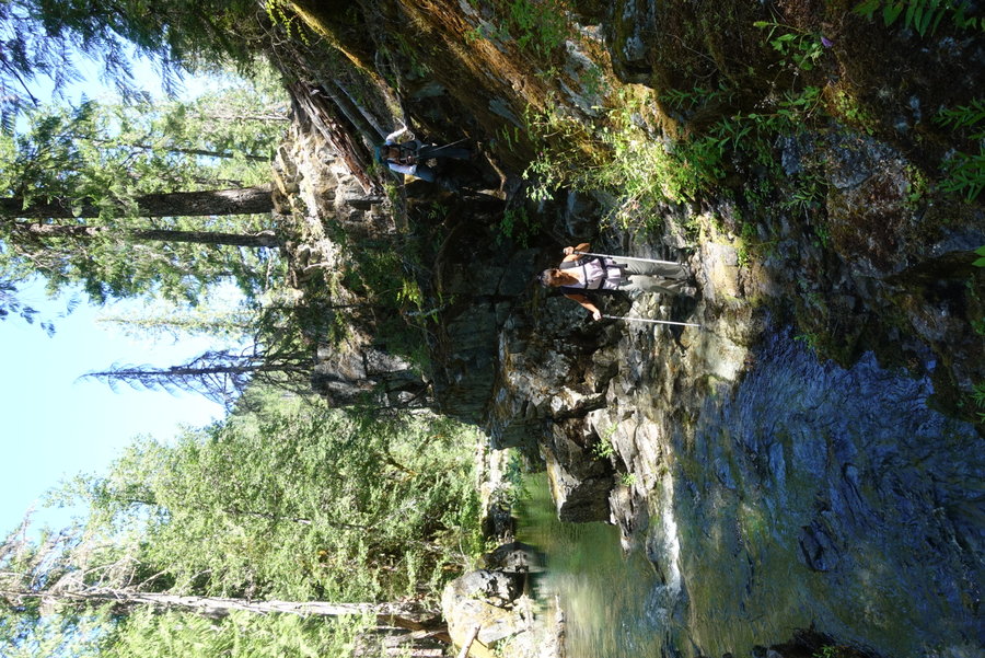
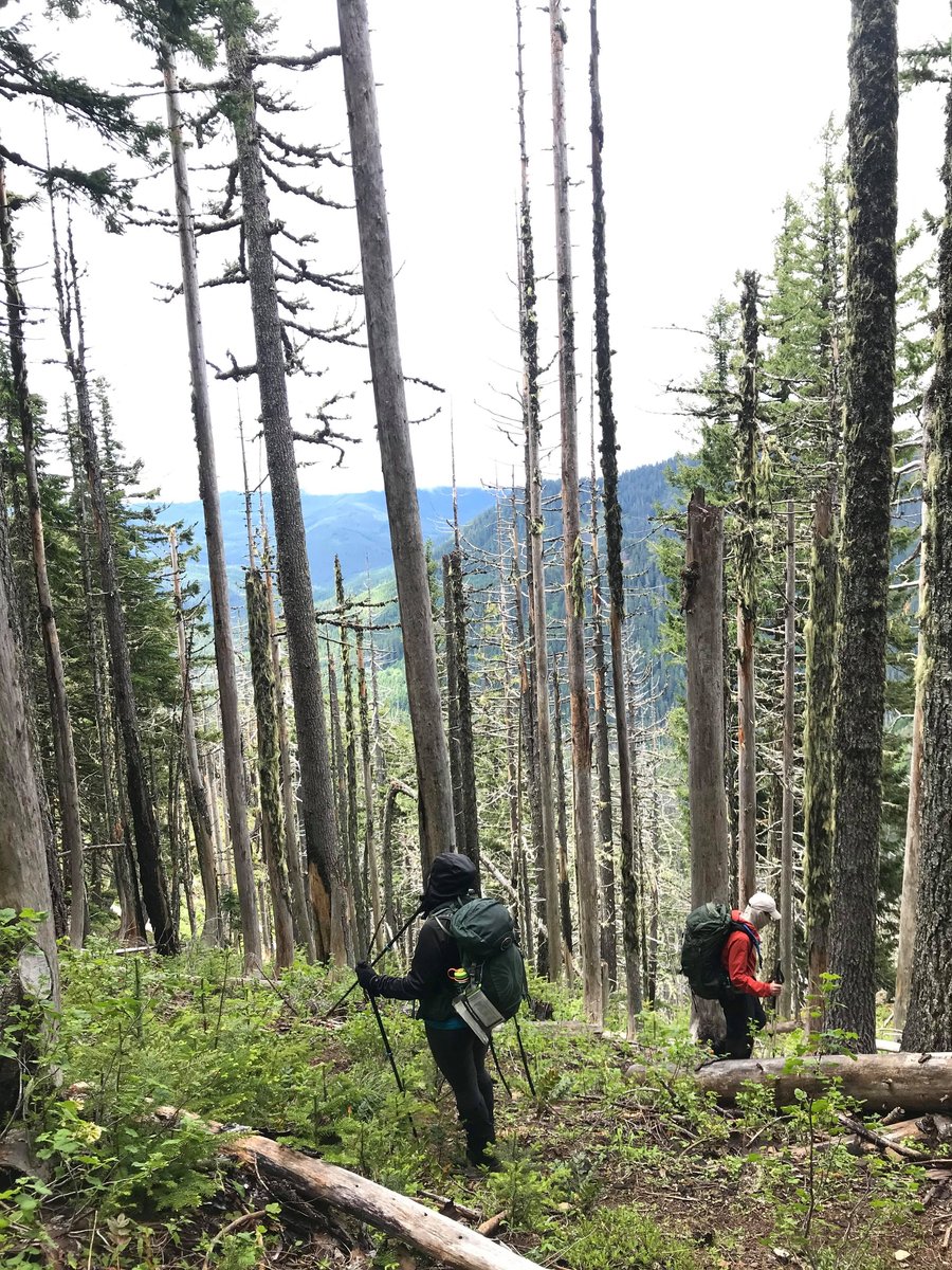
North Fork Quinault - Skyline Primitive Trail Loop
53 miles of hiking • 11000' elevation gain • 4 nights
North Fork Quinault Trailhead (Parked at Irely Lakes Trailhead and road walked to the trailhead)
Day 1 - North Fork Quinault to Trapper Shelter - 9.74 miles, +1,428 ft, -716 ft
Day 2 - Trapper Shelter to Low Divide - 10.34 miles, +2,775 ft, -429 ft
Day 3 - Low Divide to Lake Beauty - 8.37 miles, +2,607 ft, -1,469 ft
Day 4 - Lake Beauty to Meadow past Kimta Peak - 8.75 miles, +2,793 ft gain, -2,734 ft
Day 5 - Meadow to Ireley Lake Trailhead - 16.23 miles, +1,157 ft, -5,399 ft
Total mileage: 53.43, Total gain: 10,760 ft
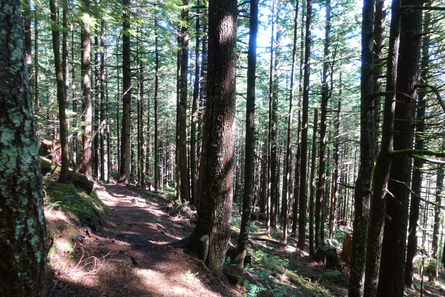
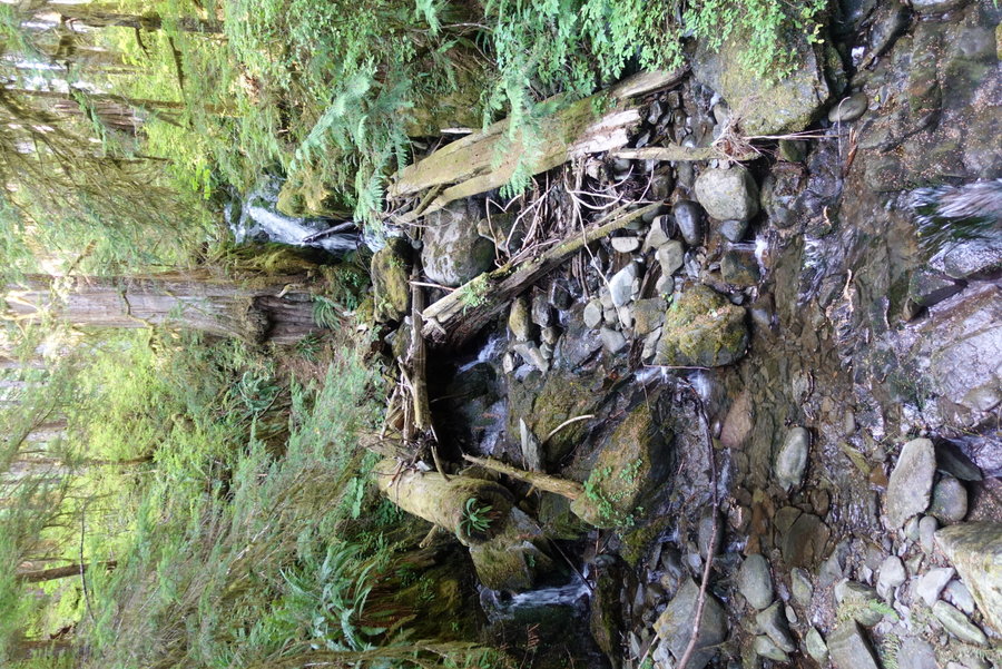
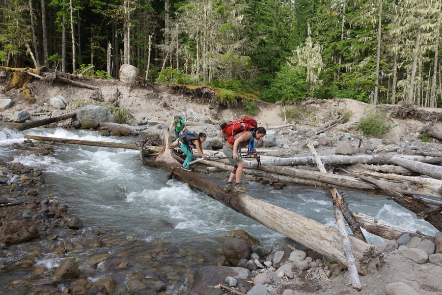
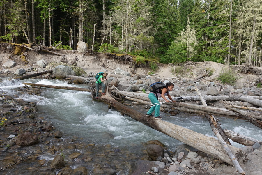
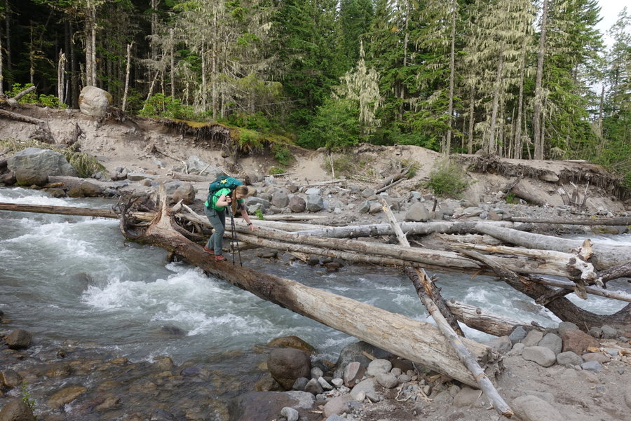
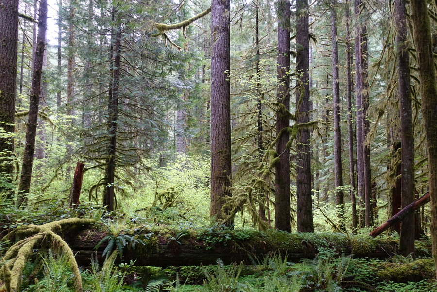
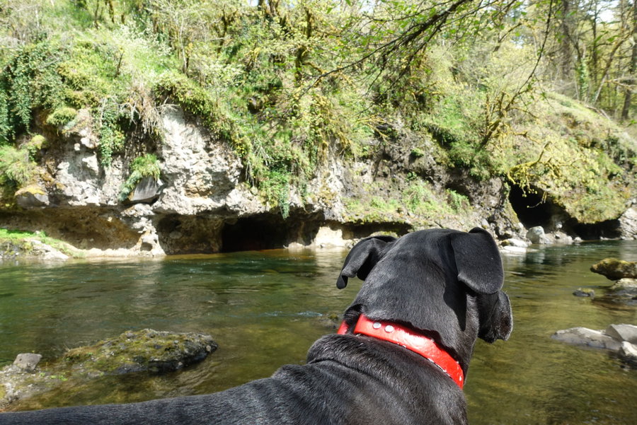
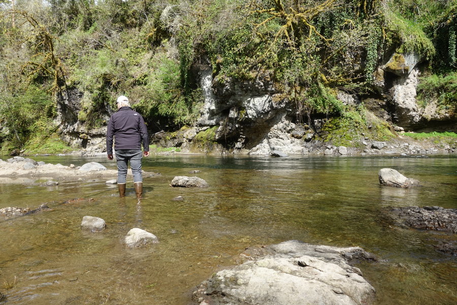
Day 1. North Fork Quinault to Trapper Shelter -
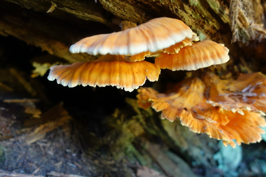
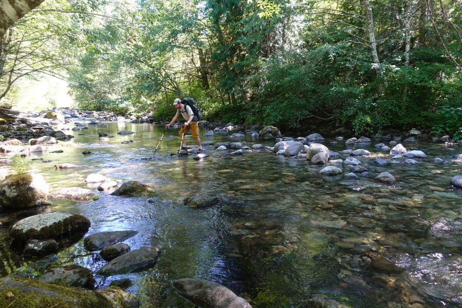
Parked at Irely Lake Trailhead, and walked the road past the ranger station to the North Fork Trailhead. Trail is in good shape. No blowdown, beautiful old growth, lots of chicken of the woods. Gain was nice and gradual, only difficulty was the humidity and heat, since we started in the afternoon after driving from Portland. We opted to sleep in the one camp spot behind the Trapper shelter, rather than stay in the shelter itself. If I were to do it over, I would either camp at Elip (much nicer spot with rushing water) or start earlier and go all the way to 16 mile camp. River ford at Elip was a rock hop and no problem at all. My only complaints: The SILENCE. The duff in the surrounding area made for a very very quiet camp, and I found it extremely hard to fall asleep even though I was exhausted. There is a privy here, but no bear wire and no suitable trees to hang. I couldn’t fit all of my food in my bear can, so we had to bring the rest in the tent with us. (Not ideal, but better than risking half of our food being stolen on Day 1.)
Day 2. Trapper Shelter to Low Divide
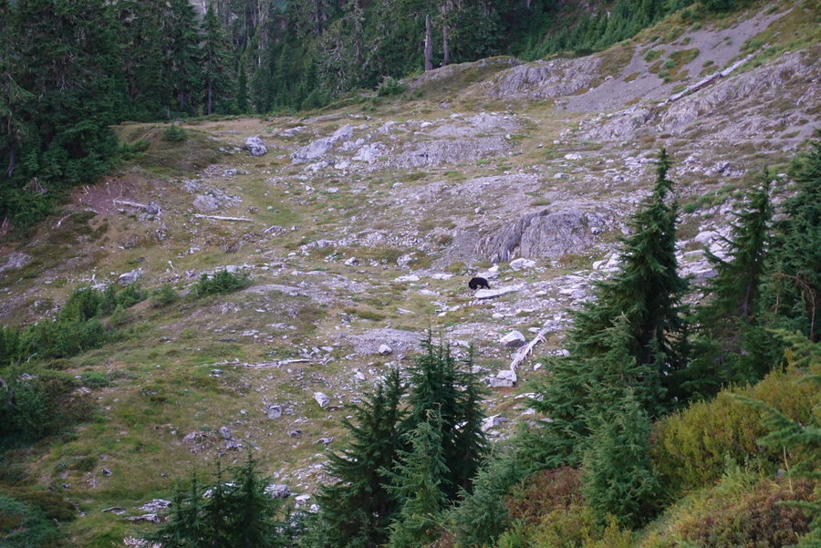
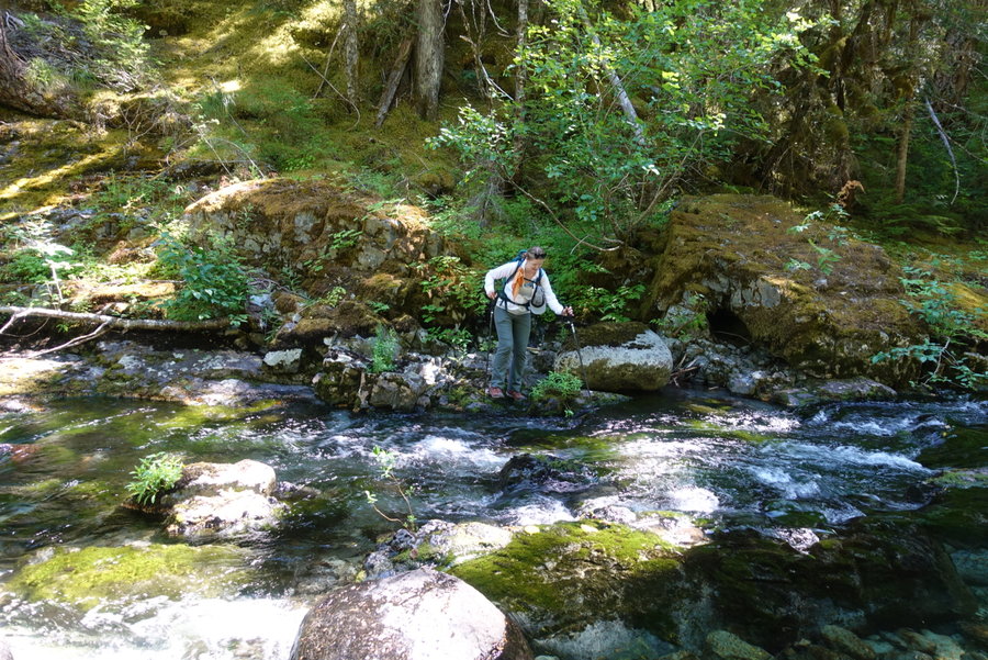
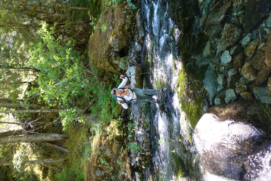
Quiet start to a relatively stress free day. Heat was still an issue, but not unbearable. Trail in good shape for the most part, easy ford at 16 mile camp. 16 mile had a really nice camp spot, with what looked like a brand new enclosure for the privy. Stay here rather than Trapper or Elip, if you can push far your first night. Ran into a couple that warned us of aggressive bees/hornets on the trail, but we didn’t run into any problems. One slide area that could use some work past 16 mile, but easily passable. Though our mileage wasn’t terrible, it was still a long day even with relatively gradual ascent. The huckleberries really started to take over here, and we stuffed our faces periodically as we hiked. We rolled into Low Divide in the afternoon, and I hung my hammock for a nice afternoon rest. We thought we might get company at Low Divide since it is also a stopping point for those doing a thru hike from/to the Elwha, but it was a solitary night other than two rangers (or possibly biologists?) who were stationed out there. We briefly spoke to a solo male hiker heading the opposite direction who was supposed to stop there, but he chose to push on to 16 mile. He warned us of the difficulty of the trail between Beauty and Kimta, and told us he had spotted 9 bears that day. He said most bears were higher up, where the huckleberry bushes were shorter and they could act as lawnmowers across the landscape sucking up berries. Once again, a quiet camp, and I tossed and turned into the night with very little solid sleep. Bear Wire here.
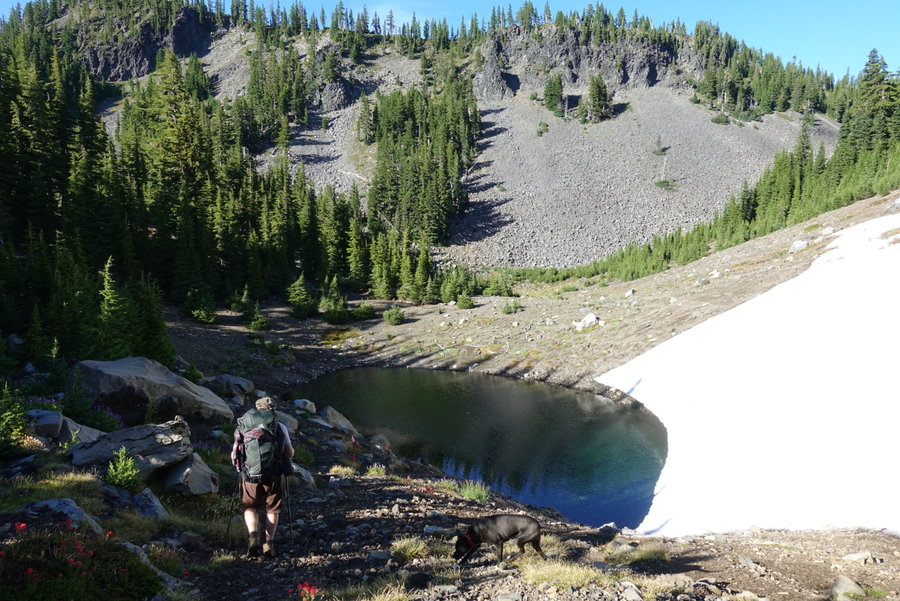
Day 3. Low Divide to Lake Beauty
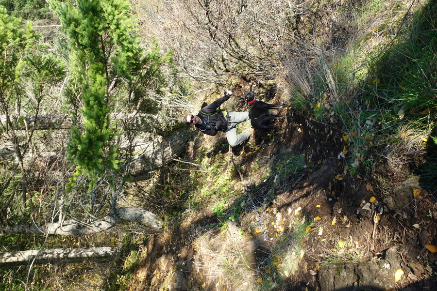
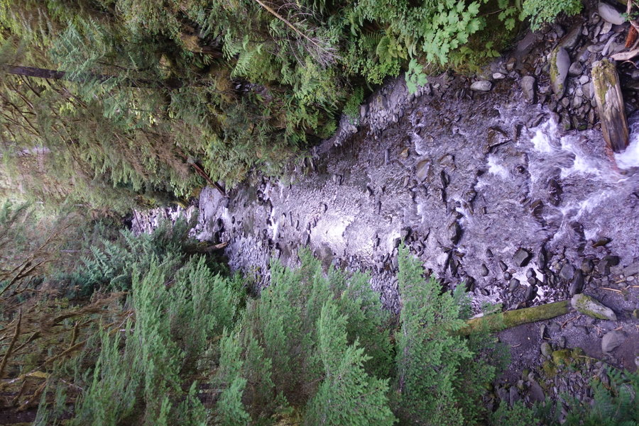
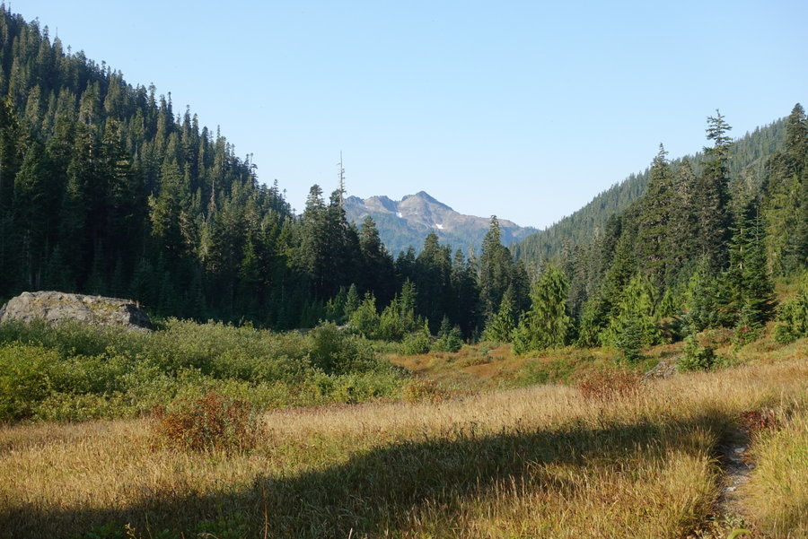
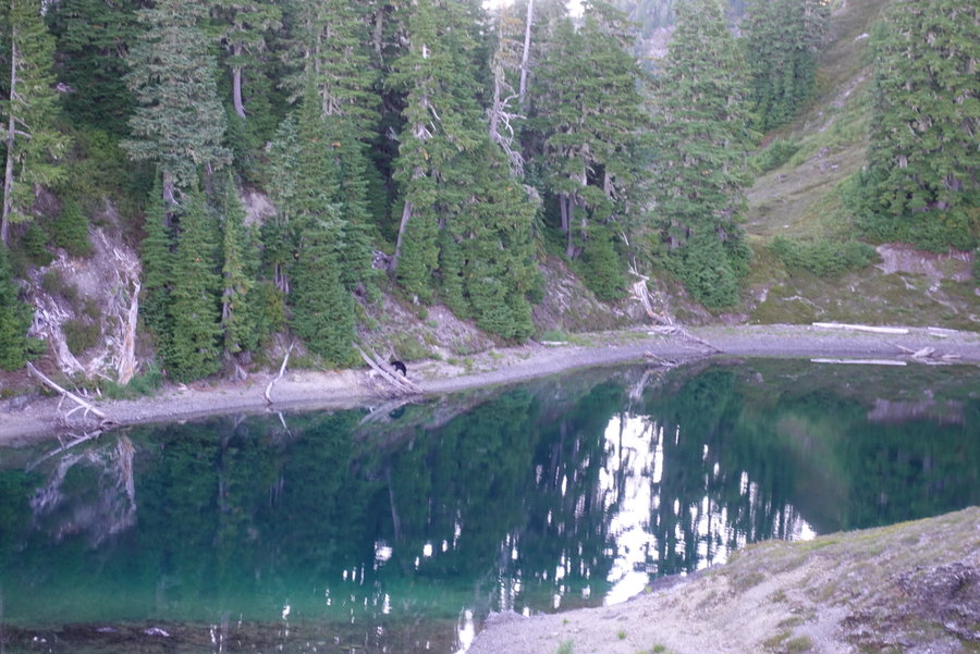
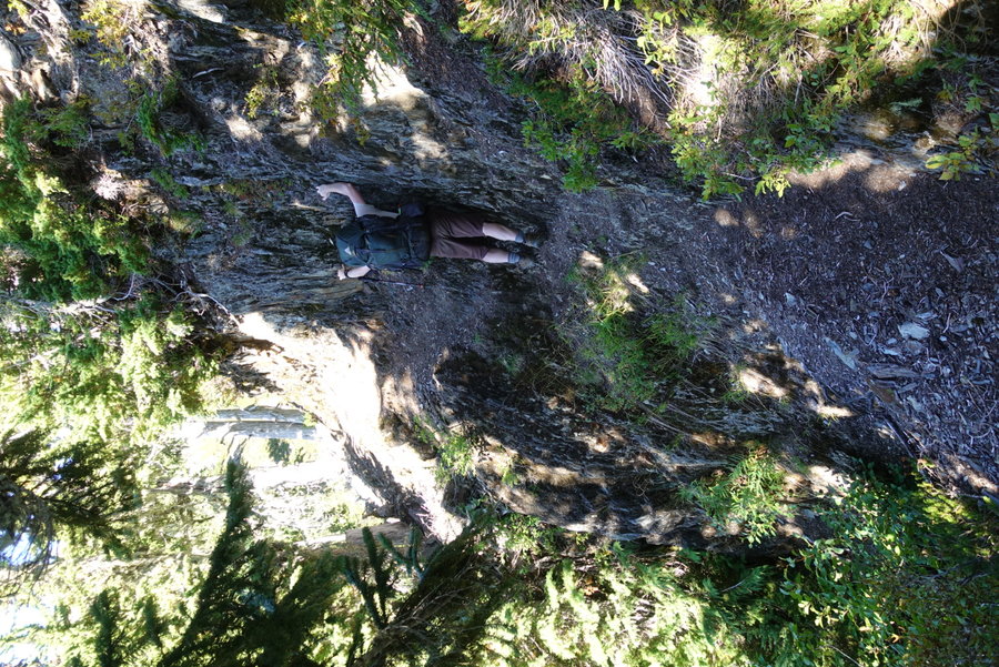
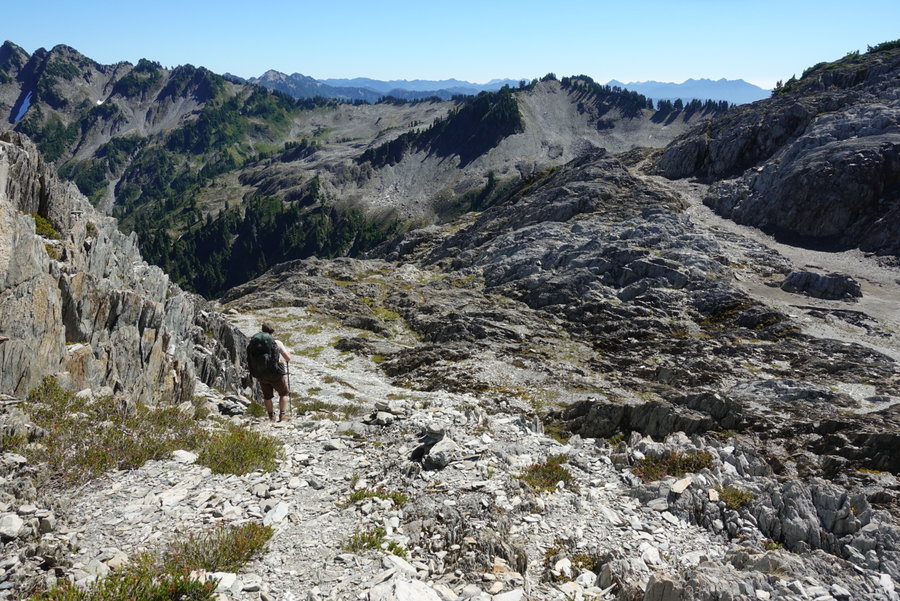
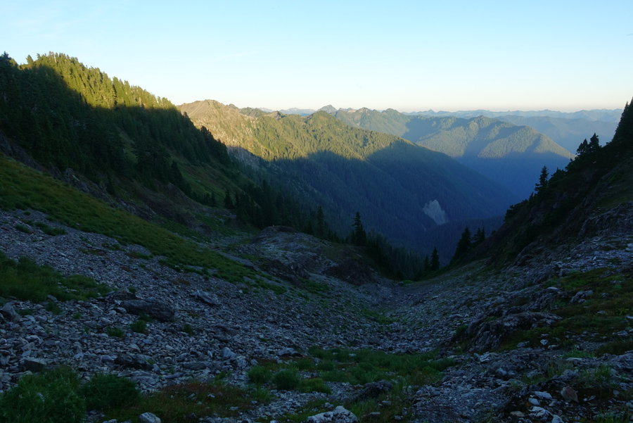
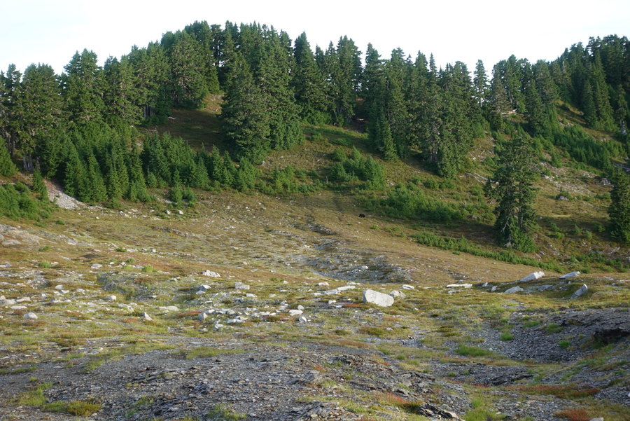
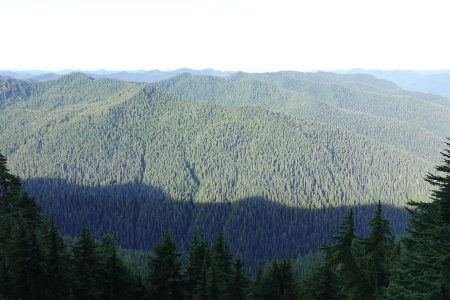
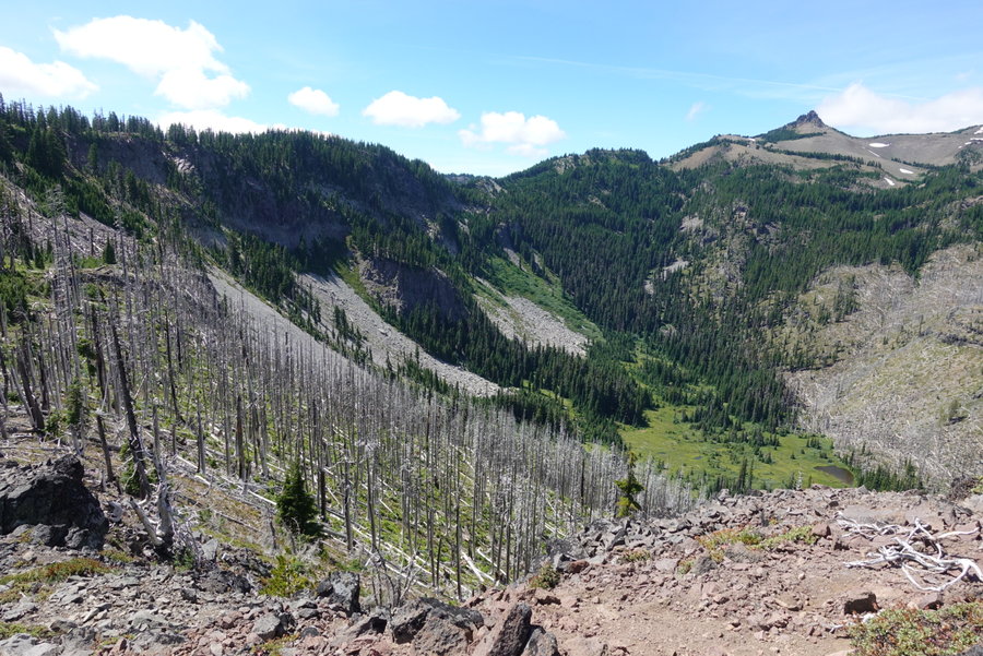
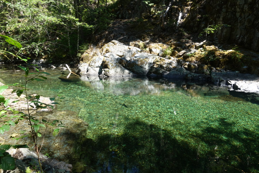
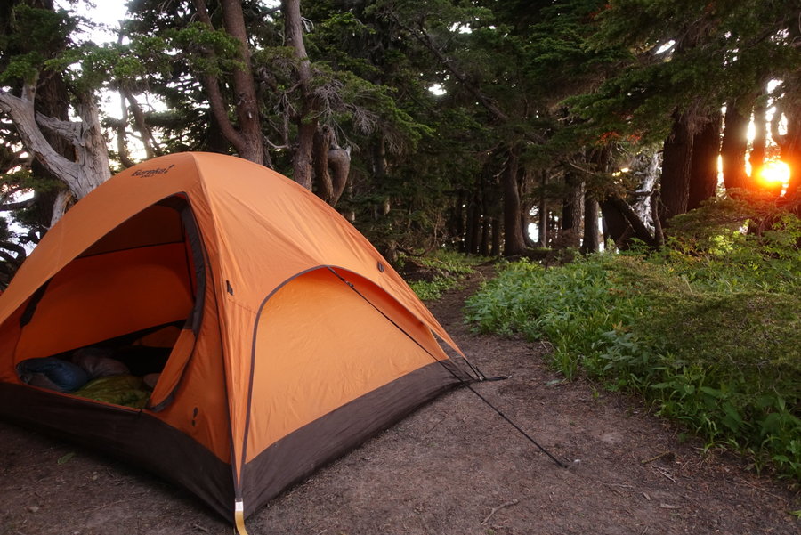
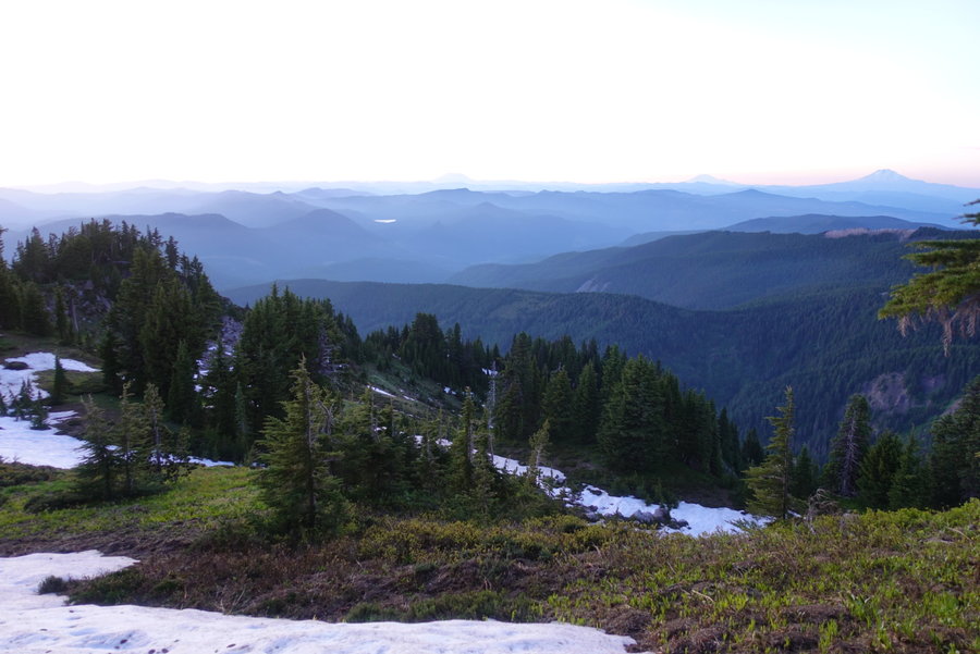
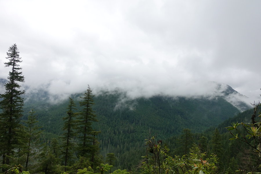
We knew we were in for a more difficult day since we were moving from maintained to primitive trail. It was an easy meadow stride over to the waterfall coming off of Mt. Seattle. The sun was already beating down on us, but we started our ascent in the trees. Trail was really overgrown, lots of narrow tread creeping downhill but I didn’t ever really feel unsafe. Huckleberries EVERYWHERE, and I started to make it a habit to make noise in case of bears. The views started to open up, and we spotted fog moving in through the valley. Eventually we were at an open meadow, and the trail eased to a more gentle stroll. Then came our descent, everything we had just gained was about to be lost. We started down and were startled by bear #1. We saw a furry butt scurry away from us as we had both surprised each other. We continued down the trail, and saw the full bear move away from us. We decided that we should stop for lunch in the shade, so part way into our descent we busted out some ramen. Once back on the trail, we ran into the only other hikers we would see for the day, a husband and wife working the loop in the opposite direction. We exchanged stories and talked about the difficulty of the route. It was Zane’s 40th birthday, and I joked that instead of presents I presented him with this difficult trip. The man told me he first hiked the skyline when he was 40. That left me with some confidence - if he was repeating the route it must be worthwhile. After our steep descent, it was time to rise up again. The most difficult part of this day was just the up down up down. There was one risky drainage crossing - scree and a huge drop with just a narrow line to hike. I managed and then we started on our next ascent. Overgrown, some annoying blowdown, but beautiful scenery. Eventually, we rounded a corner to a break in the mountains and an amazing view of Mount Olympus. While the trail skirted the edge of the ridge, the exposure was mostly okay though rugged. Once to our next descent to the Lake, the trail became a tangled mess of steep roots. It was brutal on our tired feet to head down steeply, but once we saw the scenery of the lake it was all worthwhile. Lake Beauty lived up to her name. We set up camp and ate dinner, watching a bear eat huckleberries in the meadow below. The next morning, we had a tiny visitor on the opposite side of the lake, getting a morning drink. I wish I could have spent an extra day here exploring. I didn’t see bear wire here, but we had eaten enough of our food to fit everything into the bear can.
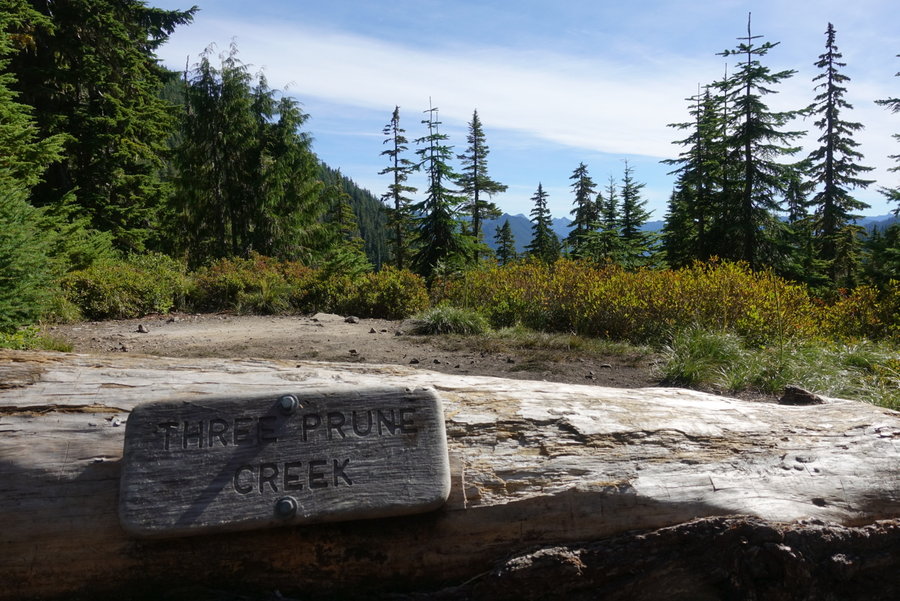
Day 4. Lake Beauty to… random spot along the way to Three Prune
This was by far our most difficult day. We set out intending to try to get as close to Three Prune as we could, so that our last day out would be less mileage. If I were to do this trip over, I would add an extra day and camp at Kimta Peak. The terrain between Lake Beauty and Kimta is tough, and warrants extra care. Besides that, the scenery is intense and beautiful, and worthy of extra time.
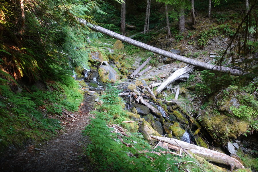
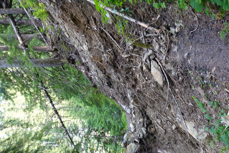
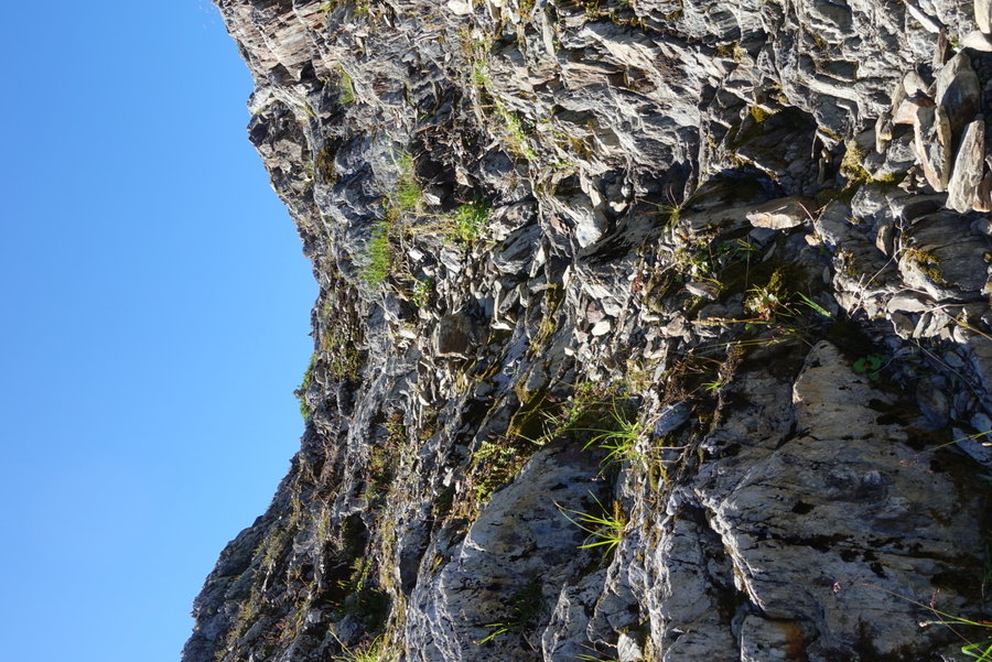
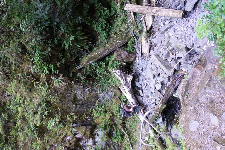
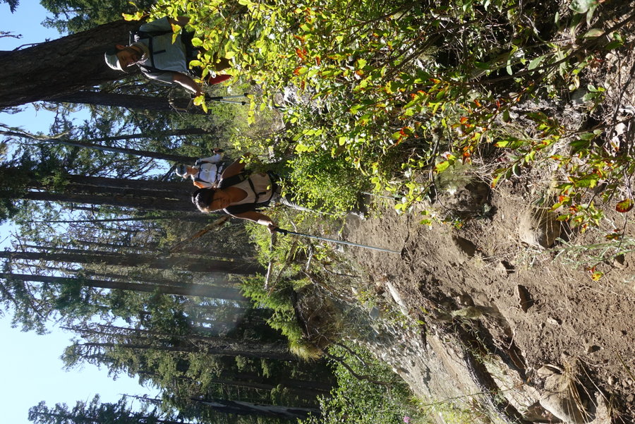
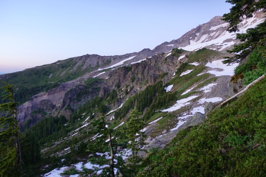
Lake Beauty to the Kimta burn saddle was challenging in the heat - blaring sun, exposure, and one really difficult exposed crossing. Every review I have read of this trail omits this glaringly awful spot on the trail, a real crux point where one could easily die. You round a corner - and suddenly - the trail disappears into the cliff. You are left with just a couple of spots to scramble on the cliff edge, and your hand holds are flaky rock. If we hadn’t already been past the point of no return on our loop, I may have turned around. The crossing is no problem without a pack, but with a pack you feel as if the cliff is pulling you downwards. I’ve had friends tell me that hiking is more hazardous than climbing, and this is a prime example. Zane knew I was in trouble, so he crossed with his own pack, and came back across to take mine. I went across with no weight, no problem, and then he stepped to make his way again with my pack. When he was almost across, he felt as if he was slipping and yelped for help that he was falling. I reached out for him but he was already pretty much across, just feeling the slight panic from the stress of the situation. I wouldn’t wish this upon anyone, and I do feel like this spot is a disaster in the making. Sadly, primitive trails in the park won’t ever see improvement, so I suspect eventually as the trail erodes more, it will become impassable without a reroute. EXTREME CAUTION needed here to pass.
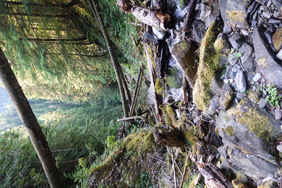
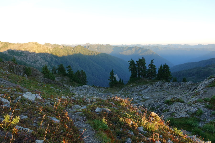
After the difficult crossing, you enter what is known as the moonscape, and quite possibly my favorite part of the trip. An incredibly weird landscape, non existent trail, but easy to follow if you trust the cairns. I imagine this area would be awful in fog/low visibility. After the stress of the cliff, I welcomed the fun scramble with incredible views. We did take an extended break for lunch in the little shade we could find, before our next steep descent. Right before our descent, we did spot an excellent but dry campsite in the few trees present on the ridge.
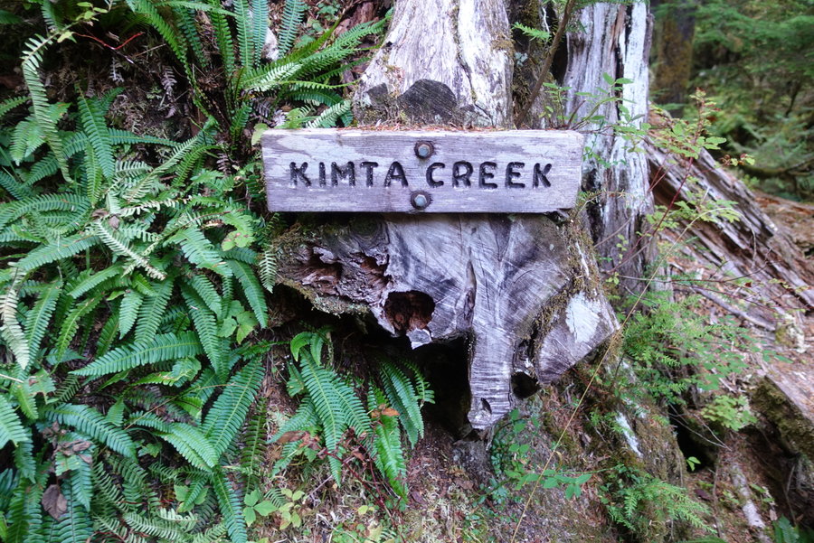
It was hard to go down, when we knew we would just be needing to go up again. The trail on the descent was good, and another bear was spotted. However, the Kimta burn to Kimta basin uphill struggle was awful. Trail was bad - barely there, cliff edges, blowdown, sun exposure, just awful. No way to get through this area fast, just shitty trail. Wouldn’t wish it upon anyone. We reached Kimta creek, and decided even though it was late, we would eat dinner and water up (last source of water, none between Kimta and Three Prune) We knew we couldn’t make it to Three Prune before we ran out of light, so we opted to get as far as we could. We passed many beautiful campsites, including two past Kimta that overlooked the Queets river. I wished that we could stay, but we knew the further we could get, the less mileage on our last day. Eventually, we ran out of daylight, and had to put on headlamps to try to find a suitable spot. I try to always LNT and use an established site, but we were in a pickle. Our last flat spot was a meadow, and beyond it was miles of descending on a steep cliff edge. We found a flat spot in the trees on the edge of a meadow and made camp for the night. The only bright side to this was the next morning - eating oatmeal (with huckleberries) we watched two bears across the meadow chowing down on berries oblivious to our presence.
Day 5. Meadow to Ireley Lake Trailhead
Not making our mileage the previous day, we had a hard day ahead of us. Trail from Three Prune from the meadow wasn’t bad, some steep descent but trail was in good shape. We were happy to finally reach “maintained trail” and hoped for the best. Three prune was nice and we were kind of sad we didn’t get to camp there. I really don’t think it is wise to push yourself all the way to Three Prune from Lake Beauty. Do yourself a favor and camp at Kimta and enjoy the view. If I would have had an extra day I would have.
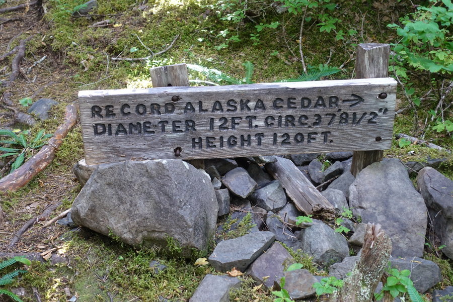
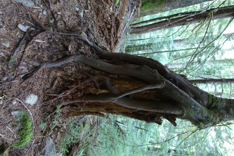
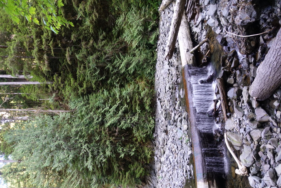
Trail was fine for the most part, but Zane and I had a lot of mileage to cover. We continued our descent. Beautiful old growth, and enormous Alaskan cedars to keep us entertained. We started seeing creatures and faces in the trees. I had visions of hamburgers awaiting me at the finish line. 1 mile to go, and the trail once again turned awful. Muddy, a stupid water crossing that should have a bridge .5 miles from the trailhead, blowdown, just annoying trail. This section made me incredibly crabby, when I just wanted to be done. I was happy when we finally reached the car.
September 3 – September 7, 2020


 1
1
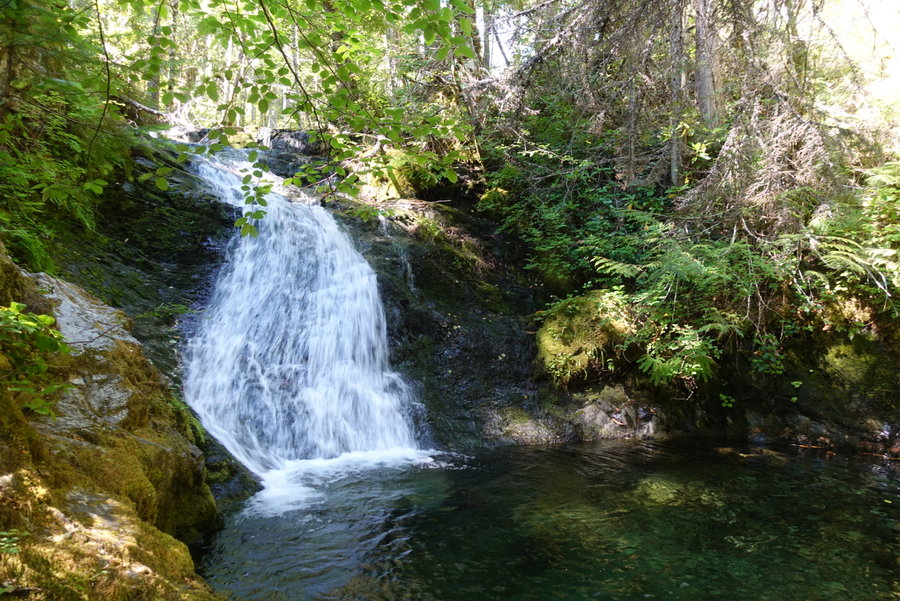
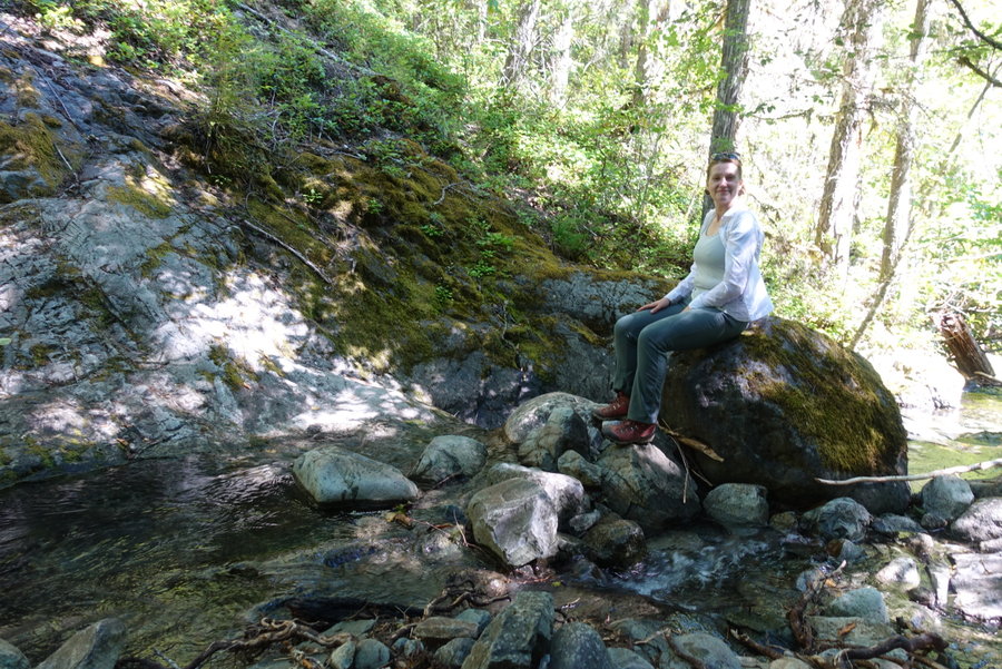
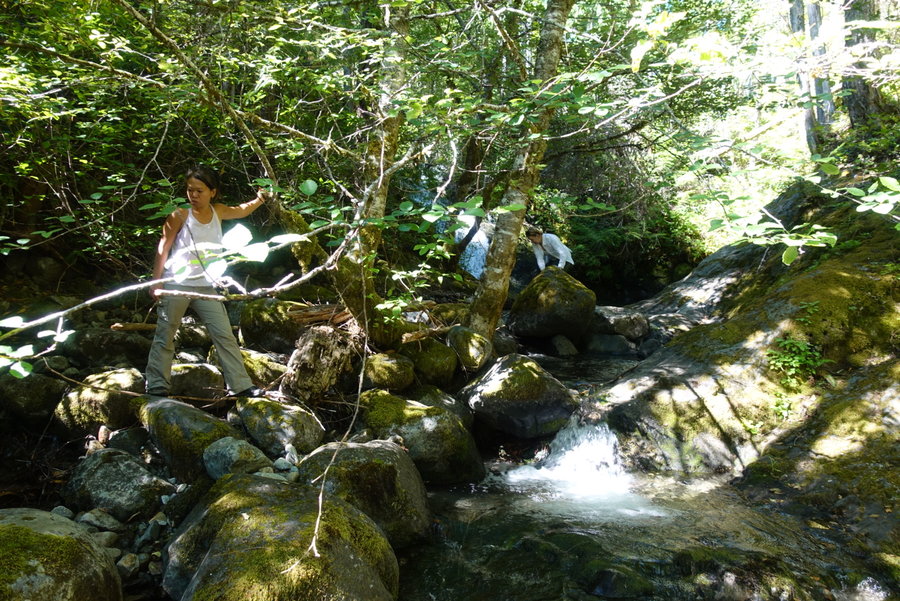
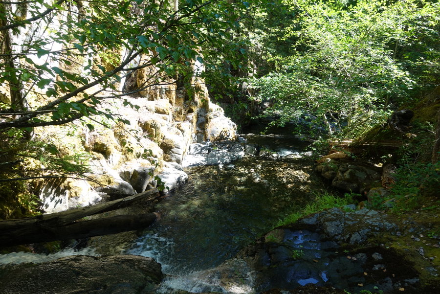
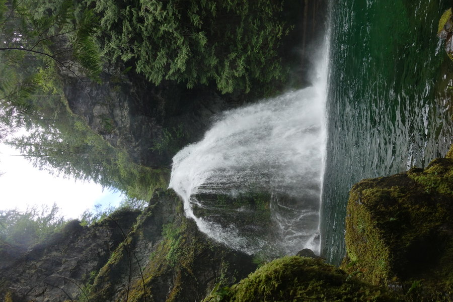
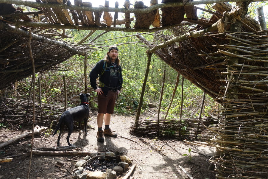
Duncan Creek
4.5 miles of hiking • 1250' elevation gain •
Just a nice, pleasant short day chasing waterfalls.
August 23, 2020


 2
2
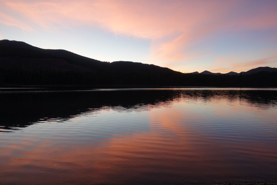
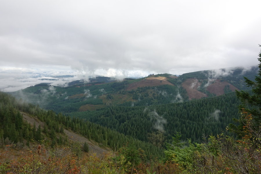
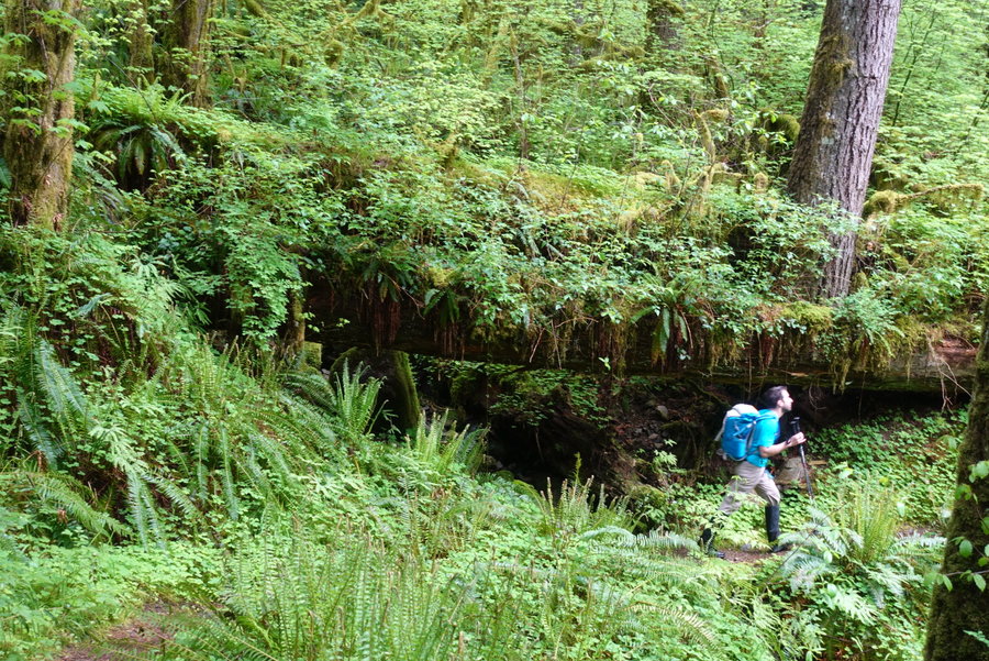
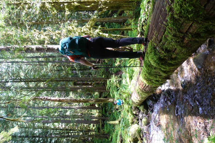
Bingham Ridge Trailhead to Table Lake + Bear Butte Viewpoint and back out
27 miles of hiking • 4250' elevation gain • 2 nights
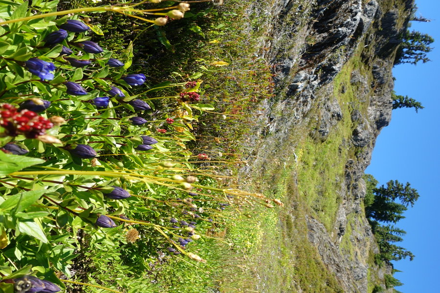
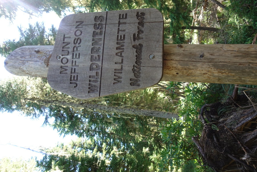
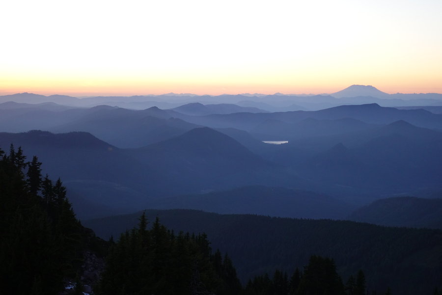
It has been getting harder and harder to find solitude in the outdoors, so I've been consulting my pal Matt Reeder's book often, Off the Beaten Trail. The final hike he describes, involved some off trail adventuring and plenty of mileage to reach, and so I chose Table Lake in the Mount Jefferson Wilderness.
I had secured my first actual requested day off since the pandemic began, so I had 3 days to play. I messaged Matt, as I often do, to find out if there was anything I should know that he didn't mention in the book. He supplied me with a gps track to follow so I wouldn't get lost in the off trail sections, and informed me that he too, was heading out there, and would still be there for one more night as I arrived.
I hadn't seen Matt nor hiked with him since the pandemic began, so I was super excited to get his text with his gps coordinates so that I could find him and his wife Wendy by the lake.
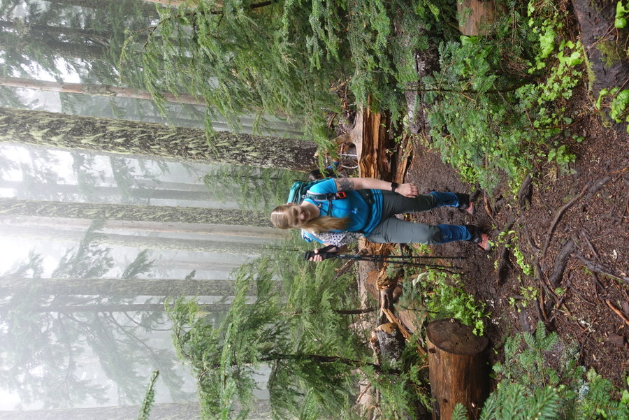
Also along for the adventure - my partner Zane and my dog Lily. We didn't get a super early start on Friday, so we were hiking in the heat, and just generally being pretty slow with lots of water breaks.
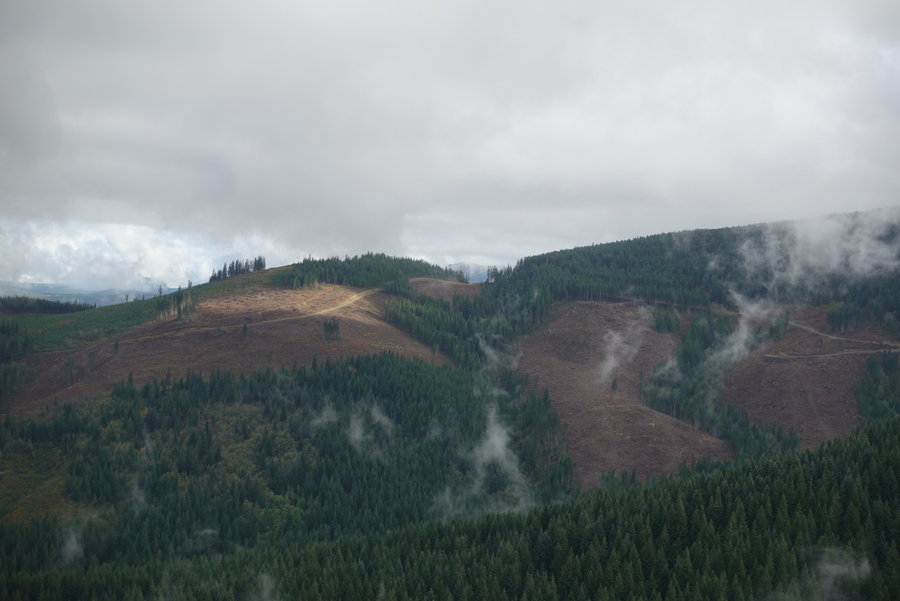
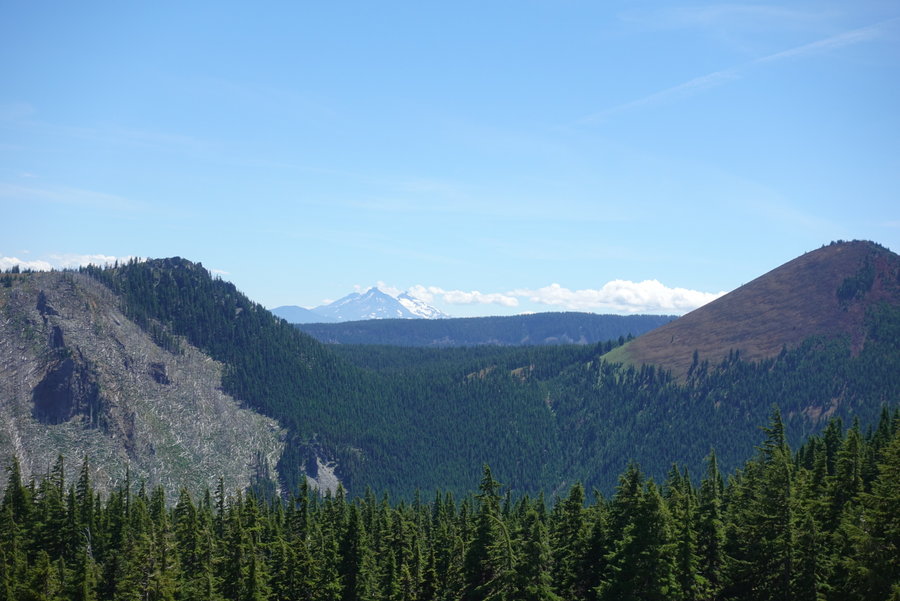
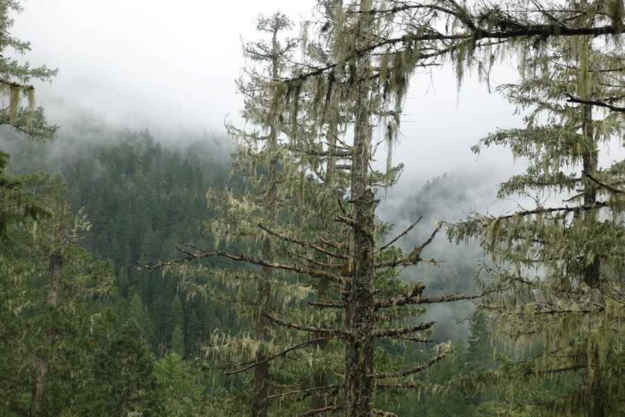
The trail starts up right away, through a reroute that adds switchbacks and a little extra mileage, so my route was longer than the one described in Off The Beaten Trail. Not super strenuous, but enough up to feel it with a 40 lb pack. Eventually, I reached a burn zone from the 2006 Puzzle fire, and took a little stroll off trail to some interesting rock formations and had my first view of Mt Jefferson of the day. As we meandered through the Tim Burton dead forest, I caught glimpses of Three-fingered Jack through the trees.
Eventually we reach one of the only sources of water between the trailhead and our destination - Papoose Lake. Most streams we crossed were dry, so we opted to fill up here even though I prefer moving water. We found a good stick, and the dog spent the time swimming and cooling off while I pumped water and looked for signs of pika in the giant rockslide that was the backdrop to the lake.
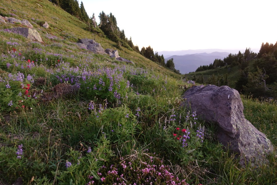
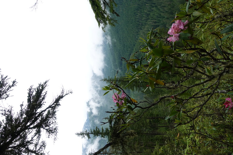
We continued on, and ran into the only other two hikers we would see on the trail, 2 solo men. We encountered what would be one of the most magnificent views of the day, where the trail intersected with the Hunt's Cove trail. Mt Jefferson wowed us as we walked along the ridge, enjoying the wildflowers and the scenery below.
Continuing on, we almost missed our connector trail, and had to backtrack. There wasn't a cairn to mark it, and rangers had covered the trail with branches, blocking out any idea that a cross country route existed there. (Matt says it may actually have been a Native American trail, but I'll have to see if I can find more information on that.)
Once we actually found the very very faint beginning to the trail, it went steeply downwards into the basin. As described by Matt, we could see the direction we were supposed to head, and area between the Table and an unnamed cinder cone. The trail was rough at times, very overgrown in sections, but not hard to follow once we knew what direction to go. (Do Not Go Towards the boulder field.)
Once past the cinder cone, we were almost to our destination for the evening. As we crossed the meadow by the lake, we heard a friendly voice from in the trees. We had arrived. We quickly set up camp and spent an hour talking with friends until the wind made it time to enter our tents and find comfort and warmth in our sleeping bags. My dog's mind was blown to have traveled so far in wilderness, to find a familiar friend. I felt bad as she pounced on Matt, who isn't necessarily a dog person, but the sure joy in her was a pleasure to watch.
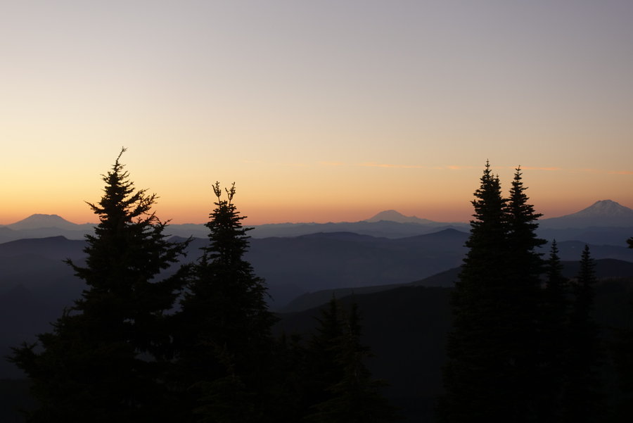
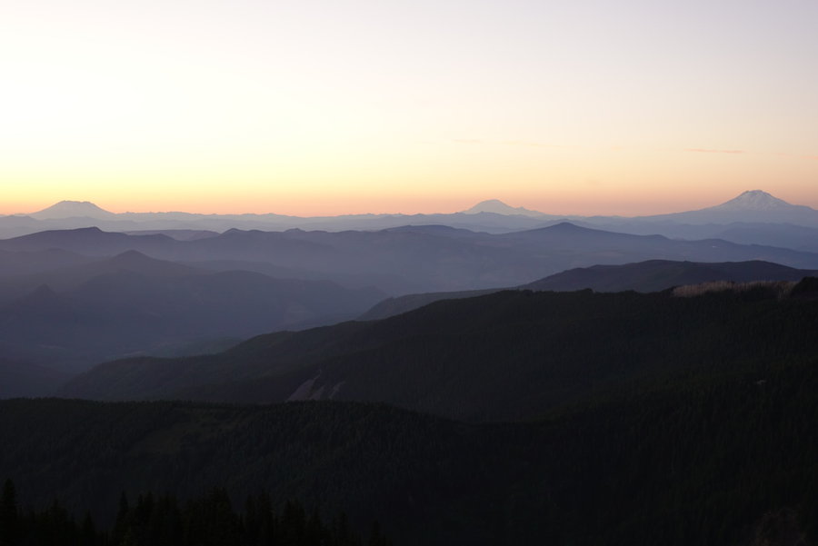
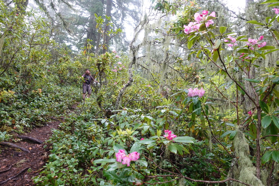
Our second day was spent exploring the lake and a nearby viewpoint. Again, the trail up to the Bear Butte viewpoint wasn't hard to find, as it was signed that the trail ended when it in fact went further. Faint at times, but by no means hard to follow. Another fantastic viewpoint greeted us, with views of Jefferson, Bear Butte, and even the Three Sisters.
Afterwards, we relaxed as much as we could, fighting through the swarms of biting insects. I found use for most recent purchase, my hammock, and enjoyed staying bundled up and relaxing in the shade of the trees.
In the morning, we opted for an early start to try to beat the heat, and we were on our way out shortly after 7 am. The way was easier to follow on the way back, and the only trouble we ran into was a faulty water bladder that sprang a leak in Zane's backpack. We switched containers, and made our way back up on the steep faint trail to find our way back to official trail. It was a long long trek, but ultimately worth it. My only regret is not having the energy to try to get up on and explore the Table, but that off trail adventure will have to wait for another trip. This was my first exploration of the Mt Jefferson wilderness, and I hope to get in at least one or two other trips in before the permit system goes into place next year.
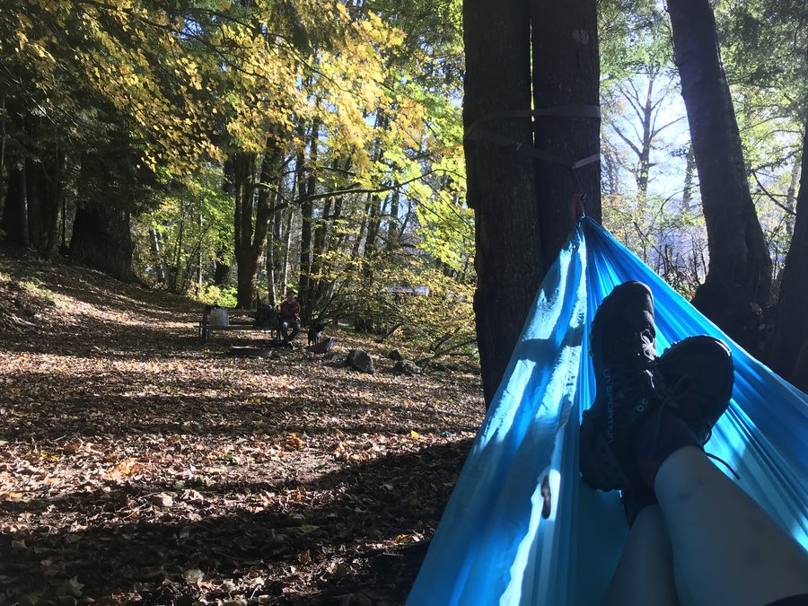
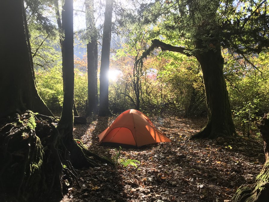
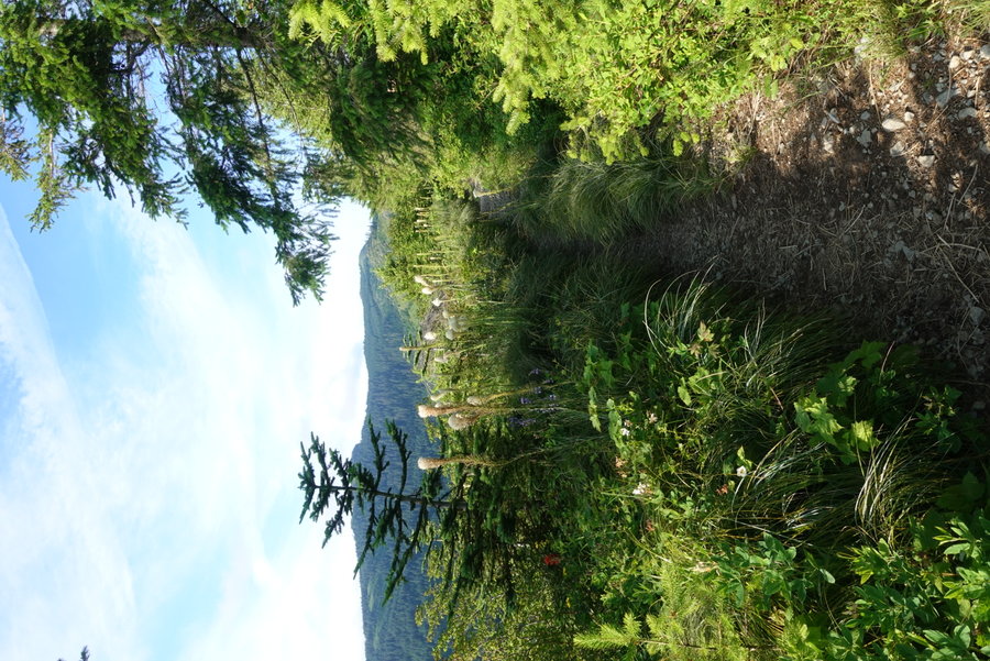
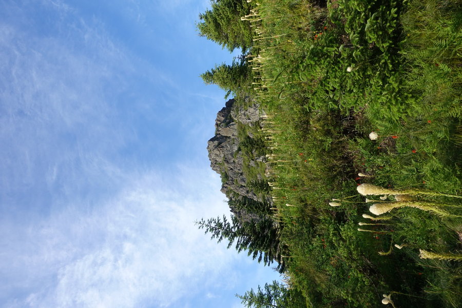
August 7 – August 9, 2020


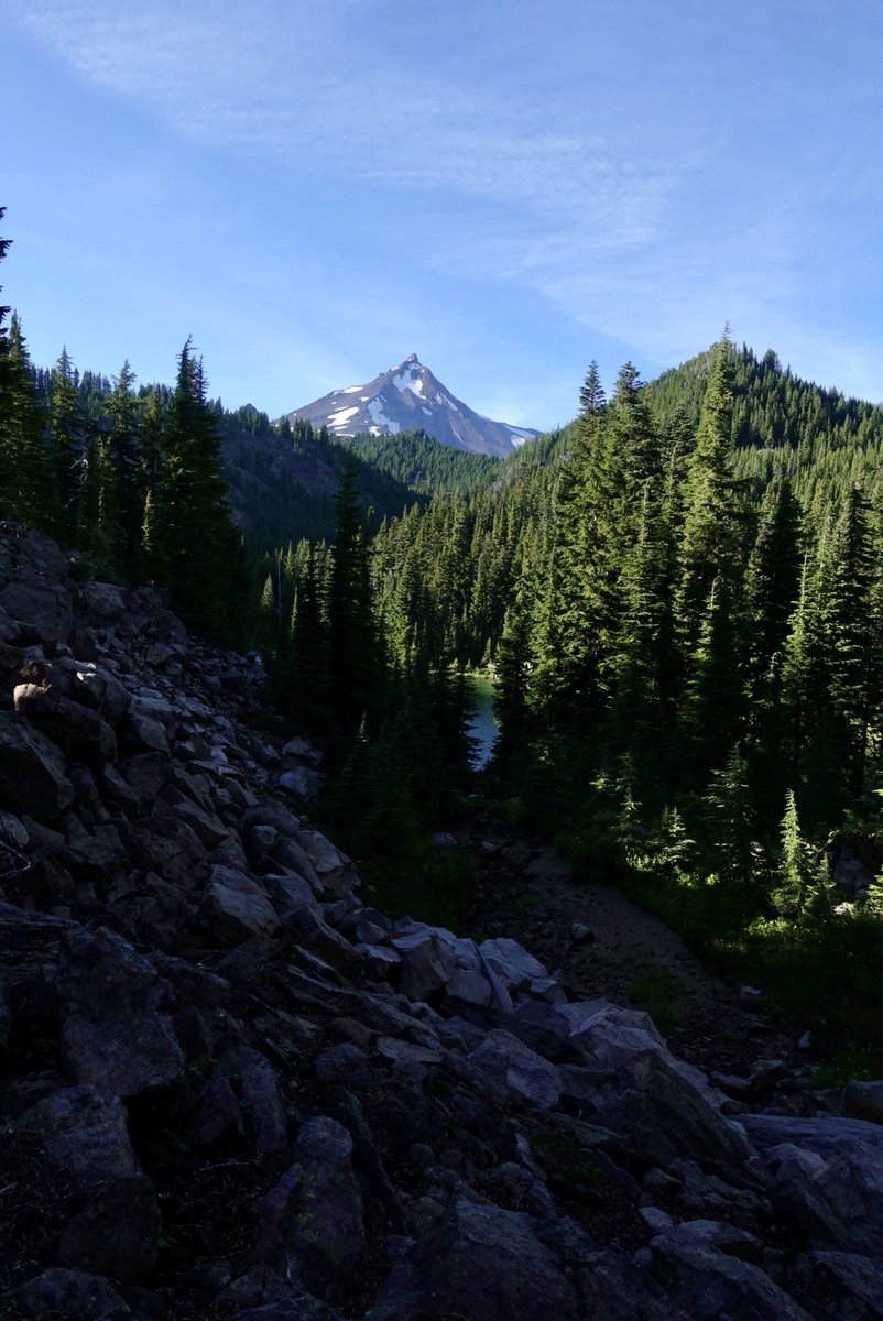
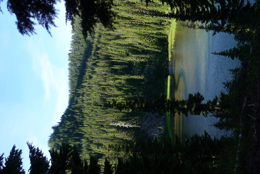

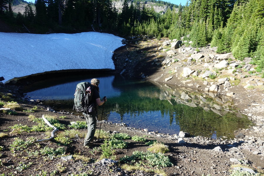


 1
1
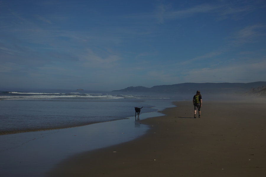
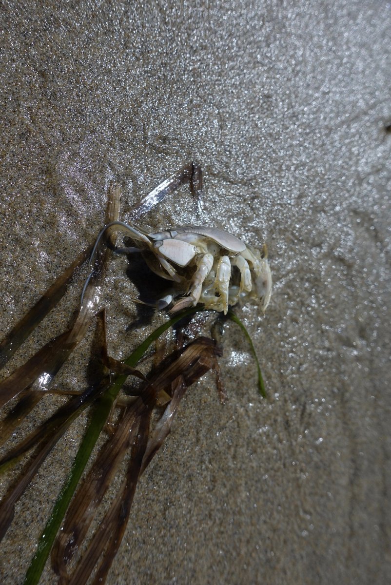
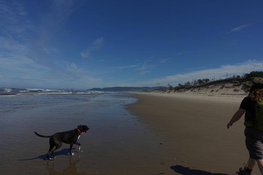
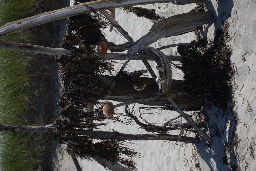
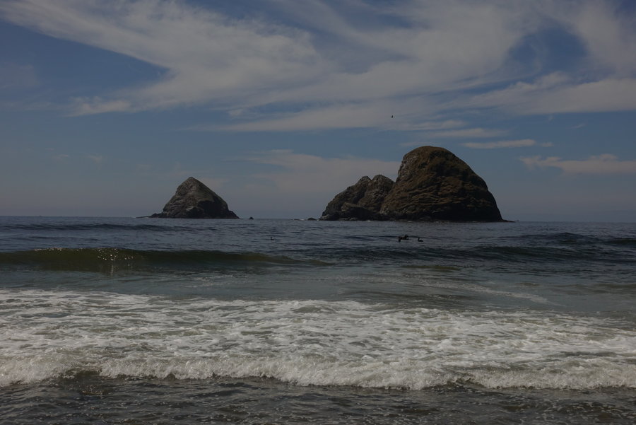
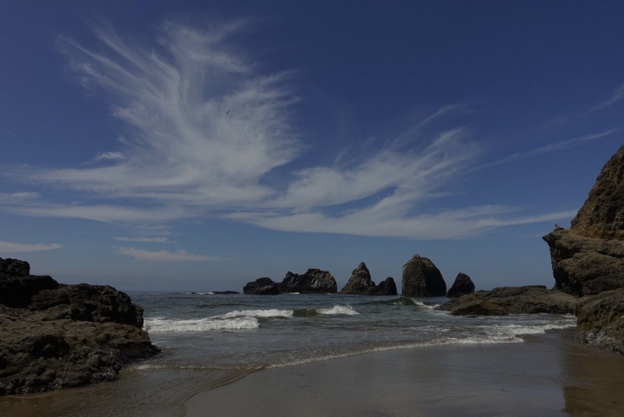
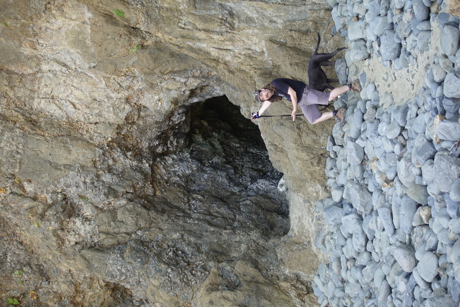
Netarts Spit + Tunnel Beach
6.5 miles of hiking • 0' elevation gain •
Opted for an easy flat stroll along the beach today. Plenty of solitude once past the first mile. Made a second stop to tunnel beach (No solitude here, but it was not overcrowded and I was able to stay away from others) to play around looking for cool rocks. First time to the coast in months.
August 1, 2020


 1
1
Elk Lake Creek
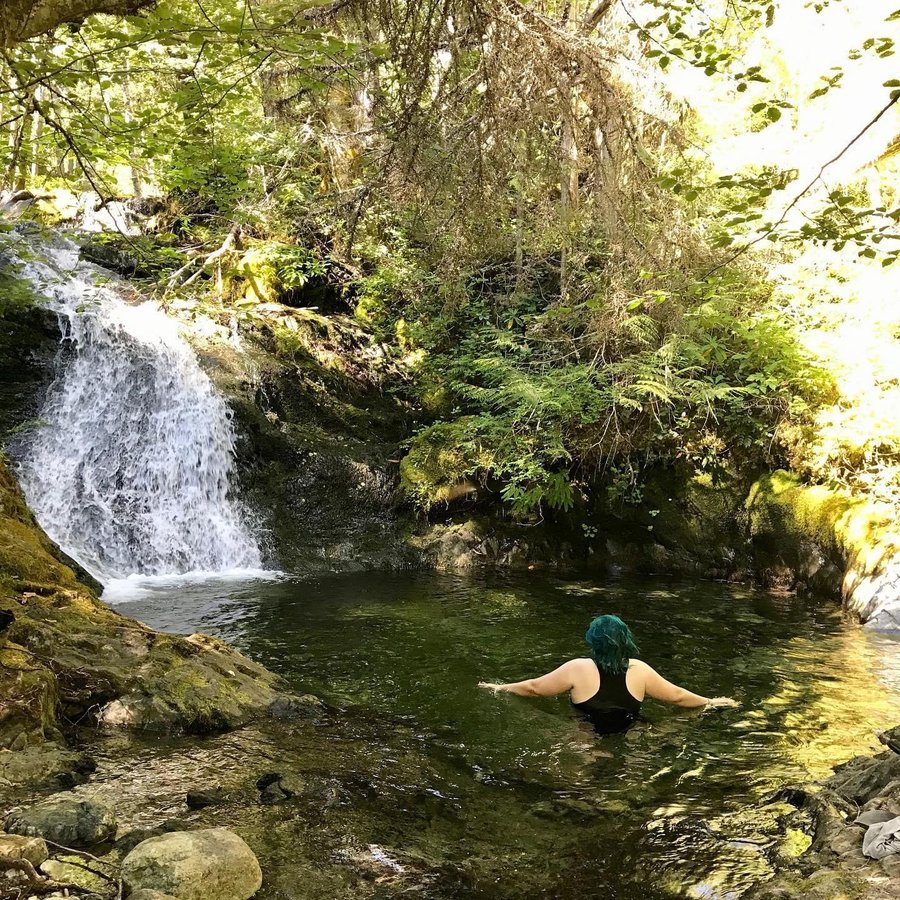
12 miles of hiking • 1250' elevation gain •
I've apparently earned a new trail name, “comfort optional” from the covid hiking crew for whenever I lead anything. I promised an easy-ish hike yesterday due to the heat but I am full of lies. Much fun log hopping, scrambling to off trail waterfalls and to cold swimming holes, and many many creek fords. Excellent day and the only hikers on the trail except for a few backpacker groups that were heading back out.
We made frequent stops for dipping in cold water, and the heat never felt unbearable.
July 26, 2020


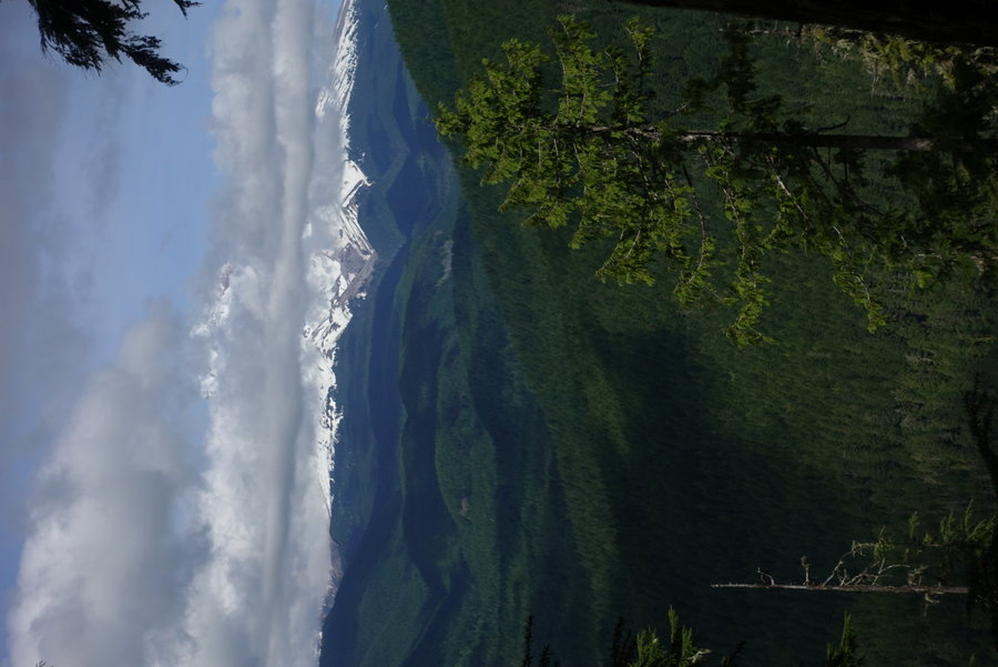
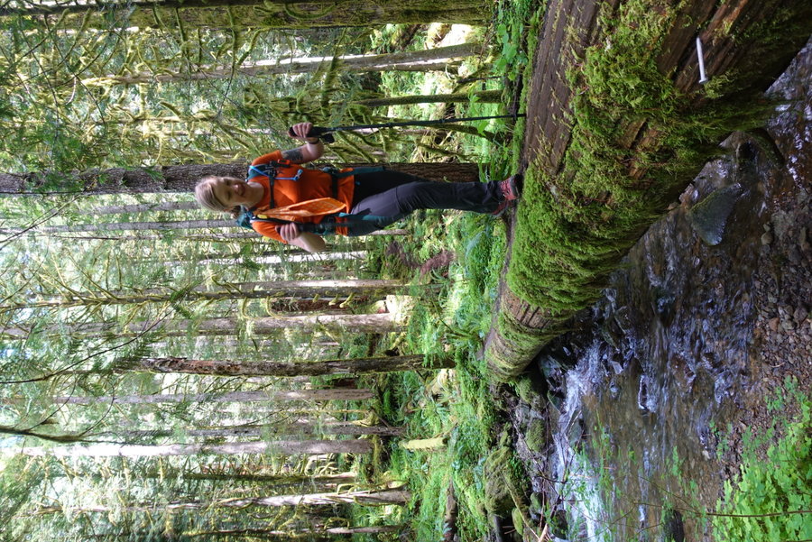
 4
4
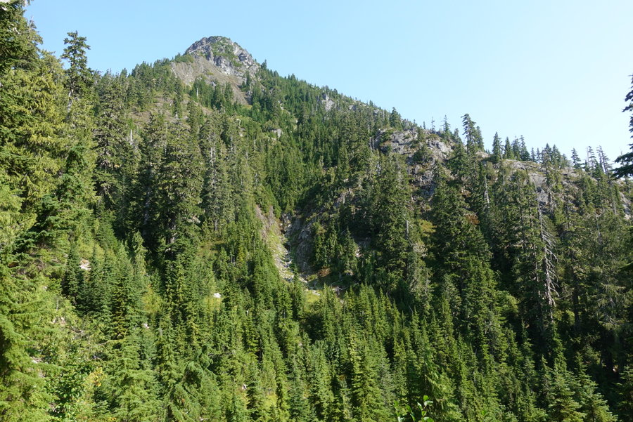
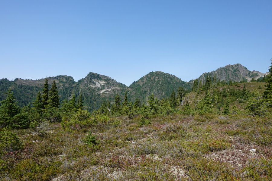
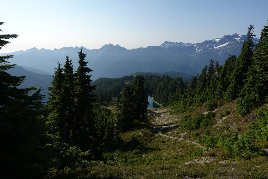
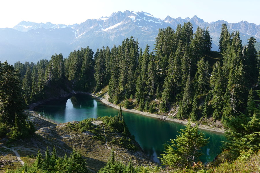
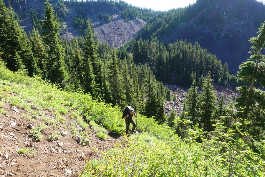
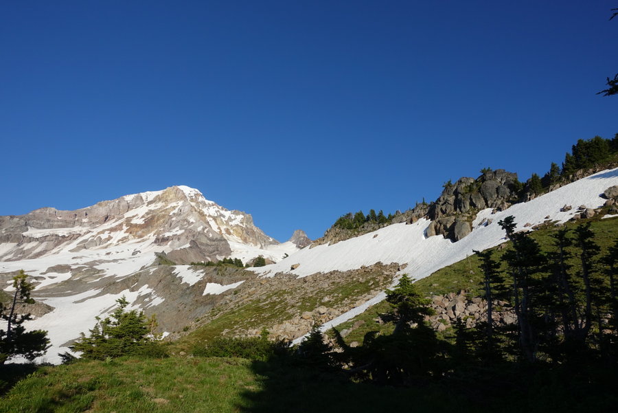
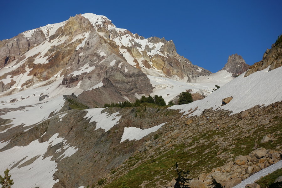
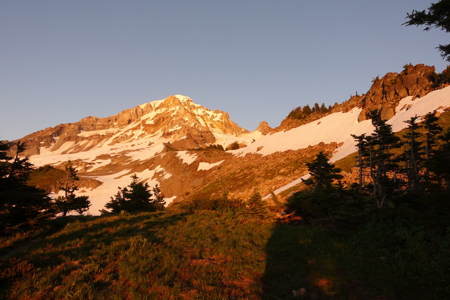
Yocum Ridge Round 2
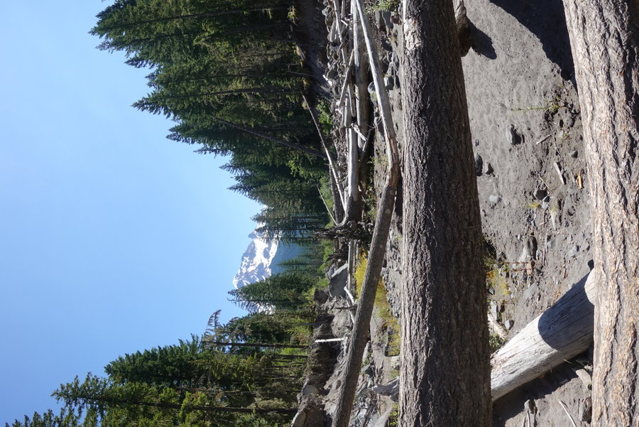
20.5 miles of hiking • 4000' elevation gain • 1 night
Suffering through a dayhike wasn't enough last weekend, so I decided that with clear skies expected, I would try for round 2 but with a pack.
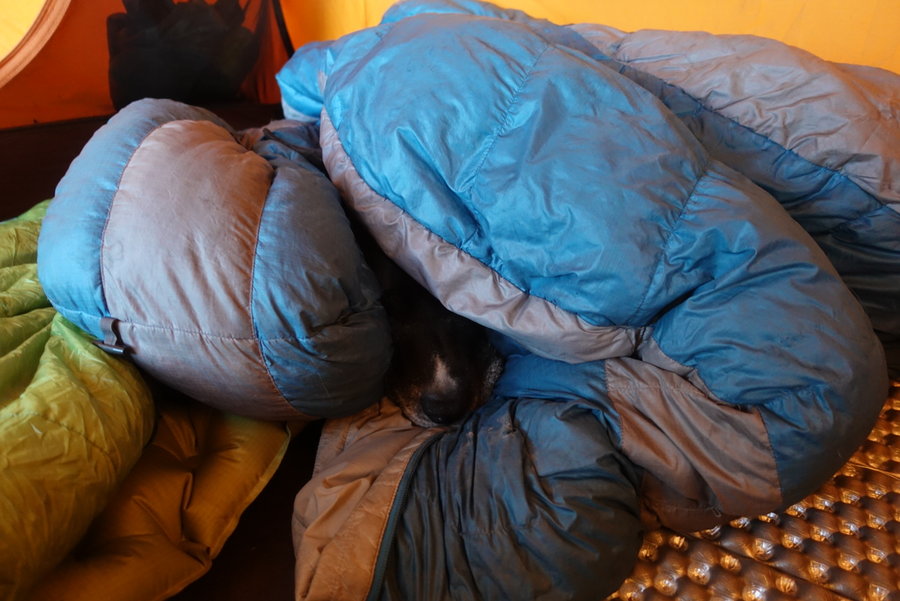
Talked my partner into it, and we opted to bring the dog. I packed an extra sleeping bag for our pampered princess, and off we went.
The Sandy crossing was once again okay, the dog easily followed us across on a log.
We got a later start than I would have liked since we slept in a bit Saturday morning, so we started in the heat of the day and through the hoards of Ramona Falls crowd. I masked up when passing groups. For the most part people were respectful and masked up or stepped aside for each other.
We took a long break at Ramona as Zane had never been, purifying water for our long way up. I stayed mostly minimal, I had my eye on a water source I had scouted last weekend to fill everything up before hitting the ridge. To be expected, it was crowded at the falls. We were glad to leave the crowds and get up on the mostly quiet Timberline trail. It was a relatively slow but gentle ascent with a pack, but definitely more of a challenge with the extra weight.
We hit the junction to Yocum and quietly headed up for the long haul. I took a few extra breaks this time, going up in the heat with a pack as opposed to last weekend with clouds.
We stopped at a pond just for a quick rest and my dog managed to find a foul disgusting rotting bullfrog to roll into. She stank so bad, I tried to wash her with what water I had left but it was futile. It would have to wait till we ran into running water.
At our last reliable water source of rushing water, I spent a good hour trying to clean her off so she could at least be clean enough to spend the night in the tent with us. She has a bad track record of doing this while backpacking where there are scarce water sources. If there is something to be rolled in, she will find it.
Hot, angry, biting mosquitoes... my partner was pretty grumpy at this point. He is happy to hike and backpack with me, up to a point. I knew I was pushing his limits, but I promised it would be worth it.
We finally rolled up in to the meadow with the big payoff view of Hood. The one campsite I knew of there was full, and I spotted quite a few people camping in what was technically meadow. I felt disheartened, and wondered if the ridge was full leaving people to camp where they shouldn't. I promised our destination was just a short distance and two switchbacks ahead... his legs would barely move but I got him there. The ridge had multiple established spots still open, and we found what may be one of my favorite camping spots ever.
His mood lifted as we set up camp and ate dinner, and watched an amazing sunset with phenomenal views. Yocum Ridge is pretty incredible.
The night was filled with the sound of ice and rockfall from the glacier, reminding us the mountain is very much alive.
July 18 – July 19, 2020


 2
2
Yocum Ridge
19 miles of hiking • 3750' elevation gain •
Covid hiking crew meets again.
We felt like a challenge, so we opted for a hike that has been on my list for a long time. I somehow always felt intimidated by the mileage.
Sandy crossing was pretty straightforward and easy. There may have been an easier spot, but we didn't waste time looking for one.
We were probably one of the first to hit Ramona Falls, it was quite pleasant to have it all to ourselves for a moment. After a brief snack break, we trudged on.
I expected the climb up to be more grueling, but the switchbacks were gradually and it never really felt super hard. Two folks on my crew were carrying an excess of water for training weight, and they seemed fine as well. (I carry my excess weight on ME, no need for me to weigh my pack down further.)
The avalanche lilies were plentiful on our way up, and eventually we came to a big open meadow with a huge view. (Well, should have been huge, but the mountain was shy yesterday.)
Our friend Tran, a rock climber but not a hiker, said to us - "You girls are so strong! We don't usually hike this far to get to the rock!"
While the mountain was getting socked in, I still wanted to get my mileage in and try for the actual ridge. We packed up Tran in a sleeping bag, and she took a cozy nap while we headed up a little further. Once on the other side, the views were still obscured and it seemed pointless to go further. We went back to retrieve Tran, and started our descent.
Next time, I'll be armed with an overnight pack so I can stay the night and take it all in.
Fun challenge, and may have been the longest mileage I have put in, in one day.
I'm eager to go back.
July 11, 2020


 2
2
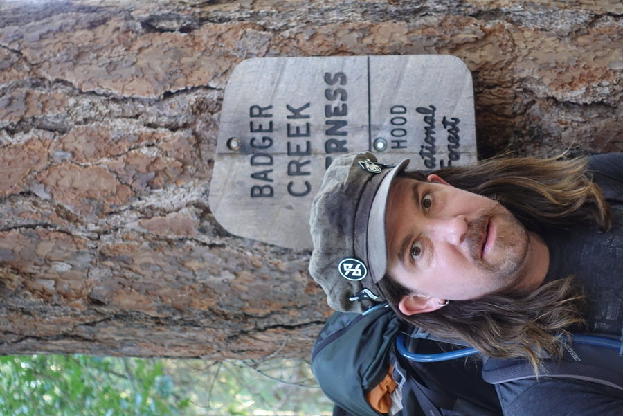
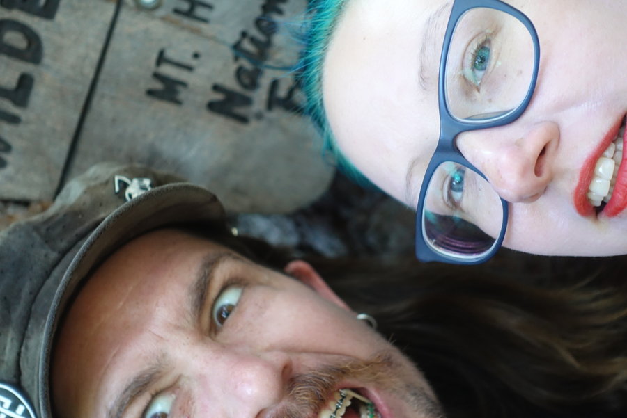
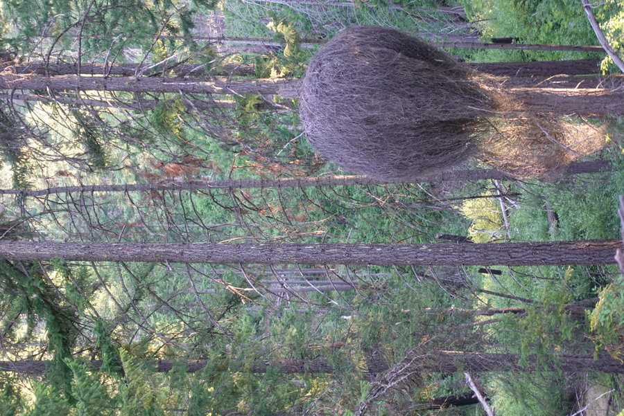
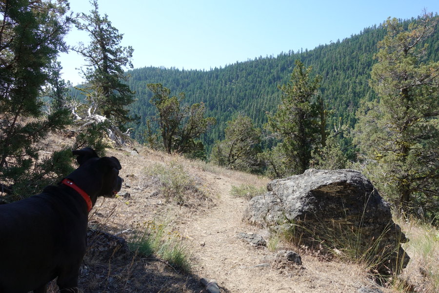
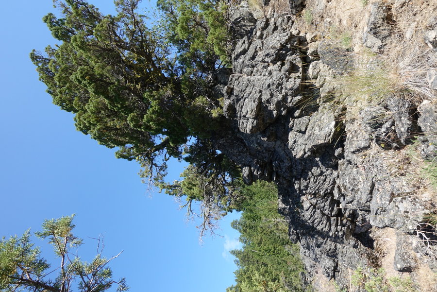
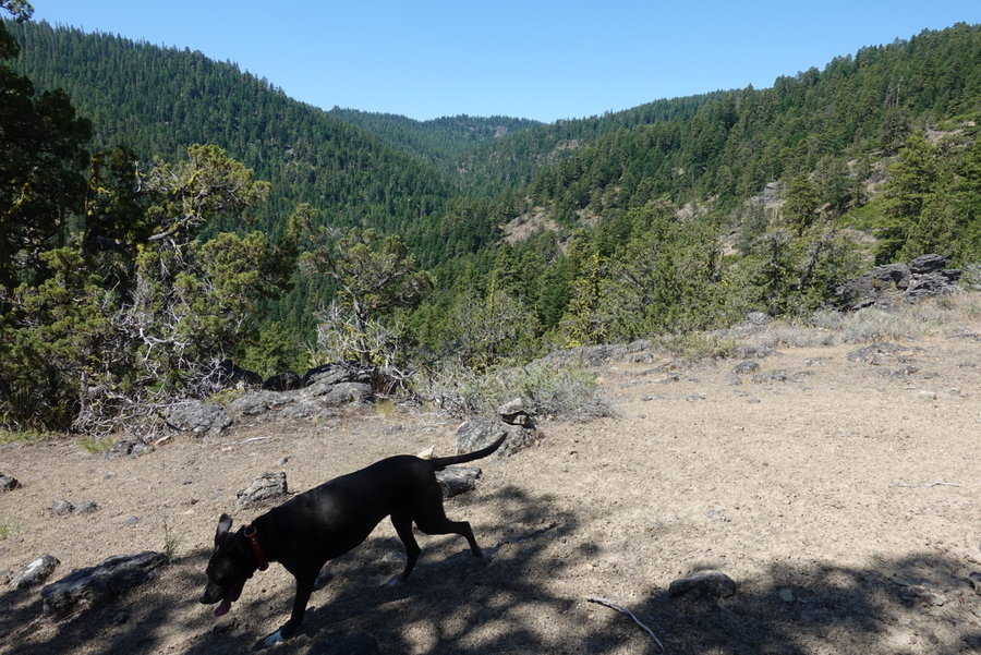
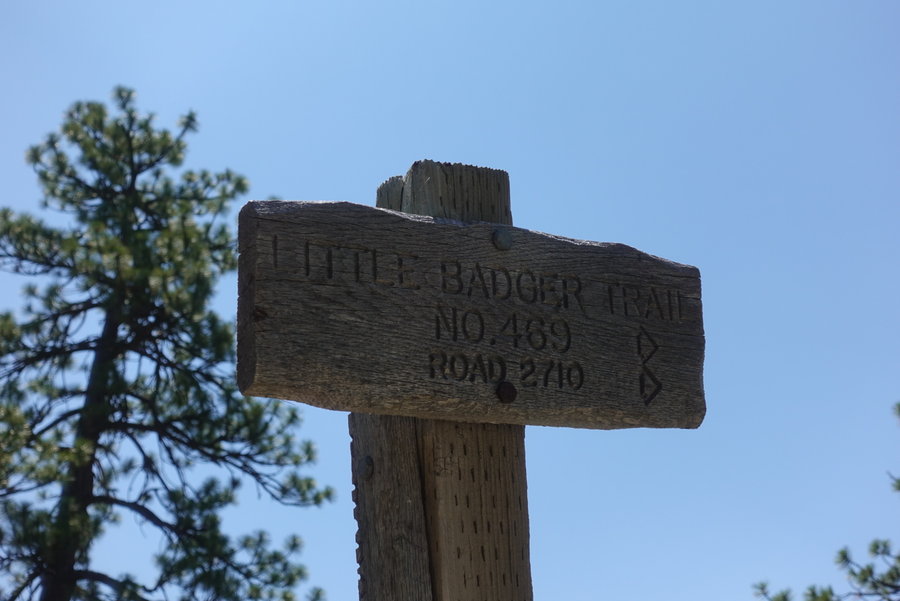
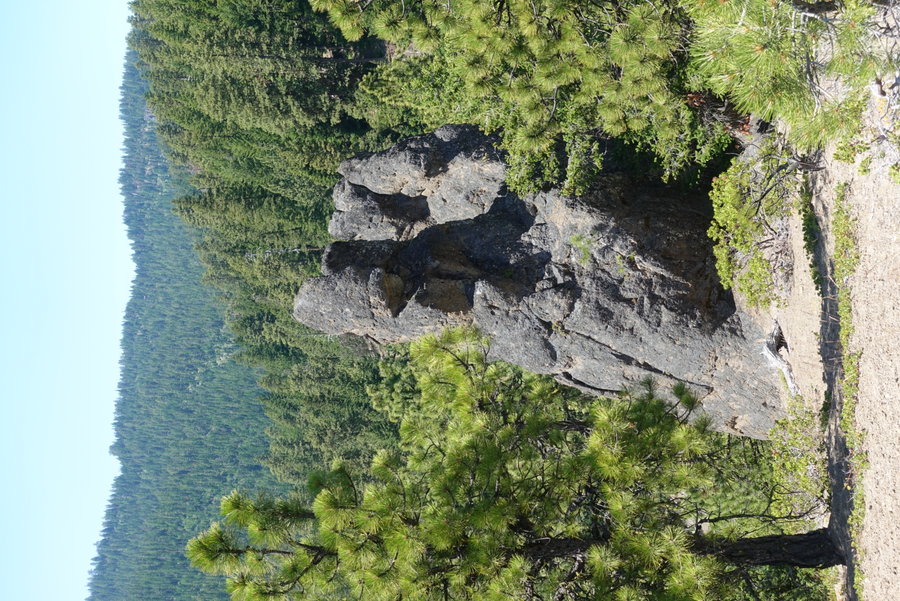
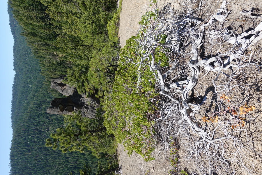
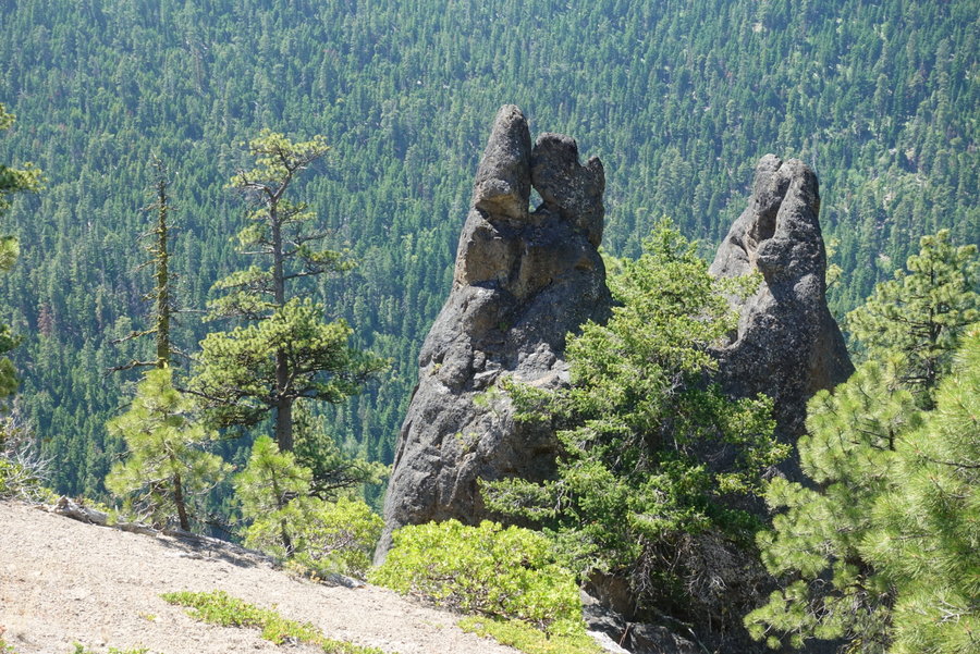
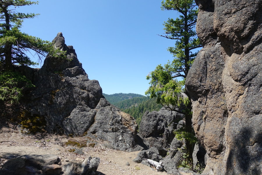
Little Badger Creek Trail aka Operation get dog away from Booms
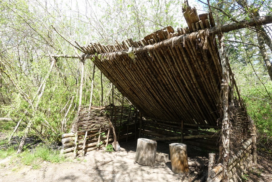
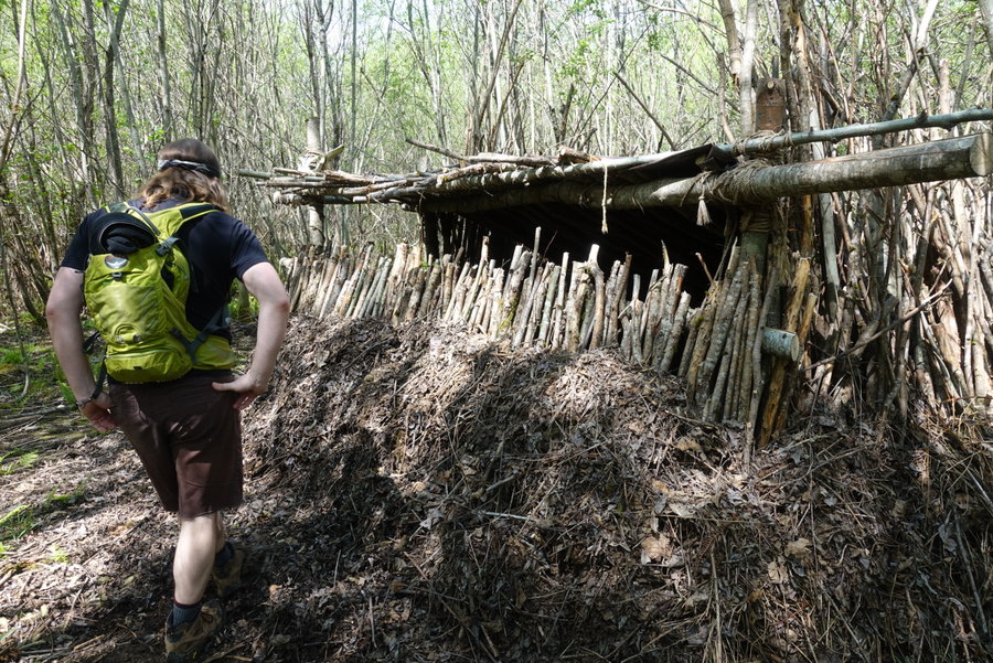
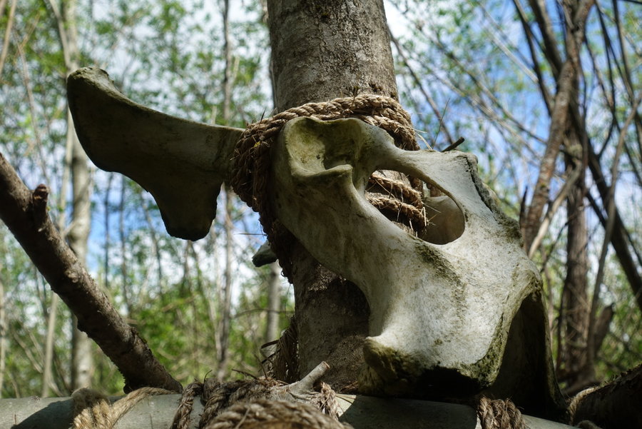
10 miles of hiking • 2000' elevation gain • 1 night
Solitude. Not a single other person on this trail. Creepy eye found, and excellent scrambling rocks resembling humans and creatures. A great two days in the woods.
July 4 – July 5, 2020


 1
1
Silver Star Sunset Hike via Grouse Vista
7 miles of hiking • 2000' elevation gain •
This hike has been incredibly popular lately, so I decided to try for a late night hike to get the dog away from Portland fireworks. We arrived at the trailhead around 6:30 pm, and headed on up. The weather was clear, until we reached the summit. The clouds came in, but I enjoyed my time up there anyway. Headlamped it down, but worth it for the solitude.
July 3, 2020


 1
1
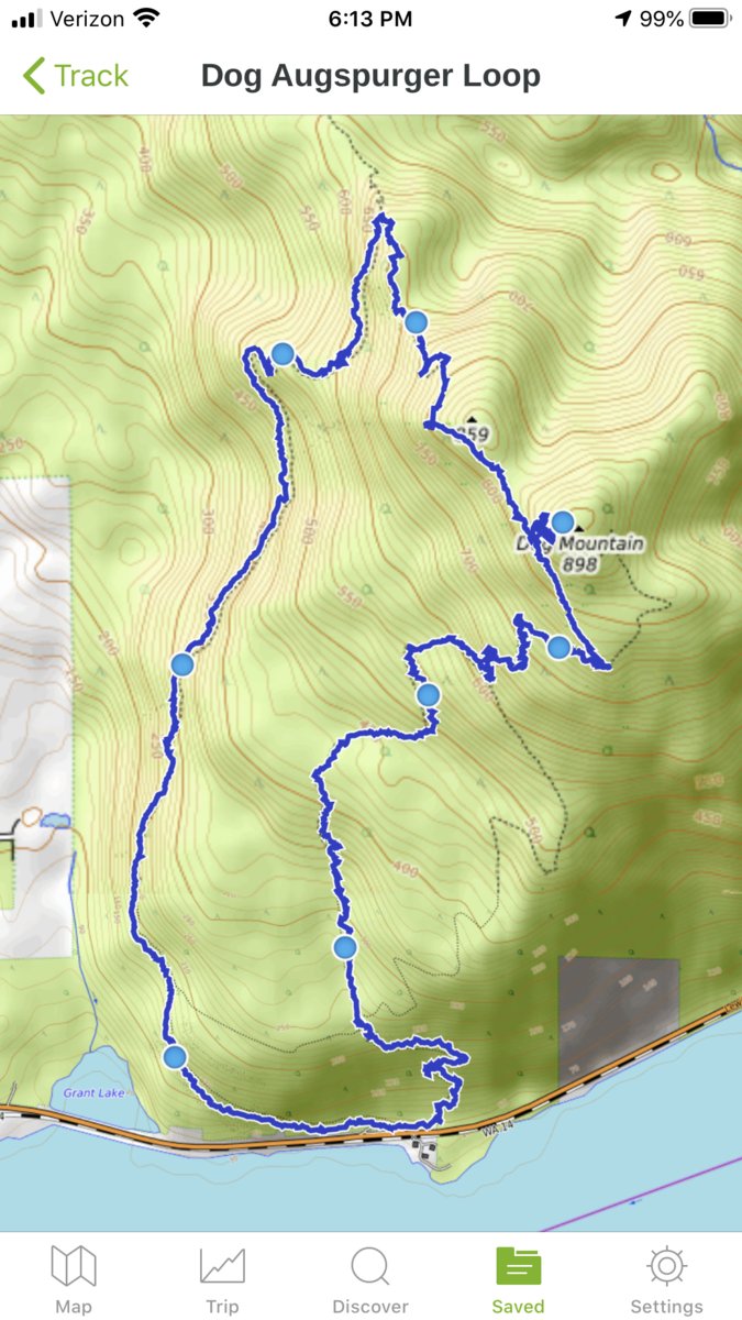
Dog Mountain - Augspurger Loop
8.5 miles of hiking • 3000' elevation gain •
Table Mountain was our first choice yesterday, and we met at the trailhead at 7:30 am. The weather forecast was iffy, and we mulled over our choices in the rain. We wanted a 16/17 mile sufferfest, but being wet and cold for that long didn't sound like the best idea. The decision was made to drive a little further down the gorge, to see if we would find drier conditions. We decided to give an old friend a visit, since Dog had quietly opened up during the week. If conditions were good, we would go all the way to Augspurger.
We sweated up old dog, choosing the more difficult way without switchbacks. The trail was dry and we were hot. Once out in the clear, the clouds surrounded us and the rain and wind beat our faces. Oh yes, this is the dog I remember. (I usually avoid Dog in nice weather and mostly use it for training when the weather keeps away the crowds.)
We trudged on, determined to reach the trees to hide in at the summit. We snacked, took a "summit photo" and quickly moved on towards the very overgrown Augspurger trail. This section is usually overgrown, but was more so than I remember since not having any visitors on the trail for the past few months. I actually slipped and fell on slippery rock I couldn't see underneath the vegetation.
Onwards, to the junction where you can choose to head back down, or continue to the Augspurger. We were wet and cold, and decided it was best to head down. Sometime during our descent, the rain disappeared and the sun came out. I'm sure those who waited later in the day probably had nice views. We didn't care, we just came to conquer the mountain and hike out some anger. Successful day.
June 28, 2020


 1
1
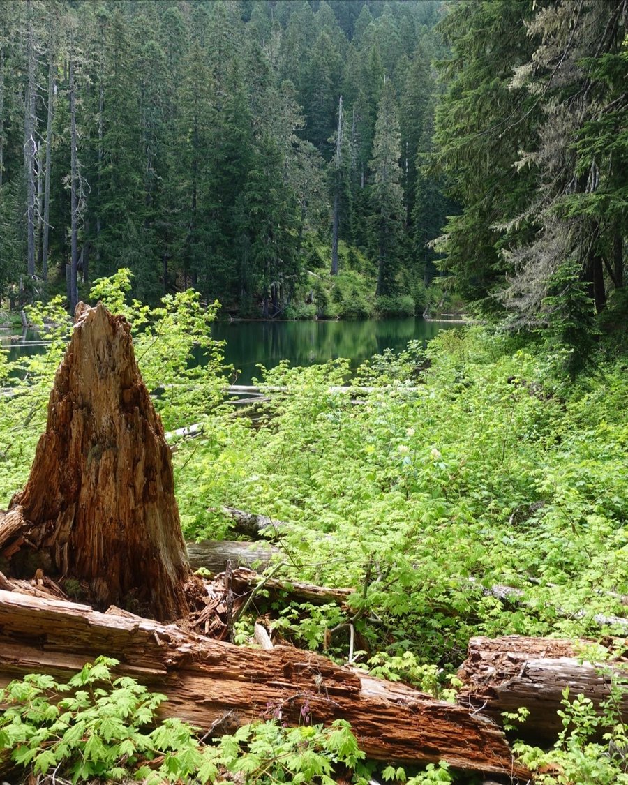
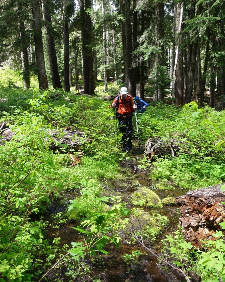
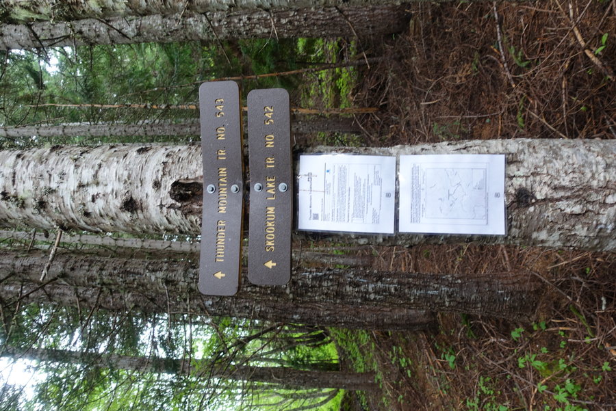
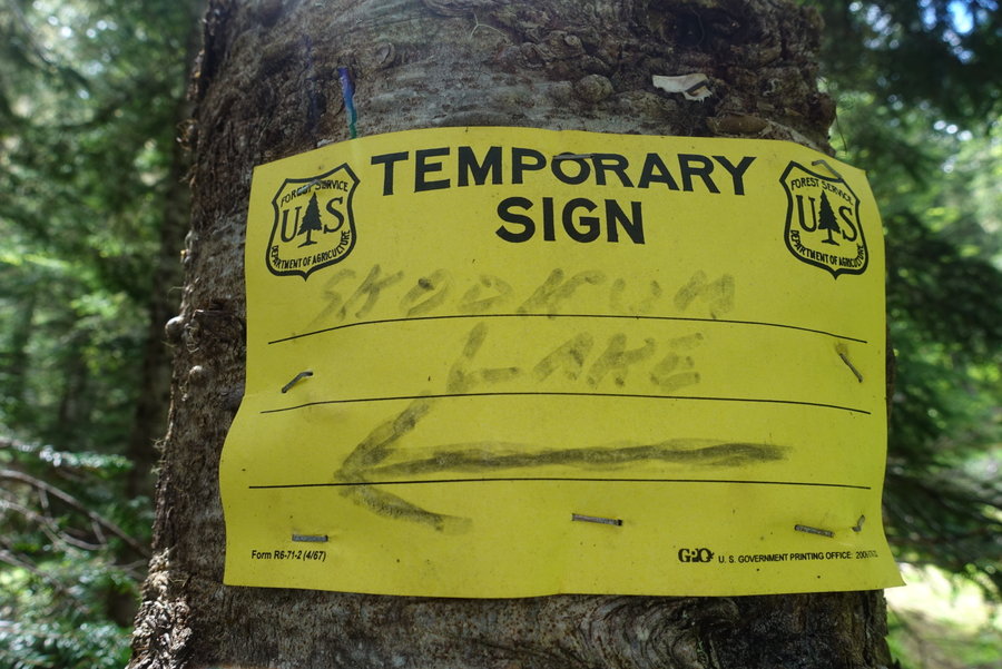
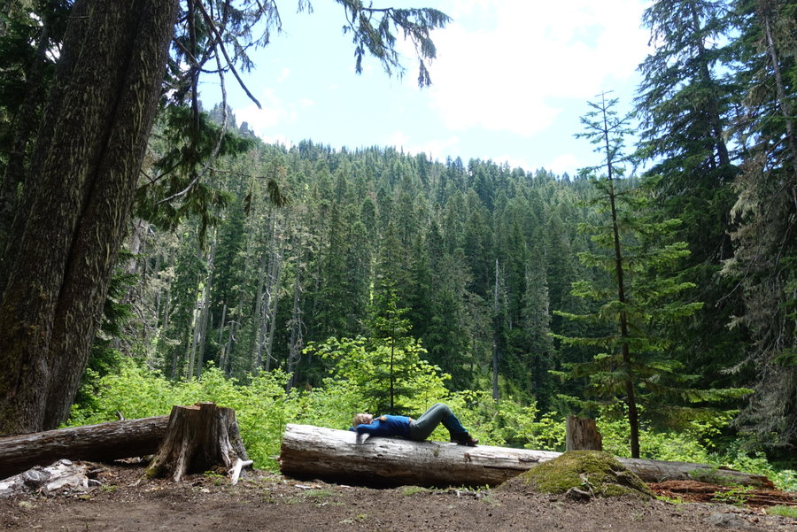
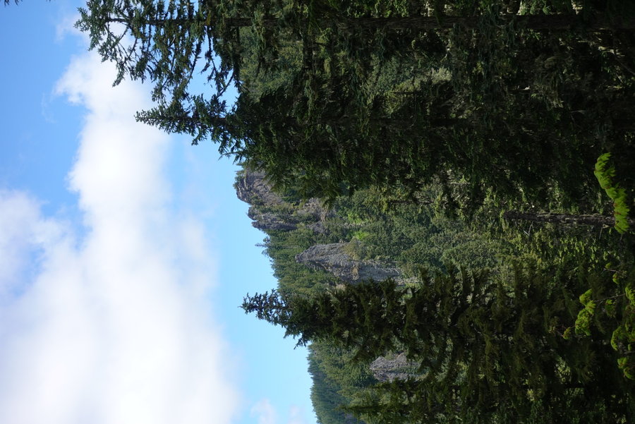
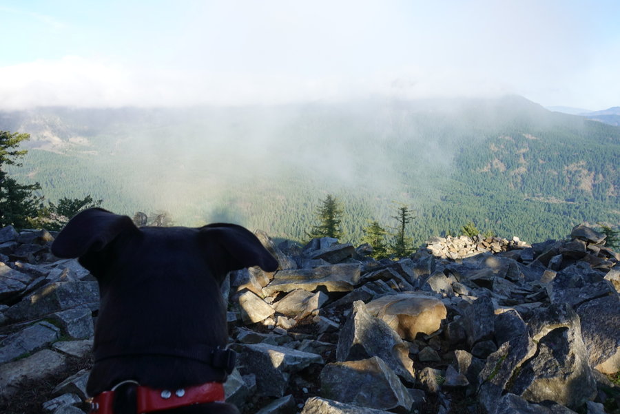
Thunder Mountain Skookum Lake
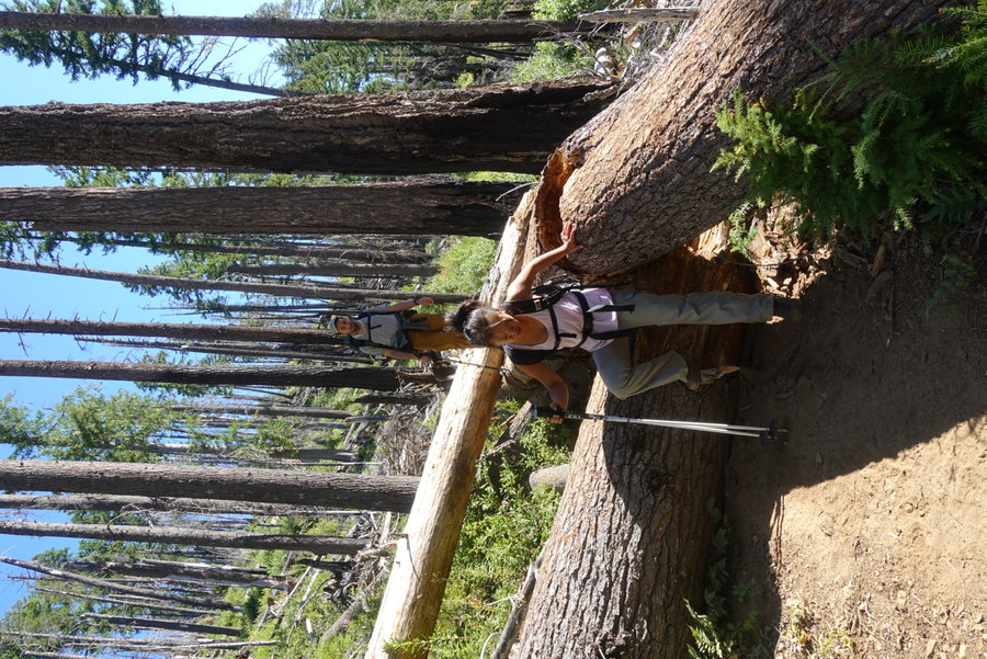
7 miles of hiking • 2000' elevation gain •
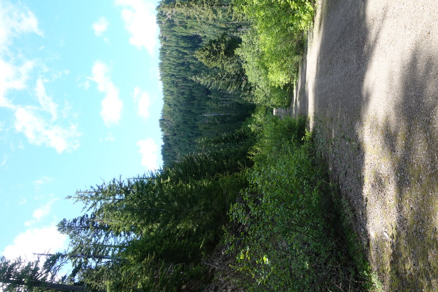
It was an interesting drive to the Thunder Mountain Trailhead. After leaving the Clackamas River area, we headed up forest service roads, winding our way up to the trailhead. Past trip reports stated the road being suitable for passenger vehicles, and it MOSTLY was. Lots of trees were down across the road, but luckily it looked like someone had recently gone through with a chain saw and made a path just wide enough for a car for each one down. Same with a few landslides, the rocks were moved just enough for a car to pass through. The last mile to the trailhead was very overgrown. Fans of your car paint job beware.
The road seemed to run out, and we saw the unmarked pullout for our start.
The second we stepped out of our vehicles, the swarm came. The most vicious awful vile kind of pest, the mosquito. I was grateful I had finally purchased a bug net for my head, but I might have to invest in the full body version. They were relentless.
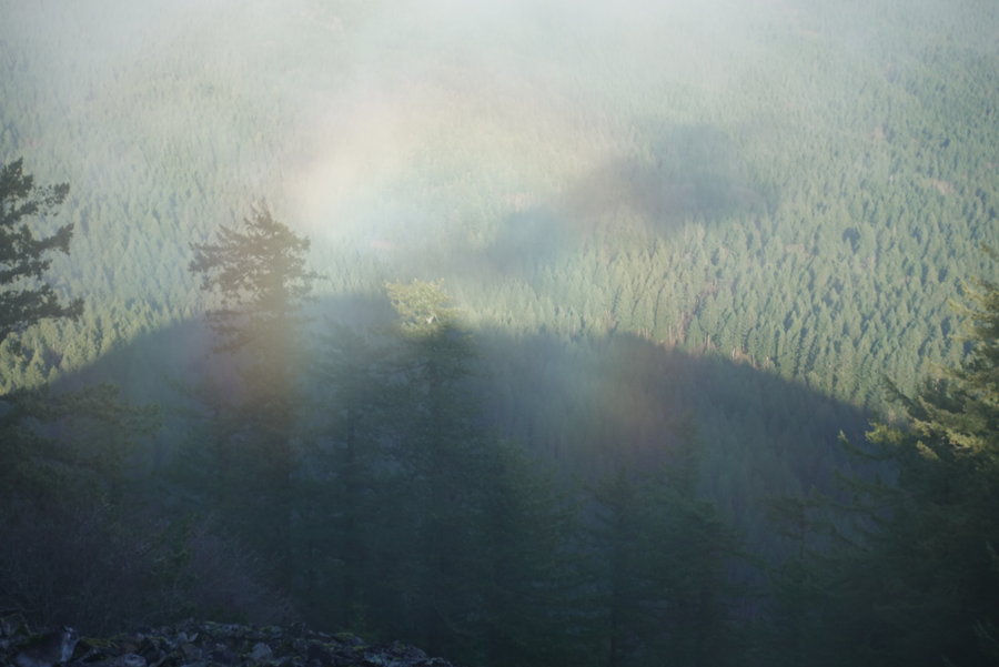
Eager to get moving, we started our ascent. It was relatively short and mild up to the junction between Thunder and Skookum Lake. The day was still cloudy/drizzly so we decided to save the summit of Thunder for our way back as the skies were expected to clear up later in the day.
We began our descent down to Skookum Lake, passing a burn zone with a narrow path trying to qualify as a proper trail. Beware, a fall here would not end well. However, this is the only sort of sketchy section of trail, and as the switchbacks came, the trail widened a bit and had less of a drop off. We passed numerous giant ant mounds, and stood in awe as the little guys went about their work.
The trail was faint at times, overgrown, and could definitely benefit from more boots on the ground. Eventually we came to a perfect snack spot, complete with strange and interesting mossy rock formations. More switchbacks to follow.
We scouted the turn-off for Baty, finding the trail where it faintly began past the meadow. We continued down to the lake, where the sun was now shining, and the mosquitoes gave us a bit of a break. A nice long rest was had, as we mulled over whether we had time to try for the scramble up Baty. We decided we should have gotten an earlier start, as the path was likely going to involve bushwhacking, so it was scrapped for another day.
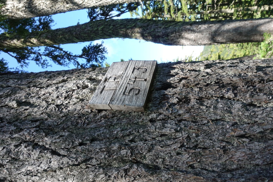
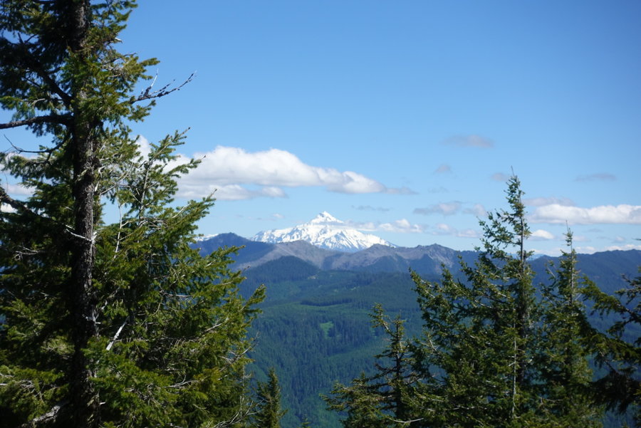
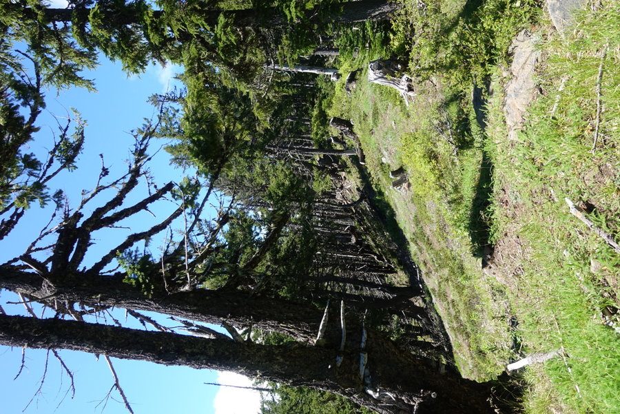
Kat had walked the entire length of the wildwood by herself on her birthday earlier in the week, and my other hiking partner was carrying 9 liters of water in his pack for training, so I lead us back up at a leisurely pace. We made it to the top of Thunder, and could see Jefferson and the Three Sisters waving to us. Most of the other peaks were obscured by stubborn clouds. I'll have to make it up on a clearer day. One of the best views was actually had at a spur off of the junction of 542/543, where you can scramble out on the ridge.
In all, a pleasant day, despite the best efforts of the evil skeeters.
June 21, 2020


 1
1
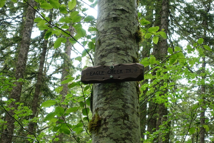
The other Eagle Creek
8 miles of hiking • 750' elevation gain •
Solitude and social distance hiking on a fine rainy day. It didn't end up being the sufferfest we anticipated. Picked a relatively obscure, flat hike expecting the rain to be terrible. Pleasantly surprised when the sun showed its face and we had to take off our sweaty rain layers. Road to trailhead is full of huge pot holes, not suitable for my prius. I parked my car and masked up and got a ride for the final stretch on Harvey Road.
June 7, 2020


 1
1
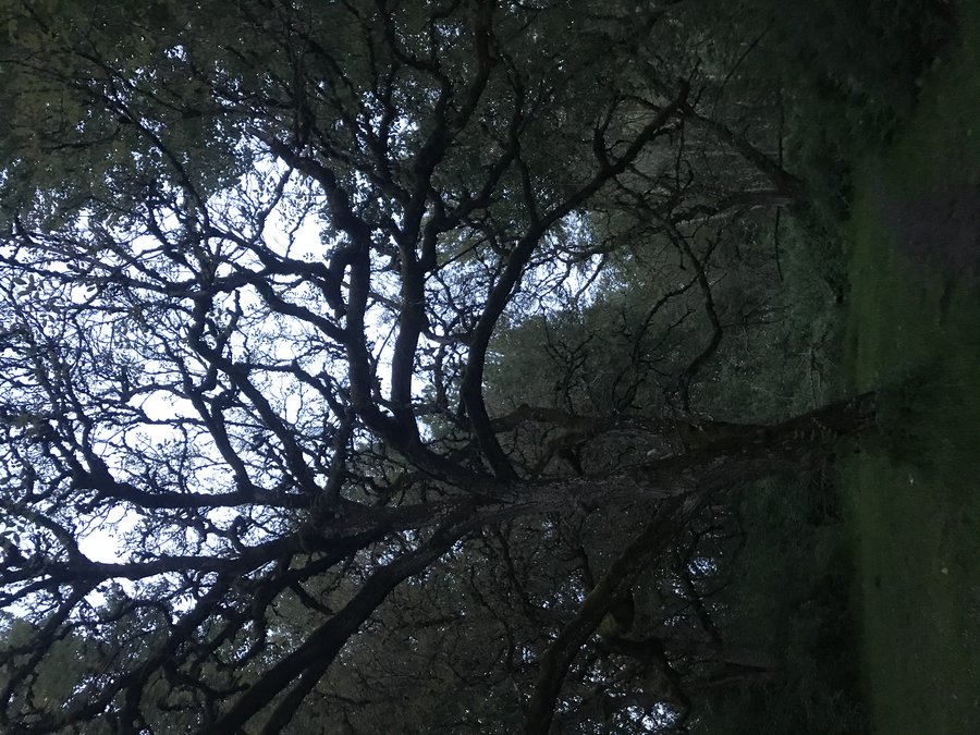
Devil's Peak via Cool Creek Trailhead
8 miles of hiking • 3250' elevation gain •
We may not have had views, but I'll take a spooky misty day anytime. No regrets, except for achy legs since I haven't been doing much for gain lately.
May 31, 2020


 1
1
Scout Camp and Steelhead Falls
3 miles of hiking • 500' elevation gain •
I didn't research Scout Camp hike enough, I had just glanced at a BLM brochure online and decided upon it. Had I read more, I would have started left instead of right. Instead, I started right, down a terrifying skinny trail with steep dropoffs, where one wrong move would make one tumble into the canyon. I couldn't enjoy myself as my partner refused to leash the dog, all I could think about was her accidentally tumbling off the trail. When I reached a section that said DANGER to hikers, eroded cliffs, I decided I had enough and turned around. I took a lightly used trail that rose up above the canyon instead. I'll come back to this trail someday when I don't have to worry about anyone but myself tumbling down the cliff. My anxiety just wasn't having it. Beautiful views, from what I saw. Kicking myself, but dog safety was more important than my views.
May 25, 2020


 1
1
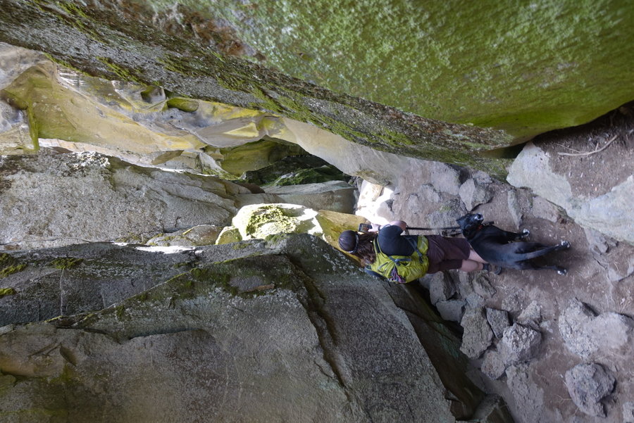
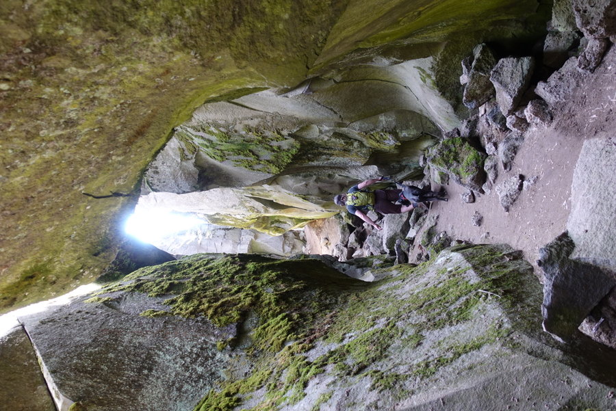
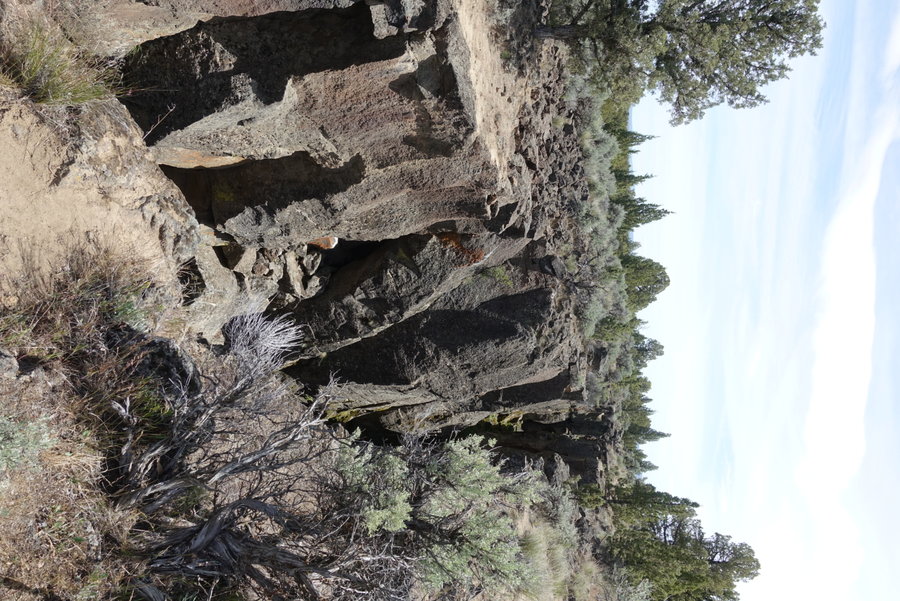
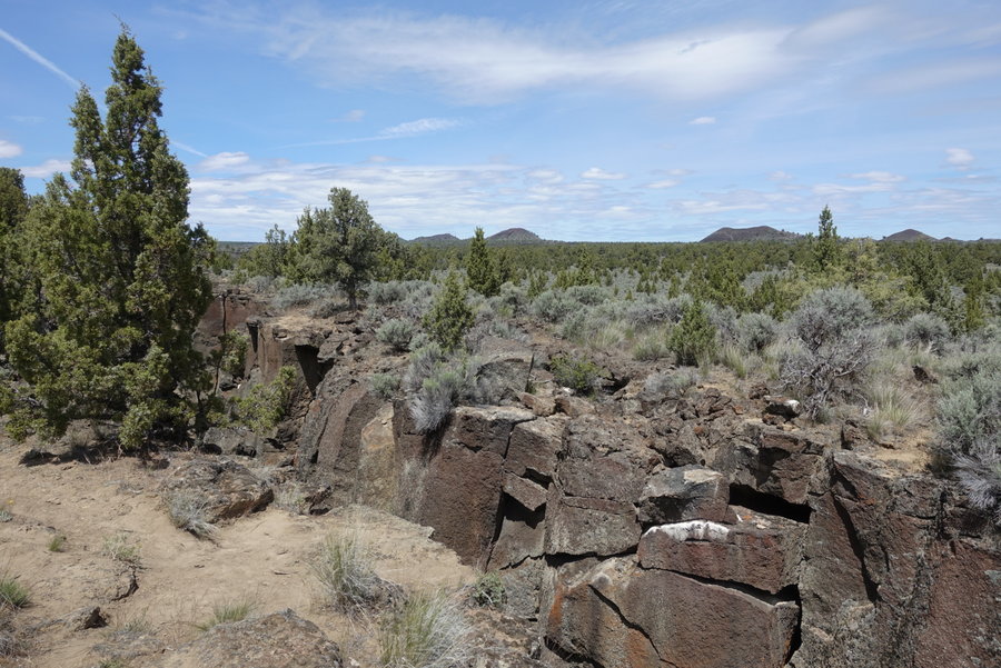
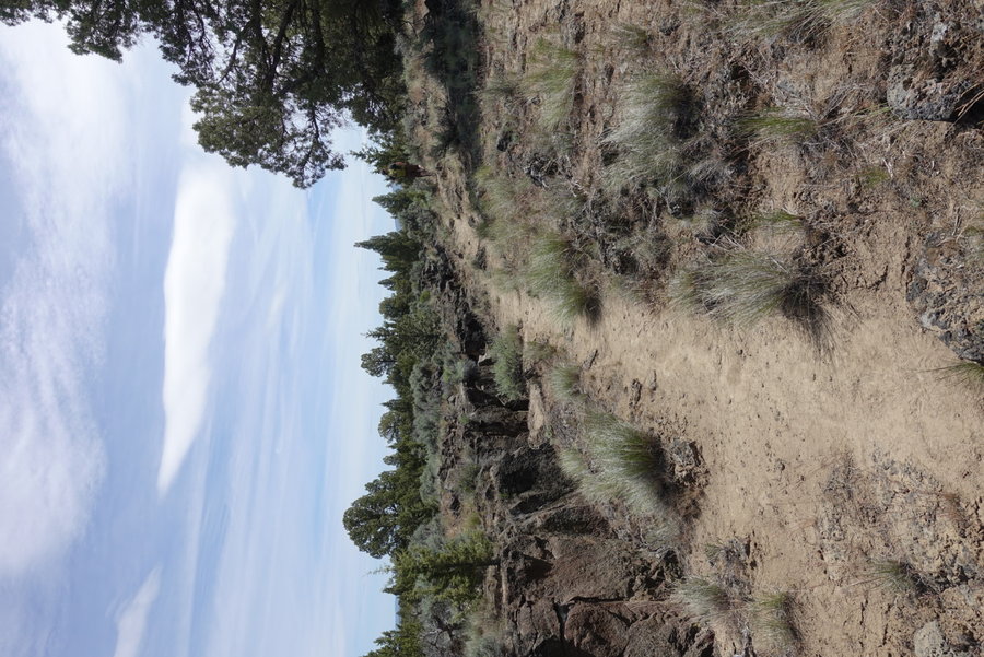
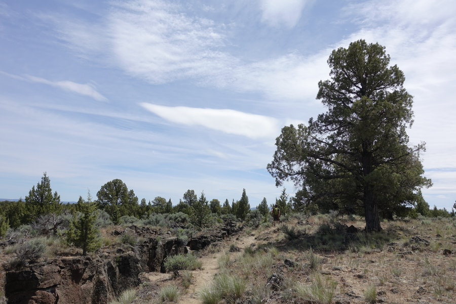
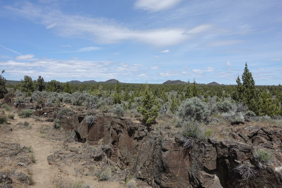
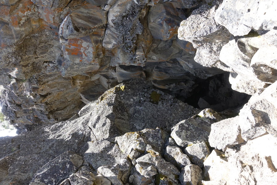
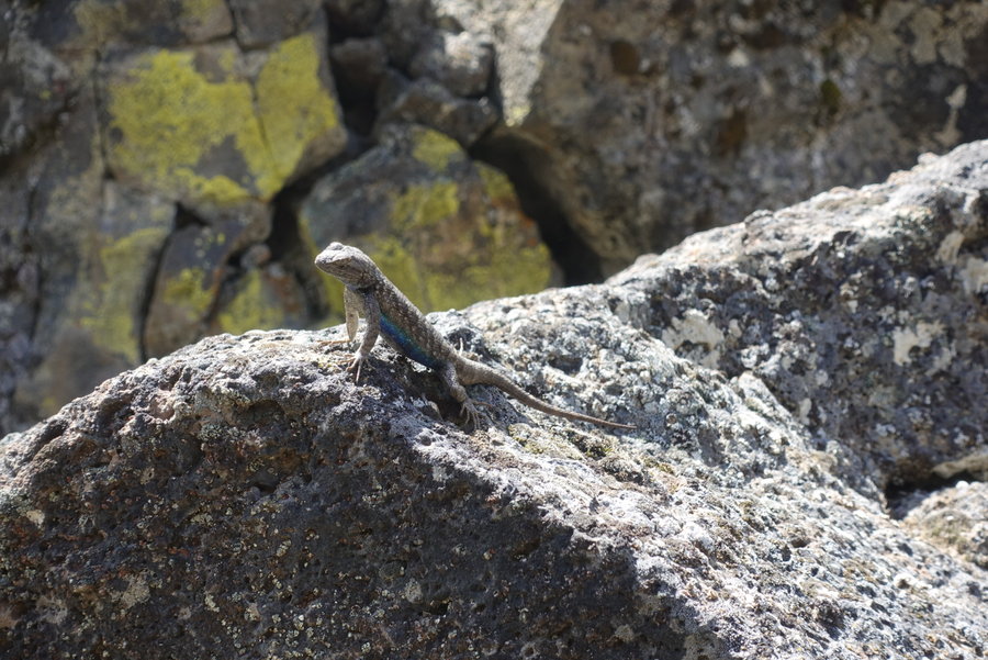
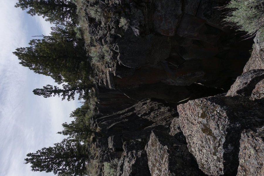
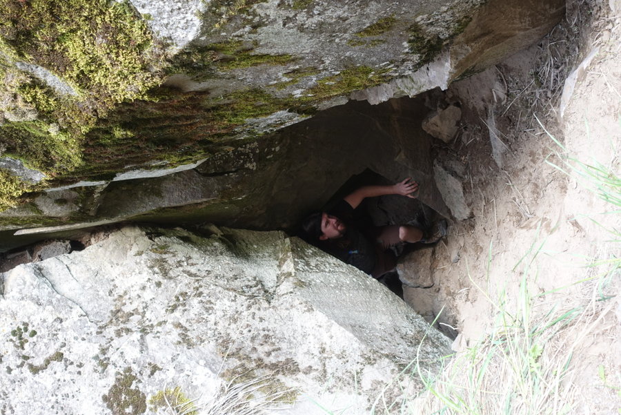
Crack in the Ground
4 miles of hiking • 250' elevation gain •
Goth in the ground.
As (kind of) expected, busy at the beginning. I will never understand why people make such a pain in the ass drive just to do a short section and leave.
Either way, barely a soul past the first crack. We had to skip some sections that we found too hard to scramble with the dog.
May 24, 2020


 1
1
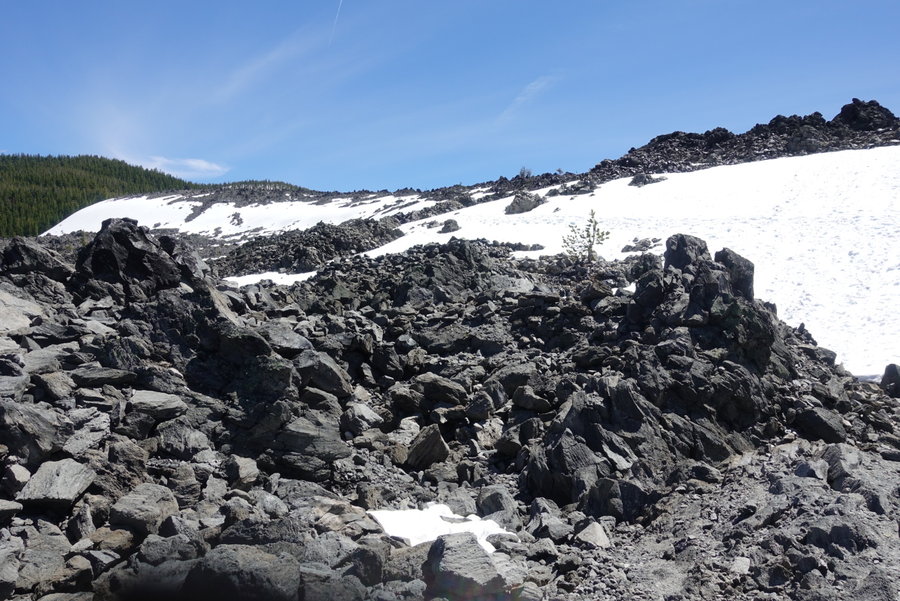
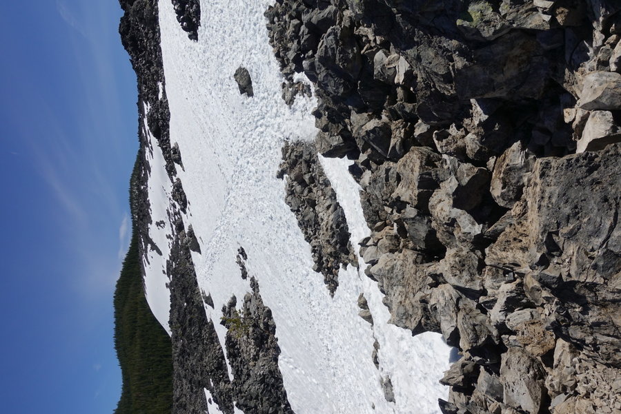
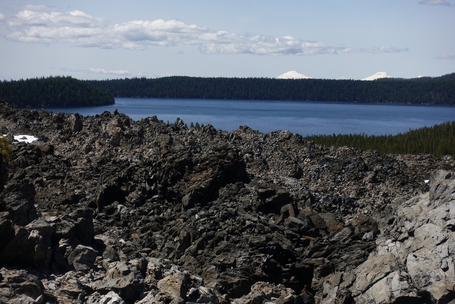
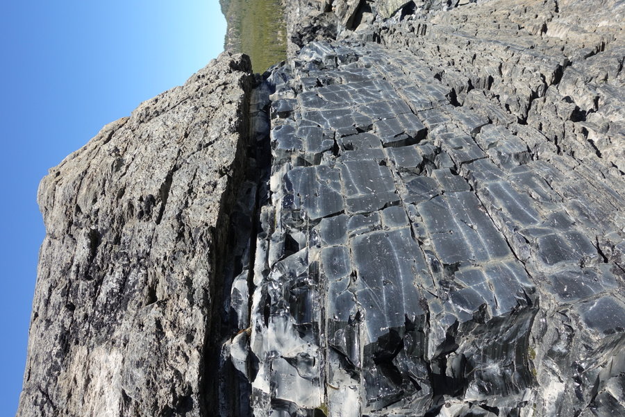
Big Obsidian Flow and Benham Falls
5 miles of hiking • 250' elevation gain •
Our only plan last weekend was to hit up a forest road and find a place to disperse camp away from others. We ended up near Newberry Crater, so we hit up a few short hikes to waste time until dinner. Obsidian flow was still snow covered, so what crowds were around basically walked up the steps and turned around. The only spot I felt uncomfortable was walking up the stairs, so I masked up and continued on. Afterwards, we stopped at what we knew was an easy popular stroll, but a wide trail where we could easily social distance. Per usual, once we hit the Falls we were able to avoid people. Saw all sorts of stupidity on the trail though (people hanging out on cliff edges for the 'gram), and decided we would try to go more remote for the rest of the weekend.
May 23, 2020


 1
1
Black Hole Falls
10.5 miles of hiking • 1250' elevation gain •
Confusing mess of logging roads, but we made it using a mix of written directions and looking at gaia. Beautiful hike, everything was green and the trail was mostly empty. Glad to see the Gifford open up for recreation, though still limited. Be sure to predownload map of the area before going as googlemaps is not reliable to find the trailhead in my opinion.
May 17, 2020


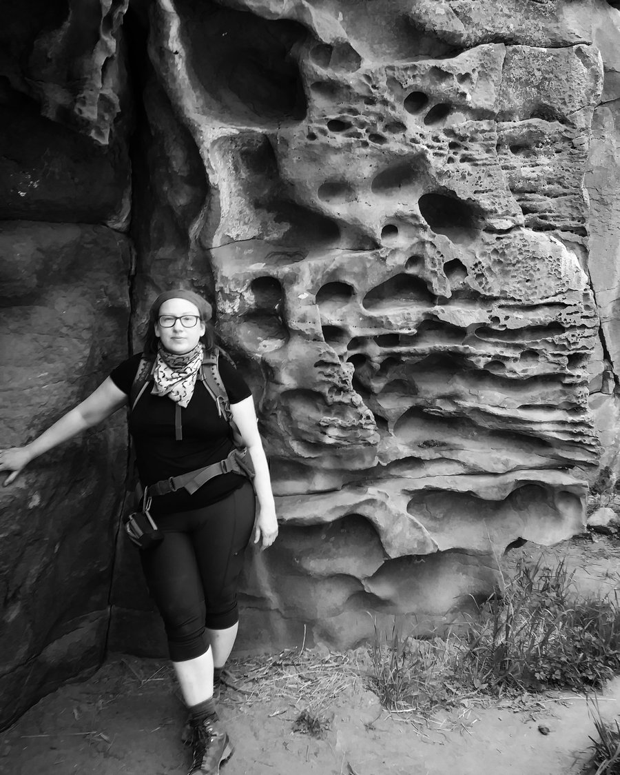
 3
3
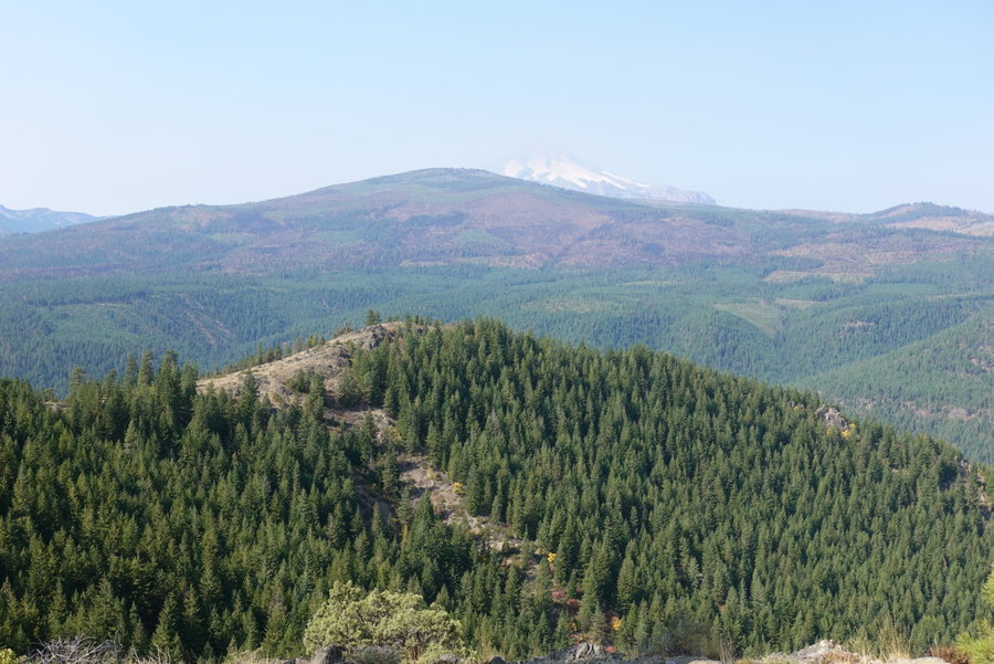
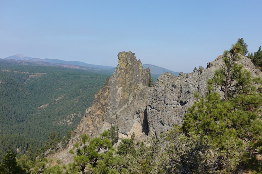
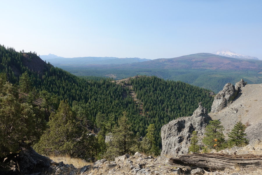
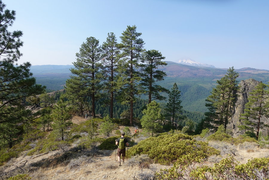
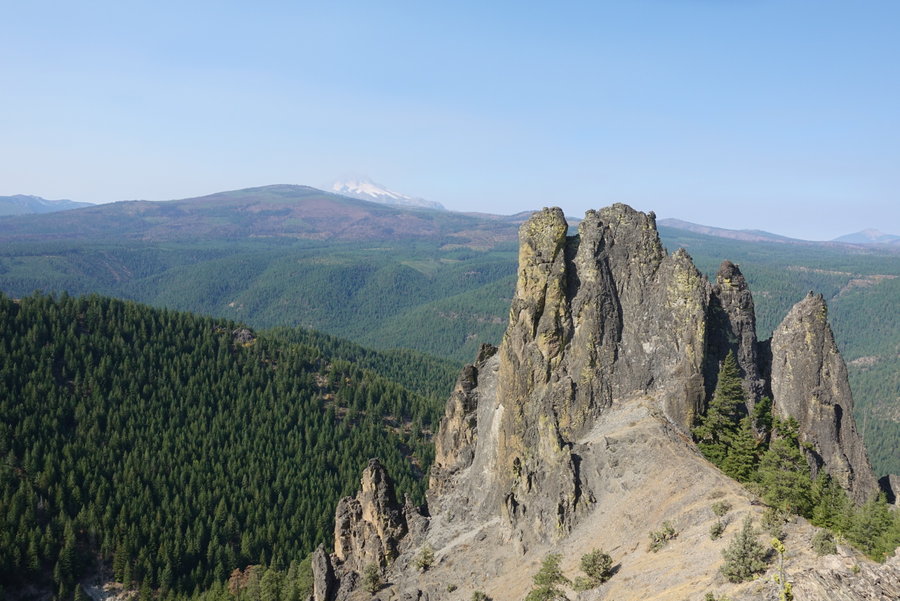
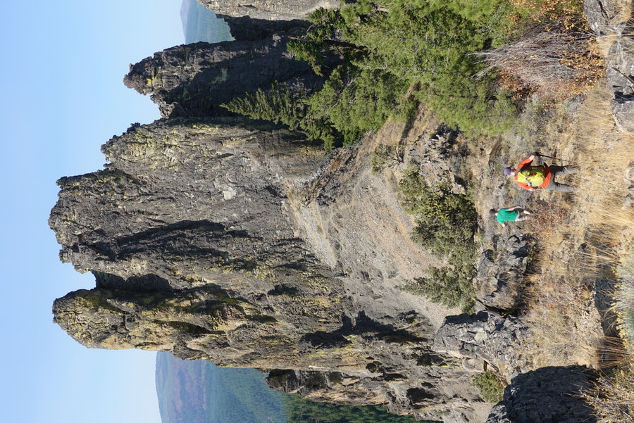
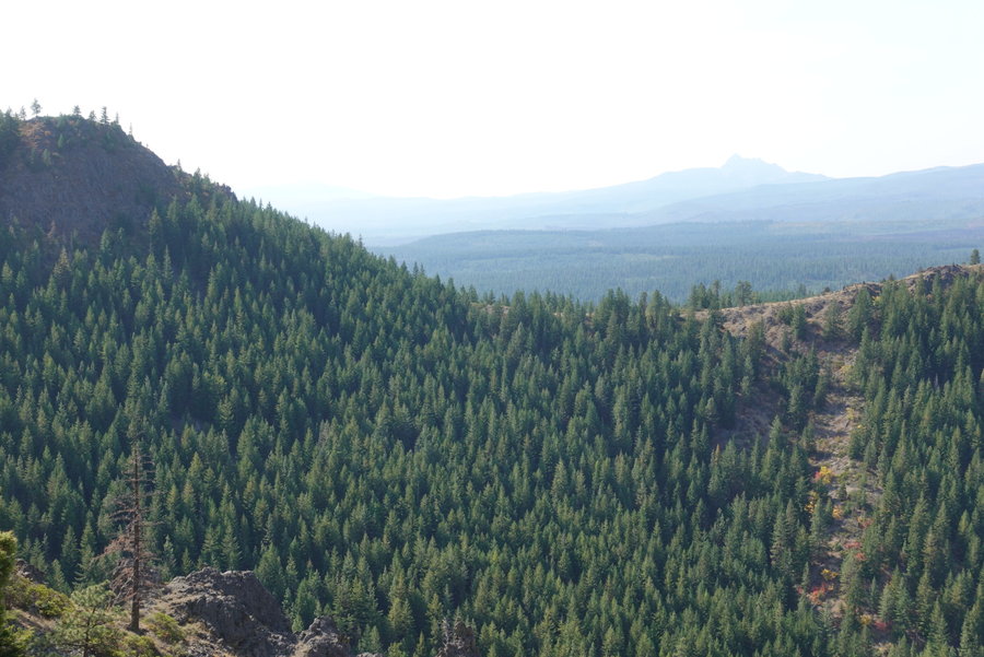
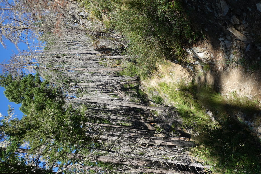
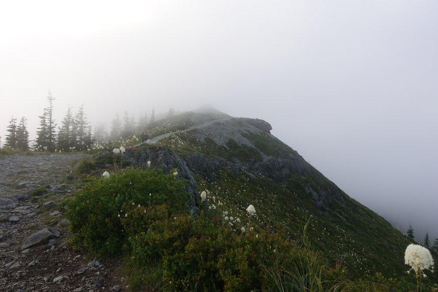
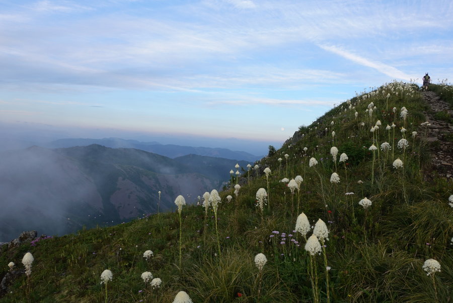
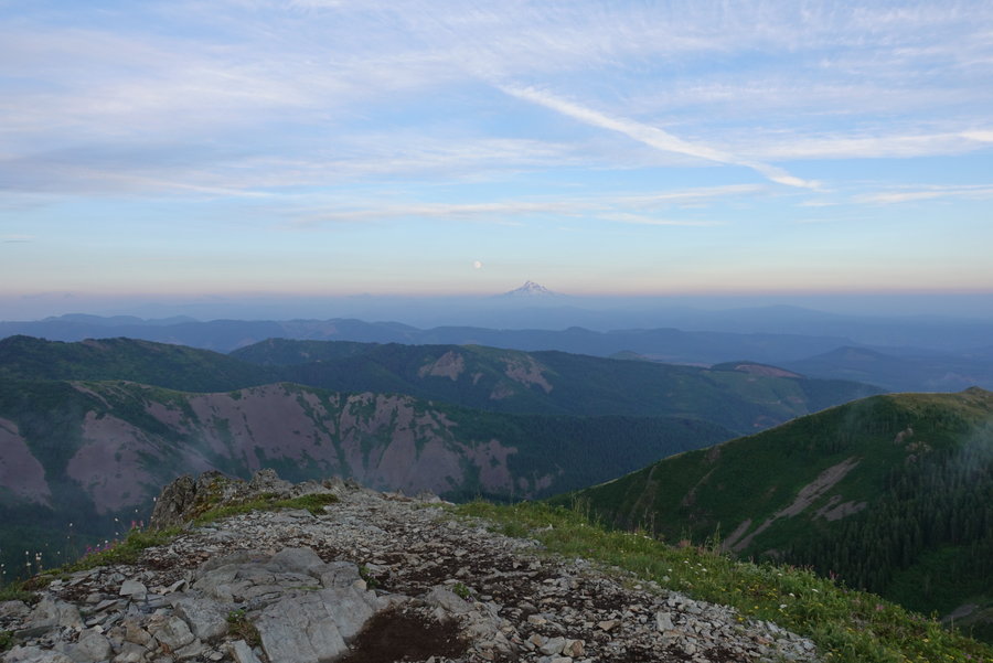
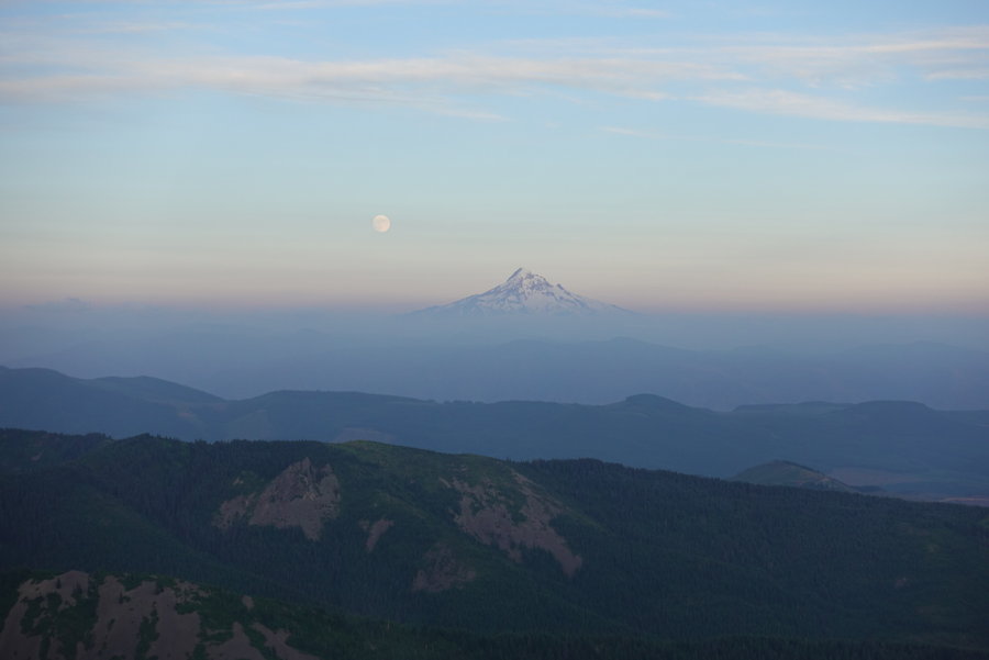
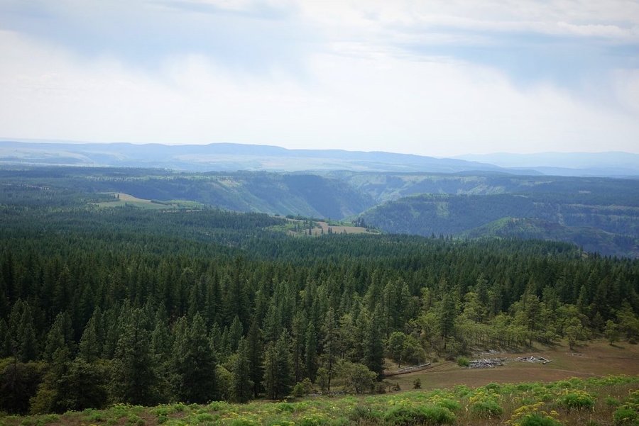
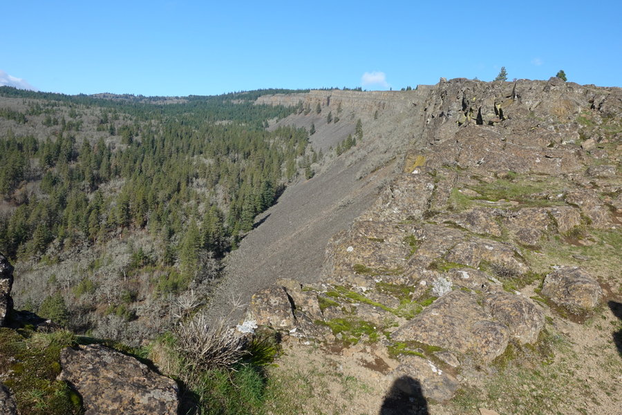
Grayback Mountain
10.5 miles of hiking • 1750' elevation gain •
Not another soul on the trail except for us.
May 10, 2020


 3
3
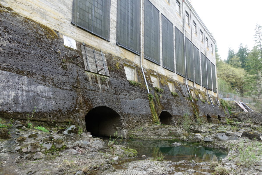
April 26, 2020


 3
3
BREC, Sandy Oregon
4 miles of hiking • 250' elevation gain •
My partner works for Trackers teaching outdoor school (well, he's now teaching outdoor school online!) so we had access to their gated private site, BREC in Sandy Oregon. None of us had hiked in forever due to everything being shut down, so we gathered up our roommate and took a stroll.
I've mostly been getting my outdoor fix through long bike rides (and I'm still commuting to work as a receiver at a safety supplier of PPE.) Being at work is stressful and I'm really missing my hikes.
We added an extra short stop to the Bull Run Powerhouse on our way back.
The day was a much needed boost to the mental health of the household.
April 19, 2020


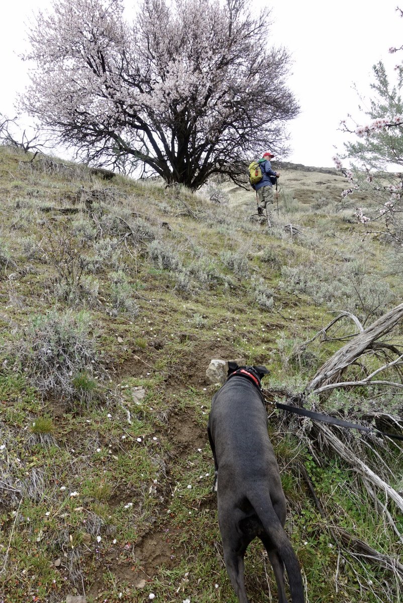
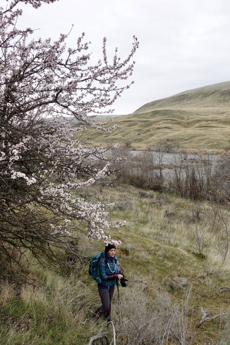
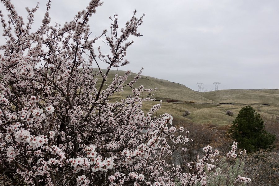
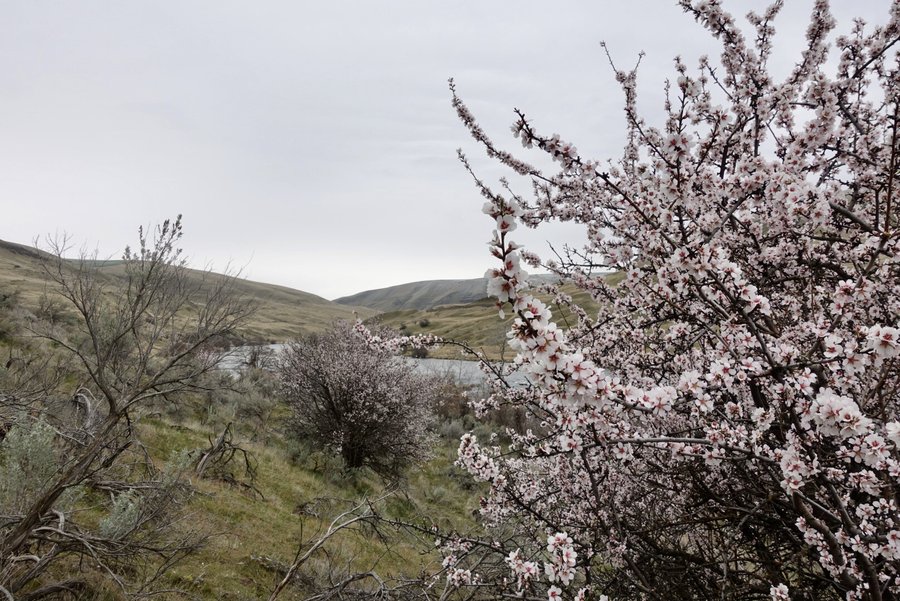
 2
2
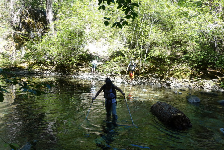
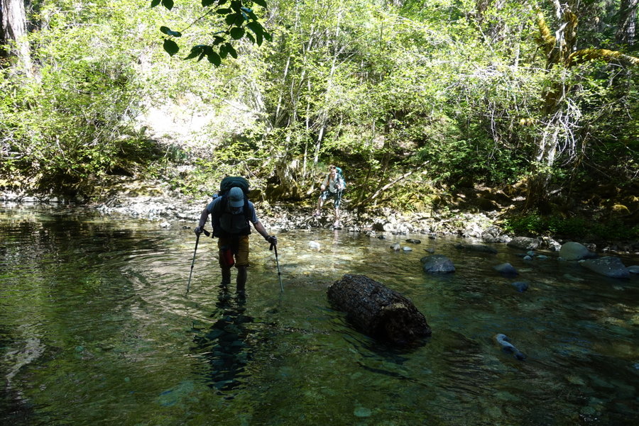
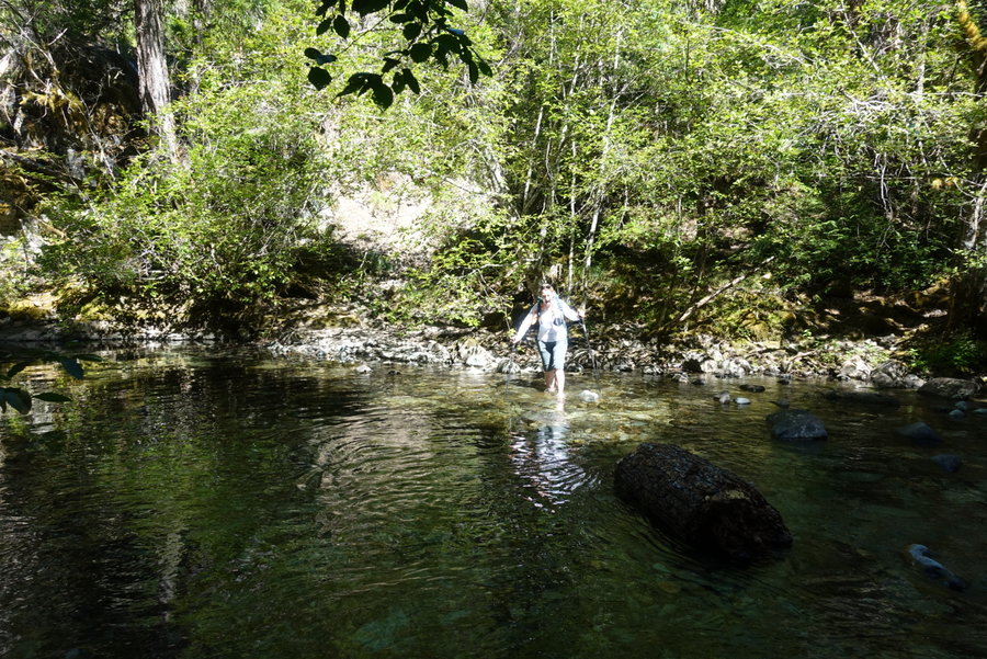
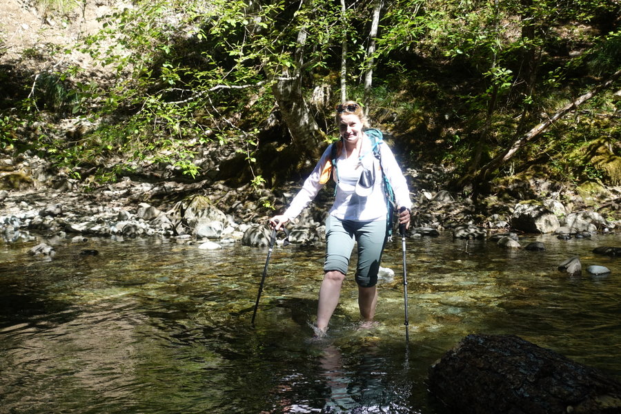
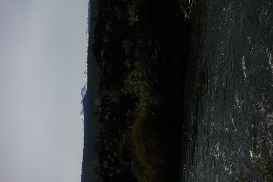
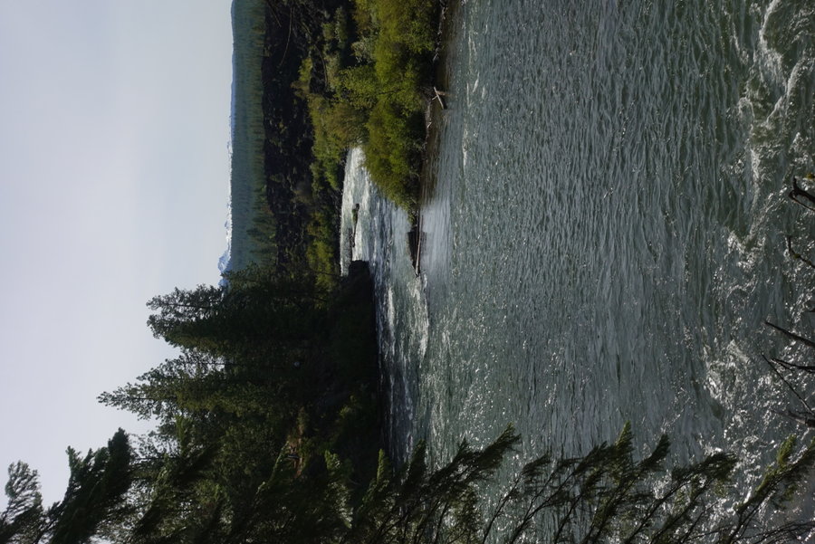
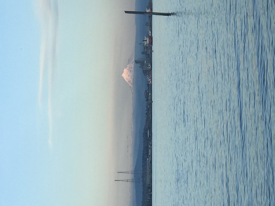
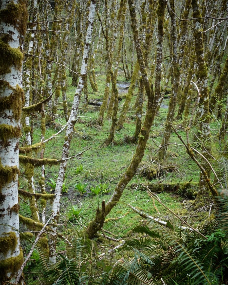
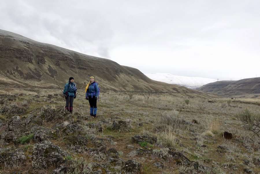
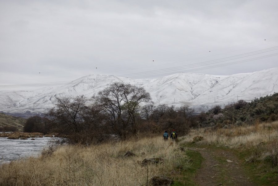
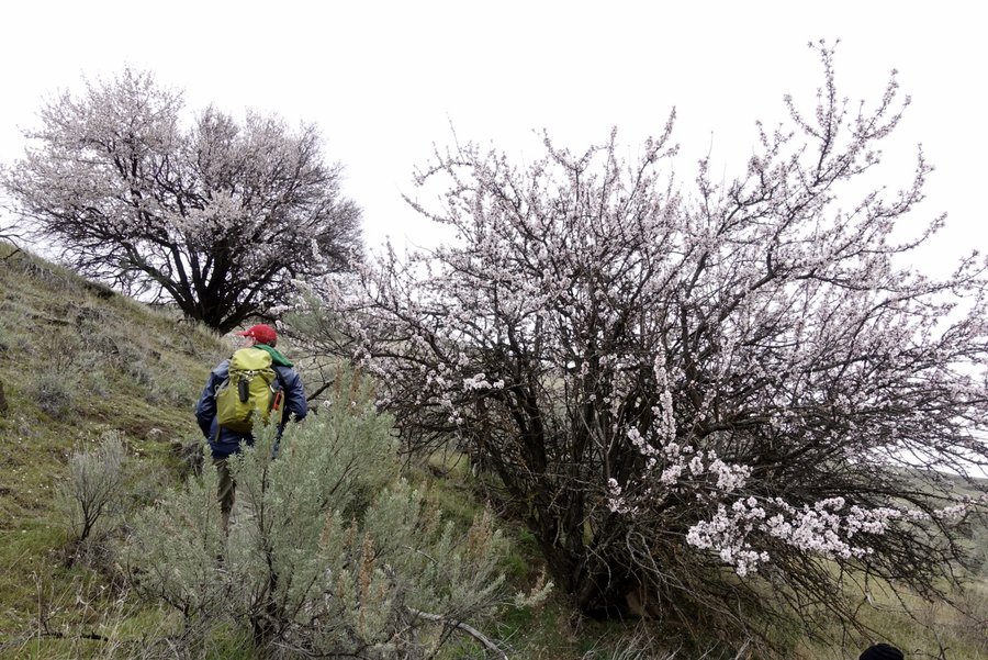
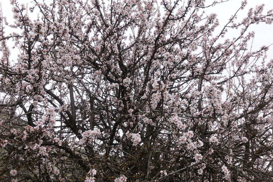
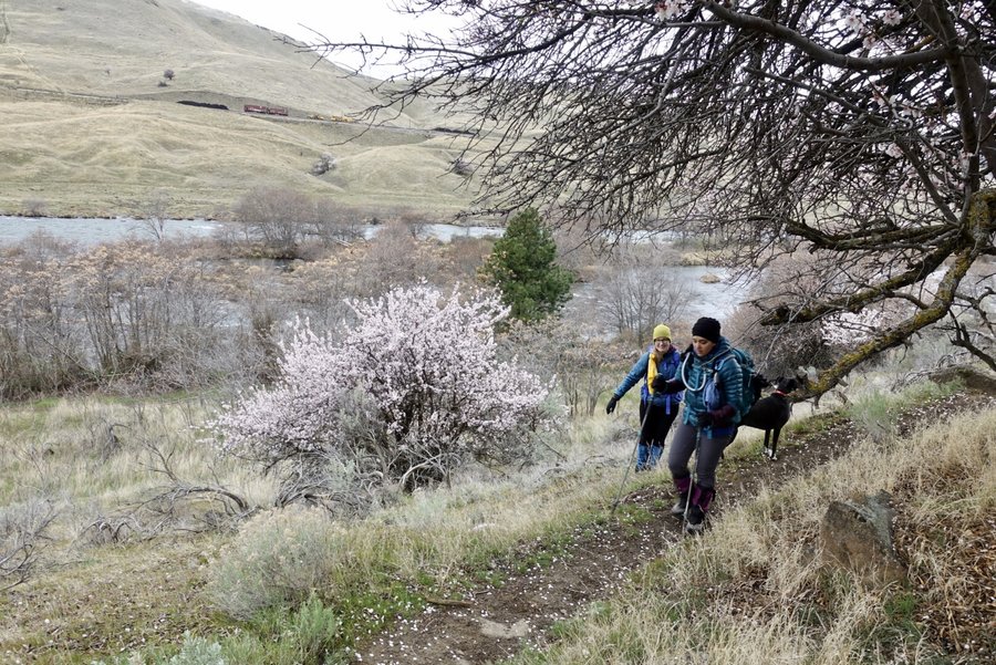
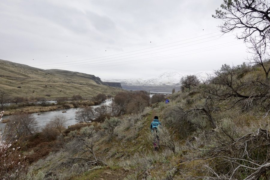
Deschutes River Trail
8 miles of hiking • 500' elevation gain •
A lot changed in the world between this hike and my last.
Faced with uncertainty whether we should hike together or not, a few of us decided we could still practice social distancing on the trail.
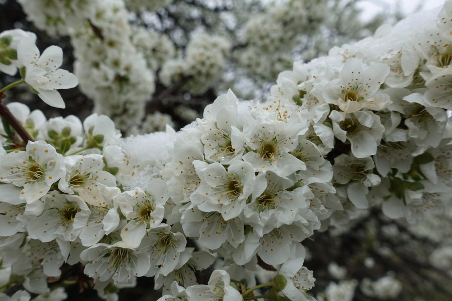
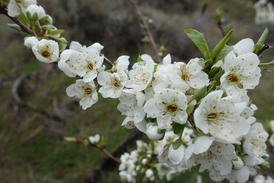
With one ankle injury among us, we opted for the flatness of the Deschutes. It was a gorgeous day - snow juxtaposed with spring blossoms. We all had heavy hearts but enjoyed each others company (at a distance.)
It was hard not to hug my friends goodbye at the end of the hike, especially not knowing when we will get to hang out again. I have a feeling many of us will find solace on the trail in the coming weeks and months.
March 16, 2020


 1
1
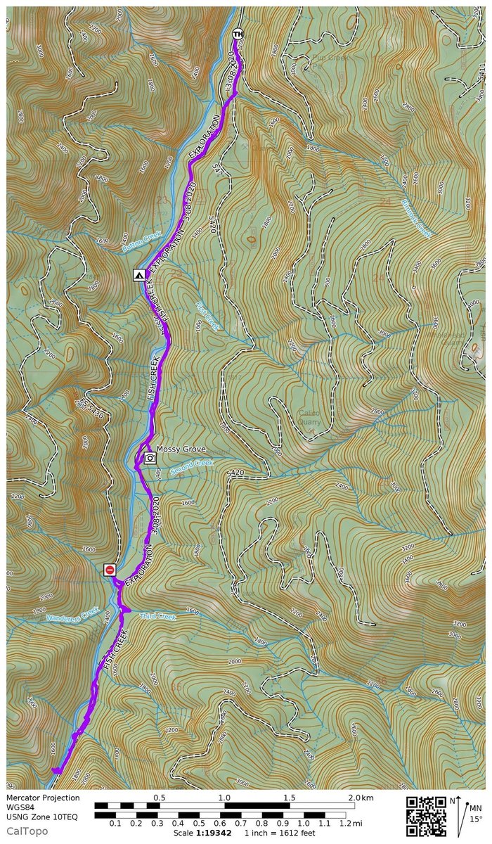
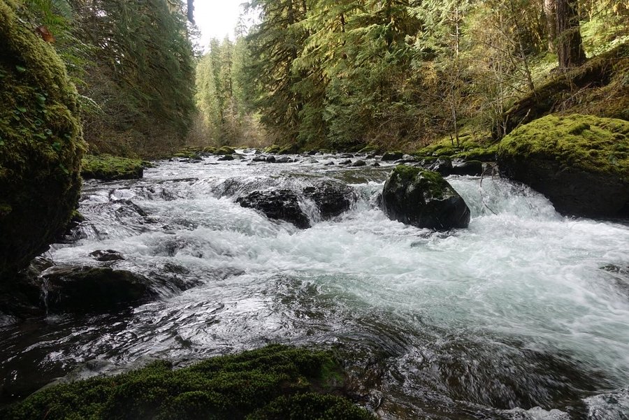
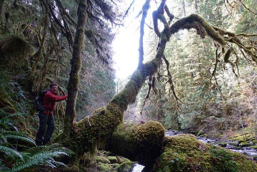
Fish Creek
9.3 miles of hiking • 1000' elevation gain •
The trailhead for this is about a mile south of the Clackamas River Trail. Quiet, low key day enjoying some old growth along a gentle trail.
Went off trail to get closer to the Creek and almost took out a friend when I climbed out over a boulder. Note to self - more distance between friends when bushwhacking. It could have been bad, but luckily no one was harmed.
Though rarely used, trail was easy to follow.
March 8, 2020


 1
1
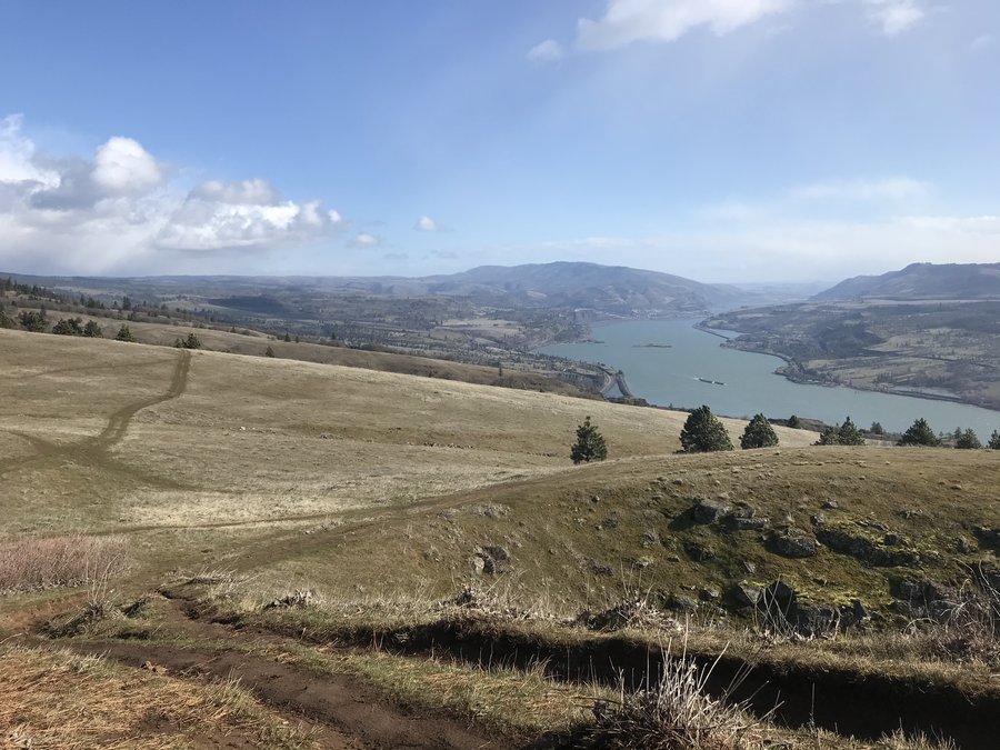
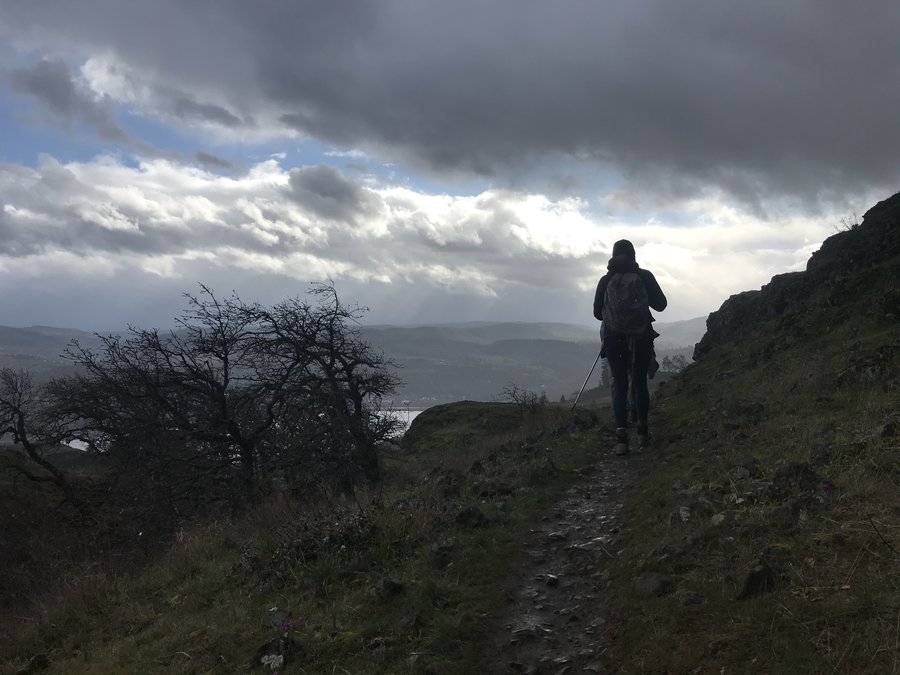
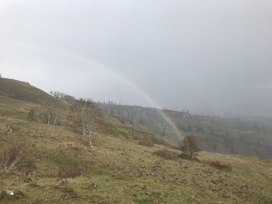
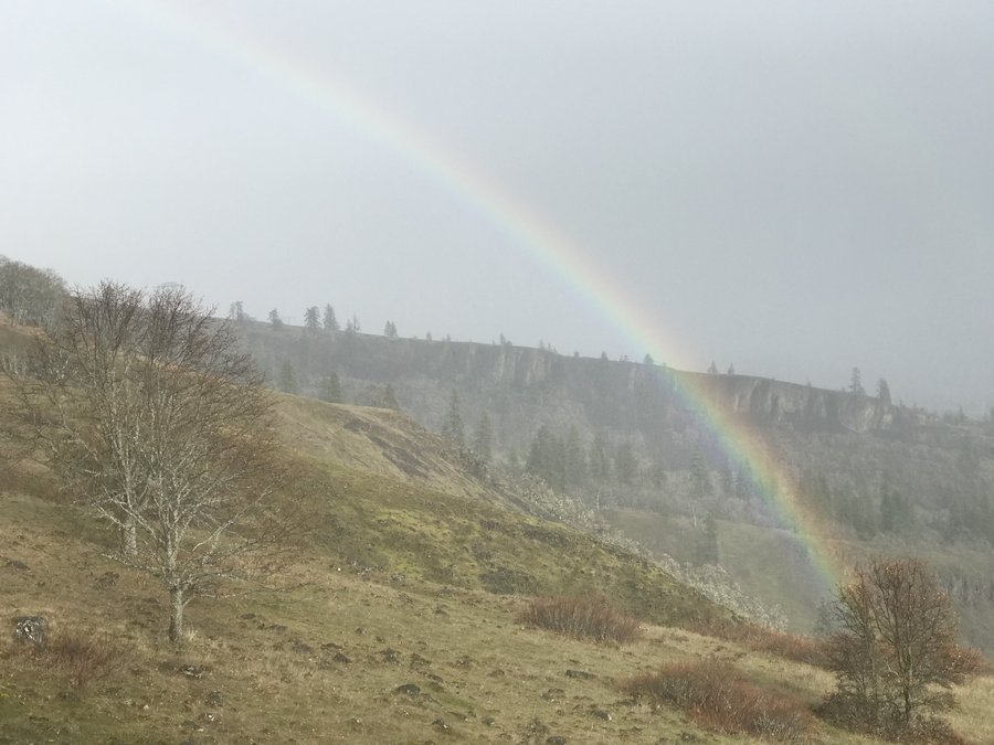
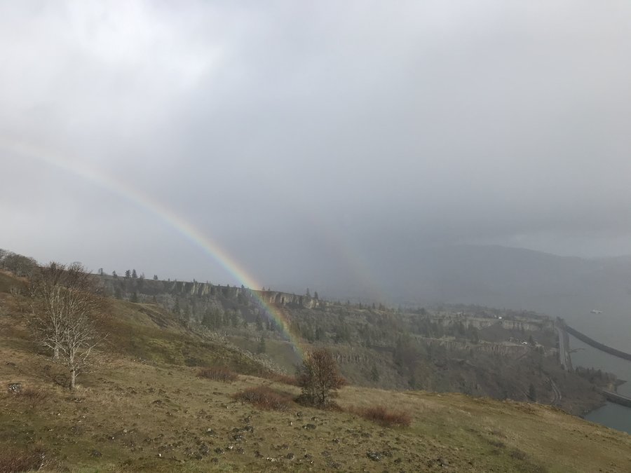
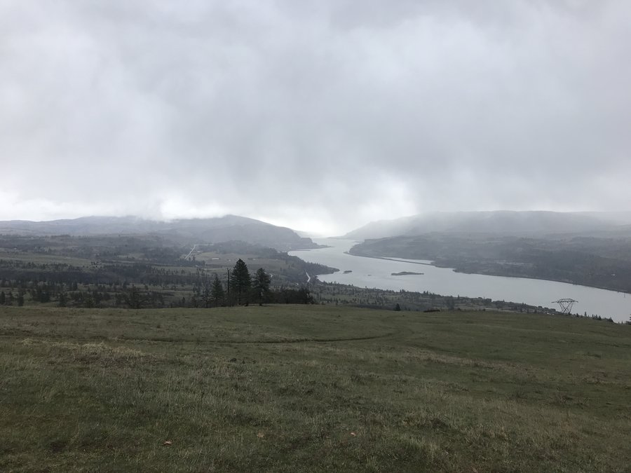
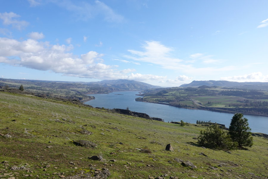
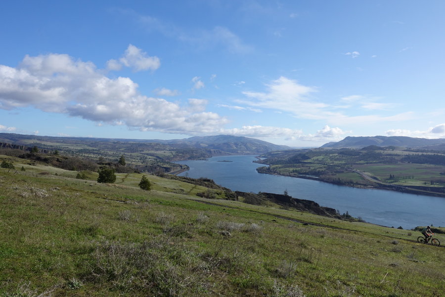
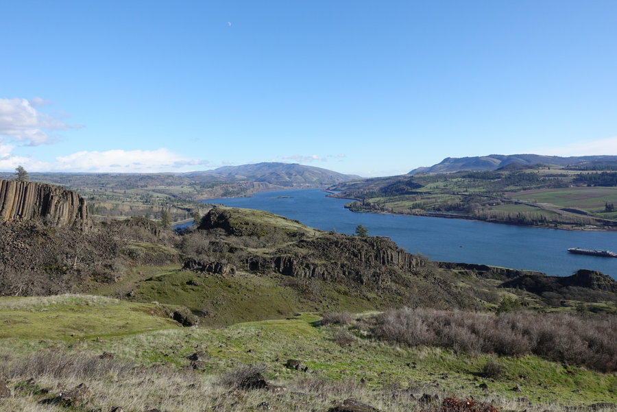
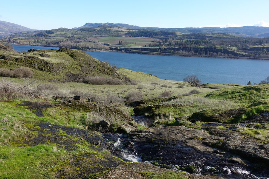
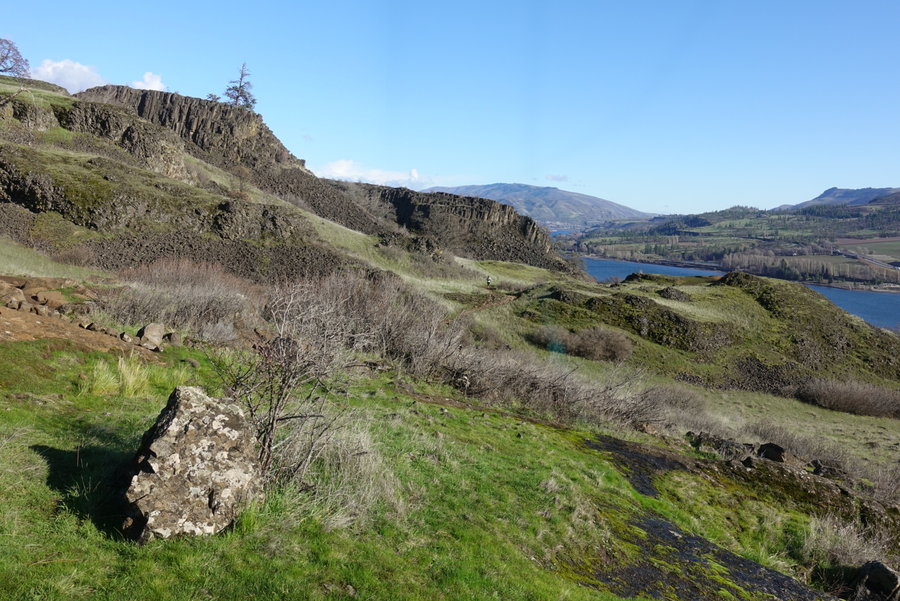
Catherine Creek Coyote Wall Loop
11 miles of hiking • 2500' elevation gain •
It was a super moody day in the gorge, our 11 mile hike contained pouring rain, raging wind, hail, and periods of blue skies and sunshine. Our last glimpse of sunshine gave us a double rainbow, before the rain gods decided we needed another drenching for our last mile and a half out.
February 24, 2020


 1
1
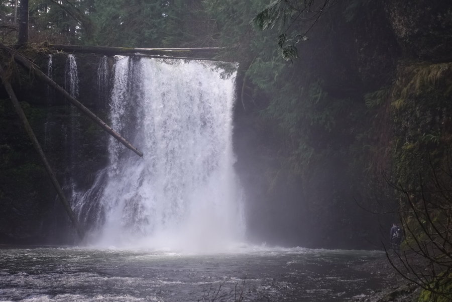
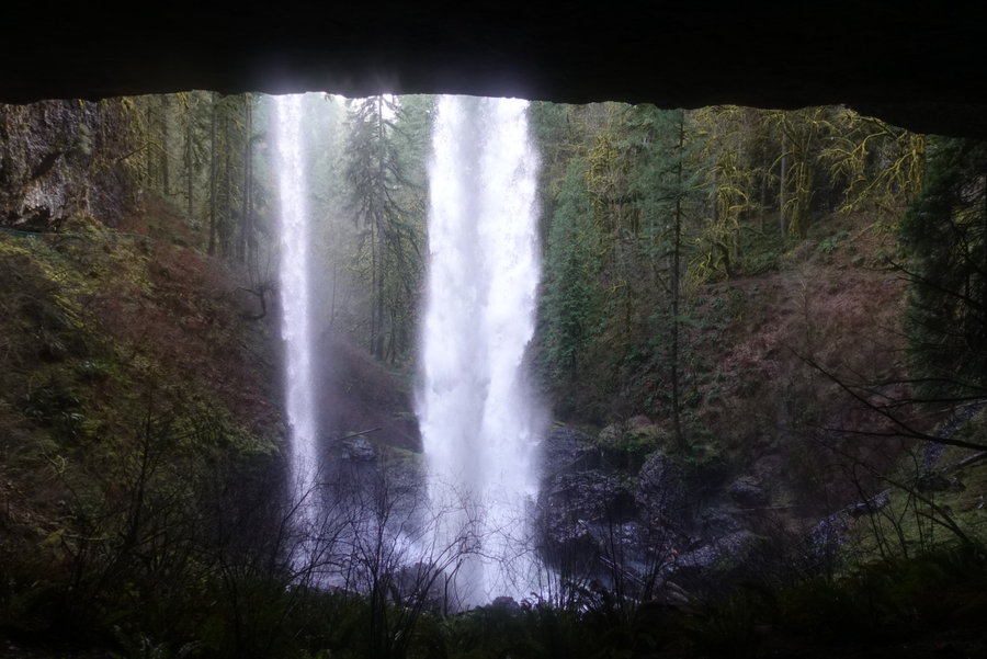
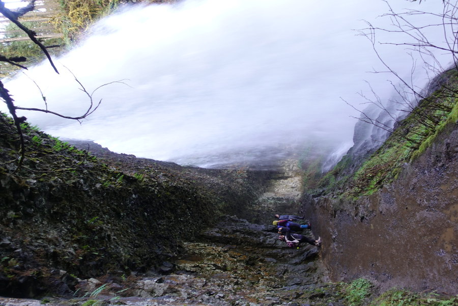
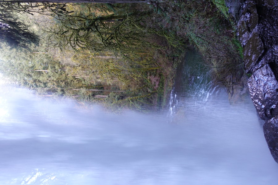
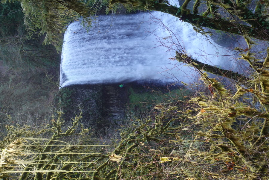
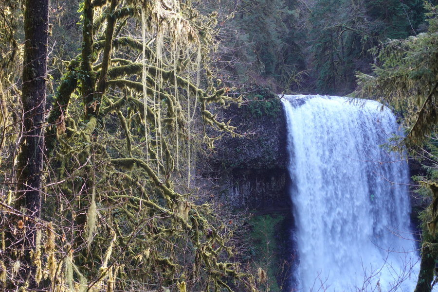
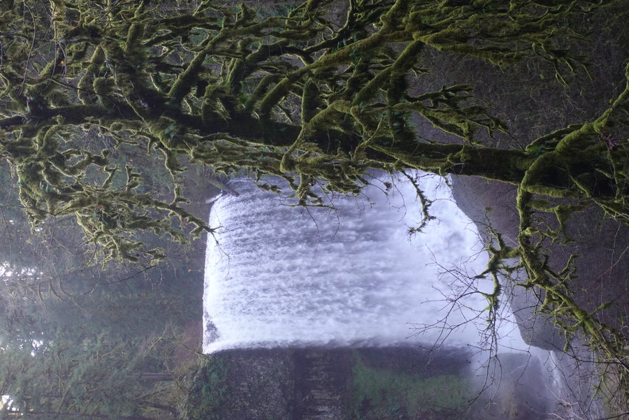
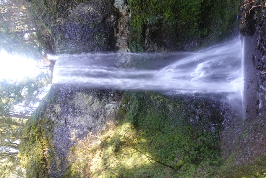
Silver Falls - Trail of 10 Falls Loop
8 miles of hiking • 1250' elevation gain •
Sunshine and waterfalls with some mountain dogs.
February 16, 2020


 1
1
Solo hike up Wind Mountain + extra stop at Wahclella Falls
5 miles of hiking • 1250' elevation gain •
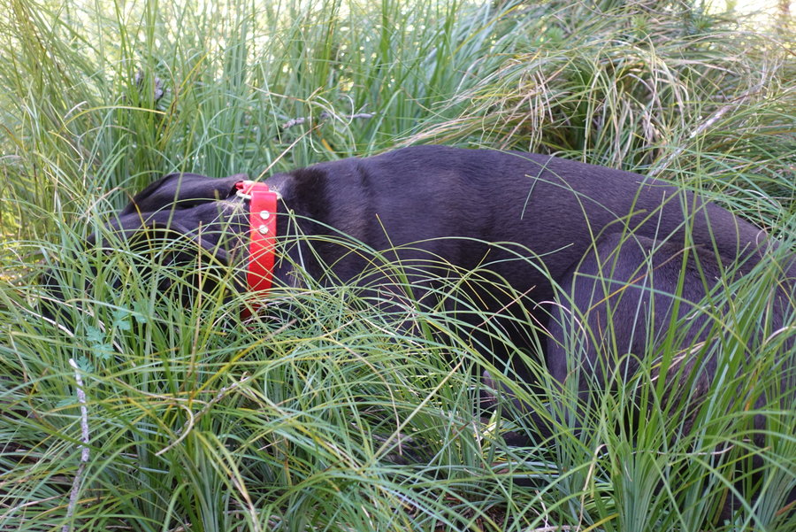
Woke up late, so opted for a quick little ass kicker (Wind.) Felt guilty for not doing enough and decided to pop over to Wahclella, even though I almost had to headlamp it out. Nice day to get out and go my own pace, just me and my dog Lily.
February 9, 2020


 1
1
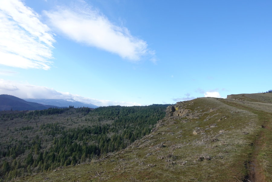
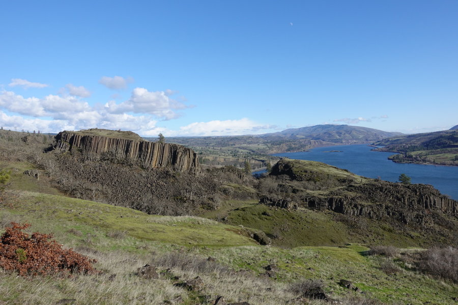
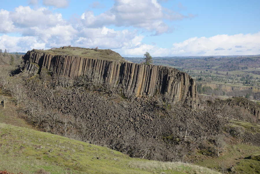
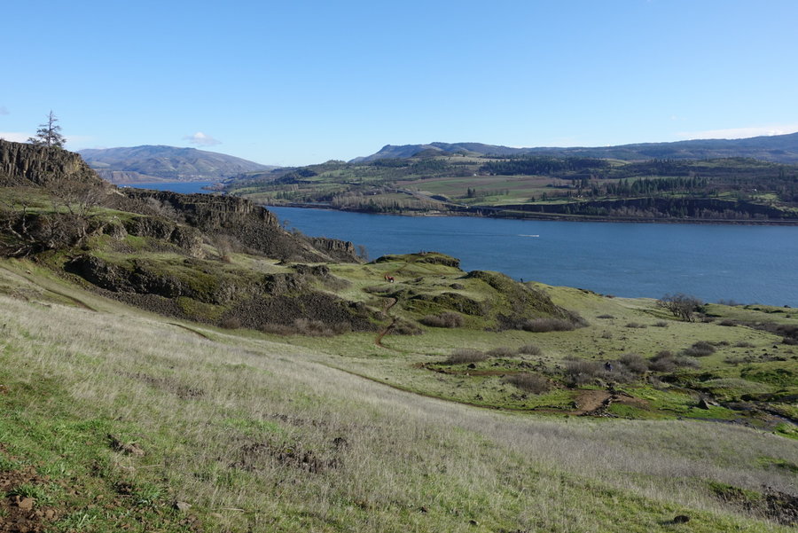
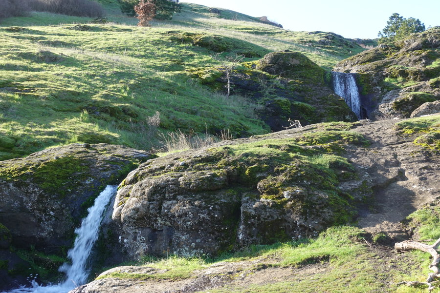
Coyote Wall Meanderings
7 miles of hiking • 1750' elevation gain •
Choose your own adventure path kind of day.
February 2, 2020


Falls Creek Falls
5 miles of hiking • 500' elevation gain •
Recent snow made this much harder than it should have been. I had snowshoes and my partner did not - so we turned around when we reached the actual trailhead because he couldn't keep up post holing and his shoes were too wet. It was a good workout so not a wasted day.
January 19, 2020

