2014 Trips


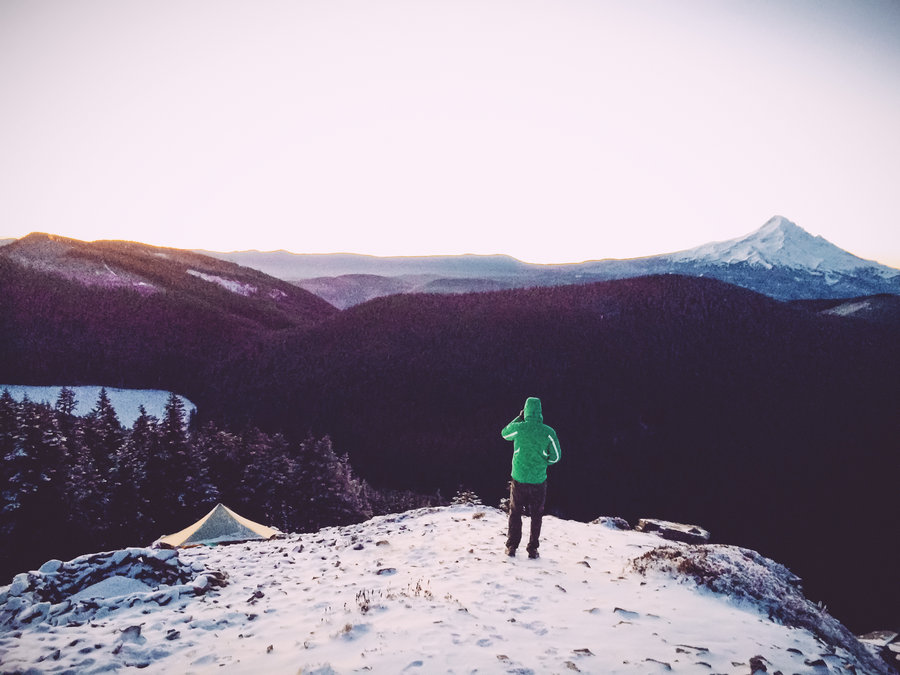
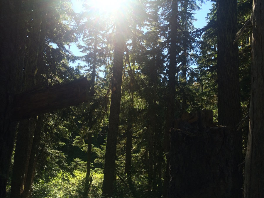
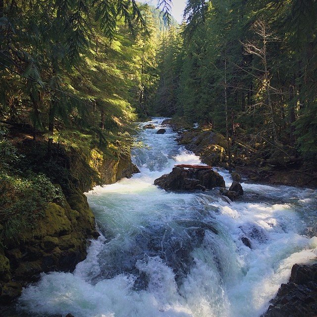
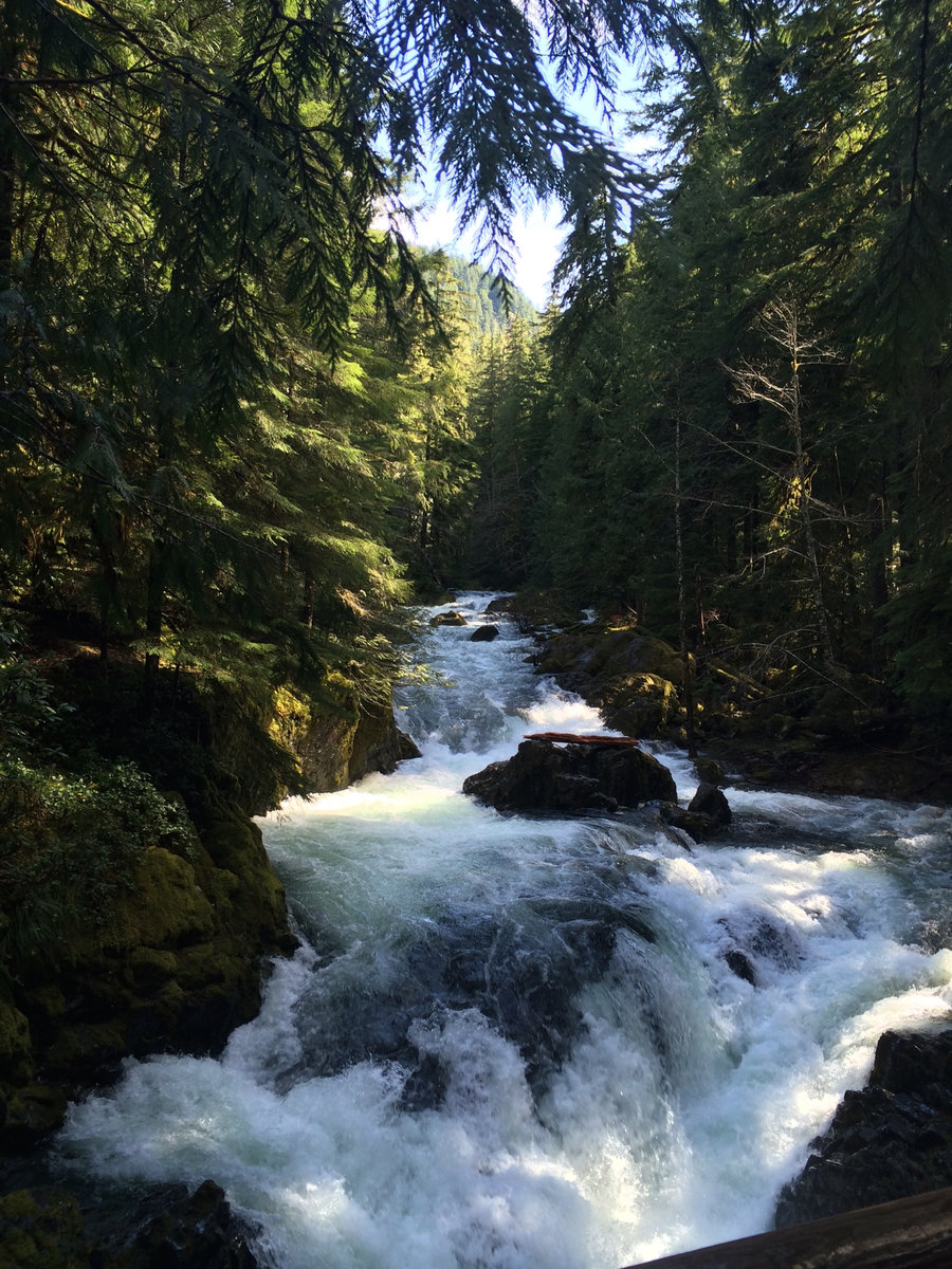
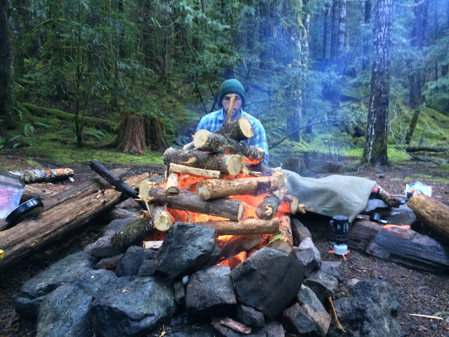
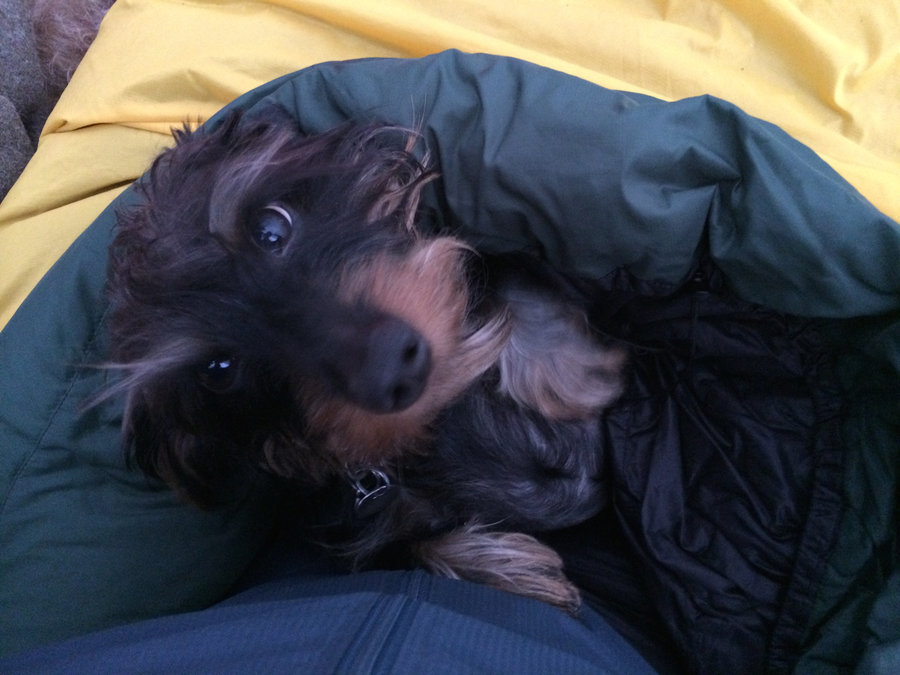
Goat Creek Camp in the Salmon-Huckleberry Wilderness
9 miles of hiking • 1750' elevation gain • 1 night
Another overnight soul restoration. Goat Creek is extremely unremarkable, even a downright ugly campsite, but it's tough to beat the beautiful hike in and the lack of others that would stupidly sleep in the rain in December out here.

December 12 – December 13, 2014

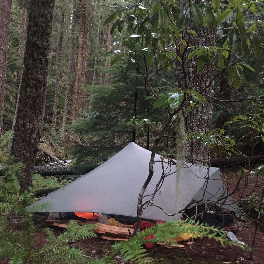

Elk Meadows
5 miles of hiking • 1000' elevation gain • 1 night
Quick overnight to the shelter at Elk Meadows. Delight.
November 8 – November 9, 2014

 4
4
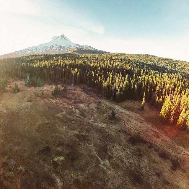
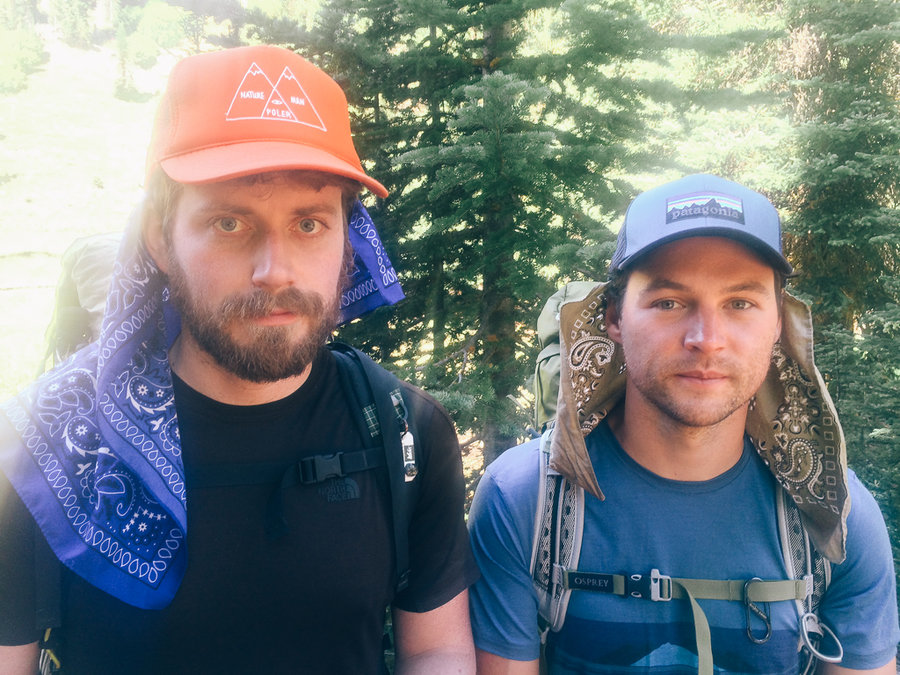
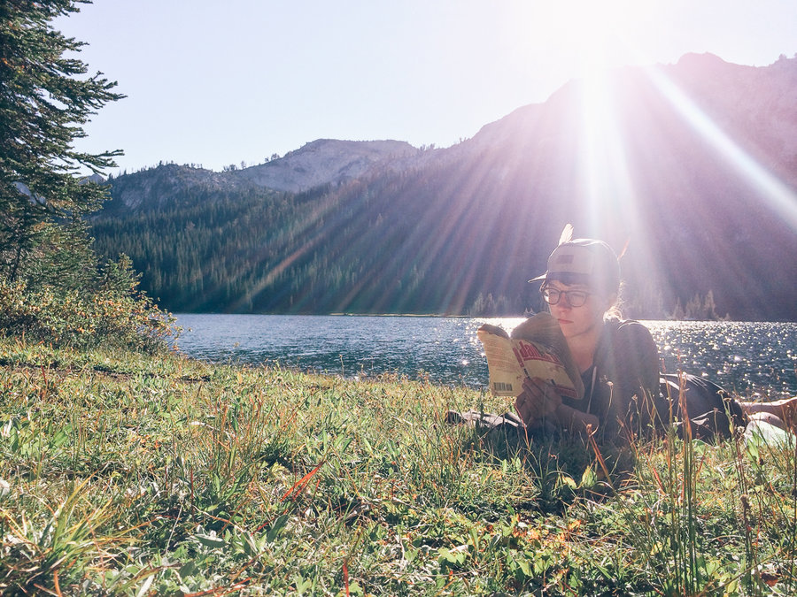
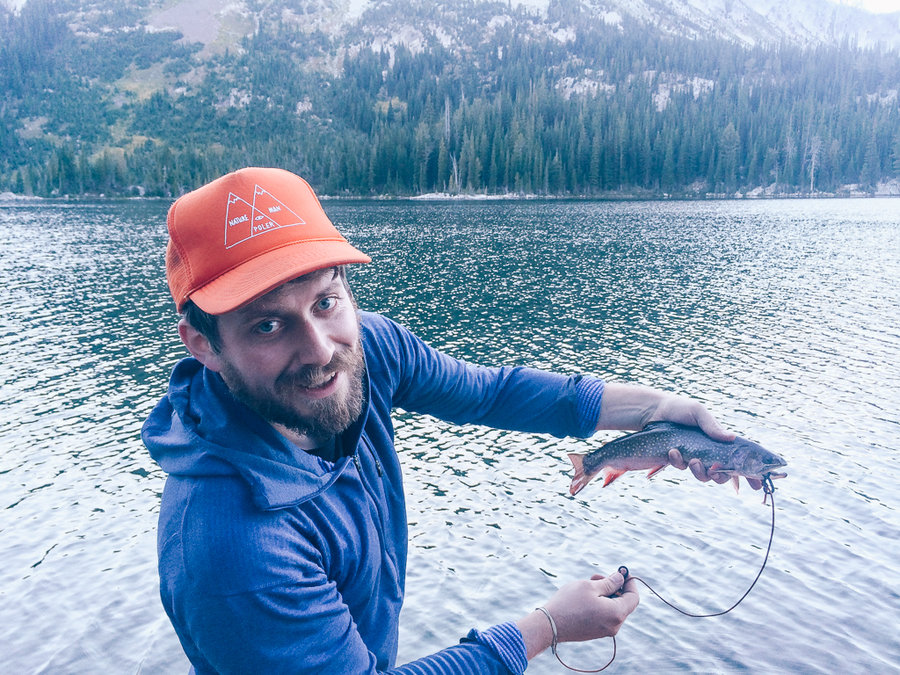
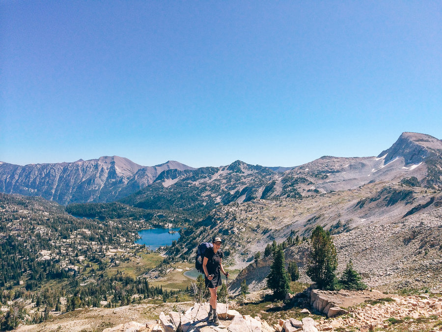
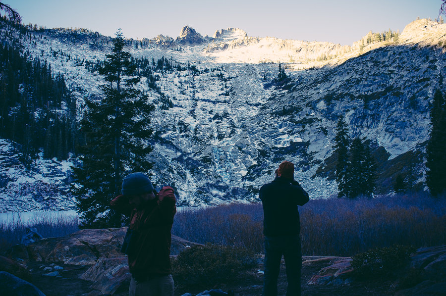
30th birthday Wallowas Extravaganza
49 miles of hiking • 12000' elevation gain • 6 nights
I was turning 30 on September 5th, and I used that as an excuse to do something I'd always wanted to—take a long meandering trip through the Wallowas. It turned out fantastic. We had gorgeously sunny, warm weather during the day with frozen nights. We spooked up families of grouse, met a herd of elk, drank coffee and watched salmon run in the Minam, and caught our fill of fish.
The upper reaches of the Minam River is definitely a place to return to—a deep low elevation wilderness full of wildlife and a lack of human presence. It's amazing the Lakes Basin is only a couple miles away.
We started from the Two Pan trailhead and headed up to Swamp Lake for the first night.
The next morning, we headed south and descended to the Minam River trail. We were fully expecting the descent to be much easier than it was—this trail disappears in places and is steep and waterless the whole way down. That, combined with southern exposure, meant it was hot, dusty, and horrible. We slept along the Minam for night two.
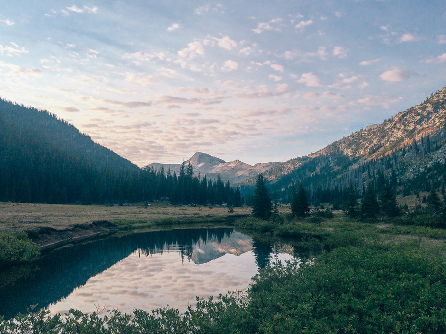
Day three, we headed up to Tombstone Lake. It was a very cold night with a low into the 20s. My wife Christy doesn't handle those kinds of temperatures well, especially without a fire.
So, on day four, we decided to backtrack down to the Minam instead of continuing on to Traverse Lake for another fireless, cold night. We slept again along the Minam further upstream than two nights prior in a beautiful meadow.
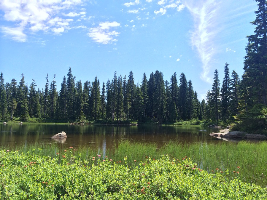
Day five, we had a short and easy hike into Minam Lake. This was also my birthday. Two friends and I had brought small packrafts and four-piece kayak paddles along on the trip, so arriving early to Minam Lake on the warmest day so far was a delight. We swam and paddled and fished from the boat for a solid six hours.
Having arrived at Minam Lake a day early because of skipping Traverse Lake, we opted to spend the day in the Lakes Basin, and sleep along the East Lostine River for our final night. Our trip led us through some of the least used parts of the Wallowas, so it was shocking to step into the Lakes Basin at Mirror Lake and see the absolute mayhem unfolding. Tents were pitched on the trail, we ran into an exasperated ranger trying to track down a group of 15 tents, and hoots and hollers were carrying over the lake. Ah, sunny weekends in the Lakes Basin. The East Lostine River valley was glorious and quiet, though.
Waking up on day seven, I felt used up, quiet, and ready to re-enter the world.
September 1 – September 7, 2014


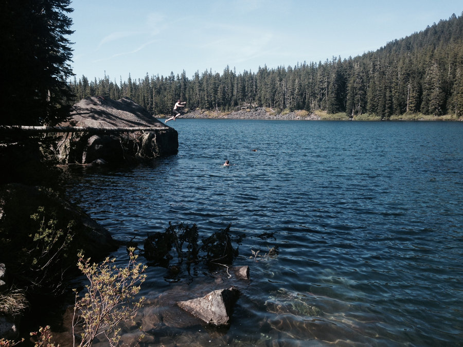
Off trail lake in Indian Heaven
10 miles of hiking • 1000' elevation gain • 1 night
Met my dad at an offtrail lake in Indian Heaven. Great swimming, full of fish, and tried to refurb a campsite that hadn't been used in easily 20 years.
July 31 – August 1, 2014


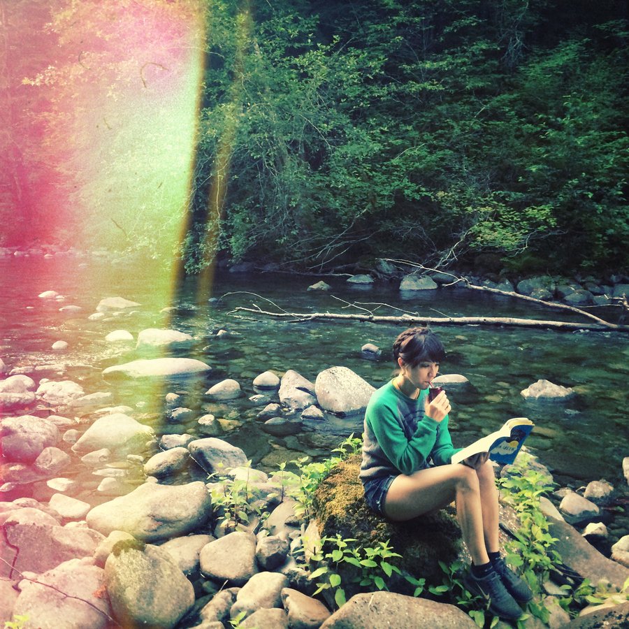
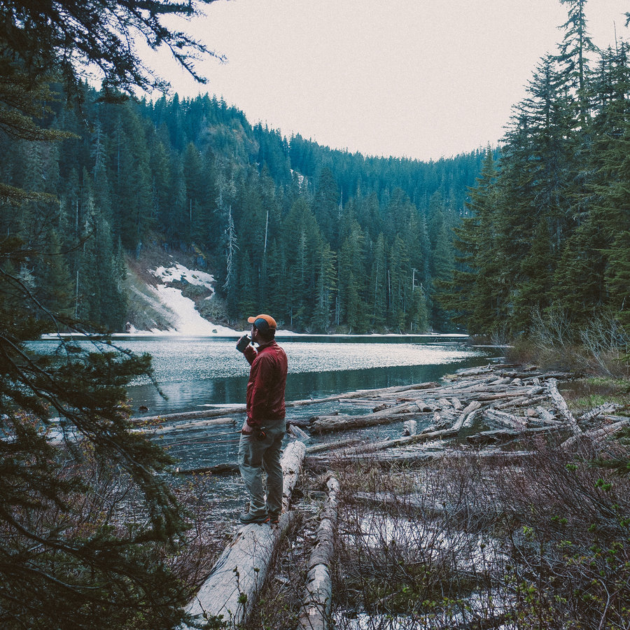
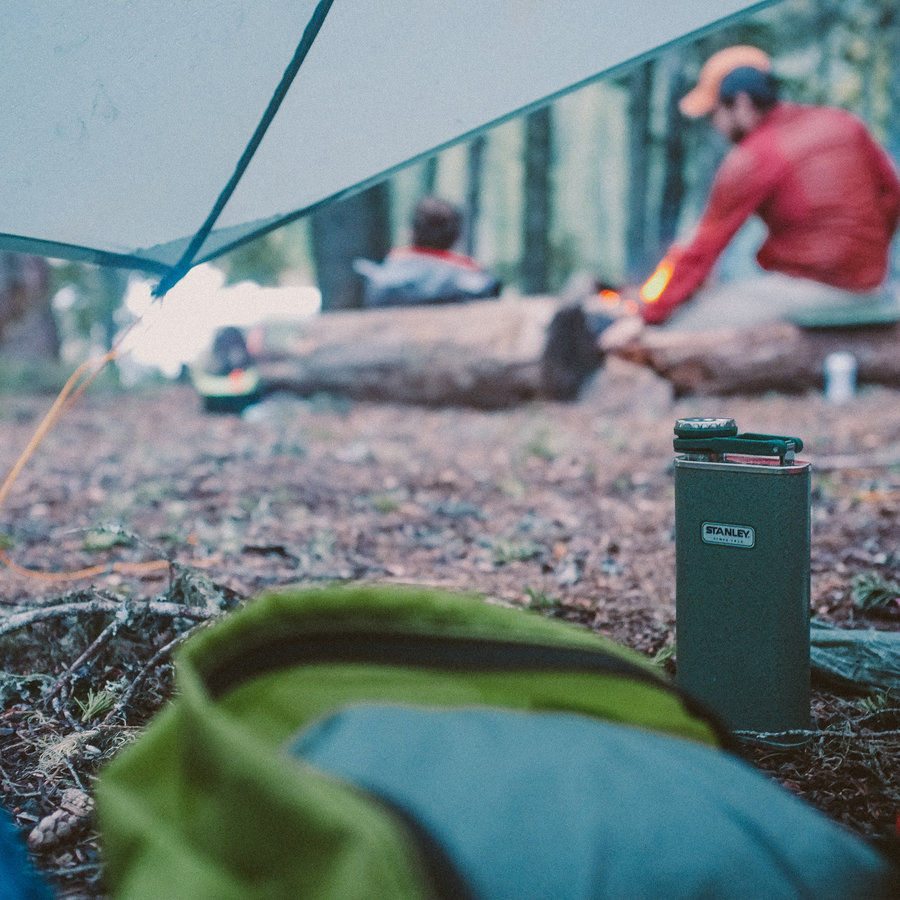
Siouxon Creek
15 miles of hiking • 500' elevation gain • 3 nights
The annual "Let's swim and drink and fish and swim" trip. So much swimming, so much fishing, so much good times. Siouxon's the best.
It's getting very popular, though. There was an obscene amount of people on Saturday.
July 17 – July 20, 2014

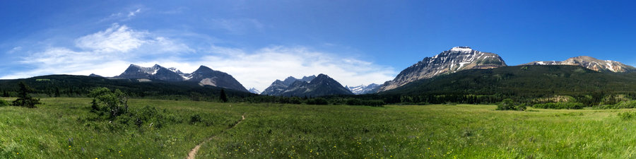
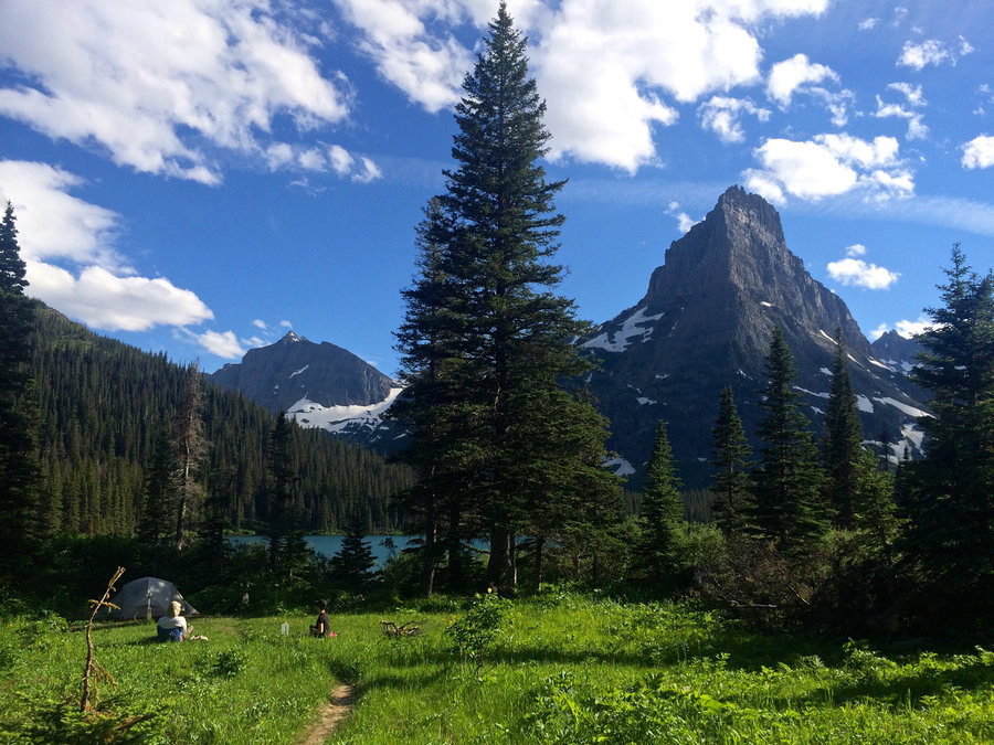
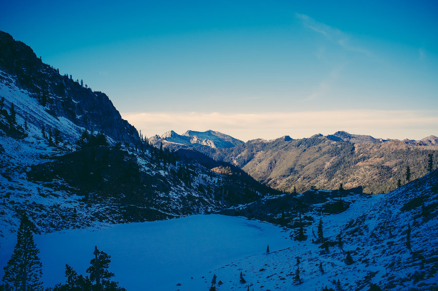
Glenn Lake along the Belly River in Glacier National Park
32 miles of hiking • 2000' elevation gain • 2 nights
Glacier was amazing. We spent two nights 13 miles up the Belly River along Glenn Lake. We saw many deer and signs of moose. The most surprising part of the trip was the lack of access to the water though—there was no "beach" to speak of anywhere on the two mile long lake.
July 4 – July 6, 2014

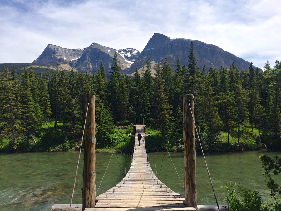

Banff Egypt Lake Backpacking fail
21 miles of hiking • 2000' elevation gain •
We were headed into the Egypt Lake area, but there was a massive landslide that took out multiple bridges along Pharaoh creek and totally changed the valley for literally miles. We did a few crossings but the water was really high and we ultimately turned back. Way too sketchy.
There was a new trail built diverting around the slide, but the rangers didn't tell us about it and it wasn't on the maps or in the conditions reports so we didn't know whether or not to take it. It climbed hundreds of feet onto the ridge next to the valley. Kind of a bummer.
The conditions report said, "Bridge(s) out at Pharaoh Creek. Significant trail erosion. Use caution". Indeed.
So we ended up hiking back out. 20 mile day hike with full packs.
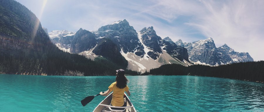
On the plus side, we canoed in Moraine Lake the next day instead.
June 30, 2014

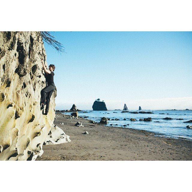
Third Beach to Scott Creek in Olympic National Park
8 miles of hiking • 1000' elevation gain • 1 night
This was the start of my wife Christy and I's roadtrip into Canada. With most of the high country in ONP still covered in snow, we chose to head out to the beach. The second overland crossing was intense—ropes, ladders, and lots of mud.
The beach at Scott Creek is amazing though. It even comes complete with a perfect bouldering rock.
June 25 – June 26, 2014

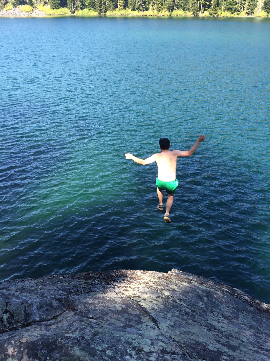
Serene Lake
10 miles of hiking • 0' elevation gain • 2 nights
Swimming trip out to Serene Lake. The rock on the SE side of the lake is spectacular for sun bathing, fishing, and swimming. Highly recommended.
June 5 – June 7, 2014


Rock Lakes
10 miles of hiking • 0' elevation gain • 1 night
Easy backpack into the Rock Lakes. We initially tried going up to the Frazier Turnaround but got, ahem, turned around by snow drifts. Without much day left and a three legged dog in tow starting from the Shellrock Lake trailhead, we decided to stop at the Rock Lakes instead of our initial destination of Serene.
May 25 – May 26, 2014

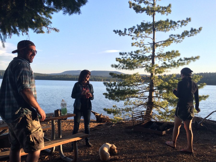
Meditation Point on Timothy Lake
5 miles of hiking • 0' elevation gain • 2 nights
Recliner backpack to enjoy the obscenely good weather. Meditation point is gorgeous, but the water is fairly mucky.
May 1 – May 3, 2014

Opal Creek Recliner Backpack
6 miles of hiking • 500' elevation gain • 1 night
Lovely early season camp along Opal Creek
March 7 – March 8, 2014


 4
4
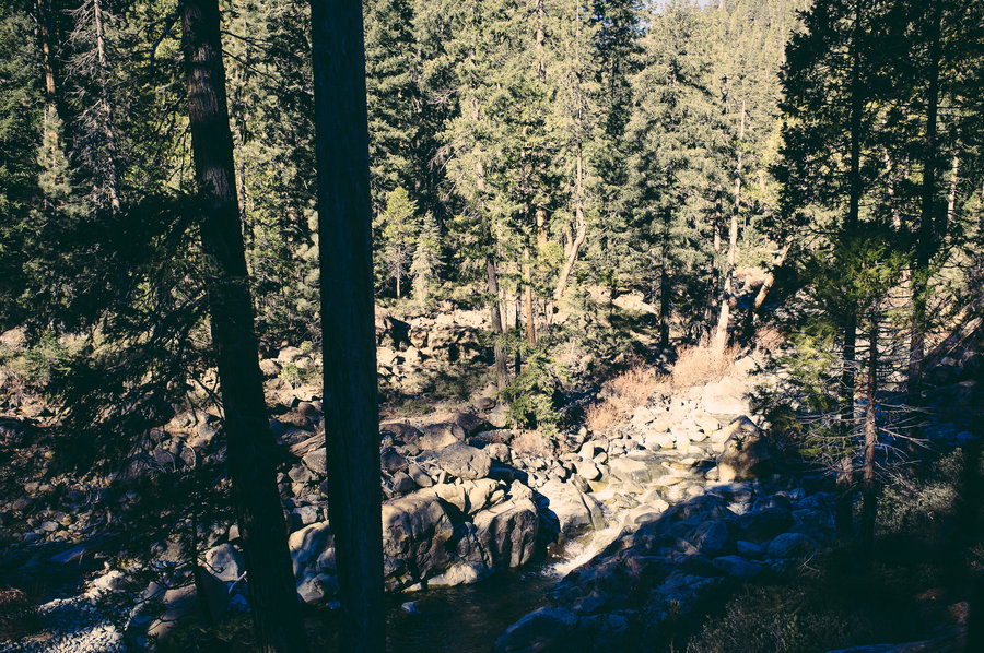
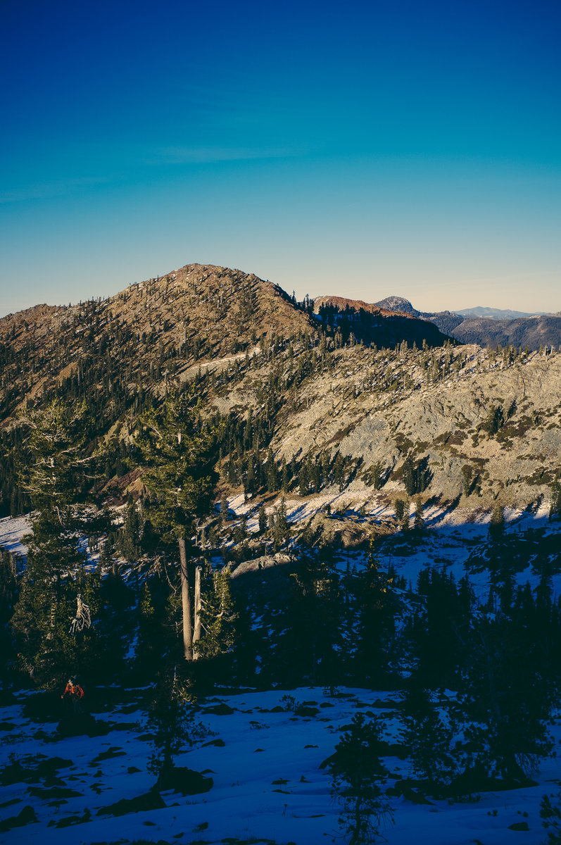
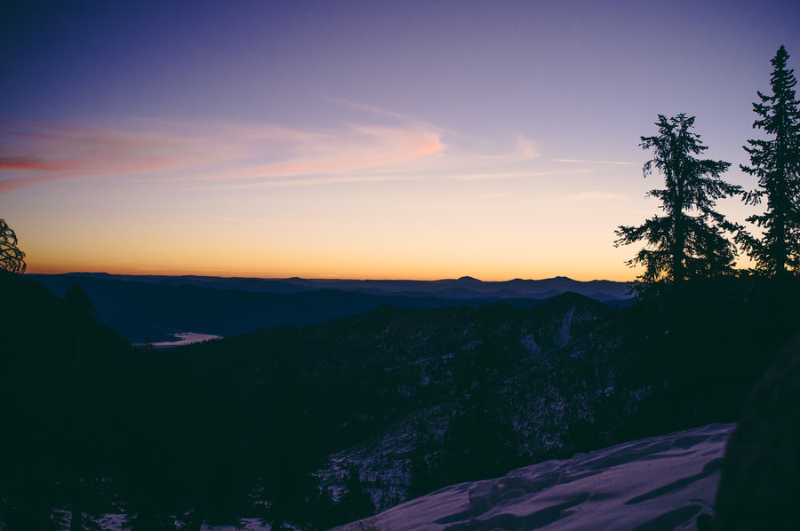
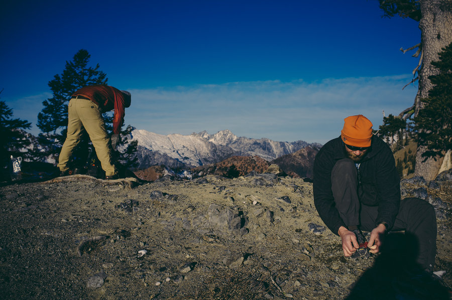
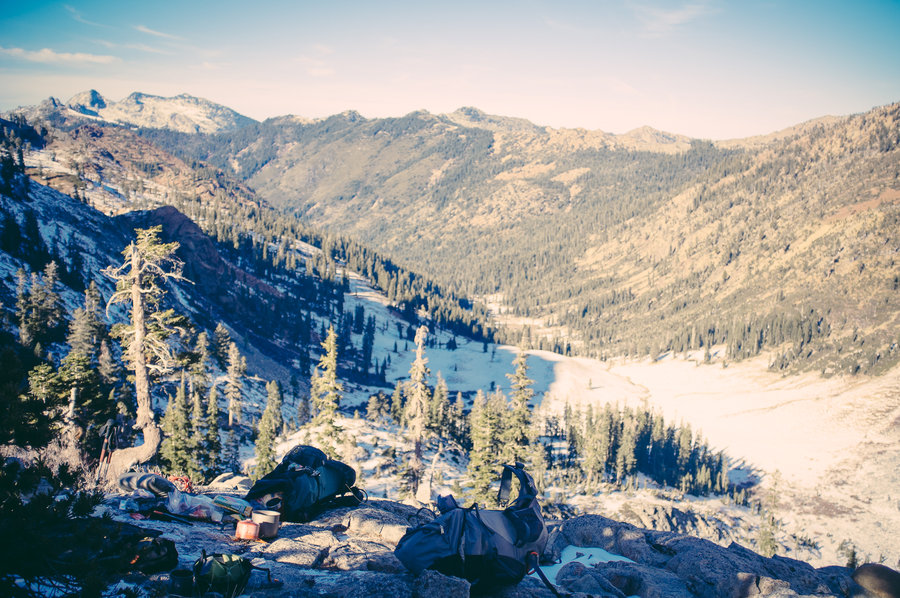
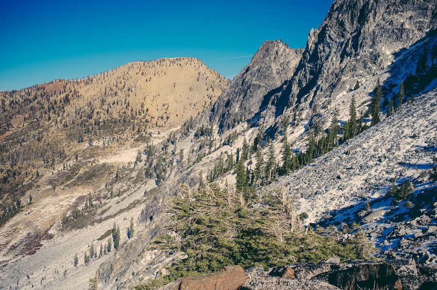
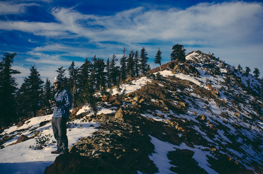
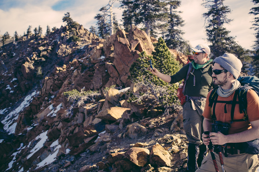
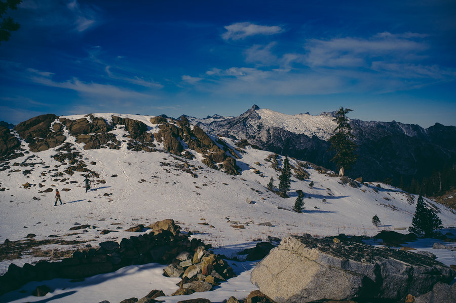
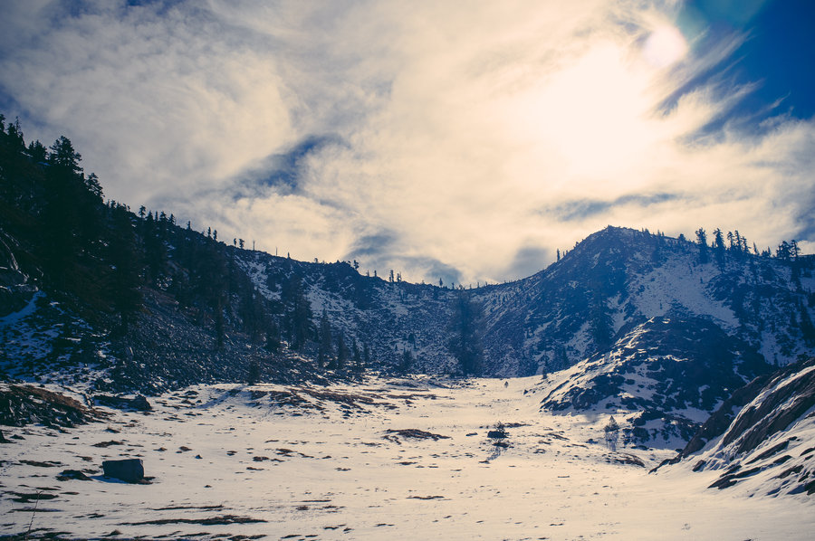
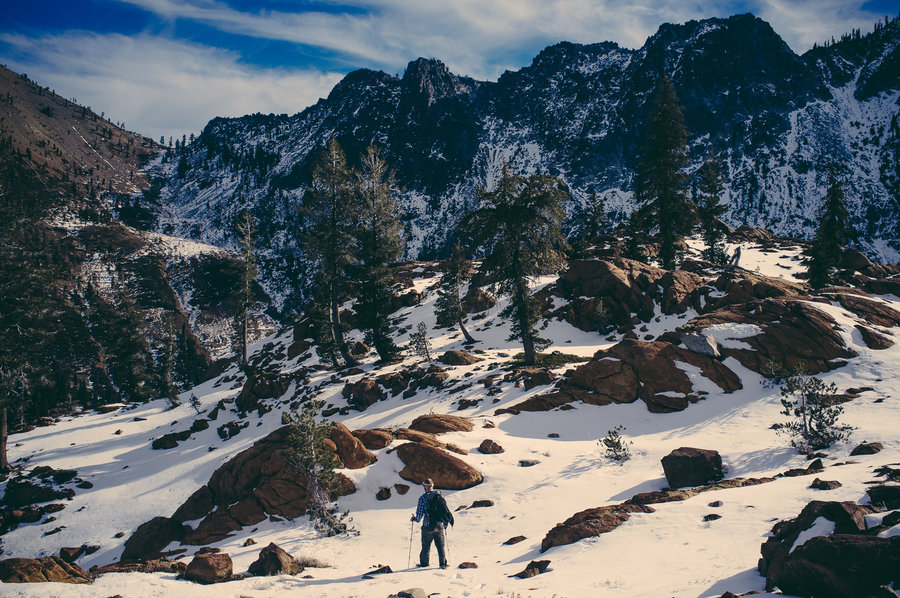
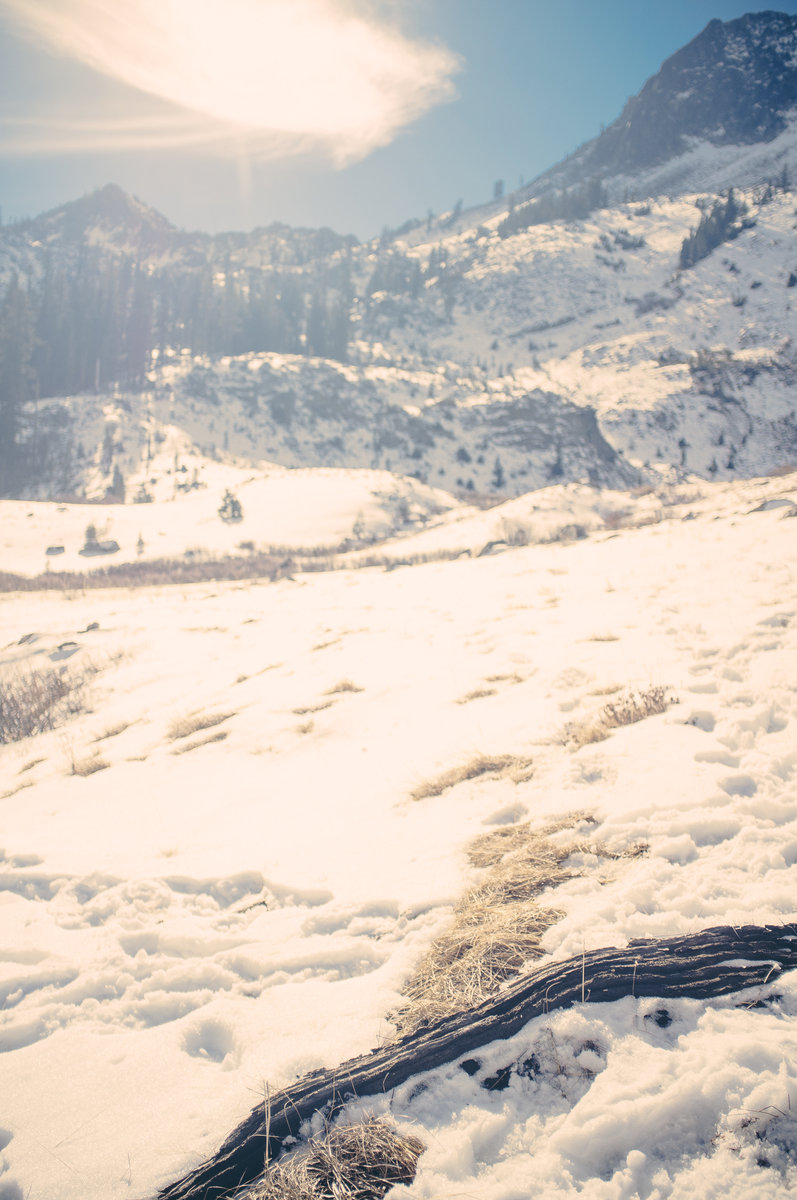
Four Lakes Loop — Trinity Alps
24 miles of hiking • 7500' elevation gain • 3 nights
Myself and three friends went for a four-day weekend down to Trinity Alps Wilderness. While we found a bit more wintery of conditions than we expected, it was still gloriously warm and sunny while we were out there and there was very little snow.
January 17 – January 20, 2014


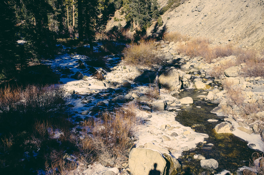
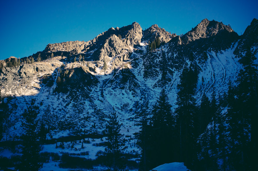


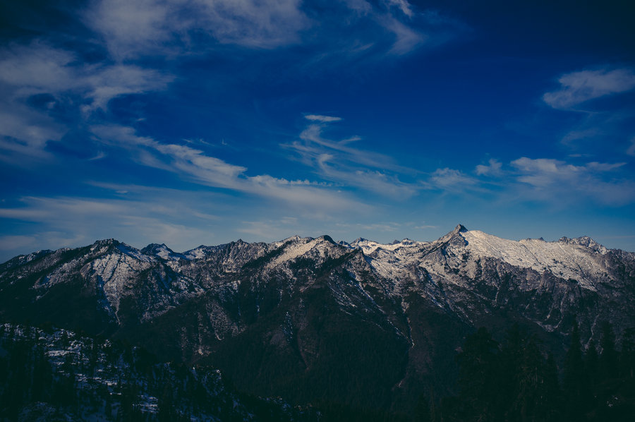
Bivy on Chinidere Mountain
23 miles of hiking • 5500' elevation gain • 1 night
Slept on the summit of Chinidere. Snow drifts in the wind walls made for a tiny little place to pitch a tarp. It was snowing and dark when we got to the top, but clear for the morning. Definitely a leg burner.
January 3 – January 4, 2014