


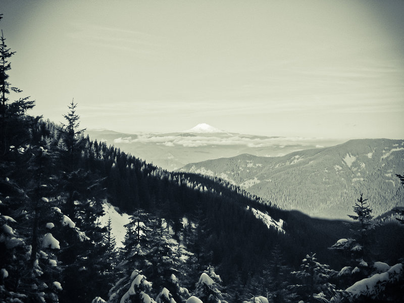
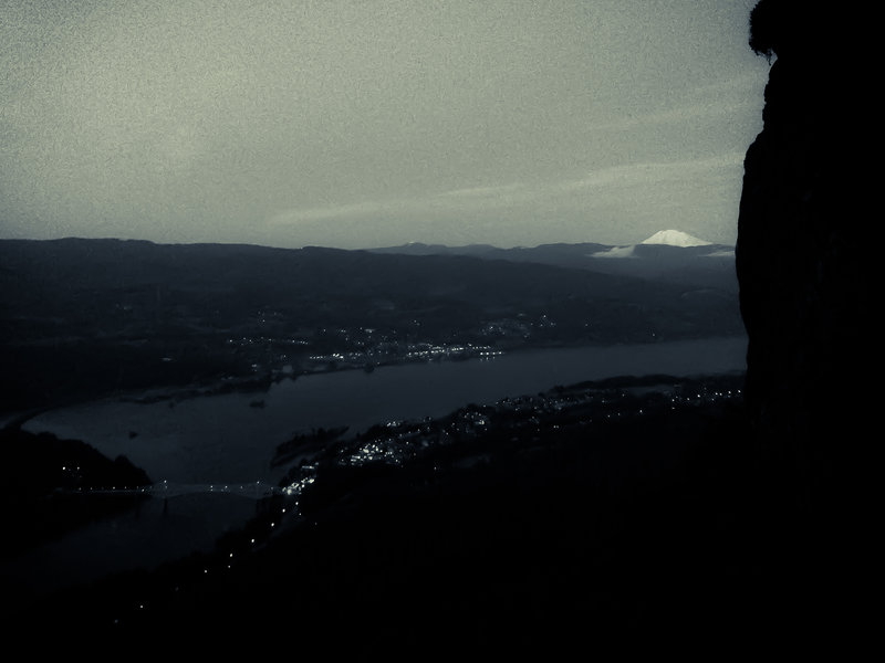
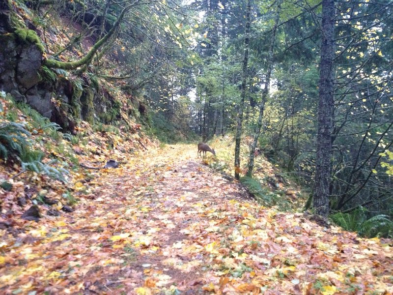
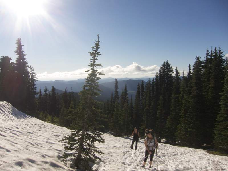
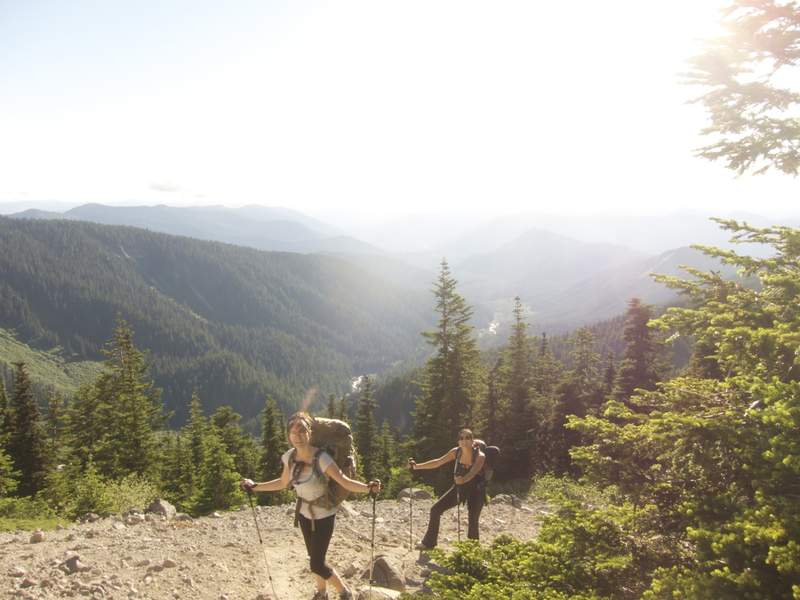
2011 Trips

 1
1
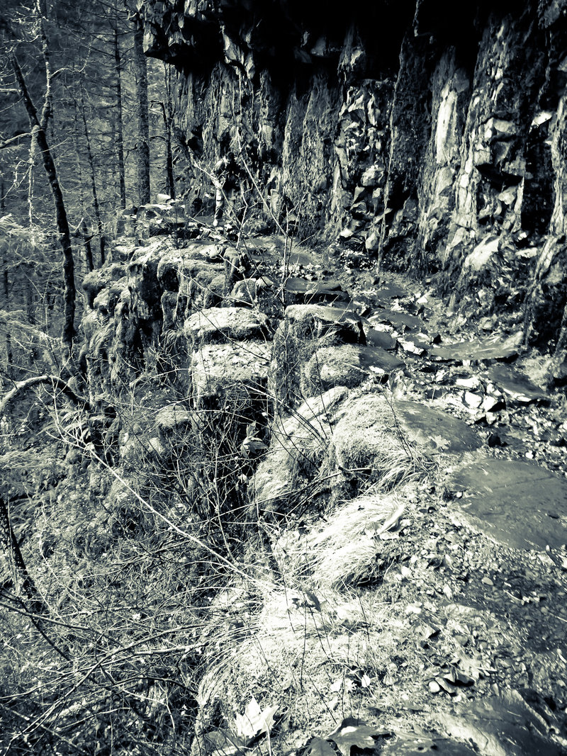
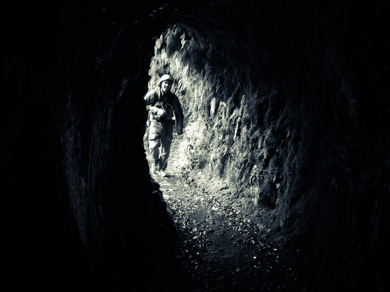
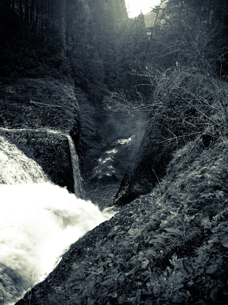
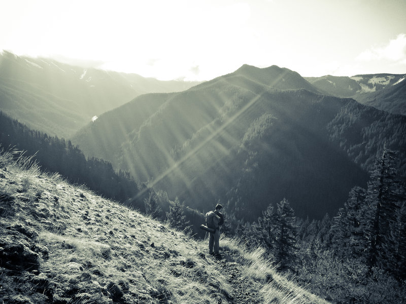
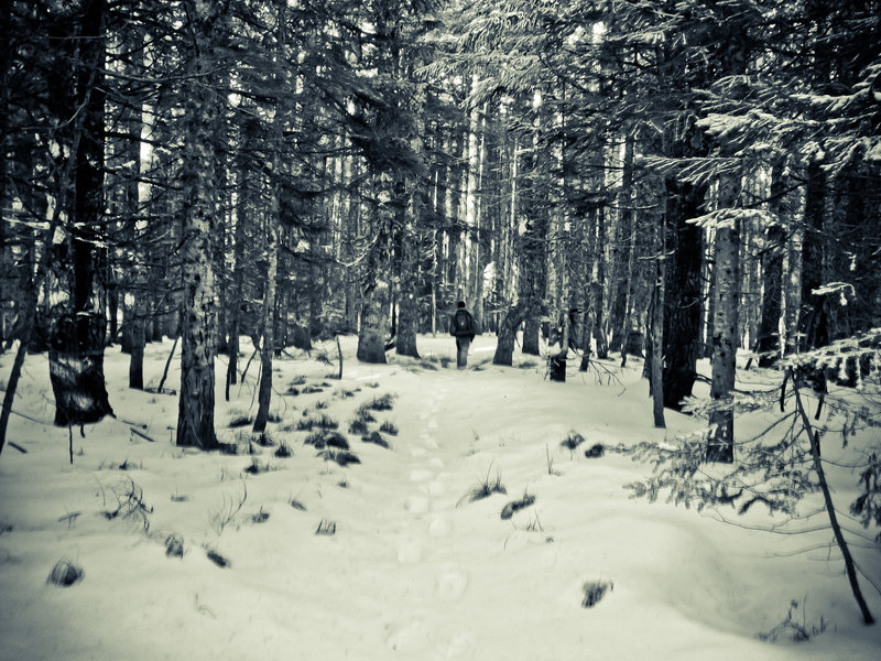
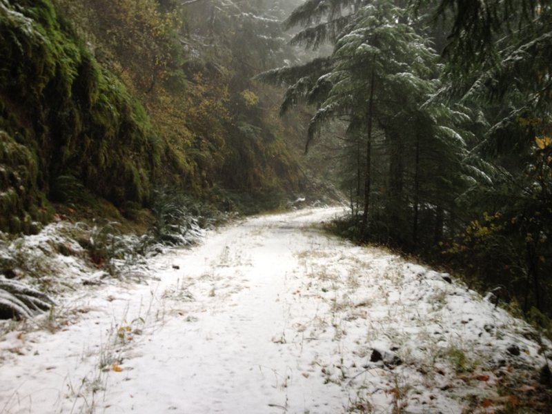
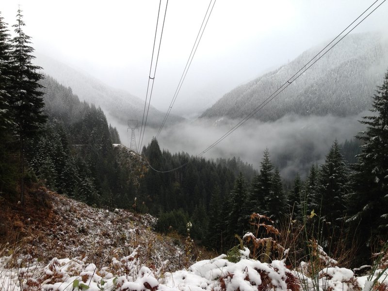
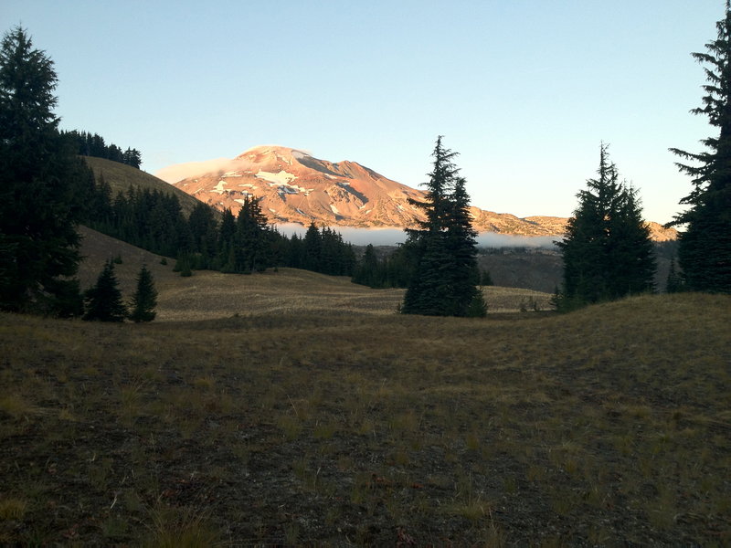
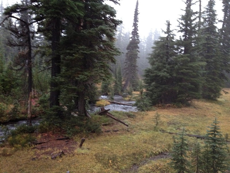
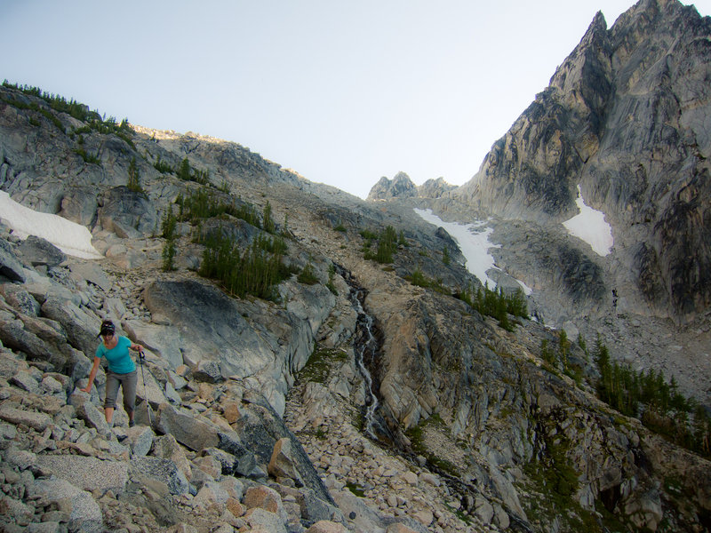
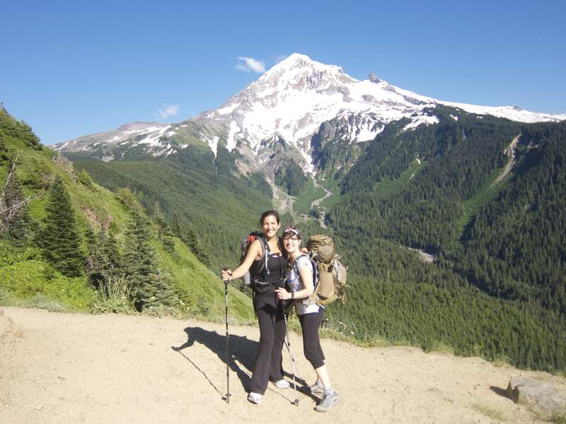
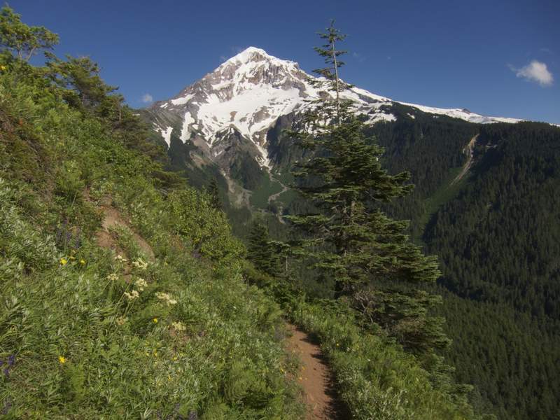
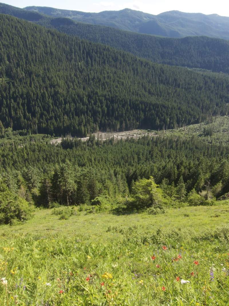
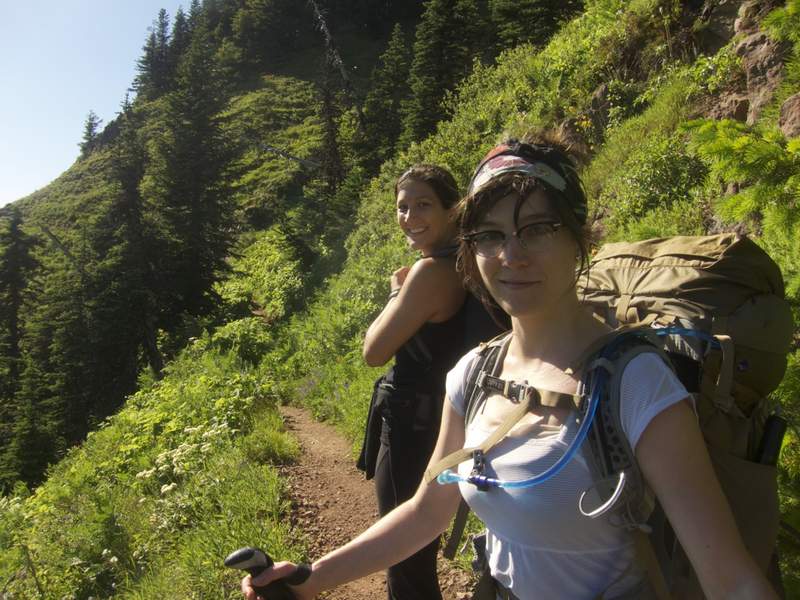
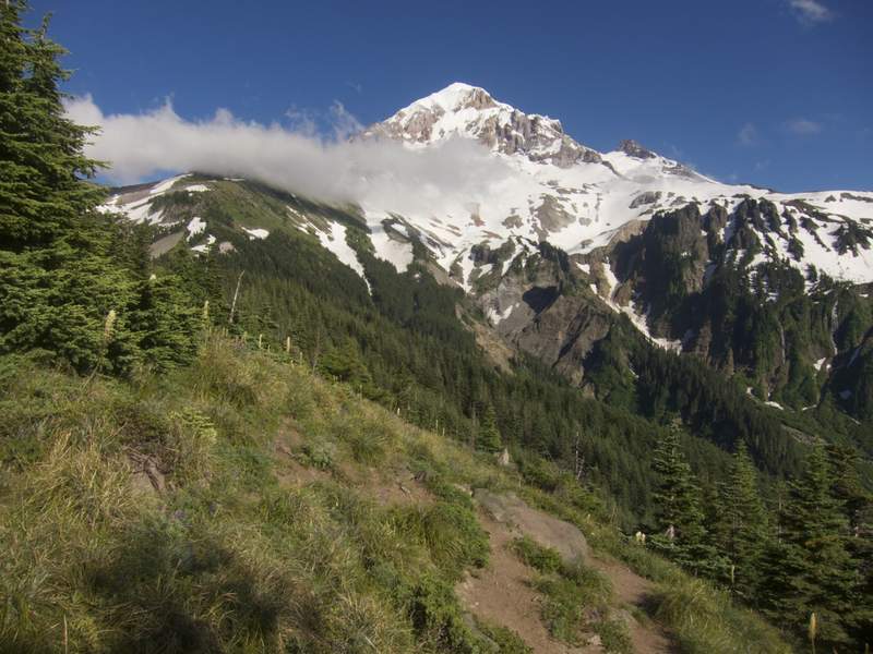
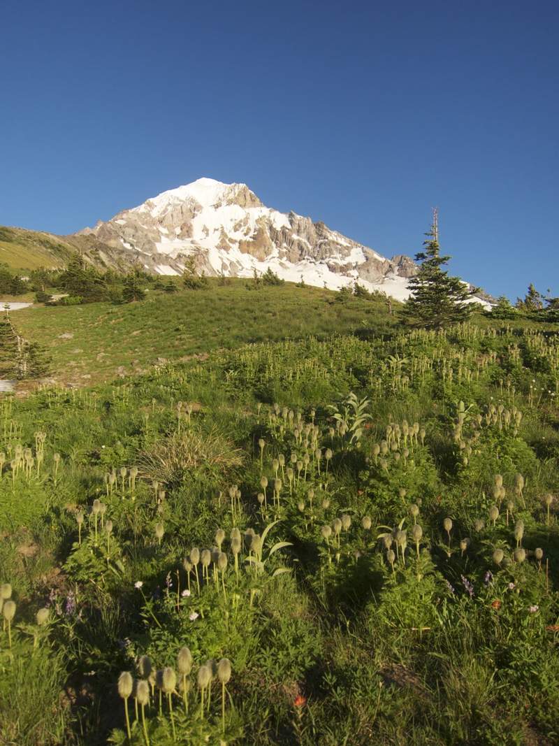
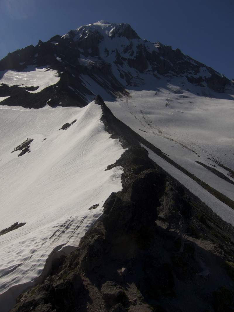
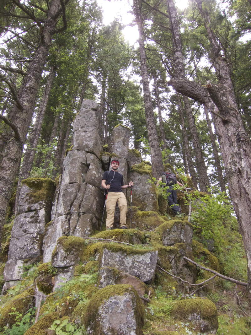
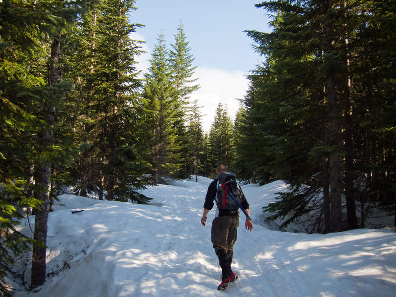
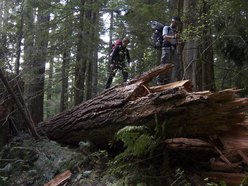
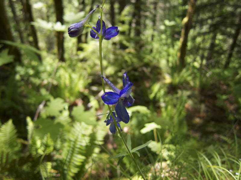
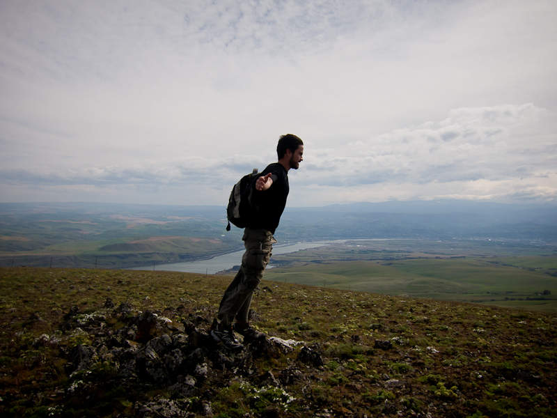
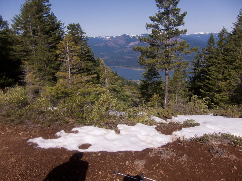
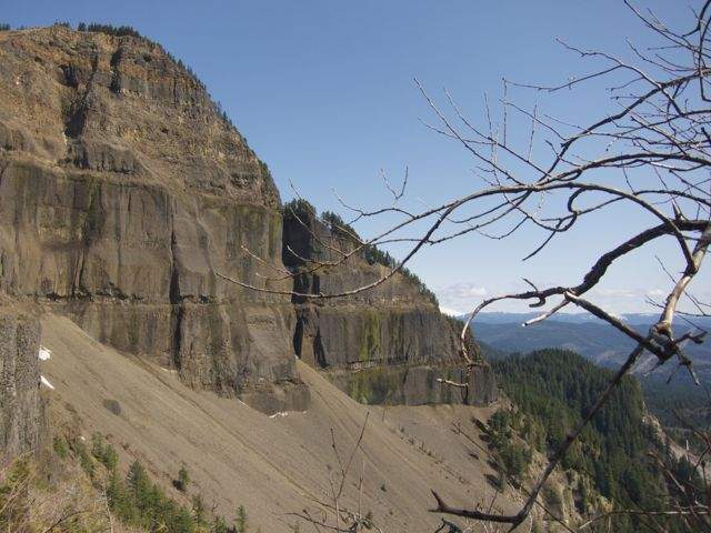
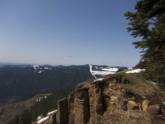
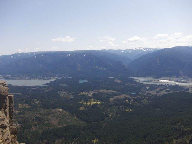
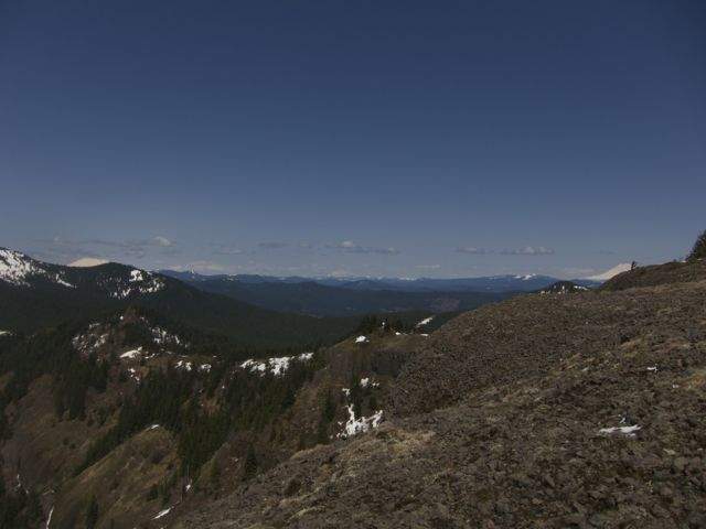
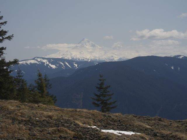
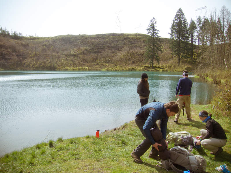
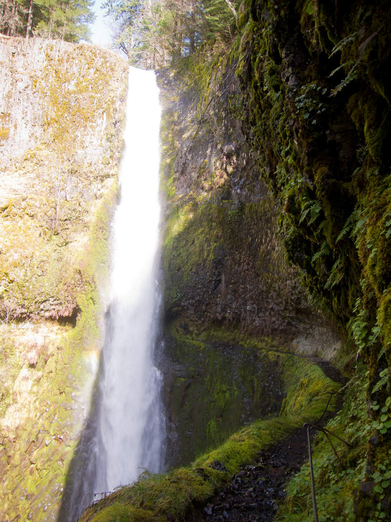
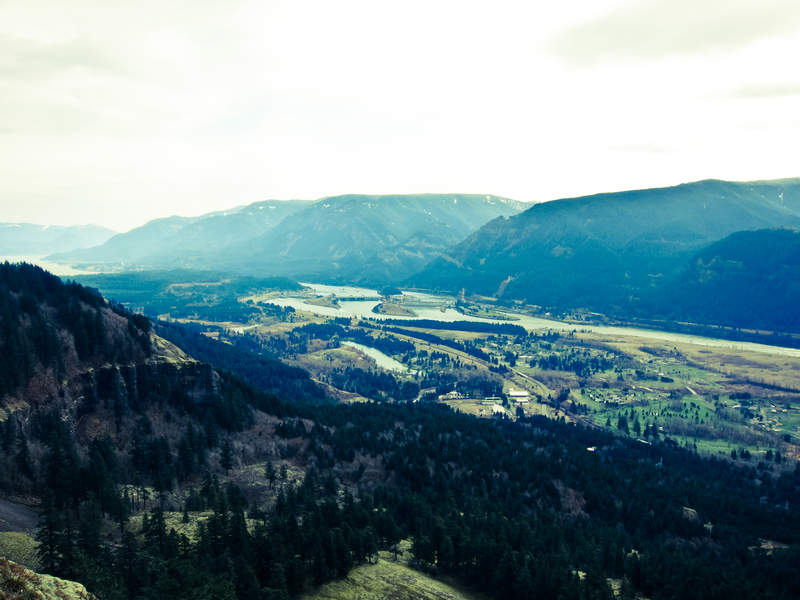
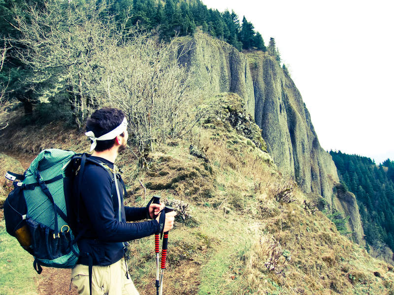
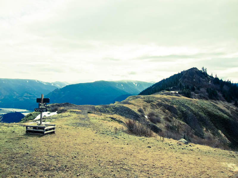
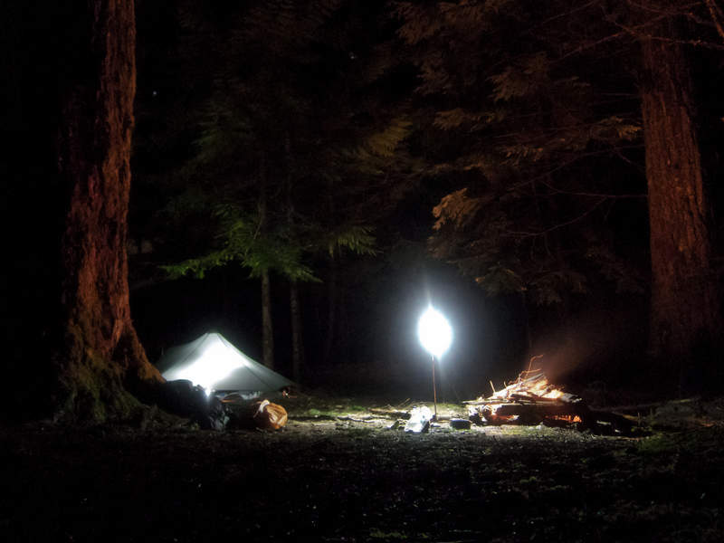
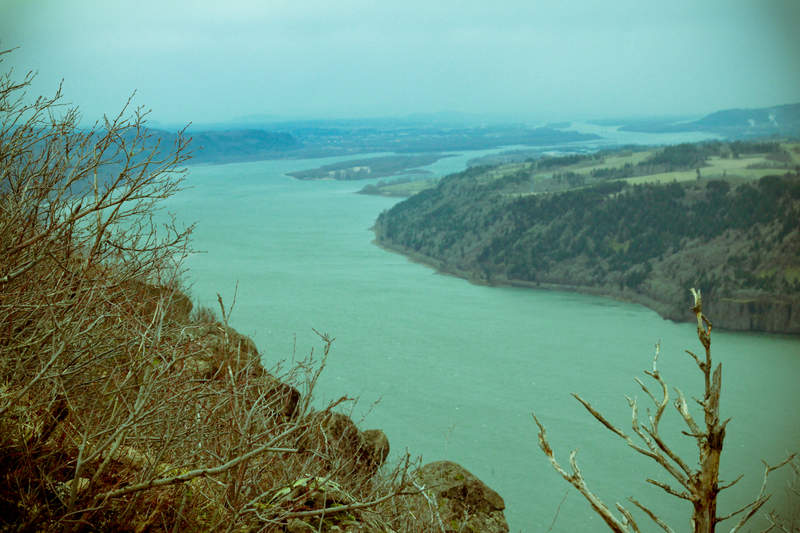
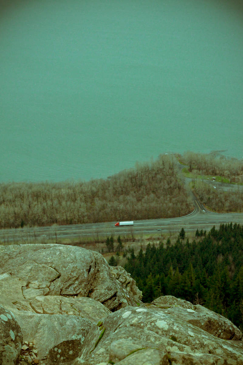
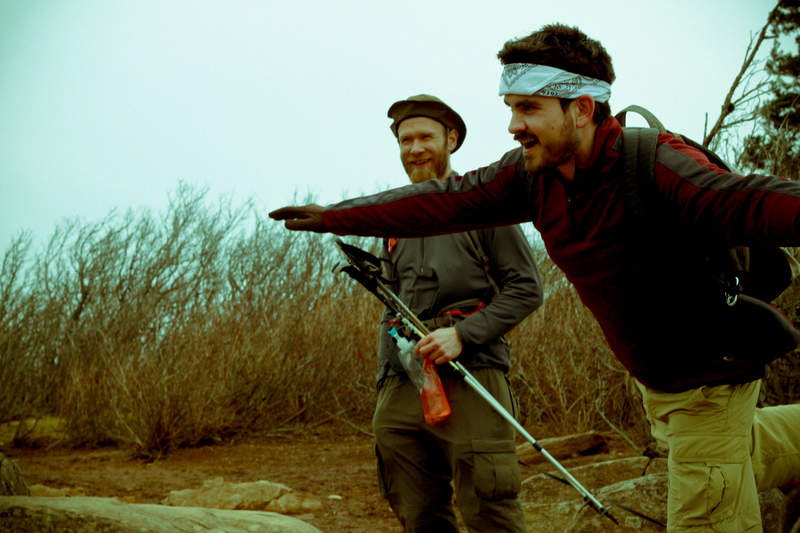
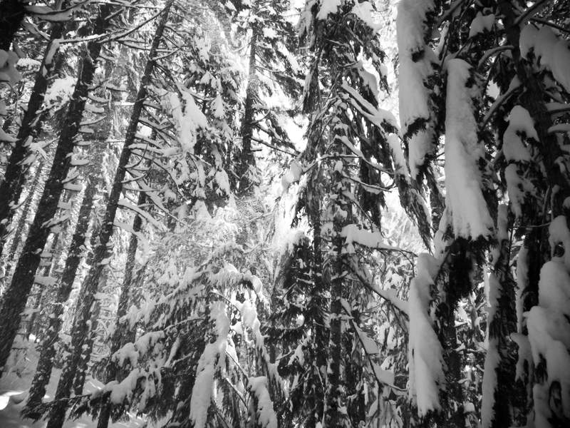
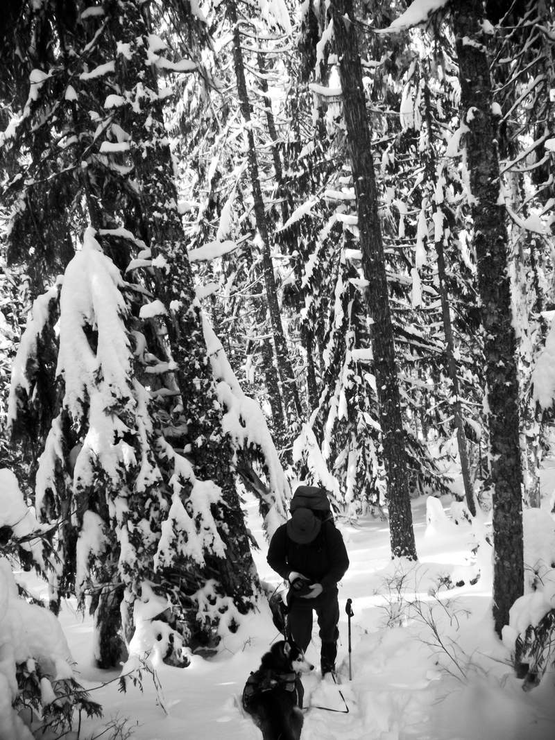
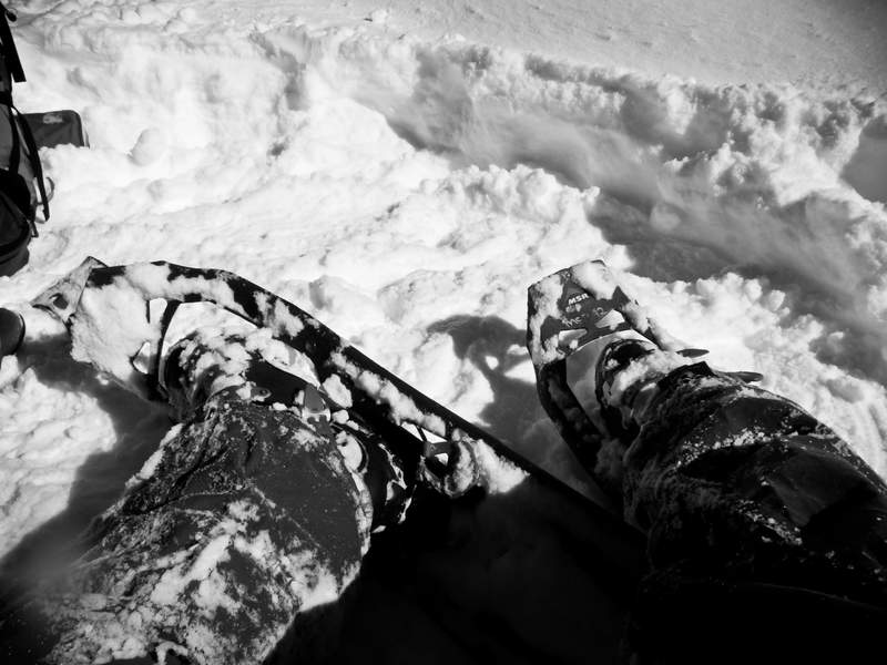
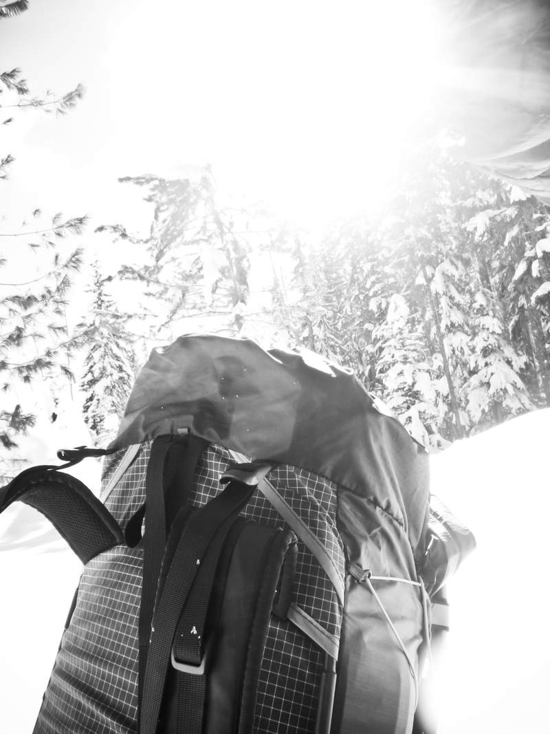
Eagle Benson
20 miles of hiking • 5000' elevation gain • 1 night
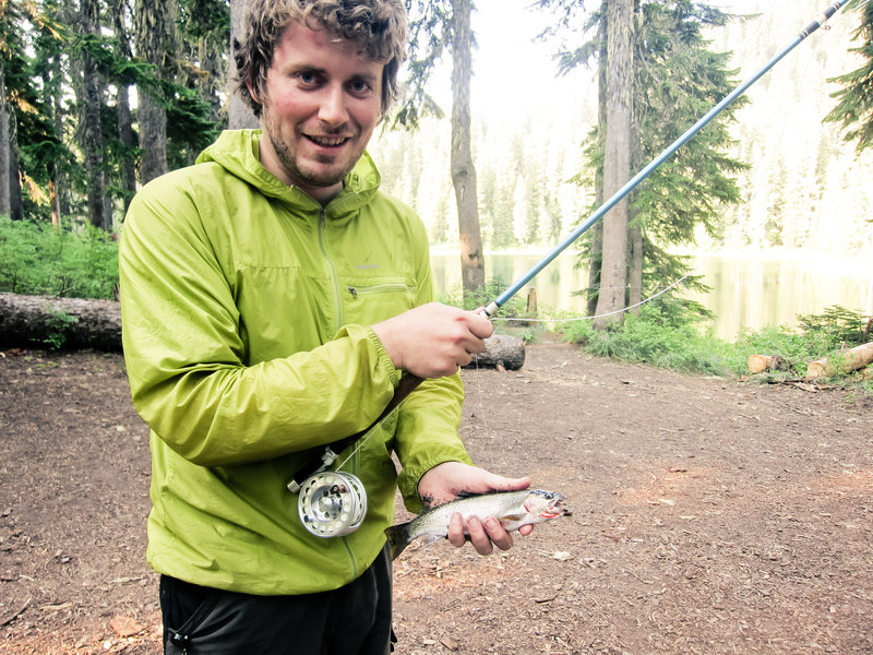
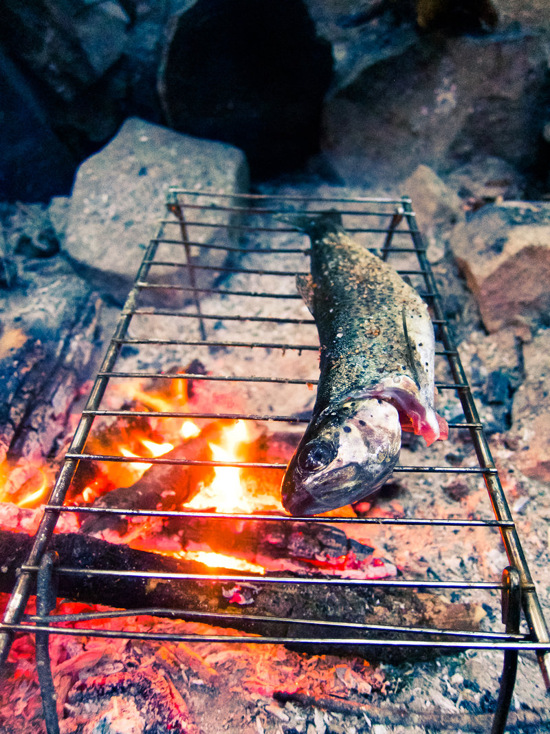
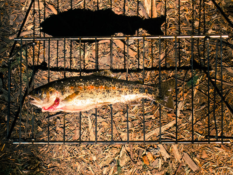
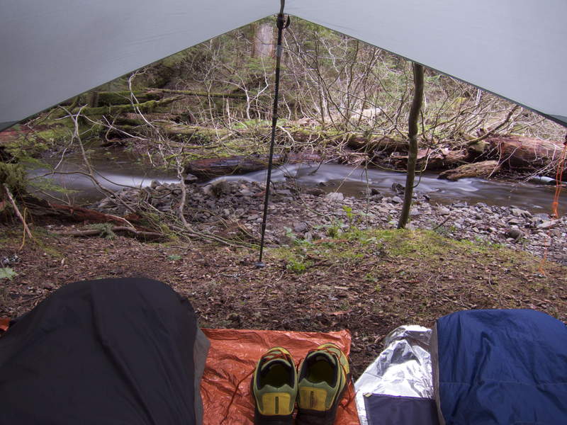
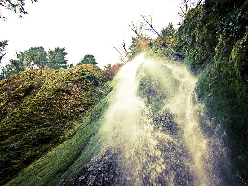
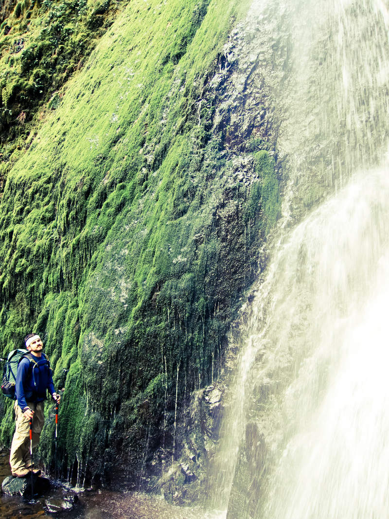
Eagle Creek has it's own climate—I need to remember this for future trips. Trying to take advantage of the beginning of this stretch of great weather, a friend and I headed out for a two night loop of Eagle Creek to Wahtum Lake.
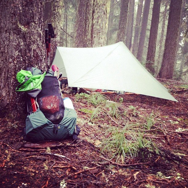
We hiked to 7.5 mile camp the first night. Despite the blue skies, everything was soaking wet. Drenched. With a low in the mid 30s, no fire was a bummer. After a relatively long and cold night, we awoke, hung out leisurely under the tarp, and broke camp.
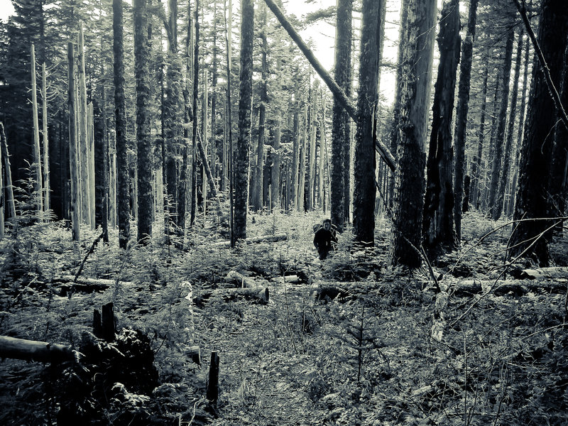
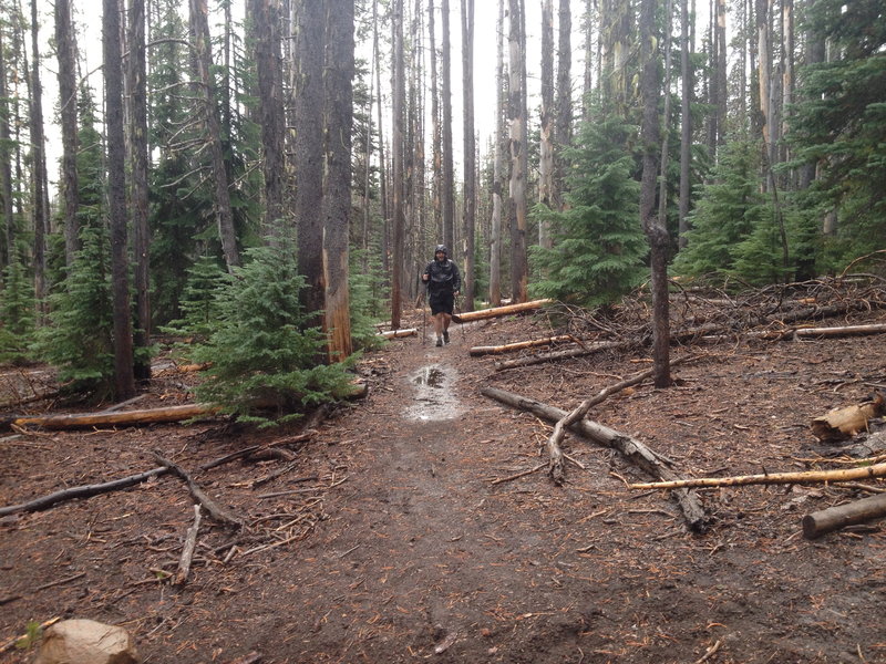
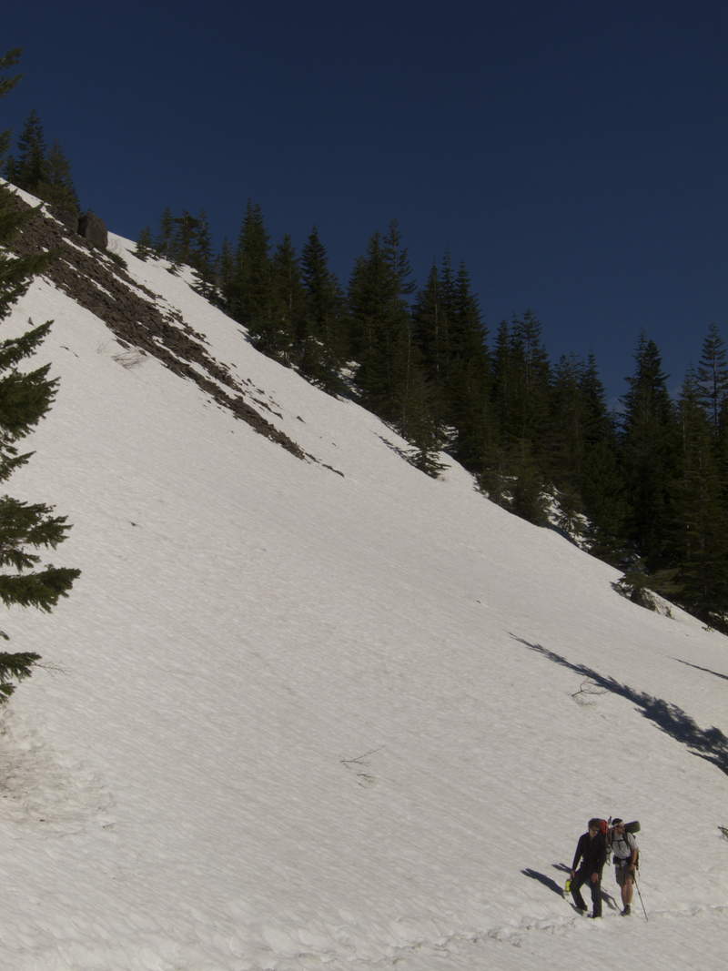
Our plans changed due to the sheer wetness of everything. We decided to take the Eagle Benson trail instead of continuing up to Wahtum Lake, so we could make an audible for the second night, afraid it might be truly freezing on top of the Benson, and yet still saturated enough to not have yet another fire.
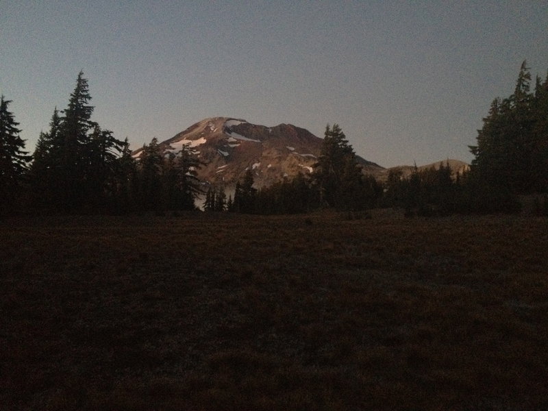
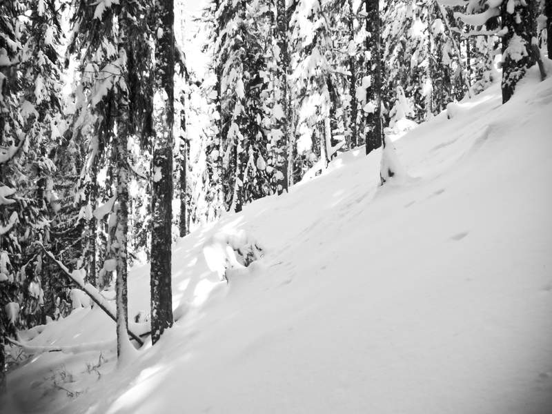
When we finally made it up to the Benson at Camp Smoky, a stiff wind was blowing through the trees and everything was covered in snow, between an inch and a foot thick. My buddy was extremely cold and wet, shivering from the water in his clothes from scraping through the low brush of the burnt area that the Eagle Benson trail cuts through.
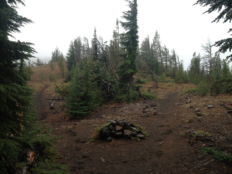
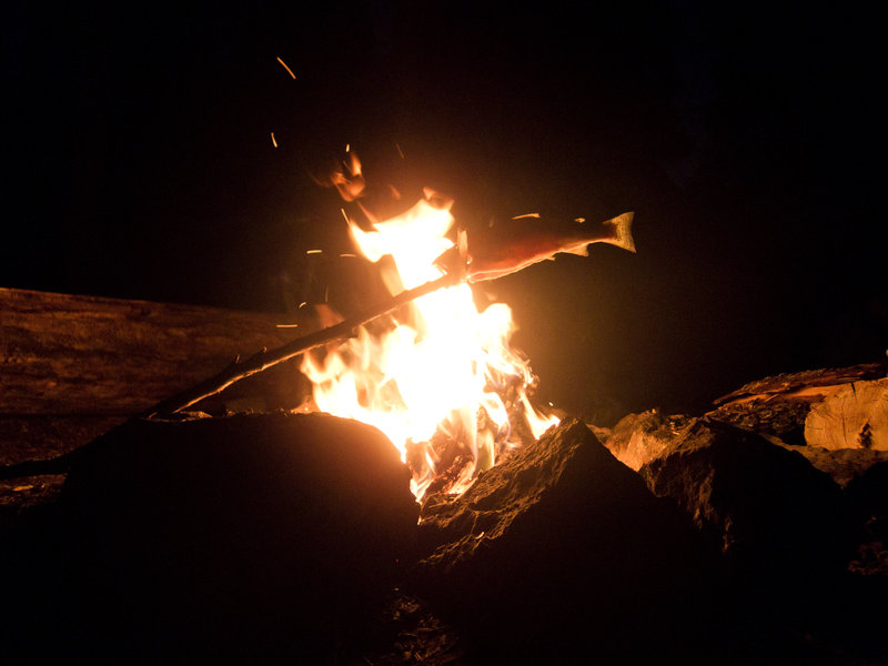
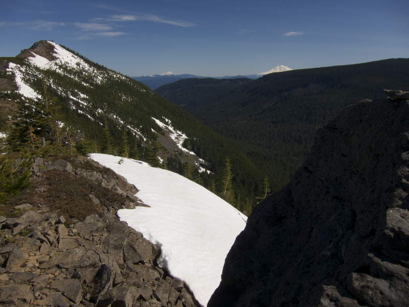
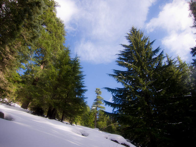
I built a fire, wood covered in snow withstanding, but my friend was having trouble warming up. We decided to hike the rest of the way out that day instead of staying a second night. The southern end of Benson has 1-2 feet of snow everywhere, and it ends right at the wilderness boundary on the Ruckel Creek trail.
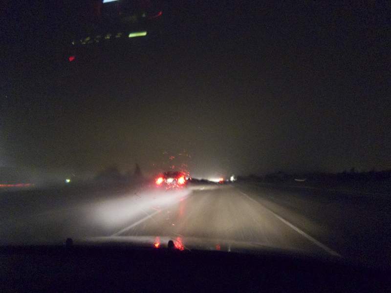
Finished the hike by headlamp, and stopped in at Charburger for some ghetto food and coffee to keep me awake for the drive home.
In retrospect, we could have stayed another night if I would have paid better attention to my friend. I have my nutrition and hydration needs dialed from 50+ nights out backpacking, but this was his second ever backpacking trip. He started cramping on the way up the rather demanding Eagle Benson trail (2.5 miles, 3000 vertical feet), and that should have been an immediate signal that he either wasn't taking in enough calories, enough electrolytes, or wasn't drinking enough. We should have stopped, had lunch, drank some gatorade and took time to let him recover halfway up the hill instead of pushing to the top. When we got to the top, it was inhospitable and he was having a hard time getting back to normal.

December 1 – December 2, 2011


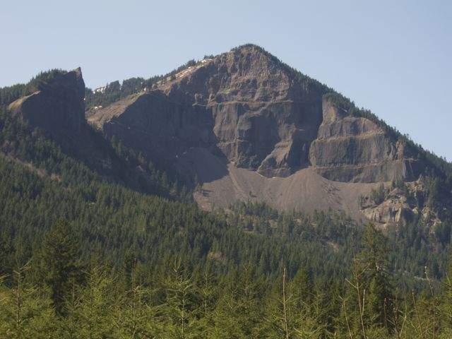
Tanner Creek Jaunt (Road 777)
9 miles of hiking • 2000' elevation gain •
Took a (really quick) jaunt up road 777 from the Tooth Rock trailhead. Fighting sunset, I hiked about 4.5 miles in before turning around and jogging all the way back down to the road until the trail wouldn't let me anymore.
On the way up, I ran into a young buck who wouldn't let me pass. He wanted to go down the road and I wanted up, so I eventually climbed atop this rock next to me and obscured myself visually from him and he sprinted past me. It was a bit spooky.
November 18, 2011

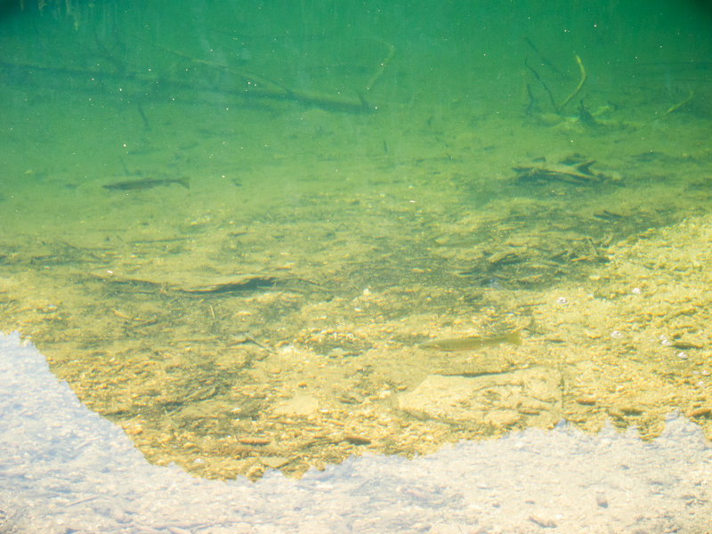
Deschutes River Hike
8 miles of hiking • 250' elevation gain •
Easy hike with Shane along the Deschutes in search of sunshine and fish. We found the former but not the latter. :[
November 5, 2011

 4
4
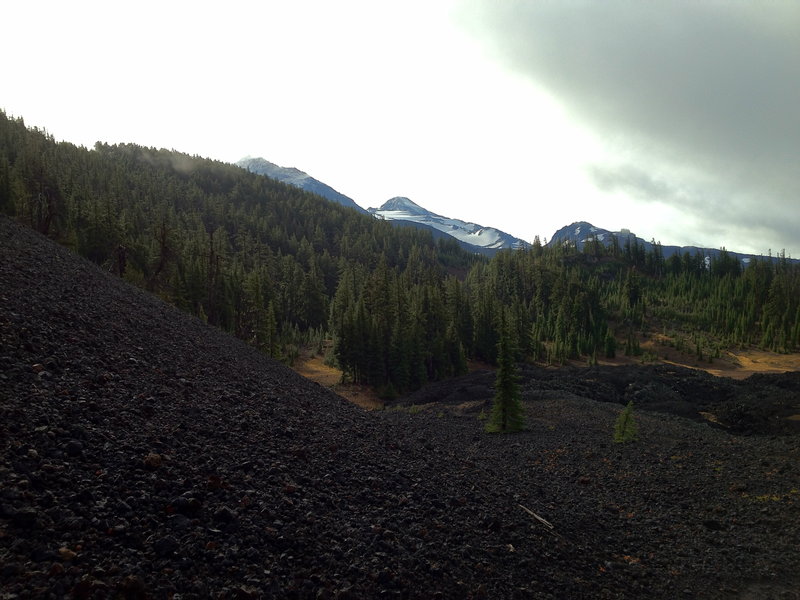
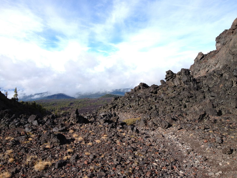
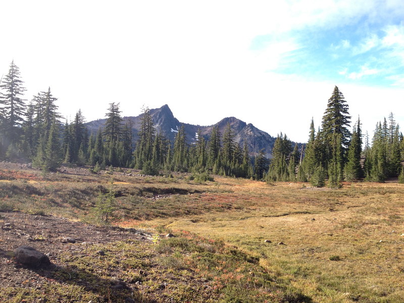
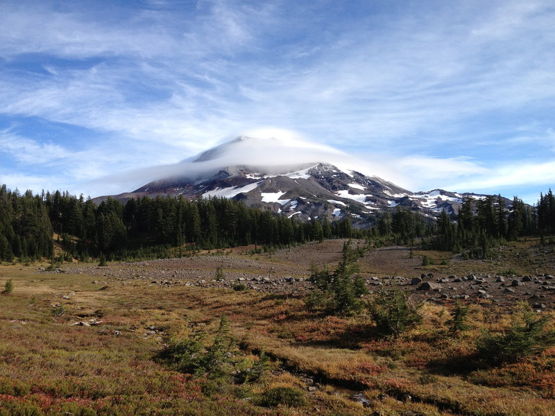
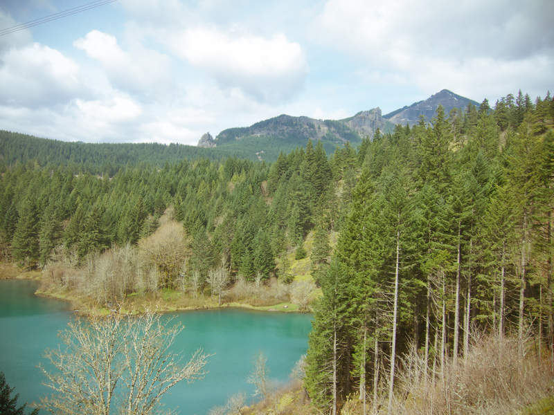
Trail around the Three Sisters
52 miles of hiking • 7500' elevation gain • 1 night
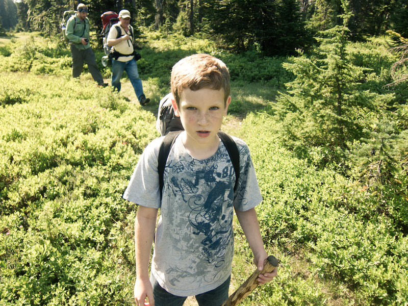
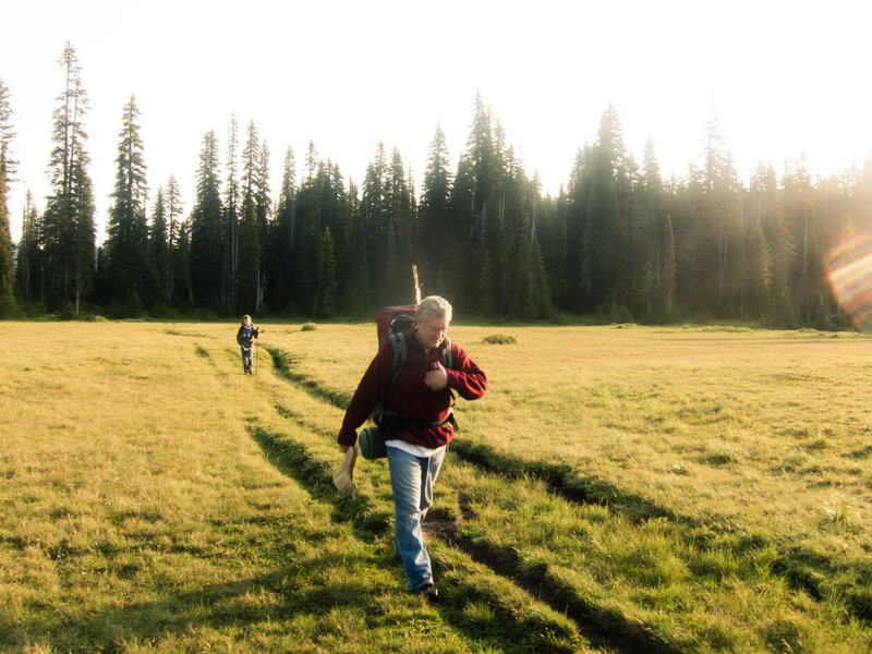
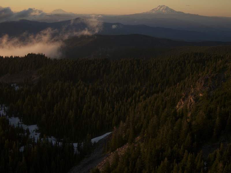
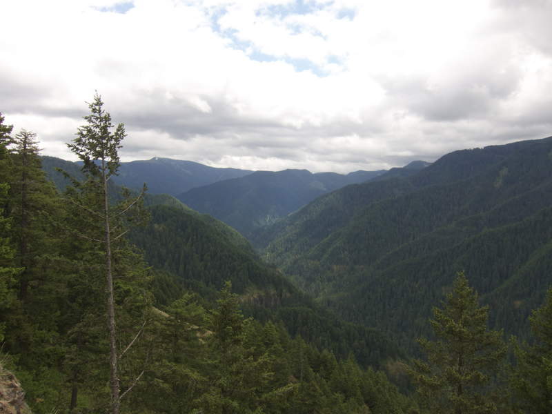
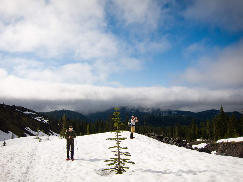
Went with Chris (arundodonax) on our version of a loony hike—a loony backpack around the Three Sisters in a single night.
Day 1
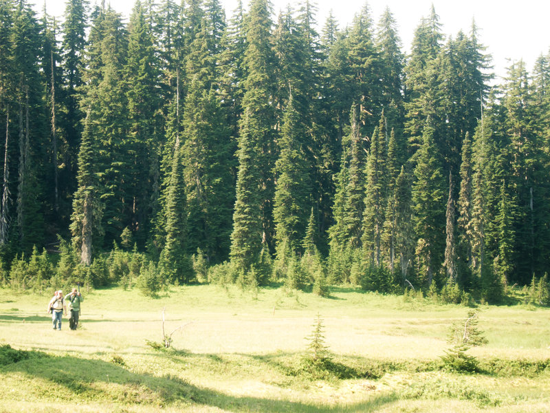
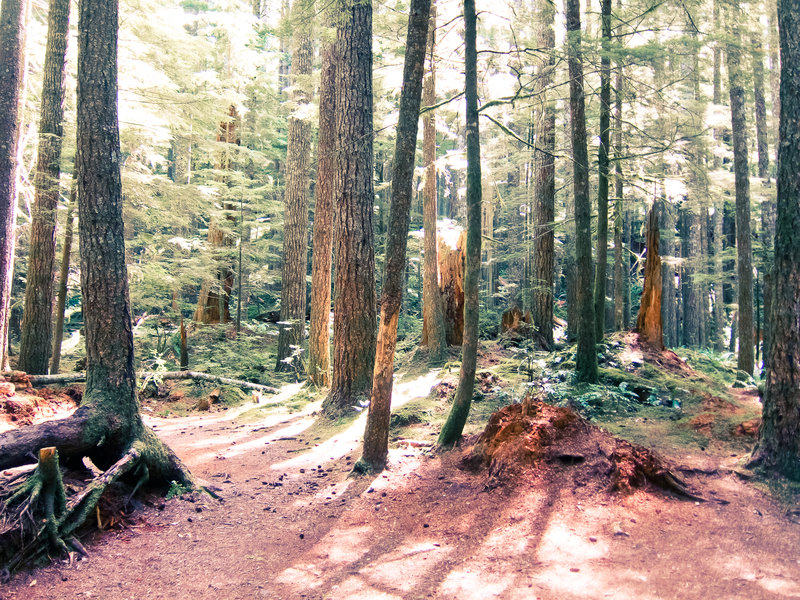
Saturday, we opted to start on the west side of the mountains due to the good weather, and it was stunningly beautiful. All three mountains stayed visible throughout the day, each collecting lenticular clouds midday. We blazed through the lava flows, over Opie Dildock pass, and made it to the Obsidian limited access area in time for lunch. After a quick break, we continued down the PCT through the easiest part of the trail—a meandering, smooth dirt path through huge meadows.
We arrived at the Wickiup Plains around dusk. If I never see these "plains" again, I'll die happy. They're huge and scenic, but they're not plains! The area is comprised of small rolling hills everywhere, and if there's one thing I've learned, it's that surprise hills after 20 miles make me angry.
We hiked through the plains and made it to Moraine Lake just as the black of night arrived in the area. Chris and I wanted to give ourselves a head start in the morning, so we continued two more miles past Moraine Lake to Fall Creek for a total of 27 miles for the day. We set up our tarps, made dinner, and went to bed.
Day 2
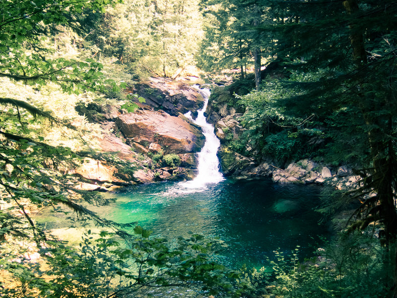
We woke up in a cloud. It was misty and damp everywhere. We broke camp by 7:30 and were back on the move. The Fall Creek area is beautiful—tall grasses and boulders line the rushing creek, punctuated by small waterfalls as we climbed the hill toward Green Lakes. When we arrived at Green Lakes, it was still cold, misting, and the wind picked up. The view of South Sister was obscured by the fog, but it was beautiful and barren. We climbed the final hill to a 7000' alpine area before descending to the east side of the mountains.
And that's basically it. The rain abated for a couple hours, but the majority of the day was a viewless hike through varying intensity of rain. The trail was punctuated with some interesting ponds and meadows of lava sands, but for the most part it was the arid (yet moist) forest familiar to anyone who's been east of the cascades.
We made it back to the car at 5:15 after 25 miles and celebrated with overpriced Mexican food in Sisters.
October 29 – October 30, 2011


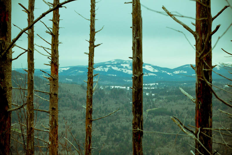
![Somewhere on the east side looking east :]](/system/images/4252/large/IMG_0156.jpg)

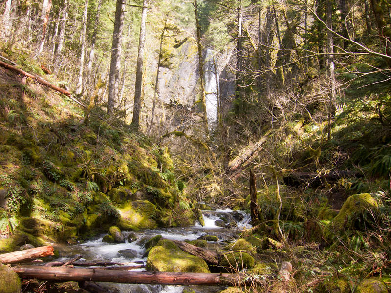
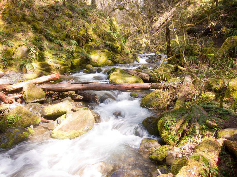
Pup Creek Falls (Clackamas River Trail)
8 miles of hiking • 250' elevation gain •
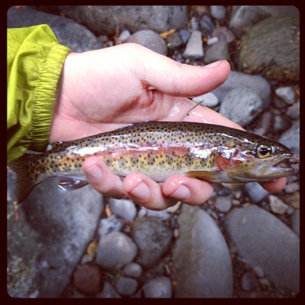
Took a day hike with a friend. We were looking for a place that was fishable, mellow, and had some distance. The Clackamas River Trail turned out to be the place! Really easy hike, and caught a beautiful cutthroat halfway up Pup Creek Falls.
October 21, 2011

Salmon River Meadows Attempt / Badger Creek Wilderness
10.5 miles of hiking • 1000' elevation gain • 2 nights
Left the city late Friday to camp out for an early morning bushwhack down into Salmon River Meadows which is a wilderness established in 2009 southeast of Trillium Lake. We parked at the Frog Lake trailhead, hiked across Highway 26 by headlamp, and ducked into the woods. We hiked for an hour or so until we found relatively flat ground to make a camp spot. We cleared a spot for the tarp and collected wood for a small fire while it drizzled.
In the morning, we headed due west cross-country toward the meadow, roughly 800' below. Unfortunately, the hill down to the meadow was much steeper than expected and the brush got very thick. Ultimately, we scrapped the plan and hiked back out to the car to go to Badger Creek Wilderness.
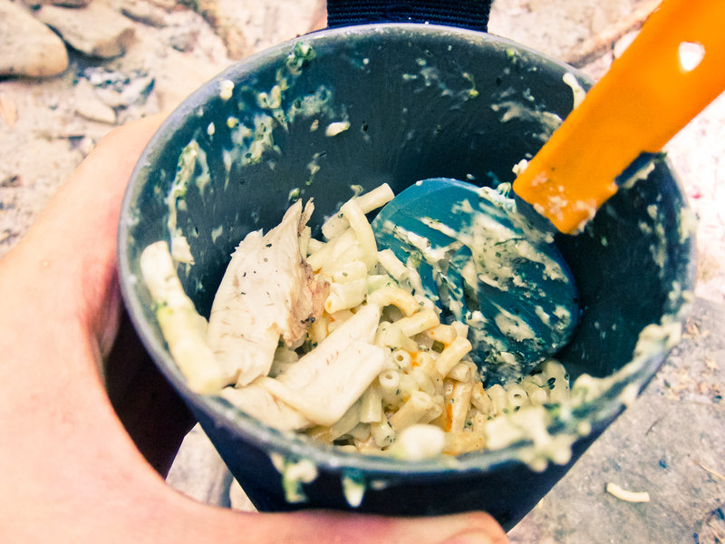
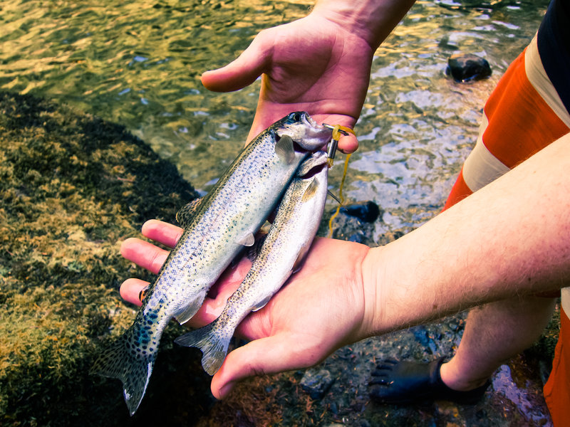
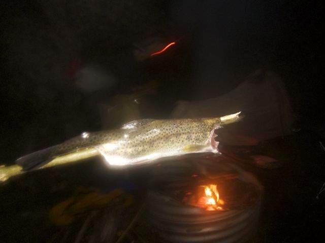
We got to Badger Creek at noon and kept our fly rods out while we hiked. Plenty of small, native rainbow trout came to hand, including two nine inch males that became dinner.
Weather was gray almost the entire time, but was an extremely fun trip.
October 14 – October 16, 2011

 1
1
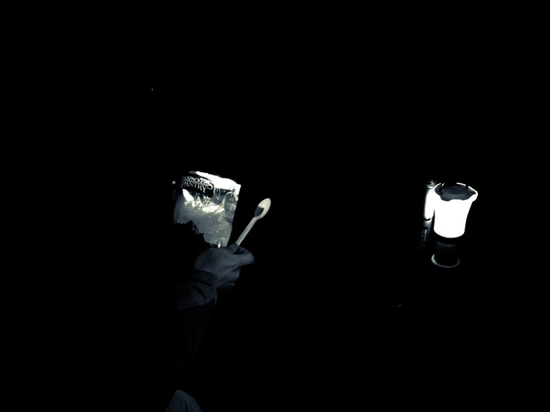
Herman Creek Microadventure
2.5 miles of hiking • 500' elevation gain • 1 night
I'll let the video do the explaining:
September 29 – September 30, 2011

Indian Heaven Wilderness (Deer Lake, Lemei Rock)
14 miles of hiking • 3250' elevation gain • 1 night
September 24 – September 25, 2011

Lost Lake
3.5 miles of hiking • 0' elevation gain •
Fun little camping trip with friends. Hiked around the lake one day so I figure it's worth posting on here!
September 18, 2011

Indian Heaven (Bear Lake via the CCT)
8 miles of hiking • 1000' elevation gain • 1 night
Took my pops on his first backpacking trip ever on an easy jaunt on the old abandoned Cascade Crest Trail over to Bear Lake from the Thomas Lake trailhead. Some huckleberries were around for the first mile or so, but none of the bushes higher up have berries yet, let alone ripe ones.
I caught eight cut throat trout out of Bear Lake, including a few impressively large 11-12" guys with a caddis fly.
The mosquitoes were horrendous, and I am tore up from the floor up. Wait a couple weeks for a cold snap or bring lots of 100% DEET.
September 10 – September 11, 2011

 3
3
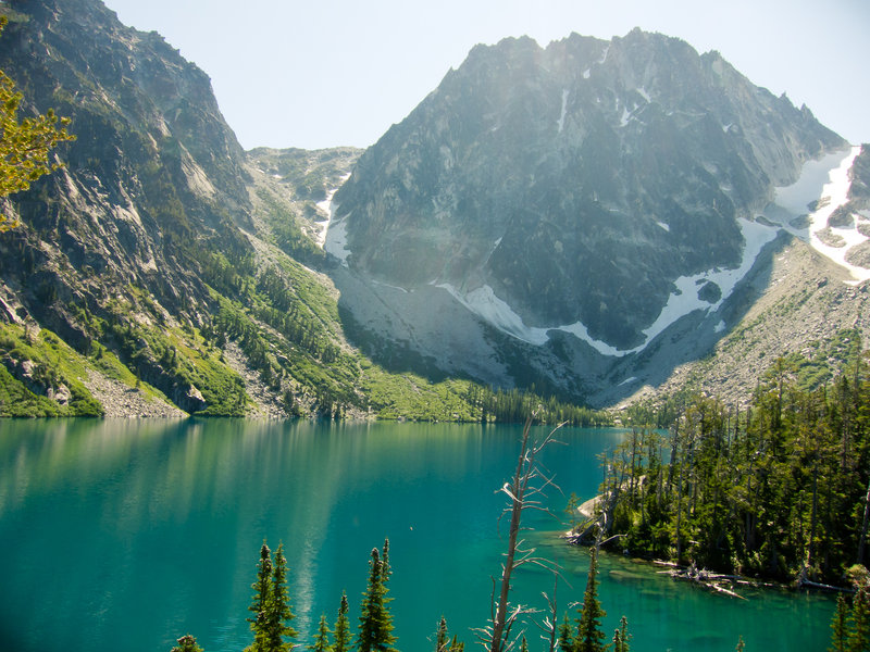
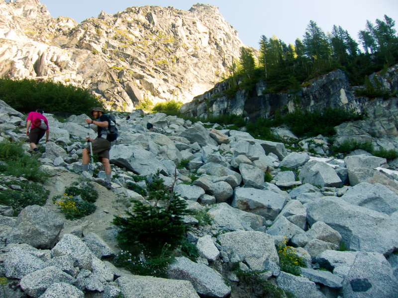
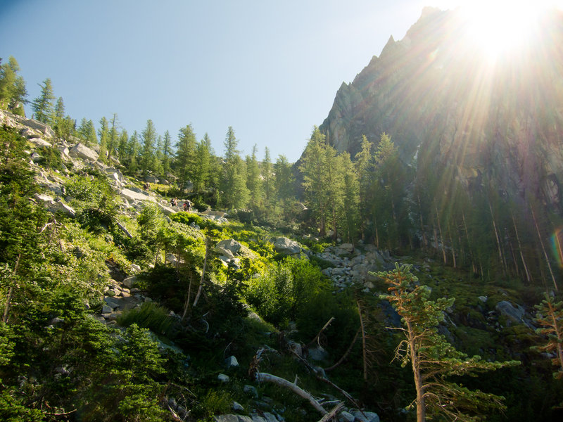
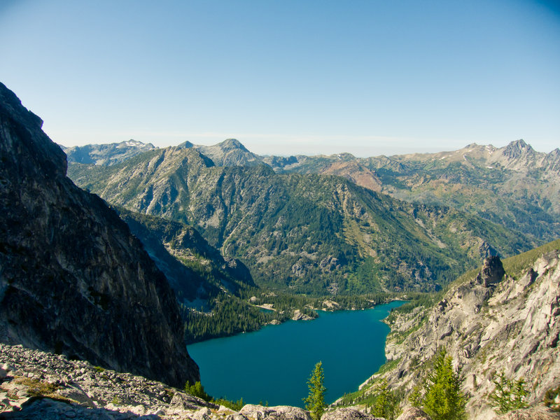
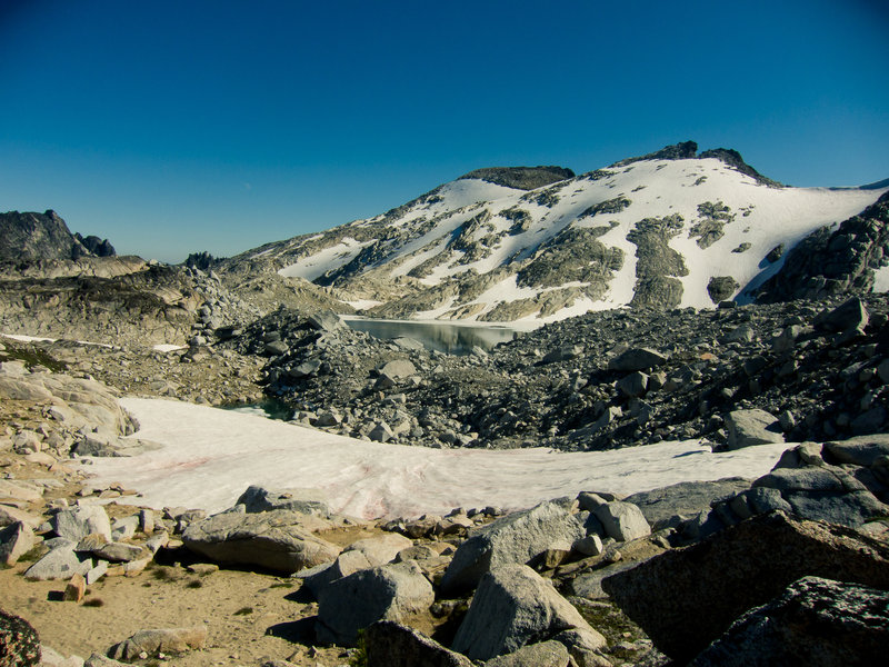
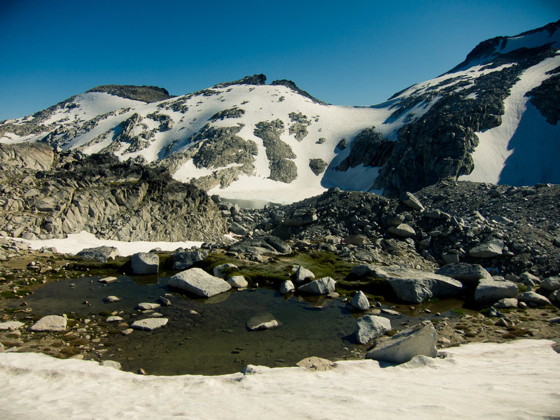
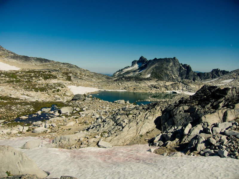
The Enchantments
22 miles of hiking • 7000' elevation gain • 2 nights
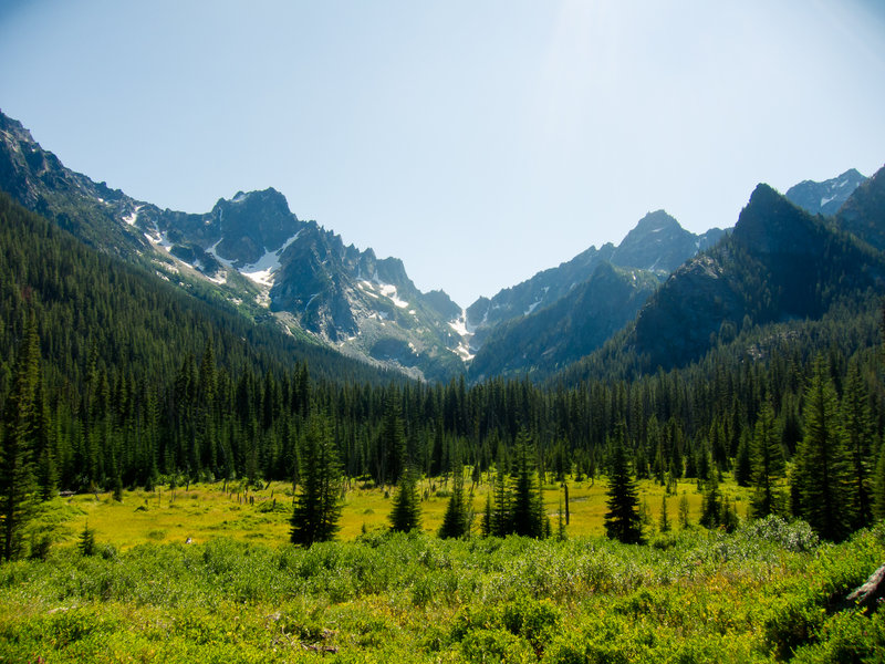
Coming from Portland, the scale and ruggedness of the central Washington cascades are overwhelming the first time you see them. They are jagged and looming and give a sense of grandeur that you don't get anywhere in, say, Mt. Hood National Forest.
Twelve of us met up at Lake Stuart Saturday with the intent to day hike into the Core Enchantments Sunday. Only eight of us chose to hike up and down Aasgard Pass in a single day, but it was well worth it.
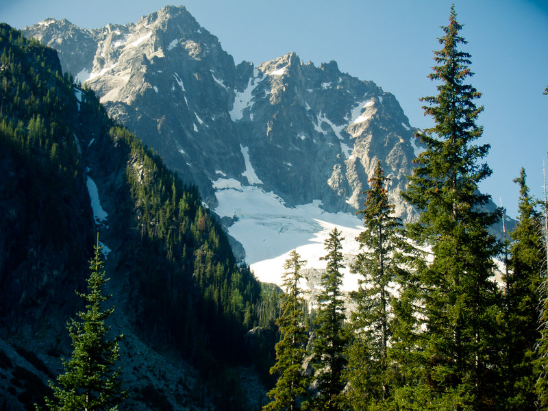
Aasgard Pass was extremely difficult. I had a harder time going up it than my winter trip up Mt. Saint Helens with a snowboard on my back. It was immediately obvious that while I may have well developed sloggin' muscles, my full-body-scramblin' muscles are lacking.
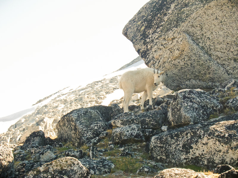
The view from the top was well worth it, though. A mountain goat was waiting for us at the top, chewing on some greens and otherwise being photogenic. We needed to hurry to get back down to Lake Stuart before dark, so we only had about 30 minutes to hop around a few different lakes before beginning the descent.
We forgot headlamps back at camp, and my wife Christy hurt her knee on the descent. We had to hike by the light of my iPhone the last two miles through the dark, which was incredibly stupid and also kind of exciting.
The fly fishing at Lake Stuart was stupendous. Hungry 12" cutthroat trout were everywhere, and a caddis fly hatch made fly selection simple. I had my fill of delicious trout for all but a single meal. My tenkara fly fishing rod has long past paid for itself with the 140+ trout I have caught with it (not all kept obviously!).
Wonderful trip.
September 3 – September 5, 2011


 2
2
Siouxon Creek
7 miles of hiking • 500' elevation gain • 1 night
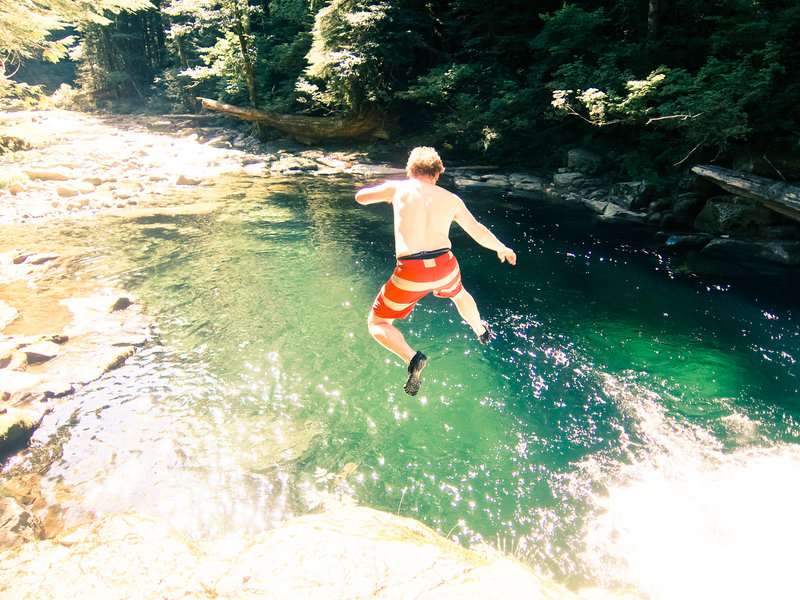
My wife Christy and I took an easy trip out here to bask in the sun, relax, and swim. I also brought my tenkara fly fishing rod I am absolutely stoked about. I think this might have been my favorite hike of the year. Here's why:
- We jumped off a 10 foot rock into crystal clear green water over and over.
- Christy napped in our hammock while I fished.
- We only hiked 7 miles total.
- We ate trout for every meal.
- We weathered the beautiful night with a raging fire, wine, and whiskey.
- Did I mention the trout?
- Seriously, I caught 34 rainbow trout.
Sometimes, it's great not to post huge numbers and end a hike blistered, exhausted, and starving. We strolled out of the woods rejuvenated, happy, and the only stink we had on us was from picking apart a freshly grilled trout for breakfast.
August 20 – August 21, 2011


 2
2
Opal Creek Wilderness
8 miles of hiking • 1750' elevation gain • 1 night
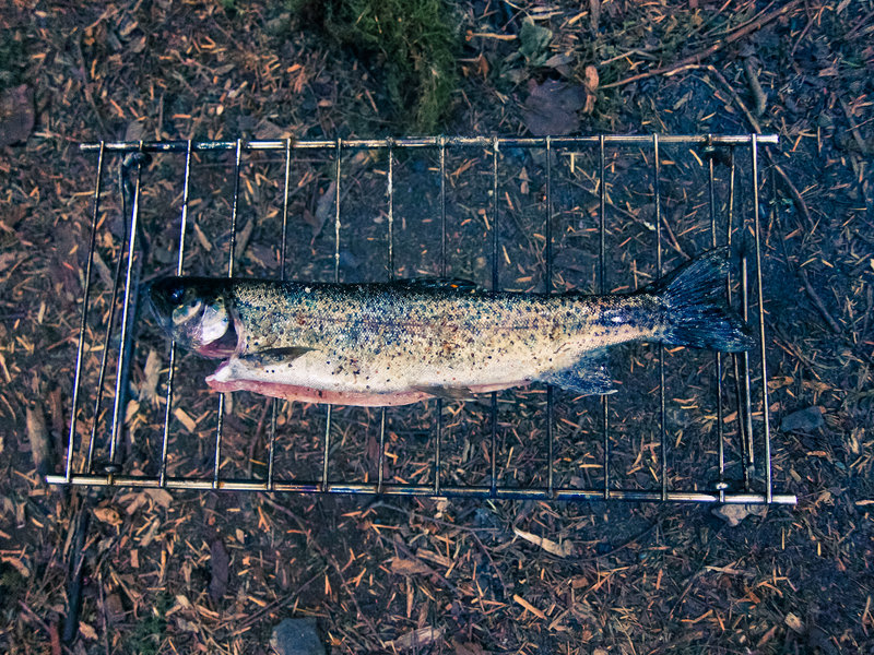
Another wonderful trip into Opal Creek. Hiked four easy miles, jumped off cliffs into pristine pools of water, caught eleven fish including a monster 3lb brook trout, slept in a hammock under the stars.
Go there before it's fall.
August 13 – August 14, 2011
 2
2
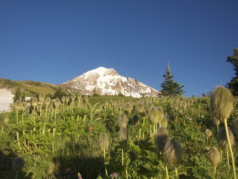
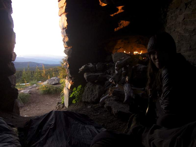
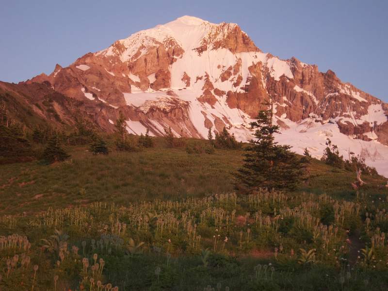
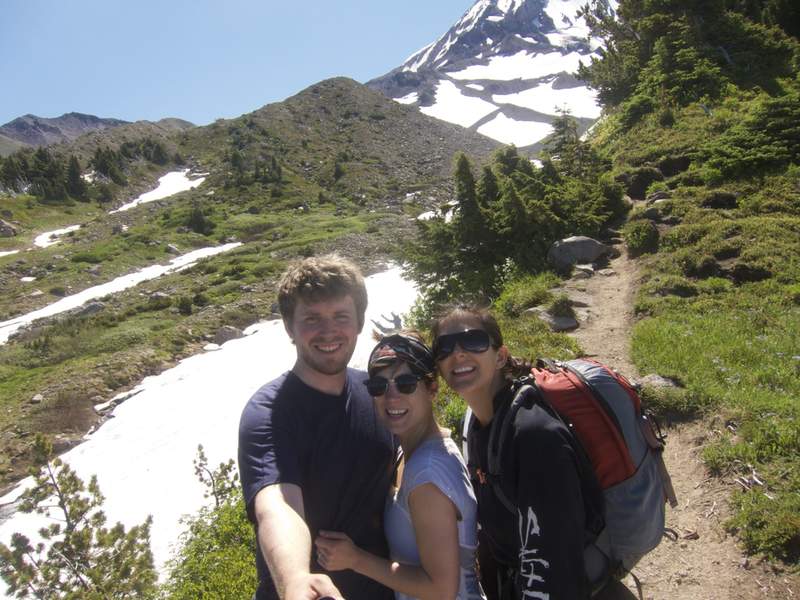
McNeil Point & Peak
11.5 miles of hiking • 3500' elevation gain • 1 night
My wife Christy's sister was in town from Florida and was getting the whirlwind tour of everything Portland had to offer for a week. My portion of that tour was picking a perfectly representative location to backpack. I decided we'd head up to McNeil Point and stay in the shelter up there. At the trailhead when asking about conditions, a lady told me the shelter is only for emergencies, that people pee in it, and that I shouldn't sleep in it. Psht, the shelter was phenomenal and devoid of urine. We kept a fire going in the fireplace most of the night, heating the stonework and keeping us warm all night.
Go to McNeil Point as fast as possible. The flowers are going off and it is epically beautiful right now. There's lots of snow still hanging on everywhere, but the McNeil ridge is snow free and really, really awesome.
While the ladies slept in the morning, I took a jaunt up to McNeil Peak. Beautfiul view of the Glisan and Sandy glaciers from up there.
Go here, now.
July 31 – August 1, 2011


Burnt Lake
7 miles of hiking • 1750' elevation gain •
Zipped out to Burnt Lake for what I thought would be a quick overnight. I only brought my bivy sack for shelter as the forecast was good, but I quickly realized that would be insufficient with all of the hungry mosquitoes around drinking me dry.
I tried to fish a little, but was quickly overwhelmed with mosquitoes. I hiked out at 9pm and made it home before midnight. I hate hiking alone and in the dark!
July 9, 2011

July 2 – July 4, 2011

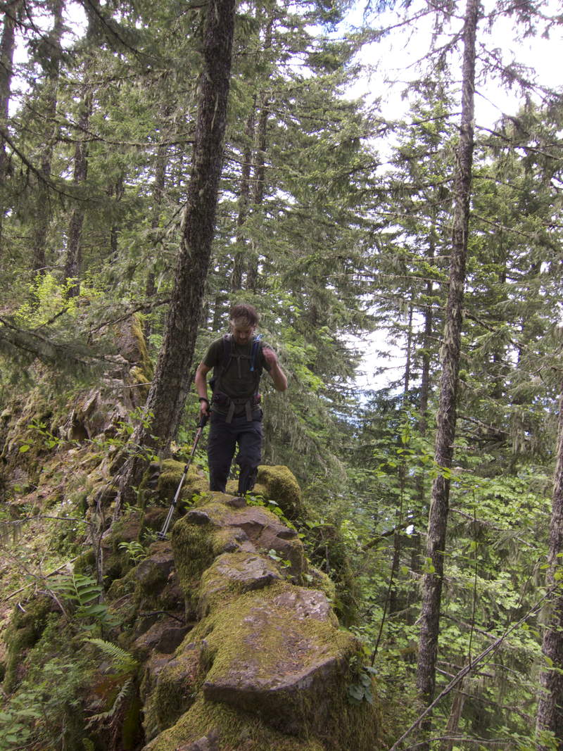
Ruckel Ridge
10 miles of hiking • 4500' elevation gain •
We planned to climb Hood on Thursday, but with clouds moving in the night before limiting the overnight low to above freezing, we thought it safest to postpone the climb. Instead, we climbed Ruckel Ridge! This is an extremely fun trail, full of ridiculous steeps, precarious foot placements, and plenty of exposure. The trail feels more like an adventure than a hike.
After getting to the top, we soaked beers in Ruckel Creek on the Benson Plateau (now devoid entirely of snow), drank and ate, and then walked and jogged down the Ruckel Creek trail back to the car.
June 23, 2011

 1
1
Gillette Lake
7 miles of hiking • 1000' elevation gain • 1 night
Quick overnight with friends. Swam, caught two bull trout, and hung out by a roaring fire provided by perfectly seasoned wood from the clearcut. A great camping experience with very little backpacking :)
June 17 – June 18, 2011
 4
4
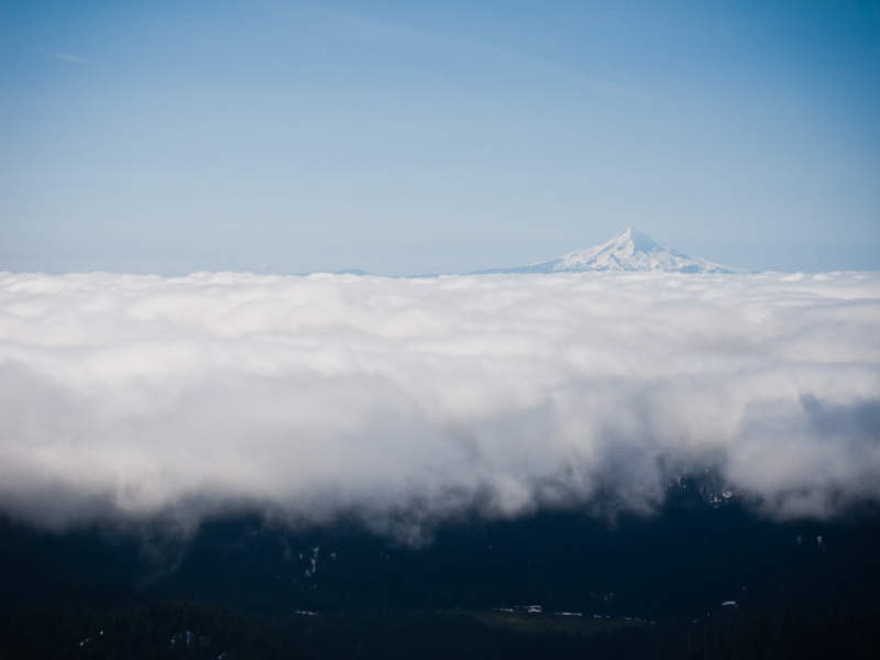
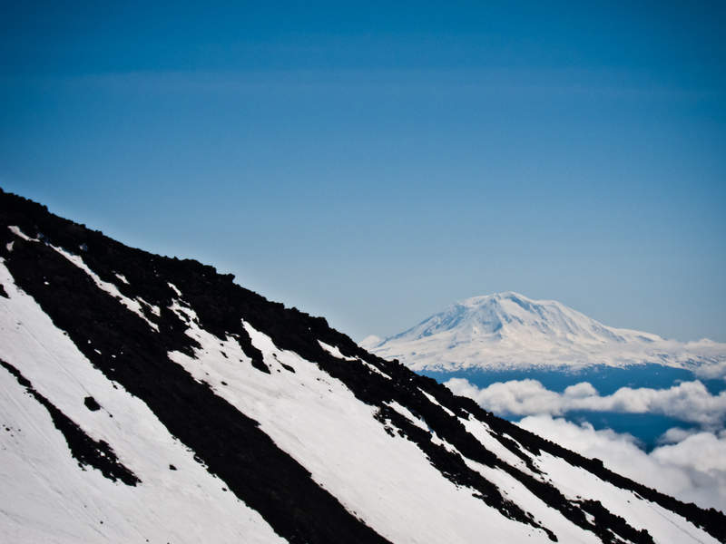
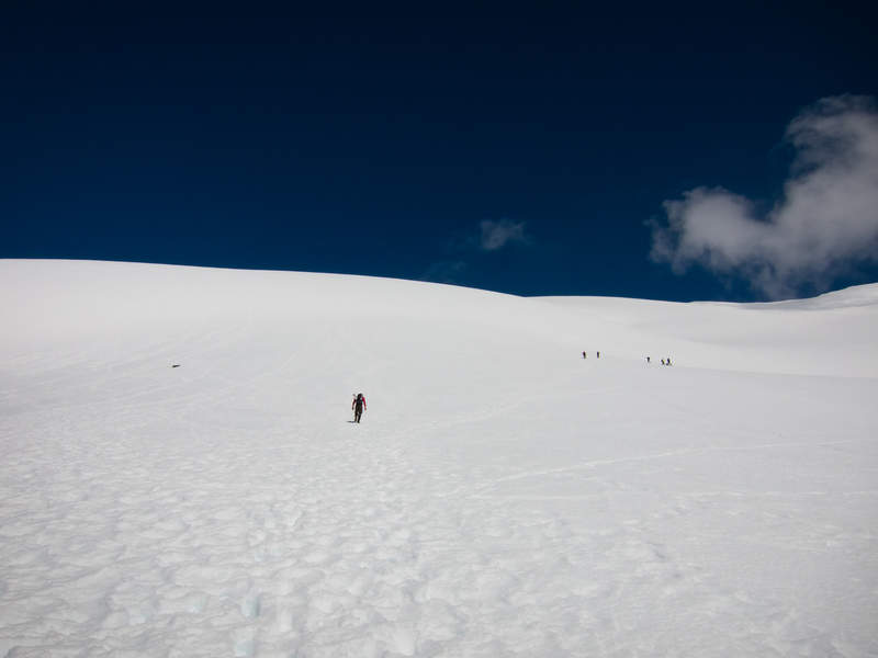
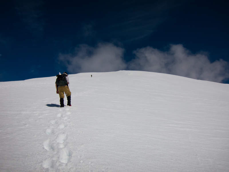
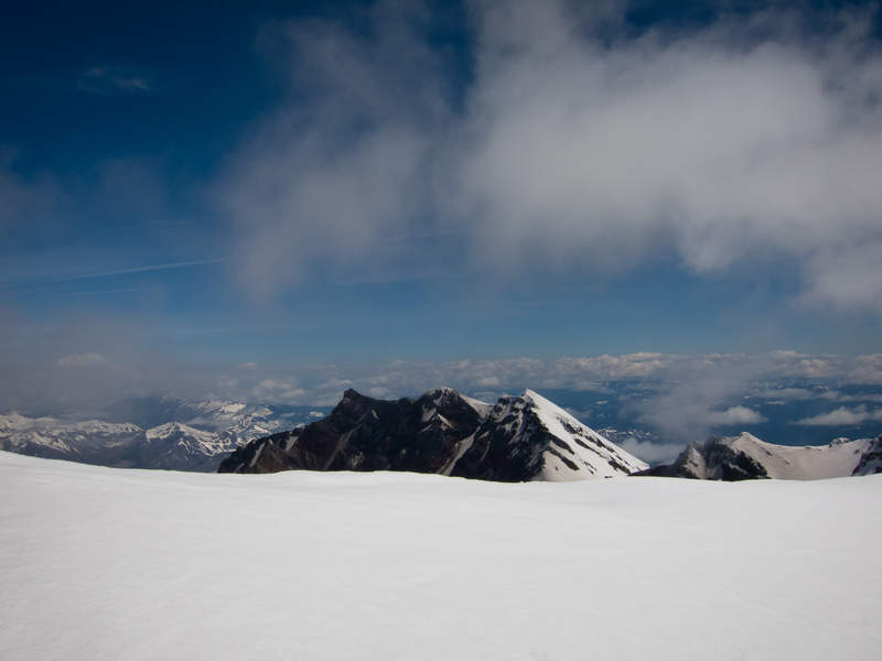
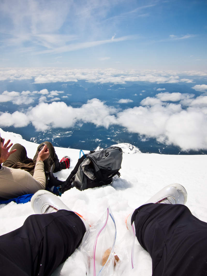
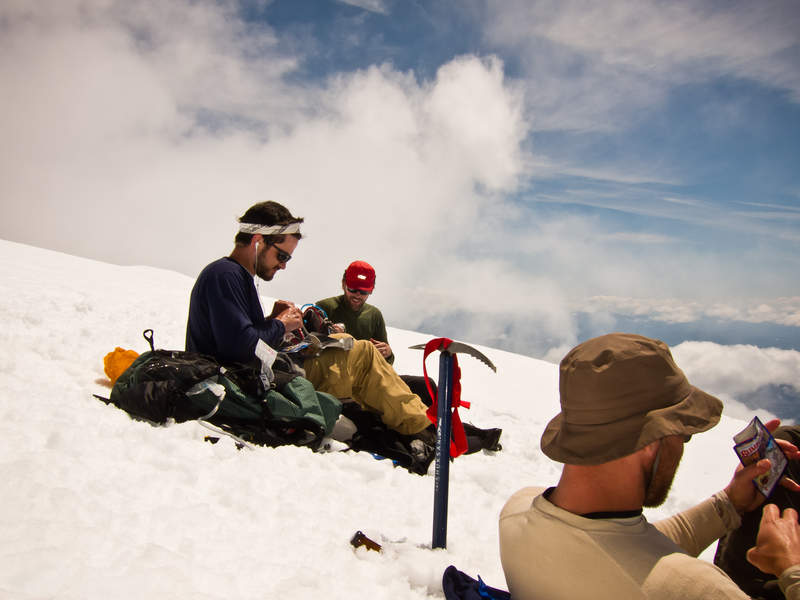
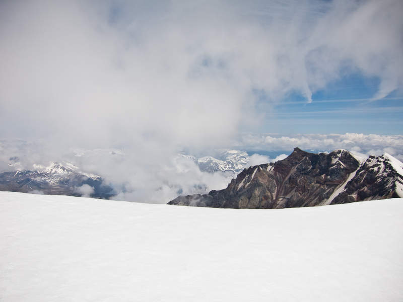
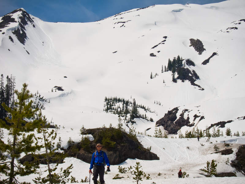
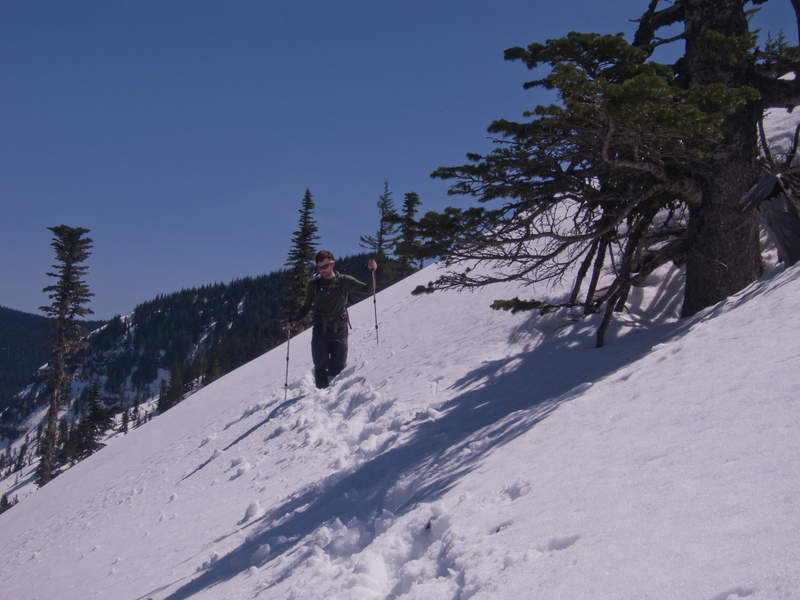
Mt. Saint Helens
7 miles of hiking • 5500' elevation gain •
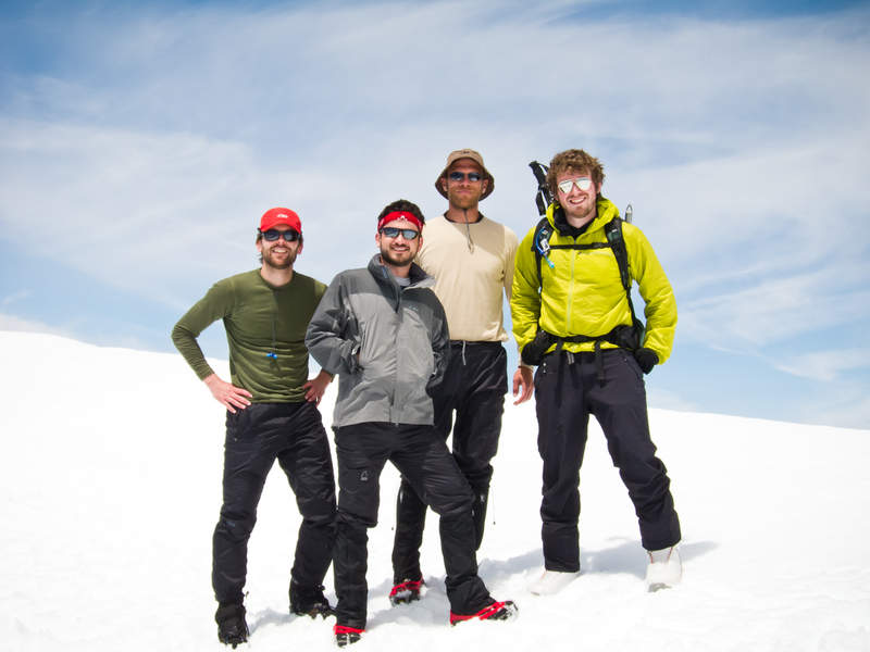
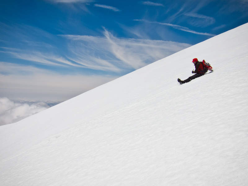
Jon, Shane, Kevin, & I took Thursday off to climb Mt. Saint Helens. We picked up our permits right at 6am, and started hiking at 7:10 after a casual preparation in the parking lot at Marble Mountain Snopark. The weather turned out perfect—mostly blue skies with a random assortment of lower clouds to add interest to the views. We took only one real break at roughly 5300', and then pushed on to make the summit by 11:45.
It was so beautiful on the summit, sunny and windless, that we hung out for over an hour eating and basking. I was the only one who carried up a sliding device—my neglected snowboard—and was incredibly excited to start the descent at around 1:15. The corn snow was absolutely perfect for snowboarding, and I had an incredible amount of fun riding next to friends glissading and making huge turns in the untouched snow. I was able to ride down the whole mountain except for the last three quarters of a mile to the lot.
We all made it back to the car by about 3:30. Awesome first trip up Saint Helens.
June 8, 2011


Herman Creek Trail to almost Tomlike Mountain
18 miles of hiking • 4750' elevation gain • 1 night
We were aiming for Wahtum Lake and Chinidere Mountain, but the ungodly amount of annoying snow kept us away. Instead, we went up to a rocky prominence on the ridge near Tomlike Mountain. We decided against going the few hundred feet further up Tomlike because, damnit, it was the nicest day of the year so far and, damnit, it was freezing cold on that ridge!
Great trip though. Beautiful sun-mottled woods and good times.
Snow started in earnest at around 3400' on the Herman Creek Trail, with about 3' on the ridge line at 4200'.
June 2 – June 3, 2011


Green Point Mountain
19 miles of hiking • 6000' elevation gain • 1 night
Went backpacking with six others Saturday night at Cedar Swamp camp on the Herman Creek trail. I thought that it would be far enough removed from the obvious popular choices in the gorge that we might find some solitude, but unfortunately that was not to be the case. I've never walked so far to camp by so many other people (4 other groups).
Sunday morning, four of us headed up to Green Point Mountain, but unfortunately the weather men were wrong and no views were to be had up there. The snow line was roughly 3700' although it stayed intermittent until about 4000'. We got lost coming back down the Gorton Creek trail as we followed someone's incorrect footsteps through the snow down the mountain until they disappeared after the snowline over a hundred feet below the correct trail. It took us roughly an hour of bush whacking and a sketchy creek crossing to find our way back on track.
A fun trip overall, but I'm sick of the snow.
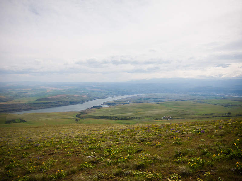
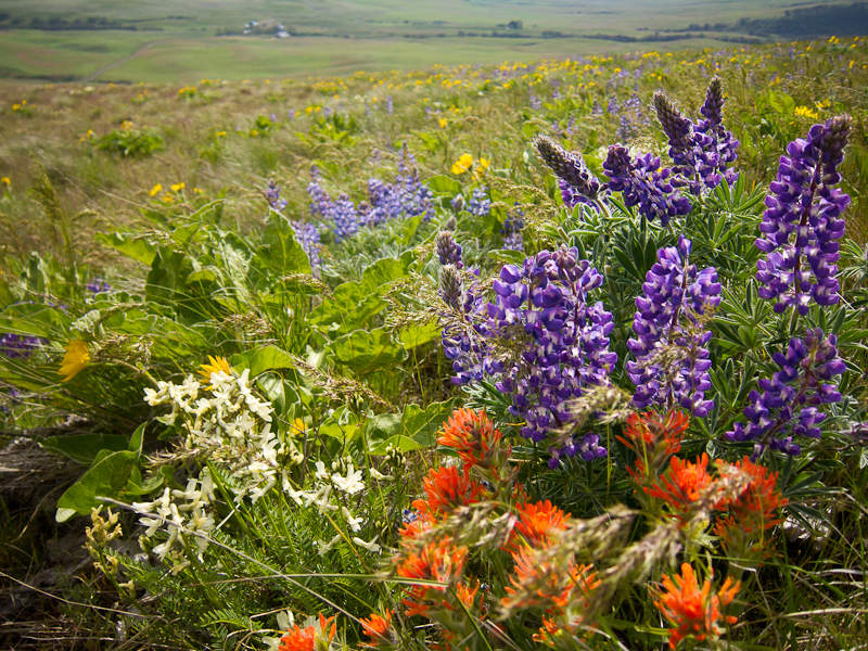
May 27 – May 28, 2011

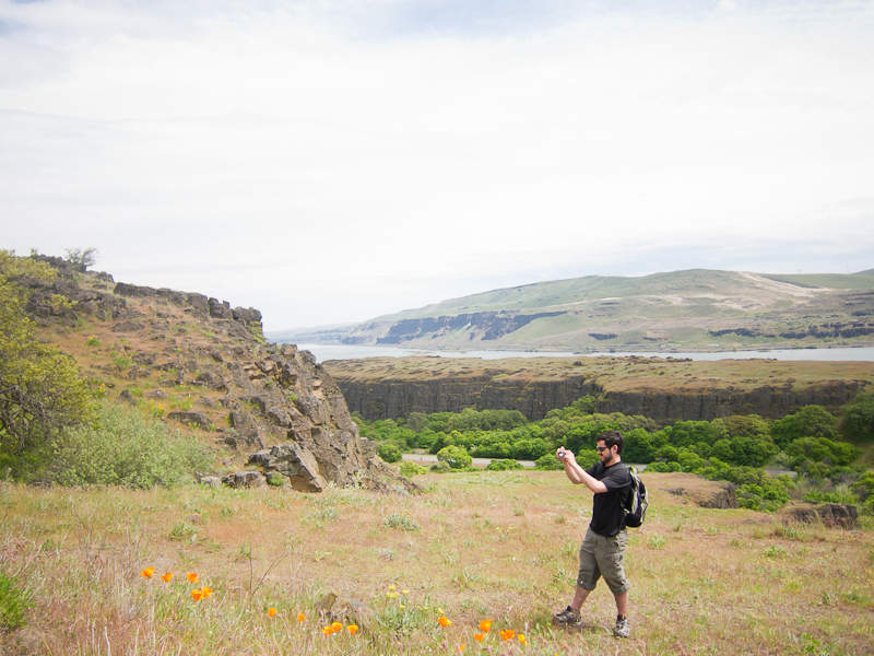
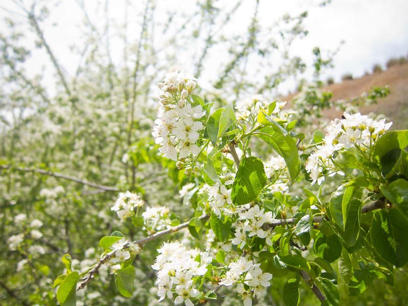
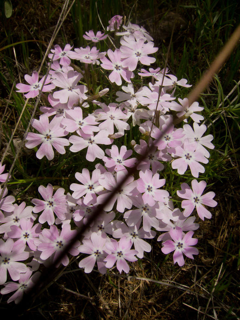
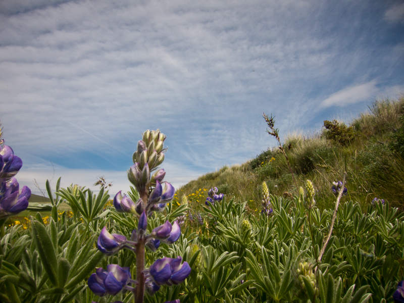
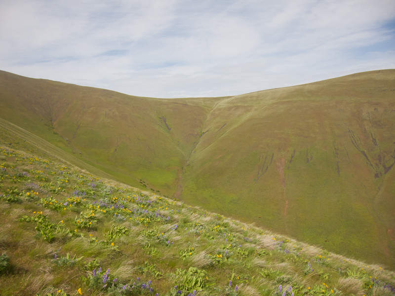
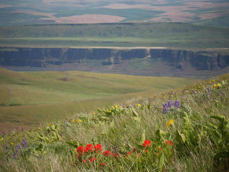
Dalles Mountain Hike (kind of)
9 miles of hiking • 2500' elevation gain •
Shane and I went on a day hike out to see the wildflowers. Unfortunately, the WTA reference we used was horribly inaccurate or too vague about where we were supposed to go, and so we lost the trail through random land and probably ended up wandering through private property. We climbed the unnamed 2800' mountain next to where we initially intended, saw tons of flowers, and finished the day at Double Mountain Brewery. Good weather while we were out.
May 10, 2011


Chinidere Attempt from Herman Creek TH via PCT
20.5 miles of hiking • 6000' elevation gain •
Four of us took work off Wednesday and decided to attempt Chinidere Mountain. We planned a loop, from Herman Creek Trailhead to the Pacific Crest Trail, Chinidere, and back down the Herman Creek trail. Needless to say, we didn't make it; we made it within 2 miles of Chinidere but the snow was too soft on the exposed faces toward the end of the hike.
We made steps all the way through Benson on the PCT, although sometimes we would lose the trail only to course-correct, so they aren't perfect. With the aborted loop, we backtracked on the steps, further cementing them for future use.
This is my second attempt at Chinidere after trying via Eagle Creek to Wahtum a bit over a month ago. I'd love to see someone get out to this mountain before the snow's gone!
May 4, 2011


Indian Point (Deadwood Camp overnight)
9 miles of hiking • 3000' elevation gain • 1 night
Really quick overnight with my friend Jon. We left the city at 5pm and made it to the trailhead by 6:30 due to traffic and gas-getting. We made it to Deadwood Camp at about 8:30, put up our shelter, and built a small, damp fire. There was nothing too exciting about the hike as hikes go, although we hadn't had enough time to do the side trail down to Indian Point. We decided to head back the way we came in the morning to check it out.The trail is in really good condition all the way up to Indian Point, and then snow and blowdowns and bushes begin. There's no snow at Deadwood Camp and the trail snow should be gone in a couple weeks at most.
In the morning, we visited Indian Point. This is easily one of the most beautiful vantage points that I've seen in the gorge. We sat out on rocks on the spine for maybe 15 minutes and it was strangely windless.
We were back at the car by 9am. We grabbed breakfast in Cascade Locks (uninspired breakfast fare from Cascade Inn in interested), and were back in town by 11am. The total trip only took 18 hours!
April 29 – April 30, 2011

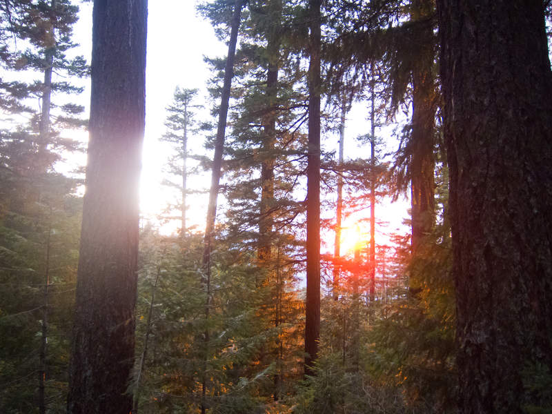
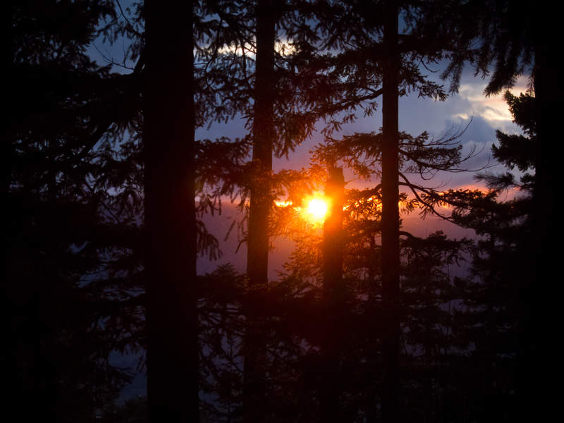

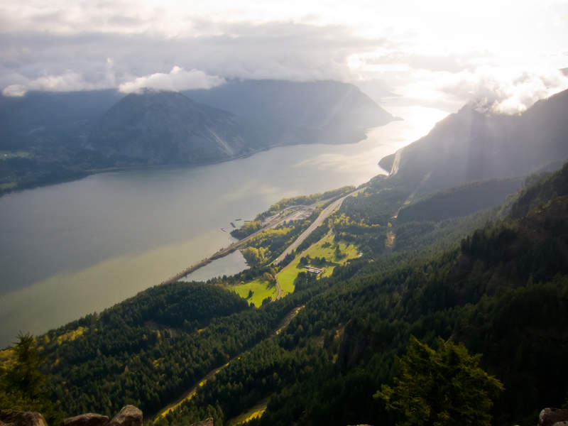


Table Mountain from Bonneville Hike
16 miles of hiking • 3250' elevation gain • 1 night
Camped overnight again this weekend at Gillette Lake, this time for my friend Shane's birthday outing. We hiked in during the late afternoon, hauling hunks of wood from the clearcut above the lake down to our camp spot. We had a great fire, I caught a trout and cooked him over the fire on a stick, and consumed much beer.
The next morning, we headed off to Table Mountain! I'd never done this hike before, and so was particularly excited. The PCT is such easy cruising that it didn't seem like it took any time at all before we hit the first kiosk for Table Mountain. There's a small landslide along the PCT that confused us for a moment (go above it), but otherwise the trail is in great shape.
We took Heartbreak Ridge up the mountain which was ridiculously, ludicrously, steeper-than-Ruckel-Creek-which-is-saying-something steep. The snow didn't start until maybe a half mile from the summit, and was icy. The steps kicked in the ice were well appreciated, though. The north side of the summit is covered in roughly two feet of snow, but the actual cliff face and most of the south end is snow free and beautiful. I didn't expect it to have such an excellent view! We came back down the back route (not sure the name), on the other side of the drainage from Heartbreak Ridge. We glissaded in a couple spots before getting to the horrible scree-filled trail. We jogged much of the way back to the car on the PCT.
Every spring, there's that first hike when you finally make it up to a reasonable elevation, see a grandiose view, bask in the sun, and realize summer is right around the corner. Last year, that hike for me was in early June. This year, mid April! It's promising to me that despite the heavy snowpack this year, it appears to be shaping up for a normal spring. Then again, as I look out the window today (Sunday) and it's wet and chilly, I may have just been duped by the two days of superb weather.
April 21 – April 22, 2011


Gillette Lake
6 miles of hiking • 500' elevation gain • 1 night
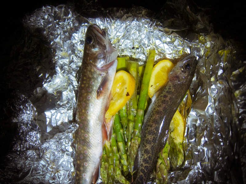
Went out to Gillette Lake Saturday night with my wife and four others. Caught two trout—a medium-sized brook and a tiny rainbow—and cooked them over the fire with asparagus and lemon. Great camp out and very different than all my previous snow-bound adventures.
Looking for a lake available for backpacking before May? This is the one. Trail was muddy but there were lots of trail maintenance folks out Sunday and the clearcut across the PCT has been cleaned up and the trail made accessible.
April 15 – April 16, 2011

Angel's Rest & Wahkeena Springs Trail
6 miles of hiking • 2000' elevation gain •
Went for a quick jaunt to make use of the shit-tacular weather provided to us by April. It was literally a quick jaunt—we ran about a third of the trip, completing the 6 miles and 1700' in less than two hours. I was surprised by how beautiful and well maintained the Wahkeena trail is. I want to go back with a pair of my fivefinger shoes and jog the loop.
April 13, 2011

Eagle To Wahtum Lake Hike/Snowshoe
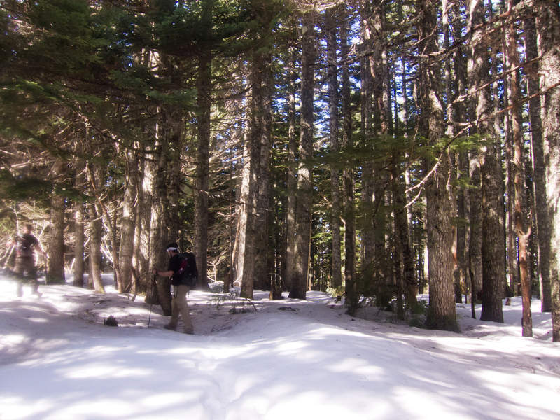
28.5 miles of hiking • 4000' elevation gain • 1 night
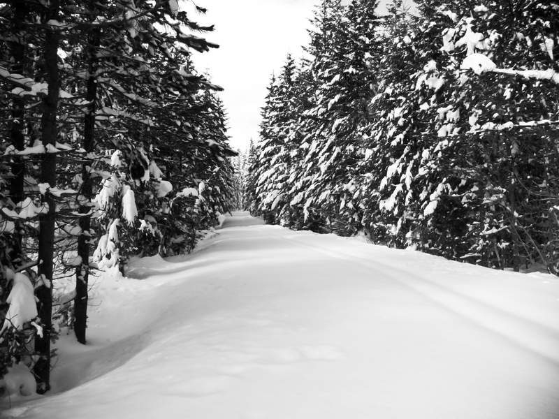
Eagle Creek is one of the most beautiful trails in Oregon, but everyone who hikes regularly has done it plenty, almost to the point of disgust when proposed. So, it was wonderful to get a new perspective on this hike this weekend by finally getting to the terminus of the trail at Wahtum Lake. What the ordinary Eagle Creek hiker doesn't see are the beautiful woods deeper in, the upper canyon, and the views across to to Chinidere Mountain that lends the trail an even greater diversity than the canyons near the trailhead.
Chris and I left the trailhead around 1:30PM and made it through the hordes of people to the junction past 7.5 mile camp. We stopped for a quick break to eat something before switching back up the hill. At the junction with trail 435, we took another quick break, laying down on the trail for a few minutes before the tough work of snowshoeing began. Roughly 4 miles later, we made it to Wahtum Lake, punched a hole through the snow over the lake for water, and set camp.
If the weather holds, this hike will be perfect in about a month.
April 7 – April 8, 2011


Angel's Rest
5 miles of hiking • 1500' elevation gain •
Another hike up Angel's Rest. This time, though, was with a couple friends and my beautiful wife. Mild, dry weather and no wind at the top let us enjoy a delicious picnic of garlic clove ciabatta bread, humboldt fog cheese, raspberries, avacado, and cashews.
Great day to be relaxing outside, and am very excited to be feeling warmth in the gorge for the first time this year.
April 2, 2011

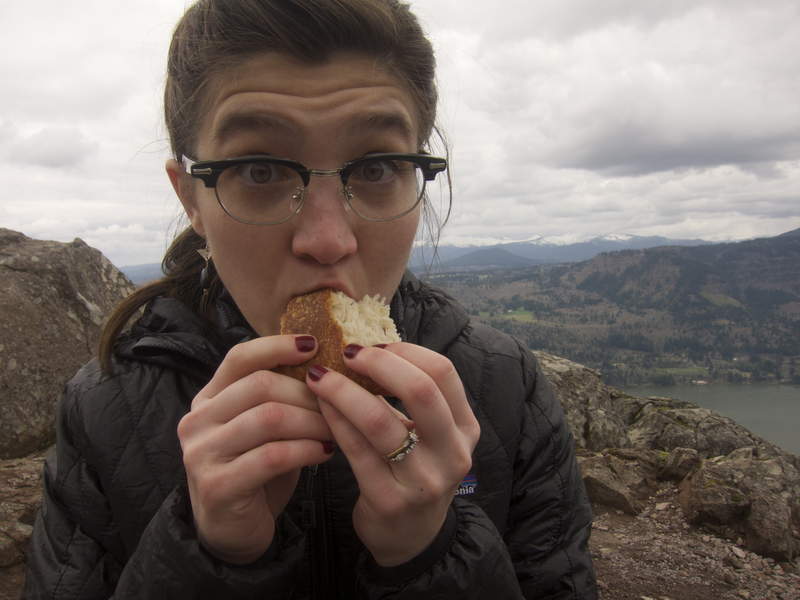
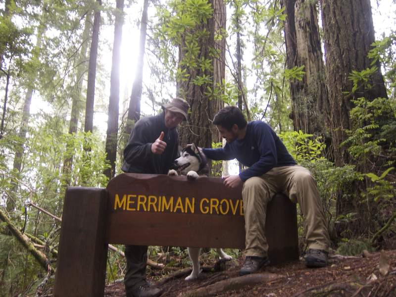
Merriman Grove Interpretive Trail
1 miles of hiking • 0' elevation gain •
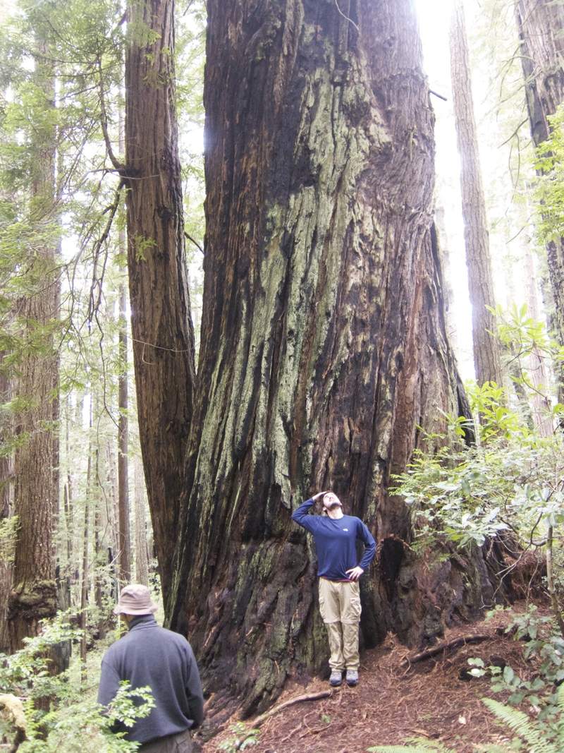
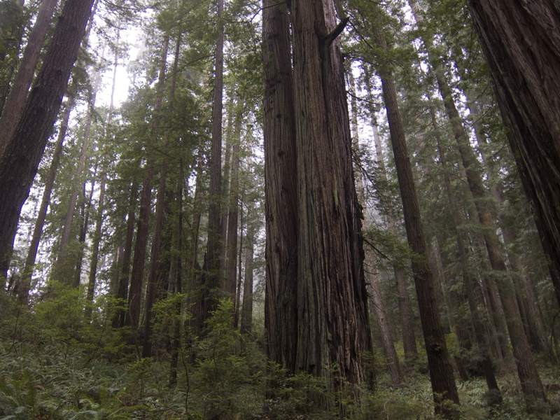
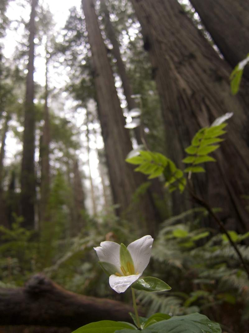
It's 10pm Friday night. I've been in the car for 15 hours so far, on the way back to where we started after heading down to California. My legs are cramped, but it's from sitting in the car instead of hiking. I hate the Redwoods and am never going back.
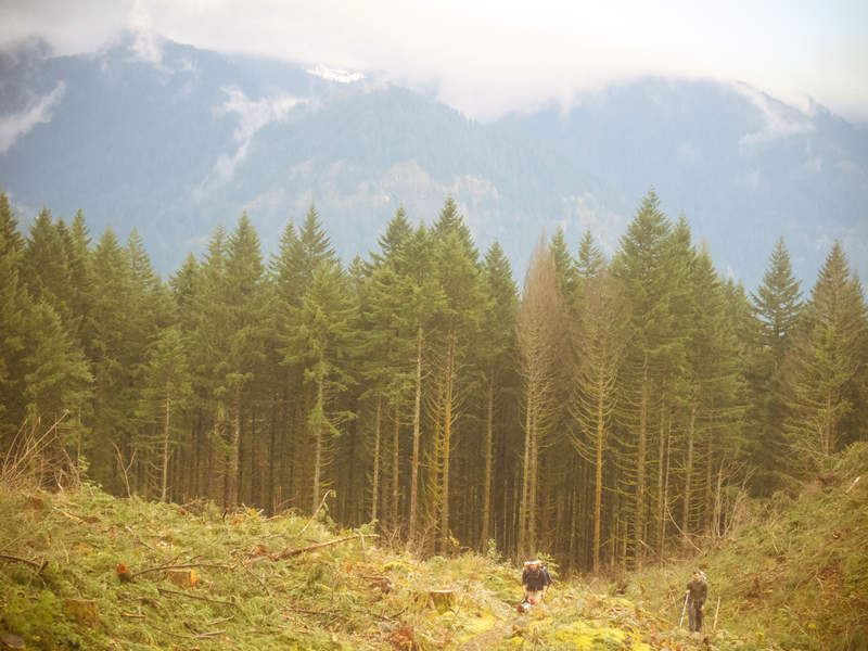
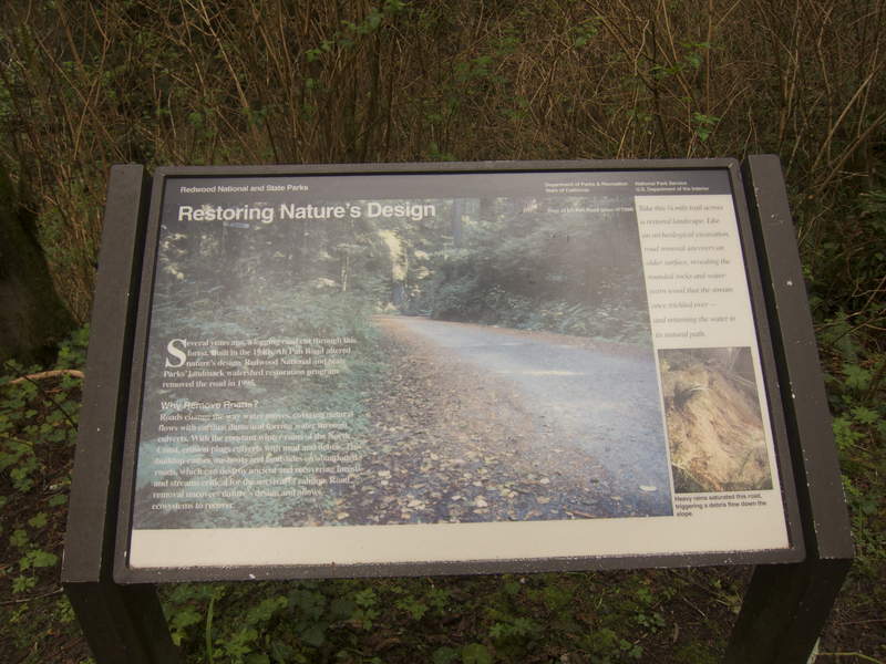
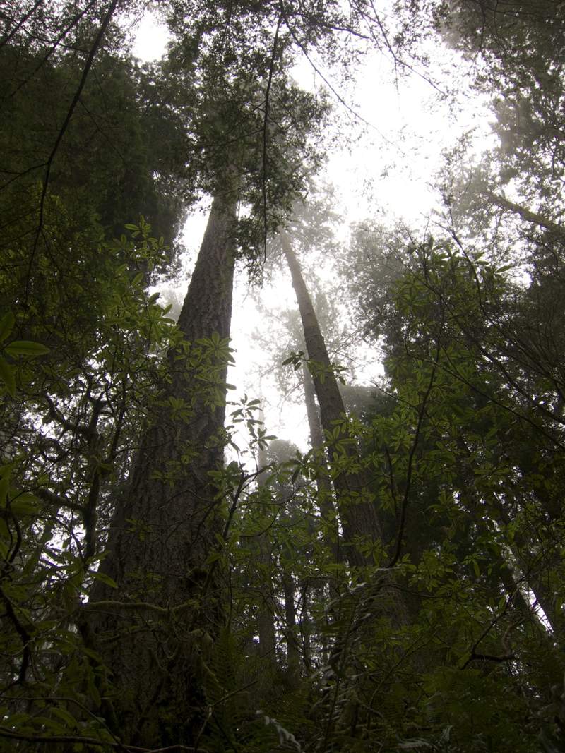
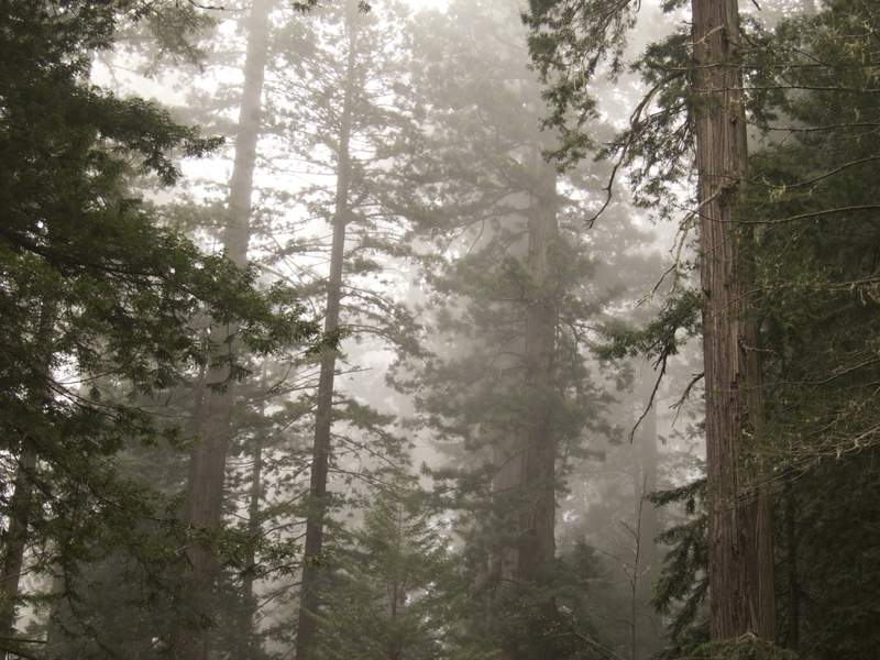
It's Thursday night and we have the perfect hiking plan for the coming great weather weekend. We're going to park at Opal Creek and hike the 15 miles and 4300' to Bagby Hot Springs, set up camp and ease our sore muscles in the bath tubs. All told, it'll be a tough hike with a great reward at the end, taking advantage of the excellent weather forecasted. We get to bed reasonably early and wake up at 4am Friday to get our plan underway. Checking the weather one last time, it seems it has drastically changed, with clouds and colder temperatures for Friday, and a wall of rain entering the Pacific Northwest overnight. Shit! We start looking at alternative plans, and looking at the forecasted precipitation pattern, it is planned to rain the entire state of Oregon on Saturday. We look south and notice that Redwood National Park is barely missing the pattern and has good weather planned both days.
After a vote, we scrap our initial plan and head to the Redwoods, a 7-hour drive south. So the four of us (Shane, Kevin, Kevin's dog Meko, and I) head out the door and drive south, our eyes set on the highest rated hike on http://redwoodhikes.com, called THE MINERS' RIDGE AND JAMES IRVINE LOOP.
After seven hours, we pull in to Prairie Creek Redwoods State Park and pop into the bookstore for any permits we'd need. The woman tells us the "environmental camp" we want to stay at along the beach is closed to budgetary constraints with park maintenance. I dig a little deeper with the woman, her nose spidered red with blood vessels and the scent of Marlboros hanging from her clothes, as to how exactly a backcountry camp gets closed. She replies, "I don't get what you're asking". So much for a wink and a nod. Despite the closure, the entirety of the Redwoods don't allow dogs on the trails, so even if we wanted to stay at the camp anyway, we'd likely get ticketed for having Meko with us.
Fuck, time for another change of plans. We stop at the Merriman Grove Interpretive Trail, a brutal quarter mile out-and-back, to stretch our legs while we think of what to do. While beautiful, we ultimately decide to head back north to Oregon and find a place to camp along the Oregon Coast. The interpretive trail would be the only hiking we did the entire trip.
We're driving north along US101, now back in Oregon, and I find an easy hike into the Grassy Knob Wilderness in Siskiyou National Forest on my iPhone. We can at least camp on a mountain-top overlooking the ocean and try to salvage what's left of our trip. Unfortunately, we've driven north back into the approaching weather. We stop in Port Orford, OR for some surprisingly delicious fish and chips, the sky dark gray with clouds and fog, and ultimately decide to head back that night instead of camping in the rain.
So here I am in the car Friday night at 10pm in the pouring rain. I call my wife Christy to let her know we're an hour away, only to find it's been beautiful in Portland all day, and it's a beautiful night as well. The Redwoods, a huge multi-organization operation guarding some of the most beautiful and massive living things in the world, turned us away without a single place for us to camp due to budgetary constraints and arbitrary rules and process.
What a waste.
March 31, 2011


Hamilton Mountain
8 miles of hiking • 2250' elevation gain •
After a quick overnight on the Herman Creek Trail, Shane & I drove to the Beacon Rock trailhead to climb Hamilton Mountain. The climb was very tough but rewarding, with nice viewpoints along the "more difficult" direct approach to the summit. Snow didn't appear until the last hundred feet of elevation, but remained for a quarter mile of the less difficult approach.
After hiking 20 miles and climbing over 5000' in less than 24 hours, we celebrated at Bridgeport Brewery with some IPAs and burgers.
March 22, 2011

Herman Creek Trail to (almost) Cedar Swamp Camp
12.5 miles of hiking • 3000' elevation gain • 1 night
Left early from work on Tuesday and took off Wednesday to bask in the short window of good weather. Shane & I arrived at the trailhead at 4:30pm and quickly started hiking, shooting for Cedar Swamp Camp as our destination. The weather was sunny and warm, and we covered a lot of ground quick.
Around 7pm, we made it to Whiskey Creek and realized that the snow, now about 2 feet deep, wasn't going to let up, so we turned around roughly a mile from our destination. Instead, we had to backtrack all the way to Casey Creek, jogging in some places to beat the sunset.
When we arrived, I set up the tarp while Shane pumped water from Casey Creek, and by the time the shelter was up and Shane had returned it was already 8:30.
We whipped up some thai peanut noodles and broke out the whiskey, drinking excessively for a Tuesday night. A mediocre fire was also had, fighting the damp wood for flames. After the two flasks of whiskey were dispatched, it was 11 o'clock and time for bed.
In the morning, we broke camp a little before 8am and were at the car a bit after 9am. We then decided with all of the day still ahead of us, we may as well go climb Hamilton Mountain as well.
March 21 – March 22, 2011


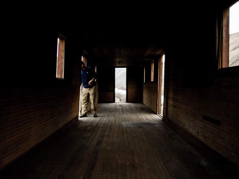
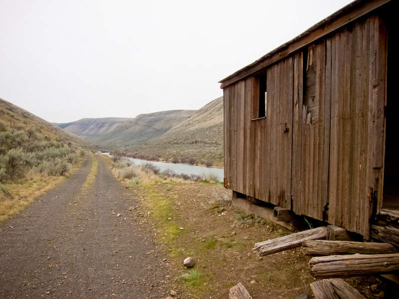
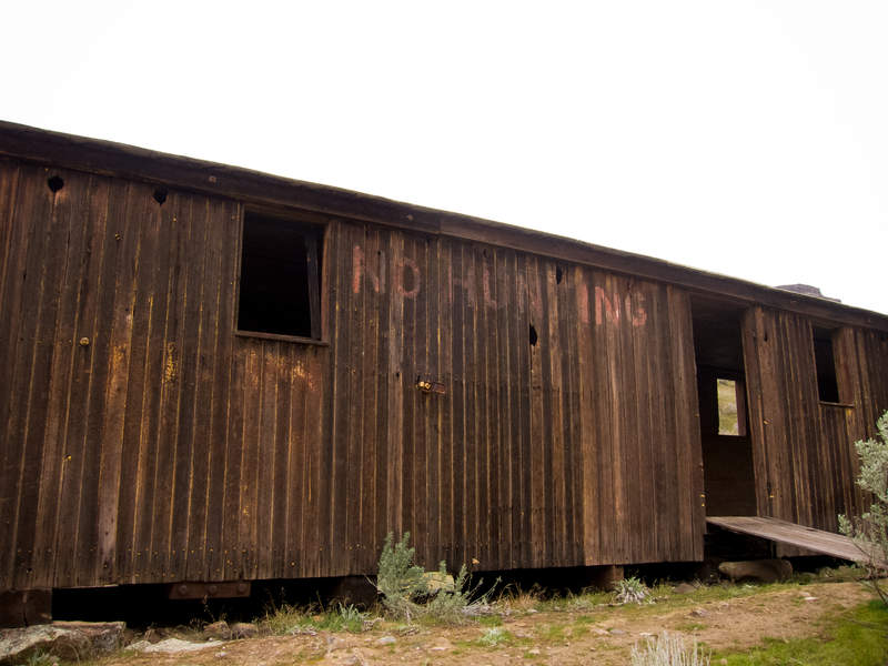
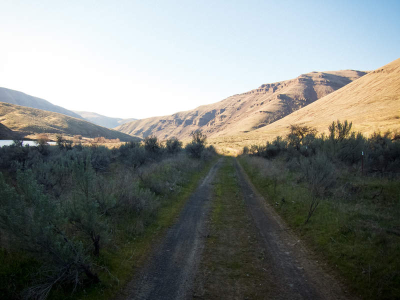
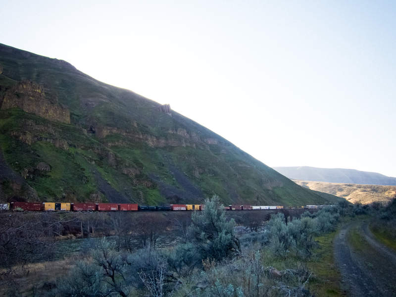
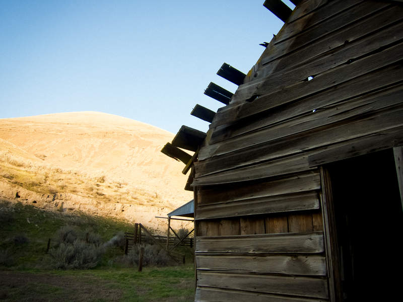
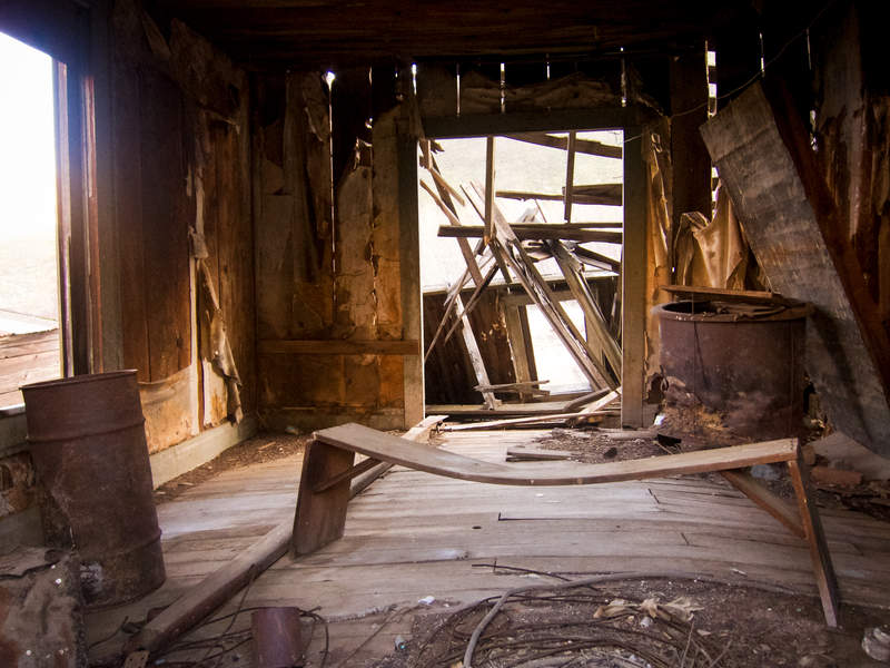
Deschutes River Hike
23 miles of hiking • 500' elevation gain • 1 night
Shane and I hunted down the best weather within a 10 hour drive this weekend, and decided on the Deschutes.
I'll get this out of the way—the hike itself is pretty boring. It's a long gravel road through an otherwise beautiful canyon, with little bits of trail to break up the monotony. The scenery is beautiful, though.
We lucked out with weather, getting clear skies through the night and mild temperatures. The old homestead around mile 11 is historically spectacular, too.
Good winter hike.
March 11 – March 12, 2011


Angel's Rest
5 miles of hiking • 1500' elevation gain •
Left the city at 3 o'clock for a quick conditioning hike up Angel's Rest. We made it to the top, relaxed 5 minutes and jogged back to the car, arriving a little after 5pm.
Fun little trip.
March 3, 2011

Almost Indian Heaven Wilderness snowshoe
5.5 miles of hiking • 500' elevation gain • 1 night
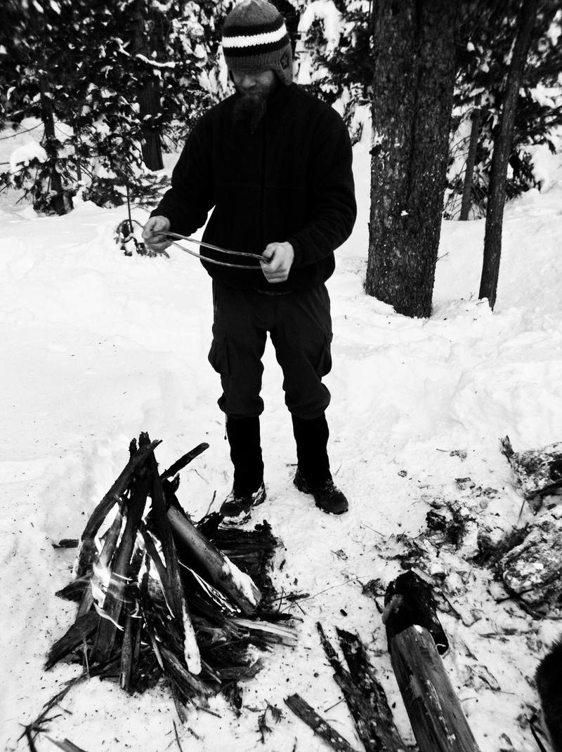
My friend Kevin & I tried to cross-country 5.5 miles through untouched powder to Thomas Lake in Indian Heaven, couldn't find our way across a creek for almost a mile, climbed a hill too steep to be enjoyable while mashing through two feet of powder, figured out the dumb navigational mistake we had made straight from the trailhead (taking trail 150 southwest instead of road 3053 southeast because it seemed like the obvious route and so we didn't consult the map/compass), and eventually settled in for the night less than halfway from our goal in a beautiful clearing we stumbled across.
It was both of our first times camping in truly winter conditions, and with the forecasted low at 6º and three feet of snow underfoot, it was definitely wintery. We compacted a large platform, flattened it out, let it set, set up our shelter, dug an entryway, and collected a large amount of standing dead wood in the immediate area for a fire that ended up burning over 5 hours.
It was cold. Our avacado froze, as did our hard boiled eggs for breakfast. Our gas canisters hardly worked. Our fingers hardly worked, for that matter. In the morning, I woke up with a layer of snow between my sleeping bag and my bivy sack. Little snow trees were dangling like cobwebs above our faces from breath in the morning. The siberian husky that came with us, Miko, opted to sleep outside the tarp and woke up covered in frost and just shook it off. Tough mother...
Blue skies both days, and so beautiful getting to explore still woods without a trail.
Awesome.
February 24 – February 25, 2011


Mt Defiance via Starvation Ridge
14 miles of hiking • 4750' elevation gain •
The single biggest thing I learned from this hike is what nutrition can do for you. I'd say this was, by the numbers, the most ambitious hike I'd gone on, covering 14 miles and climbing nearly 5000', much of which breaking trail in snowshoes. But, I tried a Hammer Nutrition product called Perpeteum, a powdered mix made for >2 hour endurance exercise, and I've never felt better.
I didn't have a cramp or ache after the trailhead. In fact, I immediately went out to a bar afterward. The biggest thing to watch out for though—if you survive on liquid calories all day, be careful how much liquor you put back afterward!
February 18, 2011

Ruckel Creek Trail to Benson Plateau
10 miles of hiking • 3750' elevation gain • 1 night
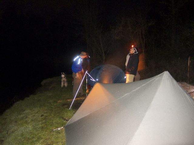
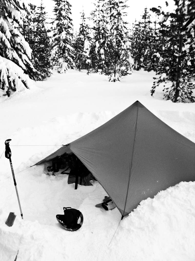
Based on Pablo's Benson snow-free report from February 6th, I planned a quick overnight up to the Benson Plateau via Ruckel Creek trail. It hadn't rained in Cascade Locks since then, but that doesn't mean it hadn't up high! There's between 4 and 6" on Benson as of 2/11. Arriving at the wilderness boundary just after dark, we quickly made it to Hunter's Camp, cleared an area of snow, and set up the tarp.
It rained overnight, but stopped about 8am, and was mostly cloudy and beautiful on the way back down to the car. We didn't try going down Ruckel Ridge with snow on the ground and being unfamiliar with it, so we headed back the way we came.
February 9 – February 10, 2011

Dublin Lake from Wahclella Falls TH
14 miles of hiking • 3750' elevation gain • 1 night
INTRODUCTION
February of last year, Oregon was hit with a freak warm front that brought over a week of 50º weather and sunshine to the area. I took that opportunity to round up a backpacking trip of me and my friends, branding it “MANPING†to make light of the fact we were casually backpacking in winter, none of us with real four-season camping experience. The trip was a great success, staying at low elevations in the Mount Hood National Forest to avoid snow, we had a really enjoyable night in the wilderness, replete with a roaring fire and whiskey.
MANPING 2011
Naturally, I wanted to try to recreate such a fun trip this year. I set up a Facebook event and invited friends to come out for the second annual MANPING trip. I was particularly excited because I’d just upgraded a few bits of gear, notably a new ultralight backpack, tarp, and insulation layer. This year however, the weather didn’t work out in our favor.
As the date got closer, the forecasted weather deteriorated from sunny skies and 45º to a 70% chance of rain and a high of 40º. Friends dropped like flies in the face of the unfriendly weather conditions. The count was down to just two of us—my friend Kevin and I. We tried to make the most of it now that it was just a duo; knowing we both had Friday off, we extended our trip to two nights, planning a loop in the Columbia River Gorge.
DAY ONE
It was a beautiful day in Portland; but, it was steadily raining by the time we got to the trailhead 40 minutes away. We had roughly 5.5 miles of ground to cover and 3700’ of vertical, and it never stopped raining. We stopped twice, and then only briefly, to grab water or a snack, before continuing on through the rain to Dublin Lake, our first night’s camp.
When we finally arrived, the lake was encircled in snow and frozen over. Two campsites were mostly bare, though the top layer of soil was frozen, leaving water to stand on top of the duff. Kevin and I were both soaked through; no amount of Gore-tex was capable of keeping someone dry for that amount of sustained weather. A large rock was required to smash through the inch-thick ice on the lake to obtain water. We found the best spot we could, pitched the tarp, and huddled underneath. It was 5 o’clock and still very much light out.
I, naturally being an idiot, didn’t bring an extra shirt, just my down jacket as extra clothing. After putting it on over my soaked Patagonia R1 fleece, the whole jacket collapsed, rendering it worthless. So too did parts of my down sleeping bag, the moisture introduced from my soaking wet underwear and fleece creating high amounts of humidity in the bag. For a couple hours while cooking and eating dinner, I was rather nervous about the night, having only deflated down insulation under an open-air tarp for the night, surrounded by snow and camped on frozen earth, rather chilled already.
After those couple hours—and multiple times venting the inside of my sleeping bag to let out the steam room microclimate I was creating inside my bivy—the down started to dry out, I started warming up, and I could relax into the evening and joke around with Kevin about how we actually elected to be stuck in the cold rain under a tarp in February. We also decided to head back to the car the next day, as it’d be foolhardy to continue on so wet. Needless to say, it was a cold night as much moisture lingered in my insulation, robbing me of precious loft while the rain continued to fall hard against the tarp above us.
DAY TWO
We woke in the morning around 7, and by the time coffee was prepared and hard-boiled eggs consumed, the rain finally stopped. No longer oppressed by the sky, we sprang from our shelter to don our wet clothes, pack our bags, and head back to the Wahclella Falls trailhead. I couldn’t find the willpower to put my pants back on, still dripping with rainwater, so I hiked out in my long johns and gaiters. Without the rain, it was a beautiful hike through dripping, foggy woods.
CONCLUSION
This year’s MANPING was definitely more manly than last. It was also a good gear shakedown, to better understand what I’m capable of handling in likely the worst conditions I’ll find myself in. I can’t say I’m ever going to willingly go backpacking again through sustained rain in the winter (especially with so little rain gear and no spare clothes), but I’m now much more confident that I can still safely get by with minimal amounts of gear.
It just may not be comfortable.
February 3 – February 4, 2011

