2015 Trips


Jefferson Park via Whitewater
14 miles of hiking • 2000' elevation gain • 2 nights
This time, it was a beautiful weekend in Jefferson Park. We lucked out with an equally beautiful campsite and did a lot of swimming, day-drinking, and exploring.

July 17 – July 19, 2015

Jefferson Park via Park Ridge
17 miles of hiking • 3000' elevation gain • 2 nights
Friday's weather sucked. We hiked over Park Ridge in a freezing cloud of wind and suck, being able to soak in none of the beauty of the area. It cleared up a bit in the morning, but then proceeded to mostly suck the rest of Saturday as well. Sunday was beautiful. But man, when this place is clear, it's stunning.
July 10 – July 12, 2015

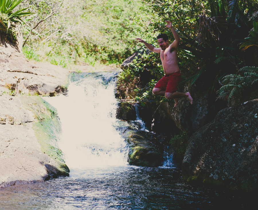
Soda Peaks Lake, again.
4 miles of hiking • 500' elevation gain • 1 night
Had a friend in town from Florida. Showed him what the American west is like.
June 26 – June 27, 2015

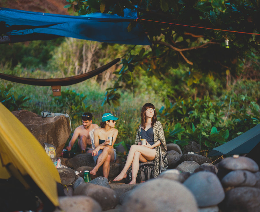
Serene Lake, again.
8 miles of hiking • 1250' elevation gain • 1 night
It was too much fun the previous weekend. Backpacked in again, rafted, swam and fished again. This place is the best.
June 13 – June 14, 2015
 2
2
Serene Lake
8 miles of hiking • 1250' elevation gain • 1 night
More glorious summertime recliner-backpacking. Brought pack rafts out to float on the lake. Swam across the lake. Woke up and swam again. So much swimming.
June 6 – June 7, 2015

Soda Peaks Lake
4 miles of hiking • 500' elevation gain •
Summer! Swimming and fishing and reading books in hammocks.
May 30, 2015

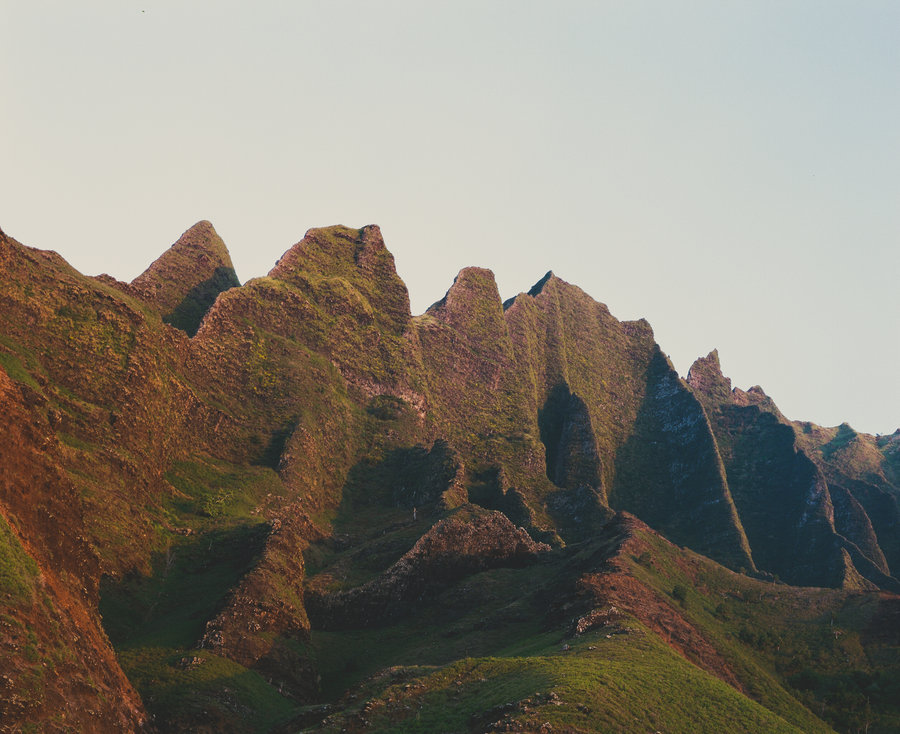
Bull of the Woods
18 miles of hiking • 4500' elevation gain • 1 night
Big loop in Bull of the Woods up and around Mother Lode to the lookout and then a camp at lower Welcome Lake. For some reason, I expected much of this area to have been showing some signs of recovery but I was very wrong. The fire burned the earth deep and it is very much still a hellscape around the Welcome Lakes.
May 2 – May 3, 2015

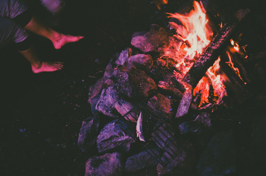
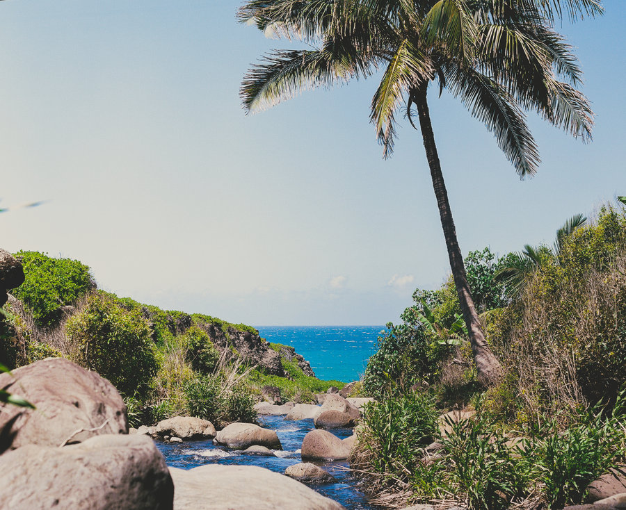
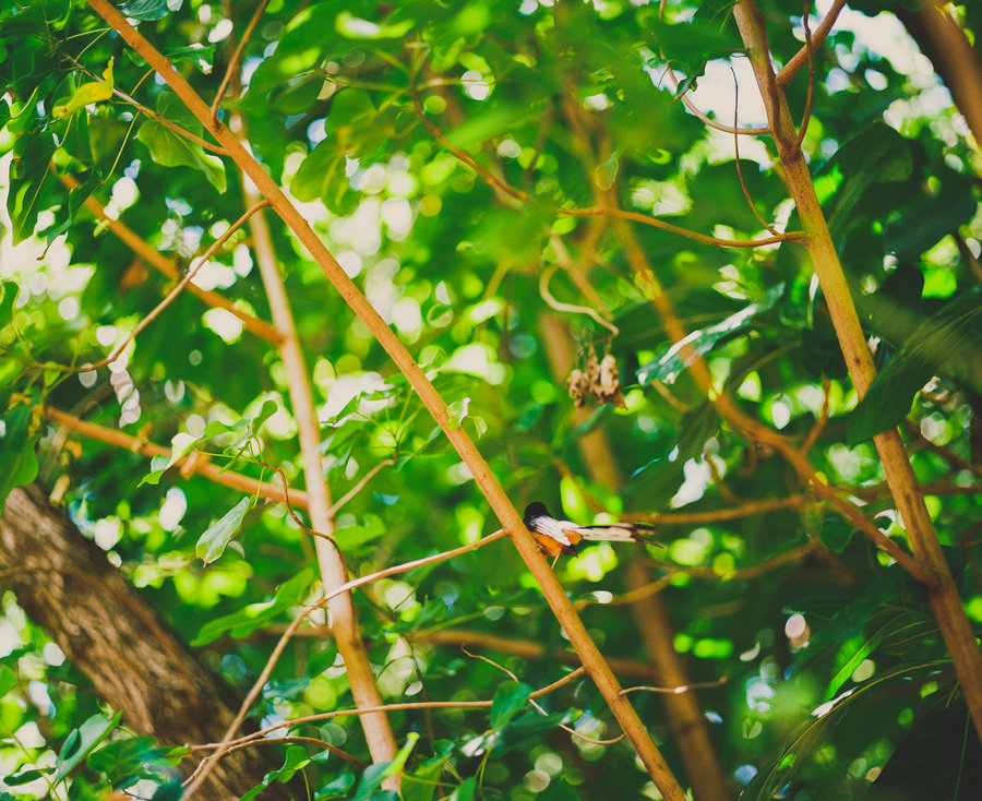
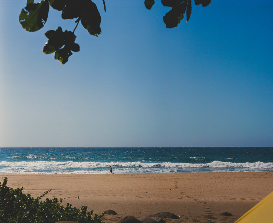
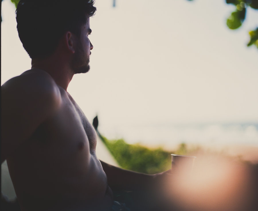
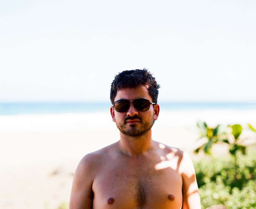
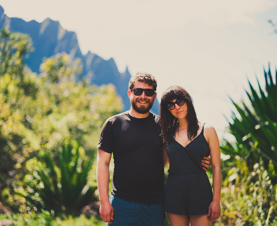
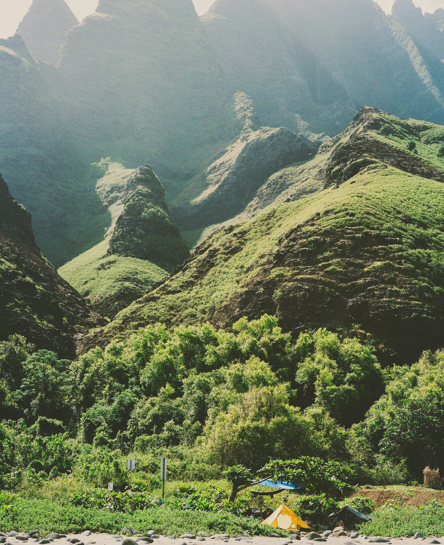
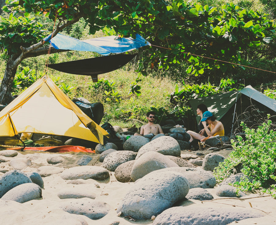
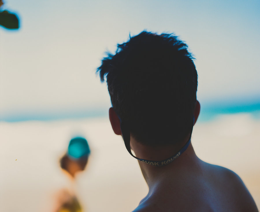
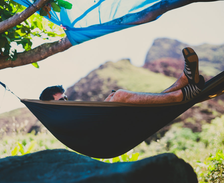
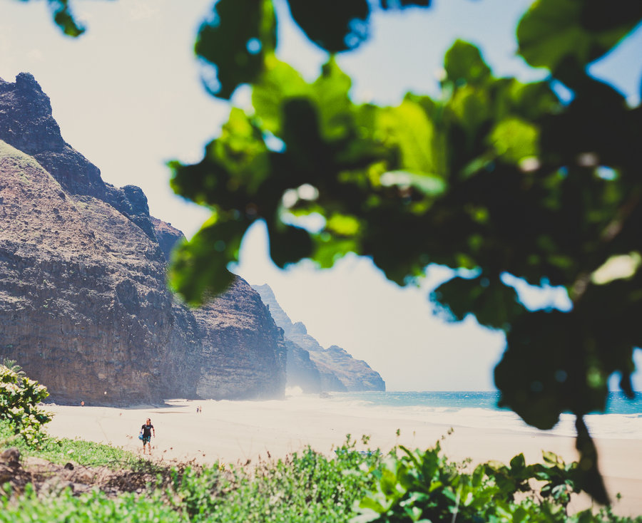
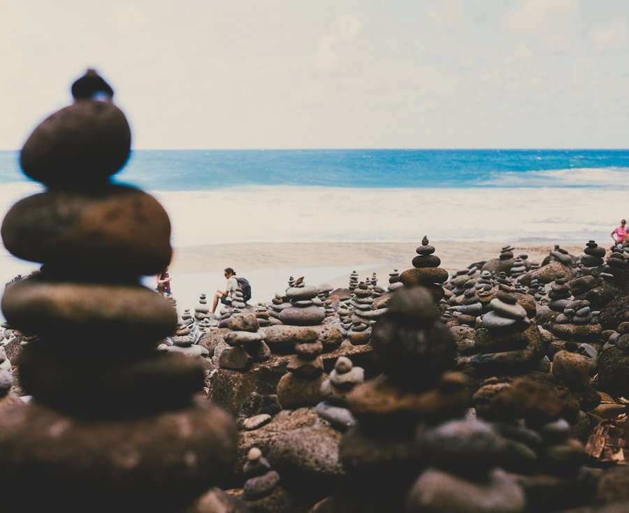
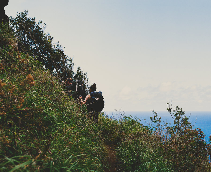
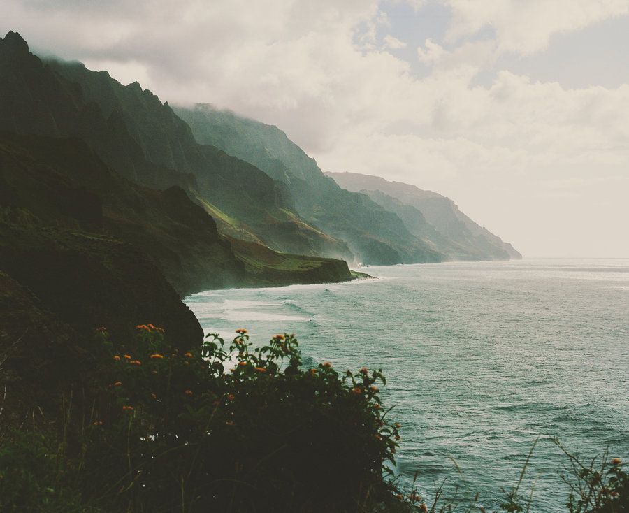
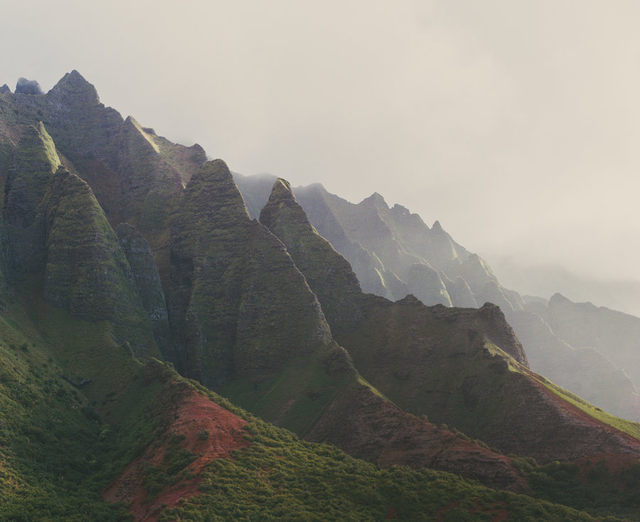
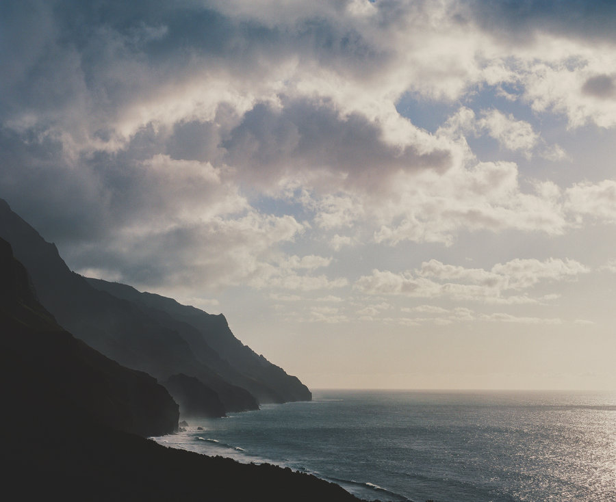
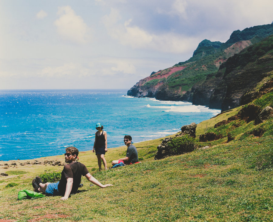
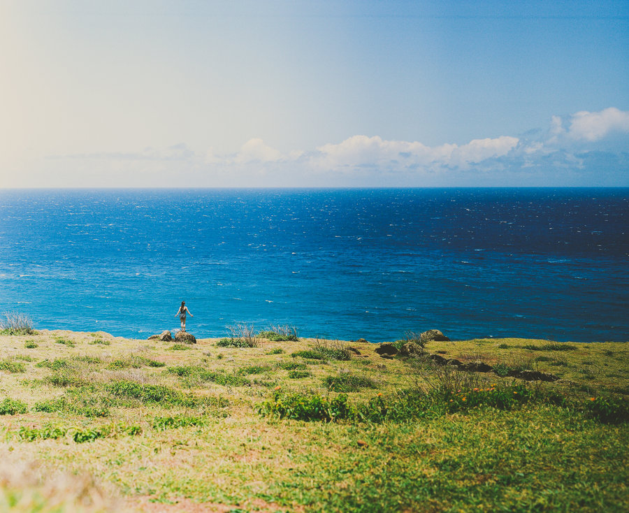
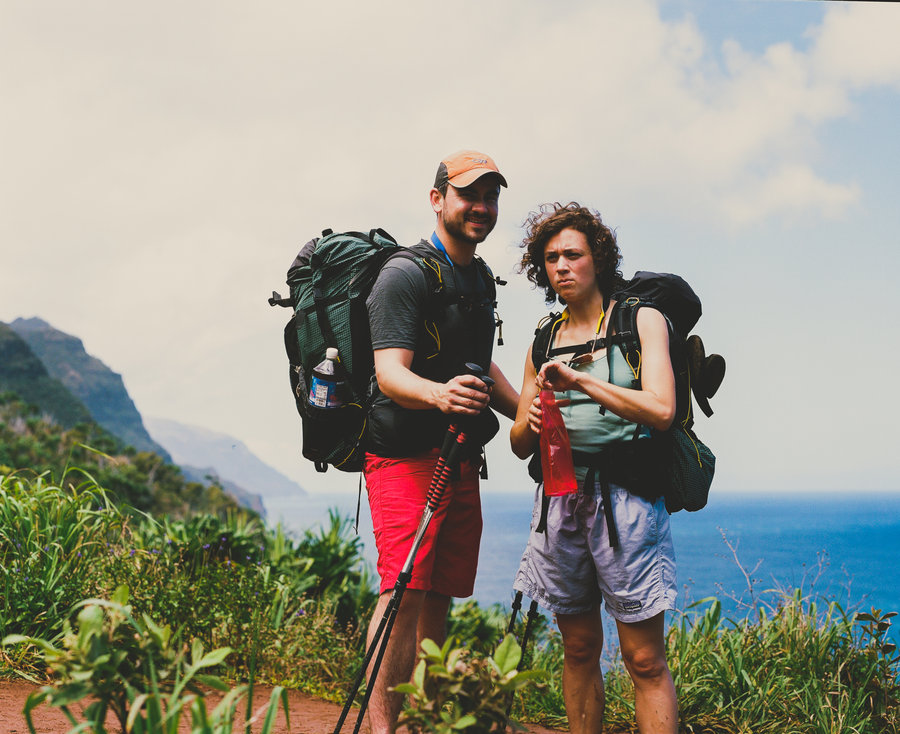
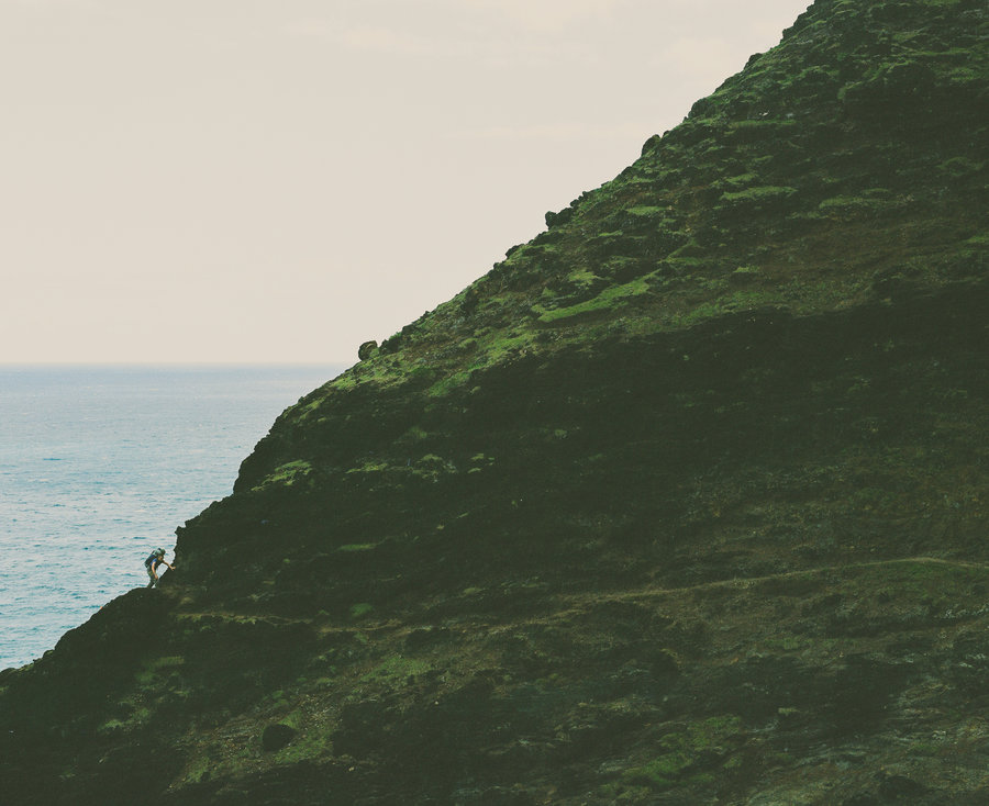
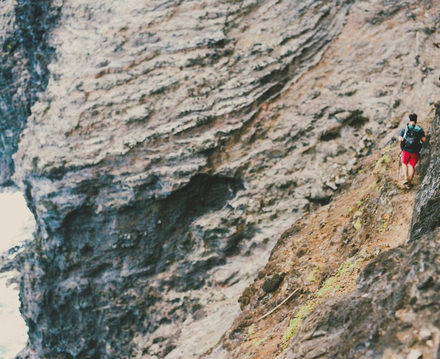
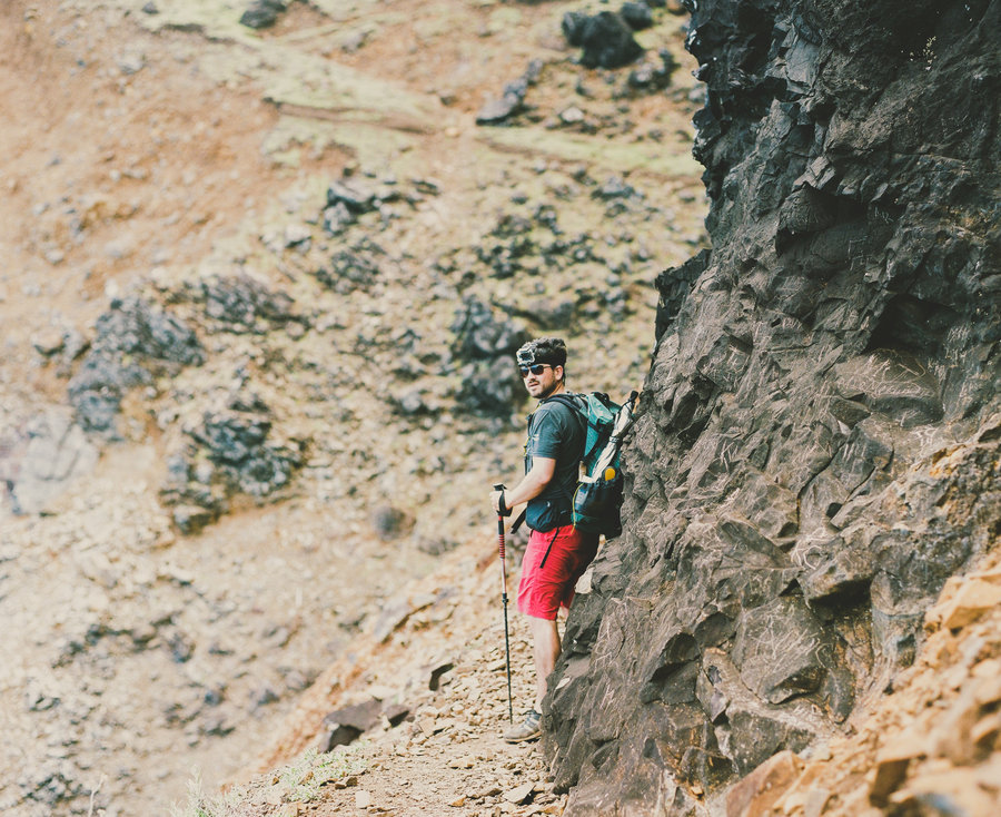
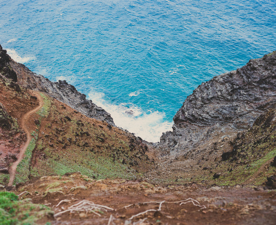
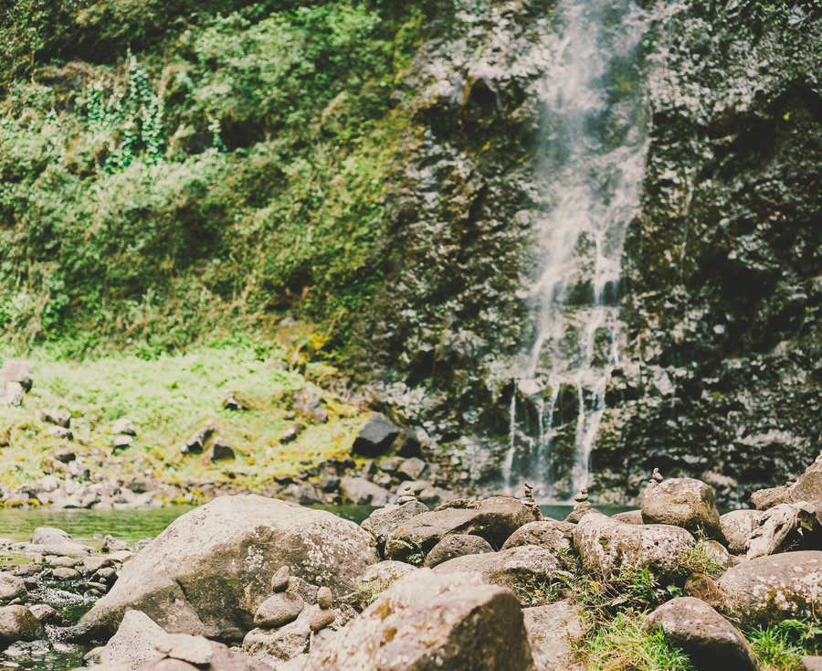
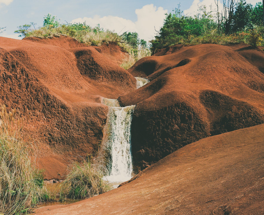
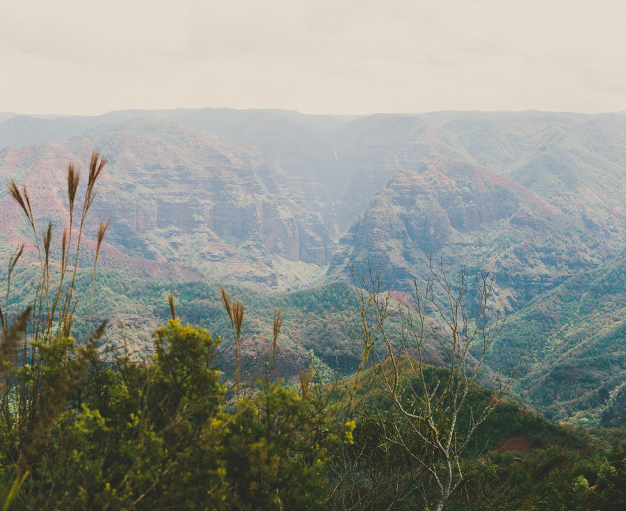
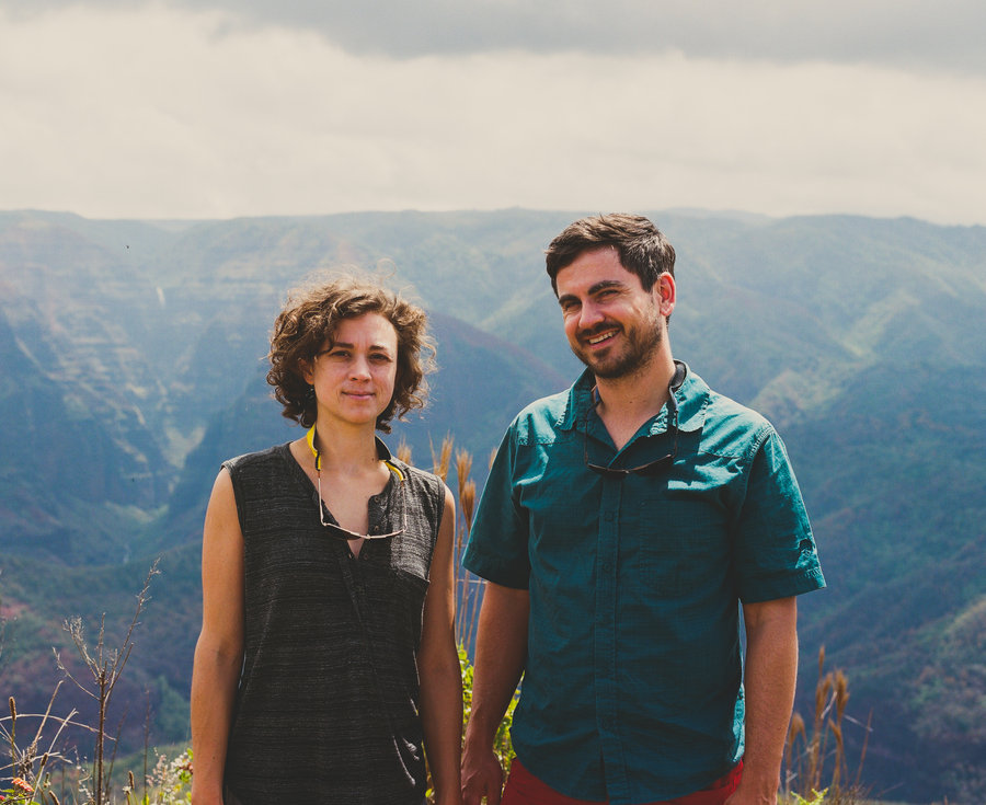
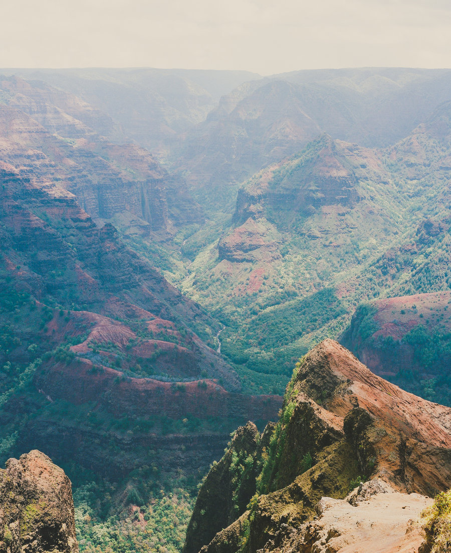
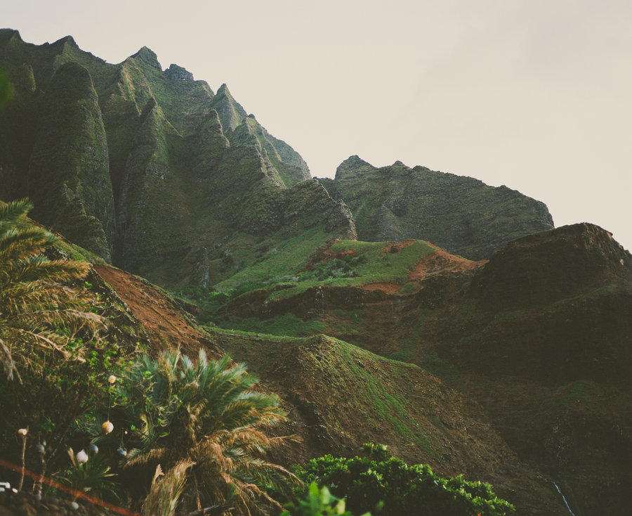
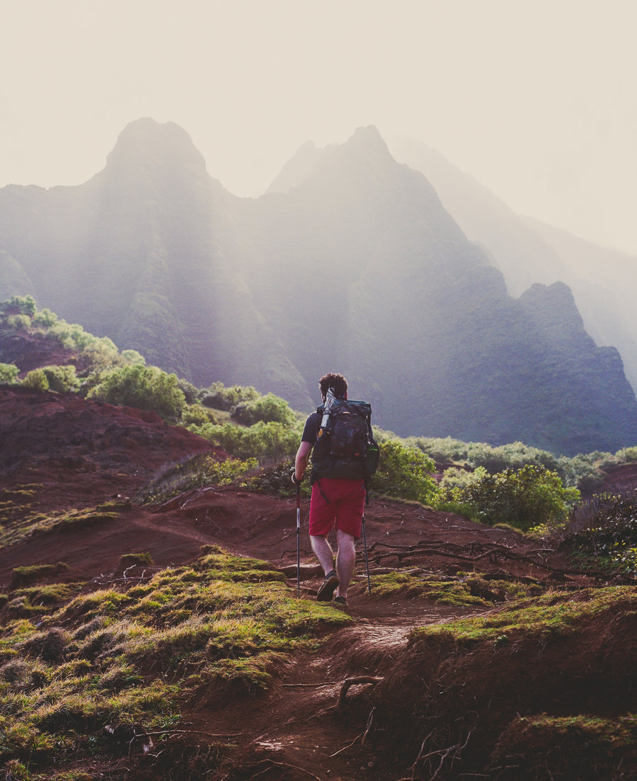
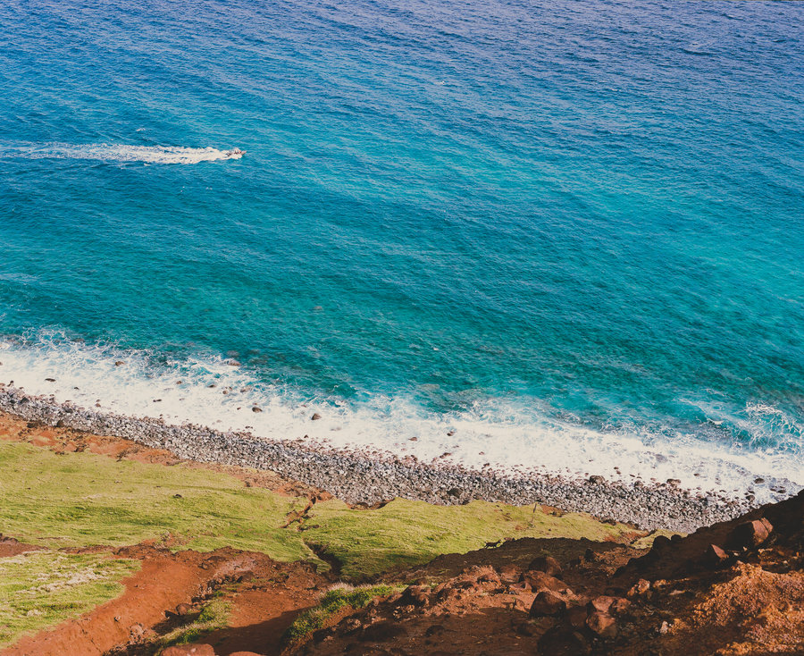
Kalalau Trail
24 miles of hiking • 10000' elevation gain • 4 nights
There exists a mile-long, deep, sandy beach on the northwestern shore of Kauai far removed from civillization. There's only two ways in—sea kayak or an 11-mile, 5000' EG hike up and down repeatedly along the sheer cliffs of the coast.
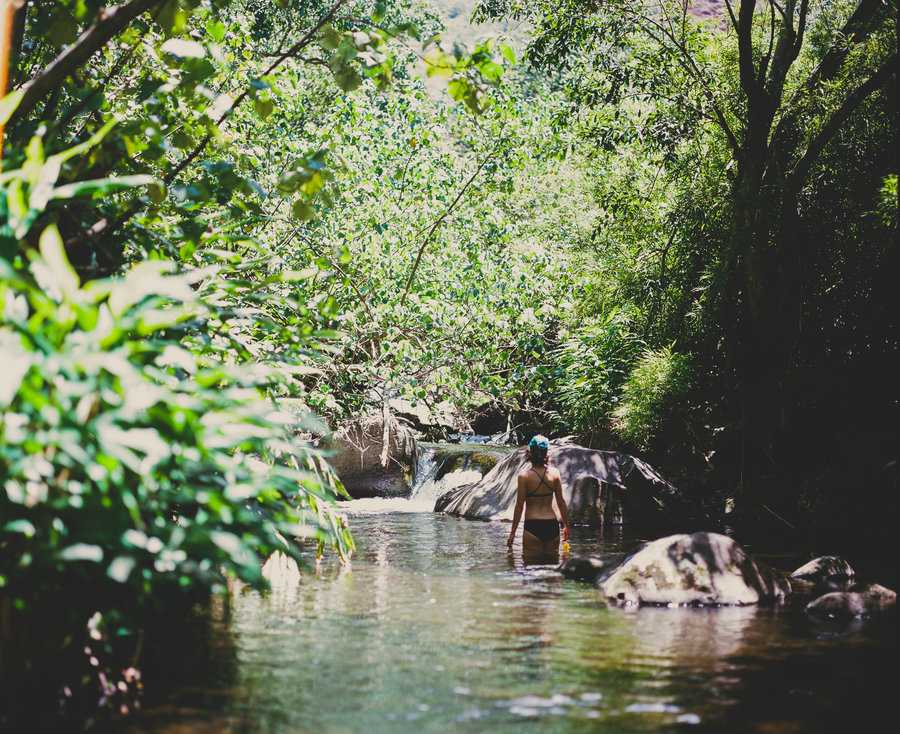
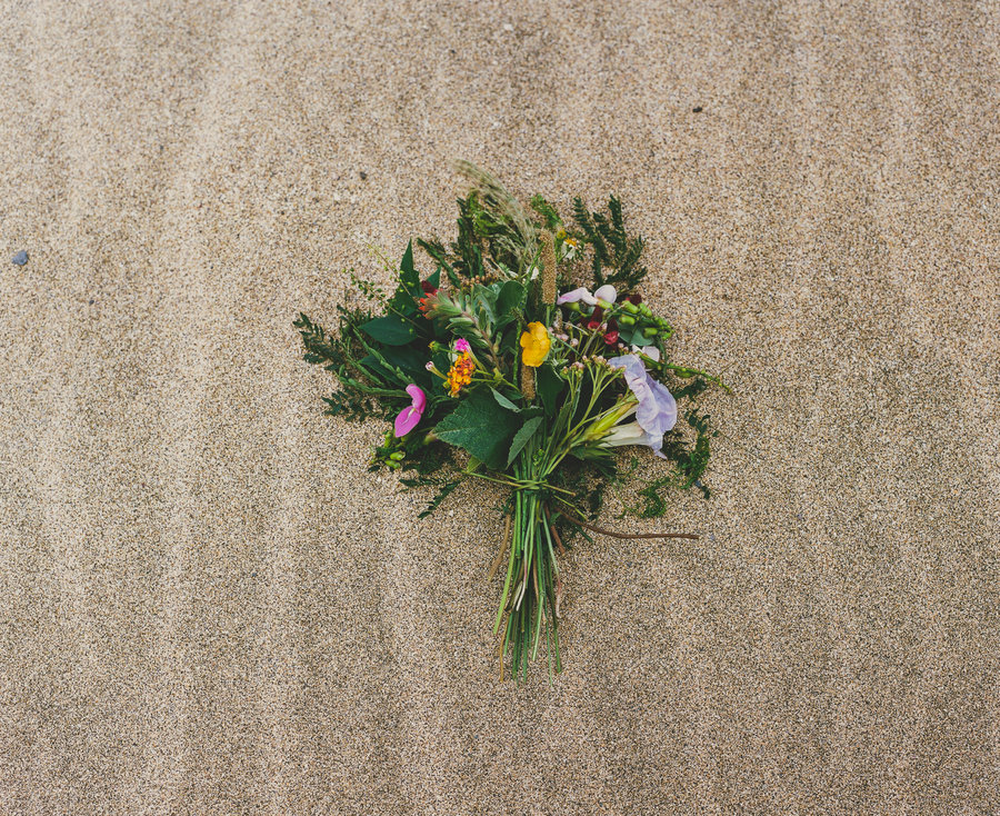
Four of us spent four nights at Kalalau Beach, sleeping in the sand and tucked barely into the bushes. Wild cherry tomatoes grew all around camp and were easily added to each meal. In addition to tomatoes, we found fresh lime, guava, mint, watercress, and a few other edibles growing in the forest of the valley set behind the beach.
A good many folks live in the valley semi-permanently, against regulation and without permit but with what appears to be much ease and happiness. Bronze skinned, thin, and with an extremely slow walking pace—they've gone full aloha.
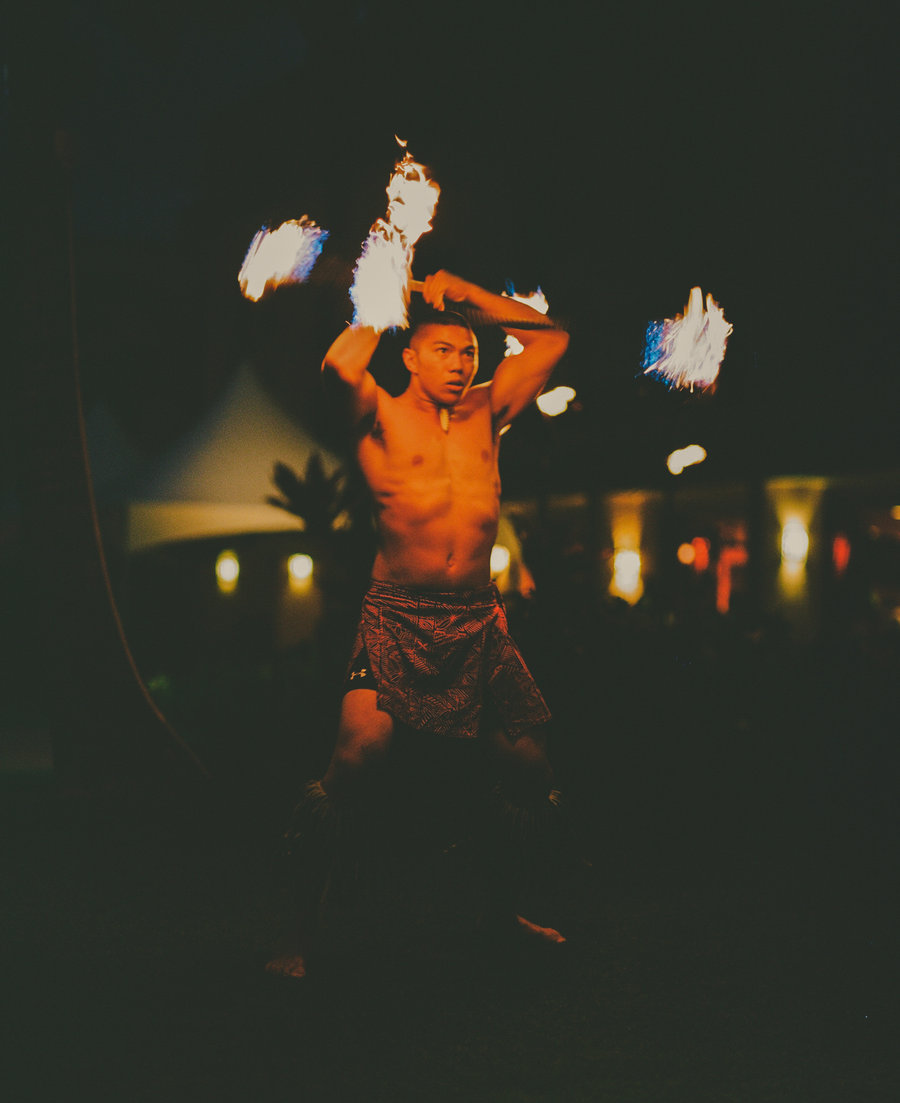
This was perhaps one of the most satisfying backpacking trips I've ever been on. It was beautiful weather every day. There were incredible views and happy people. When anyone got too warm, they stripped their clothes off and ran into the ocean to play in the waves. Some of the regulars had a party one night and invited us, allowing us to witness fire dancing to drums in the middle of a dark-skied night at what felt like the edge of the world.
Highly recommended.
April 16 – April 20, 2015


Tanner Butte, Again
24 miles of hiking • 5000' elevation gain • 1 night
Third trip of the year up to Tanner Butte. Working on my base. This is, by far, the best payoff gorge hike that exists.
March 28 – March 29, 2015

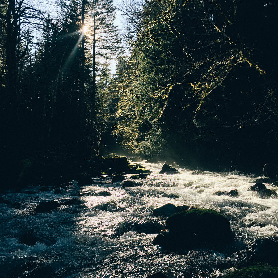
Eagle Creek
11 miles of hiking • 1000' elevation gain • 1 night
A night alone along Eagle Creek to readjust mentally. :-)
March 21 – March 22, 2015

Tanner Butte Campout II
20 miles of hiking • 4500' elevation gain • 1 night
An out-and-back via the Tanner Butte Rail from Eagle Creek. It was absolutely lovely out until we got to the top of the Butte—an inch of snow, strong winds, and an overnight low in the 20s made the night up high somewhat miserable.
So pretty, though.
February 28 – March 1, 2015

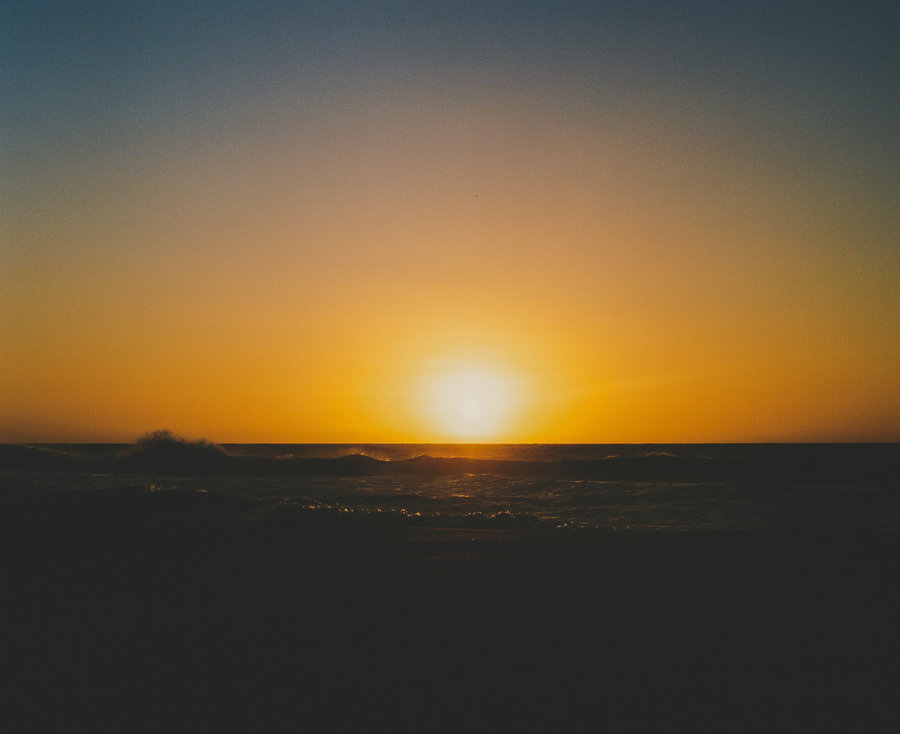
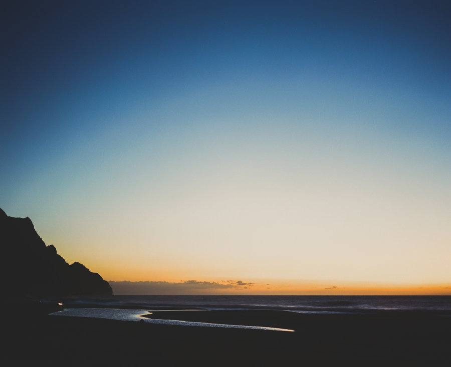
Tanner Butte Campout
24 miles of hiking • 5000' elevation gain • 1 night
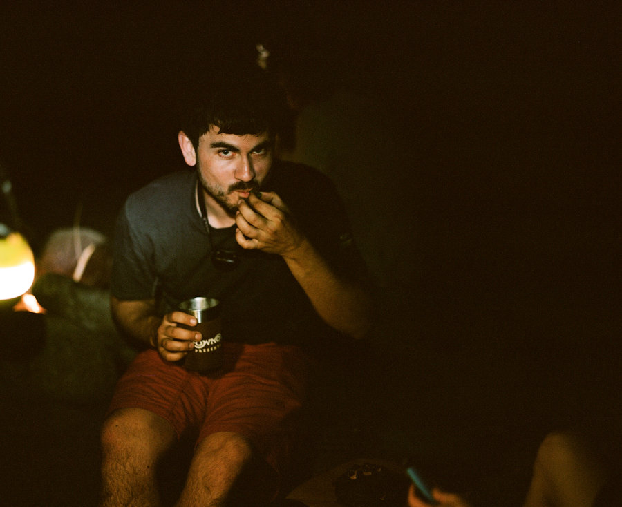
My friend Kevin and I kicked off 2015 training by going up and sleeping on top of Tanner Butte. It's absurd that, in the middle of February, we didn't even see a patch of snow the entire hike. We started from Eagle Creek and did the creek crossing to get up to the backside of Tanner Butte. I'm not sure I'd really recommend that crossing right now; the water is super high from the ongoing melt, and it didn't feel the safest. That said, we took the log crossing a couple hundred yards downstream from the official crossing and it was fine.
We just missed the sunset getting to the top, so we made camp quickly, found our down, and tucked into the rye whiskey we carried to the top. The new moon is in a few days so the sky was dark enough to make out the milky way quite clearly. Sunrise, as you can see in the photos, was absolutely stunning. After basking in the ridiculously beautiful sunrise, we broke camp and hiked down to Dublin Lake to restock our water, make coffee, and have breakfast in the sun before heading back to the car.
It's pretty surprising to me that there isn't a better campsite up on Tanner Butte—there's plenty of space and good locations for it. I wonder if it's just because of the lack of water that folks choose not to sleep up there?
February 13 – February 14, 2015
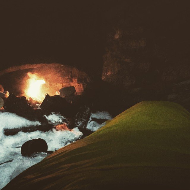
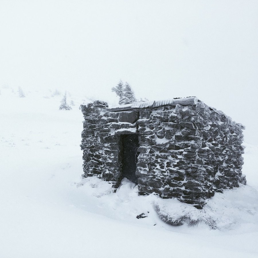
McNeil Point Shelter
13.5 miles of hiking • 3000' elevation gain • 1 night
Wandered up to McNeil Point in the rain with snow on the ground. My subaru couldn't quite make it to the trailhead, so we parked at the last major junction and walked the last 1½ miles each way to the trailhead. It was terrible out—raining and windy, hovering around freezing temperature, and very very strong winds. We made it up the climber's route right at dark, quickly dug out the shelter, and emptied the fire logs we carried in our backpacks into the fireplace. We closed up the shelter door by hanging a tarp and had a rather cozy night while it stormed heavily outdoors.
In the morning, we woke to 6" of new snow and enjoyed a couple excellent and long glissades on the way back to the car.
In retrospect, this was a dumb hike. The climber's route was iced up pretty solid and made the climbing fairly treacherous. Additionally, we didn't quite make the shelter before darkness fell because we didn't think the snowpack would be so unconsolidated and therefore didn't bring snowshoes, so we did the last hundred feet by headlamp. We were soaked from the rain and cold from the ~30mph sustained winds. It wasn't a problem, but we might have been in trouble if we had been moving any slower or started any later in the day.
You live and you learn.
January 18 – January 19, 2015