2013 Trips

 3
3
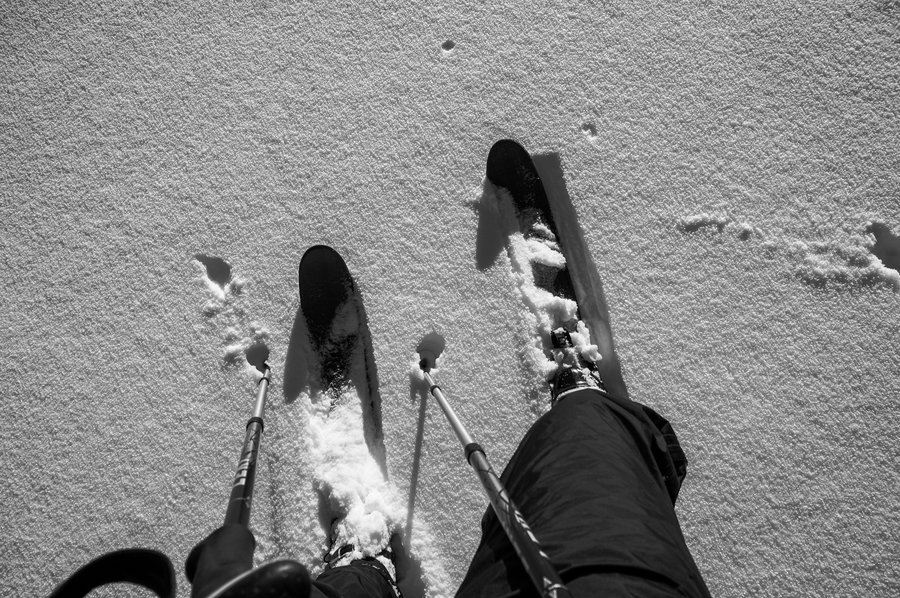
John Muir Trail
220.5 miles of hiking • 46000' elevation gain • 21 nights
Report and photos coming soon.

July 7 – July 28, 2013
 1
1
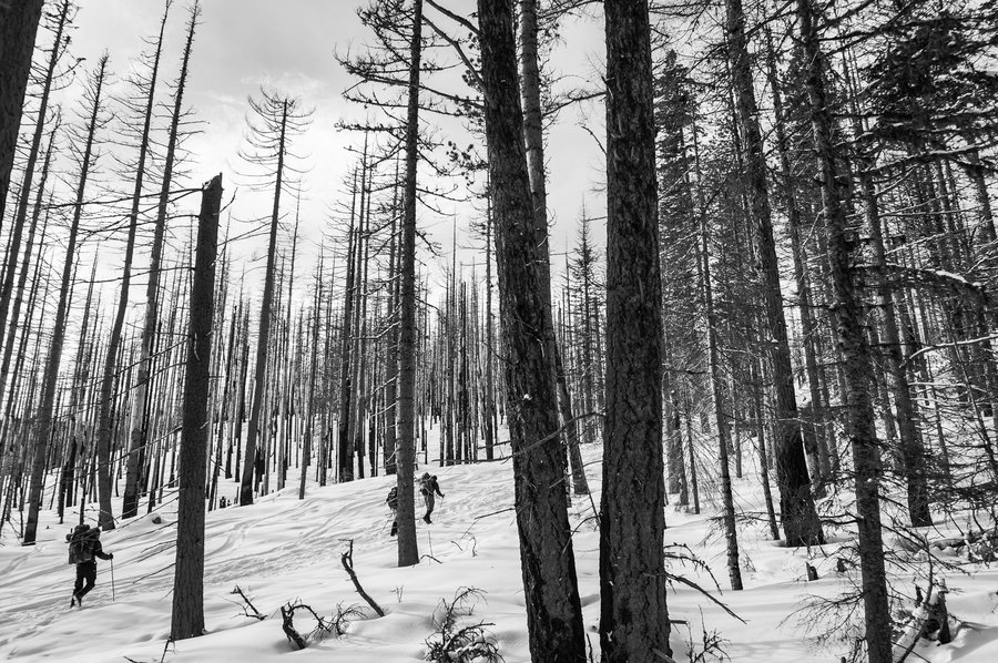
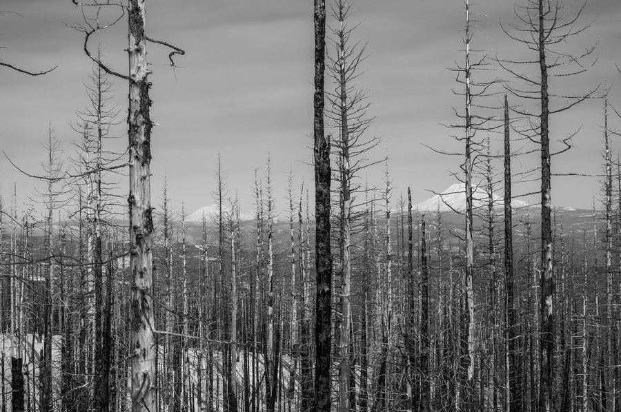
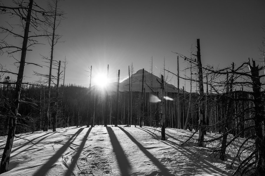
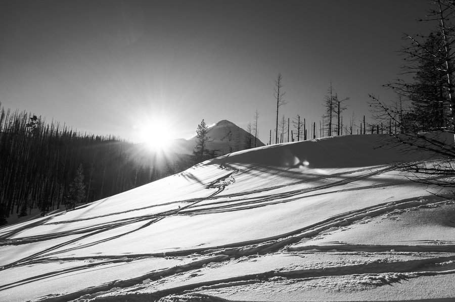
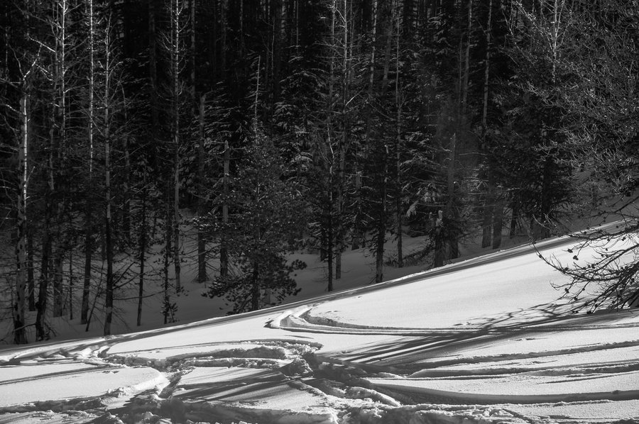
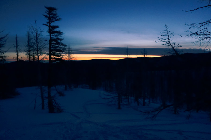
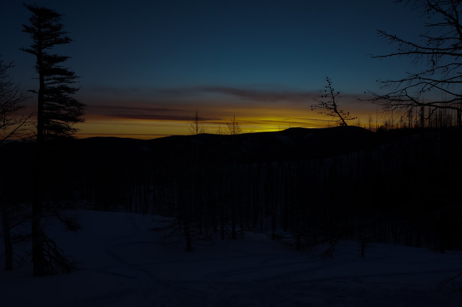
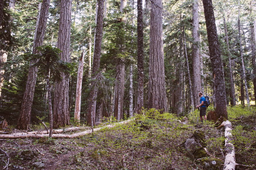
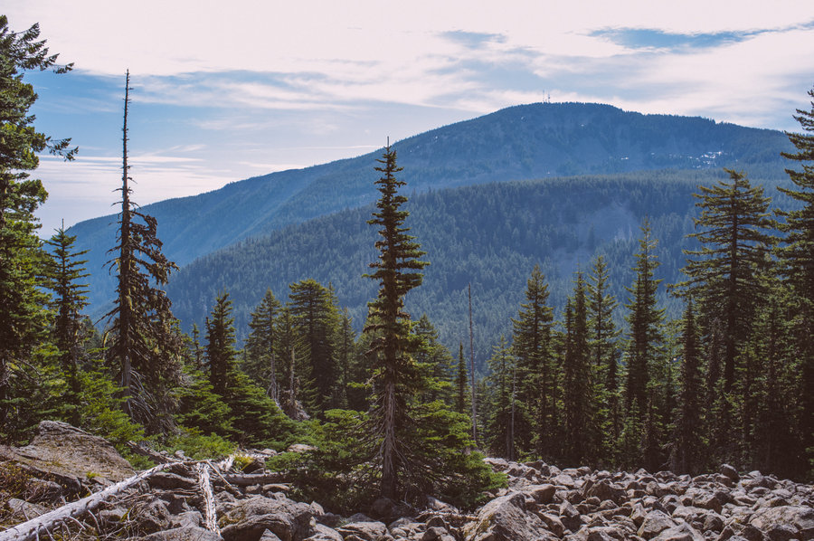
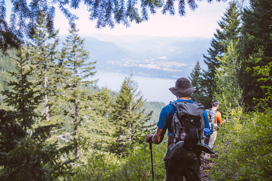
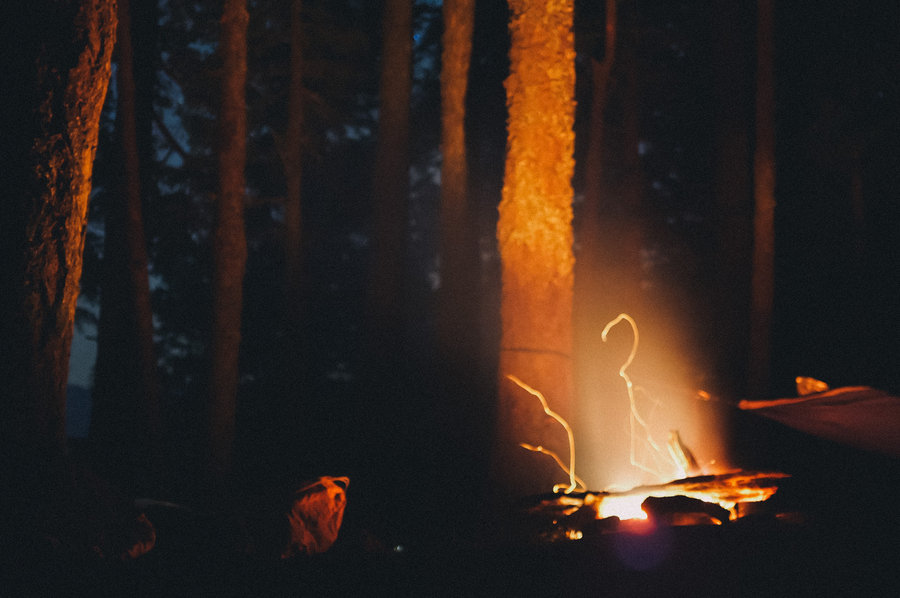
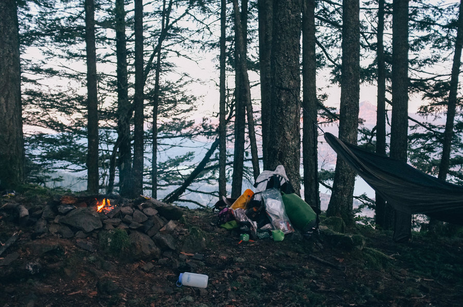
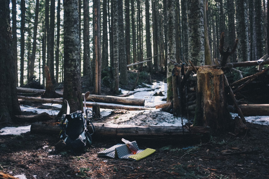
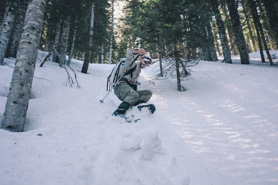
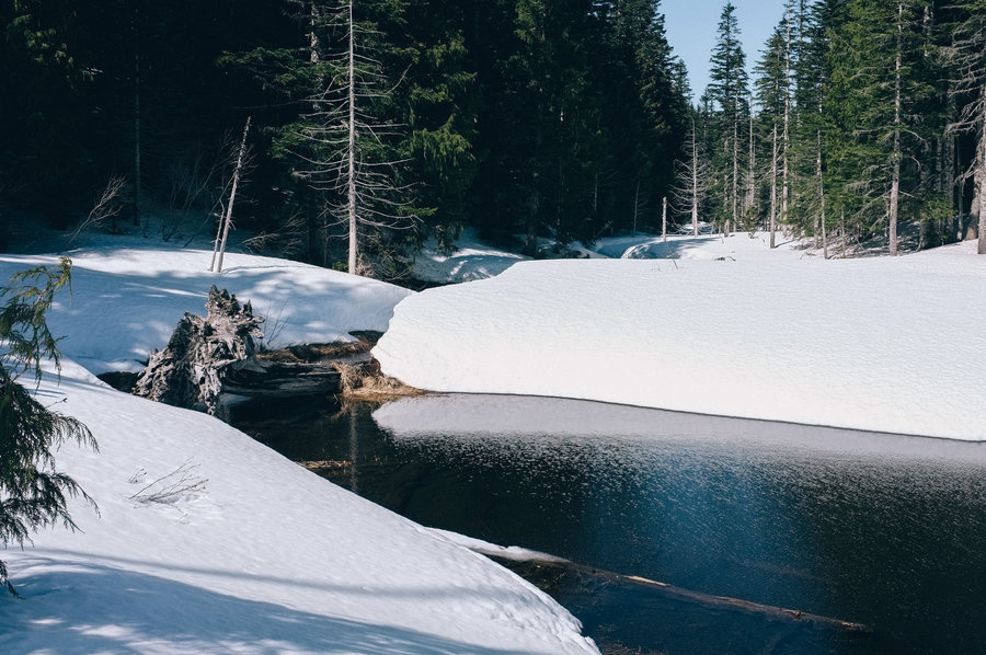
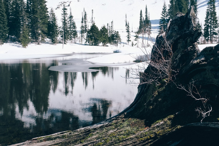
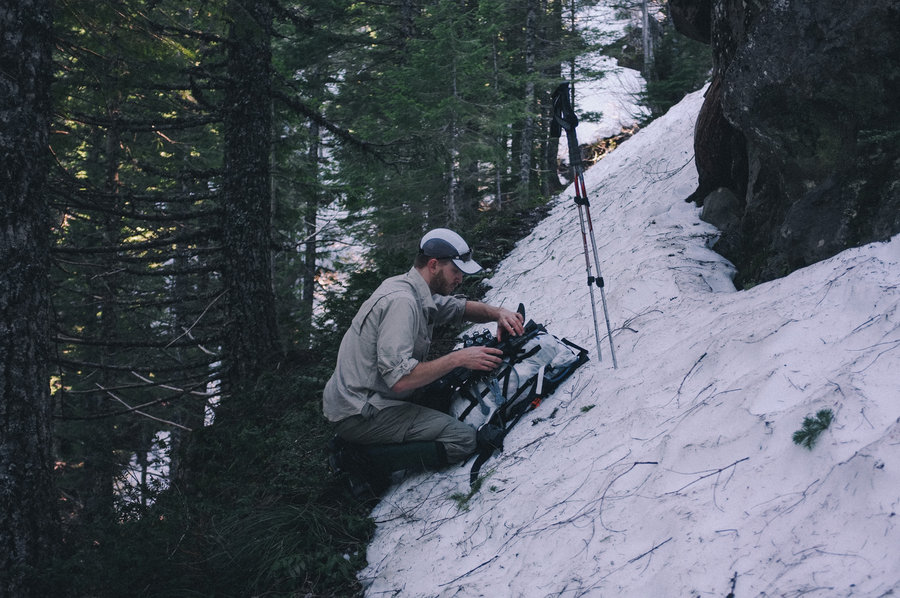
Elk Lake Creek to Twin Lakes in Bull of the Woods
19 miles of hiking • 4000' elevation gain • 1 night
Our last trip before my wife Christy and I hike the John Muir Trail starting July 7th, this was intended to be a bit of a shakedown hike to ensure we're set up well for three weeks on the trail in California.
We were the only ones at the trailhead Friday morning. It looks like we timed our trip to this wilderness perfectly—both rhododendrons and bear grass were in bloom everywhere we went. The water levels are now at summer levels and the tiny native rainbow trout were plainly visible throughout Elk Lake Creek. We ate lunch at the Battle Creek junction and headed up toward Twin Lakes and, holy shit… the mosquitoes were out in full force near the top of the ridge. A lack of wind, a brutally steep trail, and shallow tarns that make perfect breeding grounds for mosquitoes at the top of the ridge conspired to make the climb hell. Christy and I were both bitten a lot. The mosquitoes were worse than I've seen in Indian Heaven in July. The mosquitoes were mostly gone by the time we made it down to upper Twin Lake though. There was small mounds of snow around upper Twin Lake that are probably gone now.
On the way back Sunday, we found an amazing lunch spot on Mother Lode Creek near the Battle Creek junction—afternoon sun on the creek, two deep pools for swimming, and a small island in the middle of the creek for sun bathing and eating. Other than that, the hike out was mostly uneventful.
As for what we learned for our impending trip, we're going to pack some Body Glide and extra snacks. Other than that, all of our gear worked perfectly and we're just conditioned enough to push through the average of 12 mile days on the JMT.
June 14 – June 15, 2013

North Lake
11.5 miles of hiking • 4000' elevation gain • 1 night
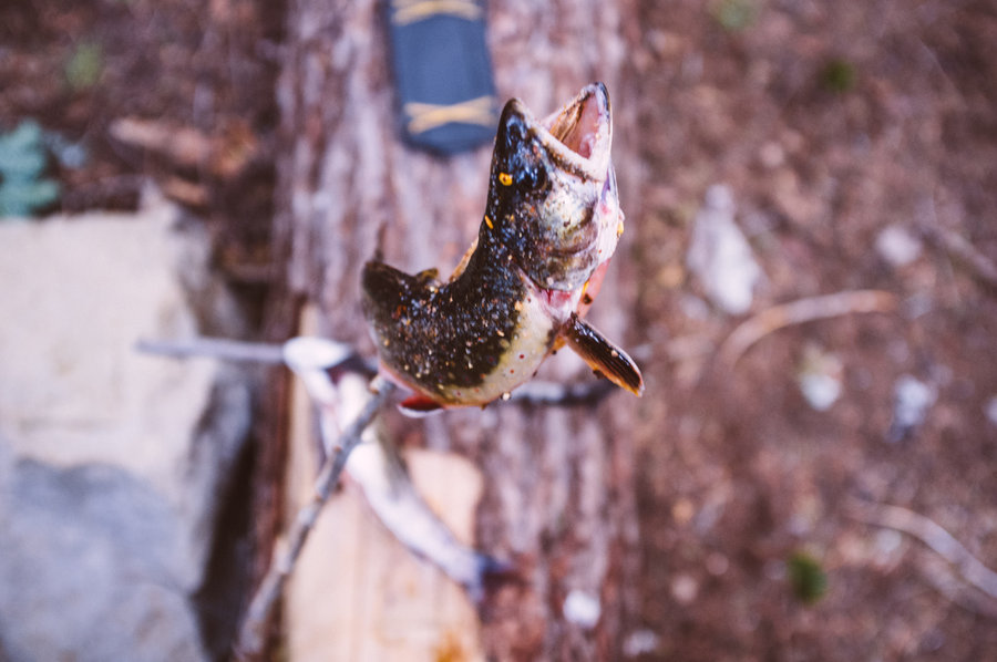
Our original plan was Bear Lake, but it was sufficiently hot-as-hell out to make stopping at North Lake an easy decision. This trail is cruel and unusual—unyieldingly steep throughout. It will be a while before I do this trail again. The lake itself was okay—shallow with a mud bottom. I caught a few decent sized eastern brook trout near the outlet on wet flies; one of the fish already had a fishing fly stuck in his tongue!
May 11 – May 12, 2013


 5
5
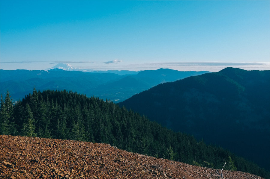
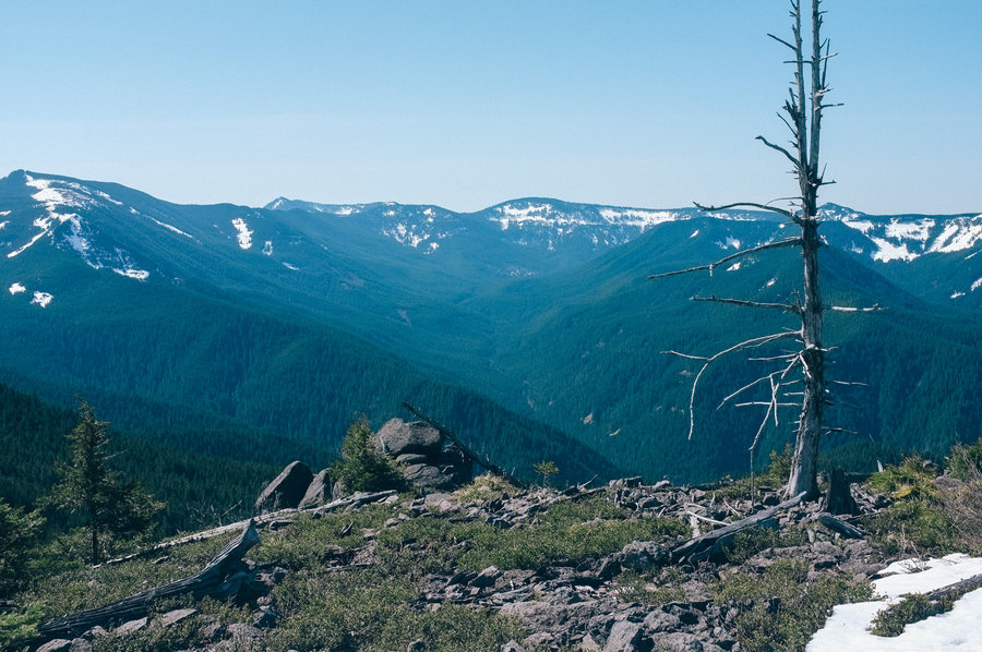
PCT / Benson / Chinidere / Herman Creek Loop
22 miles of hiking • 6000' elevation gain • 2 nights
Trip report here.
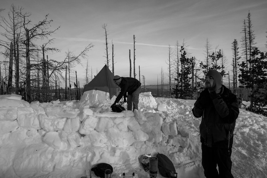
March 29 – March 31, 2013


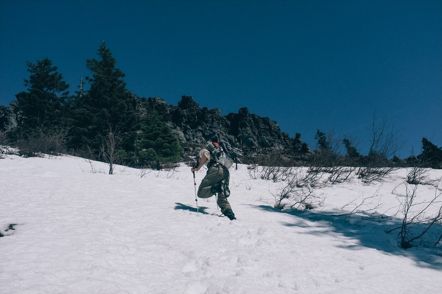


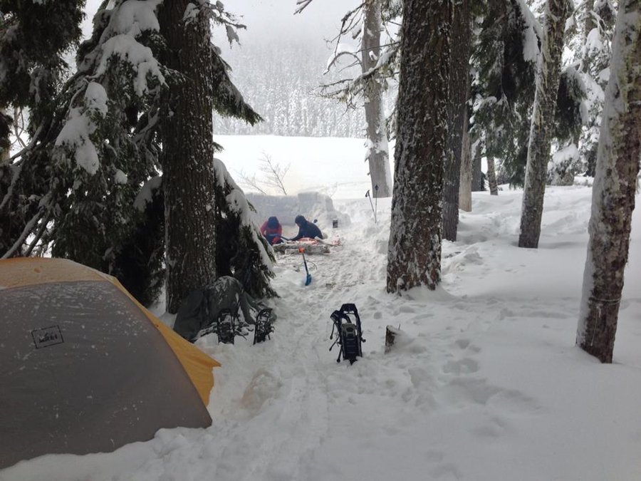
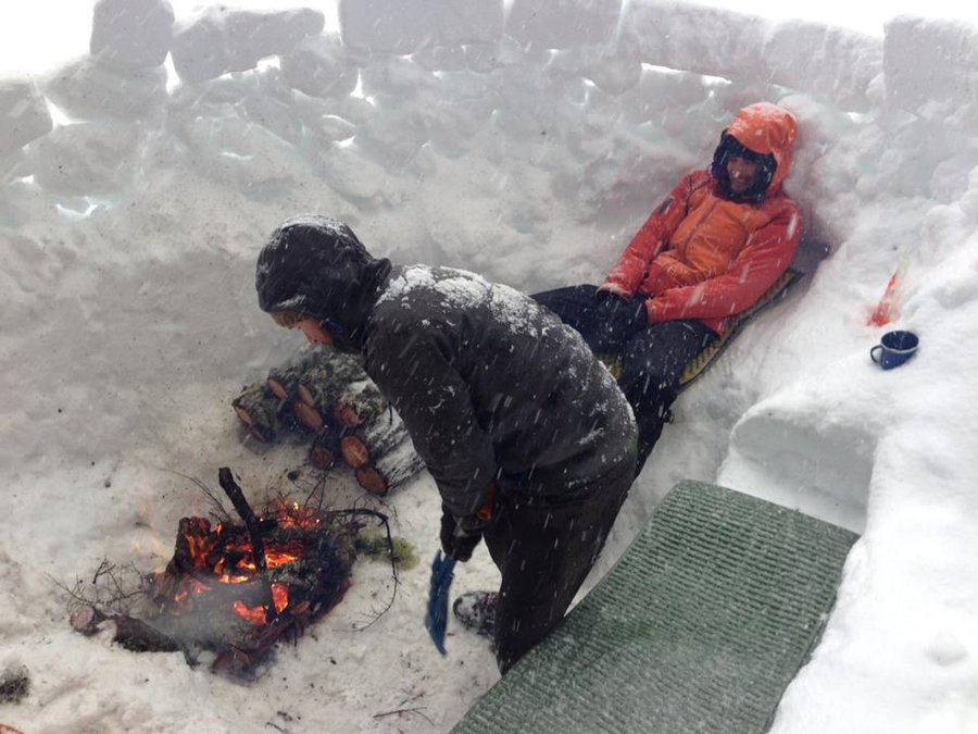
Lower Twin Lake Snowcamp
4 miles of hiking • 750' elevation gain • 1 night
A few weeks back, I had borrowed a sleeping bag from a friend James so that a coworker could join me on a snowcamping trip. The night before this trip to the Twin Lakes, James asked me to bring his sleeping bag. Easy enough.
But he failed to ask about it when he picked me up the next morning, and I failed to remember. We drove all the way out to the Frog Lake SnoPark and took out backpacks out of the back of the car before either of us remembered.
With no gear rental places in Government Camp, our options were to either drive back to the city and call the trip off, or one of us would have to make do without a sleeping bag. I was willing to risk it as I had a lot of insulation with me.
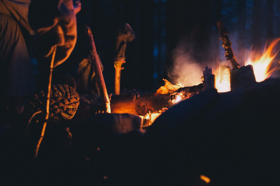
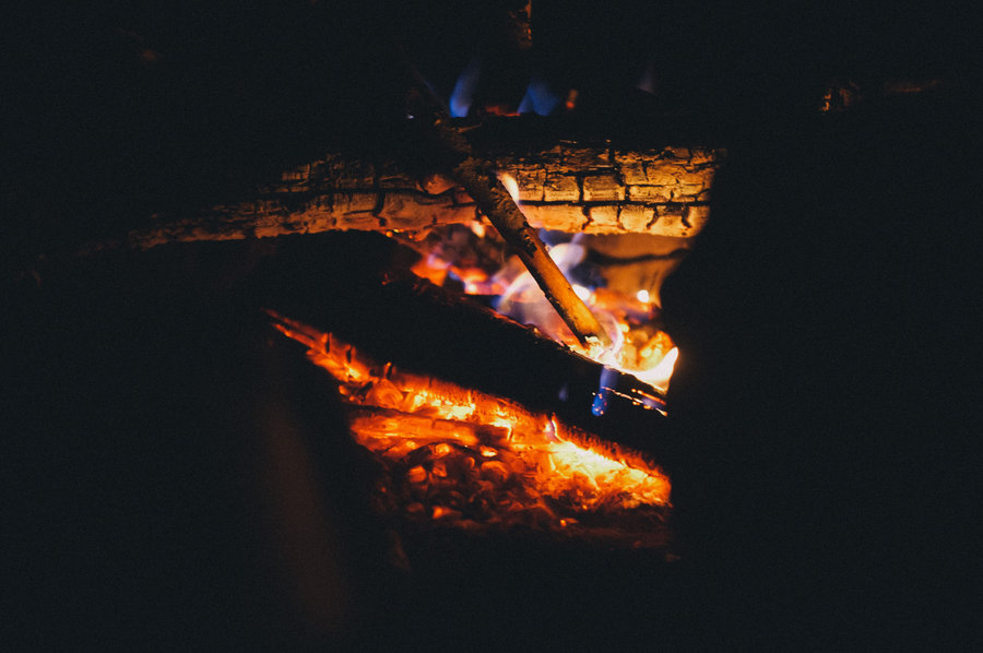
The trip was mostly uneventful until bed time. We pitched the tent, built a kitchen and a big fire, and I played around on my telemark skis. It got interesting when it was time for bed, though.
From toe to head, I wore three pairs of socks, down booties, long john pants, down pants, soft shell pants, a wool baselayer, a grid fleece, a rain jacket, a synthetic jacket, a down jacket, a wind shirt, fingerless gloves, two beanies and the hood from my rain jacket, down jacket, and wind shirt. All of that on, I slid into my breathable bivy sack, layered an emergency blanket over my lower half and went to bed surprisingly warm. It was 9pm.
I woke up at 2am chilled. I borrowed a down jacket from a friend, layered that over my torso, and fell back asleep until 5am. We eventually got up at 6, made breakfast, and hiked back out to the car.
All told, I'm surprised at how little a sleeping bag was necessary. The tent played a big part, though. I ordinarily sleep under a tarp (even in winter), but a fully enclosed tent allowed the ambient temperature to rise to roughly freezing—enough to keep me comfortable enough to sleep through the night.
Either way, I won't willingly do that again.
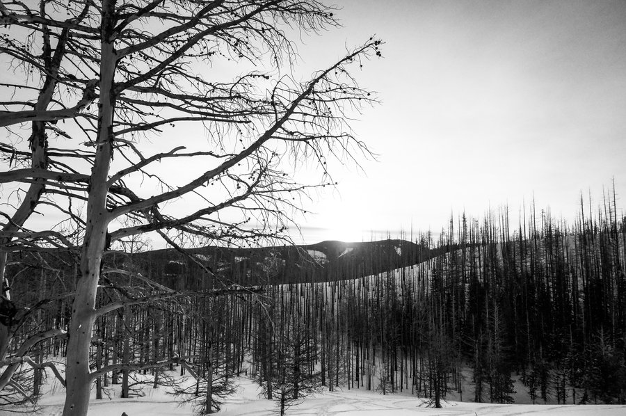
February 23 – February 24, 2013


Silver Star – Indian Burial Pits
5 miles of hiking • 1750' elevation gain •
Super difficult hike through thick undergrowth on Altai Hok skis. I found it so hard that I didn't even take a photo.
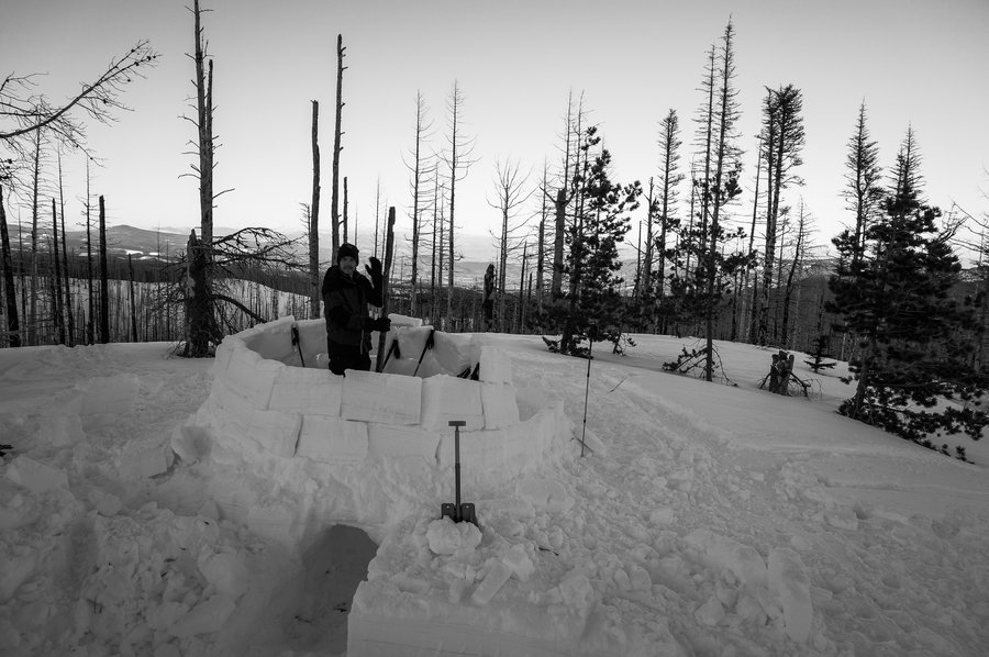
February 2, 2013
 2
2
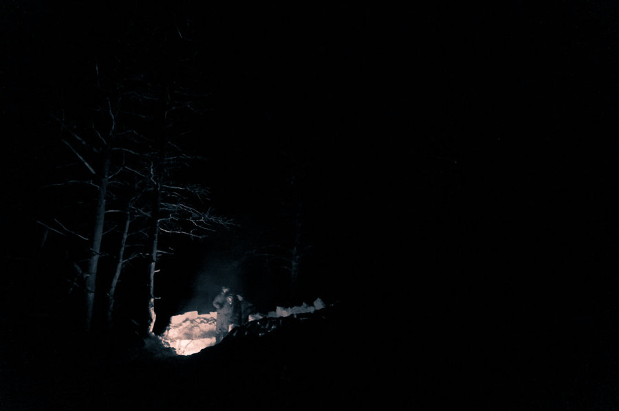
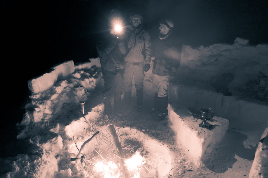
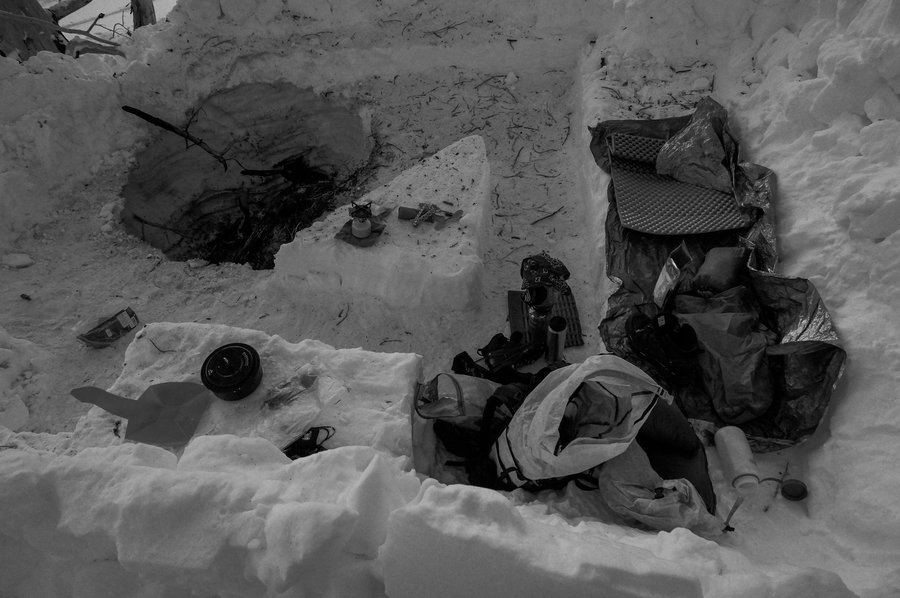
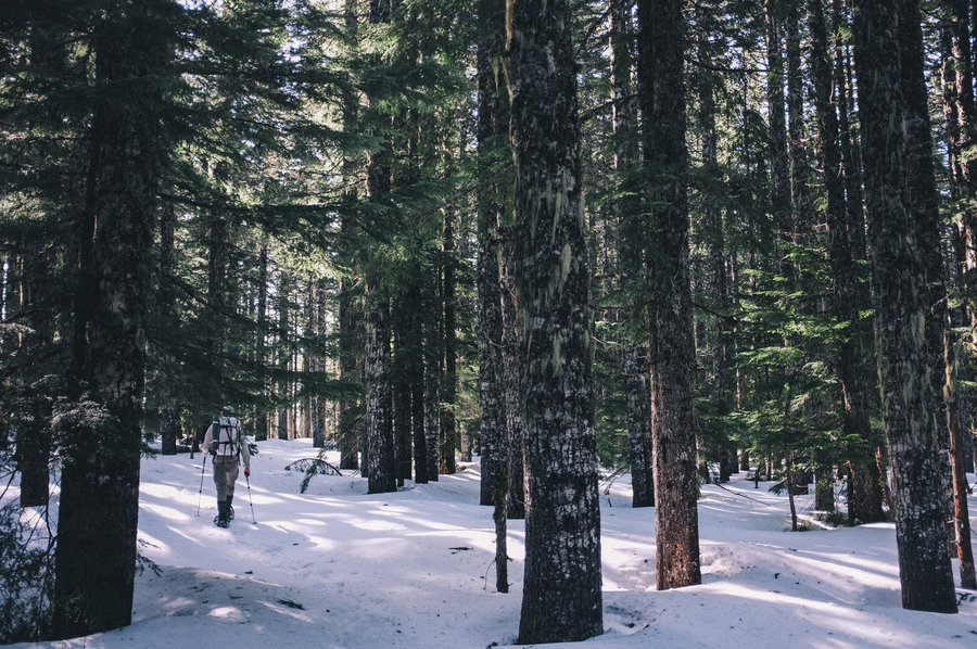
Snowcamp below Cooper Spur
4 miles of hiking • 1000' elevation gain • 1 night
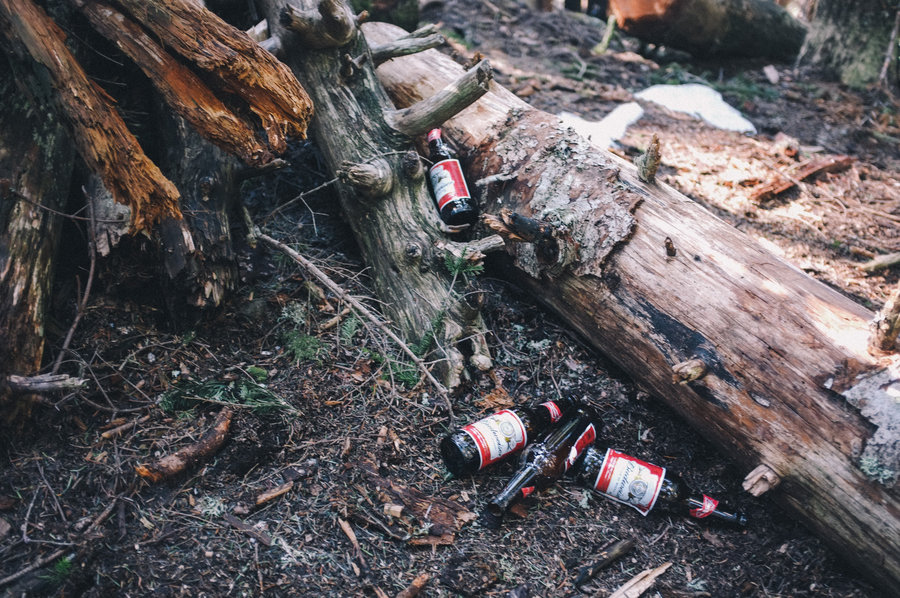
Went back for another attempt at making an igloo. The snow conditions were even less conducive, but the weather was amazing. I took laps down some excellent snow in between block cutting for the failed igloo, we built a big fire, drank all the whiskey, and had a wonderful time.
This campsite is aces—big views of Hood, Adams, Helens, and Rainier as well as excellent access to some mild skiing terrain for beginners like me.
January 12 – January 13, 2013