

10 miles of hiking • 4500' elevation gain •
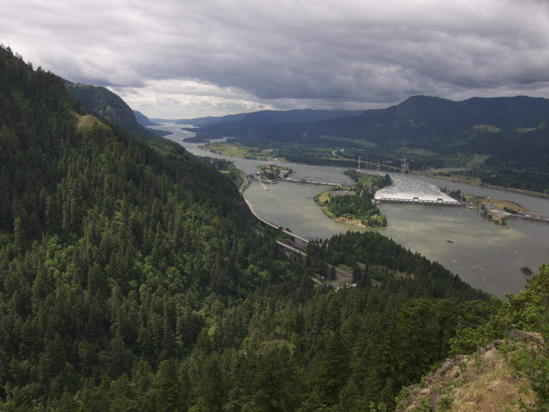
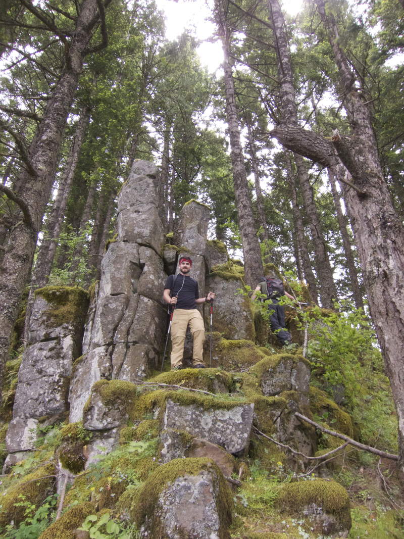
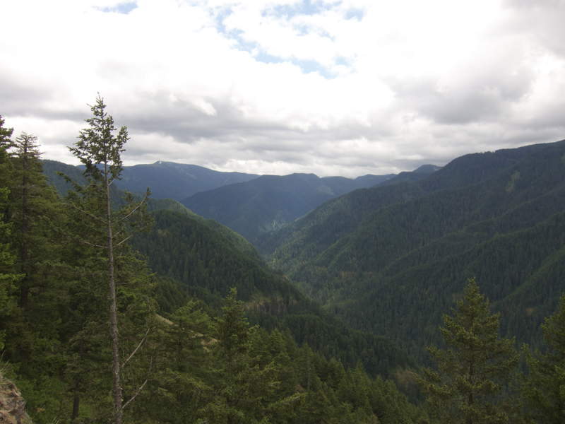
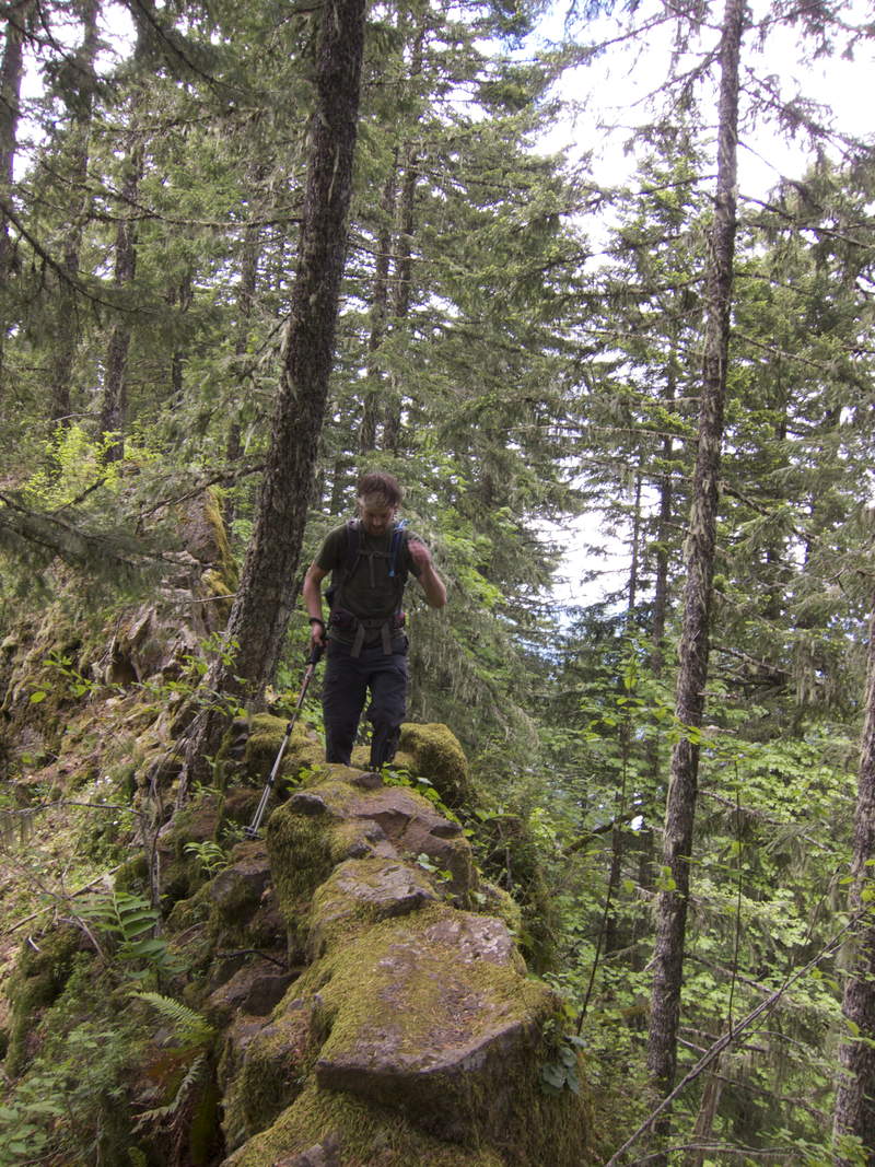
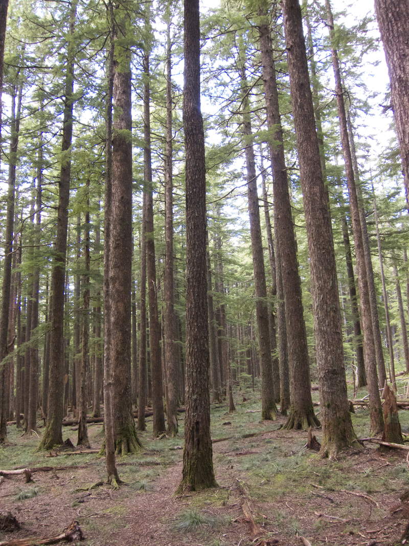
We planned to climb Hood on Thursday, but with clouds moving in the night before limiting the overnight low to above freezing, we thought it safest to postpone the climb. Instead, we climbed Ruckel Ridge! This is an extremely fun trail, full of ridiculous steeps, precarious foot placements, and plenty of exposure. The trail feels more like an adventure than a hike.
After getting to the top, we soaked beers in Ruckel Creek on the Benson Plateau (now devoid entirely of snow), drank and ate, and then walked and jogged down the Ruckel Creek trail back to the car.

Comments

Kyle Meyer
June 24, 2011
Yeah, we used a GPS. We also walked over to the Ruckel Creek trailhead before we realized our mistake and walked for a bit on the Benson, though. The 3700' figure seems modest for what is a very rolling hike. The proper measure is something above 4000', as there's easily 500' of descending on the hike up, the trailhead is at 200', and the top is 3700'.
Kyle Meyer
June 24, 2011
On the way up, we ascended 4,226' and descended 526', and there's 372' of climbing on the Ruckel Creek descent.

Eric Peterson
June 25, 2011
What?!? No piles of snow everywhere :)

Bosterson
June 25, 2011
Good to know. Was the mileage still around 9.6 or whatever?
Eric Peterson
June 26, 2011
Hey Kyle, also thanks for bringing back the per mile gain! :)
Kyle Meyer
June 26, 2011
My pleasure! It only displays totals for people over 100 miles FYI.
I just got a new tenkara fly fishing pole which is going to seriously hurt my mileage total. I may add a trout metric instead : )
Justin Wright
June 26, 2011
Haha, the feet per mile is officially back! Just curious, is there a way to see what place you are in for that stat like the other ones (the small text that shows up below the box)?
Eric Peterson
June 27, 2011
I have to try RR again, the first time I did it on July 4th '09, I barely made it, huffn' and a puffn'. Was my first big hike, probably just a breeze now, but have to check on that... heh
Kyle Meyer
June 27, 2011
We ran back down Ruckel Creek and my quads are still recovering as a result. I haven't been this sore from a hike in a long time. G'luck!
Bosterson
June 24, 2011
Did you use a GPS for your mileage/elevation, or did you just mess around a bunch more on Benson? PH has this at 9mi and 3700 ft (which, according to the map, is the elevation of the Benson Plateau where the Ruckel Ridge trail crosses Ruckel Creek and meets the Creek trail). I'm curious if their figures are off.