Roman

58 trips 513.9 miles logged 17 nights out in 2012 Subscribe to updates

Hikes by Roman in 2012

December 30, 2012 6.9 miles 2,750 feet gained

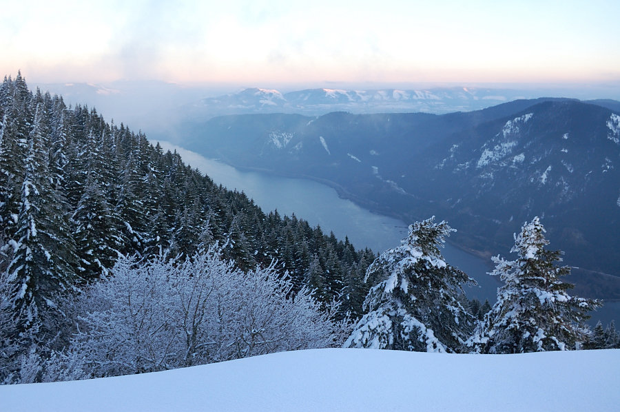
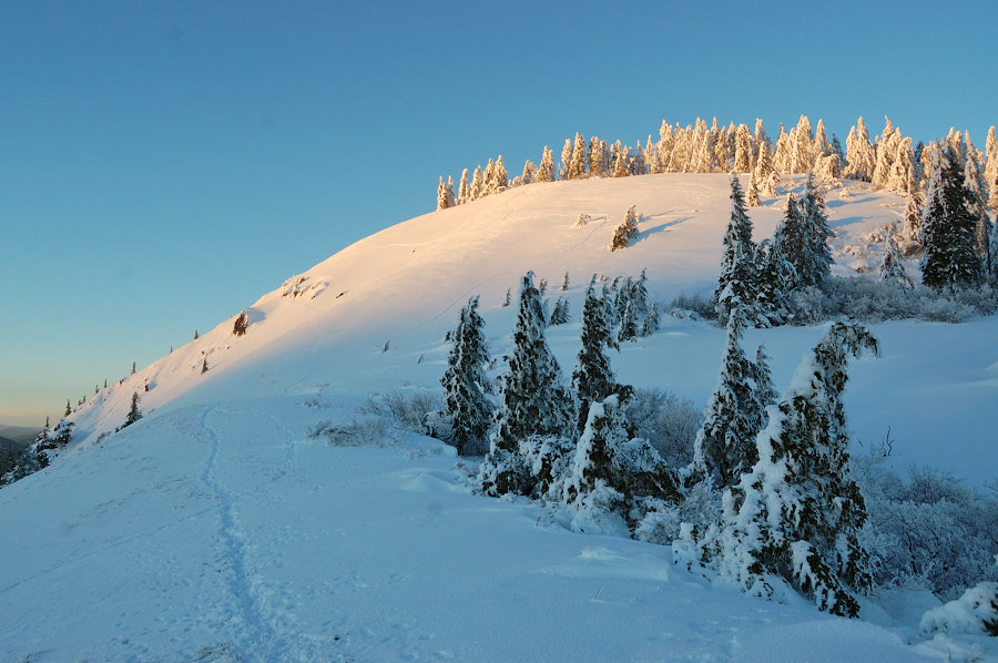
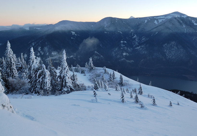
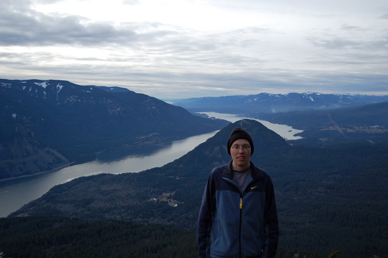
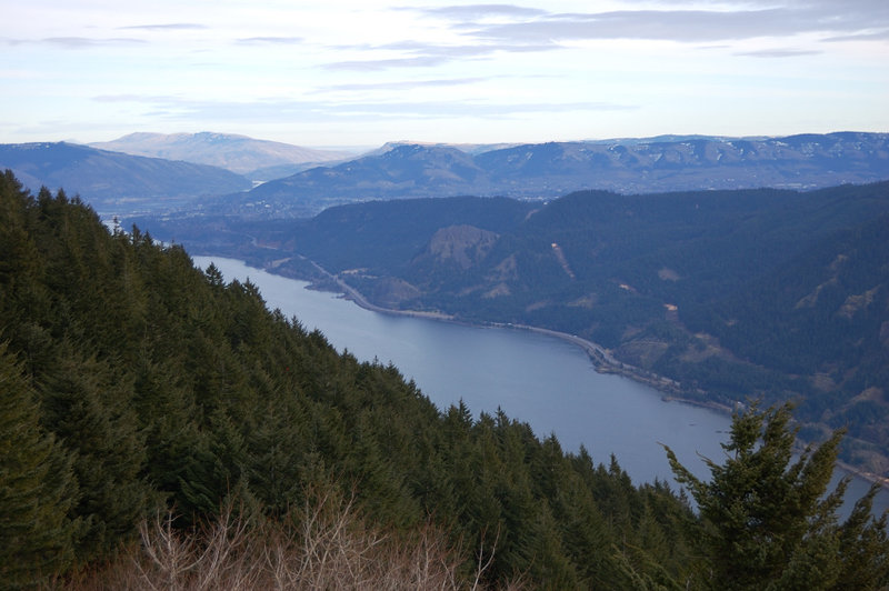
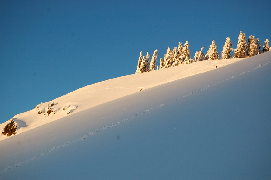
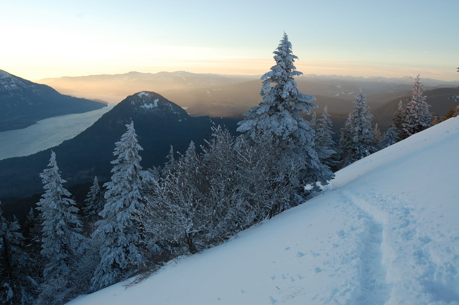
After reading Jack's TR with epic amounts of snow on Dog Mtn, I decided it would make a cool trip, or at least a nice adventure. Due to some errands, I got to trailhead very late at 2 pm, packed my headlamp and snowshoes, and headed with the crowds. The cars were parked the entire length of the lot, not less than a hundred of people on the mountain that day....
December 24, 2012 11 miles 1,000 feet gained

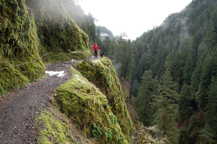
Hiked with my grandmother EC trail to the wilderness boundary. The trail was mostly snow-free until about High Bridge (3.3 miles in), then a few inches of slush. Everything was dripping wet - the trees, the mossy walls, the skies a little bit. But waterfalls were in full force & there are dozens of seasonal falls right now. Having the trail almost to ourselv...
December 22, 2012 5.27 miles 2,000 feet gained

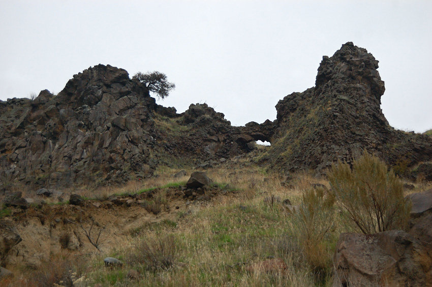
Cut off trail around the 2nd hill so it came shorter than conventional loop.

December 16, 2012 6.4 miles 750 feet gained

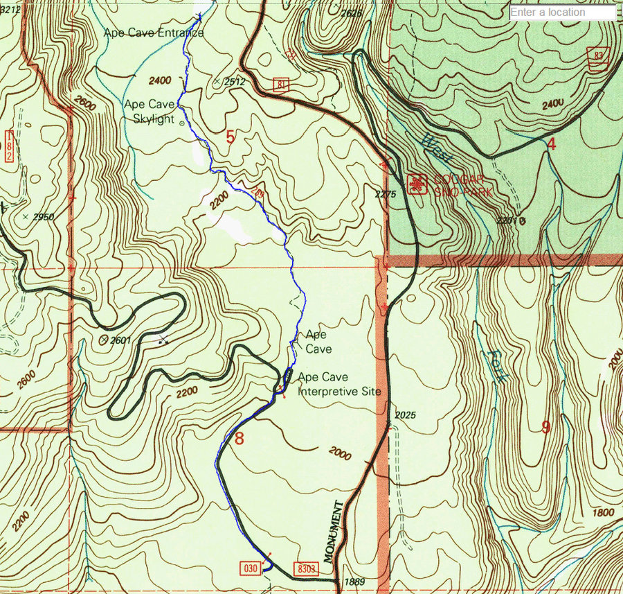
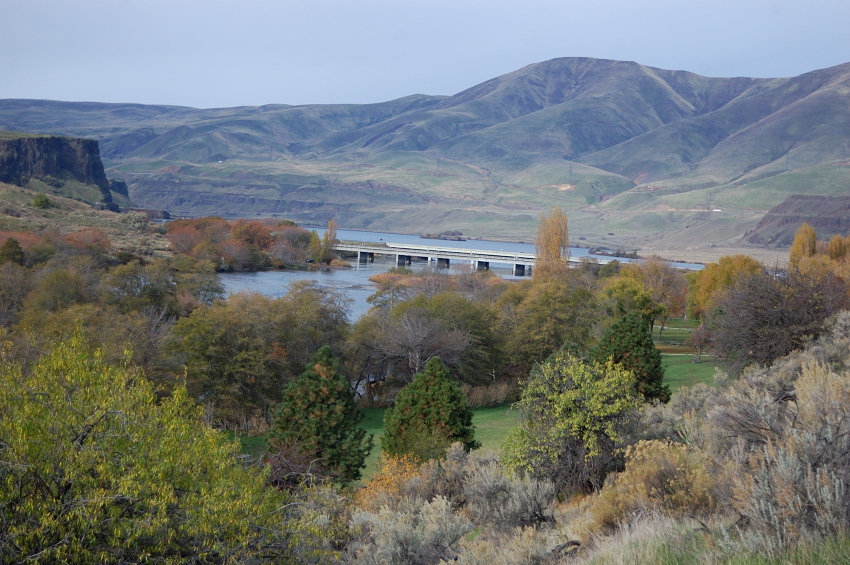
Given the crappy weather today, decided to go underground :) I've been in Ape Cave once a few years ago (in lower cave only), so after 0.8 mile on a closed road I took obvious trail in the snow for about 25 more minutes until realizing the cave's lower entrance was back near the parking lot. Guessed the trail will lead me to upper entrance instead, and it wa...
December 9, 2012 2.7 miles 750 feet gained

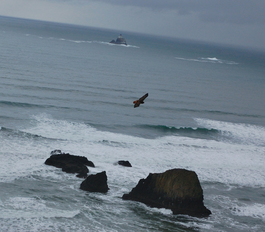
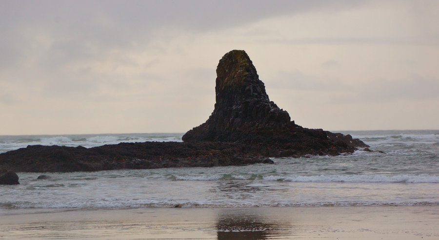
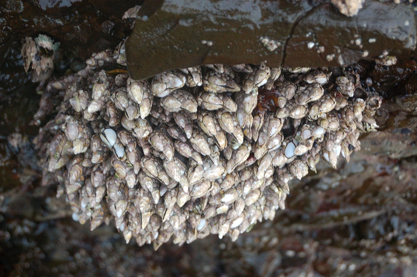
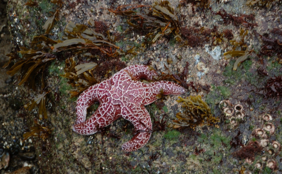
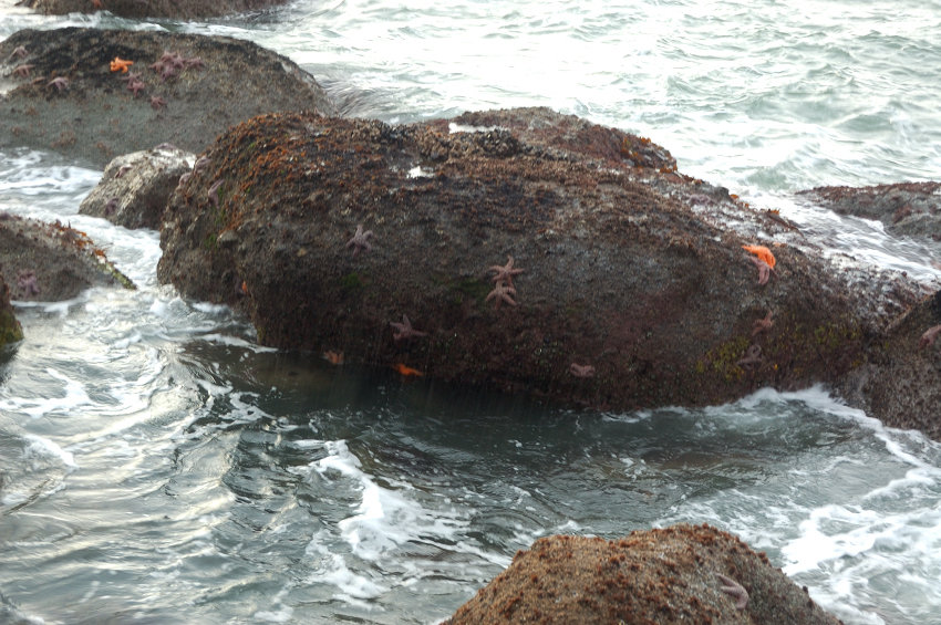
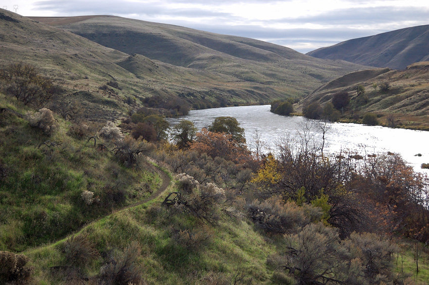
Rainy day, although the views were unobstructed to the horizon. Even saw some sun by the evening. We came there right at the low tide - I never saw so many sea stars before. Pictures got so-so because my camera got all wet.
December 2, 2012 7.32 miles 2,000 feet gained

We hiked School Canyon (upper) trail to Helispot and Rock garden just below from there. Had mostly sunny weather, just a trace of snow at the high point and some wicked wind, but we were prepared for the cold and had a great time. The sign on road 43 @ SR26 say the road is closed Dec. 1 - Apr 1 but it was almost snow-free and we (along with other cars) used ...
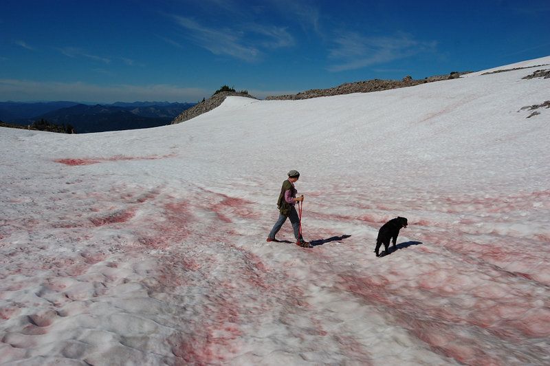
November 25, 2012 13.5 miles 2,250 feet gained

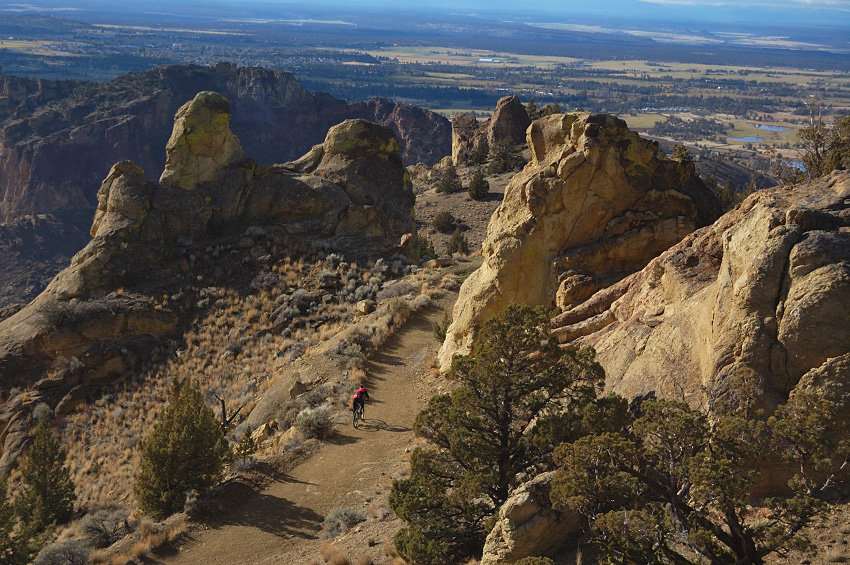
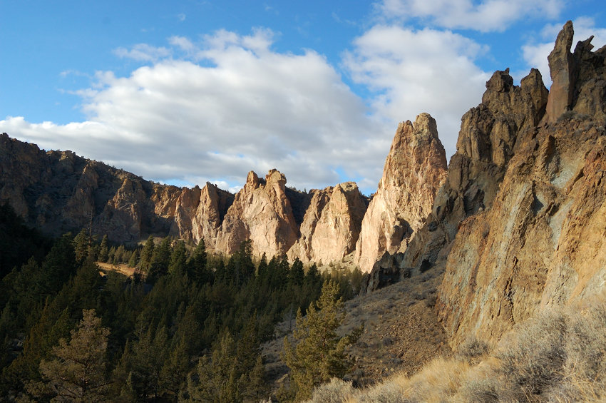
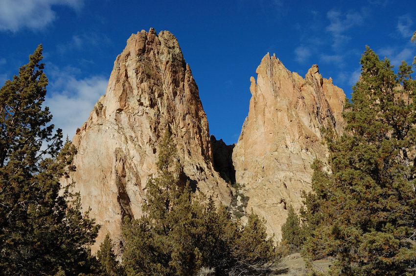
We started near Gray Butte, did a loop around Smith Rocks, and back long way uphill. The trail on the back side of Smith Rocks have been completely rebuilt some time in the summer, with wide, gentle switchbacks replacing former rocky & steep path (the reason we made it CW direction is to come up that part; used to be too steep to come down safely). We also v...
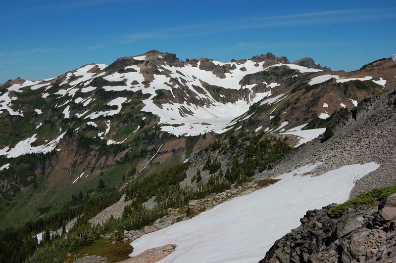
November 16, 2012 13 miles 1,000 feet gained

Spent 2 great days at the Deschutes with my grandmother, hardly had any rain (10 minutes on Sat.) and there was even some sun! Quite a change after driving through downpour in the Gorge. There's some neat trails in the first 3 miles along the river; allows skipping some of the road and see better river views. We also found (on my 3rd try) a trail to Ferry Sp...
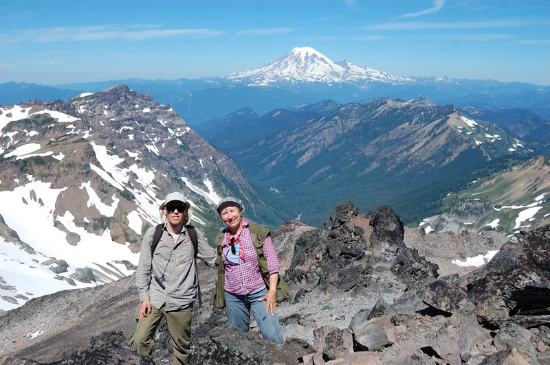
November 9, 2012 6 miles 2,750 feet gained

That area is a whole unmapped labyrinth, with many trails on the map nonexistent on the ground, and vice versa. Even 2/3 of the road I hiked back is not on the map. Some trails are good, others are hard to follow, even with the flagging. I didn't go to the actual top of Huckleberry Mtn. but the ridge top is very nice, with a lot of rhododendrons and beargras...

October 21, 2012 4 miles 1,000 feet gained

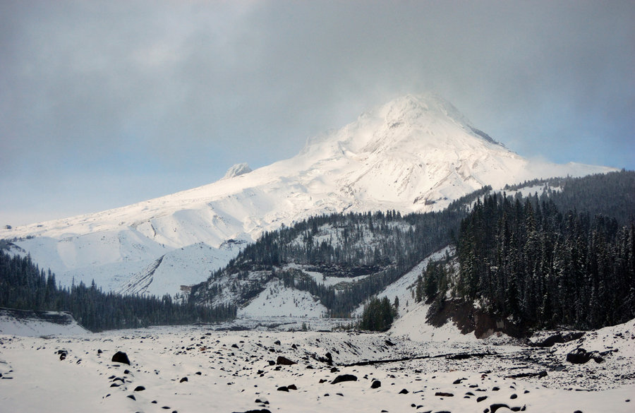
Wanted to do sort of loop - White River up, PCT down, then cut off-trail. However, when I got to Timberline/PCT junction (per my GPS), PCT was no where to be found in snow, so I returned back into the canyon. There's still little snow and snowshoes aren't needed yet (though gaiters would be helpful). Saw no one all day long, hard to believe this place will b...

October 6, 2012 12 miles 2,250 feet gained

Actual elev. gain 2195 ft, length 12.15 miles. Good hike with great view of Mt. Hood from E Zigzag summit, though the approach road is a pain... I had to park a couple of miles below the trailhead and hike the road (lots of hunters there, some ATV-ers, not so many hikers), in hindsight I could've driven all the way up. The trail was quiet and pretty good; th...

September 29 to September 30, 2012 18 miles 5,000 feet gained 1 night

Wow it was quite a trip. Camped below Hawkeye summit - one of 2 goat "hot spots" in GR - and one goat came close to my tent shortly after sunset, but my first attempt to take a picture scared it away. After the dinner I found a group of about 20 goats and being slow and patient was able to get to within 10-15 yards of them; they're not nearly as fearful as d...

September 23, 2012 1.5 miles 750 feet gained

A short off-trail scramble/bushwhack. I didn't realize there was a crater at first, looking at tiny GPS map thought it would be a bare, rounded summit - tried to follow gps to the summit (actually - the crater:) and wondered why it said me go down, not up. The rocky summit was pretty cool and the view is wide open (only partially blocked by the trees to the ...

September 22 to September 23, 2012 4.8 miles 1,500 feet gained 1 night

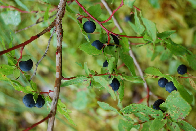
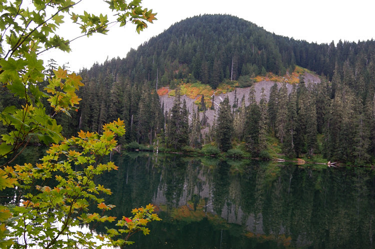
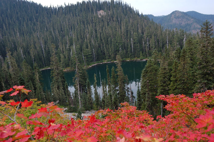
With just Sunday free, still wanted to get an overnighter. Hiked in Sat. night and camped at the lake. Explored around on Sunday and ate a lot of huckleberries (all berries seem to be on the back side of the lake), then did another short hike in the area.

September 7 to September 8, 2012 9.5 miles 2,500 feet gained 1 night

We actually camped 2/3 mile below High Camp because of T-storms (little did I know that the forecast of 20% chance of T-storm meant that more than half dozen of lightning storms will roll through between 4pm on Sat and 4am on Sun, good we erred on a safe side and didn't go higher). Got plenty of lightning and some downpour and hail at night. Visited High Cam...

August 25 to August 26, 2012 19 miles 3,500 feet gained 1 night

We did the hike as per attached nwhiker.com link; added a side trip to Twin Peaks (trail #1144) and to a butte just west of Shoe Lake. In short, going to Shoe Lake, from mile 5 on, the country is incredible - with open alpine views, fields of flowers, and probably the nicest lake in the Goat Rocks. The color of Shoe Lake is preternatural blue, the bottom is ...

August 19, 2012 9 miles 2,000 feet gained

Started late, and only hiked to the shelter. Flowers are very nice higher on the trail, just notch past their peak. Watched helicopter circling west side of Mt. Hood for over 1.5 hours, then almost landing on Yocum Ridge (there wasn't flat place to land but it spent good 10 minutes hanging just above the ground at one spot). Some hikers mentioned somebody ha...

August 11 to August 12, 2012 12.5 miles 2,500 feet gained 1 night

Sleeping under the sky without a tent & watching Perseid Meteor Shower was awesome! Sorry no night pictures.

August 4 to August 6, 2012 15 miles 3,750 feet gained 2 nights

Hiked to Old Snowy Mountain with my mom this weekend. We bailed on Hawkeye Point (planned both summits) because of steep snow and mosquitoes, but still had a great trip. GR is definitely open for business, but if you want to see the best of the flowers (and much fewer flying buggers) my guess is about last weekend of August would be best.

July 21 to July 22, 2012 13.5 miles 2,500 feet gained 1 night

Did a short overnight trip with my mom - we did Lookout loop clockwise and camped near the summit. Perfect weather, near-perfect timing. Being the first time there, we did mess out a few things - took a wrong trail from wrong trailhead at first, then missed a turn to South Point we planned to visit, then not being sure where North Point is (no signs of it) w...

July 14, 2012 9 miles 1,250 feet gained

Due to T-storm forecast I thought a canyon trip is in order. Salmon River hike to canyon overlook was beautiful as always, but this time I came with a good topo map to try and find a good viewpoint(s) of the three waterfalls directly below the overlook. Only one of them is visible from the trail if you watch for it, far below and far away. Anyway, I forgot t...

July 1 to July 3, 2012 24.5 miles 2,750 feet gained 2 nights

With some areas in Central Oregon melting so early this year (like 7,000' Lookout Mtn which has been snow-free for a month) I hoped that Elkhorn Crest Trail, barely over 8,000' in places, would be all snow-free by now. Original plan was to arrive at Anthony Lake a day early and camp there, camp 2nd night at Summit Lake, night 3 at Twin Lakes, 4th night at Su...

June 24, 2012 4.5 miles 1,750 feet gained

It's been wonderful afternoon hike with plenty of scrambling and views. Due to time constraints I didn't do the whole loop, just explored the west side of Ar-Rock Complex. "Hanging meadows" there are gorgeous, flowers are going great, and there are some wild strawberries as well!

June 15 to June 17, 2012 18.5 miles 5,250 feet gained 2 nights

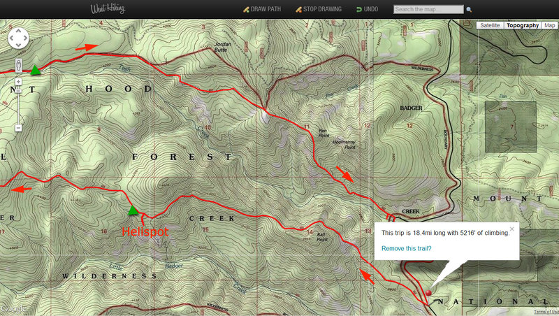
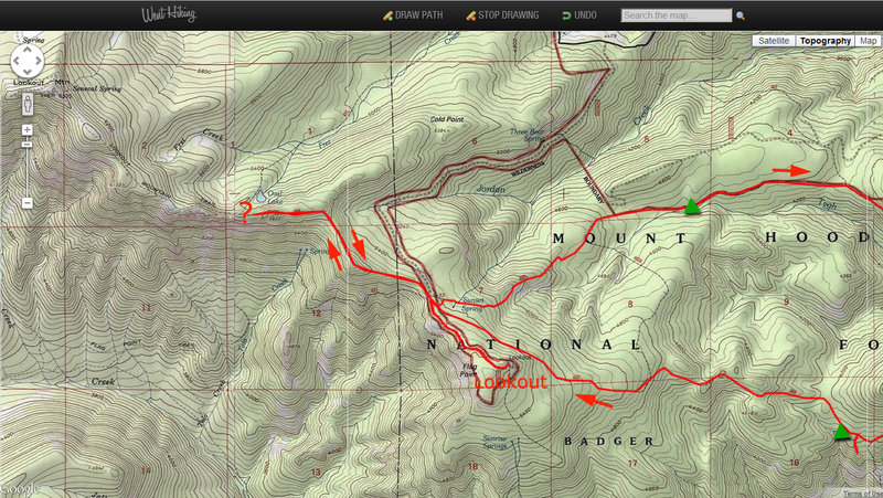
Did a fun trip over the weekend in little-traveled NE side of Badger Creek Wilderness. Started Friday pm off School Canyon TH and camped first night near Helispot viewpoint, 3.5 miles in. Next morning, met the only other hiker I'd see in a whole weekend. Broke my camp and continued up School Canyon trail (despite the name, it's 100% ridge top trail) to Flag ...

June 10, 2012 6 miles 2,500 feet gained

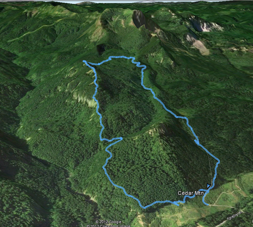
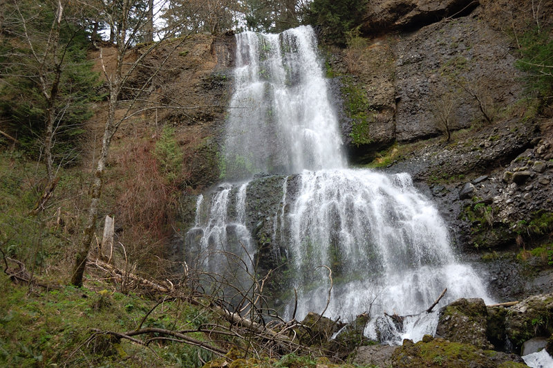
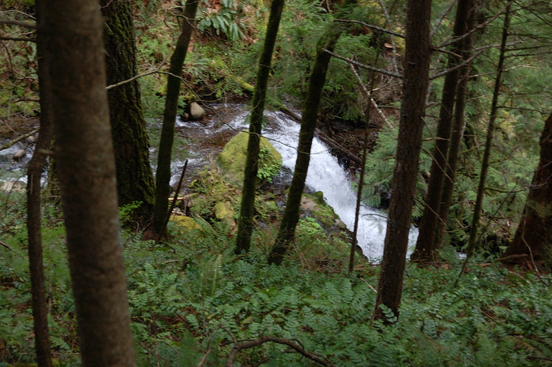
Easy hike on a less-traveled trail to summit meadows on Cedar Mtn, this time with my Mom. We skipped a steep side trip to Cedar Falls but otherwise did the same loop clockwise that I did in back in April.

June 6, 2012 12.5 miles 3,000 feet gained

The report is at: http://www.portlandhikers.org/forum/viewtopic.php?f=8&t=11966 Edit: edited elevation and miles to the numbers measured by a hiker who did it with a GPS http://www.portlandhikers.org/forum/viewtopic.php?f=8&t=13269

June 2, 2012 7 miles 2,250 feet gained

http://www.portlandhikersfieldguide.org/wiki/Hamilton[underscore]Mountain[underscore]Loop[underscore]Hike

May 19, 2012 6.5 miles 1,000 feet gained

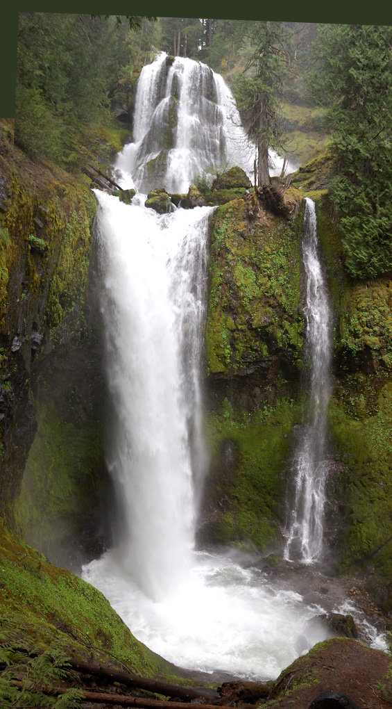
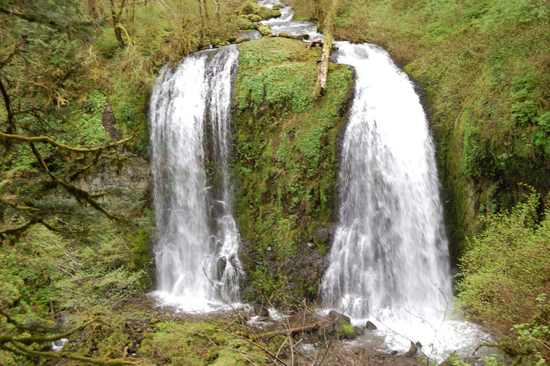
This thing is more impressive than Multnomah - I don't know why I didn't visit it until this Saturday!

May 12 to May 14, 2012 27.5 miles 3,750 feet gained 2 nights

Did 3 day 2-night loop in Mill Creek Wilderness. The trail has been repaired in its entirety last year, and even though there's some new blowdown from this winter, it's much easier to follow now. Unlike my 2011 trip there, got lost zero times! This time got there before the best of the flowers, but beat mosquitoes in parts of the hike. Met Water (Matt) at th...

May 6, 2012 7.5 miles 2,000 feet gained

Nice day on the mountain. Trailhead parking lot was 100% full and we took the last spot - quite a difference with the last year when Discover Pass was just started.

April 29, 2012 4 miles 750 feet gained

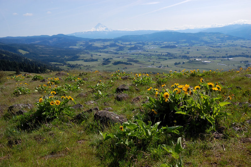
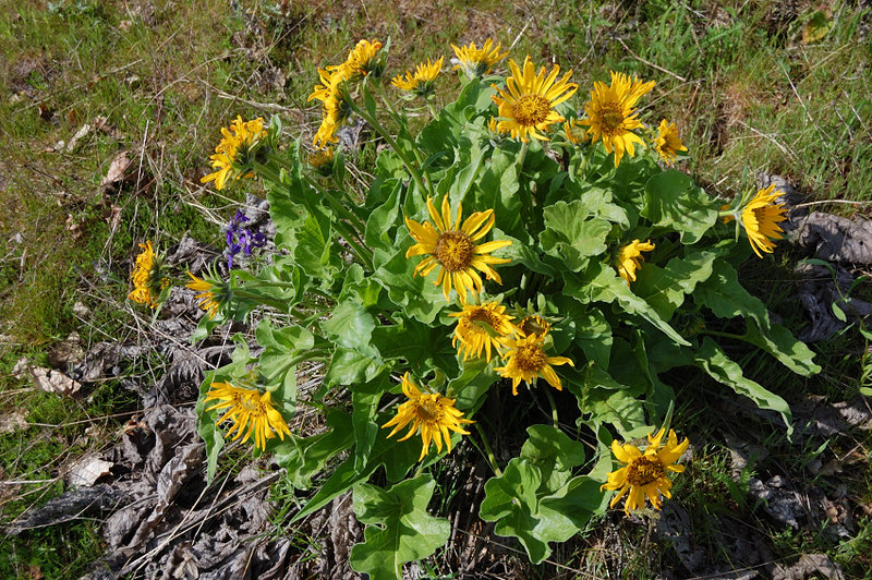
Another short hike for the day. This hike is all about flowers and views, and it was about the time. Balsamroot (aka sunflowers) start nicely but still a week or two before the peak. It was sunny, cool, and very breezy; nice day to be there. Unlike the falls trail, this one is not published (it's on private land but open to hikers) so it had much less crowds...

April 29, 2012 4 miles 750 feet gained

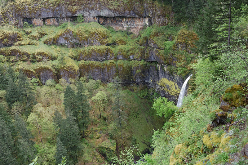
Thought about doing Munra Pt from Yeon trailhead - the falls were on the way which is nice... Turned out the construction completely razed at least 1/2 mile of Gorge Trail #400 soon after Elowah (they are making some road that parallels the freeway) and I couldn't find the trail on the other end. Didn't feel like going on the freeway shoulder to Moffett Cree...

April 21, 2012 10 miles 3,500 feet gained

Did a trip as described in Portland Hikers Field Guide, other than Oneonta ford was too high to cross safely - had to bushwhack along E side to where trail crossed back to our side. The arch was fun, as well as Devils Backbone. Saw the first Indian Paintbrush there. There was snow in places between upper Horsetail and Bell Creek junctions, but even there it ...

April 14, 2012 8 miles 2,000 feet gained

Good thing about long days is that you can start a hike at 3 pm, hang out on the summit for an hour, and be back at your car before dark.

April 8, 2012 6.5 miles 2,500 feet gained

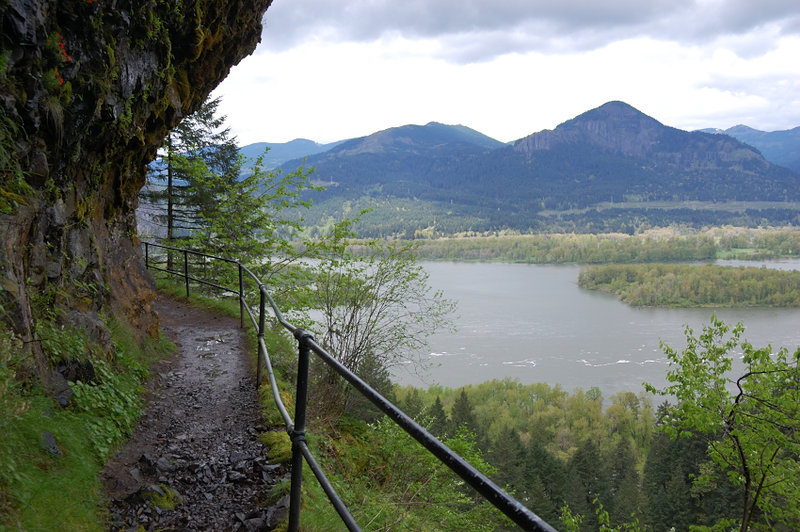
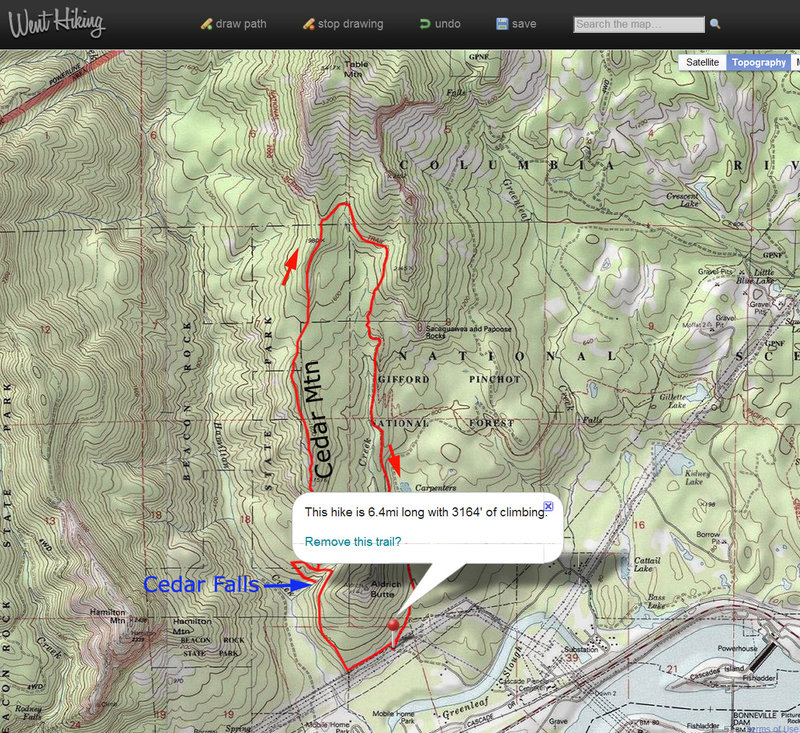
Finally did this little loop - started from Aldrich Butte TH and went clockwise. There is a trail/use path for maybe 95% of the way and where obscure it was well flagged so its not a bushwhack per se. However, it turned out to be a lot more elevation gain than I expected - I'd rate it harder than nearby Hamilton Mtn. I didn't have to deal with brush or snow ...

April 7, 2012 4 miles 500 feet gained

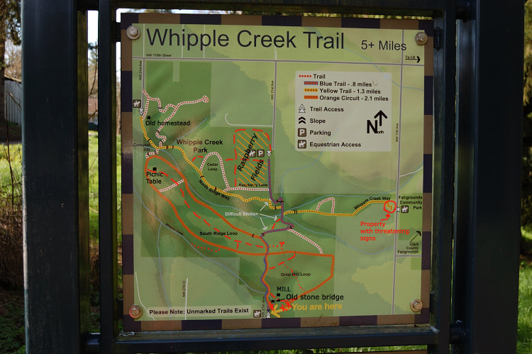
Had just a couple of hours and didn't want to spend time driving, and this equestrian park is pretty close to my home. The park now undergoes reconstruction and they are putting gravel on dirt trails, but most trails are still as soggy as they are between October and July ;) Which means I had my share of solitude. Nice day to be out.

March 24, 2012 8 miles 3,250 feet gained

Hiked East trail (Heartbreak Ridge) up, then West trail (Windbreak Ridge) down. It was quite a slog because I didn't take my snowshoes - took 3 hours up, half of this in the last mile. Even though Table has barely 3400' elevation it was 3-4 feet of fresh snow on the summit, with upward to 6 feet in drifts! There were even small cornices near east overlook. S...

March 18, 2012 10.5 miles 1,250 feet gained

Nice trail, just a bit of snow in places, just enough to make things beautiful but not enough to use snowshoes. It was snowing lightly most of the time, but we entirely escaped the rain. On the way back found the best (unofficial and unsigned) campsite I could possibly dream of.

March 9, 2012 8 miles 2,250 feet gained

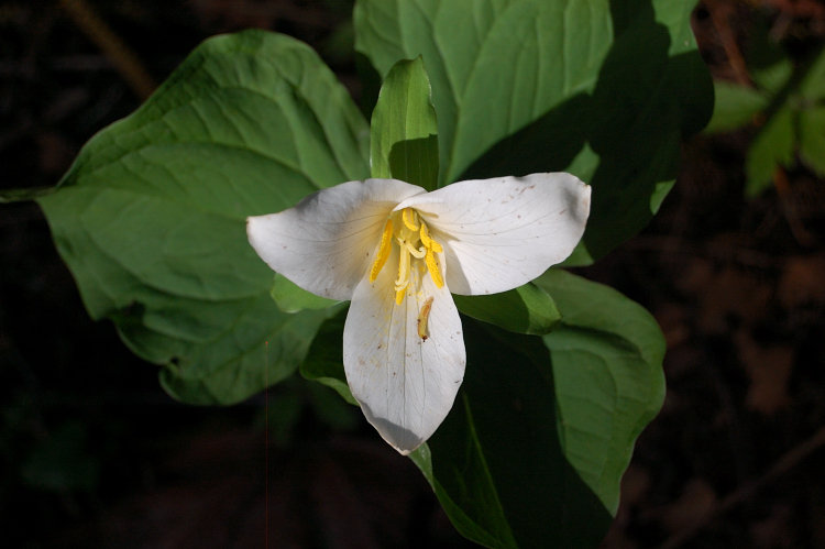
Forgot my SD card so no pics... Fantastic day, first trilliums already bloom along the lower trail. The last 1.5 miles to Devils Rest is still snow-covered and very slippery, though the very top is snow-free. It's always amazing how temperature drops in half mile past Angels Rest - today it was about 60 degrees on A/R, then went down to 45F or so in less tha...

March 4, 2012 6.5 miles 2,750 feet gained

Went up steep trail, down scenic trail. Someone did a major trail/chainsaw work there on the scenic trail in the past weeks. The only bad (still untouched) section is 1/2 mile immediately below the lower overlook (one at 1800' elev.). Couple of big blowdowns are above the lower overlook, than all is good to the summit. The old (steep) trail has no major chan...

February 26, 2012 4 miles 1,750 feet gained

Went to Rimrock Viewpoint, at 3150'. It snowed a lot on the way up, but once I got to the viewpoint it started to clear - even got some views. The snow increased to 5-6 inches toward the top (under the trees) but at open viewpoint it was more than a knee deep.

February 19, 2012 5.5 miles 2,000 feet gained

(changed the name to make it non-searchable via search engine. Of course those of you guys who know this place will recognize it :) It's an interesting place to explore, the trails have almost no blowdown after the 1st mile and generally better than I expected. Trails range from excellent down below to hard-to-see higher on the mountain, but abundant flaggin...

February 12, 2012 7 miles 2,750 feet gained

Went up Augspurger trail, down short trail. Augspurger trail has some blowdowns, one requiring to go off-trail in a pretty steep spot, but overall it's been hit much less than 2 other trails on Dog. Since I didn't hike alone today, got little time for trail RX, but got help removing a large pile of branches off trail at one spot.