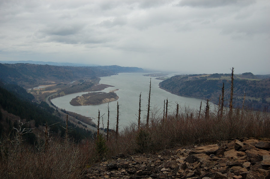
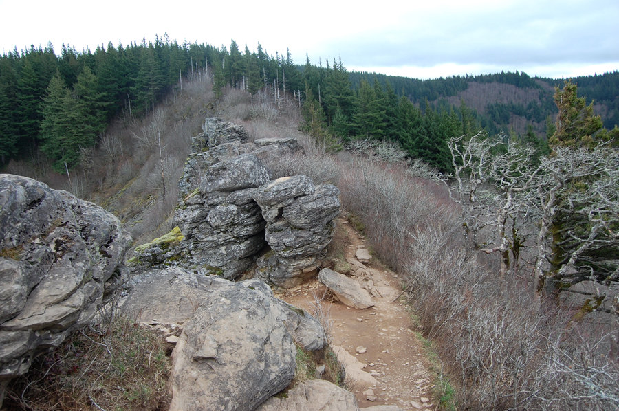
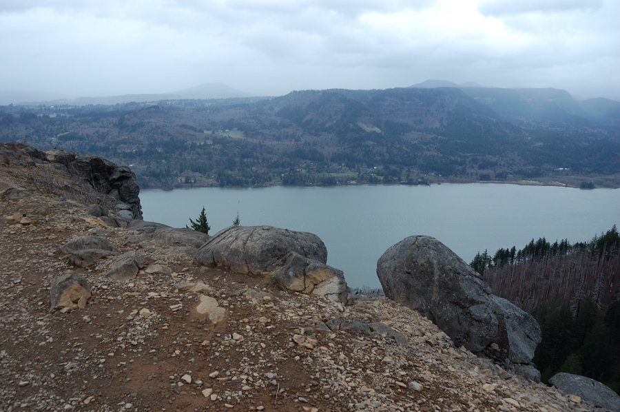
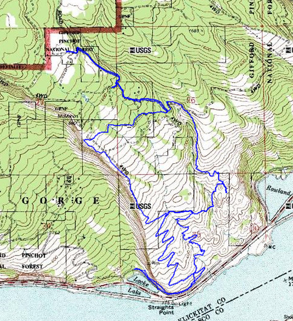
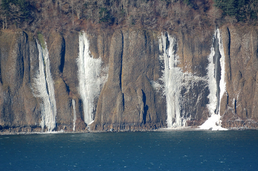
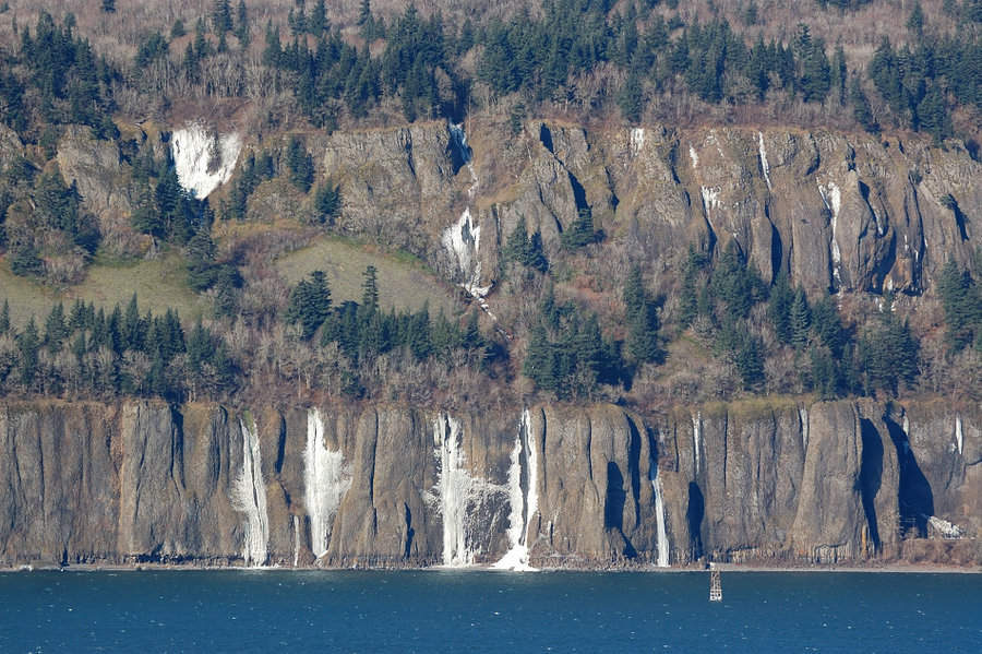
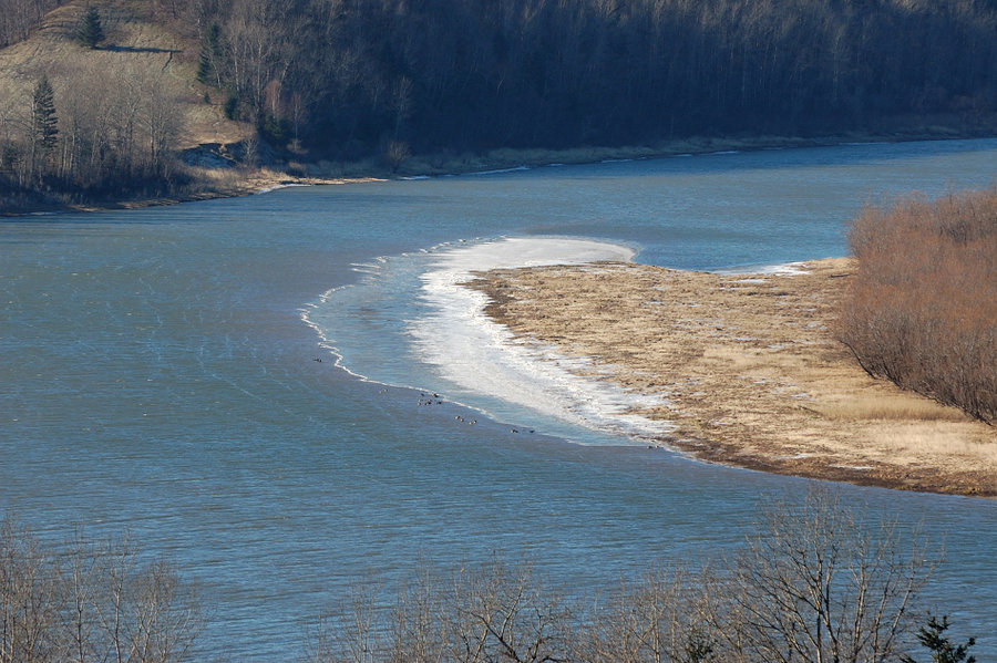
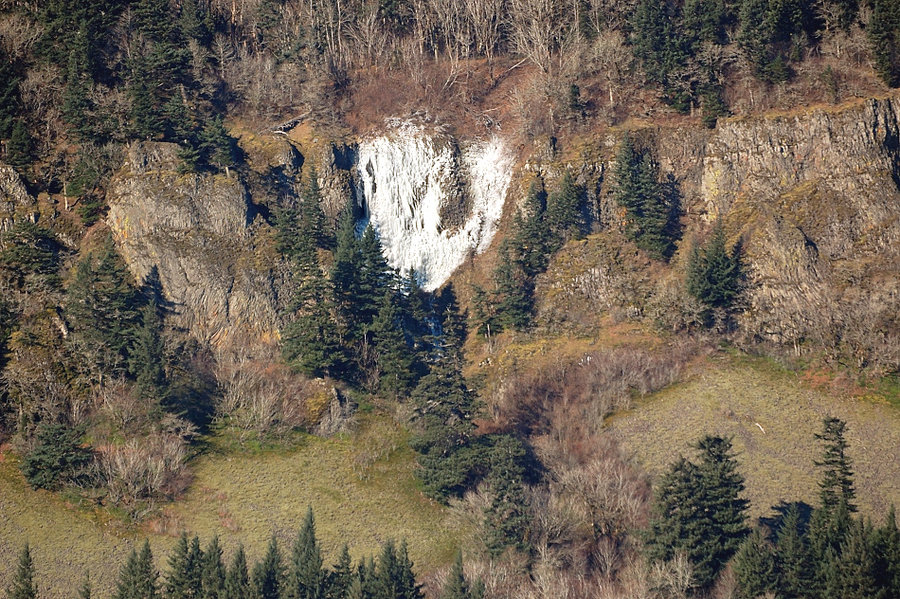
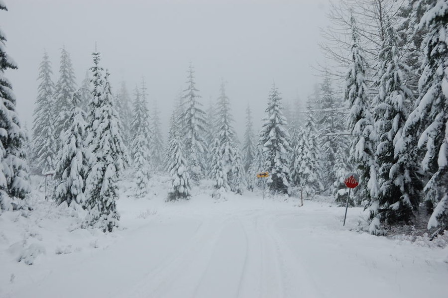
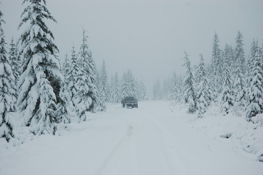
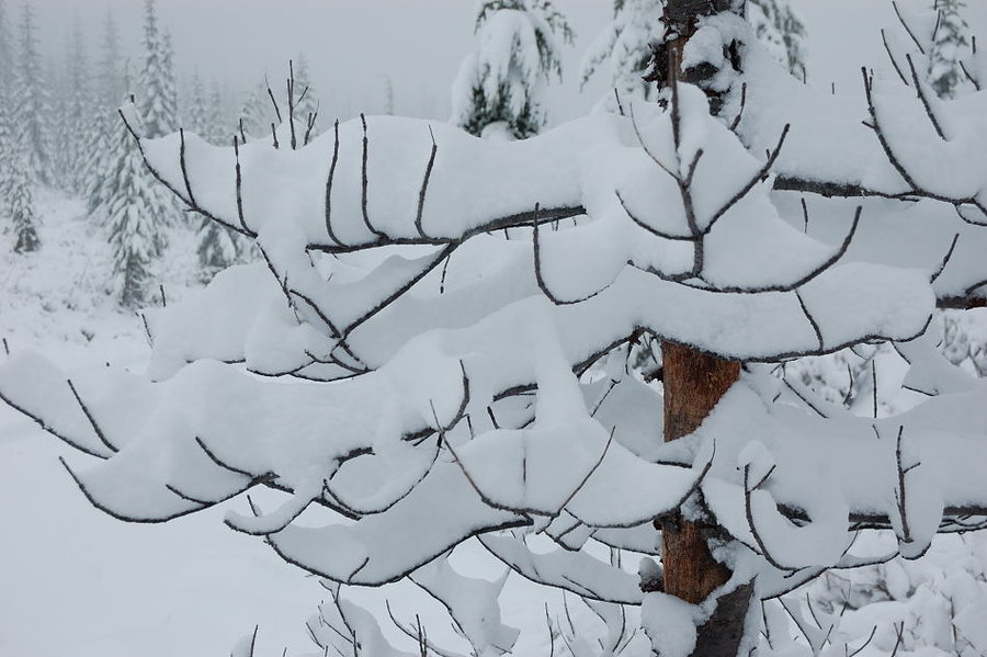
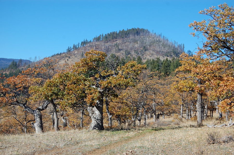
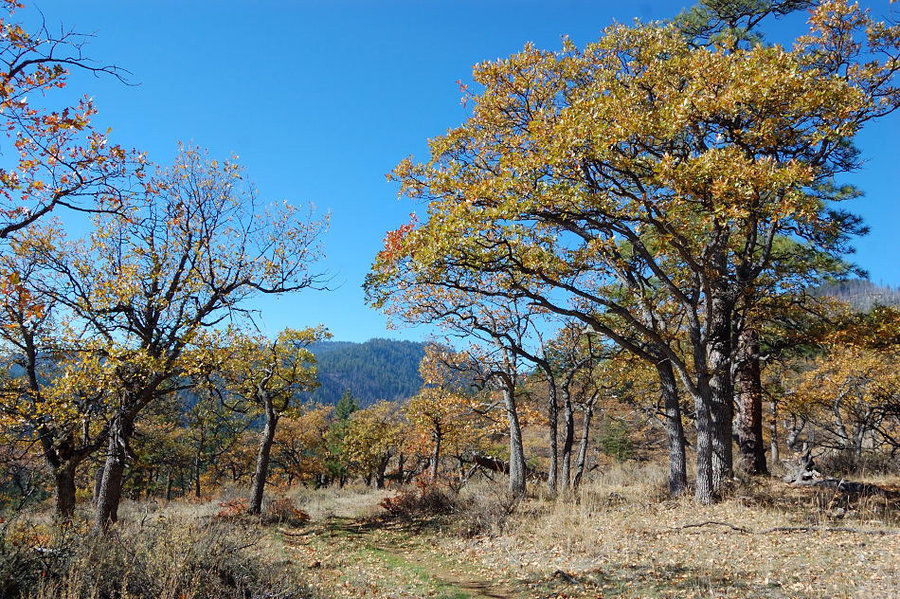
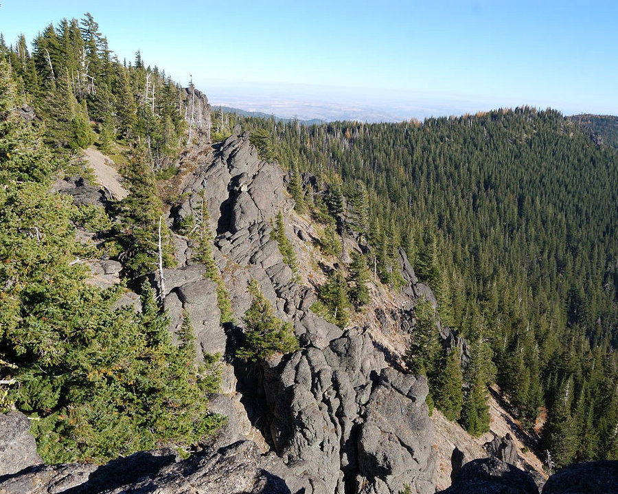
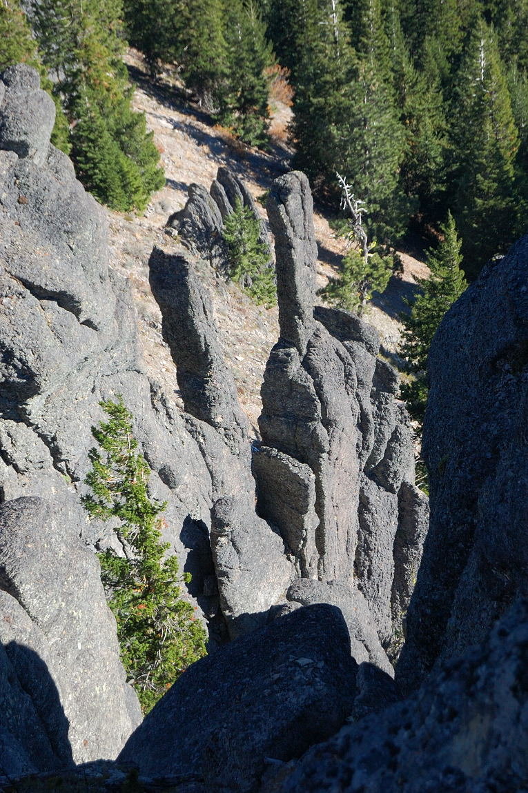
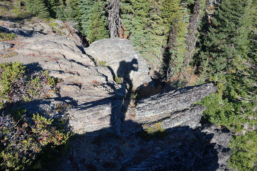
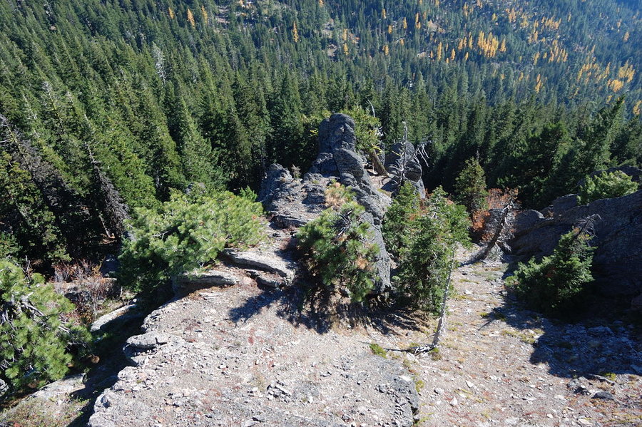
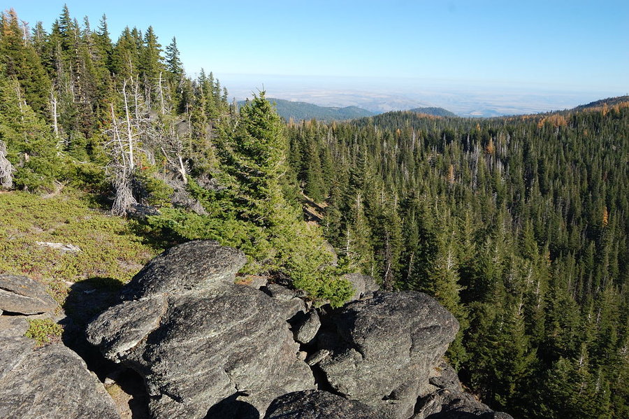
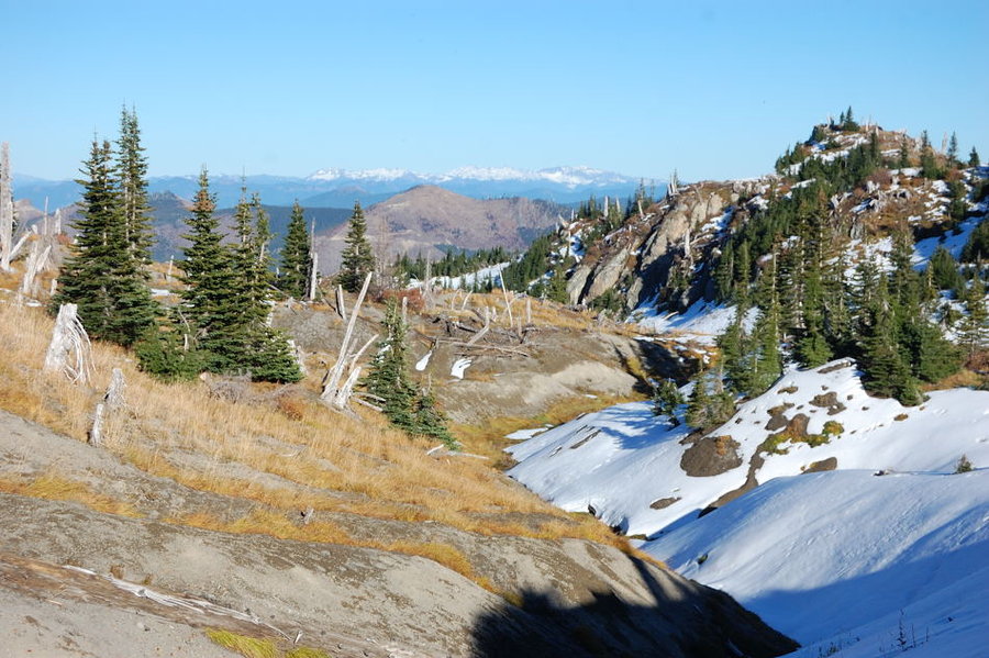
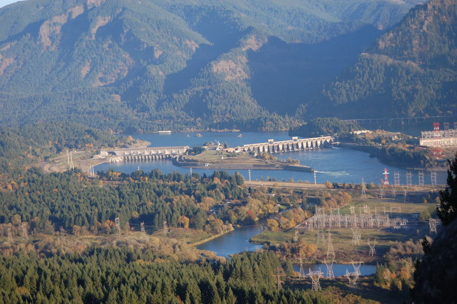
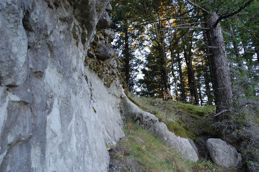
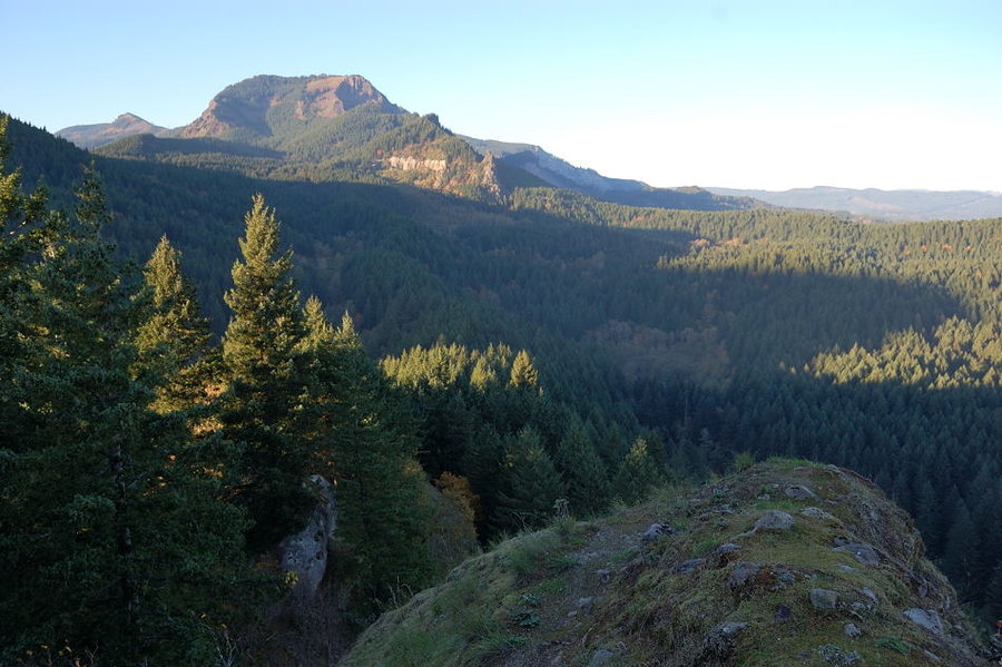
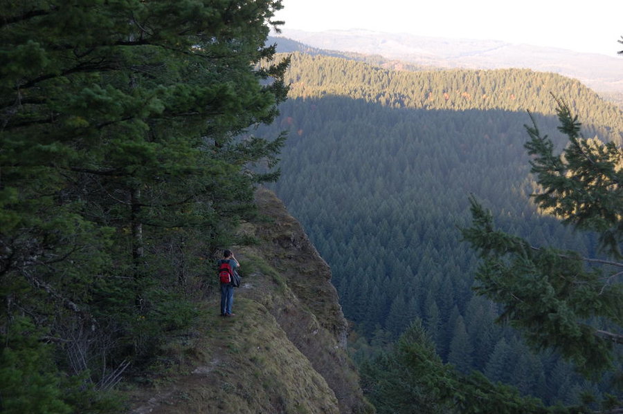
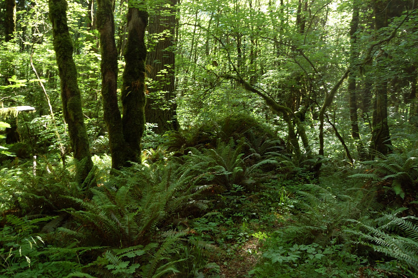
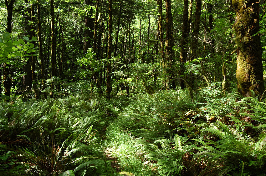
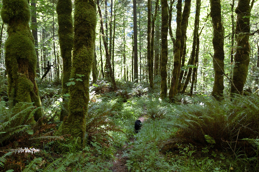
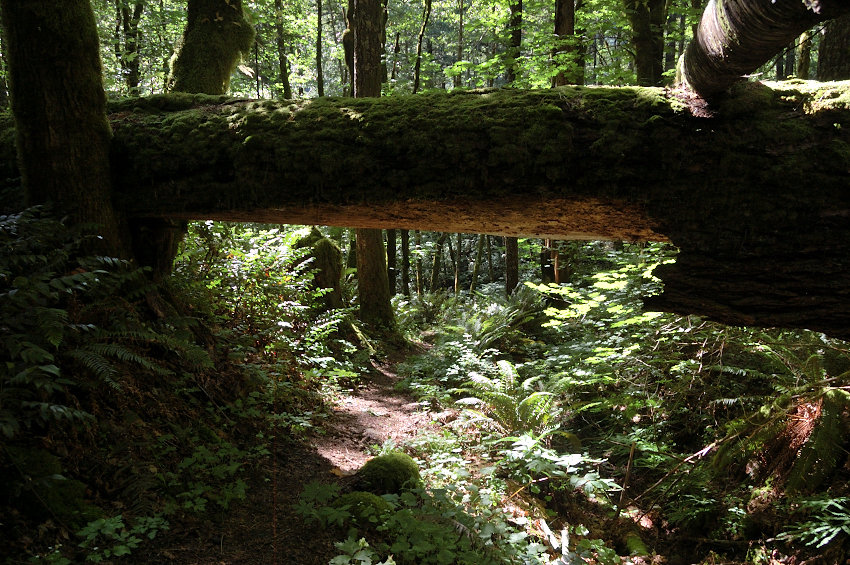
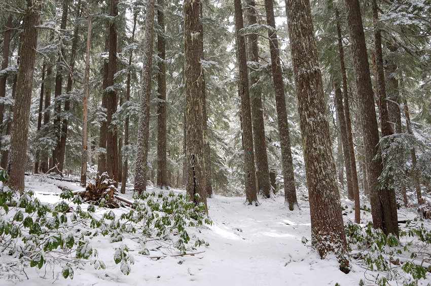
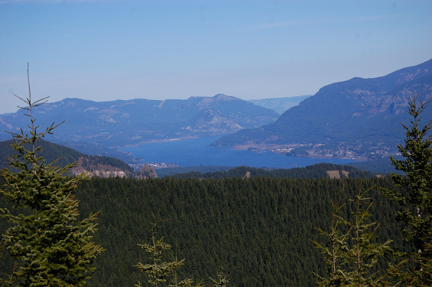
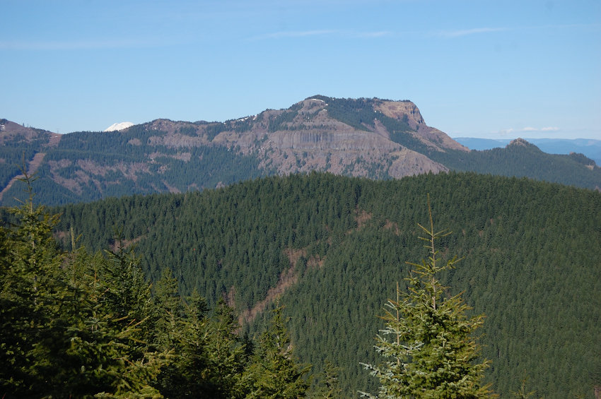
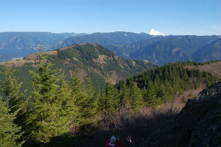
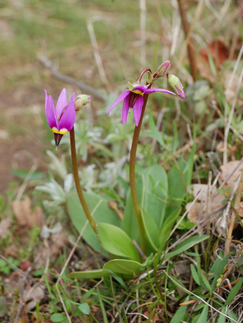
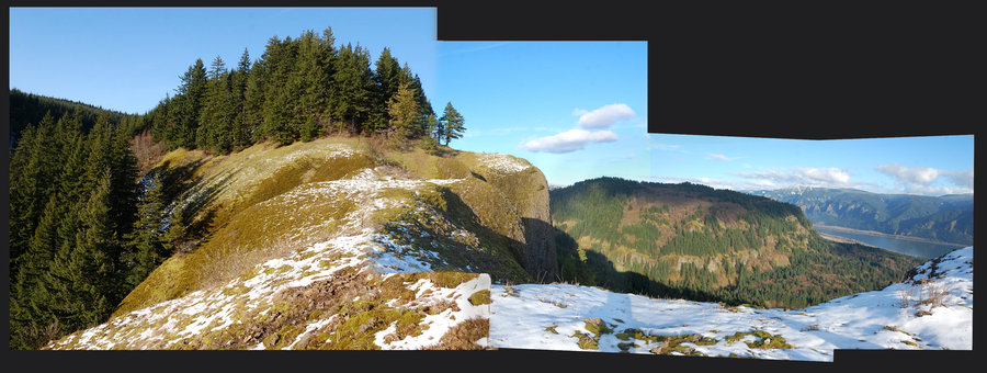
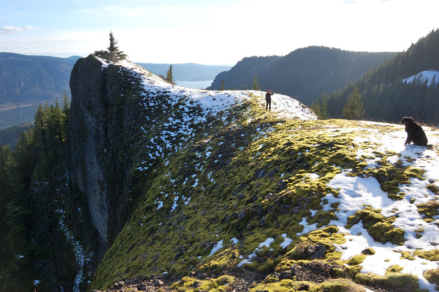
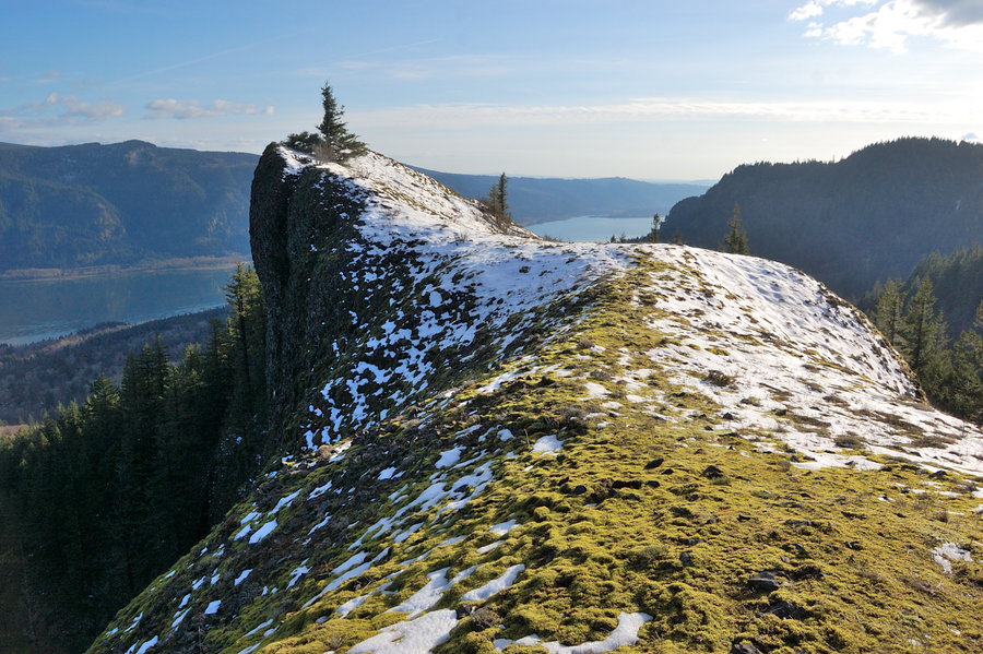
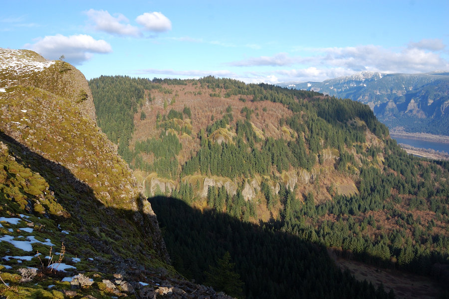
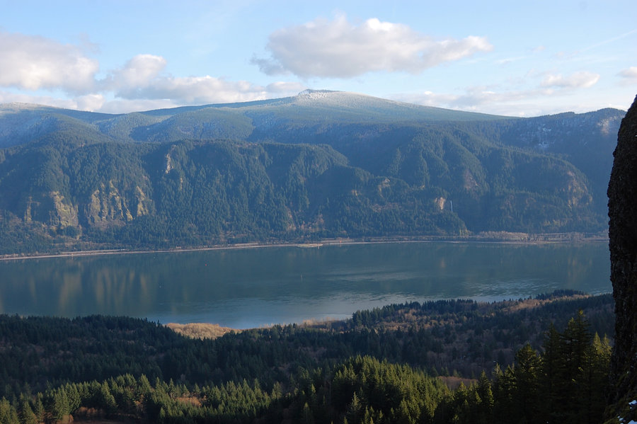
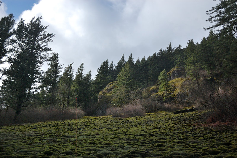
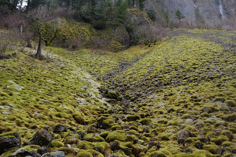
December 27, 2013 Angels Rest 4.6 miles 1,500 feet gained
Quick training hike. No crowds. Time up 0:53

Email updates
December 27, 2013 Angels Rest 4.6 miles 1,500 feet gained
Quick training hike. No crowds. Time up 0:53
December 19, 2013 Coyote Wall 9.23 miles 2,500 feet gained
It was a good weather in the Eastern Gorge today (quite a contrast with areas closer west) - no rain, no fog, even a little sun and Mt. Hood views... Forgot camera for a change. Made a loop over recently decommissioned trail, then above Burns Farm and down along Coyote Wall.
December 14, 2013 Vancouver Lake 2.5 miles 0 feet gained
December 7, 2013 Wahkeena Falls 3 miles 1,000 feet gained
It's been more a photography day than hike day. Hit 6 spots in the Gorge (with warm-up breaks in the car in between) - Bridal Veil viewpoint, Latourell Falls, the caverns under Angels Rest, Wahkeena Falls, Multnomah Falls with a hike to about switchback 3 or 4, and Horsetail Falls with a hike to Ponytail. Was surprised the icy bridge at Multnomah was open.
November 29, 2013 Jordan Butte 6.21 miles 2,250 feet gained
Interesting bushwhack along rocky spine of upper Tygh Ridge, and very nice summit. Could see Adams, Rainier and Hood from the summit, and Mt. Jefferson with Sisters from lower on the hike.
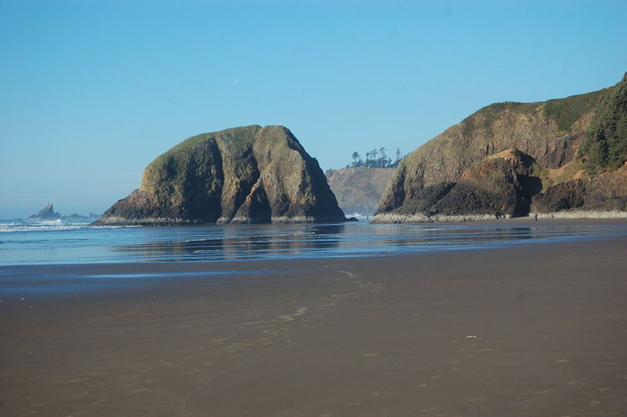
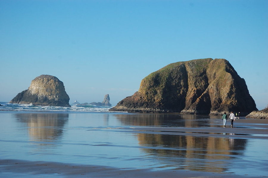
November 28, 2013 Chapman Beach 3.5 miles 0 feet gained
Low tide hike - we went around Chapman Point to Crescent Beach on dry ground!
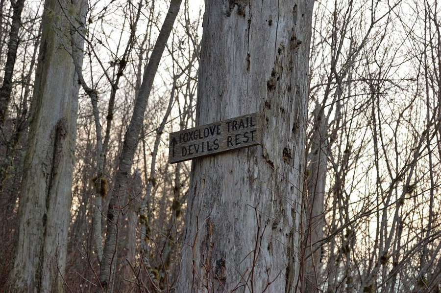
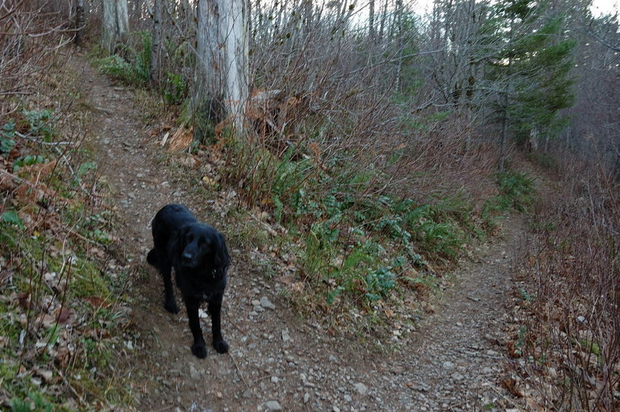
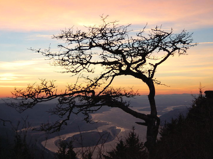
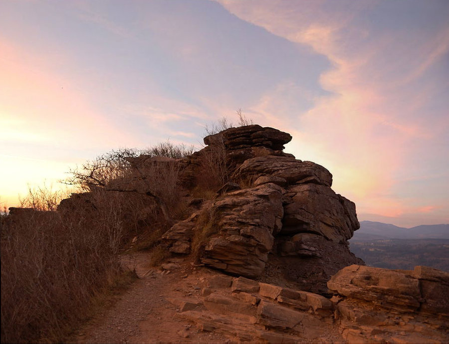
November 23, 2013 Angels Rest 6.4 miles 2,000 feet gained
Went to Angels Rest and then up to old Foxglove trail, then looped back on Angels Rest trail. On the way down went over backside trail off Angels Rest, very steep but short (first time for Pepper). The wind on top was so strong at times, it was impossible to stand! Post-sunset colors were awesome though. P.S. I don't know how my GPS picked up 2500' in elevat...
November 16, 2013 Dee Lake 6.41 miles 750 feet gained
Went to Indian Heaven to escape rain. Got to within 1.5 miles to trailhead, bigger trucks still get all the way there. With limited daylight I only visited the closer 2 lakes. There's a foot of snow at trailhead, but less snow under the trees and the lower trail is still hikeable without snowshoes.
November 1, 2013 Tygh Creek Cut Away 12.3 miles 3,000 feet gained
The whole loop is 13.85 miles and 3350' EG, but I biked the 1.5 miles of the road in between the 2 trailheads. This trail is not known for many viewpoints (although there are a couple of big views to the east), but it goes through very narrow "transition zone" east of the Cascades - in just 5 miles you pass through oak savannas (still a lot of fall color the...
October 22, 2013 Divide 10.5 miles 2,750 feet gained
Went from Lookout Mtn to Flag Point & back on my day off today. The larches are still nice on the lower trail, but it's probably the last week to see real color. The rock formations along this trail are superb; I couldn't tell which of the viewpoints is the Palisade (no real "best" viewpoint). It's amazing how few people hike in October, didn't see anyone af...
October 20, 2013 Mount Margaret 9.21 miles 2,250 feet gained
Boundary trail, this time with my brother. We stopped about 1 mile short of Margaret (this really isn't "destination" hike, it has views 100% of the time), at unnamed summit with great views of Mt. Whittier to the N and the lakes to the NE. Could see: Adams, Rainier, Goat Rocks, St. Helens, Hood, and Jefferson (which it turns out 114 miles away!). No goats, ...
October 19, 2013 Carpenters Lake 4.5 miles 2,000 feet gained
Showed my coworker some trails in "Table Mtn Backcountry" (it really needs a name) - up backside Aldrich Butte trail/road/then off-trail to the top of the butte, then to Cedar Mtn. On Cedar Mt, he went first and saw a cougar running into brush just ahead of us. Also, we found a great viewpoint on Aldrich Butte, just east of the summit - much better views fro...
October 17, 2013 Mount Margaret 8.65 miles 2,250 feet gained
Hiked with my dad on Boundary Trail. We stopped around 5,500' where trail got covered with snow (didn't have a foot traction). No summit but had awesome day. Fall colors are mostly gone in many places, but still near prime in a few spots (seem to be better in cool, shady spots which makes sense).
October 13, 2013 Company Lake 5.07 miles 250 feet gained
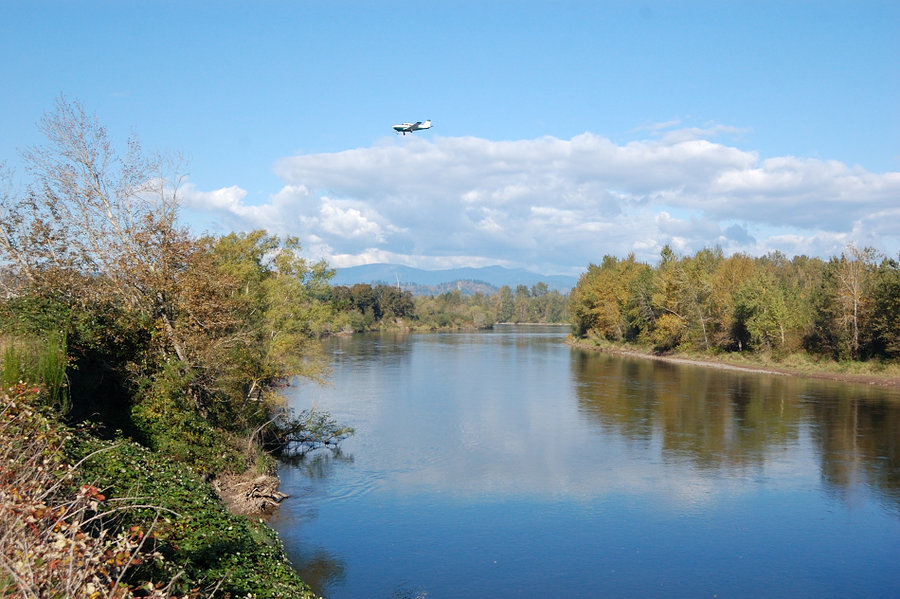
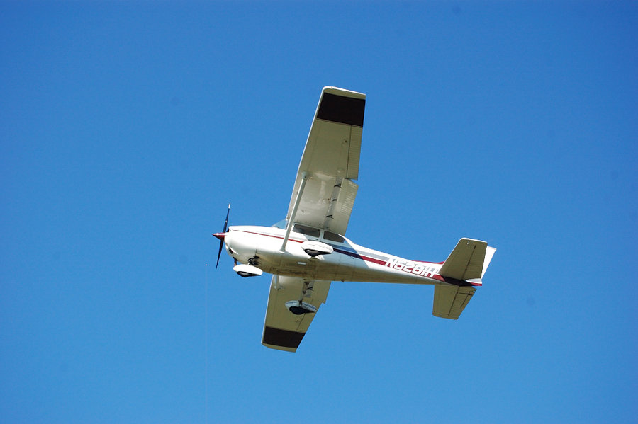
Lazy day, I'd say 0 elevation gain but my GPS says 265'. The trail is a bit urban for the most part, but sandy beach at the mouth of Sandy River is very nice, and very large. And it was cool to watch the planes land at Troutdale Airport. Also, this hike is very close to my work so I may bike there sometimes.
October 9, 2013 Lymp Reservoir 3.82 miles 2,000 feet gained
Did some maintenance on this little-known trail, but not much with 2pm start. It's interesting and very quiet way up Huckleberry Mtn, but this year there's even more flagging than usual. I was reluctant to remove any of it, since someone also blazed some trees along the trail (completely unnecessary imho), and without flagging I think they can hurt even more...
October 6, 2013 Coldwater Lake 11.25 miles 2,250 feet gained
Hiked around Coldwater Lake CCW, the ridge part first because the other trailhead @ boat launch was gated. Saw 3 groups going around the lake, and several more hiking out and back. It was really warm and sunny there, almost felt like summer. Lots of great views; the narrow & long Coldwater Lake almost looks like big river. Not much fall color near the trail ...
September 19 to September 20, 2013 Blue Lake 10.5 miles 1,250 feet gained 1 night
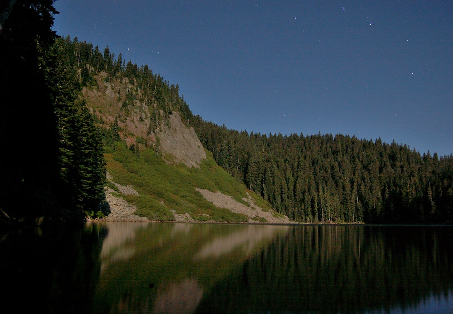
Went in from Thomas Lake trailhead, camped at Blue Lake for the night. No one else at the lake, it was very quiet. I took some night pictures @ full moon light. Next day I went north on PCT and found the junction with abandoned CCT trail just past Junction Lake, and took it back to Rock Lake. CCT goes through several big meadows, the trail is quite rutted in...
September 14, 2013 Deep Lake 6.5 miles 1,250 feet gained
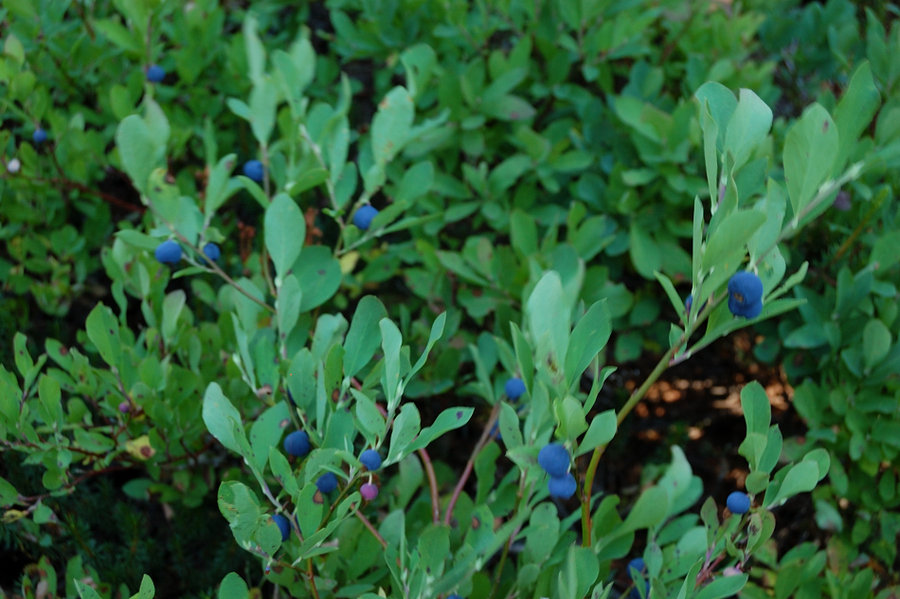
The amount of huckleberries is epic in IH this year!
September 9 to September 11, 2013 Goat Butte 24.41 miles 5,250 feet gained 2 nights
Due to elevation gain and length of this hike, I went 2 days up (camped at Foggy Flats the 1st night), then 1 day back. I carried $15 in case I met reservation ranger but saw only 1 hiker past Foggy Flats. The trail past the boundary is very faint and disappears in some places; the cairns really helped, as well as Cascadehiker's GPX track. Once down from the...
August 30 to September 1, 2013 Johnson Peak 19.48 miles 5,500 feet gained 2 nights
August 27 to August 28, 2013 Zigzag Glacier 11.31 miles 3,750 feet gained 1 night
Did a loop over Mississippi Head, camped in Paradise Park, then came back via Timberline trail (my GPS track is attached with the hillmap link). Just as I got around the top of Zigzag Canyon and started down the other side, the clouds moved in and I got a little lost being there first time. I had pre-loaded topo map in my GPS, but what the map doesn't show i...
August 21 to August 22, 2013 Final Falls 7.8 miles 1,000 feet gained 1 night
Planned to do Paradise Park on Hood, but the mountain was in a cloud of smoke yesterday - so it was a plan B which worked nice. Got to the viewpoint @2400' then decided to backtrack to the river and camp on waterfront. Lots of great campsites to choose from, and no one else camping that night. There were a lot of ripe red huckleberries. Old growth forest alo...
August 18, 2013 Tom Dick and Harry Mountain 6.5 miles 1,500 feet gained
August 11, 2013 Packard Creek 3 miles 500 feet gained
August 4, 2013 Eureka Peak 2.2 miles 1,000 feet gained
Since I was there, added a short bushwhack up Eureka Peak. Way more brushy that Veda Butte, but the view of Hood is closer, wider, and more prominent. Could be one of the best Hood viewpoints if not 1-2 trees that always get into view. Attached link is today's GPS track for the 2 hikes.
August 3 to August 4, 2013 Veda Butte 5.5 miles 1,500 feet gained 1 night
Changed my Cooper Spur plan due to looming thunder clouds, then decided against Trillium Lake due to hiker traffic on the trail (not like Multnomah - more like Vancouver Fireworks kind of traffic...could be 1000+ people at the lake!) so Veda Lake was kind of last minute thought. It turned out a nice overnight trip - the lake was pleasant, very quiet (only 2 ...
July 25 to July 28, 2013 Old Snowy Mountain 27.5 miles 6,750 feet gained 3 nights
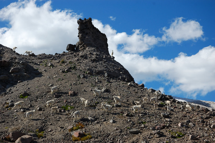
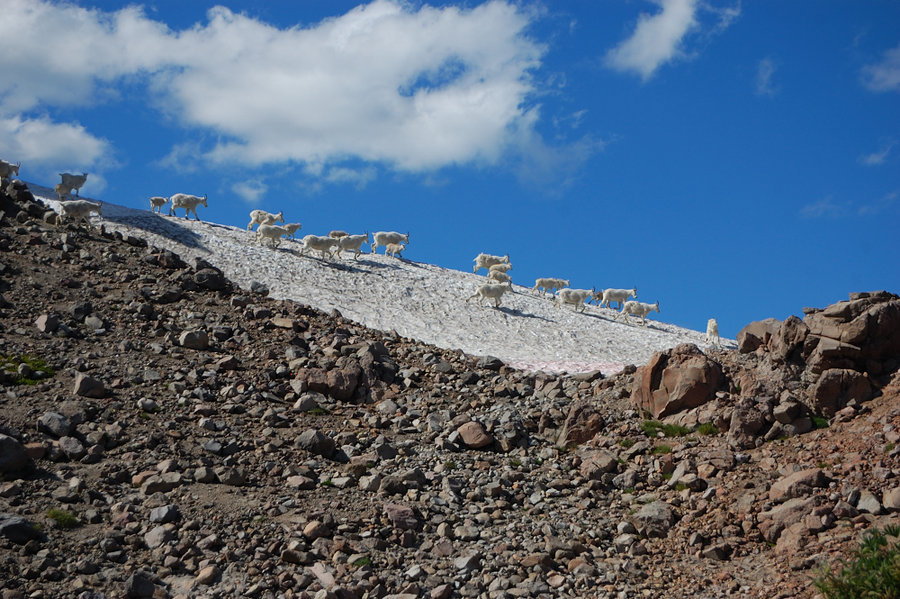
Thursday - drive in to Snowgrass TH (15 +/- cars at trailhead) and hike to Snowgrass/PCT junction, set a camp for 2 nights. Friday - up Old Snowy, then to Cispus Basin in the evening, to see the goats. Saturday - move camp to the base of Hawkeye Point (Peak?) and hike to the summit. It got down to freezing the 3rd night. Sunday - took some pictures around Up...
July 20, 2013 Silver Star Summit 5 miles 1,250 feet gained
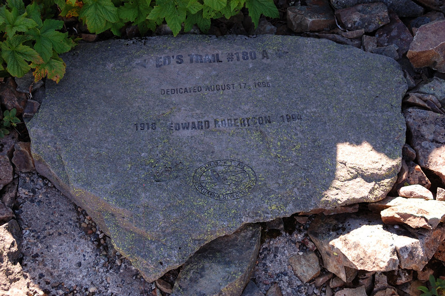
Did a loop on Silver Star with my parents yesterday, up Ed's Trail, down old road, skipped the last rocky bit to the summit. Tried Dole Valley approach this time (see the attached link) - very good gravel road, not a single pothole! Of course, the last rocky 2 mile road stretch is still there, but this alternative approach completely avoids the "pothole alle...
July 13, 2013 Observation Peak 7.3 miles 500 feet gained
Hiked from north (upper) to south end of Observation Trail with the WTA crew, we did some brushing and tread work. The hard part was not work, but hiking without the poles in hands; got completely addicted to them.
July 3 to July 8, 2013 Rock Creek Butte 56.5 miles 8,500 feet gained 5 nights
Hiked all but the last 3.8 miles of Elkhorn Crest trail. Made side trips to see Anthony Lake, two Hoffer Lakes, Lakes Lookout, Dutch Flat Lake (night 1), Summit Lake (nights 2 and 5), and Twin Lakes (nights 3 and 4). Hiked Rock Creek Butte on day 4 - one of the coolest summit views I've ever seen. Saw a lot of mountain goats at Twin Lakes. Mosquitoes aren't ...
June 30, 2013 Silver Star Mountain 5.7 miles 1,500 feet gained
Hot day but awesome hike. The road to north trailhead got a bit worse yet this year - if you head there take the car with biggest clearance you can. Beargrass is still good on the upper meadows and around the summit, other flowers starting great on the lower trail and will get much better in the next couple of weeks. Today was a bit hazy, which limited views...
June 21 to June 23, 2013 Little Badger 9.69 miles 2,250 feet gained 2 nights
Did some trail work over the weekend. Friday afternoon cleared 5-6 smaller logs near Ball Point (still many left, bigger ones will require crosscut saw); Saturday cleared the short spur trail to spring (~150 yards - took me 5+ hours!) and spent the rest of time in camp reading the book; on Sunday went over lower trail at Little Badger Creek and cleared most ...
June 15, 2013 Carpenters Lake 6.64 miles 2,500 feet gained
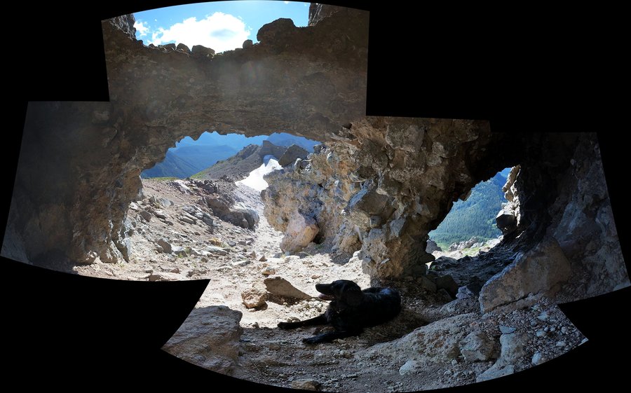
Made several discoveries today: 1. Aldrich Falls trail goes through Jurassic Park. 2. Hamilton Creek (rail?)road grades still make easy hiking route, and someone clears blowdown there. There's some poison oak but not bad. 3. There's a cavern about 200' above road grade, if you bushwhack up to Cedar Mtn saddle. It's about 8 yards wide, 5 yd deep, and 7 feet t...
June 7 to June 9, 2013 Line Butte Tie 25.35 miles 4,500 feet gained 2 nights
Attempted to map all trails on Lookout Mtn to my GPS, but ran short on time for 1 more S side trail (& there's the longest north side approach but it'll wait for separate trip - i did only its upper end this time). Got up the mountain 4 times from various trails, but it's absolutely worth it - beautiful area! The desert is in bloom right now, wildlife is ple...
June 2, 2013 Lemei Rock 7.9 miles 2,000 feet gained
"Juneary" fun in Indian Heaven. Wanted to make a bigger loop from Cultus Creek Campground, but was stopped by the snow on the road at about 3850'. Hard to say on snow depth on the hike - it ranged from 0-6 feet; close to 100% coverage above 4400' but even there some bare spots. Not bad at all for the season. It was COLD today, felt like mid-30's.
May 24 to May 26, 2013 Cedar Creek 22.25 miles 3,750 feet gained 2 nights
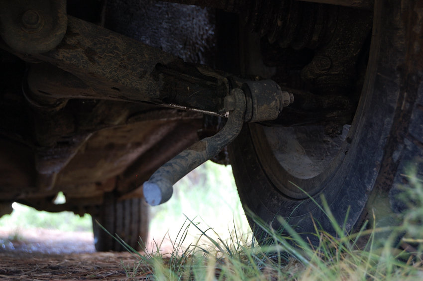
Did the loop from lower trailhead, with 2 mile hike on the road after bottoming my car on a rock and breaking some steering (?) part. The car drives well, but I didn't want to risk more. Also explored ATV road that goes up the other side of the canyon (thought about finding a better public road access from S side, but soon run into property boundary). Got ra...
May 13, 2013 Lookout Mountain 9.22 miles 3,250 feet gained
Did Lookout Mountain via Gumjuwac Saddle. 2-3 spots of snow about 100 yards wide just before Gumjuwac, some snow on Bennett Pass Rd, then nothing until about 5800 feet when I lost the trail. Saw only 1 other person all day, and couple of deer; heard a cougar screaming. The rain didn't come until we drove home. Great day.
May 3 to May 5, 2013 Whistler Point 24 miles 3,500 feet gained 2 nights
Did a loop clockwise; skipped a spur to S Wildcat Campground this time but added a short bushwhack to Whistler Point. Quite a wind storm on Saturday & many logs crashed down. Camped on Agate Beds the second night (even my fire ring was 40% agates) - pretty cool. Saw only a group of 2 + dog in three days. I like how remote this area feels; of course on Memori...
April 27 to April 28, 2013 Coyote Wall 7.5 miles 1,500 feet gained 1 night
Joined trail work party with the WTA on Sunday. Got there Saturday pm and camped above Catherine Creek (almost with a view of the arch, but had to move camp due to wind); did a lower loop for the first time - super easy but nice. Great area for camping BTW, there's something for waking to sun, warmth and open views. Also easy to pick a nice place out of the ...
April 25, 2013 Angels Rest 4.6 miles 1,500 feet gained
0:54 up again. Larkspur is already starting along the lower trail (lots of it), next 2 weeks should be really nice. Usual great views of the river.
April 23, 2013 Angels Rest 4.6 miles 1,500 feet gained
Quick hike after work. Time up 0:54 but it could be faster - lots of hikers this time.
April 13, 2013 Bird Butte 7 miles 1,500 feet gained
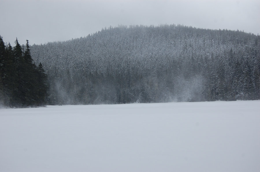
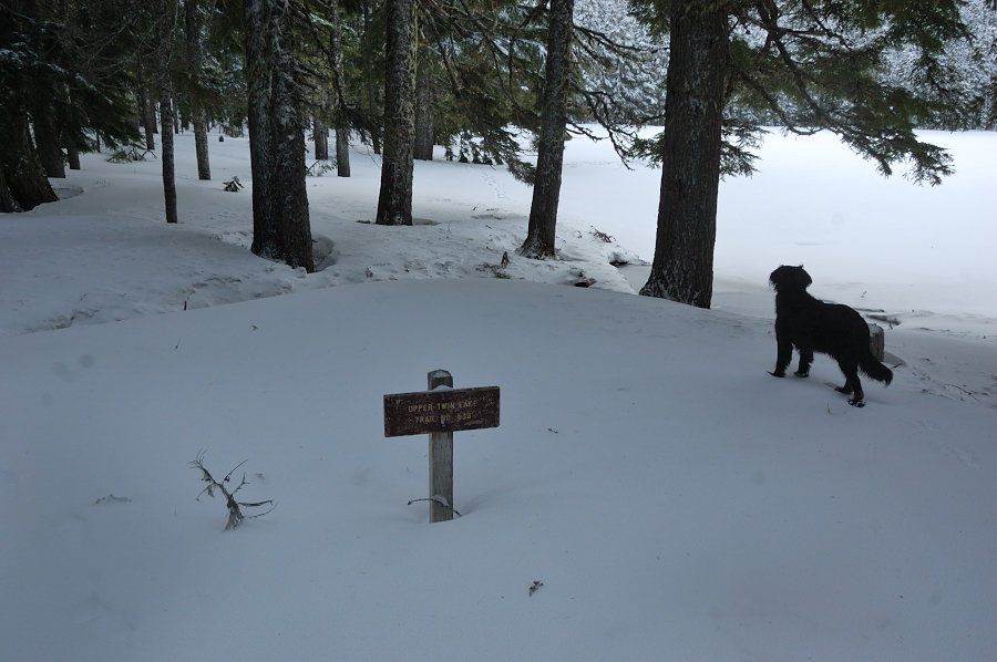
The weather alternated between sunshine and blizzard all day. Saw only 2 snowshoers and (maybe their) tent at Upper Twin lake. At the end decided to go over Bird Butte rather than around it on trail - while this little summit is not known for big views, it's pretty nice place, with old, open forest and partial views to the lake.
March 31, 2013 Crescent Beach 5.5 miles 500 feet gained
Were lucky to get to Crescent Beach 10 minutes before fog covered everything. Before that hiked Cannon Beach to Chapman rocks in low tide - pretty cool (but would have to wade to get around rocks to Crescent Beach, and I couldn't promise we'd make it back until high tide, so we chose to get there on trail instead).
March 30, 2013 Columbia River Gorge National Scenic Area 7 miles 1,750 feet gained
It was almost hot - love this spring so far
March 24, 2013 Rowena Gap 4.5 miles 1,250 feet gained
The flowers are going good up there, it finally looks like spring. Tick count is 1 between two of us (very low is you know that area). Got to watch Gorge Bison on the way back.
March 23, 2013 Archer Mountain 2.25 miles 1,000 feet gained
Took my grandmother to another cool place on Archer Mountain.
March 17, 2013 Tam-A-Lau 3.5 miles 500 feet gained
This hike is a little treasure. This time was a recon trip (to drive & see new terrain), next time I'd plan time to actually hike all the loop trail, and also see the "Island" nearby.
March 15, 2013 Council Crest 3 miles 250 feet gained
Since it's almost all outdoors I think it qualifies as a hike. Plus, lots of wildlife...
March 3, 2013 Archer Mountain 3 miles 750 feet gained
This ought to be one of the nicest places in the Gorge. I've seen Ar-Valley from the overlook above, but it doesn't even compare to being inside this vast moss-covered, rock-walled chasm, with waterfalls on all sides.