2013 Trips


 1
1
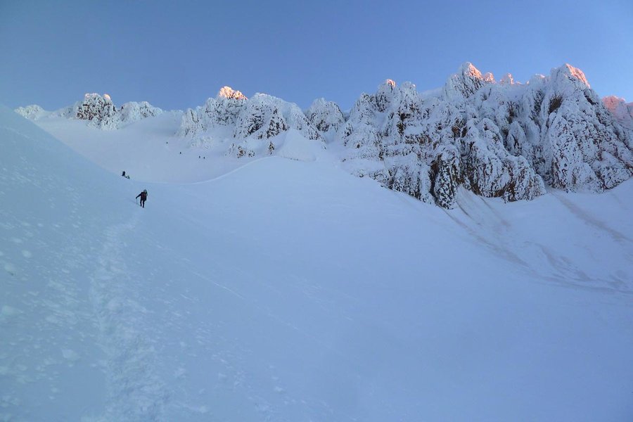
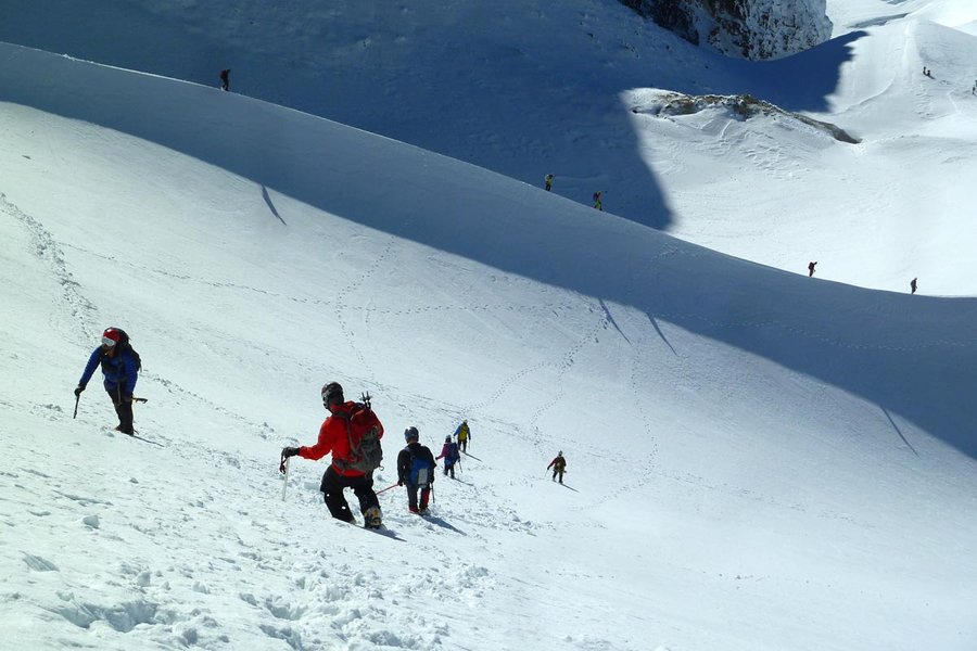
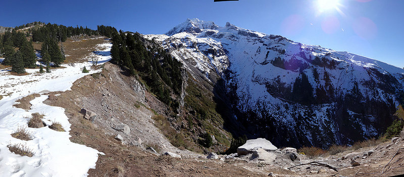
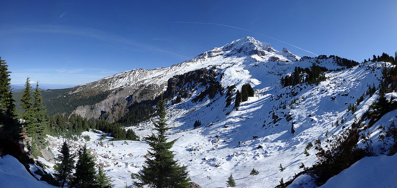
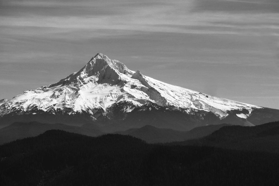
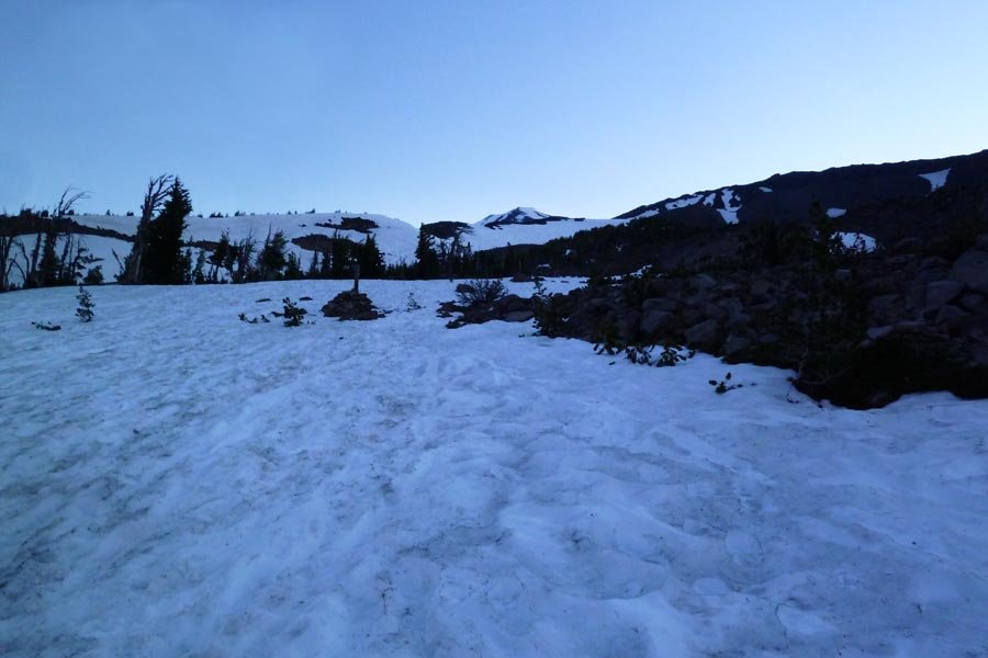
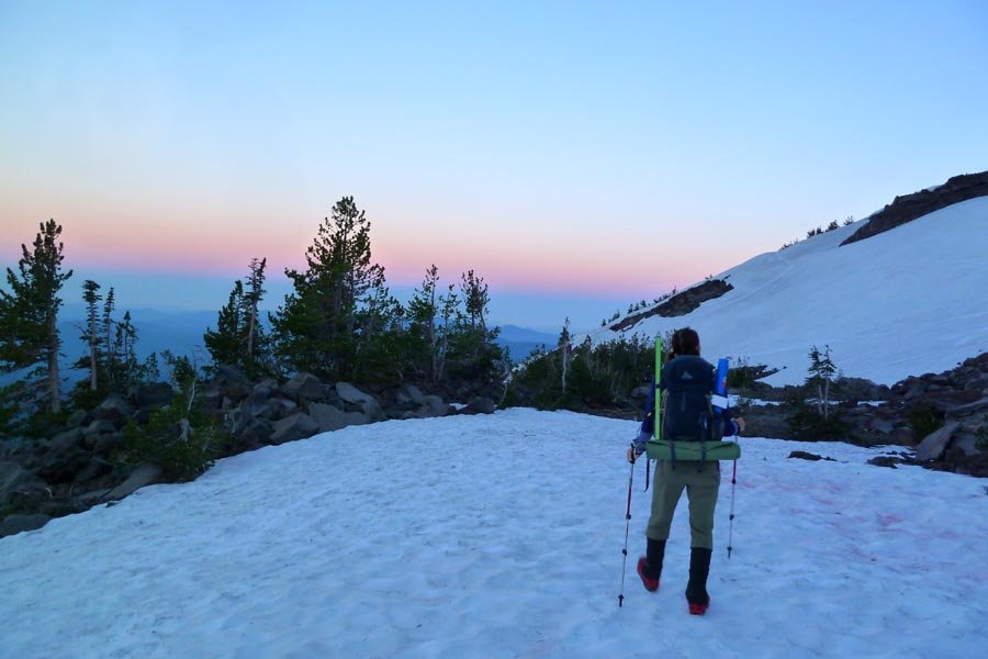
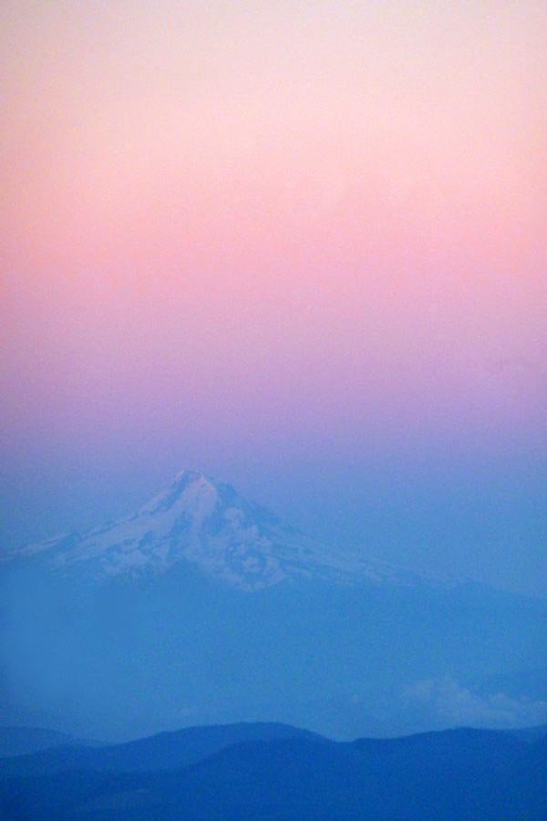
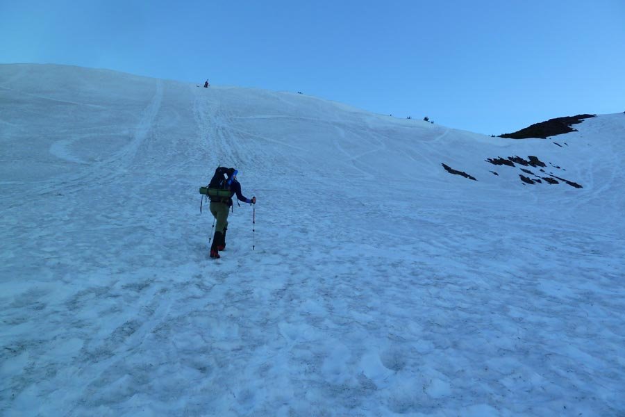
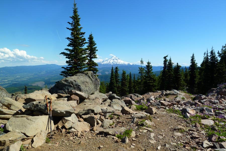
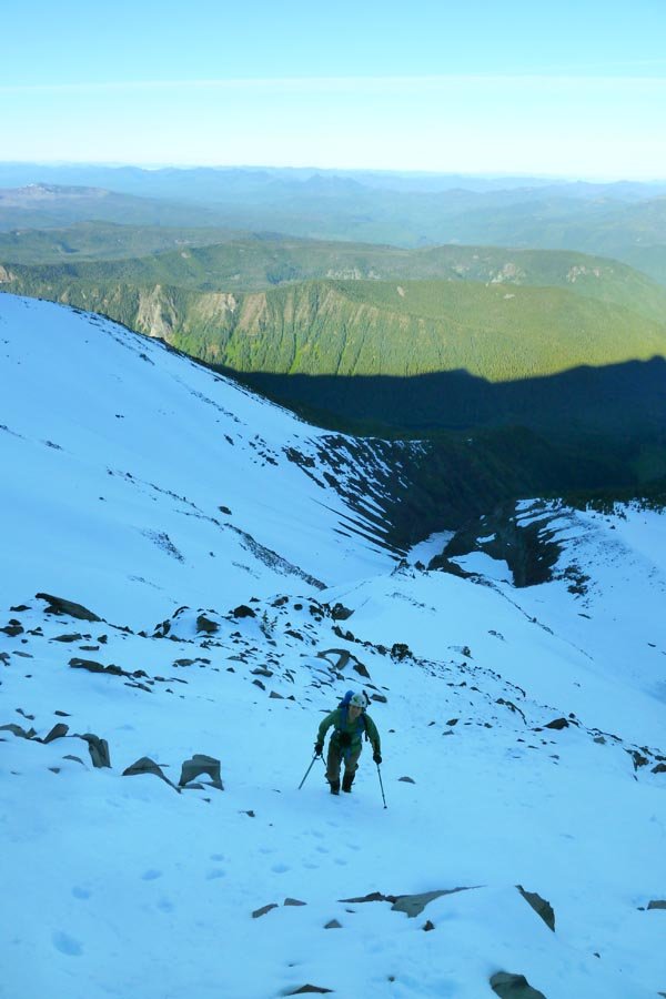
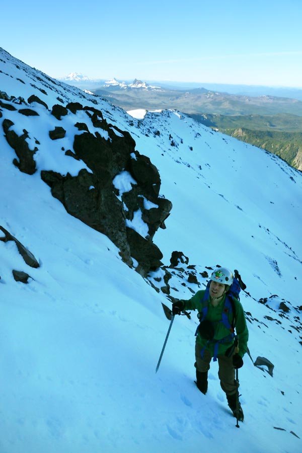
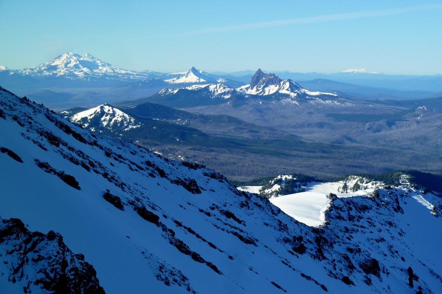
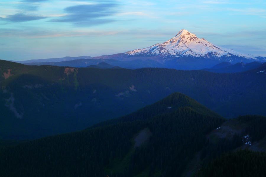
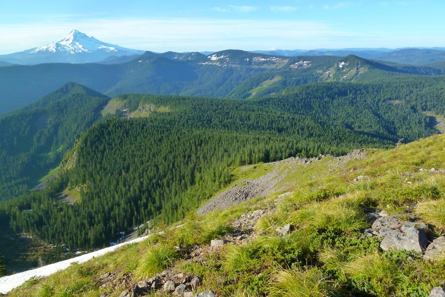
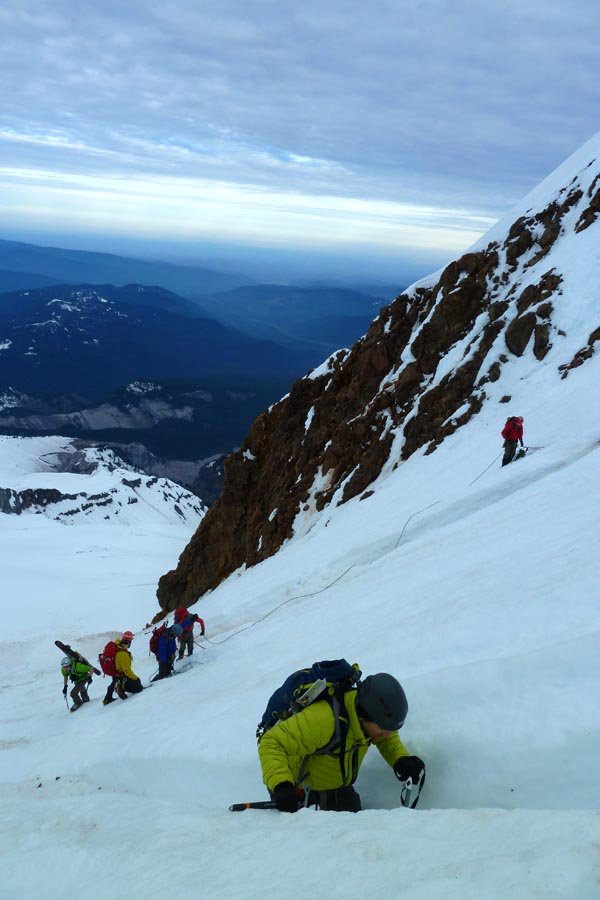
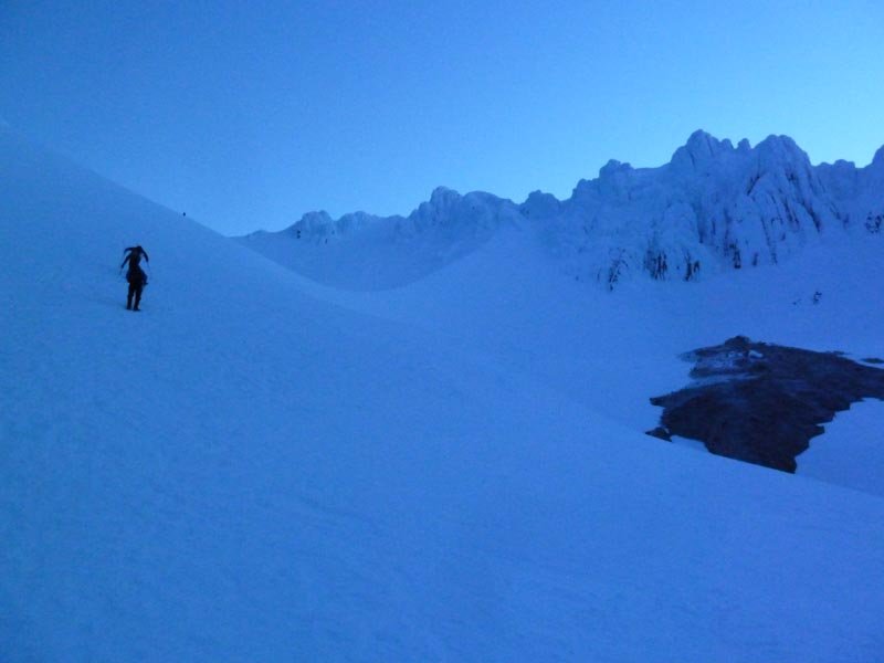
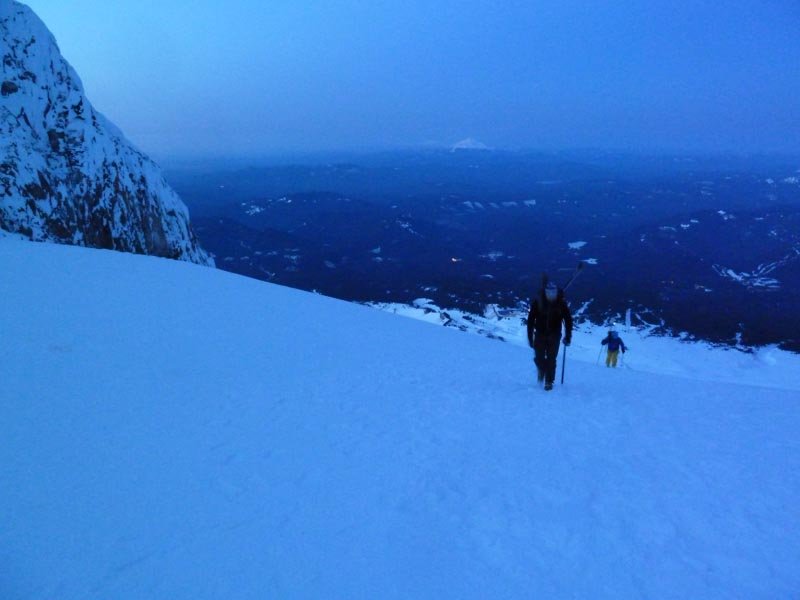
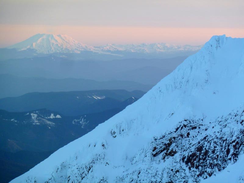
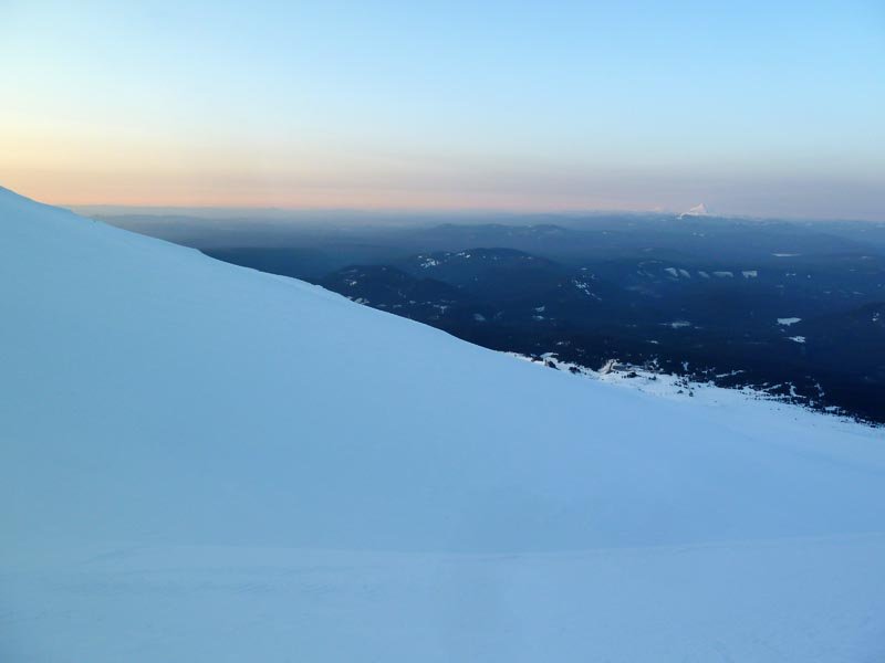
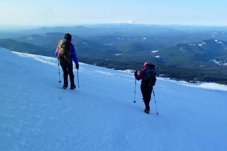
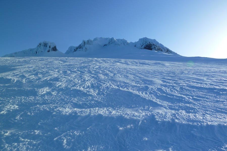
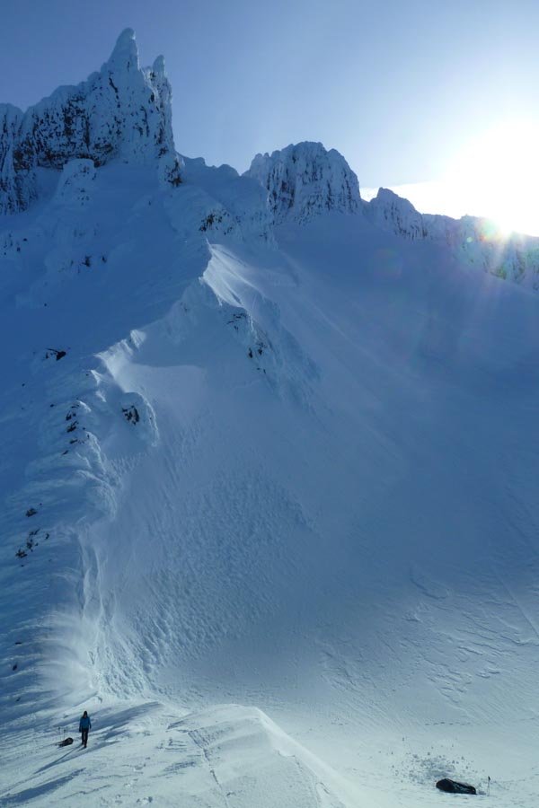
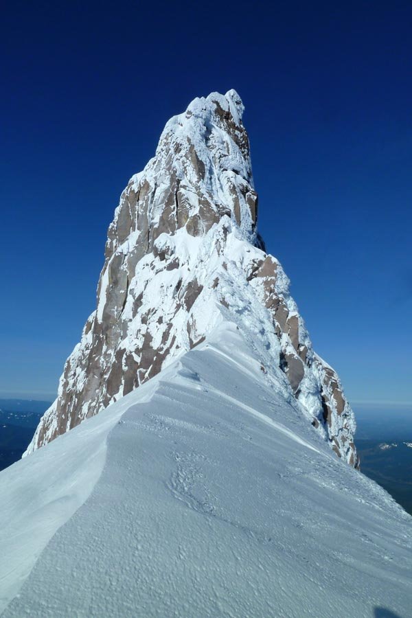
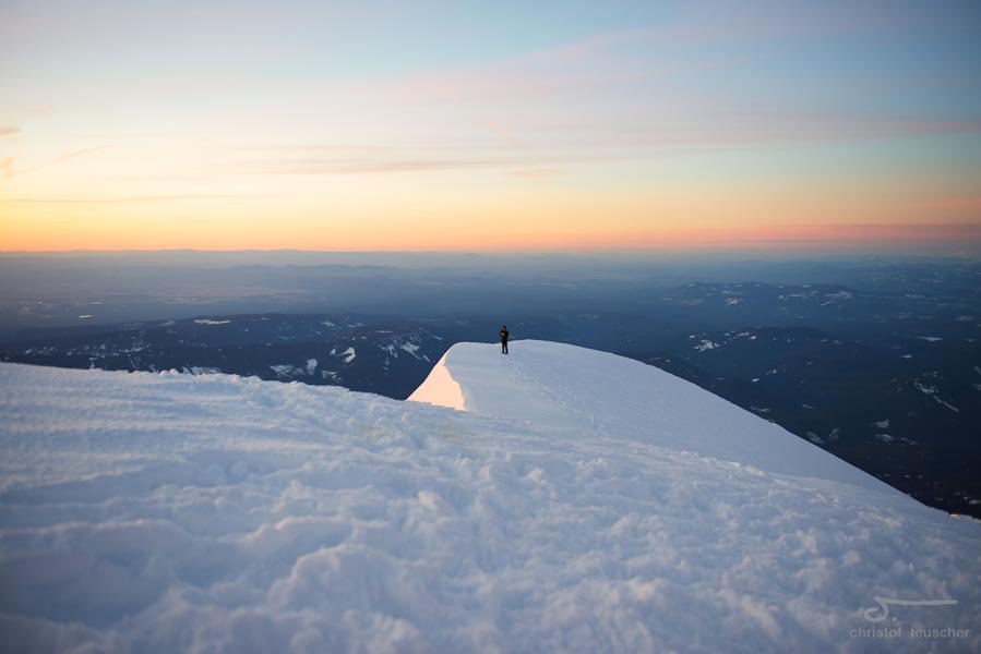
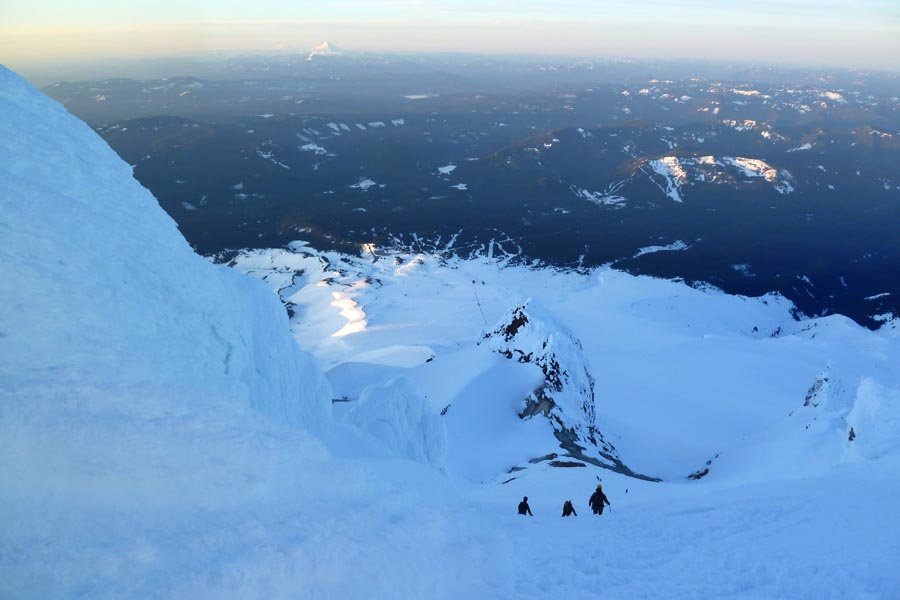
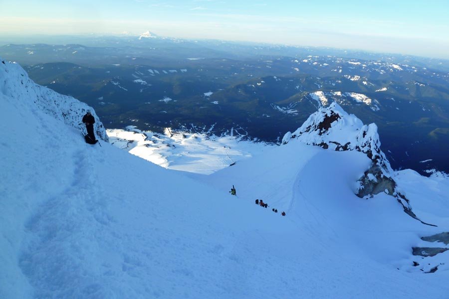
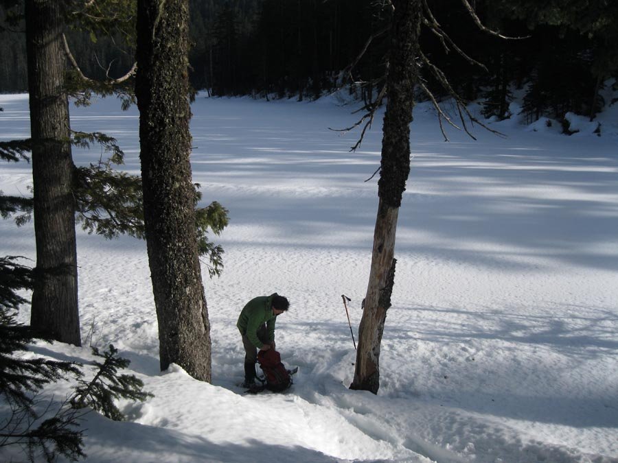
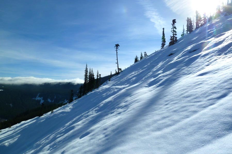
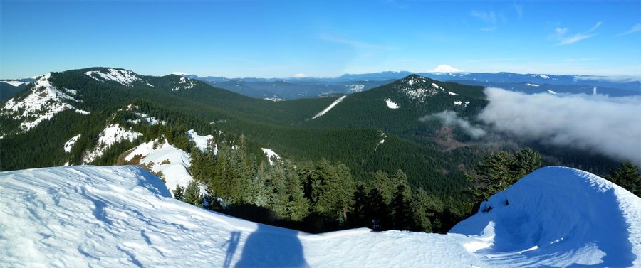
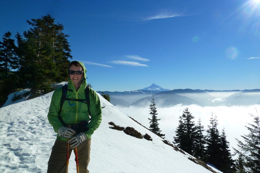
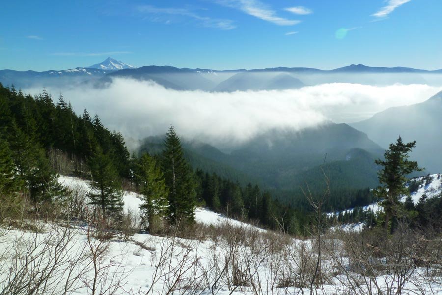
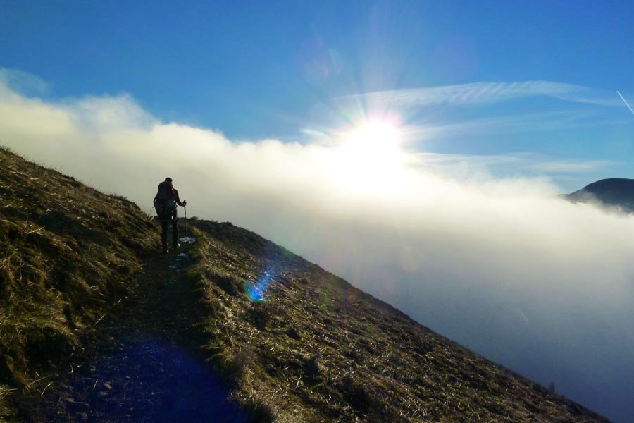
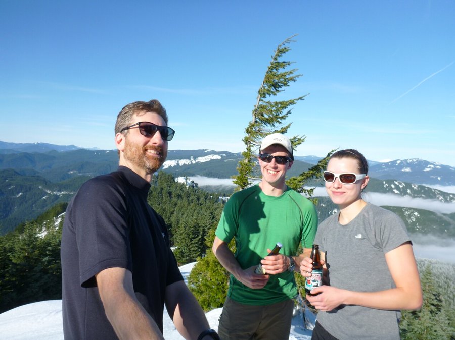
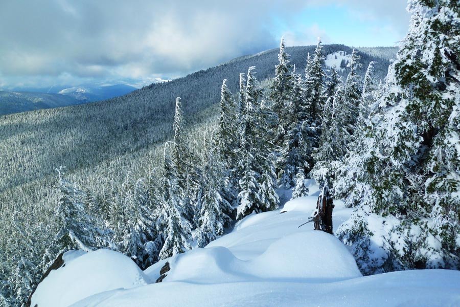
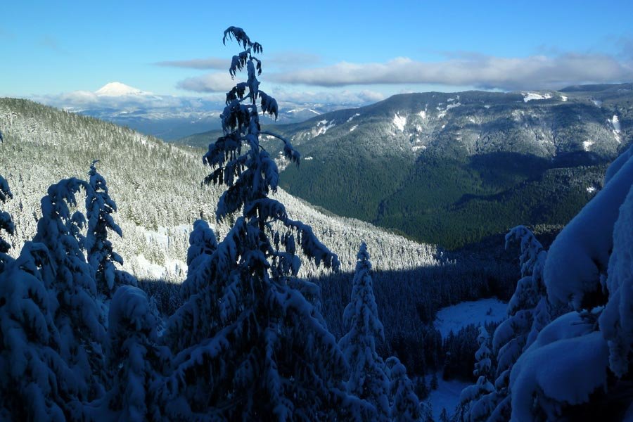
Mt. Hood south side
7 miles of hiking • 5250' elevation gain •
Despite leaving the country tomorrow, the weather was too good to pass up.
November 24, 2013

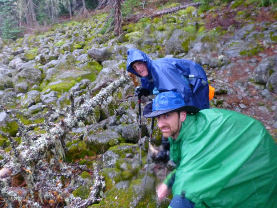
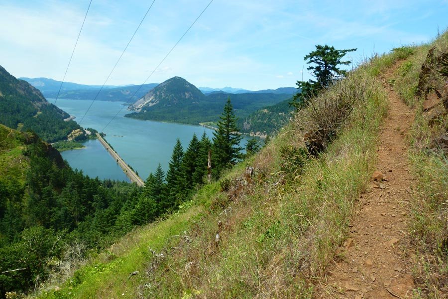
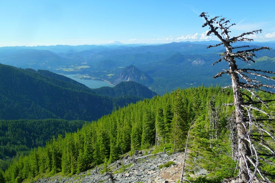
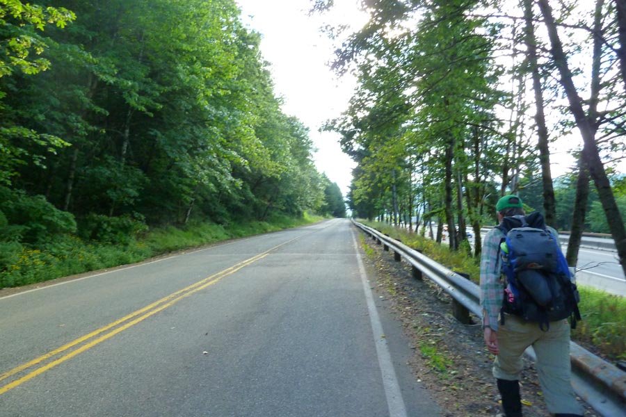
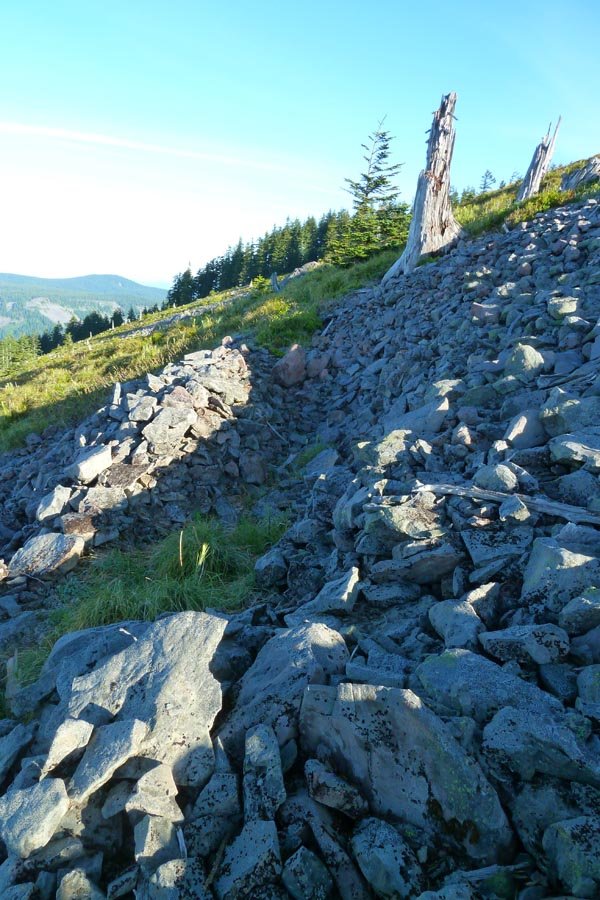
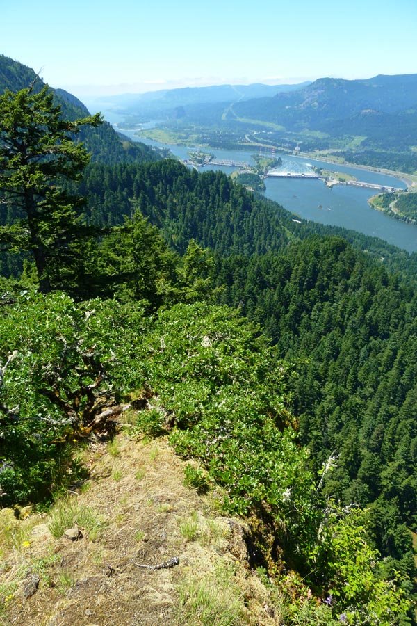
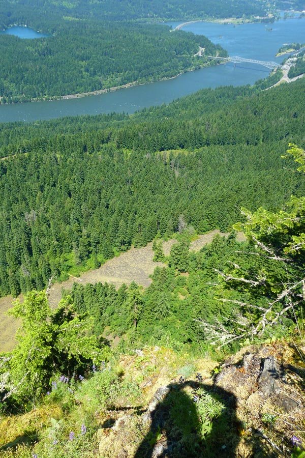
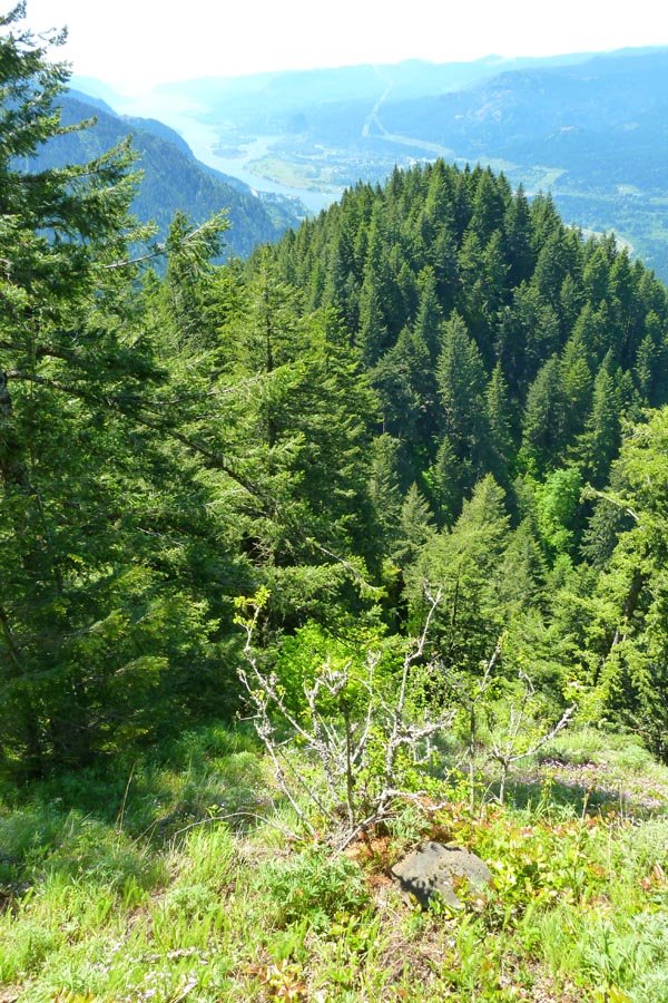
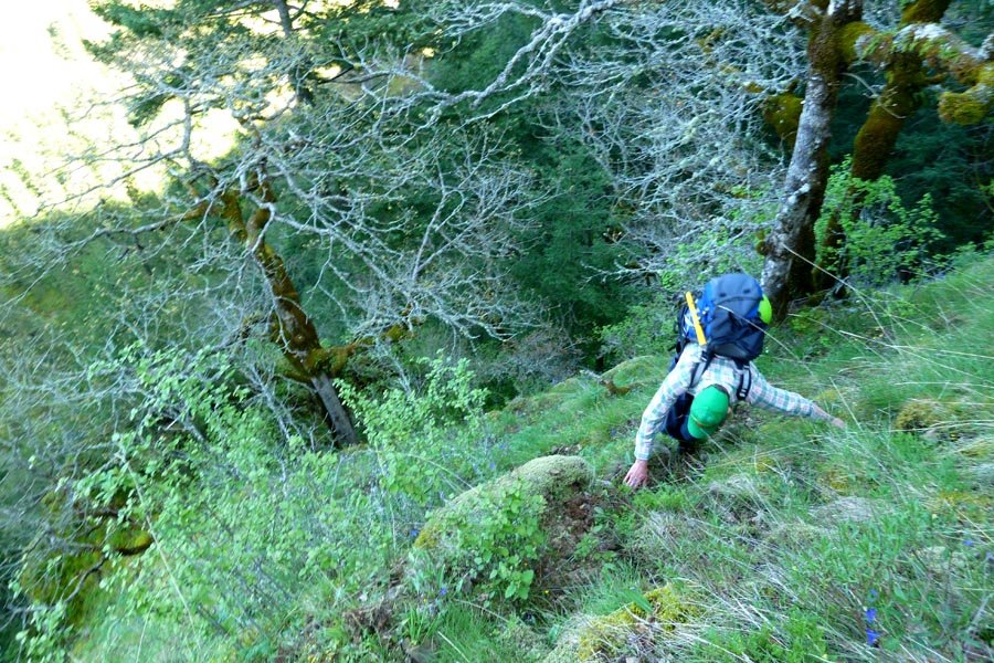
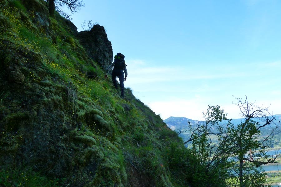
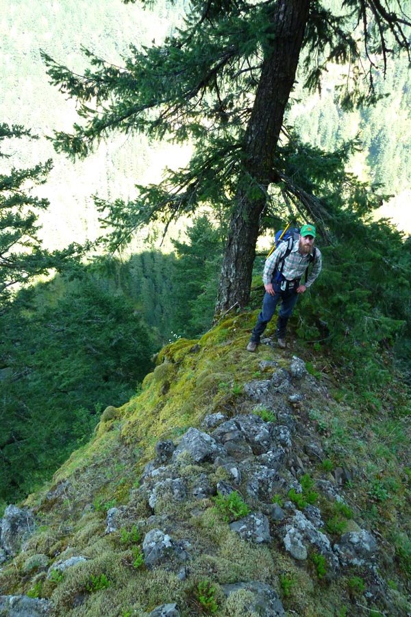
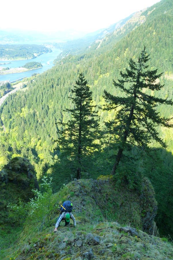
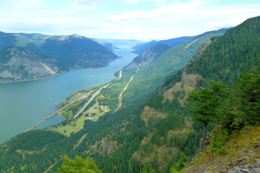
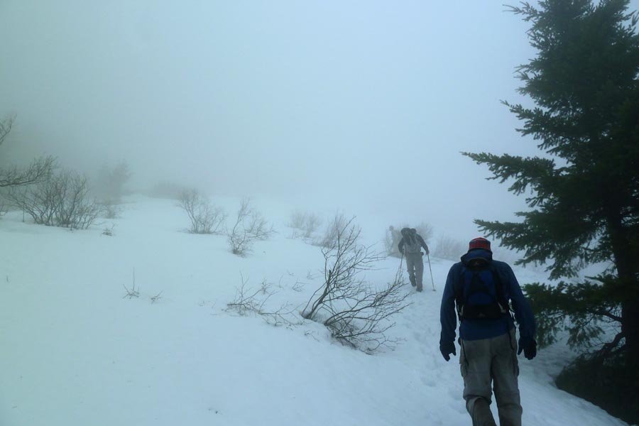
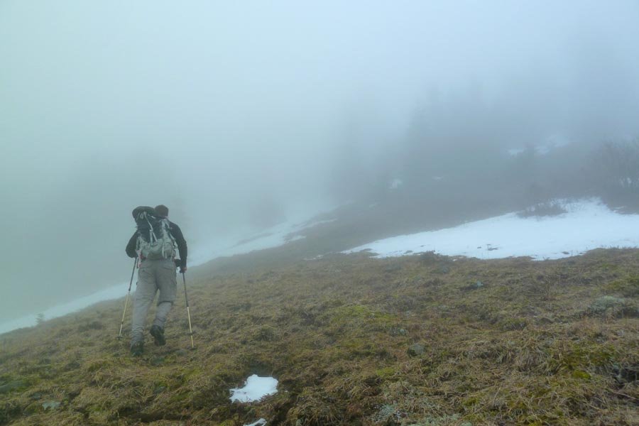
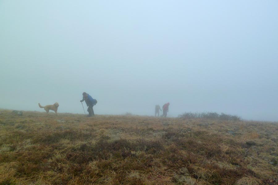
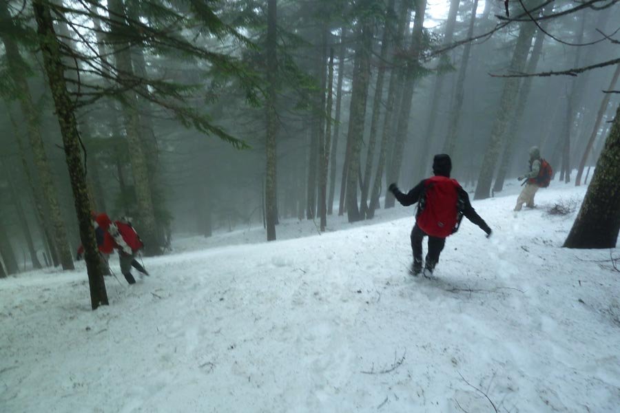
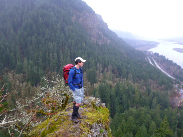
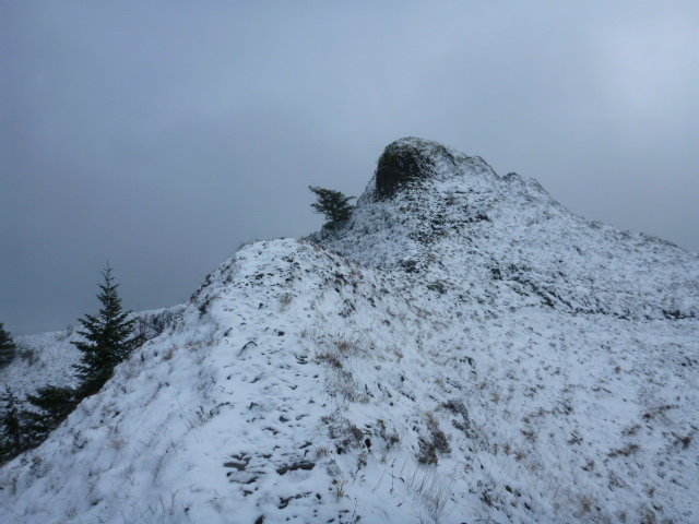
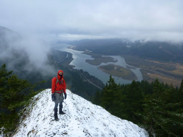
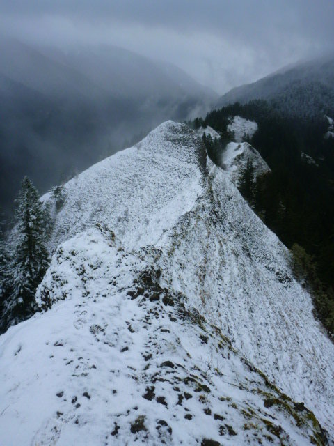
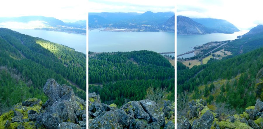
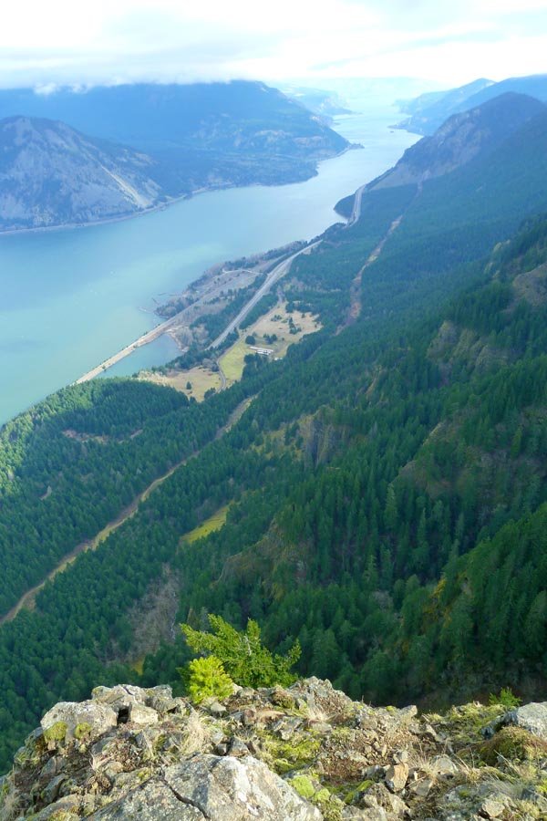
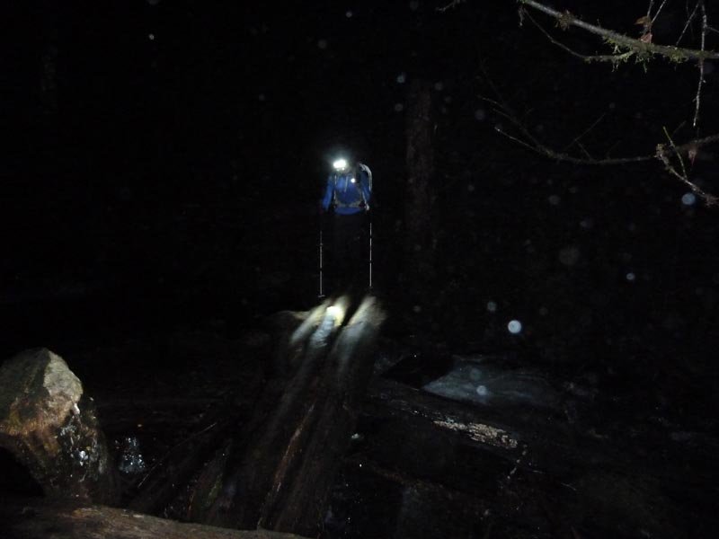
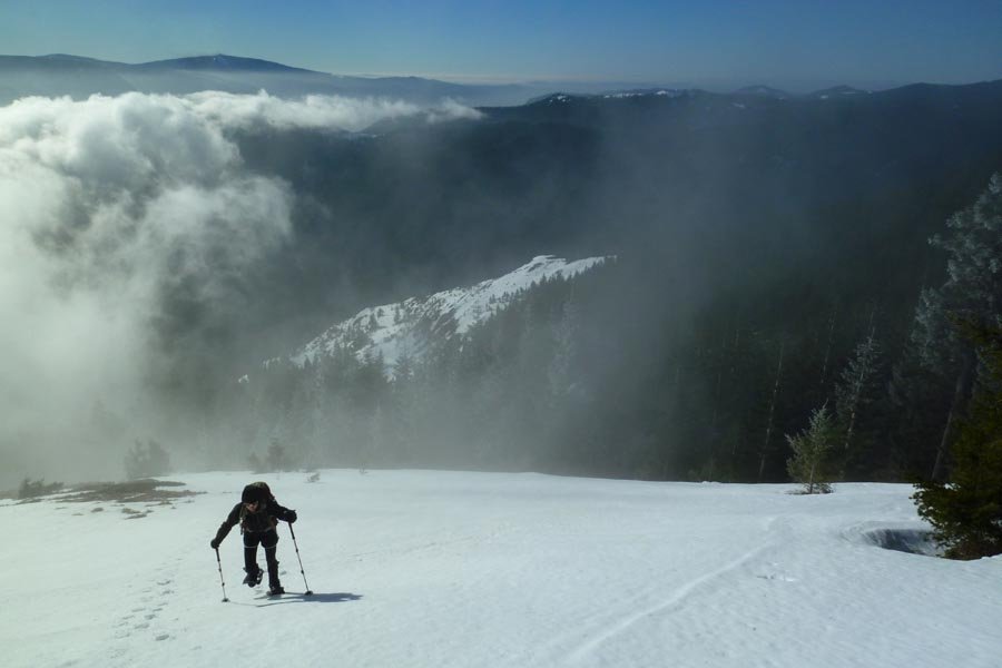
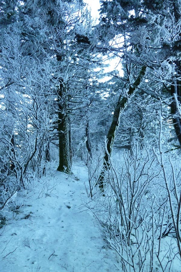
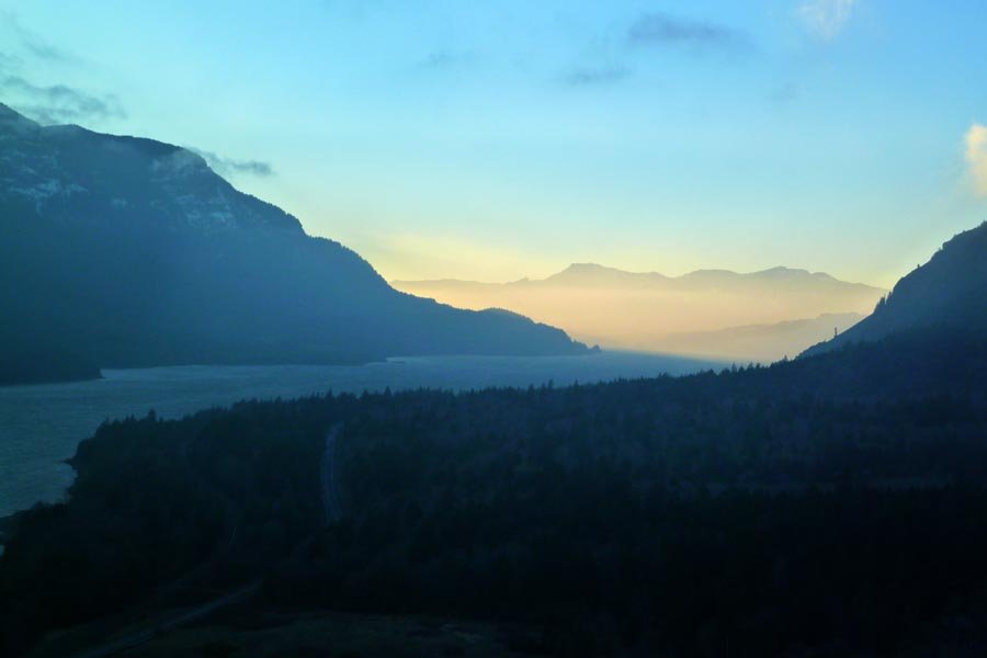
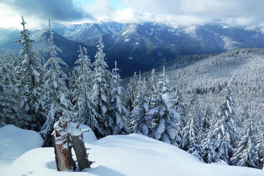
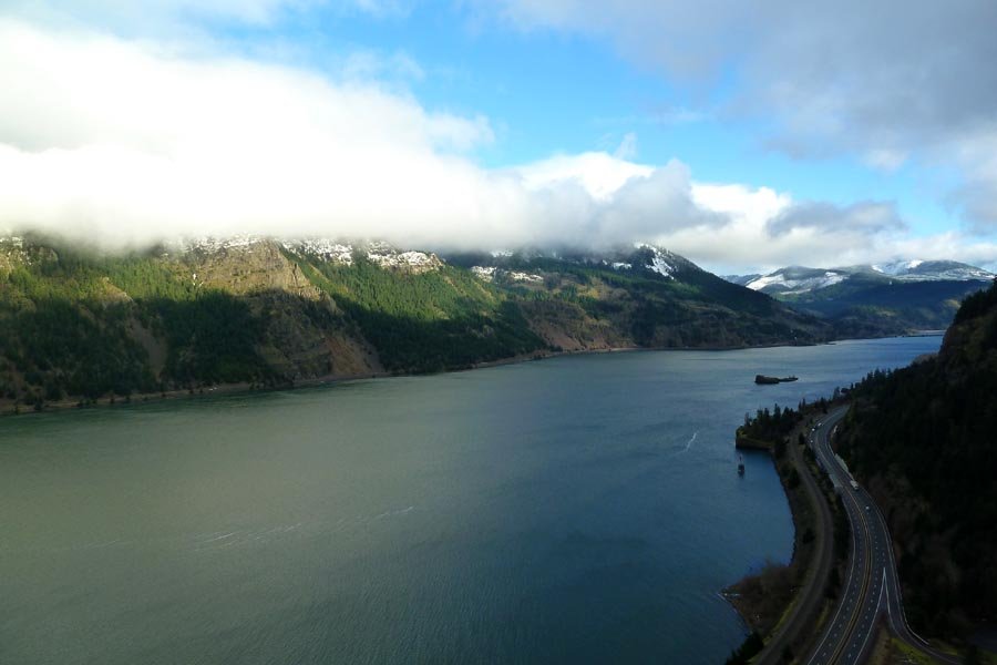
Defiance from Wyeth
17.5 miles of hiking • 5500' elevation gain •
Rain, snow, wind, thunder and lightning.
November 2, 2013


 3
3
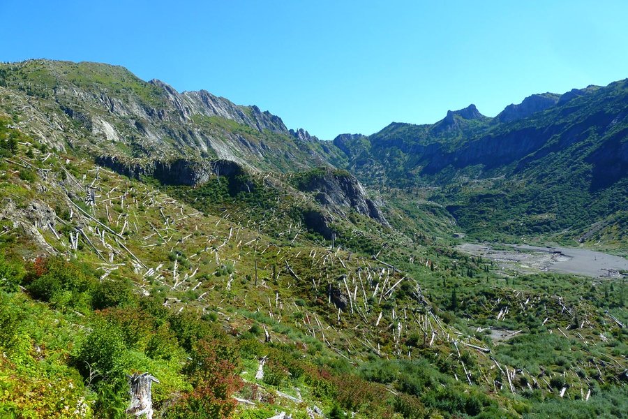
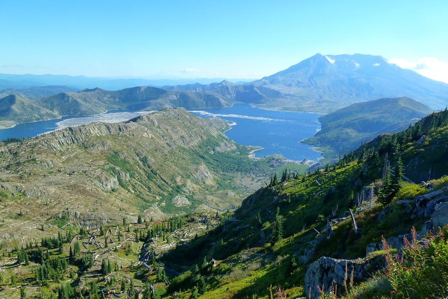
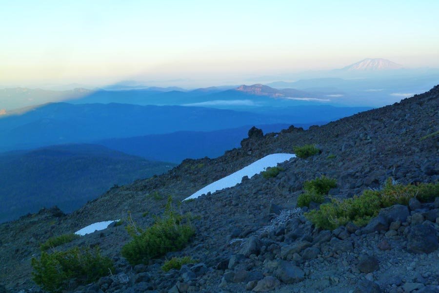
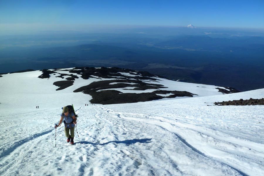
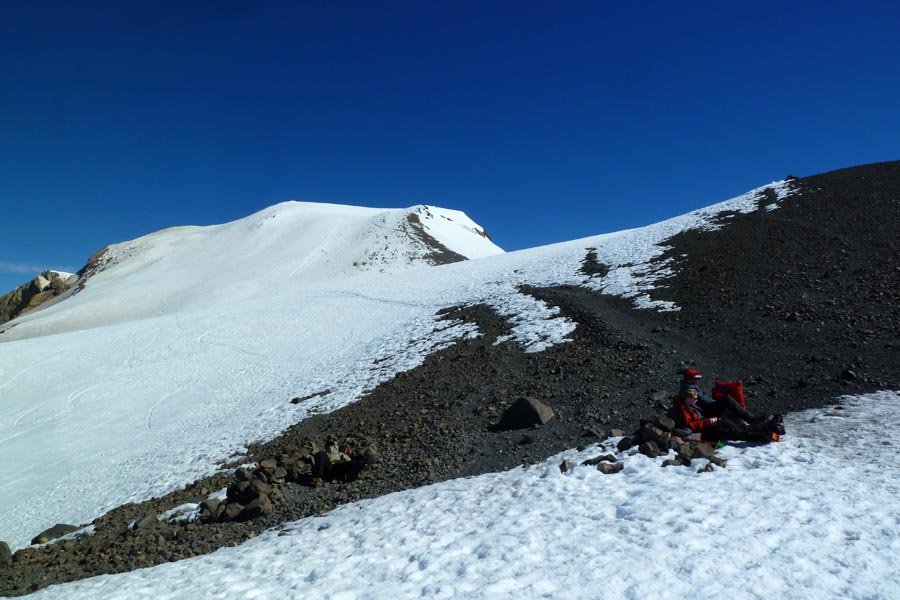
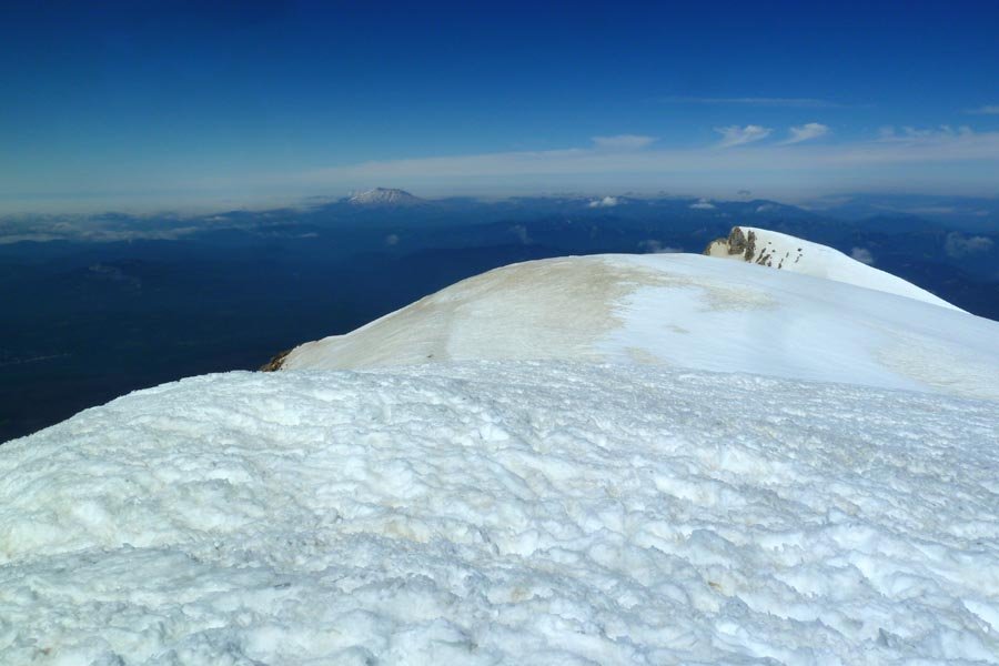
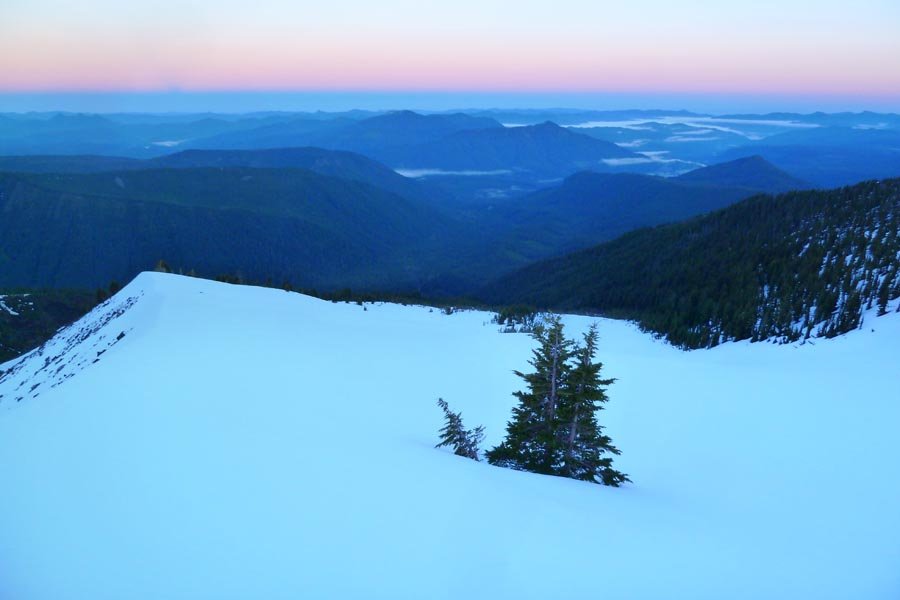
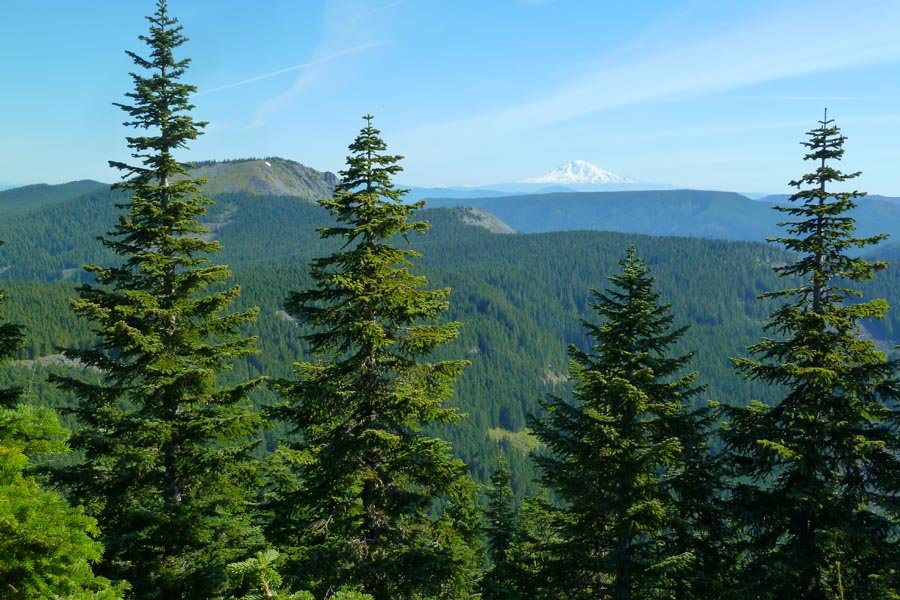
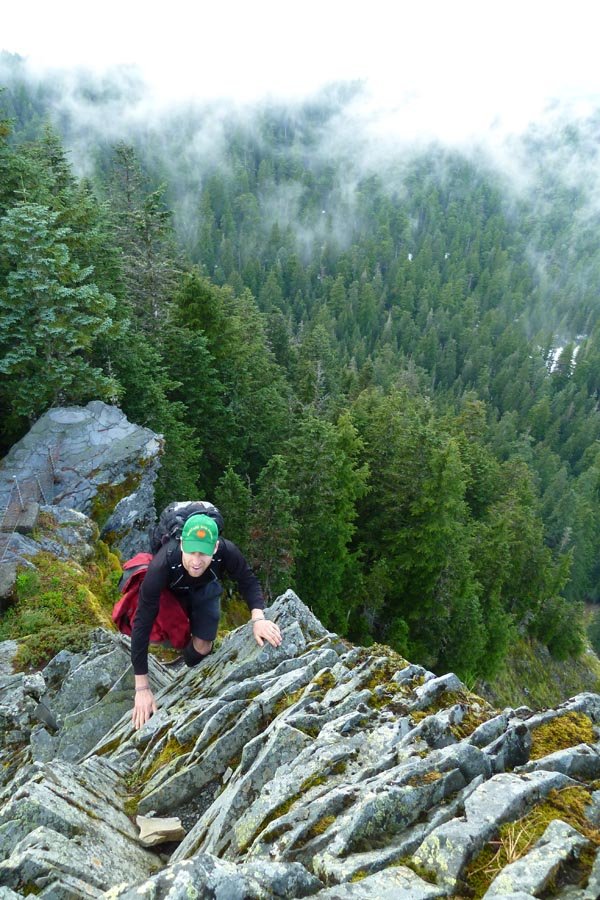
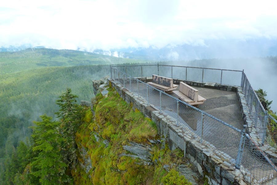
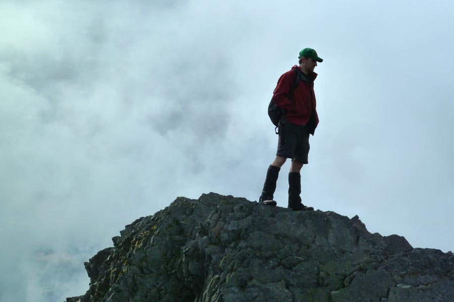
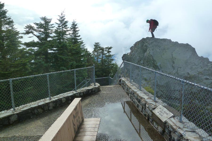
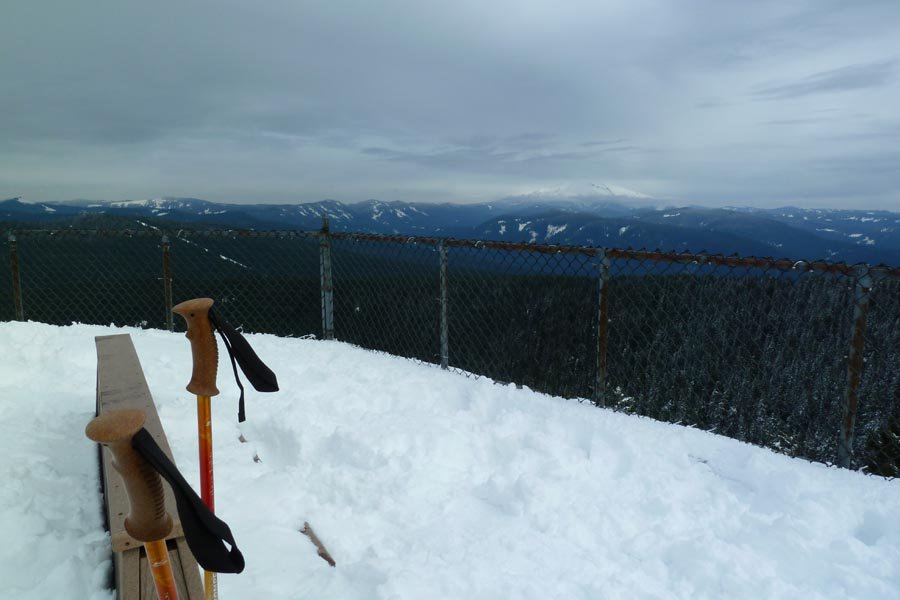
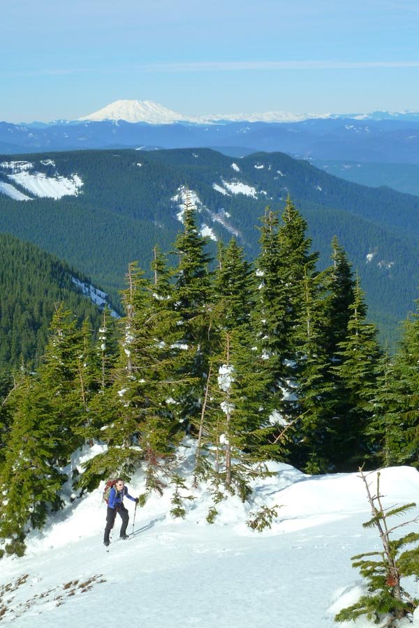
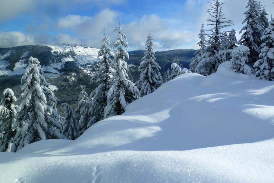
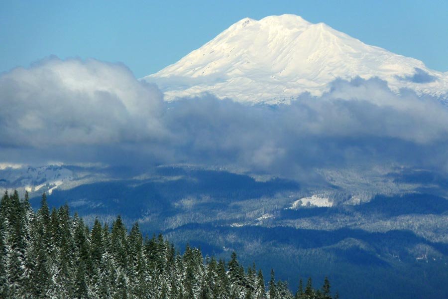
Mt. St. Helens
9 miles of hiking • 4500' elevation gain •
Did a little protest climb while the gov't is shuttered. Light snow, not much ice.
October 13, 2013

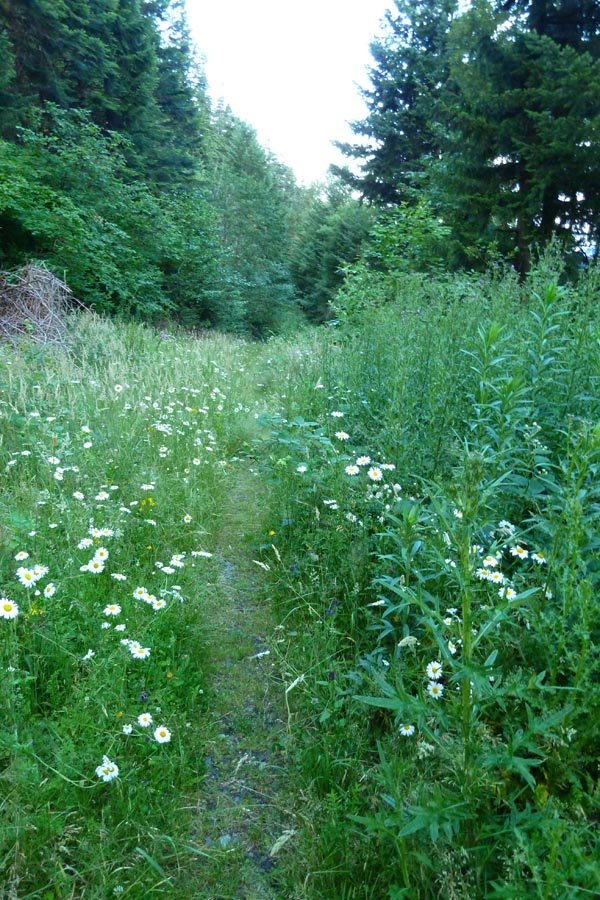
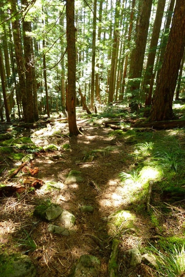
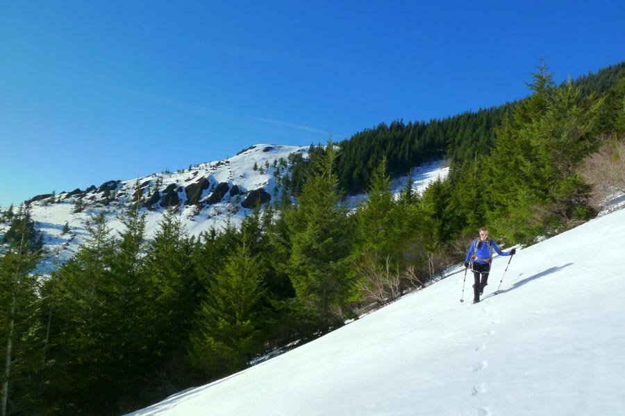
Larch Mountain run
14.5 miles of hiking • 4000' elevation gain •
Quickie trip. Bit of running up and down. 3.5 hrs round trip. Beautiful day, very crowded - even though it's fall, you forget the road is still open.
October 5, 2013

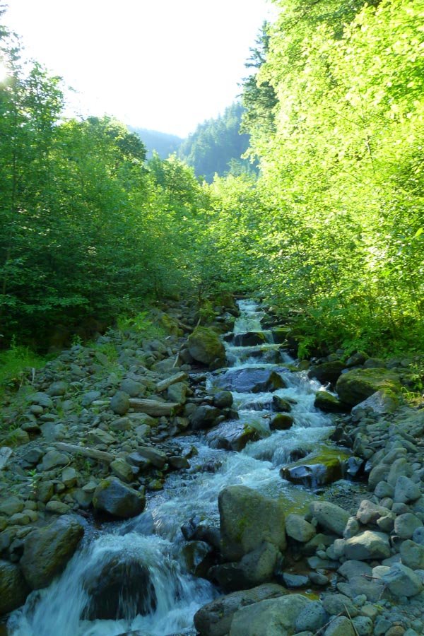
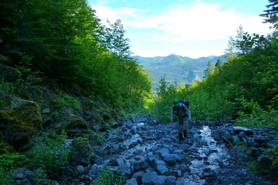
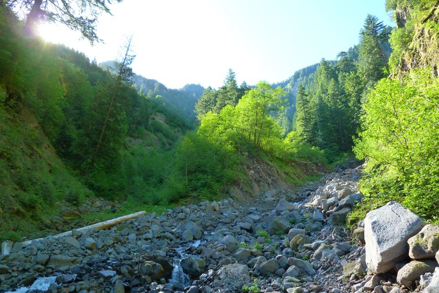
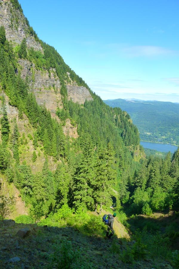
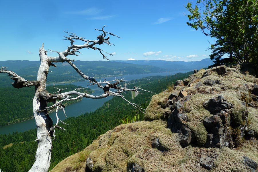
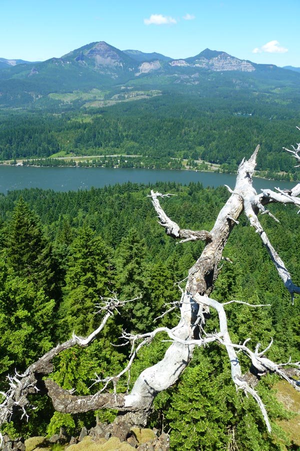
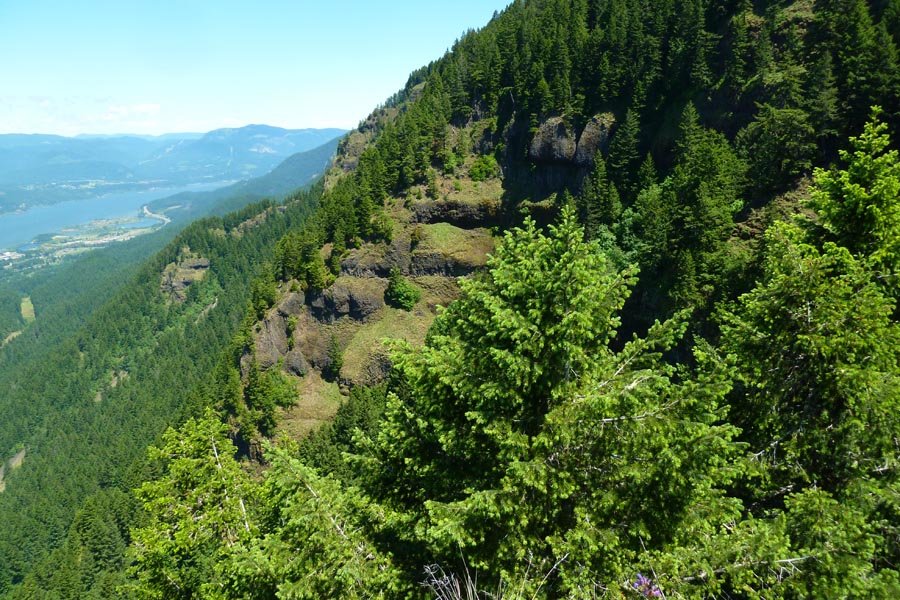
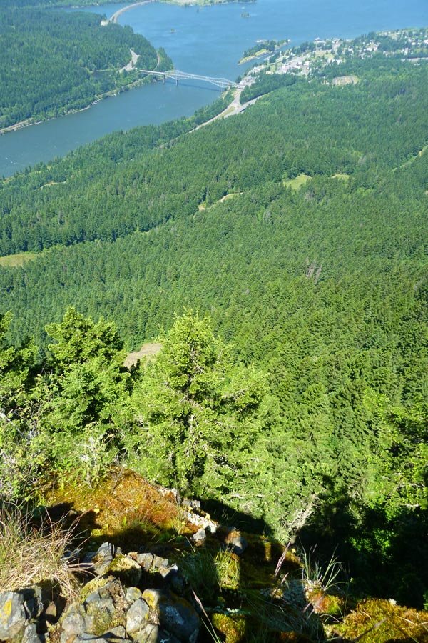
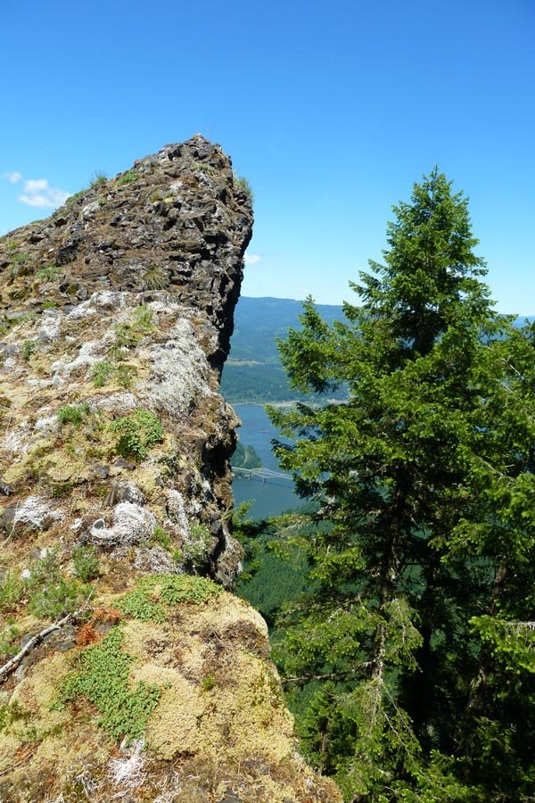
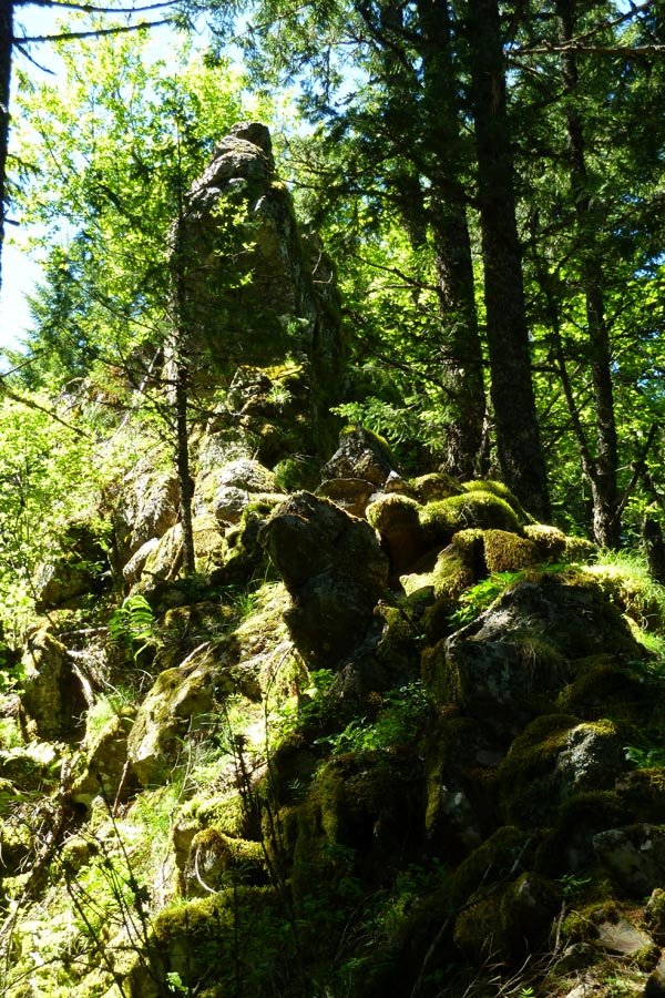
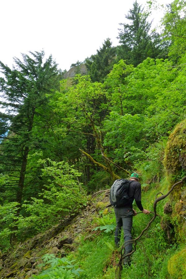
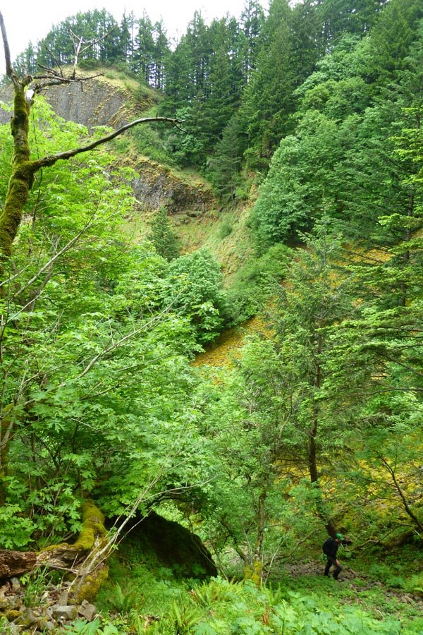
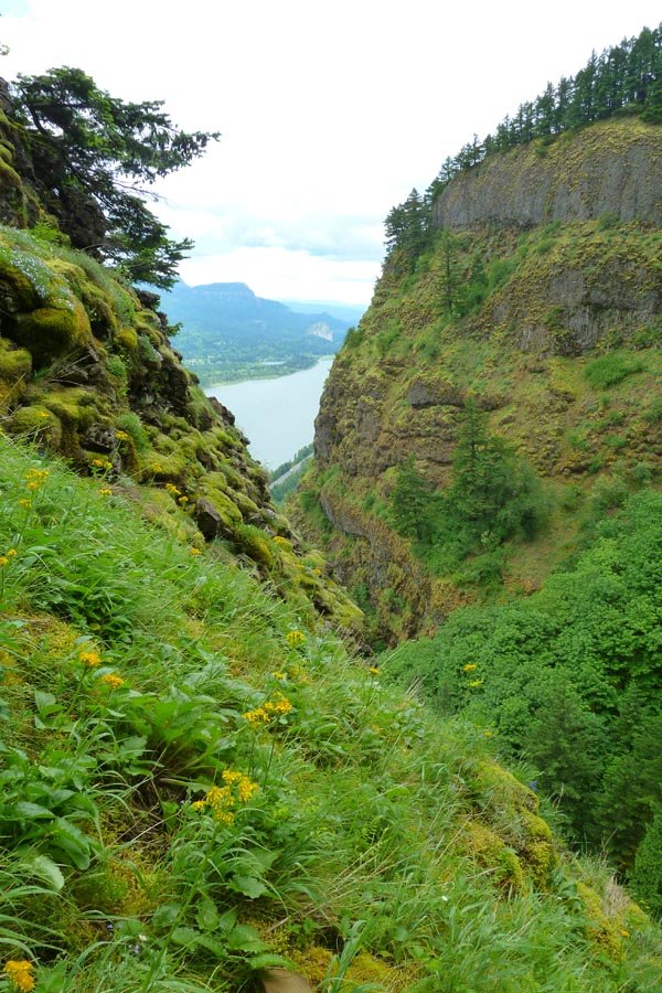
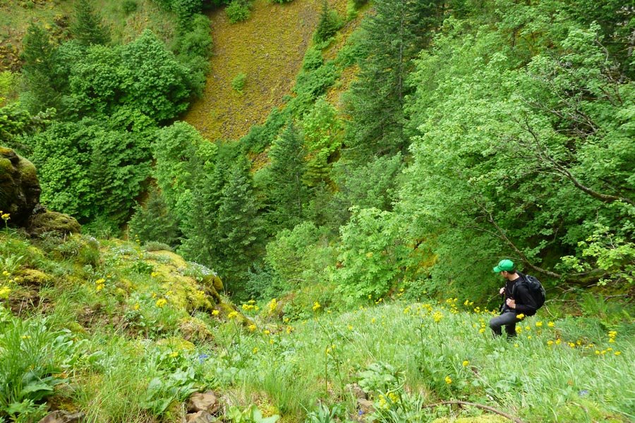
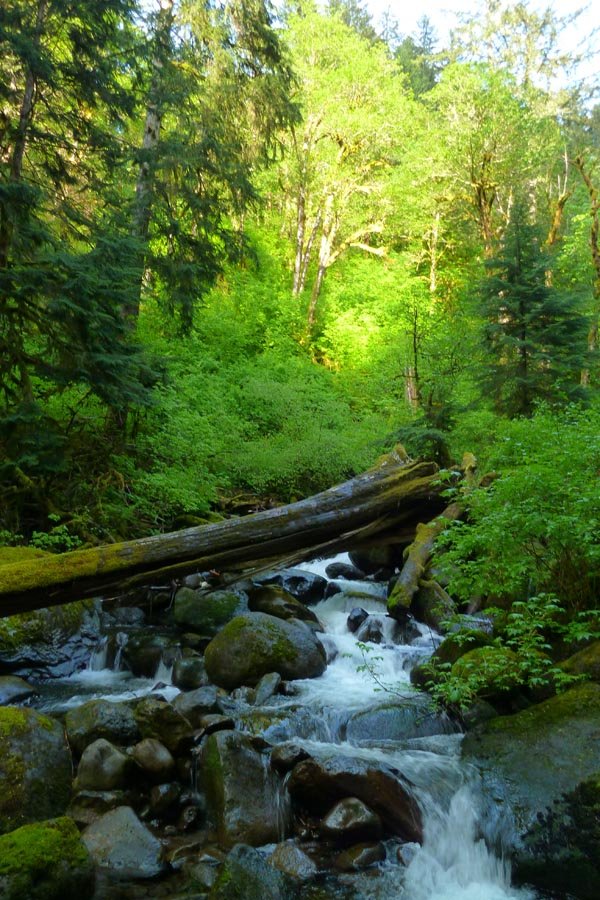
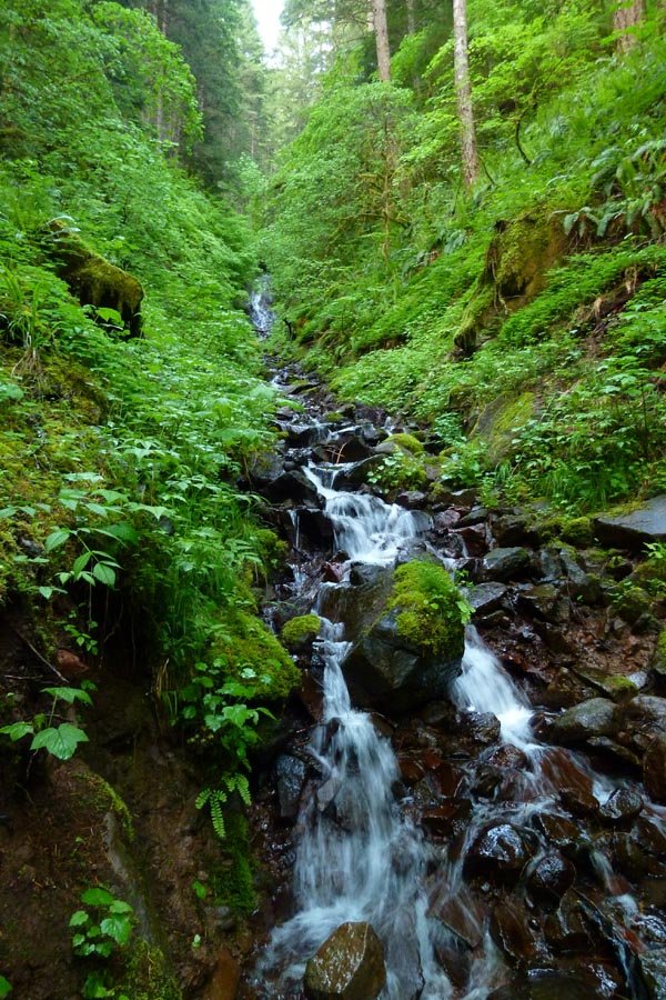
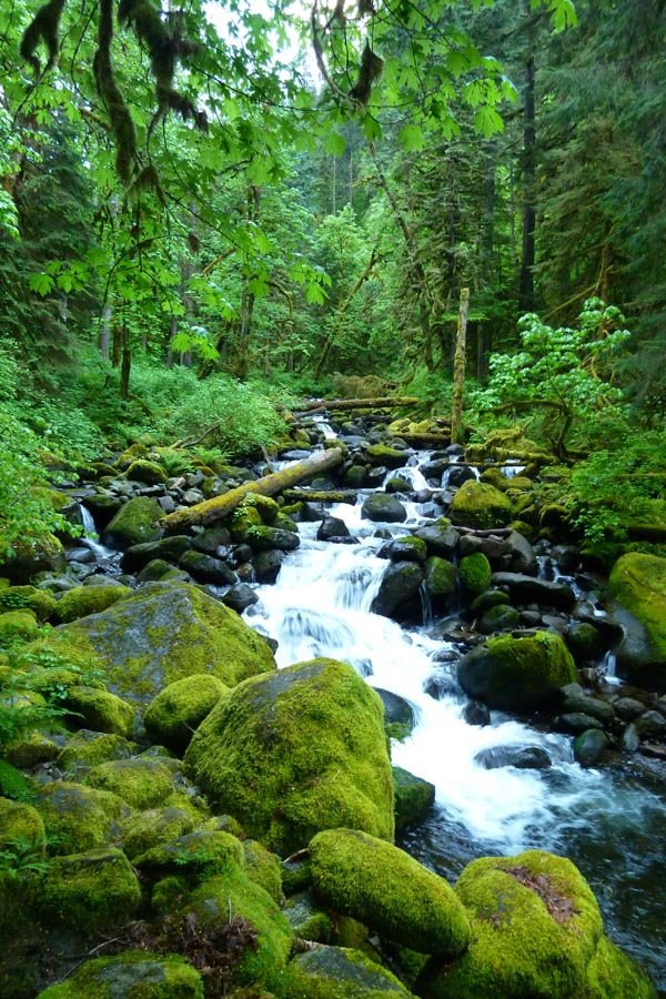
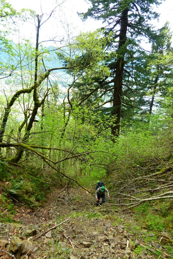
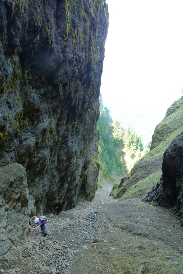
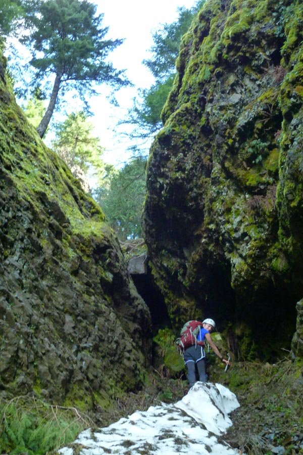
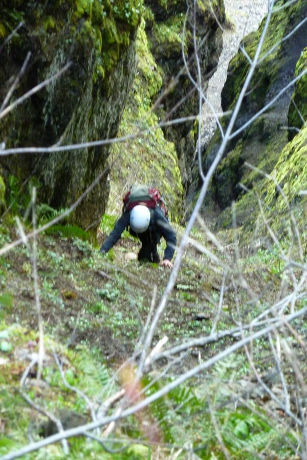
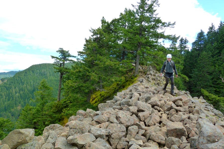
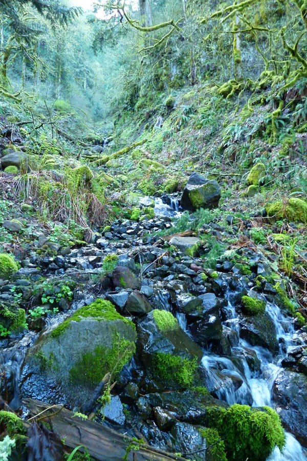
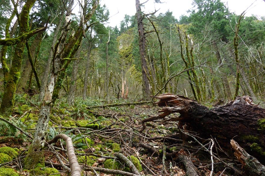
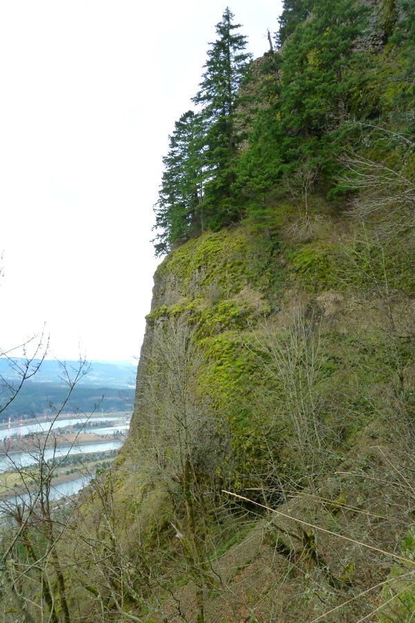
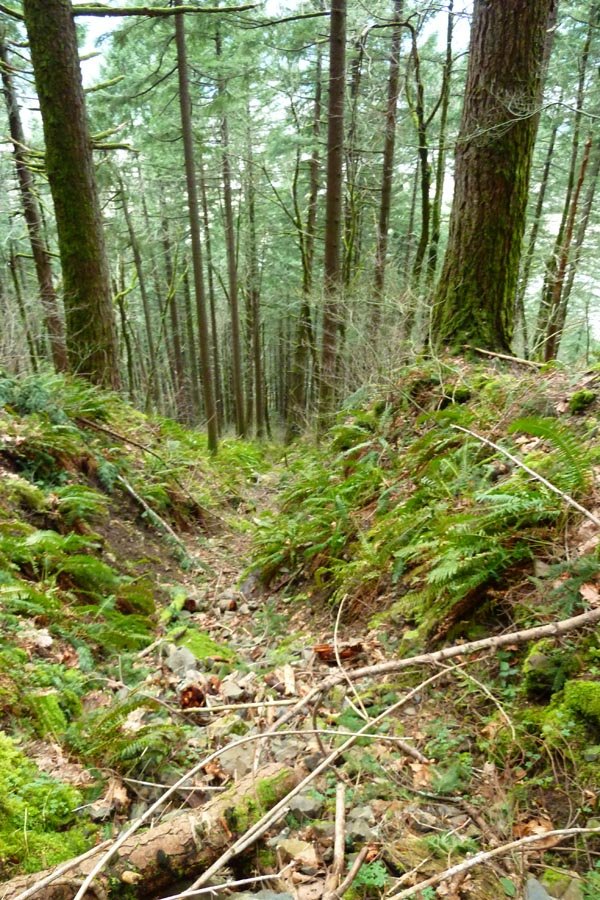
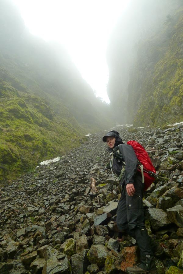
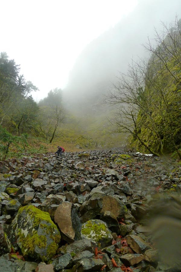
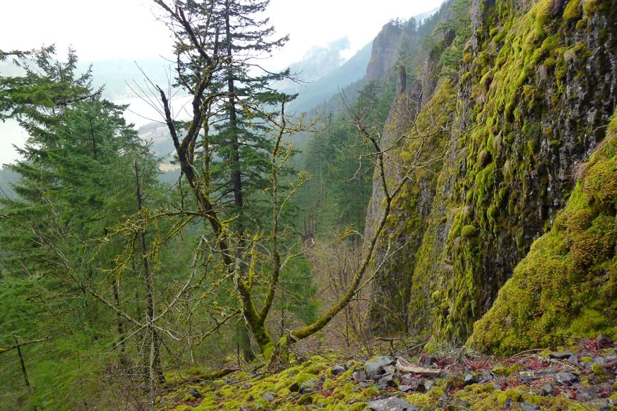
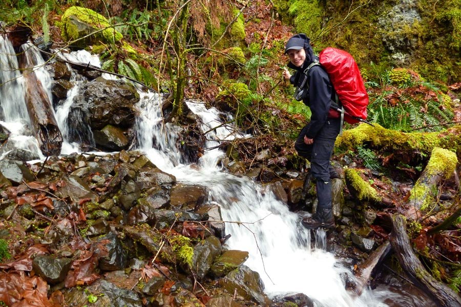
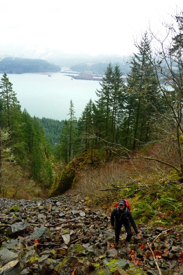
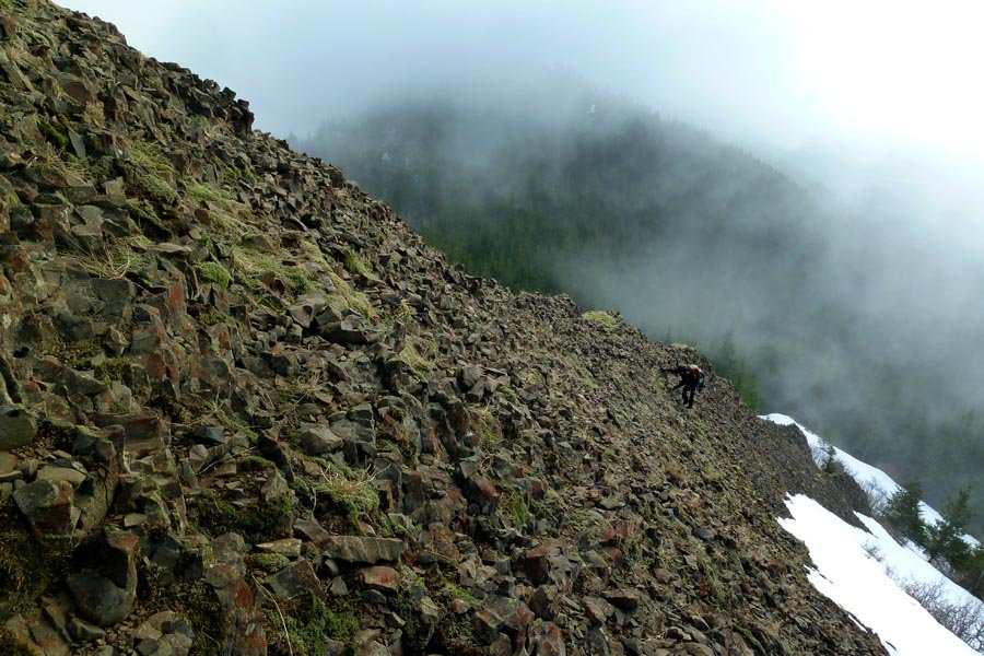
3rd Indian Point Gully
10 miles of hiking • 3000' elevation gain •
From Herman Creek TH to Indian Point via the 3rd gully. Decided to come back early rather than keep going with limited time, and in doing so, just missed the rain.
September 21, 2013
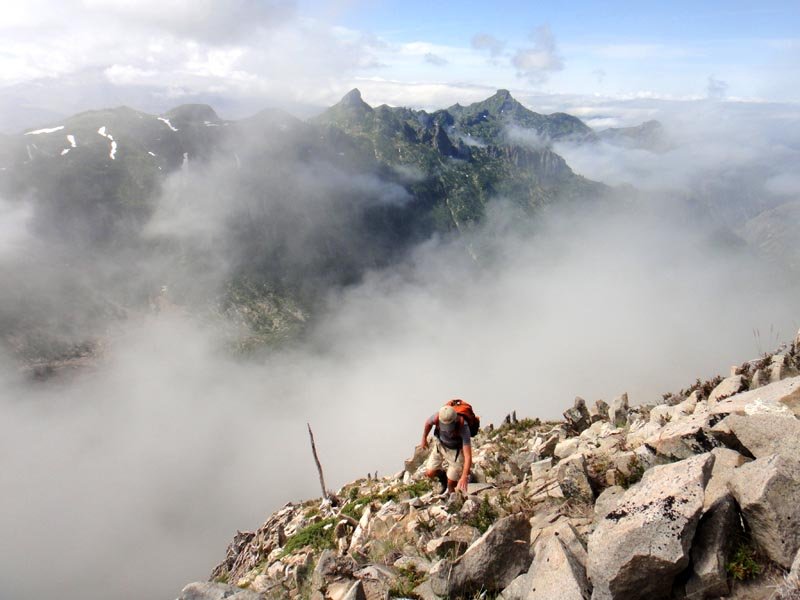
 1
1
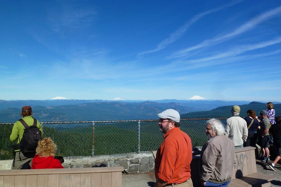
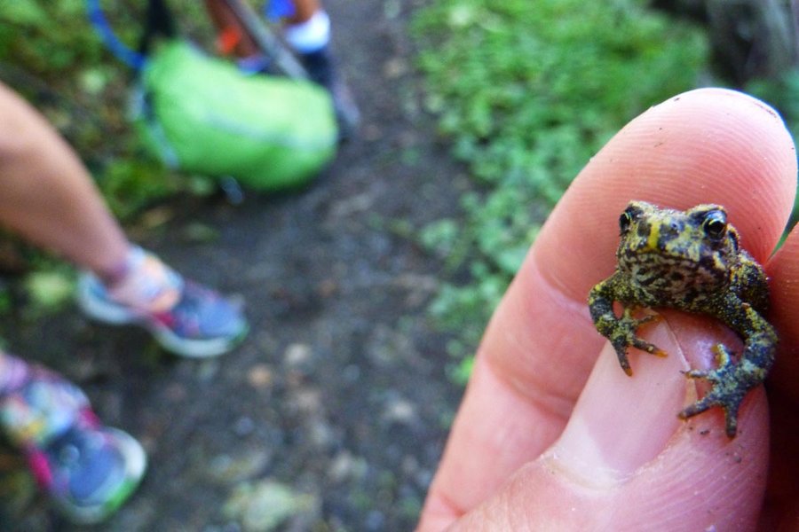
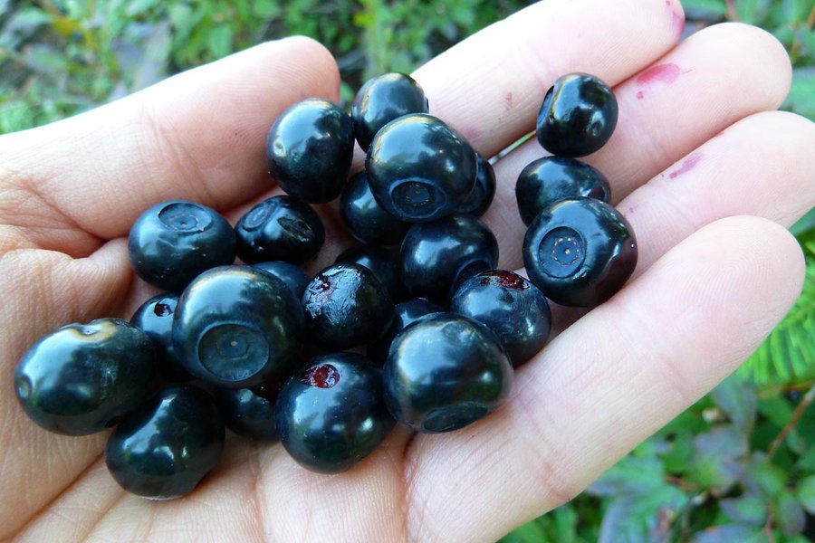
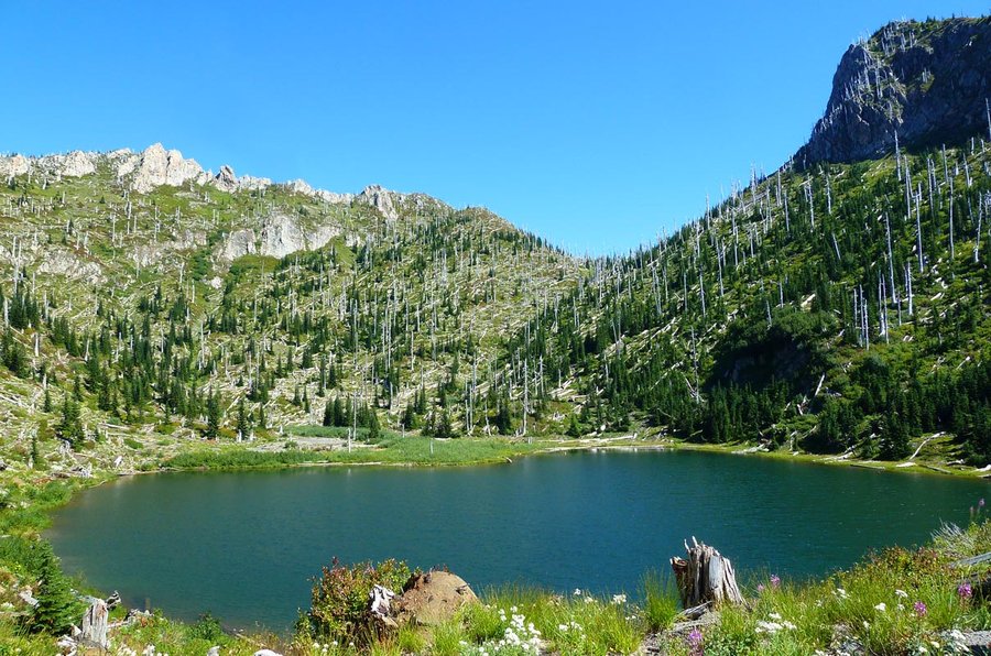
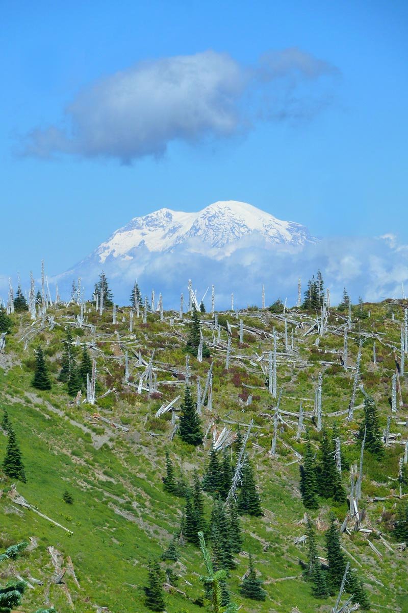
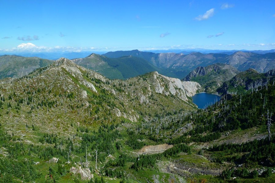
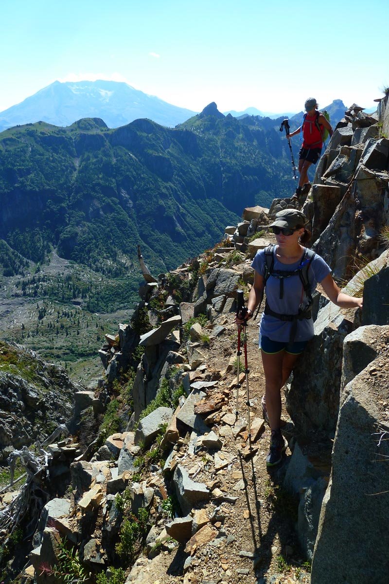
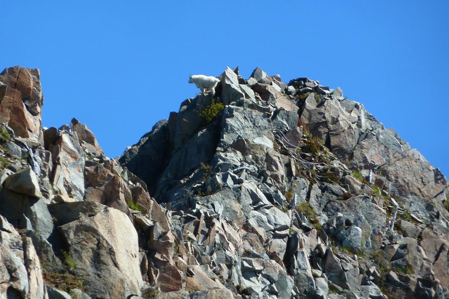
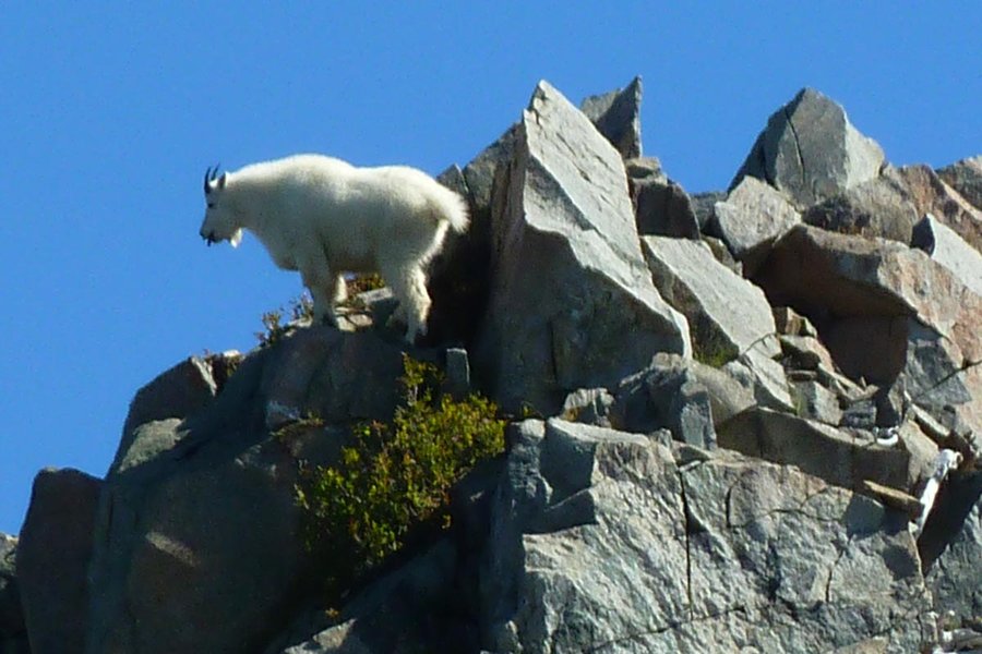
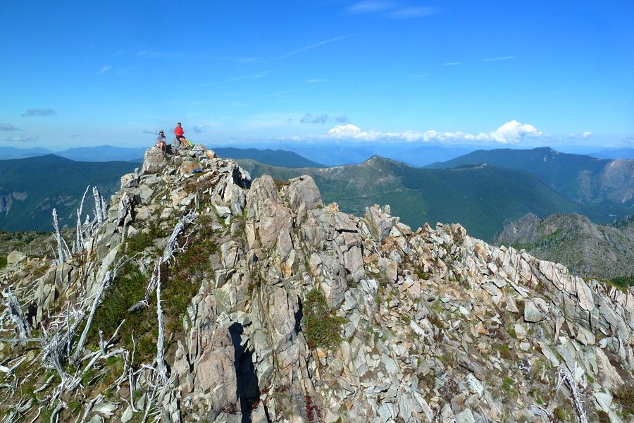
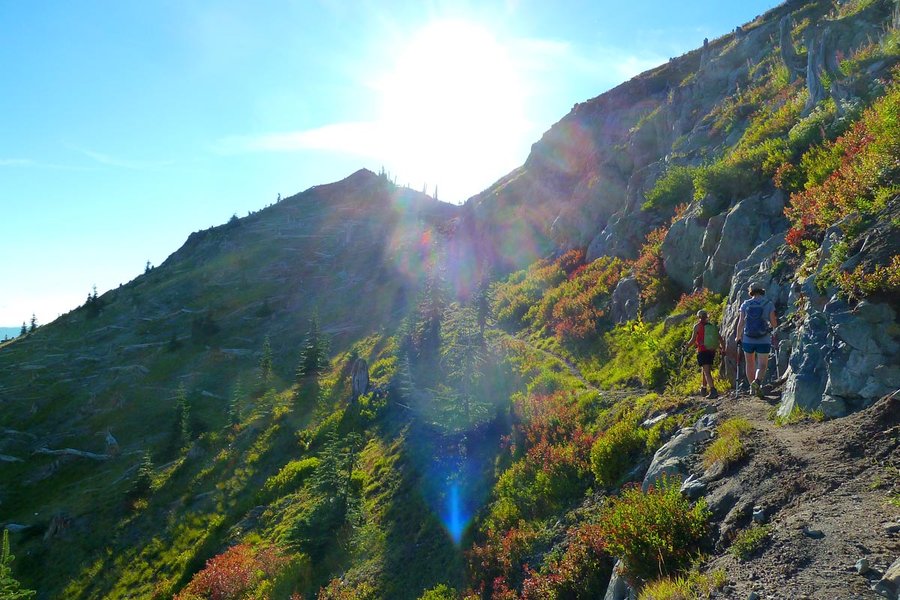
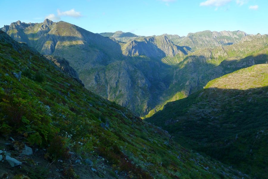
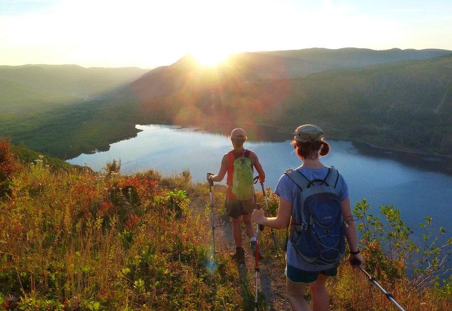
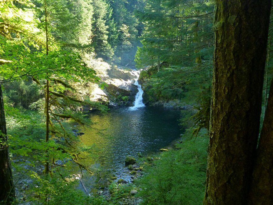
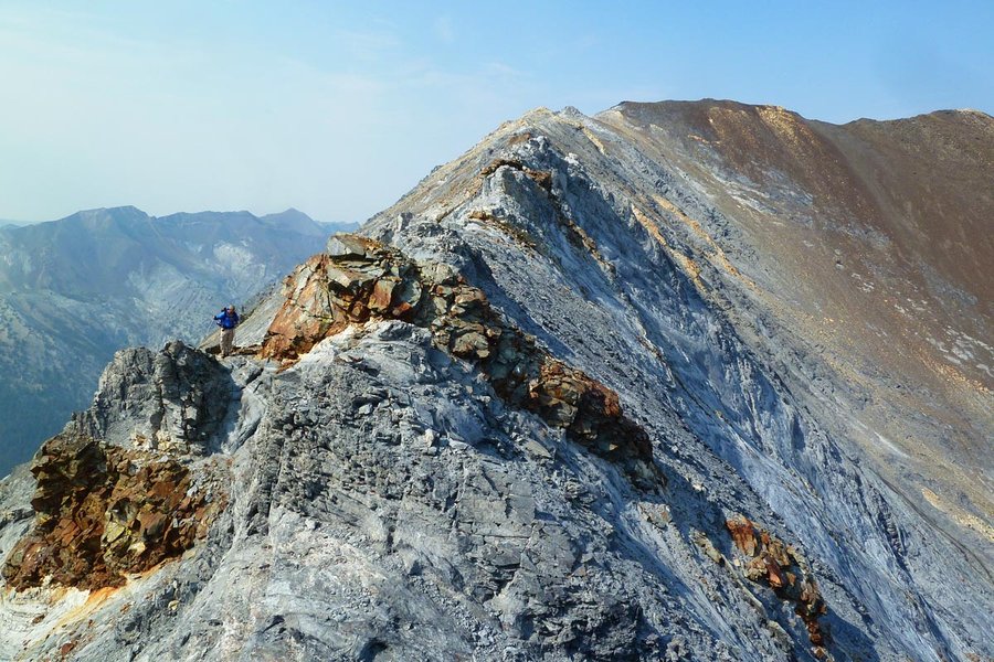
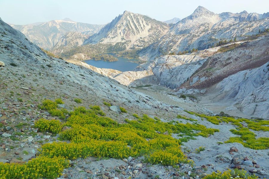
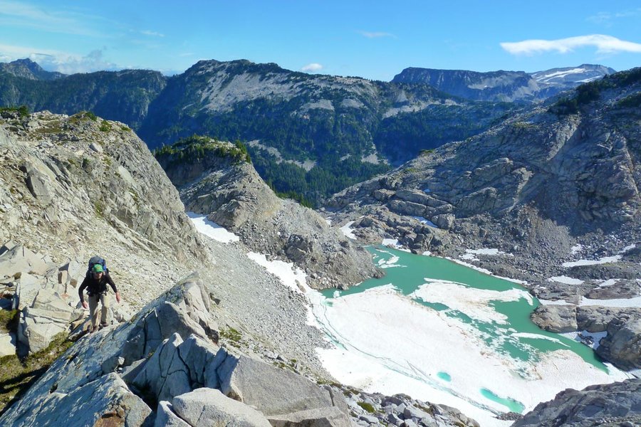
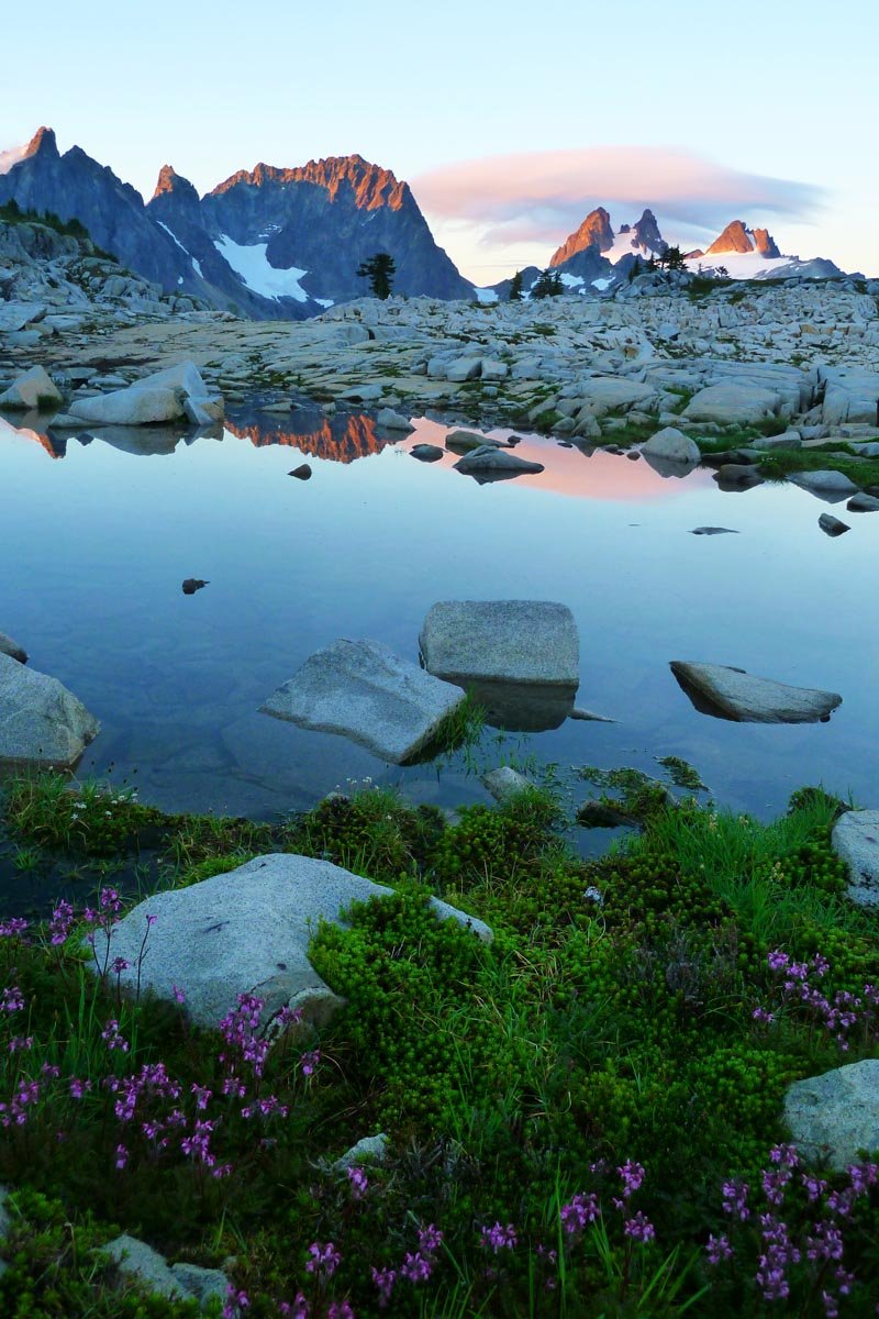
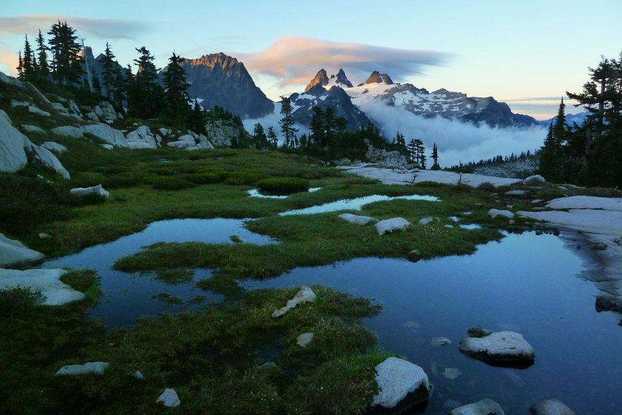
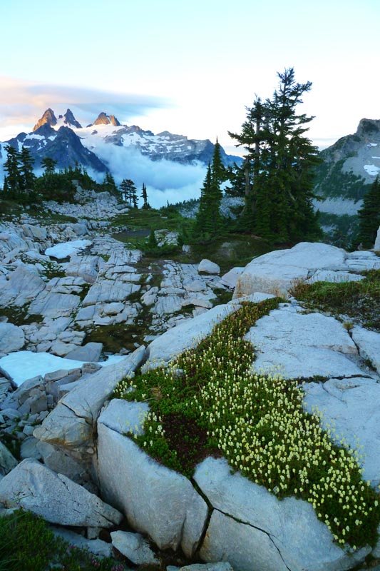
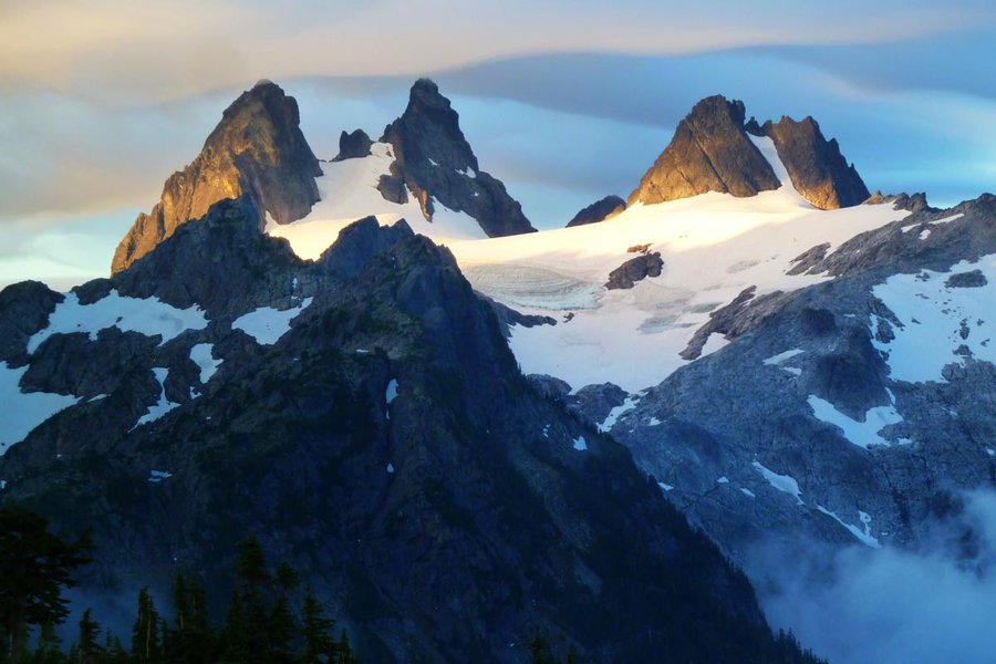
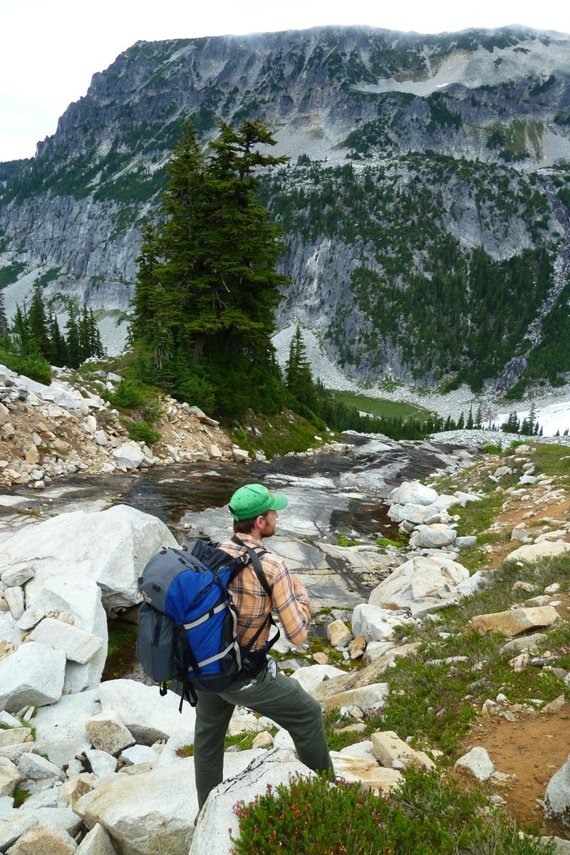
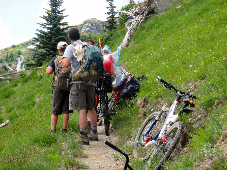
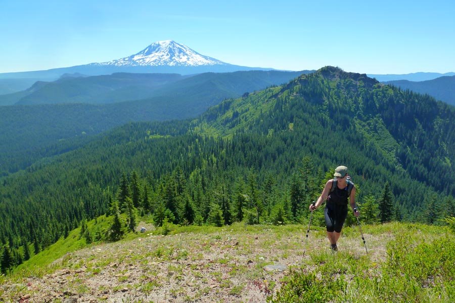
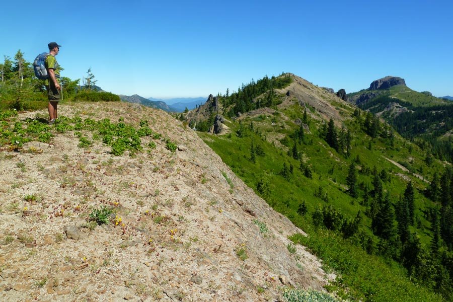
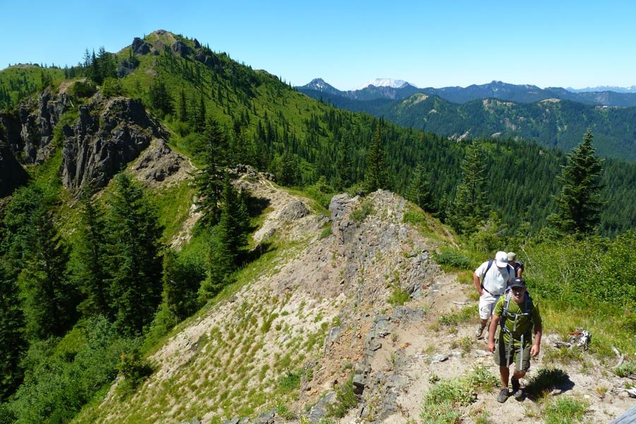
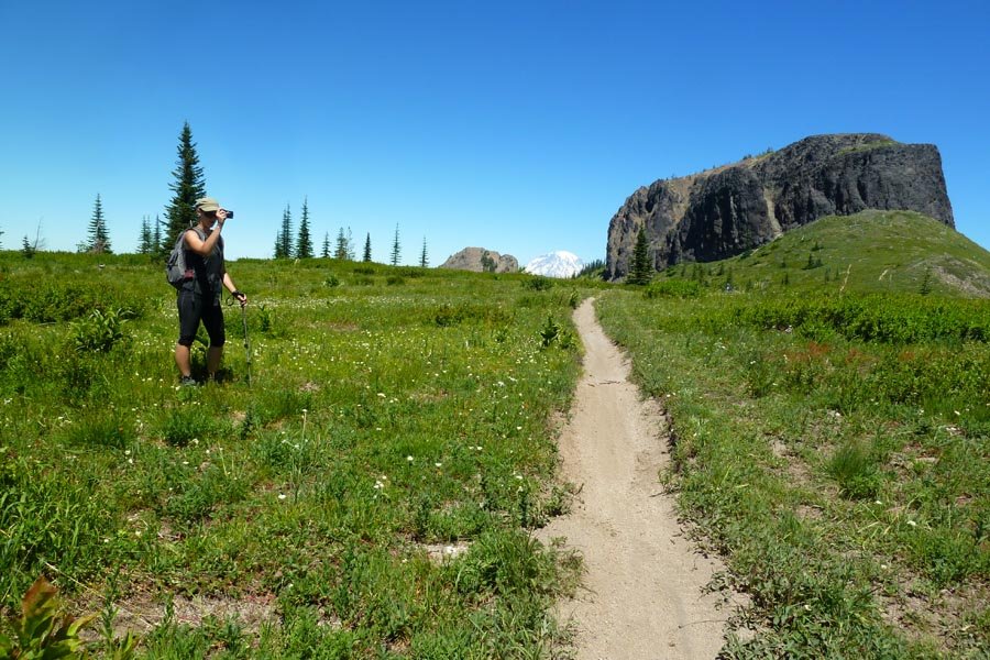
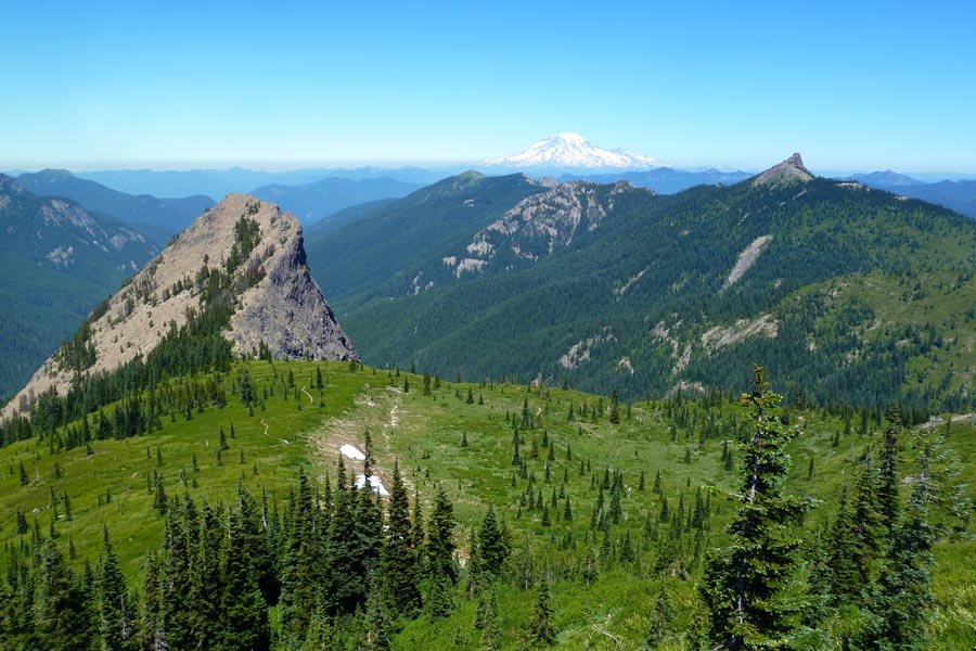
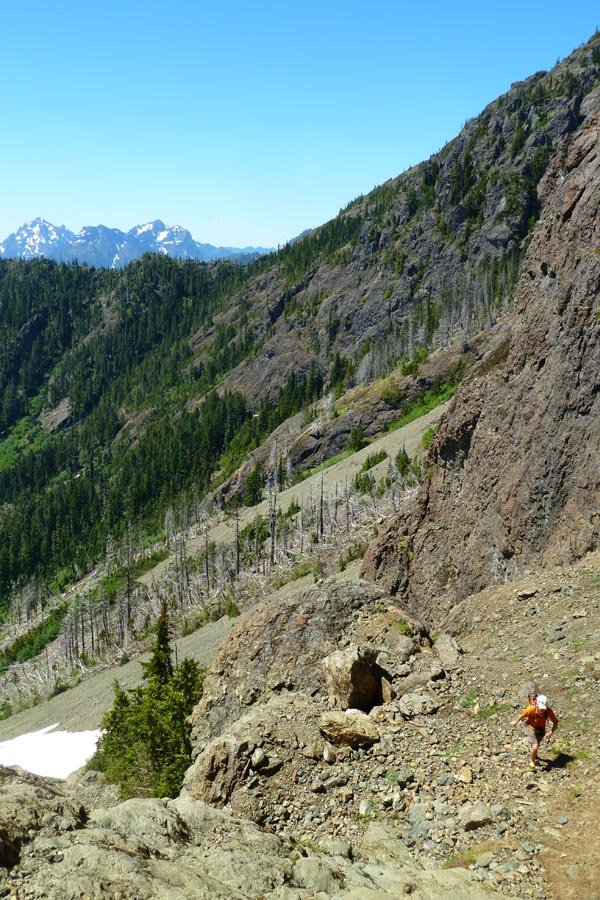
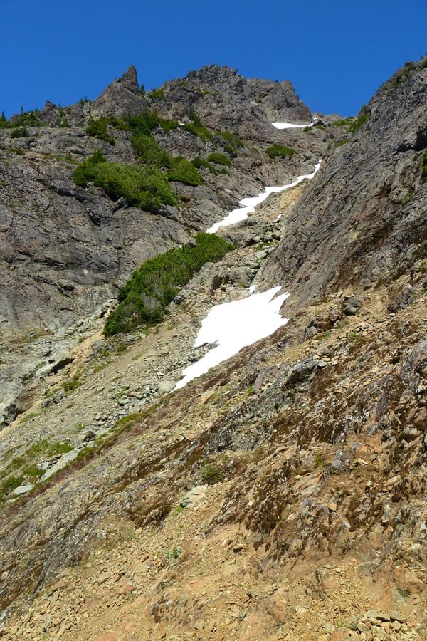
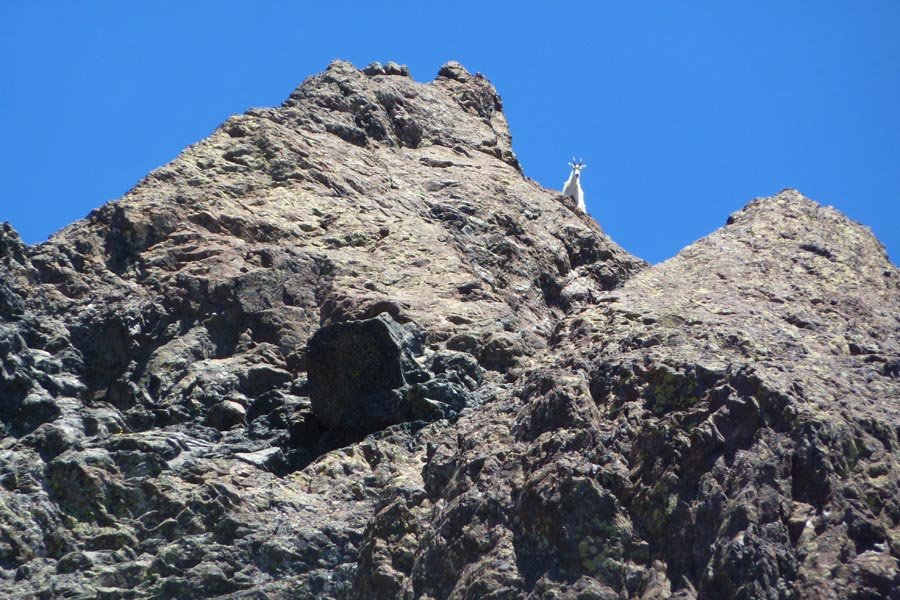
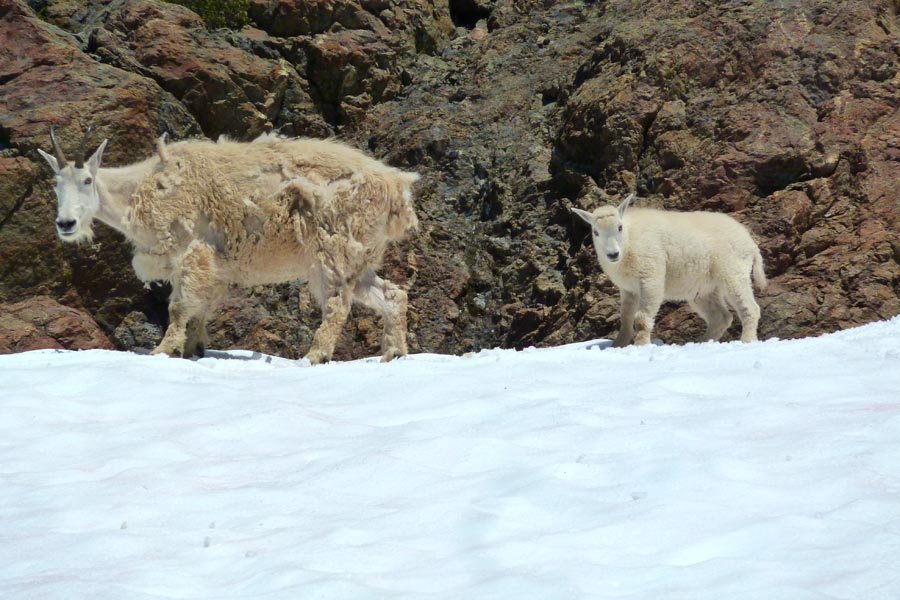
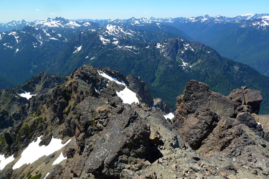
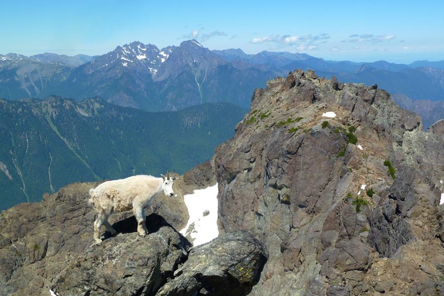
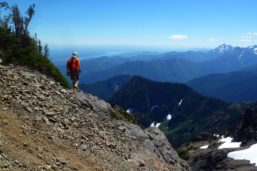
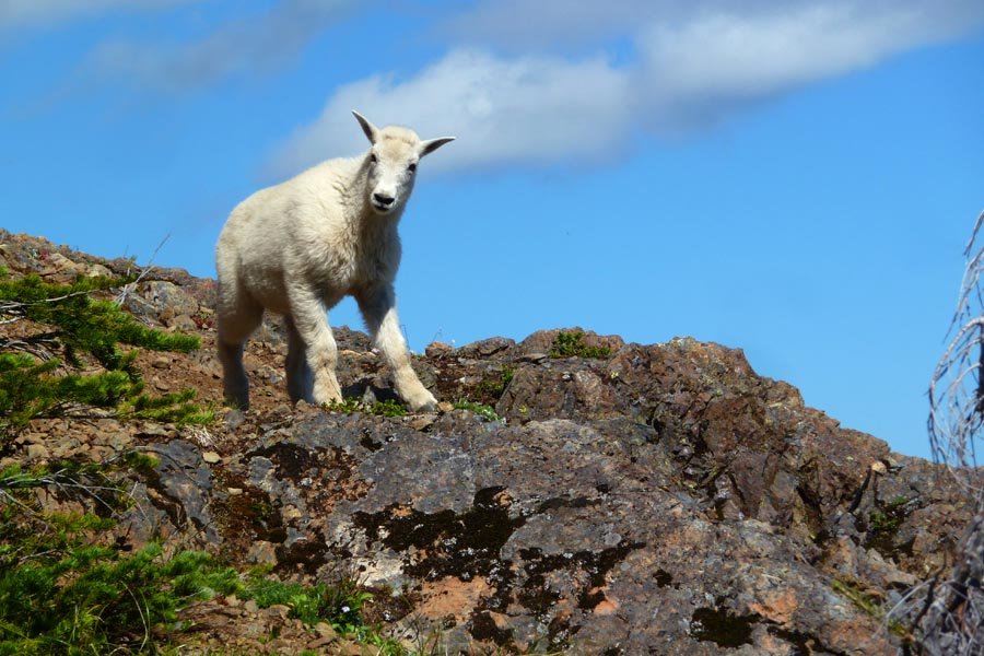
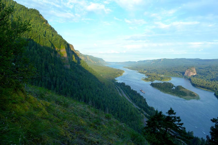
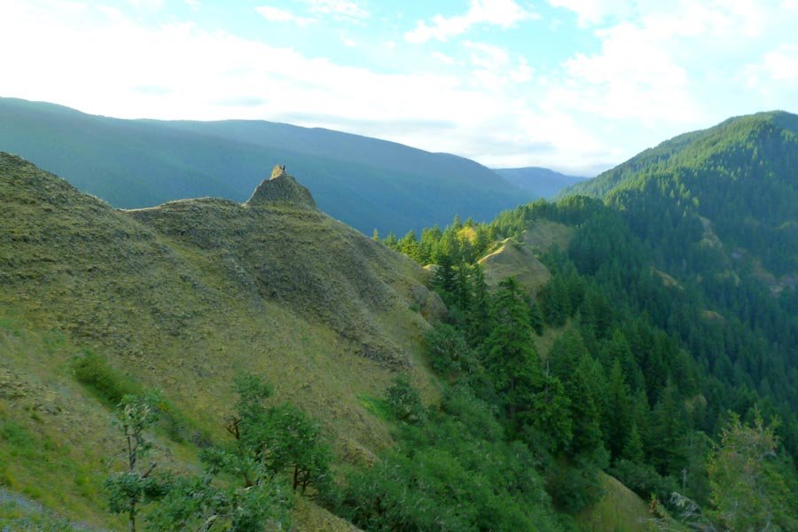
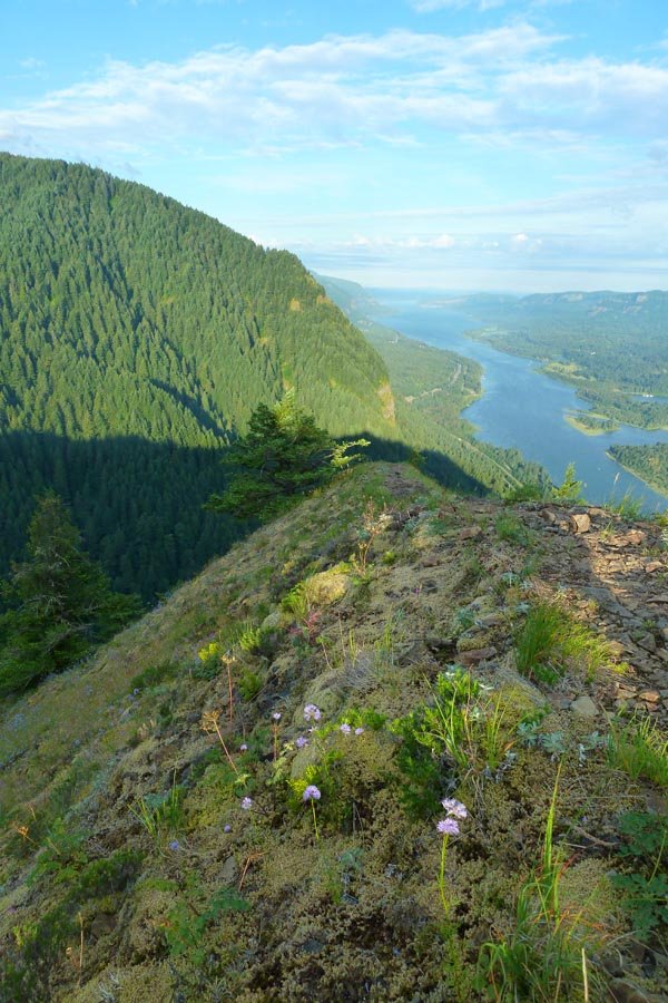
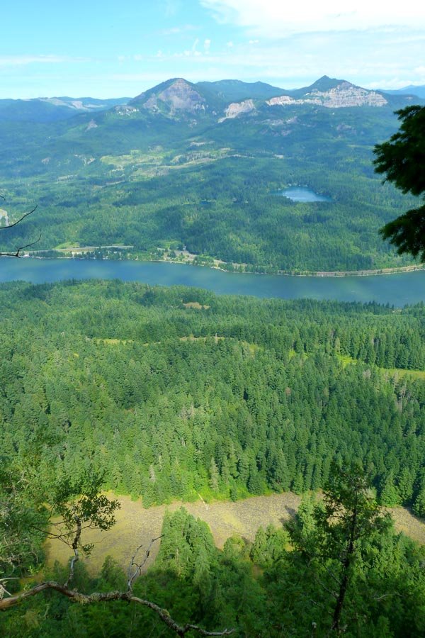
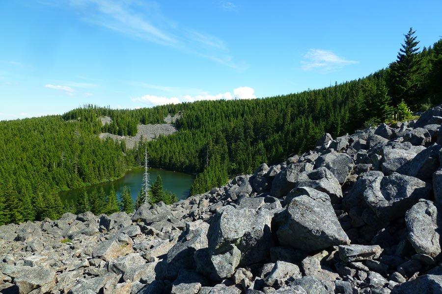
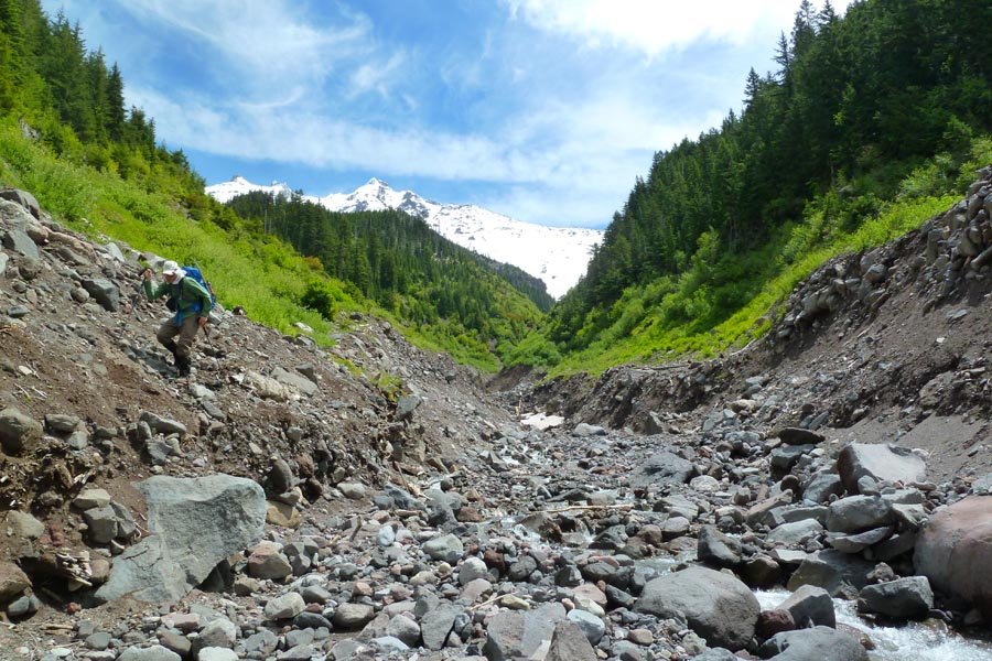
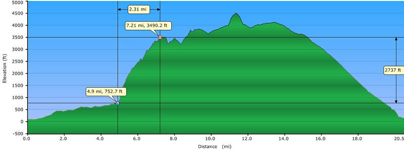
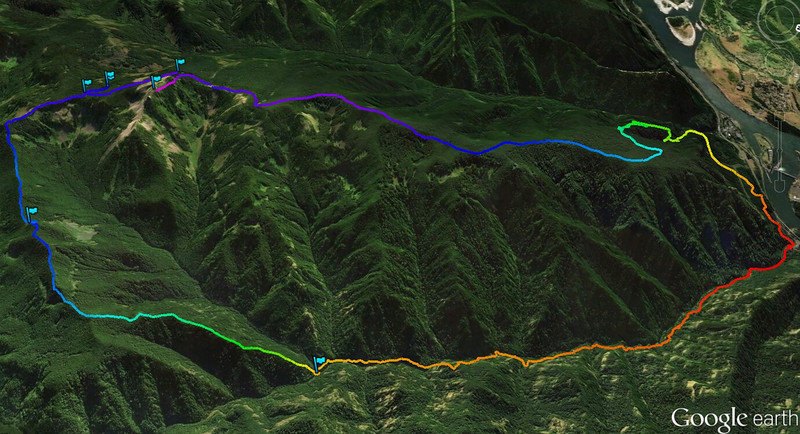
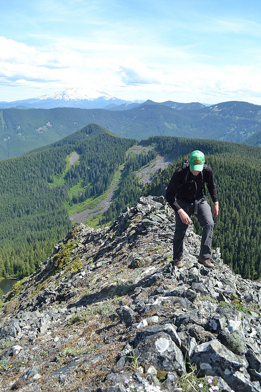
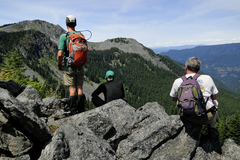
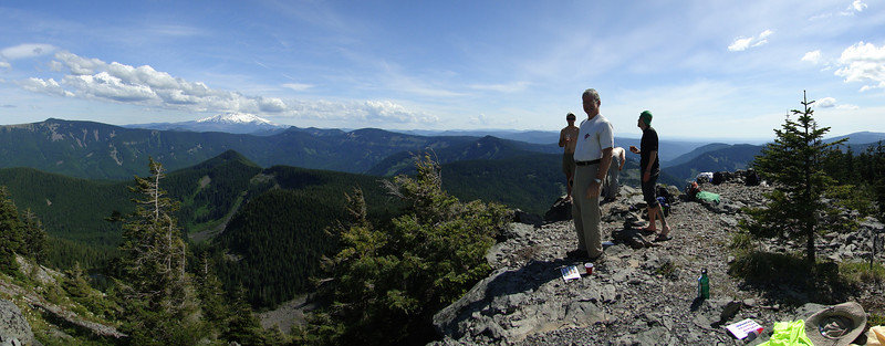
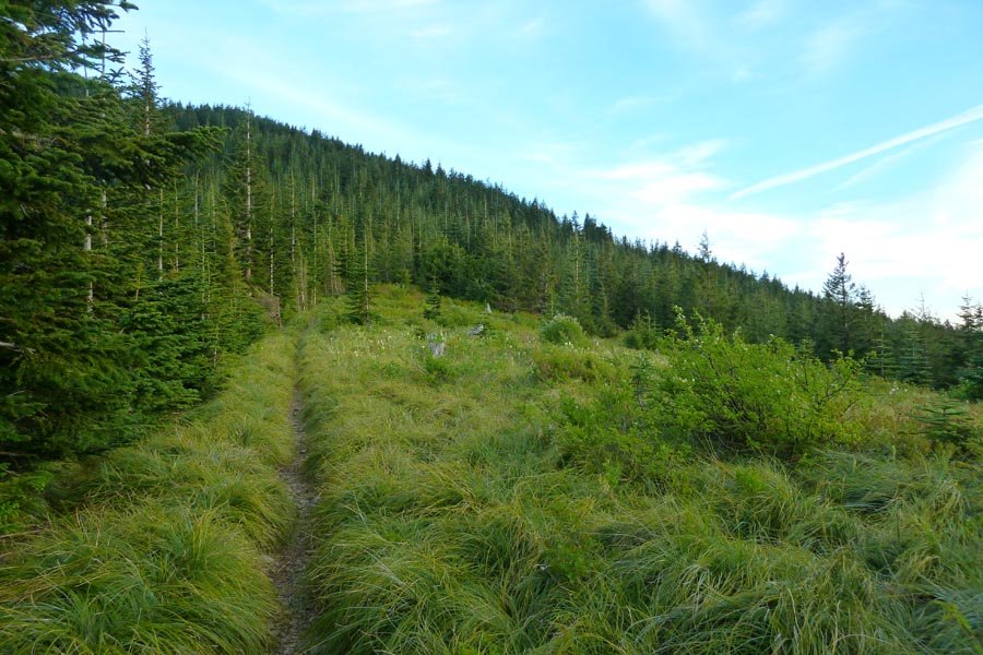
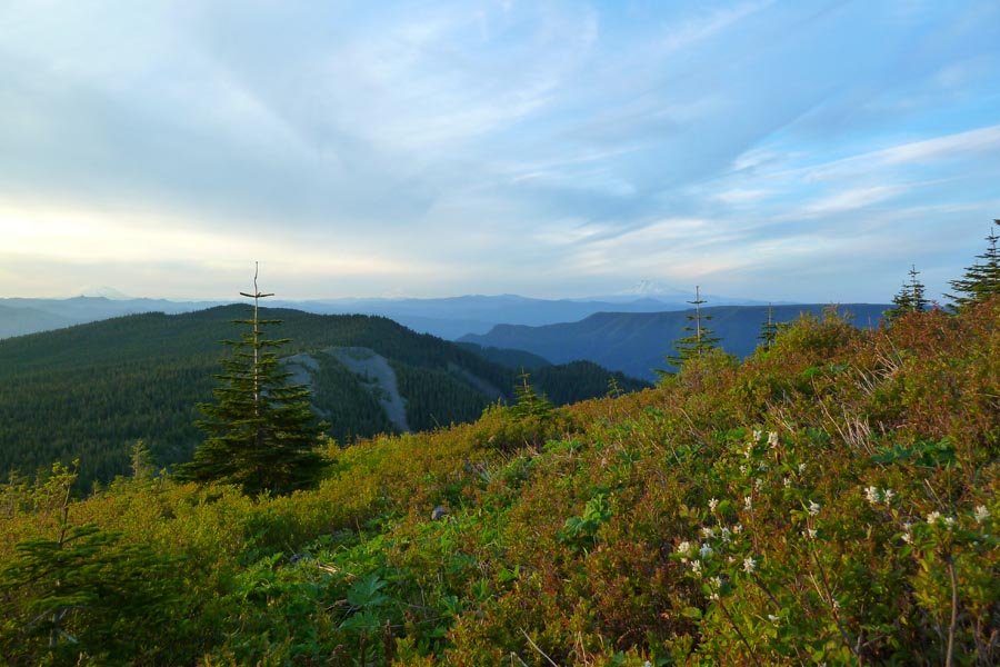
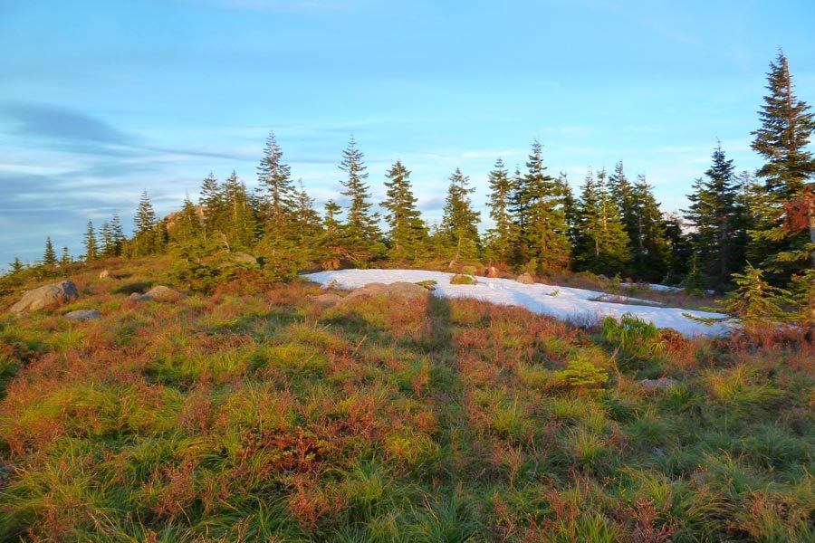
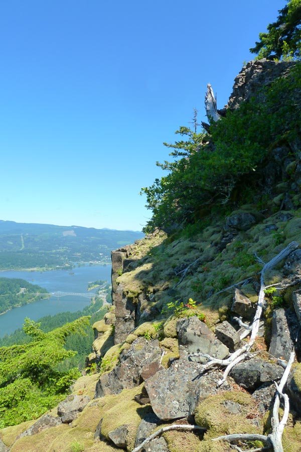
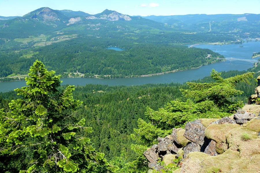
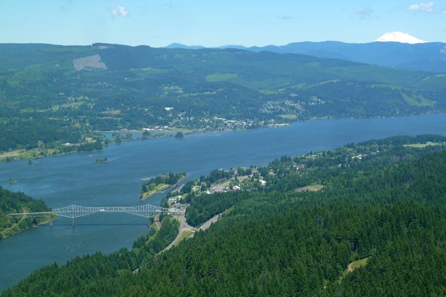
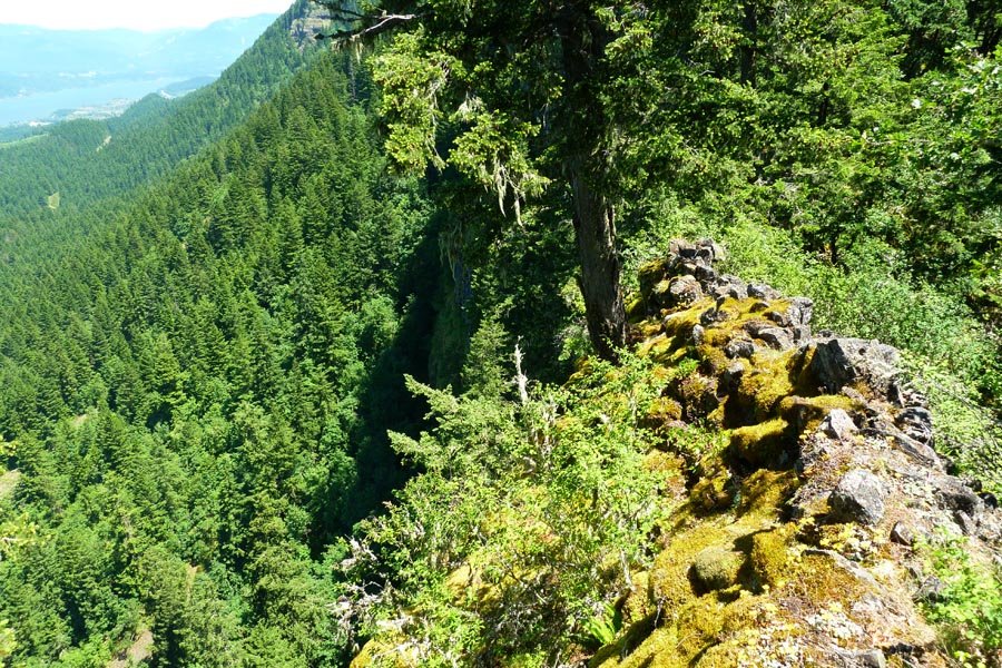
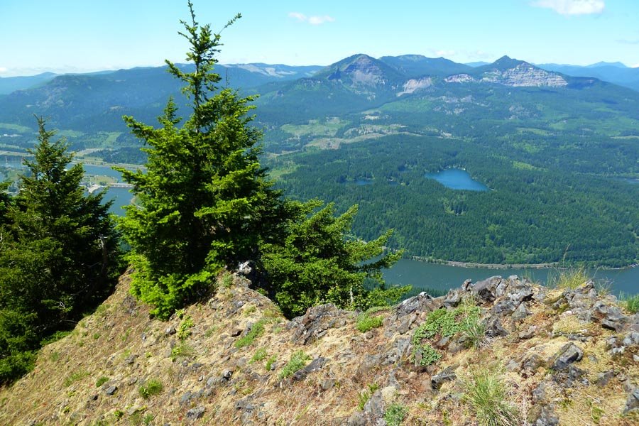
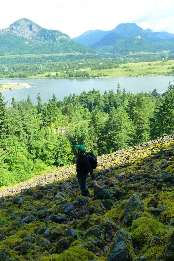
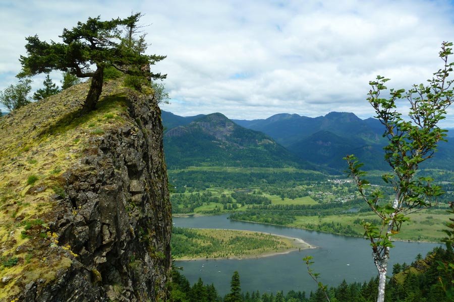
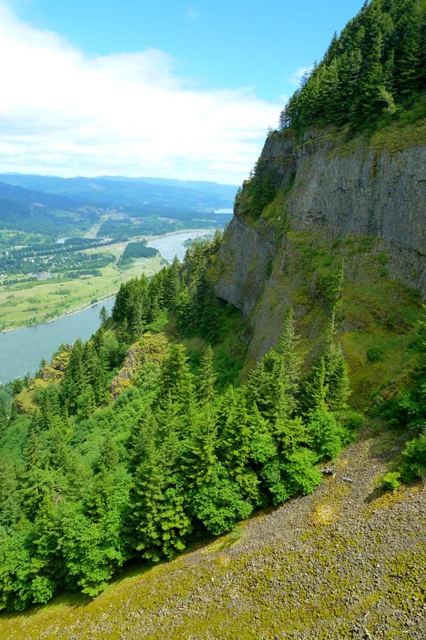
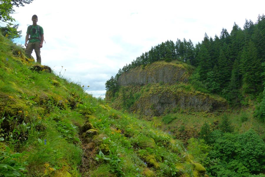
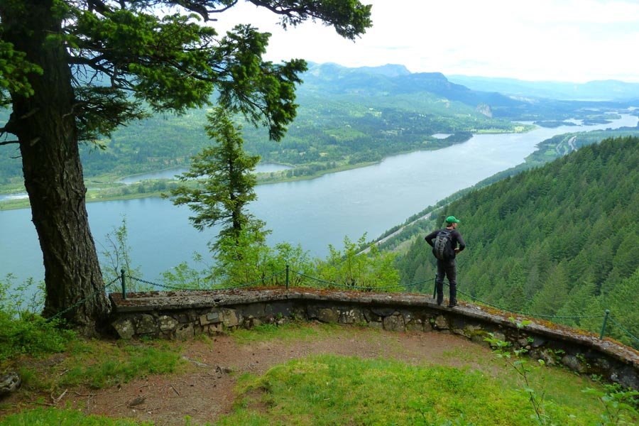
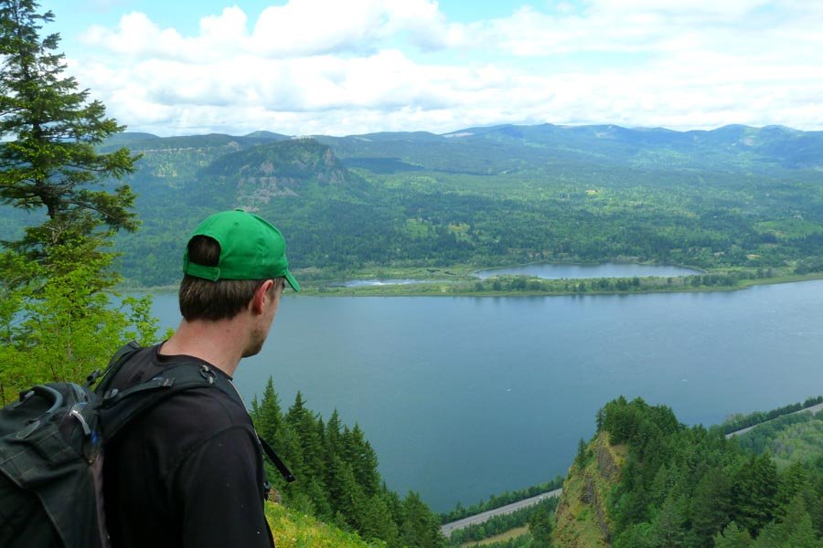
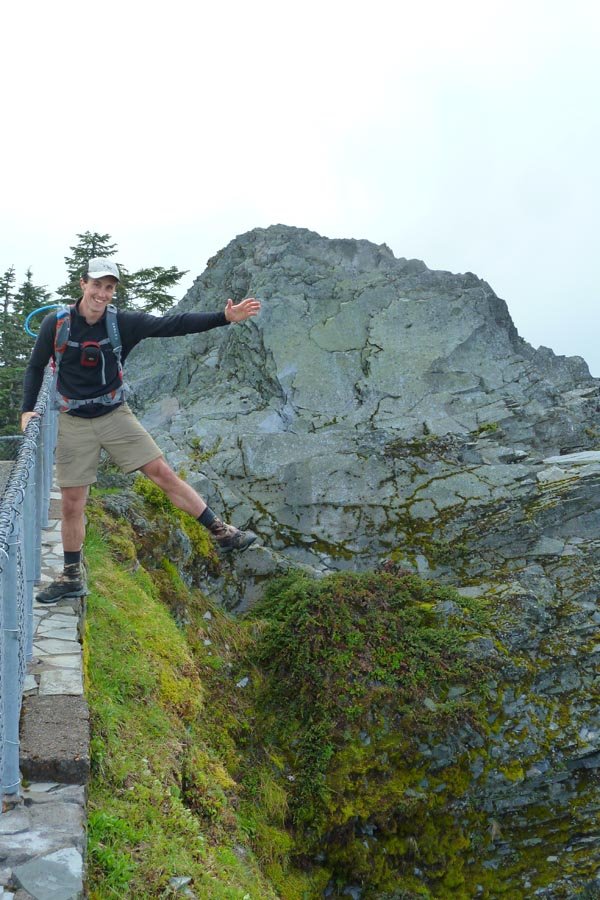
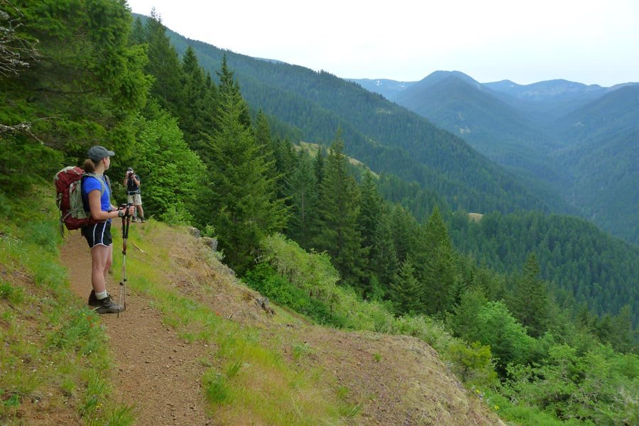
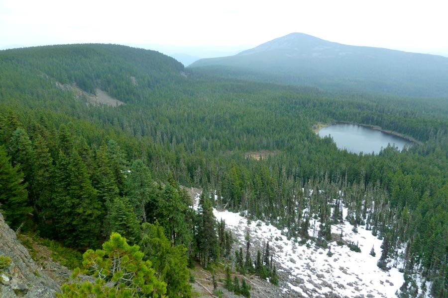
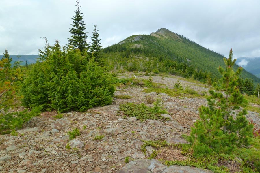
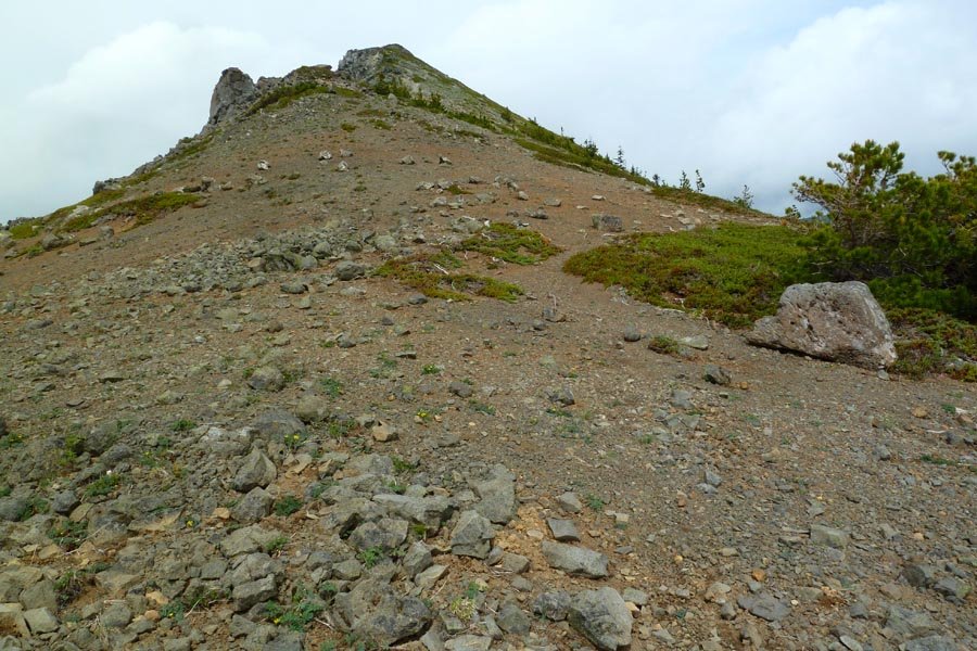
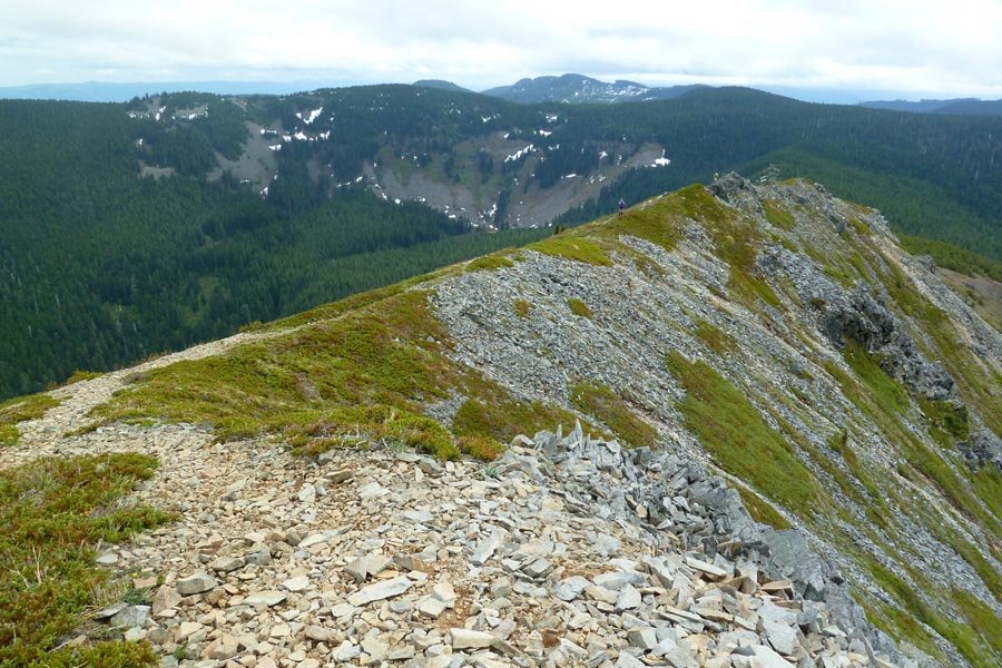
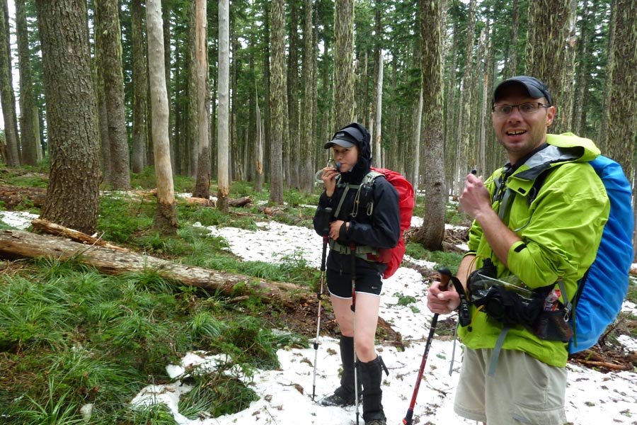
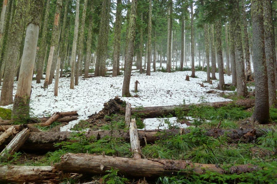
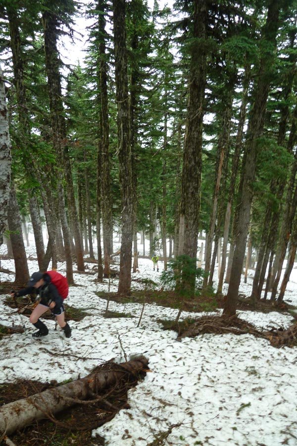
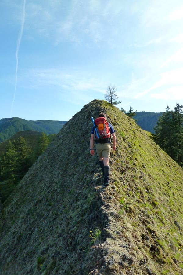
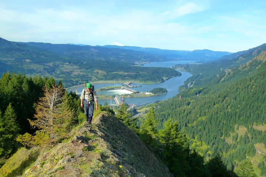
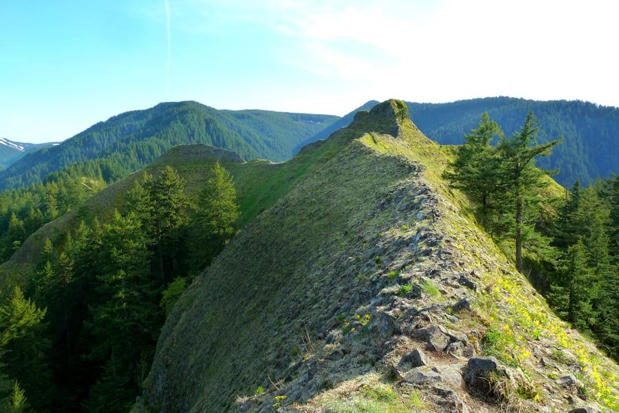
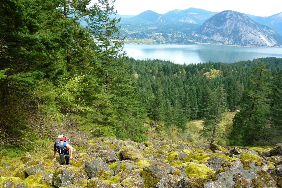
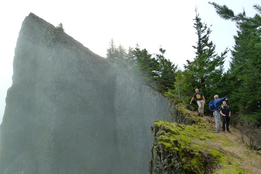
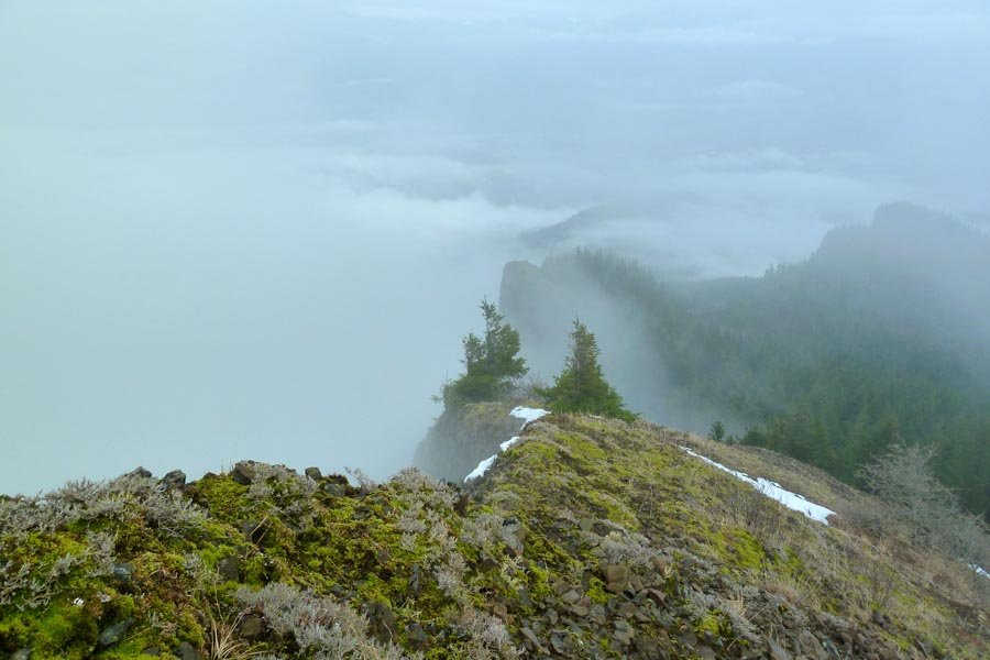
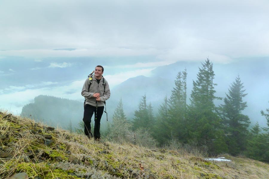
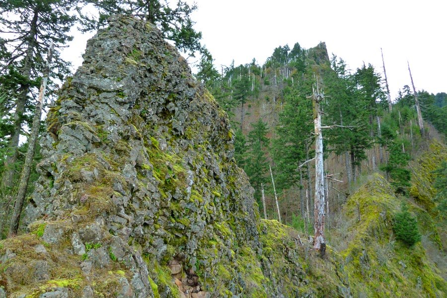
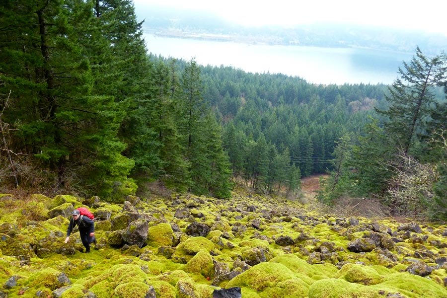
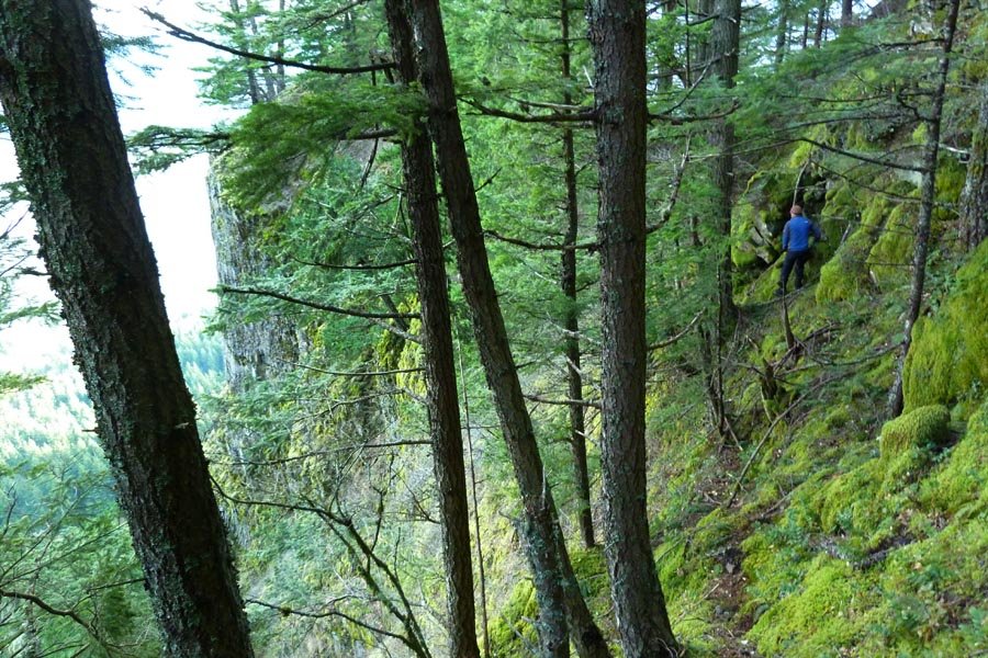
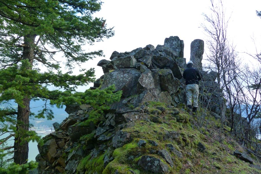
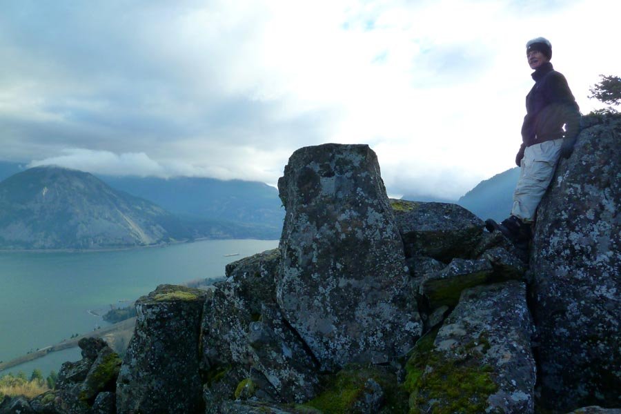
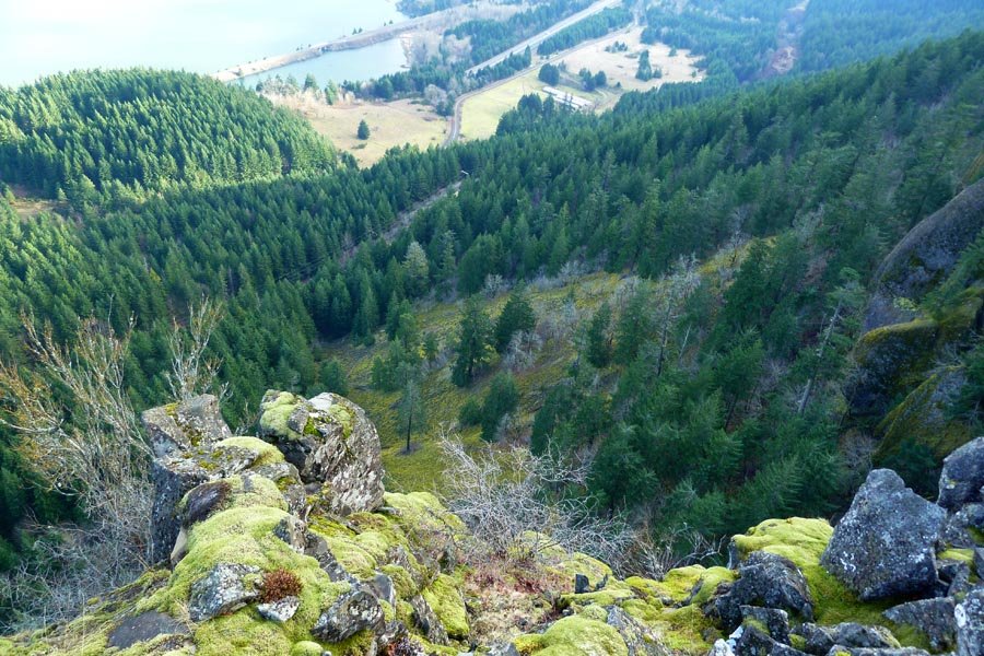
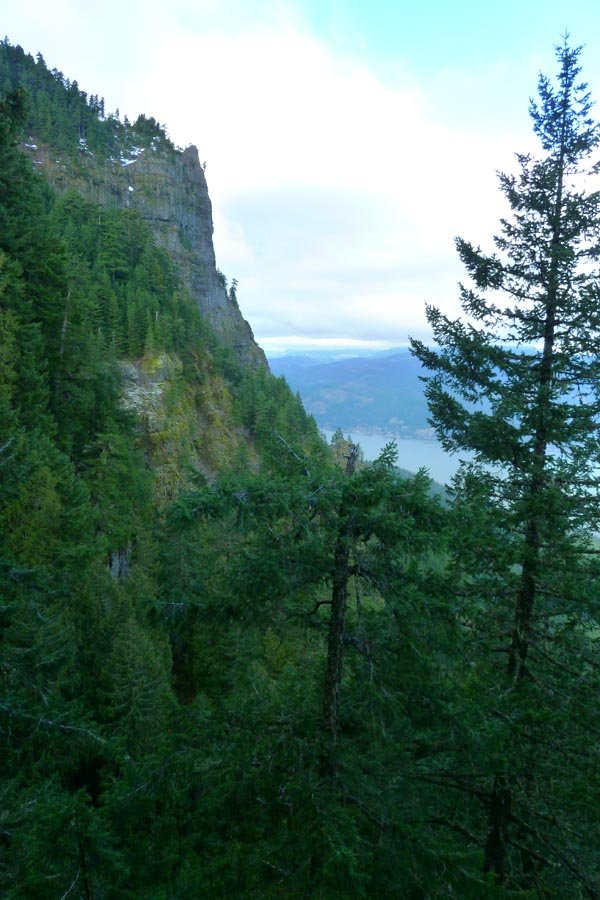
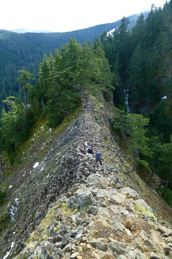
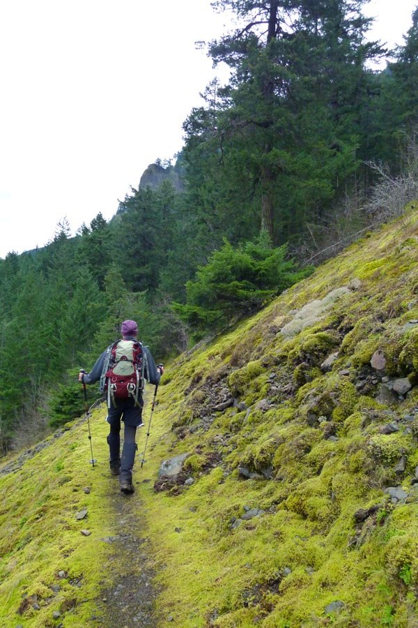
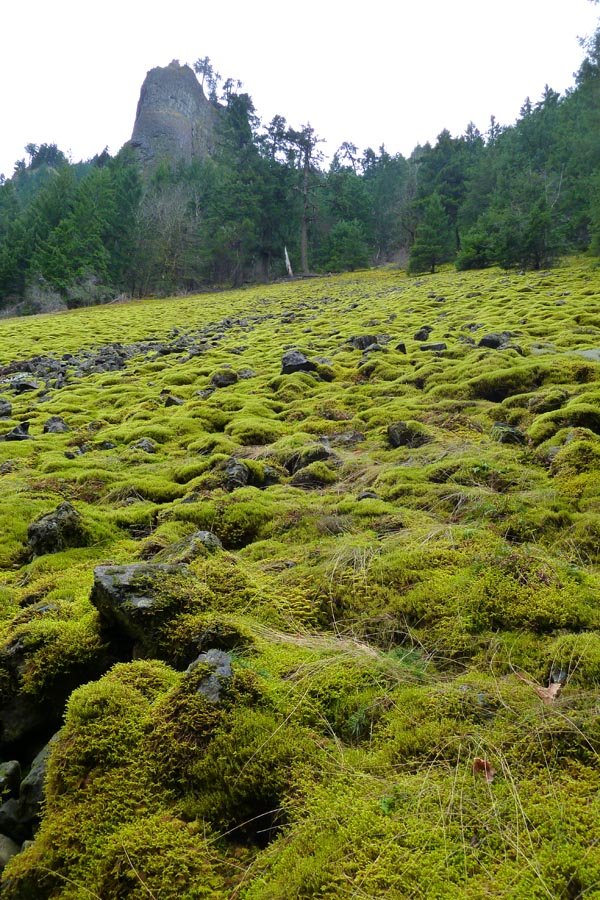
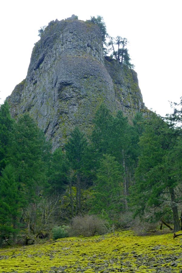
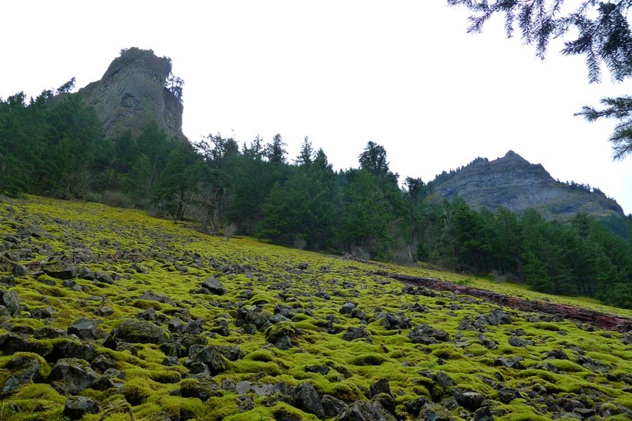
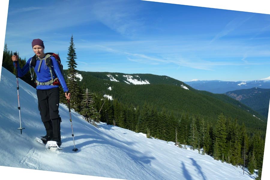
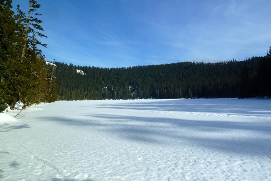
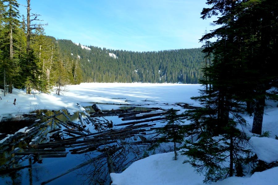
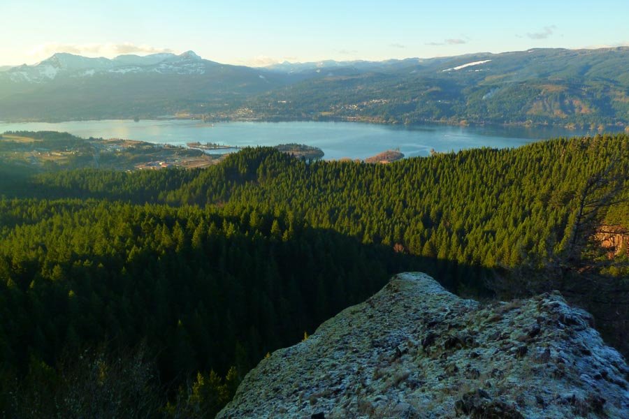
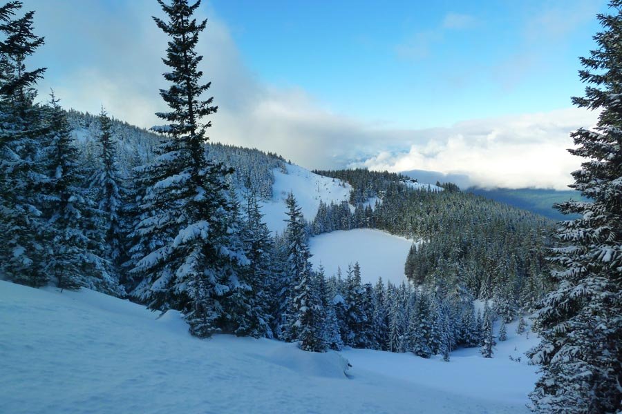
Whittier from S. Coldwater
22 miles of hiking • 5500' elevation gain •
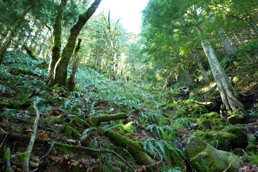
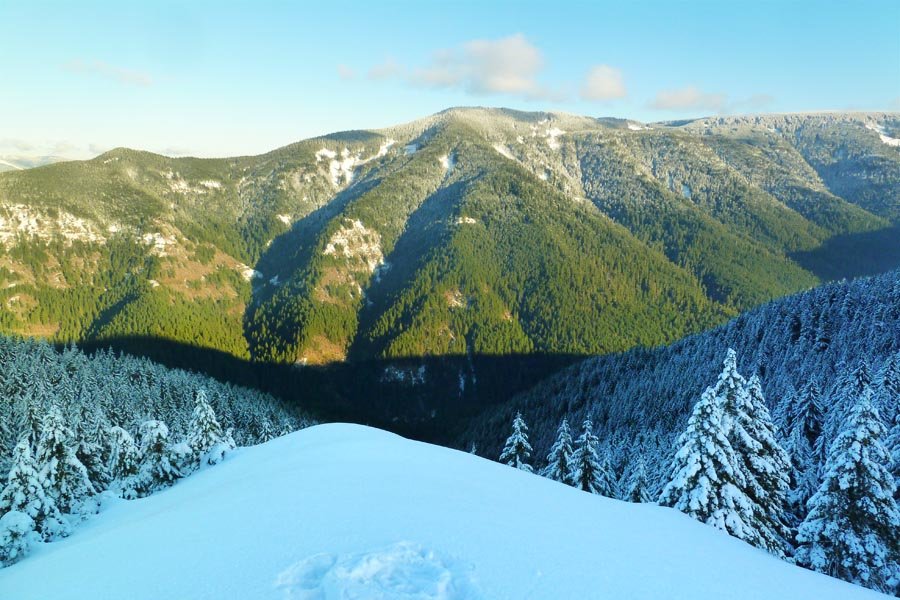
Long Whittier loop starting at S. Coldwater TH, up the ridge and then down the Lakes Trail and up Coldwater Canyon, across Whittier and then back down the Boundary Trail past Mt. Margaret and Coldwater Peak to complete the loop. Spectacular weather, plenty of wildlife (frogs, elk, goats, ladybugs, snakes), huckleberries are peaking, great views, excellent rugged and varied terrain.
Possibly the best dayhike in southern Washington.
September 8, 2013


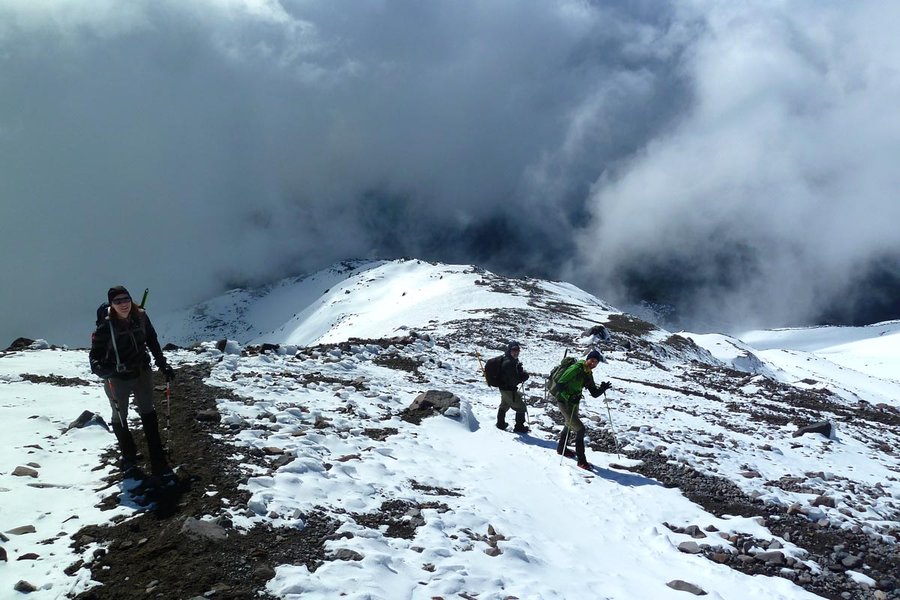
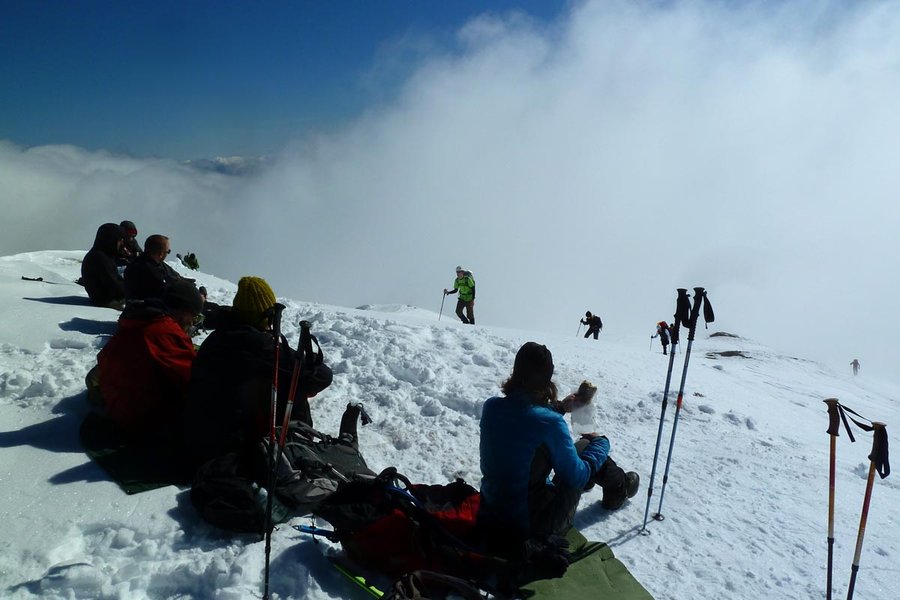
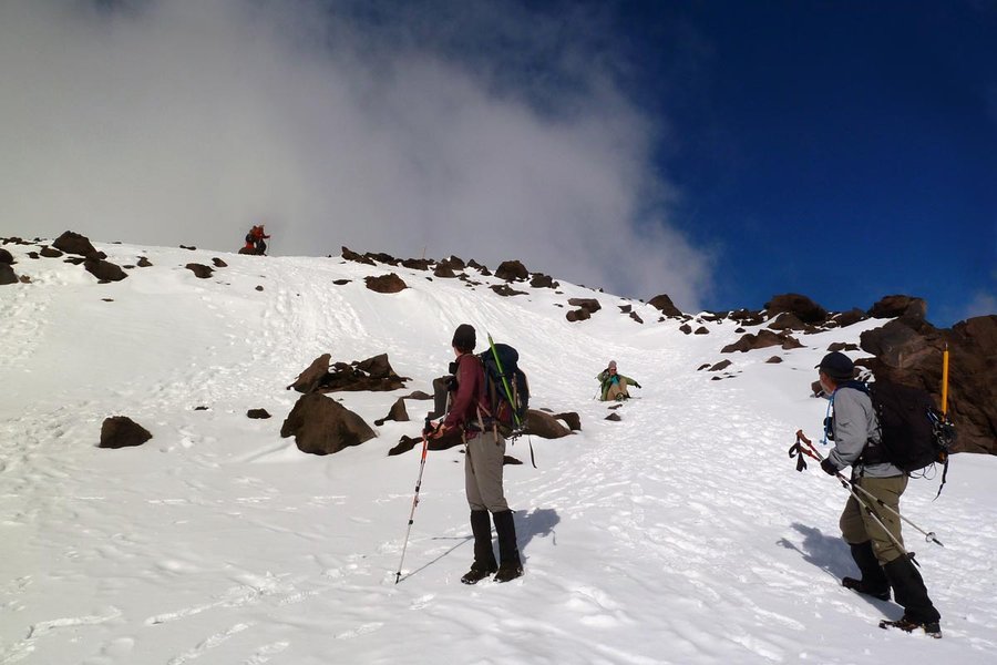
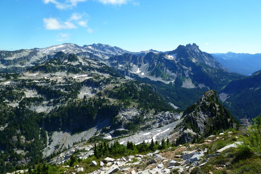
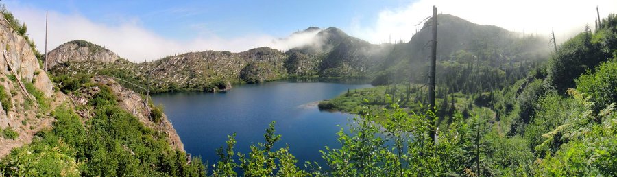
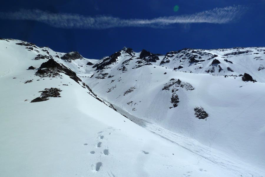
 4
4
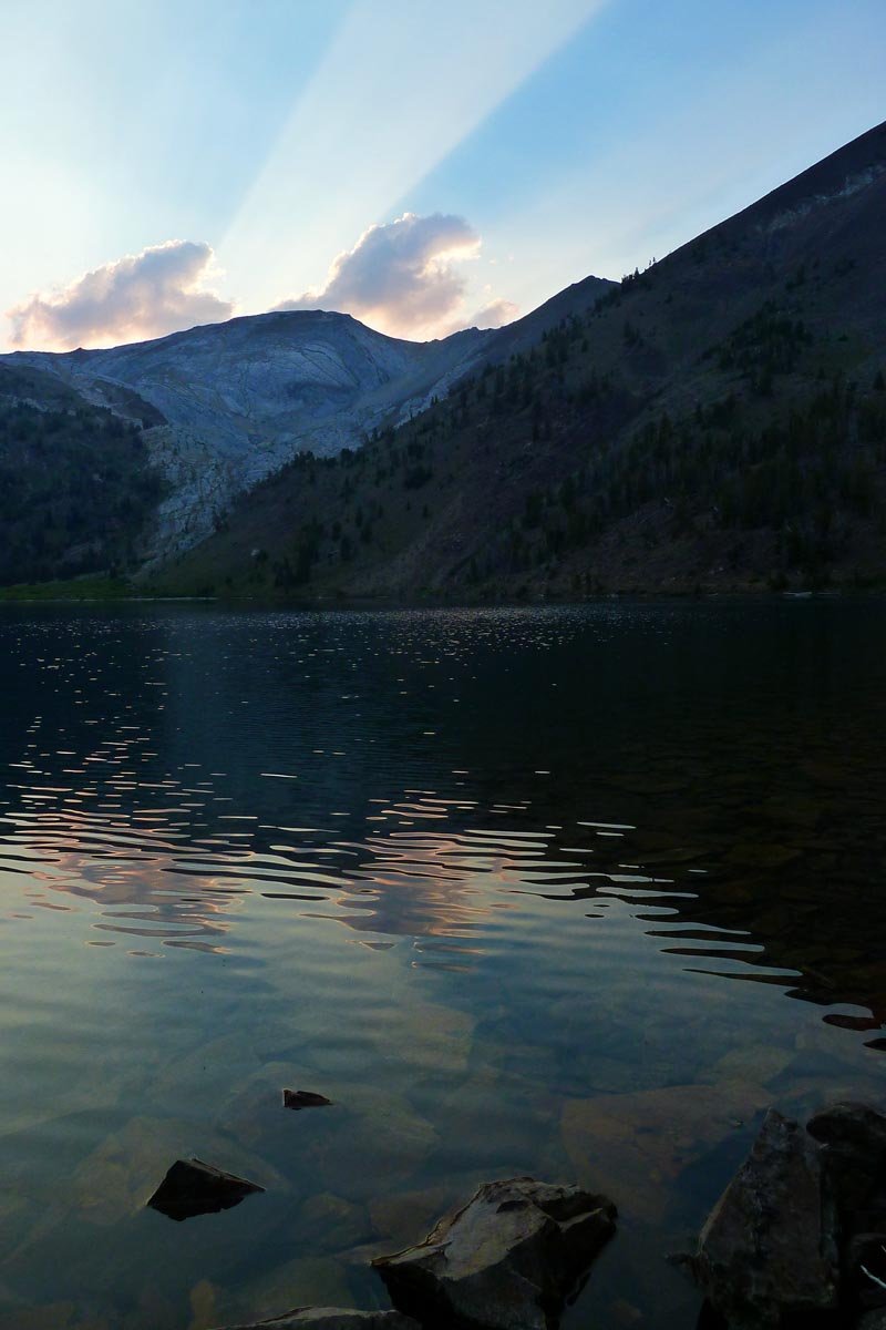
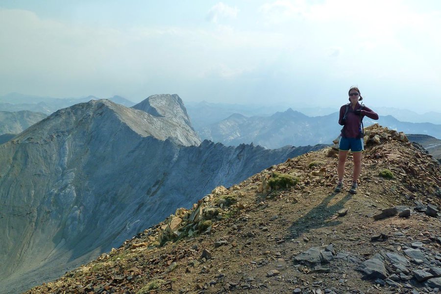
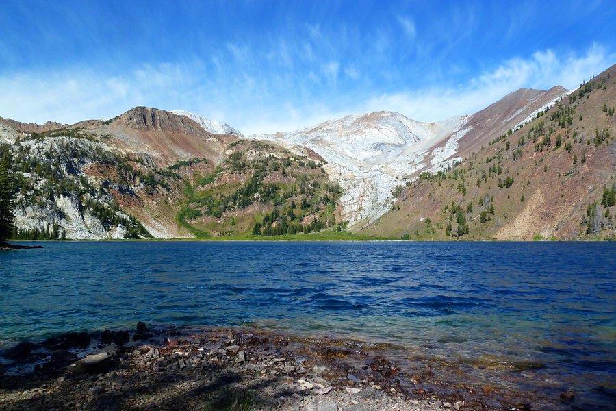
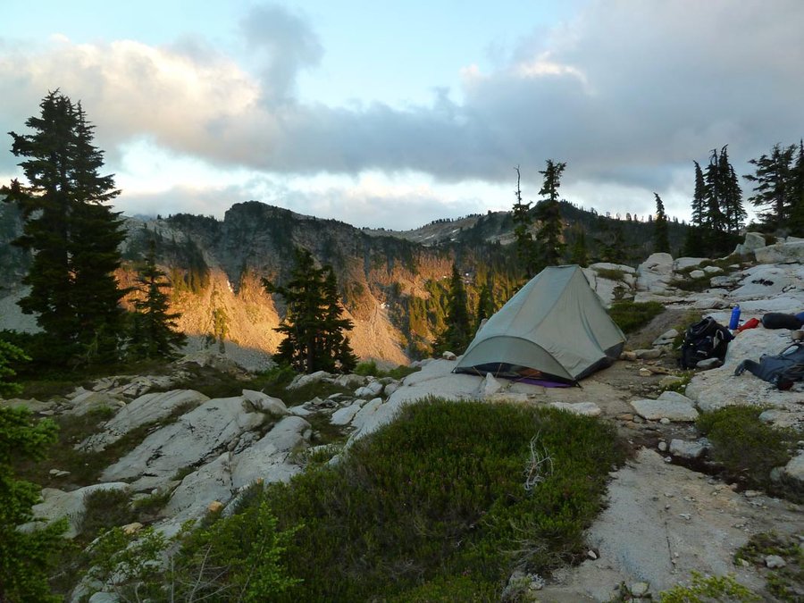
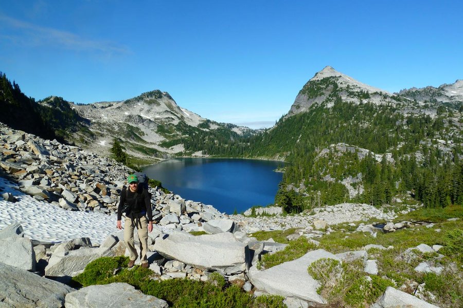
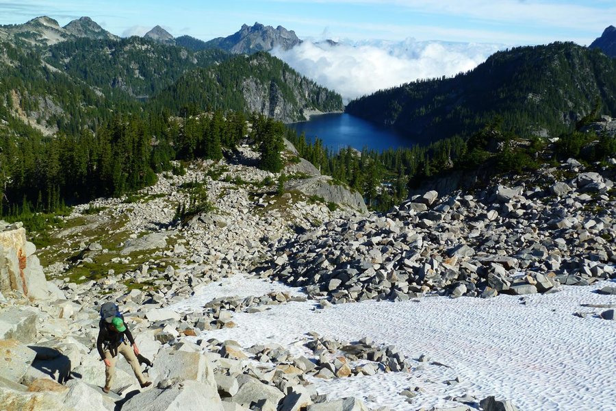
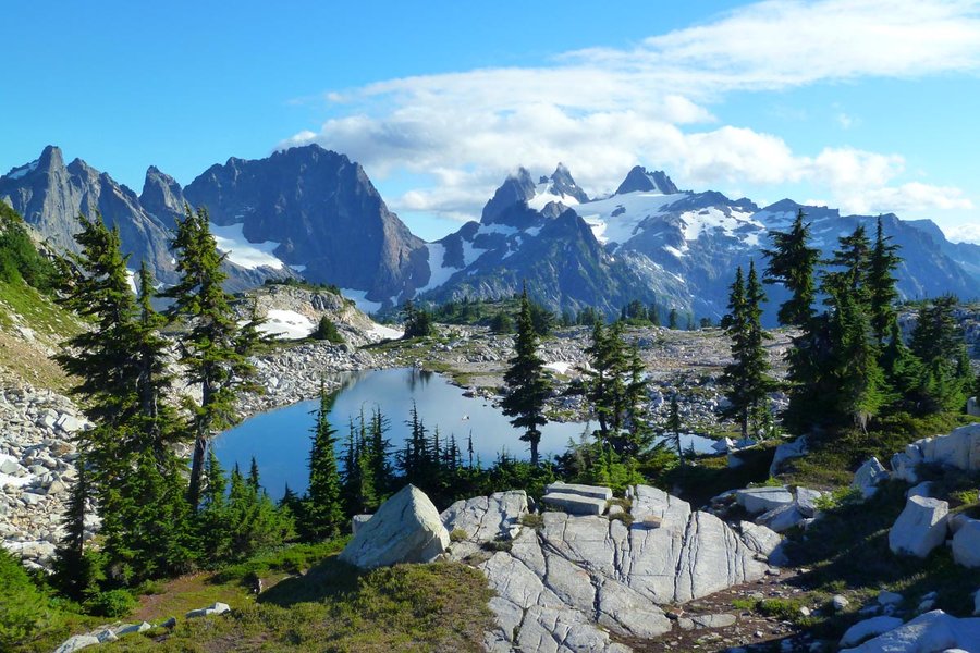
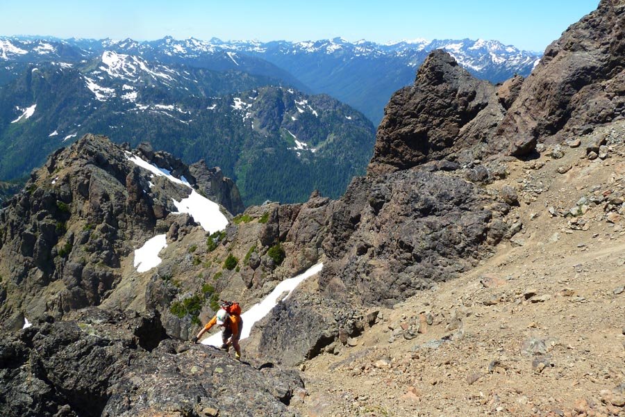
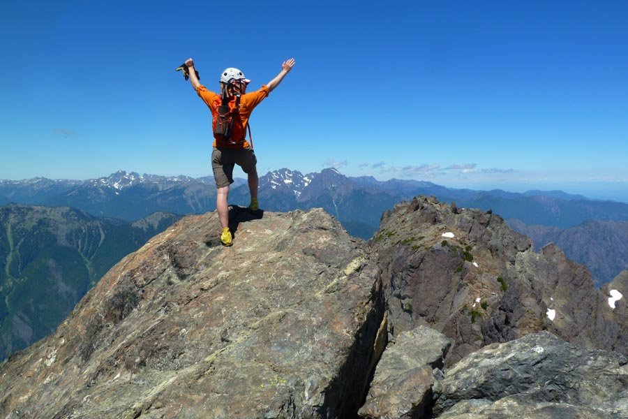
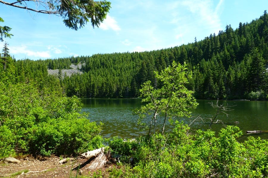
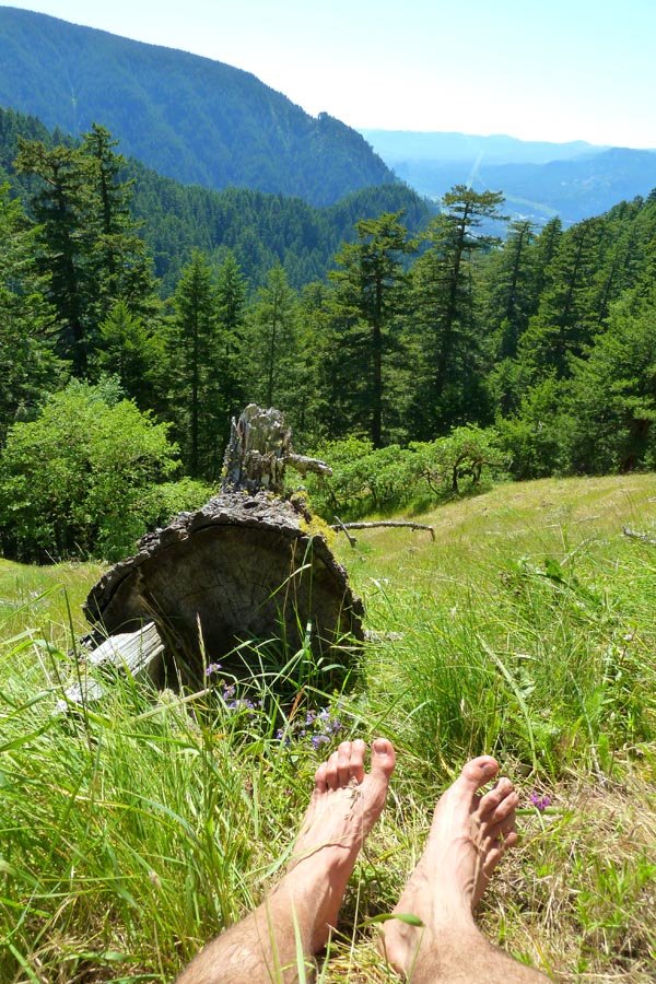
Ice Lake, Matterhorn, Sacajawea
22 miles of hiking • 7000' elevation gain • 2 nights
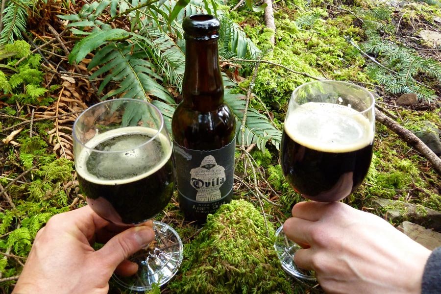
Elsie and I left after work Friday and made the six hour drive out to Enterprise. After a leisurely breakfast and Stumptown coffee at Arrowhead Chocolates in Joseph, we started up the West Fork Wallowa River trail, across the brand new bridge, and up to Ice Lake. It was pretty hazy, so we swam and lazed around and walked around the lake. The next day we went up to the Matterhorn and then did the ridge traverse over to Sacajawea. It was super windy, with a little bit of rain on the return trip. Then down the sand dune (it's now worn in to the point of being a proper trail) and back to camp. That night a thunderstorm rolled through suddenly and quickly, pelting the Tarptent with frozen rain and blasting lightning above us before moving away down the valley around ten minutes later. The next morning the sky had been washed clear, so we enjoyed watching the clouds and doing some swimming, then hiked out and made the obligatory pilgrimage to Terminal Gravity for post trip celebrations before driving home.
August 24 – August 26, 2013

 3
3
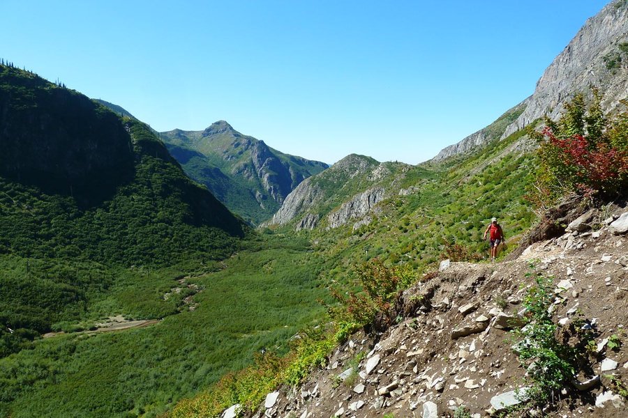
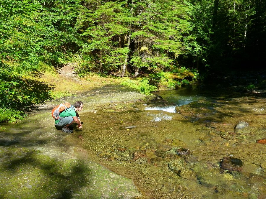
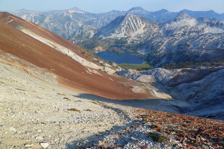
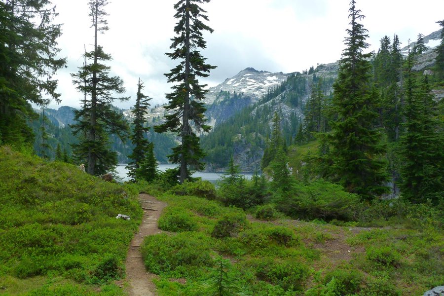
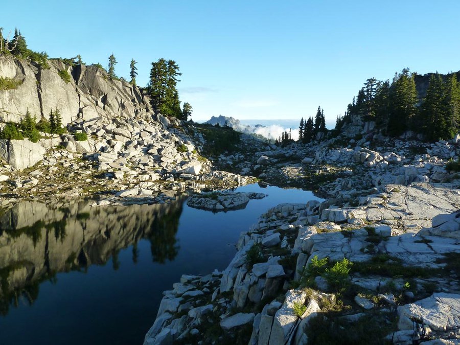
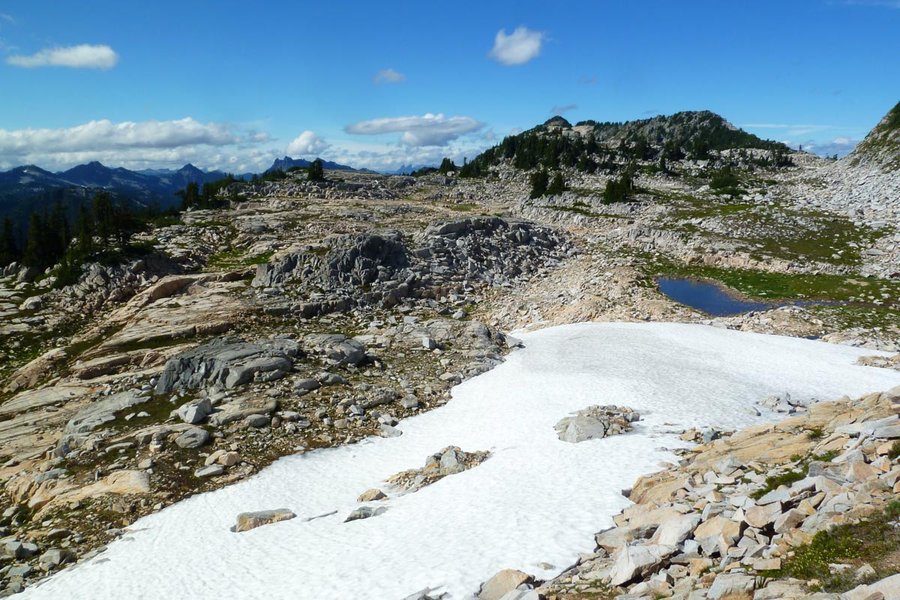
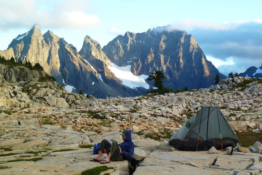
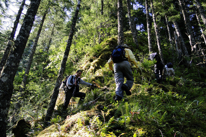
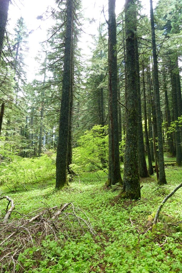
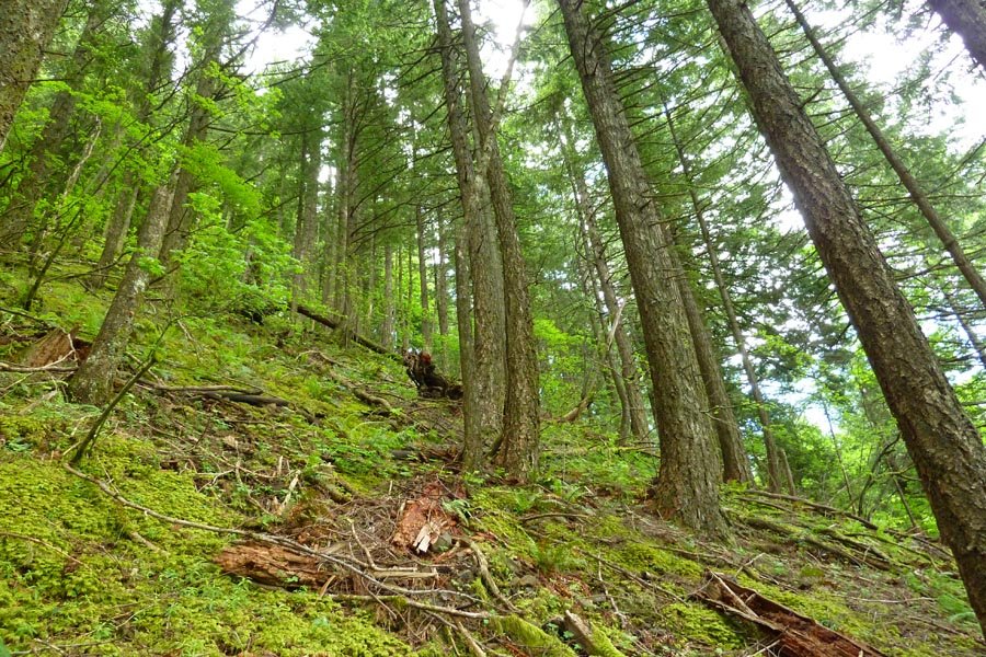
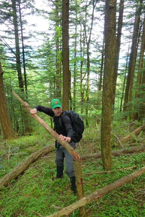
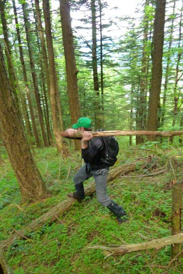
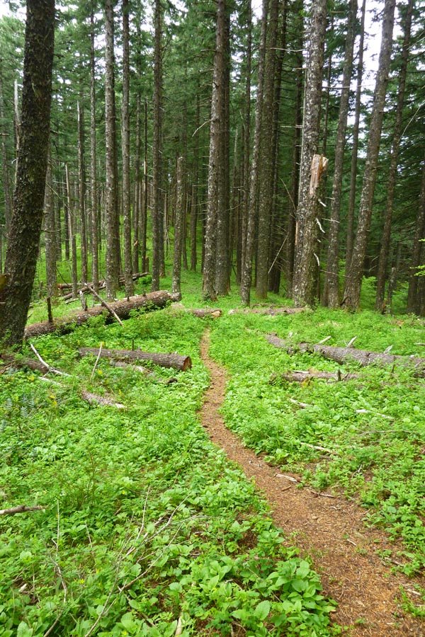
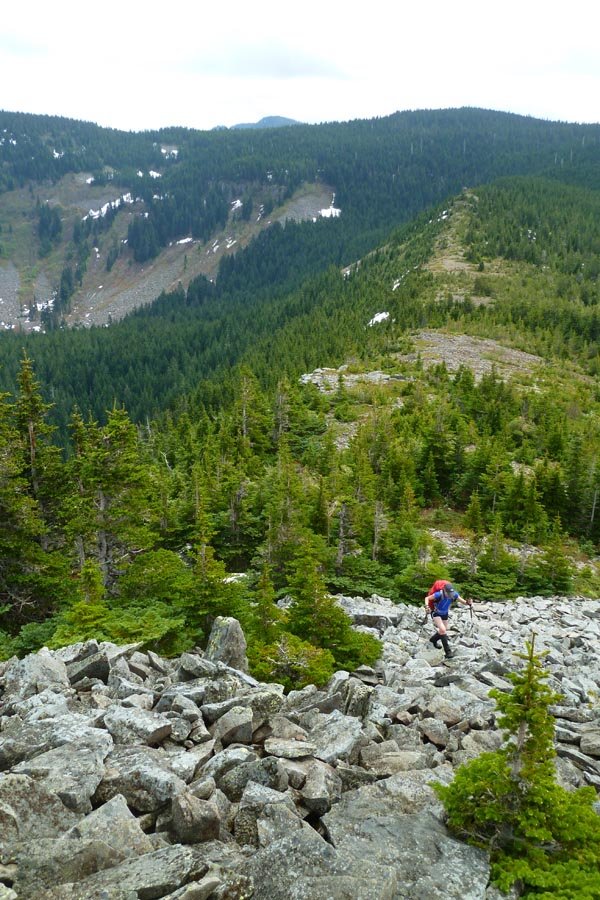
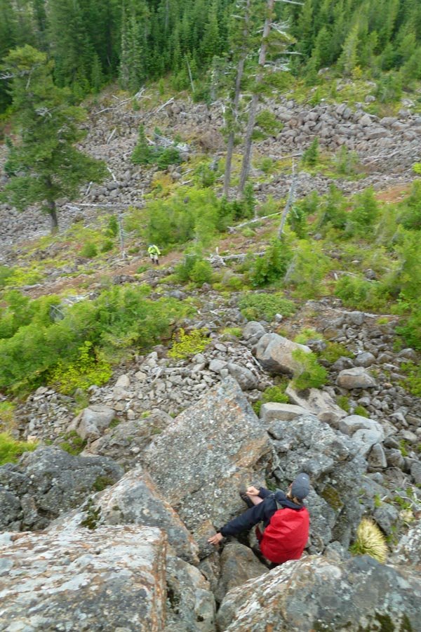
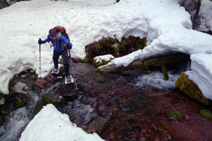
Foss Lakes to Necklace Valley
26 miles of hiking • 9000' elevation gain • 2 nights
We left Portland at dinnertime Friday and drove the 4+ hrs up to the Necklace Valley TH, southeast of Skykomish on Hwy 2. We bivied in the parking lot behind the car, and then set out Saturday morning down the remaining few miles of road to the West Fork Foss trailhead. Luckily another backpacker drove by fairly soon and gave us a lift, sparing us most of the walk. Having gotten to bed around 1am and slept till 7:30, we finally started the trail at 9am.
The first leg of this loop heads south on the W Fork Foss trail through forest and then climbing to Copper Lake and Big Heart Lake for about 7 miles. A well worn use trail continues across the ridge east of Big Heart and up through granite-speckled heather meadows to the tarn east of Tourmaline Peak (unnamed on the map, labeled 6245). We made our first camp on a granite slab above the tarn.
Day 2 took us down the use path from the tarn to the outlet of Chetwoot Lake, where the path disappeared and we climbed up blocky granite talus to the ridge NW of Iron Cap Mountain. We followed the ridge up to the summit via some fun and sometimes technical scrambling (especially with a pack). It was a lovely sunny day, and you could see Rainier to the south and Glacier to the north, not to mention the much closer peaks south across the valley.
We continued east on the ridge off the summit, only to get cliffed out, and so were forced to backtrack uphill and across Iron Cap's north ridge, then down a complex series of partially cairned ledges and benches, across multiple huge fields of blocky granite talus, finally reaching the saddle to the east. Then up the hill to the plateau and the Tank Lakes for camp 2. We went for a brief and very cold swim at the upper Tank Lake (being fed directly from a nearby snowfield, but it felt so good...), then made camp at a little tarn below lower Tank.
We woke at 6am and caught some nice sunrise light to the south on Chimney Rock, Overcoat Peak, and Summit Chief. Sadly, clouds rolled in and covered everything up. We lazed around, then headed down the drainage to the NE towards Necklace Valley. The route down has intermittent cairns but is pretty rugged and requires some routefinding. On the way down it started to drizzle a bit. Necklace Valley was pretty lackluster after all the alpine lake goodness, so we motored on through it, down the steep trail to cross the East Fork Foss, and then another five or so miles of mostly flat forest hiking that was reminiscent of the Gorge, getting back to the car around 3pm.
This trip has been on my short list since last year and I'm glad I finally got to do it. The alpine highcountry, views of peaks, and rugged scrambling near Iron Cap are all awesome. The good parts are (thankfully?) kind of difficult to access: a forested trail slog on either side, followed by rugged and steep off trail. We saw no one going in past Big Heart Lake, and there was only one group up at Tank Lakes when we got there. Definitely a place worth visiting again.
August 17 – August 19, 2013

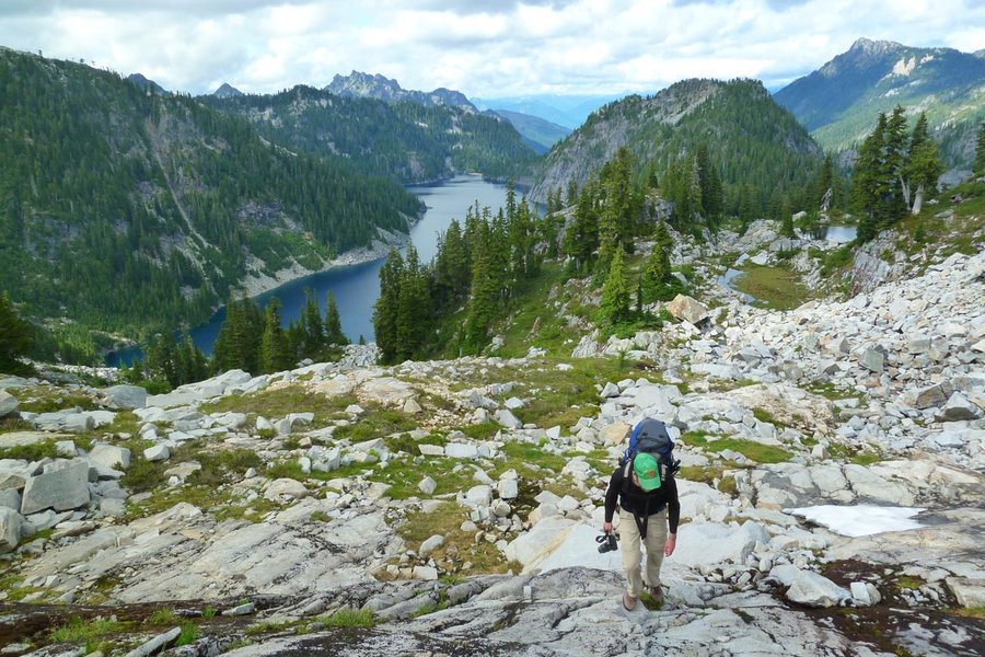
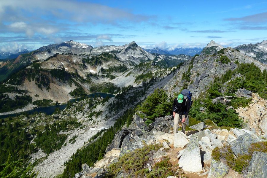
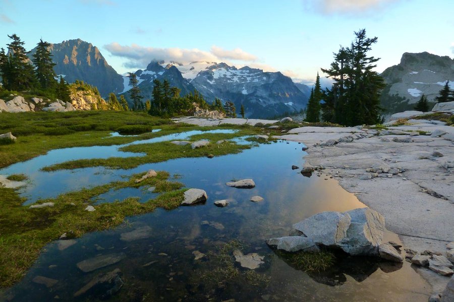
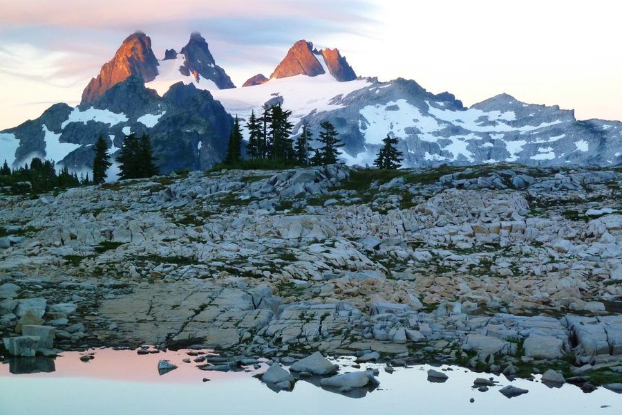
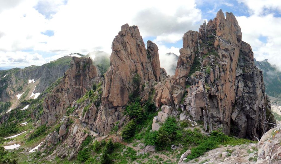
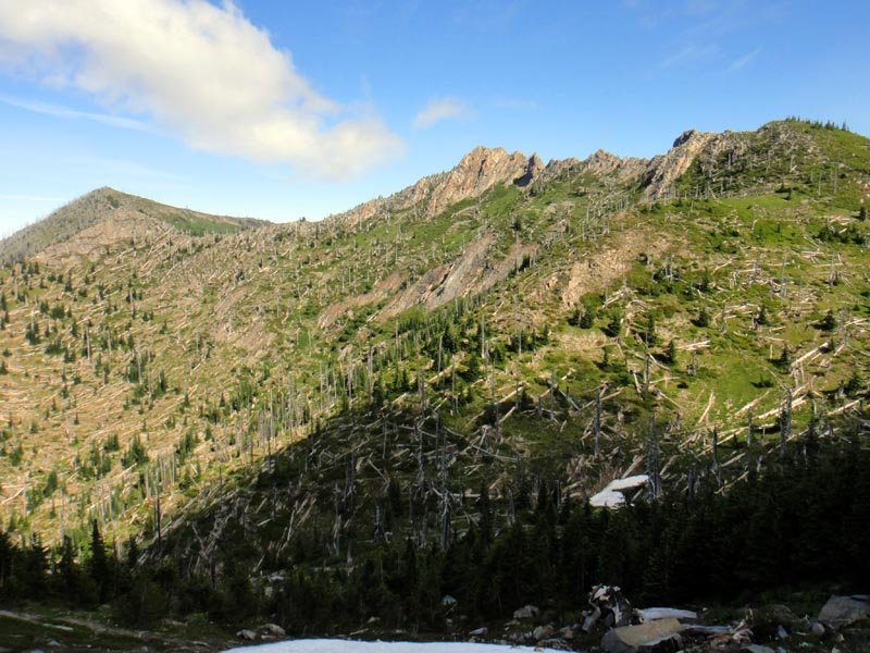
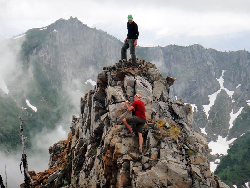
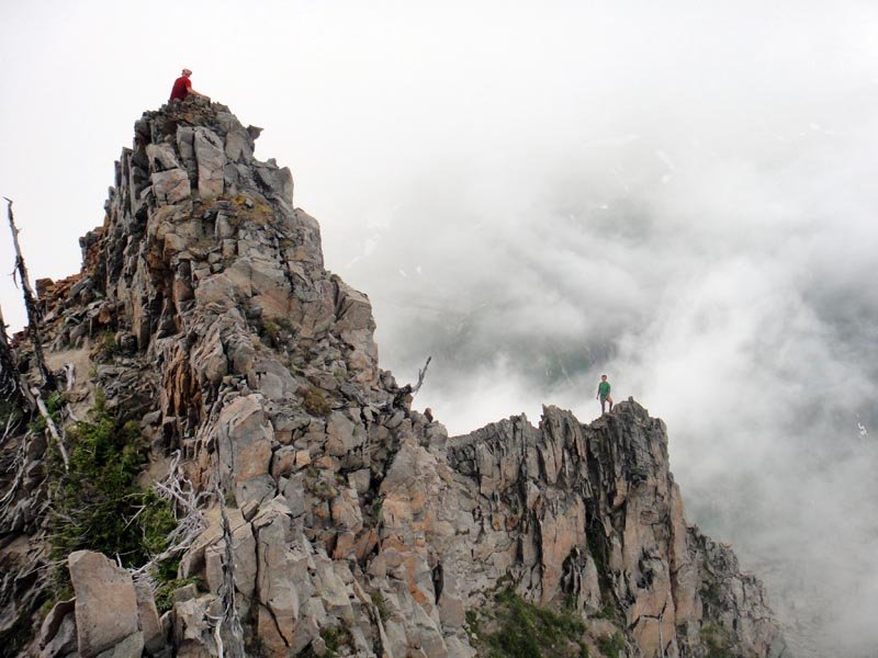
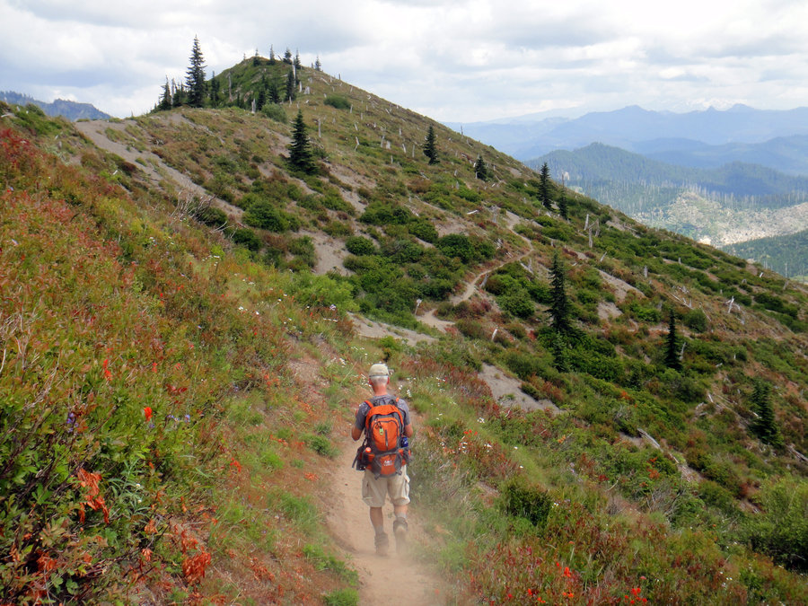
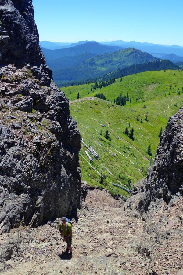
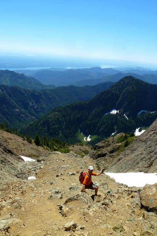
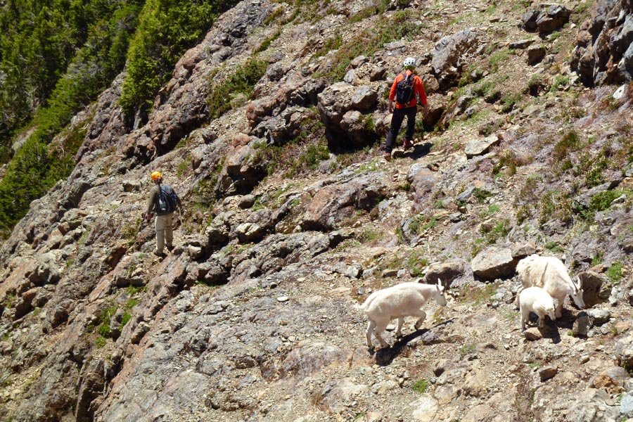
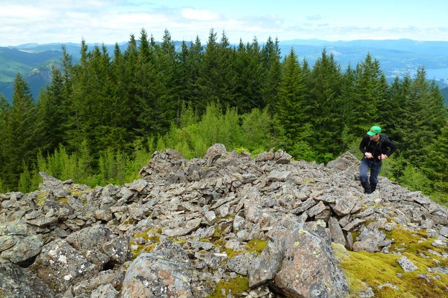
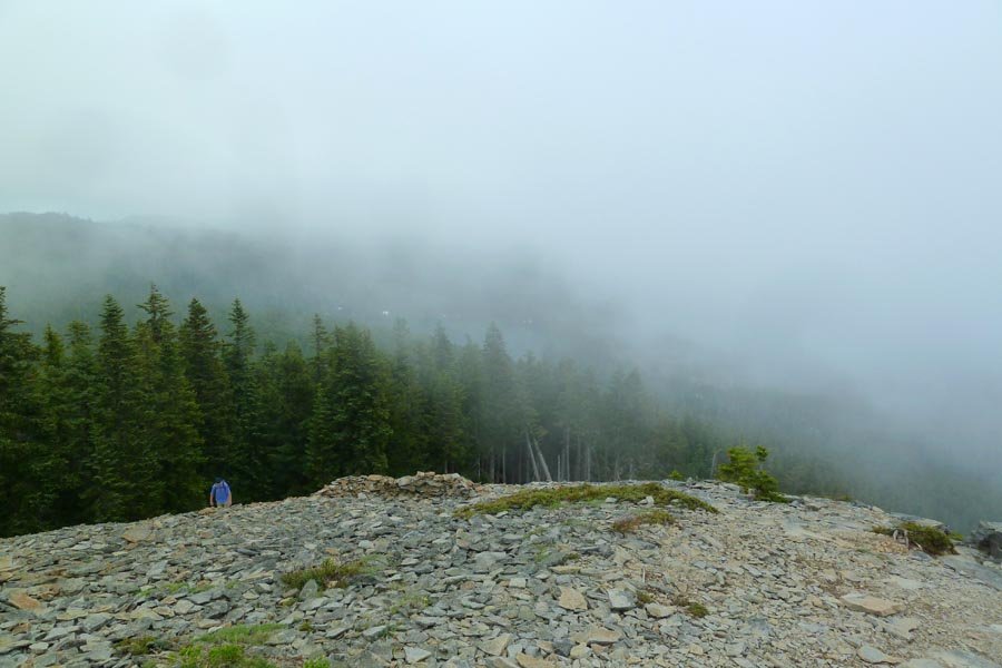
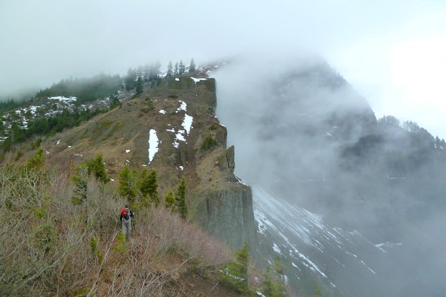
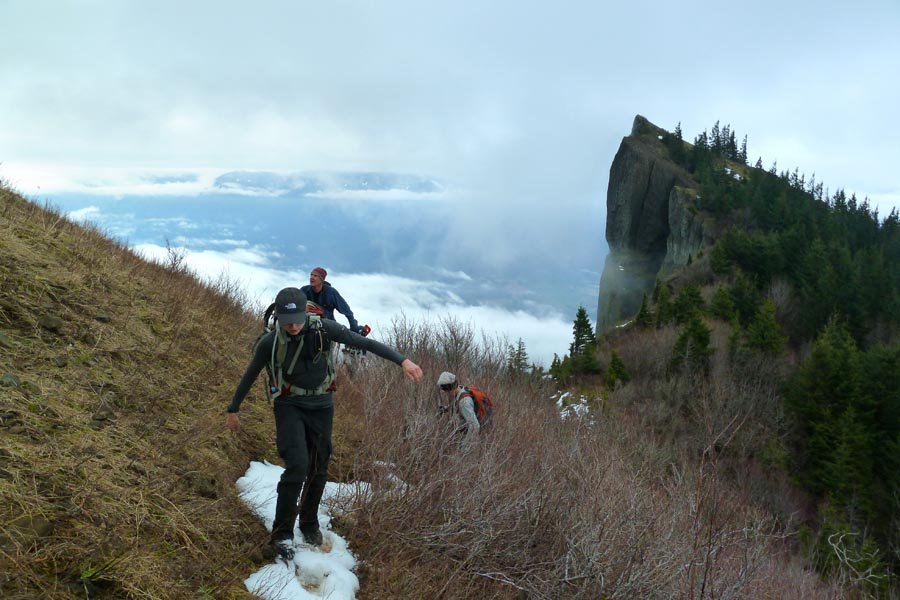
 7
7
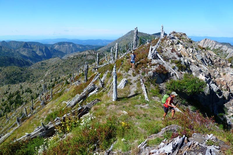
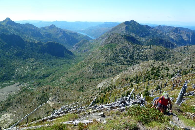
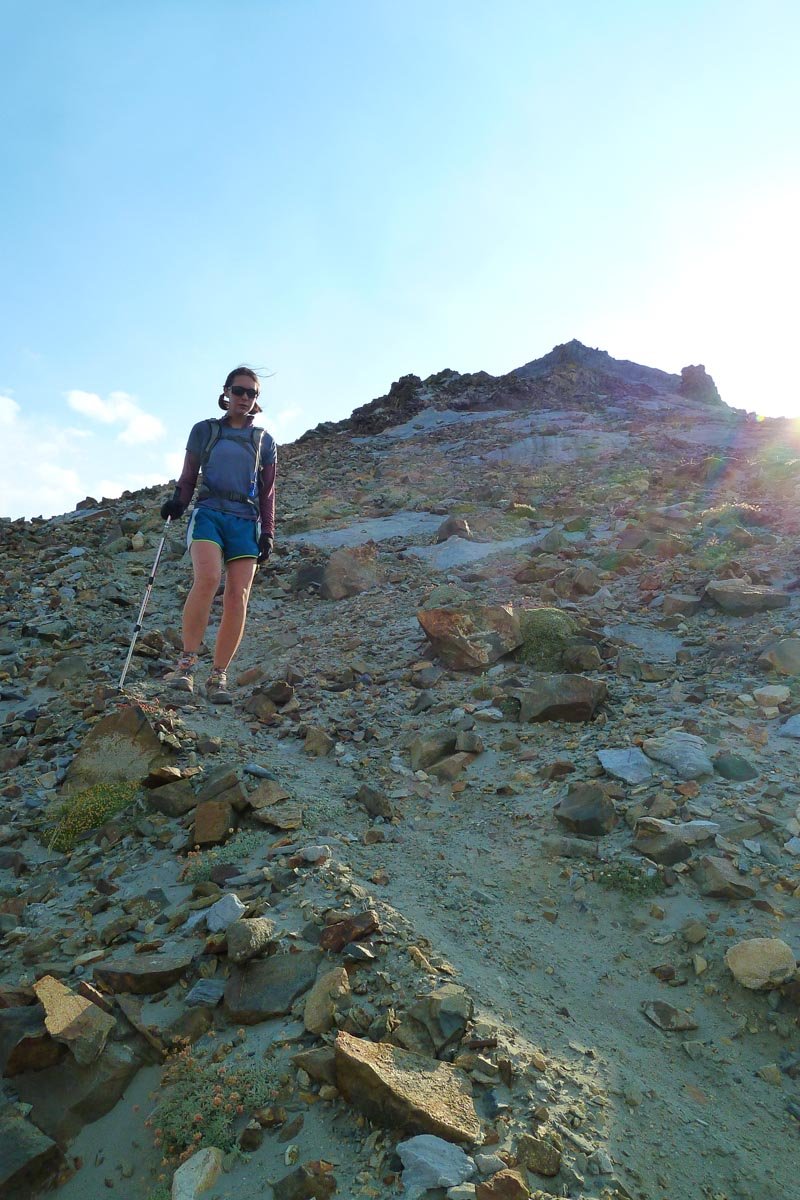
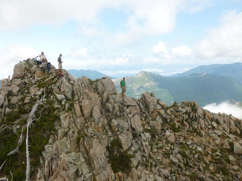
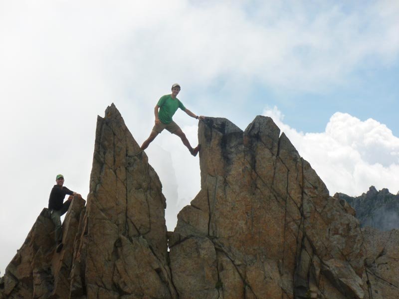
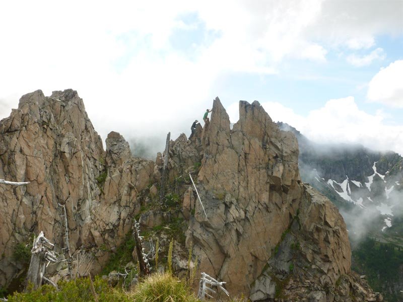
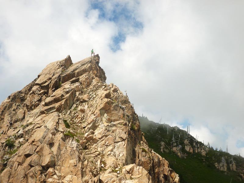
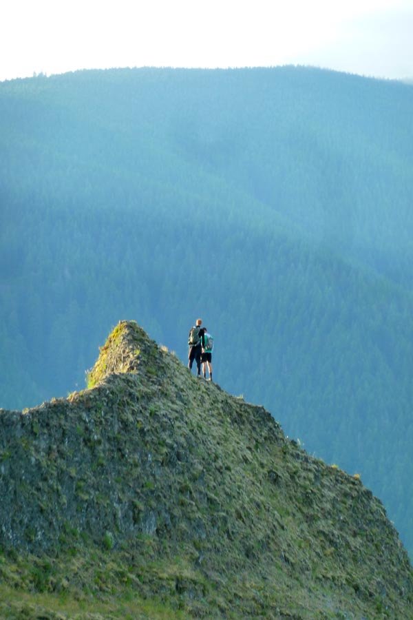
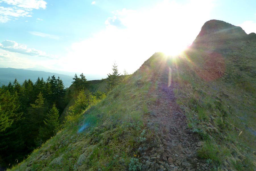
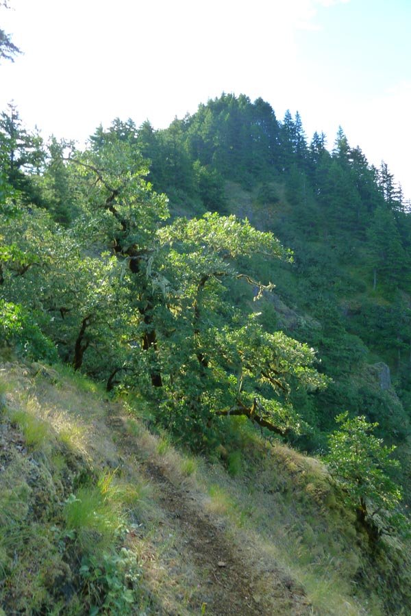
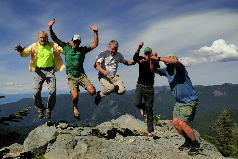
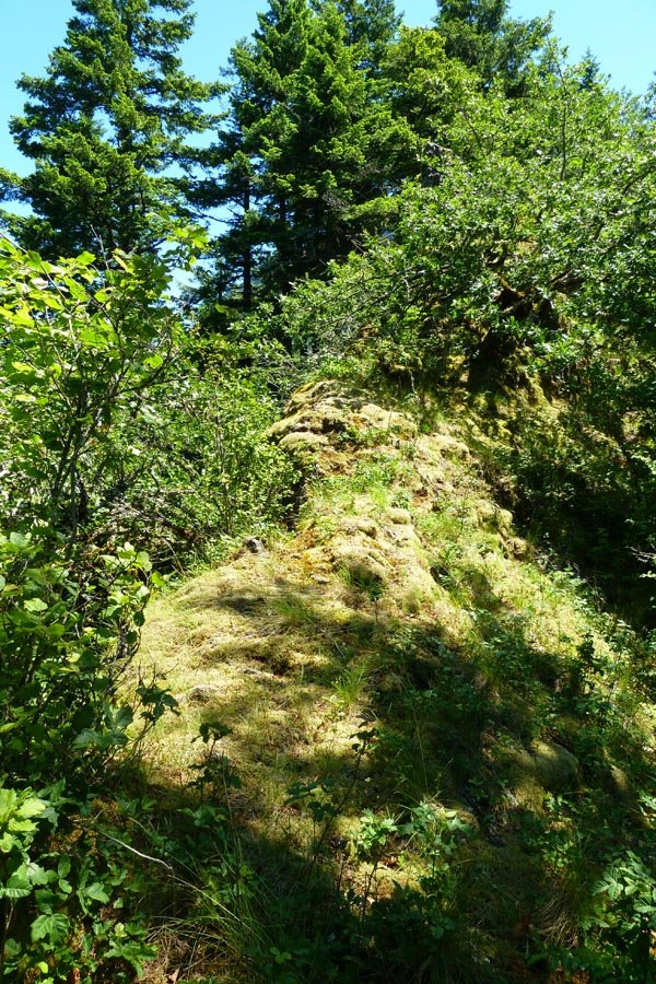
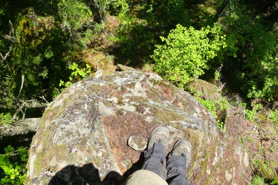
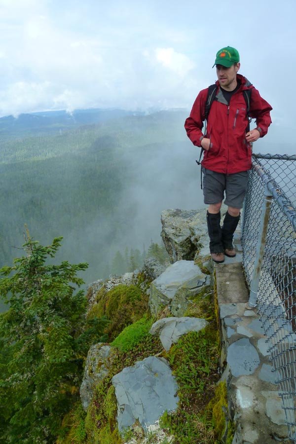
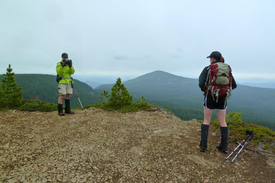
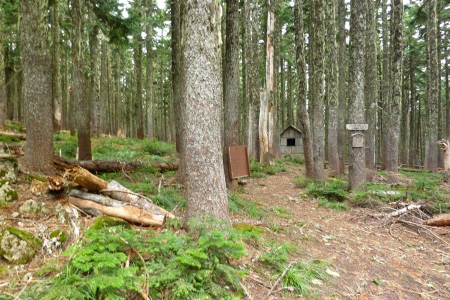
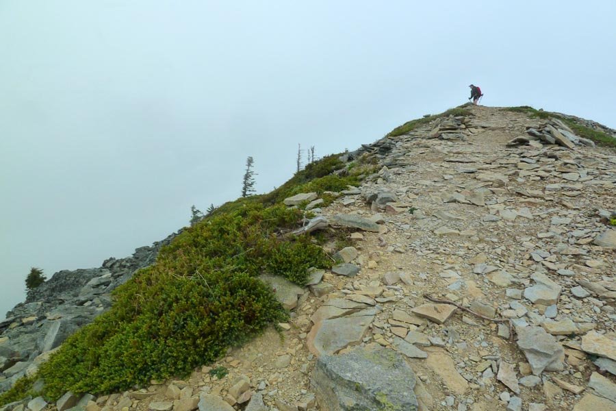
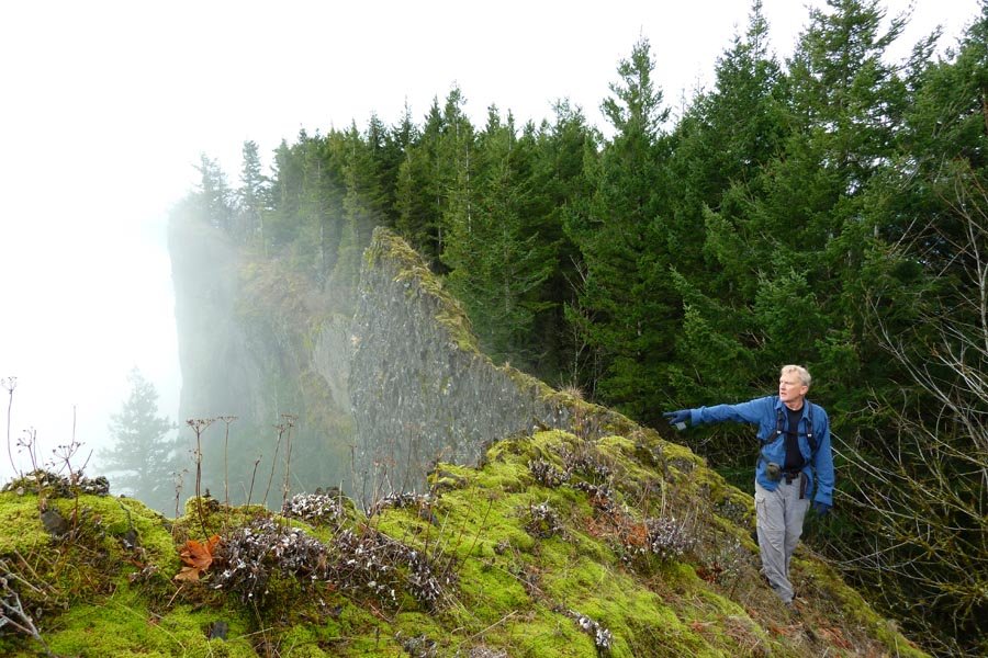
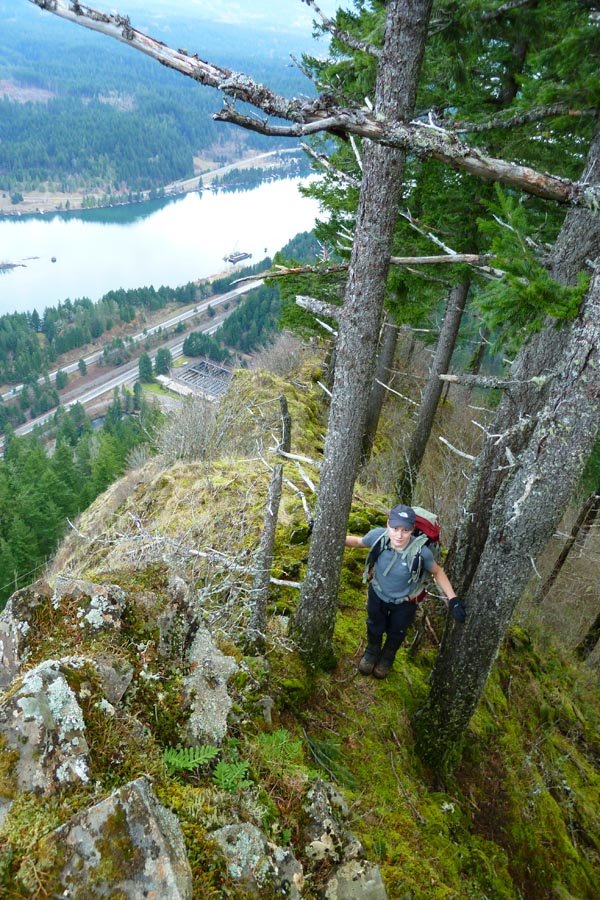
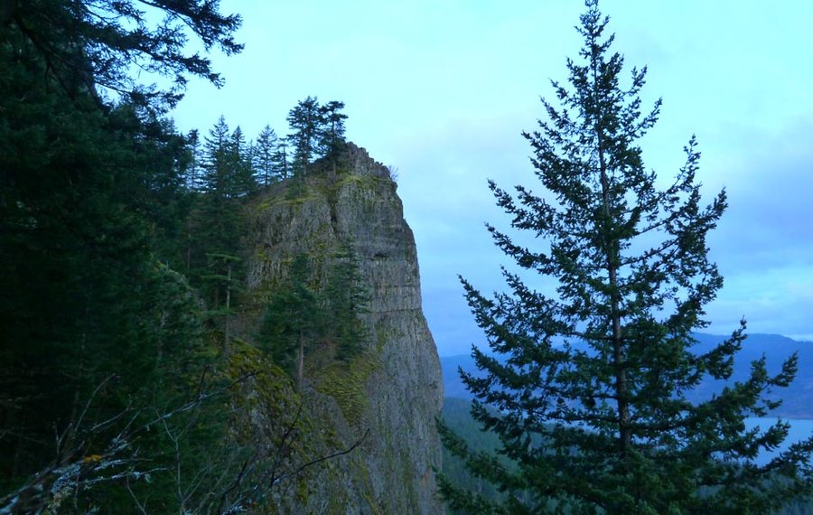
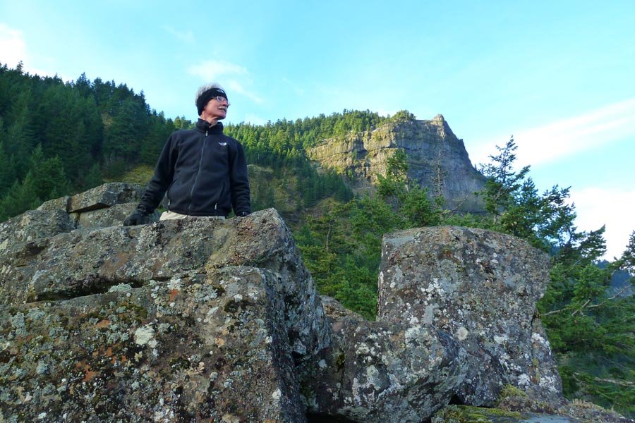
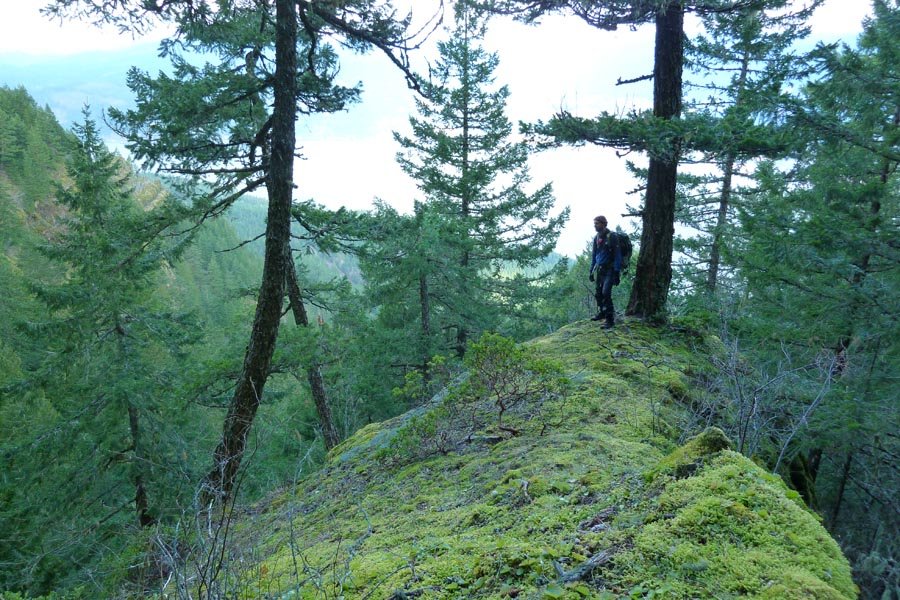
Mt. Whittier
14 miles of hiking • 4000' elevation gain •
Alpine start from Portland - arrived at the Norway Pass trailhead around 7am. Up around to the lakes basin, then up and across Whittier ridge and back down. Bizarre mix of people out there, from the group of backpacking girls who took 6 hrs to get from the parking lot to the first Mt. Margaret campsites (around 3-4 mi) and chided me about my cat hole trowel, to the group of elk hunters pushing mountain bikes up the trail loaded with their gear that they'd intended to take across the Whittier ridge until Peder told them that'd be impossible. Otherwise, mixed mist and sun made for dramatic lighting. Very little snow left. Huckleberries are popping out but aren't fully ripe yet.
Whittier, as always, is a blast.
August 3, 2013

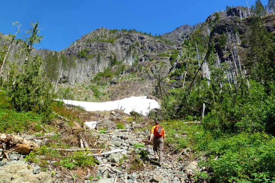
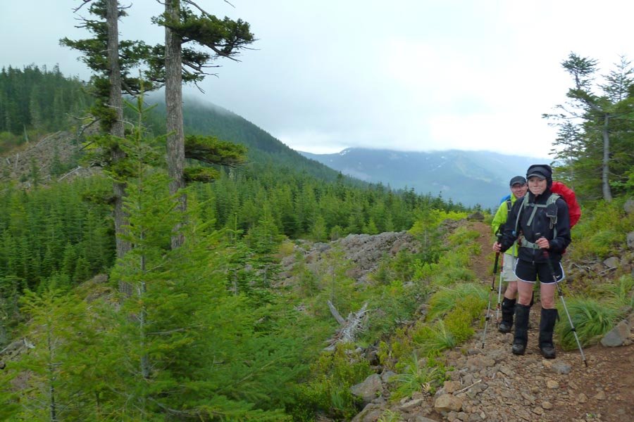
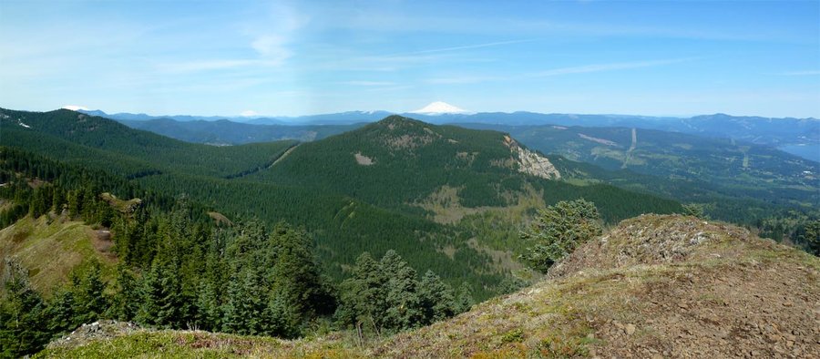
Dark Divide - Jumbo and Sunrise
17 miles of hiking • 6000' elevation gain •
Drove out Saturday afternoon and camped on FS23 near the Dark Meadows trailhead. Lots of nice sitting rocks and a creek to chill the beer. Got up early Sunday and headed up the Dark Meadows trail to the meadow. We were going to head off trail to the top of Dark Mountain, but it looked really brushy and we decided to skip it. Instead, we followed the trail up to a saddle in the ridge north of Dark Mountain and then headed north off trail along Juniper Ridge to Jumbo Peak and then to Sunrise. It was a long, hot, dusty day with tons of biting black flies. Beautiful views in all directions though. David and I ascended a stair stepped gully to the top of Jumbo, which I think was probably easier than the bushwhack up the "regular" trail. Goats at the top, but they hoofed it (ahem) when we arrived. Sunrise was a straight trail, but badly eroded by motorbikes. Really swell views from an old fire lookout location. We descended to the Sunrise trailhead and began to walk to the road back down to FS 23, but fortuitously encountered a fellow PH person who gave Peder a lift down to get the car and come back for the rest of us. Then the 3 hr drive back to Portland, with a stop at Huff N Puff, home of the best burgers and shakes in seven counties (or something).
July 21, 2013

 4
4
The Brothers
16 miles of hiking • 6500' elevation gain •
Wake up: 3:30am
Leave Portland: 4am+
On Lena Lake trail: 7:45am
Burned up past Lena Lake into Valley of the Silent Men, very pretty - moss and water and very Gorge like. Hit climbers camp, briefly lost use trail, regained trail, lost it again in avi debris and downed trees. Finally got into the ascent couloir - snow is melting and seems unsafe, so we scrambled along the rock on the right side. Time lost trying to avoid a party of goats in the middle of the couloir. Fun, loose rock scrambling upward, more goats.
Summit: ~1pm
Goats circle the summit, a little closer than we want them. Amazing view of the Olympic Range, and Cascades from Helens/Adams north through Rainier, Glacier, and Baker. Another group who summitted earlier said that before it got hazy, you could see Hood and Jefferson. Much discussion of future climbing on Ellinor, Washington, and Constance.
Descent: ~2pm? (who knows)
Scree surfing and downclimbing. A too-curious goat down on the snow in the couloir. We find the use path through the avi debris that we missed on the way up. Celebration beer at climbers camp after chilling it in the creek. Burn down the trail past Lena Lake back to the trailhead.
Return to car: 8pm
Dinner stop in Olympia at Quality Burrito. Recommended - quirky local place, plays crazy rap music. Open late.
Back in Portland: 12:30am
Monday: back to work....
July 15, 2013

 2
2
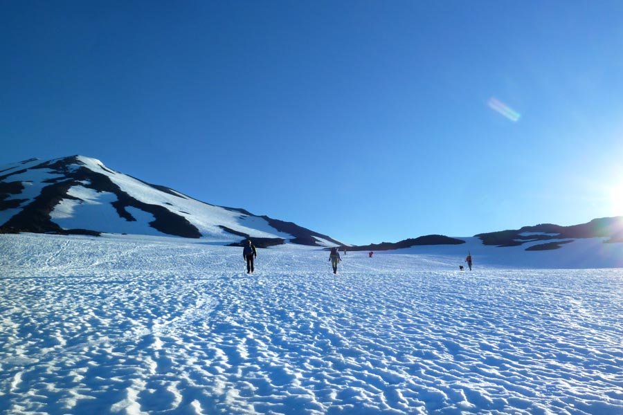
Mt. Adams
12 miles of hiking • 6750' elevation gain •
Drove out Saturday evening and camped at the trailhead. 4am start on the trail - no snow for the first couple of miles. Lots of meltout compared to when I was last here two years ago. There wasn't as much of a staircase up to Piker's Peak as the last time. Summit around 10:30 or so, followed by at least 4000 ft of glissading, basically summit to snow line. First time on a Flying Carpet - the trip from Piker's down to the Lunch Counter was 2000 ft in about 5 minutes, tops. A lovely day with a lovely lady on a mountain.
July 7, 2013

A touch of MuRRDer
25.5 miles of hiking • 11000' elevation gain •
Munra, Ruckel Ridge, Defiance. Definitely a good choice for a 90º day.
June 29, 2013

 2
2
Mt. Jefferson West Rib attempt
12 miles of hiking • 6750' elevation gain •
Left Portland 10pm Friday after work and drove out to Pamelia Lake. Left the car under headlamps around 1:30am and followed the trail to Pamelia Lake and up to the PCT to Milk Creek. Then off trail along the creek, taking the north fork to eventually reach treeline and traverse over on to the West Rib. Snow was not great and showed lots of recent avi debris. We were moving slowly and were wary of the sun loosening the snow, so we stopped at 9700 ft around 8:30am. The summit block looked so close! The sun crested the south ridge as we were snacking and the descent ended up being super easy plunge stepping all the way down. Then bushwhacking back down Milk Creek (with a long break to try to find the GPS waypoint for the low cut shoes I'd stashed from the night before - no one likes hiking in mountaineering boots) and down the Pamelia Lake trail, which seemed endless in the daytime, to finally get back to the car around 2. Beers and foot soaking ensued, and then the exhausted drive home. Not sleeping is so fun.
June 22, 2013

 3
3
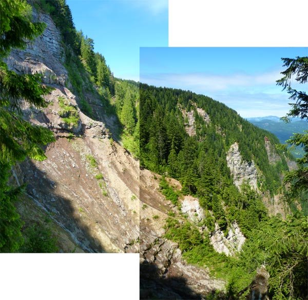
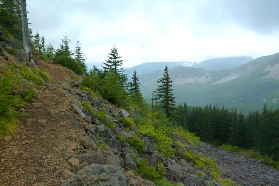
Beast Ridge to Tanner Butte
22 miles of hiking • 6250' elevation gain •
The last and longest of the Eagle Creek to Tanner Butte 'schwack ridges. Up Eagle Creek to just past 4.5 Mile Bridge, forded the creek, the steeply up the ridge east of Opal Creek to gain the long ridge that terminates near Tanner Springs. Not as technical as 4.5 Mile Bridge Ridge from last year - mostly rhodies alternating with open ridge walking. Since I was just here a little over a week ago, we crossed the steep and loose talus under the east face of Tanner to climb a semi-solid rocky buttress up to the summit. As with last year, Guy brought chilled sparkling white wine. Then down the Tanner trail for around 13 hrs round trip, including nearly an hour hanging out on the summit.
June 15, 2013

 2
2
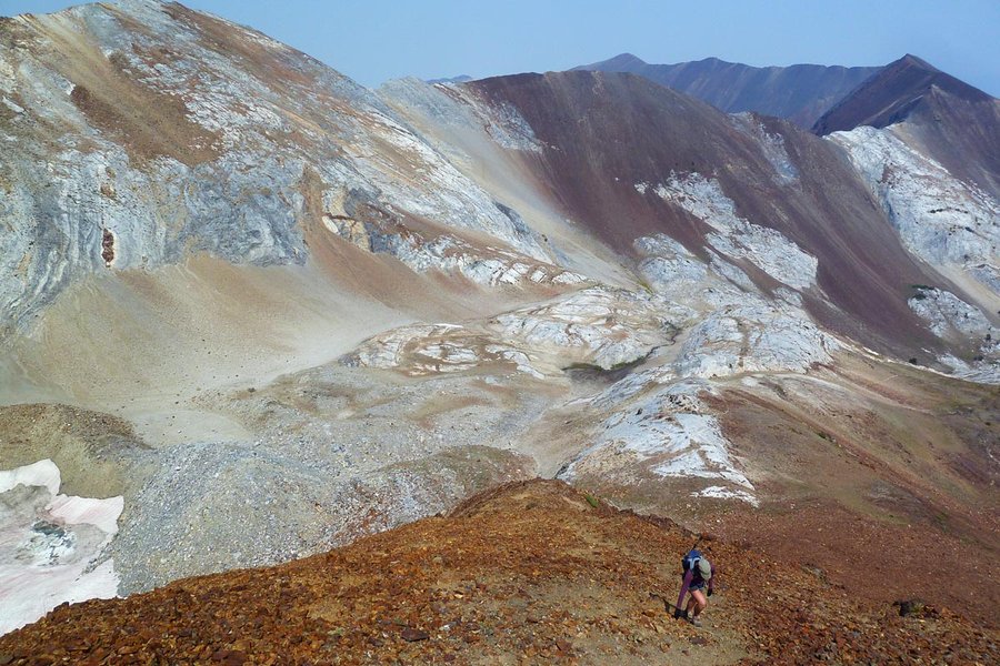
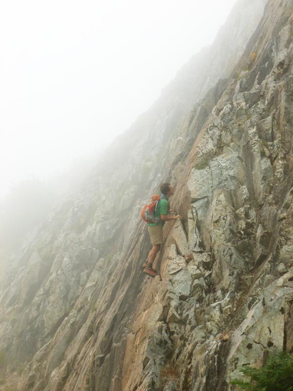
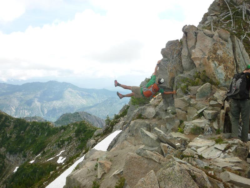
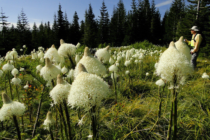
Patagonian Trade Route
7 miles of hiking • 4000' elevation gain •
Another one from GCC, which calls it a "shocking line of super classic proportion" and "extreme risk." Very long approach up the Tumalt Creek drainage to a fair bit of sketchy climbing and traversing. Gear: rope, slings hitched to trees for pro and anchors. Upper tree and dirt pitches were solid type 1 fun, and I never felt (that) in danger, but this is definitely not safe for anyone but experienced climbers.
June 7, 2013

 2
2
Tanner Butte bivy
25.5 miles of hiking • 6500' elevation gain • 1 night
Left midafternoon after work, on the trail at 5pm. Summit of Tanner at 8:30, some clouds made a bit of an early sunset but very nice out and it stayed light until near 11pm. Bivied out in the open below the summit in a nice cradle of beargrass. Up at 5am for the sunrise, leisurely breakfast, then back down the trail at 7am. Continued on to Tanner Spring (flowing nicely!), then a bit of off trail exploring, back up the trail and down to the Tanner Cutoff (first time!). Cutoff is very fun and not difficult to follow. Some nice streams at the bottom to dunk your head in. Then a long slog back down Road 777, a late leftover tamale lunch at the Tanner trailhead, and back at the car around 3pm. Zero snow en route to Tanner Butte, and only a few patches thereafter down near the spring and the junction with the Eagle-Tanner trail.
June 5 – June 6, 2013

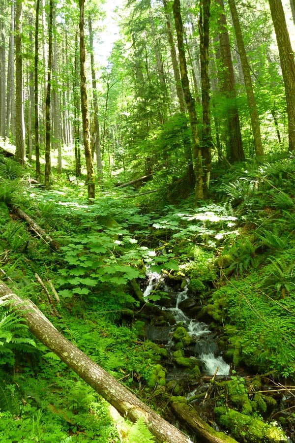
North Ruckel Creek Ridge
8.5 miles of hiking • 4250' elevation gain •
Up the Ruckel Creek trail and then jumped off up the northern ridge. Viewpoints galore and fun exposure and climbing. Beats the crap out of Ruckel Ridge.
June 3, 2013

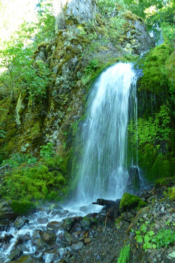
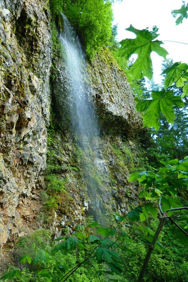
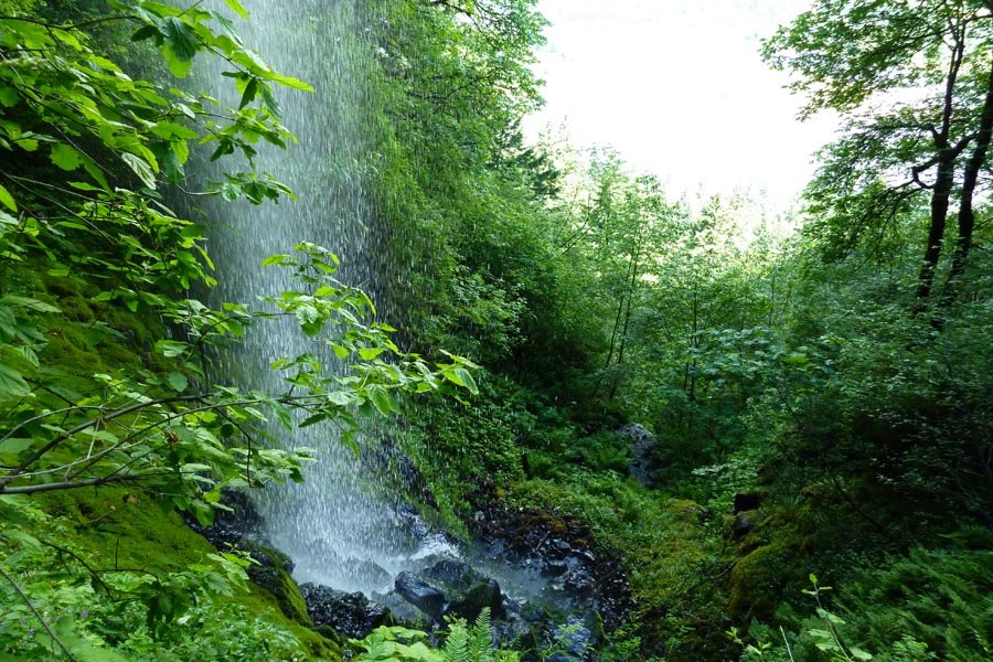
Wauneka Gap the hard way
9 miles of hiking • 4000' elevation gain •
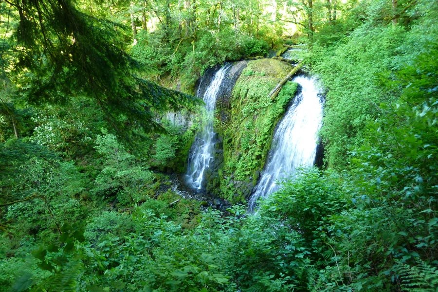
Went off trail up the Gap to Wauneka Point via an unfortunate 2 hour detour to the east when we went up the wrong talus field. But we found a great hidden waterfall en route! Then Wauneka and the indian pits to Moffet Cr and a cross country compass bearing to catch the Nesmith trail back down.
May 31, 2013

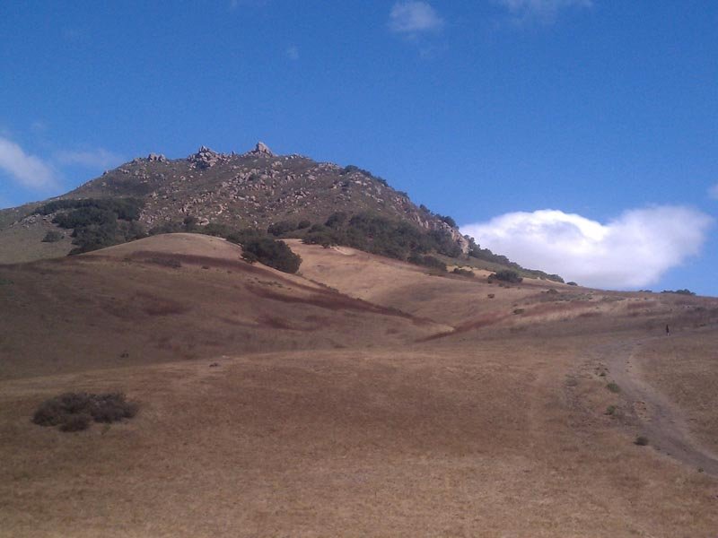
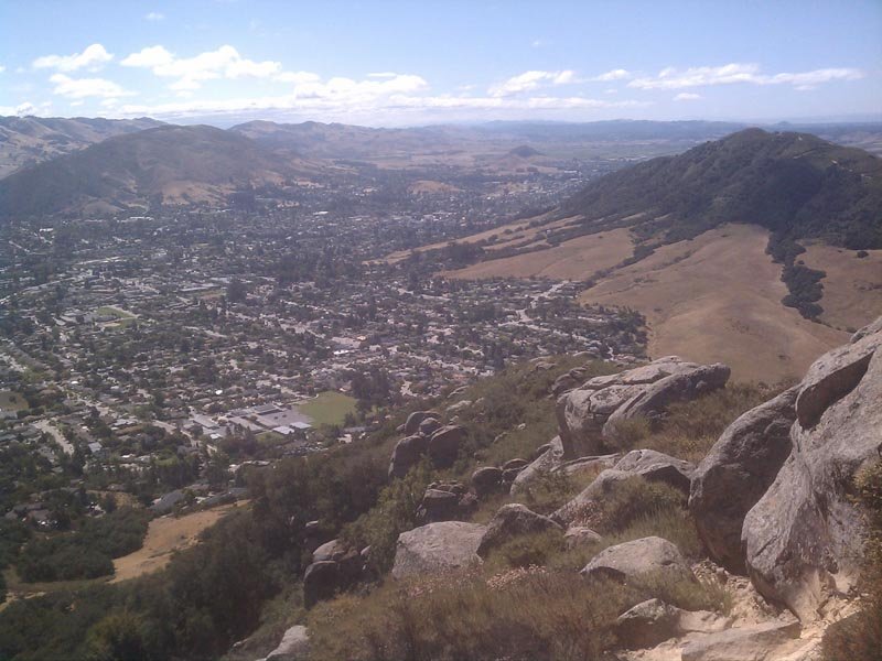
Bishop's Peak
4 miles of hiking • 1250' elevation gain •
Just a little ditty after eating one too many donuts at a wedding. Lots of that bright yellow stuff people in the NW talk about hypothetically - I think they call it "sun?"
California sure is purdy.
(really atrocious photos courtesy of my cellphone)
May 28, 2013

 1
1
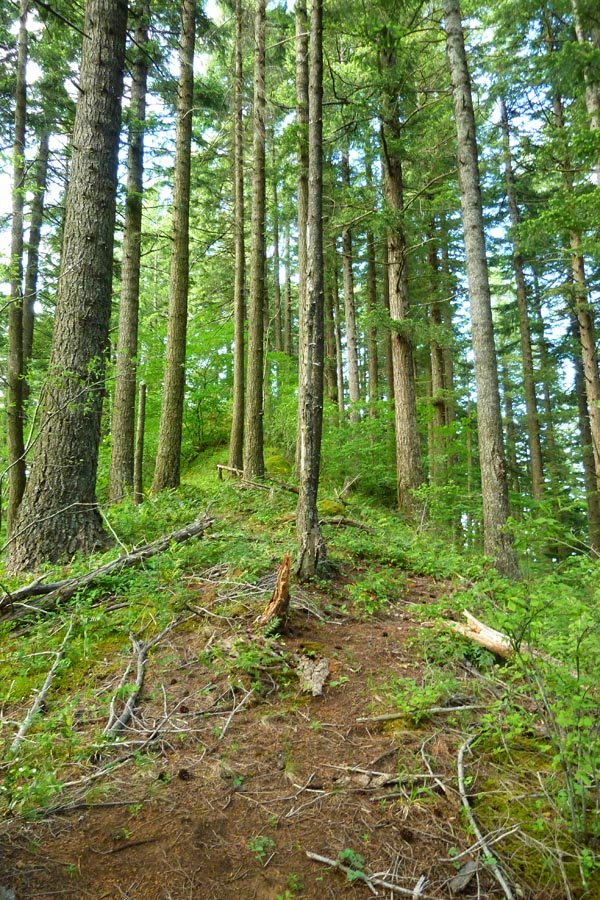
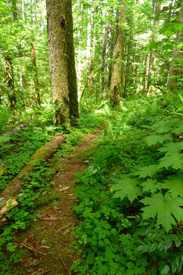
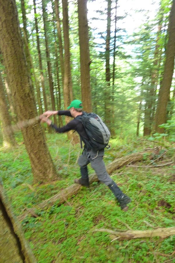
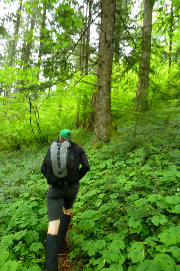
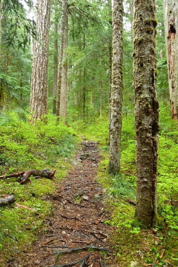
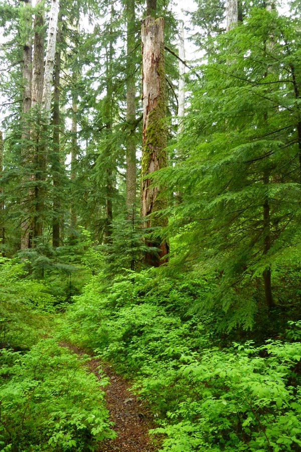
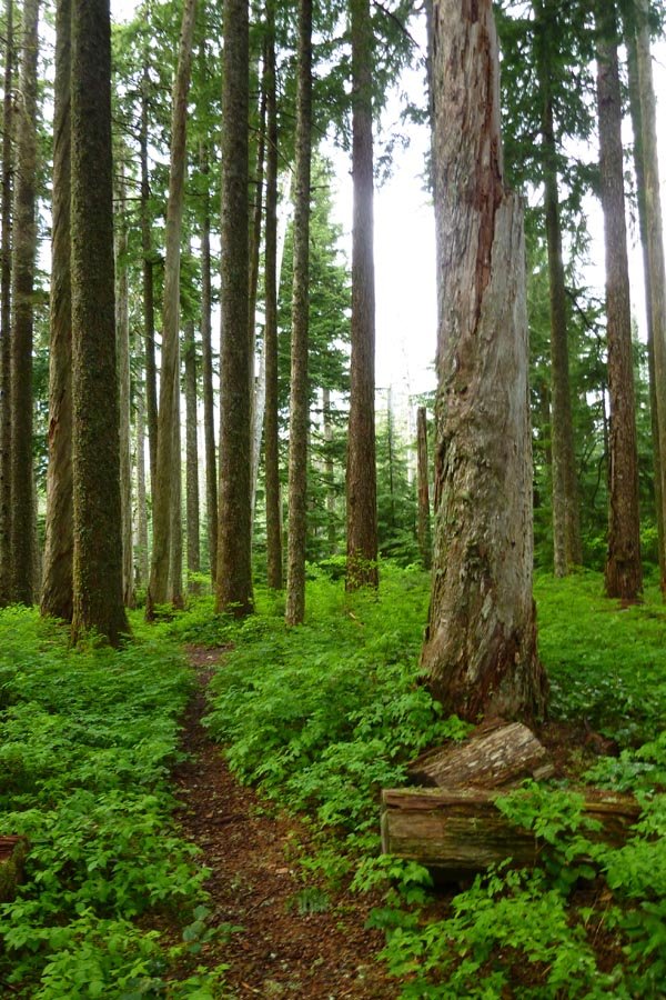
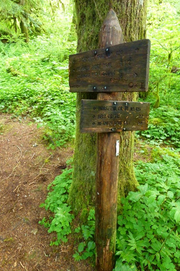
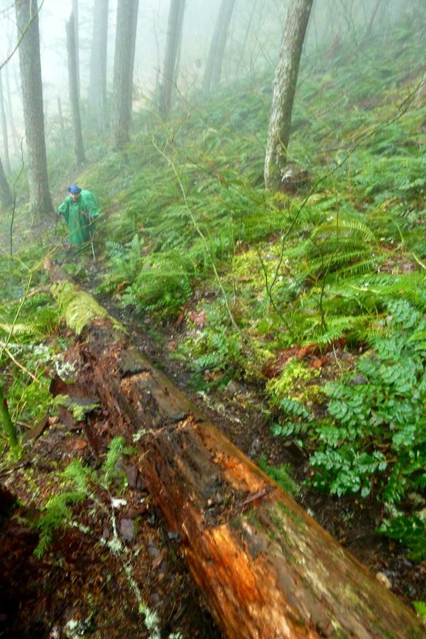
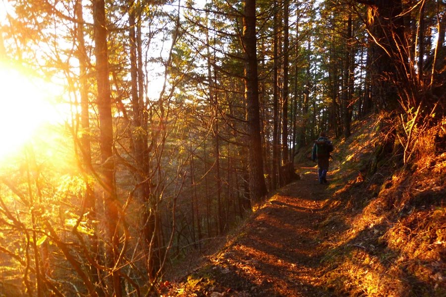
Not-Waespe to Larch and down Oneonta
14 miles of hiking • 4750' elevation gain •
Started at Oneonta with plans to go OT to Waespe Pt. Mid gully changed tack and went up the west side to a different viewpoint, then up the ridge to pop out at Bickel Pt. and Nesika Lodge. (Old guy at Nesika says Bickel Pt. is actually Waespe?) Then up the cutoff to Franklin Ridge, to Oneonta Tr to Larch Mtn in intermittent rain. Down Larch Tr, across Multnomah Spur and over Franklin Ridge to go down Oneonta Gorge and make a figure-8. Lovely spring rain and lush greenery.
May 17, 2013

Green Point Mountain, Tomlike, and Chinidere
29 miles of hiking • 7500' elevation gain •
Started at Herman Cr 7am. Up Nick Eaton to GPM and some light rain, down Waucoma Ridge and after getting a little lost in the snow, out to Tomlike. Then back to the snow and over to Chinidere (direct, up the back side). Summit beer and chocolate covered espresso beans. Down onto PCT and booked it up over the Platter and back down to HC by 8pm. Easiest long hike ever.
May 15, 2013

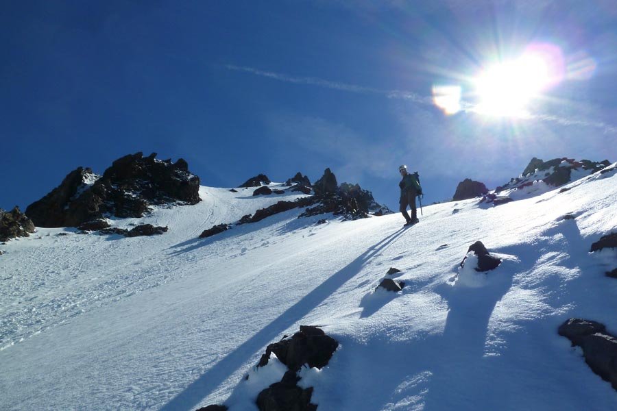
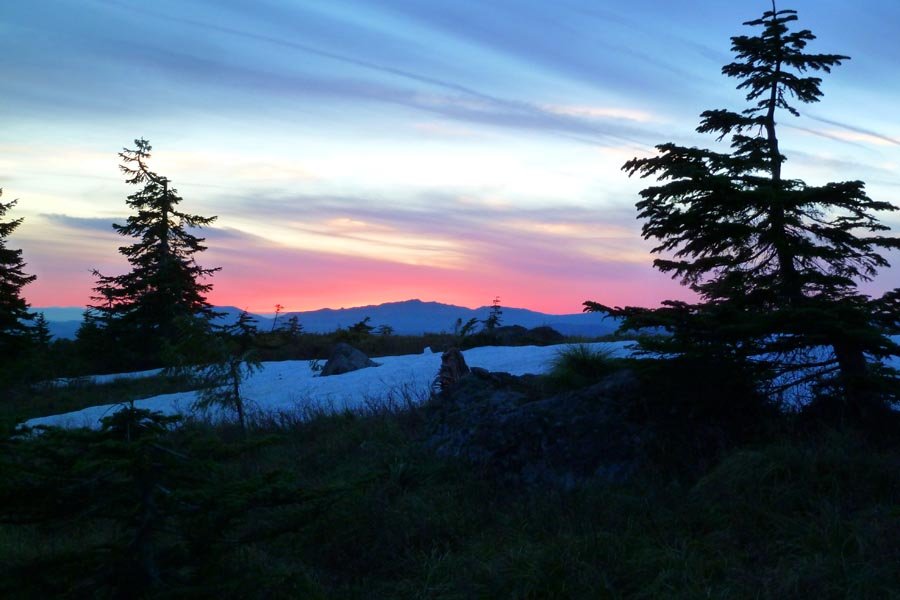
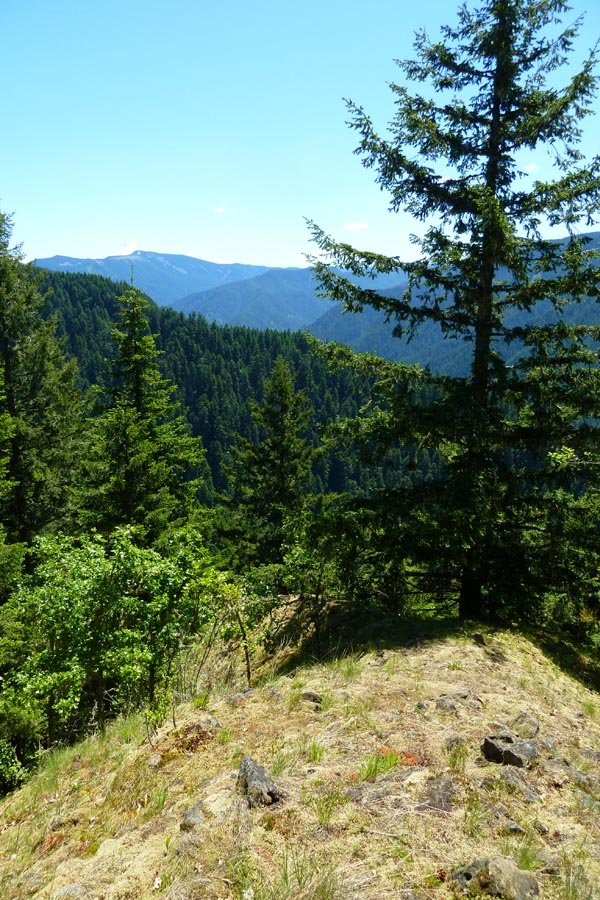
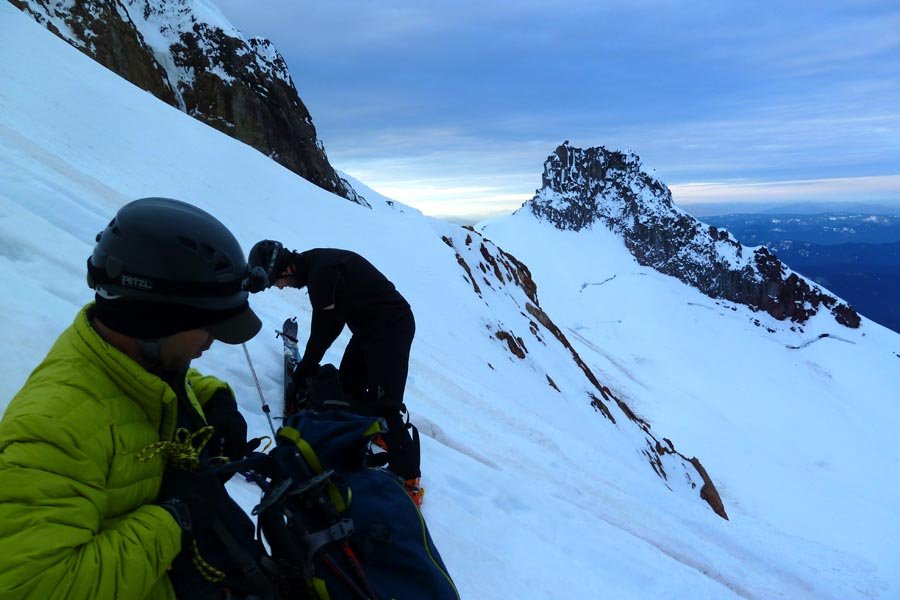
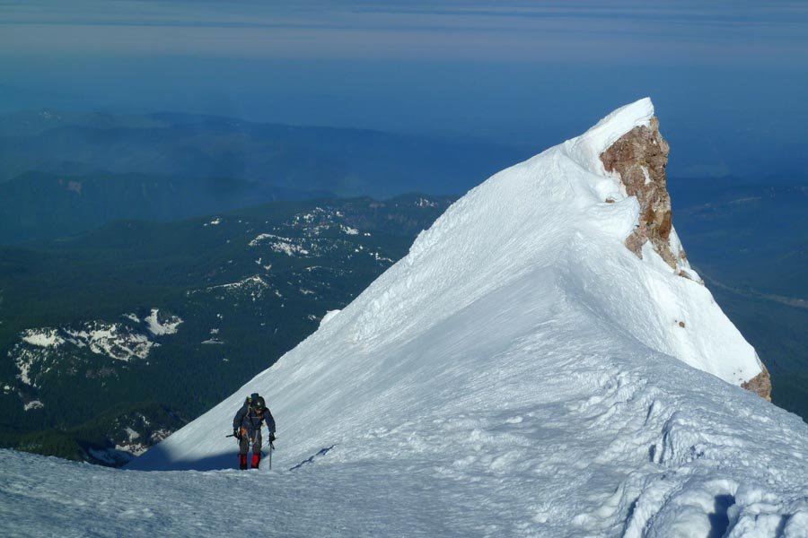
 3
3
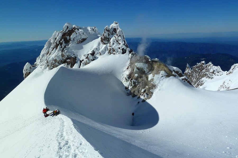
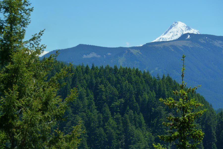
Hood - Leuthold Couloir
7 miles of hiking • 5750' elevation gain •
Interesting conditions on Hood after all the heat - crevasses and bergschrund opened up on the glaciers. A little icy in the Hourglass but fun climbing. Old Chute was steeper and more frozen than previously, making the decent a little harder. Super slushy below the Hogsback. About a million people on the south side.
May 11, 2013


Katanai Rock, NW Ridge of Yeon, and the Mystery Trail
6 miles of hiking • 4000' elevation gain •
Hot day for brushy scrambling. Then rappelling! Then more brush!
May 10, 2013

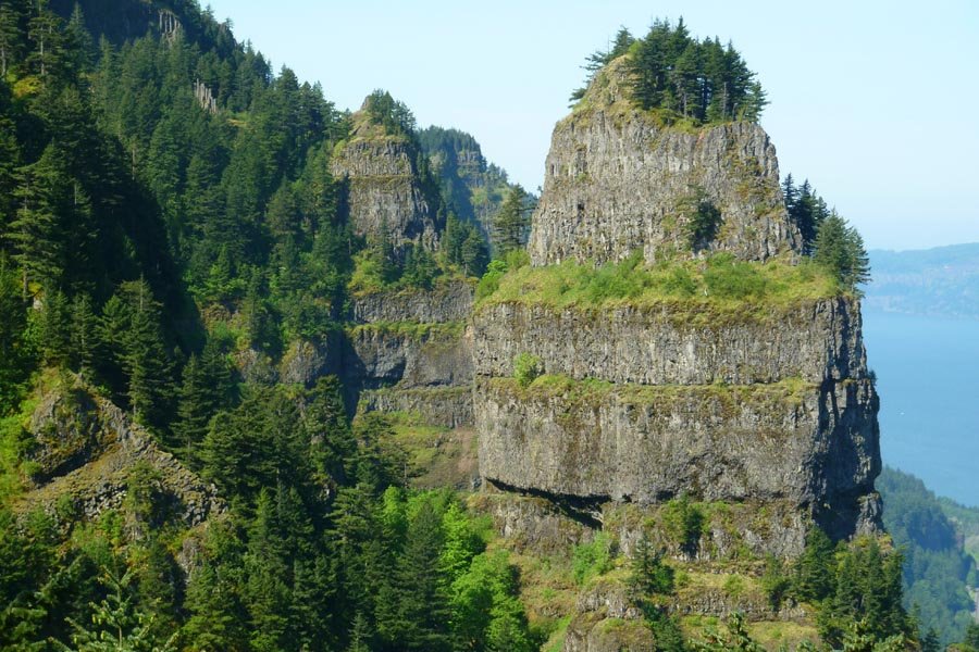
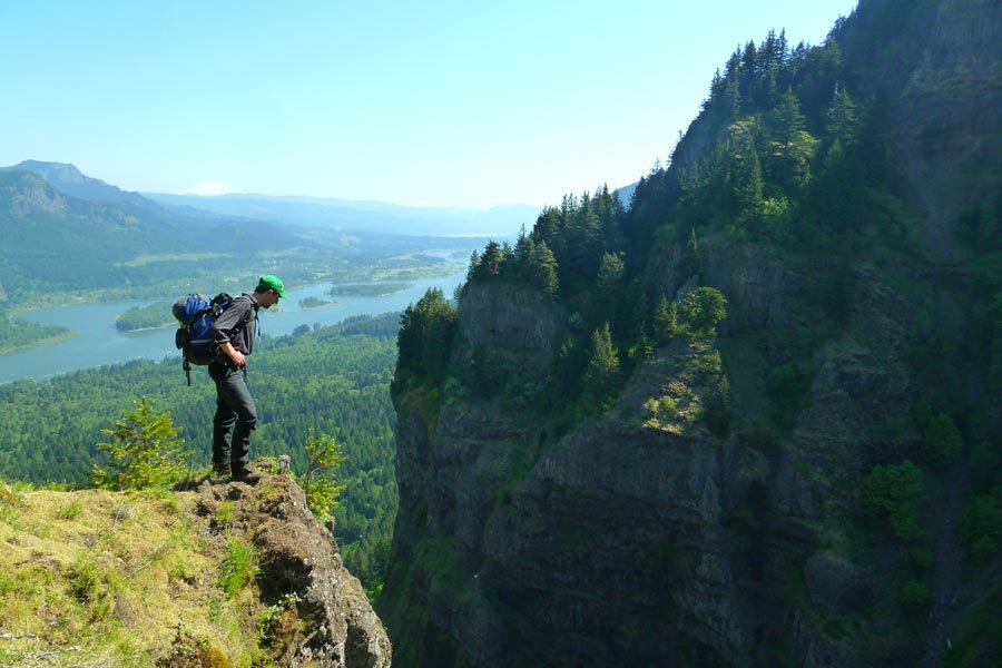
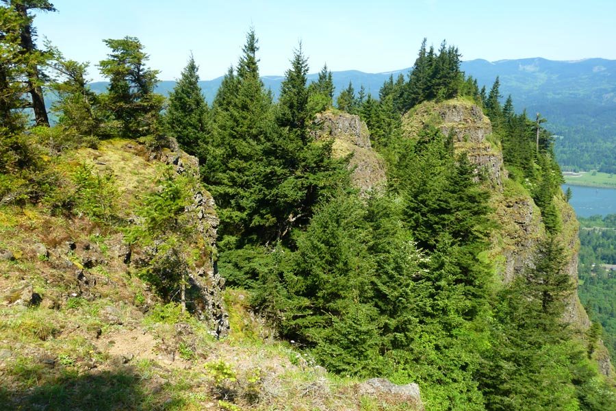
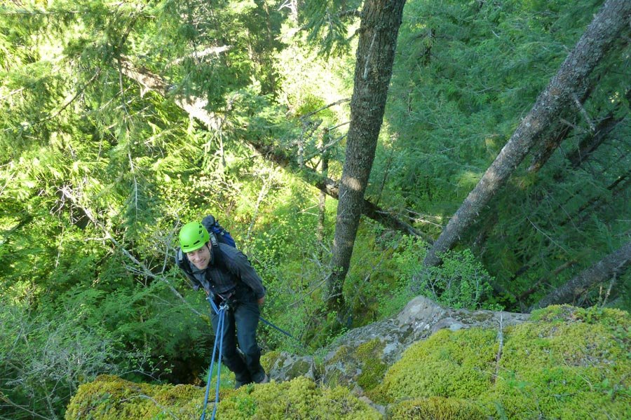
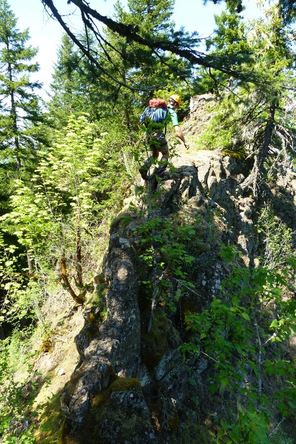
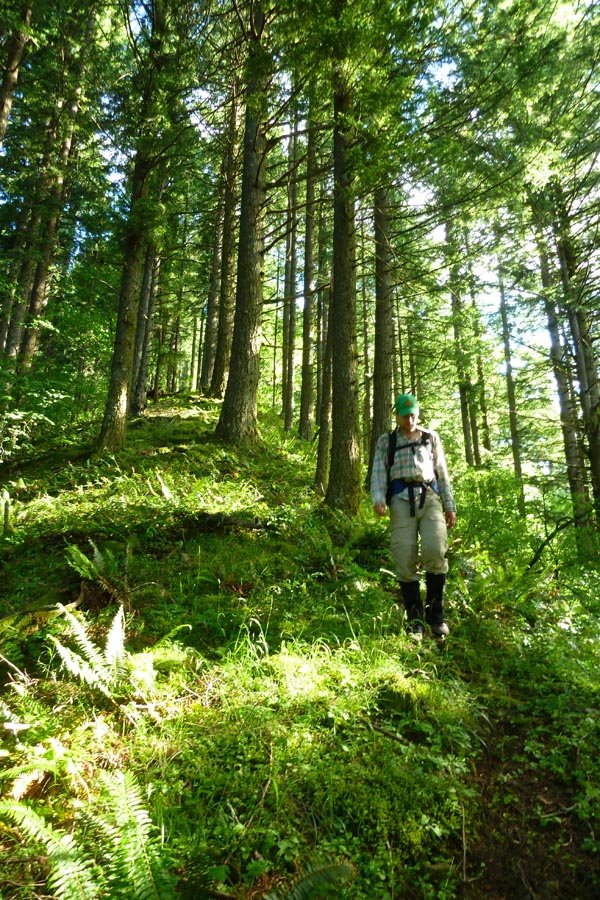
Table Mountain (again)
10 miles of hiking • 3750' elevation gain •
Back again with Elsie. Since Wednesday: mud on Dick Thomas has dried. Plants have doubled in size. Bugs have hatched. Super hot.
Summit picnic included fruit, homemade chocolate truffles, and chilled gewurztraminer.
Descended the NW Ridge.
May 6, 2013
 2
2
Yeon Mountain - NE Buttress
7.5 miles of hiking • 3500' elevation gain •
From GCC - parked on the frontage road in Dodson, went up Tumalt Creek, then up the first gully east of Yeon onto the NE Buttress to a fabulous viewpoint past the saddle. Then up the NE Ridge to the plateau. Down ROA and back via the 400 and the road. No technical gear needed.
May 3, 2013


Munra NE face
5 miles of hiking • 2500' elevation gain •
Crazy off trailiness. When in doubt, follow deer.
April 26, 2013

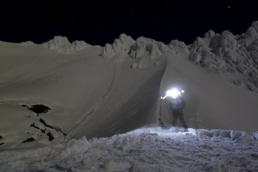
Hogsback and Zigzag Glacier stroll
6 miles of hiking • 4750' elevation gain •
Started 1:30am at Timberline. Continuous heavy winds. Got up to Hogsback, unsure how safe the summit would be with the wind. Cold. Partners opted to bail. Descended to Illumination Saddle, then walked straight down the Zigzag Glacier for a while and strolled back over to the Magic Mile to finish it out. Other climbers who'd gone up when we headed down appeared to be summiting via the Pearly Gates. Sigh.
April 24, 2013

 2
2
Illumination Saddle
5.5 miles of hiking • 3500' elevation gain •
Spontaneous early morning trek up to Illumination, then back.
April 23, 2013

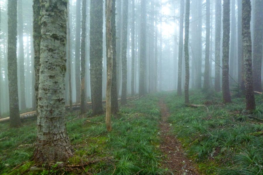
 1
1
April 17, 2013

April 16, 2013

April 12, 2013

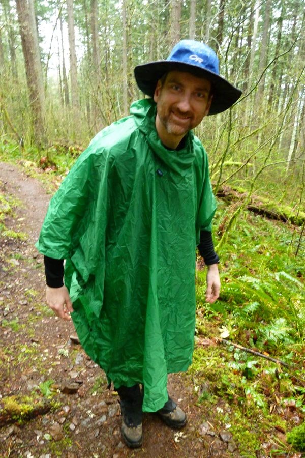
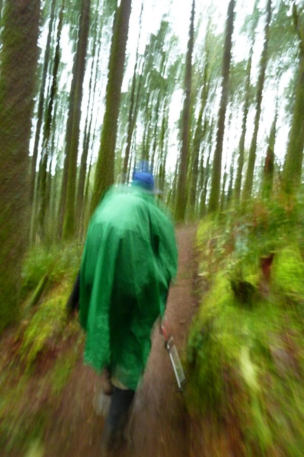
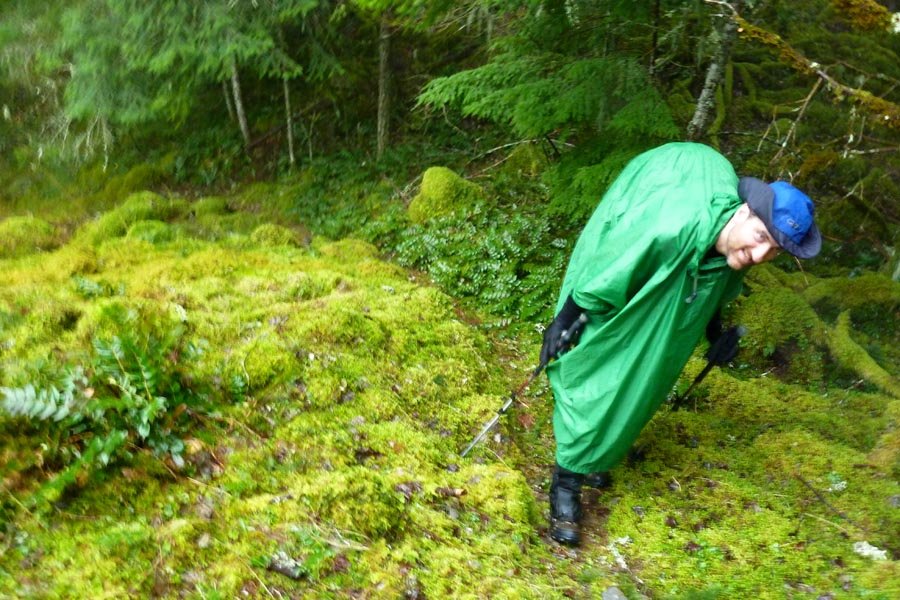
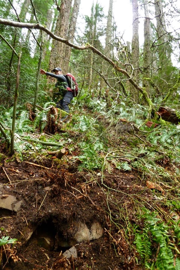
Casey Creek to Nick Eaton
11 miles of hiking • 4000' elevation gain •
Up Casey Creek, down Nick Eaton. Rain turned into little graupel snow up top, blowing sideways. Then the sun came out partway down. Then it was raining at the car.
Springtime in Oregon.
April 7, 2013

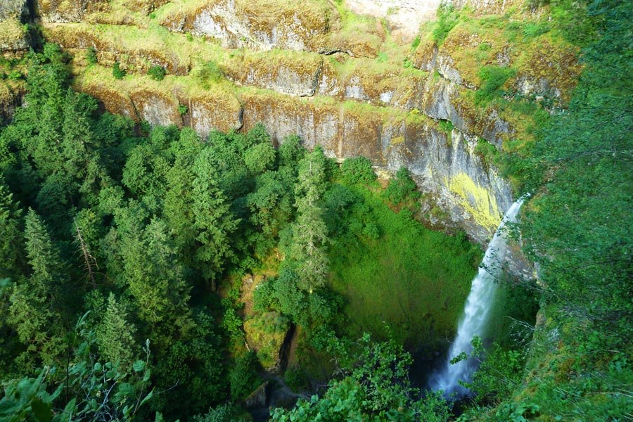
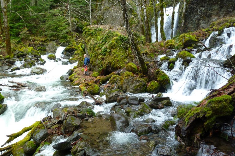
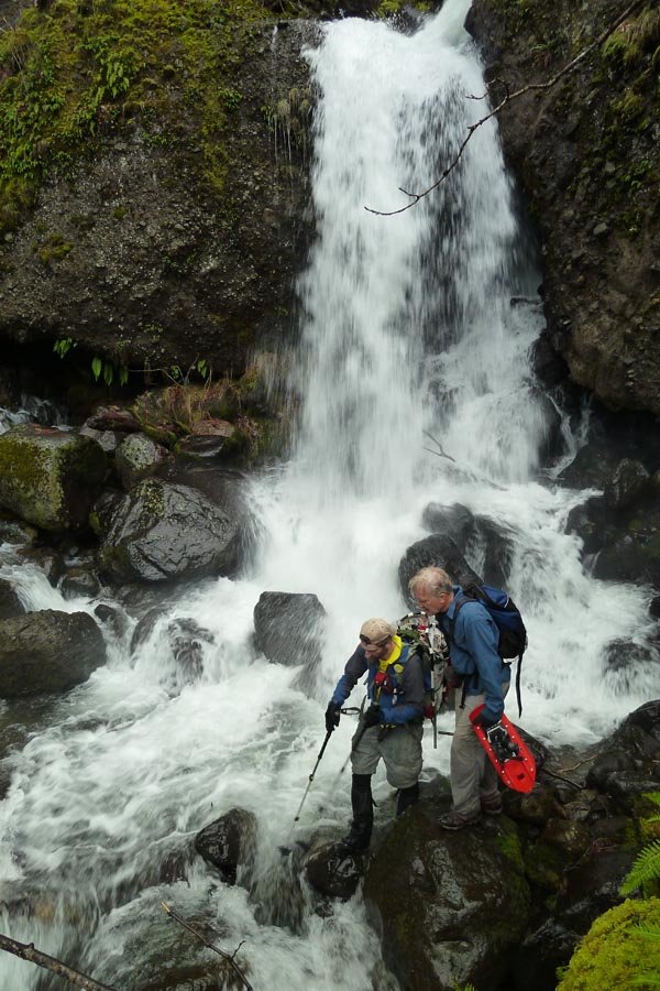
Tanner Ridge shortcut to Dublin Lake Jct.
12 miles of hiking • 3750' elevation gain •
Planning to go to Tanner Butte. Took the shortcut up the ridge west of the Tanner trail - pretty cool, kind of like Rudolph Spur. One shoe decided it needed to eviscerate my heel, so I was forced to take my knife and cut out part of the plastic heel cup, which only kind of helped. Hit snow around 3500 ft and put on snowshoes to avoid obnoxious sinkage. The tracks I was following veered off to Dublin Lake near the junction, and there was no sign of the trail under all the pine needles and meltout. I didn't feel like dicking around trying to find it, or use a compass bearing up to the road grade farther along, so since I'd wasted time trying to fix my shoe and it was later that I'd wanted, I just turned around and went back. The TB summit would have sucked anyway, as the sunny morning hazed over by afternoon. At least it got April's scheduled "lame" hike out of the way?
April 3, 2013
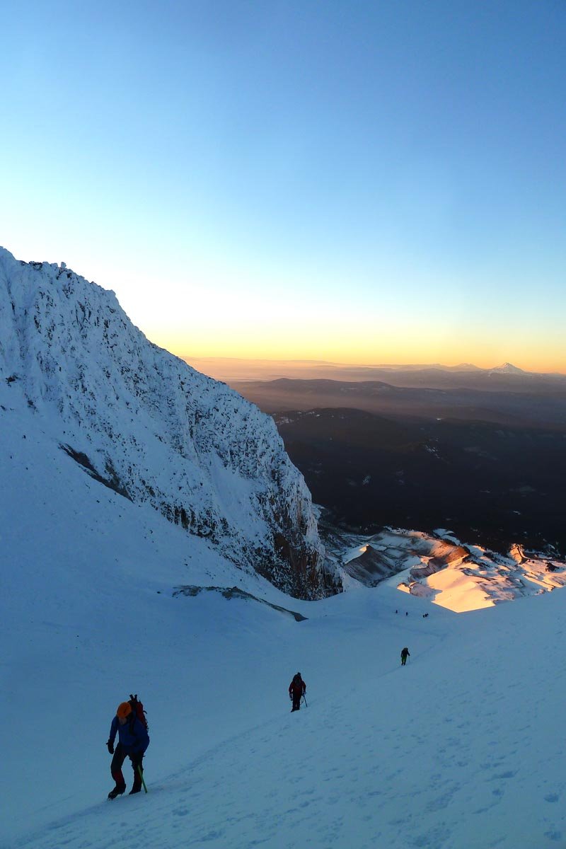
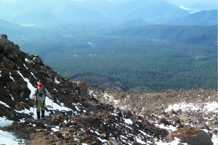
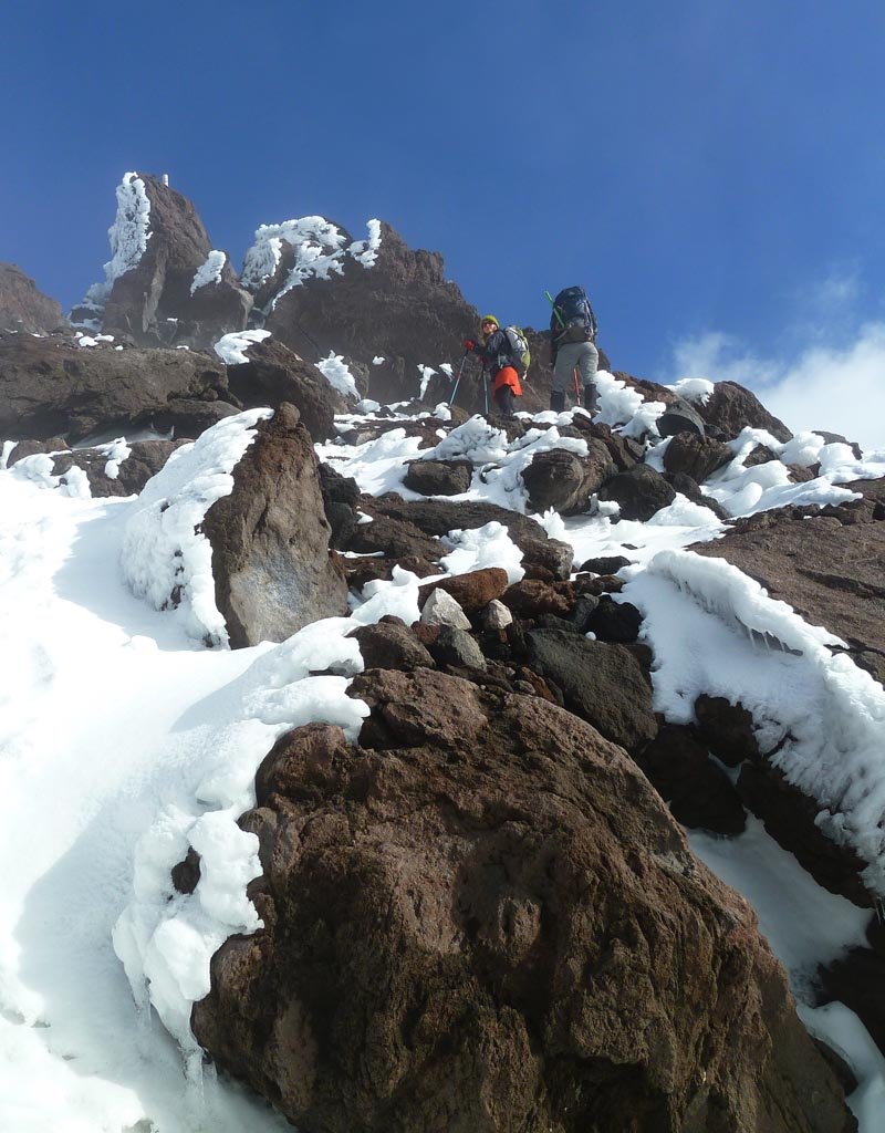
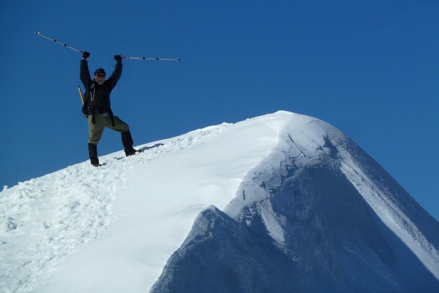
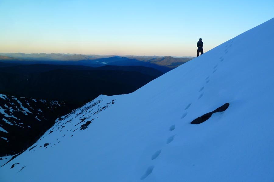
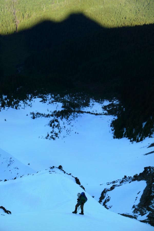
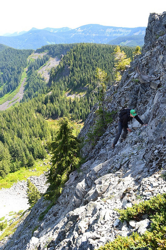
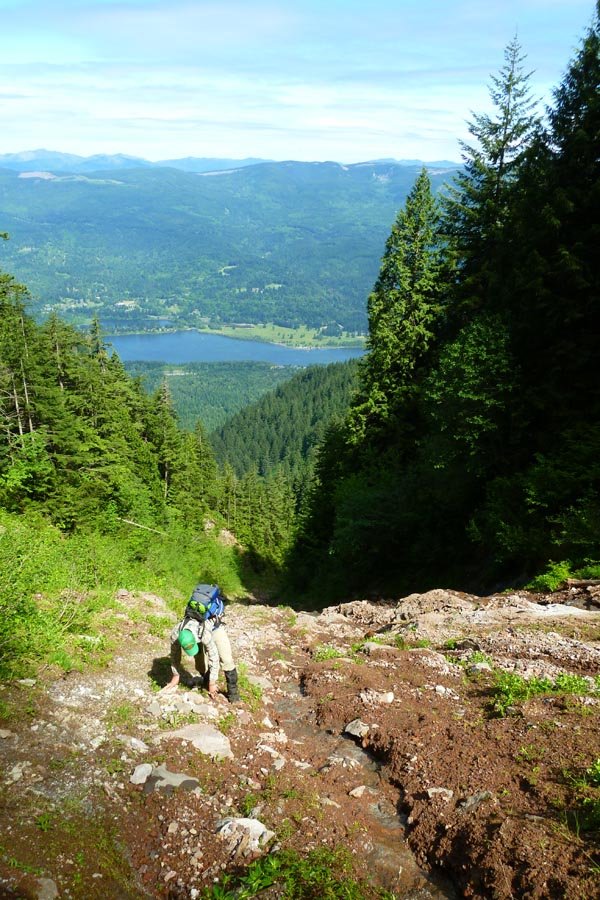
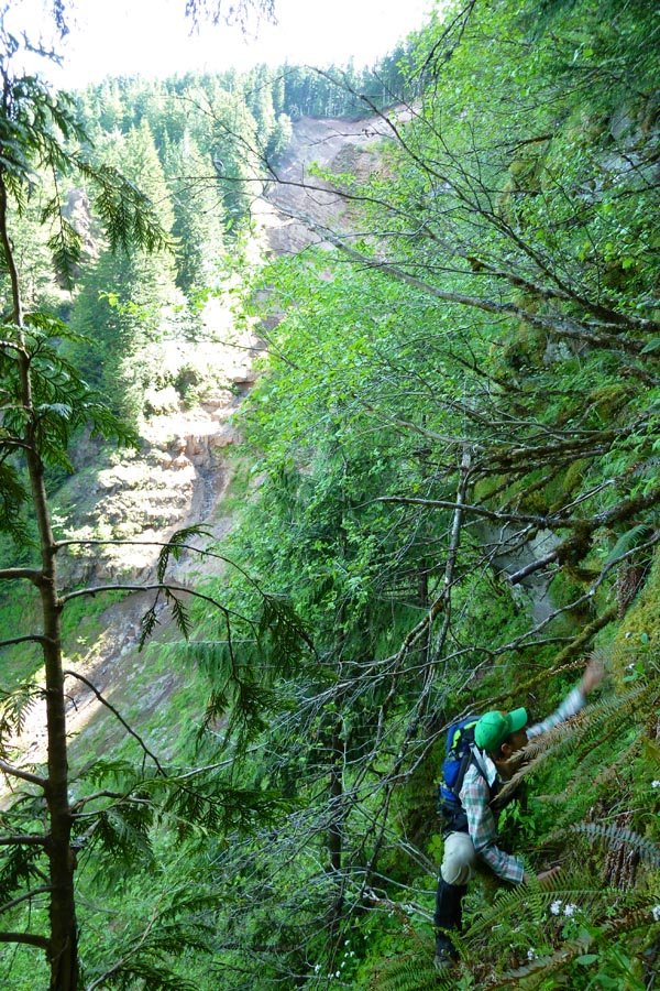
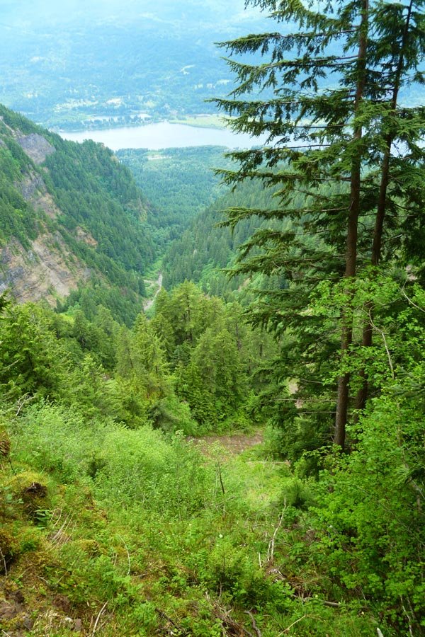
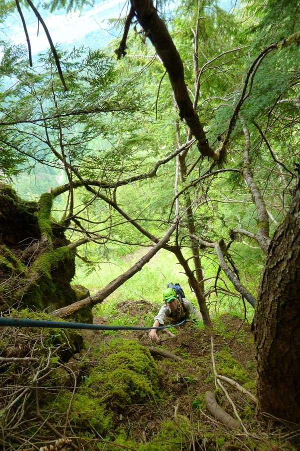
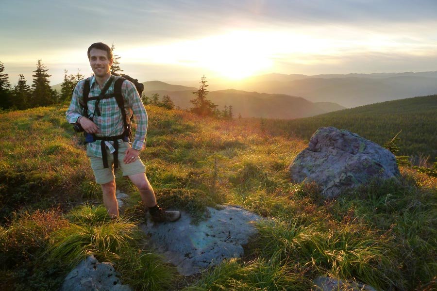
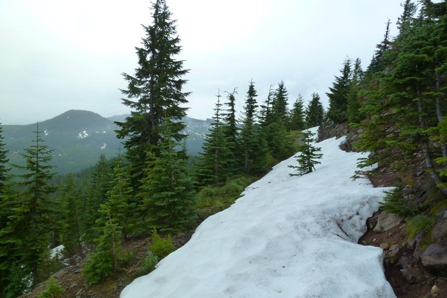
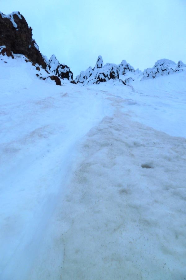
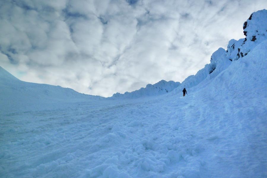
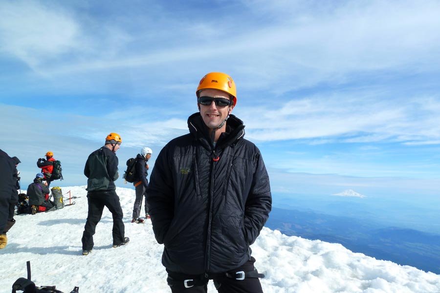
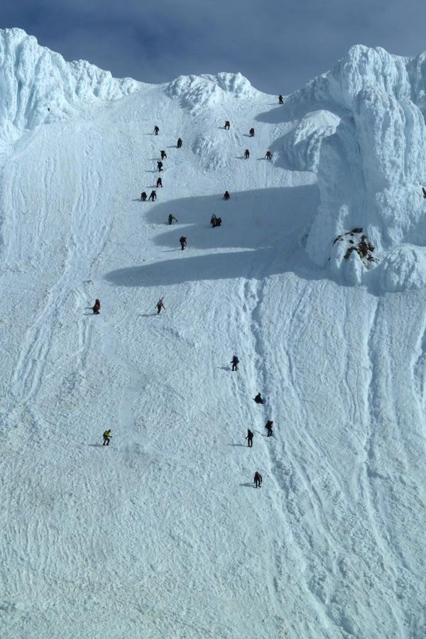
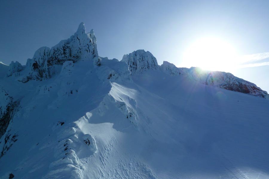
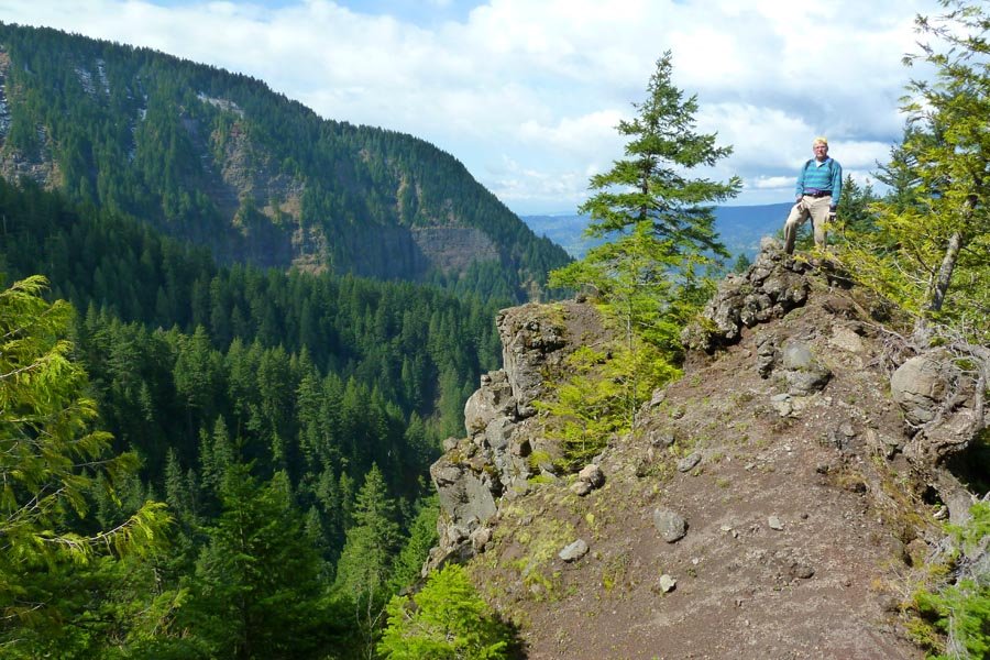
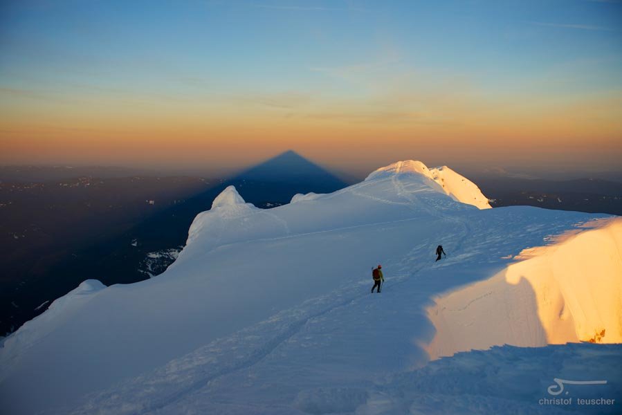
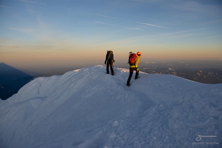
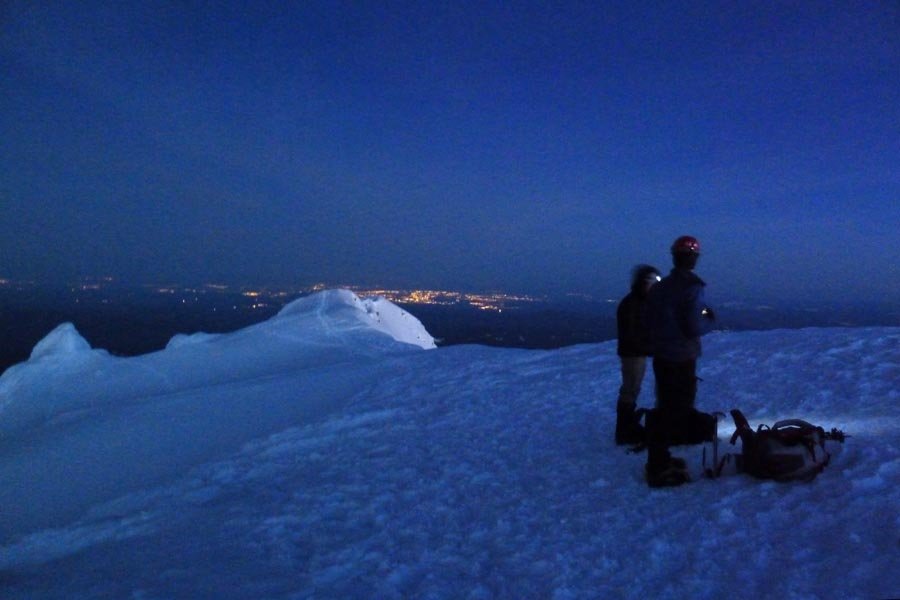
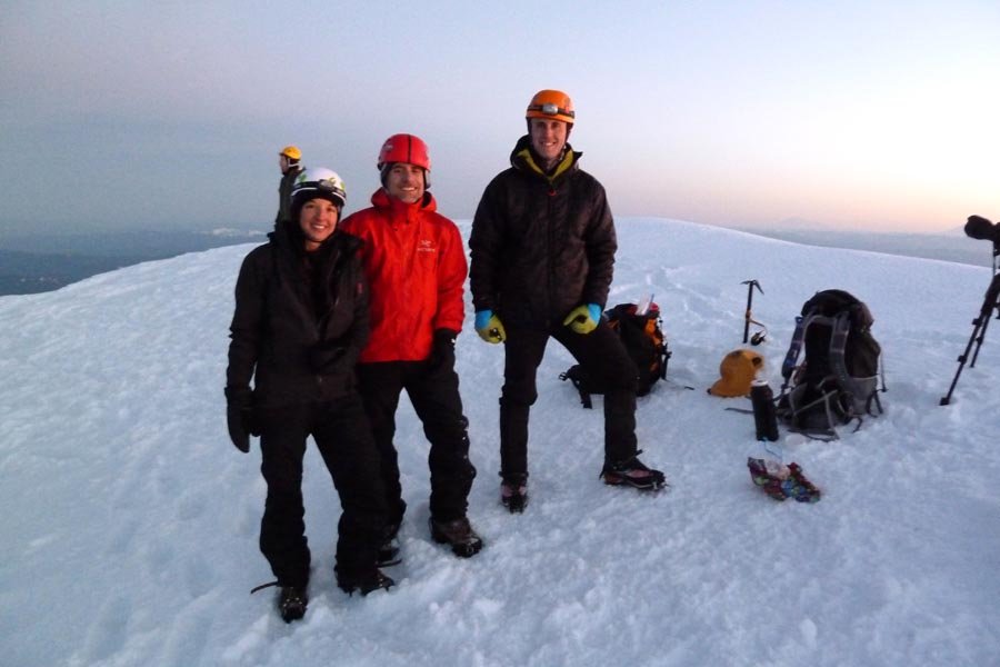
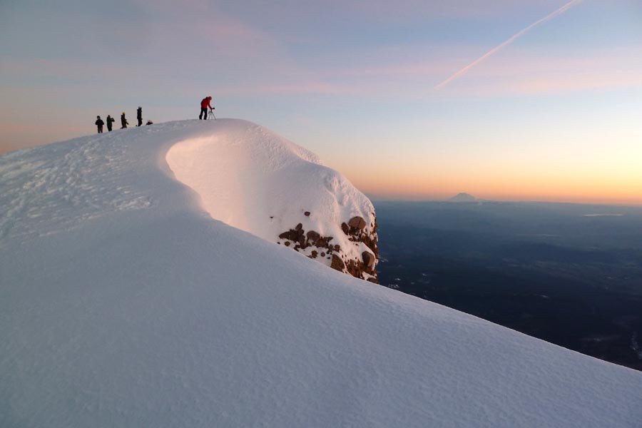
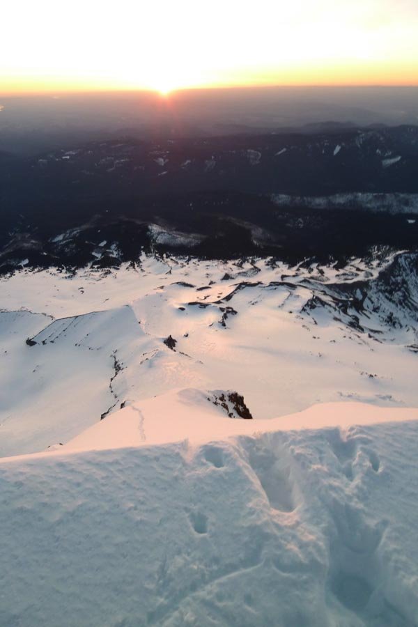
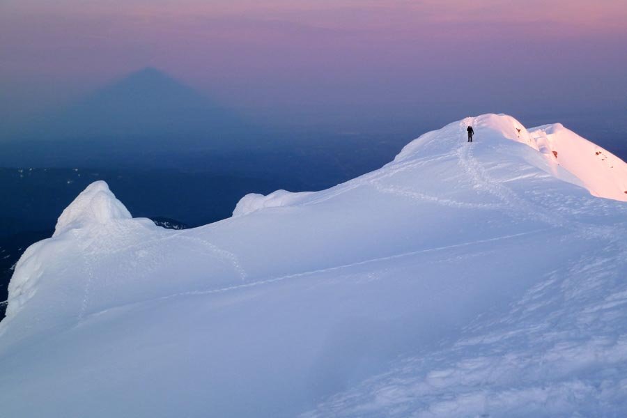
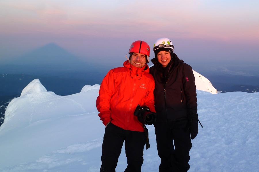
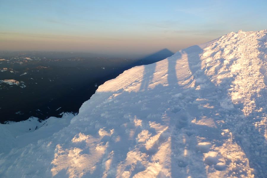
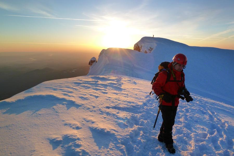
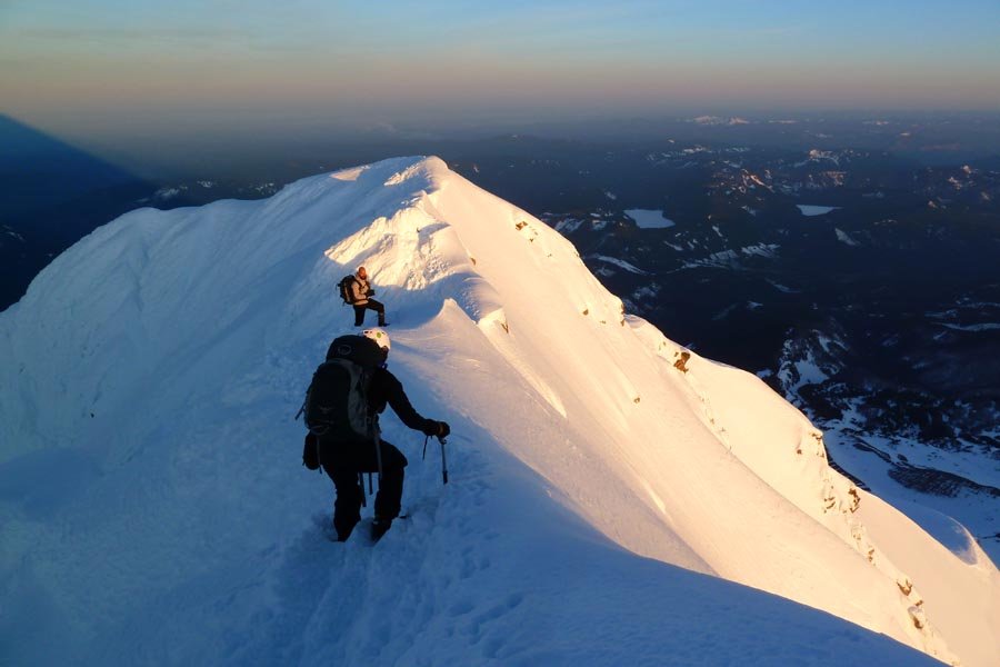
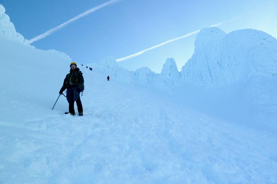
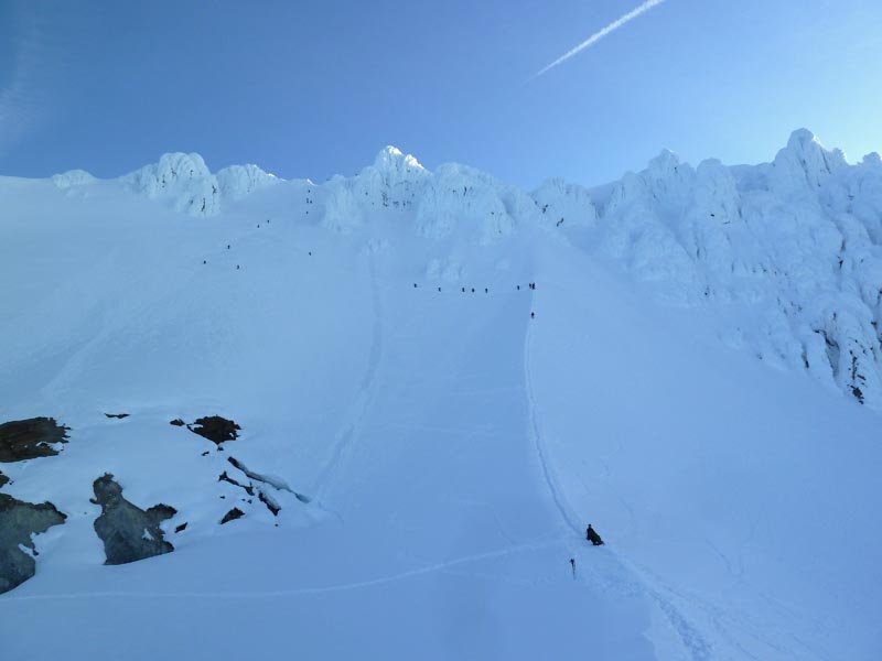
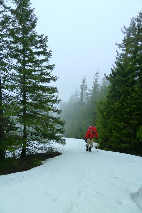
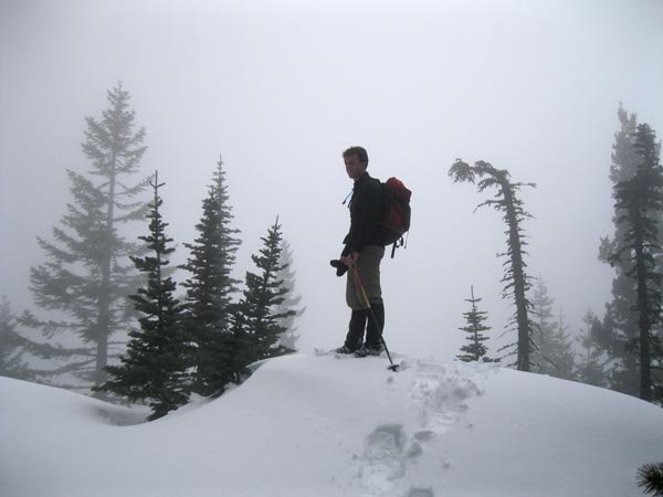
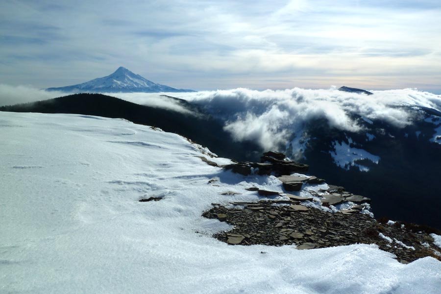
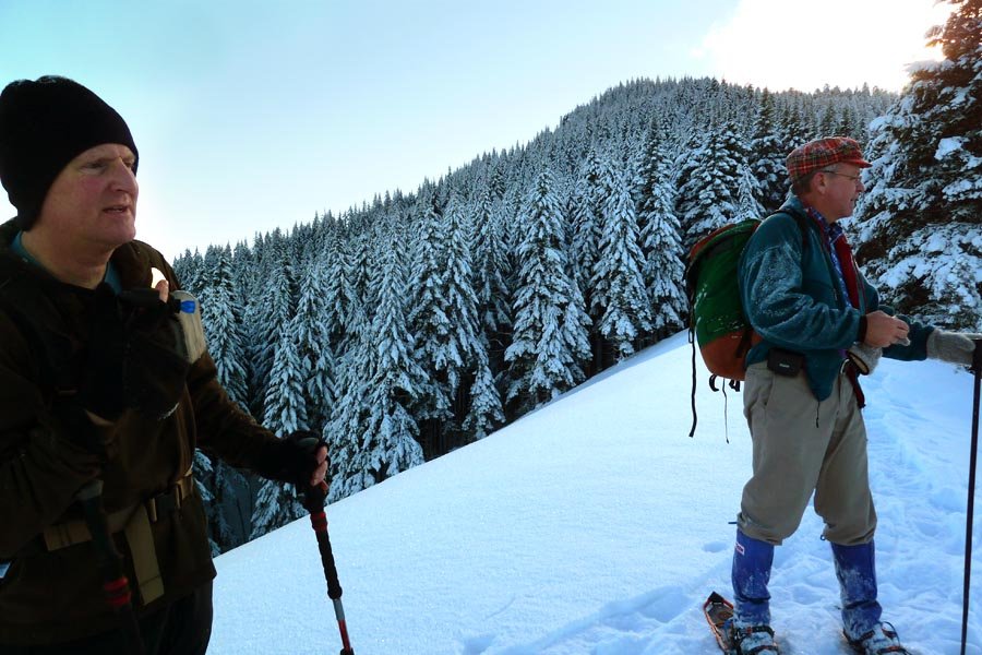
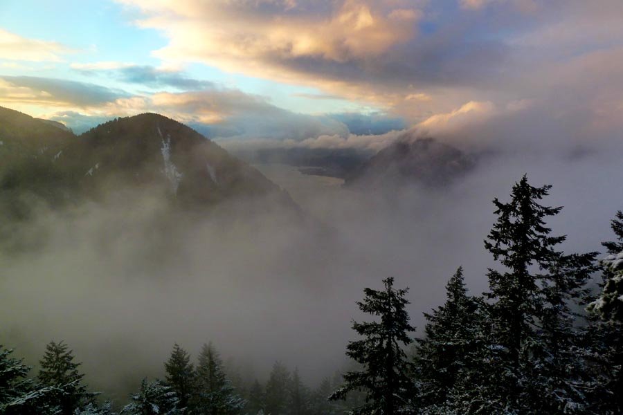
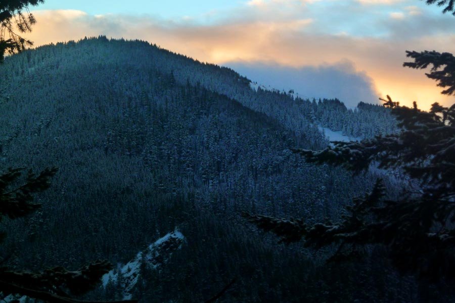
 8
8
Mt. Hood - Old Chute
7 miles of hiking • 5250' elevation gain •
Started at midnight. Summit at 5:30am (after waiting for a cold hour at the Hogsback for the rest of my team to catch up). Sunrise. Back at the car at 9:45. Perfect conditions, no ice, not too crowded.
March 31, 2013

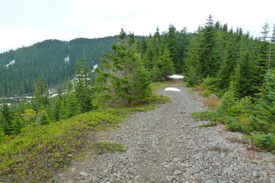
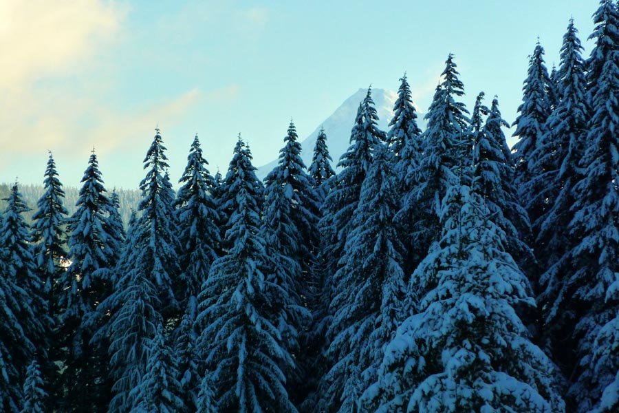
Larch
14.5 miles of hiking • 4000' elevation gain •
Alpine start at noon. Up in 3 hrs and back by 6pm despite spending the better part of an hour up top. Brought snowshoes but didn't need them due to a well beaten track! Spikes were helpful to keep from slipping on the compacted snow.
March 24, 2013

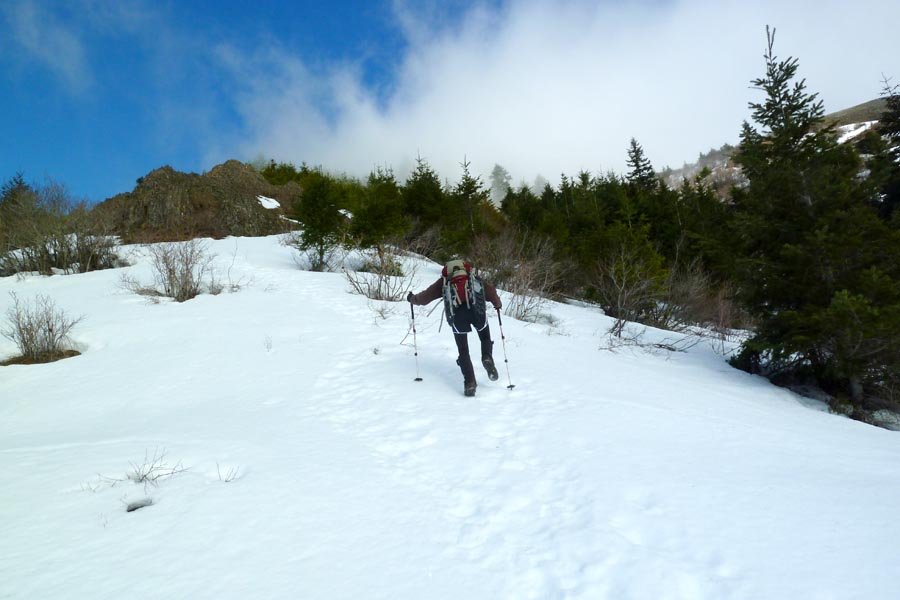
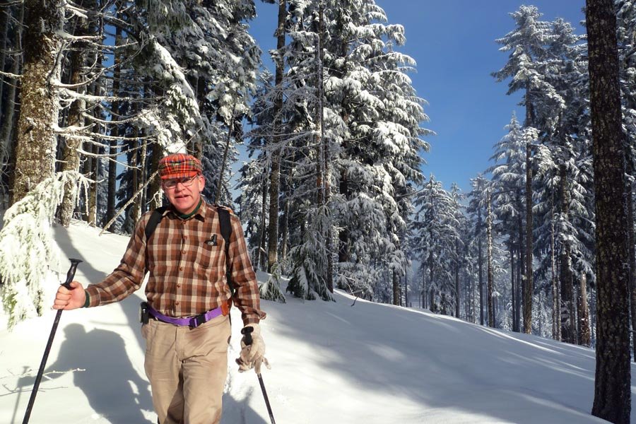
 4
4
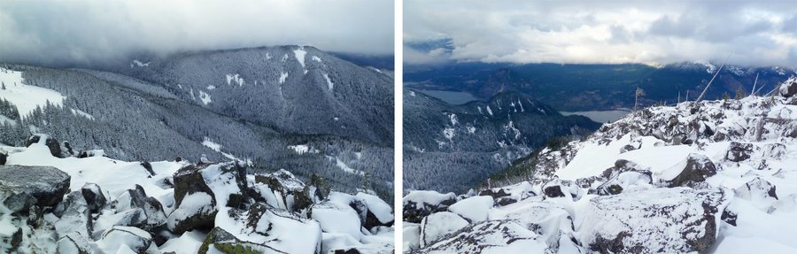
March 16, 2013

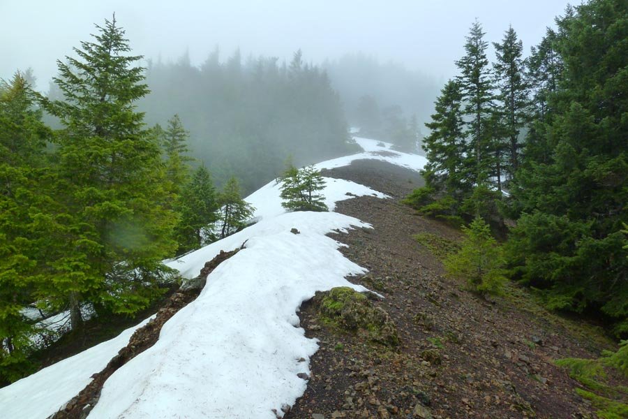
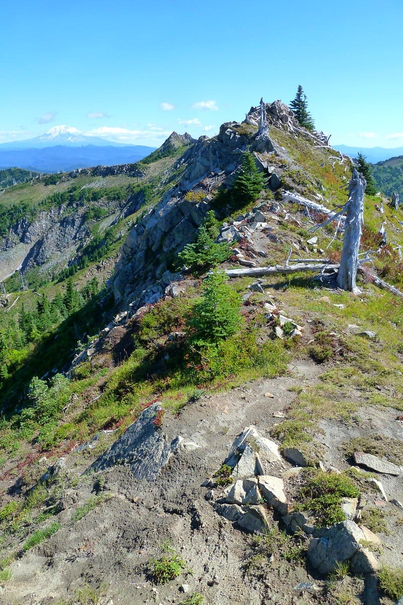
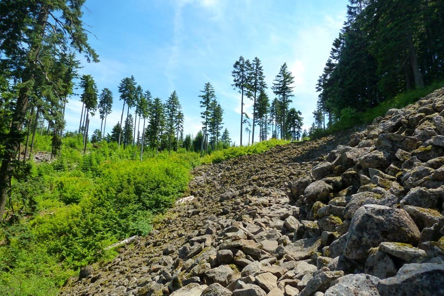
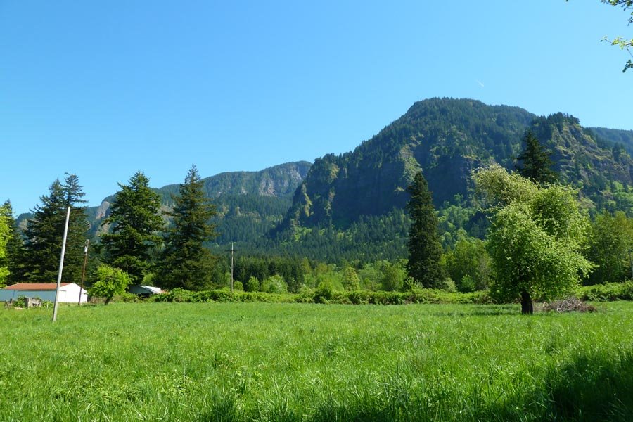
Defiance
11.5 miles of hiking • 5000' elevation gain •
Really wet, heavy, slushy new snow on top of hard consolidated snow and ice. Cold, wet, and windy up top - pretty miserable. Unbelievable amount of Mazama flagging on the Defiance trail below its junction w/ the Warren Lake trail. Winter conditions = 6 hrs.
March 10, 2013

Heartbreak Ridge direct and Greenleaf Basin OT
10.5 miles of hiking • 4250' elevation gain •
Cut over off the PCT and attained Hearbreak Ridge at the saddle below the Rabbit Ears. Bushwhacked up over the Two Chiefs, then went up the old trail to the summit. Descended the east side of Table into Greenleaf Basin, then down to the Two Chiefs Trail after a very wet ford of lower Greenleaf Creek.
March 2, 2013

 1
1
February 23, 2013
 1
1
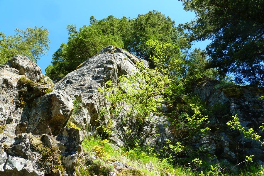
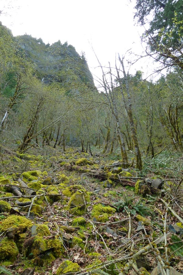
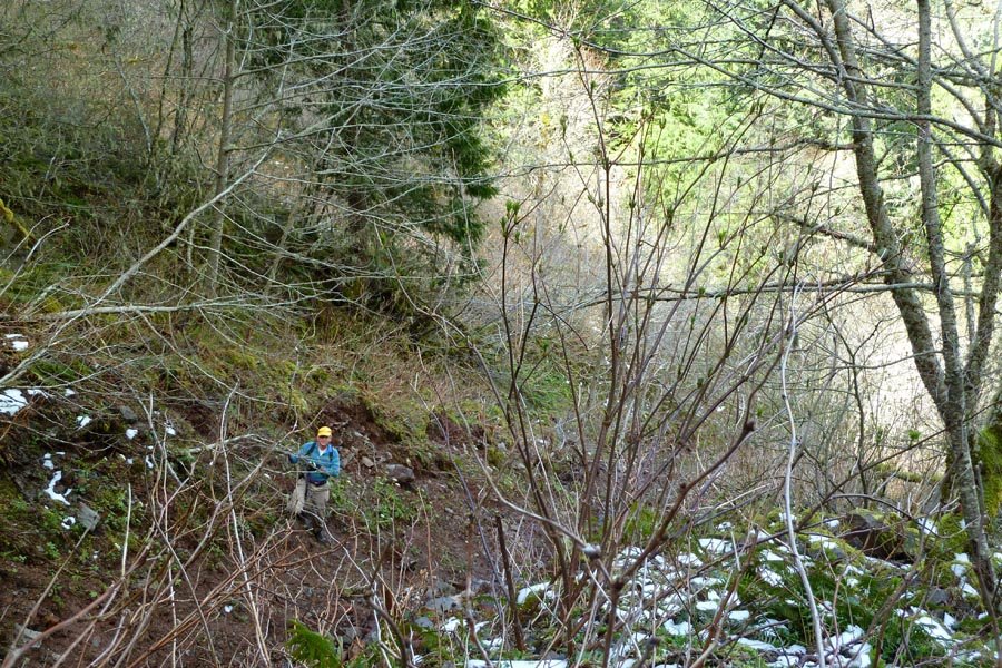
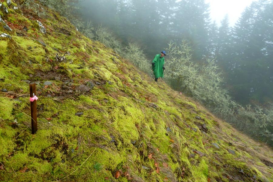
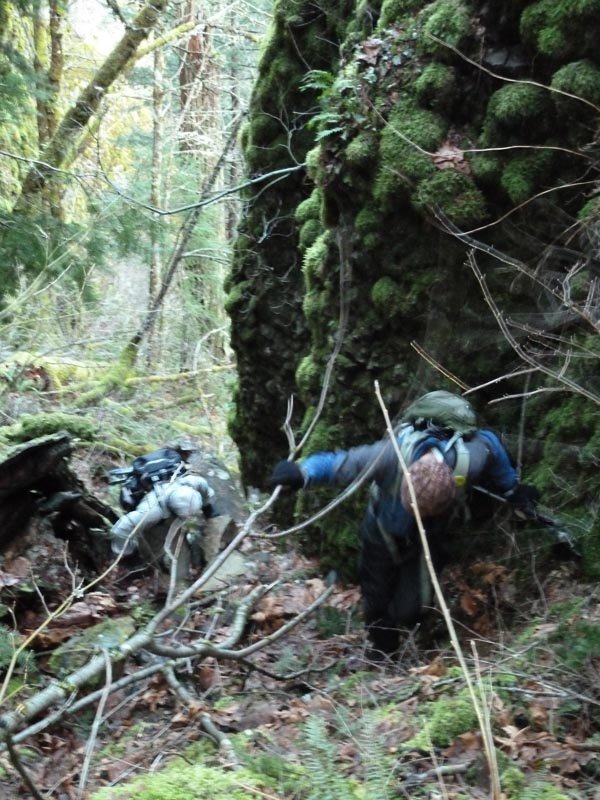
Wauna Direct and Munra northside exploration
10 miles of hiking • 4500' elevation gain •
Started at Wahclella. Followed powerline road to Wauna Viewpoint, then OT up the brushy ridge to Wauna Point. Missed Pablo's ridge and instead went down a severely steep and brushy ripple to its left, but thankfully this dumped us practically on top of the Tanner TH. Back down to the parking lot, across the bridge, and up the 400 to below Munra, then OT southwest up a steep, brushy slope, only to be stopped dead by an insurmountable headwall. We traversed west, but no weaknesses were found. Super rugged scrambling in this area. Finally gave up about halfway to the NW (normal) ridge and bailed down a steep gully back onto the 400.
February 18, 2013

 1
1
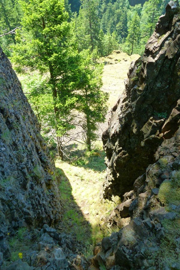
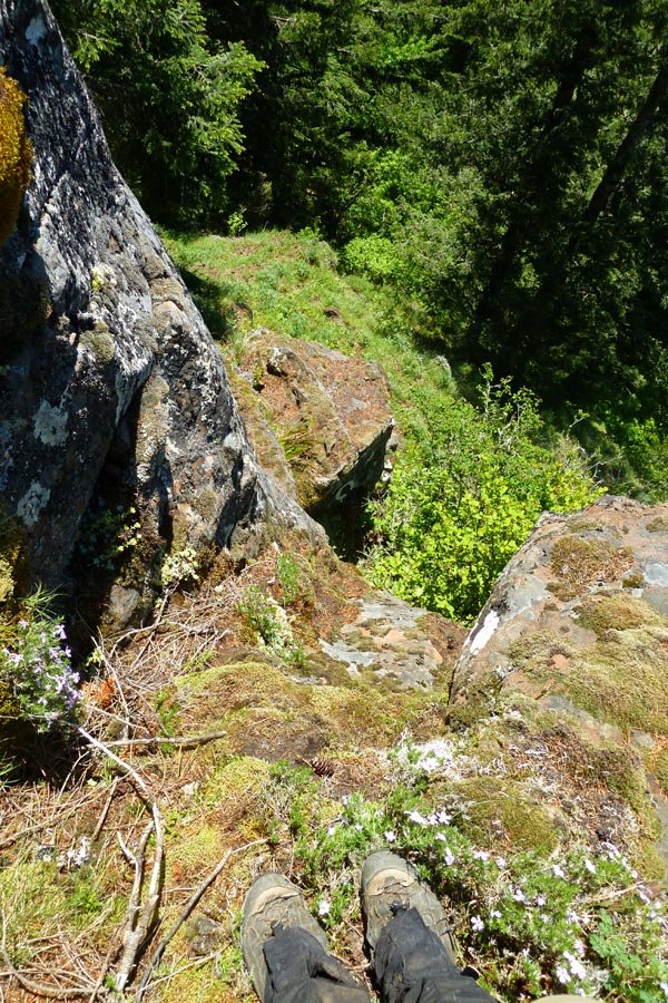
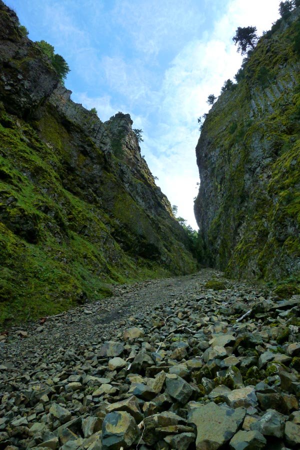
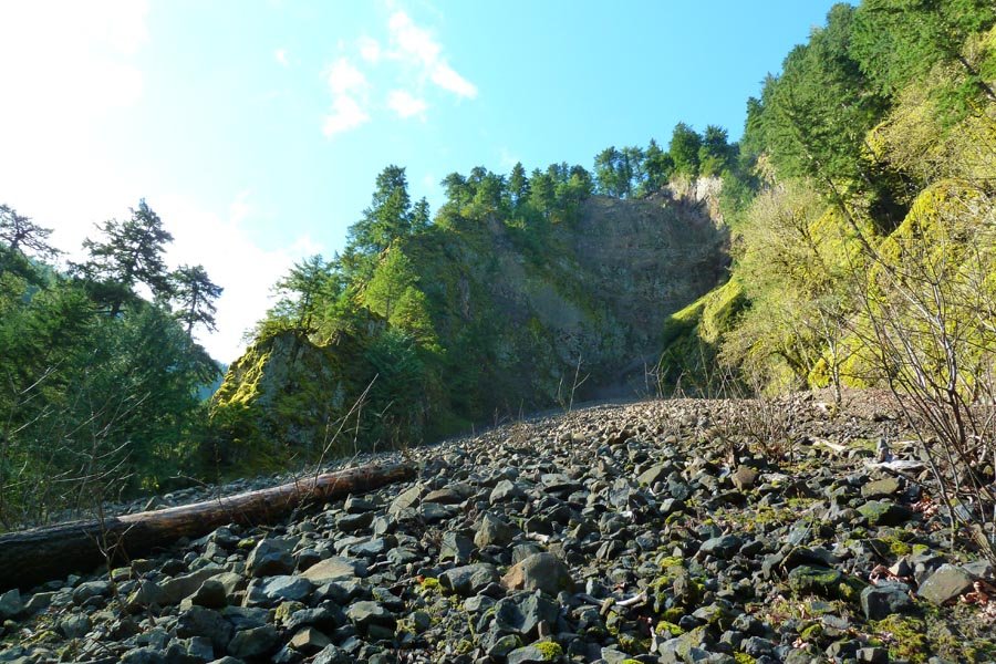
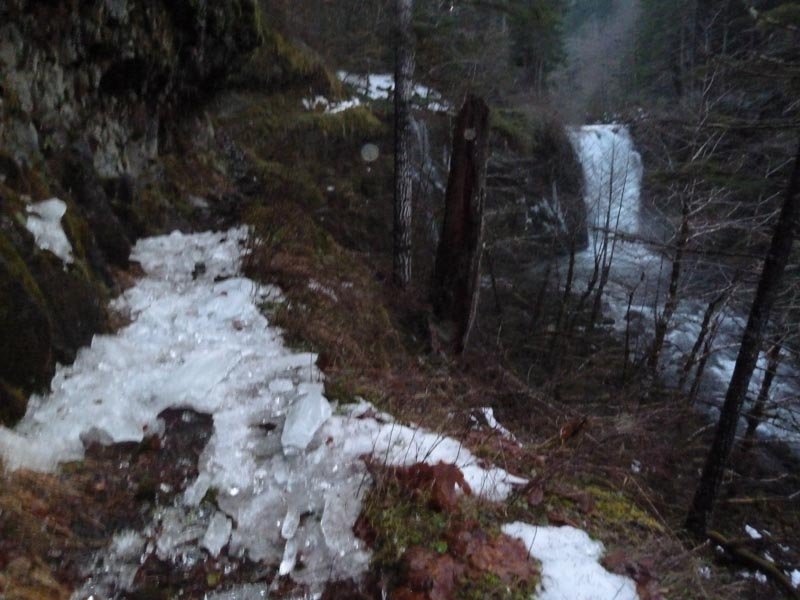
Three gullies below Indian Point
12 miles of hiking • 4500' elevation gain •
Another exploration of the area near Grays Creek, this time to the west under Indian Point. Three gullies - the first was the Shooting Gallery, which we turned back from due to rockfall. Second dead ended. Third was a long straight shot all the way up to the Gorton Creek trail, making this the directiest line yet. Off and on rain, tons of mist, exciting and steep scrambling.
Estimated numbers because I don't have a GPS.
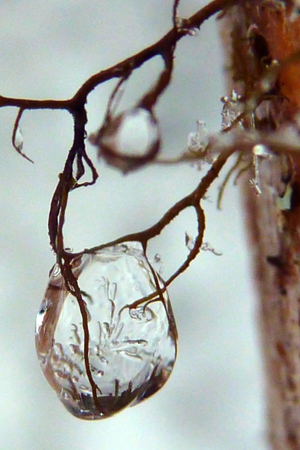
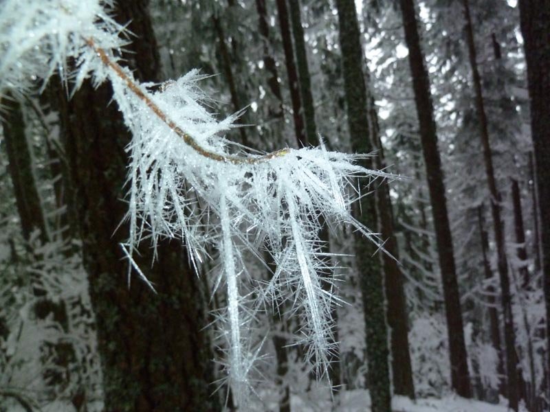
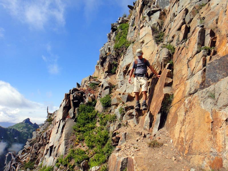
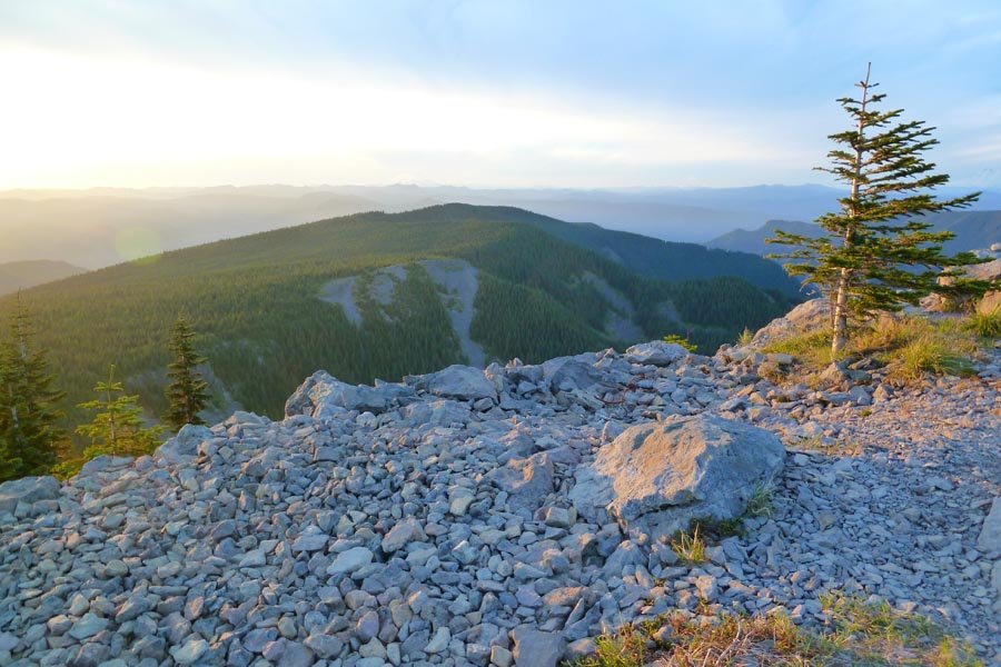
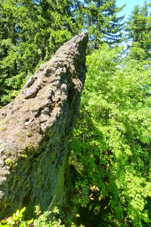
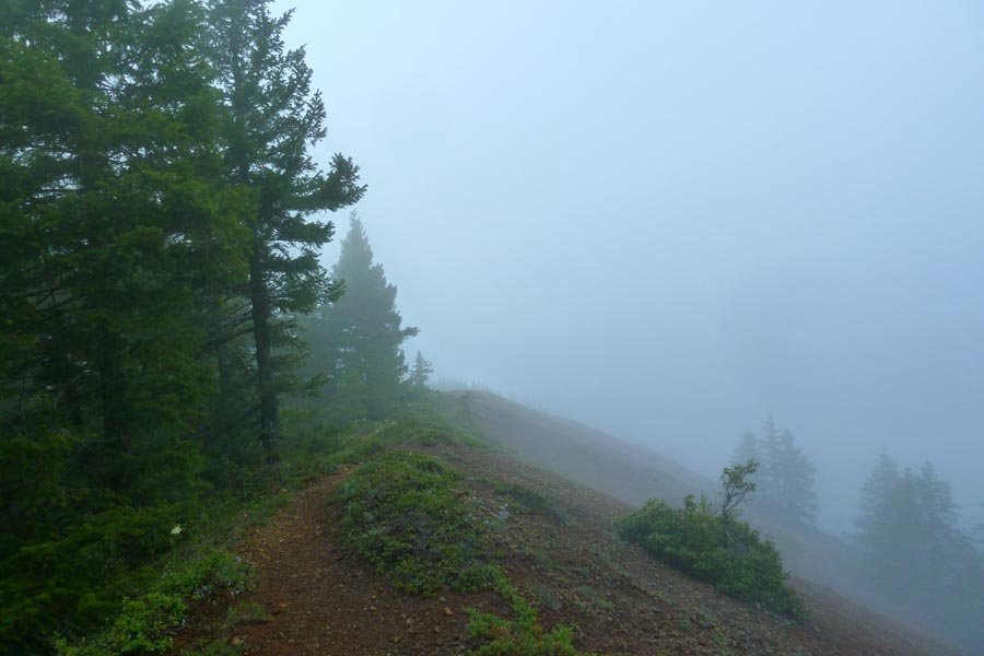
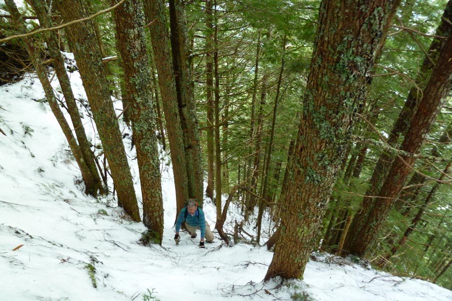
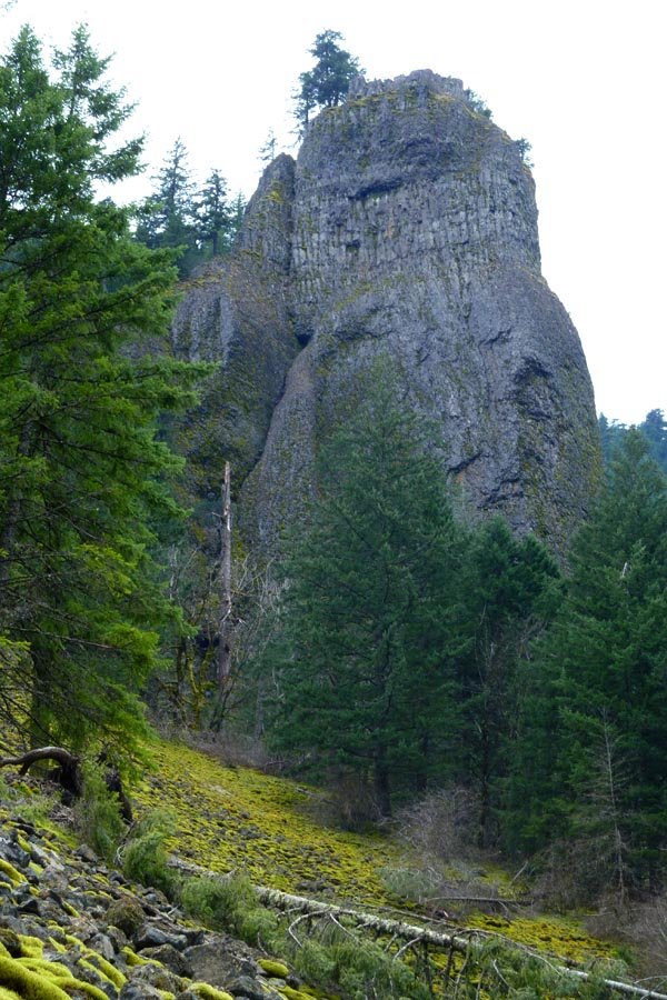
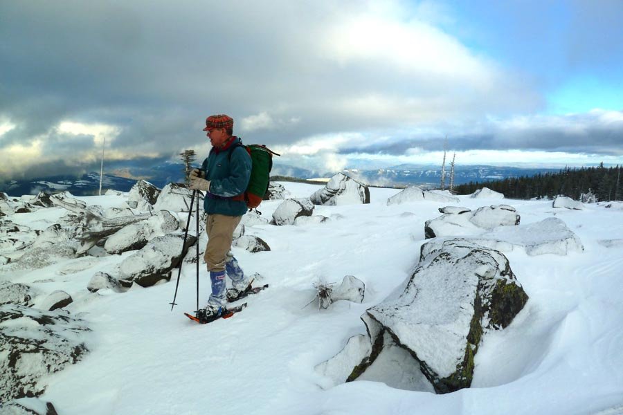
February 16, 2013

 5
5
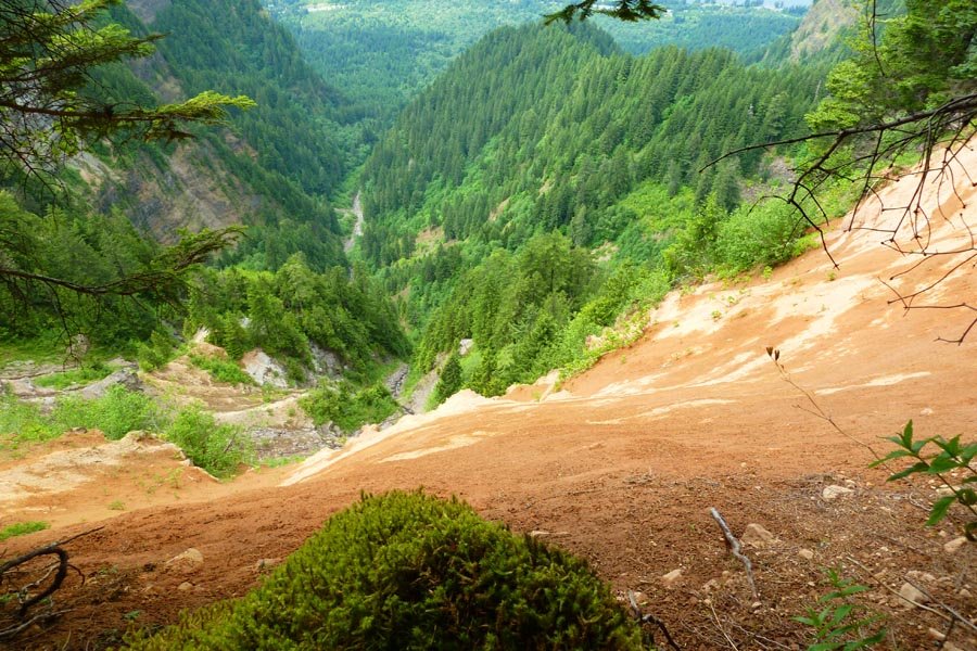
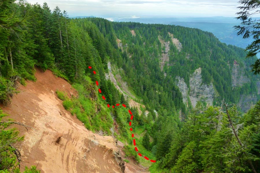
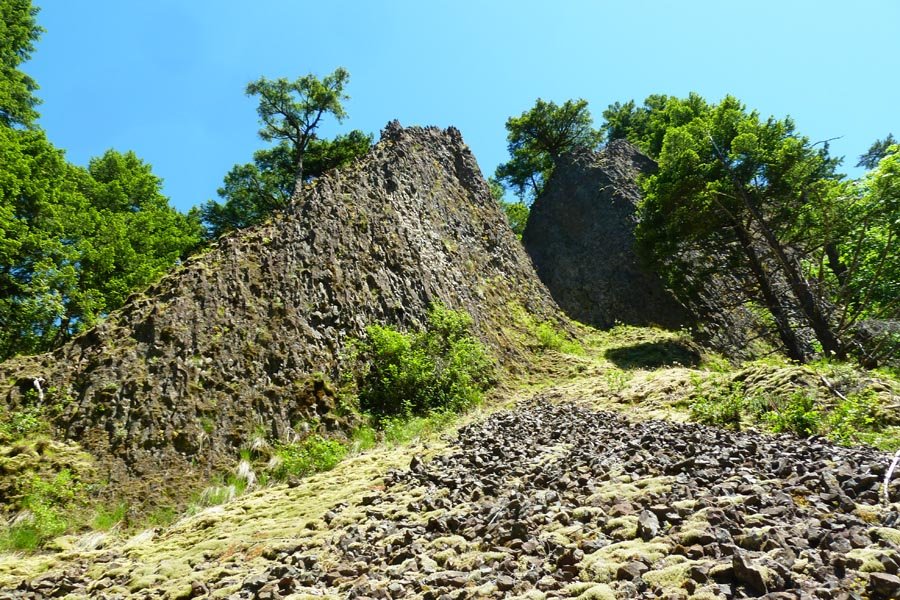
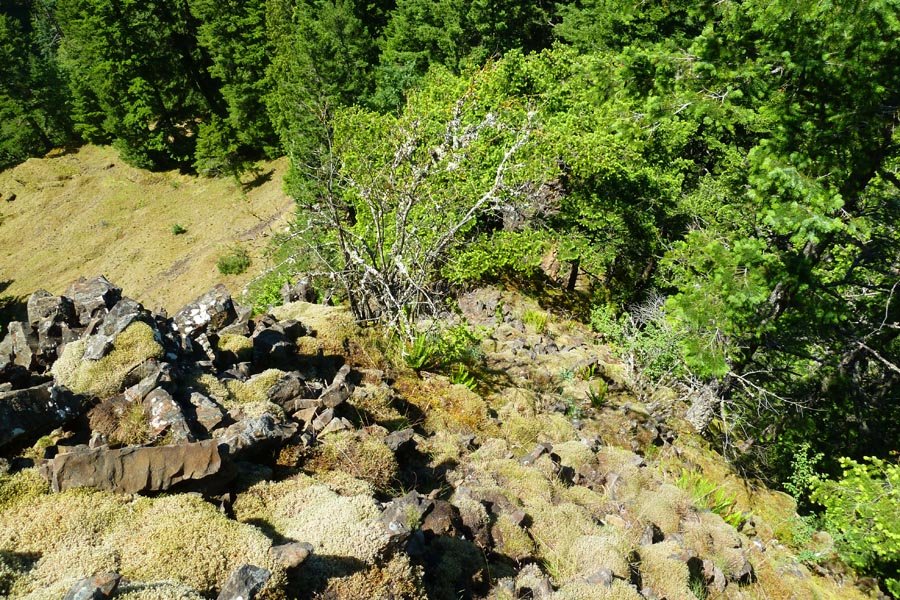
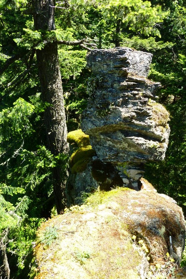
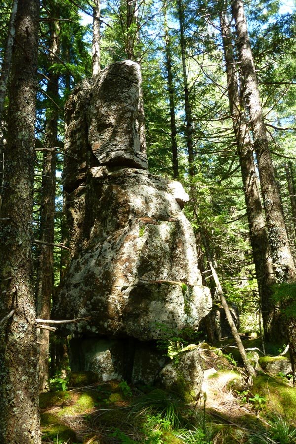
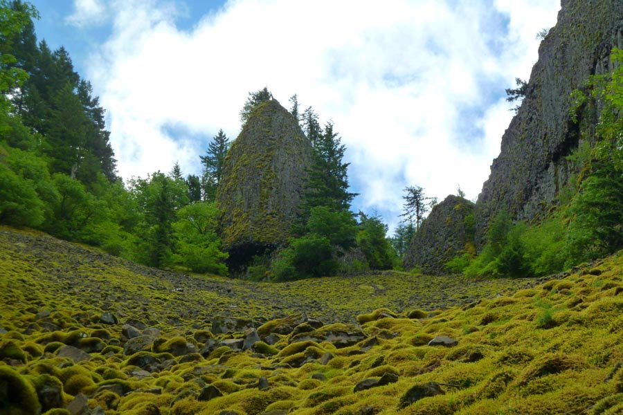
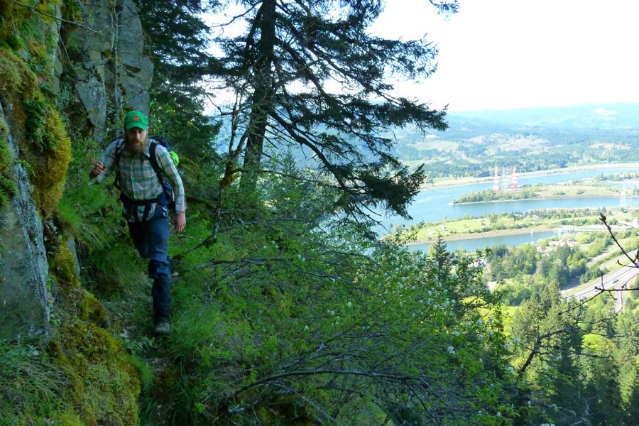
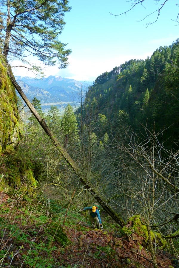
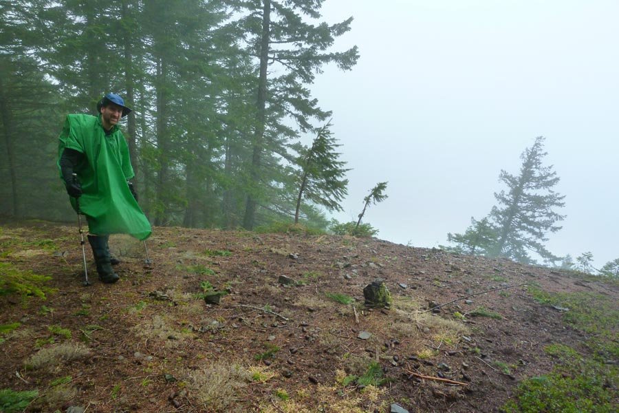
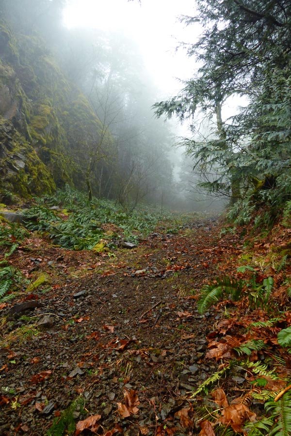
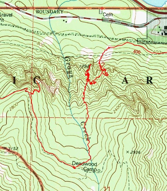
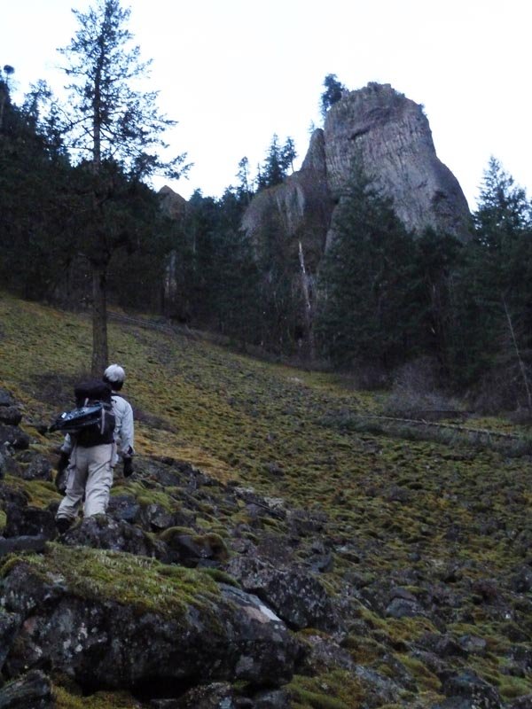
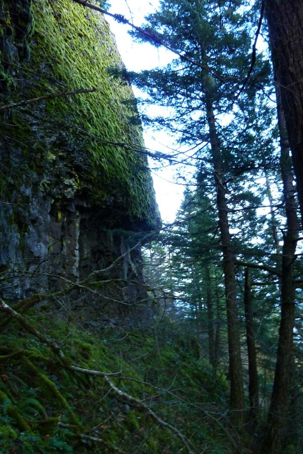
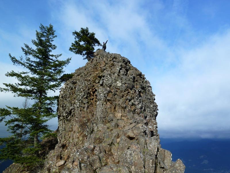
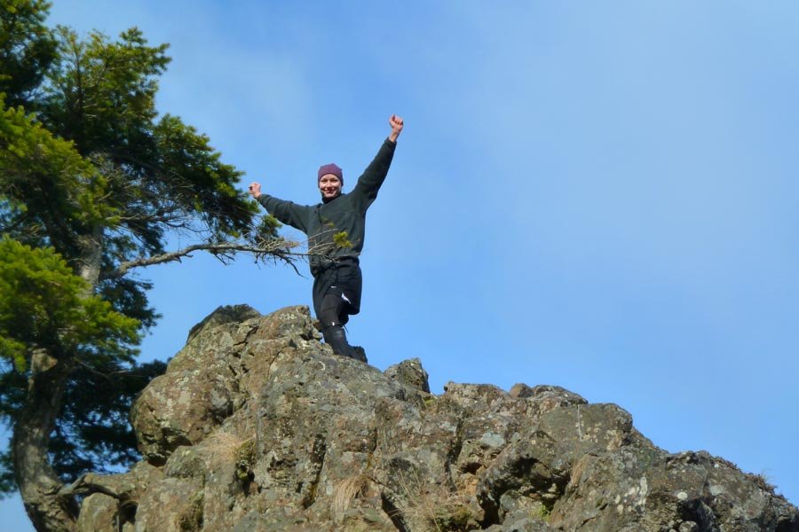
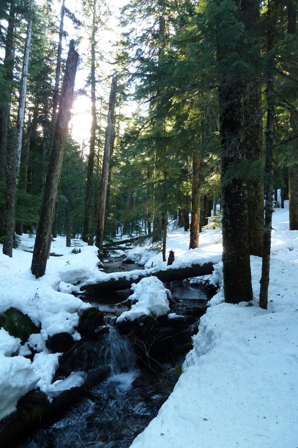
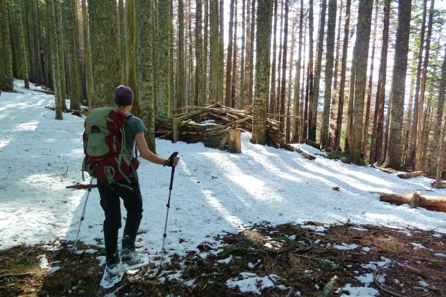
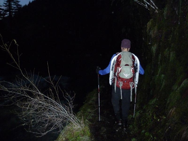
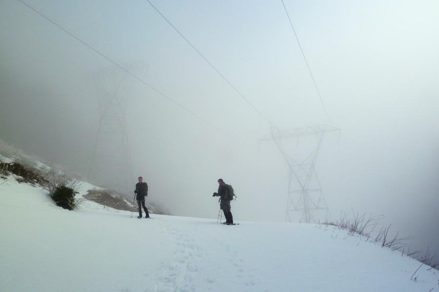
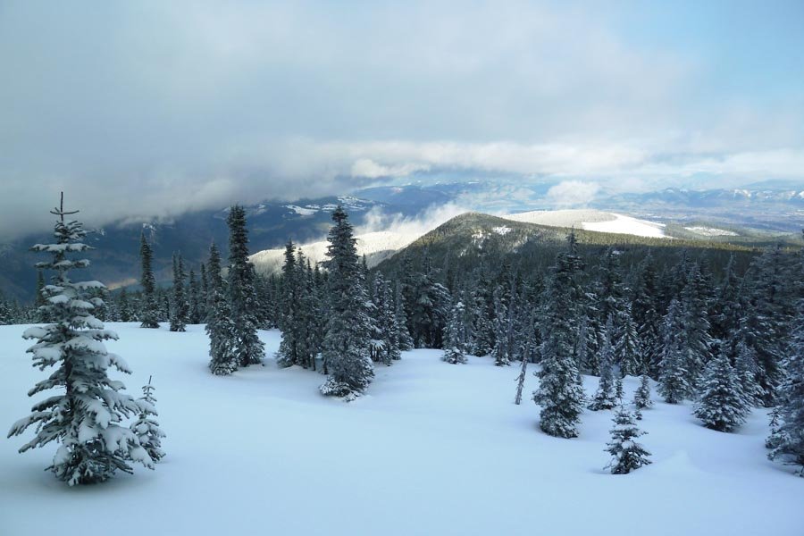
Wyeth Crown - Deadwood Super Direct OT exploration
13 miles of hiking • 3500' elevation gain •
Started at Wyeth. Took the 400 west to a talus field and ascended the left side of a prominent pinnacle (apparently called Wyeth Crown) that I've had my eye on since last June. Some more exciting off trailing than anticipated, excellent views out at the pinnacle, then up its mother ridge to flatter terrain and up near Deadwood Camp. Took Gorton Creek out to Indian Point, climbed IP, then down back to the 400 and looped back to the car.
Then food and beer.
February 9, 2013


 3
3
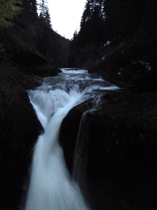
Ruckel Ridge to Chinidere
26 miles of hiking • 5500' elevation gain •
Up RR, snowshoed across Benson and out to Chinidere, then down to Wahtum and down Eagle Creek. Slushy most everywhere. Snow on EC trail below E-T jct, surprisingly low elevation. Some ice, but everything is melting out fast. 13 hrs, dark to dark.
February 2, 2013

 3
3
Table Adventure!
8 miles of hiking • 3500' elevation gain •
Up Heartbreak, then off trail up a ridge between the face and the talus field. Fierce wind blowing icy clouds. Best trip up Table I've had yet.
January 20, 2013

 1
1
Dog-Aug tanning booth
14 miles of hiking • 5500' elevation gain •
Out of the inversion to Dog, back down into the inversion in the saddle, out of the inversion up Aug, t-shirts and shorts and beer on the top.
January 19, 2013

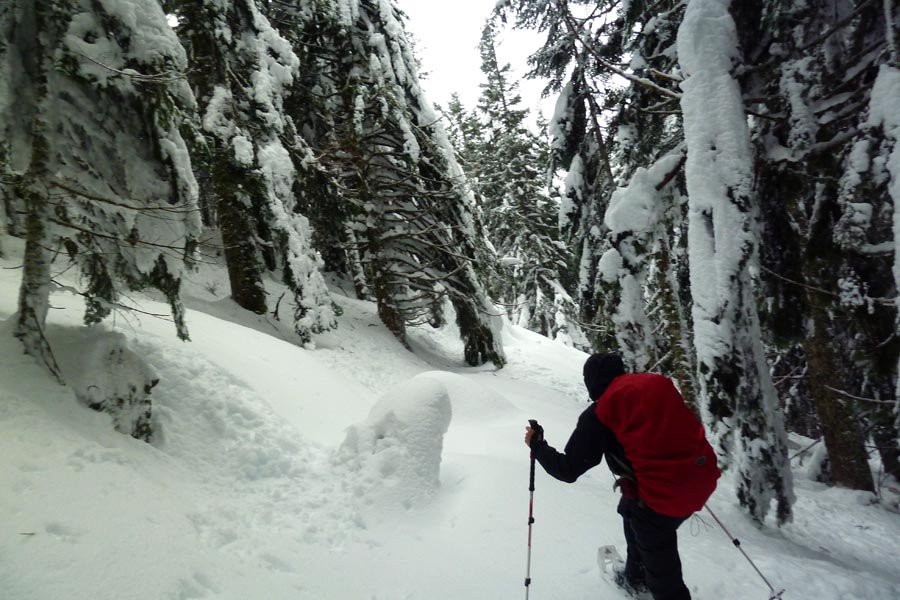
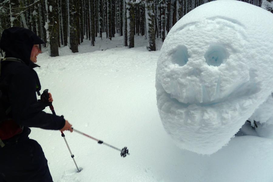
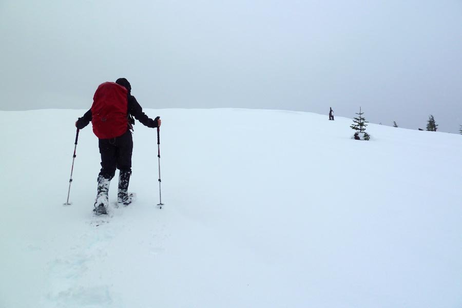
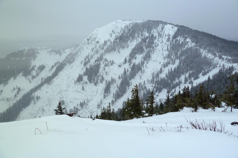
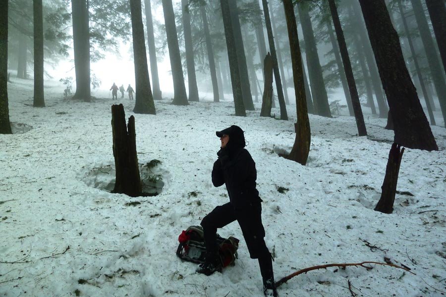
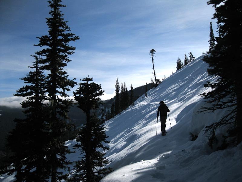
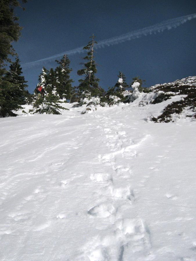
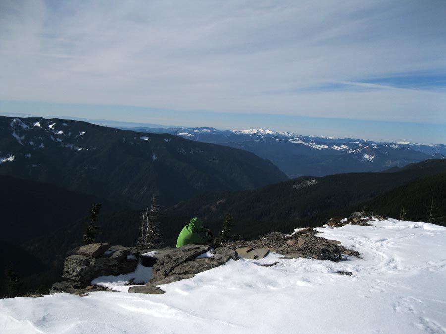
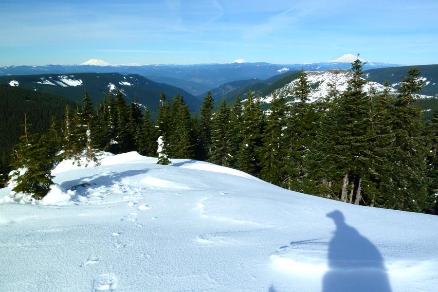
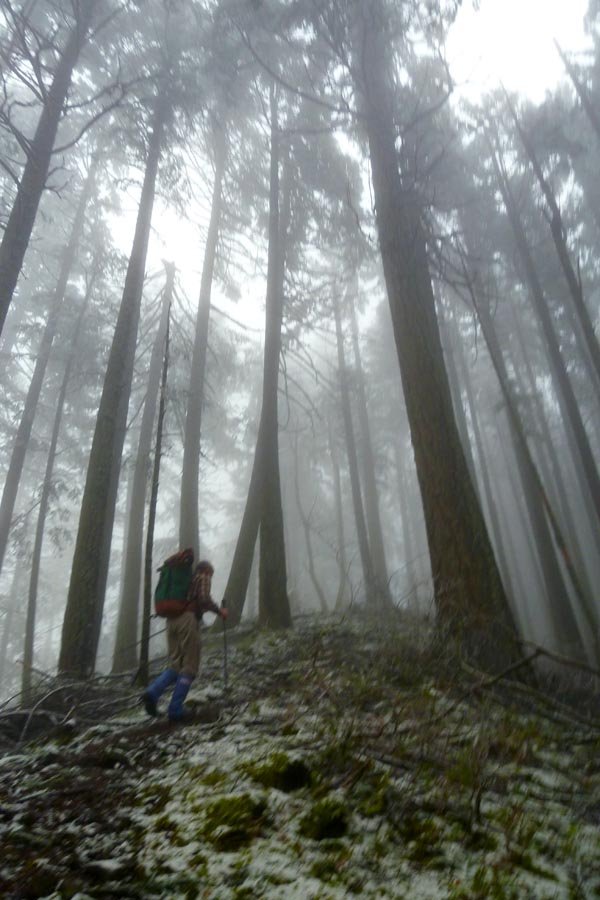
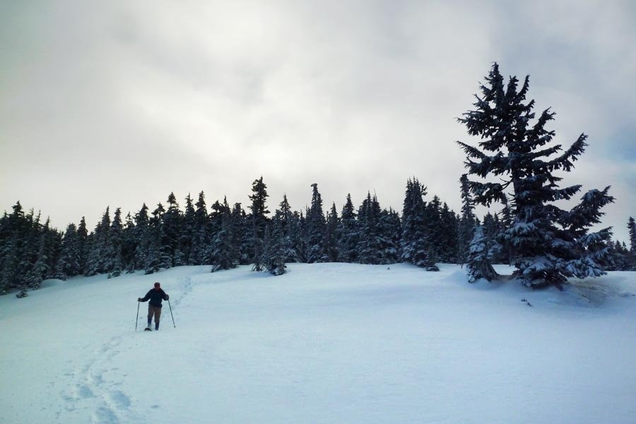
 4
4
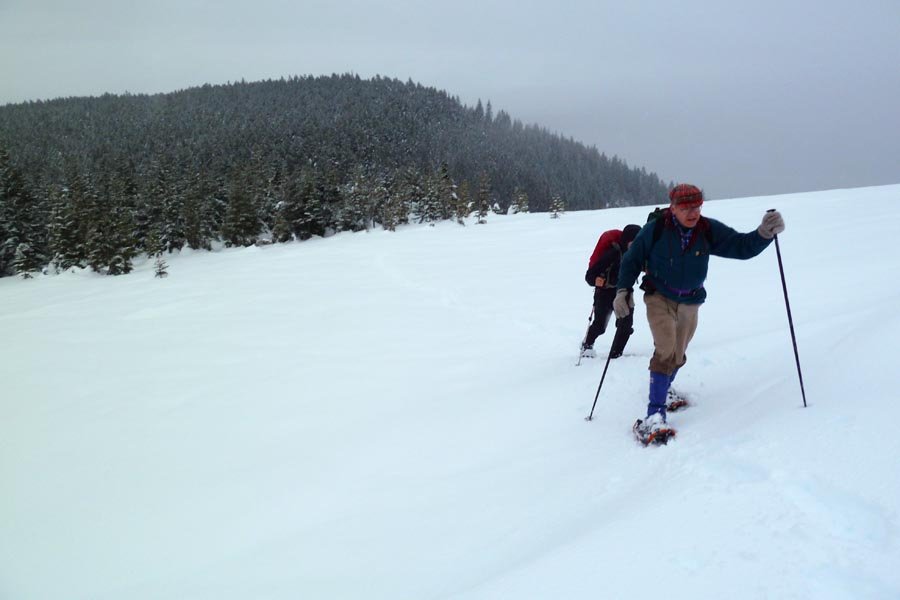
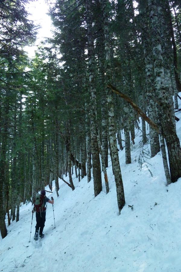
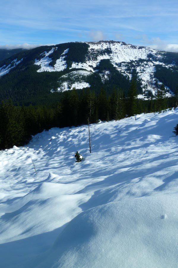
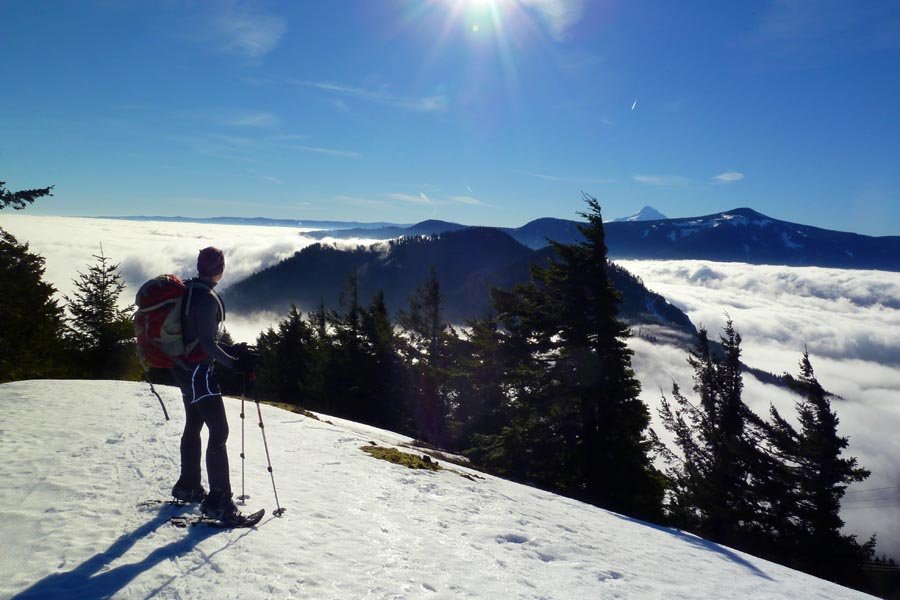
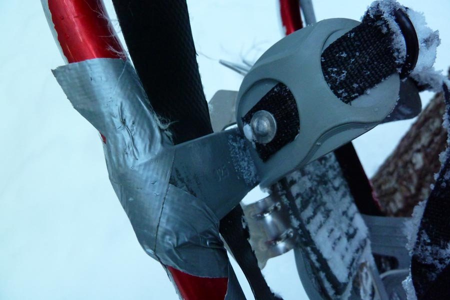
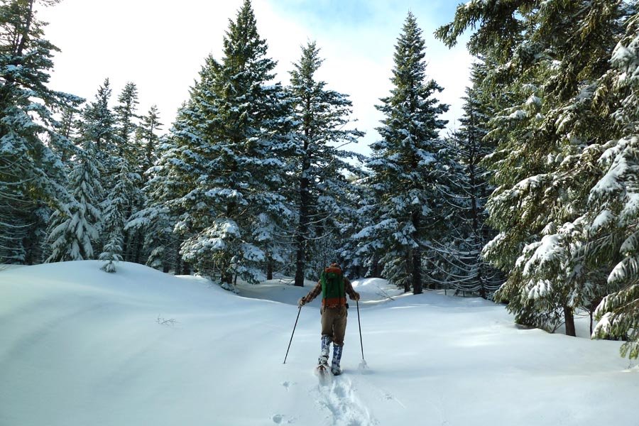
Herman Creek to Benson Plateau snowshoe
19 miles of hiking • 5500' elevation gain •
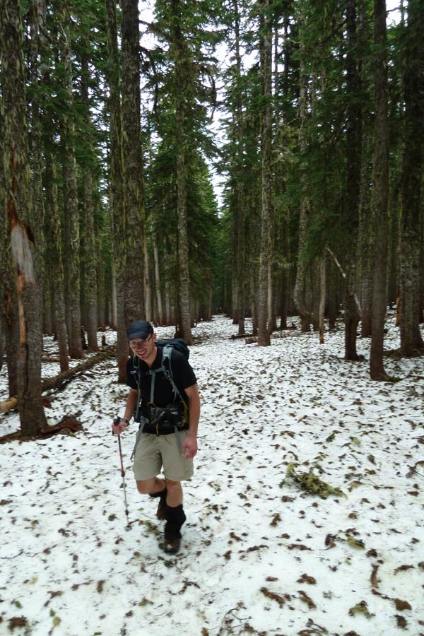
Started 6am at Herman Creek and took the PCT up to the Benson Plateau. The snow line is around 2000' and we probably put snowshoes on around 2500' or even higher - it's pretty well consolidated for a good while. We traipsed along the eastern edge of the Platter and dropped down to Camp Smokey, then continued on for a little bit looking for a good lunch/turnaround spot, and ended up going up this prominent bump, including some steep snow faces and a little climbing, to pop out into a beautiful view and a sunny day. Then the long slog back down, including total snowshoe failure when the frame broke - temporarily fixed with duct tape for about 20 seconds until the duct tape fell off, at which point I stowed them and did some combination of running, sliding, and sinking to get down below the snow line. Back to the car around 4:45 - well before dark!
January 12, 2013

 4
4
Defiance snowshoe
11 miles of hiking • 5000' elevation gain •
Peder and I strolled up a Starvation-Defiance snowshoe loop. We cut some switchbacks and went straight up a huge, steep snow hill (fun!), then went up the old road around the south side of Warren Lake up to the summit. Went down the talus field and shortcut across another talus field to the west along the Wyeth Gap to hit the Defiance Trail down - need to do this in the summer, it's a great shortcut! Warmish weather (though fierce wind coming off the Wyeth Gap) and really powdery, dry snow. Despite a late start, we got down just as it was getting too dark to see.
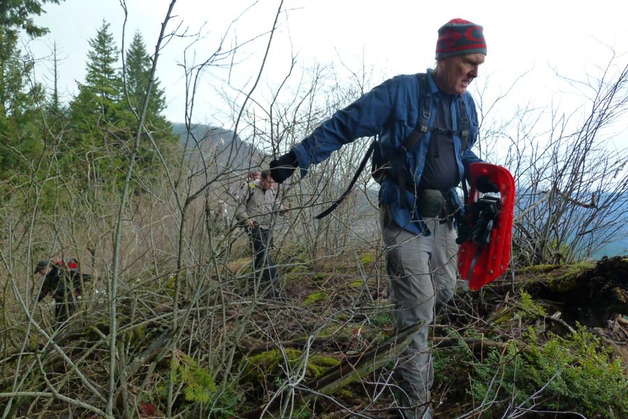
January 10, 2013


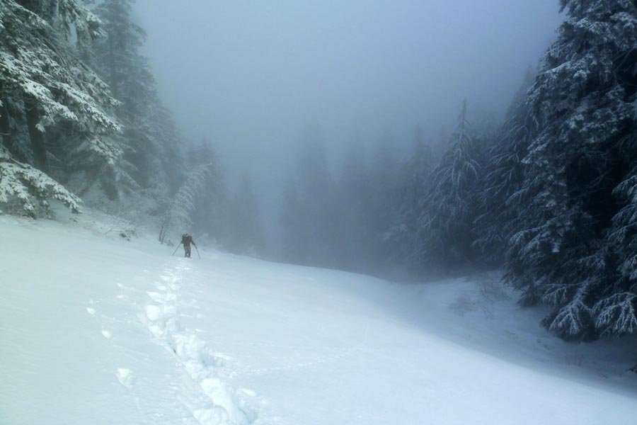
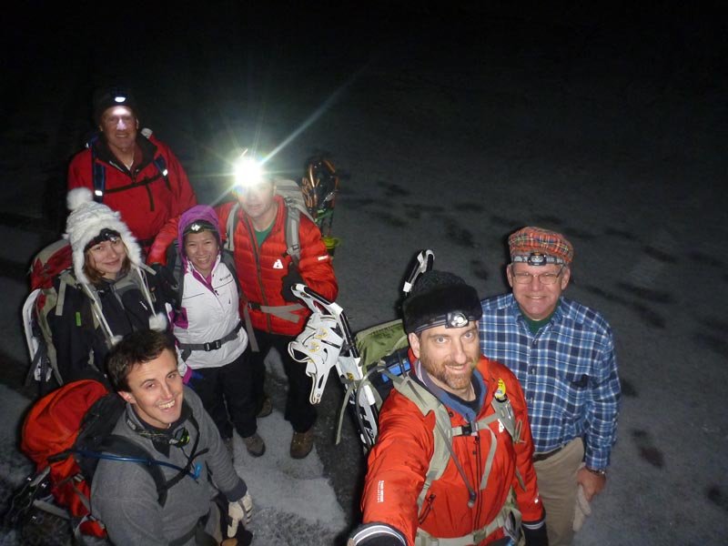
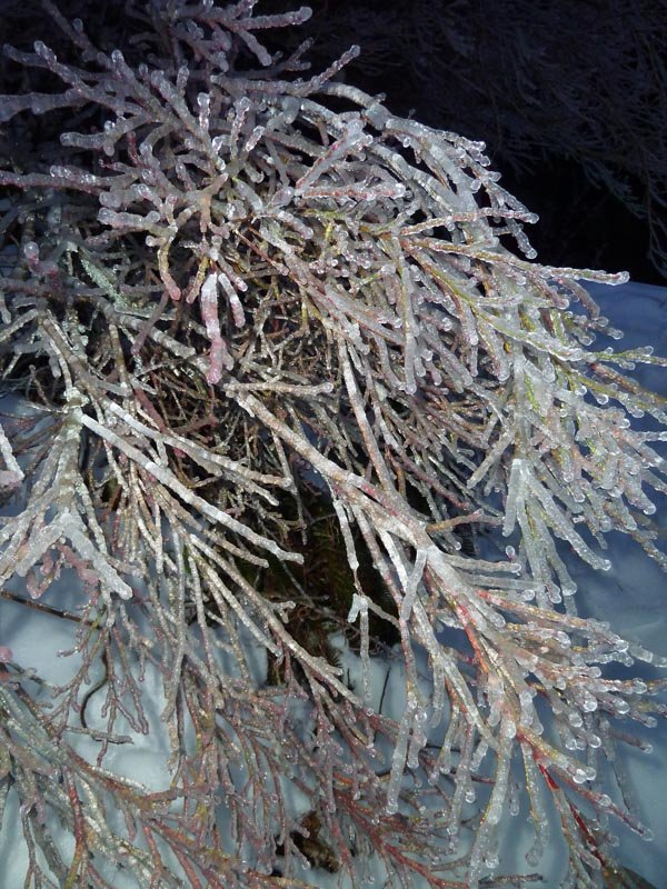
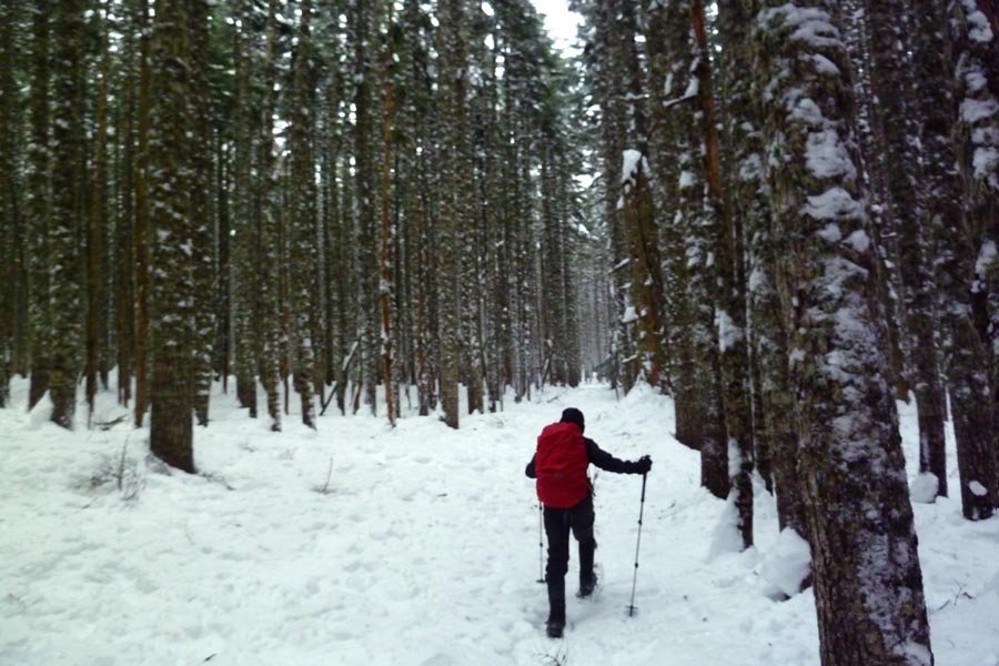
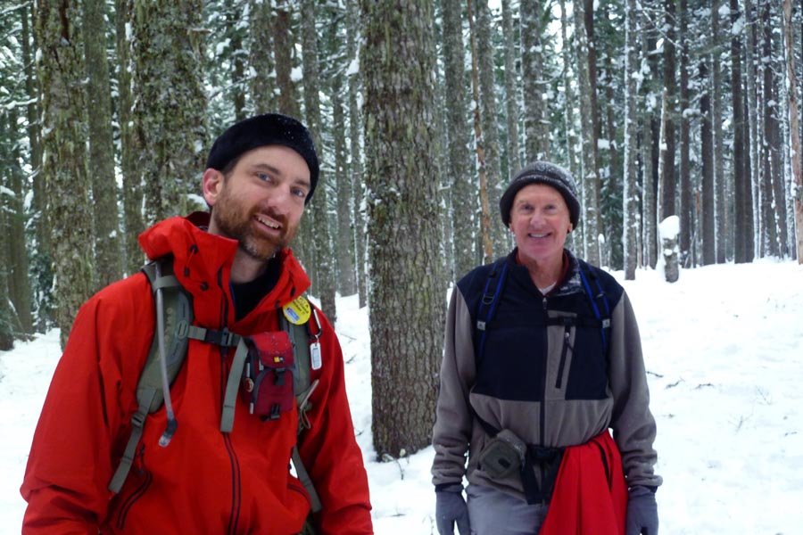
 4
4
Tanner Butte ice-capades attempt
17.5 miles of hiking • 4500' elevation gain •
This was a group snowshoe to Tanner Butte that didn't quite make it. The Eagle Creek parking lot was covered in a sheet of ice, as was the entire staircase up to the portage road, and Road 777 was totally frozen over up to the 401 trailhead. We started with 7 people and ended with 3 after some bailed en-route. We final 3 decided to turn around due to time reasons (1:30pm) at the false butte about a mile from Tanner. Some great inversion hoarfost down lower on the Wauna Point trail, then crunchy snow for the most part with intermittent drifts. We detoured down to a frozen Dublin Lake on the way back. Started in the dark and got back in the dark. It was snowing at Eagle Creek when we got down, a couple inches sitting on top of the ice. Crazy times out in the Gorge.
January 5, 2013