

10 miles of hiking • 4500' elevation gain •
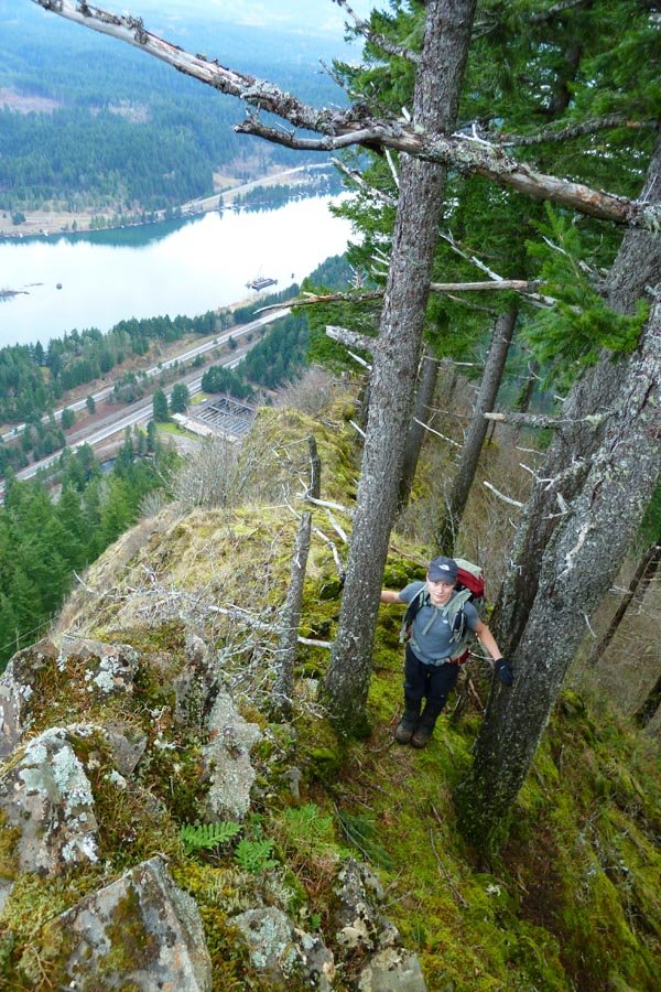
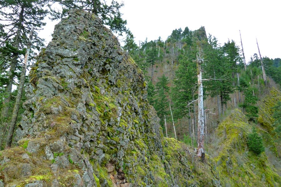
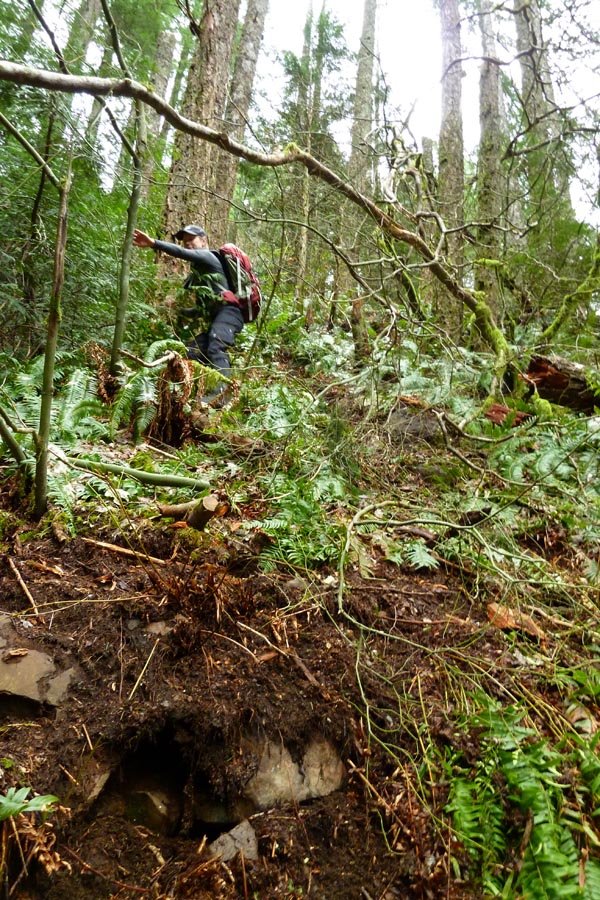
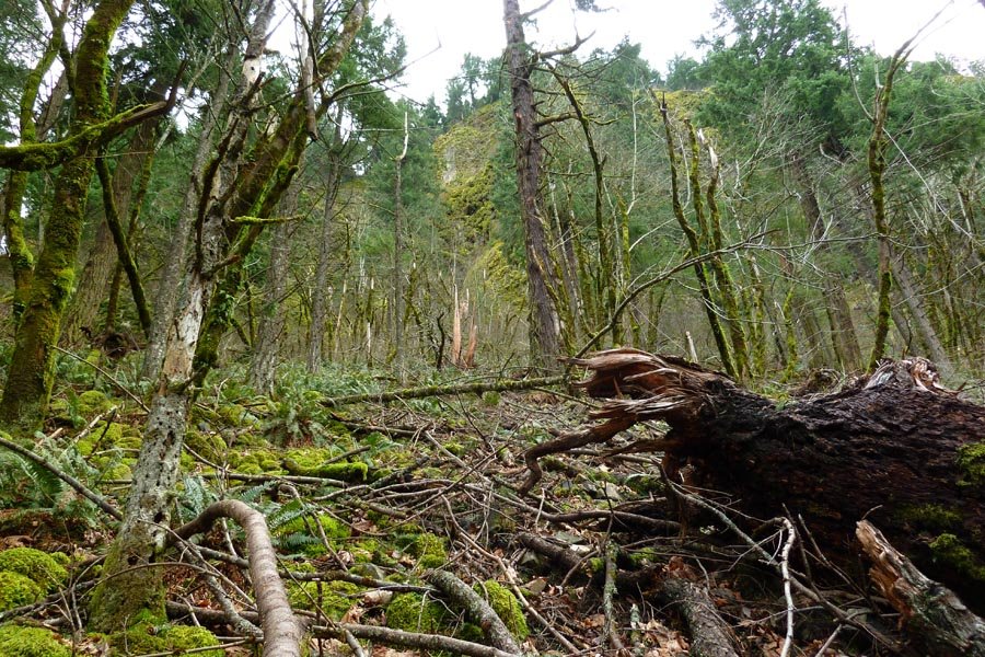
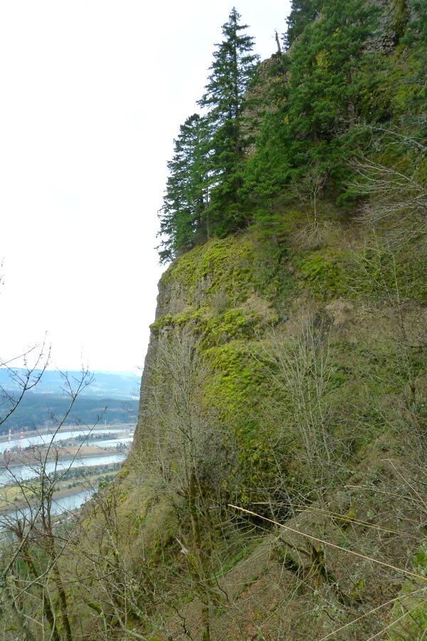
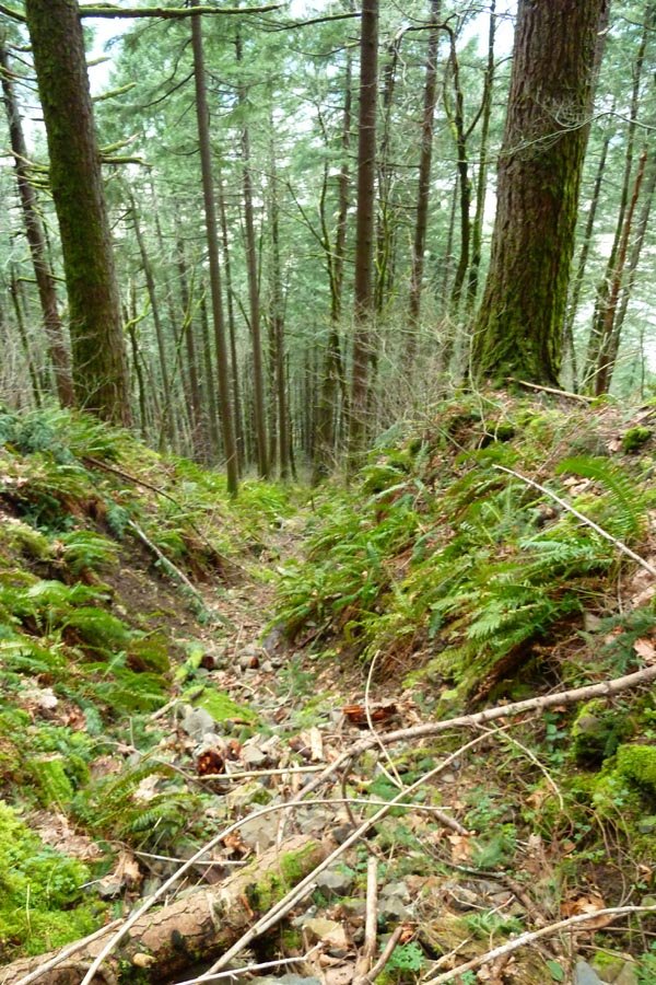
Started at Wahclella. Followed powerline road to Wauna Viewpoint, then OT up the brushy ridge to Wauna Point. Missed Pablo's ridge and instead went down a severely steep and brushy ripple to its left, but thankfully this dumped us practically on top of the Tanner TH. Back down to the parking lot, across the bridge, and up the 400 to below Munra, then OT southwest up a steep, brushy slope, only to be stopped dead by an insurmountable headwall. We traversed west, but no weaknesses were found. Super rugged scrambling in this area. Finally gave up about halfway to the NW (normal) ridge and bailed down a steep gully back onto the 400.

Comments
Nat Turner
hearts this trip.
Nat Turner
February 20, 2013
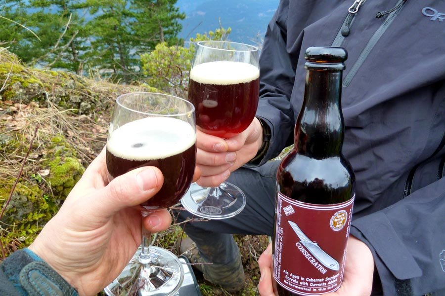
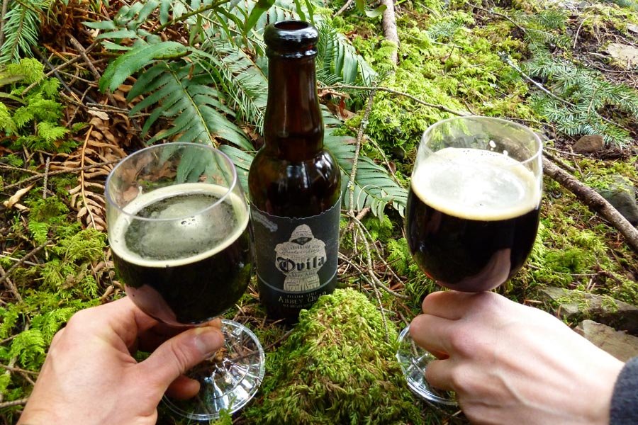
Your Victory Beers are super fancy.
Killin' it.