2012 Trips

 1
1
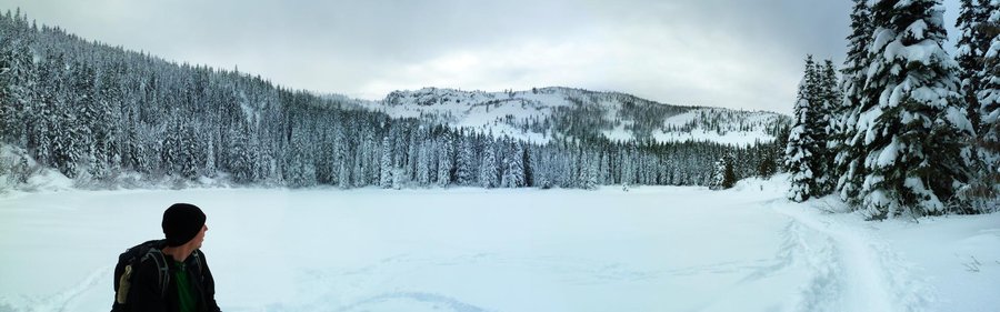
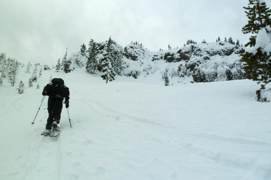
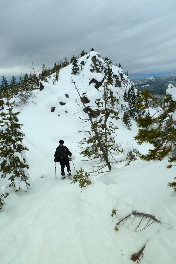
Tom, Dick, and Harry New Year's Eve snowshoe
7.5 miles of hiking • 1750' elevation gain •
Bailed on Gorge plans due to possible ice and instead went out to Gov't Camp. Had to park at Skibowl due to snow on the road. After procuring sno-park permit, etc, finally on trail at 9am. Up to Mirror Lake and then directly up the N. Face following some ski tracks. Back down to the lake on the normal route, then down to the car passing some 50-75 people! It was snowing in Gresham upon our return...

December 30, 2012

 2
2
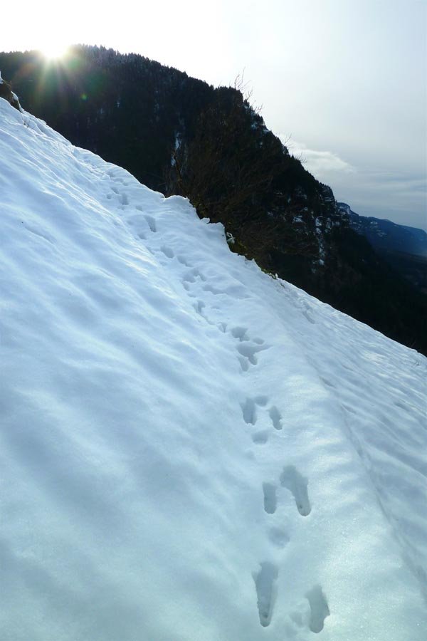
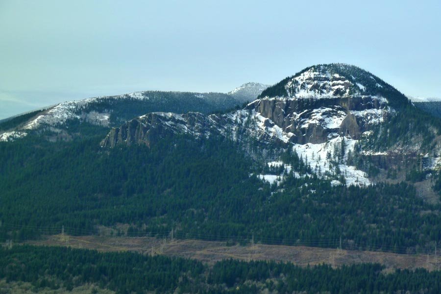
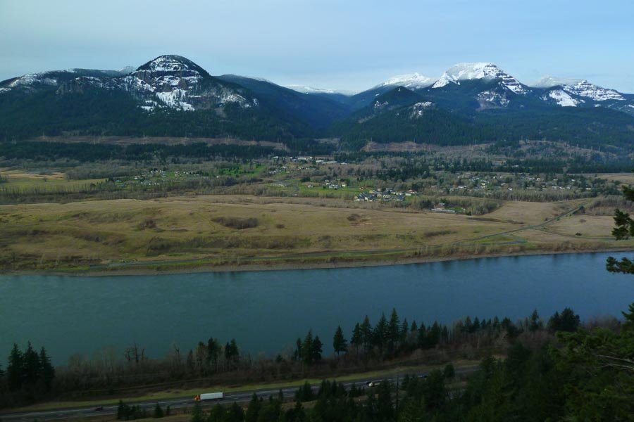
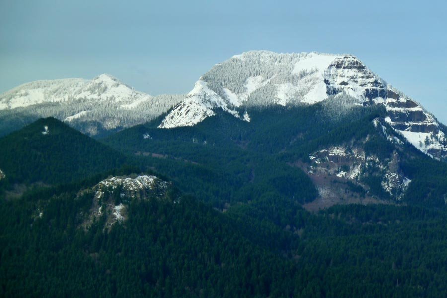
Munra abort and Perdition
8.5 miles of hiking • 1750' elevation gain •
Turned back after the first viewpoint on Munra due to slippery snow conditions on the trail. Did a little lap around Perdition as the light was fading. Much better in the winter when it's not leafed out!
December 28, 2012

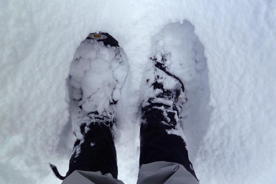
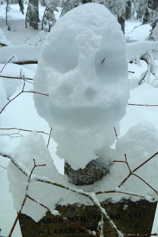
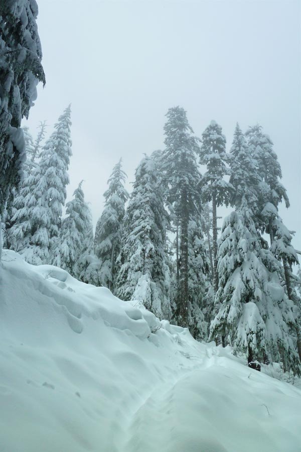
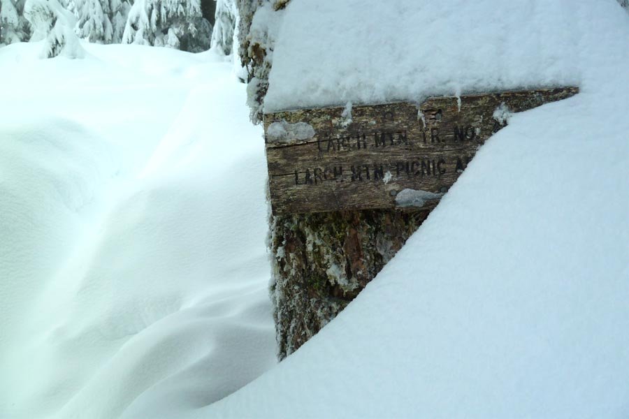
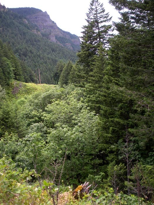
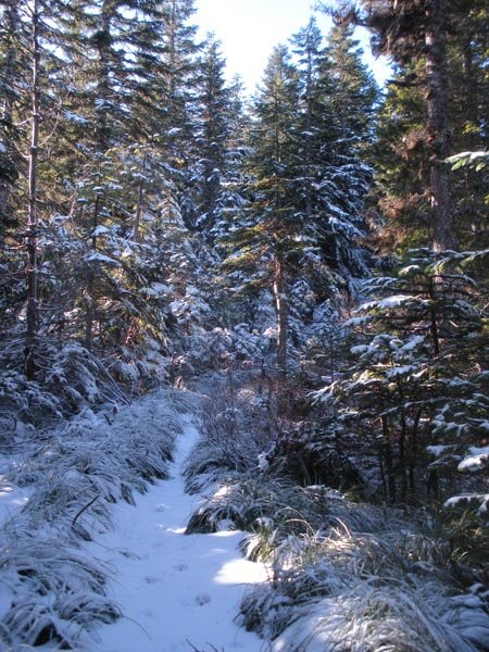
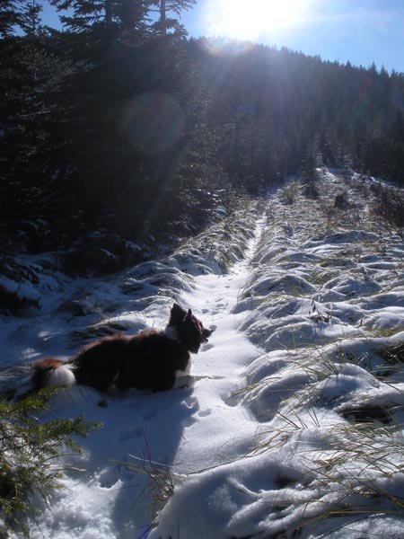
Larch Mountain snowshoe
14.5 miles of hiking • 4000' elevation gain •
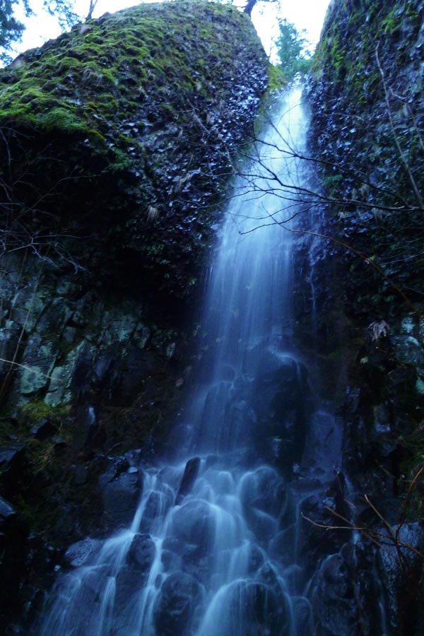
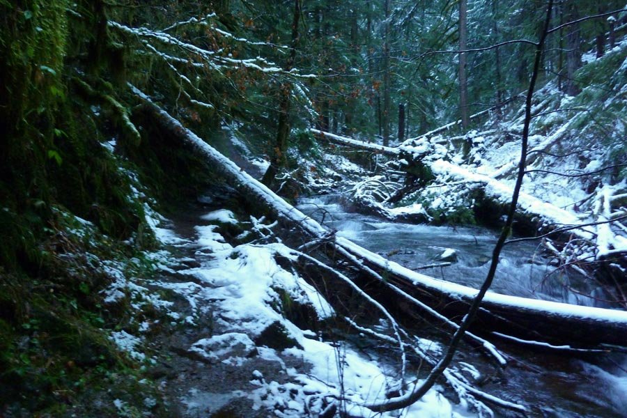
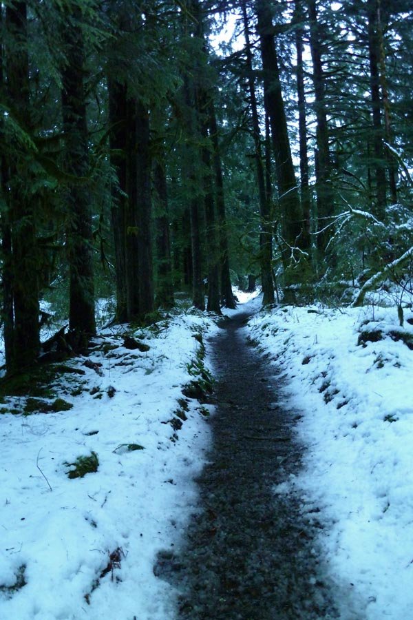
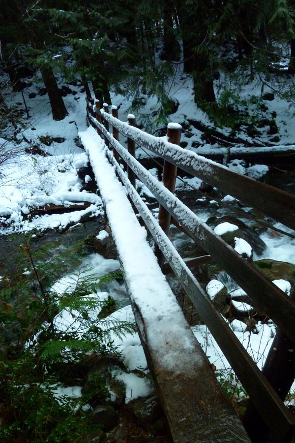
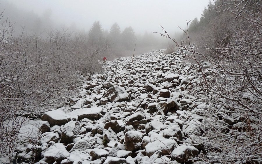
Started at Multnomah around 6:45am. Slushy snow and light rain above the Wahkeena junction. Finally hit fresh and deep snow after the last bridge, but still a visible track from everyone who went up on the 23rd. Snowshoes went on about halfway between the talus field and the Multnomah Cr. Way junction, then broke trail up to the summit. Sadly, the weather gods weren't with me - no view, cold wind (my wet hat and Camelbak tube started to freeze), so I only stayed for a few minutes and headed back down. A lot of the low elevation snow had melted away by the time I got back down. Left the summit at 11:15 and got back to the car at 2pm. Was told by a tourist below the Benson Bridge that I didn't look "worn out enough" to have gone all the way to Larch Mountain!
December 24, 2012

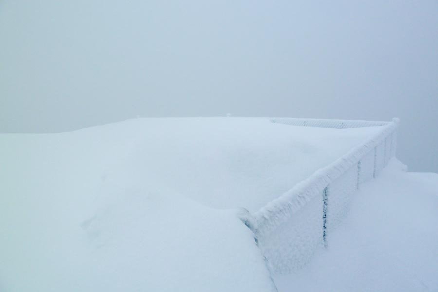
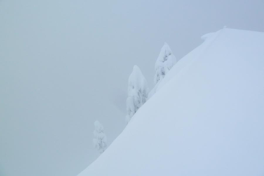
Epic Wyeth Solstice Snowshoe Adventure!
17.5 miles of hiking • 5000' elevation gain •
Started at Herman Creek TH at 6:30am, headed east on the 400 to Wyeth, then up Wyeth to the Green Point Plateau. Were planning to tag the summit but hit 3-4 ft of new snow and were forced to break trail for hours; ended up bailing across the plateau and down Nick Eaton due to limited daylight and fatigue. Back to the car at 5:30pm, dark to dark. Now the days will only get longer!
December 21, 2012

 5
5
Defiance in snow
11.5 miles of hiking • 5000' elevation gain •
Went through a lower inversion, hit snow at the headwall below Warren Lake, popped over the shoulder into amazing sunlight. Deeper powder above Warren, postholing to the top. Beautiful day above the clouds.
December 13, 2012

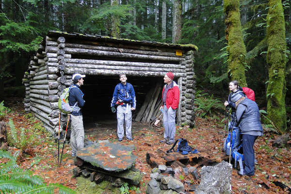
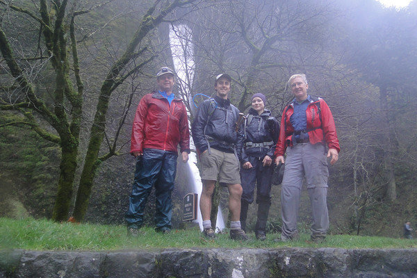
Russ Jolly to Nesmith Point
13.5 miles of hiking • 4000' elevation gain •
Russ Jolly trail to the 2nd shelter, then OT up to Horsetail Cr. Tr. and on to Nesmith Point in the snow, then down to the 400 and OT across the washouts and back on the road. Eight started and only four finished...
December 9, 2012

 1
1
December 8, 2012

 1
1
Angel's Rest > Devil's Rest > Multnomah > Wahkeena loop
15 miles of hiking • 4500' elevation gain •
Late start (1:30pm), light rain. 35 minutes to Angel's Rest, 1:15 (cumulative) to Devil's, 2:30 (cumulative) to the Lodge. Then back up up up, darkness setting in around Fairy Falls, headlamp at Wahkeena Springs, going down the rocks of Angel's in the dark slowed me down. 4:45 total time for the loop.
December 3, 2012


 1
1
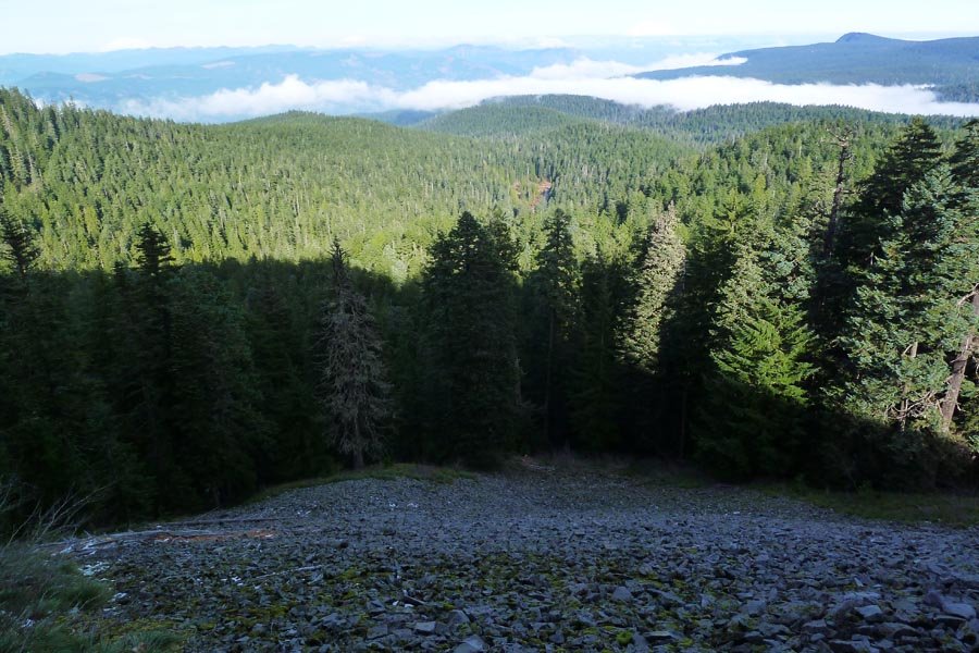
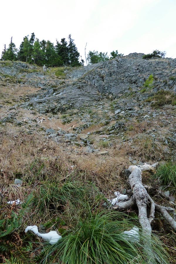
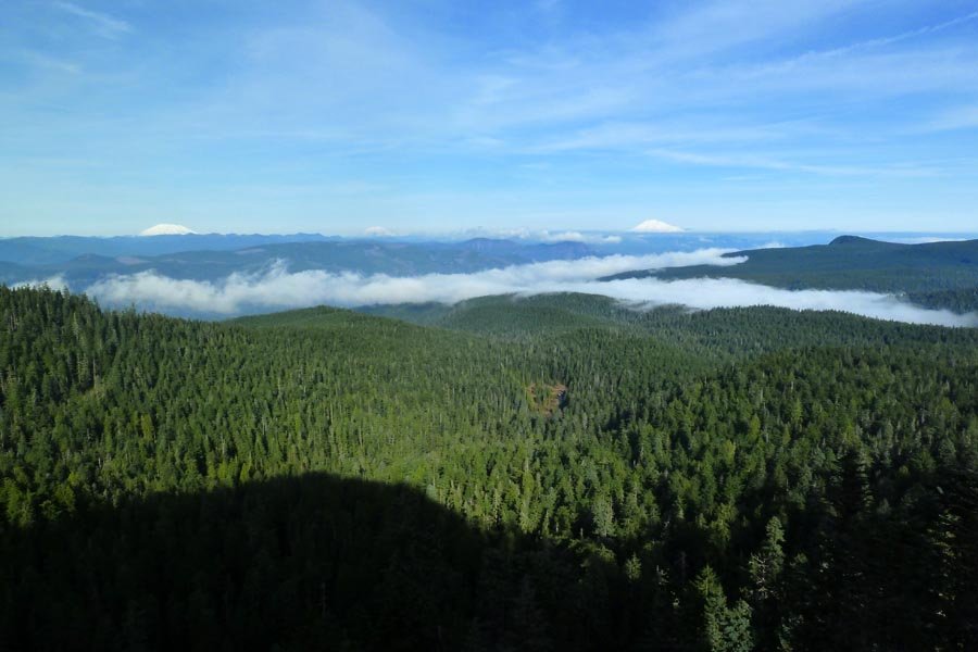
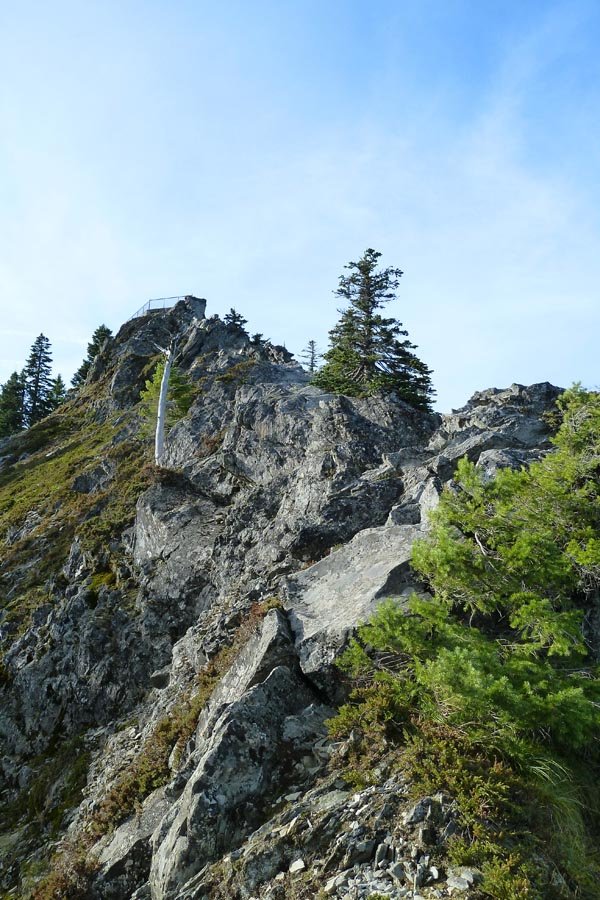
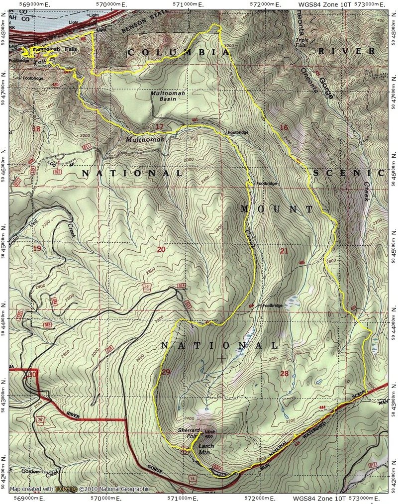
Larch Mtn. direct: NE Ridge
14 miles of hiking • 4000' elevation gain •
Did Larch with the Multnomah Creek Way (444) lollipop at the end, but saw how close it got to Sherrard Point before it went back east way out of the way, and decided to fulfill a longstanding desire to climb the face direct. Went up a gully and across a talus field and ended up in a gully up to the NE ridge, which had some sketchy 4th class stuff, especially with a bunch of hard to see ice on the rocks. Finally got atop the ridge and scurried up the last couple hundred yards to the summit benches. Beautiful day!
November 26, 2012

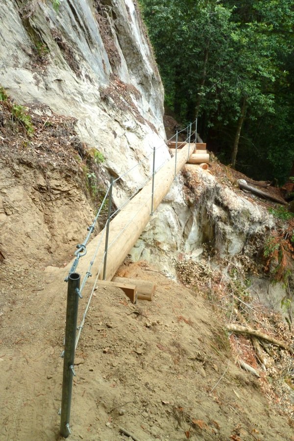
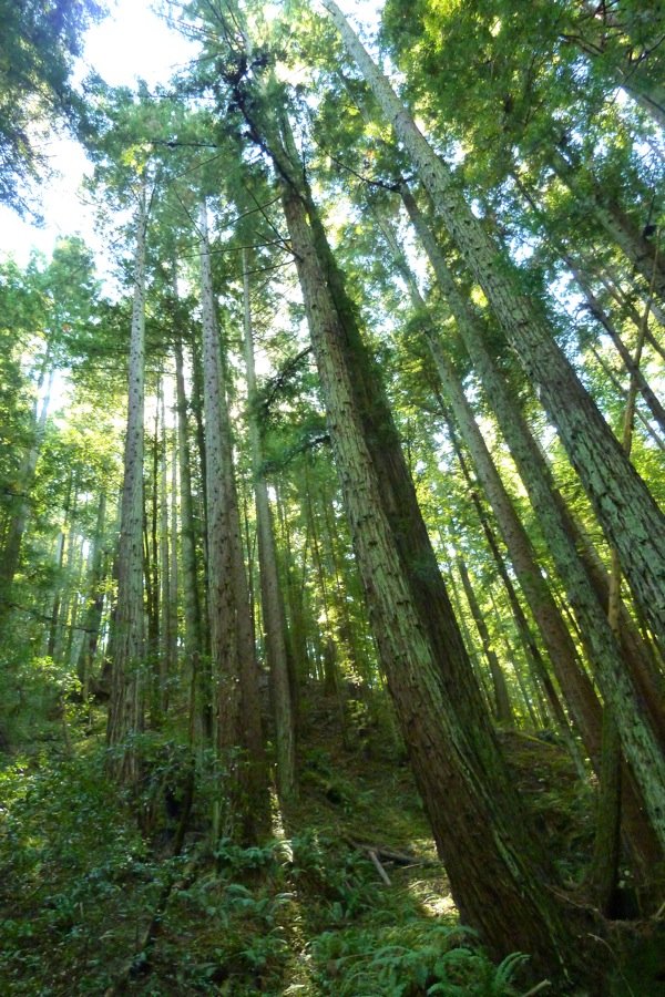
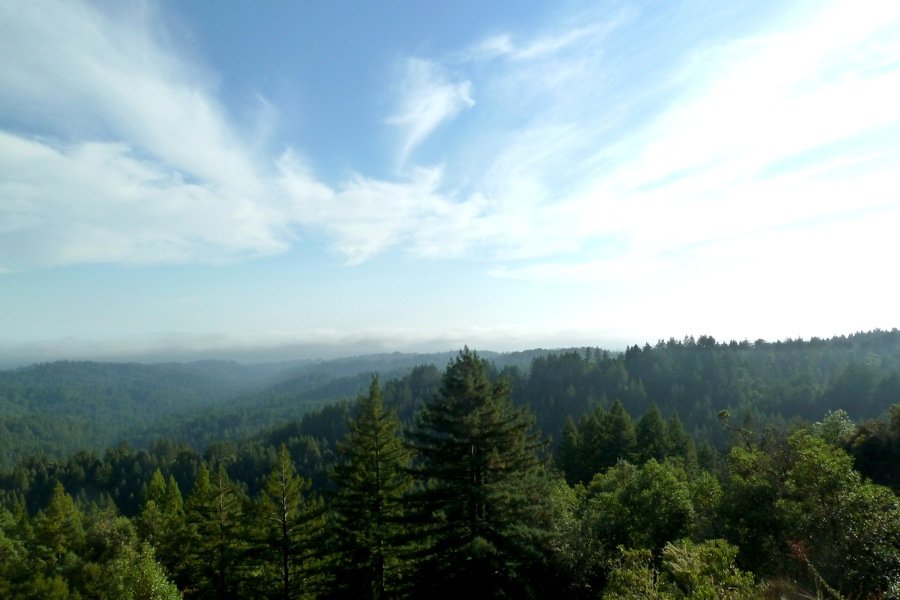
Skyline to the Sea (partial)
21 miles of hiking • 1500' elevation gain •
Planned to do the whole 30 mile Skyline to the Sea route (which runs from the Santa Cruz mountains down to the Pacific Ocean) as a dayhike, but the trail was kind of boring, spends a lot of time near roads, and my feet felt kinda thrashed from running downhill in hiking shoes in Nisene Marks a couple of days ago, so I bailed out at the Big Basin Redwoods park HQ. I skipped a fair bit of the official trail since it was so near the road, and ended up going Castle Rock parking lot > Saratoga Gap trail > Tavertine Trail > Saratoga Toll Road trail > down to the connector across Hwy. 9 up to the Skyline to the Sea Trail, and then to the HQ. Cobbling numbers together from some trail maps I photographed en route gives me a mileage estimate that I think is kinda high but am going to go with on trust - it is likely lower - the guy in the Big Basin gift shop seemed to think it was more like 16 miles for my route, but I'm not sure we were talking about the same trails. Kinda too bad to not do the whole thing, but the hiking really wasn't that great (though it was getting a little better in Big Basin - I should have started there).
October 1, 2012

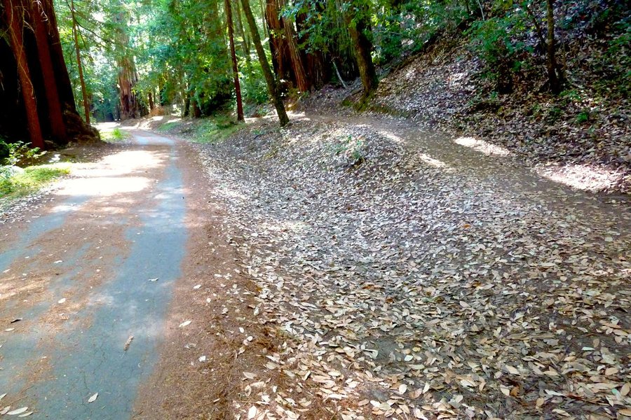
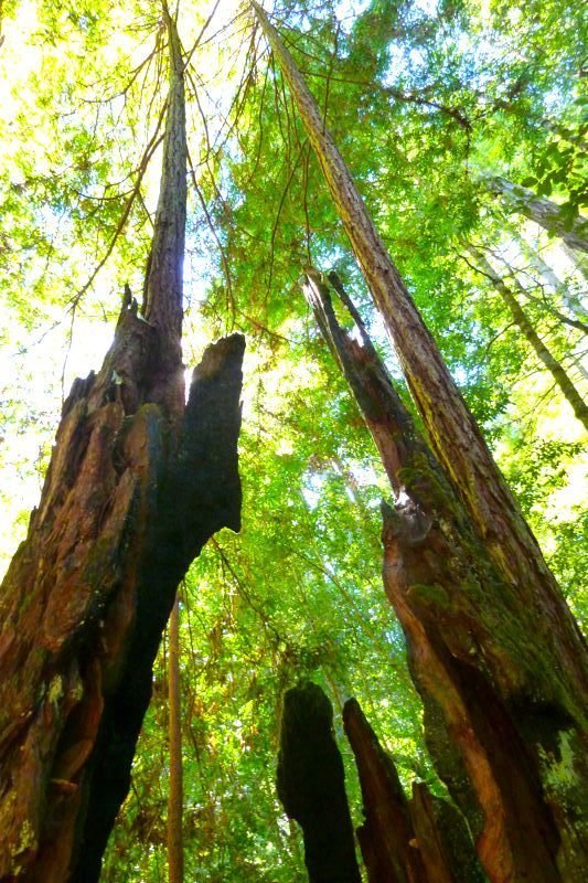
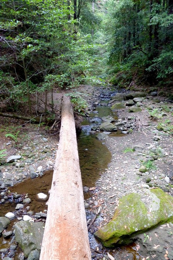
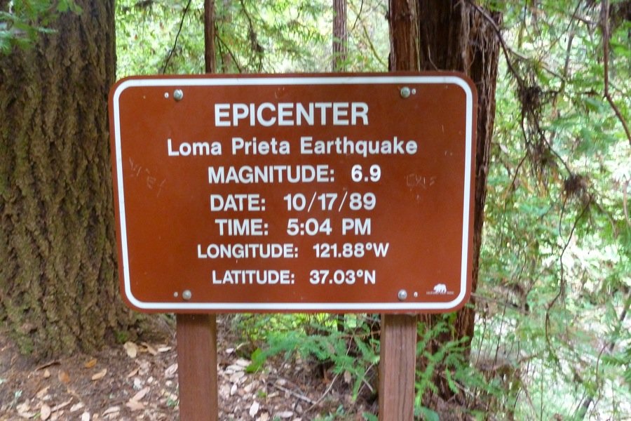
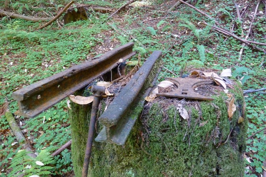
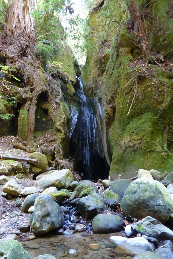
A Nisene Marks loop
20.5 miles of hiking • 3250' elevation gain •
A little loop in the woods. Got to Five Finger Falls and then up to the Soquel Demonstration viewpoint at 2500' (no view!), then ran out of time and skipped going to Maple Falls on the way down.
September 28, 2012

 4
4
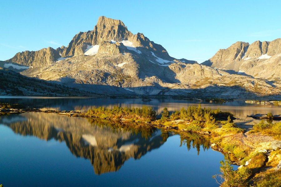
The John Muir Trail
222.5 miles of hiking • 46000' elevation gain • 14 nights
See linked TR at PortlandHikers.
September 11 – September 25, 2012

 6
6
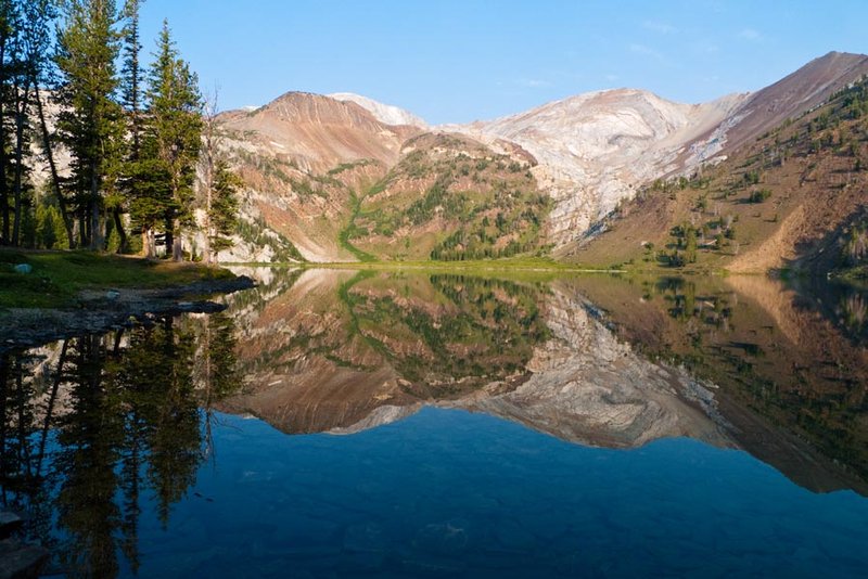
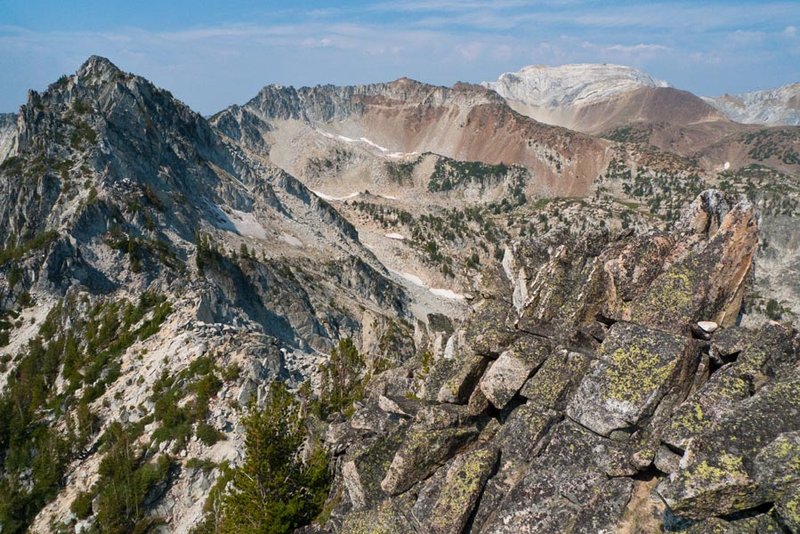
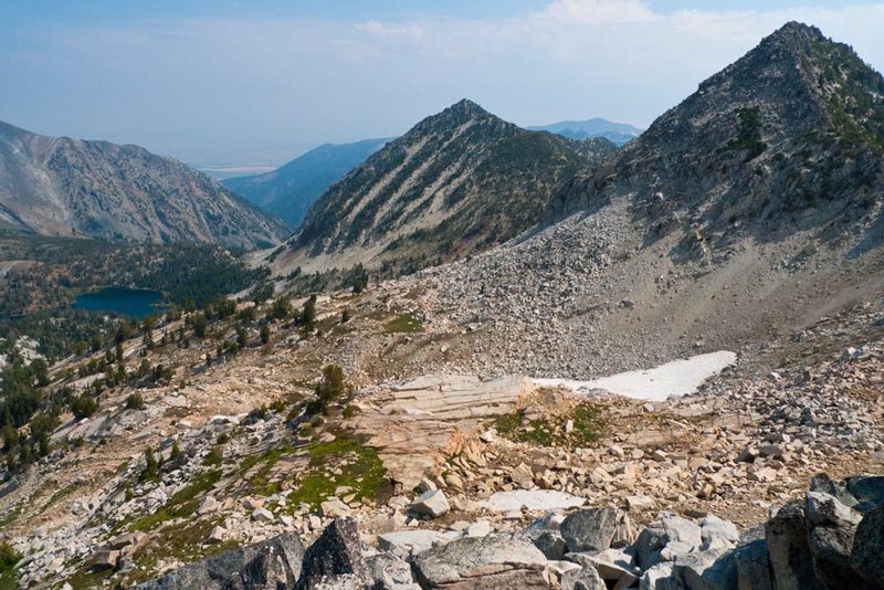
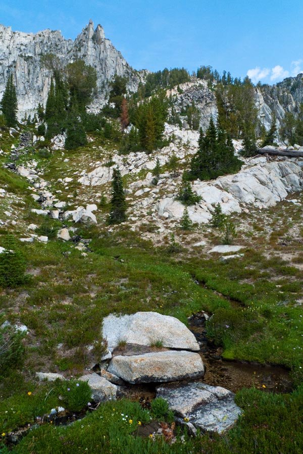
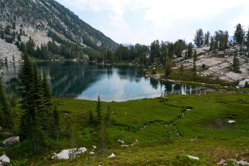
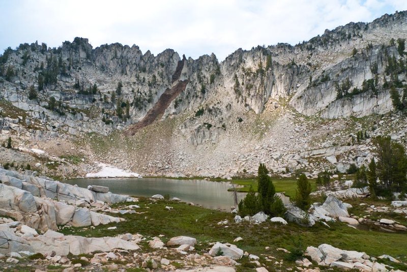
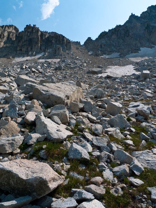
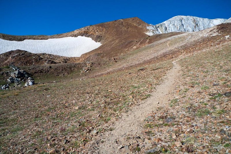
Eagle Cap: Ice Lake to Razz Lake
25.5 miles of hiking • 8500' elevation gain • 2 nights
Day 1: drove from Portland and hiked into Ice Lake to set up a base camp for some exploring.
Day 2: set out off trail heading south up a sketchy scree slope up the side of Craig Mountain, got to a false summit and decided to skip the true summit to leave more time for the Razz Lake exploration. Traversed along the north side of the ridge to a notch that led down to Lower (big) Razz Lake, then climbed to upper (little) Razz. Then back up the notch and down a truly treacherous scree chute into a little valley with a lake, and returned along the outflow back down to Ice Lake. WH map tool is spitting out something like 4.5 miles and 3250 ft for this excursion - not sure about that cause I felt pretty worked. The scrambling is strenuous and sometimes spicy!
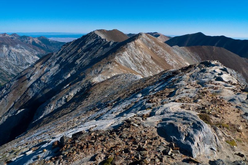
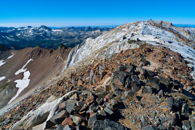
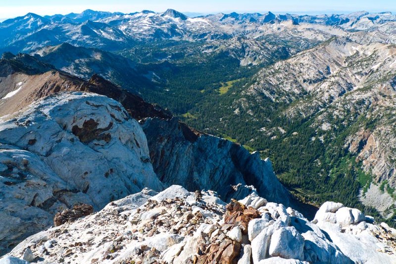
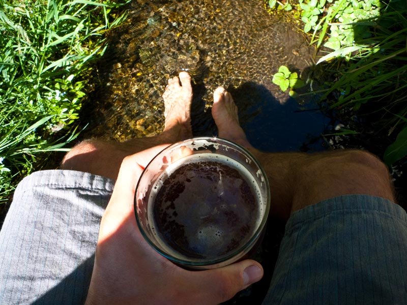
Day 3: planned to just pack out, but awoke to the nicest day so far (previous two days had been hazy due to wildfires) and decided to skip breakfast and go up the Matterhorn! Totally the right decision, it was incredibly beautiful, no one else up there. That trail is always super fun and the views pay off over and over again. After the summit, ran back down to Ice, jumped in the lake (brr!), packed the gear and trucked back down to the trailhead so we could head into Enterprise for victory beer. Then the long drive back to Portland.
August 20 – August 22, 2012

 5
5
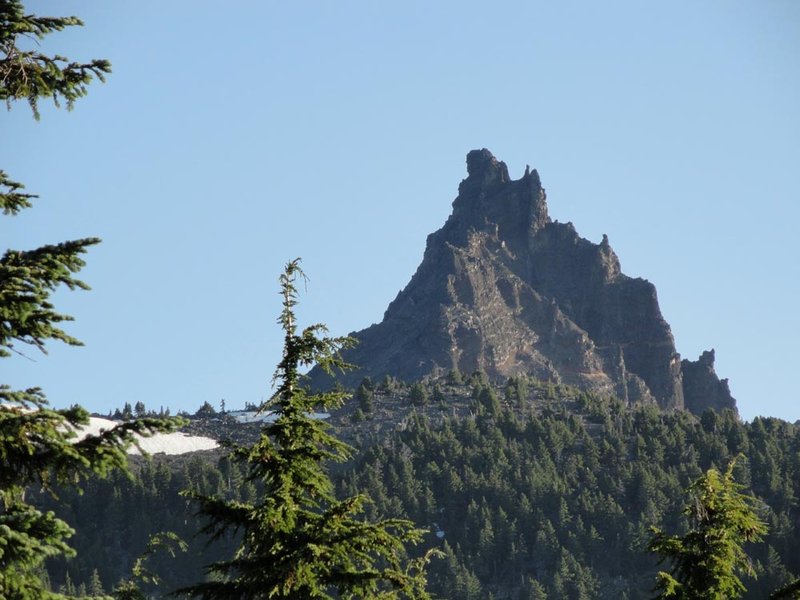
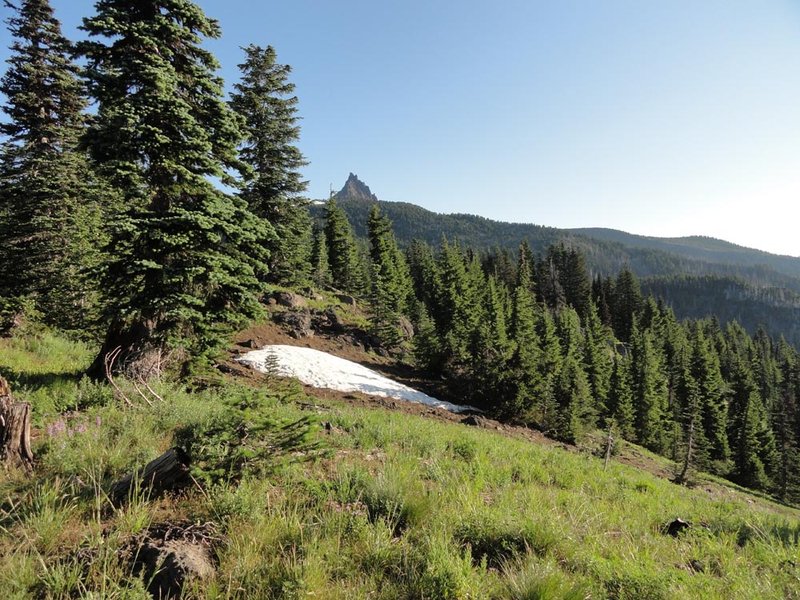
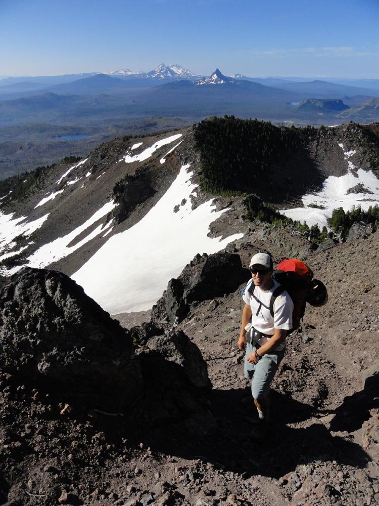
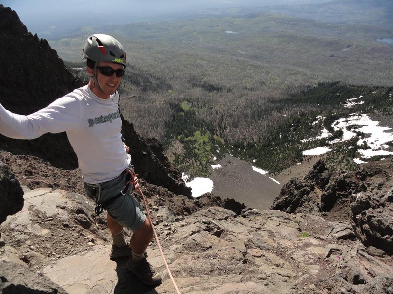
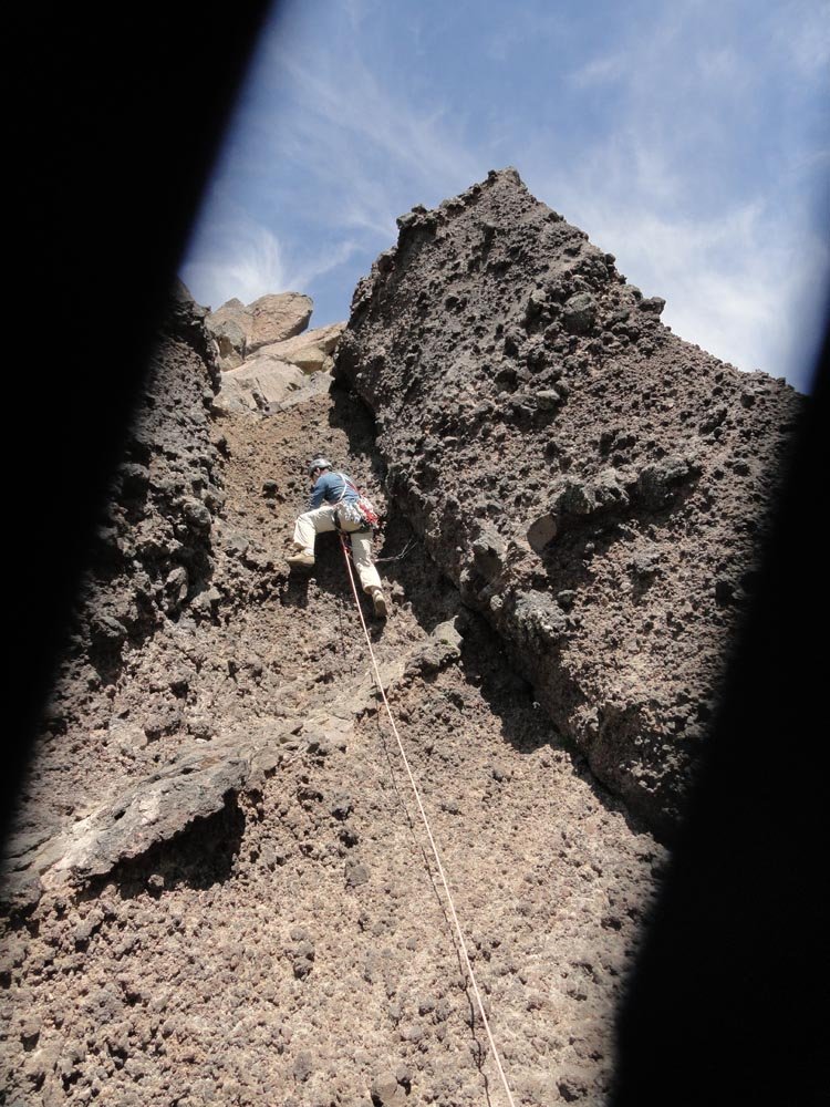
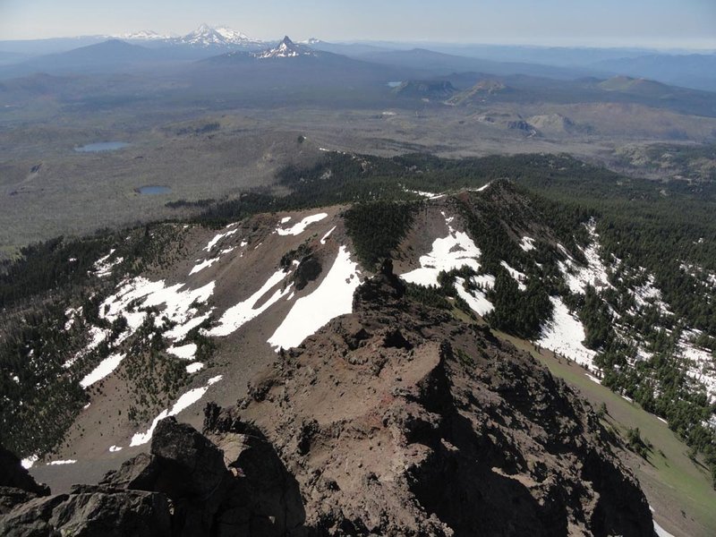
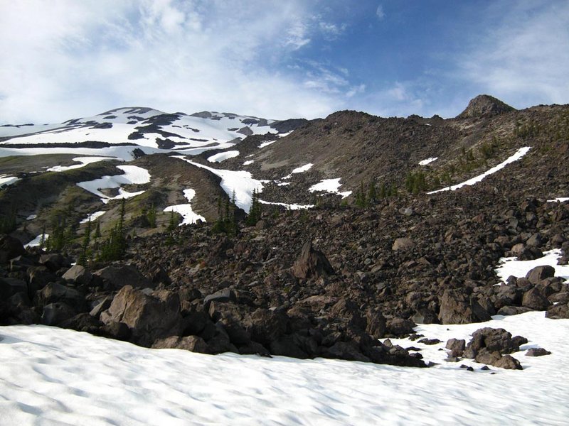
Three Fingered Jack
10 miles of hiking • 3000' elevation gain •
After doing Thielsen, we drove up to Sisters and cowboy camped in the 3FJ parking lot. Got up a little after 5am Sunday and hoofed it along the PCT, then up a horridly steep scree slope (next time I'll do the alternate route that cuts straight to the ridge) and onto the loose scree ridge to the actual climbing. We were the first party up, which was good since otherwise you'd get stuck behind people at the various spots you rope up and place gear. Easy climbing, fun exposure, great view. Running back DOWN the horrid scree slope was awesome.
July 29, 2012

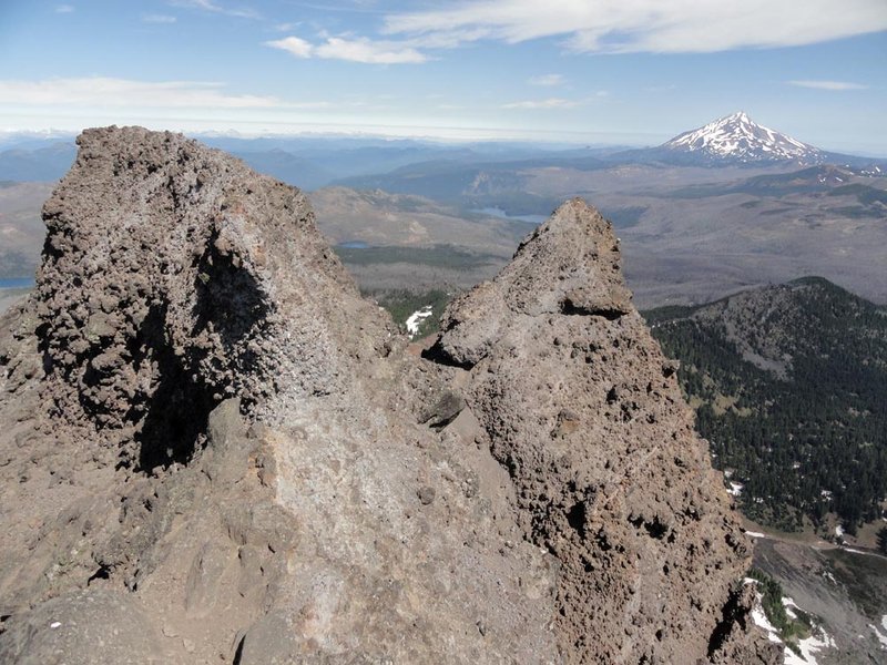
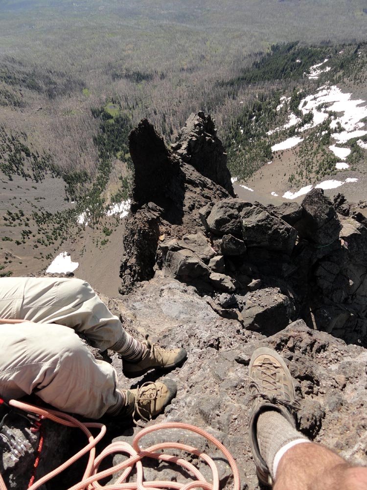
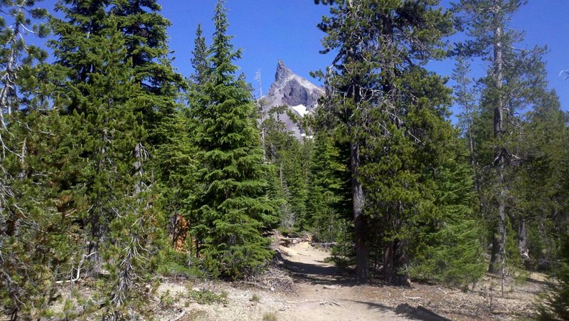
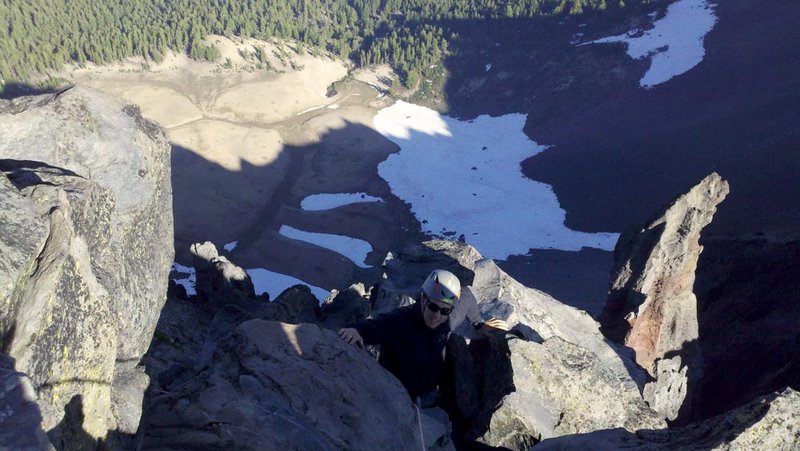
Mt. Thielsen
10 miles of hiking • 3750' elevation gain •
Trail slog to scree slog up to the summit block, which is about 50 ft of easy 4th class climbing. We had a rope and gear but I would ditch it next time - it's not necessary and just weighted down our packs for the hike.
July 28, 2012

 3
3
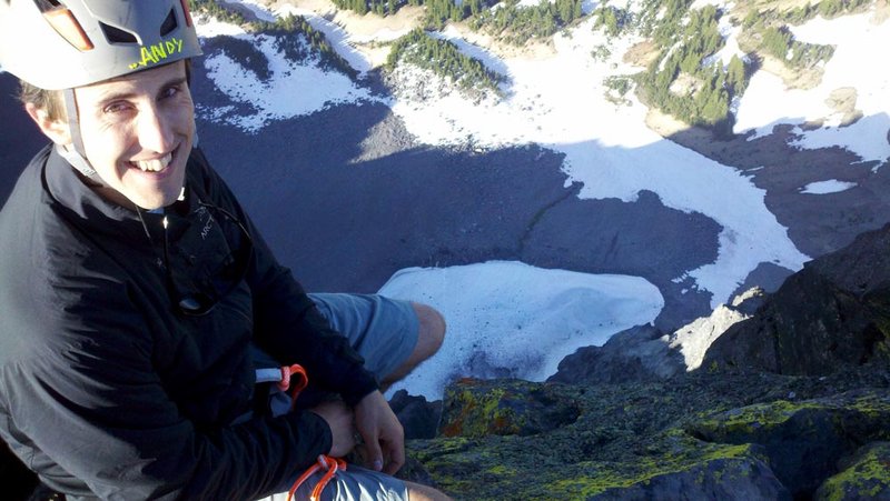
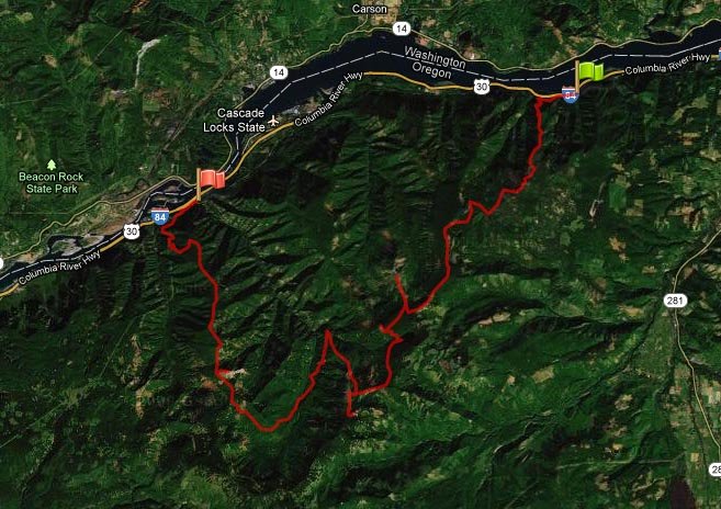
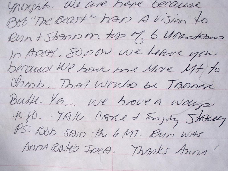
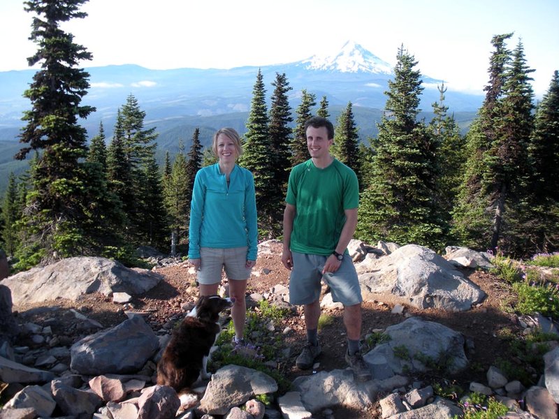
Six Mountain Run
42.5 miles of hiking • 12000' elevation gain •
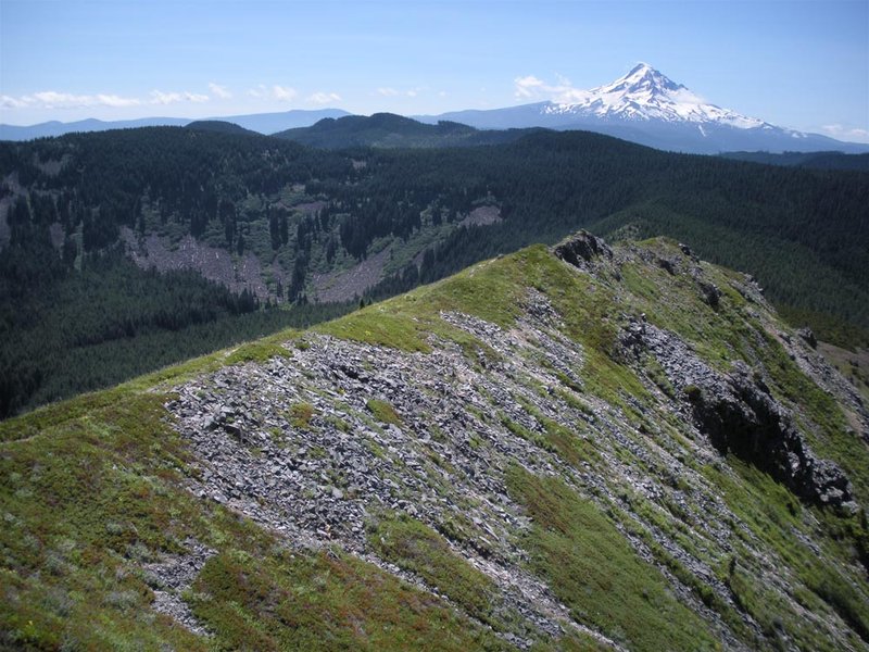
Thru-hike from Starvation Cr. TH to Eagle Cr. TH. Six mountains are: Defiance, Green Point, Tomlike, Chinidere, Indian, and Tanner Butte. Quite a full day's walk...
July 21, 2012

 4
4
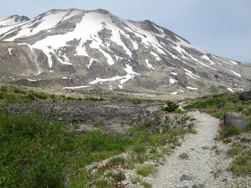
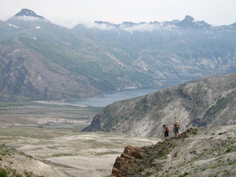
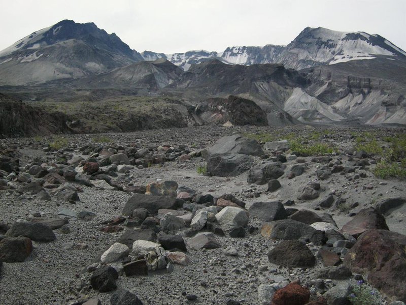
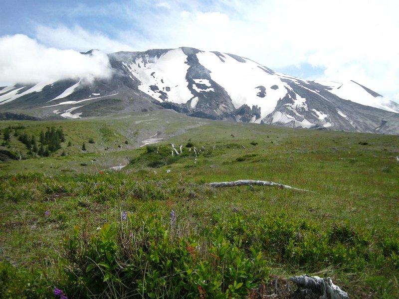
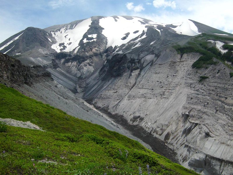
Loowit 360
32 miles of hiking • 7000' elevation gain •
Got to together with a group of PH dudes and hiked the Loowit Trail around St. Helens in one day. Started at June Lake and went counter-clockwise - next time I'd do the reverse, because the last 6 miles or so, crossing the lava above Climber's Bivouac and Worm Flows, took foreeeever. A little under 15 hours total - slowed down greatly for the last few miles. Made sure to drink out of most of the streams and glacial runoffs we encountered. Great to see the mountain from all sides!
July 14, 2012

 5
5
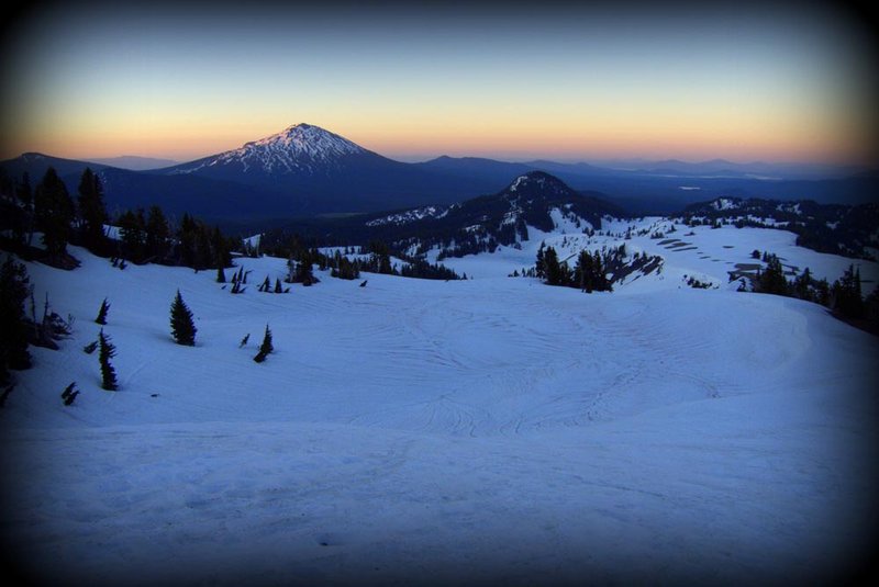
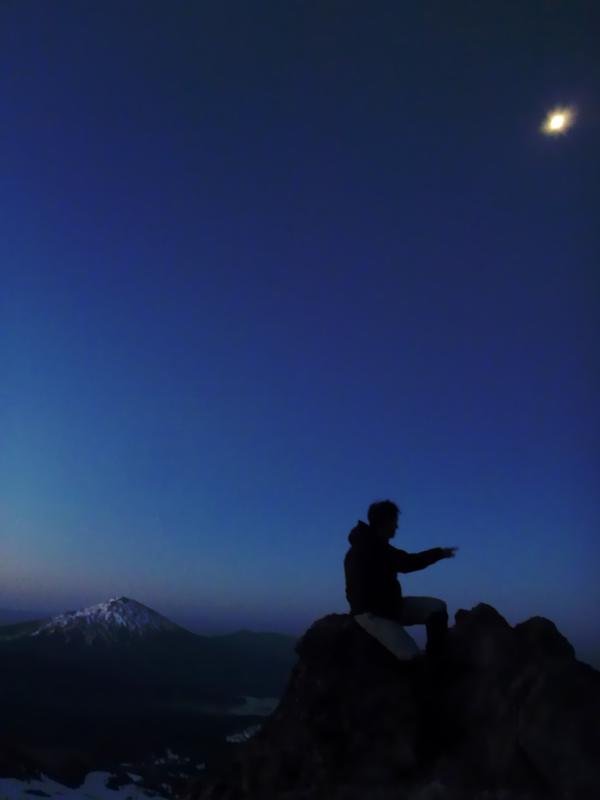
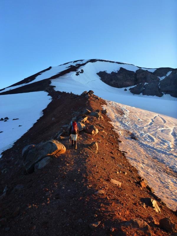
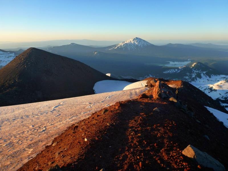
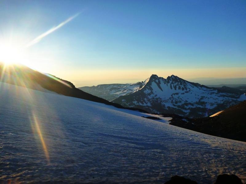
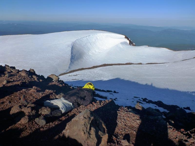
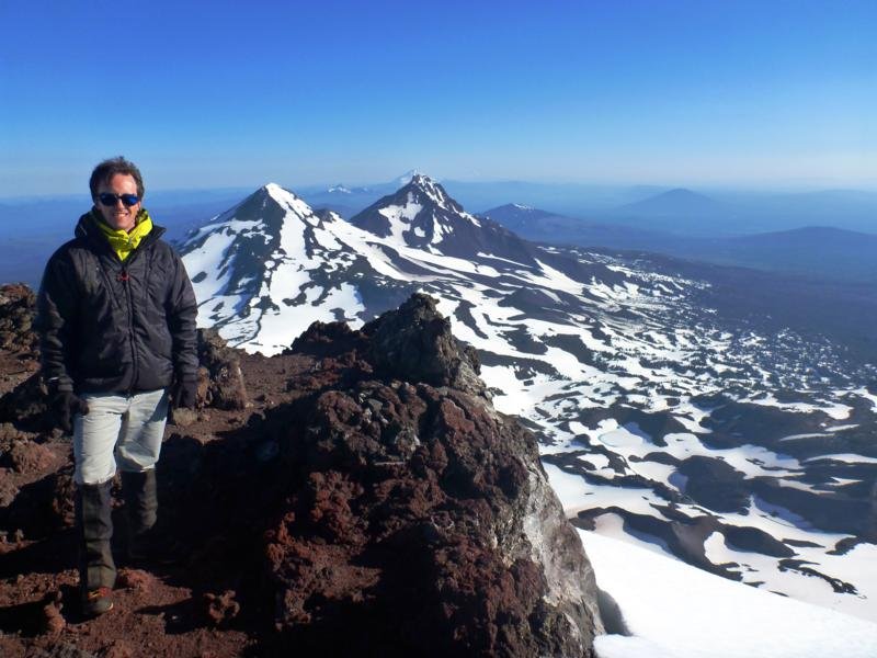
South Sister
13 miles of hiking • 5500' elevation gain •
Drove out Friday after work and hit the trail at 11pm, aiming to catch the sunrise from the summit. Sadly, because of delays due to one member of the group not feeling well and another member opting to stop and take a bivy nap along the way, three of the four of us were at Lewis Tarn when the sun came up. I reached the summit at 7am and Joe about 20 minutes later. We spent about an hour on top and then headed down, whereupon we ran into Greg at the top of the last scree field - he'd been feeling ill and was lagging, unsure he'd summit. We turned around and walked him up to the top and spent another hour up there, then headed down to find Kam who'd stopped to nap on the plateau in the middle of the night while we went ahead. We ran into her above Lewis Tarn and continued down while she went up. Much glissading shenanigans commenced, followed by me getting separated from Joe and Greg after taking an alternate descent; then lots of running around in slush snow trying to find them, baking in the sun on the Moraine plateau, reconnecting and finally returning to the car around 3pm, sixteen hours after we'd left. Kam showed up after another couple of hours, and we somehow managed to drive home despite everyone being mostly without sleep for 36 hours.
Weather was incredibly balmy - we climbed all night in lightweight clothes, no hats, under a warm breeze, and no headlamps needed because the moon was so bright. Crampons were useful for better snow purchase; axe and snowshoes were dead weight. (We stashed the snowshoes behind a tree at the bottom of the plateau after it was obvious they were unnecessary.)
Amazing to be the first people on the summit at 7am; less amazing to encounter the hordes who came out during the day. Extremely hot, decently sunburned (despite sunscreen that apparently didn't work), and slush snow sucks.
July 7, 2012

 2
2
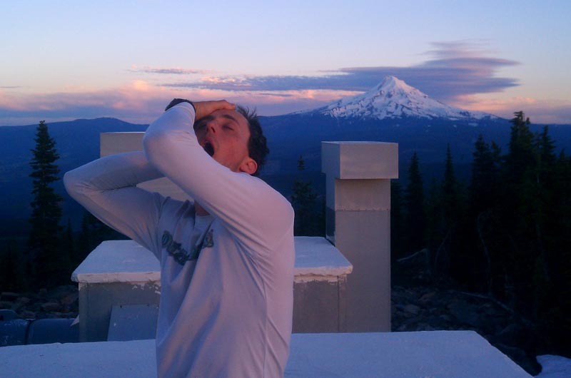
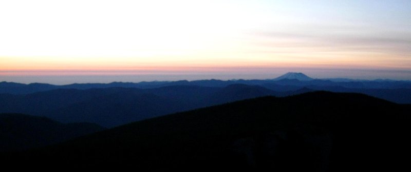
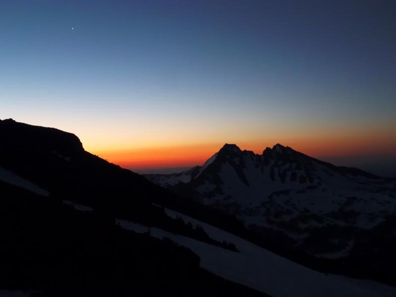
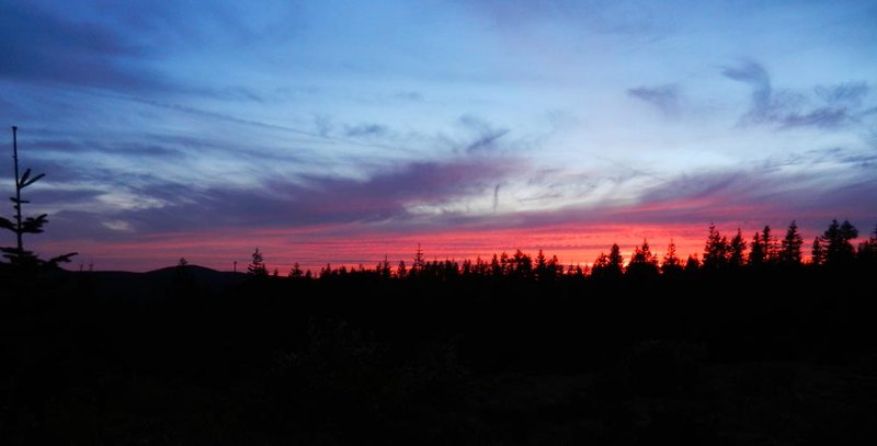
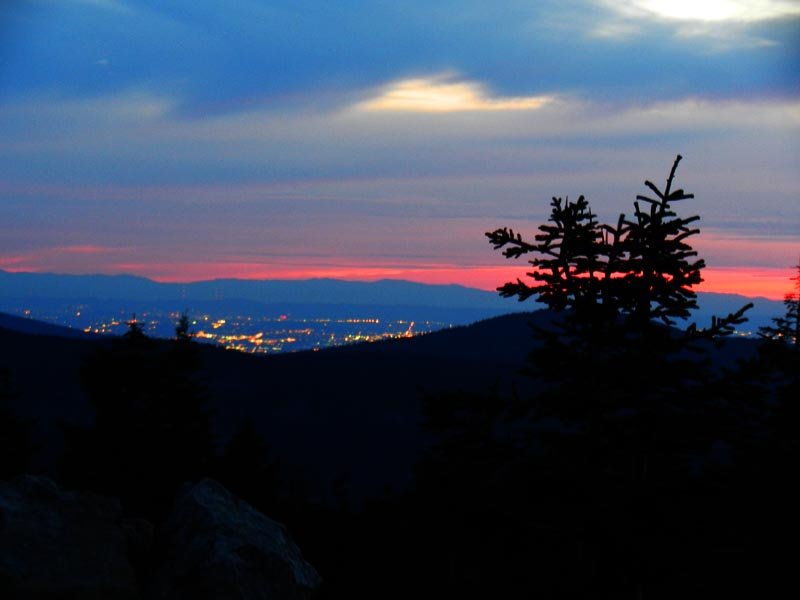
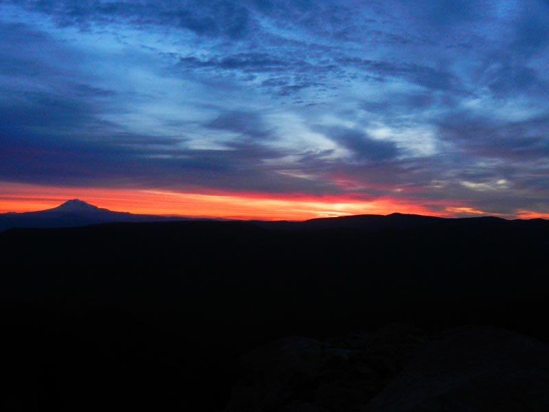
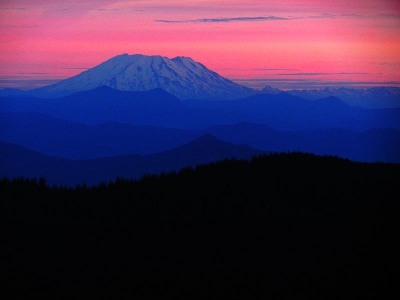
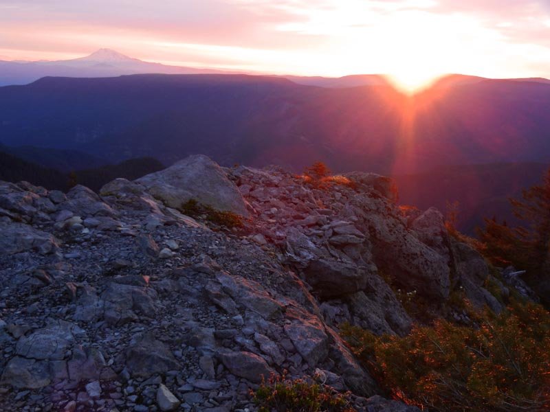
Tanner Butte solstice bivy
19 miles of hiking • 4750' elevation gain • 1 night
Ran up to Tanner Butte after work though unfortunately arrived on the summit around 9:30pm, just too late to really catch the sunset. Bivied down below the lookout point in some trees and woke up at 4:30am for the sunrise, then ran back down, drove back to Portland, and was at work by 10!
June 20 – June 21, 2012


 3
3
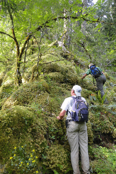
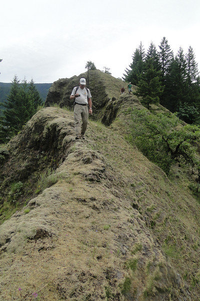
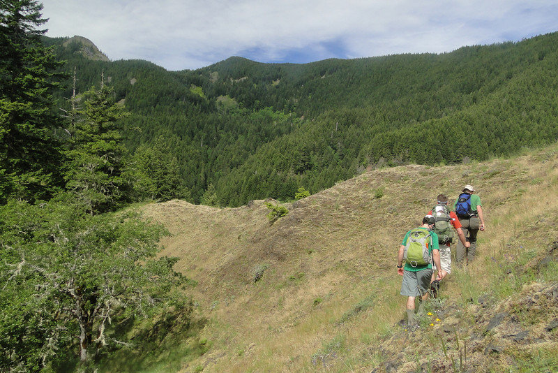
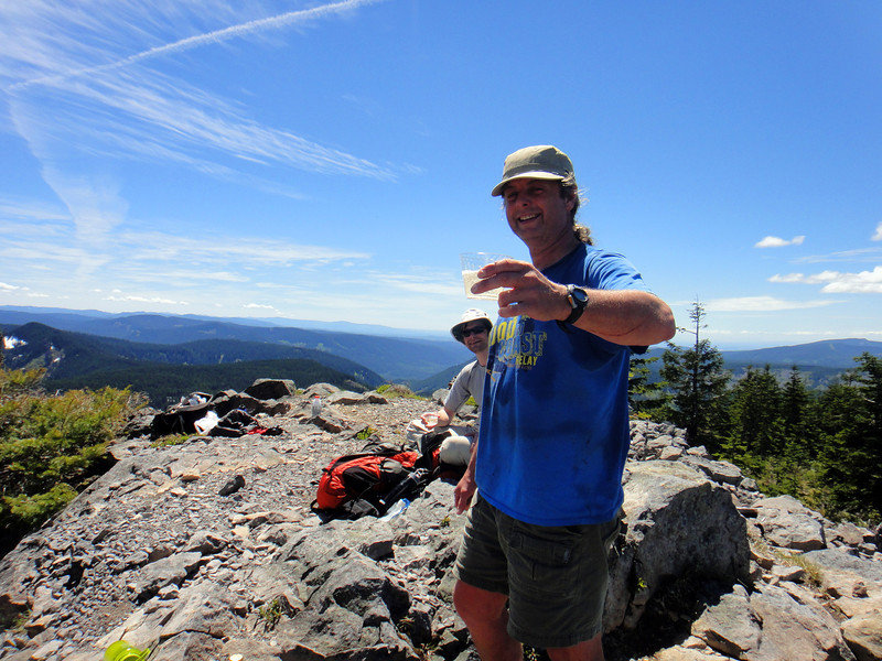
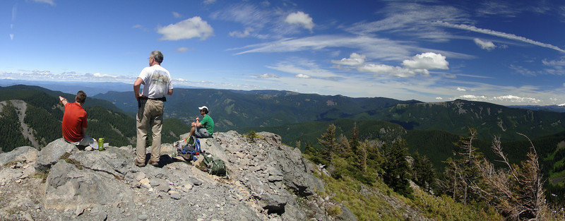
Egregious bushwhack - Eagle Creek to Tanner Butte
20 miles of hiking • 5500' elevation gain •
Started Eagle Creek TH @ 6am. Hiked to 4 1/2 mile bridge, then turned right and went up a ridge to the Tanner Butte trail, covering 3.5 miles of off trail ridge in 5.5 hours. Sketchy climbing, game trails, and lots of brush. Once we regained the trail, we scampered up to Tanner Butte and had chilled wine on the summit (not kidding), then hoofed it back down to the cars by 6pm.
June 16, 2012

 2
2
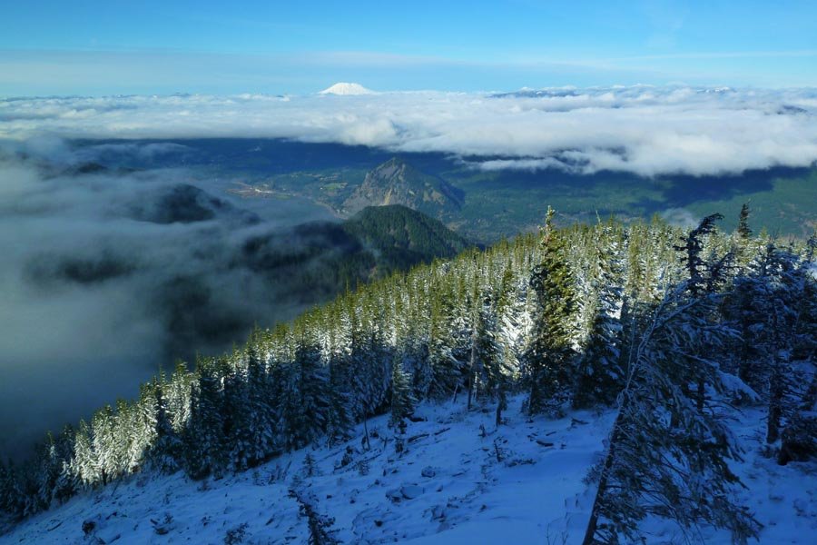
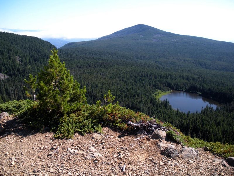
Nick Eaton - Green Point Mountain - Wyeth loop
20 miles of hiking • 5750' elevation gain •
Started at Herman Creek at 7:45am. Up Nick Eaton ridge and out to Green Point Mountain. Hit snow around 4000' and it became deep and consolidated with some new fresh snow on top from the previous days' rains. Totally misted over and lots of wind blowing snowmelt and ice and snow bombs out of the trees on us. Cold! Scrapped plans to head down to Rainy and North lakes due to tricky routefinding in snow and overall lack of a view (as well as cold feet). Backtracked to the junction with the Wyeth trail and headed down. At the bottom, headed west on the 400 back to Herman Creek to complete the loop around 5:30pm.
June 9, 2012

Defiance
11.5 miles of hiking • 5000' elevation gain •
More people on this trail today that I have ever seen previously in total.
June 2, 2012

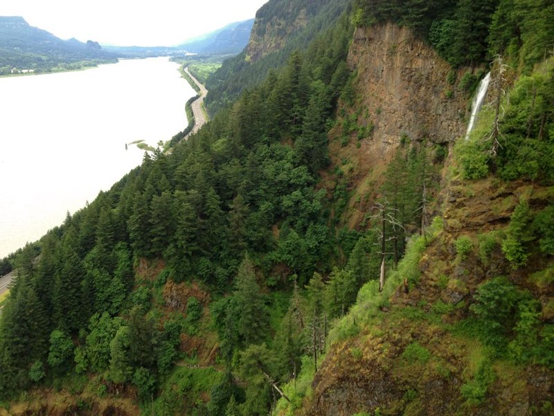
Ruckel Ridge
9 miles of hiking • 4000' elevation gain •
Somehow got onto the bailout trail and missed the Catwalk! Argh!
May 26, 2012

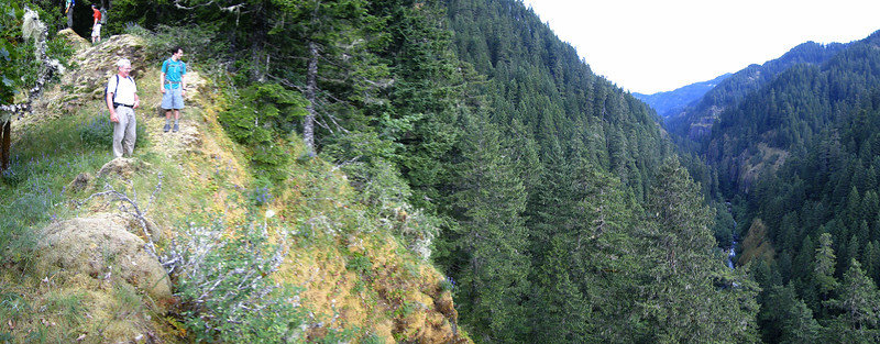
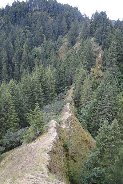
Elevator Shaft to Larch Mountain
16 miles of hiking • 4500' elevation gain •
Up the Elevator Shaft, over to Nesika Lodge, then up Franklin Ridge to Larch Mountain and down the normal trail. Snow almost nonexistent until just before the Larch Mountain Road (which itself is covered by a couple of feet, melting fast).
May 19, 2012
 1
1
Table Mountain
10 miles of hiking • 3500' elevation gain •
Hot Springs/Dick Thomas TH, up Westway trail, down NW ridge. Brought snowshoes thinking it'd be like 4/11 when I was post holing, but after a couple of weeks of 80 degree days, there was no snow up there!
May 13, 2012


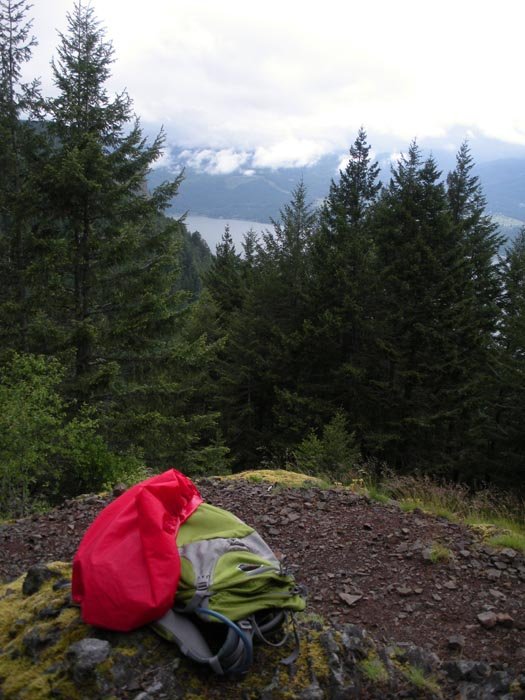
Angel's Rest
5 miles of hiking • 1500' elevation gain •
Testing the ol' knee after a month off. Sunny up top. Only about a bazillion other people and dogs.
March 4, 2012


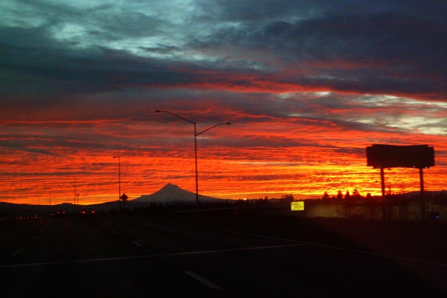
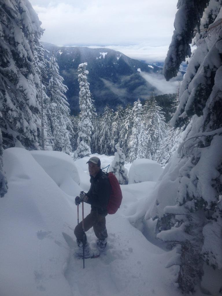
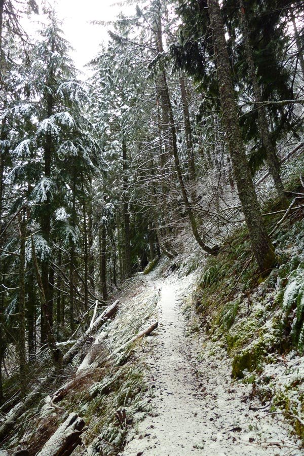
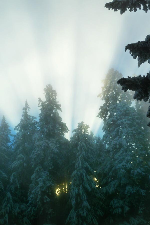
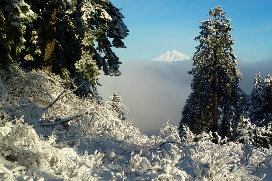
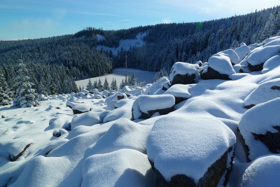
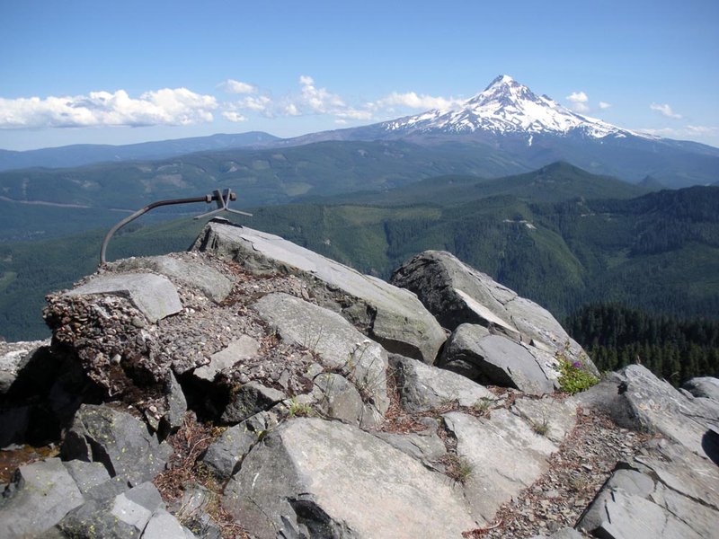
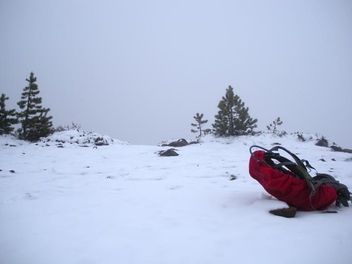
Tanner Butte in the snow
19 miles of hiking • 4750' elevation gain •
Started at Wahclella. Light snow on the trail after the Wauna Point junction. More snow after the Dublin junction. Pretty full snow on the trail starting around 4000 ft and big drifts in beargrass alley. Light snow on the summit spur trail until higher up - after that, just a snow hill to the top. The summit was pretty clear - we found dry rocks we could sit on. Totally gorgeous day; I dozed off in the sun for a little while.
January 8, 2012
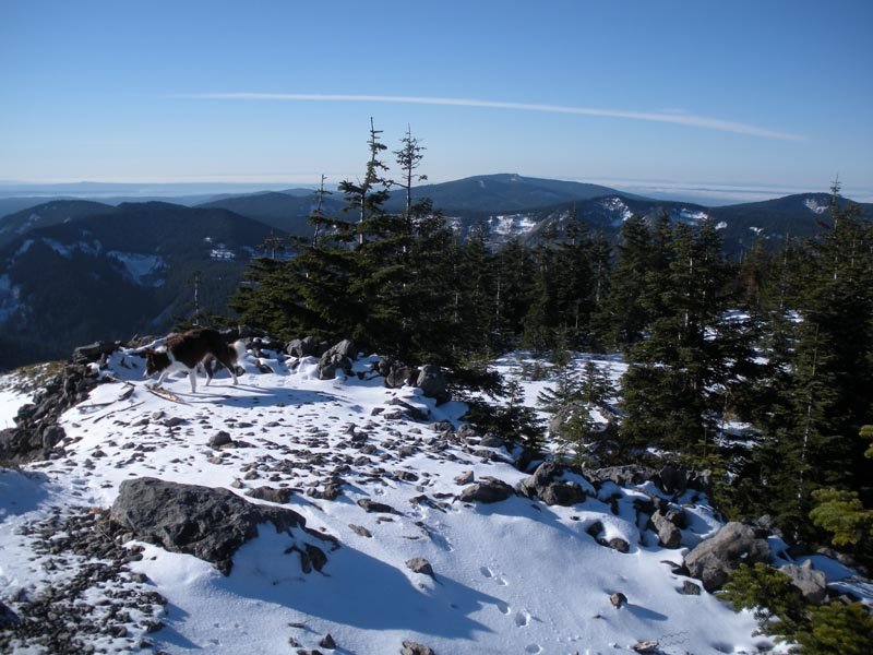
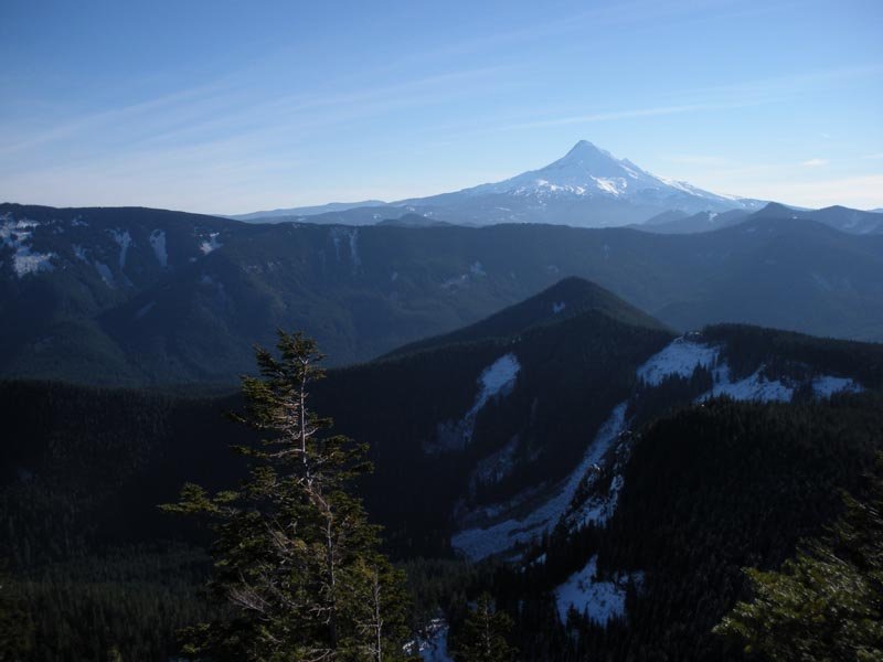
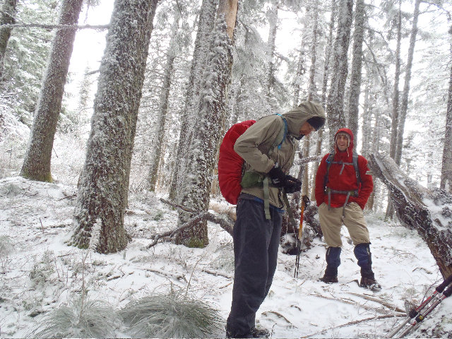
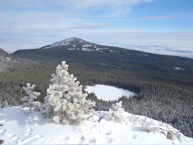
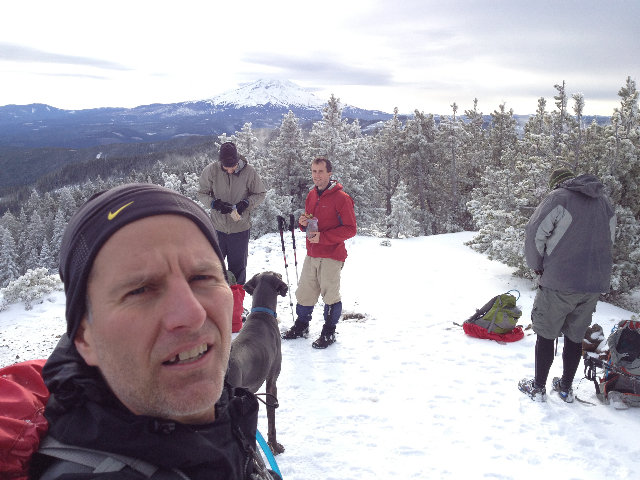
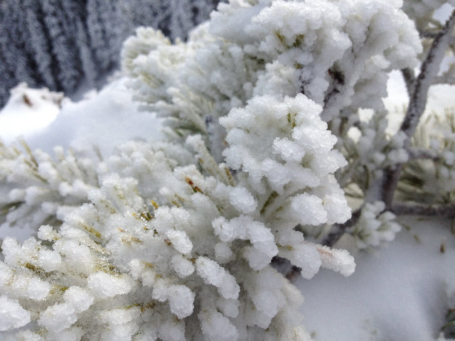
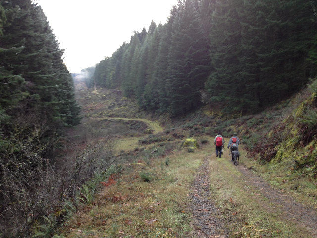
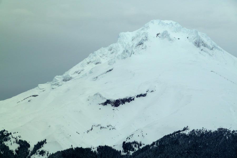
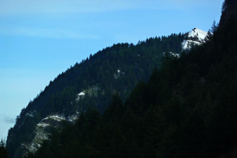
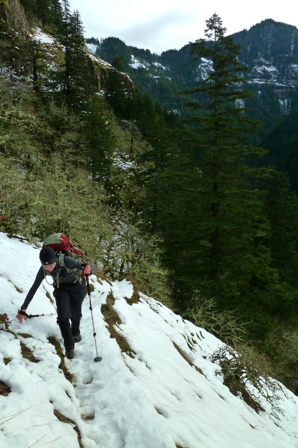
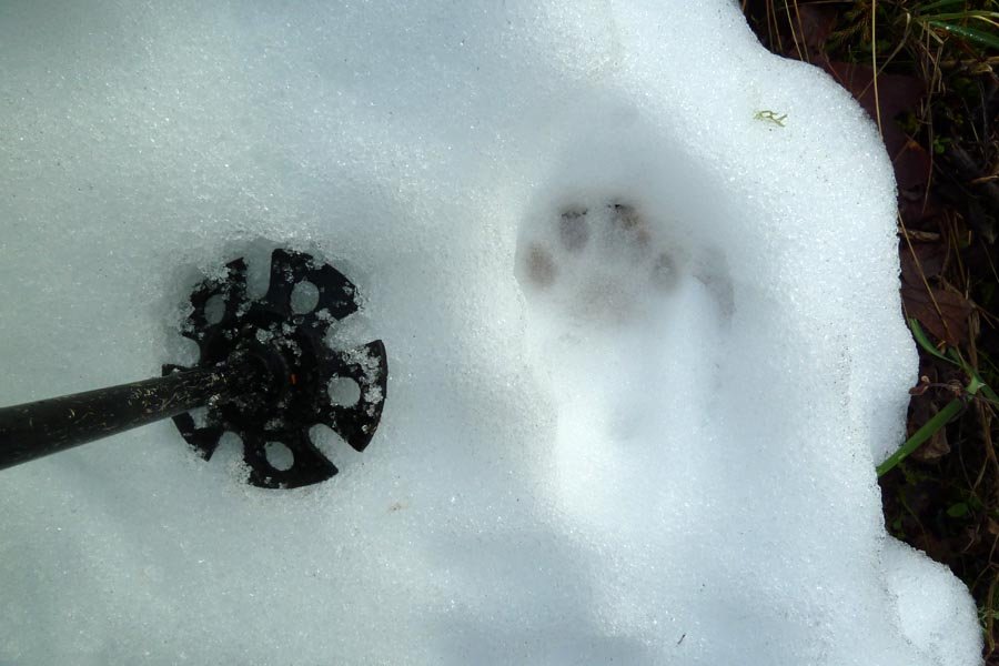
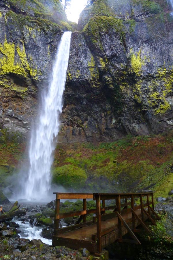
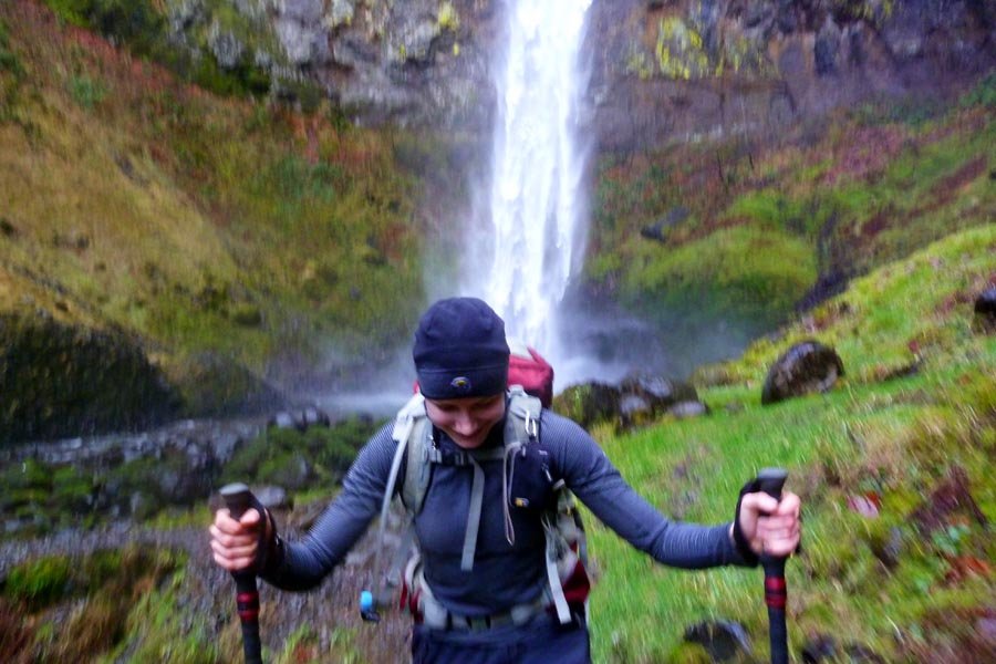
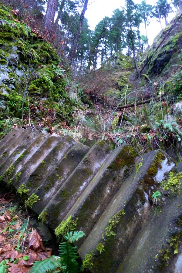
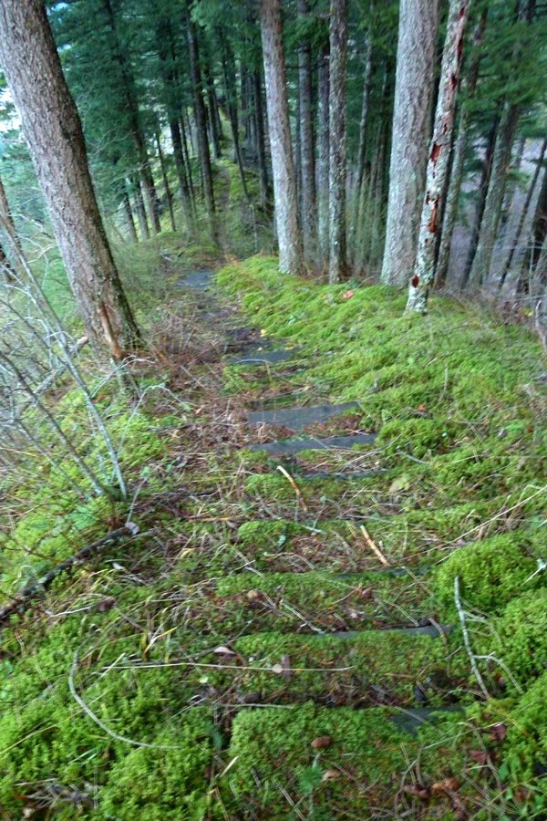
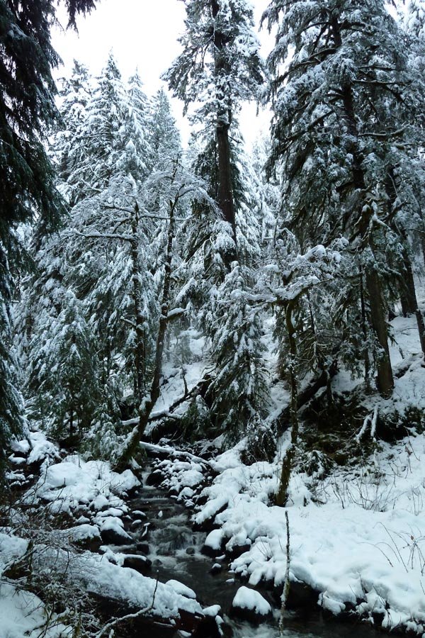
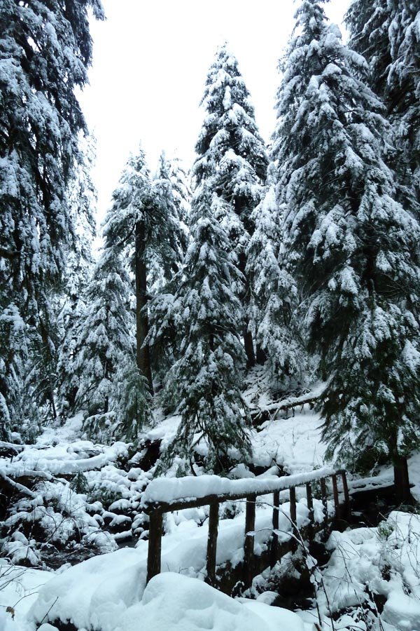
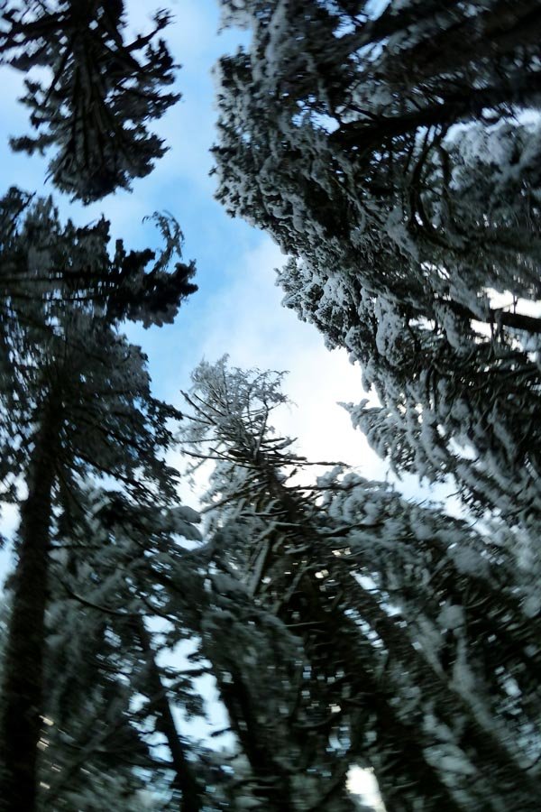
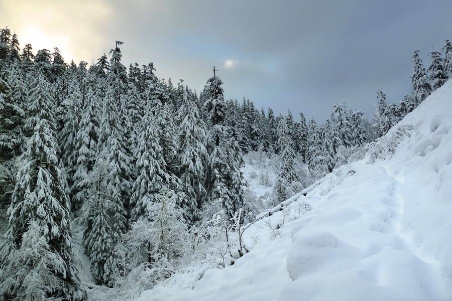
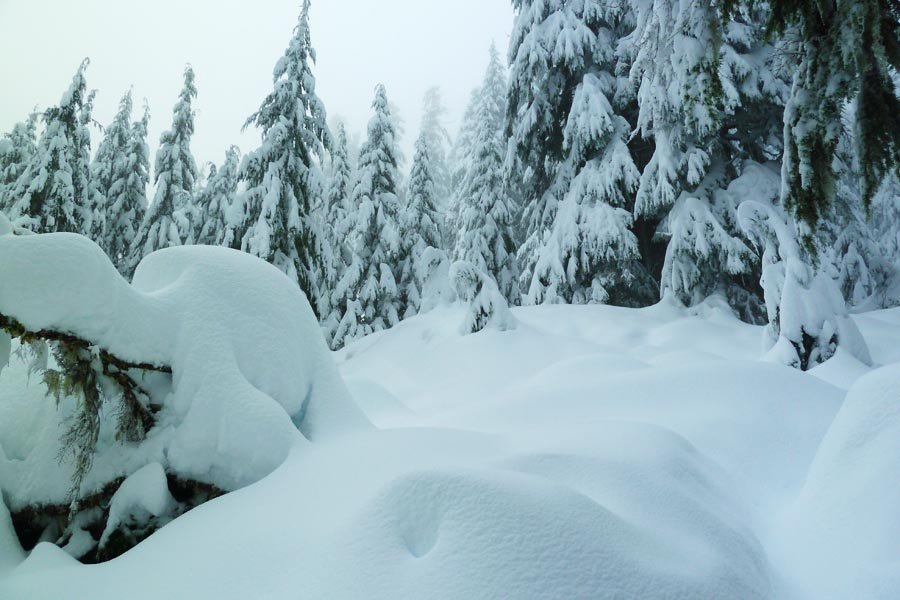
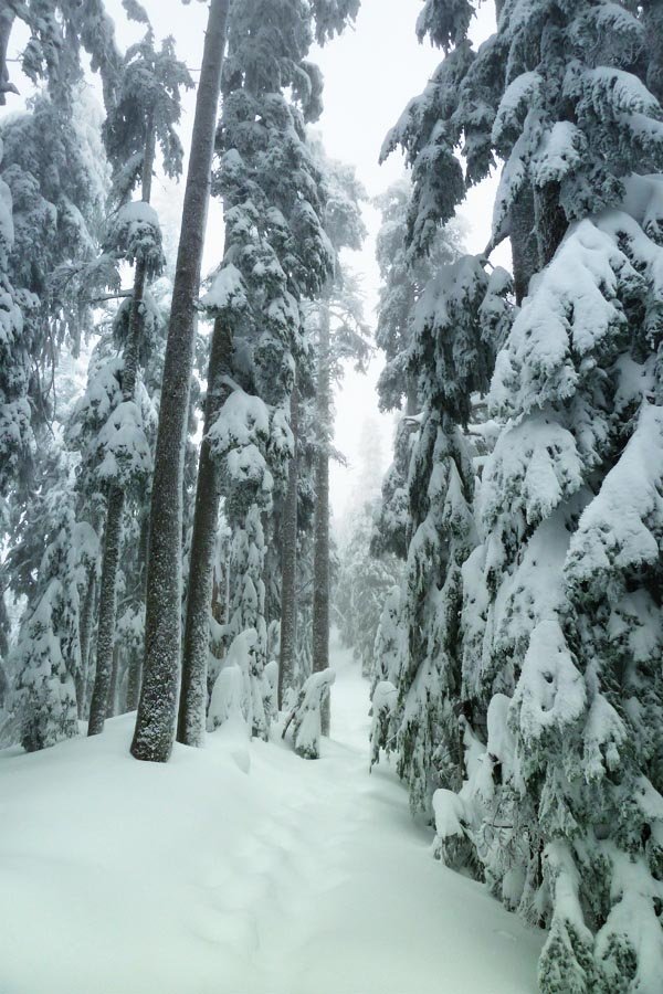
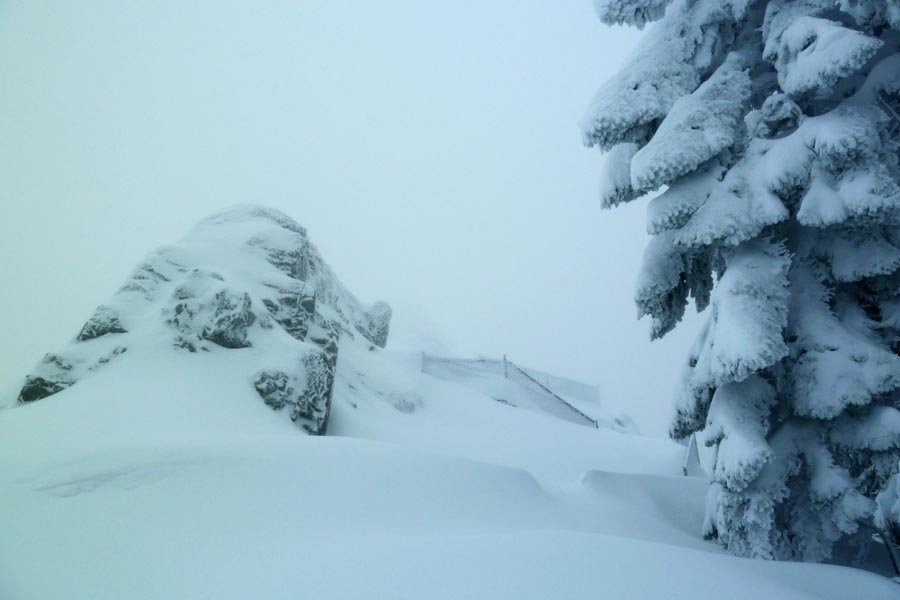
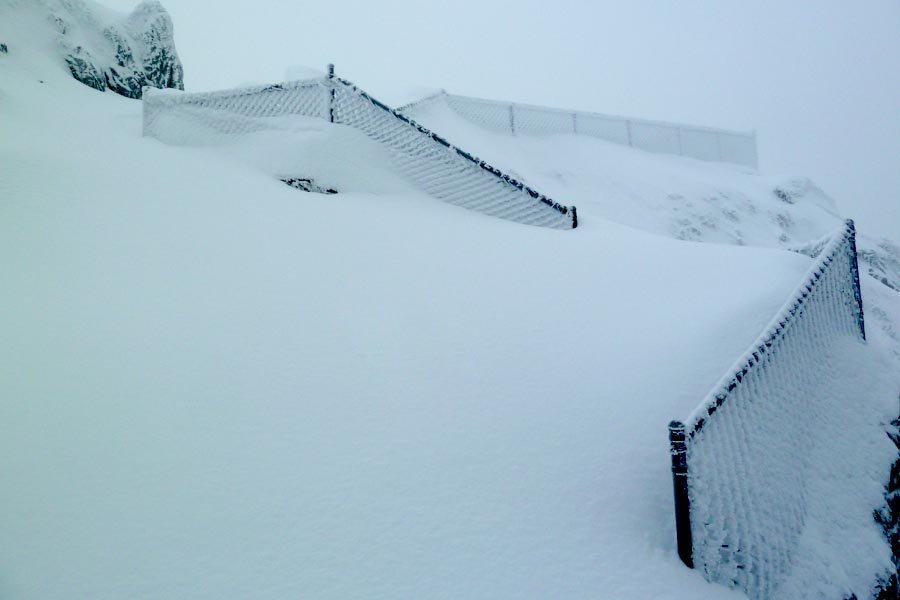
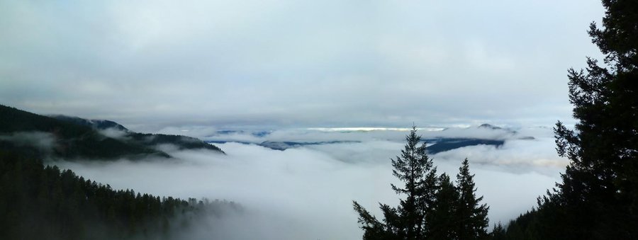
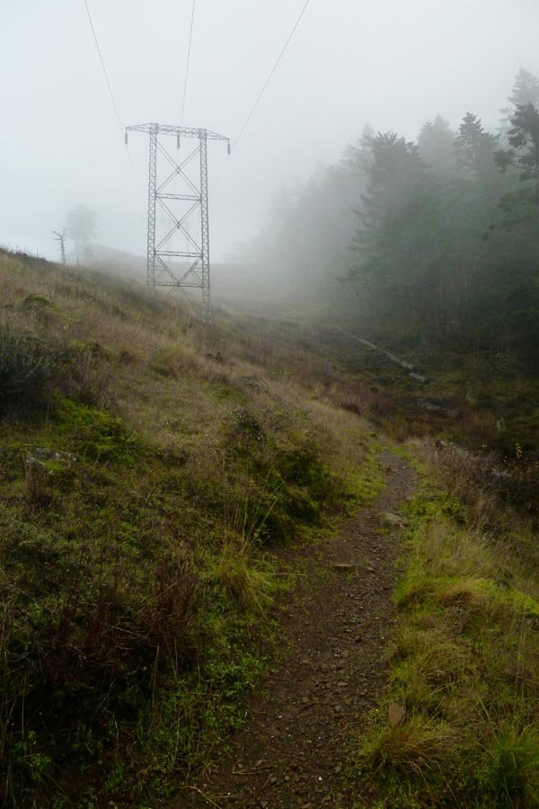
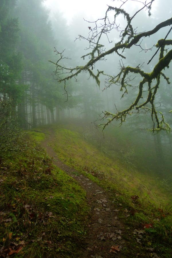
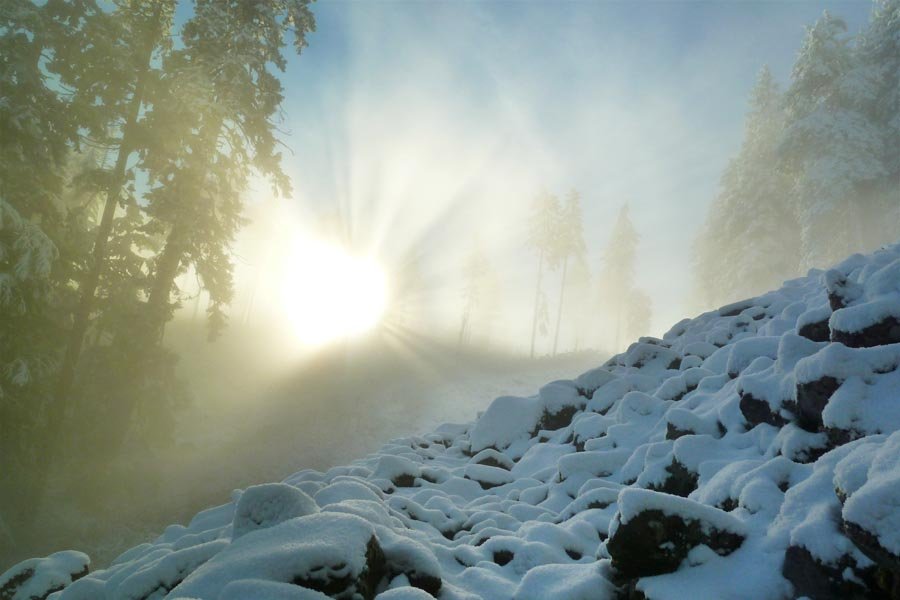
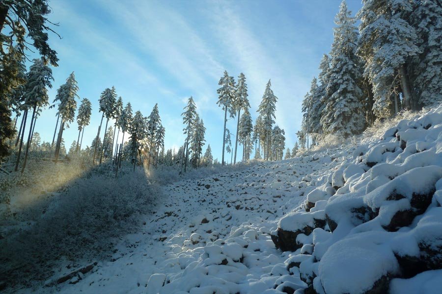
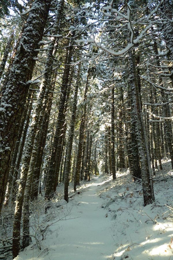
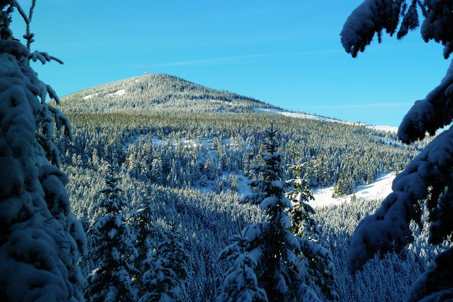
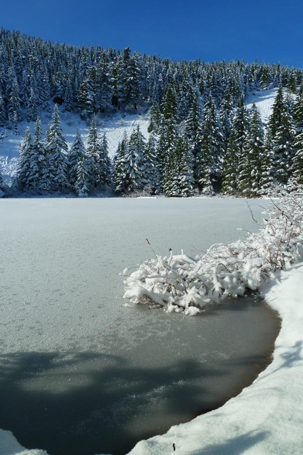
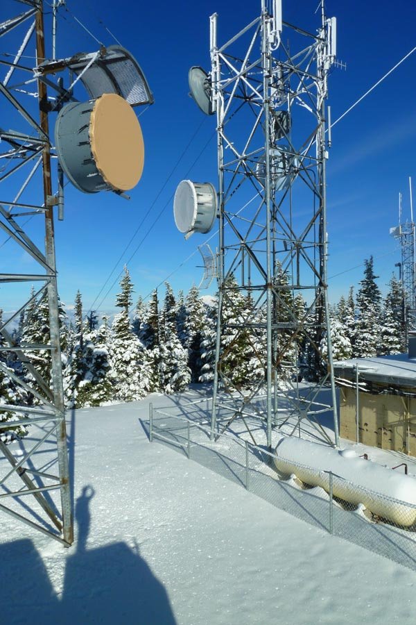
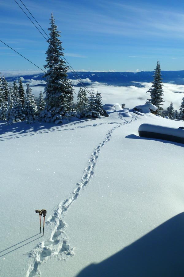
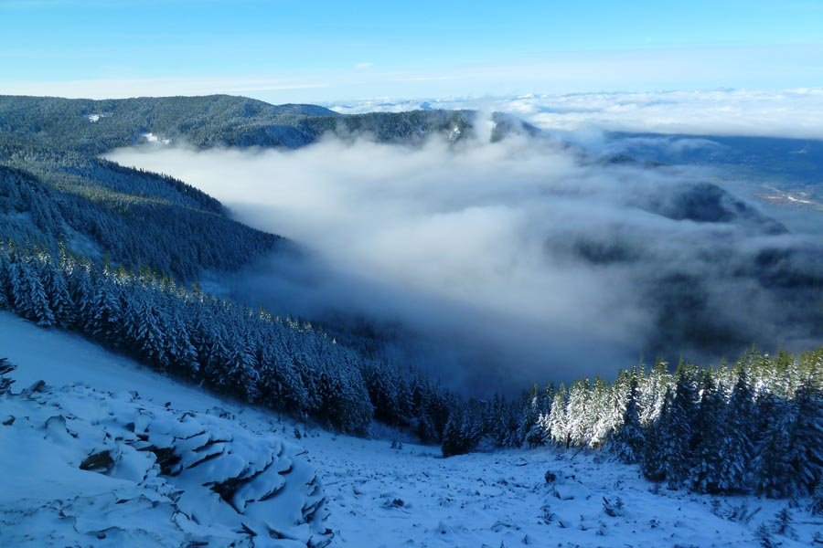
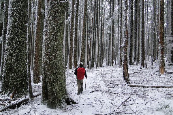
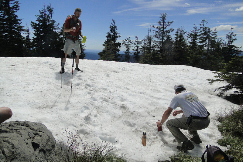
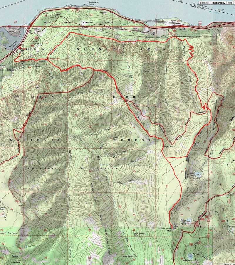
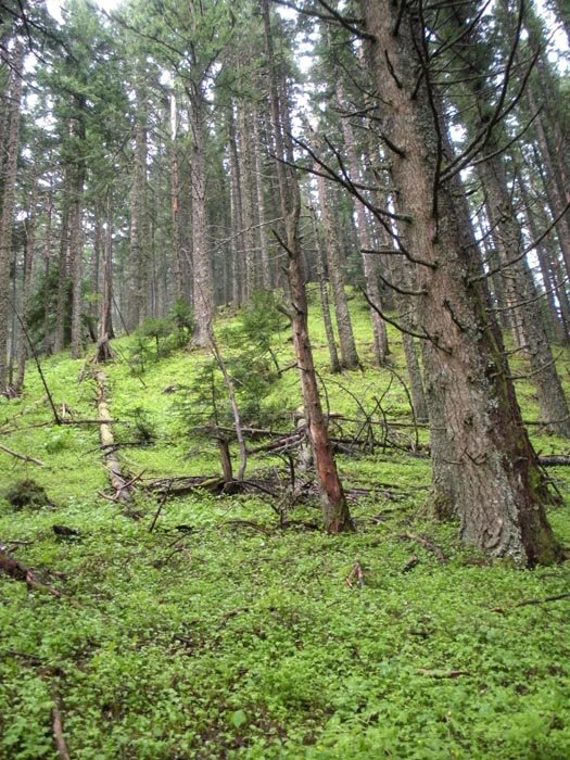
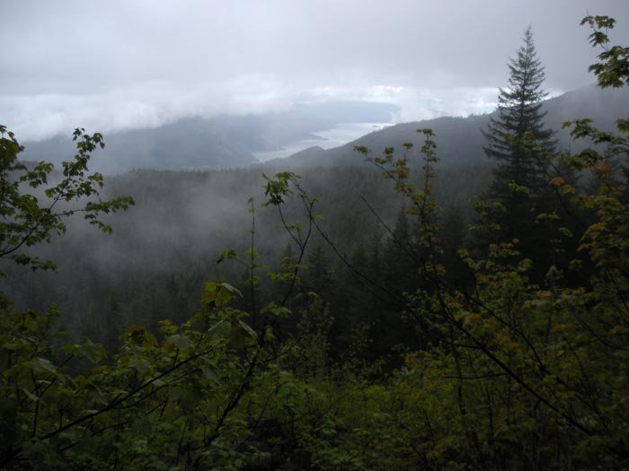
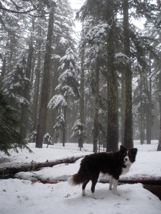
Herman Creek to Green Pt. Mountain red line hike
19 miles of hiking • 5500' elevation gain •
Herman Creek, up Casey Creek trail, then in snow to Green Point Mountain and back down. Pics by Mayhem.
January 7, 2012