2014 Trips


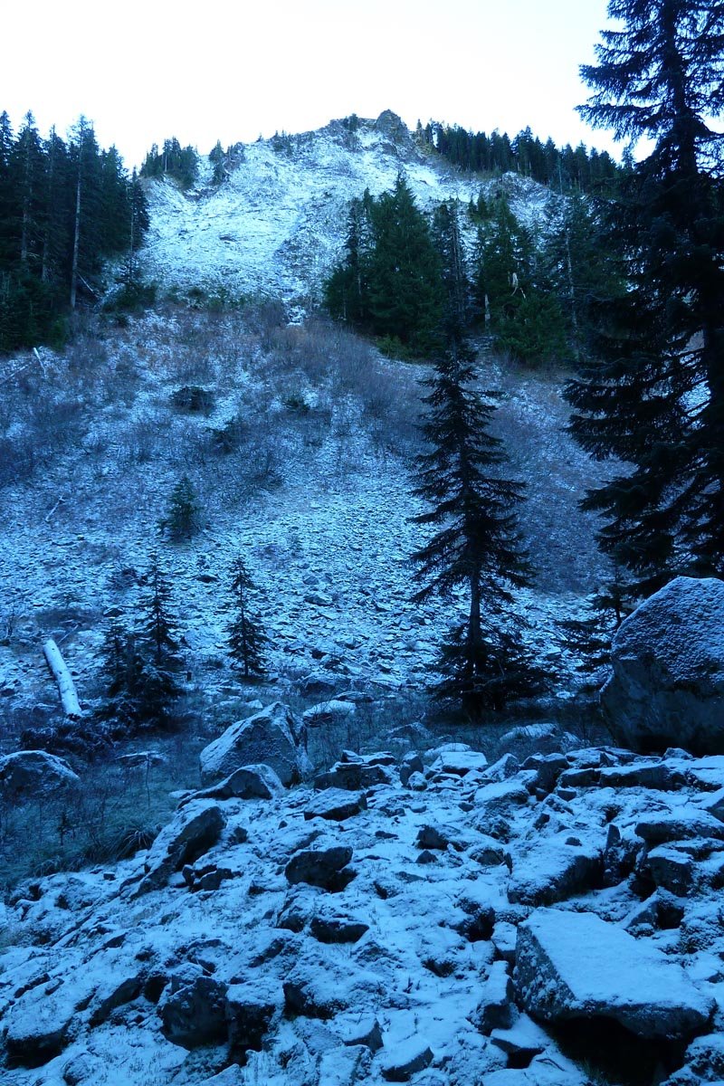
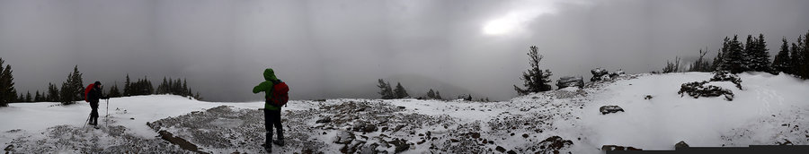
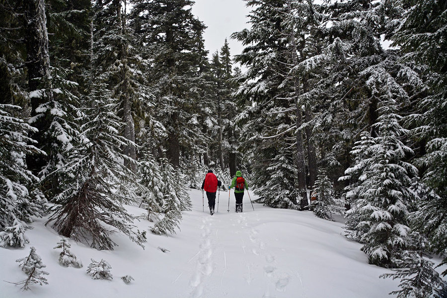
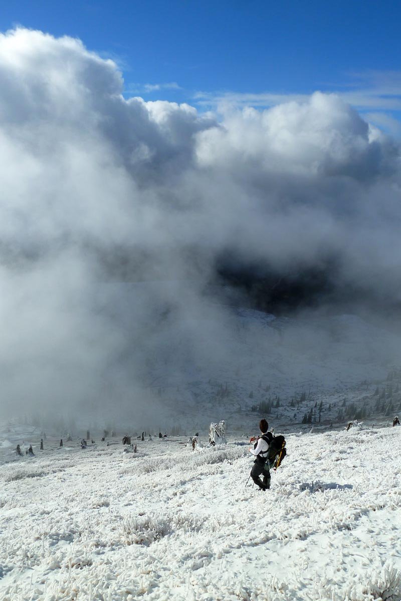
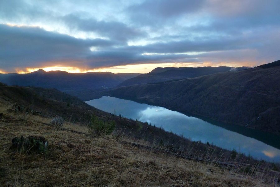
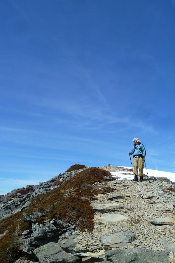
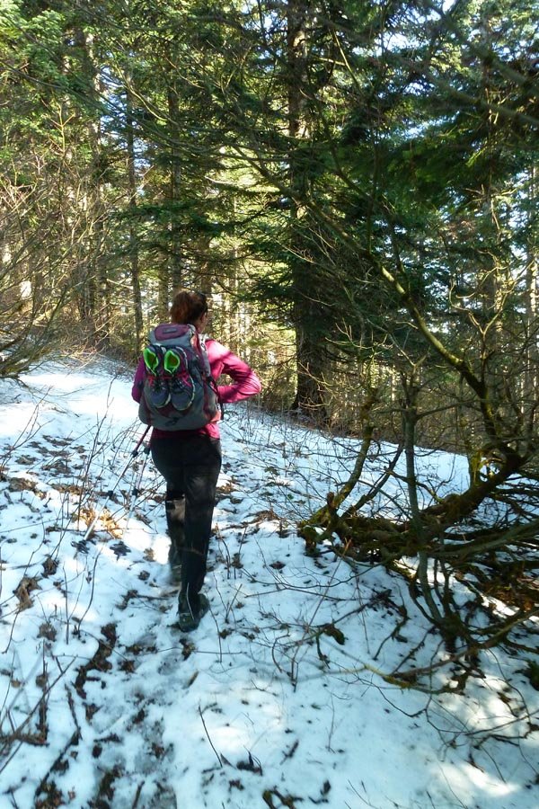
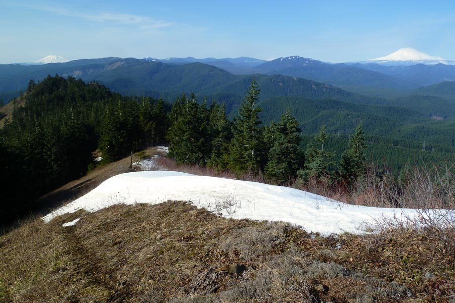
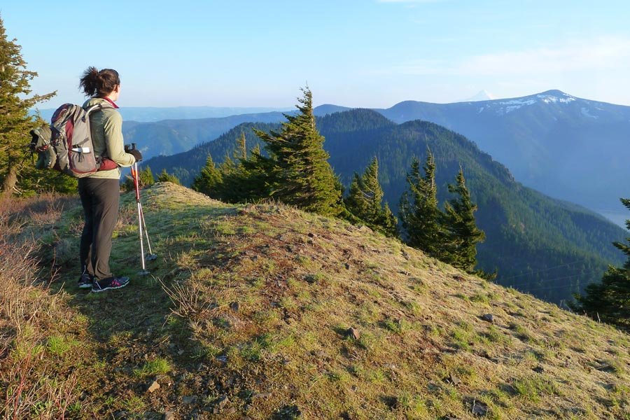
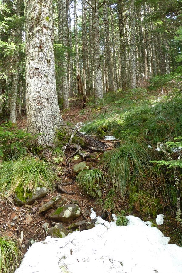
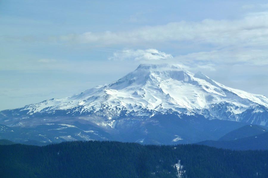
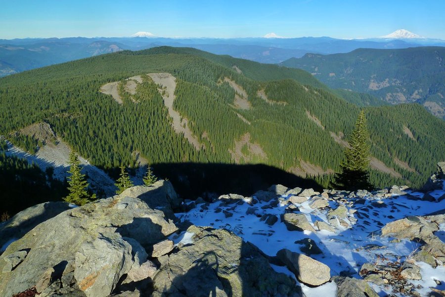
Lookout Mountain from Hwy 35
9 miles of hiking • 3000' elevation gain •
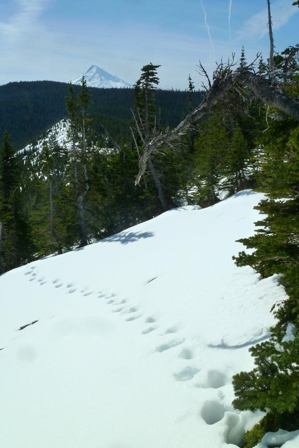
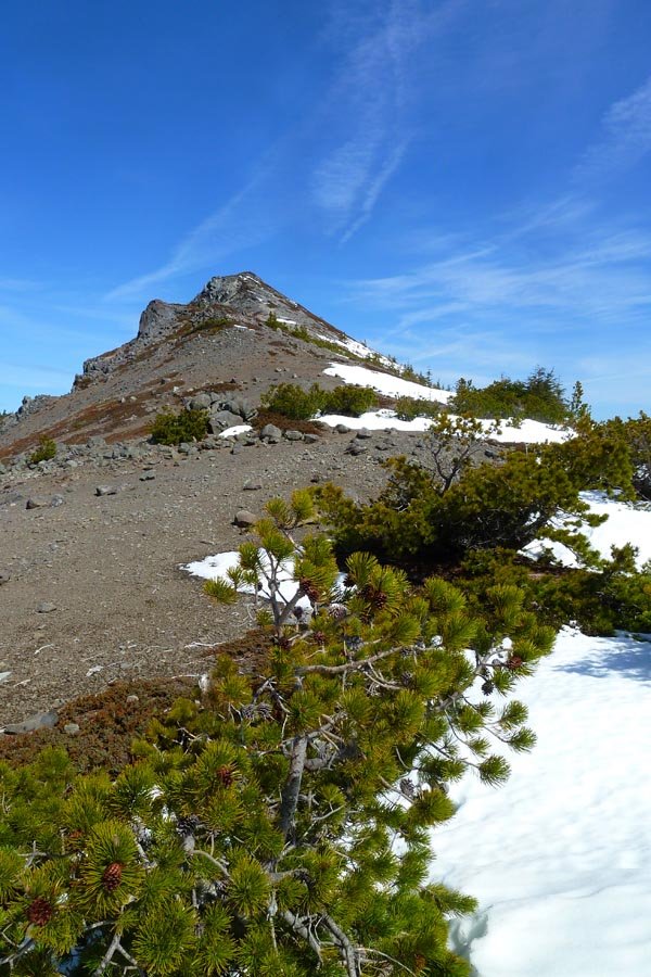
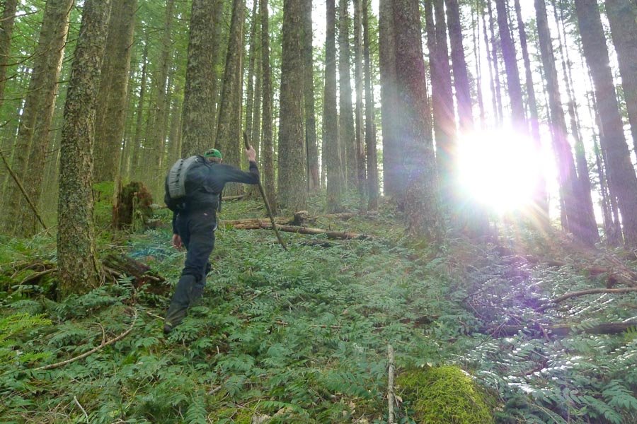
Started down at the highway. Temps hovering a little above freezing. Hit snow before Gumjuwac Saddle. Eventually lost any semblance of a trail and headed OT up the slopes through the snow. Temps dropped to around 28º. Wind and fresh snow falling on the top, so we bailed on continuing to Flag Pt and headed back down. Snow turned into slushy rain back down near the TH. Off trailing skipped the big switchbacks on the ridge, so it looks like it was a bit shorter than the normal Lookout hike.

December 27, 2014

 3
3
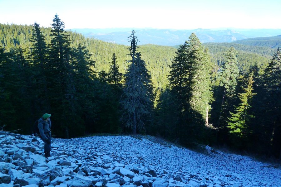
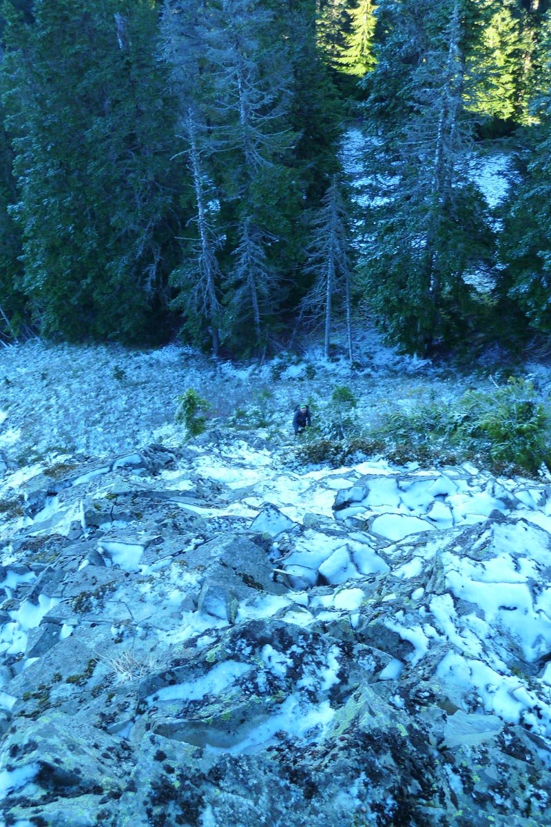
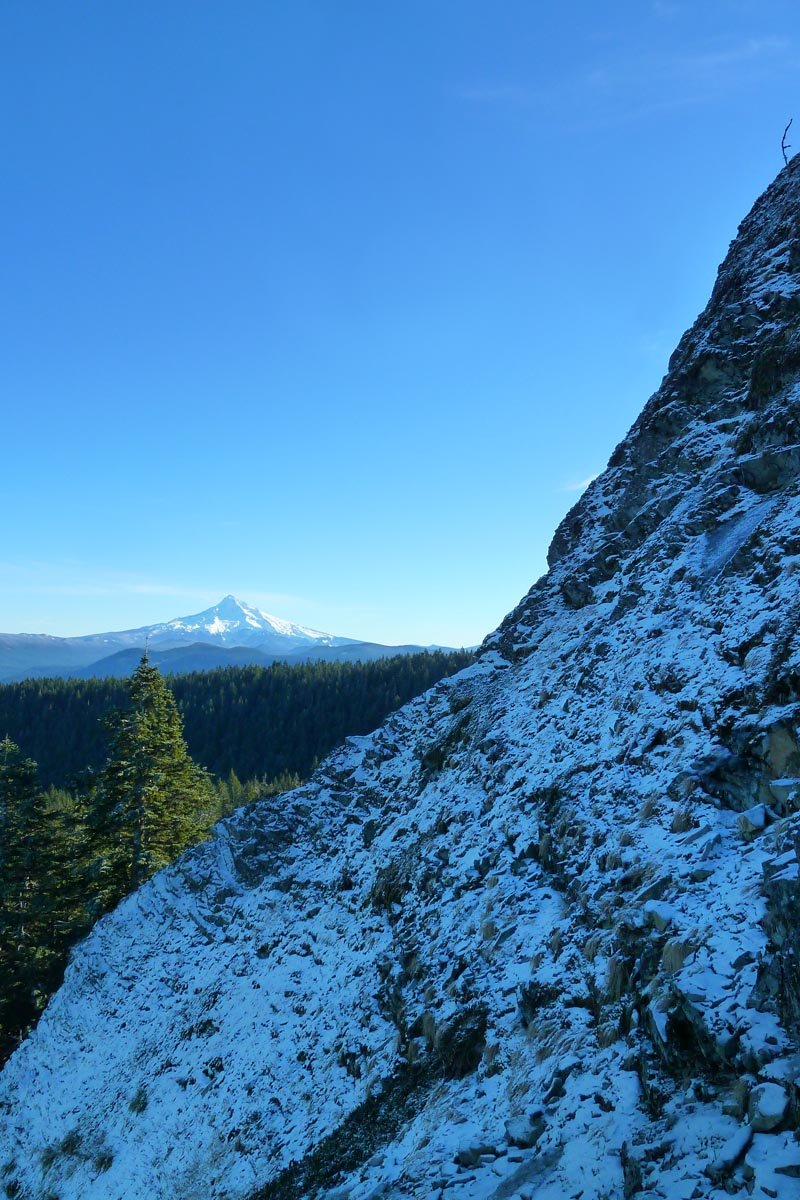
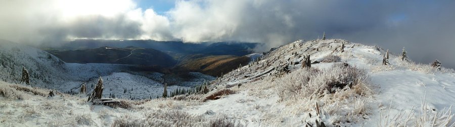
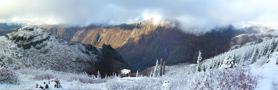
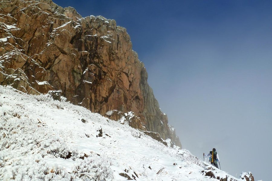
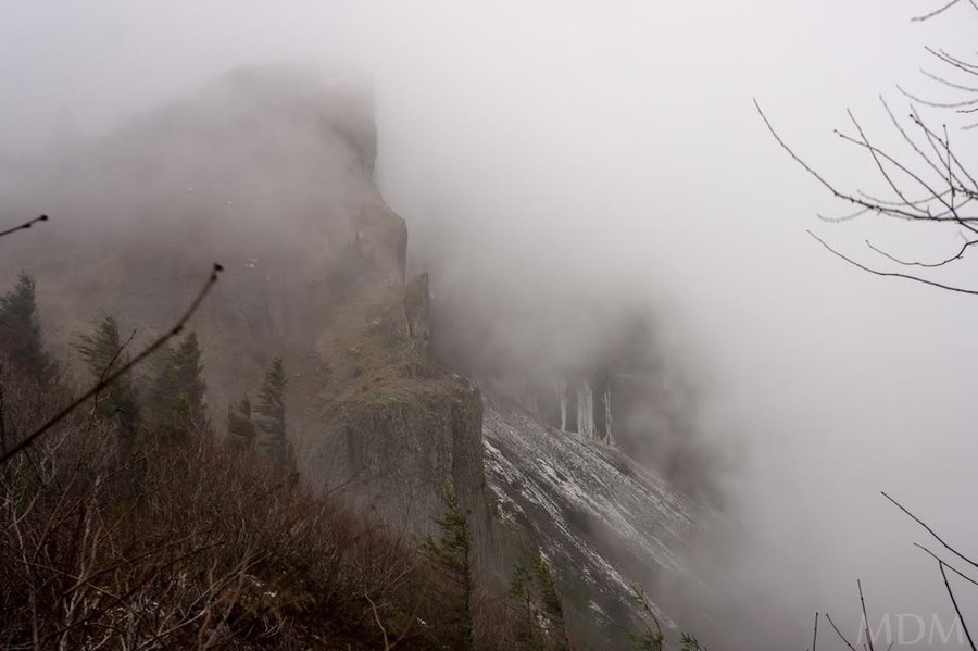
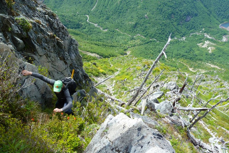
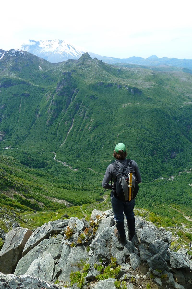
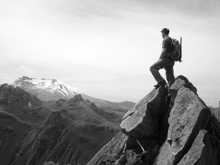
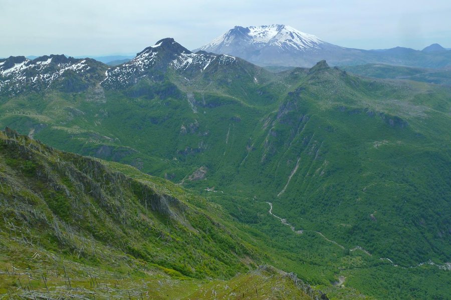
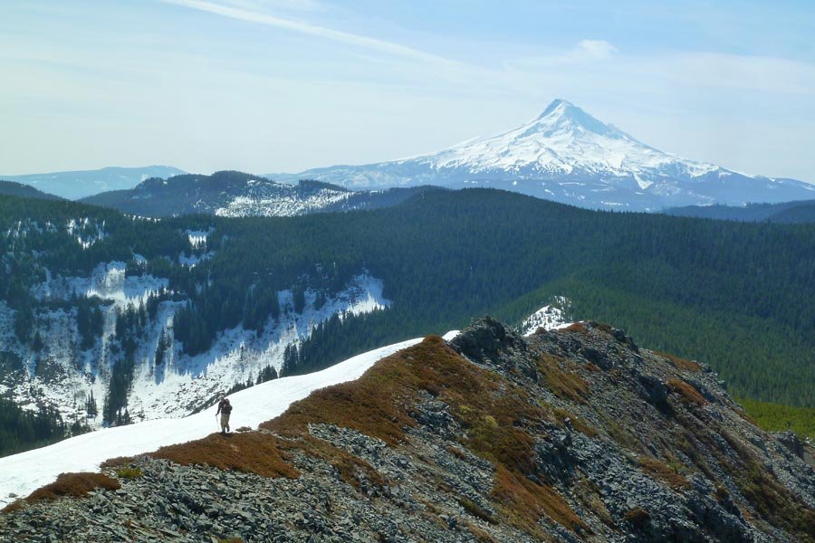
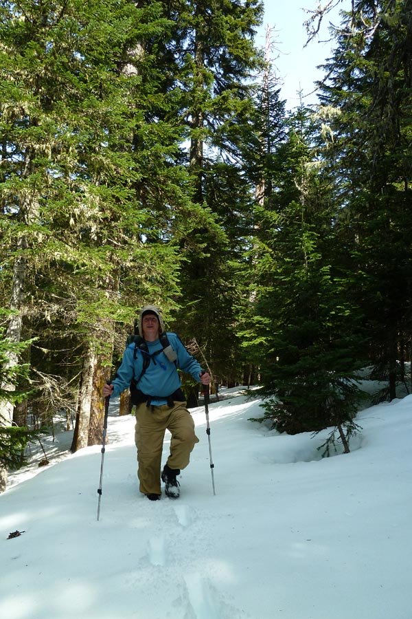
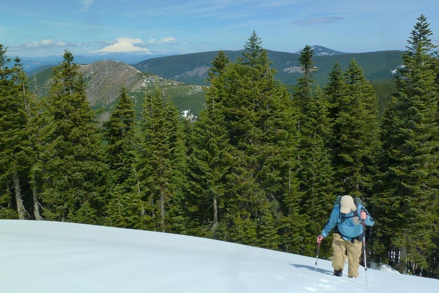
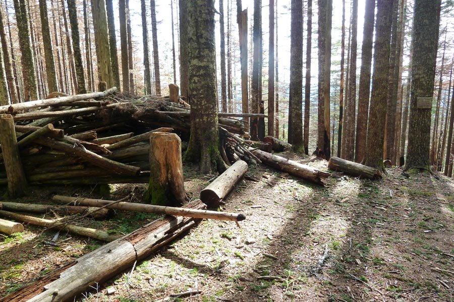
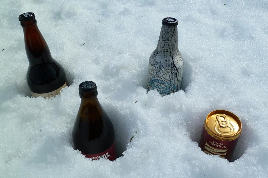
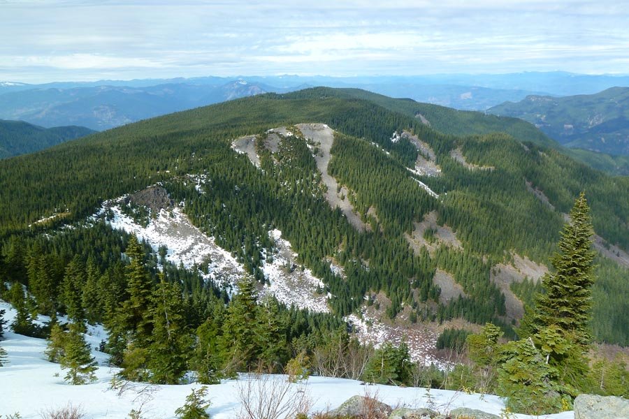
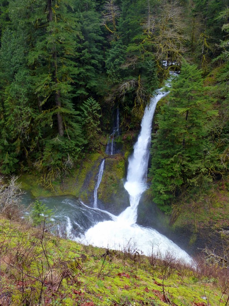
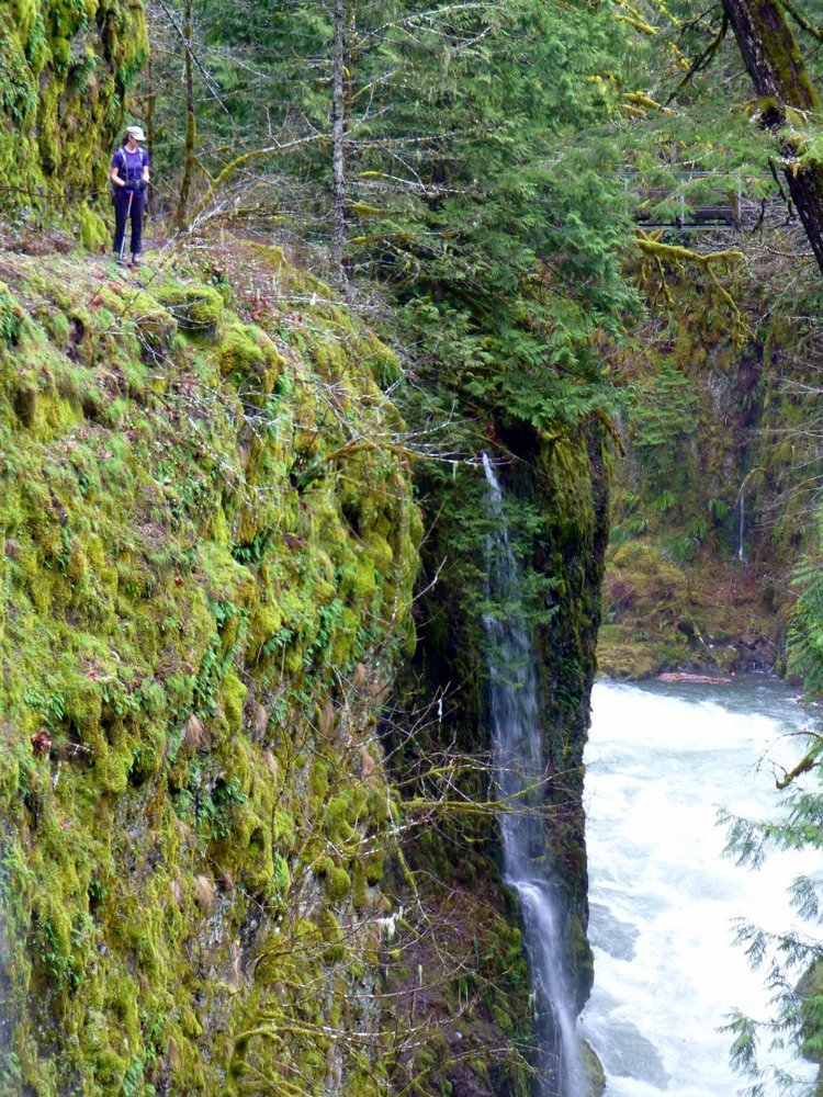
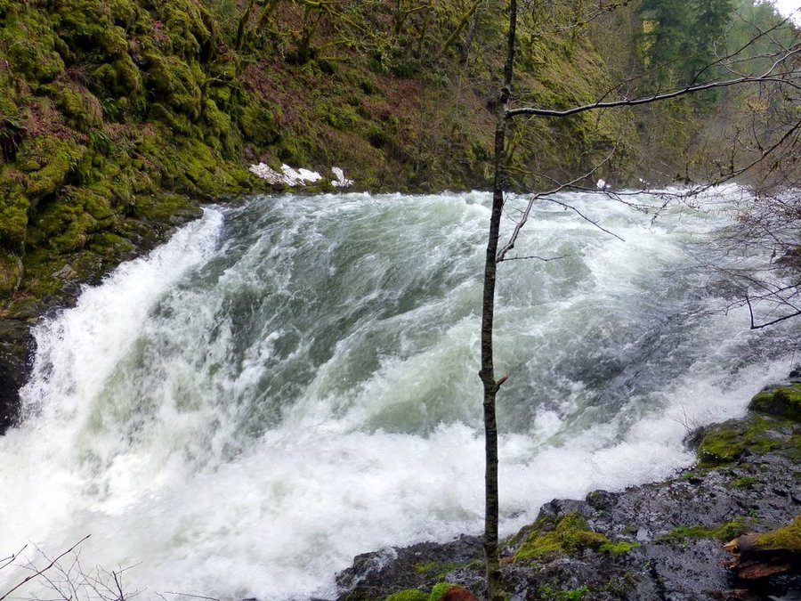
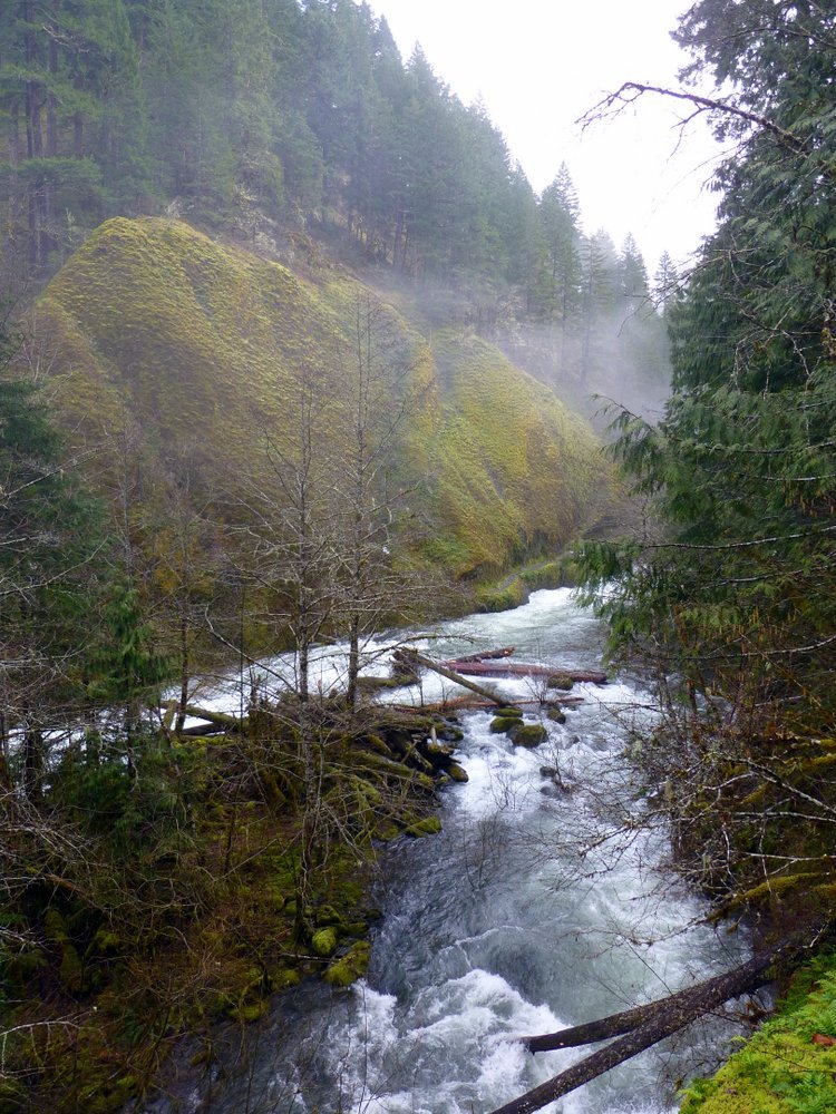
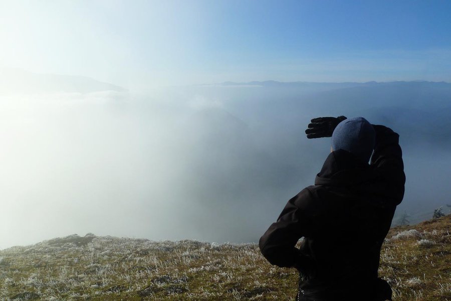
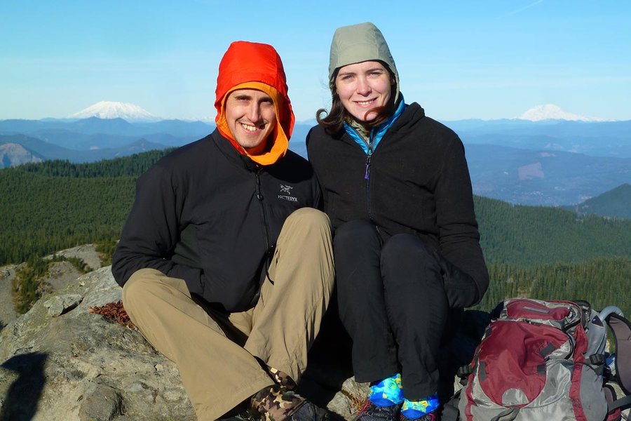
Coldwater Peak
12.5 miles of hiking • 3250' elevation gain •
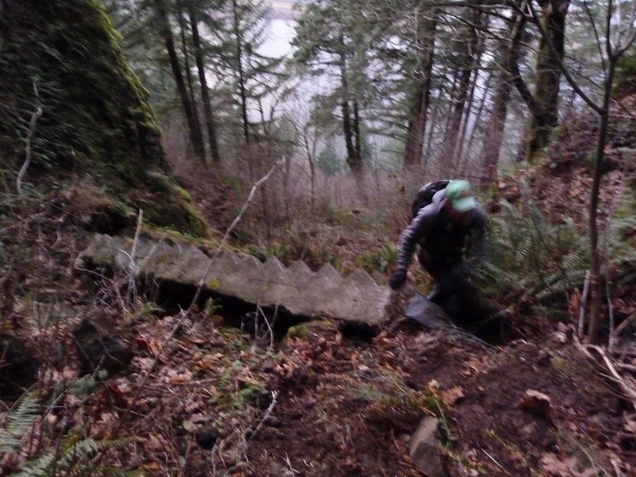
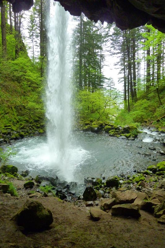
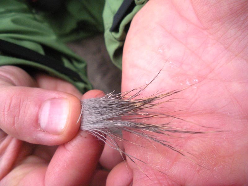
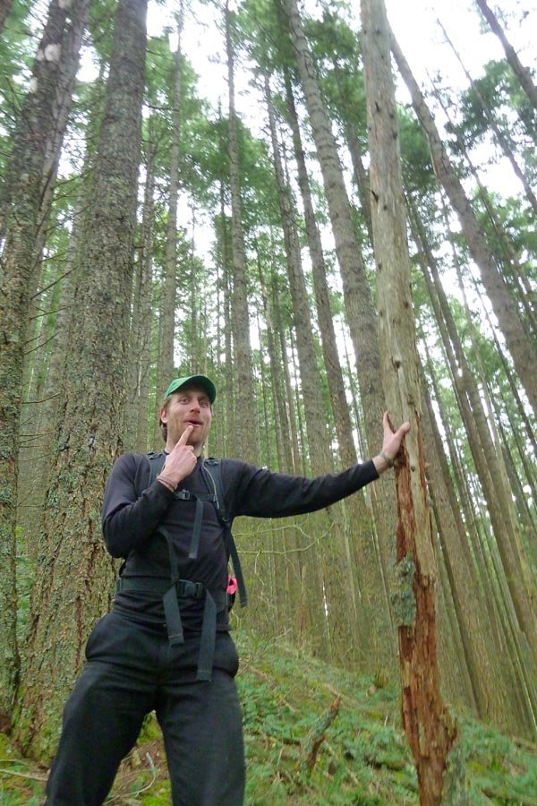
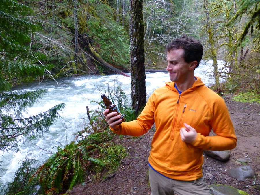
Winter attempt. Went up the SE face to the headwall, skirted around the right side and found a little series of steps along a ledge. Managed to get up onto the trail right below the summit, but sketchiness for other members of the group and diminishing visibility with fresh snow falling led us to back off and lunch in a lee area along the headwall. Shop's b-day was celebrated with 1 bottle of Scaldis Noel and 1 bottle of Kasteel Winter. Then the trudge back in beautiful light as the skies cleared. Back to the car at dark without headlamps.
December 13, 2014

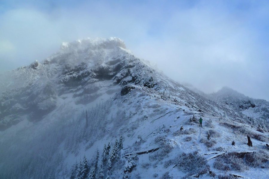
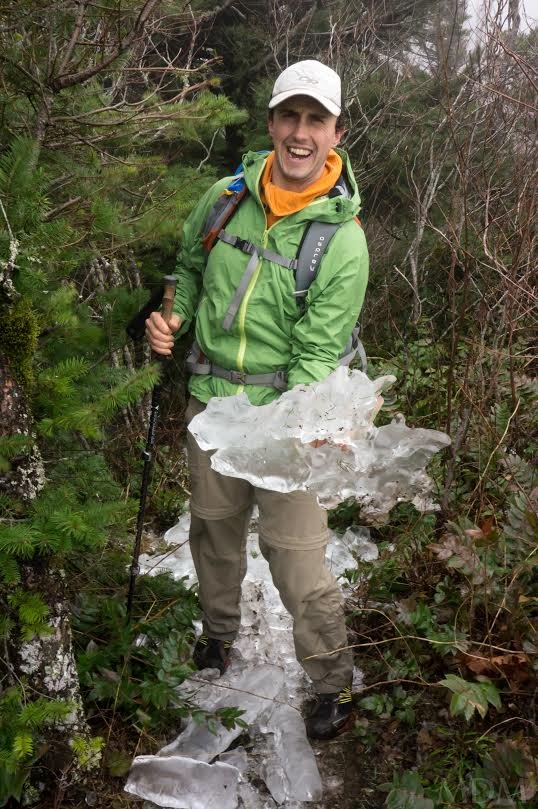
Heartbreak Ridge and Cedar Mountain
7 miles of hiking • 2750' elevation gain •
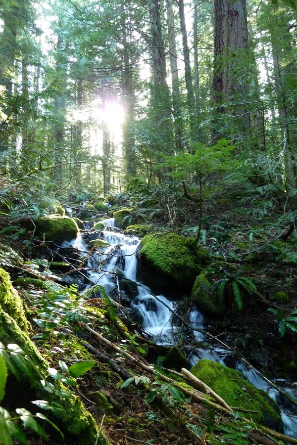
Attempt on Table, ice on the trail started halfway up the Heartbreak Ridge cutoff, and turned into full on ice chunks on the ridge. Windy!! We bailed from the saddle OT SW down the slope and intersected the PCT, then continued up to the 2nd kiosk and turned left onto the Cedar Mountain trail. We crossed Cedar Creek and then went south around Aldrige Butte to complete the loop. Post-hike beers at Walking Man.
December 7, 2014

Up RJ and down ROA
5.5 miles of hiking • 2500' elevation gain •
Cold, blustery, wet day. Went up the RJ to the shelter, up Mindolovich to ROA,down to Mt. Kiesano and back down to the car. A better day for staying in bed than for hiking!
November 28, 2014

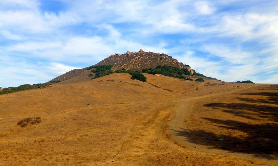
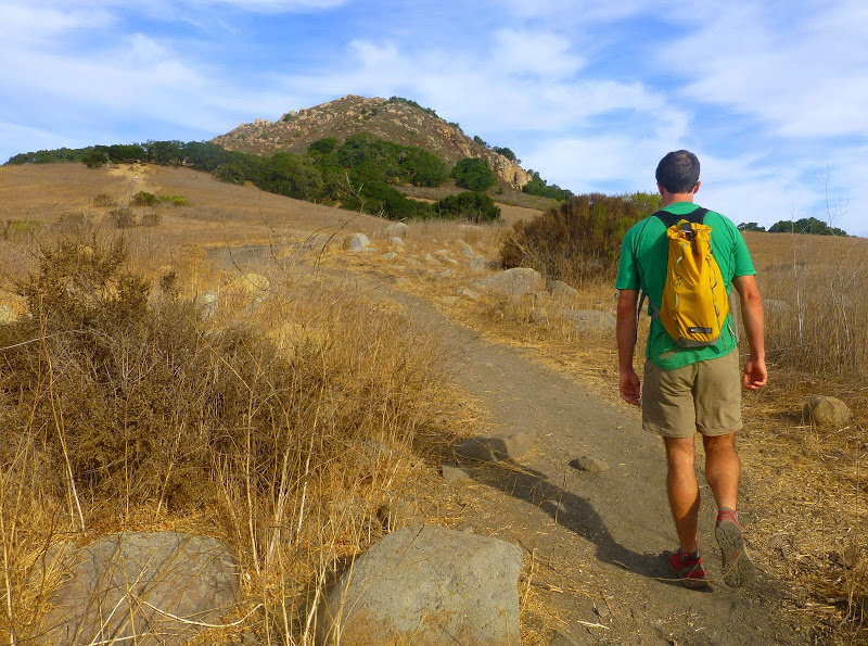
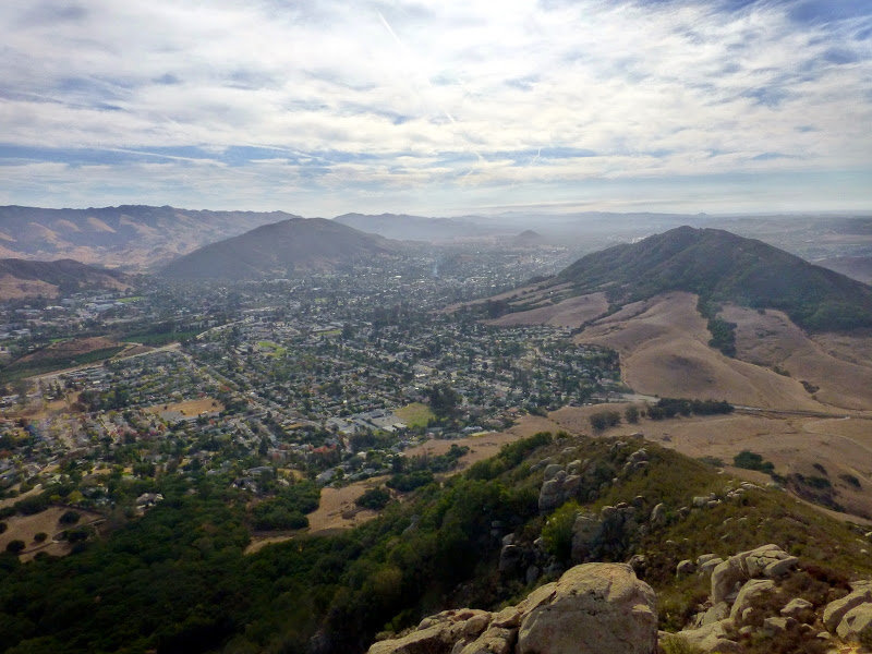
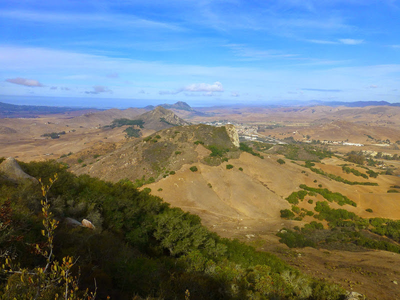
Bishop's Peak
4 miles of hiking • 1000' elevation gain •
Third hike in CA. Always a good view. The Angel's Rest of San Luis Obispo.
October 17, 2014

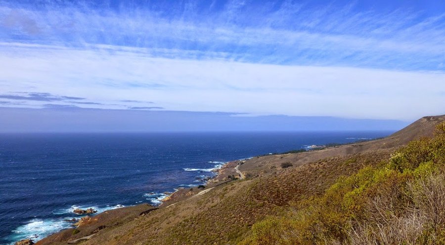
Soberanes Canyon
3.5 miles of hiking • 1250' elevation gain •
Second hike in CA. After stopping for breakfast in Carmel and driving by the beach, there were lots of other things to see on the drive through Big Sur, so we only went up to the bench on the Rocky Ridge trail and came back down. A favorite Monterey-area hike from my childhood.
October 14, 2014


Nisene Marks
5 miles of hiking • 500' elevation gain •
First hike on the CA trip. Not enough time to go farther, so just out and back to Maple Falls.
October 13, 2014


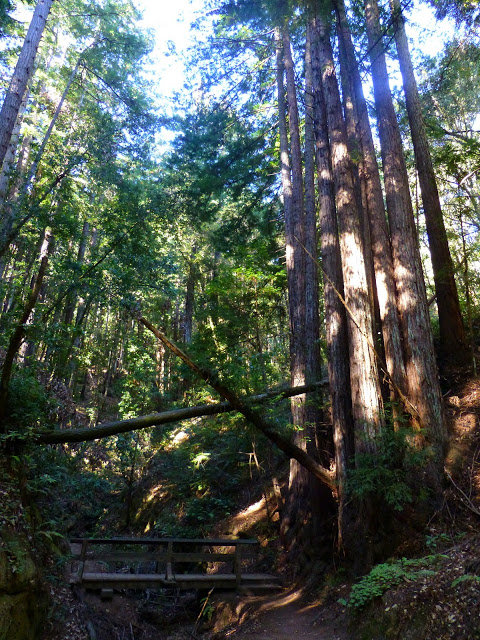
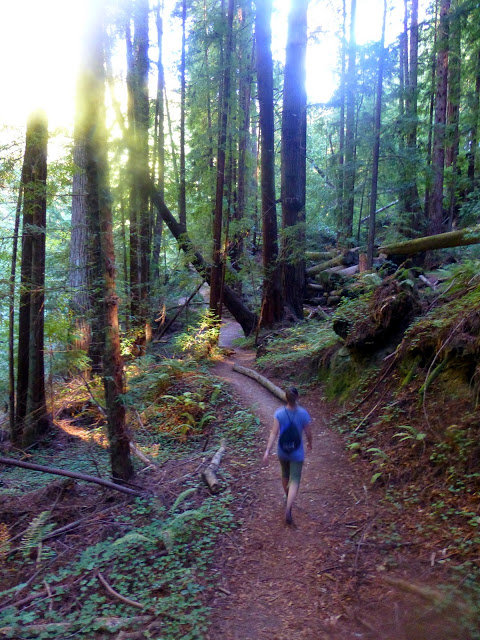
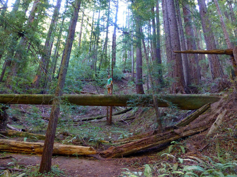
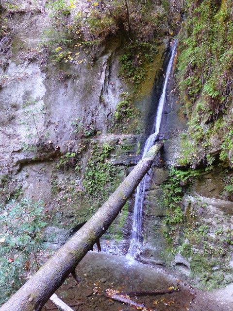 1
1
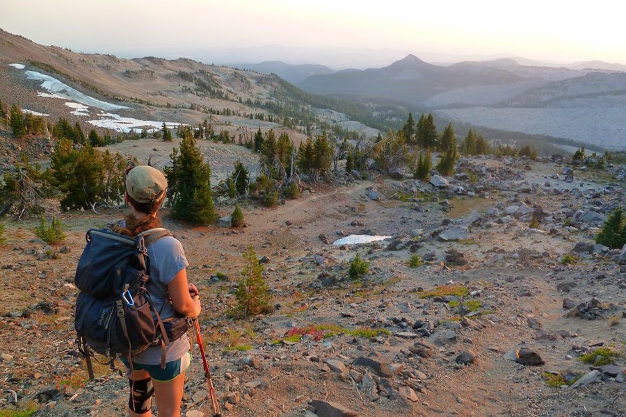
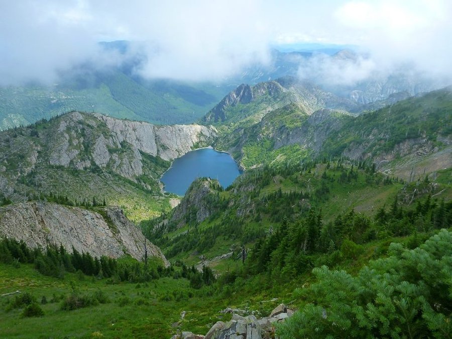
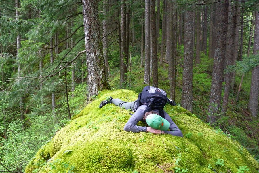
Green Lakes and Broken Top attempt
13.5 miles of hiking • 3500' elevation gain • 1 night
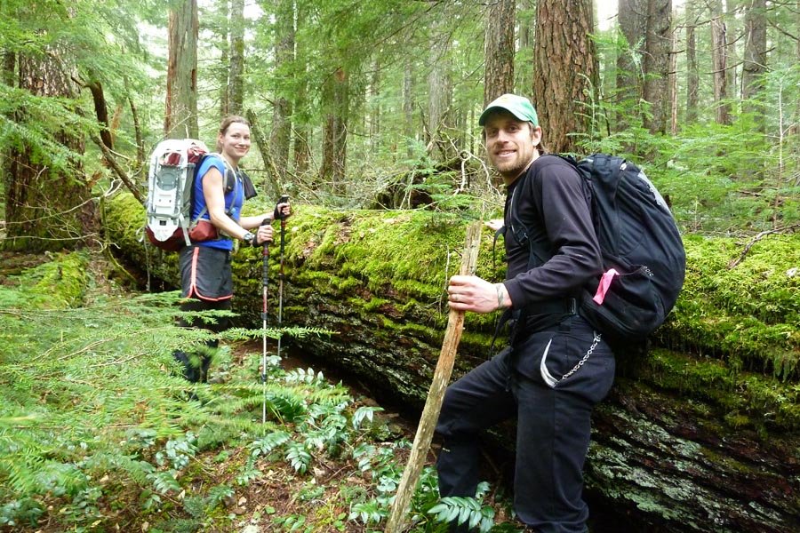
Hiked into Green Lakes around noon and set up camp. Left camp around 4pm headed for Broken Top. Took a little detour off trail until we found the climber path (note: it starts behind campsite #19). Left Elsie at the saddle and headed up the ridge. Stymied at the Catwalk by sketchy rock and having no protection and being solo; ran back and forth looking for something solid I wanted to commit to, but ended up bailing due to lack of faith in the "rock" and the approach of evening. Back down to camp in time to make couscous curry in the dark. Next day: leisurely morning, easy hike out, beers in Bend, drive home.
September 14 – September 15, 2014


 1
1
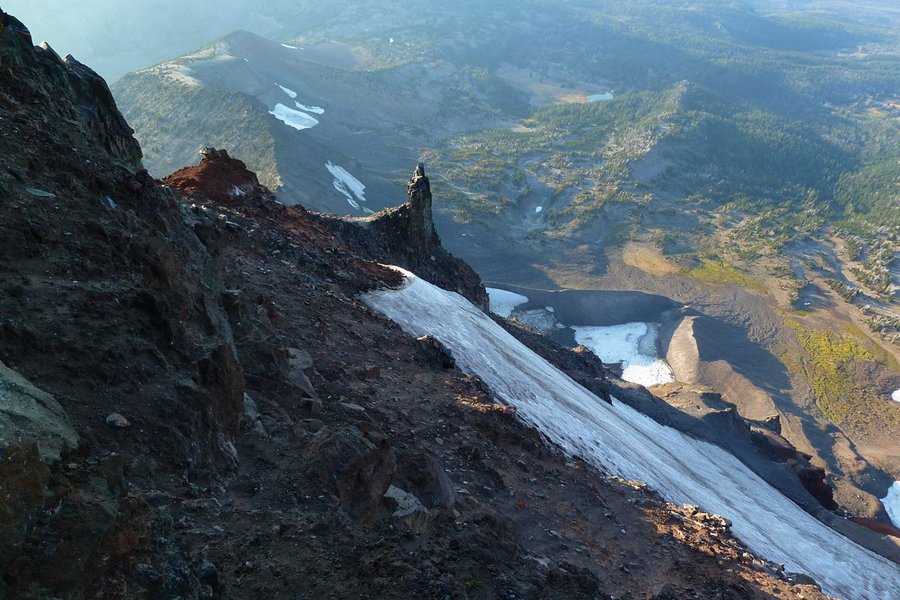
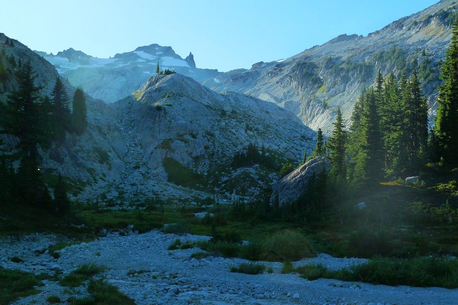
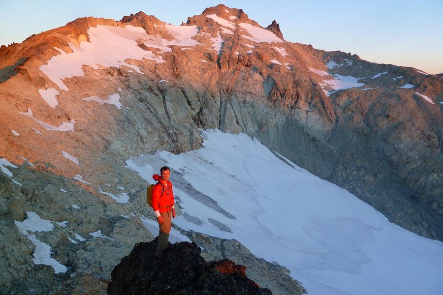
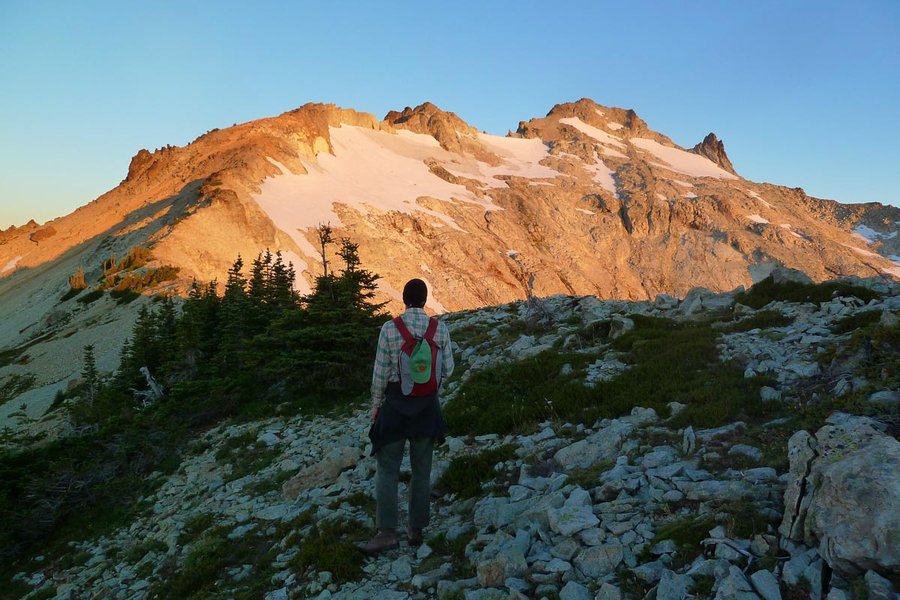
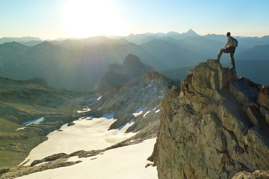
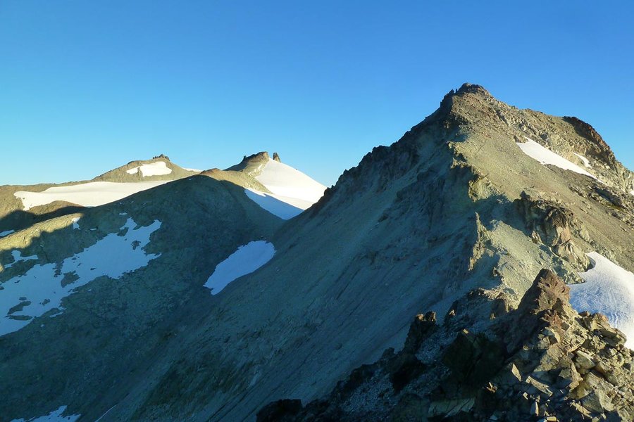
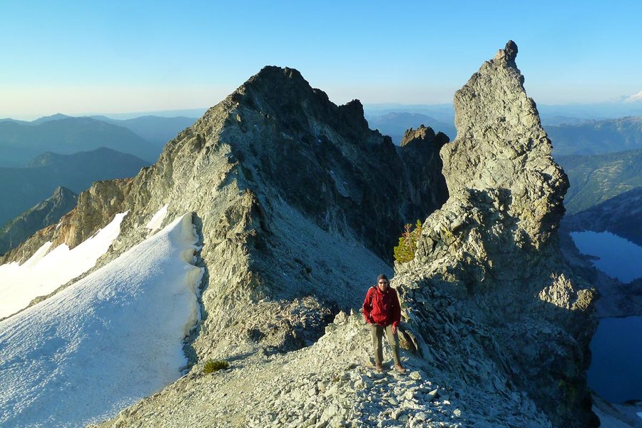
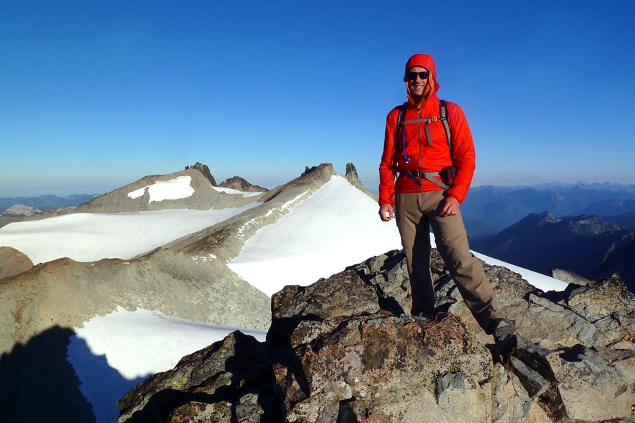
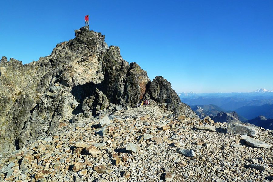
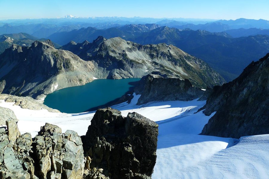
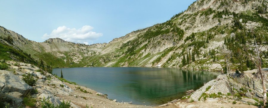
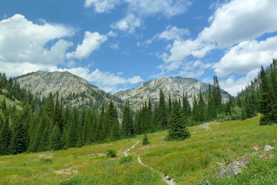
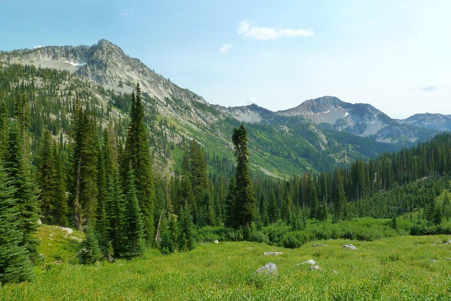
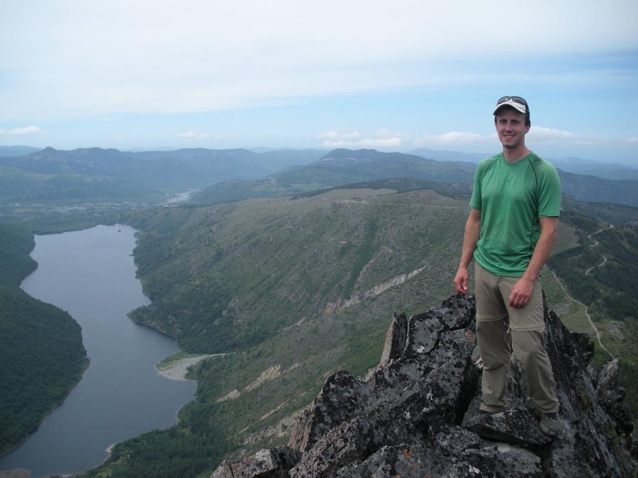
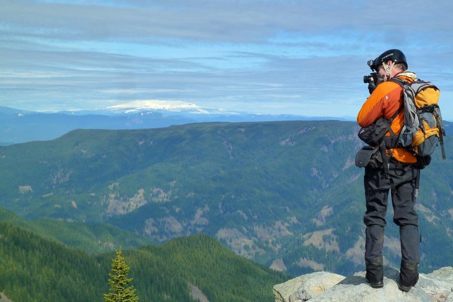
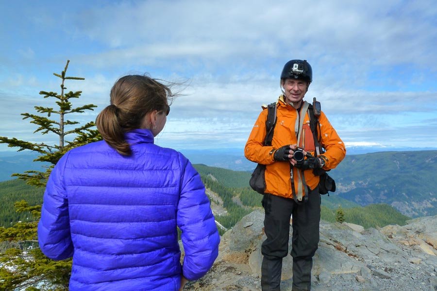
Tuck & Robin Lakes and Mt. Daniel
31 miles of hiking • 8000' elevation gain • 2 nights
1) TH to above the Robin Lakes 2) back down and around the valley on the PCT to Peggy's Pond 3) dawn summit of all three Mt. Daniel summits, then back to the TH
September 5 – September 7, 2014


Big Whittier loop
22 miles of hiking • 6500' elevation gain •
EP is a goober. 10 hrs car to car, exactly on schedule so he wouldn't get divorced!
August 16, 2014

 3
3
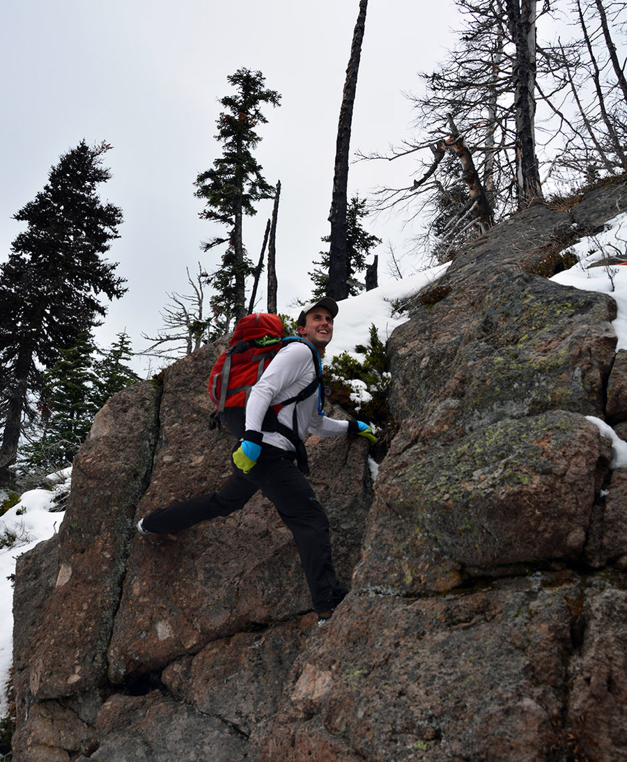
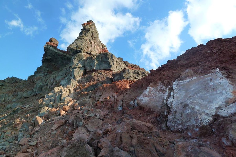
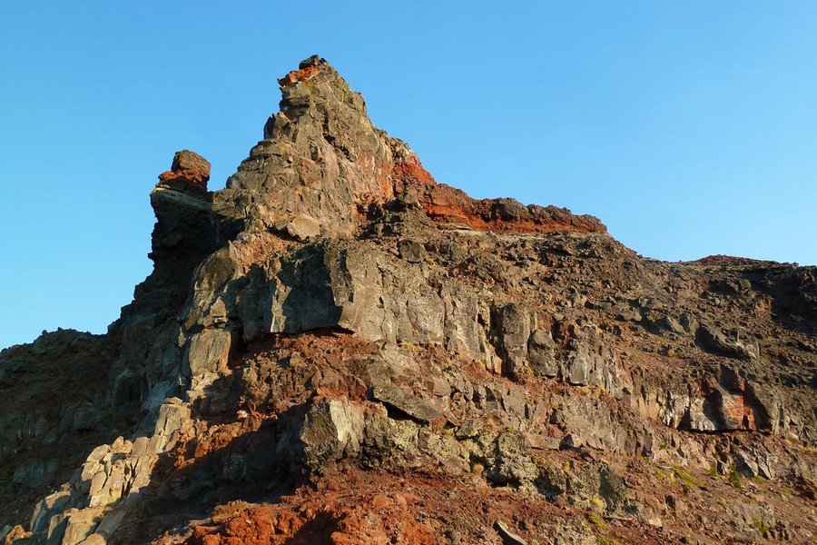
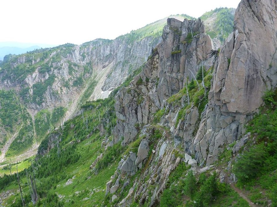
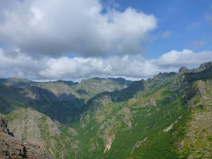
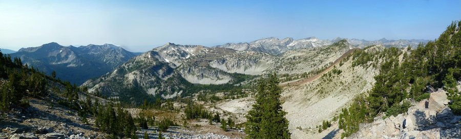
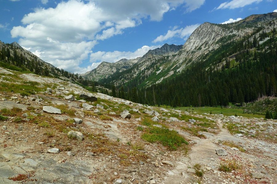
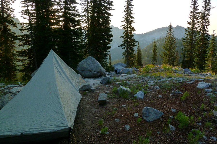
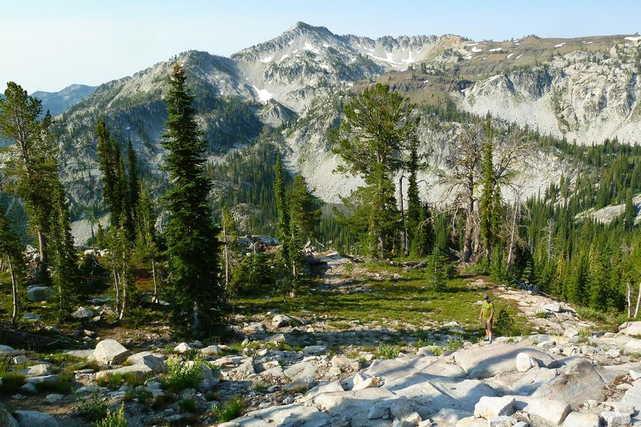
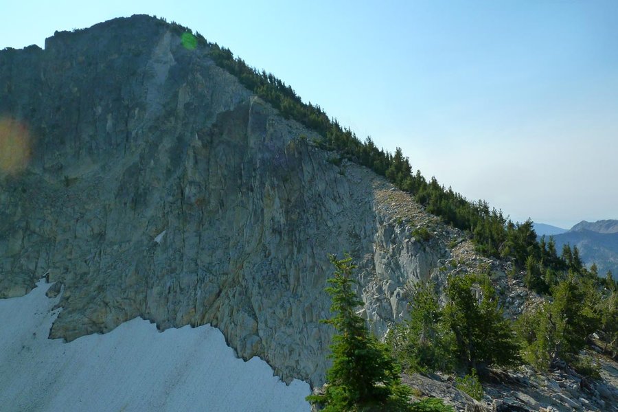
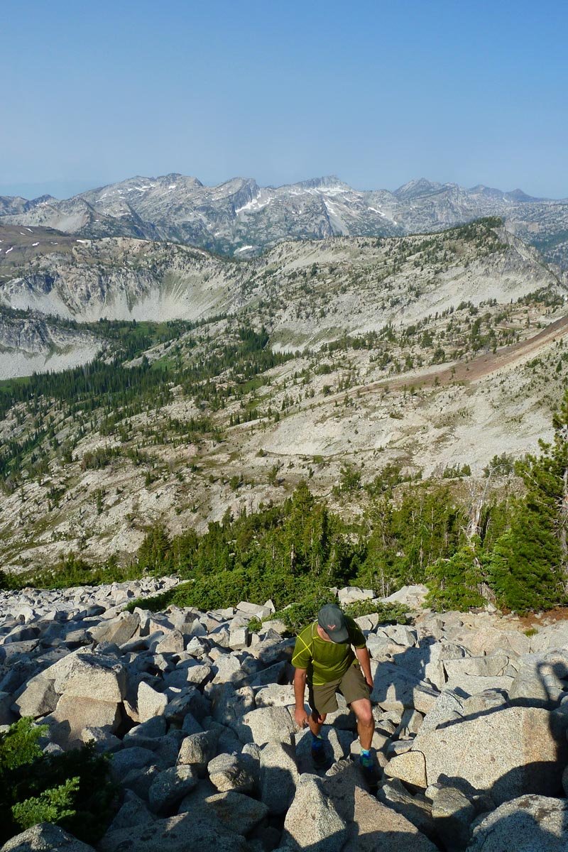
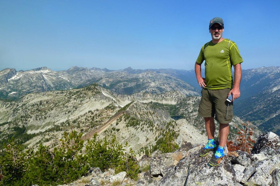
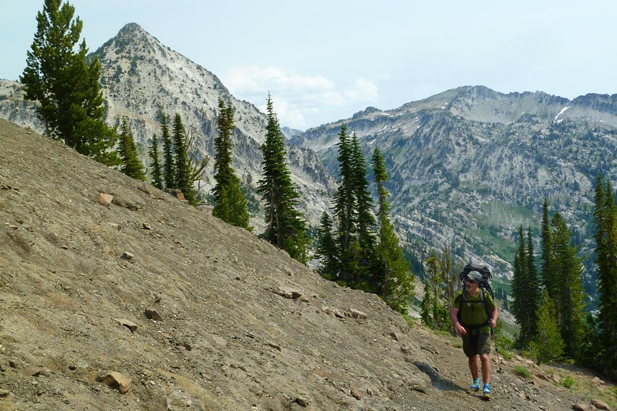
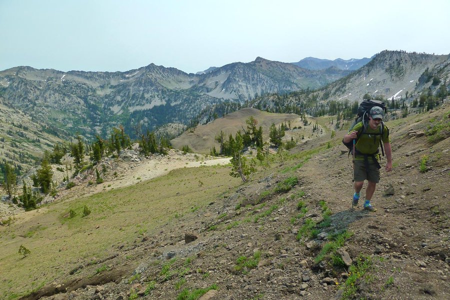
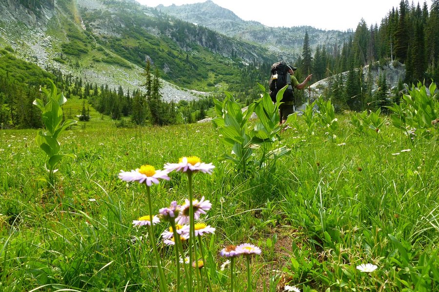
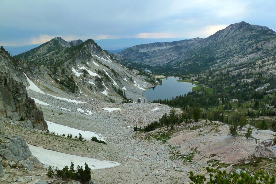
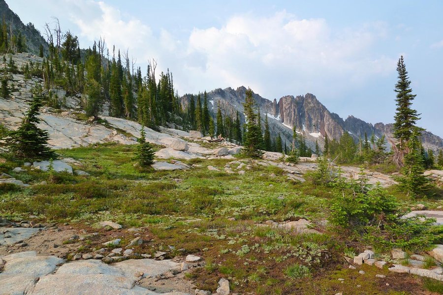
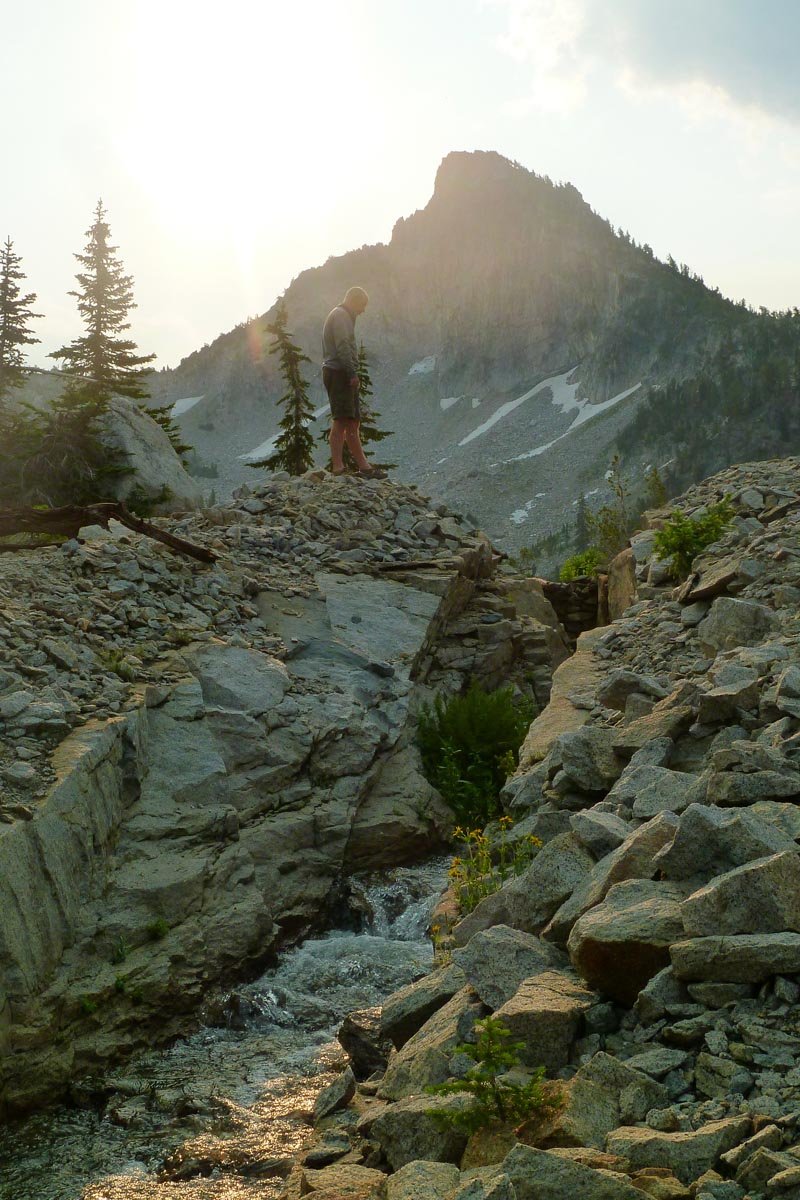
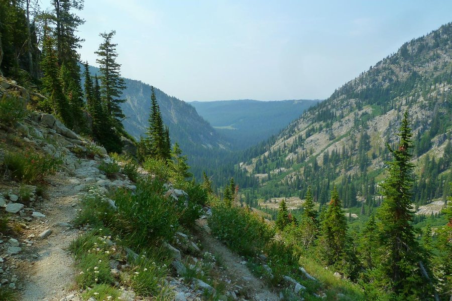
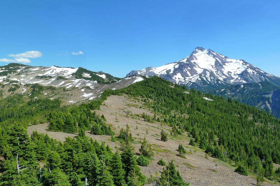
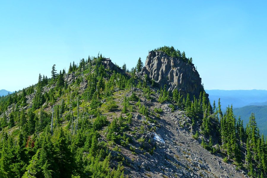
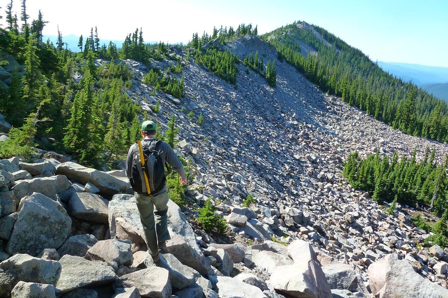
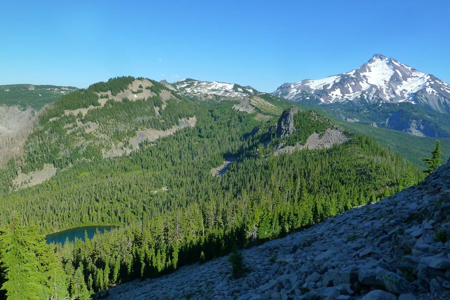
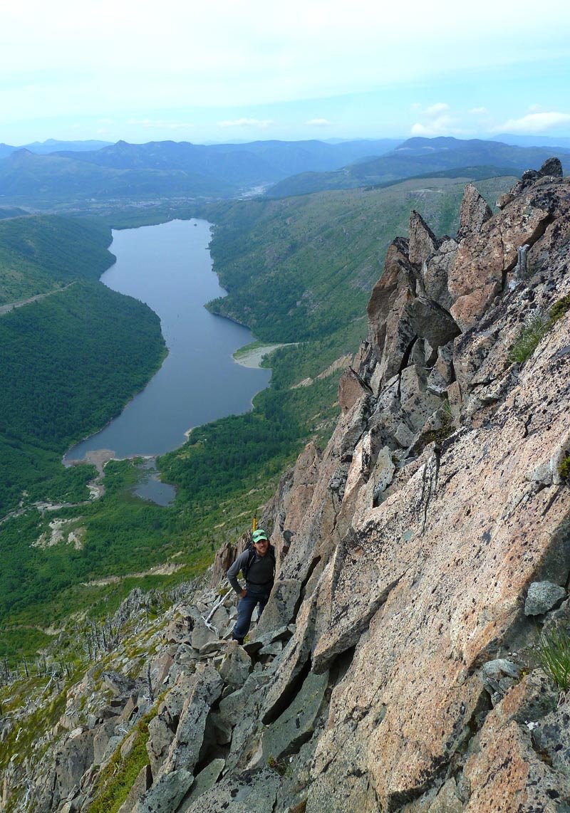
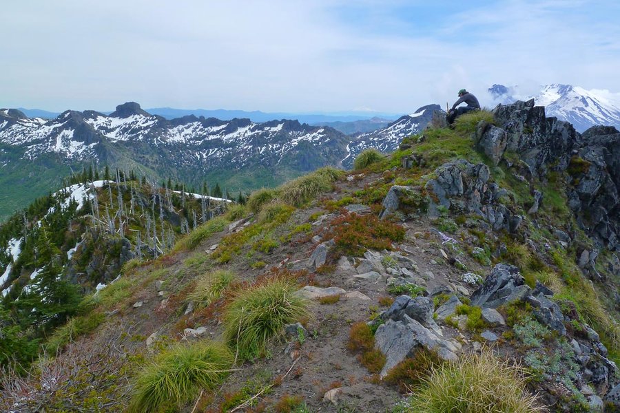
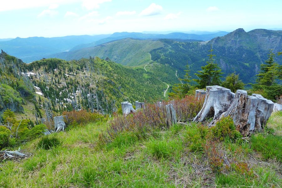
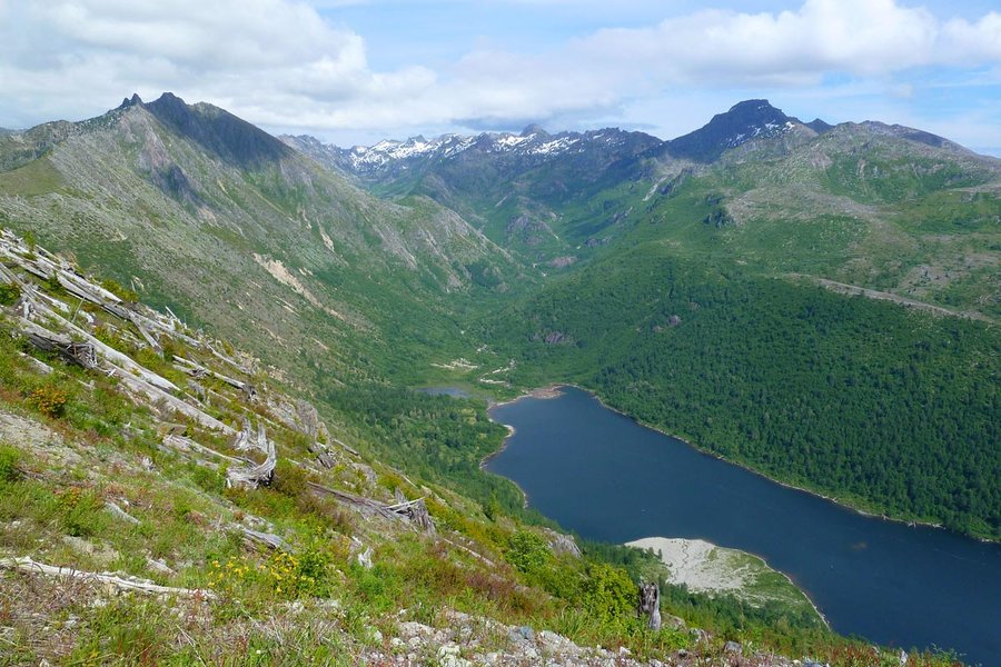
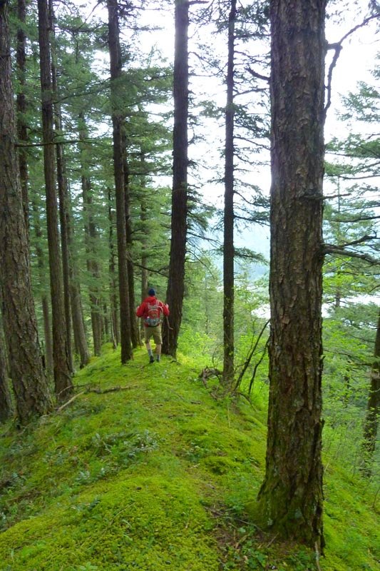
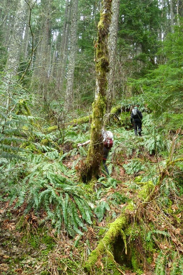
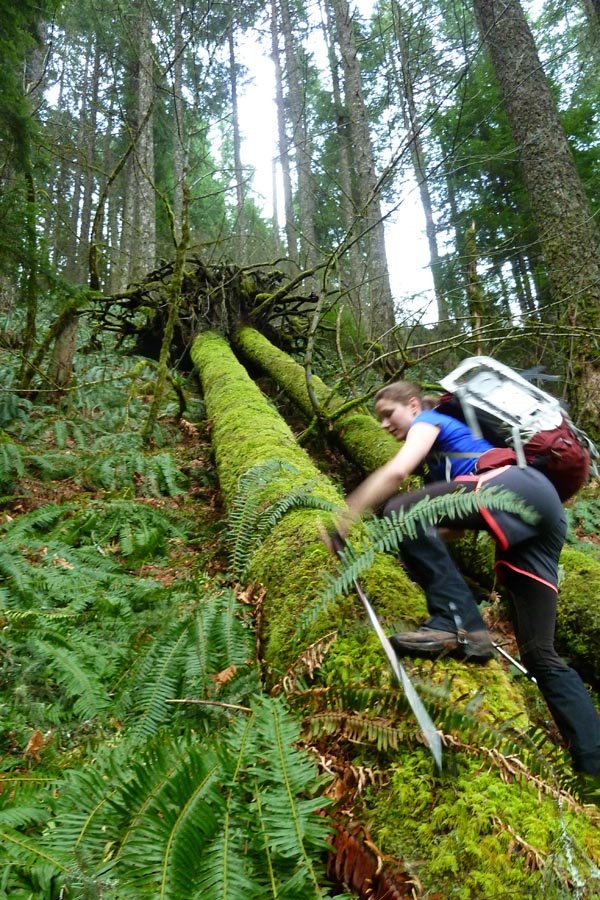
Eagle Cap: Cached to Traverse lakes
37 miles of hiking • 10000' elevation gain • 2 nights
3 day loop described in Lorain's 100 Classic Hikes in Oregon. Started at Boulder Park TH and went up the Main Eagle Creek trail through Eagle Meadow and up to Eagle Lake, then up to Cached Lake for the night. Ascended Needle Point (9018 ft) in the morning, then continued over the pass, down 2000 ft to Trail Creek, then back up 2200 ft to Wonker Pass. Switchbacks in this section are super long and there was some blowdown, but the alpine area below Wonker was stunning. A thunderstorm started to roll in, so we ran down the 1.5 miles to Traverse Lake and set up camp. More storms woke us later, and a strong gust partially collapsed my Tarptent during some heavy rain. We let things dry out in the morning, then descended past Echo Lake (very pretty, ideal for a basecamp next time) and down to West Eagle Meadow, then closed the loop with the 6 mile Fake Creek trail back to the car. I don't recommend doing this, as it's super steep (1800 ft in 3 mi), not switchbacked, and the downhill portion is terrible to try to follow as it's clearly not maintained, covered in blowdown, and obliterated with water courses and animal trails.
This was my first time in the SW side of Eagle Cap, and the drive included 21 miles of dirt roads each way, so it's about the same as driving to the Wallowa Lake side. Super pretty though, less jungly and less crowded than the north. Plenty of excuses to go back...
August 1 – August 3, 2014


 2
2
July 26, 2014

July 20, 2014


 3
3
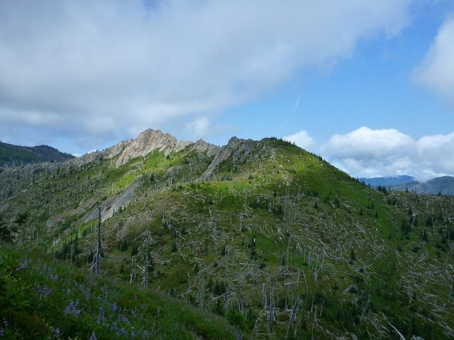
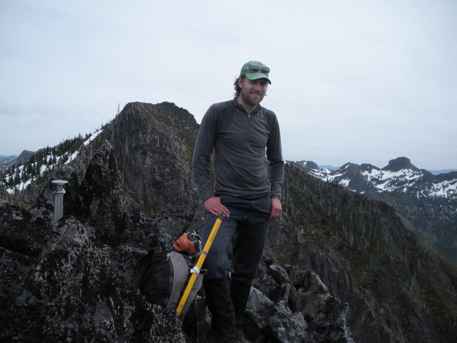
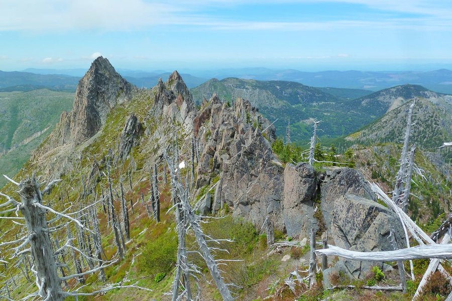
Mt. Minnie
13 miles of hiking • 3750' elevation gain •
Offtrail scrambling adventure for the solstice.
June 21, 2014

May 31, 2014

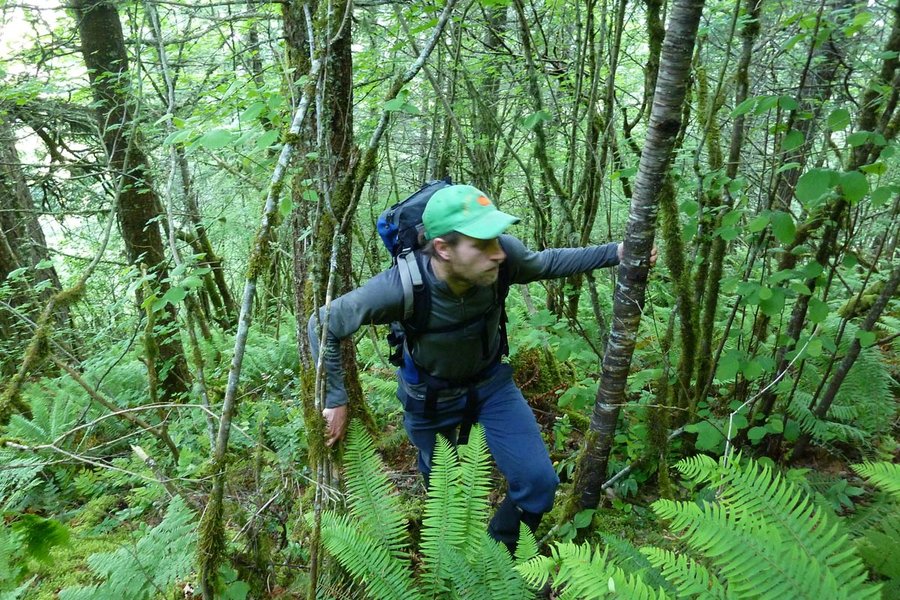
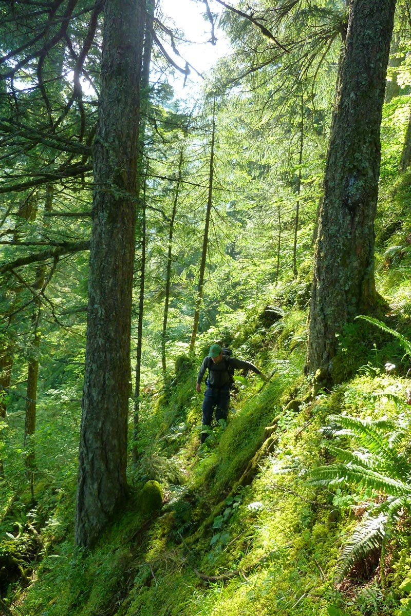
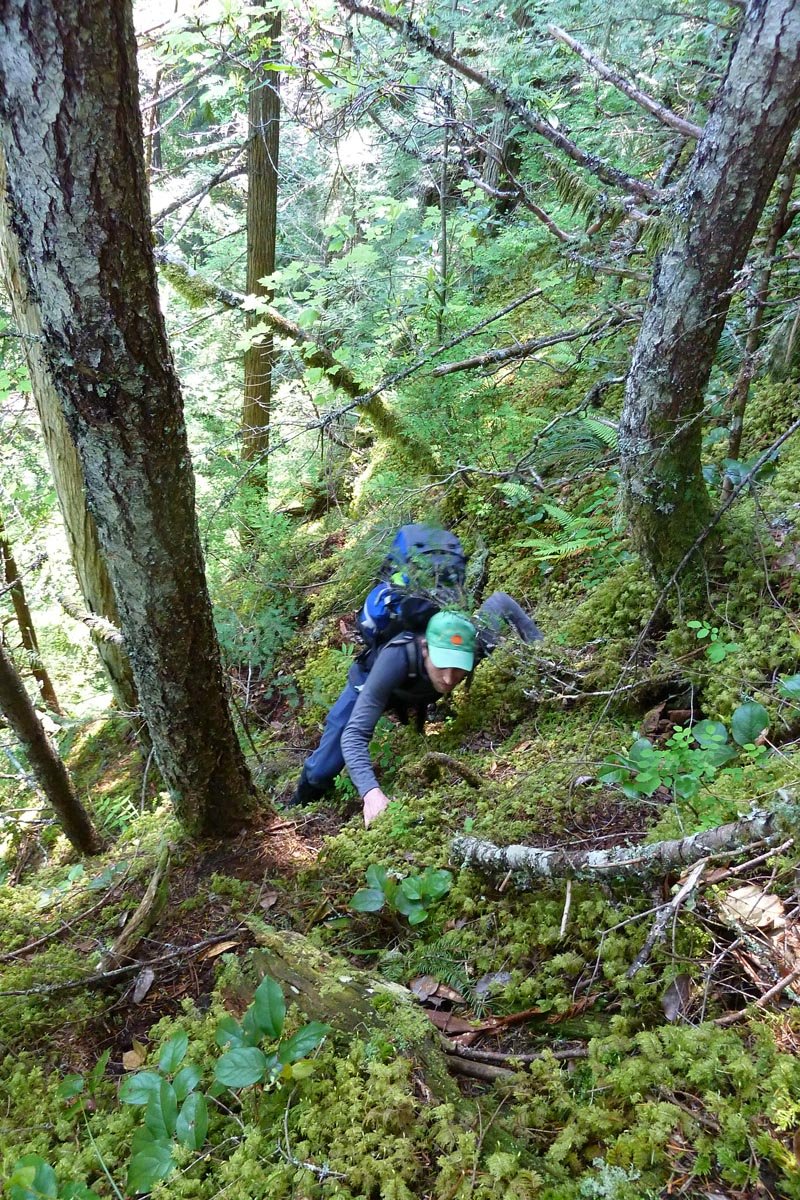
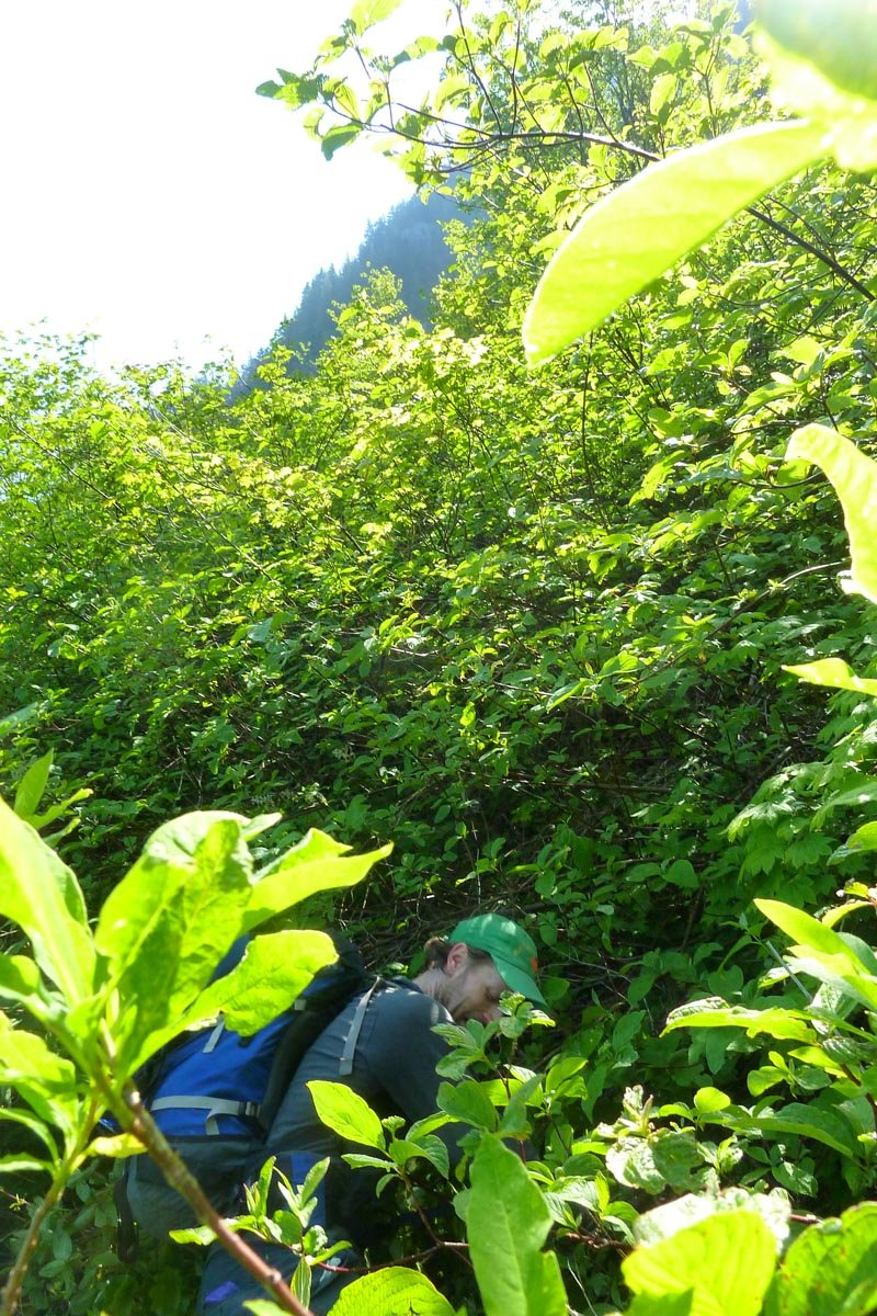
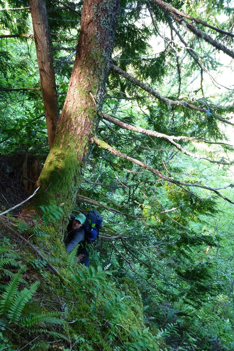
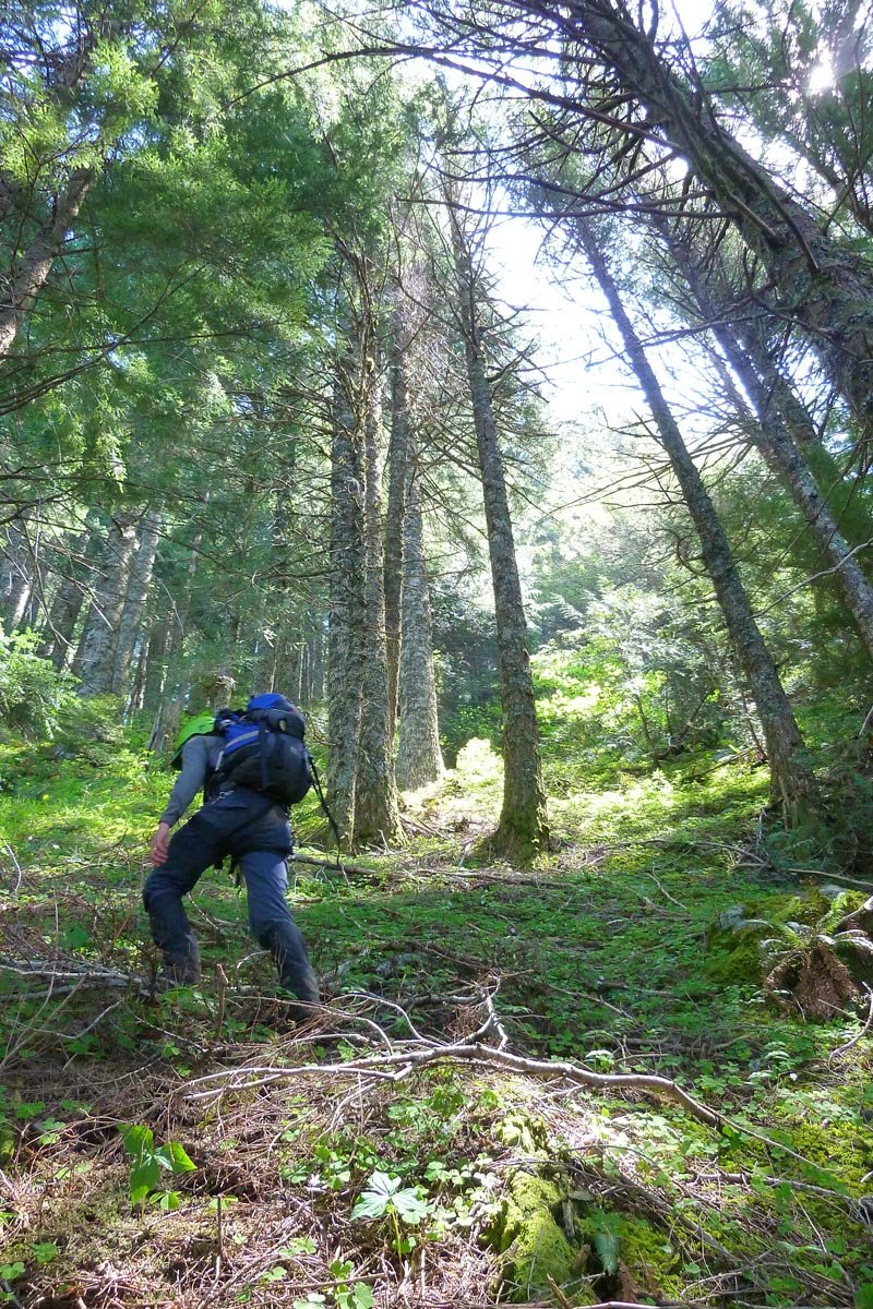
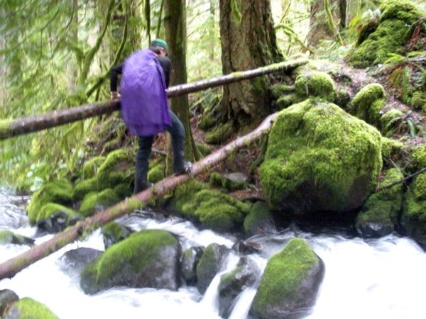
Mt. Kiesano
11 miles of hiking • 4250' elevation gain •
Found the Whatchamacallit. Then continued up ROA, detoured to explore the upper part of Sanford's Ridge, up to Horsetail Creek trail, and back down Horsetail Ridge. Went off the west side of the ridge into a thicket of poison oak. East side it is.
May 3, 2014

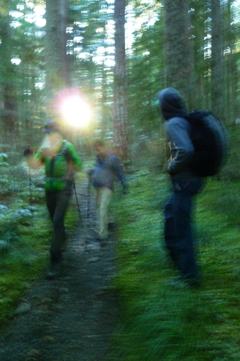
 1
1
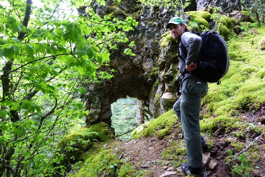
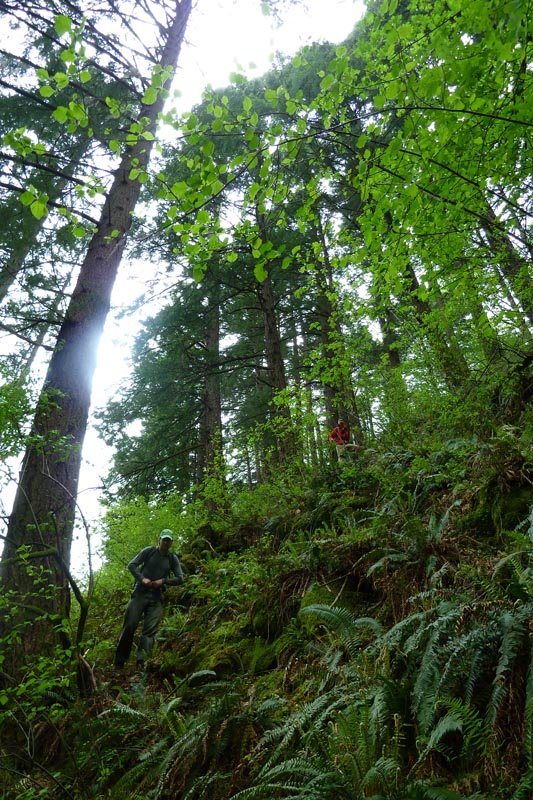
Tomlike - Chinidere - Benson
24 miles of hiking • 6250' elevation gain •
Skipped work with Brad and started at Herman Creek at 7am. Went up HC to near the Mud Lake jct, then bailed OT up the talus field to the flat saddle right below Tomlike's summit. Back across the saddle, postholing over to behind Chinidere, up and down Chinidere via the south spur ridge, and thence back via the PCT across the Platter. Sunny weather gave way to clouds right around the time the first raindrops fell at 6pm, but we stayed dry until getting back to the car before 6:45. Rain on the drive home; sun today.
Definitely beats going to work...
April 8, 2014

 2
2
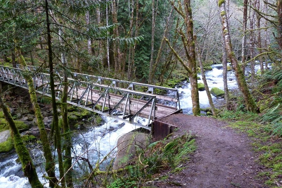
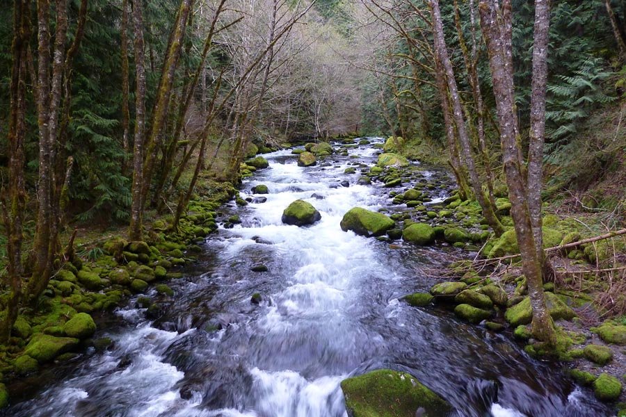
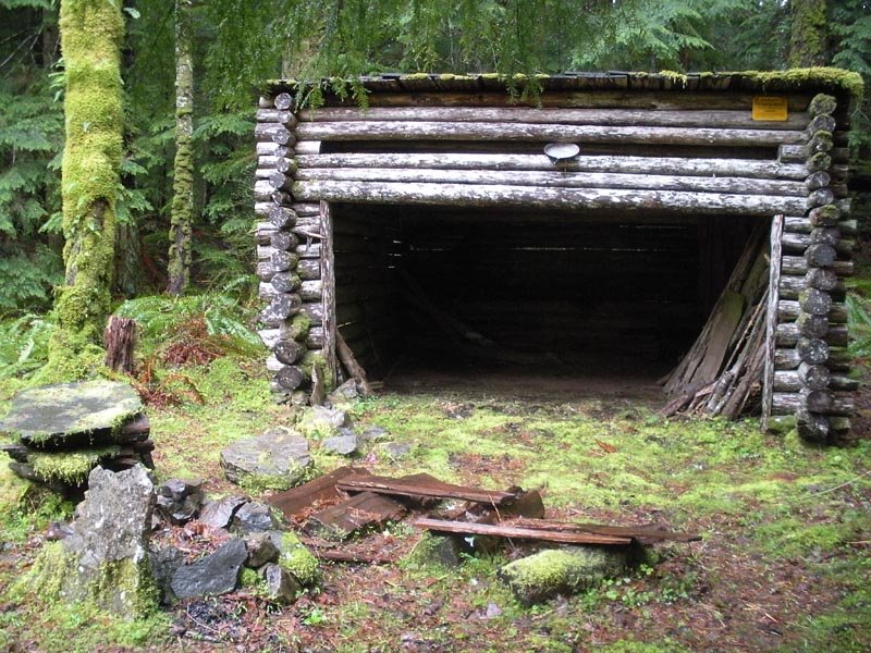
Russ Jolly to Horsetail Creek loop
11.5 miles of hiking • 3750' elevation gain •
Up RJ to the cabins, then up to ROA and down Horsetail Creek. Rainy!
April 5, 2014


 1
1
Dog-Aug
14 miles of hiking • 5500' elevation gain •
Alpine start at noon. Up the middle trail to Dog. Windy at the summit! Then out to Aug, mild snow. Nice views out the back door. Sunset at the junction with Dog and back to the car via headlamp around 8:45. Yay spring!
March 23, 2014

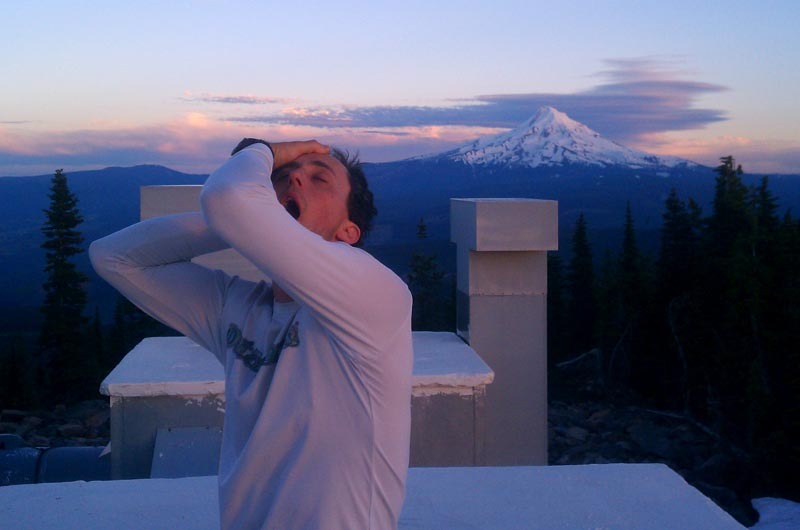
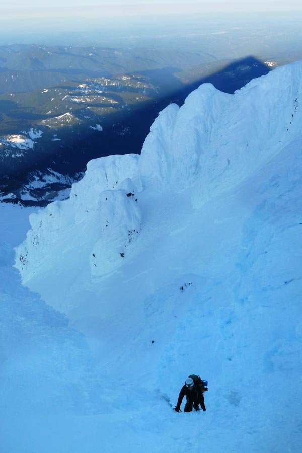
 5
5
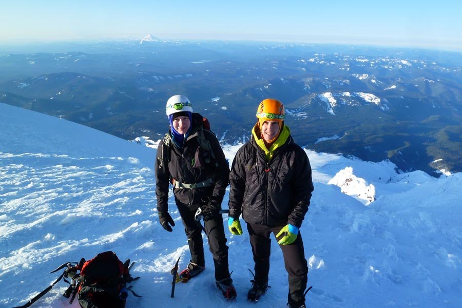
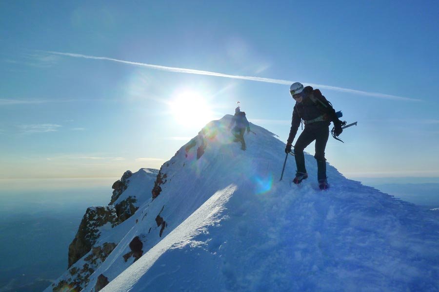
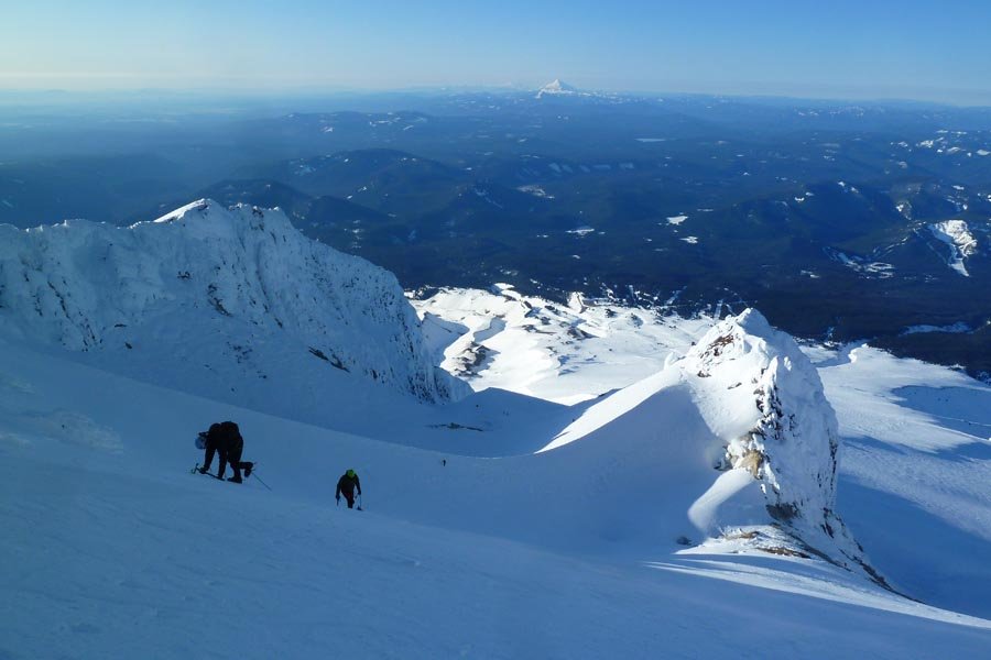
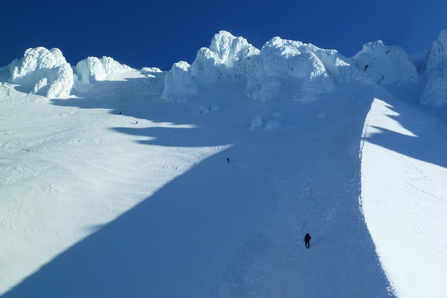
Hood - Mazama Chute
7.5 miles of hiking • 5250' elevation gain •
Attempted to locate access to the Pearly Gates in the dark, but people ahead of us were clogging things up. And it was damn cold. Ended up traversing under the cliffs to the Old Chute, then exiting off a right gully. Glissaded down the Palmer lifts!
March 22, 2014


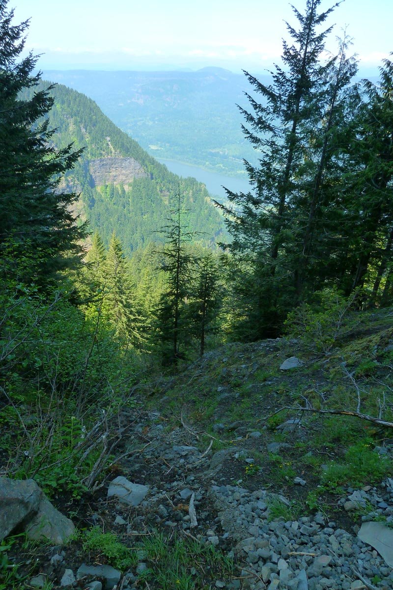
Tanner Butte
19 miles of hiking • 5000' elevation gain •
Up the wilderness boundary ridge, down the Wauna shortcut. Snow is LOW.
March 15, 2014

 1
1
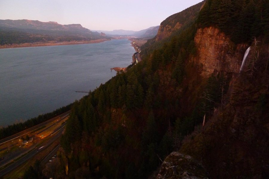
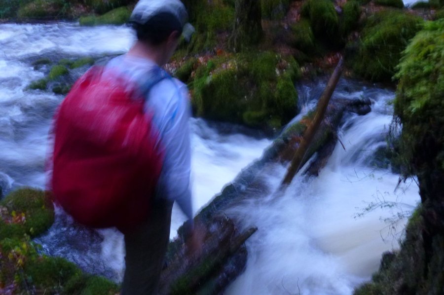
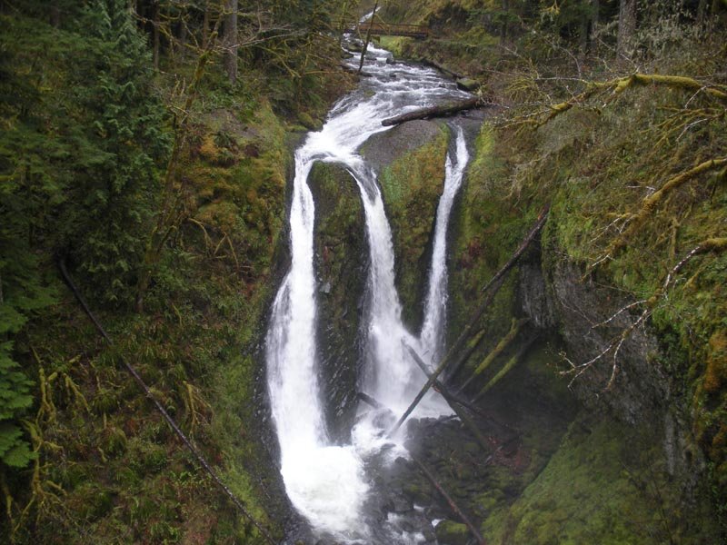
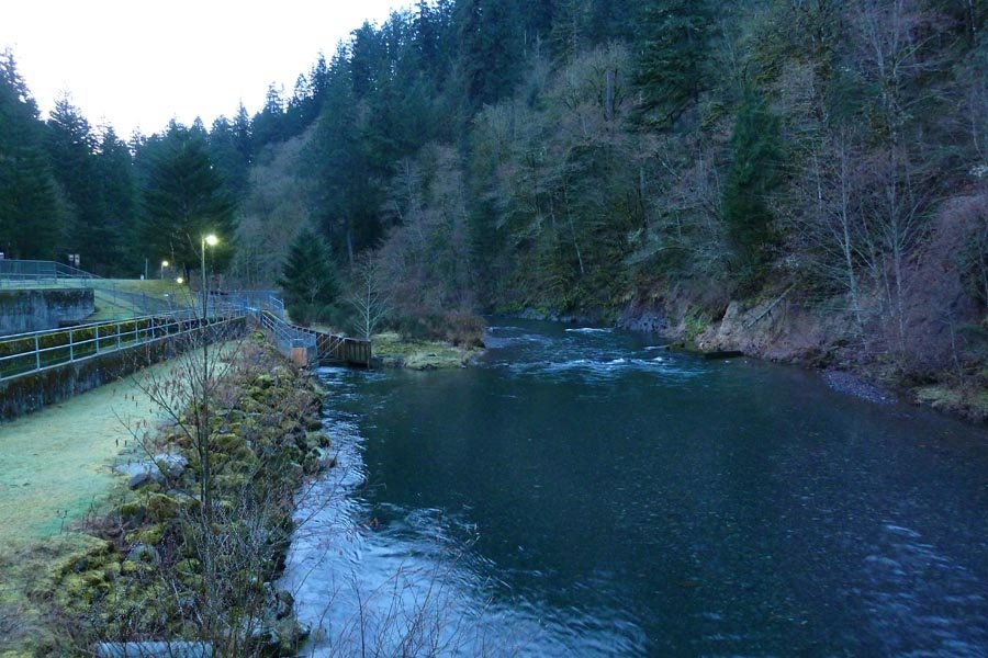
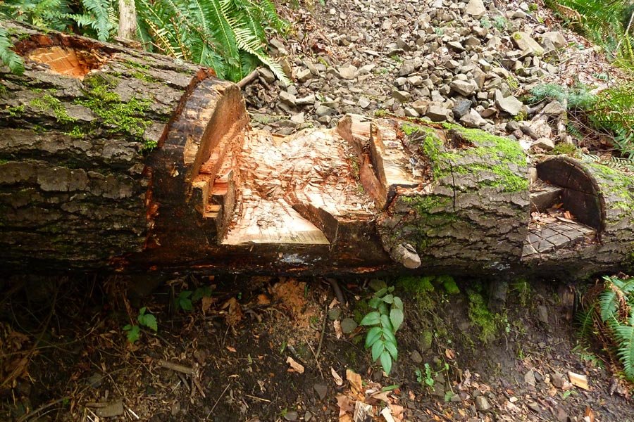
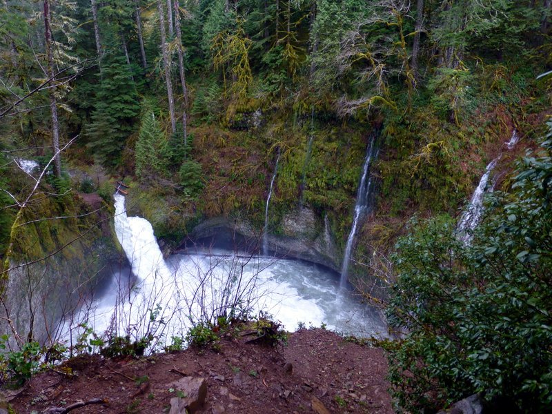
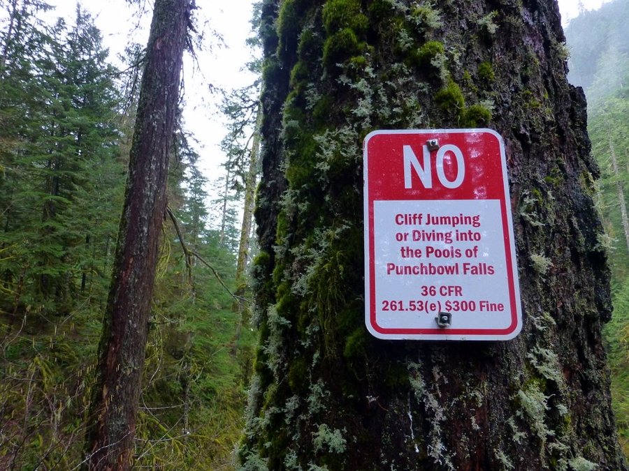
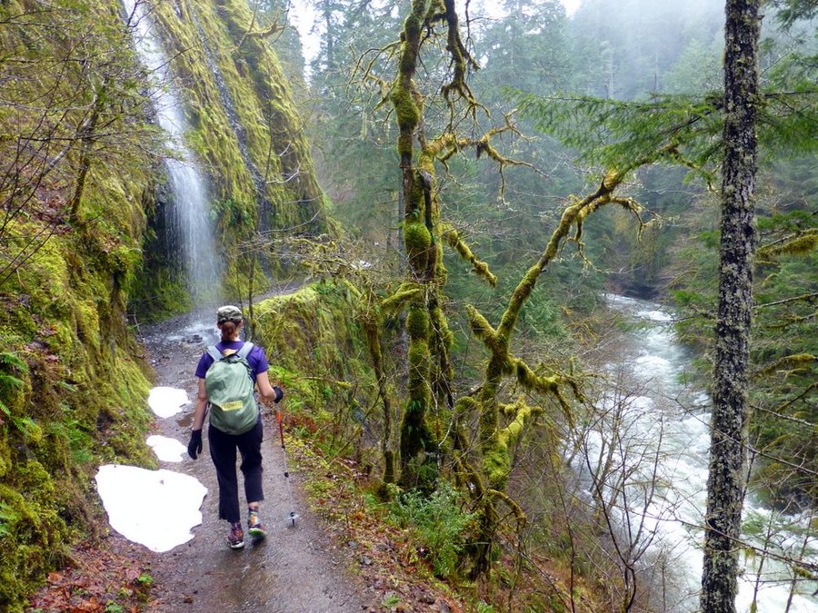
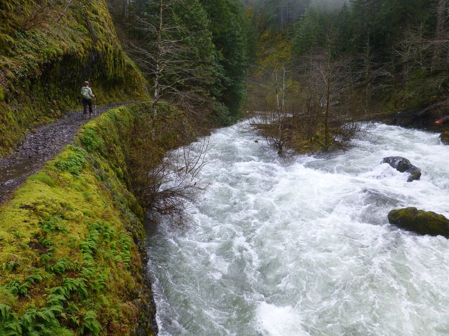
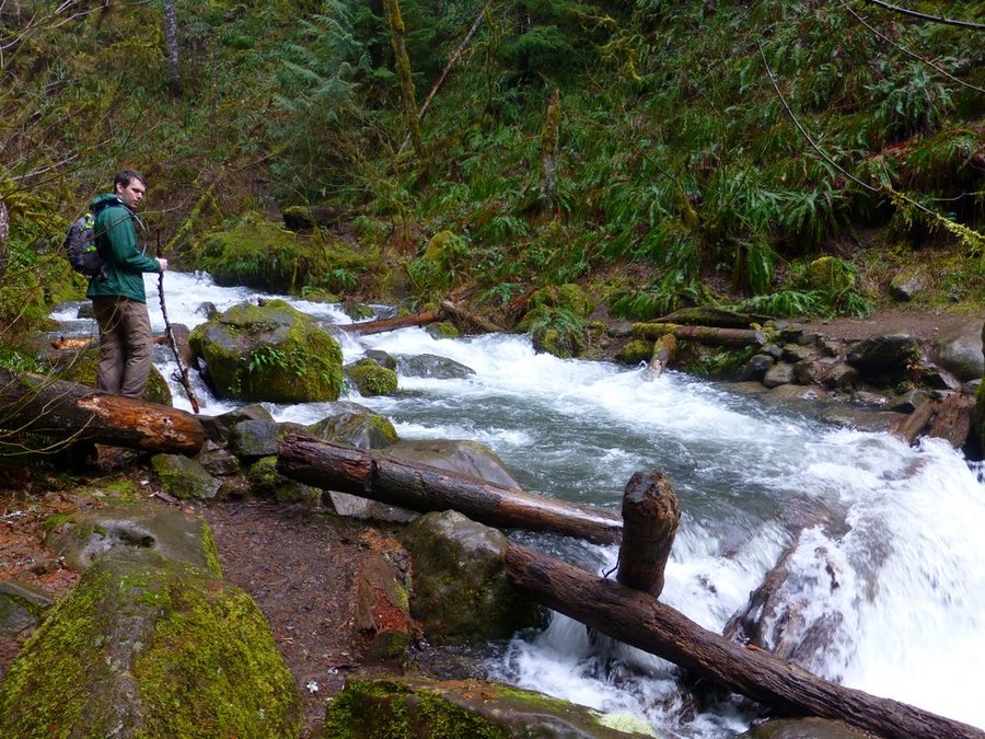
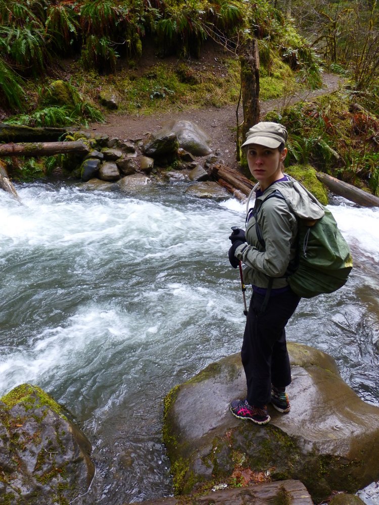
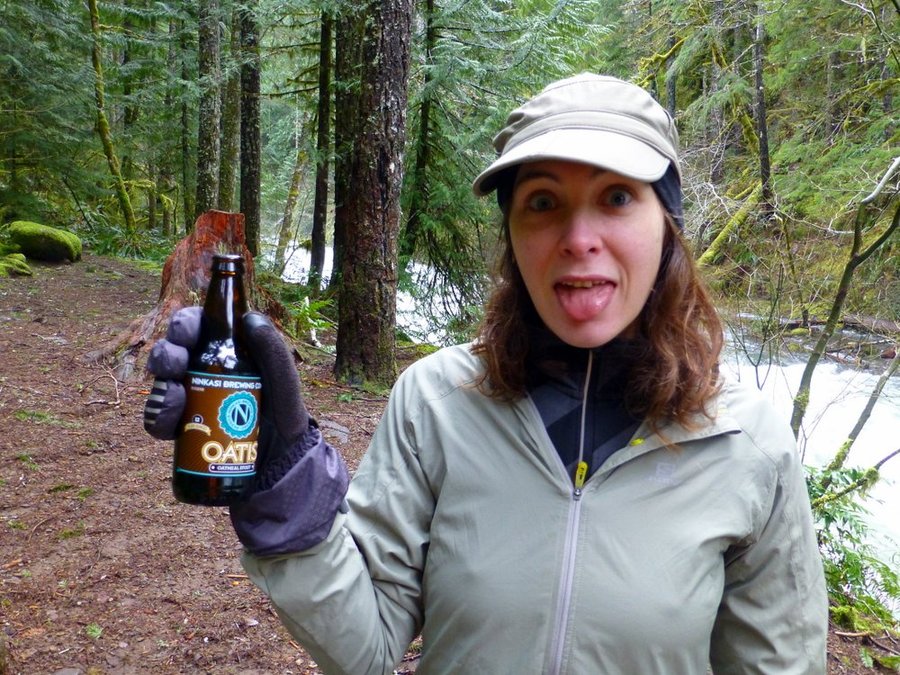
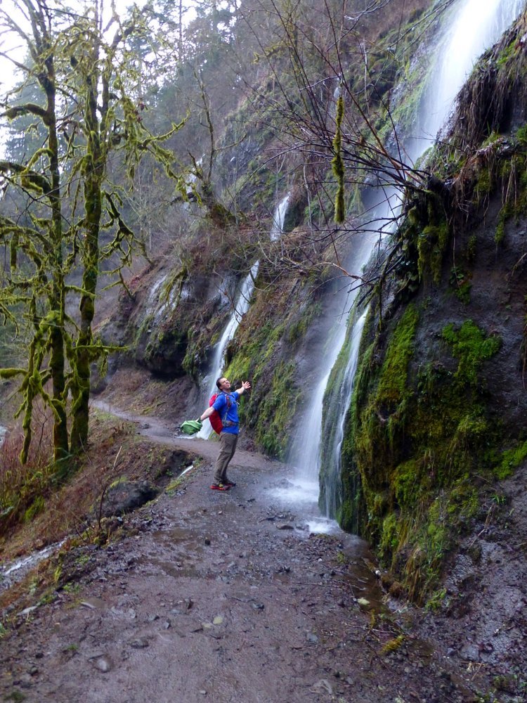
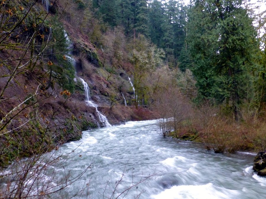
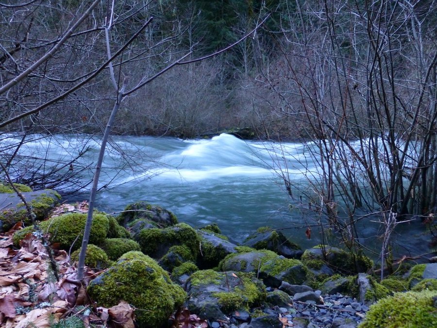
Eagle Creek
10 miles of hiking • 1500' elevation gain •
Late start on a surprisingly not rainy day. We were aiming for Tunnel Falls or beyond but were completely stymied by a roaring "creek" crossing the trail right before the Eagle-Benson junction. We decided not to go for a swim...
Lots of water everywhere, Punchbowl and Metlako were roaring, tons of seasonal falls - Eagle Creek was as high as I've ever seen.
March 9, 2014

 1
1
March 1, 2014

Devil's Rest via Primrose Path
10 miles of hiking • 3000' elevation gain •
Up Wahkeena, west on Angel's Rest trail until you find the secret tree for the abandoned Primrose Path, up to Devil's with a bit of a brush thrash at the end. No time for extended adventuring, so down Foxglove Way and back down Wahkeena, with side trips to Necktie Falls and Monument Point.
February 22, 2014

 1
1
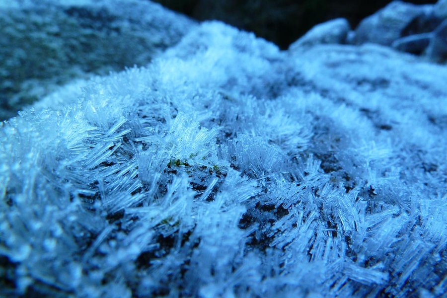
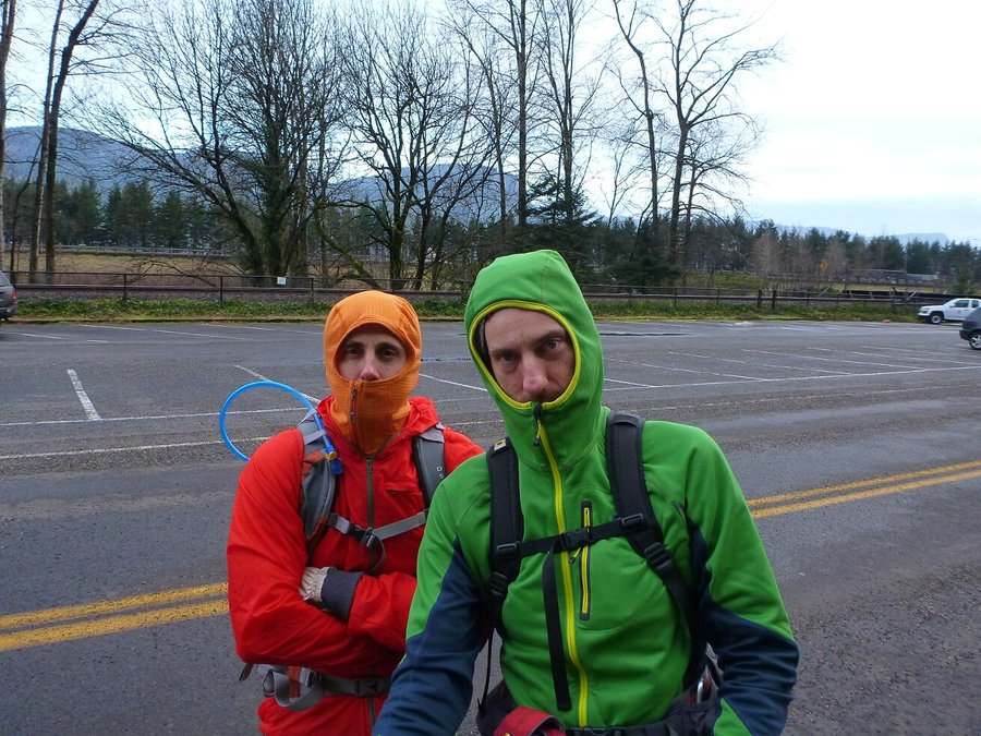
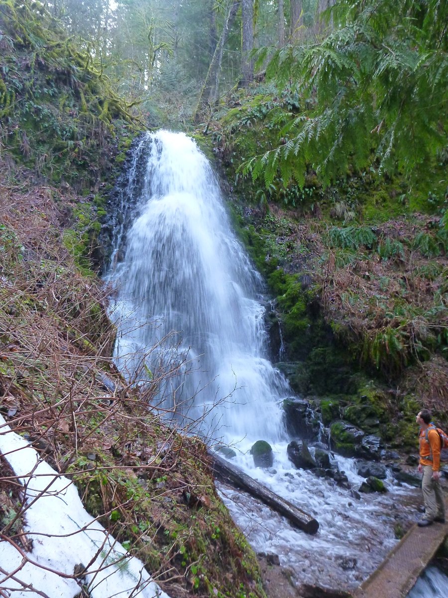
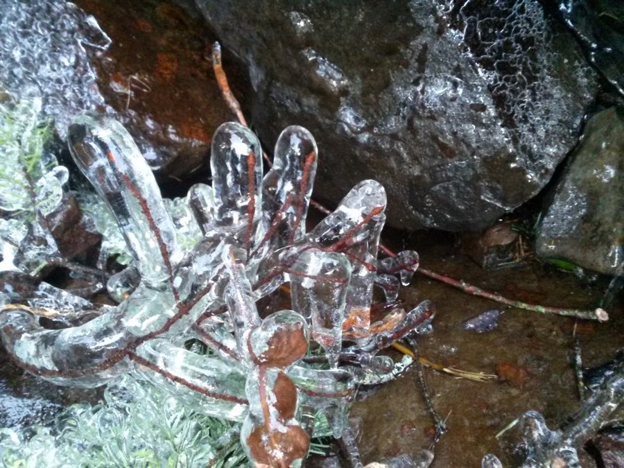
A Perdition Jaunt
4.5 miles of hiking • 1000' elevation gain •
Due to a late start and some serious Gorge wind, Elsie and I bailed on plans to do Munra and instead zipped over to Perdition. Everything in the Gorge where there's water is covered in frost or ice - the bridge below Wahkeena Falls was an ice rink, and many portions of the "trail" later had frozen ground and ice baubles hanging from sticks near creeks. As a result, we decided not to continue on and finish the Multnomah-Wahkeena loop since we didn't want to contend with long stretches of ice on the trail near Ecola (neither of us had traction devices), and instead went down the pavement and followed the 400 until we could hop down onto the Old Highway, at which point we semi-jogged back to the Lodge in the dark and caught the 400 back to the car.
January 26, 2014

 2
2
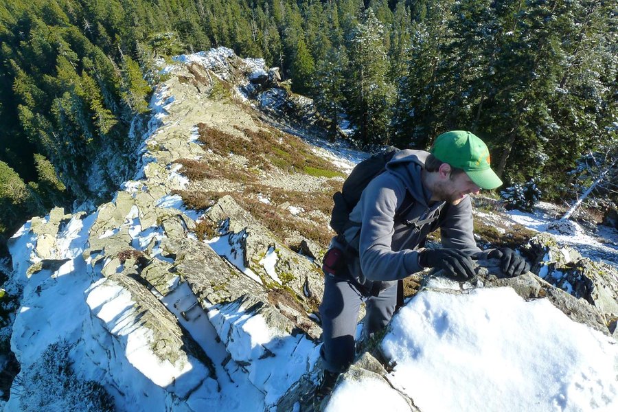
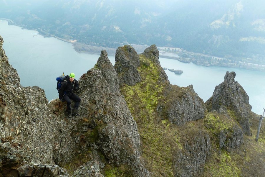
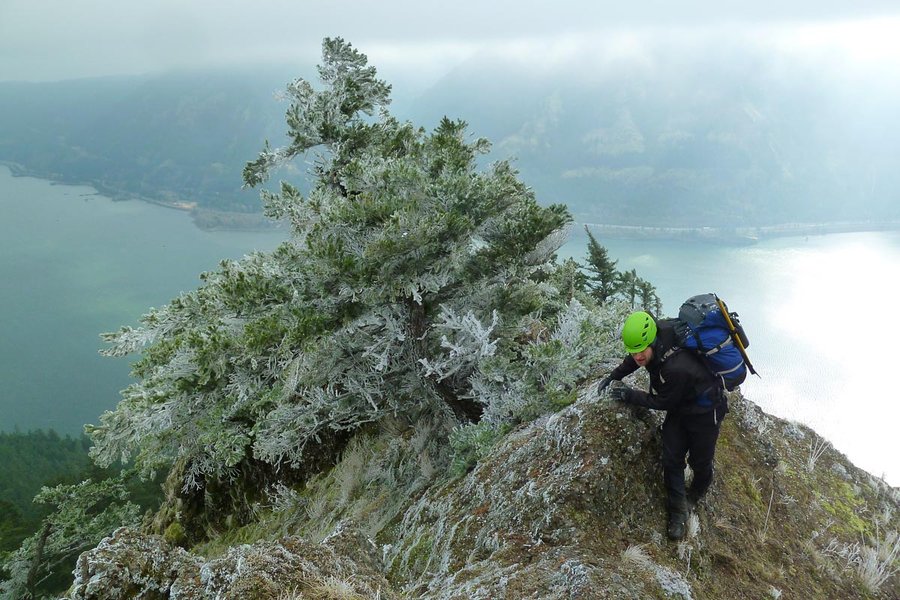
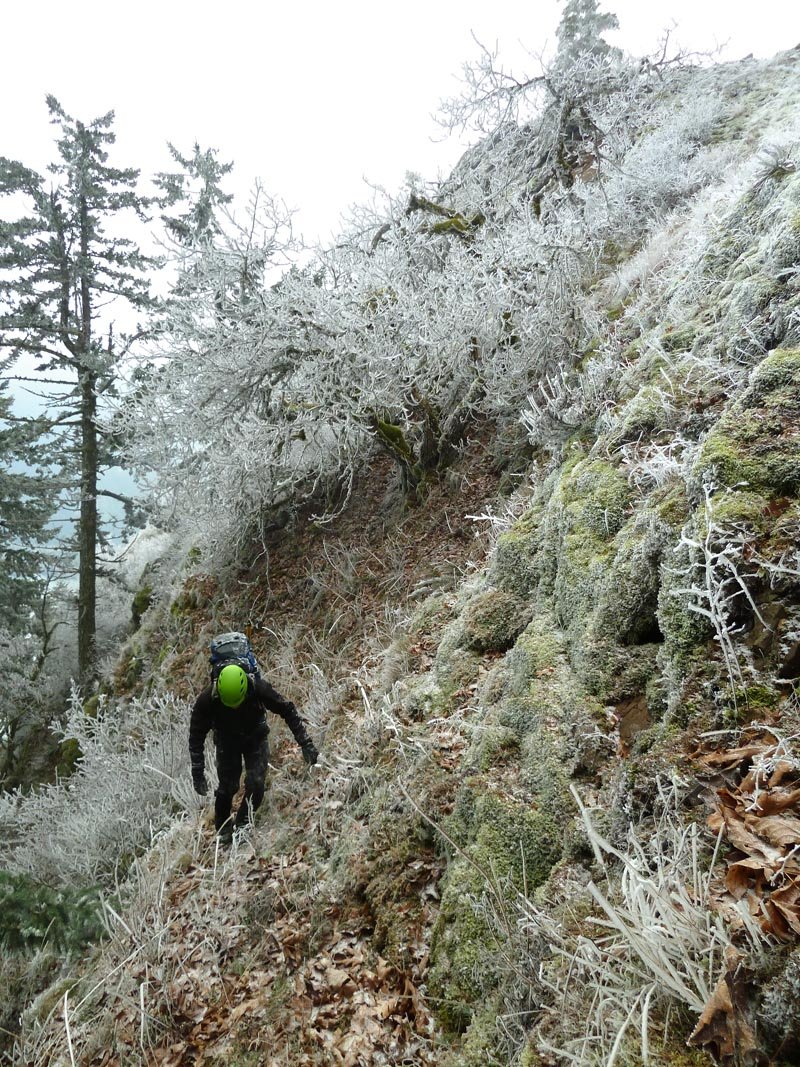
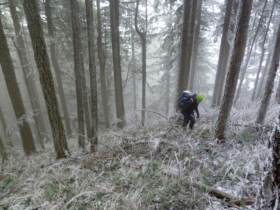
Dog Spine
7 miles of hiking • 3500' elevation gain •
Rock scramblin' fun in the land of the frost queen.
January 18, 2014

Tanner Butte
19 miles of hiking • 5000' elevation gain •
Lovely sunny day. Very little snow up top, but a bitter cold wind. Up the Wauna shortcut and then down the normal trail to make it more "interesting."
January 5, 2014
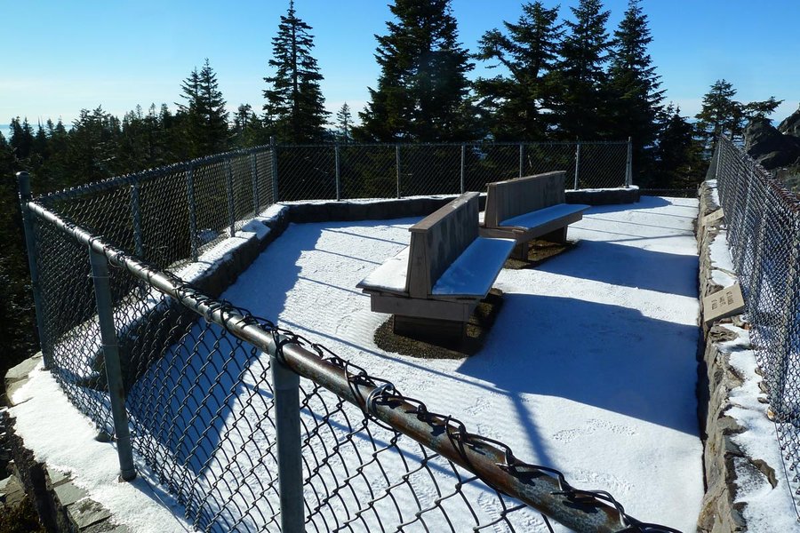
 3
3
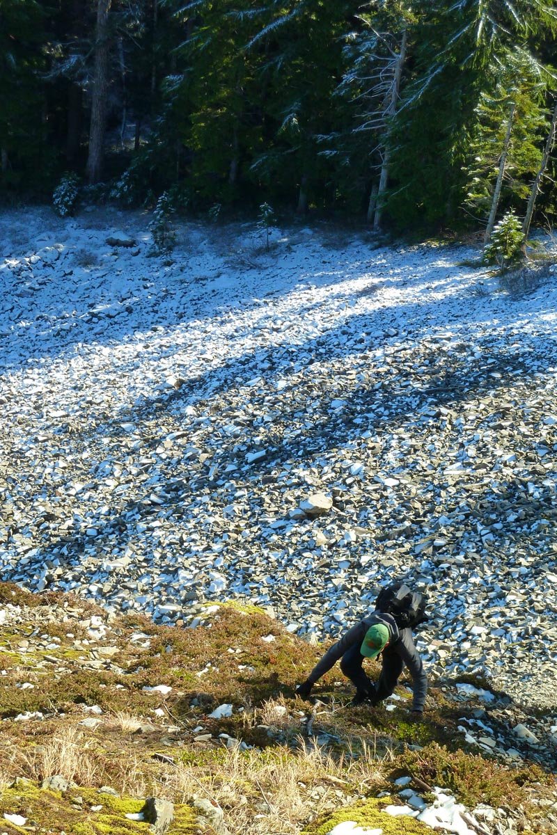
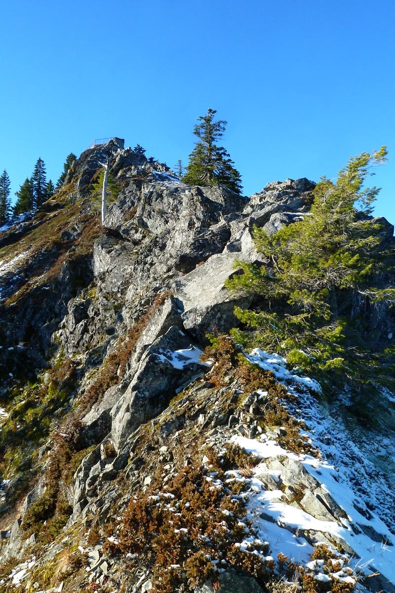
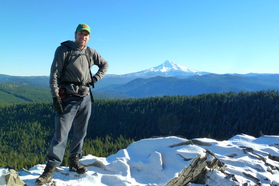
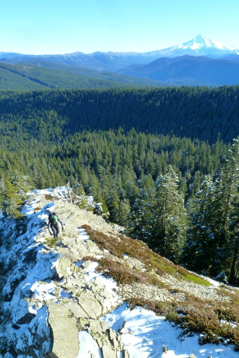
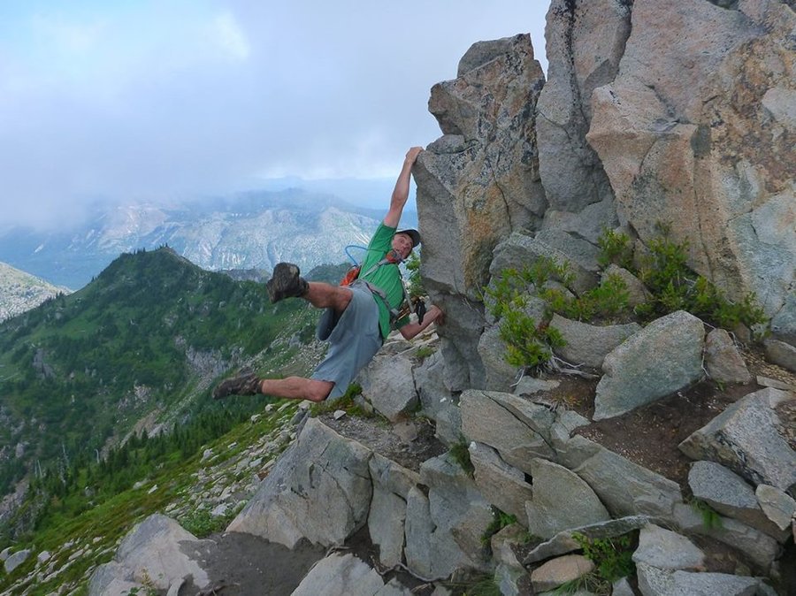
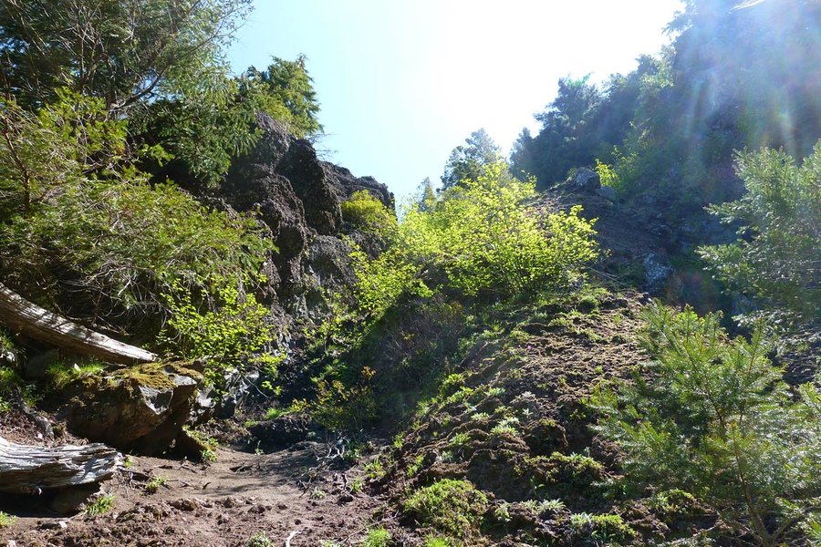
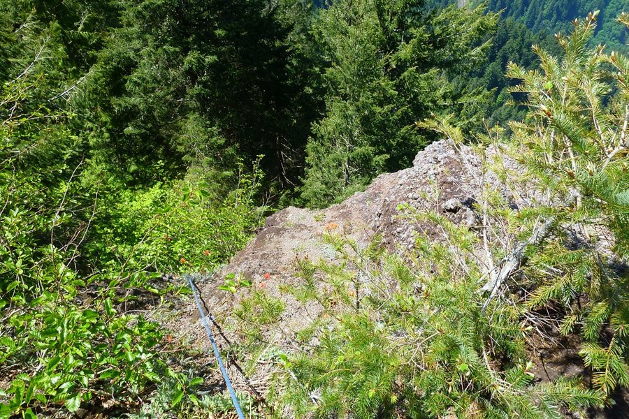
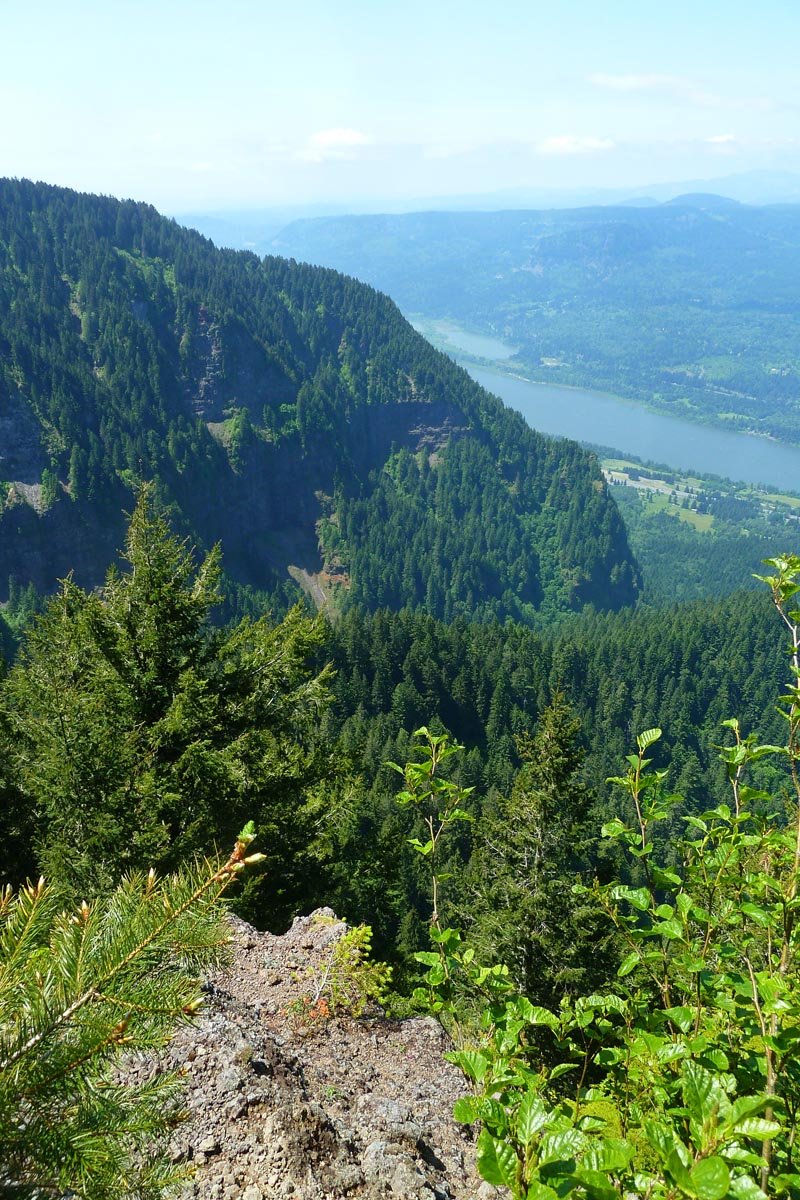
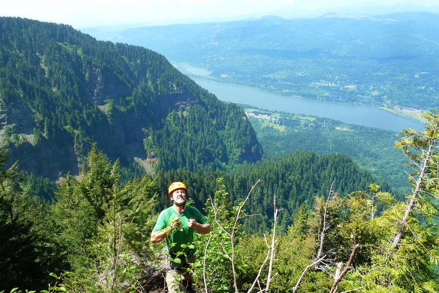
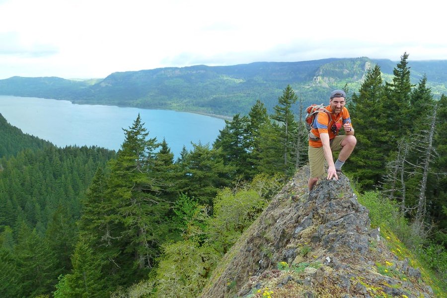
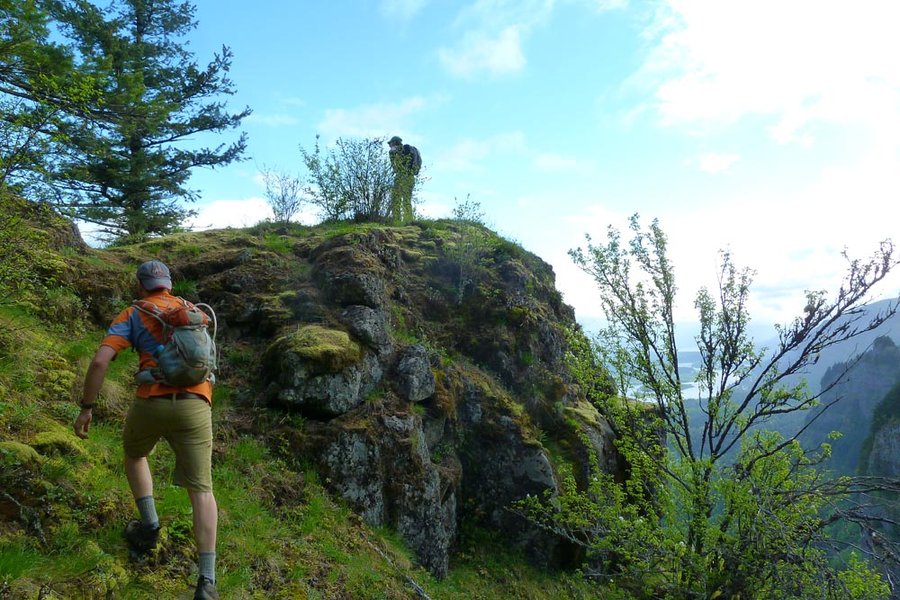
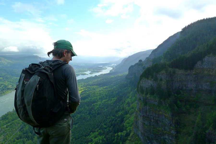
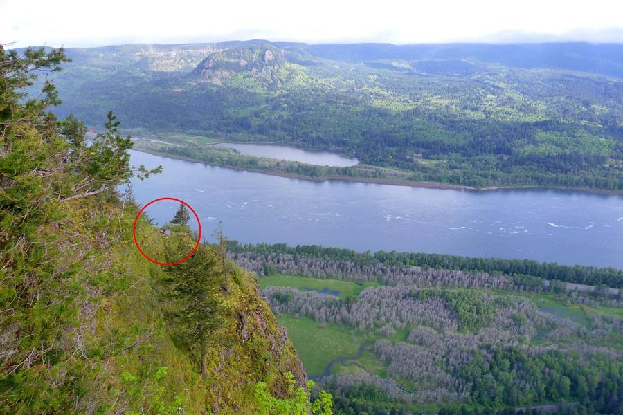
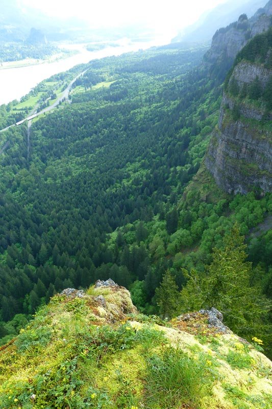
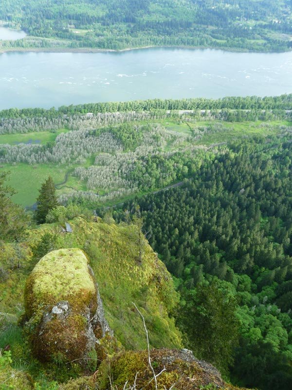
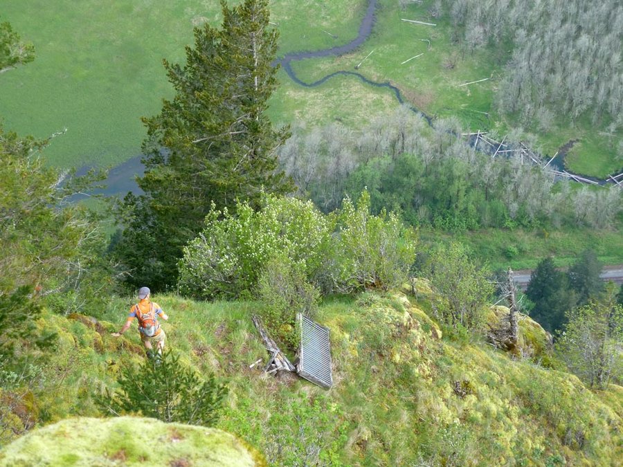
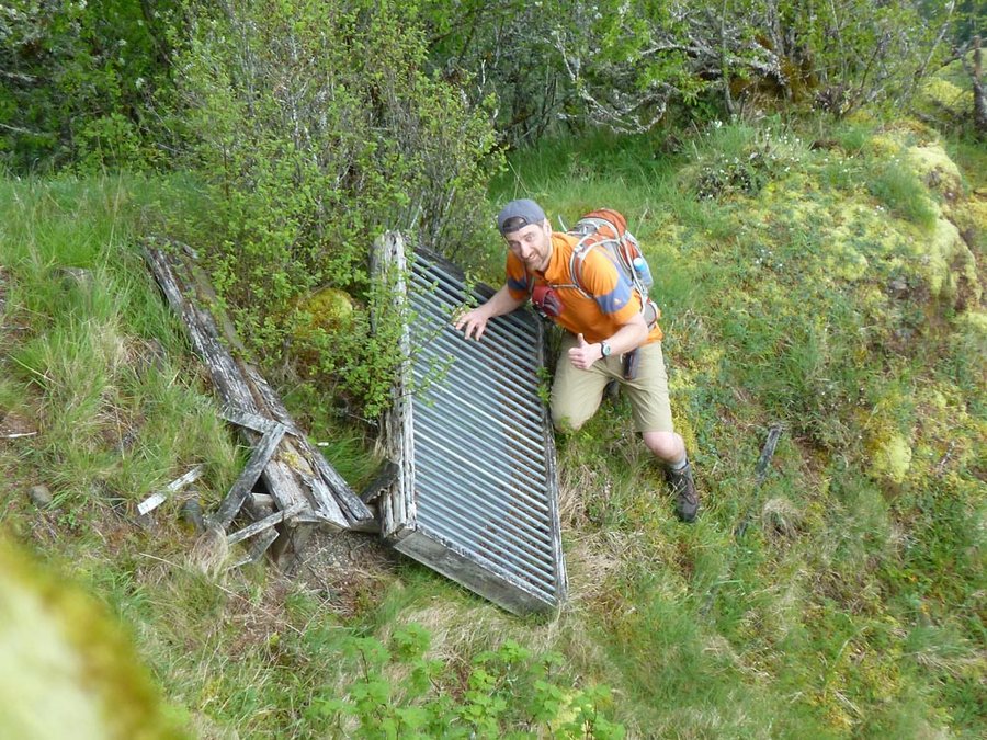
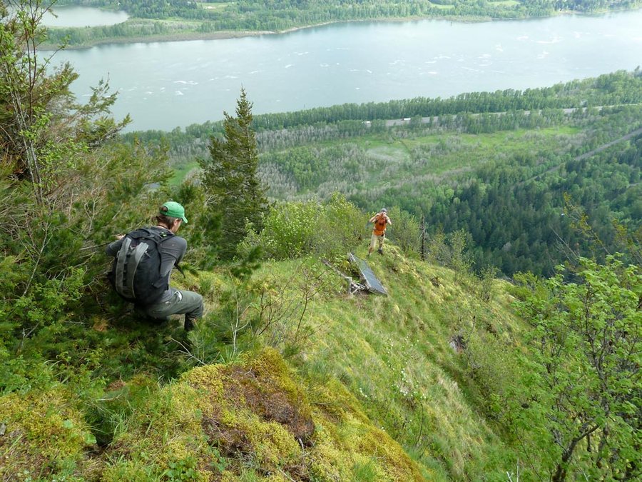
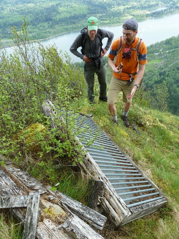
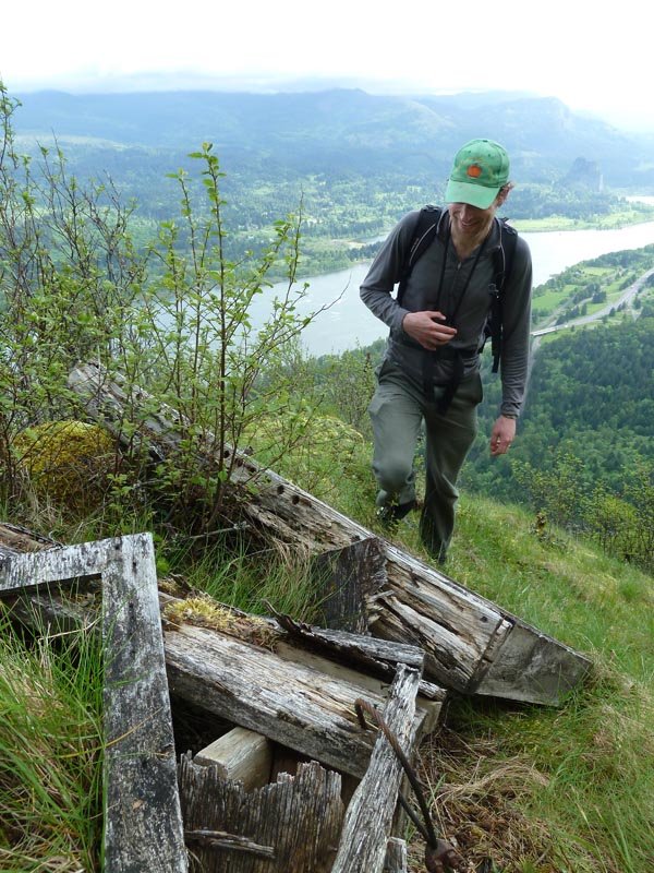
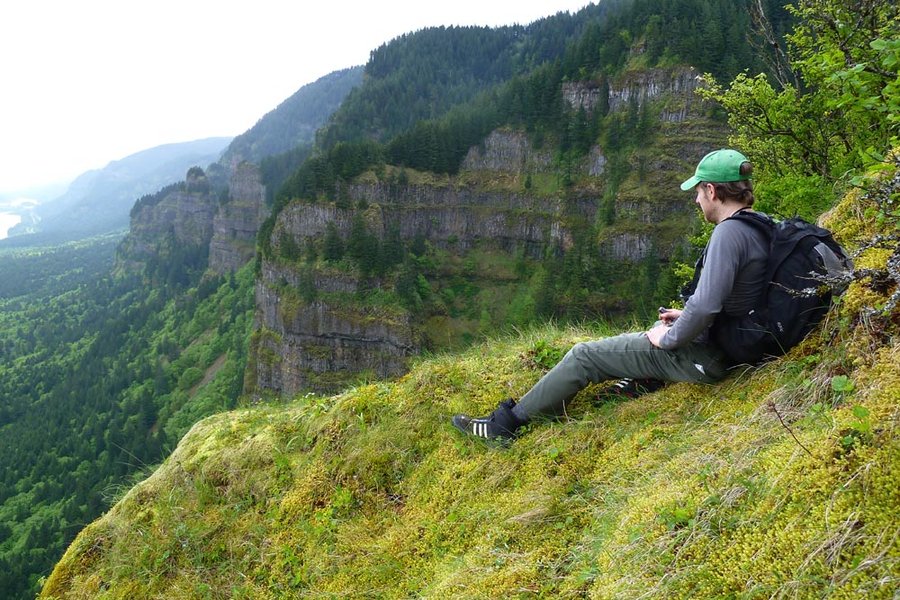
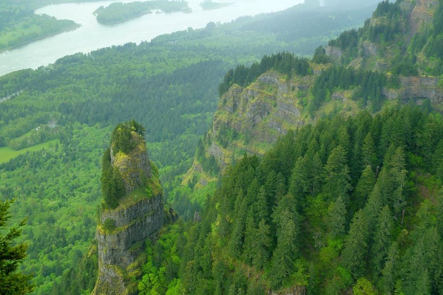
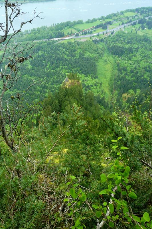
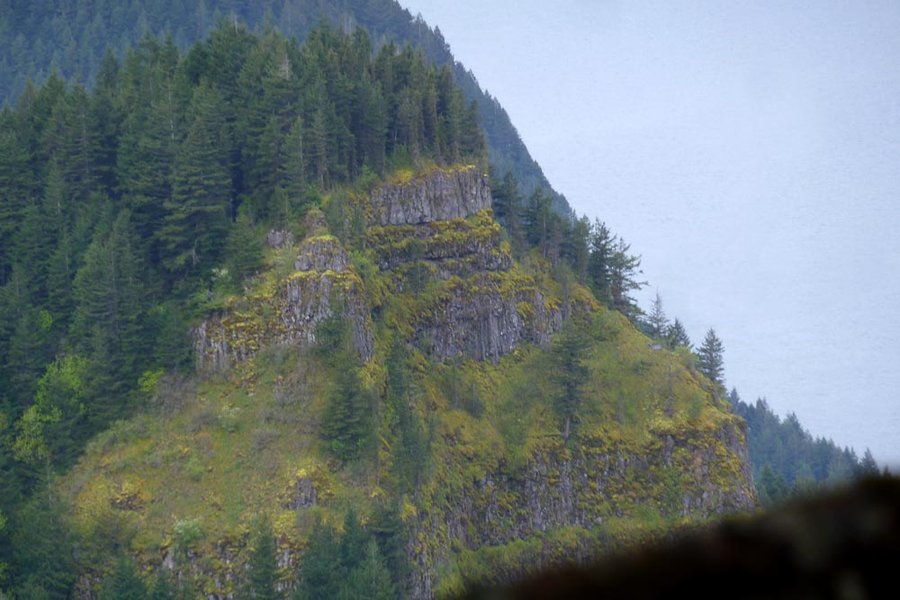
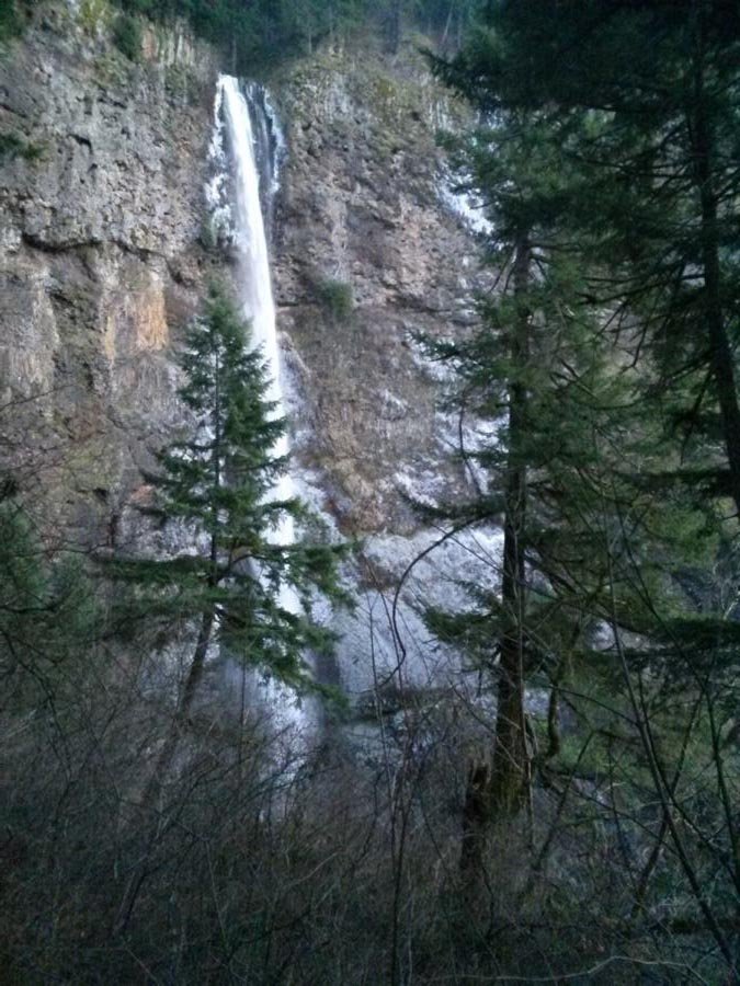
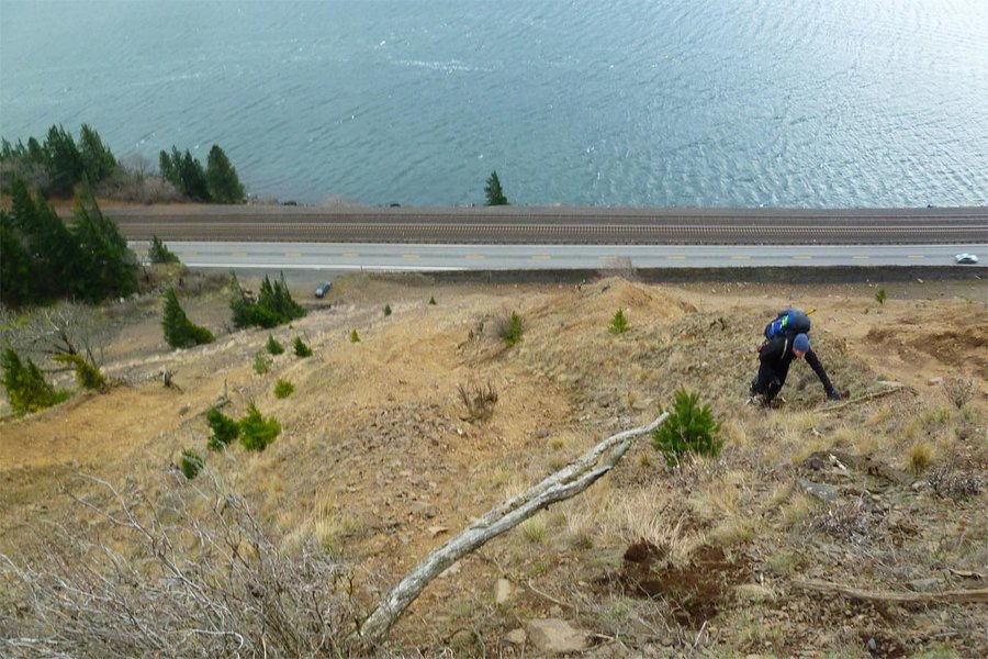
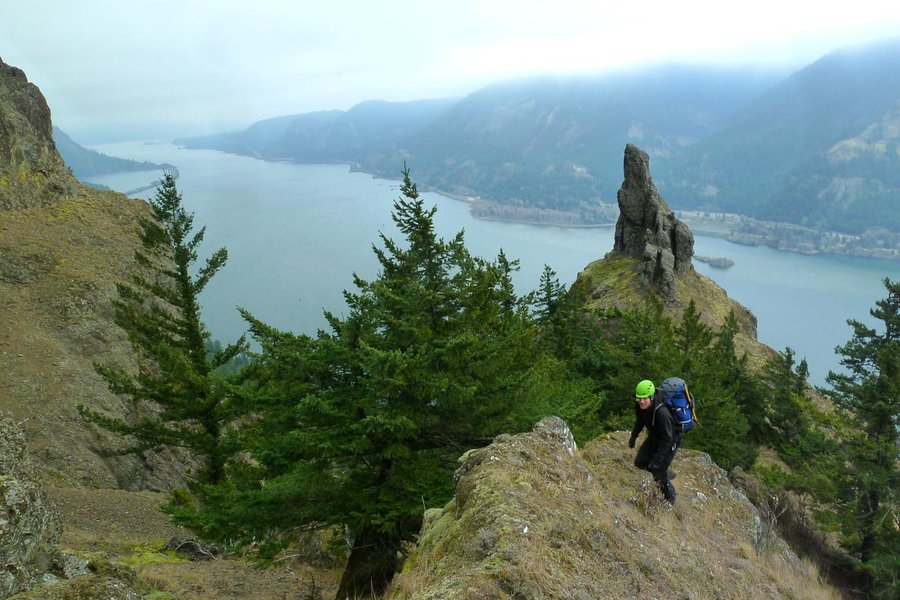
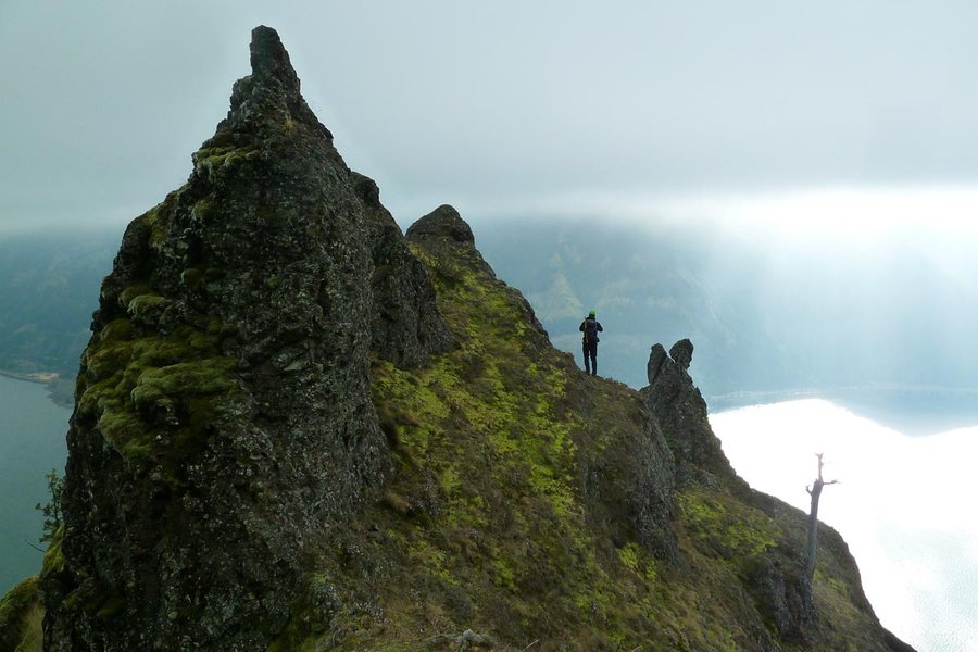
NE Ridge of Sherrard Point with bonus
18 miles of hiking • 5000' elevation gain •
Multnomah Falls to Multnomah Creek Way, then jumped off trail at the pond due north of Sherrard Point. Climbed the NE ridge, which was sketchy and covered in a thin layer of snow, and possibly loose rocks were glued together with ice. Lovely weather up top. Then down the normal trail with a detour over to Wahkeena and then back up to the top of the falls via a secret bonus hike. Got back to the car in the dark.
January 4, 2014