21 miles of hiking • 1500' elevation gain •
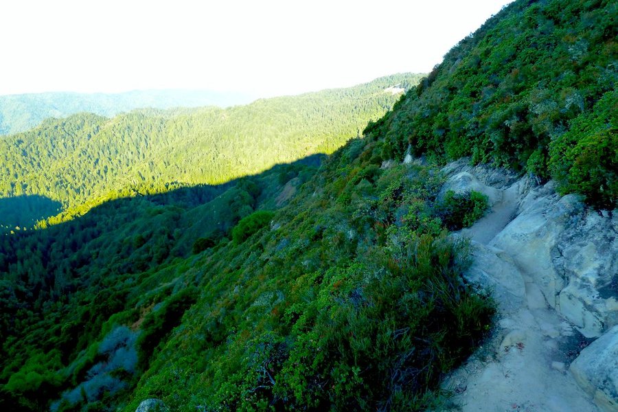
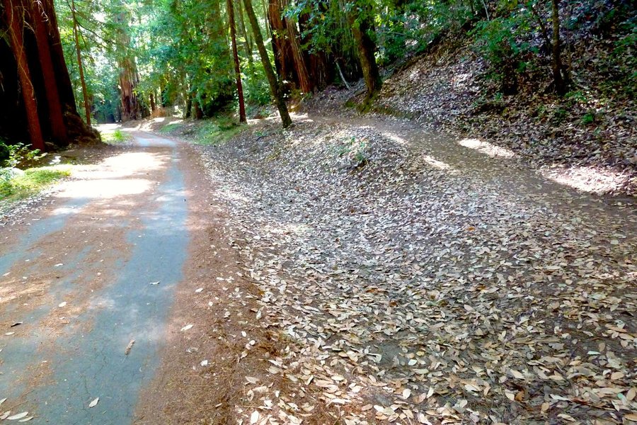
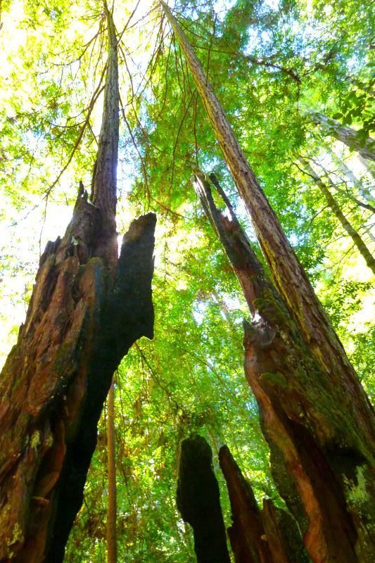
Planned to do the whole 30 mile Skyline to the Sea route (which runs from the Santa Cruz mountains down to the Pacific Ocean) as a dayhike, but the trail was kind of boring, spends a lot of time near roads, and my feet felt kinda thrashed from running downhill in hiking shoes in Nisene Marks a couple of days ago, so I bailed out at the Big Basin Redwoods park HQ. I skipped a fair bit of the official trail since it was so near the road, and ended up going Castle Rock parking lot > Saratoga Gap trail > Tavertine Trail > Saratoga Toll Road trail > down to the connector across Hwy. 9 up to the Skyline to the Sea Trail, and then to the HQ. Cobbling numbers together from some trail maps I photographed en route gives me a mileage estimate that I think is kinda high but am going to go with on trust - it is likely lower - the guy in the Big Basin gift shop seemed to think it was more like 16 miles for my route, but I'm not sure we were talking about the same trails. Kinda too bad to not do the whole thing, but the hiking really wasn't that great (though it was getting a little better in Big Basin - I should have started there).