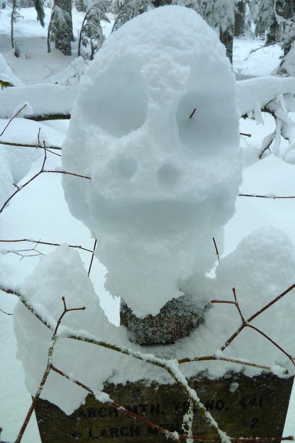
14.5 miles of hiking • 4000' elevation gain •
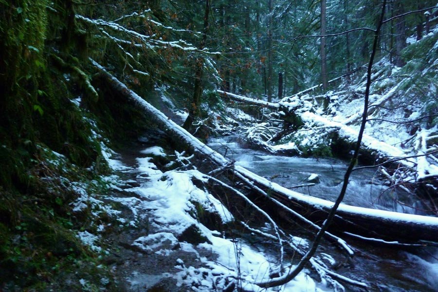
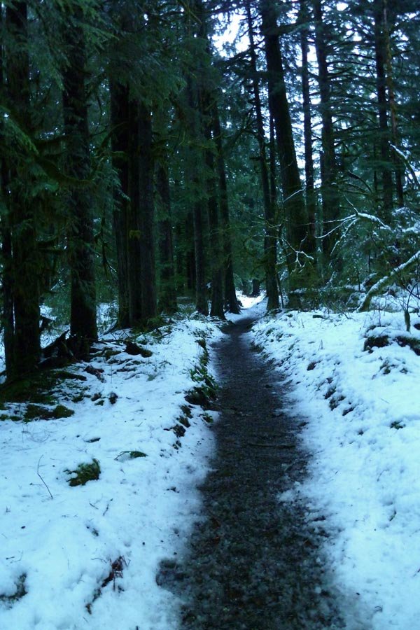
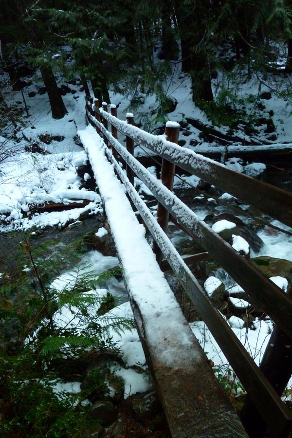
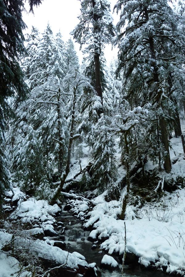
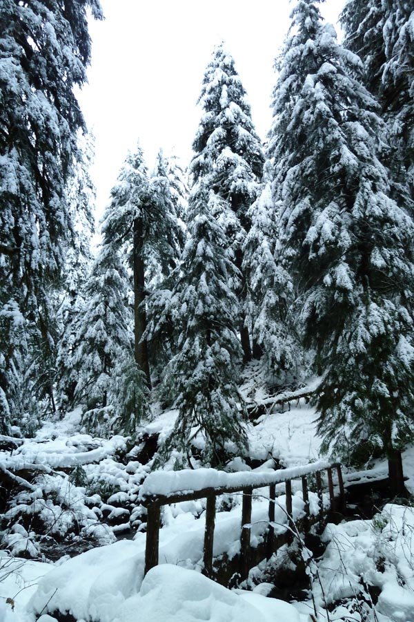
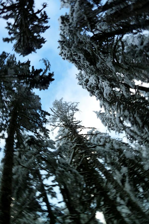
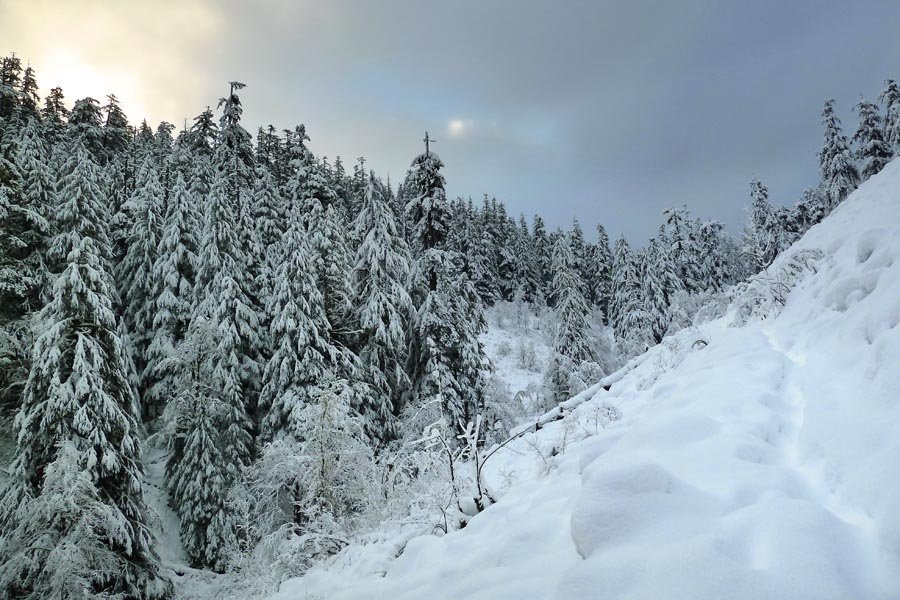
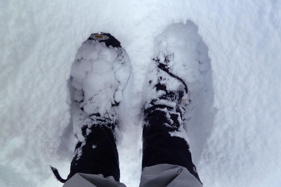
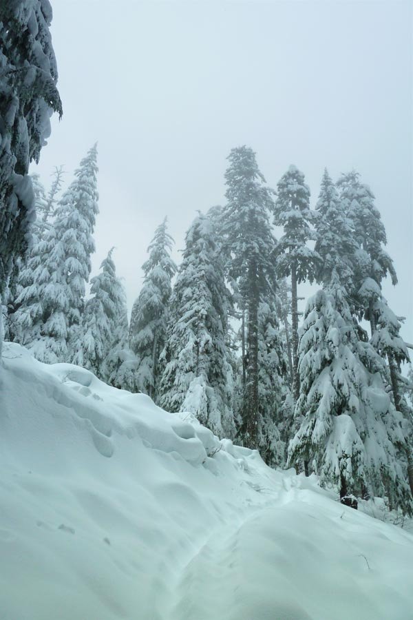
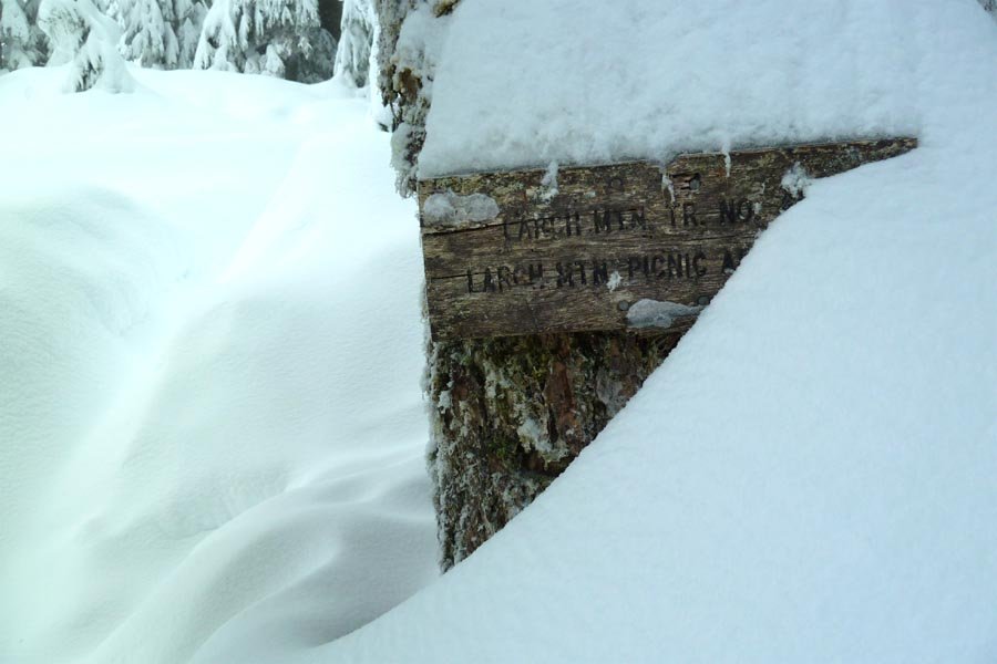
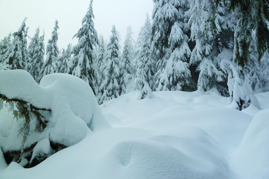
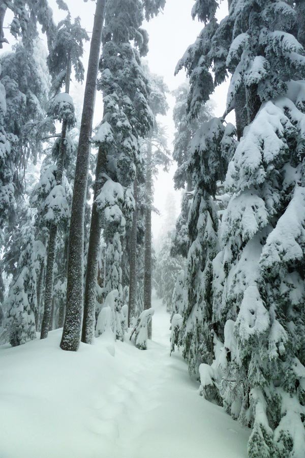
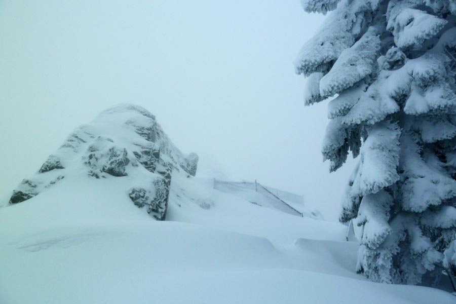
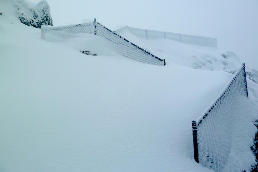
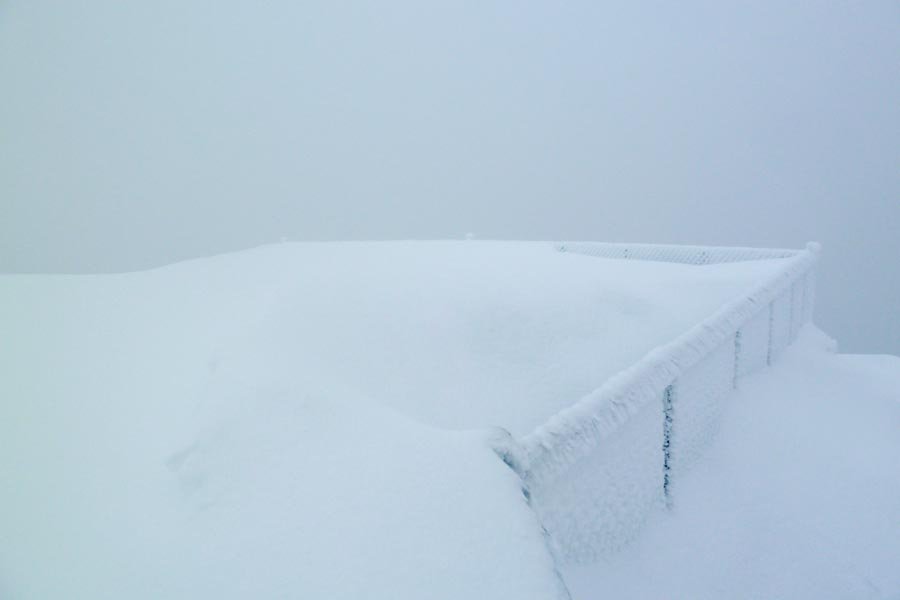
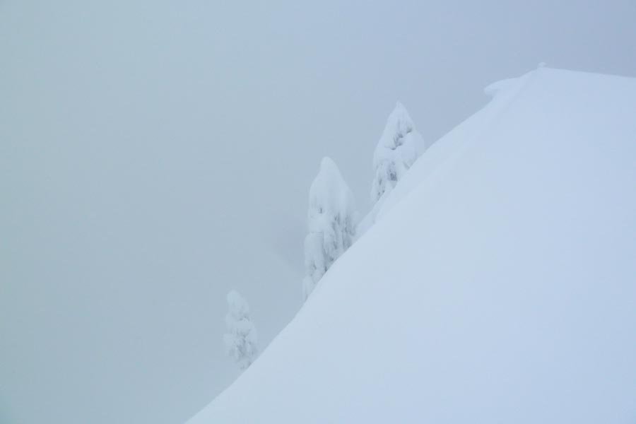
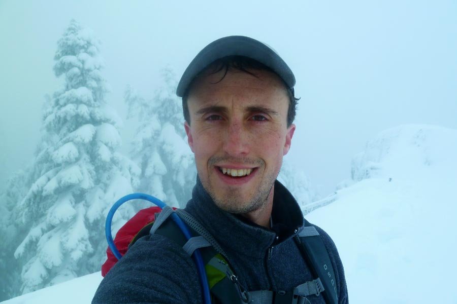
Started at Multnomah around 6:45am. Slushy snow and light rain above the Wahkeena junction. Finally hit fresh and deep snow after the last bridge, but still a visible track from everyone who went up on the 23rd. Snowshoes went on about halfway between the talus field and the Multnomah Cr. Way junction, then broke trail up to the summit. Sadly, the weather gods weren't with me - no view, cold wind (my wet hat and Camelbak tube started to freeze), so I only stayed for a few minutes and headed back down. A lot of the low elevation snow had melted away by the time I got back down. Left the summit at 11:15 and got back to the car at 2pm. Was told by a tourist below the Benson Bridge that I didn't look "worn out enough" to have gone all the way to Larch Mountain!