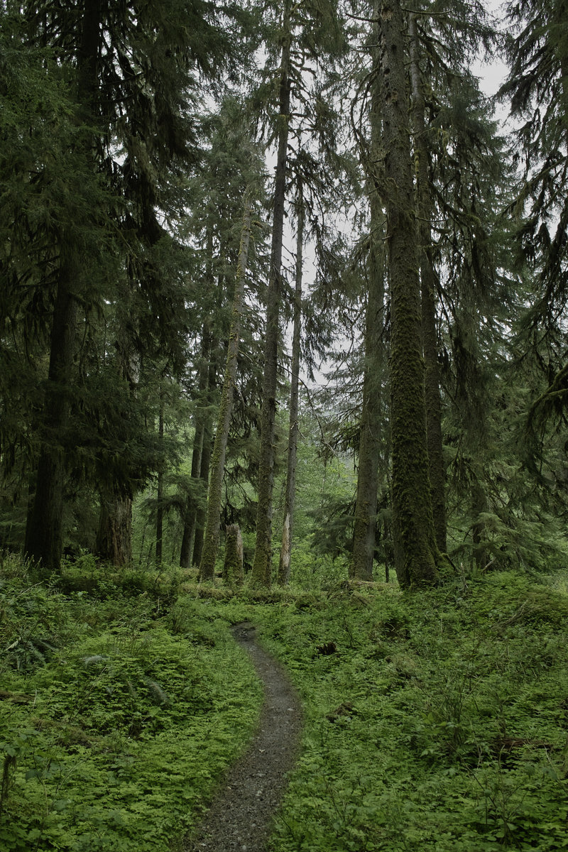
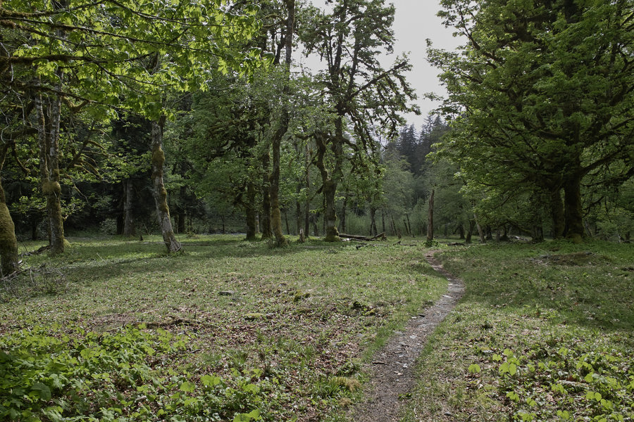
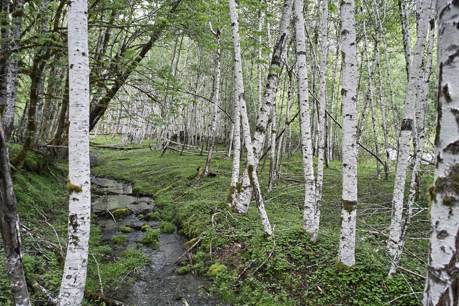
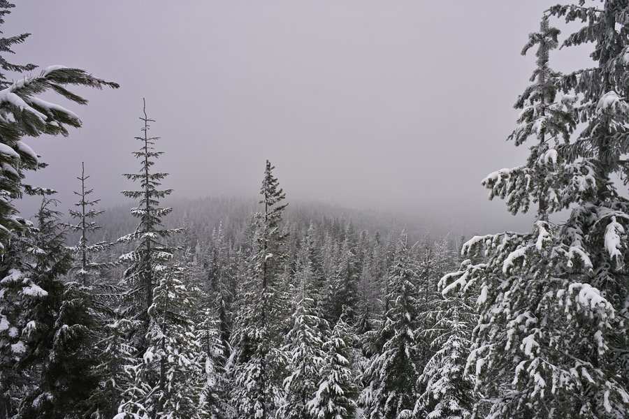
2013 Trips


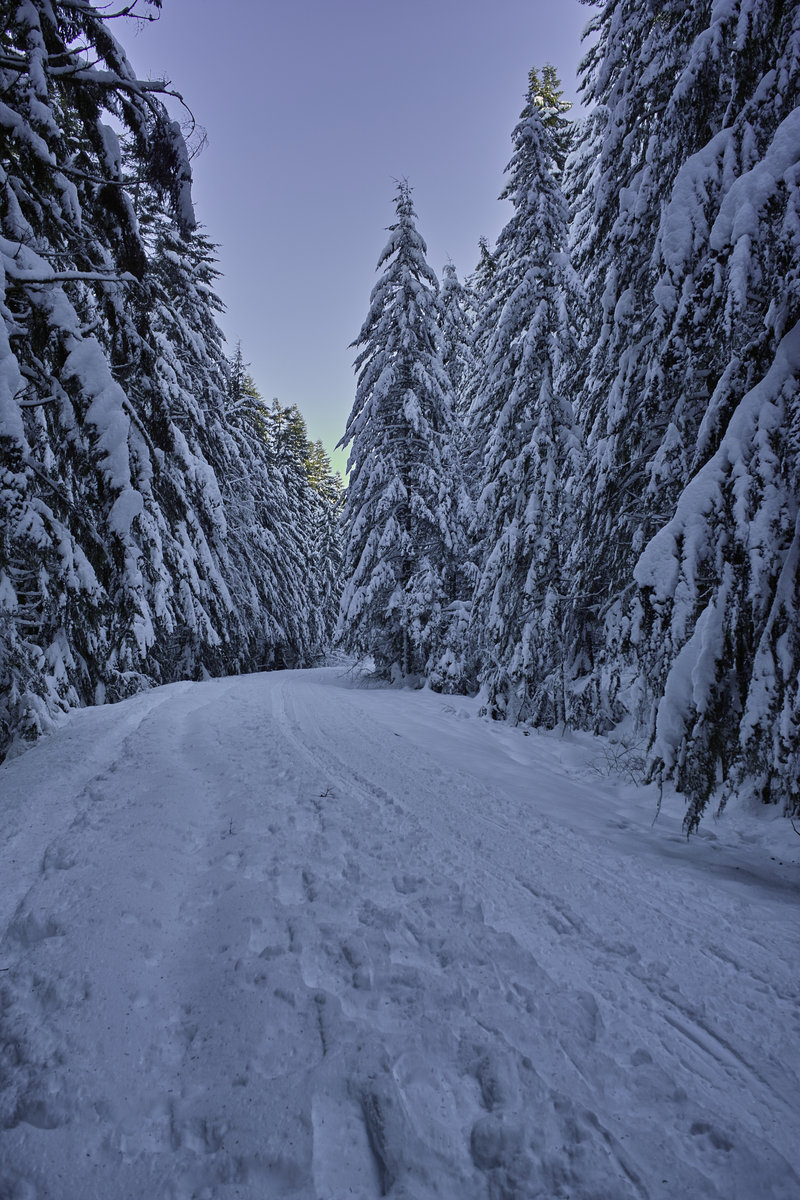
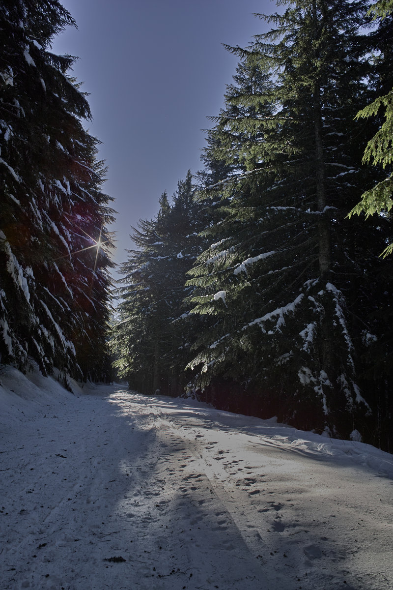
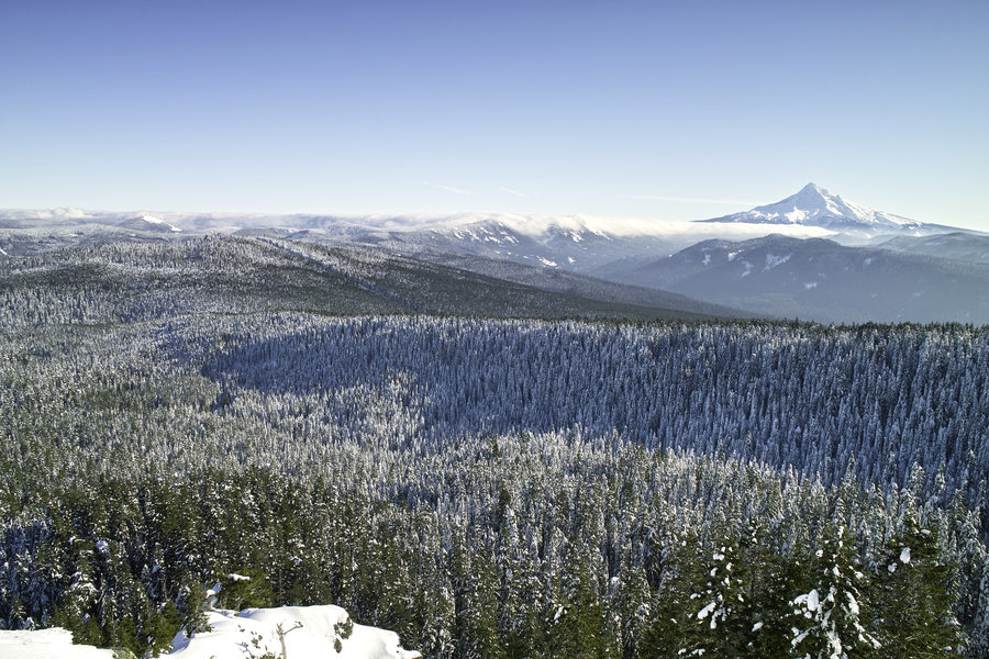
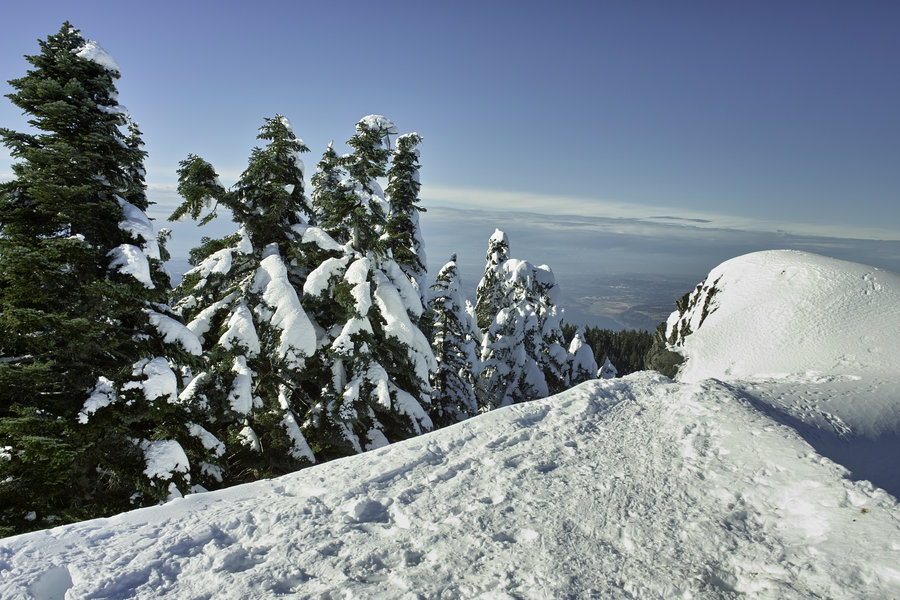
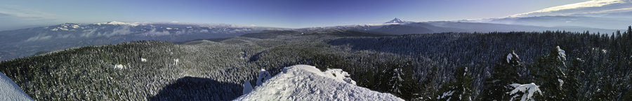
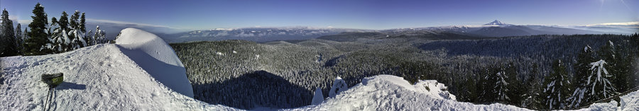
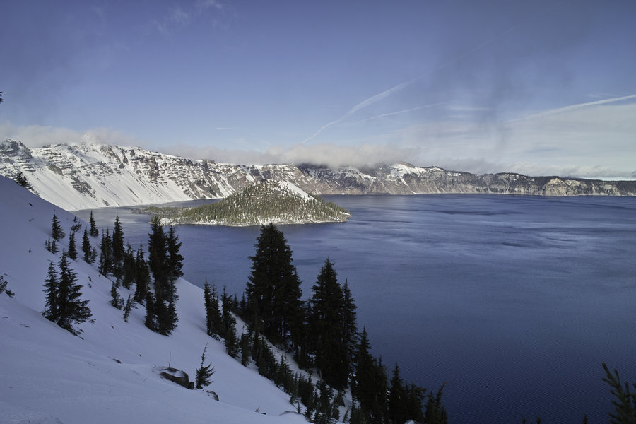
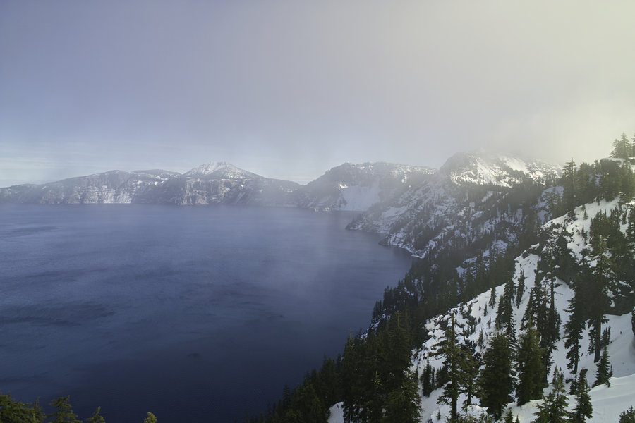
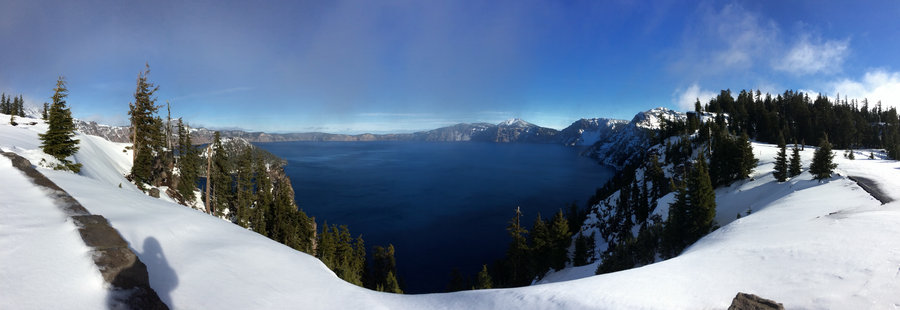
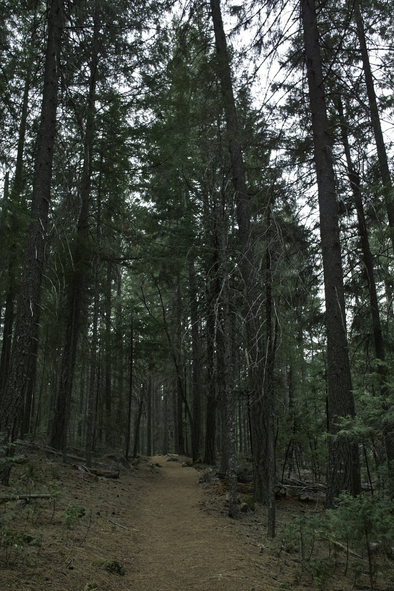
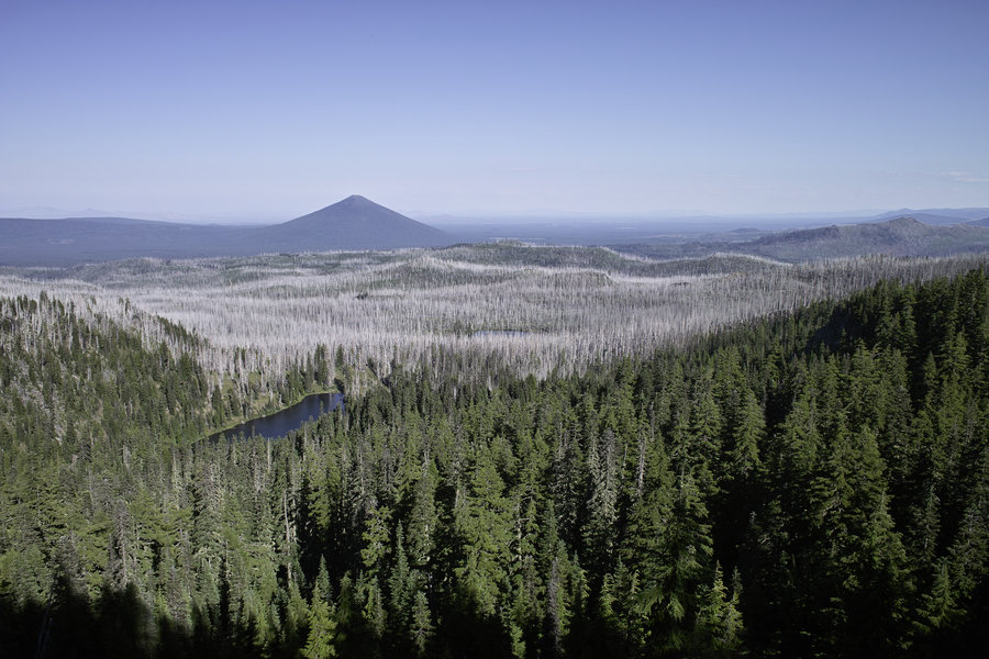
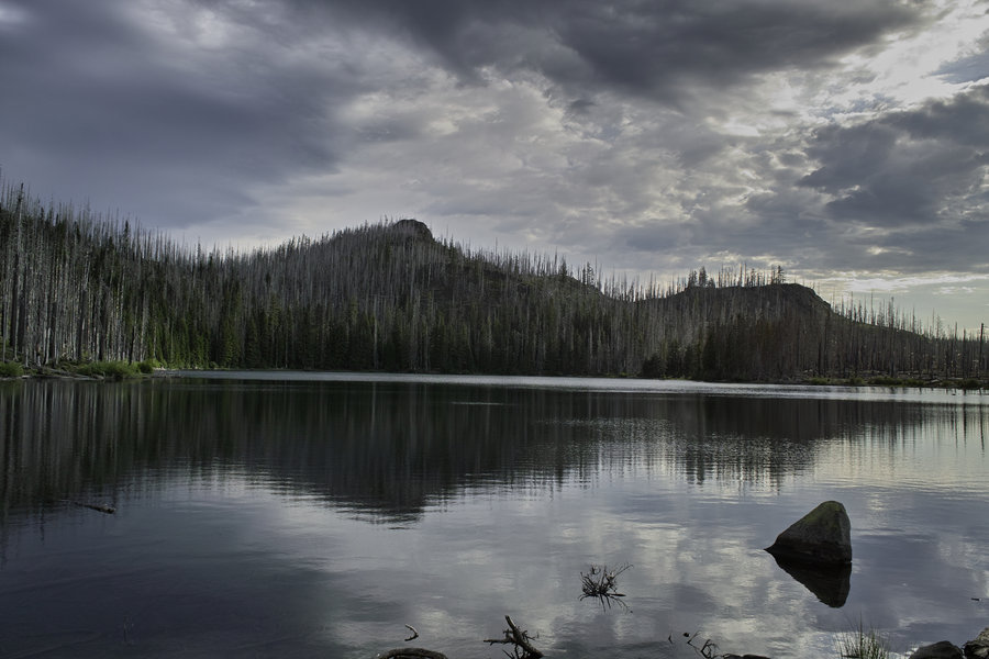
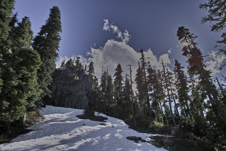
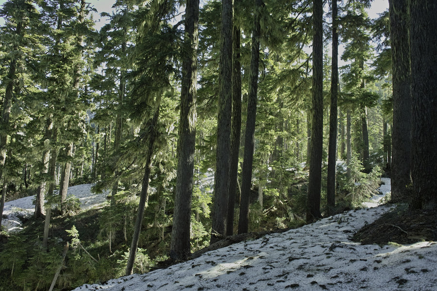
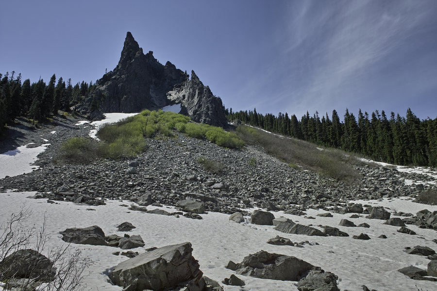
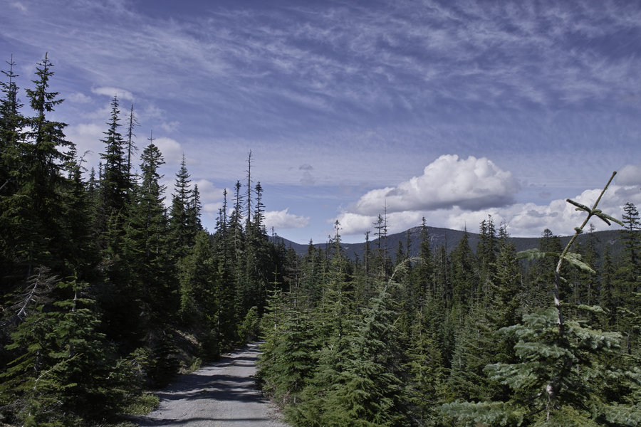
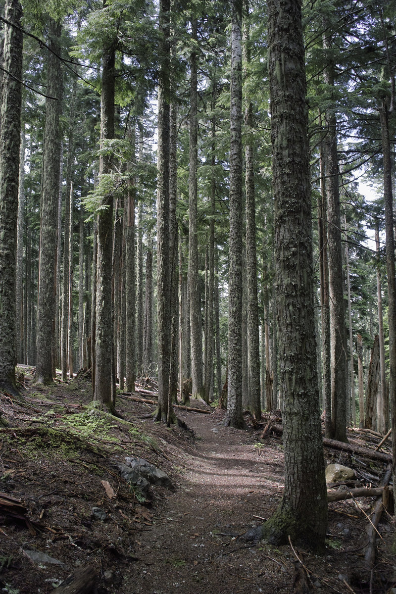
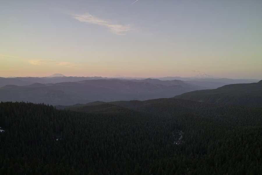
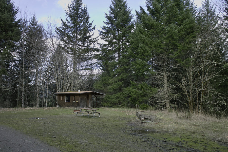
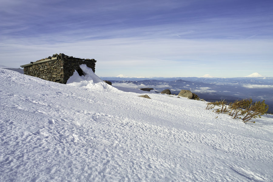
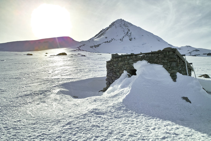
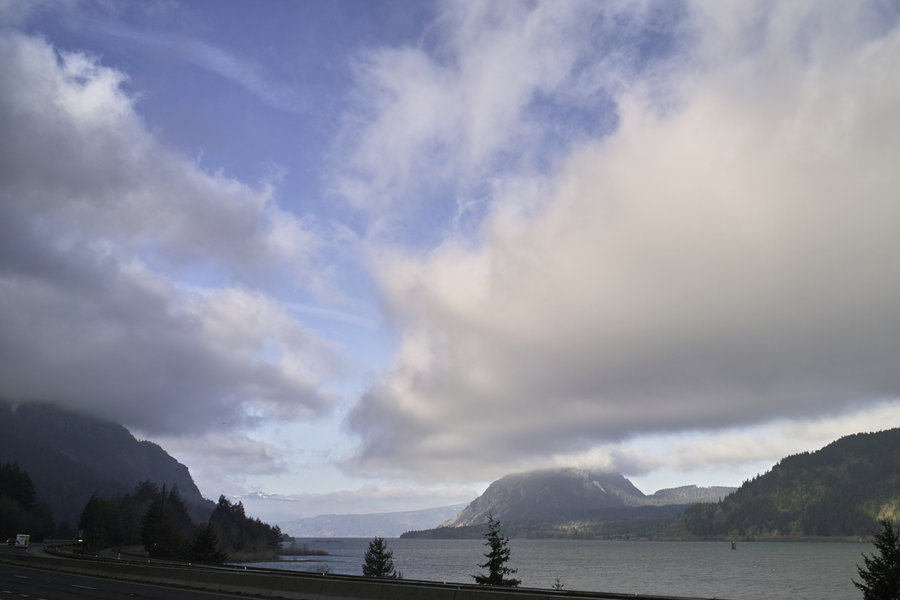
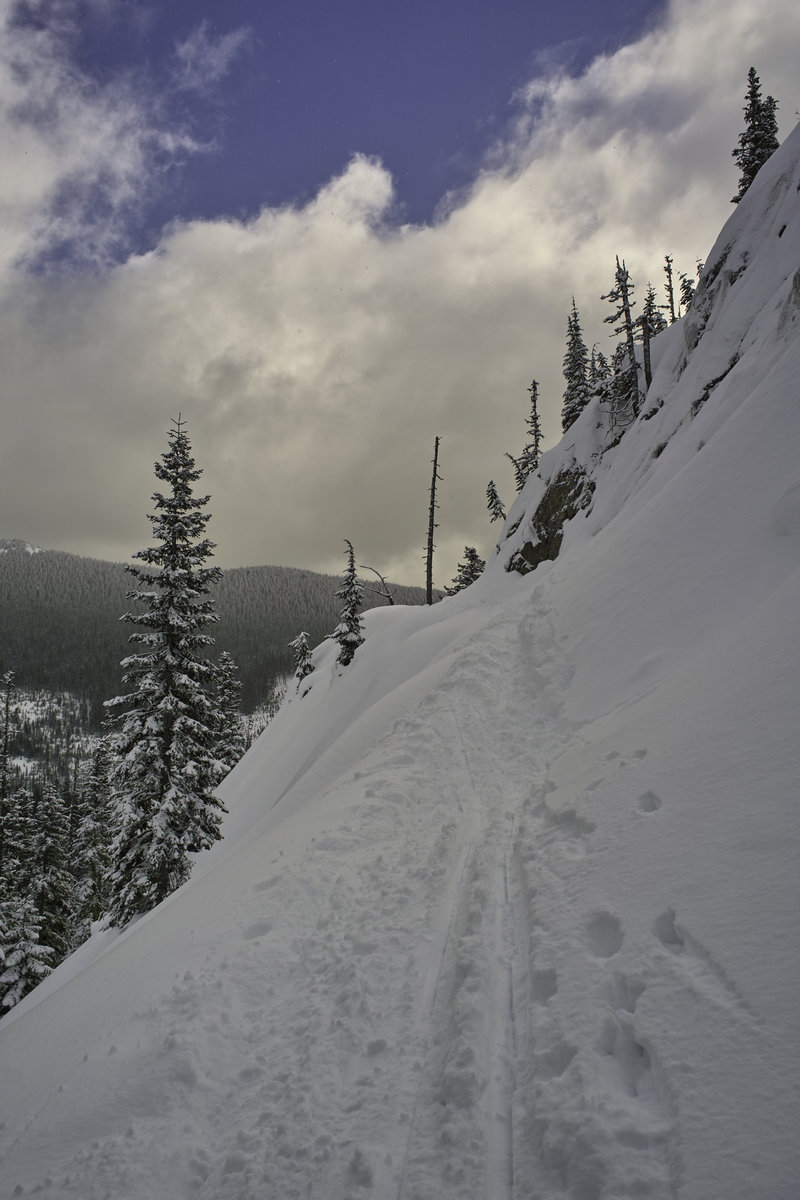
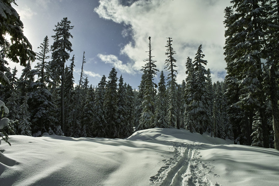
Crater Lake - Rim Trail
6 miles of hiking • 1250' elevation gain •
A little snowshoeing around the rim trail. Went up toward Garfield Peak and then a little in the other direction. The far side seemed to have little snow, but the lodge side had a bit.

December 22, 2013


 2
2
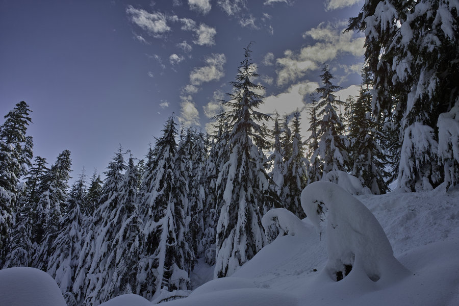
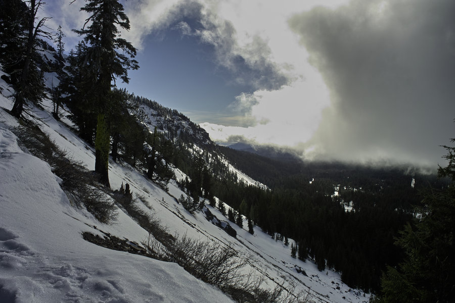
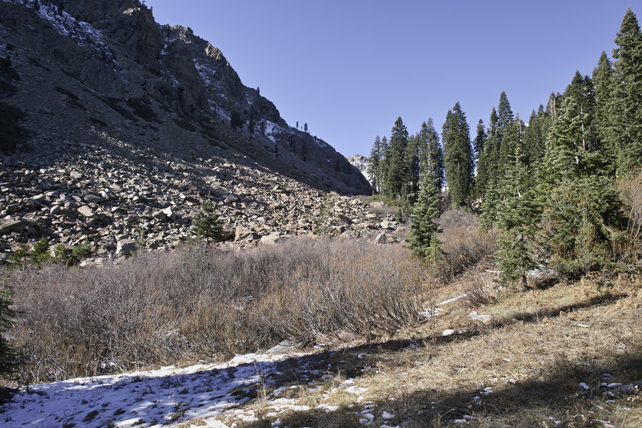
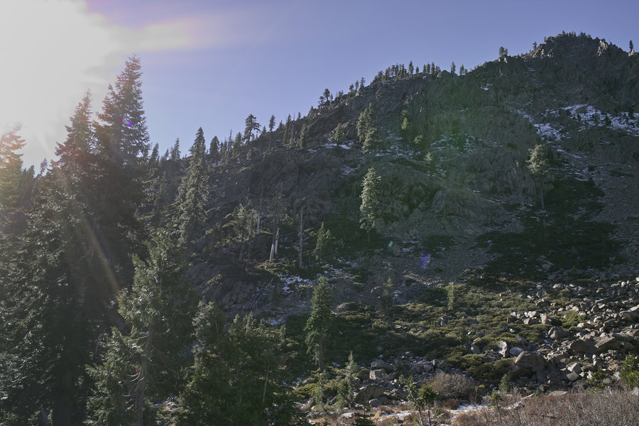
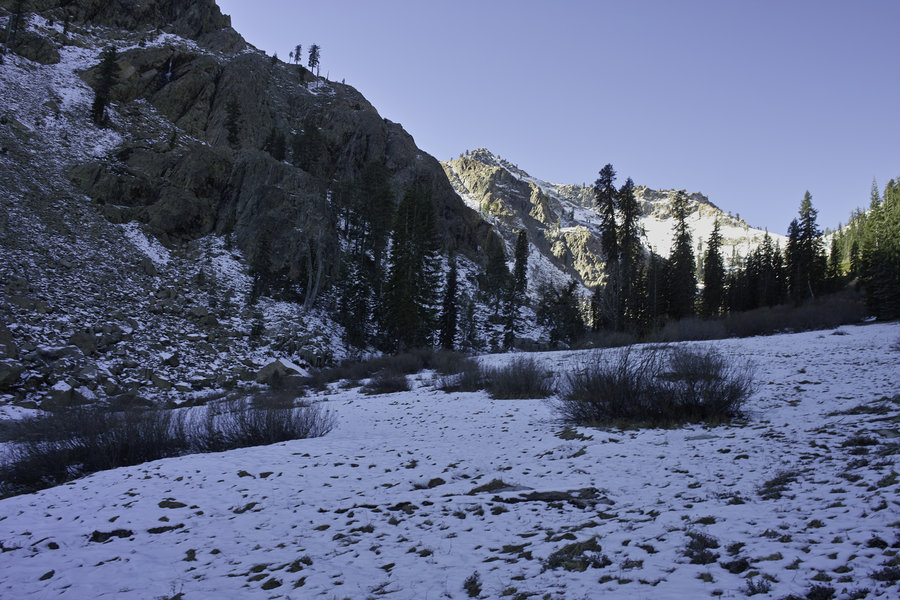
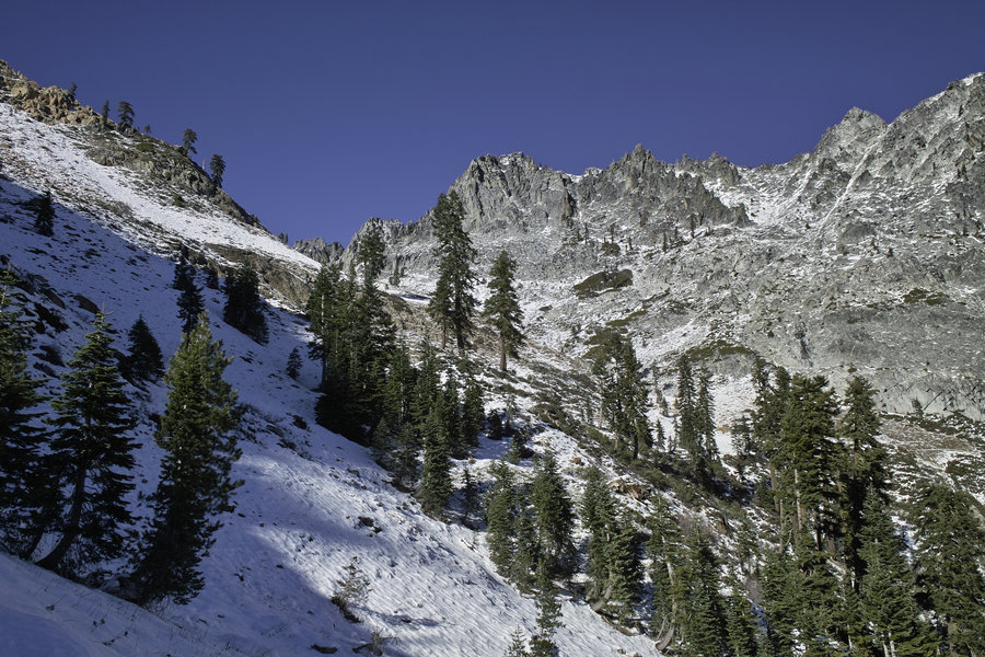
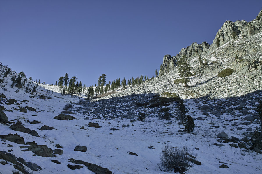
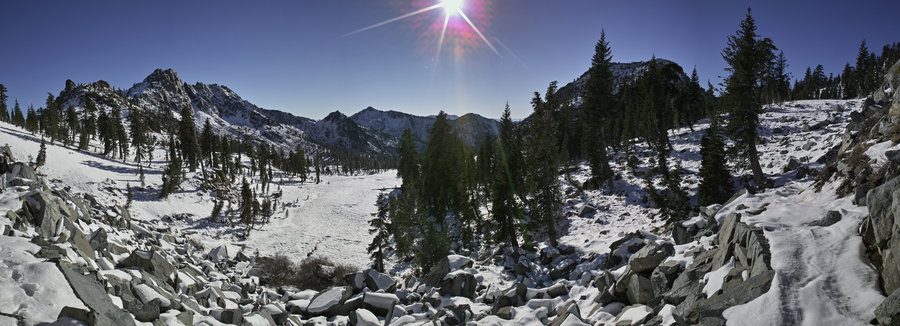
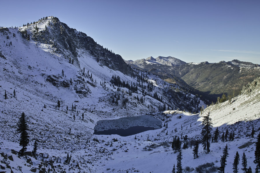
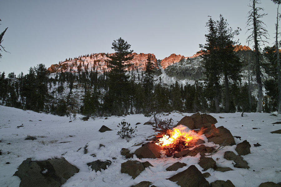
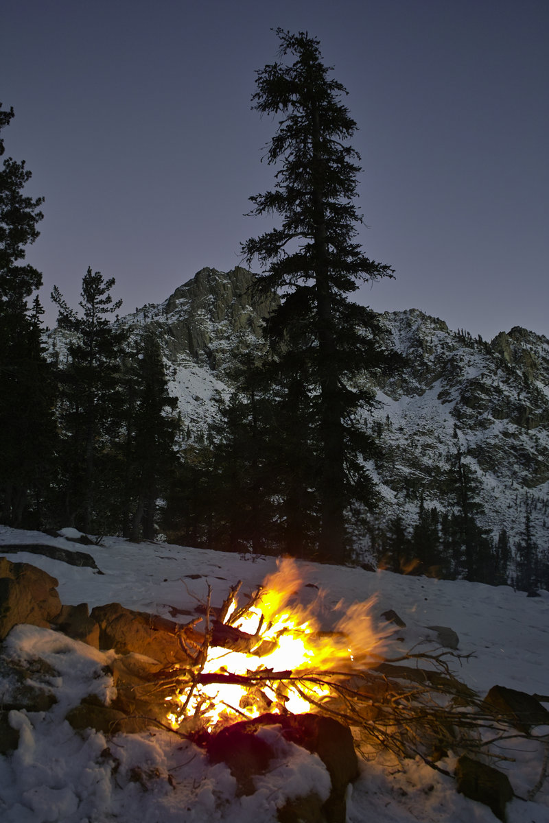
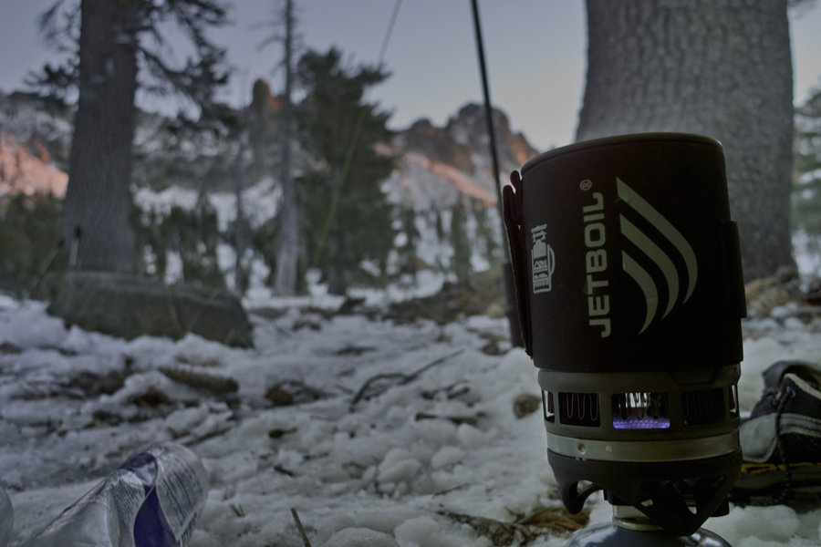
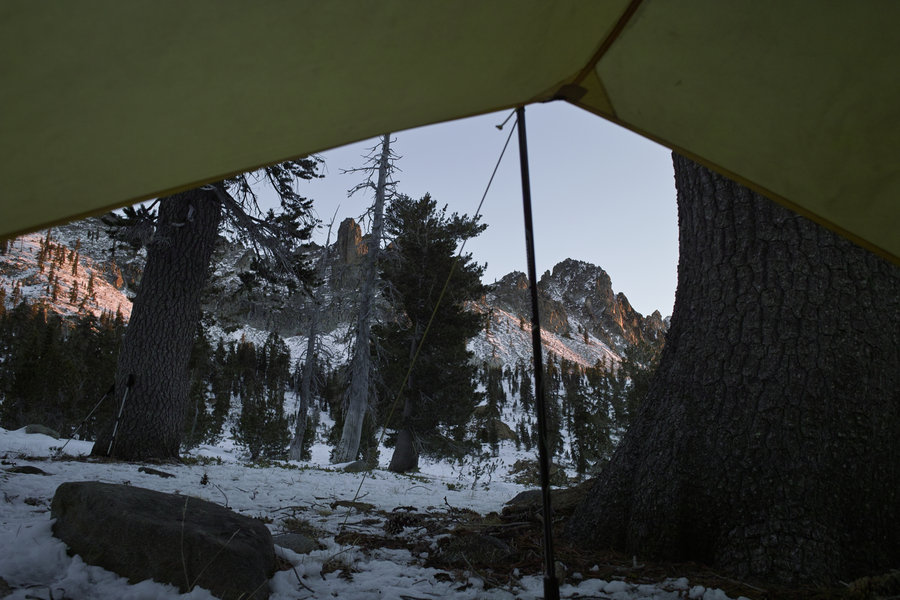
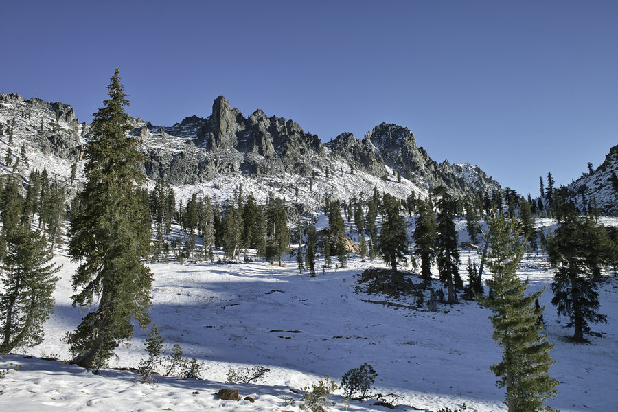
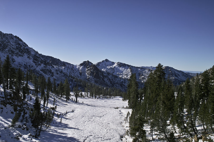
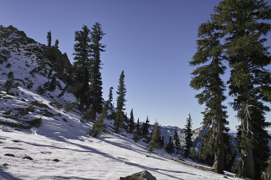
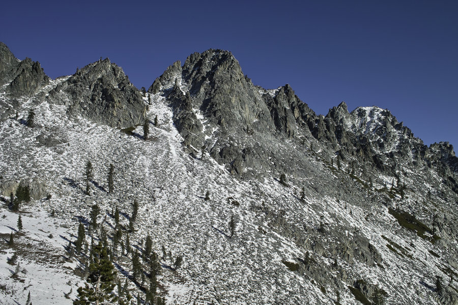
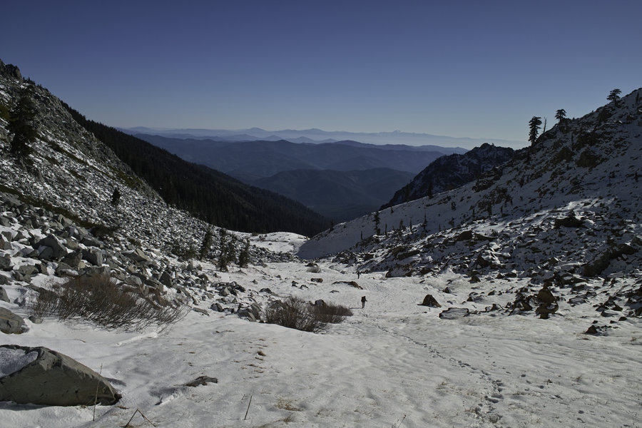
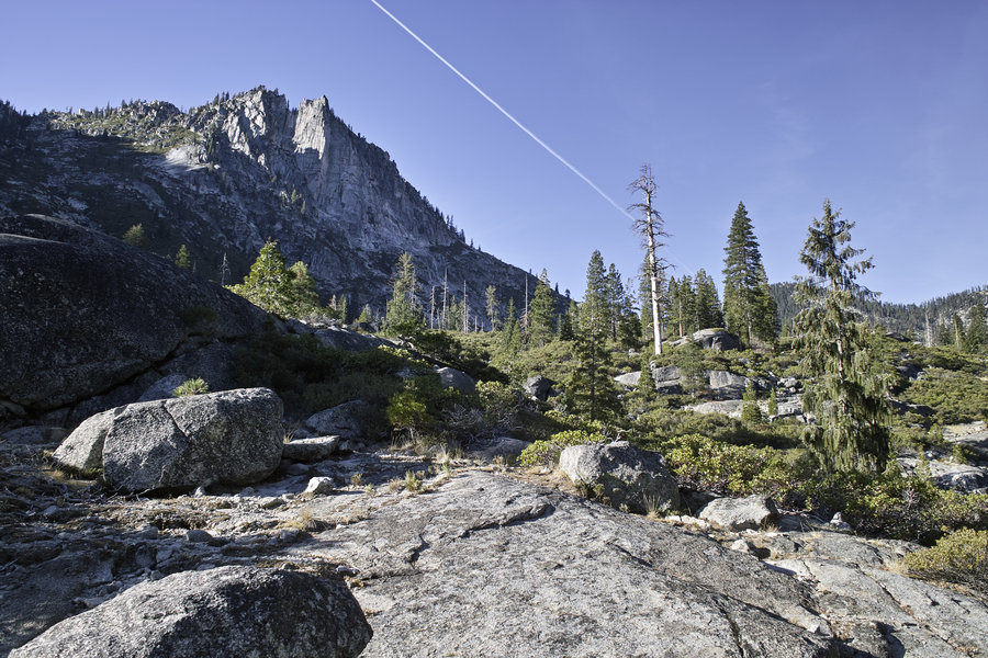
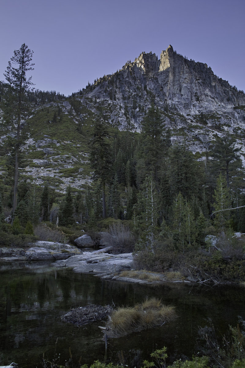
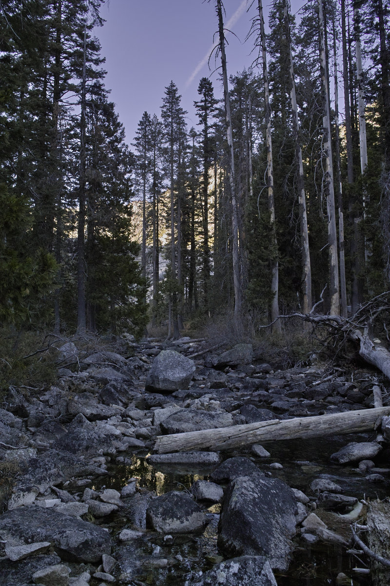
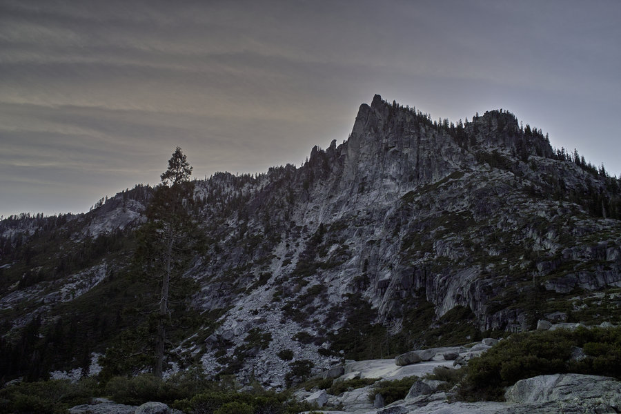
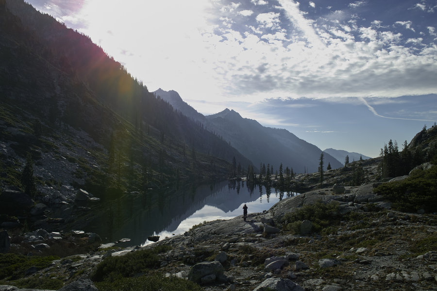
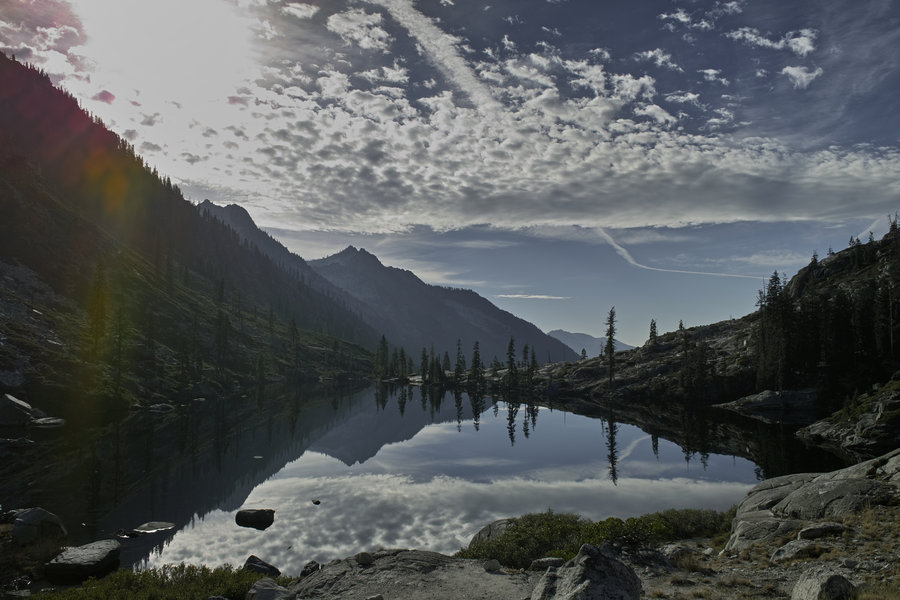
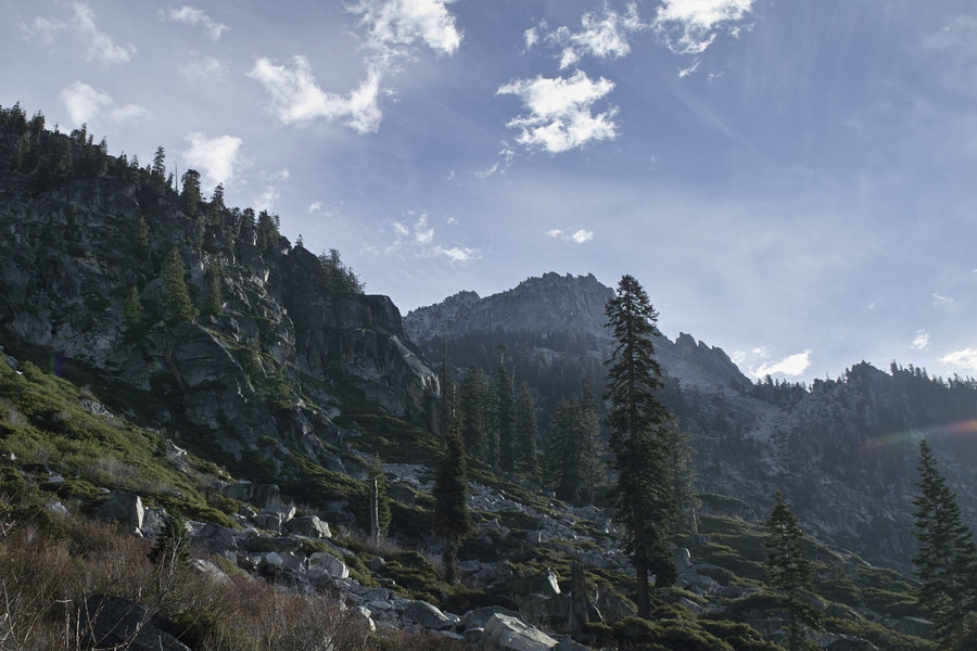
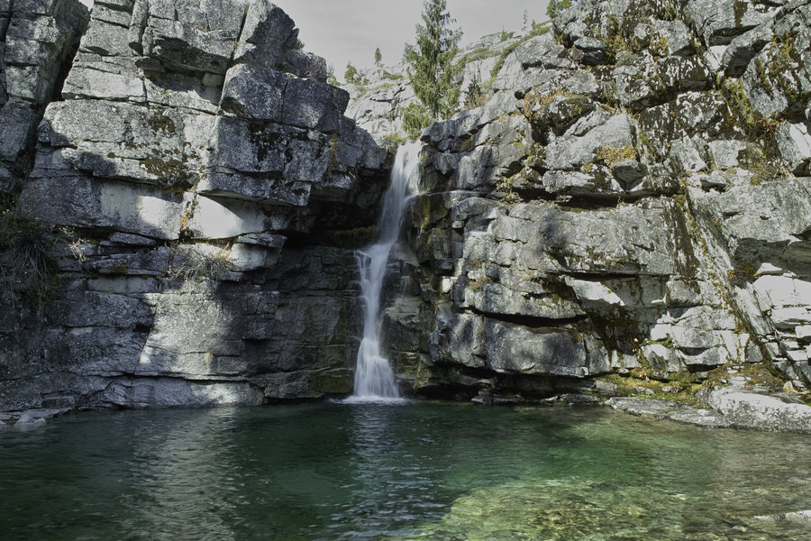
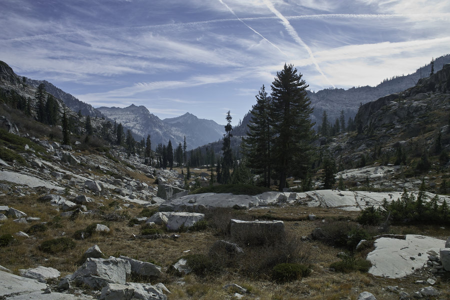
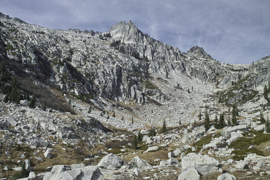
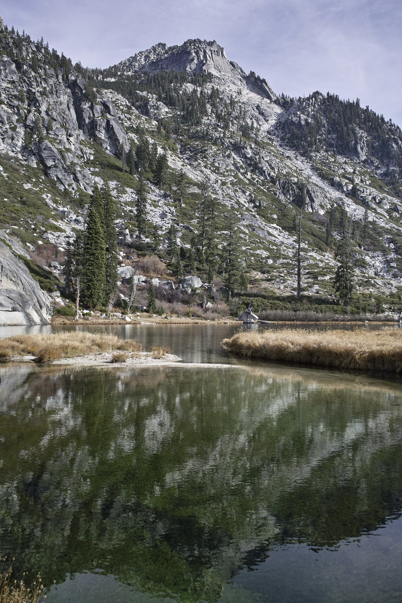
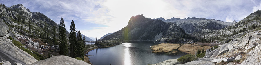
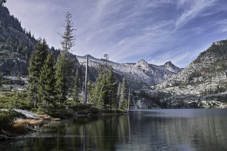
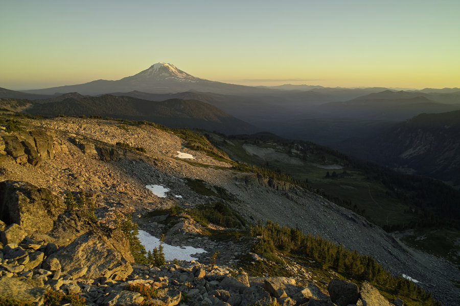
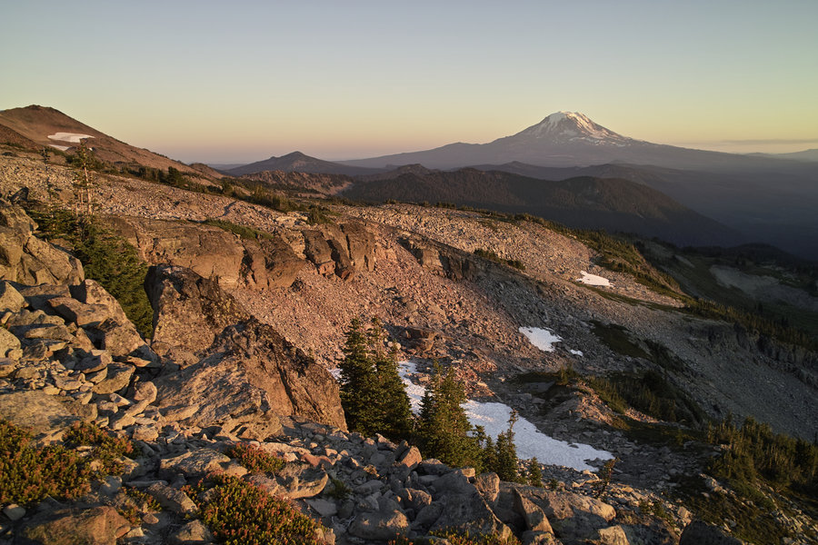
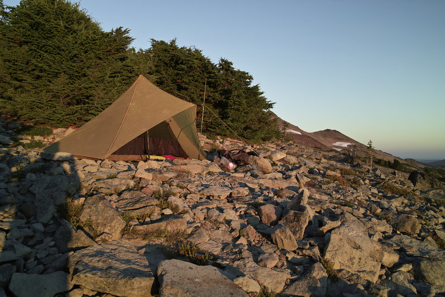
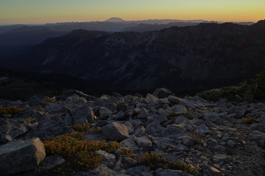
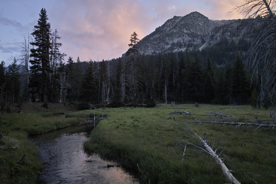
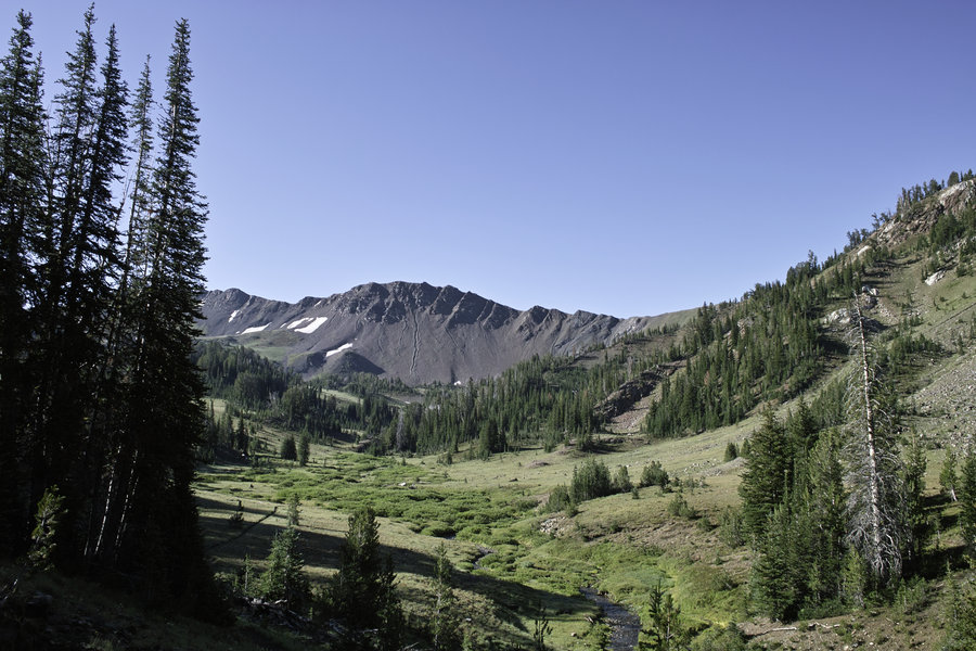
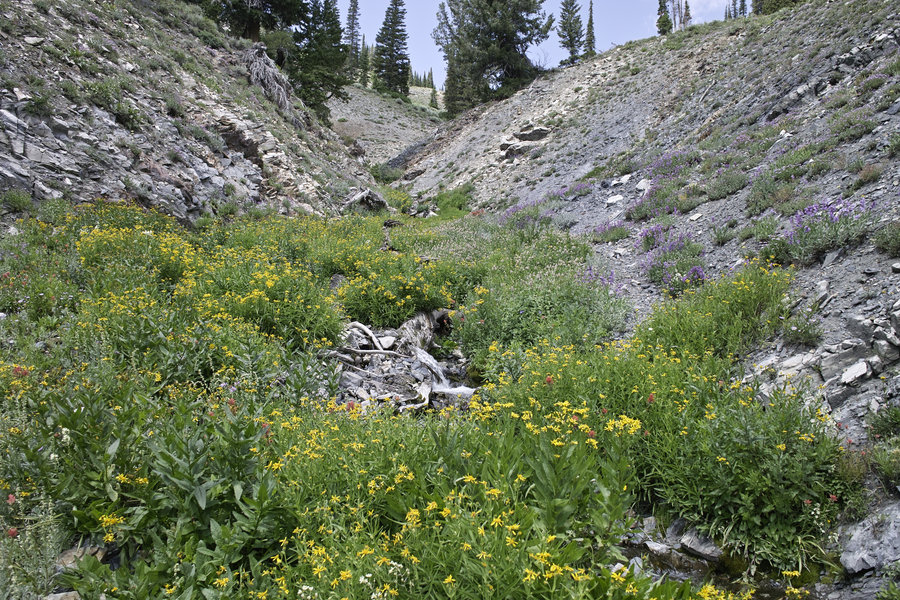
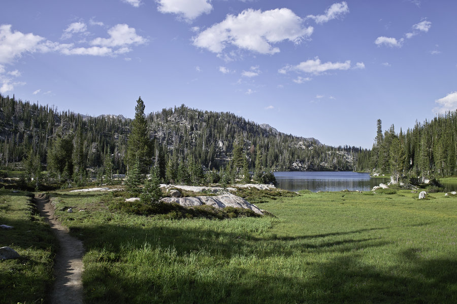
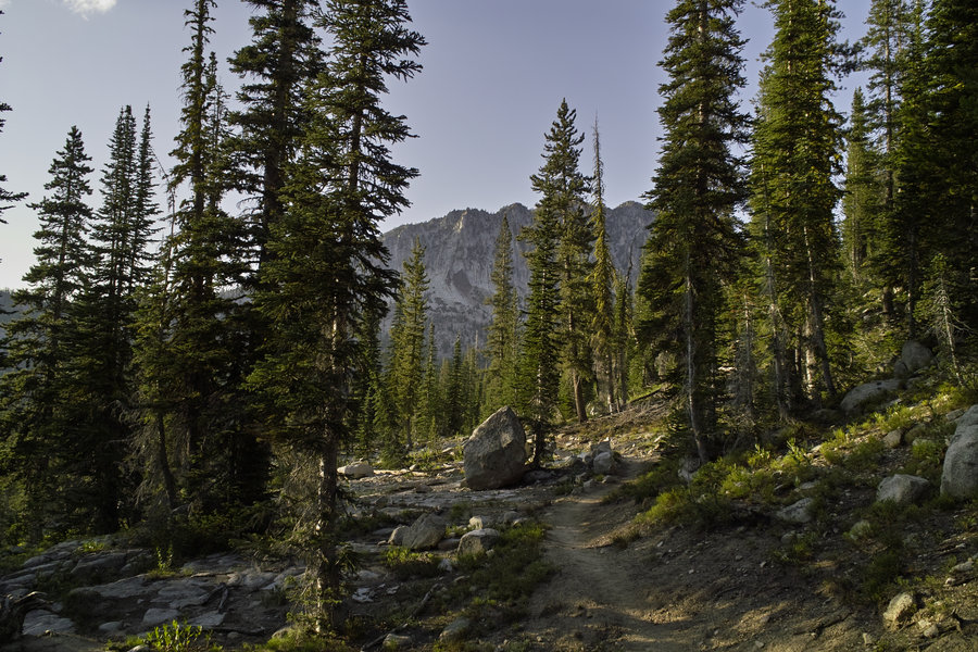
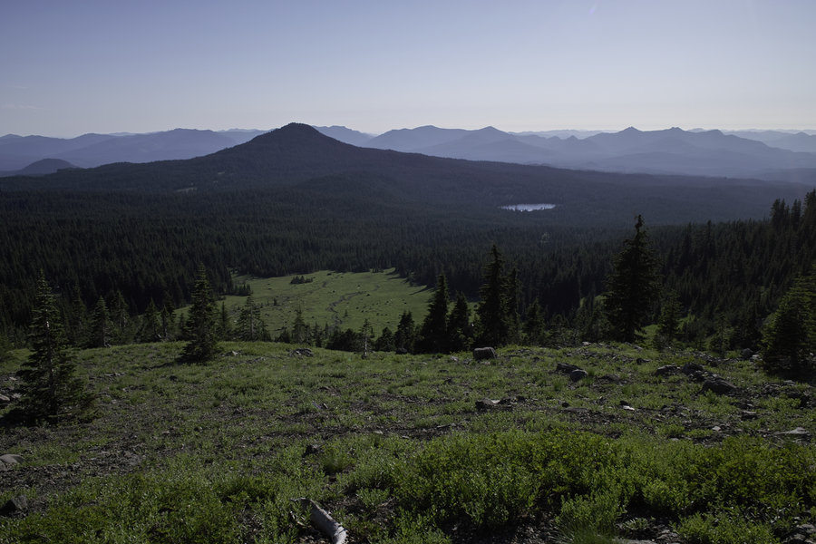
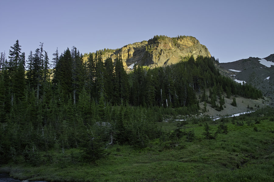
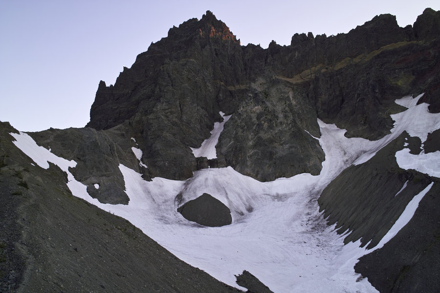
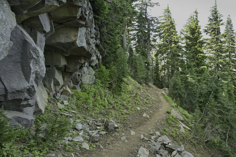
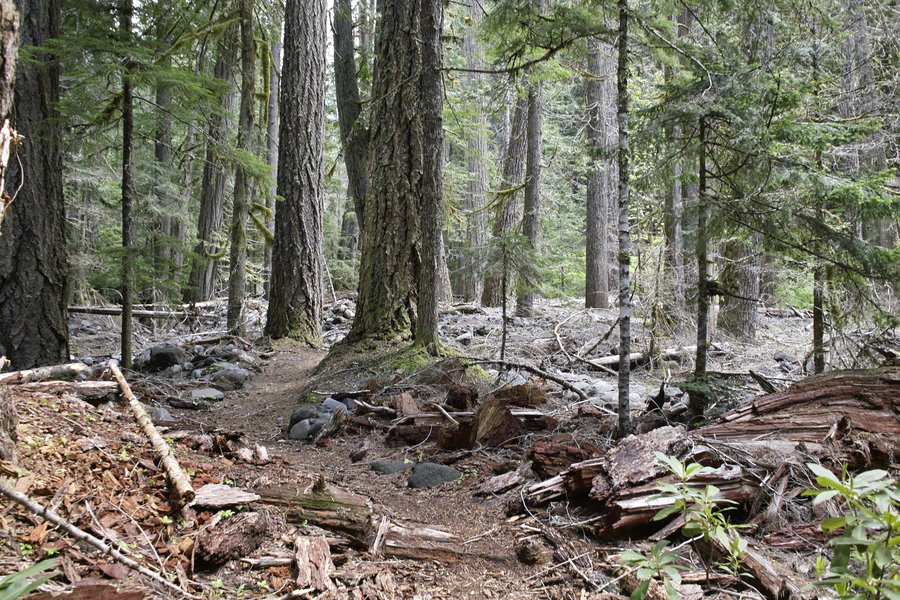
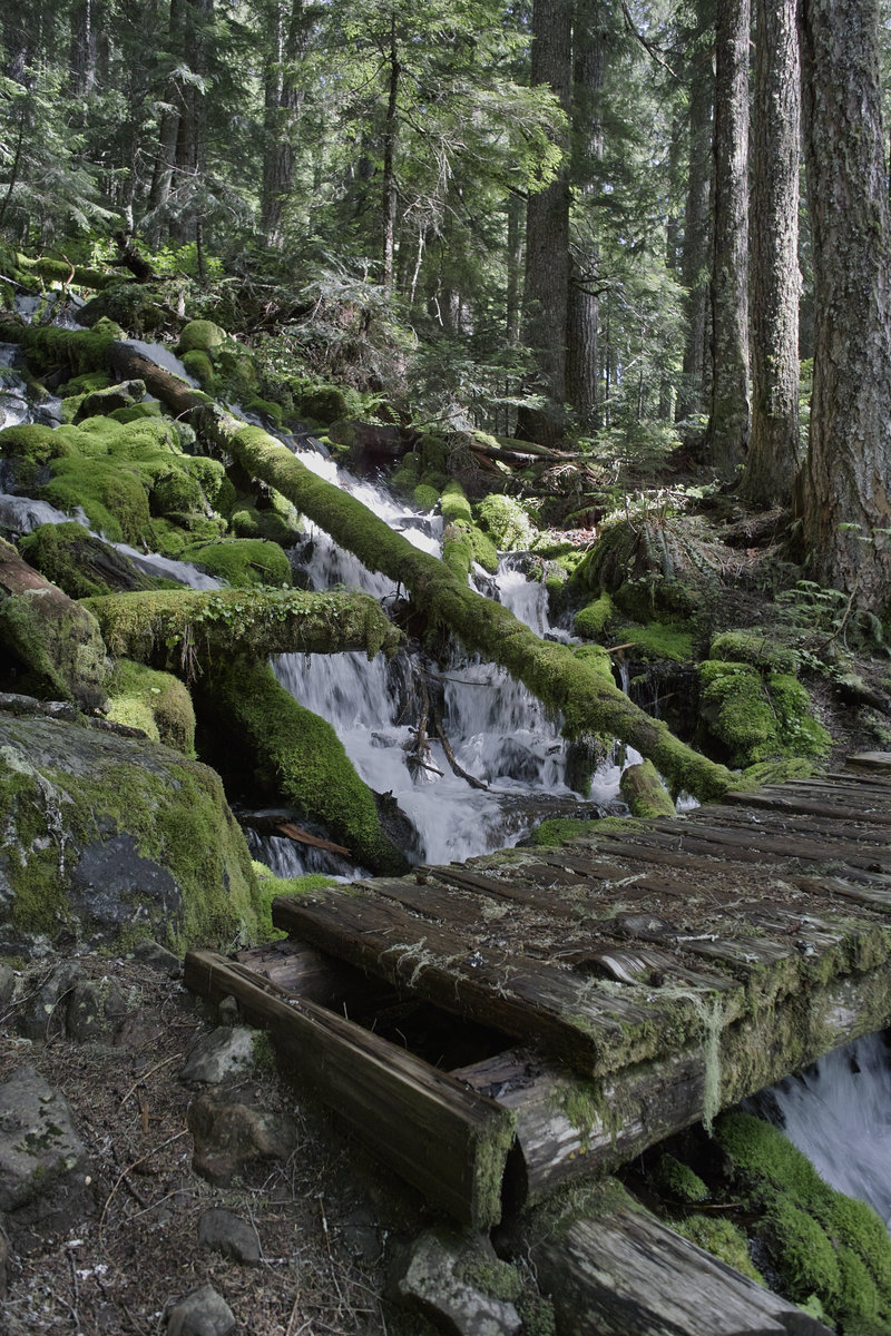
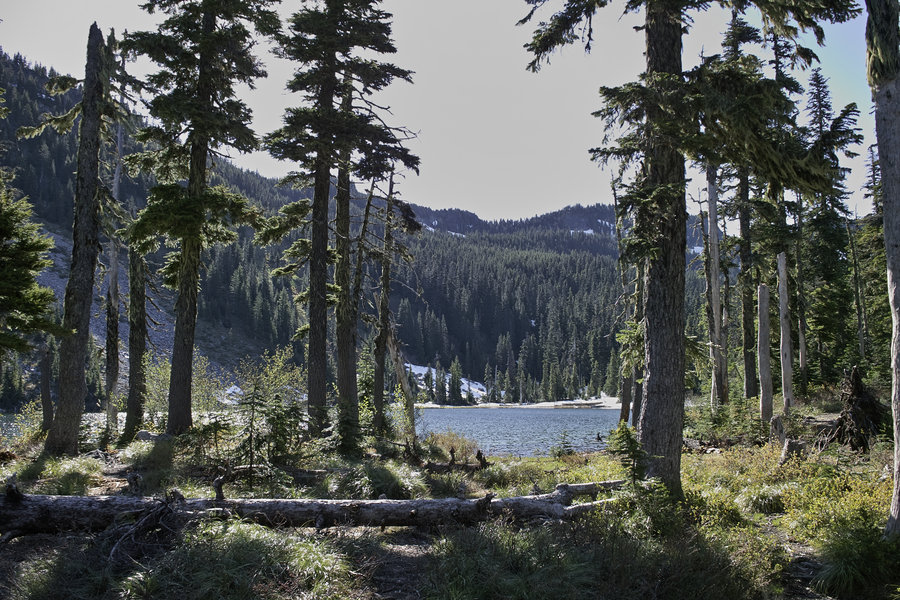
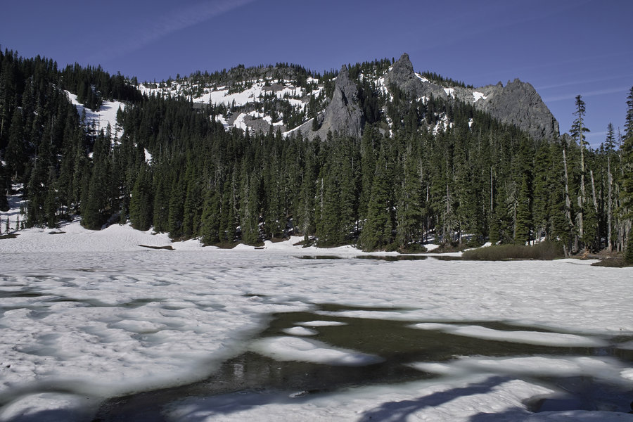
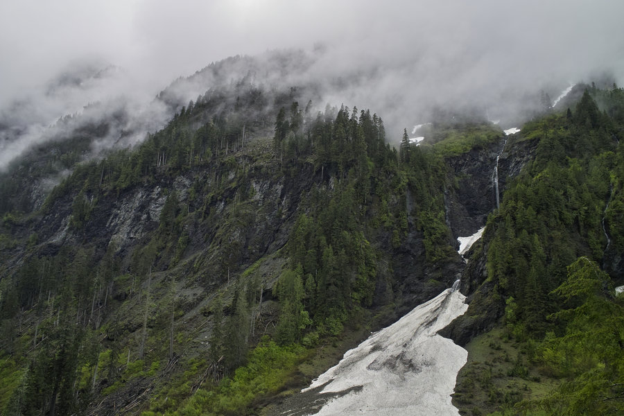
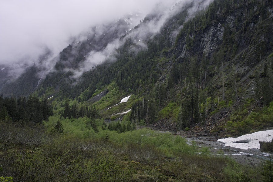
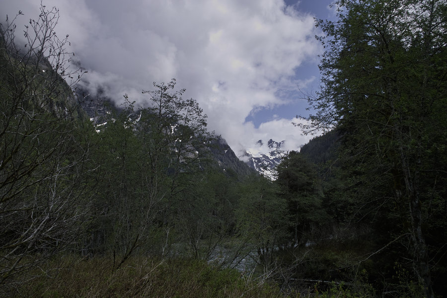
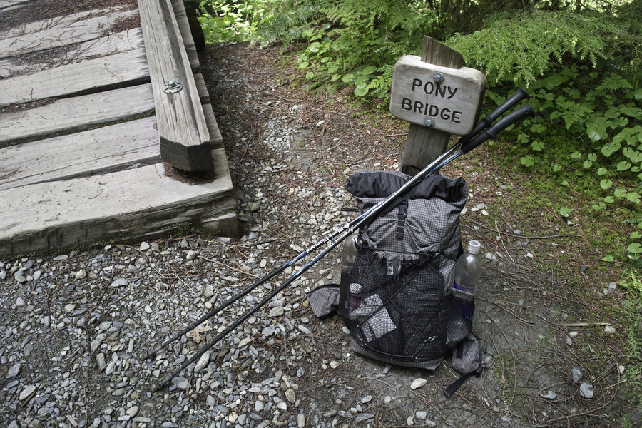
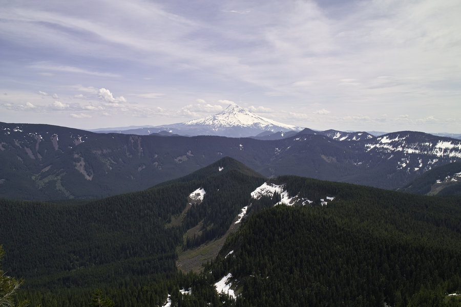
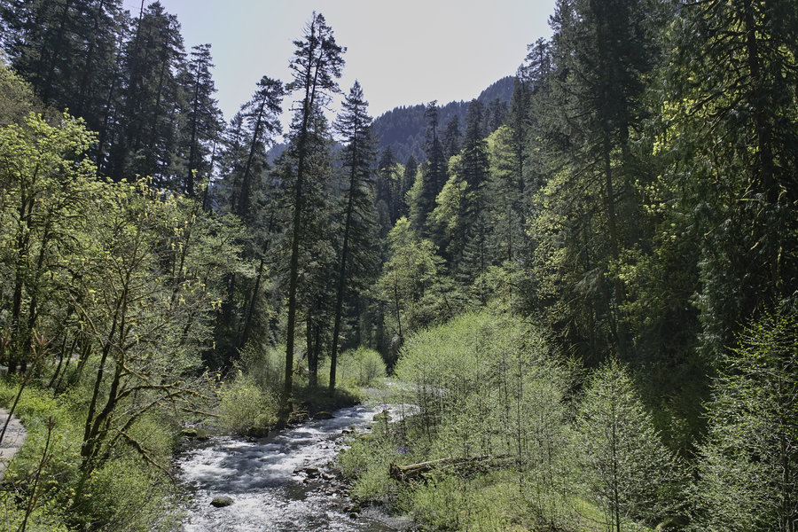
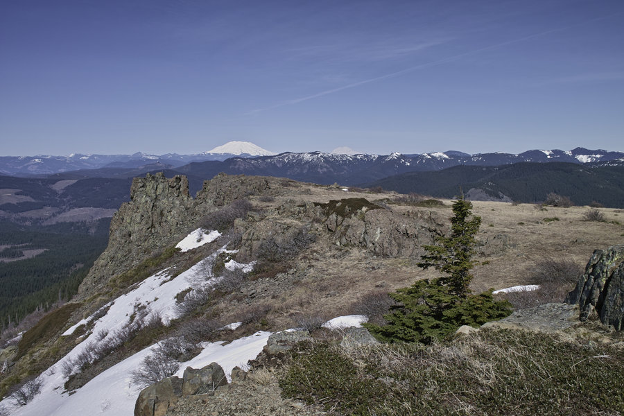
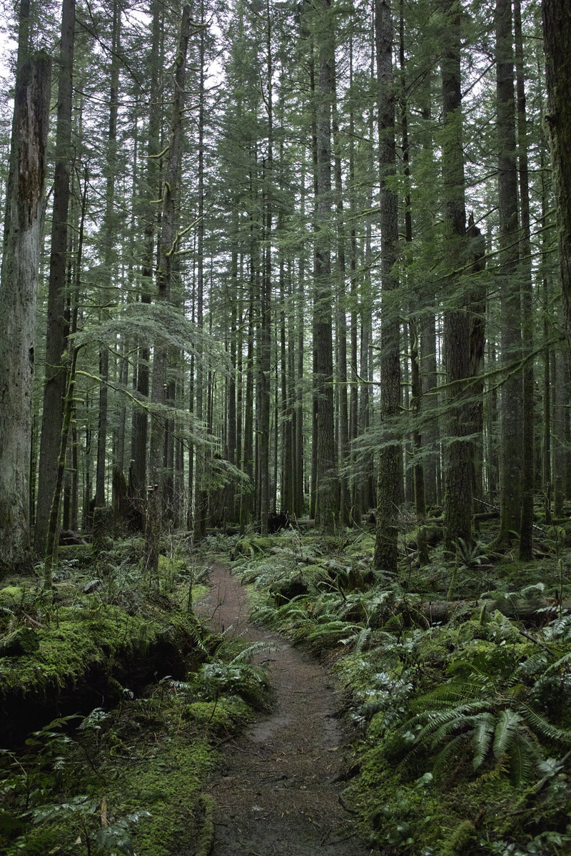
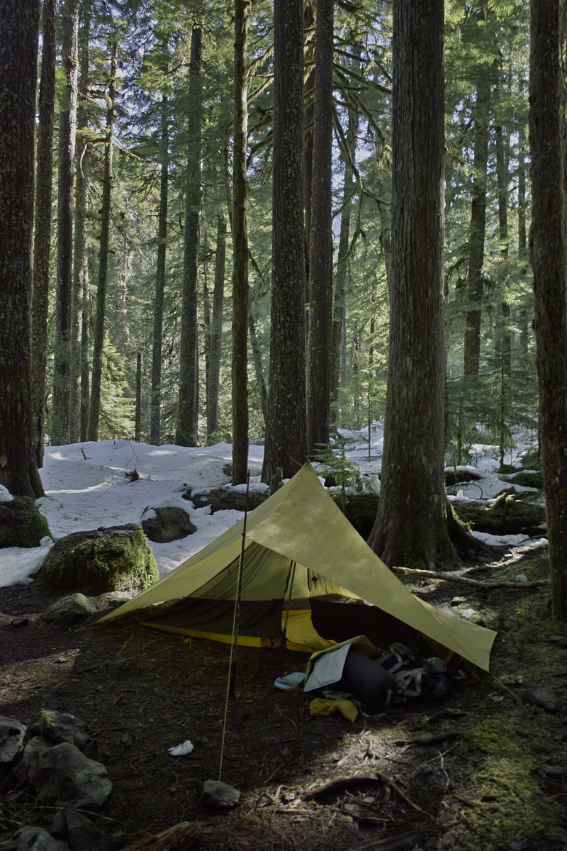
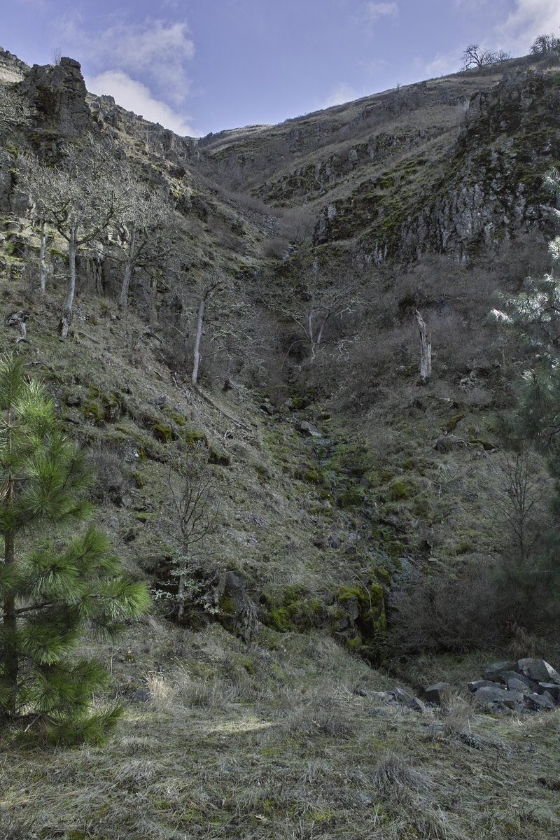
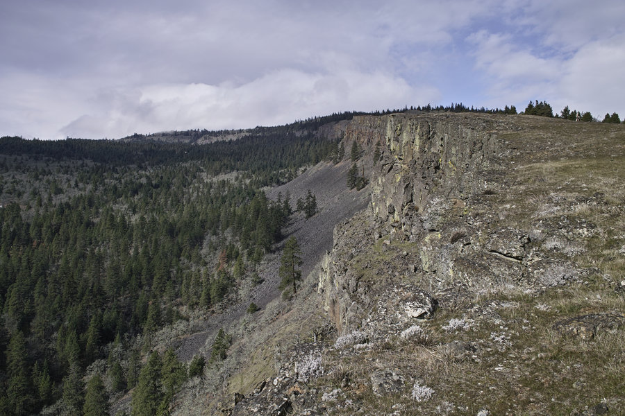
Trinity Alps - Long Canyon/Siligo Meadows/Deer Lake
13.5 miles of hiking • 4500' elevation gain • 1 night
Left Saturday morning, home Sunday night. The snow courses were saying a few inches around 7000' and they were right, but the snow made for slower going than expected, so the original plan for Four Lakes Loop was out. We set up camp in Siligo Meadows and had nice views of the granite. Very nice weather, highs of about 50, lows of about 25, and a great sunset and sunrise.
November 23 – November 24, 2013

 3
3
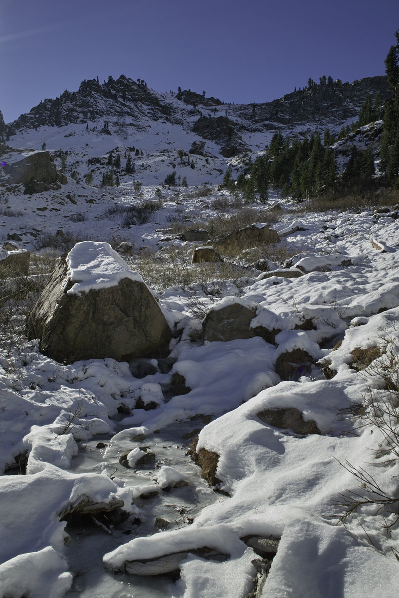
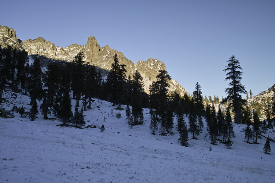
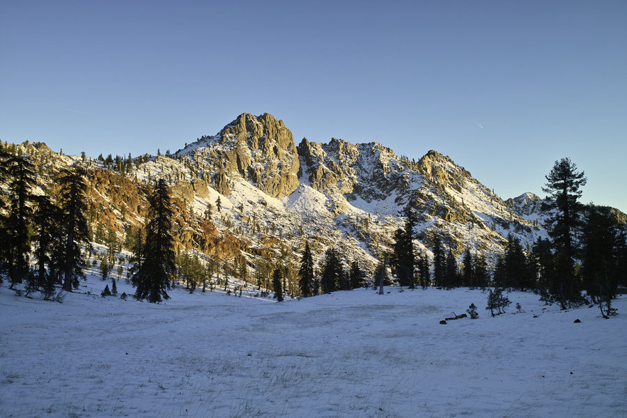
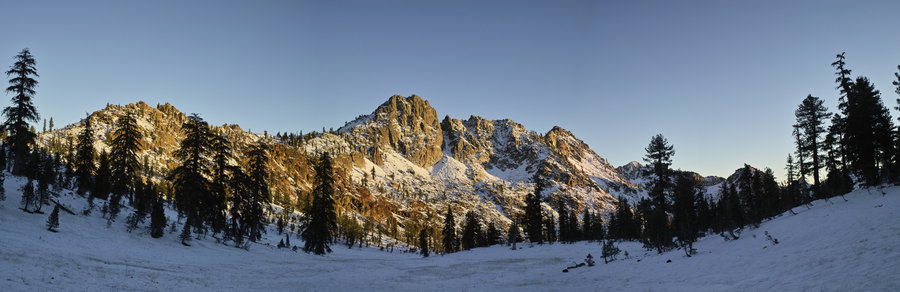
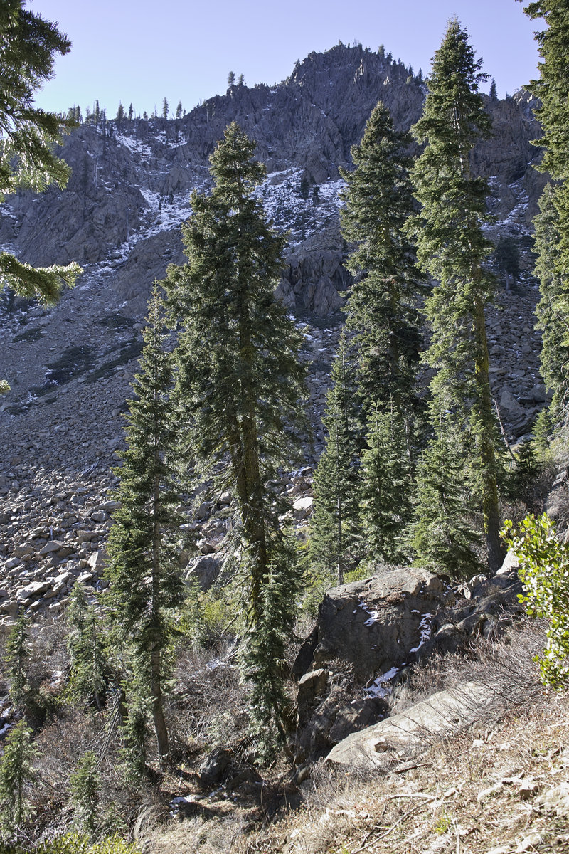
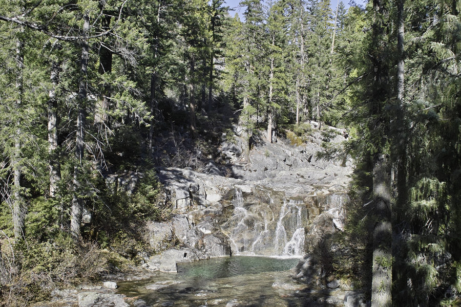
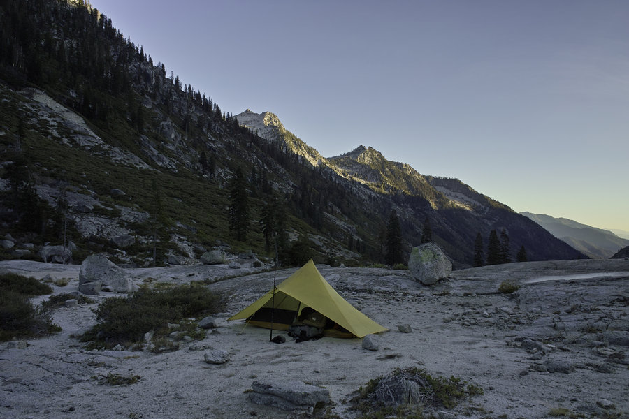
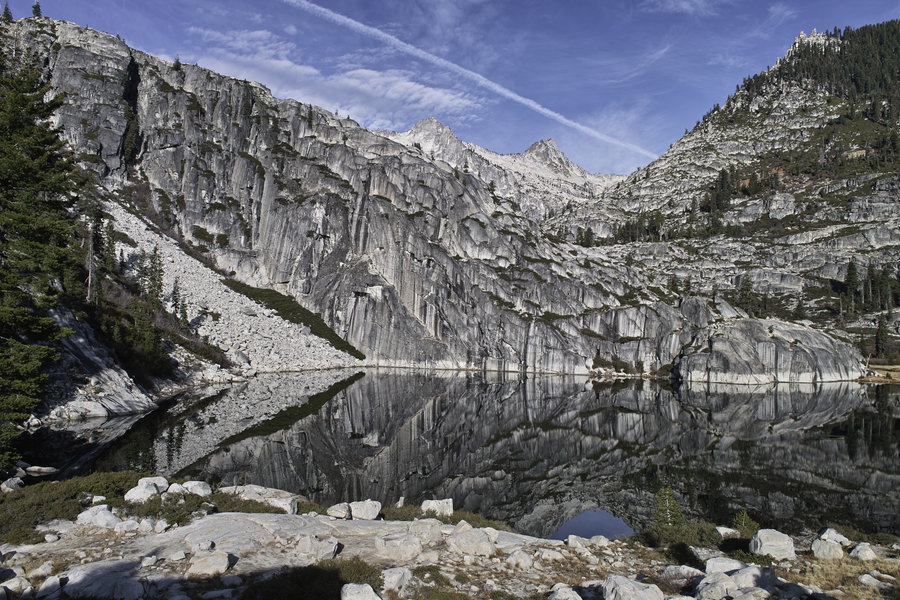
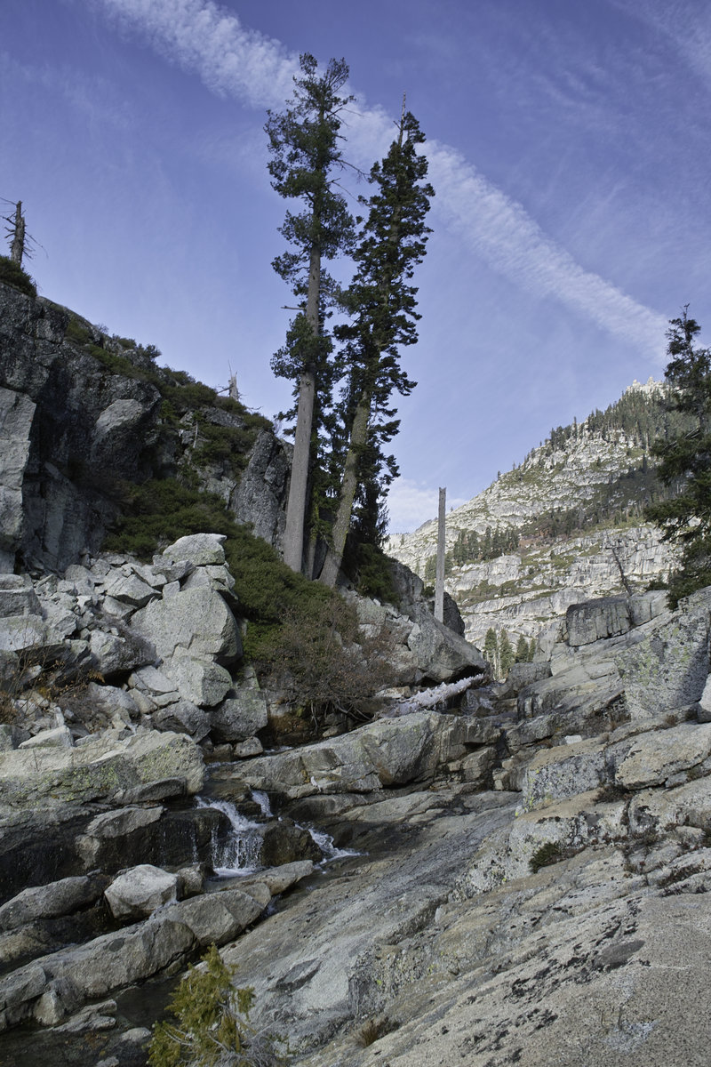
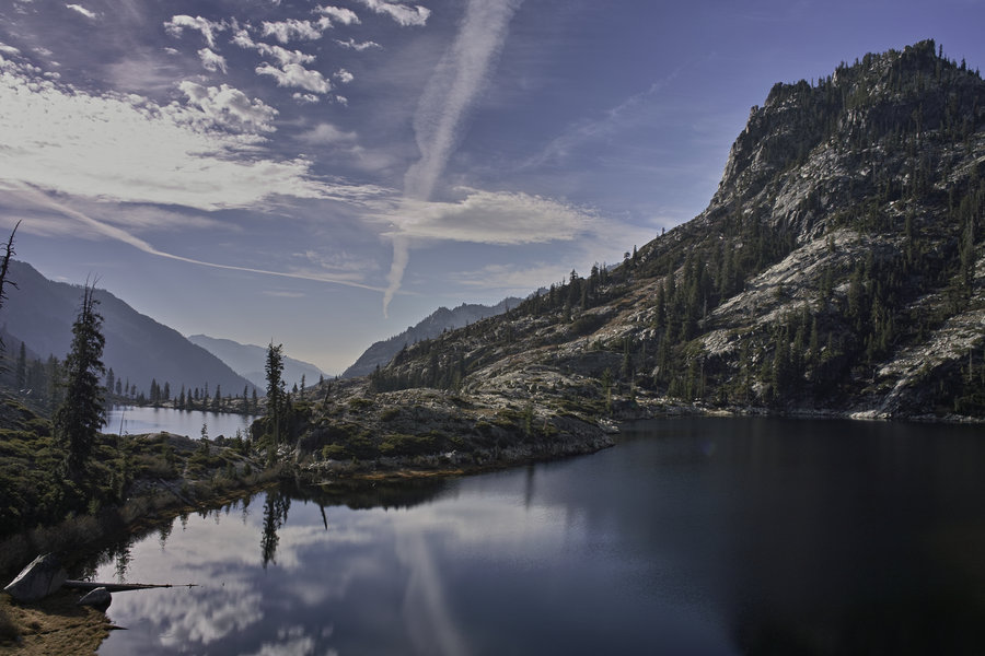
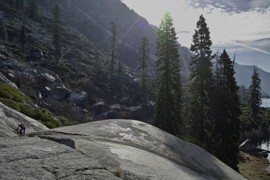
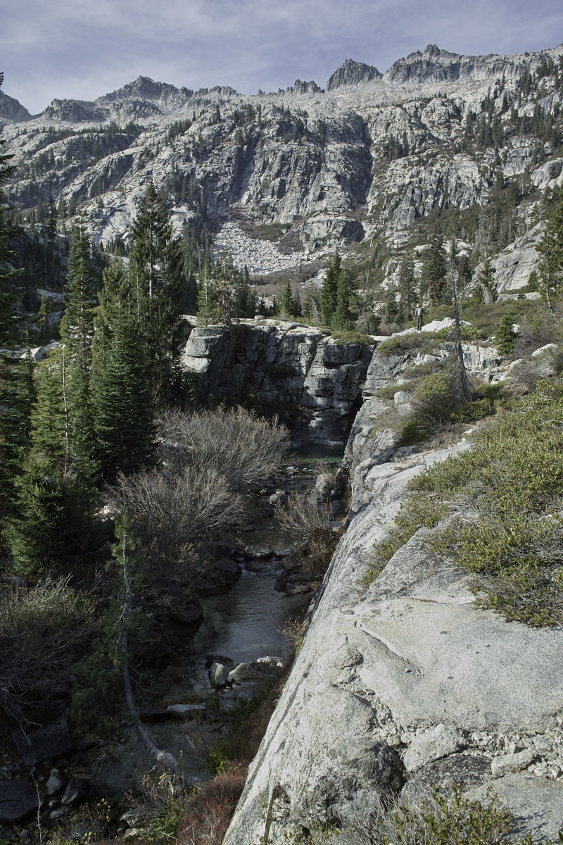
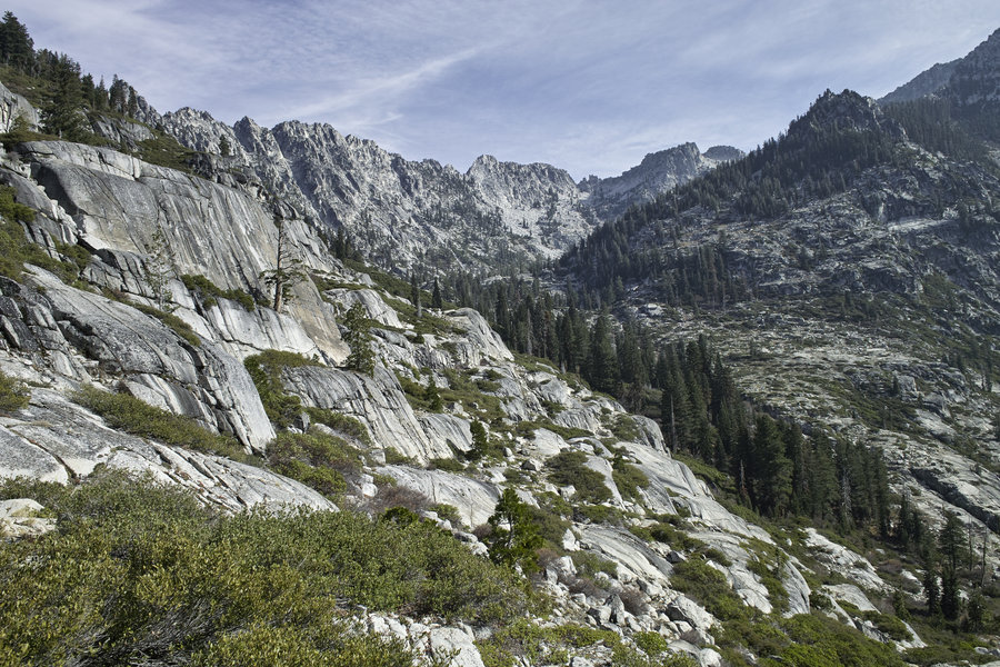
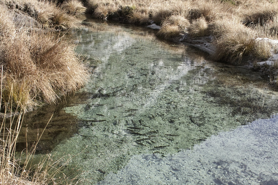
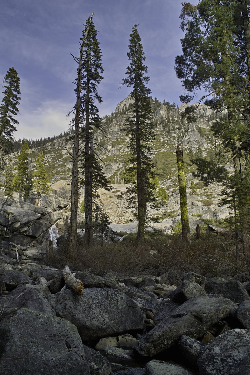
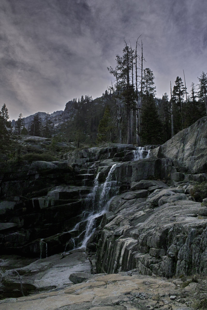
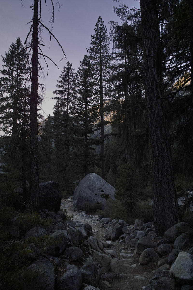
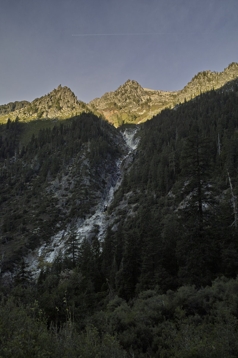
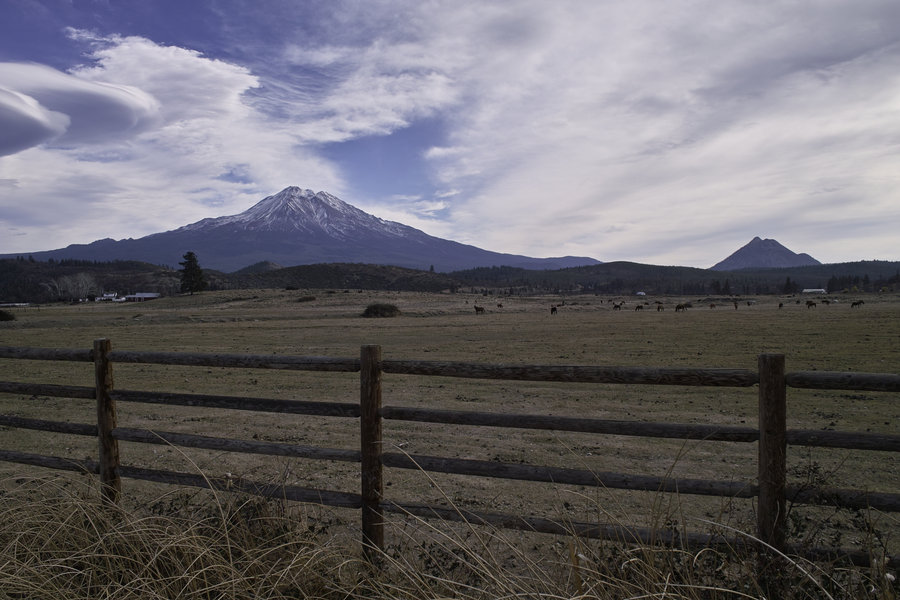
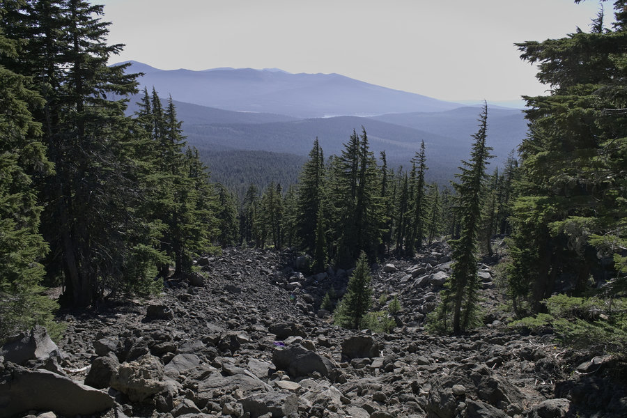
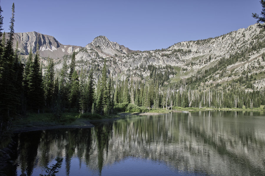
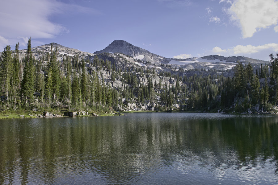
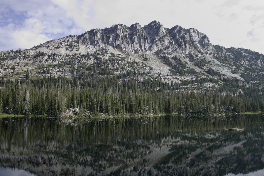
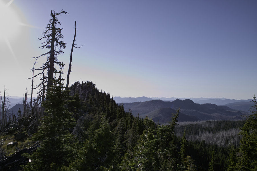
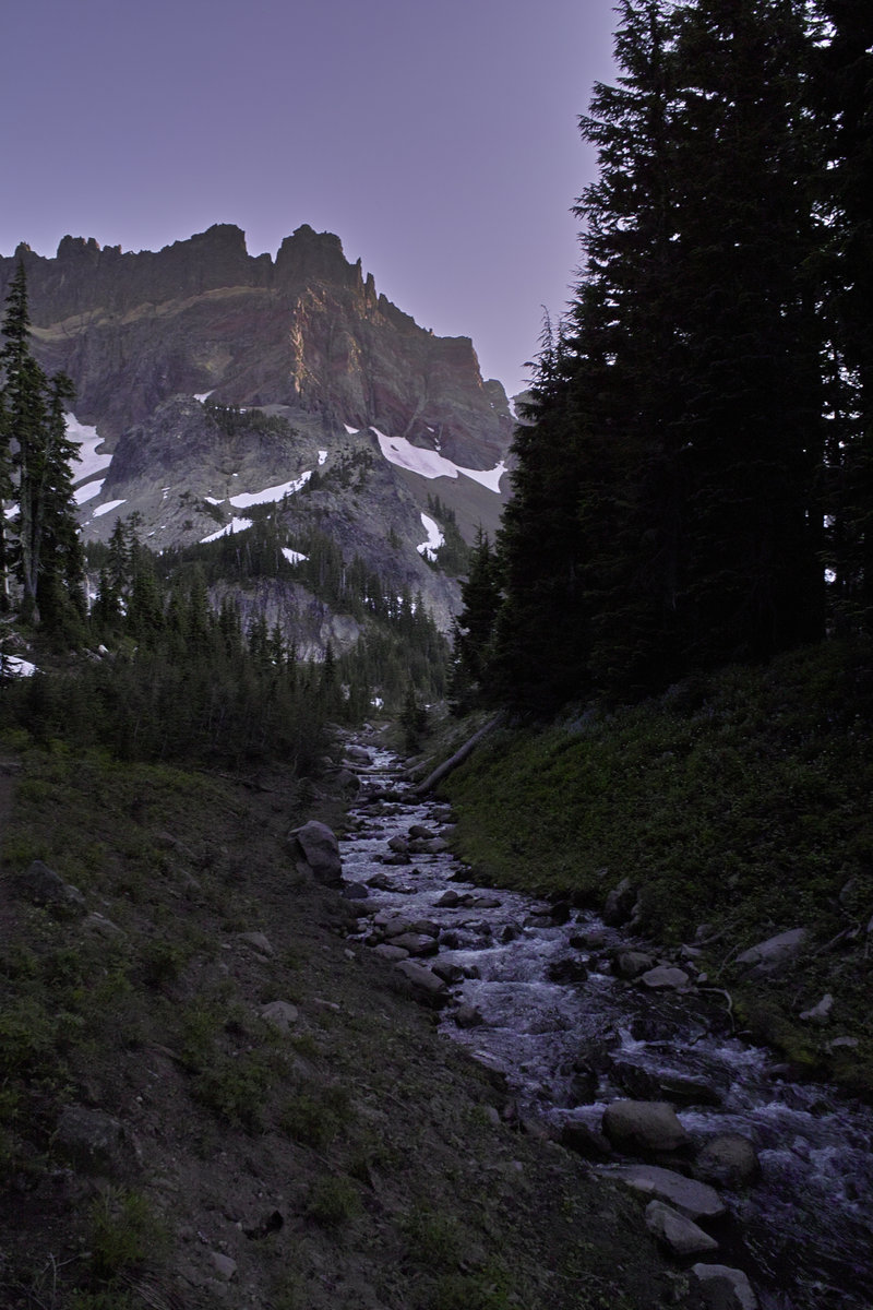
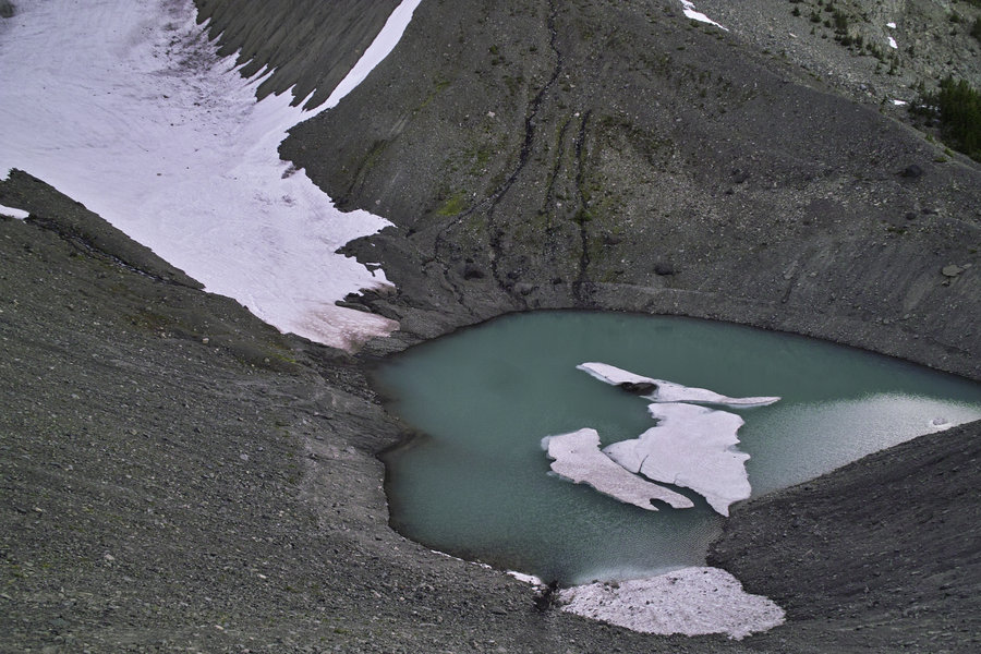
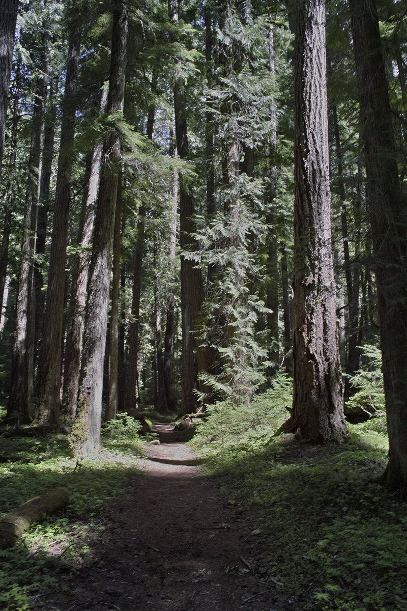
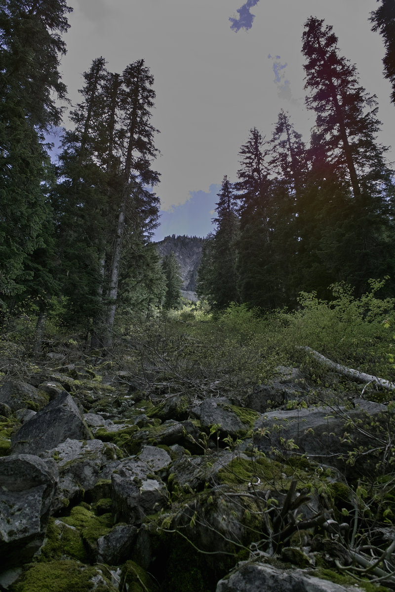
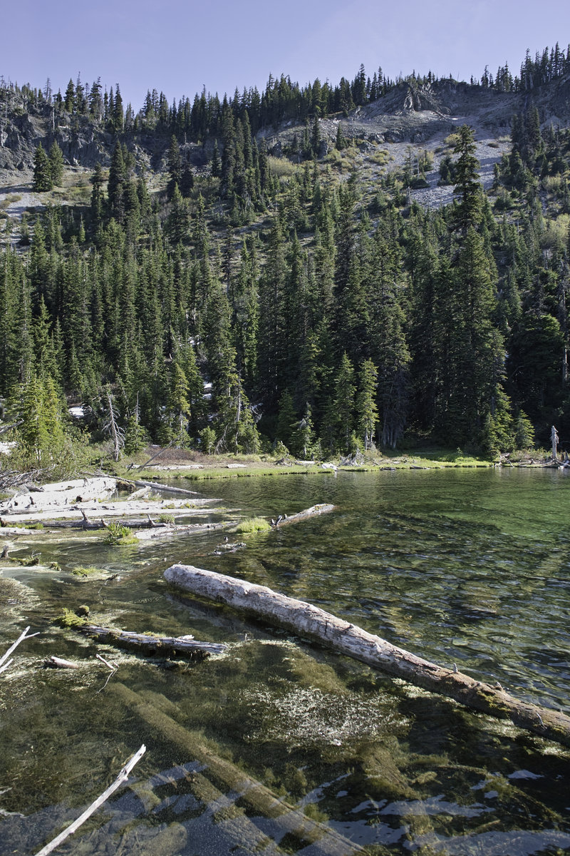
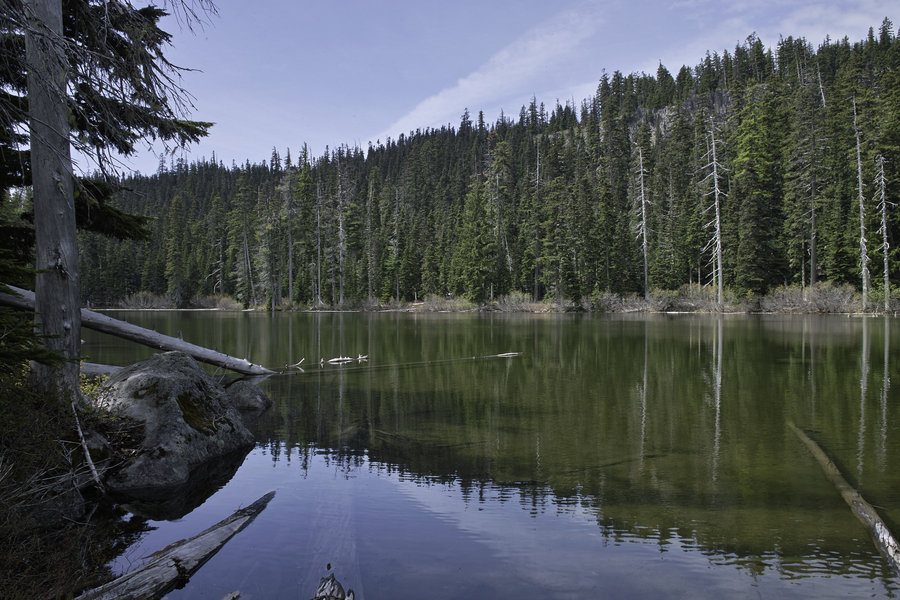
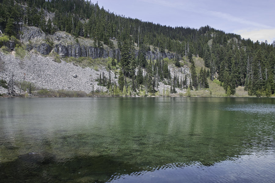
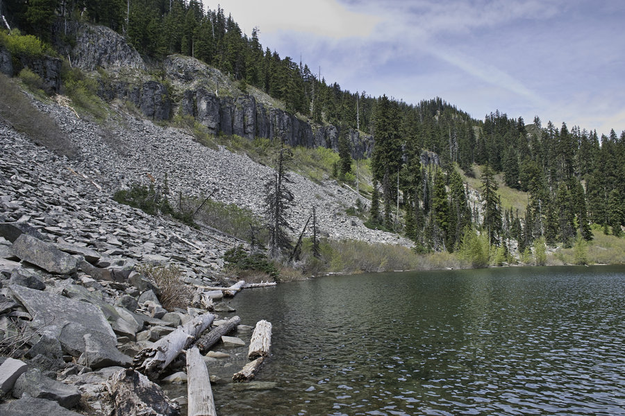
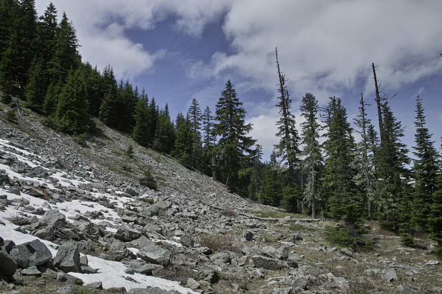
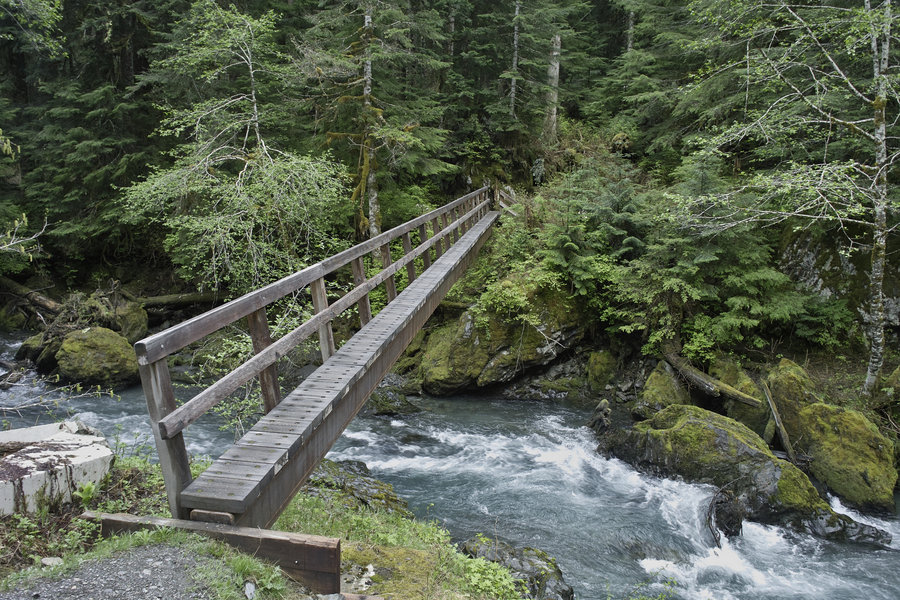
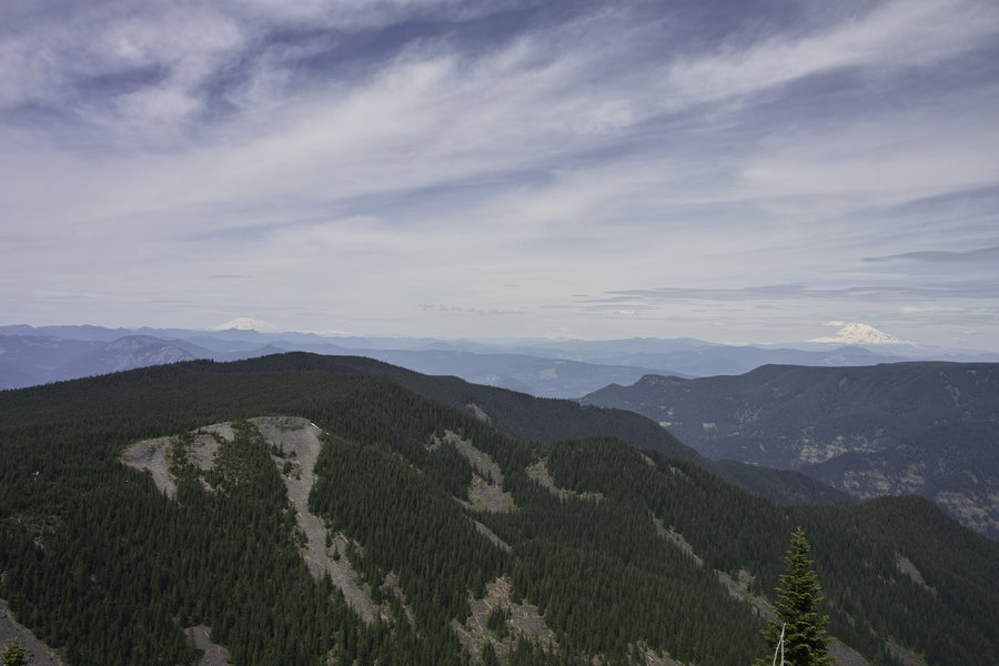
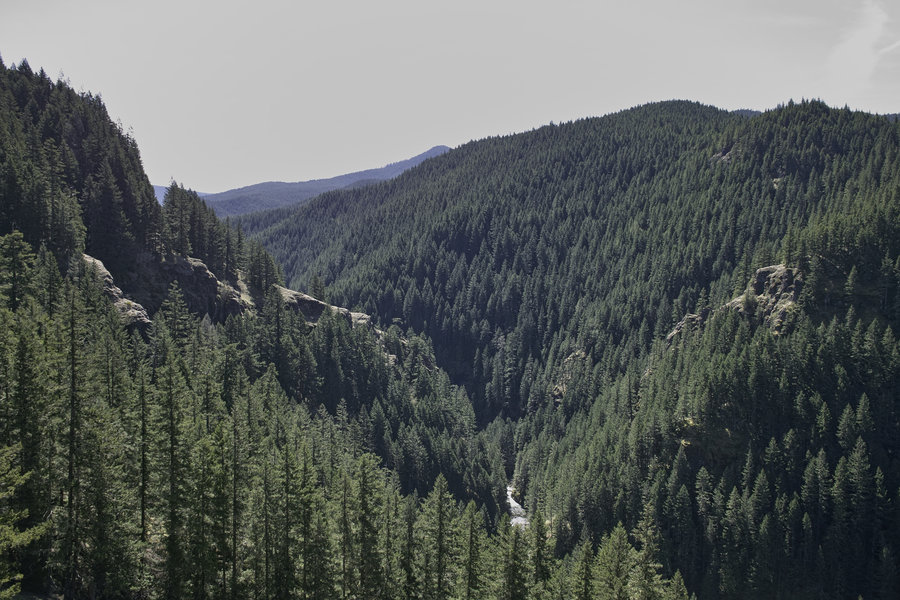
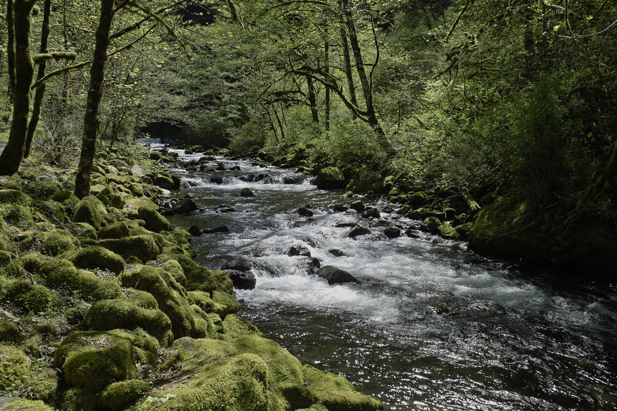
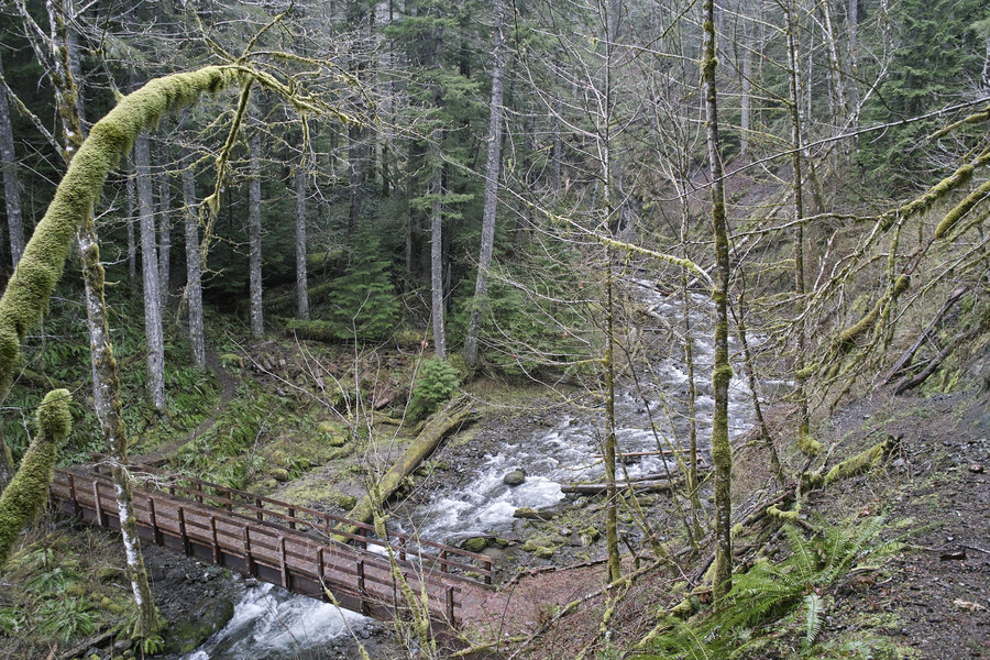
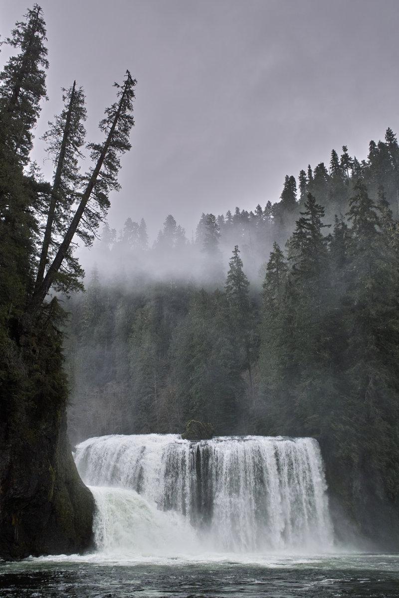
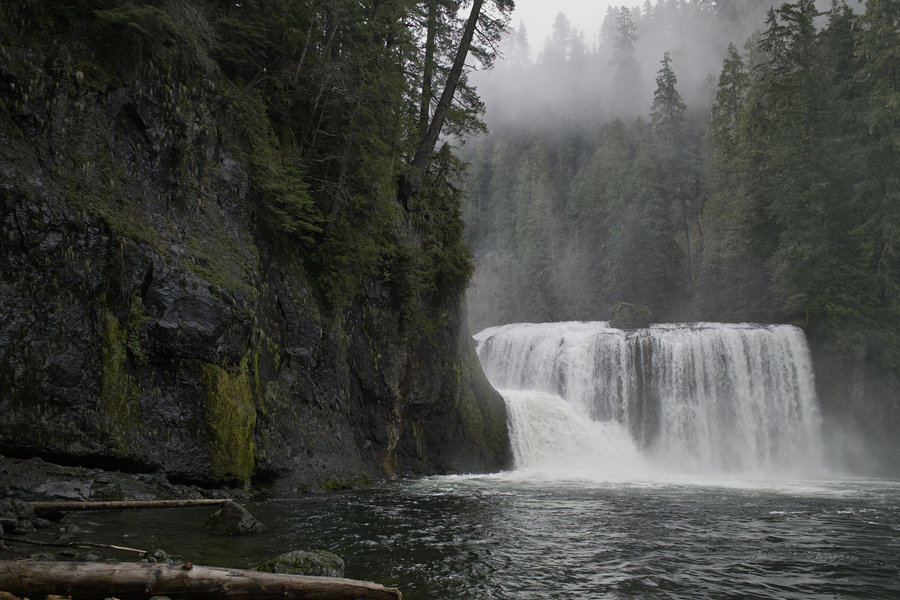
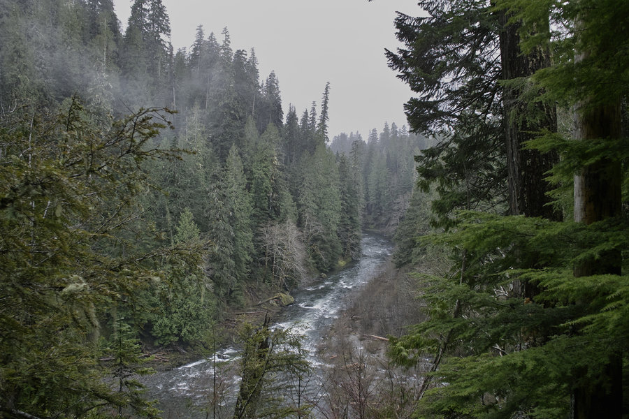
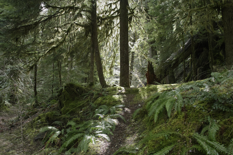
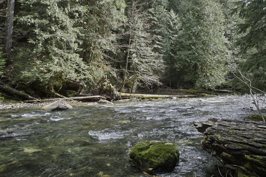
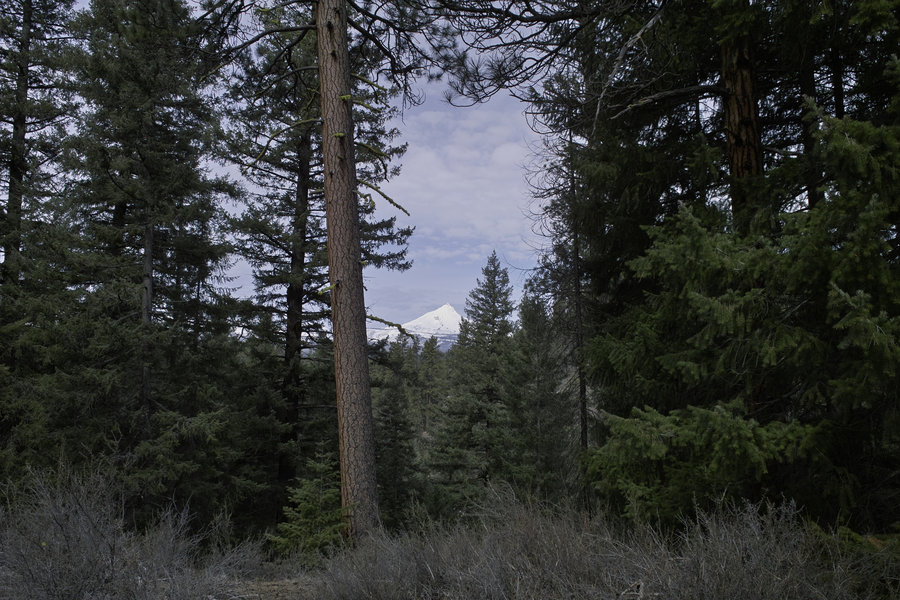
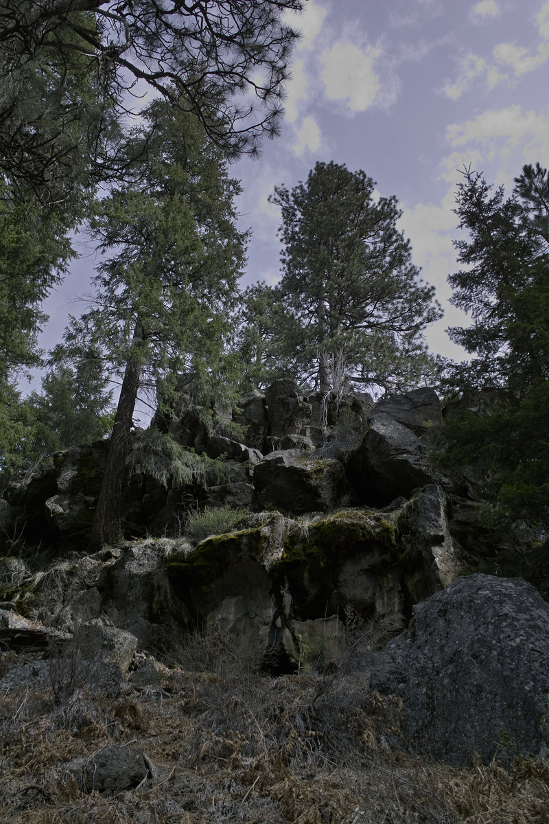
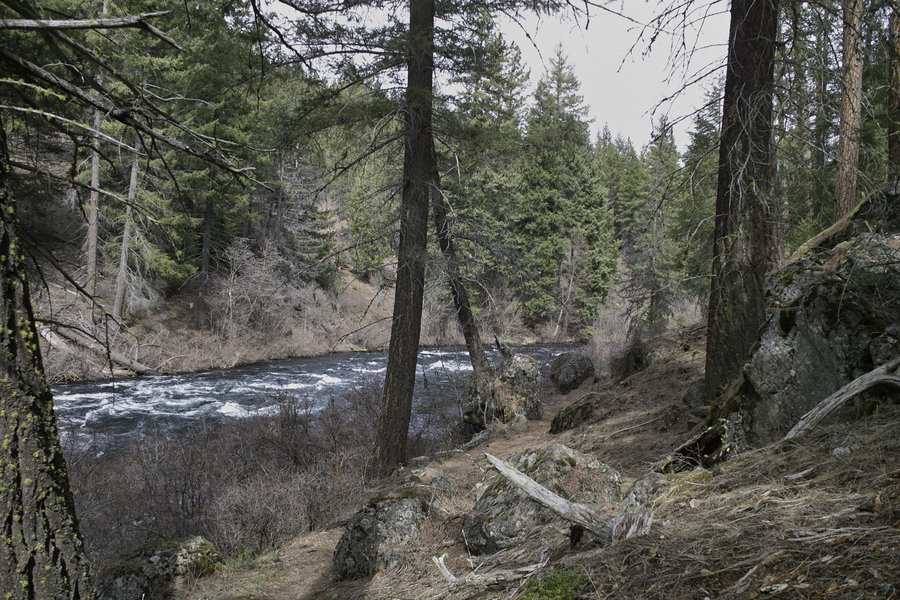
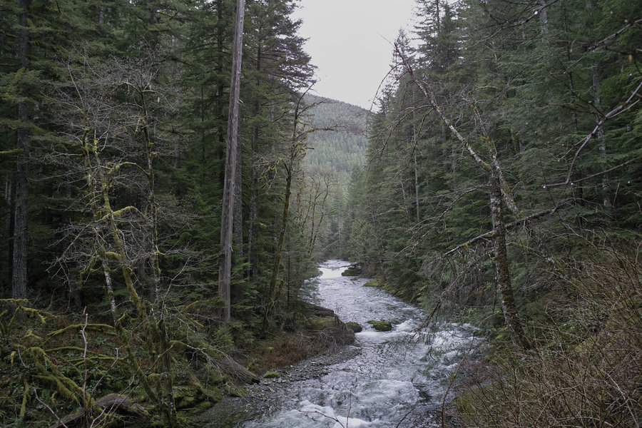
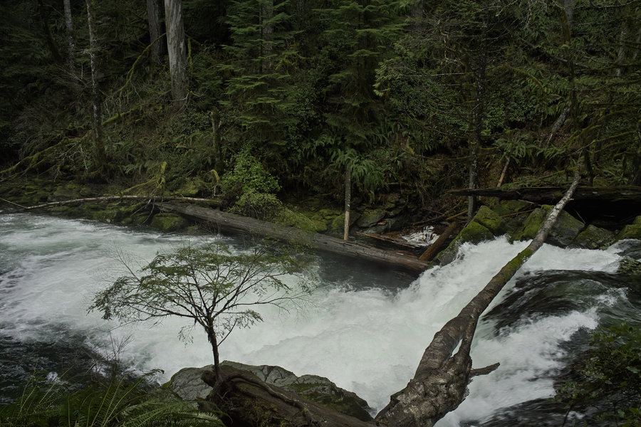
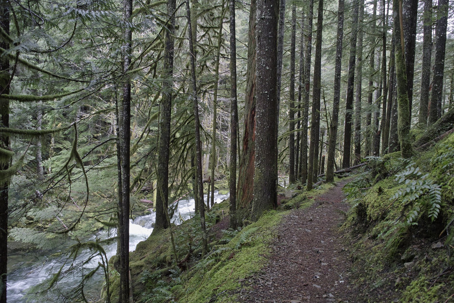
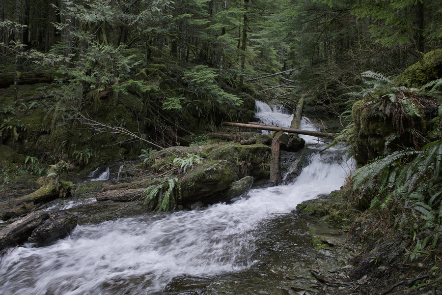
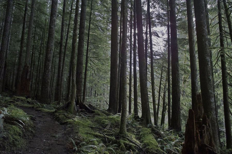
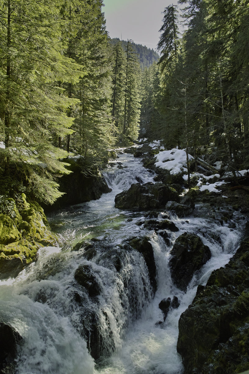
Trinity Alps - Canyon Creek Lakes
22.5 miles of hiking • 4750' elevation gain • 2 nights
A trip down to Trinity Alps. 3.75 hours from Grants Pass, taking Rt. 3. Left Saturday morning, arrived at 10:30a. This was a nice leisurely trip up to the lakes. The next morning, we did some exploring up the canyon that leads to Thompson Peak. The second night we camped lower. The trout were spawning. Went FR 17 to Weed to I-5 to get home and got a picture of Shasta.
Great weather, and a nice little canyon.
November 9 – November 11, 2013

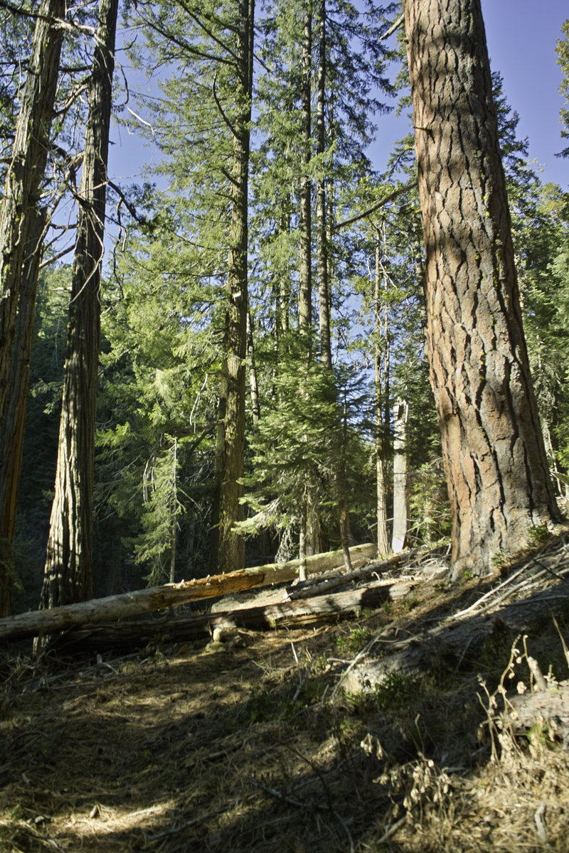
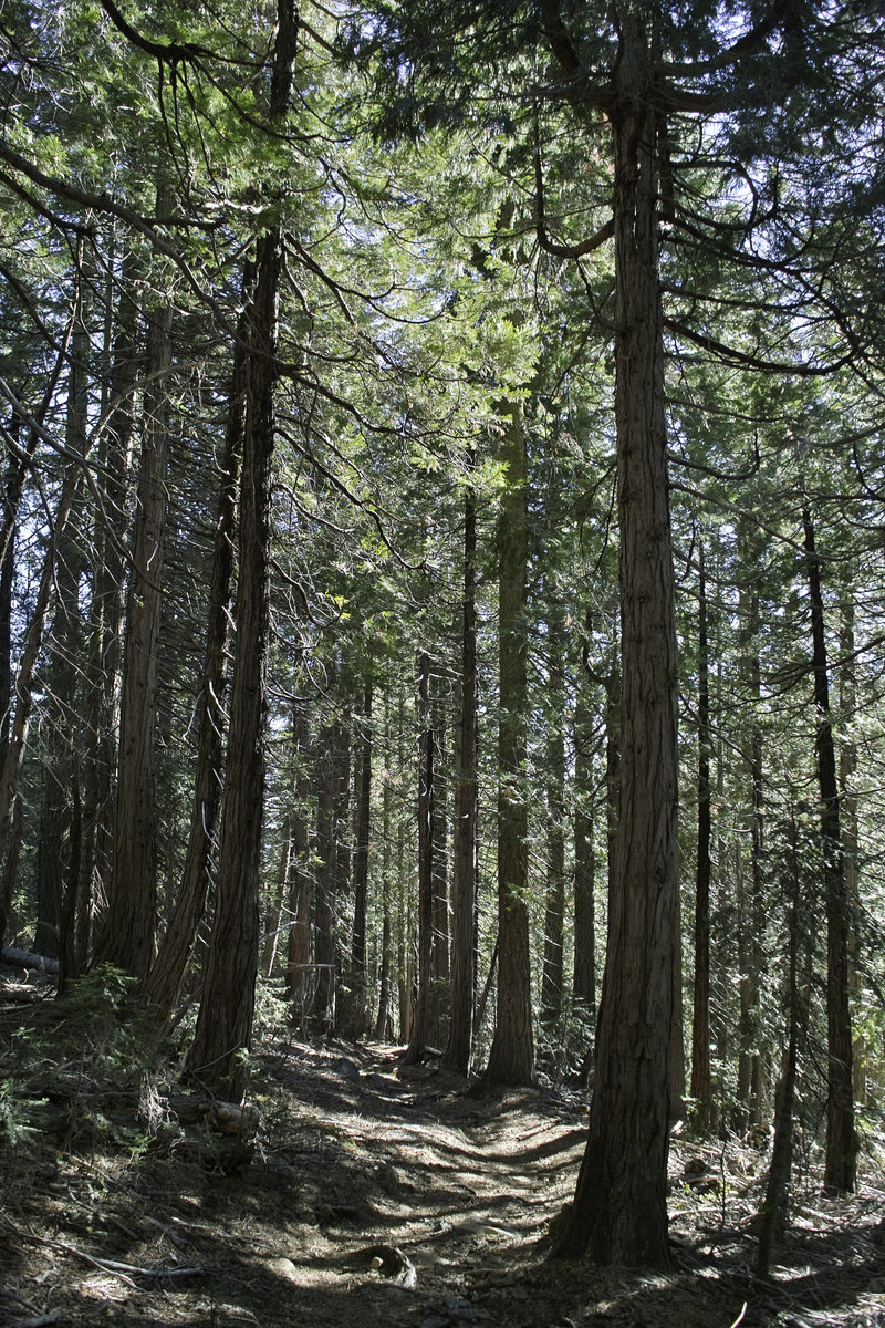
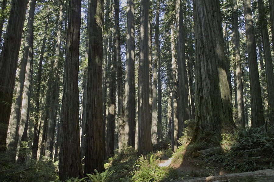
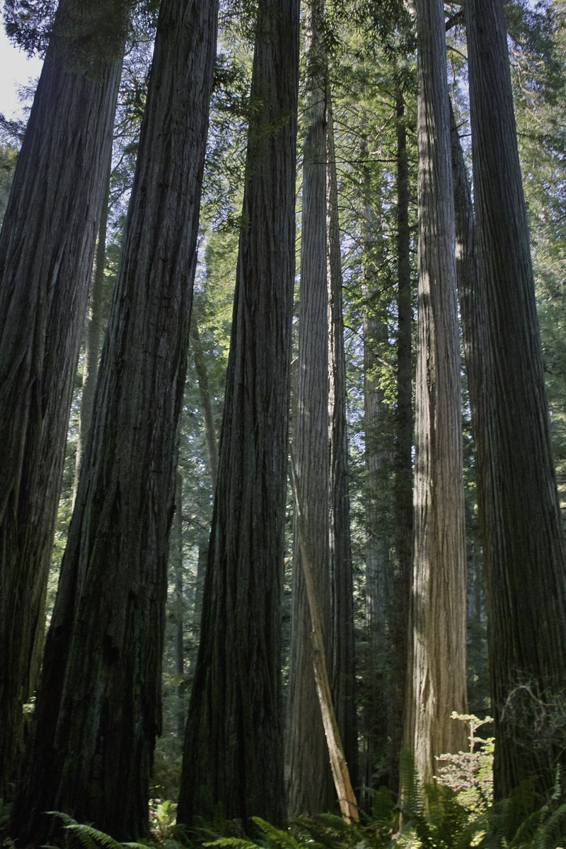
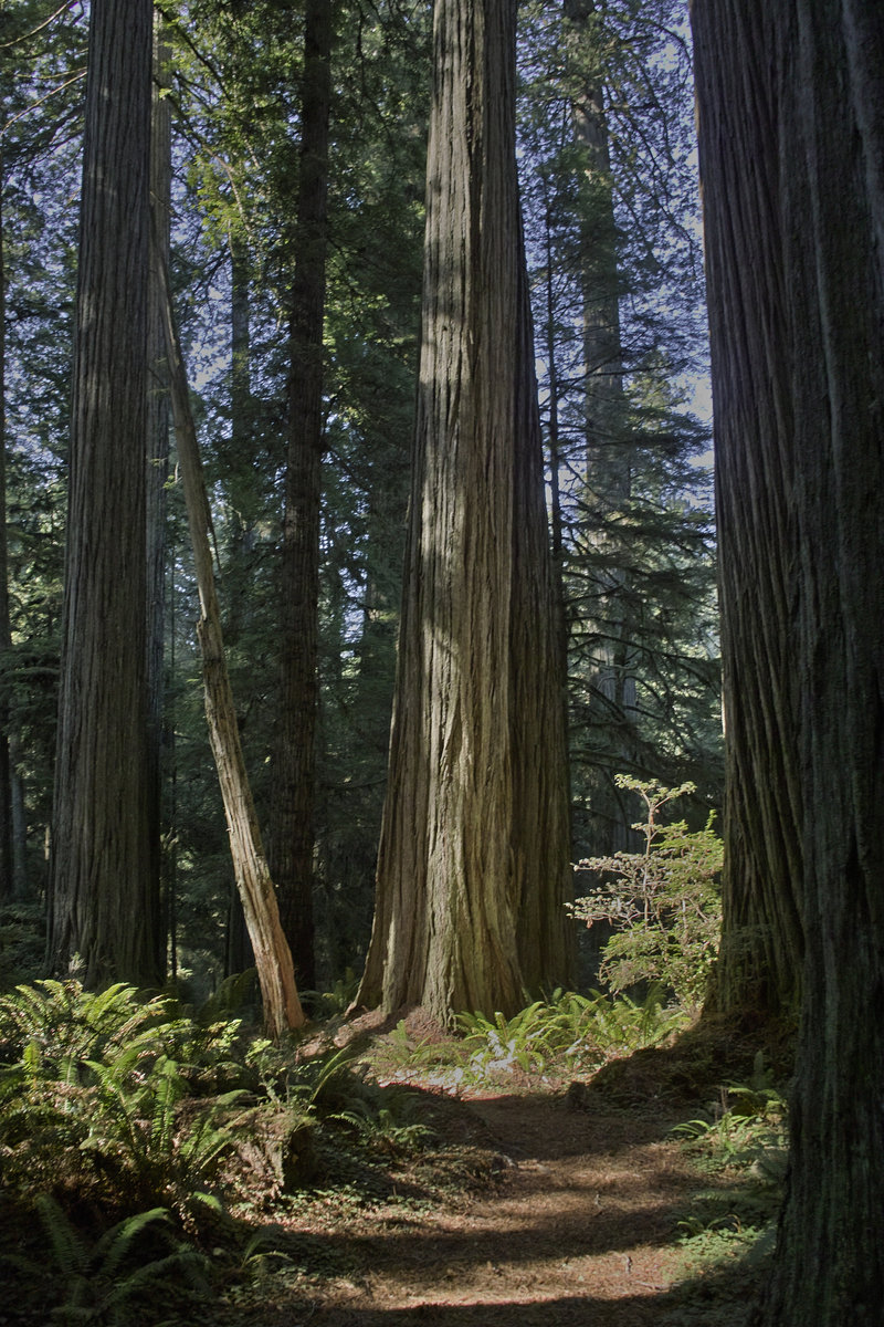
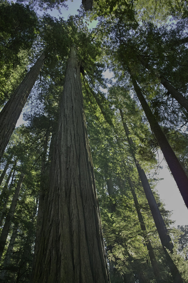
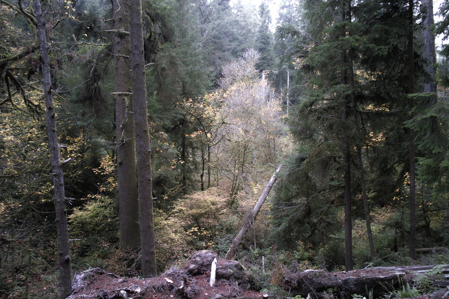
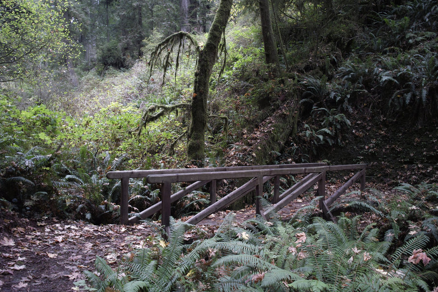
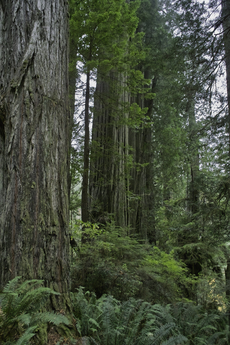
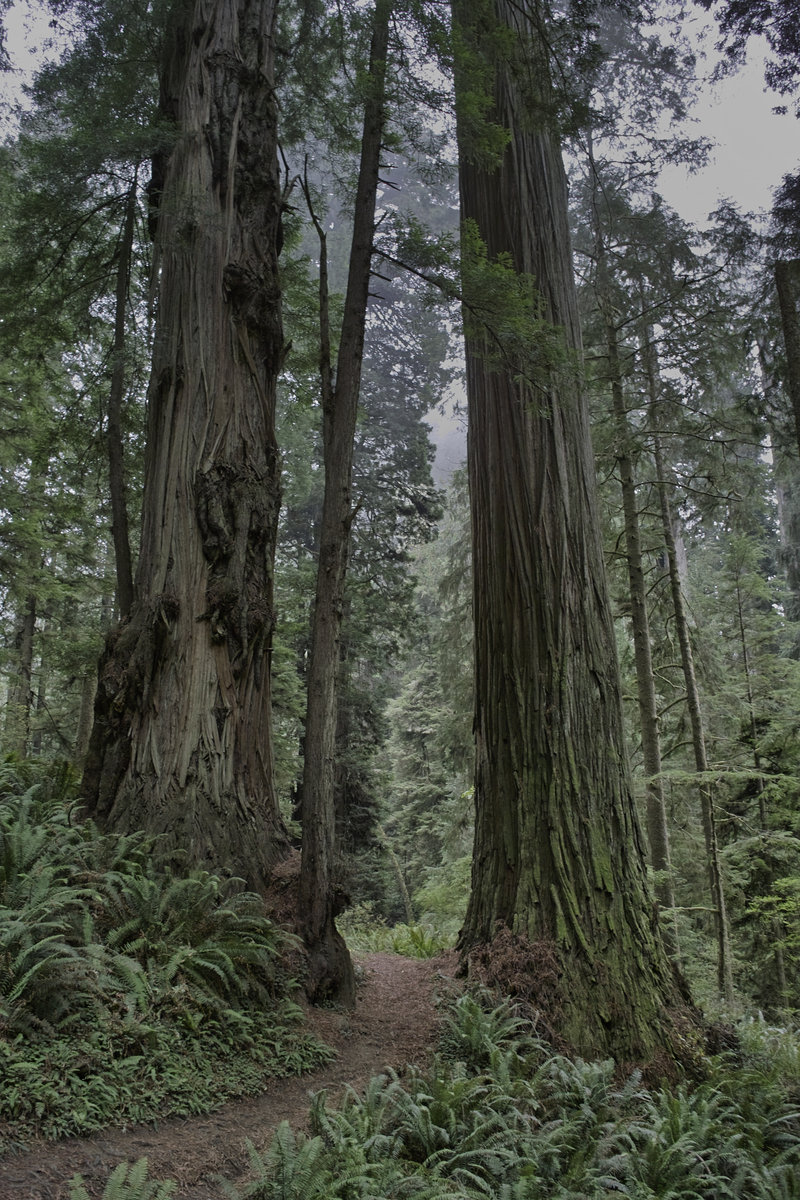
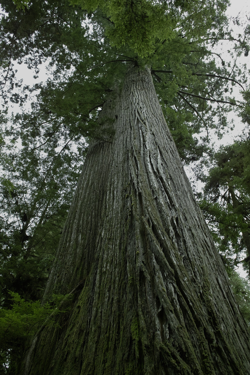
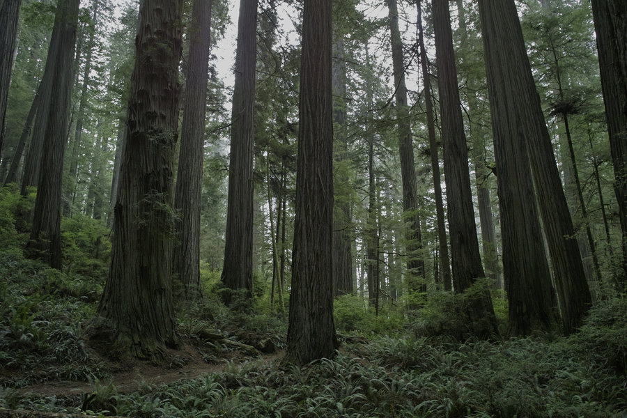
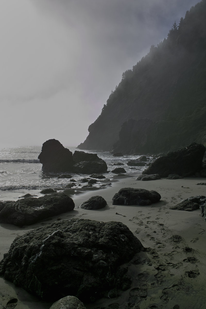
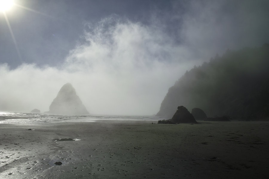
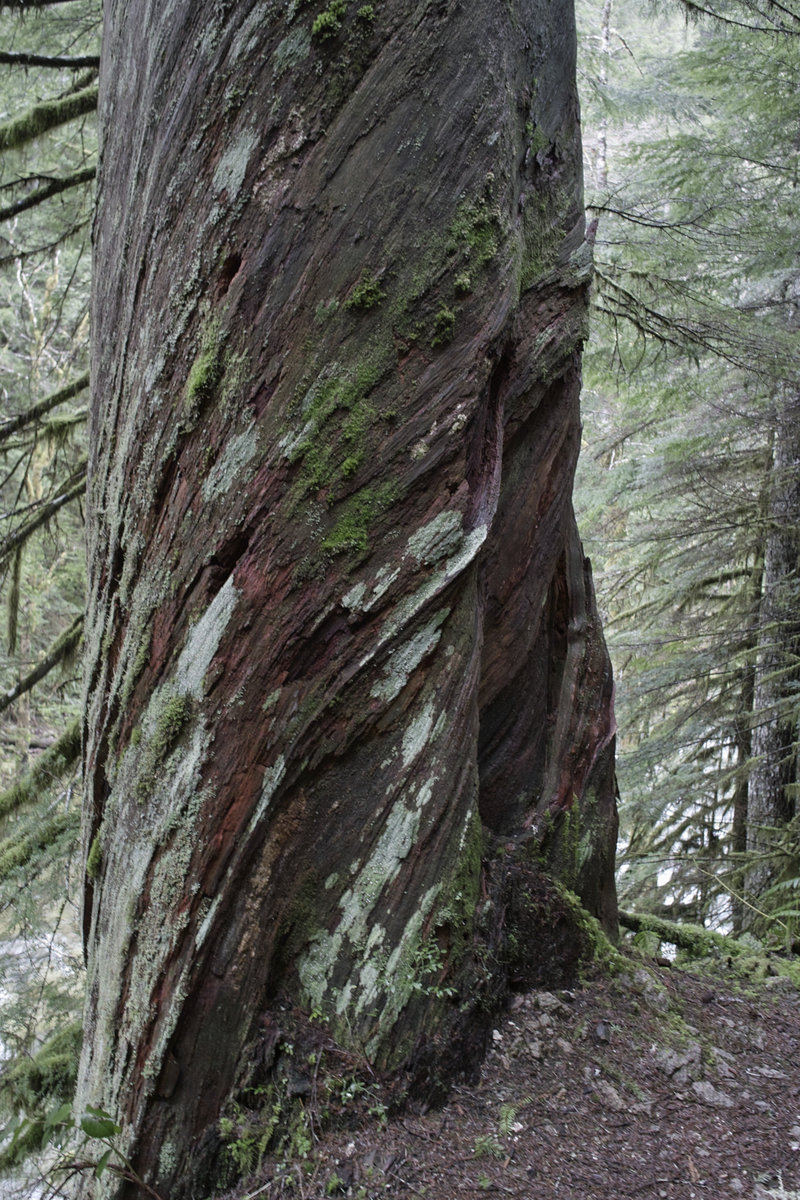
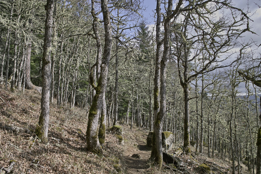
Jedediah Smith State Park
6 miles of hiking • 750' elevation gain •
Very cool redwoods; it's hard to capture the magnitude of these puppies. Definitely worth a trip if you're in the area. Also went up to Brookings and wandered around a bit on the beaches in Boardman SP.
October 26, 2013

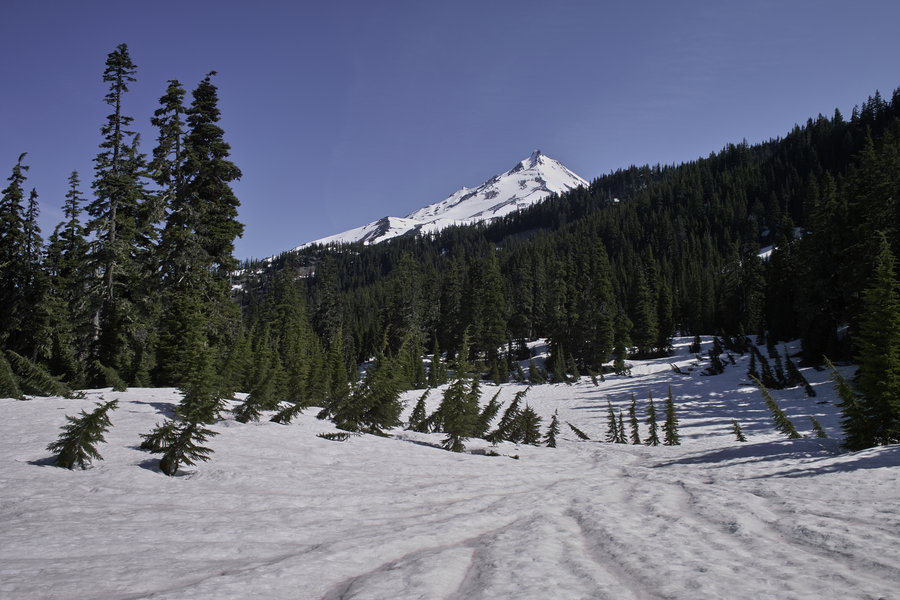
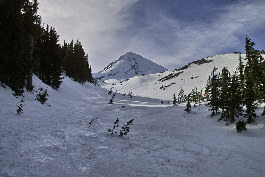
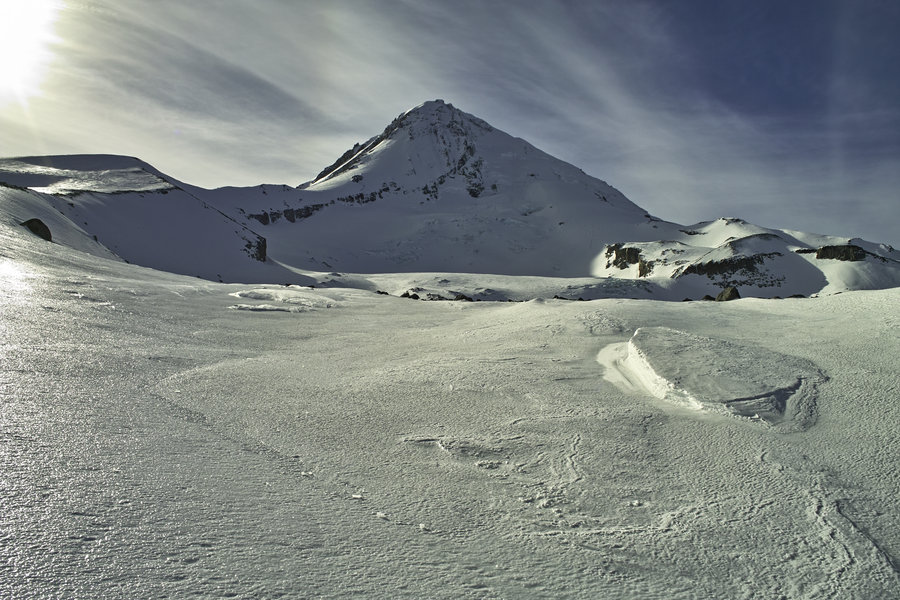
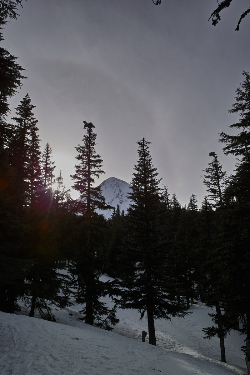
Mt. Mcloughlin Attempt
10 miles of hiking • 2500' elevation gain •
Poor planning meant that I ran out of time to get to the top. Next time...
October 19, 2013

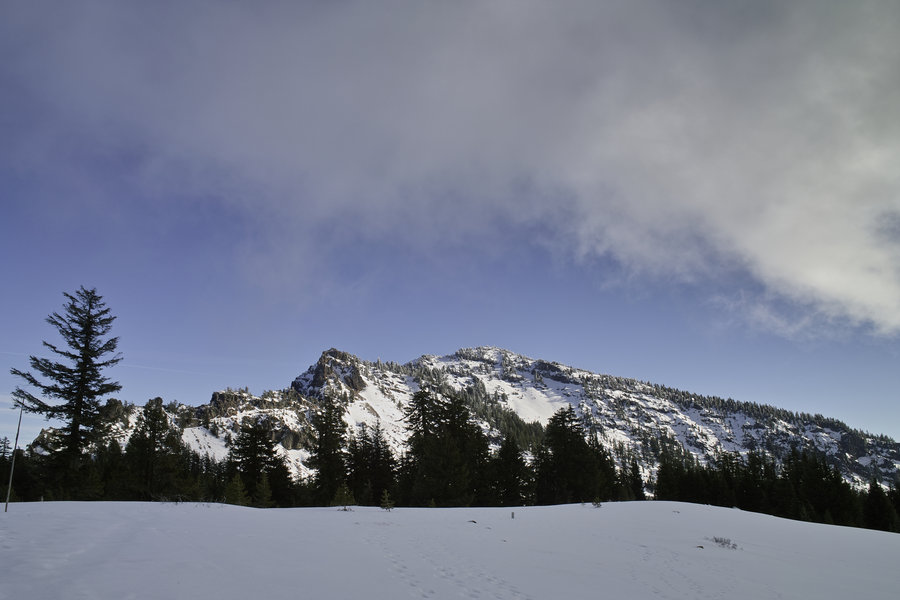
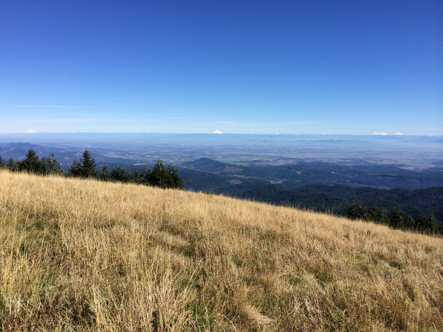
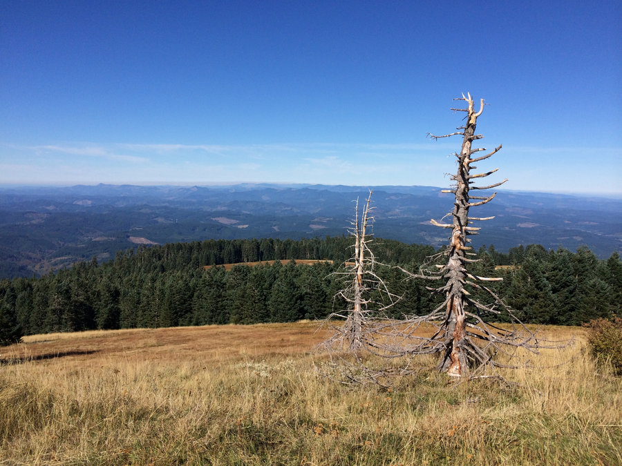
Mary's Peak
2 miles of hiking • 500' elevation gain •
Quick and simple. To call this Corvallis's Silver Star would only be partially accurate.
October 5, 2013

 1
1
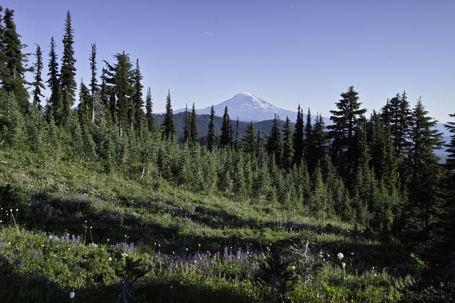
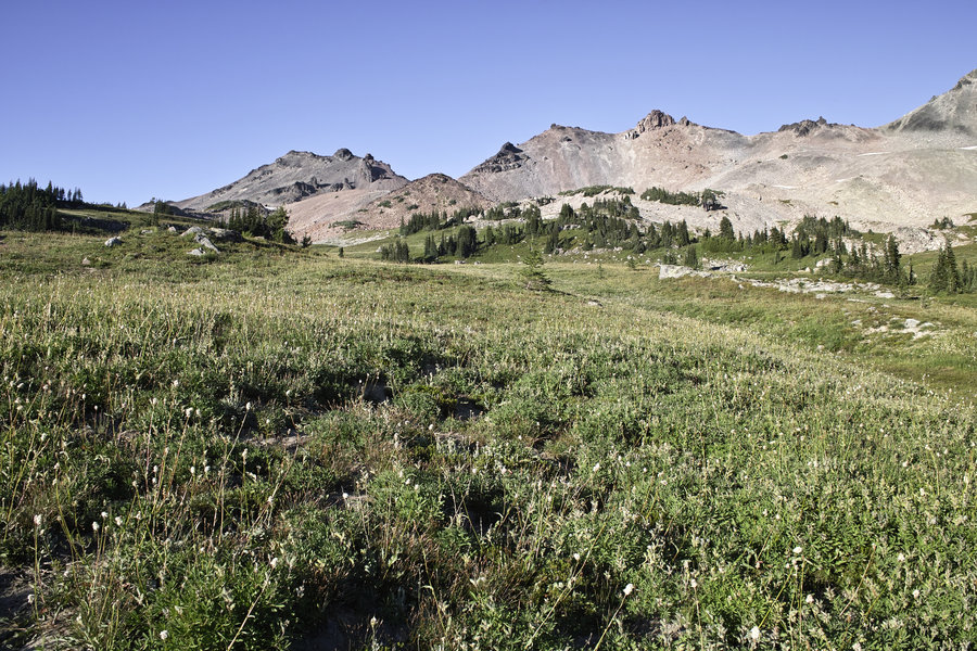
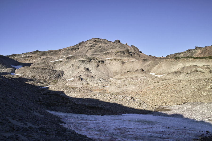
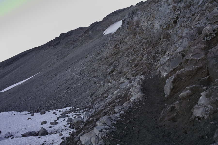
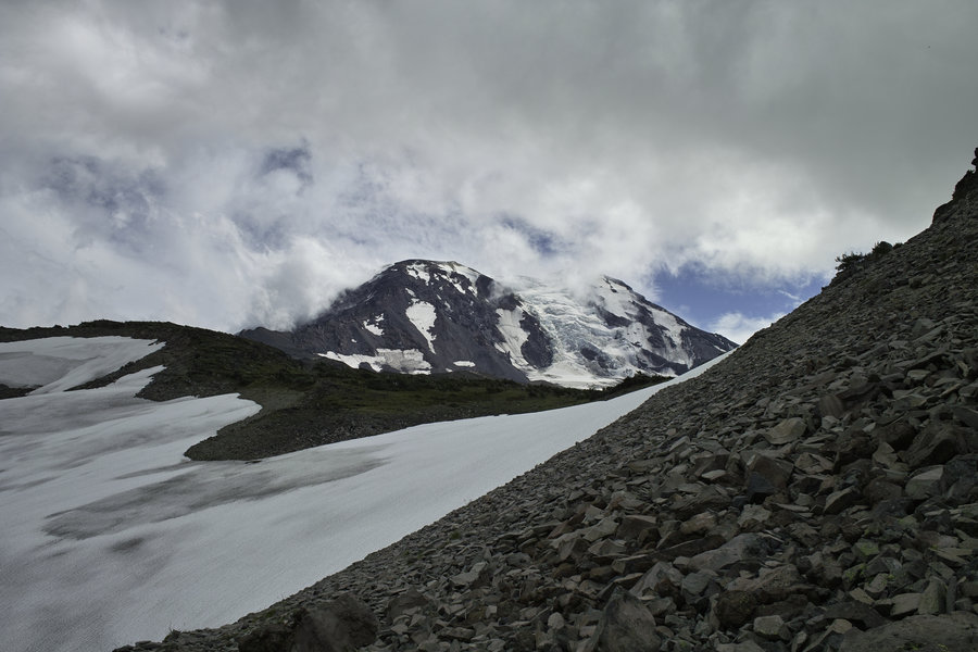
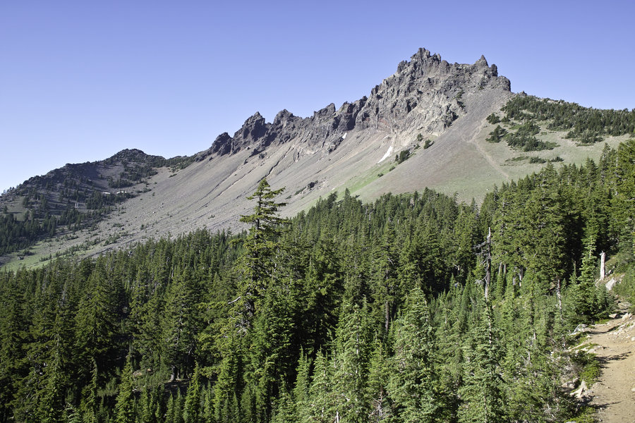
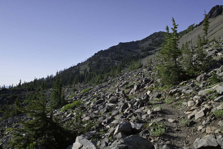
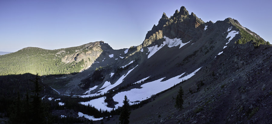
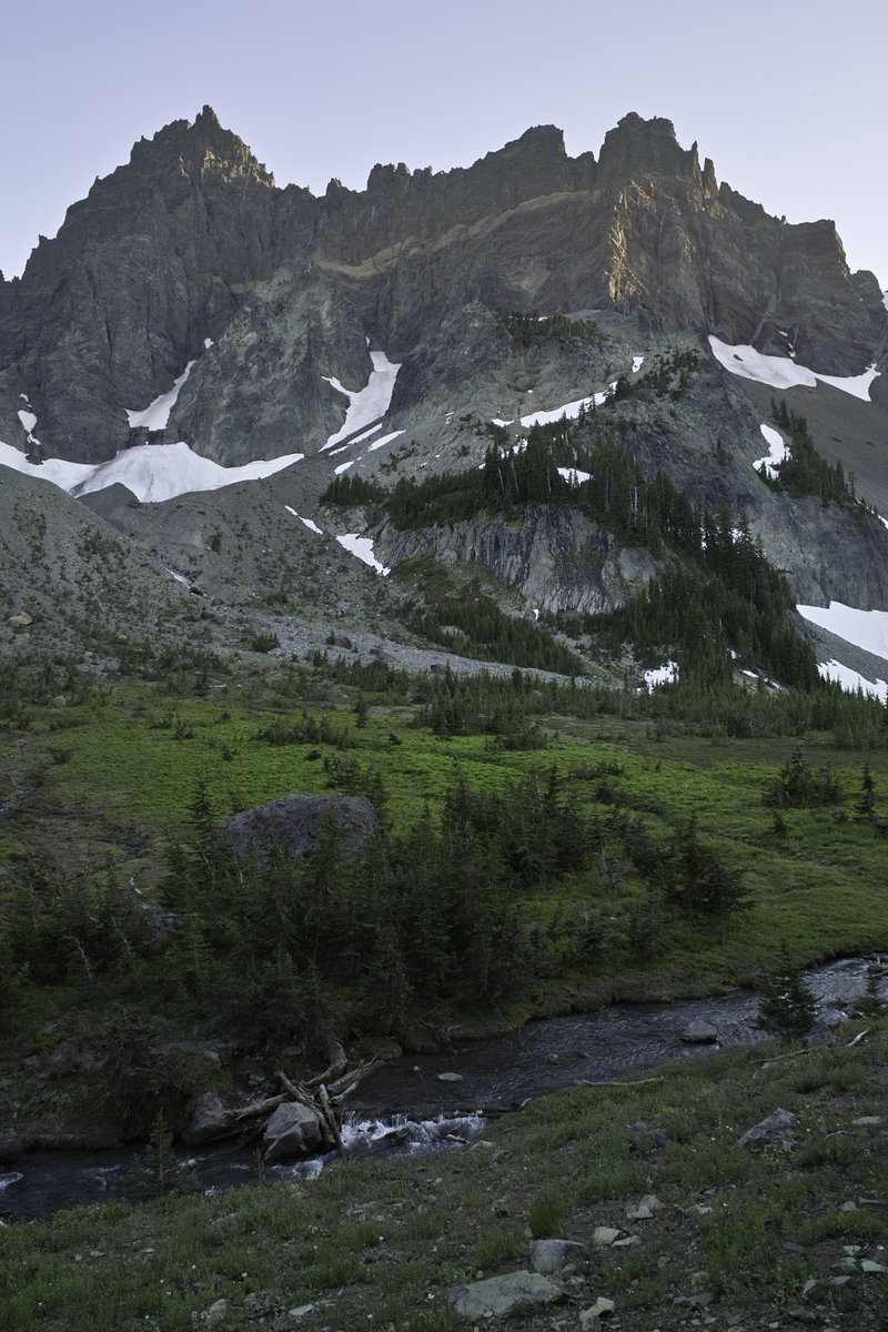
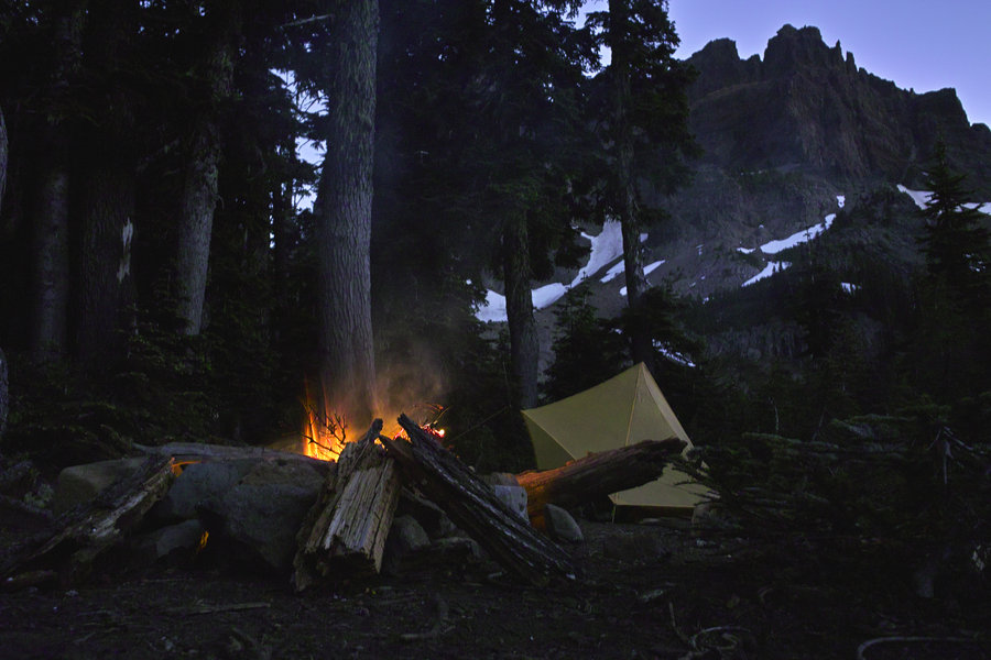
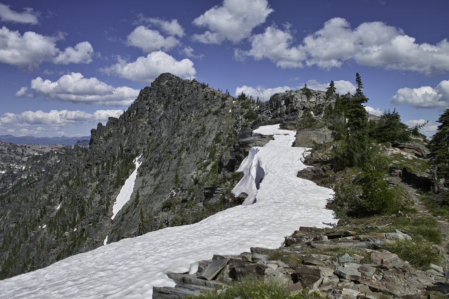
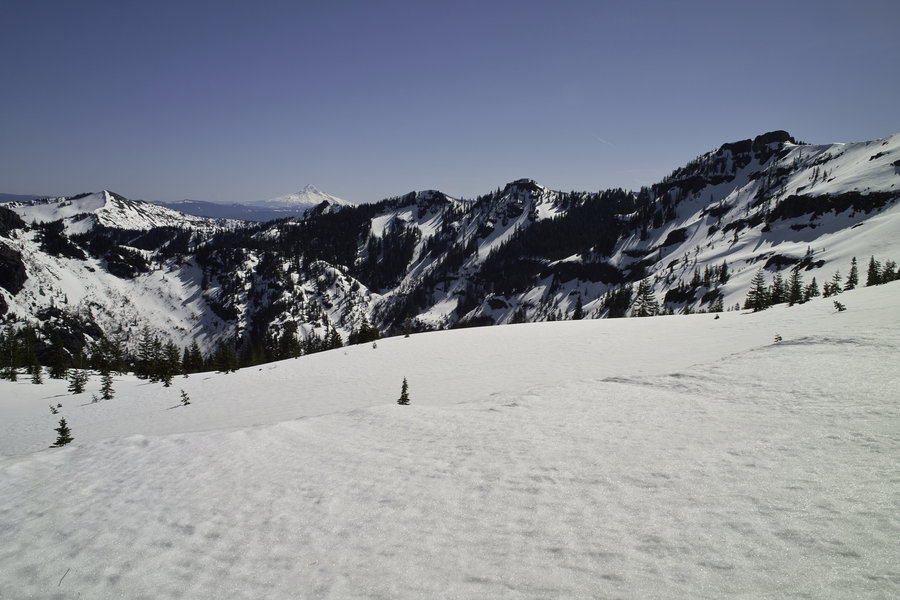
Goat Rocks
16 miles of hiking • 3500' elevation gain • 1 night
Goat Rocks, to the section just before the knife ridge. A PCT crew was out working on the washed out section. Nice!
August 31 – September 1, 2013

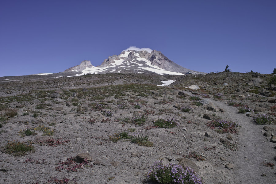
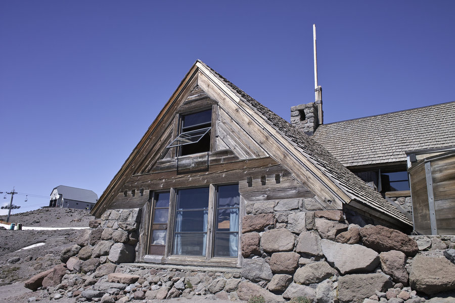
Silcox Hut
4 miles of hiking • 1500' elevation gain •
Wandering around Silcox Hut and the trail to Paradise Park.
August 24, 2013

Mt. Adams High Camp and Equestria Lake
12 miles of hiking • 3500' elevation gain •
An afternoon trip up to Adams. Man this drive is long. Also, when I retire, I want to live in Trout Lake.
August 17, 2013


 4
4
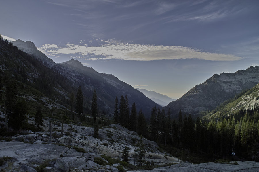
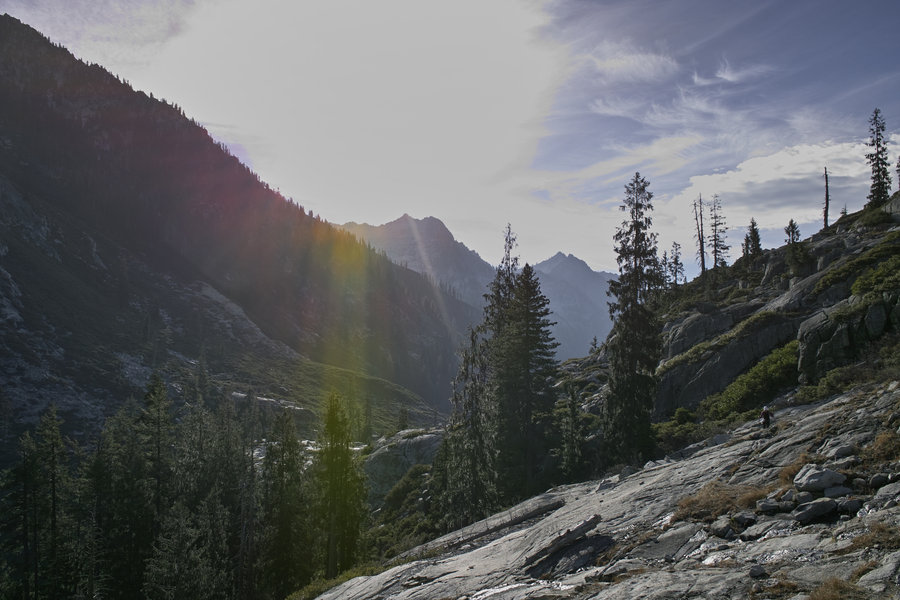
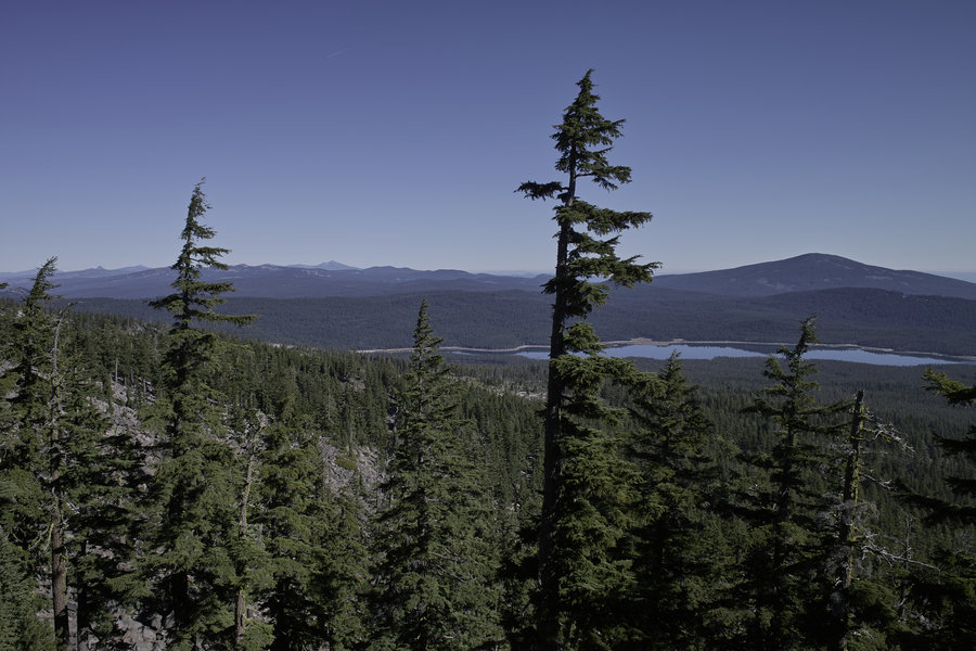
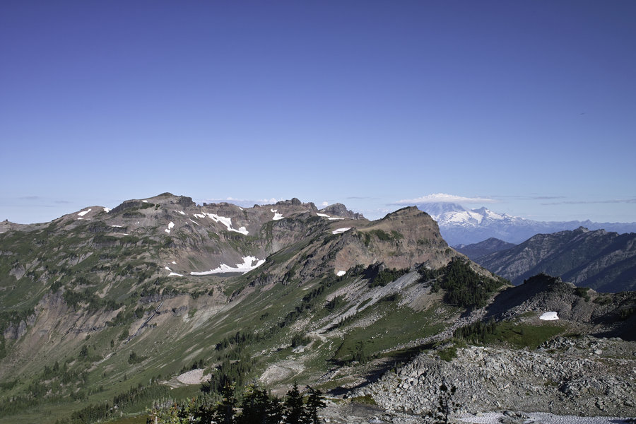
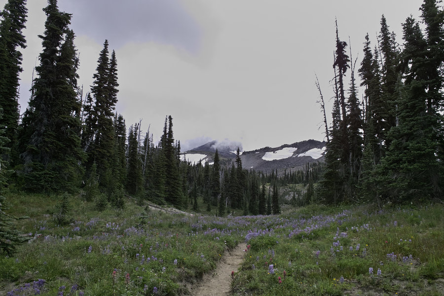
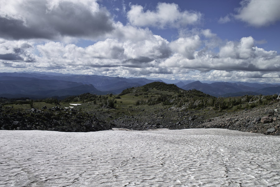
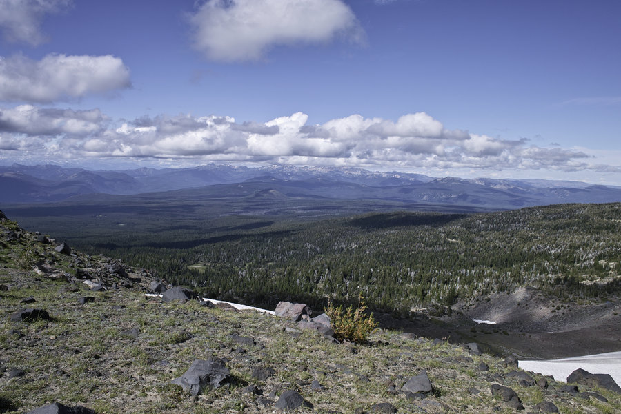
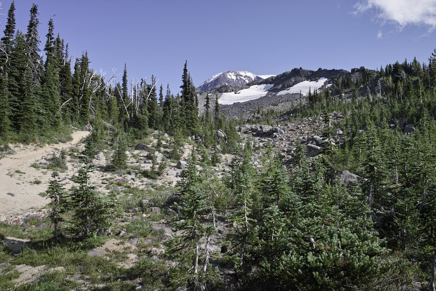
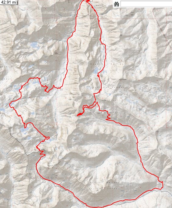
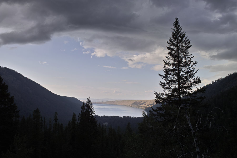
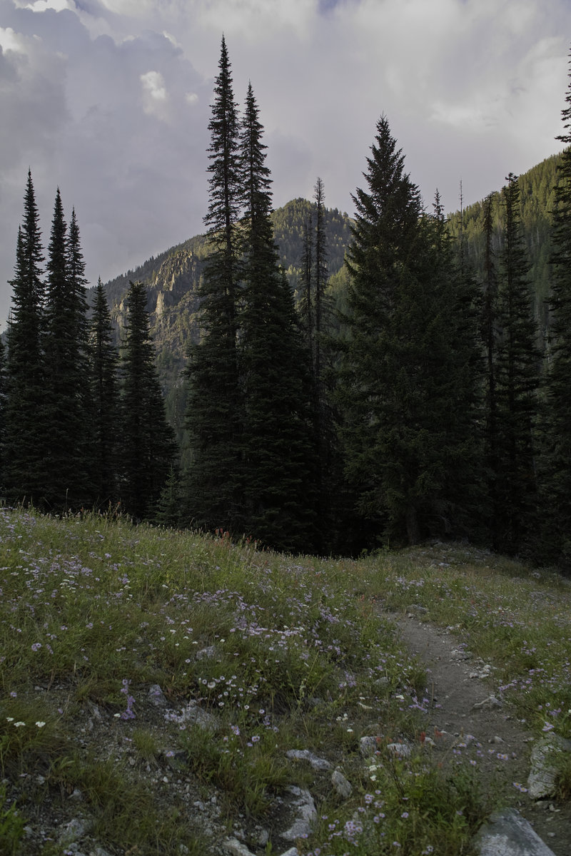
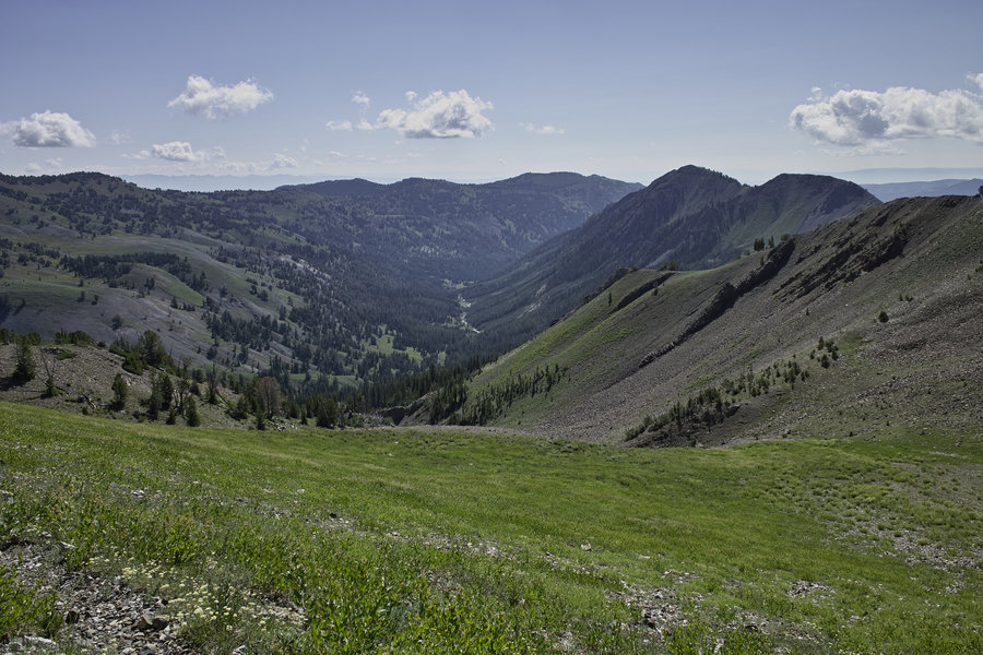
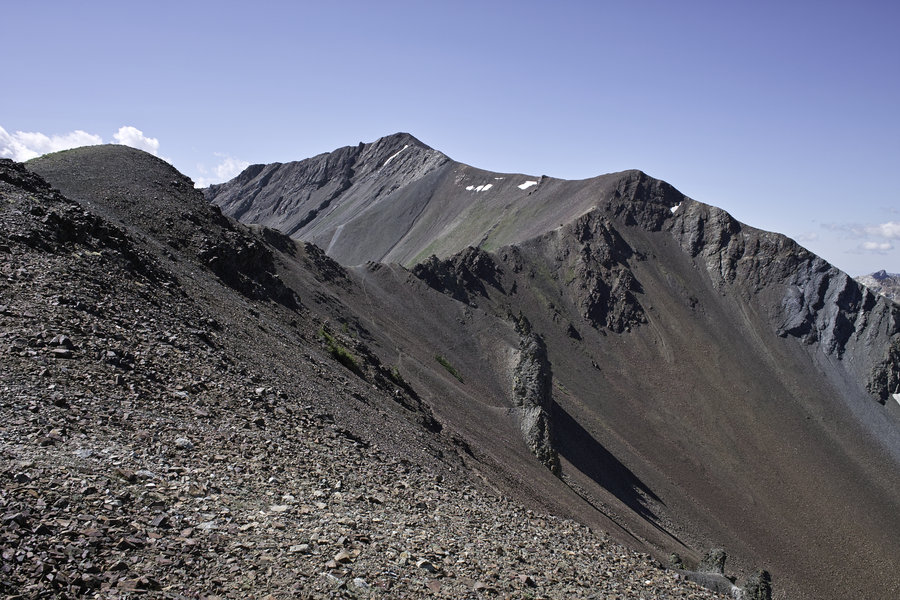
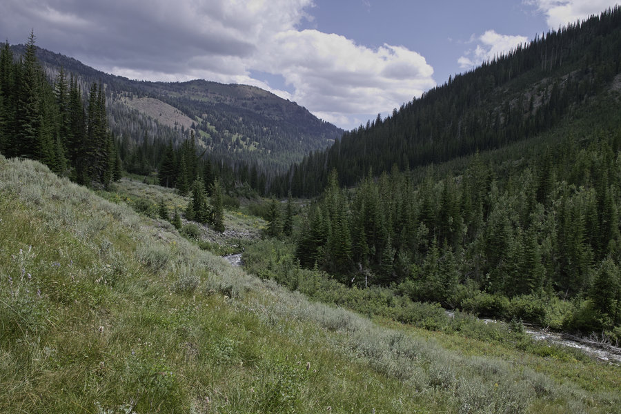
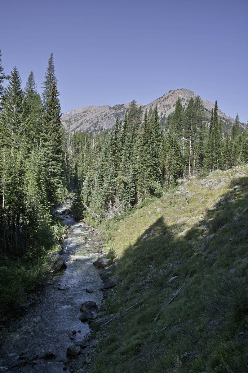
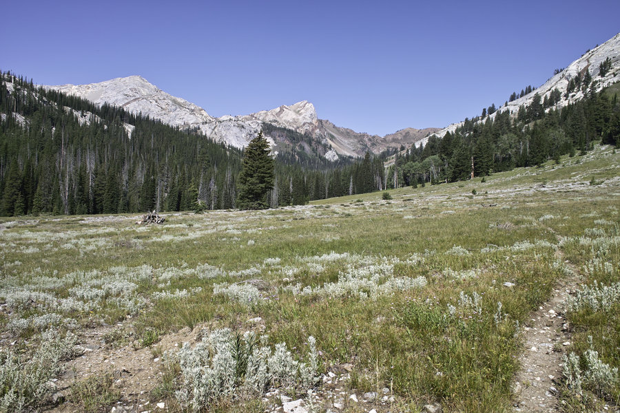
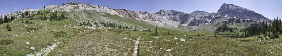
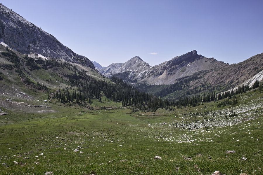
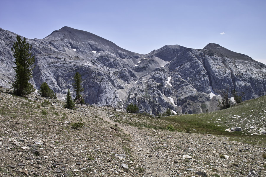
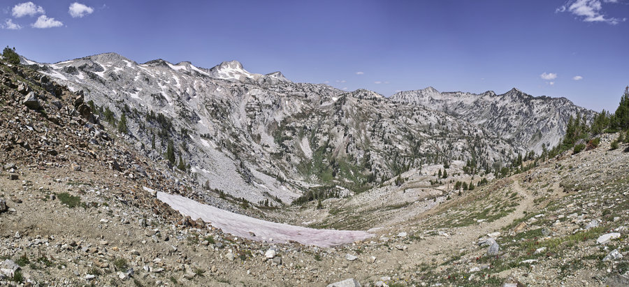
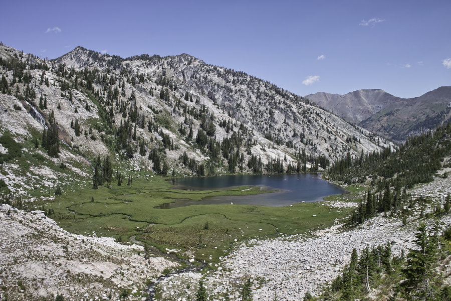
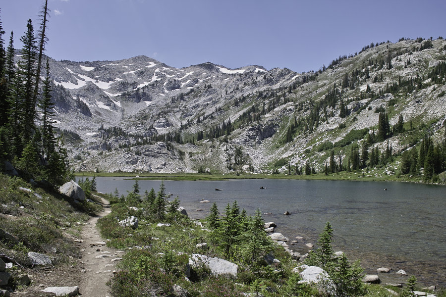
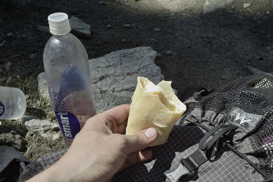
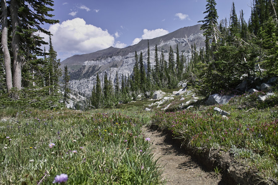
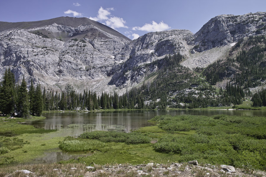
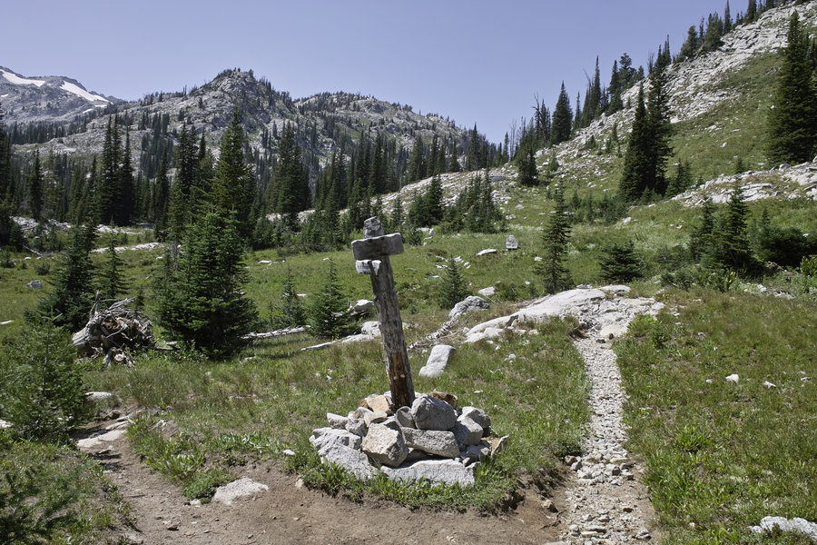
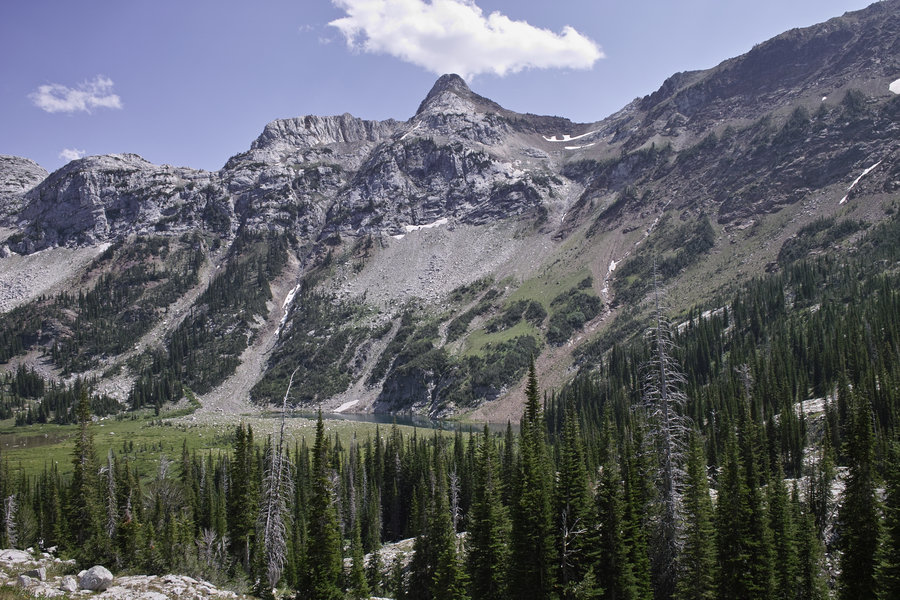
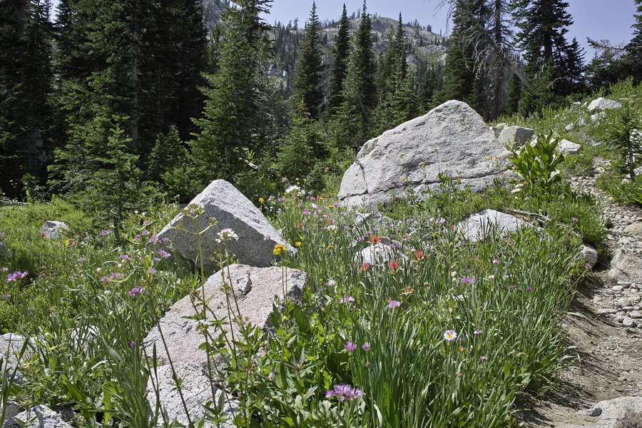
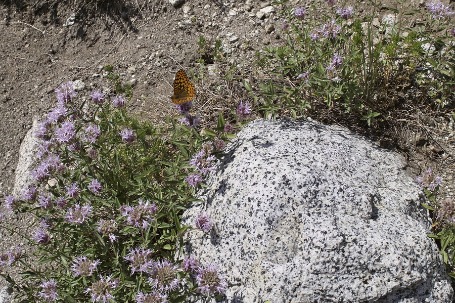
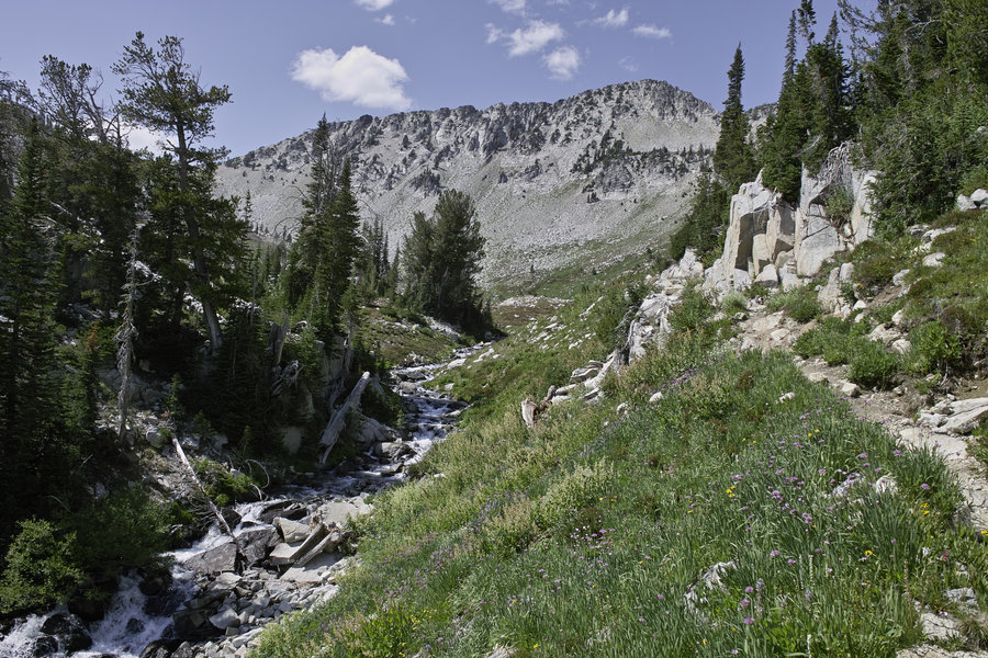
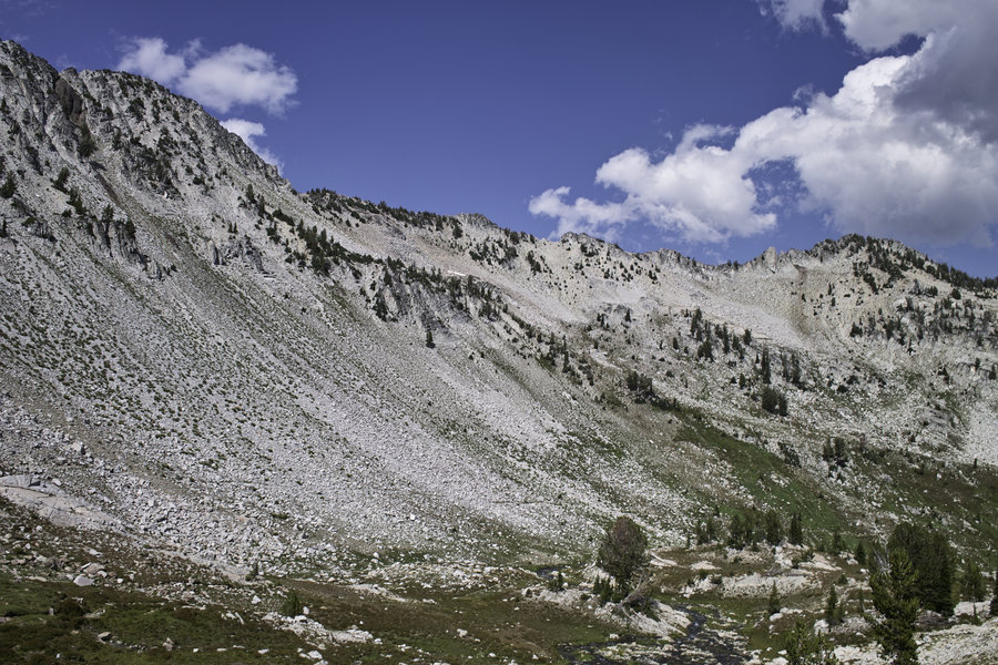
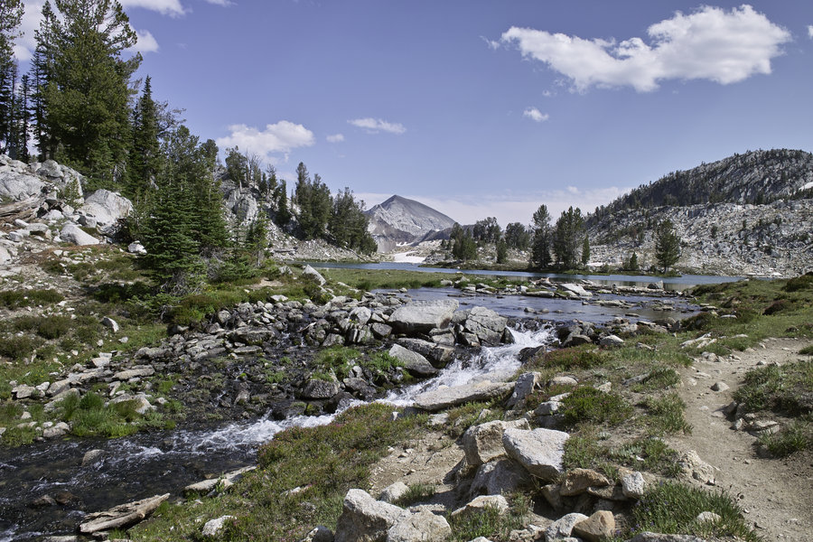
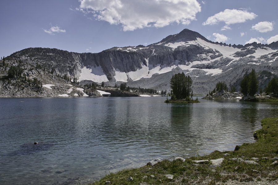
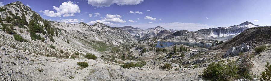
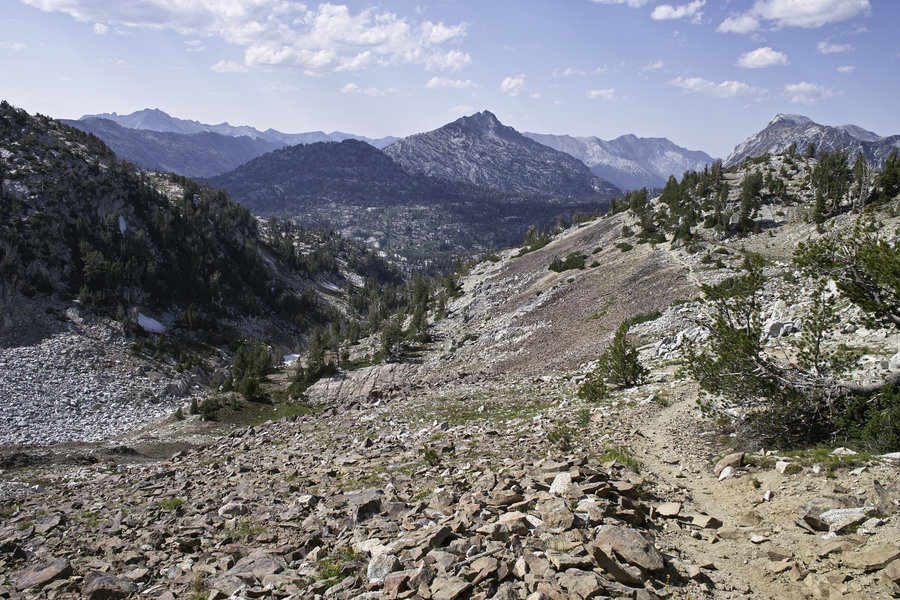
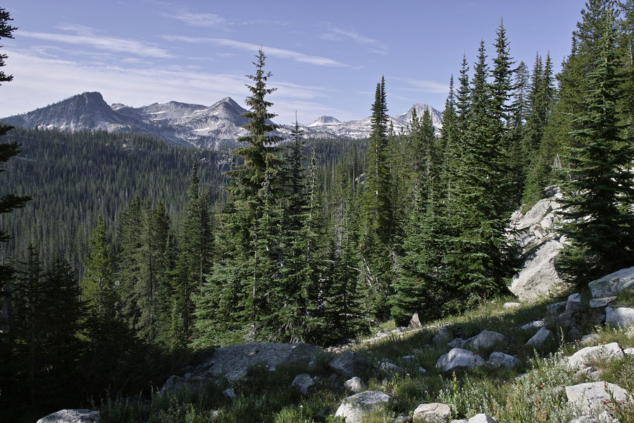
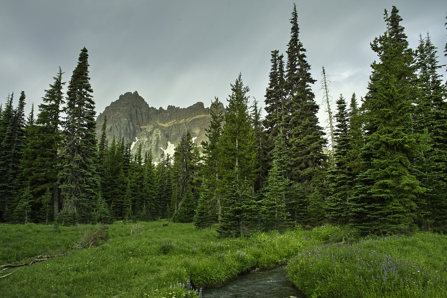
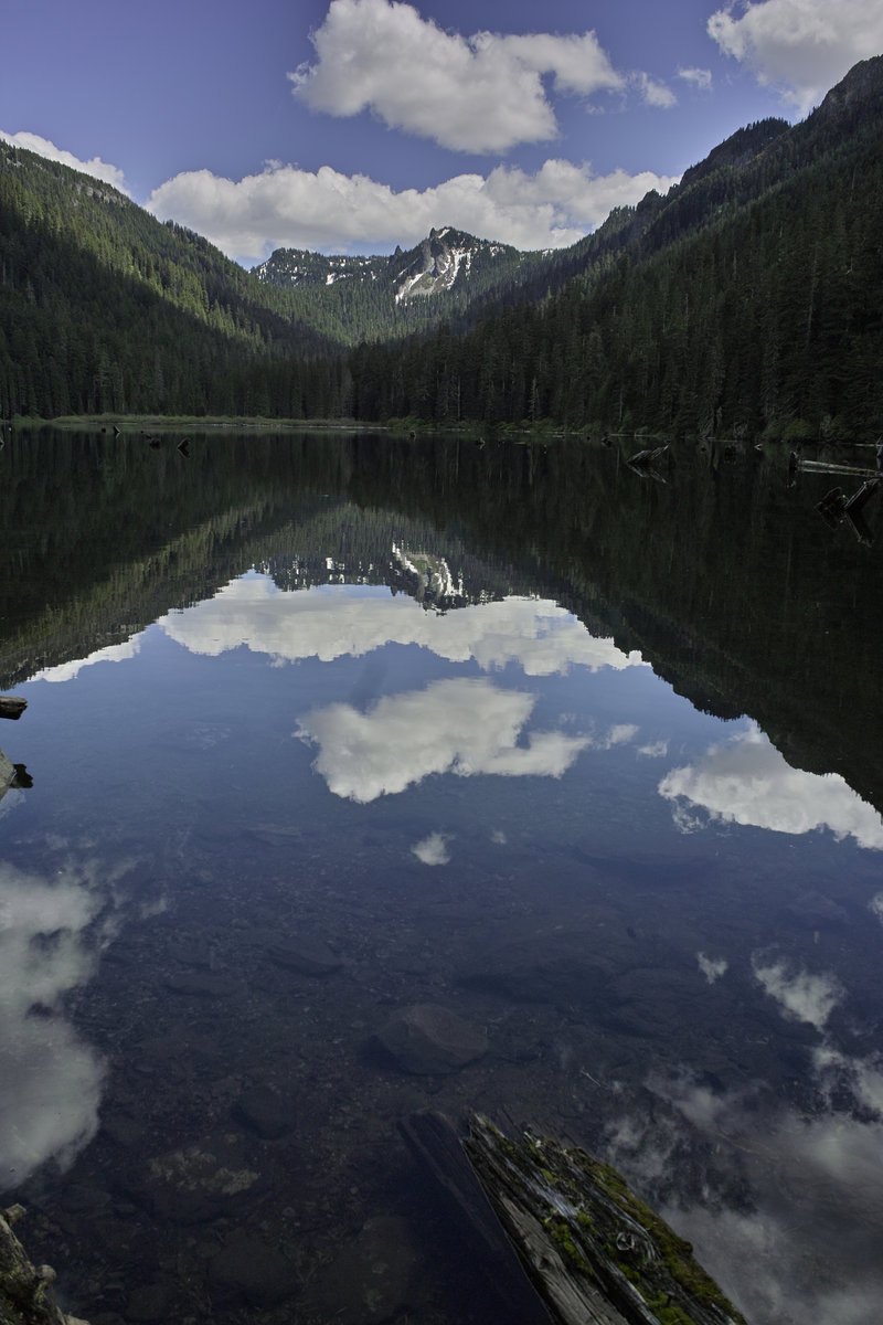
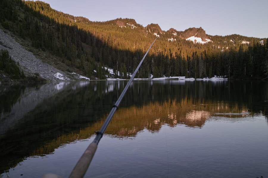
The Wallowas: Lakes Basin and the Imnaha River
58 miles of hiking • 11500' elevation gain • 3 nights
Ah, the Wallowas. This is a trip I have been wanting to do for some time, and I finally had the time to do it this weekend.
Fri 8/2 - 6 miles
Friday, around noon, I drove out to Joseph, stopped in the Fly Fishing shop for some flies, and then drove around Lake Wallowa to the trailhead.
Prior trip reports cautioned about how many people I would see, but I only came upon two horsepackers the first day, no one the second, maybe a dozen or so in the Lakes Basin area, but of course many on the Ice Lake Express (the first 3 miles of the west fork trail).
I originally decided to do some form of the east fork-west fork loop and then add on as I had time. I started up the east fork around 5:30p and made camp at Aneroid lake just after dark.
Sat 8/3 - 26 miles
Saturday morning, I left camp around 8:30 and headed up to Tenderfoot Pass. This pass is pretty tame, and is the turn of for Jewett Lake. The trail descends over the pass and then heads towards Polaris Pass. Polaris is a nice gentle climb from the east side, but upon reaching the top, the west side spooked me out. The the second switchback is pretty much straight down scree with a 400 ft drop. I had been cautioned about this spot, and it probably would have been fine, but it was a bit more exposure than I could stomach, so I decided to work out plan B—no problem though—I had built a good deal of extra mileage in, and decided to extend the loop rather than doing an out-and back later on to Ice Lake.
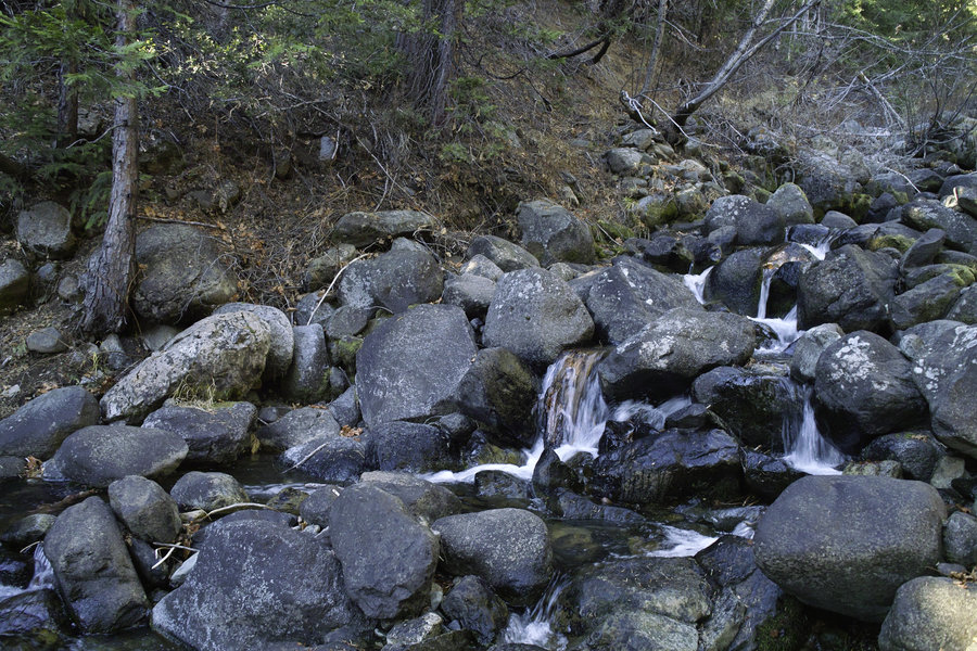
I cut across the open basin below Polaris, down a creek canyon and over to the trail that descends down to the North Fork of the Imnaha. The trail drops into the valley, and then travels through wooded areas and open meadows for several miles. I was planning on taking the shortcut over Bonner Flat, but the turnoff was not marked (like many others), so I continued to the South Fork of the Imnaha junction and then made my way up 4 or so miles to camp. I camped not to far from the Cliff Creek junction and a very nice stream.
Sun 8/4 - 15 miles
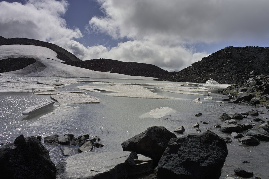
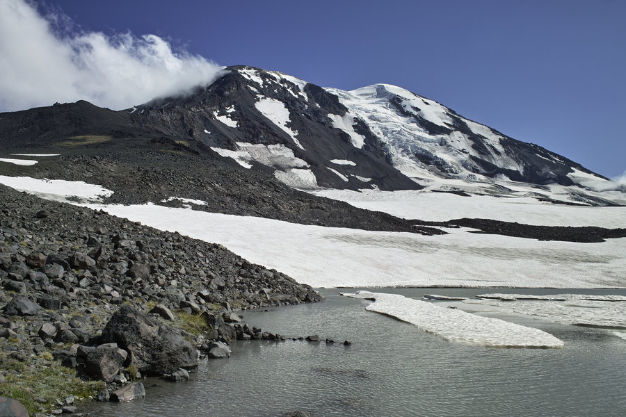
Sunday morning, I got going around 8 and made my way up to Hawkins Pass. The trail climbs into a Spider-Meadow-like basin and then up a rocky hill to a nice view of Little Frazier lake. I stopped for lunch and a nap at Little Frazier, dropped down to Frazier proper, and then made the slow, hot climb to Glacier Lake.
Glacier was nice enough, but was hot, mosquito-y, and had a half dozen or so people, plus three rangers, cleaning up and checking permits.. I decided to continue on over Glacier Pass, and then to Moccasin Lake. Moccasin was very nice for fishing, had a great view of Eagle Cap, and not a soul was in sight.
I had debated going up Eagle Cap earlier, but was pretty beat from the day before, and decided to get some more mileage in to make the next day shorter. A ranger suggested camping at Douglas Lake, which, while it did not have the views like some of the others, was a nice lake in its own right.
Mon 8/5 - 11 miles
The final 11 miles down from Douglas, past Horseshoe, and out the west fork, is pretty uneventful, but a nice hike nonetheless. The area is quite nice, and has a nice mix of granite and Goat Rocks-style mountains, depending on where you are. I'm looking forward to going back sometime and visiting some more of the less visited areas.
August 2 – August 5, 2013


 2
2
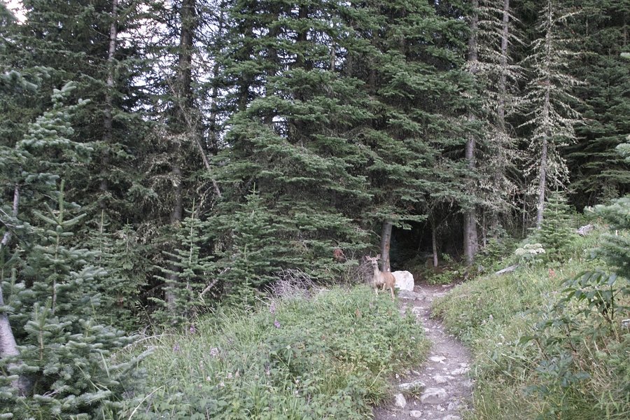
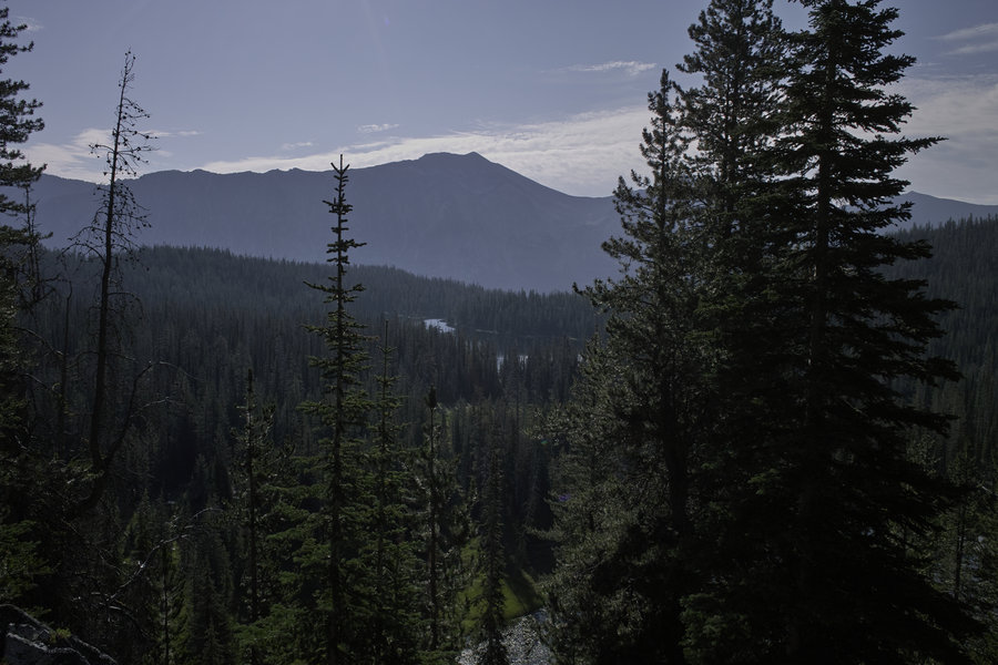
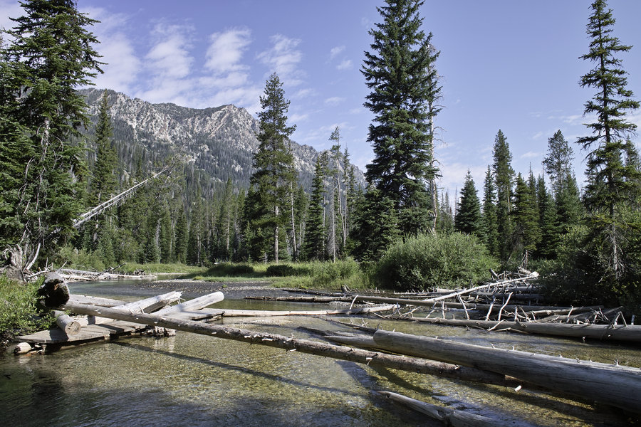
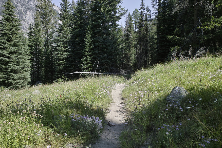
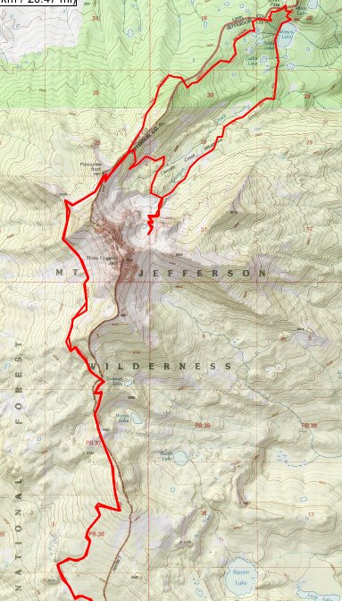
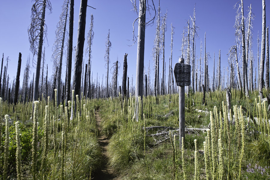
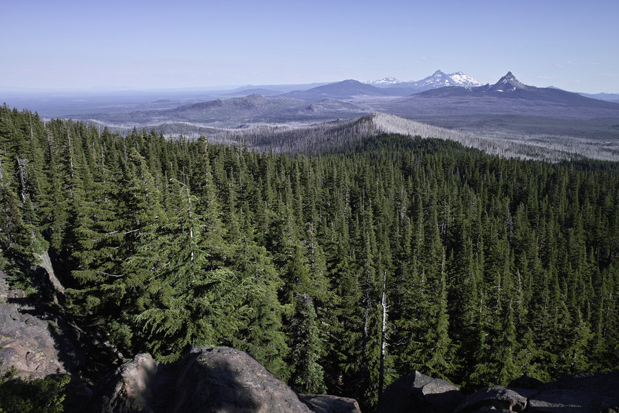
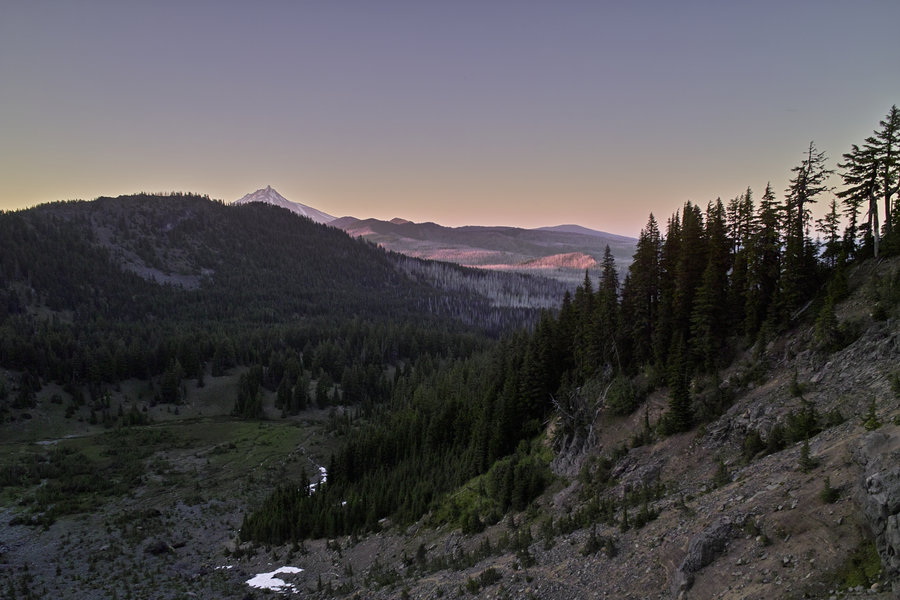
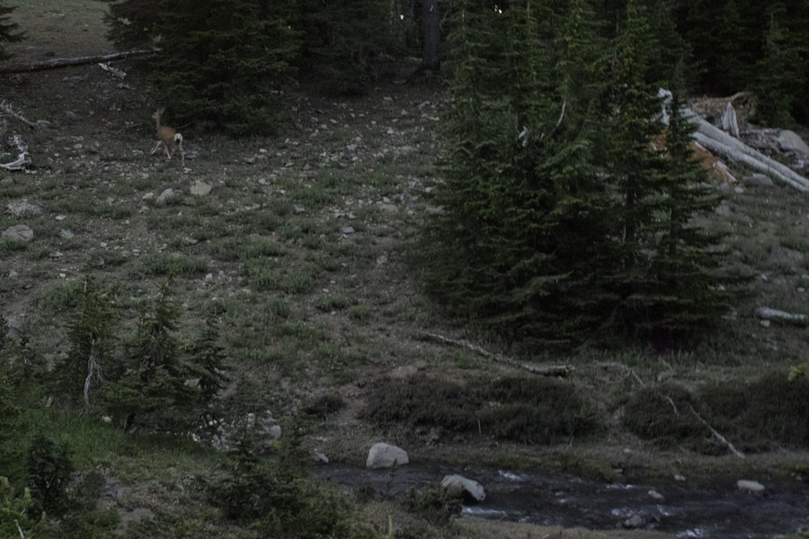
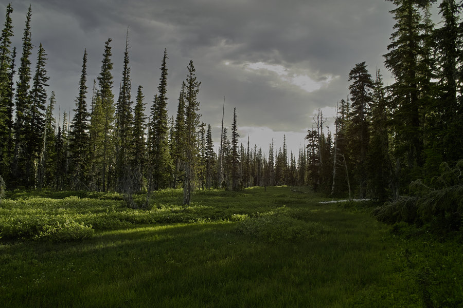
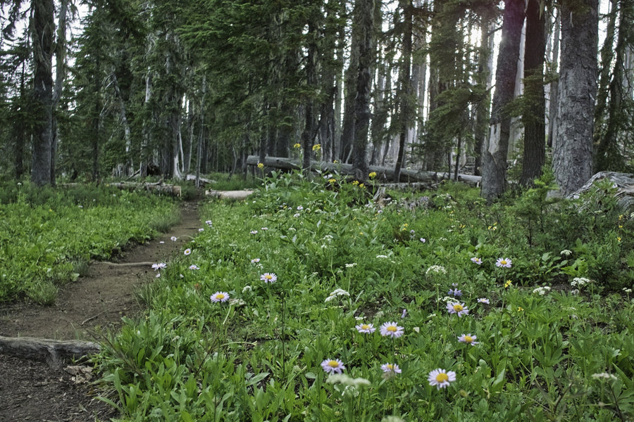
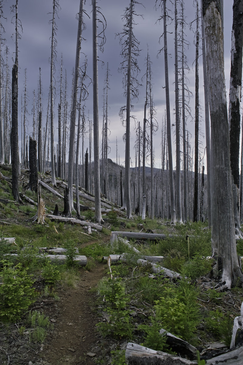
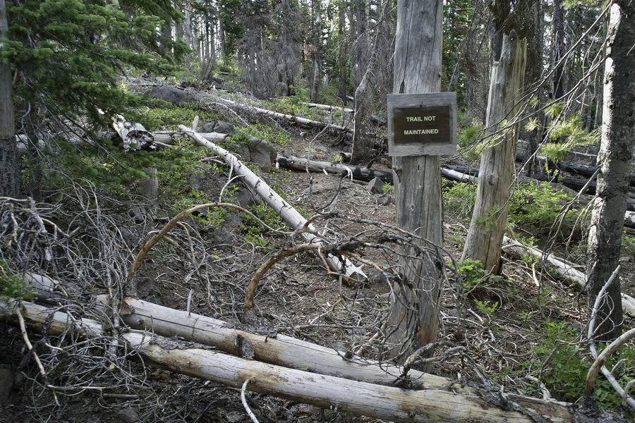
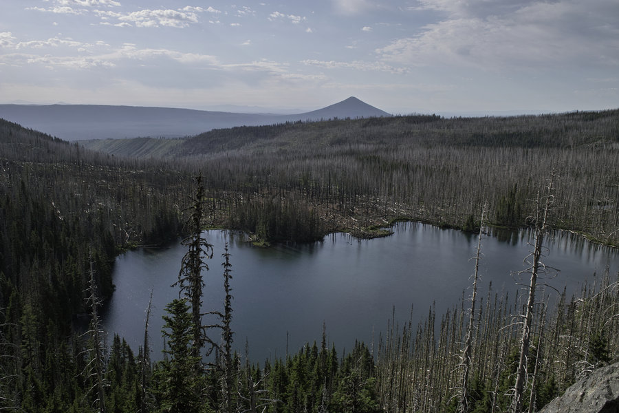
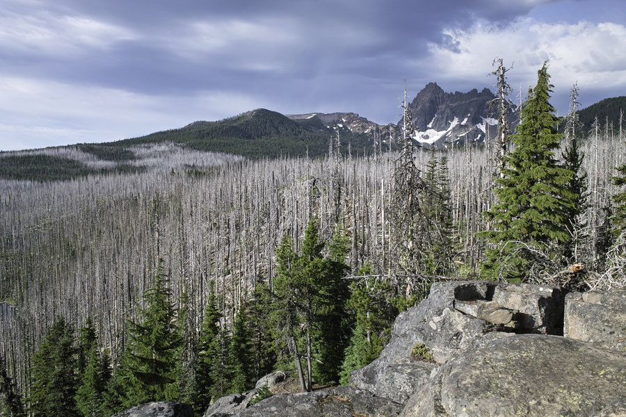
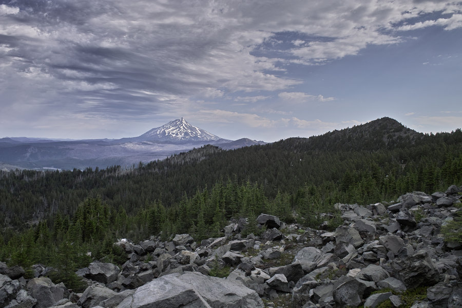
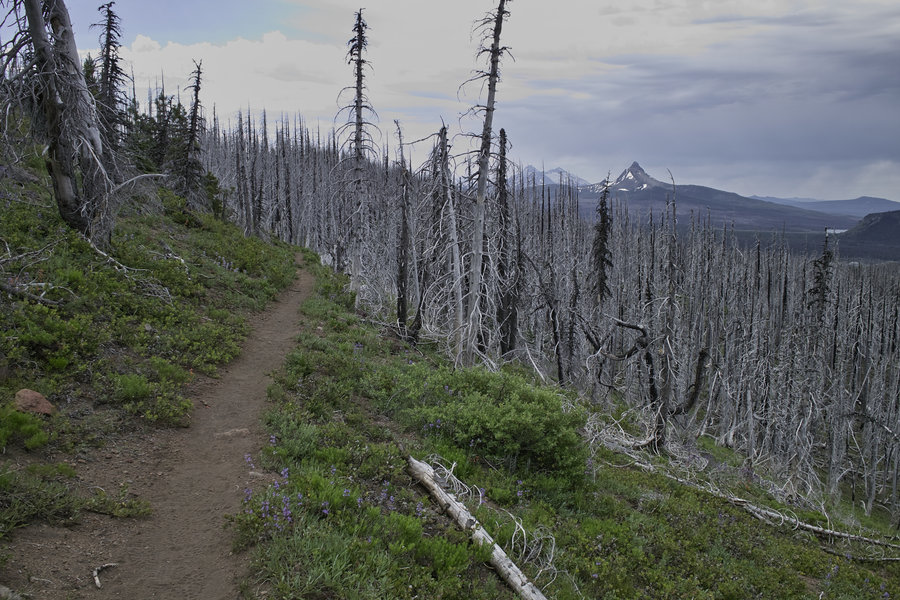
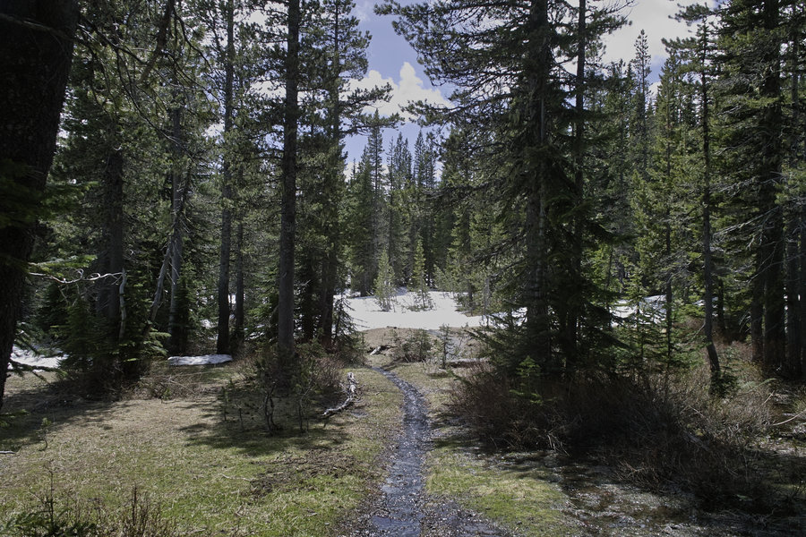
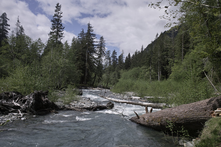
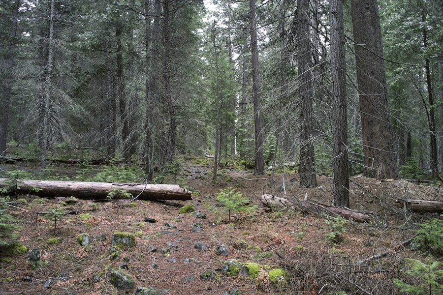
Canyon Creek Meadows and Wasco Lake from Santiam Pass
21 miles of hiking • 4250' elevation gain • 1 night
I didn't have time to hike this weekend, but had a few spare hours this morning and last night, so I went down to a place that was on my list for this year—Canyon Creek Meadows—to do some studying and hiking.
I left at 2p on Monday and got to the Santiam Pass trailhead by 4:30. As mentioned elsewhere, after the burn, this area has been rather dusty, hot, and less-than scenic. I started up the PCT, but after about 3 miles, you're out of the burn section, and into the typical Jefferson/Three Sisters type scenery. I never saw the burn before the burn, so I can't wait to see what the burn area will look like in 30 years.
The PCT traverses along the western side of Three Fingered Jack and comes to a pass with great views of Jefferson. I ran into two other hikers doing a PCT section, but otherwise, the trail was pretty quiet. It was in the high 80's in Portland, but it wasn't too bad up in the mountains.
After rounding TFJ, I dropped down into Canyon Creek Meadows. You cross the creek and can head up to a nice tarn, with views down toward Jefferson.
I went back down to the flat portion of the upper meadows, started a fire, did some studying, and then watched the beady-eyed dear stare at me for awhile.
This morning, I woke up and headed east toward the meadows proper. There was one other group on a Tuesday, which makes me think this area is quite popular on the weekends. The trail meanders down back toward Jack Lake, and then splits off toward Wasco Lake to the north. The trail renters the burn area and then climbs back up the hill to meet the PCT.
I took the PCT back to the pass below TFJ, and then back to Santiam Pass. Fortunately, it was cloudy and windy all morning, which made things quite pleasant. I ran into two etymologists looking for moth eggs on the way back. Fun.
Back at the car by 11:30. Wow. What a nice little area.
July 15 – July 16, 2013


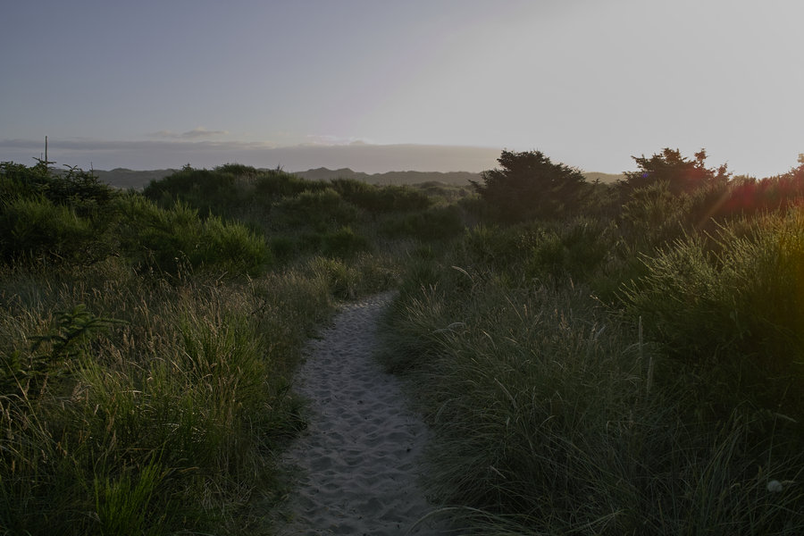
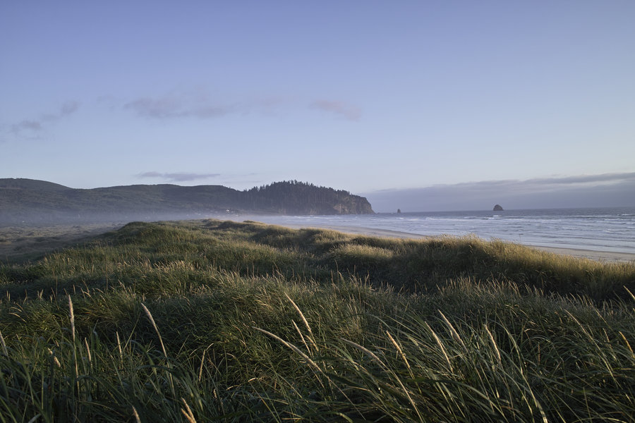
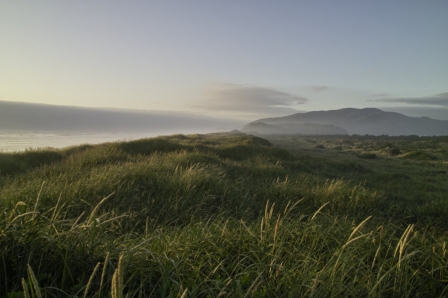
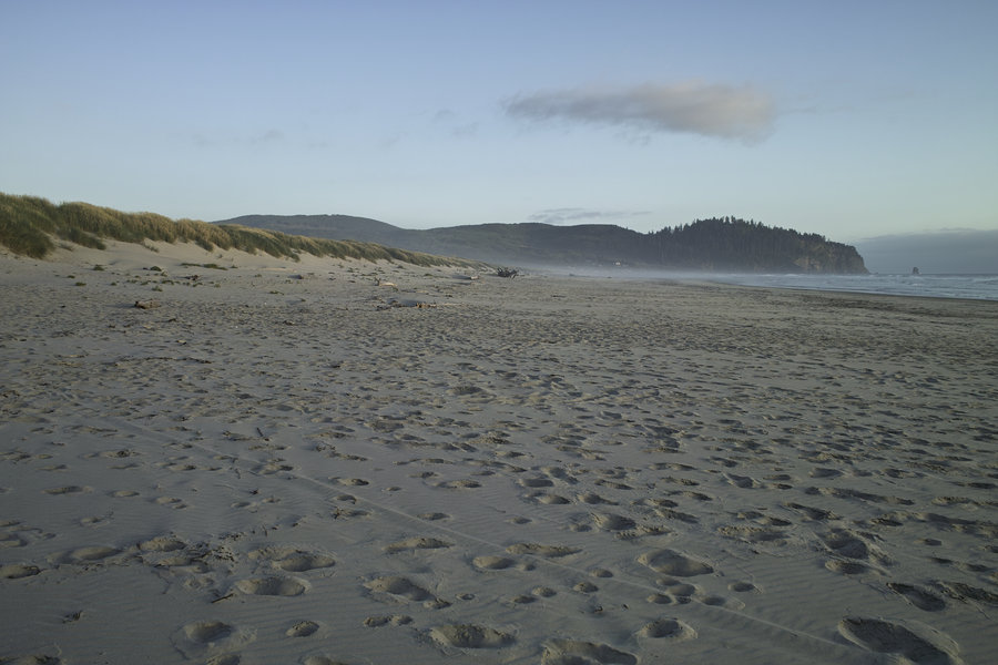
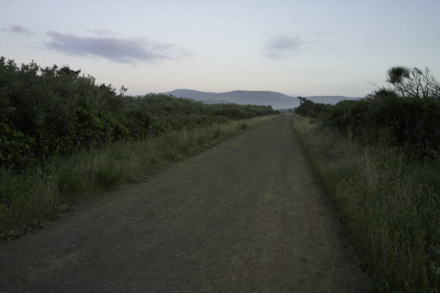
Bayocean Spit
2.5 miles of hiking • 0' elevation gain •
To call this a hike might be stretching it, but this is a good place to store pictures. Definitely coming back here to camp.
July 5, 2013

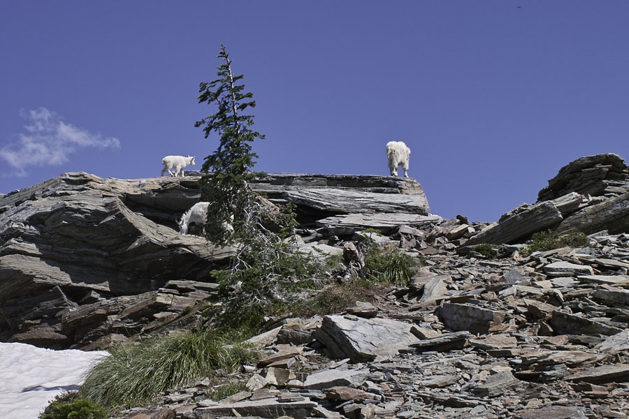
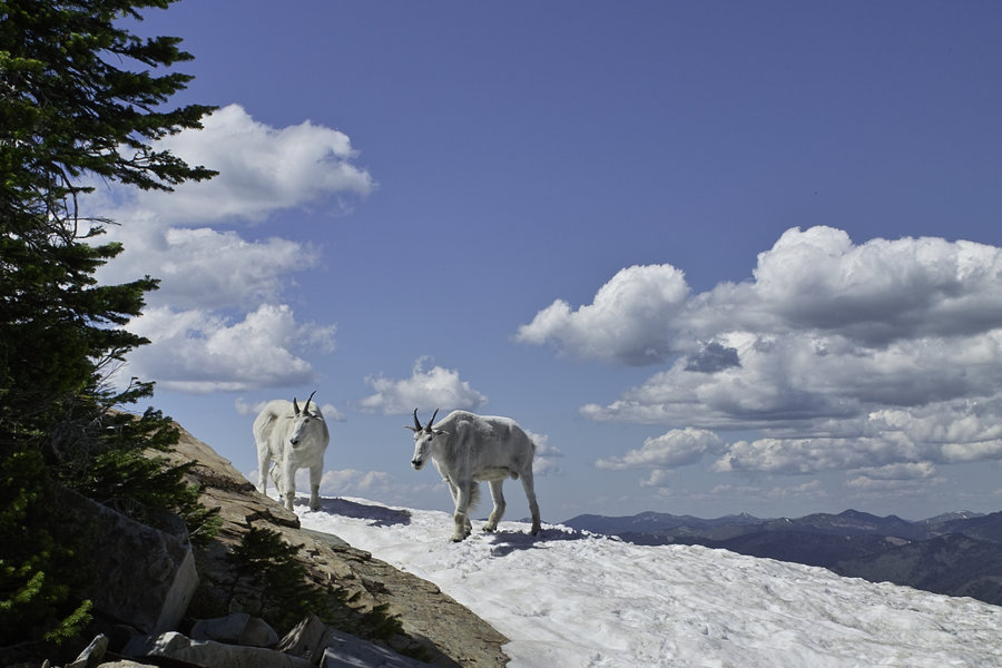
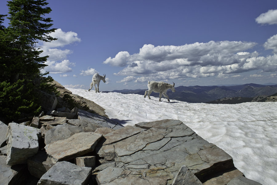
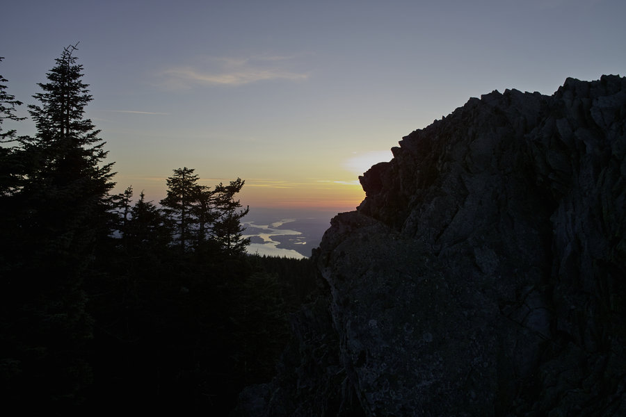
Scotchman Peak
8 miles of hiking • 4000' elevation gain •
I was up in Bonners Ferry, Idaho, for a wedding this weekend. We had hoped to camp out at Roman Nose Lakes and fish in the Selkirks, but the road was impassible to anything but very high clearance trucks (foot-deep mud), and still wanting to hike, we looked for something else in the area that would be doable Sunday afternoon. (Although we did see a very cool moose and her calf).
After breakfast at a greasy spoon in Bonners Ferry, we started back toward Sandpoint, and made our way up toward Scotchman Peak, which is just off the Montana Border. This hike came recommended as one with good views, and I also happened upon awildman's blog post (quality site, BTW), which had some great pictures, so we thought to give it a try.
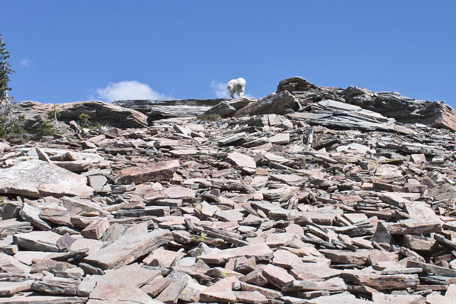
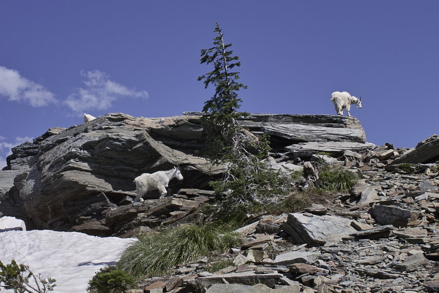
This hike is only about 8 miles, but has some Defiance-like steepness, for about 4000' and 4 miles up. Mid-eighties temps made for a bit more effort, but the 360º views at the top made up for it. The peak overlooks Lake Pend Oreille and the Cabinet Mountains, and you could see for miles—it's the highest peak in the area, if I read correctly.
At the top, there were several mountain goats, including a kid that was a bit camera shy. Short on water because of the heat, we enjoyed some snowfield sno-cones at the top while enjoying the view. The hike down, of course, was a breeze.
This is a nice little hike if you're in the area. A final note: be sure to get driving directions before leaving—we meandered a bit before finding the right road to the trailhead.
June 30, 2013

Rock Lakes
8 miles of hiking • 1250' elevation gain •
Just some Rock Lakes wanderings. The fish weren't biting.
June 22, 2013

 2
2
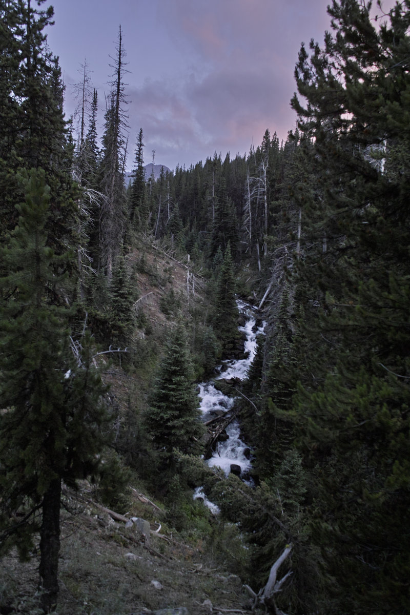
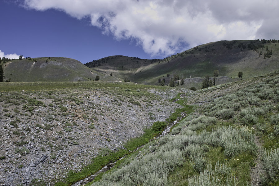
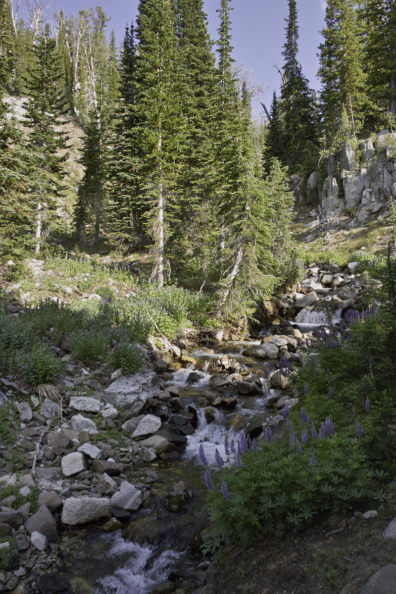
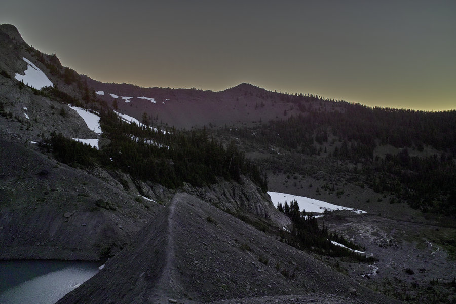
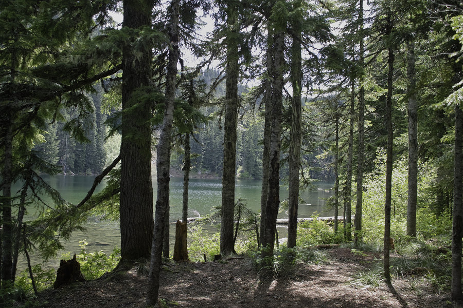
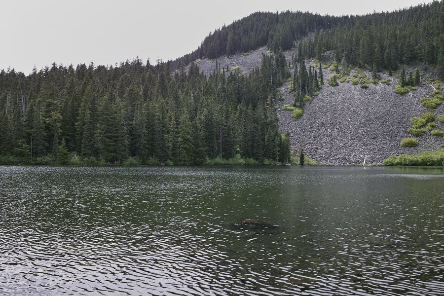
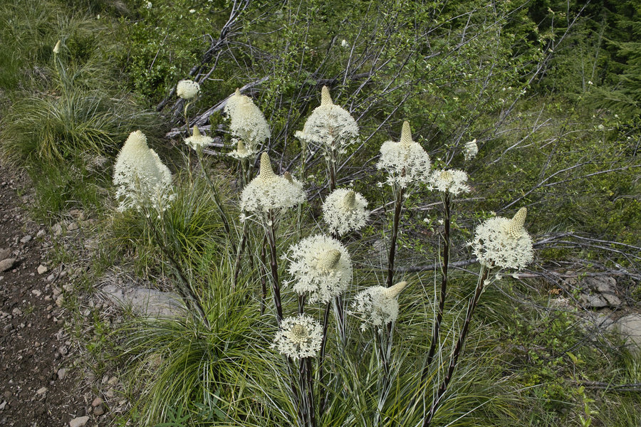
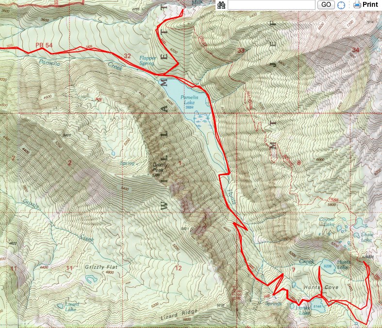
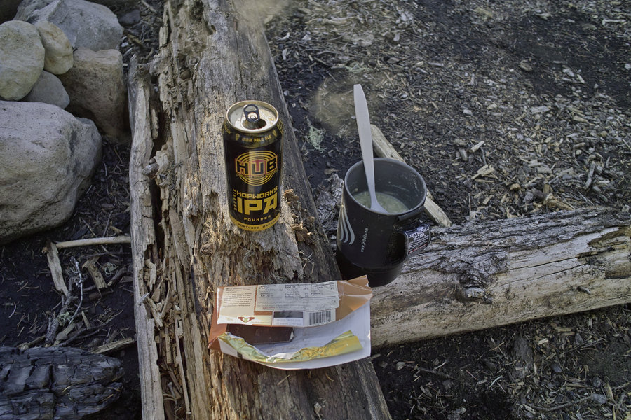
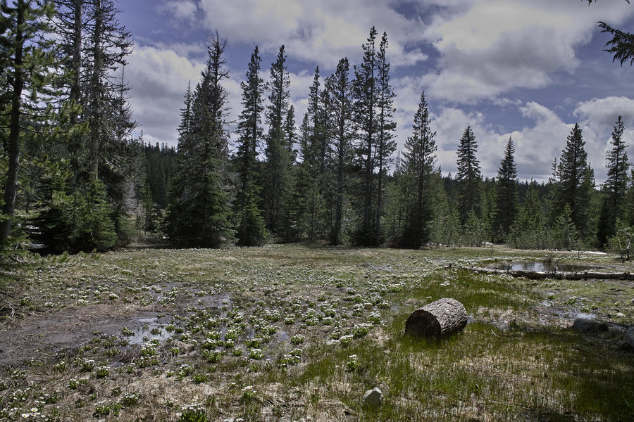
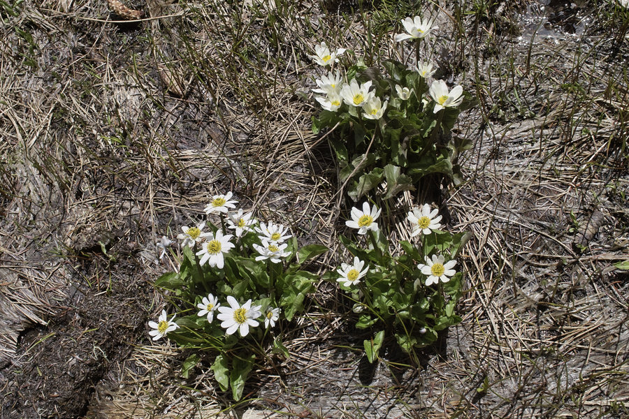
Hunts Cove
17.5 miles of hiking • 3750' elevation gain • 1 night
Wow—what a great area this is!
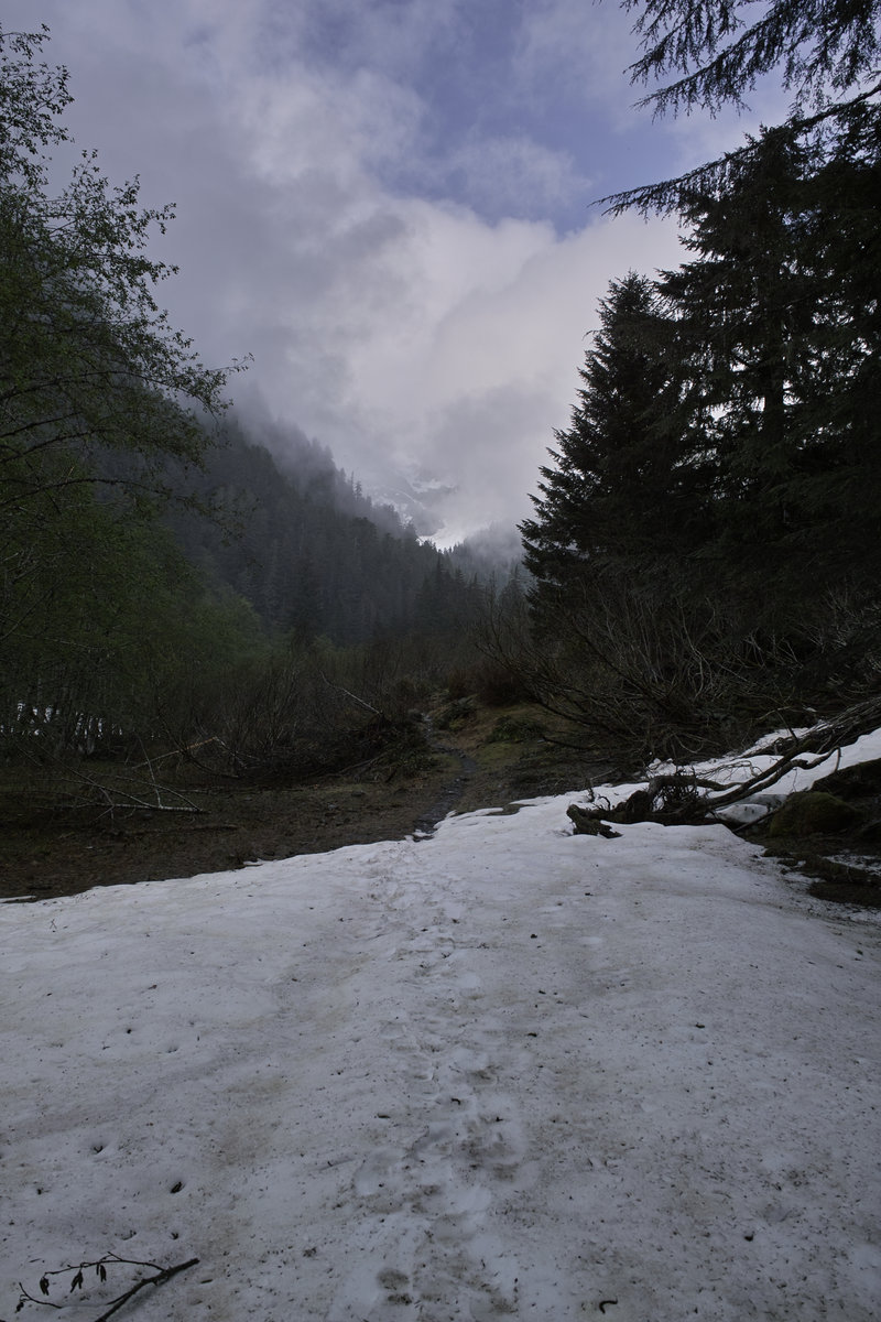
I headed down to the Pamelia Lake area for a little break from studying yesterday. The plan was to head up to Hunts Cove and see how far around the "Hunts Cove Loop" I could get given the current snow levels.
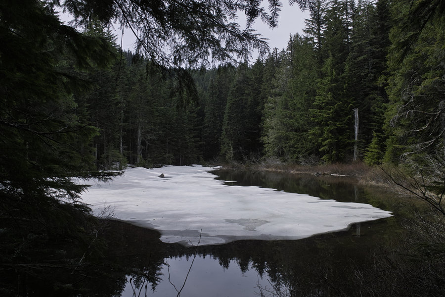
I left in the afternoon, (after paying what I think is a reasonable $6), and by 2p, there were only three cars in the Pamelia TH lot. Hunts Cove is accessible from Pamelia Lake from a trail that follows Hunts Creek and then switchbacks up to the lakes. The snow started just before Hanks Lake—about 5100', and was about 3 feet deep surrounding the lake.
While I had heard that Hanks was better for camping, I decided to head down to Hunts Lake. Good choice. Hunts Lake was all the way melted, and had one nice camp site. The mosquitos had started hatching, but nothing was biting yet. What was biting, however, were the fish. There are tons of trout around the logs at the west end.
I gave a half-hearted effort at starting a fire with the recently-melted wood and then decided to make dinner—ramen alfredo + hopworks IPA (one of the better canned IPAs, I think). The wind picked up and gusted around 20mph through the night.
The next morning, I decided to see if I could get up to the Shale Lake area. Because the whole cove area was covered in snow, I decided to head southeast toward the old "shortcut" trail, and then head due north up to the PCT. I had a GPS, so routefinding wasn't a problem, but the sidehilling became dangerous without microspikes just before the last push up the hill. I'll definitely be back up to that area.
I went back down to the lakes and then down to Pamelia for lunch. I contemplated going up the PCT the other way to see how far I could get, but I ran into folks who said snow was a problem from the other direction as well, so I took some quick pictures at Milk Creek and went back to the car.
I had been to Pamelia before, but I can see why the Hunts Cove area is so popular. This is definitely a great early season trip if you can time the snow just right to avoid the crowds but have Hunts Lake melted out.
June 14 – June 15, 2013


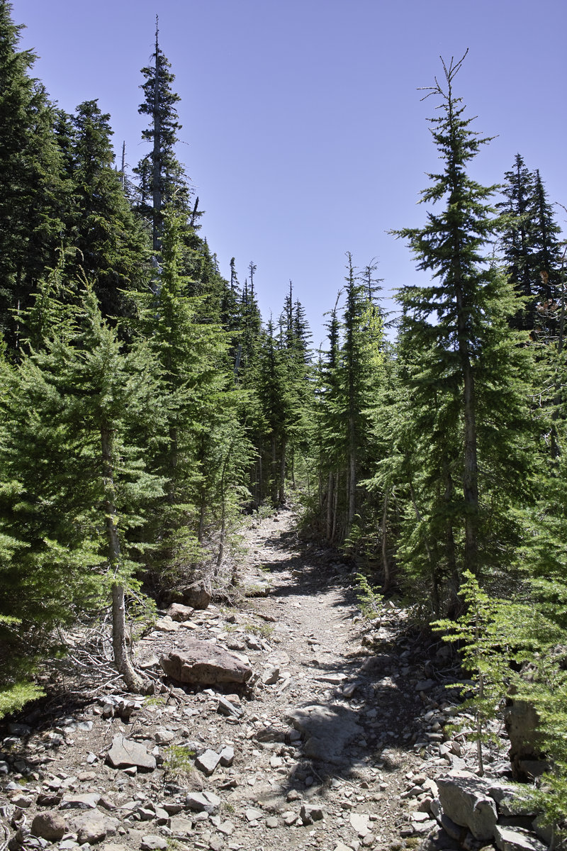
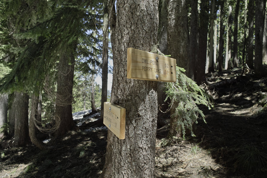
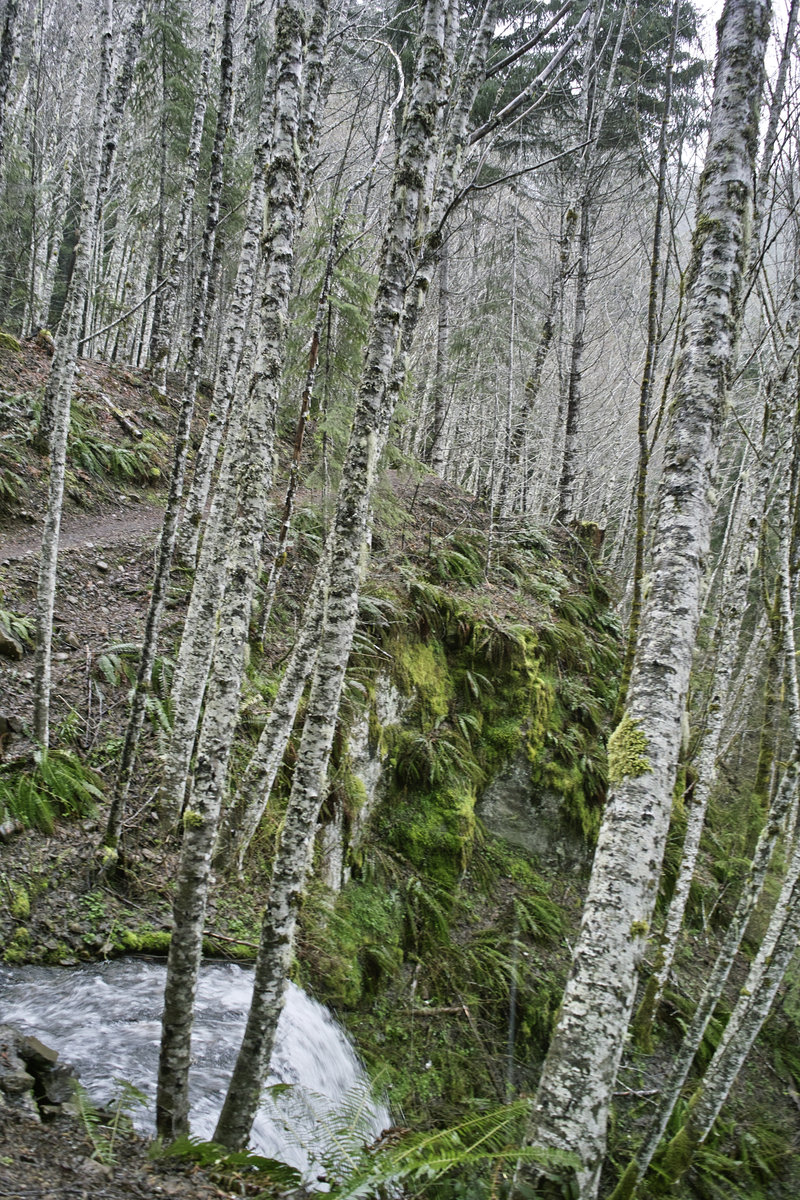
Owl Point from Vista Ridge
4.5 miles of hiking • 750' elevation gain •
It was a short hike today, due to a busy schedule and an unfortunate sidewall flat (didn't see the rock through the dust cloud from the car in front of me). But it was a nice little hike with some great views. Thanks to Tom K. for such great effort on maintaining this place!
Snow on about 1/3 of the trail, which made for two minor gettings lost. Not a big deal with GPS, but I'd wait two weeks if you haven't been there before. Three cars at the trailhead—no one on the old section.
June 8, 2013

 3
3
Boulder Lakes/Bonney Meadows
9.5 miles of hiking • 1500' elevation gain •
This trip was prompted by a few recent mentions of this area and an interest to see how high the east side of Hood was melted out.
There were just a few groups at Boulder Lake, doing some fishing and camping. The road to Boulder Lake isn't bad at all, despite all the reports of bad roads in the area. There is almost no snow at Boulder and Little Boulder Lakes, and then significant patches up towards Bonney Meadows. The meadows look as if they just melted out.
Did a little road walking to make a loop and see the area. This would be a very nice mid-summer hike, and Boulder Lake would be a great place to camp. Next time, I'm hoping to get down to Boulder Creek and Crane Prairie. Also, Bonney Butte. It seems as if a big Boulder/Bonney/Badger (triple B?) loop could be made as well.
June 1, 2013

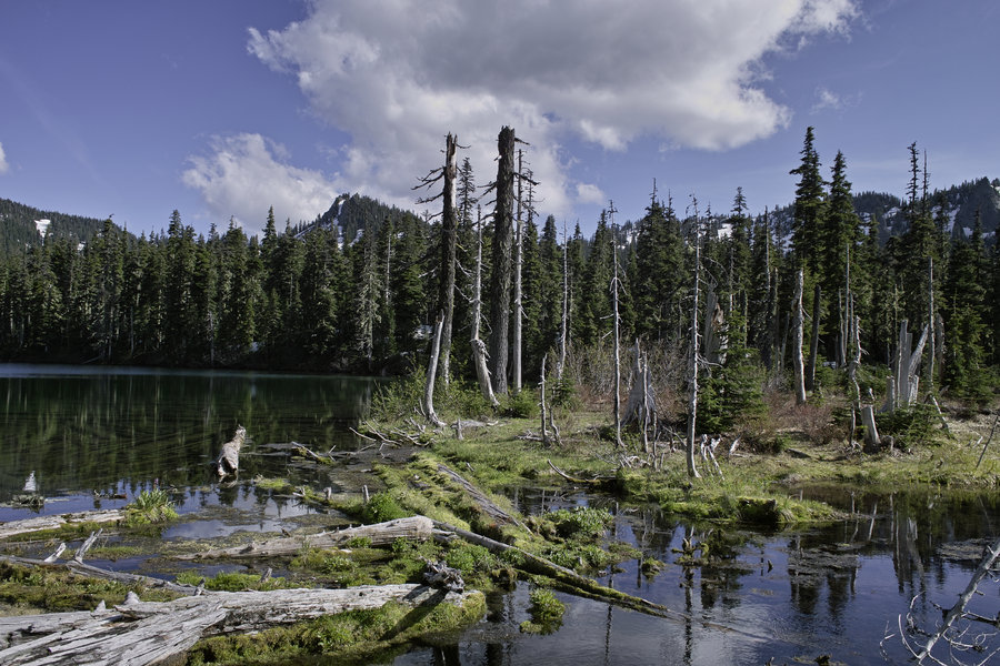
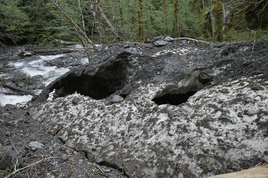
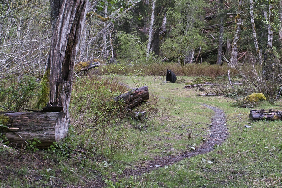
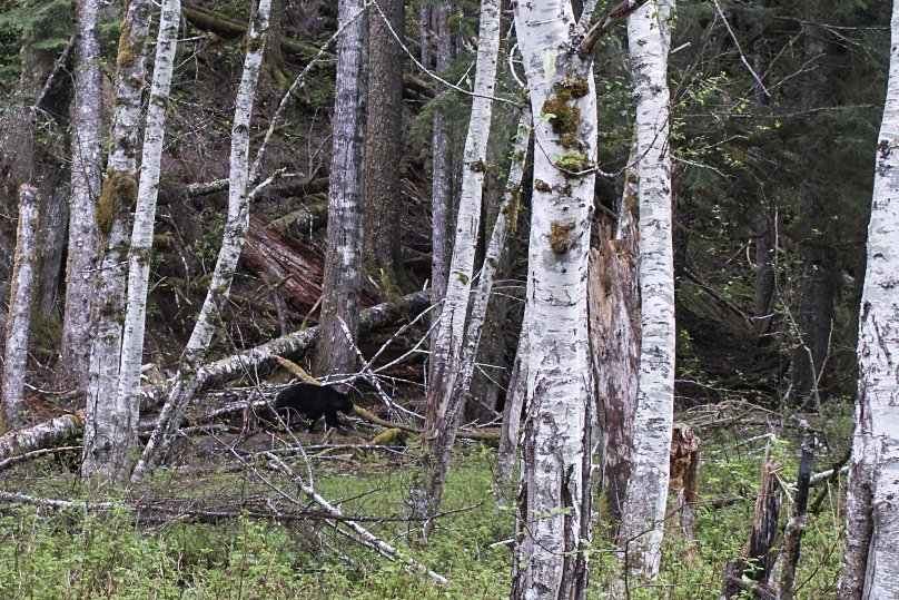
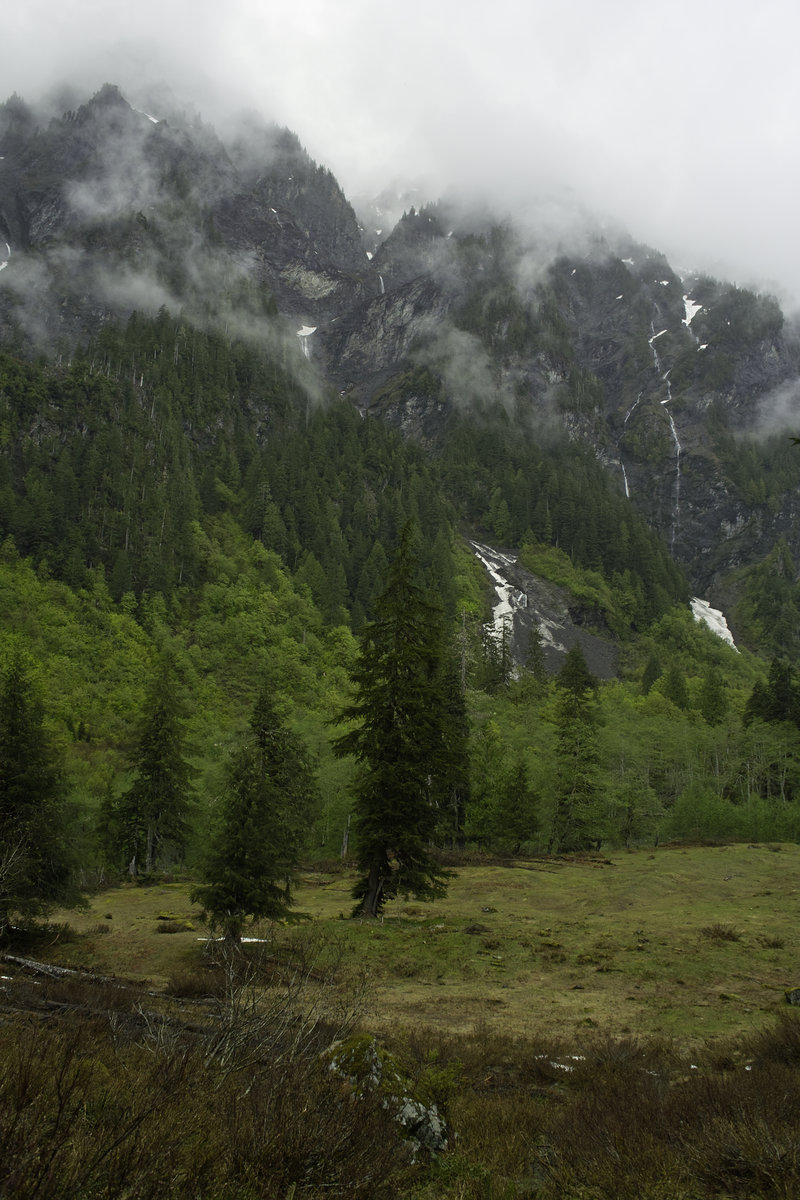
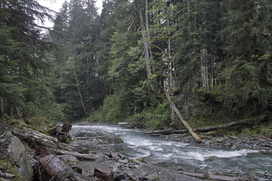
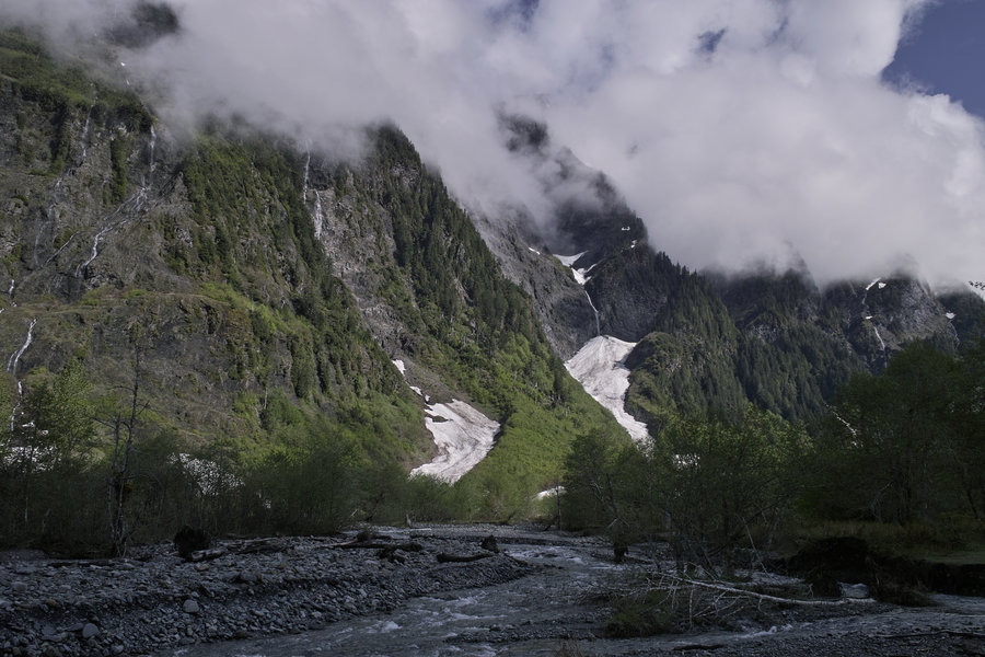
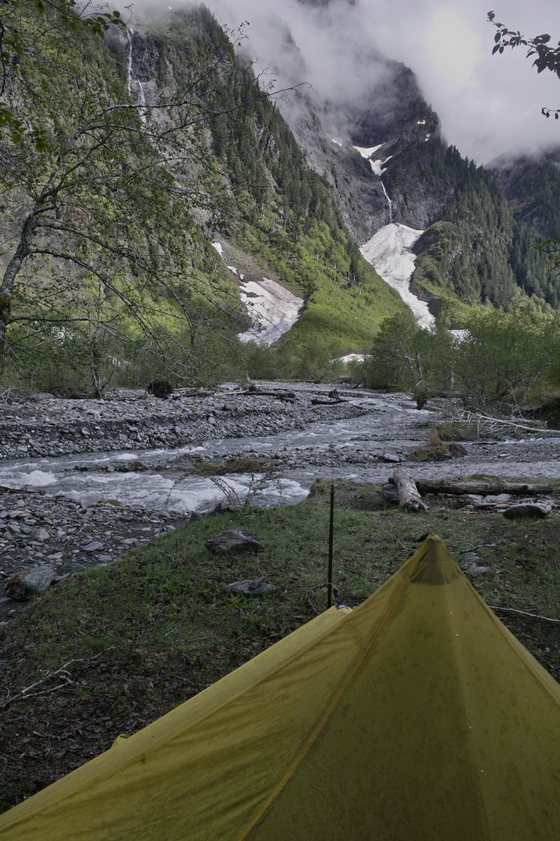
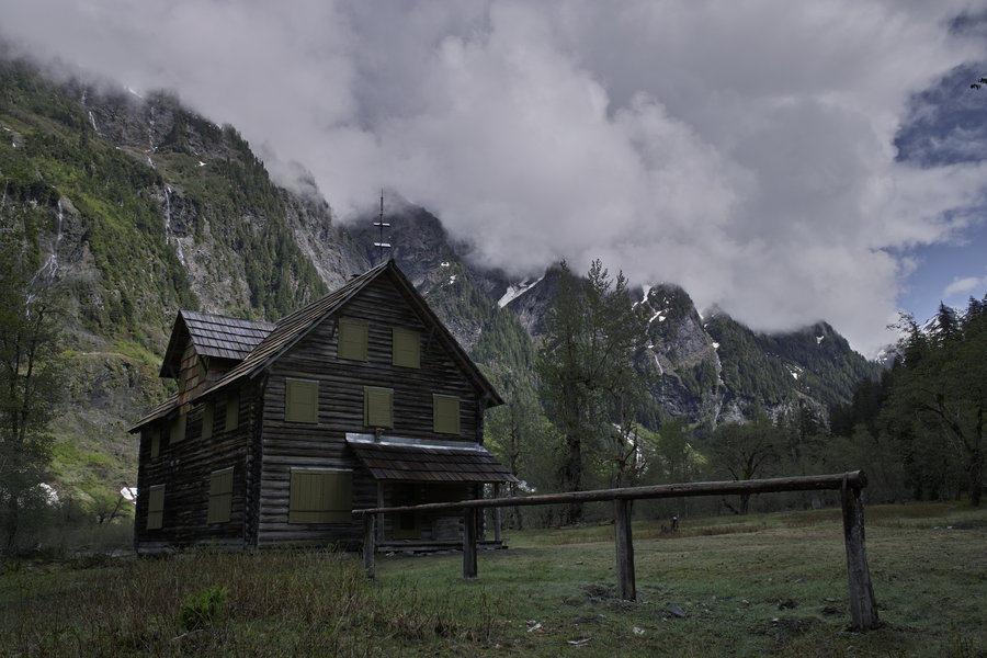
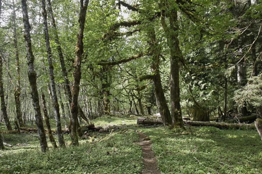
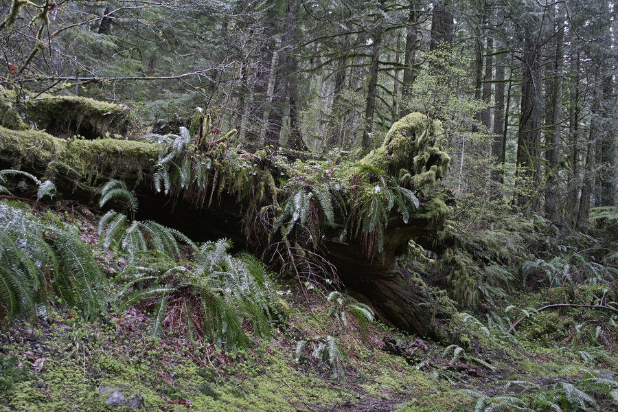
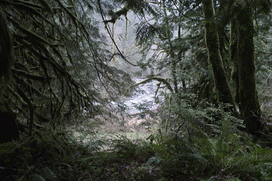
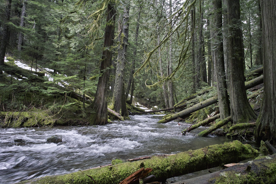
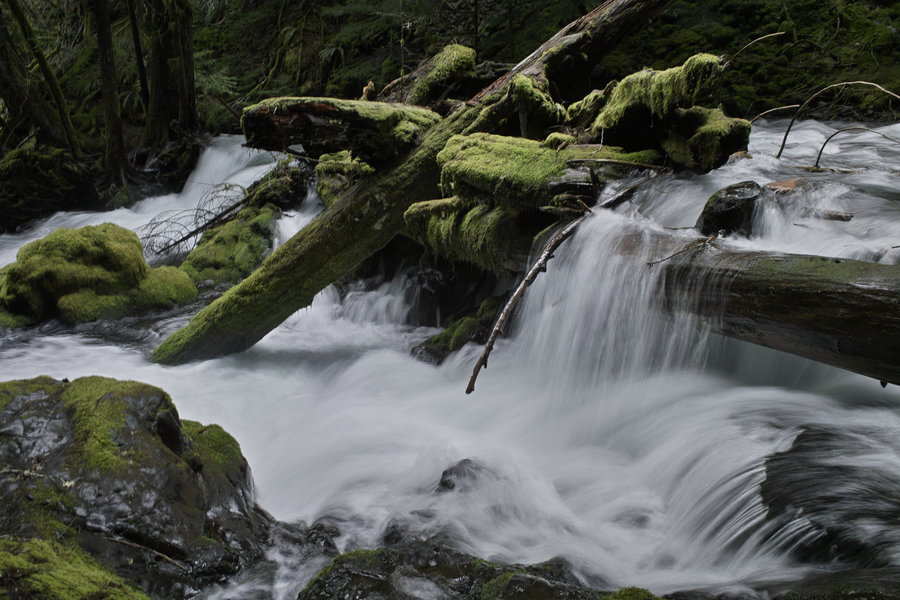
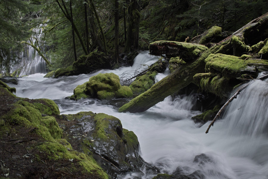
Enchanted Valley
30.5 miles of hiking • 4000' elevation gain • 1 night
Saturday, I decided to head up to the East Fork of the Quinault for the weekend. The forecast was rain with a chance of rain, but I was in the mood for some bear watching.
While the bear totals were 1, the weather panned out to be better than expected. Last time I did this hike in 2011, I did it on a Friday and saw no one after mile 4. This time, there were several groups, which is why I'm imagining the bear totals were so low. In any case, this is a fantastic location, and is worth visiting, bear season or not.
I made the drive up Saturday morning and arrived by noonish. There were about 15 cars in the lot, but I counted about 10 that left as I was going in, so the valley itself wasn't too crowded. I was making good time so I hiked a little past the lower valley and finally ran into a bear.
The upper valley is small compared to the lower valley, but is a neat area in its own right, and worth taking the extra mile and a half or so to visit. I stopped at a washout headed toward Anderson pass, knowing that I would soon run into heavy snow, and running out of daylight.
I went back to the chalet and set up camp. A Hopworks can, some pasta and a little chocolate, and it was bed time.
This morning, I woke up somewhat late, did a little more bear searching, and then took the 13 miles back out to the car. The weather was fantastic—mid 60s and a breeze.
This trip is definitely worth doing (in May) if you haven't already.
May 18 – May 19, 2013

Douglas Trail/Wildcat Mountain
4.5 miles of hiking • 1250' elevation gain •
Big miles on the Douglas Trail. Was going to do McIntyre ridge, but that road takes forever to melt out (and wasn't melted out), which meant the ridge would likely be as bad. The Douglas Trail wasn't too snowy. The quarry near the parking area is totally covered in shotgun casings. No views from the top of Wildcat, but there are several nice overlooks. I'm always amazed at the beauty of the Eagle Creek (Clackamas) and Salmon River drainages.
May 16, 2013

 2
2
Tanner-Eagle Loop
25.5 miles of hiking • 5000' elevation gain •
10:30 AM start from Tooth Rock, 8:00 PM finish. Was just going to do Tanner, but my time was looking good. Nice views from the top. Did the old highway instead of the 400 to get from the hatchery back to the Tooth.
There was a 1/2 mile stretch of snow behind Tanner, and a few spots here and there above 4000', but everything else was clear.
Eagle Creek crossing was waist deep—my iPhone is currently sitting in a bag of rice, drying out—hopefully it will make it.
May 11, 2013

North Lake
11 miles of hiking • 2250' elevation gain •
Started up Wyeth, wasn't a fan of the exposure on that trail, so I drove around to the back of Defiance and hiked North Lake from the back. Snow started around 3800'.
May 4, 2013

 1
1
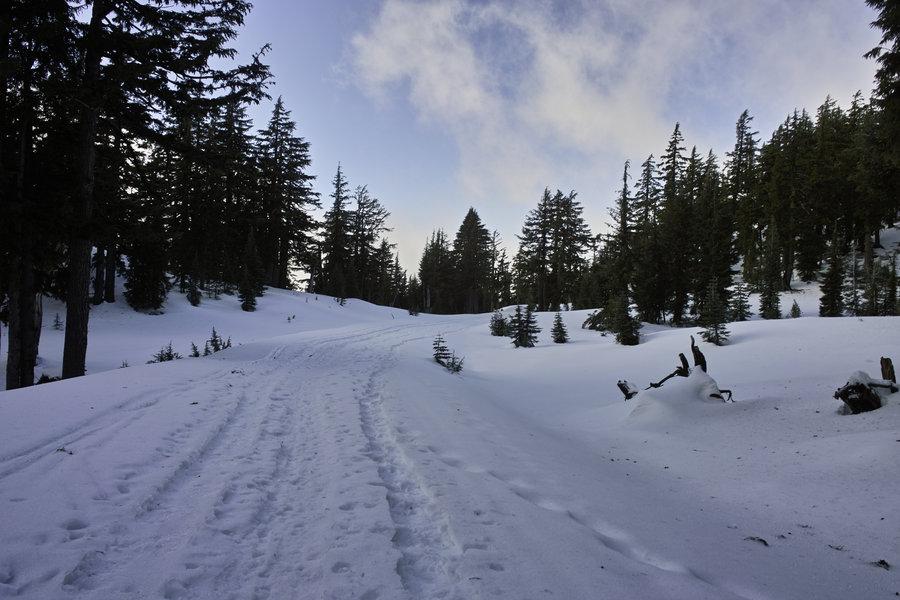
Larch Mountain—From the Gate
9 miles of hiking • 1750' elevation gain •
After North Lake, headed up to Larch. The gate is still closed and there is a good bit of snow 2 miles from the parking lot downward. The trail has very little if no snow by now.
May 4, 2013

Salmon River
11.5 miles of hiking • 1250' elevation gain •
Went almost to about the Kinzel Lake turn off. Another nice day!
April 27, 2013

Eagle/Wauna
5 miles of hiking • 1250' elevation gain •
A quick late afternoon hike to get outside on a nice day.
April 24, 2013

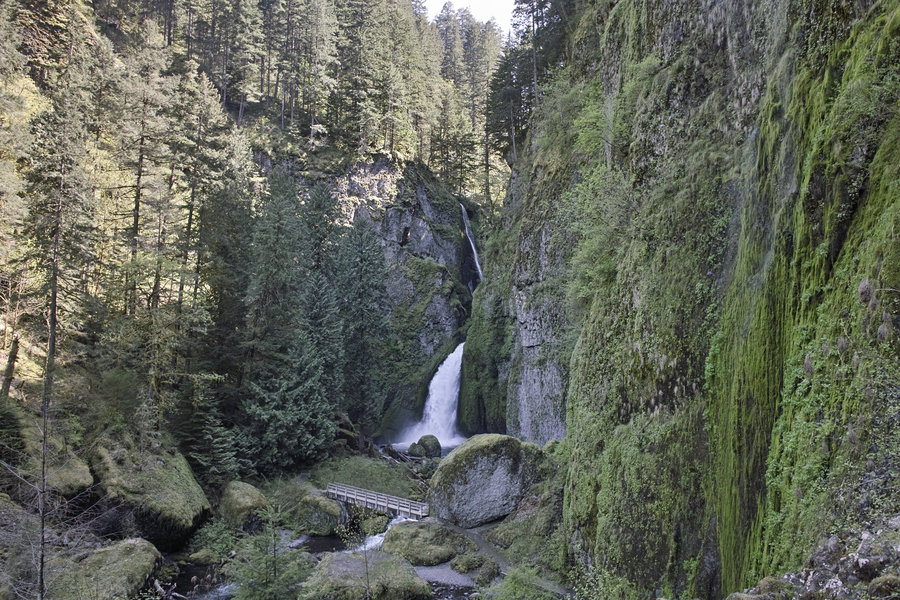
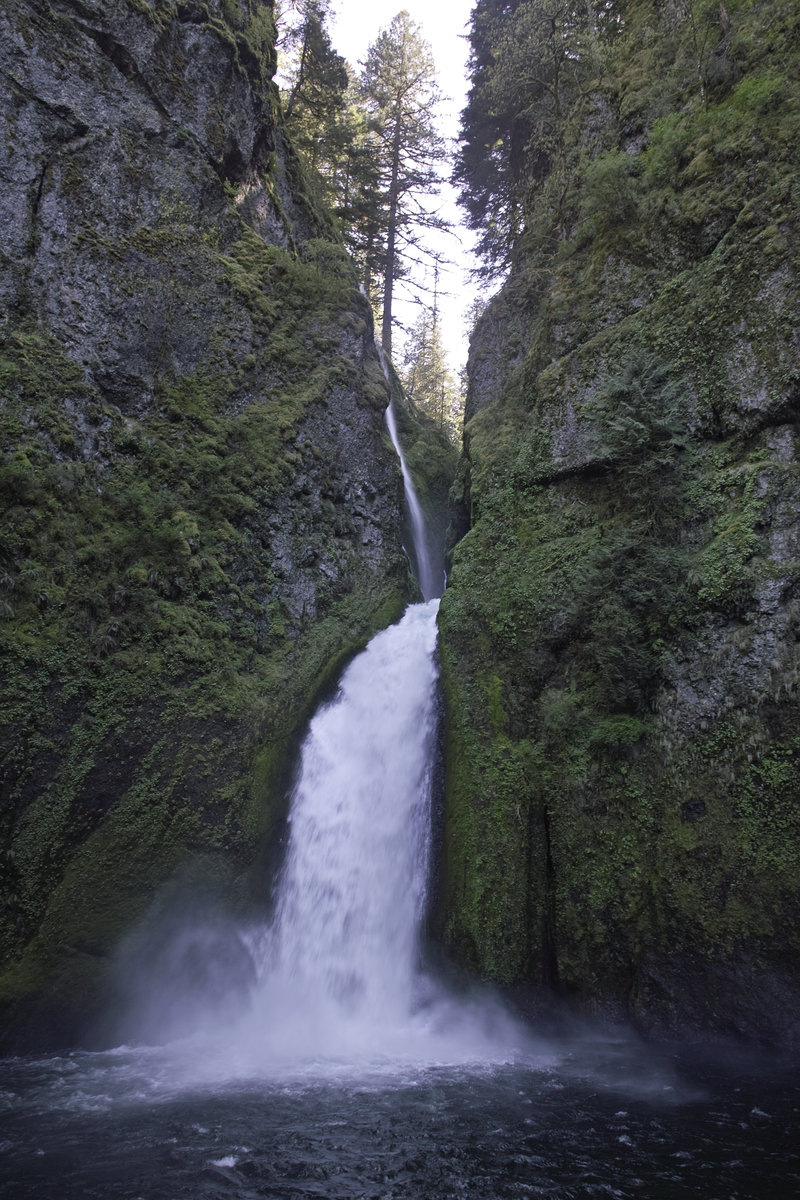
Wahclella Falls
2 miles of hiking • 250' elevation gain •
A little more hiking. It was too nice out to return to Portland so fast.
April 24, 2013

Lewis River/Quartz Creek
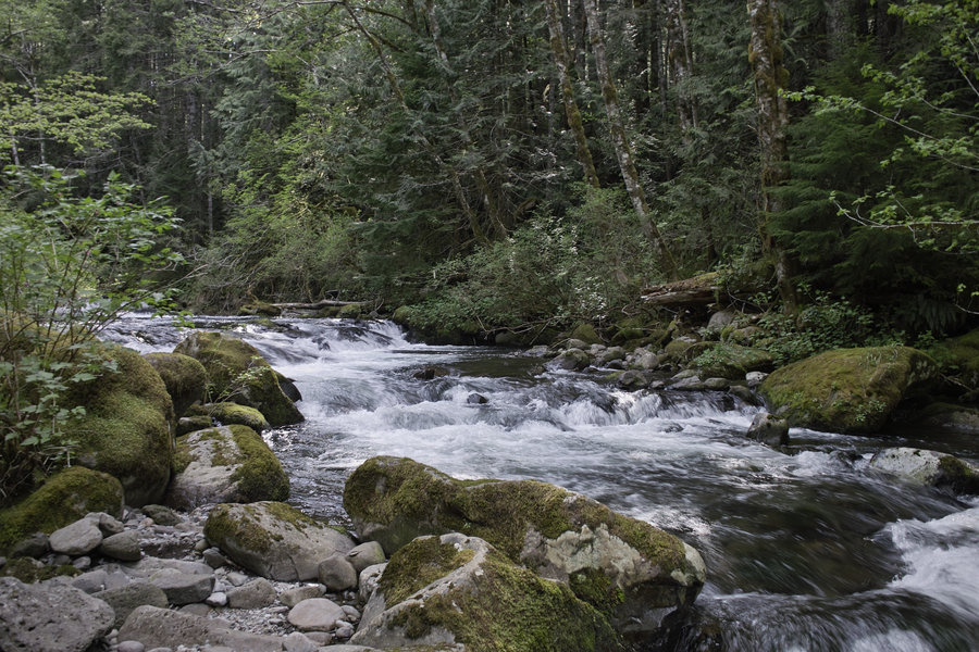
12.5 miles of hiking • 1250' elevation gain •
Now is the time to go up to the Lewis River. The river is flowing really nicely right now, and even on a Saturday, there were very few people there—I don't think people realize it's melted out.
I hit a few spots I haven't done before—the Big Creek Falls trail, the trails between the main falls, and a smidge of Quartz Creek. The overlook at Big Creek Falls was decimated by a tree, and it's not clear how structurally sound the platform is, so I didn't give it a chance. When going to Big Creek, be sure to take the trail out to the ridge—there's a very nice view of the Lewis River and some unnamed falls across the way.
Upper Falls was flowing very nicely. Also, be sure to check out Quartz Creek. I want to come back to that area when I have more time—it has a very Olympics-y feel to it.
Also—Curly Creek Road is open!
April 20, 2013

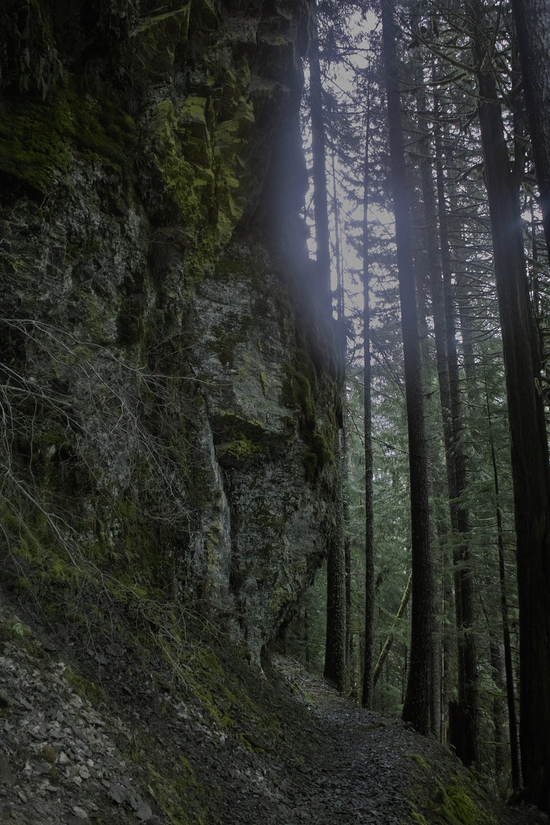
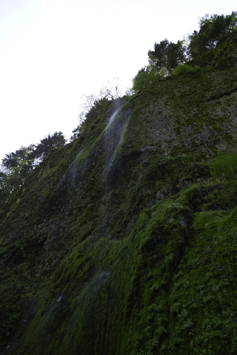
Ruckel Creek
3.5 miles of hiking • 1250' elevation gain •
A very brief trip up Ruckel Creek to do some thinking and look for some waterfalls.
April 13, 2013

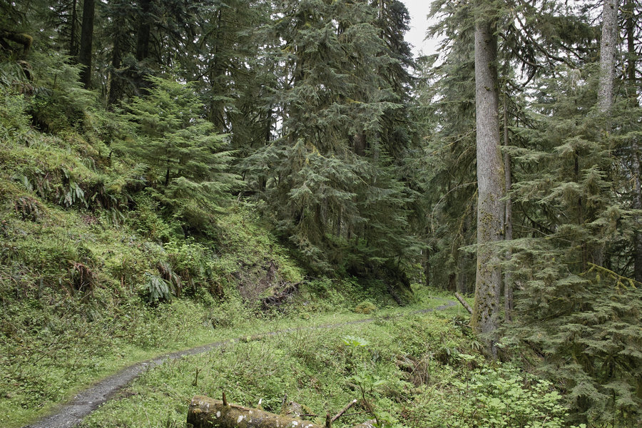
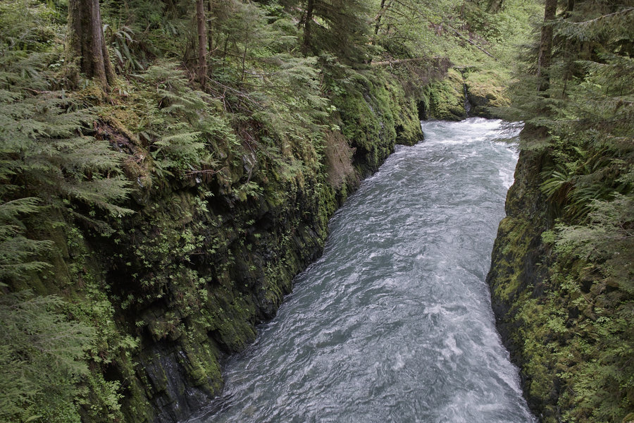
Clackamas-Eagle Creek
9.5 miles of hiking • 1750' elevation gain •
The "other" Eagle Creek. This place is pretty cool—has an ONP kind of river walk vibe, but is far closer to home. (A high-wall canyon with tons of moss). Started around 2p and just had a few hours—I'd like to get farther next time, but started a bit back from the trailhead due to some iffy logging roads with mud that kept my little car from making it the whole way without risking getting stuck so I only walked a little ways once I got down to the river. This could be a great place to camp, but it might take some work to find a reasonable site.
April 6, 2013

 2
2
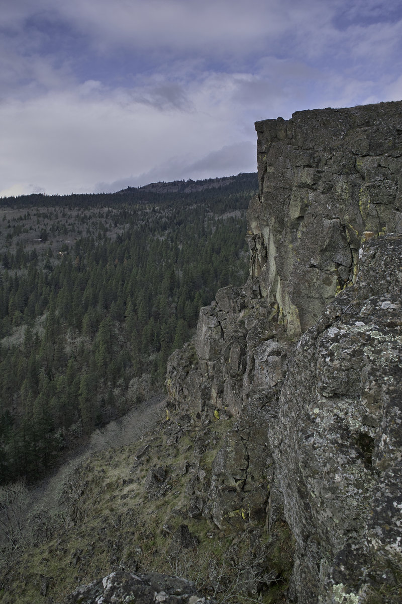
Silver Star
8 miles of hiking • 2250' elevation gain •
Didn't quite make it all the way up to the top due to super warm weather, a desire not to do 1 mi of side hilling where the regular road/trail is, and the cornices on the scramble route—went to the northern "peak" instead. Sustained 40mph winds around the top. Nice day!
March 30, 2013

 2
2
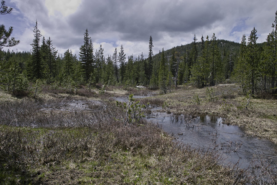
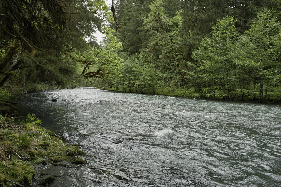
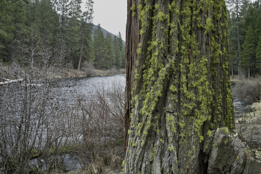
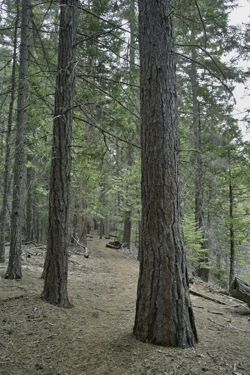
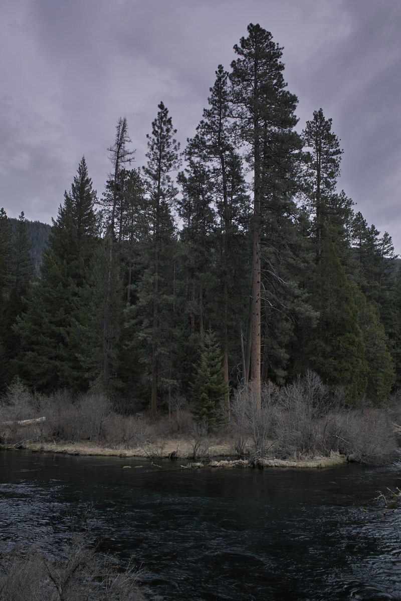
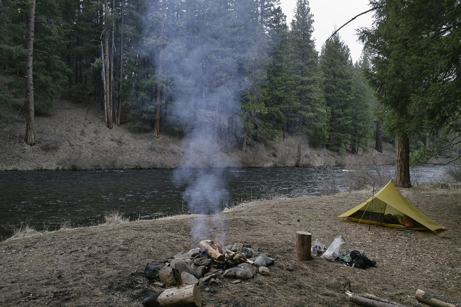
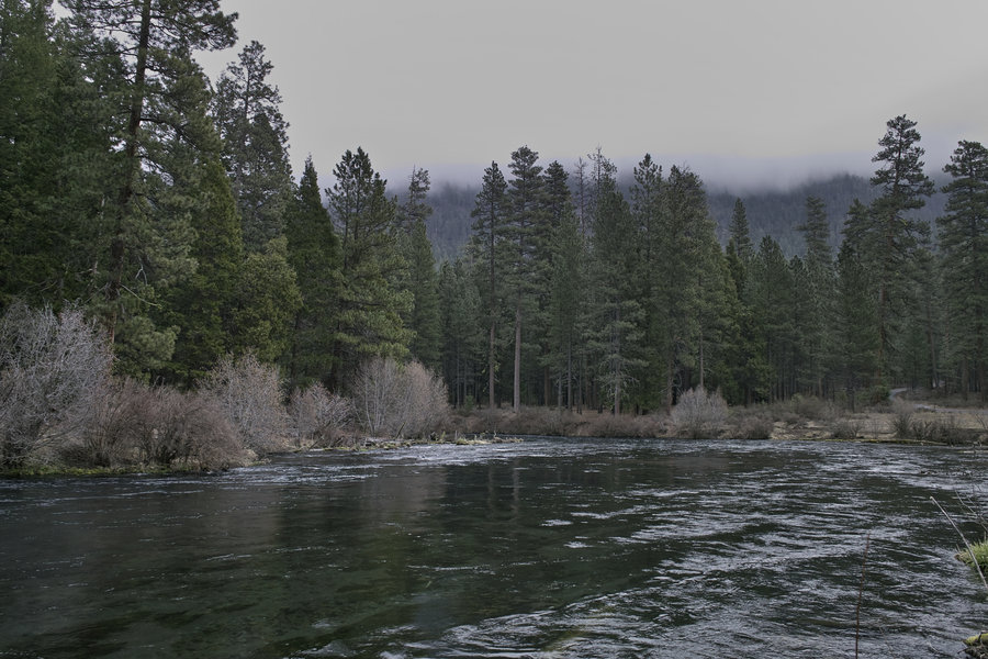
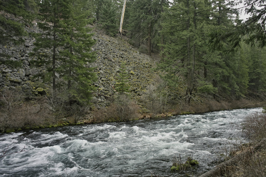
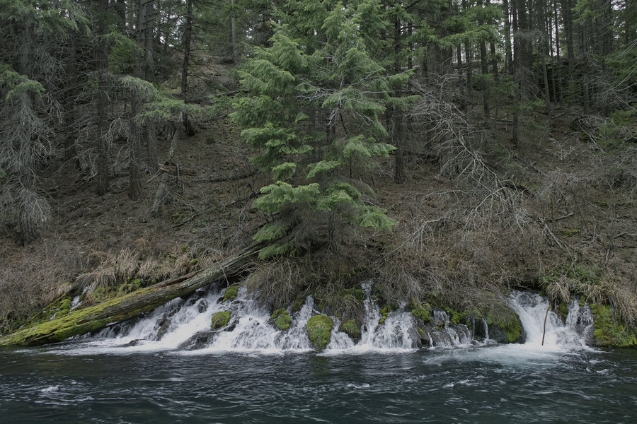
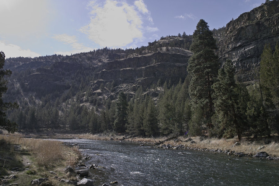
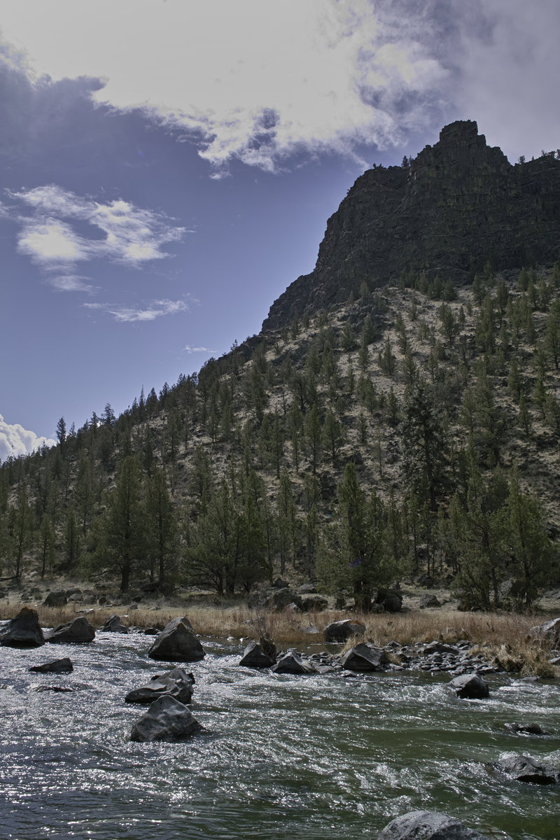
Metolius River
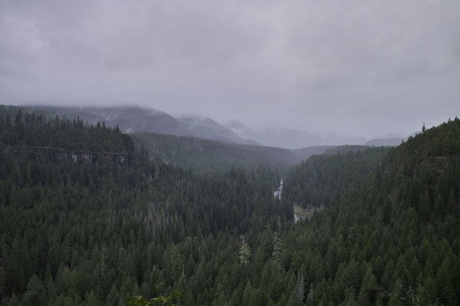
22 miles of hiking • 1500' elevation gain • 1 night
I have the whole week off (sort of), so I thought I'd spend a few days hiking and fishing. The Metolius River was recommended as a great place to fly fish and hike in the winter, so I thought I'd give it a shot.
This trail is a mix of complete solitude and crowded trails. There are stretches where I would see no one for miles and then I would see a bundle of people near the populated spots. Also, it should be noted that the backpacking options on the upper parts of the river are more tricky as parts are private land or not really conducive to camping. Farther down, however, there are some great sites.
Started at the Allingham bridge and headed north. There are trails on both sides of the river for about 10 miles or so, and then the trail turns into a closed dirt road which can be walked for another 15 or so miles if one wants. I criss-crossed the river at the fish hatchery and then back again at Bridge 99. I then went a few miles into the dirt road path and backtracked to just above the Lower Bridge Campground for some great hidden riverside camping. The firewood was dry compared to the west side of the Cascades so I was able to get a good fire going.
Tuesday, I hit the other side of the trail and ended up coming out the Canyon Creek campground side of the trail—probably the coolest section of the trail—and doing a little bit of road walking along the west side before cutting back to the trail.
I brought the Tenkara rod in hopes of catching some serious fish, but nothing was biting. Nonetheless, this is a very relaxing and enjoyable river to fish and walk along. May and June are probably the best time to go, when things get more green.
I had an extra day so I went out to the Crooked River for some more fishing. This place is great—and great car camping options that I'll definitely keep in mind next time I'm around Bend.
March 25 – March 26, 2013

Molalla River Trails
9 miles of hiking • 1000' elevation gain •
A mid-day jaunt around the Molalla River trail system. It's eerie how strikingly similar this area is to Forest Park. (Plus ants; thousands and thousands of ants).
March 23, 2013

 2
2
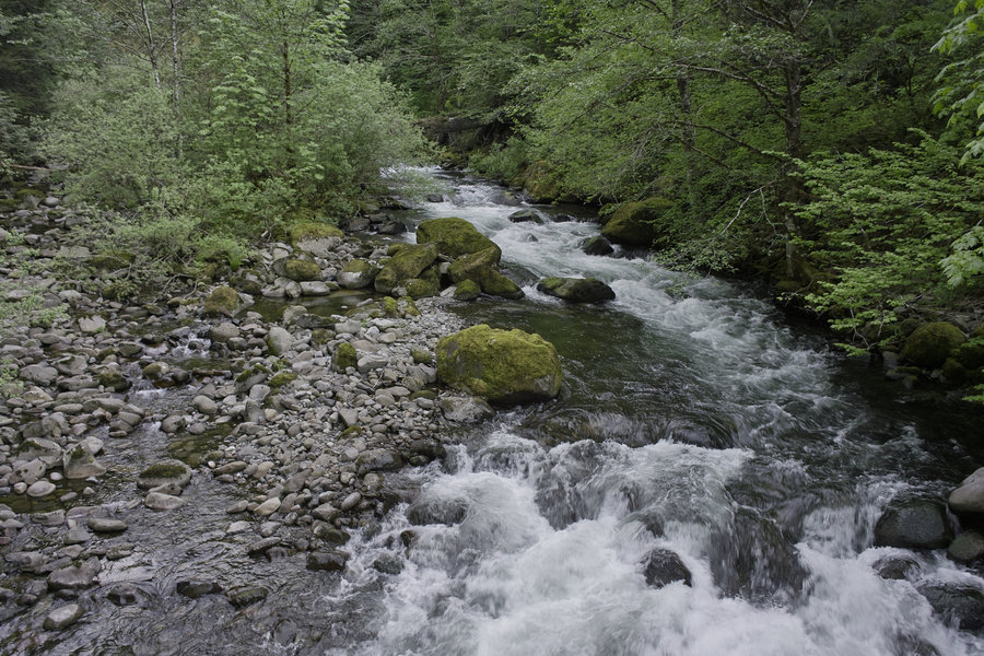
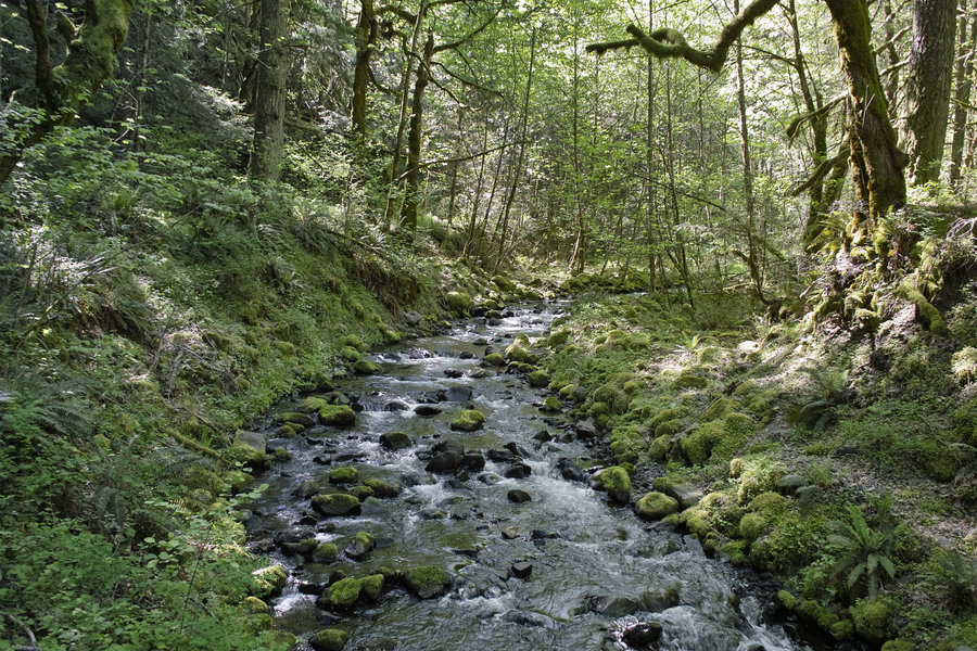
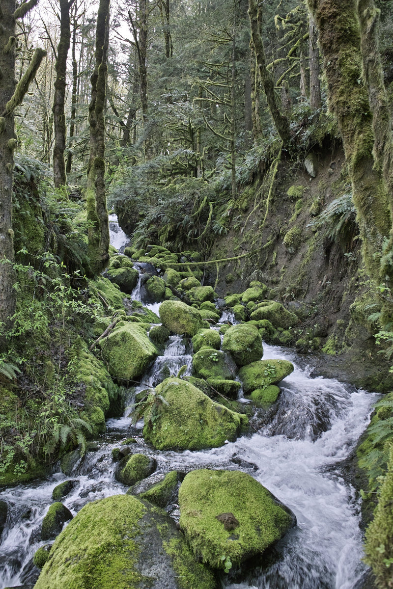
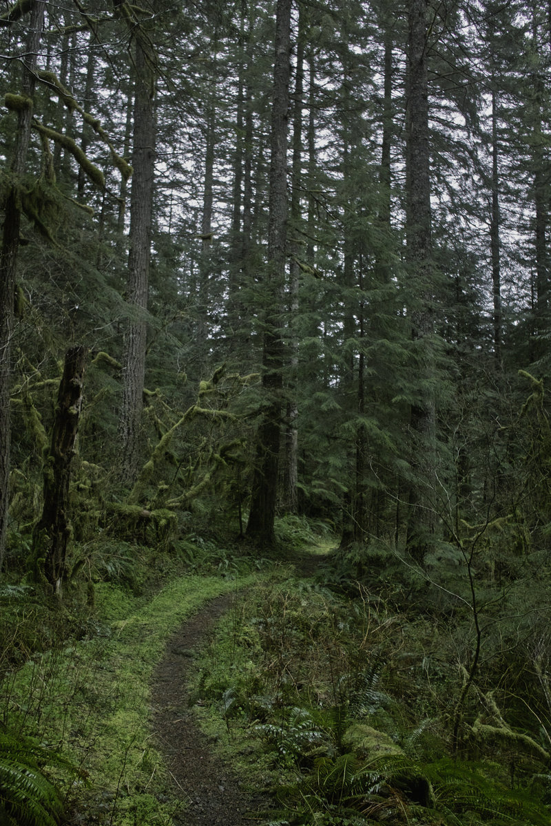
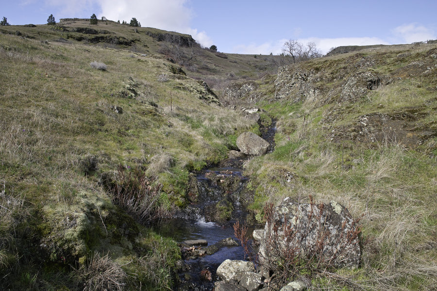
Siouxon Creek
8 miles of hiking • 500' elevation gain • 1 night
Another quick overnighter, this time to Siouxon Creek. 1hr 20 min from door to trailhead. Got the green light from weekend_warrior that the road hump was snow free. As always, this one's a winner—without a doubt the best creek hike in the area.
Got in around 3p, hiked about 4 miles out to the slick waterfall before the bridge to Chinook falls. That thing is always a chore to get across, so, running short on daylight, I called it and headed back toward the more established camp sites. Tried to get a fire started, but even with a few tricks up my sleeve everything was just too wet.
Sierra Nevada IPA, a few owls whoing, and rain in the morning. Not a bad way to spend an evening.
March 15 – March 16, 2013

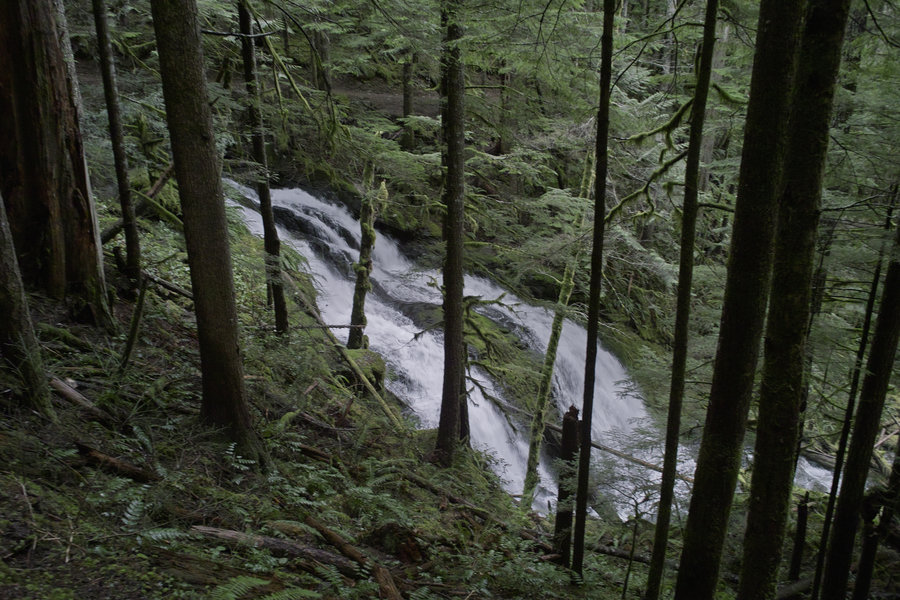
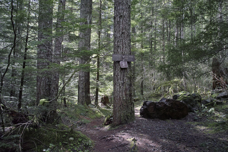
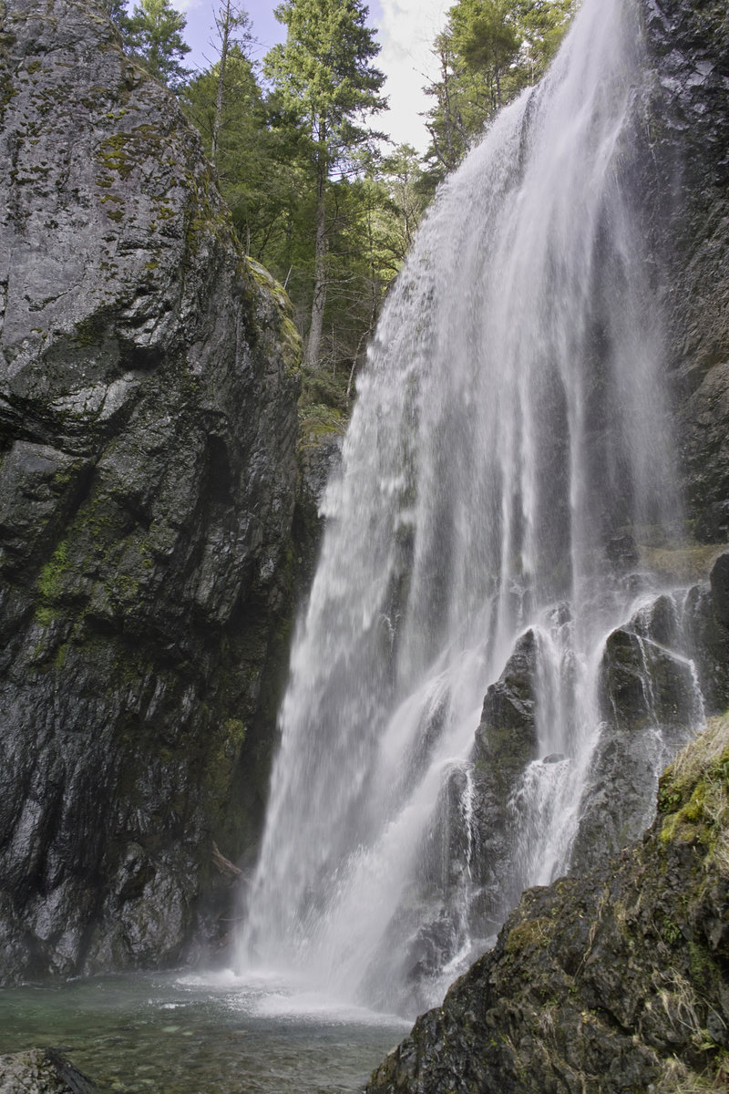
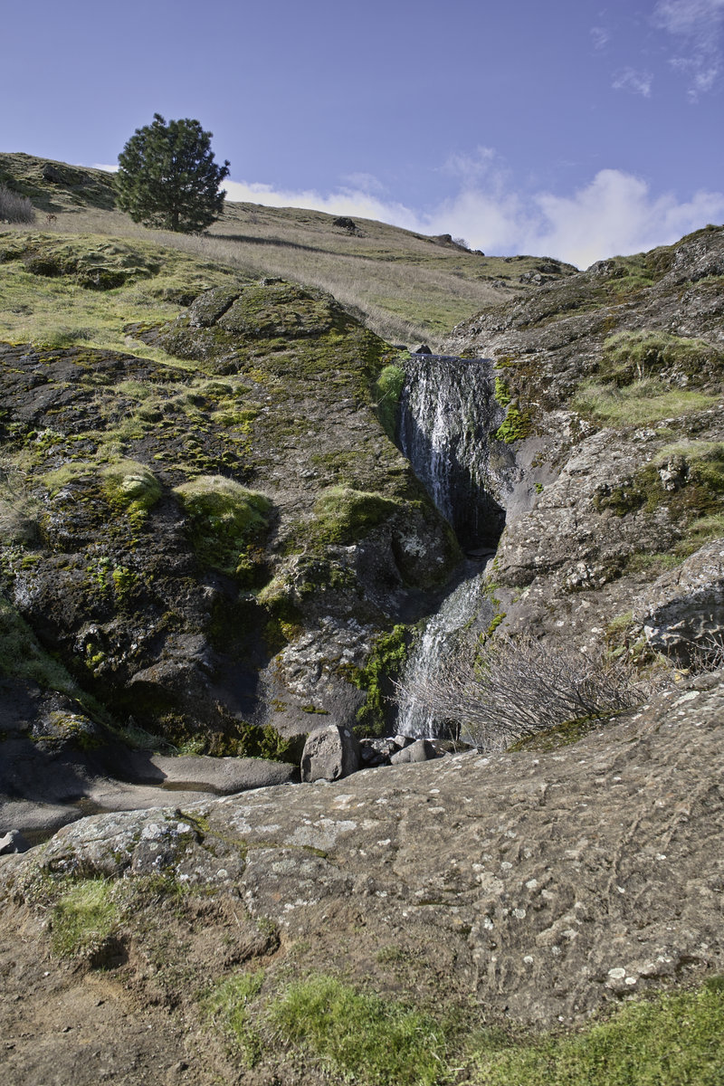
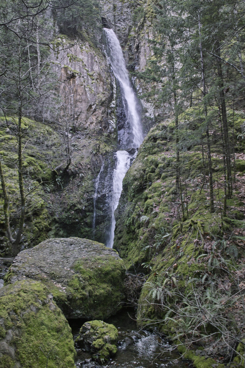
Henline Falls
2 miles of hiking • 250' elevation gain •
A quick pre-trip hike to Henline Falls. This would make a really nice summer swimming hole—but it's probably really crowded on weekends. Also, the Silver King mine is gated only a few dozen feet in now.
March 8, 2013

Opal Creek
8 miles of hiking • 750' elevation gain • 1 night
I wanted to take advantage of the great weather this weekend, so I made a quick Friday afternoon trip out to Opal Creek. Camped a few hundred feet from Opal Pool in a small melted out spot. Saw no one else in the evening. The wood was so damp I could not get a fire started—even with a little cheating. Fantastic weather.
March 8 – March 9, 2013

PCT
10 miles of hiking • 3250' elevation gain •
Some wandering along the PCT. Was going to go up Table the back way but the amount of snow and 2p start made me decide to call it at 10 miles.
March 4, 2013

Panther Creek Falls
2.5 miles of hiking • 250' elevation gain •
Was going to go up to Trapper Creek but the snow level was around 1000'. Decided do scrap the hike and just go up to Panther Creek Falls. Ran into snow about 1 mile from the falls, so hiked in about a mile.
March 2, 2013

 2
2
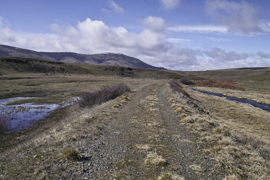
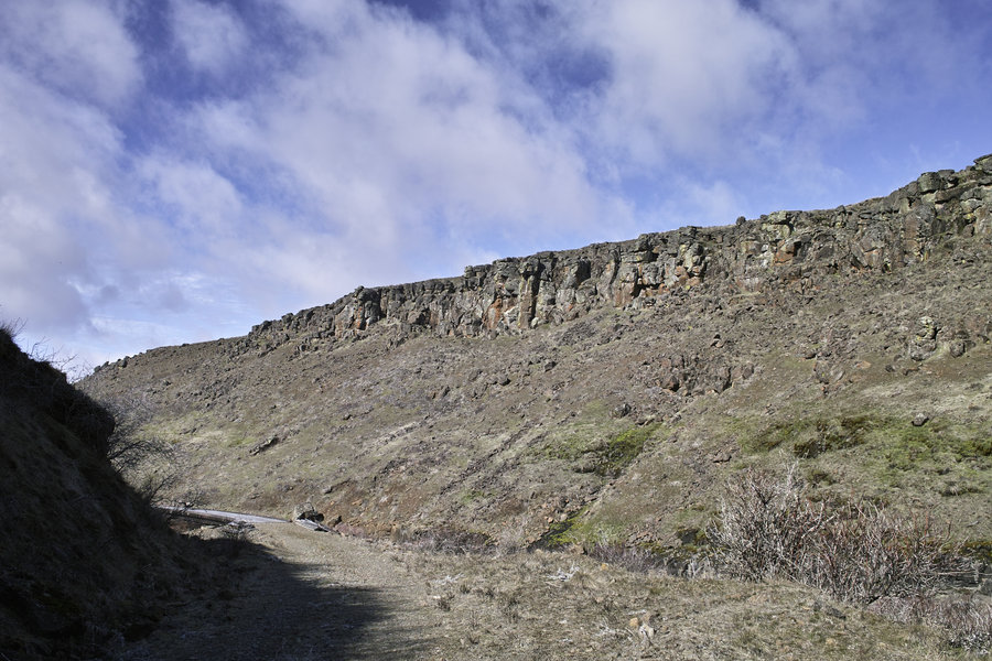
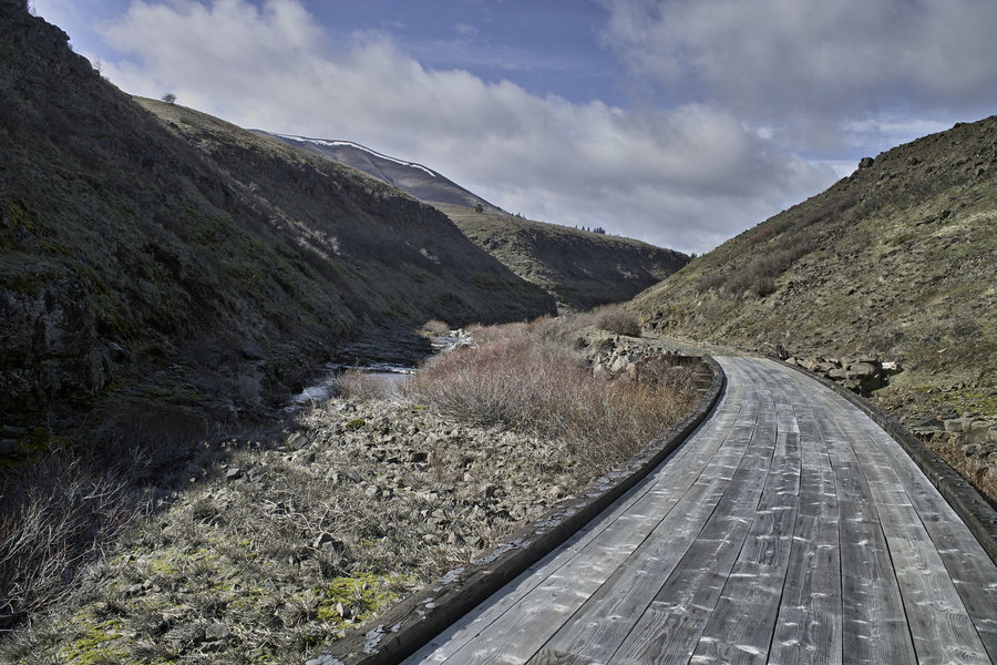
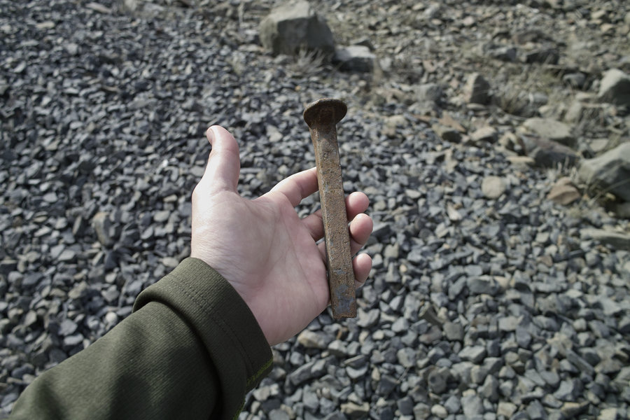
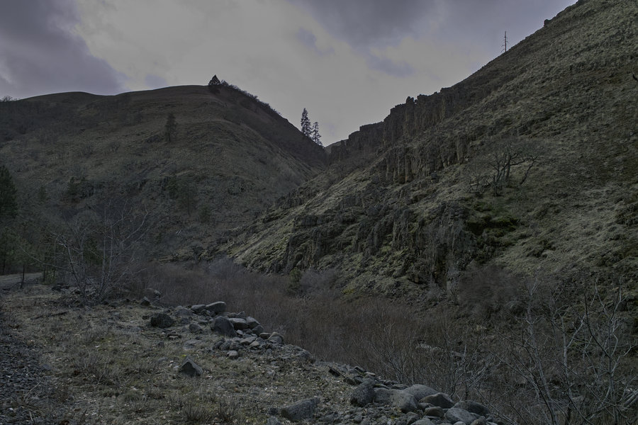
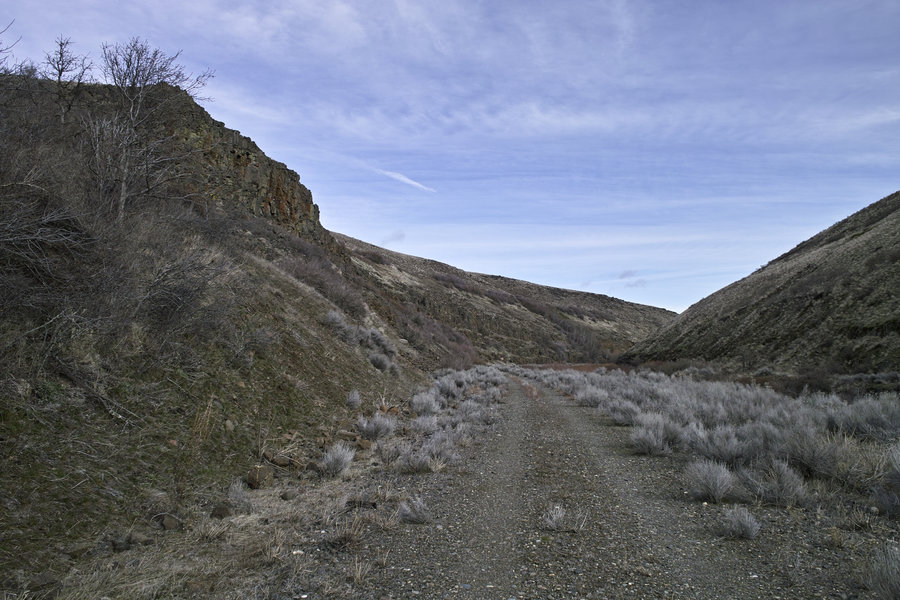
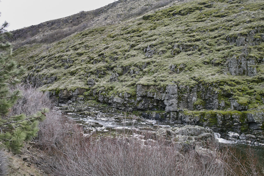
Swale Canyon
12.5 miles of hiking • 750' elevation gain •
I was hoping for some more sunny weather so I made the trip out to Swale Canyon. Other past trip reports made this place look appealing, and indeed, it was a nice area to explore. I didn't see another soul—except a few birds, some ducks and two marmots.
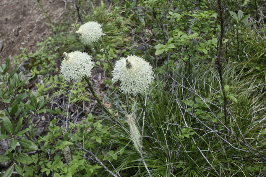
No flowering just yet—still another few weeks out I'd bet.
February 23, 2013

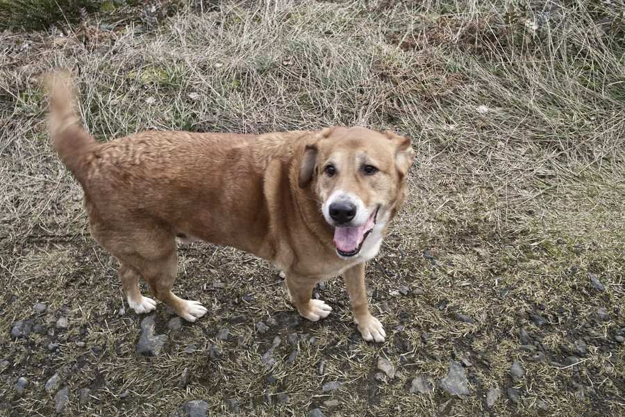
Archer Mountain Complex
4 miles of hiking • 1250' elevation gain •
I felt like I needed to hike so I made a quick late Monday afternoon trip to the back end of Archer Mountain complex from Dunn Creek Road. The dog in the picture lives next to the trailhead and followed me around everywhere.
February 18, 2013

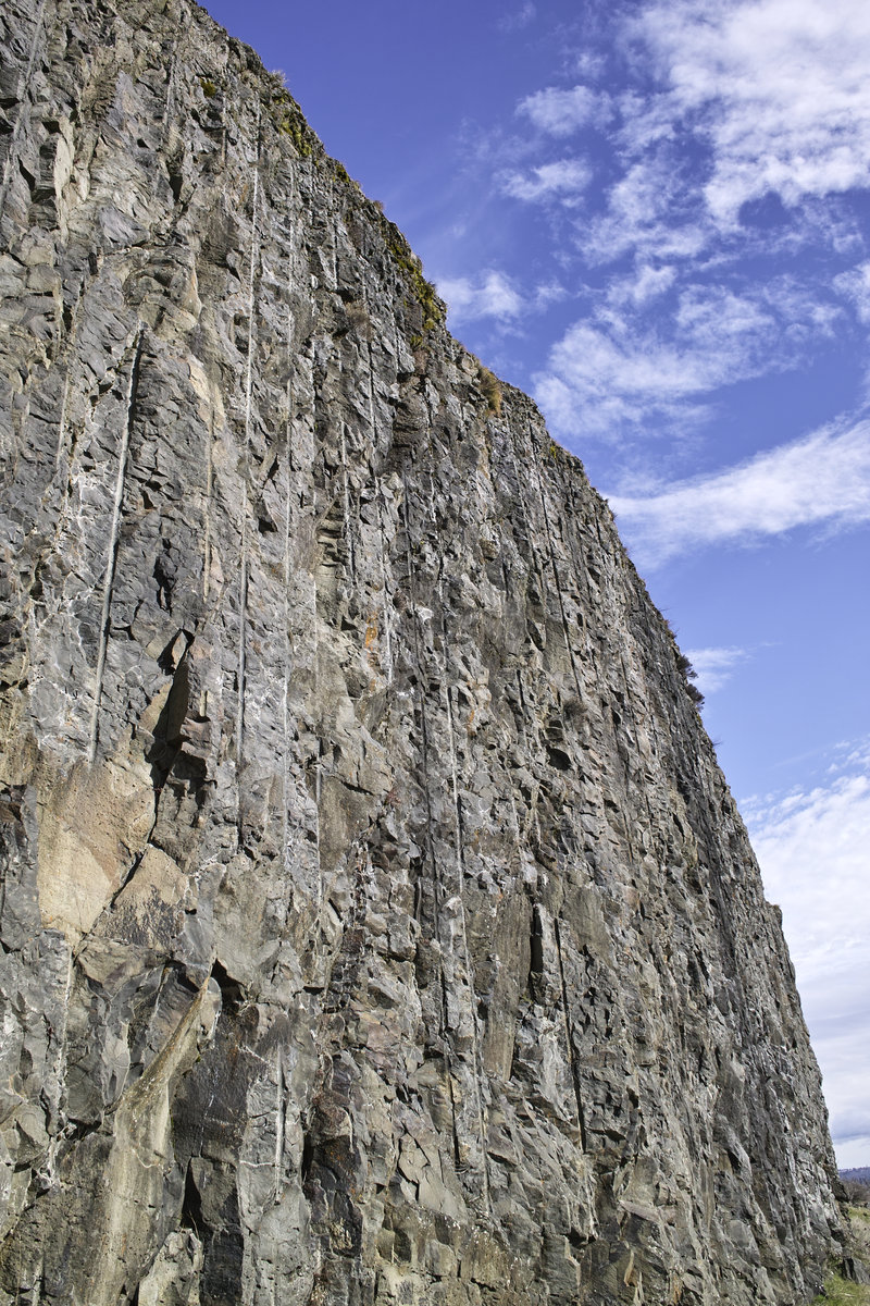
Coyote Wall & The Labyrinth
9 miles of hiking • 2250' elevation gain •
It has long been thought that Medieval labyrinths were used as ritualistic pathways; a place to accomplish prayers and devotions. The Labyrinth area at Coyote Wall offers an oddly similar opportunity.
Frankly, I've always put off going out to this location because it looked, well, boring. But now that I've visited, I can see the appeal. While somewhat occupied by mountain bikes on the Coyote Wall side, the Labyrinth area is a unique and interesting hillside that stands apart from most of the hiking in this area. For whatever reason, walking the maze of pathways to the top is a relaxing and contemplative experience.
If you haven't been already, I'd definitely take a trip when the spring flowers pick up, preferably on a sunnier weekday. Though going now wouldn't hurt—the grass widows are already out. I ended up doing what the field guide calls the Coyote Wall Loop, with the Labyrinth section thrown in. This is a nice little hike.
February 16, 2013


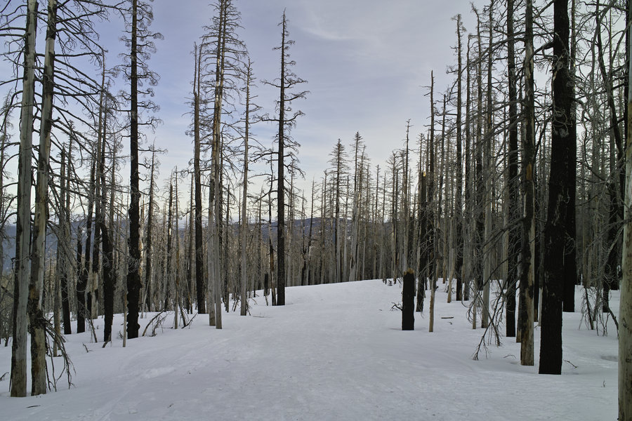
Tri-Ghost Ridge
5 miles of hiking • 1250' elevation gain •
A quick trip up to Tri-County/Ghost Ridge and a bit beyond. Cloudy weather. Hard snowpack.
February 9, 2013

 5
5
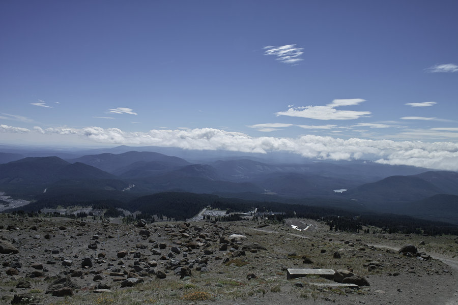
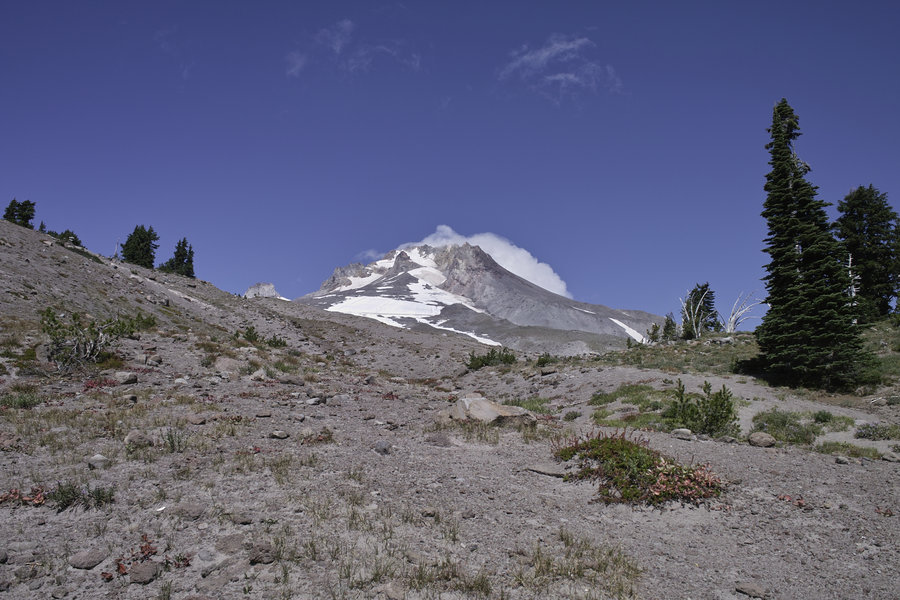
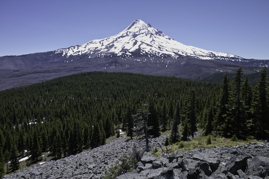
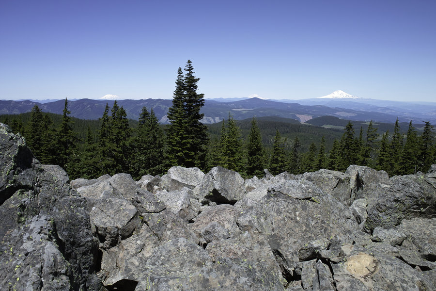
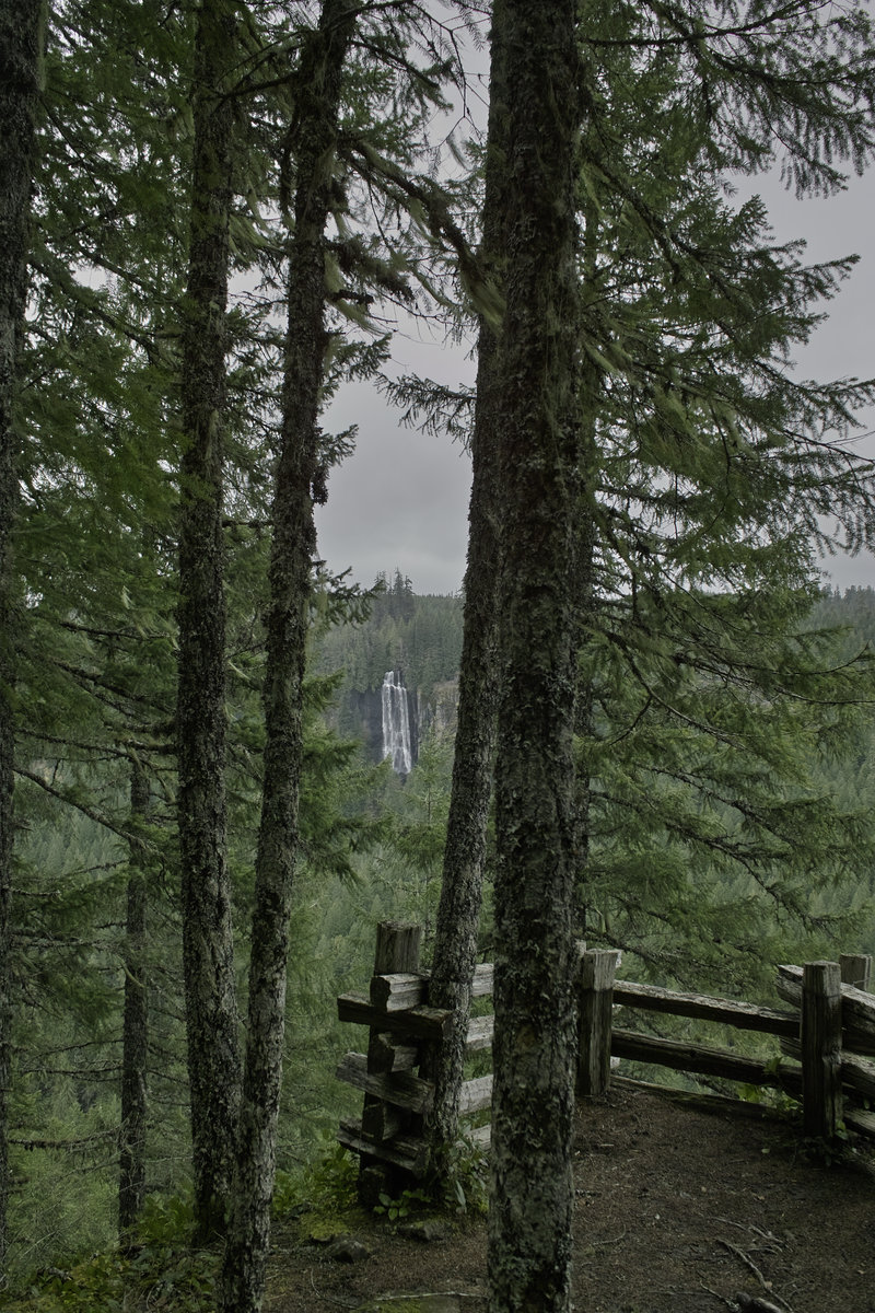
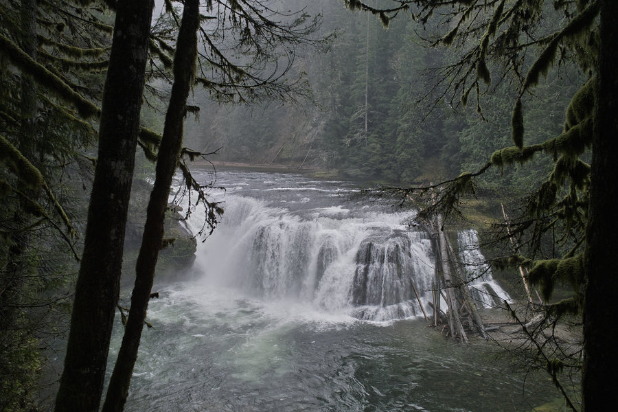
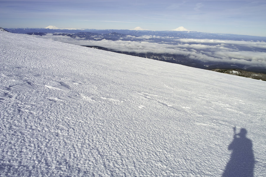
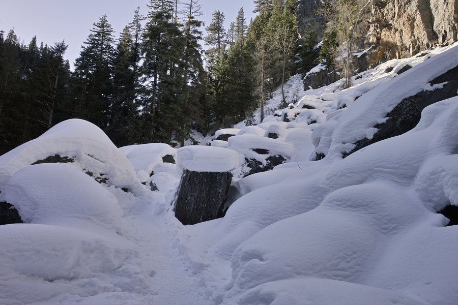
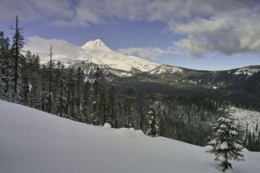
Cooper Spur Shelter
10 miles of hiking • 4000' elevation gain •
A nice sunny day on the mountain. The snow was pretty firm from the use up to Tilly Jane, mush from Tilly to the shelter, and then solid ice past the shelter. Took a few wrong turns on the way up and down, but they ended up being helpful because they put me in an icy river basin that was easy to climb up on. Went up to about the 7200' mark—a sheet of ice, no wind, super warm, dead quiet, and a three volcano view—a bit of a surreal experience.
February 2, 2013

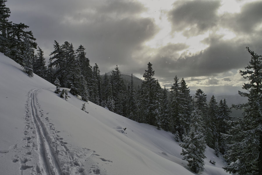
The PCT Towards Table
8 miles of hiking • 2500' elevation gain •
Headed up the PCT towards Table. Again, foul weather so turned around near the Heartbreak Ridge turnoff and went down toward the powerline road to make a small loop
January 26, 2013

Hamilton Mountain
10 miles of hiking • 2500' elevation gain •
Hamilton Mountain on the free day. The winds had to be approaching 60 mph down at Beacon Rock. Went down the horse trail way to make a bit bigger loop.
January 21, 2013


Starvation Area Wanderings
5.5 miles of hiking • 500' elevation gain •
Did a little bit of wandering around the Starvation area, and down to Viento. Thought about doing Defiance but decided against it due to poor weather and a late start
January 19, 2013

 1
1
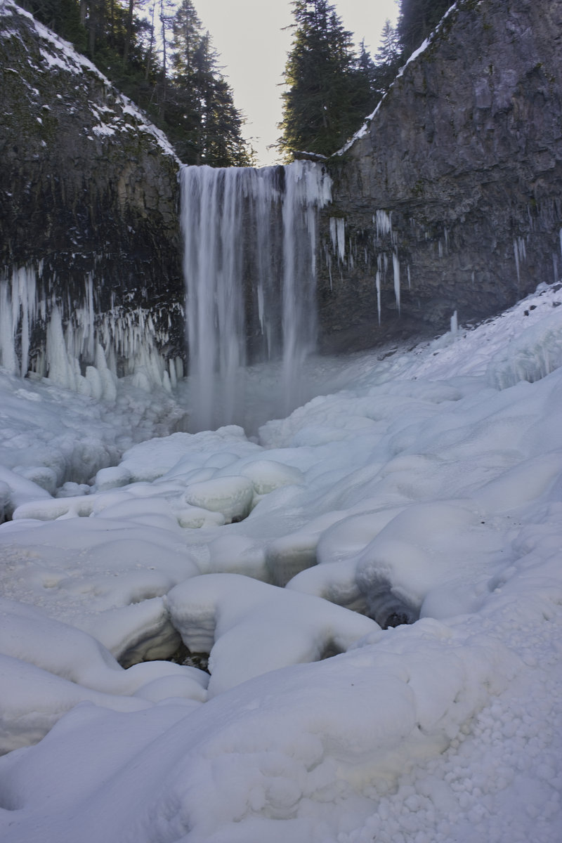
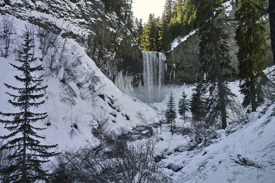
Tamanawas Falls
4 miles of hiking • 750' elevation gain •
I was planning on doing Newton Creek for a shorter morning hike, but things were very mushy due to the nice weather up on Hood, which made things painfully slow. So I decided to make better use of my time and head down to a place I hadn't been before—Tamanawas Falls.
This is a nice little hike, and it's definitely worth doing in the snow. The pictures don't really do it justice. The snow was so hard packed, one could walk without snowshoes. The weather was great.
January 15, 2013

 1
1
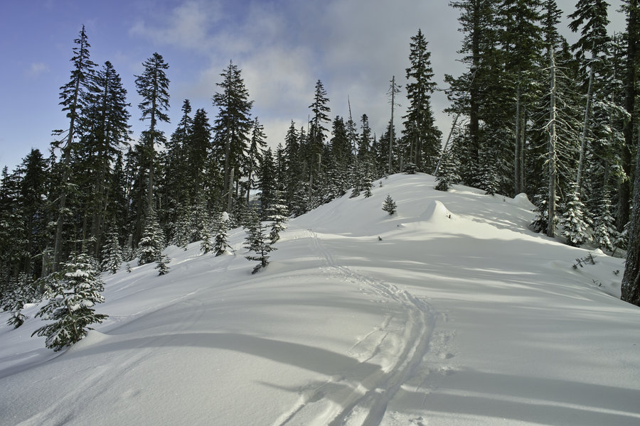
Bennett Ridge
6 miles of hiking • 500' elevation gain •
It was nice out today. A bit shorter of a trip than planned due to a late start and bad roads taking up more time than expected. About 20º out, but breaking trail kept the cold in check. The snow was powdery and just a little sinky.
I ended up turning around at the terrible traverse—the snow looked fine, and the avalanche forecast was okay, but because I was by myself I didn't want to chance it. Pastrami sandwich for lunch.
Hoping to get around to Badger Lake next time around.
January 11, 2013

 2
2
Larch Mountain—From the Gate
8 miles of hiking • 1750' elevation gain •
A last minute decision to avail myself of the fine weather we've been having, and a great first hike of the year. Did the quick hike up to Larch from the gate. I hit the weather just right, with sun just until I returned to the car.
It was really the nicest I've ever seen it up there.
January 3, 2013