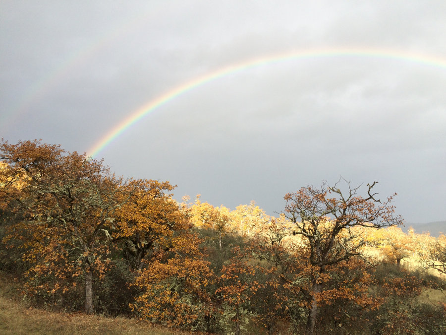
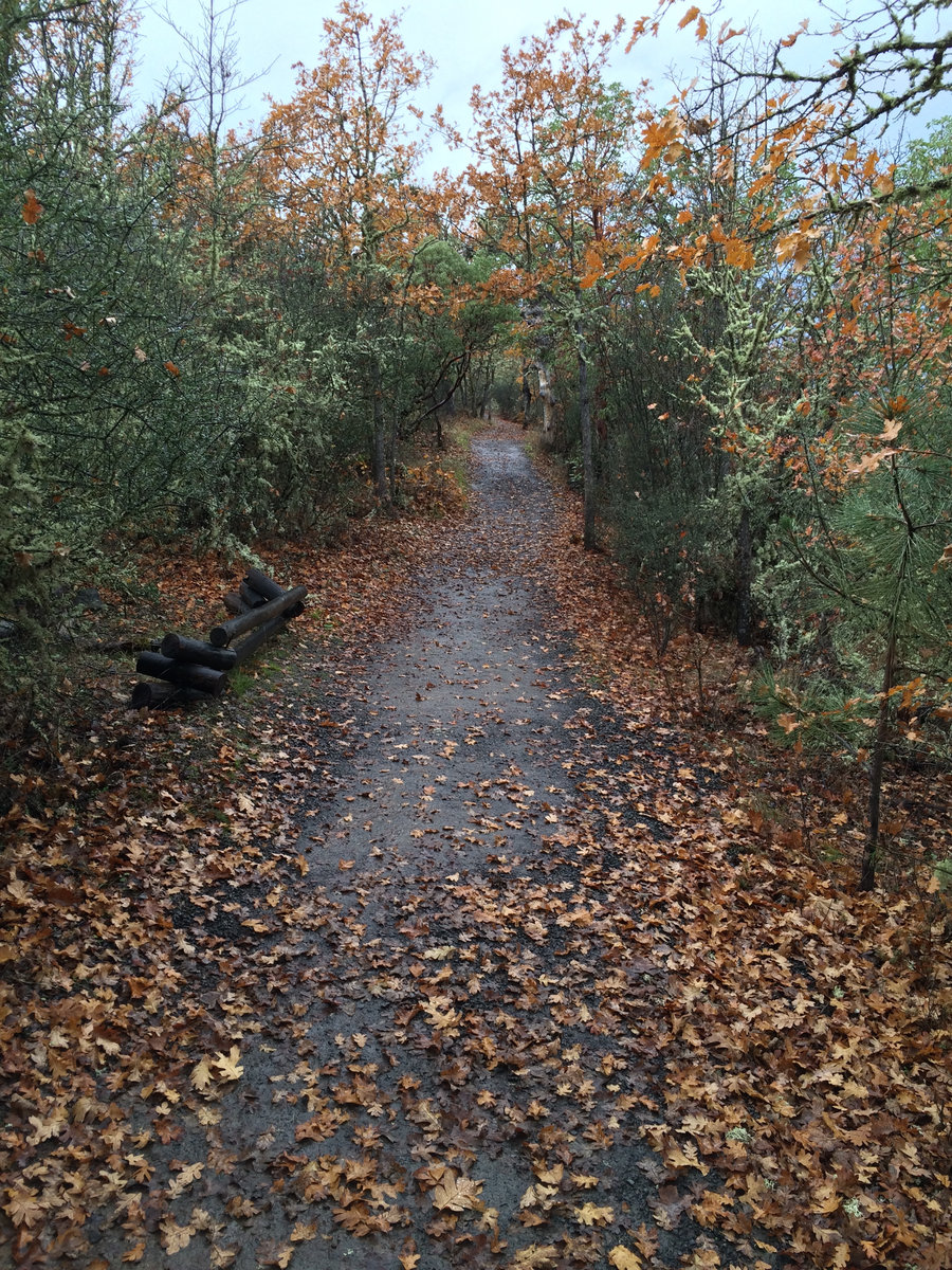
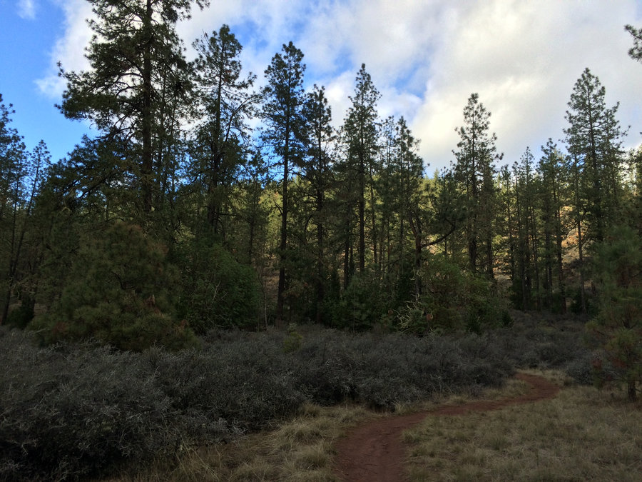
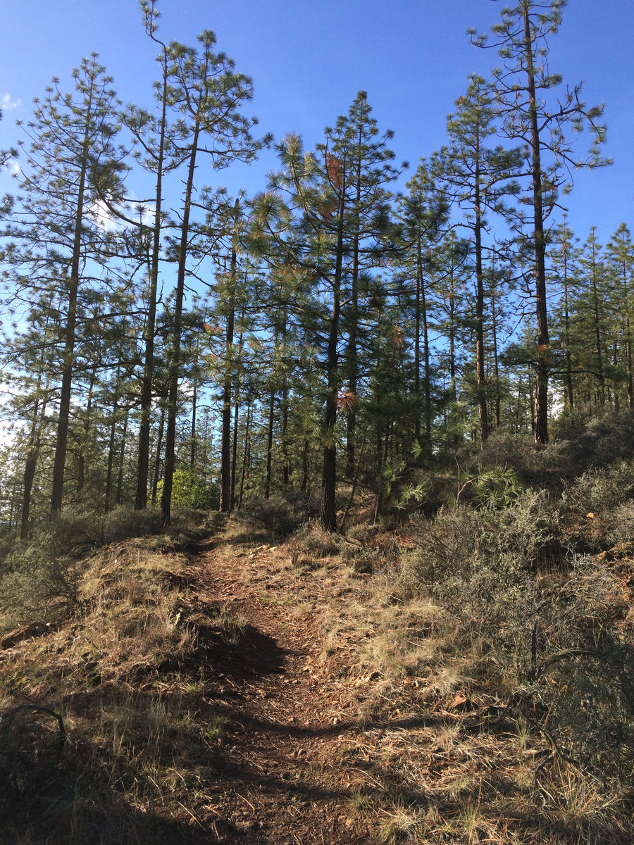
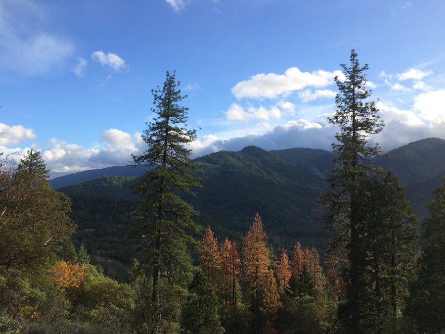
2014 Trips


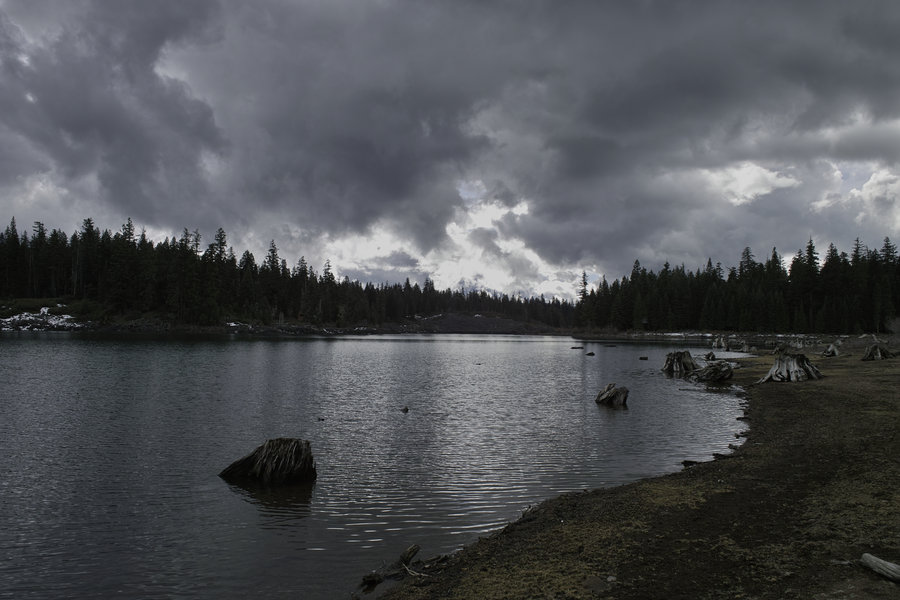
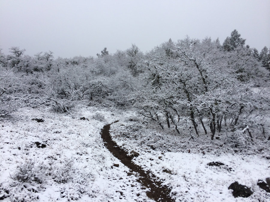
December 14, 2014

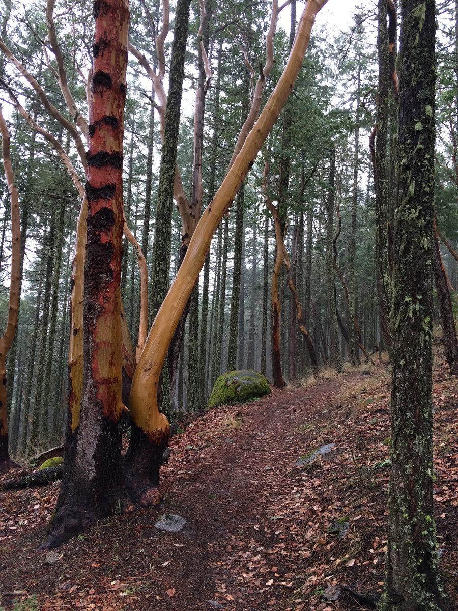
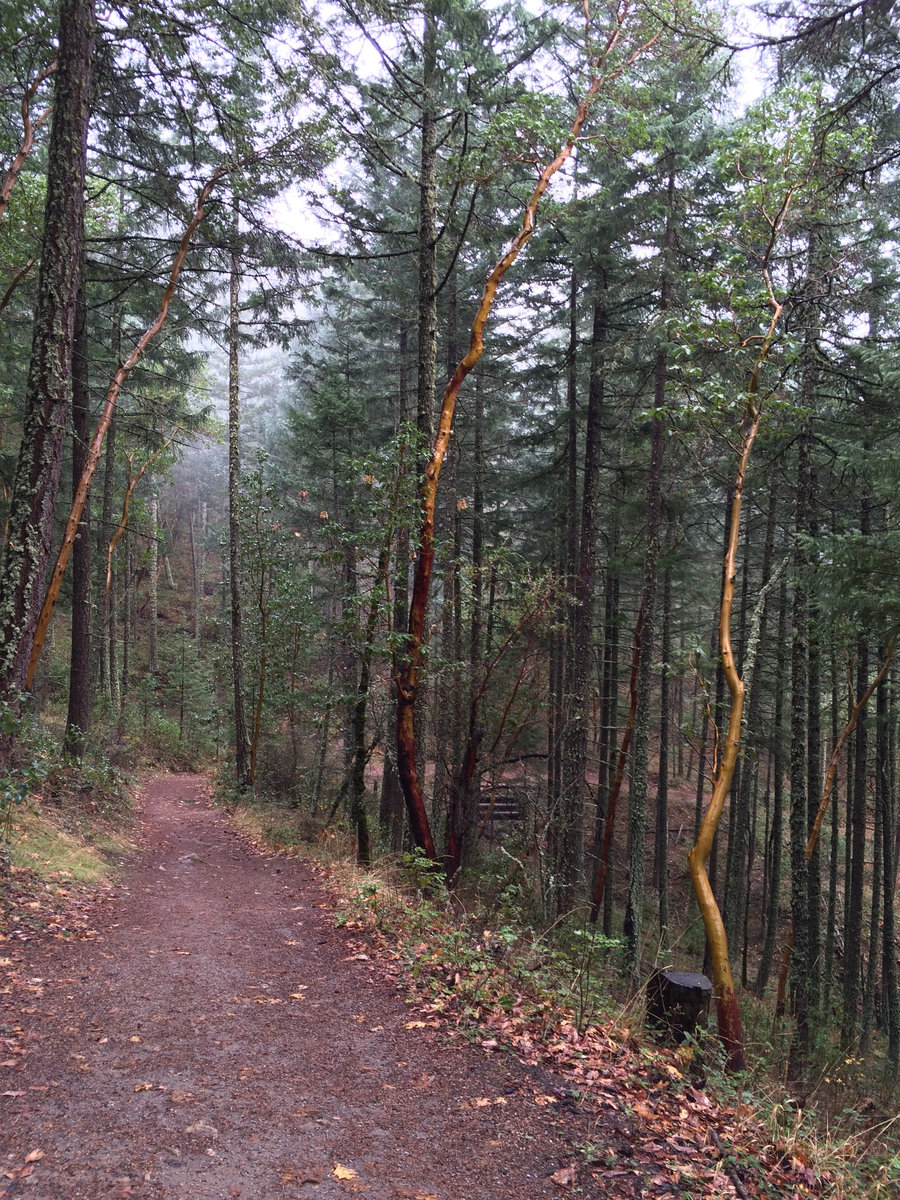
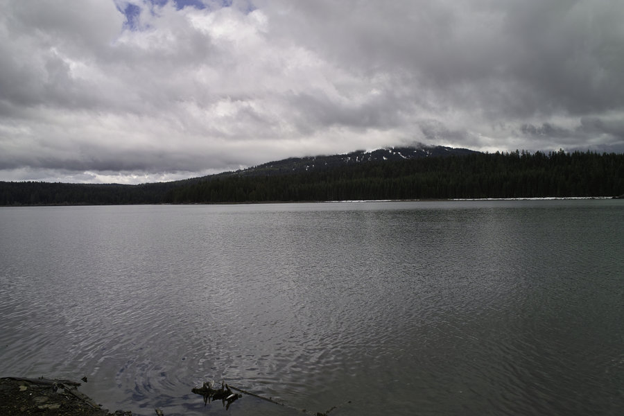
December 7, 2014


 1
1
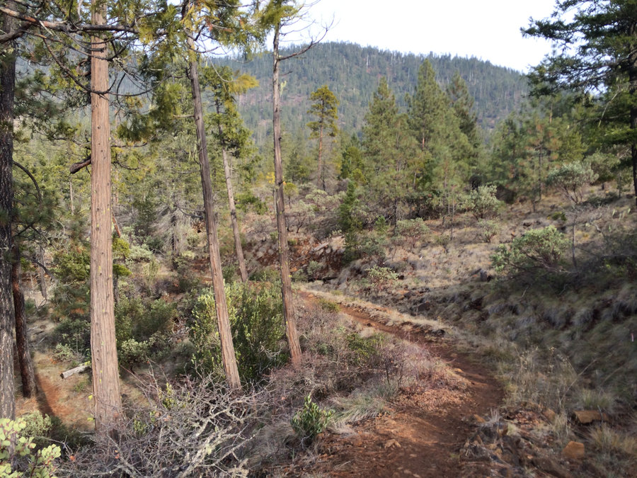
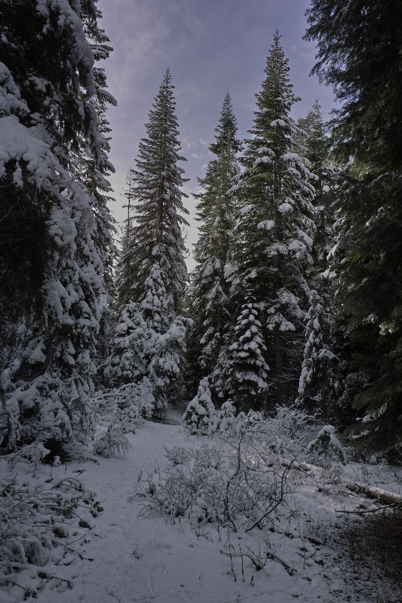
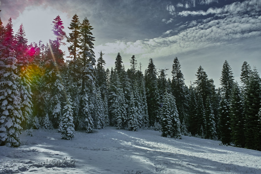
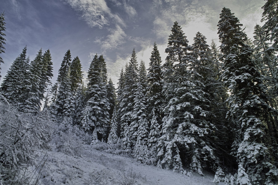
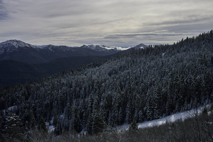
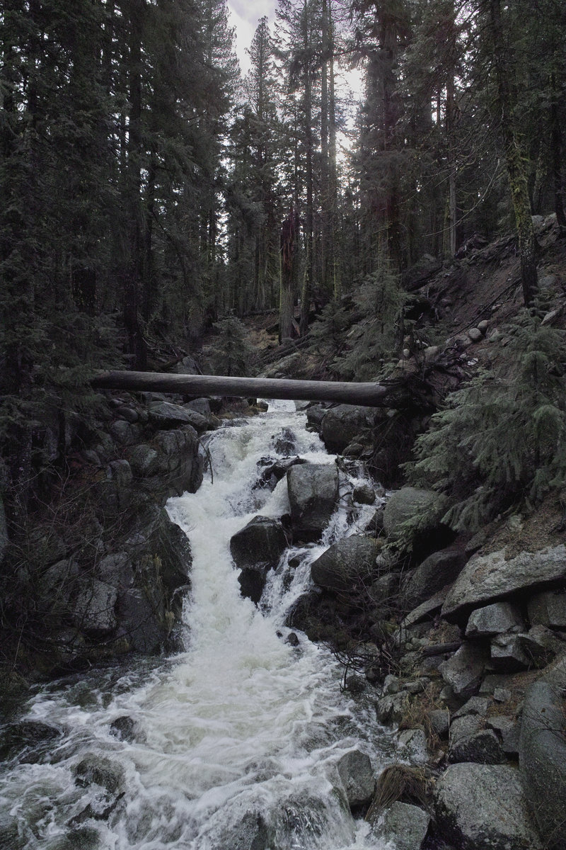
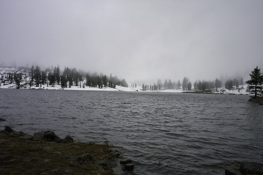
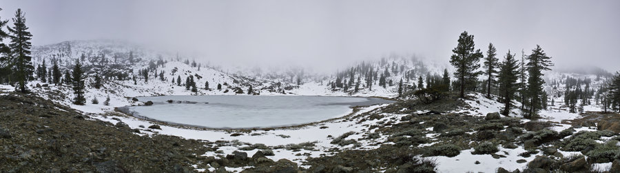
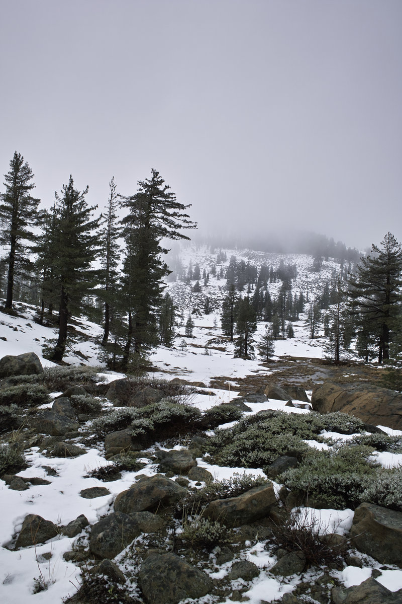
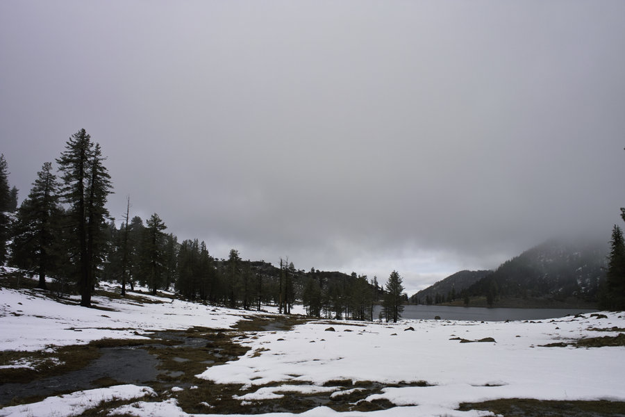
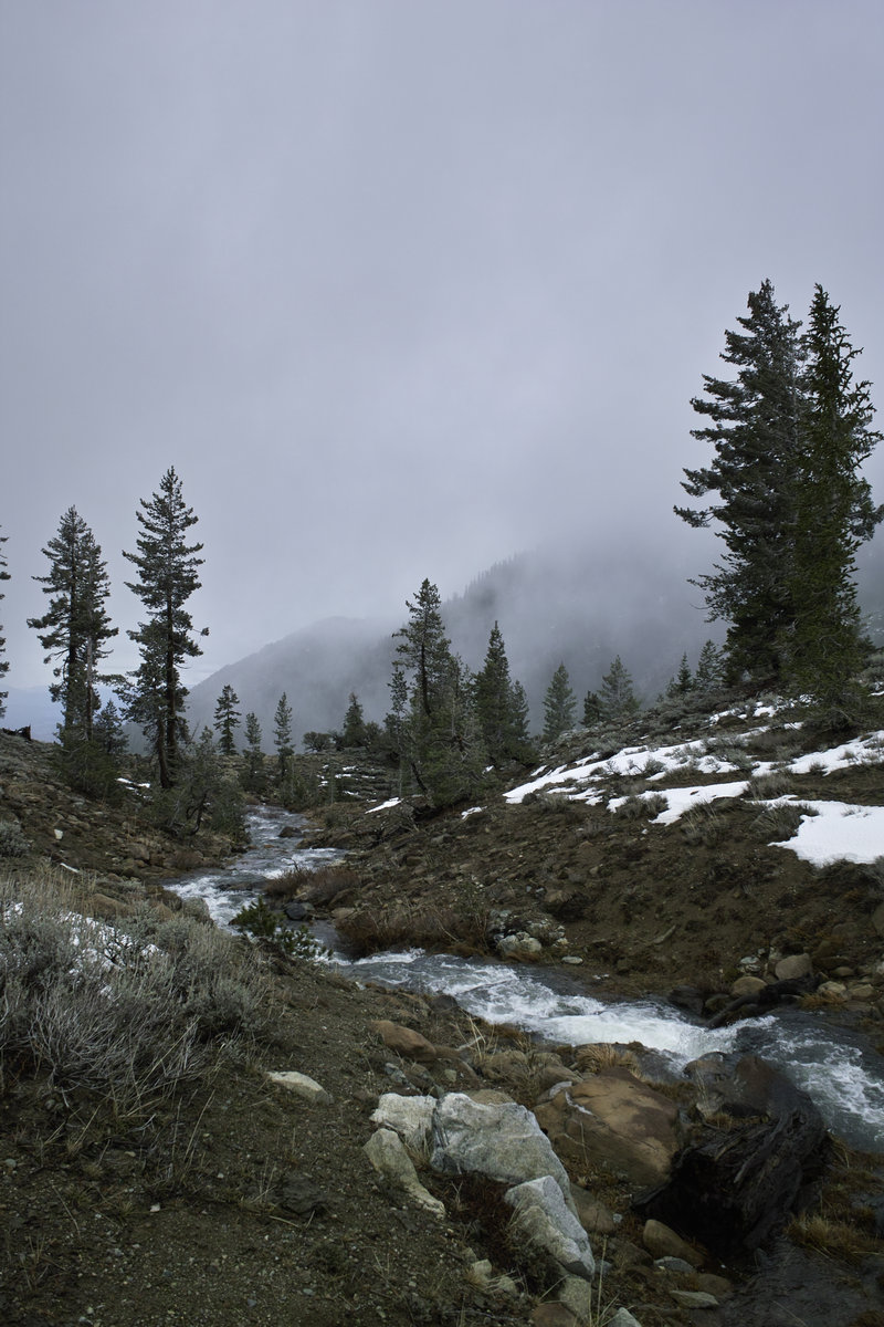
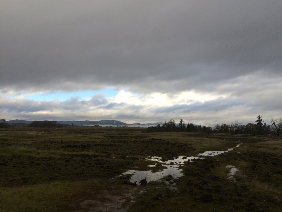
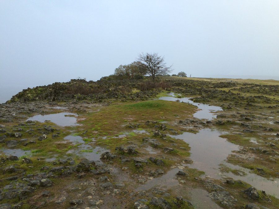
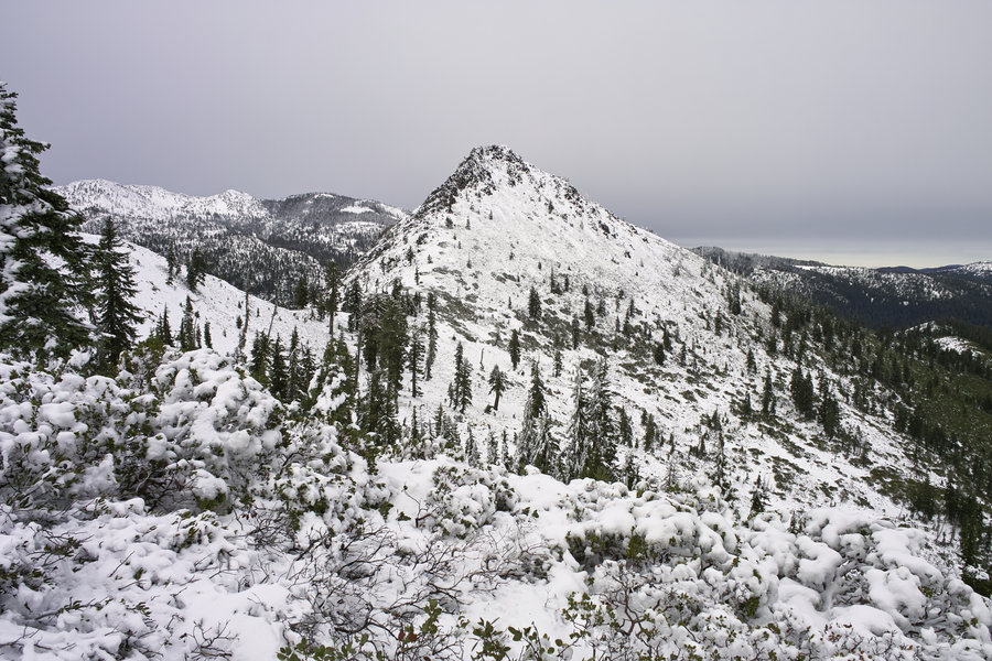
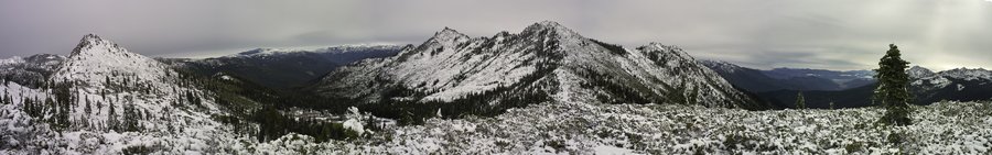
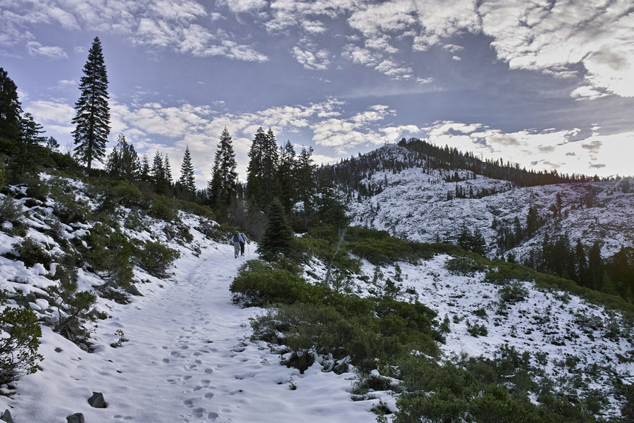
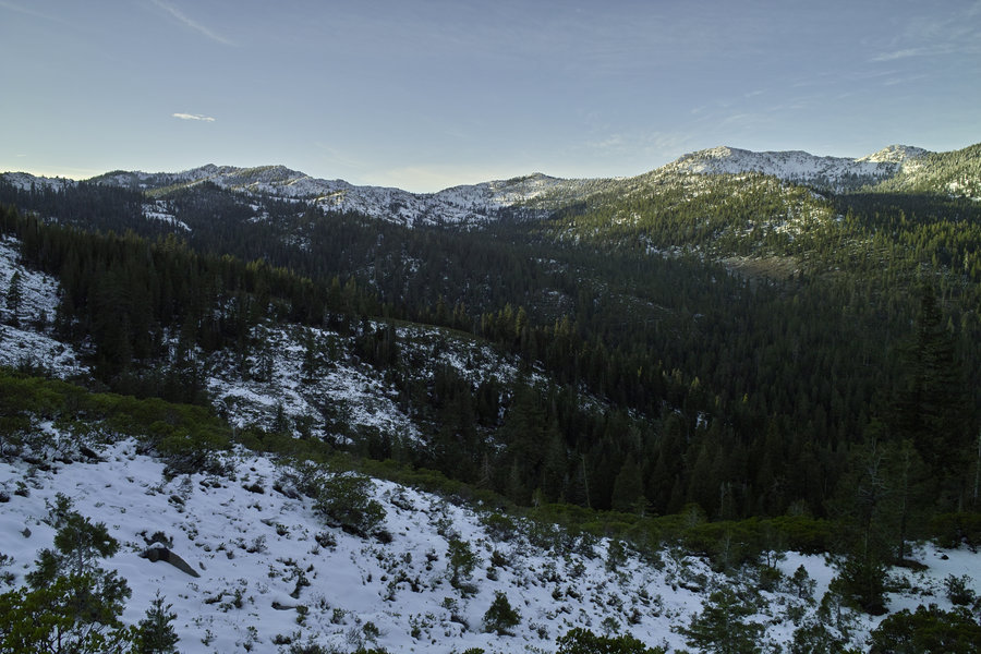
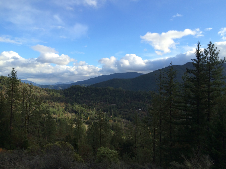
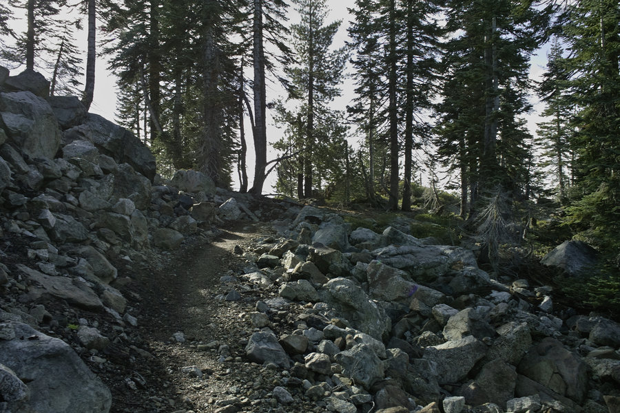
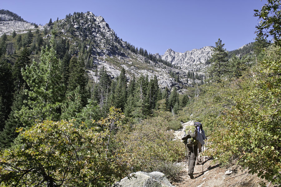
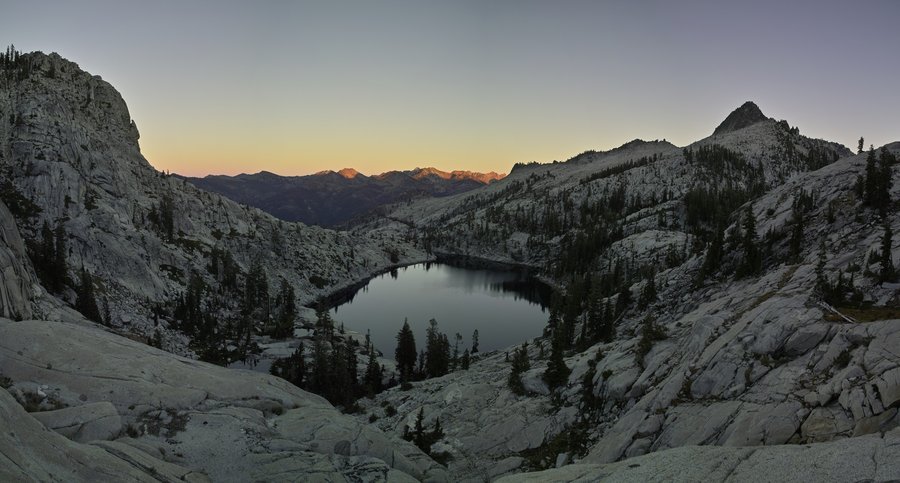
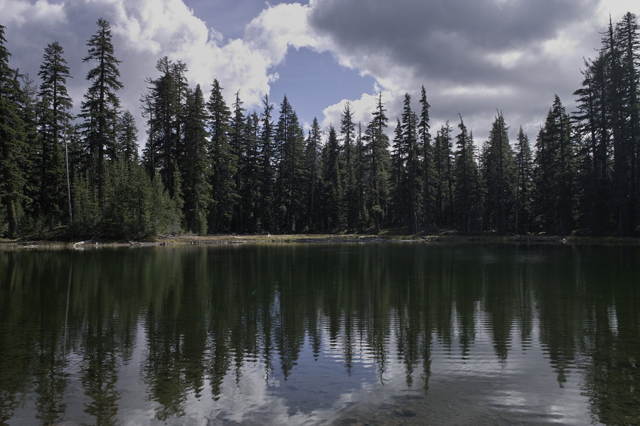
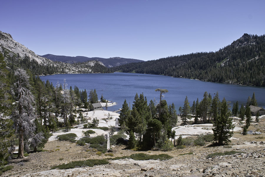
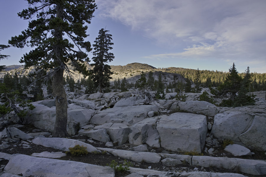
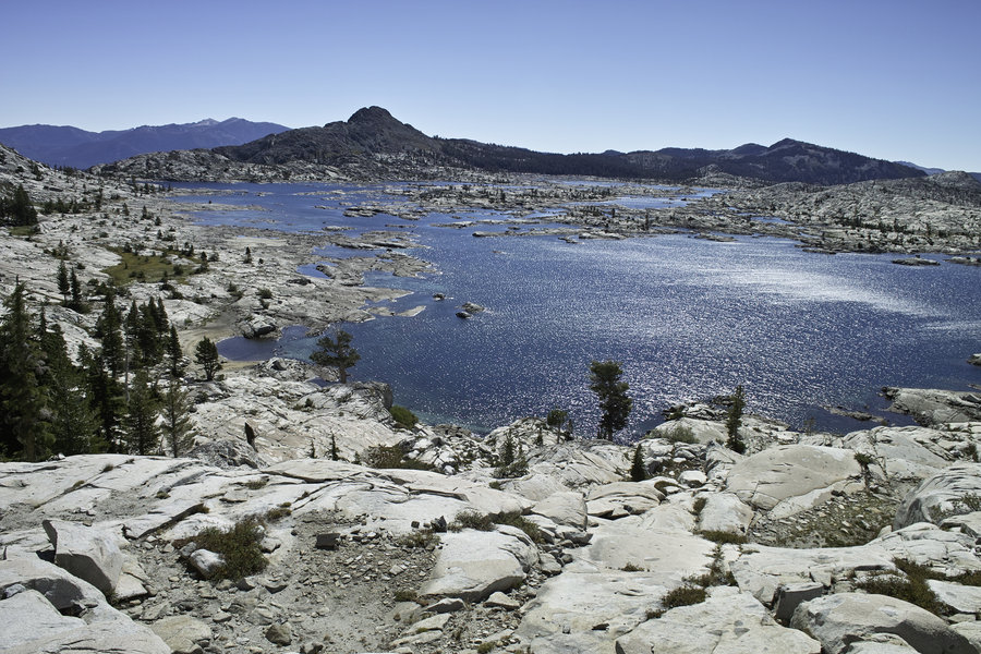
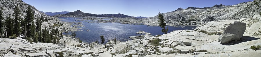
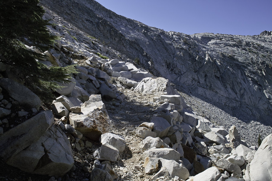
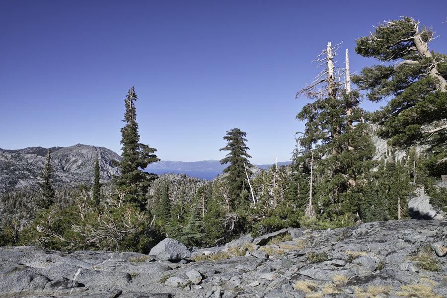
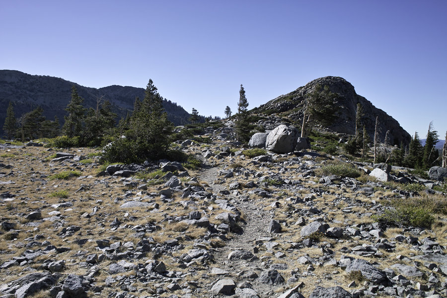
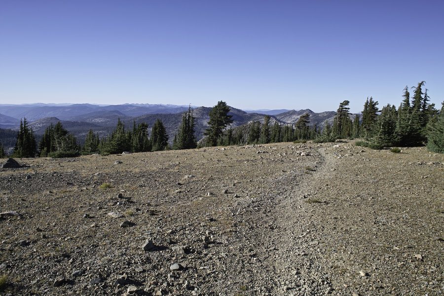
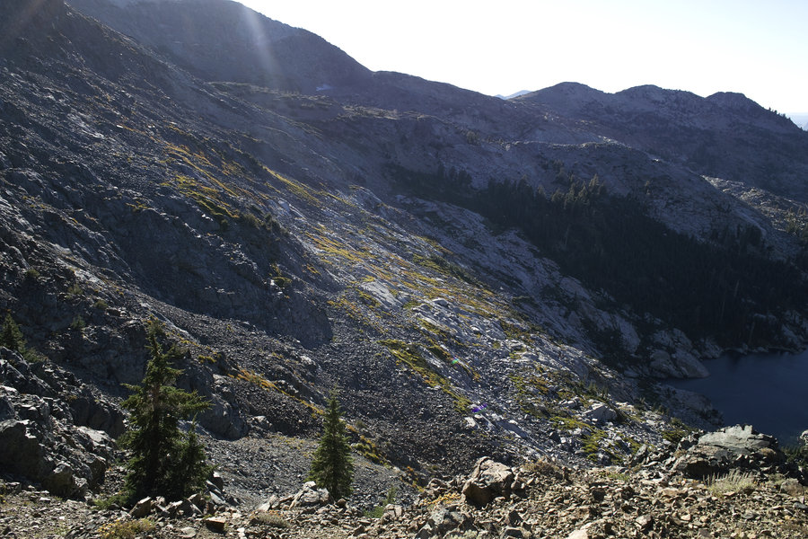
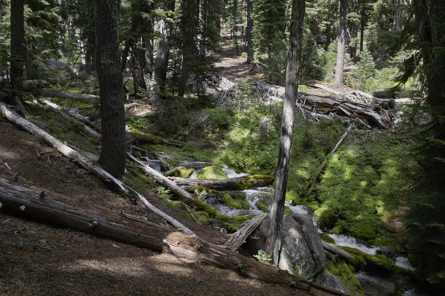
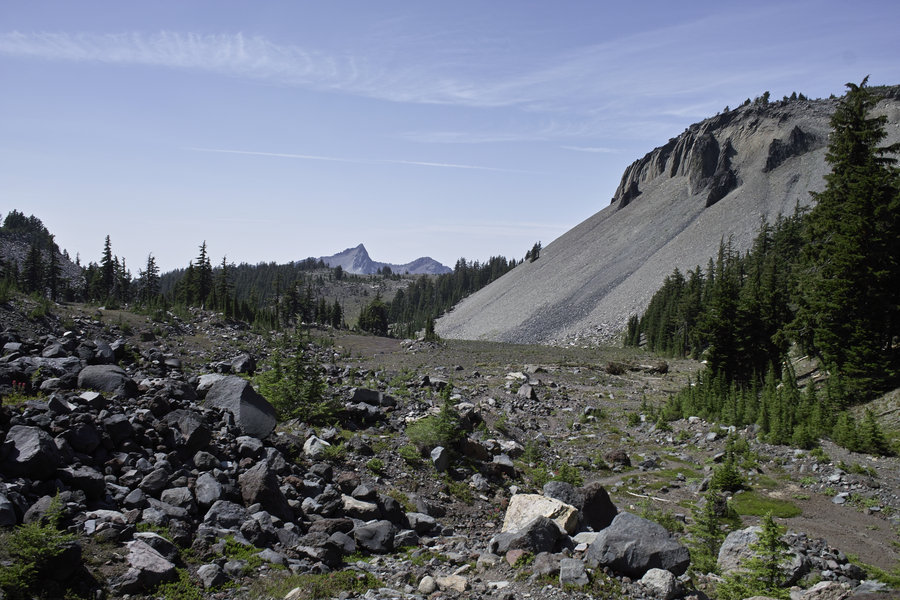
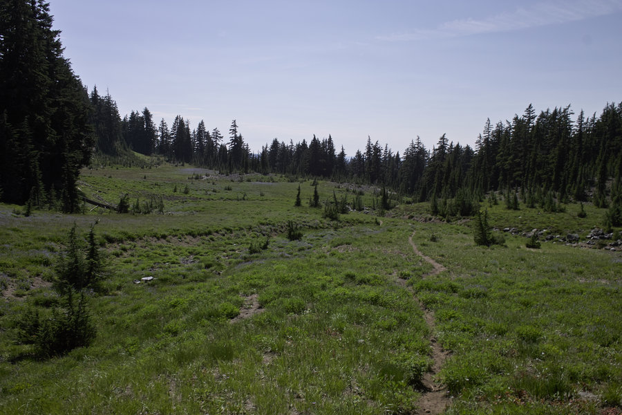
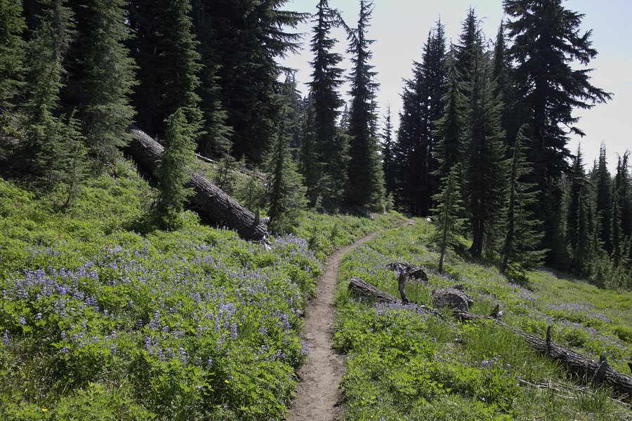
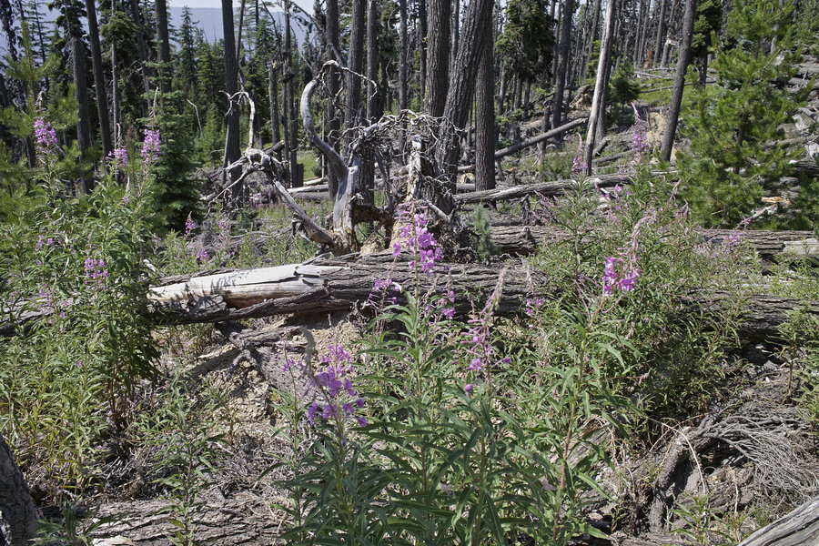
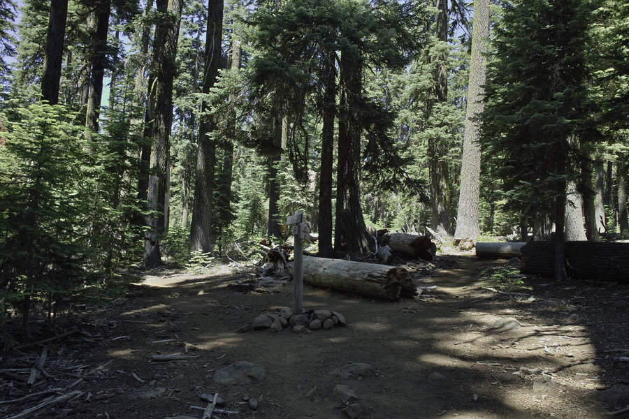
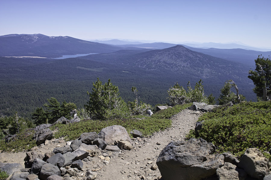
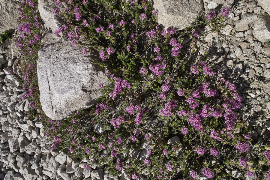
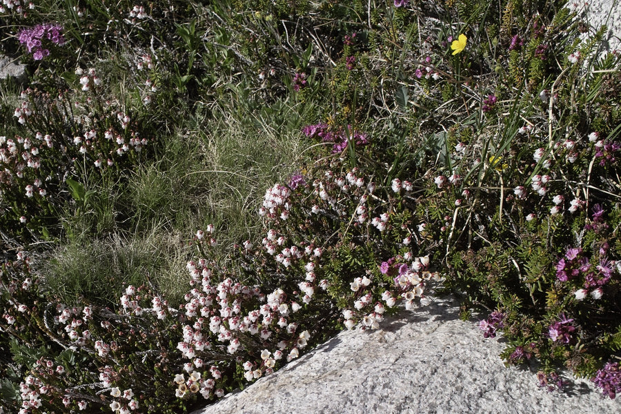
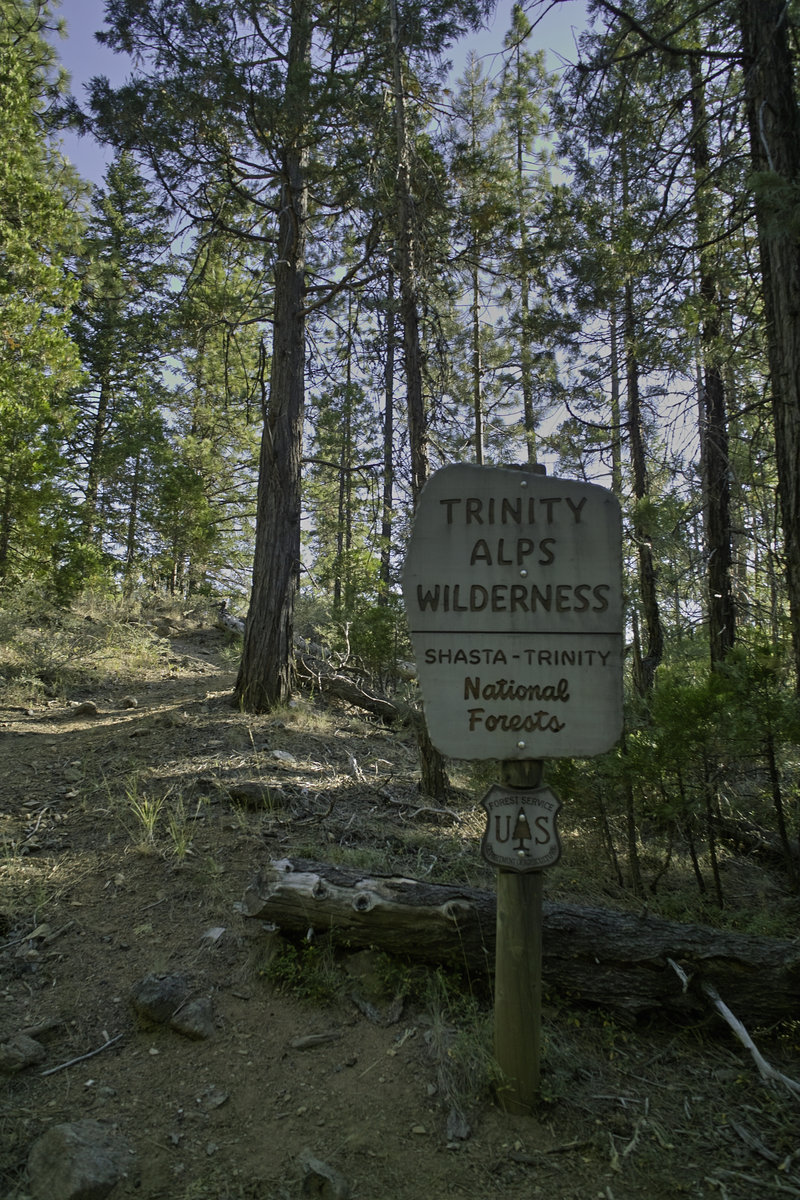
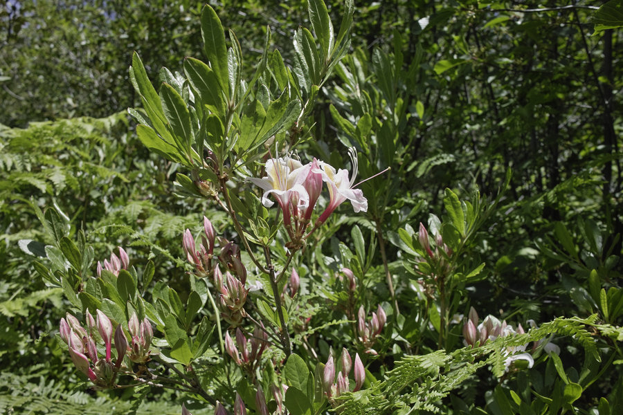
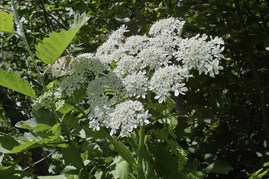
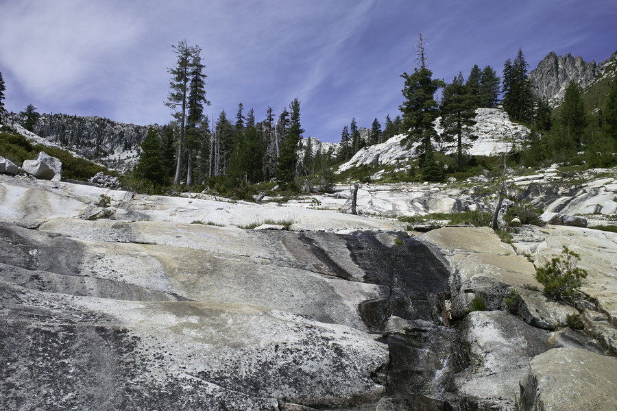
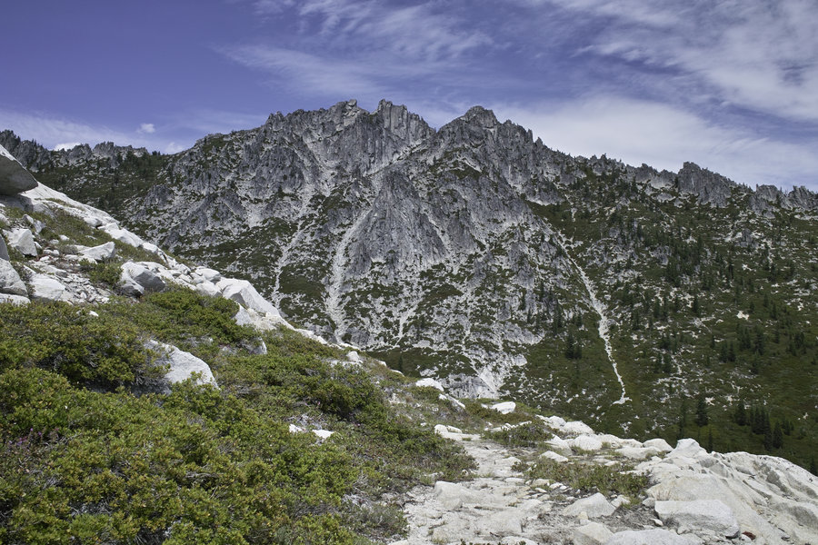
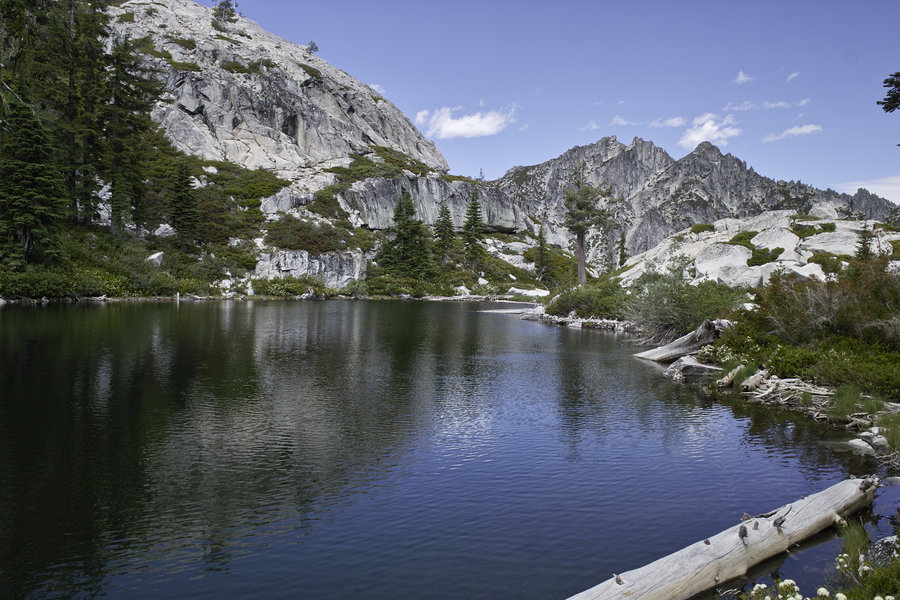
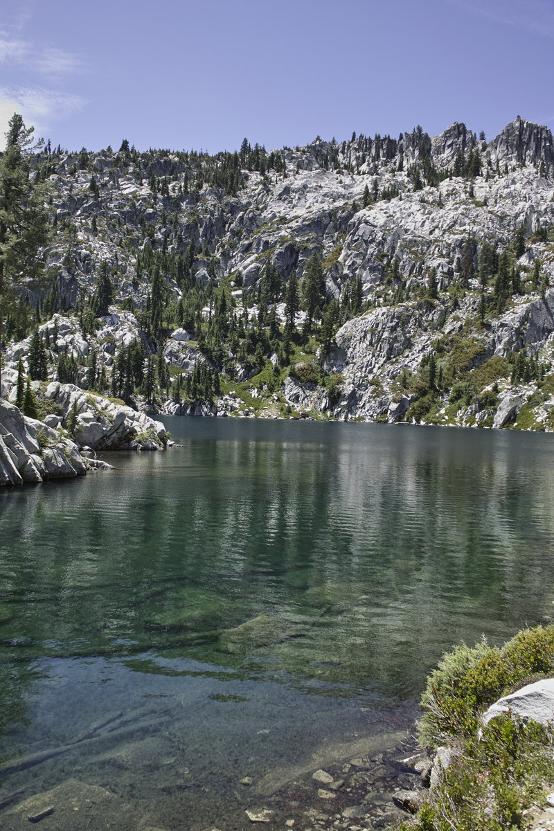
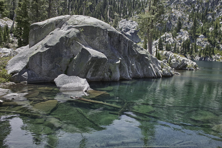
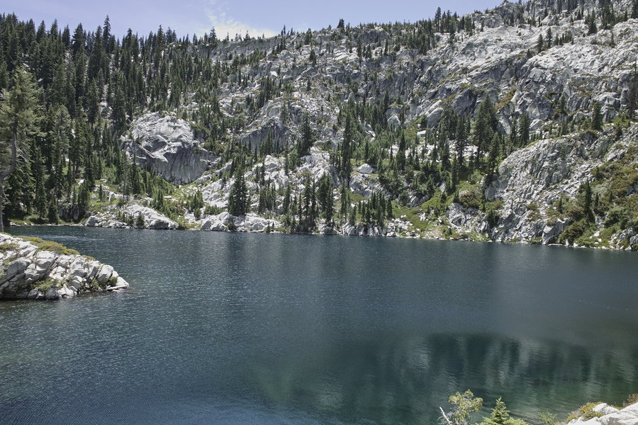
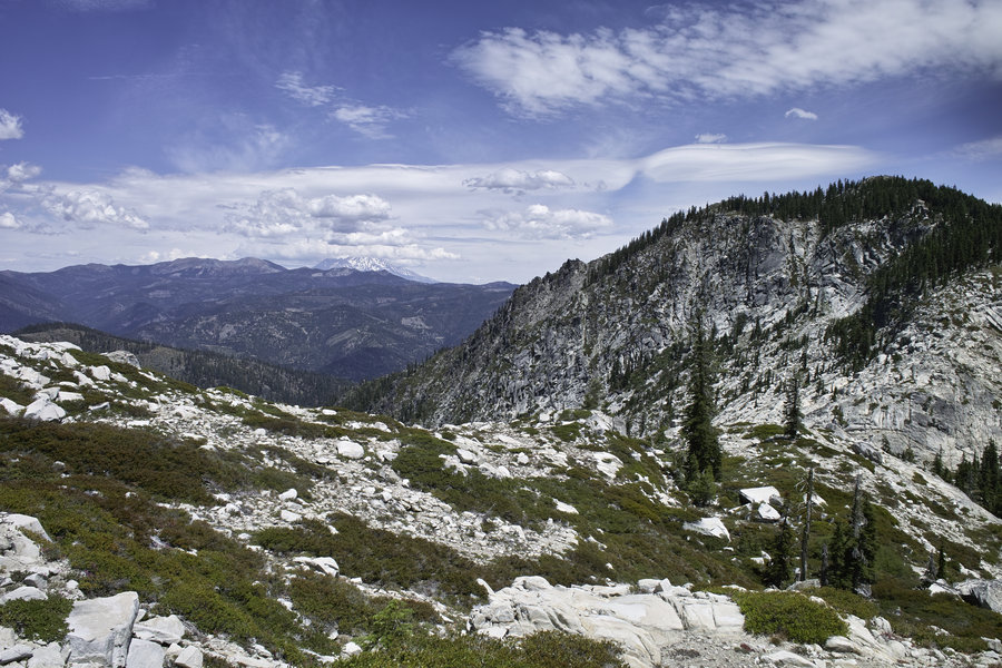
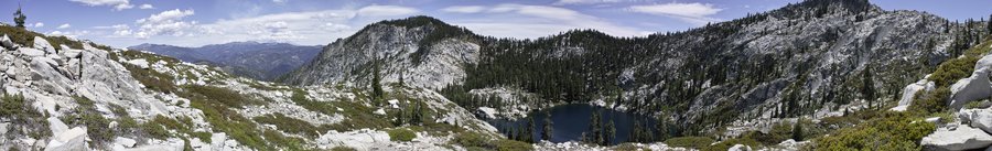
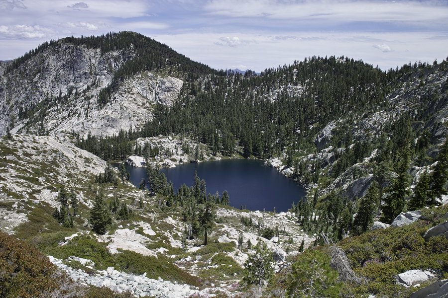
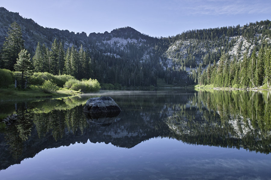
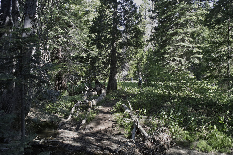
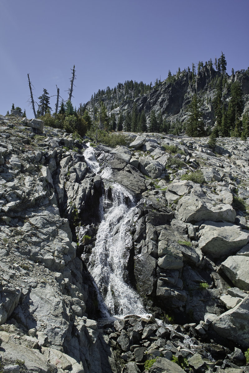
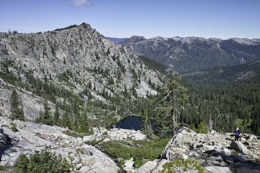
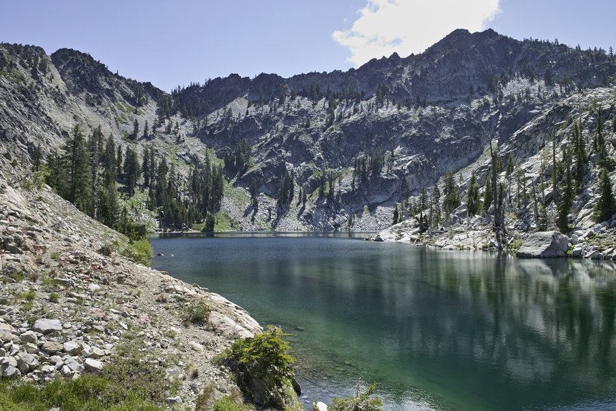
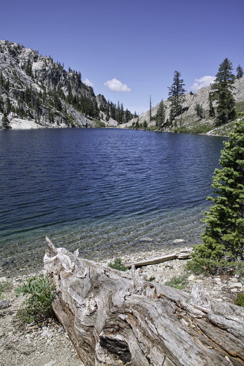
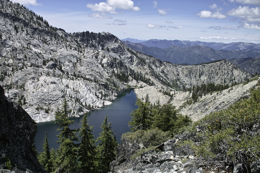
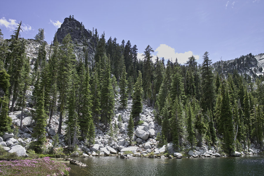
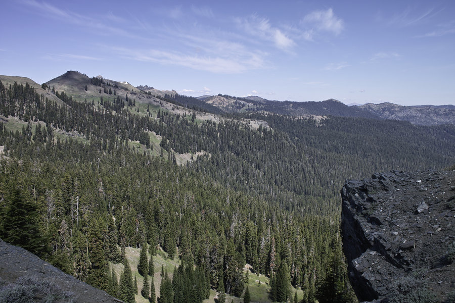
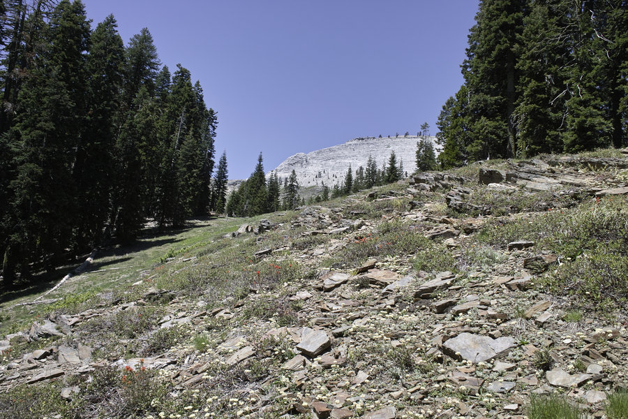
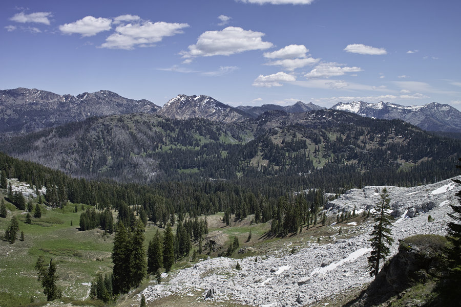
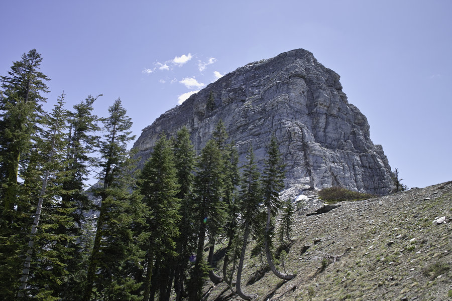
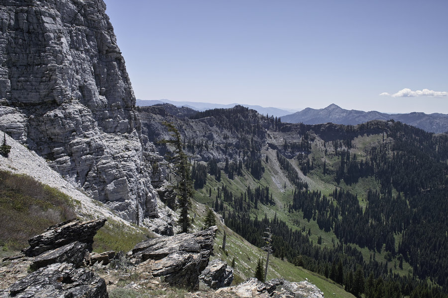
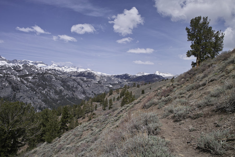
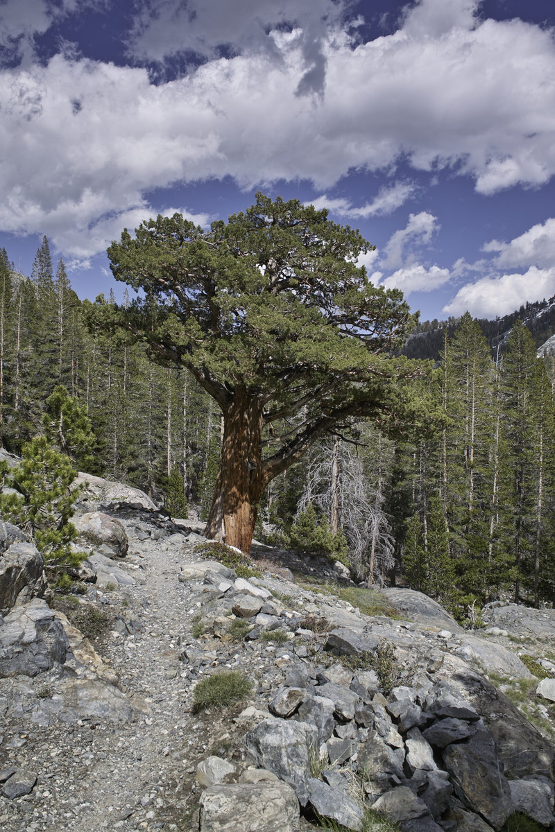
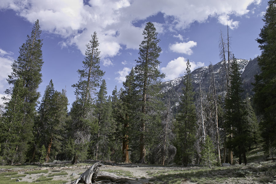
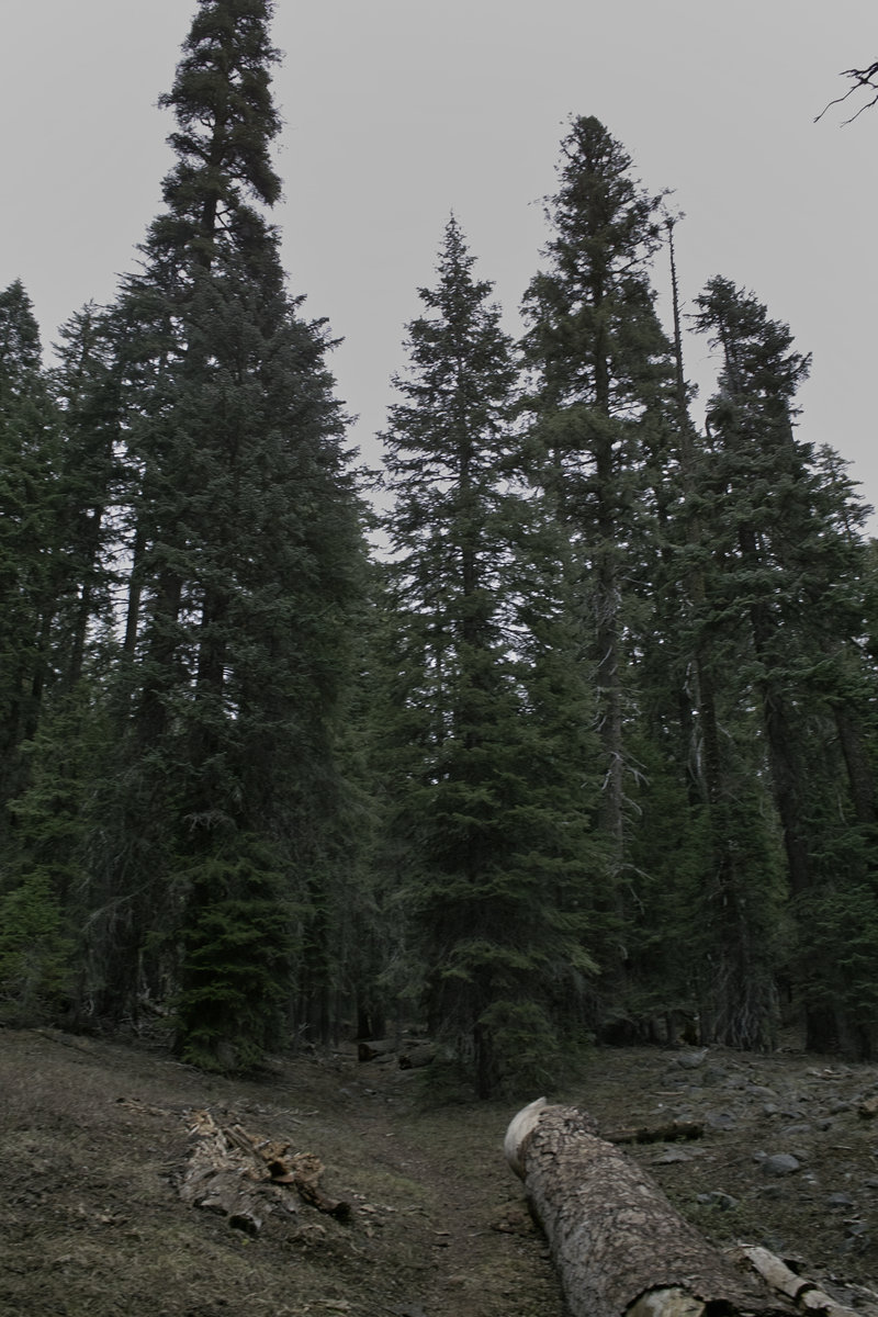
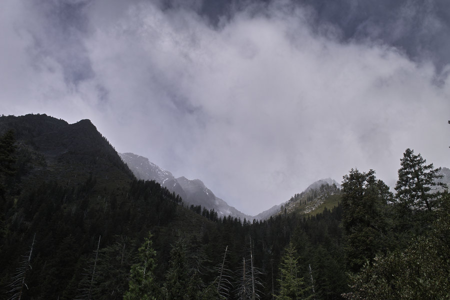
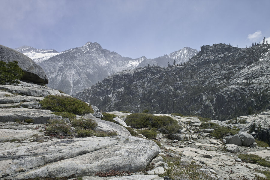
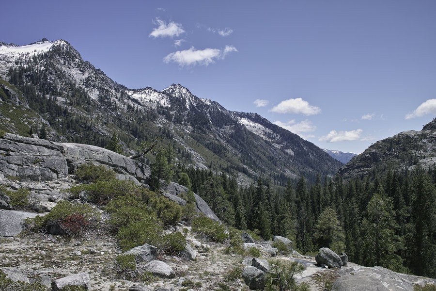
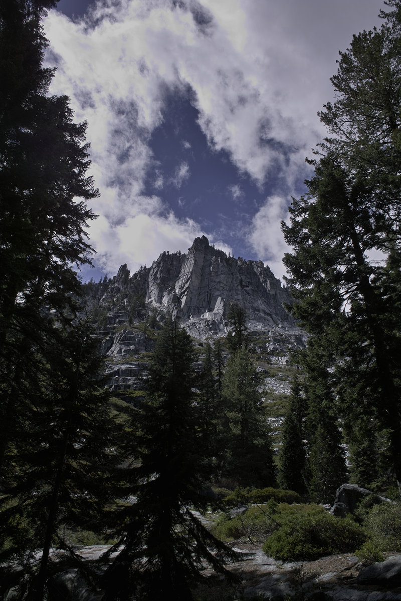
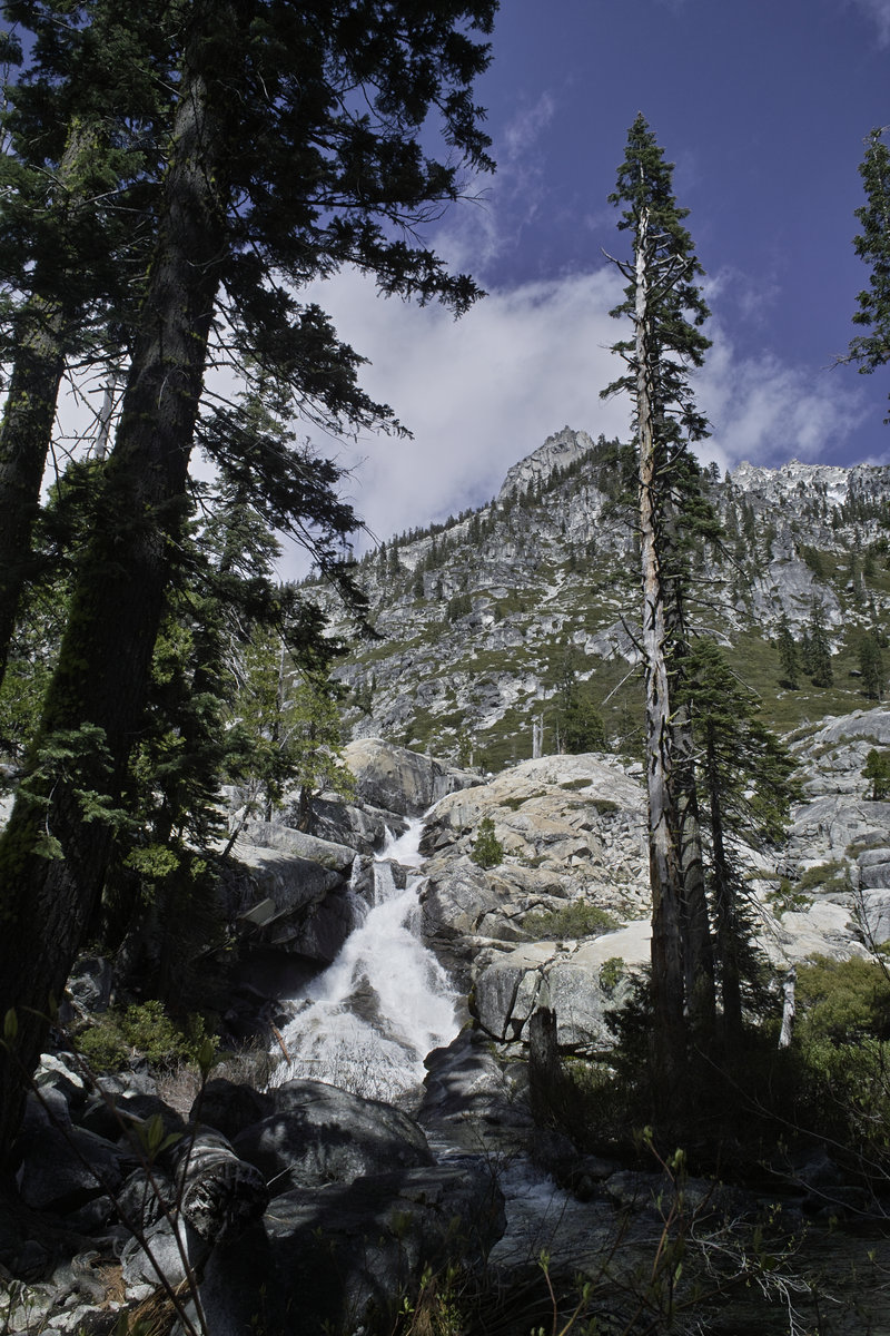
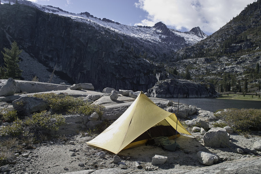
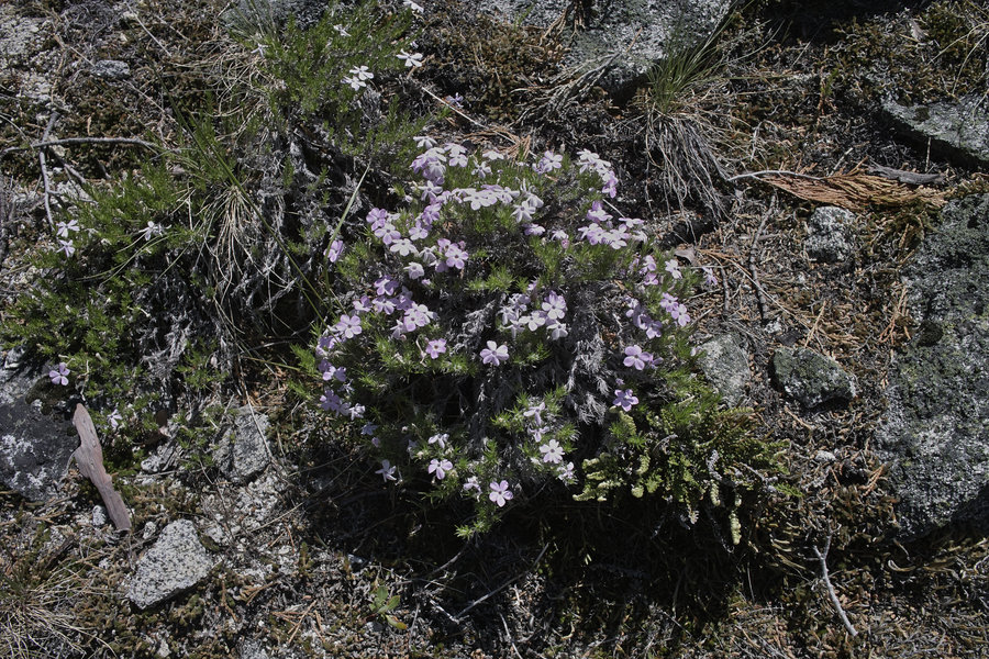
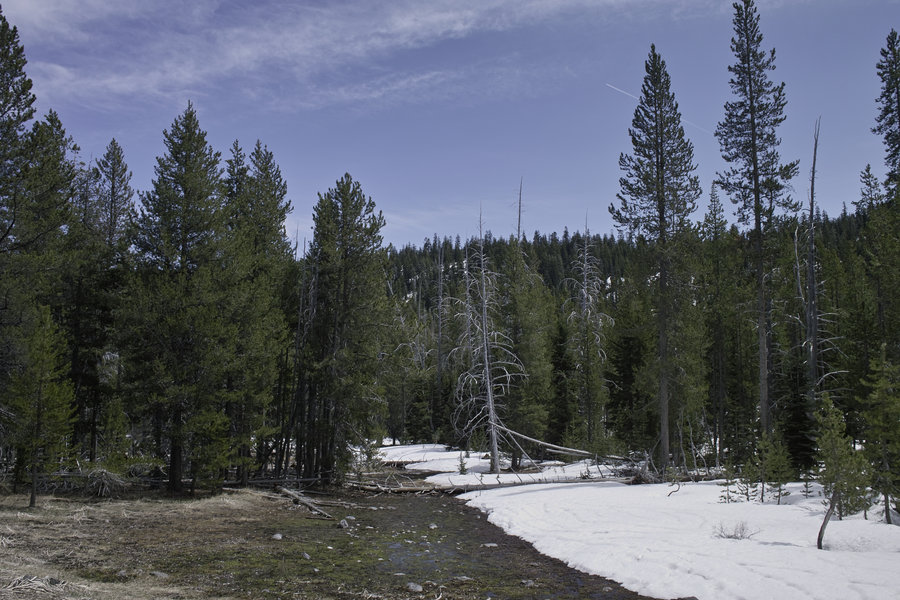
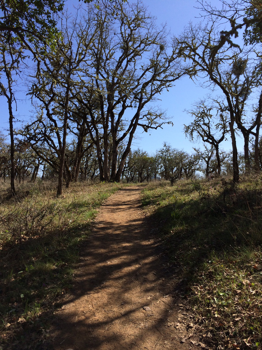
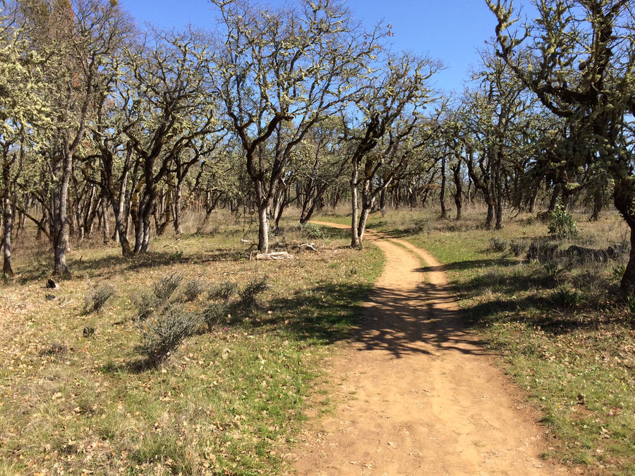
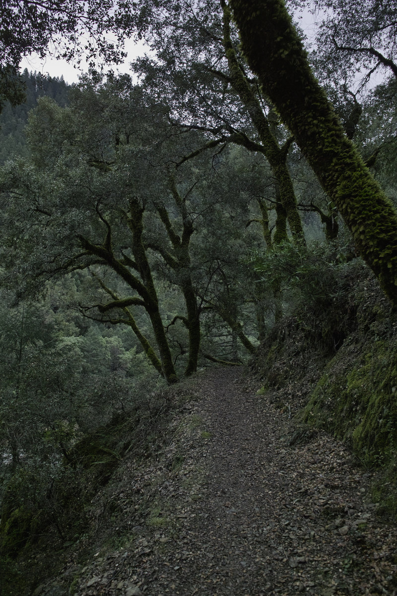
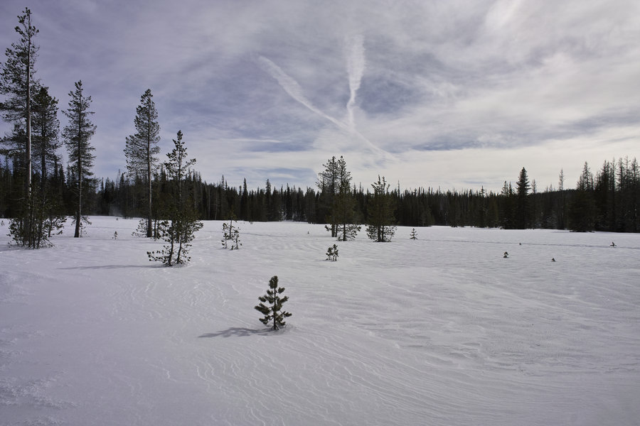
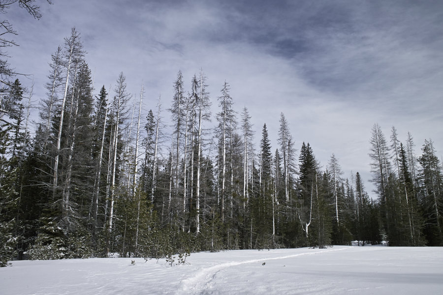
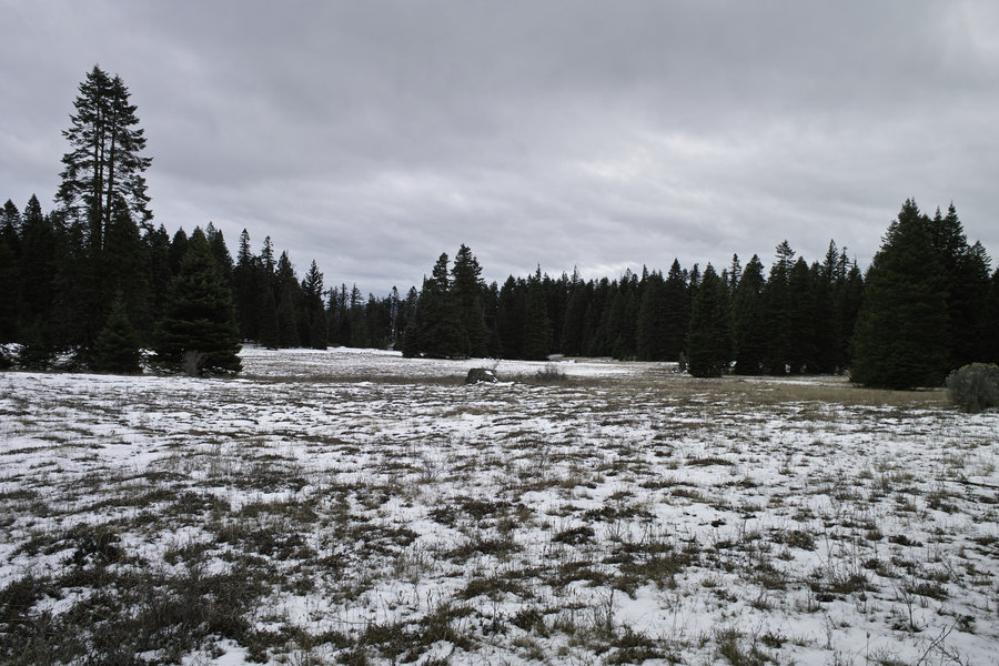
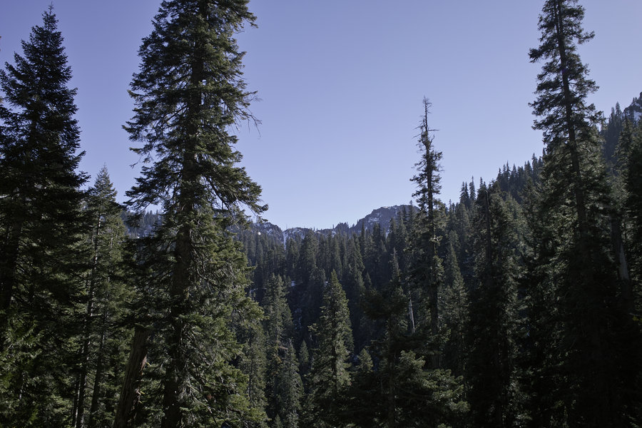
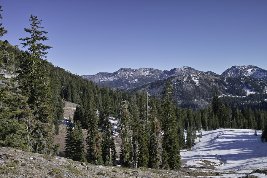
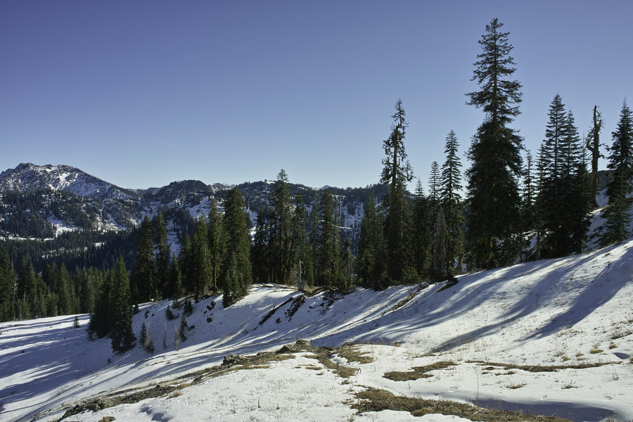
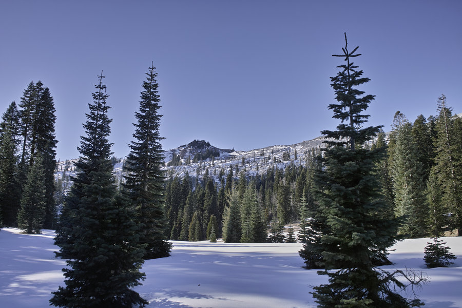
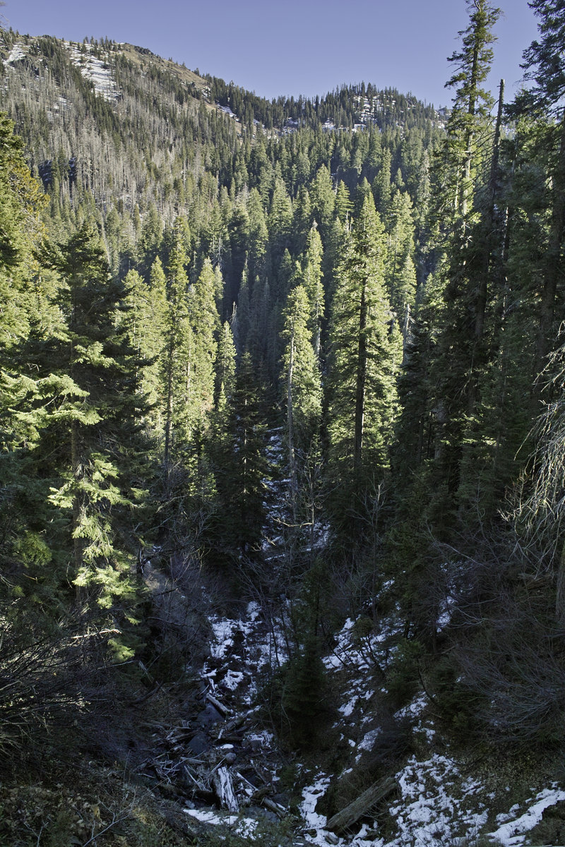
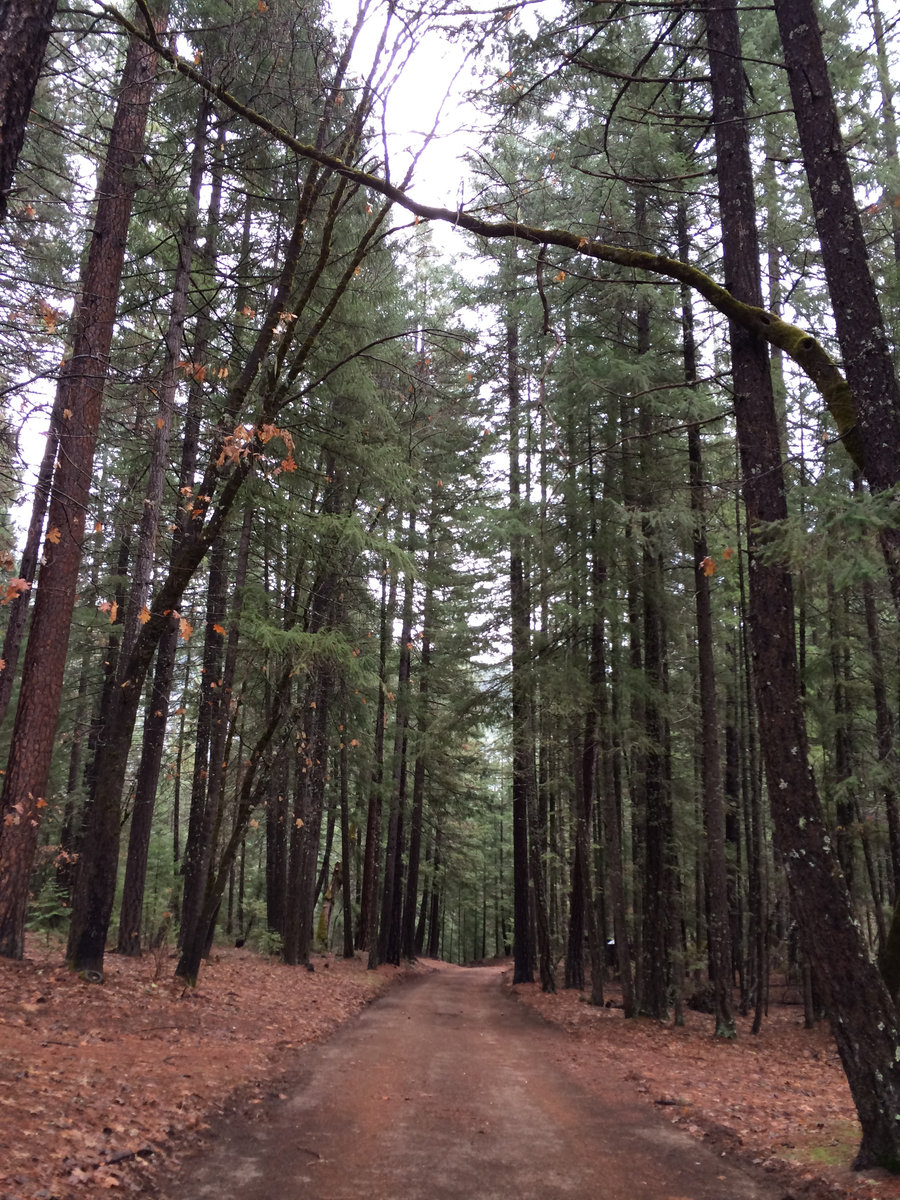
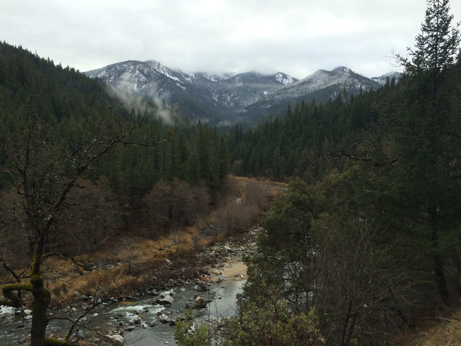
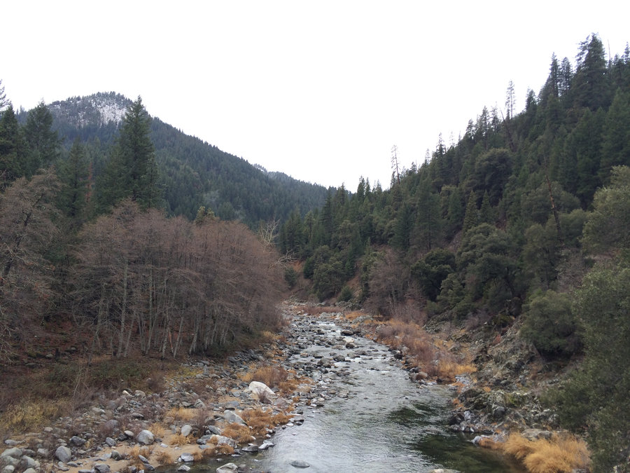
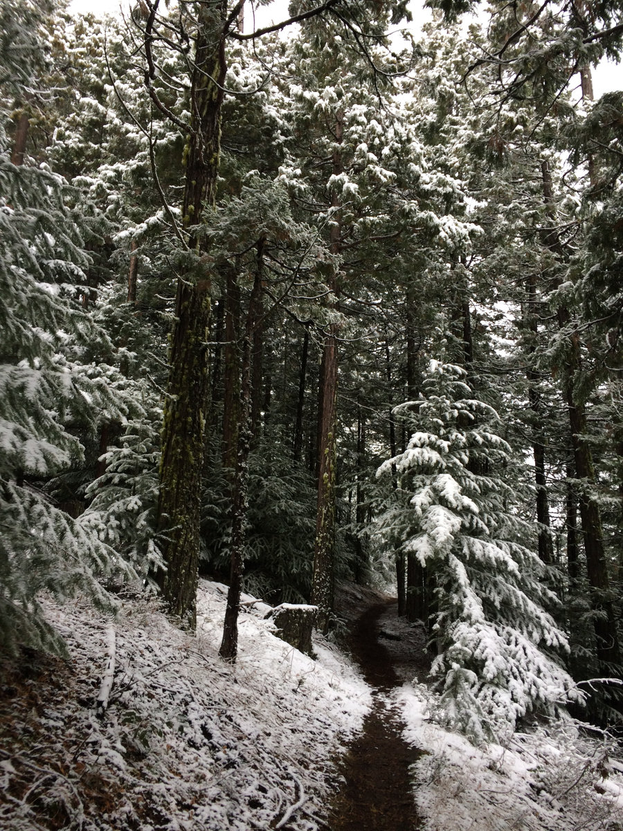
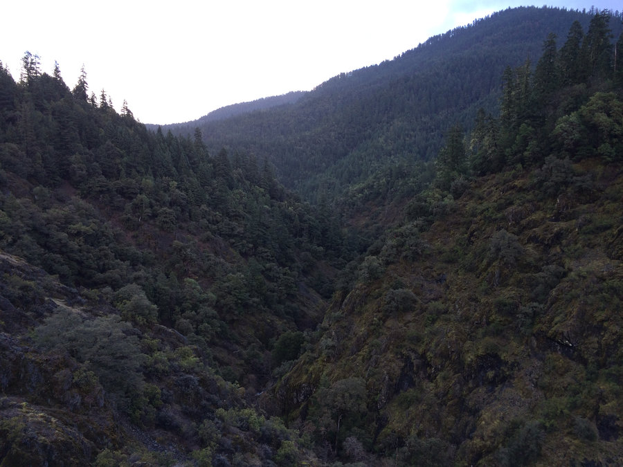
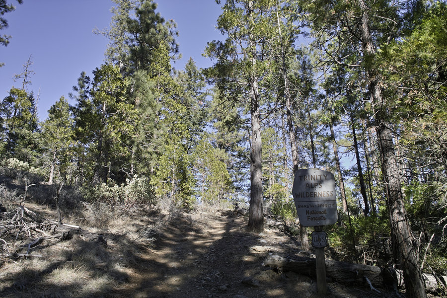
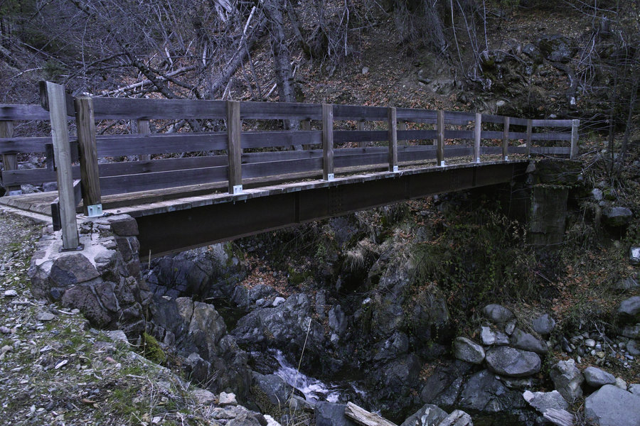
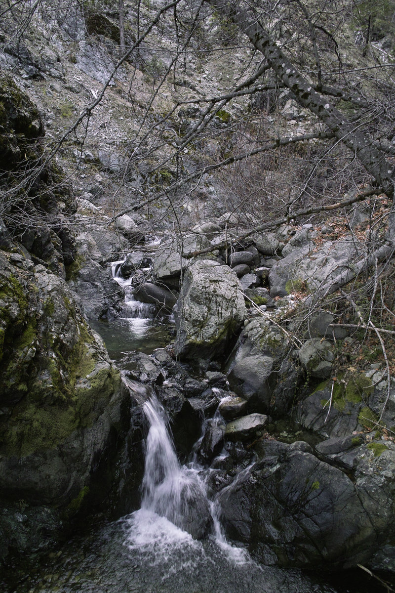
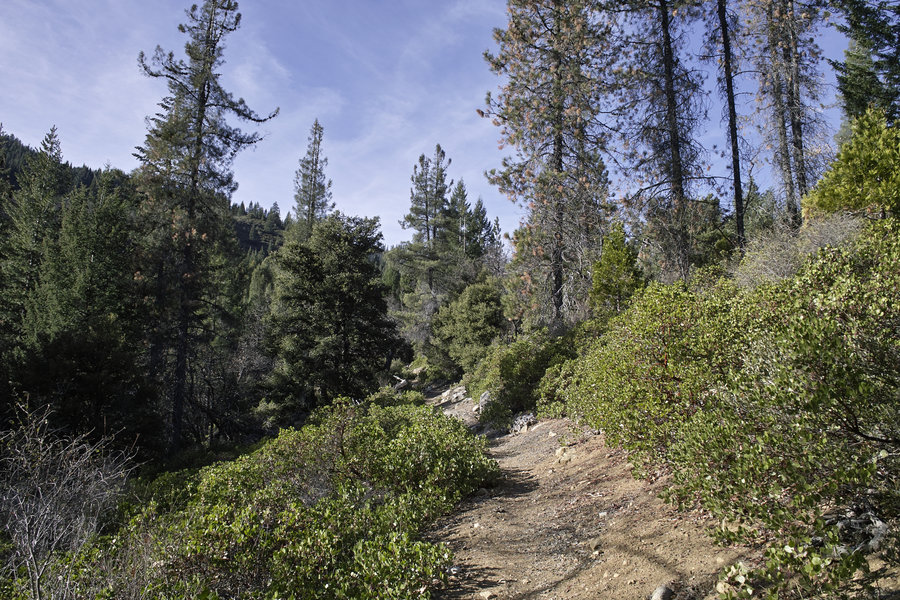
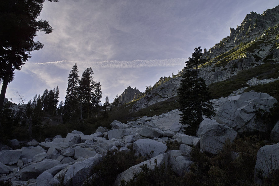
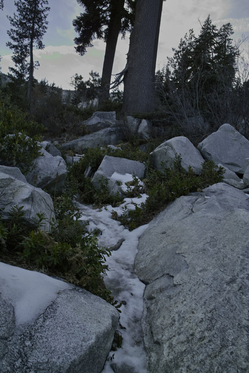
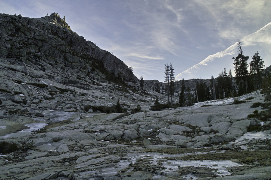
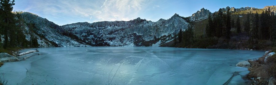
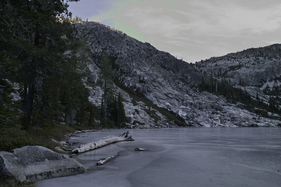
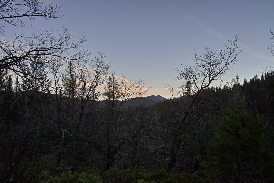
Trinity Alps - Tangle Blue Lake and Horse Creek Ridge
11.5 miles of hiking • 3250' elevation gain •
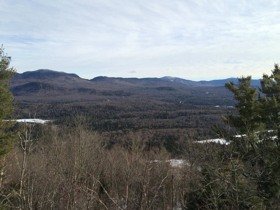
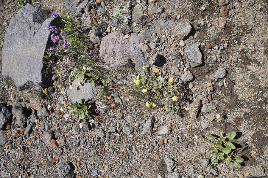
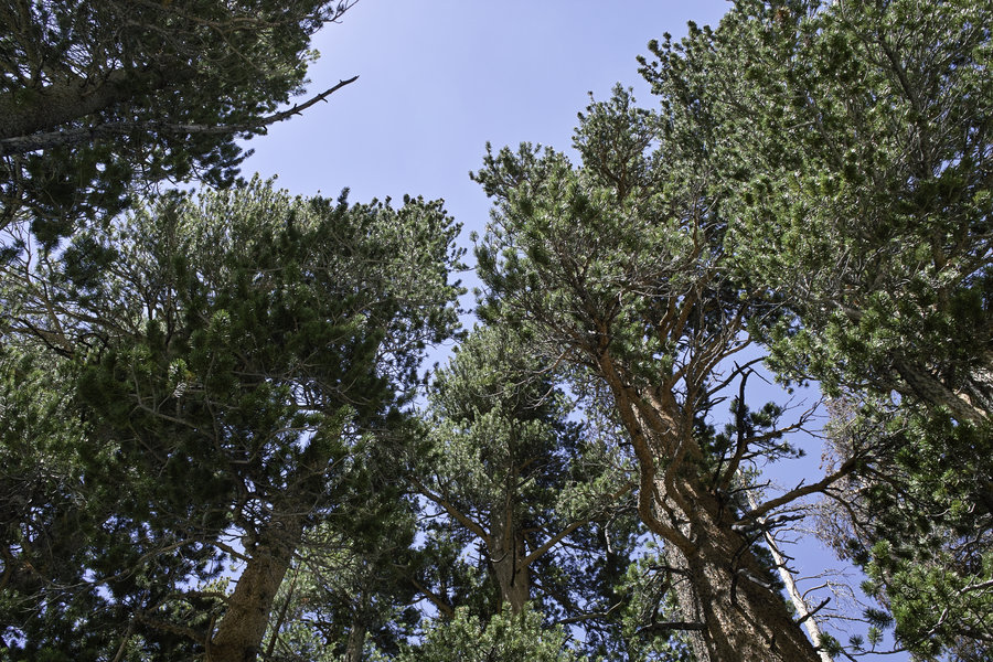
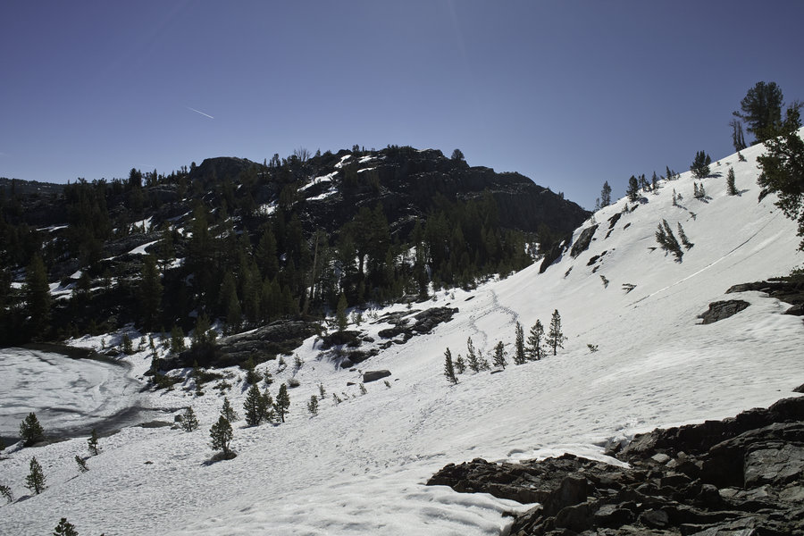
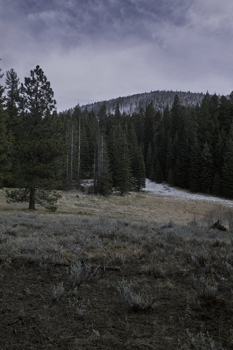
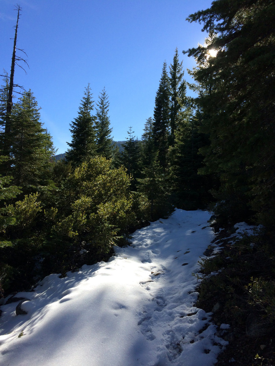
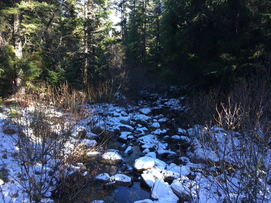
There's still no snow on Scott Mountain so this Sunday afternoon trip was a go. Tangle Blue Lake sees more foot and horse traffic in season but there was not a soul out there with the light dusting of snow and mid 30's temps. The sun showed it's face a few times!
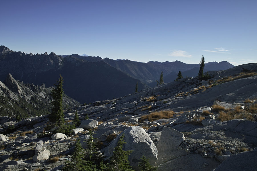
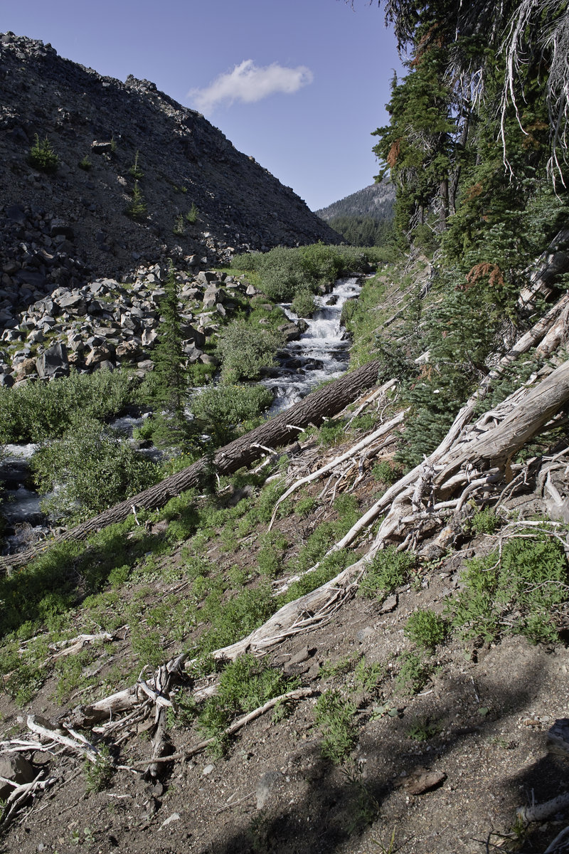
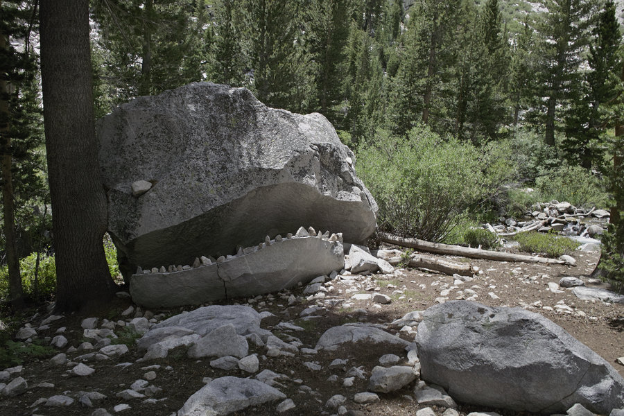
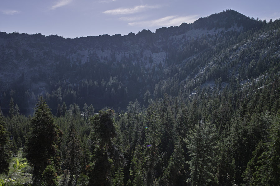
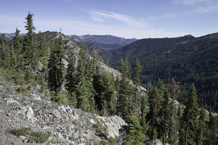
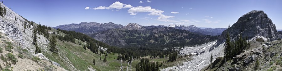
We decided a good summer trip would be to stage a car at middle boulder and bear lakes trailhead and walk the ridge - there are great views up there.
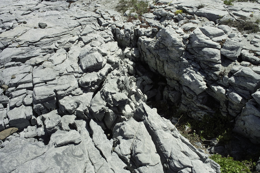
Before it got dark we took a trip up the old 4x4 road to the Grand National Mine—neat artifacts!
November 23, 2014


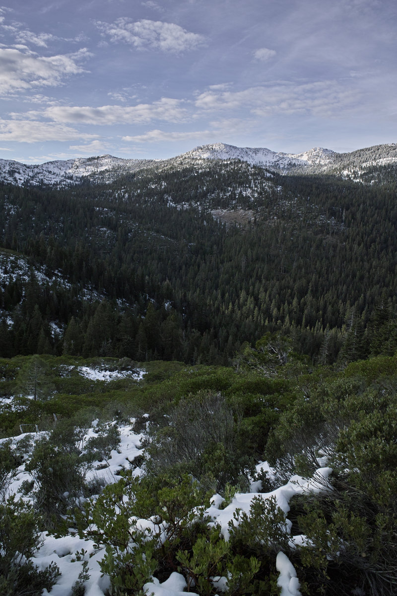

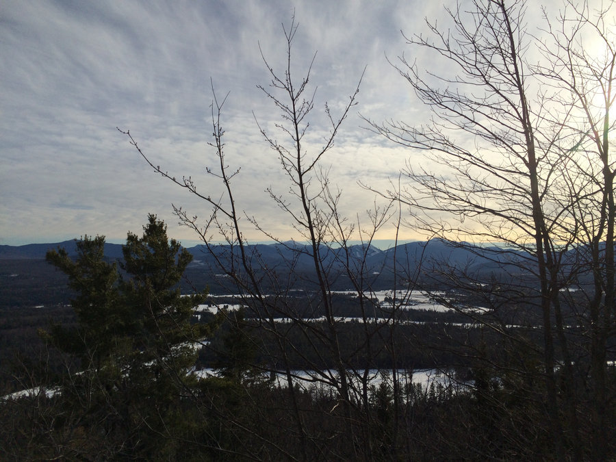
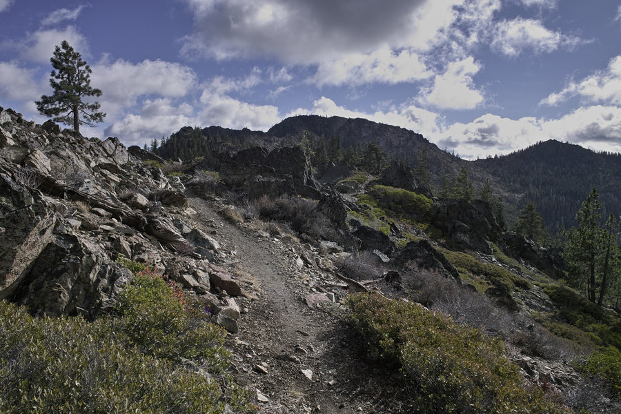
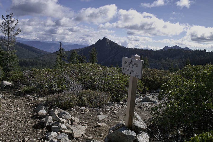
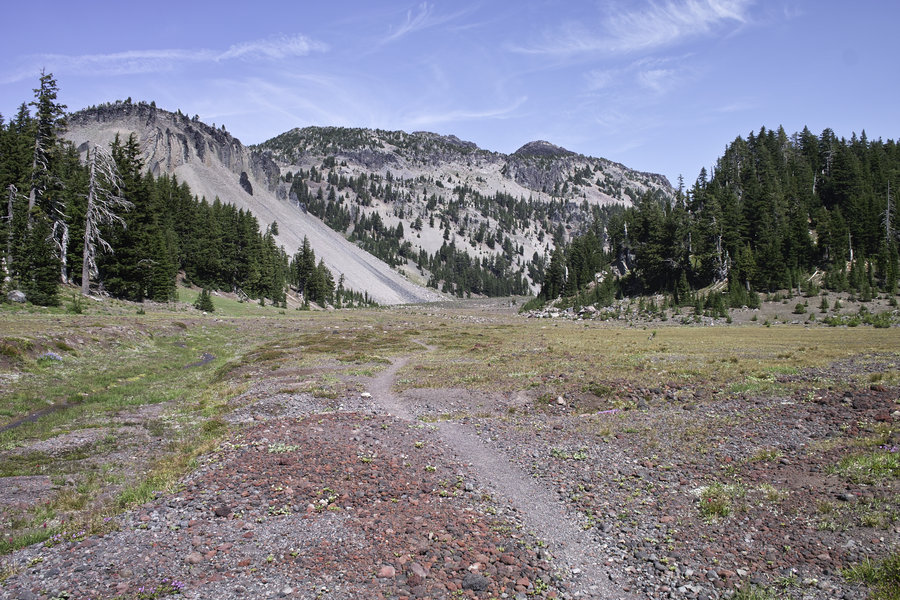
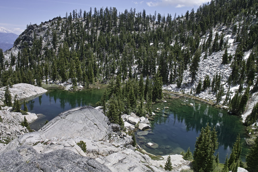
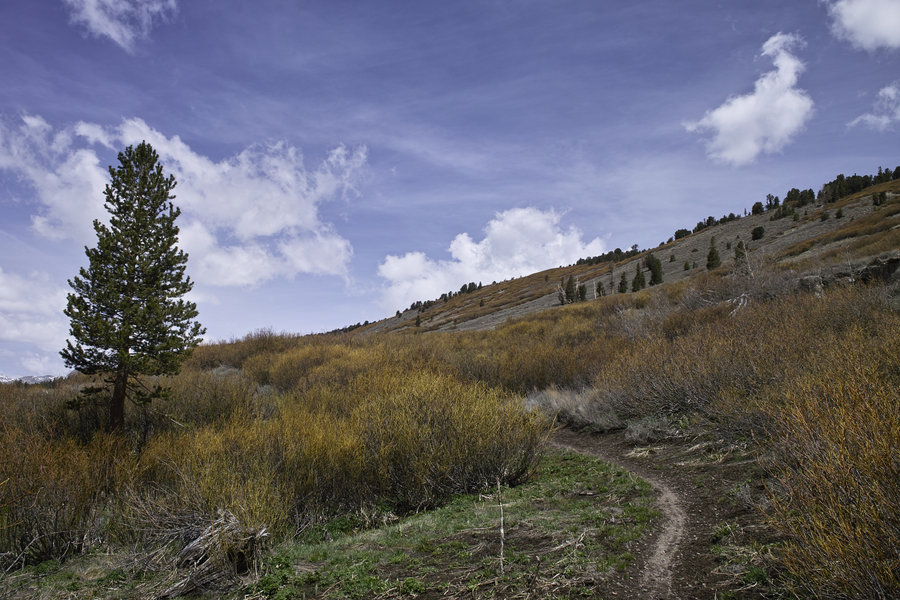
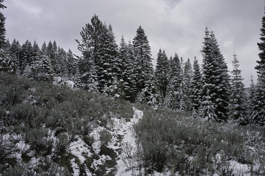
Seven Lakes Basin
7 miles of hiking • 1250' elevation gain •
Fantastic weather with a very nice ridge walk and hit-and-miss views of Shasta. Some guys in 4x4s were trying to make it down to the lakes on the very rough 4x4 roads, which was pretty entertaining to watch.
November 15, 2014


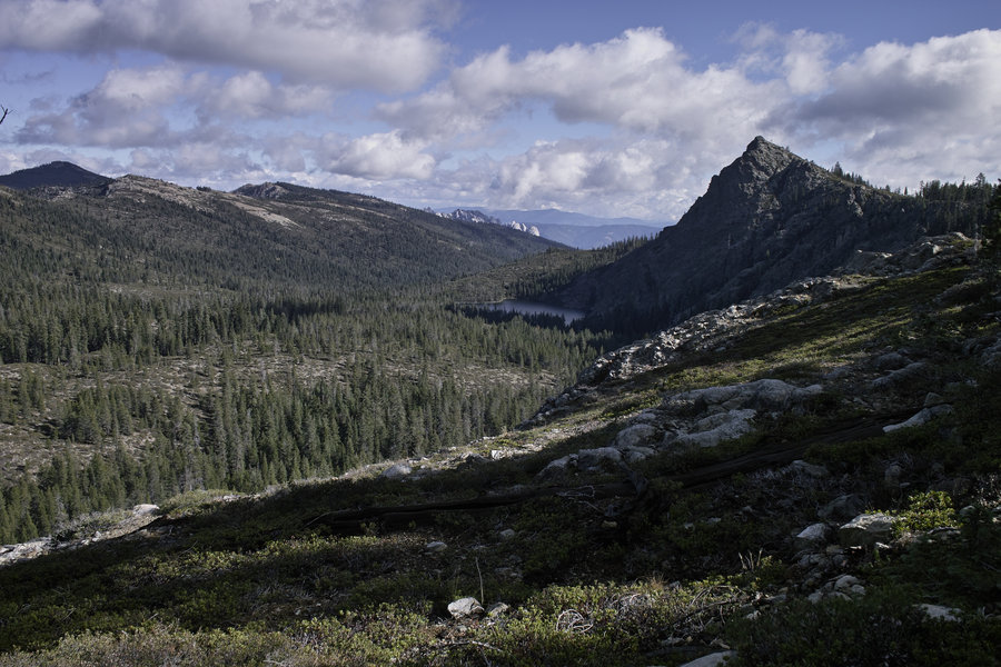
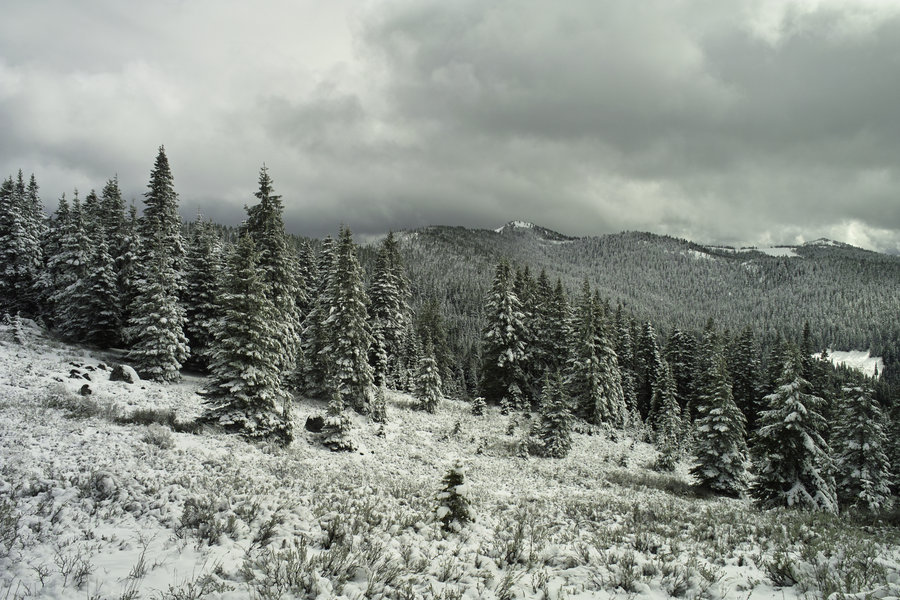
Sky Lakes - Seven Lakes Basin
11 miles of hiking • 2250' elevation gain •
A nice loop with good weather. Little snow and much better weather than the prior week.
November 8, 2014


November 1, 2014

 2
2
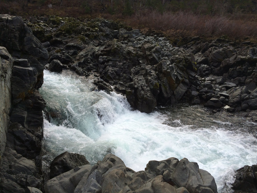
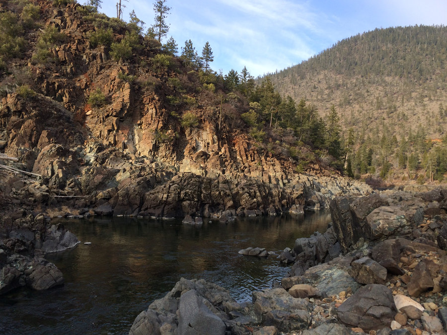
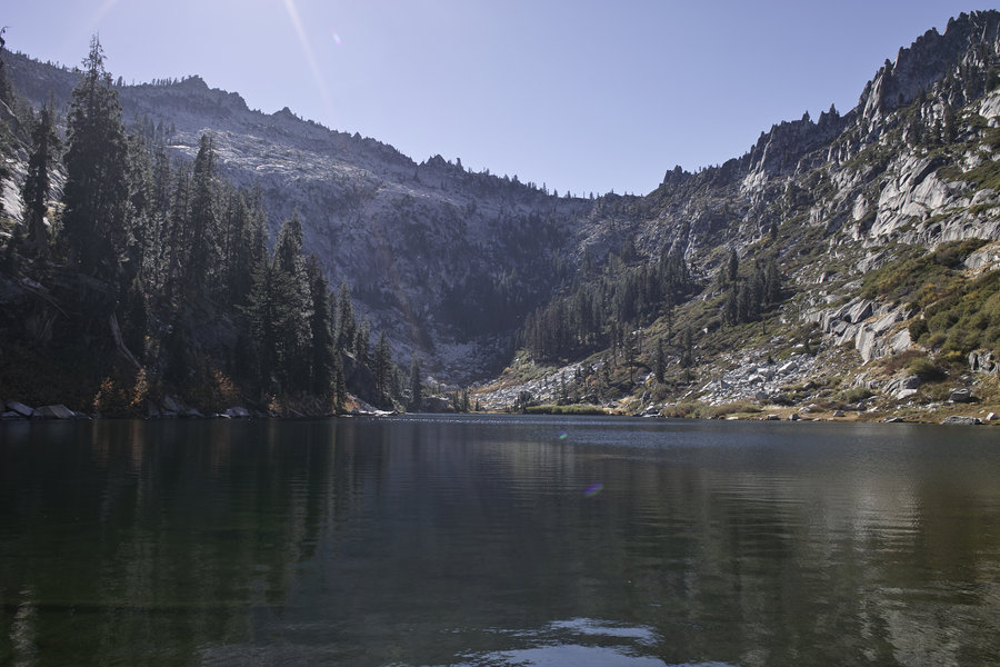
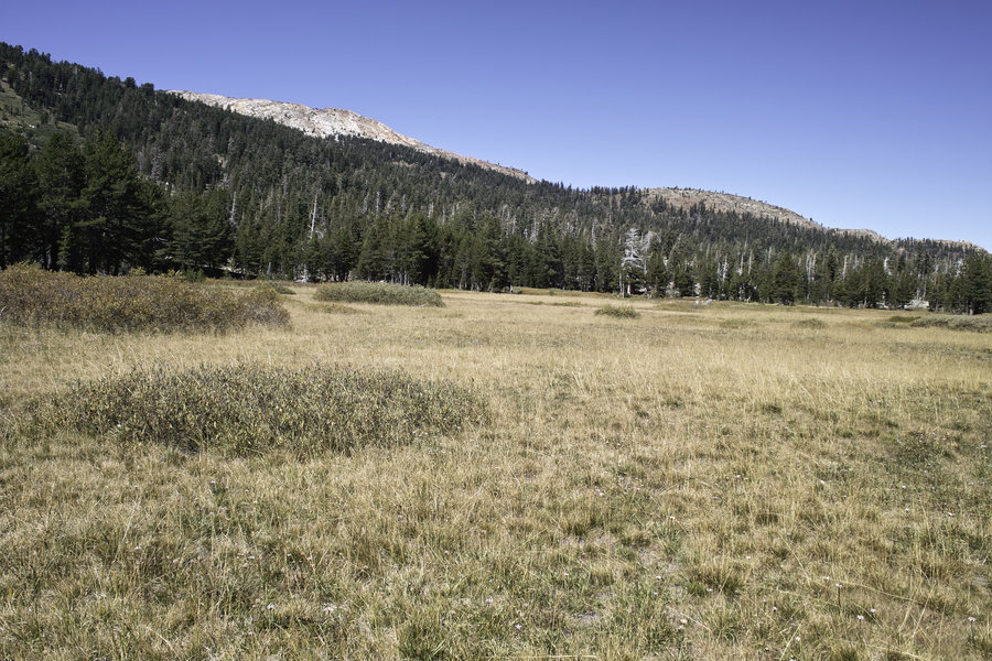
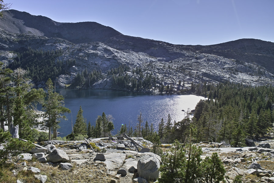
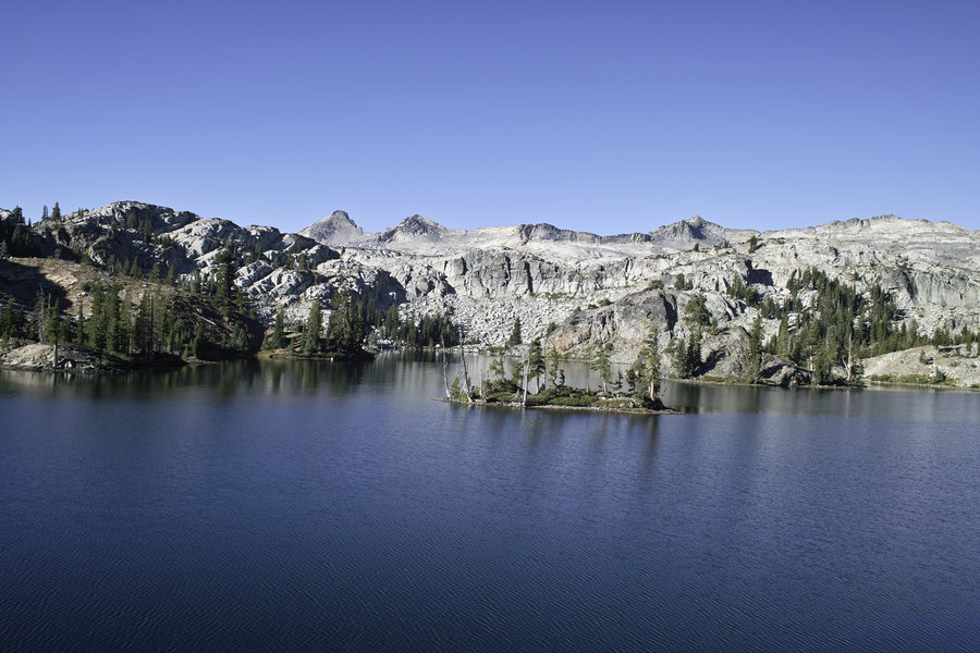
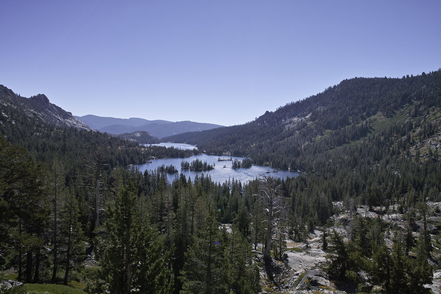
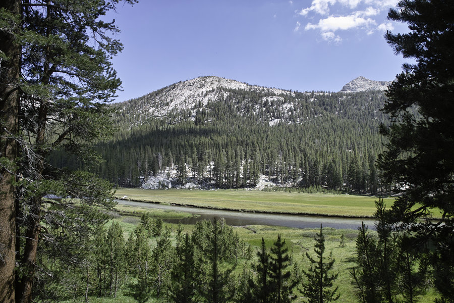
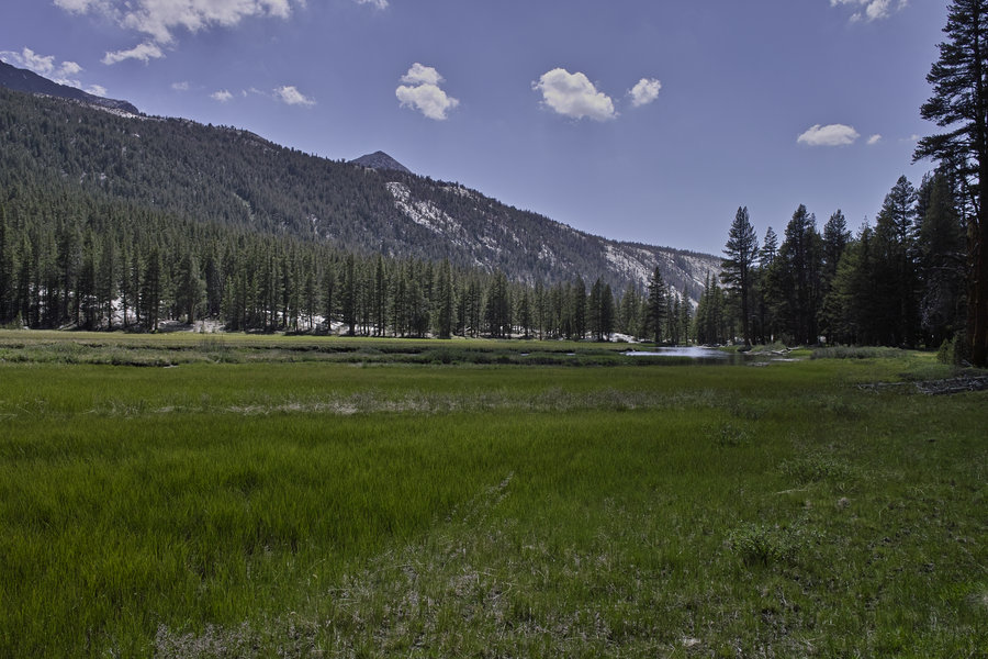
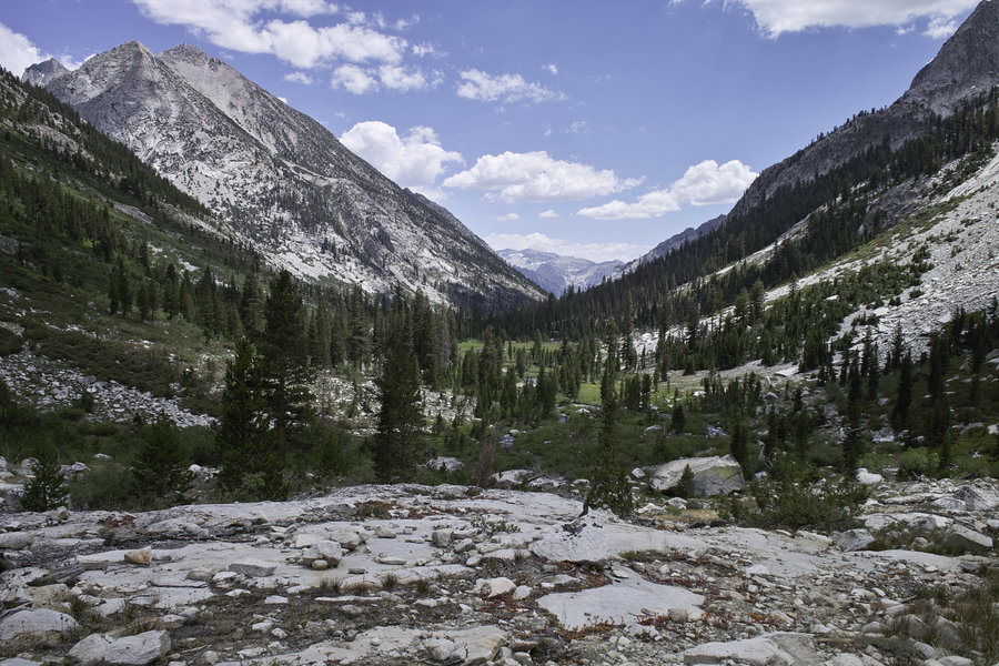
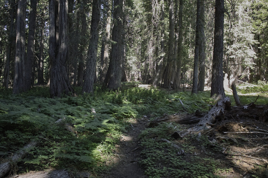
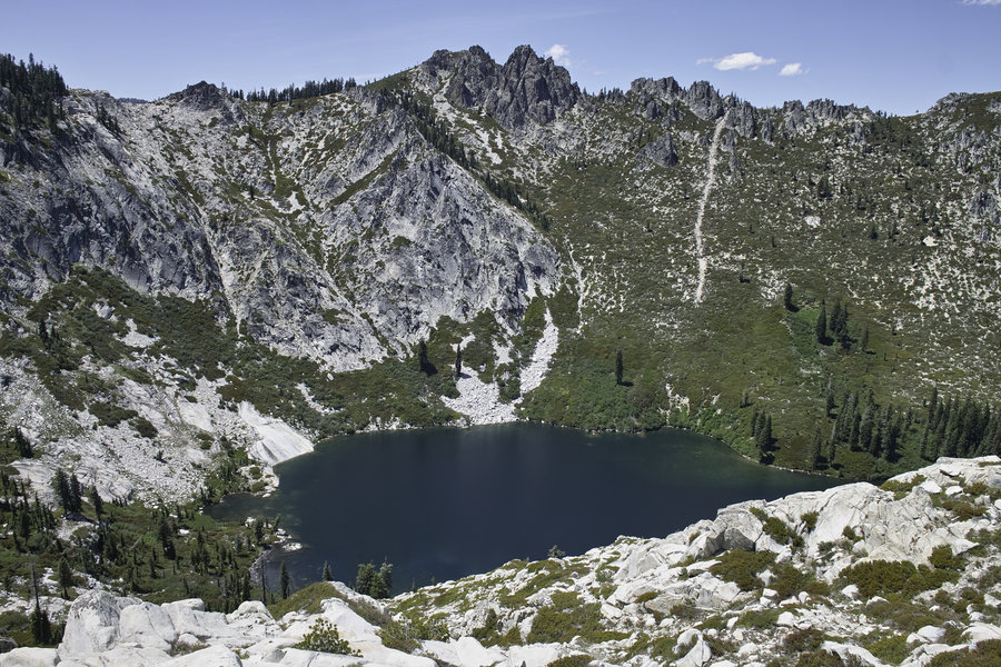
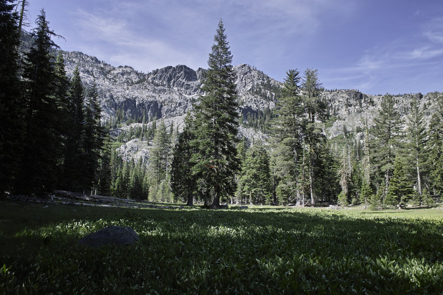
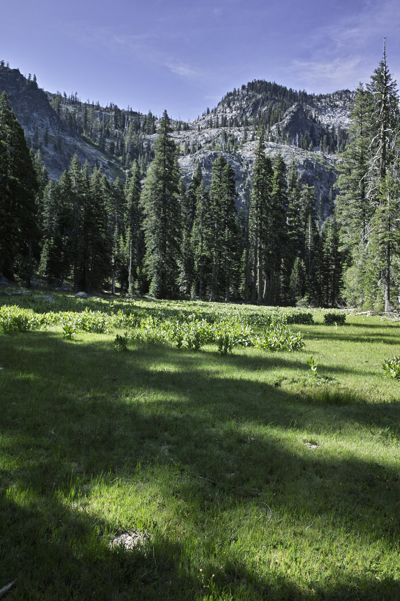
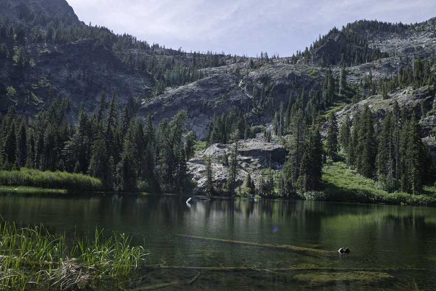
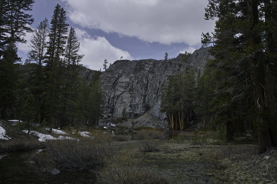
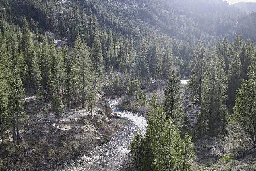
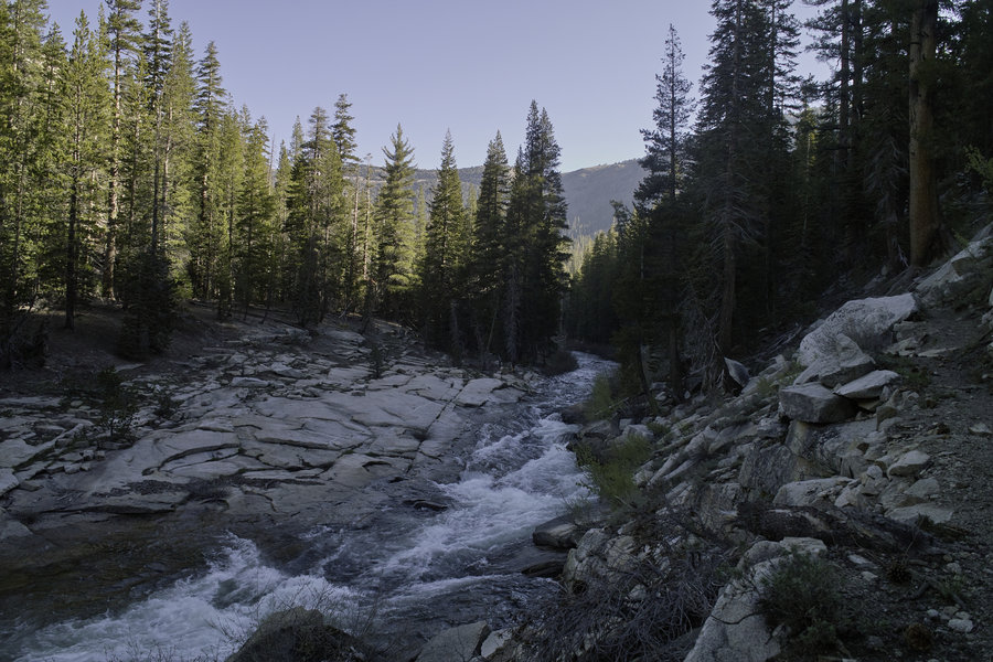
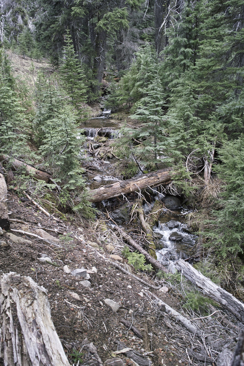
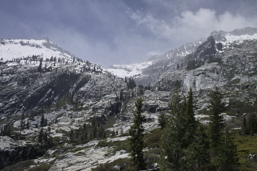
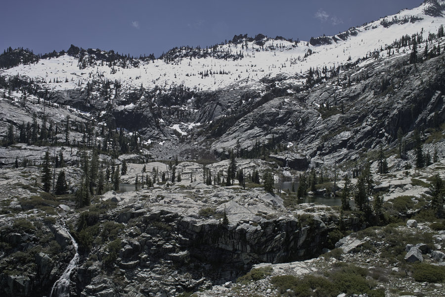
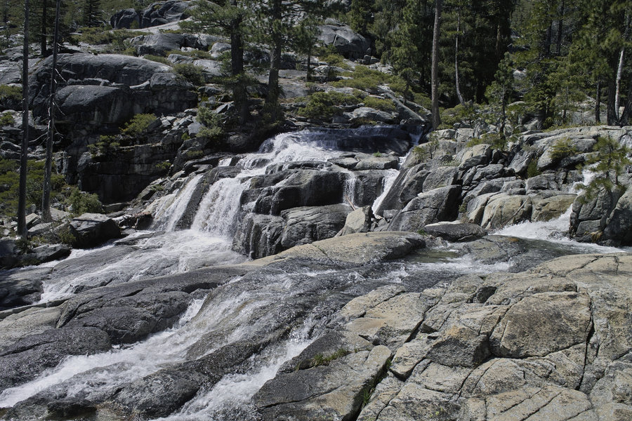
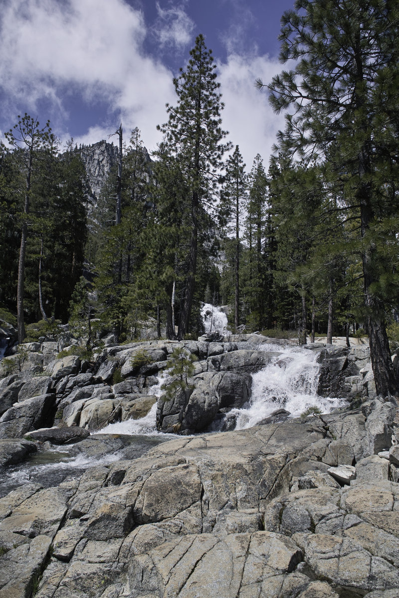
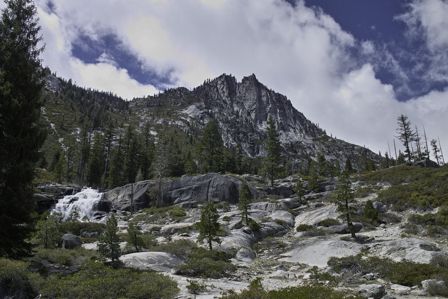
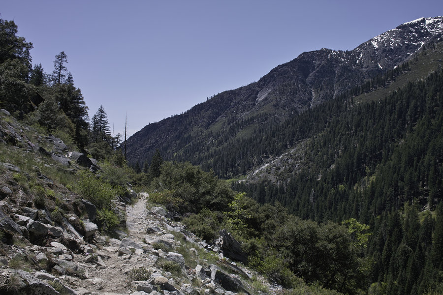
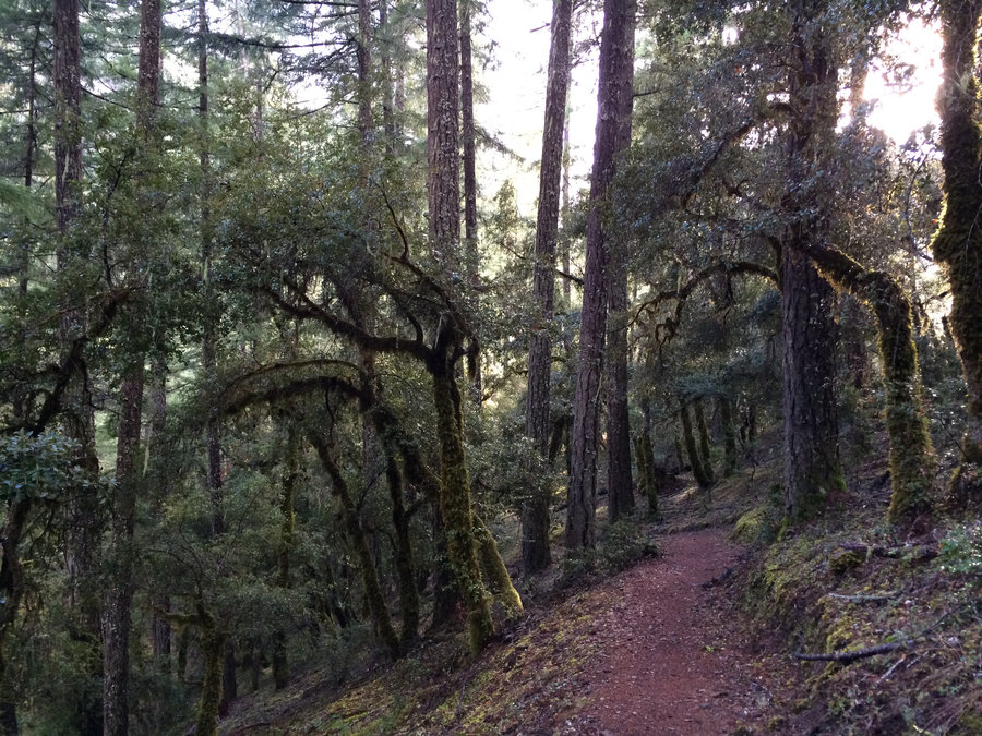
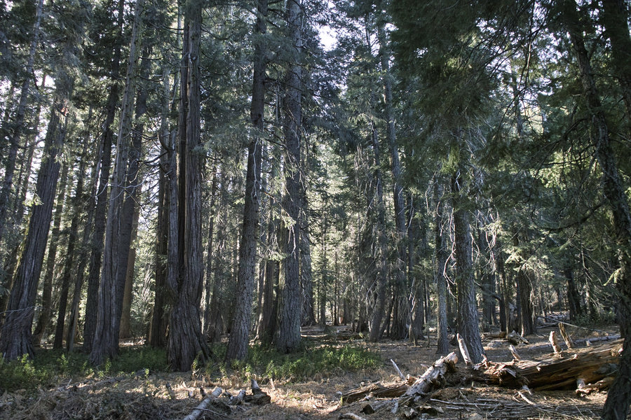
Trinity Alps - Stuart Fork - Alpine, Morris and Smith Lakes
25.5 miles of hiking • 8750' elevation gain • 2 nights
An excellent weekend trip to these very nice lakes. We had some time trying to find the off trail route through the manzanita and oak trying to get up to Morris and Smith lakes, but once the path was found it was much easier going—quite a few nicks and scrapes!
No one else seen once we left the Stuart Fork trail. A very nice trip, with nice weather. Highly recommended as an alternative to some of the busier lakes in the area. Bring your band-aids!
October 11 – October 13, 2014


Mountain Lakes Wilderness - Clover Creek
7 miles of hiking • 1500' elevation gain •
A loop was planned but I ran into a wasps nest and that weakened my resolve. So I sat by the lake for awhile.
September 27, 2014

September 14, 2014


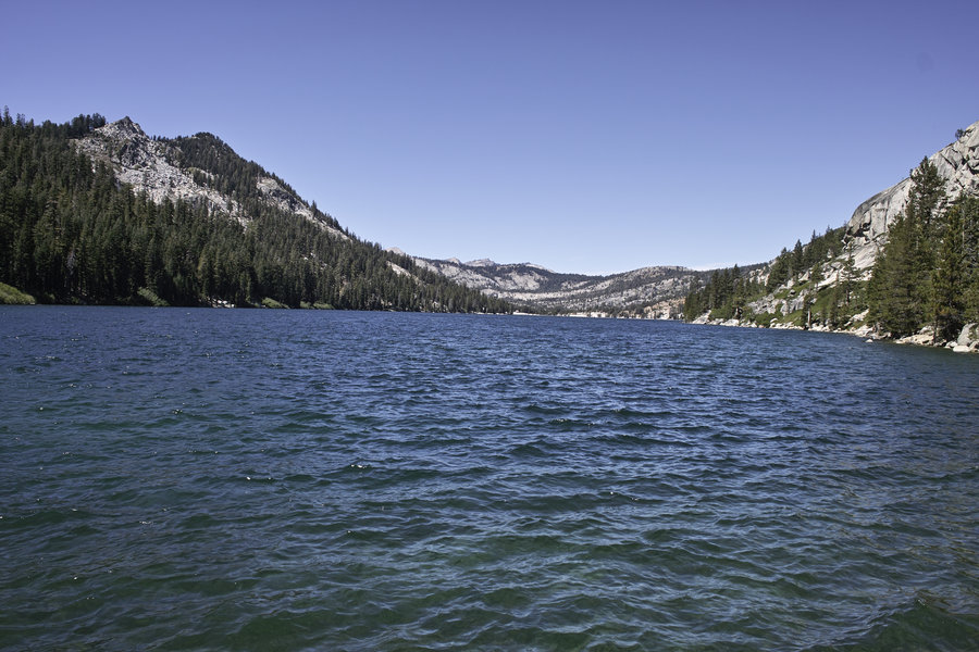
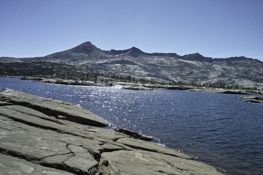
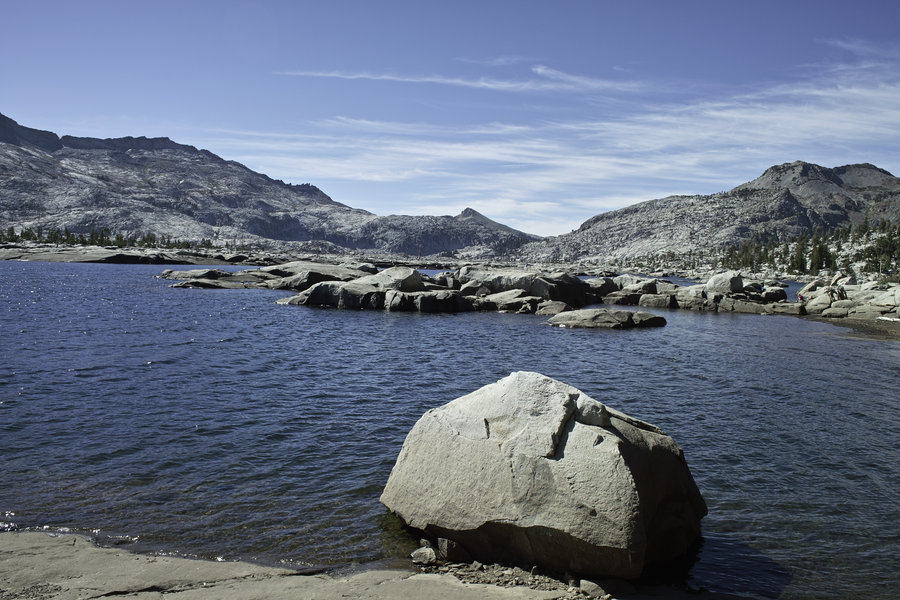
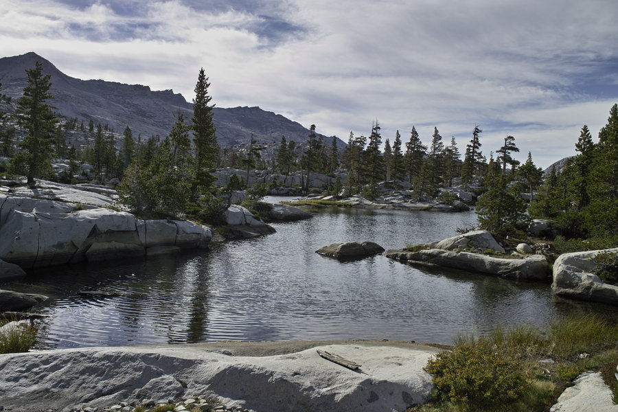
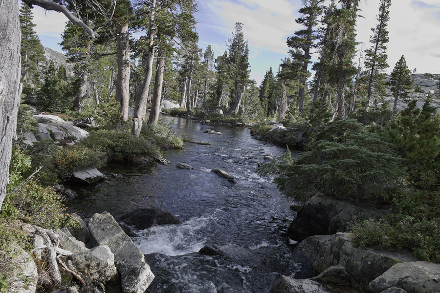
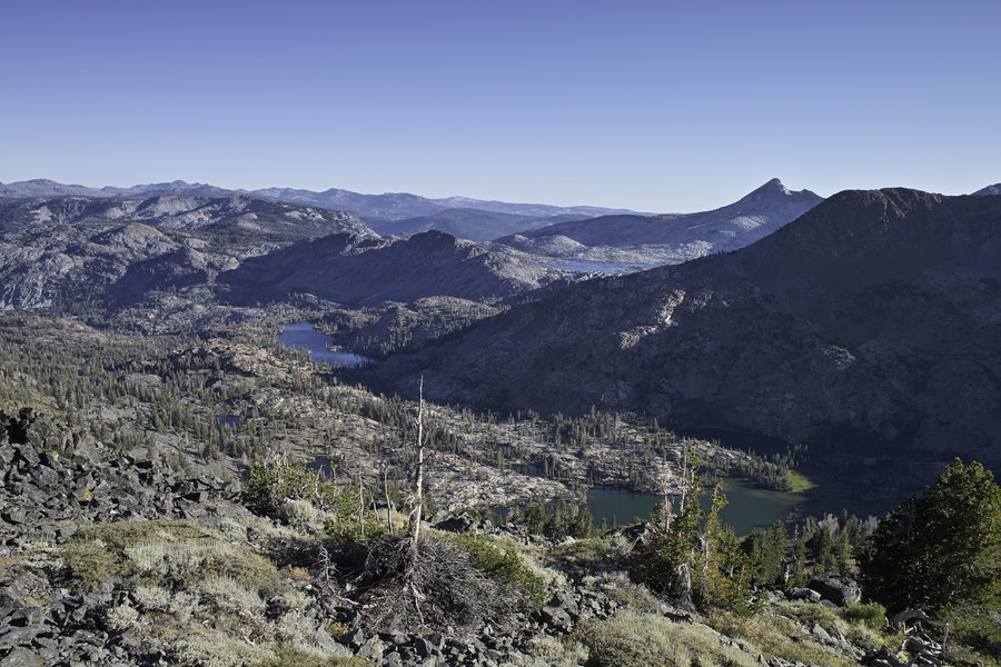
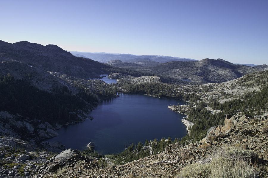
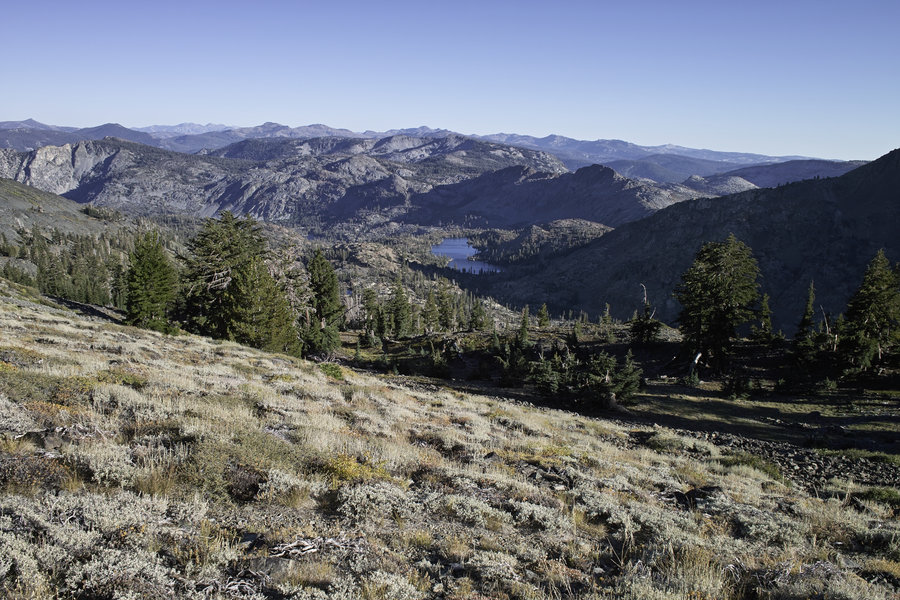
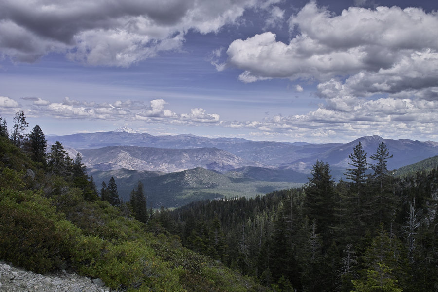
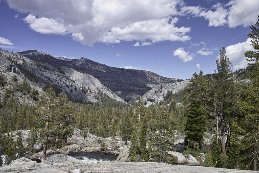
Desolation Wilderness
39 miles of hiking • 5000' elevation gain • 2 nights
A trip over the holiday weekend. A bit crowded for my taste, but it was to be expected given the area and the timing.
Did the loop coming from Echo Lakes--lots of nice lakes in this area, especially on the east side, and south of Lake Aloha. It's a bit dry in the China flat area, but more subalpine for most of the rest.
The weather was great, no bugs, but no fish biting because no bugs. Not a bad trip if you're in the Bay Area/Reno, but I'd recommend driving further south to the Sierras if you're going to make the trip.
August 30 – September 1, 2014


 4
4
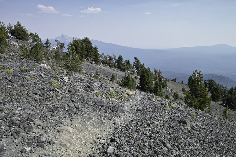
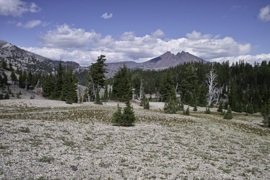
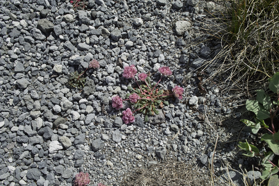
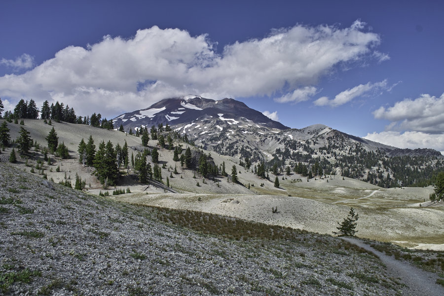
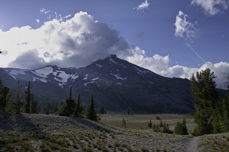
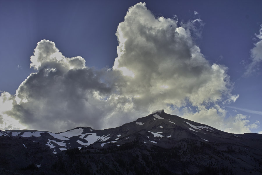
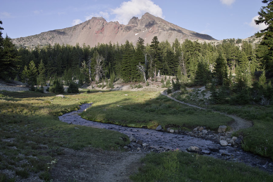
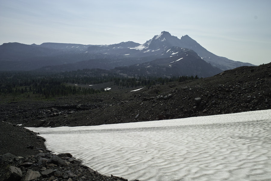
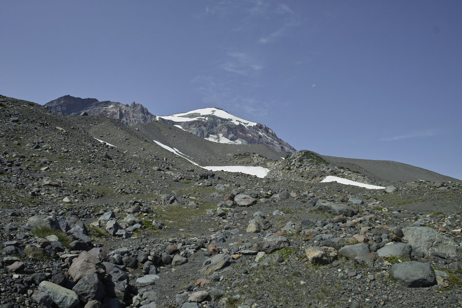
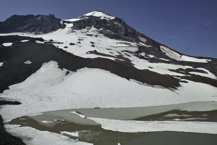
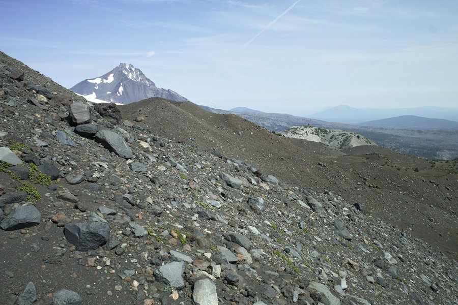
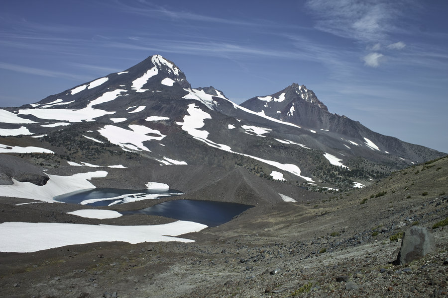
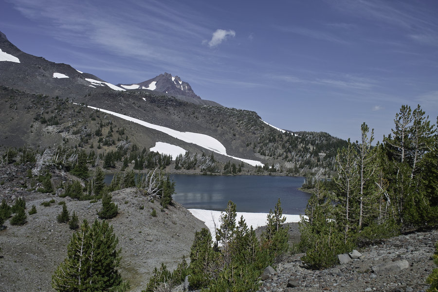
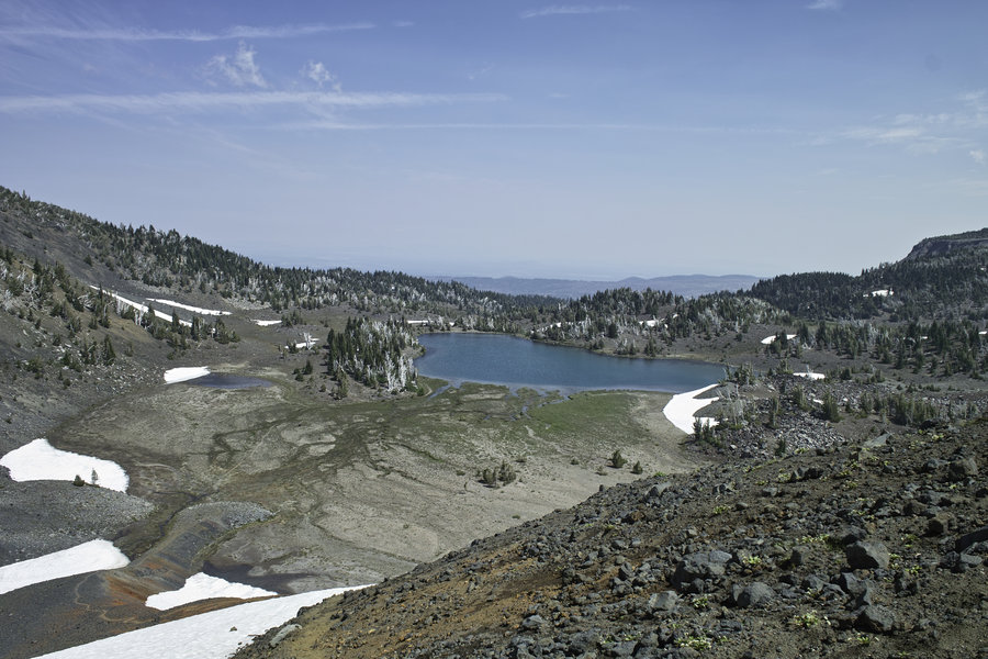
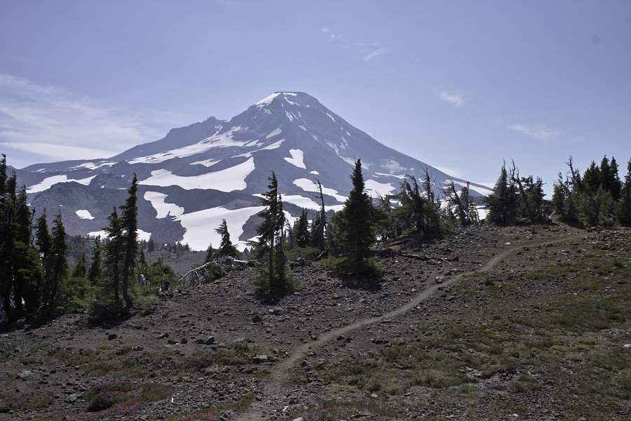
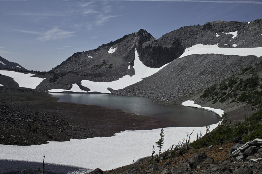
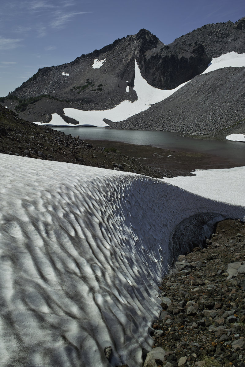
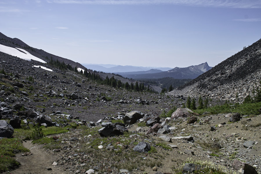
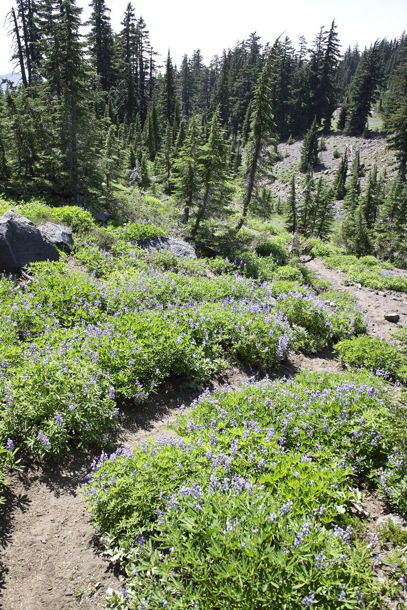
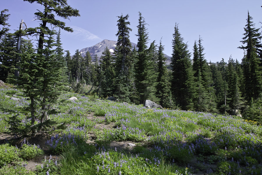
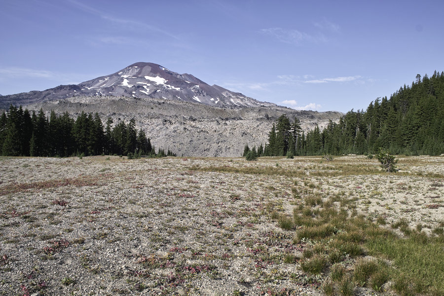
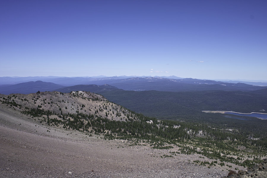
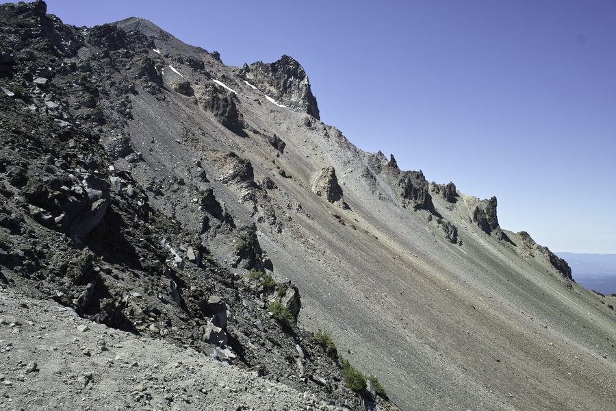
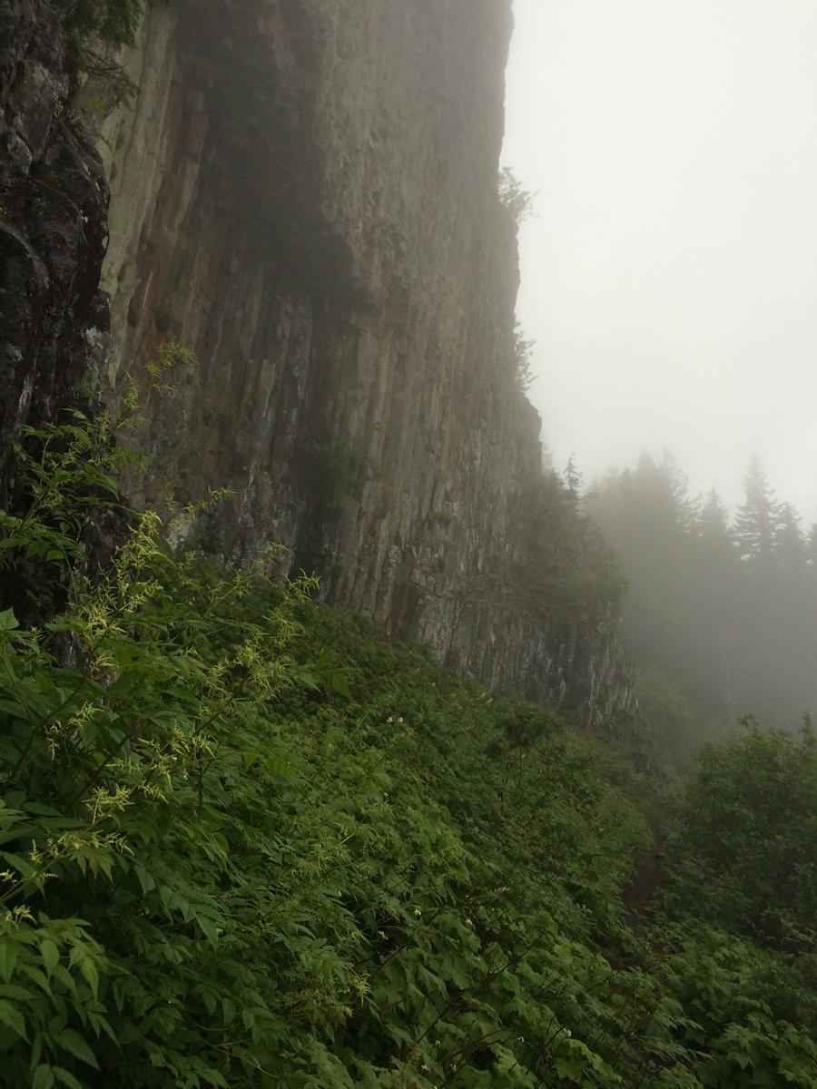
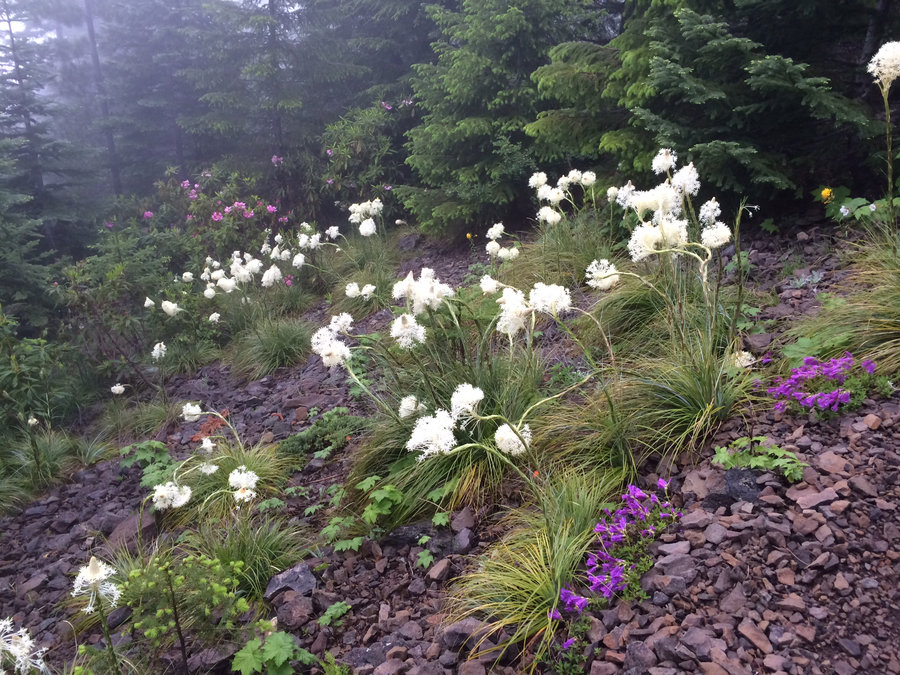
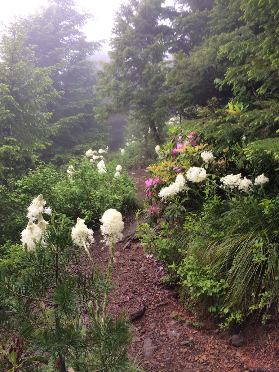
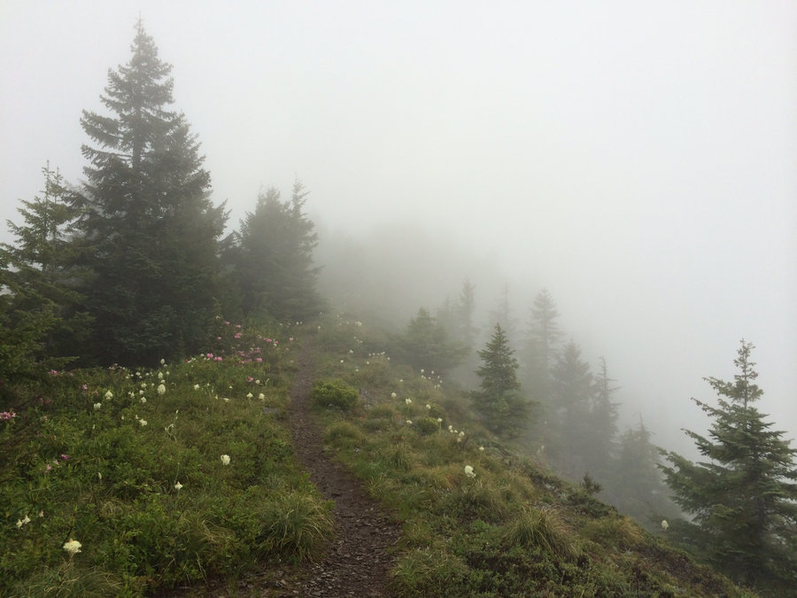
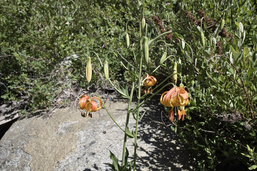
Three Sisters - Chambers Lakes Loop
27.5 miles of hiking • 5000' elevation gain • 1 night
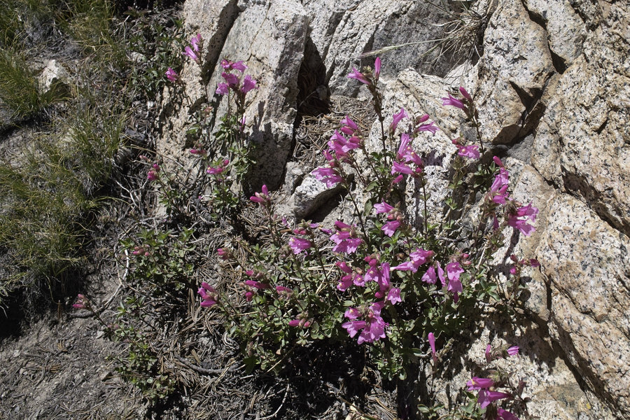
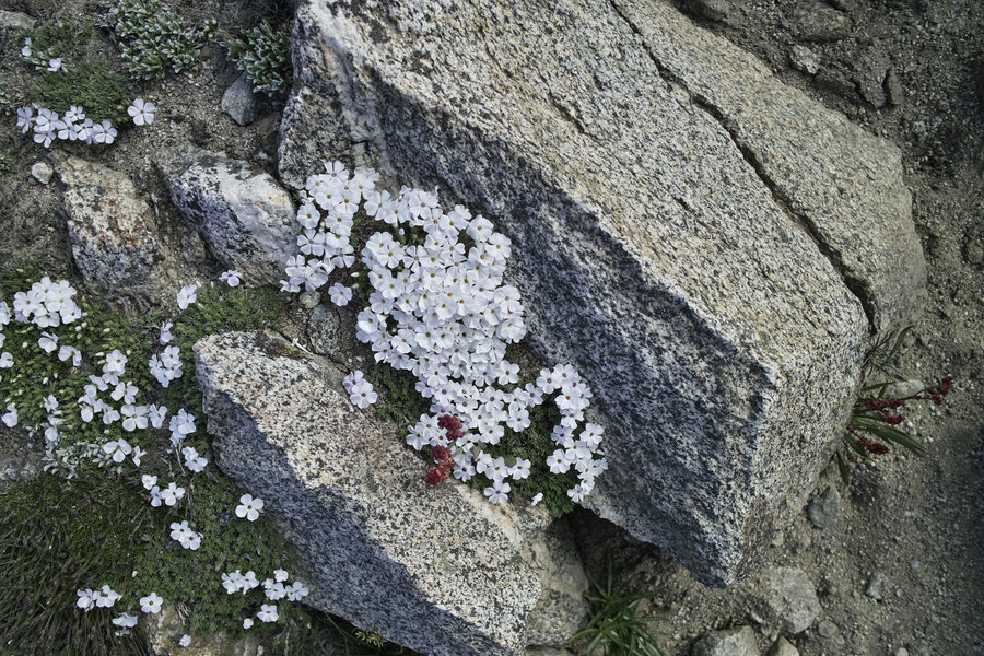
A nice, quick little trip to the Three Sisters after a week in Bend. Camped Friday night at the Green Lakes area after a few miles from the Devils Lake trailhead. It was packed! Saturday, the cross country route up to Carver Lake and up through Chambers Lakes was much quieter—only one other group. The flowers seemed to be at their peak. This little cut through is really very nice; I’ve never been to the Three Sisters in the summer but would definitely recommend going in the fall (October) to cut down on the crowds, or go in the parts that see less crowds.
August 15 – August 16, 2014


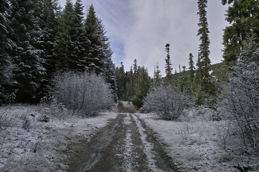
Diamond Lake Area
4 miles of hiking • 750' elevation gain •
Wandered around the Diamond Lake area for a bit.
August 9, 2014


 4
4
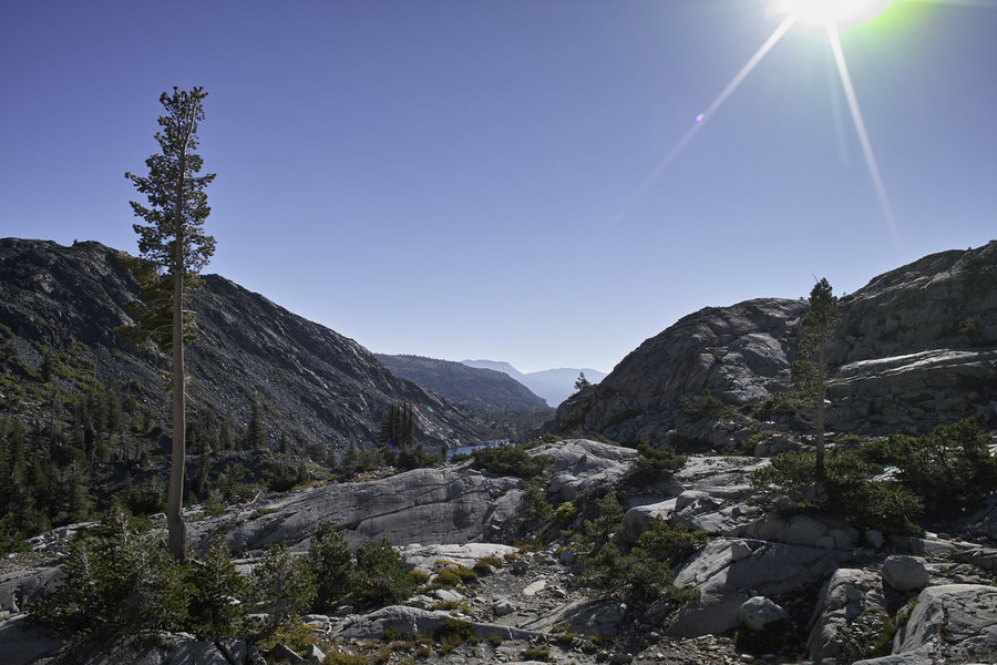
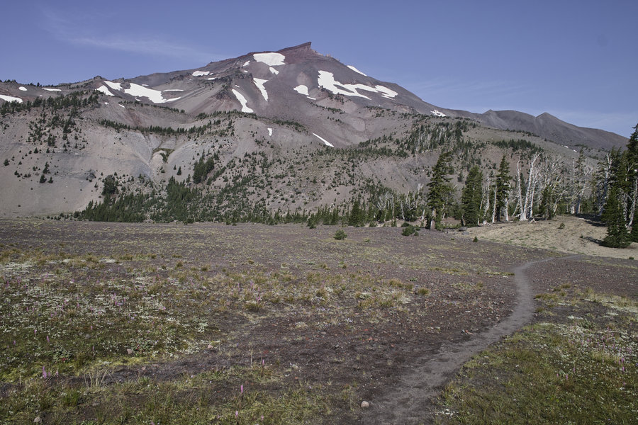
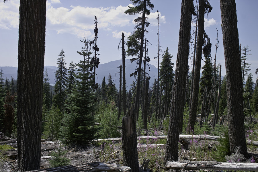
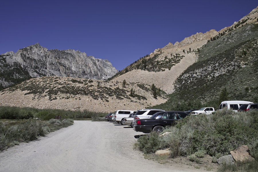
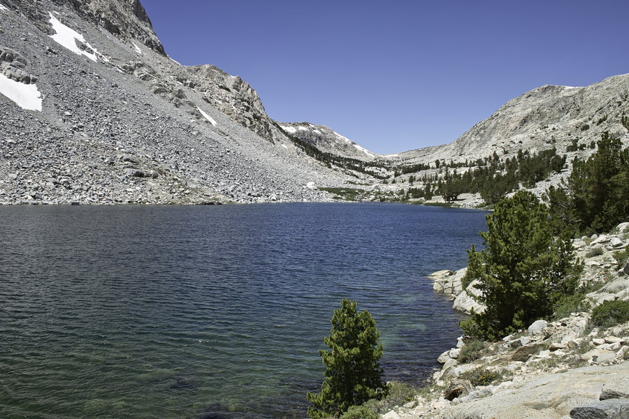
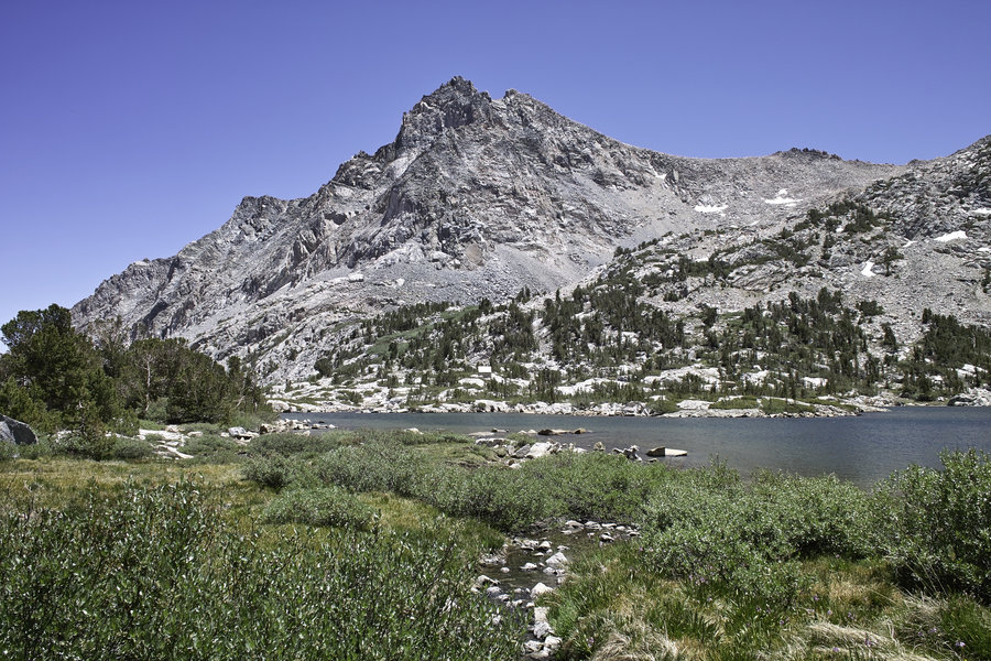
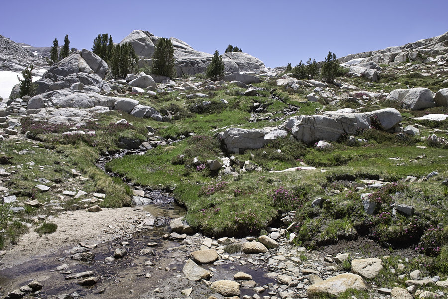
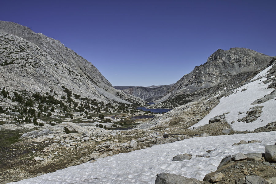
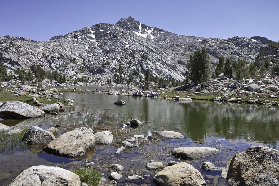
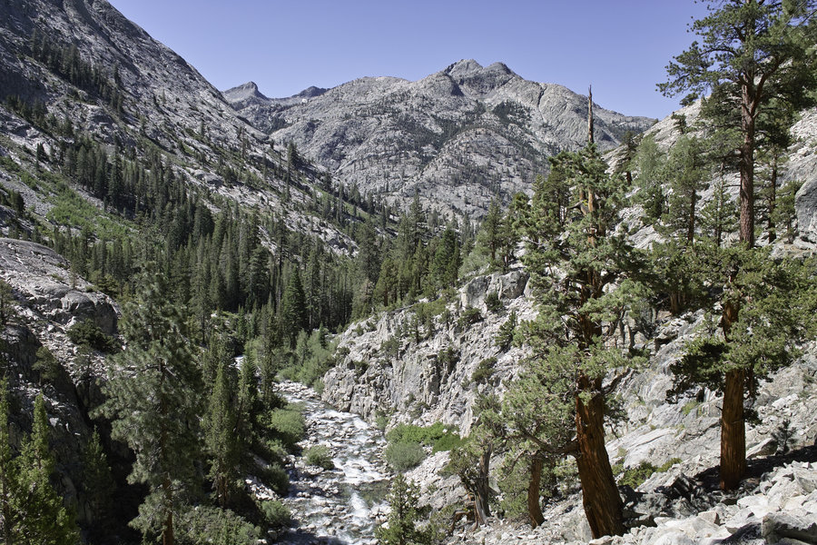
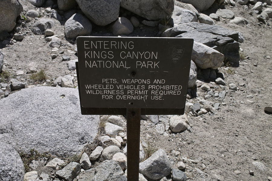
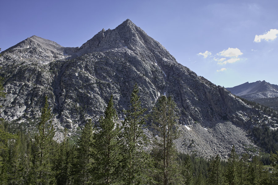
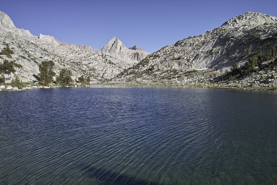
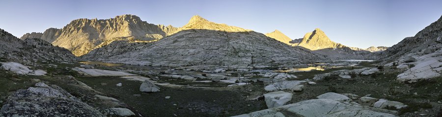
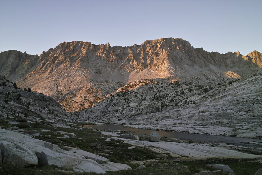
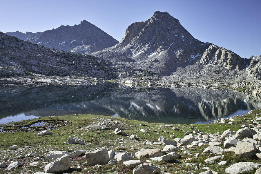
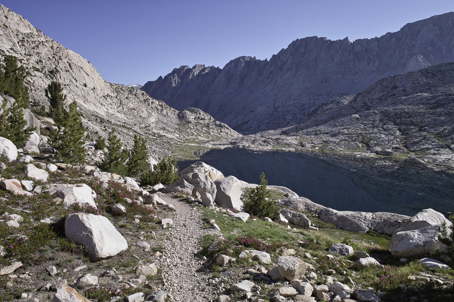
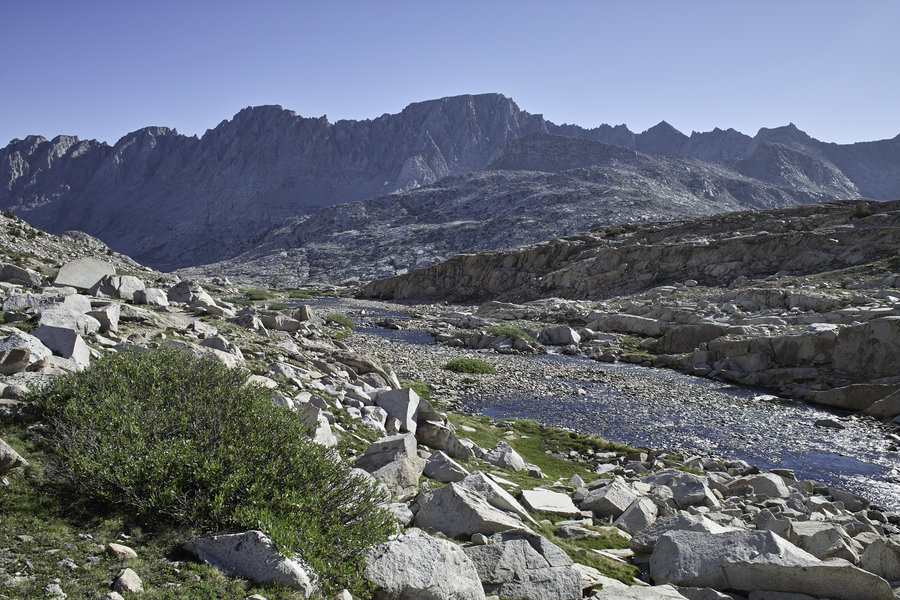
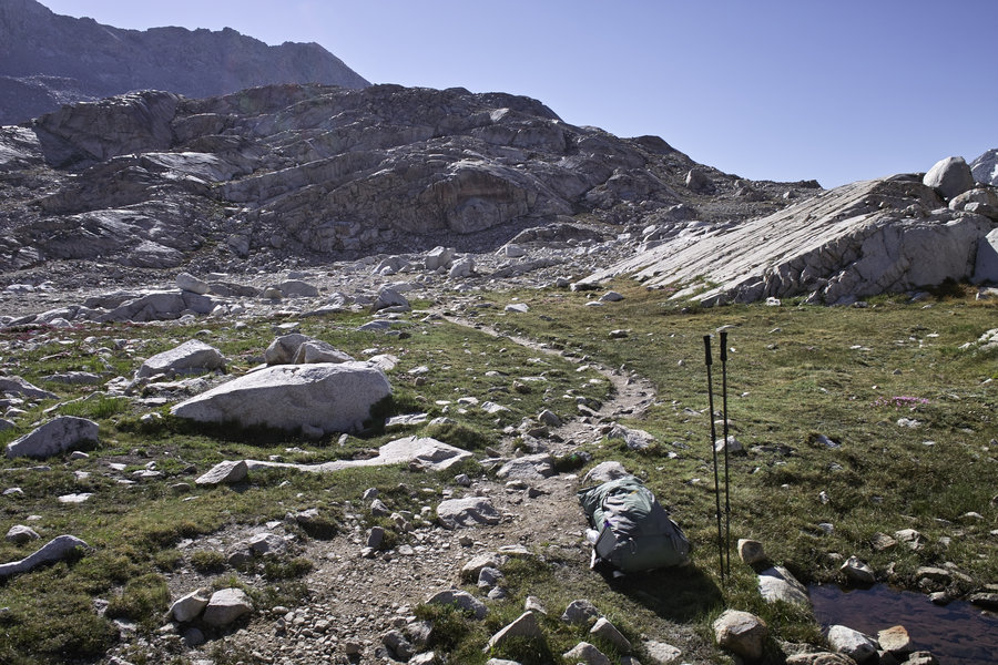
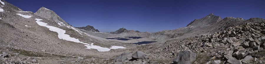
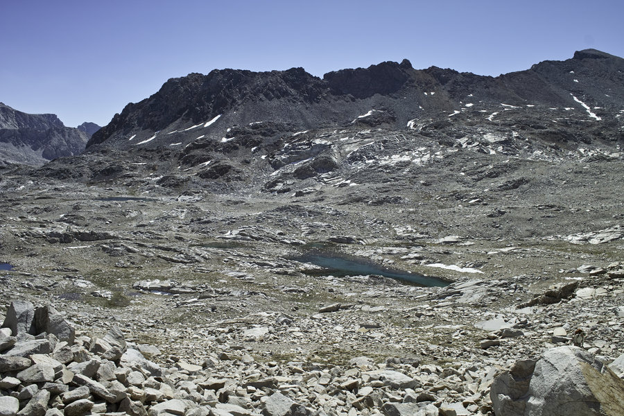
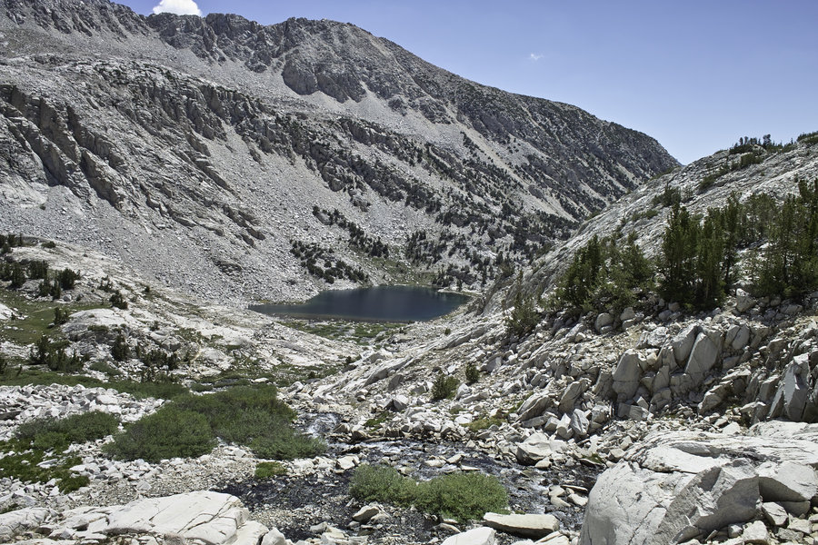
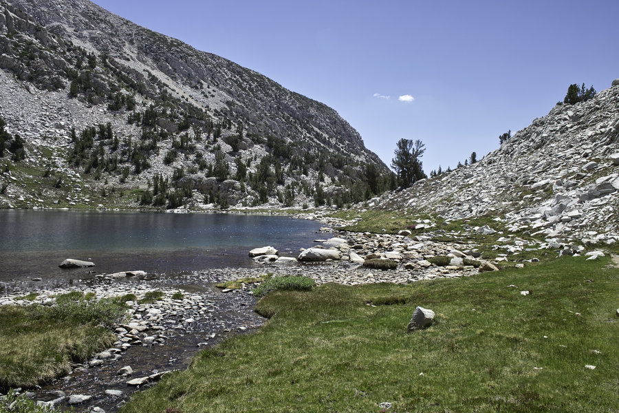
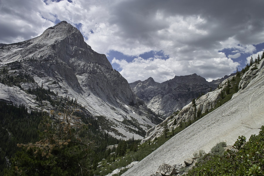
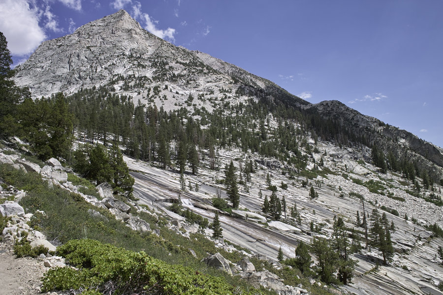
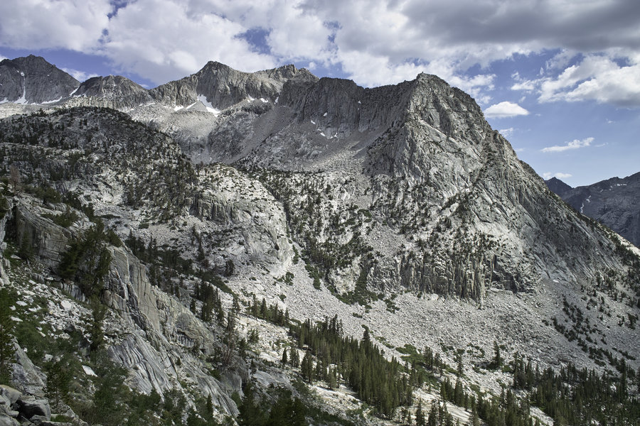
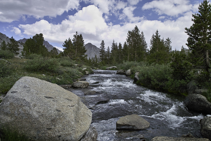
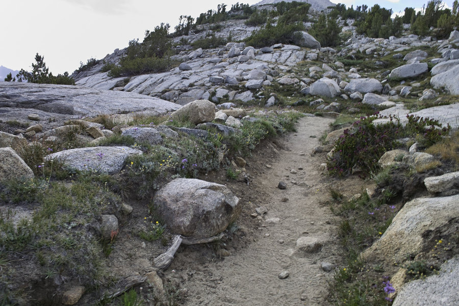
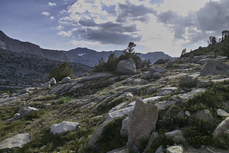
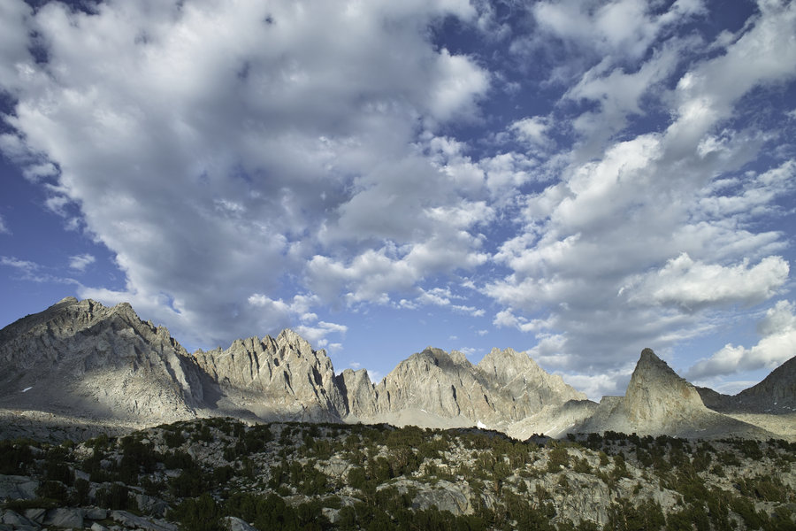
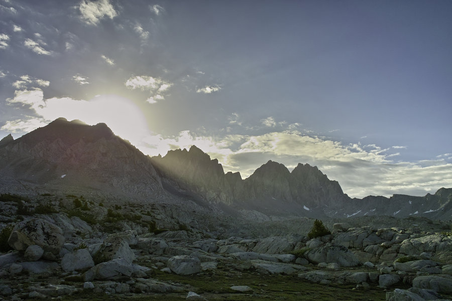
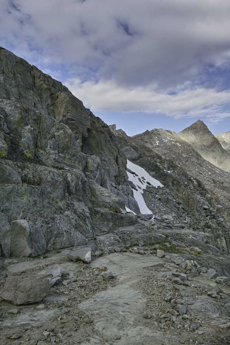
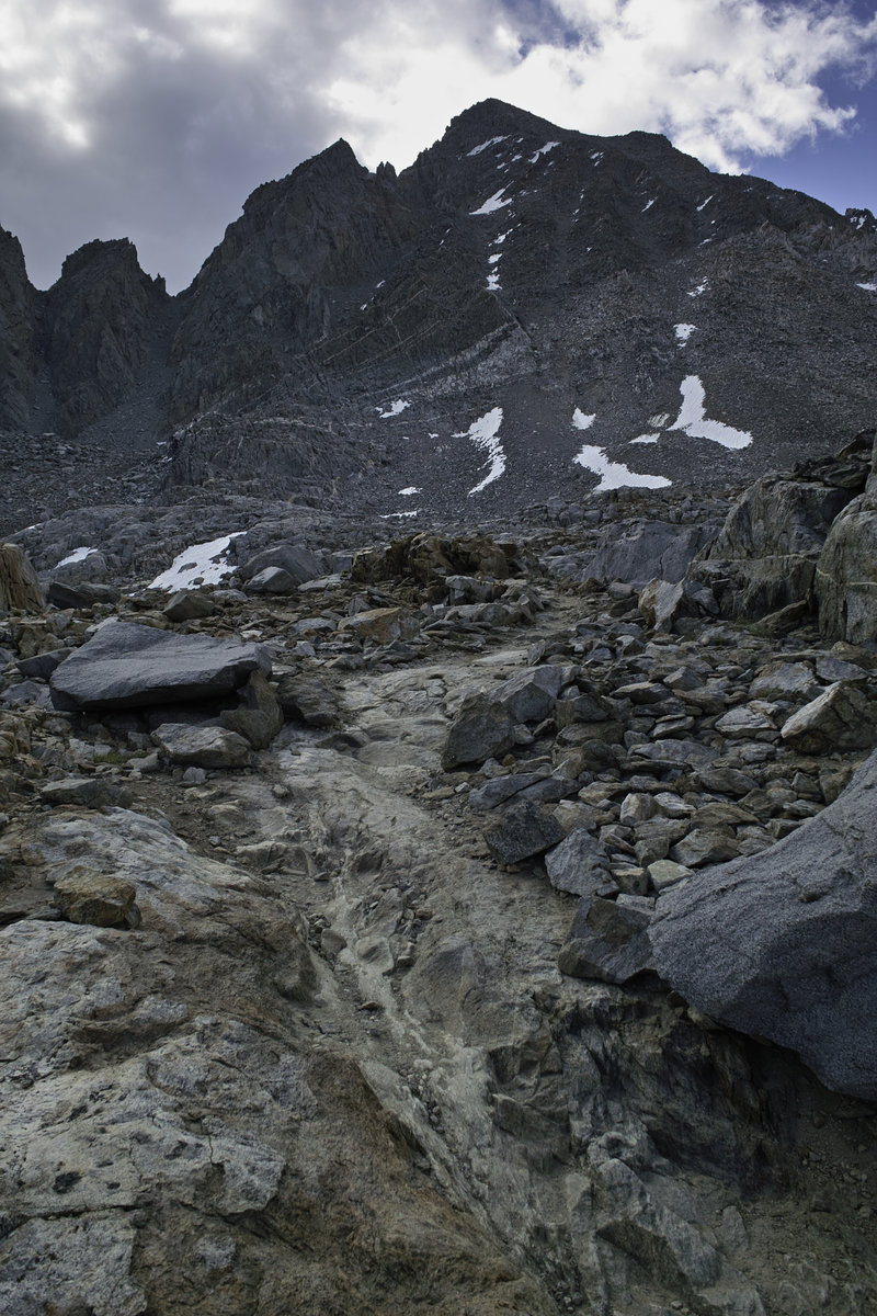
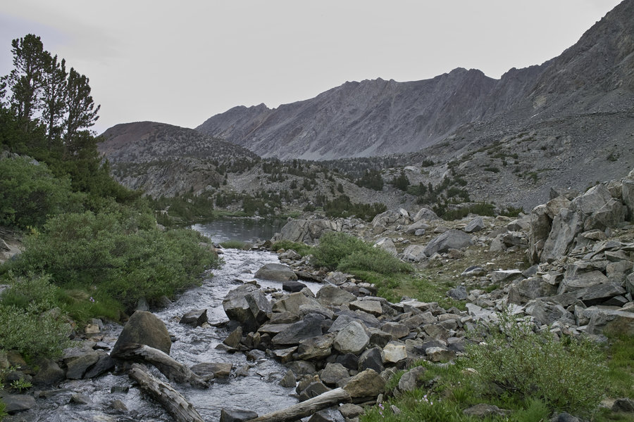
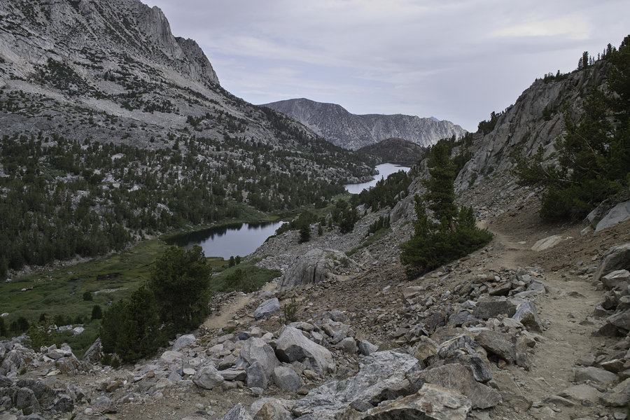
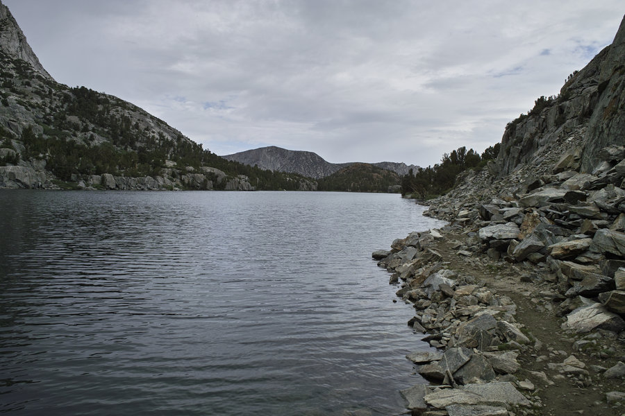
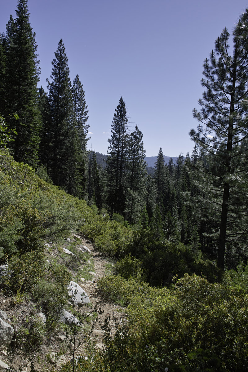
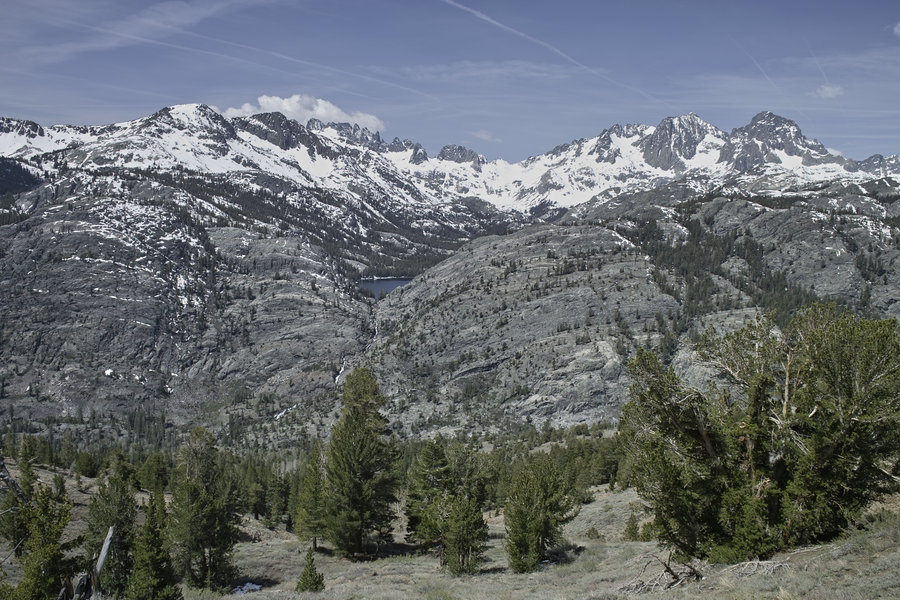
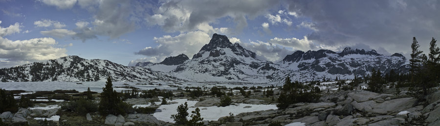
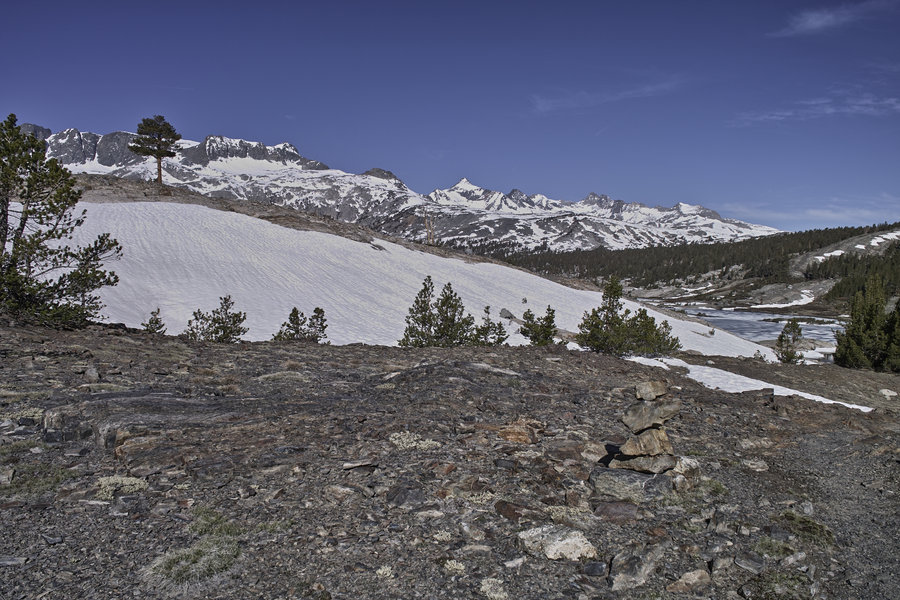
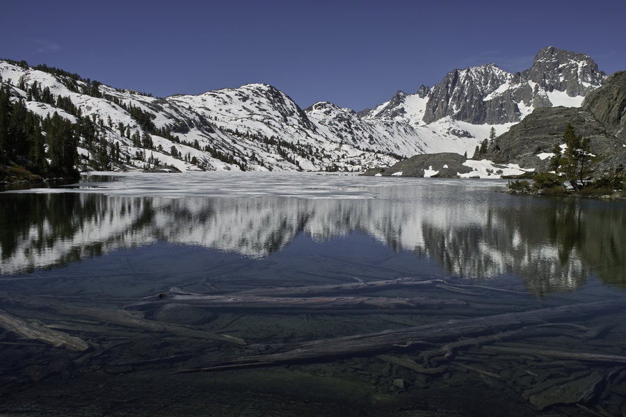
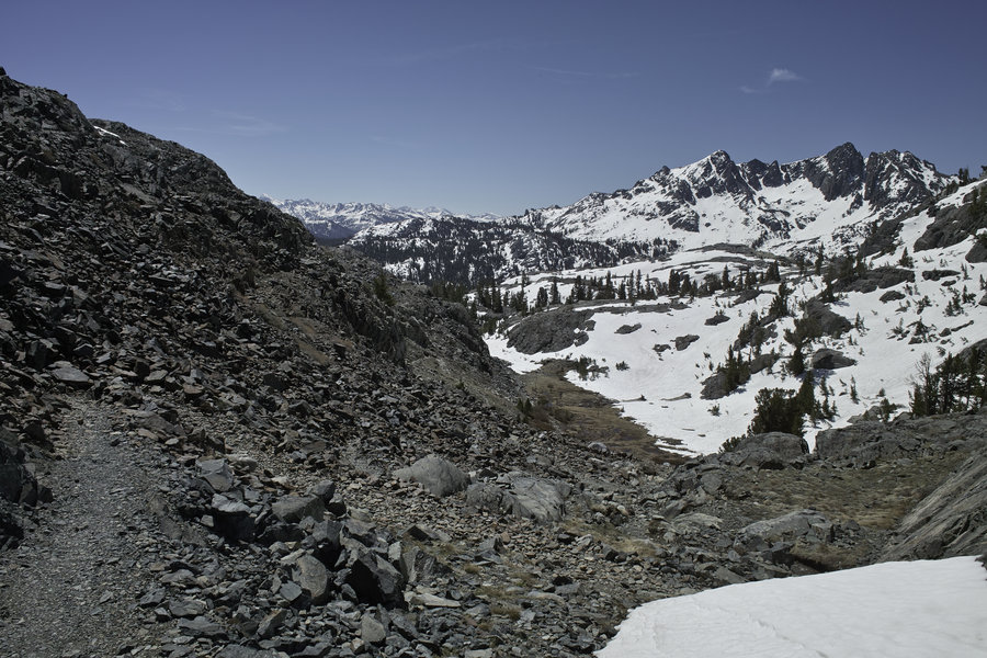
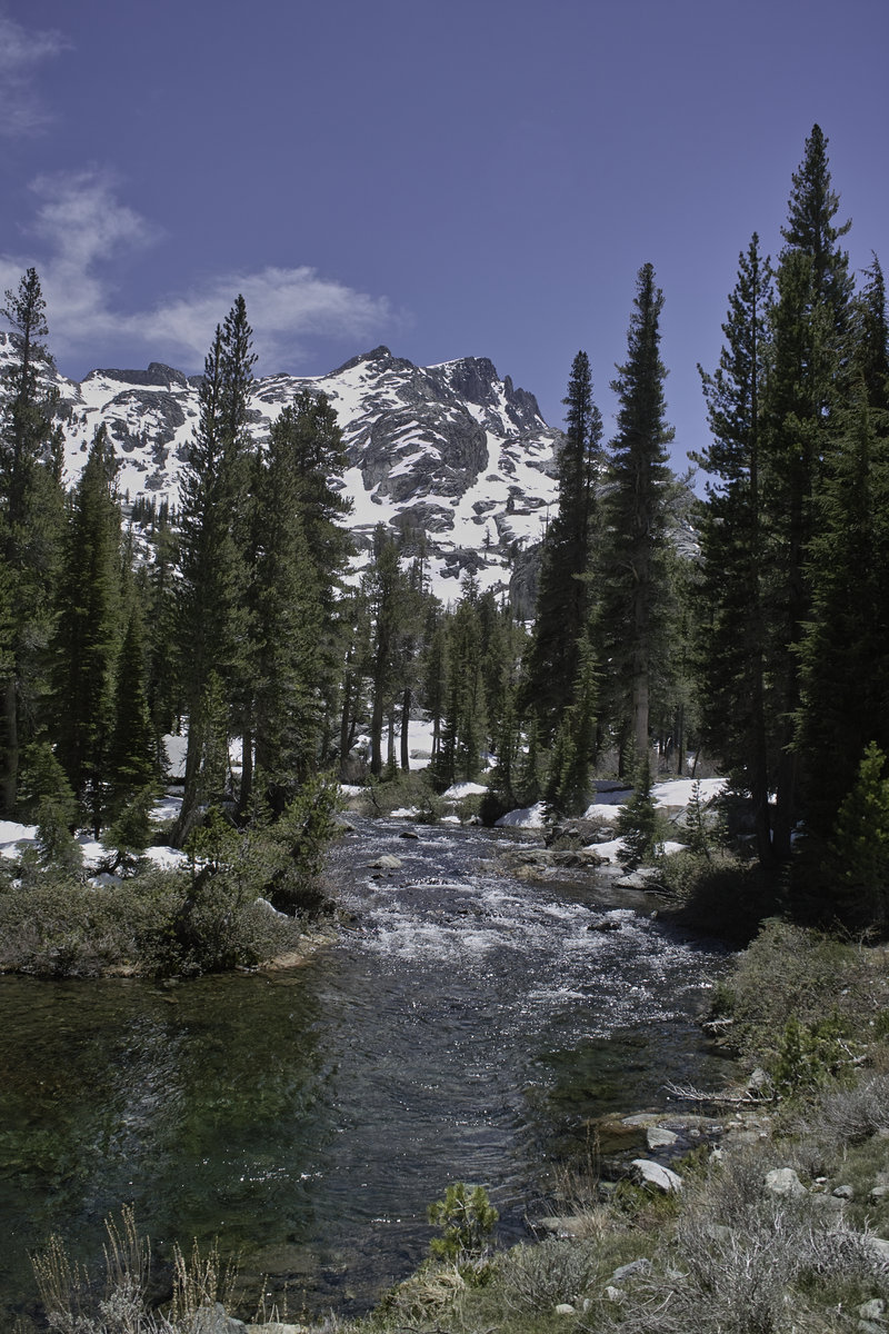
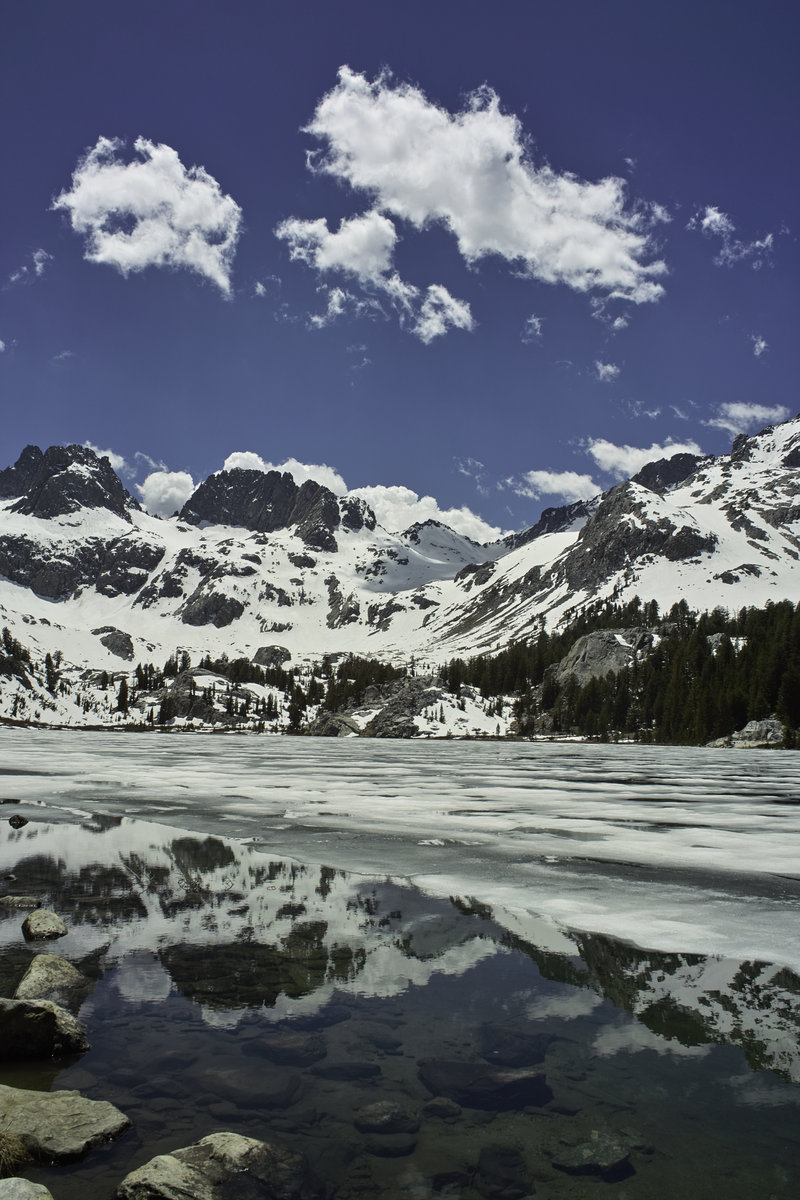
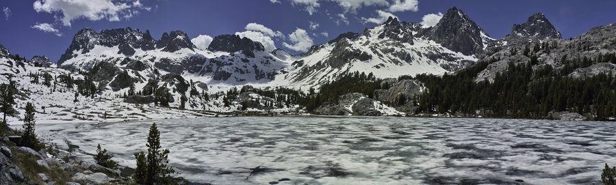
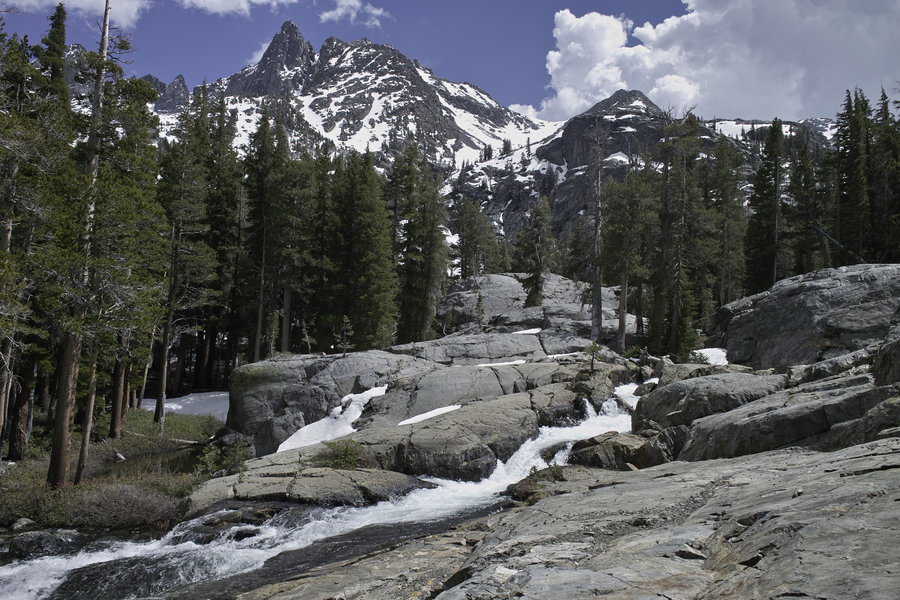
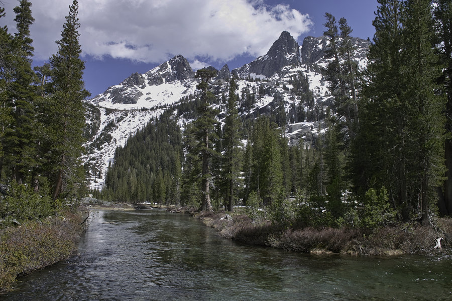
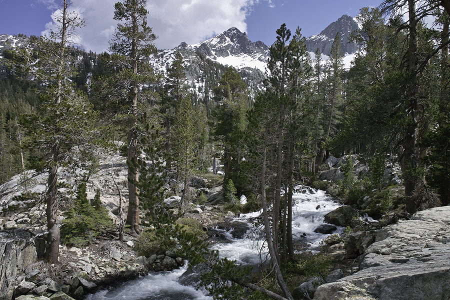
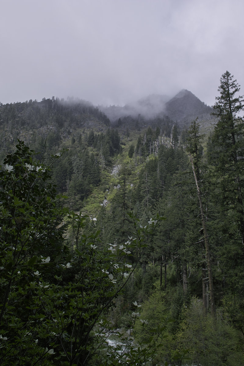
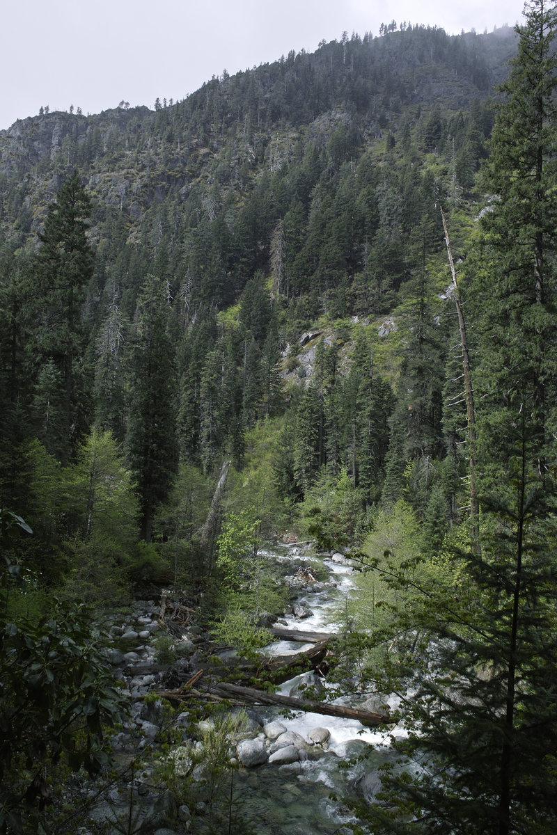
Inyo/Kings Canyon: North Lake to South Lake Loop
63.5 miles of hiking • 10750' elevation gain • 3 nights
This was Sierra trip #2 for the summer: the somewhat well-known North Lake to South Lake loop. For those looking for a “starter” Sierra loop, this is it. About 60 miles, that can be done in as little or as much time as you want. (Another shorter option is to come in over Lamarack Col through Darwin Canyon, which still hits all the good stuff). This trip was the 3+ days over the July 4th weekend. The loop is especially nice because it covers all new terrain with only mild hitching at the beginning or end.
July 3 - Day 0
I left work at the usual time and camped at the Chris Flat campground in Toiyabe—about 2 hours from my final destination in Bishop. This campground is a little pricey ($20/night), but is right on the highway, which makes for a very convenient pit stop.
July 3 - Day 1 - 12 miles
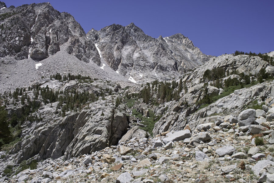
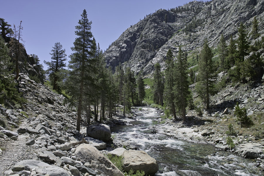
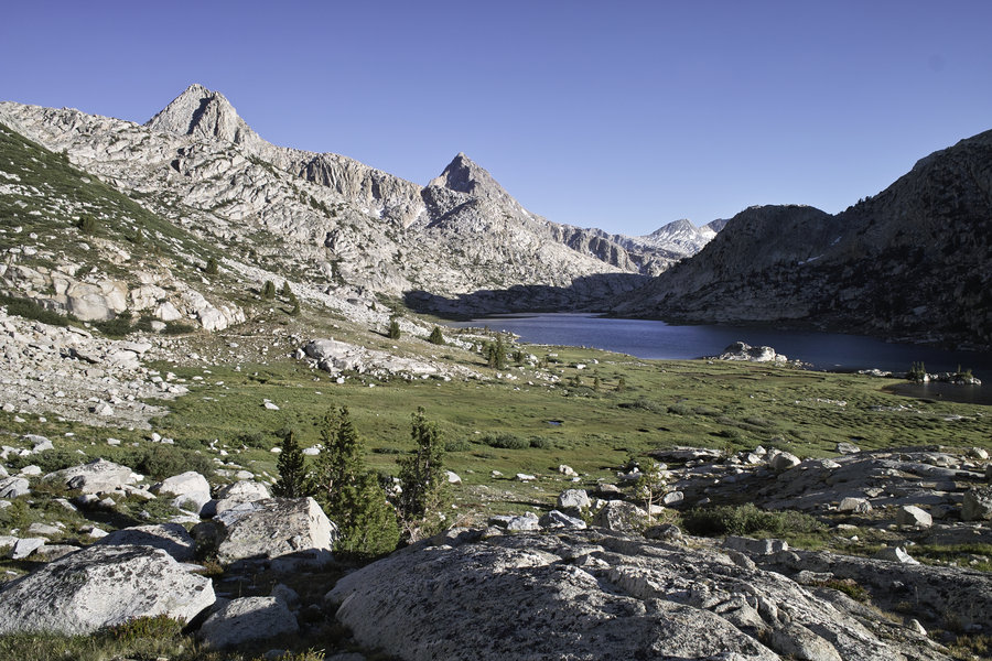
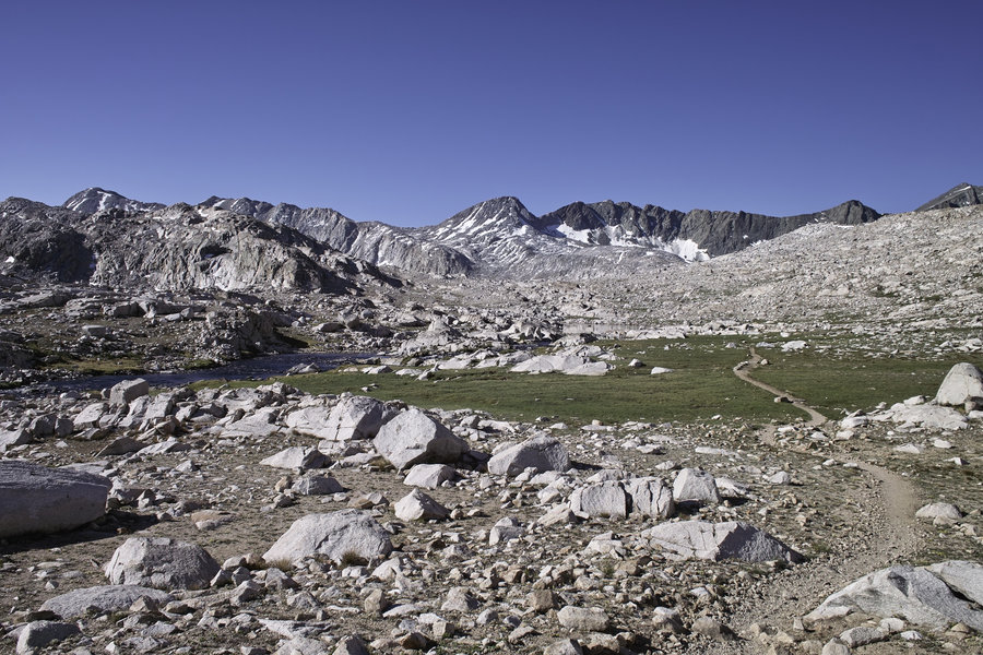
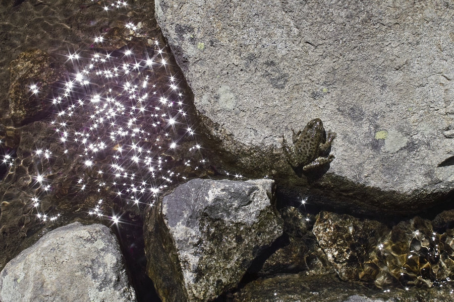
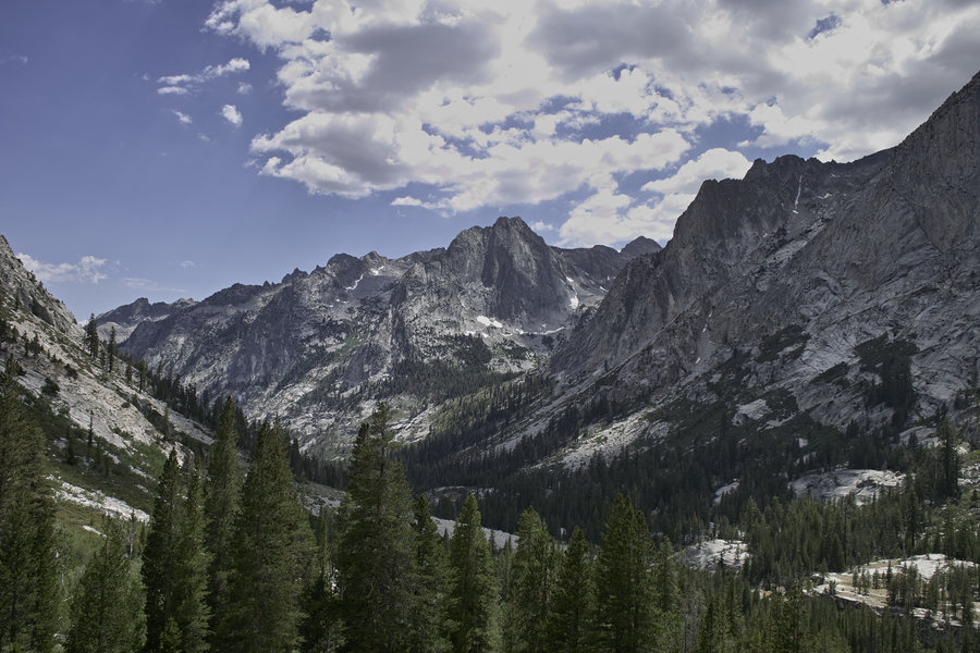
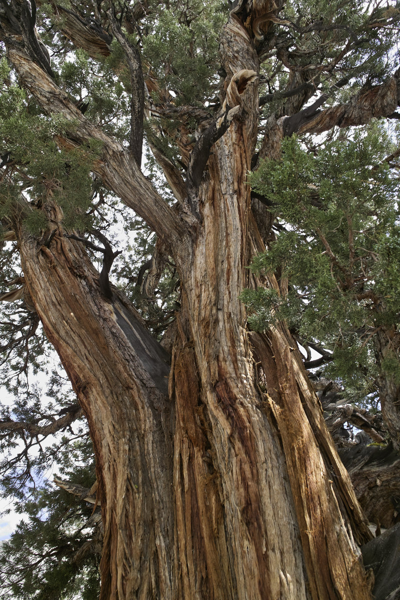
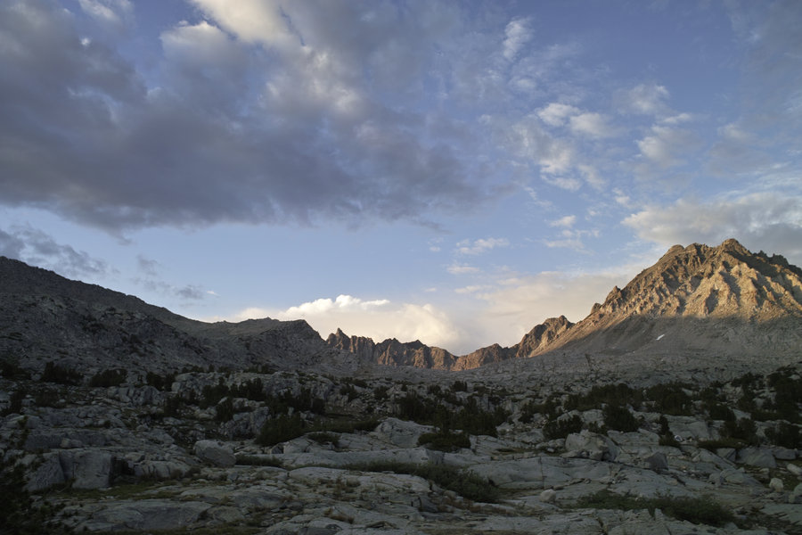
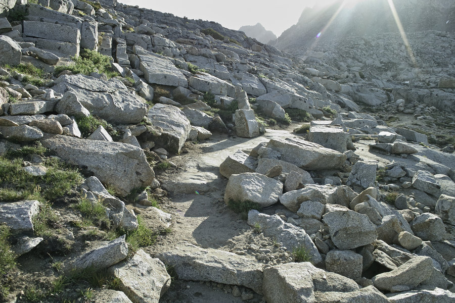
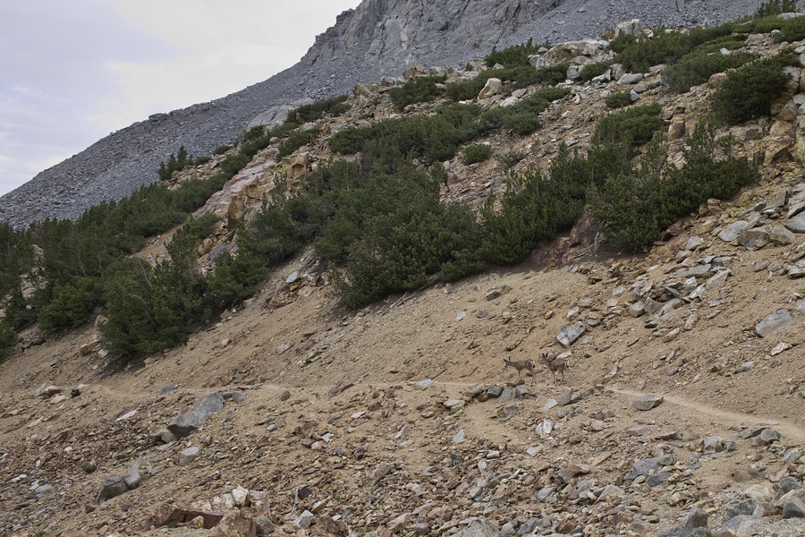
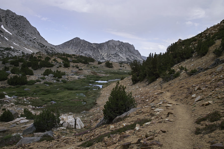
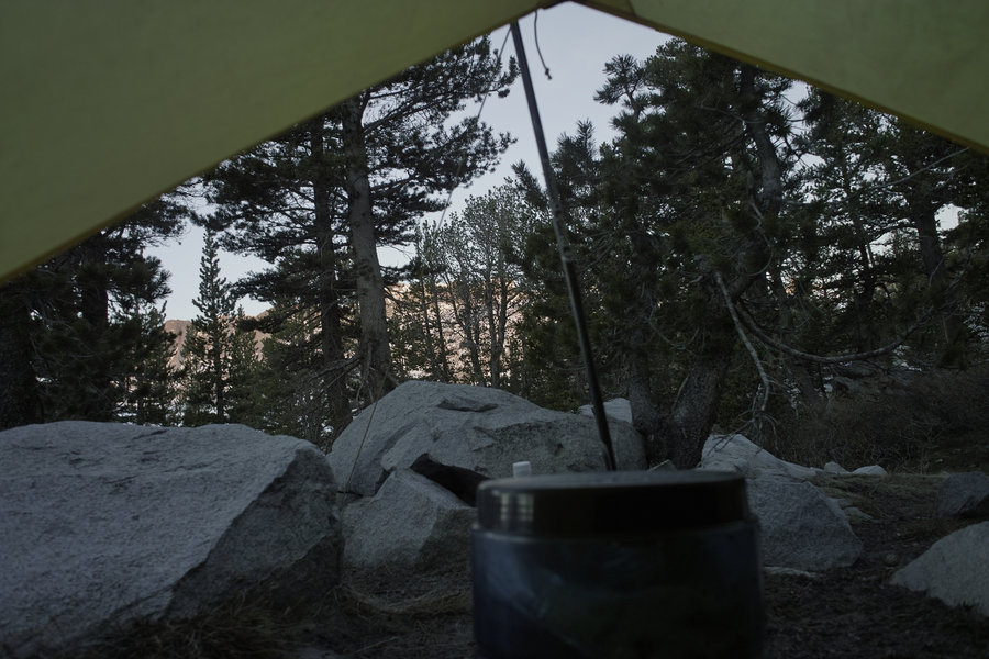
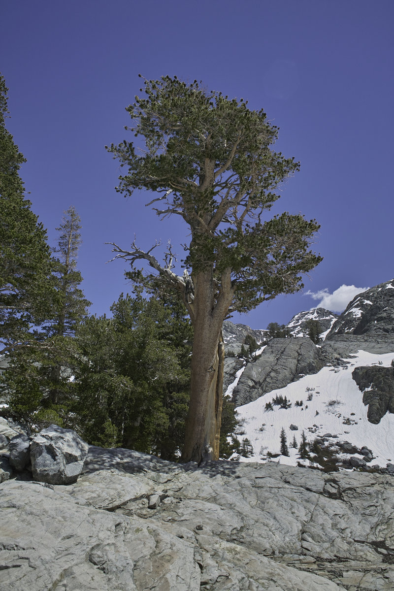
This morning, I woke up early, stopped at the Mono Lake Visitor’s Center for my permit (the secret amongst insiders and “the” place to get permits quickly and easily), did the last 2 hours of driving to Bishop, got my German baked goods at Erik Schaat’s (a required stop in Bishop if you’re ever there), and set off up to the North Lake trailhead. My permit was for Paiute Pass—only about 2k in elevation gain, but as expected, it was slow going for the first few hours because of acclimation. Once you’re at the top, you get great views into Humphries basin. No mosquitos, and the holiday crowds soon tapered off once you were out of day-hiking range. In the basin, there’s an old trail that splits off down to the Golden Trout Lakes—an interesting little area, and no one to be seen. I camped in Hutchinson Meadow.
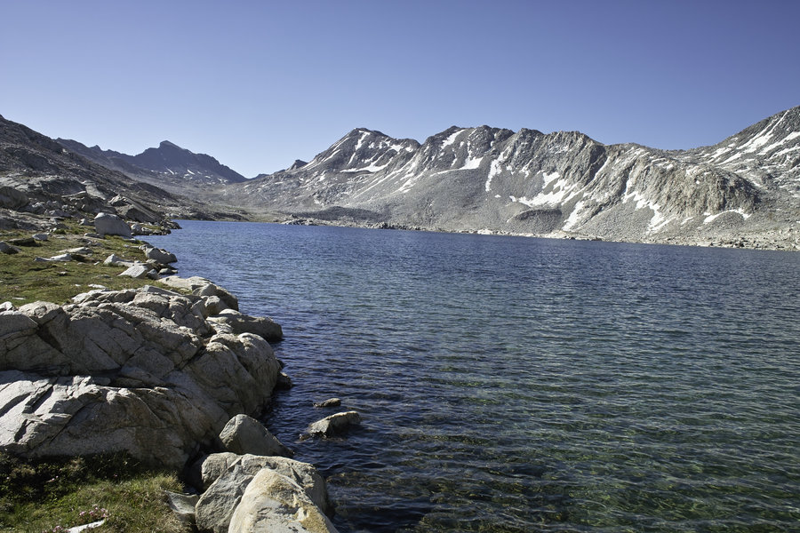
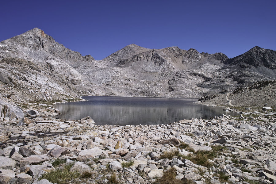
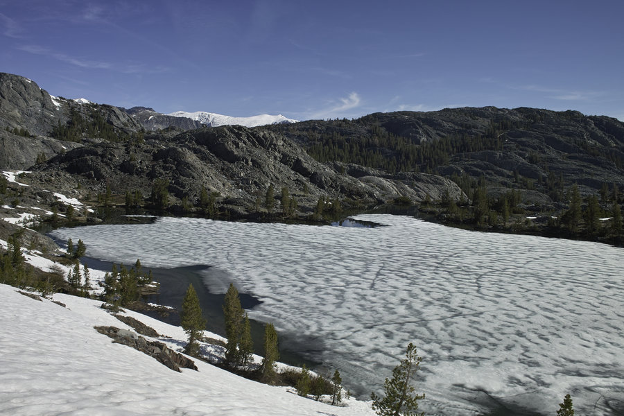
July 4 - Day 2 - 19 miles
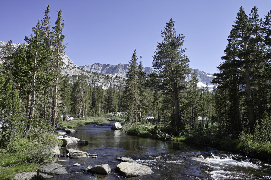
I hiked down Paiute Canyon, down to the San Joaquin river. This river has some great foxtail pine. After a quick stop to refill, I started up towards McClure Meadow, stopped at the waterfalls for lunch, and kept chugging along until Evolution Lake. My goal for the night was the outlet just before Sapphire Lake, which, while I had stayed there before, has a nice sunset, and this time, amazingly had no campers for miles. While there were many day hikers, once you got out of the eastern-side passes, hikers mostly consisted of PCT through hikers and the occasional group—it was far less crowded than I expected for a holiday weekend.
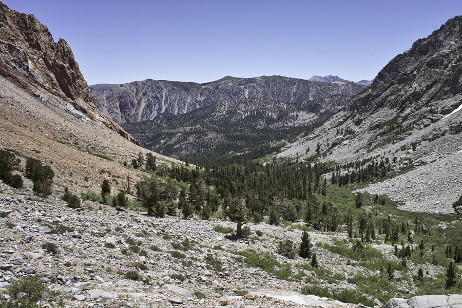
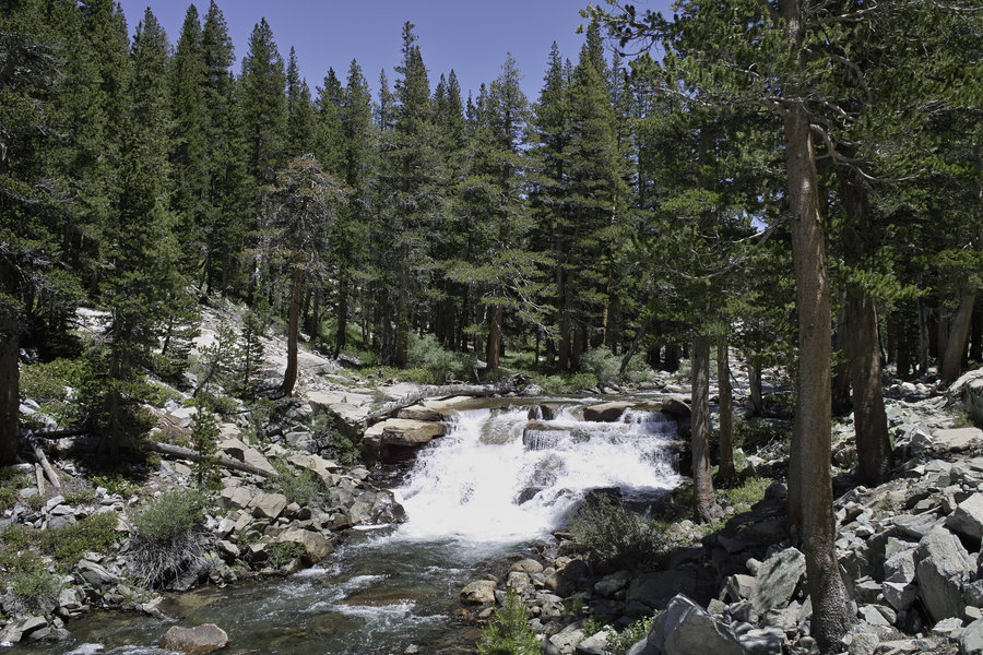
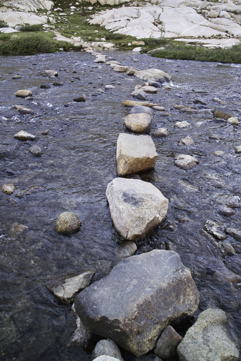
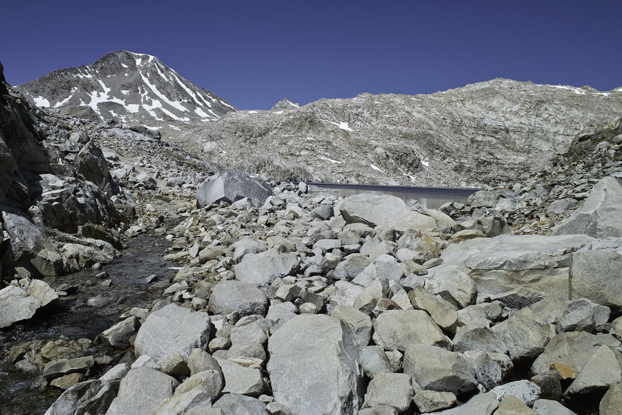
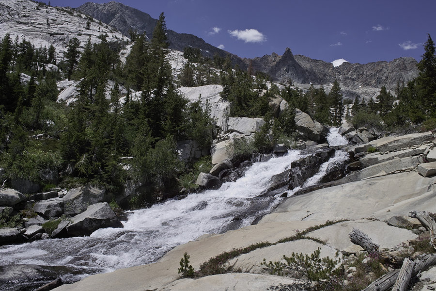
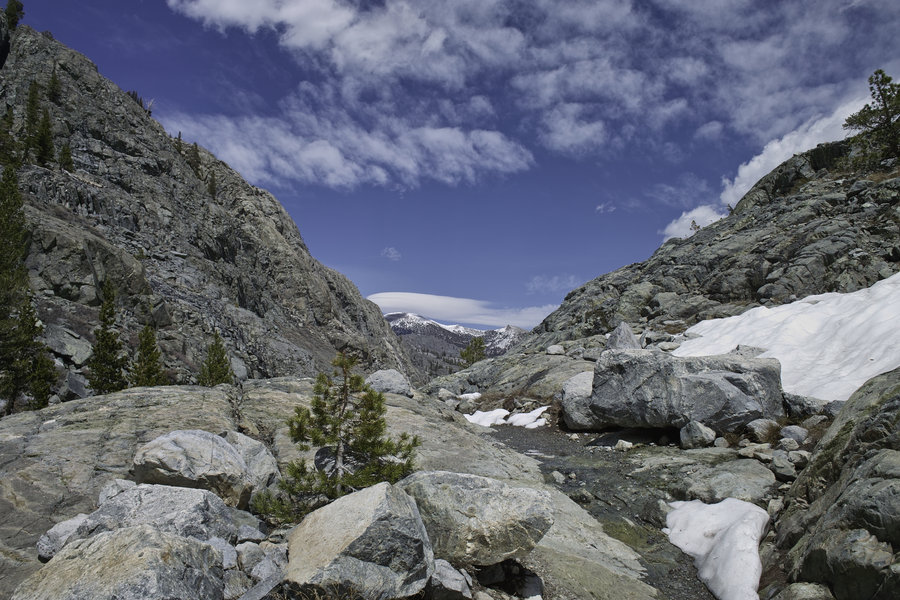
July 5 - Day 3 - 17.5 miles
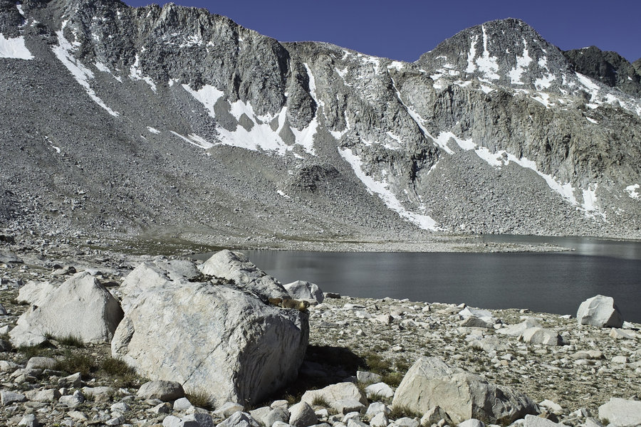
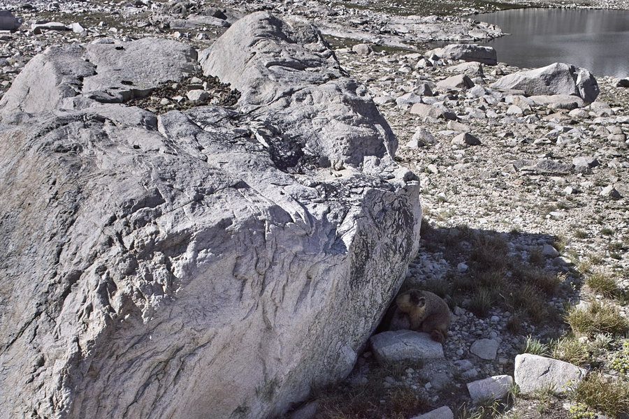
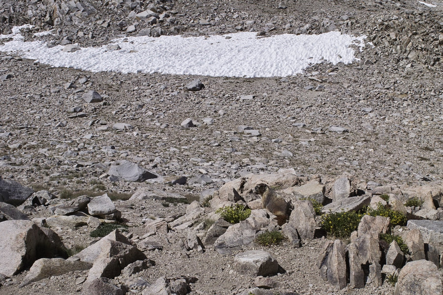
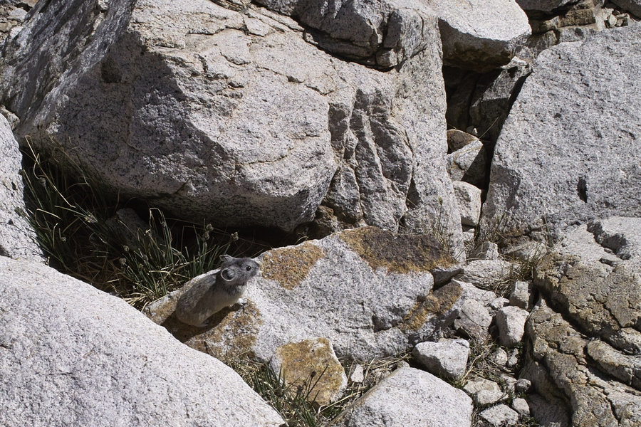
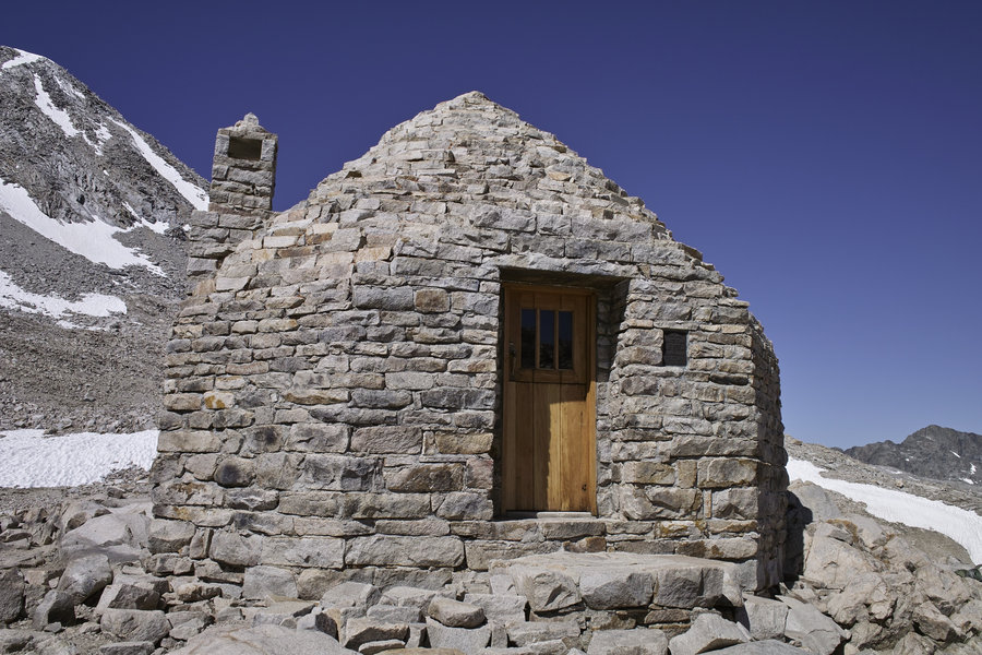
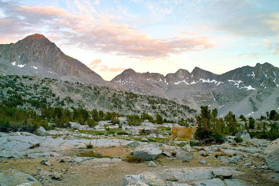
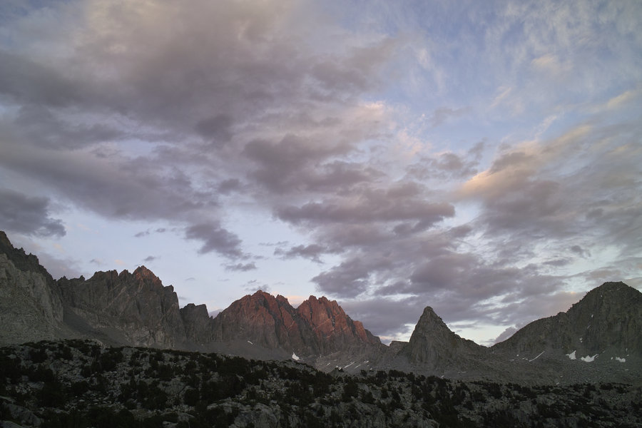
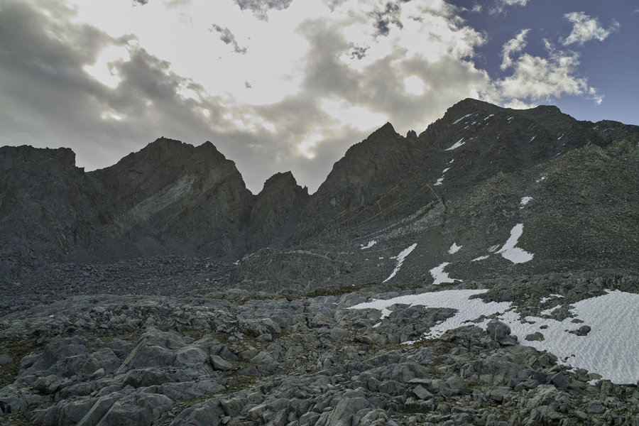
This morning, I did Muir Pass, stopped at the hut for pictures of marmots and pikas, and made my way down into LeConte Canyon. This is probably my favorite part of this section, especially the lakes and trail going down into Leconte—it’s really something special. As I took my daily nap and ate lunch along the river in LeConte, just past Big Pete Meadow, the clouds started forming. It looked as though it was going to pour, but fortunately, there was no thunderstorm. This did make for a much cooler time of the long hike up in to Dusy Basin, however. Dusy was about the only area with bad mosquitos, and then only the lower section was really problematic. I camped in upper Dusy, were the mosquitos were few, the deer were curious, and the sunset was really super.
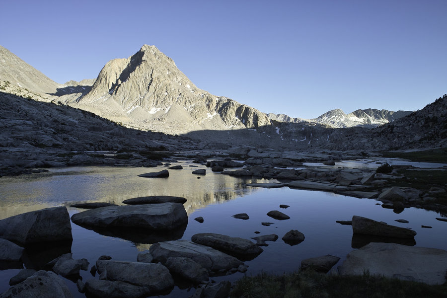
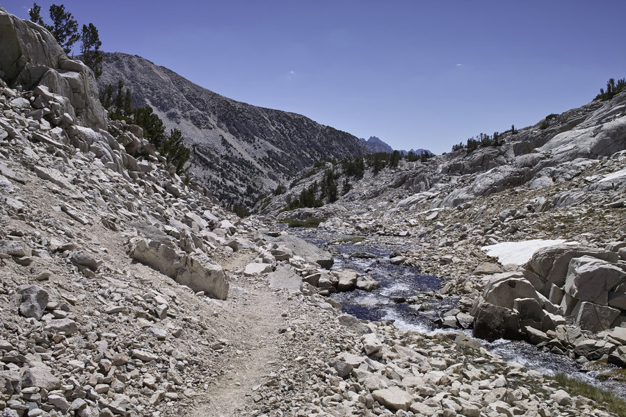
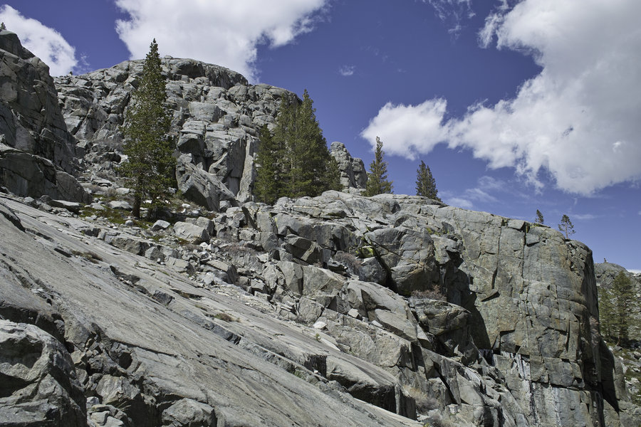
July 6 - Day 4 - 13 miles
This last day was 2 miles to Bishop Pass, then down the 6 miles to South Lake. Again, because it was within dayhiking range, there were many more people than otherwise were on the trail. The final push was a hitch back to North Lake. It was super easy to get a hitch back to the Sabrina intersection, but then took a bit of roadwalking before I found someone to get a ride back to the car—all in all not more than 1.5 hrs.
This is one of the best parts of the Sierra: it’s super accessible and makes for a great shorter or longer trip. I always enjoy the Sierras, and this weekend was no different.
July 3 – July 6, 2014


June 28, 2014


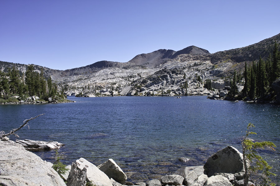
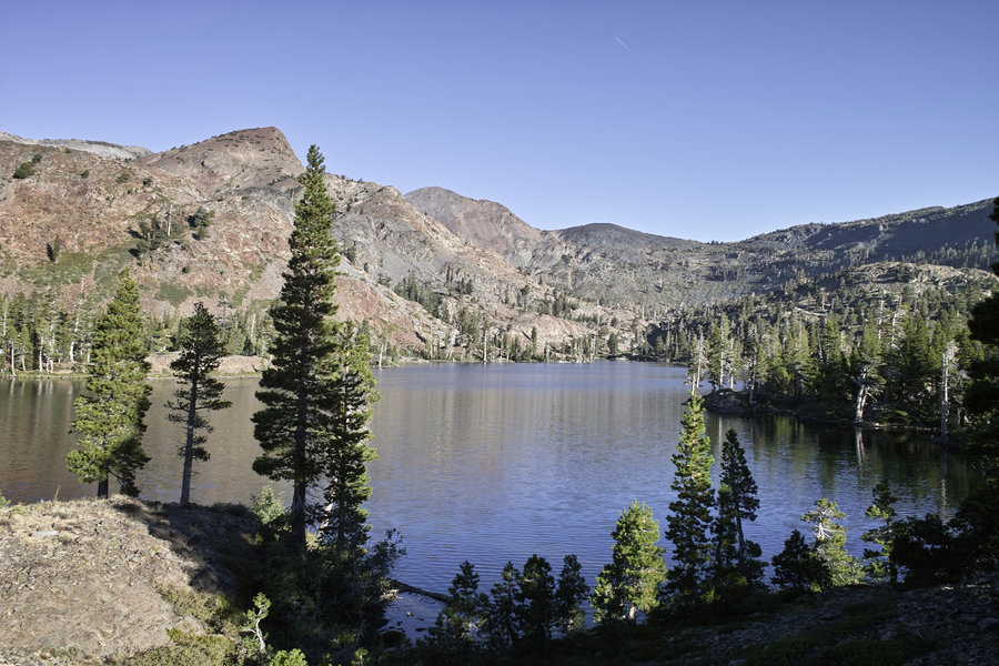
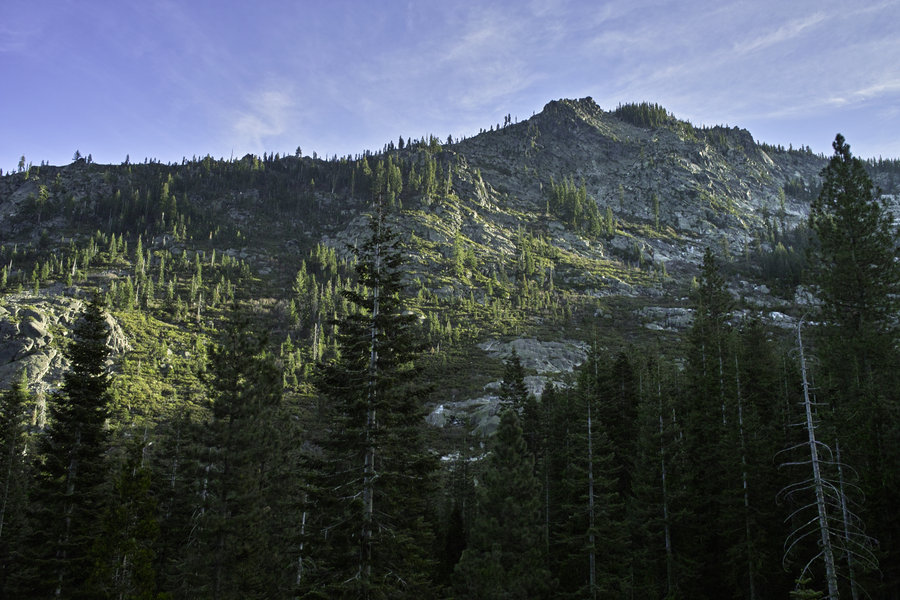
Bear Lakes - Trinity Alps
13 miles of hiking • 4500' elevation gain • 1 night
Overnight to Bear Lakes. There is a well marked off trail route to Little Bear from the granite waterfall area about 1/4 mile from Big Bear. Wee Bear Lake had super fishing—lots of brookies. While the saddle looking down towards Big Bear had very nice camping sites, the tarns that usually hold water during wetter years held only dead bug water. Little Bear has great campsites.
June 21 – June 22, 2014

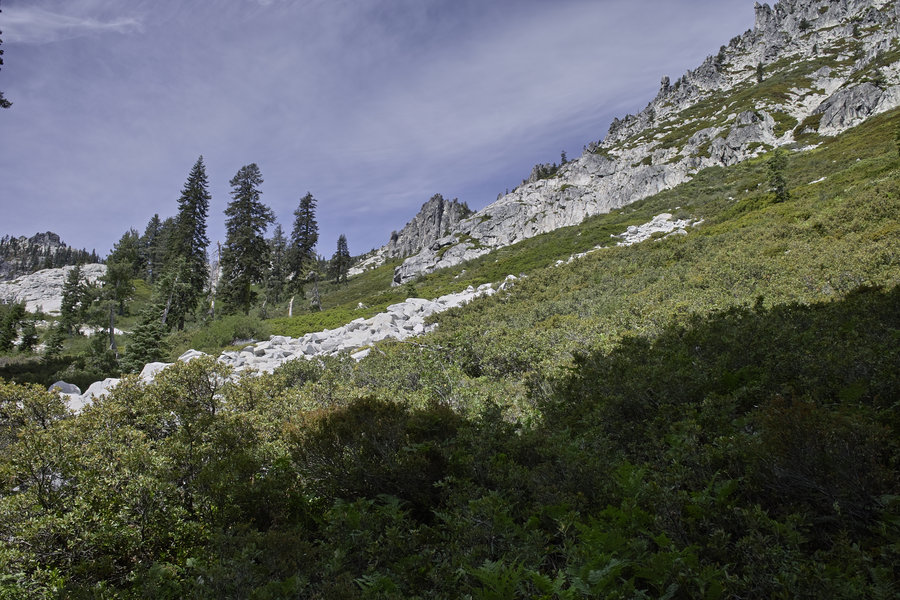
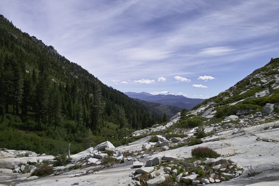
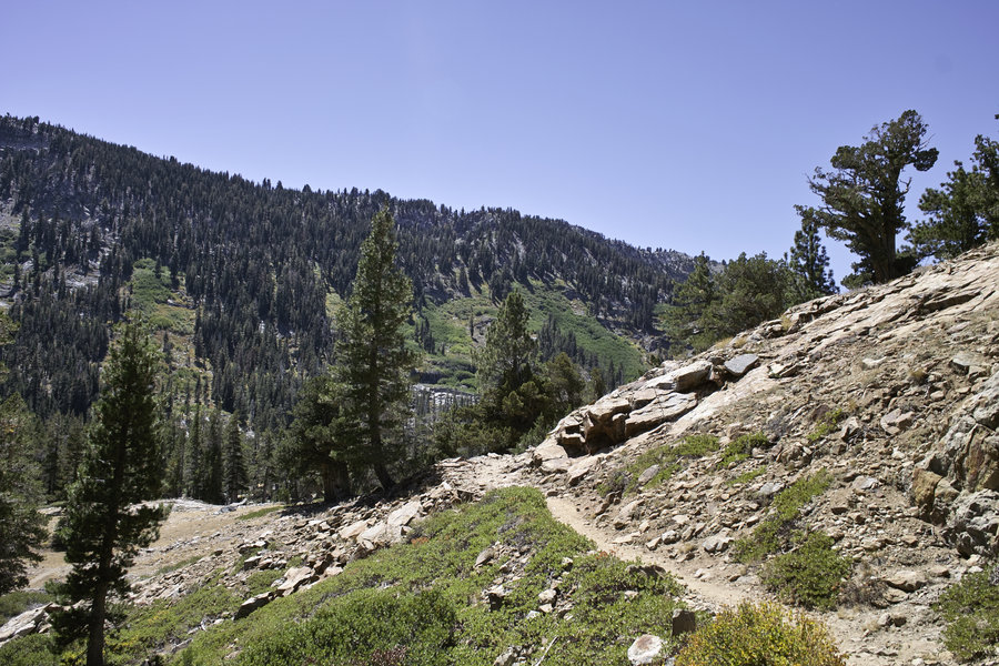
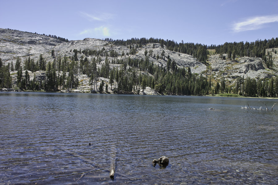
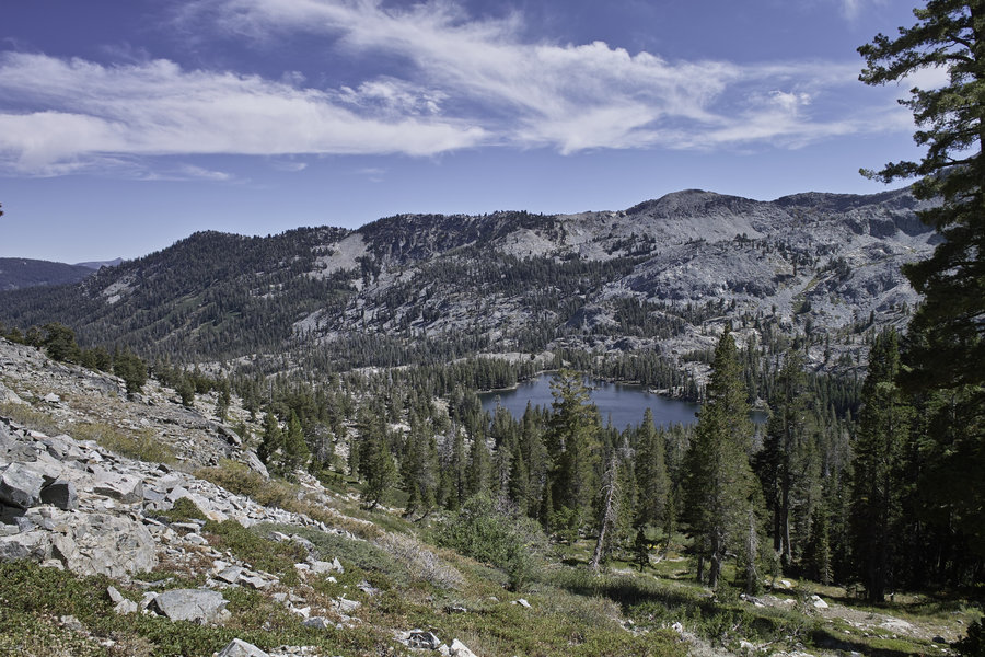
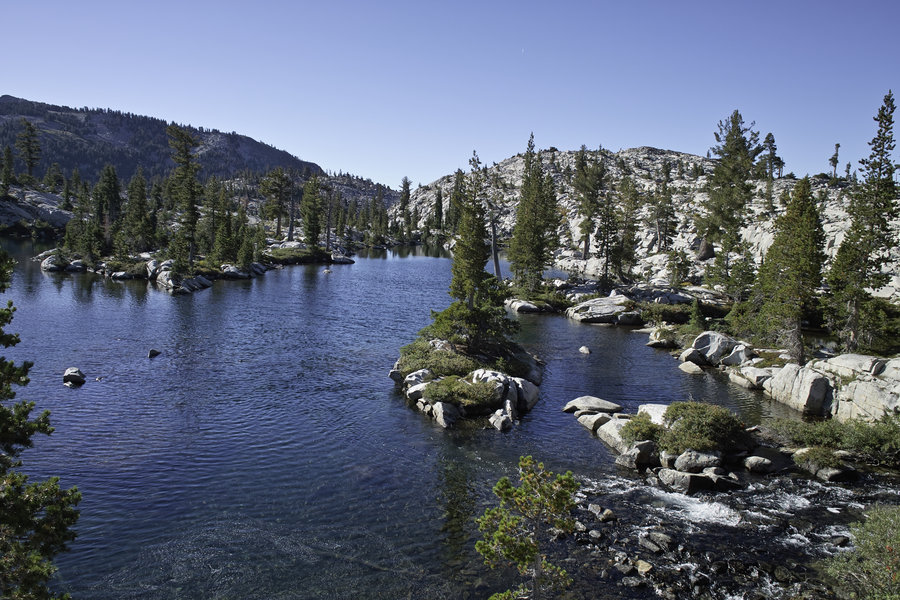
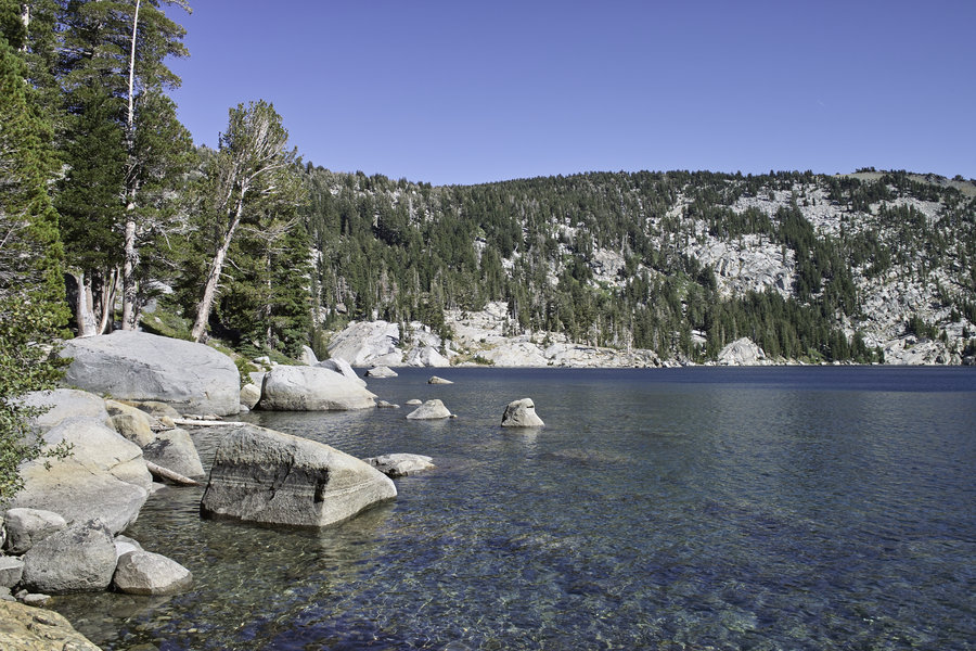
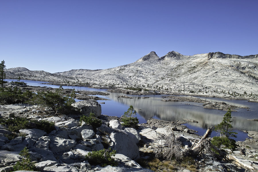
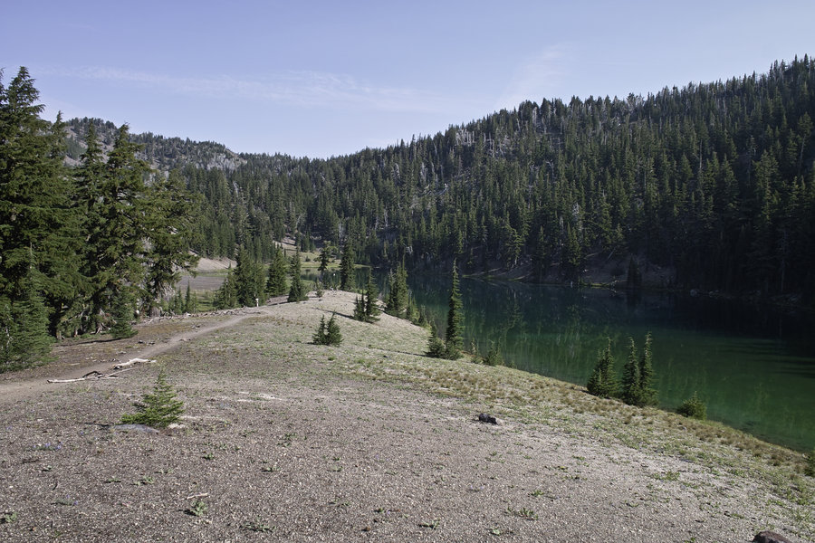
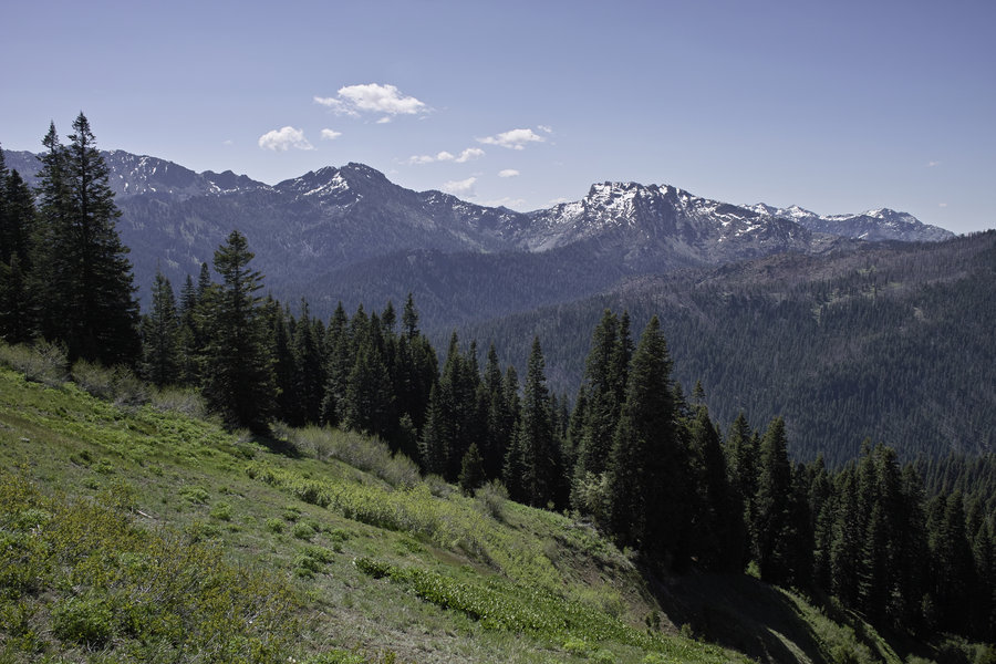
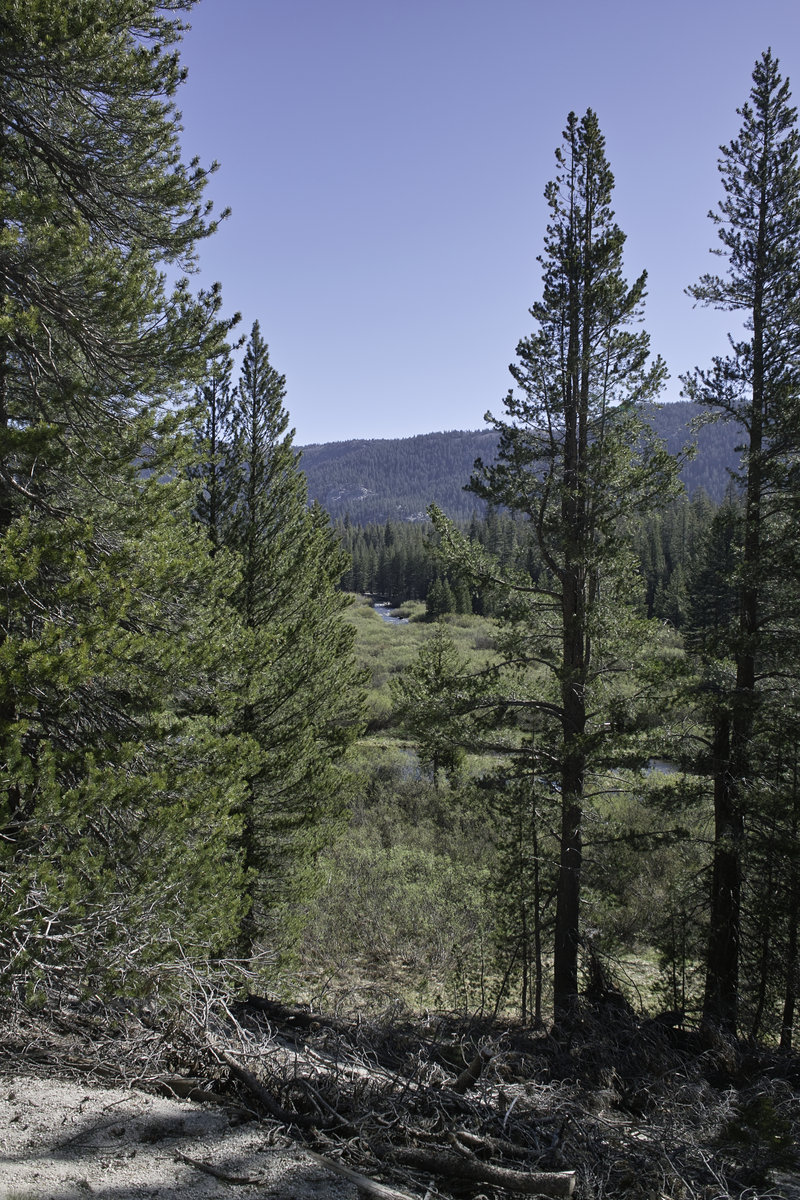
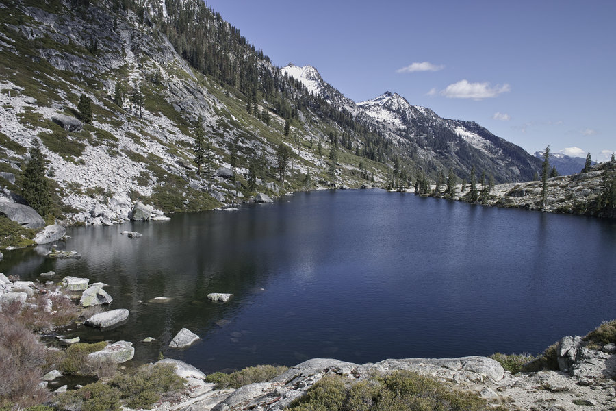
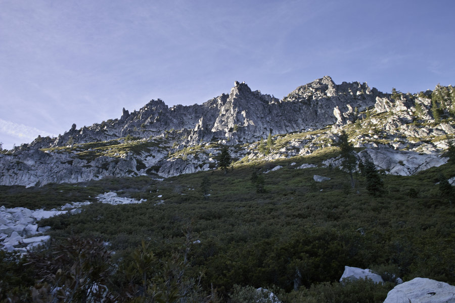
Russian Wilderness - Seven Lakes Loop
11 miles of hiking • 3250' elevation gain •
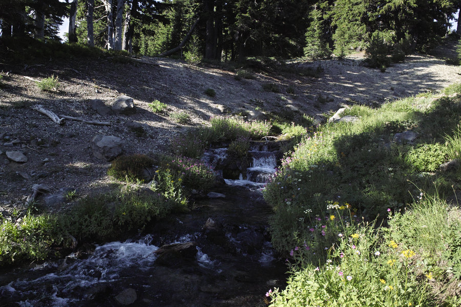
A loop from Taylor Lake. Seven lakes, if you include little Neil Lake (but really a pond). This is best done counter-clockwise due to the scrambling above Big Blue lake being a bit treacherous if you were to come down it. Moderate scrambling and minor route-finding required, but great views from just below Neil Lake and the col above Big Blue. The area is really varied in terrain and is on par with the Marbles. Good fishing at Upper Albert Lake and great campsites all over the place.
Map: http://caltopo.com/map?id=3D6U
June 15, 2014

 1
1
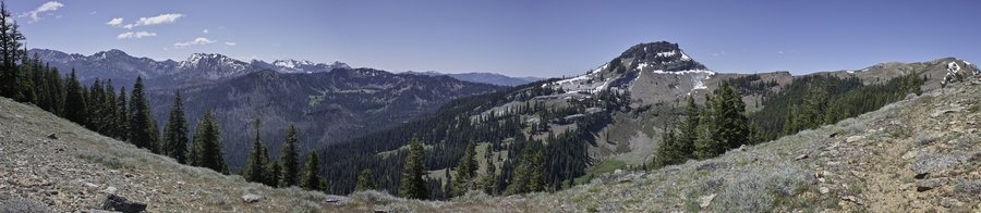
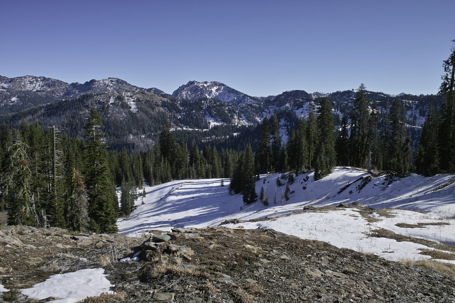
Box Camp - Marble Rim
15.5 miles of hiking • 3000' elevation gain •
A group trip with shuttle. It appears the Box Camp trail has had some recent rehab, and may be newer. Great views from that trail, and the road isn't as bad as the ranger suggested. We made a quick trip up Marble Gap as well—a worthwhile side trip.
May 31, 2014

 2
2
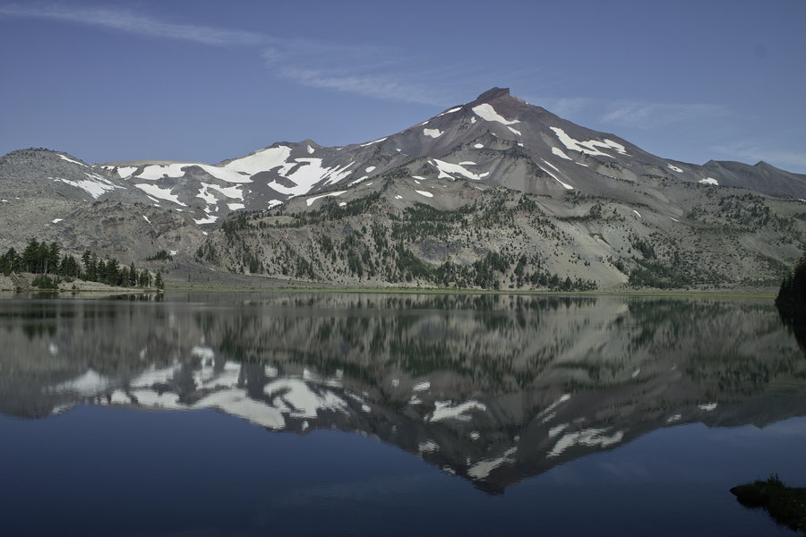
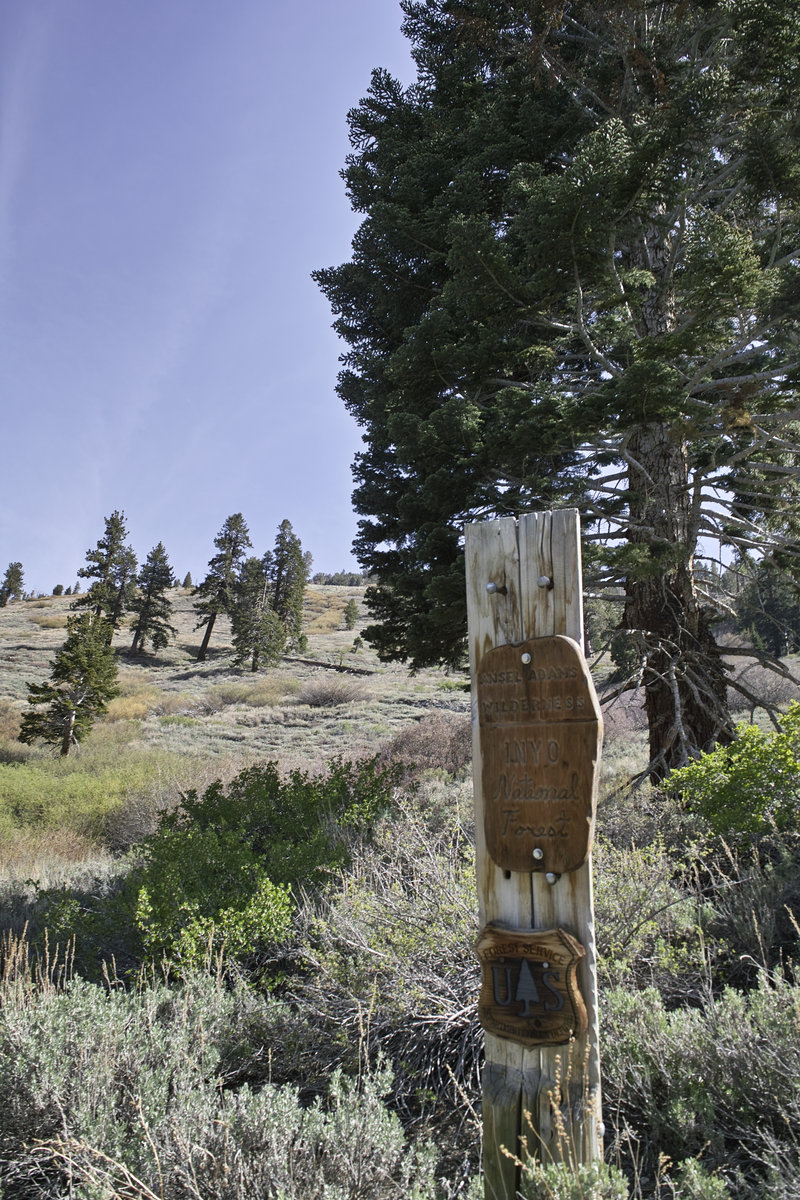
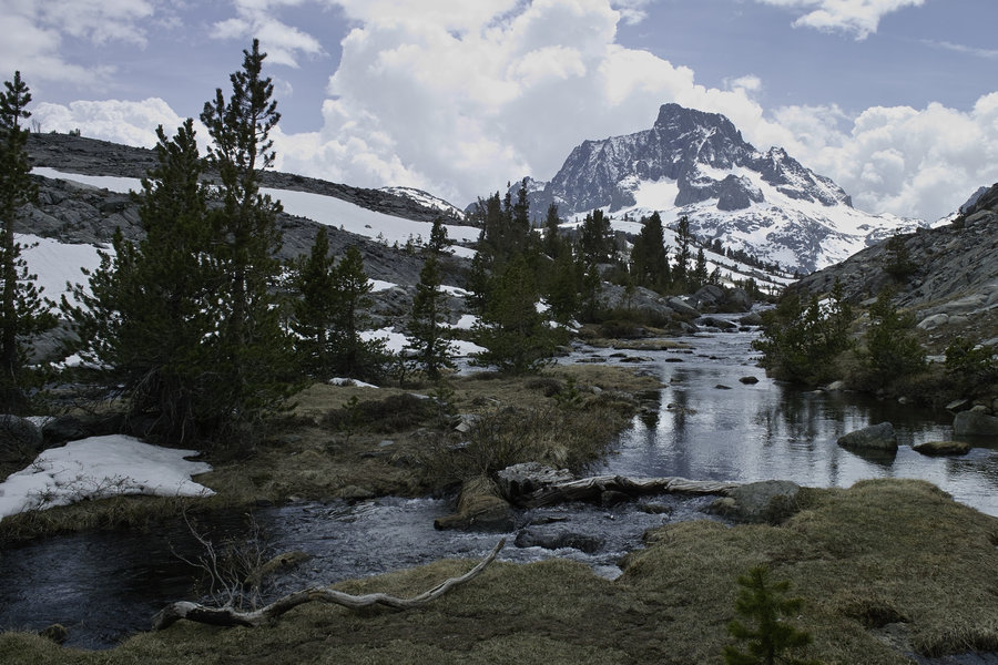
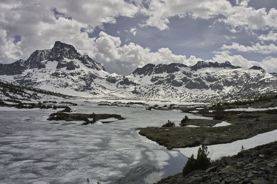
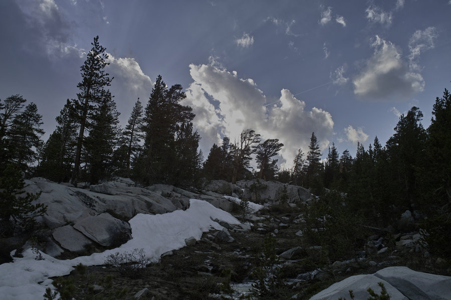
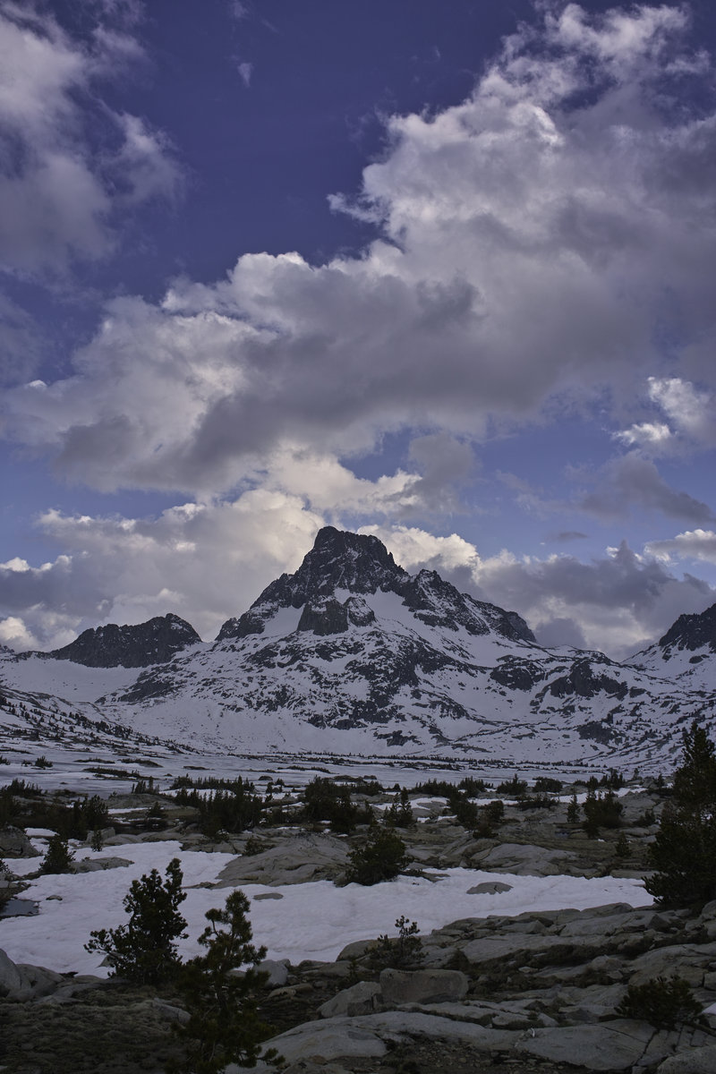
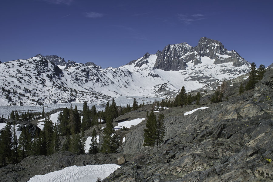
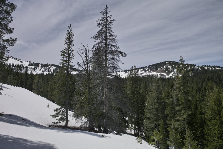
Ansel Adams Wilderness
34.5 miles of hiking • 5750' elevation gain • 2 nights
A great holiday weekend trip. I made the 7.5 hour drive down from Grants Pass Friday night and got in to the Mammoth campground around 1am.
Day 1: 10 miles, 2750’
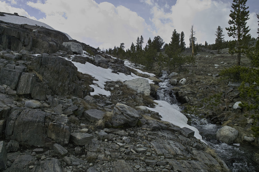
Saturday morning I learned that the Reds Meadow shuttle just started that weekend, so I parked at Mammoth Mountain and took the required shuttle down to Agnew Meadows. I had a permit for the high trail, which was basically snow free, and took that to Thousand Island Lake, which was not so snow free, but was melted out on the north side. After a brief trip up towards Island Pass, I made camp, dinner, and watched the sunset from my tent.
Animal count: several marmots, chipmunks, an assortment of birds, two large white hares, and the sounds of several noisy grouse.
Day 2: 17 miles, 1750’
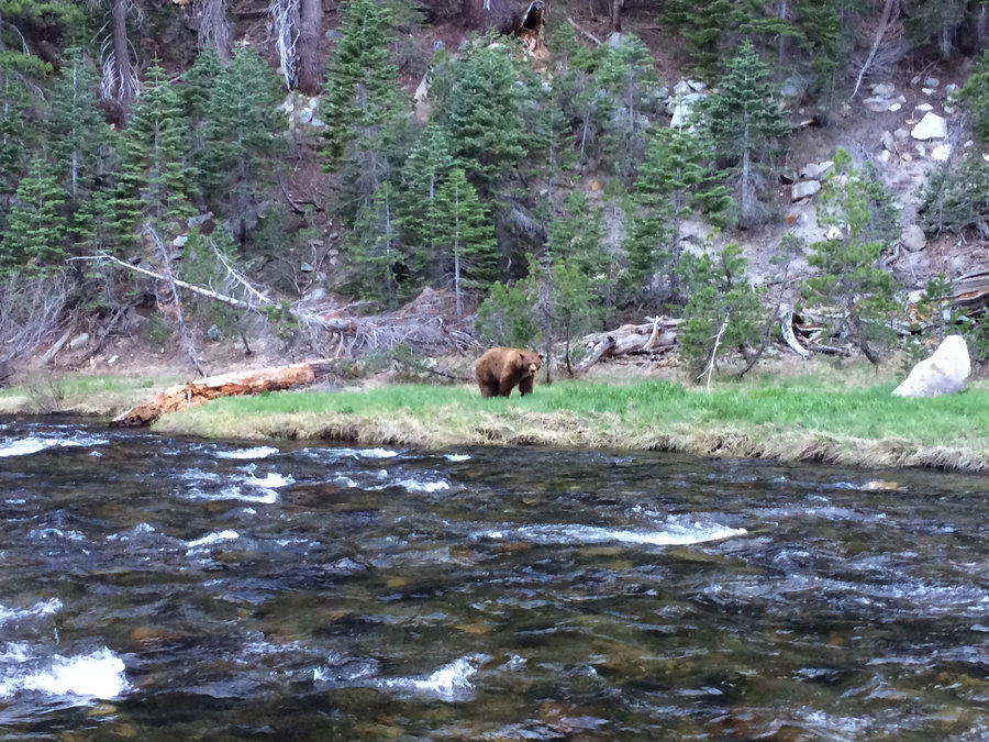
Sunday had me traveling down to Garnet Lake and beyond, only to find that each south side pass was entirely covered in snow, which made for some intermittent slow going. After going up several snow fields, I made my way down to Ediza lake, which was really beautiful, if not a little crowded on the holiday weekend because it is easily day-hikable. I was hoping to do a little more milage and get in to some of the lesser-visited lakes, but they would have required a lot of soft-snow travel, which wasn’t in the cards for the weekend.
After visiting Ediza, I made my way down to Shadow lake and decided to head down to the river trail to visit the PCT and see something different—the other option was the section of the JMT down to Reds Meadow that is a bit dusty and not very interesting. I made camp along the river and watched a large brown black bear eating his dinner until I decided to stake out my territory and let him know I was there and shouldn’t be bothered while sleeping. Fortunately, he didn’t decide to cross the river during the night.
Animal count: more birds, chipmunks, marmots, 2 pikas, a quail, several stellar jays, lots of butterflies, some chickarees, the sound of an owl using its sonar, and one large bear.
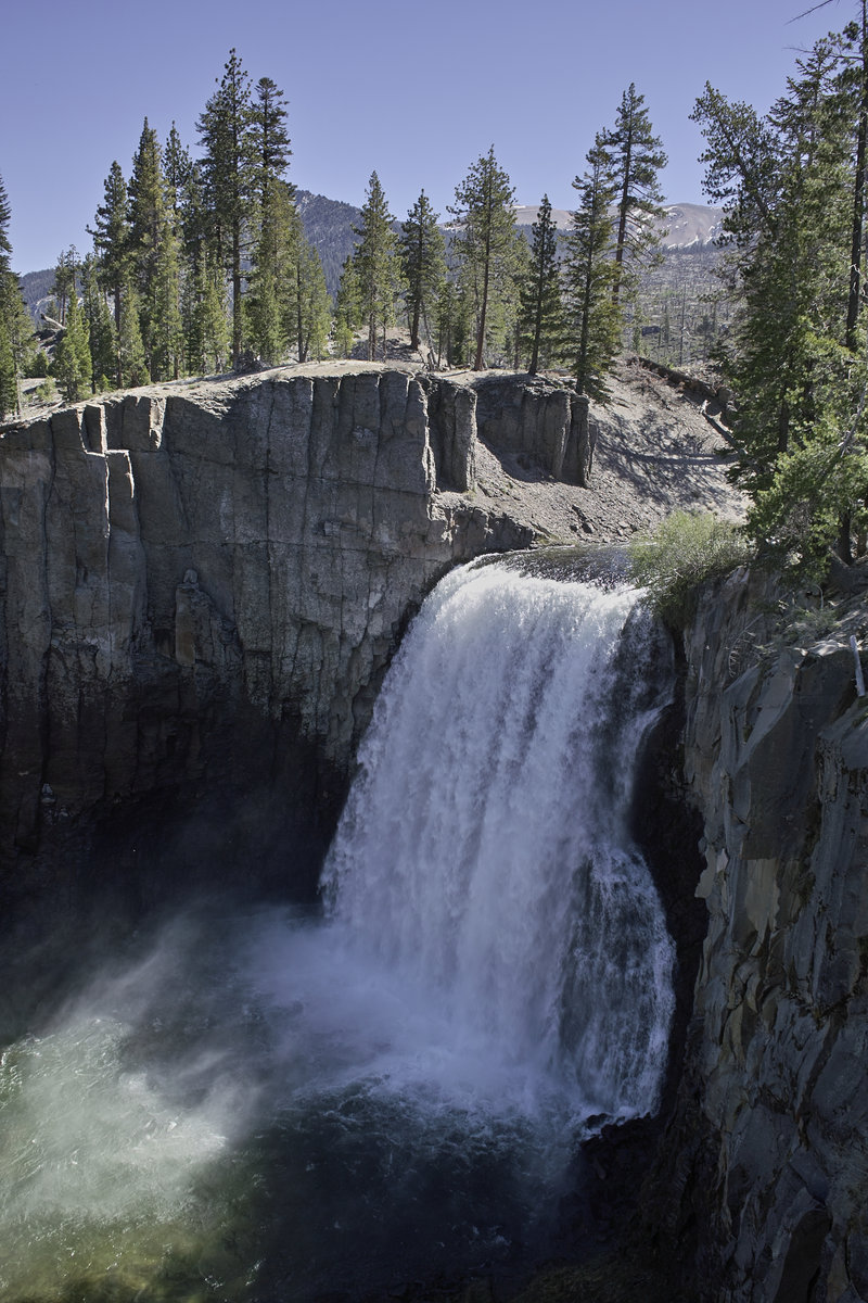
Day 3: 7.5 miles, 1250’
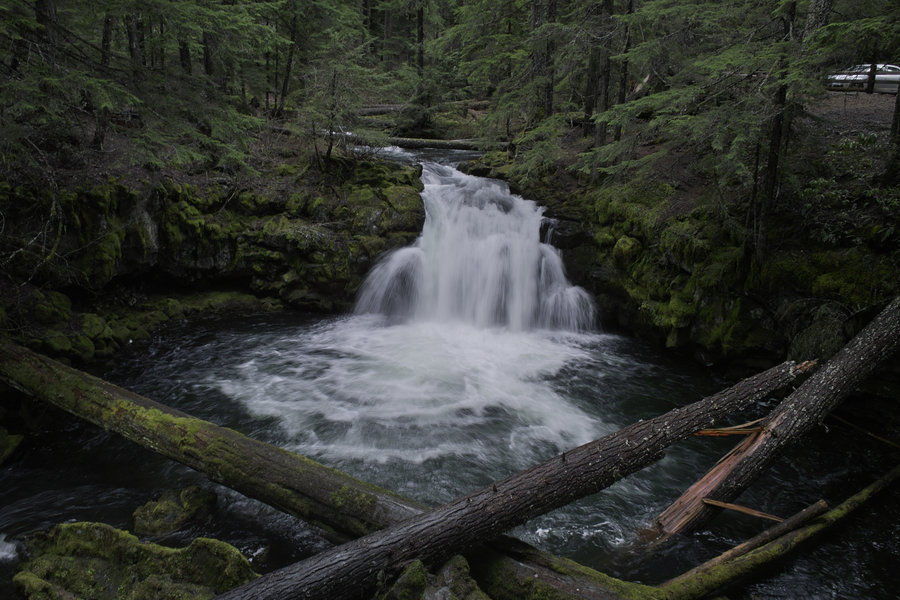
This last day was a little more of the PCT, visiting the section that was completely wiped out by blowdown 2-3 years back. I made my way towards Reds Meadow, made a brief detour to Rainbow Falls, and then hung out at the Reds Meadow store until the bus came. I was back at the car by 1p and back home by 9:30—not bad timing, even if it’s a little longish for a drive.
One thing that always amazes me is the variety and quantity of wildlife in the Sierras when compared to Oregon, Washington or even Northern California. This weekend was nonstop bird chirping, chipmunk scampering, and marmot peeking. I’m looking forward to heading back down to the Sierras later this summer, when the lakes are melted out and the fishing is good.
May 24 – May 26, 2014


Clover Creek
5 miles of hiking • 1000' elevation gain •
More snow! Even with two weeks of hot days, this area still hasn't melted nearly as far as I thought it would be—I predicted wrong. Oh well—a nice hike anyway.
May 18, 2014

 1
1
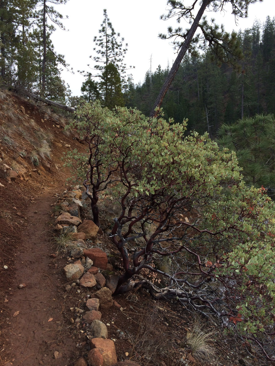
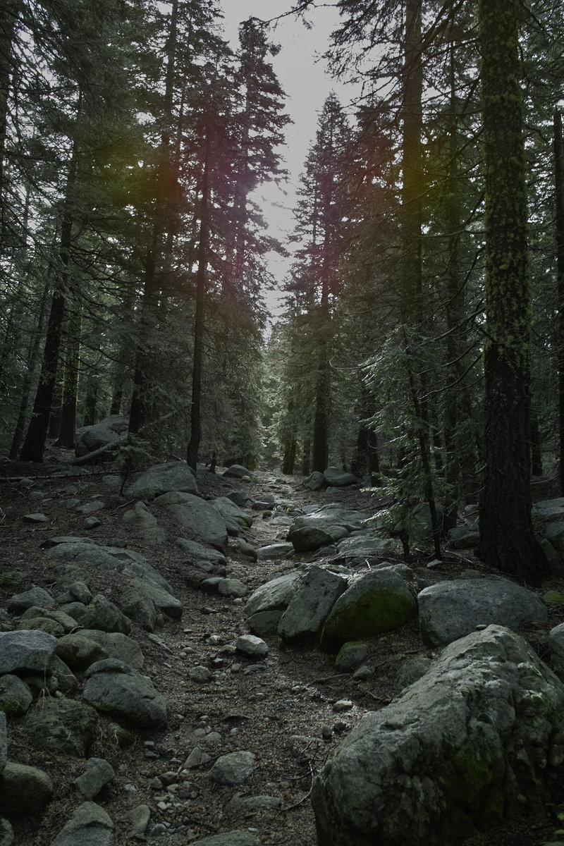
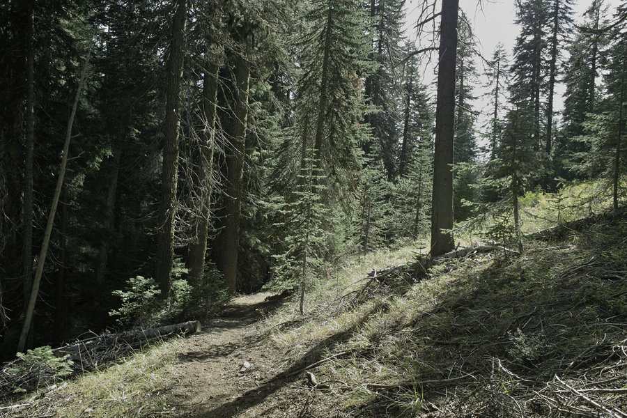
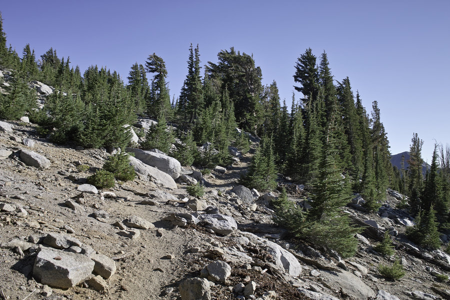
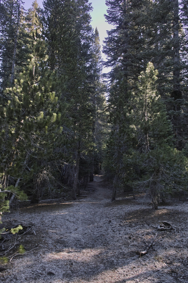
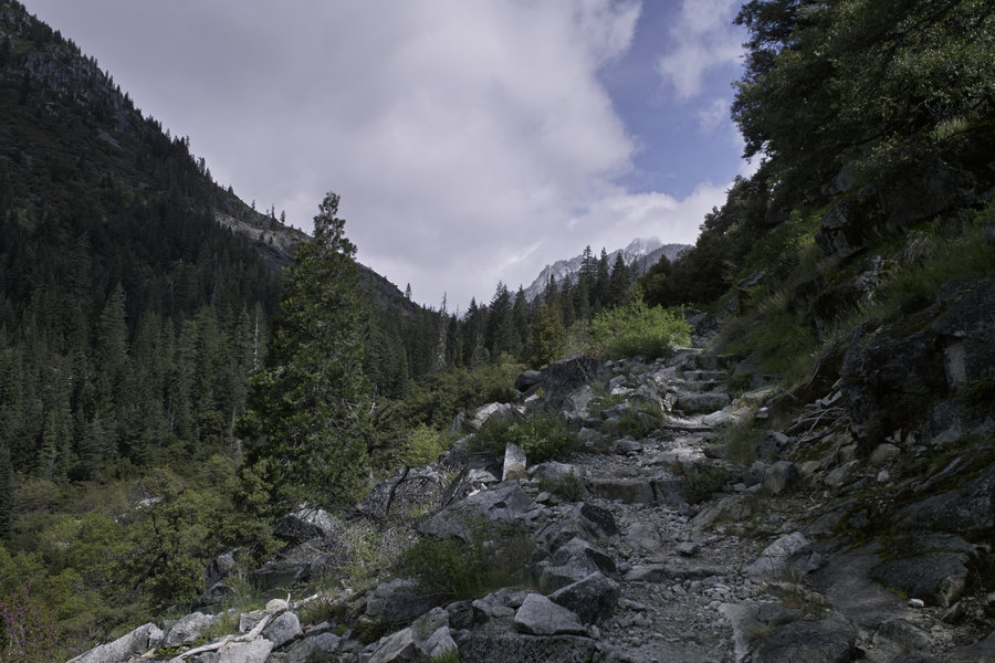
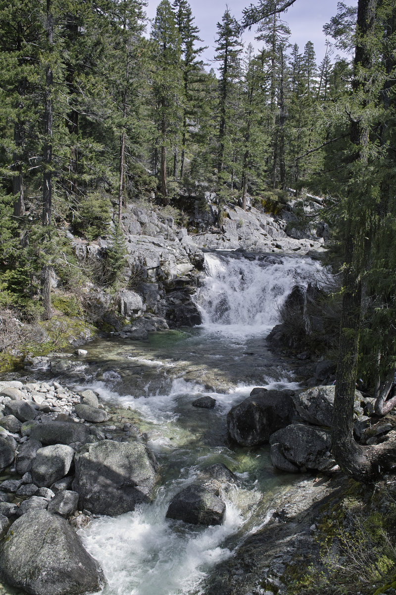
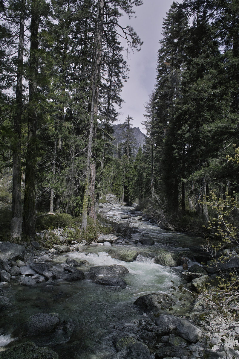
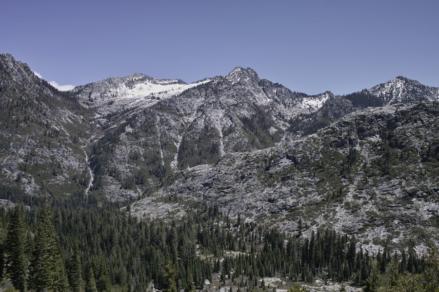
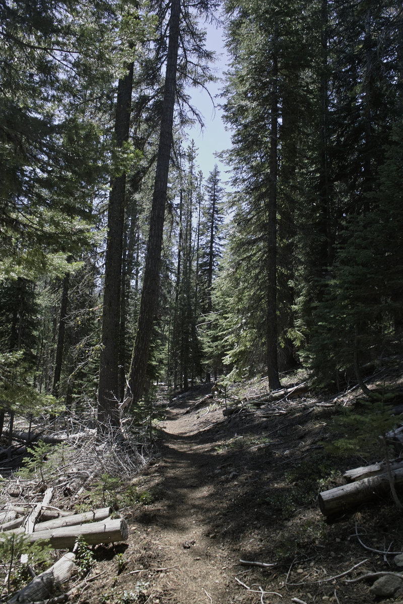
Canyon Creek/Boulder Creek - Trinity Alps
19.5 miles of hiking • 5250' elevation gain • 1 night
This was basically a repeat of a trip I took last fall, with the addition of Boulder Creek lakes, and some great weather. There's a reason this is the most popular part of the Trinity Alps.
Did some car camping Friday night after work, on the way down, at one of the campgrounds on the almost-empty reservoir. A quick breakfast a Mama Llama in Weaverville, and then a 9a start.
We got up about half way and I decided to make a short detour to Boulder Creek lakes. This little cirque is very nice in its own right.
After Boulder Creek we got up to the lakes around 6p. It was a little cold and somewhat windy.
The next morning, the plan was L Lake, but I decided to turn around about half way in order to get back home at a reasonable time, given that it was almost 11a and I had 9 miles out and 3.5 hours of driving ahead of me.
While this isn't the closest Trinity Alps trailhead, it sure is a nice trip.
May 10 – May 11, 2014

Varney Creek Trail
9 miles of hiking • 1500' elevation gain •
Stymied by snow again! The NOHRSC reports are going to be interesting in their accuracy this year, what with the drought and all. Got up to the crest, but the loop had several feet of snow, which was getting quite melty in the mid-afternoon sun.
May 3, 2014

High Lakes Trail
2 miles of hiking • 250' elevation gain •
A quick hike while driving back over Rt. 140.
April 12, 2014

April 6, 2014

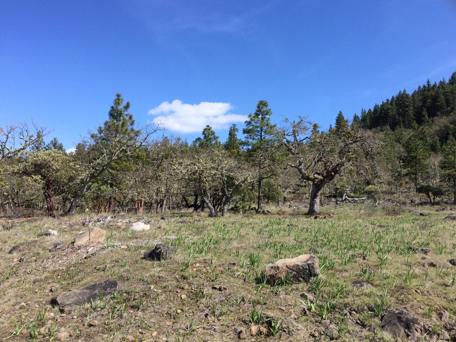
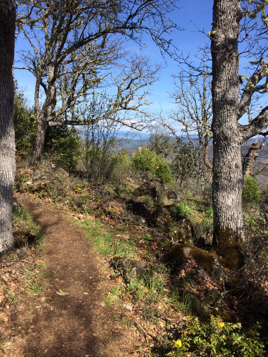
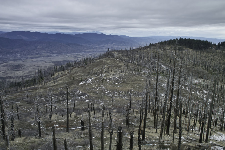
Wagner Butte
9.5 miles of hiking • 2500' elevation gain •
A great little hike up a trail popular with Ashland runners. Stopped about 1/2 mile before the summit due to the snow depth—it got to be about 1/2 foot deep with no prior tracks.
March 29, 2014


Squaw Lakes
2.5 miles of hiking • 500' elevation gain •
This is a busy little area in the Applegate, for being set so far back as it is.
March 23, 2014


March 8, 2014


March 1, 2014

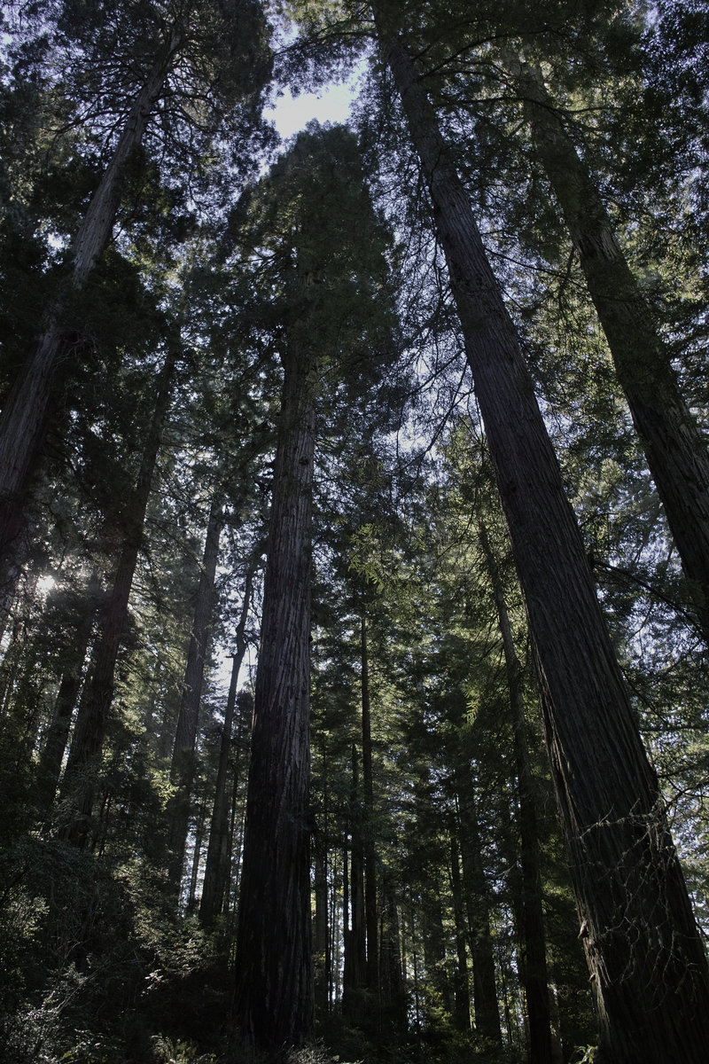
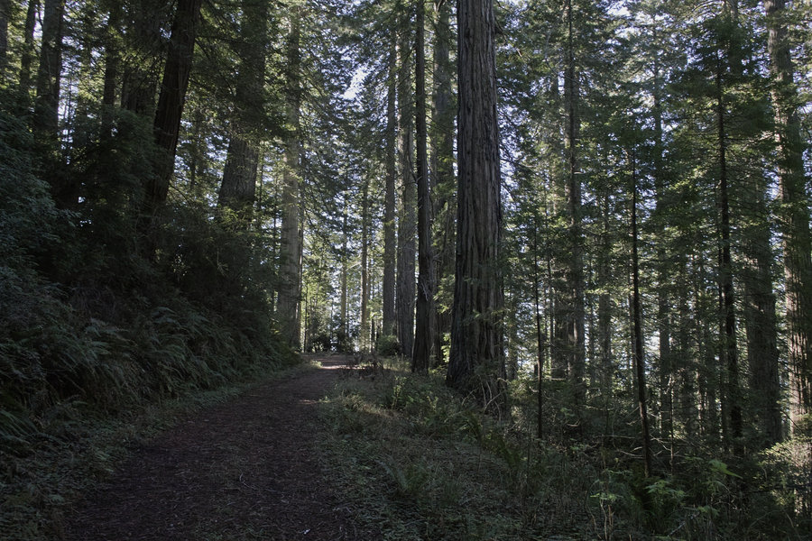
Del Norte Redwoods
3 miles of hiking • 500' elevation gain •
This hike was down in the Damnation Creek area.
February 22, 2014

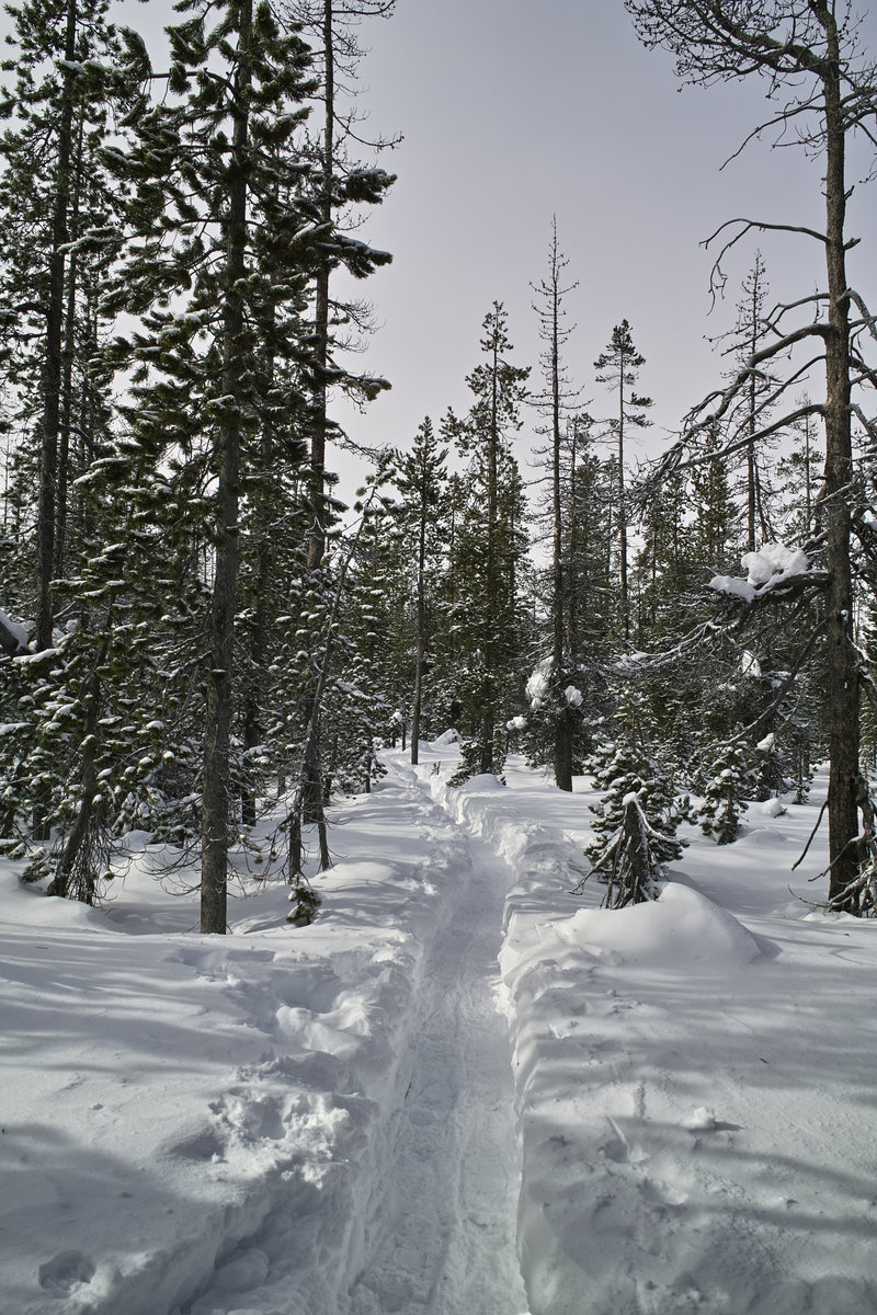
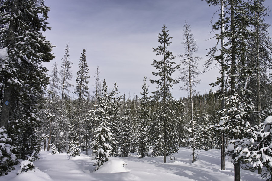
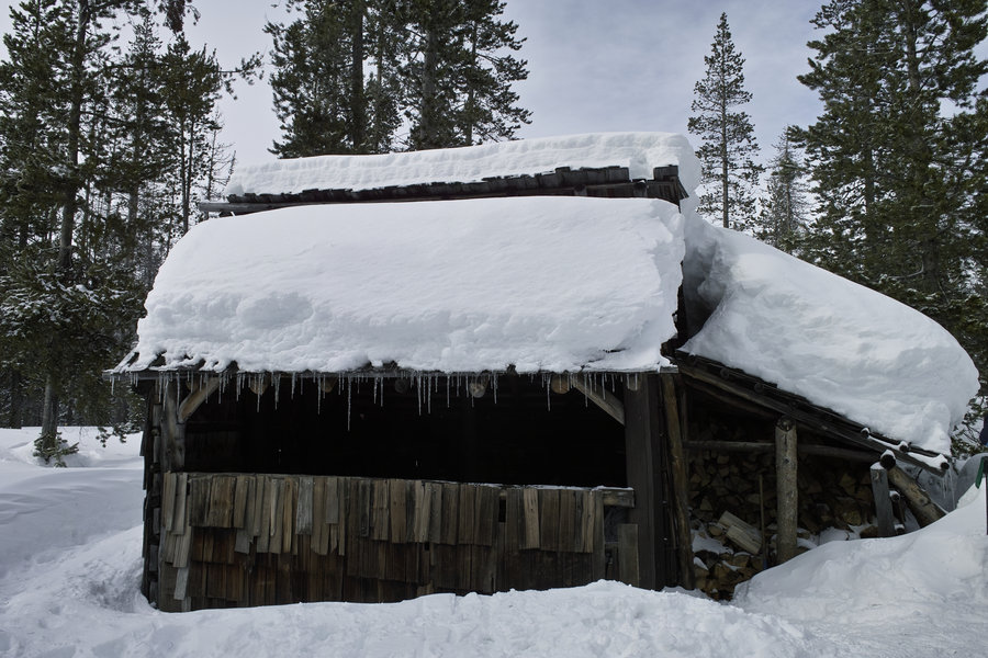
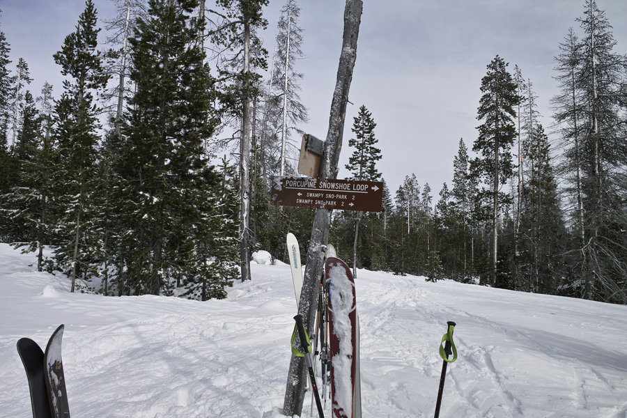
Porcupine Snowshoe
4.5 miles of hiking • 500' elevation gain •
A quick snowshoe loop in the Bend area. My first choice had it's parking lot to the point where there was literally nowhere to park. So this nice little loop was a great plan B.
February 16, 2014

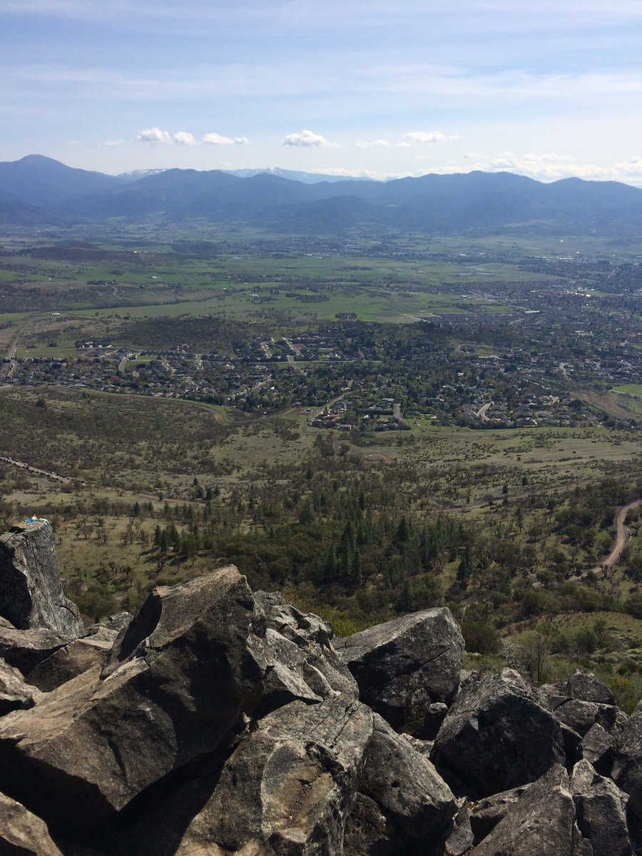
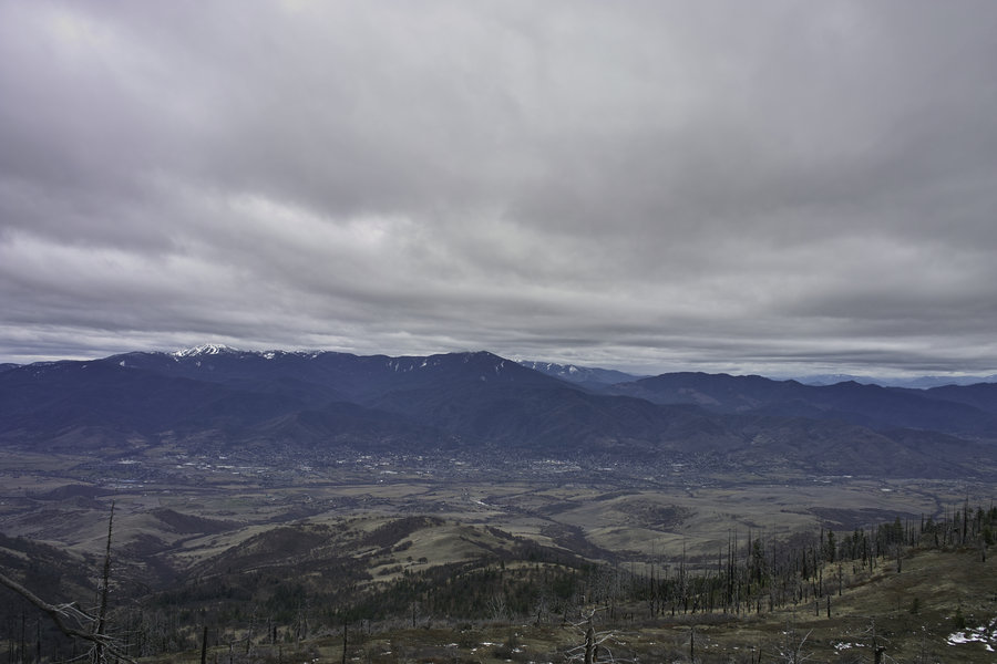
Grizzly Peak
7.5 miles of hiking • 1250' elevation gain •
A popular running loop for Ashland-area trail runners. Great views of the valley.
February 9, 2014

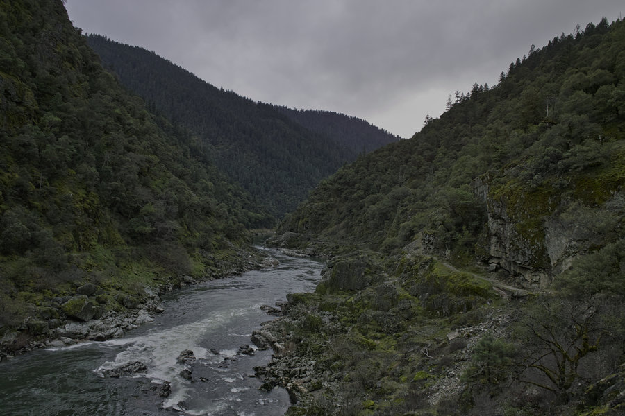
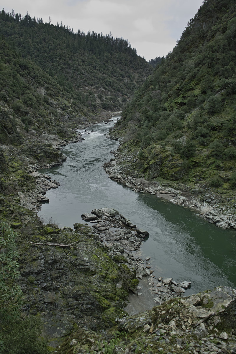
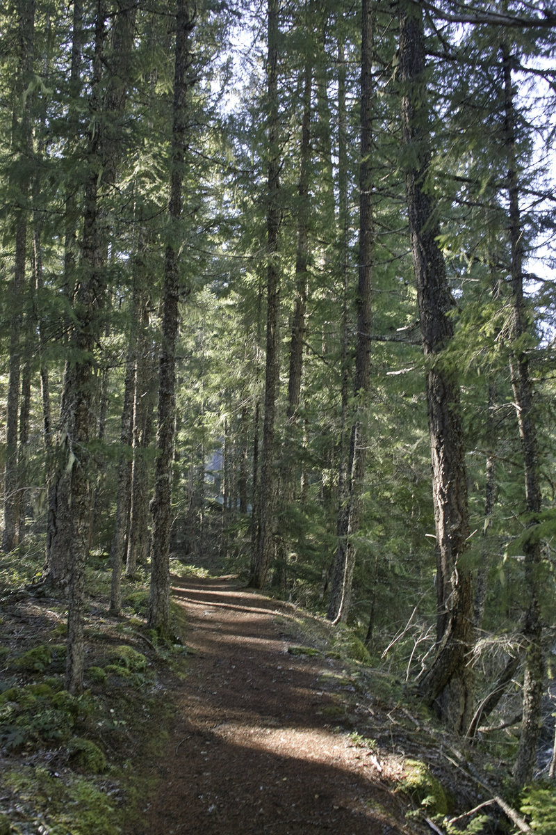
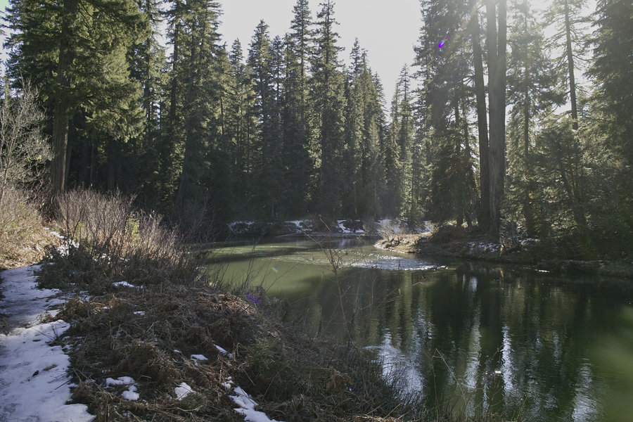
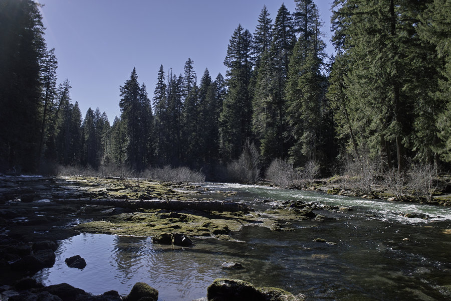
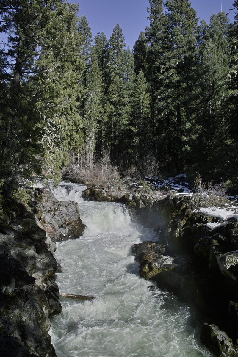
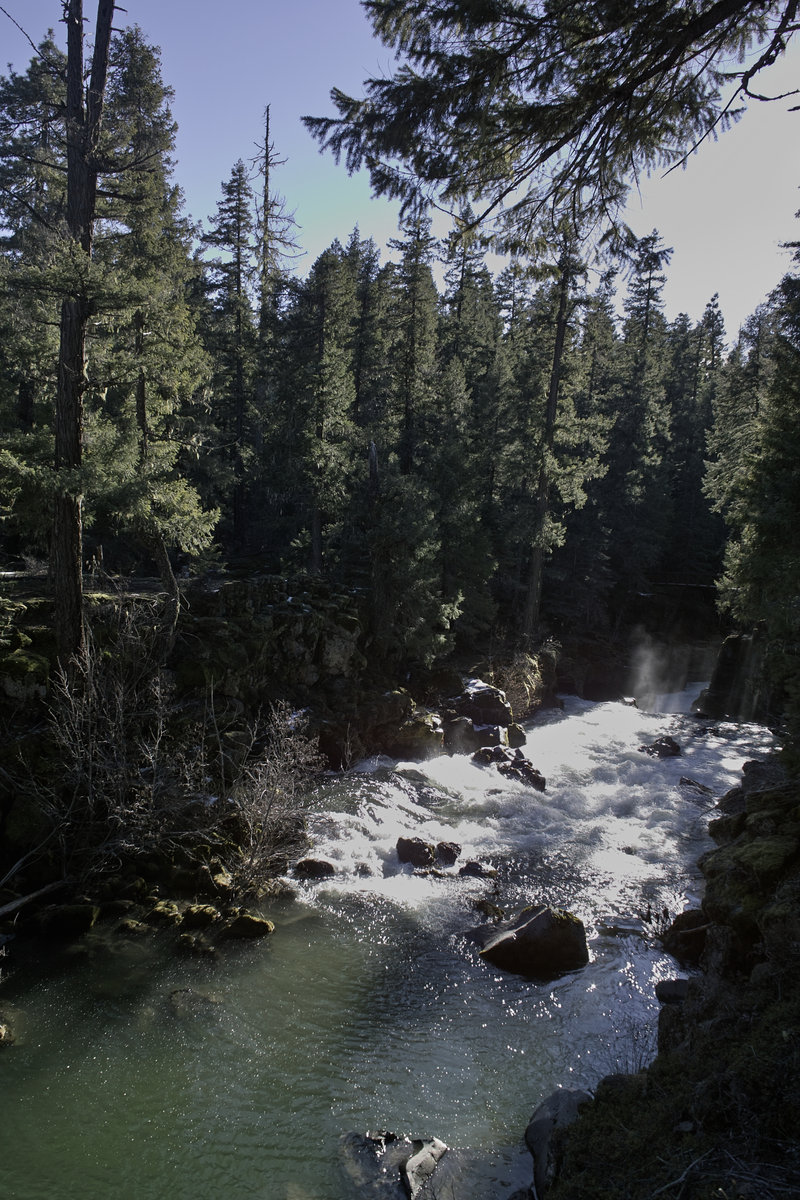
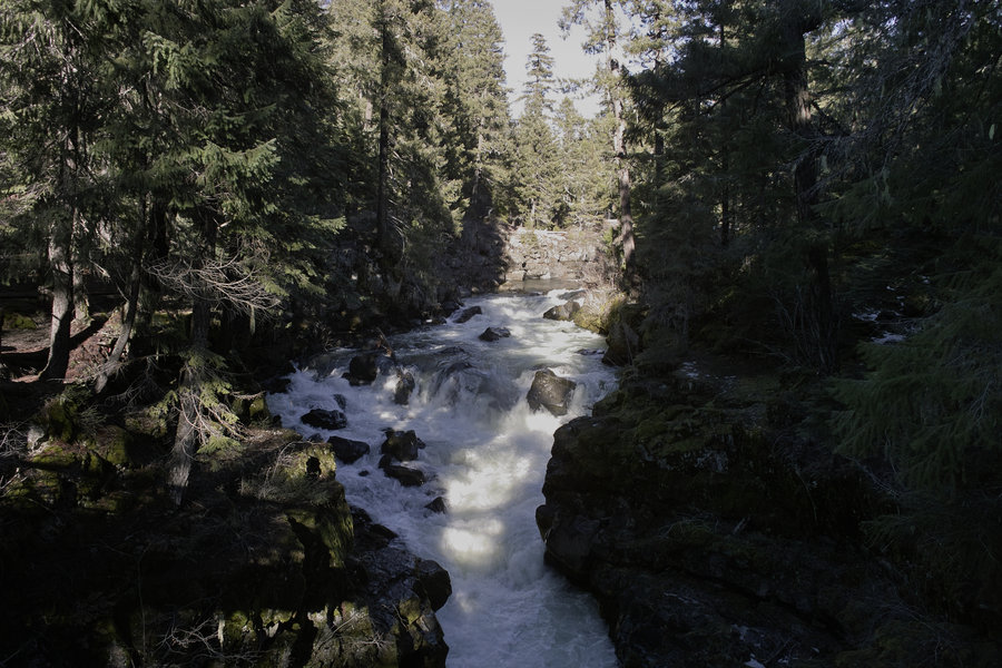
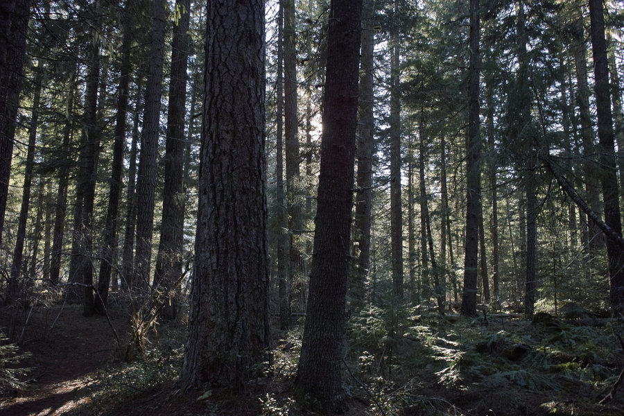
Upper Rogue - Union Creek
7 miles of hiking • 500' elevation gain •
This was just a slow meander along the Union Creek area of the river. This part reminds me a lot of the Metolius—slow running and lots of pine.
February 1, 2014

 1
1
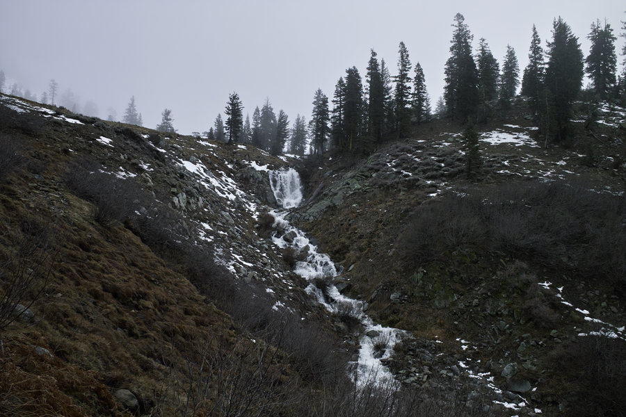
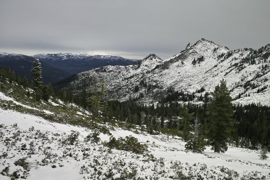
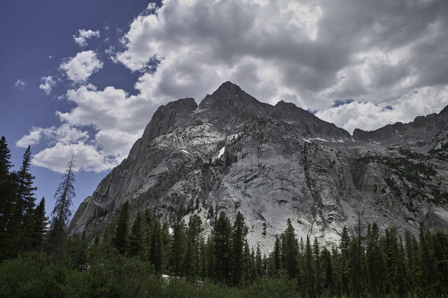
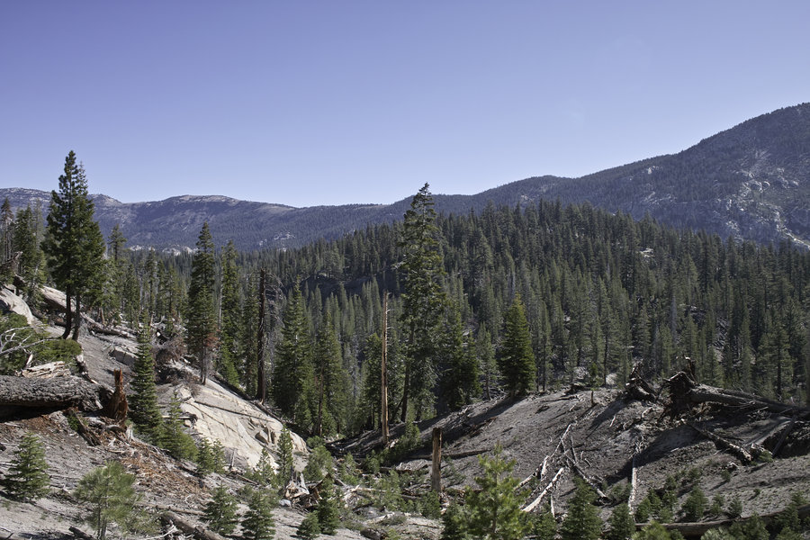
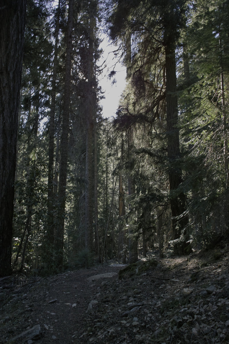
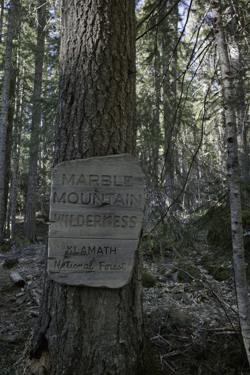
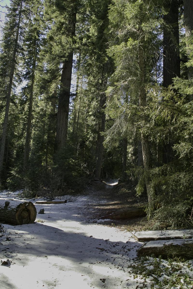
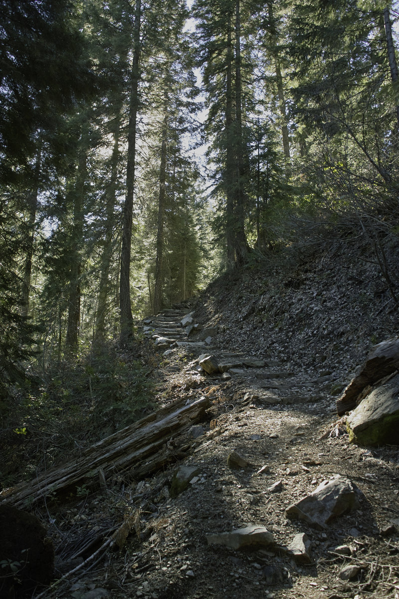
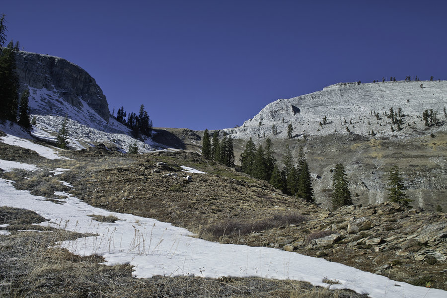
Marble Mountain Wilderness - Marble Rim
13.5 miles of hiking • 3000' elevation gain •
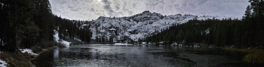
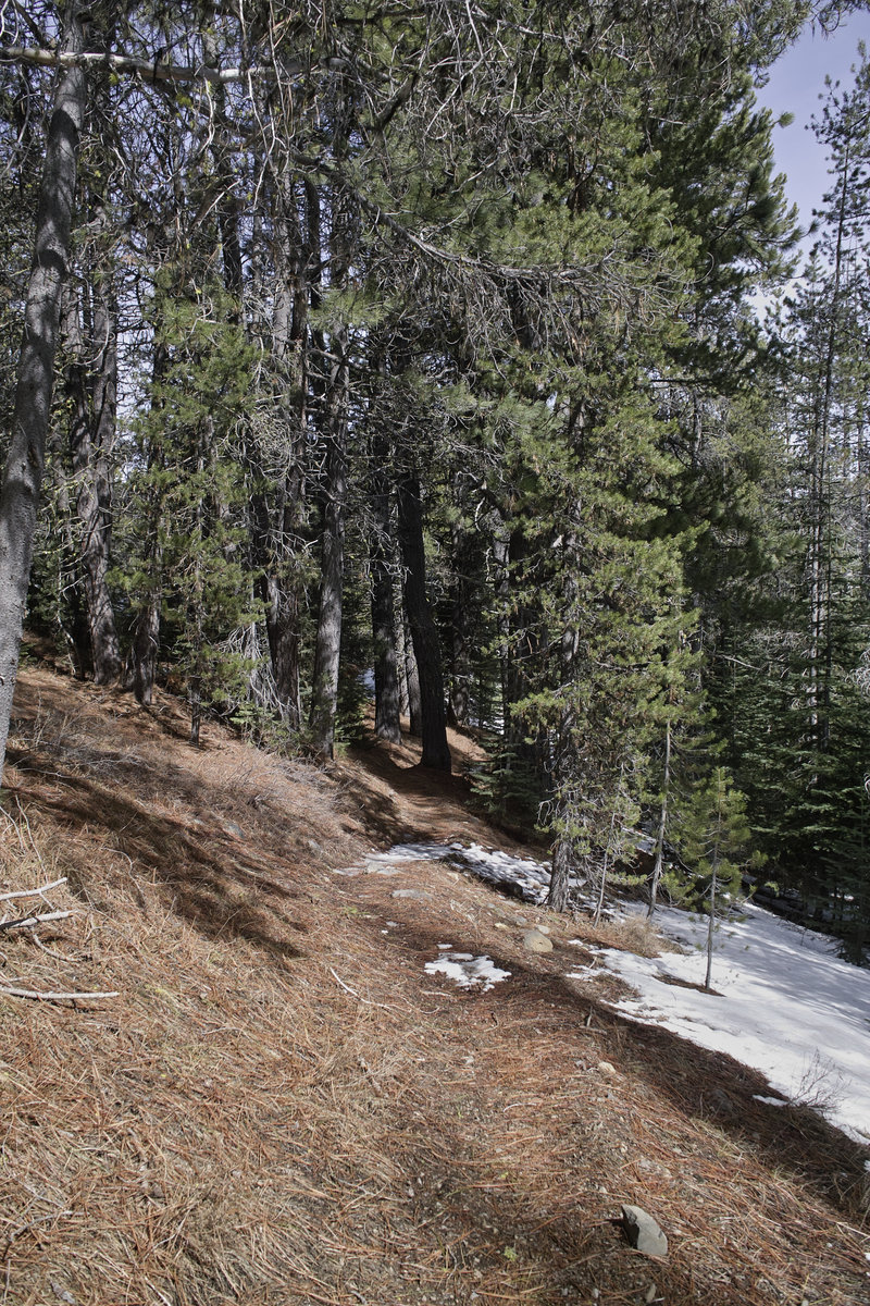
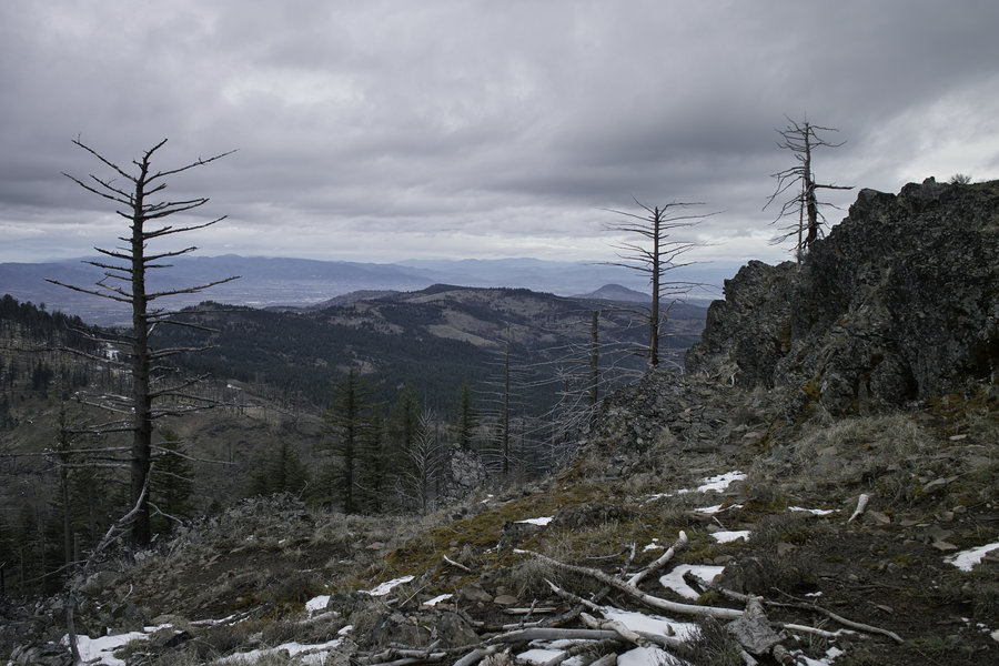
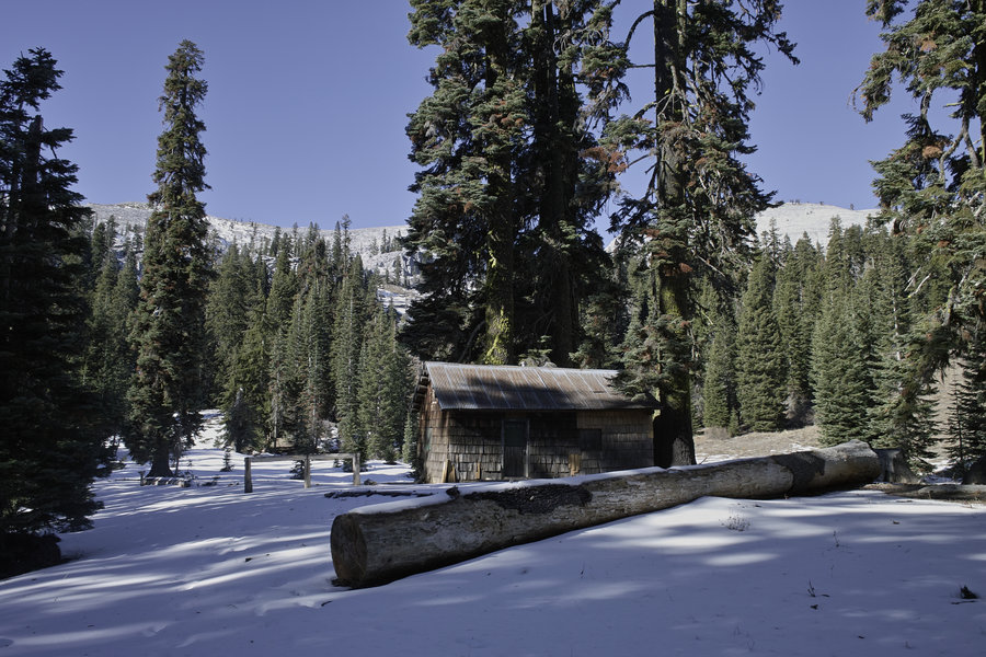
After several weeks of scrapped hikes due to some overambitious snow depth estimates and rockfall blocking roads, I finally got in a nice hike today! Up to Marble Rim—not quite to the top, but high enough for the views. I was contemplating going over to Sky High Lakes but the snow got deep on the trail, it was about 3 snow-covered miles round trip and I wouldn't have made it back to the car before dark. Excellent mid-50s weather and little snow to be seen. I was very happy to get in one more January-Summer hike before the expected precip this week!
January 26, 2014

 1
1
Russian Wilderness - Duck Lake Attempt
6 miles of hiking • 1250' elevation gain •
Another botched attempt due to snow. Was going to go up to Duck Lake but the snow became several inches deep and more work than fun. A nice day, though. I'm excited to get back to this area, though.
January 18, 2014


Kelsey Creek
2 miles of hiking • 500' elevation gain •
Salvaging a drive after the original plan wasn't reachable due to snow.
January 12, 2014

 1
1
January 12, 2014

January 11, 2014

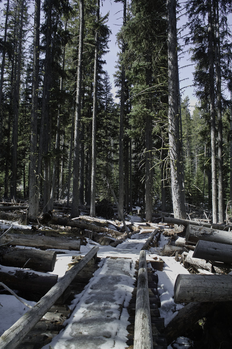
Trinity Alps - Big Bear Lake
10 miles of hiking • 3250' elevation gain •
This trip was intended as an overnight backpack, but the cold temps (I was guessing it would get down to the mid-teens) had me change my mind once I got up there. Started up the trail around 1p and made it back to the car around 6p. The lake ice was making incredible sounds. Eventually I want to get up to little Bear Lake. No snow, but ice covering the trail for the last half mile or so. It's amazing how little snow there is this year.
January 4, 2014


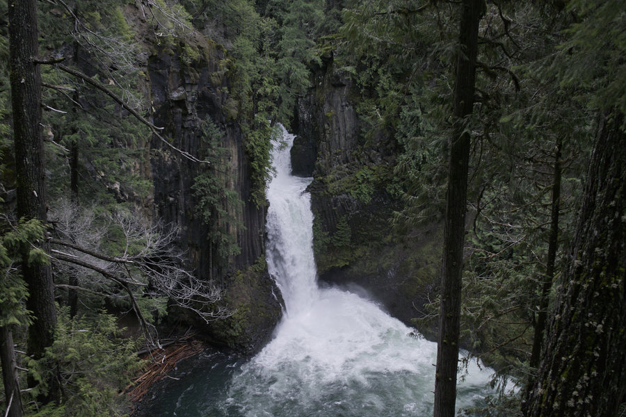
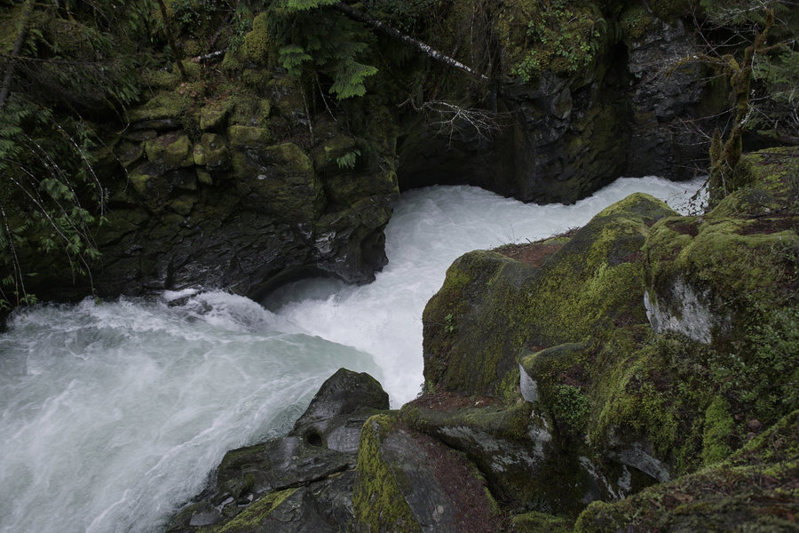
Little Illinois River Falls
1 miles of hiking • 250' elevation gain •
Did this little "tourist" hike when the road up to Kerby Peak was iced over. Just outside the Kalmiopsis Wilderness.
January 1, 2014