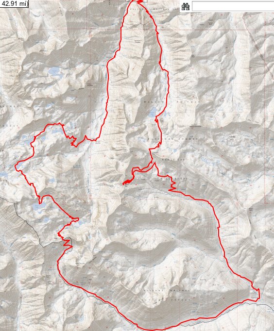
58 miles of hiking • 11500' elevation gain • 3 nights
Ah, the Wallowas. This is a trip I have been wanting to do for some time, and I finally had the time to do it this weekend.
Fri 8/2 - 6 miles
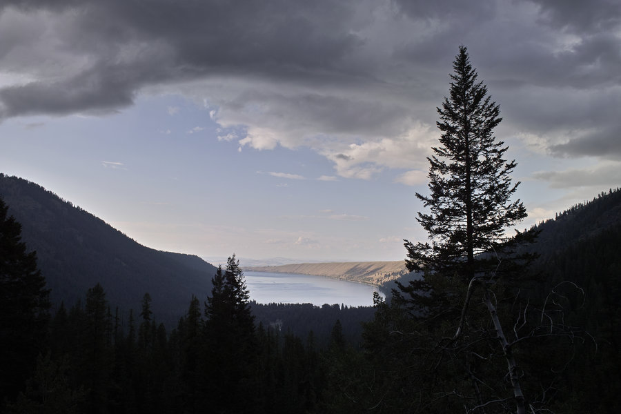
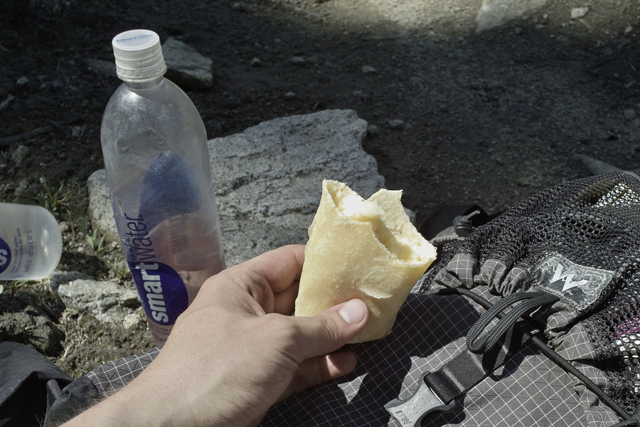
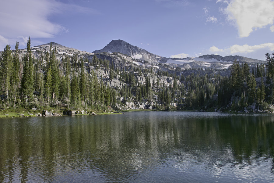
Friday, around noon, I drove out to Joseph, stopped in the Fly Fishing shop for some flies, and then drove around Lake Wallowa to the trailhead.
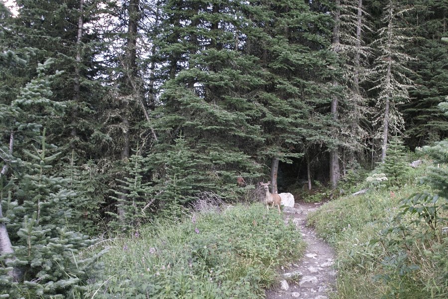
Prior trip reports cautioned about how many people I would see, but I only came upon two horsepackers the first day, no one the second, maybe a dozen or so in the Lakes Basin area, but of course many on the Ice Lake Express (the first 3 miles of the west fork trail).
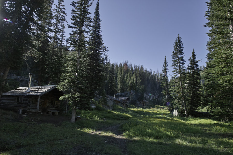
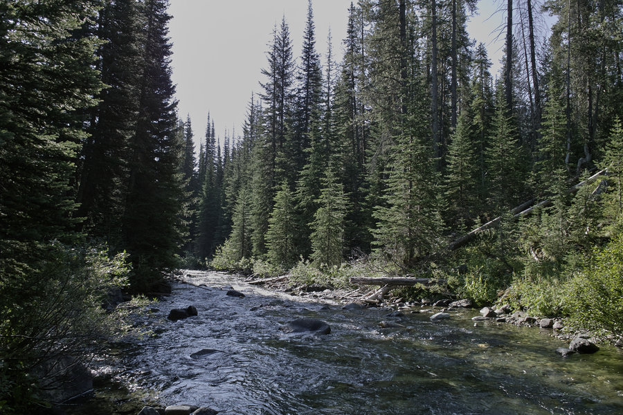
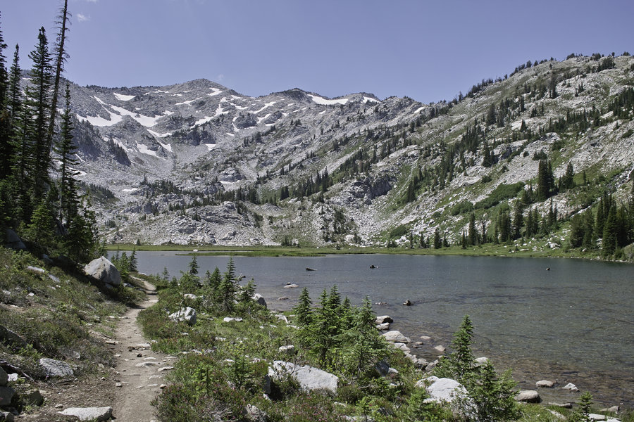
I originally decided to do some form of the east fork-west fork loop and then add on as I had time. I started up the east fork around 5:30p and made camp at Aneroid lake just after dark.
Sat 8/3 - 26 miles
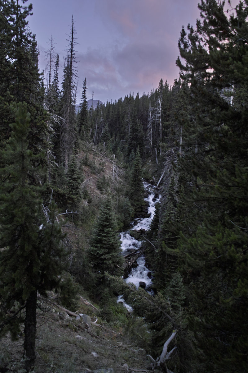
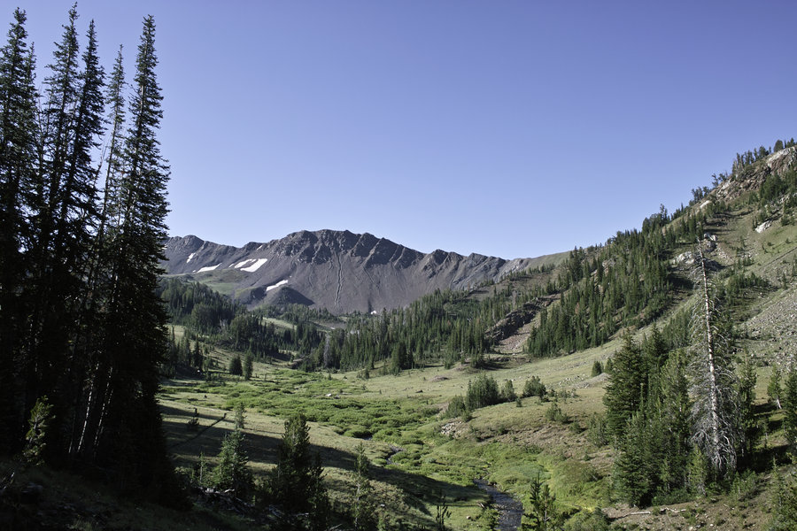
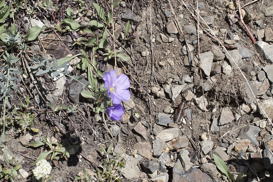
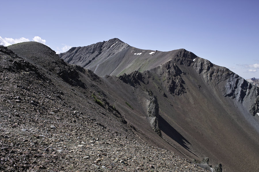
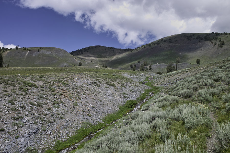
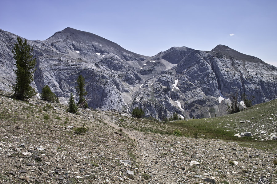
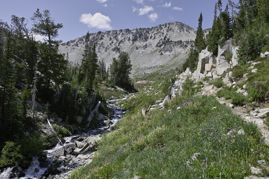
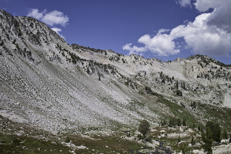
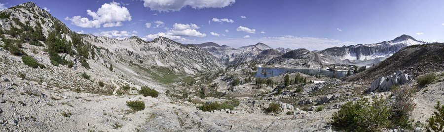
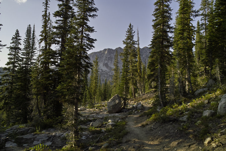
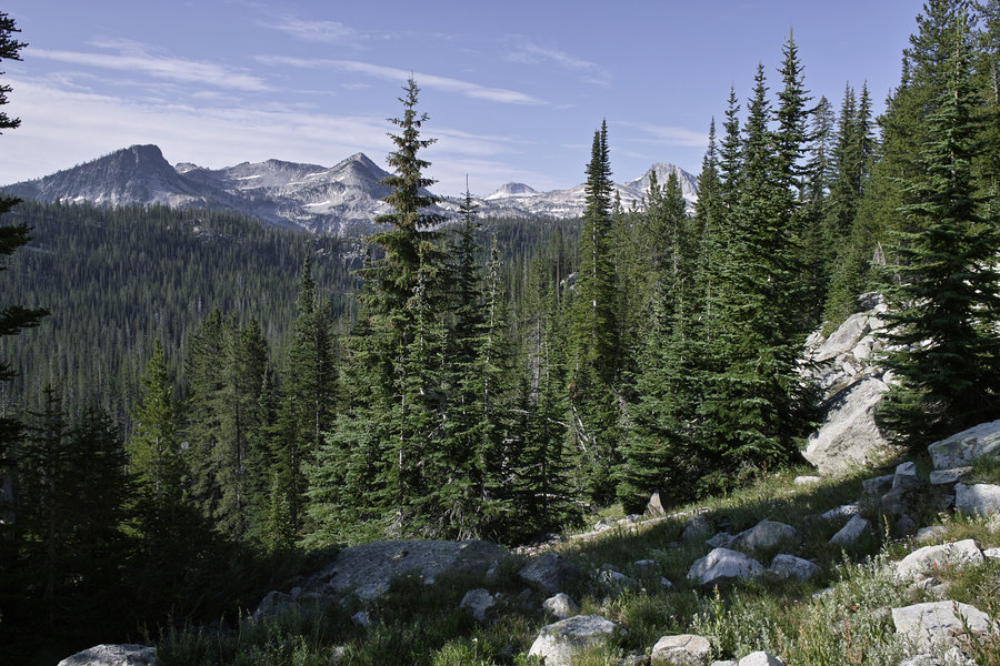
Saturday morning, I left camp around 8:30 and headed up to Tenderfoot Pass. This pass is pretty tame, and is the turn of for Jewett Lake. The trail descends over the pass and then heads towards Polaris Pass. Polaris is a nice gentle climb from the east side, but upon reaching the top, the west side spooked me out. The the second switchback is pretty much straight down scree with a 400 ft drop. I had been cautioned about this spot, and it probably would have been fine, but it was a bit more exposure than I could stomach, so I decided to work out plan B—no problem though—I had built a good deal of extra mileage in, and decided to extend the loop rather than doing an out-and back later on to Ice Lake.
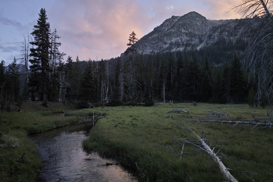
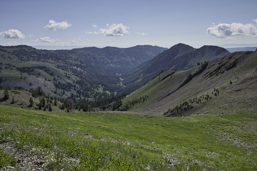
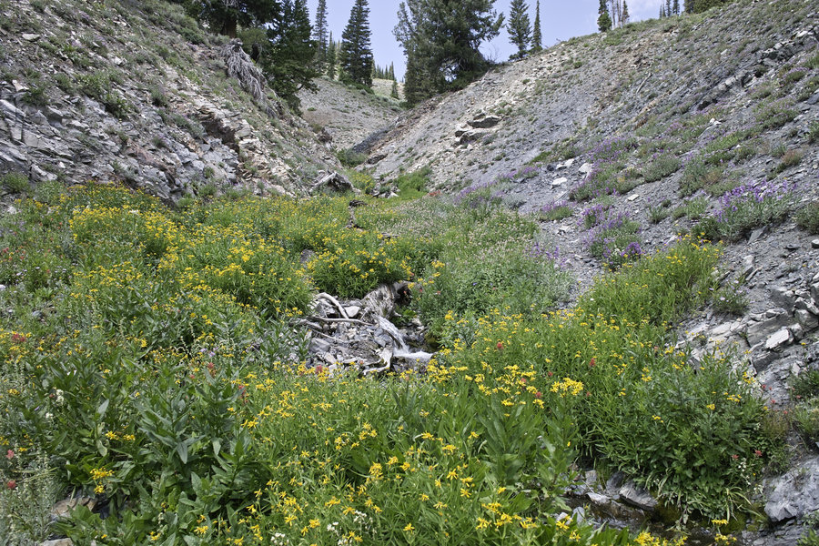
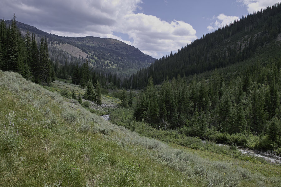
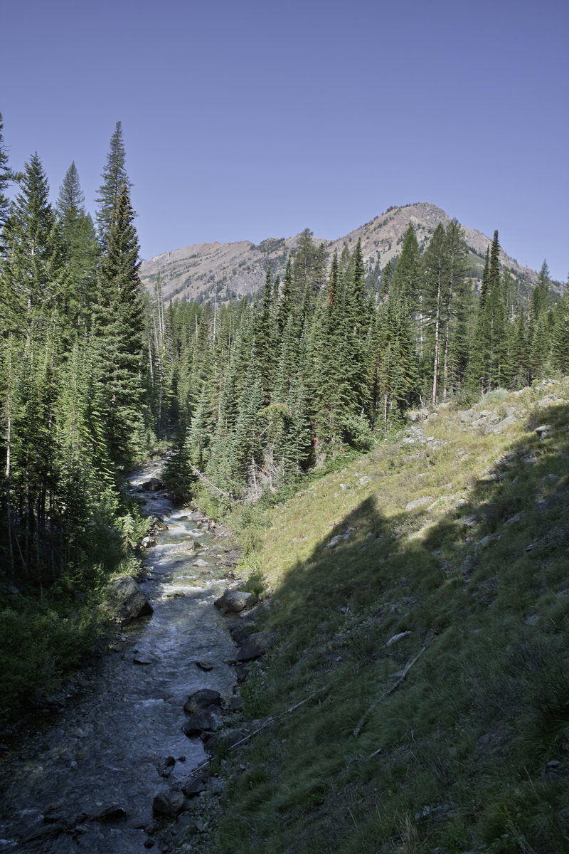
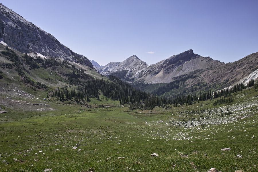
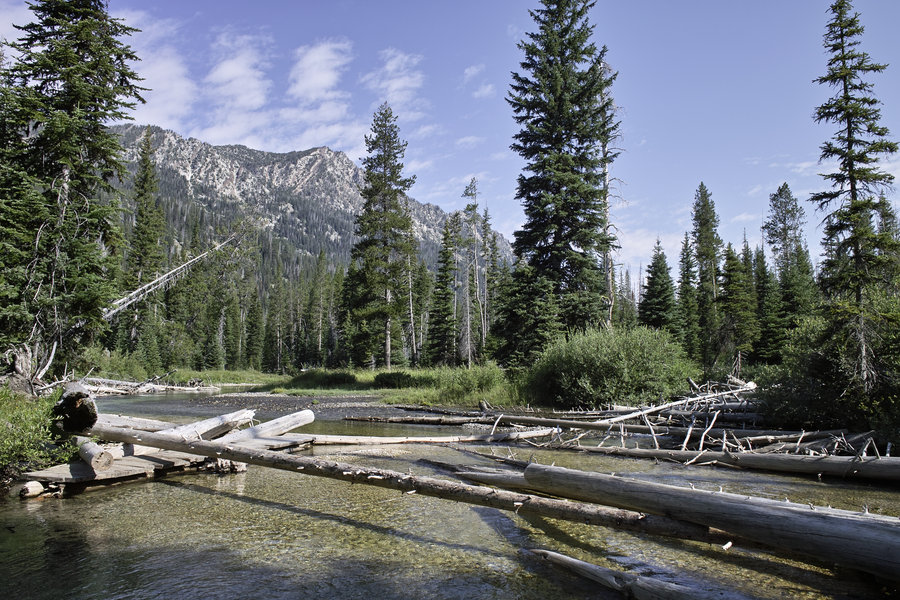
I cut across the open basin below Polaris, down a creek canyon and over to the trail that descends down to the North Fork of the Imnaha. The trail drops into the valley, and then travels through wooded areas and open meadows for several miles. I was planning on taking the shortcut over Bonner Flat, but the turnoff was not marked (like many others), so I continued to the South Fork of the Imnaha junction and then made my way up 4 or so miles to camp. I camped not to far from the Cliff Creek junction and a very nice stream.
Sun 8/4 - 15 miles
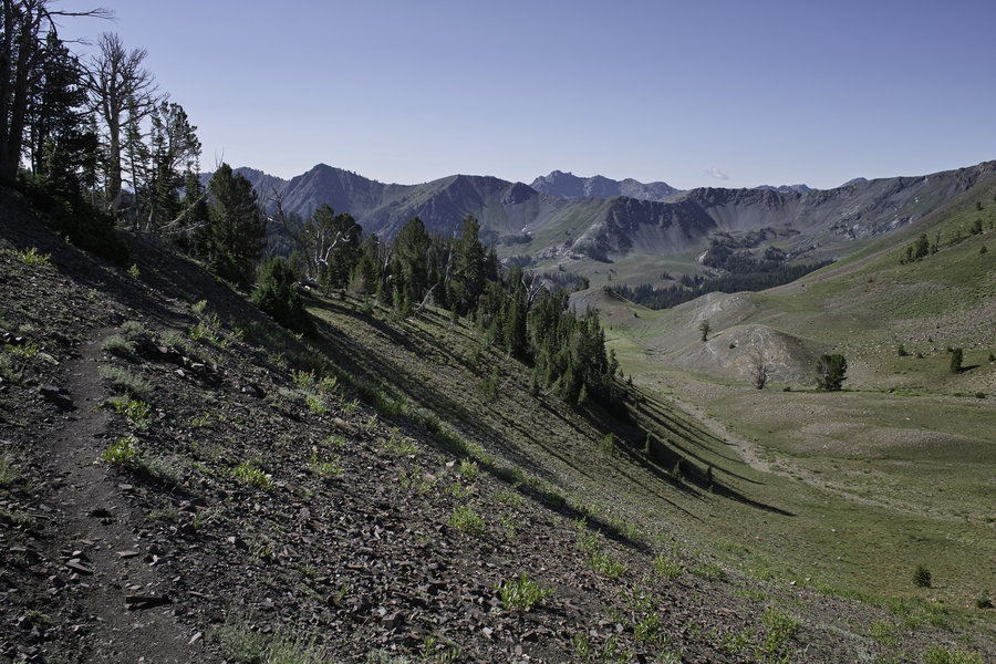
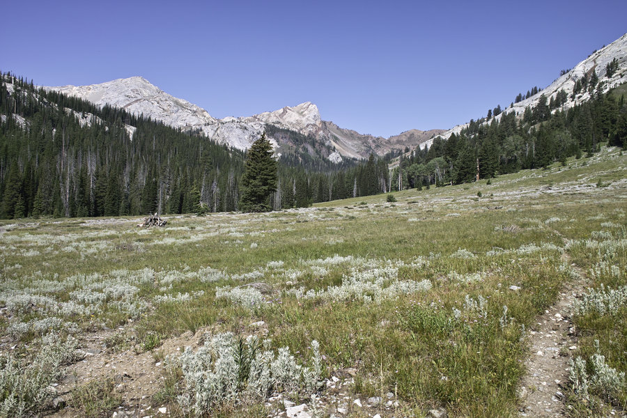
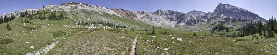
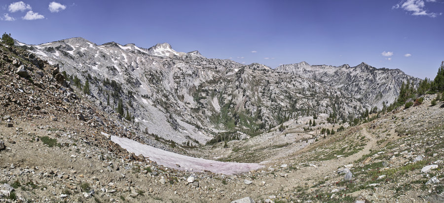
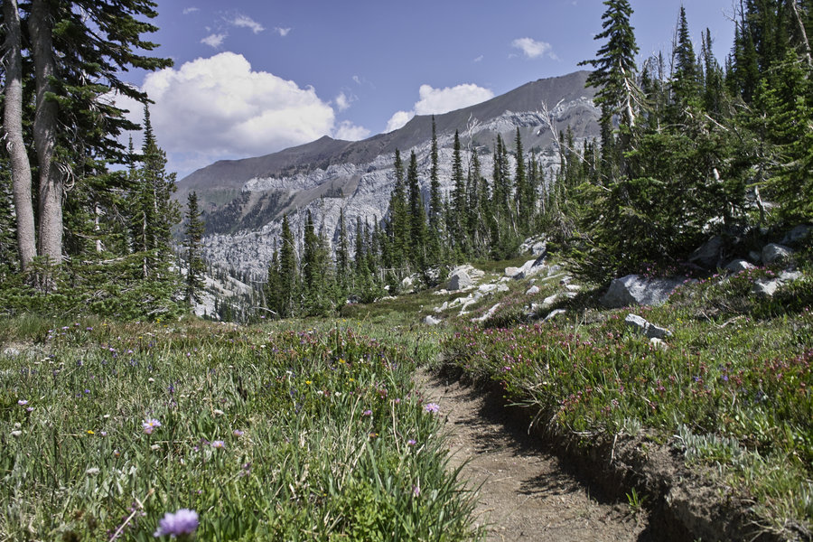
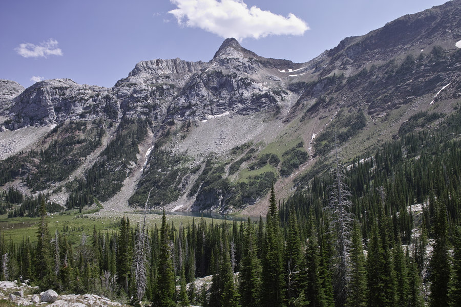
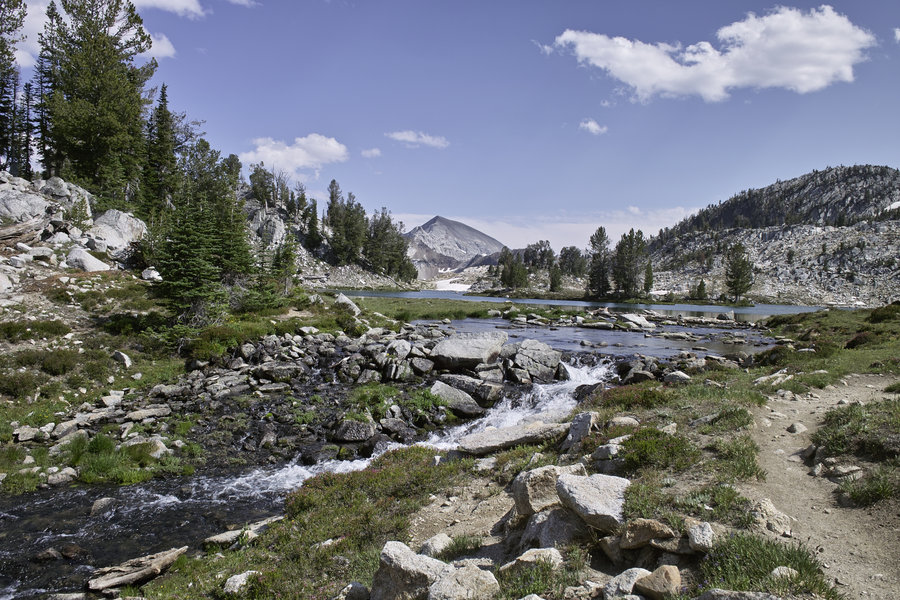
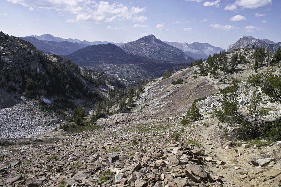
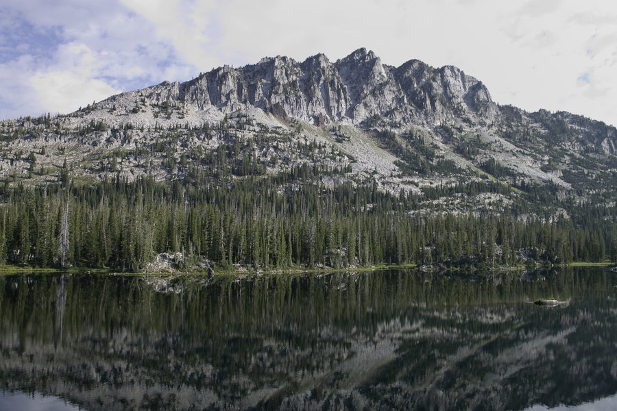
Sunday morning, I got going around 8 and made my way up to Hawkins Pass. The trail climbs into a Spider-Meadow-like basin and then up a rocky hill to a nice view of Little Frazier lake. I stopped for lunch and a nap at Little Frazier, dropped down to Frazier proper, and then made the slow, hot climb to Glacier Lake.
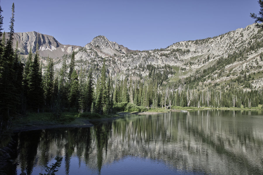
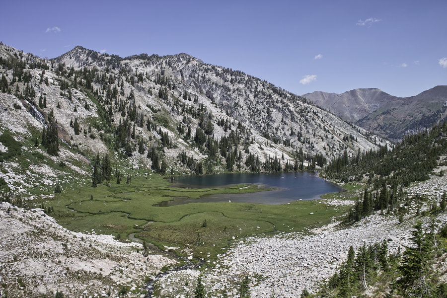
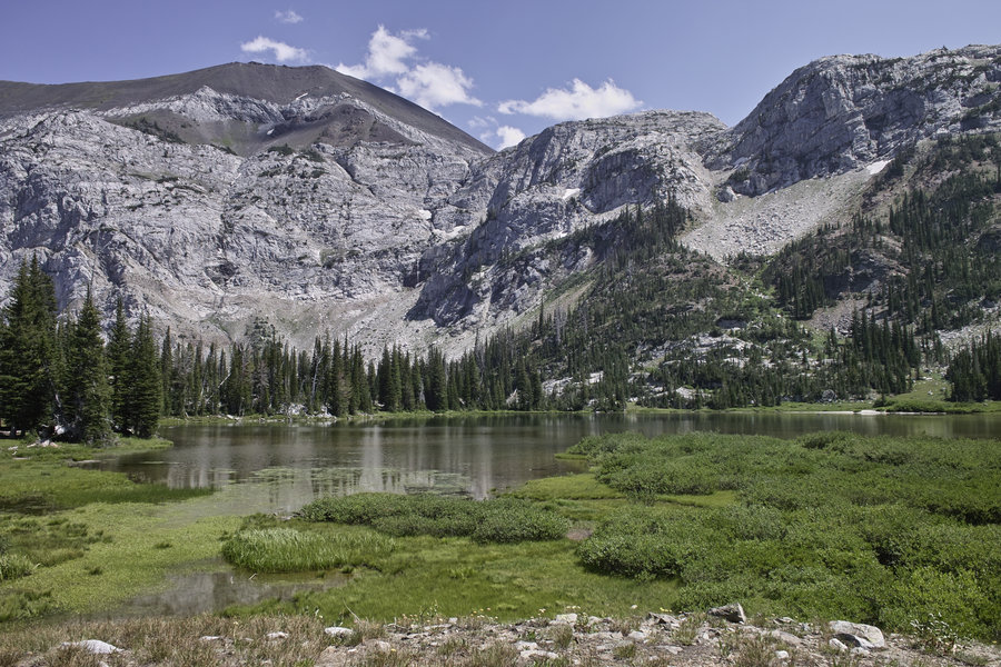
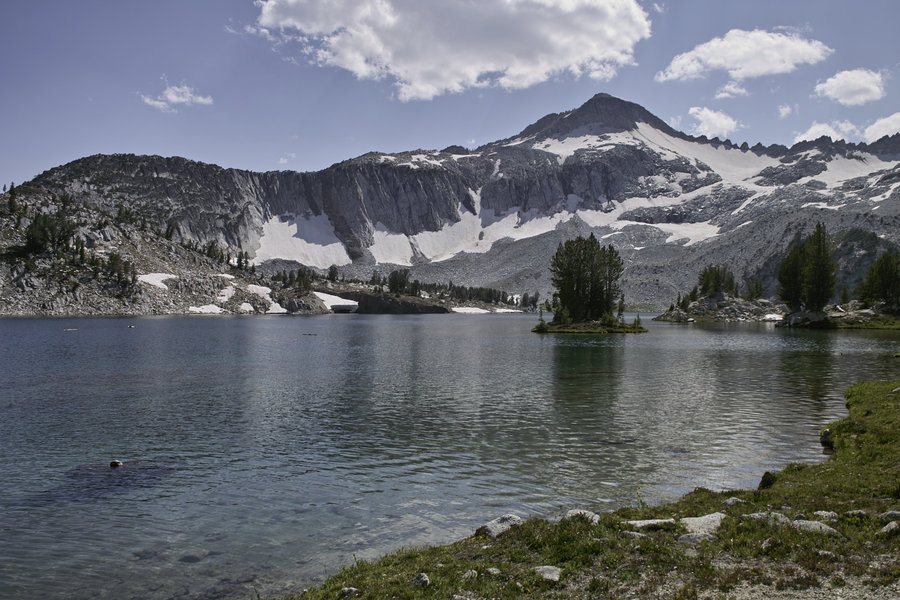
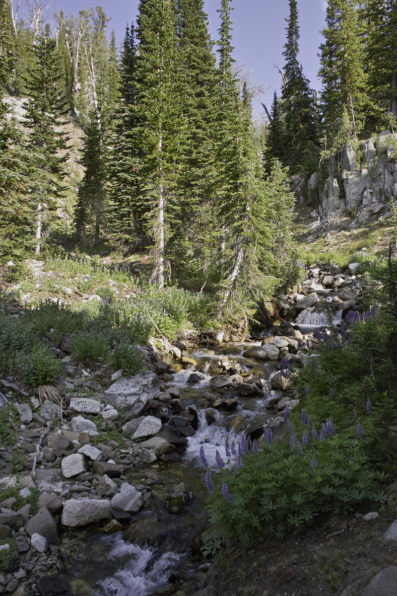
Glacier was nice enough, but was hot, mosquito-y, and had a half dozen or so people, plus three rangers, cleaning up and checking permits.. I decided to continue on over Glacier Pass, and then to Moccasin Lake. Moccasin was very nice for fishing, had a great view of Eagle Cap, and not a soul was in sight.
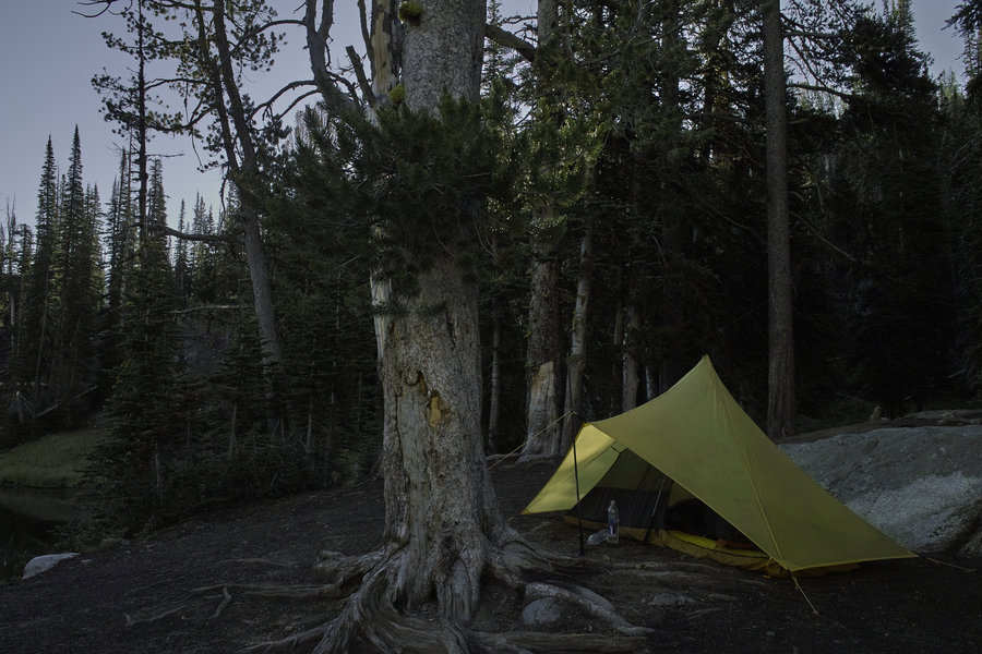
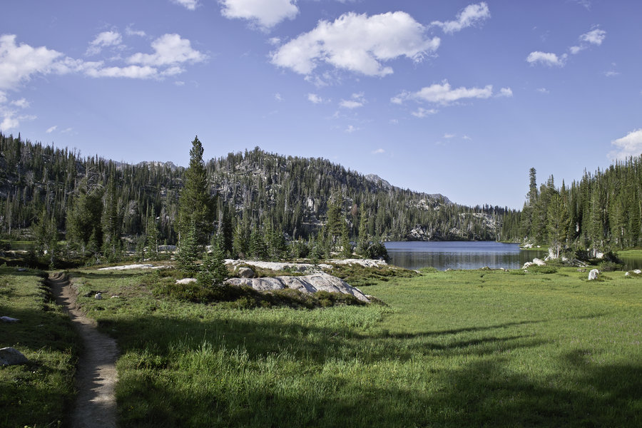
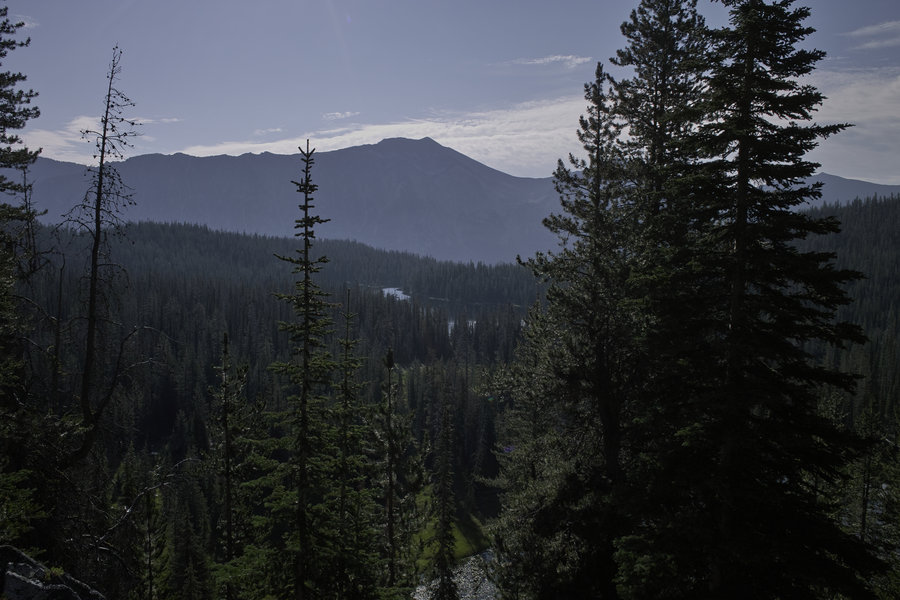
I had debated going up Eagle Cap earlier, but was pretty beat from the day before, and decided to get some more mileage in to make the next day shorter. A ranger suggested camping at Douglas Lake, which, while it did not have the views like some of the others, was a nice lake in its own right.
Mon 8/5 - 11 miles
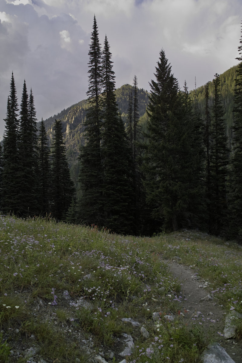
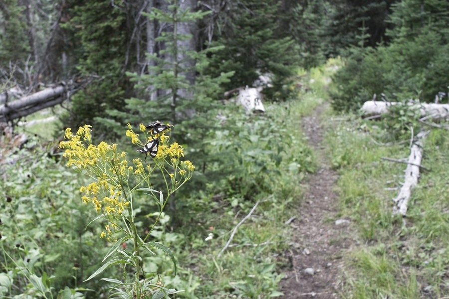
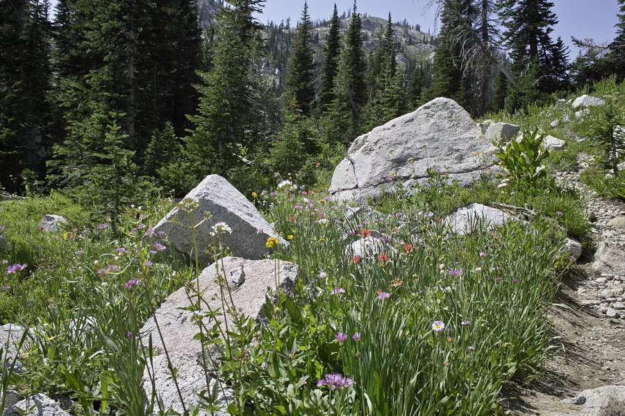
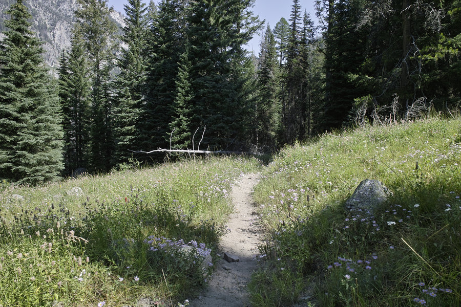
The final 11 miles down from Douglas, past Horseshoe, and out the west fork, is pretty uneventful, but a nice hike nonetheless. The area is quite nice, and has a nice mix of granite and Goat Rocks-style mountains, depending on where you are. I'm looking forward to going back sometime and visiting some more of the less visited areas.