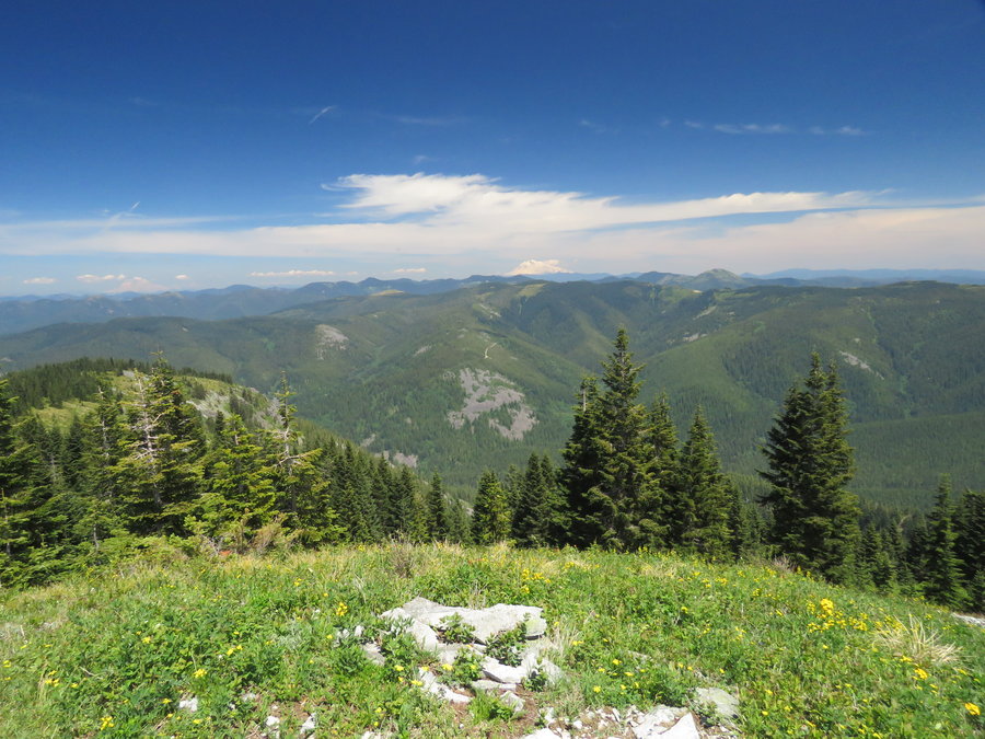
2015 Trips

 4
4
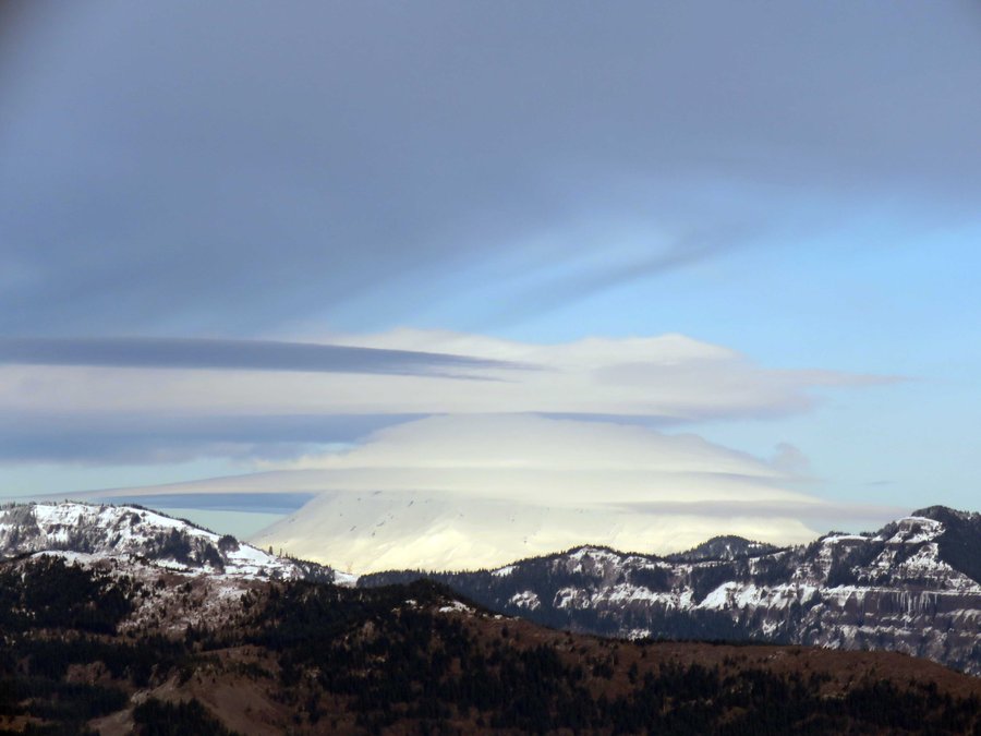
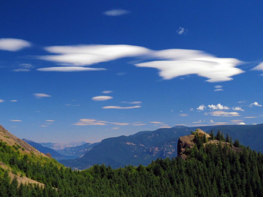
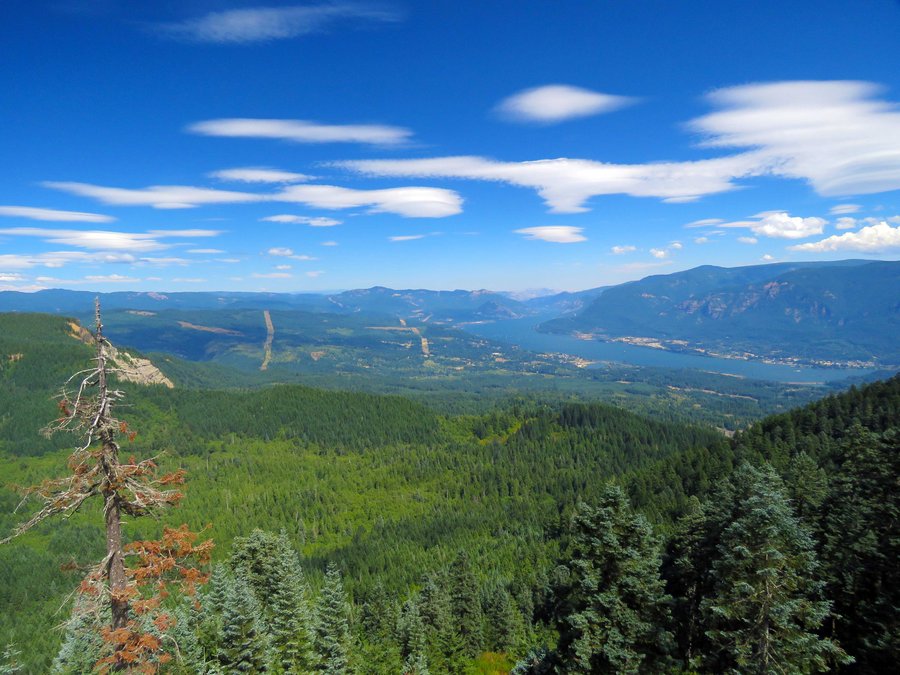
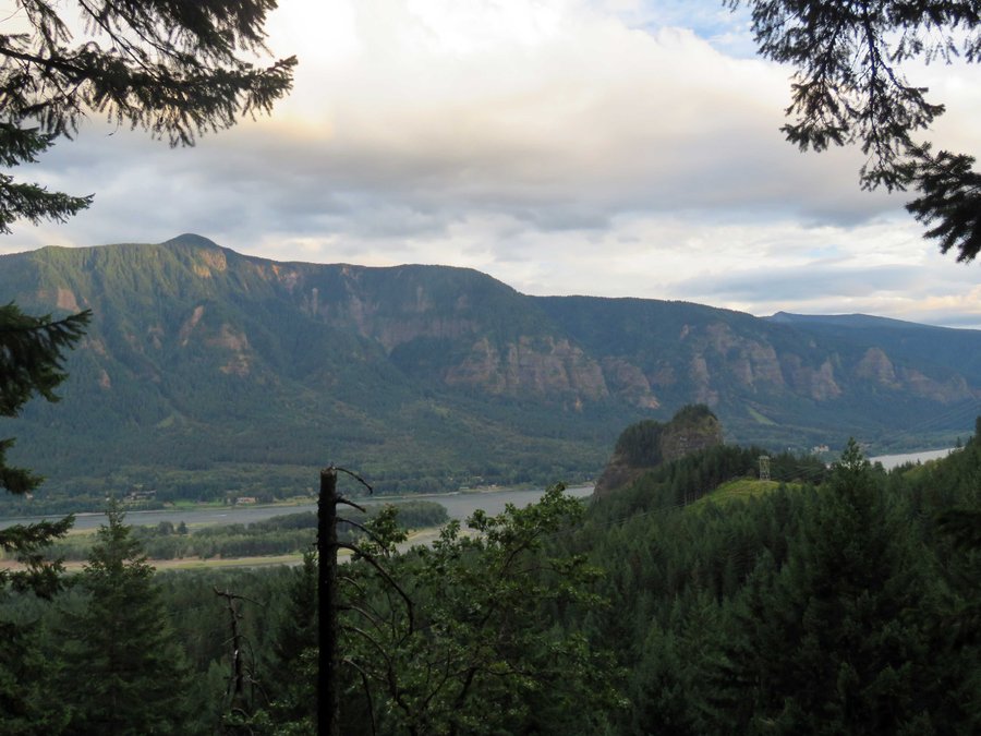
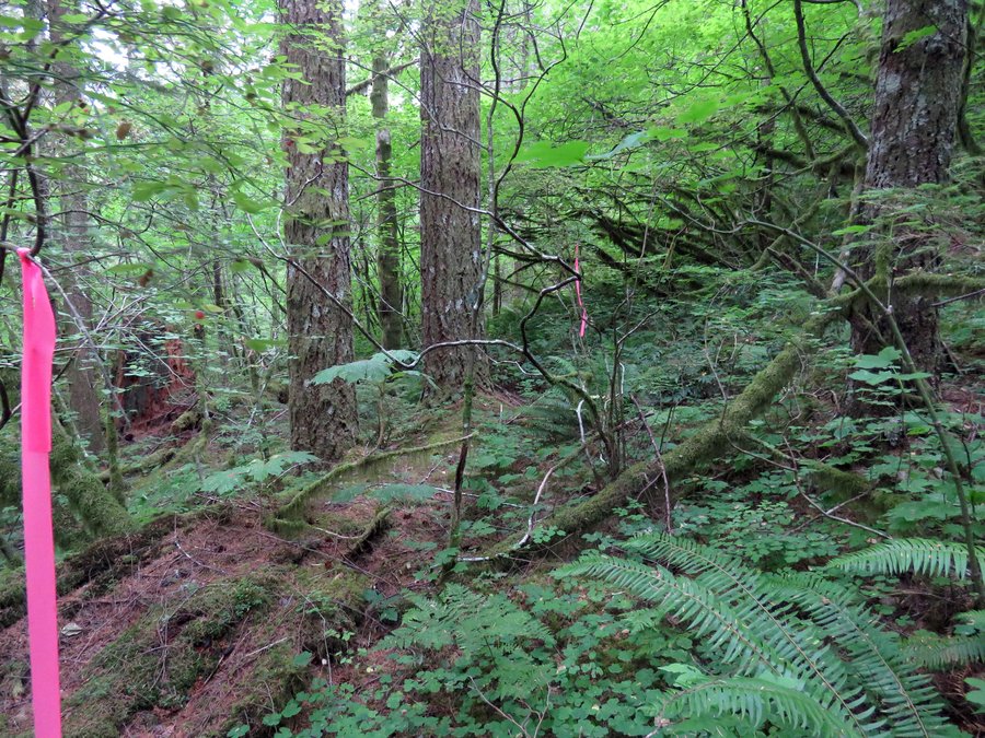
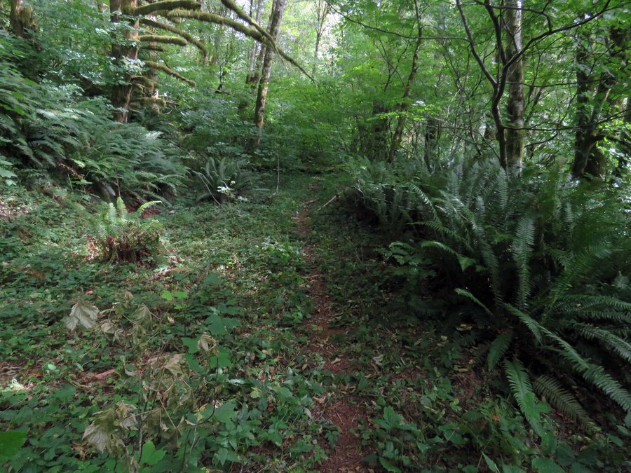
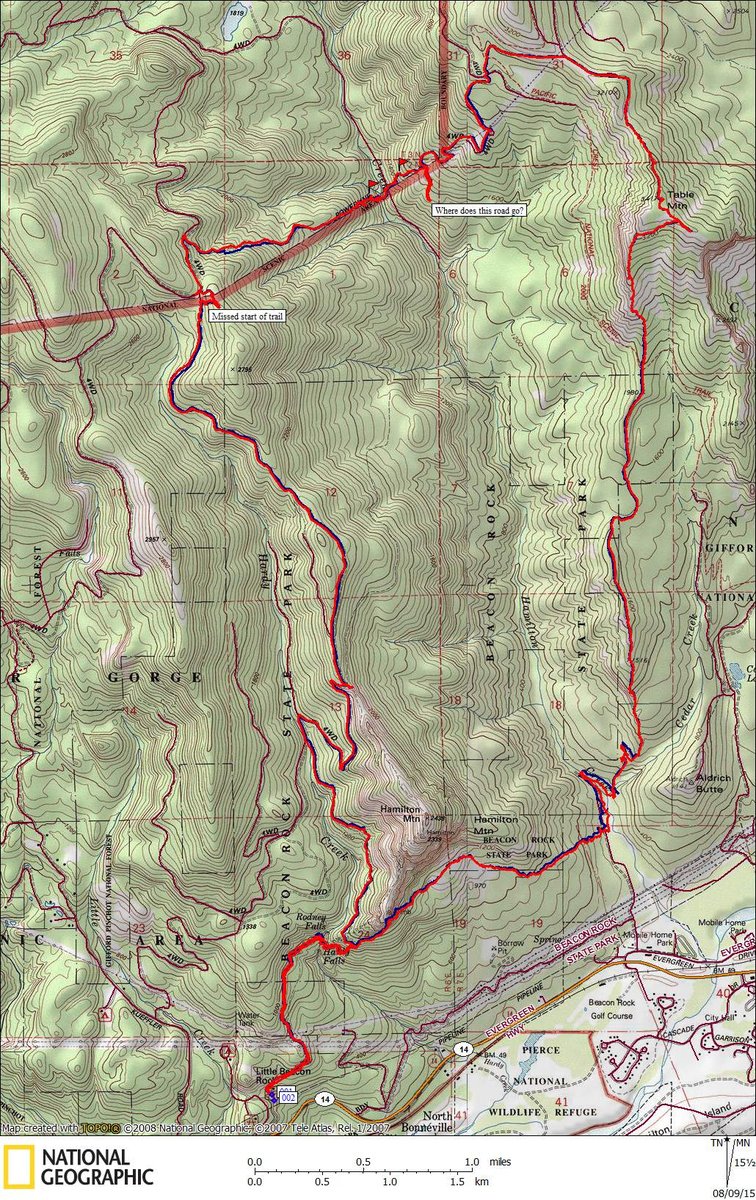
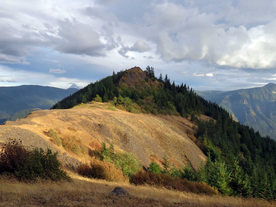
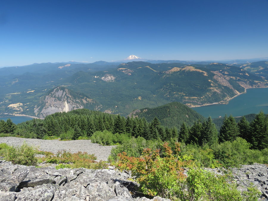
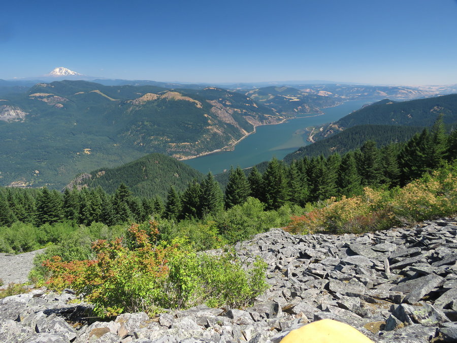
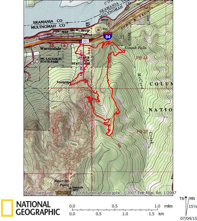
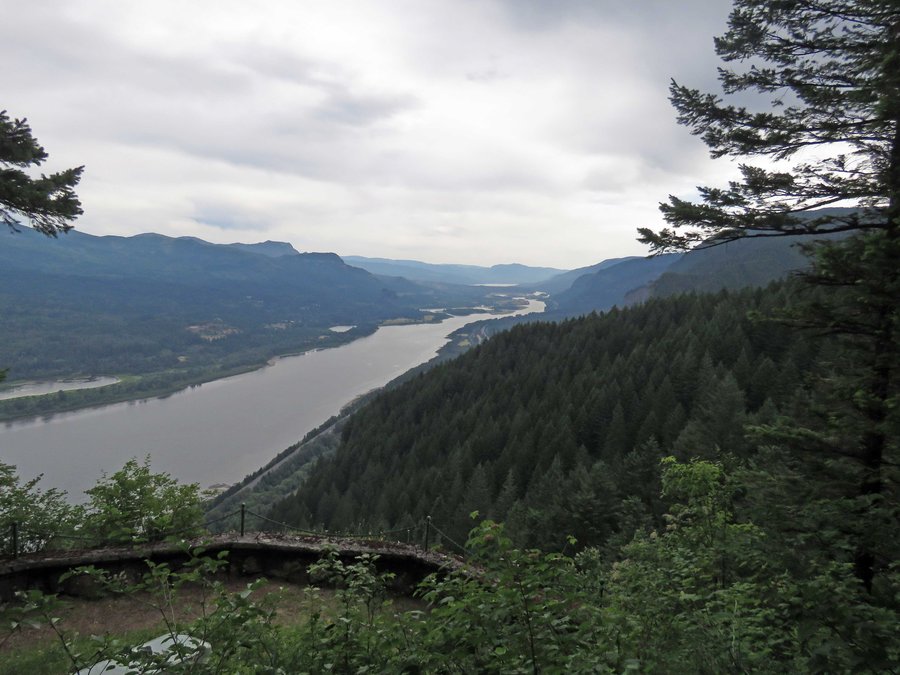
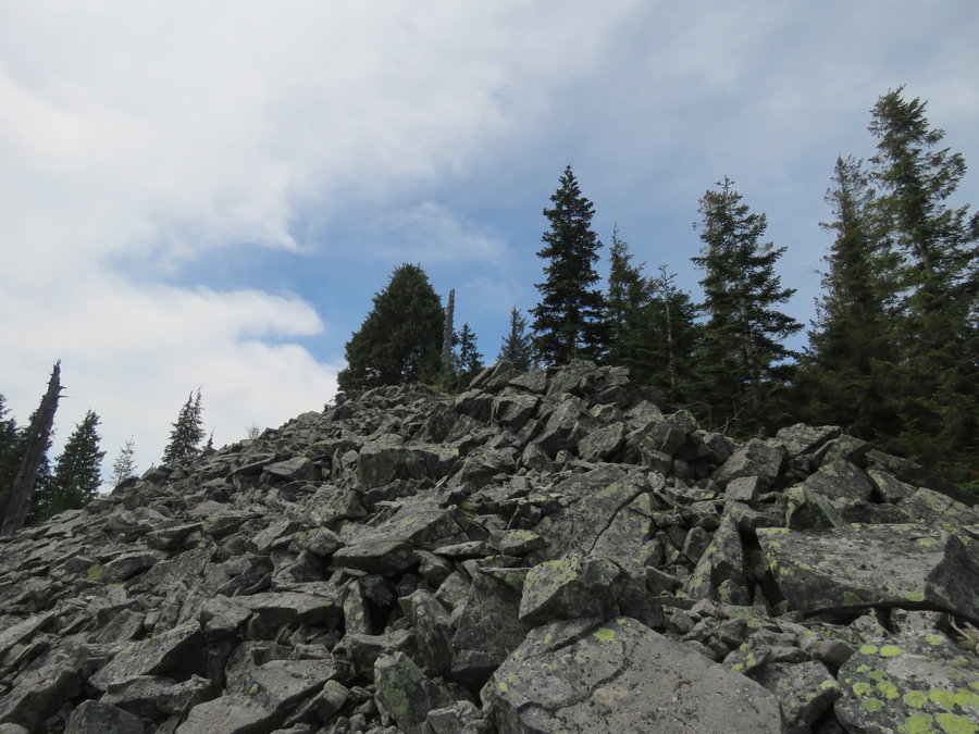
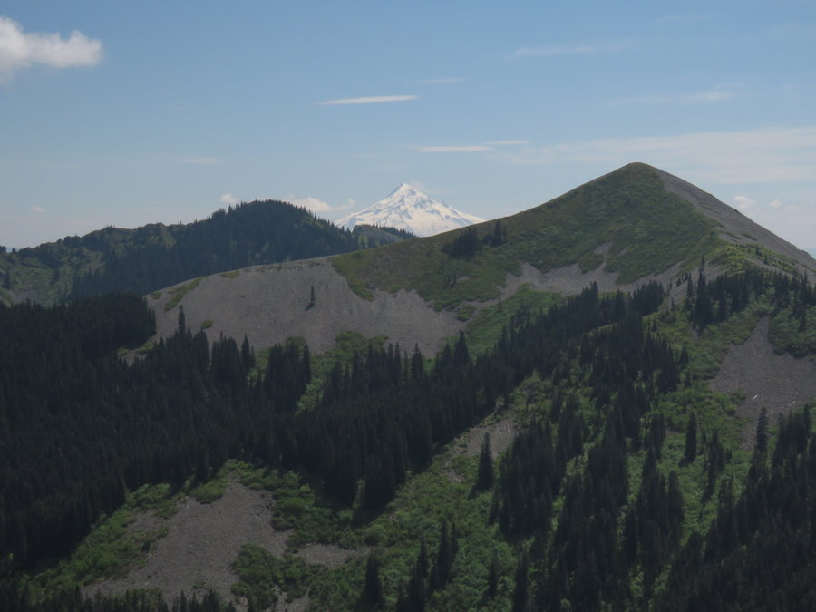
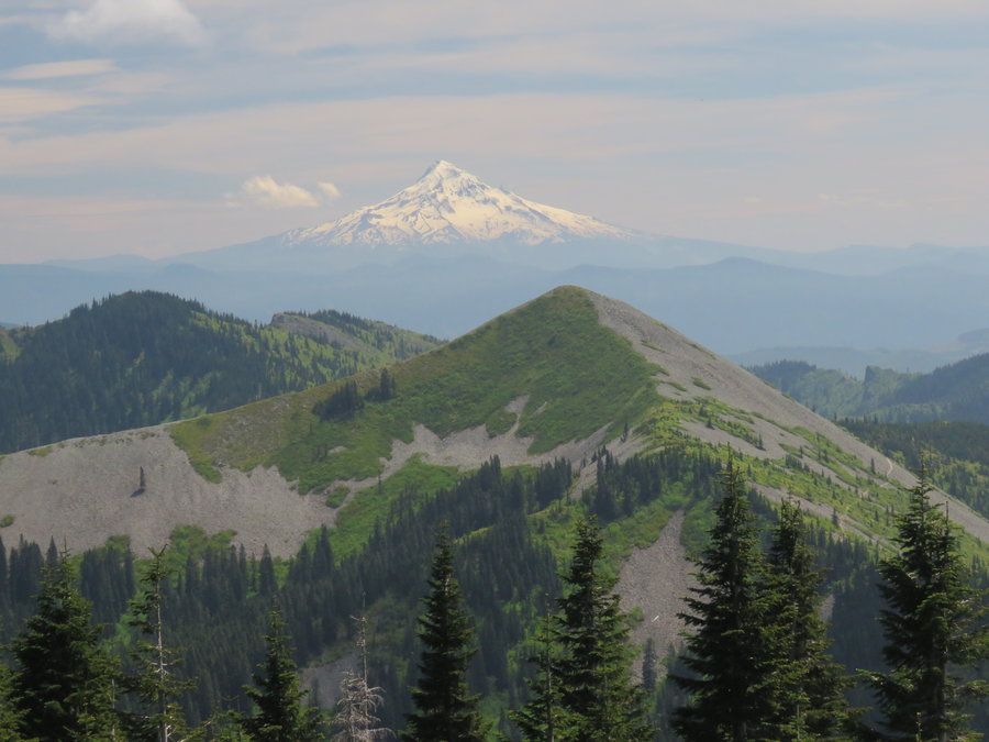
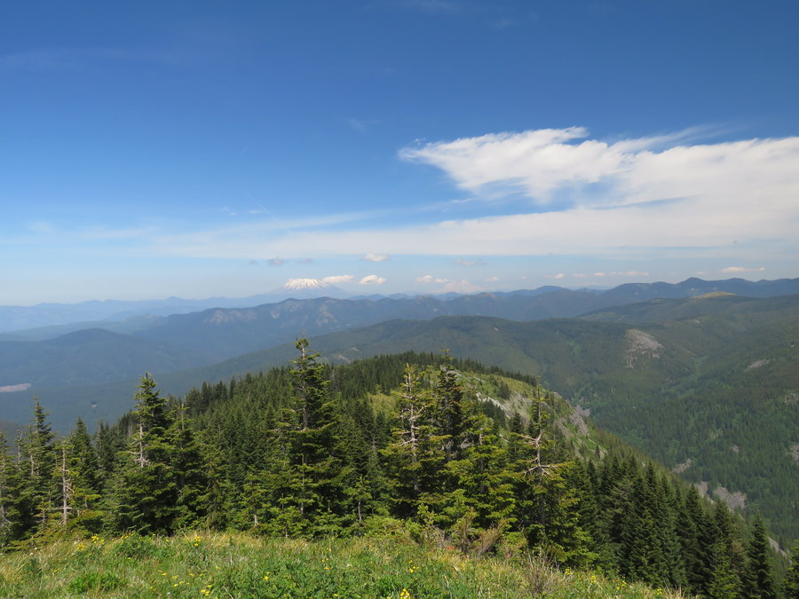
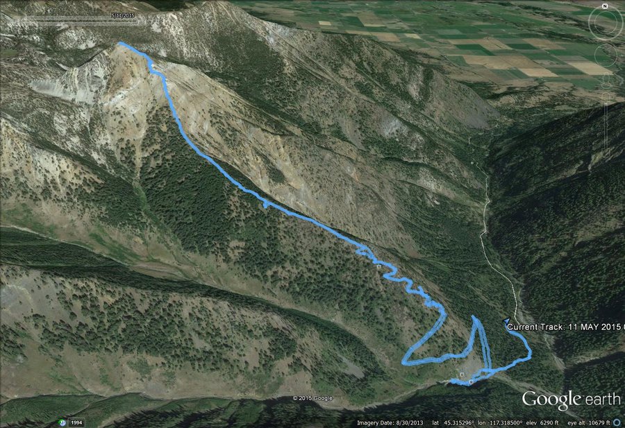
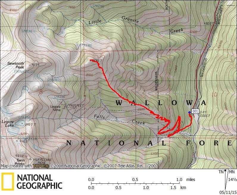
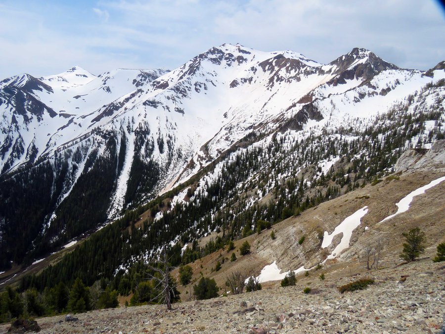
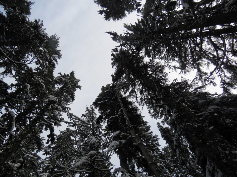
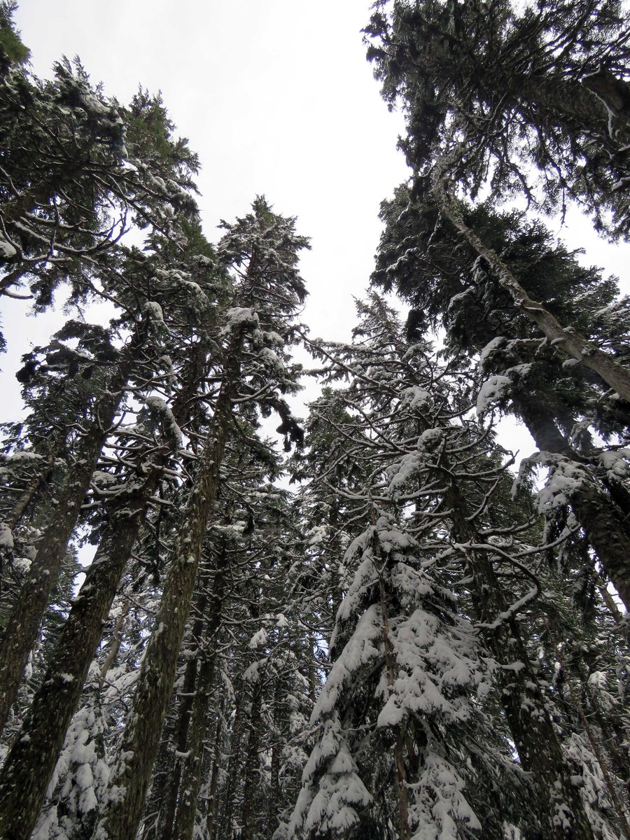
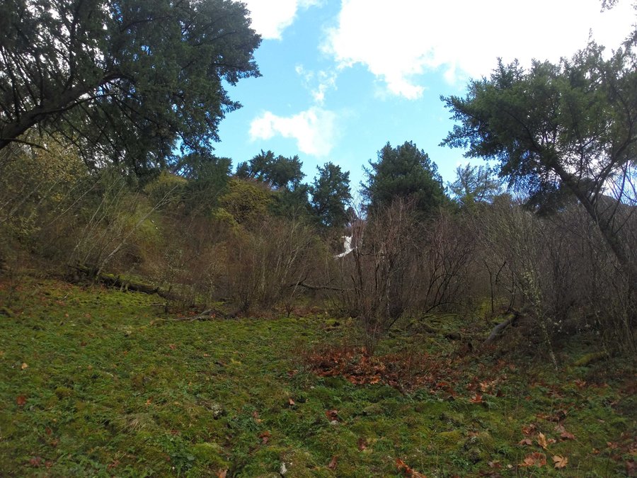
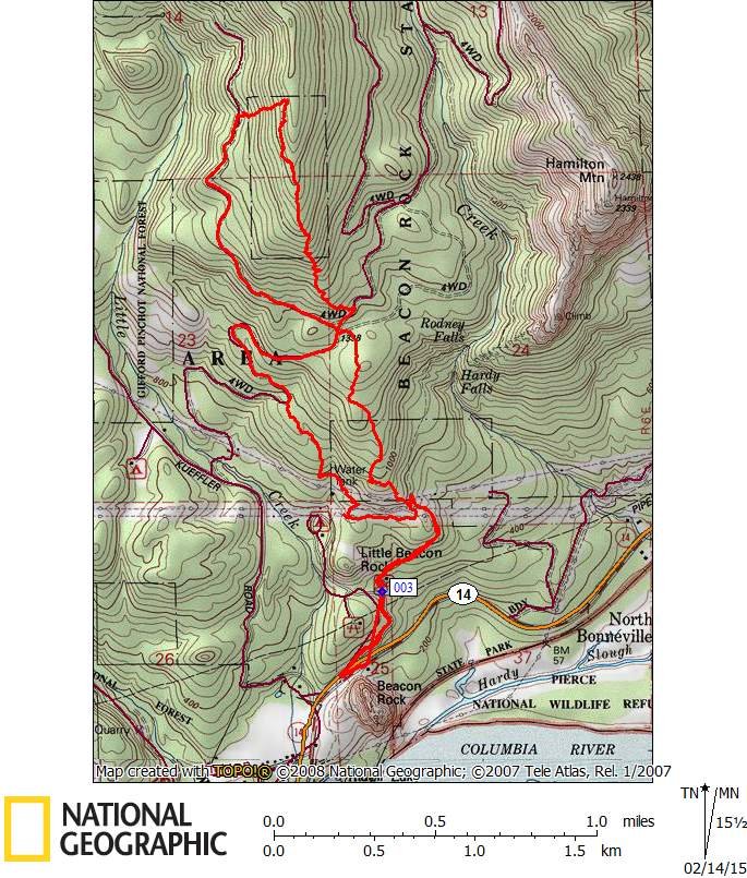
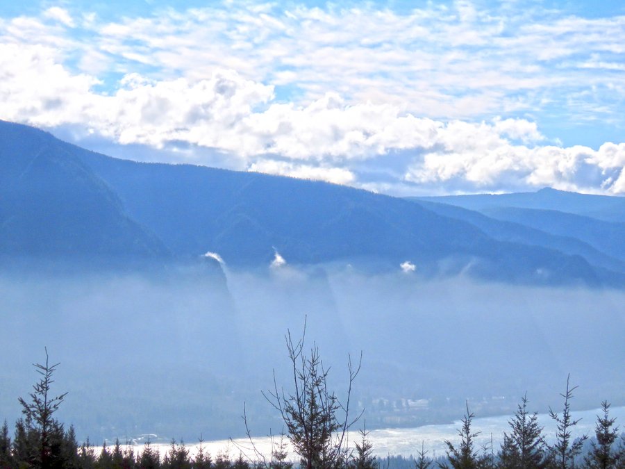
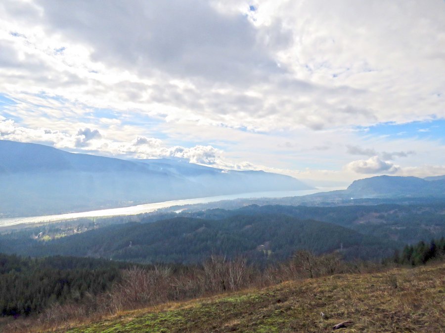
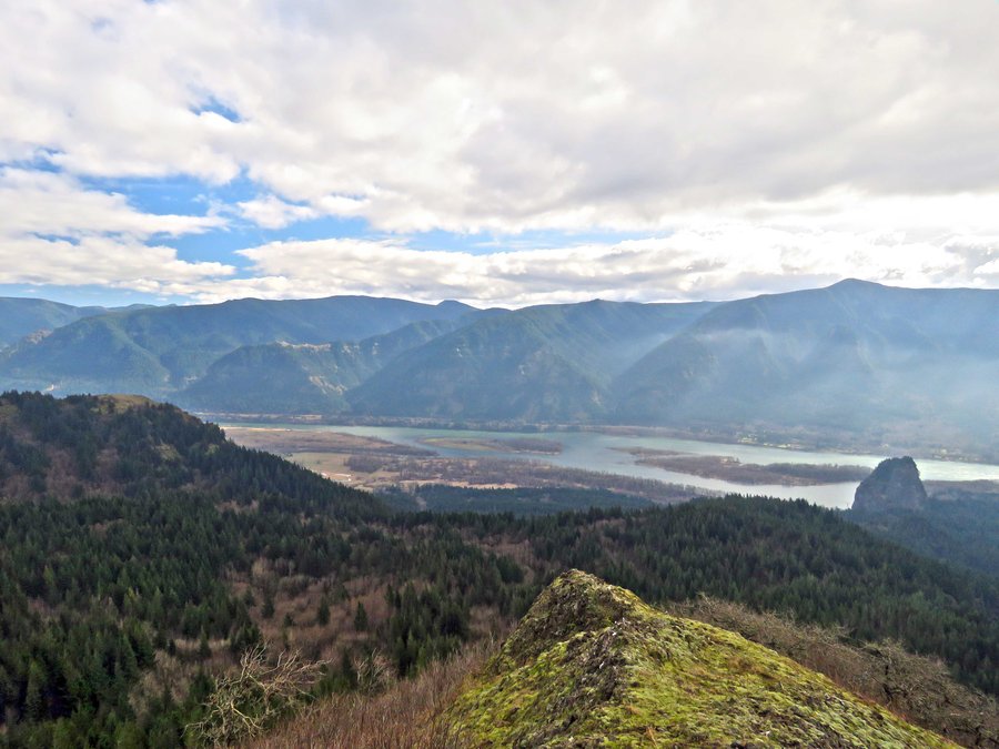
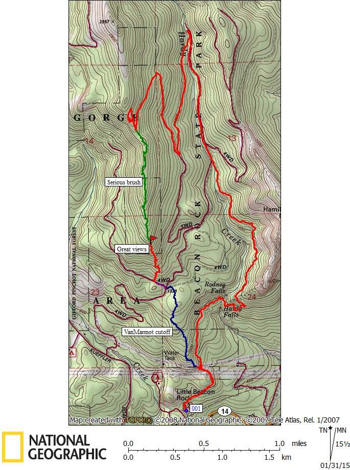
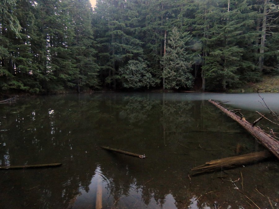
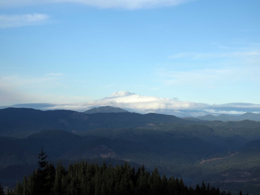
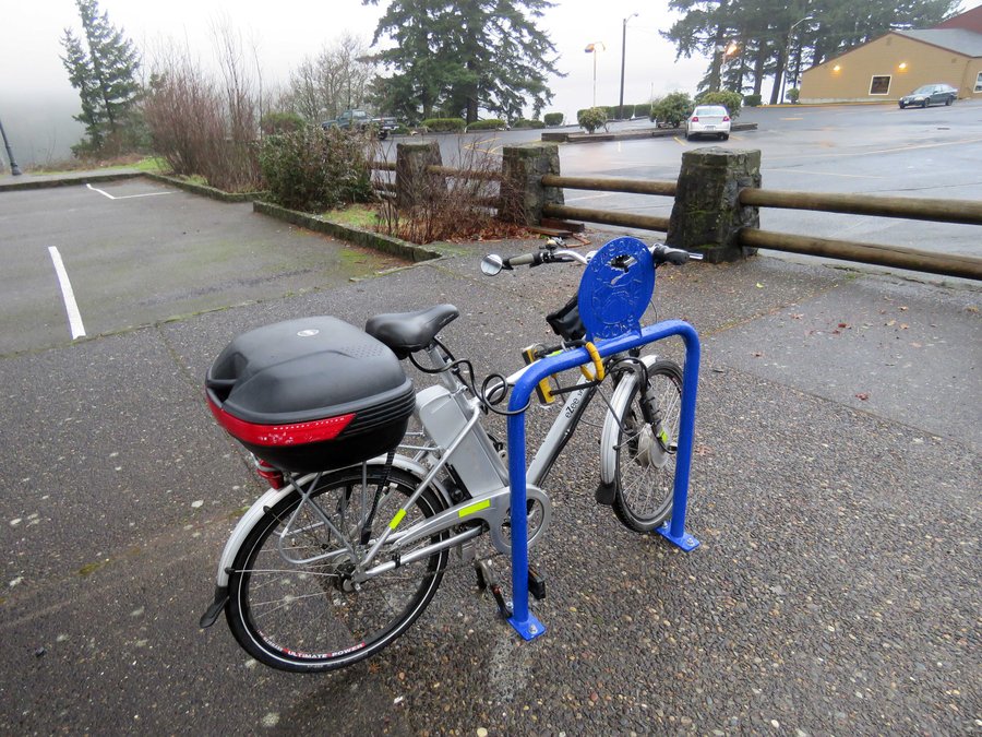
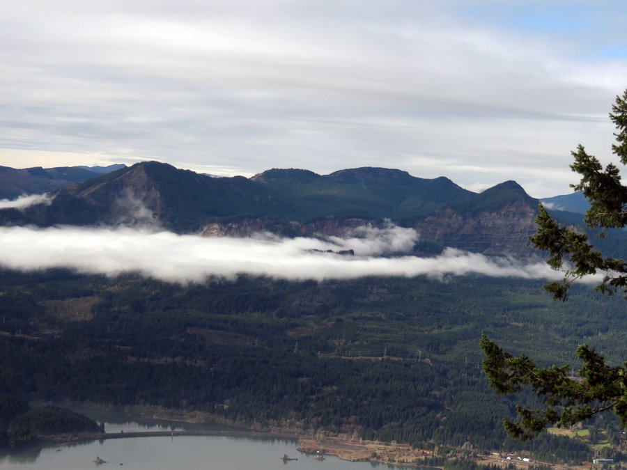
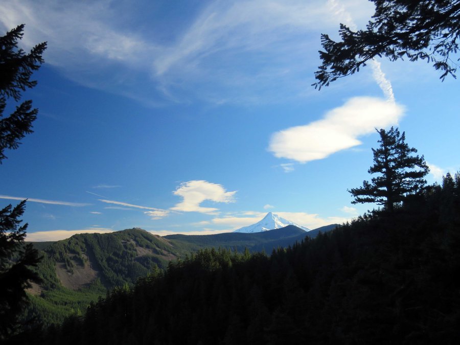
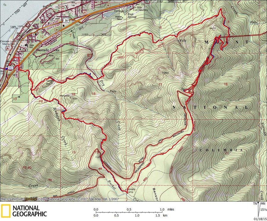
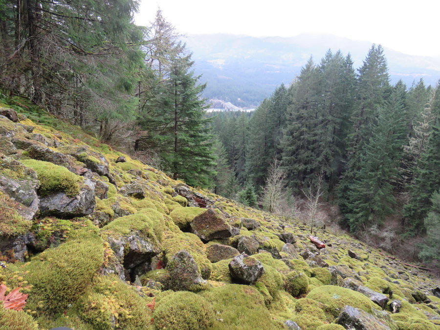
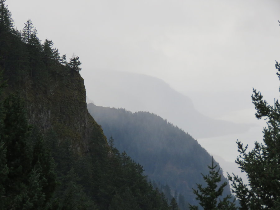
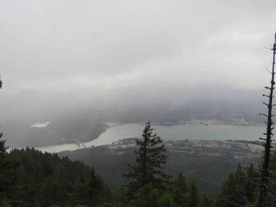
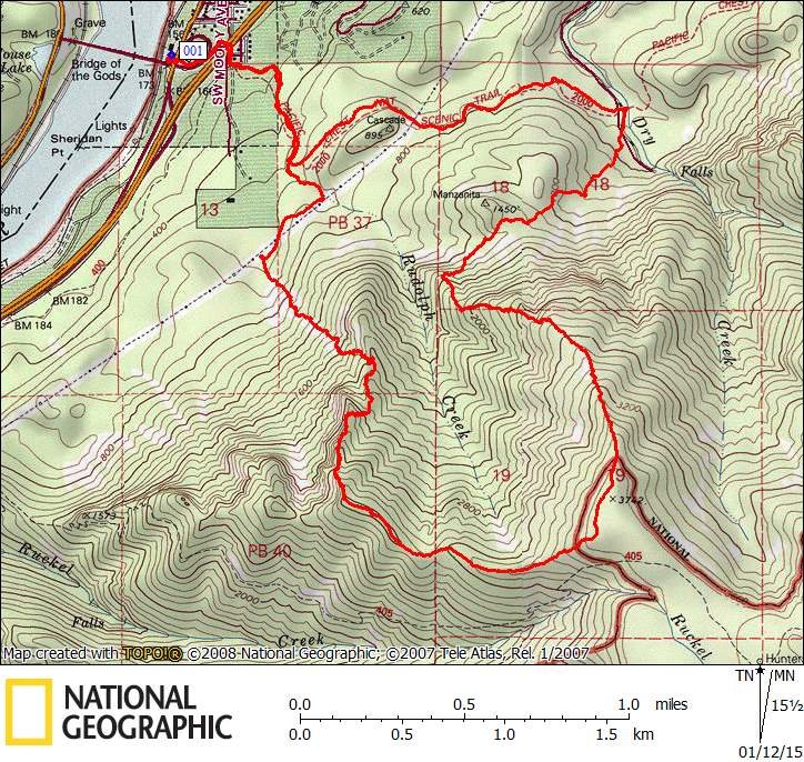
Table Mtn to almost Hamilton Mtn Loop
18 miles of hiking • 7000' elevation gain •
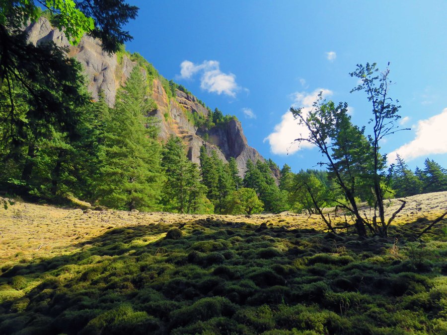
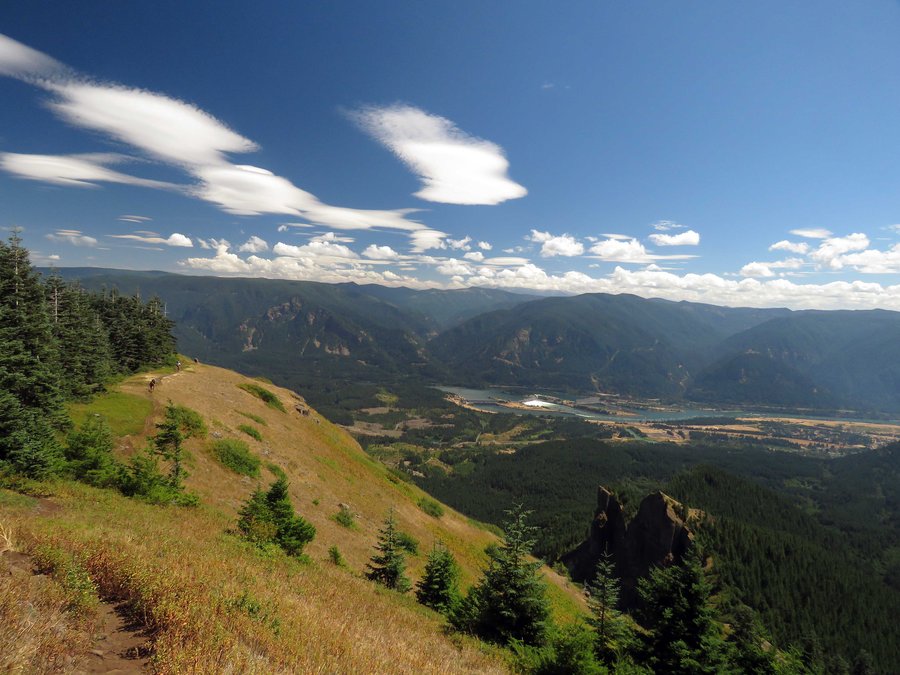
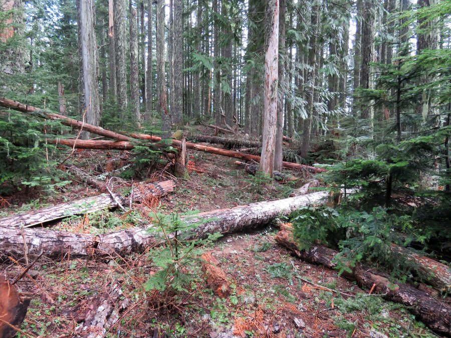
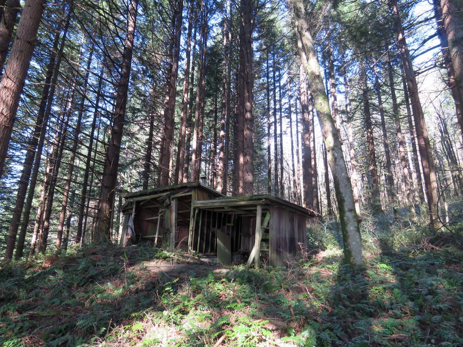
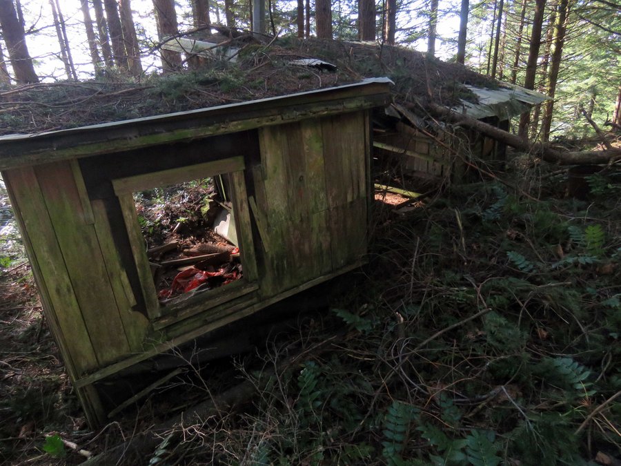
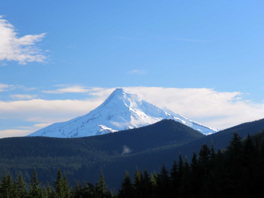
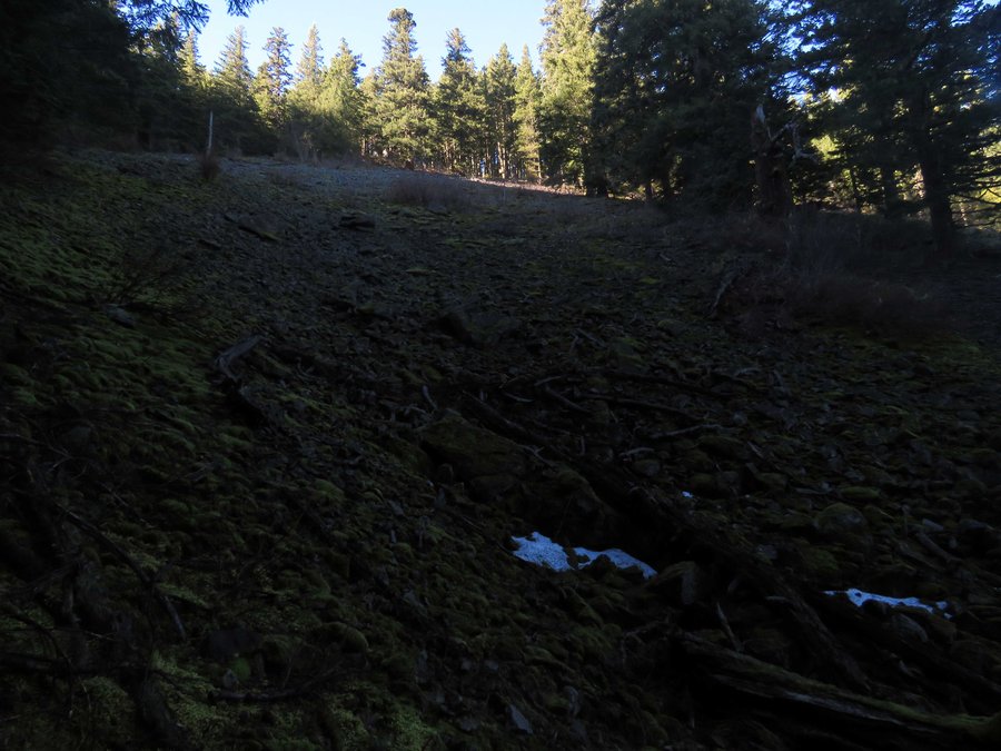
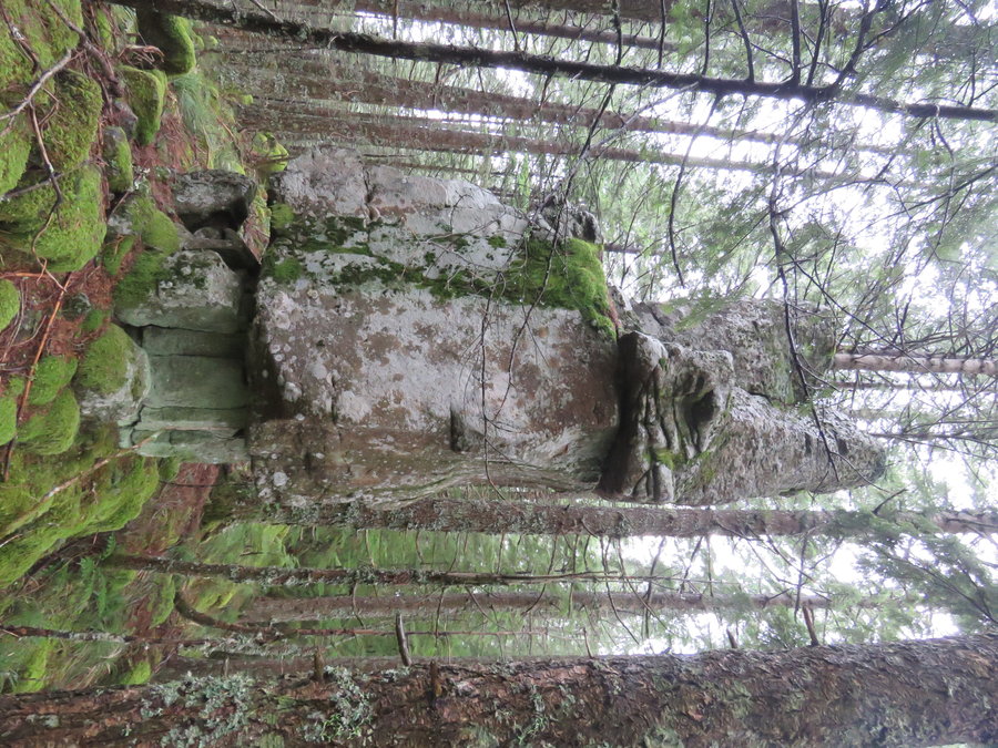
There are a few ways to do this, originally I spec'ed it as a bike n hike between the Hamilton TH and Bonneville Hot Springs but with Hamilton Creek being low I thought I try one of the pure hiking versions. I could have (and should have) parked at Bonneville HS or the Aldrich Butte TH and gone up Table from there to return on the offtrail piece below Hamilton instead I started from Hamilton and did the part below the south face of Hamilton first. This added a good 1000' EG to the route and caused me to be late getting back to the Hamilton TH where DNR threatens to lock the gate 1/2 hour after sunset (do they really do this?) so I had to skip the summit of Hamilton. As I was pressed for time I missed the strange decomposing logging related structure at the north end so I'll do this again and give myself some time to explore. I ran into lots of little trails I expected to see and some that appeared from nowhere - an updated Don Nelsen map would be useful.

August 8, 2015


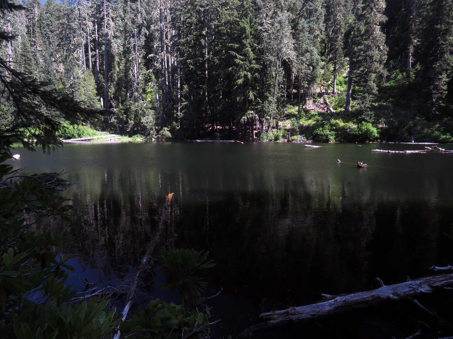
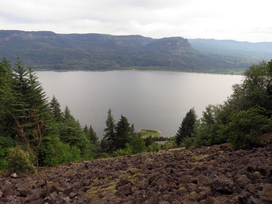
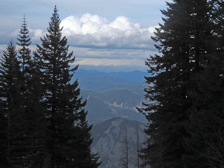
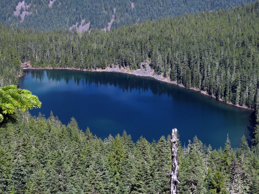
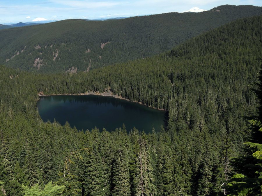
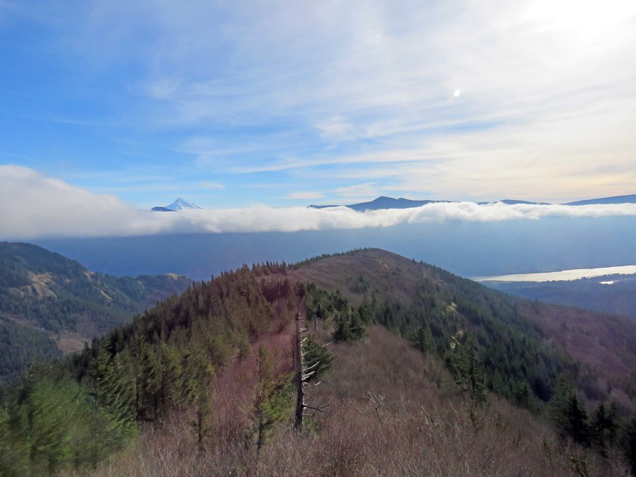
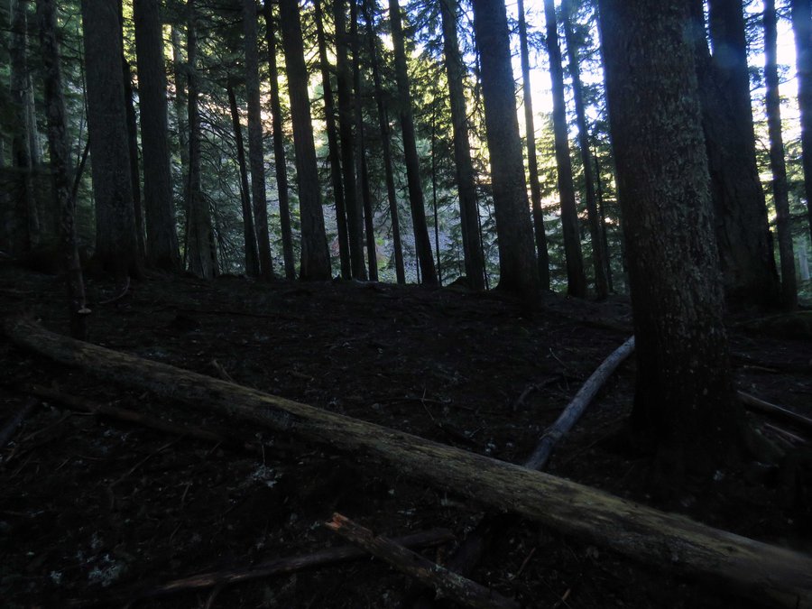
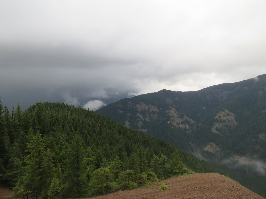
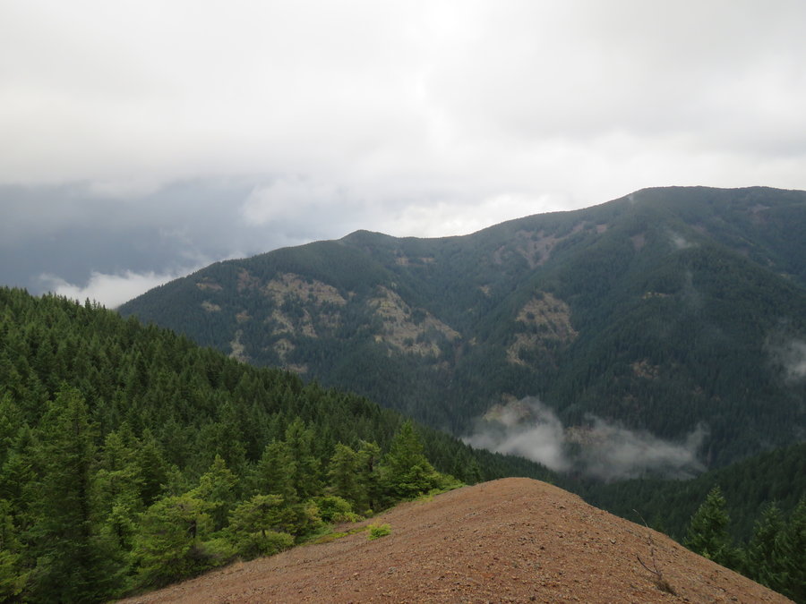
Thunder Mtn, Skookum Lake
6 miles of hiking • 2000' elevation gain •
Short hike up to Thunder Mtn and down to Skookum Lake in the Clack.
July 24, 2015


 1
1
Wyeth Ridge
8.5 miles of hiking • 3500' elevation gain •
Hiked up to the vision quest pits on the ridge east of Wyeth Trail, expansive views on a hot summer day.
July 19, 2015

Fish Creek Mtn Explorations
9.5 miles of hiking • 2750' elevation gain •
Explorations around Fish Creek Mtn.
July 11, 2015

Nesmith Ridge
5 miles of hiking • 3000' elevation gain •
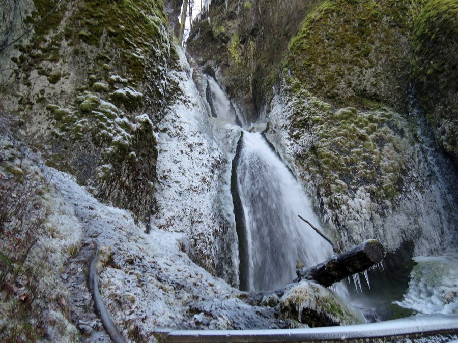
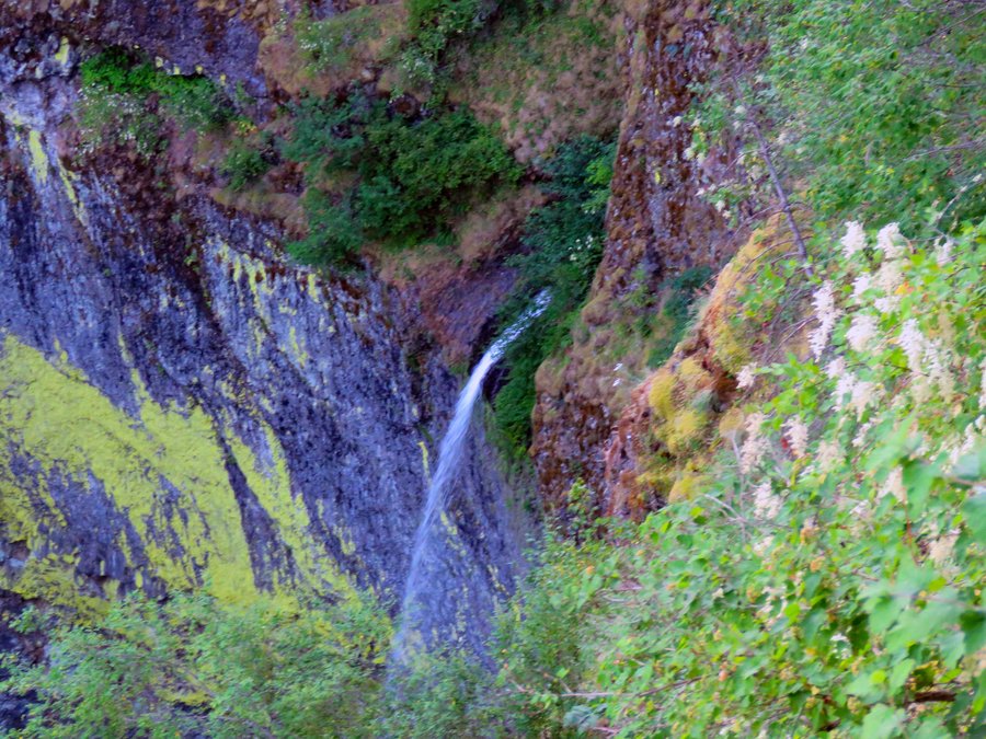
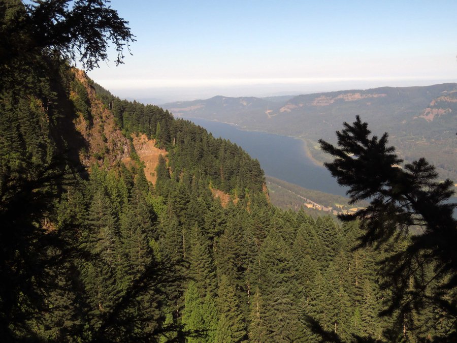
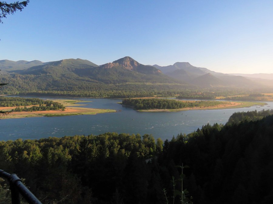
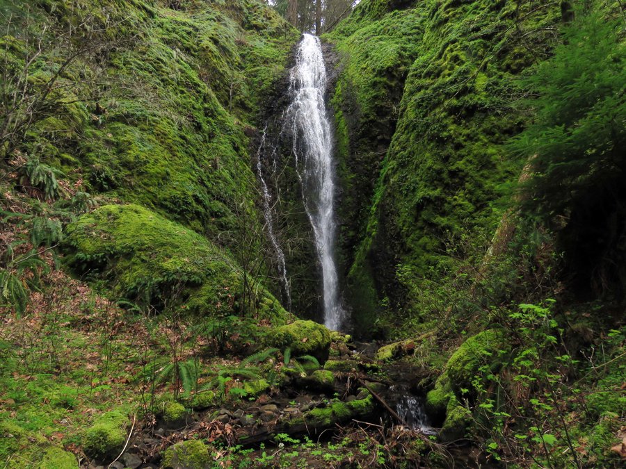
Short loop hike up Nesmith Ridge with a return on Nesmith Point Trail. A pile of busted window glass in the parking lot. Started early and did not see a single person all day although the parking lot was full when I returned - must all have been headed for Elowah Falls. McCord creek is just a dribble like late-August conditions.
July 4, 2015


Indian Henry to Fish Creek Mtn
8.5 miles of hiking • 4000' elevation gain •
Did a hike n bike on Fish Creek Mtn. Drove up to the Fish Creek Mtn trail head and stashed a bike for the return trip. Drove back down to the Indian Henry Campground and parked at the Clackamas River trail head. Hiked up the south ridge of Whale Creek and bushwhacked over to High Lake and got on trail for the summit. Warm, muggy and a lot of haze.
June 28, 2015

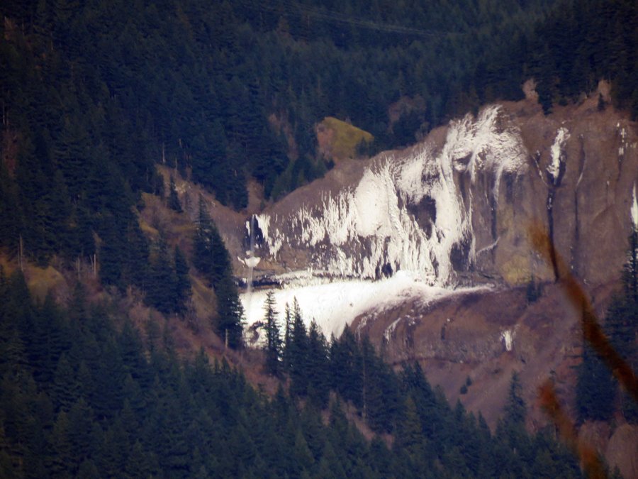
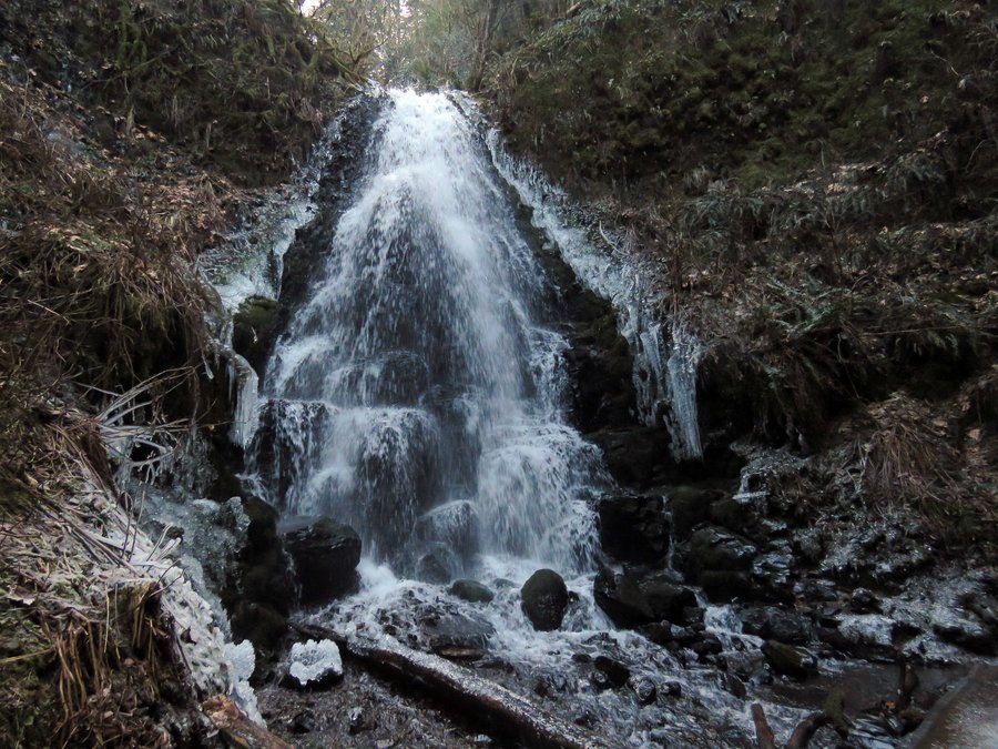
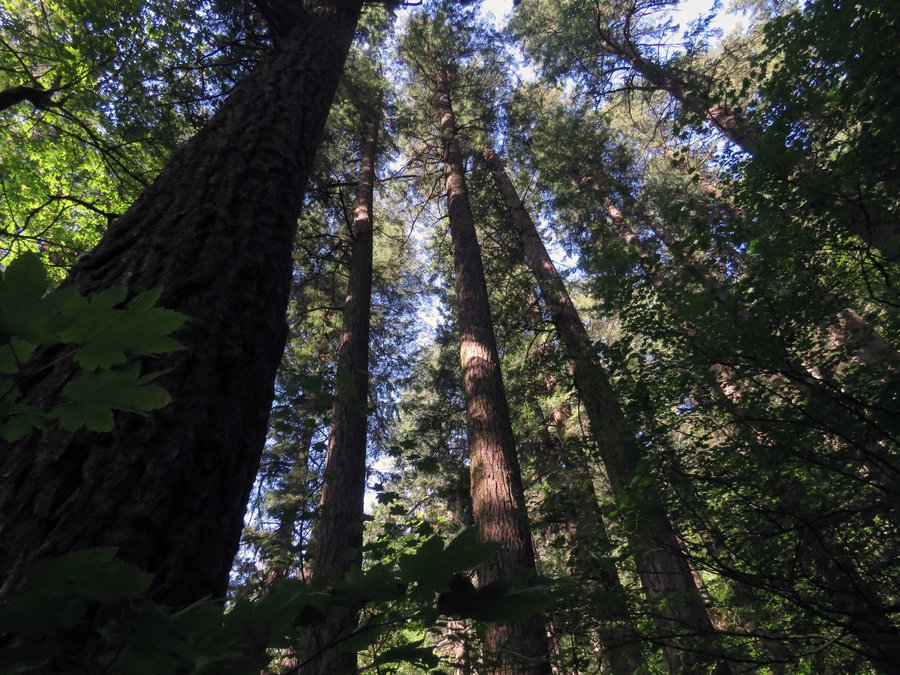
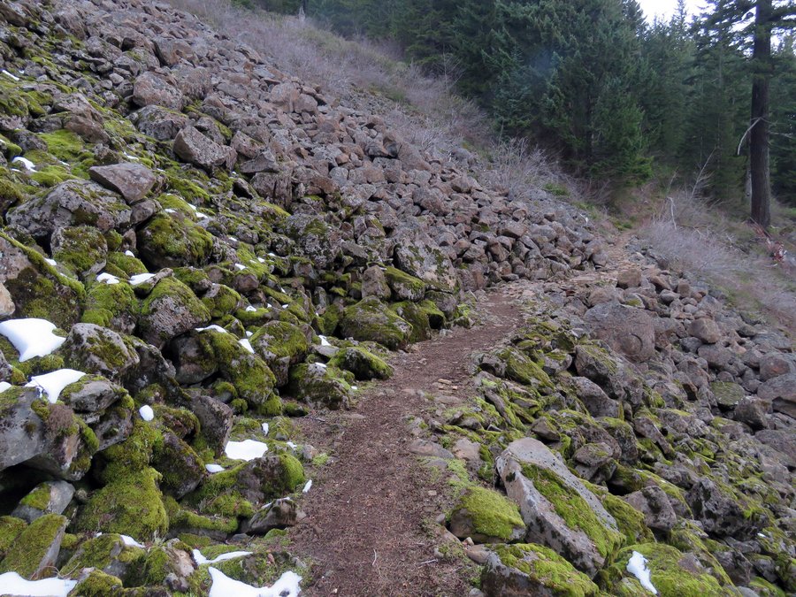
Elevator Shaft in the Gorge
6 miles of hiking • 2250' elevation gain •
Leg stretcher up the Elevator Shaft - the trail has seen some work and with bits of flagging was easy to follow all the way up to the basin. Poison oak at the start.
June 21, 2015

 1
1
Devils Rest/Primrose
6 miles of hiking • 2750' elevation gain •
Leg stretcher to Devils Rest from Wahkeena returned on Primrose Trail.
June 14, 2015

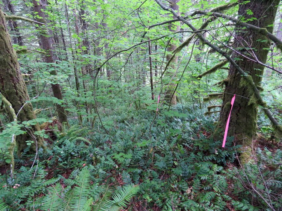
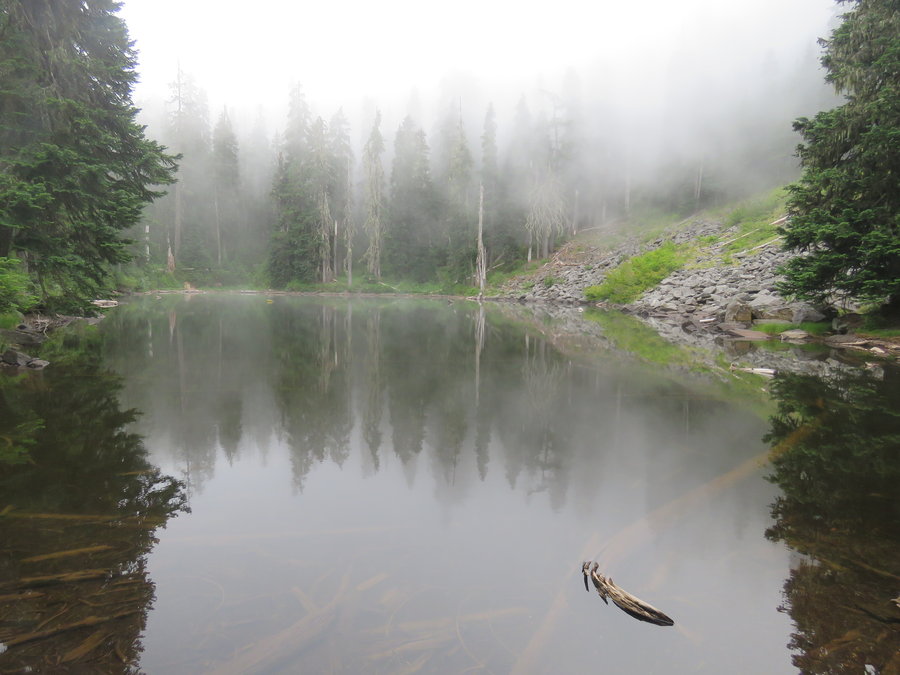
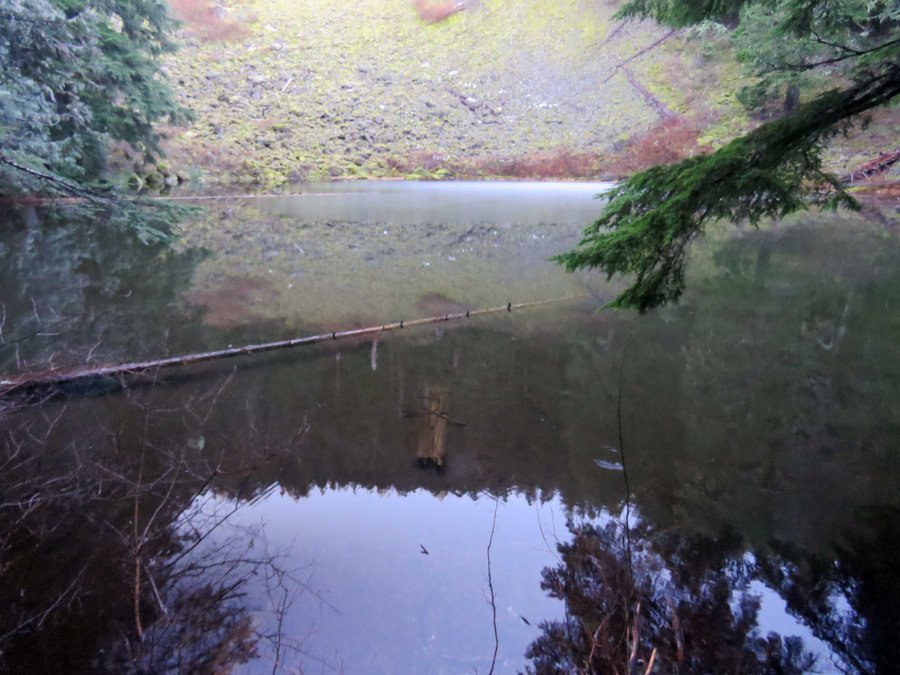
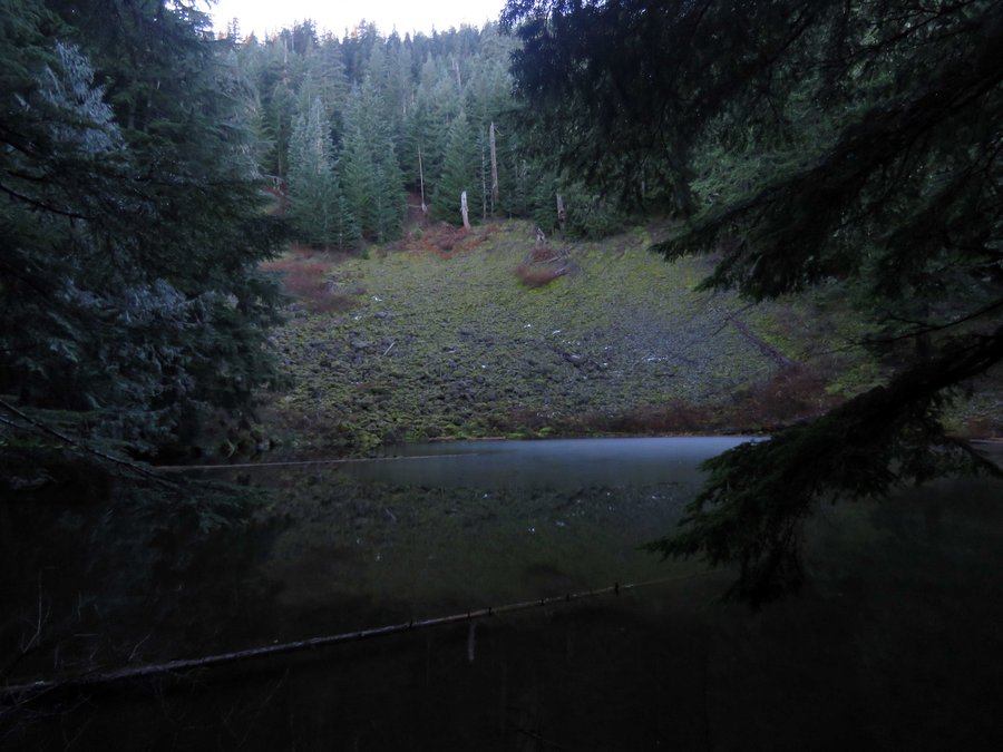
Splintercat Creek Basin Explorations
8.5 miles of hiking • 1750' elevation gain •
Went out on a spur off Indian Ridge in the Roaring River Wilderness and dropped down to explore the 3 lakes at the headwaters of Splintercat Creek. Too many rhodies kept me from visiting all three so I took two and bailed.
June 6, 2015

Council Crest from OHSU
4 miles of hiking • 1000' elevation gain •
Down the Conner Trail from OHSU to the Marquam Shelter then on to Council Crest and back for a during the work day leg stretcher.
June 5, 2015
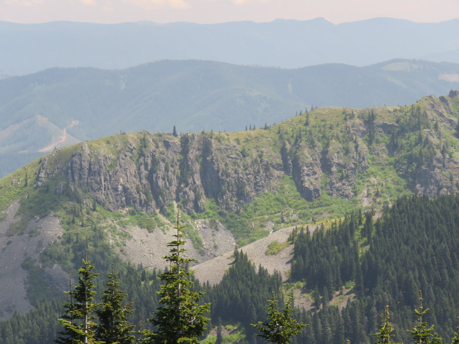
 3
3
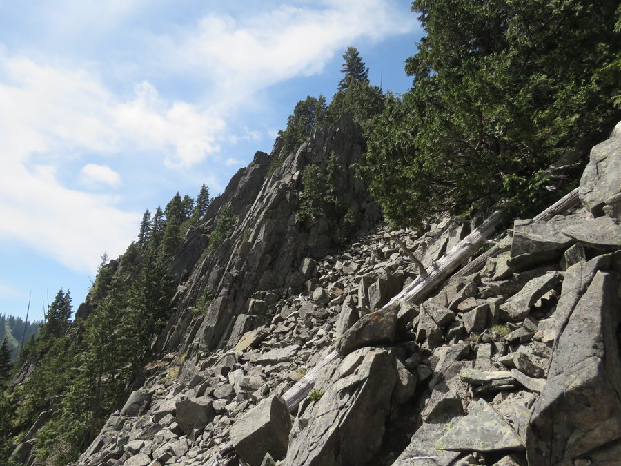
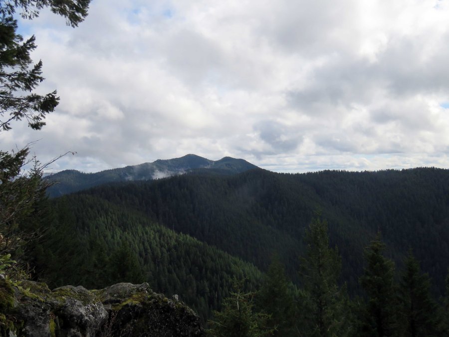
East Ridge Starway
6 miles of hiking • 2000' elevation gain •
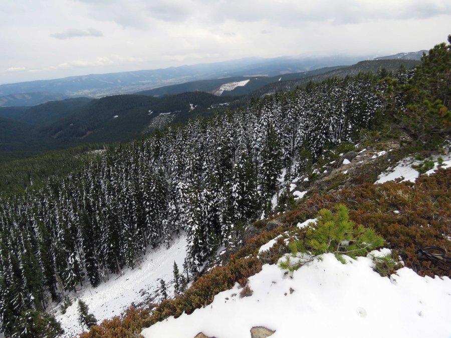
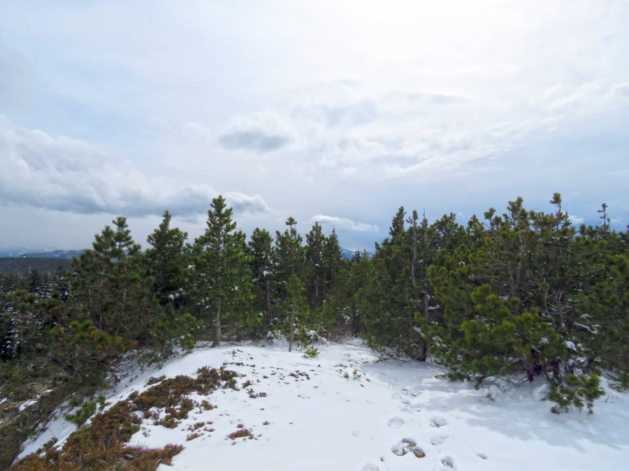
Hiked up the ridge east of the Starway Trail. The ridge is divided into forest down low and rocky ridge above. The forest part was pretty easy to navigate and there is an east/west use trail at the bottom to help get started. The rocky section is a little tougher with some large boulder fields to navigate and one cliff band to figure out (I did a nice steep gully). There is a 2-300' band of mountain alder and vine maple to negotiate just before the final push to the 3977' point. After that it is bear grass meadow. Great views once out of the woods and of course at the 3977' point. Closed the loop with a return on the Starway Trail.
May 30, 2015


Rho Ridge to Mt Lowe Hike n Bike
15 miles of hiking • 3750' elevation gain •
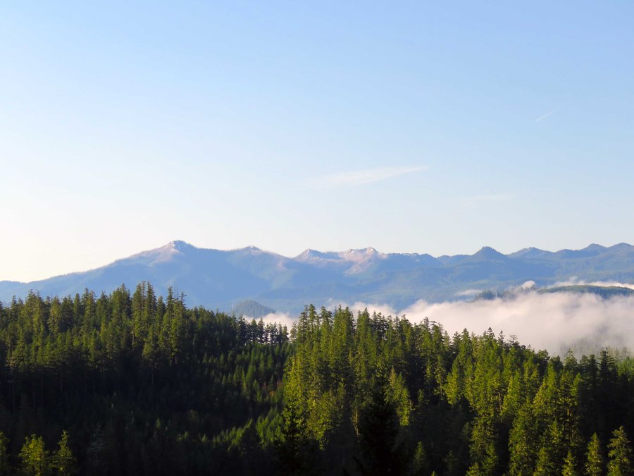
Hiked up to Mt Lowe from the Burnt Granite end and came out Rho Creek trail where I'd stashed a bike for the return trip. Top of Jefferson was behind the clouds, Three Finger Jack was visible.
May 25, 2015

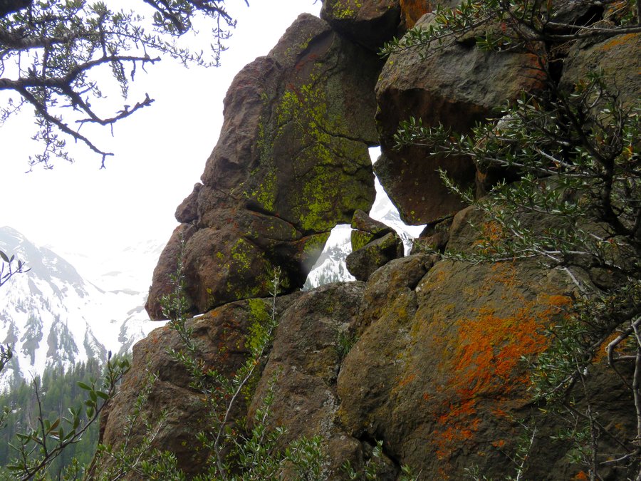
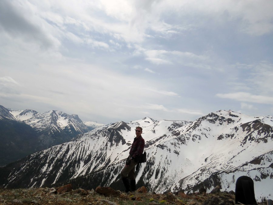
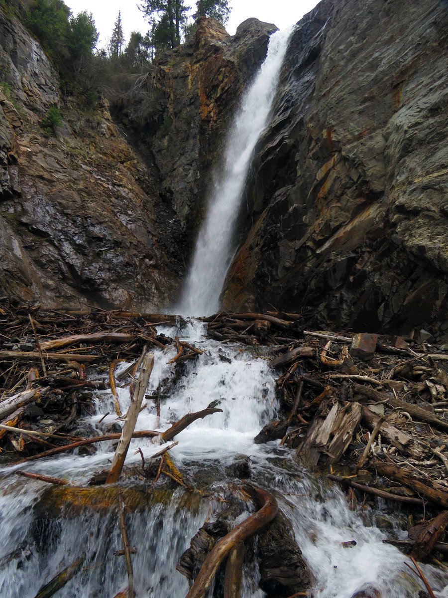
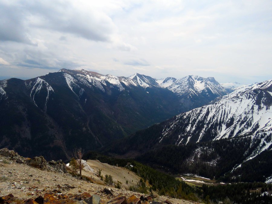
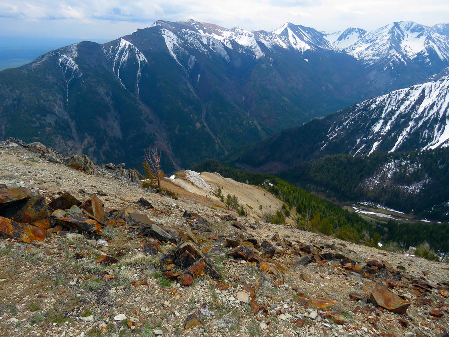
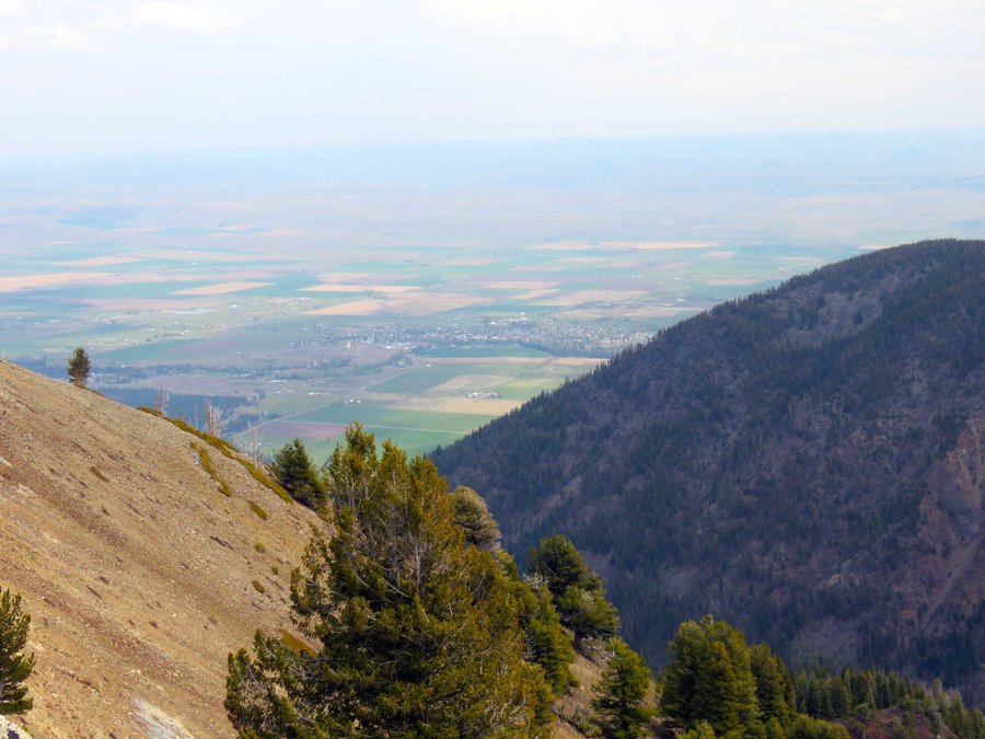
Dug Peak in the Eagle Cap WIlderness
5.5 miles of hiking • 3750' elevation gain •
!st visit to the Wallowas. Too much snow above 7500' and ticks were out in force. Most trails are graded for horses with long, long switchbacks and tread covered in a layer of horse poop (aren't horse people supposed to clean this stuff up?). I'm going to purchase the Barstad Eagle Cap Wilderness book and do hikes that avoid this unpleasantness. Magnificent mountains - I should've been out there years ago. This hike is from the second day - Dug Peak. I'd planned to do Falls Creek Trail until I reached snow then turn back but I ran across a sign on the way up that pointed to a small peak referred to as Dug Peak. Turned out to be just what I was looking for - a ridge romp got me to a snow free peak at 8400' with terrific looks at a small portion of this wilderness - Chief Joseph, Sacajawea, Matterhorn, and the town of Joseph some 4000' below, etc..
I'll be back...
May 11, 2015

2 short hikes in the Wallowas
12 miles of hiking • 3500' elevation gain •
1st visit to the Wallowas - did two hikes the first day - one off Bear Creek Trail and another from the Lostine River in the direction of Francis Lake. These 2 hikes were more to get acquainted with roads and trailheads. Important lesson learned, this is tick season in the Wallowas and trails graded for horses are no fun to hike. Live and learn...
May 10, 2015

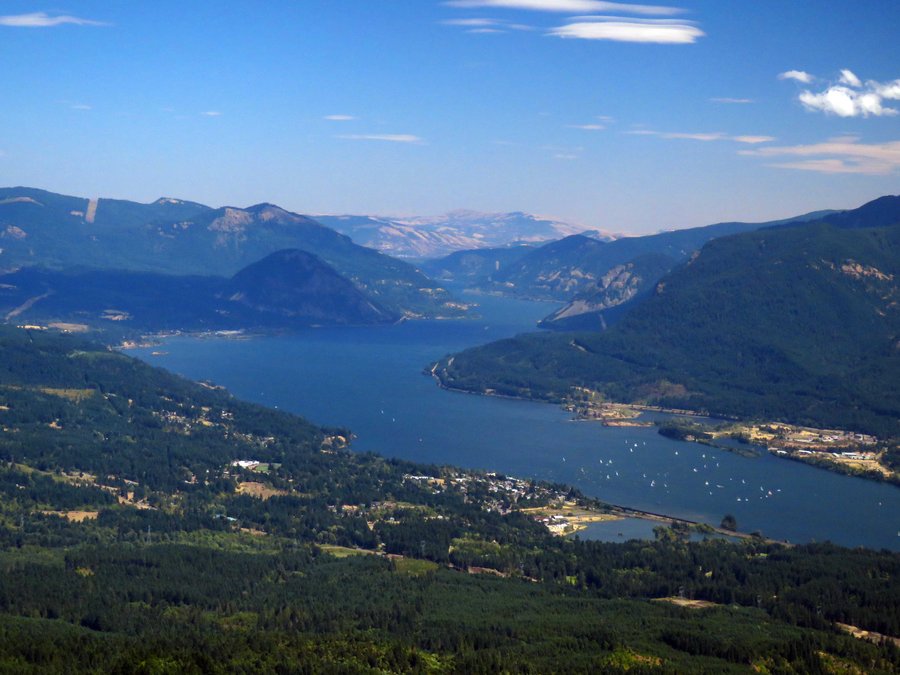
Warren Lake
9.9 miles of hiking • 4250' elevation gain •
Up Starvation Ridge to Warren Lake and back down Defiance.
April 26, 2015

Rho Ridge
6 miles of hiking • 2000' elevation gain •
Rho Ridge in the Clack. Did the part from 2000' to 4000'.
April 12, 2015

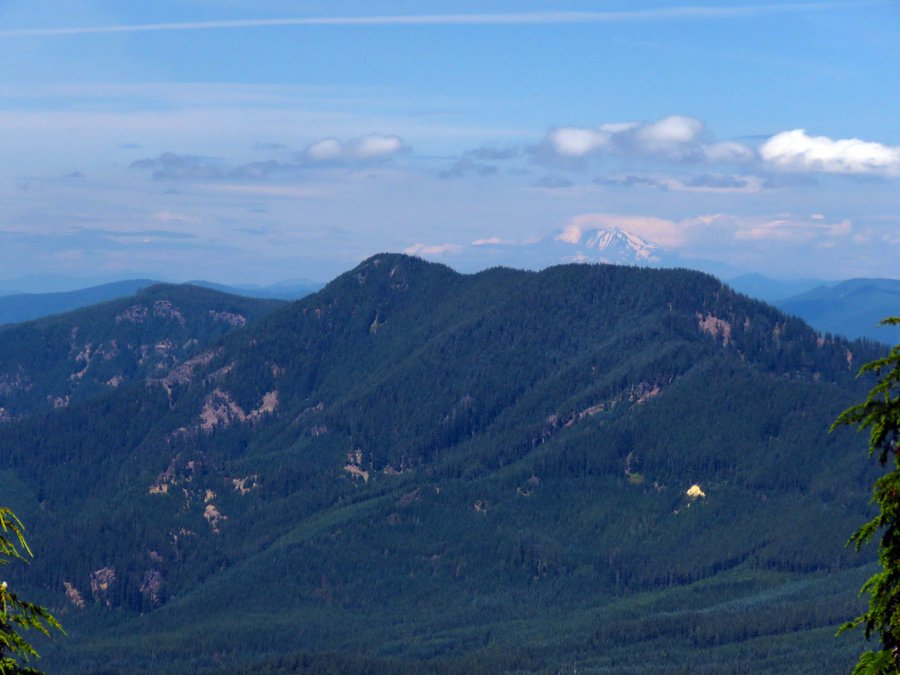
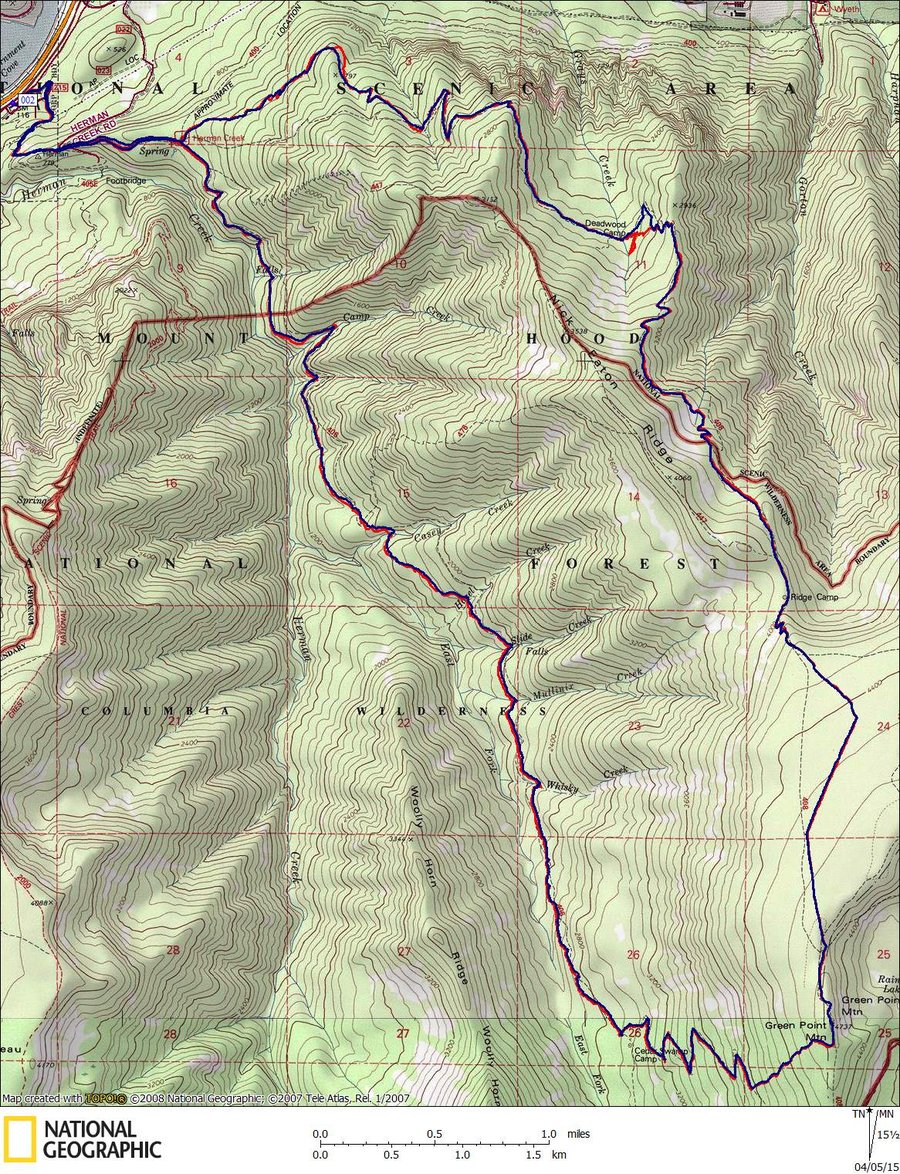
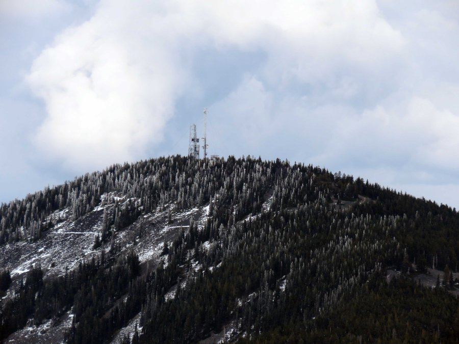
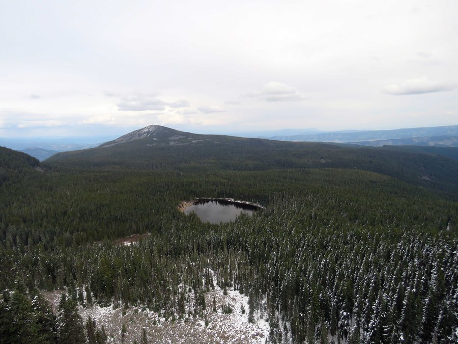
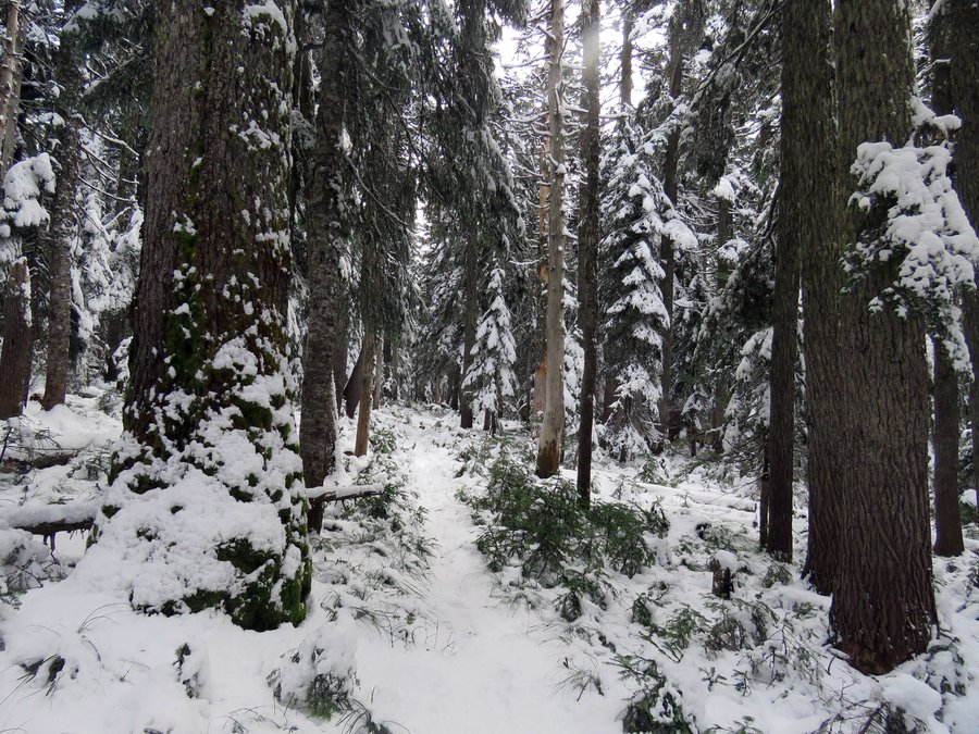
Green Point Mountain
18.5 miles of hiking • 5250' elevation gain •
Hiked up Herman Creek Trail from the Work Center to the cutoff trail at Cedar Swamp. On to Green Point Mtn and return on Gorton Creek. Maybe 4 inches of snow above 4000' - 8 inches in "drifts". There should be 8' of Cascade Concrete - Old Man Winter didn't even try this winter, sad.
April 5, 2015

 3
3
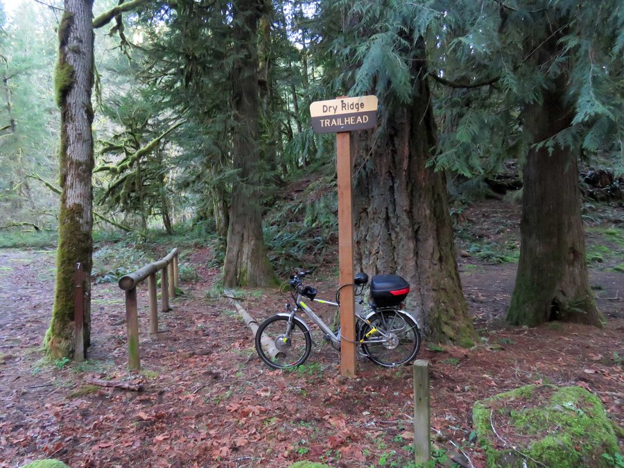
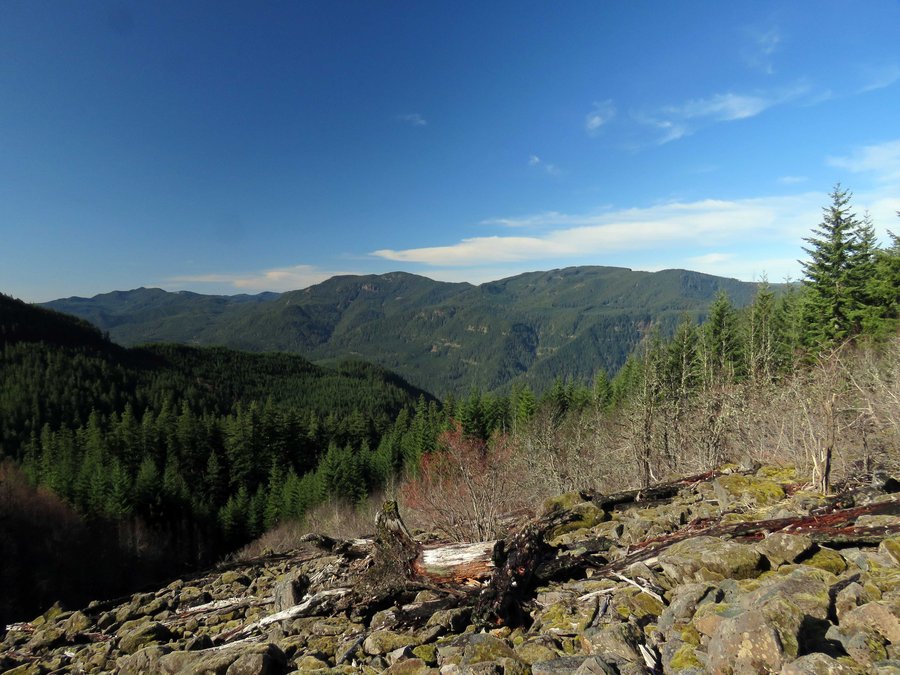
Cripple Creek, Cache Meadow, Grouse point, Dry Ridge
15 miles of hiking • 3500' elevation gain •
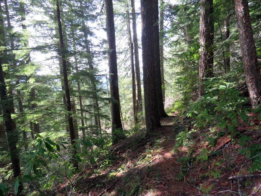
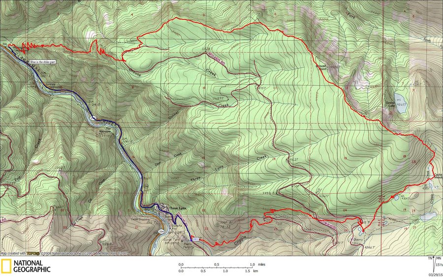
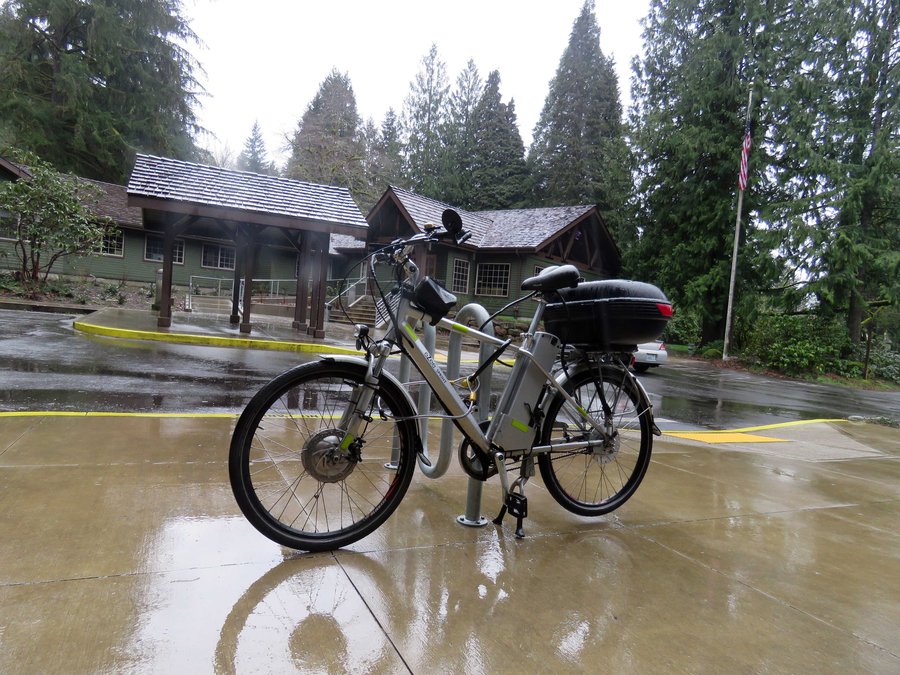
Hike 'n bike in the Roaring River Wilderness. Went up Cripple Creek Trail to Cache Meadow Trail then to the ridge above Serene Lake on the Grouse Point Trail followed by an exit at the Roaring River Campground via the Dry Ridge Trail. Hopped on the e-bike for the return through Three Lynx to the Cripple Creek trail head. Hardly a speck of snow at nearly 5000' - conditions more like summer than spring.
March 29, 2015


Council Crest
4 miles of hiking • 1000' elevation gain •
Escaped from the work place to do another quick trip up to Council Crest to enjoy the sunshine and views.
March 26, 2015
 1
1
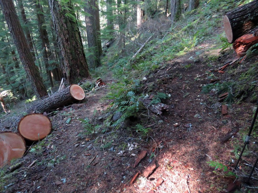
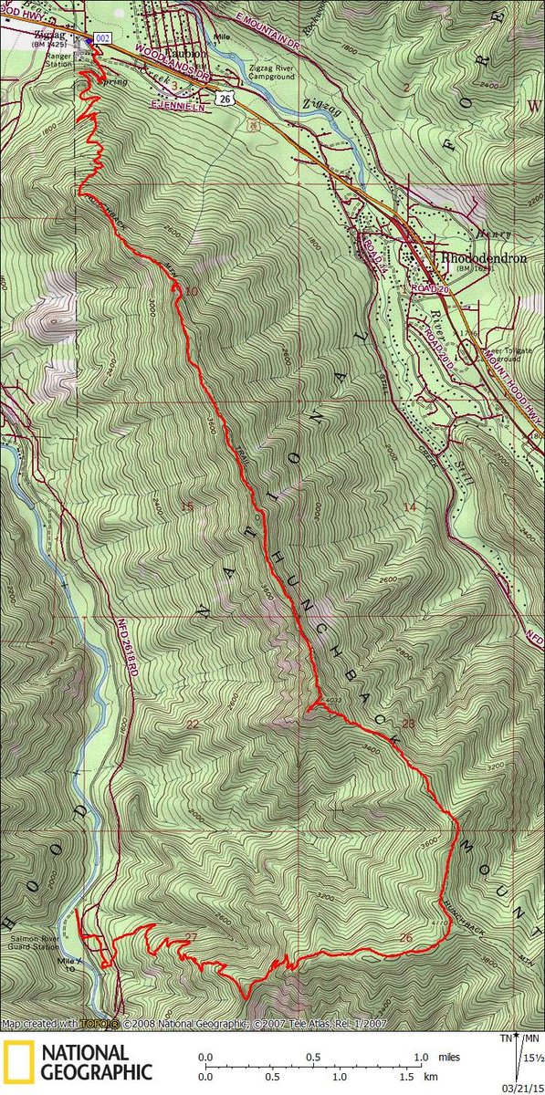
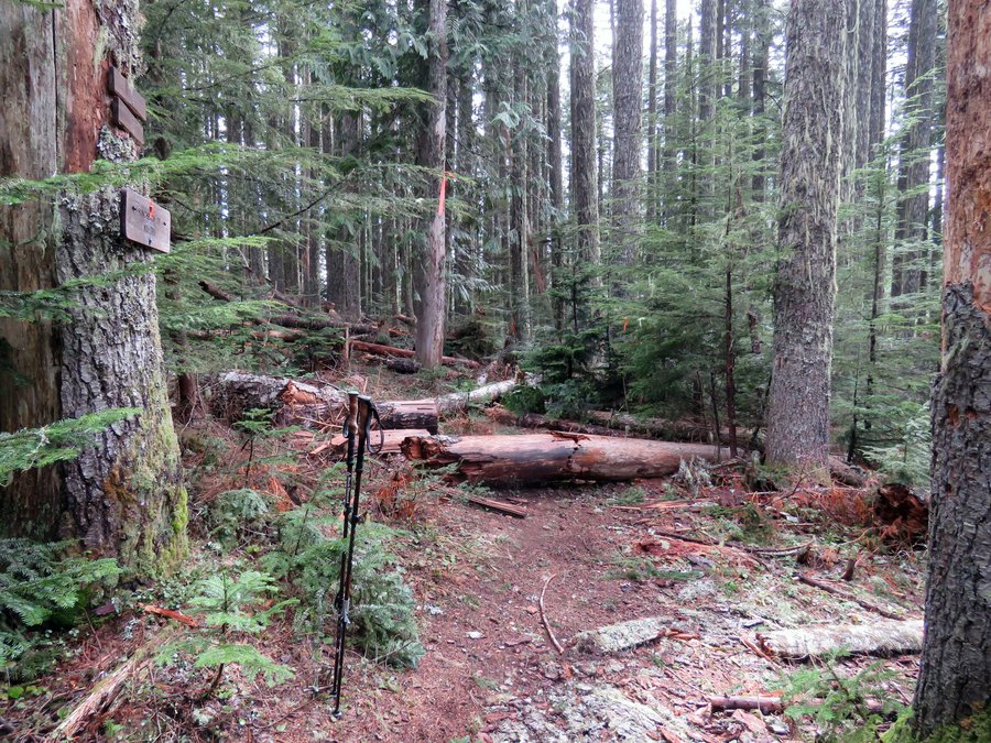
Hunchback Mtn - Green Canyon Bike 'n Hike
9.5 miles of hiking • 3500' elevation gain •
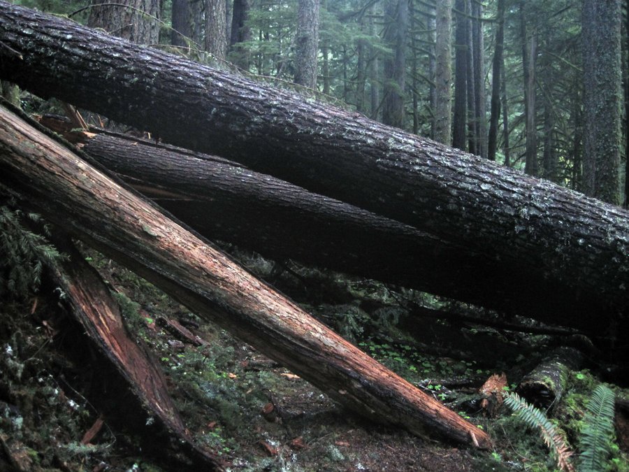
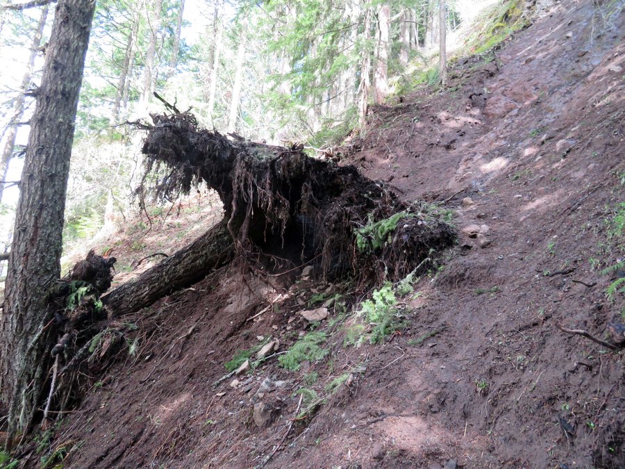
Parked at the Green Canyon campground off Salmon Mtn Road and took the ebike over to ZigZag Ranger station to the bike staple in front of the outhouse. Hiked up Hunchback Mtn to Green Canyon junction and down Green Canyon Trail for the return. Lots of blowdown on both trails - Green canyon has a couple of serious problems that will require professional treatment. No snow anywhere in the Salmon-Huck that I could see. Going to be a long hiking season.
March 21, 2015


Council Crest
4 miles of hiking • 1000' elevation gain •
Noon time exerciser from the work place -> down Conner Trail to Marquam Shelter then up to Council Crest and back.
March 17, 2015

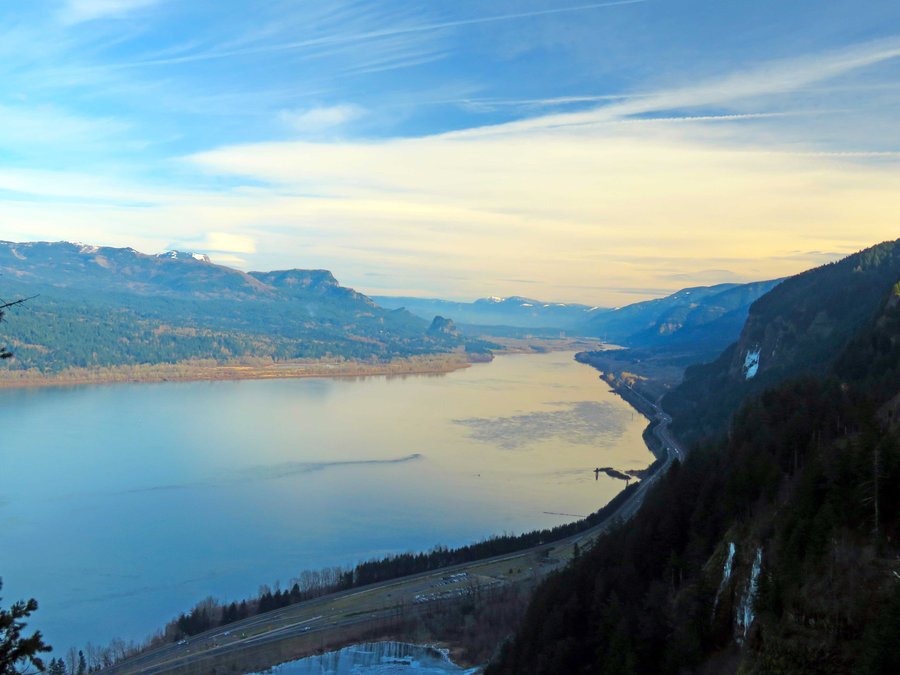
Wauneka Pt
10 miles of hiking • 4000' elevation gain •
West side approach to Wauneka Pt from Upper McCord creek Falls. Visited the Kelly Diversion dam. Returned on Nesmith Pt trail.
March 7, 2015

Ruckel Ridge in the Gorge
8 miles of hiking • 4000' elevation gain •
Leg stretcher up Ruckel Ridge. No snow on the Benson Plateau.
March 1, 2015

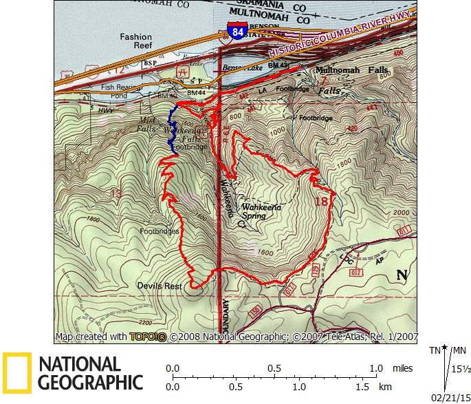
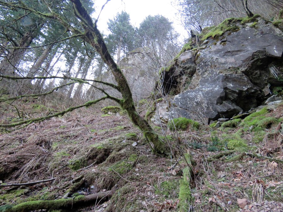
Devils Rest Direct
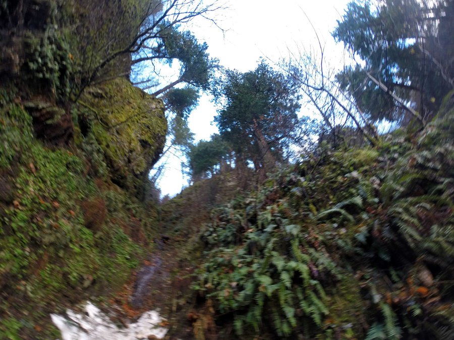
6 miles of hiking • 2500' elevation gain •
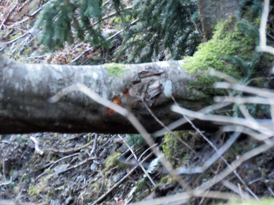
A winter-long project to locate the shortest non-technical route to Devils Rest. Took 4 tries but I was able to navigate a gully reached from the 1st switchback on Wahkeena. The crux is a bit of exposed 3rd class scrambling to route around a slide falls on a seasonal creek. I took along an ice ax for protection and used it frequently. The route is fairly brush free but steep with loose rock.
On the TOPO map the route up the gully is in blue - I came out on the trail to Angels Rest then took Primrose for the finish. The U-shaped tree had some blaze on it so this route has been used in the past.
February 21, 2015


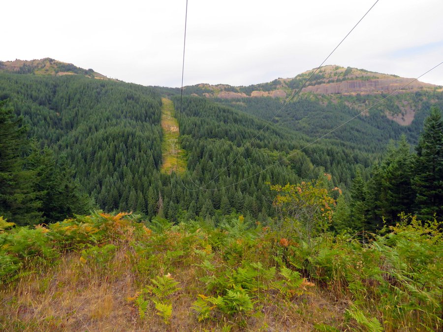
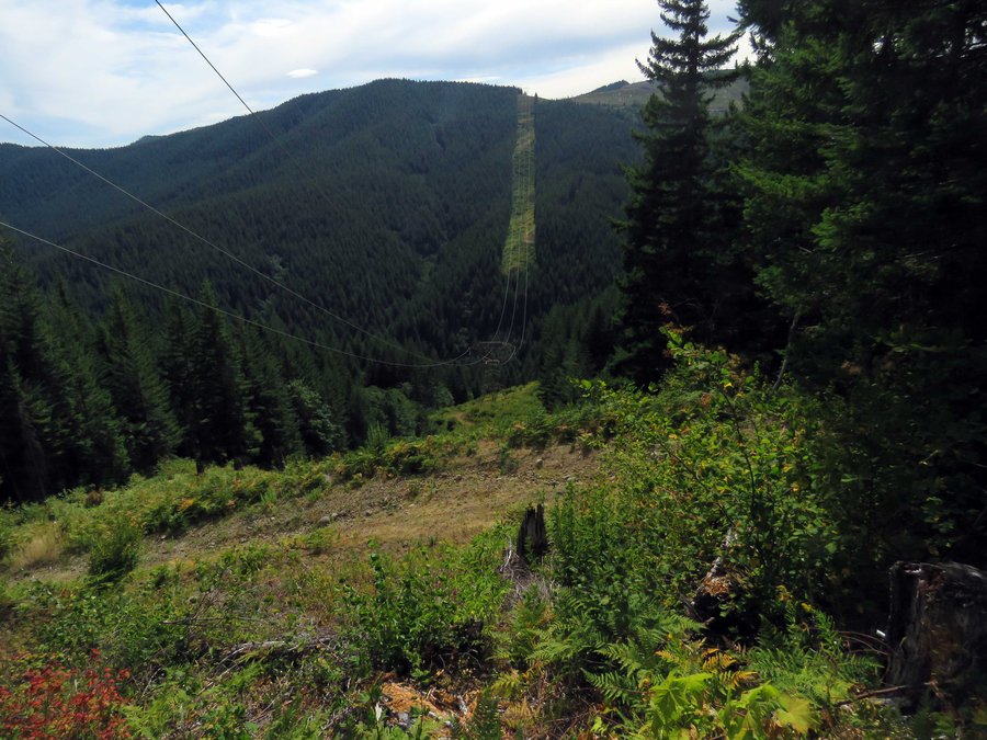
Hardy Ridge Explorations
6.5 miles of hiking • 2250' elevation gain •
First visit to the decaying cabin north of the powerlines. Looked around for the South Hardy Ridge Trail and found trail but too overgrown for me to want to uphill it all the way to the end. I'll try it again from the top down.
February 14, 2015

South Hardy Ridge
8.5 miles of hiking • 2500' elevation gain •
Went looking for trail on the south part of Hardy Ridge, found nice viewpoints, lots and lots of brush, but no trail, bummer.
January 31, 2015


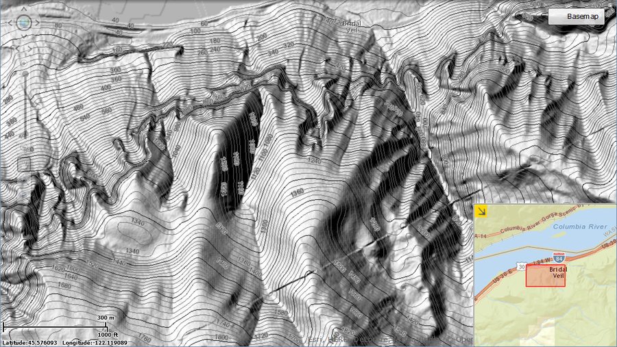
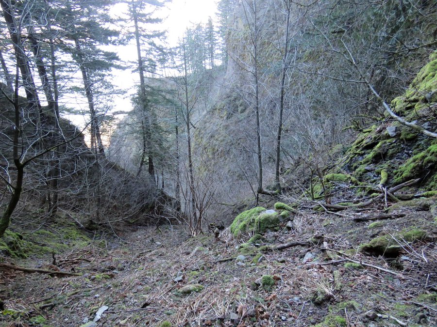
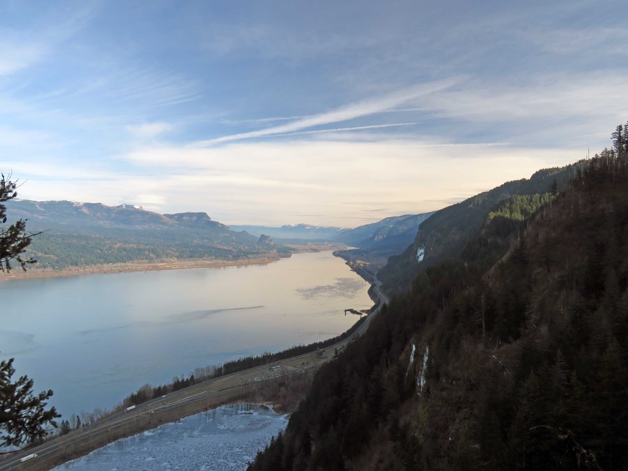
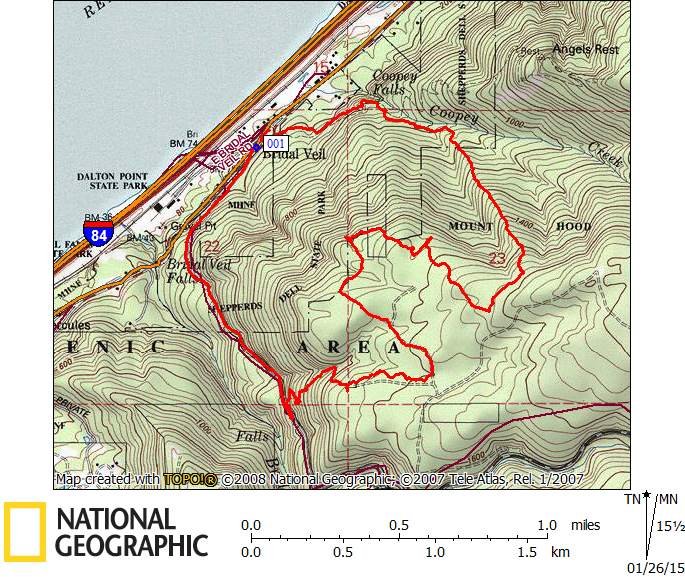
Bridal Veil Plateau and the Stairway Trail
5 miles of hiking • 1750' elevation gain •
Hiked up Palmer Mill Rd to an old logging spur then up that to Bridal Veil Plateau. Went on over to the ridge with the Stairway Trail and returned to the Angel's Rest TH.
January 25, 2015

Dry Creek Spur
11 miles of hiking • 4250' elevation gain •
Hike up Dry Creek Spur and returned on the PCT.
January 24, 2015

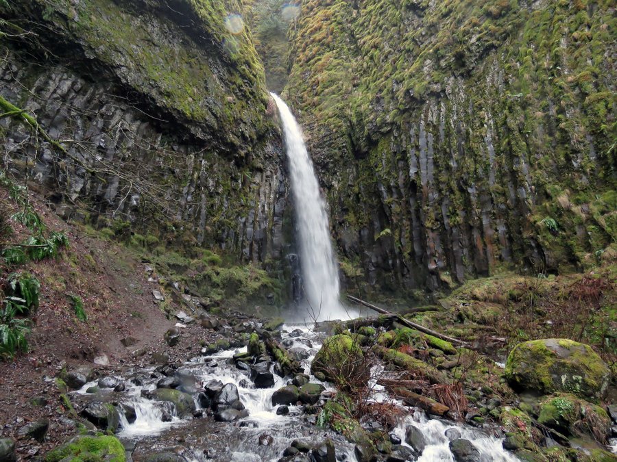
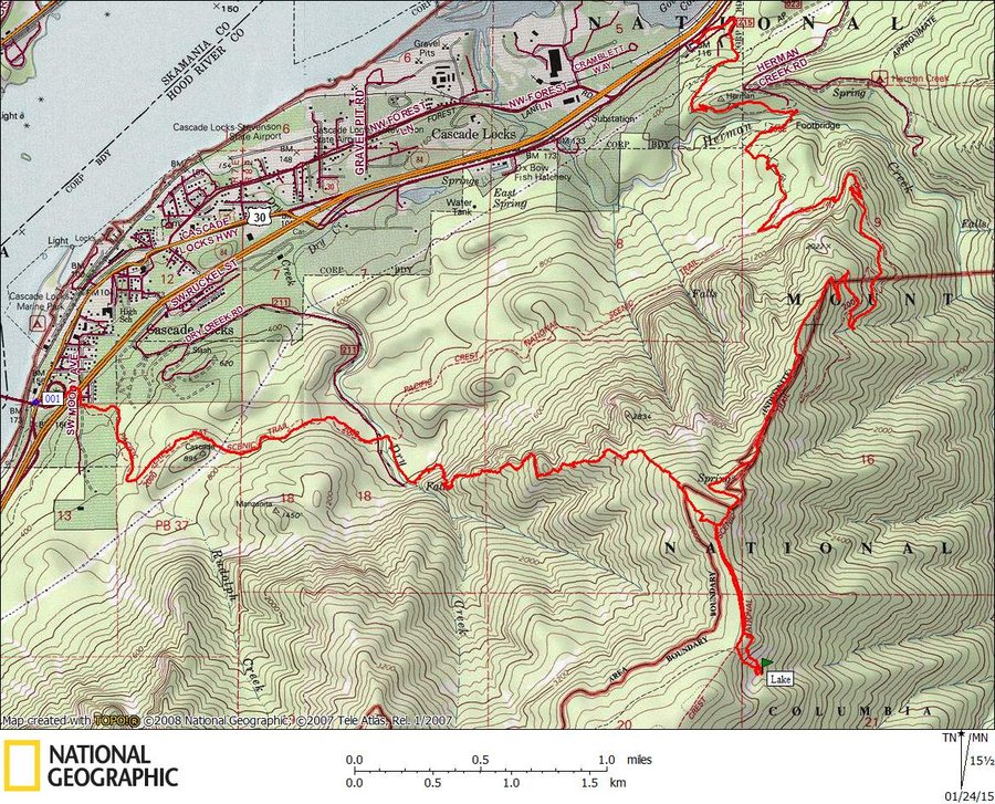
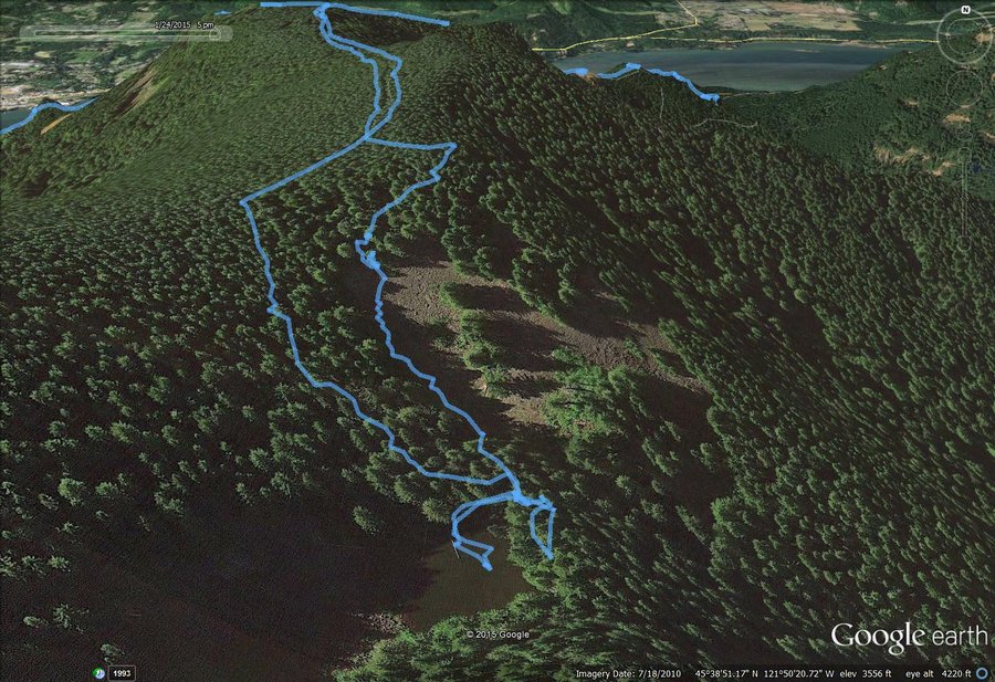
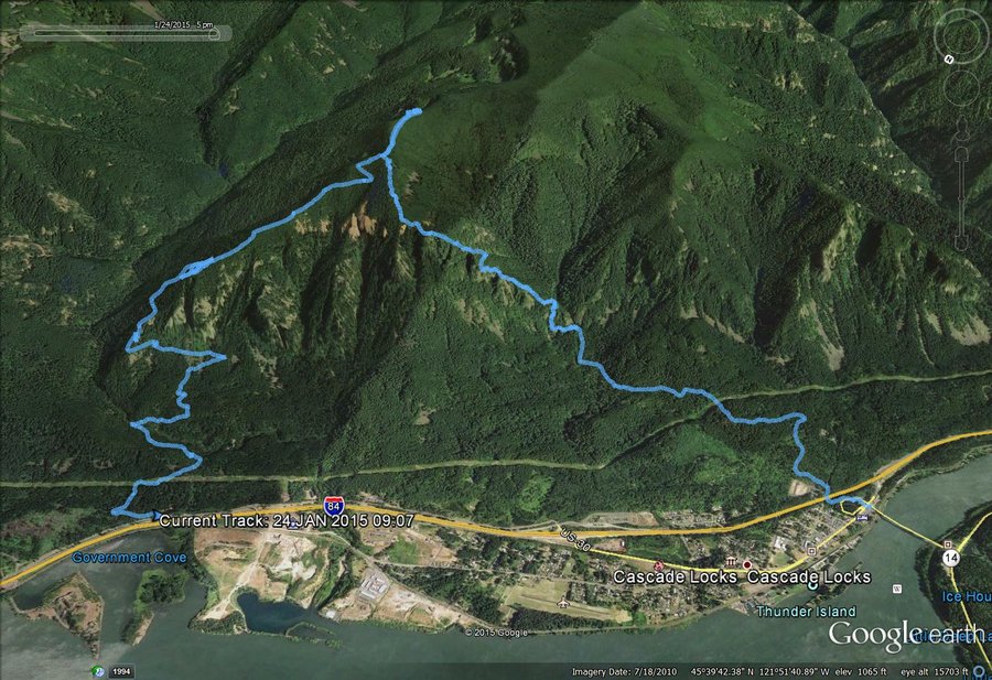
 1
1
Bridal Veil Plateau
4 miles of hiking • 1500' elevation gain •
Late start leg stretcher and trying to improve the approach on the direct way hiking up to Bridal Veil Plateau from Angels Rest TH. Think I found a nice route - go up Palmer Mill Rd to just beyond the end of pavement and take the dirt road that's off to the left. Go up the road a couple hundred feet and head over to the obvious ridge and off you go. Very steep in places but not bad for brush. The trails on the plateau have really been improved since I started going up there and it was no problem to find the way back to Palmer Mill Rd for the return.
January 19, 2015


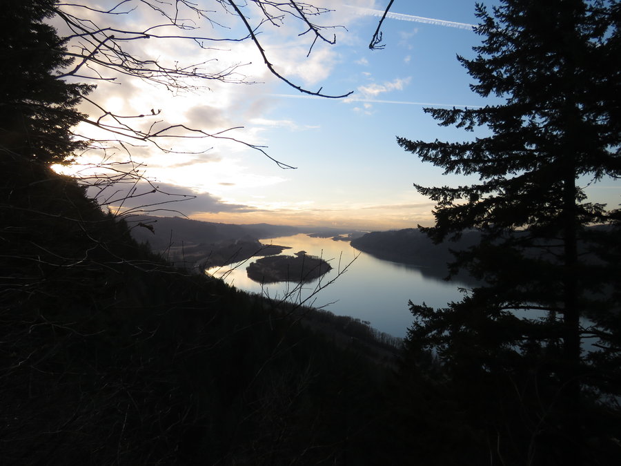
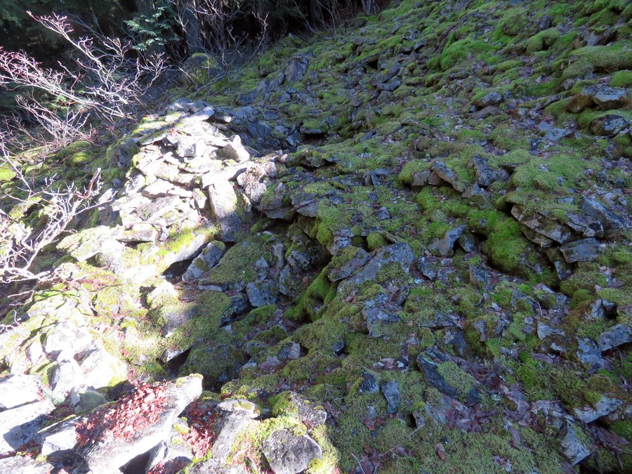
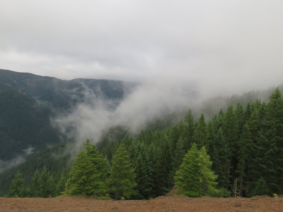
Rudolph/PCT Loop
13.5 miles of hiking • 4500' elevation gain •
Looking for another approach to Rudolph Spur rather than the PCT which adds a couple of miles. Worked OK. Got up on the snowless Benson Plateau and took the Benson Way trail to the PCT and back to Cascade Locks. Wet and rainy all day but views were available when under 3000'.
January 18, 2015

Rufus/Rudolph Loop
8 miles of hiking • 4000' elevation gain •
Leg stretcher up Rufus Ridge and return on Rudolph Spur. Wet cold miserable and socked in all day, lots of fun.
January 11, 2015

 1
1
Devils Rest/Primrose
7 miles of hiking • 2500' elevation gain •
Went up from Wahkeena to Devils Rest via Primrose Trail took the usual way back.
January 2, 2015