6 miles of hiking • 2500' elevation gain •
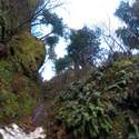
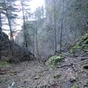
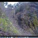
A winter-long project to locate the shortest non-technical route to Devils Rest. Took 4 tries but I was able to navigate a gully reached from the 1st switchback on Wahkeena. The crux is a bit of exposed 3rd class scrambling to route around a slide falls on a seasonal creek. I took along an ice ax for protection and used it frequently. The route is fairly brush free but steep with loose rock.
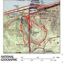
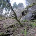
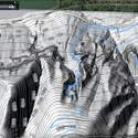
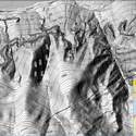
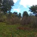
On the TOPO map the route up the gully is in blue - I came out on the trail to Angels Rest then took Primrose for the finish. The U-shaped tree had some blaze on it so this route has been used in the past.


