

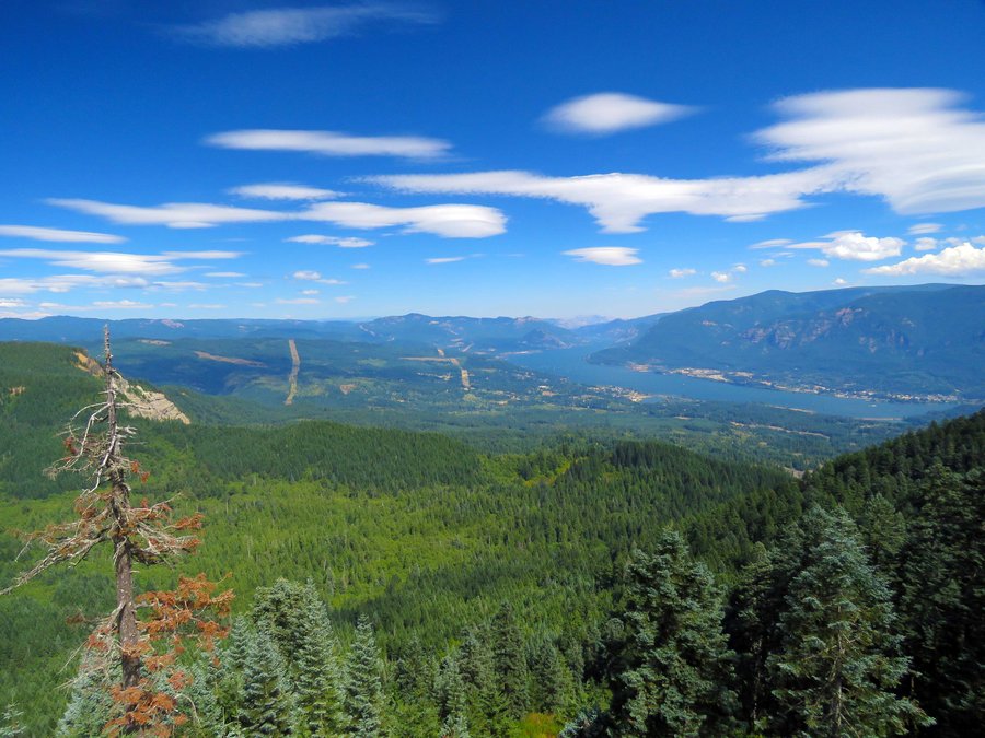
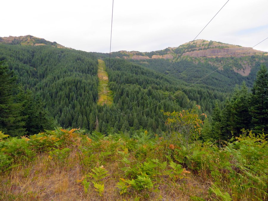
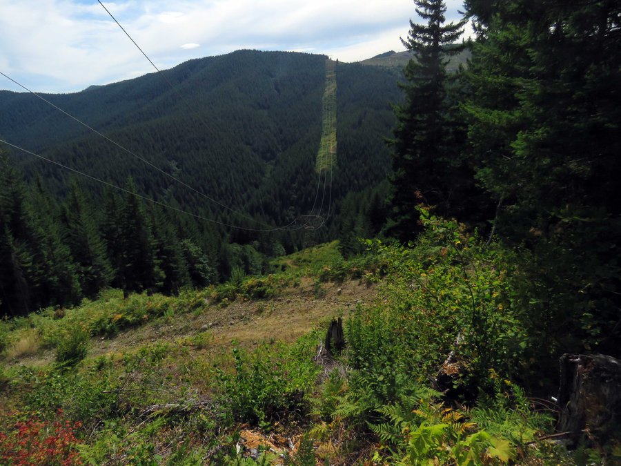
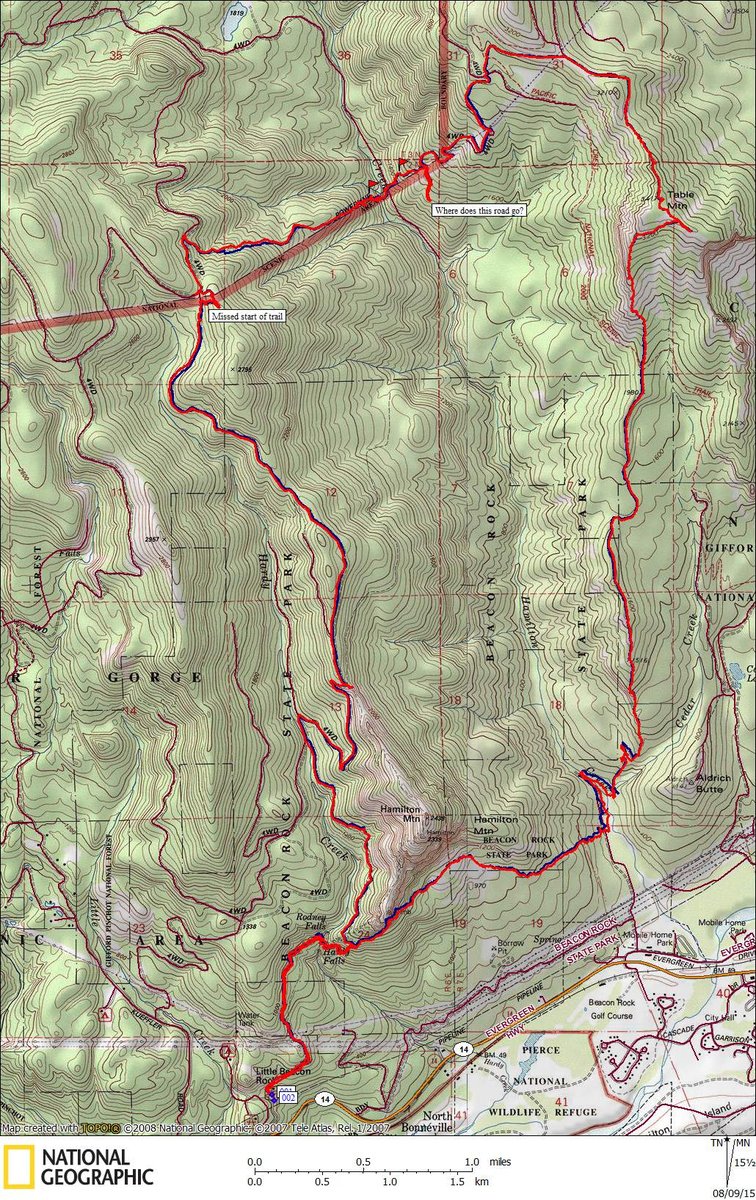
18 miles of hiking • 7000' elevation gain •
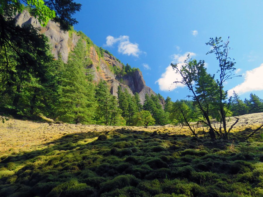
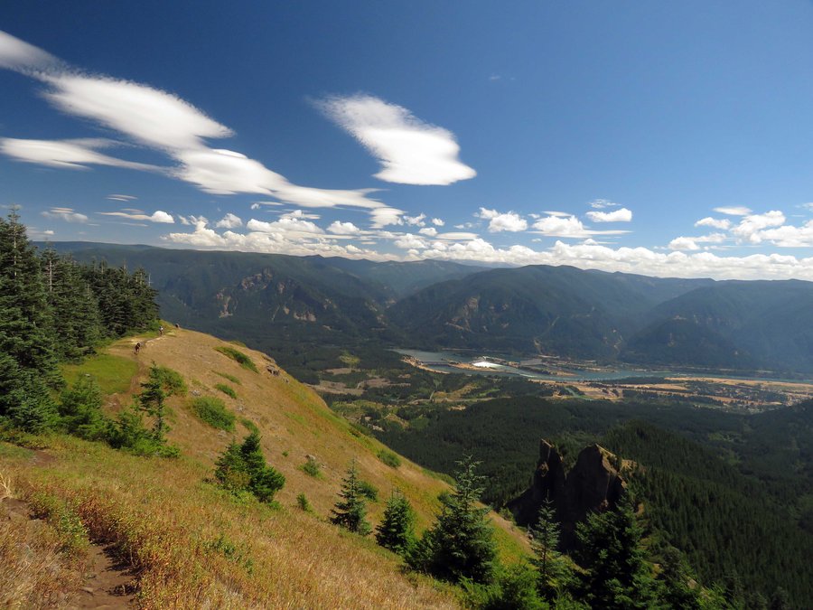
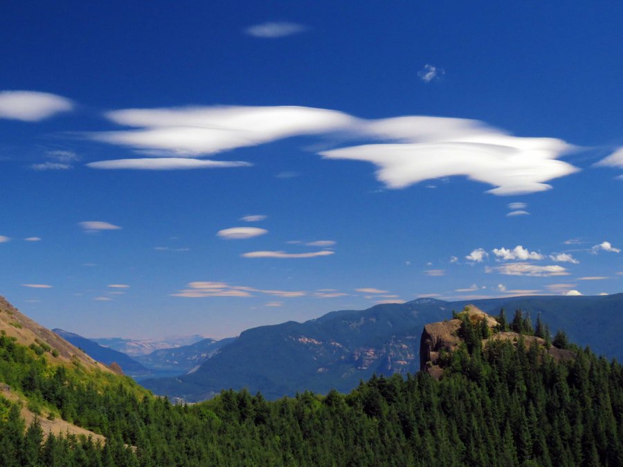
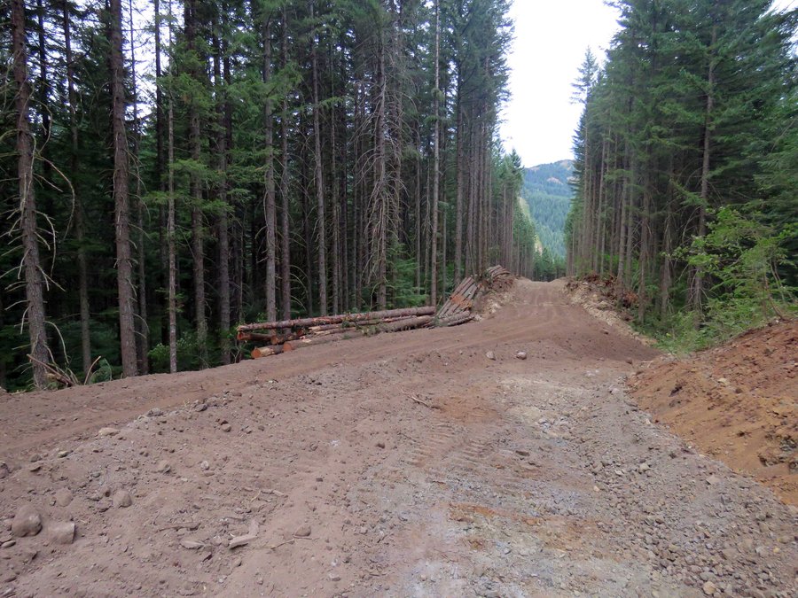
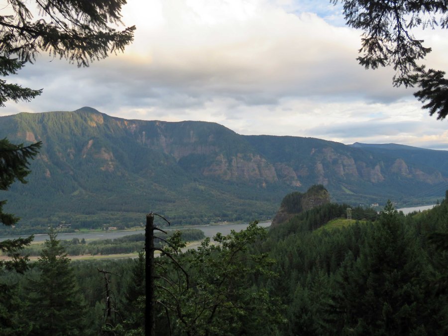
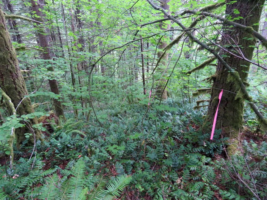
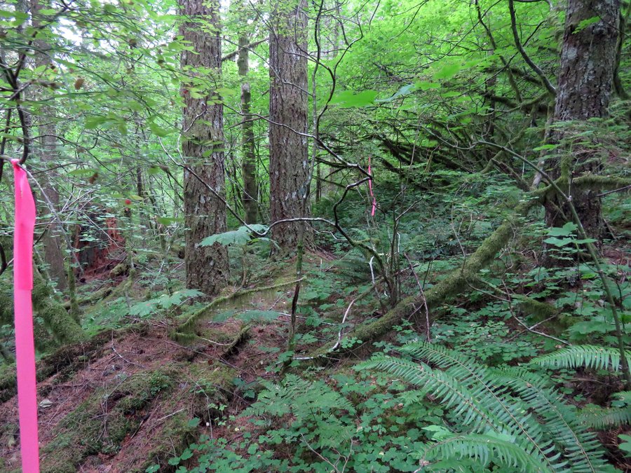
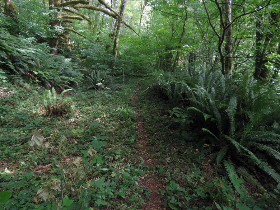
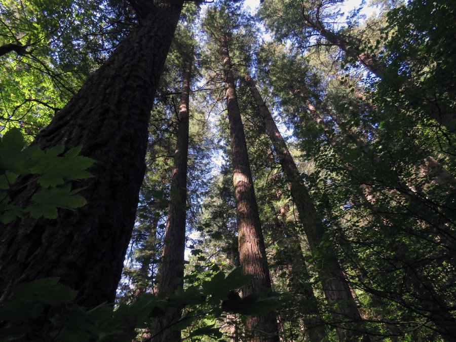
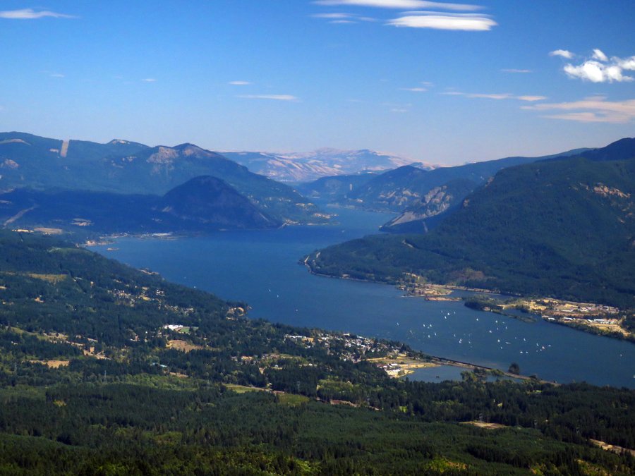
There are a few ways to do this, originally I spec'ed it as a bike n hike between the Hamilton TH and Bonneville Hot Springs but with Hamilton Creek being low I thought I try one of the pure hiking versions. I could have (and should have) parked at Bonneville HS or the Aldrich Butte TH and gone up Table from there to return on the offtrail piece below Hamilton instead I started from Hamilton and did the part below the south face of Hamilton first. This added a good 1000' EG to the route and caused me to be late getting back to the Hamilton TH where DNR threatens to lock the gate 1/2 hour after sunset (do they really do this?) so I had to skip the summit of Hamilton. As I was pressed for time I missed the strange decomposing logging related structure at the north end so I'll do this again and give myself some time to explore. I ran into lots of little trails I expected to see and some that appeared from nowhere - an updated Don Nelsen map would be useful.


Comments

Karl
August 12, 2015
Nice!!! I've always wanted to take that right-most "trail" off the north end of the Hamilton saddle, thinking it may lead me over to the old road that follows Hamilton Creek up from the Cedar Creek Falls area. Good thinking about the crossing, this might be the ideal time for that, too. How was it afterall?
I think the spur you labeled, "Where does this go?" might be that road, too! My track is here - http://gpsfly.org/g/3855
I've had BRSP rangers hassle me about that gate before. When I pressed them on how they were handling the liability of locking campers in, should someone up there need medical attention, they quickly change the subject. I really doubt they lock it, at least during camping season.
Woodswalker
August 10, 2015
So much to explore up there. Yay for Don Nelson maps!