

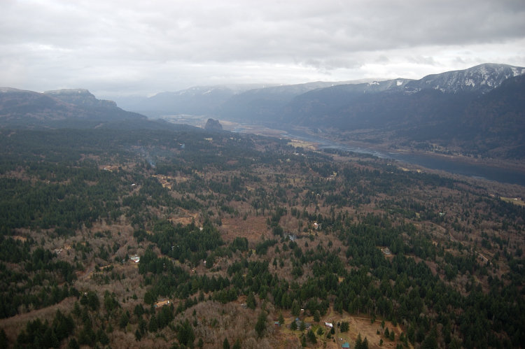
5.5 miles of hiking • 2000' elevation gain •
(changed the name to make it non-searchable via search engine. Of course those of you guys who know this place will recognize it :)
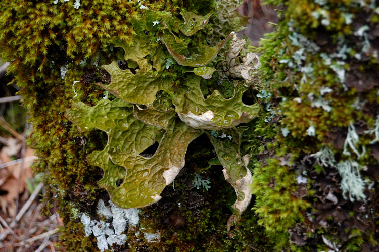
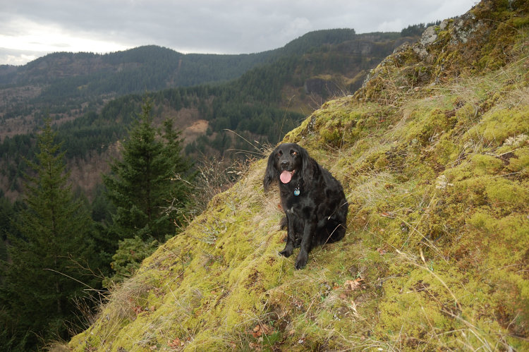
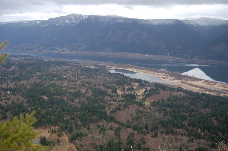
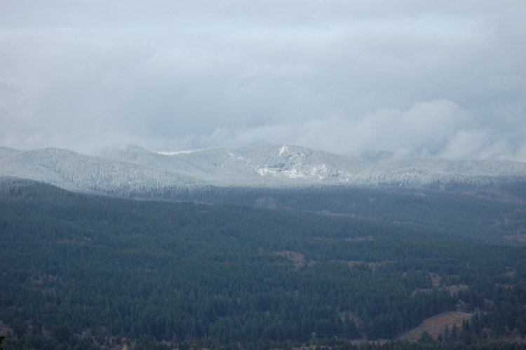
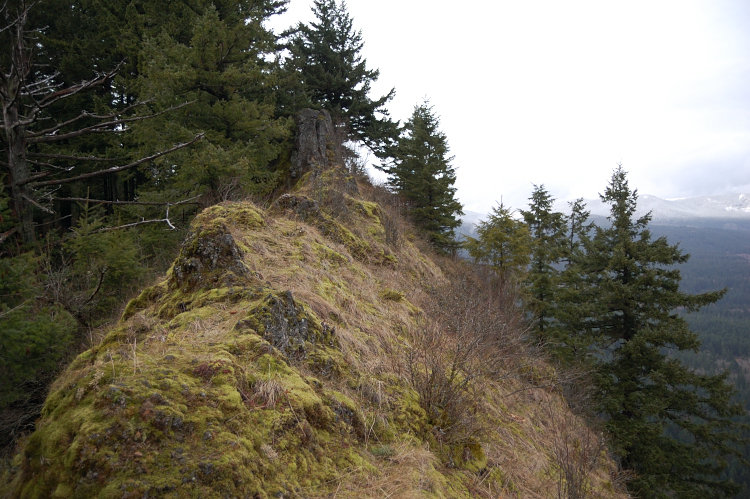
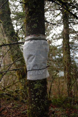
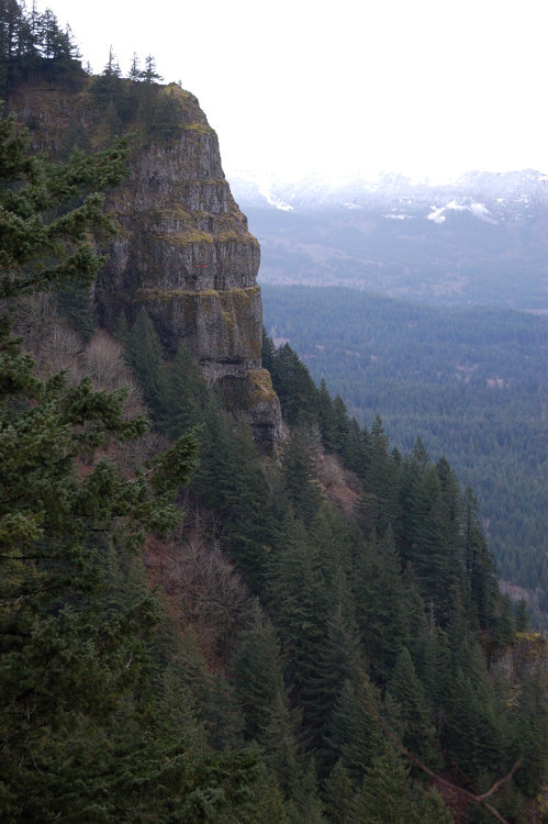
It's an interesting place to explore, the trails have almost no blowdown after the 1st mile and generally better than I expected. Trails range from excellent down below to hard-to-see higher on the mountain, but abundant flagging makes navigation possible. Done some scrambling, saw many views, had lots of height exposure. I'll be back to explore the west half of the complex, and find that loop (today I was just to summit and east viewpoint).
The only bummer was that my dog picked about 15 ticks at those meadows, I'll buy some medicine if I take her there again.


Comments
Roman
February 20, 2012
I know where you might went wrong last time (if you headed toward the summit). In the lower of 2 meadows, DN's map shows 3-way junction where in fact only 2 trails are visible. I ended up hiking the middle one (per map), and then 'shwhacked to the right from the lower end of the 2nd meadow, until I hit a good forest road near the creek. What IS needed to be done - at that jct. on 1st meadow head right off-trail through the meadow. When you re-enter the trees in 150 yards or so, the road appears out of nowhere - follow it downhill. The next junction with east trail is flagged and hard to miss.

Chris
February 20, 2012
Hmmm.. I still have no idea where this is. Rock of ages?
Roman
February 20, 2012
LOL no, one mountain SW of Hamilton, on Washington side :)
I remember your recent report from there.

Nat Turner
March 31, 2012
Shooting those arrows?
Nat Turner
March 31, 2012
After 12 minutes of Google stalking, Im sure I know where this is.
north or south approach?
got the map off summit post, read all D.N. notes.
looks most accessible from the north.
but the map does not show where the access connects to SR 14.
Roman
June 4, 2012
Nat - sorry I didn't see your question earlier. I used south approach. There are many more trails than even DN's map shows, one very good trail goes down from west viewpoint (which looks like dead end on the map). Very fun area!
Chris
February 19, 2012
I'm stumped.