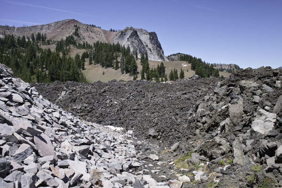
2015 Trips


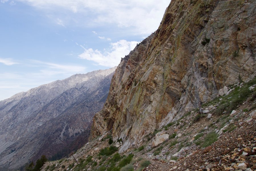
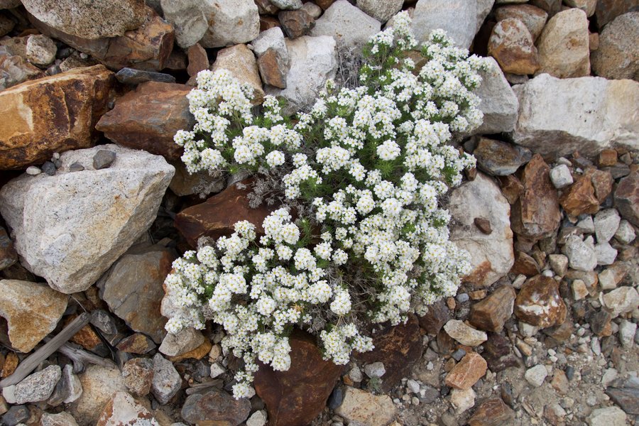
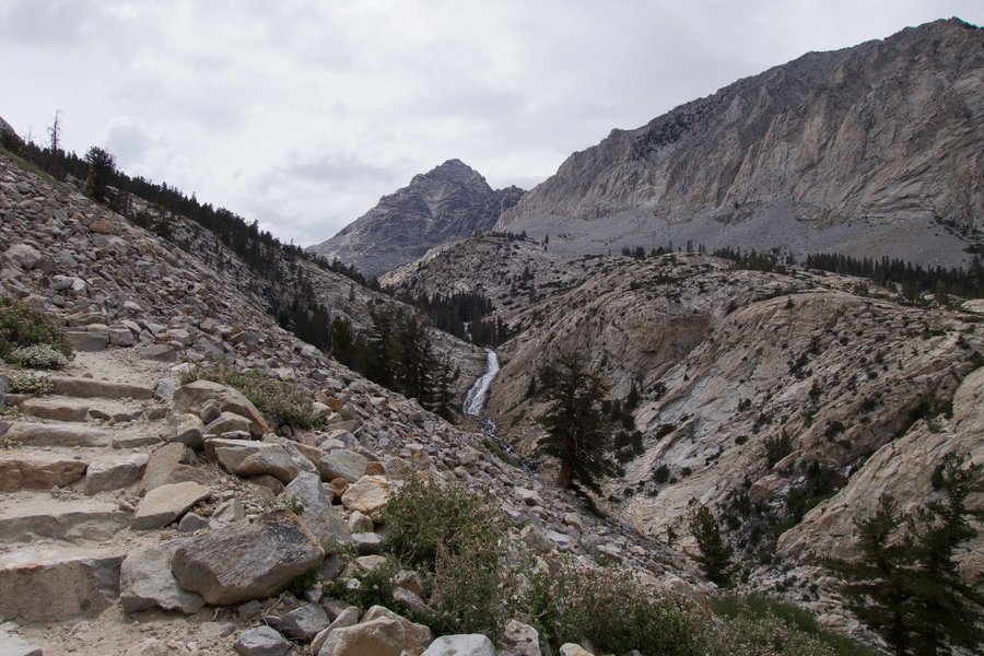
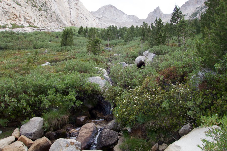
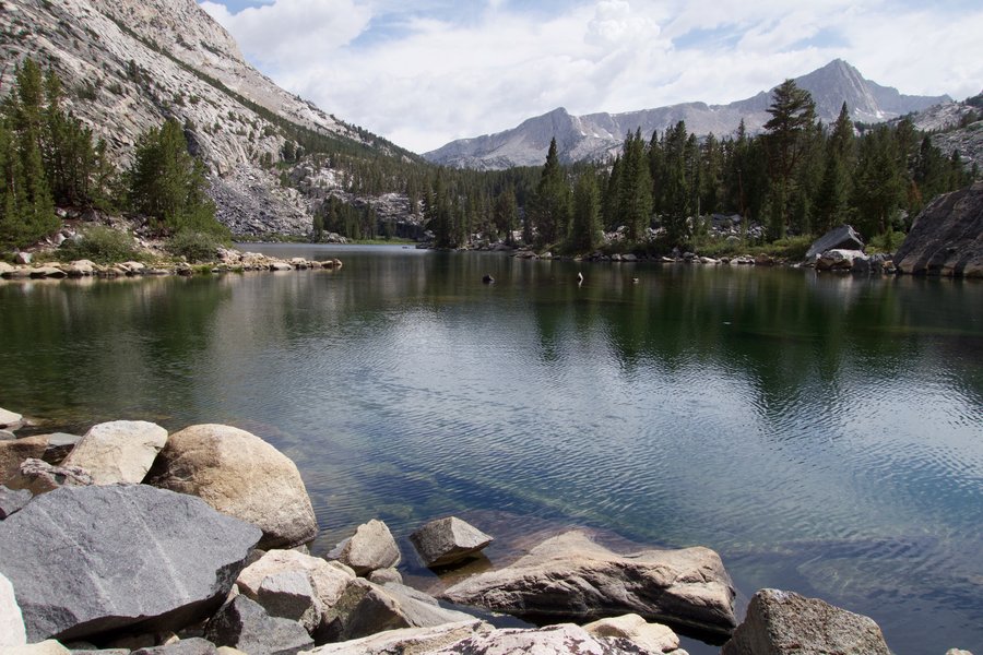
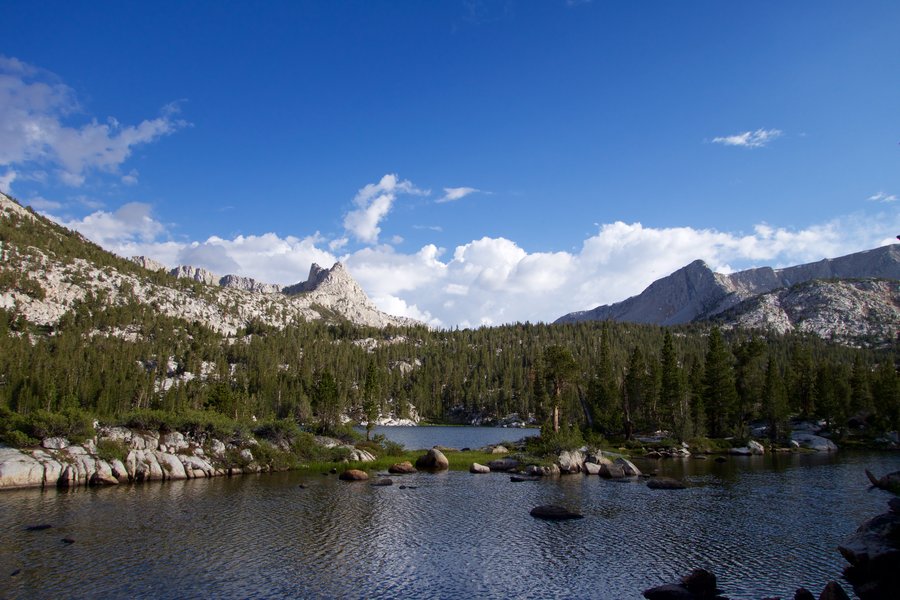
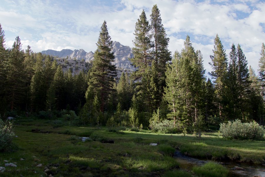
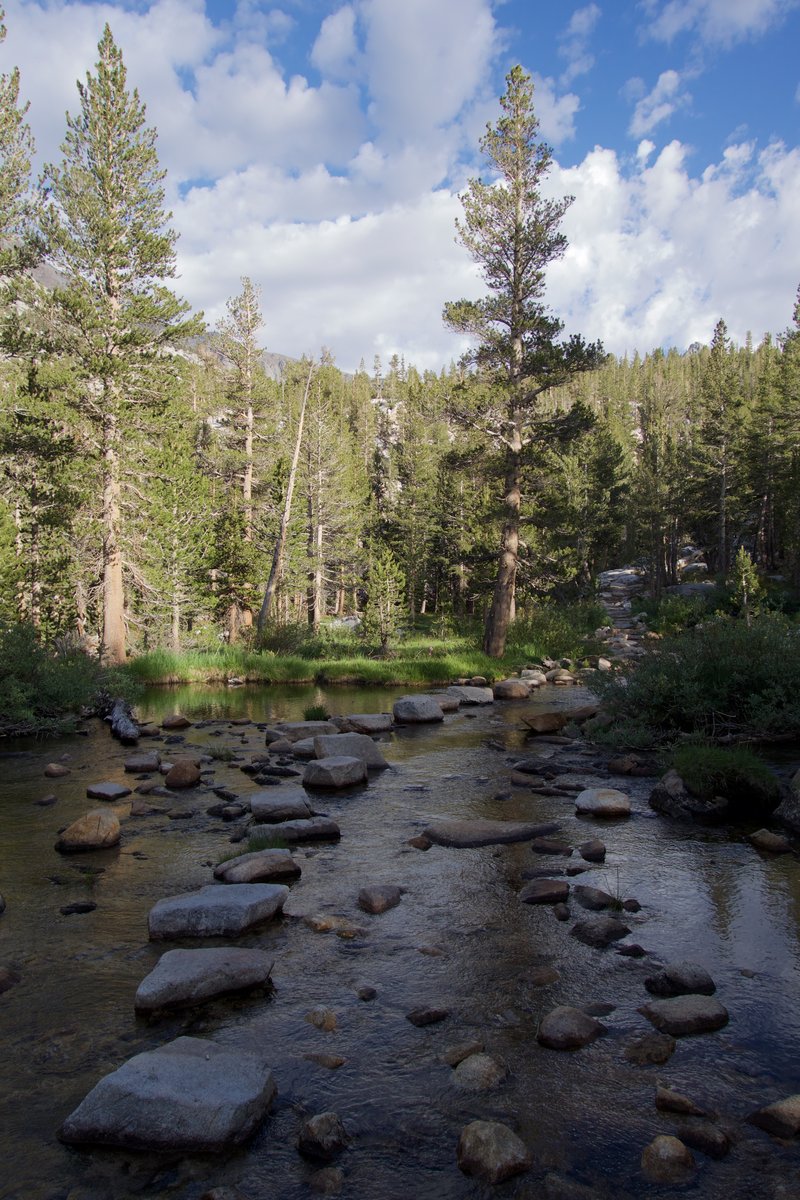
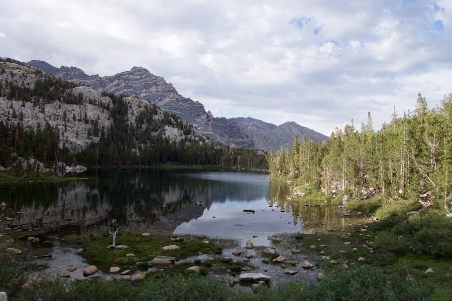
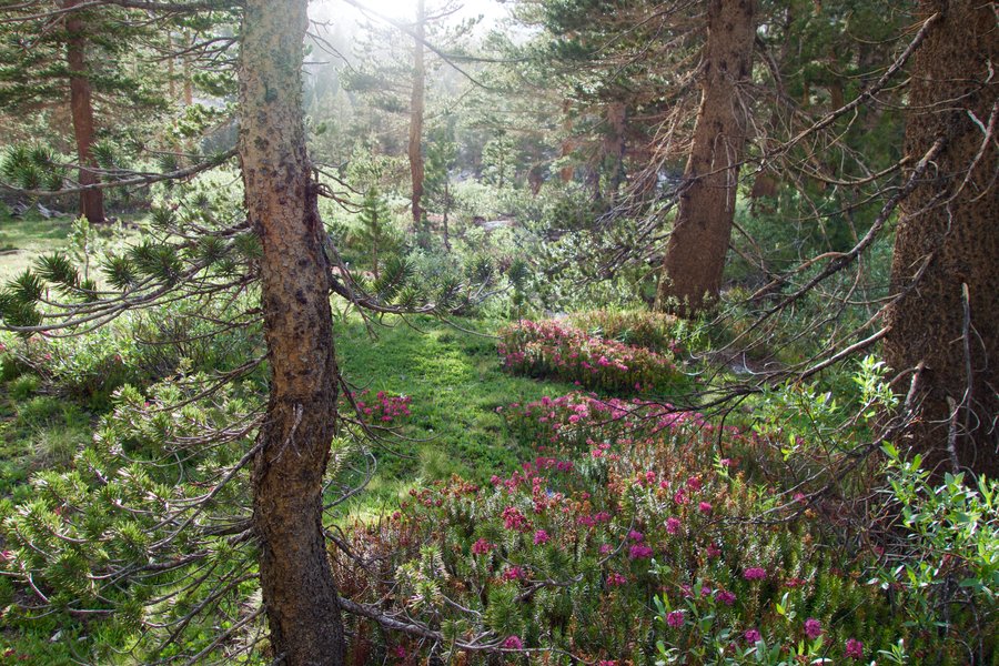
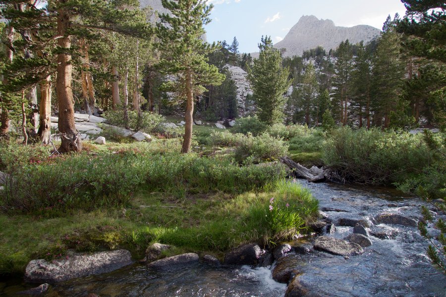
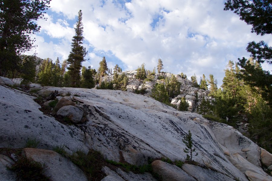
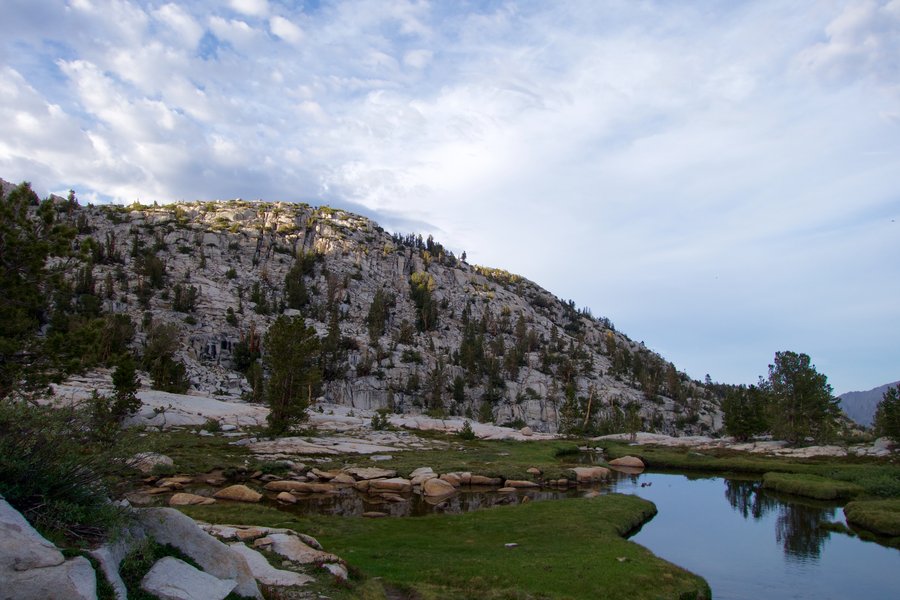
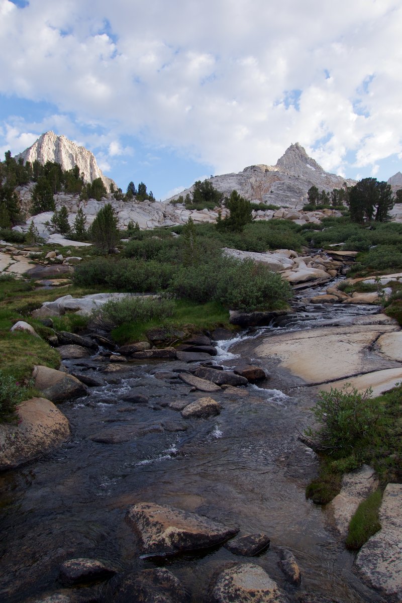
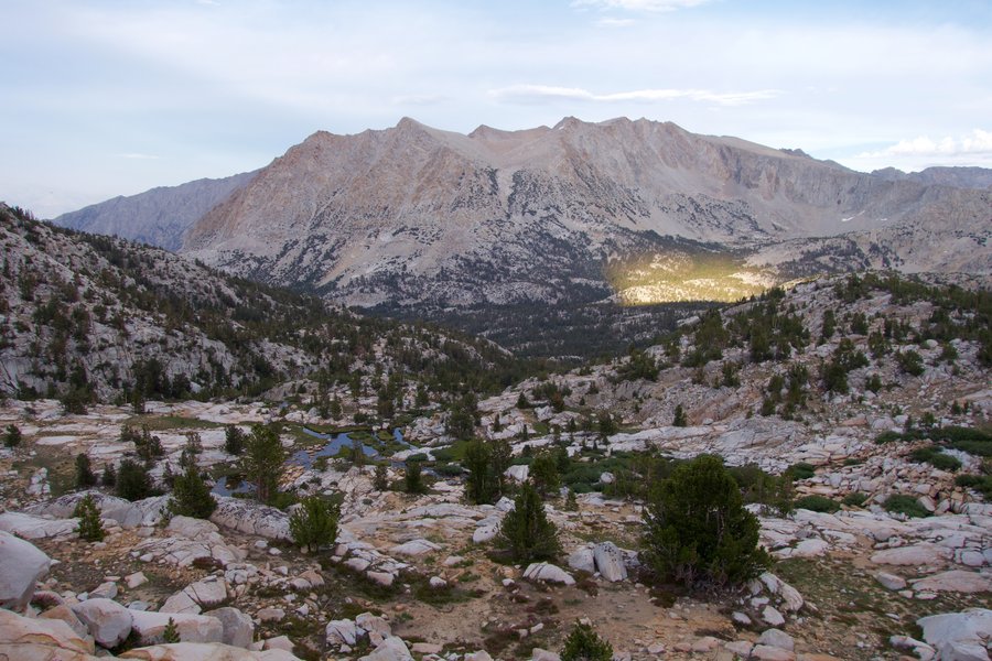
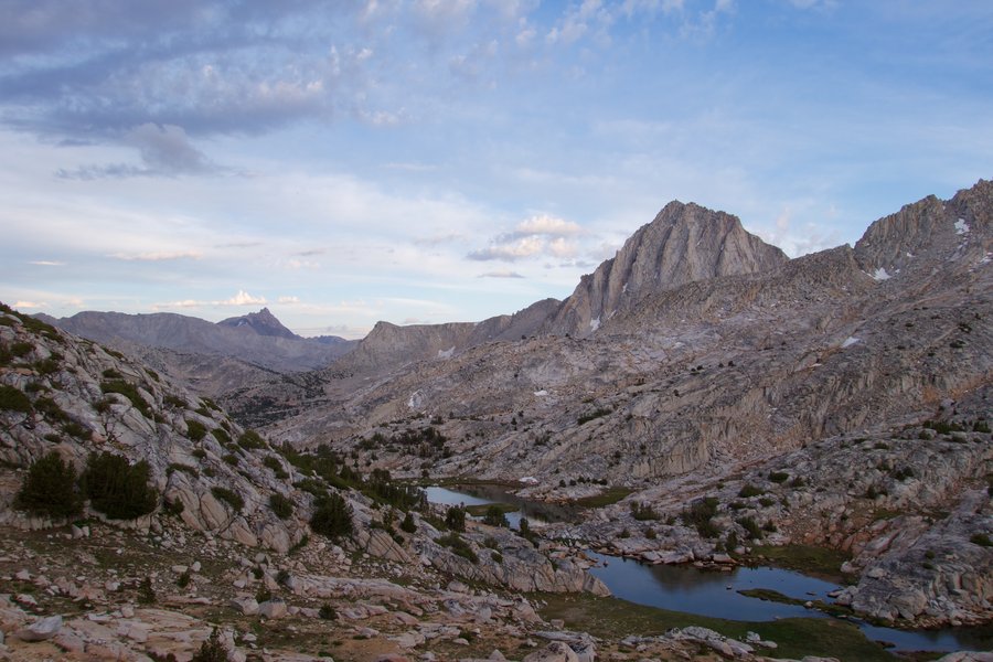
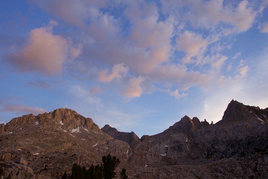
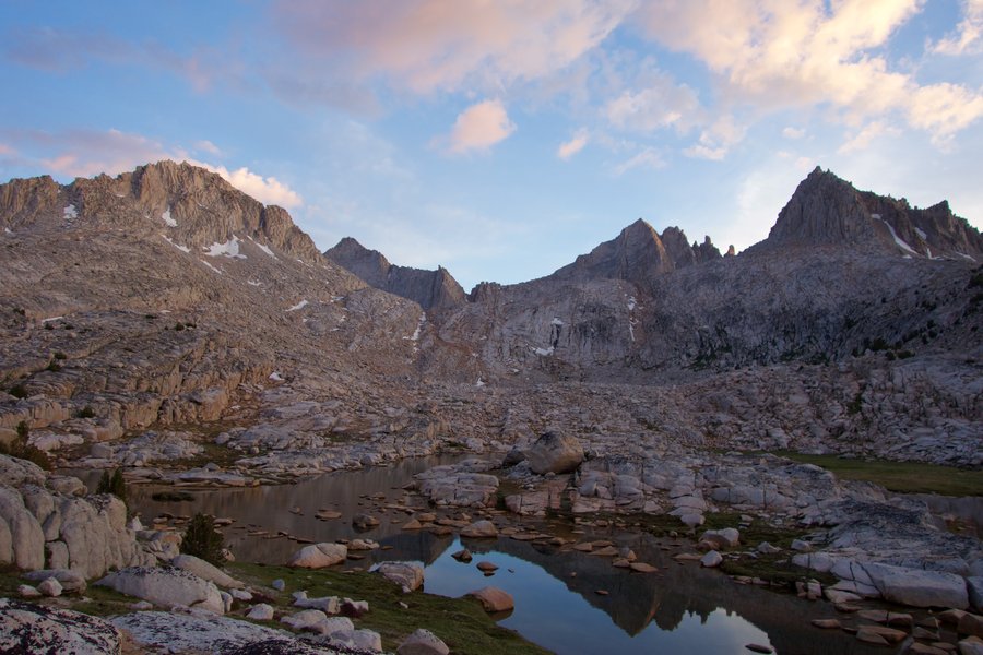
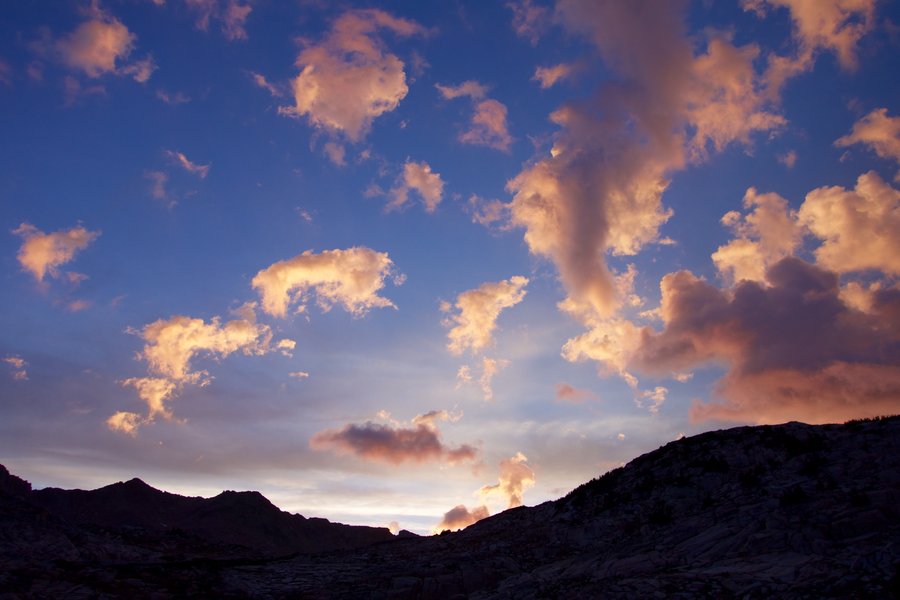
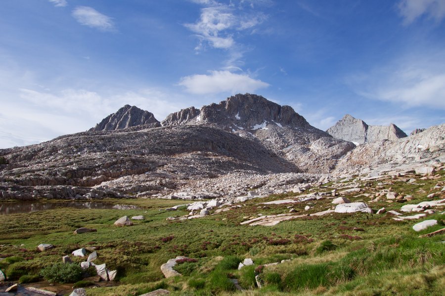
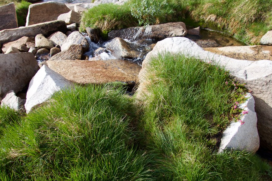
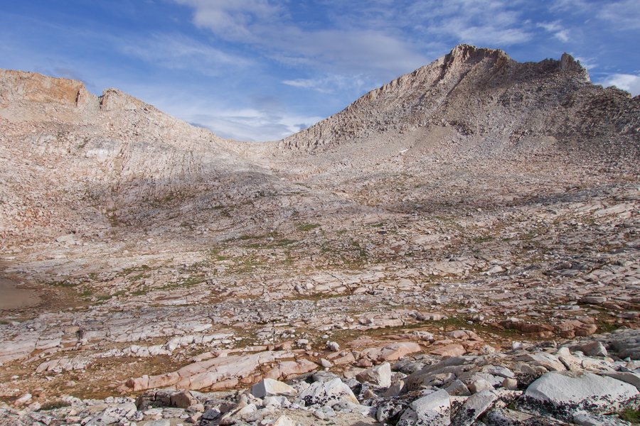
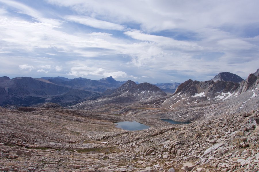
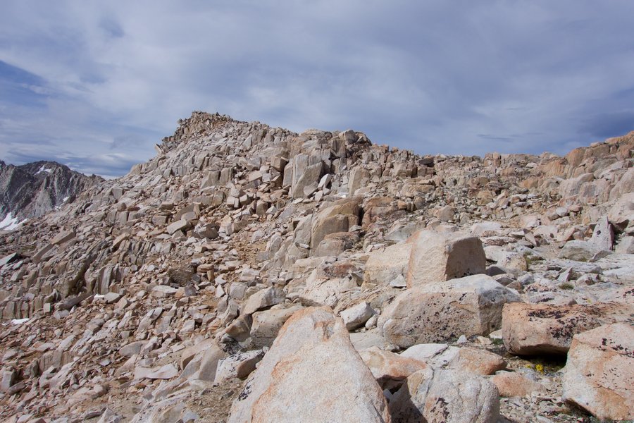
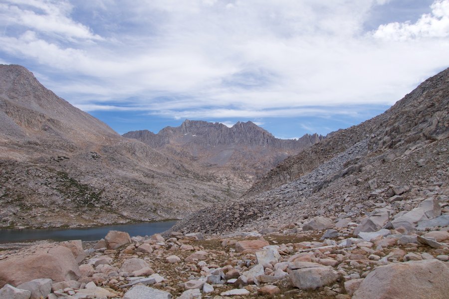
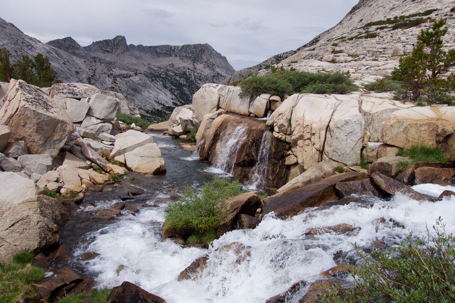
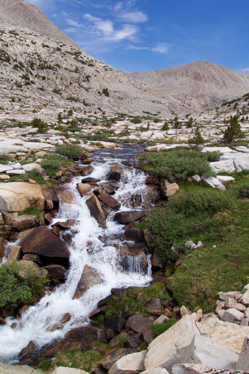
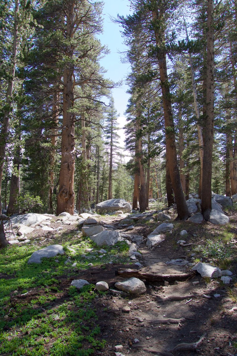
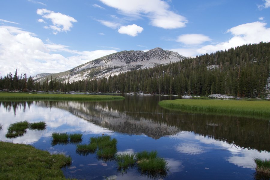
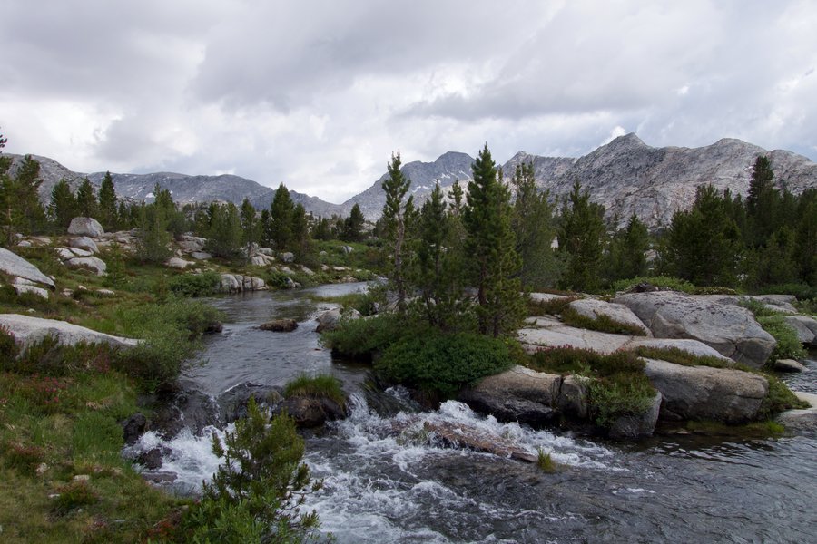
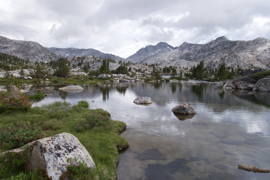
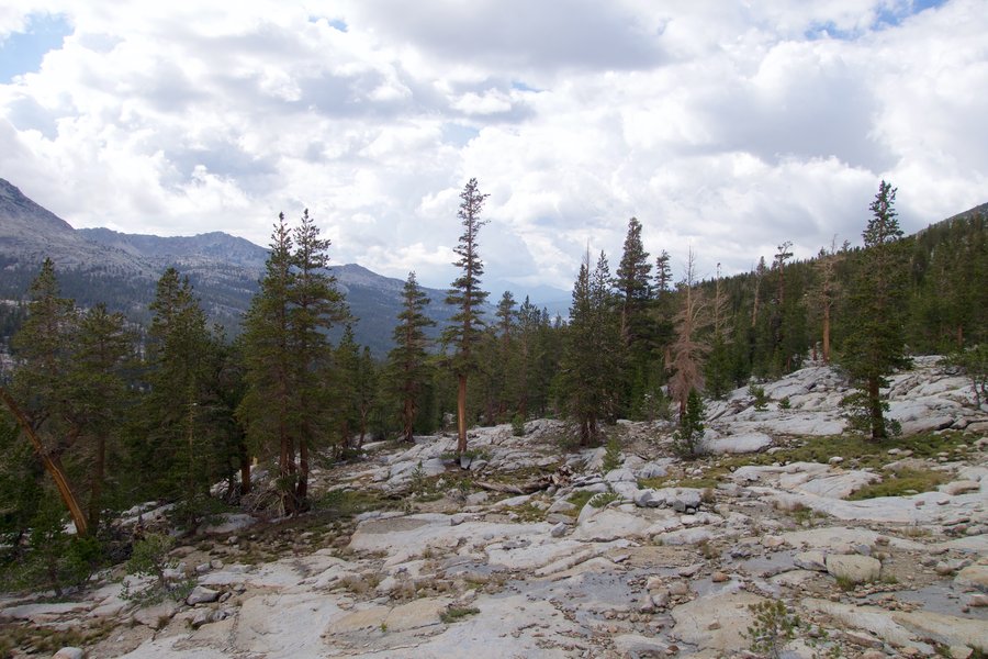
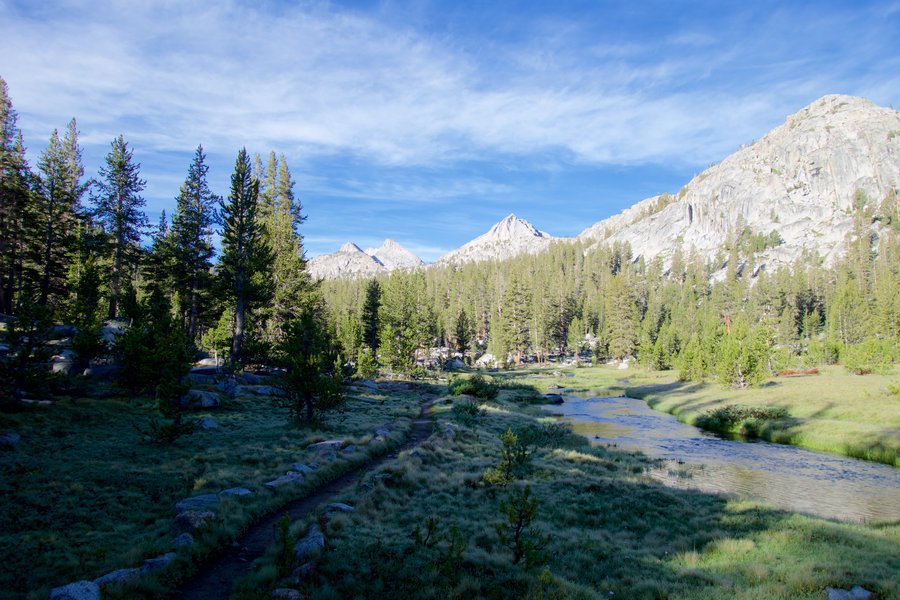
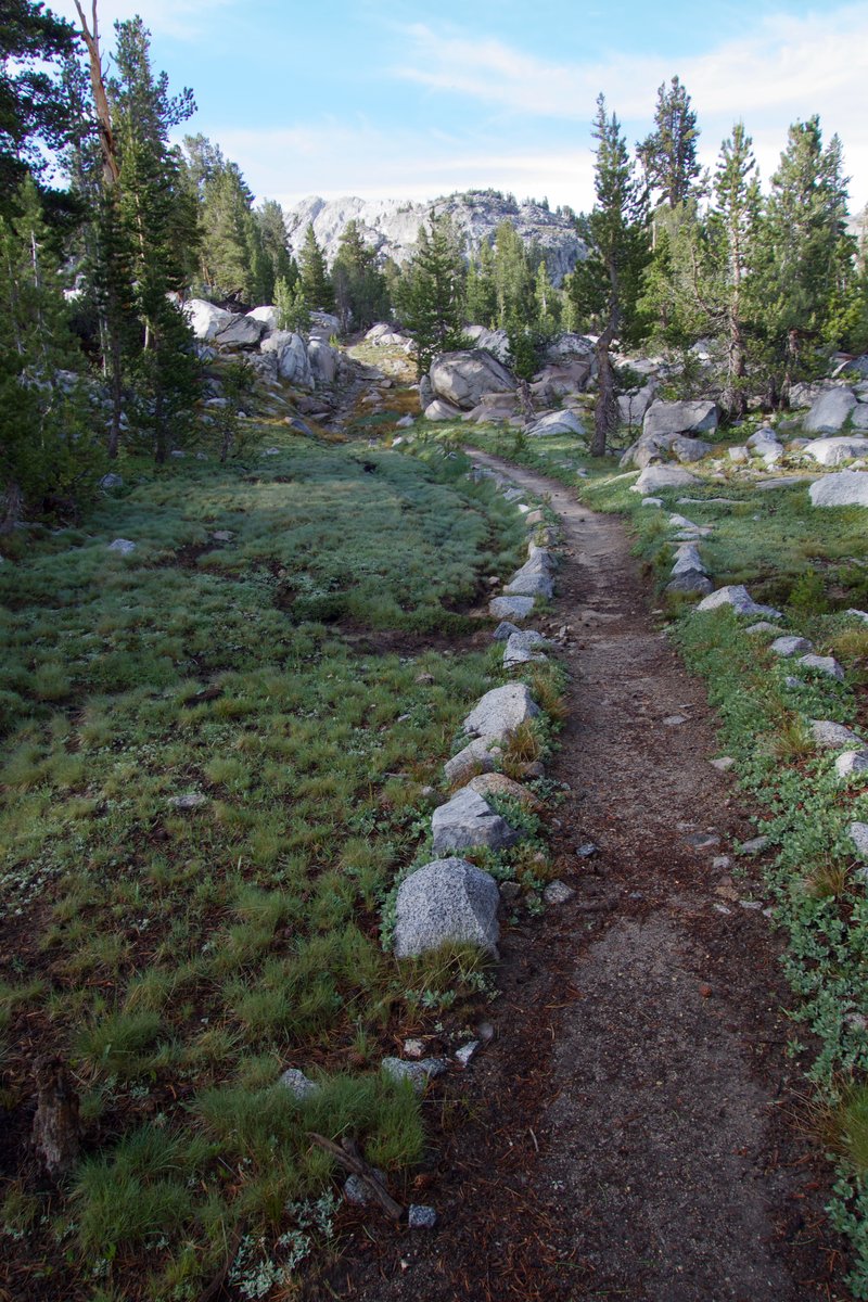
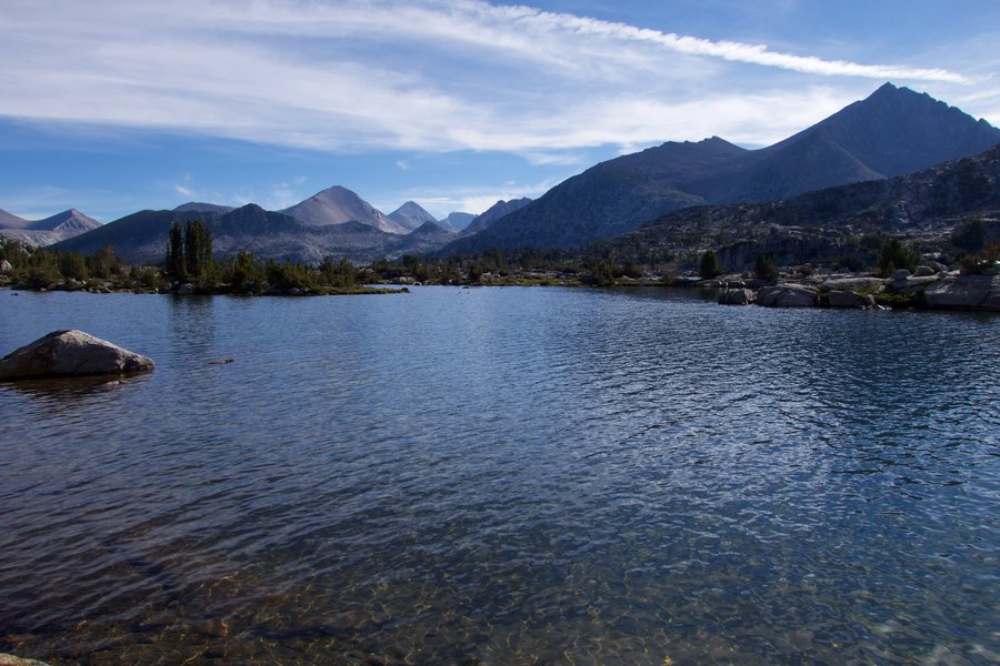
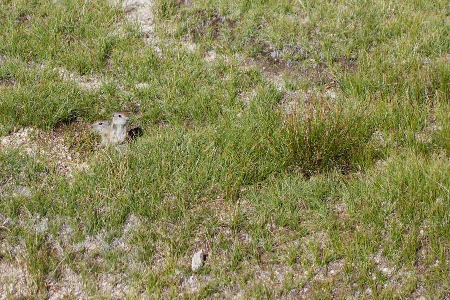
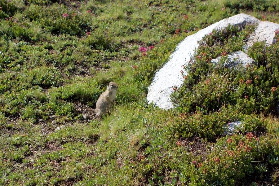
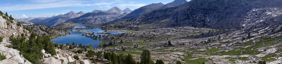
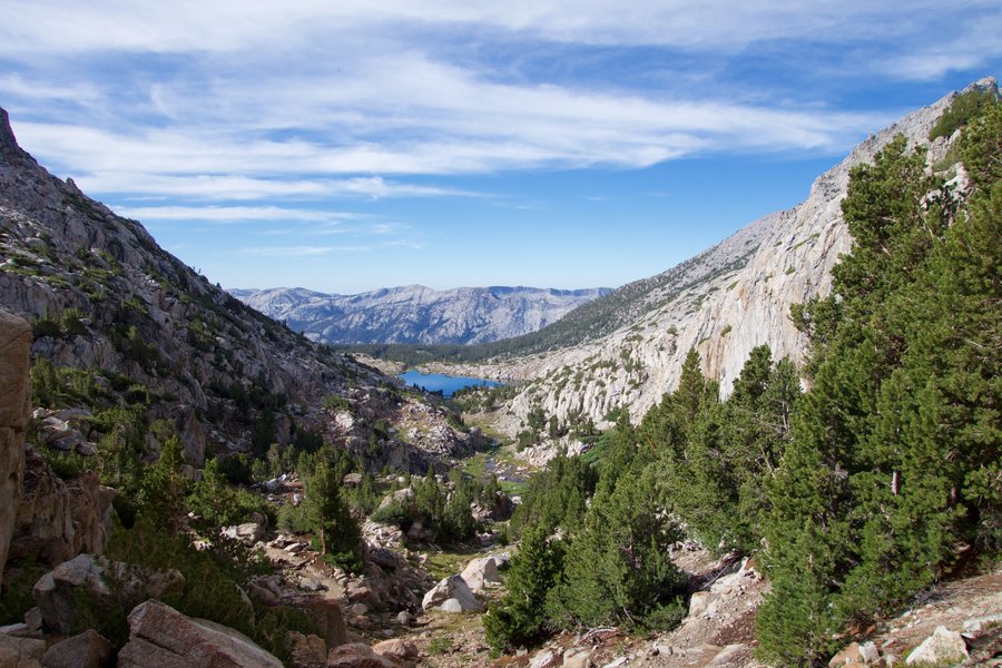
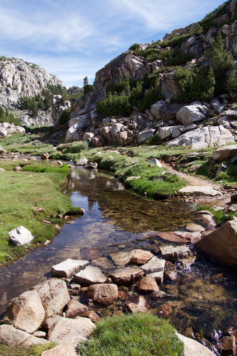
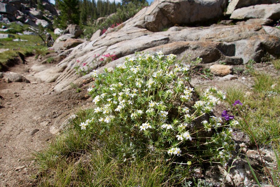
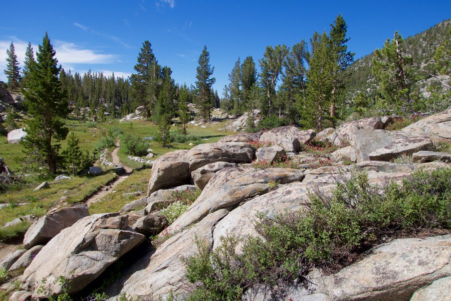
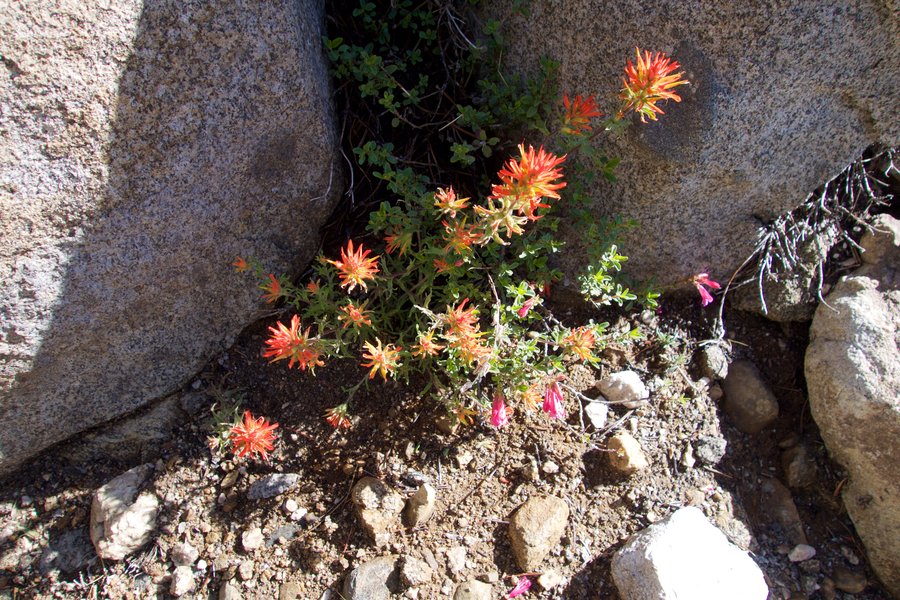
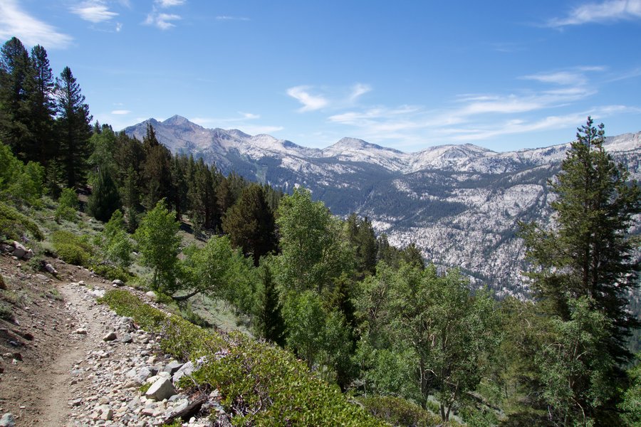
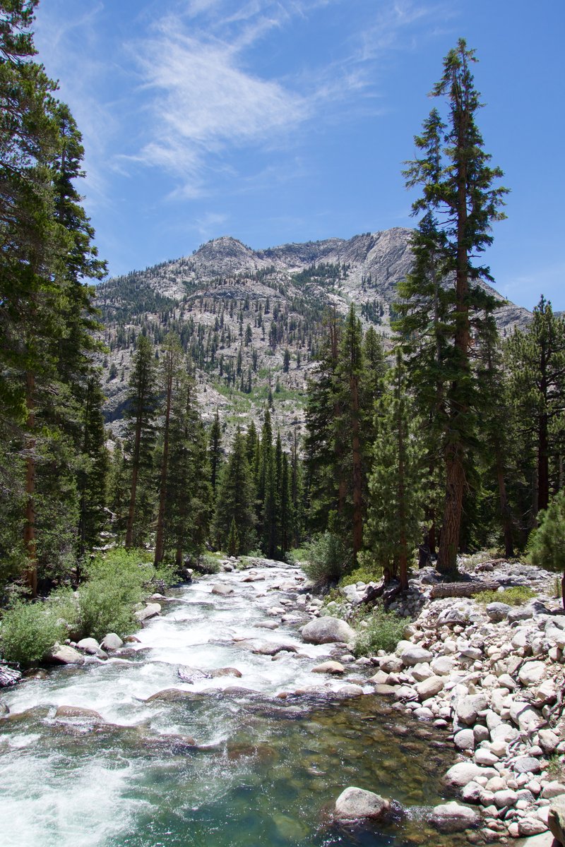
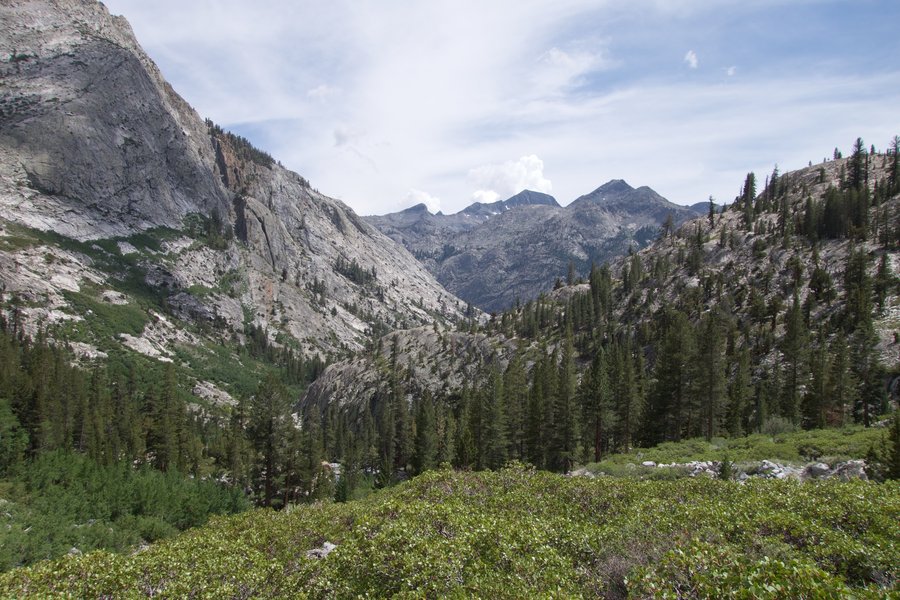
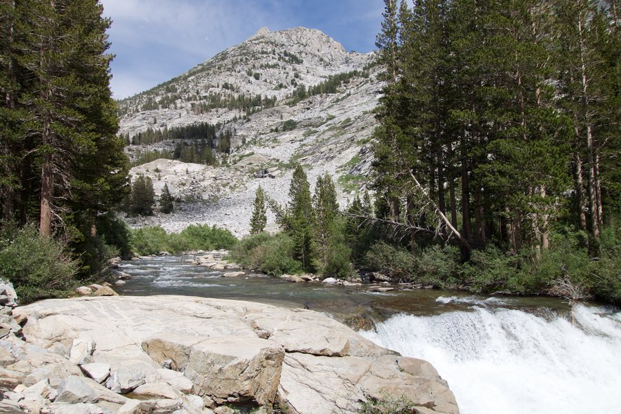
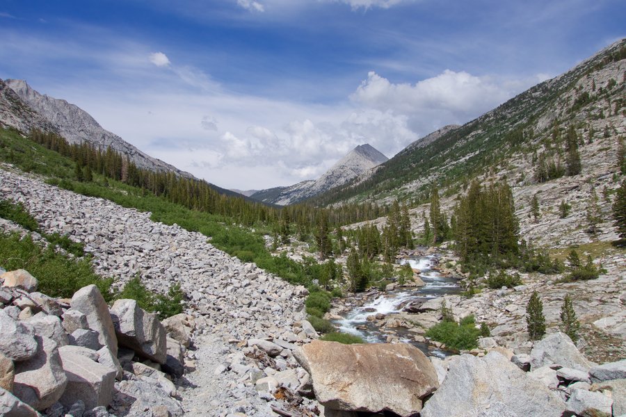
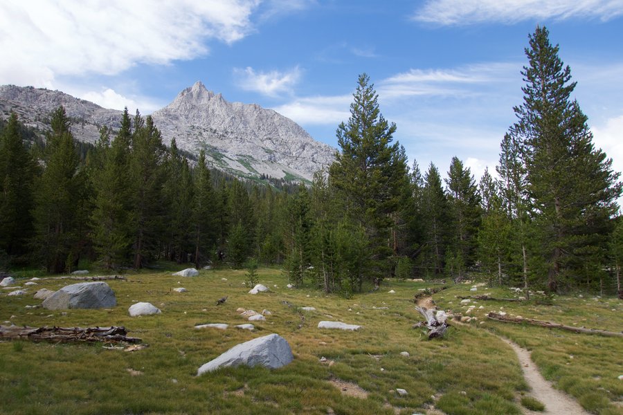
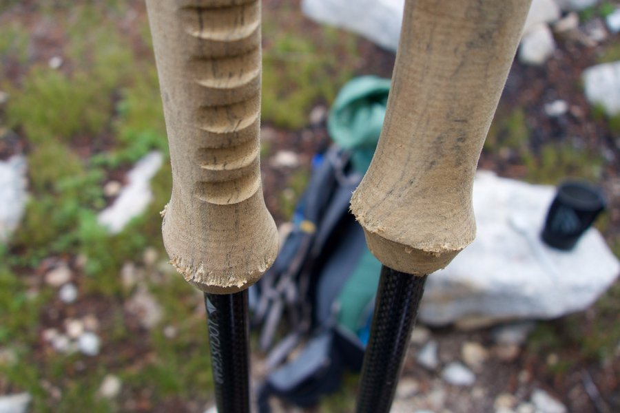
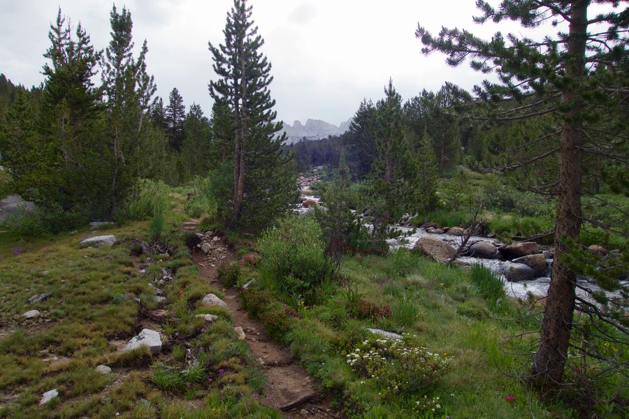
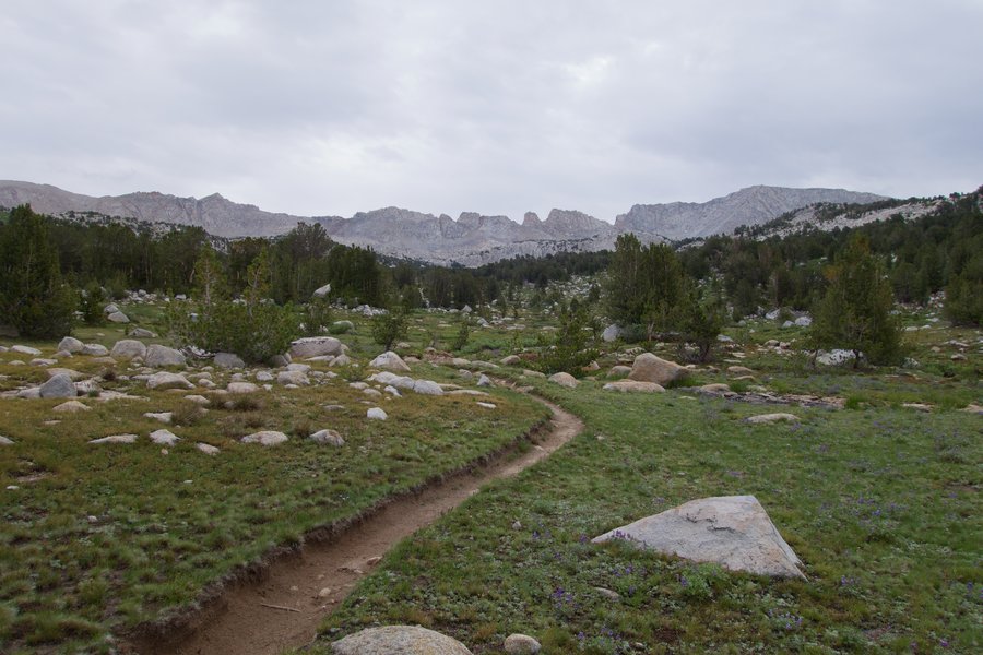
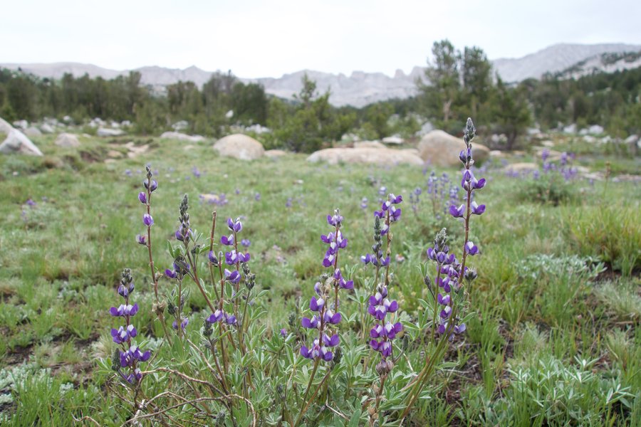
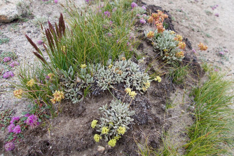
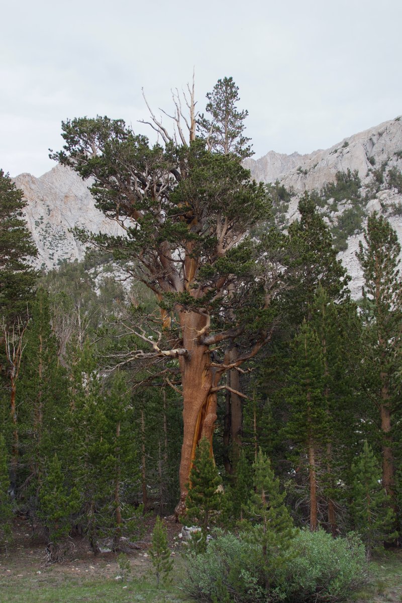
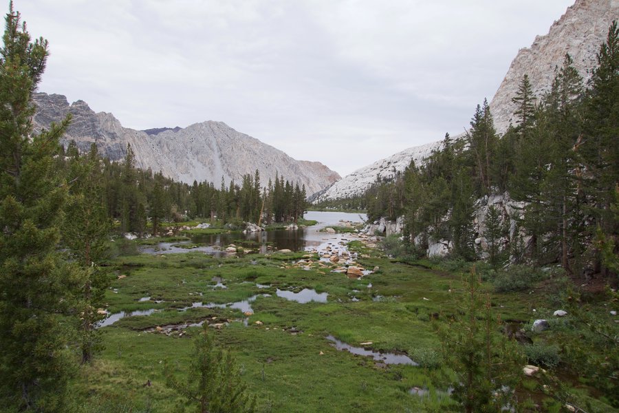
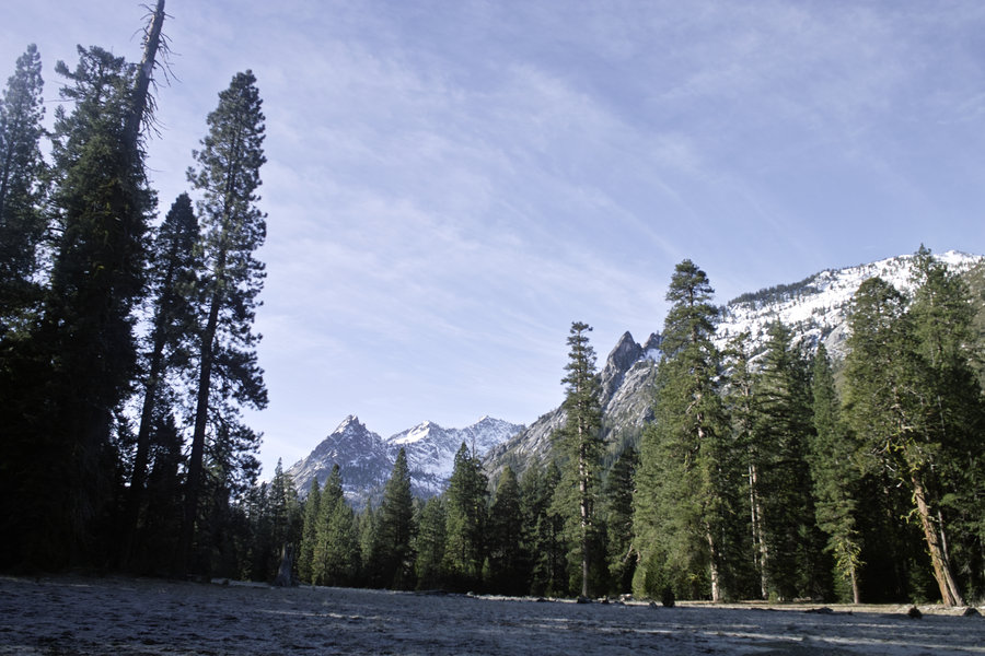
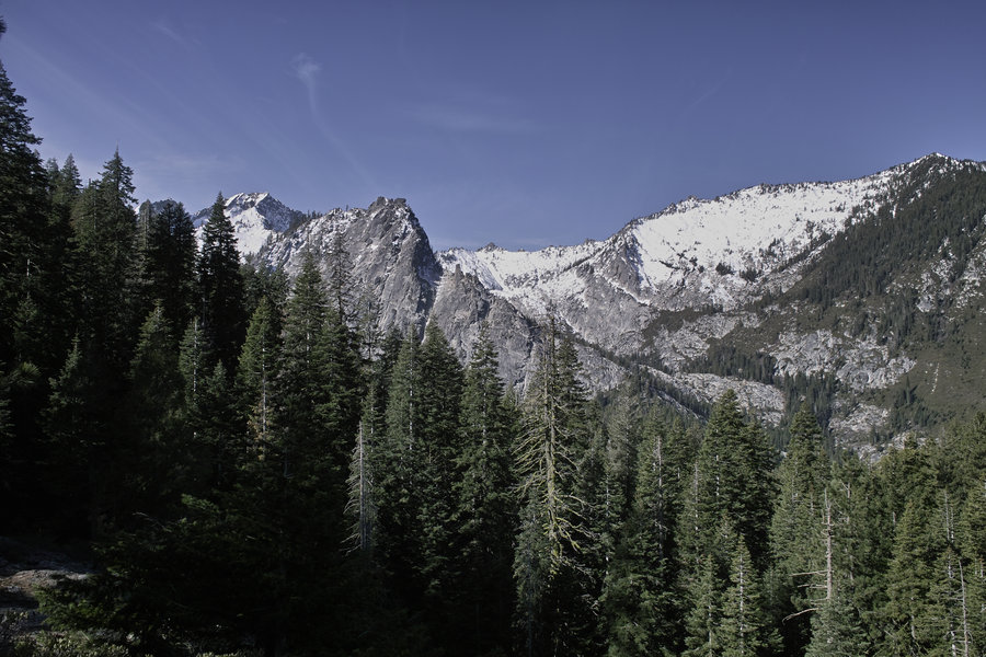
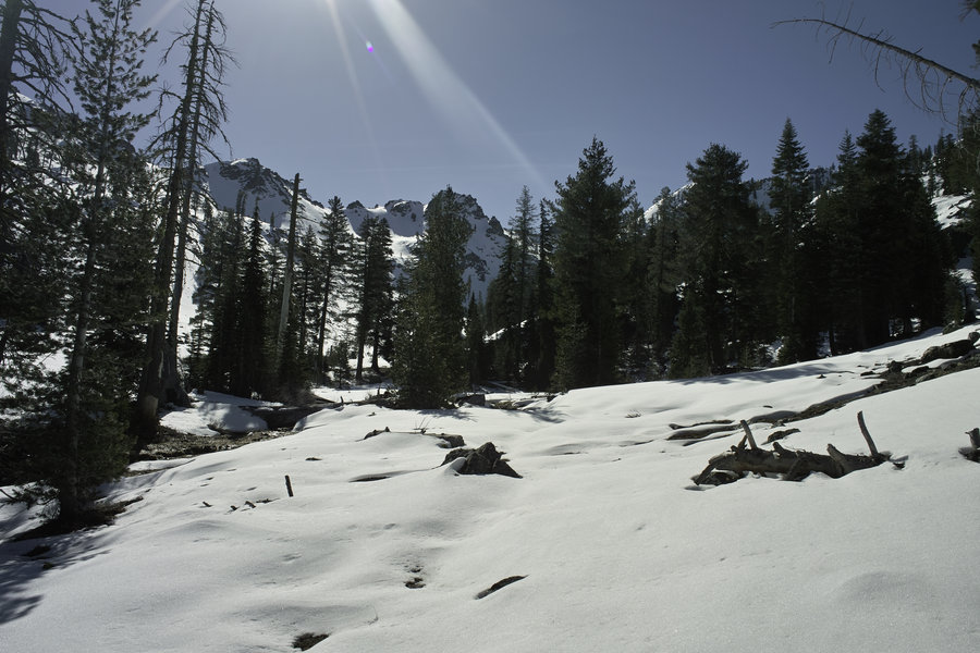
High Sierras - Italy Pass to Pine Creek Pass
58 miles of hiking • 12000' elevation gain • 3 nights
July 1 – July 4, 2015

.jpg)
.jpg)


.jpg)
.jpg)
.jpg)
.jpg)
.jpg)
.jpg)
.jpg)
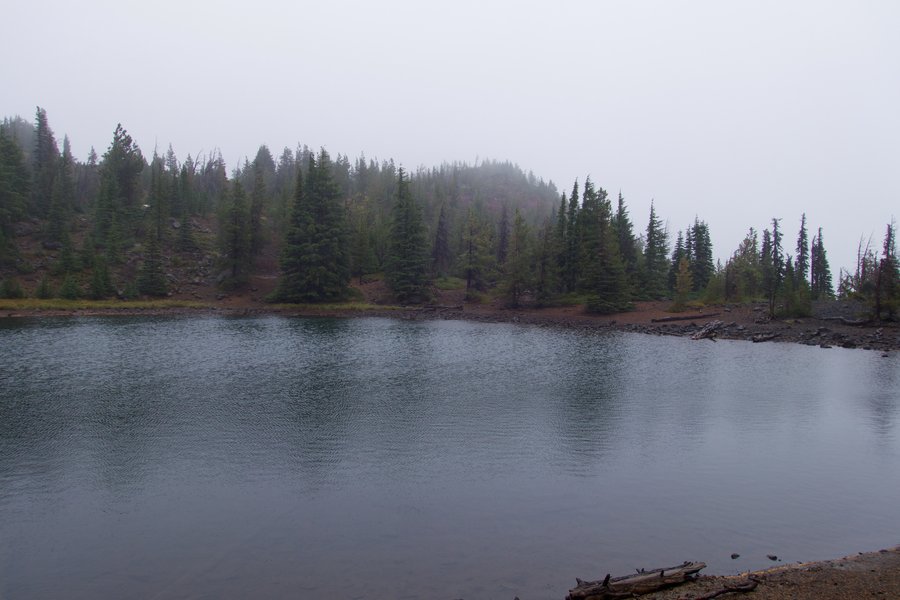
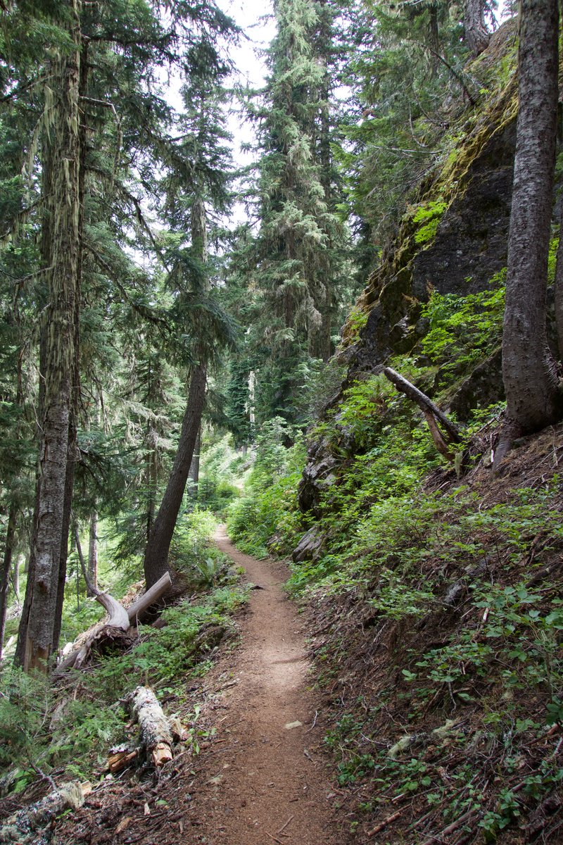
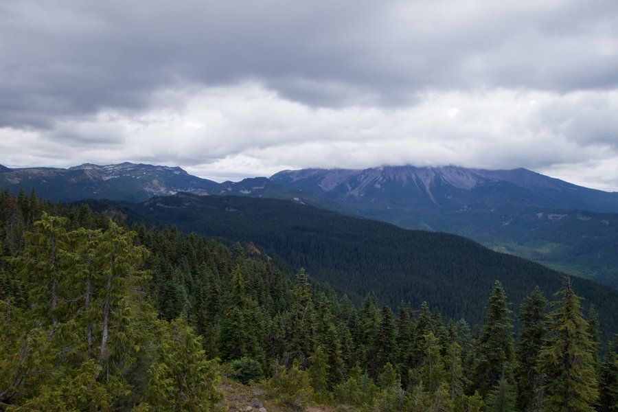
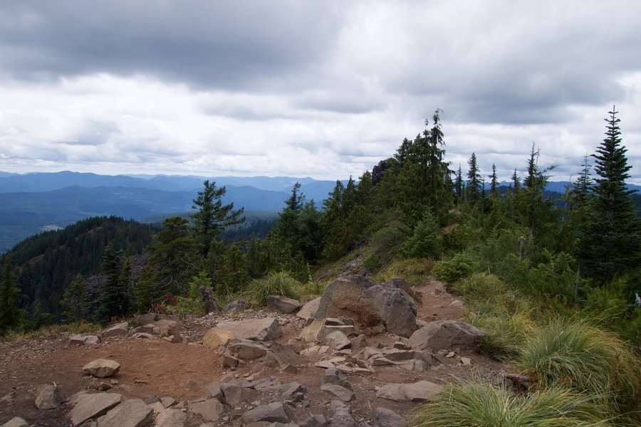
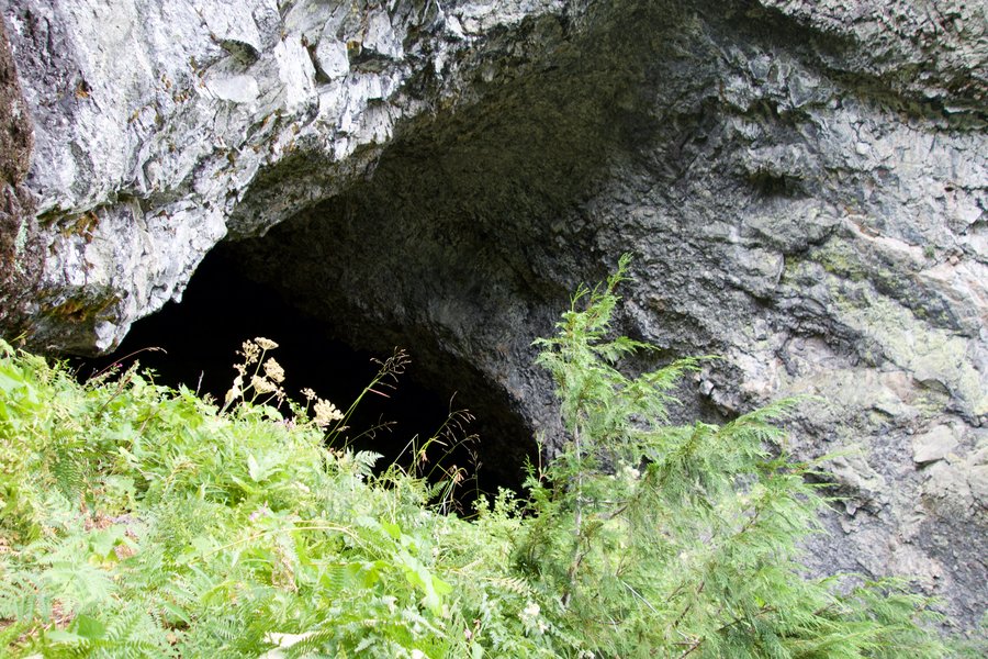
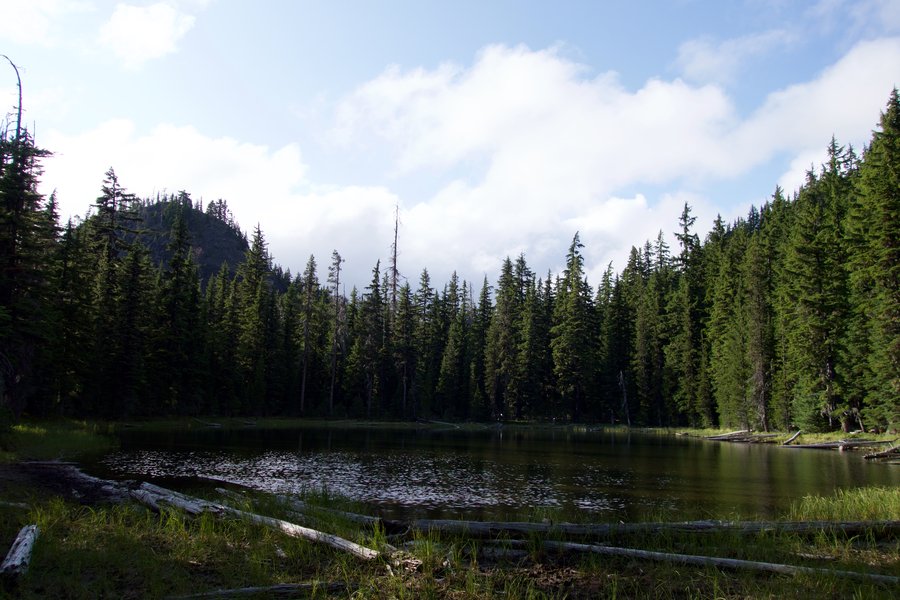
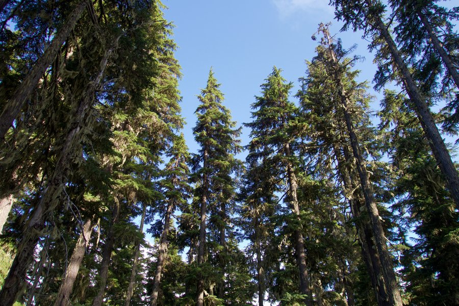
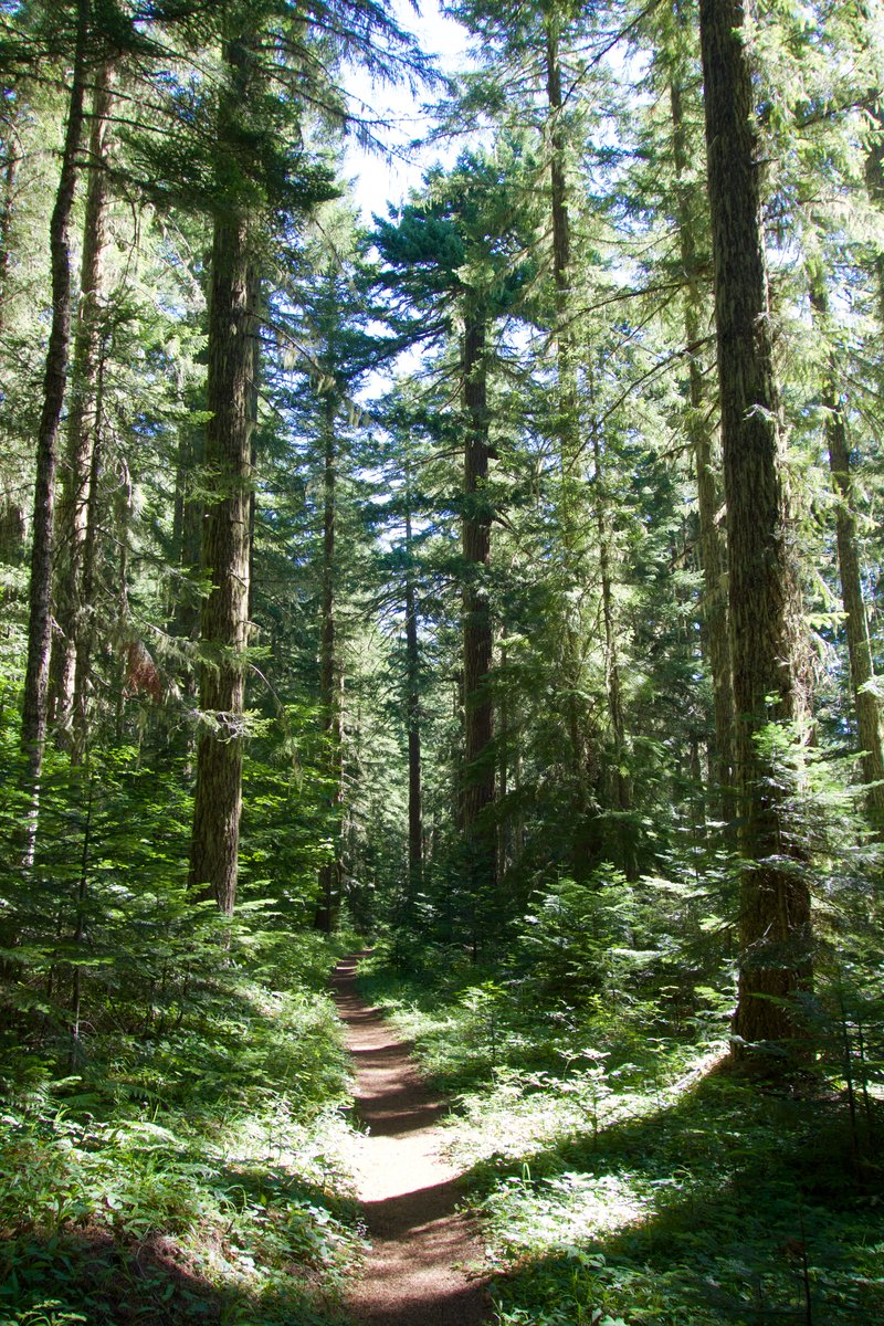
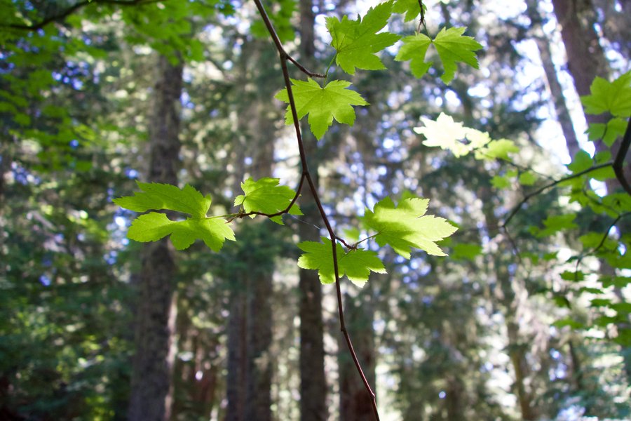
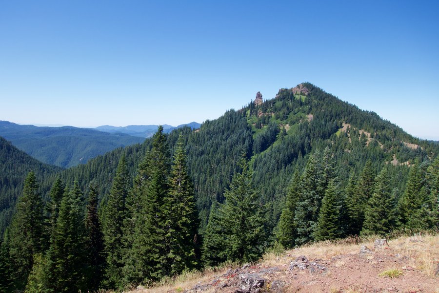
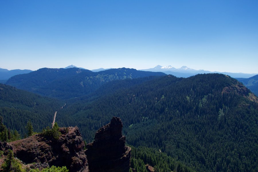
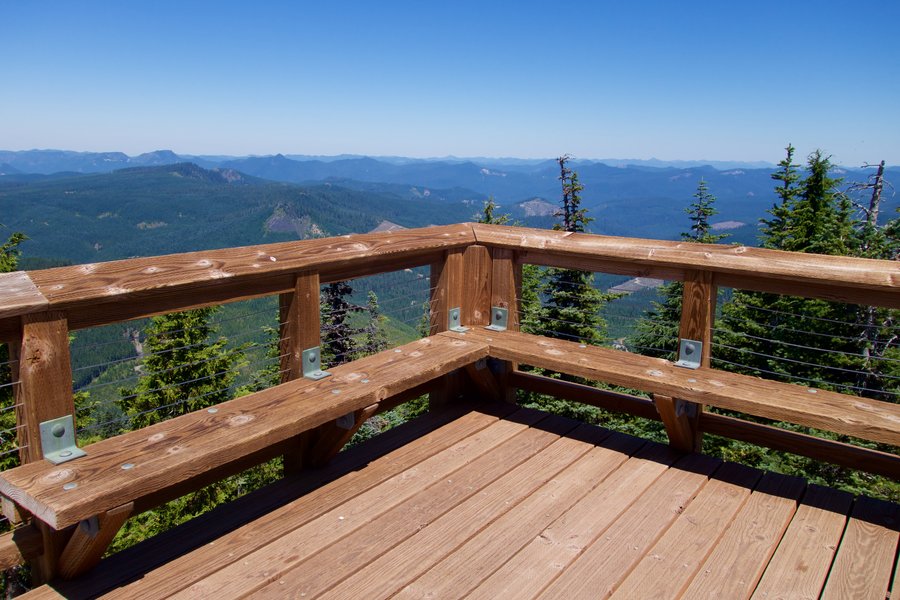
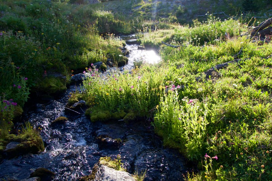
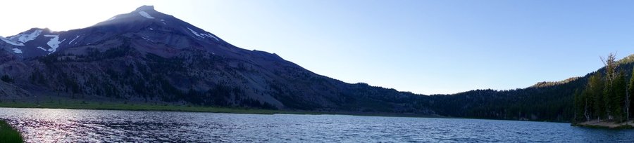
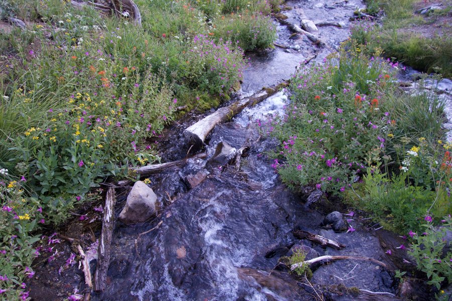
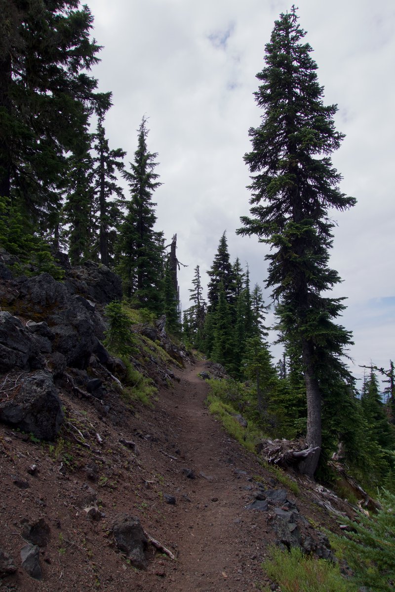
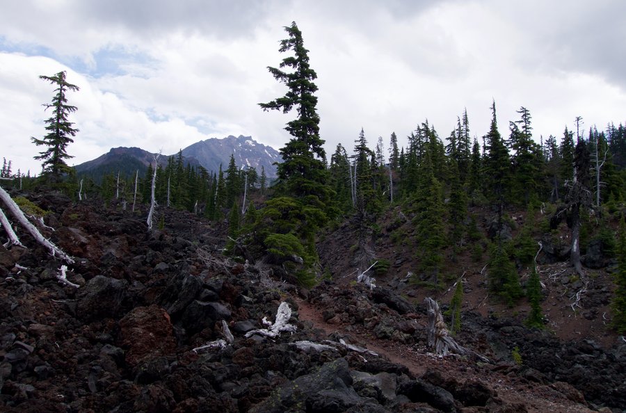
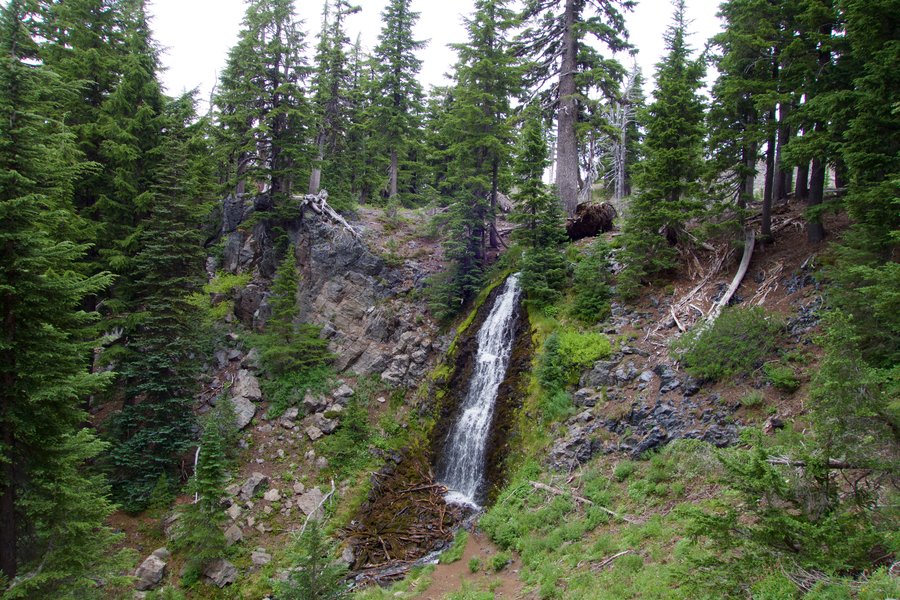
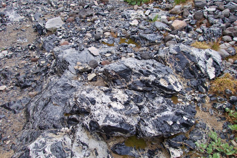
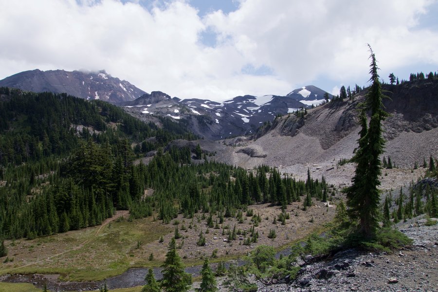
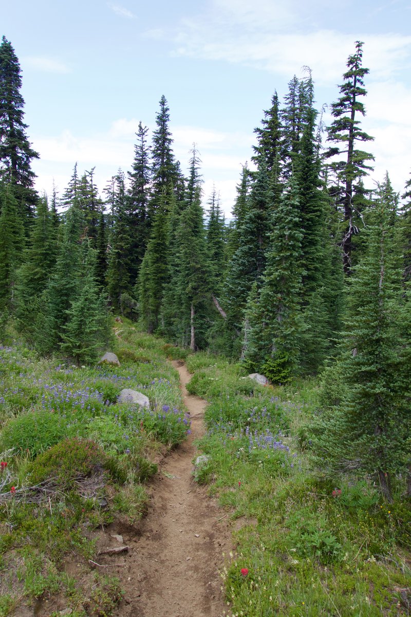
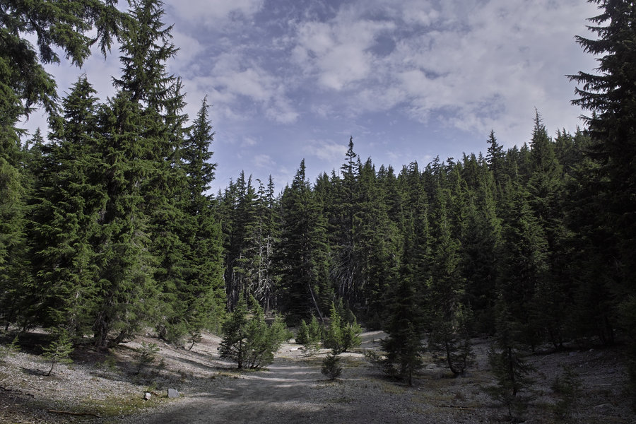
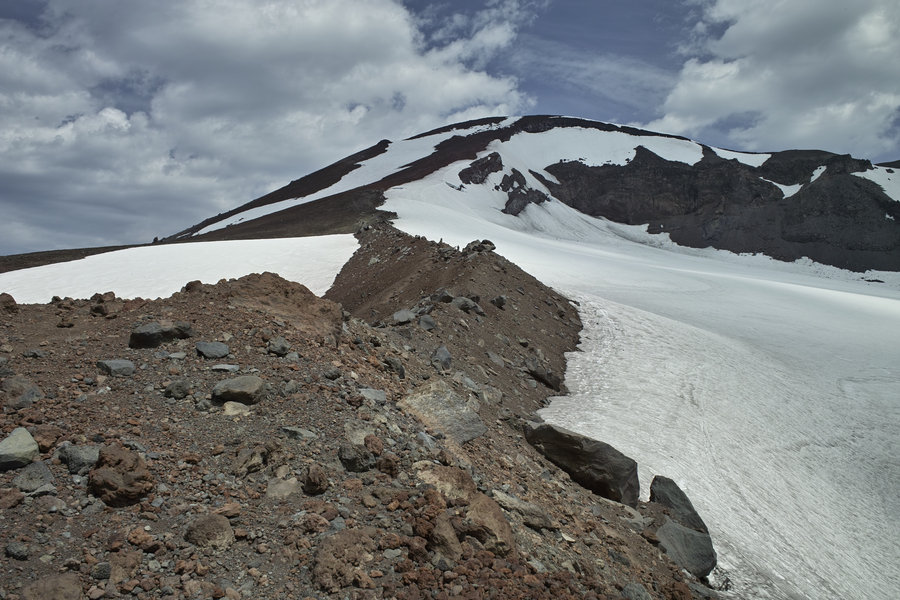
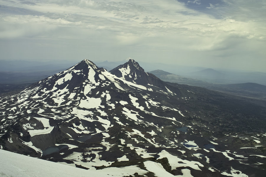
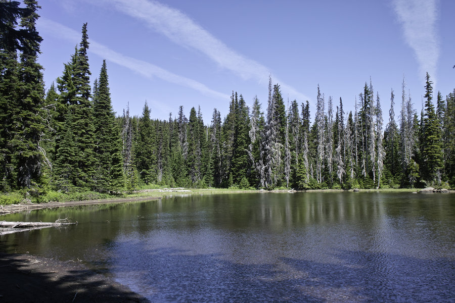
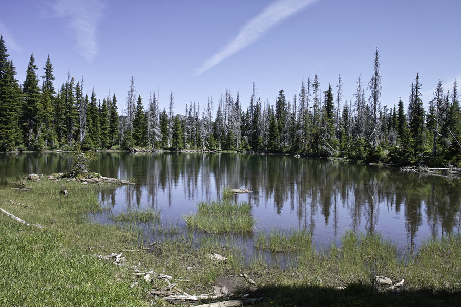
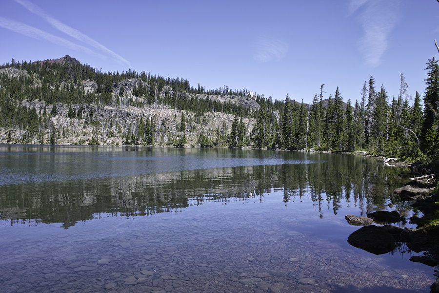
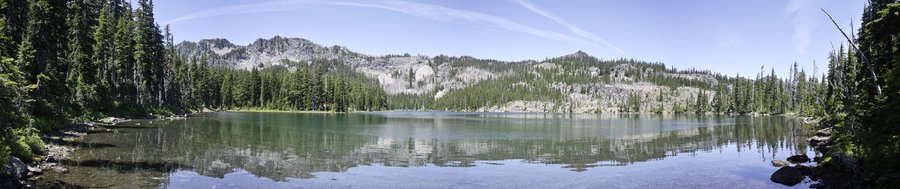
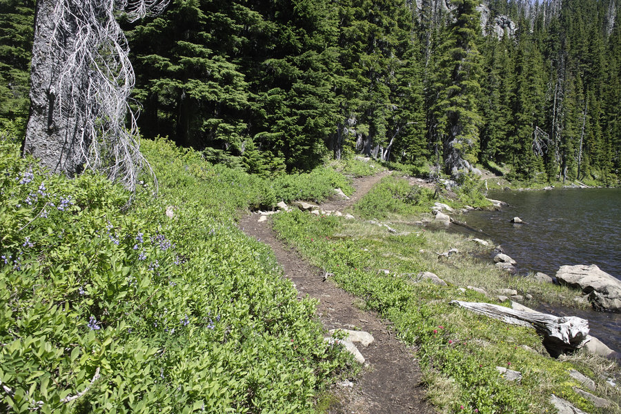
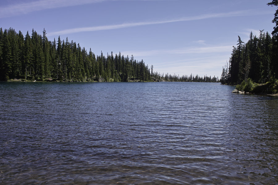
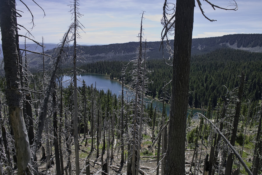
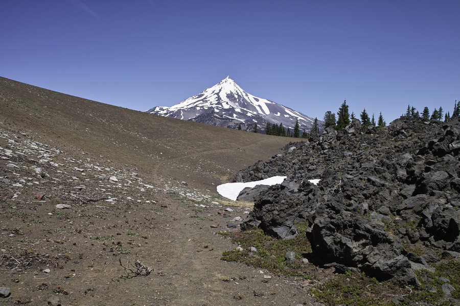
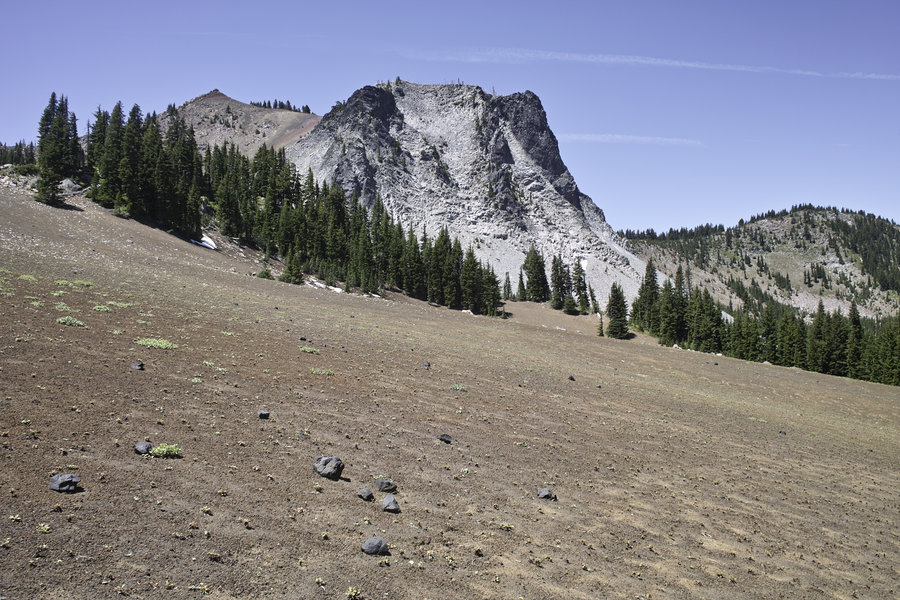
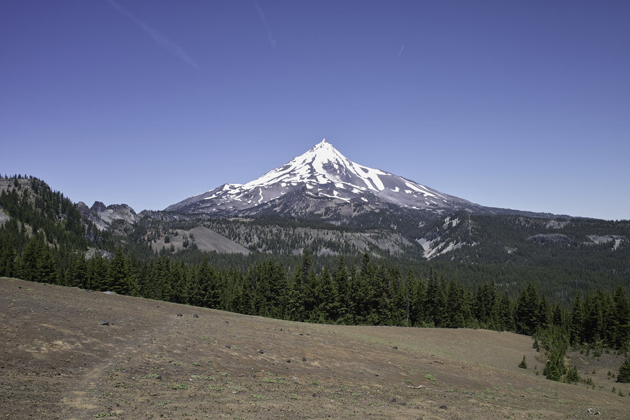
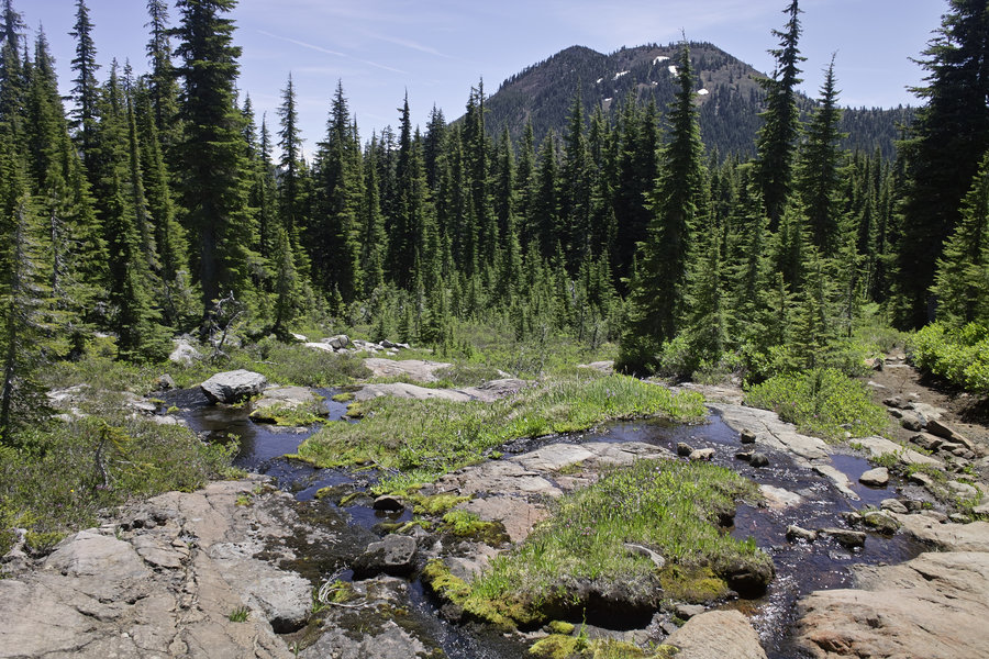
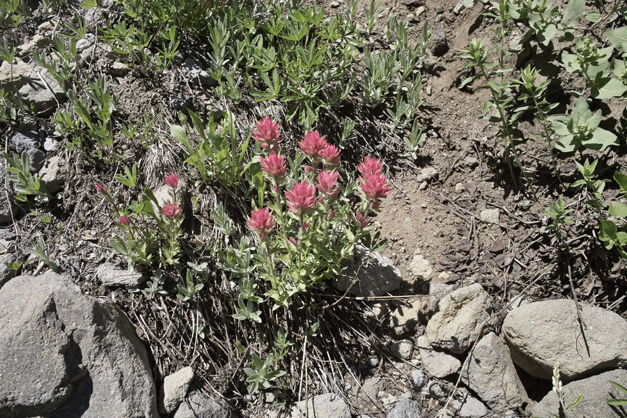
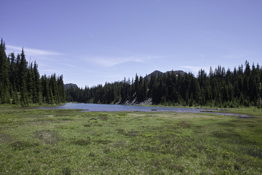
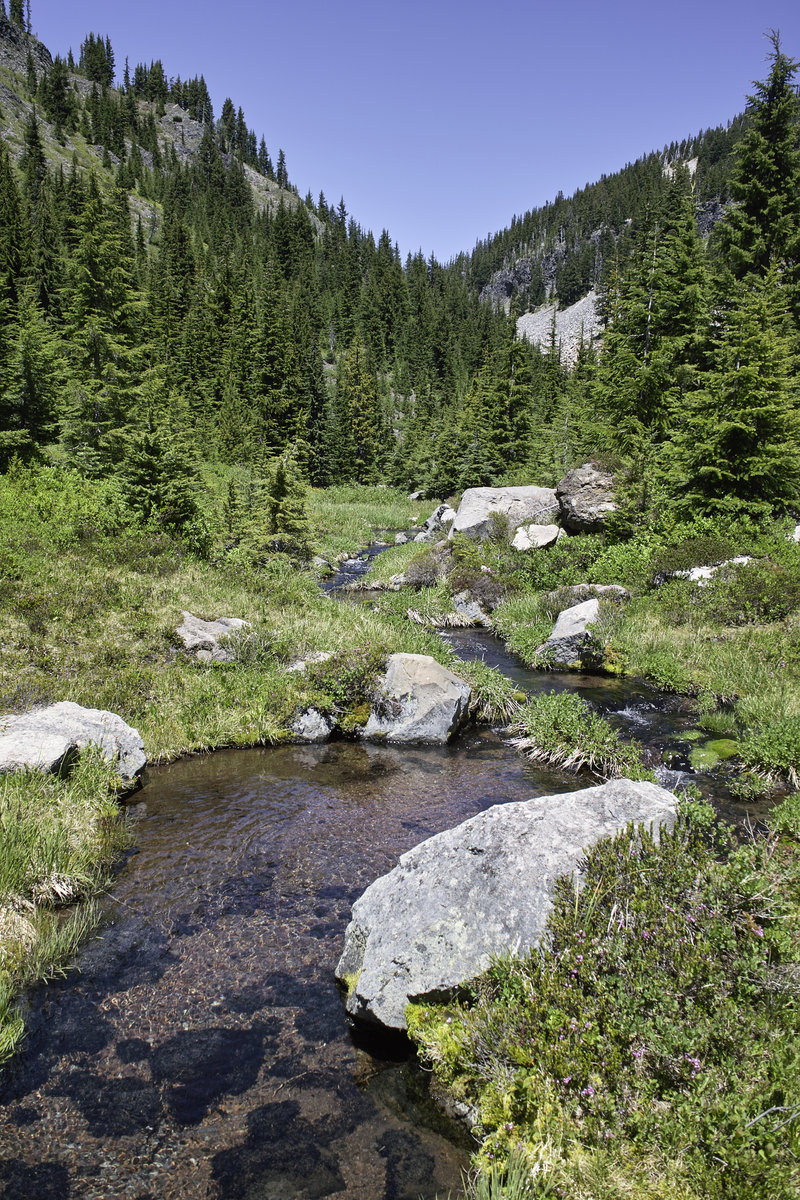
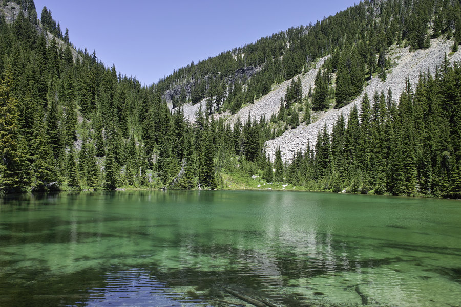
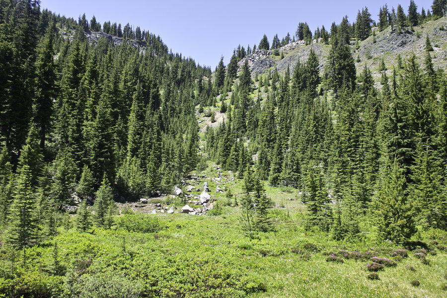
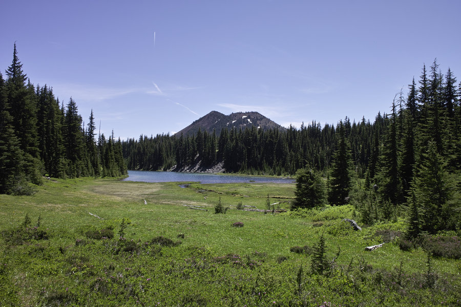
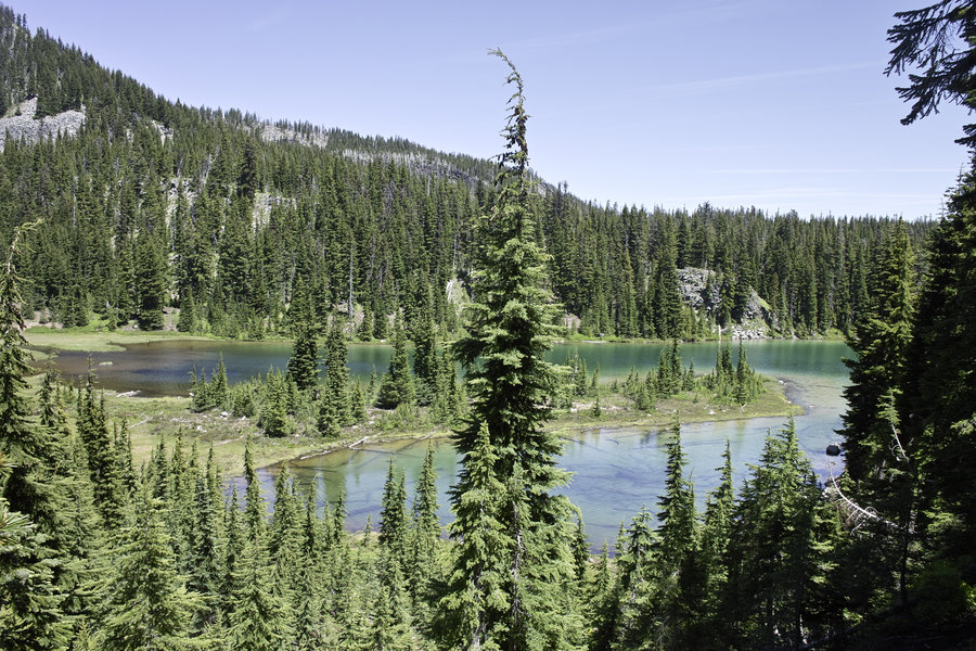
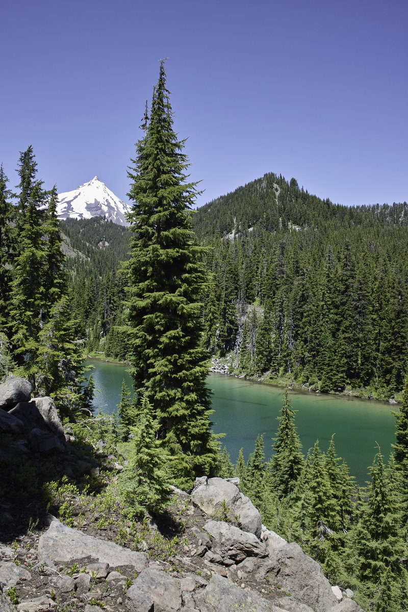
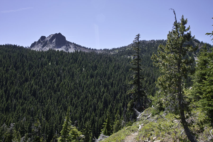
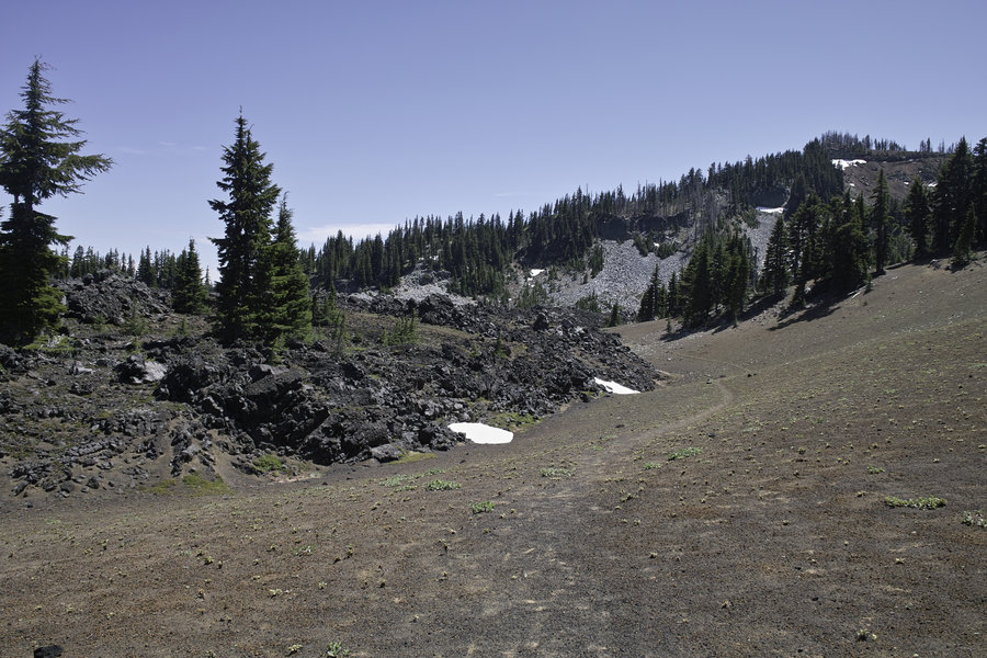
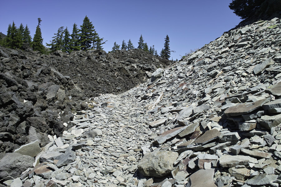
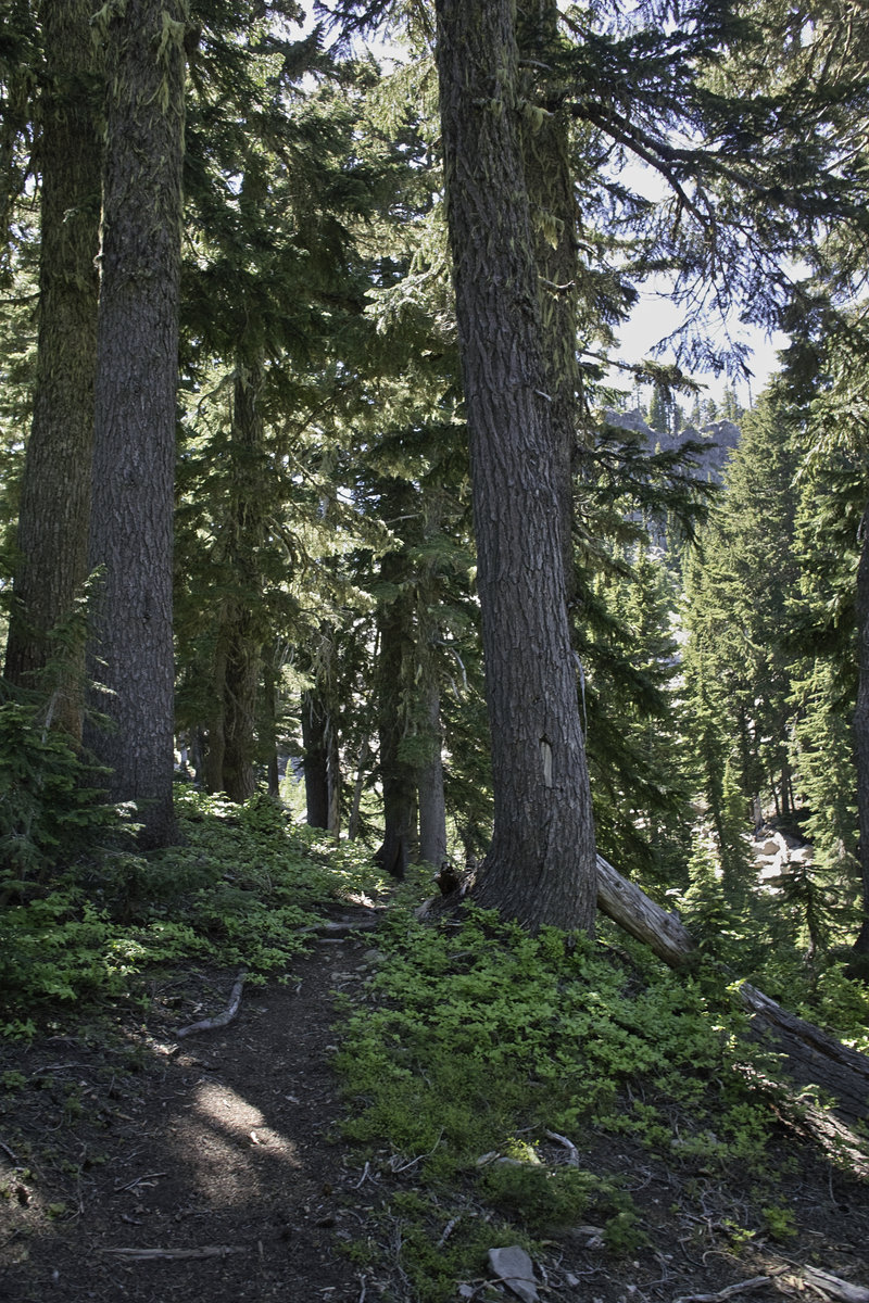
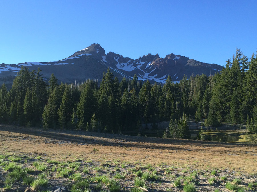
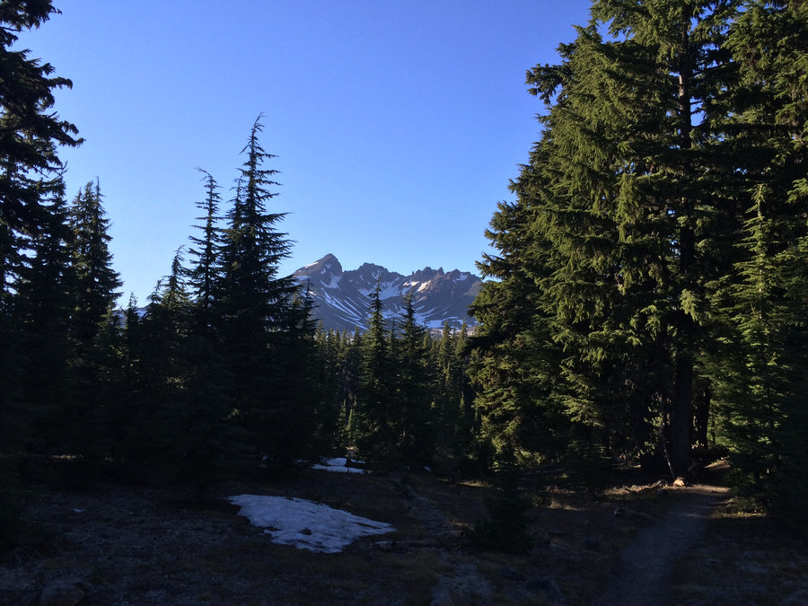
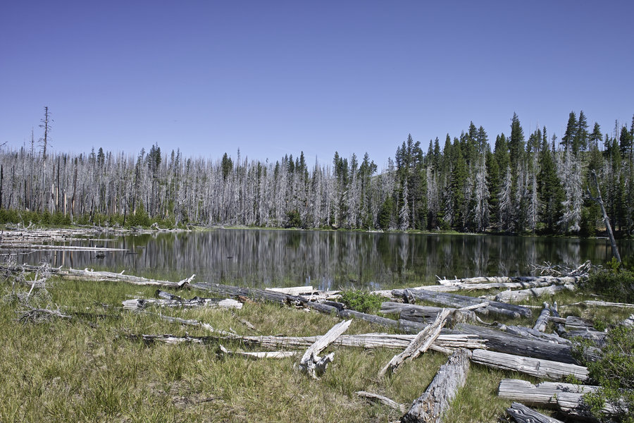
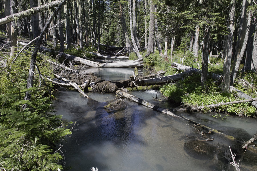
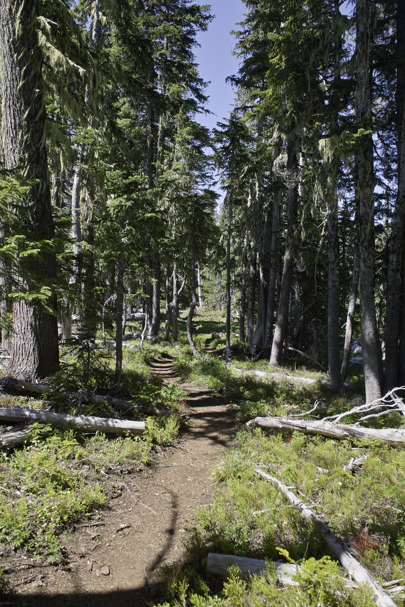
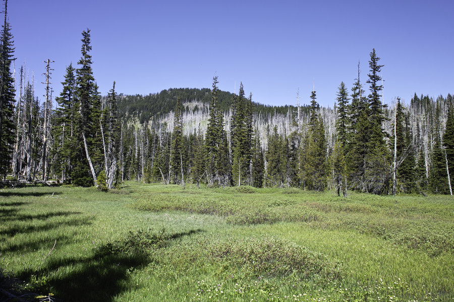
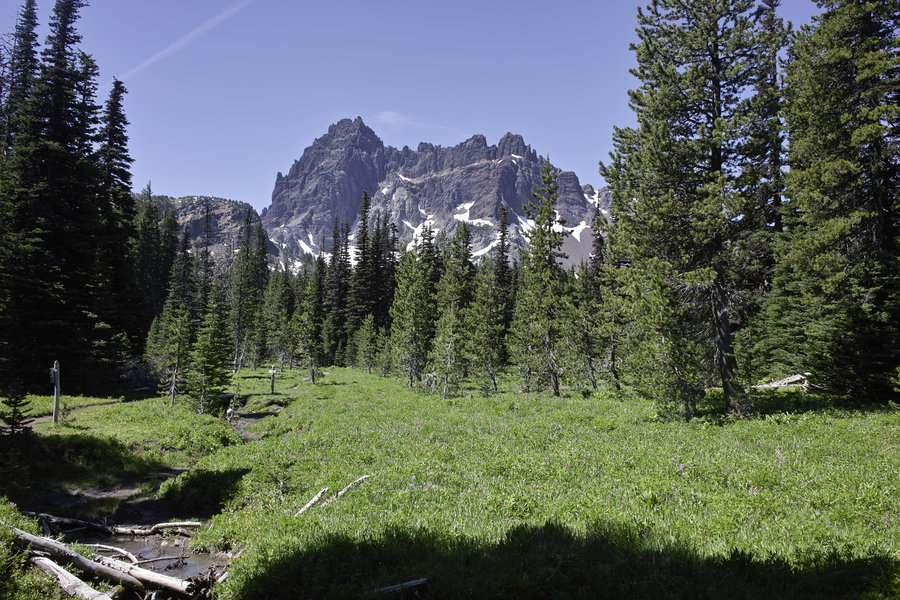
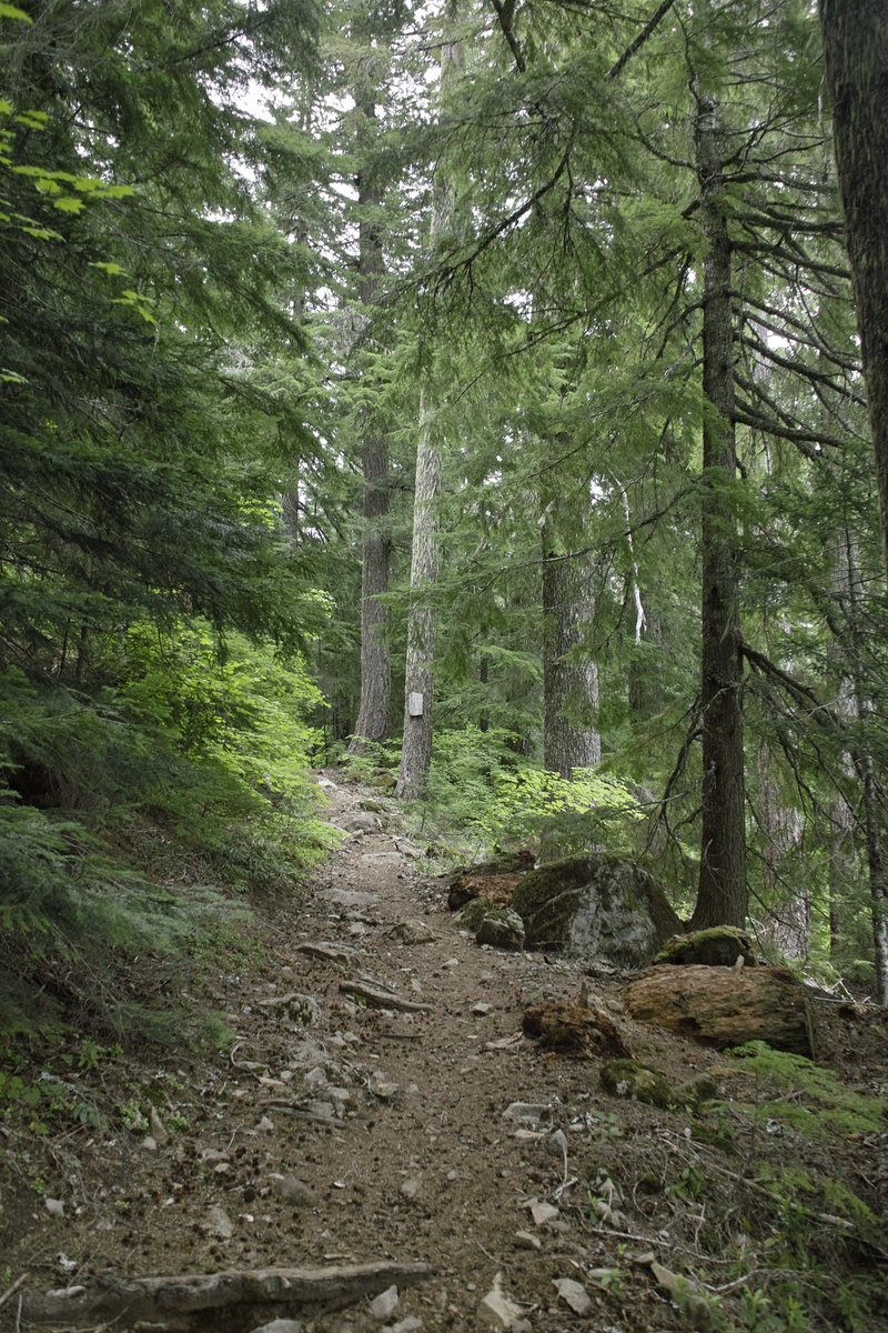
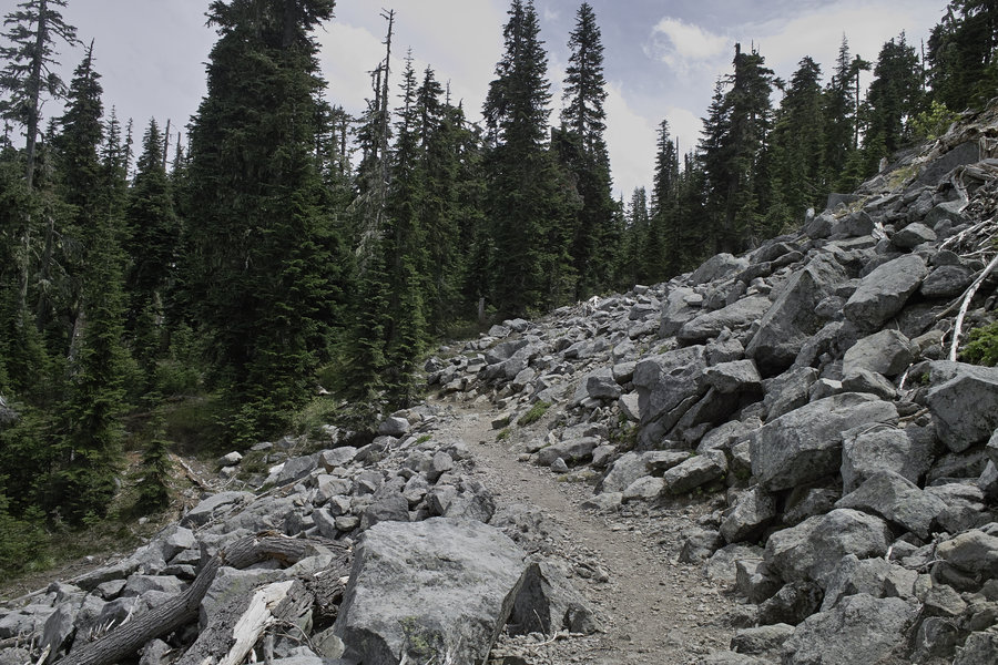
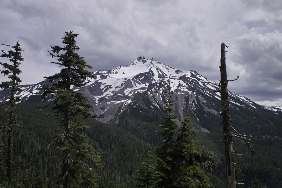
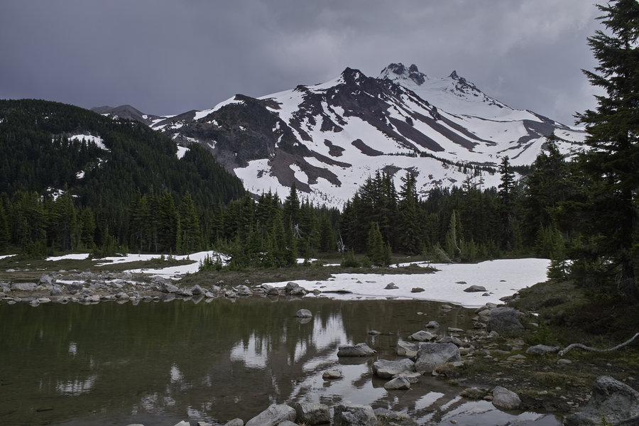
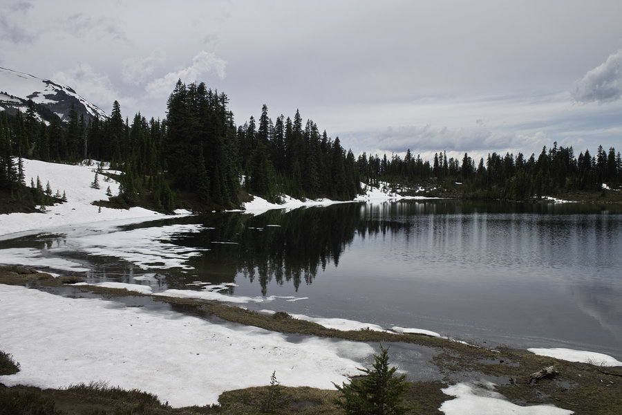
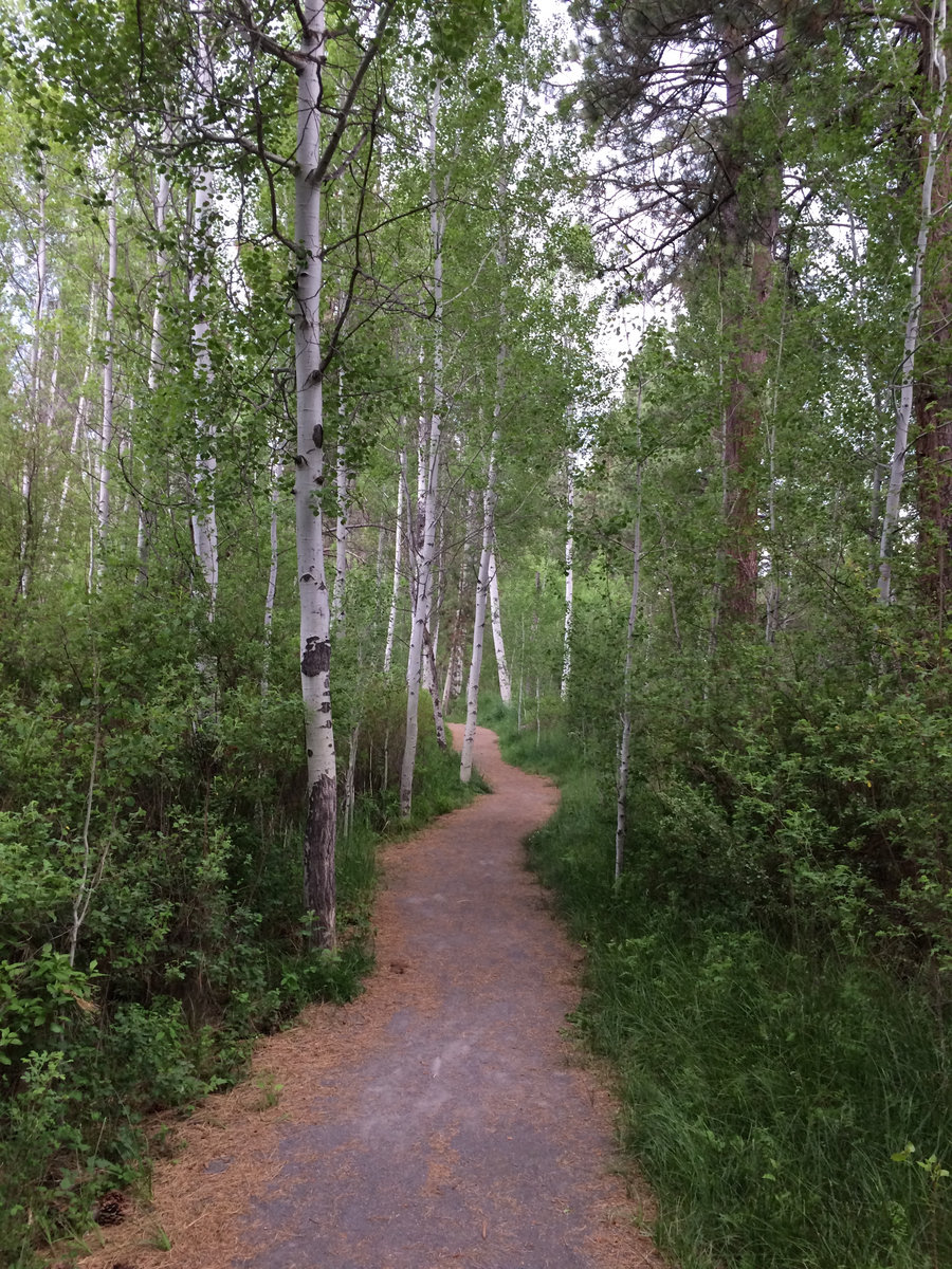
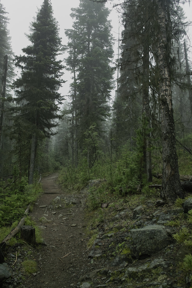
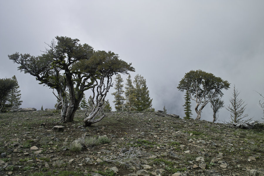
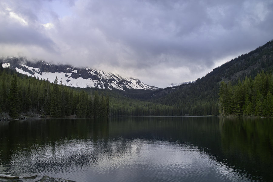
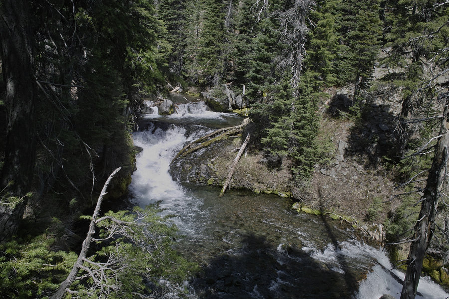
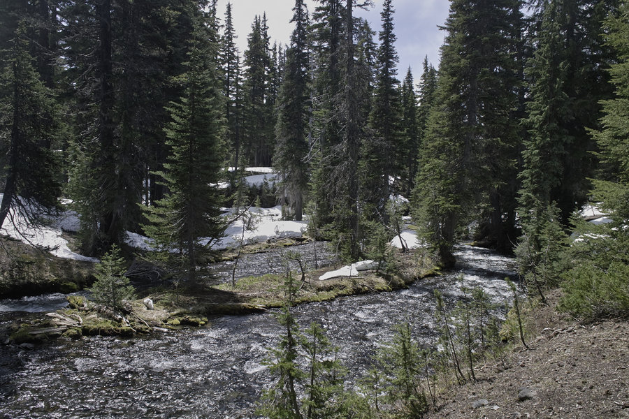
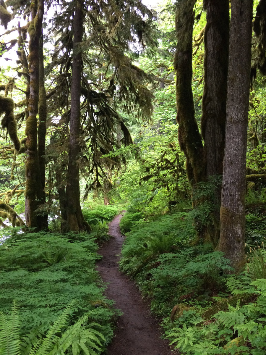
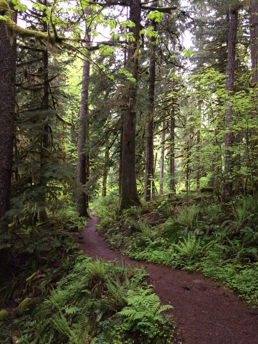
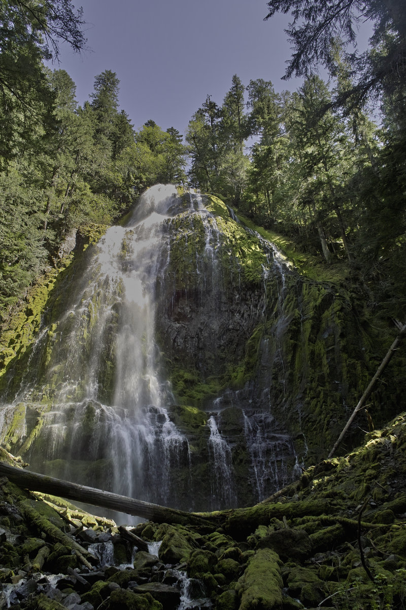
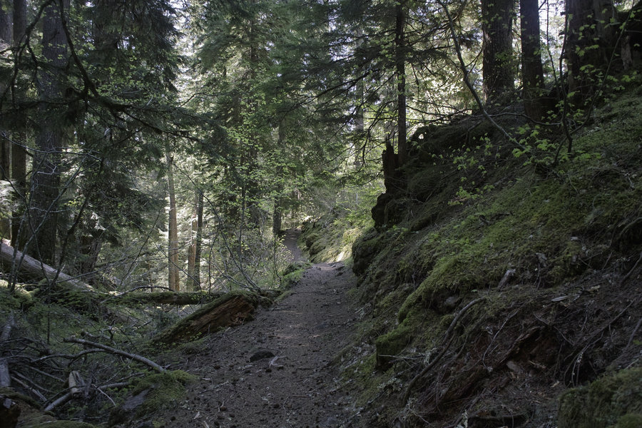
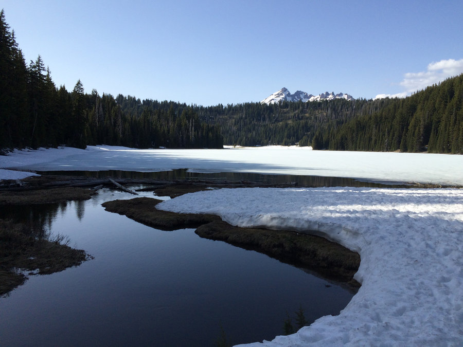
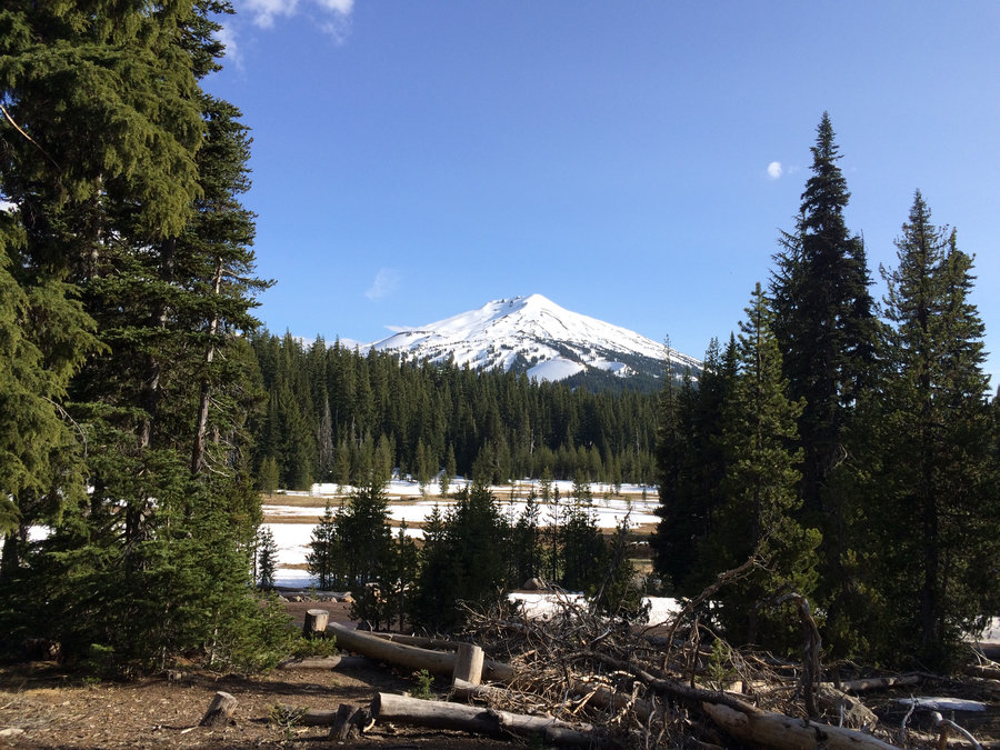
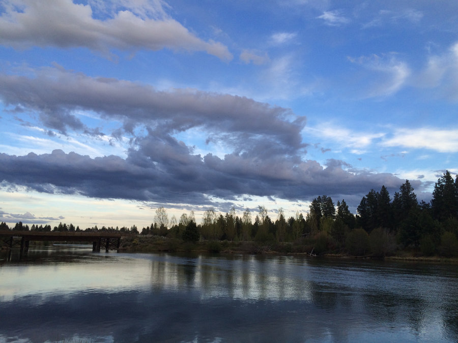
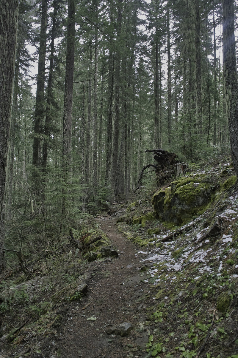
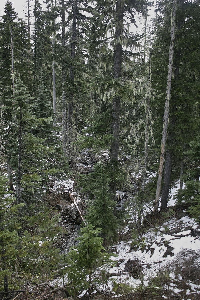
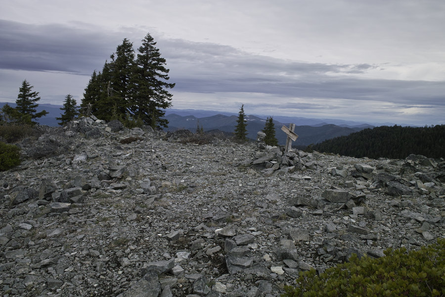
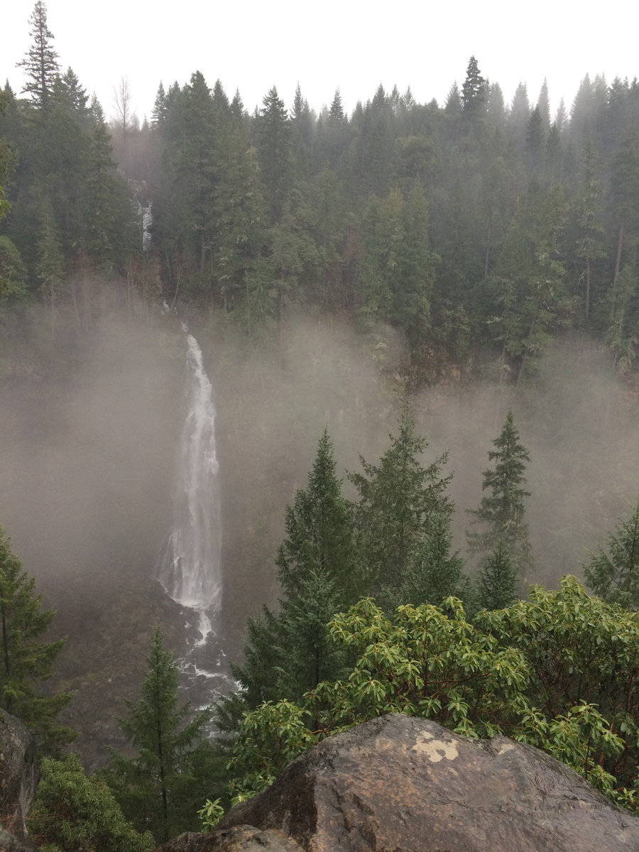
Jefferson Wilderness - Cabot Trail to Table Lake
21.5 miles of hiking • 3750' elevation gain •
After the prompting to see what shape the Cabot Lake trail was in, I decided to head in, and see how far I could get today. The turn around was Table Lake—probably the best kept secret in Jeff Wilderness (I almost wonder if I should post this…) I would have loved to go just a little farther to Hole-In-The-Wall Park, but that would have made a 21 mile day into a 24+ mile day, and that was more than my right shin could take today, for whatever reason.
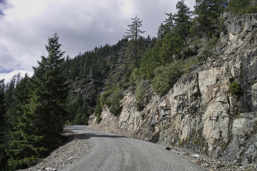
The road to the trailhead is in great shape—nothing a passenger car couldn’t handle. There were about five cars at the trailhead, a handful of backpackers up to Carl Lake, and then only one pair of backpackers on their way to Table Lake as I was returning. This place definitely sees less traffic than Canyon Creek and certainly Jeff Park.
The Cabot Lake trail was also in great shape—the Jackpine was cut far back. There were a few blowdowns to deal with between Cabot and Carl Lakes, but nothing too onerous. From there, the trail was in good shape to Table Lake.
To me, Table has to be the nicest lake in all of Jeff Wilderness—nicer than Hunts Cove—but the pictures don’t do it justice. If visiting, be sure to peek at “Upper Table Lake” as it’s commonly been called.
June 14, 2015


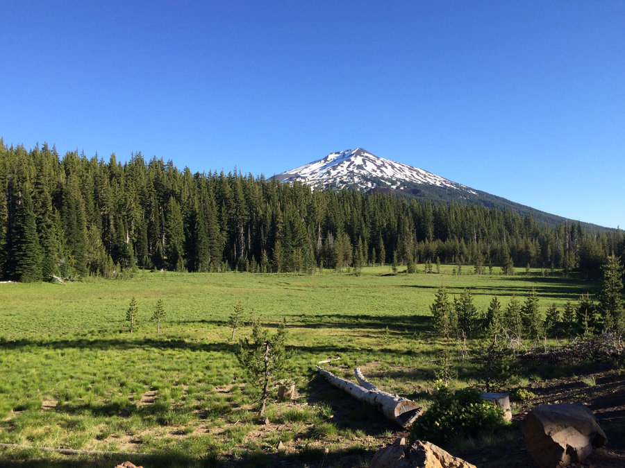
Broken Top loop from Todd Lake
9.5 miles of hiking • 1250' elevation gain •
A nice after-work run/walk.
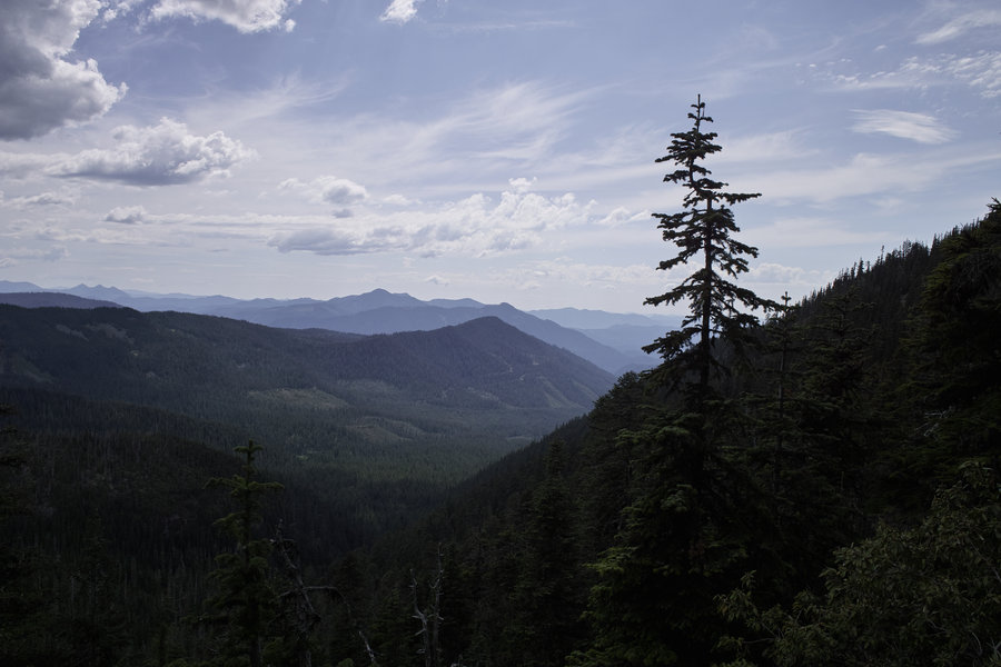
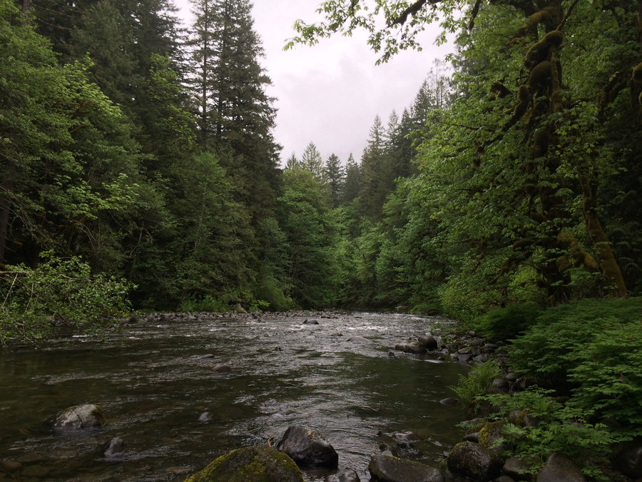
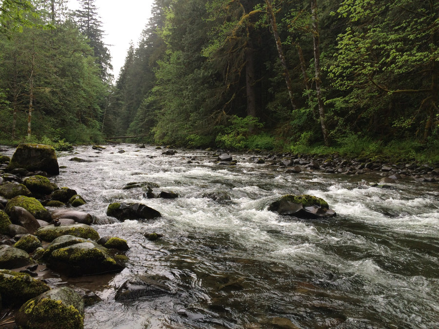
June 12, 2015


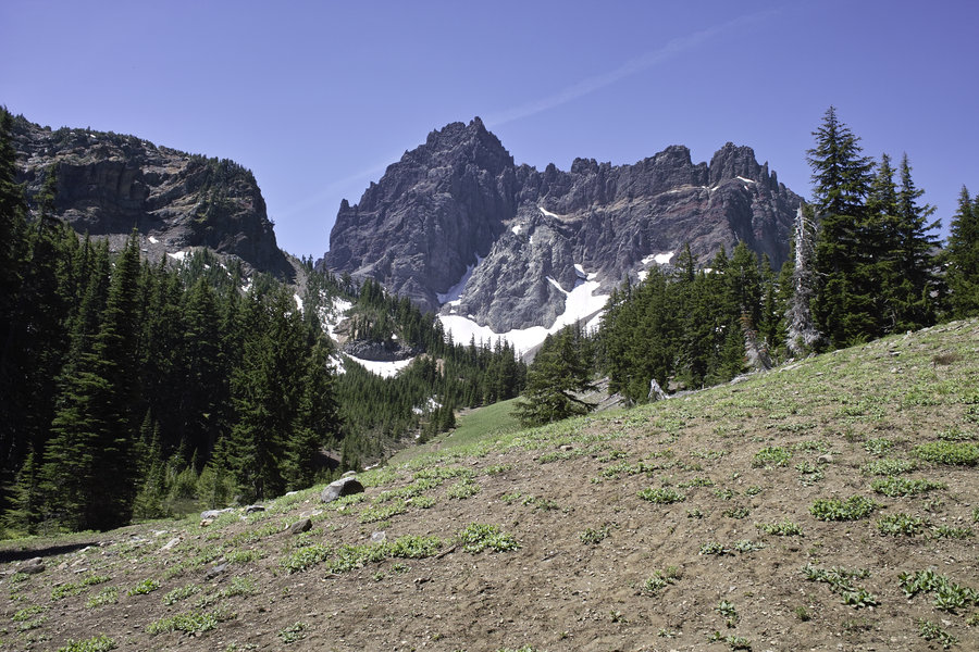
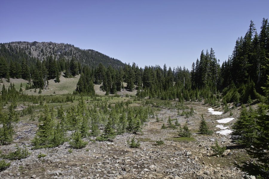
Canyon Creek Meadows
6 miles of hiking • 1500' elevation gain •
A quick hike after a very long McKenzie bike ride yesterday.
June 7, 2015


February 16, 2015

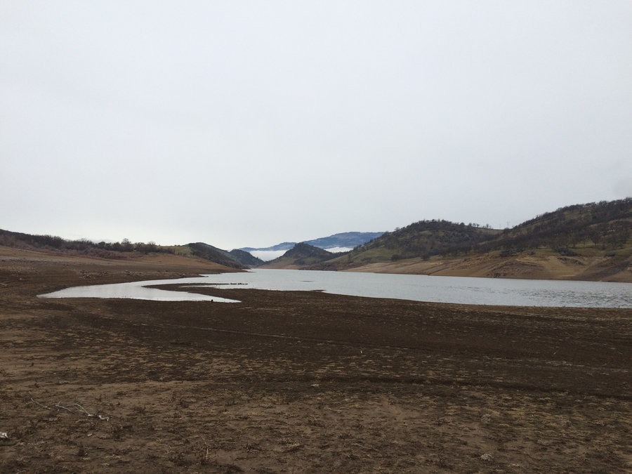
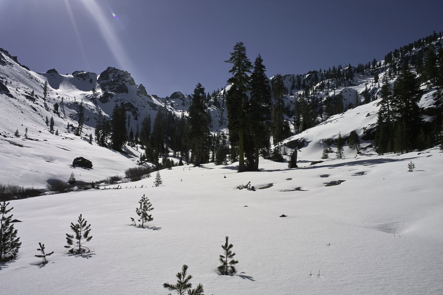
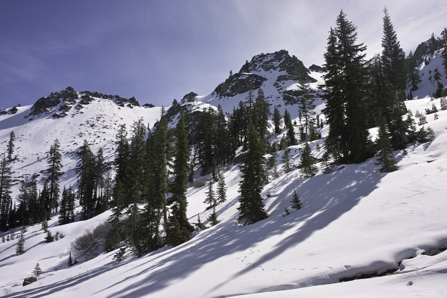
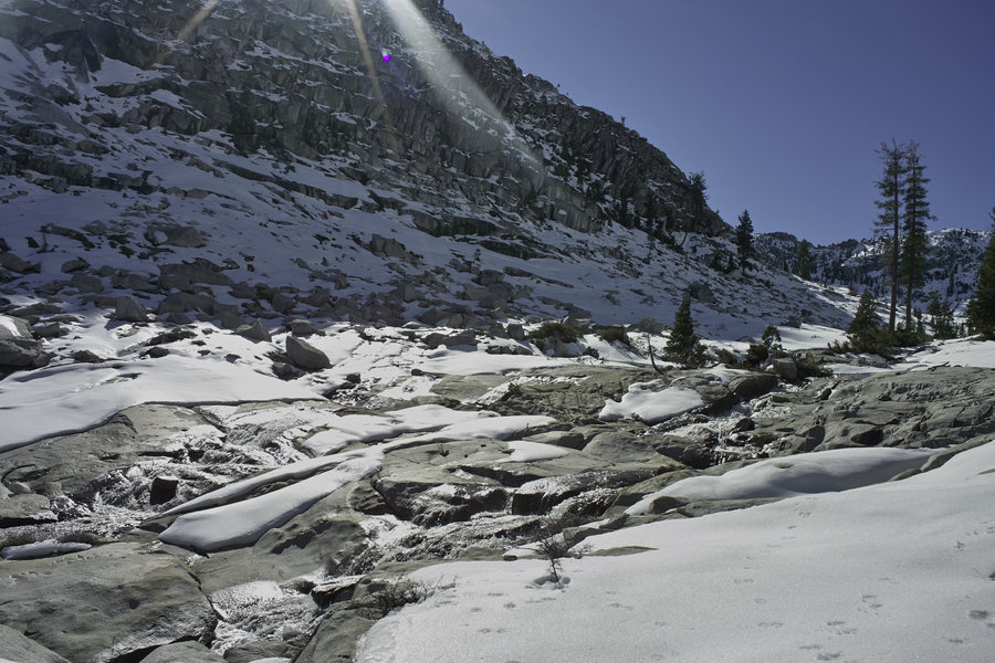
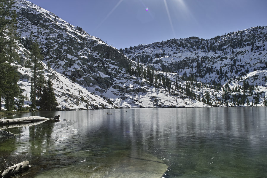
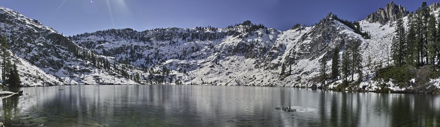
Big Bear Lake
10 miles of hiking • 3500' elevation gain •
A perennial favorite, and we had great weather!
February 14, 2015


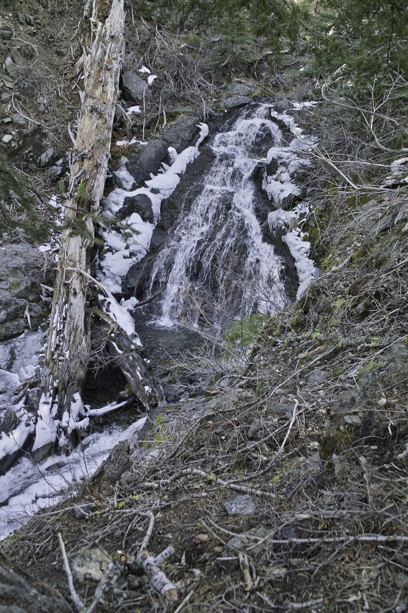
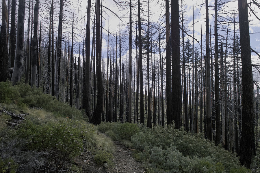
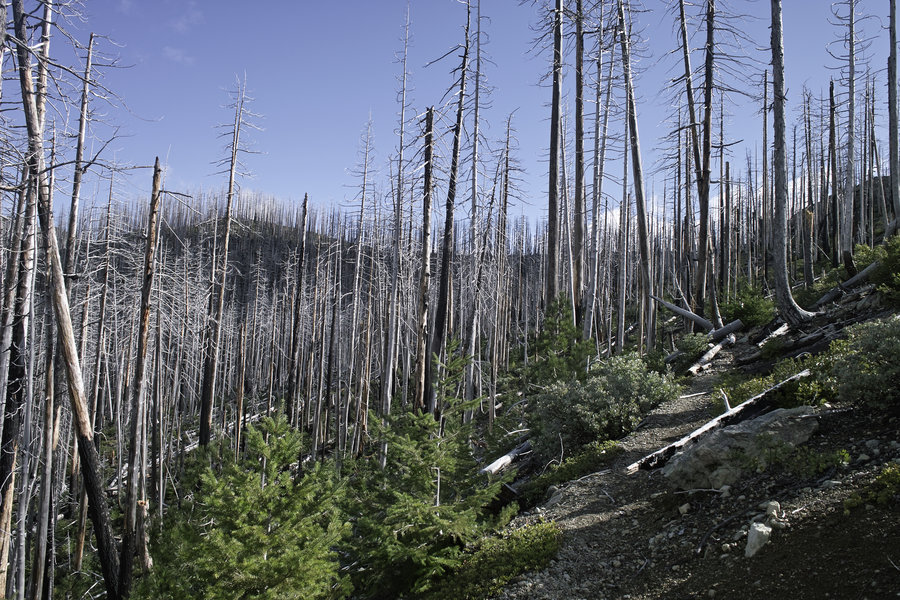
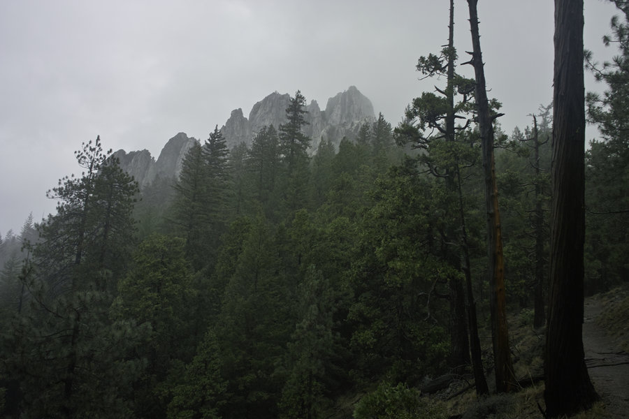
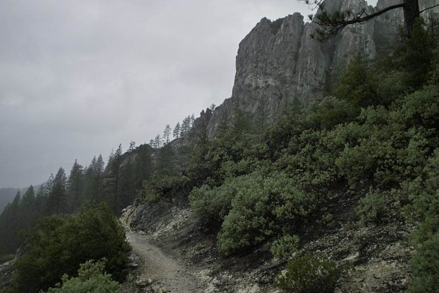
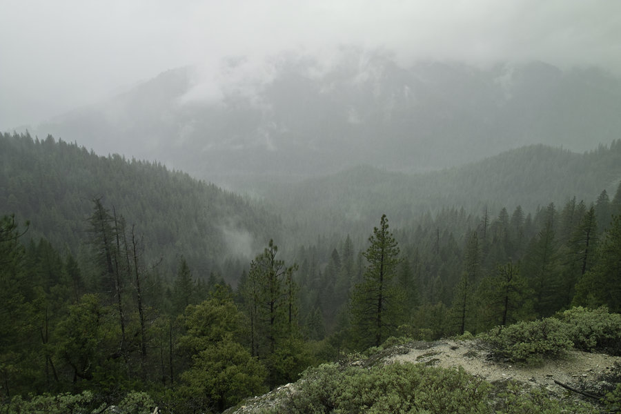
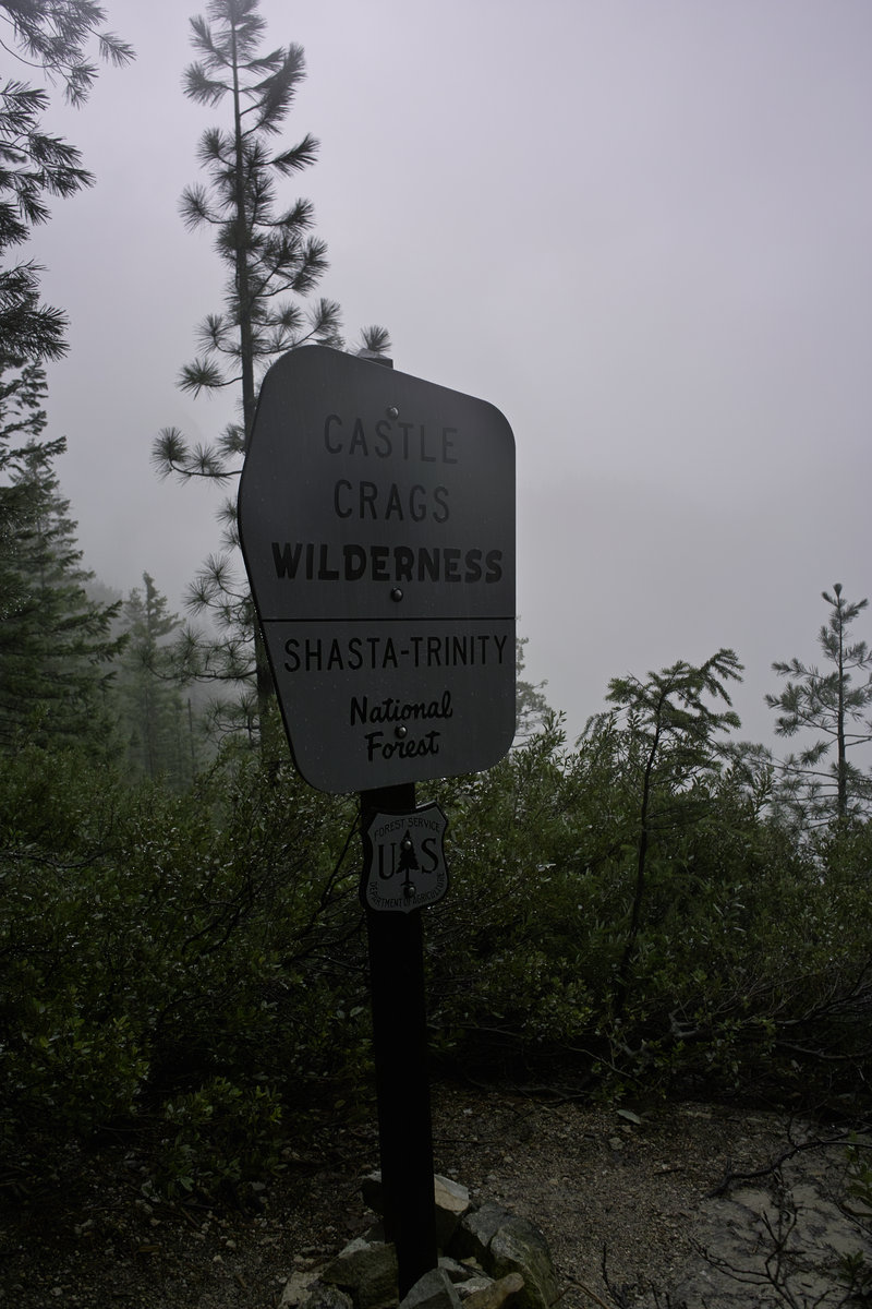
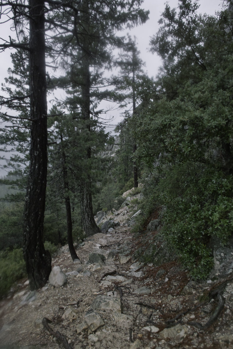
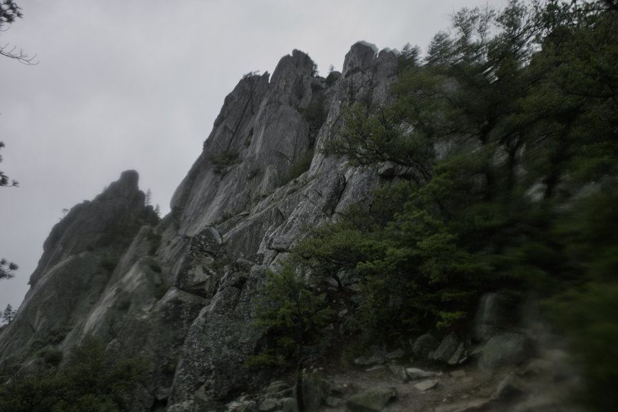
Castle Crags - Castle Dome
5.5 miles of hiking • 2500' elevation gain •
Finally, a real, if not still short, hike this year! This time in the rain, but a good time to go to an otherwise busy place.
February 8, 2015


January 11, 2015