2015 Trips


The Devils Rest
7.6 miles of hiking • 2500' elevation gain •
Windy and chilly above the switchbacks. Clouds rolling through the forest at the summit.

January 29, 2015

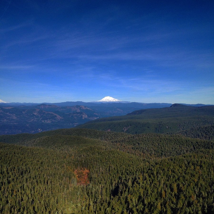
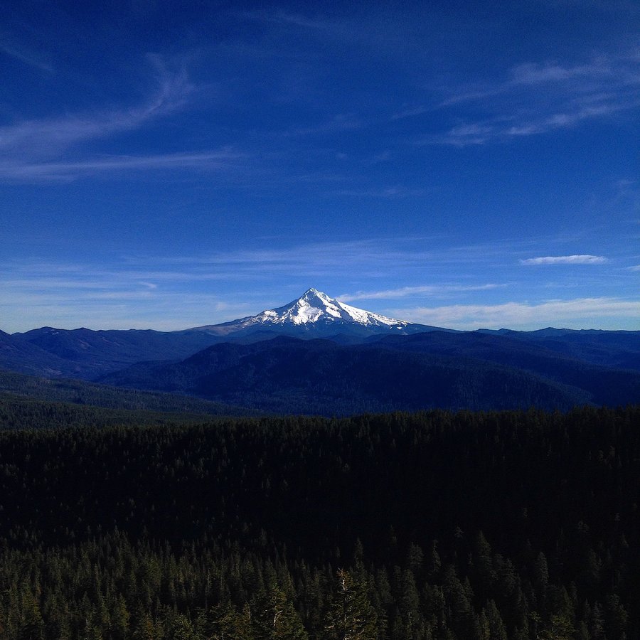
Larch Mt. - Sherrad Point
7.8 miles of hiking • 2250' elevation gain •
No Snow, save a patch in the shade at 4050'
Amazing day.
January 25, 2015