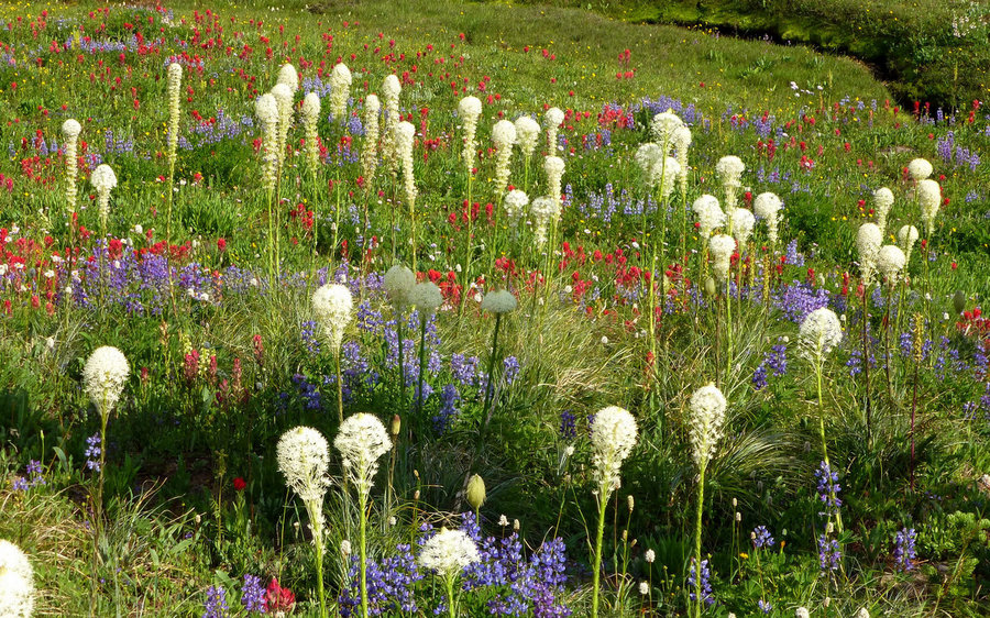
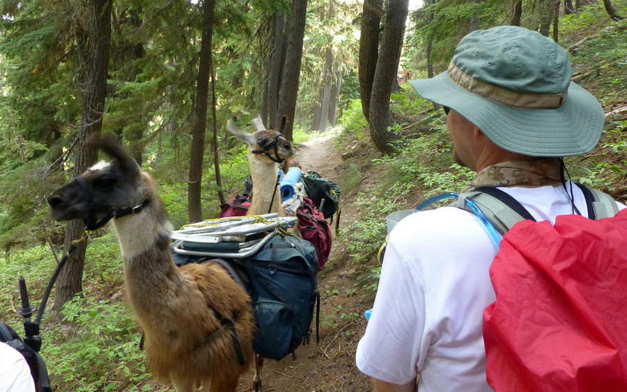
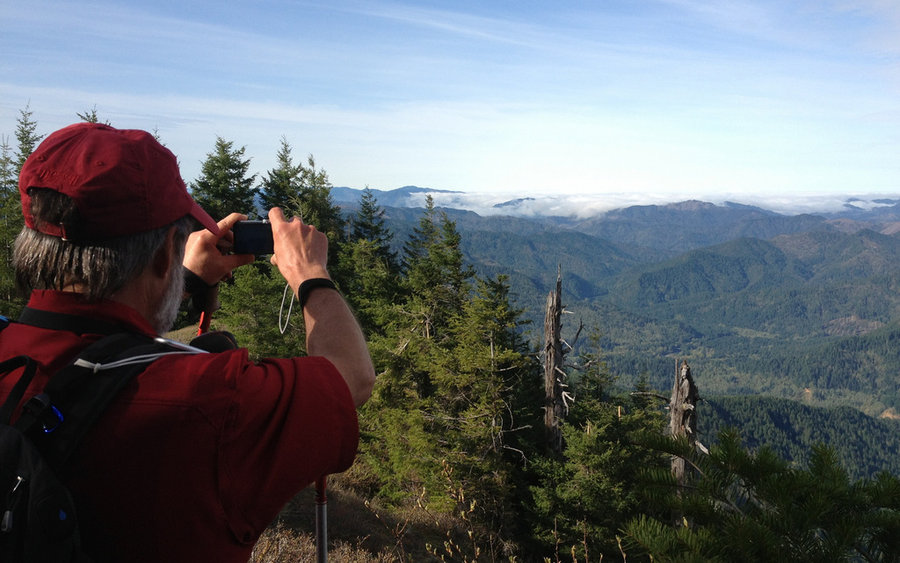
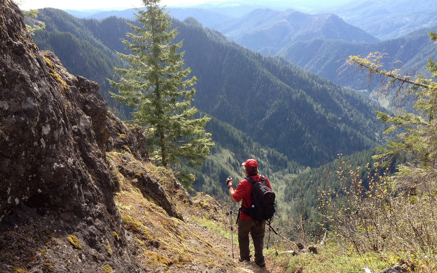
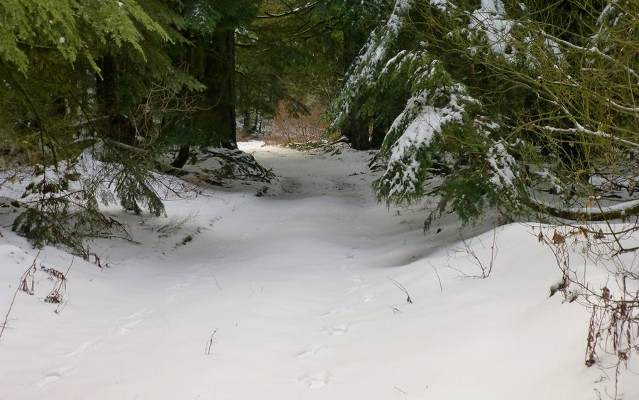
2013 Trips


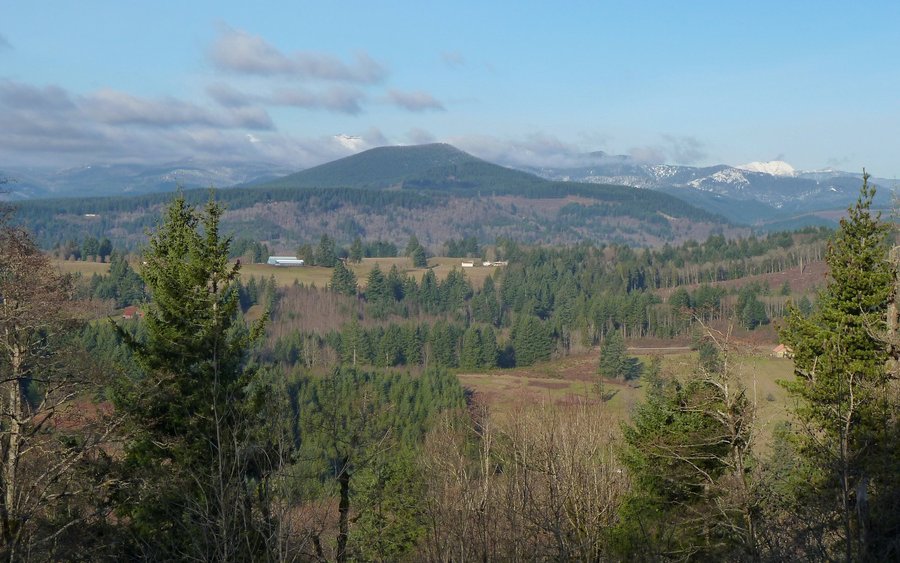
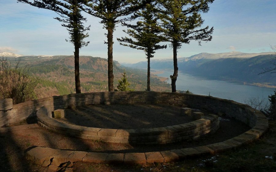
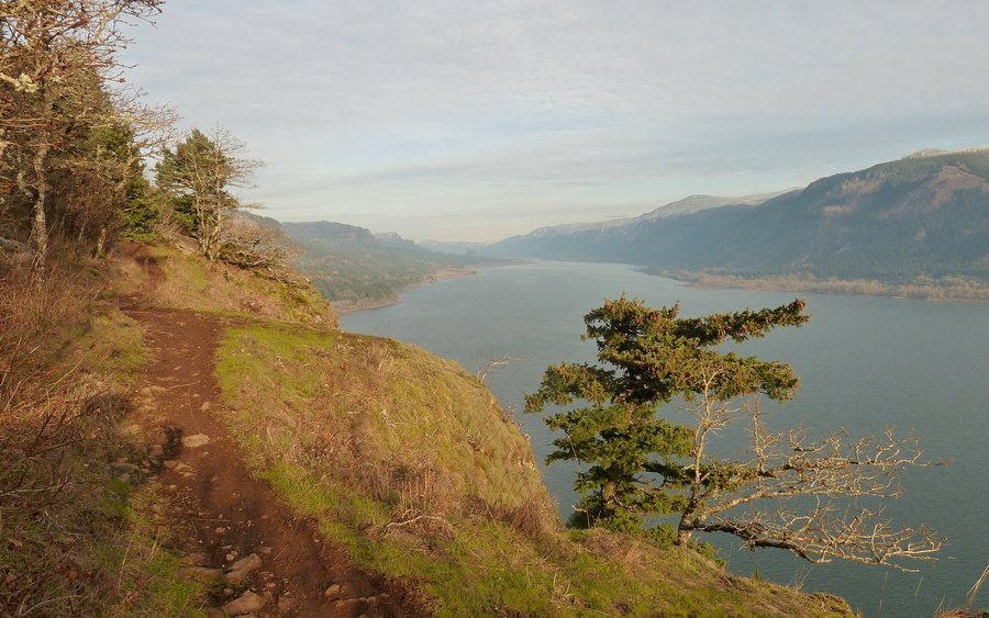
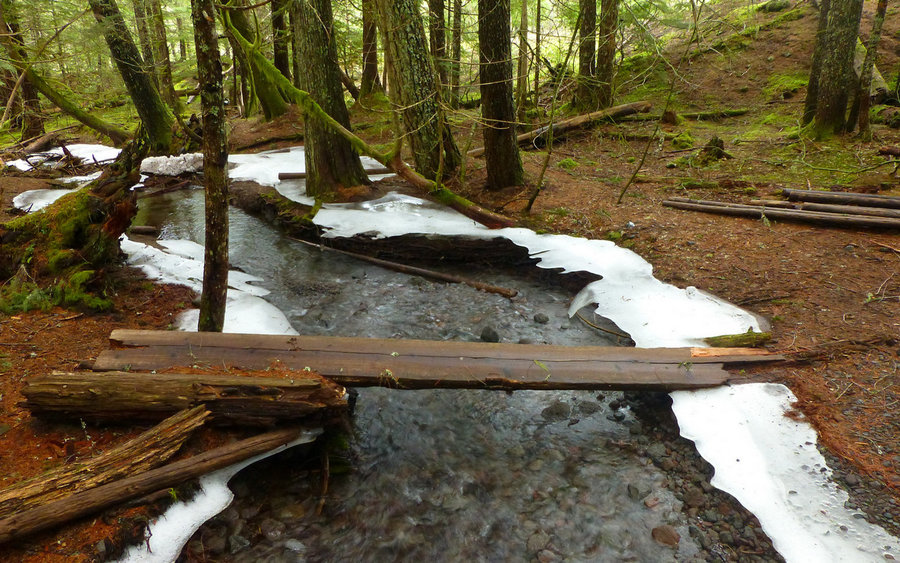
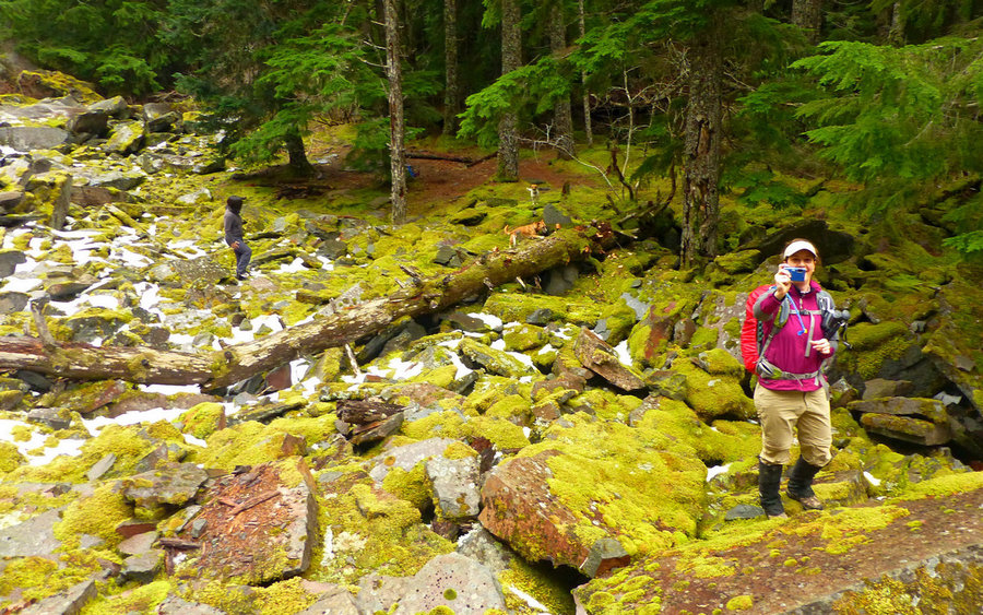
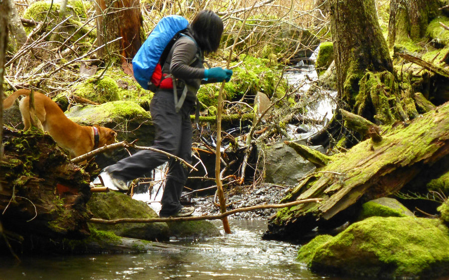
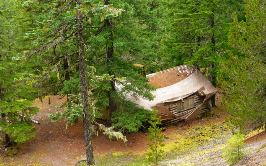
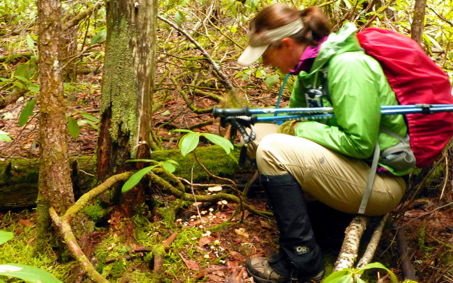
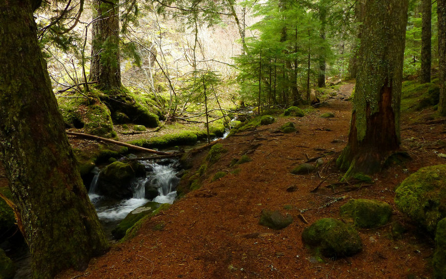
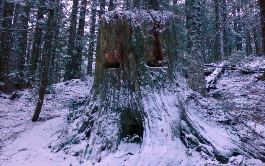
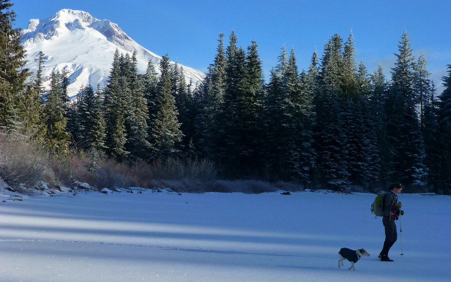
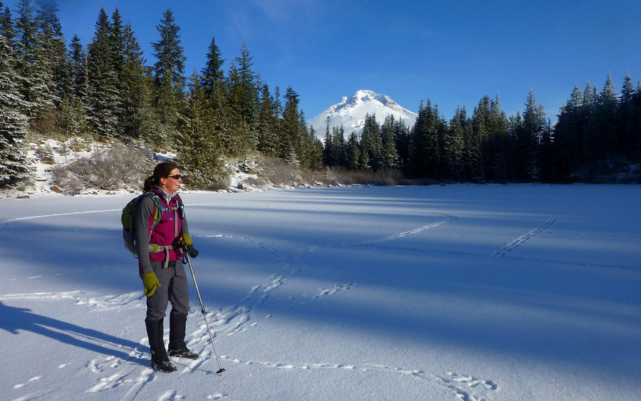
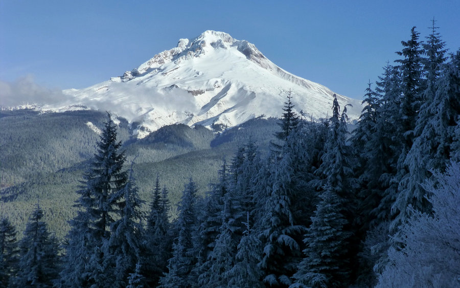
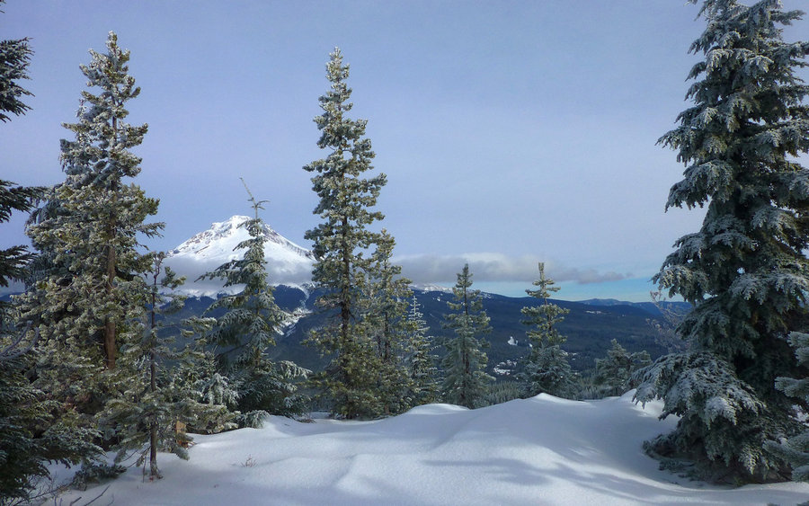
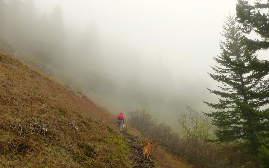
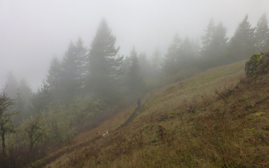
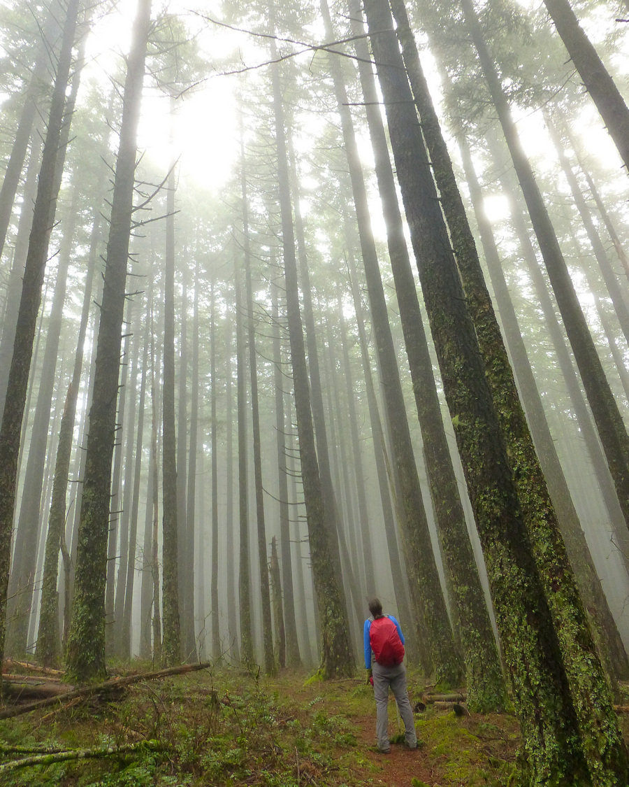
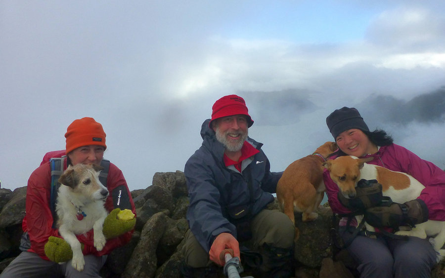
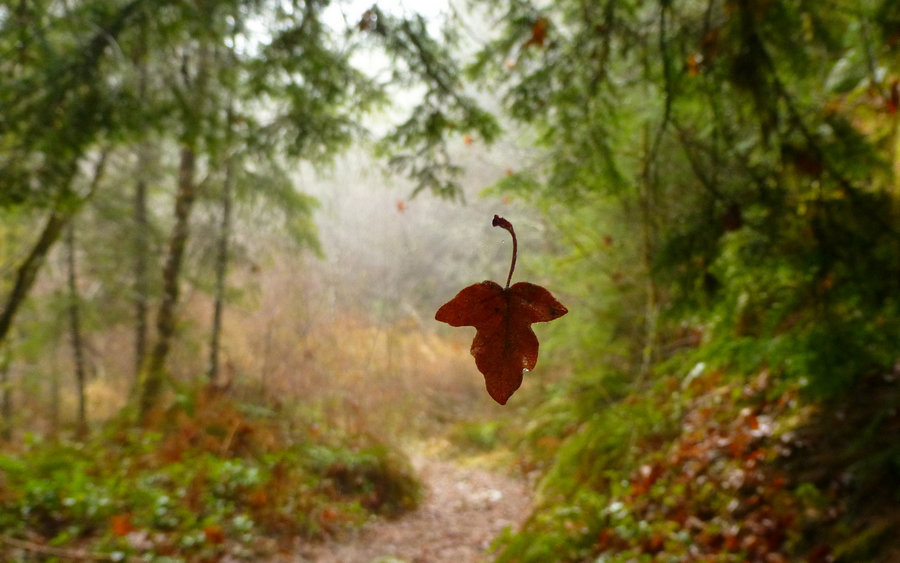
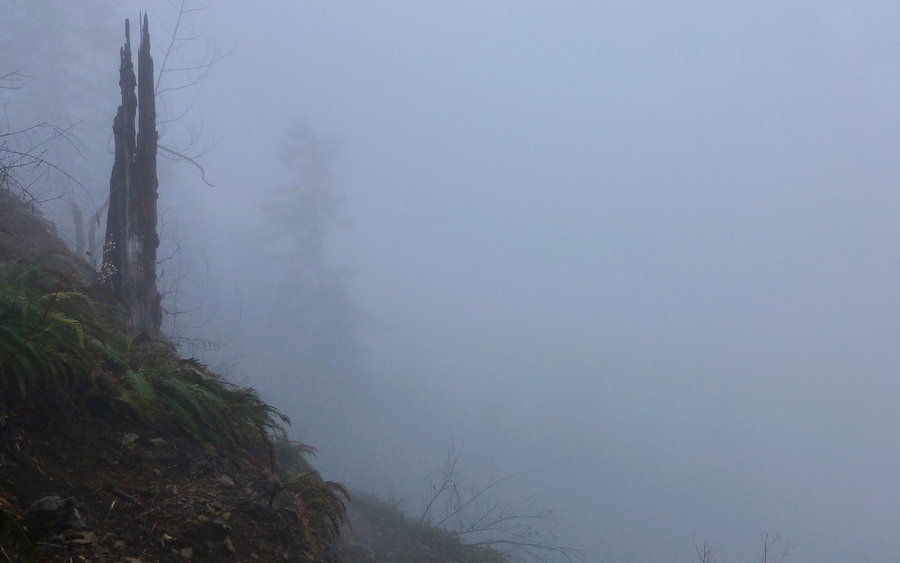
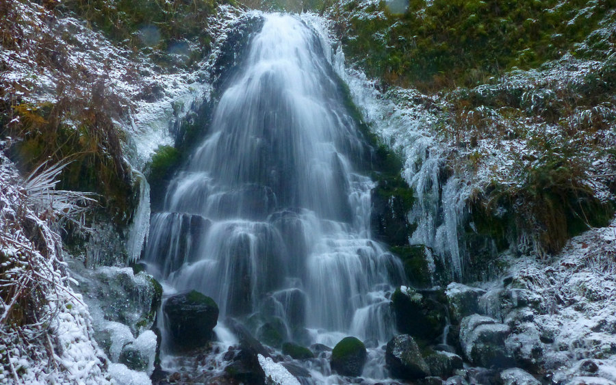
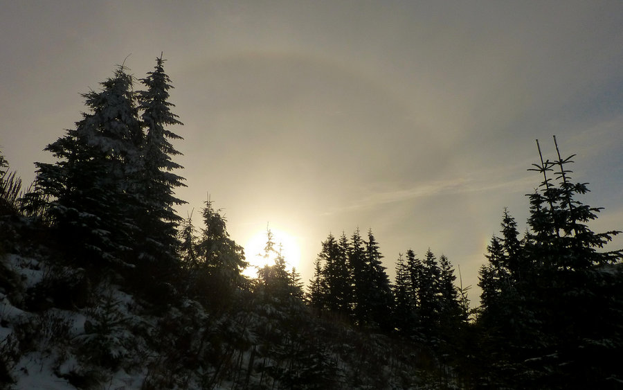
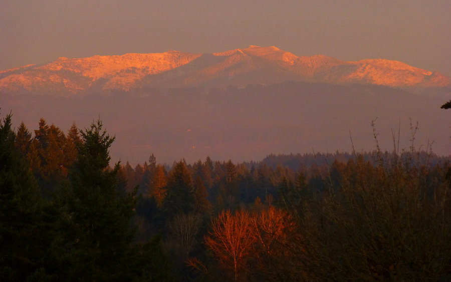
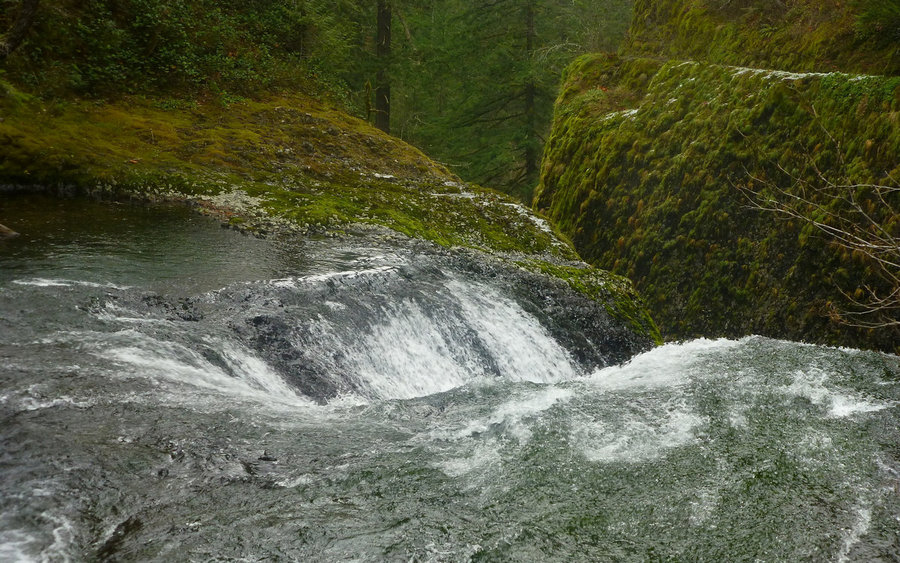
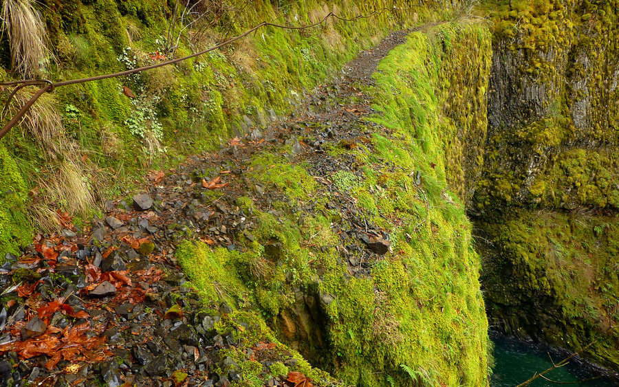
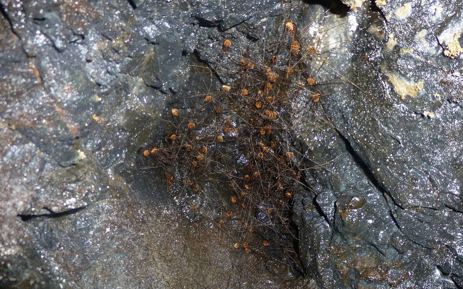
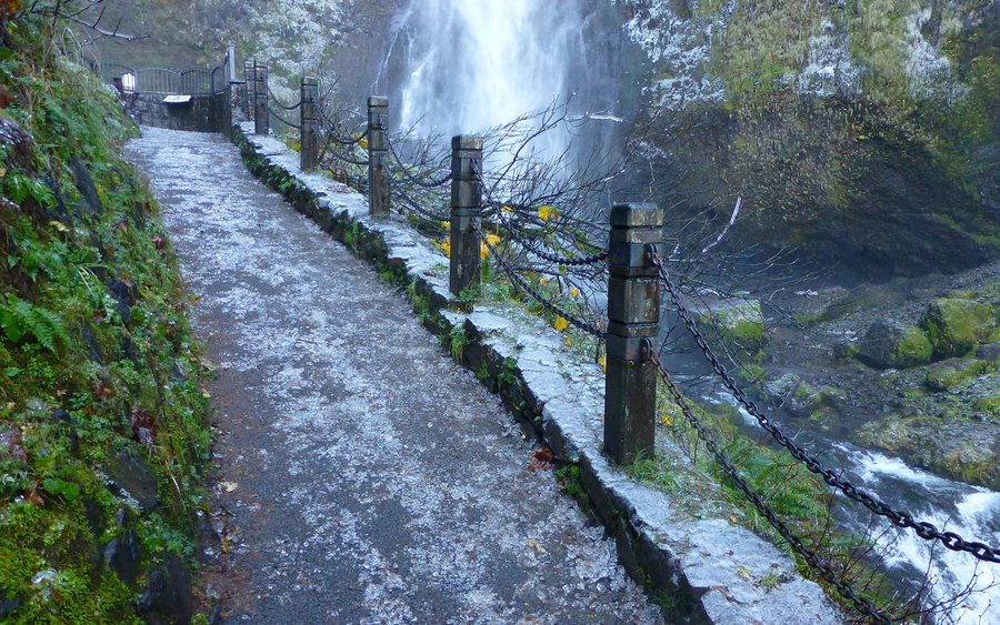
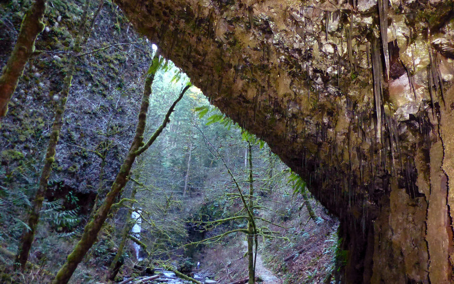
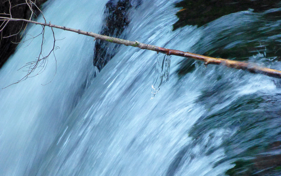
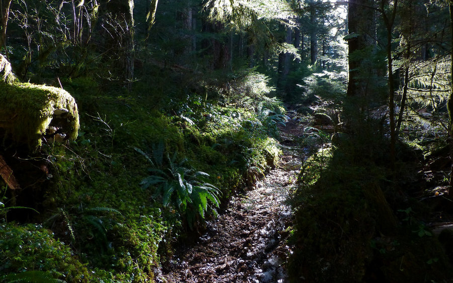
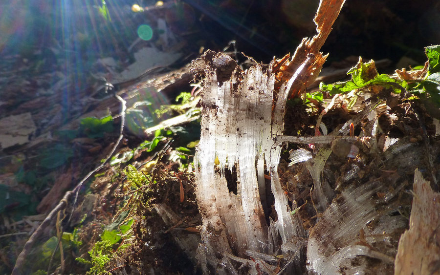
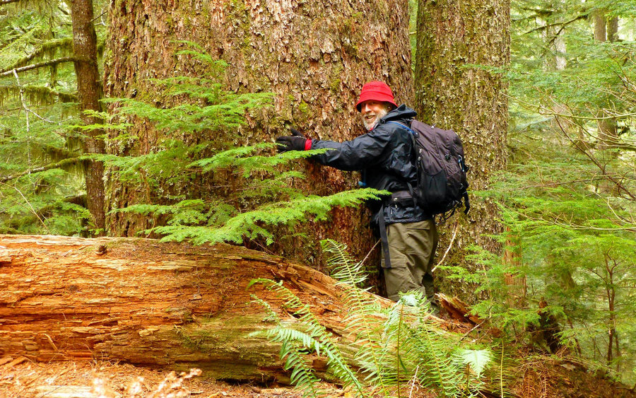
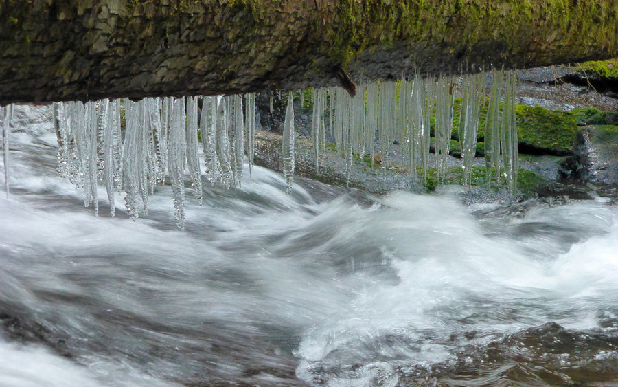
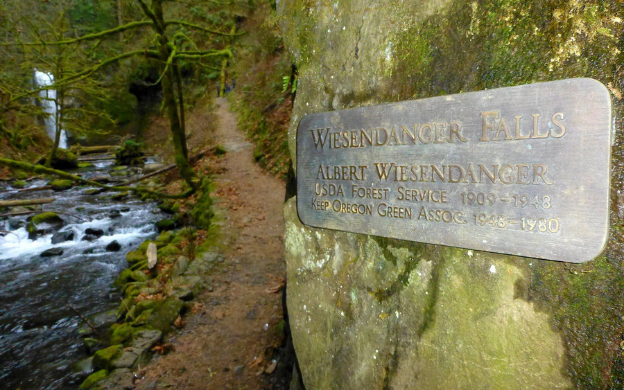
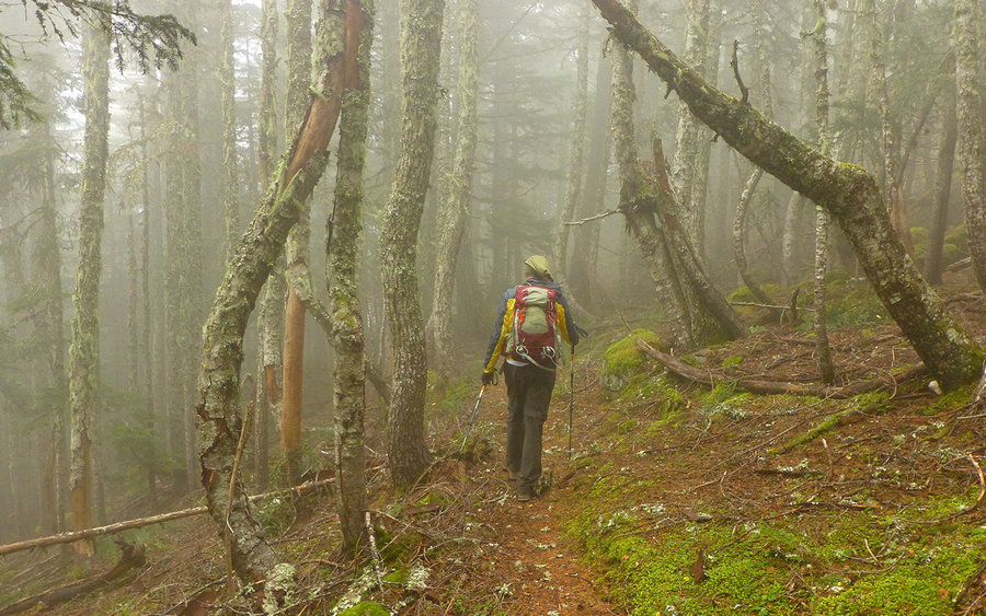
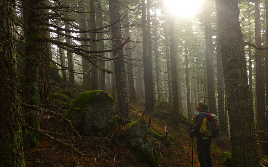
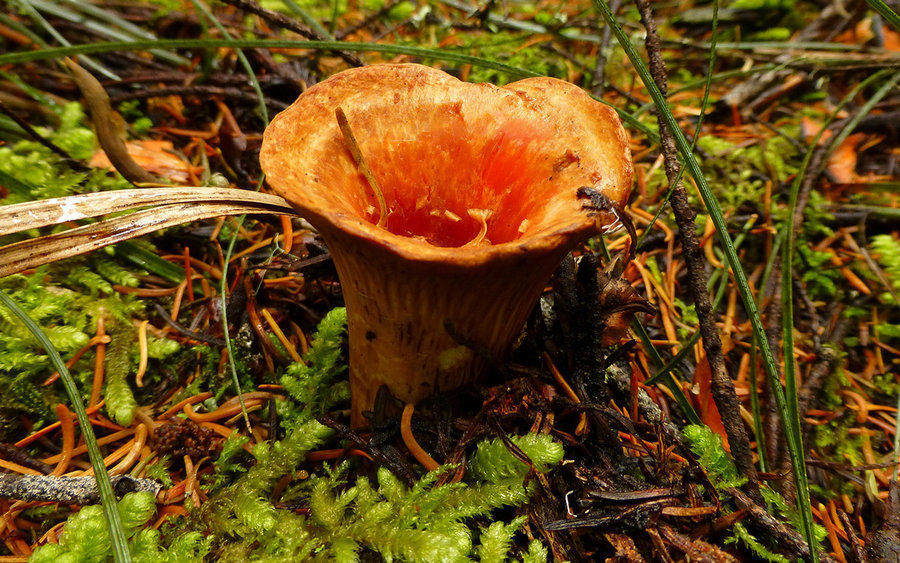
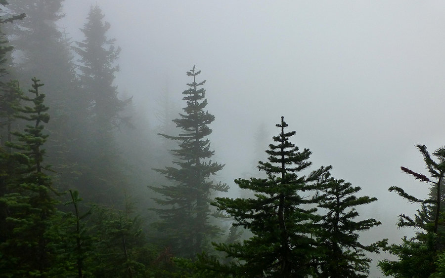
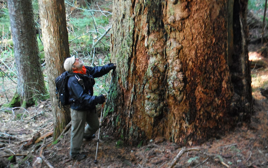
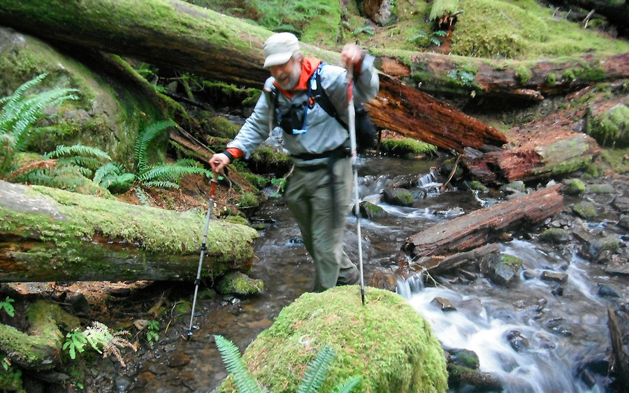
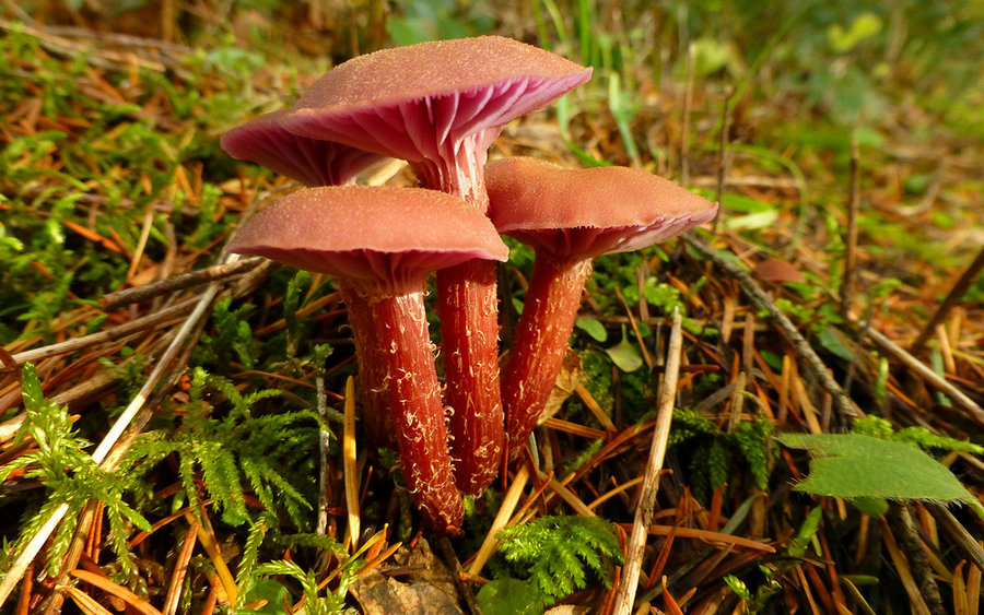
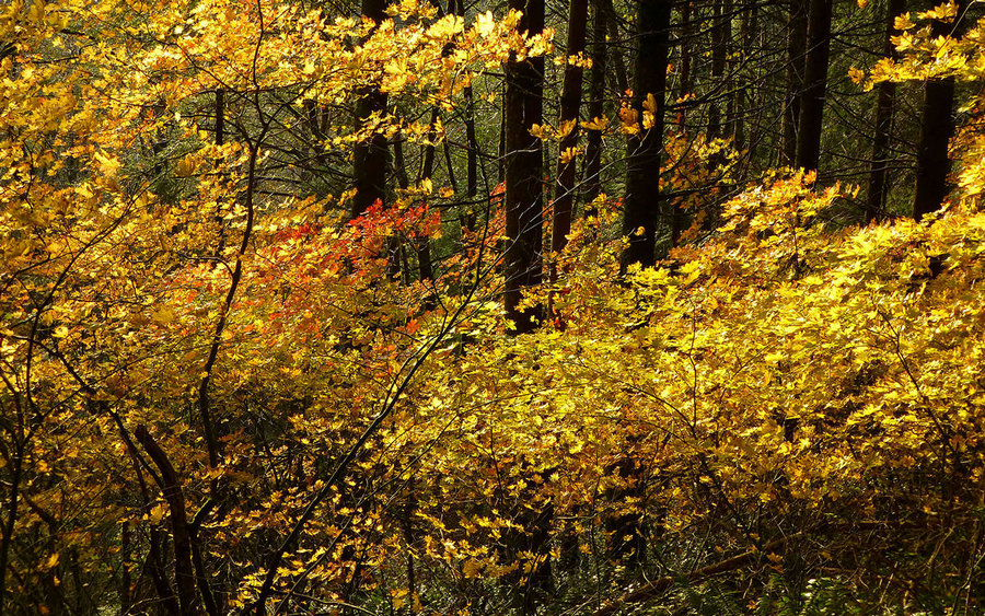
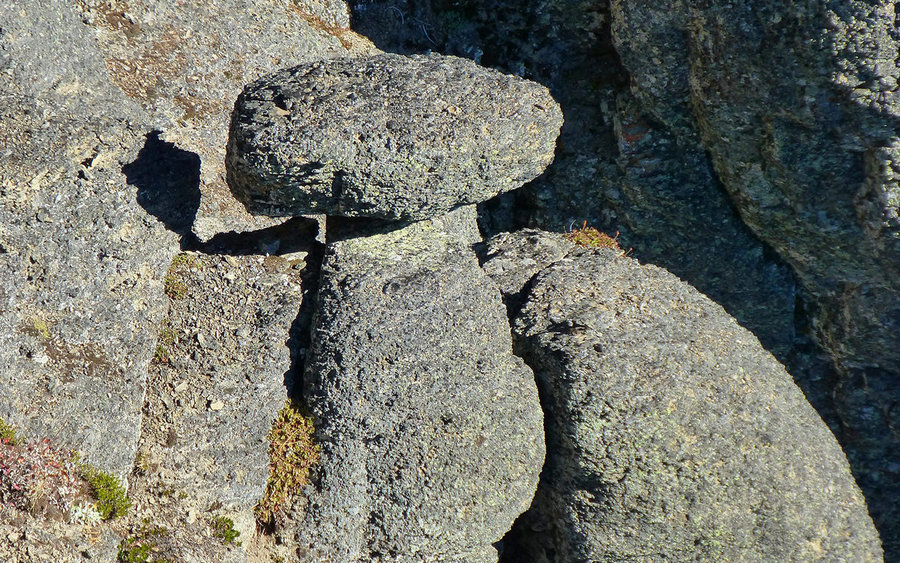
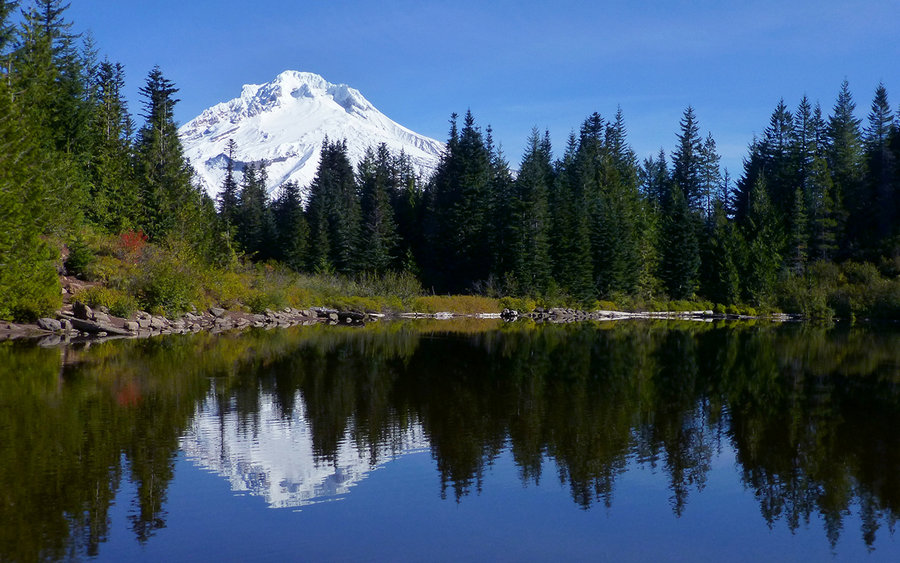
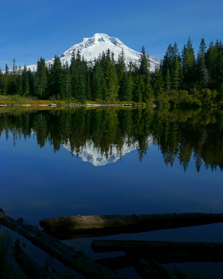
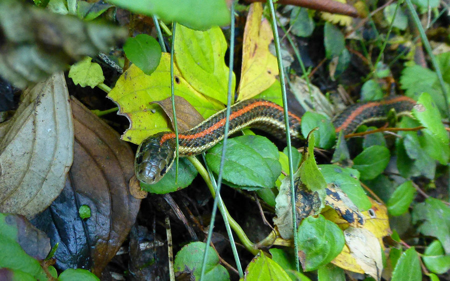
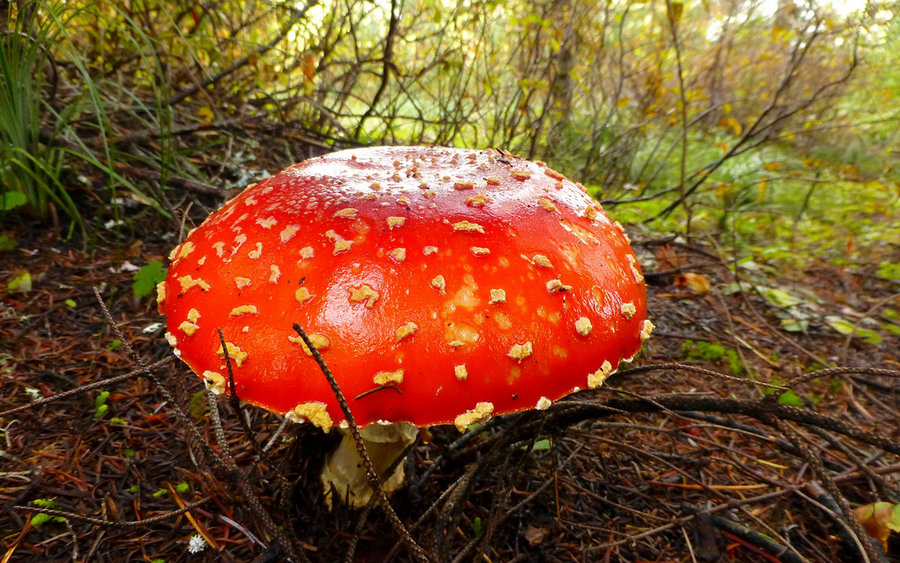
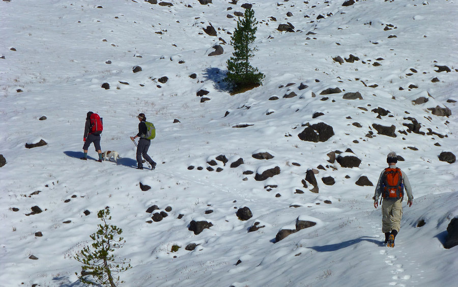
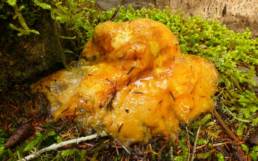
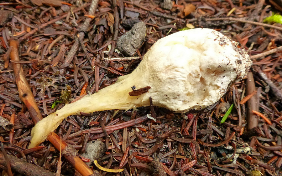
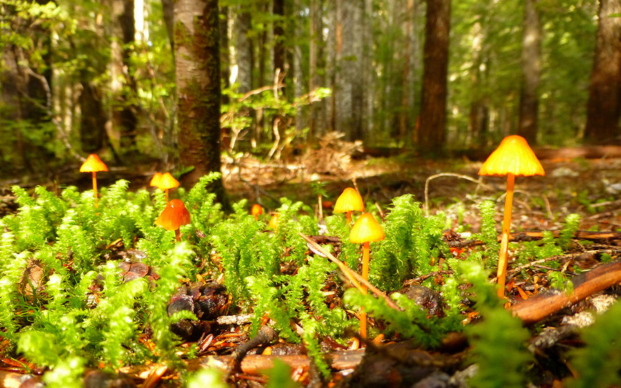
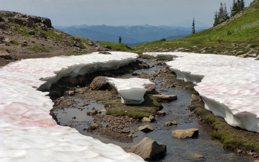
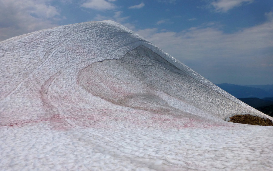
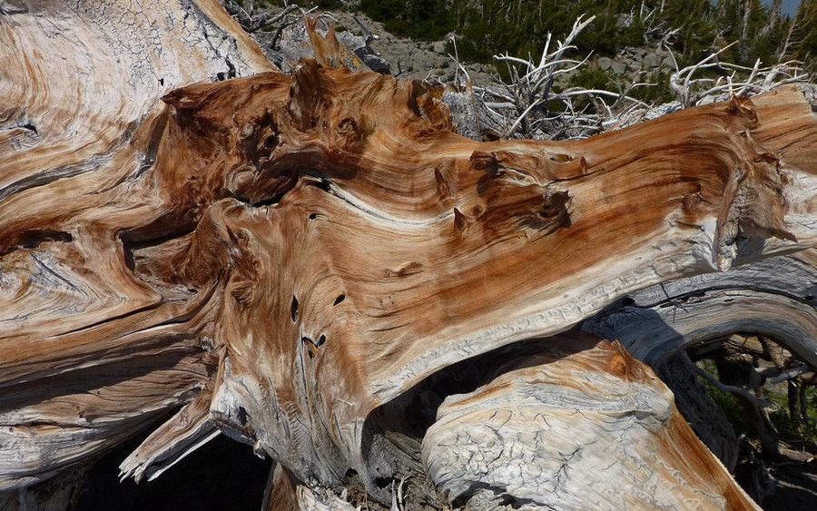
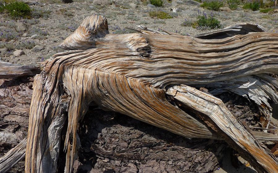
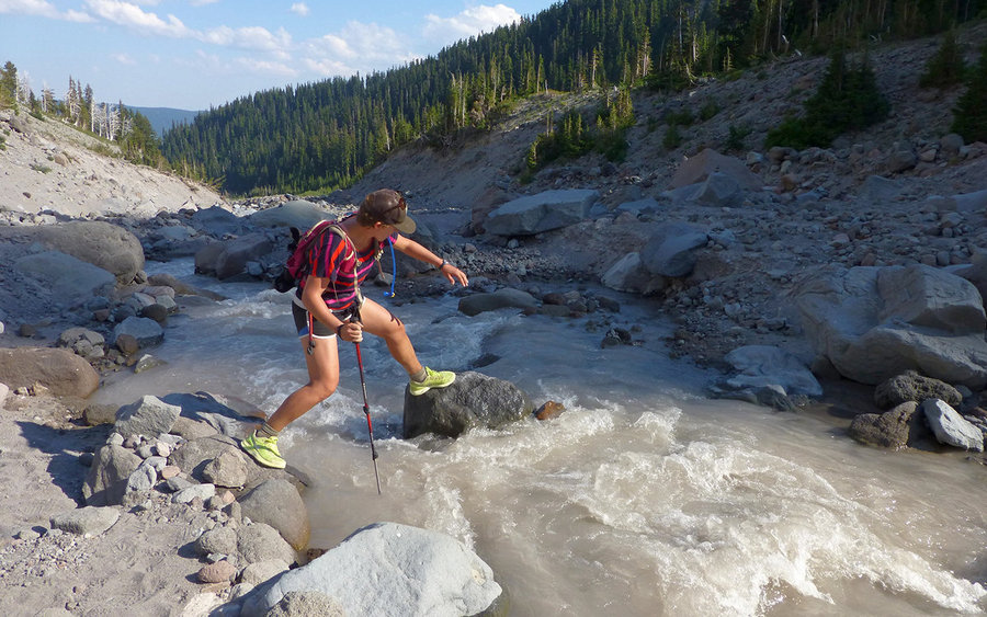
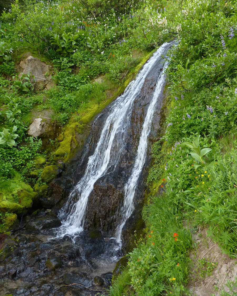
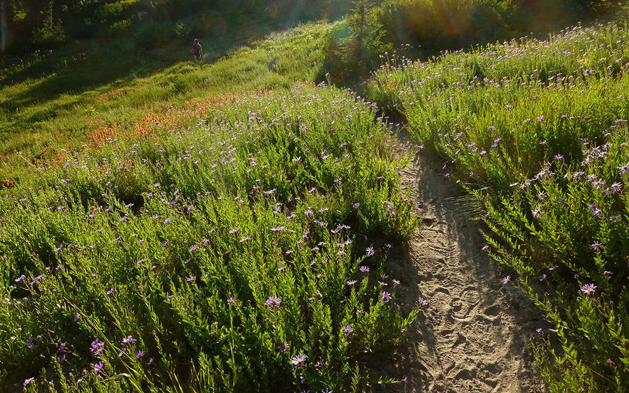
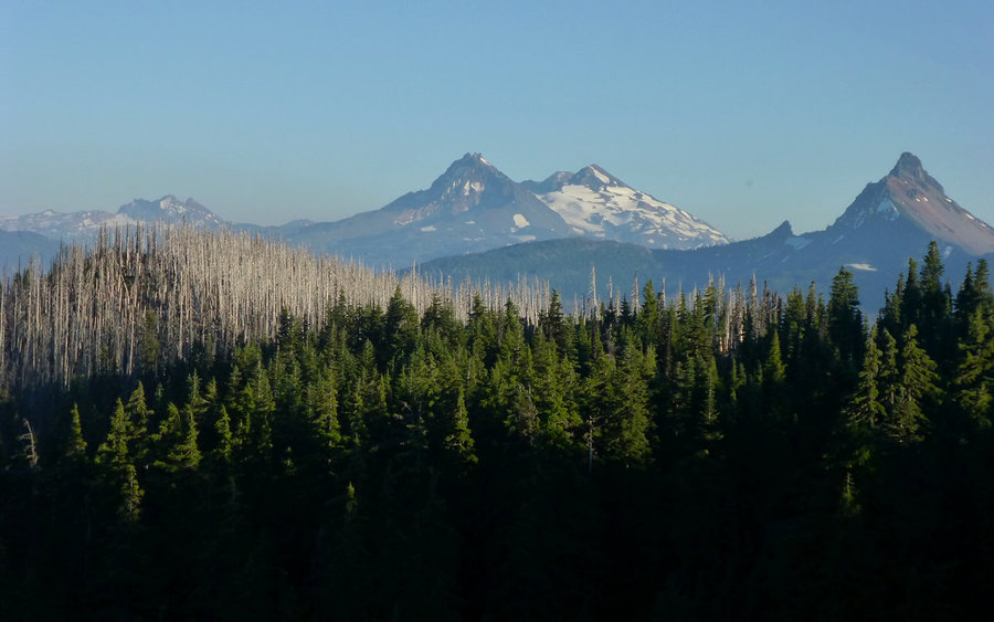
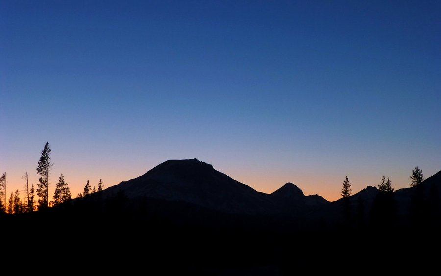
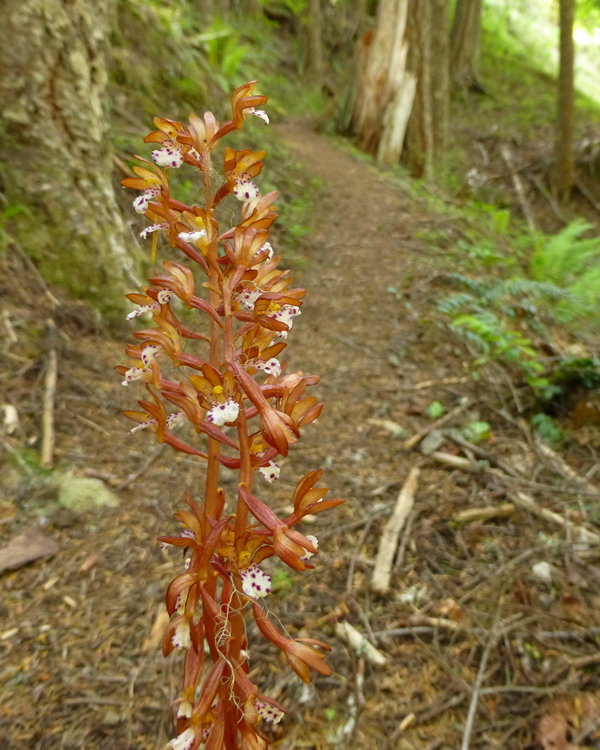
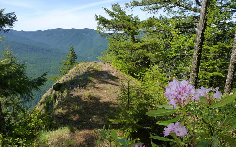
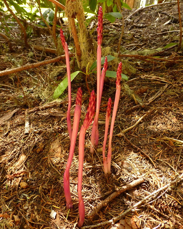
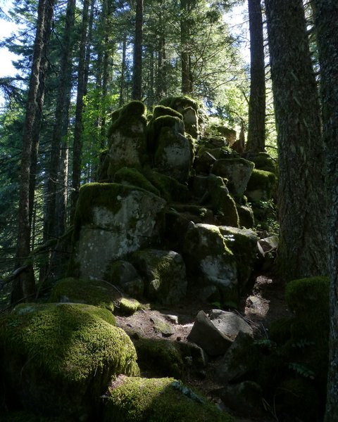
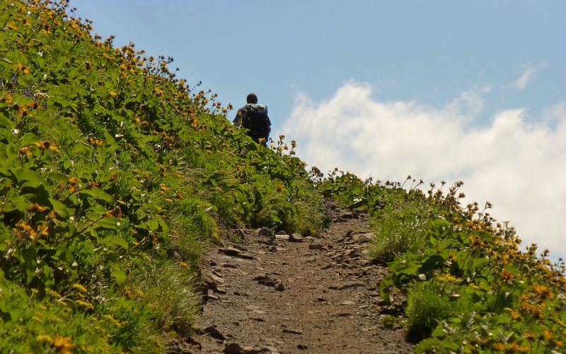
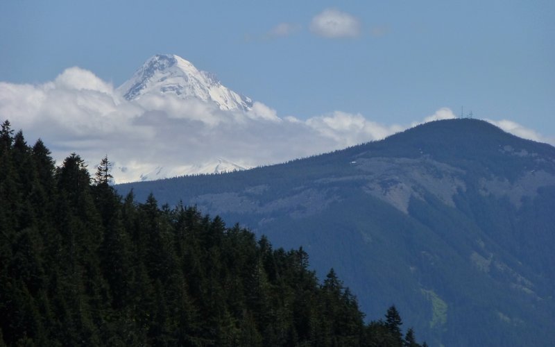
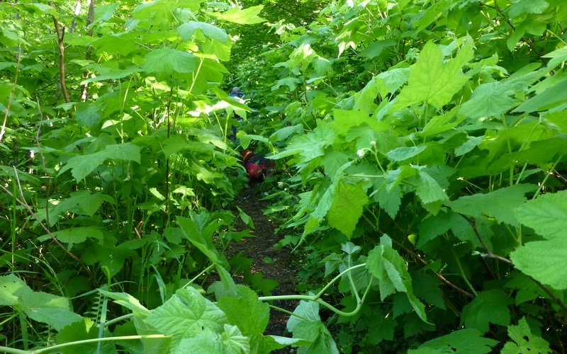
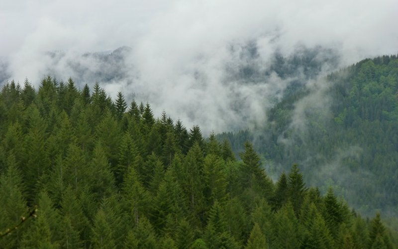
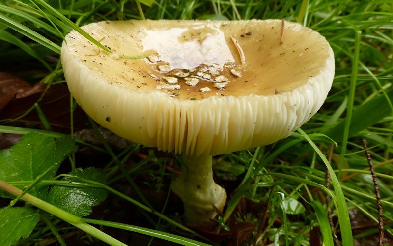
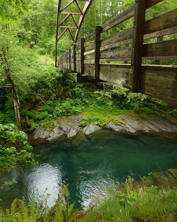
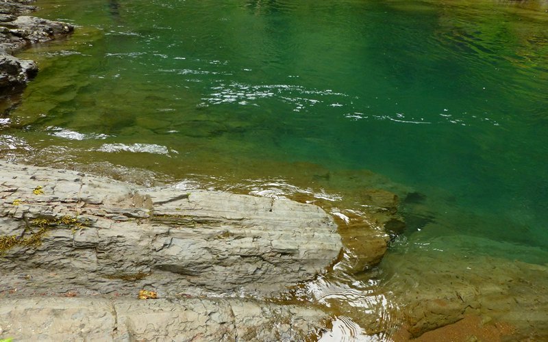
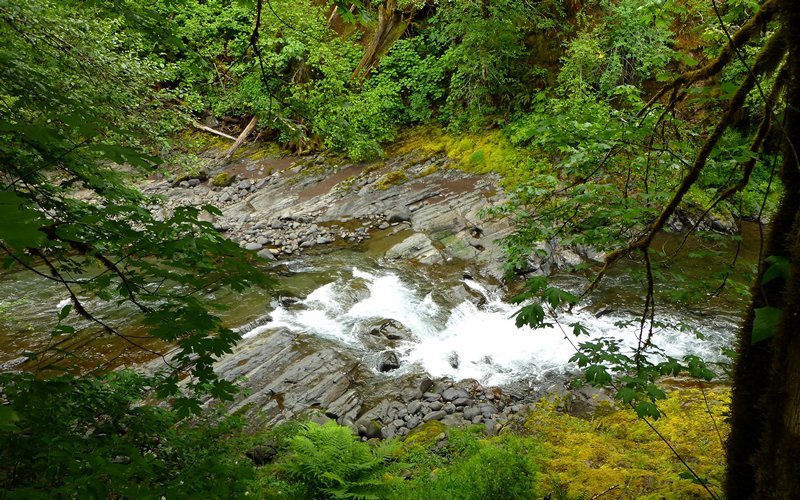
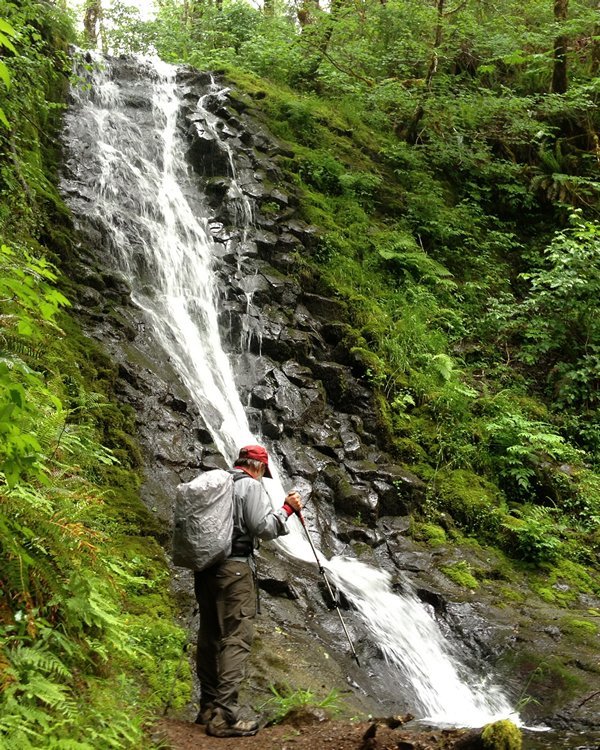
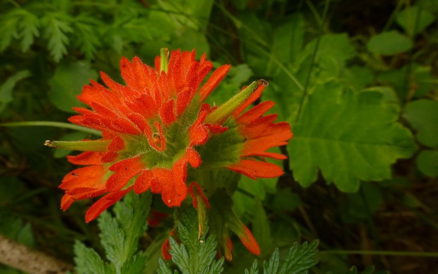
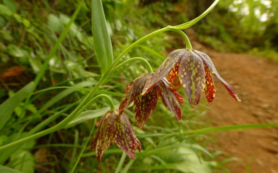
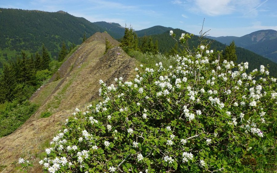
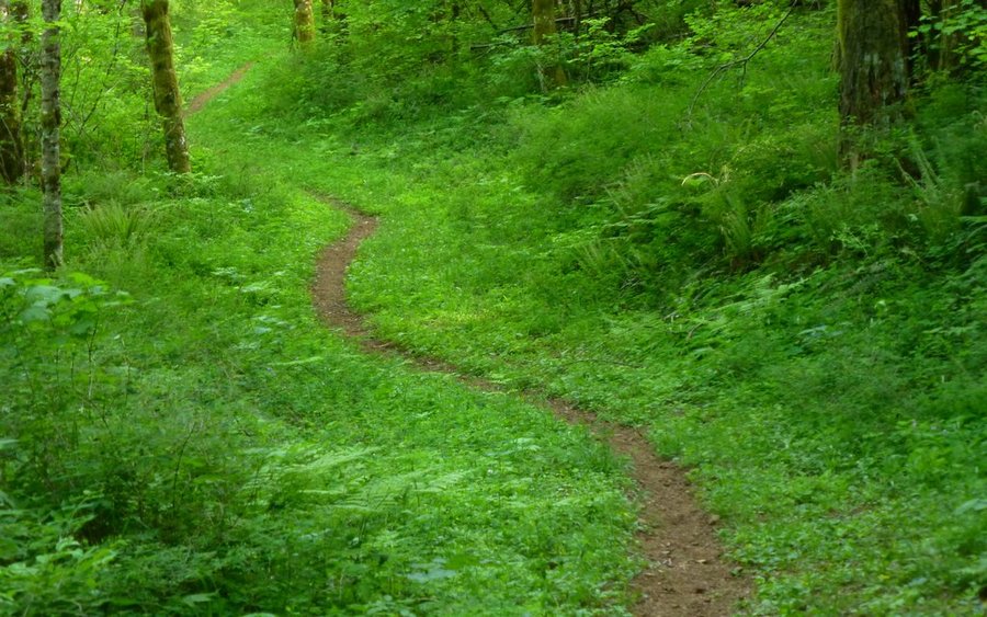
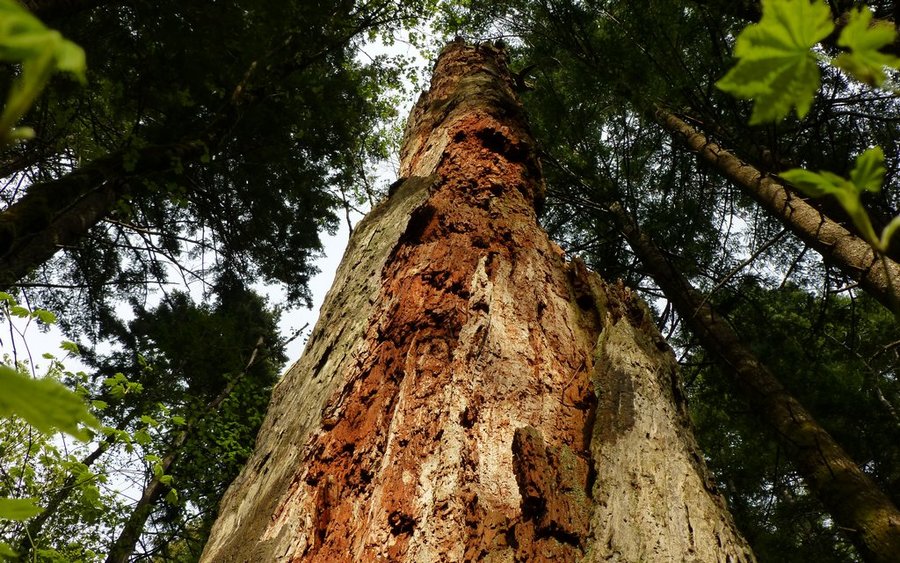
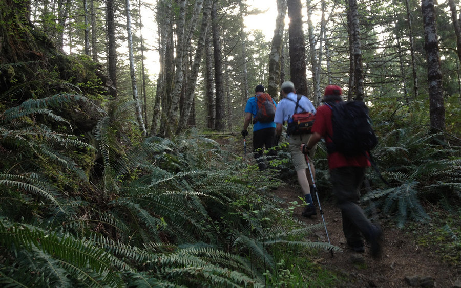
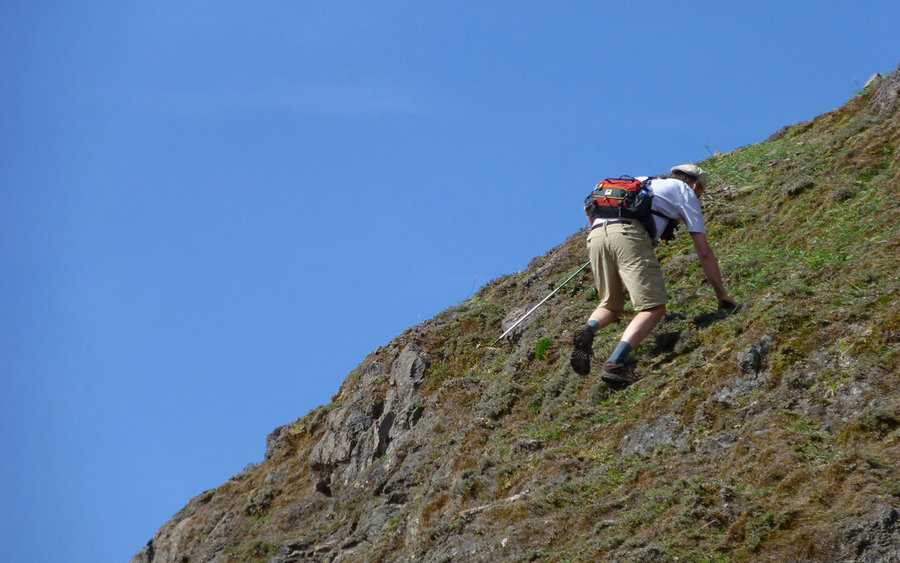
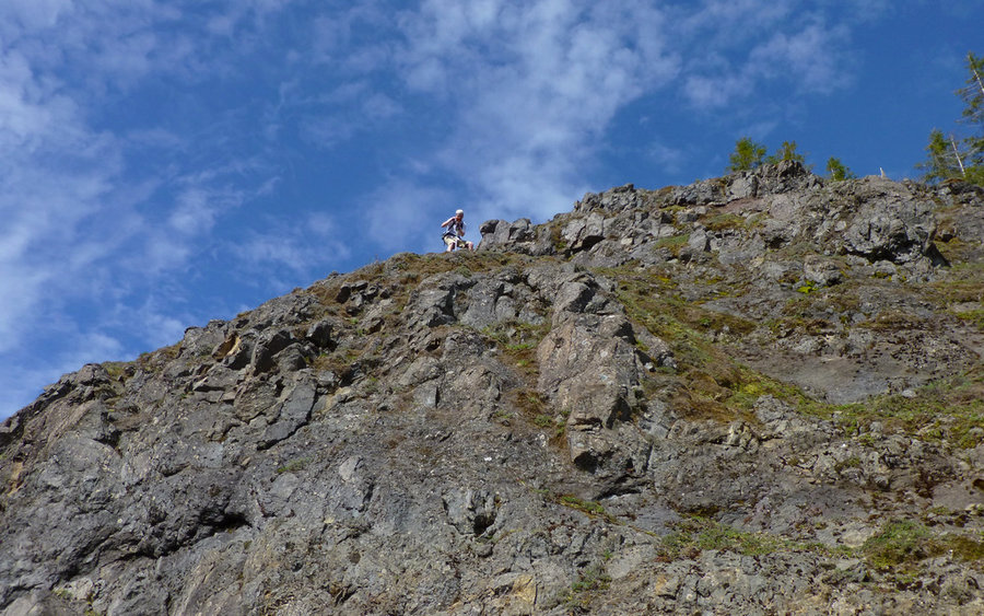
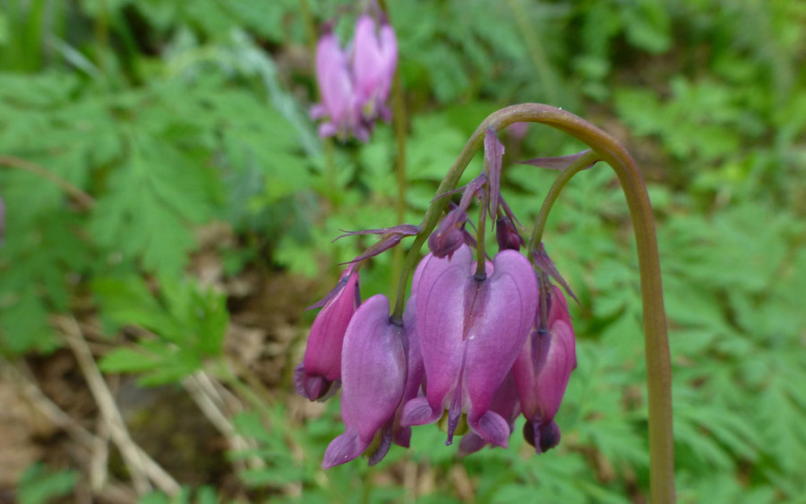
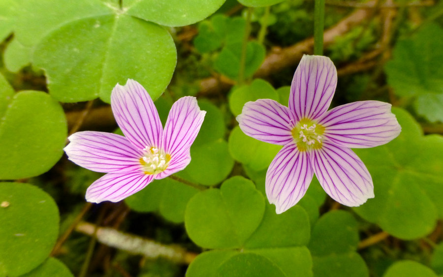
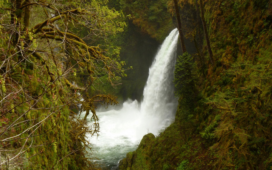
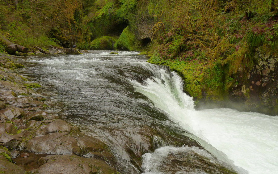
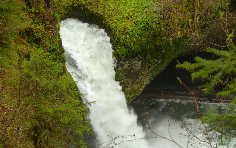
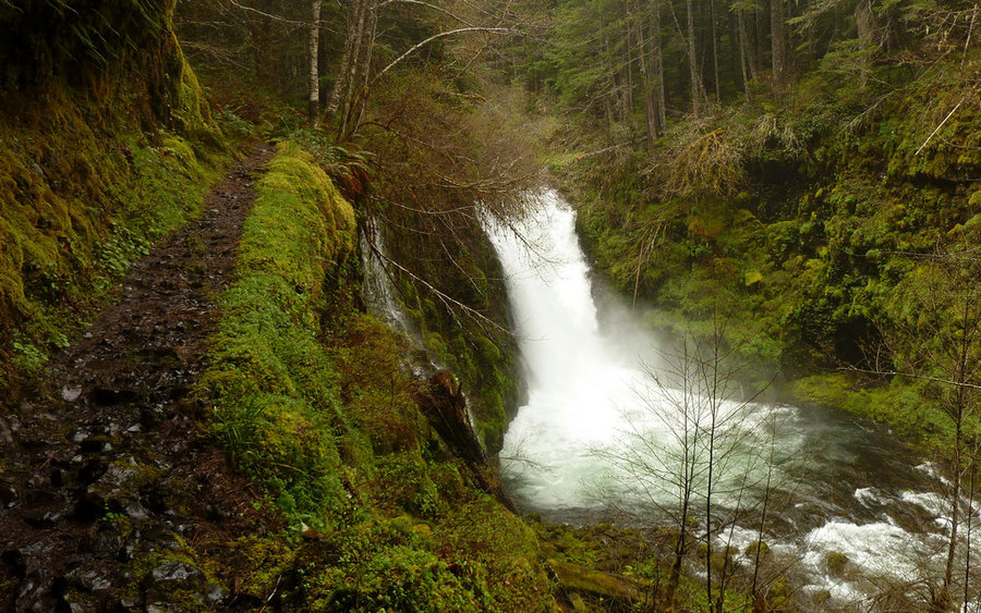
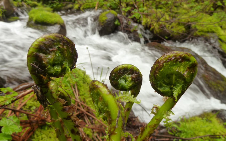
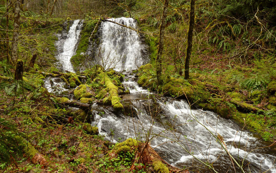
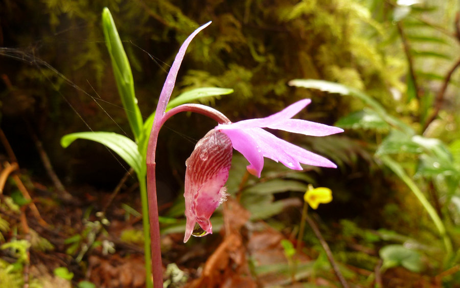
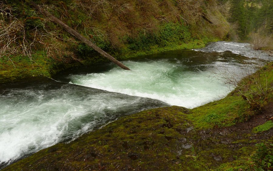
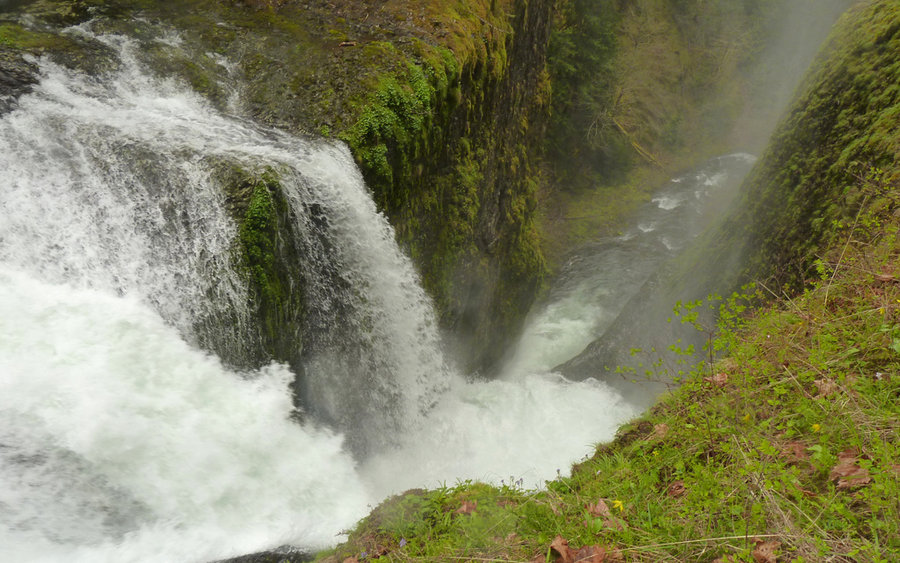
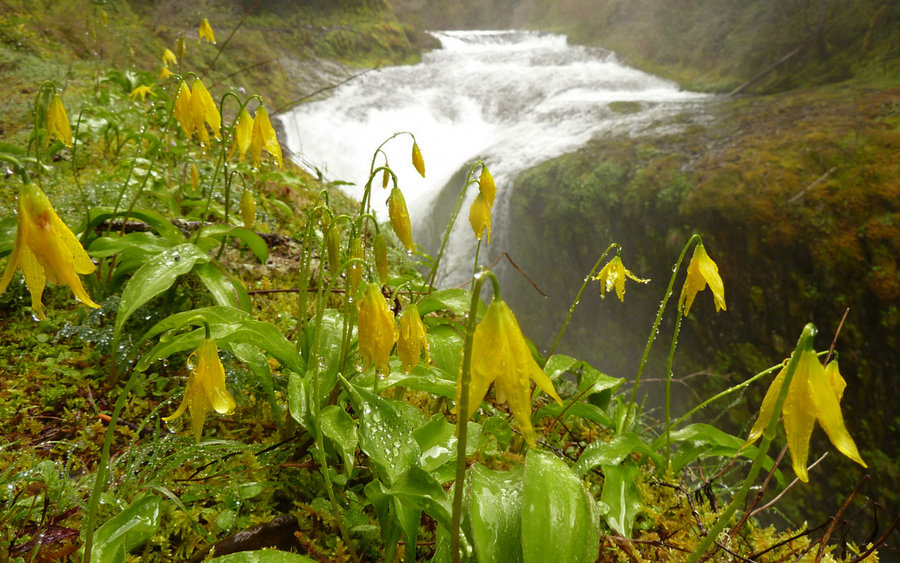
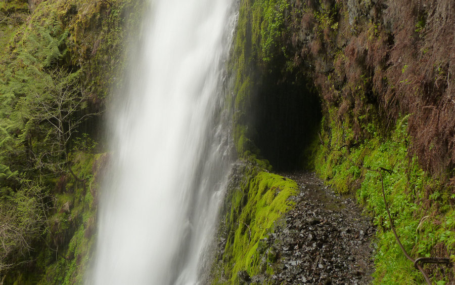
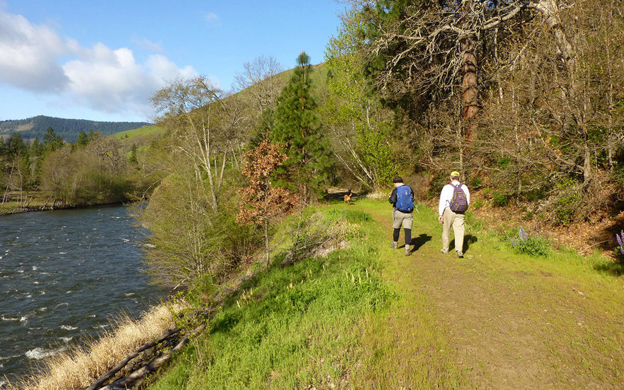
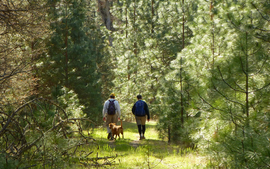
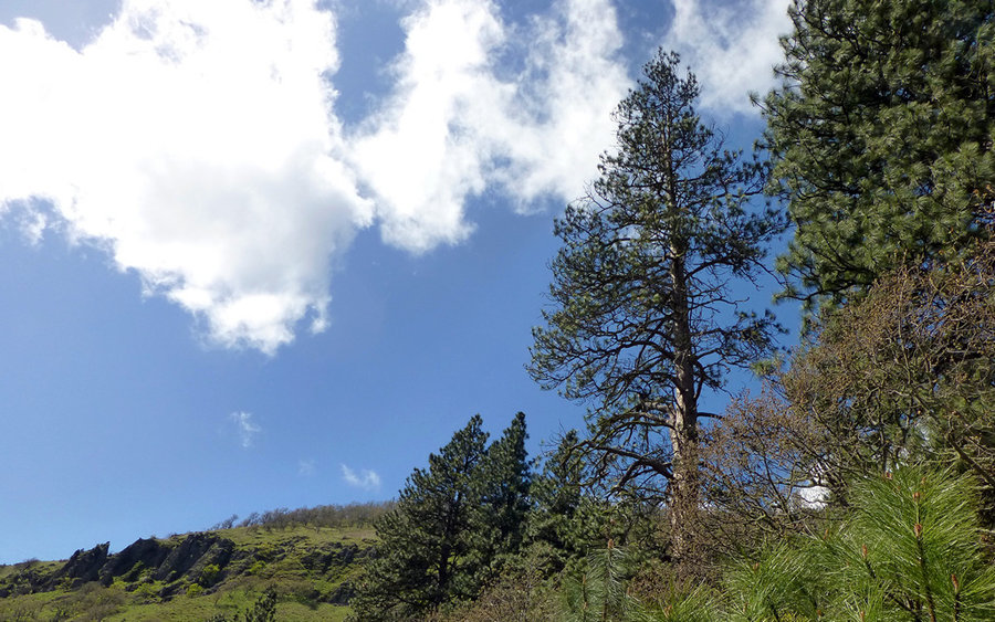
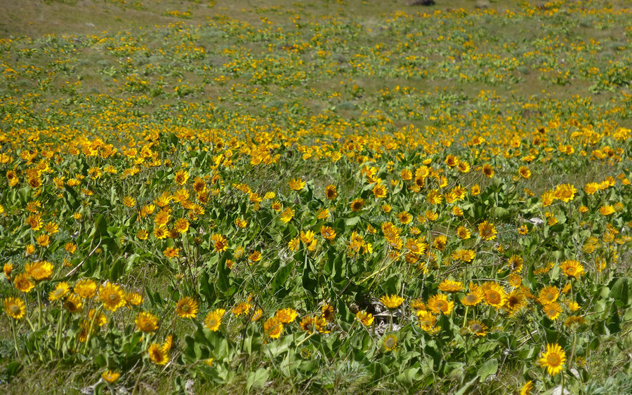
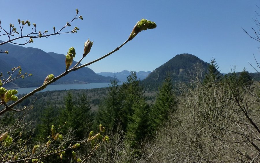
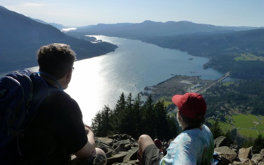
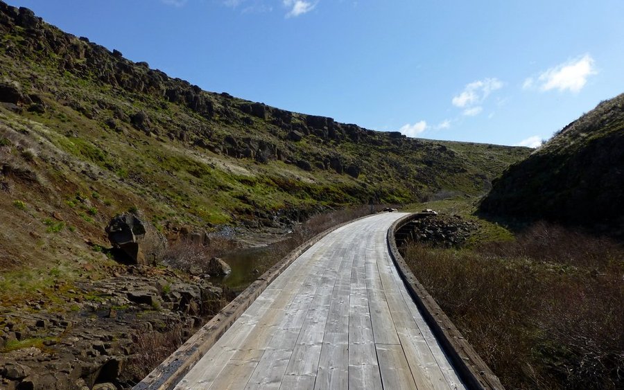
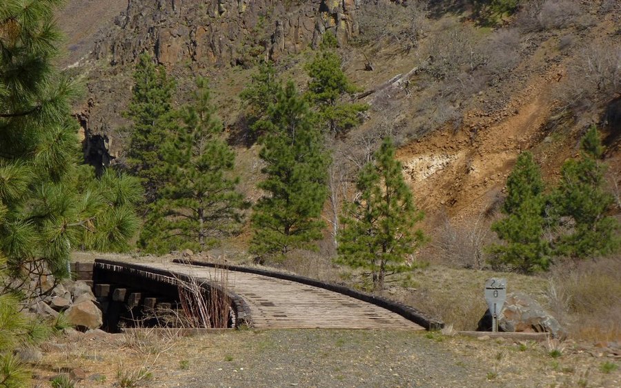
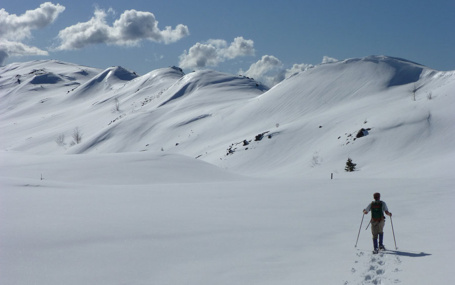
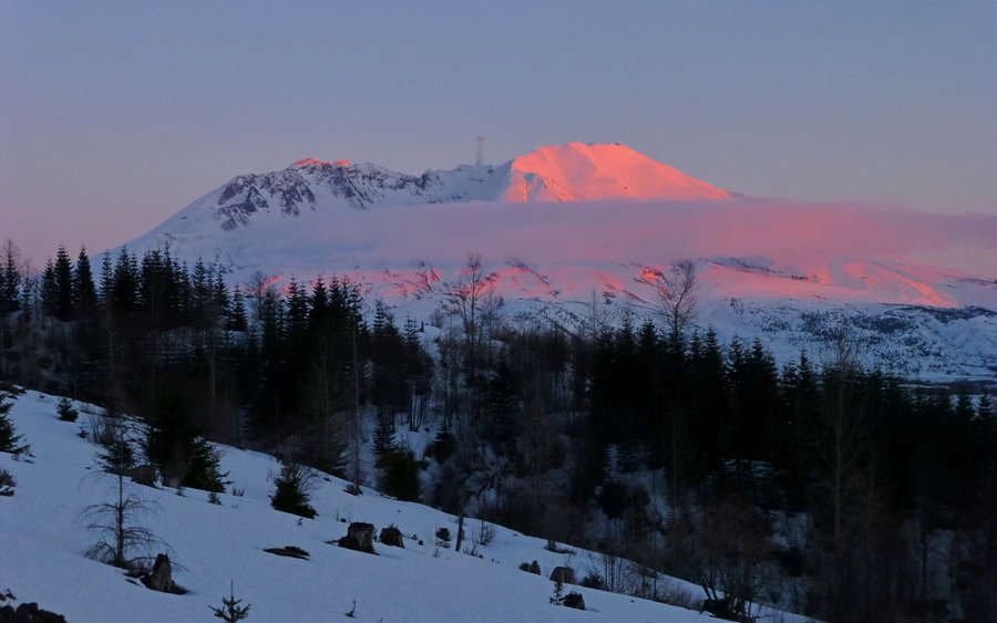
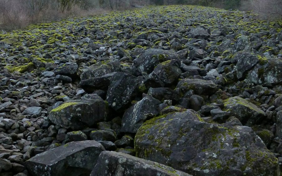
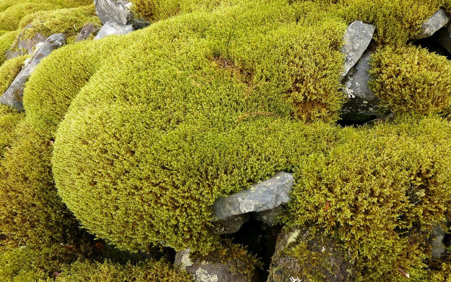
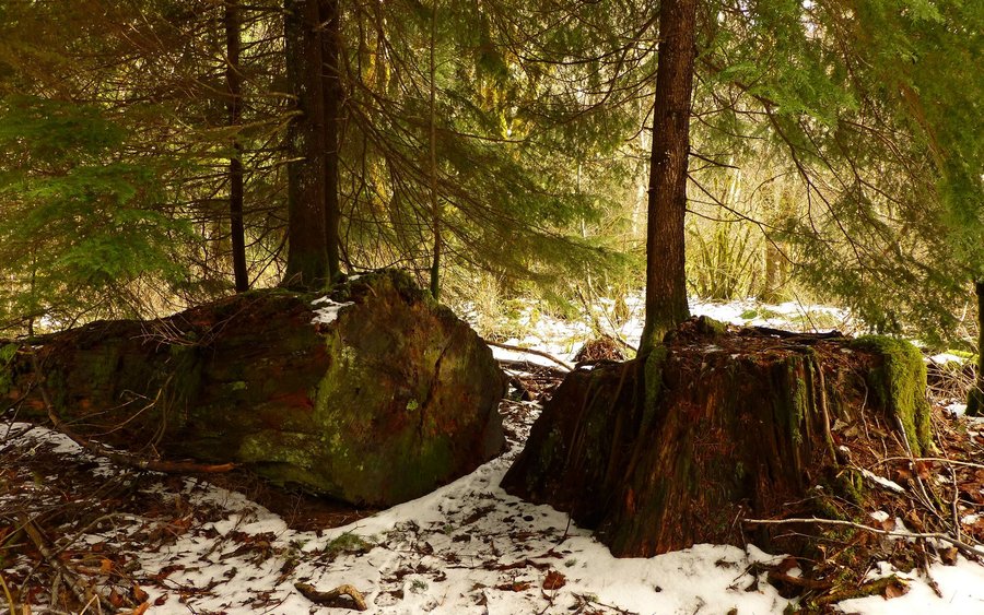
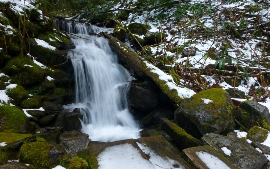
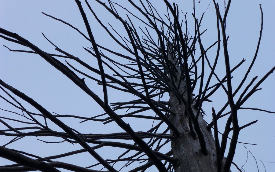
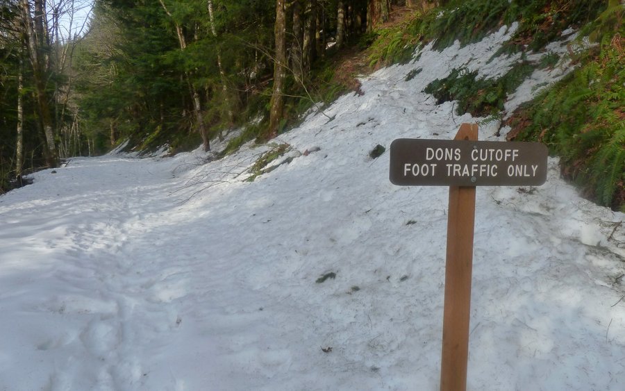
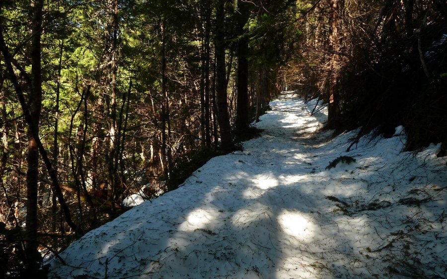
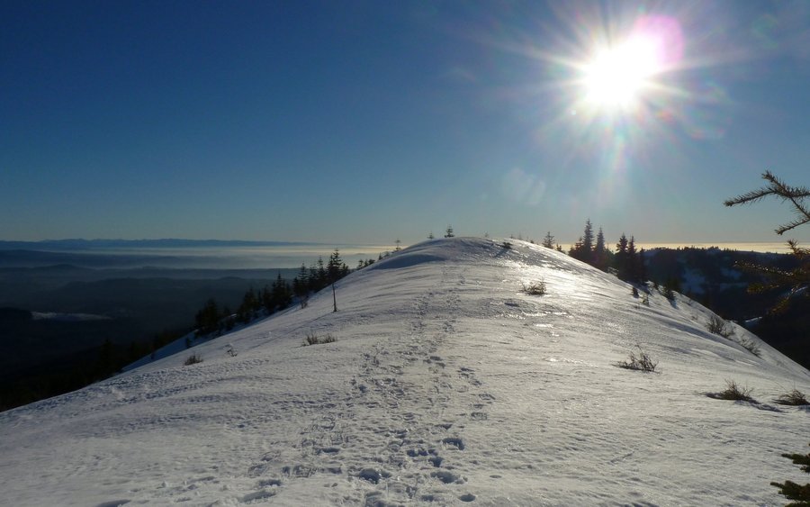
Ramona Falls
9 miles of hiking • 1250' elevation gain •
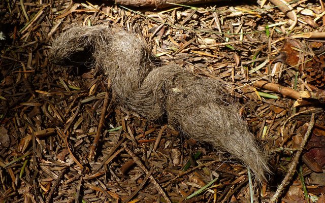
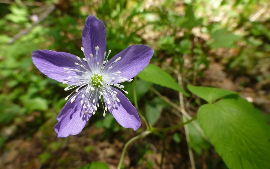
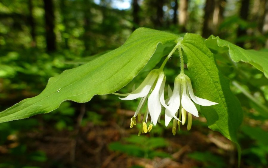
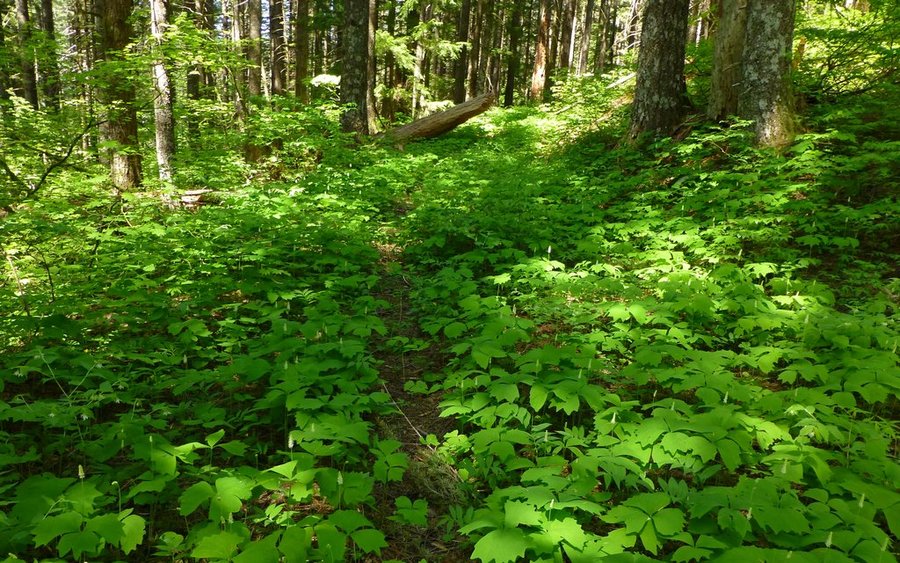
Really great walk through the woods, mostly along the northern section of the loop, to an absolutely devoid-of-people Ramona Falls. Had some nice breaks along the way, to just enjoy the beauty of that little creek and the cliffs above, while one of our party was almost completely lost in a world all her own due to the the discovery of some apparently delectable fungus growing in the moss.
(Actually hiked on December 31, but had to use December 30 in order to show up in 2013 summary.)

December 30, 2013


 2
2
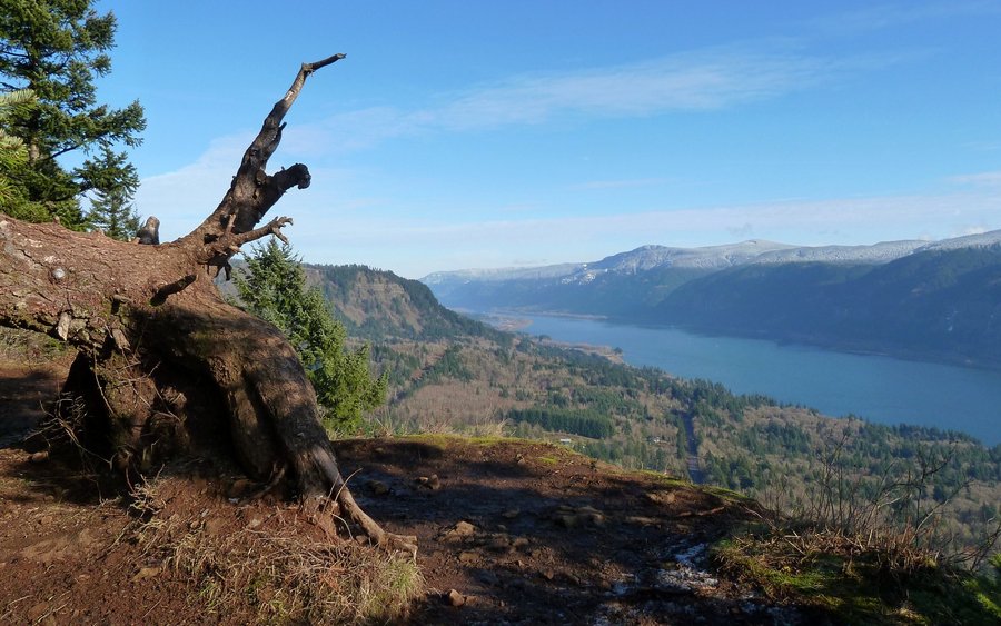
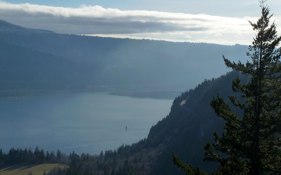
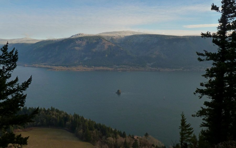
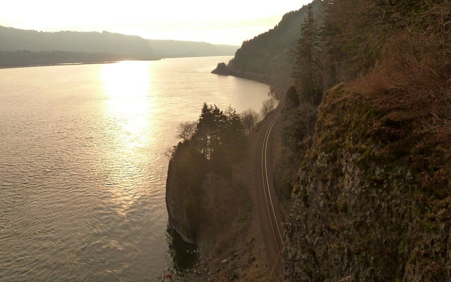
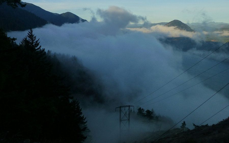
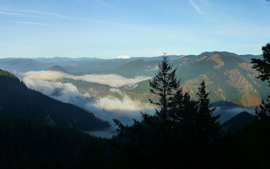
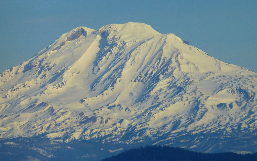
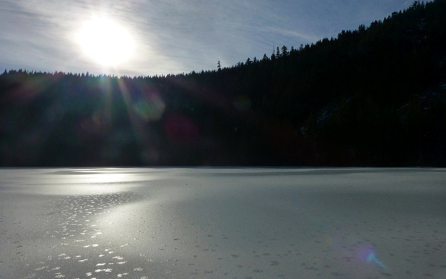
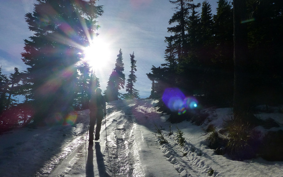
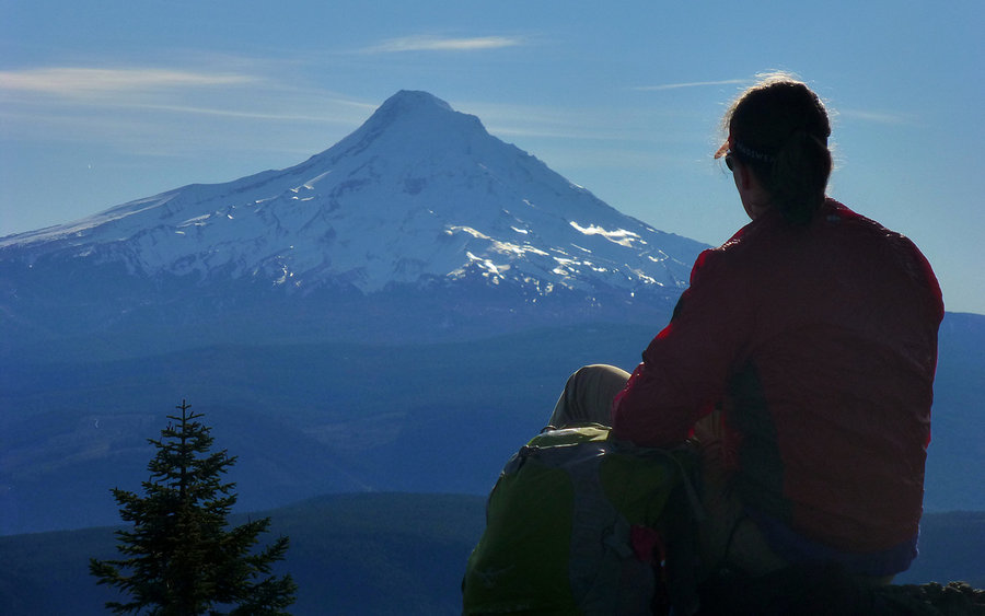
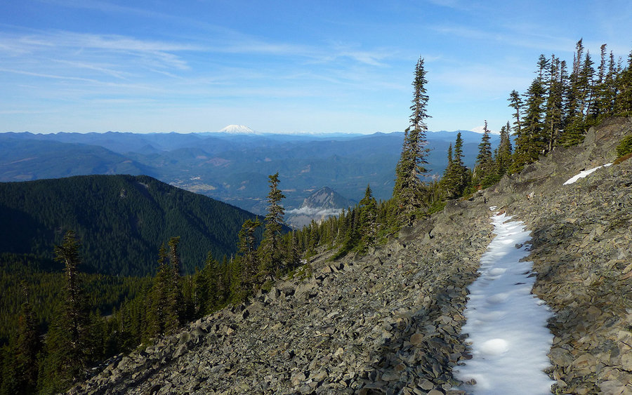
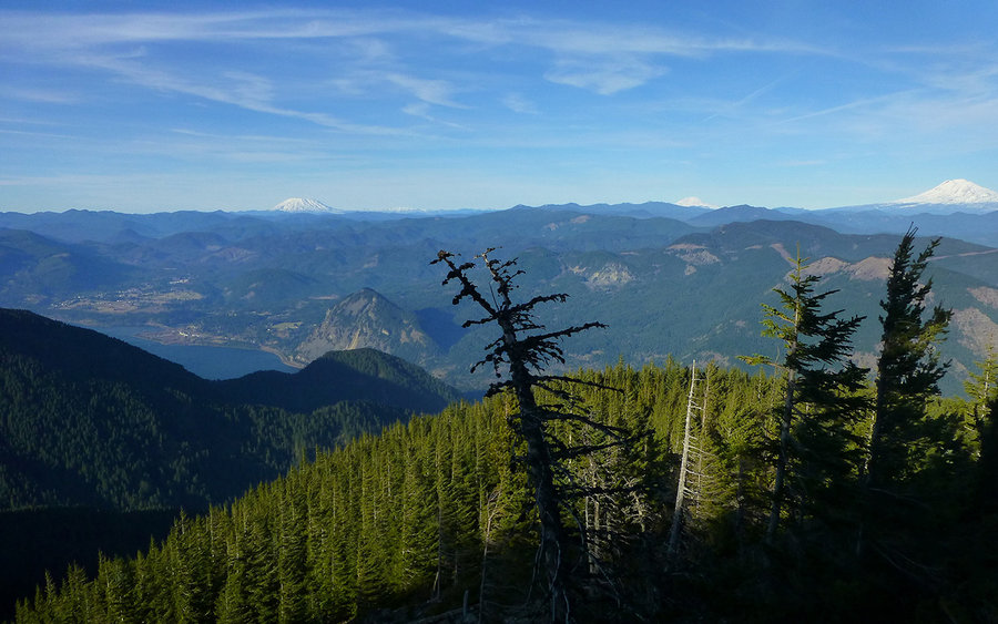
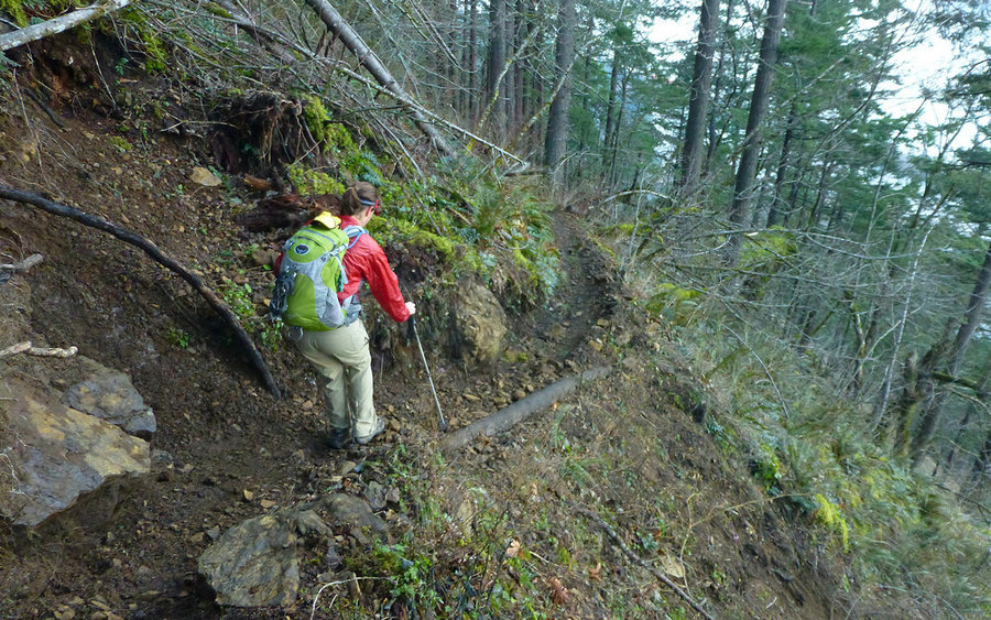
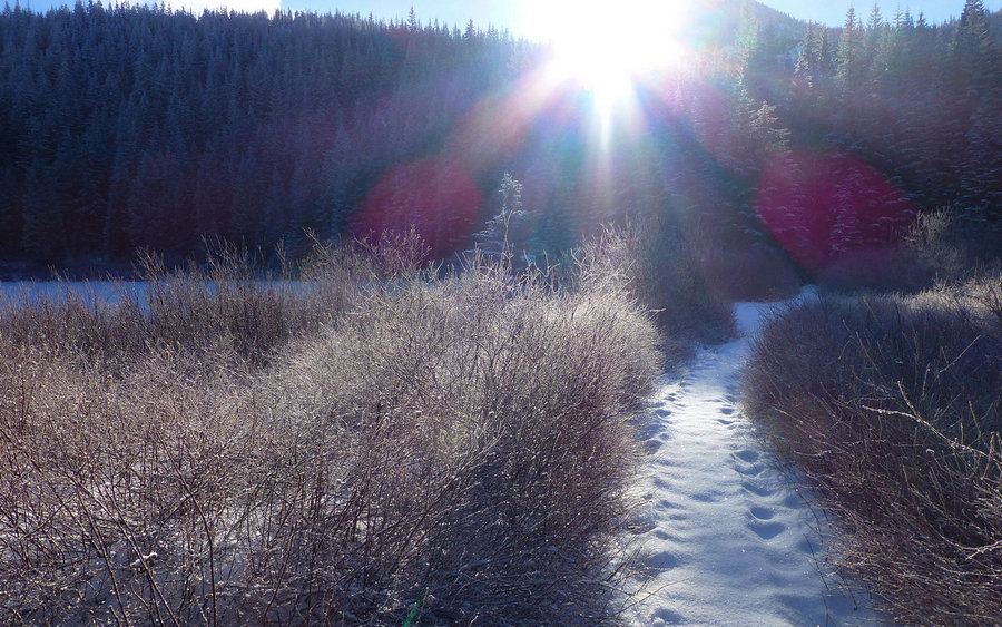
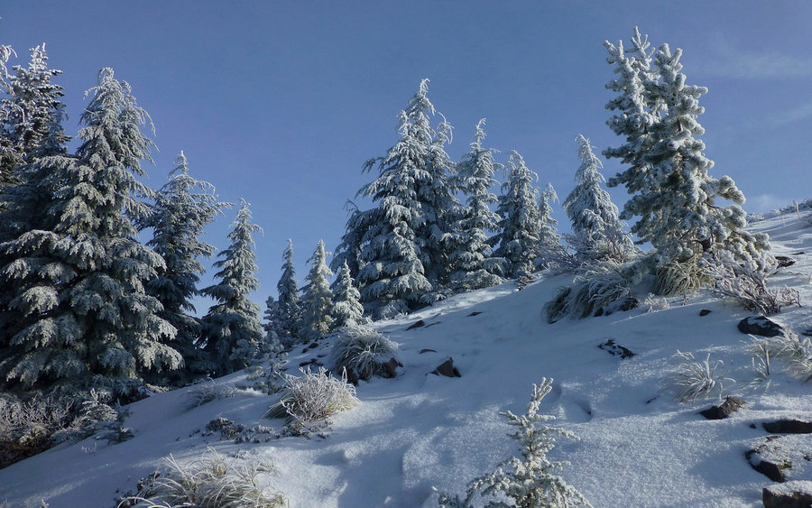
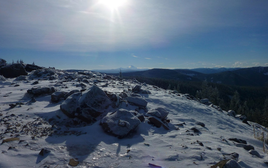
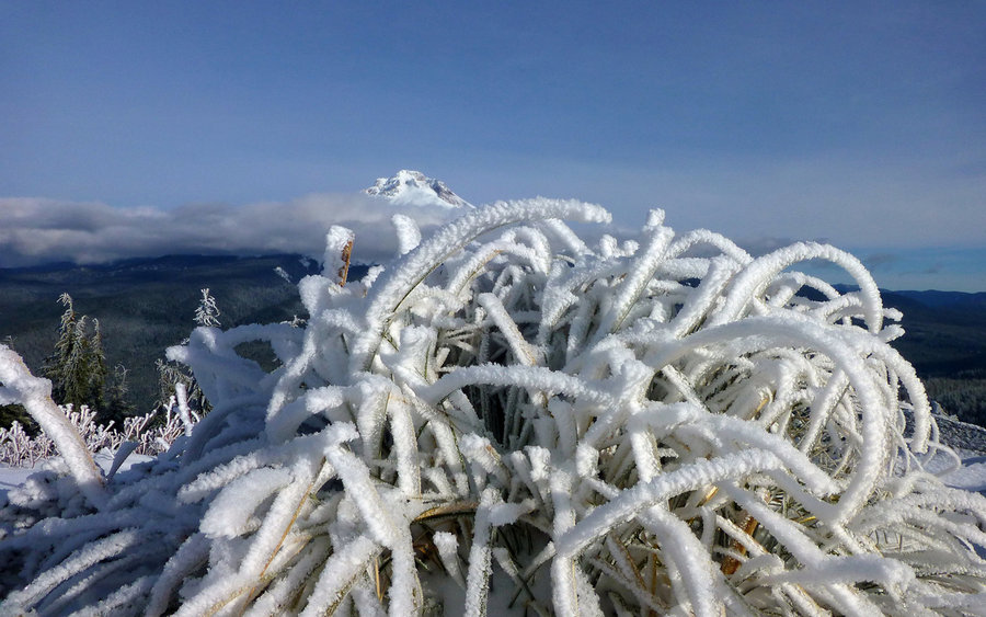
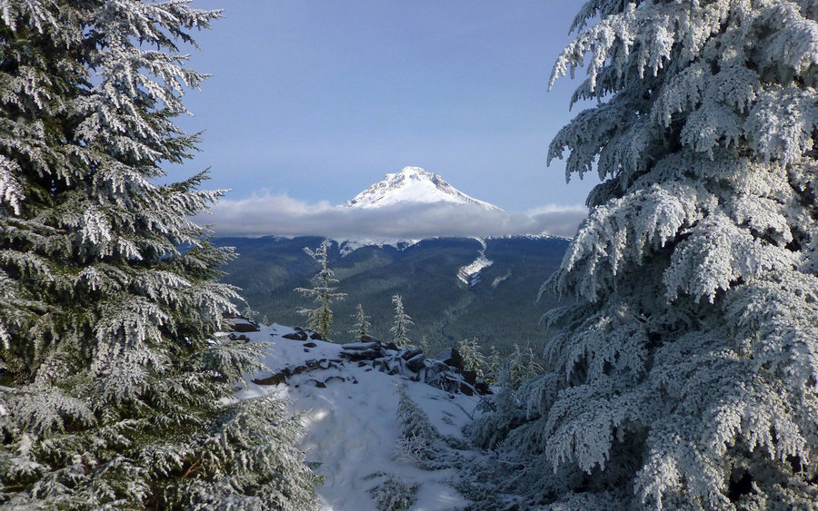
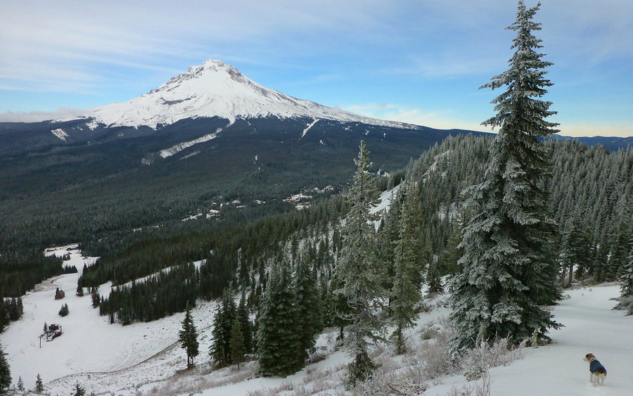
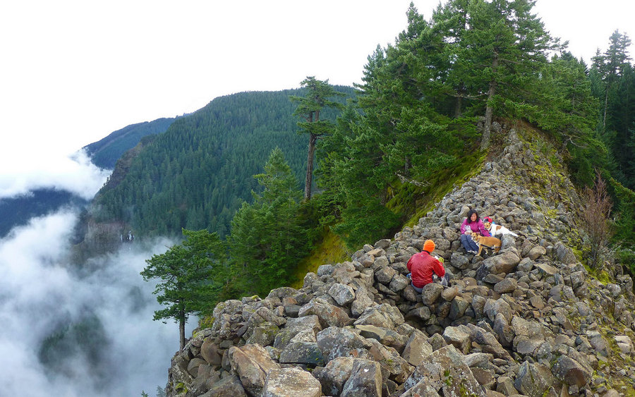
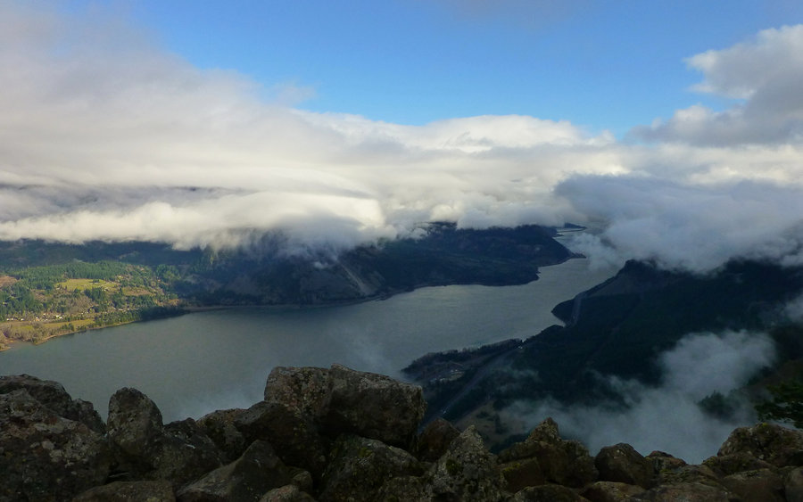
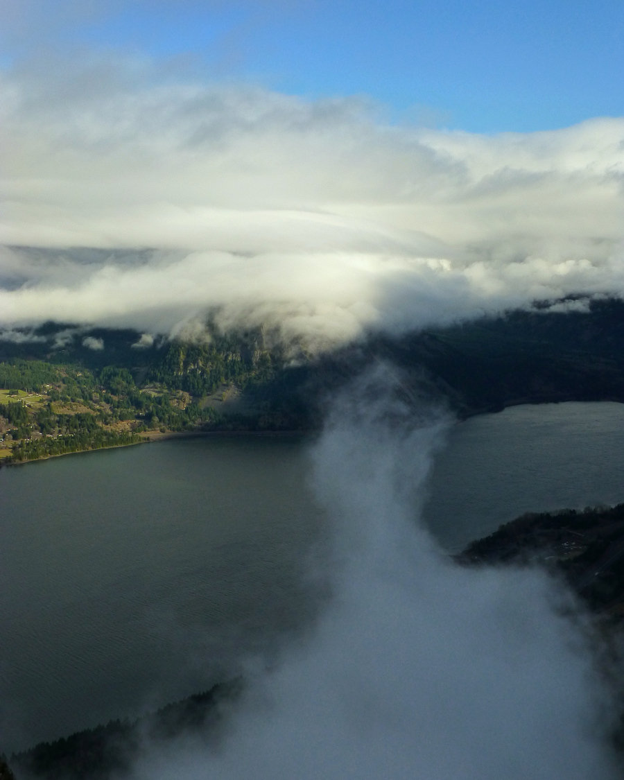
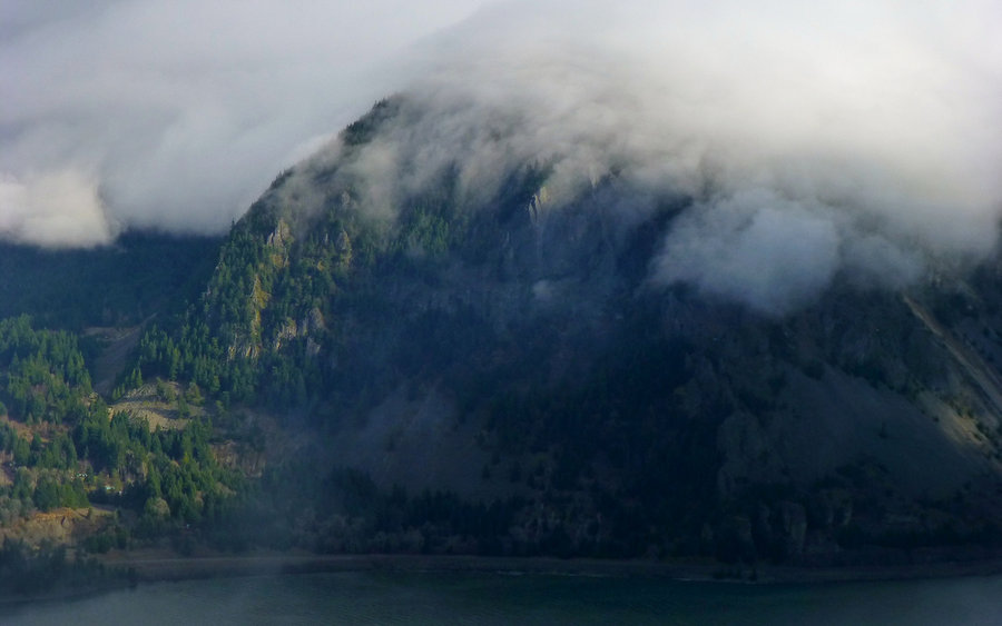
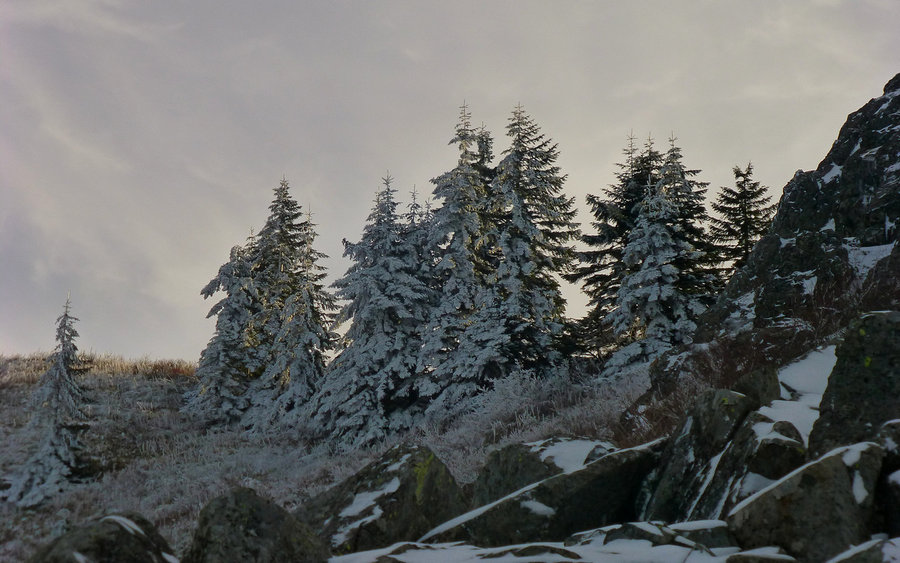
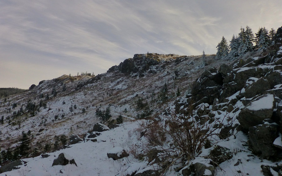
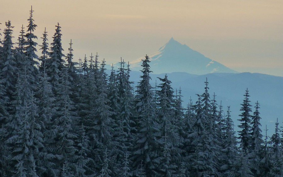
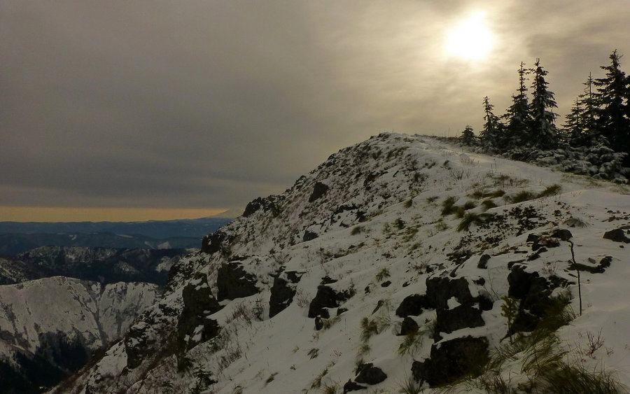
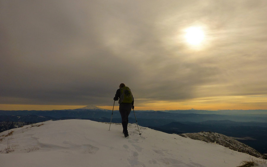
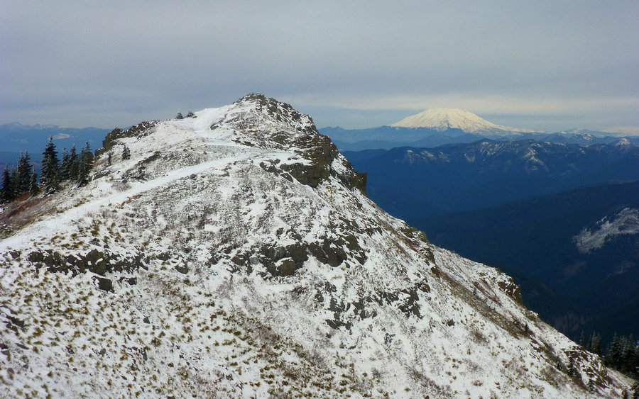
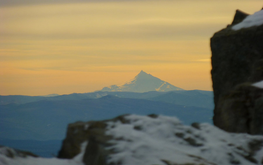
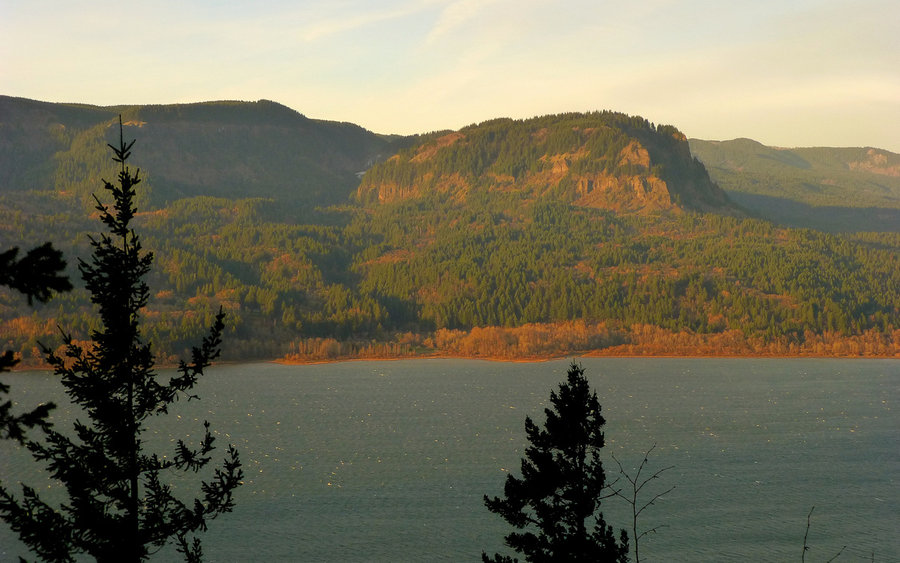
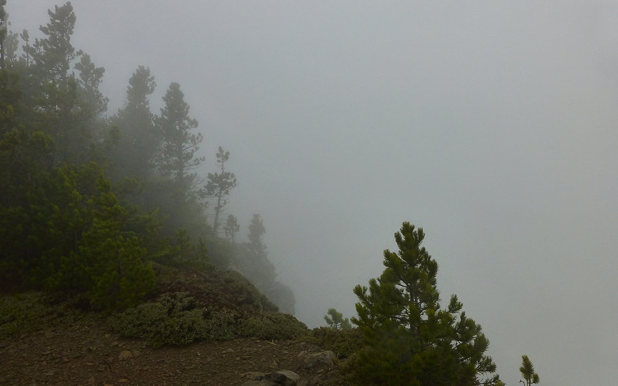
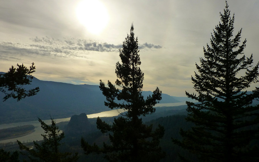
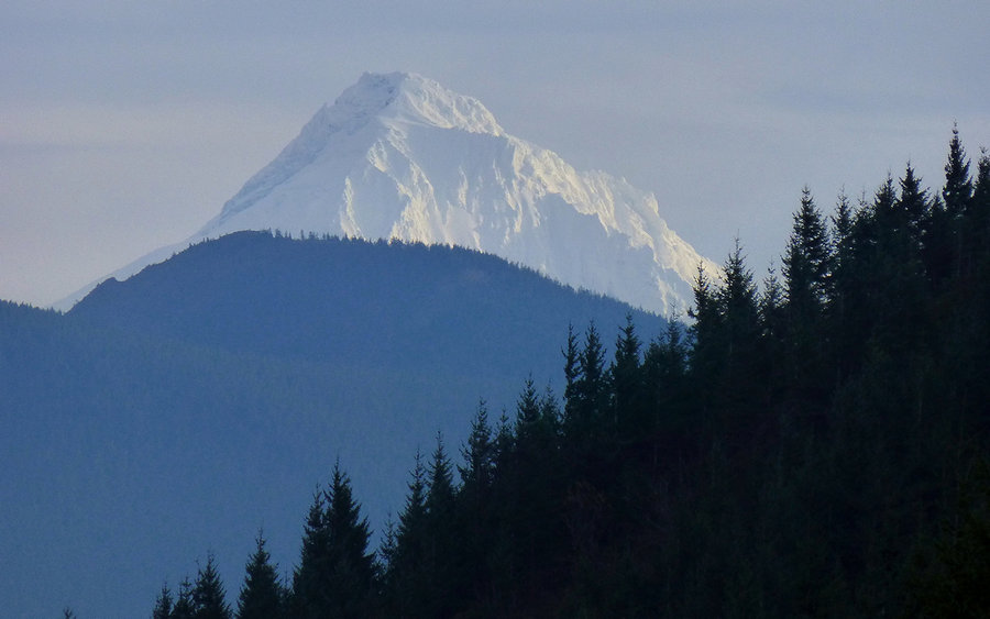
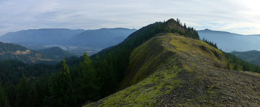
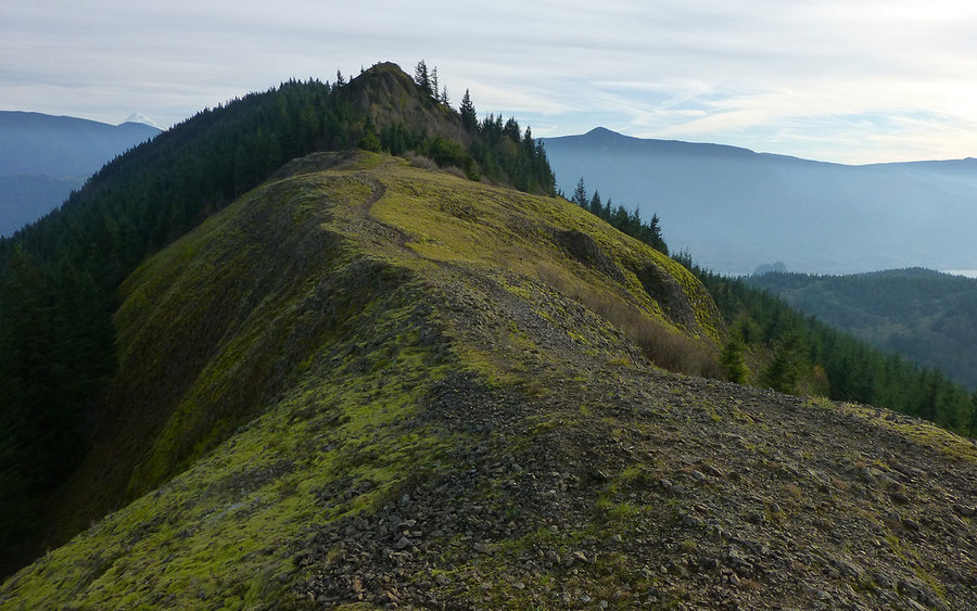
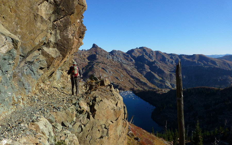
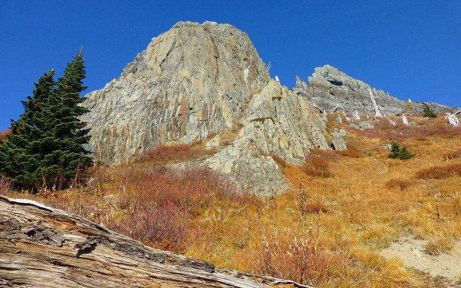
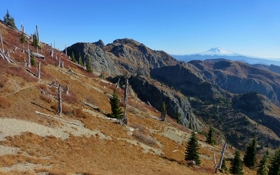
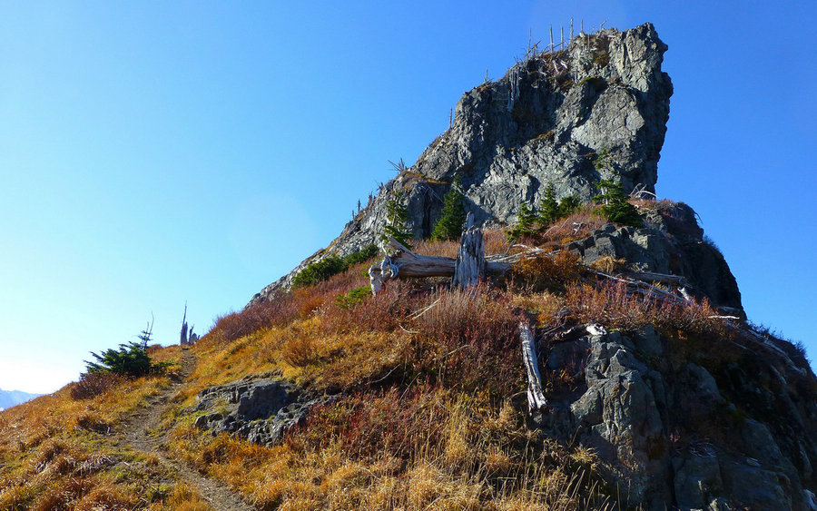
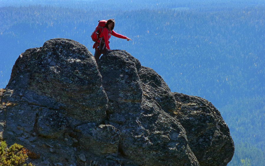
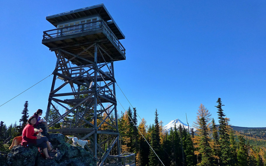
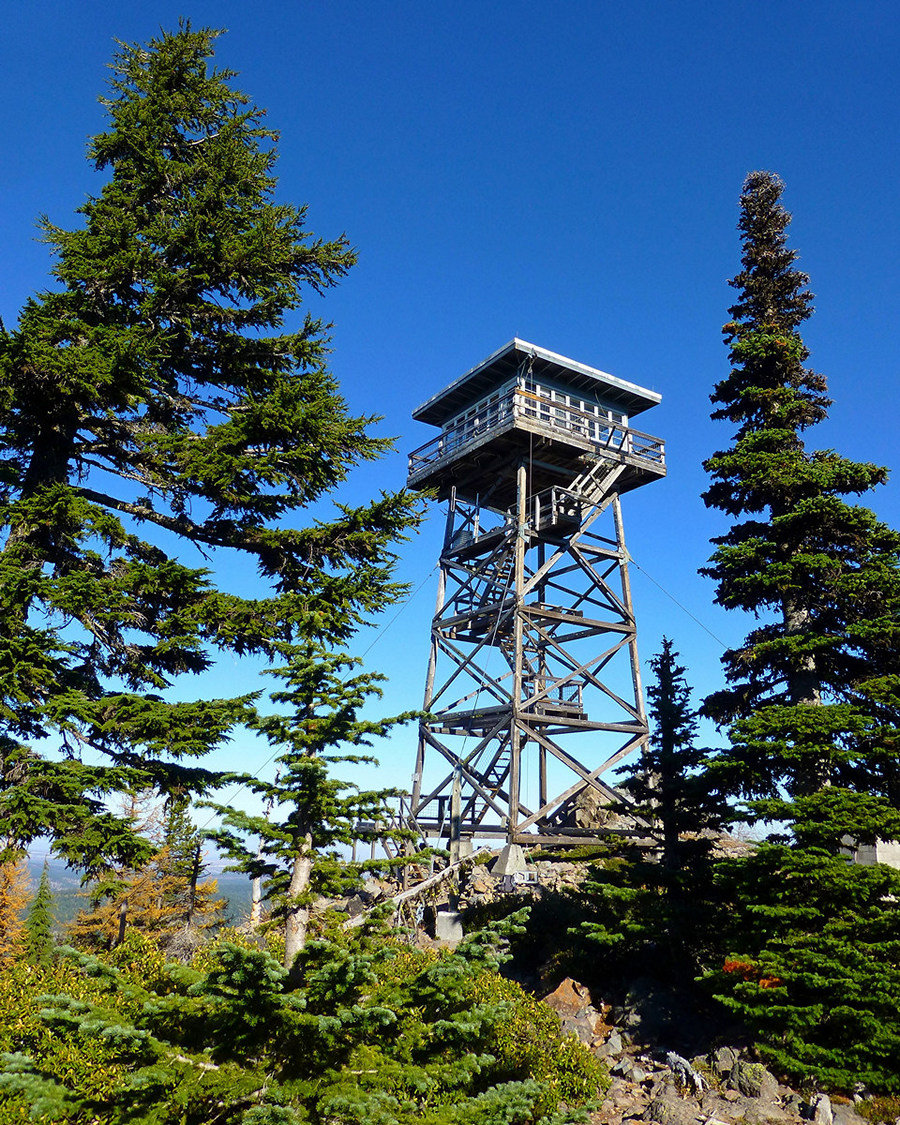
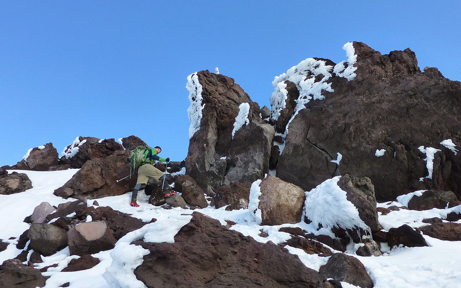
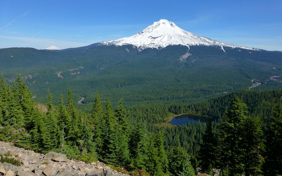
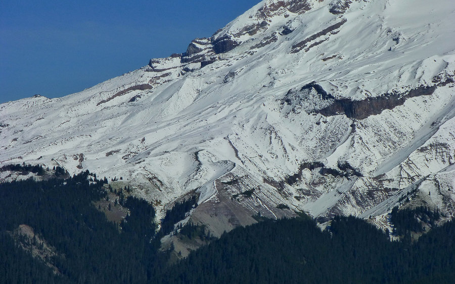
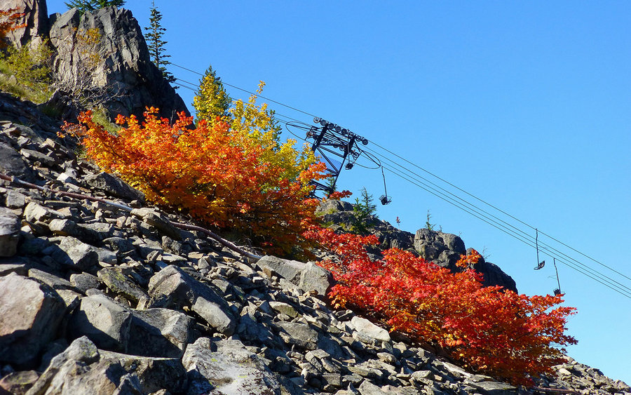
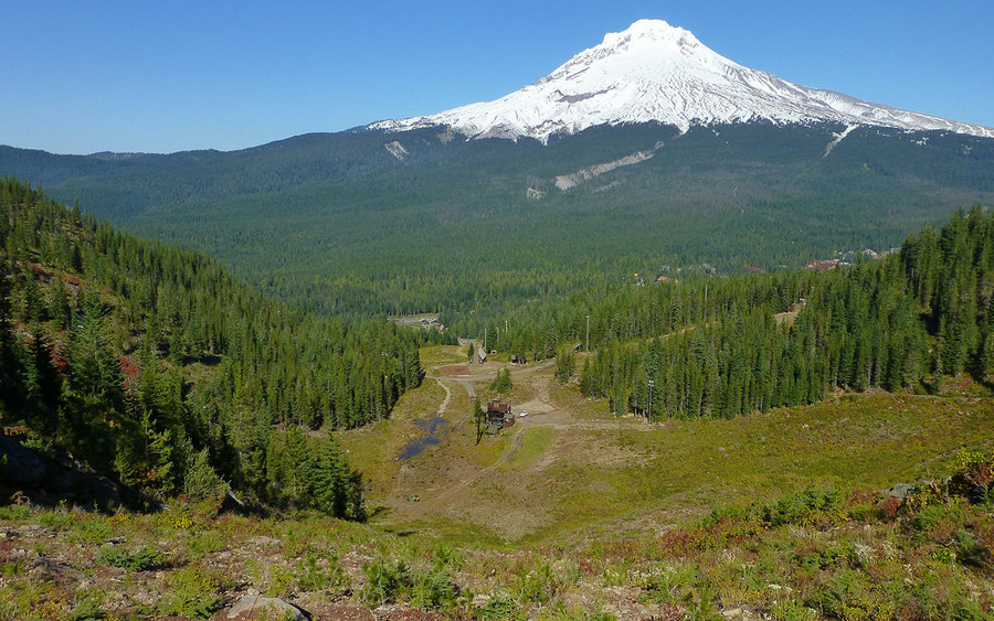
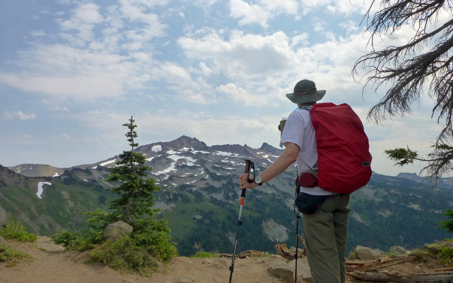
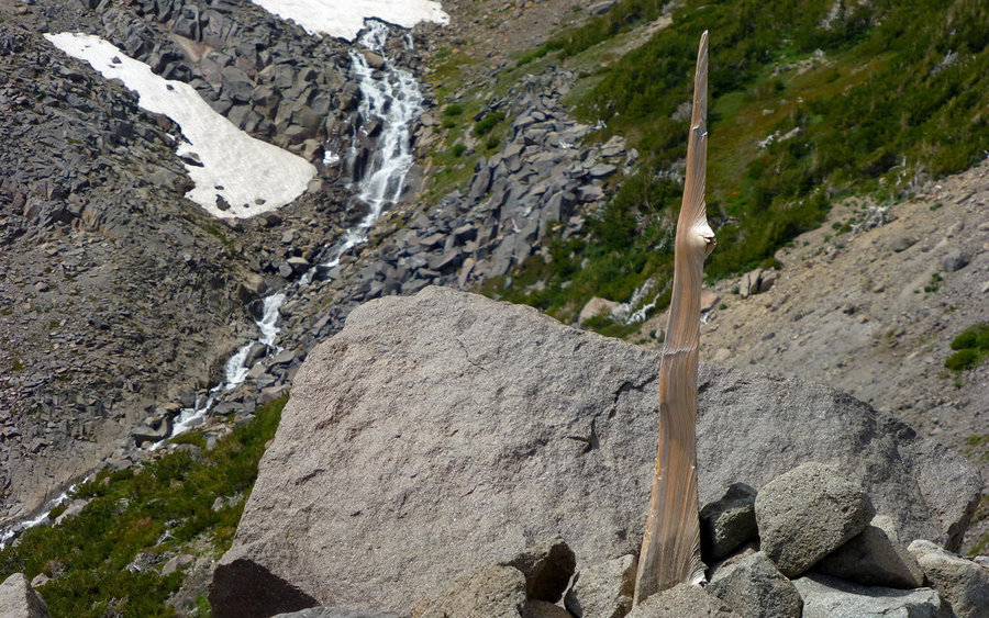
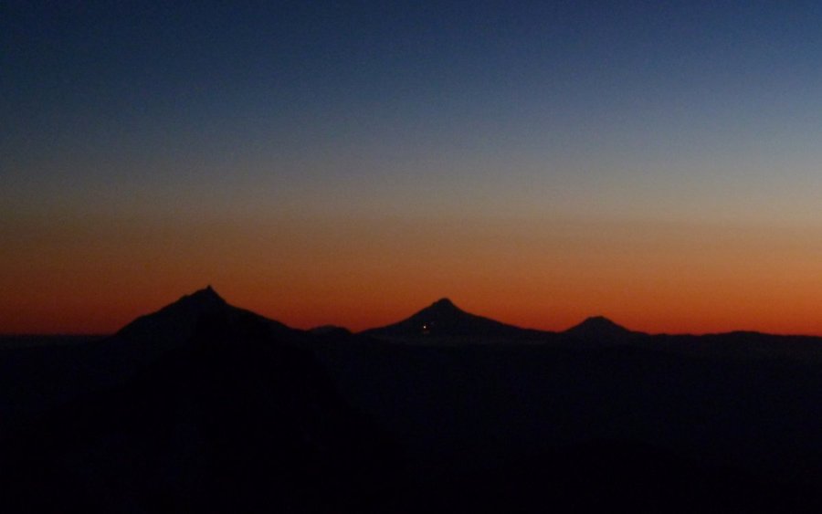
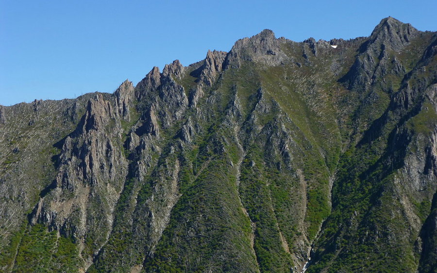
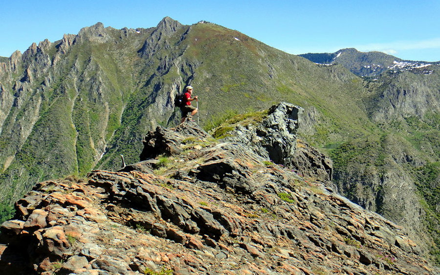
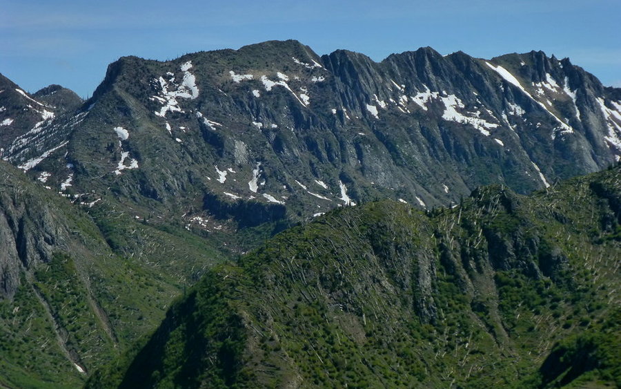
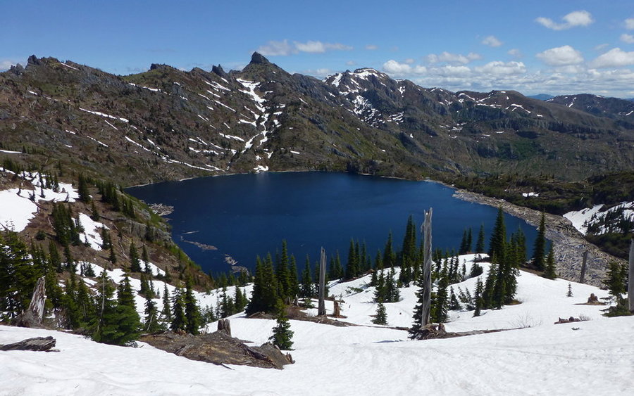
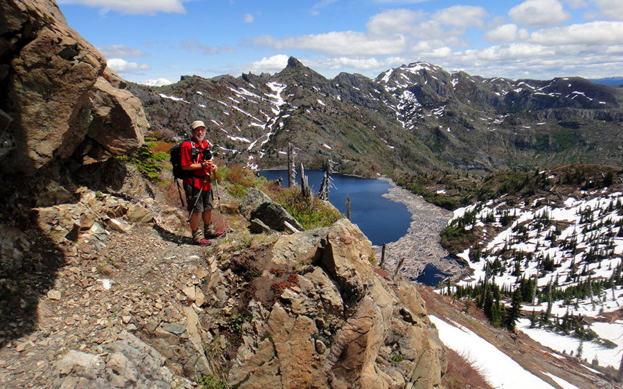
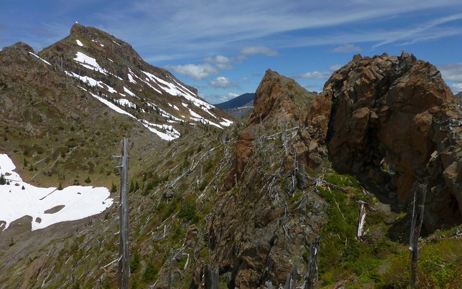
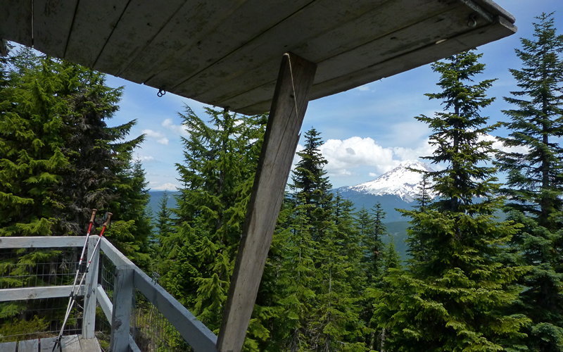
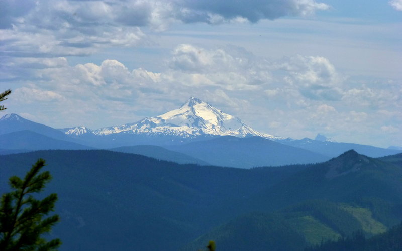
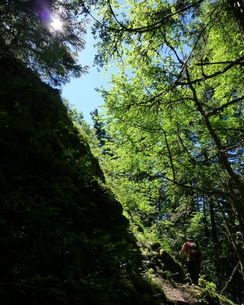
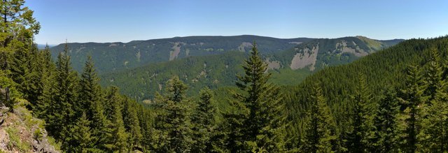
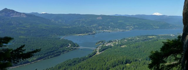
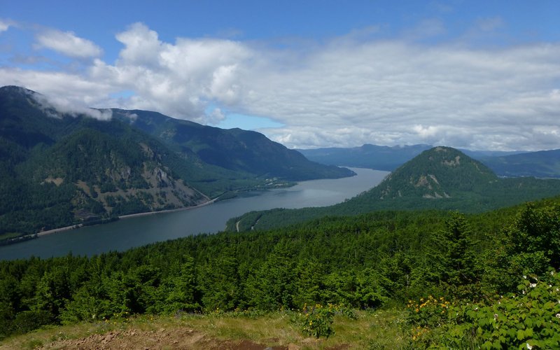
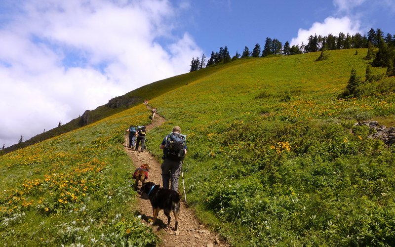
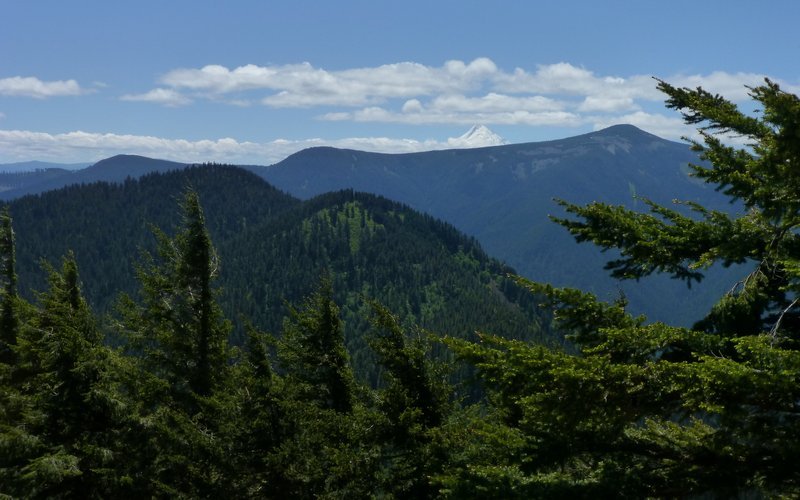
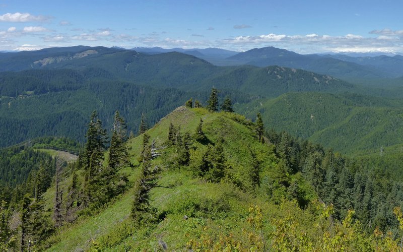
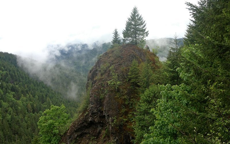
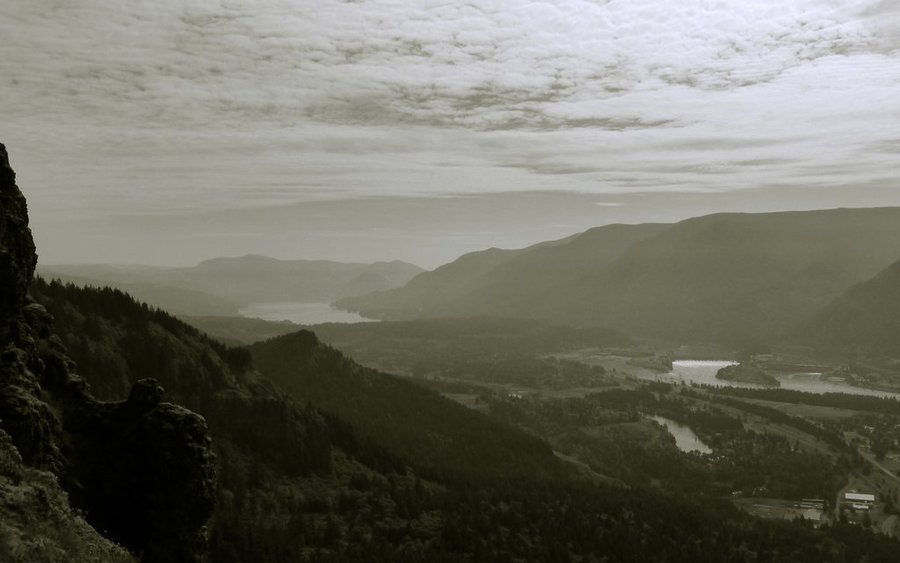
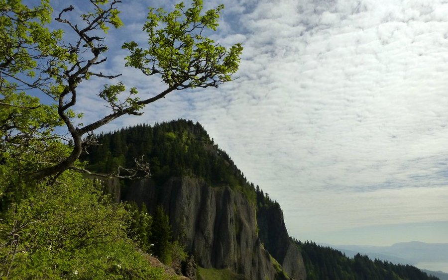
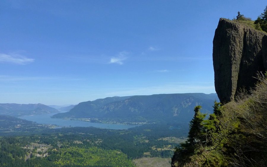
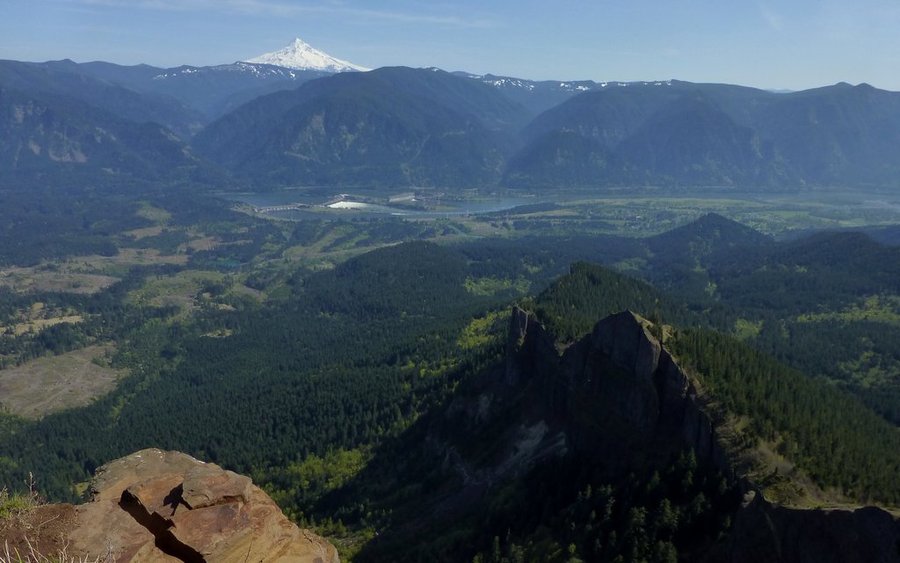
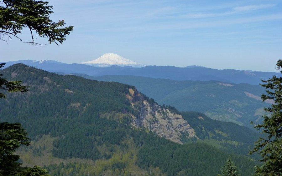
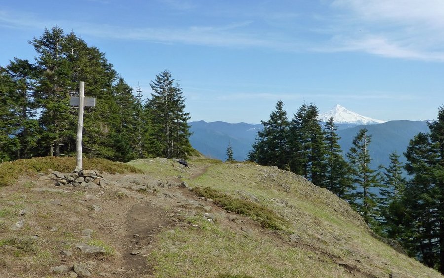
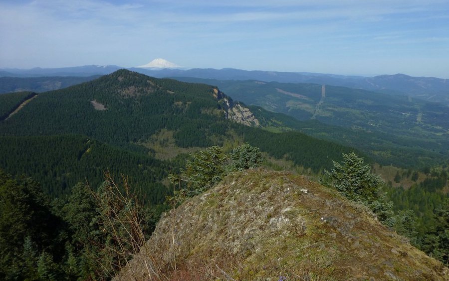
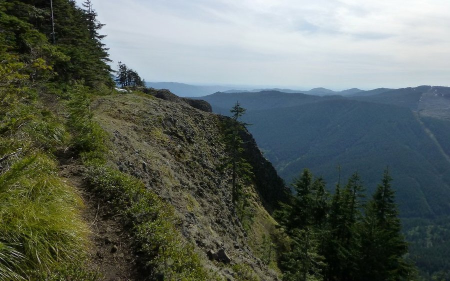
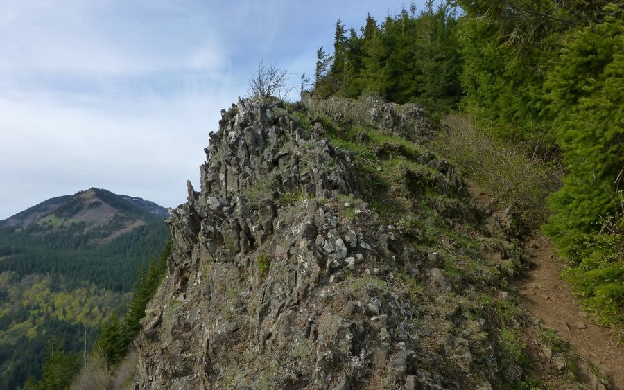
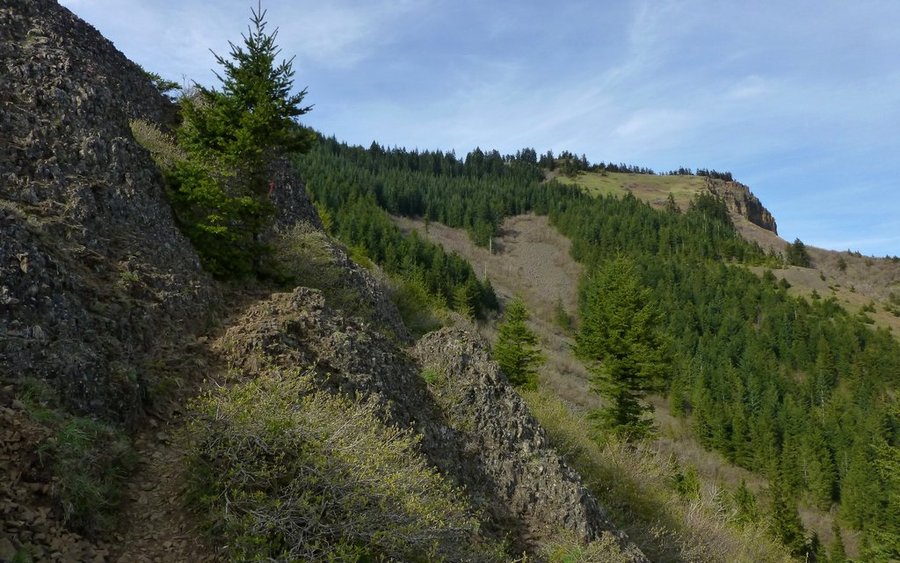
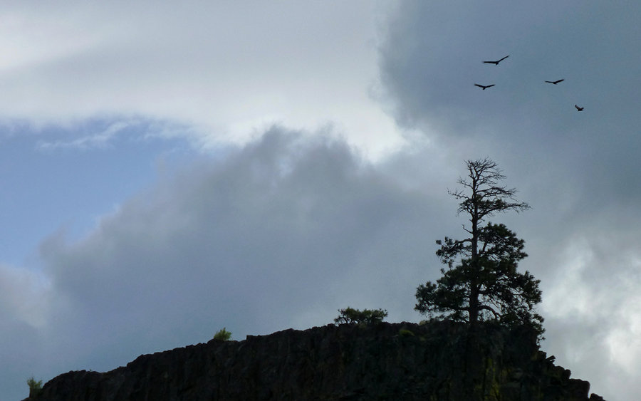
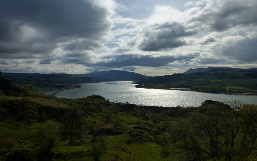
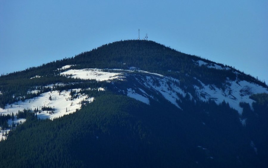
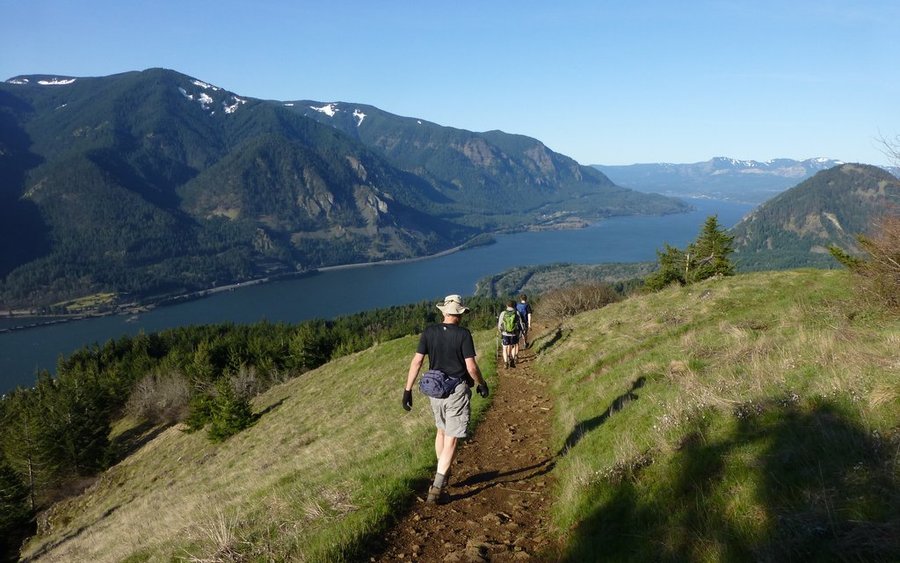
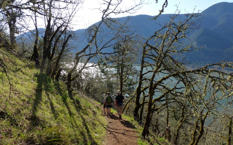
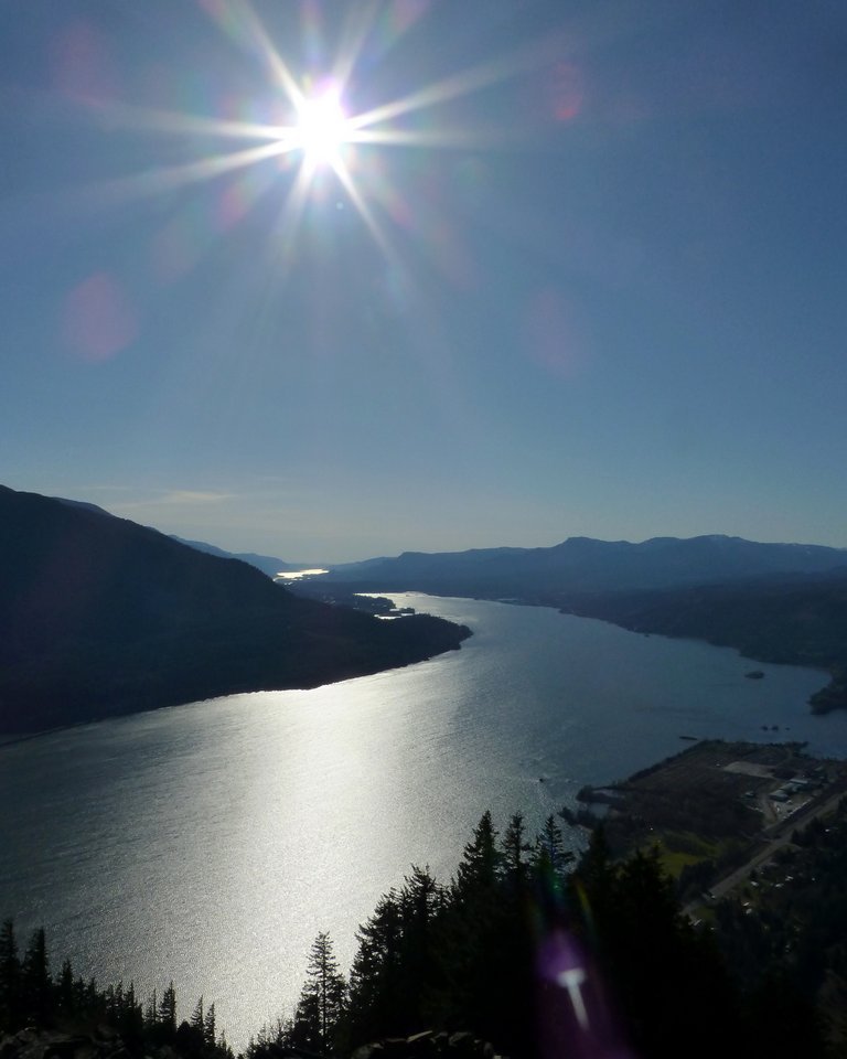
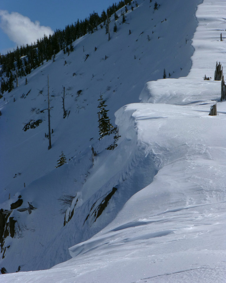
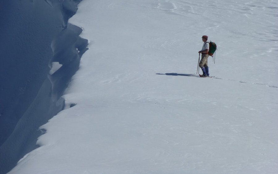
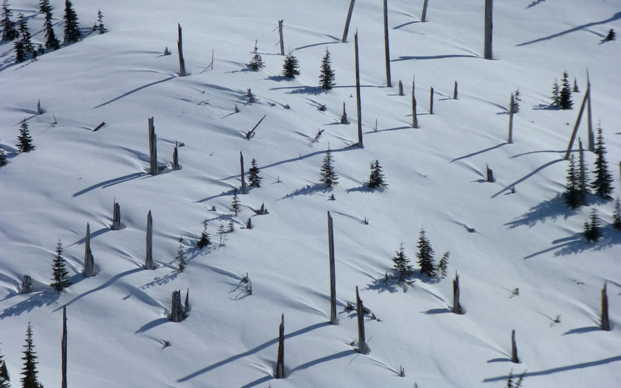
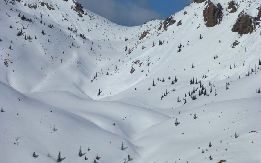
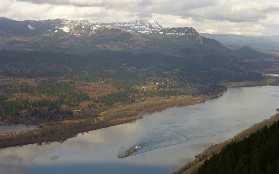
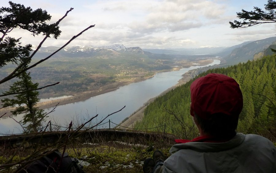
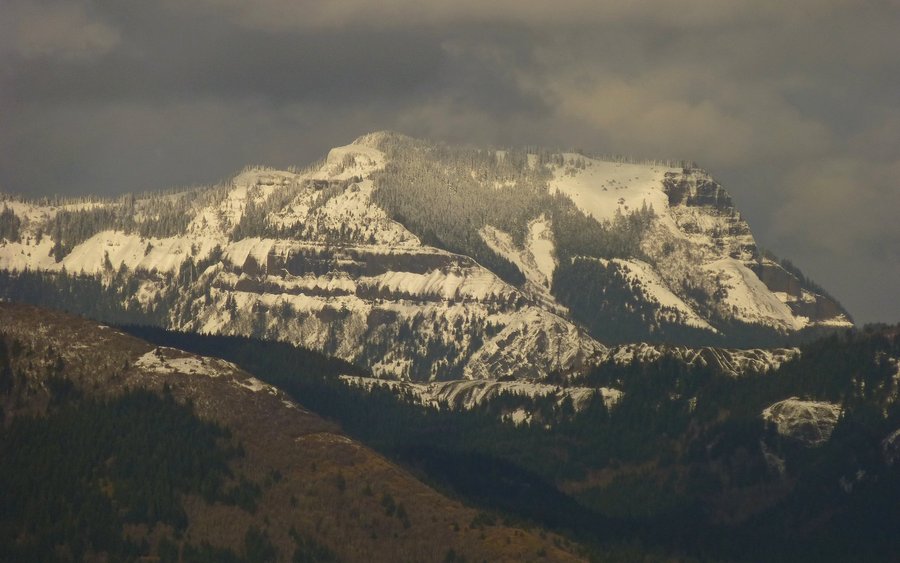
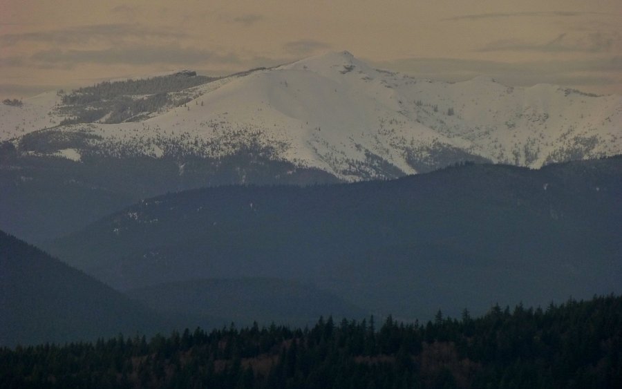
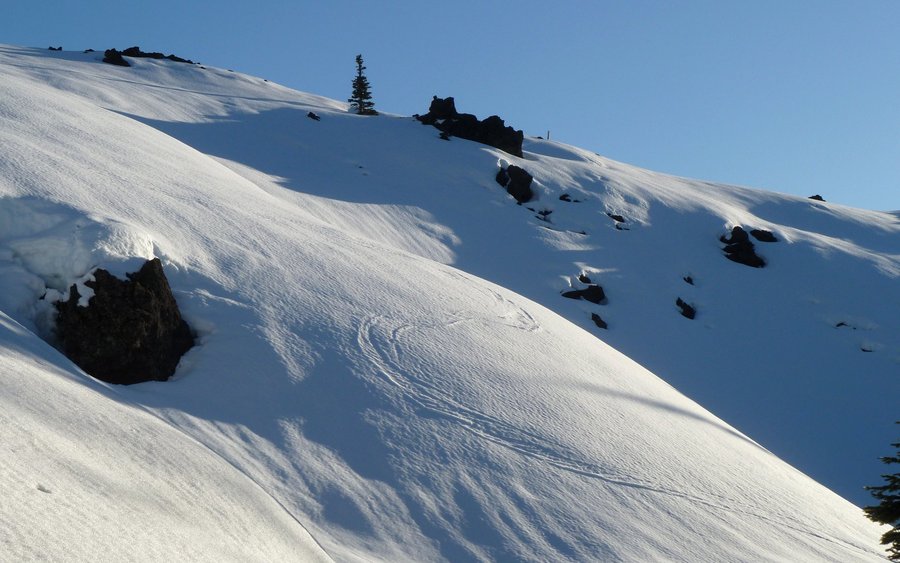
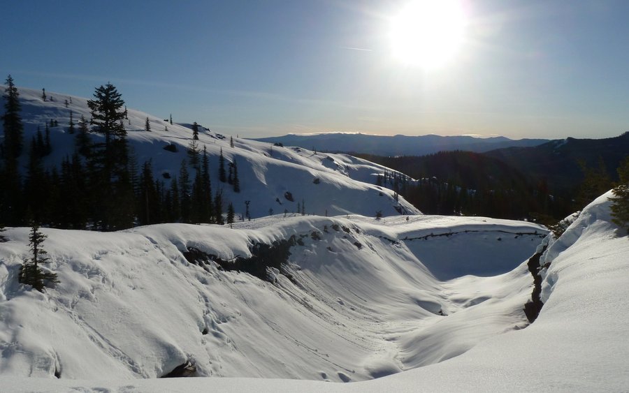
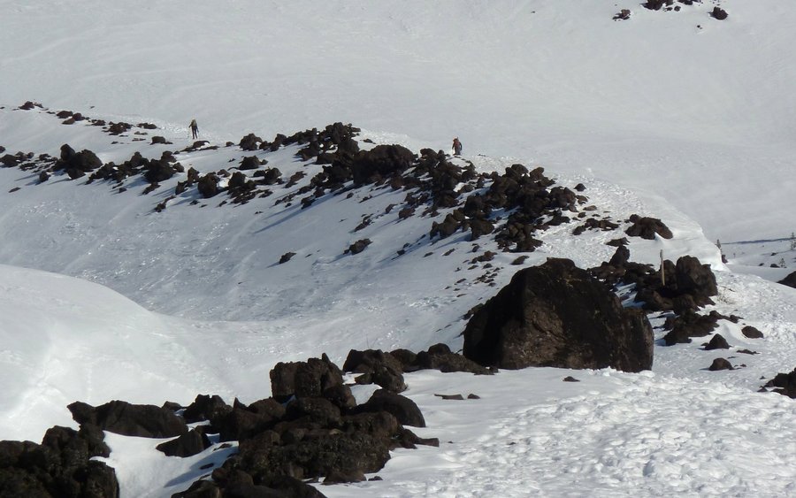
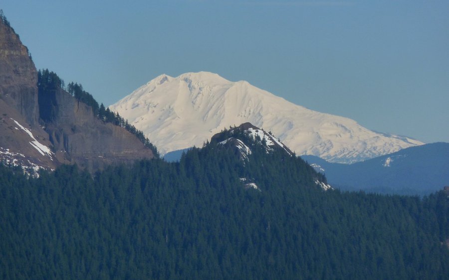
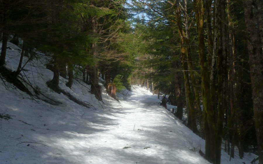
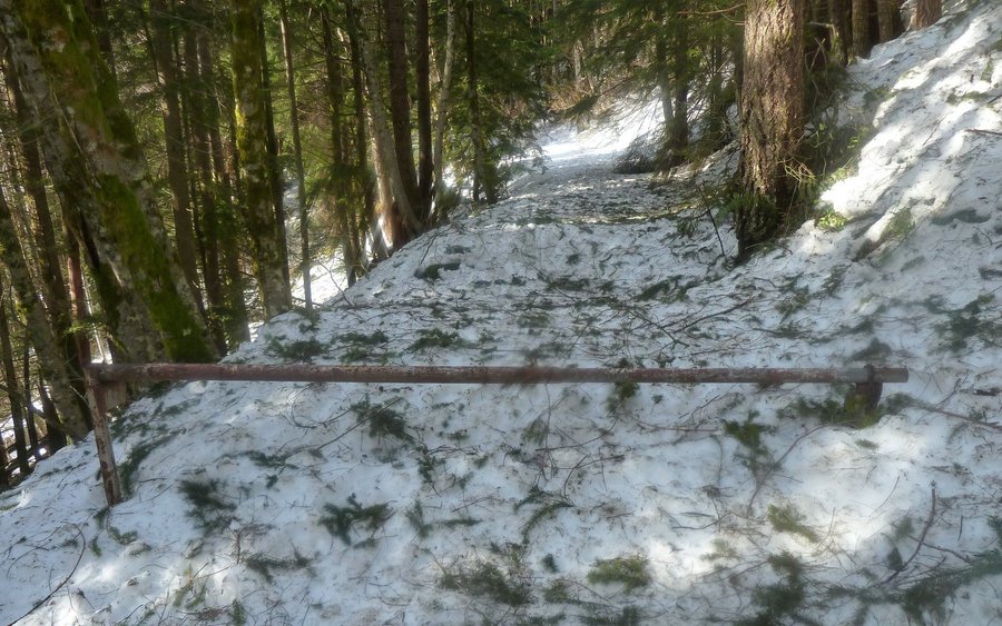
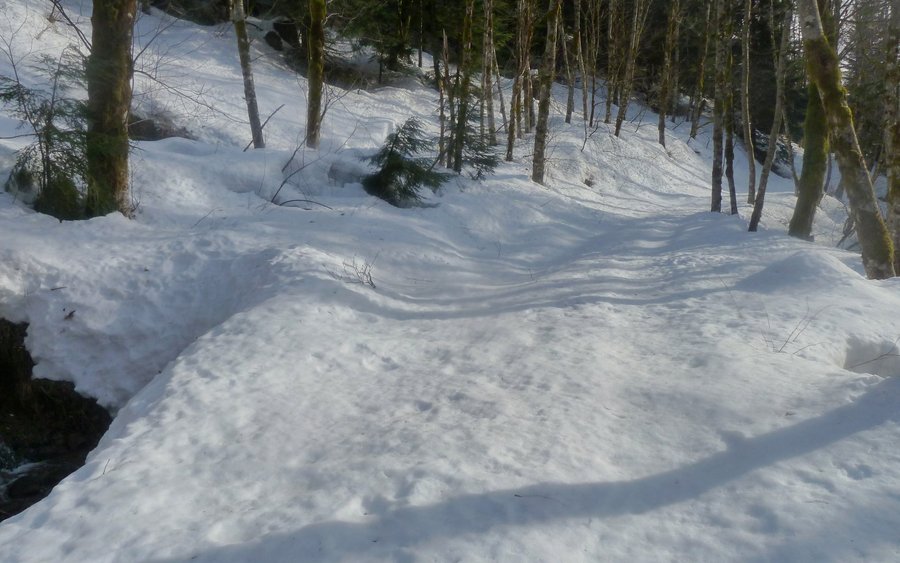
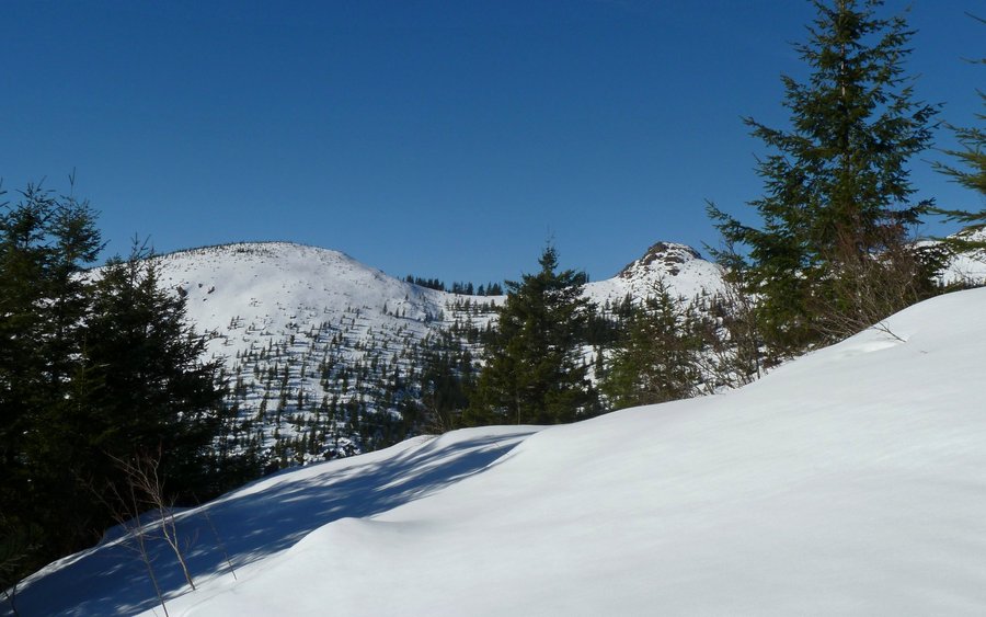
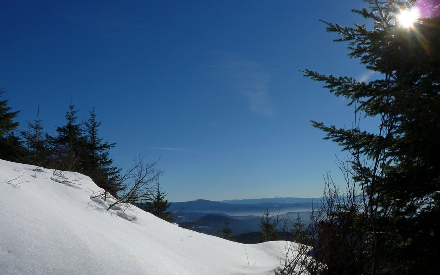
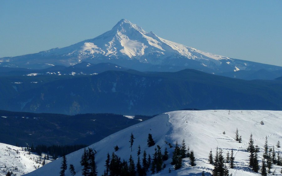
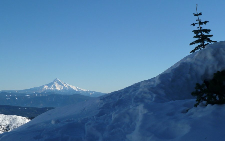
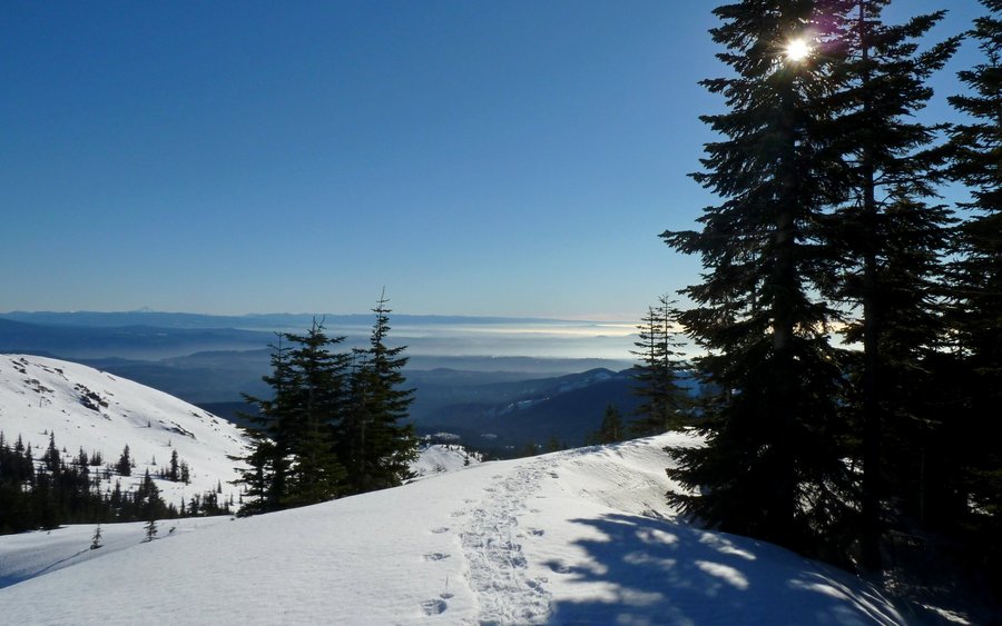
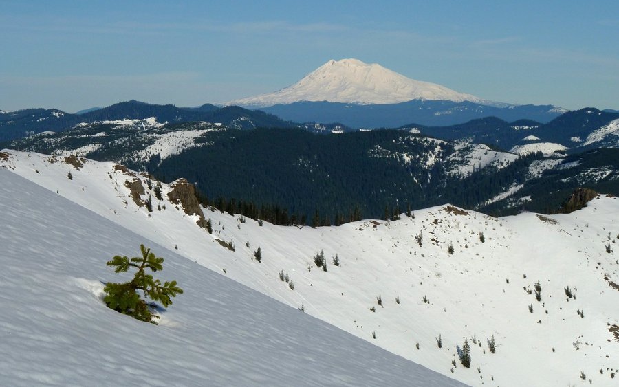
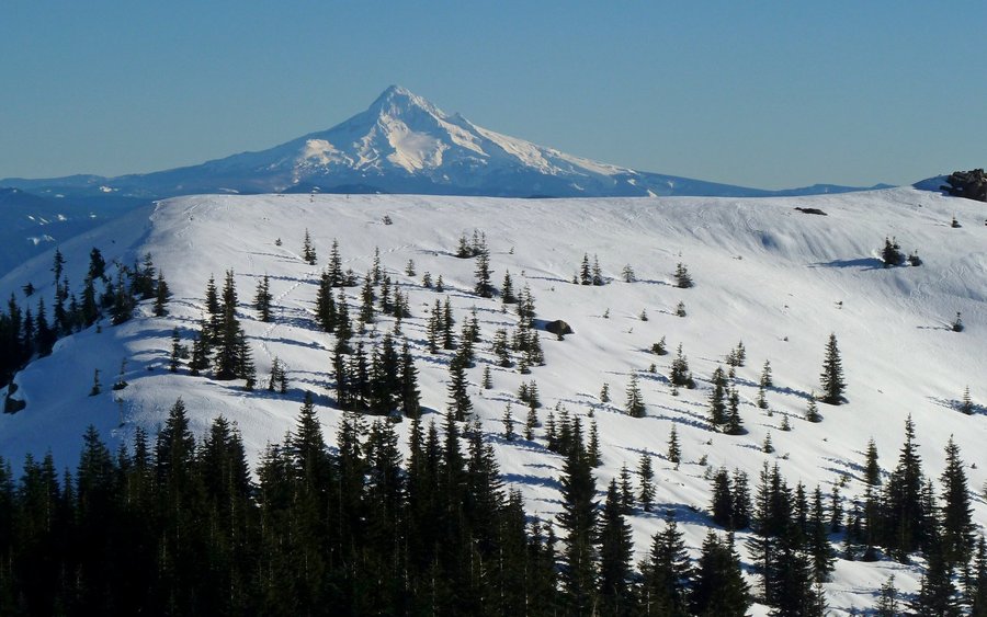
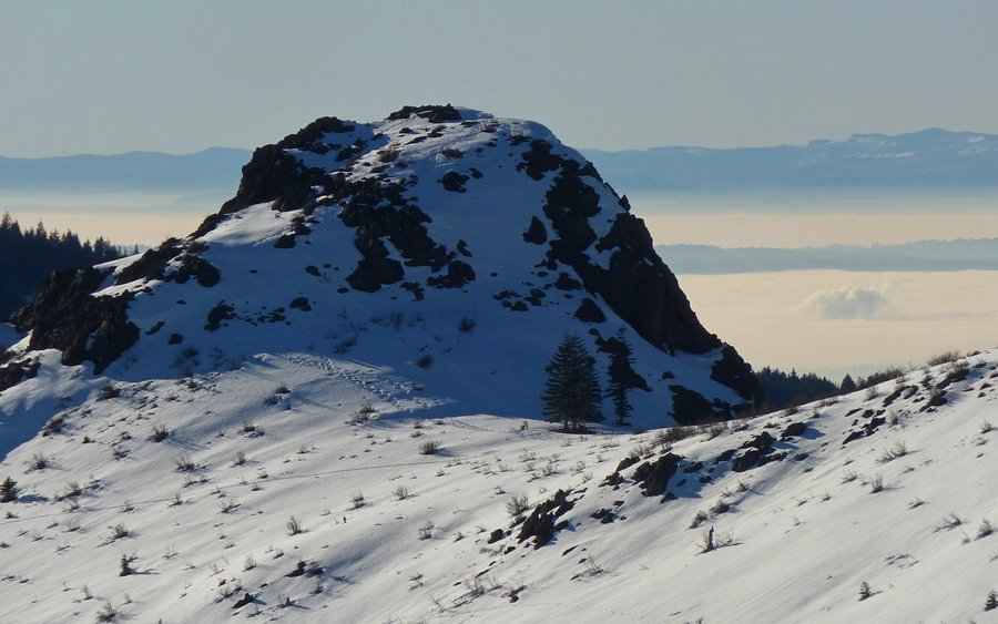
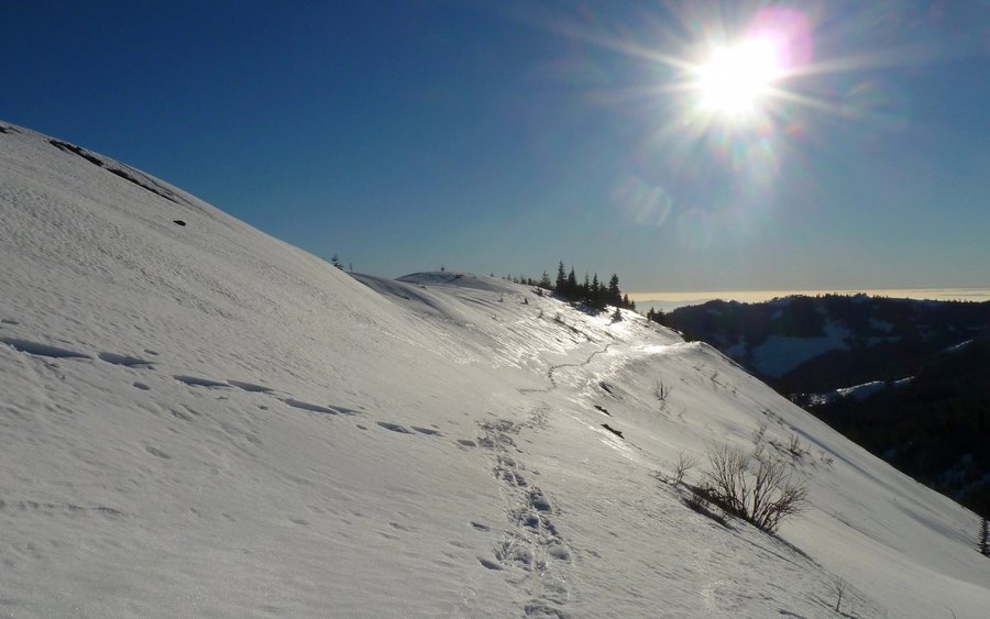
Starvation Ridge - Mt. Defiance Loop
12.5 miles of hiking • 5250' elevation gain •
Most awesome way possible to work off all those holiday treats! Allison and I climbed a vertical mile up to the highest point in the Columbia River Gorge, even though last night's (delicious) lasagna was weighing me down like a boat anchor, and enjoyed the wonders of an temperature inversion and magnificent views in all directions. Along the way, we walked across a very frozen Warren Lake at about 3700', and needed microSpikes to easily navigate a good bit of glaze ice. But at the summit, we enjoyed 71°F sunshine with our viewtastic lunch! (I actually picked up a bit of a sunburn!) We completed the loop down the nearly featureless Defiance trail, getting back down to river level just as the sun was setting on Dog. Great day!!!
December 26, 2013


 3
3
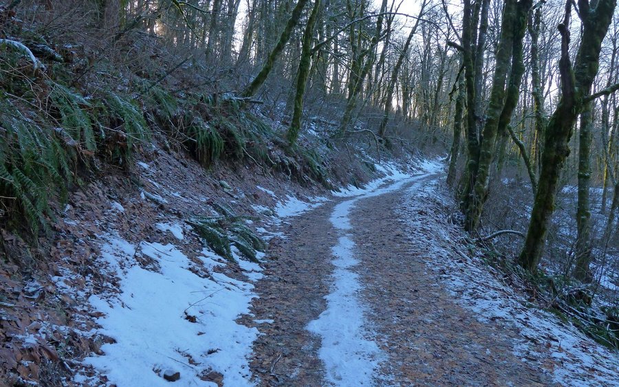
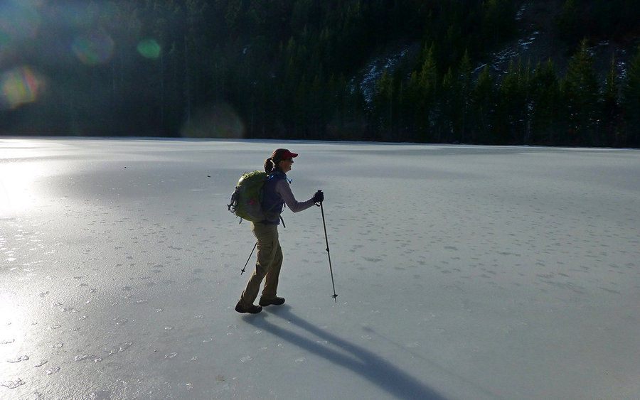
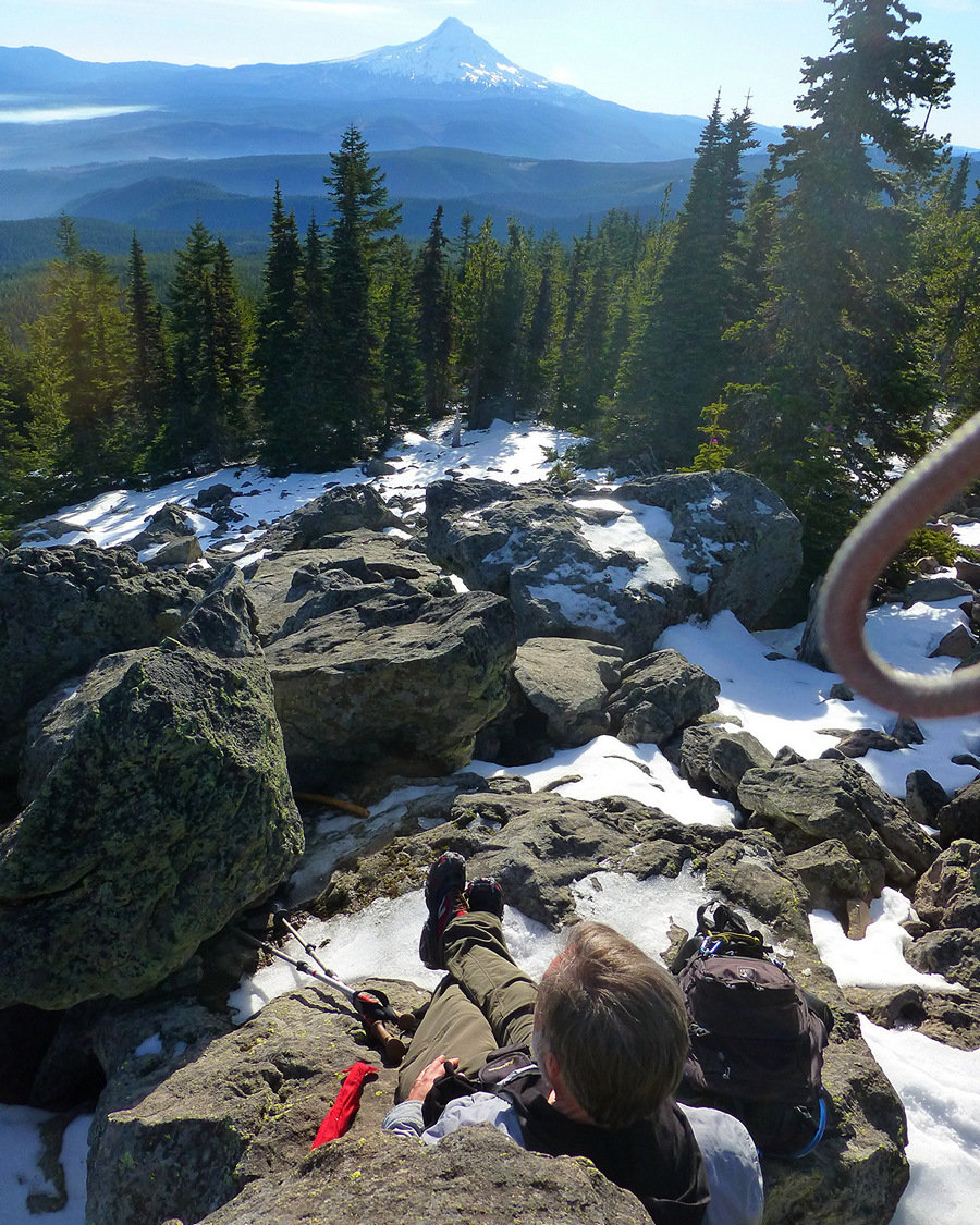
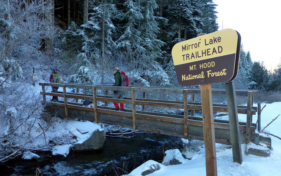
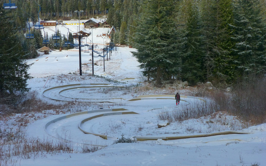
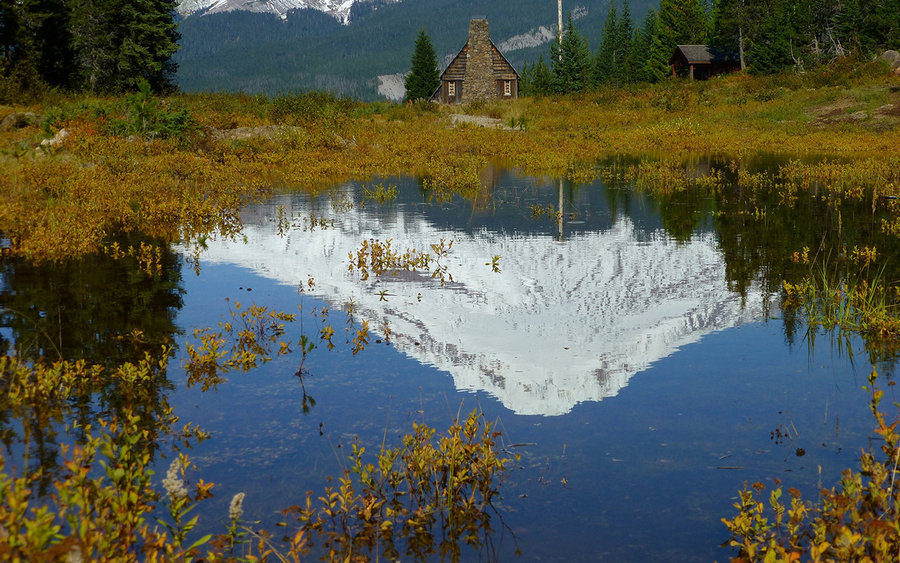
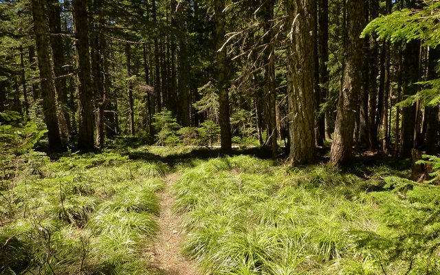
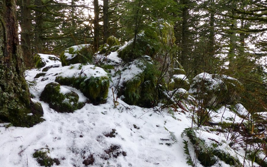
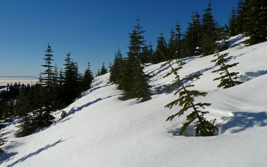
Tom Dick and Harry Loop
8 miles of hiking • 2000' elevation gain •
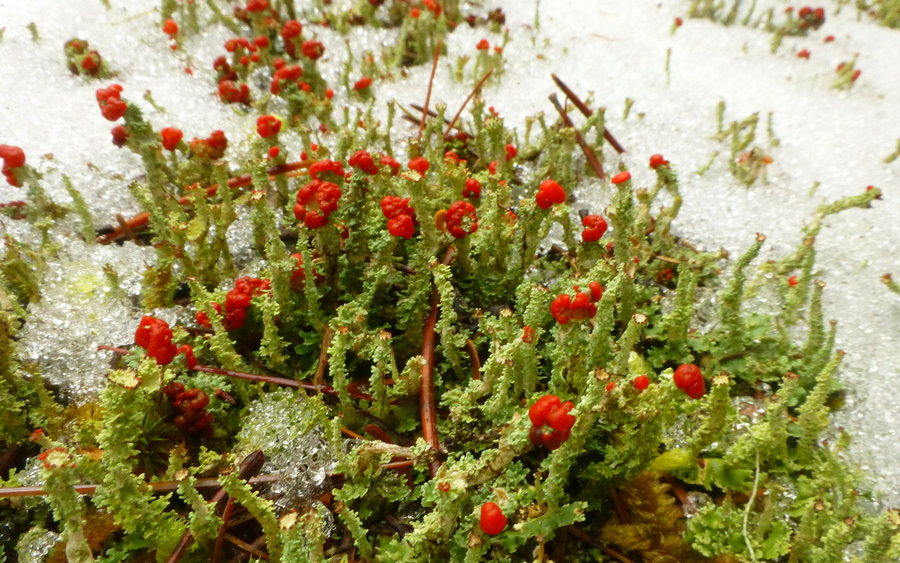
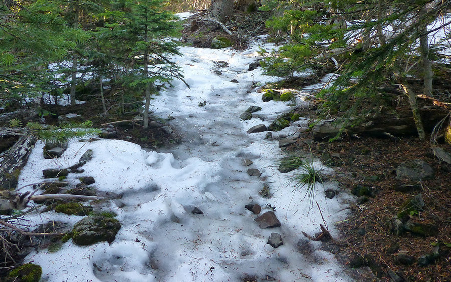
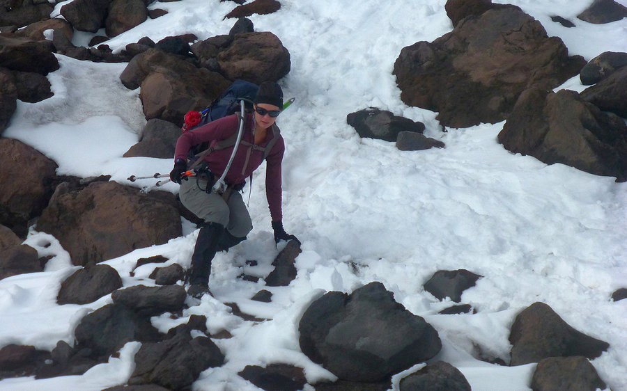
Did the classic Mirror Lake, up Tom Dick and Harry Mountain, and back down Ski Bowl loop today. First time ever in the winter. Wonderful day up there. But there was a very odd accumulation of ice, perhaps an inch thick, just under the snow. Finally put on microSpikes which aided greatly to the confidence of each step. Very little snow, for this late in the season! Maybe 2" at Government Camp, and only 12-16" up top on TDH (5100'). The ground was frozen solid, though, as was nearly all of Mirror Lake. There were a couple spots, in particular where a spring entered, that were still open - be careful out there!
December 19, 2013


 1
1
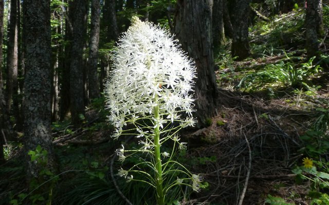
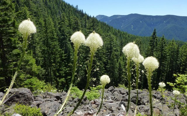
Indian Point
8.5 miles of hiking • 3000' elevation gain •
Just an all-around excellent little workout hike! Spent most of the day in the clouds, but they cleared just enough to be highly dramatic while we were at Indian Point.
From Herman Creek campground (about 9am), we went up Nick Eaton Way to the Ridge Cutoff Trail just below Pt 3152. That took us over to the Gorton Creek trail just about where the spur to Indian Point drops over the edge. Had a snack out on the point, then got back to the TH just a bit after 1pm.
December 14, 2013


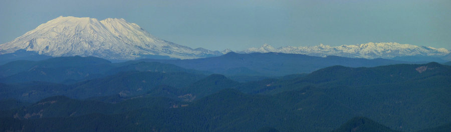
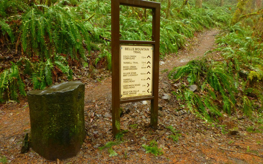
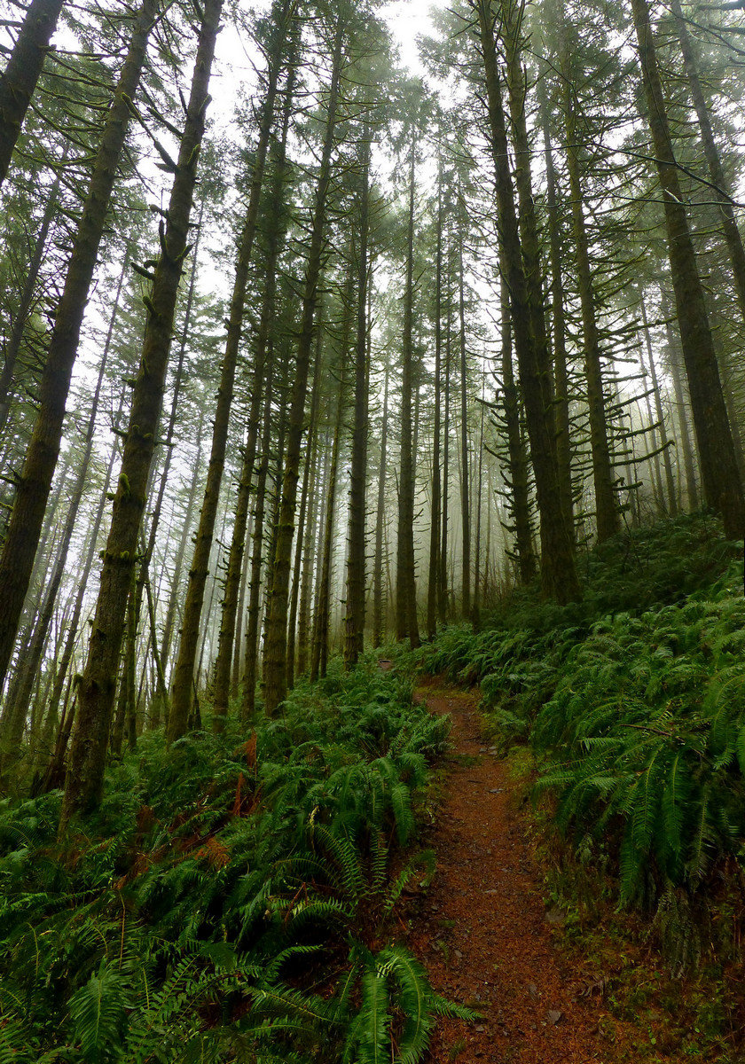
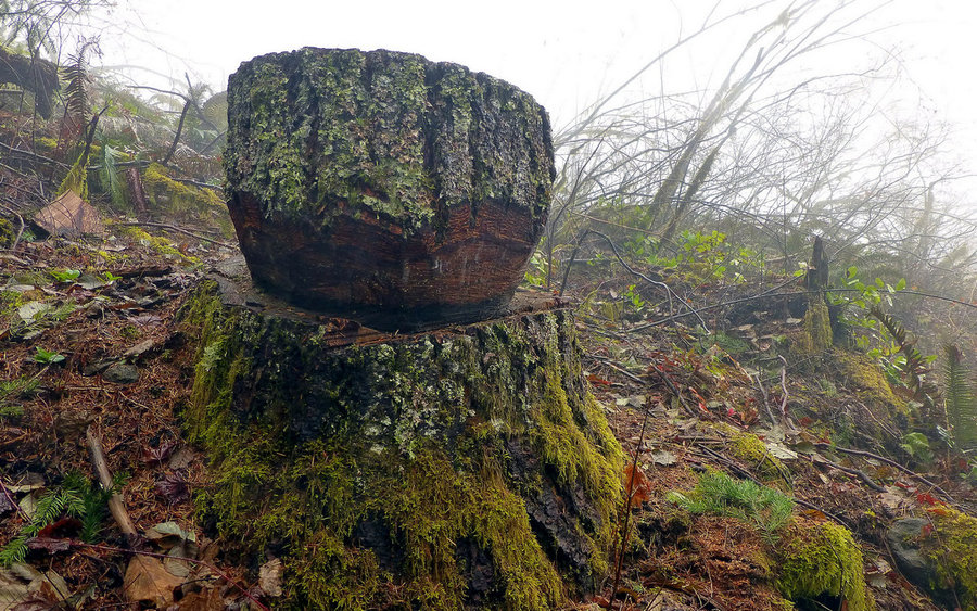
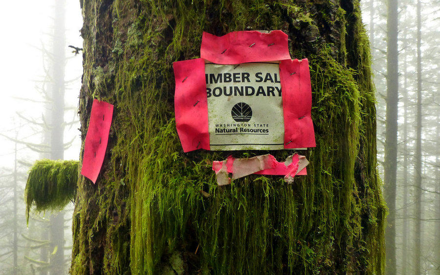
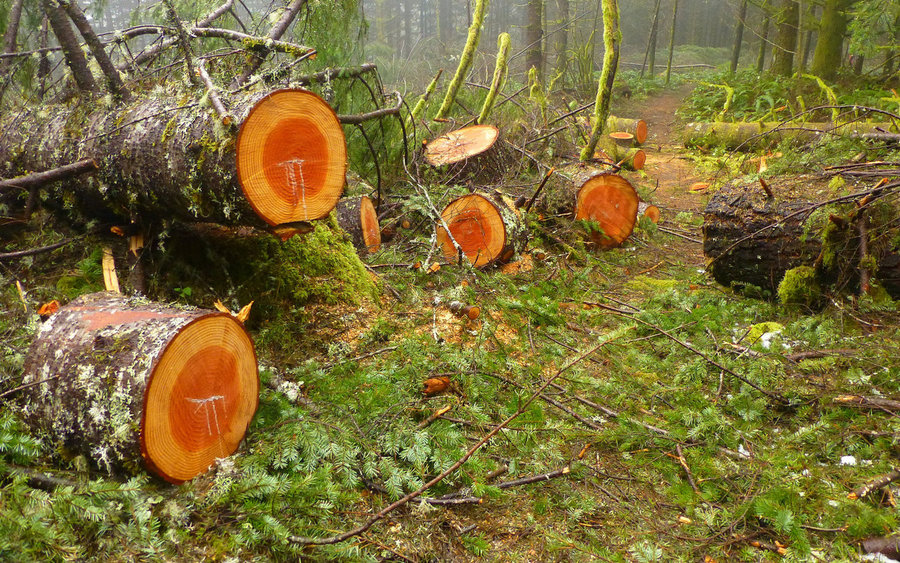
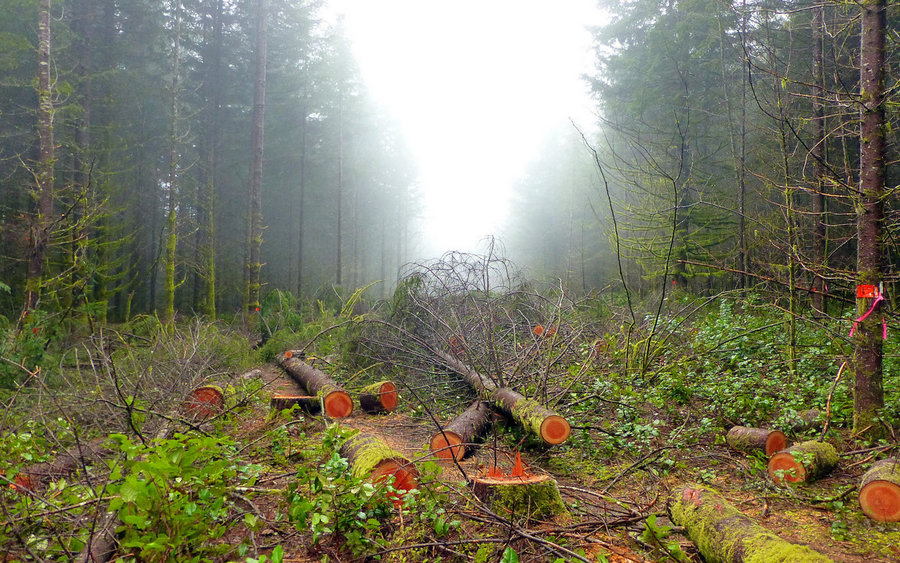
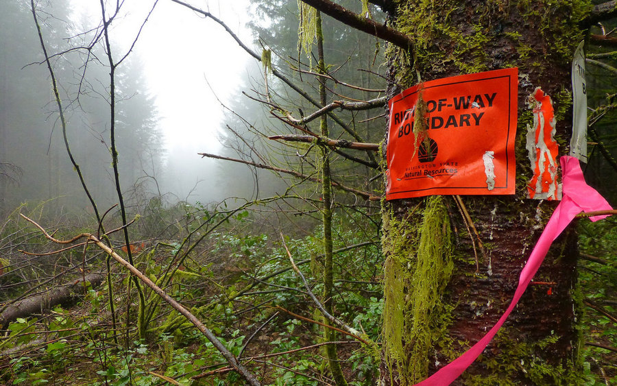
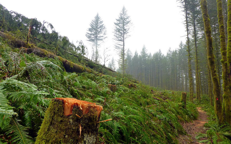
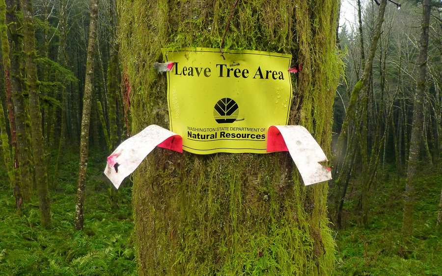
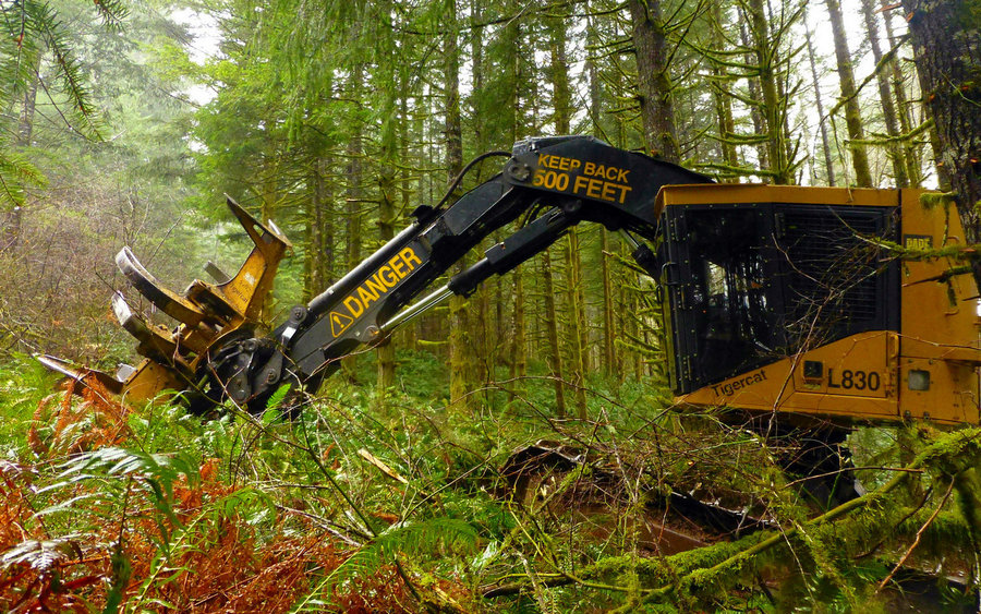
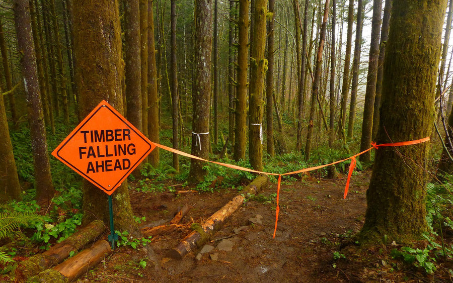
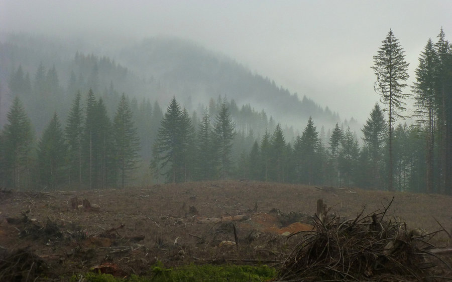
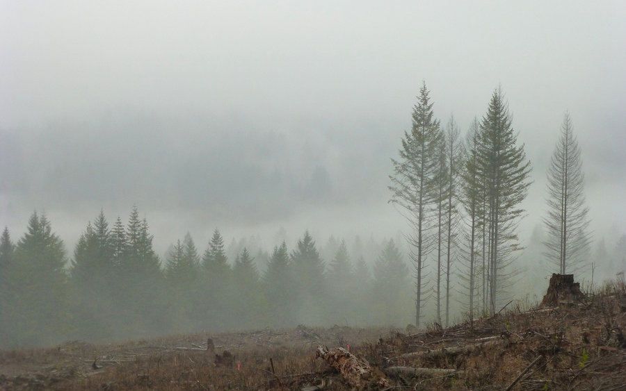
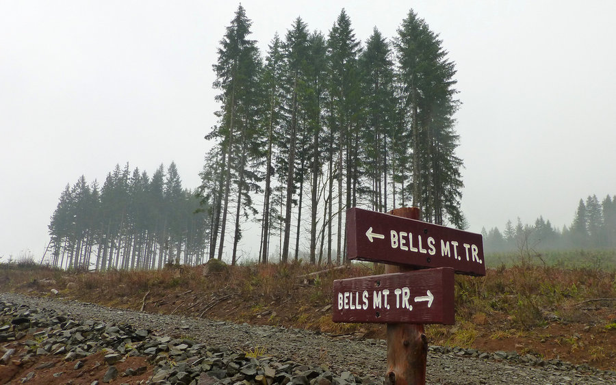
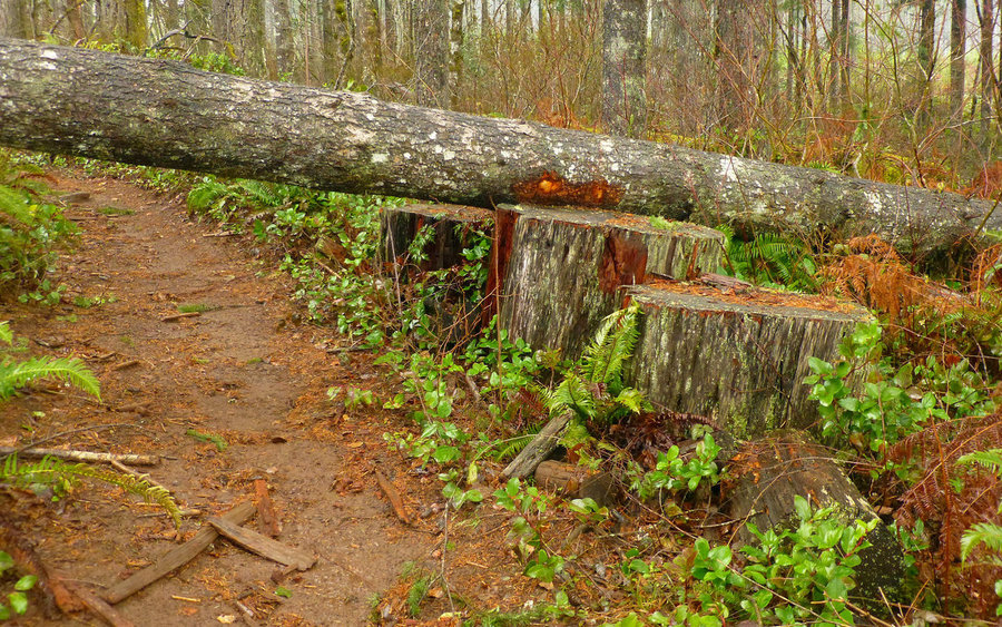
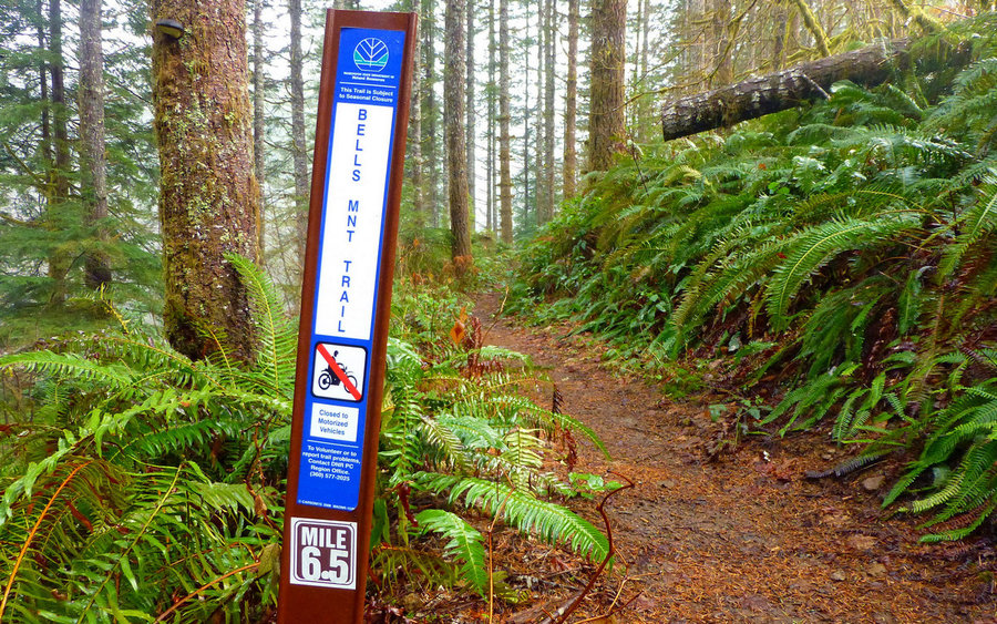
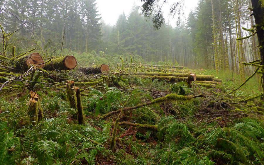
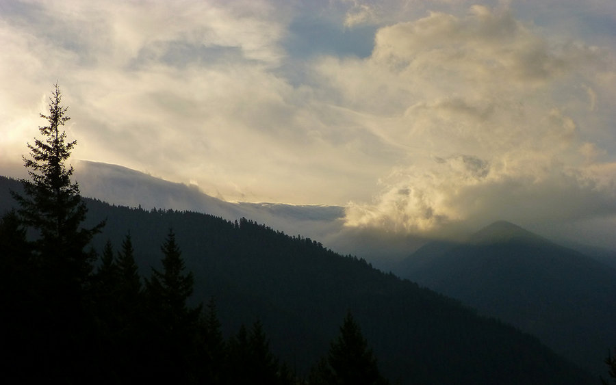
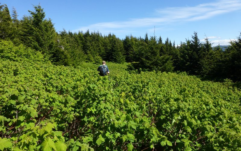
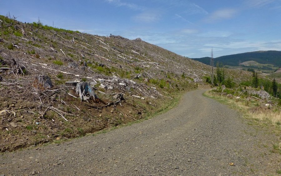
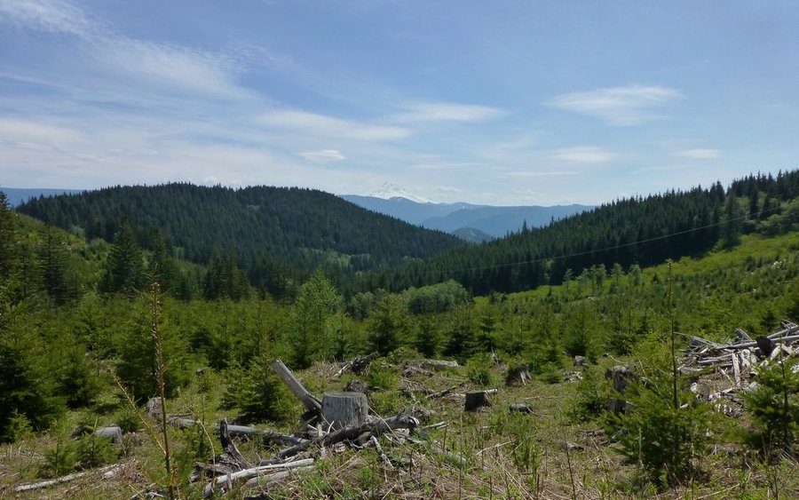
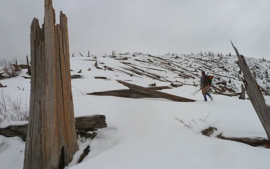
Bells Mountain Trail
16 miles of hiking • 3250' elevation gain •
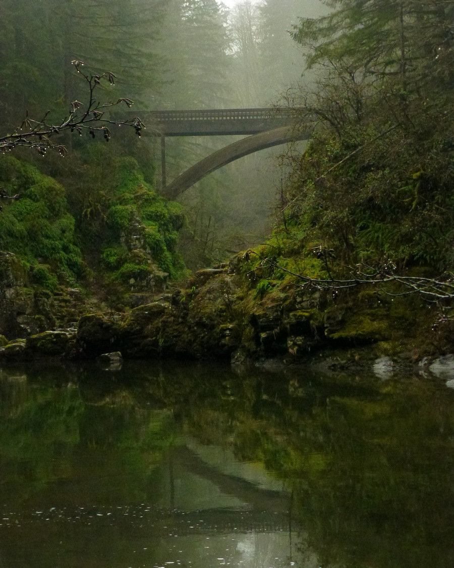
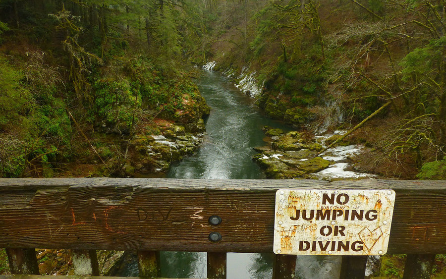
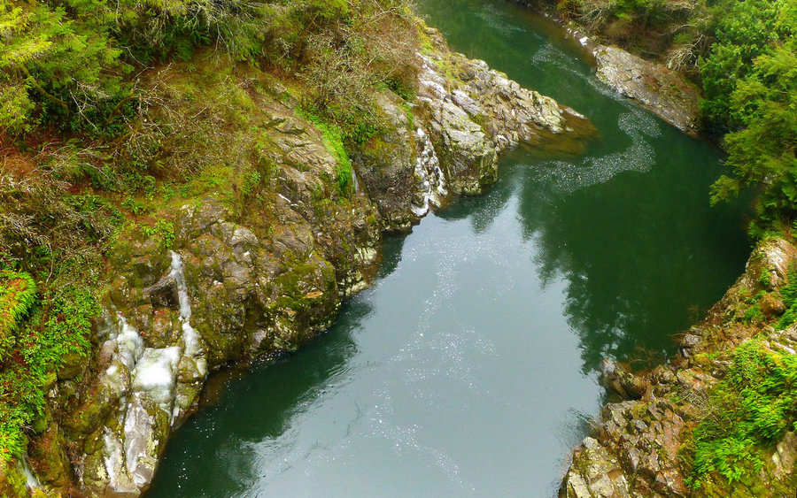
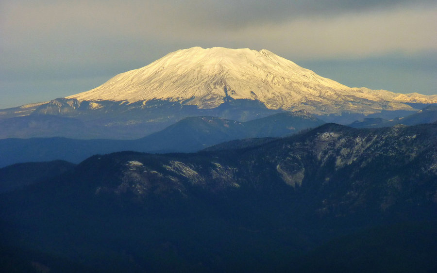
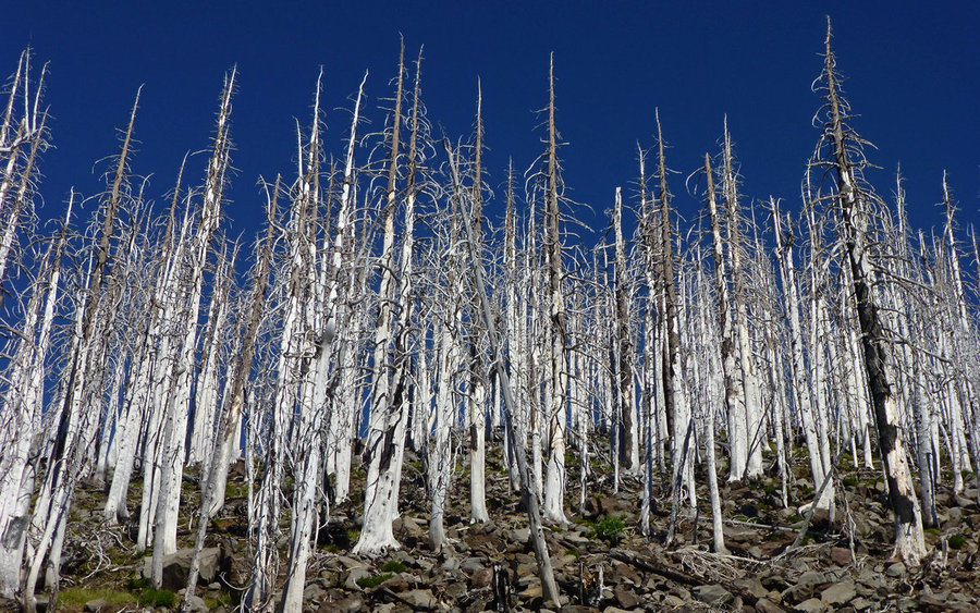
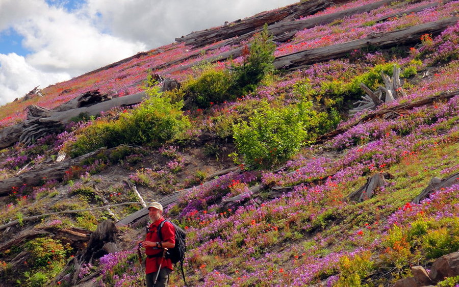
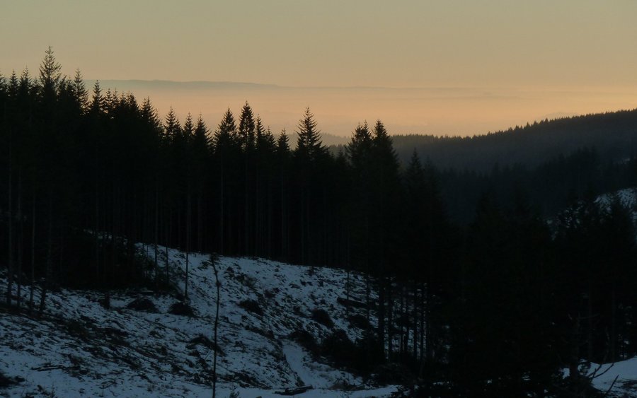
Decided that the misty-cloudy forecast called for a nice long walk in the woods. Hadn't ever explored much beyond the waterfalls areas at Moulton Falls county park before, so took a long ramble along the Bells Mountain Trail. Somewhere between 1/4 and 1/3 of the area covered had been clearcut in the not too distant past. In fact, I wandered right through an active logging operation. The weather added a real touch of eerie-ness to the clearcuts, some of which had these bizarre "islands" of trees left standing sentinel over the destruction all around them. I'm sure I missed some good views of Mount St. Helens and Dole Valley, but I'm not so sure that experiencing these cuts on a clear day would've been preferable at all. They were clearly the dominant feature of the day. Otherwise, wetness simply ruled. The arctic blast had left a mark; there was still some ice here and there. But mainly just penetrating wetness. I was soaked at the end of the day. And muddy. Portions of the trail were extremely muddy. Still, another great day in (what was left of) the woods!
Full trip report now up on PortlandHikers.
December 13, 2013


 2
2
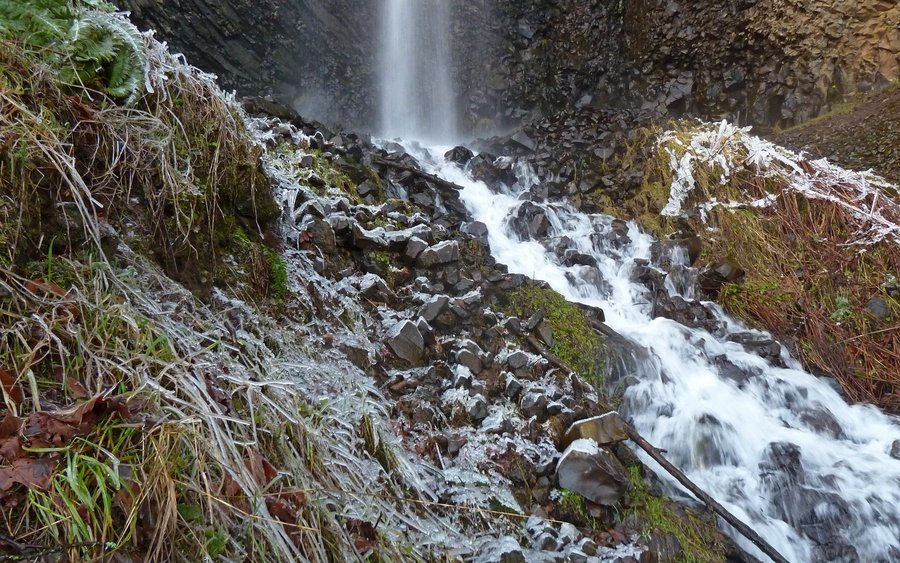
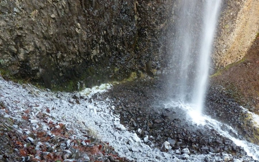
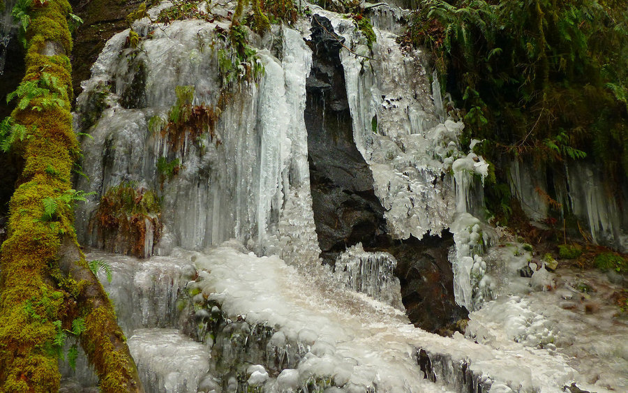
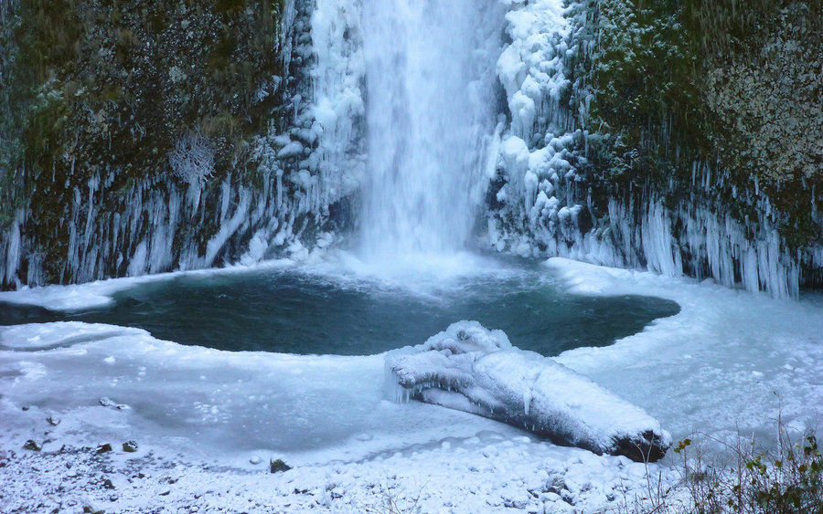
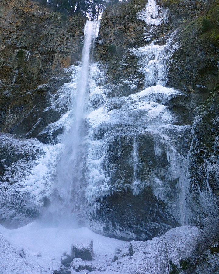
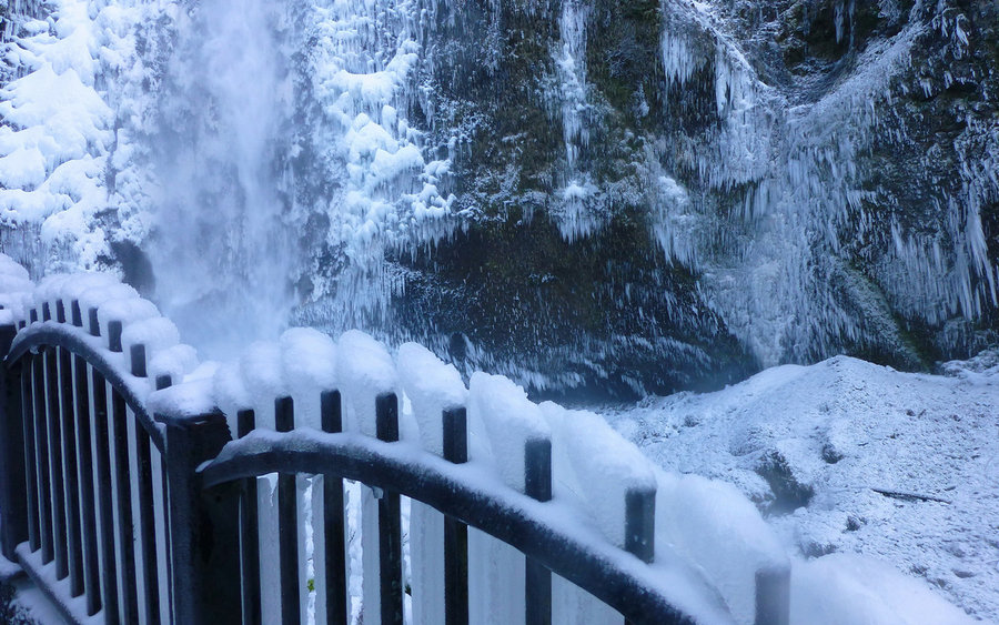
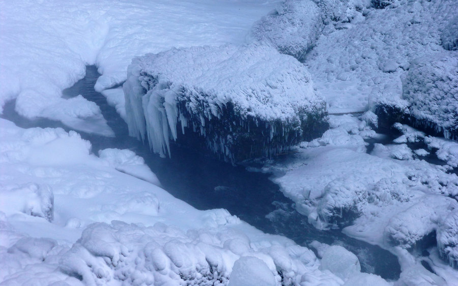
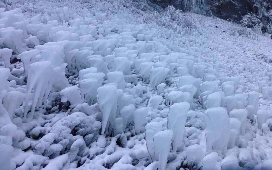
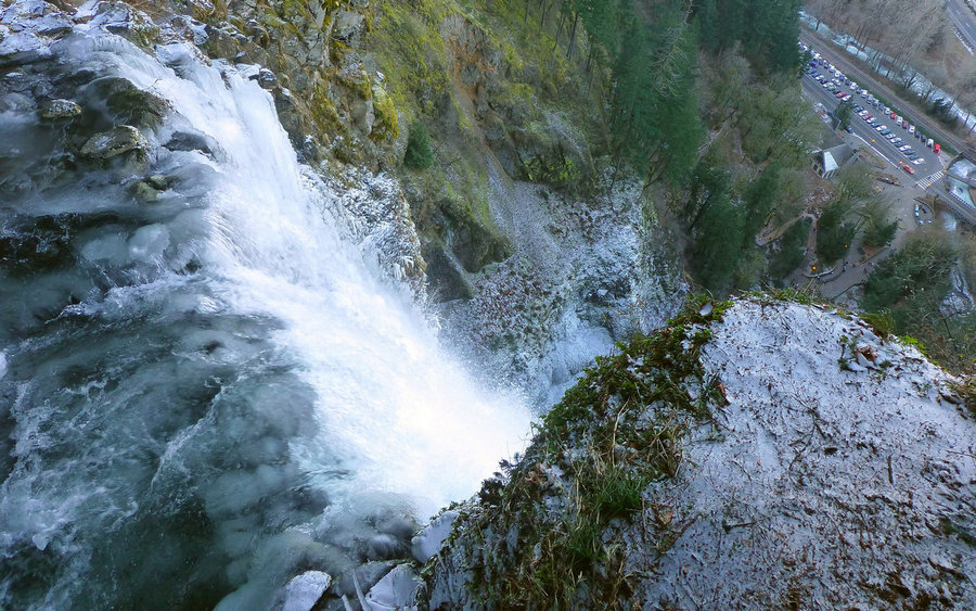
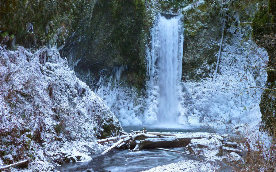
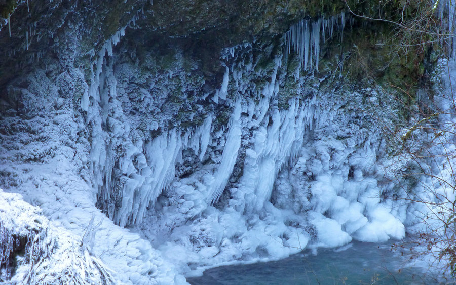
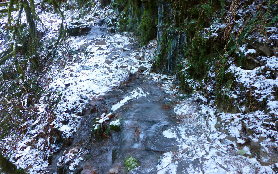
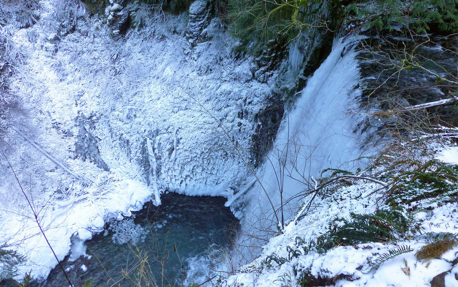
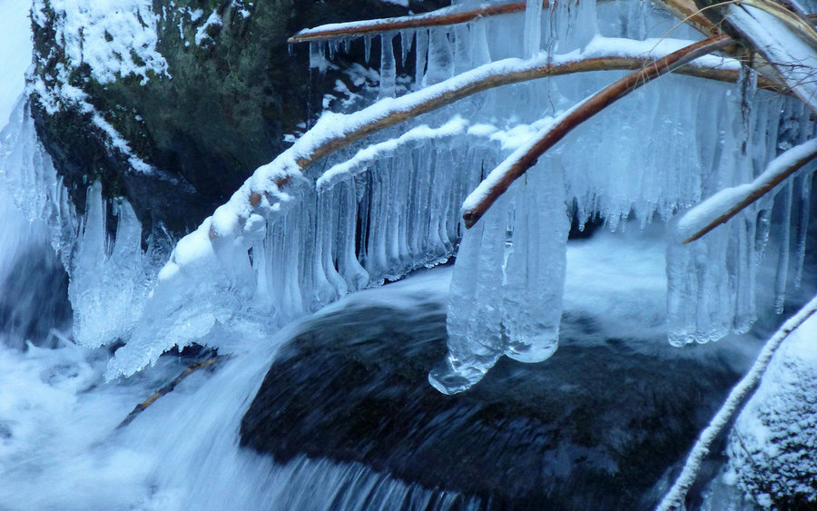
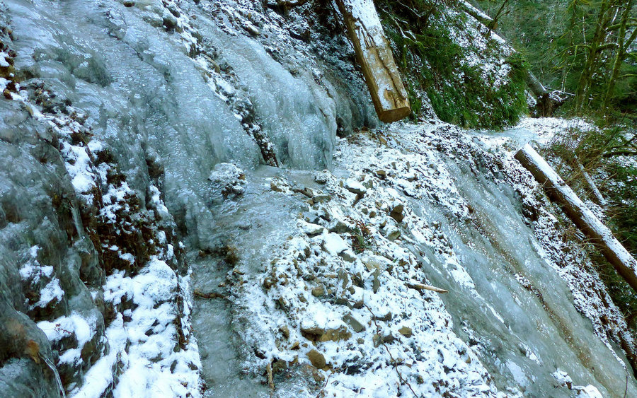
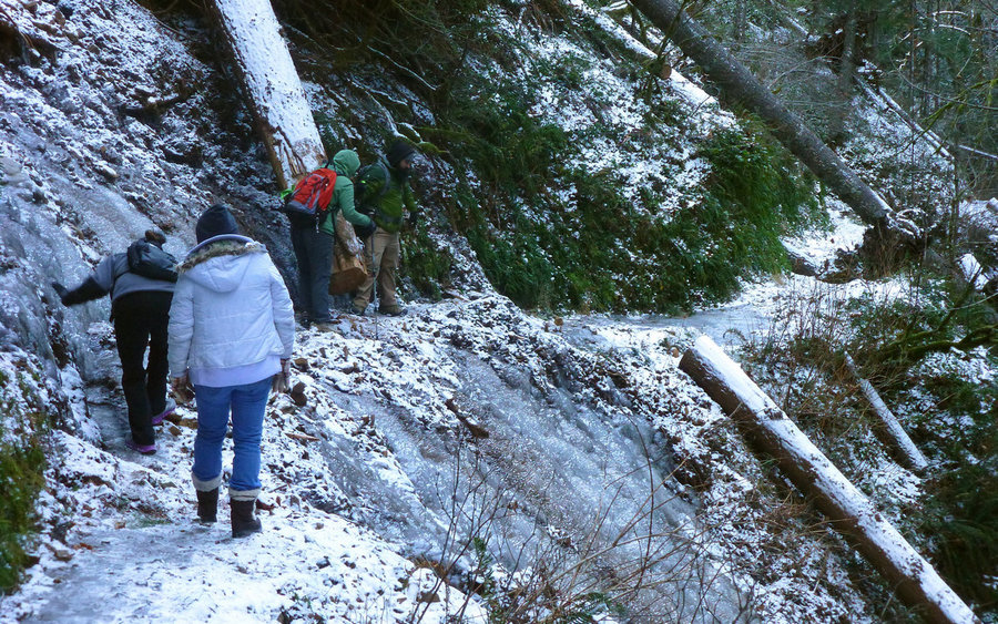
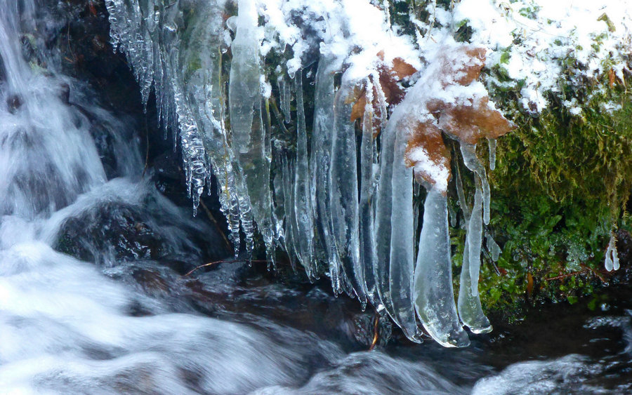
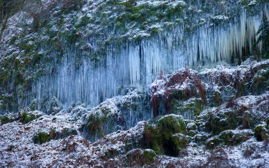
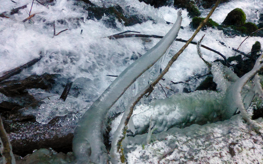
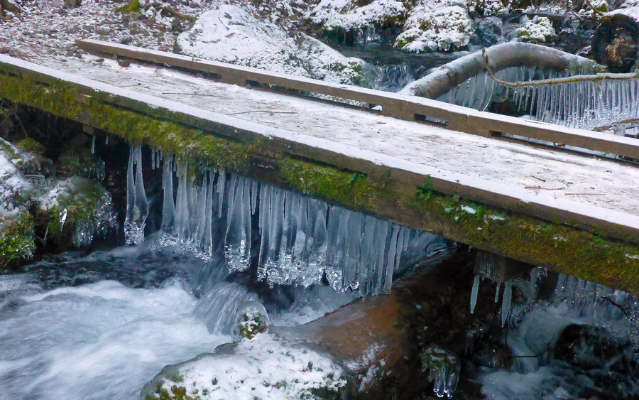
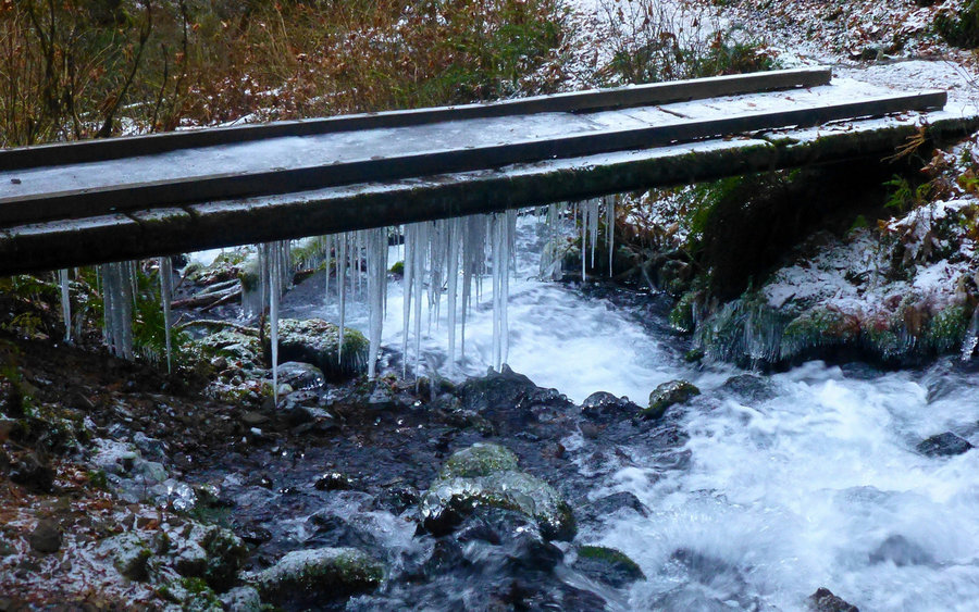
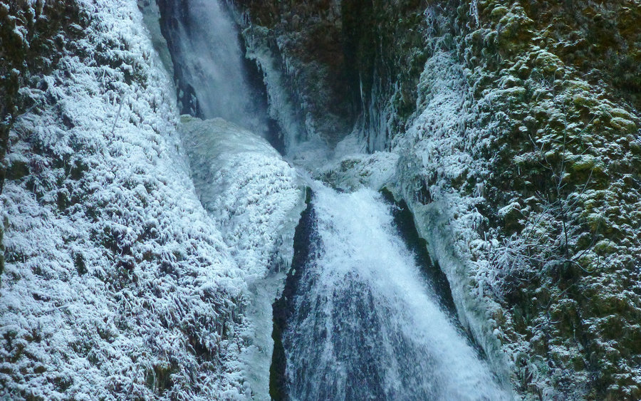
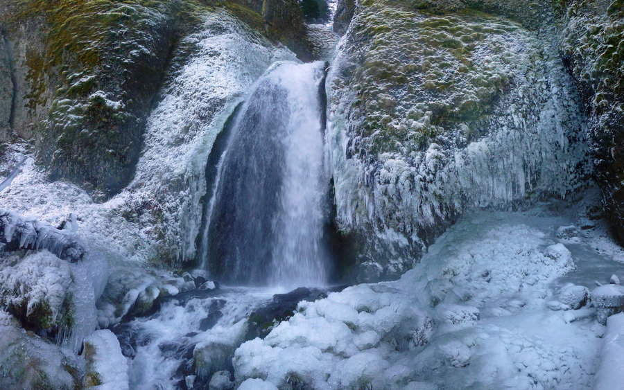
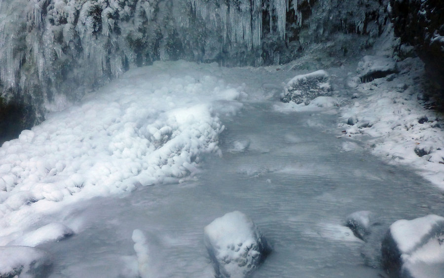
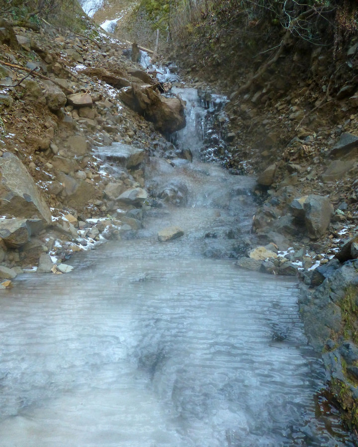
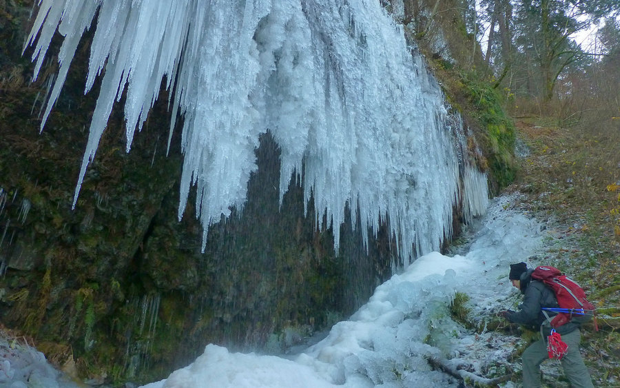
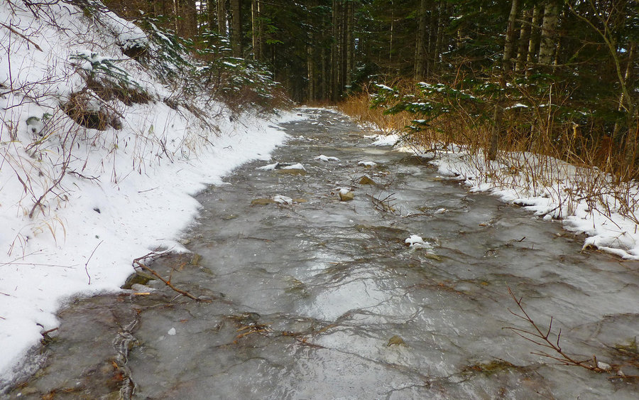
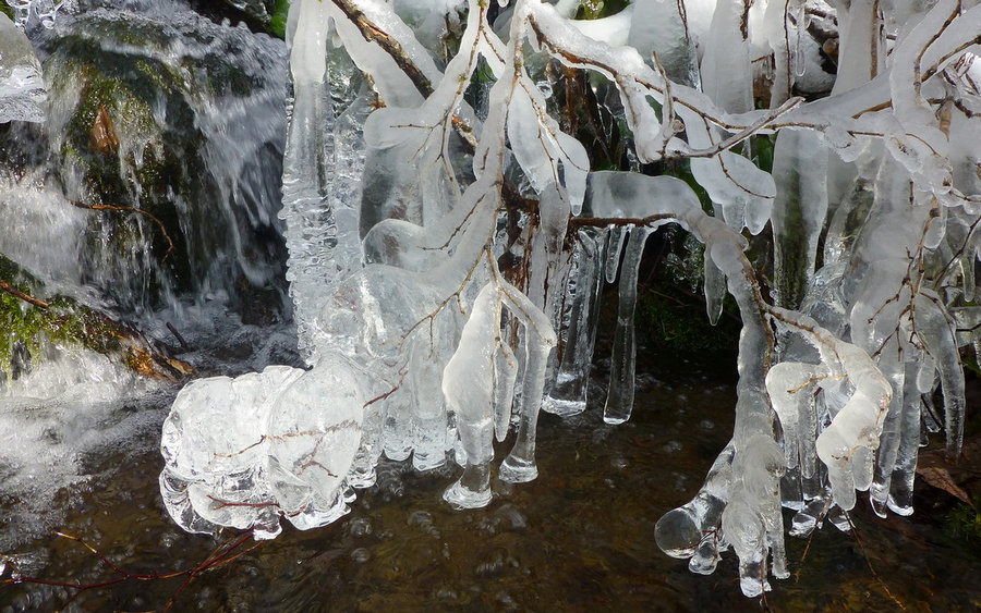
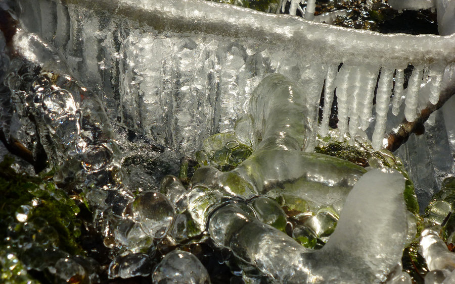
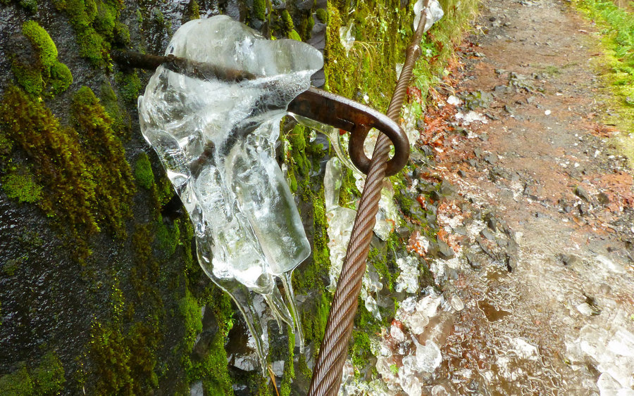
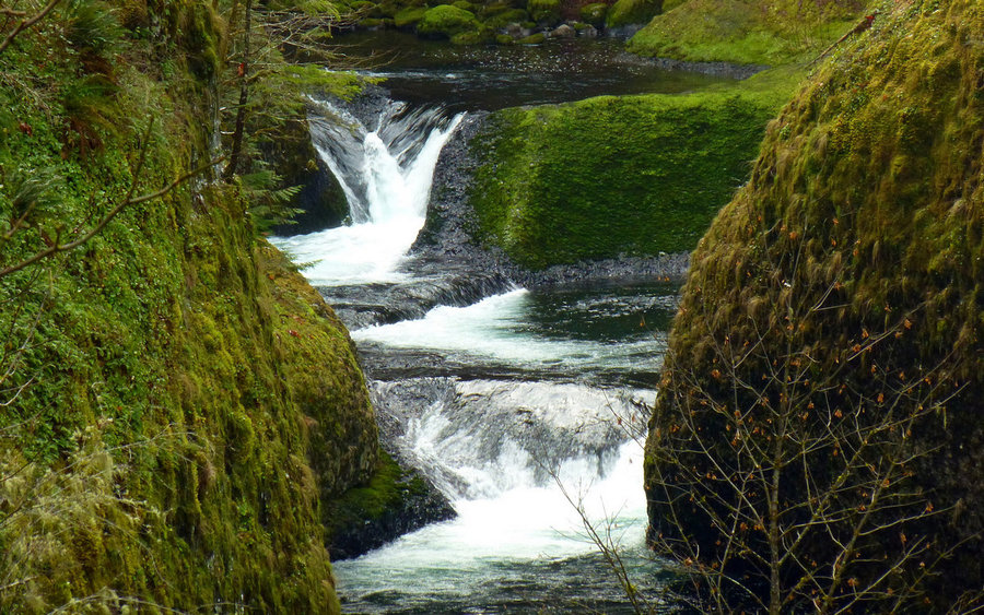
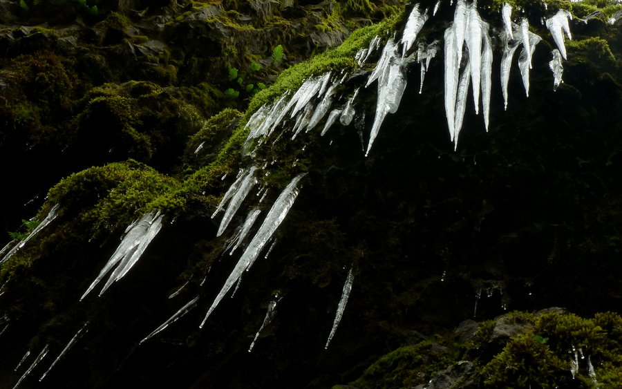
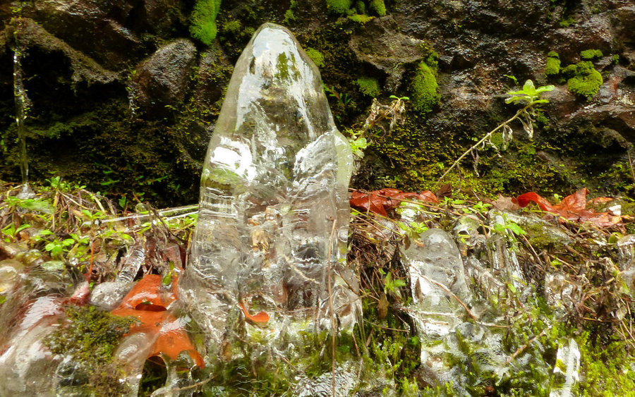
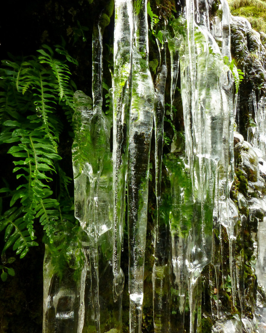
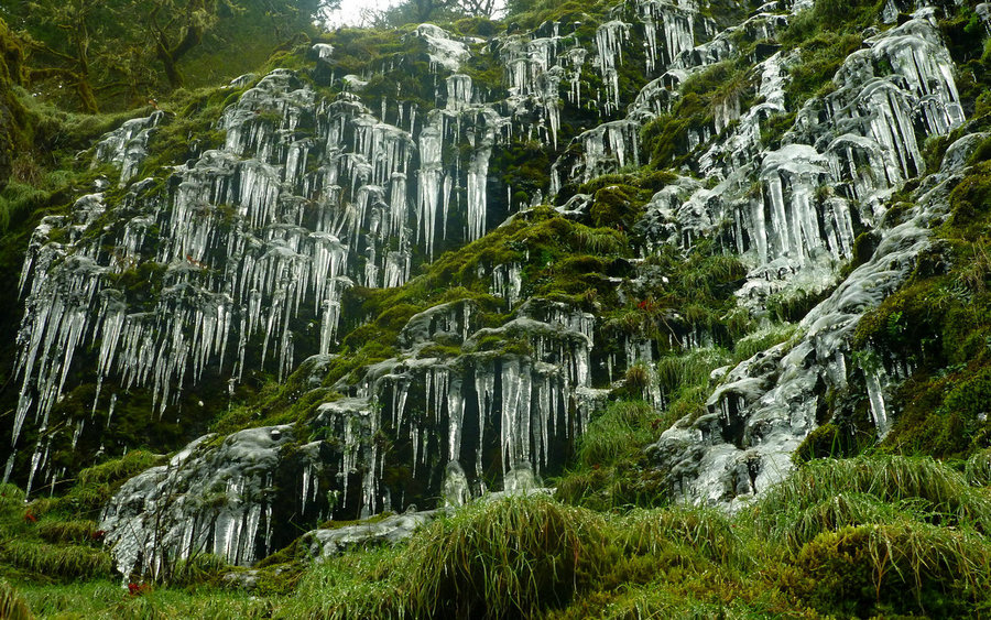
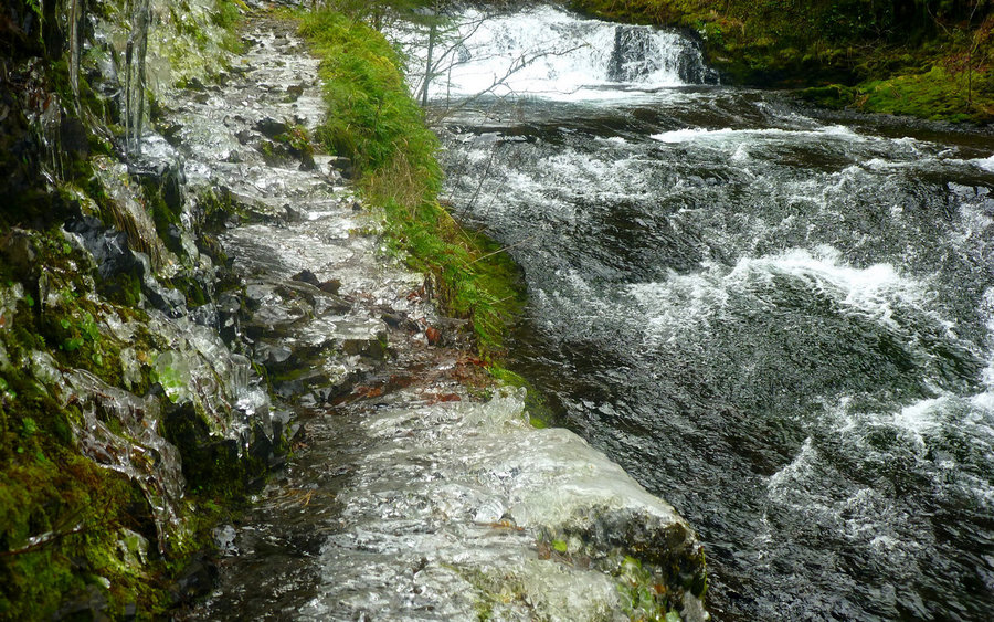
Frozen Multnomah-Wahkeena Loop
7.5 miles of hiking • 2000' elevation gain •
Afternoon jaunt around the frozen waterfalls. Extremely cold, and pretty icy. Would seriously recommend traction for safety on this loop until the thaw hits. The area around the landslide (just below Wahkeena junction) is pretty gnarly.
December 7, 2013


Silver Star Loop from Grouse Vista
9 miles of hiking • 2500' elevation gain •
Did the classic loop up from Grouse Vista, following the main trail to the west of Pyramid Rock, then came back down by Sturgeon Rock along the Tarbell Trail. Exceptionally nice day, given temps hovering in the low-20°s! Virtually no wind, but high clouds increasing as the day wore on. Very odd yellow-orange sky to the south!
December 5, 2013


 1
1
Eagle Creek
17 miles of hiking • 1750' elevation gain •
An old standby. Found myself with a free morning, so I took a run up Eagle Creek to about 7.5 mile camp. Was virtually alone on the way in, and the mobs had descended by the time I was back down low again. Lots of ice along, and often on, the trail. Nice day!
Full trip report now up on PortlandHikers.
November 29, 2013


Multomah Falls to Larch Mountain
16 miles of hiking • 4250' elevation gain •
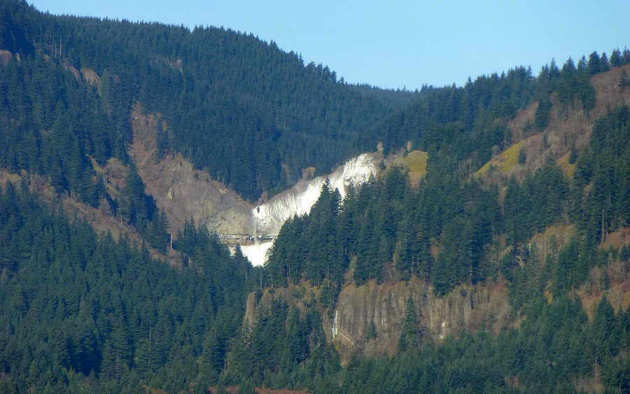
Got a late start, not hitting the trail until nearly 10am, so this turned into a quickie "training hike" up to Sherrard Point and back. Most treacherous stretch was right at and just beyond the Multnomah Falls bridge with glaze ice covering the paved trail. Rest of the way offered an amusing assortment of icicles, and generally frozen ground, but no snow to speak of. Wind was worst right at the gorge, too; I had expected much worse on top, but it just wasn't there. Not a terribly exciting trail, but the woods provided great solitude in that all the tourists were afraid to go beyond the icy bridge. The landslide just below Wahkeena Trail turnoff has been very nicely repaired.
Full trip report now up on PortlandHikers.
November 23, 2013


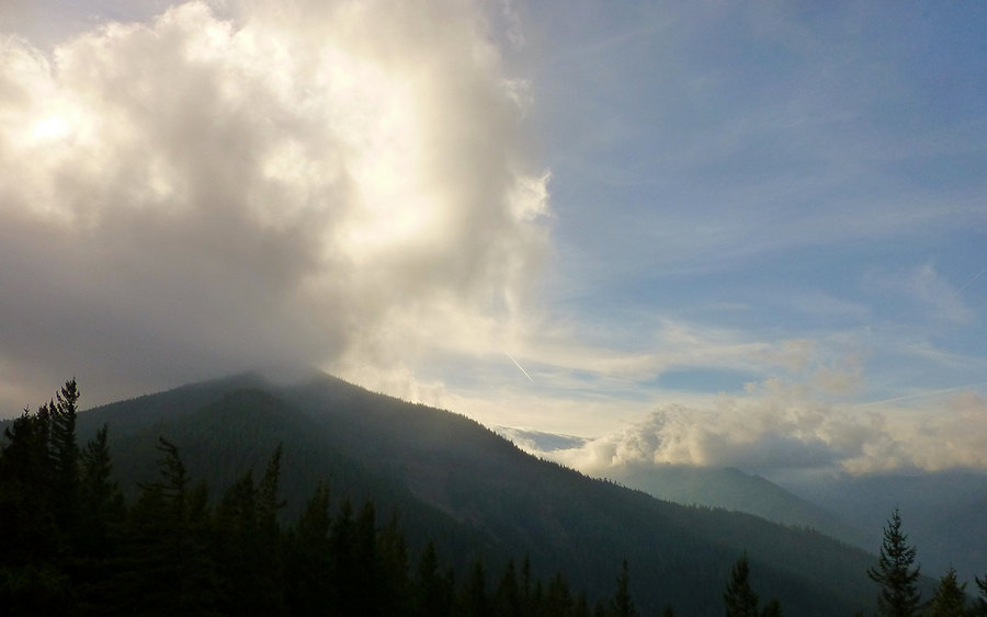
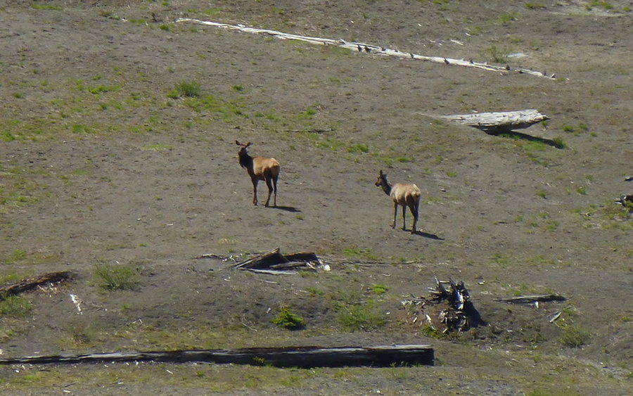
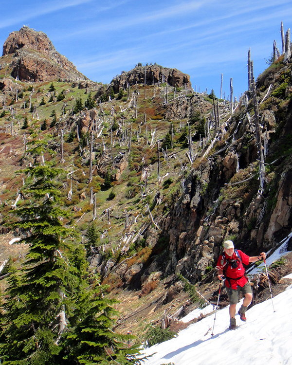
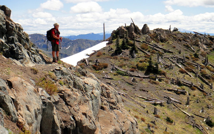
Green Point Mountain
20.5 miles of hiking • 5750' elevation gain •
Had a totally crazy day up on Green Point Mountain. Hiked right into a storm. It was 32°F, winds blowing at well over 50mph, and sleeting sideways on the summit. Nick Eaton Ridge was basically just shrouded in clouds. The return along Herman Creek was lovely, though. I had no idea so much virgin old growth was still up there!
Full trip report now up on PortlandHikers.
November 11, 2013


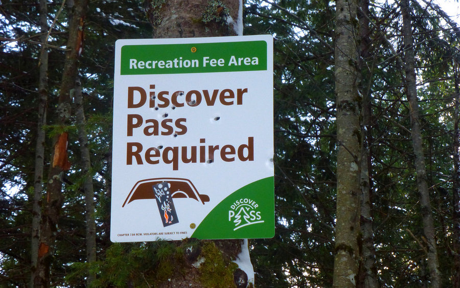
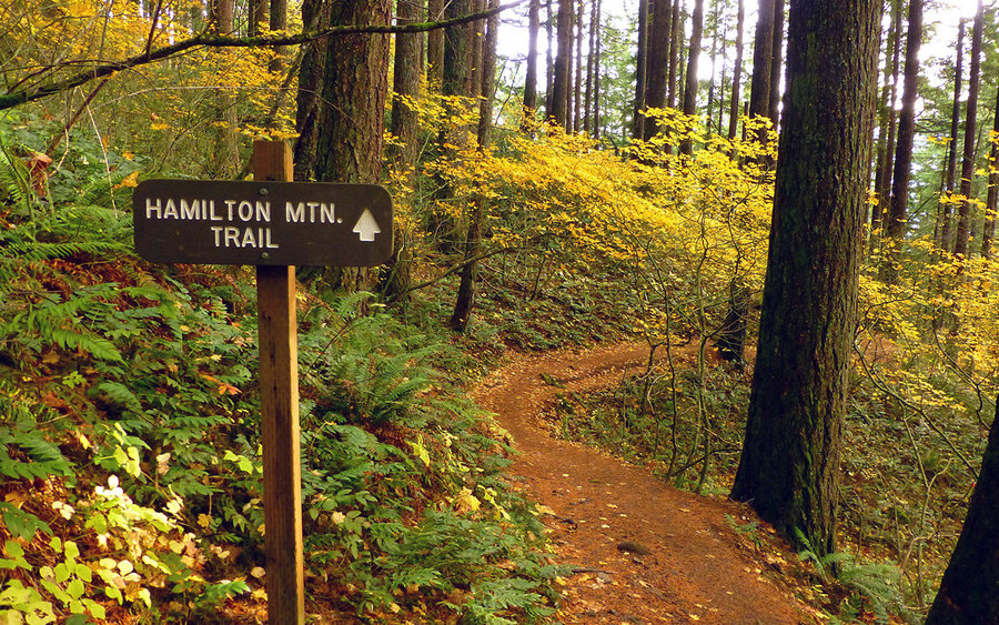
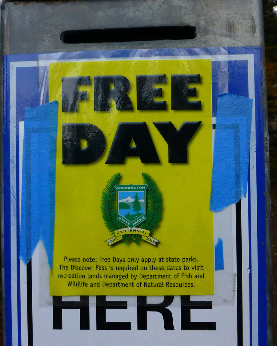
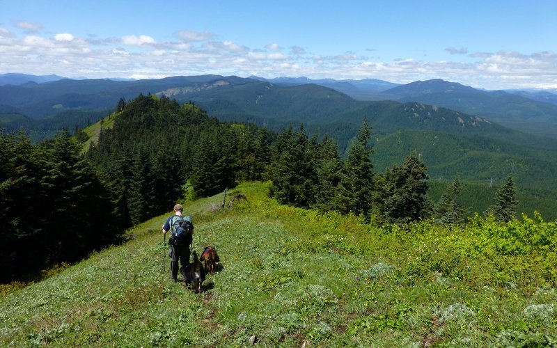
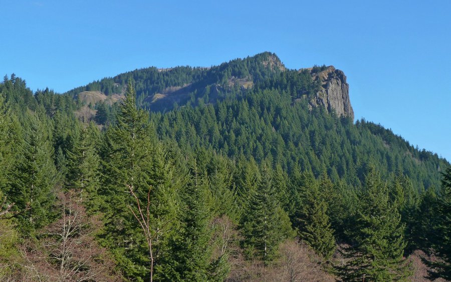
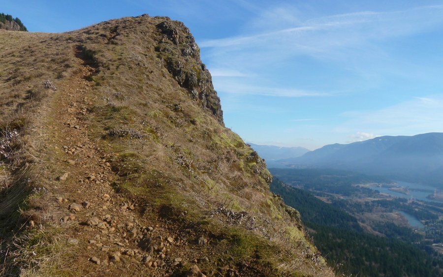
Hamilton Mountain Loop
9 miles of hiking • 2750' elevation gain •
No Discovery Pass required at State Parks this weekend, and the day was looking pretty nice, so I decided to do a quick test run with some new equipment on the classic Hamilton Mountain loop. Even though it's November, I sure seemed to run into a lot of folks out there.
November 10, 2013


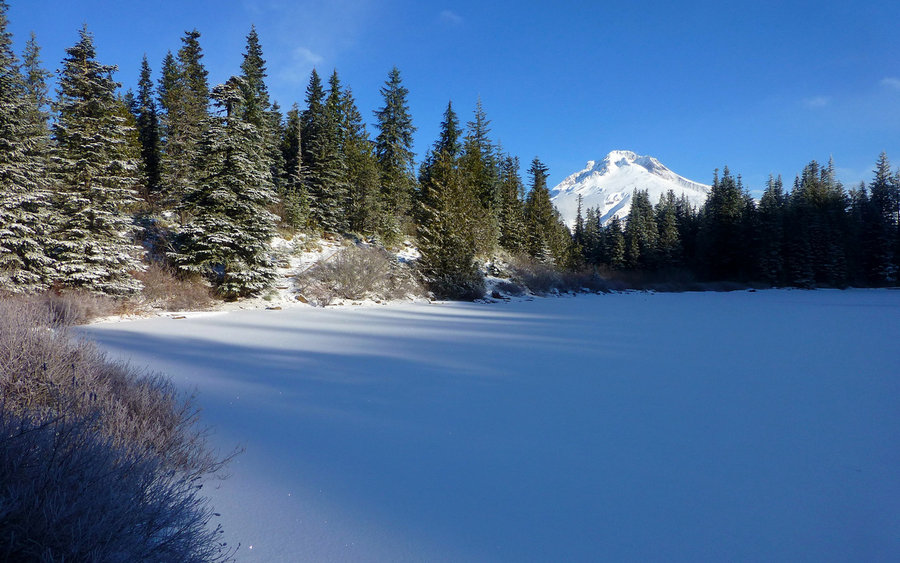
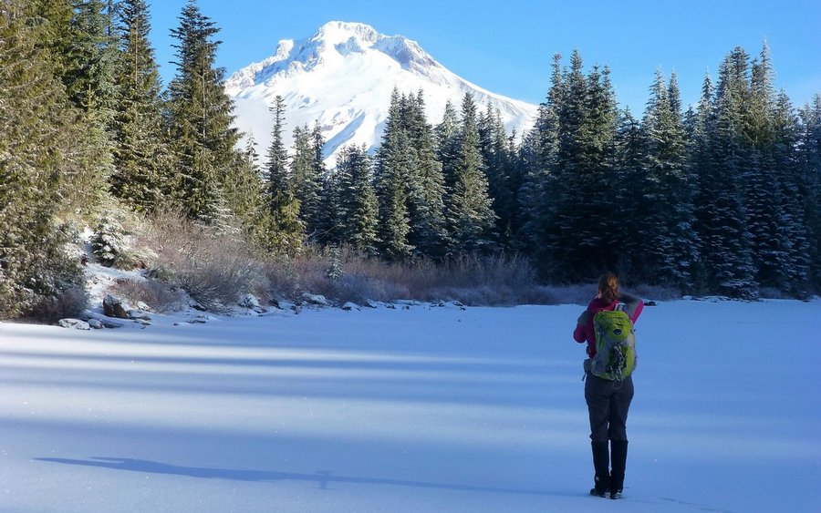
 2
2
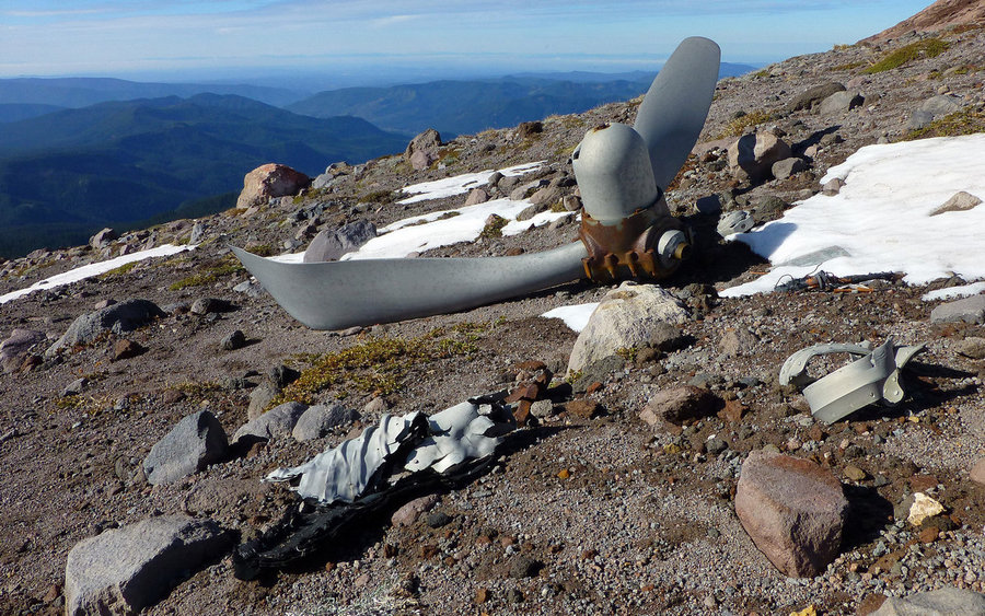
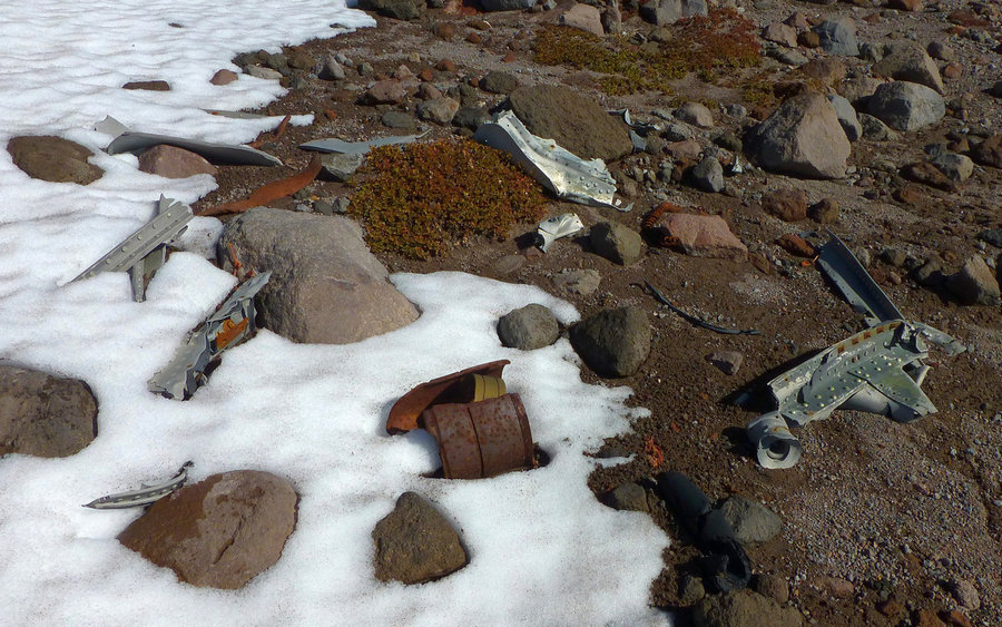
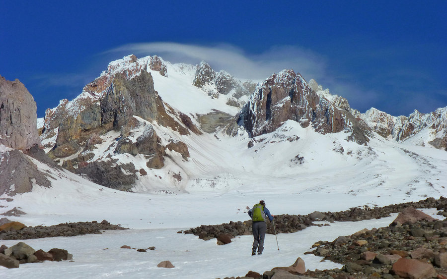
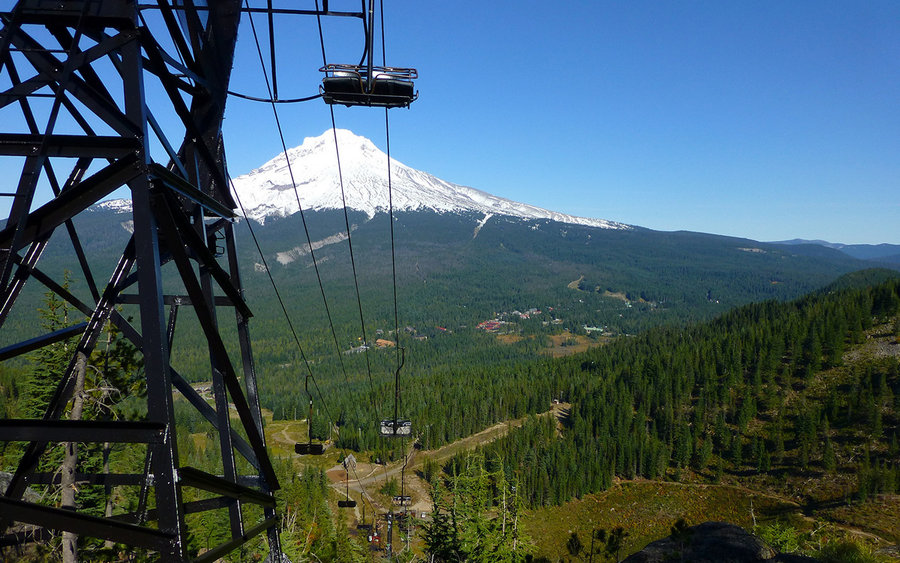
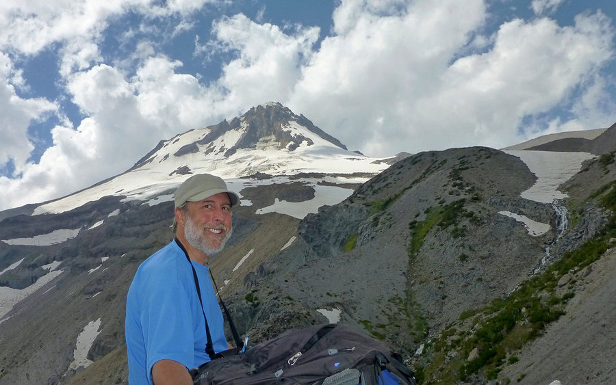
Mississippi Head Loop
12.5 miles of hiking • 4250' elevation gain •
Managed to snag the last bluebird day in daylight savings time for a magnificent loop from Timberline Lodge, over to Paradise Park, then up, up, up and over Mississippi Head where the 1949 wreckage of a B-26 is still scattered over the mountainside at about 7100'. Then it was up to 8000' in order to get across the top of Zigzag Canyon, before descending along the Palmer snowfield back to Timberline. Most excellent day!
Full trip report now up on PortlandHikers.
November 1, 2013


JRO to Mt. Margaret
21.5 miles of hiking • 5000' elevation gain •
Really great hike from Johnston Ridge Observatory over to Mount Margaret and back. Had a bit of time to kill on return so we went up Coldwater Peak too.
Full trip report now up on PortlandHikers.
October 26, 2013


Flag Point via Lookout Mtn
12.5 miles of hiking • 3000' elevation gain •
Traversed from the High Prairie trailhead, up and over Lookout Mountain, then along the Divide Trail to Flag Point, and back. First time there. Incredible scenery in the Badger Creek Wilderness!
Full trip report now up on PortlandHikers.
October 20, 2013


 1
1
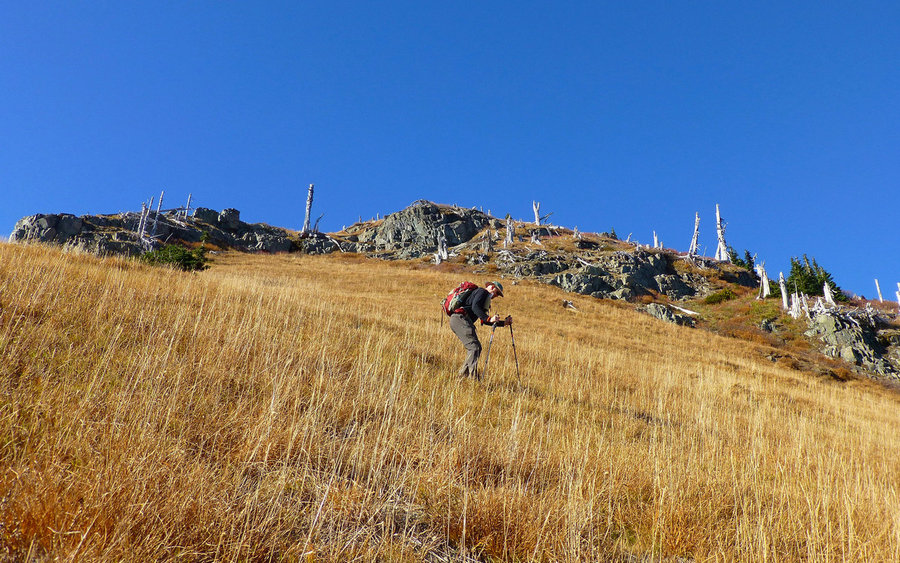
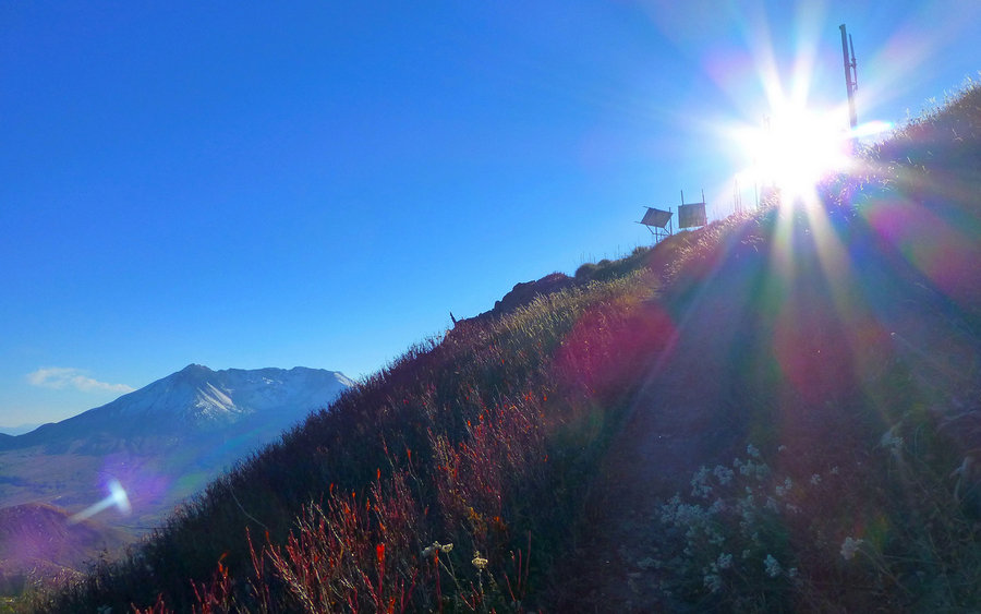
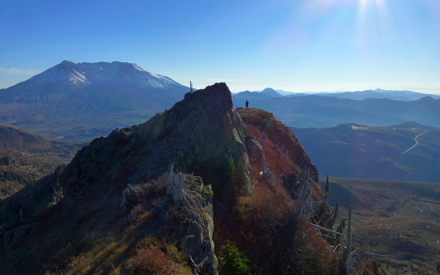
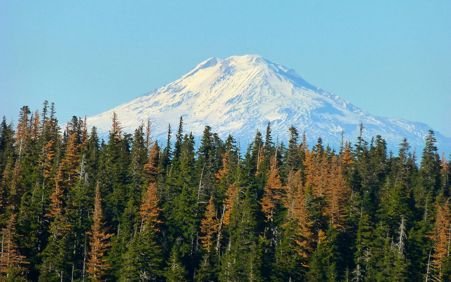
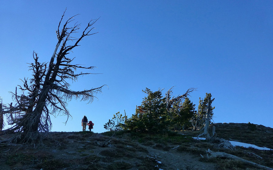
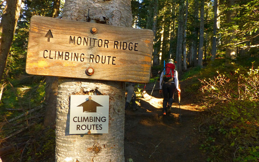
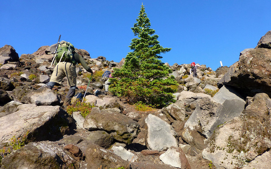
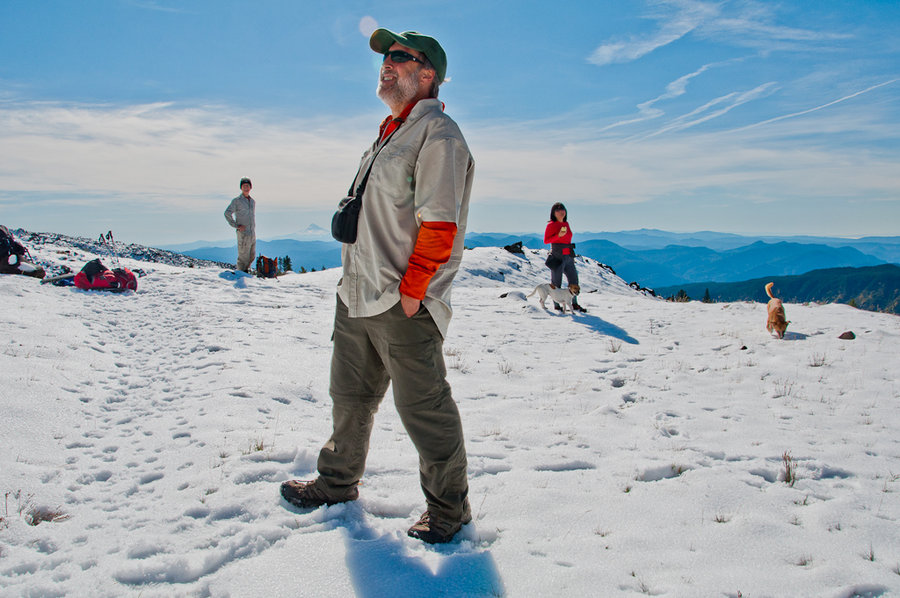
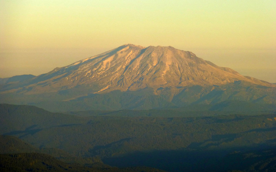
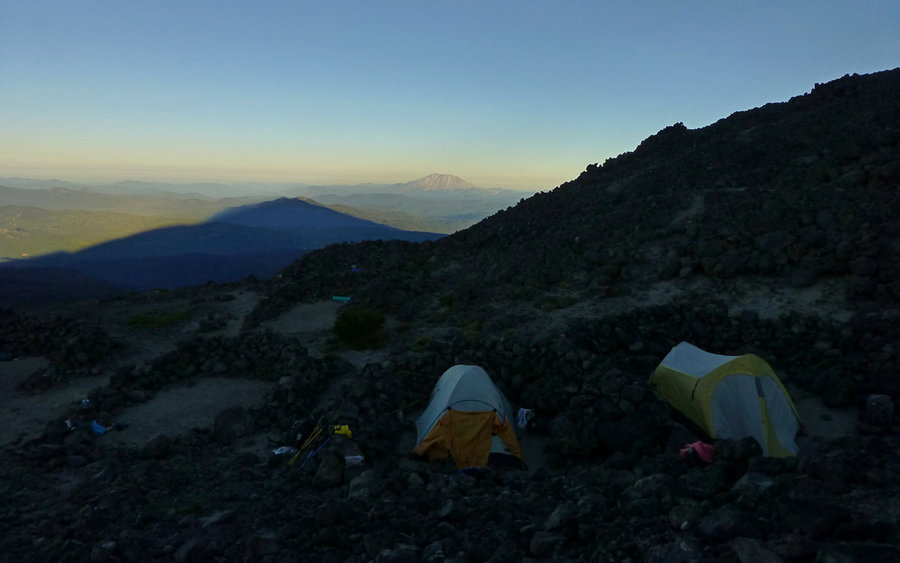
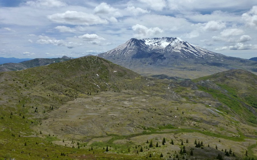
MSH Monitor Ridge
9 miles of hiking • 4500' elevation gain •
Wonderful day on Mt. St. Helens. Viva la Shutdown!
Full trip report now up on PortlandHikers.
October 13, 2013


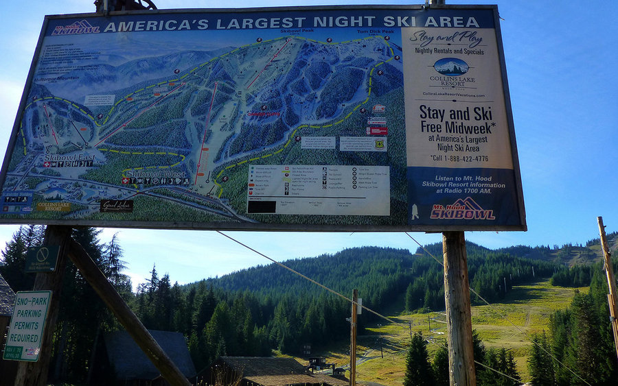
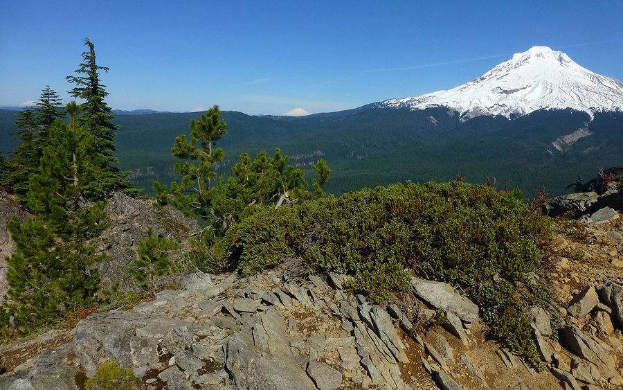
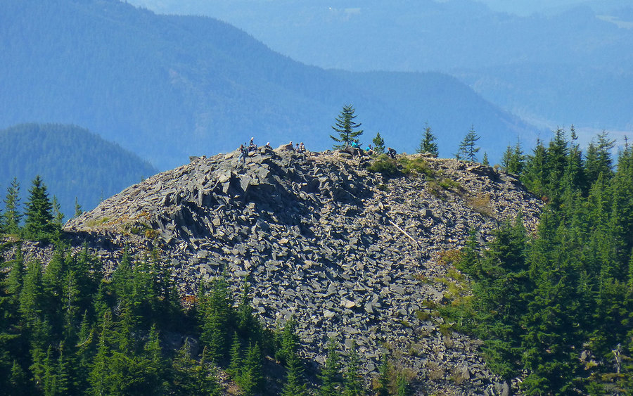
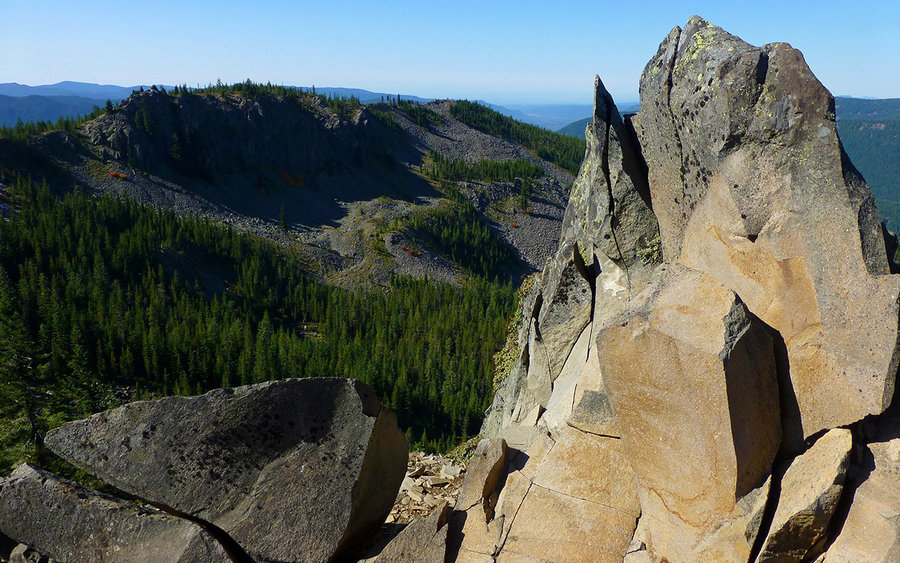
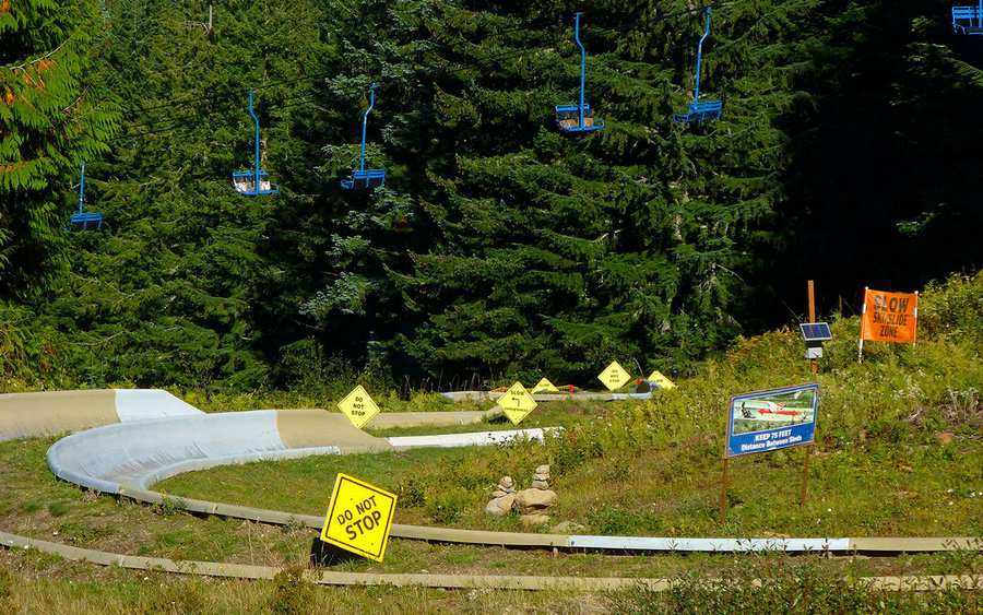
Tom Dick and Harry Loop
8 miles of hiking • 2000' elevation gain •
Hadn't been up on TDH for over 3 years, so a suddenly free sunny Sunday was all the excuse needed. This is a really great loop, but hardly anyone actually does it. They do the 3 miles from Hwy 26 up to the first clearing on top, then turn around and return the way they came. I hadn't encountered hardly a soul on the way up, but found a flock of perhaps 30-40 sitting in the rubble. After wandering another couple 100 yards, I was again alone for the rest of my journey. Crazy!
The views were fantastic last Sunday. Could see Jefferson to the south, but no Sisters. To the north, Saint Helens, Rainier, and Adams were the backdrop to gorge giants Larch and Defiance, with Hood dominating almost every perspective. Very big reward for very little effort!
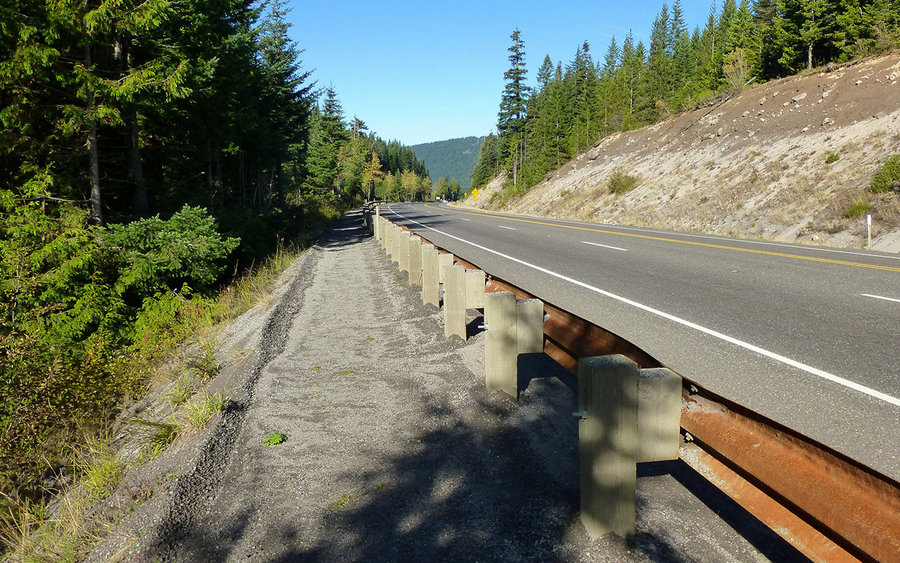
Seems the best approach for this is to park at Ski Bowl (no forest pass needed), and walk the road down to the trailhead. They've done a lot to make this safer over the last few years, with a nicely compacted gravel trail outside the guardrail. Head up to Mirror Lake, enjoy it with leisurely loop around, then go on up to the top. Traverse the ridge as you please, and drop down following the ski run of your choice. Really nice way to spend part of a day!
October 6, 2013


 1
1
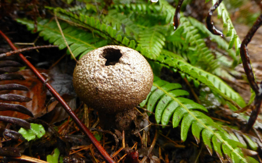
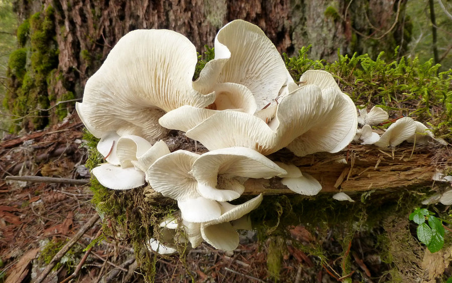
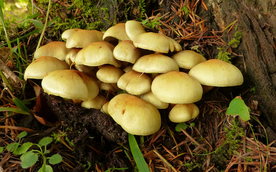
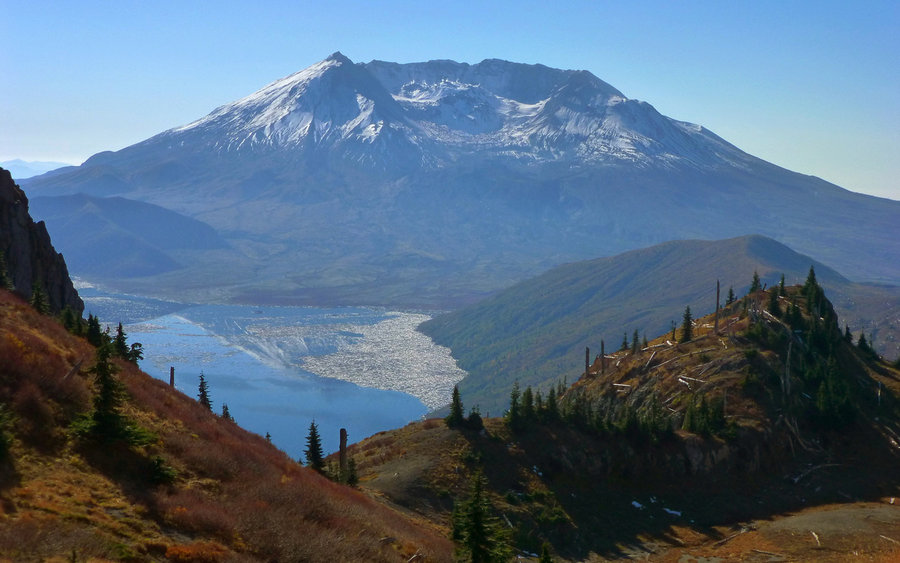
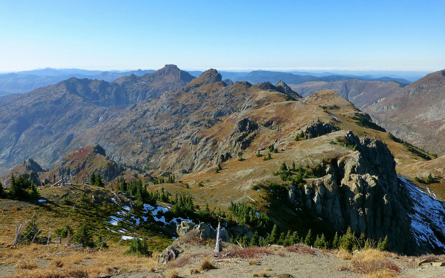
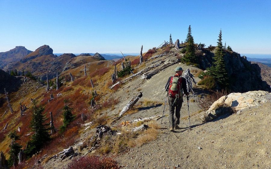
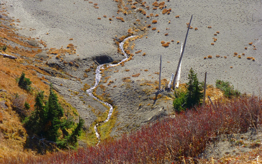
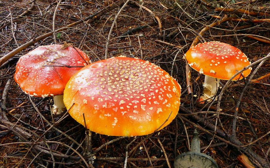
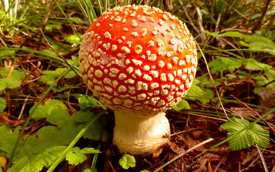
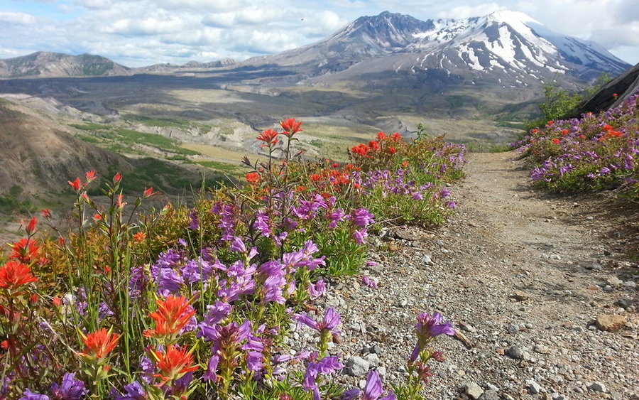
Butte Camp Dome Loop
12.5 miles of hiking • 2500' elevation gain •
Great little loop, on SW flanks of Mt St Helens, with some great new trail friends! The mountain had a fresh coat of snow, and down below the mushrooms were 'sploding all over the place. Full trip report now up on PortlandHikers.
October 4, 2013

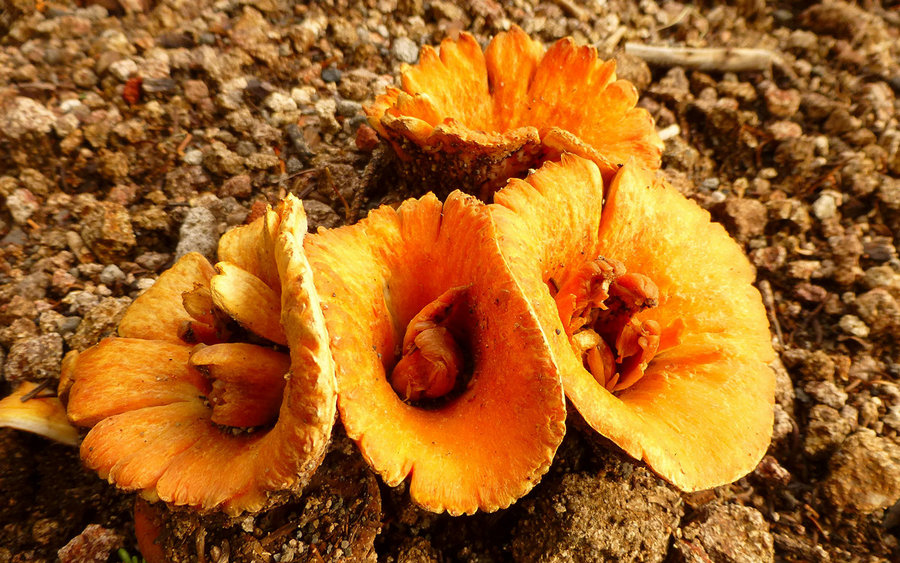
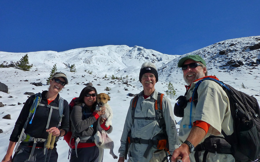

 4
4
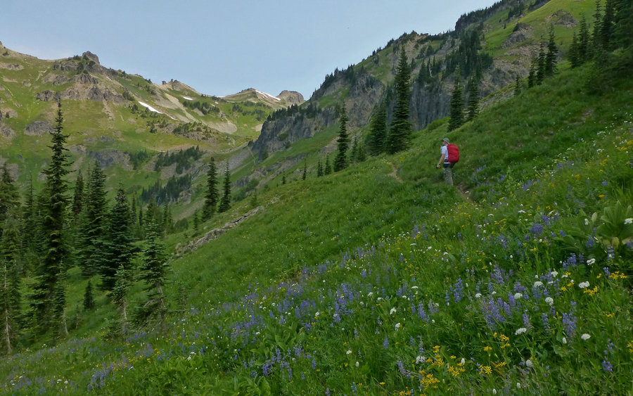
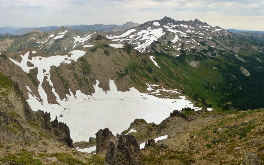
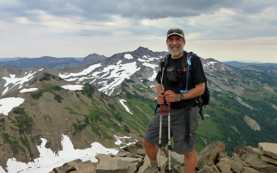
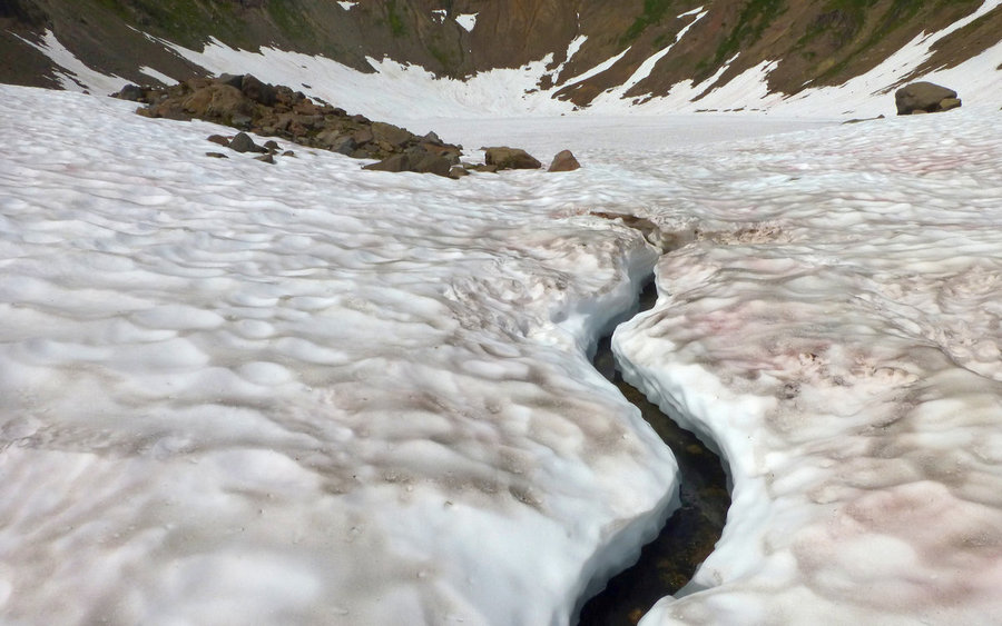
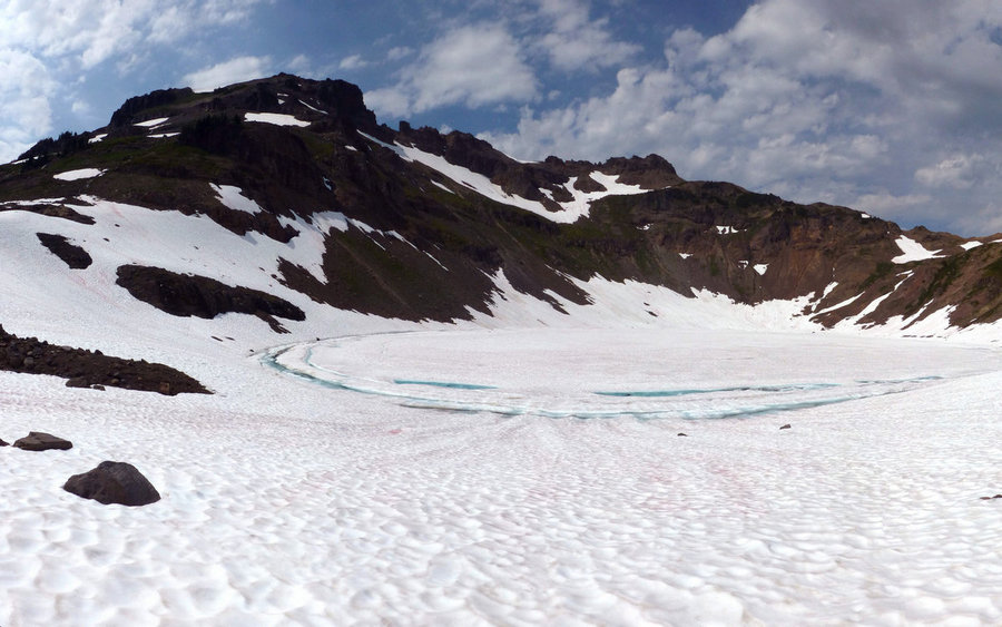
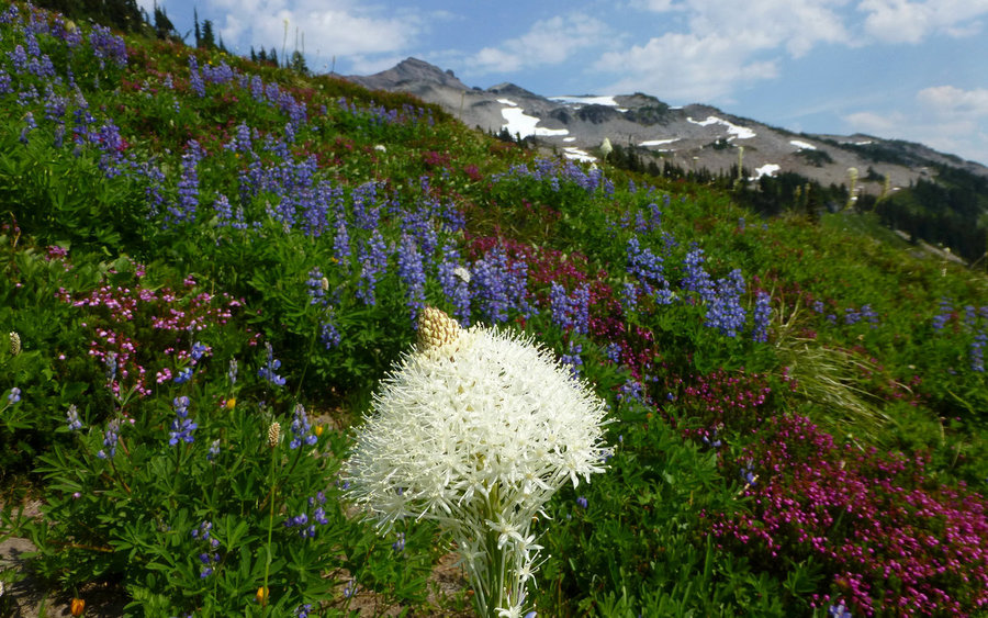
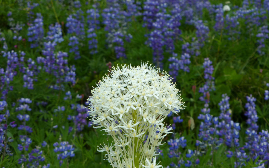
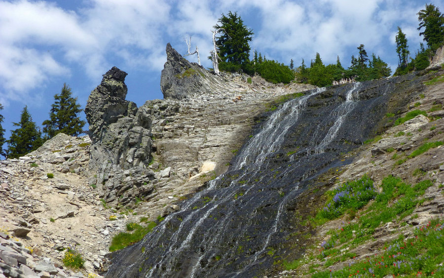
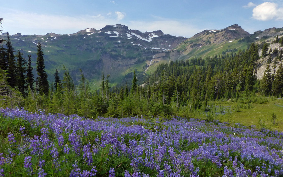
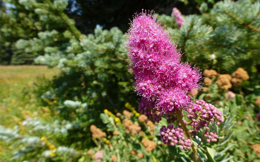
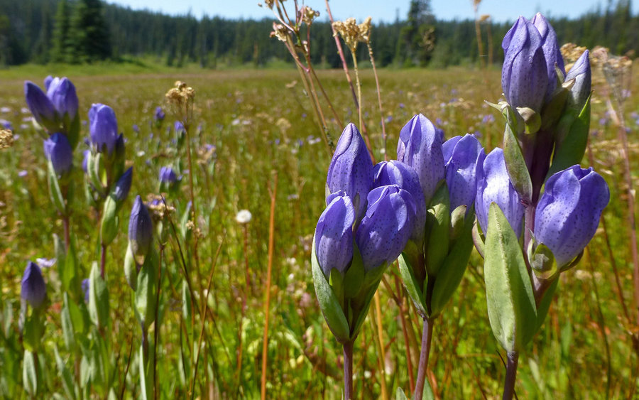
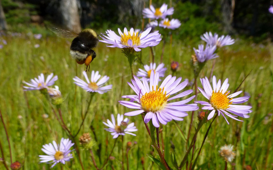
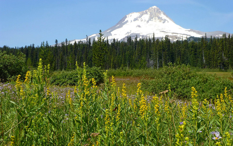
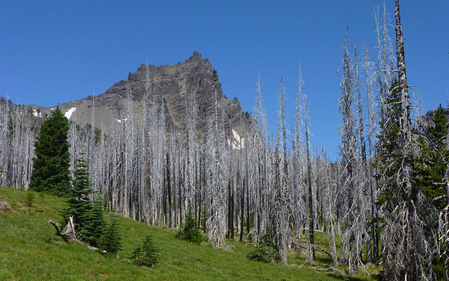
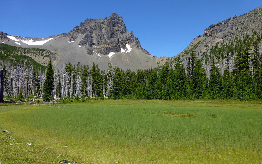
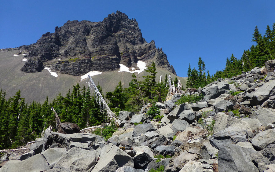
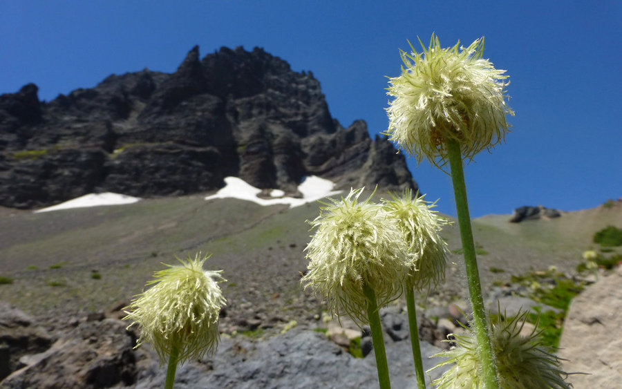
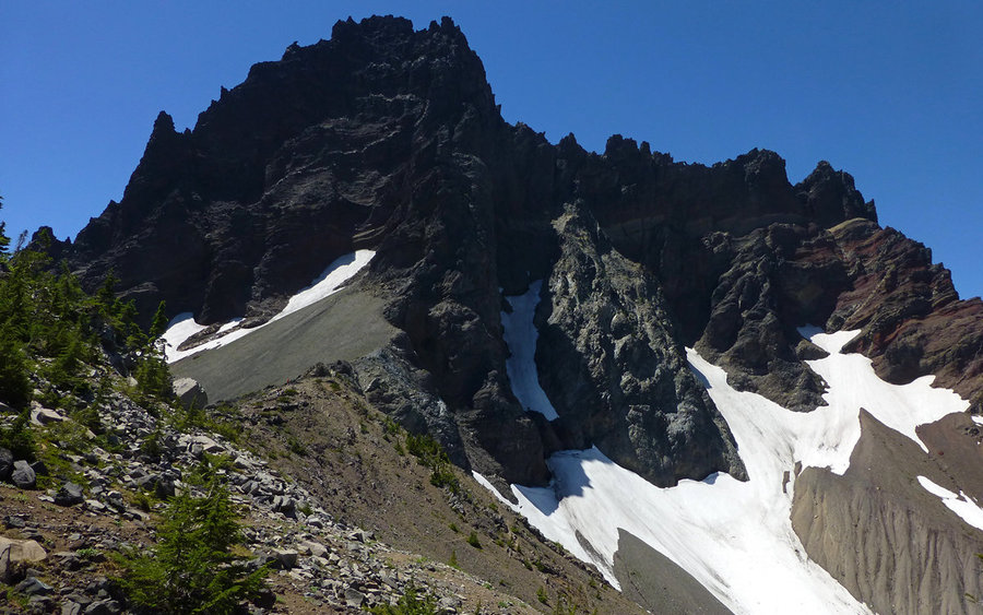
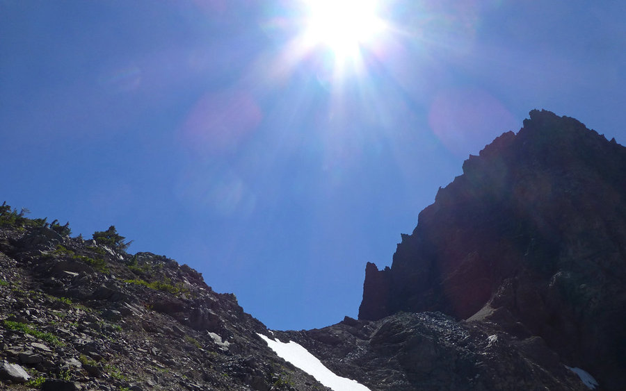
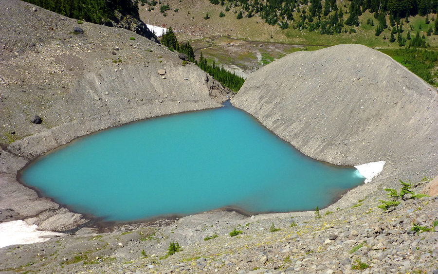
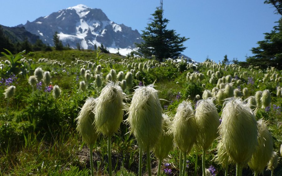
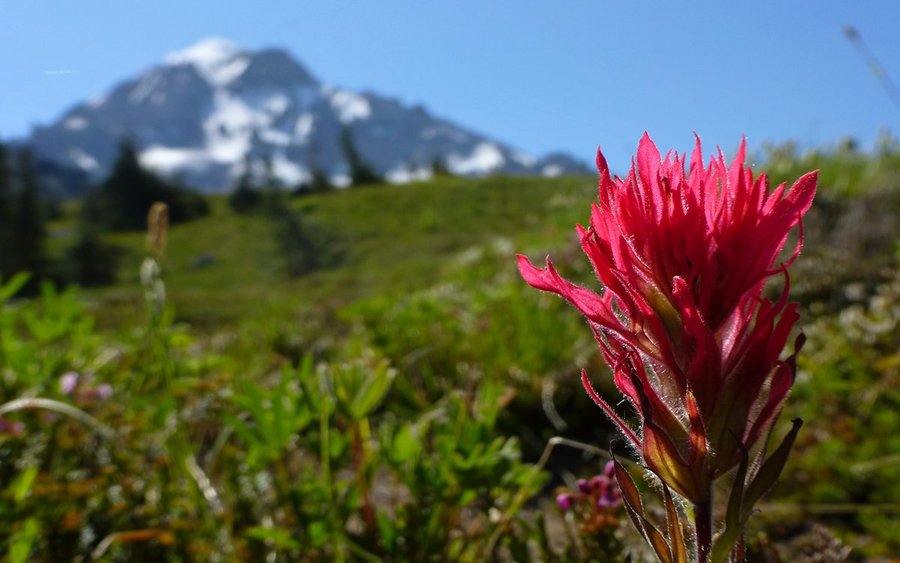
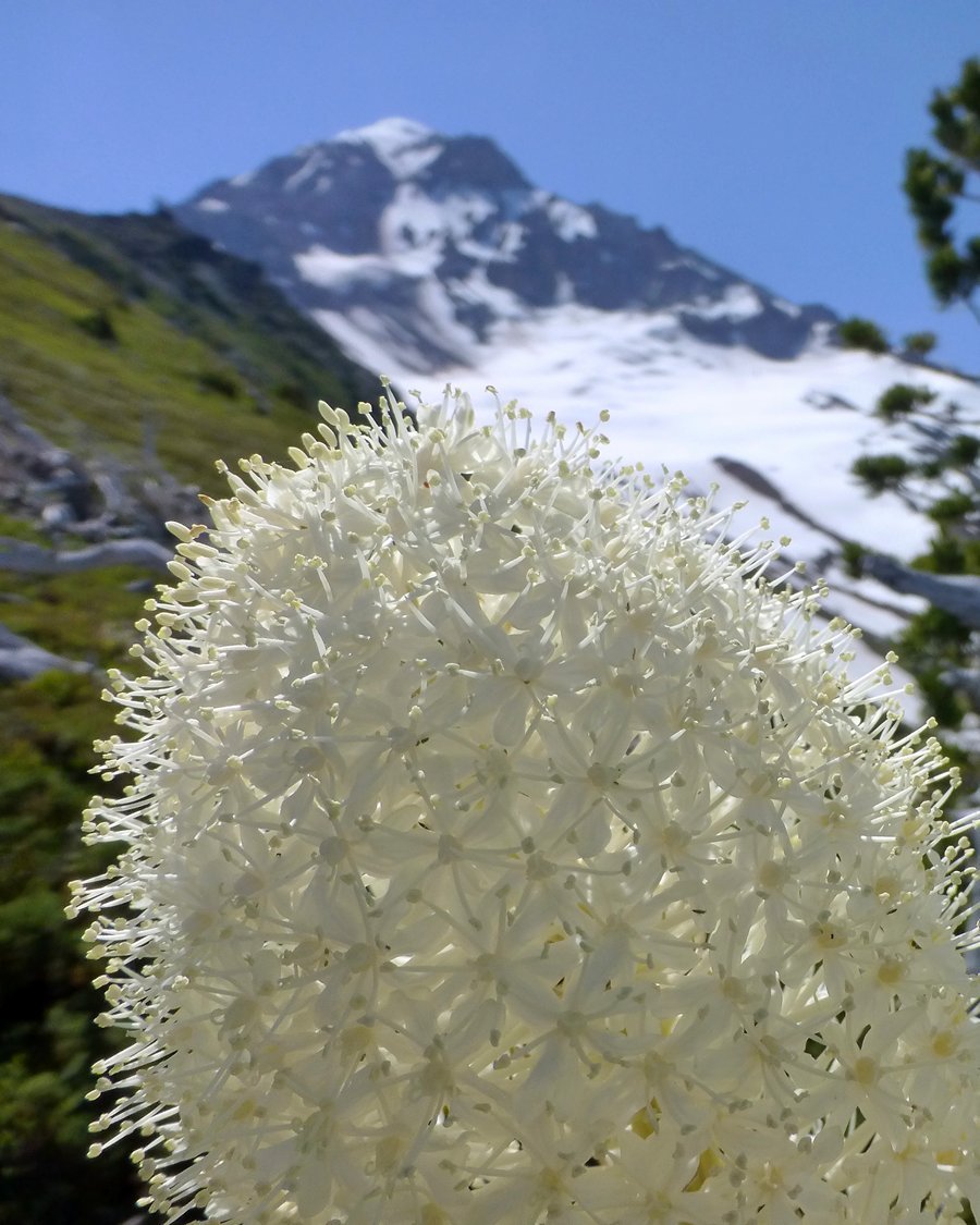
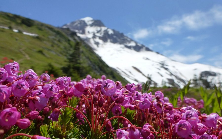
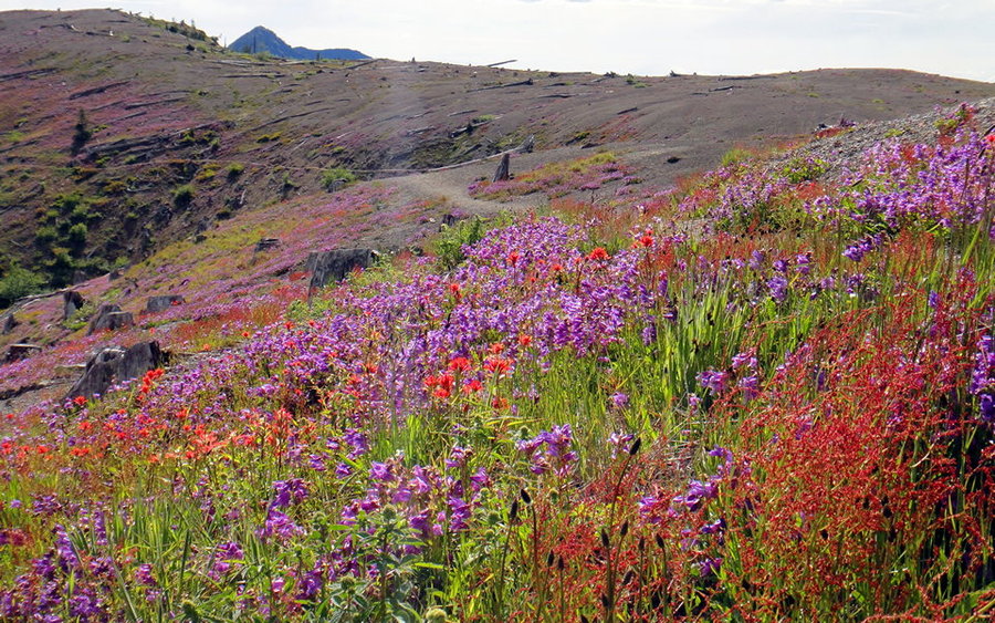
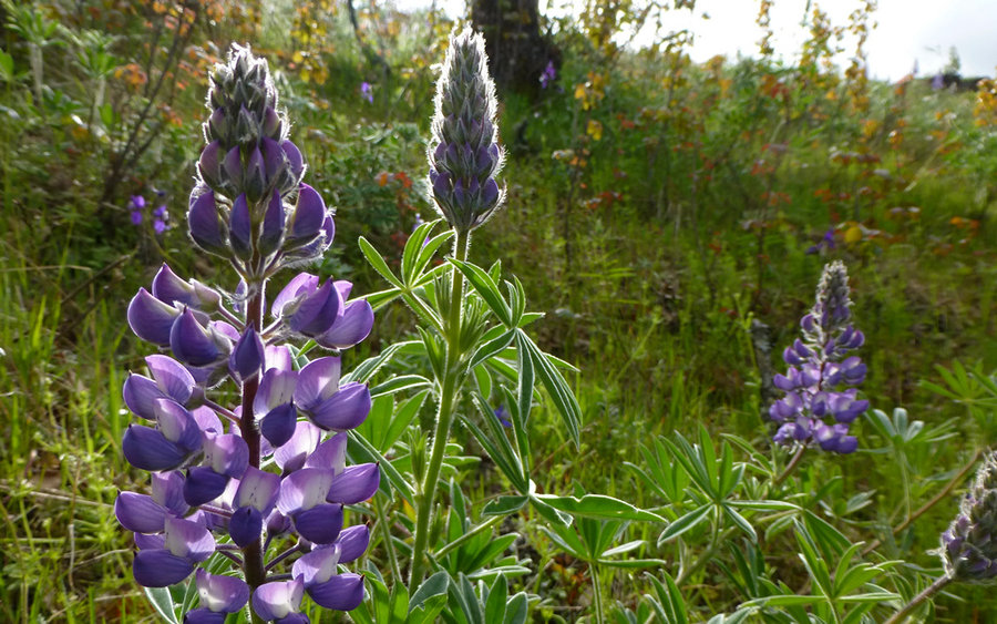
Goat Rocks
18.5 miles of hiking • 4250' elevation gain •
First time ever to Goat Rocks Wilderness. Did a fabulous loop up Goat Ridge to Hawkeye Point, down past Goat Lake and along the Lily Basin trail, before cutting up to Sawgrass Flats and following the PCT for awhile. Awesome scenery! Wildflowers were at their absolute peak. Full trip report now up on PortlandHikers.
August 9, 2013


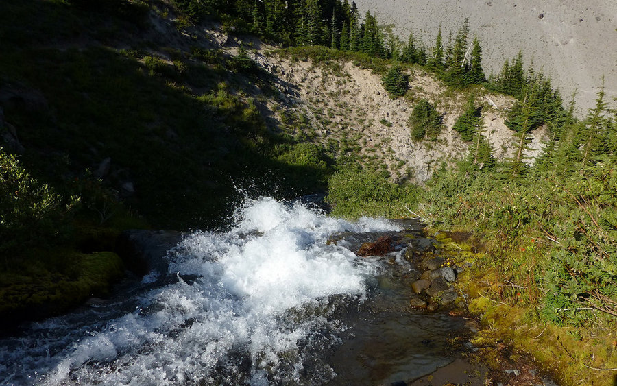
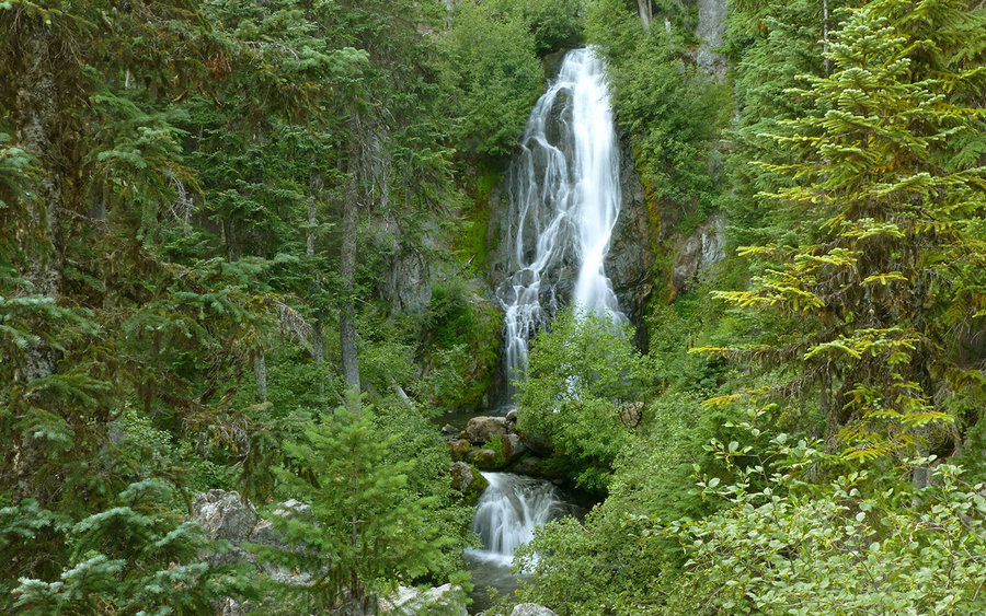
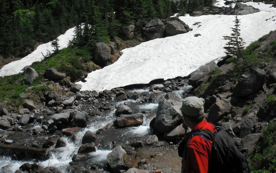
Gnarl Ridge Loop
20 miles of hiking • 4500' elevation gain •
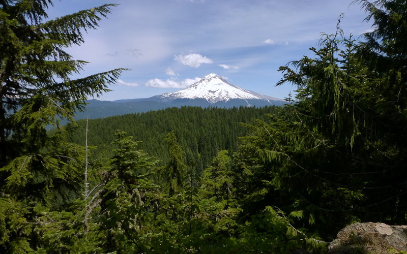
Very nice loop that started with a first ever visit to Elk Meadows, then uphill to Gnarl Ridge and Lamberson Spur, then back down and along the Timberline Trail over to Mount Hood Meadows, before finally heading down past Umbrella and Sahalie Falls. Fair number of thought-provoking stream crossings, as most came nearer the end of the day. Full trip report now up on PortlandHikers.
August 4, 2013

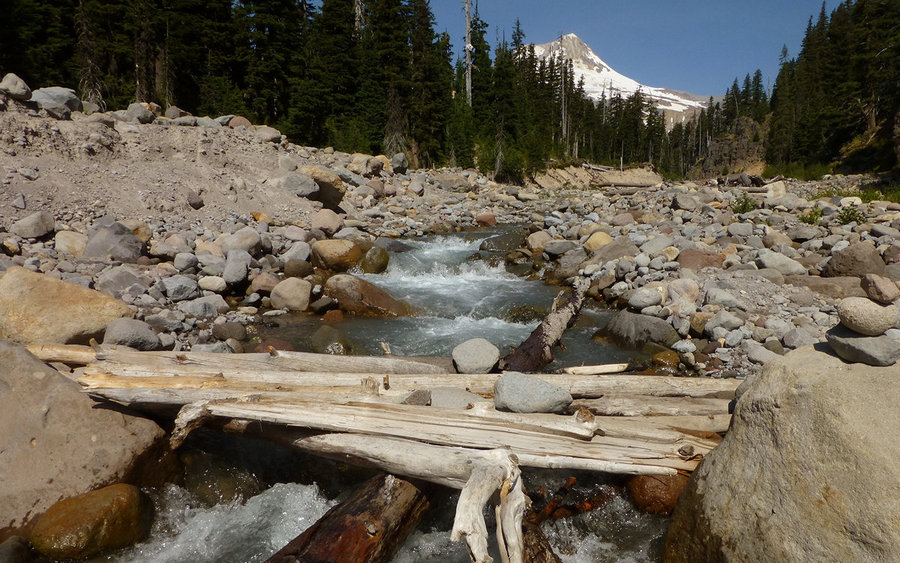


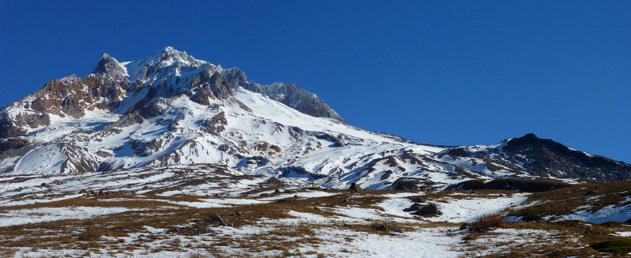
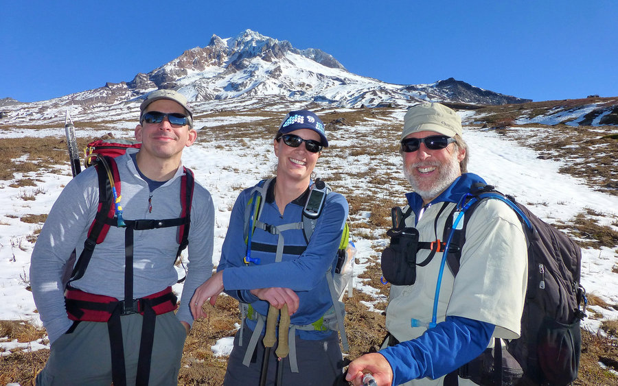
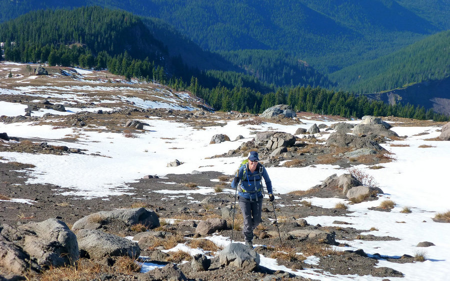
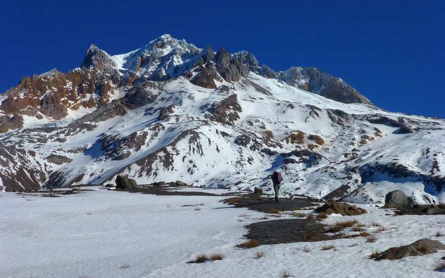
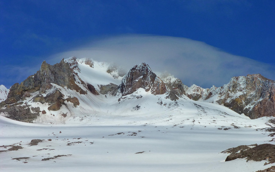
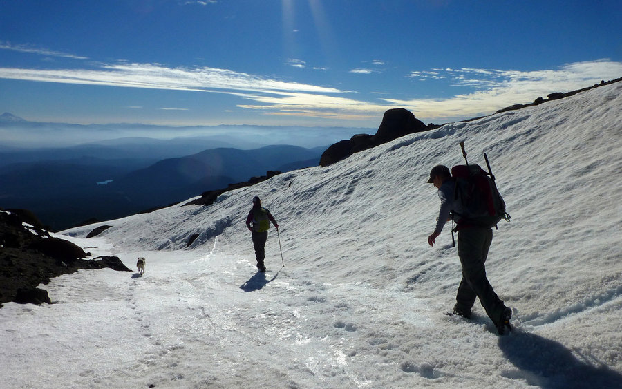
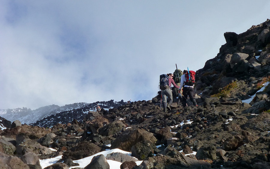
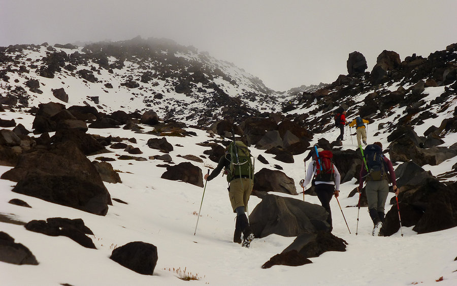
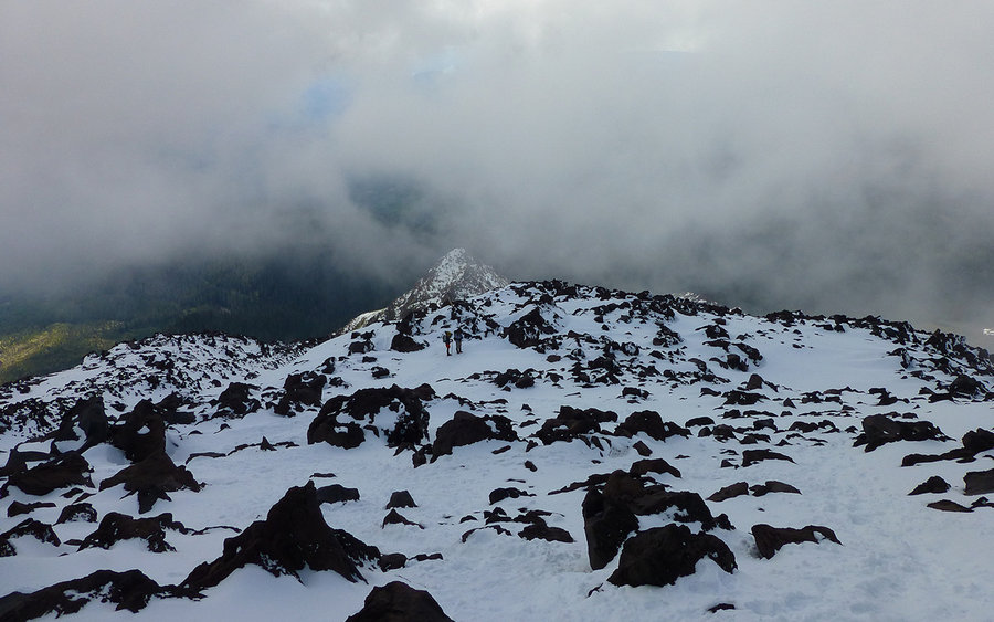
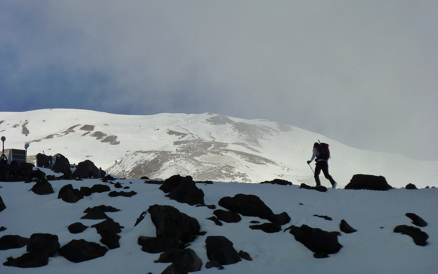
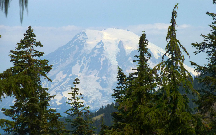
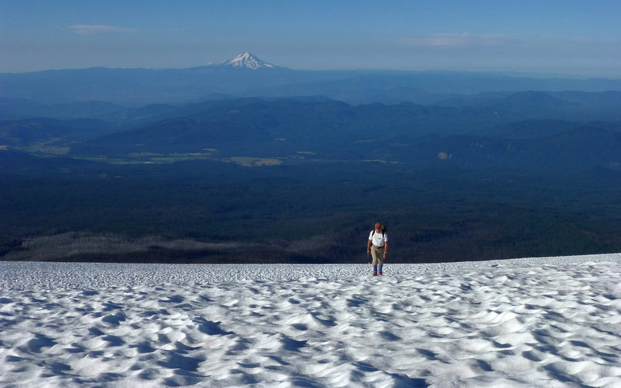
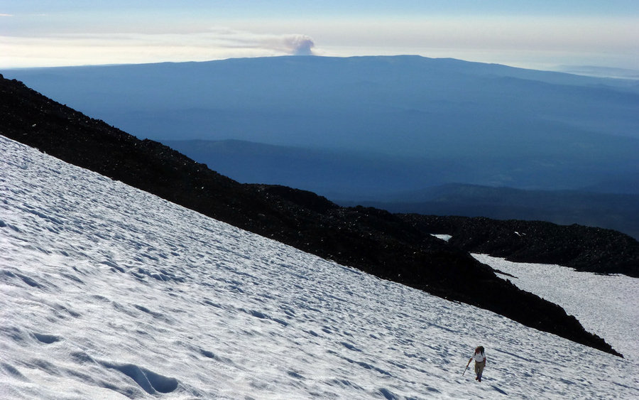
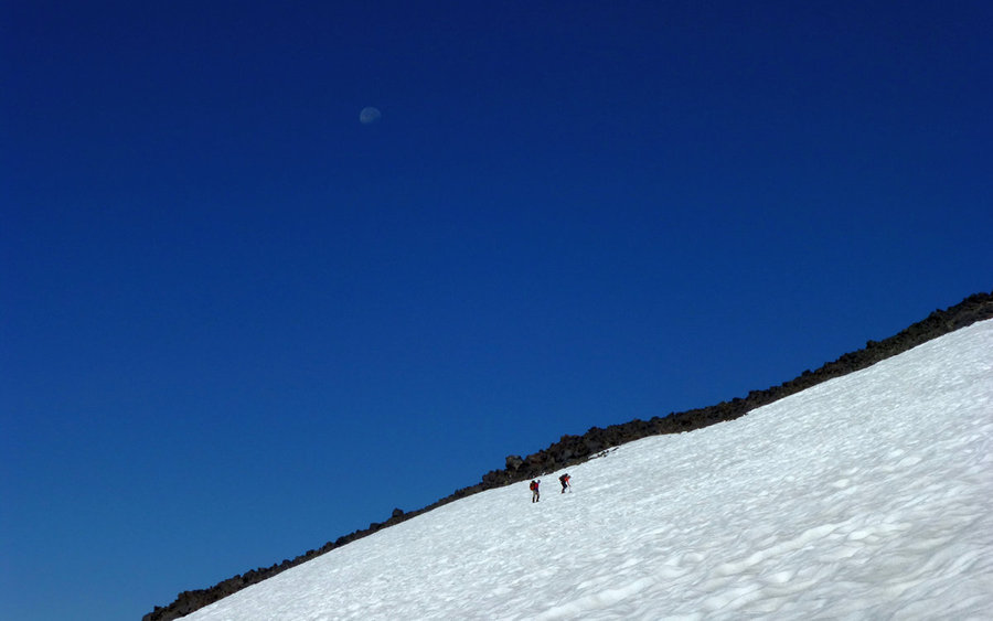
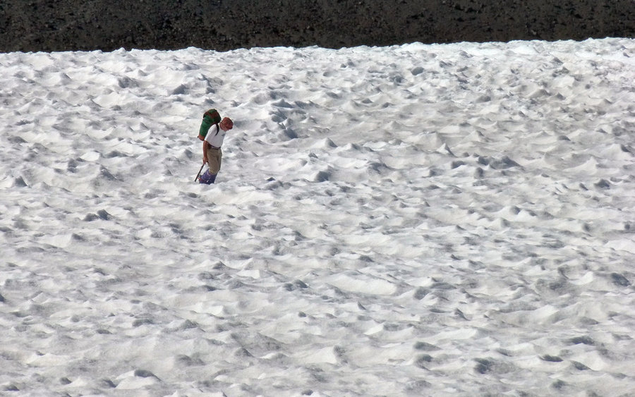
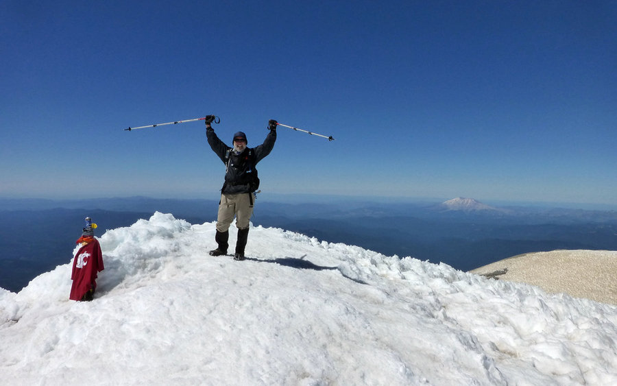
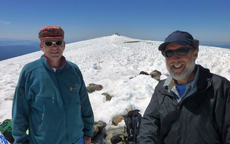
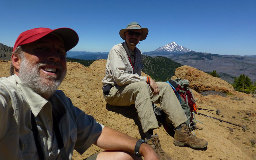
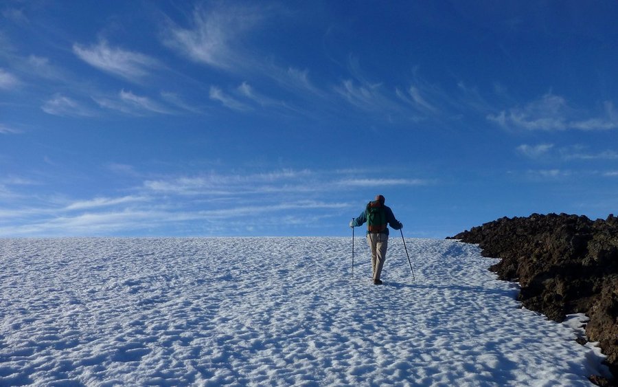
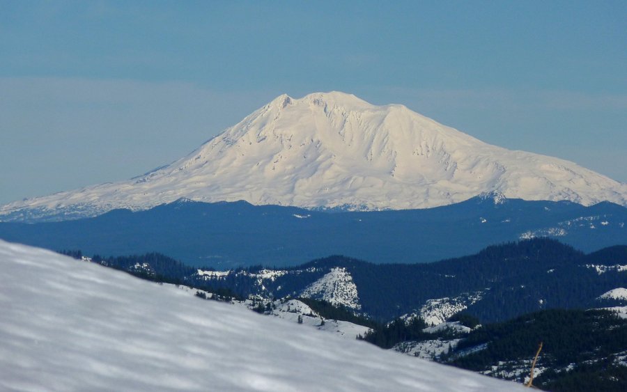
Mount Adams
13.5 miles of hiking • 7000' elevation gain • 1 night
Had a wonderful day on Mount Adams, climbing it along the South Route, starting at 4am and finishing around 6pm. We arrived at Cold Springs campground with just minutes of twilight left; enough to pitch a couple tents. Got a few hours of shuteye, then hit the mountain and just had an all-around excellent day. Full TR on PH - see Resources link below.
July 25 – July 26, 2013


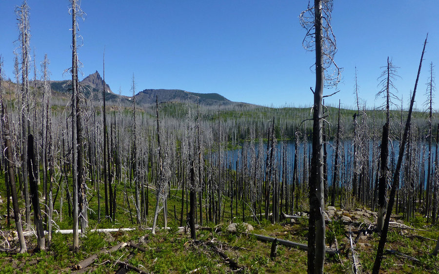
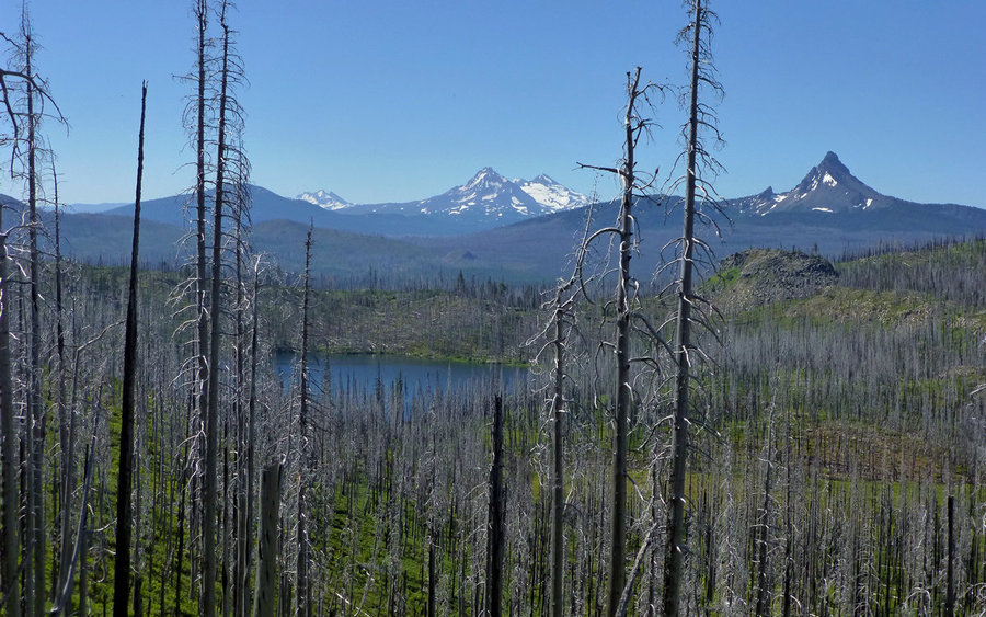
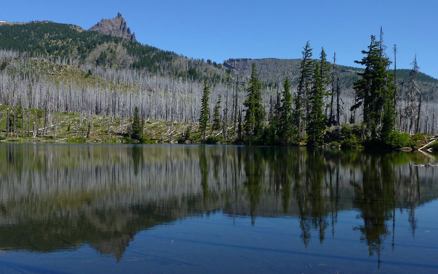
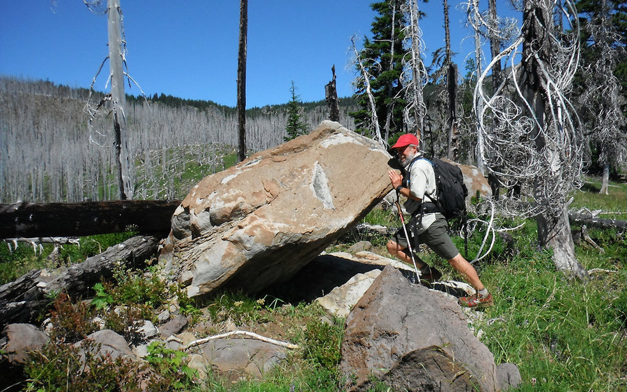
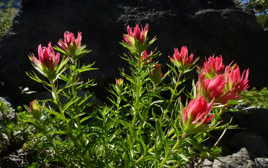
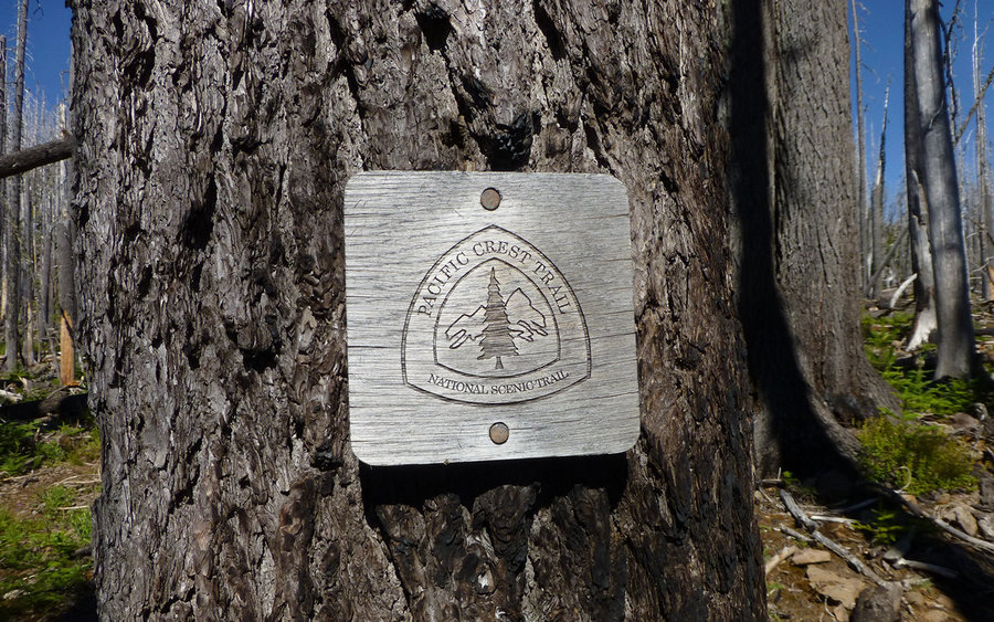
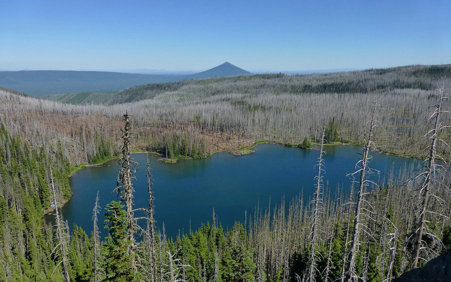
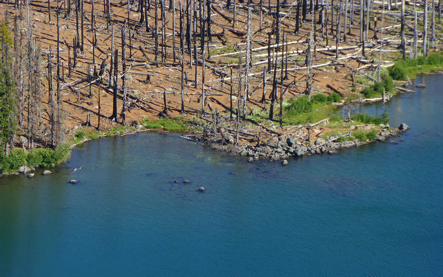
Three Fingered Jack Loop
23 miles of hiking • 4000' elevation gain •
Wonderful 23- or 24-mile loop around, including a 2.1 mile bushwhack up to the saddle of, Three Fingered Jack in Central Oregon. The loop starts and stops at Santiam Pass trailhead, and spends much of the day in the area burned by the 2003 B&B Complex Fires. The views are spectacular. Definitely worth doing - once. Not sure I'd do it again until the forest grows back some more, though. See the resource link for complete trip report.
July 20, 2013


 2
2
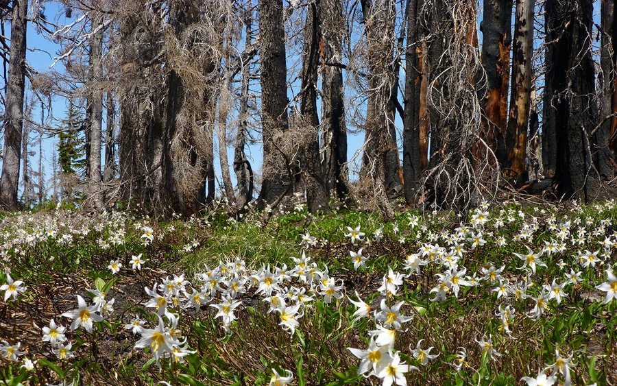
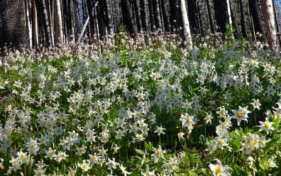
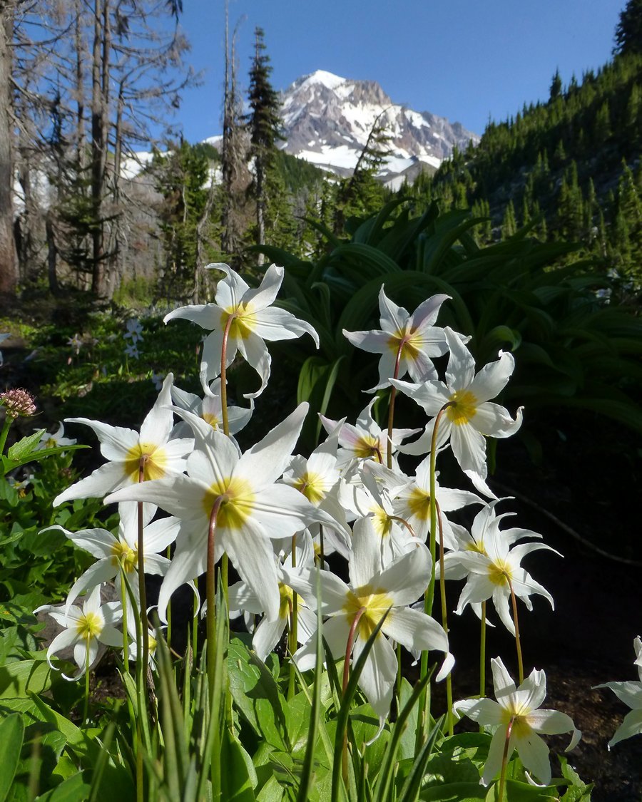
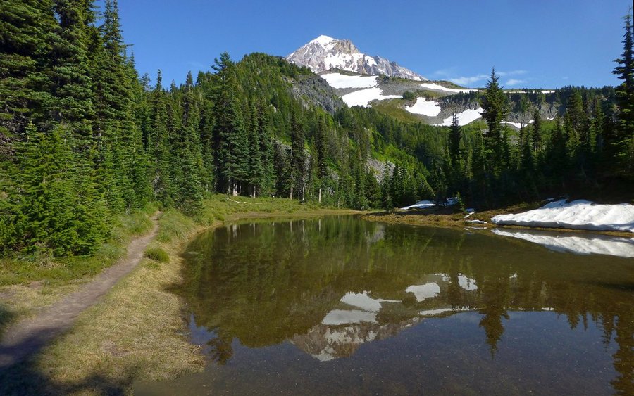
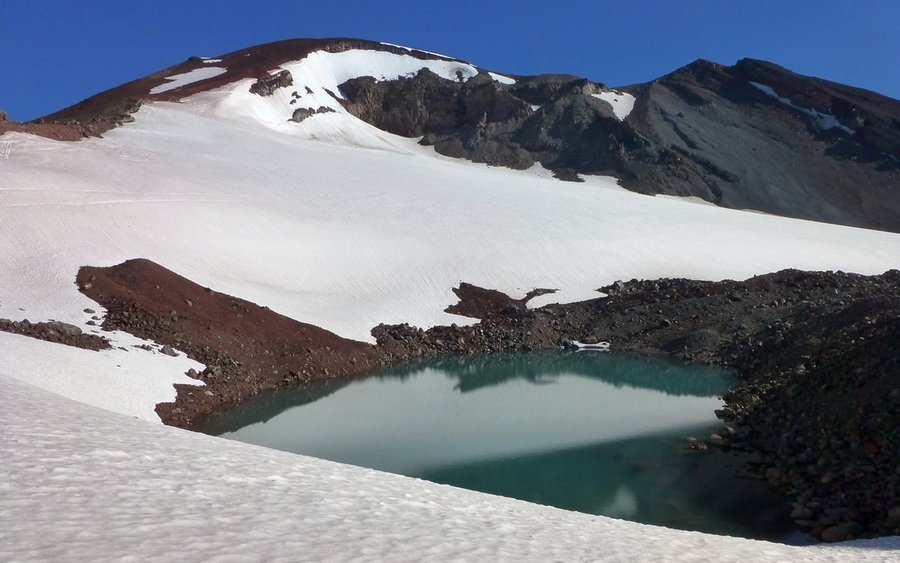
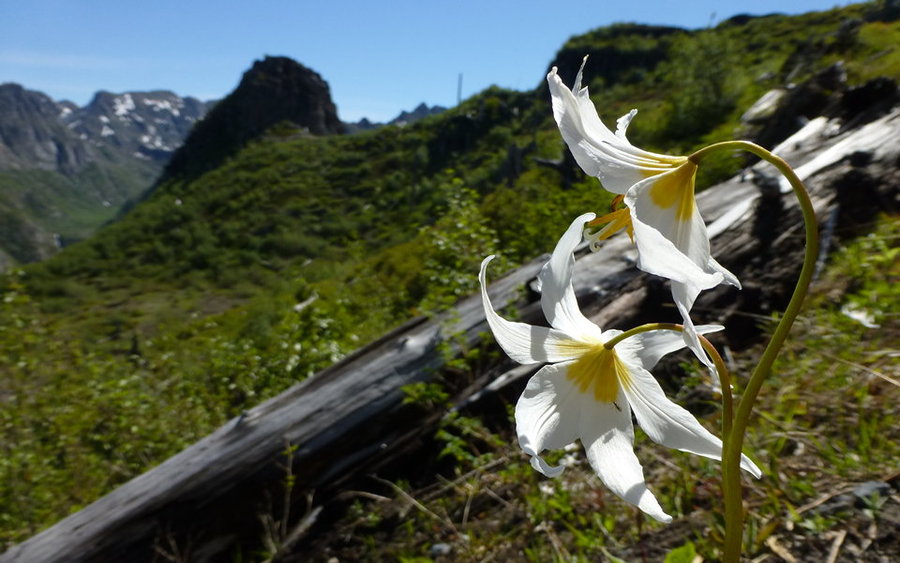
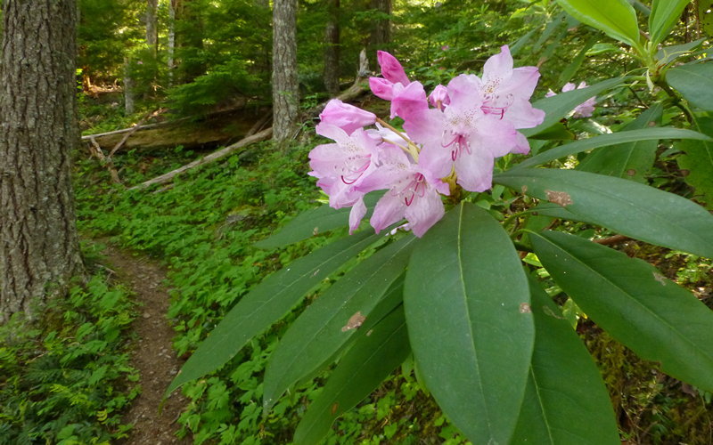
McNeil Point
15 miles of hiking • 4500' elevation gain •
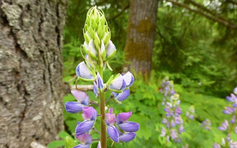
Great trip up to McNeil Point, taking off from the Top Spur trailhead. When we left the TH, there were already about 30 cars parked there, but somehow (because we chose the Climber's Scramble route?), we were the first to the shelter and the gorgeous lunch spot at 7000' above. After lunch, we moseyed down towards the shelter, and then cut north for a loop through Cairn Basin and Eden Park. This went through several arms of the 2011 Dollar Lake fire damaged area, and much of the now-dead forest was carpeted in an explosion of avalanche lilies! Amazing... Great loop! Massive return for the energy invested.
July 13, 2013


 2
2
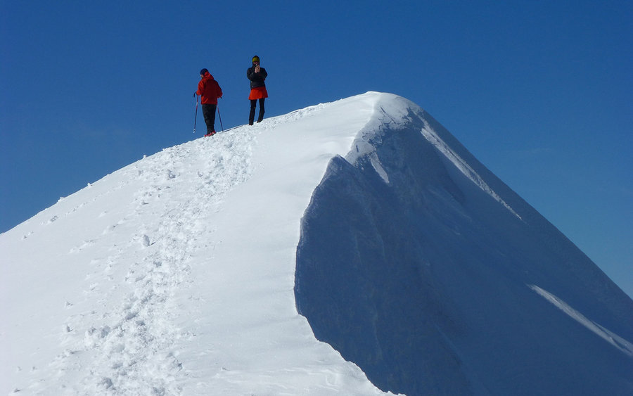
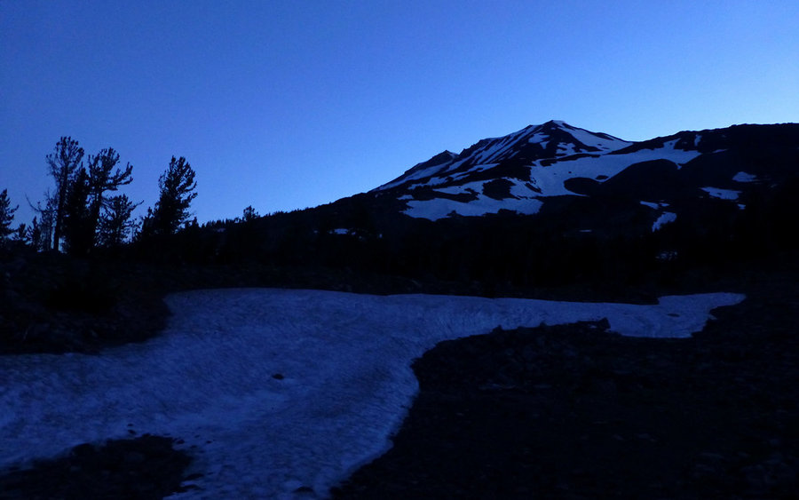
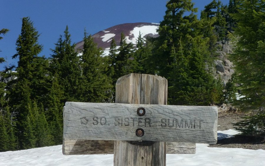
South Sister Sunrise
12.5 miles of hiking • 5250' elevation gain • 1 night
Started climbing South Sister a little after 10pm, and arrived at the summit at 3:50am, well in time to fully savor the most glorious sunrise ever! We were absolutely alone up there, though we passed by no fewer than 117 people coming up as we descended. What a great night/day!
July 5 – July 6, 2013


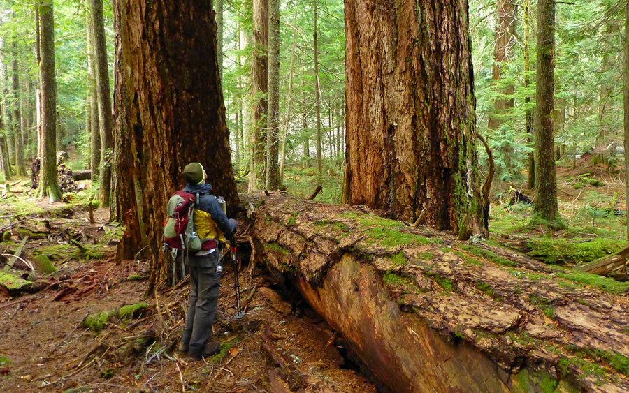
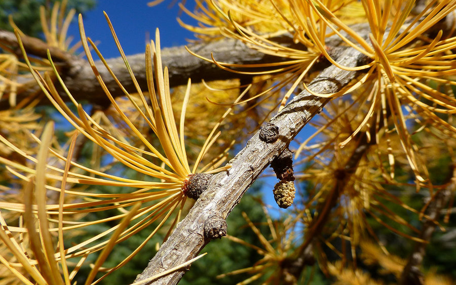
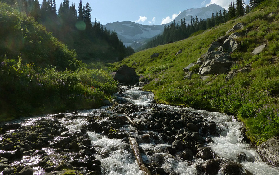
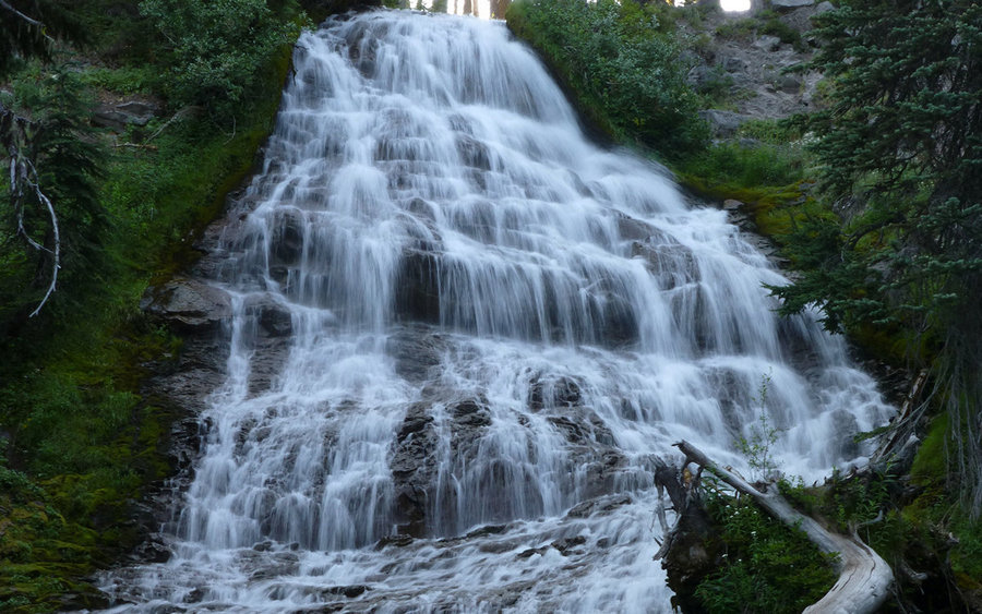
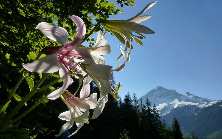
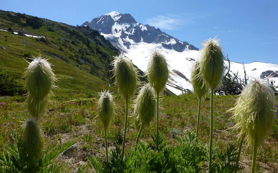
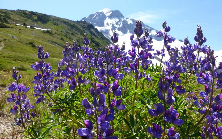
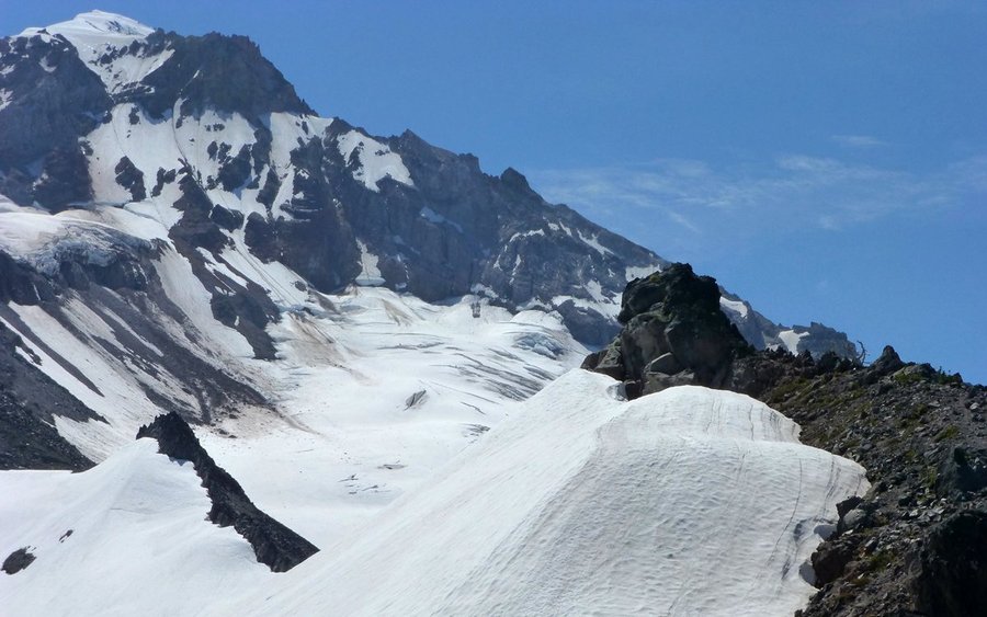
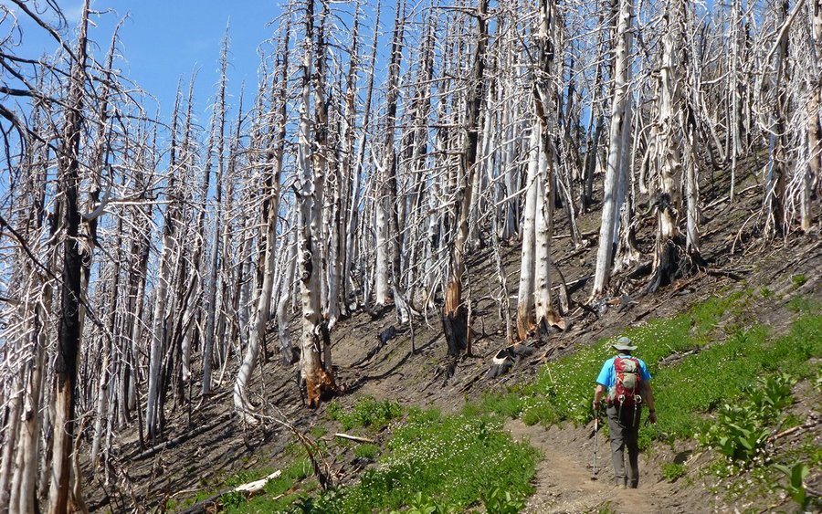
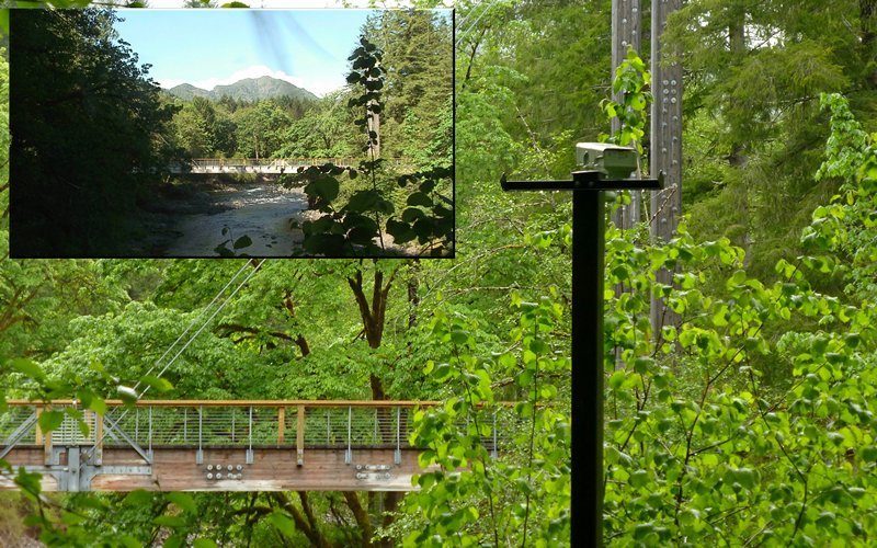
Yocum Ridge and Ramona Falls
21.5 miles of hiking • 4250' elevation gain •
Did a run up past Ramona Falls and beyond to Yocum Ridge, until the snow turned me back somewhere around 6200'. Not a horribly bad day, lots of great time in the woods, too.
June 29, 2013
 2
2
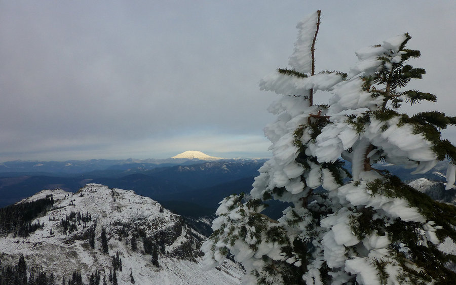
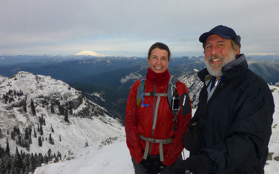
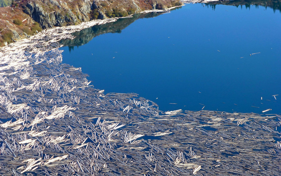
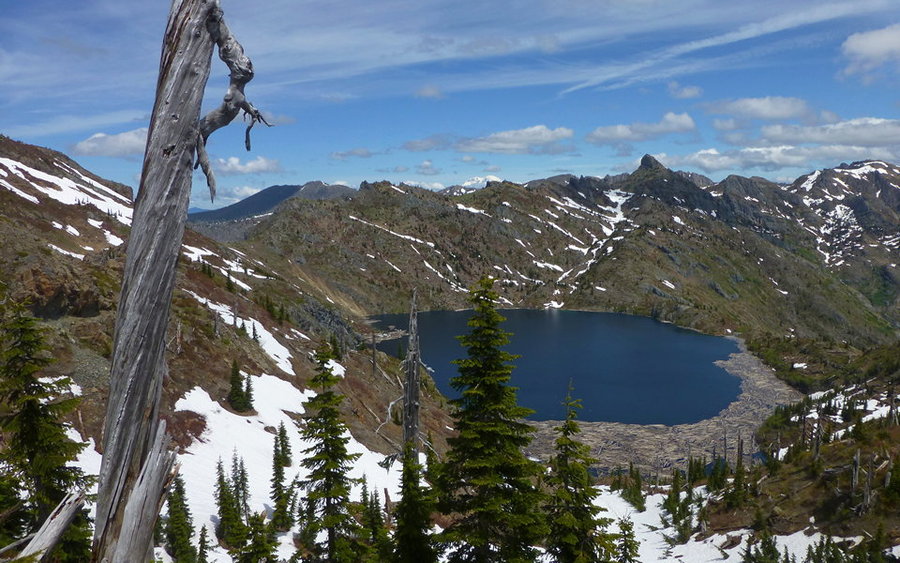
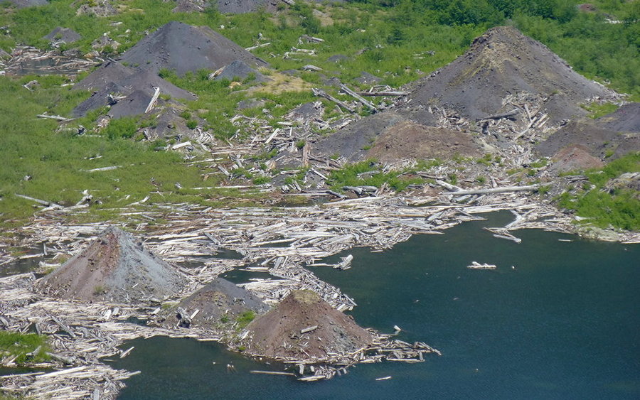
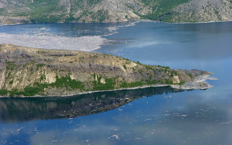
Coldwater and Saint Helens Lakes Loop
18.5 miles of hiking • 4250' elevation gain •
Had a great day in the blast zone, again! Went up South Coldwater Ridge on trails #230A and #230, to meet the Boundary Trail at the saddle above Saint Helens Lake. That's always a special place. Then wandered past the Rock Arch and down towards Spirit Lake and Harry's Ridge. Closed the loop by traveling through the tourist-infested stretch to JRO, and then in solitude again on the final stretch down to The Hummocks.
June 22, 2013


 1
1
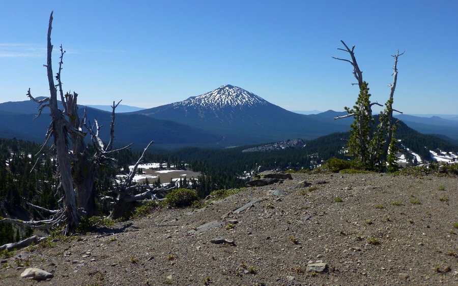
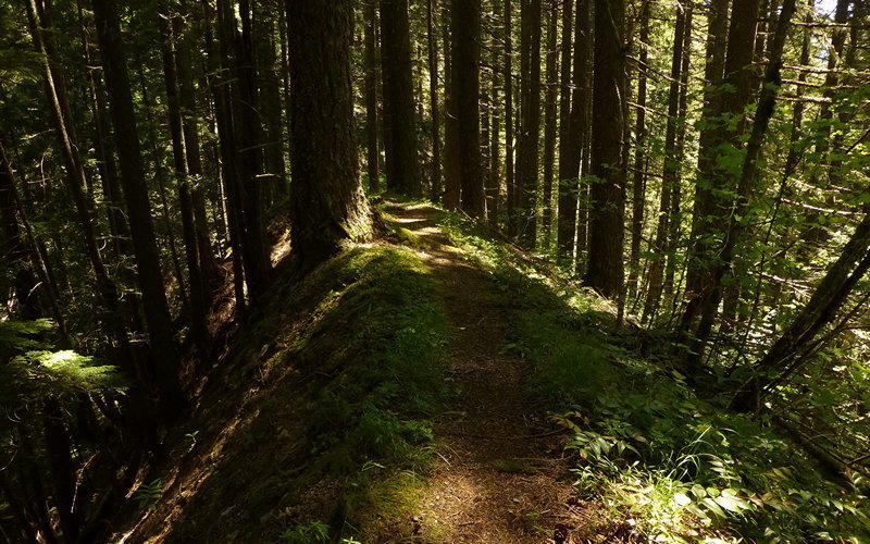
Hunchback Mountain Loop
19.5 miles of hiking • 4750' elevation gain •
Did a solo loop up Hunchback Mountain to Devil's Peak, then back down the Kinzel Lake and Salmon River trails. The rhododendrons were nearly at peak, the beargrass was busting out on the descent side, the trails were deserted! Went 16.5 miles without seeing another person on the trail. (Did see a few at both the lookout and the lake.) Highly recommended trip, if you ever "just need a long walk in the woods!" Not a lot of sweeping vistas, to be sure. It really is a walk in the woods. :-)
June 17, 2013

 2
2
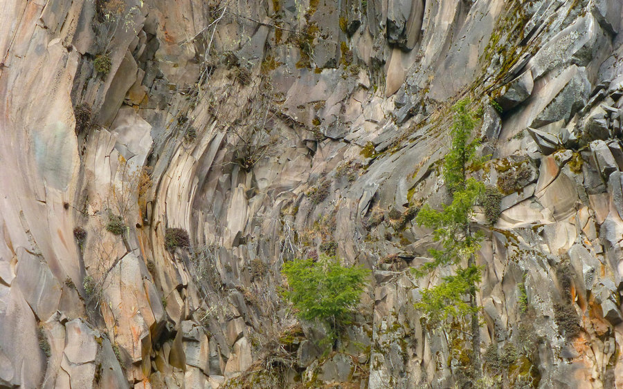
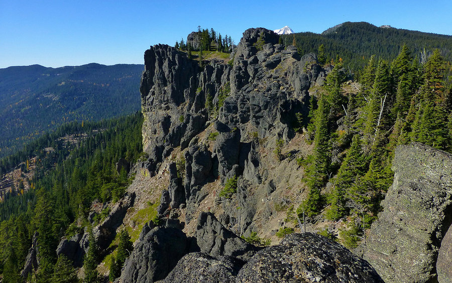
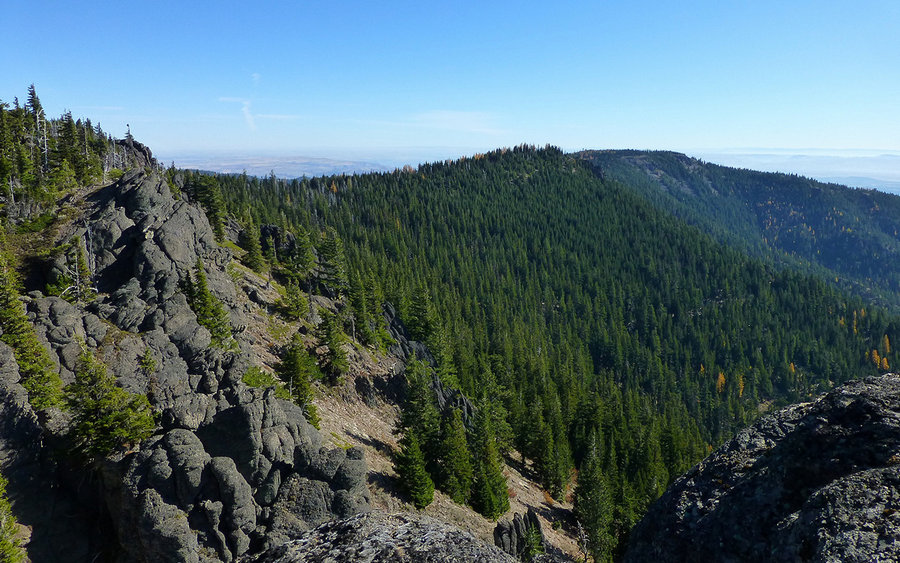
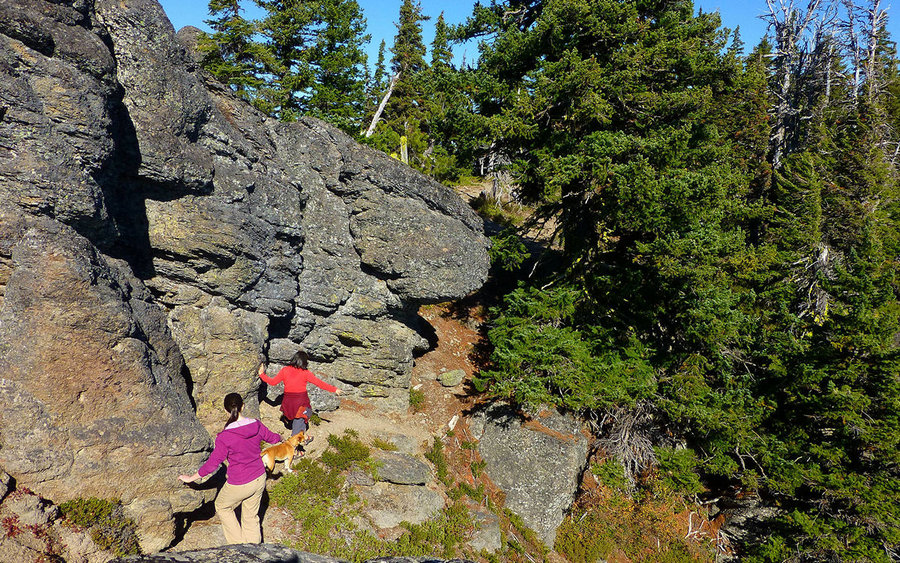
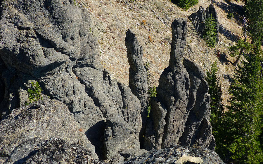
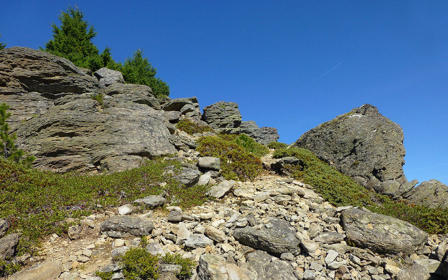
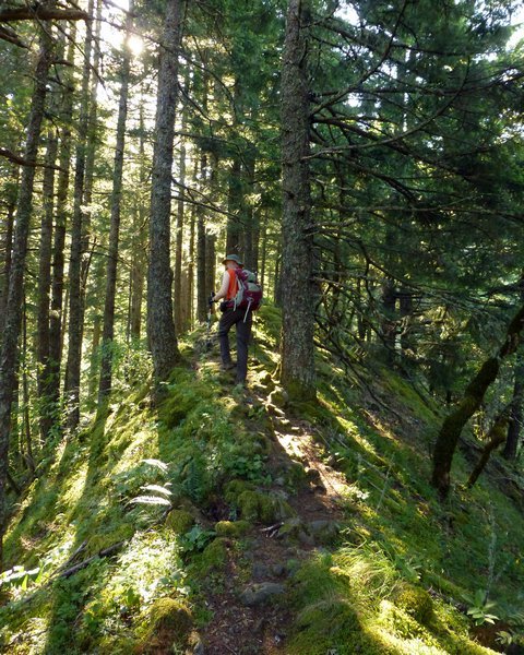
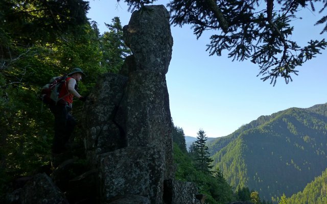
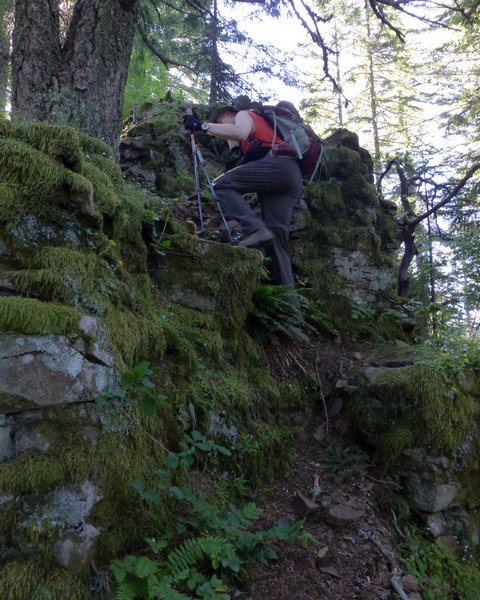
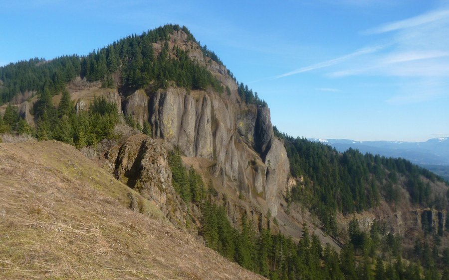
Ruckel Ridge Loop
13.5 miles of hiking • 4500' elevation gain •
Perfect bluebird conditions led to an awesome day going up Ruckel Ridge, meandering all around the Benson Plateau, and then descending the (brutal) Ruckel Creek trail. It's really a one-way hike, so if you go plan to go in that direction. Wouldn't be very fun the other way, despite how hard the descent trail is on the knees. Very fun ascent, though! Fascinating rock formations all along the ridge, and even a bit of hand scrambling to get up.
June 8, 2013


 1
1
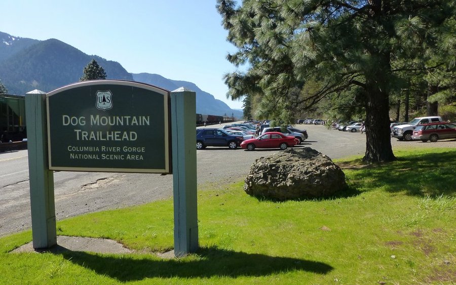
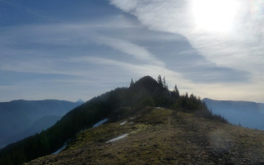
Augspurger Mountain
16.5 miles of hiking • 5750' elevation gain •
Had a great time exploring Augspurger Mountain for the first time. We went up via Dog Mountain, but pretty much left the rest of the crowd in the dust after passing the cutoff for the Dog summit. From there, it was just enjoying the trail less traveled!
May 31, 2013


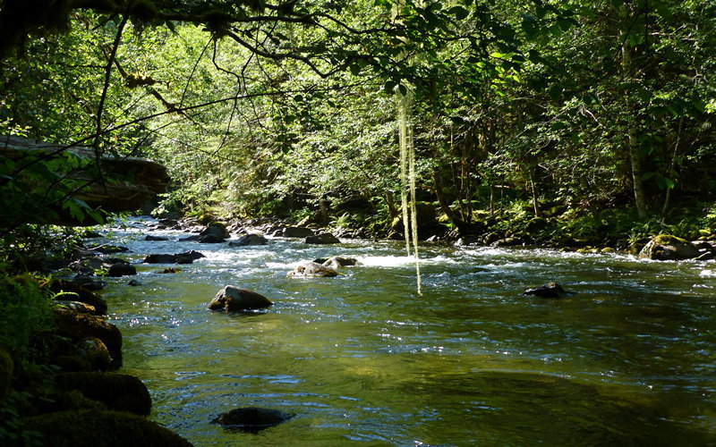
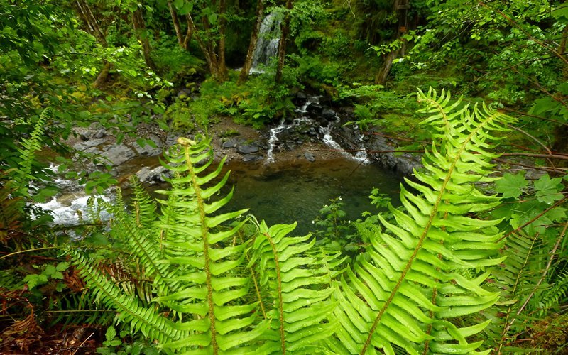
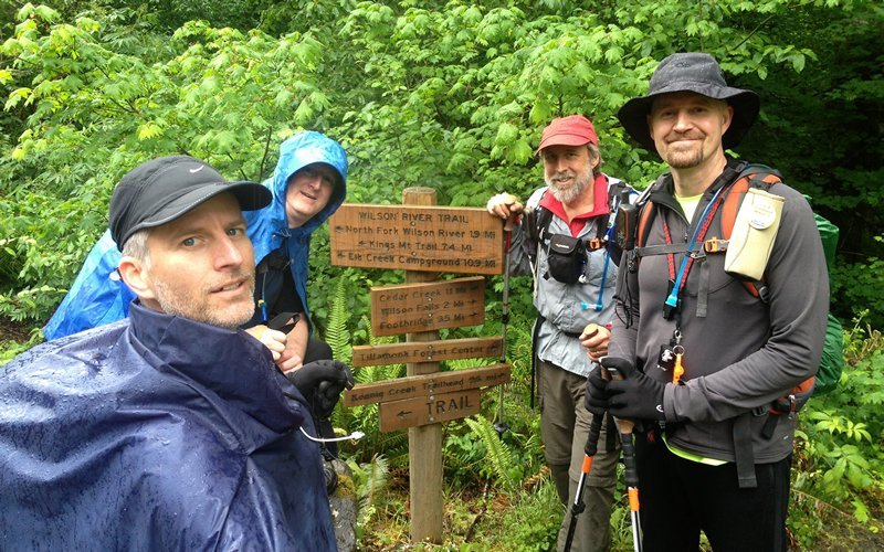
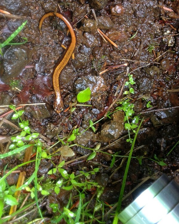
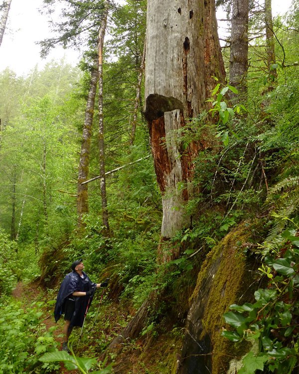
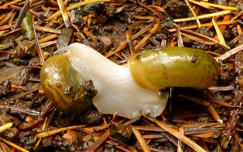
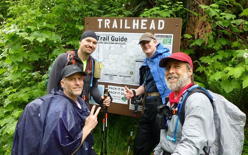
Wilson River Trail
24 miles of hiking • 3750' elevation gain •
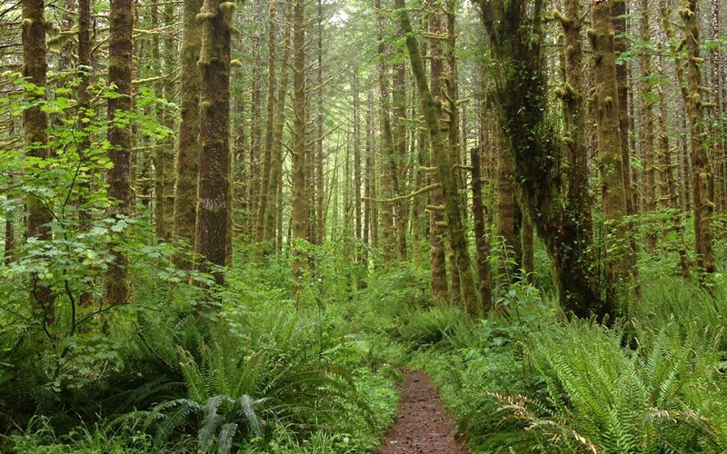
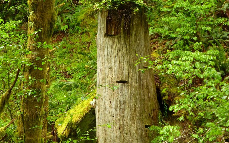
Went with three friends from PortlandHikers, and had a terribly terrific time hiking close to 24 miles in the rain on this 33rd anniversary of MSH "big one." We started at Elk Creek campground just after 7:00am, and finished at Keenig Creek trailhead about 5:30pm, with numerous little side trips along the way. Saw lots of waterfalls, clouds, rock formations, nurse logs and stumps, amphibians and land mollusks, ferns and fungus, to name just a few. Great day in the woods!
May 18, 2013


 1
1
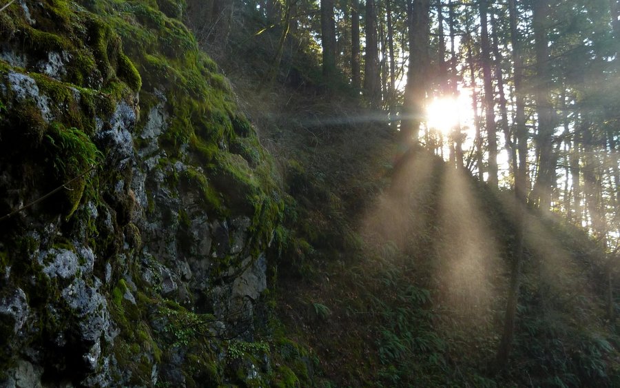
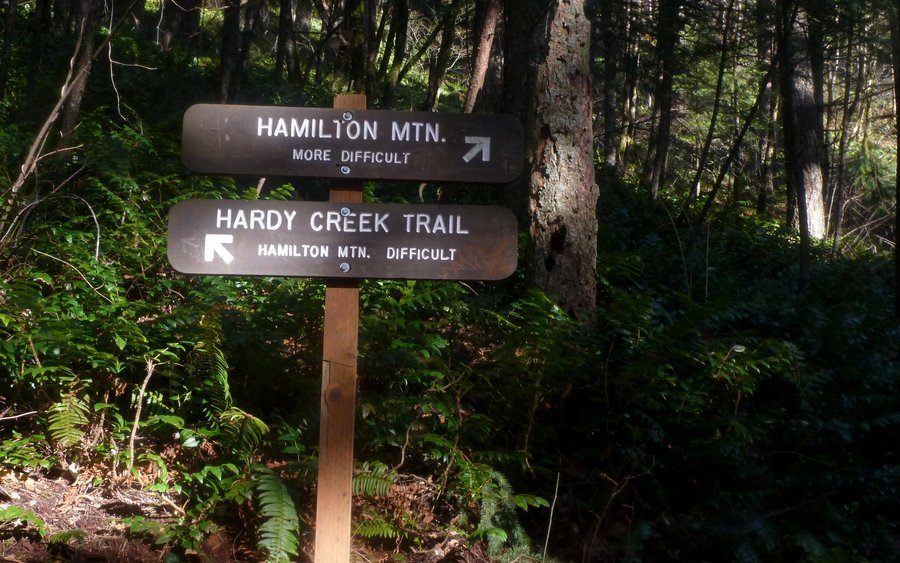
Hardy Double-Ham Loop
22.5 miles of hiking • 5000' elevation gain •
Went up Hamilton the normal way, with a detour along the cliffs of Little Hamilton. Then just continued NNW, out past the state park boundary, until I hit a clearcut. Looped around to the far side of Hardy Ridge, bushwhacked up to Phlox Point, and enjoyed a few more views. Coming down, I realized there was still lots of day left, so I took the chance to explore a few more of the trails within the park that I hadn't seen yet. Really nice, but muggy, day in the woods!
May 12, 2013


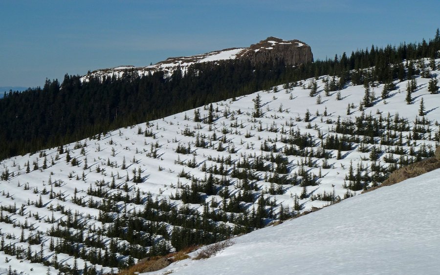
Silver Star Wrap Around
10 miles of hiking • 4500' elevation gain •
Took the south ridge route up Silver Star. Lots of snow up high, especially in the woods, but most everything below 3500' was dry and snow-free. Lots of time so we looped the southwest ridge, tagging Pyramid Rock, before returning back down the south ridge again.
May 4, 2013
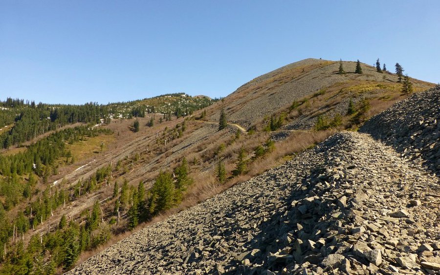
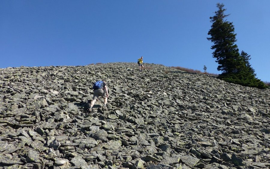

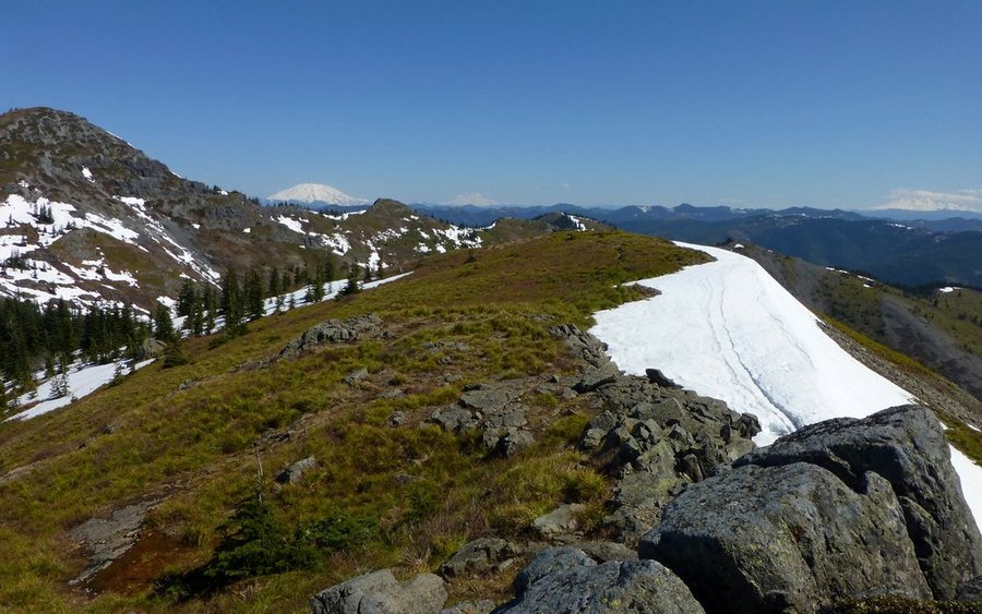
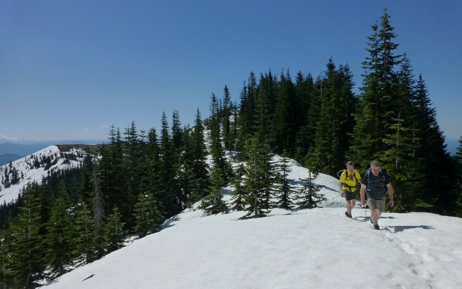


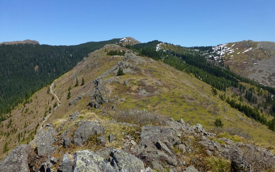


Table Mountain & Aldrich Butte
10.5 miles of hiking • 4000' elevation gain •
Afternoon run up Table, because it was clear. Last time up, we were in a whiteout and couldn't see squat. Gorgeous today! Still daylight left, on the way down, so I detoured up to the top of Aldrich Butte too.
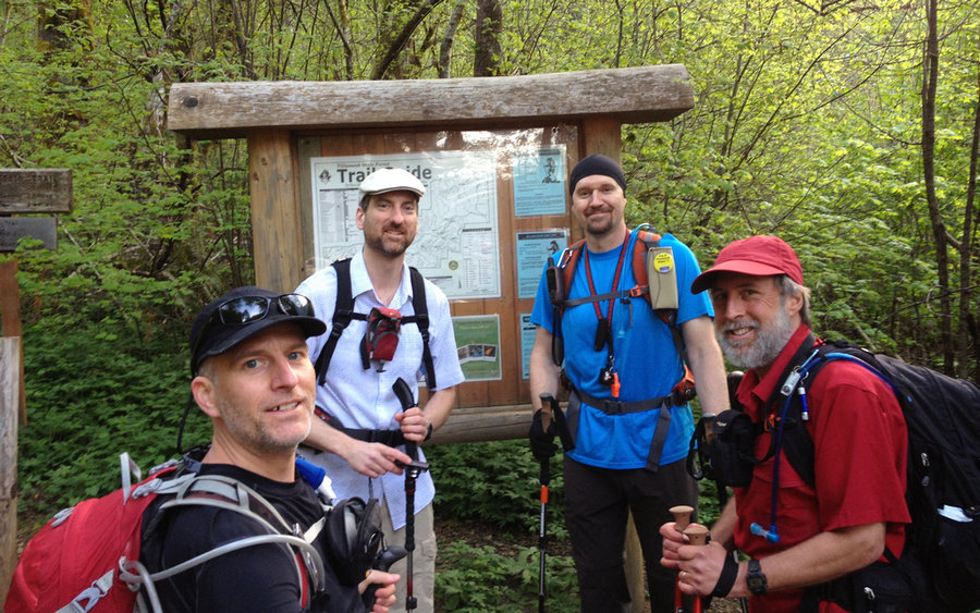
May 2, 2013


Kings Mtn - Elk Creek - WRT Loop
13 miles of hiking • 3750' elevation gain •
Great loop with a great group!
April 27, 2013


Coyote Wall
13 miles of hiking • 3750' elevation gain •
Did a grand tour of the entire Coyote Wall area. Started out going up through "The Labyrinth," then cut over to Catherine Creek, up from there into the woods to the northwest, and across over to Coyote Wall which we followed back to the river as our grand finale.
April 21, 2013


Eagle Creek
22 miles of hiking • 2000' elevation gain •
Great trip up EC, which was just raging with both the spring snowmelt and recent rains. And, the trail was about as deserted as it ever gets!
April 20, 2013


 1
1
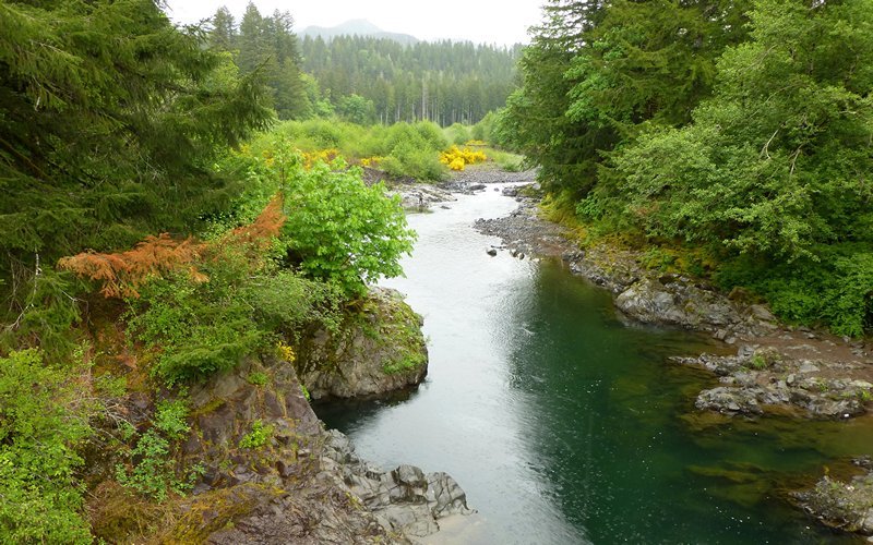
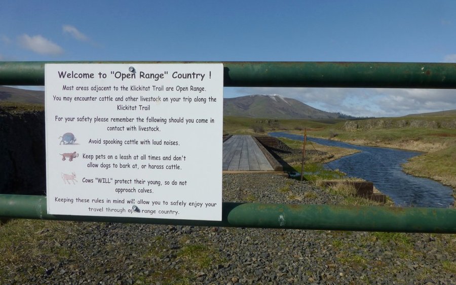
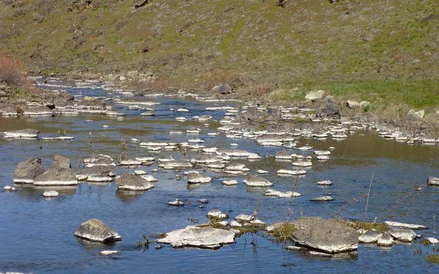
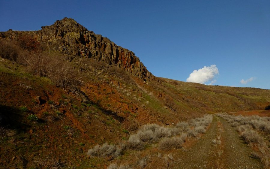
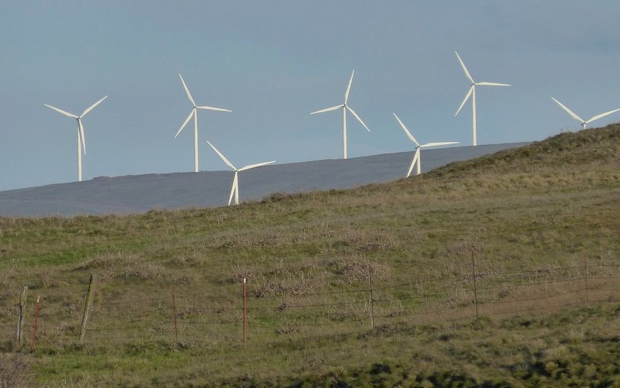
Klickitat River and Stacker Butte
19 miles of hiking • 2000' elevation gain •
Did a car shuttle to the small town of Klickitat, then hiked nearly 14 miles the converted rail-to-trail down along the federally-designated "Wild & Scenic" river to its confluence with the Columbia in Lyle. After retrieving the jeep, there was still lots of daylight, so we headed over to Dalles Mtn and climbed Stacker Butte. Great day in the desert!
April 13, 2013


Double Dog Dare, plus Wind
18 miles of hiking • 7250' elevation gain •
A group from PortlandHikers.org decided to have a "Big Dog Party" by doing two runs up Dog Mountain the other day. The weather was idyllic. We were the first to the trailhead, and of course the first to the summit. But the hordes were ascending as we were going down the first time. After a quick refueling break, we again went back up the "More Difficult" route. Of course. Each descent followed different routes, for a change of scenery. Rather than turn it into a Triple Dog Dare, a couple of groups went off and tacked on Wind Mountain instead. Great day in the gorge!
March 30, 2013


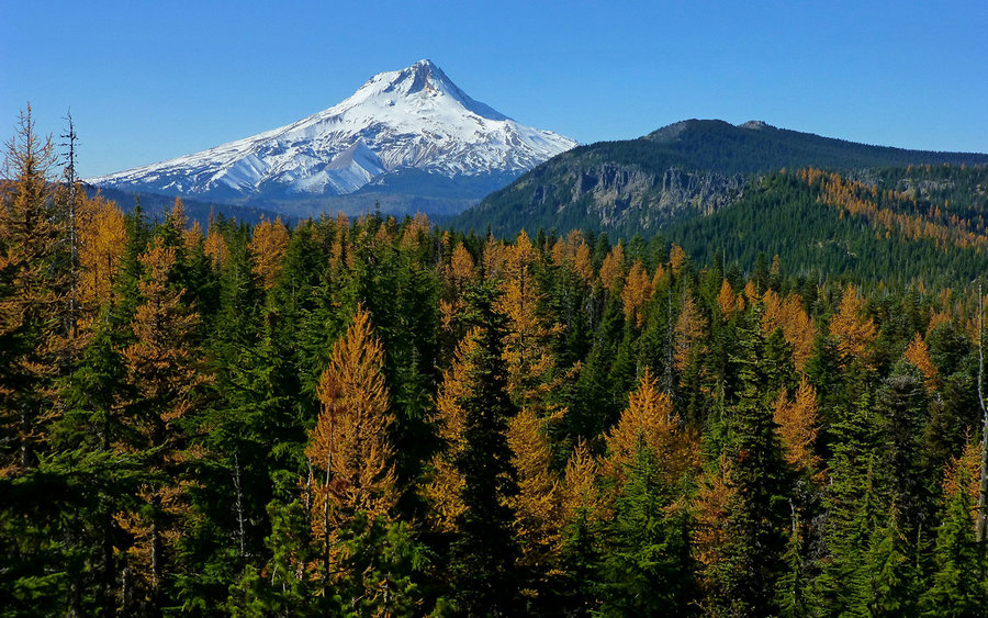
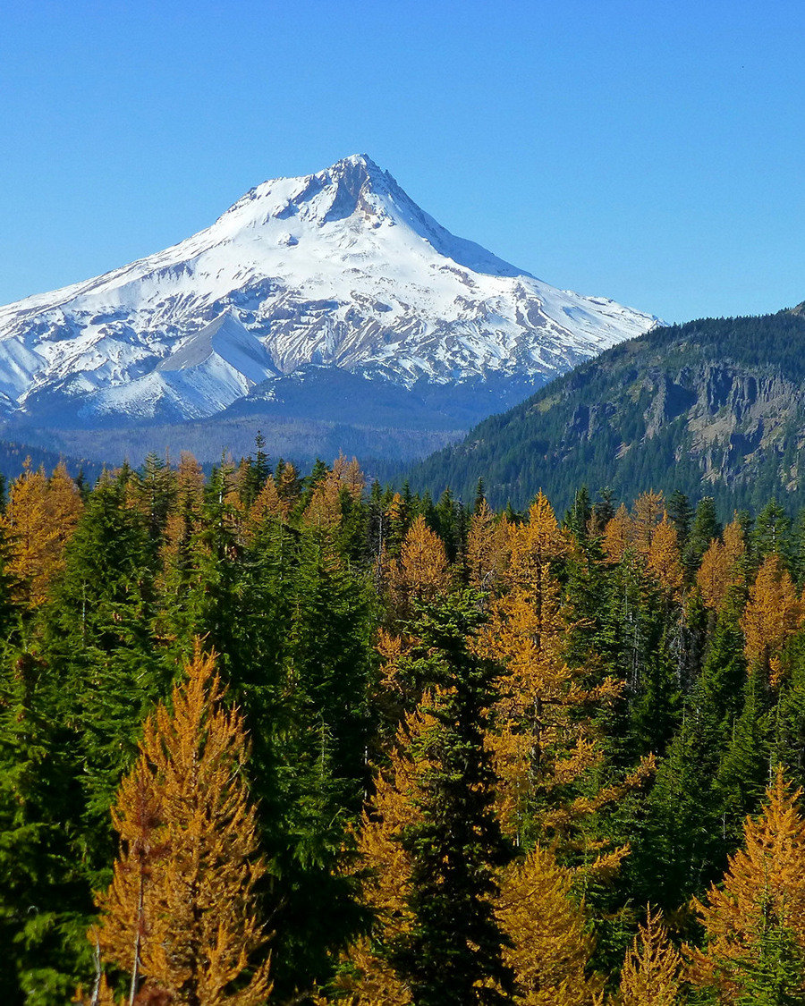
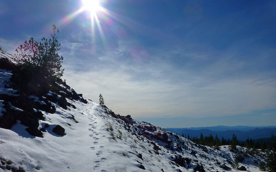
 4
4
Swale Canyon
19 miles of hiking • 1000' elevation gain •
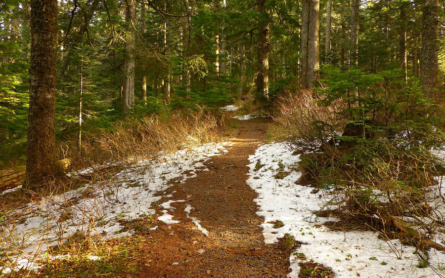
I was getting a little tired of the ever-present wetness, so I headed east to escape it. Swale Canyon's converted rail-to-trail offering was the perfect antidote. It was like hiking in summer again, only with long johns on! The creek was still covered in a thin sheet of ice, and the wind was a constant 20-30mph producing a well-below freezing chill in the air, as I started out at about 10:30am. Hiked nearly ten miles along an almost flat, extremely rocky, trail before turning around to head back. Great day!
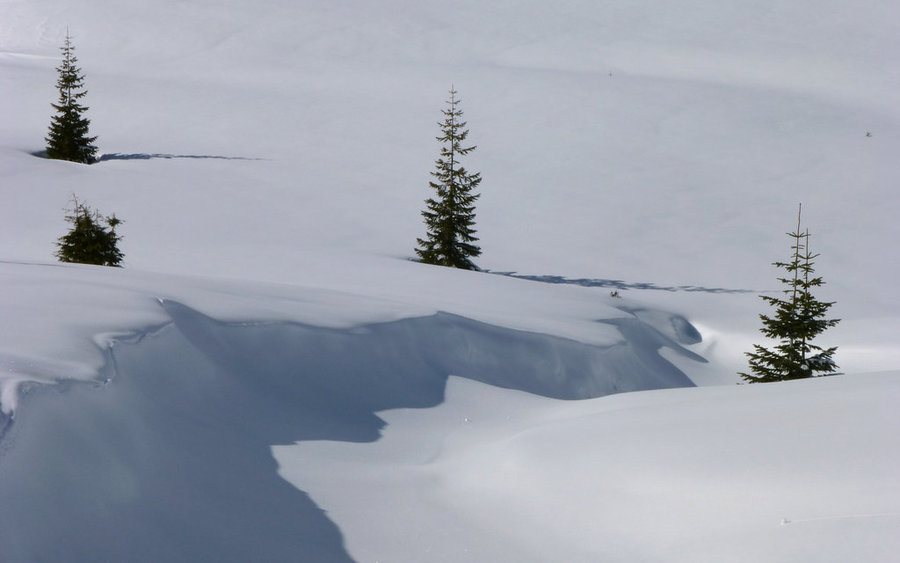
March 22, 2013


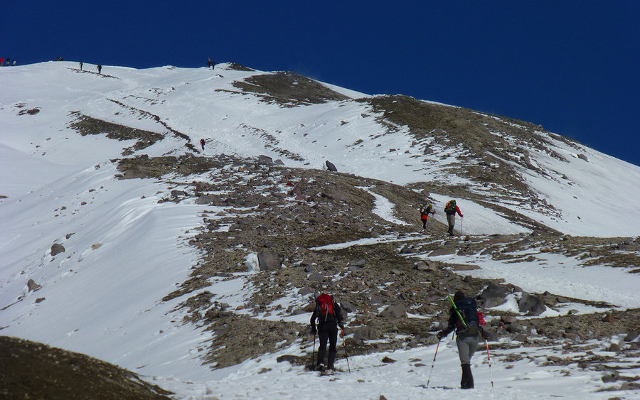
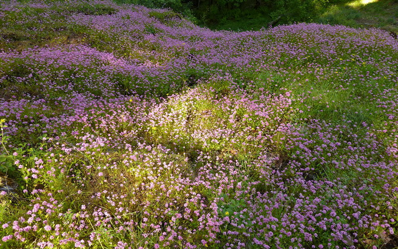
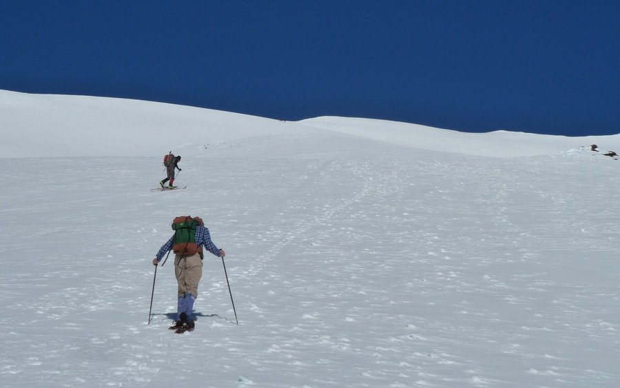
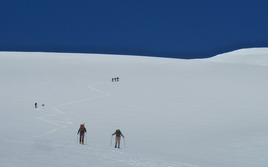
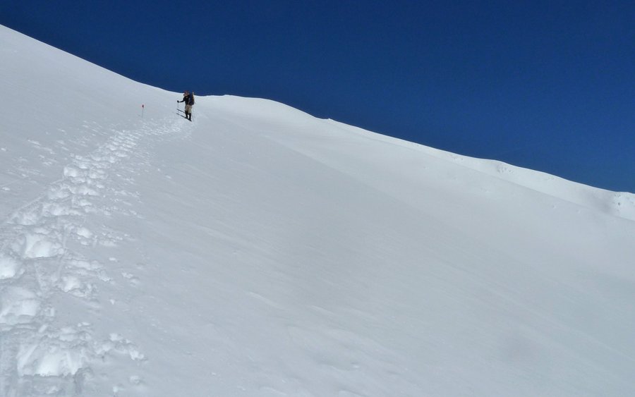
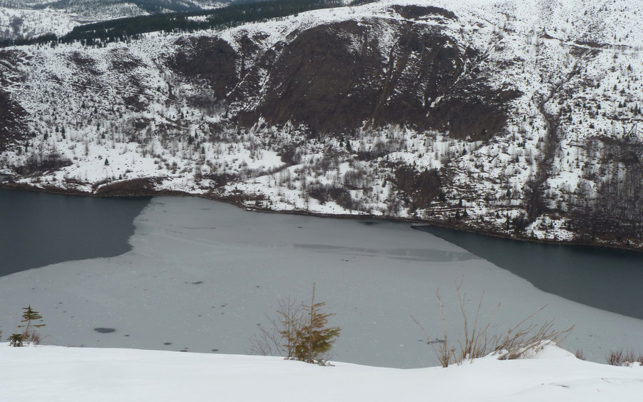
 5
5
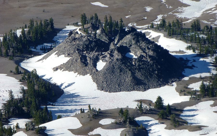
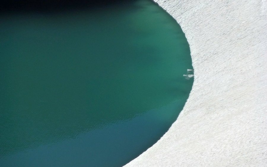
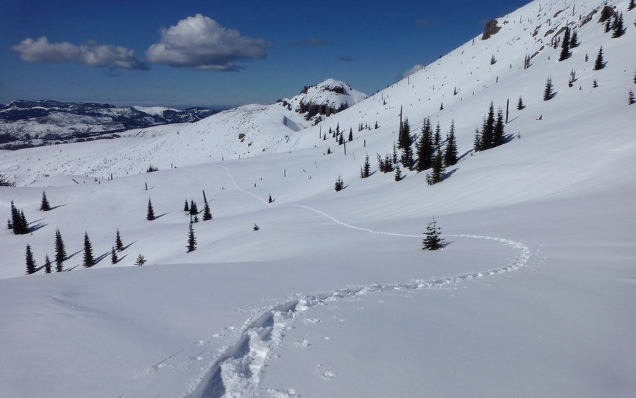
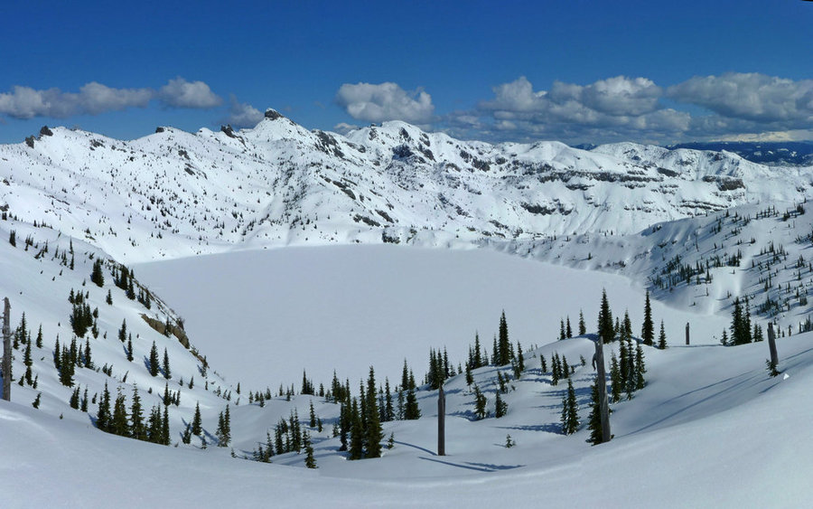
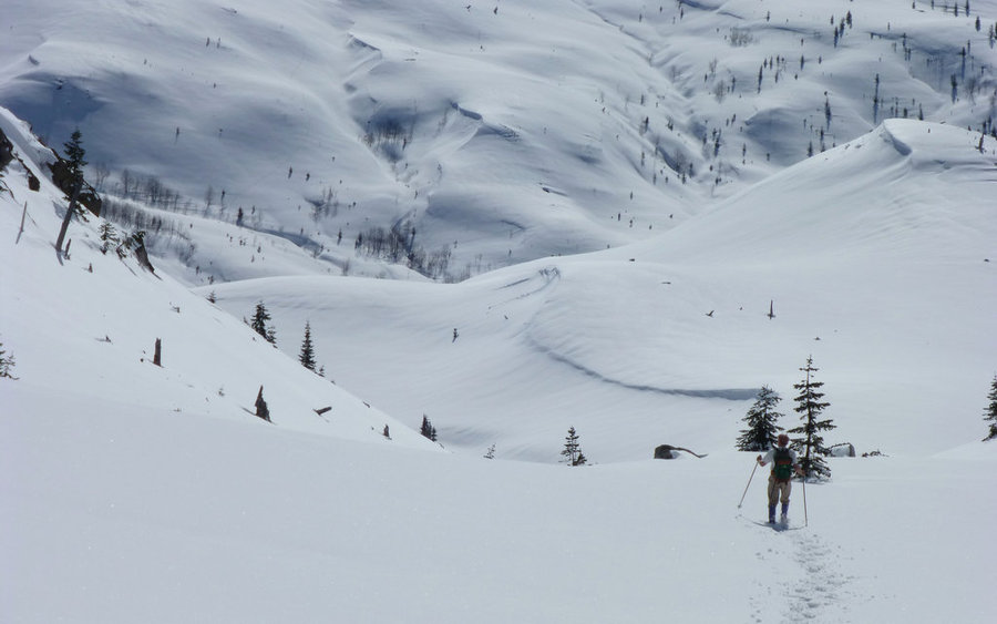
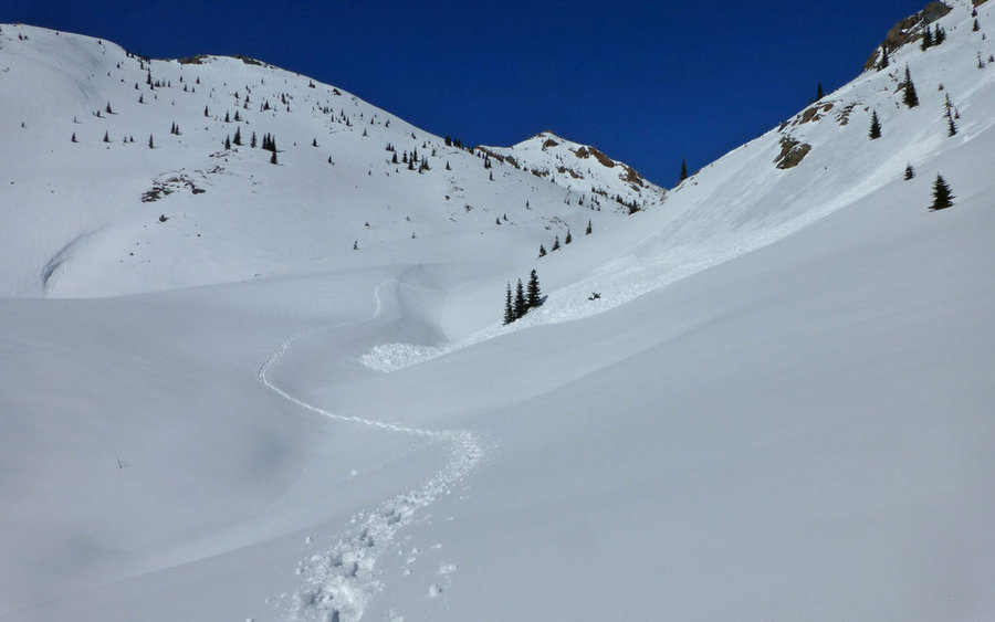
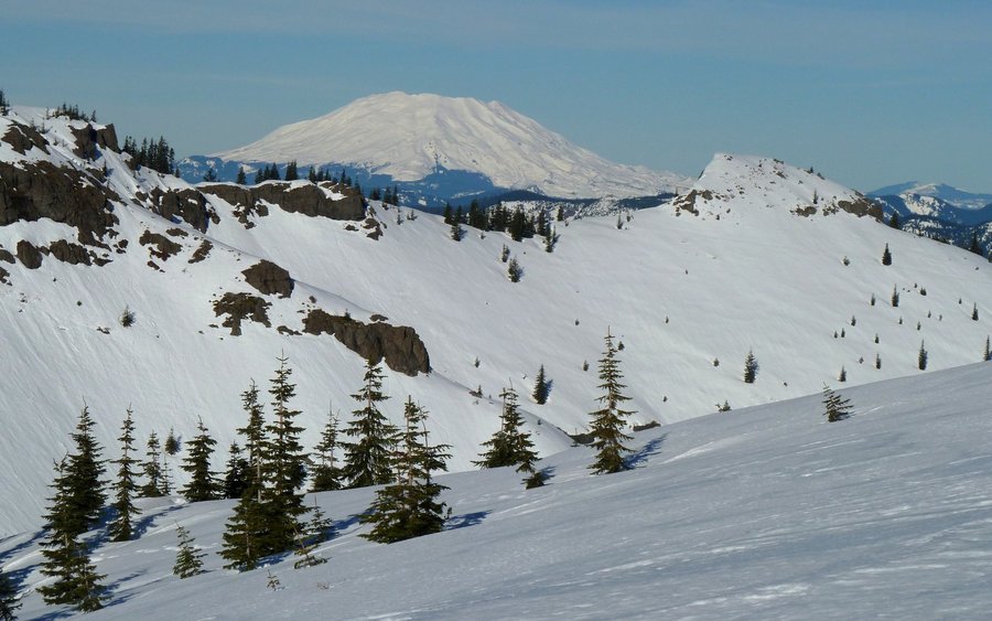
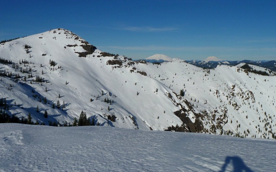
Saint Helens Lake Snowshoe Loop
14 miles of hiking • 3500' elevation gain •
Picked an ideal day to head up to the Hummocks area, at the end of SR-504, and do a little exploring. We started up South Coldwater Ridge, with zero fear of running into the whiteout that hit our last attempt a month ago. Ended up lunching at the intersection of Coldwater Peak Trail and Boundary Trail, in a beautiful little saddle overlooking Saint Helens Lake. For the descent, we chose a normally off-limits valley, as the snow made the regular trails impassible. After dropping down towards Harry's Ridge, and taking in views of Spirit Lake, we headed over towards Johnston Ridge and ultimately dropped back down to SR-504 for the return trek to the trailhead. Hard to have a better day than that!
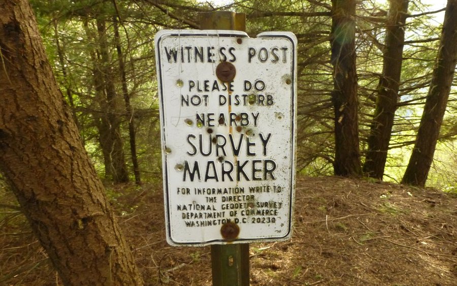
March 8, 2013


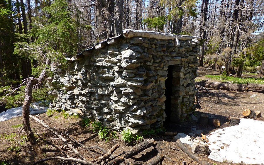
Elevator Shaft to Devil's Rest
12.2 miles of hiking • 4000' elevation gain •
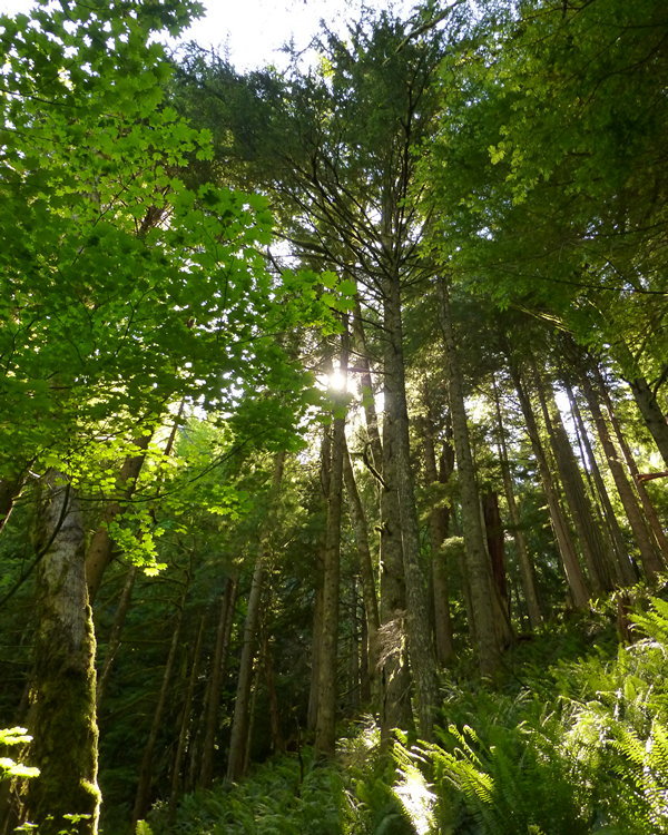
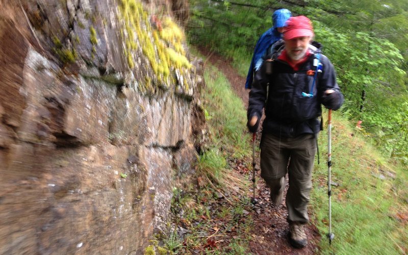
Was told to "go take a hike!", so I did. Wasn't sure where I'd end up, but I started at almost the closest trailhead (Multnomah Falls). Went east on 400, turned south and climbed the 1000'+ rockfall known as the Elevator Shaft, found a really cool overlook above the MF parking lot, went east across the Multnomah Basin, lunched at the Bickle Point (probably best spot in the gorge!), then headed south again up to Franklin Ridge, worked my way back down to the Larch Mountain trail, and followed a jeep trail west up towards Devil's Rest. It being right about sundown by now, I decided to crash down the Primrose Path, hoping to find the Angel's Rest trail and take that back down. Had to pull out the headlamp by Wahkeena Springs, and was in full darkness by Fairy Falls. What a cool loop!!!
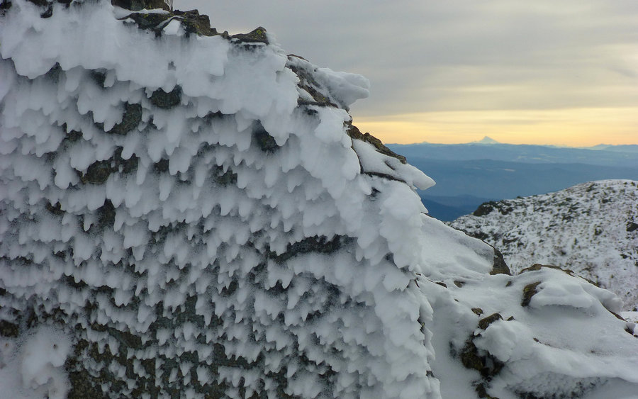
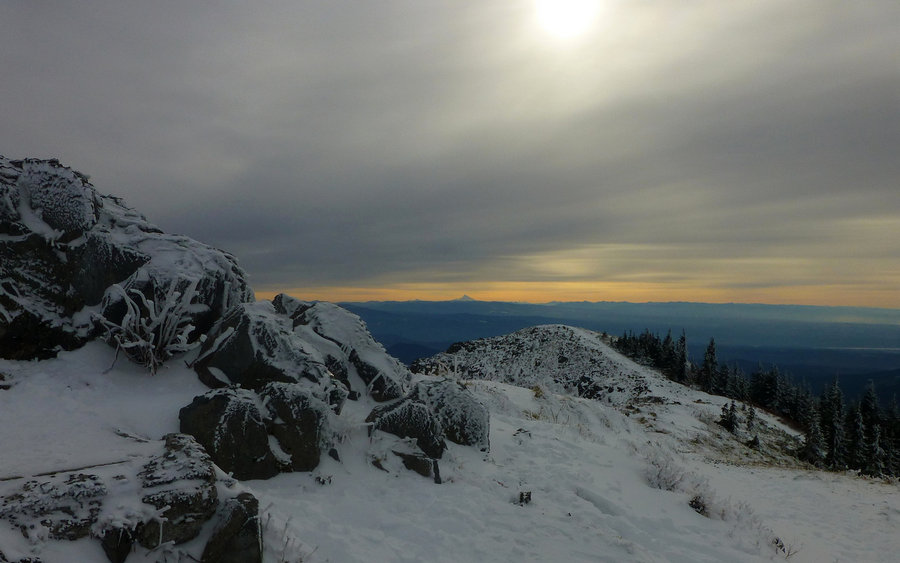
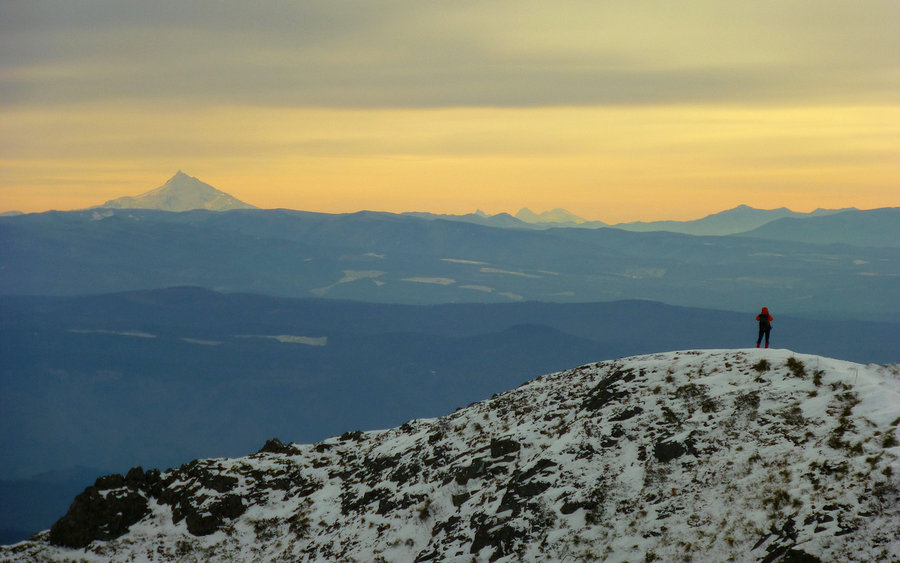
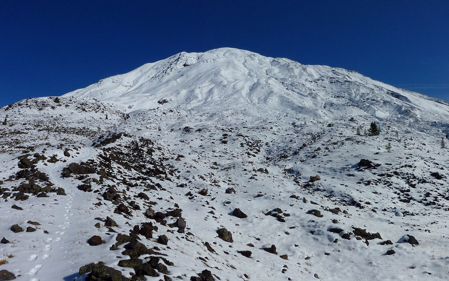
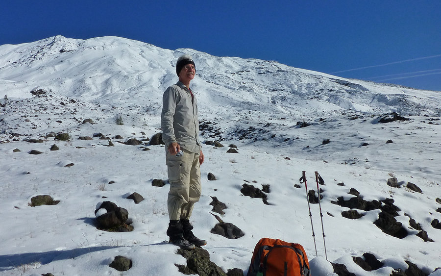
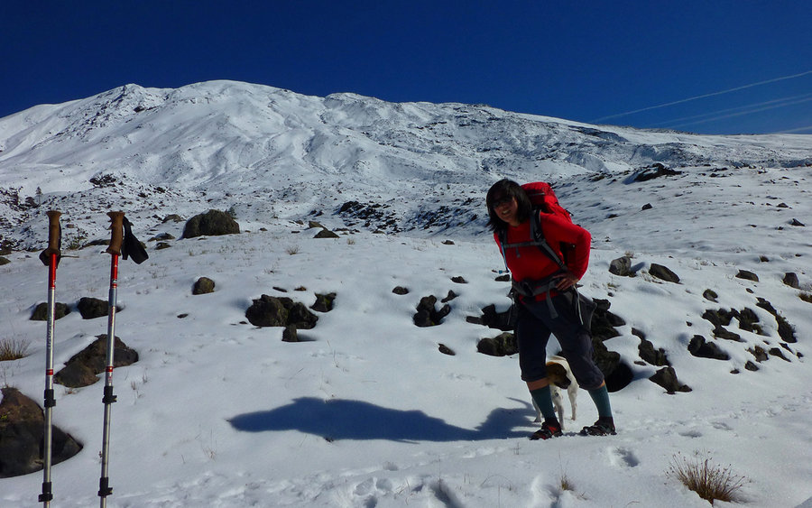
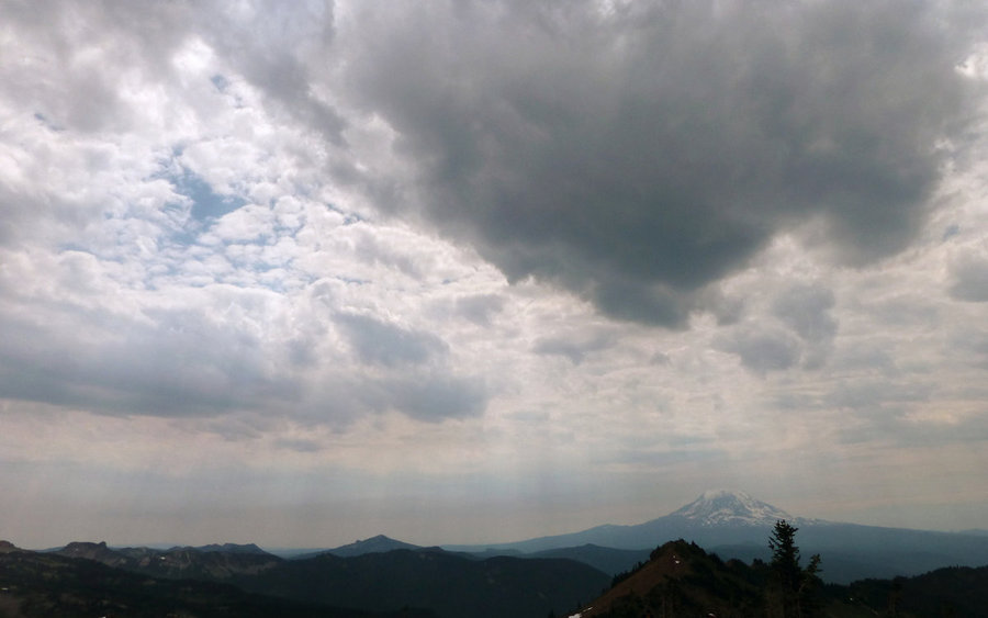
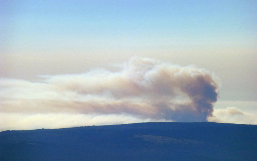
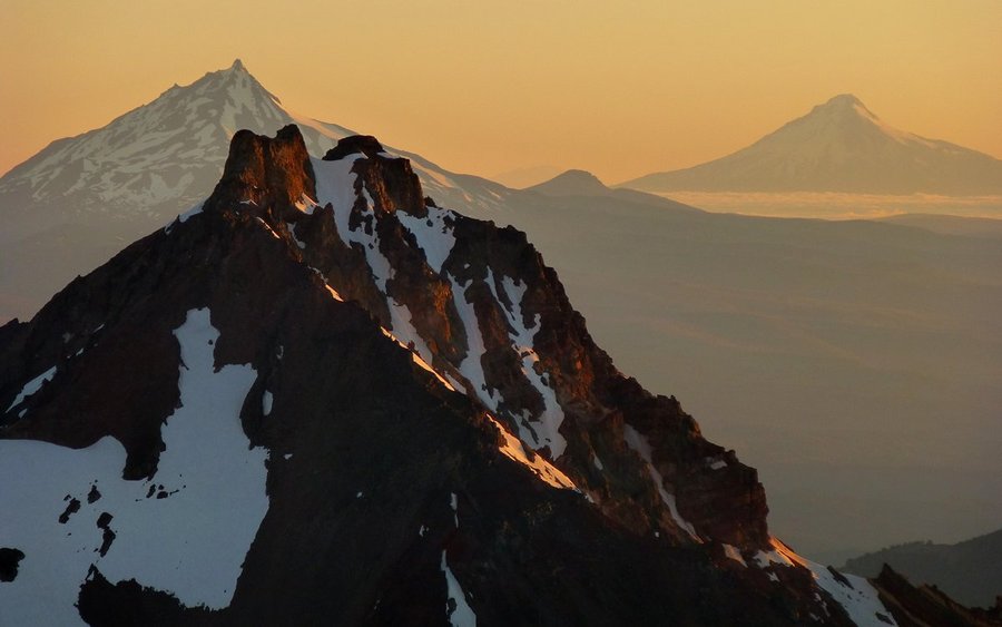
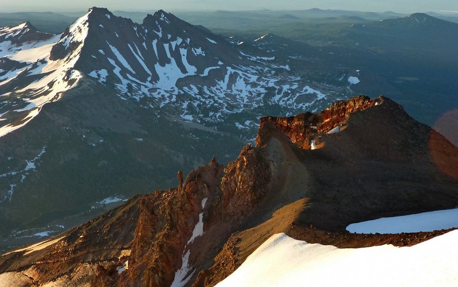
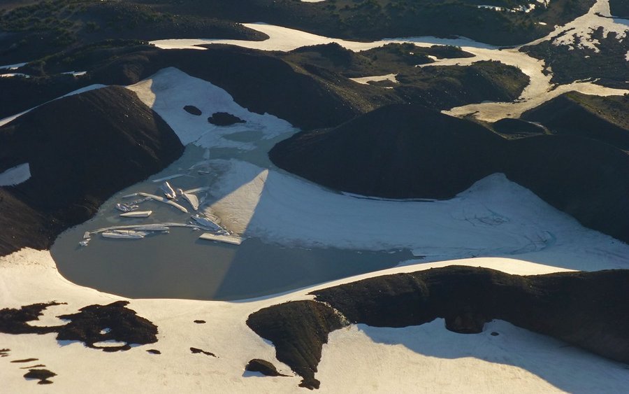
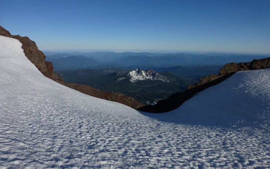
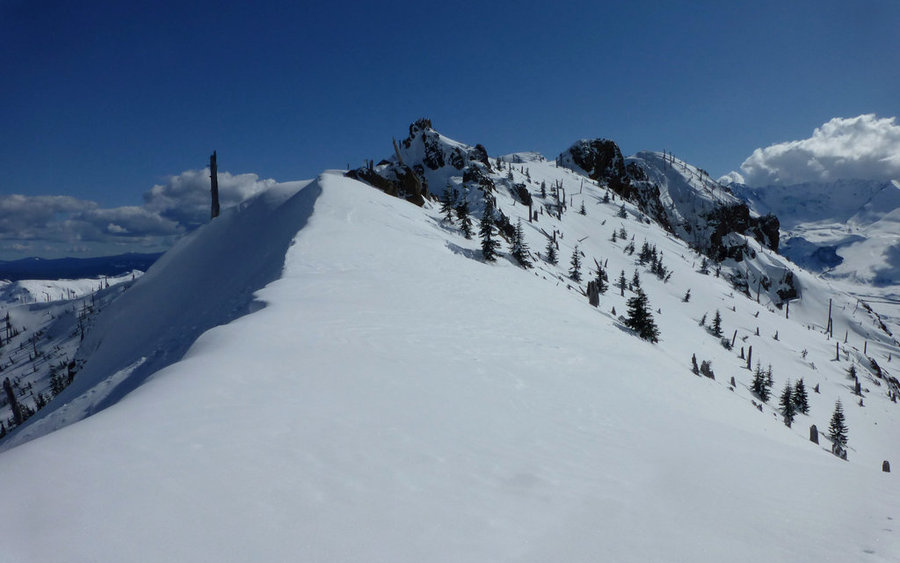
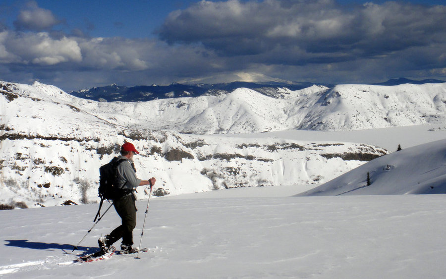
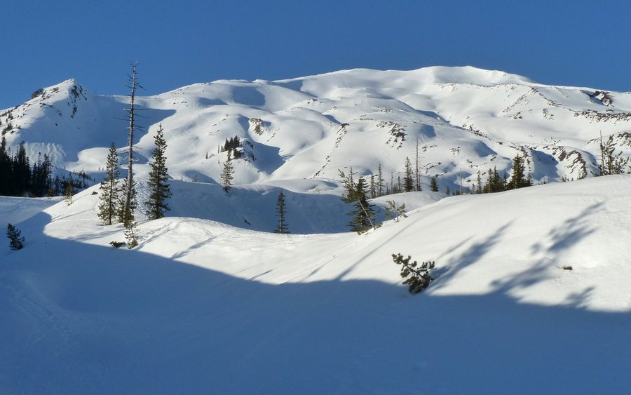
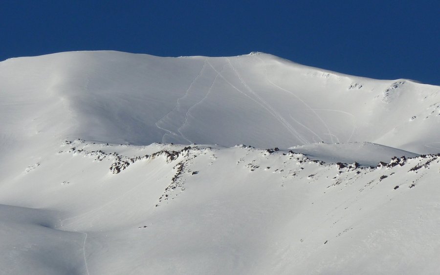
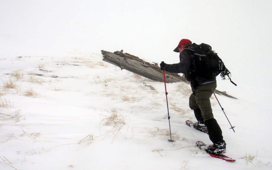
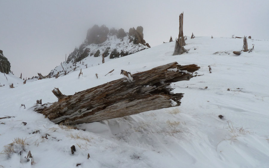
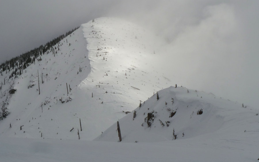
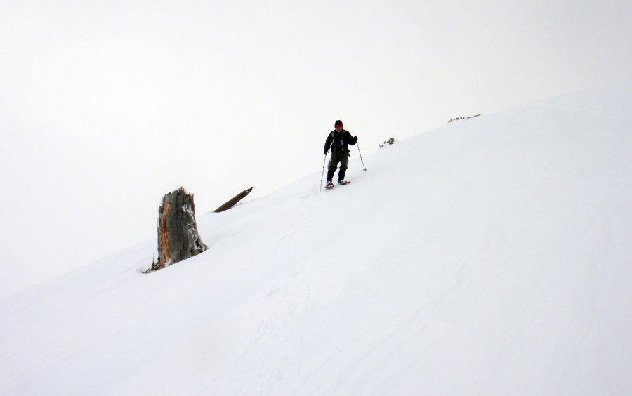
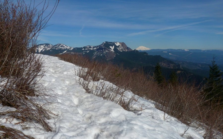
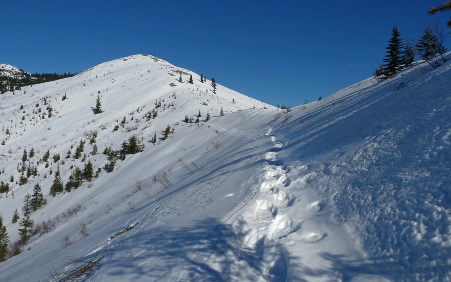
February 24, 2013


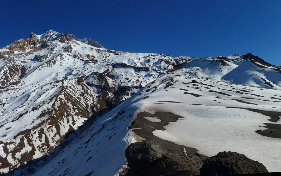
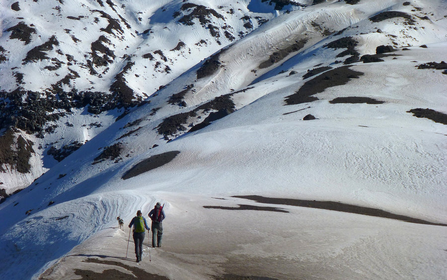
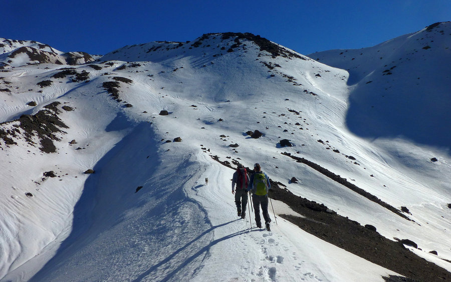
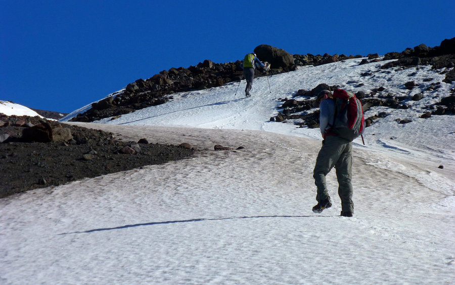
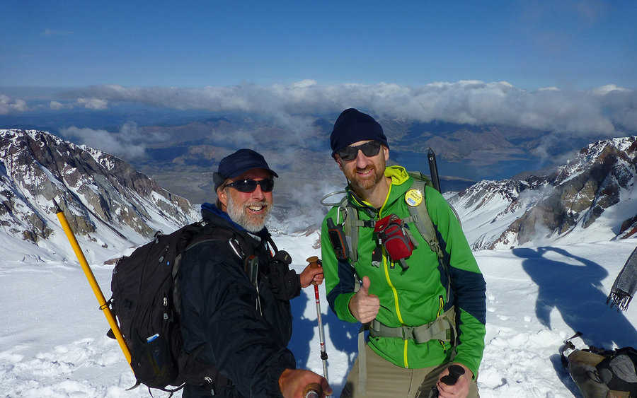
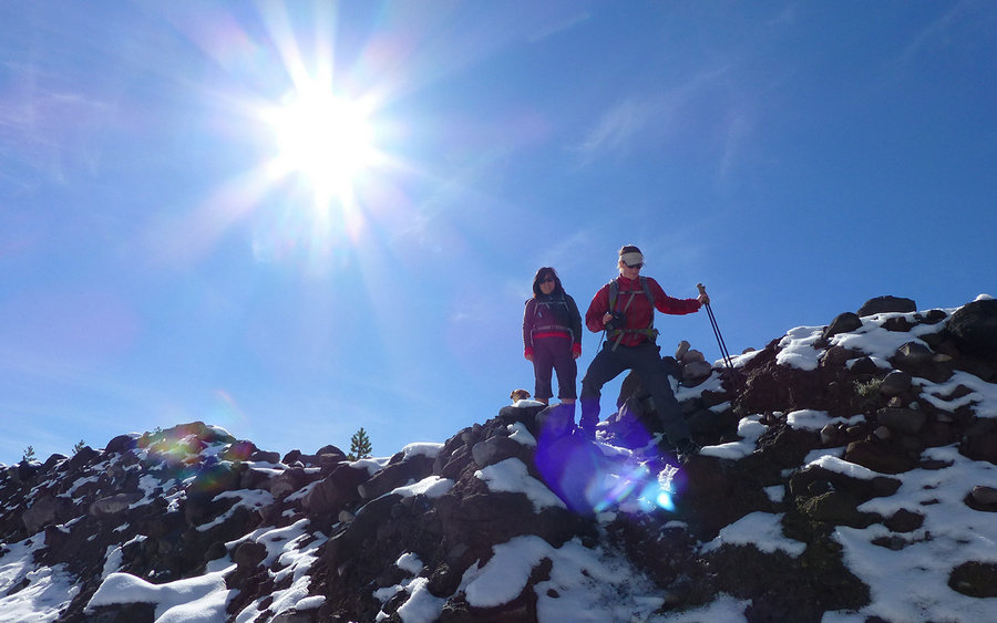
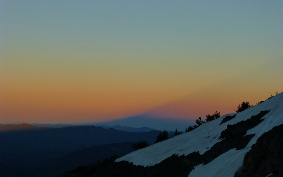
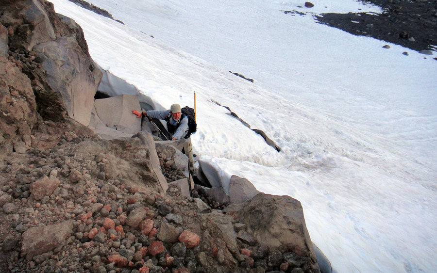
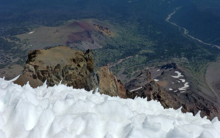
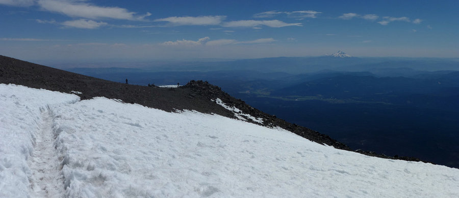
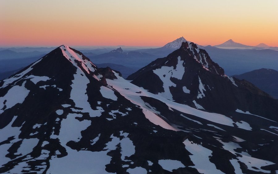
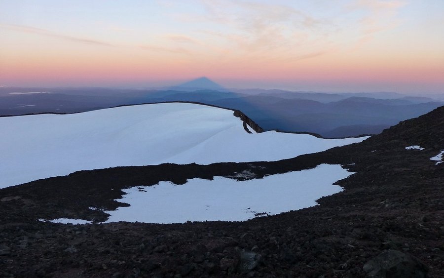
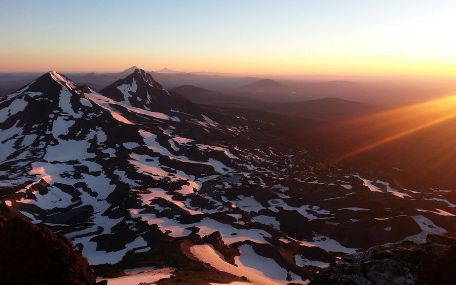
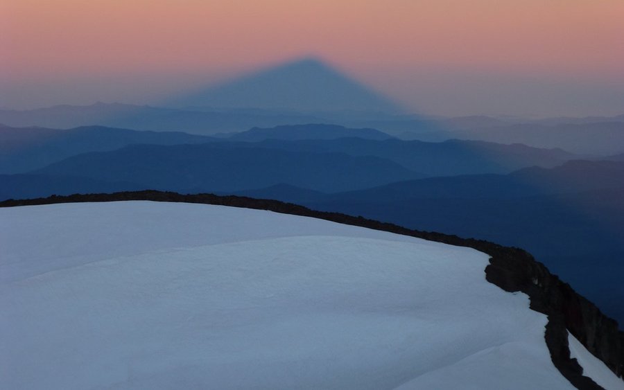
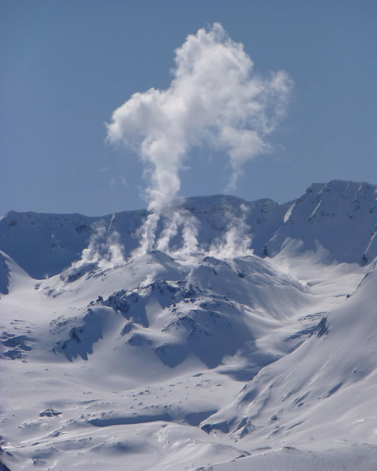
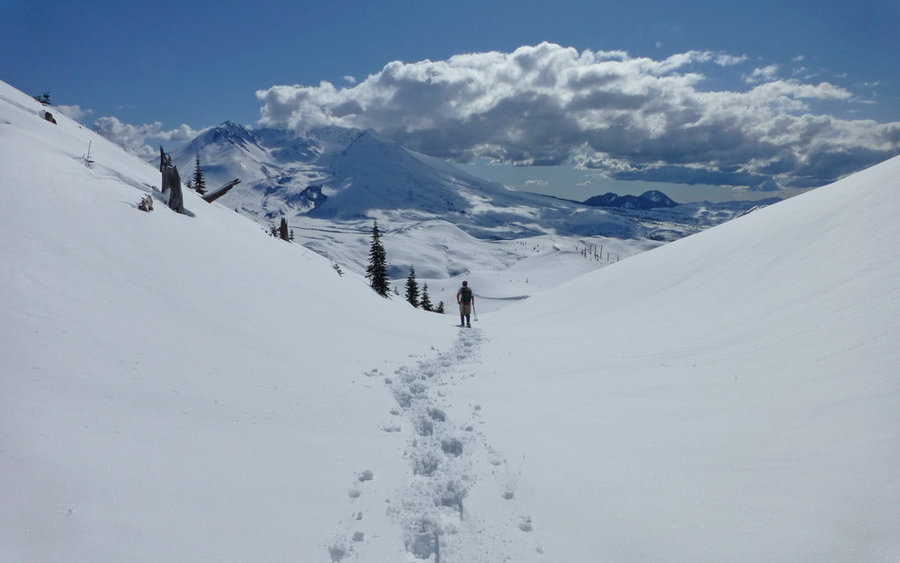
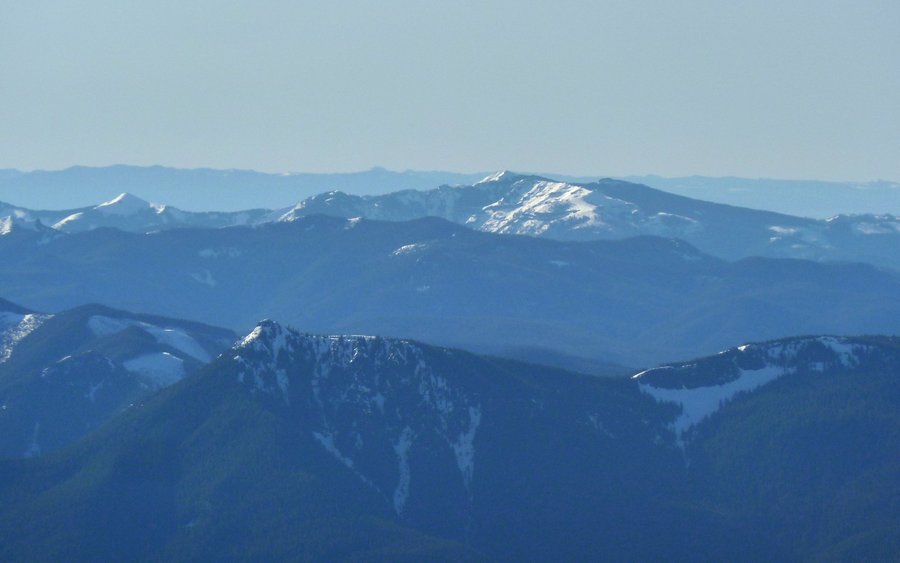
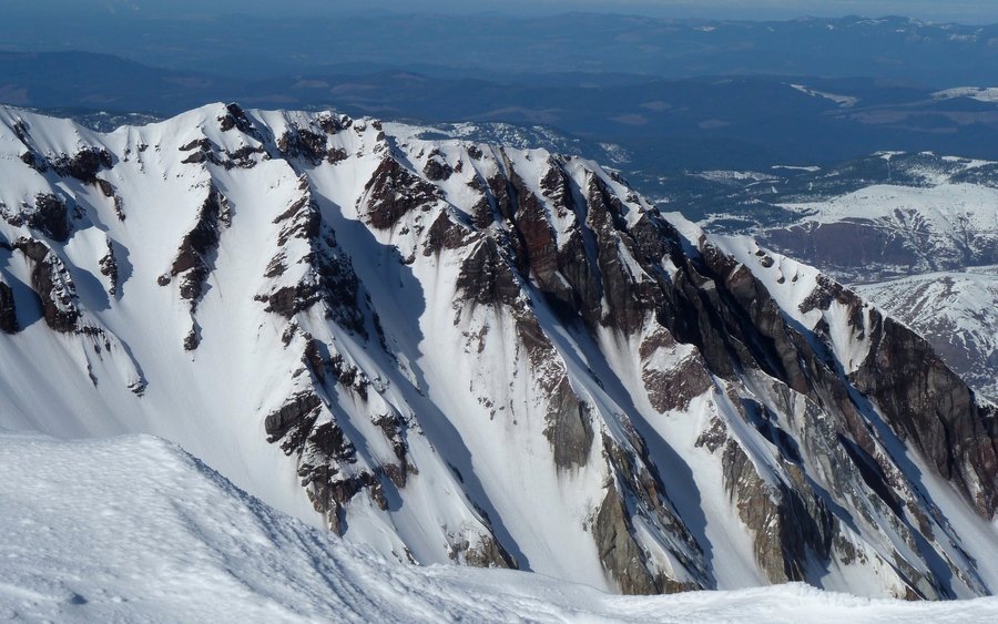
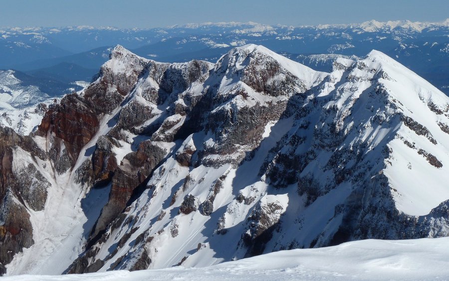
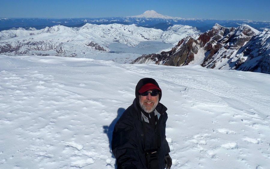
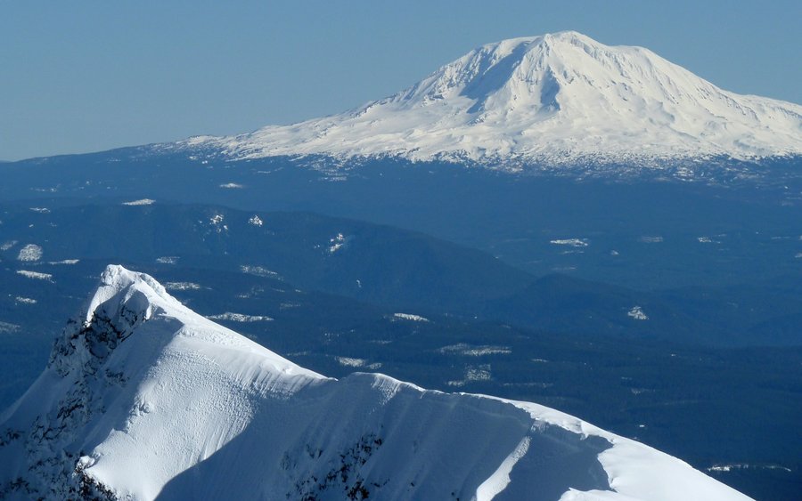
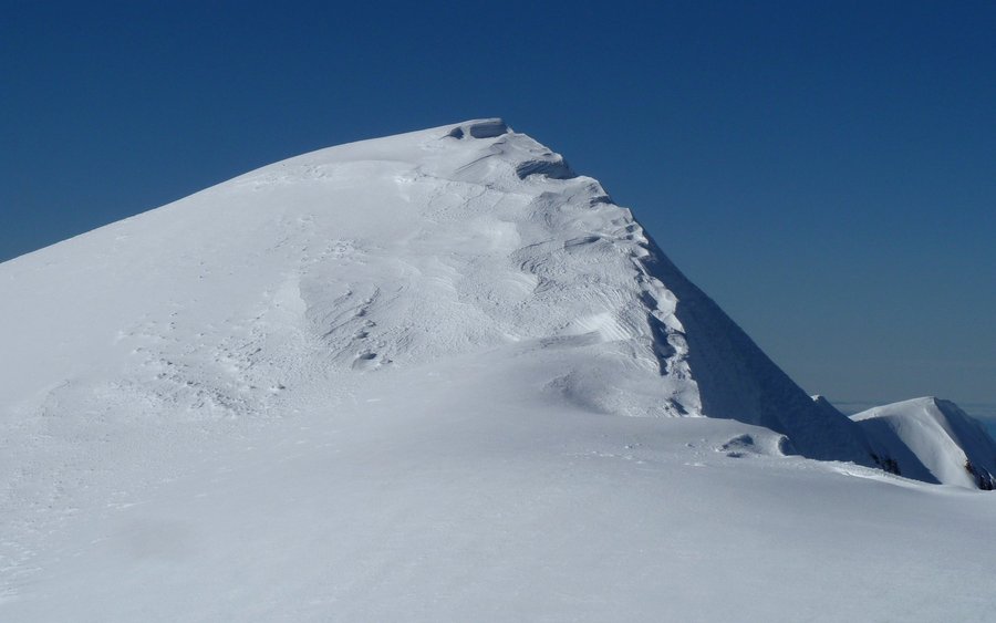
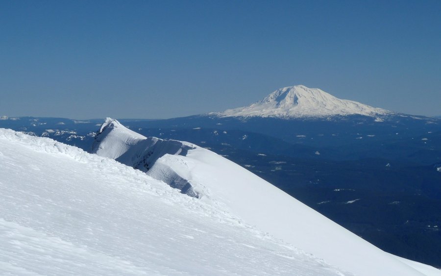
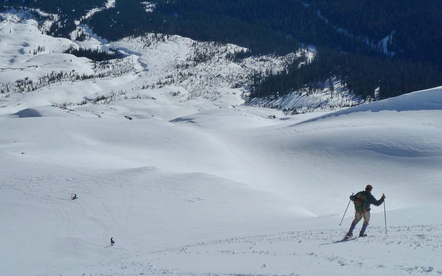
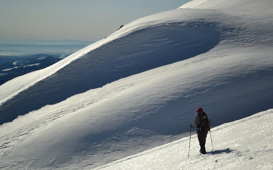
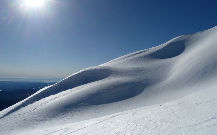
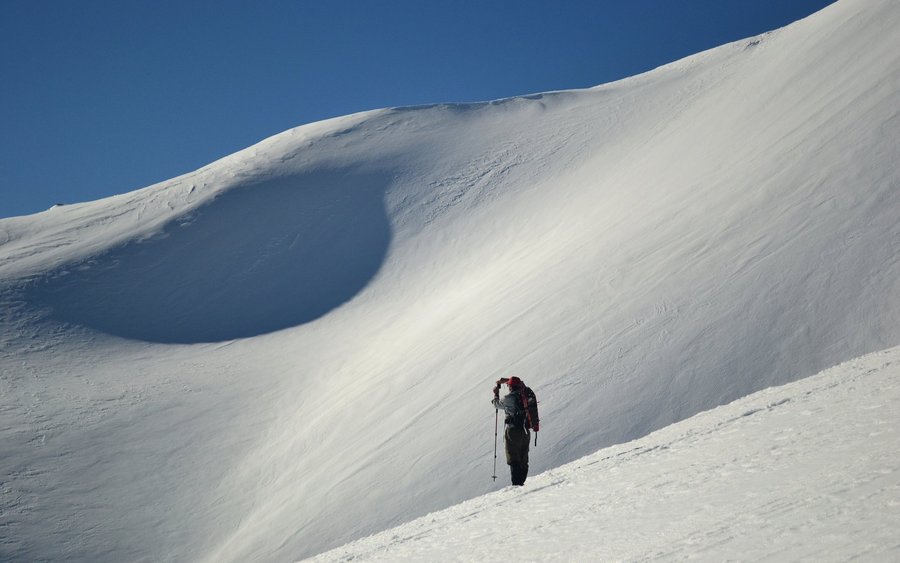
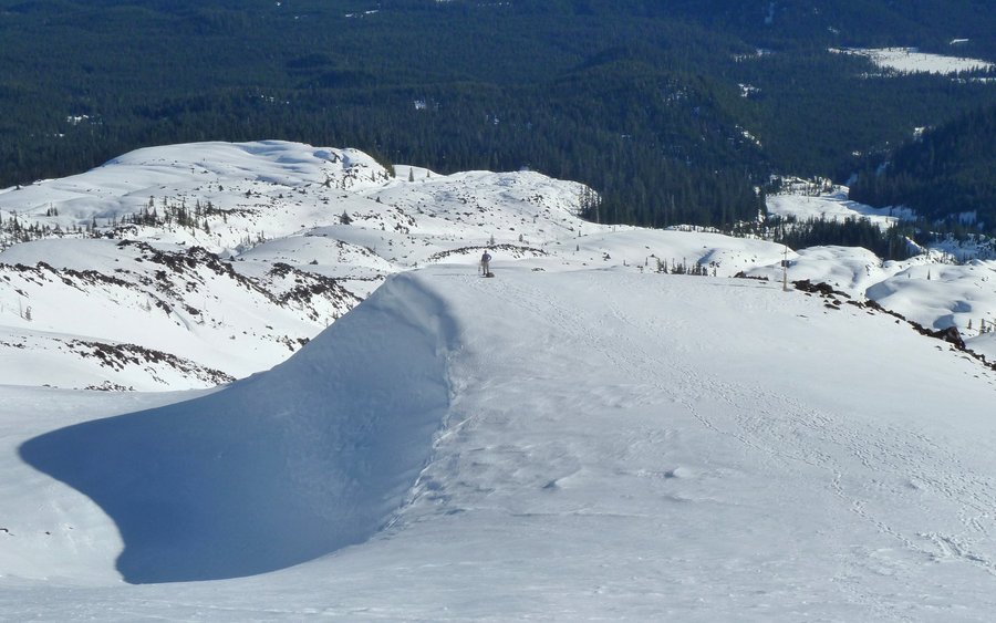
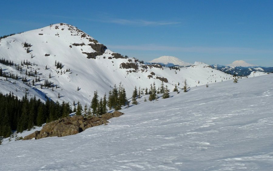
 7
7
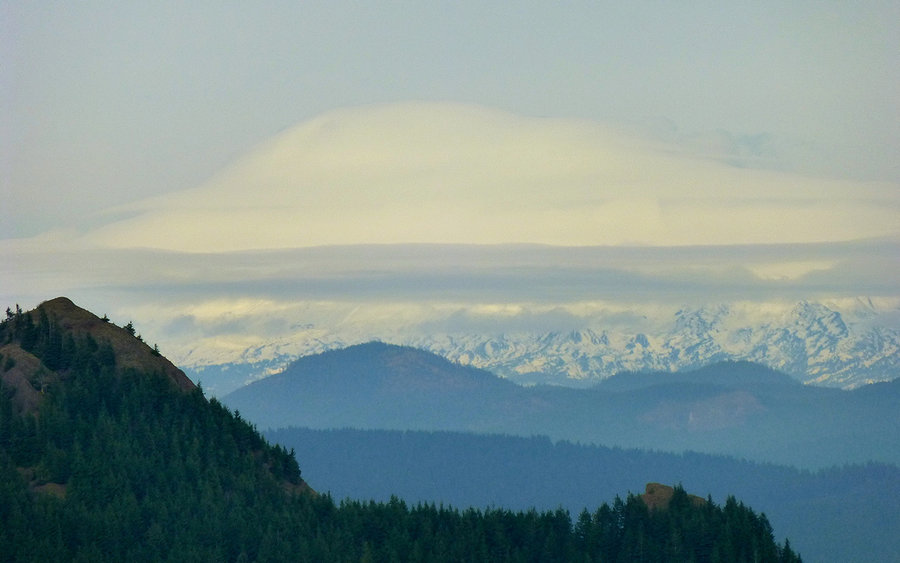
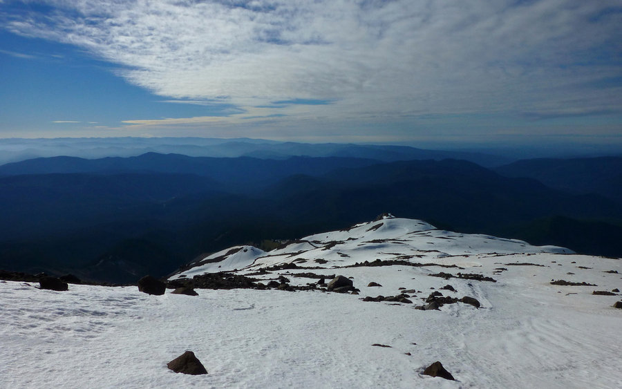
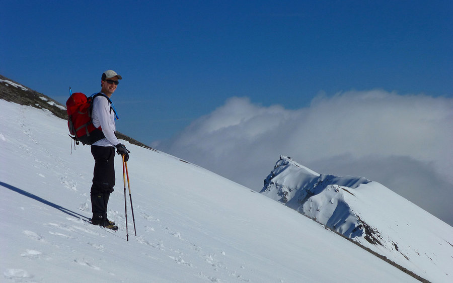
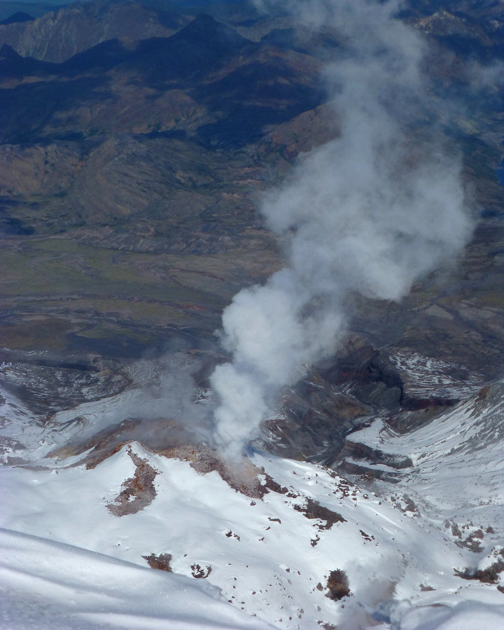
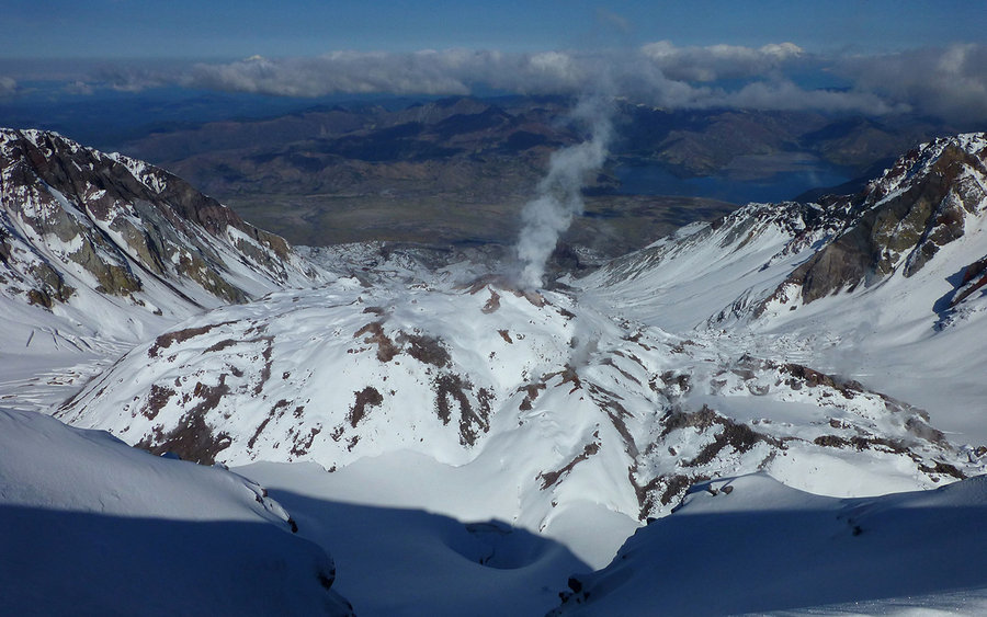
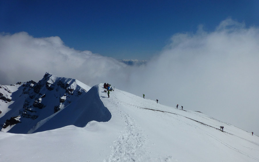
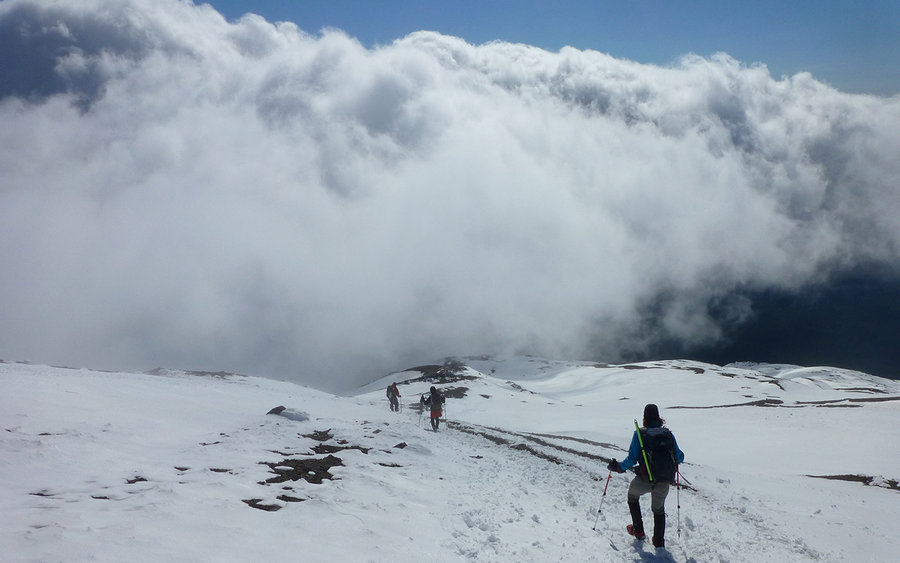
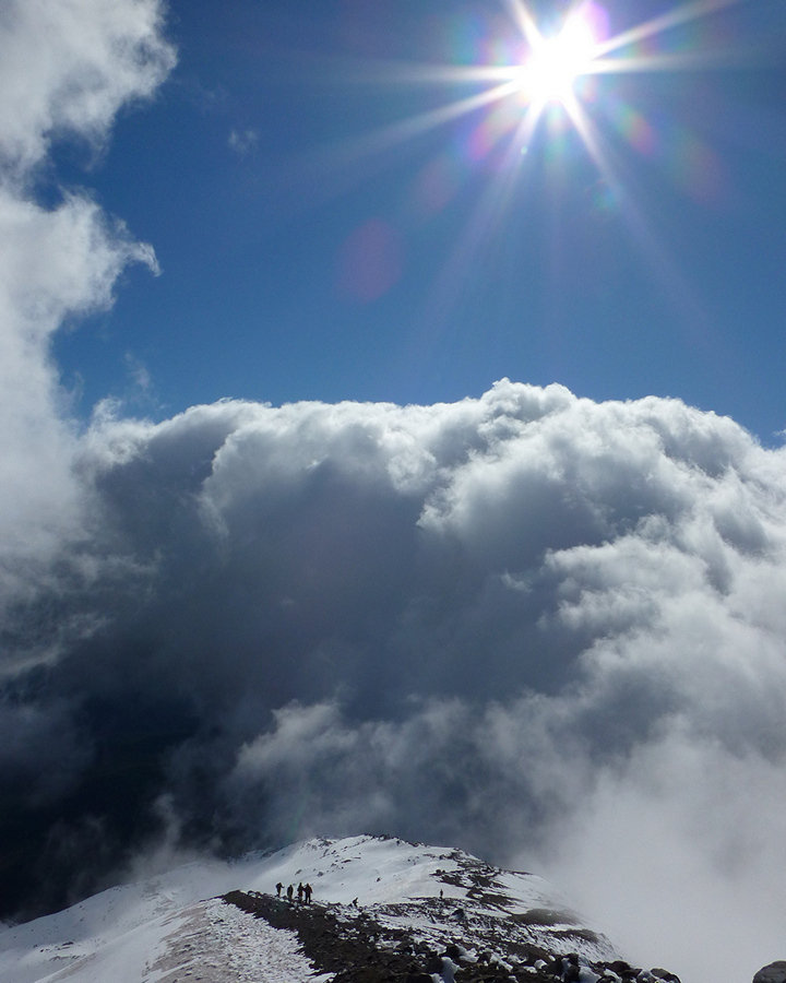
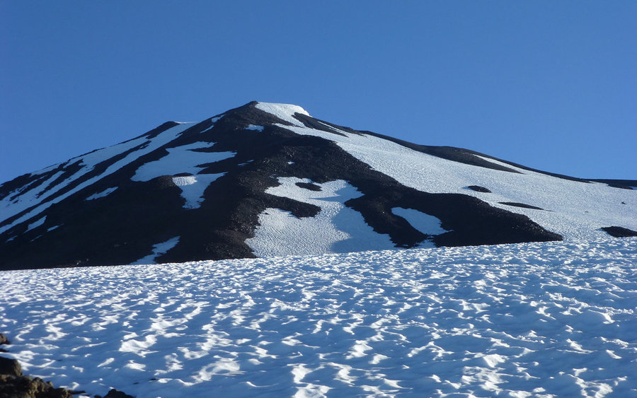
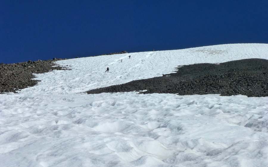
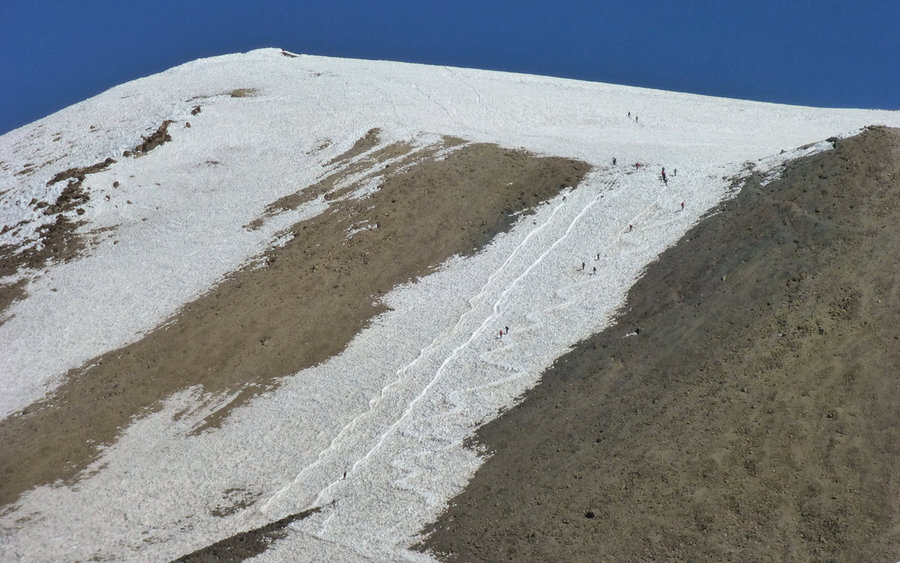
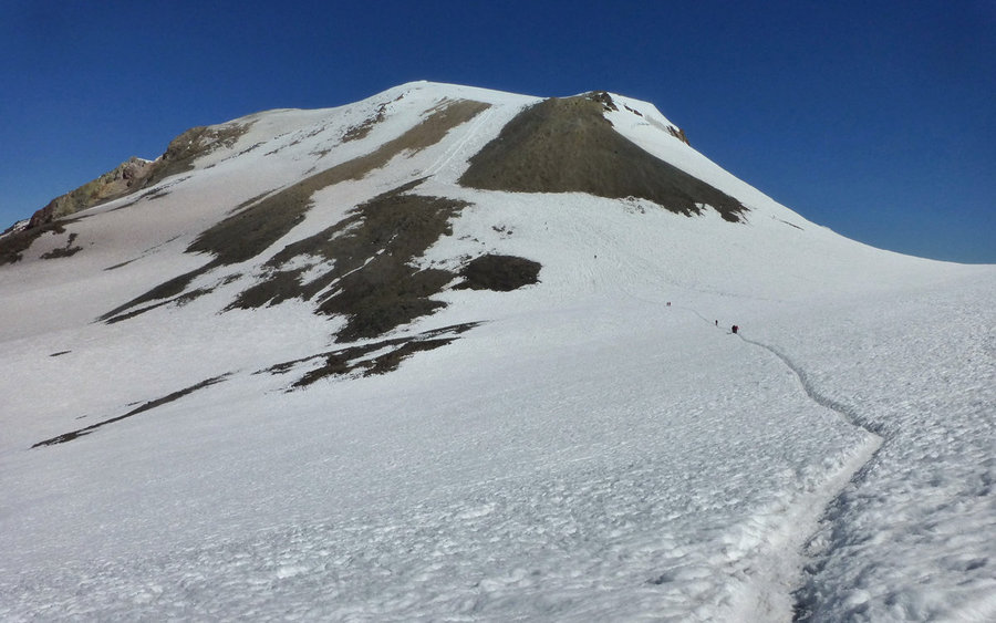
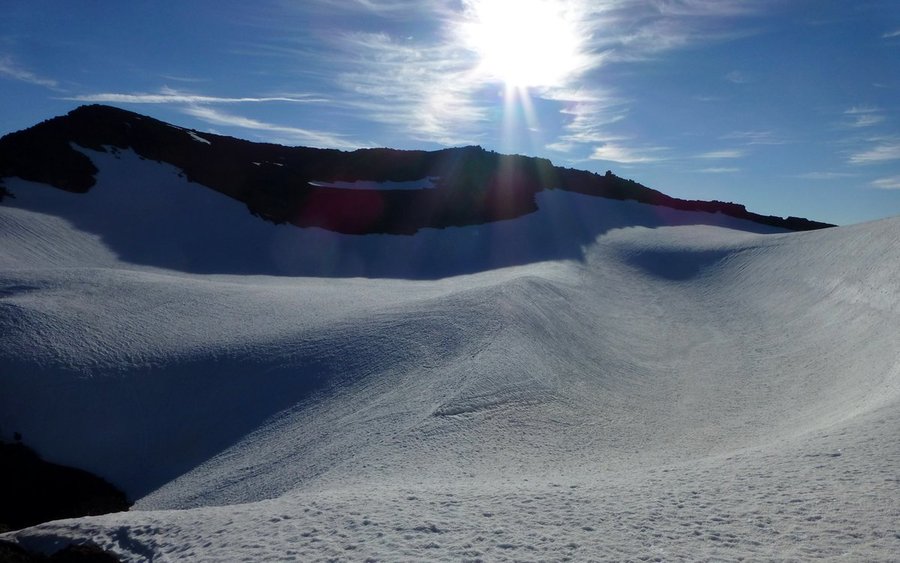
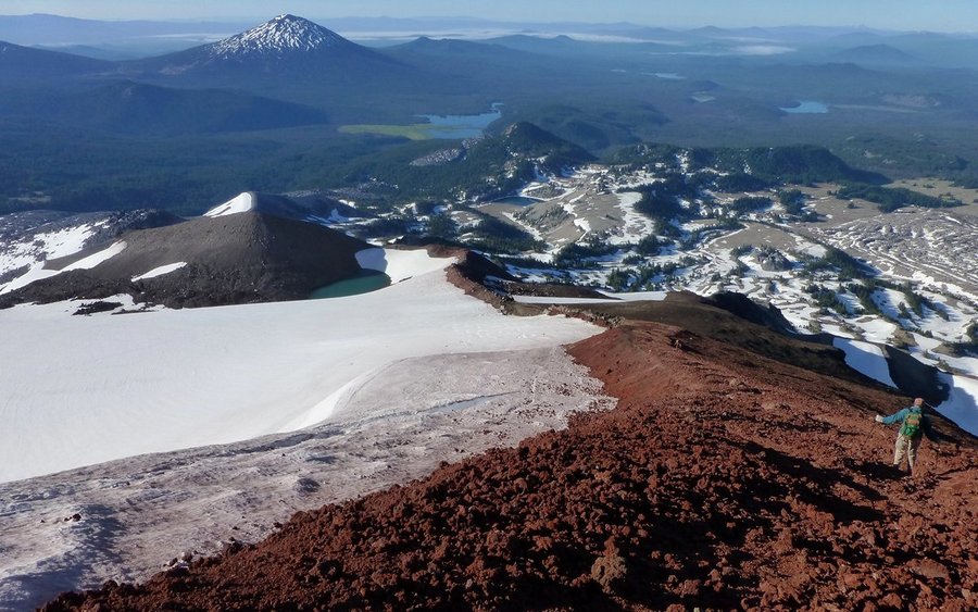
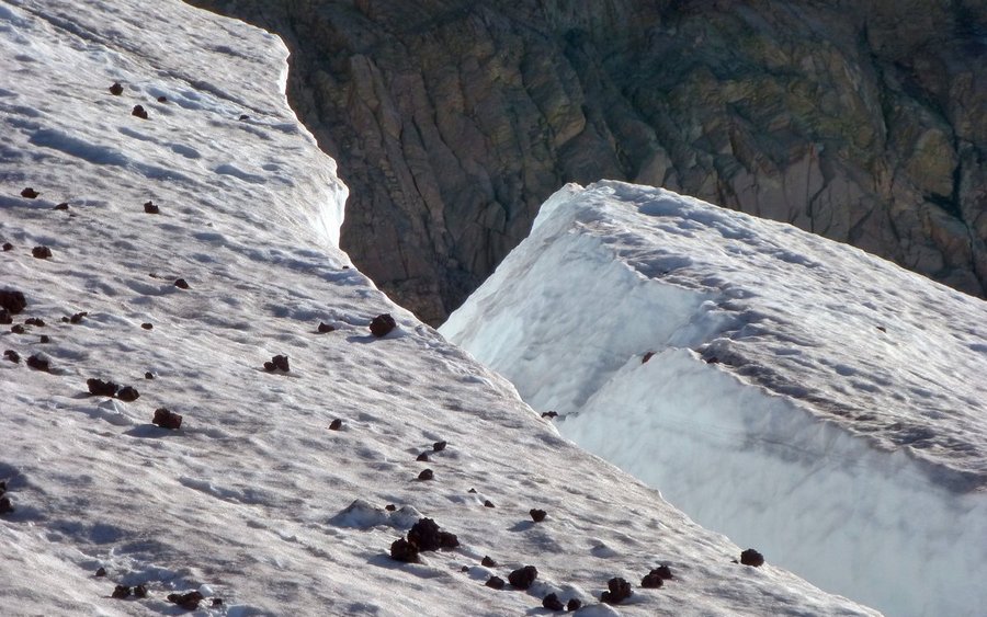
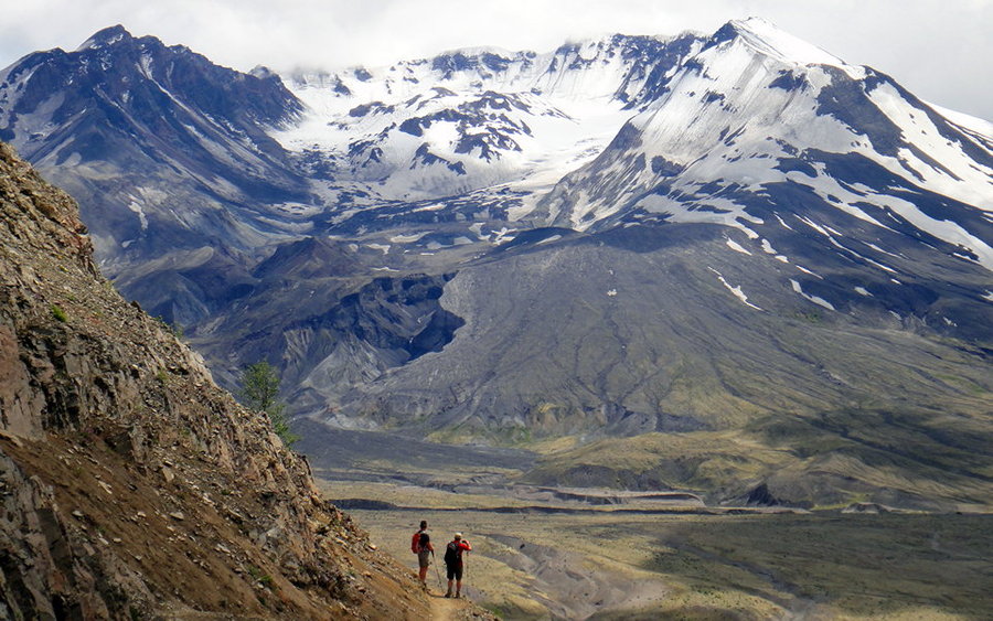
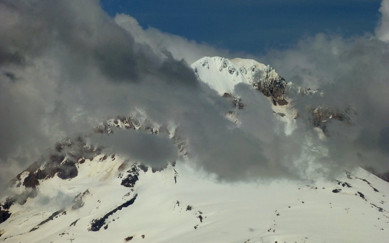
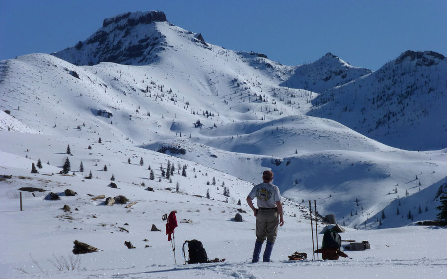
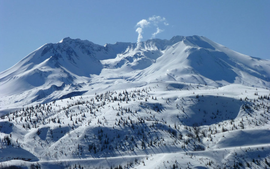
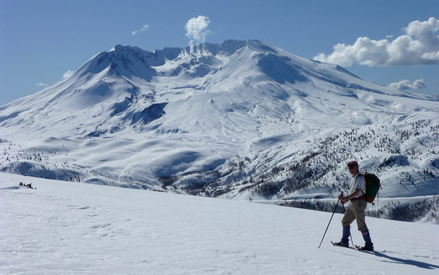
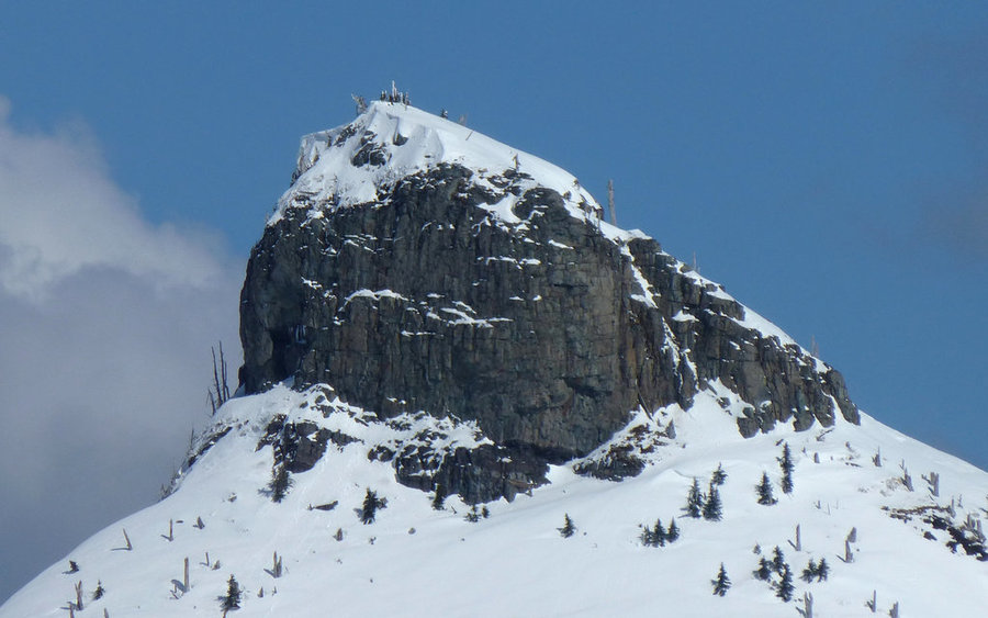
Mount Saint Helens: Worm Flows Route
10.5 miles of hiking • 5750' elevation gain •
What a day! One I'll never forget. First ascent of a glaciated volcano since 1985. And we probably picked the very best day of the year to do it on. It's almost impossible to conceive of better conditions. It was about 28°F at the Marble Mountain trailhead when we left there about 7:40am. The skies were crystal clear blue in every direction. As the day wore on, it only got warmer. Within two miles of the trailhead, I was down to a single layer of clothing and rolling up my sleeves. A skier I met was wishing it were just a bit colder, so the snow wouldn't be so sticky, but it was perfect for snowshoes.
The first two miles travel through the woods, and barely gain 900' elevation in the process. The last two miles to the crater rim gain nearly 4000', in comparison. I've always heard this hike described as "a slog!", but I can't go along with that. Yeah, it's a helluva workout! But the scenery is sooooo compelling that to dismissively call it a slog is missing out on much of the point of being there.
It took me 5h5m to the top, and 9h20m total including time spent enjoying the views. We could see up to 200 miles in any direction. The only persistent clouds were in the West Fork Hood River valley and lower Willamette valley. Every Cascade peak from the Three Sisters to Mount Baker were out in all their glory, as was the Olympic Range and Goat Rocks.
Impossibly wonderful day! :-)
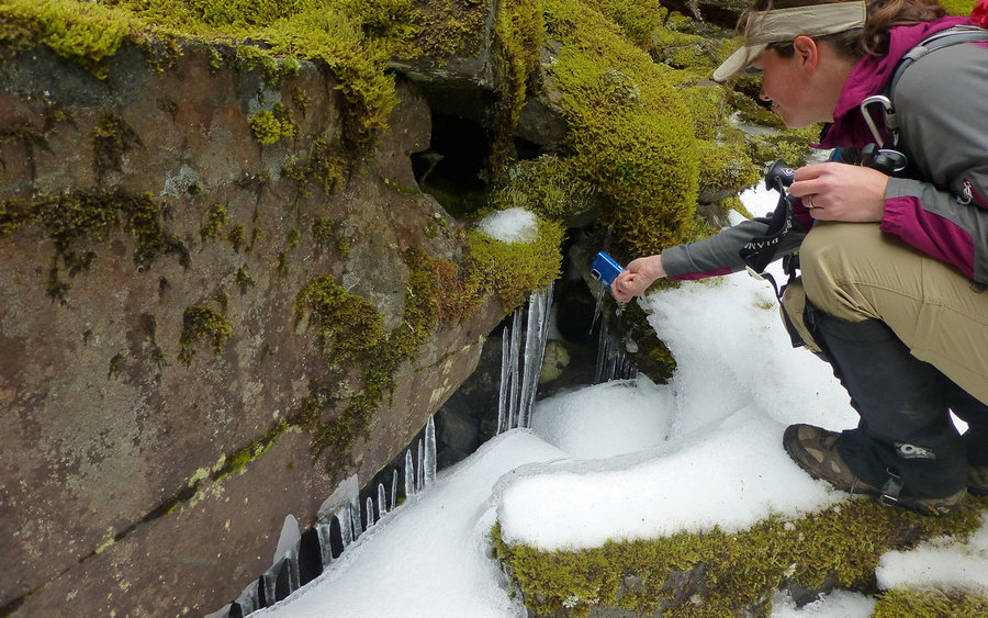
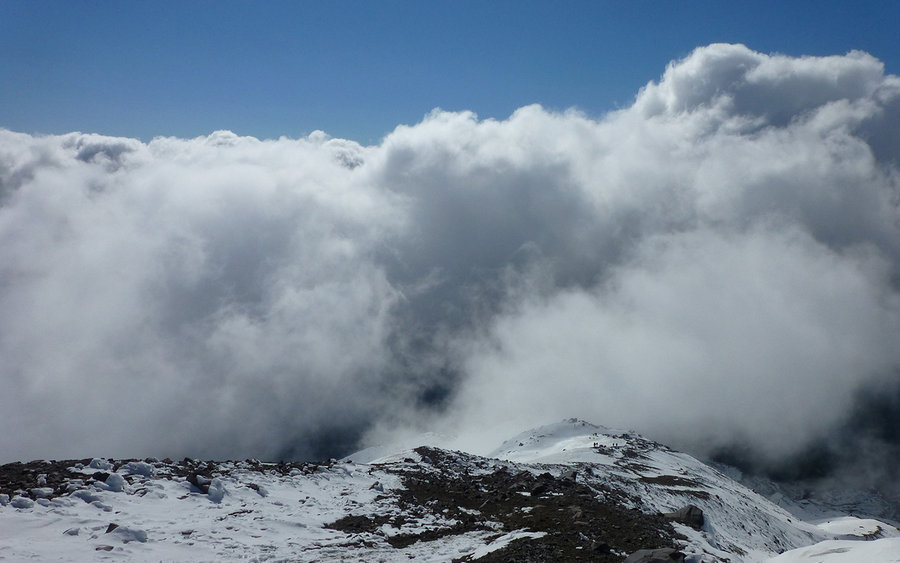
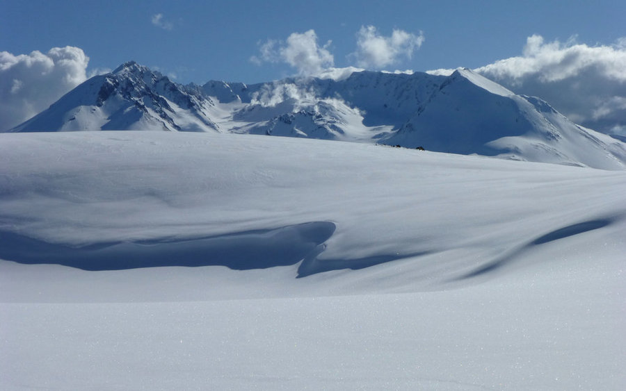
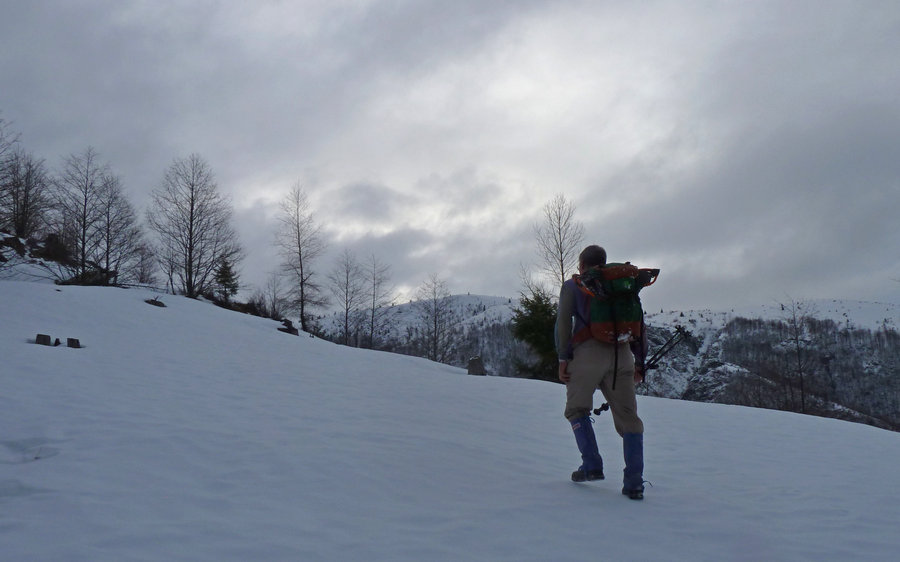
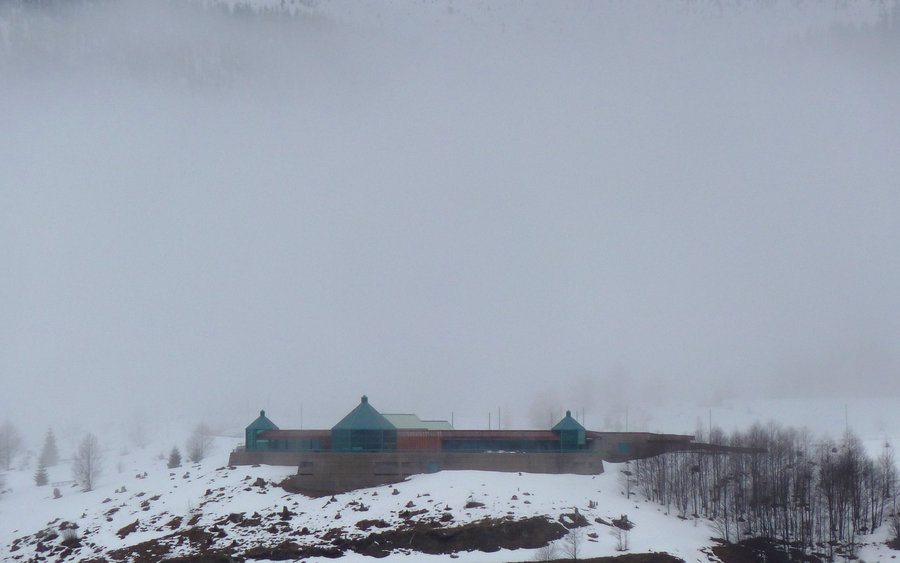
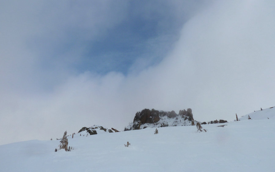
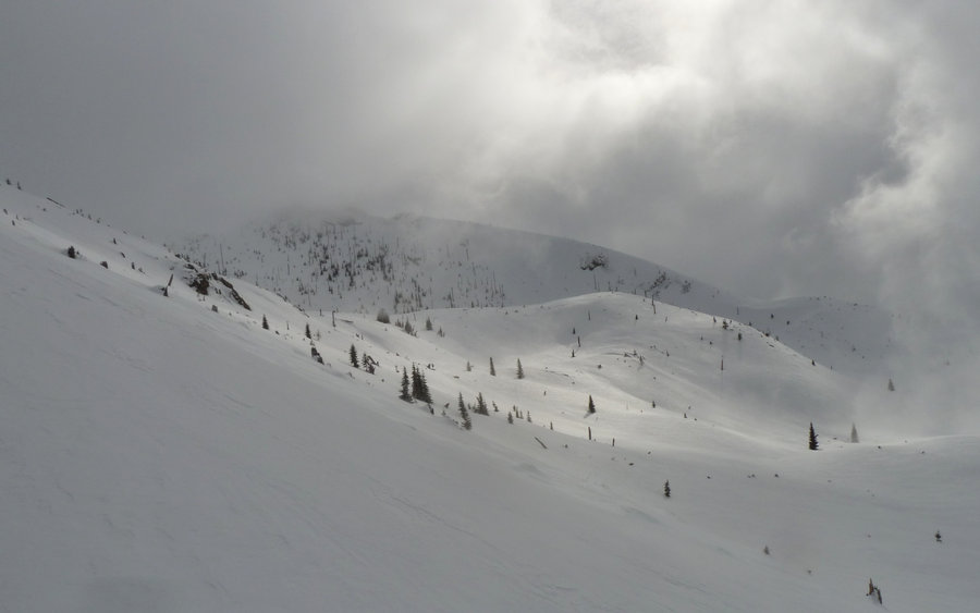
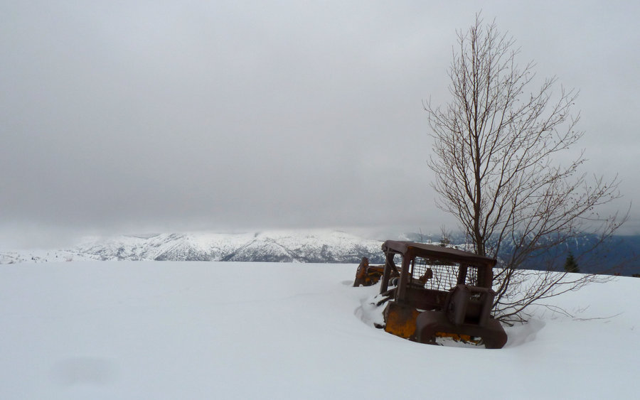
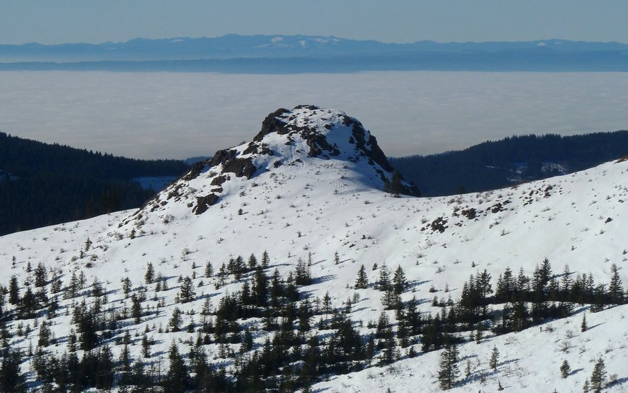
February 15, 2013


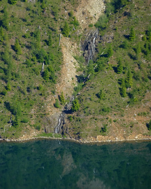
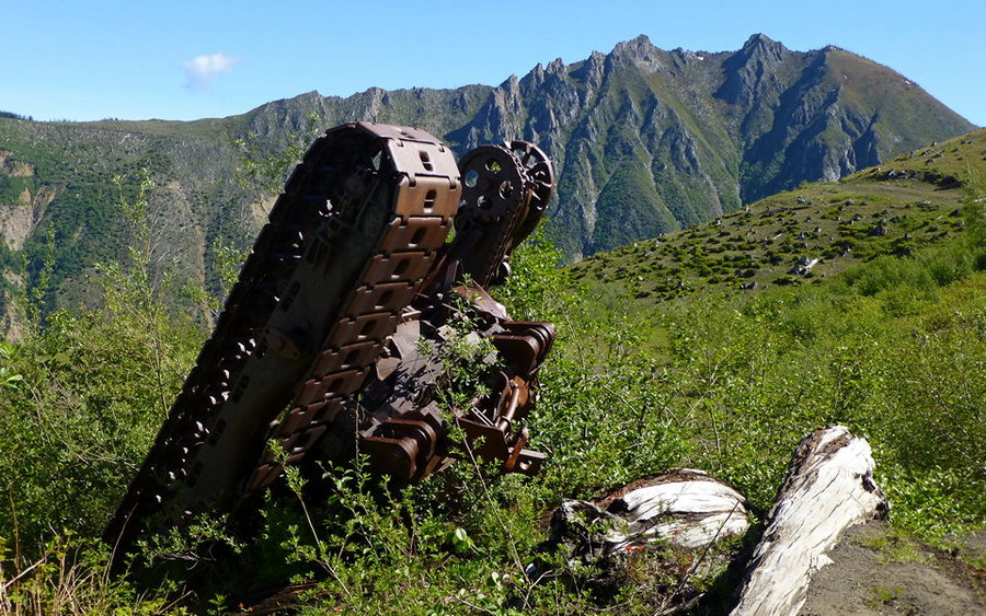
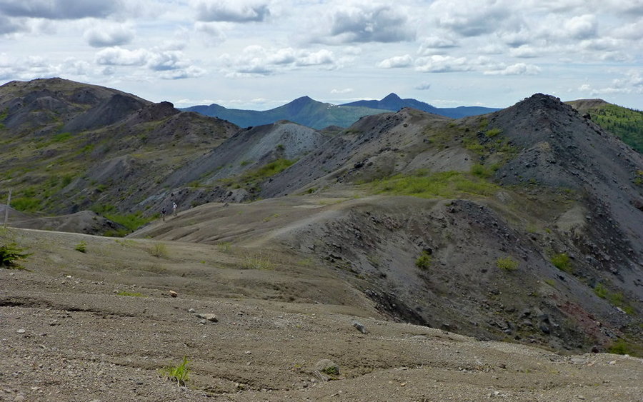
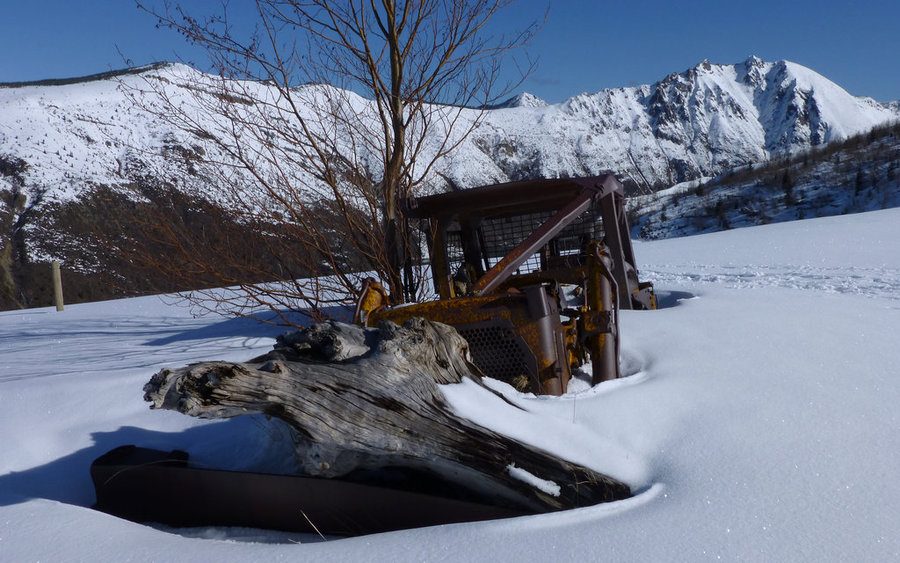
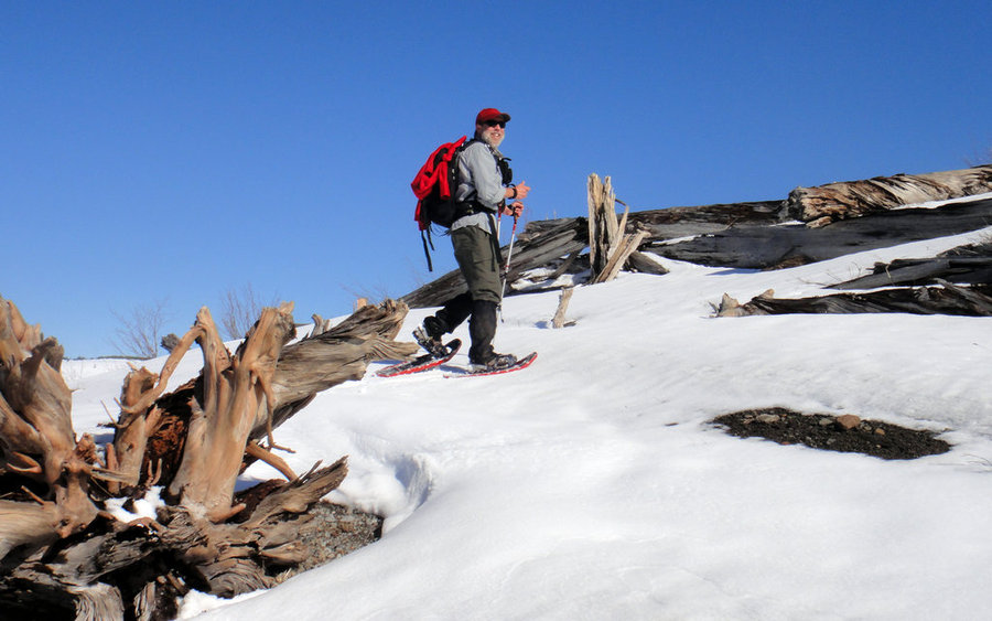
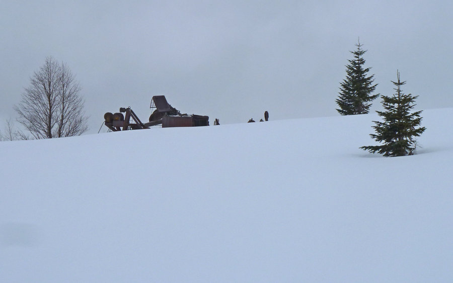
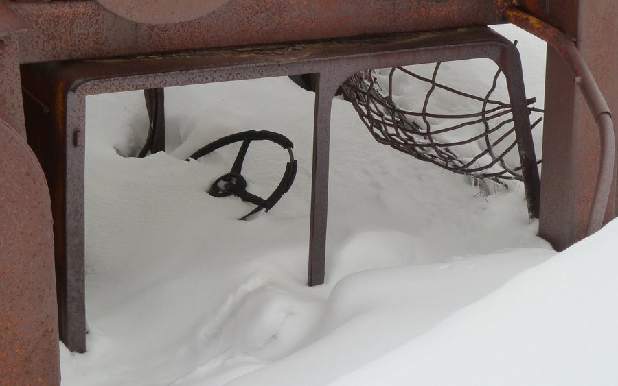
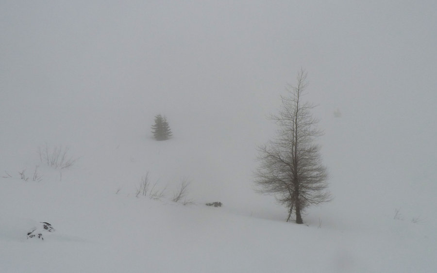
Coldwater Ridge
9.9 miles of hiking • 2750' elevation gain •
This trek up a virtually barren ridge on the south side of Coldwater Lake, just north of Johnston Ridge, could be spectacular! On a clear day. Today we climbed into the clouds and near-whiteout conditions, at times almost surreal. It was another good test of the new snowshoes. We wandered through and past much blowdown from the 1980 eruption, and even passed by some old logging equipment that got destroyed that day as well.
Although we had hoped to make it all the way to the Boundary Trail, where it overlooks Saint Helens Lake, we turned around about a mile or so short of that as we felt the view there would be pretty much what we had where we were. That is, whiteness. Very white whiteness, punctuated only momentarily by the briefest of clearings as 30-40mph winds whipped the clouds all about us. Temps were in the upper 20s most of the day.
February 9, 2013


Hamilton Mountain and Beyond
11.6 miles of hiking • 3500' elevation gain •
Another beautiful February day in the gorge. The lower flanks of Hamilton were bare, the sky was blue, but there was a very strong wind blowing from the east. The summit had a couple feet of snow, but the saddle was also bare. I made the fateful decision to wander the jeep trails north of the saddle, and ran into far more snow than I really had wanted to deal with. Should've brought the snowshoes! Even though, it seemed silly to even have gaiters on during the "main" (popular) stretches of the hike. Lesson learned.
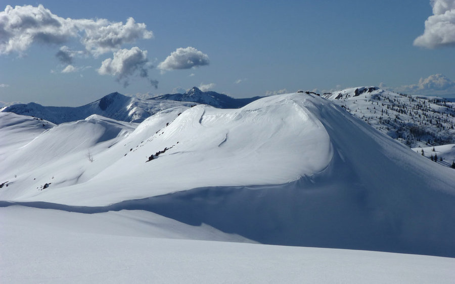
February 2, 2013


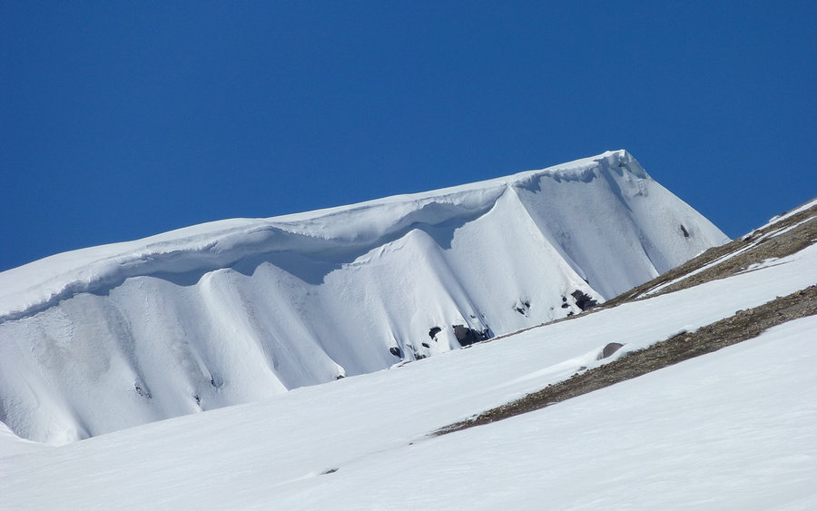
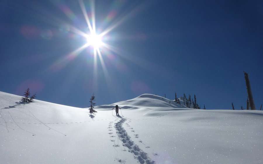
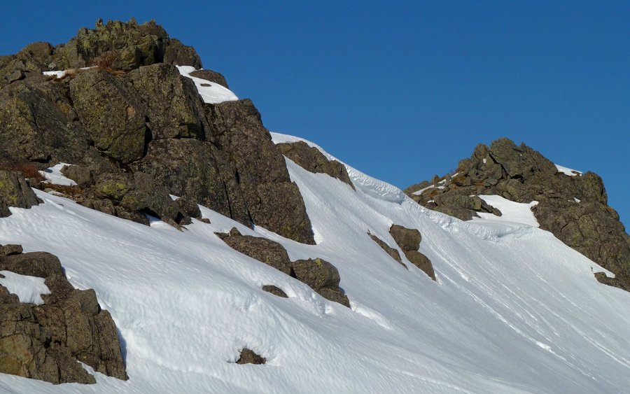
Silver Star South Ridge
7.4 miles of hiking • 3000' elevation gain •
The Portland-Vancouver region was in the second week of a very strong inversion. I had just bought a new pair of snowshoes. Silver Star called out for an adventure. And what a great adventure it was! I never could have seen it in this sort of glory without the new toys.
I started at about 1600' elevation, which was about as far as one could reasonably drive in the direction of the Grouse Vista trailhead (about 1000' higher). From there, an old jeep trail leads up a ridgeline, and the snow quickly became rather deep. As I climbed, the air got warmer and warmer. While it was around freezing at the trailhead, by the time I'd gotten up past the Indian Pits it was well over 50°F. What a day!
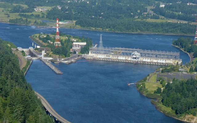
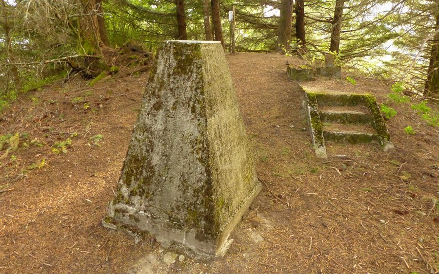
January 19, 2013


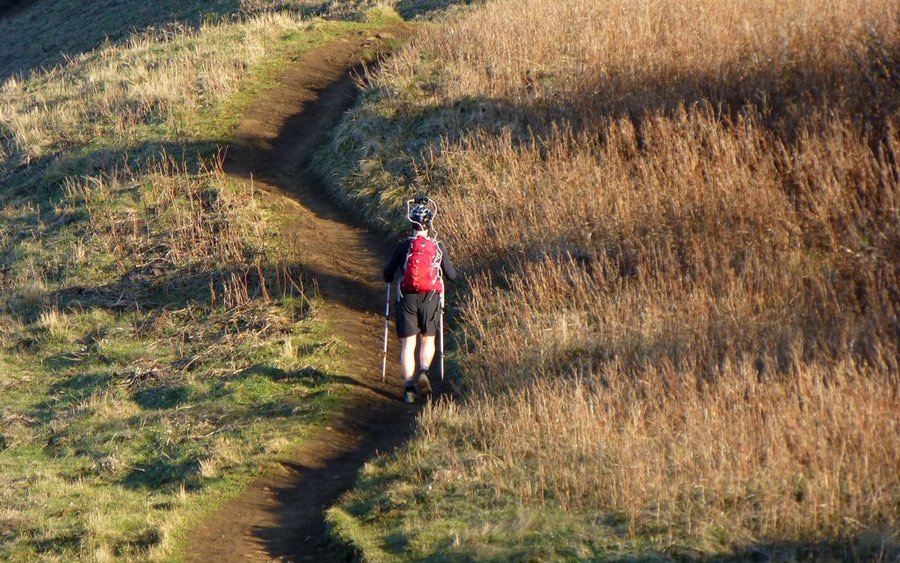
Cape Horn Loop
7.5 miles of hiking • 1750' elevation gain •
Fabulous loop for whenever you have a spare morning or afternoon, and are looking for a hike near the cities! Portion below SR-14 closed from February 1 through July 15, though. My team (Seahawks) were losing bad, so I threw the pack together and headed up the gorge. It was really a beautiful day for January, and the trail was in fine shape. Good to get another loop in before those crazy falcons shutdown the lower loop option!
January 13, 2013