12.2 miles of hiking • 4000' elevation gain •
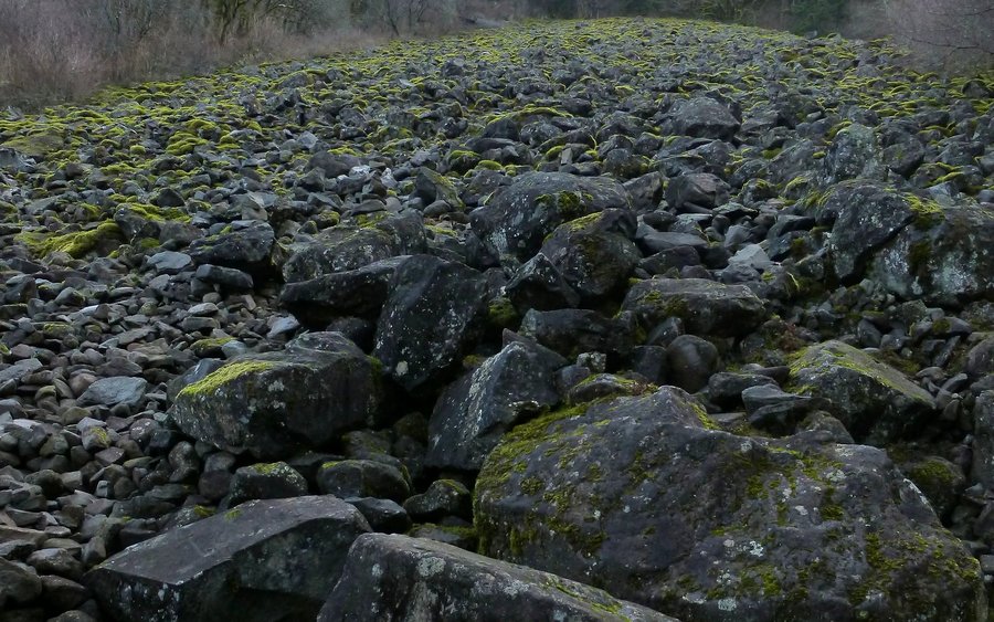
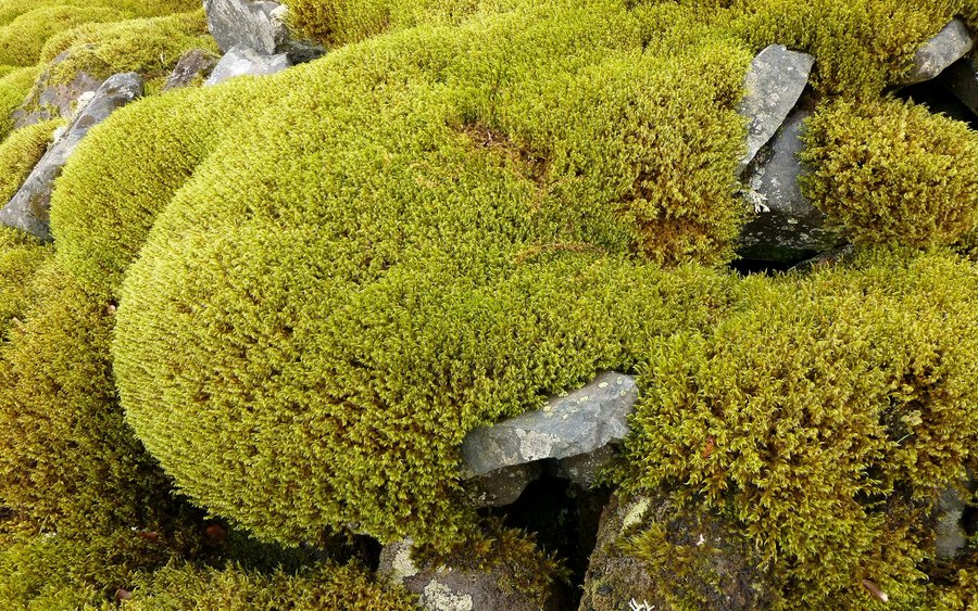
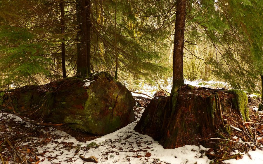
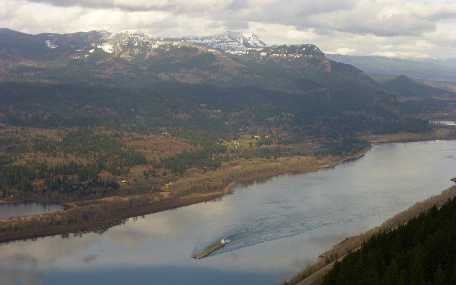
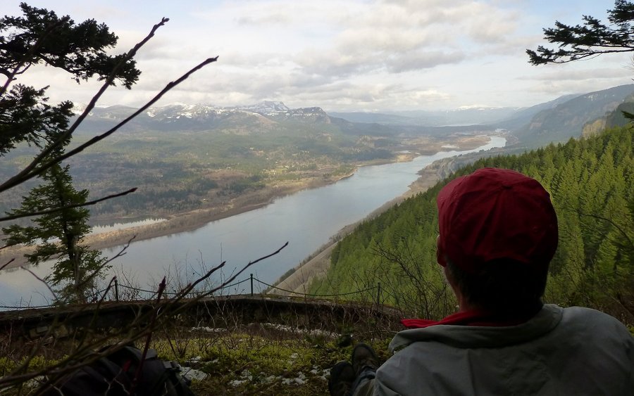
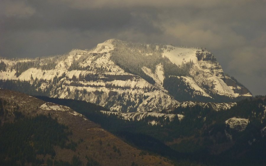
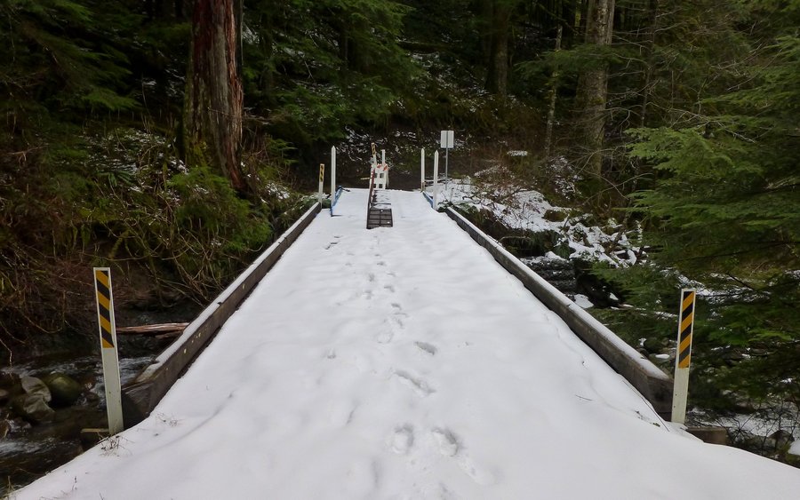
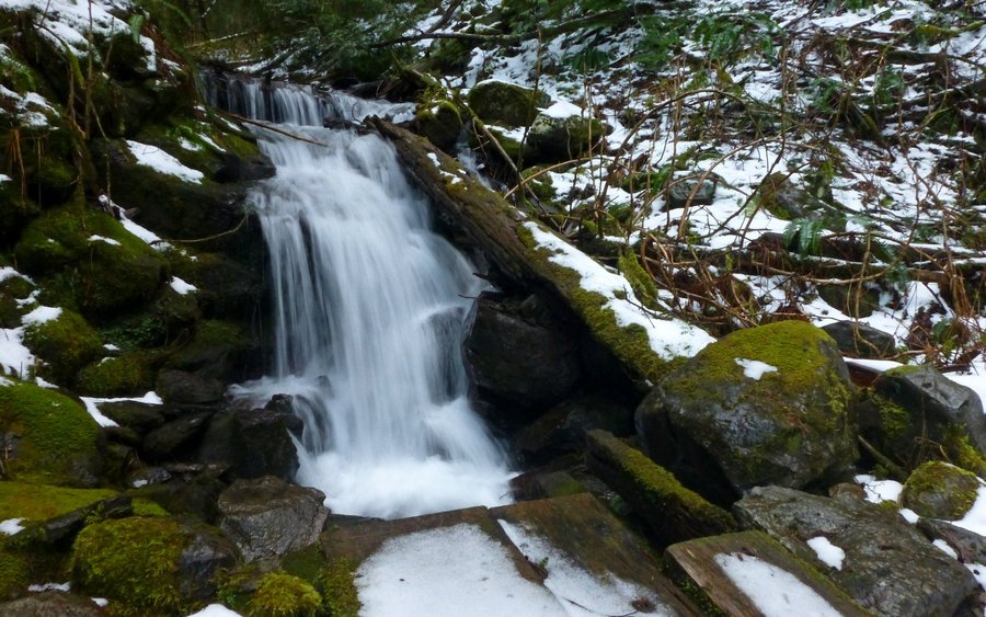
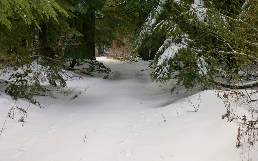
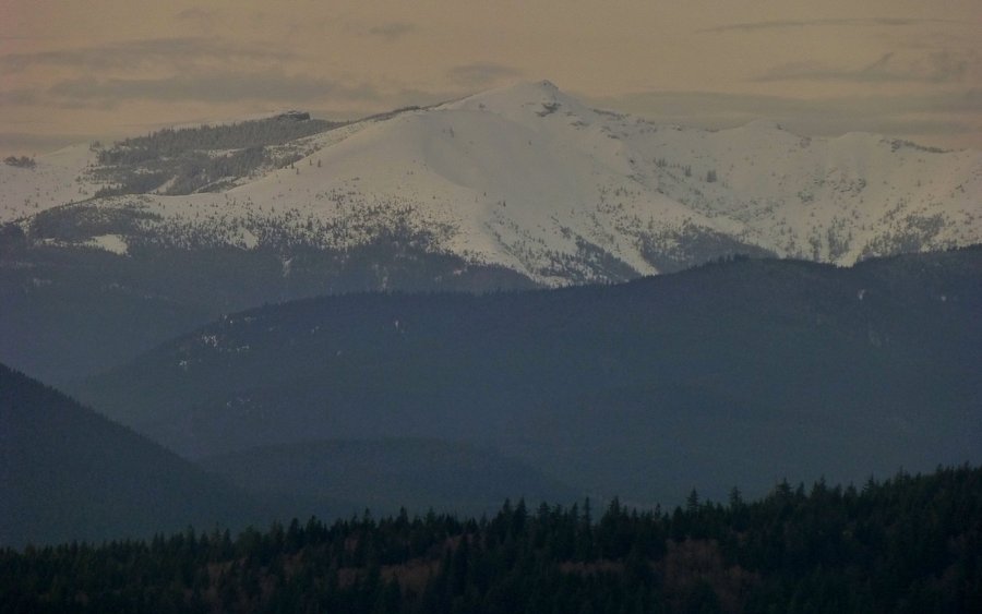
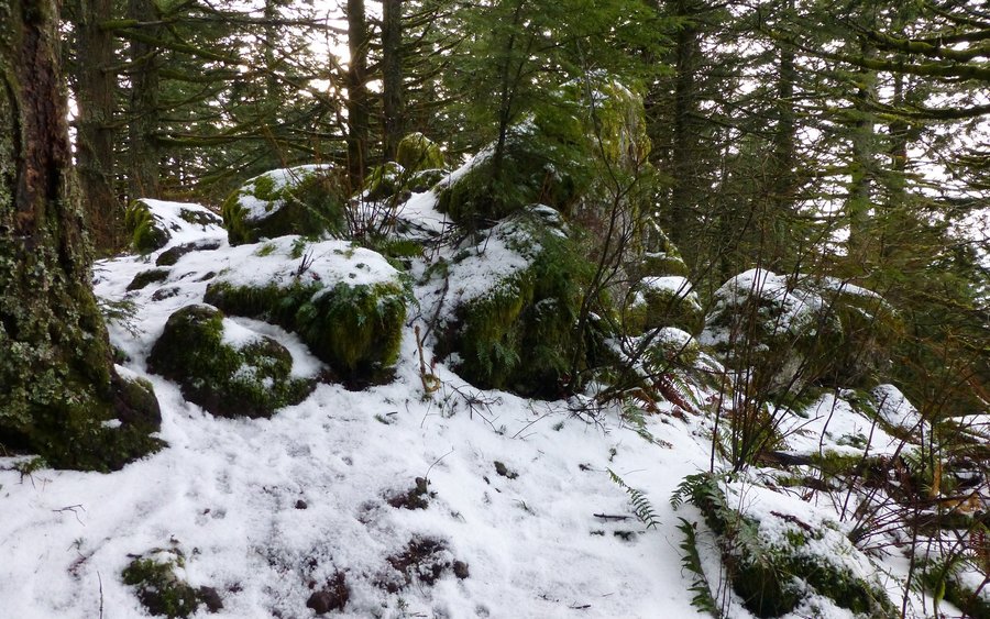
Was told to "go take a hike!", so I did. Wasn't sure where I'd end up, but I started at almost the closest trailhead (Multnomah Falls). Went east on 400, turned south and climbed the 1000'+ rockfall known as the Elevator Shaft, found a really cool overlook above the MF parking lot, went east across the Multnomah Basin, lunched at the Bickle Point (probably best spot in the gorge!), then headed south again up to Franklin Ridge, worked my way back down to the Larch Mountain trail, and followed a jeep trail west up towards Devil's Rest. It being right about sundown by now, I decided to crash down the Primrose Path, hoping to find the Angel's Rest trail and take that back down. Had to pull out the headlamp by Wahkeena Springs, and was in full darkness by Fairy Falls. What a cool loop!!!