

2014 Trips


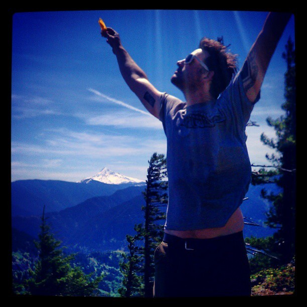
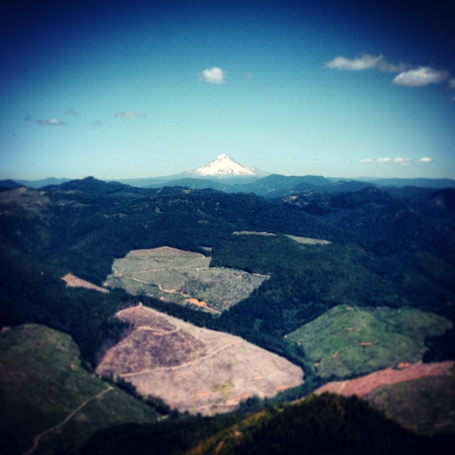
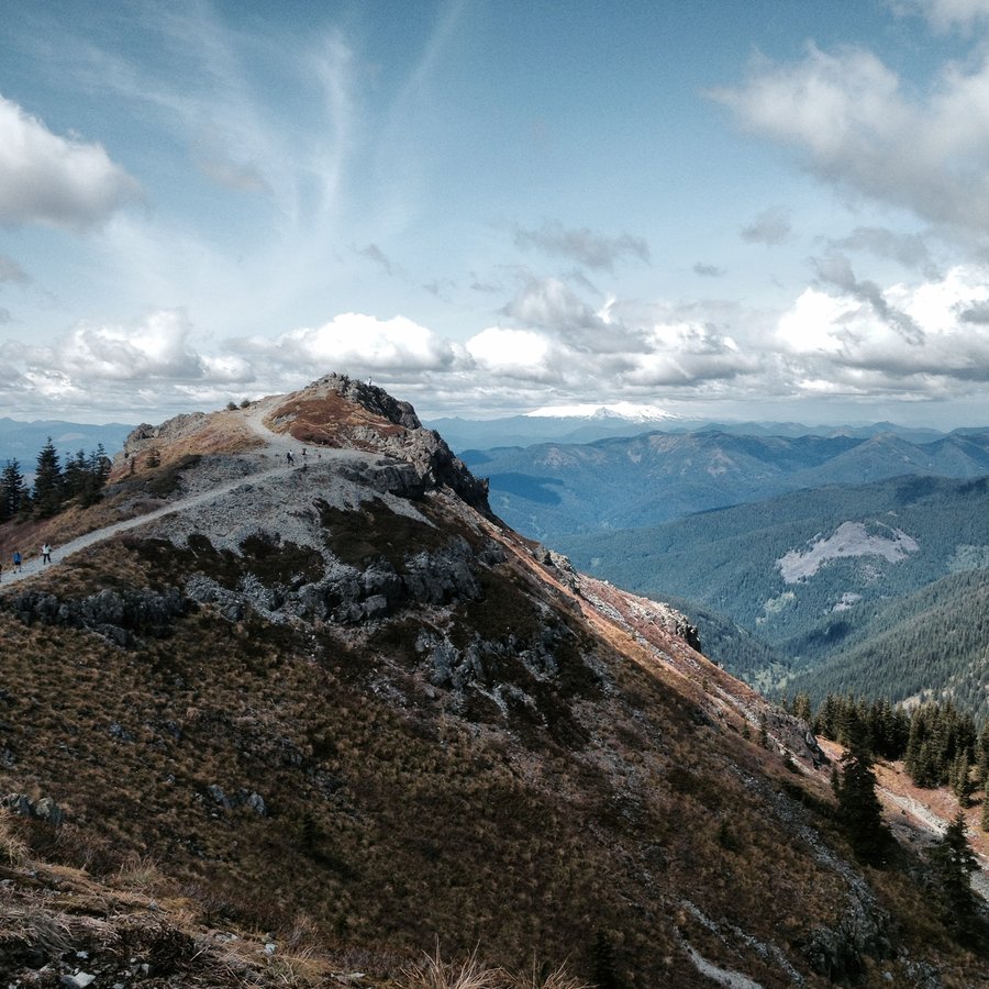
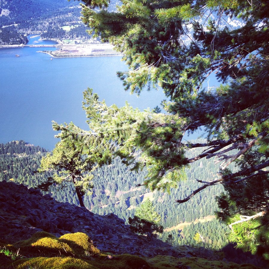
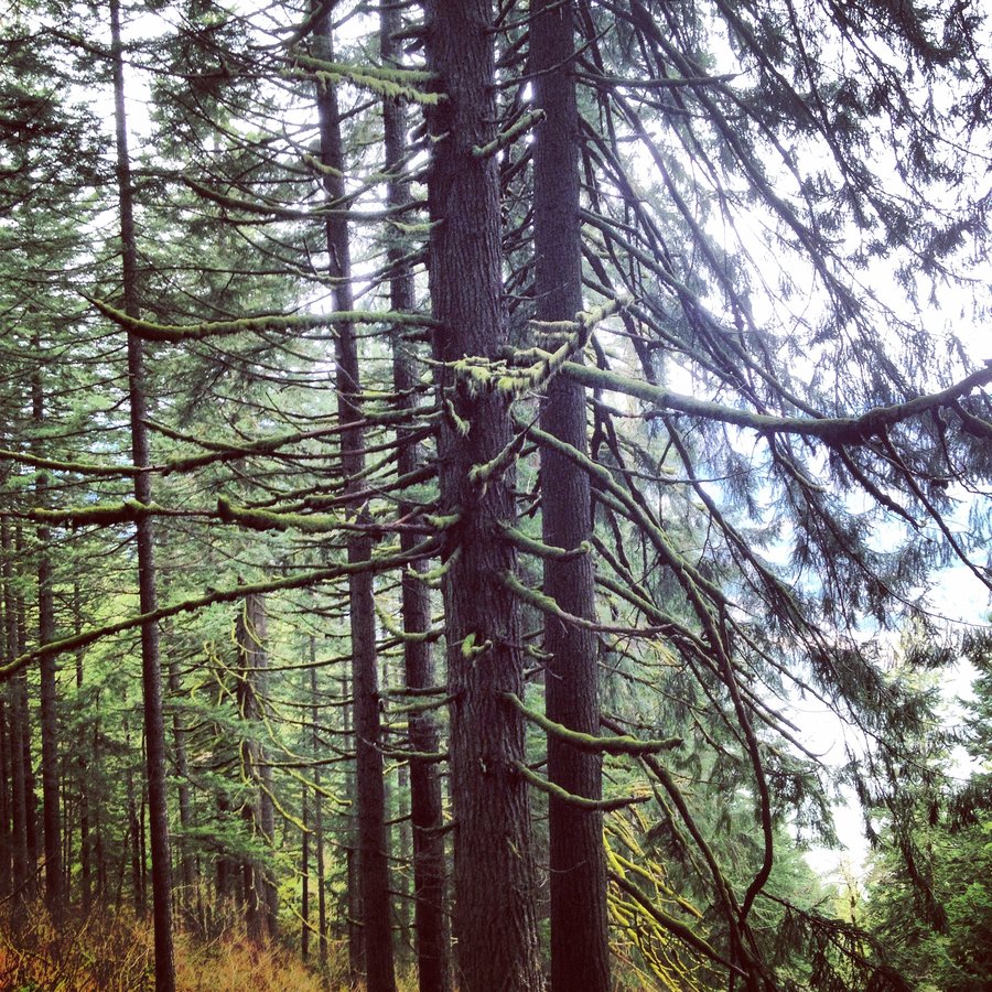
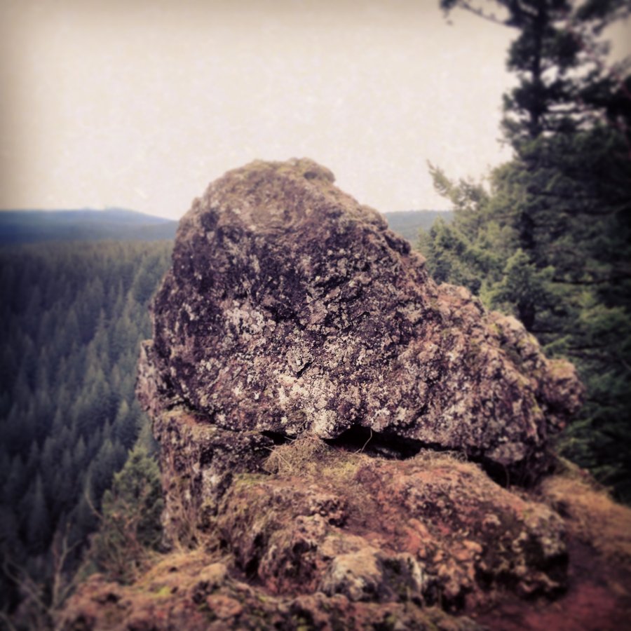
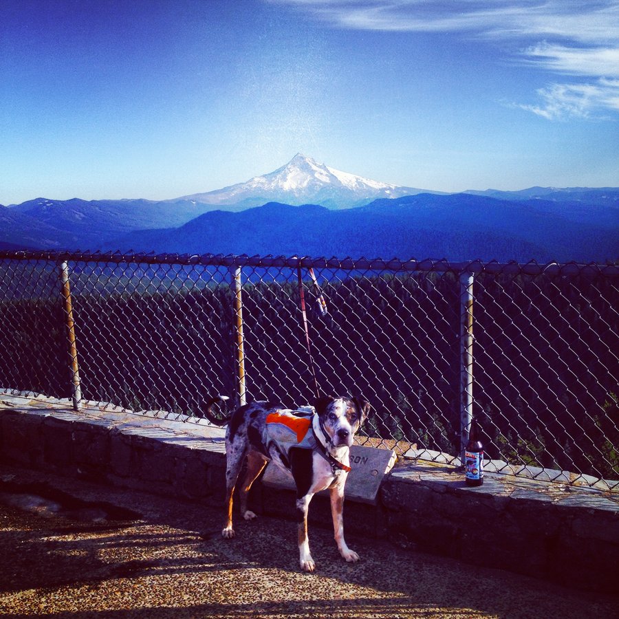
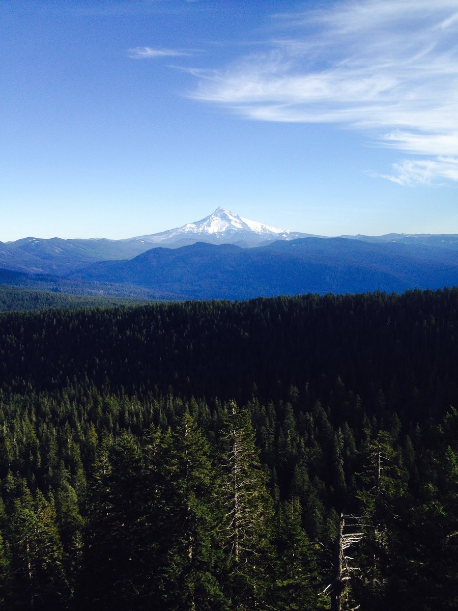
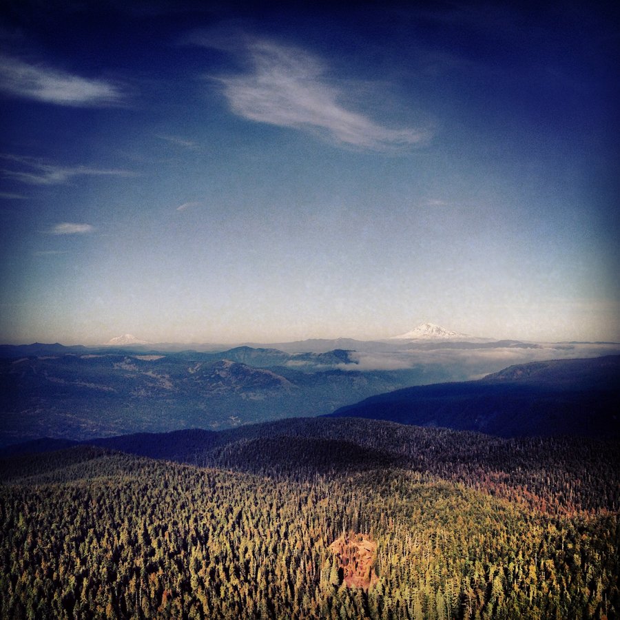
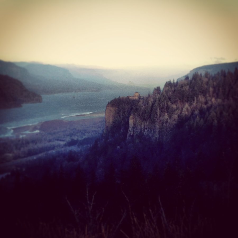
Table Rock
8.8 miles of hiking • 1500' elevation gain •
13 Snow Capped Volcanoes.
St. Helens, Hood, Adams, Rainier, Olallie Butte, Jefferson, 3FJ, Washington, Broken Top, 3 Sisters and the Husband.
Even Cooler was seeing the Portland Skyline off the North End.

July 6, 2014


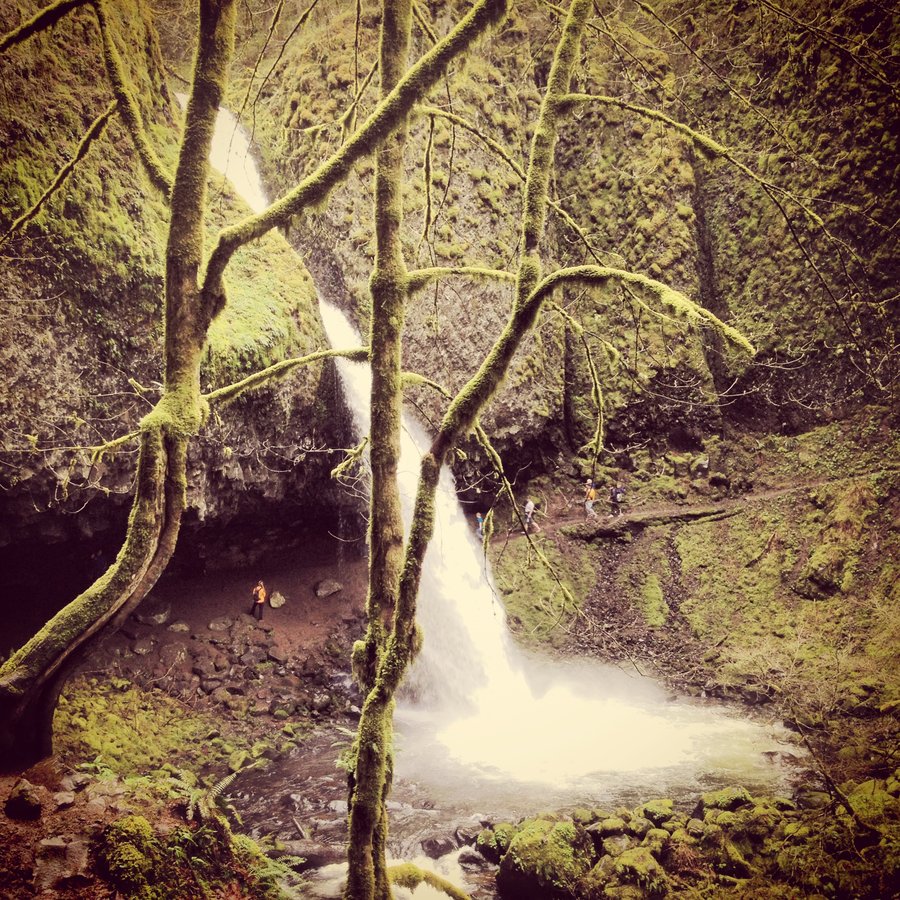
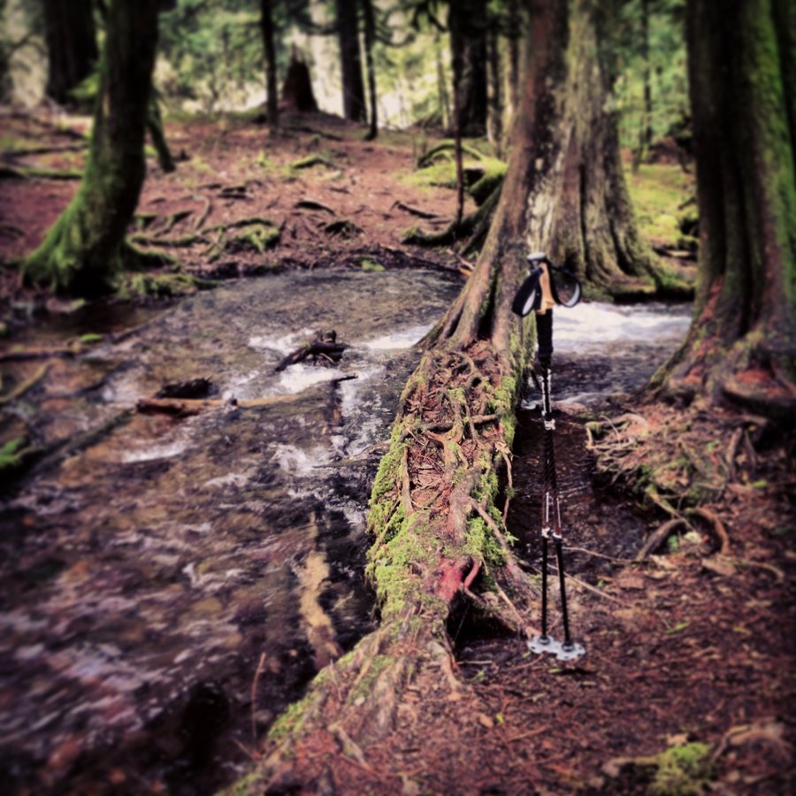
Wakeena Lap
4.9 miles of hiking • 1500' elevation gain •
Alone.
I Fell.
Trail fell out from under me as I stepped aside to let a dude pass by uphill.
Right near where the nasty icy slide/washout was this winter, above Weisendanger and Ecloa falls, but before the Larch junction.
An over-hanging mud cornice of a trail released without warning, and I fell into the thorny bramble 40ft above Multnomah Creek. Nothing but air and blackberries under my feet, and no solid holds at all to get back up.
Got out with the strangers help, a long 5 minutes. Banged-up bloody and muddy, but I walked it back to the car.
Lessons learned:
1. Always step to the INSIDE to let uphill traffic pass.
2.The green stuff at the cliff edge will support your weight (kind of.)
3. Thanks Stranger! This was 90% of a SAR call in the making.
4. If you plan on getting hurt don't do it at Multnomah Falls, so EMBARRASSING.
June 23, 2014

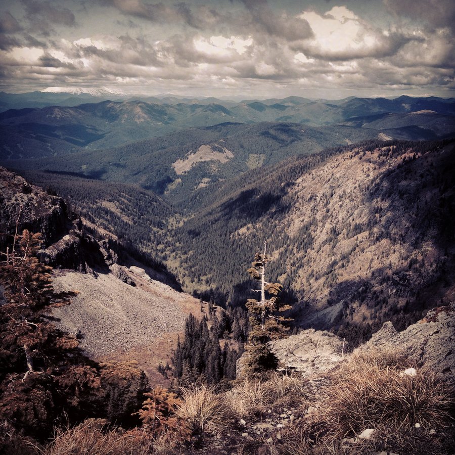
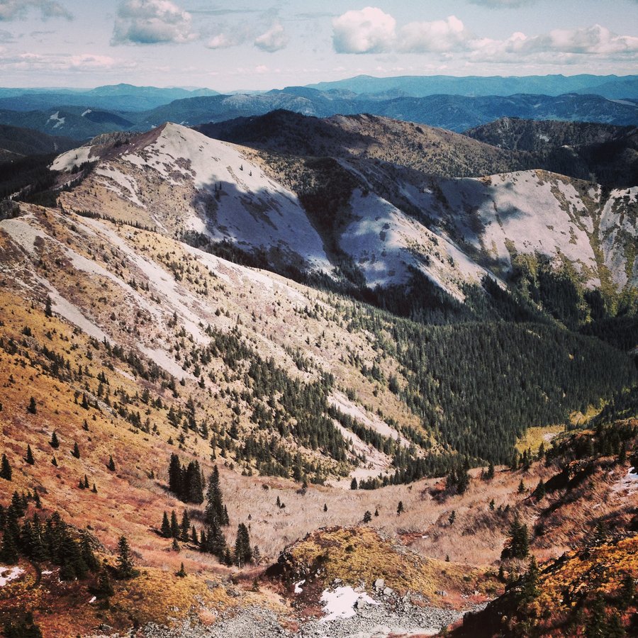
June 19 – June 20, 2014

.jpg)

June 8, 2014


.jpg)
.jpg)
.jpg)
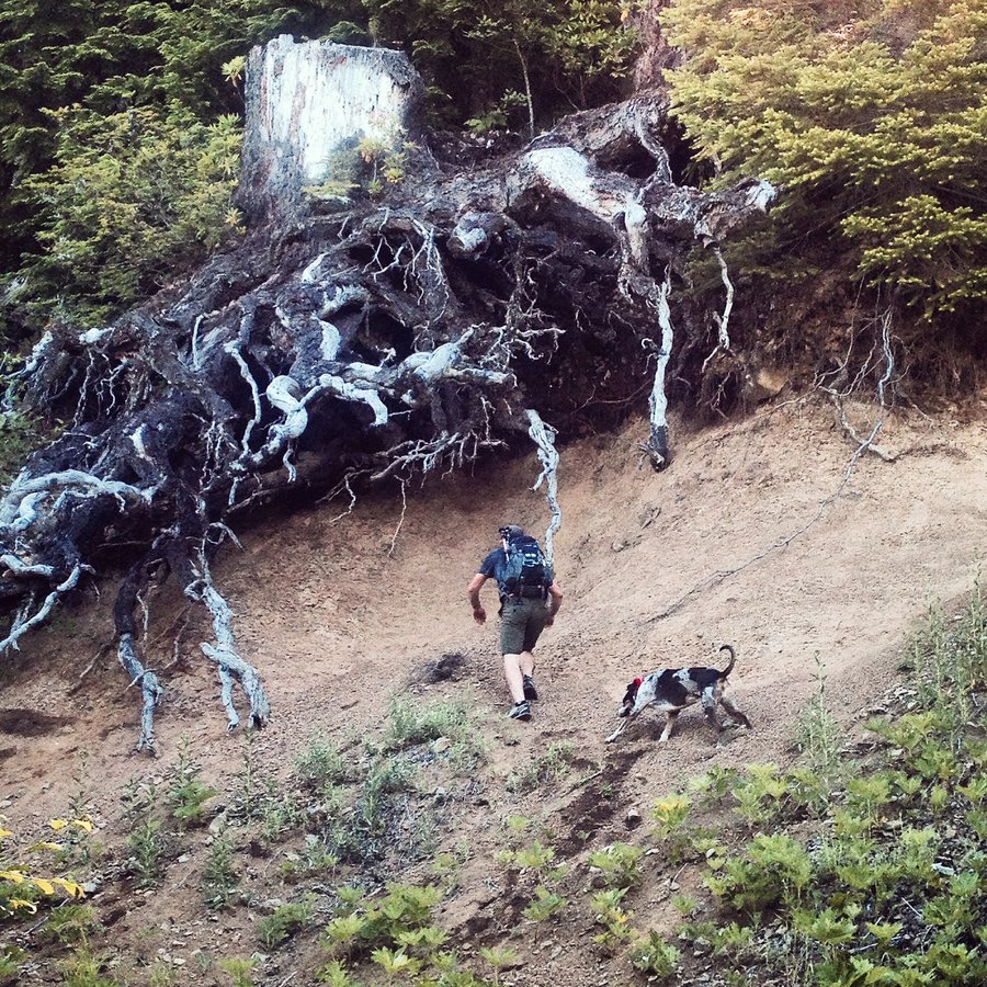
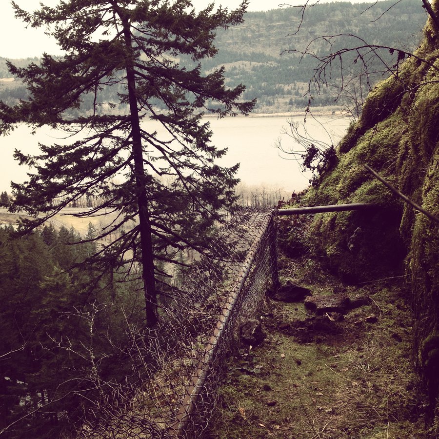
Indian Point
8 miles of hiking • 2750' elevation gain •
Windy. Enough to be a little sketched out on the spine.
Saw at least 30 people eating lunch over on Dog Mt. with the Binocs.
April 13, 2014

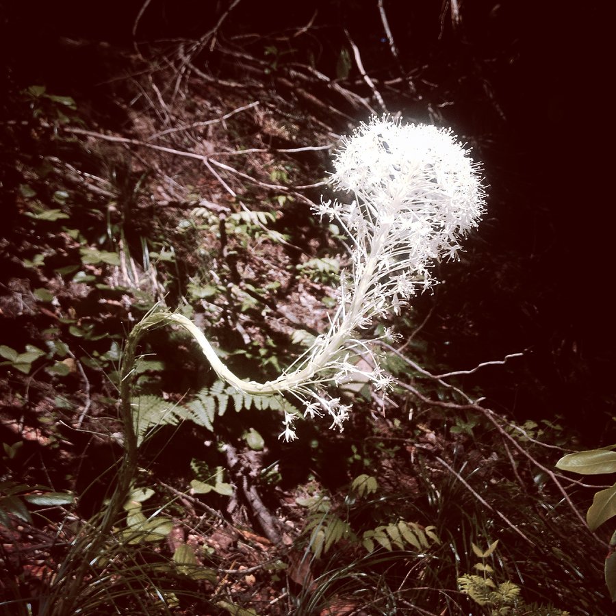
Horsetail, Ponytail, TripleFalls to Oneota Creek Ford
8.5 miles of hiking • 1500' elevation gain •
Gorge Disneyland.
Quiet Above Triple Falls.
Only saw two groups up there.
Ate lunch at the creek ford. Ragin'
April 6, 2014

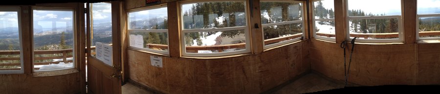
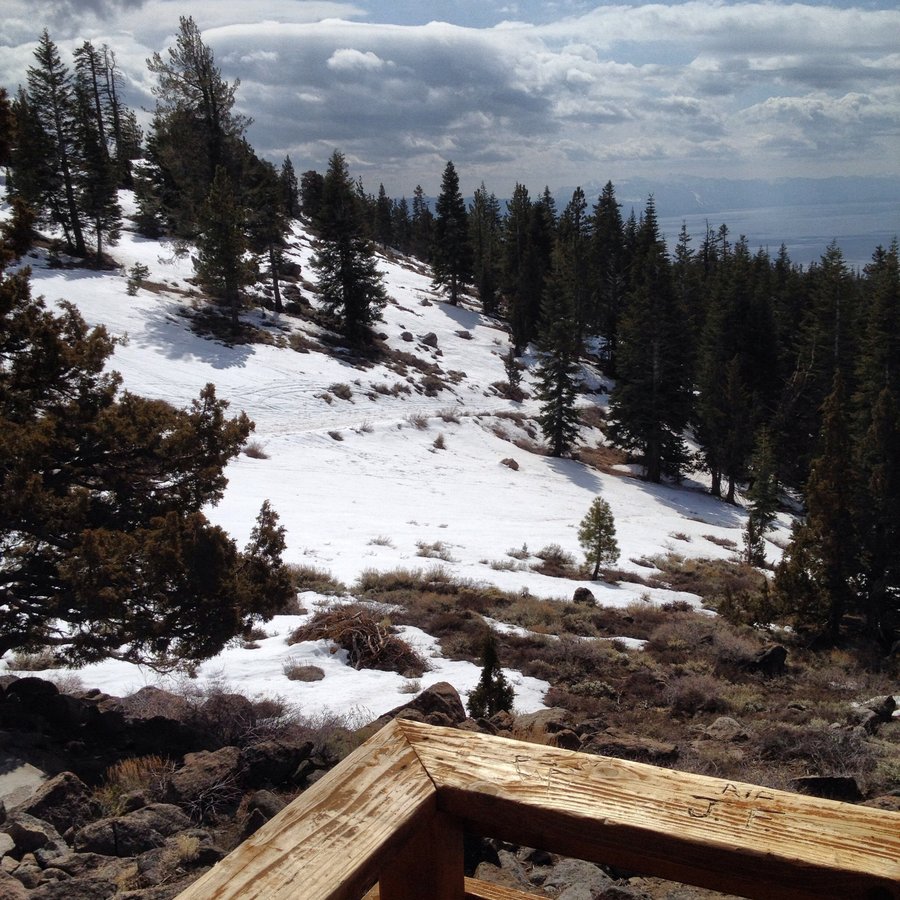
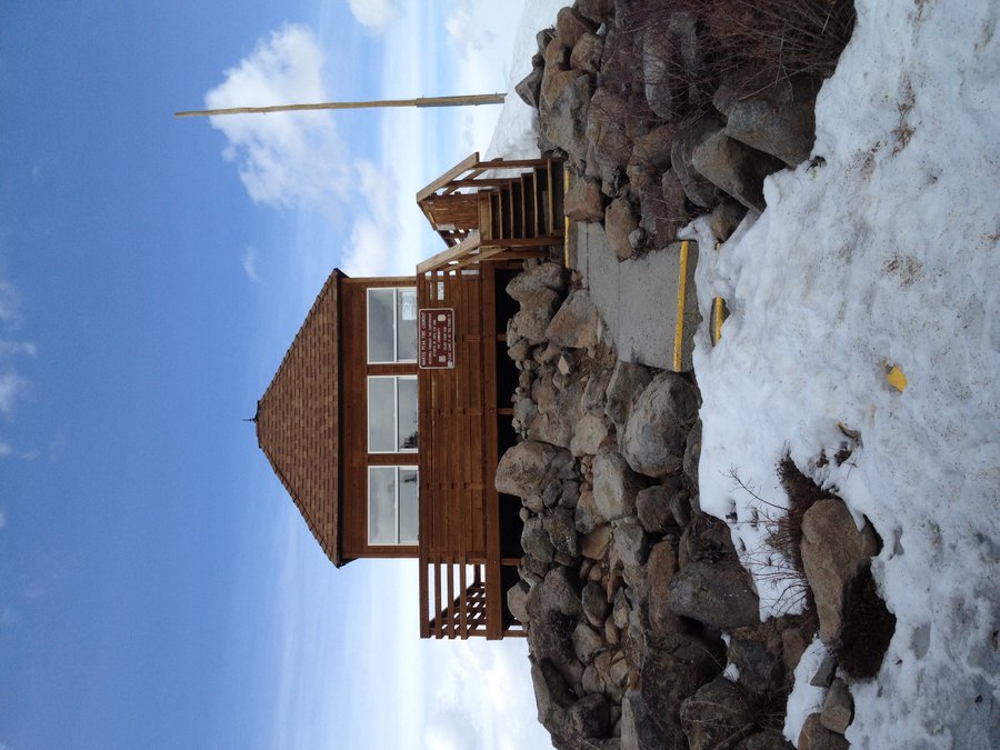
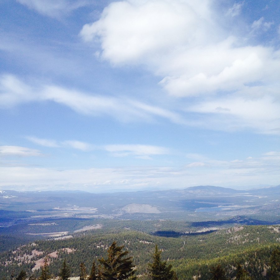
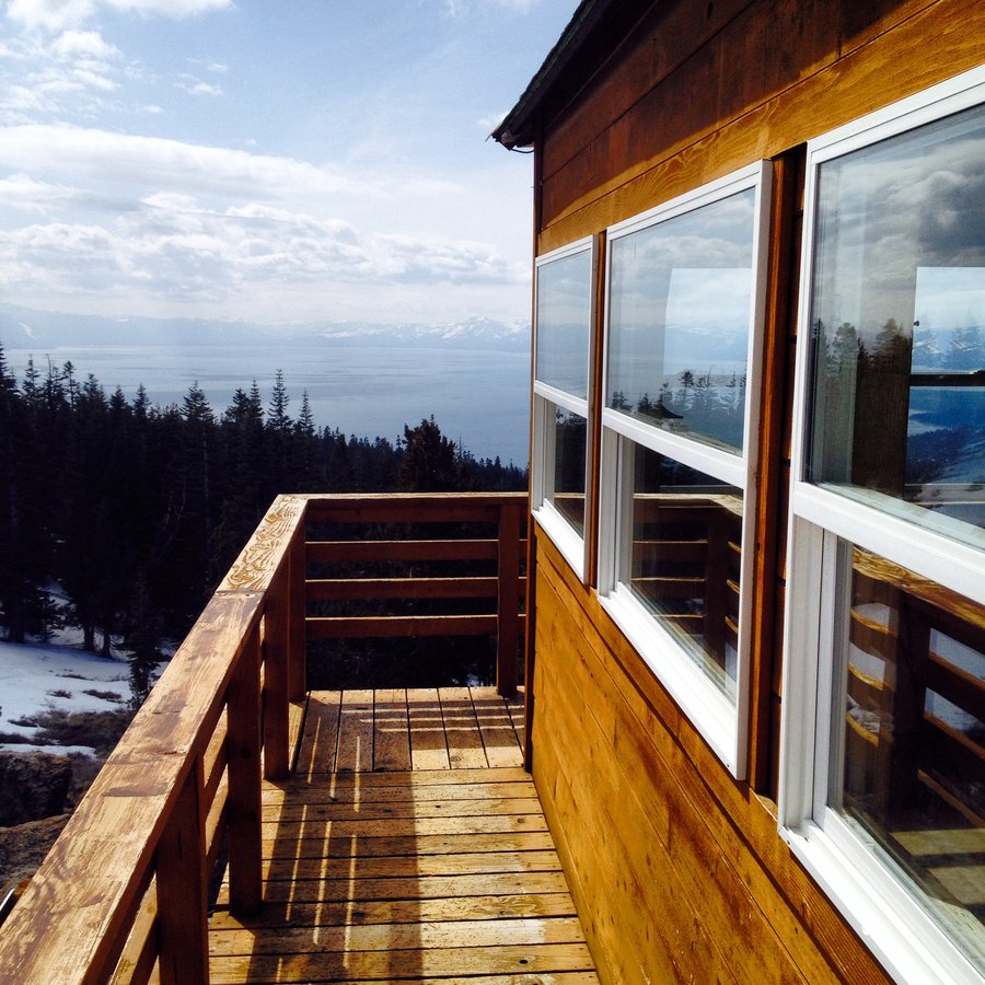
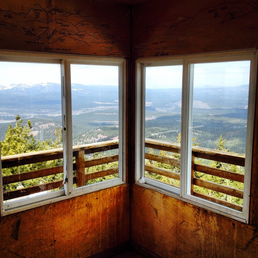
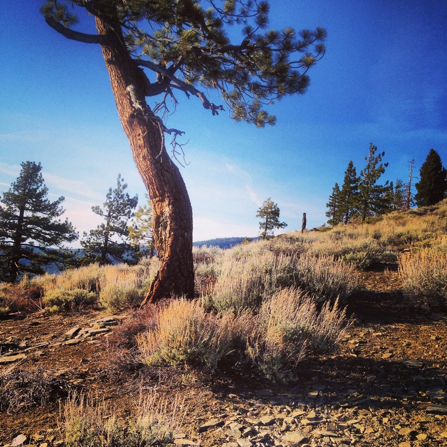
Marrtis Peak Fire Lookout
8.8 miles of hiking • 2000' elevation gain •
Windy and Low pressure on the way. Everyone else bailed about halfway. Summitted solo, and called for a ride at at trailhead.
March 25, 2014


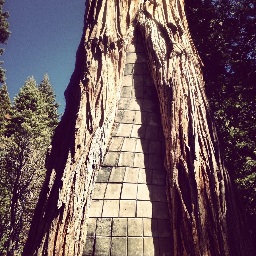
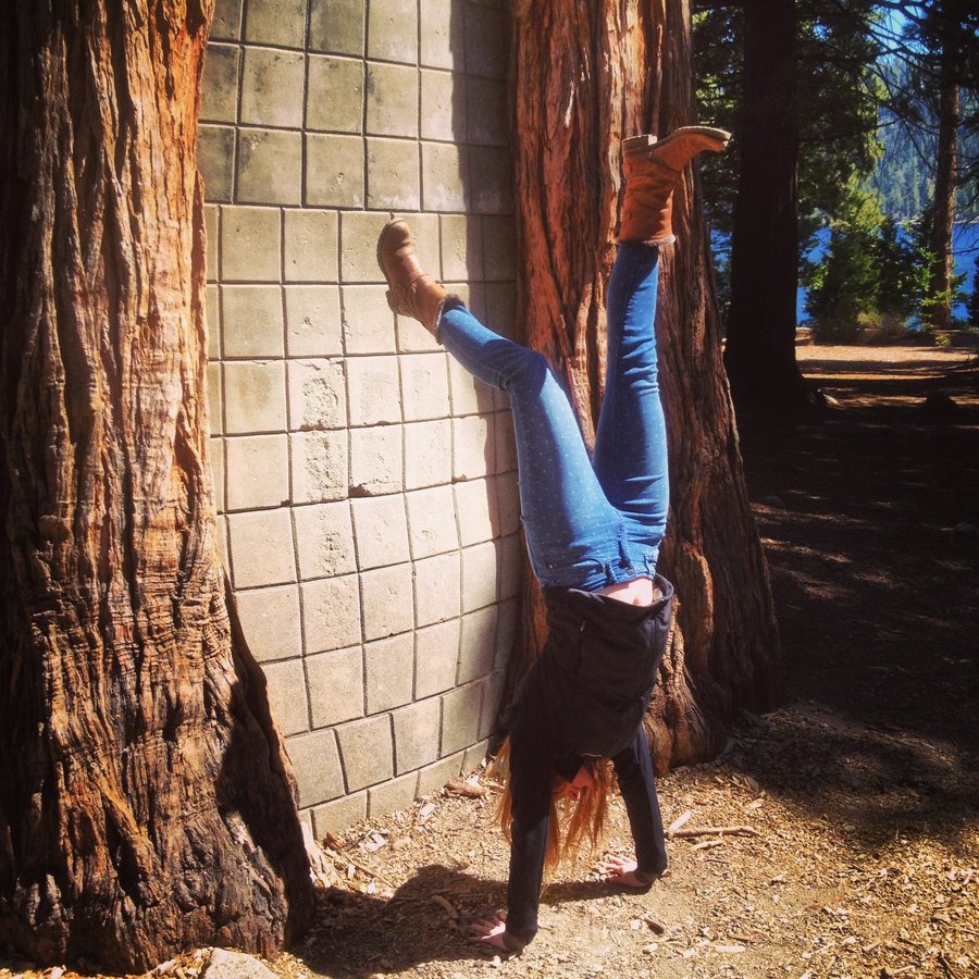
Vikingsholm
2 miles of hiking • 750' elevation gain •
Went strolling with the parents. Saw a tree filled with concrete. Old school vibes.
March 24, 2014

1000 Acres
5.5 miles of hiking • 0' elevation gain •
Restoration work has made a big difference in the Sandy/Columbia confluence. The Sandy River was Hustling and about to Burst.
March 9, 2014

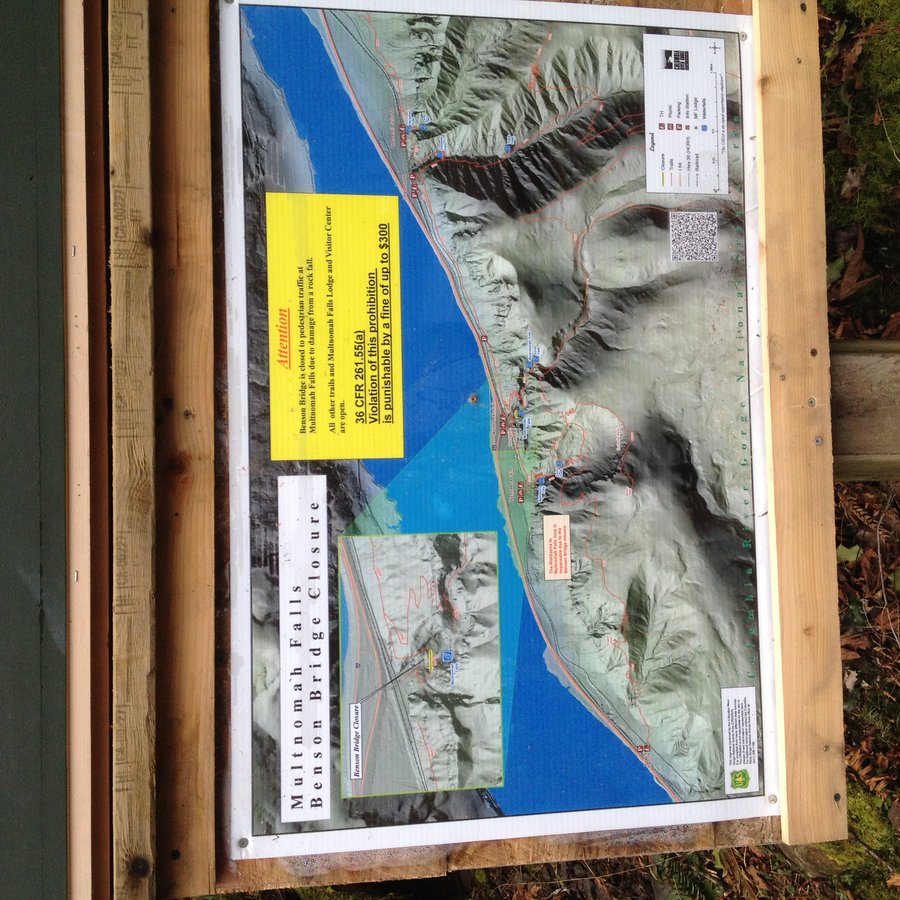
Devils Rest via Wakeena
8 miles of hiking • 2750' elevation gain •
I'm mad that someone took the Wakeena Springs Stone/Carved sign away. I think that the amount of wood it took to make the sign, to announce the closure of the Benson Bridge could be used to patch the Benson Bridge. I am serious about this. see attached pic. Busy Day on the trails. Back to the car just as the rains came. Win.
February 23, 2014


Oaks Bottom Wildlife Refuge
13.24 miles of hiking • 500' elevation gain •
No time to drive anywhere, working the afternoon shift, so out the front door for some urban wildlife. Hit up Crystal Springs Garden, Reed Canyon, Eastmoreland, Sellwood Park, Oaks Bottom Bluff Trail, and the Willamette River (Heavy Flowz). 13.24 miles = Urban Half Marathon. Dog is already asleep. 3 hours, 25 minutes. I'm off to Work. Saw a Bald Eagle, Tons of Waterfowl, an American Kestrel, and a solo Canis Latrans.
February 20, 2014

.jpg)
.jpg)
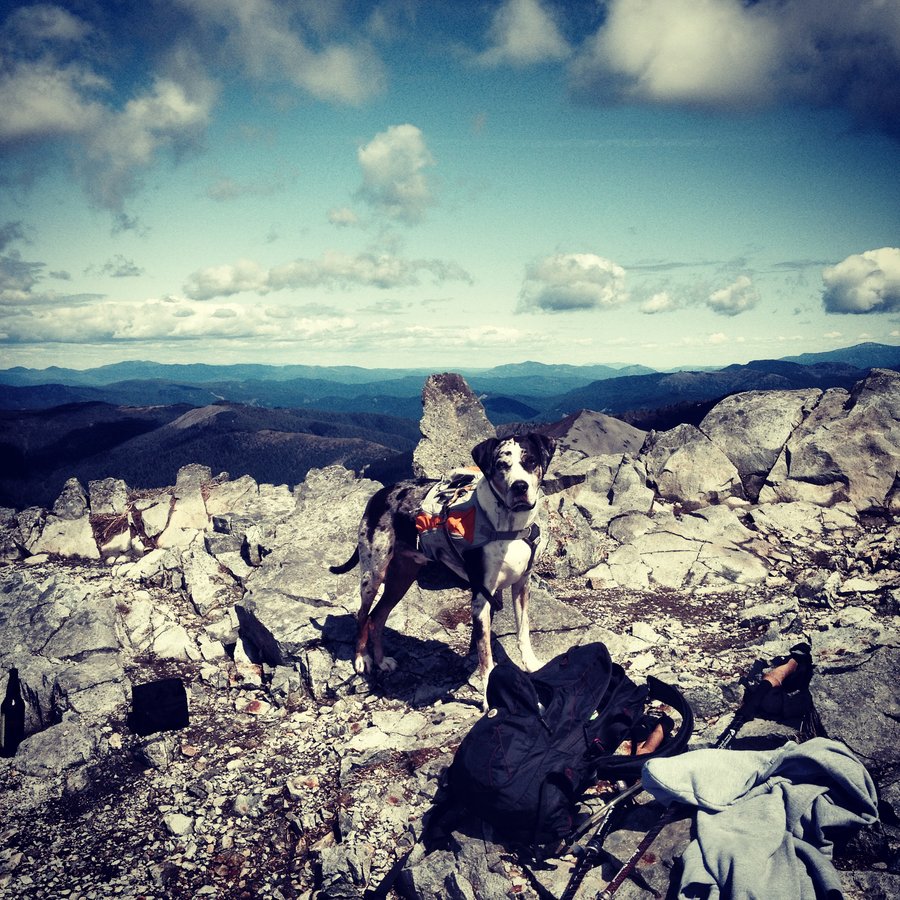
February 2, 2014
 1
1
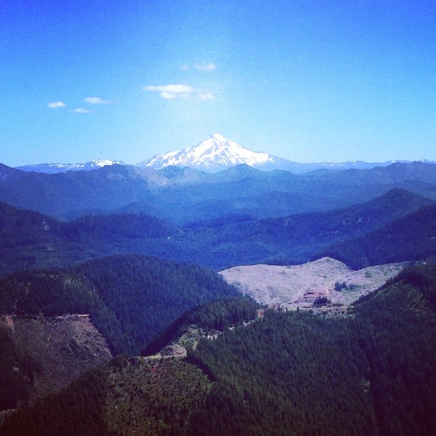
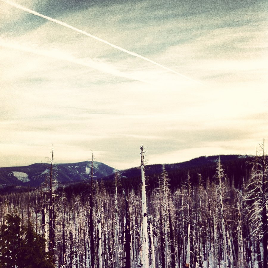
Larch Mt. Above the clouds.
8.21 miles of hiking • 2000' elevation gain •
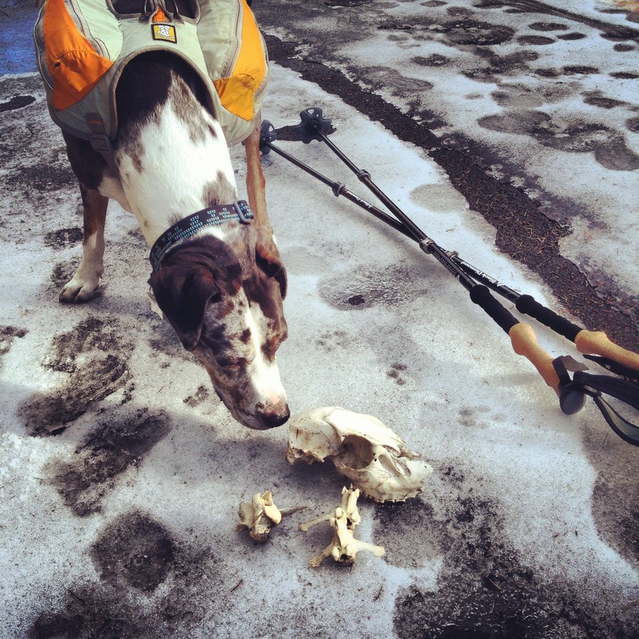
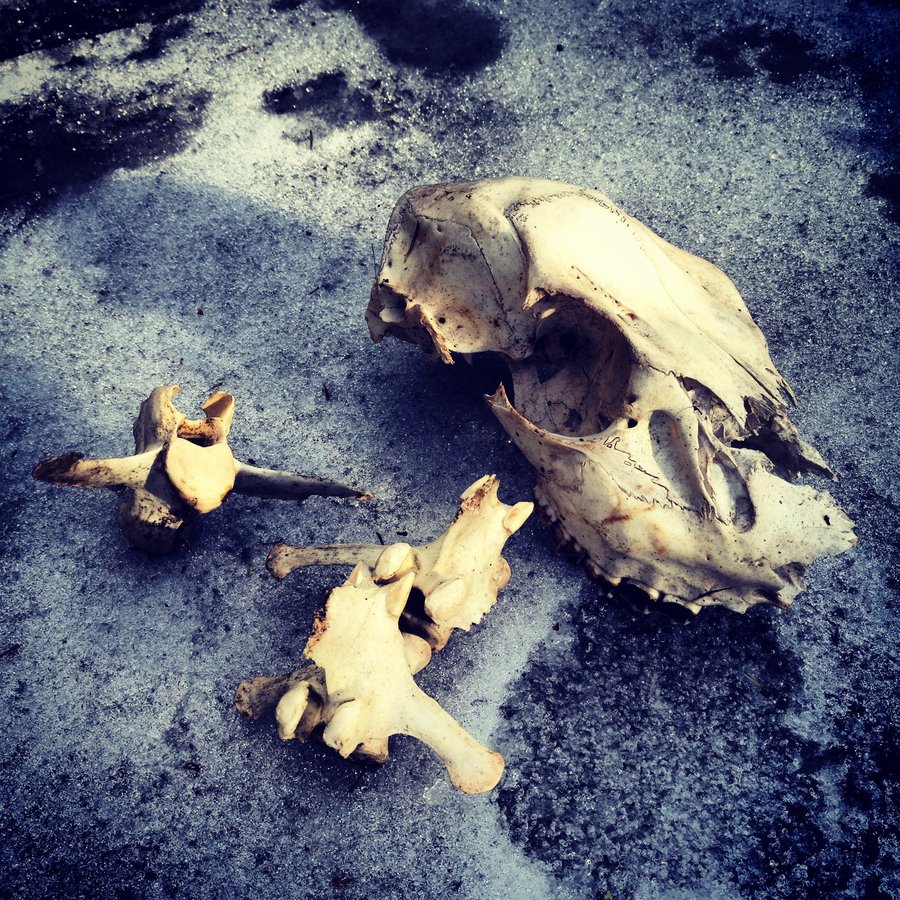
Parked at the Snow Gate, never seen so many cars there. Must have been twenty of em. Up the road to FS 315, the over to the Larch Mt trailmup the ridgeline to Sherrad Point. NO SNOW at all on the lookout picnic area. SCARY. went off trail a bit found a deer skull. Aero was enthralled. Great day about 60 degrees at 4000 feet. 31 degrees down at the river. 5 volcano view.
January 26, 2014


1000 Acres
4.5 miles of hiking • 0' elevation gain •
Geared up for Larch Mt from the Gate, but the Wind was gusting so hard [100mph] I worried about tree blowdown on the 10 miles of road before the gate. Did not want to get stuck up there alone. As if to confirm my fears, the Historic Hwy was blocked by downed trees soon after. Fail. Retreat towards Troutdale. Plan B was Sandy river Delta. The pup enjoyed it. Nuclear East Wind.
January 20, 2014
 1
1
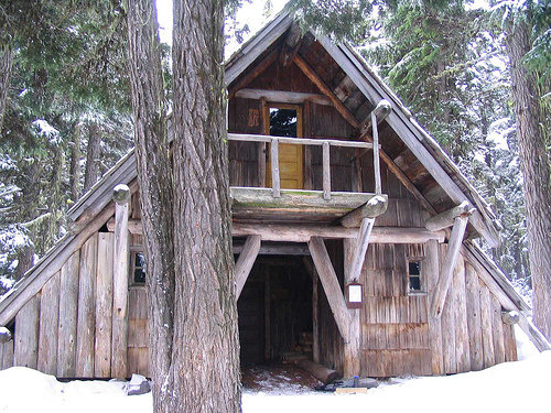
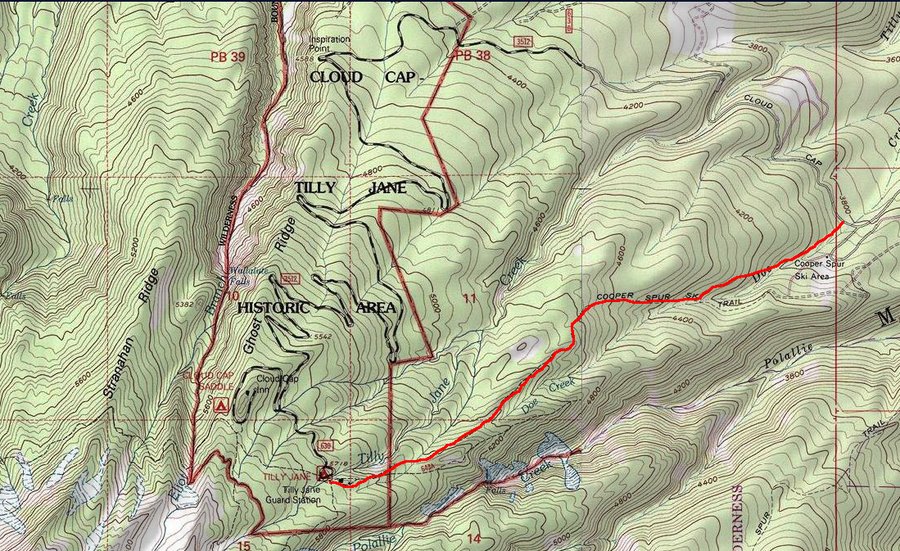
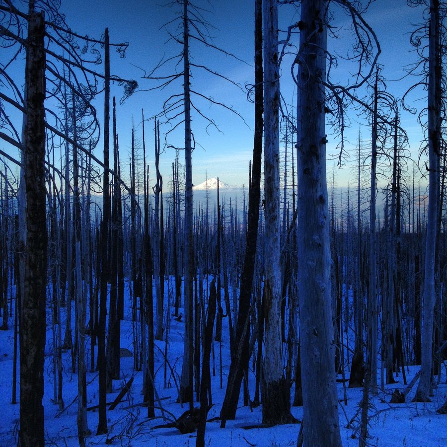
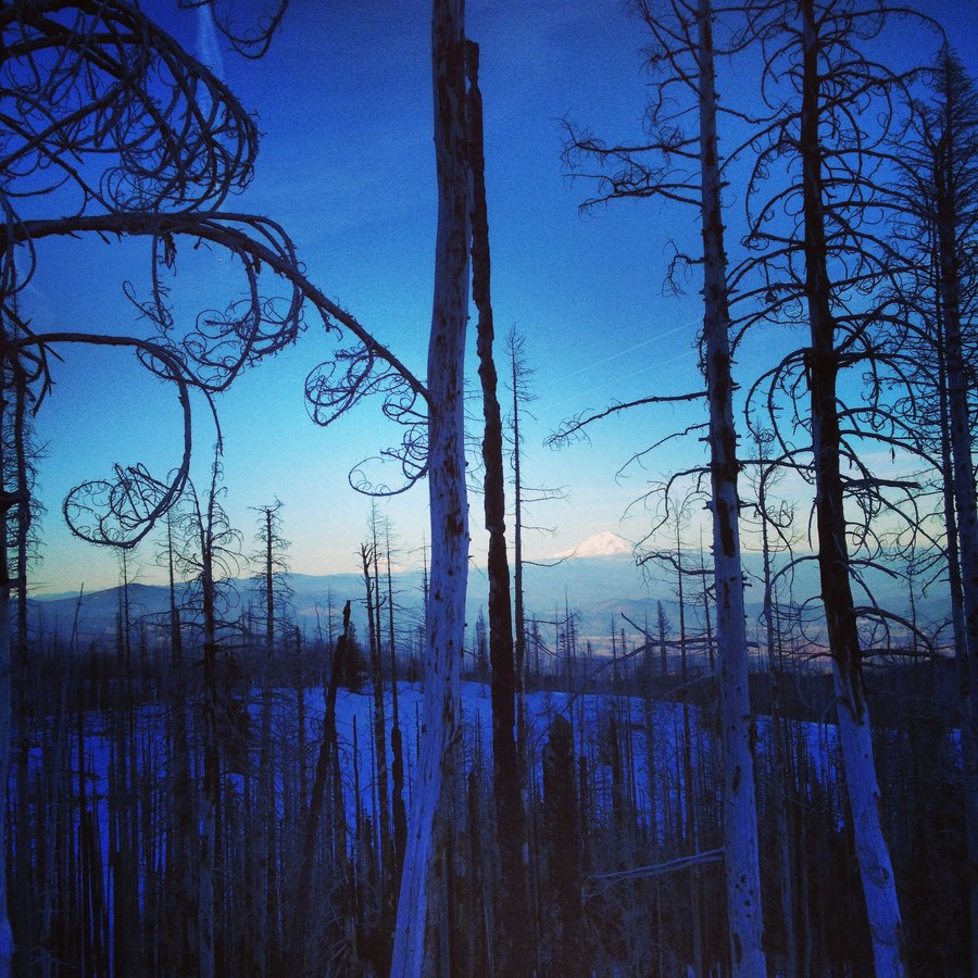
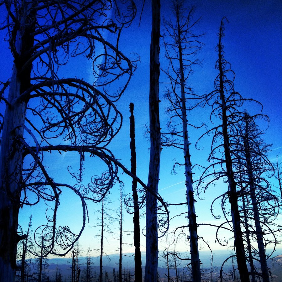
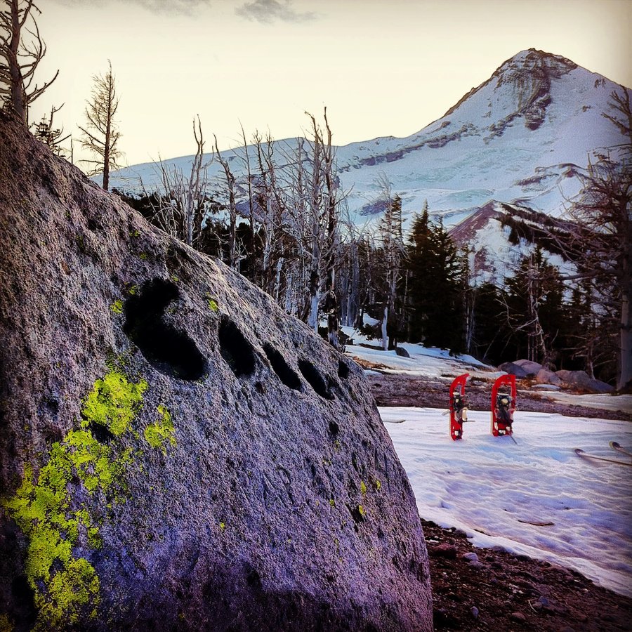
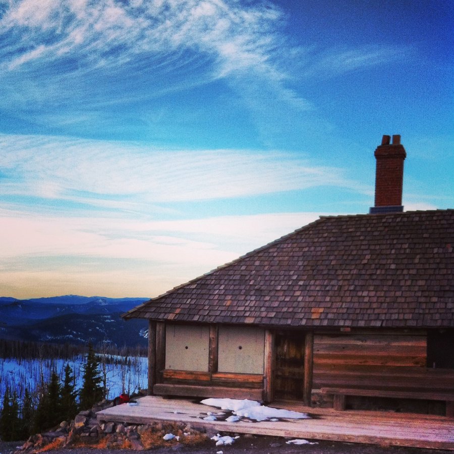
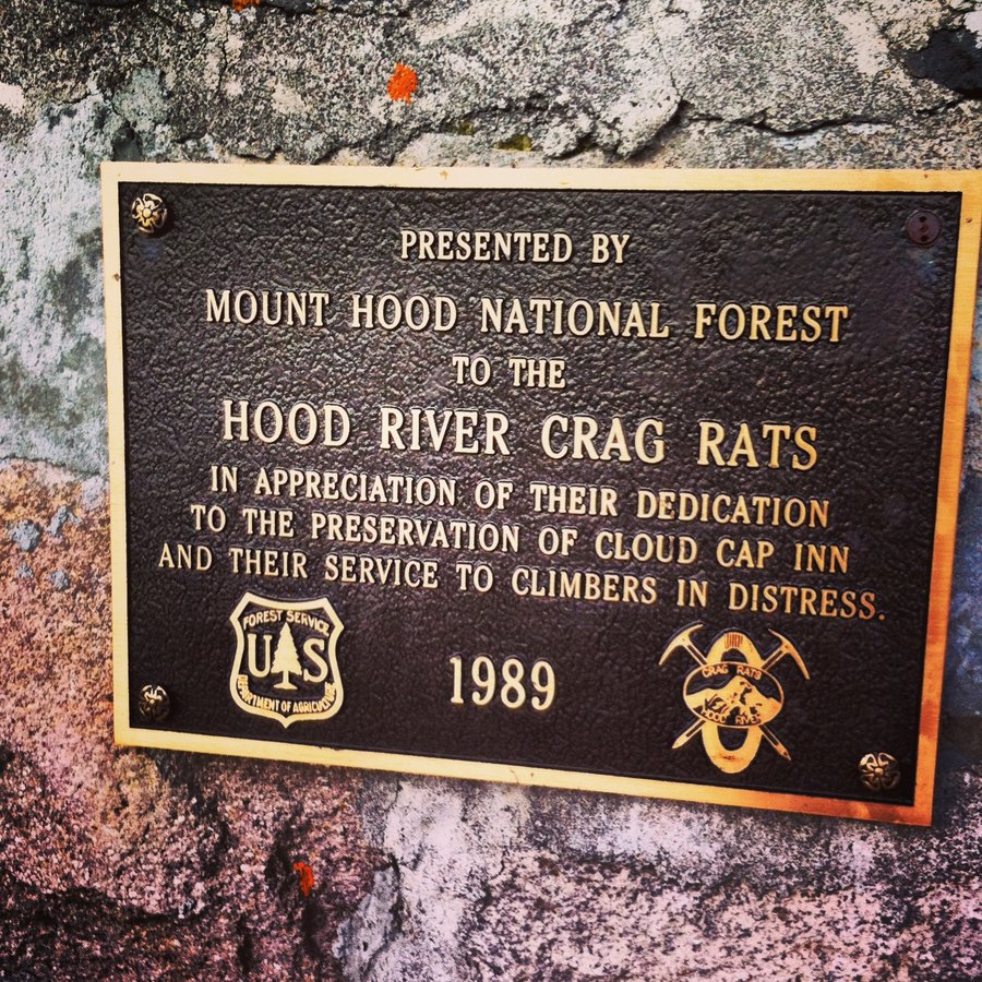
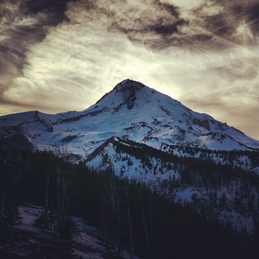
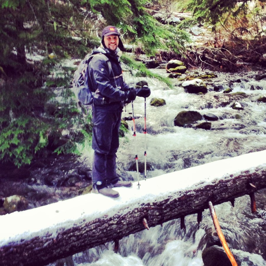
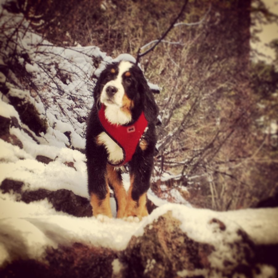
TillyJane _A-Frame_ Backcountry_Snow_Vibez
8.8 miles of hiking • 2750' elevation gain • 2 nights
Reserved the A-Frame with a crew.
12 strong, we brought the party.
Splitboards, Snowshoes, Crampons, Crosscountry, it seemed everyone was representing.
Turns above the cabin, and traverses over to Cloud Cap, where I saw Saddle Mt, 125 miles away in the coast range.
Rockfall in the Elliot, and amazing inversions under a blood red full moon. Headlamp snow hiking vibes.
Weather was outstanding the whole time.
Mt. Hood, I think we are friends for now....
January 16 – January 18, 2014

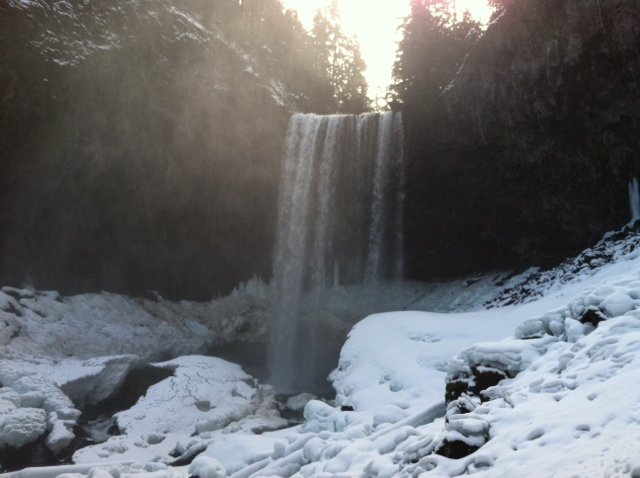
Tamawanas Falls
4 miles of hiking • 750' elevation gain •
Went looking for snow.
Found Mud, and slush.
But it was a beautiful hike, falls totally to ourselves until like 8 car loads of people and dogs came marching up.
No worries, we headed back and had beers in Hood River.
Side note: 10 dead Mallards at the trailhead right by the cars. Shot, breasts removed, carcass chucked out by the trucks.
LAME, and prob illegal. Any way you shoot right there involves over a stream or over Hwy 35. Both are bad options. I'm not opposed to leaving a coyote a snack, but right by the cars? LAZY and LAME.
Calling Hood River Rangers on Monday.
January 12, 2014

Eagle Creek to Tenas Camp
8.25 miles of hiking • 1000' elevation gain •
Standard Fare. The only cool thing was that the calm day and dewpoint/humidity made the waterfall spray/mist hover like frozen steam over Punchbowl and Metkalo Falls. TRIPPY.
Props to Jesus, Sadie, Allison for the join.
January 2, 2014

Forest Park
8.5 miles of hiking • 250' elevation gain •
Loaded up the Big pack, and took the Hound for a walk.
Awesome Coyote Encounter!!
Came around a corner north of Hardesty Creek and there was an adult coyote frozen staring at me in the trail.
about 20-30 yards away.
Aero was on point, Alert, Silent, Ready.
Looked away to grab my phone after 20 secs, Coyote Disappeared. poof.
Scanned the entire drainage looking for movement.
Nothing.
Those things are ghosts...
January 1, 2014

Boring Training Log. Please Ignore.
46.76 miles of hiking • 2500' elevation gain •
Just an entry to hold the conditioning miles..
No Hearts and No Comments should keep it off the top of the feed.
12/17/13 - Reed Canyon - 4.24 miles / 250' 12/18/13 - Crystal Springs - 3.92 miles / 200' 12/29/13 - Eastmoreland - 3.16 miles / 150' 1/3/14 - Errol Heights - 3.8 miles 25o' 1/4/14 - Errol Heights 2.1 Miles 250' 1/7/14 - Reed Canyon 4.1 miles 250' 1/10/14 - Stormy Gusty Night = 4.20 miles 250' 1/13/14 - Warm Night. RCP - 4.29 miles250' 1/22/14 - Cold. Dry. 4.45 miles - 250' - 27lb pack 2/14/14 - Crystal Springs - 250' - 22lb pack Tabor From Reed. - 7.7. miles. 15 lb pack.
January 1, 2014
