2013 Trips


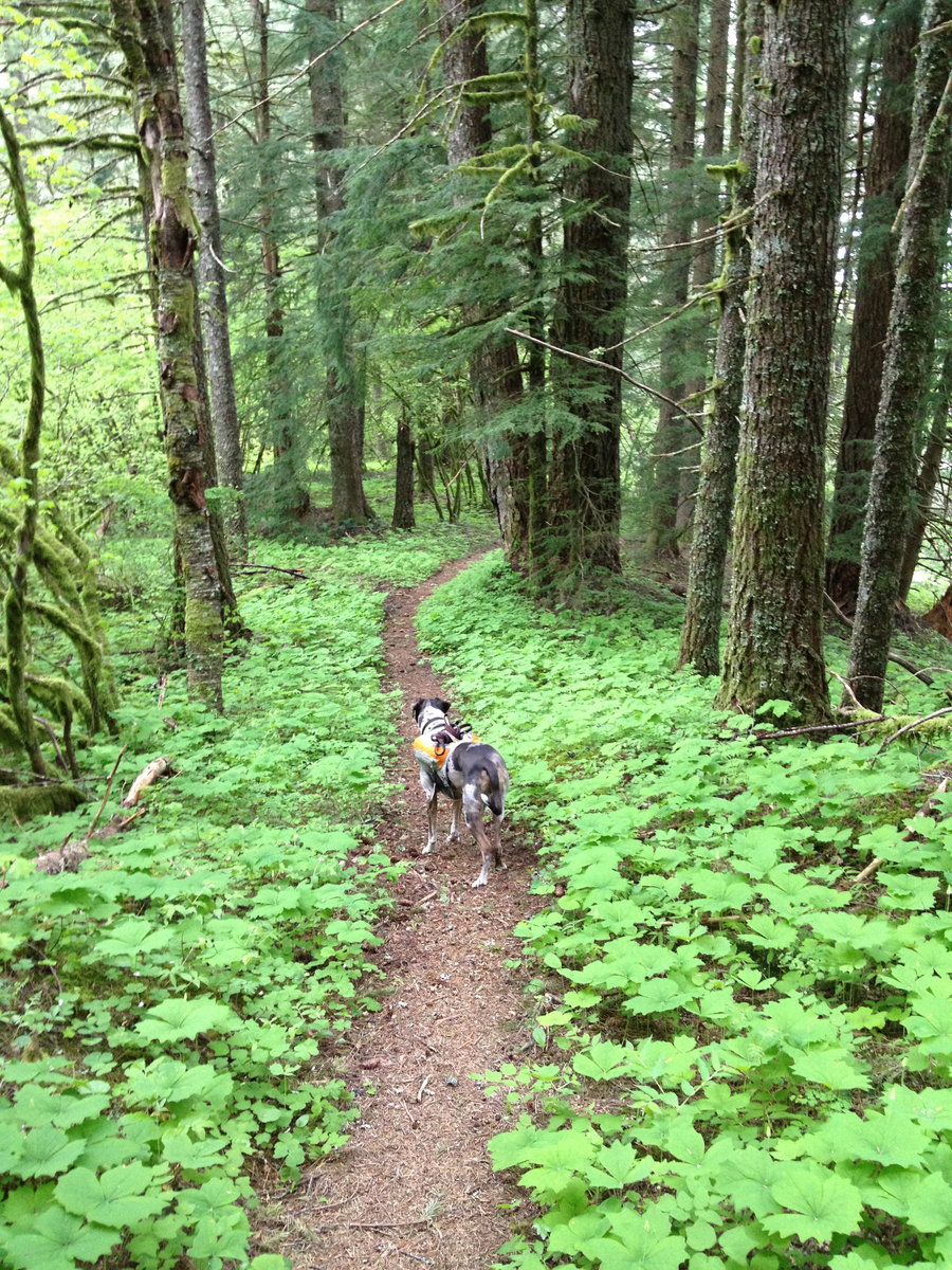
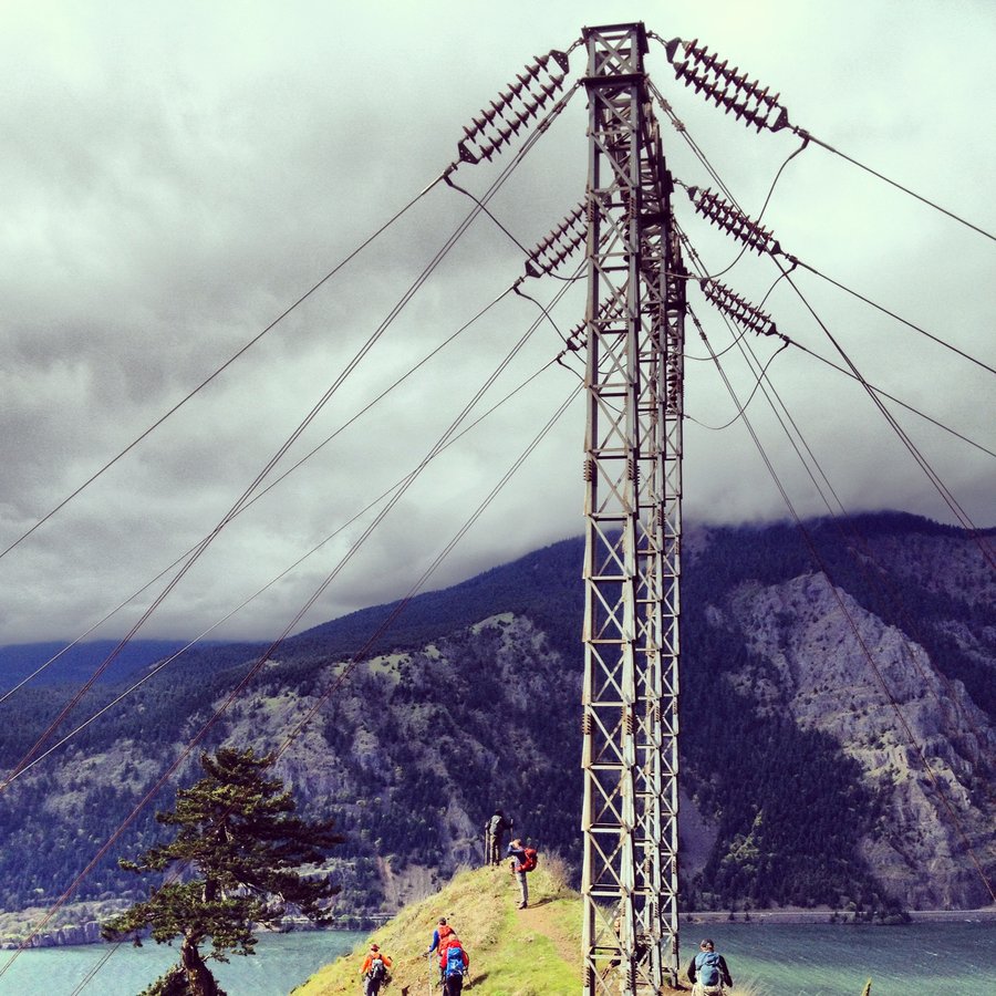
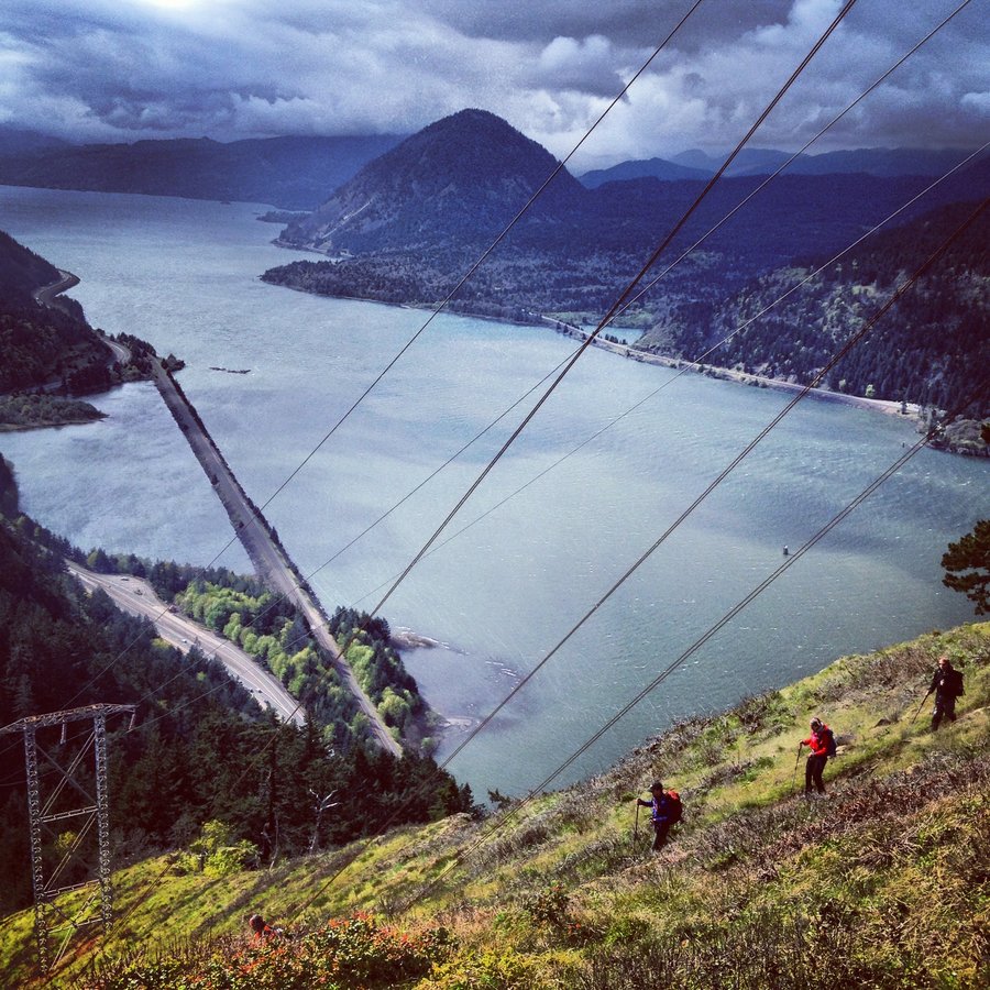
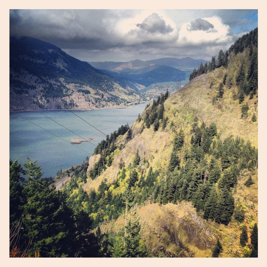
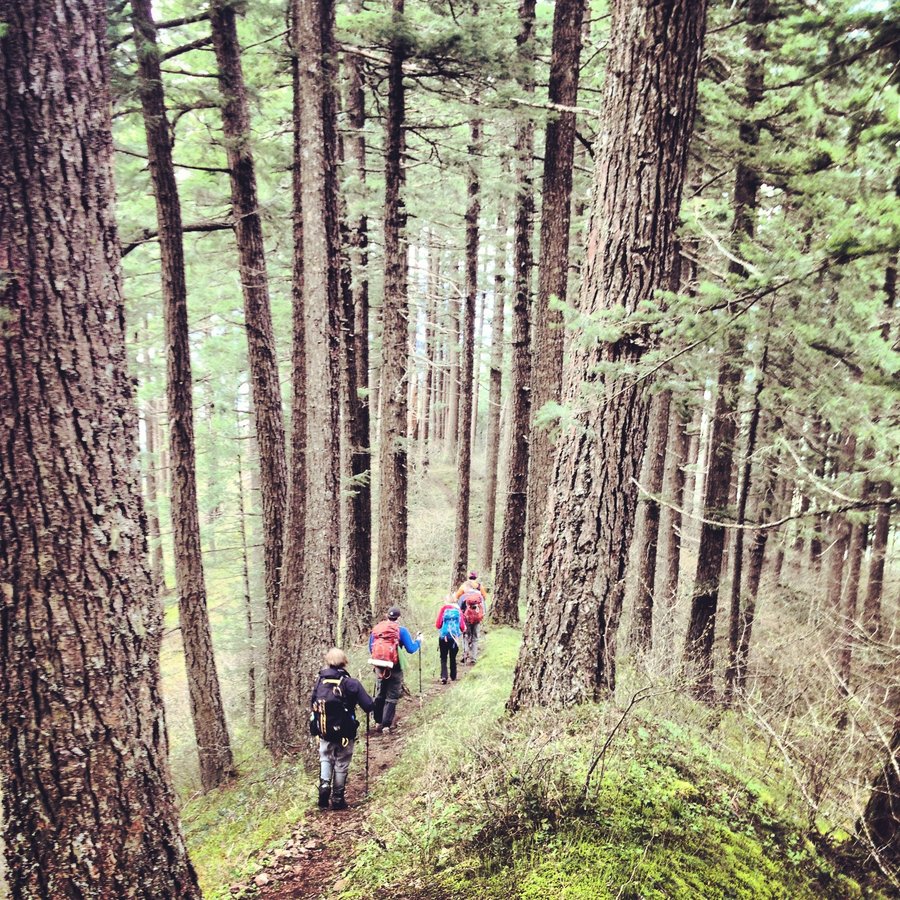
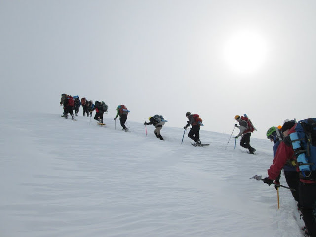
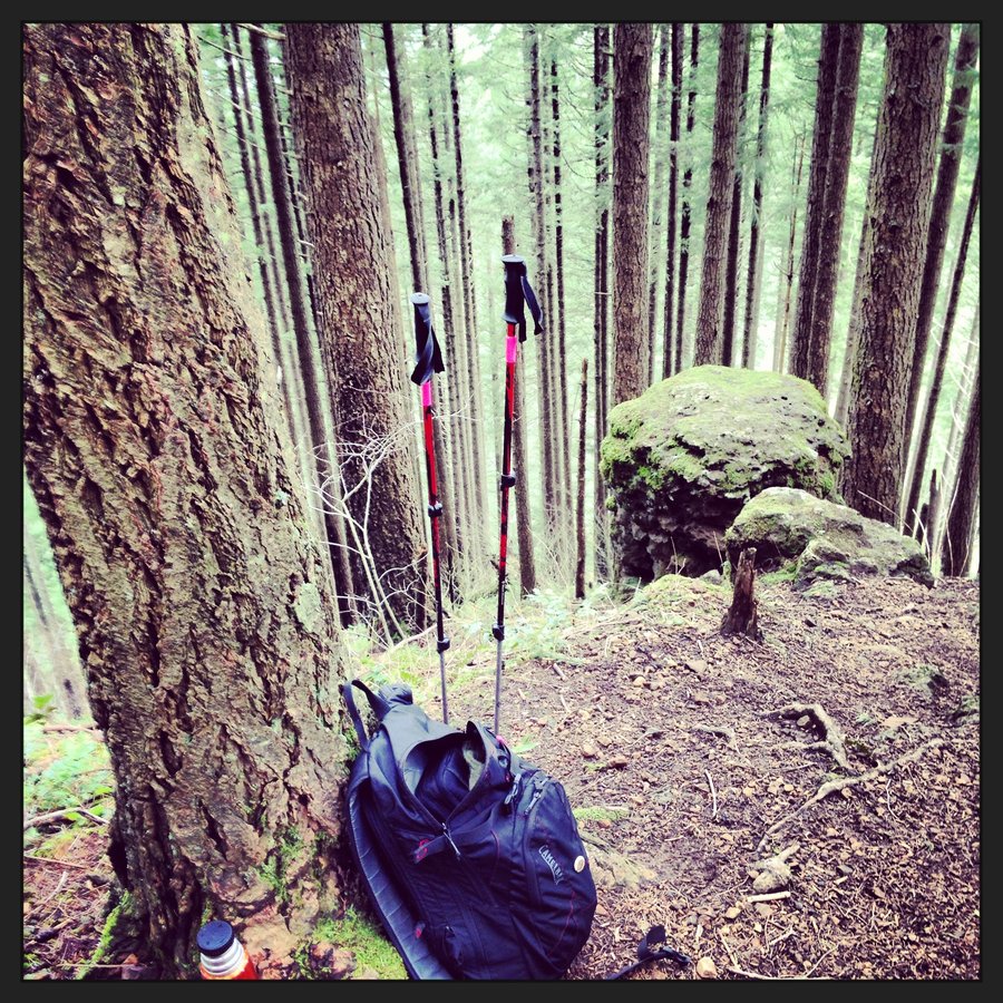
Mazamas Compass + Navagation Course
2.4 miles of hiking • 500' elevation gain •
Maps and Course notes for free at the Mazamas Website. Check it out. http://www.mazamas.org/

December 26, 2013

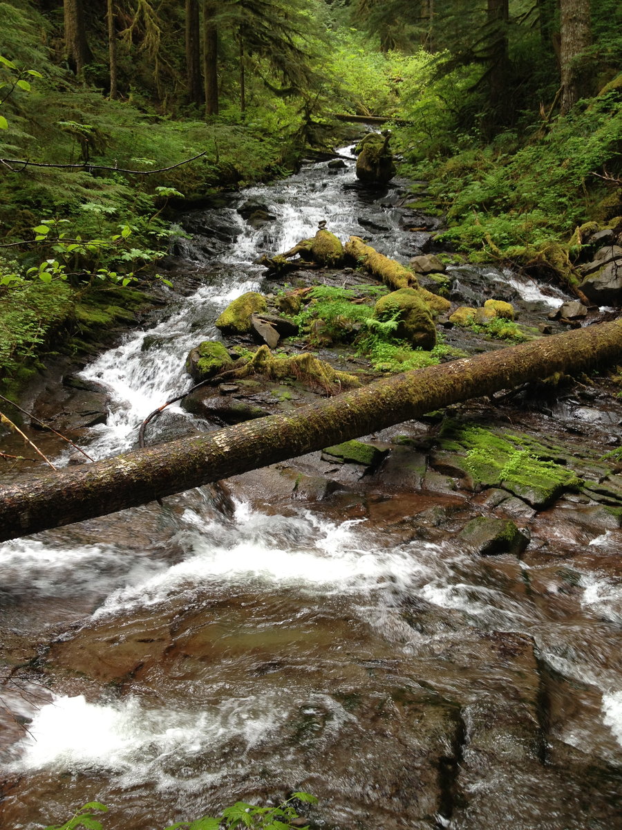
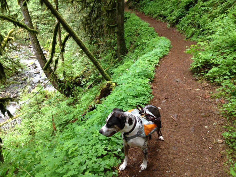
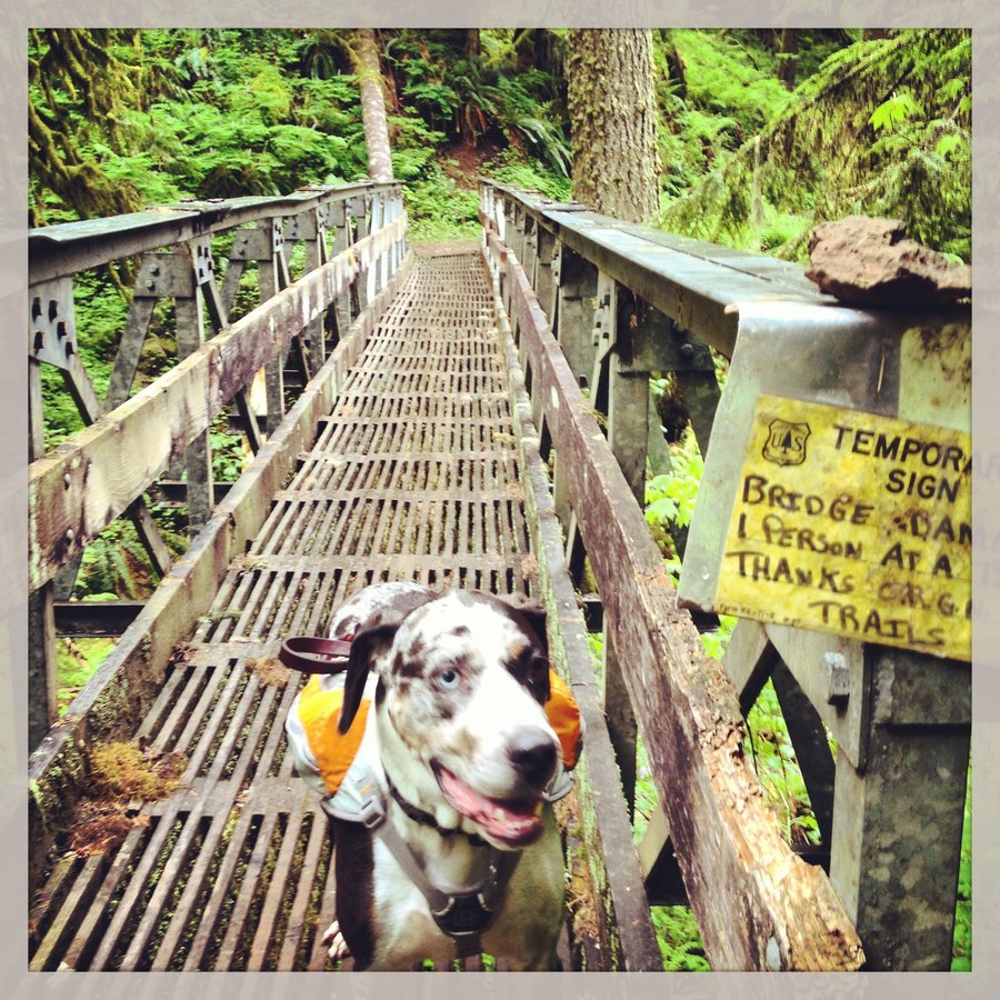
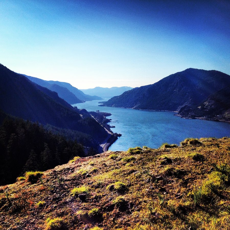
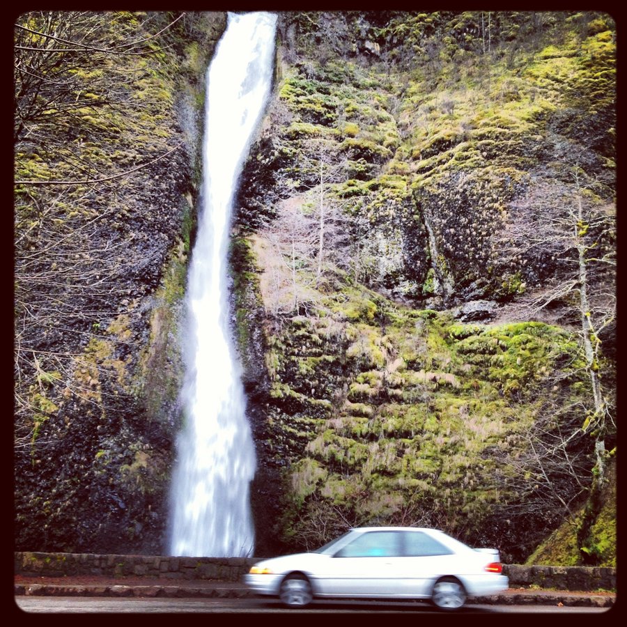
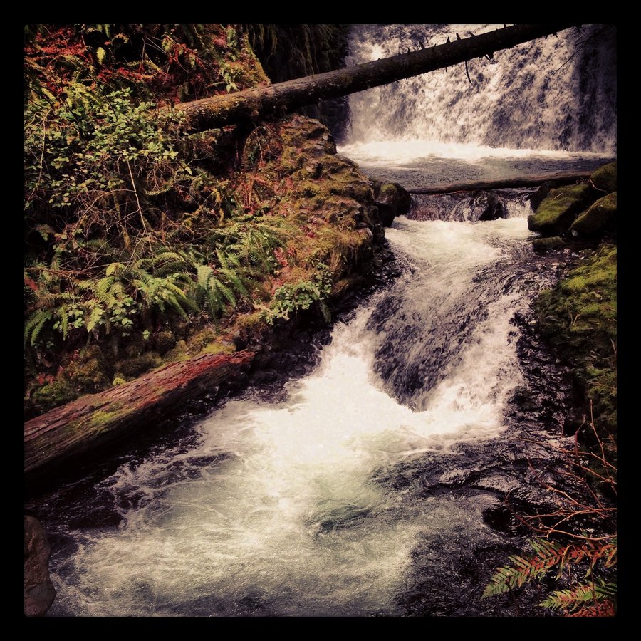
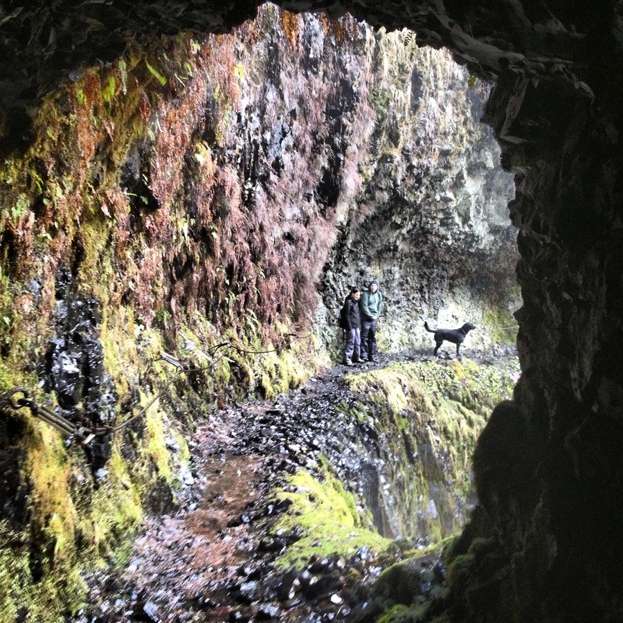
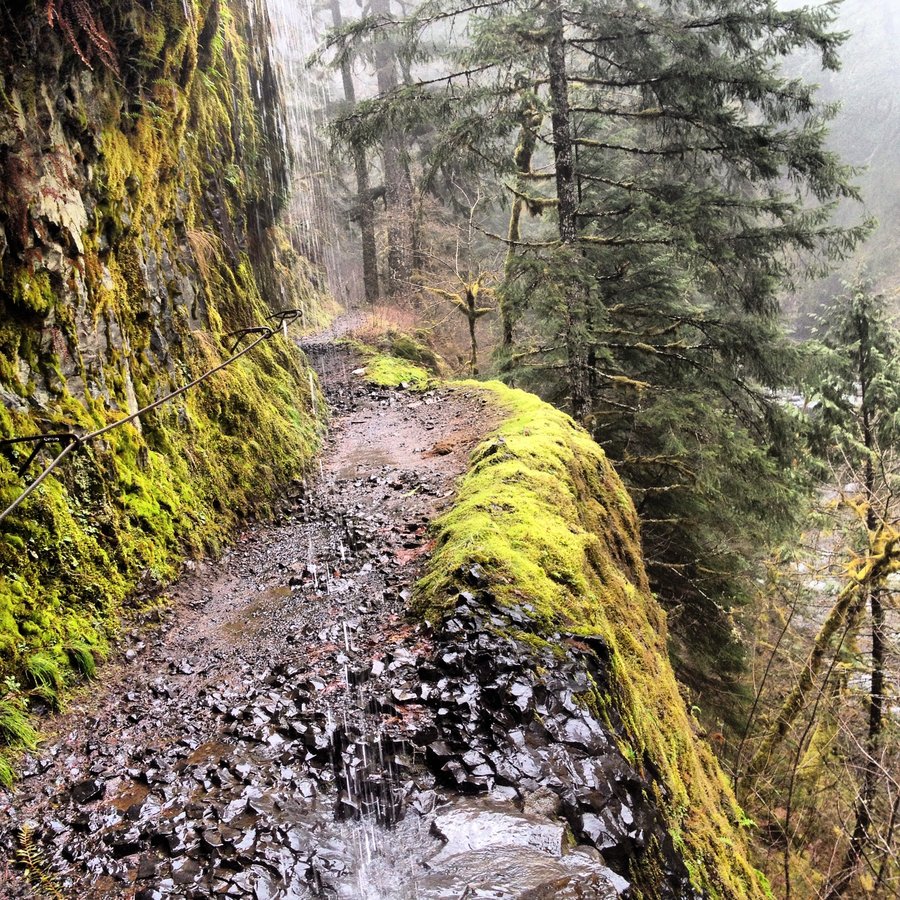
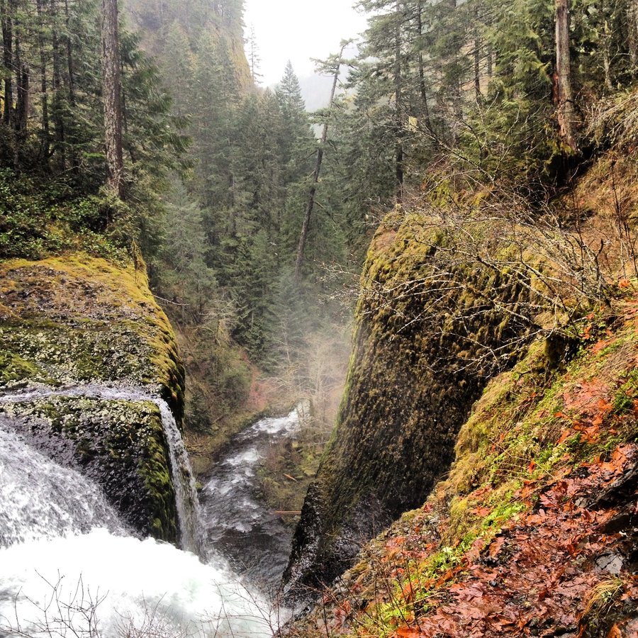
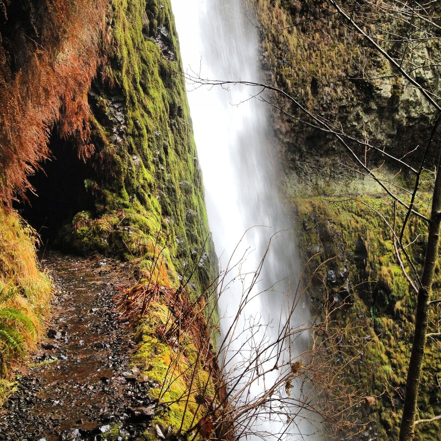
Horsetail - Ponytail - Oneonta Gorge - Triple Falls
5.5 miles of hiking • 1250' elevation gain •
Fun Winter Lap. Up Horsetail over to Ponytail, then Triple, then back down through the tunnel for the lap.
December 19, 2013

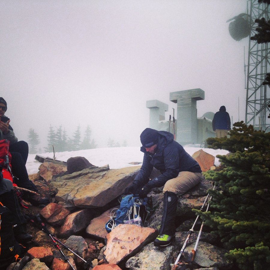
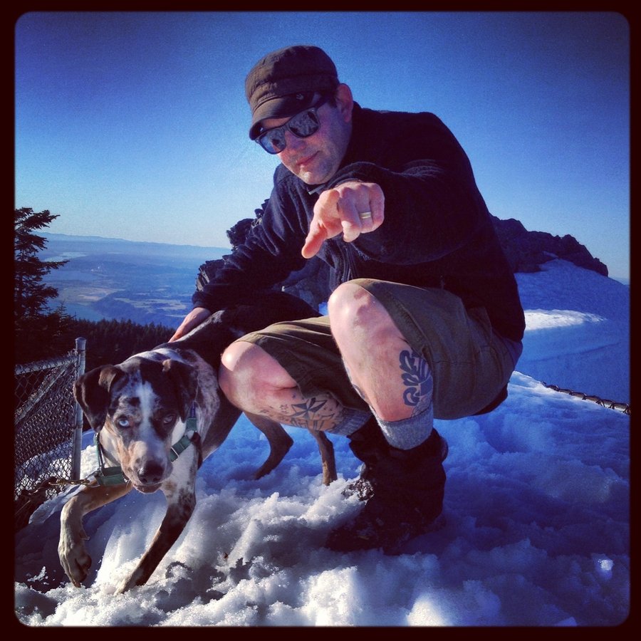
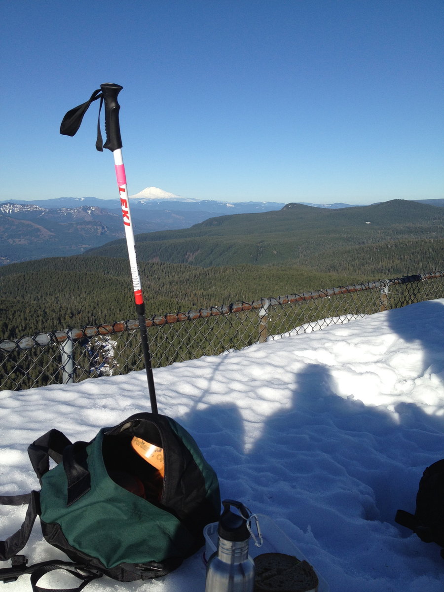
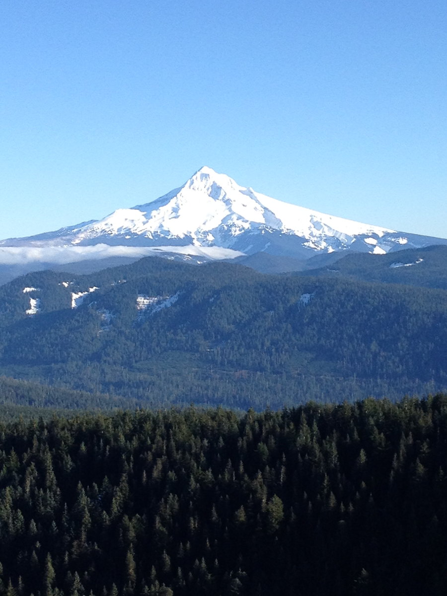
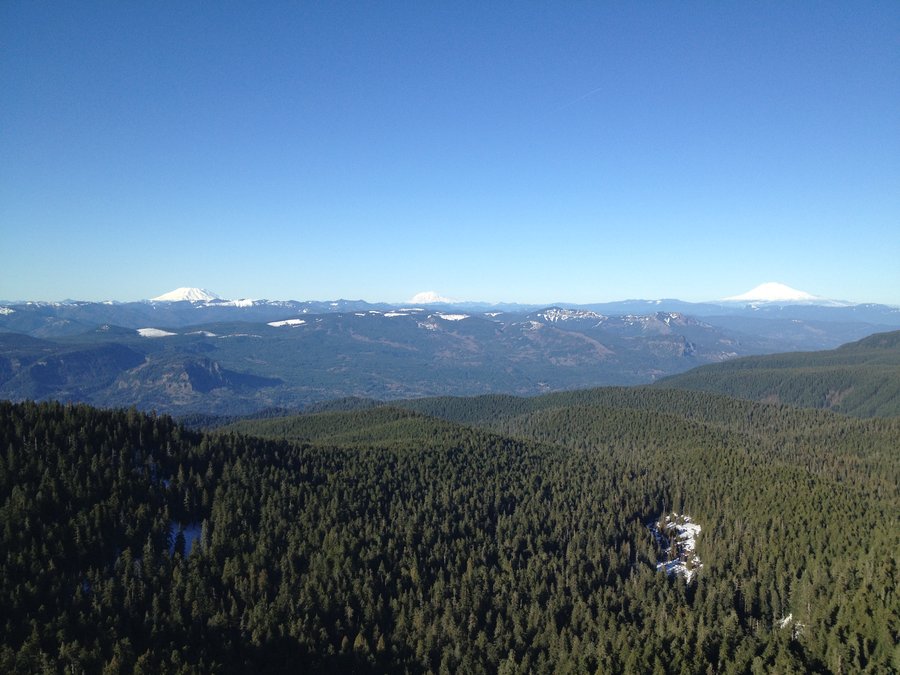
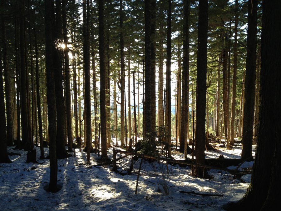
Clear Lake Lookout
4.5 miles of hiking • 1250' elevation gain •
I have the Best Friends.
They reserve the tower.
Then they forget about it over the next 6 months.
Then they call and say:
Hey wanna go Sleep in the Tower next week?
Yes Please.
repeat 5x.
Thanks Friends!
FYI - Lookout now equipped with LED christmas lights, bring AA batts. Dance Party courtesy of Jawbone Jambox.
December 10, 2013

.jpg)
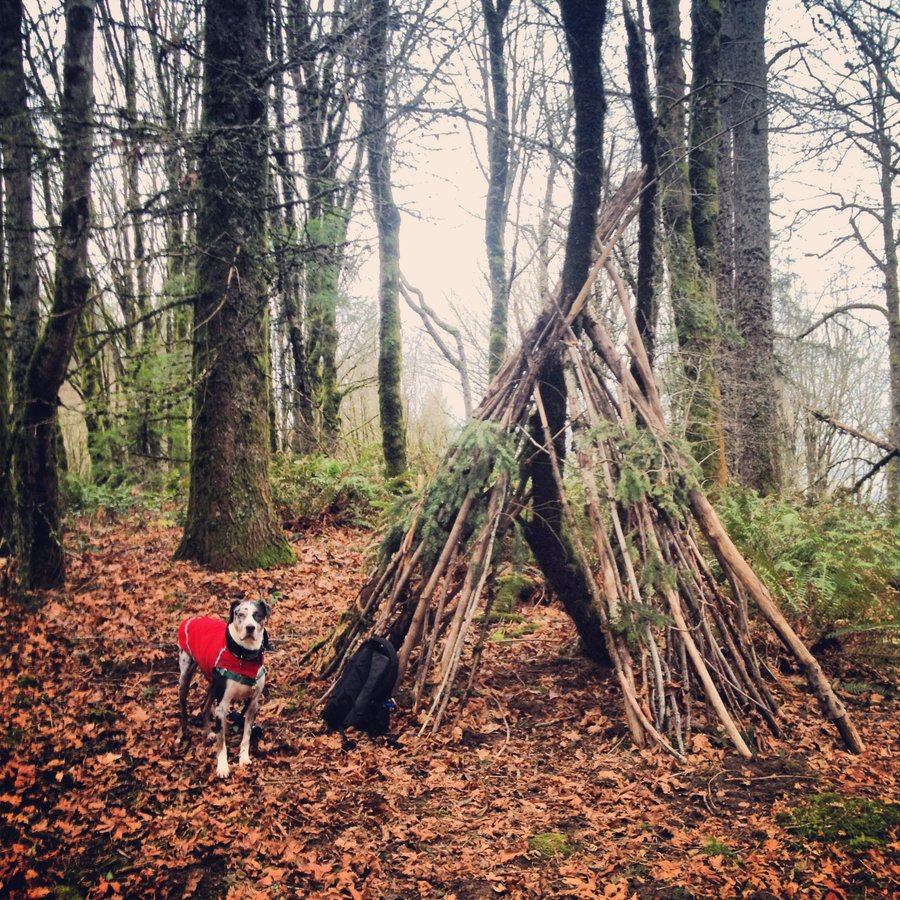
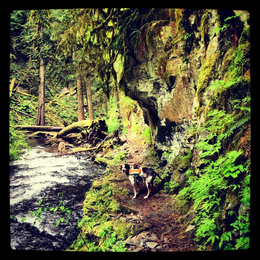
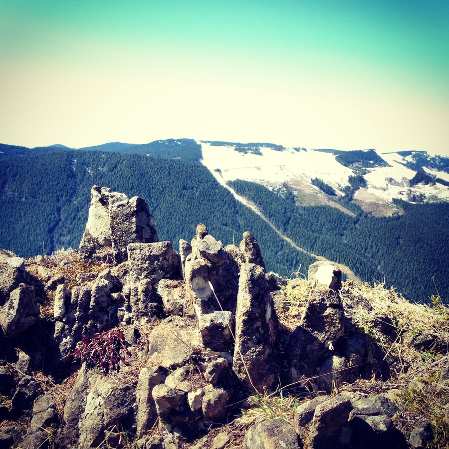
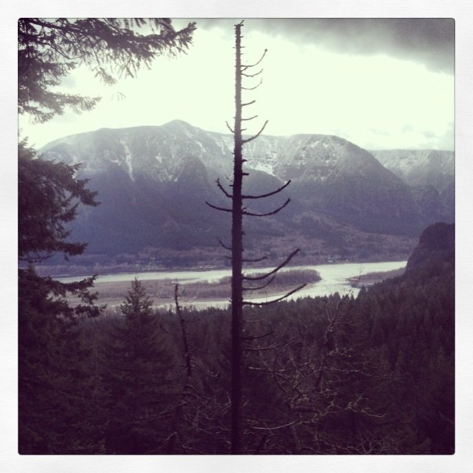
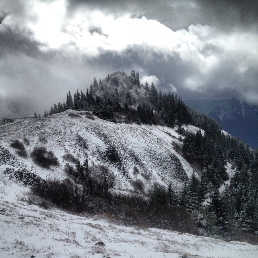
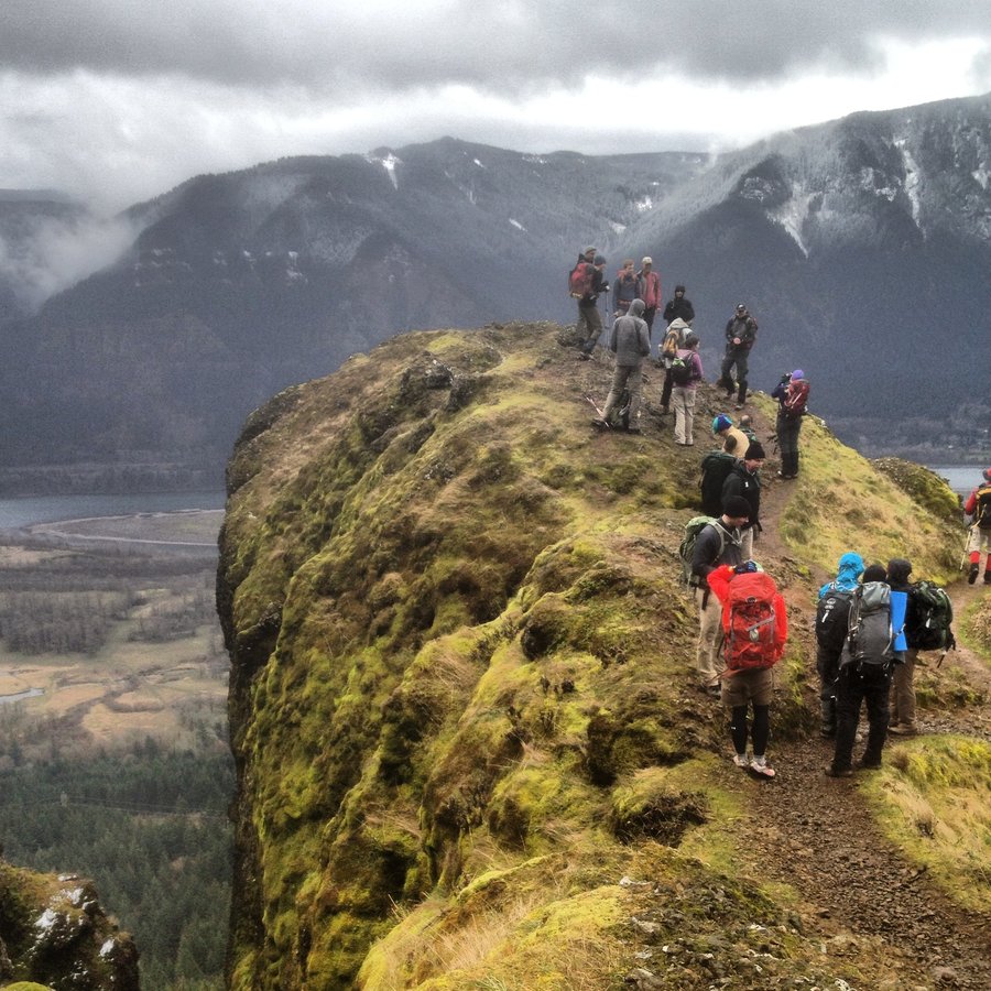
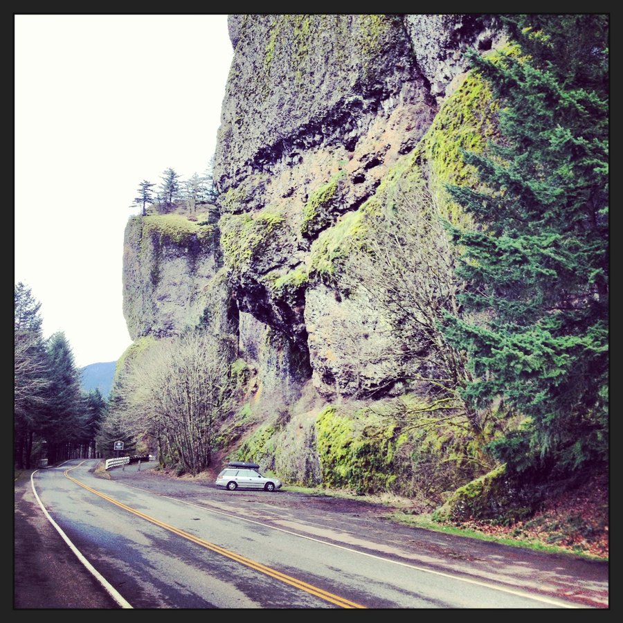
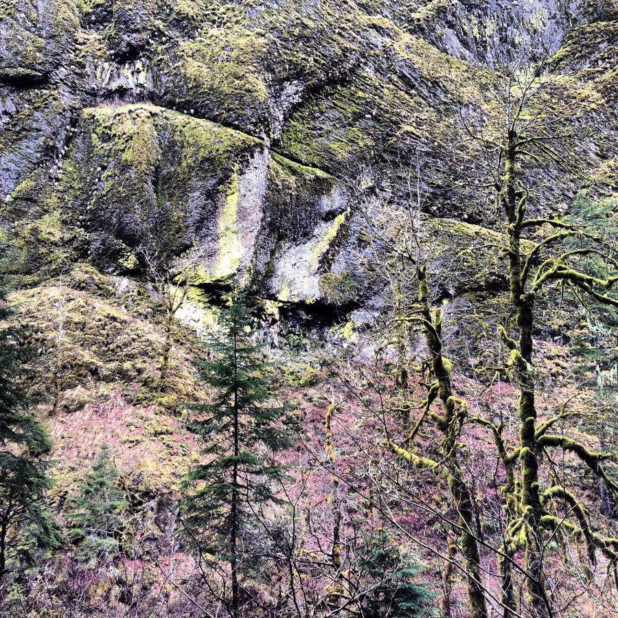
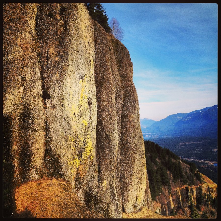
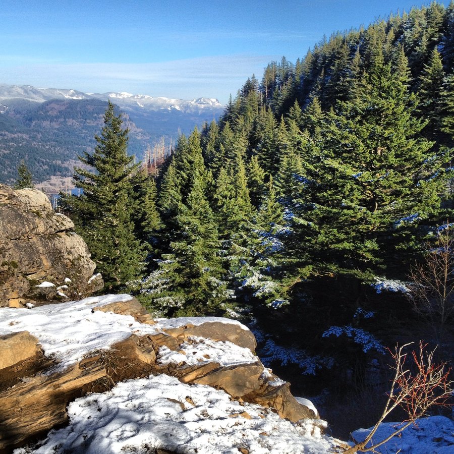
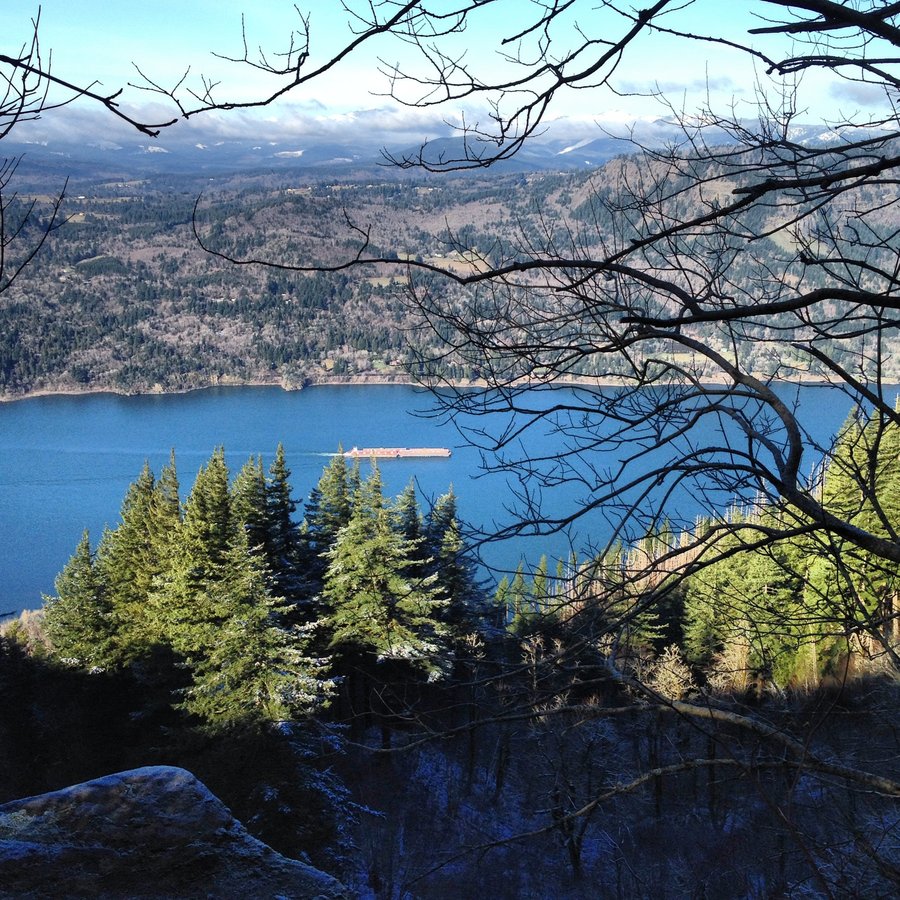
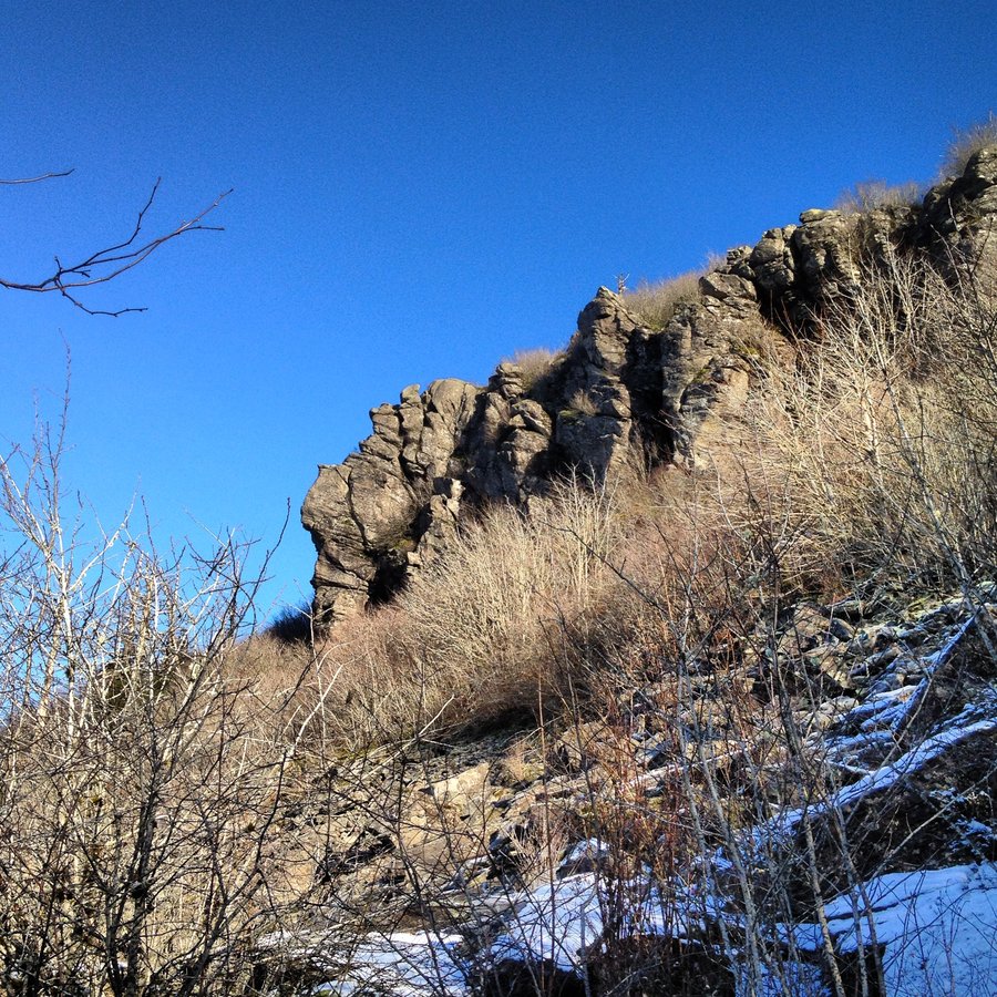
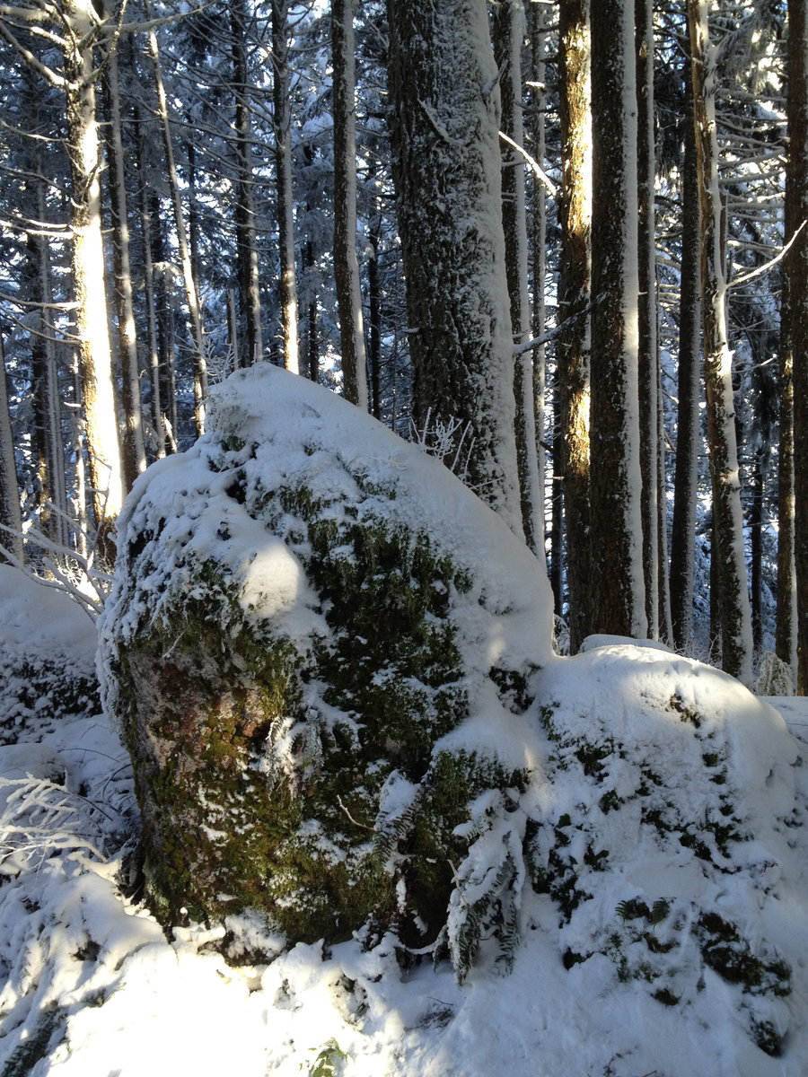
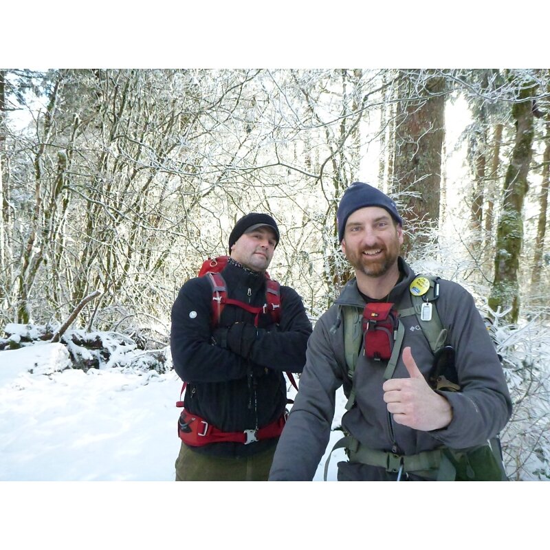
Icy Gorge Loop Attempt. Fail. Retreat. Redeemed.
7.5 miles of hiking • 2500' elevation gain •
Standard Fare.
Attempted Wakeena Loop.
Icy Creek was lovely.
The slide above Multnomah is Dangerous.
Totally doable, but cold/wet/trauma consequences and covered in ice.
We retreated back up 1000' to Vista, and made that lil loop, then hit up Monument Viewpoint, the closed/overgrown/lost trail that leads to the ridge east of Lemmon's Viewpoint.
Never been out there before, but noticed the trail marker lots of times.
It dosen't seem many venture out there, we found a cool chill-spot at the end.
Mega-exposed about 600ft above the cars at the lot.
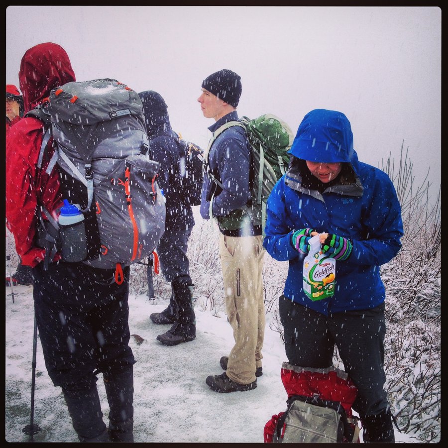
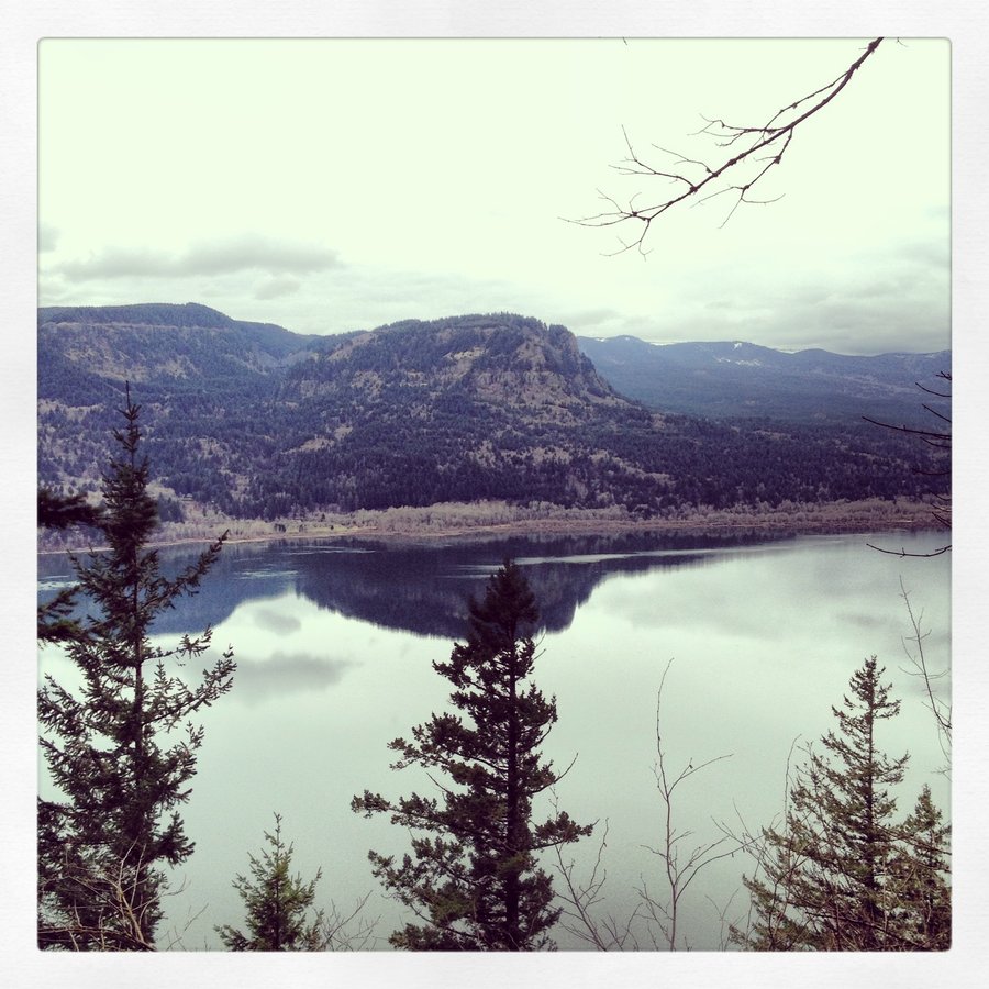
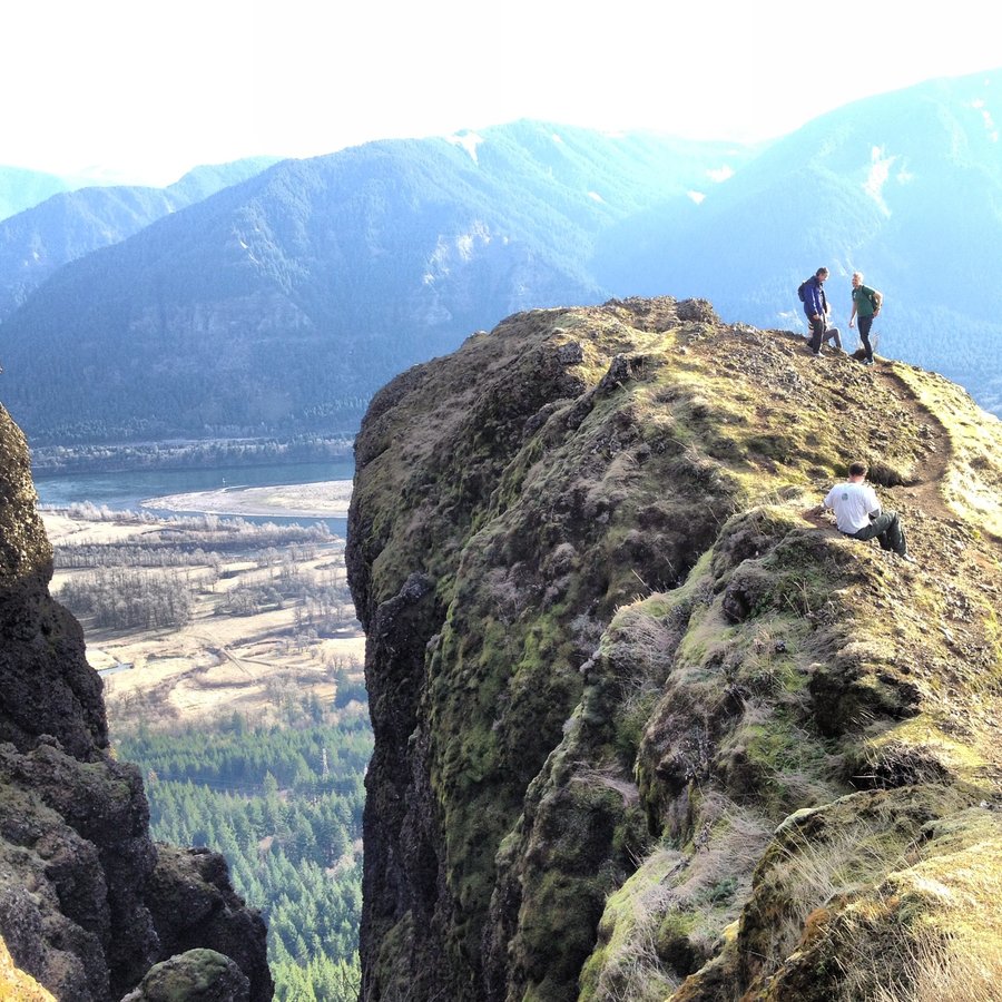
December 8, 2013

.jpg)
.jpg)
.jpg)
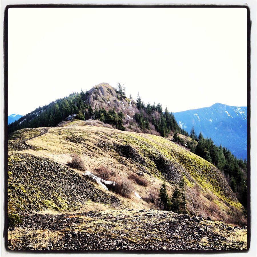
Hamilton for Free.
7.5 miles of hiking • 2250' elevation gain •
Took some awesome teenagers out for a hike.
Cleveland Trail Warriors.
Karl, I'm sure I saw you on the back side of the loop near Hardy creek.
November 11, 2013

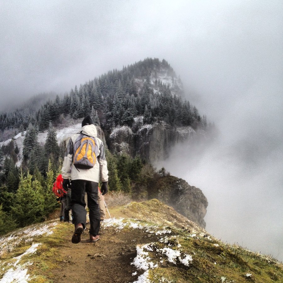
Elowah and Upper McChord Falls
3.5 miles of hiking • 750' elevation gain •
Rain. We hid under the cool overhangs along the cliff trail. Elowah always impresses, even on a rainy grey day.
November 3, 2013

Wakeena Loop
5.5 miles of hiking • 1500' elevation gain •
Trail Closed. LANDSLIDE!!!
but really only 10 ft of mud.
kept most of the crowd away.
October 25, 2013

Hammy Vibes
7.5 miles of hiking • 2500' elevation gain •
Planned on Table, but my partner was tired from the overnight shift and we got a late start. Settled for another lap up Hamilton Mt.
A sneaky alder grabbed my fleece from my pack, and I had to backtrack to get it. So I hit the summit twice. Extra stairmaster.
October 25, 2013

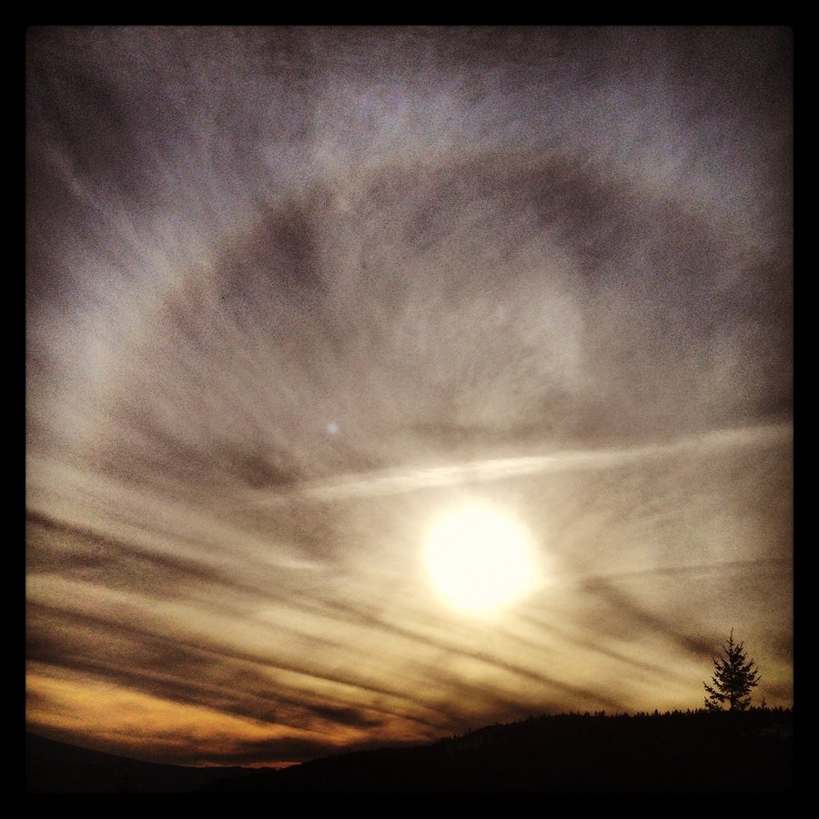
Angels Rest - Full Moon/Umbral Eclipse
6 miles of hiking • 1750' elevation gain •
Leading a high school group with headlamps.
We found a scorpion.
October 18, 2013

September 16, 2013

Plumas County Vibes
3 miles of hiking • 500' elevation gain •
And we swam in the Feather River with the dogs. great day.
August 27, 2013

August 23, 2013
Bluff Trails along the Mississippi - Illinois Side.
5 miles of hiking • 500' elevation gain •
Midwest Vibes.
Great Forest.
Big River.
August 16, 2013

Munra Point
5.5 miles of hiking • 1750' elevation gain •
After Work Blast.
This place rules.
No Dogs, No kids.
July 29, 2013

Mt. Tabor Training - Ongoing Log
6.6 miles of hiking • 1000' elevation gain •
In the spirit of B-Dog, I'm starting a training entry that I will update.
Front door to Summit 3.3 miles - 535 vertical feet.
7/30 - Live Music 7/31 - All Tanks are Dry
July 29, 2013

Upper Salmon River Canyon
9 miles of hiking • 2000' elevation gain •
Great Forest, tons of Spots by the water, Aero swam and was happy. Up to the Cliffs, great views, Aero not so happy to be tied up to a tree on the cliffs.
July 23, 2013

Silver Star
8 miles of hiking • 2500' elevation gain •
First time up here.
South route from Grouse Vista.
hit Pyramid rock, then halfway to to the indian pits, then both summits, then Sturgeon Rock and back down a horrible road trail to hidden falls and Tarbell trail to finish the lap.
An excellent jaunt.
July 20, 2013

Craters of Larch
6.5 miles of hiking • 1750' elevation gain •
Down into the Crater, that forest is boss.
July 14, 2013

LOOKOUT!!!
8.5 miles of hiking • 1000' elevation gain • 1 night
Another trip up to the tower with friends.
Best hotel room in Oregon.
Good luck getting a spot.
Weather was ok, views were killer anyway.
Watched the snocats play up on Palmer with the binocs.
Even saw the headlamps of the 3am climber rush hour on Hood.
What were they thinking, the weather sucked!
But it sucked much less with a roaring fire, 360 degree views, and small batch burbon and pink gin.
Props to Aero!
Dog in a tower.
May 26 – May 27, 2013

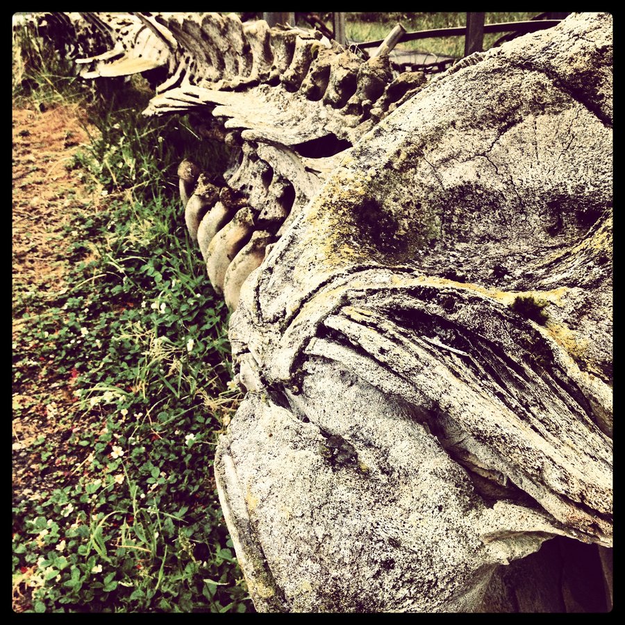
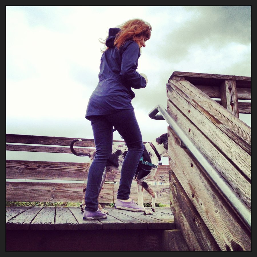
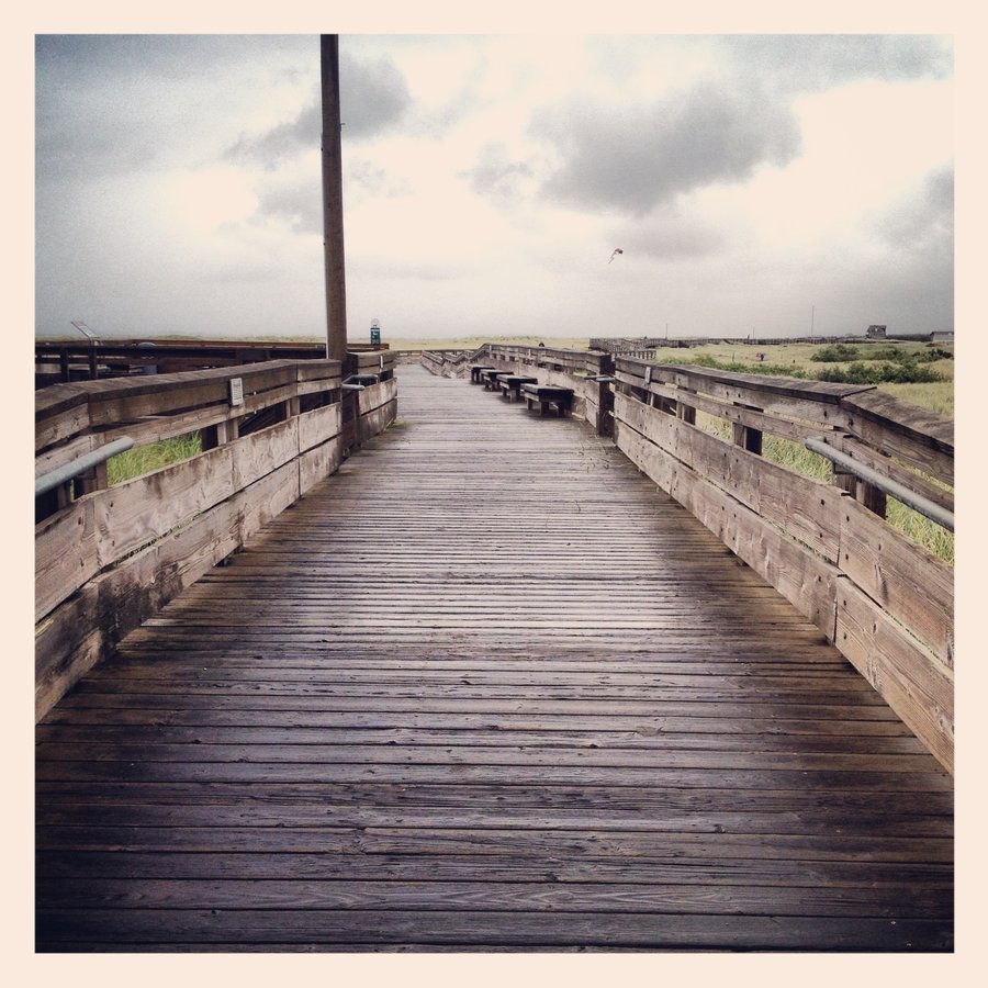
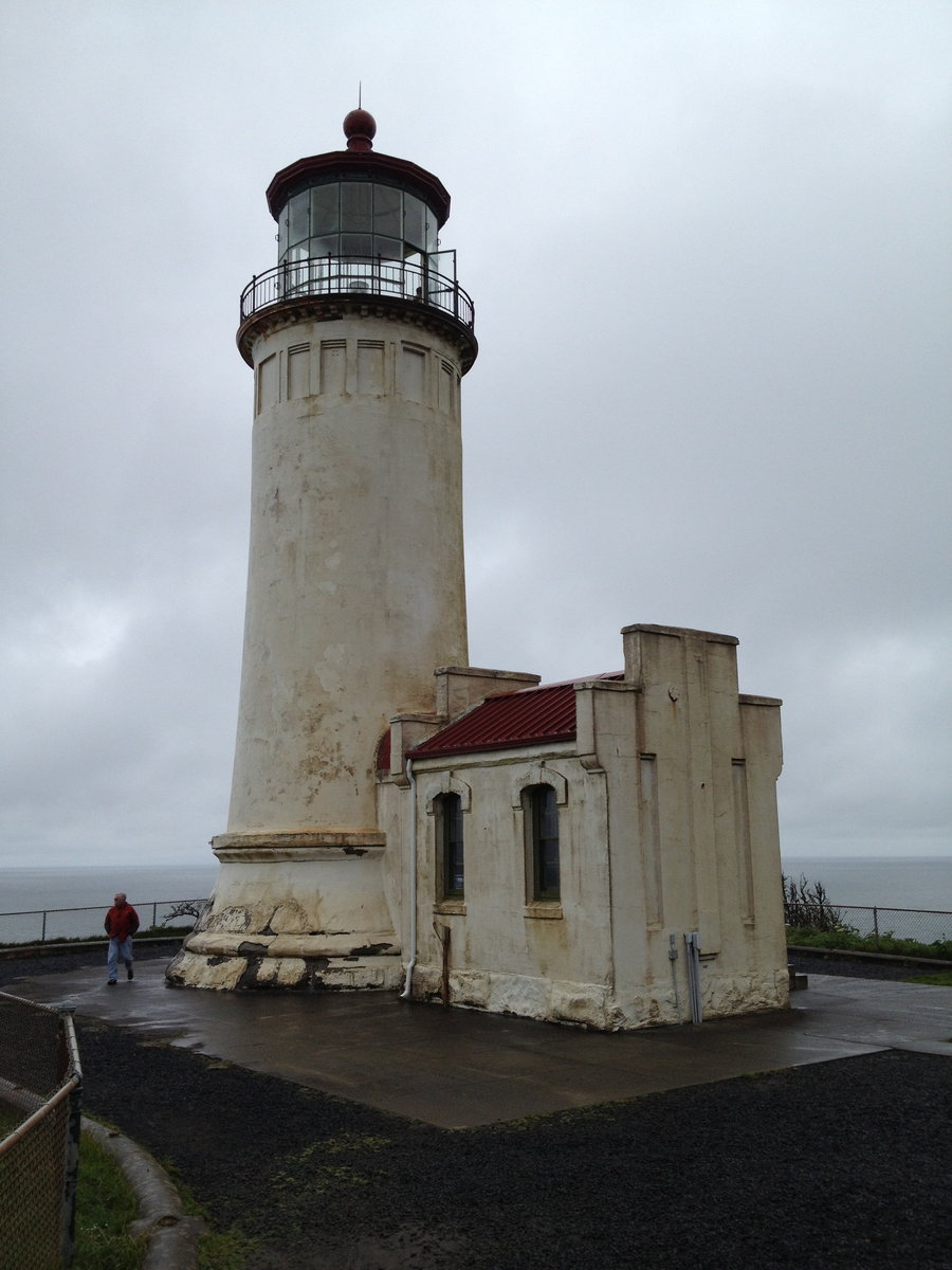
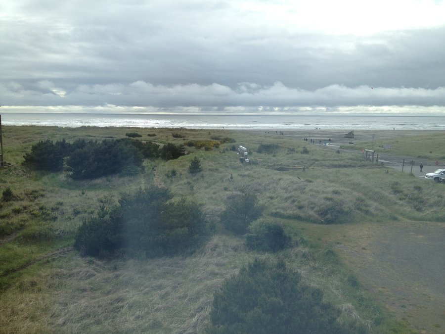
Cape Disappointment
4 miles of hiking • 250' elevation gain •
Fun Stuff. Whale Skeleton. Waves. Bonfire on the Beach. Etc....
May 21, 2013

 2
2
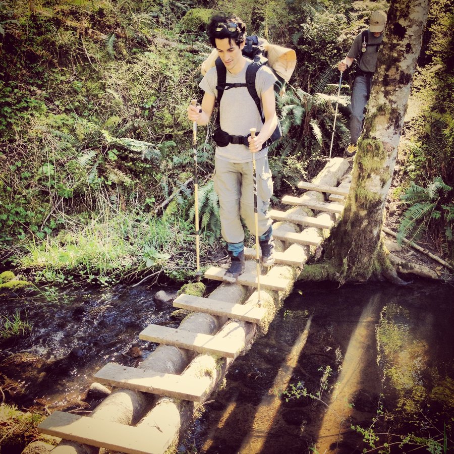
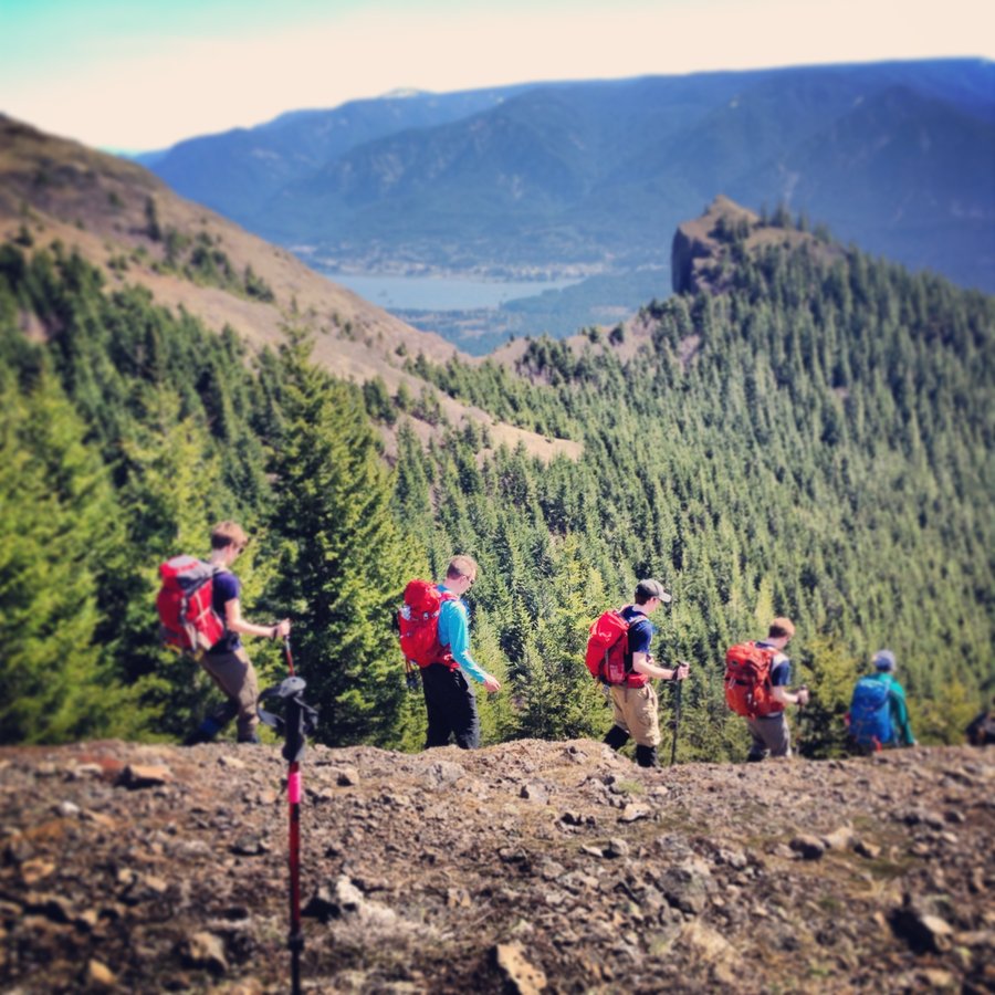
Franklin Ridge
13.1 miles of hiking • 3000' elevation gain •
First time down Franklin Ridge to Multnomah Basin.
Big Lap, My back hurts.
My dog is Happy.
The last 2.3 miles and 400' suck.
But Multnomah Falls was classic on Mothers Day.
Strollers, Complainers, Flip-flops, Where is the top? I almost recorded the hilarious convo's.
May 12, 2013

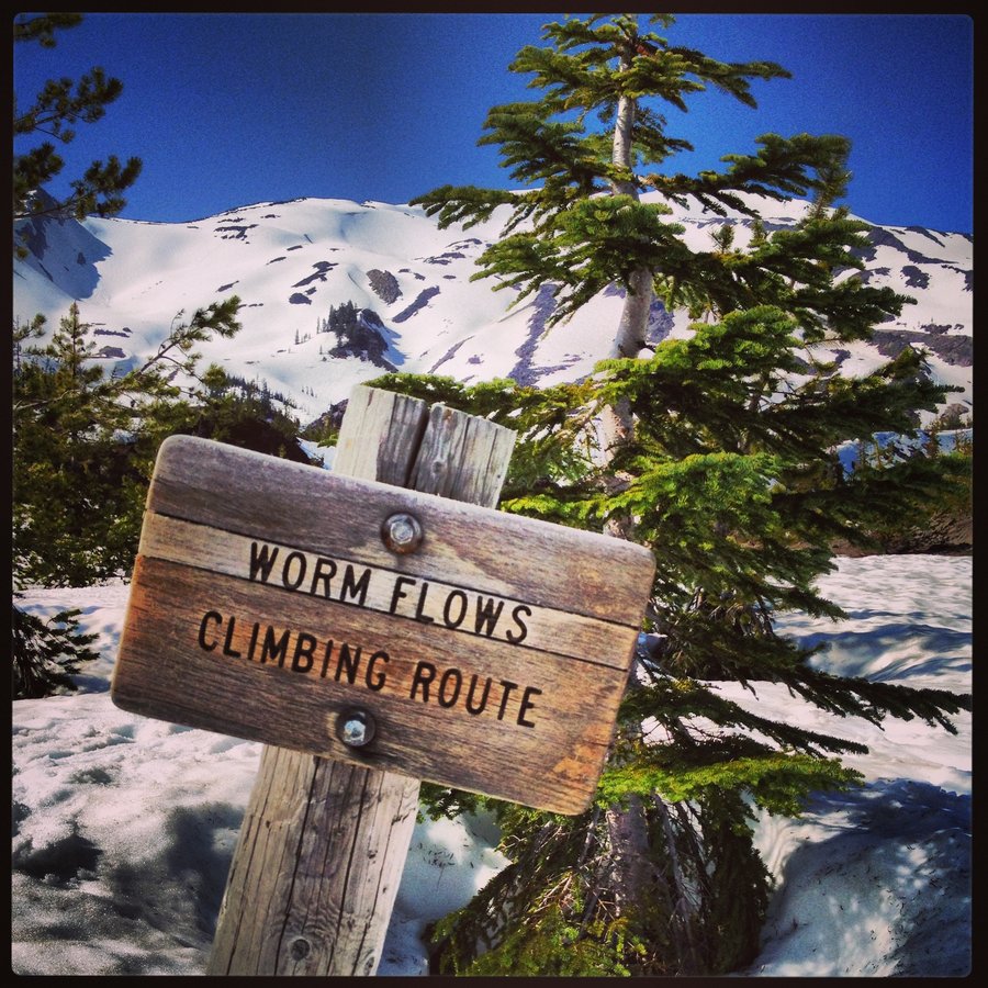
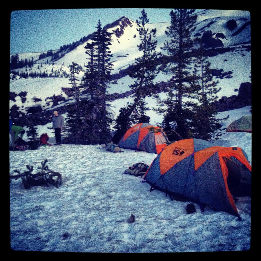
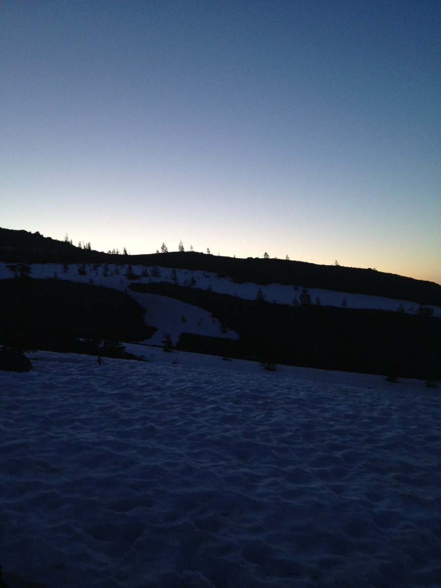
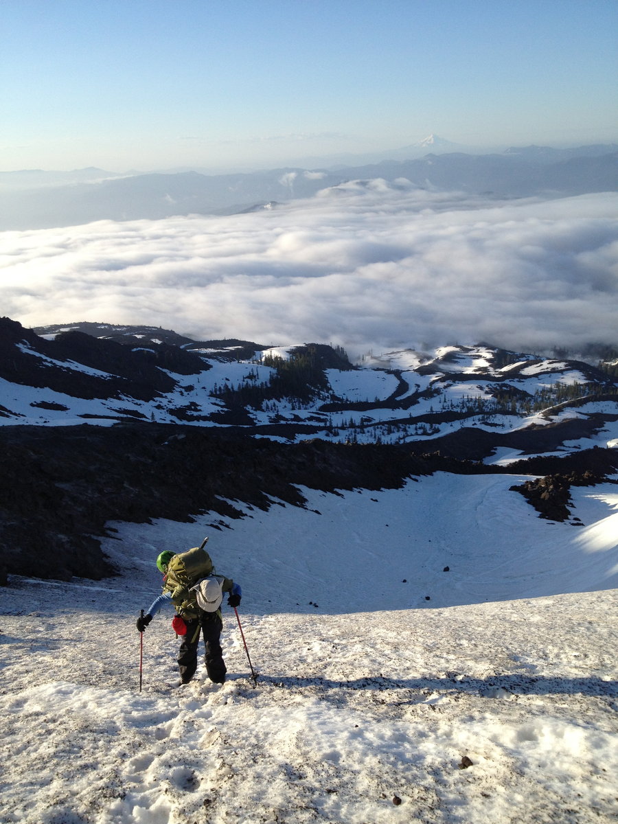
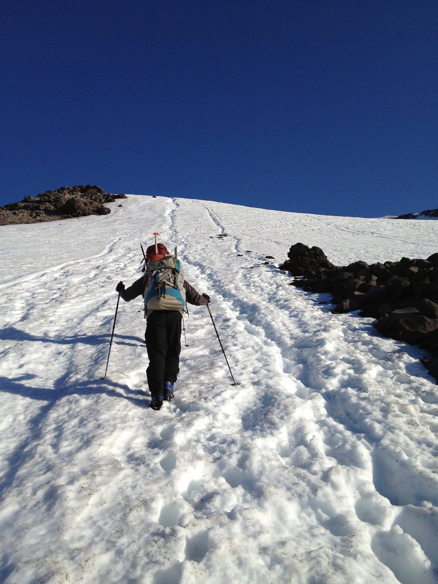
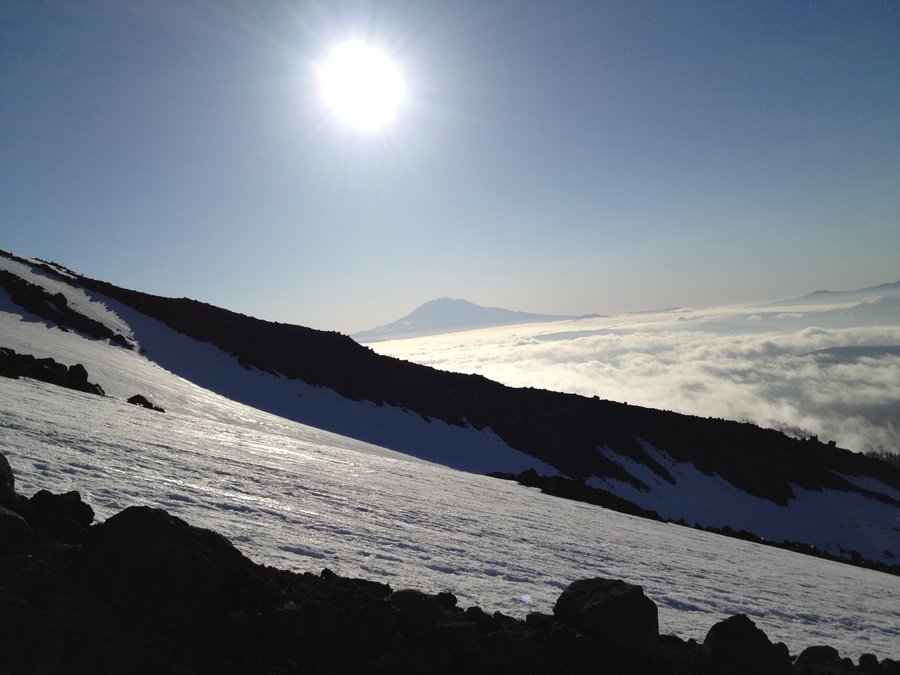
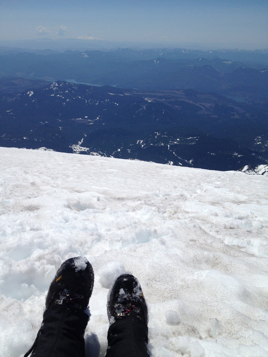
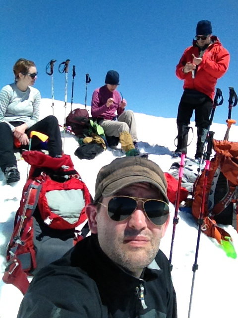
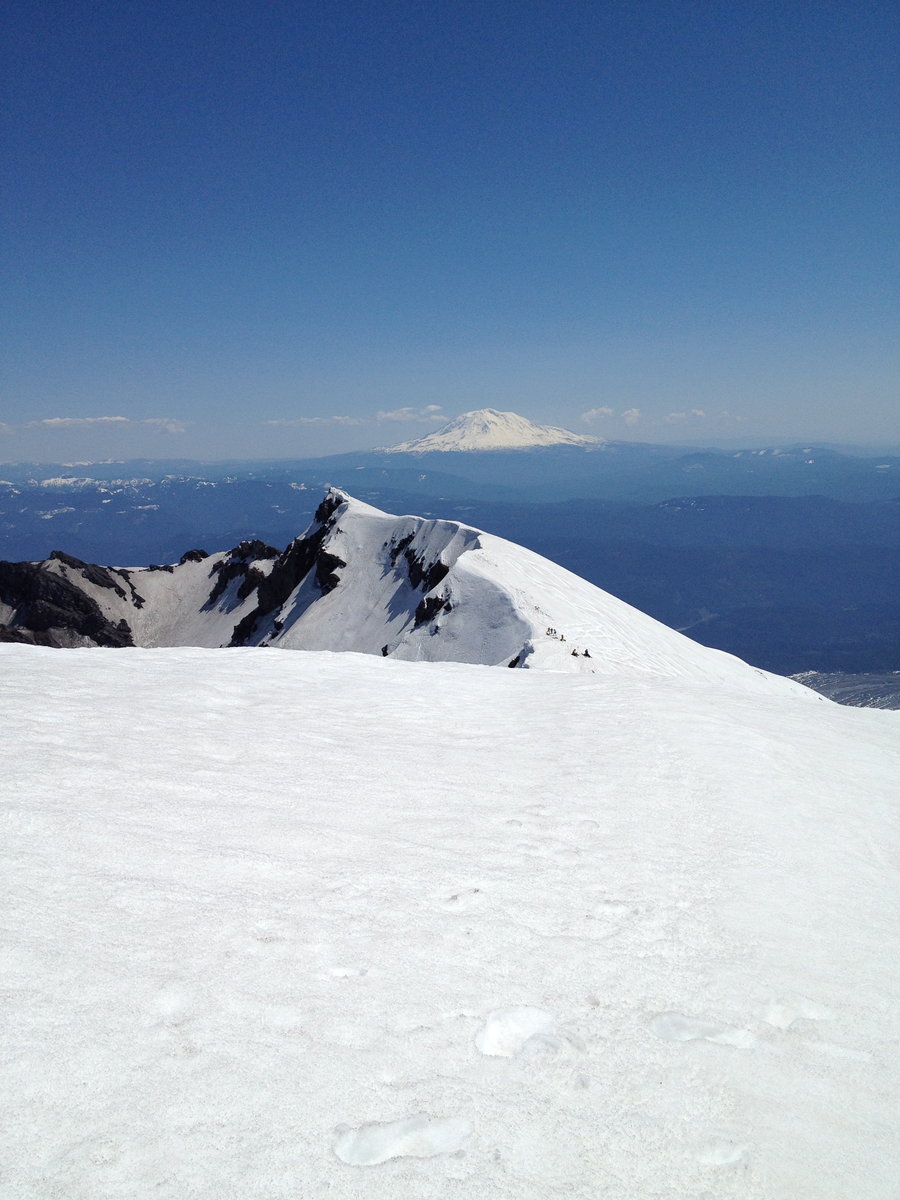
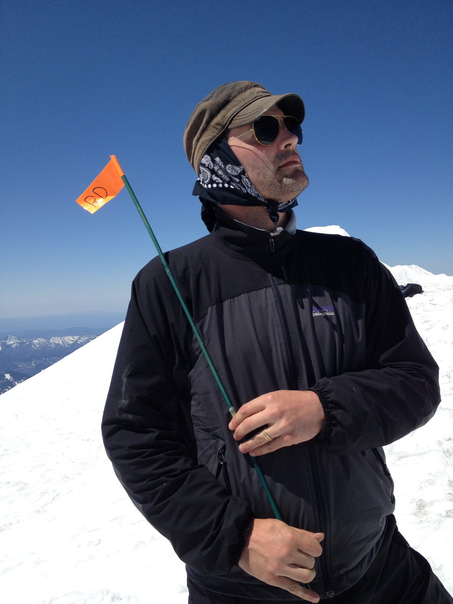
Mount Saint Helens. Worm Flows
12 miles of hiking • 5500' elevation gain • 1 night
Went Climbing.....
May 6 – May 7, 2013

 2
2
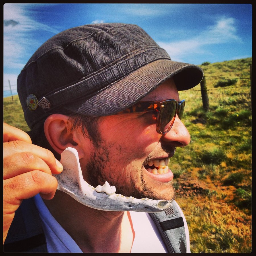
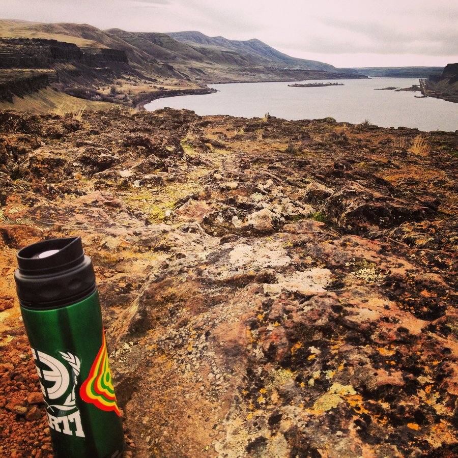
Swale Canyon a.k.a. Snake Alley
9.5 miles of hiking • 500' elevation gain •
Rattlesnake Buzzed us on the road. He did NOT have permission for a Fly-by. I'm revoking his Flight Status. GROUNDED. (Get it? Grounded, He's a Snake. Ha.) Sightings in Order. Osprey with Fish Bomb. Adult Bald Eagle - SKY BOSS. Golden Marmots, Coyote Jaw with Tooth. Several Rattlesnakes. A Huge Gopher Snake. Lots of Western Fence Lizards. Catahoula Leopard Dog playing the river. Golden Eagle vs. Raven Dogfight. Ravens Won. Overall, a beautiful Snake Factory.
April 28, 2013


Dog on Dog Action
7 miles of hiking • 2750' elevation gain •
Great Views. Posion Oak Factory. Mad Raven Action up top
April 26, 2013

Mt. Defiance/Starvation Ridge/Warren Lake
11.7 miles of hiking • 5000' elevation gain •
Up Defiance Trail, Freezing Blustery Winter Conditions at the Towers, Pleasant at Warren Lake, Down the Green Starvation Ridge Trail.
April 21, 2013

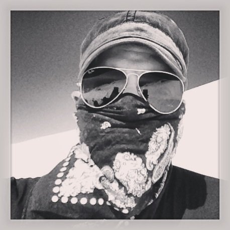
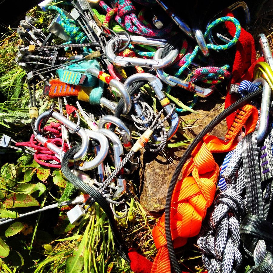
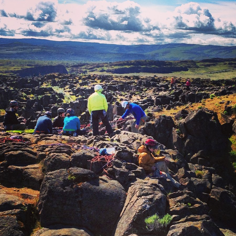
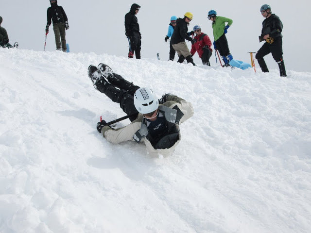
Went Climbing - Horsethief Butte
2 miles of hiking • 500' elevation gain • 1 night
Good Times with Mazamas.
Rappelling is scary.
Learned a Ton of good stuffs.
April 13 – April 14, 2013

Eastside Ramble
6.5 miles of hiking • 500' elevation gain •
Just a quick wander inbounds.
Testing out the big pack.
April 9, 2013
 1
1
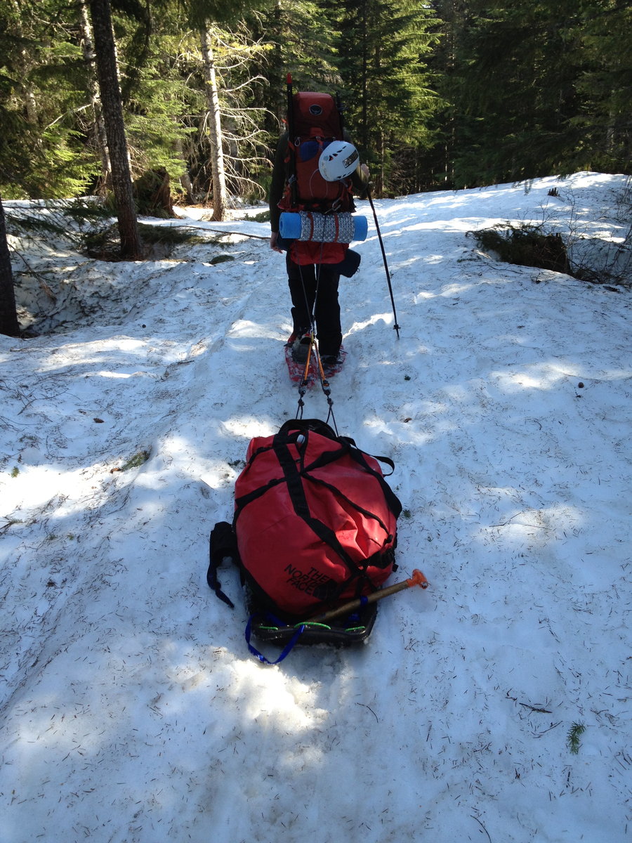
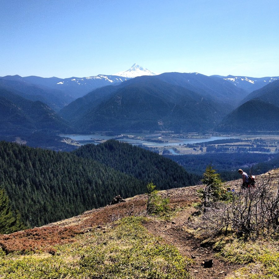
Table Mountain
10 miles of hiking • 4250' elevation gain •
I'll have the Table Mt. with a lil Aldrich Butte on the side.
Started from Bonneville.
Snow free 'cept for the last 200'. I'd call it 3200'+
Does this mean the Benson Plateau is open for Business?
First 4000'+ for 2013.
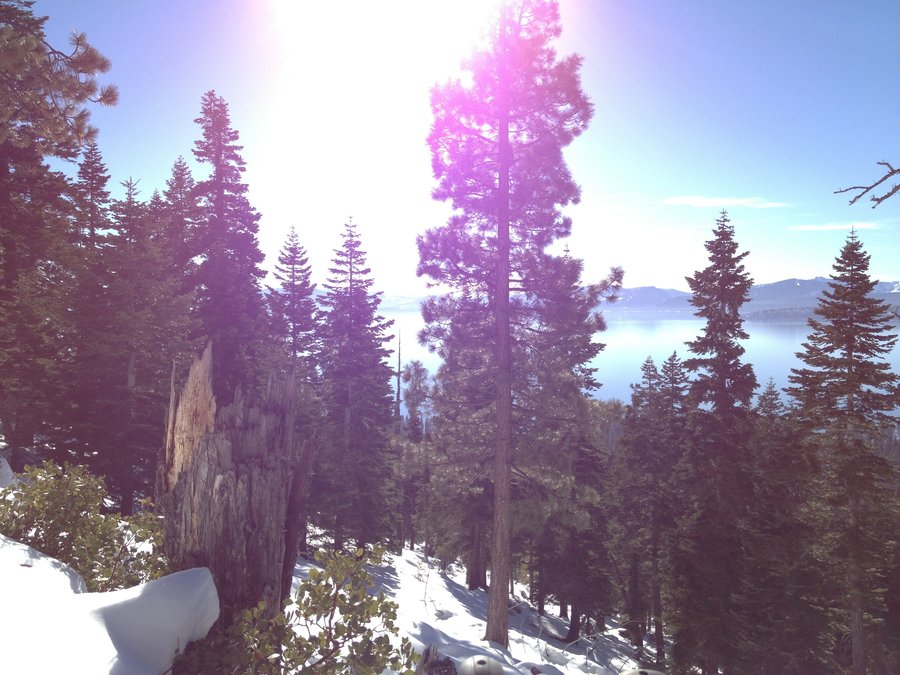
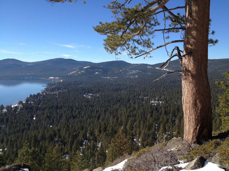
March 30, 2013

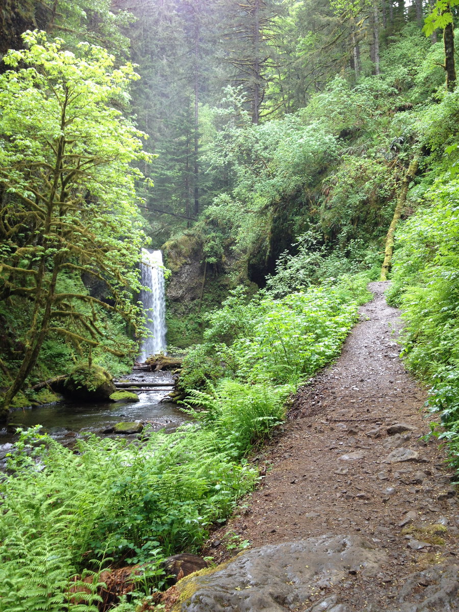
Silver Falls State Park
8.7 miles of hiking • 1500' elevation gain •
Trail of ten falls.
Cool. Crowded on the way back. Hit this one early mid week.
Even then it feels like Multnomah.
Perfect for out-of-towners who would die if asked to go up Larch or Table.
Lots of Eye candy.
NO DOGS. (stupid, but the law)
March 25, 2013

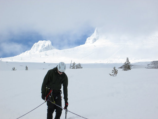
Hood - White River Glaicer
1 miles of hiking • 500' elevation gain •
Training Day. Rope Teams, Self Arrest, Glacier Travel, Rappel and Belay! Fun Mazama Saturday.
March 23, 2013

Hamil TRON Mt.
8.5 miles of hiking • 2000' elevation gain •
Fun Morning with Mazamas. We tied no Pink Ribbons. Promise.
March 16, 2013

Mitchell Point - Moto GP
4 miles of hiking • 1500' elevation gain •
I Saw 4 Dirt bikes on the summit. Not pedal bikes. 250cc trail bikes. Bold. Exposed. Illegal.
Hit the lower viewpoint twice, a bit of Wygant, then jumped the fence to hover over 84.
March 9, 2013

Angels/Devils/WakeenaSprings/Vista/Angels/
13.5 miles of hiking • 3250' elevation gain •
High Pressure Rules Everything Around Me. Get the Dog; Douglas Douglas Fir Y'all.
March 8, 2013

Wauna Viewpoint/Toothrock Road
5 miles of hiking • 1000' elevation gain •
Started at Toothrock. Up to Wauna Viewpoint. Over Eagle Creek Bridge, Back along 400/closed road over I-84.
One Osprey Day.
March 2, 2013

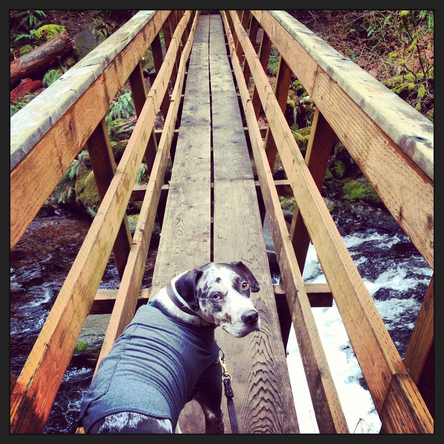
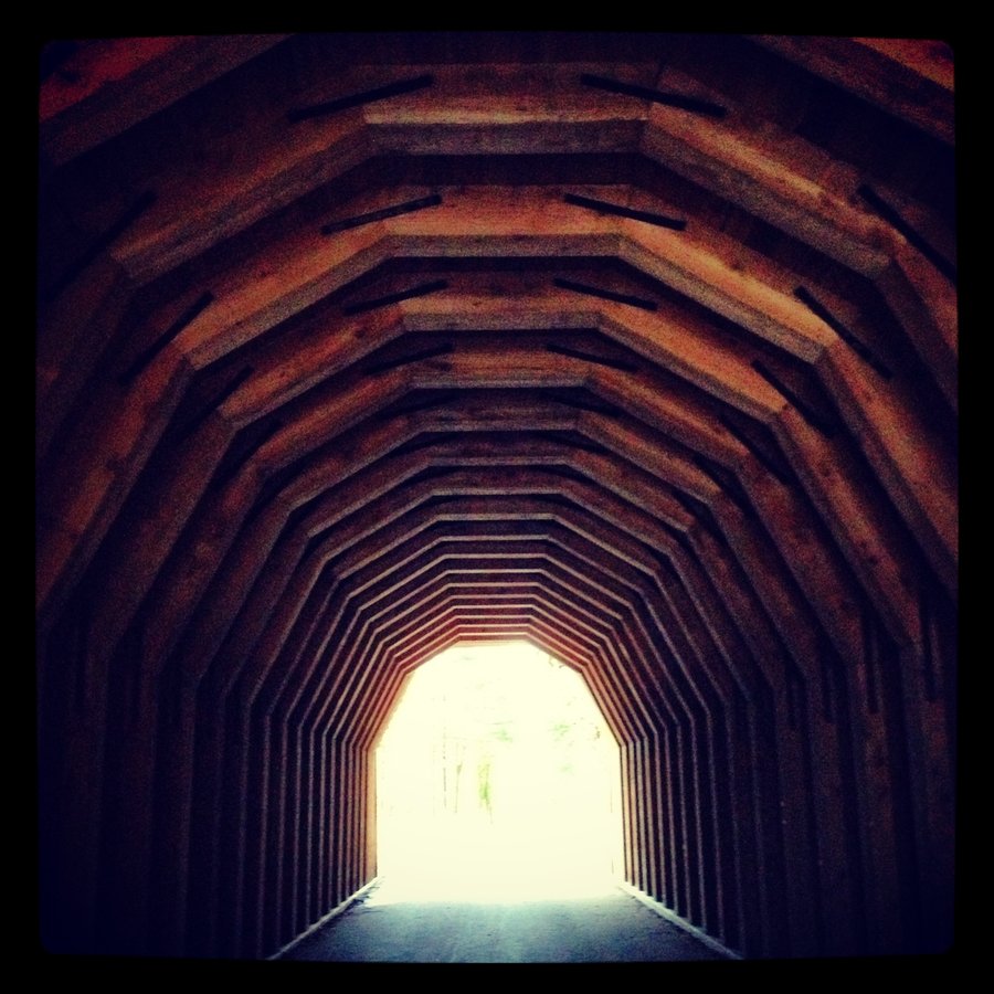
Triple Falls Tuesday.
6.5 miles of hiking • 1750' elevation gain •
Did the Lap, past Triple falls up to the third bridge and turned around at the Creek ford. Joined by the hound.
February 25, 2013

Just Another Multnomah Monday.
5.2 miles of hiking • 1750' elevation gain •
Solo. 2:13:00.
I want out on that ridgeline you can see from the Wakeena trail right before the descent into Multnomah Creek drainage.
Is it accessed from Elevator Shaft /Cougar Rock /Franklin Ridge? It's a forested baby Munra!
February 18, 2013

 1
1
5 Volcano Friday. - Larch
9.3 miles of hiking • 2250' elevation gain •
Parked below the gate. up to rd 315, uphill at the Larch Jct., out to Sherrad Pt.
Road back because it was getting late-ish, still posthole central on the road.
Our Crap 93' Toyota Corolla could not make the snow gate due to high centering. 4wd can make the gate at this time.
High. Pressure. Rules. Everything. Around. Me.
February 15, 2013

Portland City Ramble
8.8 miles of hiking • 750' elevation gain •
1/2 Day Walk, wanted to get some bike time in. Carbon-Free miles.
February 10, 2013

 3
3
Eagle Creek - 7.5 mile camp - Eagle Benson Falls
15 miles of hiking • 2000' elevation gain •
First Car. Got Soaked.
February 5, 2013

Hamilton Madness
8.6 miles of hiking • 2250' elevation gain •
Parking lot full @ Noon. Waited 15 mins for a spot. After that all good, most peeps stopped at the falls, or the lower cliff viewpoints, after the summit I saw only three people. The only snow is a Slushy Mowhawk about 3 feet deep across the top ridge. @ 2200'
February 2, 2013

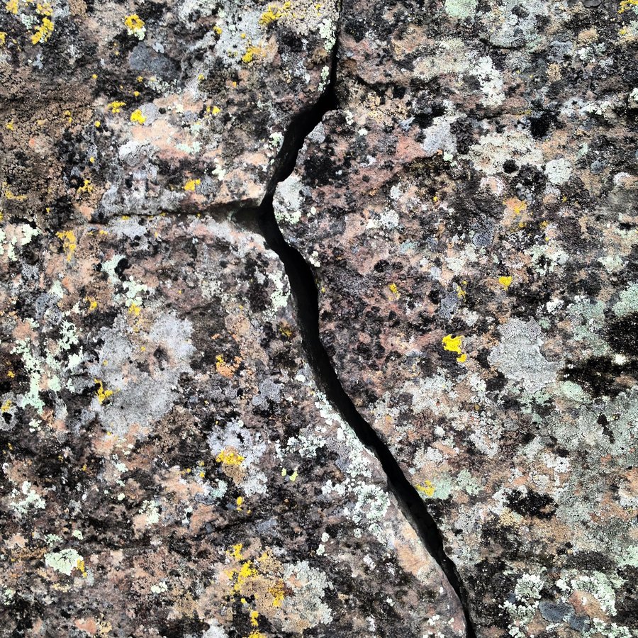
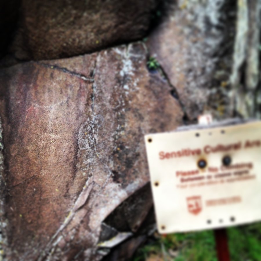
Horsethief Butte Petroglyphs - Catherine Creek Arch
4 miles of hiking • 1250' elevation gain •
Hit up both spots. Took a few pics by the river. Indian Art in full effect. Super cool. Went solo, had it all to myself. Native American Art Lap. Not posting a pic or location, but "she was definitely watching."
January 27, 2013

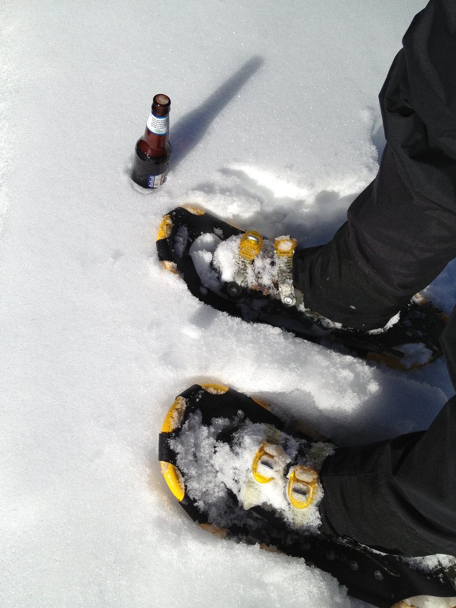
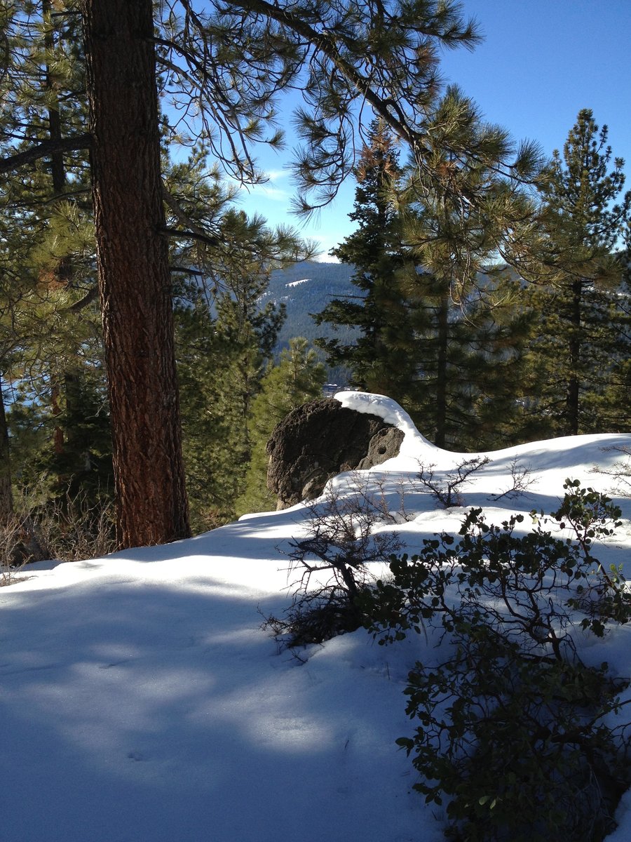
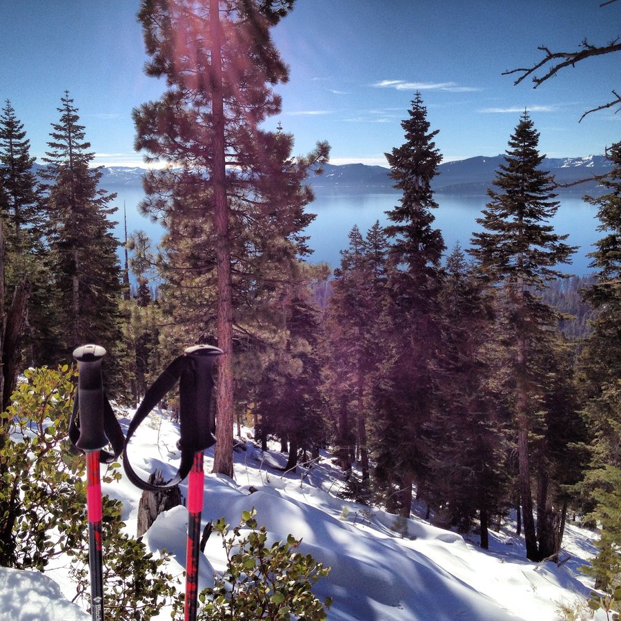
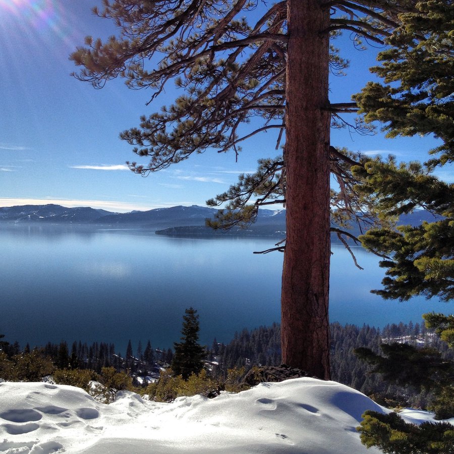
Brockway Point
4 miles of hiking • 1000' elevation gain •
Amazing Day. High pressure in full effect. Pics to Come. Snowshoes from the trailhead, broke trail up to the summits. Then bushwhacked straight down the ridge. Picnic under an ancient Sugar Pine. Epic Views.
January 17, 2013

 2
2
Angels Rest, Devils Rest.
11.5 miles of hiking • 2750' elevation gain •
Great Day. Attached some pics. Spotted a looney.
No snowshoes needed, only due to nice packed down trail. There is a lot of snow at 2400' right now. Microspikes are being purchased this week. Tall gaiters and Sticks did just fine. Awesome Sunday in the Gorge!
January 13, 2013

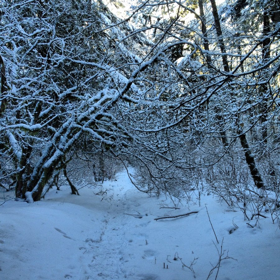
Foresty Park
7.4 miles of hiking • 750' elevation gain •
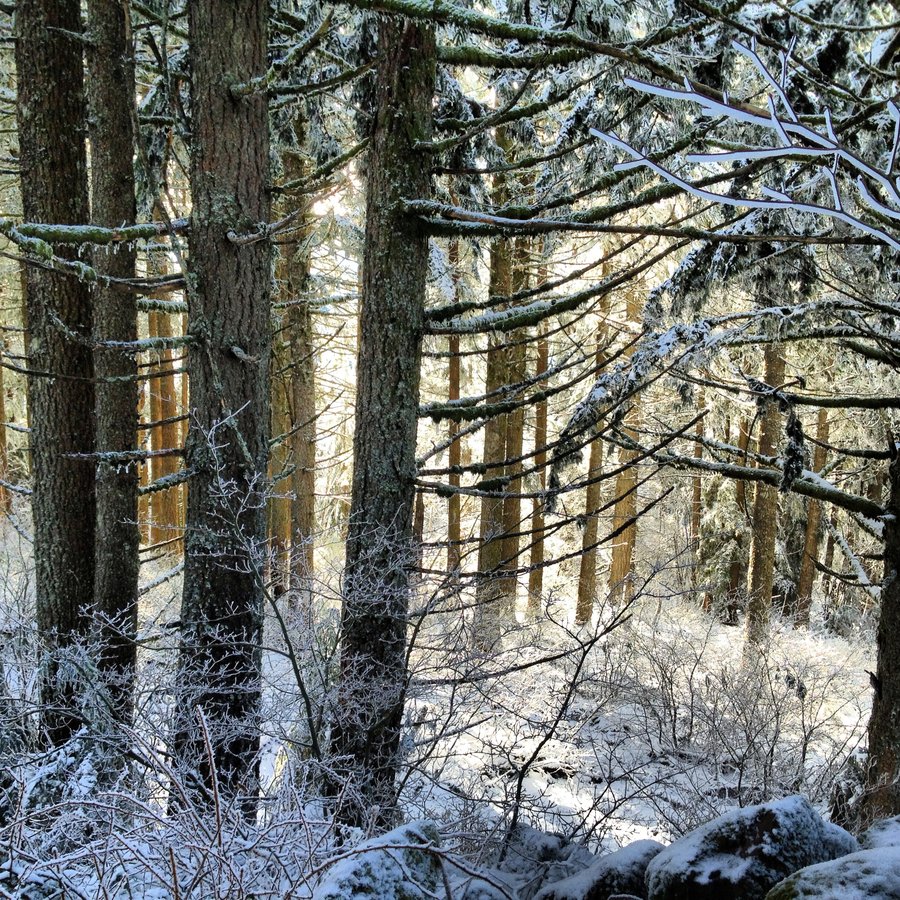
Some Fire-lanes, some Lief Ericsson, some Wildwood Trail, Some Gas-line rd, and Scouts Clearing Twice. I was scared to drive in the Icy gorge, but this was fun.
January 5, 2013