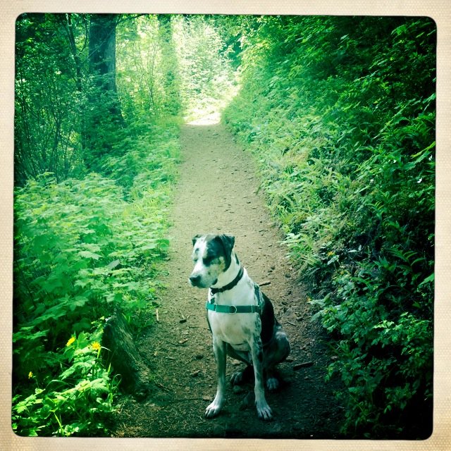
2012 Trips


December 27, 2012

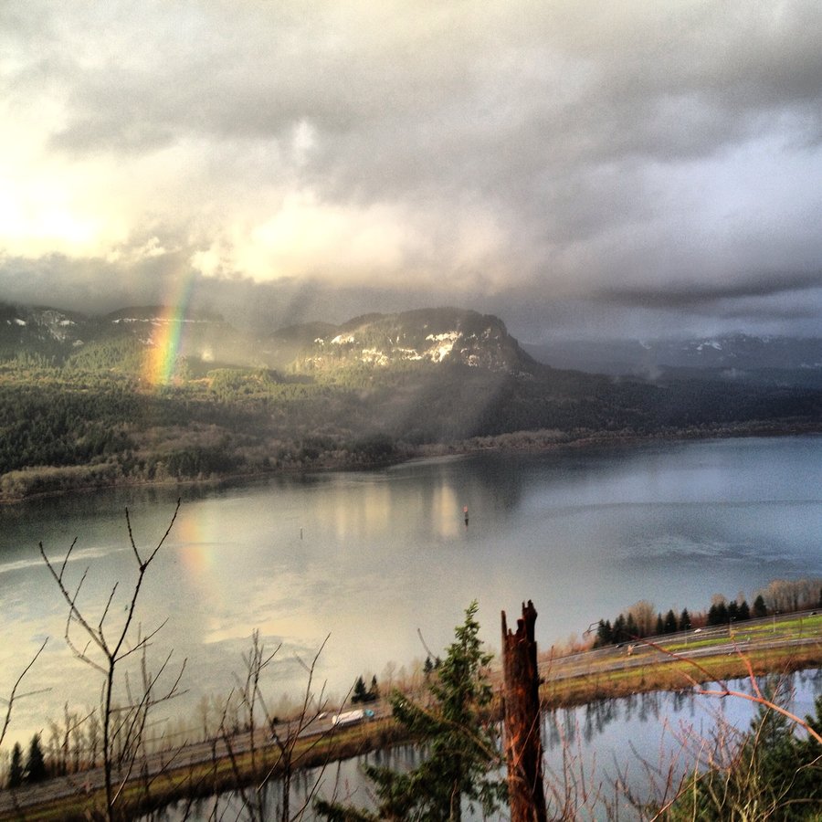
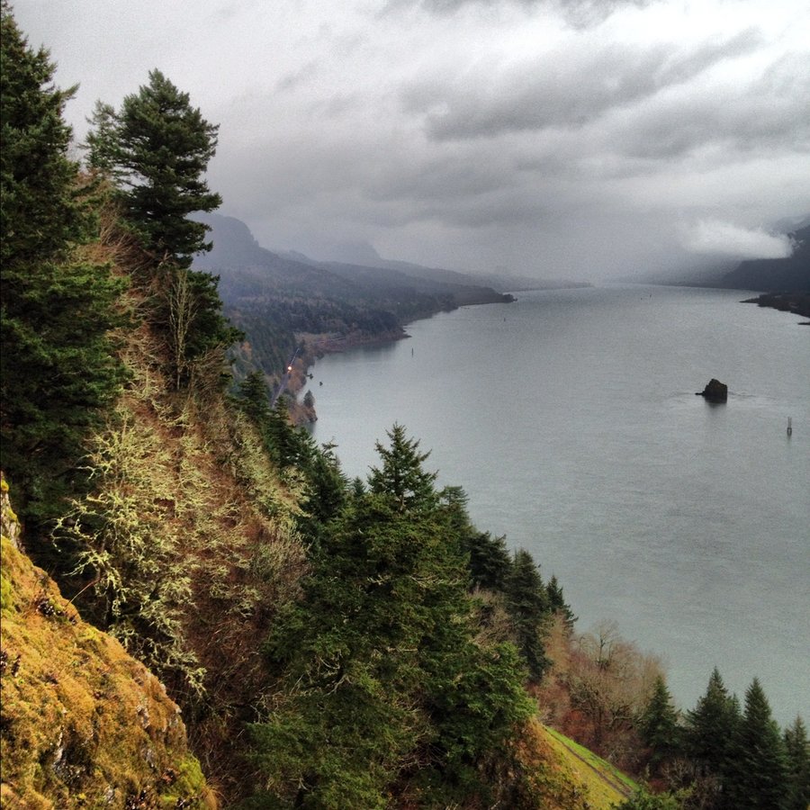
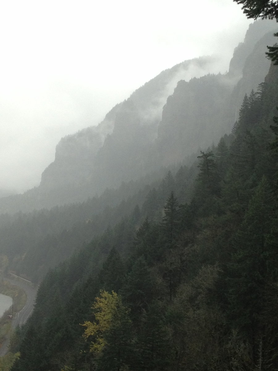
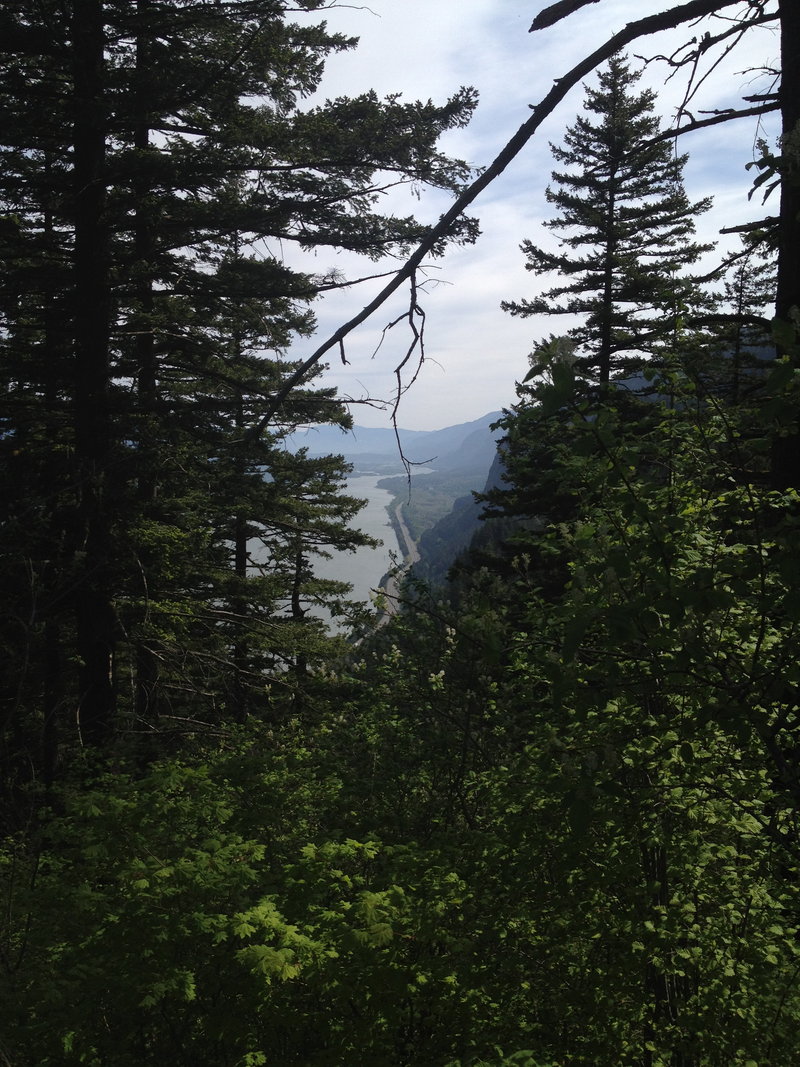
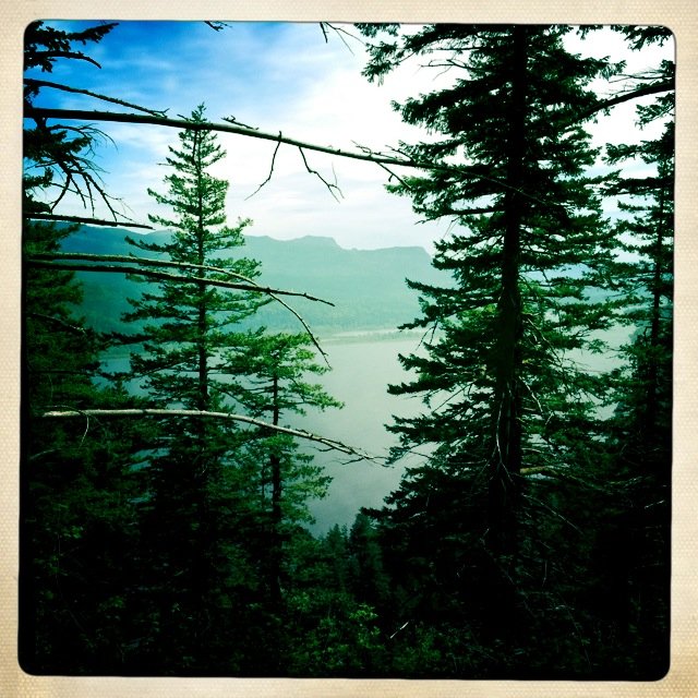
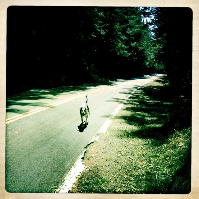
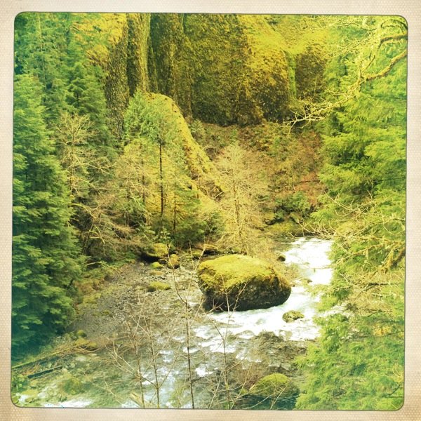
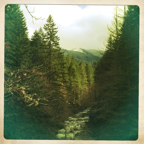
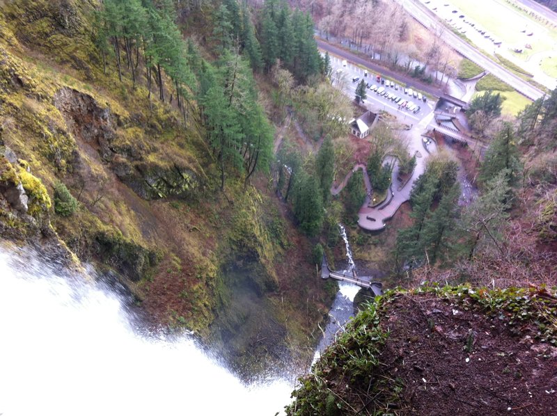
Wakeena Springs and Nearby Stuffs
6.5 miles of hiking • 2000' elevation gain •
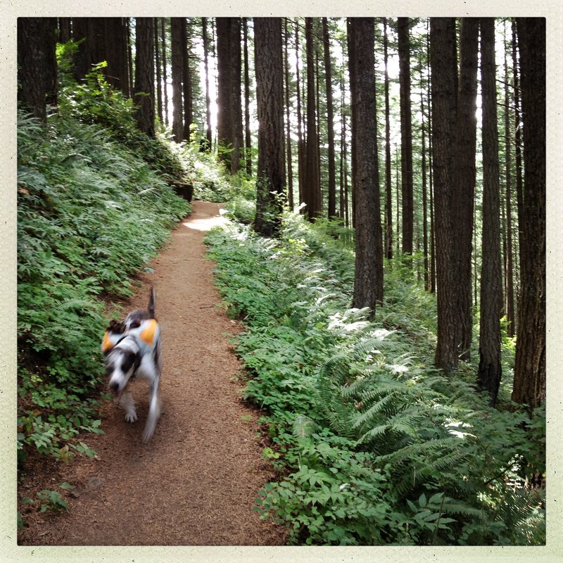
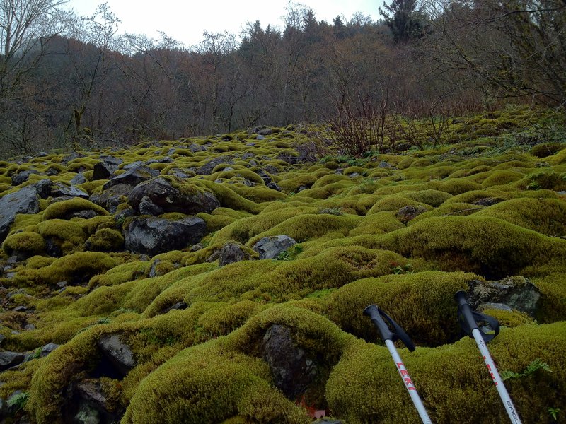
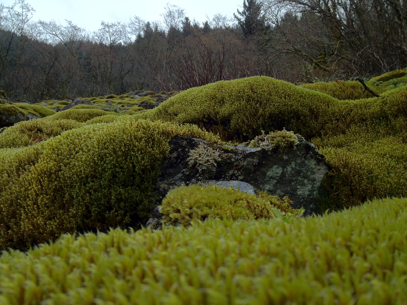
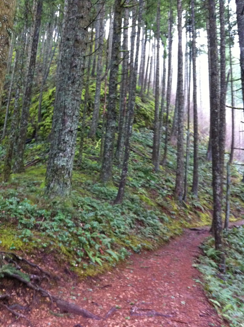
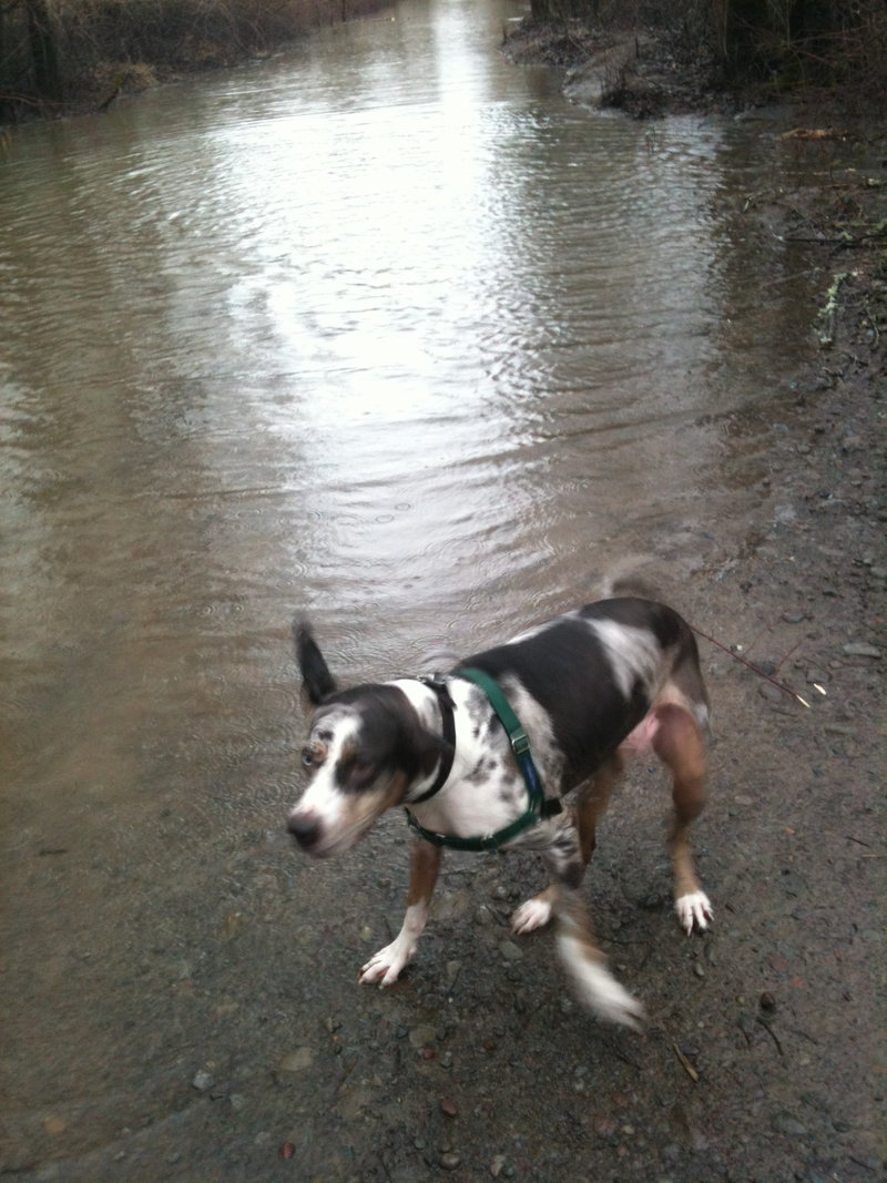
Wakeena Falls, Springs, Devils Rest Trail untill the snow got deep, back to Vista trail, over to Multnomah, back to Wakeena. Thats it 2012! Next Year I'm cracking 500 miles.
December 27, 2012

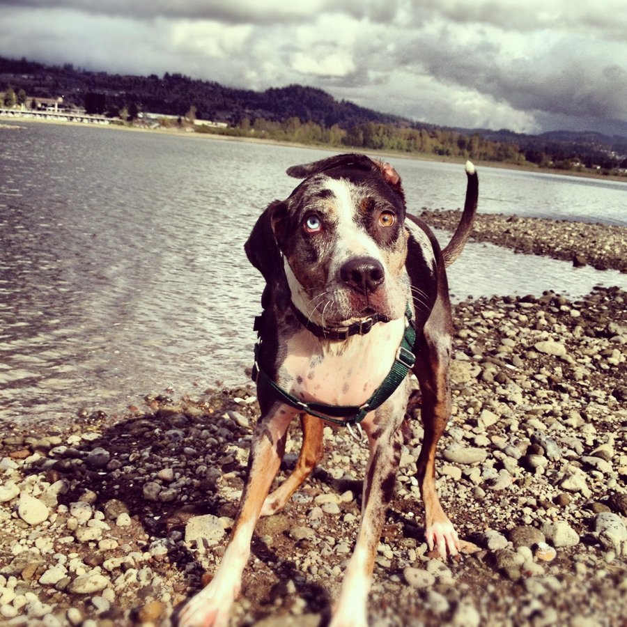
Spencer Butte - Eugene Outskirts
3 miles of hiking • 750' elevation gain •
Had an errand in Eugene.
The Pup and I scrambled up this sucker in the rain and darkness with headlamps.
50-65 mph gusts from the southwest at the summit.
we stayed like 30 secs.
Drove straight back.
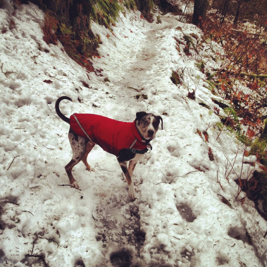
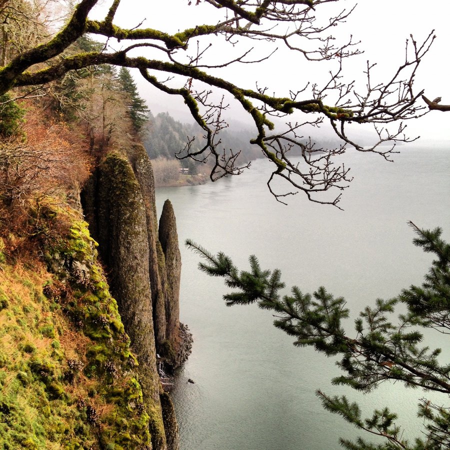
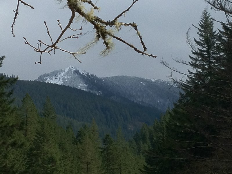
December 21, 2012

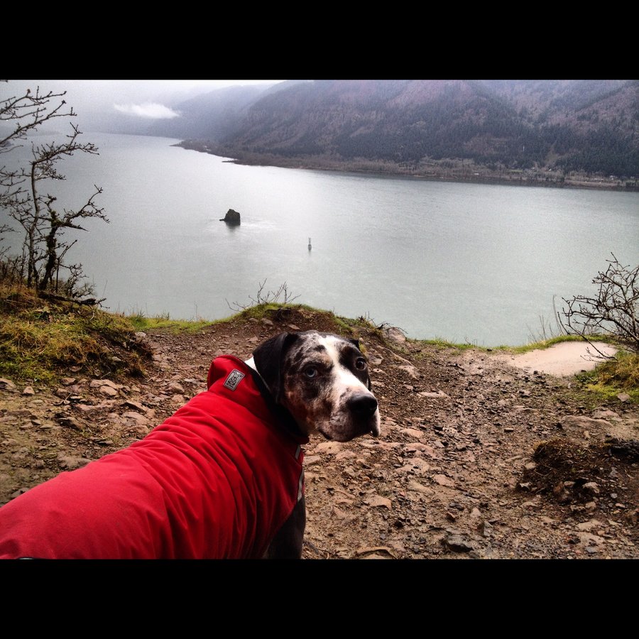
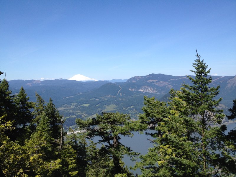
Cape Horn Loop
7 miles of hiking • 1750' elevation gain •
Started out in fleece, rain gear on about 10 minutes in.
Clouds everywhere, Archer was as far as I could see to the east, Bosterson was lost in the clouds over on Table.
Totally soaked, the road walk back to the car sucked.
good lap, nice alternative to the typical oregon walks. (devils,angels,MF,triple)
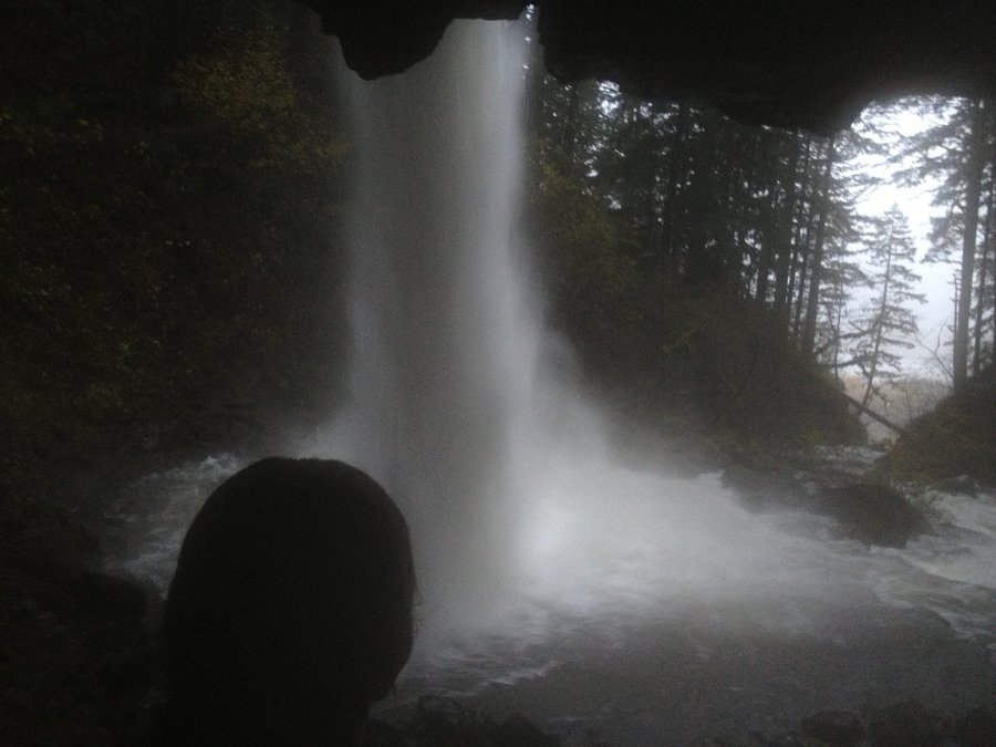
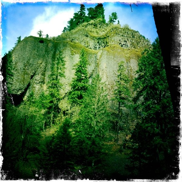
December 8, 2012

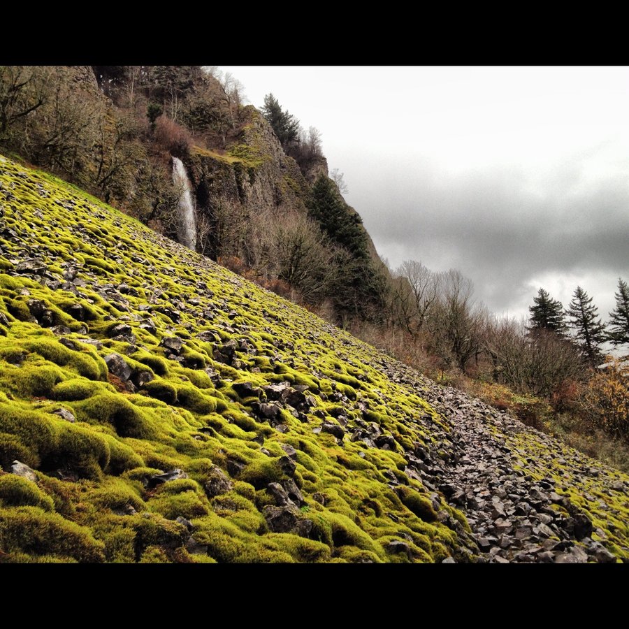
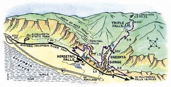
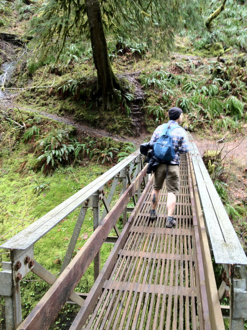
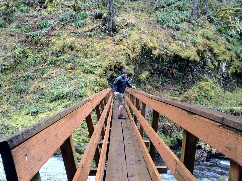
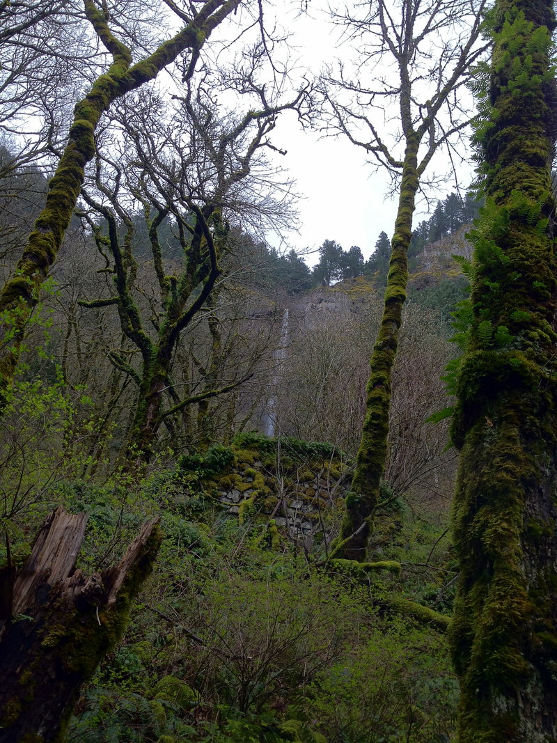
Horsetail - Ponytail - Elevator Shaft - Disneyland in the Dark
8 miles of hiking • 1000' elevation gain •
Parked at MF. (we never do that)
Went up MF, then over on 400 to the Elevator Shaft. Played around a bit. Looked for trail. Anyone know what the heavy use path a bit east of the rockslide is called? does it go to Nesika? Anyway east on 400, down and up in Oneoneta Gorge, Beers in the cave under ponytail. Downpour walking back. Soaked. We were the only ones at the benson bridge in the dark, spray everywhere and lamps on.
It Ruled.
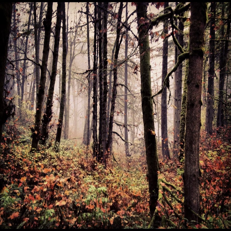
November 22, 2012

Forest Park - Wildwood/Leaf
6.5 miles of hiking • 750' elevation gain •
Wet and Foggy. Tryin' to get some winter miles in.
November 12, 2012

Sundial Island
6 miles of hiking • 0' elevation gain •
Low water Access to Sundial.
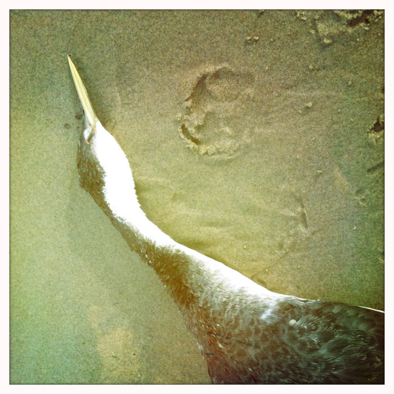
Walked to the Columbia. dog swam and smelled like massive dead salmon.
super gnar...
November 9, 2012

Wyeth Explorations
5 miles of hiking • 1000' elevation gain •
Wet Day.
Went up to Emerald creek falls. saw two guys standing in the creek for tripod shots.
They were knee deep. went wandering in the woods below Indian Pt.
Left after taking spooky pics, and hearing a big rockslide above me in the fog.
Dog freaked out as well, something big was in those woods above trail 400.
We did not stay to find out.
November 4, 2012

Triple Falls - Solo Style
5.5 miles of hiking • 1000' elevation gain •
Started loop at Horsetail, then Ponytail, Triple, Oneoneta, Tunnel, Road, Car. not a bad day
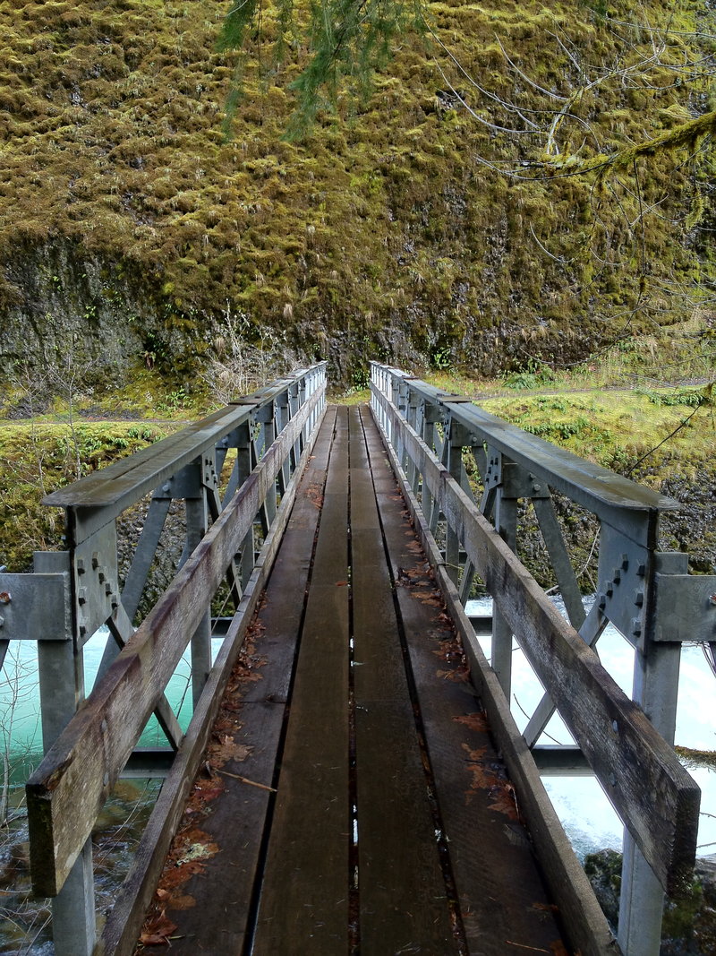
October 30, 2012

October 29, 2012


October 25, 2012

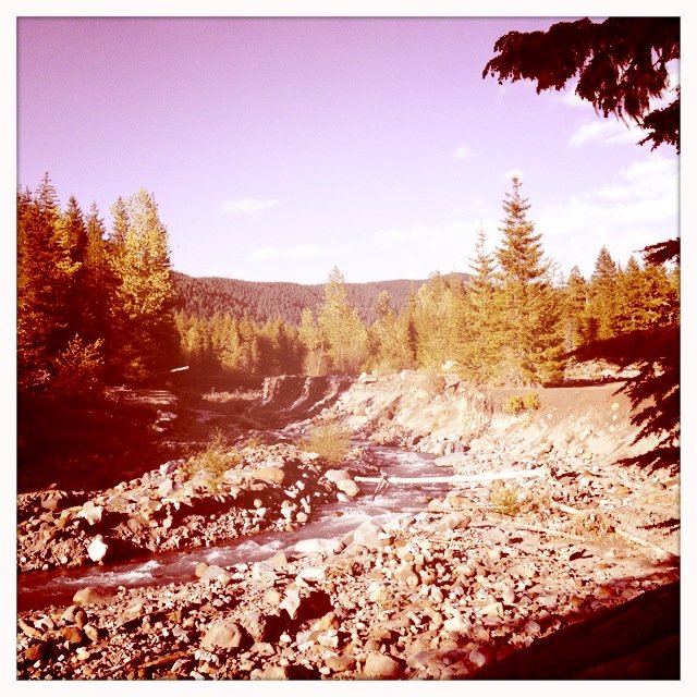
Sandy River Delta
7 miles of hiking • 0' elevation gain •
Low water enabled access to Sundial island.
Looks quite different from years past.
saw an excellent Kingfisher, and a nice mature Red Tail Hawk.
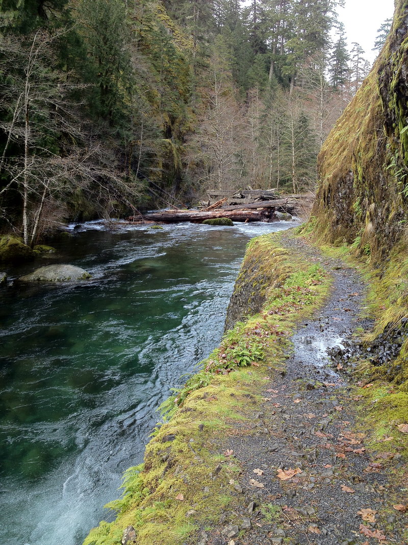
October 21, 2012


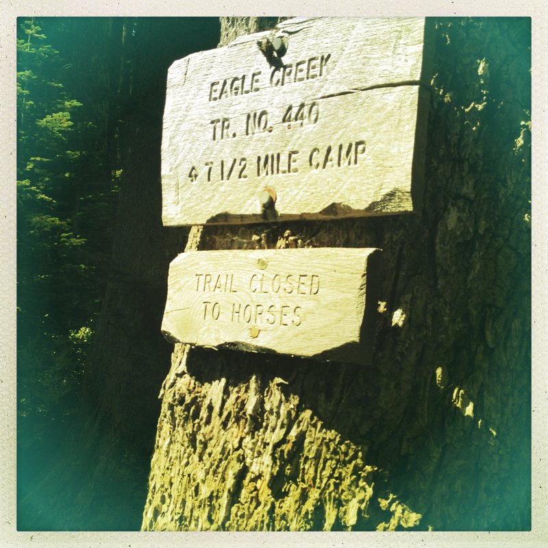
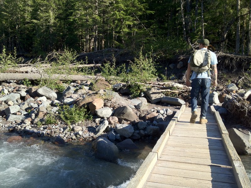
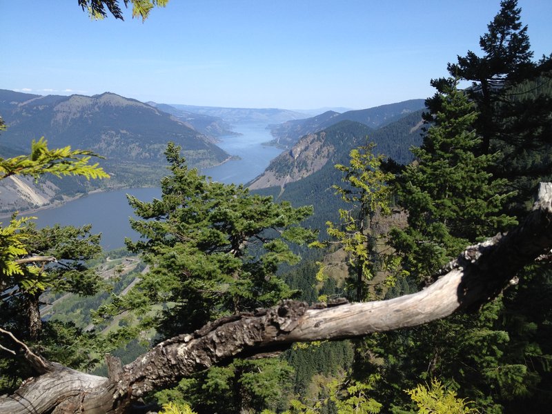
Indian Mt. - Wathum Lake - Eagle Creek to the Columbia.
15.5 miles of hiking • 1000' elevation gain • 1 night
A little up, then Down, Down Down. OMG Tunnel falls is cool. The exposure on the trail above is magic.
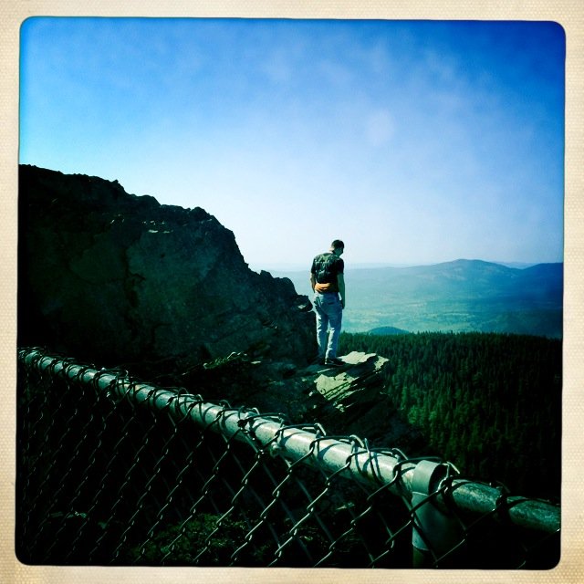
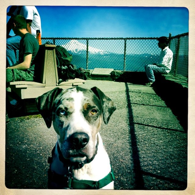
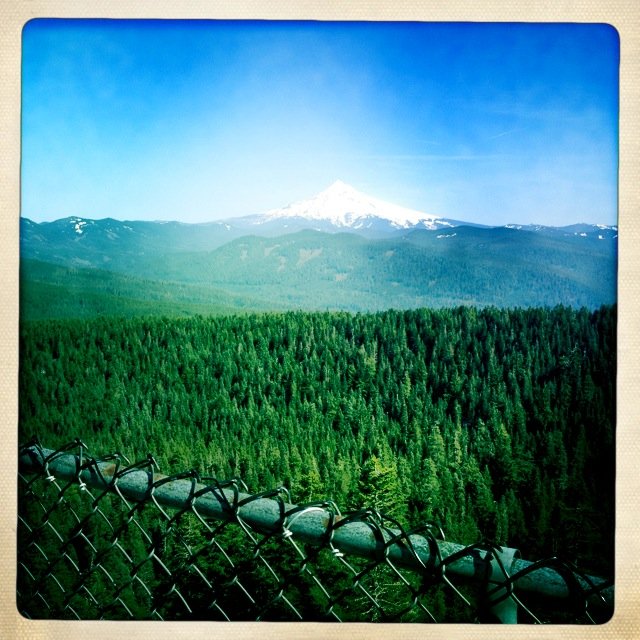
August 20 – August 21, 2012

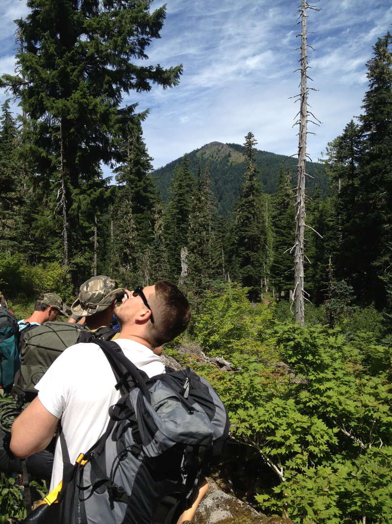
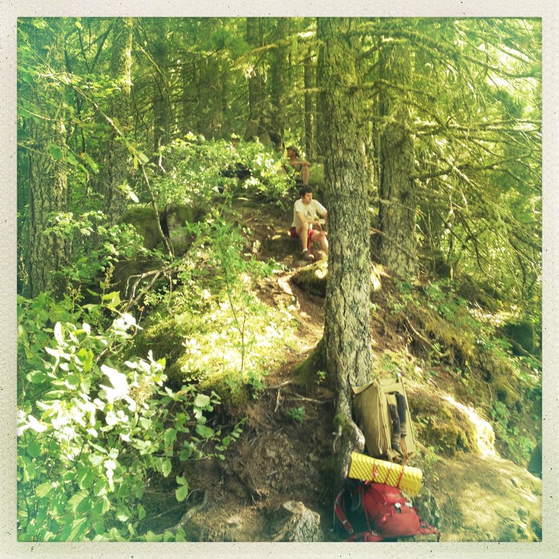
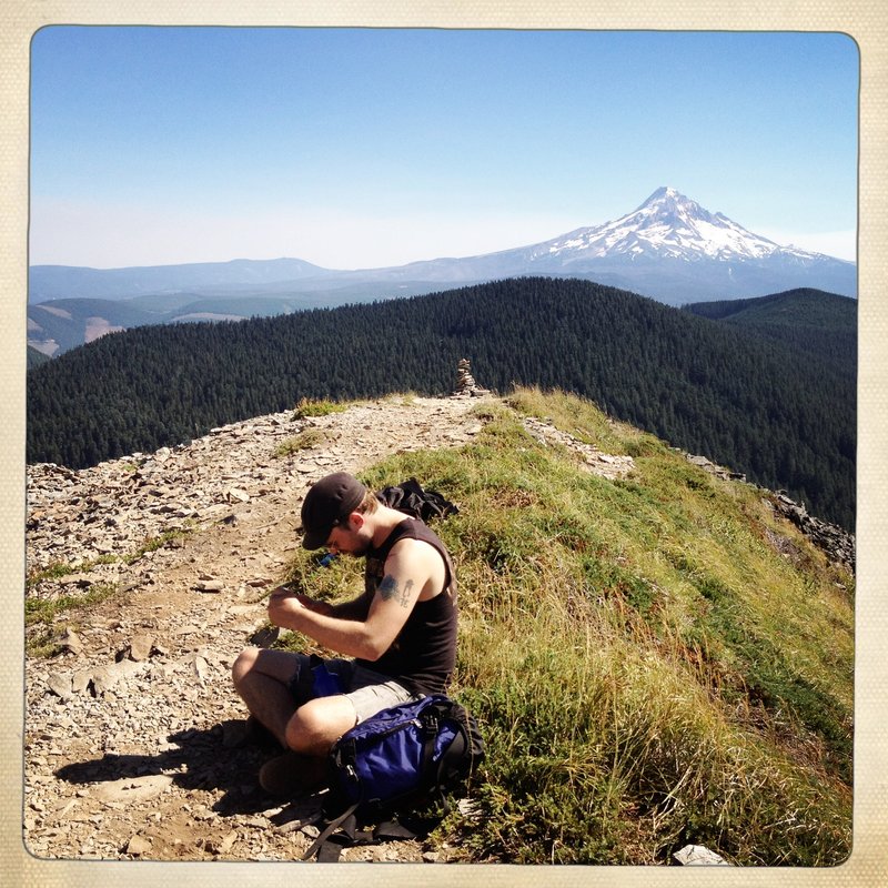
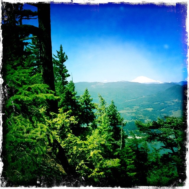
Chinidere Mt.
7.5 miles of hiking • 1750' elevation gain • 2 nights
Camped near Indian Springs for the weekend, along the road 2 miles above Wathum Lake. Walk to the lake and Swam, hit the summit of Chinidere on Sat afternoon. Best views ever. Bonus Carin and cool rock formations to sit upon. No one else there but us dudes.
August 19 – August 21, 2012

 1
1
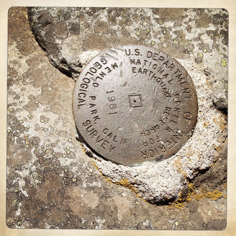
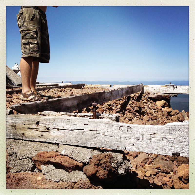
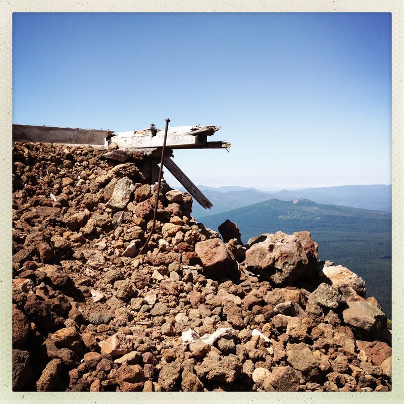
O-lal-lie Butte. a.k.a. The High Point Between Hood and Jefferson
7.5 miles of hiking • 2500' elevation gain • 1 night
Very cool Summit.
Abandoned Look Remains, last used in 1967.
Land ceded back to Warm Springs tribe.
Had to look at old topo's for the trail map.
Quads from 1995/2011 do not show the trail.
Use the 1986 Quad for Olallie Lake - this one has the trail on it.
Pretty Steep - 2500' in three miles. never really lets up.
Kinda overgrown for the first mile - It gets better.
Final pitch is above treeline THE VIEWS ARE INCREDIBLE.
I saw Adams, Hood, Jeff, St. Helens, Rainier, The Sisters North and Middle, and Broken Top, as well as two fires and the results of last years fire activity at Warm springs.
3rd outing this week for Aero. He is Whooped.
Park under the third powerline on 2240. good pavement for 95% of the trip/ last 12 miles are gravel (2wd.)
August 10 – August 11, 2012

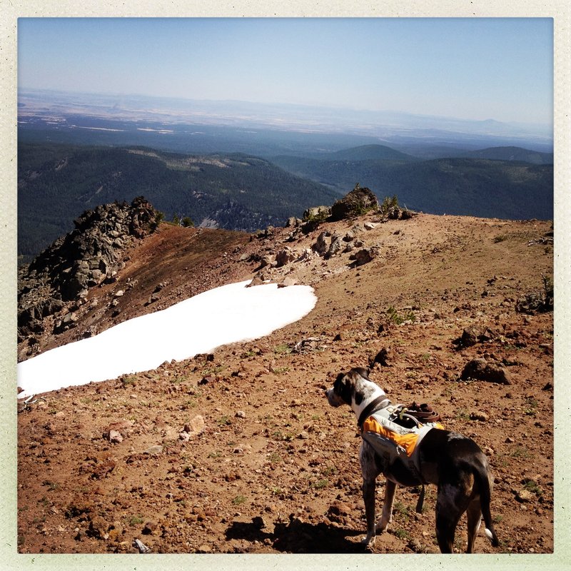
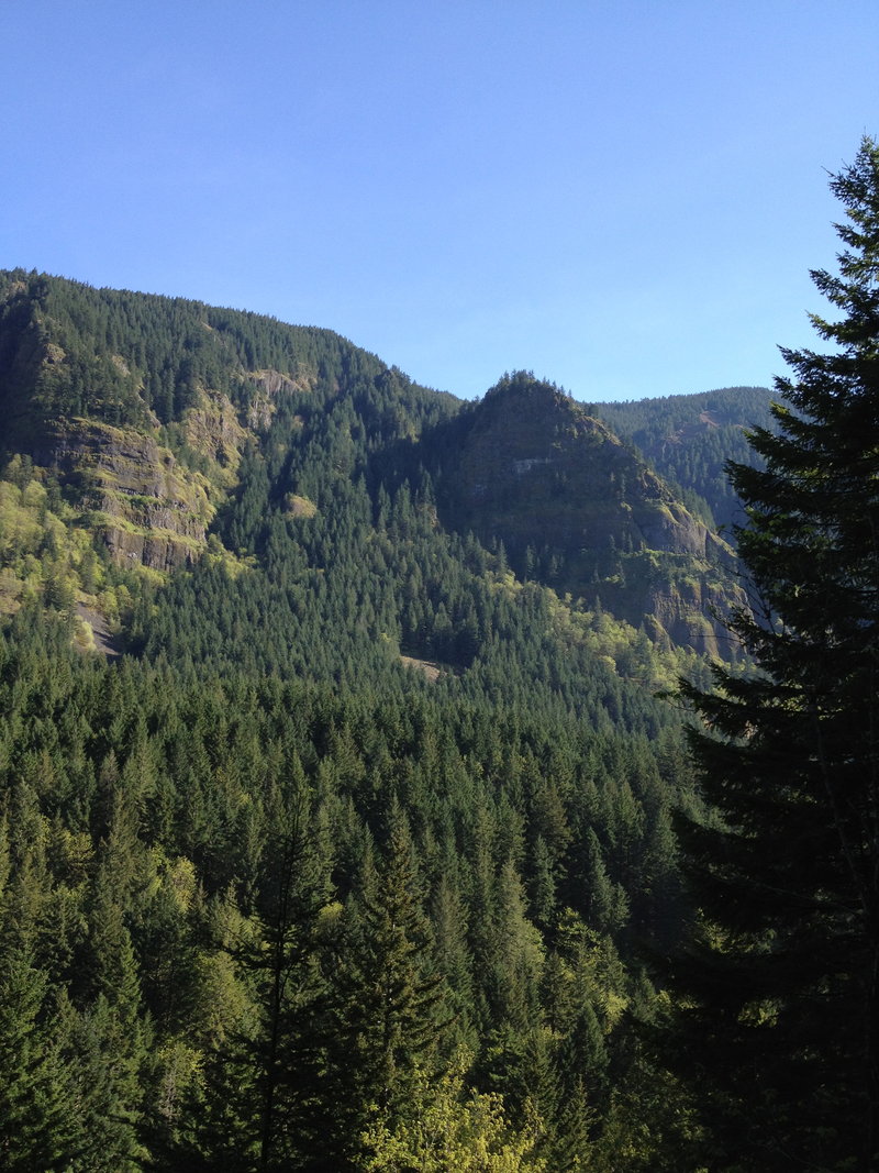
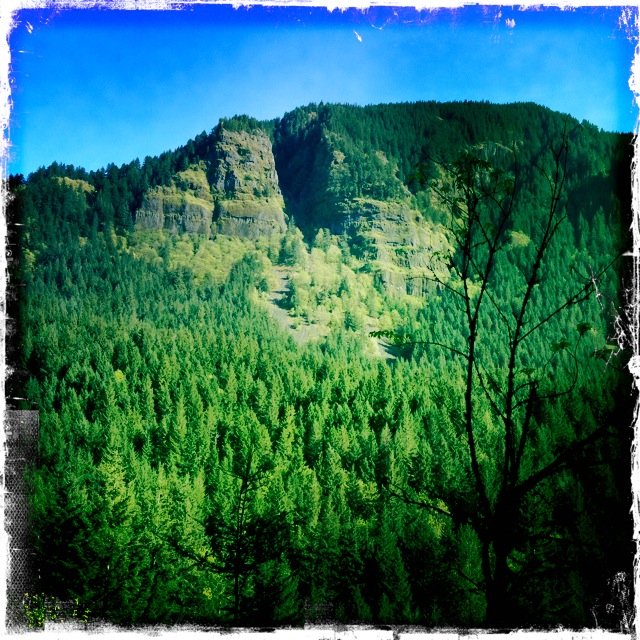
Devils Rest with a little Vista loop in the middle.
8.5 miles of hiking • 2750' elevation gain •
We also visited the Springs for the second day in a row.
My Dog is way too lucky. (and Tired)
Only saw a few big groups out today.
Some steady gunfire to the south of Devils Summit, near the end of Multnomah Basin road.
I Hope they had a backstop!
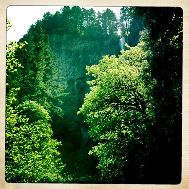
August 8, 2012

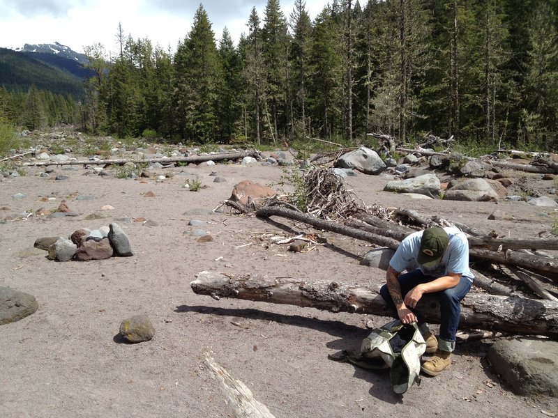
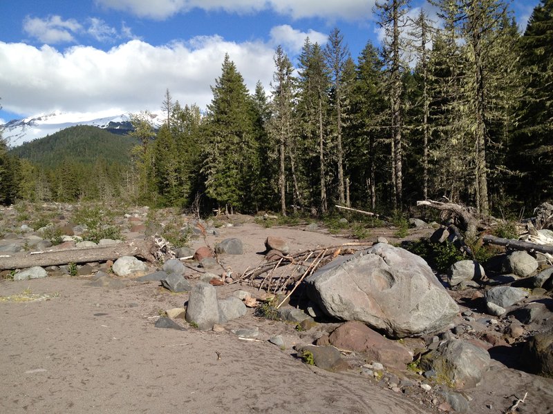
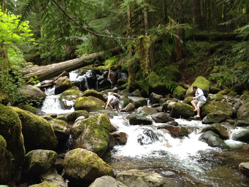
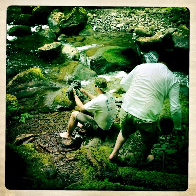
Wakeena Falls, Springs, Multnomah Creek, Crowds!, Car.
5.5 miles of hiking • 1750' elevation gain •
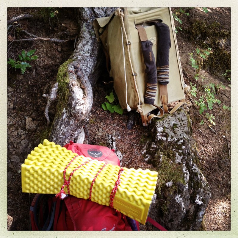
With The Big Pak. Conditioning.
August 7, 2012

August 4, 2012

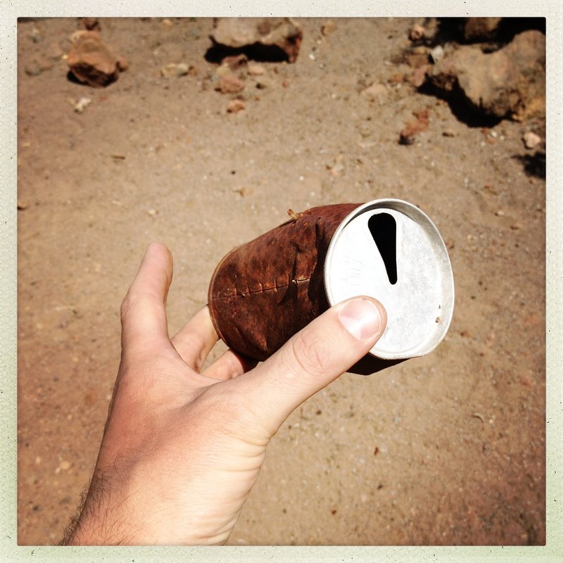
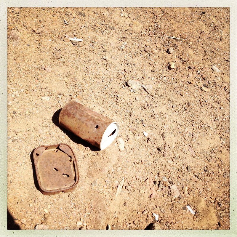
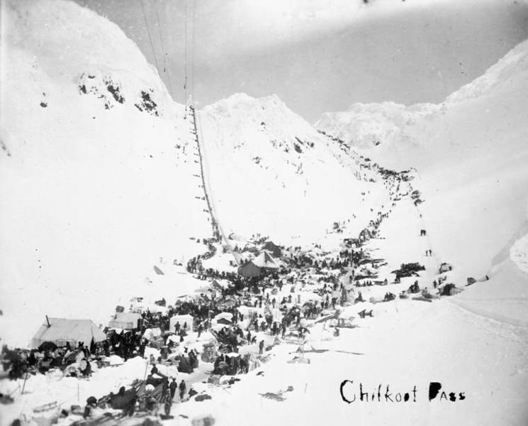
Chilkoot Trail - AK
7 miles of hiking • 500' elevation gain •
I only tasted this sucker, whole thing is 33 miles one way.
Bugs were thick, off trail looked miserable.
Massive amount of leftover goldrush rusty jumbles.
August 1, 2012

August 1, 2012

Salmon Butte
11.5 miles of hiking • 3250' elevation gain •
4th annual Salmon Butte Climb.
Sucky 20% views, 80% mostly socked in, but that forest is rad.
Not even a trace of snow at 5K.
July 22, 2012

Went Strolling - Urban HIke
6.5 miles of hiking • 750' elevation gain •
Just testing out a new pack and lamp. Beautiful night for a walk.
July 10, 2012

Went Scrambling up Fall Creek Falls
5.5 miles of hiking • 1250' elevation gain •
Awesome spot. It was made even better by the root gully,nearly vertical, exposed, class 3/4 amazing climb to the mouth of the upper falls. The route is left side, looking from the bottom, and allows exploration of all the tiers from the basalt shelves.
It does not seem doable from the bottom, the consequences are severe, PH never mentions the option and I would never down-climb it.
That said, It was Soooo Fun. You should do it. The first 15 feet are the hardest. You should do it.
Props to Scott Cook, Curious Gorge - Entry # 57.
July 5, 2012
 1
1
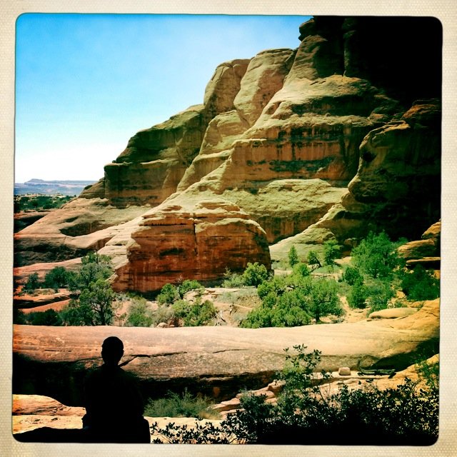
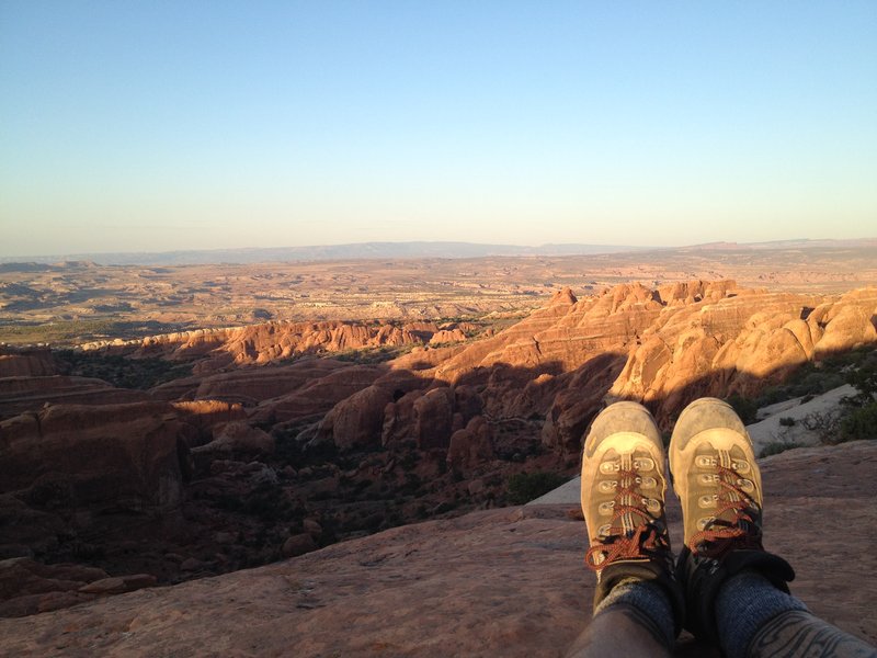
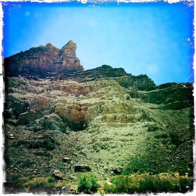
Klondike Bluffs - Arches National Park
5 miles of hiking • 1000' elevation gain • 1 night
Down a washboard road in Arches far from all the crowds; this place rules.
Drove 45 mins on a bouncy road no-one else around except:
A Toyota Pickup with Portland's own Next Adventure Sticker.
What are the odds?
June 27 – June 28, 2012

 3
3
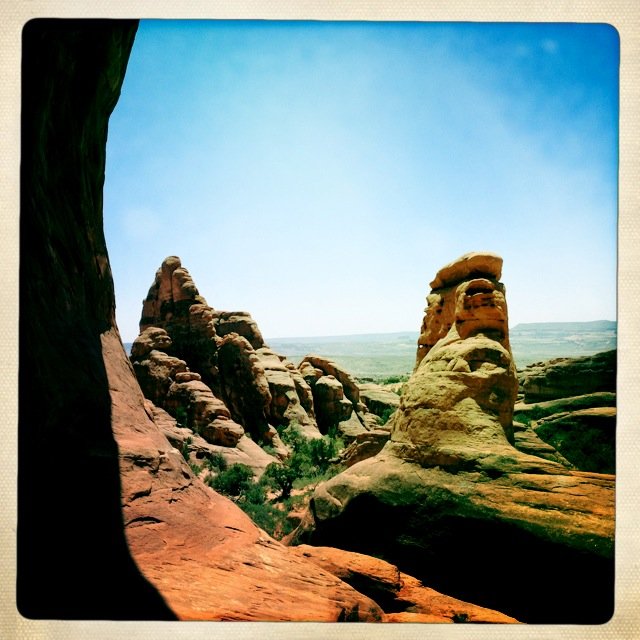
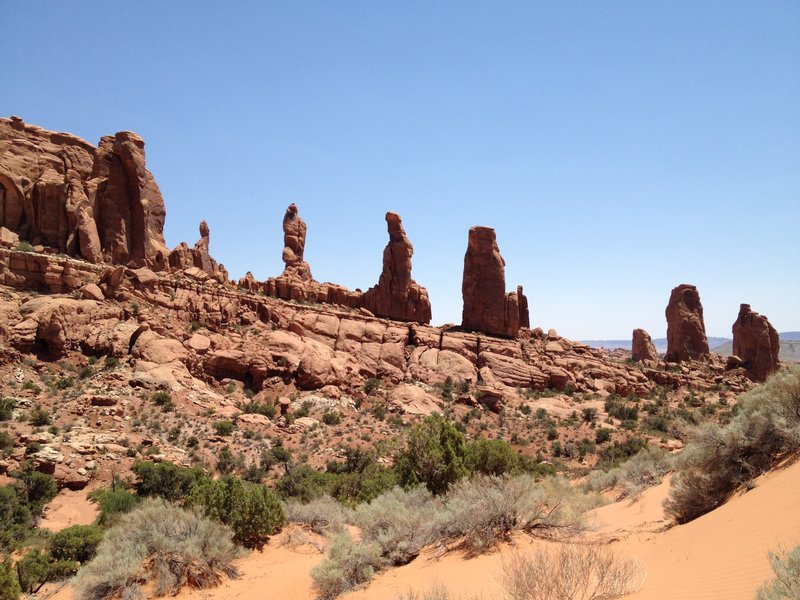
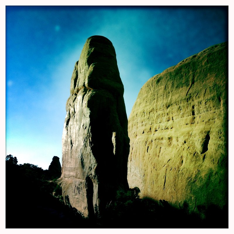
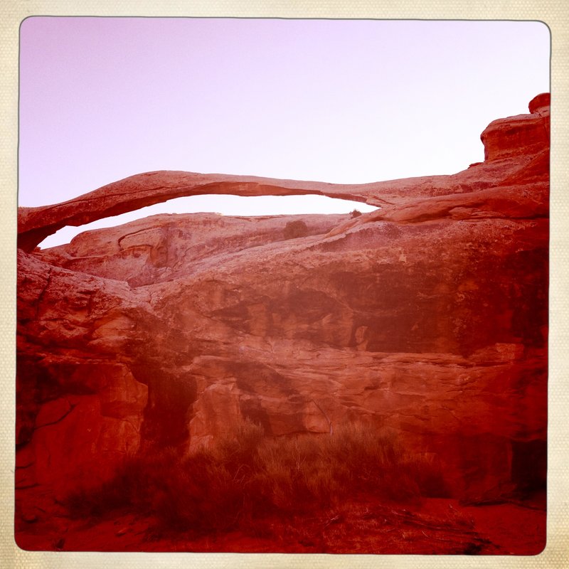
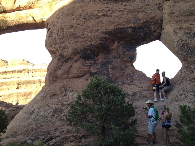
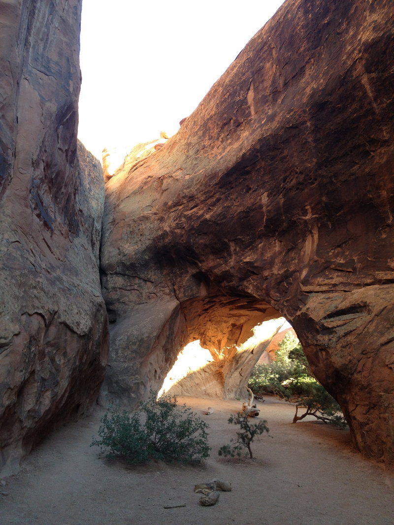
Wow, Now Thats a lot of Arches...
8.5 miles of hiking • 1000' elevation gain • 1 night
Landscape Arch? check
Partition Arch? yup
Tunnel Arch? yes
Pine Tree Arch? end of trail
Navajo Arch - perfect, my favorite place in the park
Black Arch - from a distance
Double O - holy sh*t thats cool.
Dark Angel - sentinel of the valley
Best Summer Ever.
June 22 – June 23, 2012

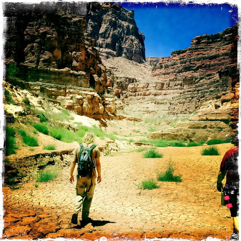
Dark Canyon Wilderness - Utah
4 miles of hiking • 750' elevation gain • 1 night
This place cannot be described with text on a webpage.
Go.
June 20 – June 21, 2012

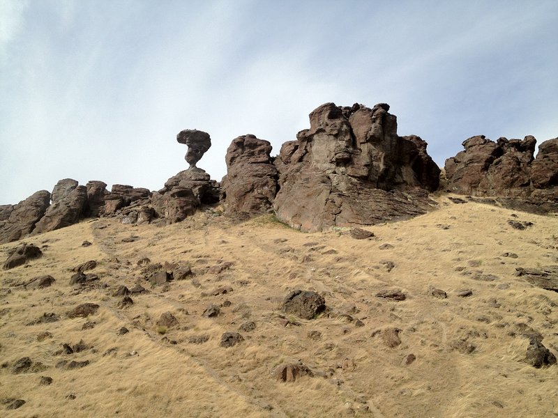
Balanced Rock State Park - Idaho
7.5 miles of hiking • 500' elevation gain • 2 nights
Great place to stop Midway through the drive to Utah. Free Camping, off the beaten path, and they have owls and a balanced rock. it's kinda cool. 40ft at the top, 3 ft x 17 inch base.
June 16 – June 18, 2012

 1
1
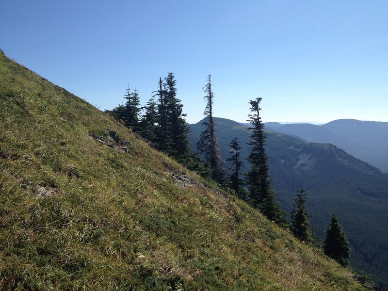
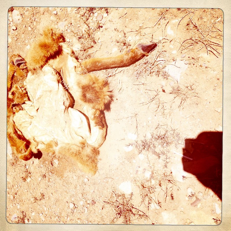
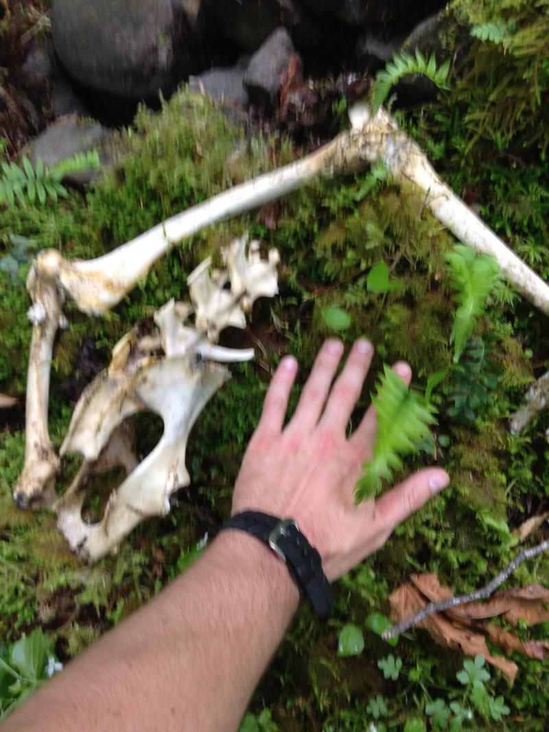
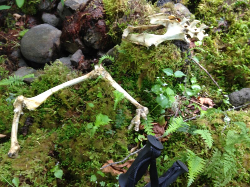
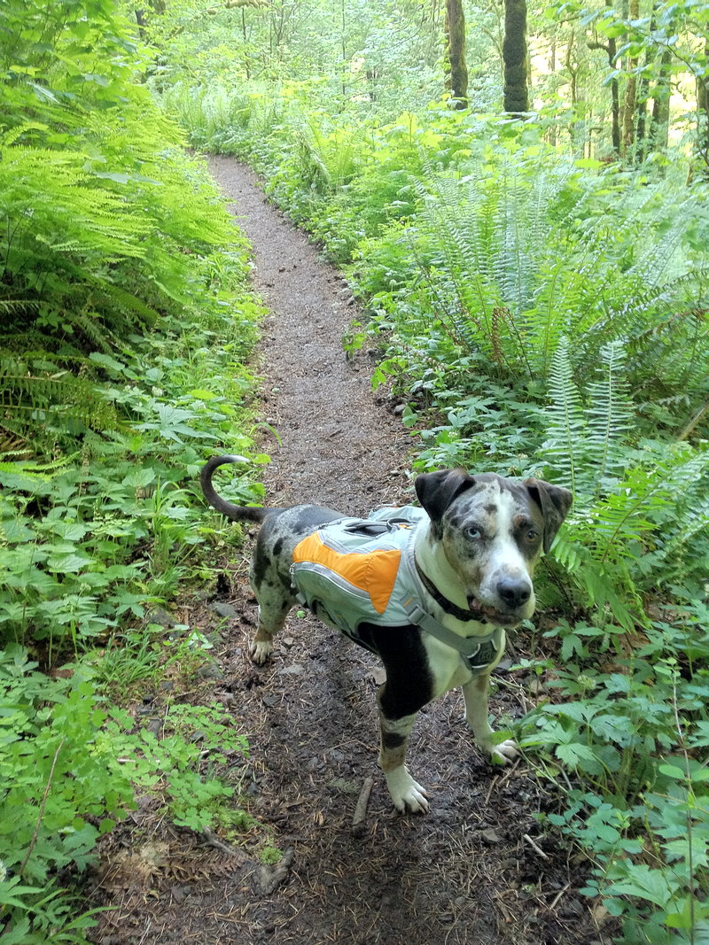
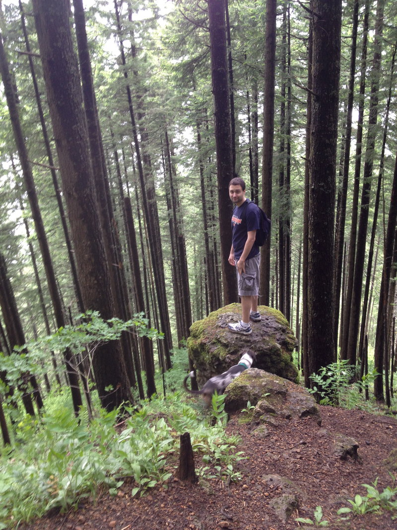
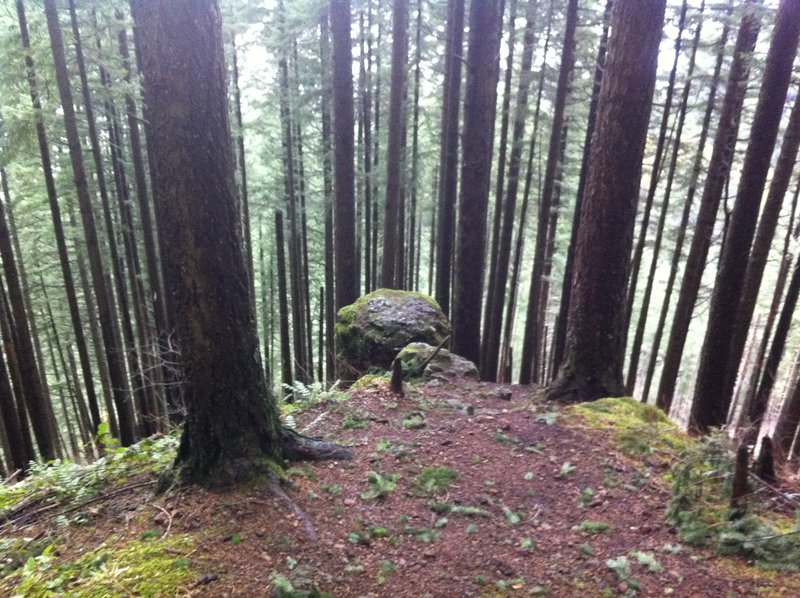
Nesmith Point. - Not so Pointy.
11 miles of hiking • 4000' elevation gain •
Super Fun Calf Burner. My GPS says 11.1 miles Right about 4000 Vertical Feet. We went past the lookout/outhouse remains, down north on the point for some better views. Victory Beer tasted extra good today. Aero Loves his new pack, Now he can carry the Beers. The traverse from Nesmith to Oneonta awaits!
Oh and that Deer Kill we found was awesome. whole leg section intact, and hips sockets connected to the spinal cord. Nice kitty..... Nice Kitty....
June 9, 2012

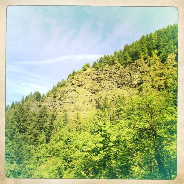
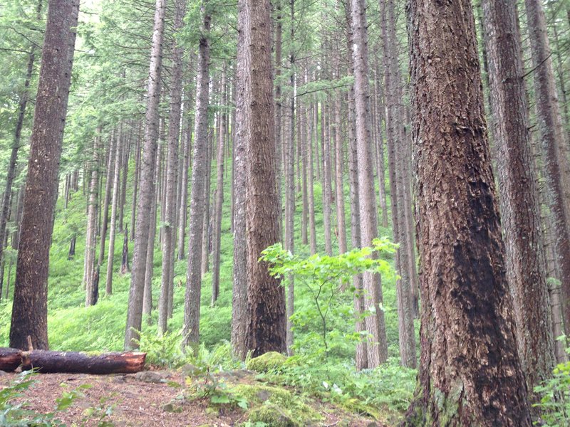
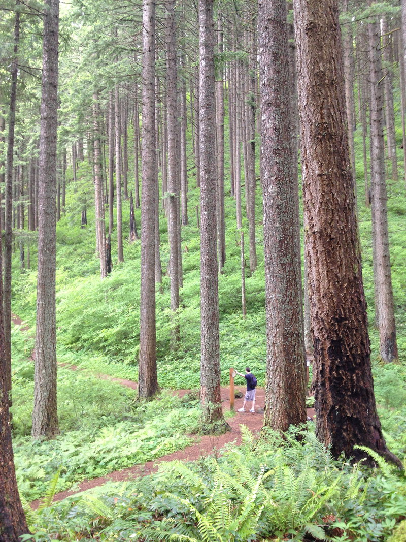
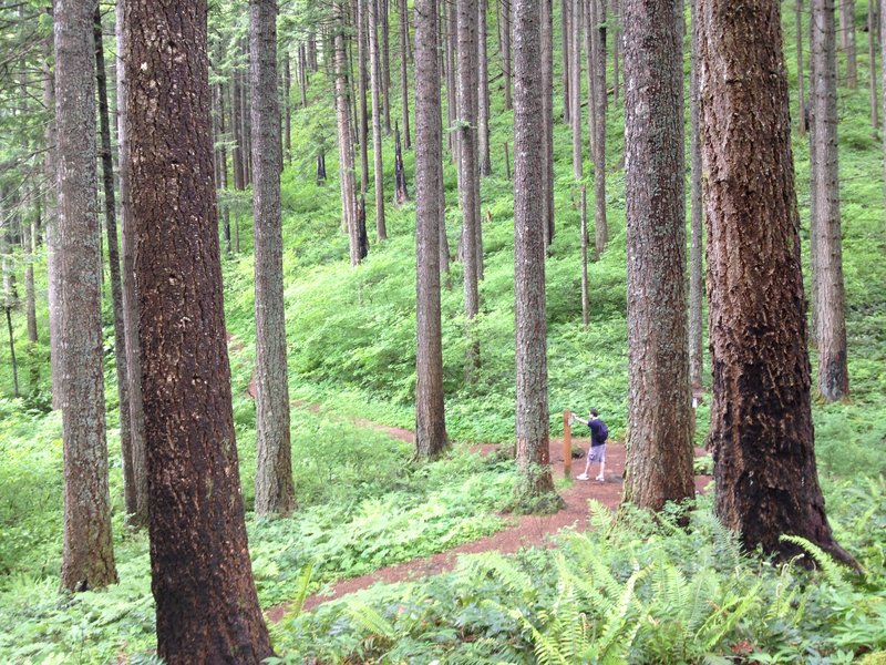
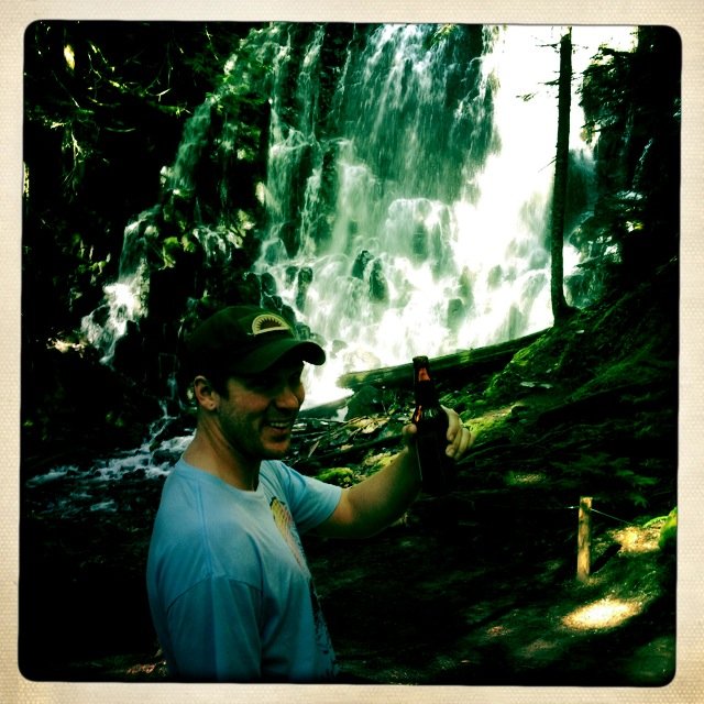
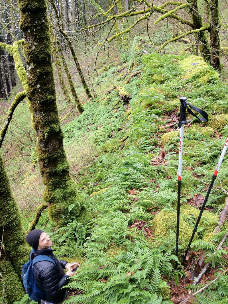
That Wakeena Springs Lap.
6 miles of hiking • 1500' elevation gain •
Up Wakeena. Got asked 6 times, "Where does this trail go?" Awesome.
Great day, Dodged the showers, stunning storm-scapes across the river at Cape Falcon, and Archer Falls is Back with the recent rains.
Props to Jan for the Join!
June 5, 2012

 2
2
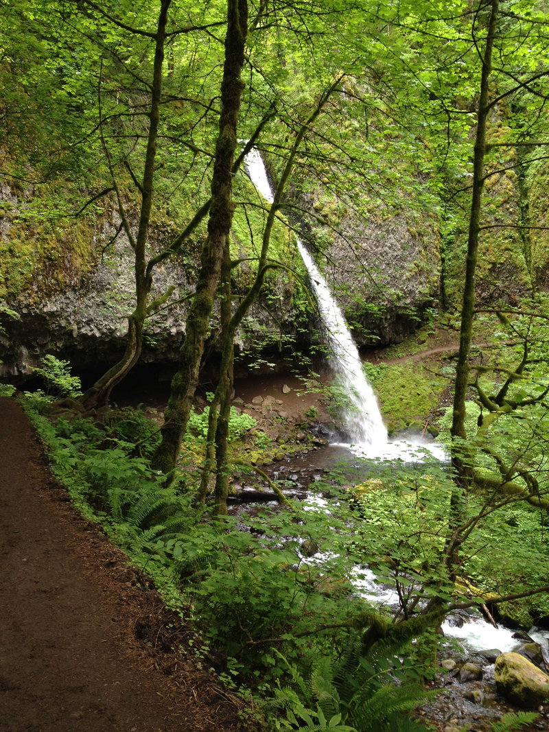
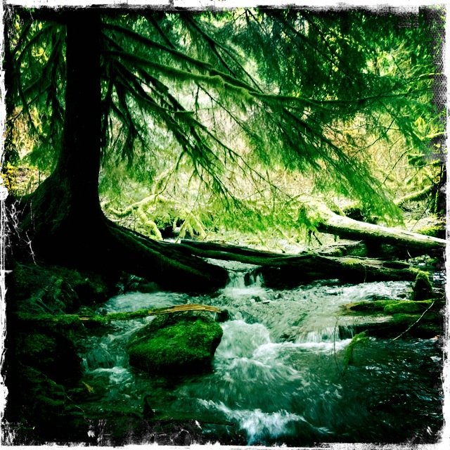
Ramona Falls.
7.5 miles of hiking • 1250' elevation gain •
The loop, plus scouting some campgrounds for a timberline trail lap later this summer. Having never seen Ramona Falls before, Fairy Falls comes to mind instantly. This one is bigger and more awesome and stuffs. Next time I'm going up that Yocum Ridge intersection. Tempting.
June 5, 2012

 3
3
Horsetail, Ponytail, Triple, Creek Ford, Switchbacks And those Bell Creek Big Trees.
18 miles of hiking • 3750' elevation gain •
Horsetail, Ponytail, Triple, Creek Ford, Switchbacks And those Bell Creek Big Trees.
17.84 miles...
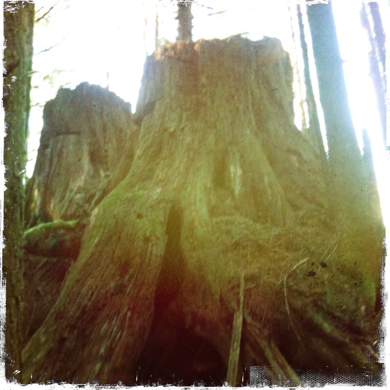
Thats a big one for me. All the things they say about the Bell Creek Giants are true.
Massive Hemlock, and Fir and Cedar.
Trail kinda sucks, overgrown with devils club and vine maple.
Pics to come, crossing the creek ford was fun, We had to think about it for a few minutes.
I'm the king of dry socks!
June 2, 2012

Angels Rest
5 miles of hiking • 1500' elevation gain •
Weekday Morning. Had the top to myself for at least 20 mins... Not Bad Angel's Rest. I'll Have to stop talking smak about you.
May 30, 2012

Went Strolling - Columbia River/Sandy Delta
8.5 miles of hiking • 250' elevation gain •
Rainy day with the hound. Forgot the Phone, so no pics.
May 20, 2012

Wakeena Multnomah Lap - Vista Route
6 miles of hiking • 1500' elevation gain •
Great Morning for a Conditioner in the Gorge. 6.2 miles 1hr. 57min with stops for phone pics etc....
May 16, 2012


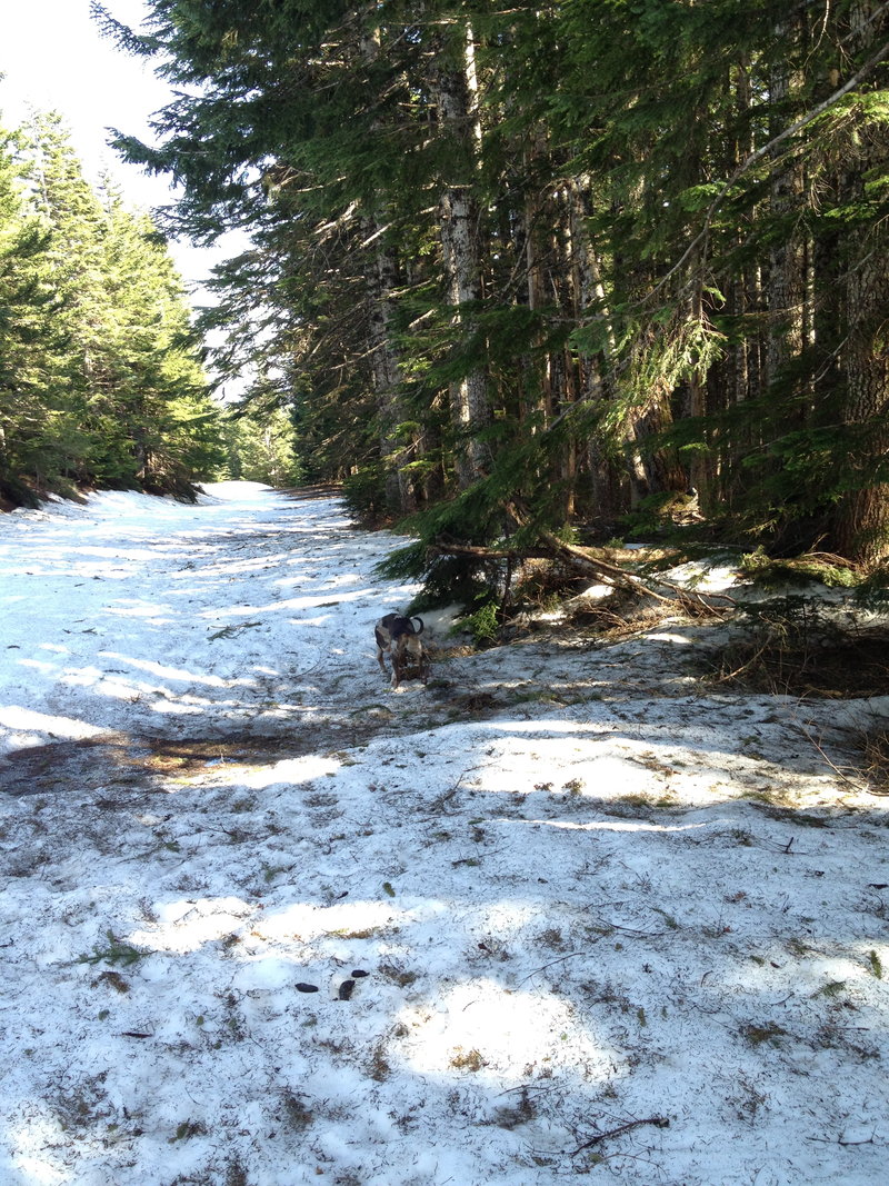
Larch Summit - From the snow gate.
10 miles of hiking • 1250' elevation gain •
The first three miles after the Sno Gate are bare Pavement, at least one lane, you could ride a bike.
No Snow at all 2700' - Heavy Heavy at 4000'
Snotel says 46" at 4010', nearby and I believe that in the parking lot./ less under the trees.
The county has plowed to mp 13 sometime in the last 6 weeks. the Final 1.5 miles are soft snow, SS not nessessary, but my boots wee soaked back at the car. Saw a group of four that had come up from Multnomah, they were the only ones. A couple came upon me on bikes, but ditched em' and plowed through to Sherrad point with me.
Best dog run ever. I'm gonna use it a few more times before that gate opens.
May 10, 2012

 1
1
First Time to Indian Pt.
8 miles of hiking • 2750' elevation gain •
Went Solo, lot was crowded, but only saw a few peeps.... Most of 'em must have gone to the PCT/Benson route, 400 or Pinnacles.
Hung for 20 mins at the point, hustled back to a PDX BBQ.
Despite two attempts, I am just too freaked to make it all the way out. looking down at 84, and my head is swimming - 2500+ foot drop easily. Maybe I'll make it next time if I bring a cheerleader with me.
May 6, 2012

 2
2
Siouxon Creek
8 miles of hiking • 250' elevation gain •
First time here. This place rules. I wonder how crowded the trail gets on Summer days. Def coming back for some backpacking soon.
April 29, 2012

Wakeena Multnomah Lap - Vista Route
5.5 miles of hiking • 1250' elevation gain •
same same but different
April 23, 2012

City Hike
2.5 miles of hiking • 0' elevation gain •
Pounding the Pavement with the hound. Pack loaded up, just trying out some gear.
April 20, 2012

Angels - Foxglove - Devils - Springs - Angels - Car.
11 miles of hiking • 2750' elevation gain •
Super Fun. Angels Parking was full at 8:15am. Both Lots. Gorge Disneyland.
April 15, 2012
Wakeena Multnomah Lap - Plus a lil Offtrail.
7 miles of hiking • 1500' elevation gain •
Stunning as always, upper viewpoint to Mult Falls is washed away, big piece of the the stonework down in the creek. Went for a little walk, scared myself with some slick exposure, ran down from the falls back to Wakeena.
April 13, 2012

Tabor Conditioning
3.5 miles of hiking • 500' elevation gain •
Just Pounding the Pavement with the Hound. Super Busy day on the hill.
April 8, 2012

Herman Creek Trail
6 miles of hiking • 1250' elevation gain •
Mad Cars in the Lot. I counted 26 on Sat at Noon. Wow. Too Windy for Nick Eaton and Indian Pt. We went down and up towards PCT/Pinnacles, Then on to above Dry creek falls.
I-84 was blustery and the Columbia had serious whitecaps. Pics Later
April 7, 2012
 1
1
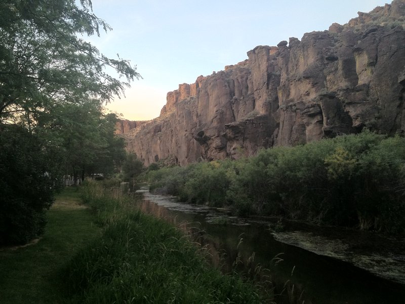
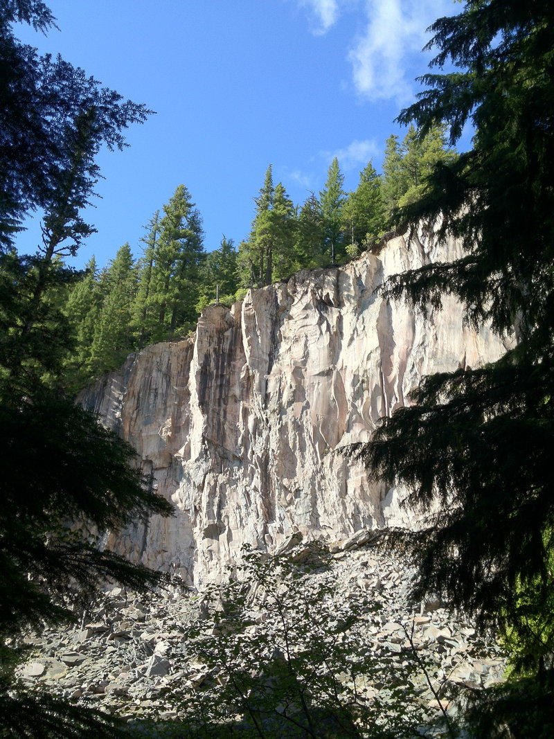
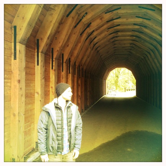
Oneonta Gorge - RABBIT
7.5 miles of hiking • 1750' elevation gain •
Started at Horsetail. Then Behind Ponytail. South Towards Larch, stopped at the east/west confluence of the creek. Back down Oneonta side, walked through the tunnel back to the rig. Props to Allan for the join!
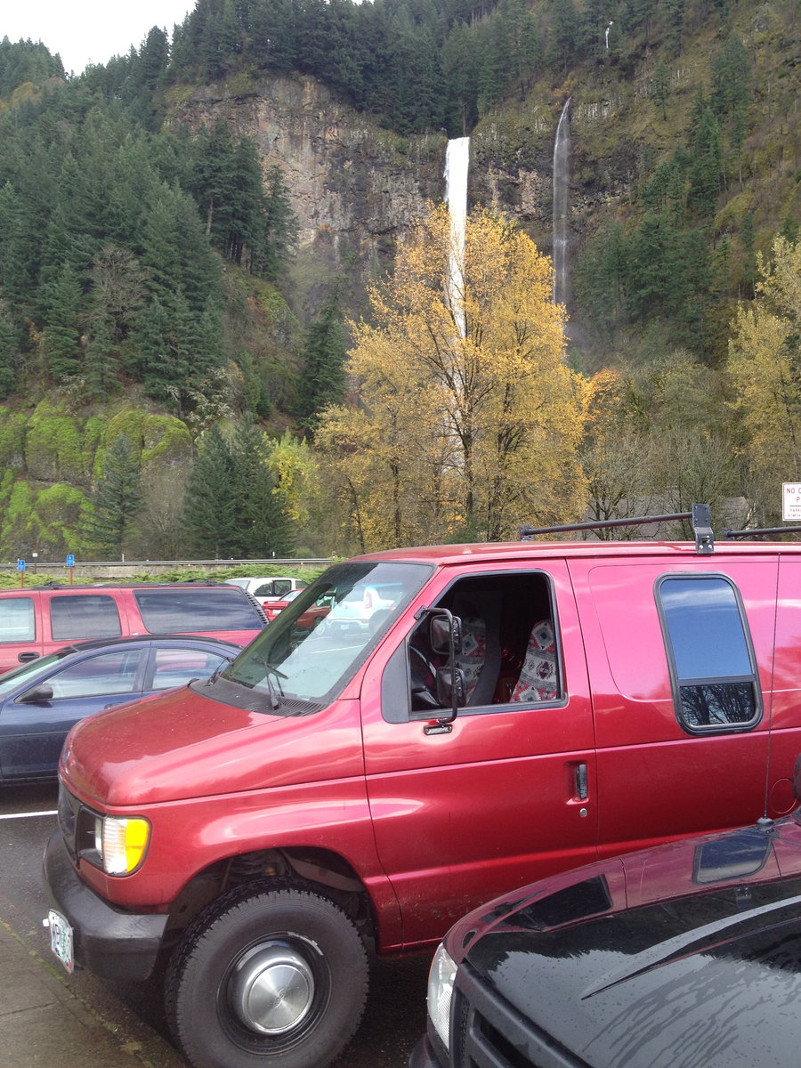
April 1, 2012

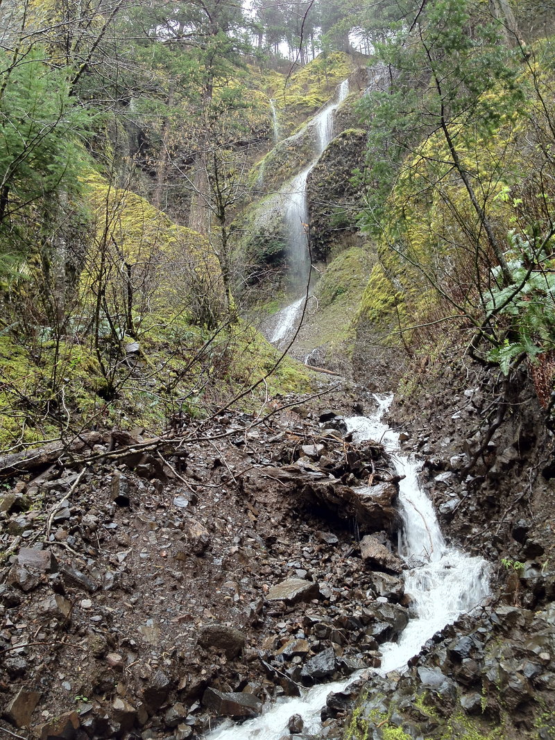
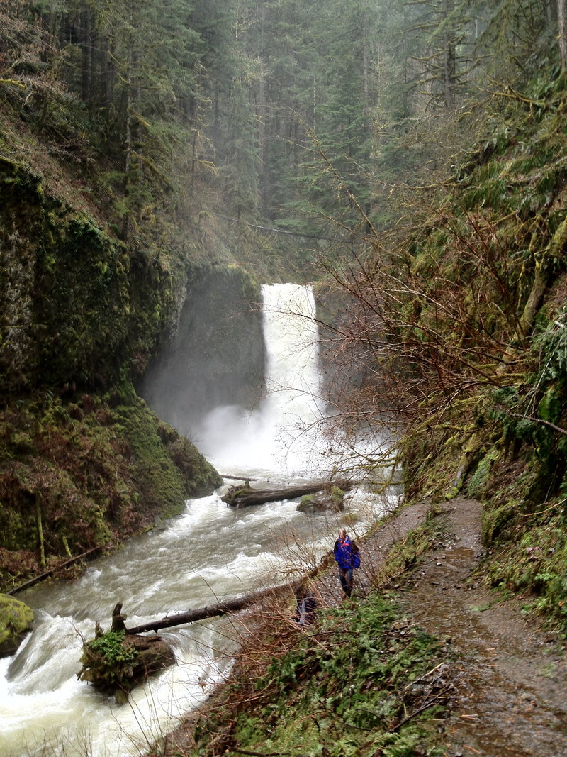
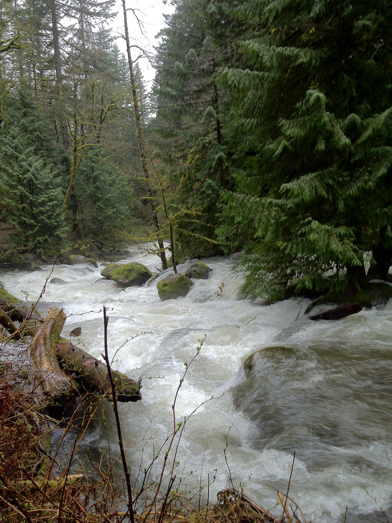
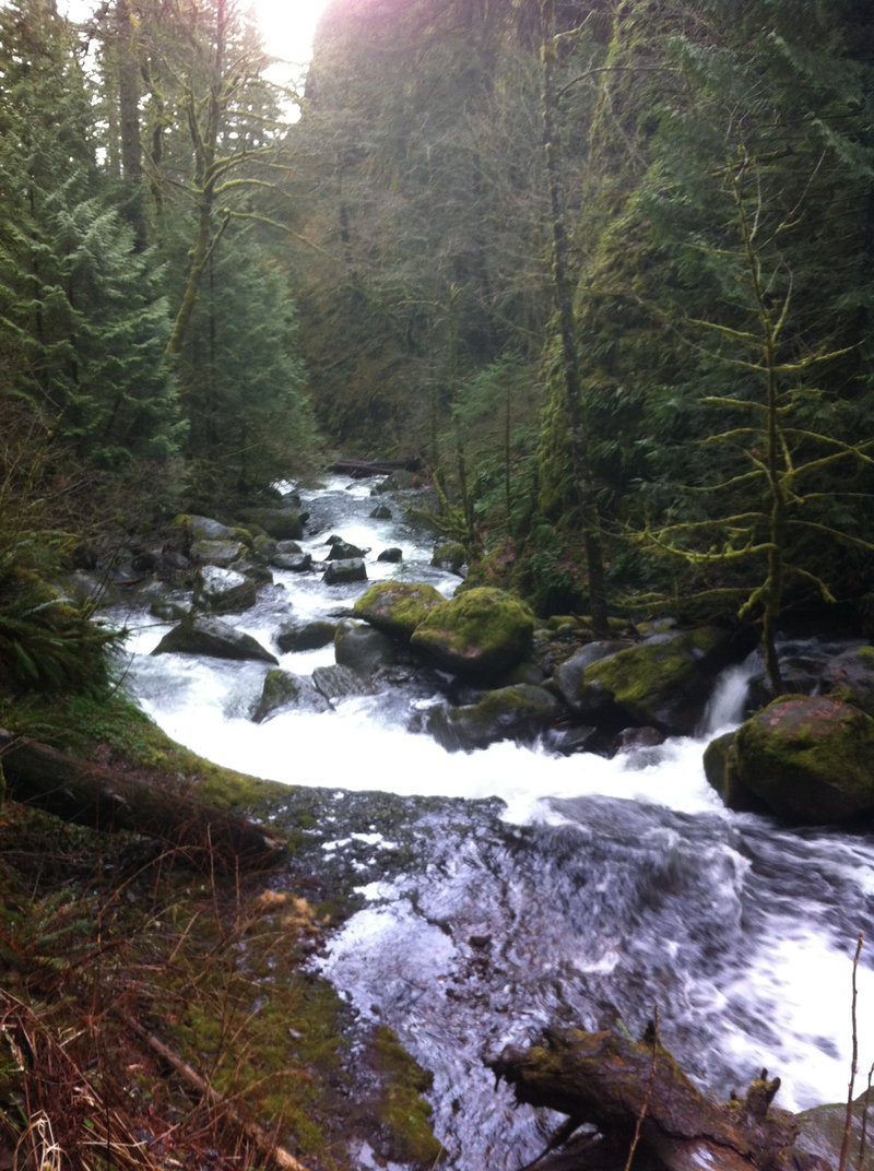
Waterfall Lap - Wakeena to Multnomah and Elevator Shaft / Fire Escape
7.5 miles of hiking • 2250' elevation gain •
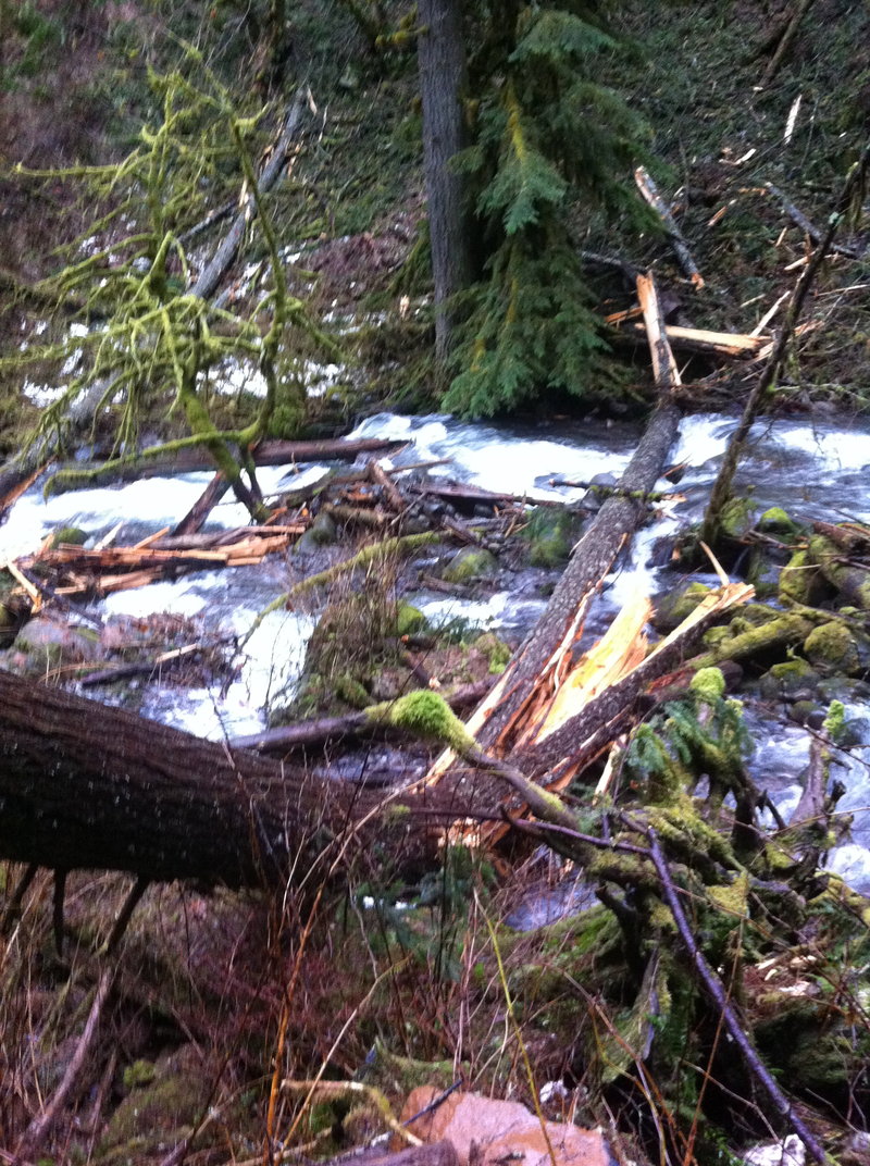
Standard day on the track. But do to all the recent rains, the Multnomah creek drainage was hustlin' Because Wakeena is spring fed, most of the creek was jus a little over normal, but I could hear the roar of Multnomah creek one ridge-line before dropping into the drainage. A little slip into the creek would be certain death at a few of the spots above the main falls. The water had an interesting turbidity due to plant/soil materials in the runoff.
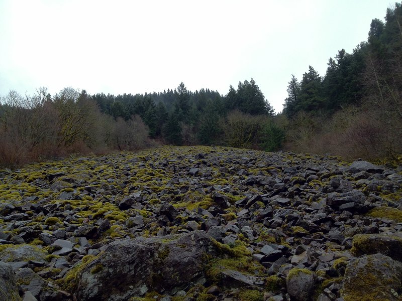
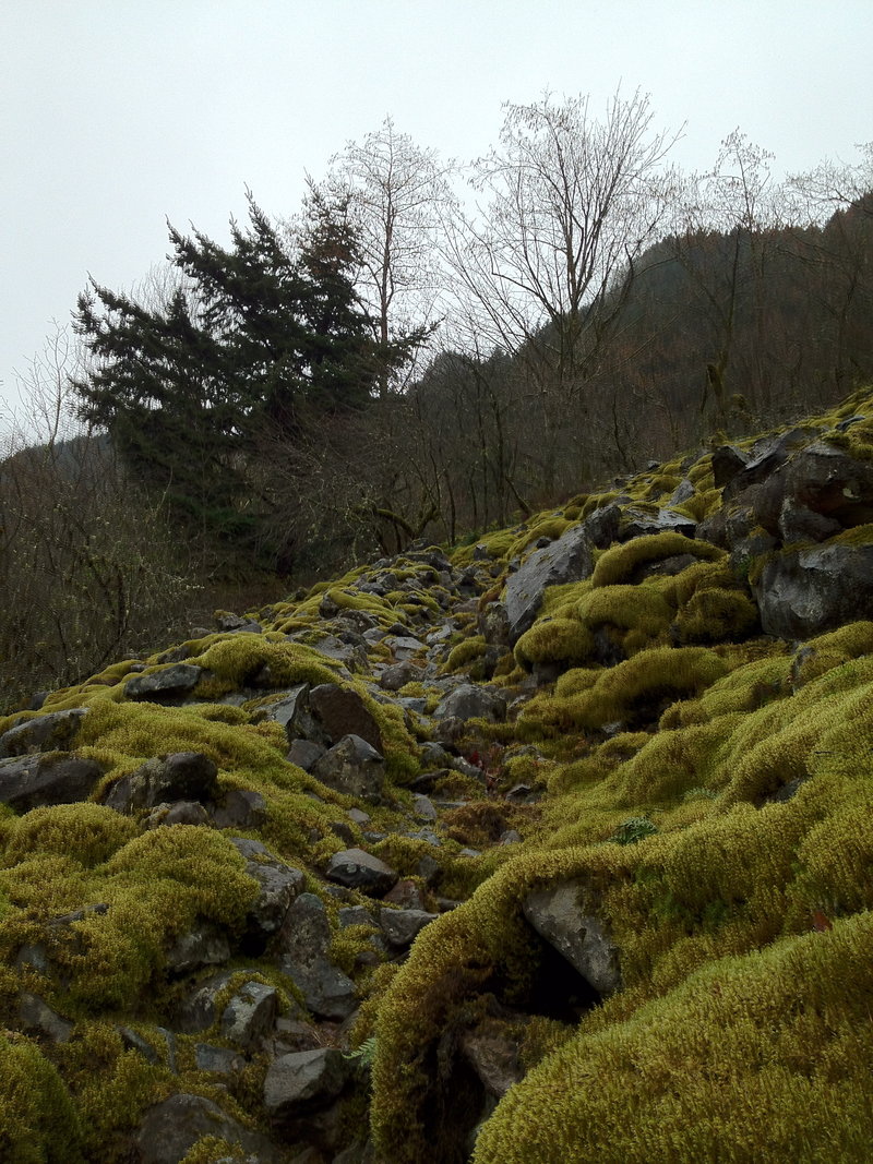
And then a quick side trip along 400 over east to the elevator shaft. I had never tried to find the trail before. went up halfway on the lower talus field, saving the rest for a dry day. the mossy use path was pretty cool though. back to the car, no stopping for a coffee.
only 1/2 mile from the tourist stop, none passed by, I was there for 30 minutes. elevator shaft is now on my good weather gorge list.
March 30, 2012

Forest Parky mini lap
4 miles of hiking • 500' elevation gain •
conditioner. nothing special. nothing at all.
March 27, 2012

Wilson River Trail - Diamond Mill to Kings Mt.
5.5 miles of hiking • 1000' elevation gain •
Saw no one. Views were great, Tillamook Forestry Center has a fake/real lookout tower. Awesome
March 24, 2012

 3
3
Eagle Creek to Eagle-Benson Trail
12 miles of hiking • 1750' elevation gain •
Sunday Low Elevation Conditioner.
No crowds, Some Hail.
Never been up Eagle/Benson before, Climbed the first half mile or so, thinking of the Ruckel Ridge ascent to Eagle Benson drop and strolling Eagle Creek back to the trailhead. Anyone here done it?
Route finding on the Benson in 3.5ft of snow might suck.
March 18, 2012

Sandy River Delta
5.5 miles of hiking • 0' elevation gain •
Old Dam/Road Still Flooded. Walked South to the confluence of the old channel and the Columbia. The Hound loved it.
March 17, 2012


Larch Mt. Attempt - No Summit.
5.5 miles of hiking • 1250' elevation gain •
A lil too much snow, no micro's or SS. The hound Loved it. Turned back at about 3600' I was just being Lazy, got tired of slipping around.
February 12, 2012

Tabor Conditioning
4 miles of hiking • 750' elevation gain •
Up from the 40's on Stark side, 25lb pack, Stairs three times, down past the crater and courts. wrd.
February 9, 2012

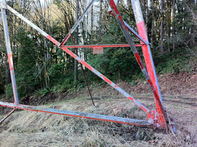
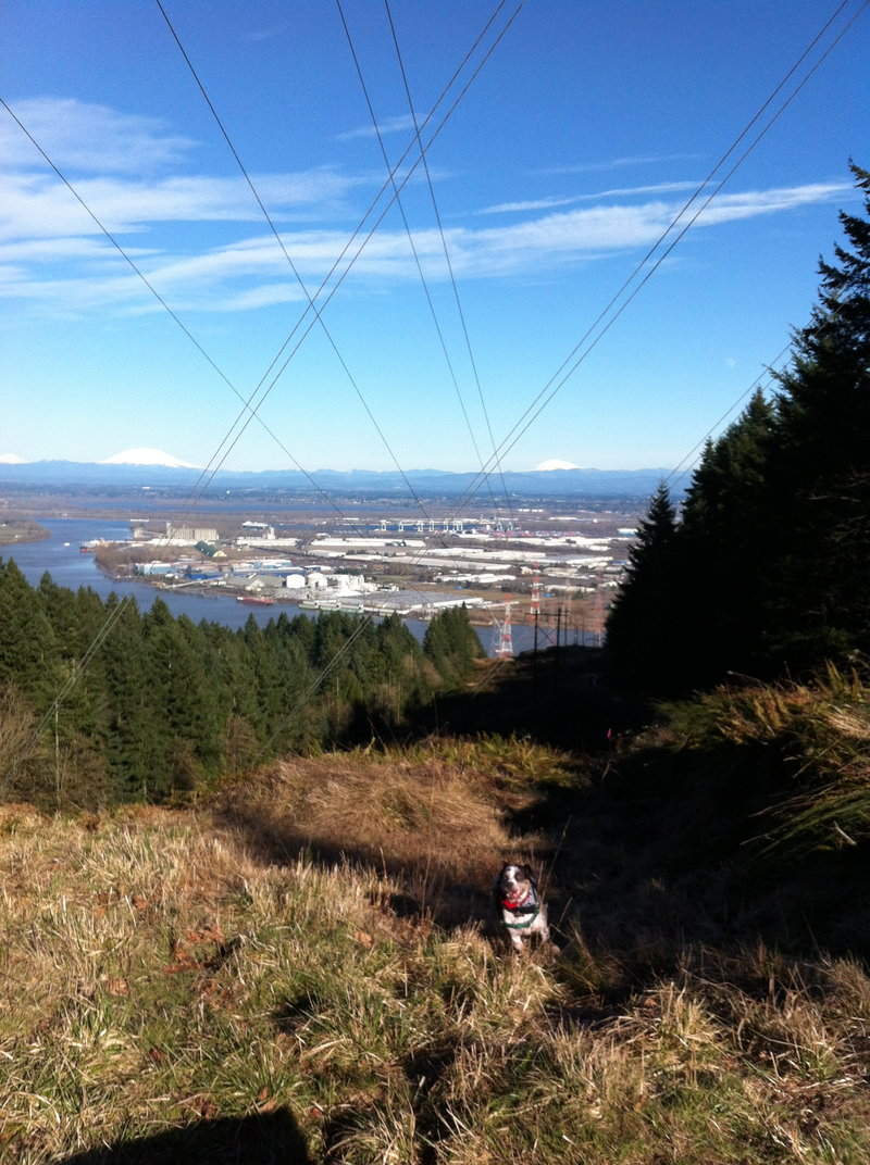
Newton to Firelanes, BPA CUT Switchbacks.
5.5 miles of hiking • 1000' elevation gain •
Reverse Style. Dropped the Newton Rd. to Highway 30. STEEP switchbacks back up the BPA Cut. Hit up the Wildwood for the lap back up to the car.
February 5, 2012

February 4, 2012

 2
2
Waterfall Lap - Wakeena to Multnomah and Back
5.5 miles of hiking • 1750' elevation gain •
Slow Day at the Tourist Stop.
Not that I minded.
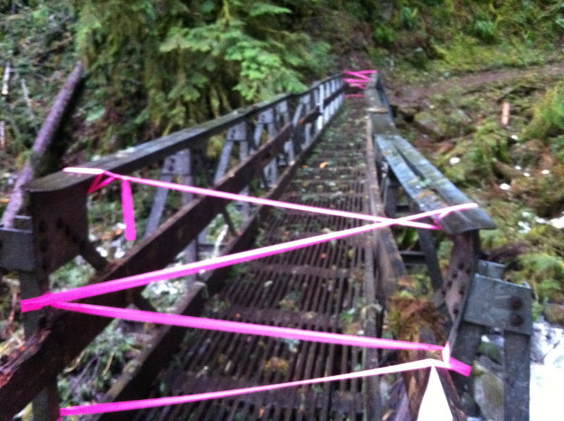
Started at Wakeena, up on Vista, over to Larch Mt., where i went up as far as the damaged bridge.
photos follow, whole loop is passable, no snow.
I would even say the Mult. creek bridge on Larch mt. trail is good for one at a time (not forest service approved)
Has anyone that reads these posts hiked the closed perdition trail? Or any portion of it? the Wakeena side looks all Blackberry city, but I walked a bit of the Multnomah side before turning around. Looks somewhat passable.
Anyway I started at 11am, and only saw two others before the crowds at the falls.
Total Time - 2:45
Miles - 5.5
Elevation - 1745'
February 1, 2012

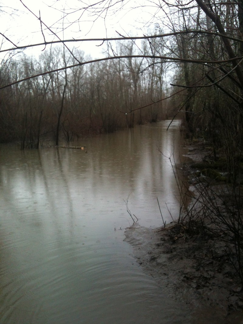
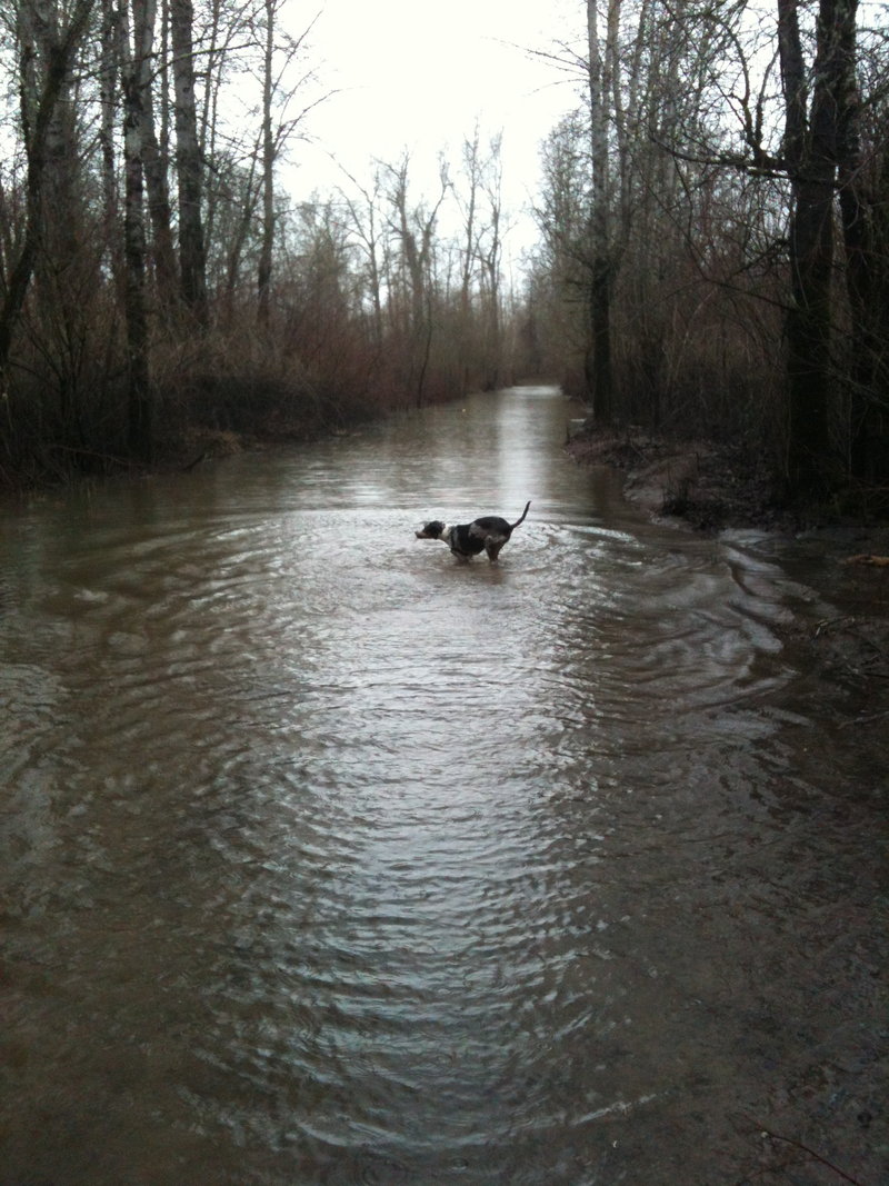
Sandy River Delta - Flood City USA
3.5 miles of hiking • 0' elevation gain •
Sandy was Super High.
Flowing over the old Dam towards the east mouth of the sandy.
All access to Sundial Island was cut off.
boo.
thats our favorite part.
January 30, 2012

Tabor - Kelly Butte - Tabor
9.5 miles of hiking • 1000' elevation gain •
Lost Park for Sure.
Old Underground Command Bunker
Totally Empty, no one else around, on a Tuesday at 3pm.
Such a different vibe than Tabor, just one Lava dome away.
Anyway Started in the 40's off Belmont, summit of Tabor, down the dark-side of Tabor, crossed 205 on Market, south on 103rd on the way back approached Tabor from the division side, much steeper, to the summit and descended the stairs to belmont.
wow 9.3 miles in the city, boots and dog, no car required.
I mean its no Dog-Aug-Dog, but I'm not that cool.
January 29, 2012

 1
1
KAANGS MT. Super wet and Slopfest at the summit.
5.5 miles of hiking • 2500' elevation gain •
Slush Fest.
so wet on the top ridge-line, I did not even open my bag for the camera.
60mph gusts between the picnic table and the summit. = Nervous factor +2
snow depth varies, about 12-16 inches at top.
brought snowshoes did not use them.
only saw two others, they turned back at the viewpoint below the last ridge-line
props to Levon for joining up!
Thnx Buddy!
January 22, 2012

Went Strolling - Tabor Workout.
4 miles of hiking • 500' elevation gain •
Hound dog liked it, as he was banned from Kings mt yesterday due to weather. The upper reaches of Belmont sidewalks 60th-75th could be considered off trail due to years of sidewalk debris accumulating. ha.
January 22, 2012

Wildcat Trail and Some Firelanes - Snowy Forest park
6.5 miles of hiking • 750' elevation gain •
Great day. I walked the log.
January 16, 2012

Laps of Tabor.
4 miles of hiking • 500' elevation gain •
Lapped all Three Tanks. Up and Down in the 40's/50's south of Hawthorne.
January 15, 2012

Sandy River Delta
6 miles of hiking • 0' elevation gain •
Started Pouring right when we got back to the car..... just in time.
January 14, 2012


Both Summits of Tabor.
3.5 miles of hiking • 500' elevation gain •
Despite the pin drop, we did not go swimming in the Drinking Water.
January 5, 2012

Tabor Variation
3.5 miles of hiking • 750' elevation gain •
Up Starks, through some weird alleys, both summits, and Lucy along for the walk, MSH and hood in full view as well as that rainstorm. in under the wire!
January 4, 2012

January 3, 2012


January 2, 2012

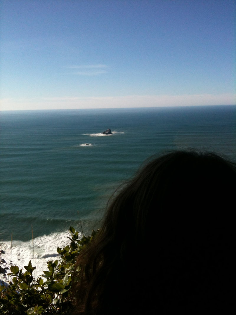
Cape Lookout!!!
5.5 miles of hiking • 500' elevation gain •
New Years Day. Everything was great. I saw a Whale.
January 1, 2012

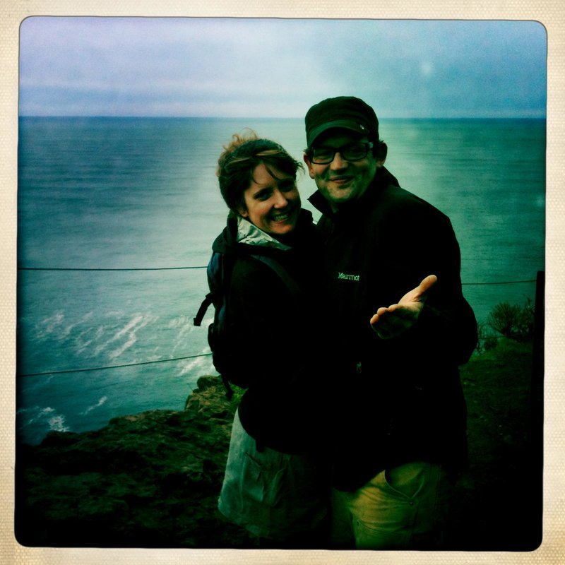
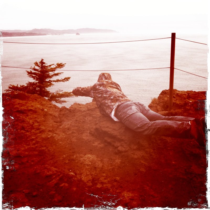
January 1, 2012