7.5 miles of hiking • 2500' elevation gain • 1 night
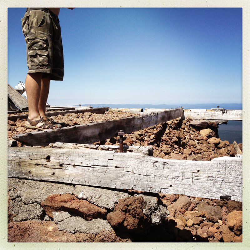
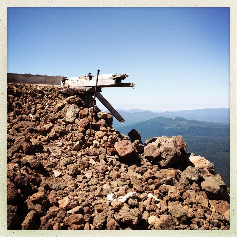
Very cool Summit.
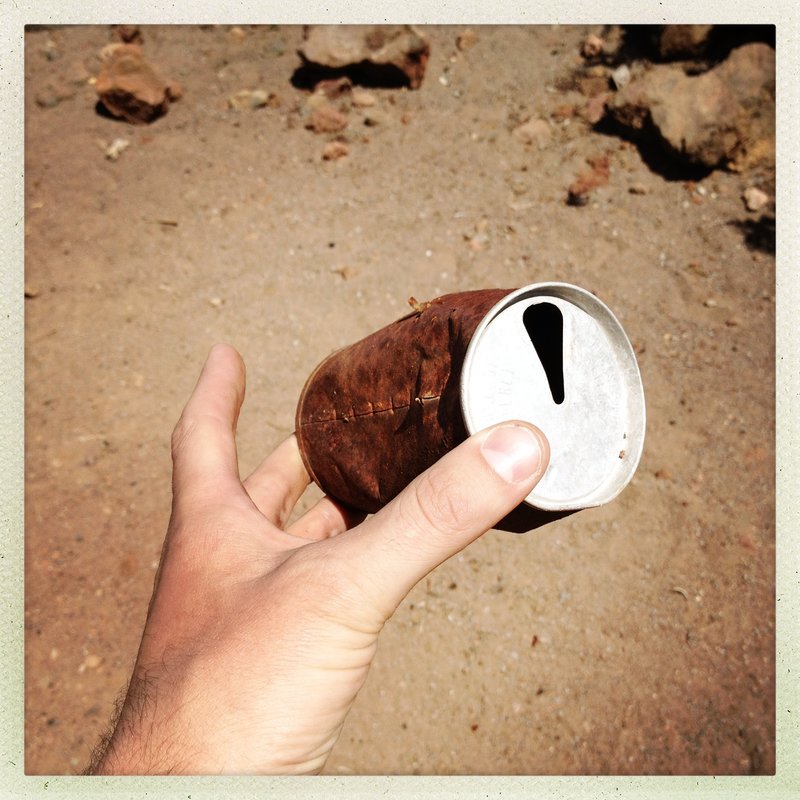
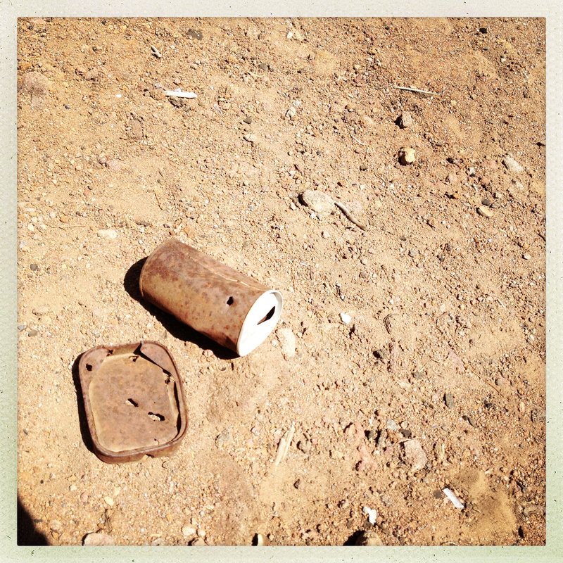
Abandoned Look Remains, last used in 1967.
Land ceded back to Warm Springs tribe.
Had to look at old topo's for the trail map.
Quads from 1995/2011 do not show the trail.
Use the 1986 Quad for Olallie Lake - this one has the trail on it.
Pretty Steep - 2500' in three miles. never really lets up.
Kinda overgrown for the first mile - It gets better.
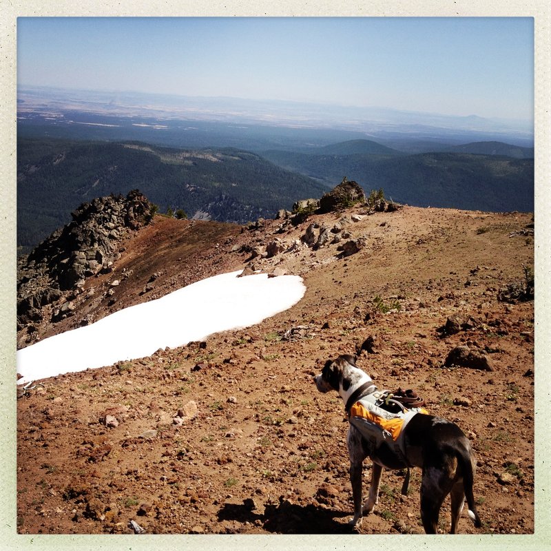
Final pitch is above treeline THE VIEWS ARE INCREDIBLE.
I saw Adams, Hood, Jeff, St. Helens, Rainier, The Sisters North and Middle, and Broken Top, as well as two fires and the results of last years fire activity at Warm springs.
3rd outing this week for Aero. He is Whooped.
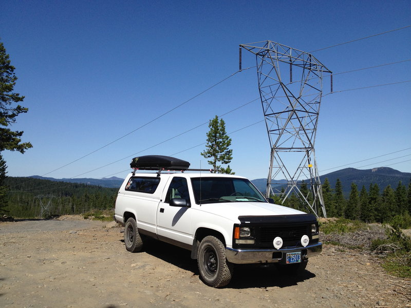
Park under the third powerline on 2240. good pavement for 95% of the trip/ last 12 miles are gravel (2wd.)