Bosterson

28 trips 413 miles logged 3 nights out in 2011 Subscribe to updates

Hikes by Bosterson in 2011

December 24, 2011 16 miles 5,500 feet gained

Hit the trail at 6am under headlamps with Eric Peterson. Up to Munra, then back along the ridge into the forest, bushwacking up to reach the Moffet Cr. trail and followed that over some snow up to Nesmith Point. See EP's report for more info and pics.
December 18, 2011 11 miles 4,250 feet gained

Hot Springs TH<br> Dick Thomas trail is a mud pit as always<br> descent via NW Ridge, some snow<br> tagged Aldrich Butte cause I'd never been up there before<br> Cold and misty, no views.
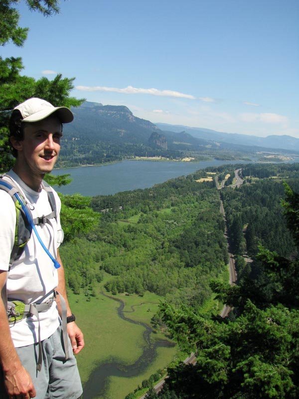
December 10, 2011 11.5 miles 5,000 feet gained

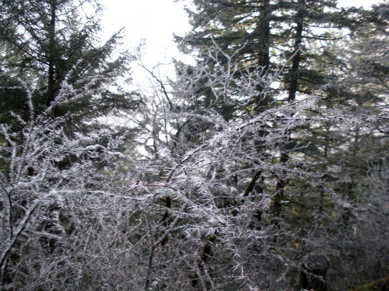
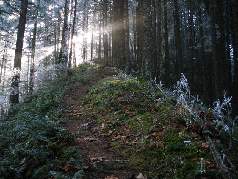
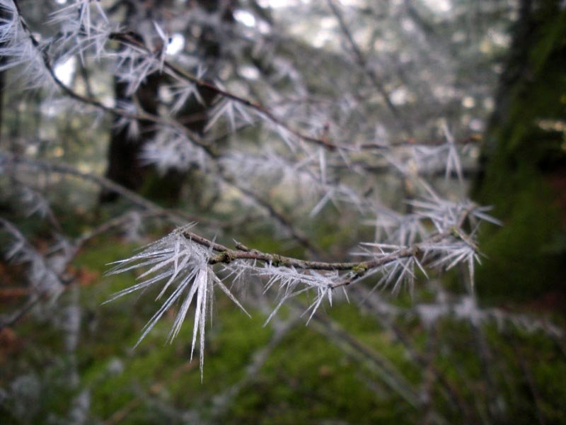
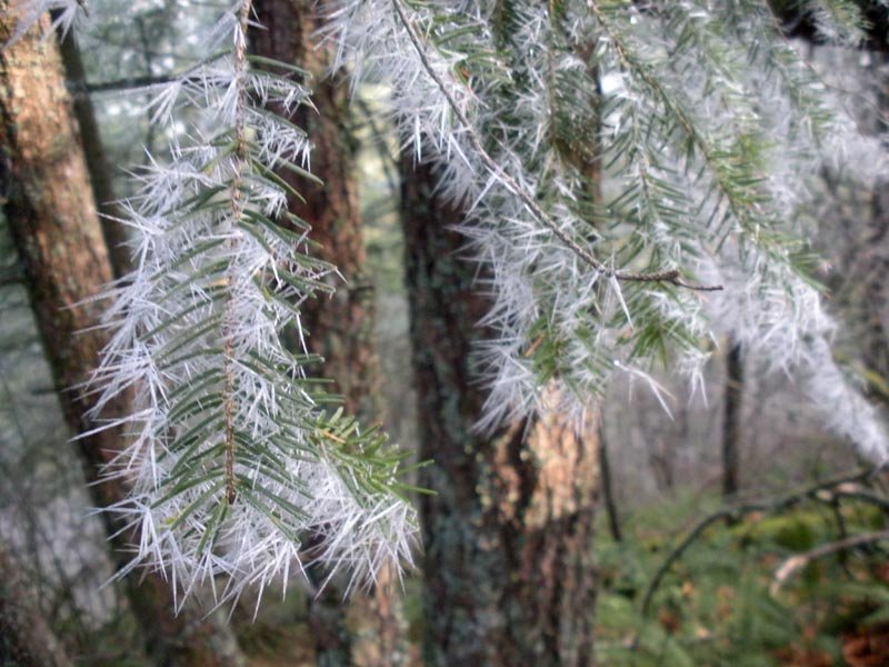
Starvation>Defiance. Crazy frost spikes in the trees on Starvation around 2000ft. Partial snow on the trail when the ridge dead ends into the headwall. Warren Lake frozen solid. Continuous snow from there to the top. The trail is pretty well beaten in, though we did follow a dead end path and end up getting a little lost on the talus field and improvising up...
November 1, 2011 17.5 miles 6,250 feet gained

Went into the Gorge to do the Dog and Augspurger figure-8 that includes portions of the old Cascade Crest Trail along some forest roads. Followed the same route as the linked TR except we cut across a different forest road that crosses the SW flank of Augspurger so we could stay in the sunshine. (Surprisingly the distance and elevation is the same.) Augspurg...

September 22, 2011 25.5 miles 6,500 feet gained

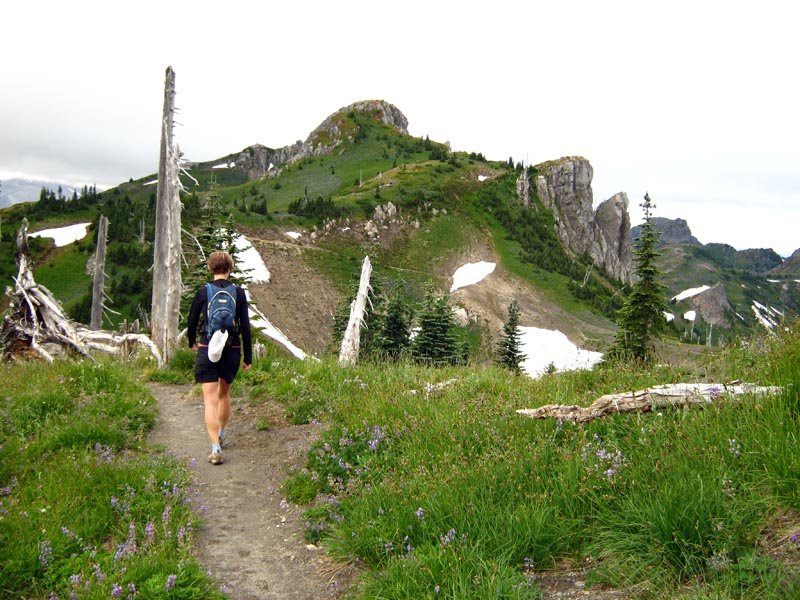
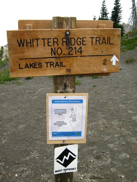
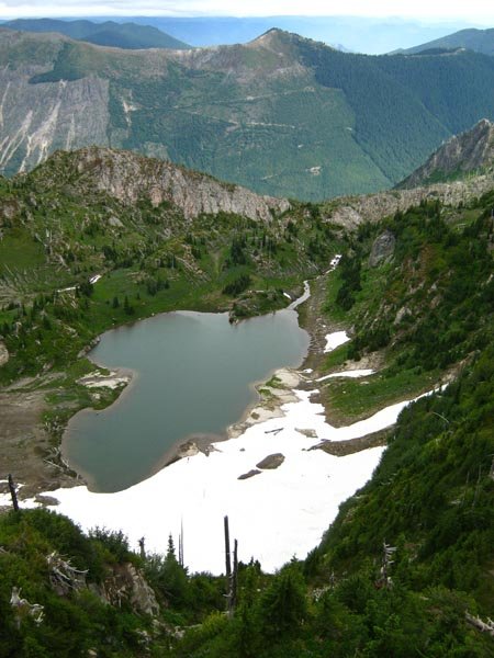
This turned out to be kind of a monster. Left Portland around 6:15am and drove 2.5 hrs to the Norway Pass trailhead. Hiked up towards Mt. Margaret, then turned onto the Whittier trail (which is apparently open for business now, complete with new signage). We crossed the Whittier ridge and met up with the Lakes trail, then descended towards Coldwater Lake, lo...

September 6 to September 8, 2011 20 miles 7,000 feet gained 2 nights

Drove from Portland out to Eagle Cap in the morning. Left Wallowa Lake TH around 1pm and went up to Ice Lake. Next morning went up the use trail (marked with cairns) to the summit of the Matterhorn (9826 ft), then scrambled across the ridges and gendarmes to the summit of Sacajawea Peak (9838 ft), the tallest in Eagle Cap. Retraced my steps back to the summi...

September 2, 2011 19 miles 4,750 feet gained

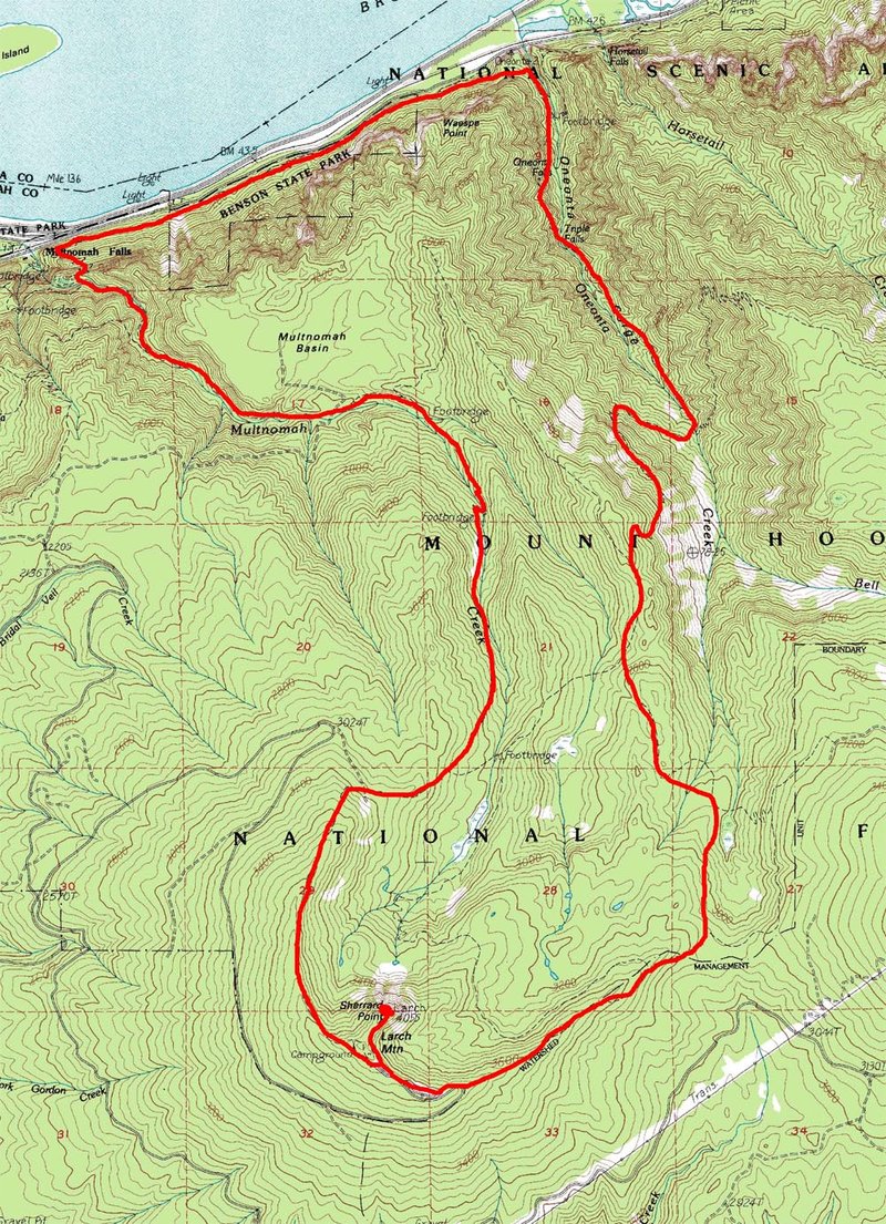
Started at Multnomah Falls. Took Gorge Trail 400 to Ponytail Falls, then up Rock of Ages to the Horsetail Falls trail. Turned left onto the Bell Creek trail, followed it through a bunch of brush and blowdowns to where it meets the Oneonta trail again, then up to Larch Mountain. Down the normal Larch Mountain trail to Multnomah Falls and the car.

August 28, 2011 11 miles 3,500 feet gained

This was originally supposed to be a McNeil Point > Cairn Basin > Barrett Spur hike, but we improvised. Got to Top Spur at 9:30am and the parking lot was totally packed. Went out to McNeil Point shelter, and then up the ridge to the rocky summit at around 6900 ft (NWHiker calls this McNeil Peak). The plan was to backtrack back to the Timberline Trail, follow...

August 23, 2011 9 miles 4,500 feet gained

Scored a free permit from someone who couldn't go, so I did some last minute planning and ran up there. I was dismayed by the rain last night, and the forecast called for clouds in the morning but burning off by afternoon, so I skipped the alpine start and left Portland 9ish - after gas and permits and such, I hit the trail at 11am. It was totally misty for ...

August 20, 2011 39 miles 12,250 feet gained

The next installment of the Acronymic Gorge Triple Crown (AGTC?) series of combo hikes: Tanner Butte - Nesmith Point - Table Mountain. I got up at 3:15am on maybe 3 1/2 hrs of sleep and hit the trail to Tanner Butte under headlamp at a touch before 5am. Got to the top in a little under 3 1/2 hrs, back to the car around 11:30am, for about 6 1/2 hrs hike time,...

August 18, 2011 15 miles 4,500 feet gained

Contrived loop to break in some new shoes. Started at Angel's Rest TH at 4:15pm (!), up to Angel's Rest by 5, then traversed to Wahkeena Springs and went down the falls trail (which is actually kind of cool until it becomes paved) back to the Old Columbia Highway, then took the connector trail to Multnomah Falls Lodge, went up to the top of the falls and up ...

August 5, 2011 25 miles 5,500 feet gained

Started at Eagle Creek TH and went up Ruckel Ridge to the Benson Plateau, then across Benson Way to the PCT and on to Wahtum Lake. We sidetracked to tag Chinidere and spent some time eating and napping in the sun. Then down the Wahtum cutoff to the lake, and finally a 13 mile slog down Eagle Creek and back to the car.

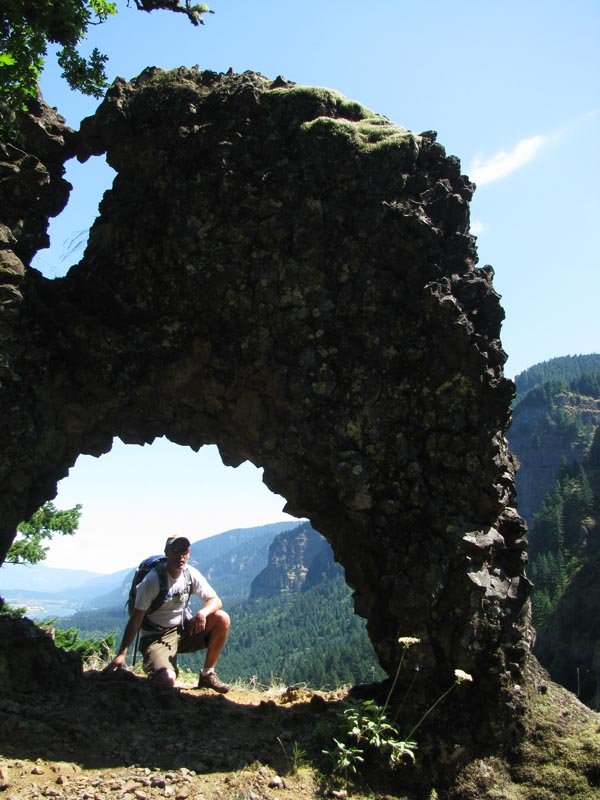
August 2, 2011 10 miles 3,250 feet gained

Scrambly ridge fun. Loop down Horsetrail Cr./Oneonta trails. The Rock Arch is so quick to get to (~ 1/2 mi) that you could easily run up there to catch the sunset after doing another Gorge hike.

July 27, 2011 12 miles 6,750 feet gained

Drove up to Cold Springs Campground on Tuesday night - the road is snow-free. Hit the trail at 4:40am Wednesday morning. Clear skies, though a little hazy in the distance towards Hood. The snow up to the Lunch Counter was firm and had a well-beaten track to follow. Crampons at Lunch Counter and then up to Pikers Peak - super windy up to. Across the saddle an...

July 15, 2011 26.5 miles 11,250 feet gained

My version of the Triple D: the DDT - Defiance, Dog, and Table. Left the Starvation Creek trailhead at 6:30am up the Defiance trail. No snow anywhere! Summit at 8:45, down Starvation and back at the car by 11am. Ate and drank, then drove across the Hood River Bridge to Dog, starting around noon, back to the car a little before 3pm. Drove down to the Aldrich ...

July 9, 2011 19 miles 4,750 feet gained

Started at Wahclella, up Gorge Trail 400 to Road 777, then to the Tanner trailhead. Up from there all the way to Tanner Butte. Overgrown at times towards the end, but NO SNOW!!! A recent GPS-enabled TR at PH pegged this at around 20 mi and 5000 ft, so I'm splitting the difference with that and the PH/NWH stats. A long dayhike, but not super steep cause it's ...

July 2, 2011 15.5 miles 5,750 feet gained

Went back up to Augspurger since such a sunny day requires hiking on the Washington side. Last time I didn't quite make the summit and I wanted to go back because I figured the snow was gone. Not only was it gone, but it has been completely replaced by lots and lots of thick brush! This hike is pretty overgrown now, and may not be any fun until fall. The sum...

June 25, 2011 18 miles 4,500 feet gained

We started at the Multnomah Falls parking lot and traversed Gorge Trail 400 a couple of miles to connect with the Oneonta Gorge trail 424, then followed that trail up to Franklin Ridge and then south, turning left at the junction with the Horsetail Creek trail (445), continuing on 424 to the junction with the Bell Creek trail, and turning right and following...

June 21 to June 22, 2011 5.5 miles 1,250 feet gained 1 night

Last Friday I noted how nice it was at Warren Lake on my way to Defiance, and how nice it would probably be to camp up there and just hang out and go in the water and read. Sooo.... my friend had somewhere early to be today, so yesterday we drove up the back way to the Mitchell trailhead, yielding a whopping 3/4 mile stroll down to Warren Lake. We spent the ...

June 17, 2011 11.5 miles 5,000 feet gained

Up Starvation and down the Defiance trail. The latter is probably steeper - next time I'm going to try going up it and down Starvation. Totally beautiful bluebird day, wanted to stay at Warren Lake sitting in a chair with a book or something. (I'll have to go back there for an overnight.) Very little snow compared to TRs from a week ago - we didn't hit any a...

June 10, 2011 9 miles 4,000 feet gained

Fun! Almost no snow on the Benson Plateau at the Ruckel Creek junction, so easy routefinding.

May 4, 2011 13.5 miles 5,250 feet gained

Made it within 1/2 mile of the top, but too much snow to continue without snowshoes. Summited Dog on the way back.

April 23, 2011 10 miles 3,500 feet gained

Started at Aldrich Butte to avoid mud on the Dick Thomas trail. Went up West Ridge - a couple of patches of snow, easy to avoid. Heard there was postholing at the top of the talus field on Heartbreak Ridge. No snow up top at the Gorge end, but the back end was totally covered. Went down the usual NW ridge descent - probably not a great idea, since it was tot...

April 20, 2011 12 miles 2,750 feet gained

Patches of snow on Oneonta Gorge Trail #424 switchbacks before reaching the top of Franklin Ridge (though no snow up top). The ridge itself has a neat, seemingly little-used trail that runs along its spine and feels very tucked away. Almost turned left at the junction and continued on to Larch Mountain, but thought better of it and went down.

January 27, 2011 9 miles 2,250 feet gained

Went up the right branch Hamilton Mtn trail and down the longer Hardy Creek Trail to make a loop. Last minute afternoon hike - went from car (in lower parking at Beacon Rock because it was a weekday and the gate was closed) to summit in 1 hr!

January 22, 2011 10 miles 3,500 feet gained

Started from Wahclella Falls TH. Bad mudslides wiped out large sections of the lower part of Road 777 on the way to the Tanner TH.